

California 58 West - Boron to Tehachapi
| California 58 west | |
|---|---|
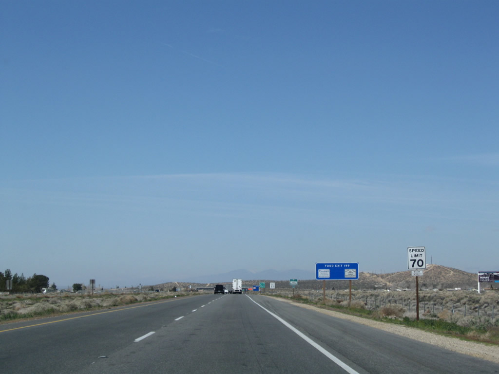 |
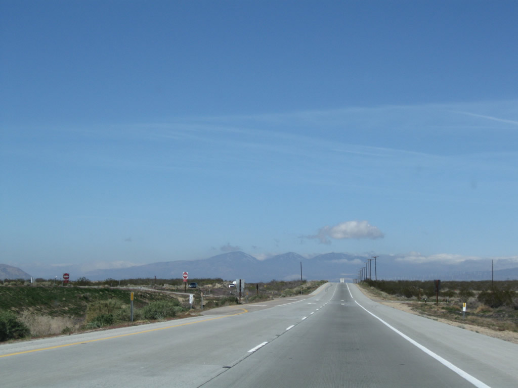
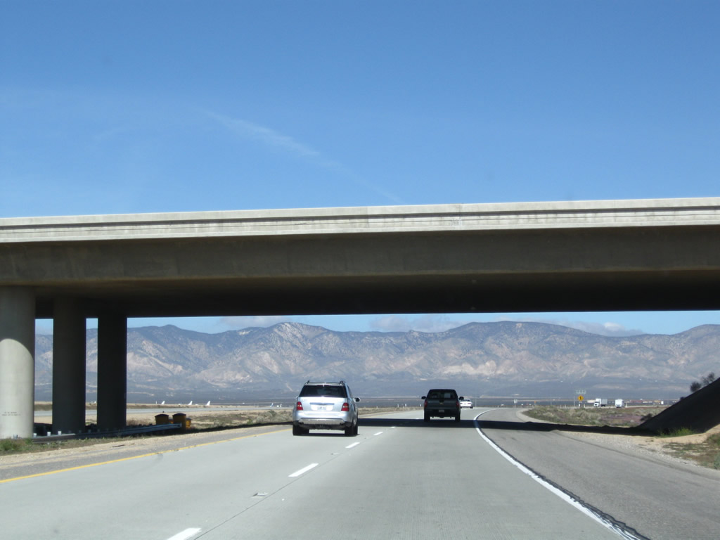
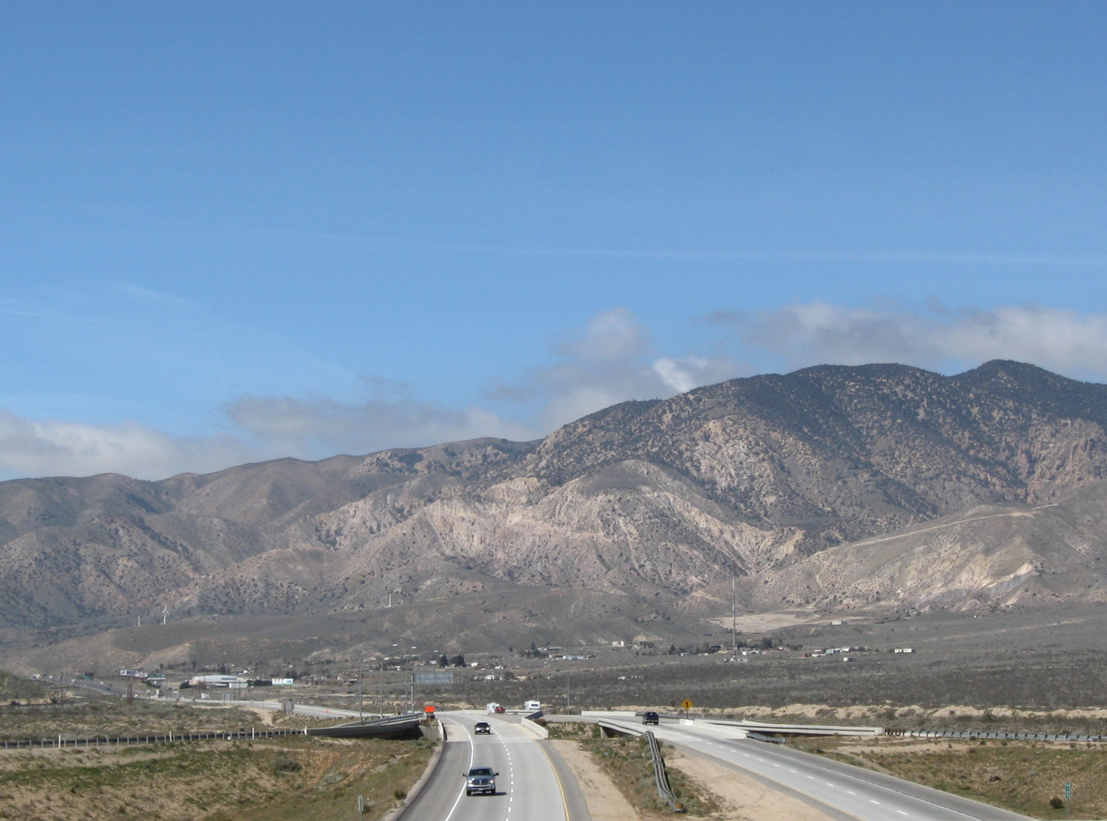
After the San Bernardino-Kern County line, the speed limit rises to 70 miles per hour. Photo taken 03/15/09. |
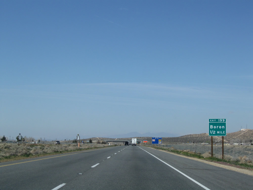 |
The next exit along California 58 west is Exit 199, Boron Road south to Boron (one-half mile). California 58 enters the unincorporated community of Boron (population 2,025 people as of the 2000 Census). Boron is perhaps best known for having the largest open pit mine in California; this pit is also the largest borax mine in North America. Borax was first discovered in 1926 and is part of the industry of Boron, and borax is the focus of the Twenty Mule Team Museum in downtown Boron. Photo taken 03/15/09. |
 |
Westbound California 58 reaches Exit 199, Boron Road south to Boron. A rare porcelain-enamel, button copy overhead sign is posted at the exit ramp. Photo taken 03/15/09. |
 |
As is typical on this stretch of freeway (which bypasses Boron), a loop ramp connects traffic onto California 58 west. Photo taken 03/15/09. |
 |
A California 58 west reassurance shield is posted after the on-ramps from Boron Road. Photo taken 03/15/09. |
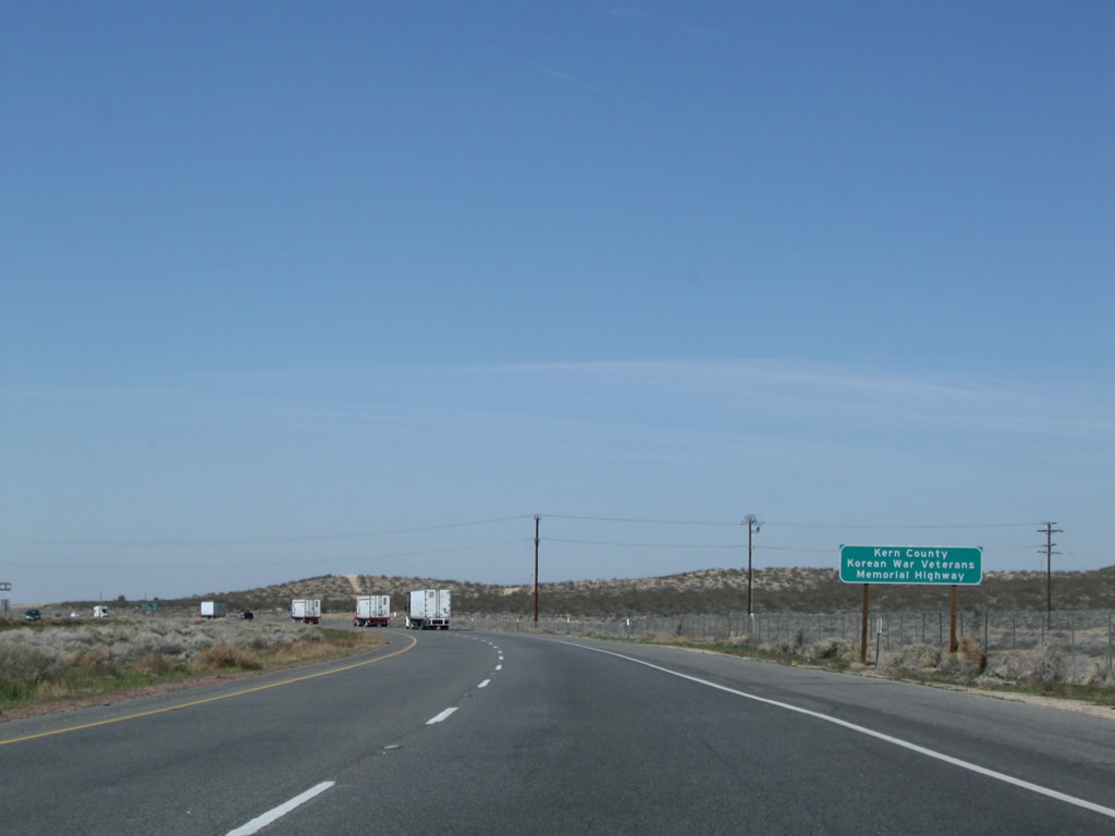 |
This section of California 58 is signed as the "Kern County Korean War Veterans Memorial Highway." Photo taken 03/15/09. |
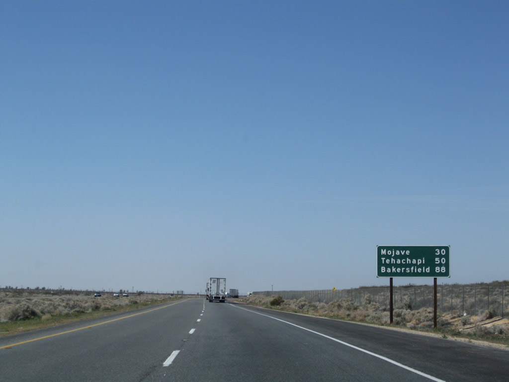 |
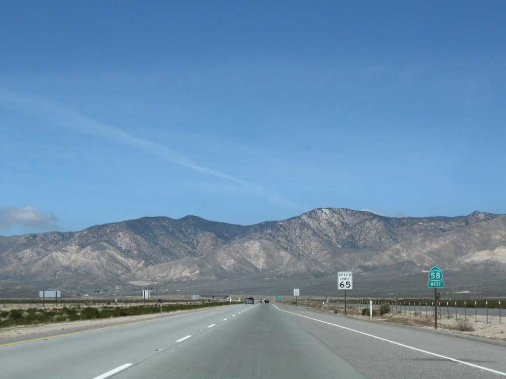
A mileage sign provides the distance to Mojave (30 miles), Tehachapi (50 miles), and Bakersfield (88 miles). Photo taken 03/15/09. |
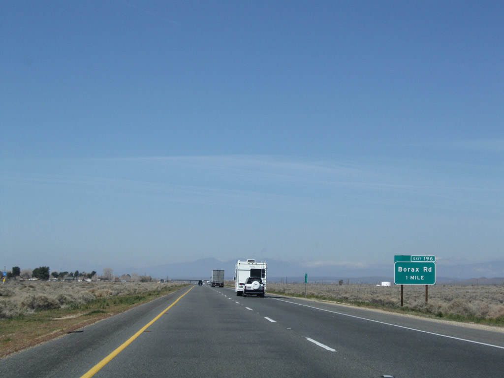 |
The next exit along California 58 west is Exit 196, California 58 Business (Borax Road) and Rocket Site Road (one mile). Photo taken 03/15/09. |
 |
A rare green-backed California 58 west reassurance sign appears prior to the off-ramp for Exit 196. Photo taken 03/15/09. |
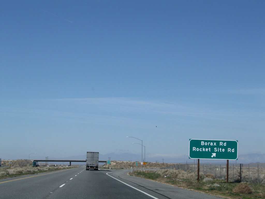 |
Westbound California 58 meets Exit 196, California 58 Business (Borax Road) and Rocket Site Road. The business route travels south on Borax Road, then turns east on Twenty Mule Team Road into the unincorporated community of Boron. Photo taken 03/15/09. |
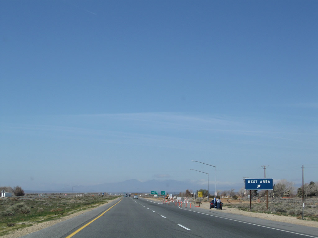 |
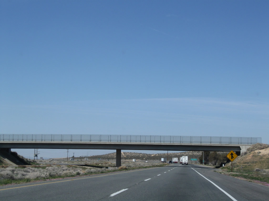
The next exit along California 58 west is Exit 195, Rest Area. Photo taken 03/15/09. |
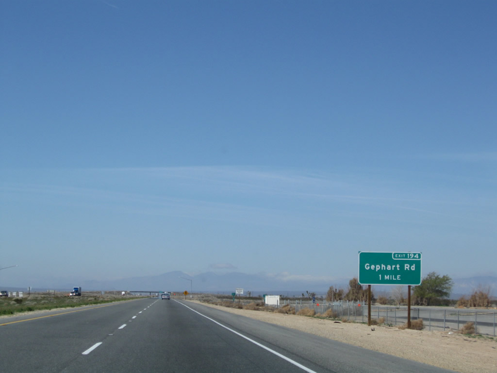 |
Shortly thereafter, the next exit along California 58 west is Exit 194, Gephart Road (one mile). Photo taken 03/15/09. |
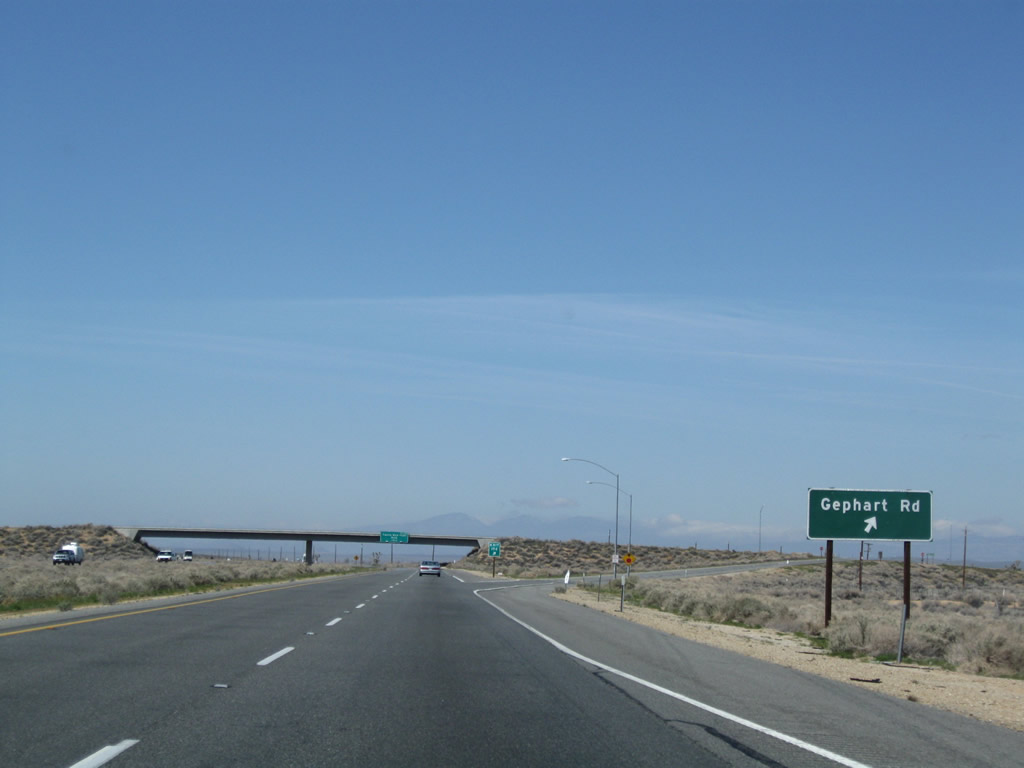 |
Westbound California 58 reaches Exit 194, Gephart Road. Photo taken 03/15/09. |
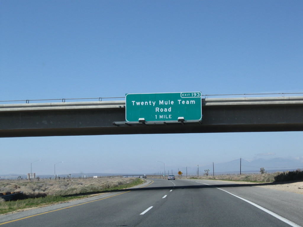 |
The next exit along California 58 west is Exit 193, Twenty Mule Team Road (Historic U.S. 466 east to Boron). Photo taken 03/15/09. |
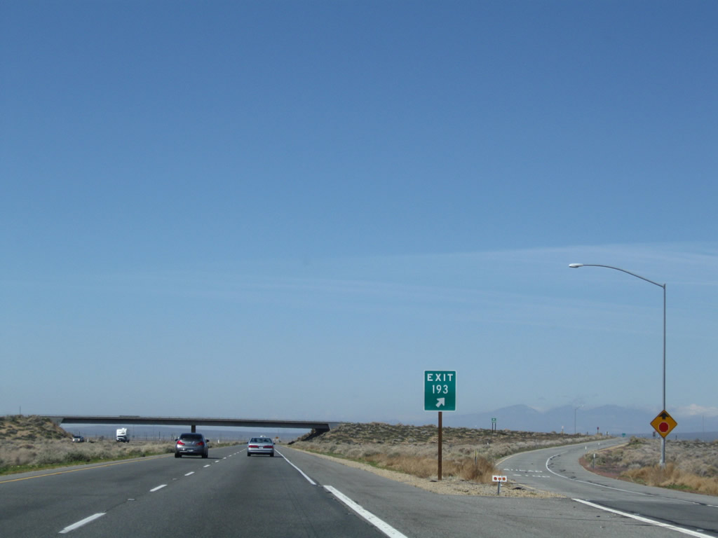 |
Westbound California 58 reaches Exit 193, Twenty Mule Team Road (Historic U.S. 466 east to Boron). Photo taken 03/15/09. |
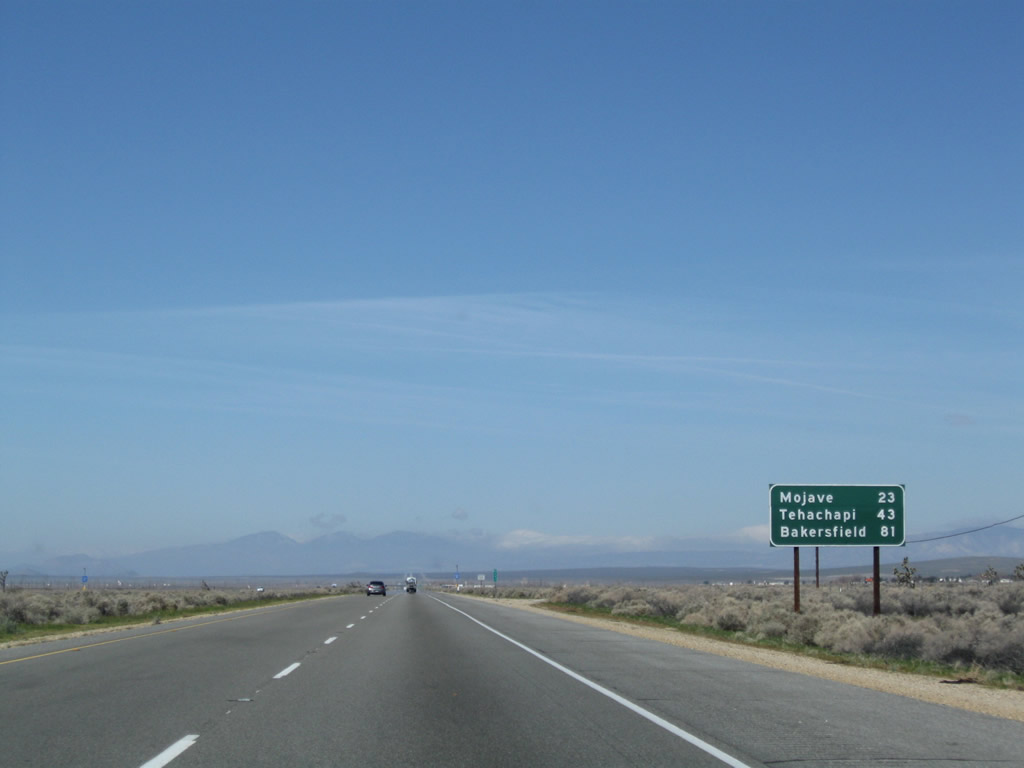 |
This mileage sign along California 58 west provides the distance to Mojave (23 miles), Tehachapi (43 miles), and Bakersfield (81 miles). Photo taken 03/15/09. |
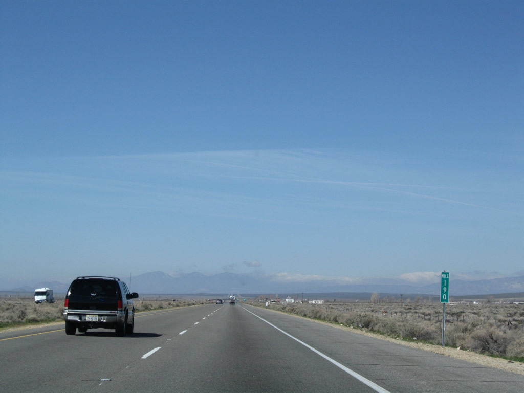 |
Standard white on green mileposts are in use along the California 58 and California 14 freeways within Kern County. Commonly found in other states, they are still rare in California. Photo taken 03/15/09. |
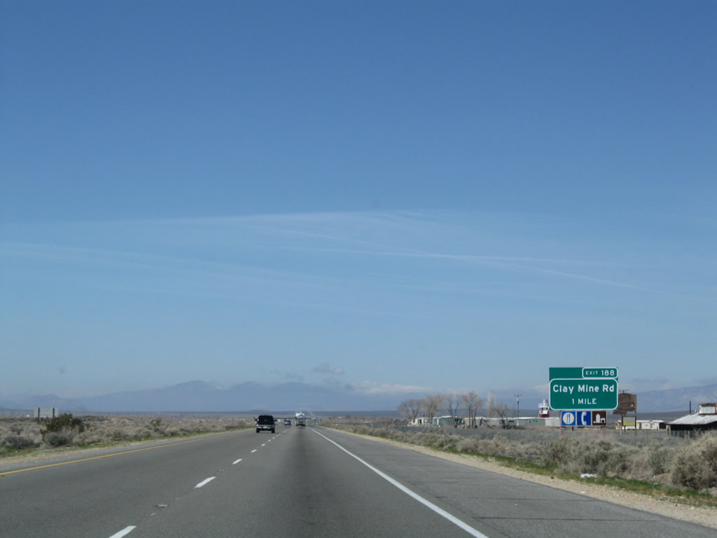 |
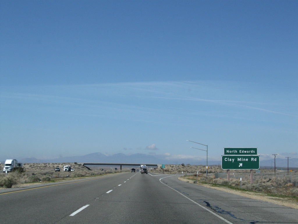
The next exit along California 58 west is Exit 188, Clay Mine Road (one mile) to North Edwards. Photo taken 03/15/09. |
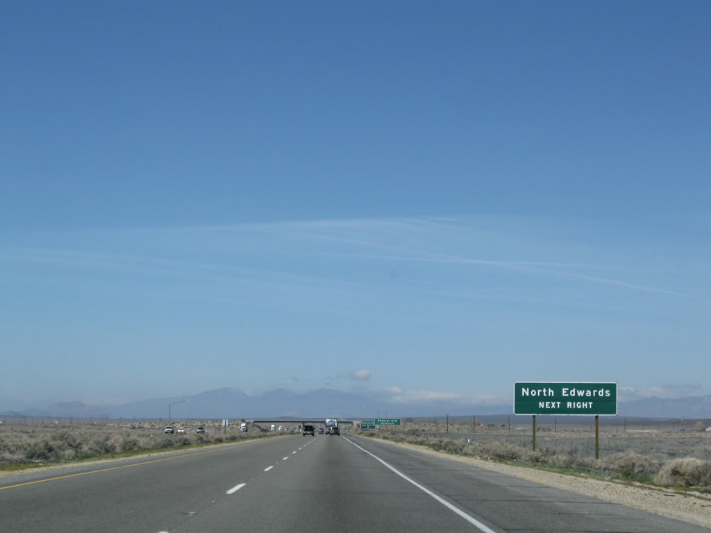 |
North Edwards, an unincorporated community in eastern Kern County, had a population of 1,227 people at the 2000 Census and sits at an elevation of 2,293 feet. The community is located close to the main entrance of Edwards Air Force Base, and some who work on base choose to live in North Edwards. Photo taken 03/15/09. |
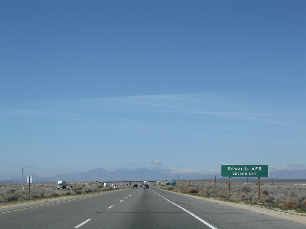 |
However, the connection from California 58 west to Edwards Air Force Base is available at Exit 186, two miles west of here. Photo taken 03/15/09. |
 |
Westbound California 58 reaches Exit 188, Clay Mine Road to North Edwards. Photo taken 03/15/09. |
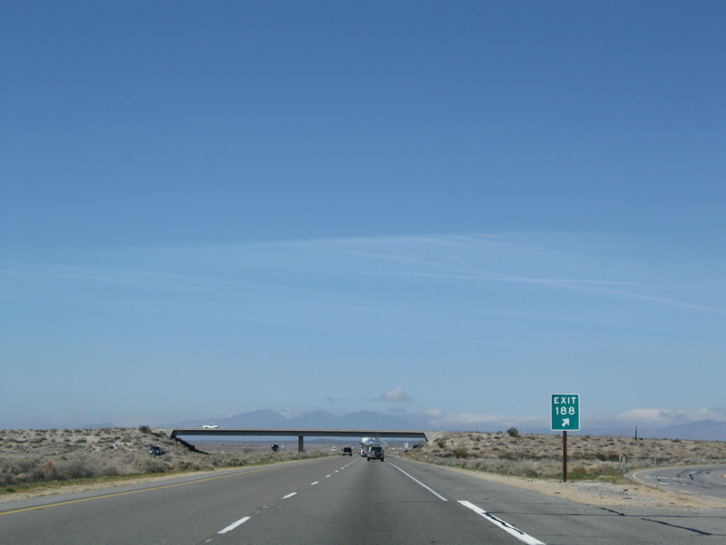 |
An Exit 188 gore point marker has the exit number in relatively large, Highway Gothic Series E numerals. Photo taken 03/15/09. |
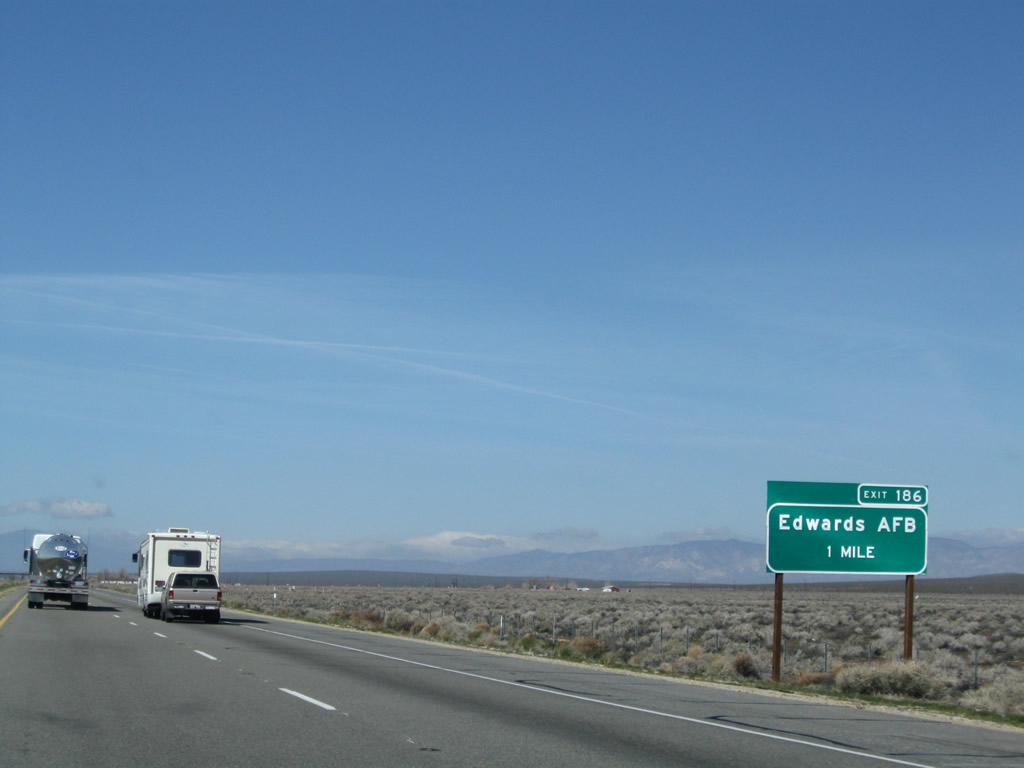 |
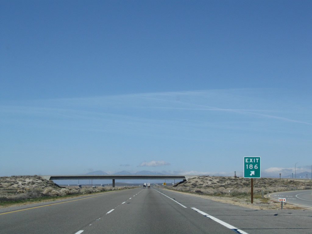
The next exit along California 58 west is Exit 186, Muroc Road (Rosamond Boulevard) to Edwards Air Force Base. The base is located south of the freeway. All vehicles entering the base are screened and must have proper identification. Photo taken 03/15/09. |
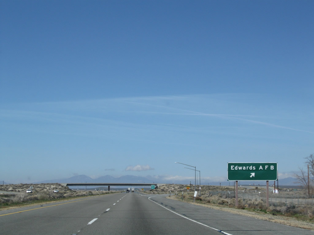 |
Westbound California 58 reaches Exit 186, Muroc Road (Rosamond Boulevard) to Edwards Air Force Base. Home of the Air Force Flight Test Center, the base formerly was the alternate landing location for the retired NASA space shuttle program. Photo taken 03/15/09. |
 |
Once again the exit gore point sign has an exit number. Photo taken 03/15/09. |
 |
A California 58 west reassurance shield is posted after the on-ramp from Edwards Air Force Base. Continuing west, the Tehachapi Mountains start to dominate the view; these mountains separate the Mojave Desert from the southern reaches of the Central Valley. California 58 will cross these mountains between the cities of Mojave and Bakersfield. Photo taken 03/15/09. |
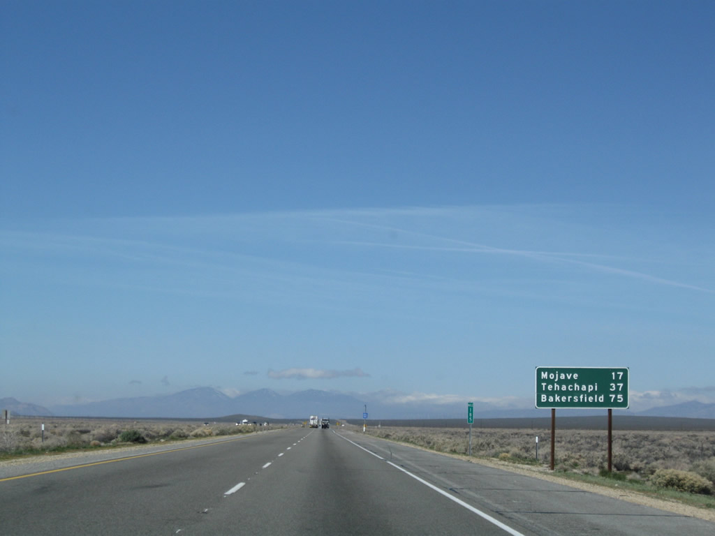 |
This mileage sign along California 58 west provides the distance to Mojave (17 miles), Tehachapi (37 miles), and Bakersfield (75 miles). Photo taken 03/15/09. |
 |
The freeway ends ahead, but the expressway continues. California 58 will retain four lanes all the way to Bakersfield. Photo taken 03/15/09. |
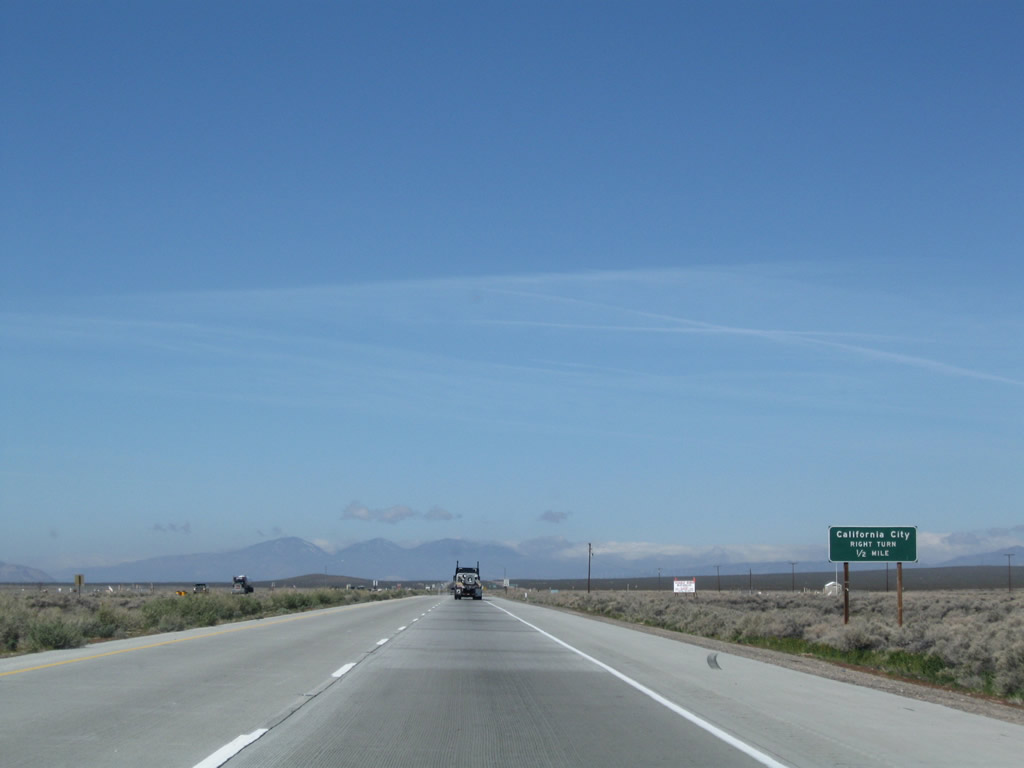 |
The next exit along California 58 west is what would be Exit 184, California City Boulevard (one-half mile) north to California City. Photo taken 03/15/09. |
 |
Westbound California 58/Mojave-Barstow Freeway reaches Exit 184, California City Boulevard north to California City. The city center is located ten miles north of this intersection. Photo taken 03/15/09. |
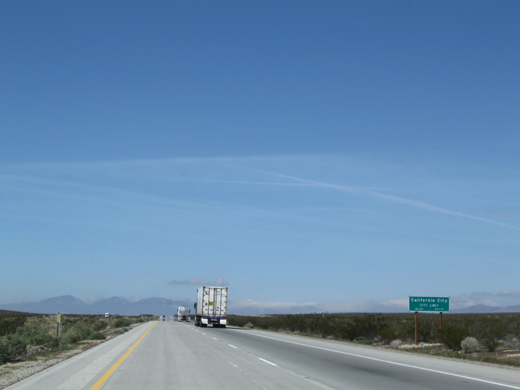 |
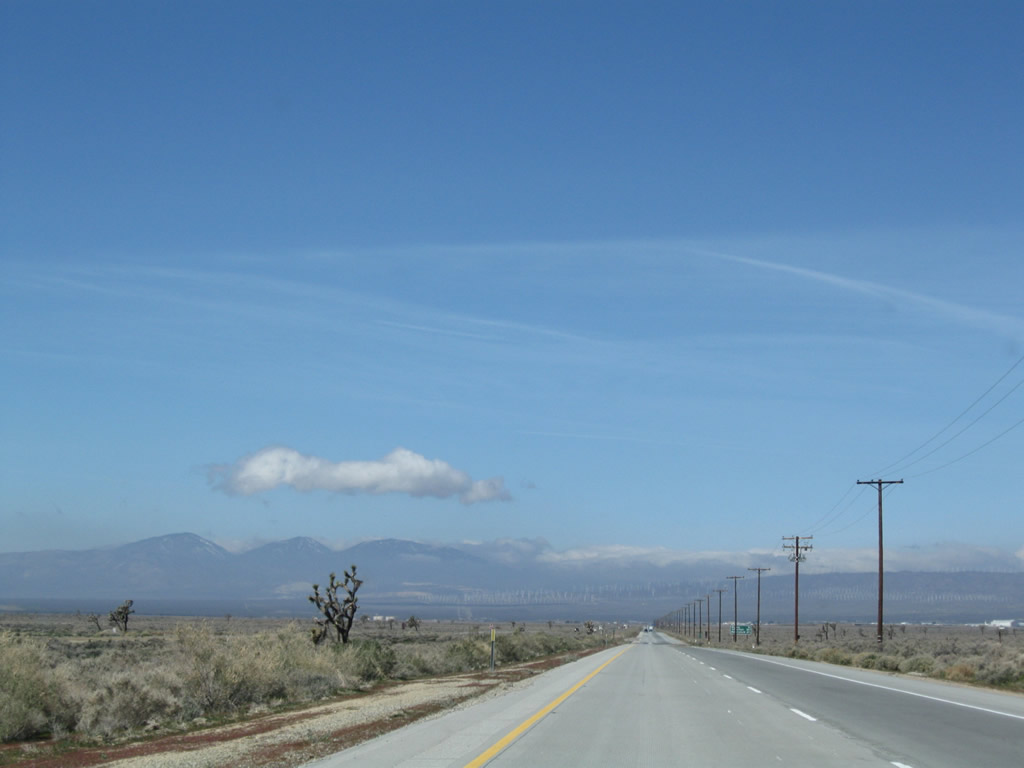
Beyond California City Boulevard, California 58 passes through the southern reaches of California City. Home to 8,385 people as of the 2000 Census, California City consists of 203.7 square miles of area and was incorporated in 1965. This huge city was planned by Nat Mendelsohn as a large, master-developed community that would have a park as its centerpiece. Despite its proximity to the Air Force Base and a prison, the planned development never attracted enough people to become what area pioneers intended in the 1950s and 1960s. Remnants of the road grid for this huge, sprawling city remain intact, with some of these numbered streets intersecting California 58. Redevelopment activities are planned for California City to allow for future growth. Photo taken 03/15/09. |
 |
 |
 |
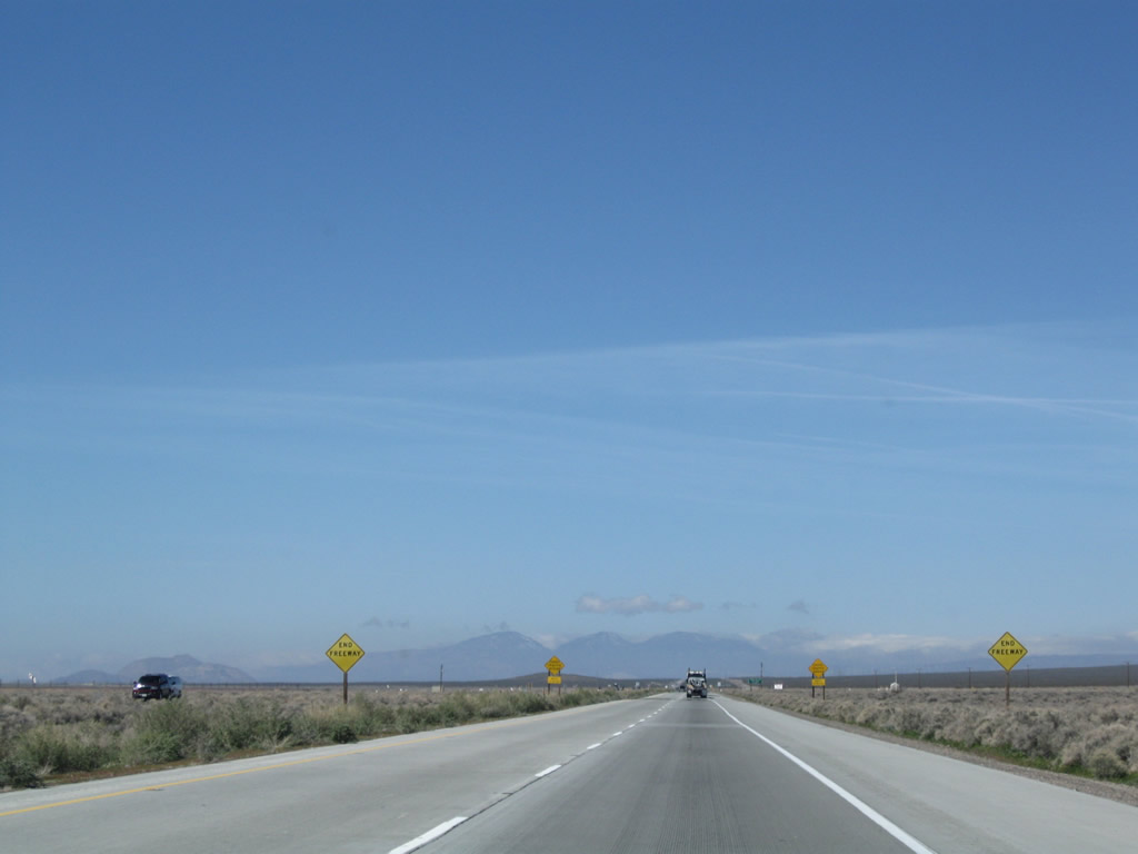
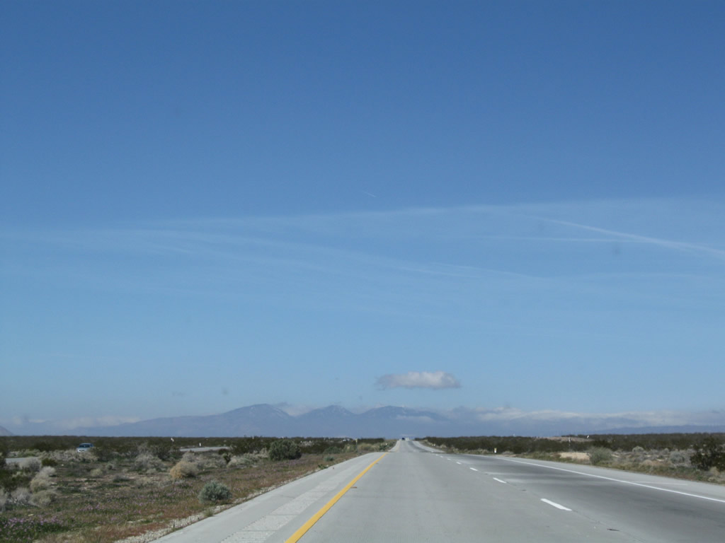
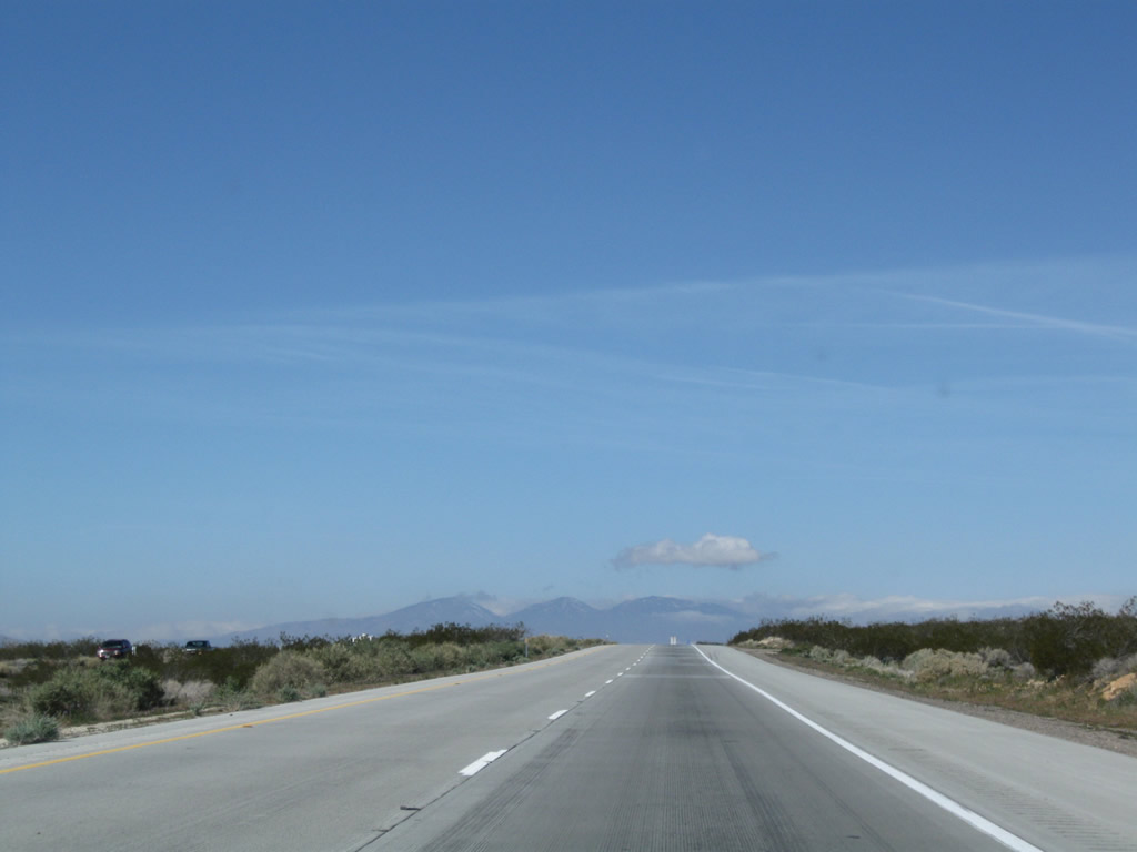
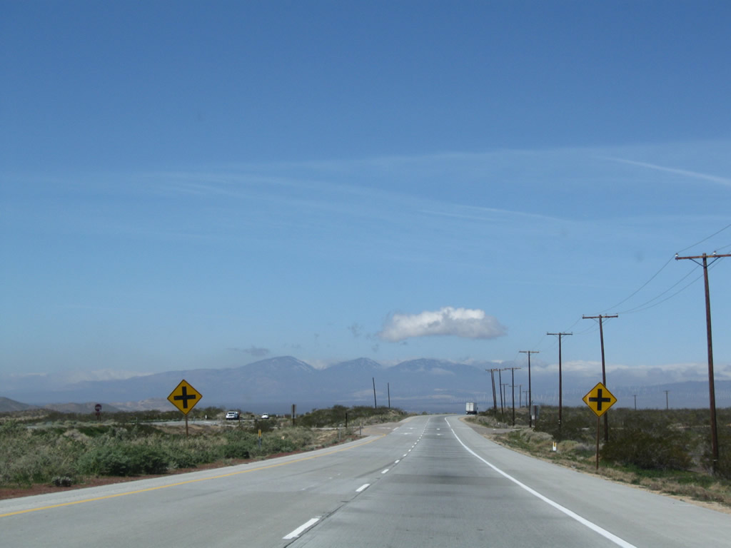
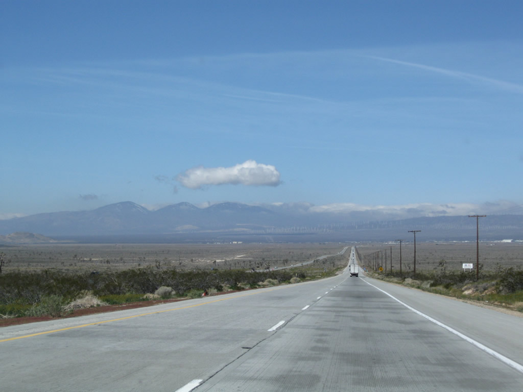
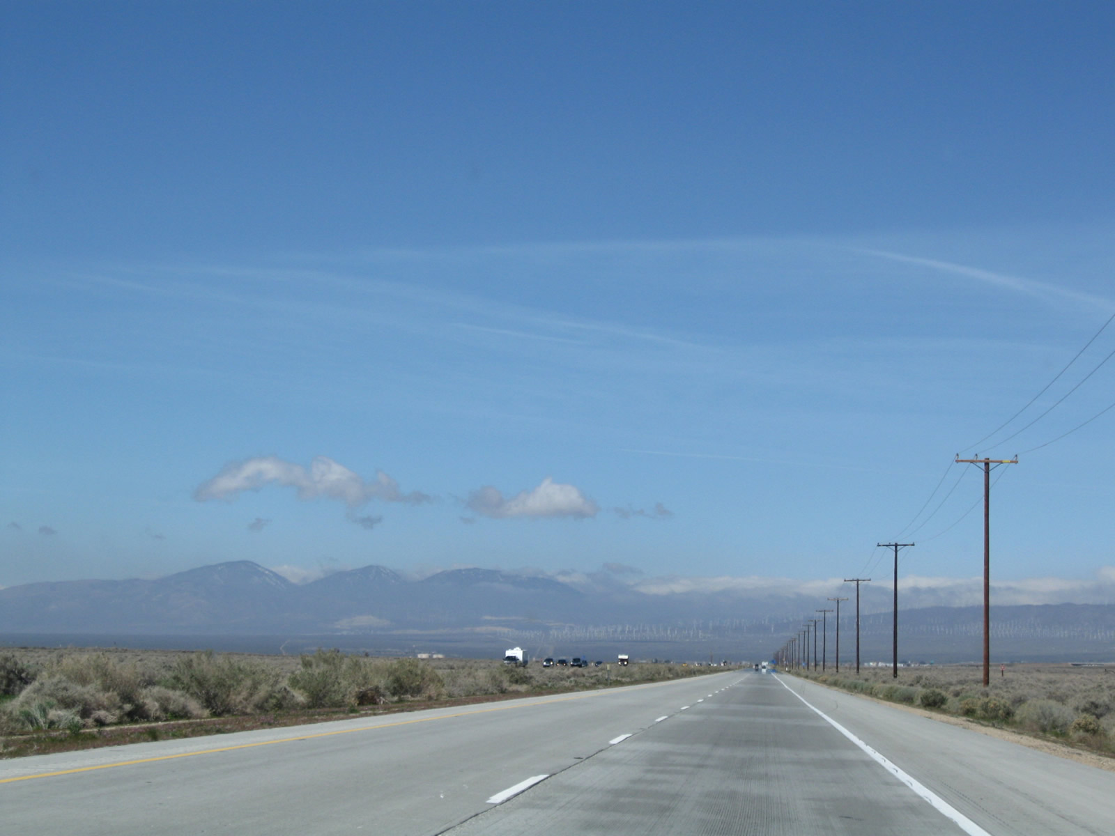
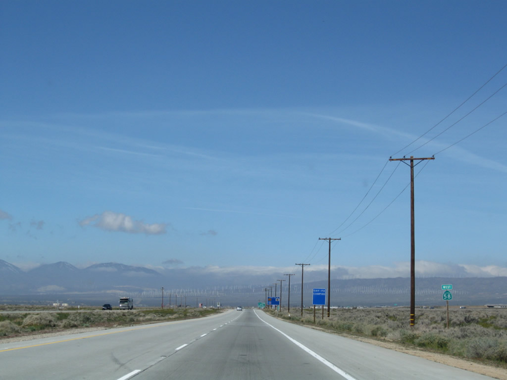
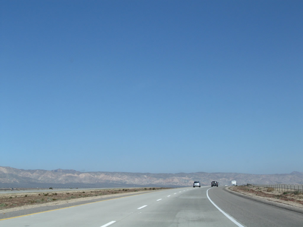
California 58 continues west as an expressway for approximately ten miles. Intersecting streets have limited traffic. This suite of photos shows the expressway as it leads west toward Mojave. Photos taken 03/15/09. |
 |
 |
 |
|
 |
 |
 |
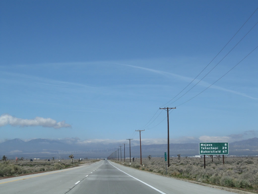 |
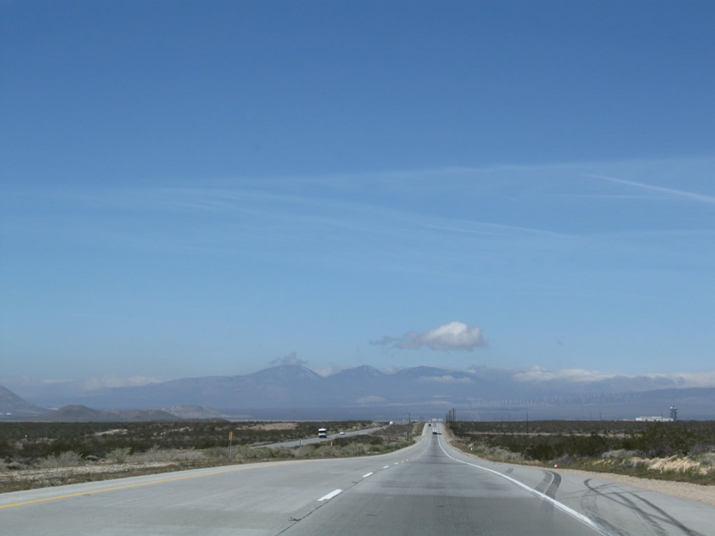
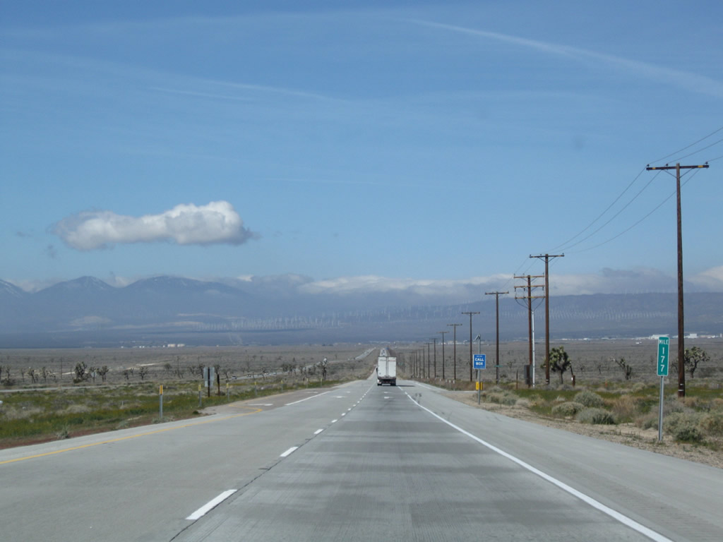
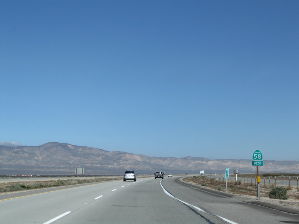
Continuing west, this mileage provides the distance to Mojave (eight miles), Tehachapi (29 miles), and Bakersfield (67 miles). Photo taken 03/15/09. |
 |
In the distance, the foothills of the Tehachapi Mountains are laden with towering wind turbines. Although they appear small from here, California 58 will eventually pass through a veritable forest of them northwest of Mojave. Photo taken 03/15/09. |
 |
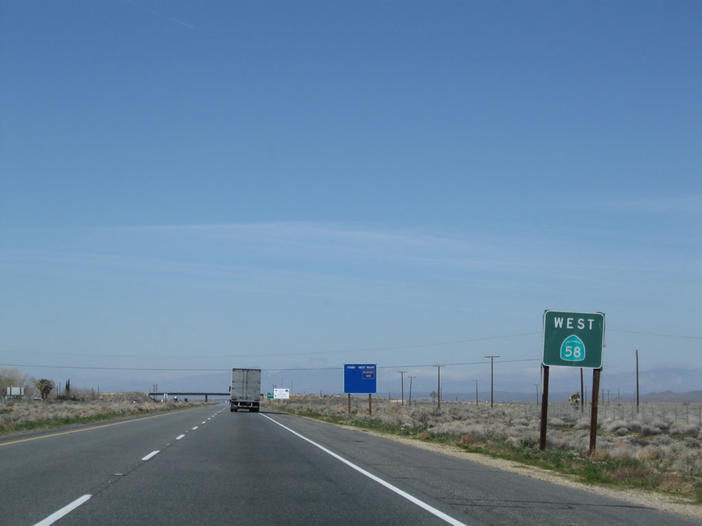
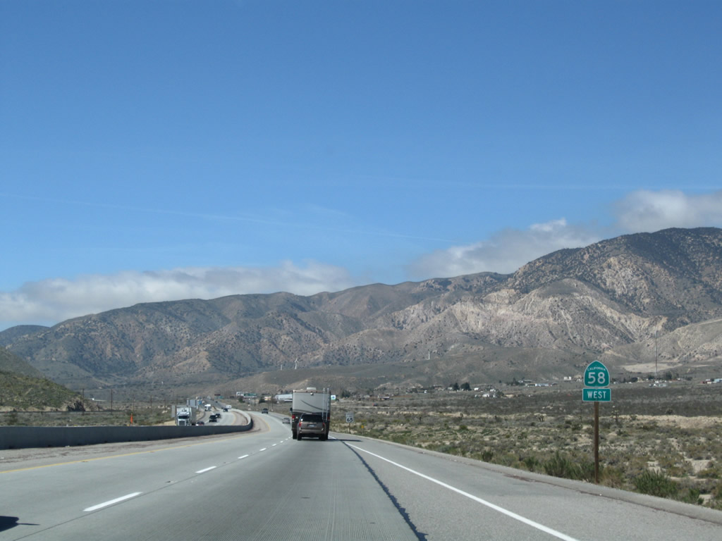
A California 58 west reassurance shield is posted prior to connecting to the Mojave Bypass. Photo taken 03/15/09. |
 |
The new Mojave Bypass freeway, which opened in September 2003, provides a bypass around the unincorporated community of Mojave. Because California 14 and California 58 used to meet in downtown Mojave, the area became known as a major bottleneck for both routes due to high traffic volume, a series of traffic signals, and commercial development. The bypass allows travelers on California 58 to continue around the town without having to pass through the urban center. A similar bypass for California 14 might be contemplated but is not likely to be built anytime soon. This sign, which is a blue motorist services sign, is one of the first in the state of California to include the exit number on this type of sign. In fact, the Mojave Bypass is probably the first freeway project in the state to be designed with exit numbers at all interchanges, unlike the older freeways that have been retrofitted with new exit number signs. Photo taken 03/15/09. |
 |
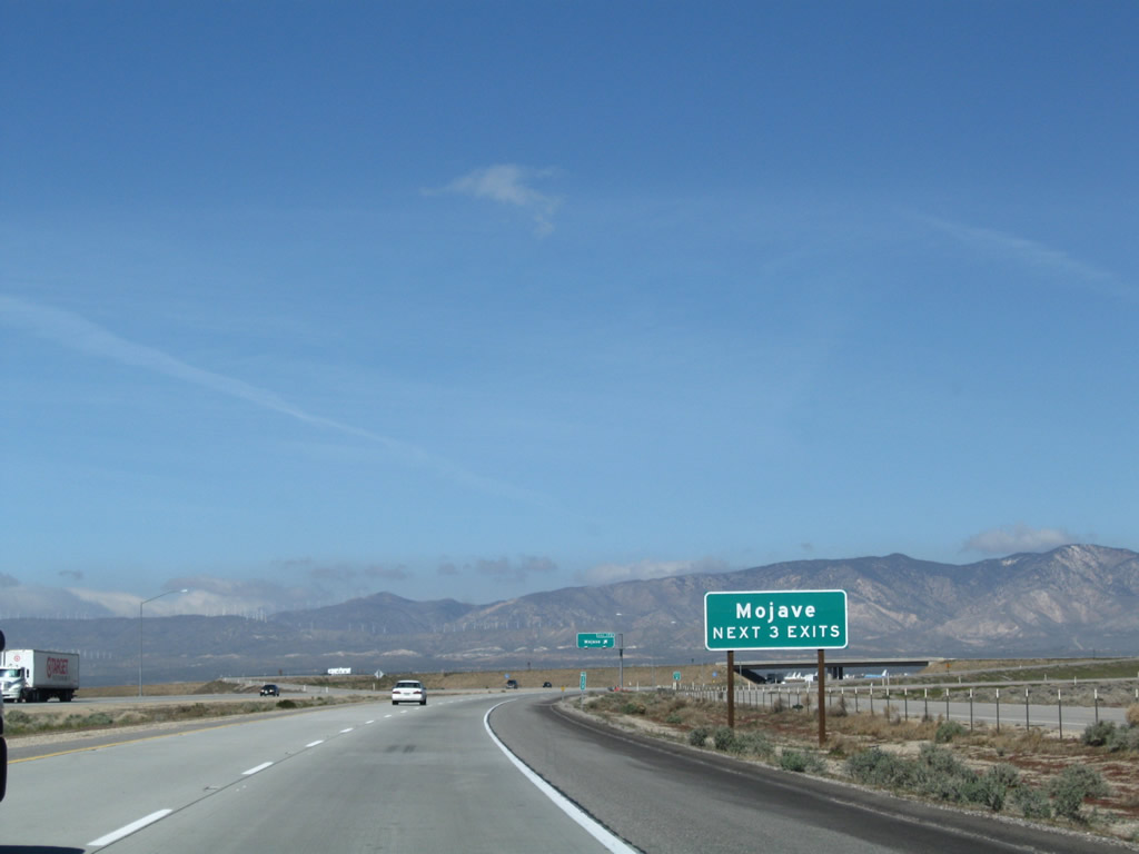
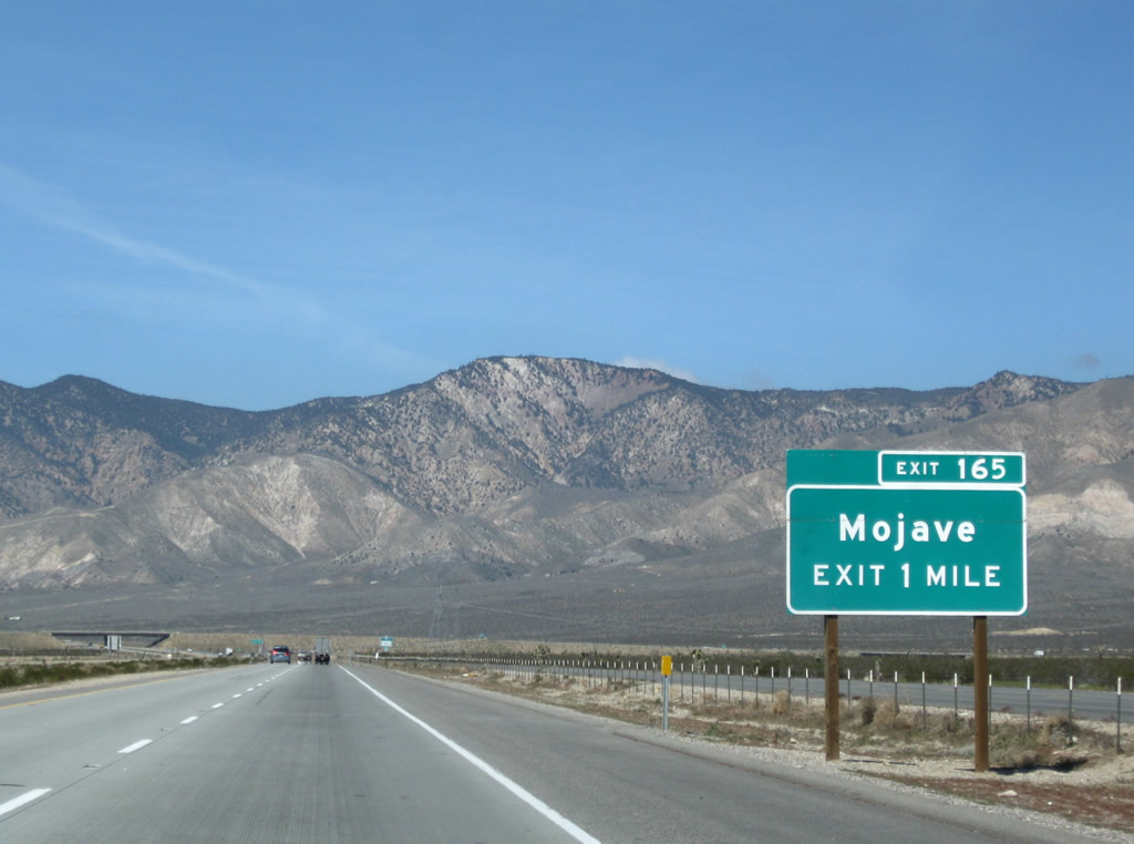
The next exit along California 58 west is Exit 172, California 58 Business west to Mojave. Photo taken 03/15/09. |
 |
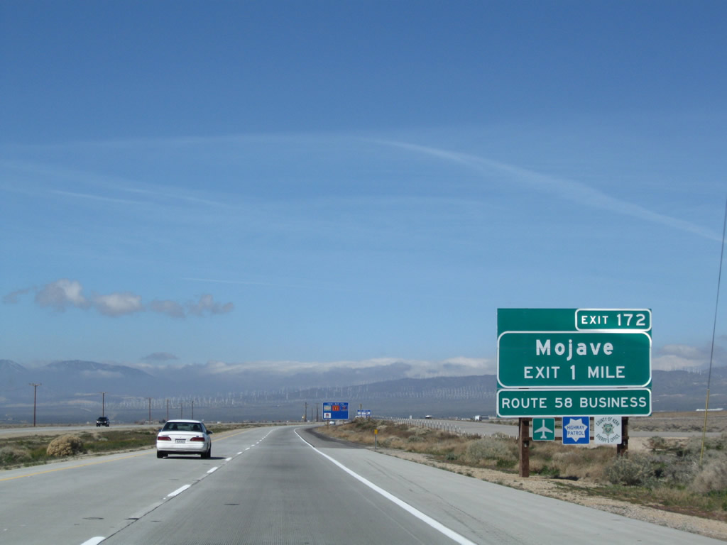
The next three exits serve Mojave: Exit 172, California 58 Business west into Mojave; Exit 167, California 14 south into Mojave and north to Bishop; and Exit 165, California 58 Business east into Mojave. Photo taken 03/15/09. |
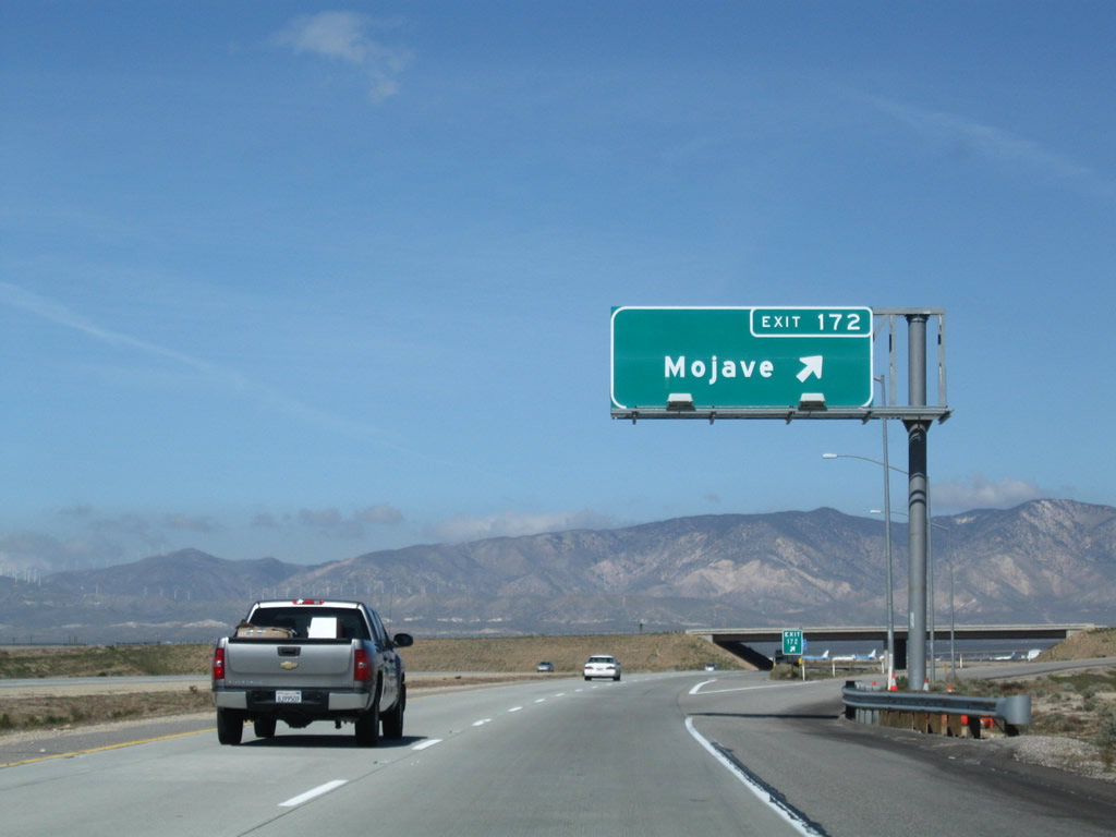 |
Westbound California 58 reaches Exit 172, California 58 Business (Mojave-Barstow Highway) west into Mojave. The business loop follows the original alignment of California 58 (and therefore U.S. 466) into Mojave. Photo taken 03/15/09. |
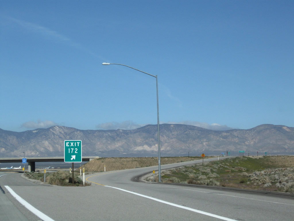 |
The exit number is posted on the gore point signage for Exit 172, California 58 Business west. The next exit is five miles ahead, and California 58 stays far to the northeast of the unincorporated community of Mojave. Photo taken 03/15/09. |
 |
The Tehachapi Mountains are framed by the California 58 Business overpass. The California 58 turns north and then west to completely bypass the community of Mojave. Photo taken 03/15/09. |
 |
A California 58 west reassurance shield and Mile 172 post are posted after the on-ramp from Exit 172. Note the directional banner is placed below the shield, which appears to be the standard along the length of the Mojave Bypass. Photo taken 03/15/09. |
 |
Four-lane concrete guides the California 58 freeway around the community of Mojave. Photo taken 03/15/09. |
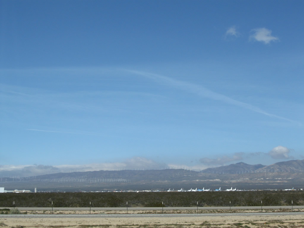 |
Looking west from the Mojave Bypass to see the Mojave Air and Space Port, which serves as a commercial general aviation airport, flight testing facility, and airplane storage yard. The airport is also home to a space port, and the much-publicized suborbital flight of SpaceShipOne occurred here on June 21, 2004. Dozens of airplanes are parked here in the high desert. Several commercial airlines park their planes here in order to preserve them against the elements until the planes can be returned to service or eventually scrapped and used for parts. Photo taken 03/15/09. |
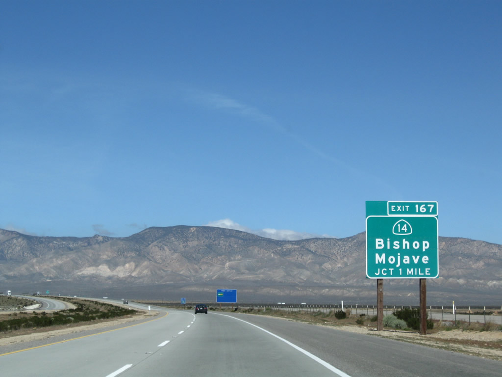 |
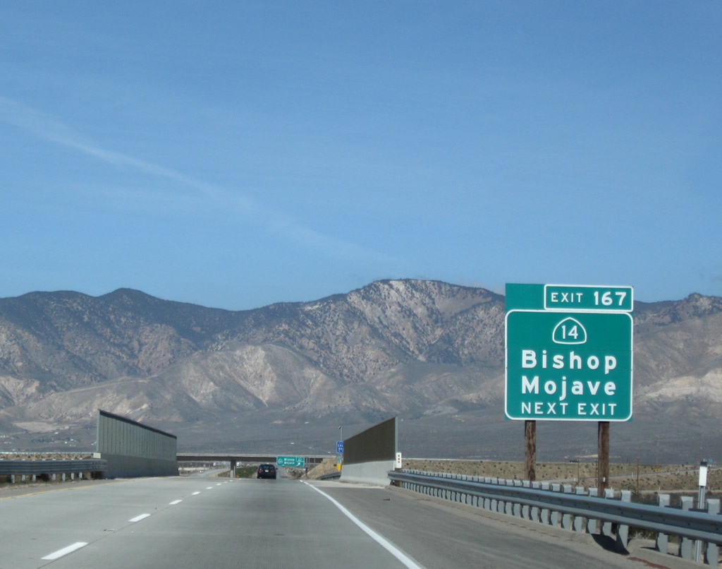
The next exit on California 58 west is Exit 167, California 14 (Sierra Highway). California 14 north (old U.S. 6 east) leads to U.S. 395 near Ridgecrest, where it is subsumed by the U.S. route. U.S. 395 in turn serves the Eastern Sierra, passing through the Owens Valley and communities of Olancha, Lone Pine, Independence, and Big Pine before reaching Bishop, where U.S. 395 and U.S. 6 split. U.S. 395 continues north to Mammoth and Reno, while U.S. 6 angles northeast toward Tonopah and Ely, Nevada. Photo taken 03/15/09. |
 |
Like California 58, California 14 (Sierra Highway) (Grand Army of the Republic [GAR] Highway) is also a freeway outside of Mojave and is also a former U.S. route. California 58 used to be U.S. 466, and California 14 used to be U.S. 6. Both routes carry a decent amount of traffic, and both are freeways as they approach Mojave from all directions. Upon entering Kern County and reaching the urban limits of Mojave, California 14 becomes a conventional four-lane highway with traffic signals and commercial development. Unlike California 58, California 14 currently does not bypass downtown Mojave; instead it follows the railroad right through downtown Mojave. Nevertheless, plans call for California 14 to bypass Mojave ultimately, and at that time, California 14 would maintain freeway standards from Los Angeles County around Mojave and then north toward U.S. 395 near Ridgecrest. Photo taken 03/15/09. |
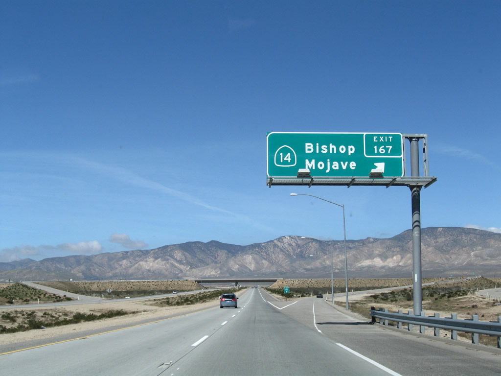 |
Westbound California 58 (Mojave Bypass) reaches Exit 167, California 14 (Sierra Highway / former U.S. 6) north to Bishop and south to Mojave and Los Angeles. Photo taken 03/15/09. |
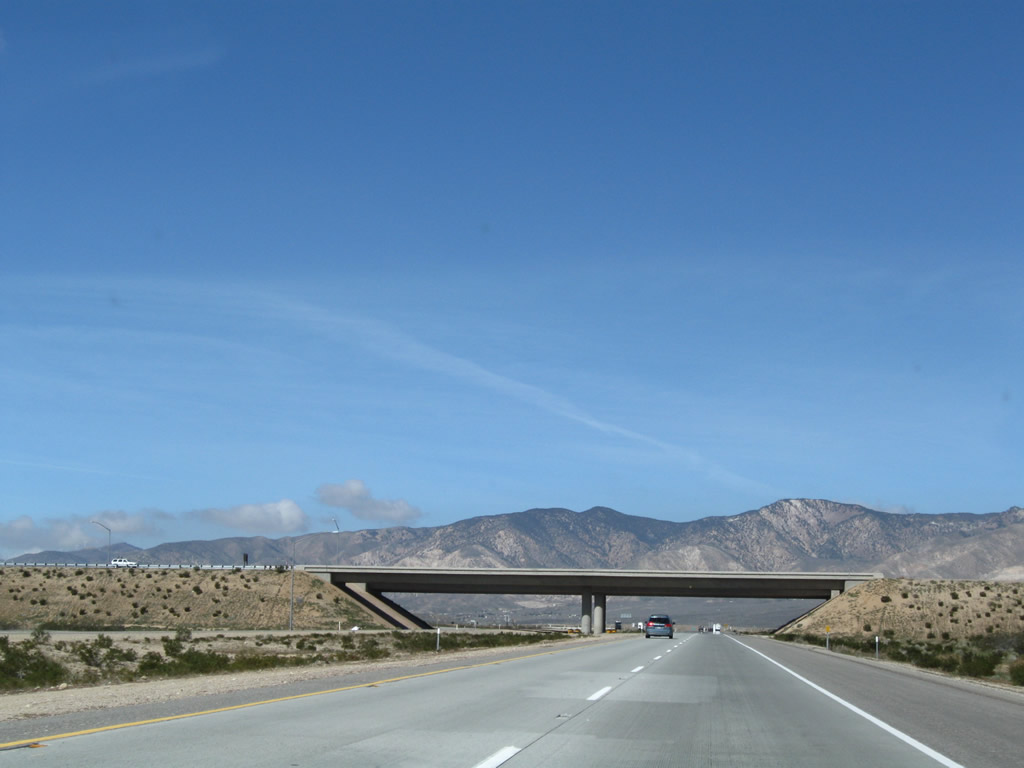 |
California 58 (Mojave Bypass) passes under California 14 at the bridge ahead. Photo taken 03/15/09. |
 |
A California 58 west reassurance shield is posted after the on-ramp from California 14. Photo taken 03/15/09. |
 |
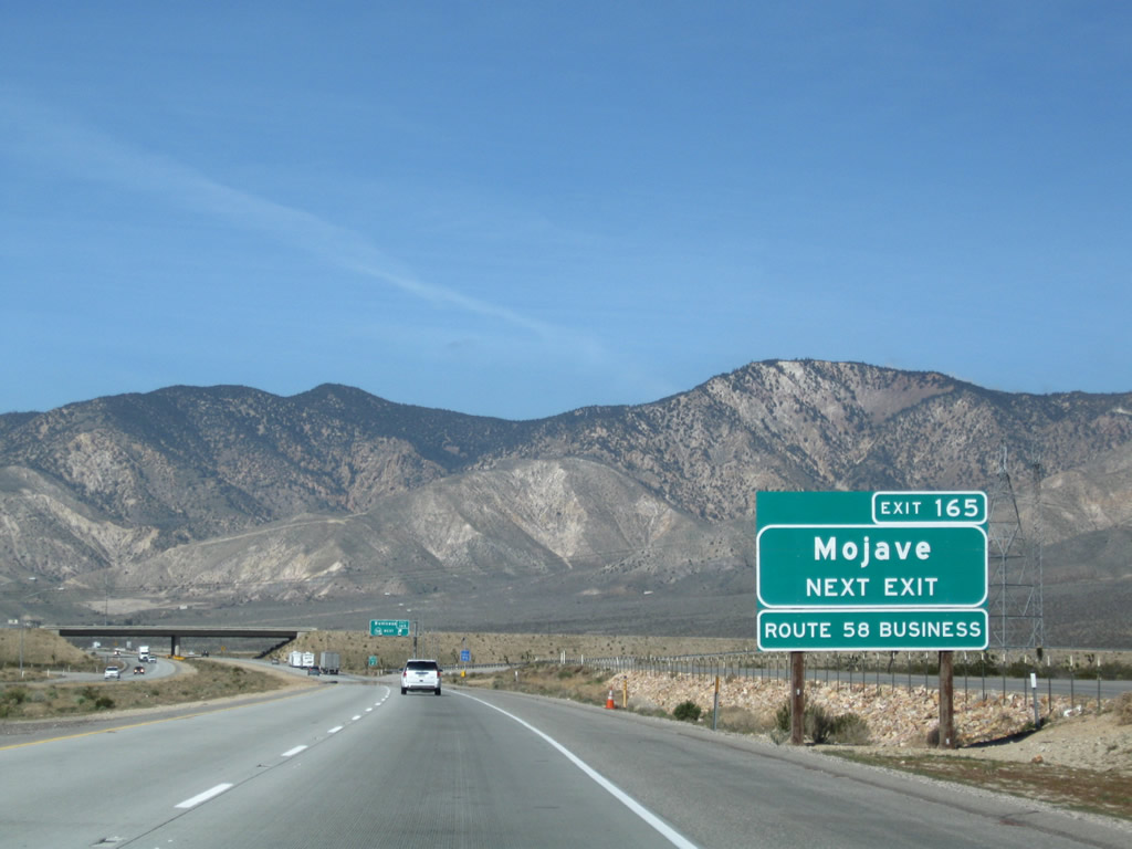
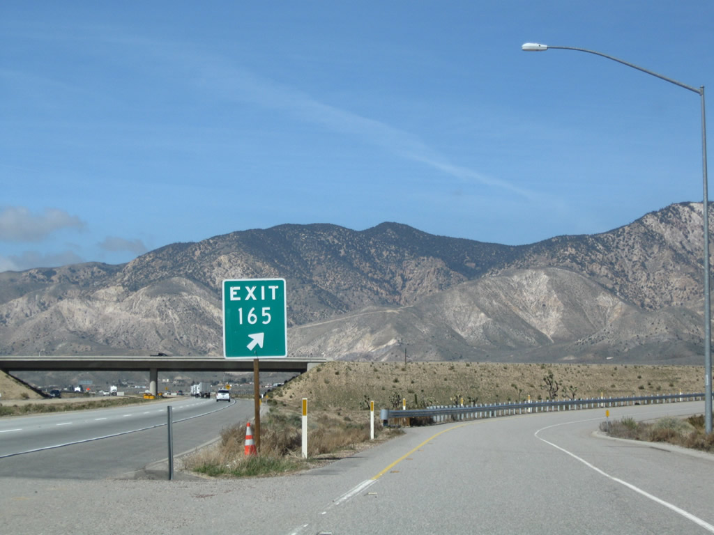
The next exit along westbound California 58 is the final exit of the Mojave Bypass. Exit 165 connects to Business Loop California 58 east back to Mojave (one mile). Photo taken 03/15/09. |
 |
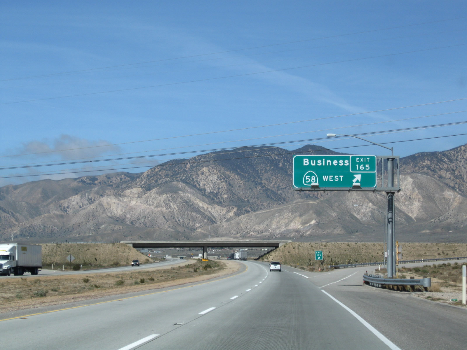
Westbound California 58 approaches Exit 165, California 58 Business east to Mojave. Photo taken 03/15/09. |
 |
Westbound California 58 meets Exit 165, California 58 Business east to Mojave. It is unclear why this direction would have two signs announcing this exit as the business route, while the signs at Exit 172 along westbound only announce it once. However, we like seeing more clear business loop signage such as these signs. Photo taken 03/15/09. |
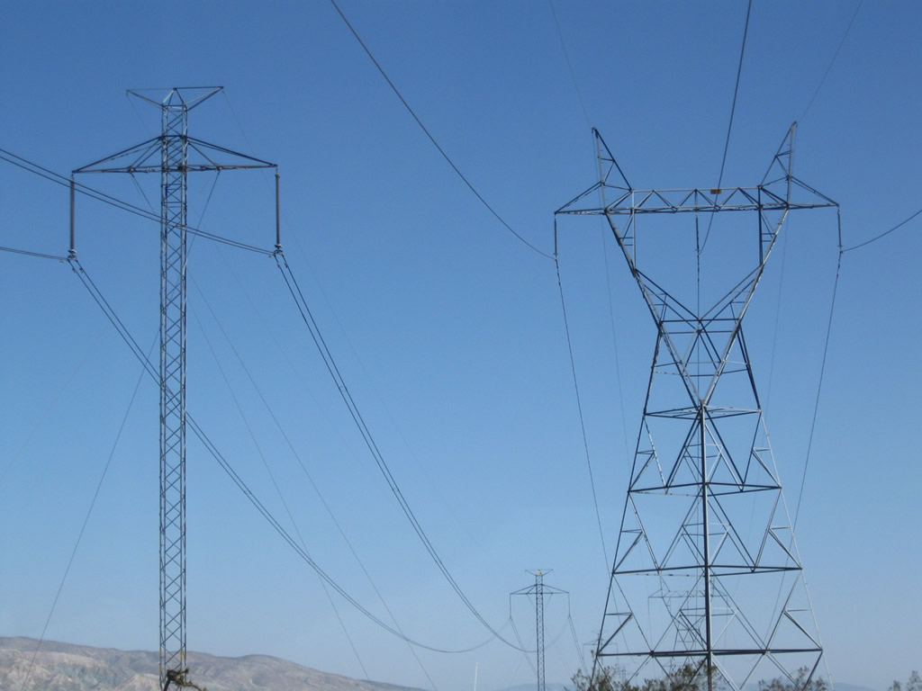 |
Passing overhead is a major power line corridor (Path 65, Pacific Direct Current Intertie) that brings electricity south from near The Dalles, Oregon, through western Nevada and the Owens Valley in the Eastern Sierra to Los Angeles. Photo taken 03/15/09. |
 |
The exit gore point signage contains the exit number. Photo taken 03/15/09. |
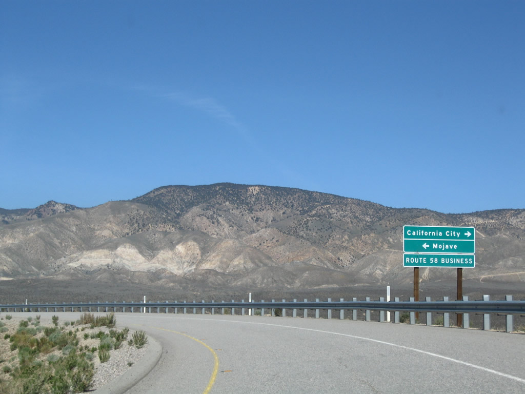 |
At the top of the ramp is this signage for California 58 Business east to Mojave and Randsburg Cutoff west to California City. Photo taken 03/15/09. |
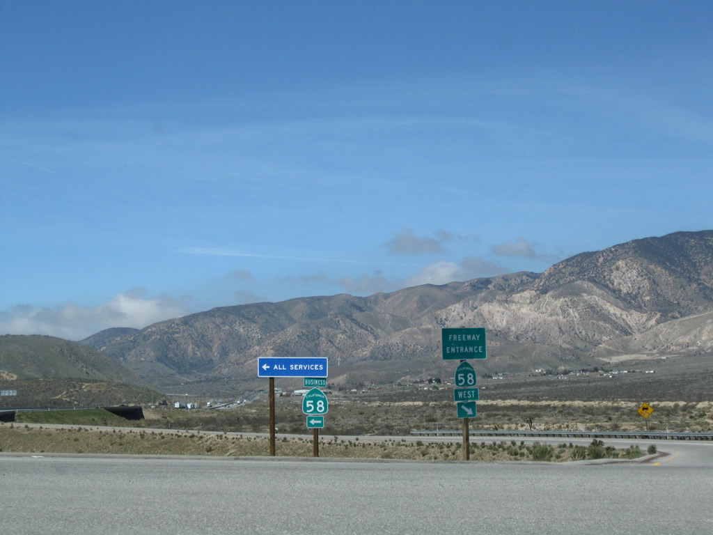 |
Turn left on California 58 Business to all motorist services (food, gas, lodging). Photo taken 03/15/09. |
 |
This view looks west along California 58 from the California 58 Business overpass. Photo taken 03/15/09. |
 |
Westbound California 58 leaves the Mojave Bypass segment and prepares to enter the Tehachapi Mountains. Look to the left (south) of the freeway to see where the old road used to join with the freeway; that connection was severed with the opening of the Mojave Bypass. Photo taken 03/15/09. |
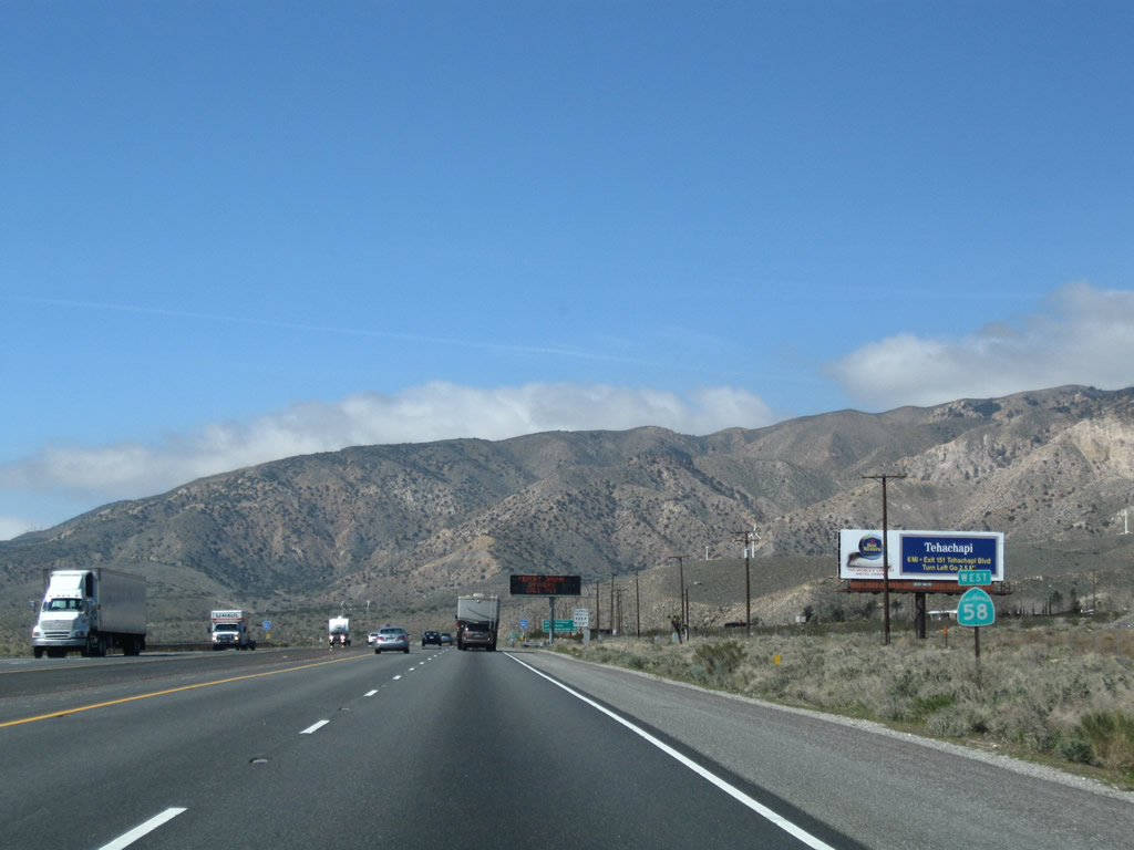 |
A California 58 west reassurance shield is posted shortly thereafter. Photo taken 03/15/09. |
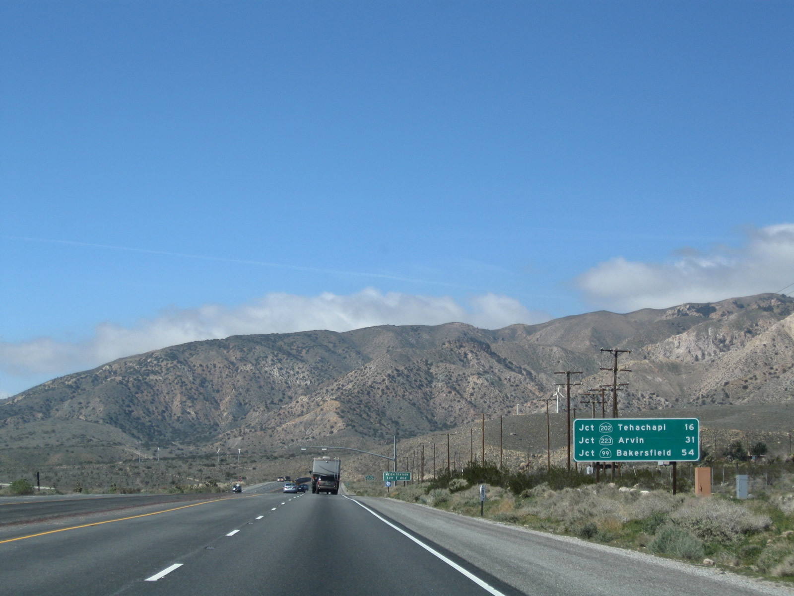 |
This mileage sign along California 58 west provides the distance to California 202 in Tehachapi (16 miles); California 223 west to Arvin (31 miles); and California 99 in Bakersfield (54 miles). Photo taken 03/15/09. |
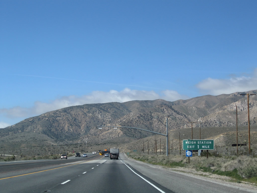 |
Briefly, westbound California 58 becomes undivided with a wide, paved median that could easily be crossed by any vehicle. Two lanes remain in each direction, however, and it would be fairly easy to upgrade this portion of California 58 to freeway standards if needed. The next exit along California 58 west is Exit 162, Weigh Station (one mile). Photo taken 03/15/09. |
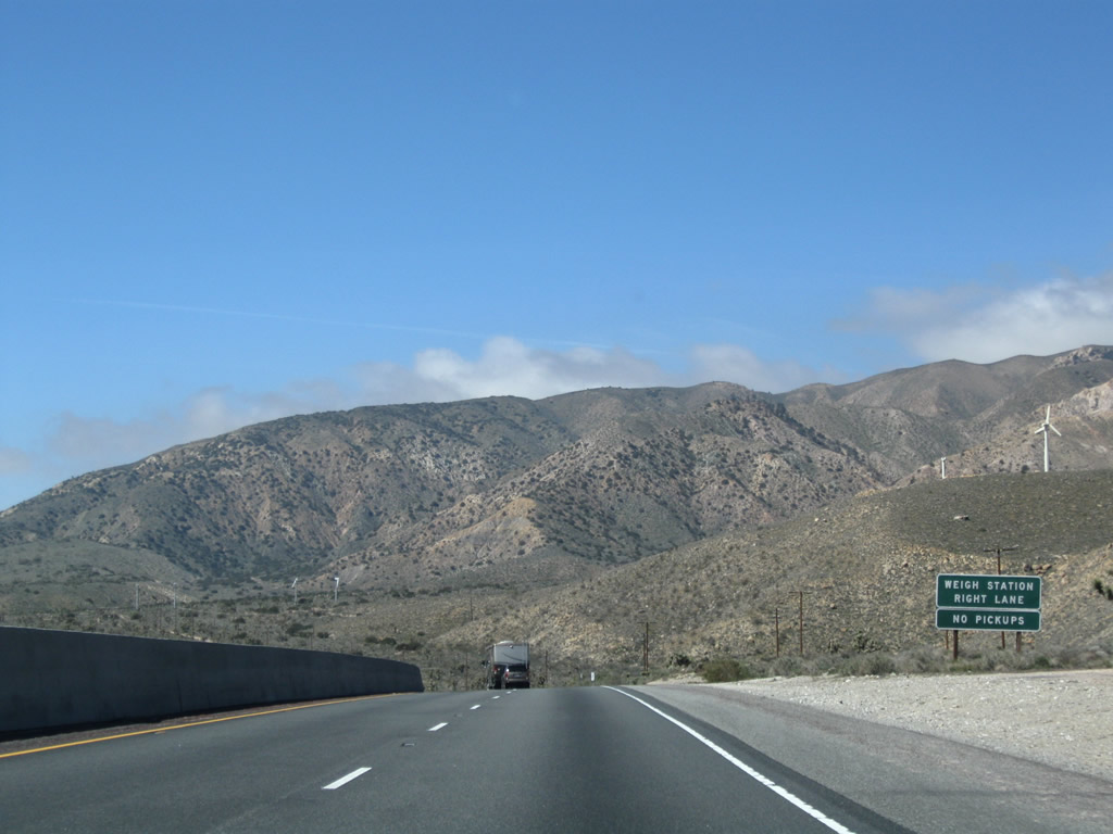 |
All commercial vehicles must stop at the weigh station. Photo taken 03/15/09. |
 |
Westbound California 58 meets Exit 162, Weigh Station. Photo taken 03/15/09. |
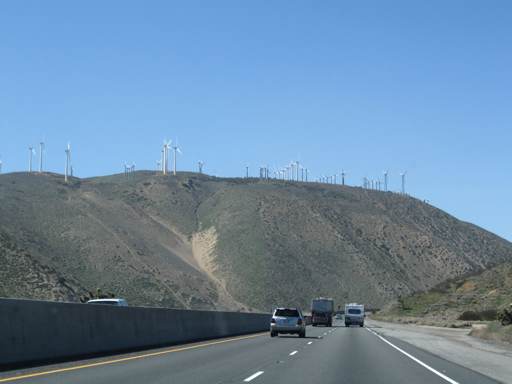 |
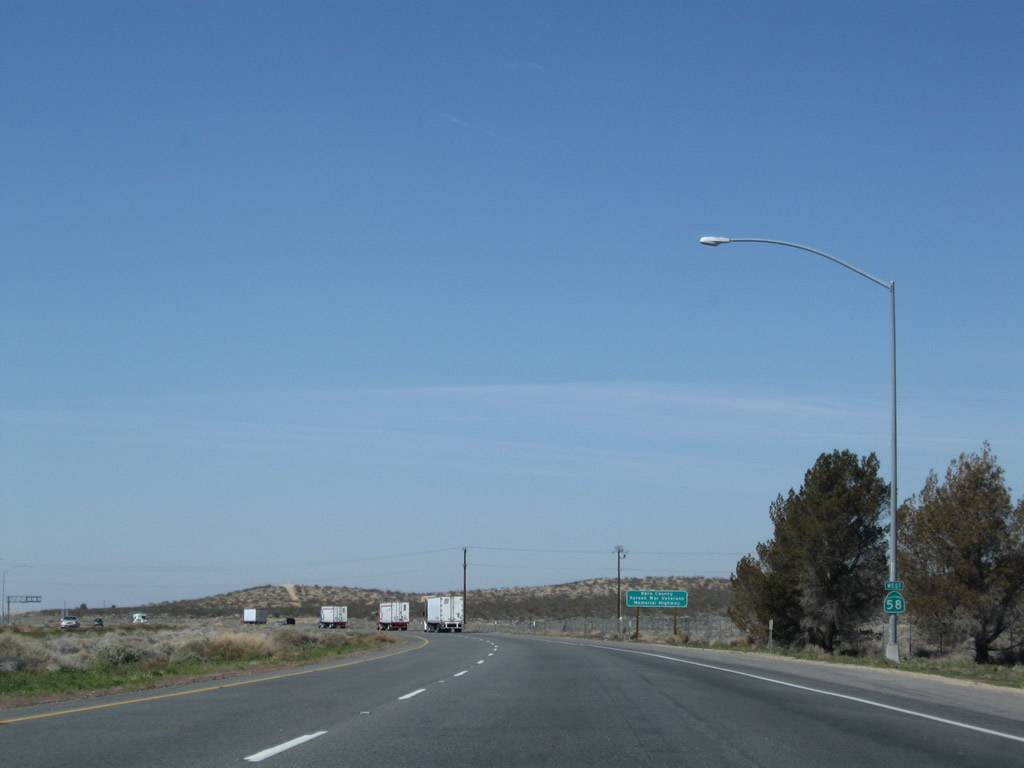
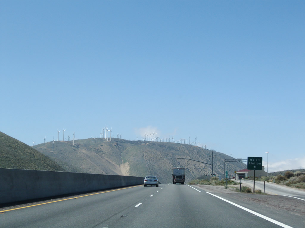
Energy-producing wind turbines dominate the hilly skyline along westbound California 58 as the freeway ascends toward Tehachapi Pass. The next exit is Exit 159, Cameron Road, one mile. Photo taken 03/15/09. |
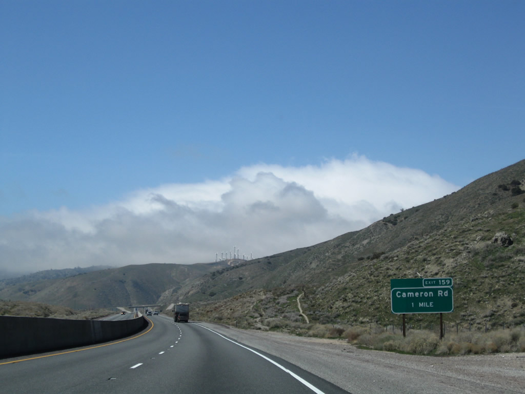 |
The next exit is Exit 159, Cameron Road (one mile). Photo taken 03/15/09. |
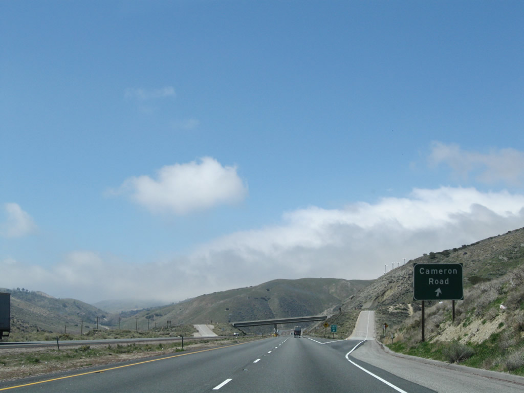 |
Westbound California 58 meets Exit 159, Cameron Road. Photo taken 03/15/09. |
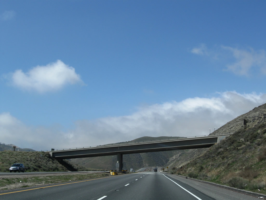 |
California 58 passes under Cameron Road. Photo taken 03/15/09. |
 |
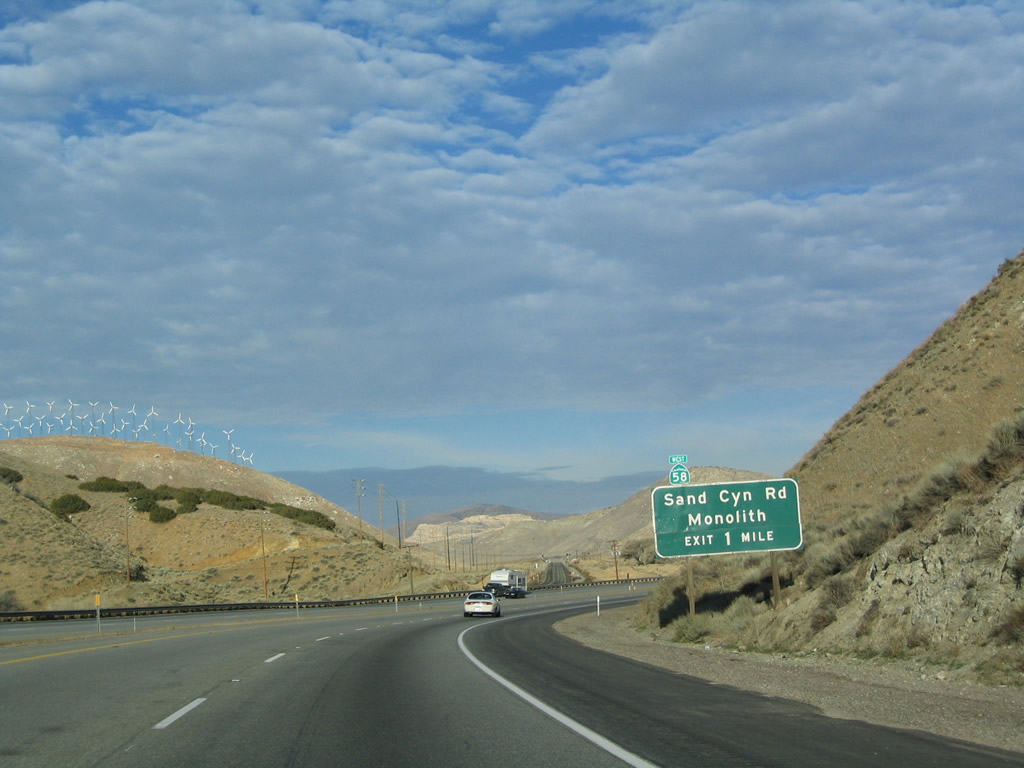 |
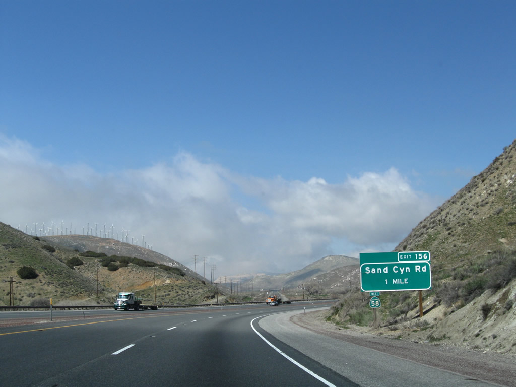
The next exit along California 58 west is Exit 156, Sand Canyon Road (old U.S. 466) west to Monolith. This old sign along westbound California 58 is unusual in that the reassurance shield for California 58 is mounted on top of the one-mile advance sign for Exit 156, Sand Canyon Road. This might have been placed at a time when the freeway was incomplete between Exits 156 and 151, because the placement of that shield almost seems to imply that westbound California 58 exits onto Exit 156 rather than continue along the freeway! Photos taken 03/15/09 and 01/21/04. |
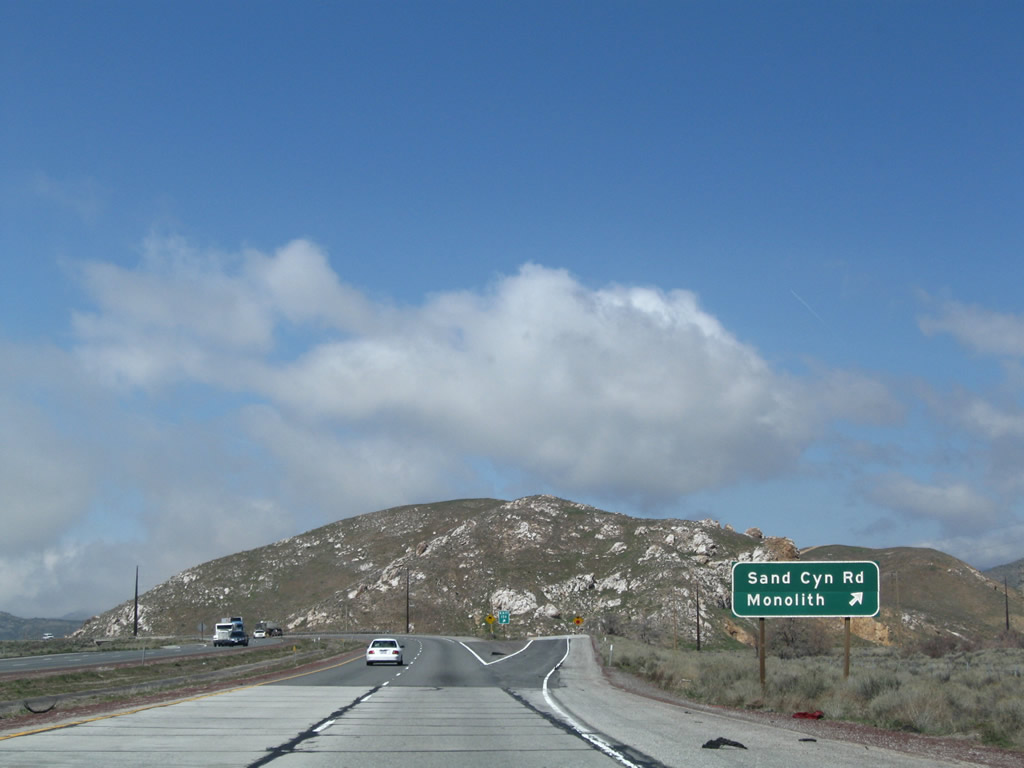 |
Westbound California 58 reaches Exit 156, Old U.S. 466/Sand Canyon Road west to Monolith. Photo taken 03/15/09. |
 |
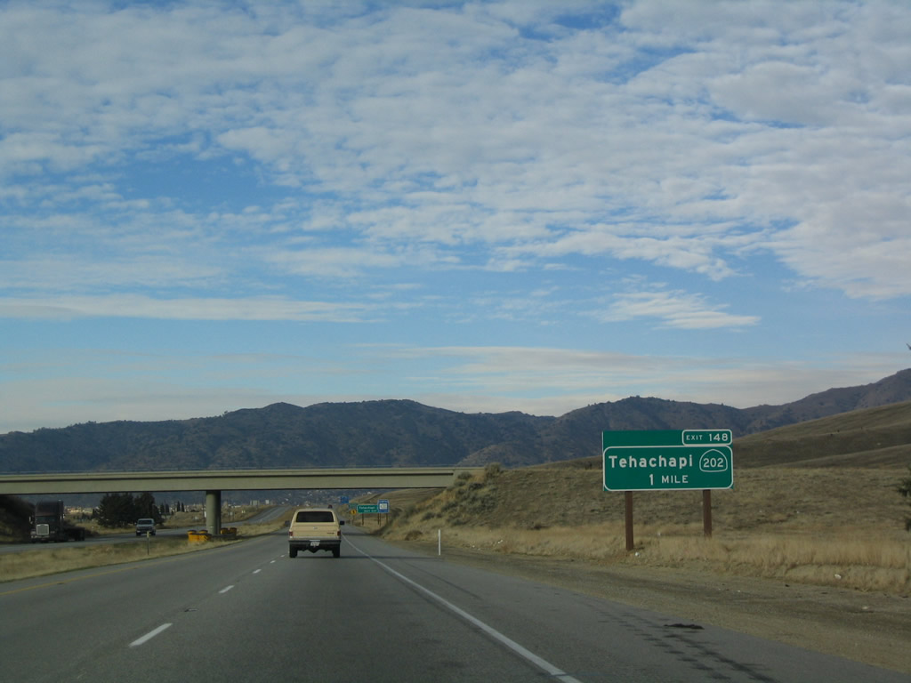
The next exit along California 58 west is Exit 151, California 58 Business and U.S. 466 west to Tehachapi and east to Monolith (one mile). Photo taken 07/04/07. |
 |
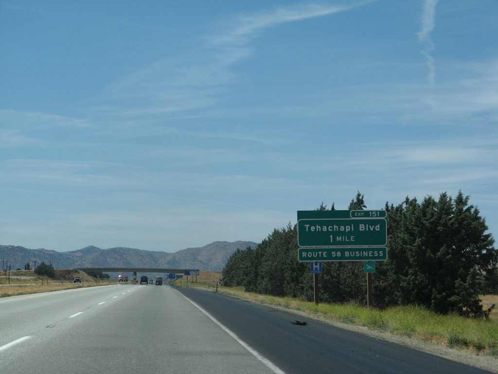
The next three exits along westbound California 58 serve the city of Tehachapi: Exit 151, California 58 Business East; Exit 149, Mill Street; and Exit 148, California 202 and California 58 Business West. Photo taken 01/21/04. |
 |
Westbound California 58 reaches Exit 151, California 58 Business and U.S. 466 west to Tehachapi and Old U.S. 466/Sand Canyon Road east. The old highway connects the freeway between Exit 146 and 151. Photo taken 01/21/04. |
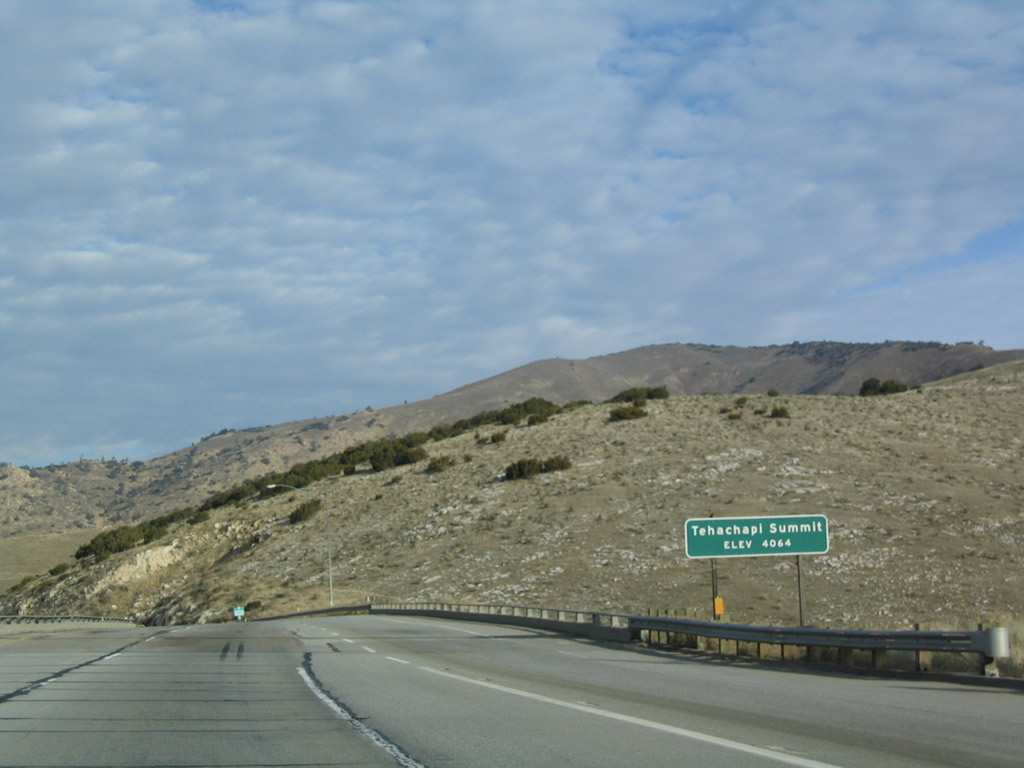 |
Reaching its highest point, California 58 meets Tehachapi Summit at 4,064 feet. All water on the west side of this pass flows into the Central Valley; waters east of the pass flow into the Mojave Desert. Photo taken 01/21/04. |
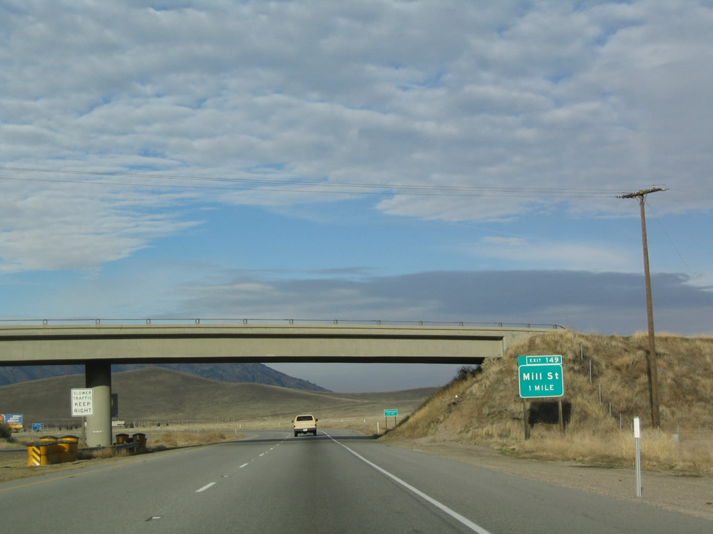 |
The next exit along California 58 west is Exit 149, Mill Street (one mile). Photo taken 01/21/04. |
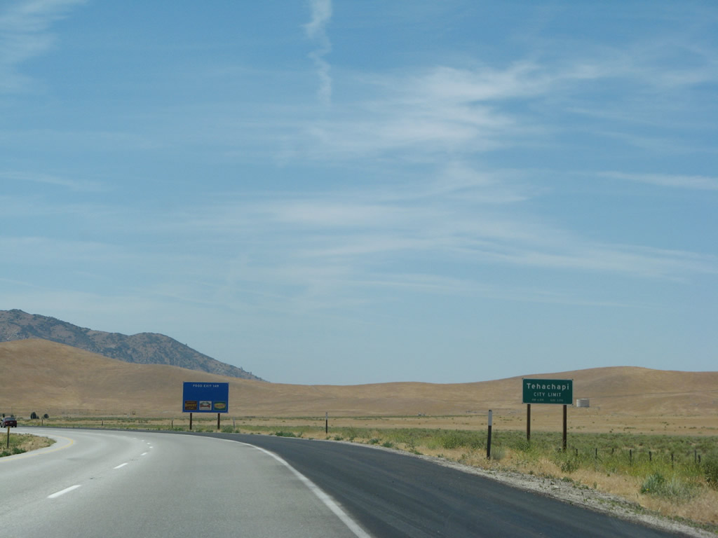 |
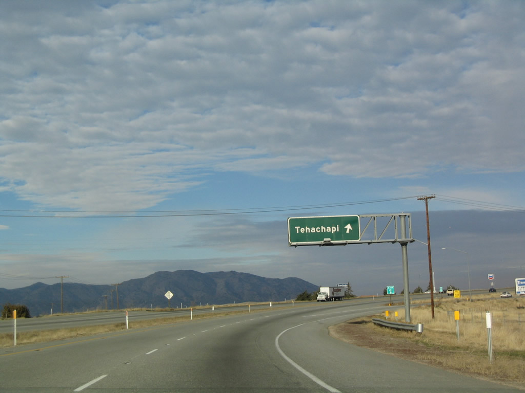
The city of Tehachapi is located at Tehachapi Pass at the highest point of California 58. The city was incorporated in 1909 and had a population of 10,957 people as of the 2000 Census. Most motorist services are available in Tehachapi. One of the largest employers in the city is the California Correctional Facility located at the end of California 202. Photo taken 07/04/07. |
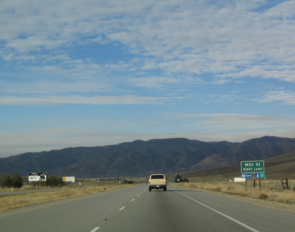 |
Mill Street is the second exit to serve the city of Tehachapi. Photo taken 01/21/04. |
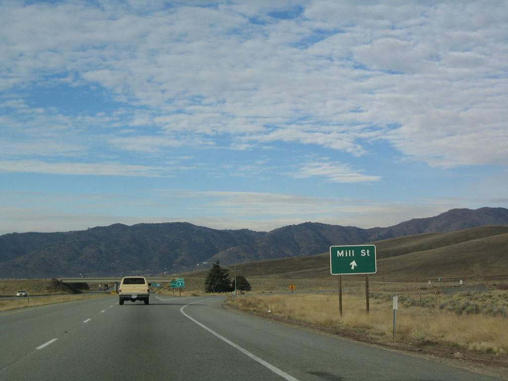 |
Westbound California 58 reaches Exit 149, Mill Street. Photo taken 01/21/04. |
 |
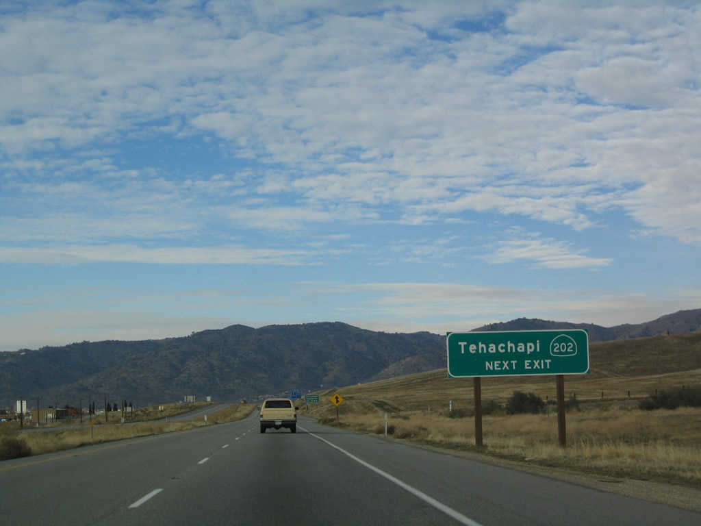
The next exit alon westbound California 58 is Exit 148, California 202 west to a correctional facility and California 58 Business east into downtown Tehachapi. Photo taken 01/21/04. |
 |
When new signs were placed along westbound California 58 in the Fall of 2003, the exit number was only placed on two advance signs and the gore point sign, but omitted from this reflective sign. Photo taken 01/21/04. |
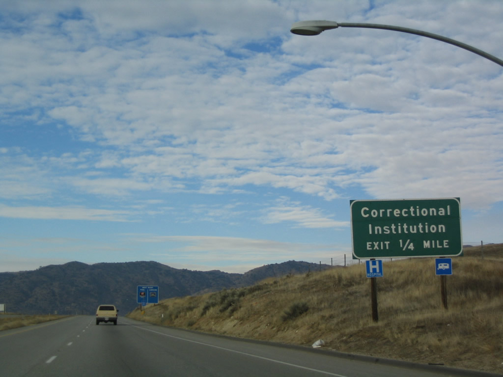 |
This sign along westbound is somewhat misleading. The correctional facility is not one-half mile from here; it is actually located at the west end of California 202, which is some six or seven miles from here. Photo taken 01/21/04. |
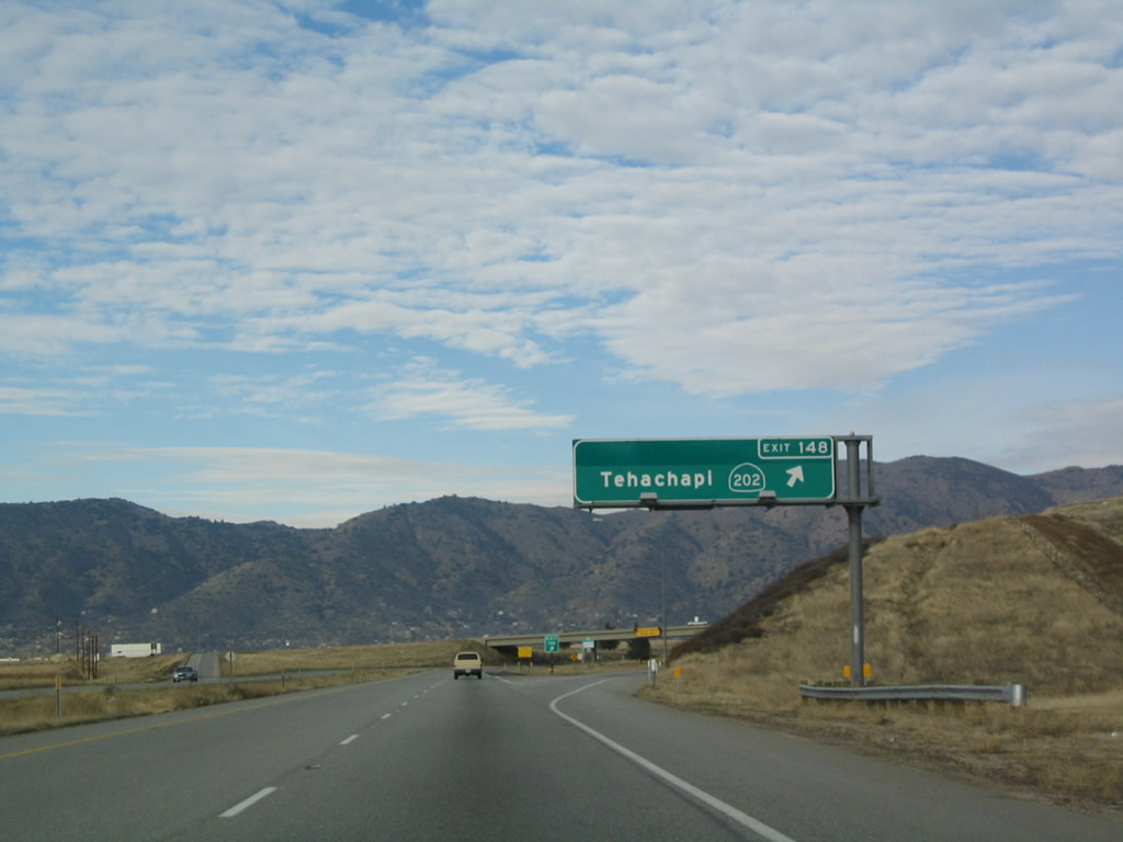 |
Westbound California 58 reaches Exit 148, California 202 west and California 58 Business east to the city of Tehachapi and the correctional facility. Use California 202 southwest to U.S. 466, the original alignment prior to the construction of the California 58 freeway. The old alignment of U.S. 466 is traversable between Tehachapi and Keene. Photo taken 01/21/04. |
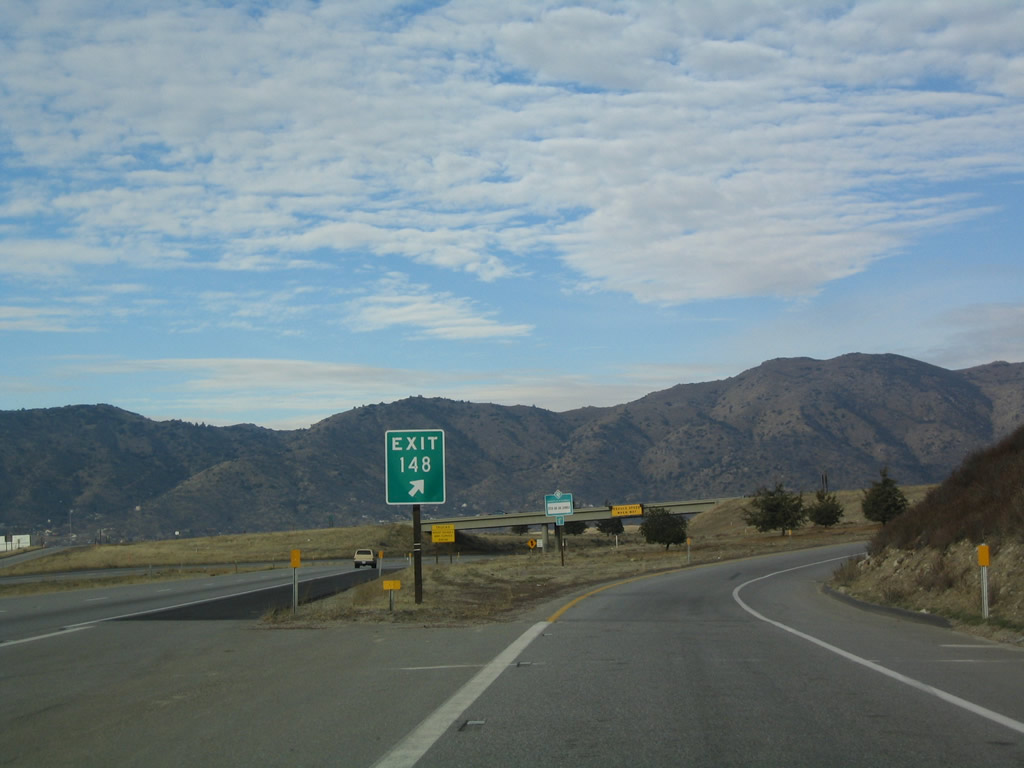 |
The exit number is posted at the gore point signage for Exit 148, California 202 west. Photo taken 01/21/04. |
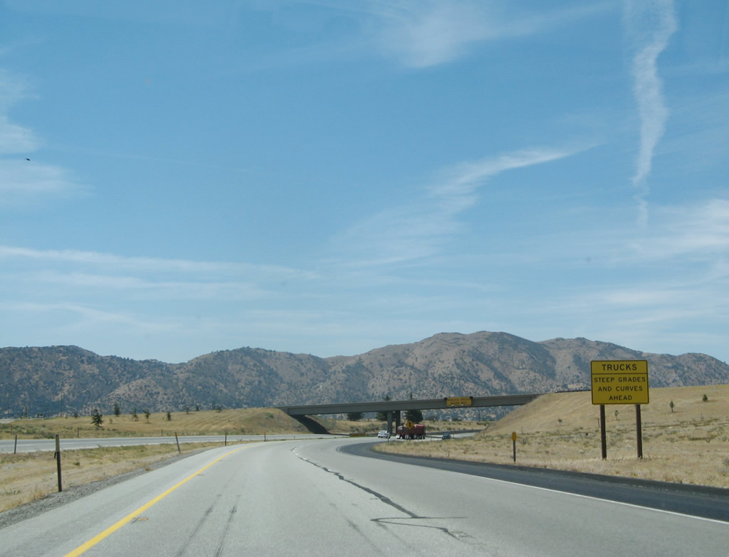 |
A gradual descent leads SR 58 west from Tehachapi to Bakersfield. Truckers are advised of the forthcoming grades and curves. Photo taken 07/04/07. |
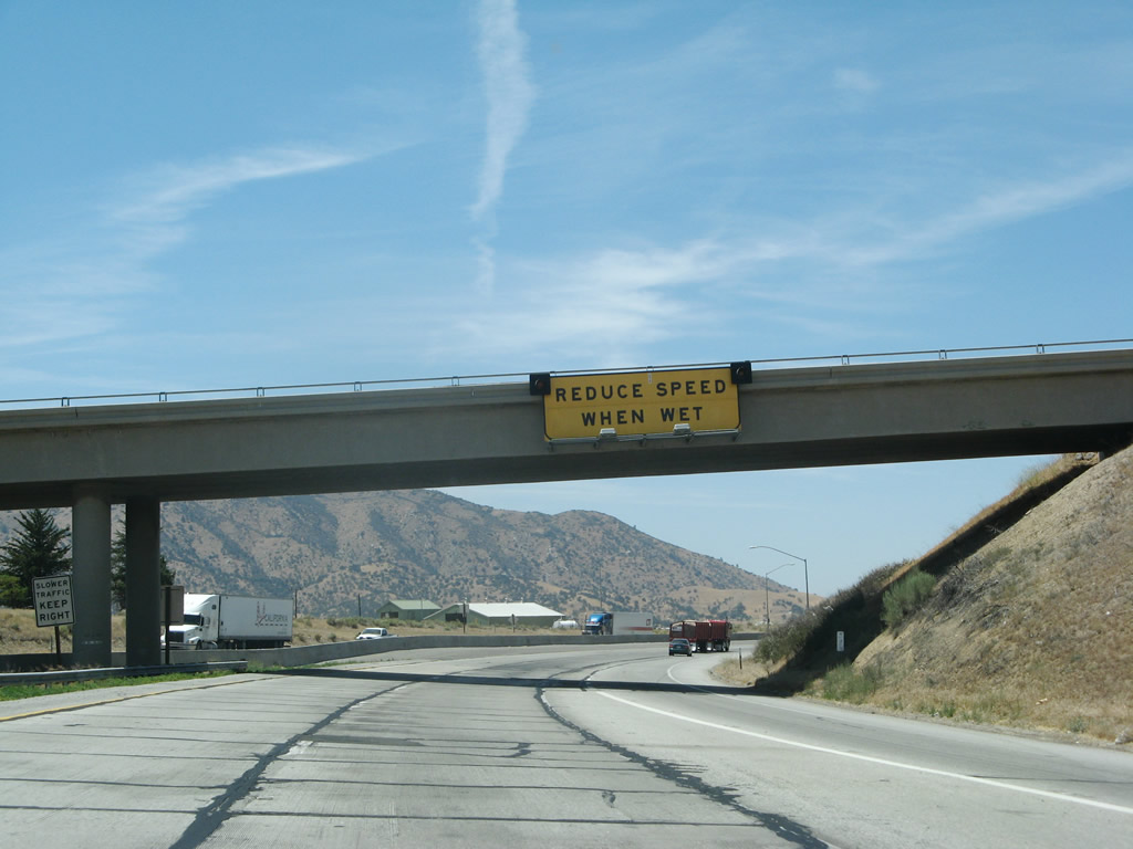 |
Passing under the SR 202 overpass, motorists are advised to reduce speed on the approaching downhill segment of SR 58 during periods of inclement weather. Photo taken 07/04/07. |

Page Updated September 12, 2009.
|
About Contact Glossary |
In The News Interstate Guide |
Social Media:
 |
|
© 2000-25 AARoads.com | All Rights Reserved | Privacy Policy / Terms of Use
|
||