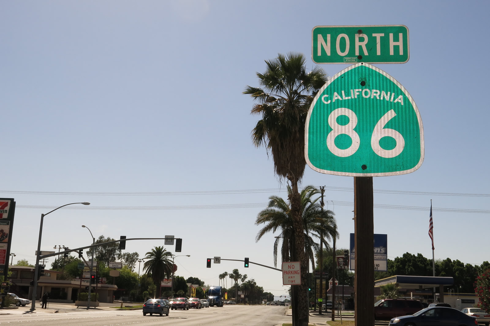
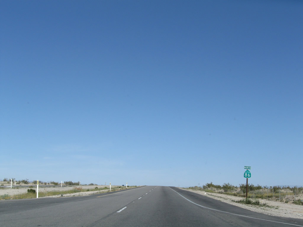
| California 86 north |
|
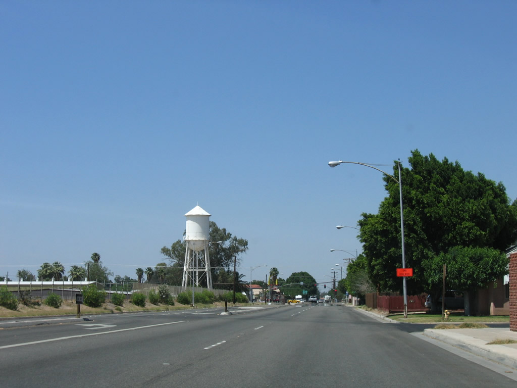
A water tower comes into view as California 86 proceeds north along First Street. Photo taken 10/14/06. |
|
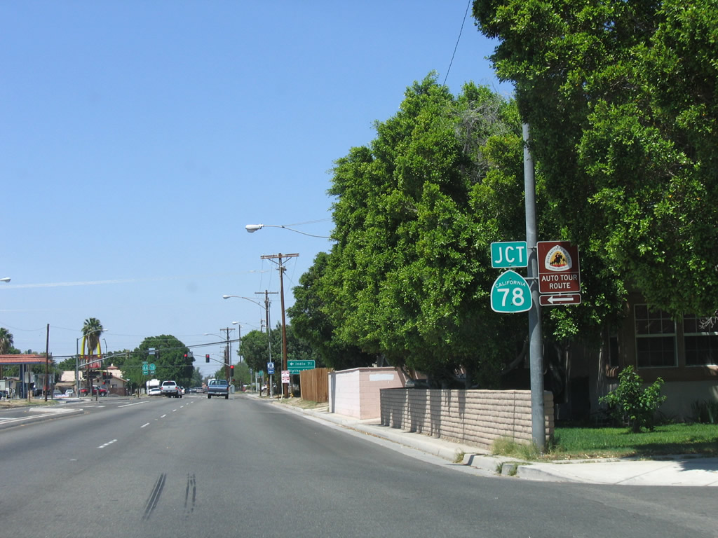
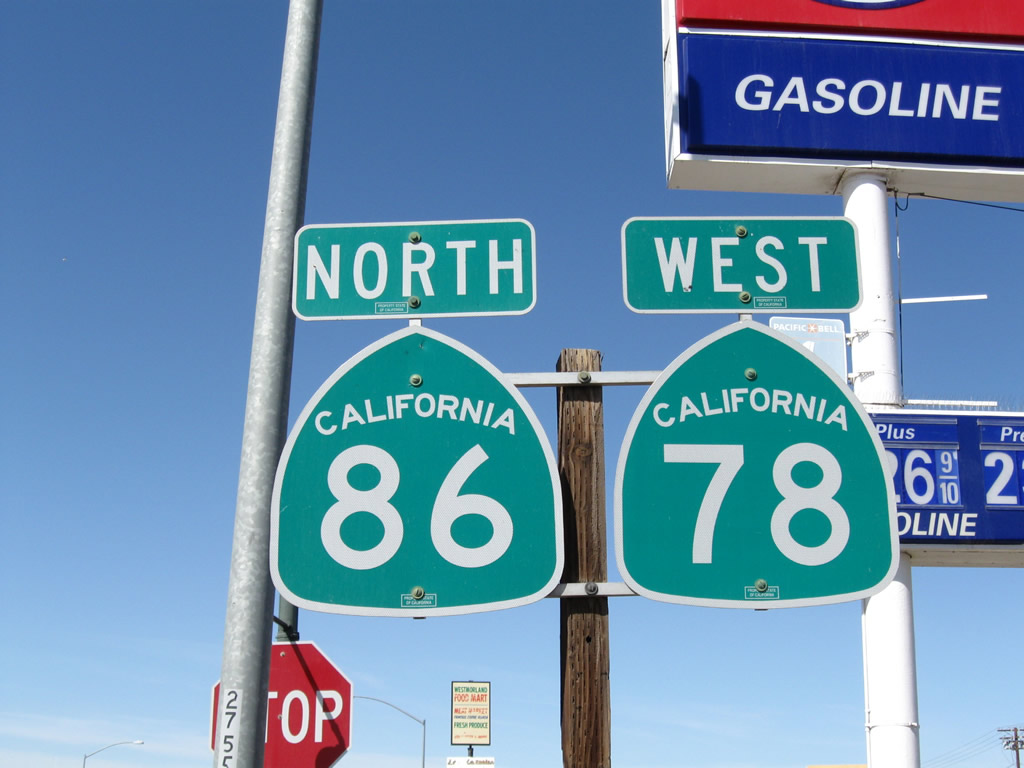
Northbound California 86 next approaches Main Street (former California 78). Turn left for California 86 north and Former California 78 west to Westmorland and Indio. Turn right for Former California 78 east to Glamis and Blythe. Photo taken 10/14/06. |
|
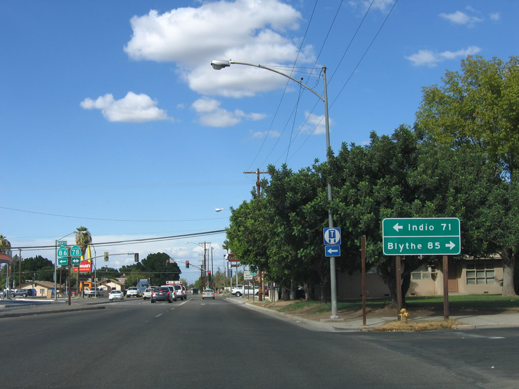
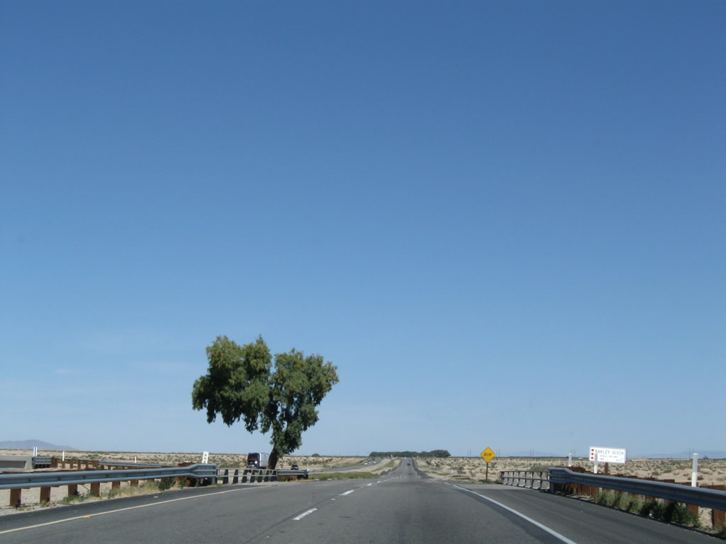
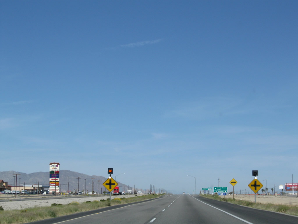
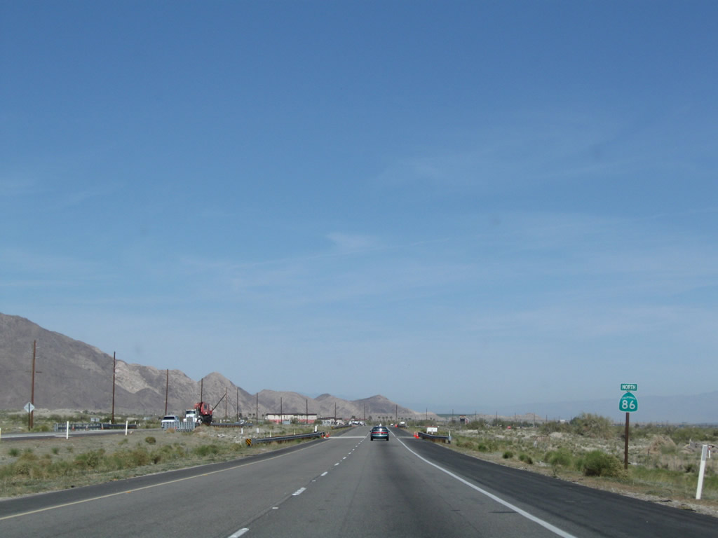
This mileage sign for Indio (71 miles) and Blythe (85 miles) is posted along northbound California 86 (First Street) at the G Street intersection. Photo taken 10/14/06. |
|
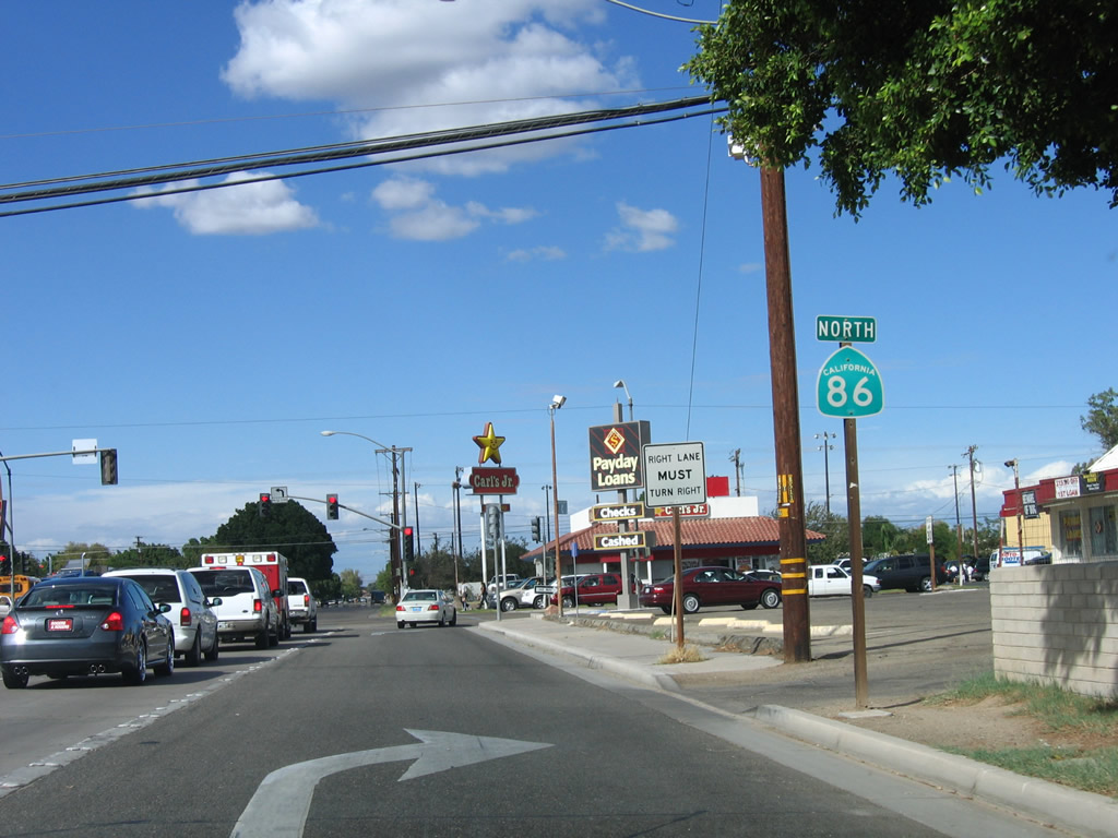
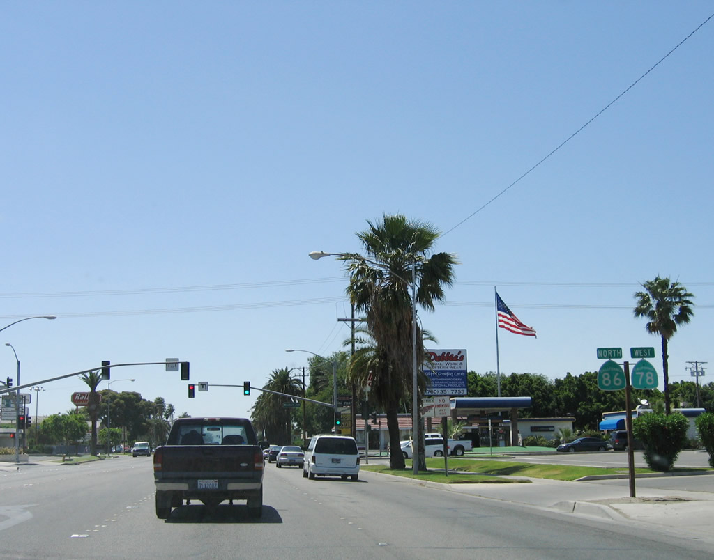
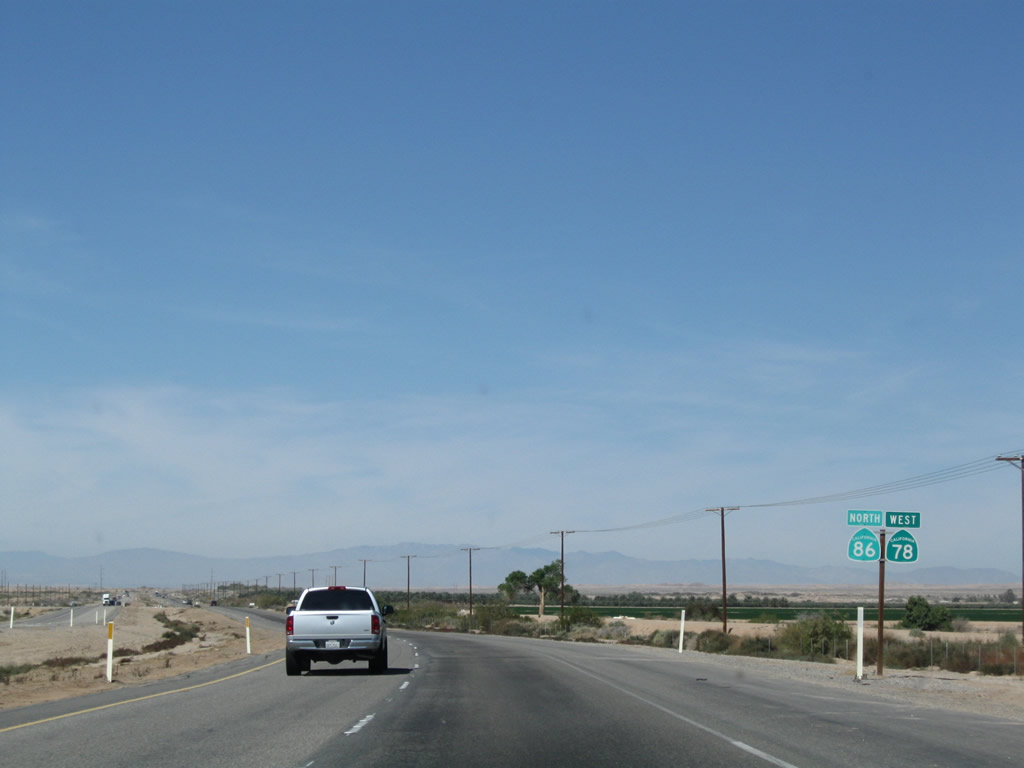
Through traffic on California 86 north must turn left onto Main Street. California 78 was relocated onto the Brawley Bypass; to access the bypass, either follow California 86 north or turn east on Main Street. Photo taken 10/14/06. |
|
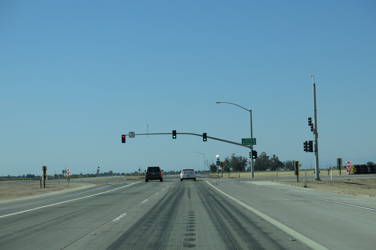
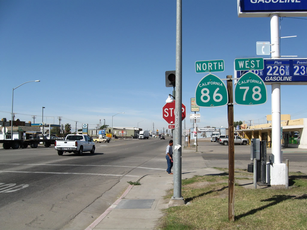
Northbound California 86 (First Street) meets Main Street (former California 78) at this signalized intersection. Turn left for California 78 west to Borrego Springs, Julian, Escondido, and Oceanside. Turn left for California 86 north to Salton City, Coachella, Indio, and Los Angeles (via Interstate 10 west). Turn right for former California 78 east through downtown Brawley, connecting to California 78 east to Blythe and Phoenix (via Interstate 10 east). Photo taken 10/14/06. |
|
This view looks northwest along Main Street at the First Street intersection. Photo taken 04/20/13. |
|
|
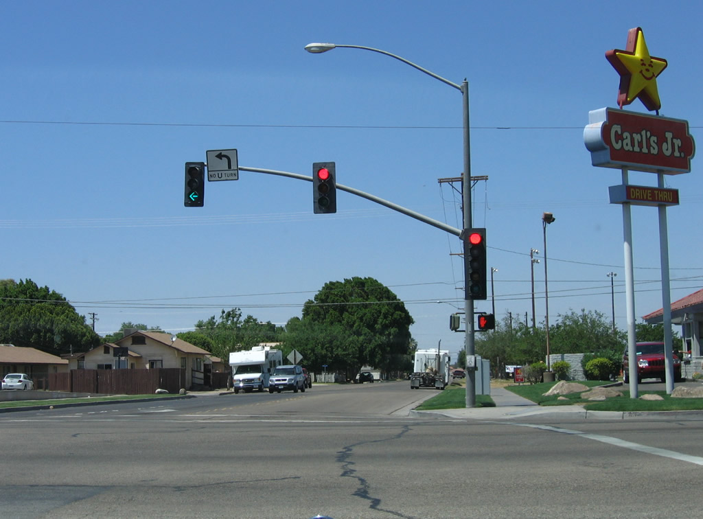
Back in 2006, the two routes were paired together along Main Street, but in 2013, only California 86 remained. This is the first reassurance shield assembly along Main Street after the First Street intersection (still in the city of Brawley). With the completion of the Brawley Bypass on October 30, 2012, California 78 was rerouted onto the bypass, and the companion California 78 reassurance shield was removed. The next traffic signal is with Western Avenue. Photos taken 04/20/13 and 05/07/06. |
|
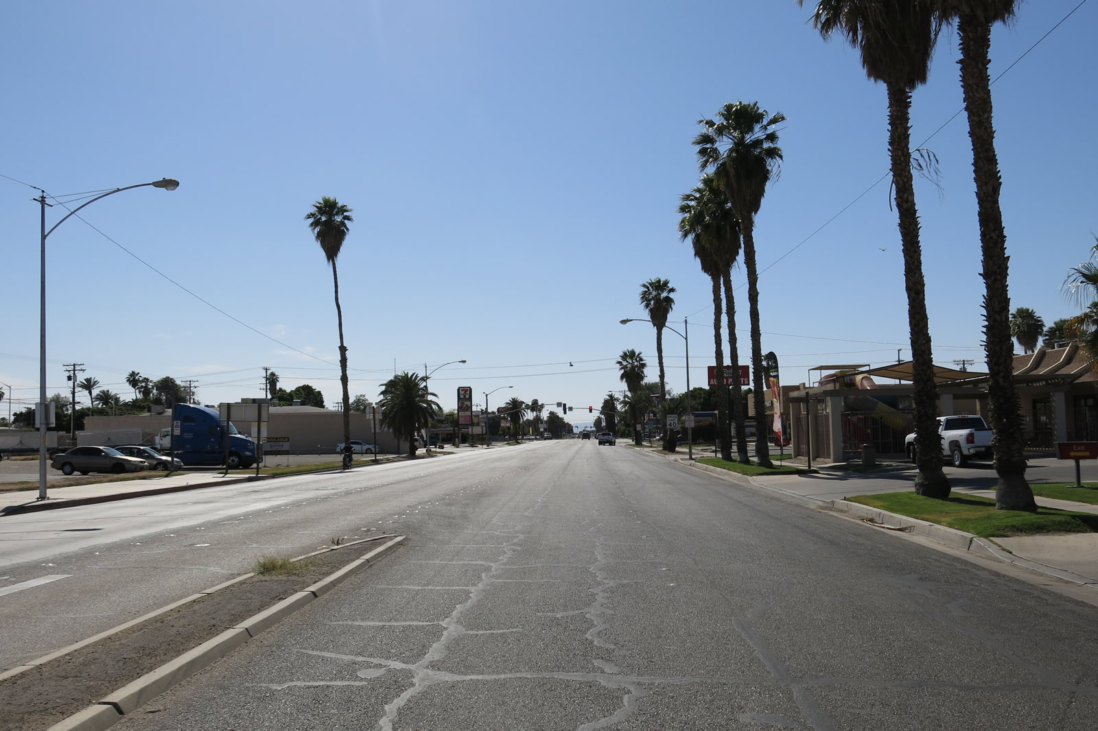
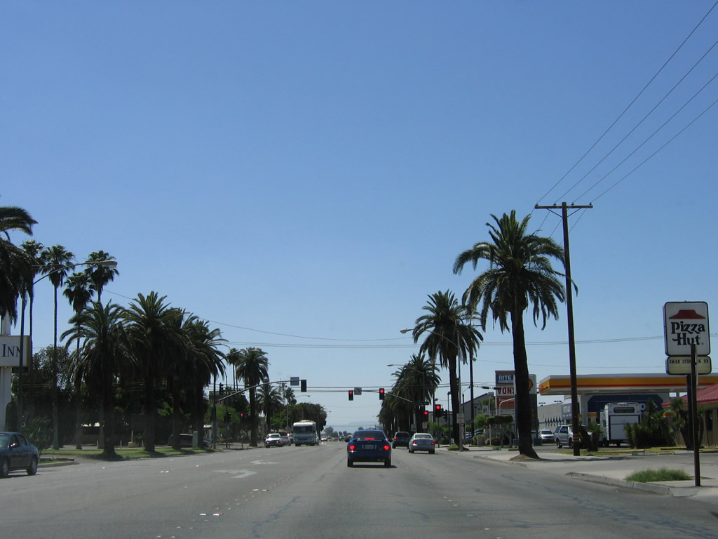
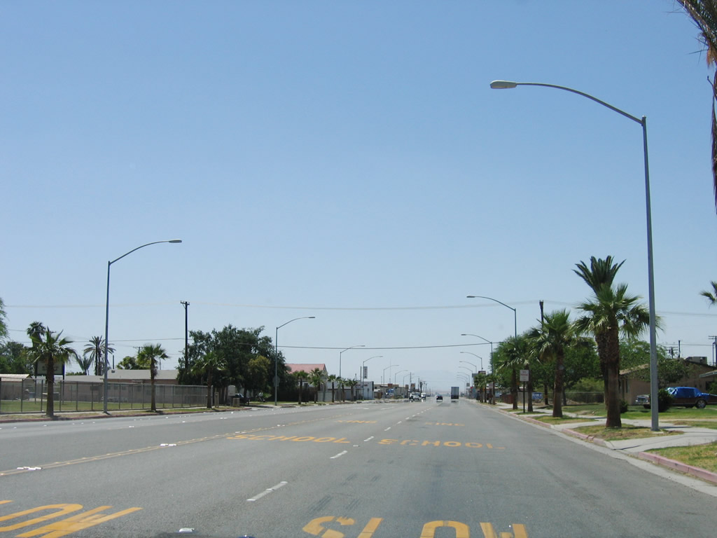
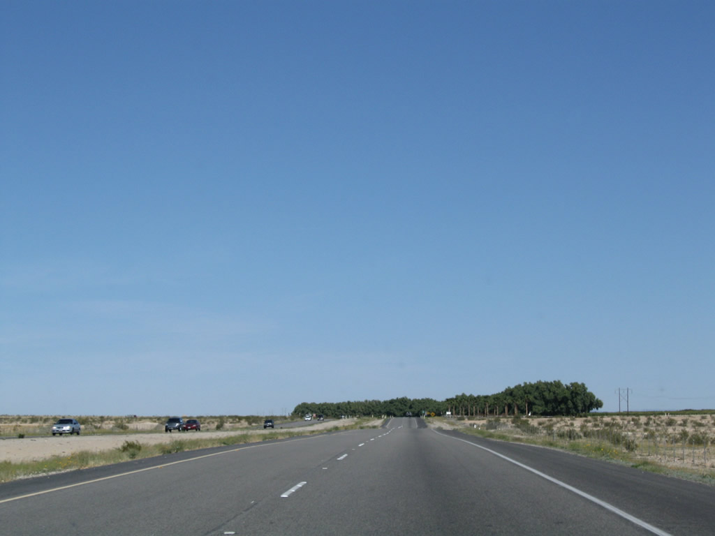
Westbound Former California 78 and northbound California 86 (Main Street) proceed between Western Avenue and Rio Vista Avenue. All motorist services can be found along this stretch of state route. The two routes proceed almost due west out of town. Photo taken 05/07/06. |
|
The urban development of western Brawley comes to an abrupt end as California 86 (Main Street) crosses the New River. From here, the next major junction is with California 78 (Brawley Bypass), and Westmorland is another six miles northwest of here. Photo taken 05/07/06. |
|
This mileage sign along westbound Former California 78 and northbound California 86 (Main Street) provides the distance to Westmorland (six miles), Indio (70 miles), and Los Angeles (197 miles). Los Angeles is likely the control city due to California 86's prior designation as U.S. 99. Photo taken 05/07/06. |
|
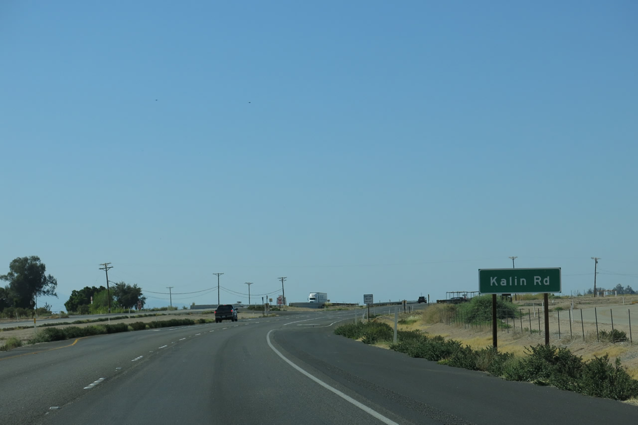
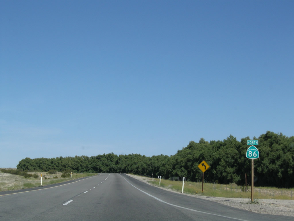
The next signed intersection along California 86 north is with Kaline Road. Photo taken 04/20/13. |
|
This reassurance shield assembly is posted after the Kalin Road intersection; California 78 was removed from this assembly in 2012. At this point, California 86 curves northward toward the Brawley Bypass interchange. Photo taken 05/07/06. |
|
|
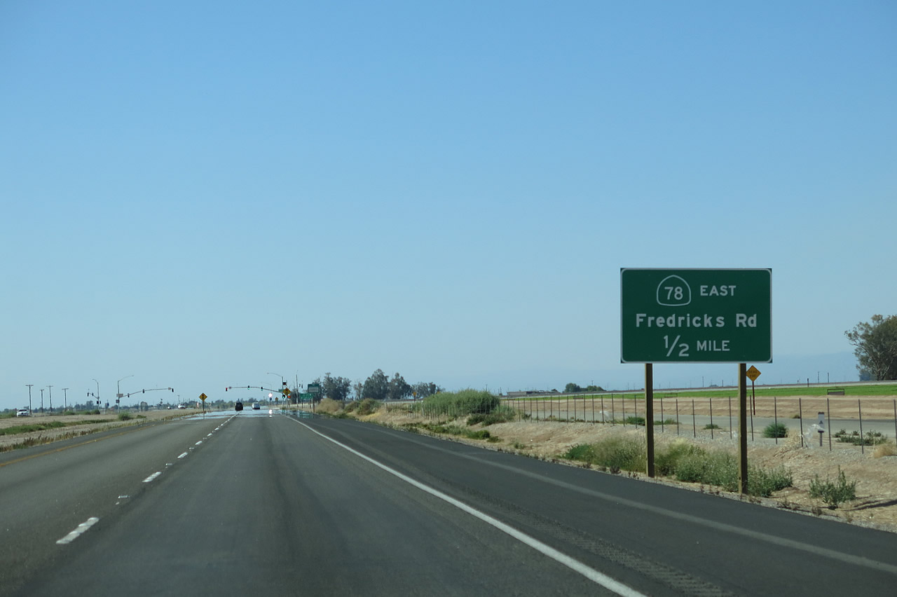
California 78 and California 86 assume an expressway configuration. The 2013 picture shows a one-half mile advance guide sign for the junction with California 78 (Brawley Bypass). The two routes intersect at the Fredricks Road junction. Photos taken 04/20/13 and 05/07/06. |
|
|
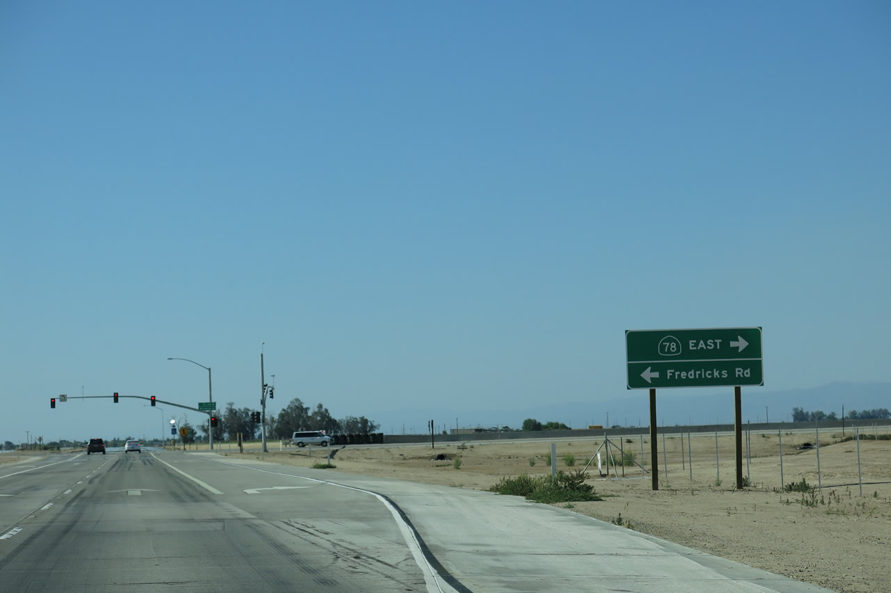
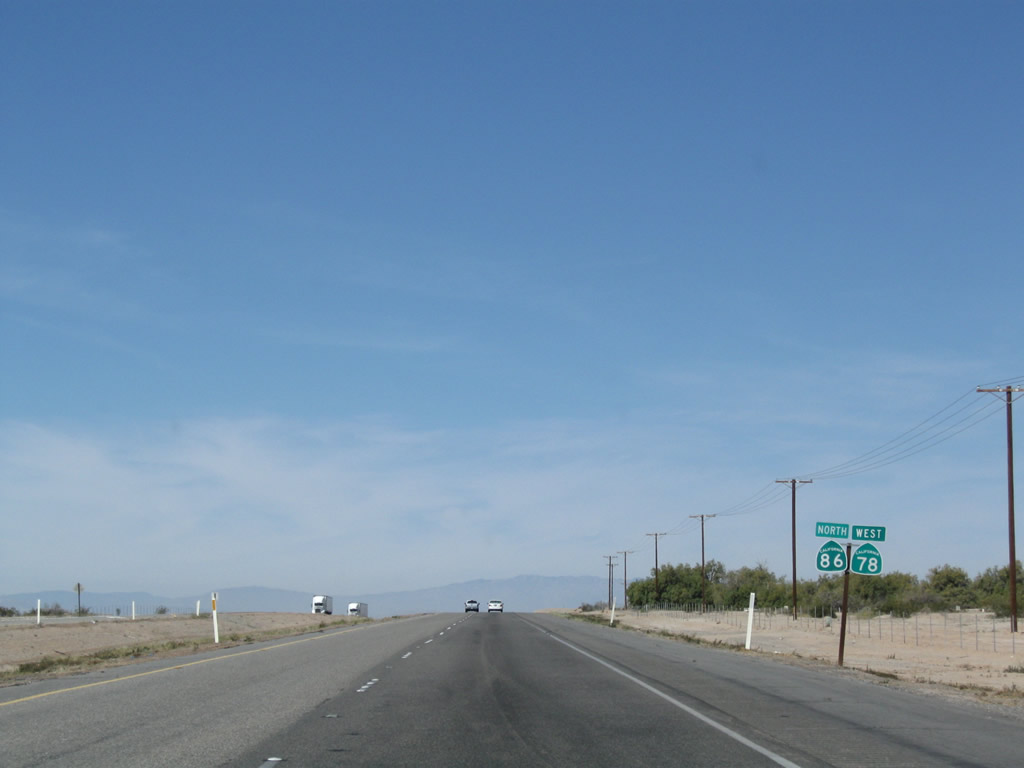
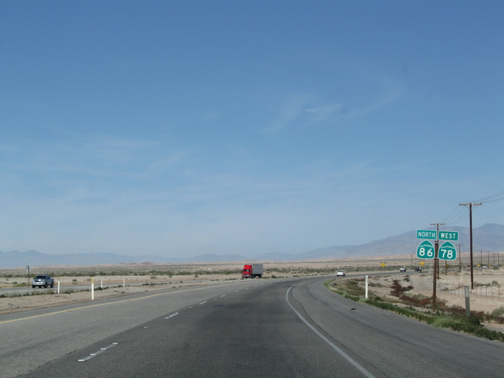
Westbound California 78 and northbound California 86 approach Fredricks Road. This also where California 78 and California 86 merge together, as the Brawley Bypass terminates here. Continue northwest from here toward Westmorland. Photos taken 04/20/13 and 05/07/06. |
|
Skid marks from rapidly decelerating vehicles mark the concrete lanes as northbound California 86 meets the intersection with California 78 and Fredricks Road. Ahead, Cailfornia 78 west and California 86 north proceed toward Westmorland. Photo taken 04/20/13. |
|
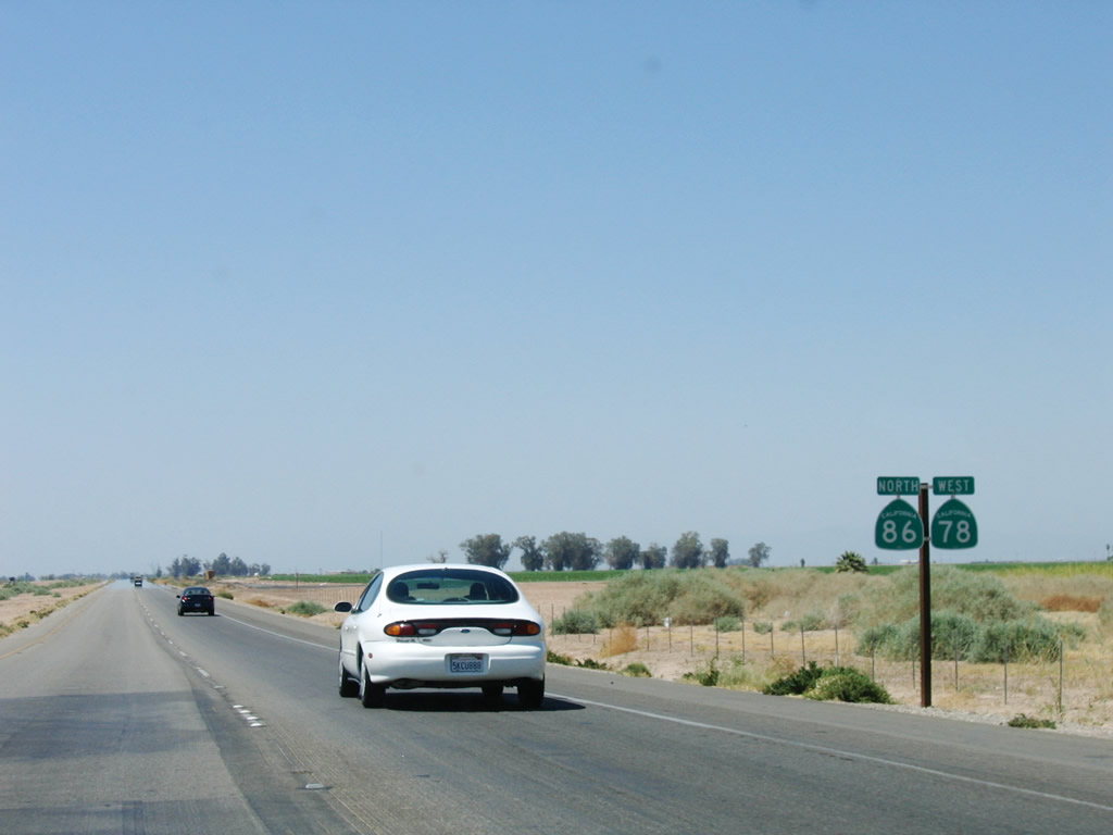
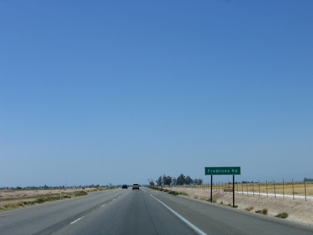
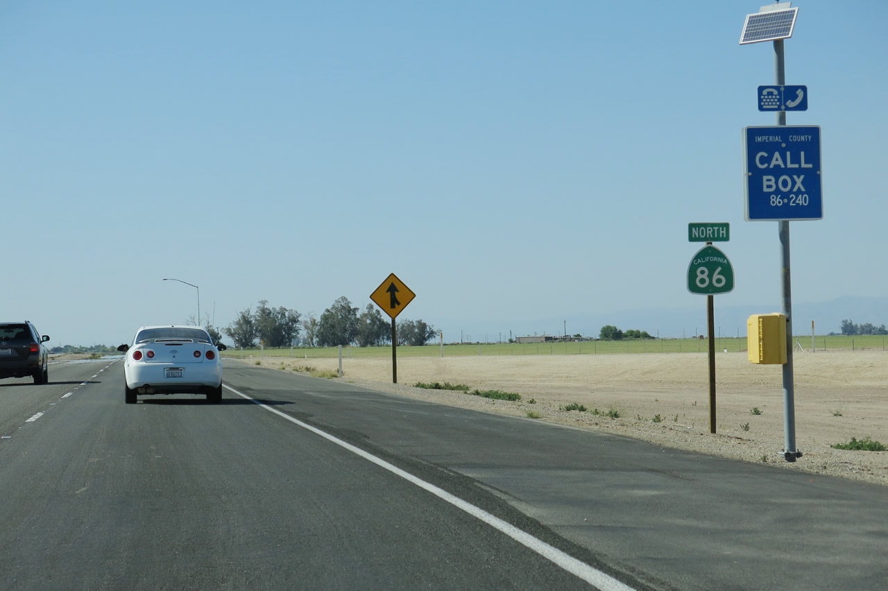
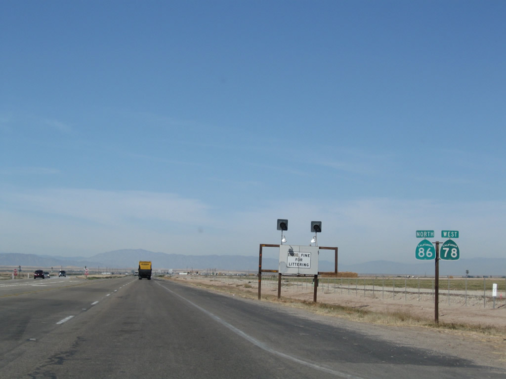
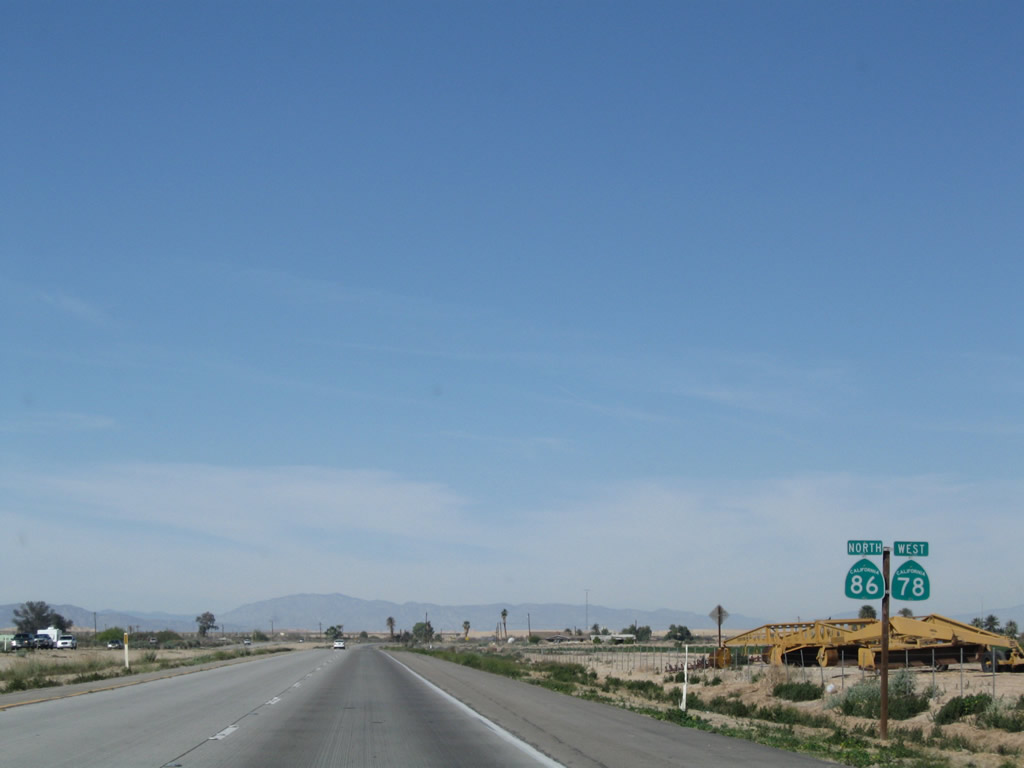
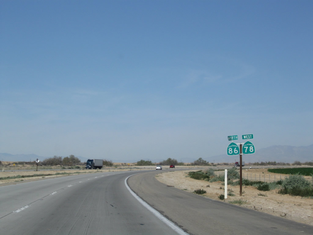
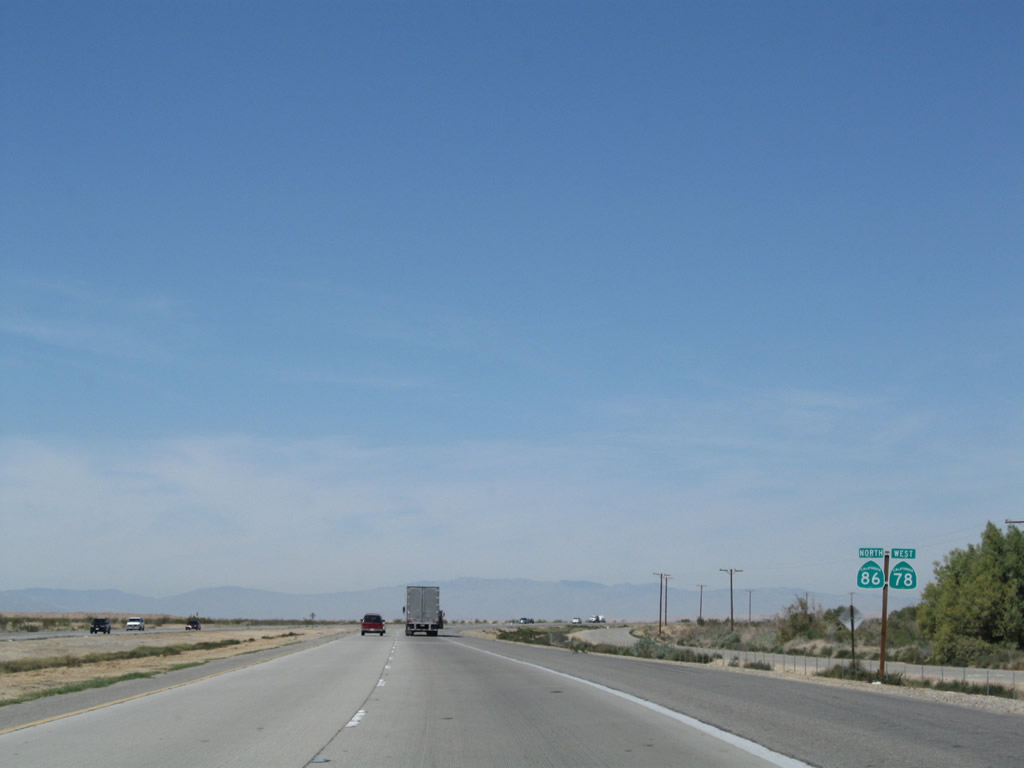
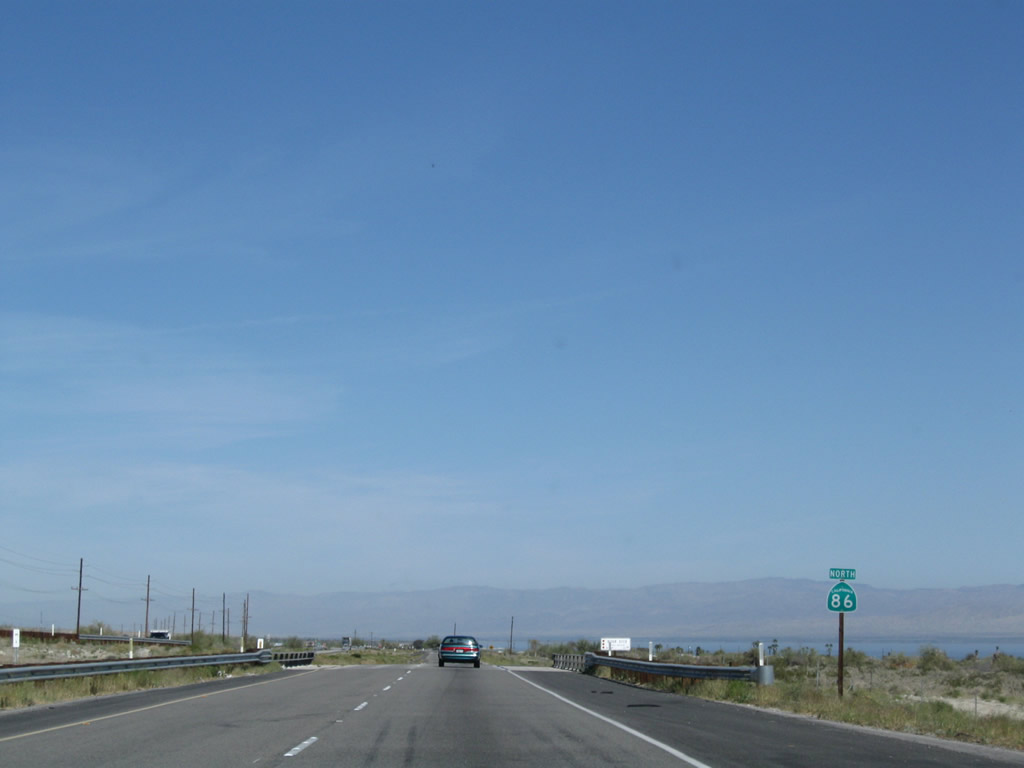
Traffic from westbound California 78 will merge onto northbound California 86 at the merge point ahead. Only California 86 north is signed at this reassurance shield assembly as a result. Photo taken 04/20/13. |
| California 78 west & 86 north |
|
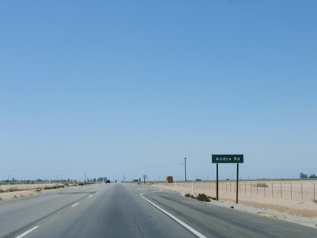
Now joined together, westbound California 78 and northbound California 86 approach an intersection with Andre Road. Photo taken 05/07/06. |
|
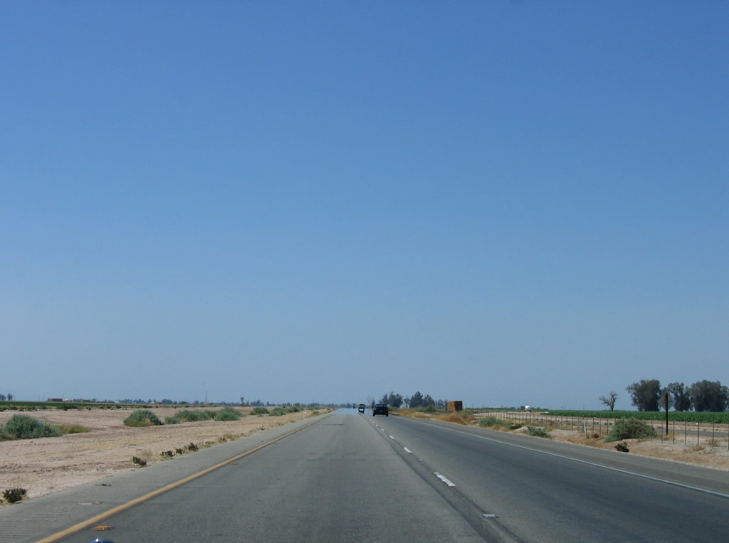
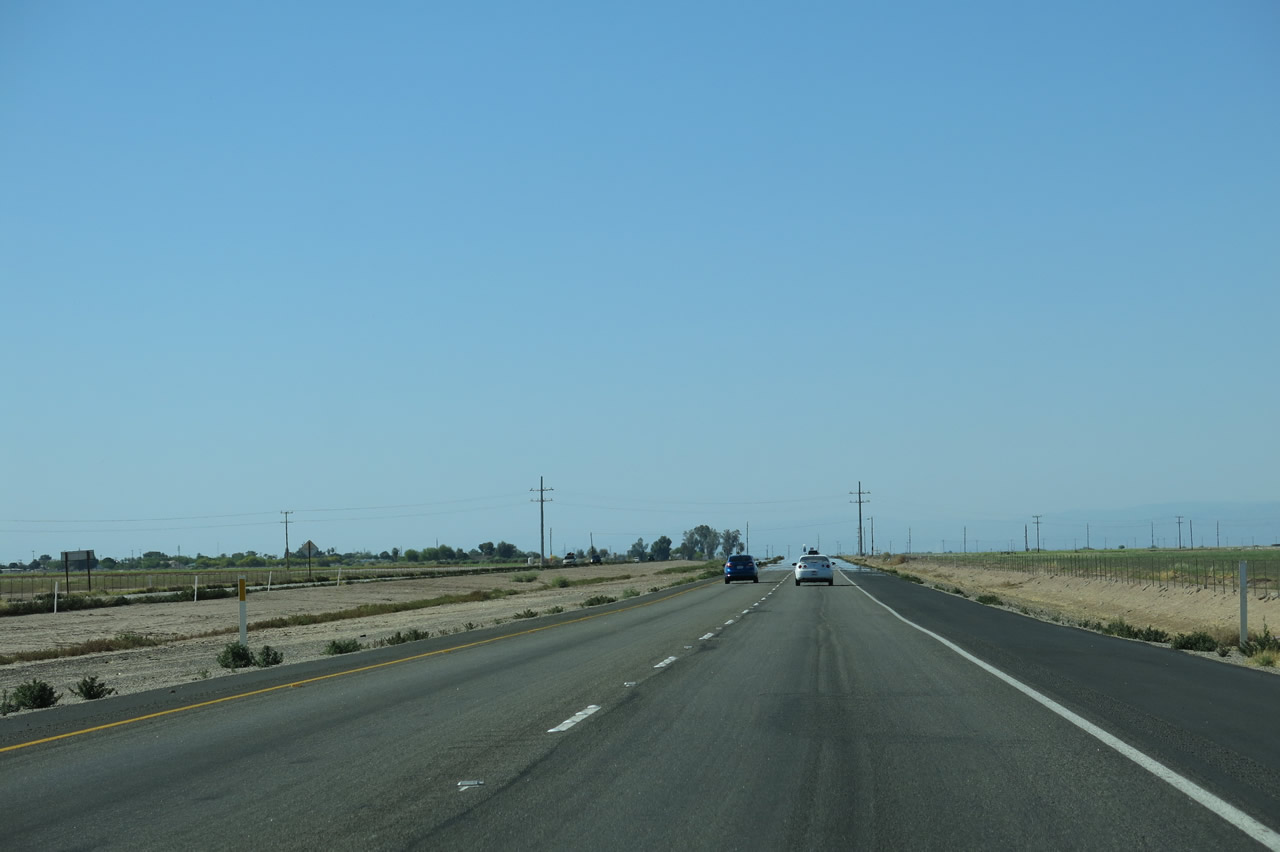
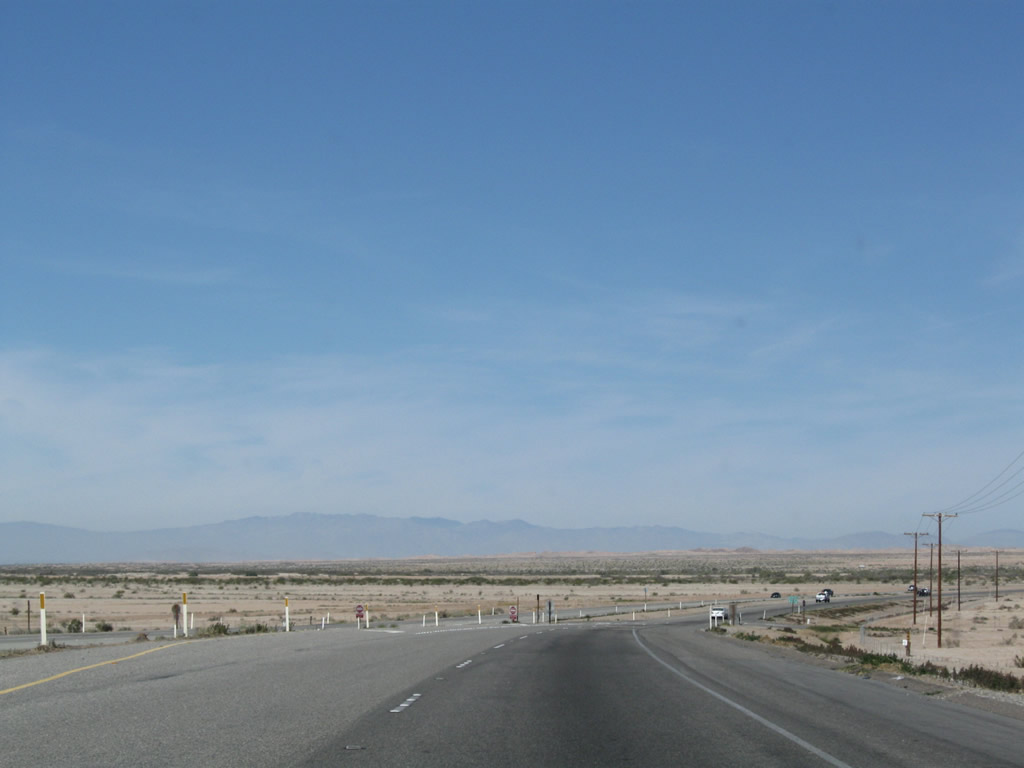
California 78 and California 86 pass through farmland after the Andre Road intersection. Somewhere in this area will be the future connection to the proposed Westmorland Bypass, which would allow the expressway to continue by tracing a route south of the city and avoiding the urban areas. The timetable for the bypass is between 2015 and 2025.1 The alignment of the bypass could follow Andre Road west to Kingsley Road north, or follow Baughman Road west to Martin Road north. The Imperial County 2007 Transportation Plan Highway Element suggests the Andre Road-Kingsley Road alignment will be the likely routing choice for the bypass.2 Photo taken 04/20/13. |
|
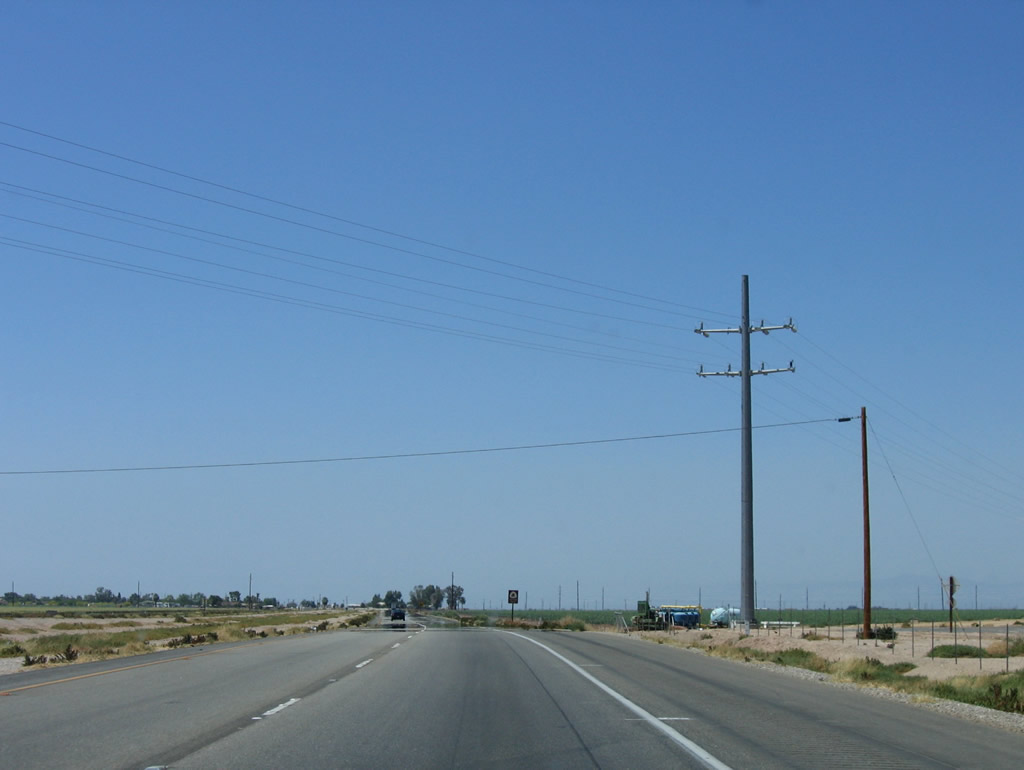
The two highways skirt the southern edge of the Salton Sea, but that body of water is rarely visible from the state highway until we approach Salton City. The highway will curve west to enter Westmorland. Photo taken 05/07/06. |
|
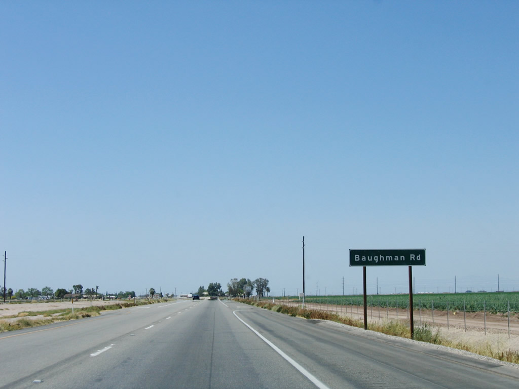
Westbound California 78 and northbound California 86 approach Baughman Road. Photo taken 05/07/06. |
|
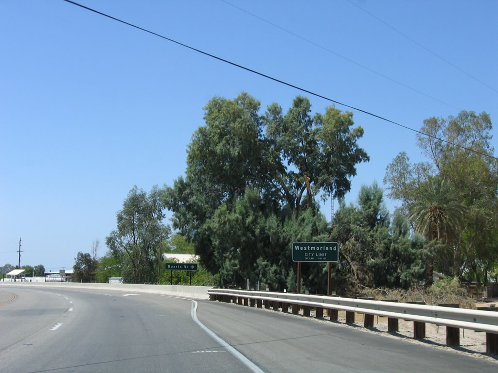
California 78 and California 86 enter the city of Westmorland. Incorporated in 1934, Westmorland had a population of 2,225 at the 2010 Census (2,131 people as of the 2000 Census) and consists of 0.4 square miles, making this one of the smallest cities in Imperial County. Still well below sea level, Westmorland is one of the lowest elevation cities in California, sitting at an elevation of -161 feet. Calipatria is even lower in elevation (at -177 feet below sea level). The Salton Sea is even lower, at approximately -226 feet below sea level. Photo taken 05/07/06. |
|
California 86 and California 78 revert to a surface boulevard upon entering Westmorland. A long, straight segment of California 78 and 86 features a middle turning lane, driveways, and roadside business as the highway passes through the city. There are plans to build a bypass of Westmorland at some point in the future; the bypass will travel around Westmorland to the south of the city, and the current alignment would revert to city control. Photo taken 05/07/06. |
|
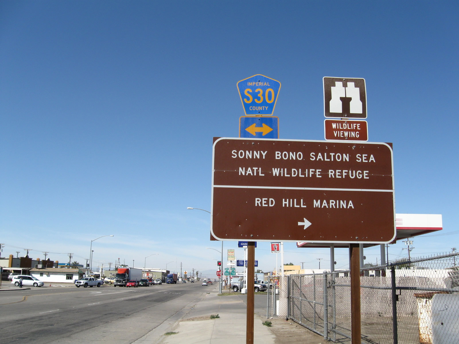
In Westmorland, northbound California 86 and westbound California 78 (Main Street) approach Imperial County S-30 (Center Street). Use Imperial County S-30 north to the Sonny Bono Salton Sea National Wildlife Refuge or south to Seeley and Mt. Signal. Photo taken 03/14/09. |
d
|
|
A pair of reassurance shields for California 86 north and California 78 west is posted prior to the stop sign intersection with Imperial County S-30 in Westmorland. Photos taken 03/14/09. |
|
A street light is suspended by wires over the middle of California 86 and California 78 (Main Street) in Westmorland. Check gas and food, since services are inconsistent until reaching the Coachella Valley. Photo taken 03/14/09. |
|
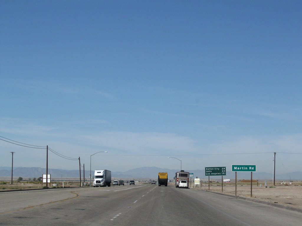
Leaving Westmorland, the first marked intersection along northbound California 86 and westbound California 78 is with Martin Road. Around this point, or a bit further west at the Kingsley Road intersection, the proposed Westmorland Bypass is planned to reconnect with existing California 78-86. Photo taken 03/14/09. |
|
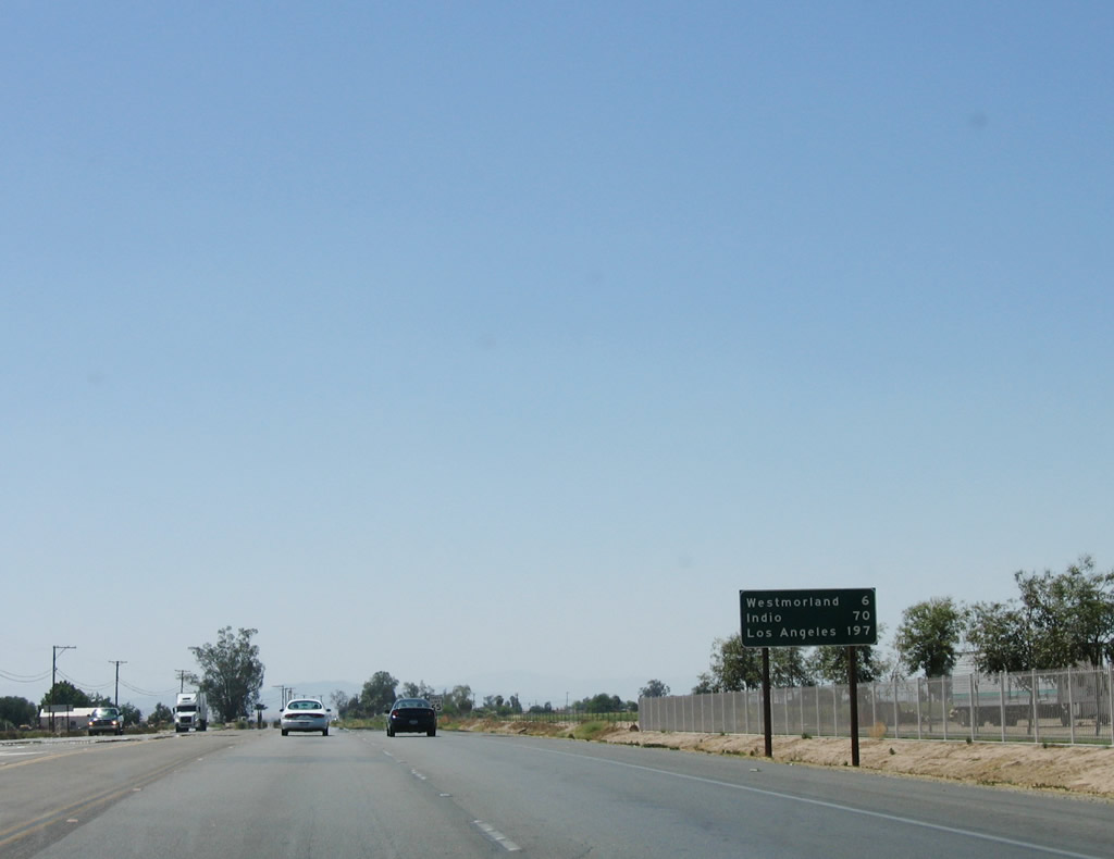
A mileage sign provides the distance to Salton City (28 miles), Indio (63 miles), and Los Angeles (191 miles). Note that all of these destinations are along the path of Historic U.S. 99, which California 86 replaced in 1964. No destinations along California 78 west to Escondido or Oceanside are listed on this sign. Photo taken 03/14/09. |
|
Another set of reassurance shields for northbound California 86 and westbound California 78 is posted after the Martin Road intersection. Photo taken 03/14/09. |
|
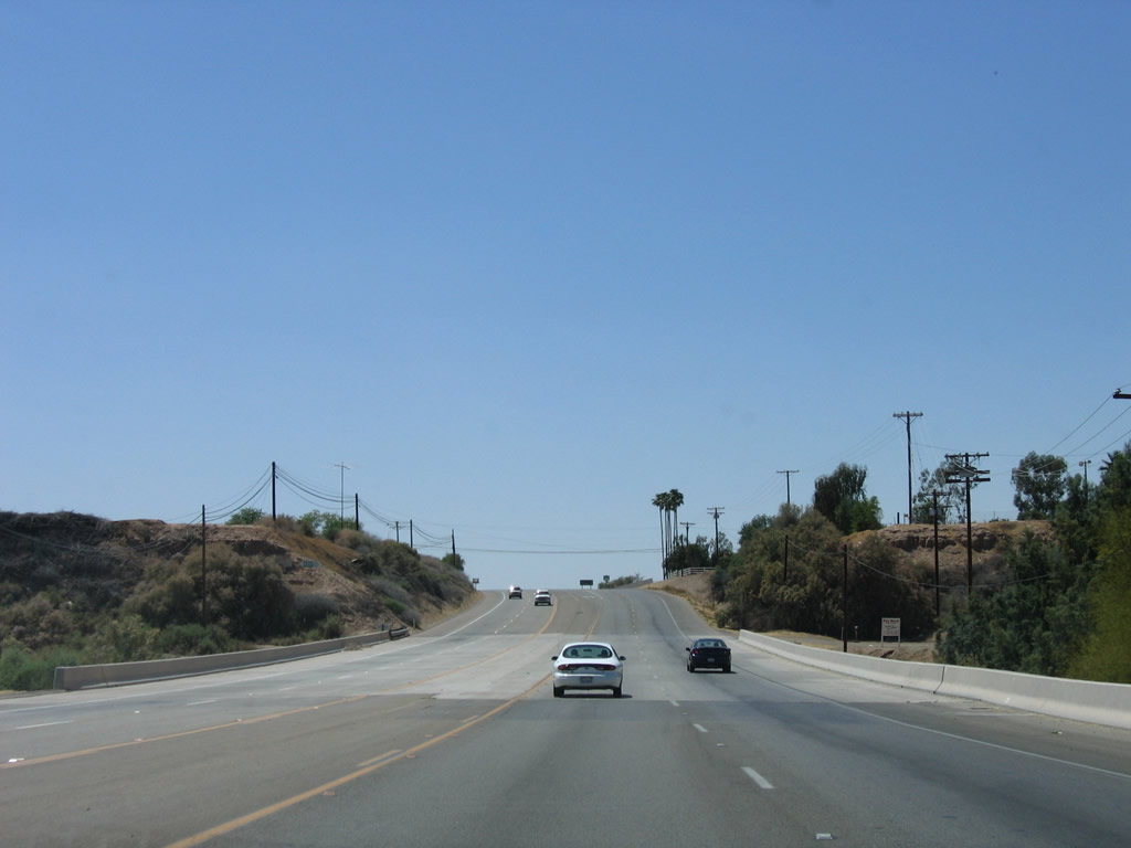
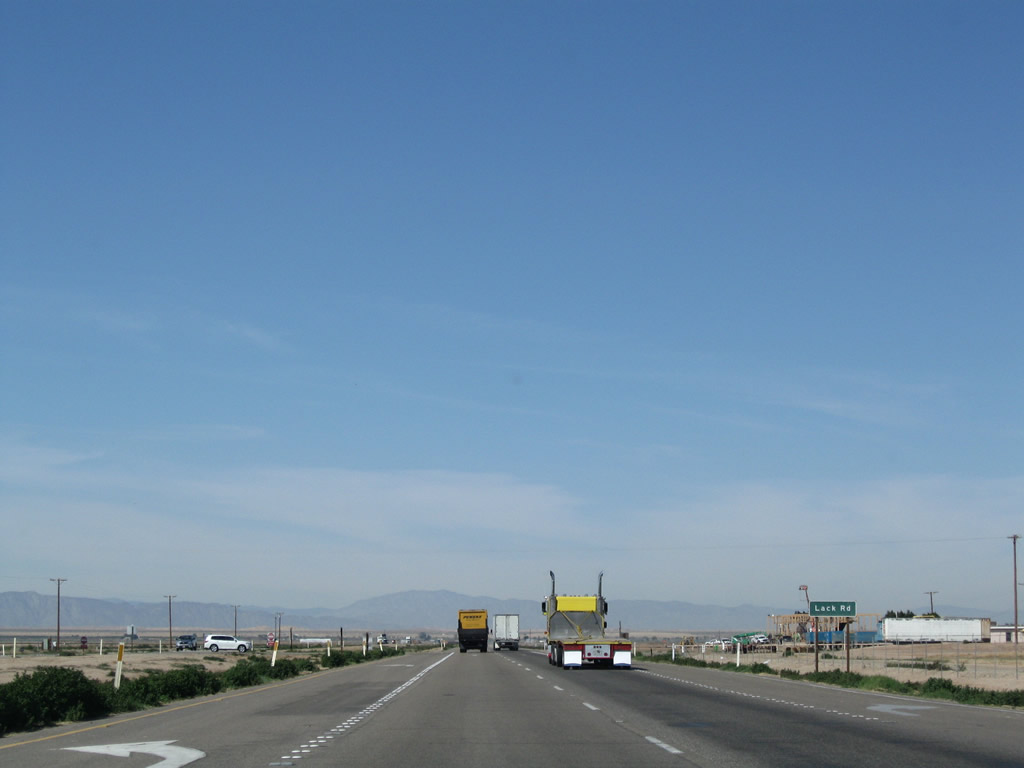
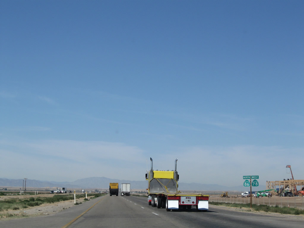
Along the western edge of the Salton Sea, northbound California 86 and westbound California 78 retain an expressway feel with limited at-grade intersections and usually a mile or more spacing between intersections. The next marked intersection is with Lack Road. Photo taken 03/14/09. |
|
These California 86 north and California 78 west shields are located after the Lack Road intersection. Photo taken 03/14/09. |
|
When the California 86 corridor was widened through the 1990s and 2000s, concrete was used for the newly constructed main lanes. Photo taken 03/14/09. |
|
The next intersection along California 86 north and California 78 west is with Buck Road. Photo taken 03/14/09. |
|
Another set of California 86 north and California 78 west reassurance shields is posted after Buck Road. Photo taken 03/14/09. |
|
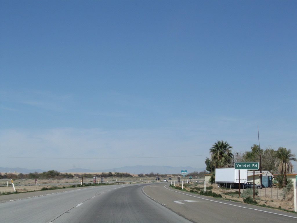
The next intersection along California 86 north and California 78 west is with Vendel Road. This road, like most of the others, provides local ranch and farm access. Photo taken 03/14/09. |
|
Another set of California 86 north and California 78 west reassurance shields is posted after Vendel Road. Photo taken 03/14/09. |
|
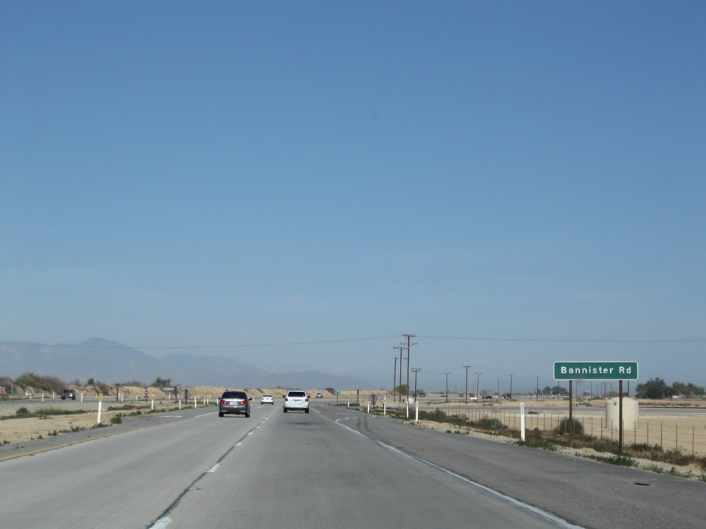
The next intersection along California 86 north and California 78 west is with Bannister Road. Photo taken 03/14/09. |
|
More local access is available at the next intersection, which is not signed with a named road. Photo taken 03/14/09. |
|
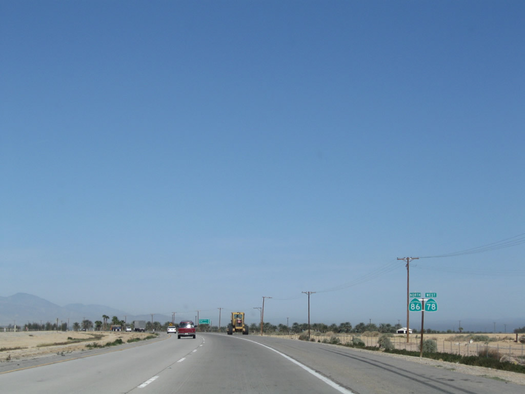
Another set of California 86 north and California 78 west reassurance shields is posted soon thereafter. Photo taken 03/14/09. |
|
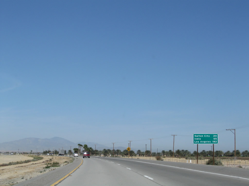
A mileage sign provides the distance to Salton City (20 miles), Indio (55 miles), and Los Angeles (182 miles). Photo taken 03/14/09. |
|
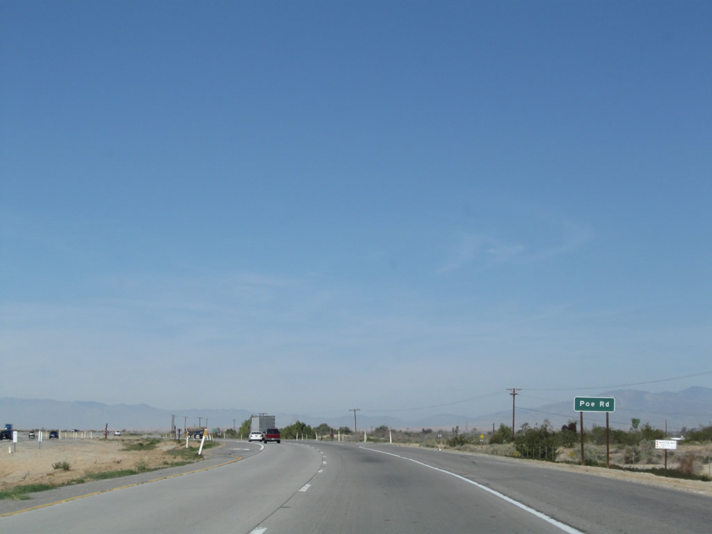
Continuing northwest, the next signed intersection along California 86 and California 78 is with Poe Road. Photo taken 03/14/09. |
|
Another set of California 86 north and California 78 west reassurance shields is posted after Poe Road. Photo taken 03/14/09. |
|
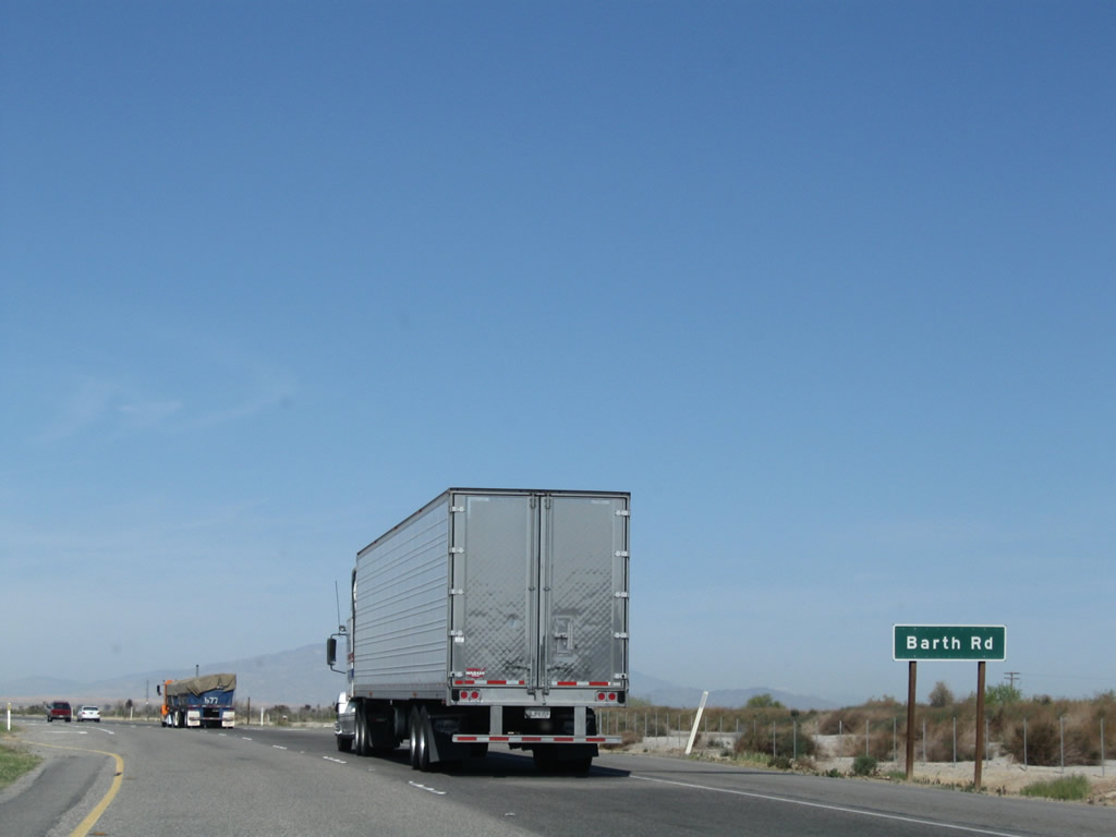
The next intersection along California 86 north and California 78 west is with Barth Road. Photo taken 03/14/09. |
|
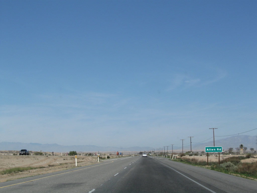
The next intersection along California 86 north and California 78 west is with Allen Road. Photo taken 03/14/09. |
|
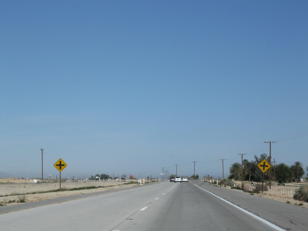
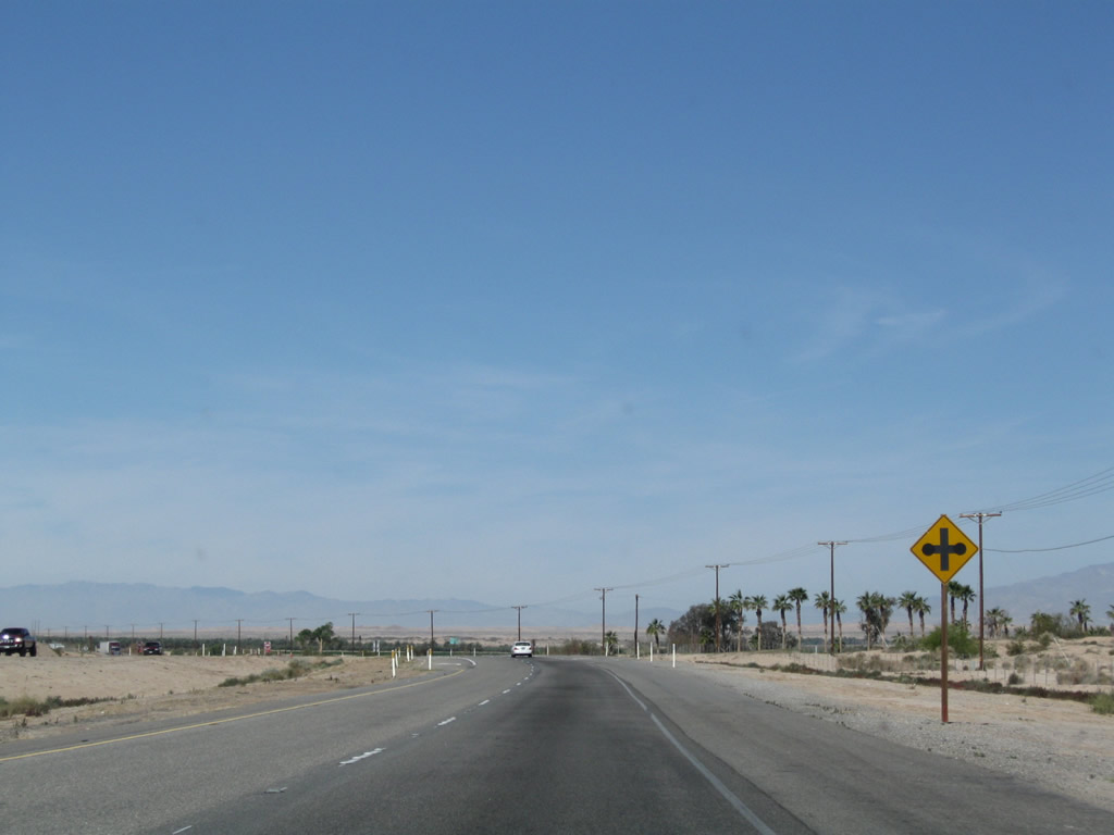
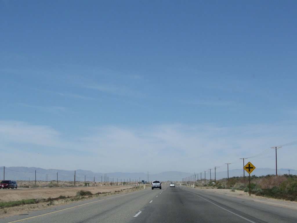
It is fair to say that the next intersecting road does not go anywhere except provide local access. Photo taken 03/14/09. |
|
Another set of California 86 north and California 78 west shields is posted thereafter. Photo taken 03/14/09. |
|
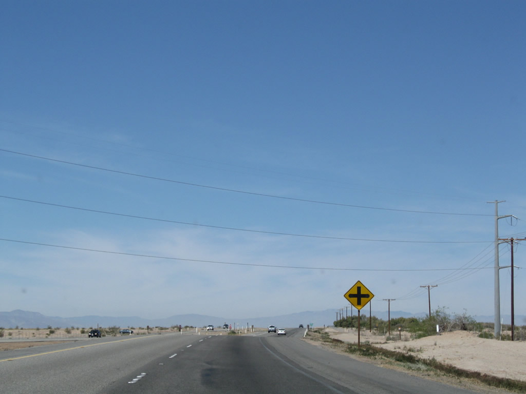
The next intersection along California 86 north and California 78 west is with another local access roadway. Photo taken 03/14/09. |
|
Another set of California 86 north and California 78 west reassurance shields is posted thereafter. Photo taken 03/14/09. |
|
|
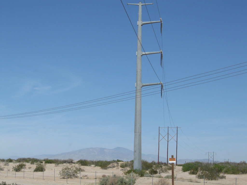
This power transmission line had to be realigned onto tall metal poles in order to allow for the widening of this section of the California 86 expressway in the 1990s. Photo taken 03/14/09. |
|
Another set of California 86 north and California 78 west reassurance shields is posted thereafter. Photo taken 03/14/09. |
|
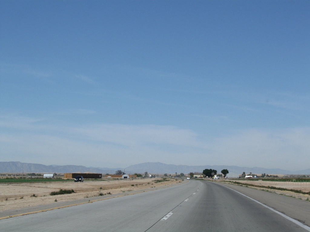
The desert rolls on, as much of this land is not arable and not as fertile as lands seen south of the Salton Sea in the Imperial Valley. More farmland is located north of here in the Coachella Valley at the north end of the Salton Sea. Photo taken 03/14/09. |
|
Yet another set of California 86 north and California 78 west reassurance shields is posted thereafter. This must be one of the best-signed overlaps in the state. Photo taken 03/14/09. |
|
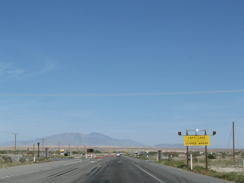
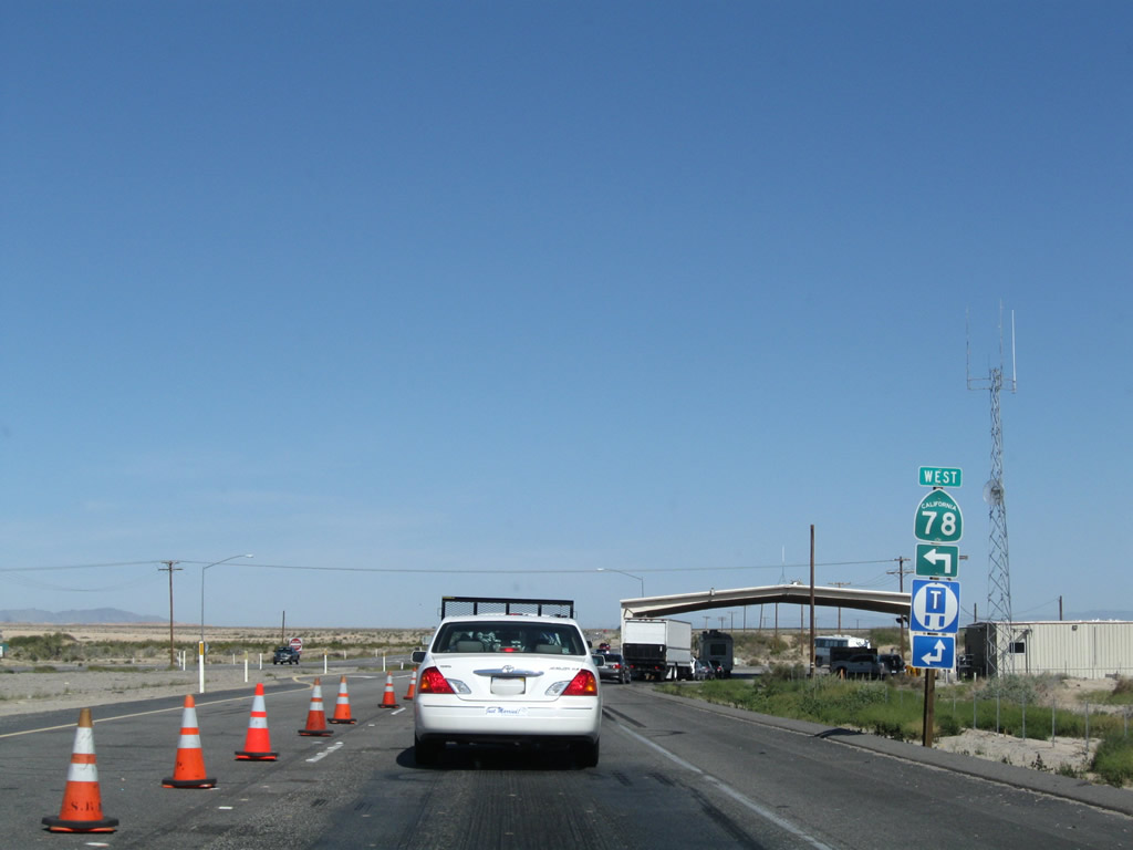
A break in the monotony comes as California 86 north and California 78 west prepare to split and we approach the U.S. Border Patrol Checkpoint (one mile). Photo taken 03/14/09. |
|
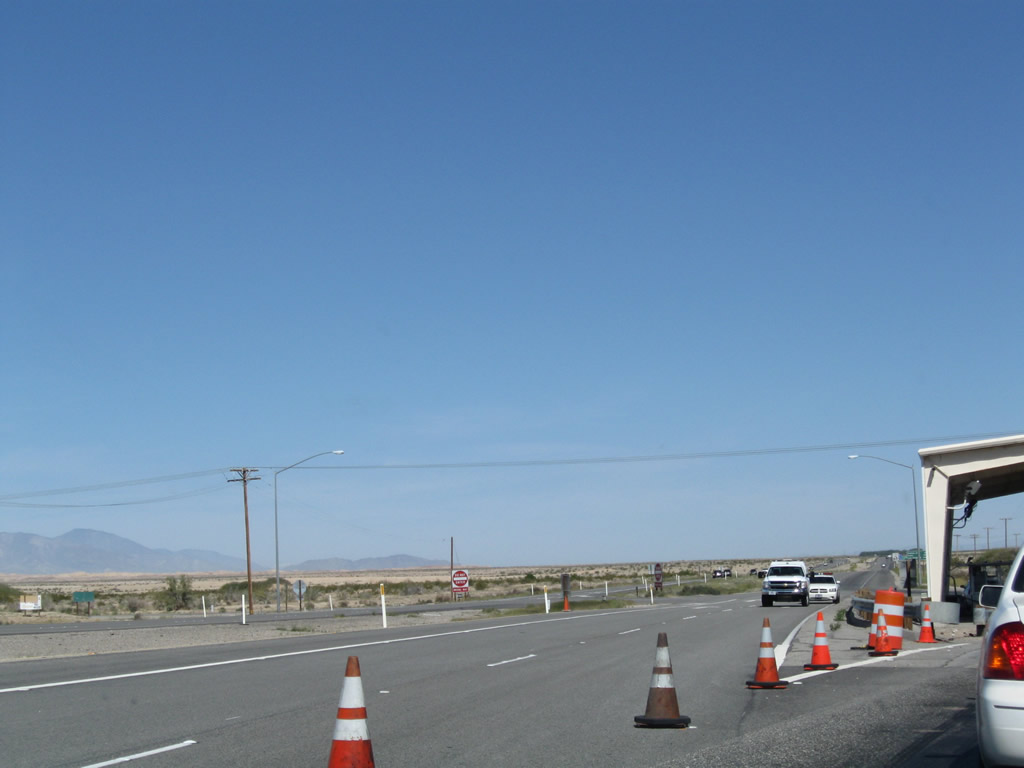
During hours of operation, the left lane of California 86 closes and motorists queue for inspection. Photo taken 03/14/09. |
|
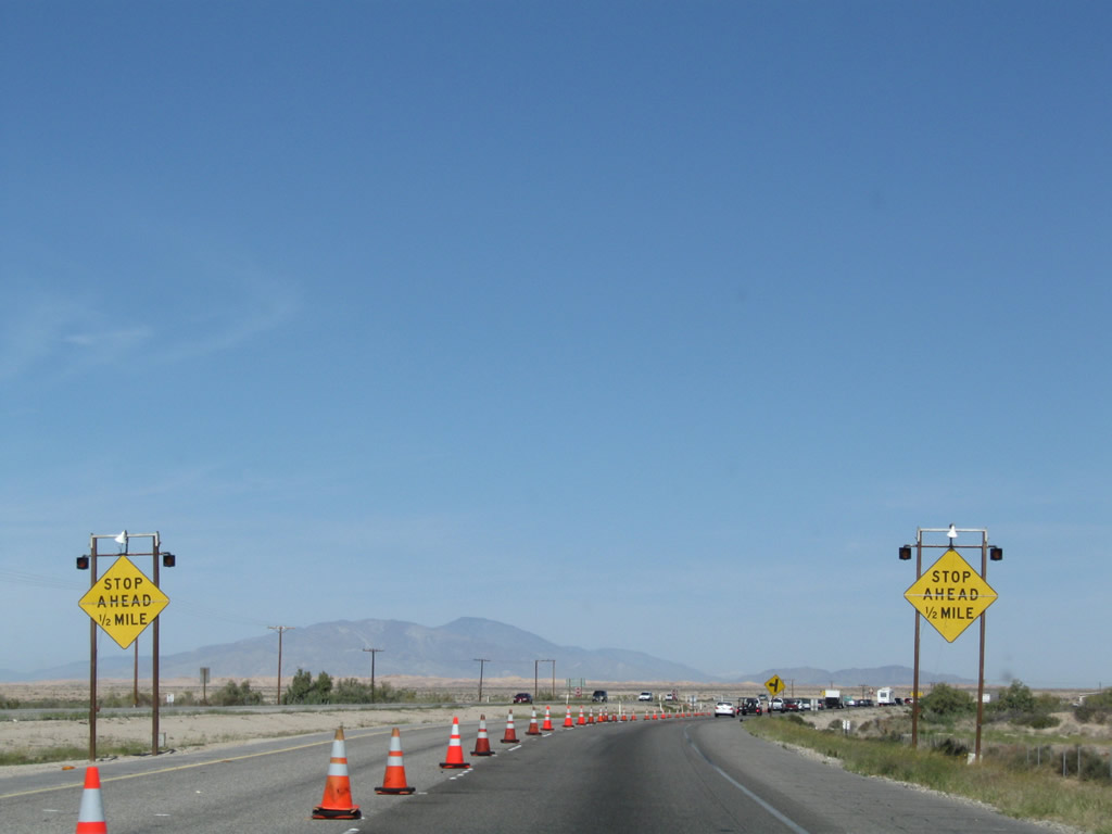
Now that the left lane is closed, another stop ahead sign (0.50 mile) appears. Photo taken 03/14/09. |
|
A final reassurance shield assembly for California 86 north and California 78 west is posted prior to the checkpoint. Photo taken 03/14/09. |
|
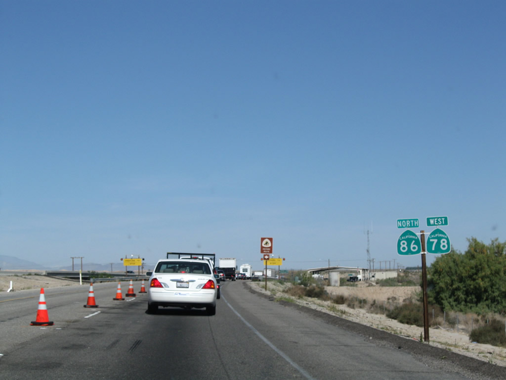
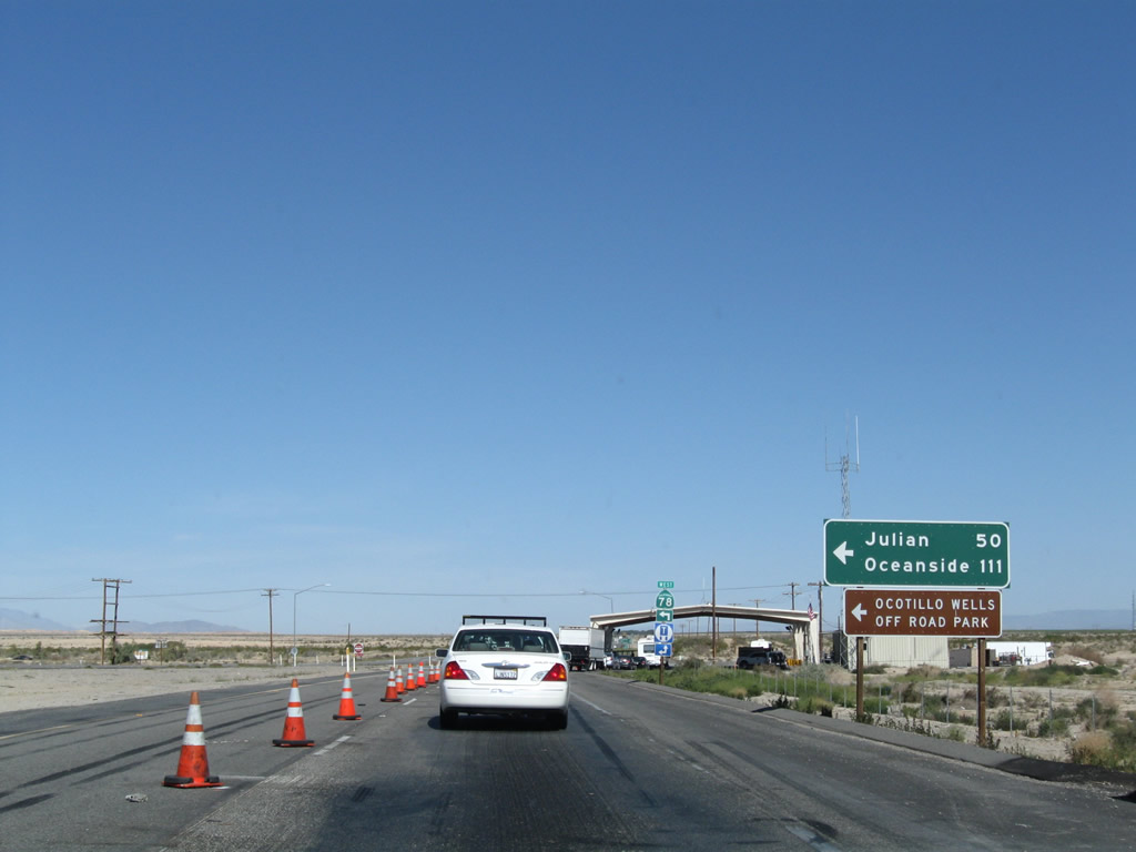
Turn left on California 78 west to the continuation of the Juan Bautista de Anza Historic Trail. Soon, the two state routes will part ways, with California 78 turning west toward Anza Borrego Desert State Park, Julian, Ramona, and Escondido. California 86 continues north along the expressway toward Salton City and Indio. Photo taken 03/14/09. |
|
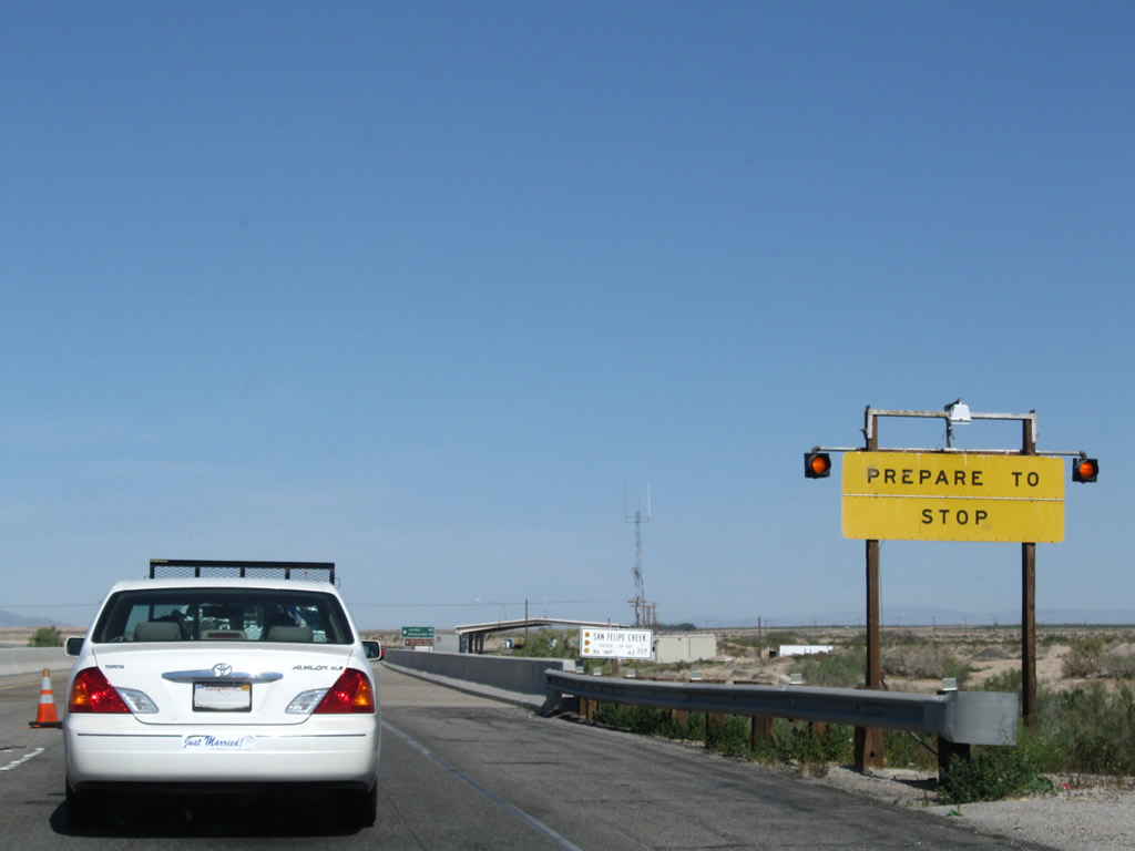
Another yellow "Prepare to Stop" sign is posted. Photo taken 03/14/09. |
|
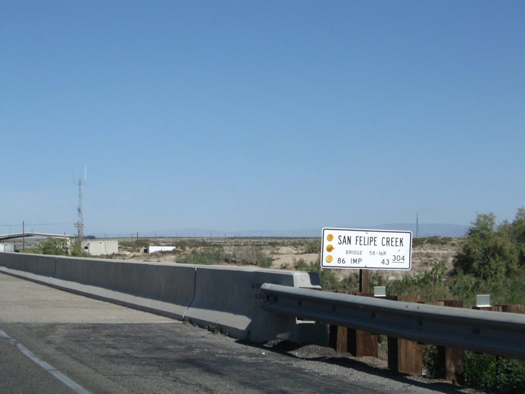
California 86 crosses San Felipe Creek on this newer bridge. Photo taken 03/14/09. |
|
This mileage sign provides the distance to Julian (50 miles) and Oceanside (111 miles) via California 78 west. Photo taken 03/14/09. |
|
A California 78 west trailblazer is posted next. The routes divide after the U.S. Border Patrol Inspection Station. Photo taken 03/14/09. |
|
The U.S. Border Patrol Inspection Station is operated on a wide section of roadway prior to the California 86 and California 78 split. Photo taken 03/14/09. |
| California 86 north |
|
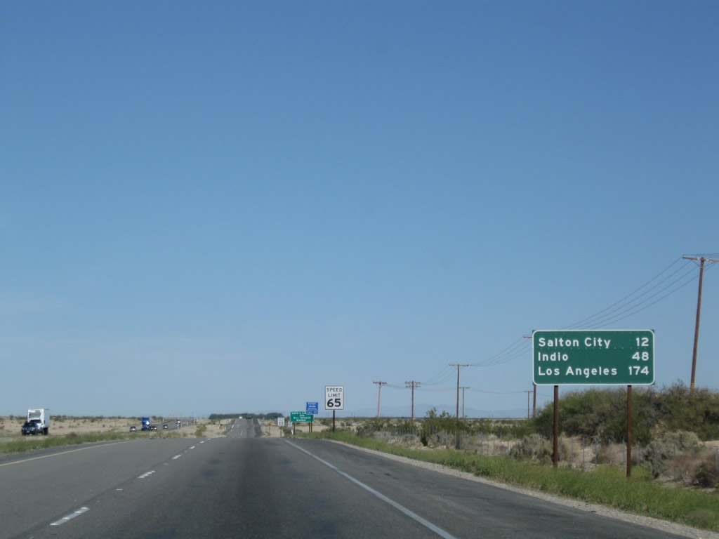
After the U.S. Border Patrol Inspection Station, California 78 splits west toward Julian, and California 86 continues north. This mileage sign provides the distance to Salton City (12 miles), Indio (48 miles), and Los Angeles (via Interstate 10, 174 miles). Photo taken 03/14/09. |
|
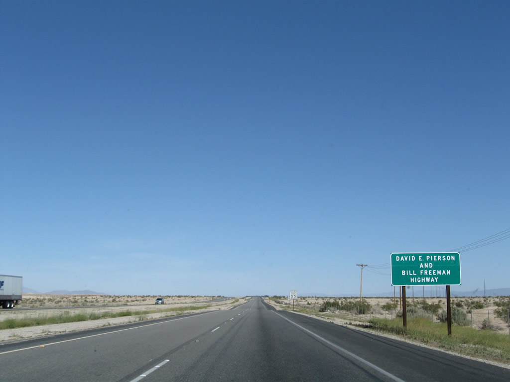
This section of California 86 is designated as the David E. Pierson and Bill Freeman Highway. Photo taken 03/14/09. |
|
A California 86 north reassurance shield is posted shortly thereafter as the expressway continues north toward Salton City. Photo taken 03/14/09. |
|
The northbound lanes of California 86 are older than the southbound lanes. This conclusion can be reached because the northbound lanes are made of asphalt and the lanes have more undulations than the southbound lanes, which were more smoothly graded. Photo taken 03/14/09. |
|
A single tree sits in the median of California 86; it is notable since there are no other trees anywhere else around here. Photo taken 03/14/09. |
|
A grove of palm trees and other trees lies ahead on the right (east) side of California 86. Photo taken 03/14/09. |
|
Another California 86 north reassurance shield is posted shortly after the driveway to the ranch with the palm tree grove. Photo taken 03/14/09. |
|
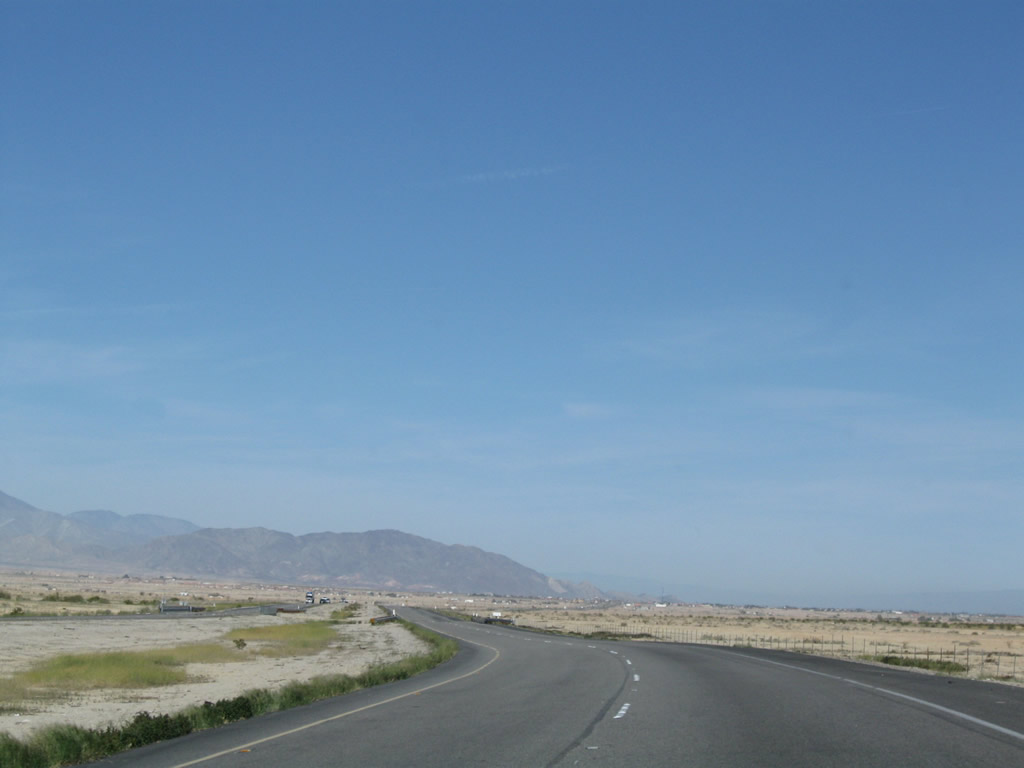
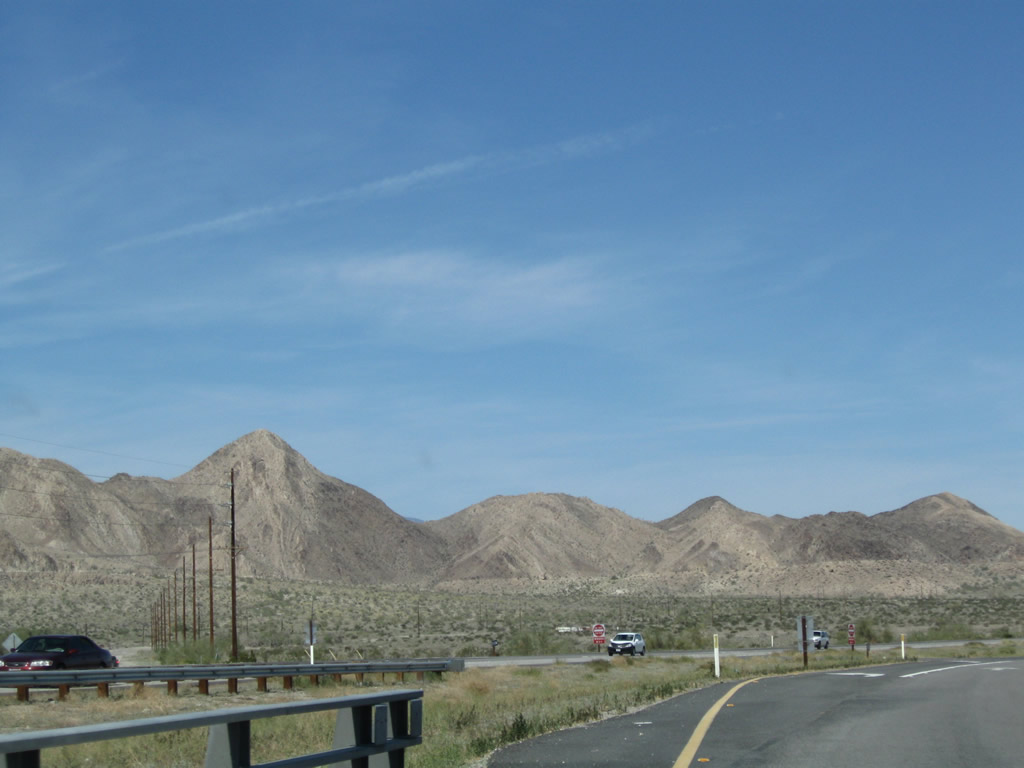
The Santa Rosa Mountains rise in the distance; the area around California 86 is mostly flat, with washes created by seasonal flooding. Photo taken 03/14/09. |
|
Another California 86 north reassurance shield is posted after another ranch access roadway intersection. Photo taken 03/14/09. |
|
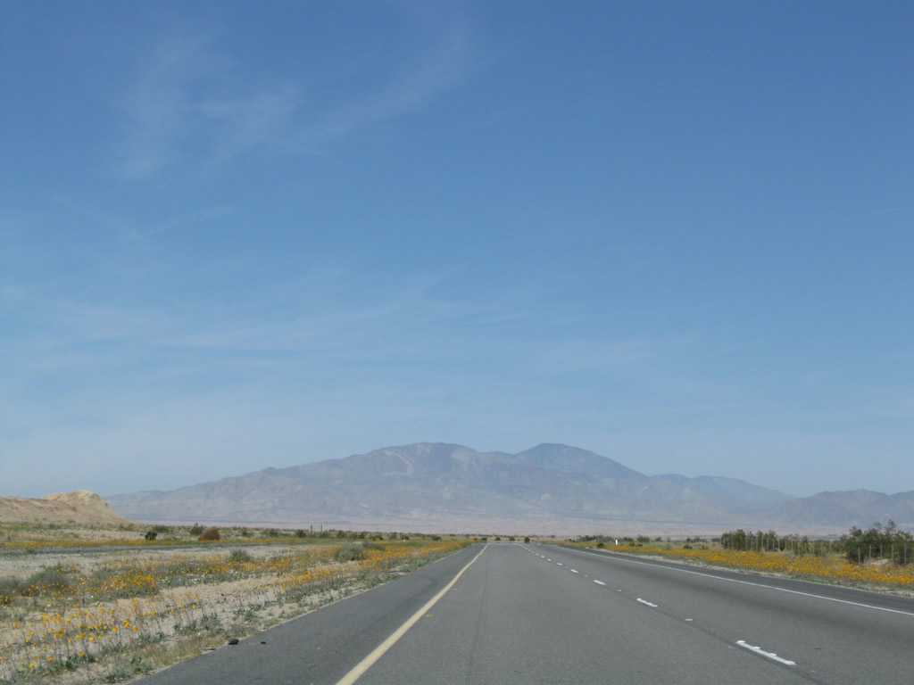
Spring wildflowers were in bloom along this stretch of California 86 south of Salton City. Photo taken 03/14/09. |
|
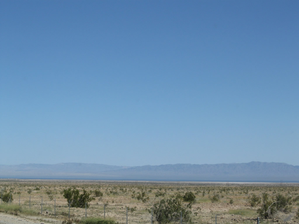
To the east, the Salton Sea comes into view as California 86 is at a higher elevation than the saltwater lake. Photo taken 03/14/09. |
|
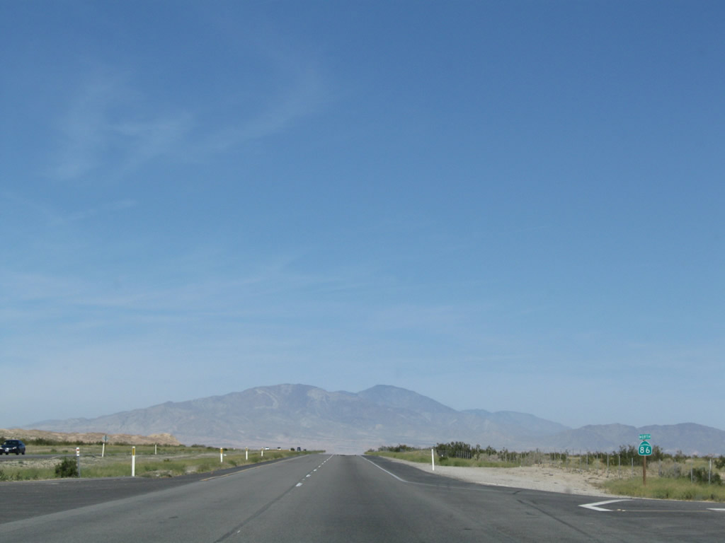
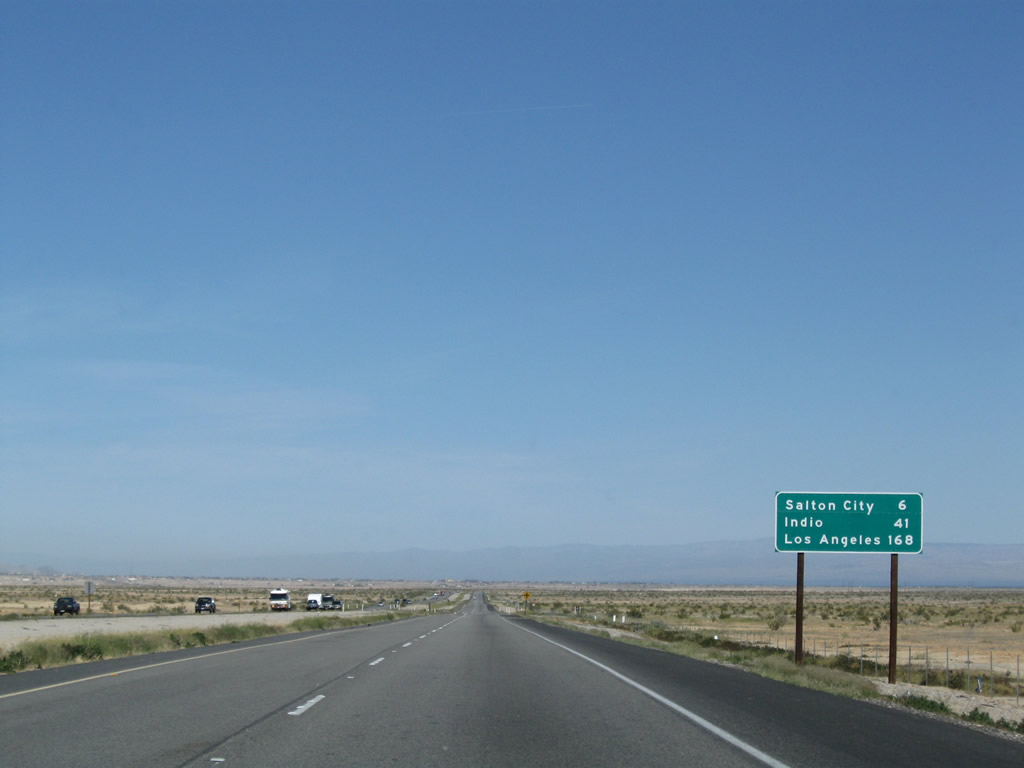
This mileage sign provides the distance to Salton City (six miles), Indio (41 miles), and Los Angeles (via Interstate 10, 168 miles). Photo taken 03/14/09. |
|
California 86 turns a bit more north and thus no longer travels northwest toward the Santa Rosa Mountains. Photo taken 03/14/09. |
|
Again turning northwest, California 86 will pass between the mountains and the sea. Photo taken 03/14/09. |
|
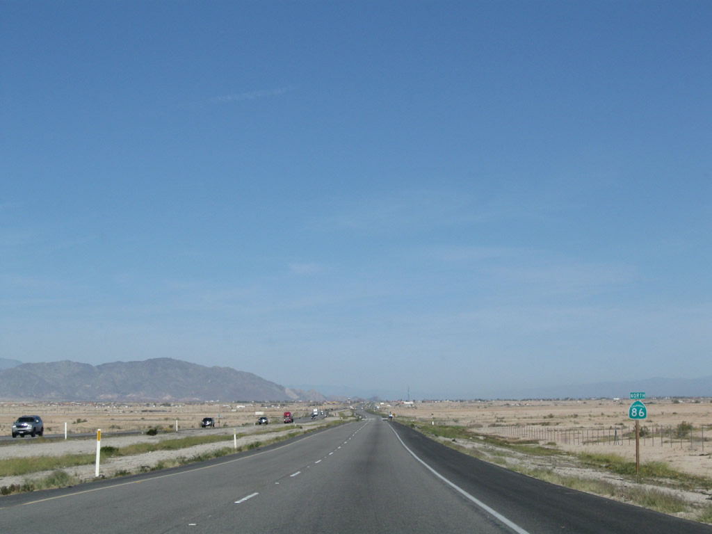
Another California 86 north reassurance shield is posted as the expressway continues toward Salton City. Photo taken 03/14/09. |
|
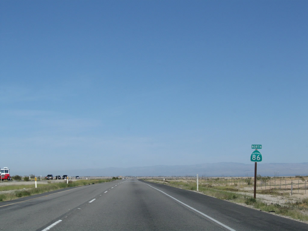
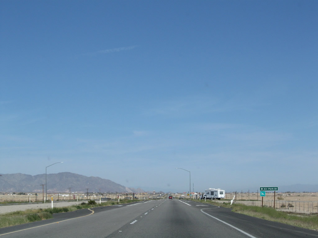
Northbound California 86 approaches Air Park Drive and the connection to a nearby airport. Photo taken 03/14/09. |
|
Another California 86 north reassurance shield is posted after Air Park Drive. Photo taken 03/14/09. |
|
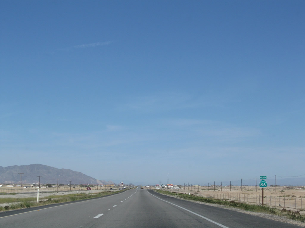
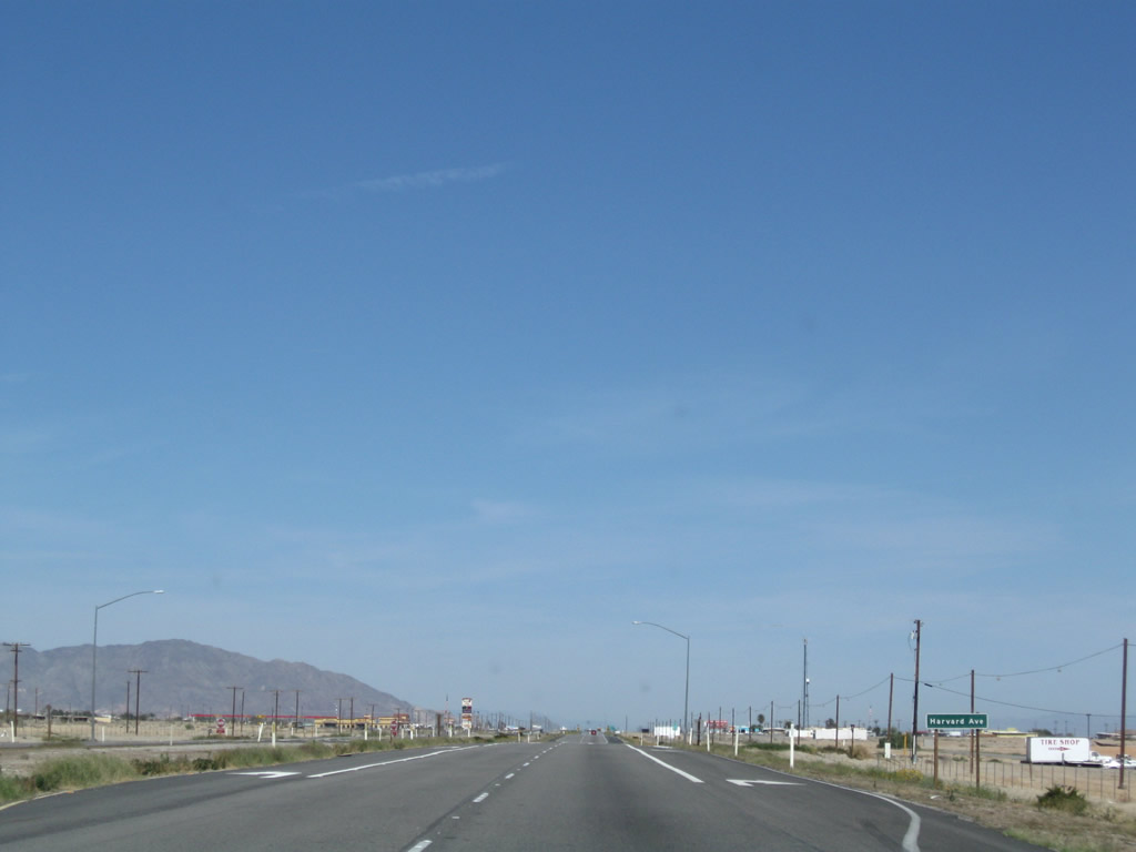
The next marked intersection along California 86 north is with Harvard Avenue. Photo taken 03/14/09. |
|
Another California 86 north reassurance shield is posted after Harvard Avenue. Photo taken 03/14/09. |
|
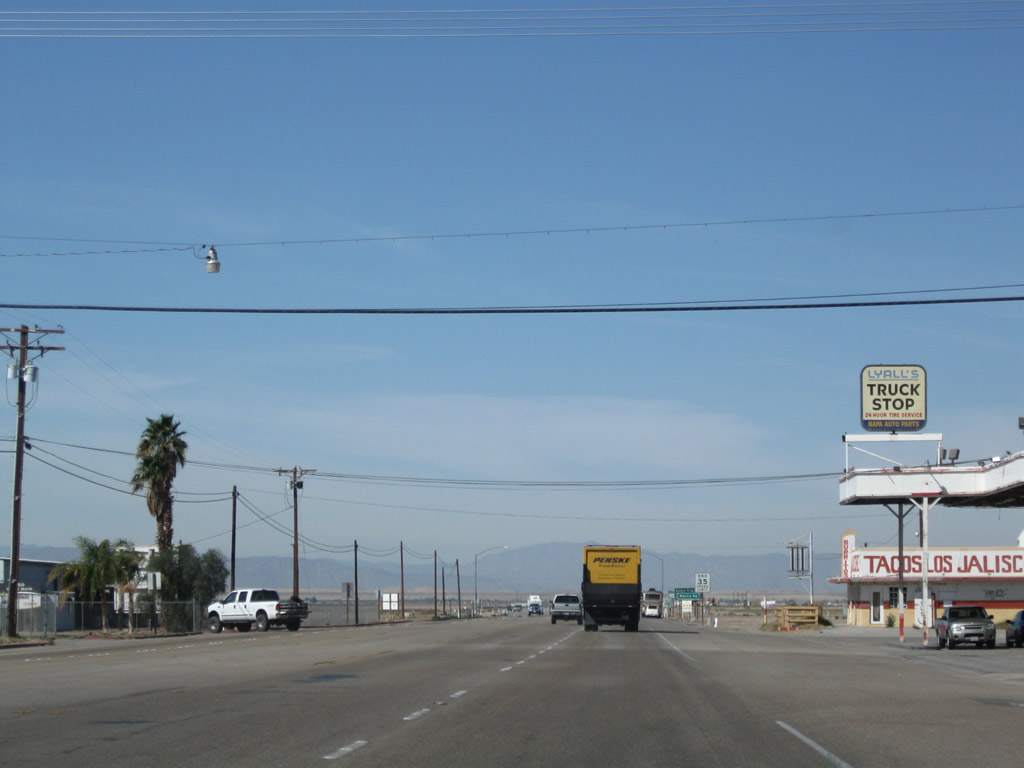
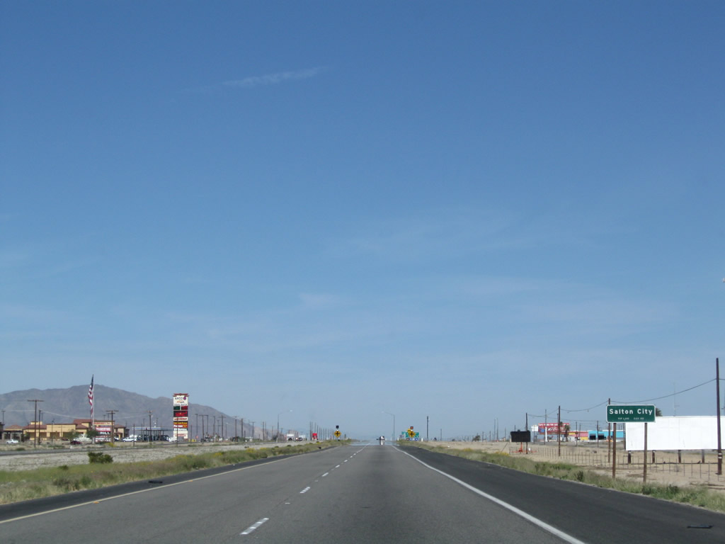
California 86 enters Salton City, an unincorporated community in northwestern Imperial County. Although a substantial road network exists from the 1950s-master planned community, most streets are deserted with few buildings or homes along them. As of the 2000 Census, 978 people lived in this unincorporated Imperial County community. Along with Desert Shores, Salton City is part of the Salton Community Services District (SCSD), which provides some governmental services, while others are provided by Imperial County. As for travelers along California 86, motorist services (gas, food) are available here. Photo taken 03/14/09. |
|
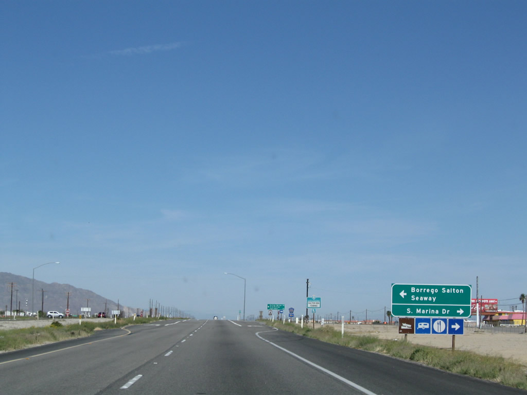
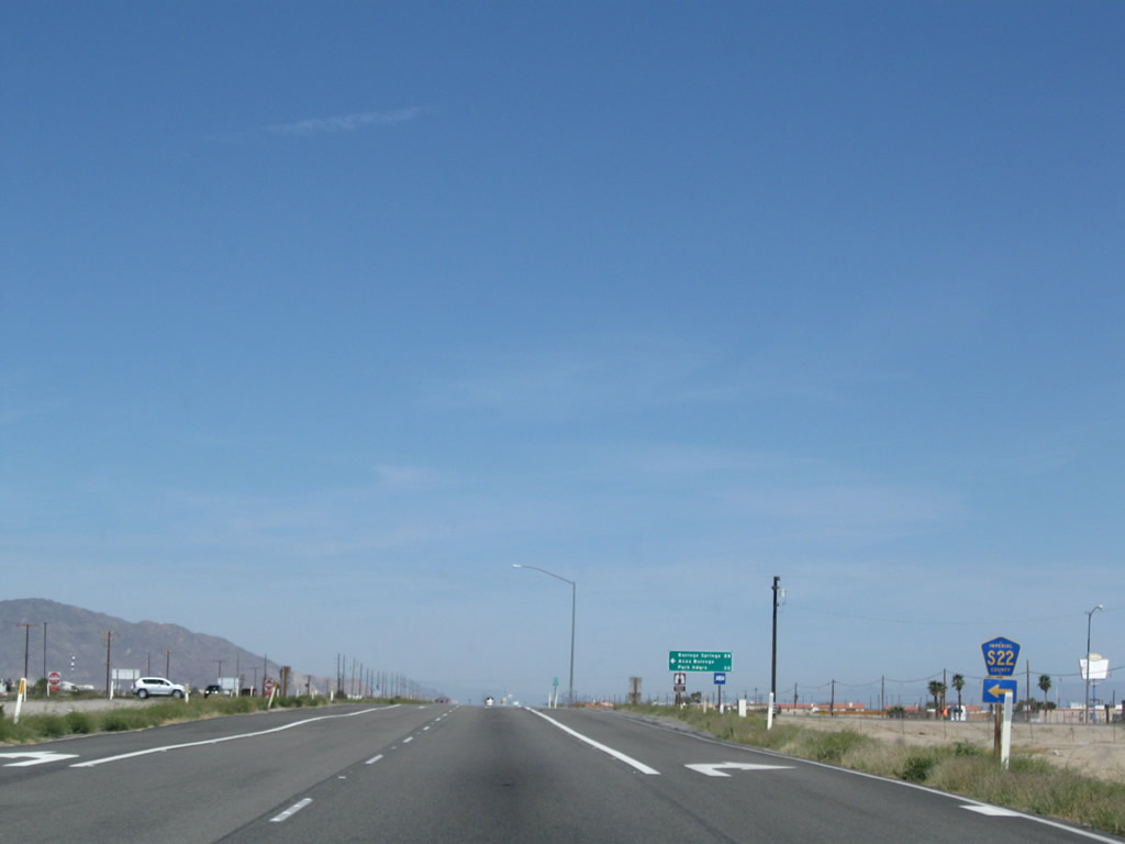
The next marked intersection along California 86 north is with Imperial County S-22 (Borrego-Salton Seaway). Photo taken 03/14/09. |
|
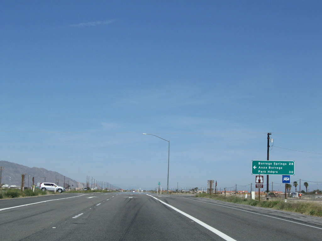
Imperial County S-22 (Borrego-Salton Seaway) travels west from this intersection into San Diego County, where it connects to Borrego Springs and Ranchita before ending at San Diego County S-2 (San Felipe Road) south of Warner Springs. Photo taken 03/14/09. |
|
An Imperial County S-22 trailblazer is placed prior to the Seaway intersection. Photo taken 03/14/09. |
|
A mileage sign provides the distance to destinations via Imperial County S-22 west: Borrego Springs (28 miles) and Anza-Borrego Desert State Park Headquarters (30 miles). Photo taken 03/14/09. |
|
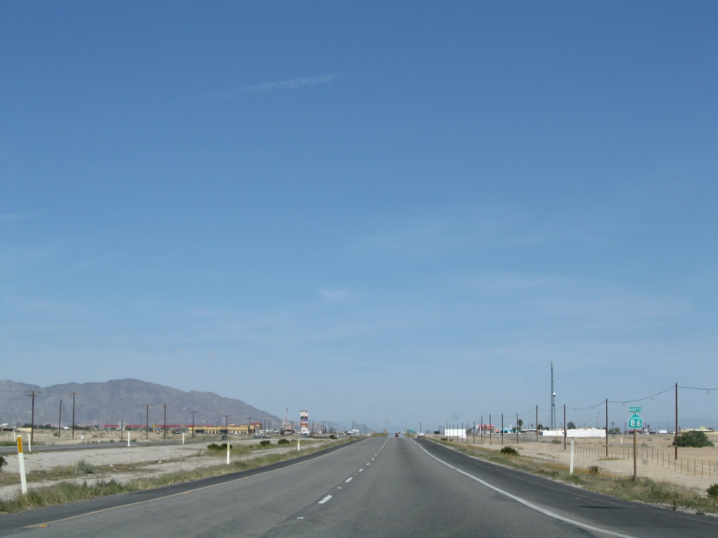
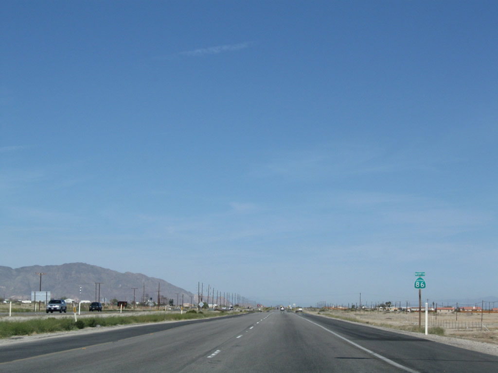
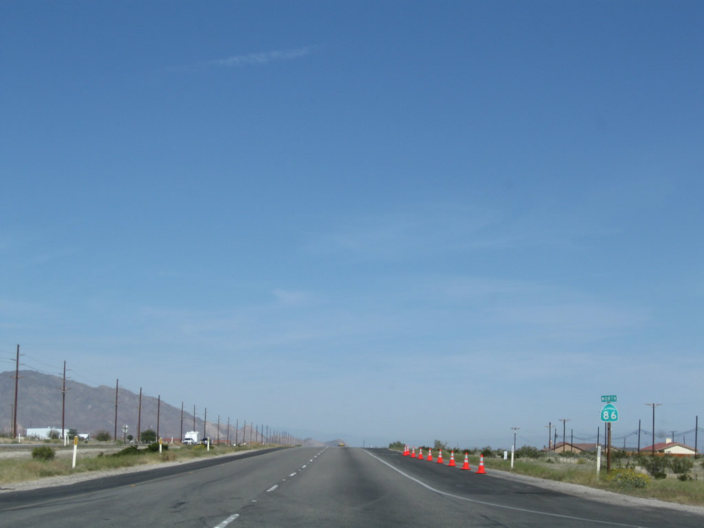
Another California 86 north reassurance shield is posted after the Imperial County S-22 (Borrego-Salton Seaway) intersection. Photo taken 03/14/09. |
|
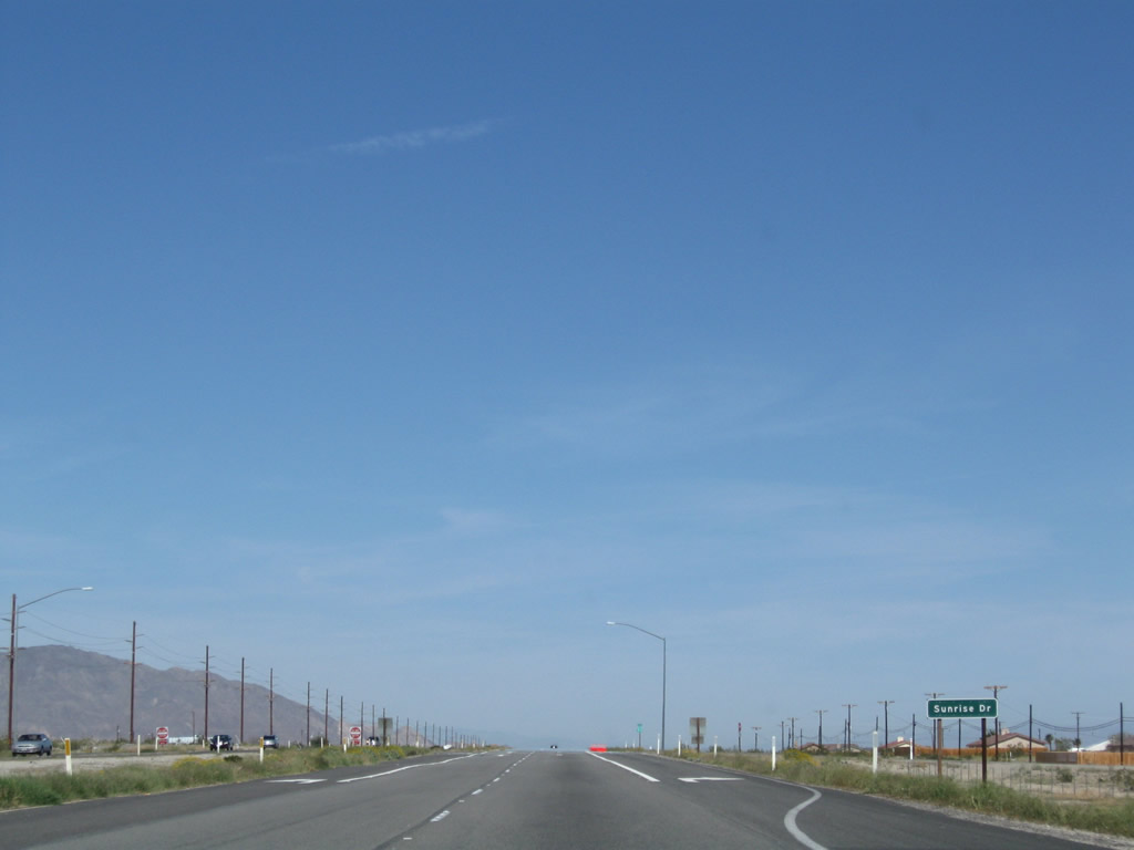
The next marked intersection along California 86 north is with Sunrise Drive in Salton City. Photo taken 03/14/09. |
|
This California 86 north reassurance shield is posted after the Sunrise Drive intersection. Photo taken 03/14/09. |
|
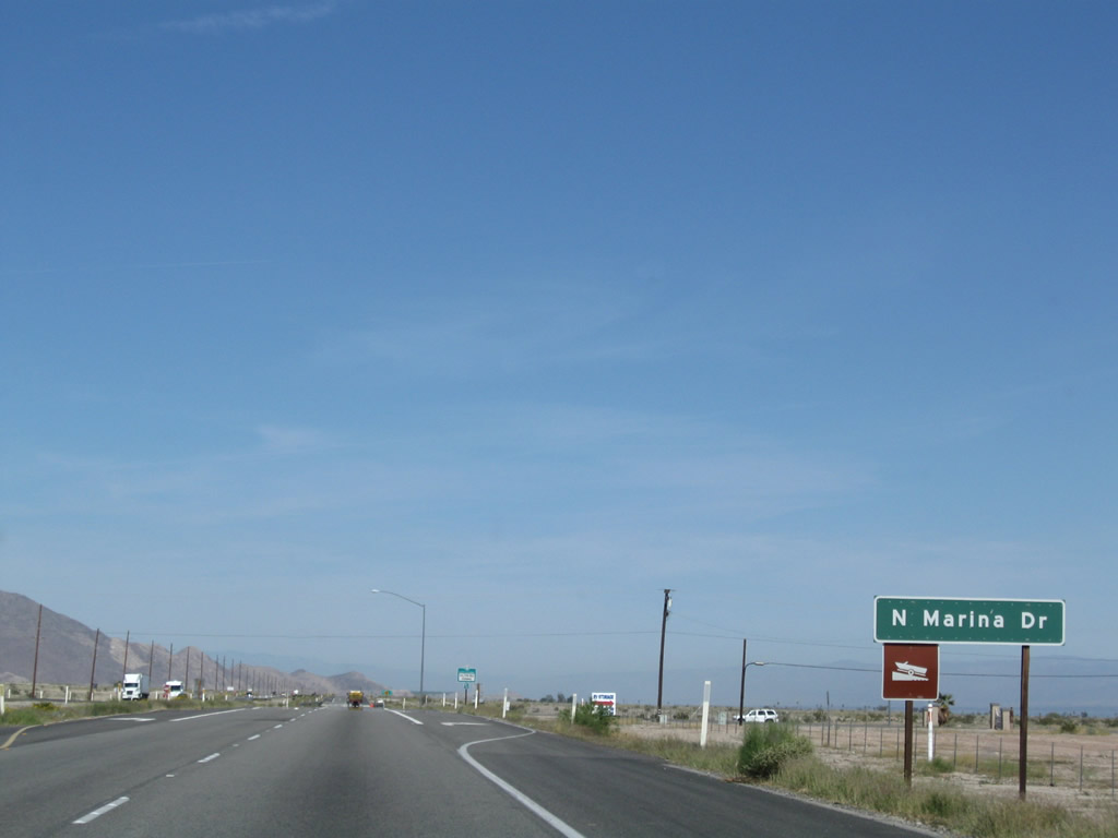
The next marked intersection along California 86 north is with North Marina Drive in Salton City. Photo taken 03/14/09. |
|
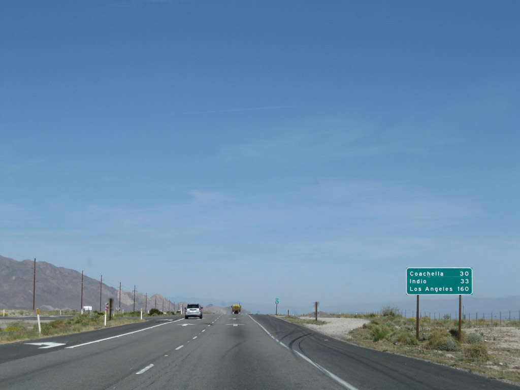
This mileage sign along California 86 north provides the distance to Coachella (30 miles), Indio (33 miles), and Los Angeles (160 miles). Photo taken 03/14/09. |
|
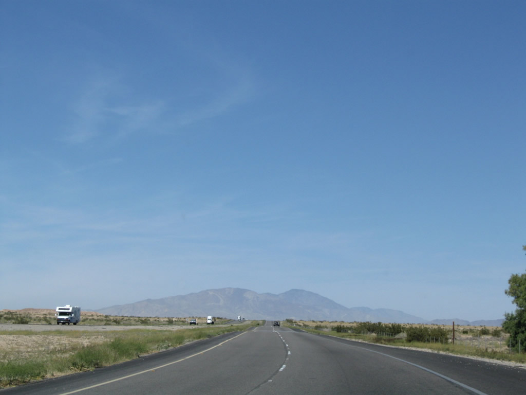
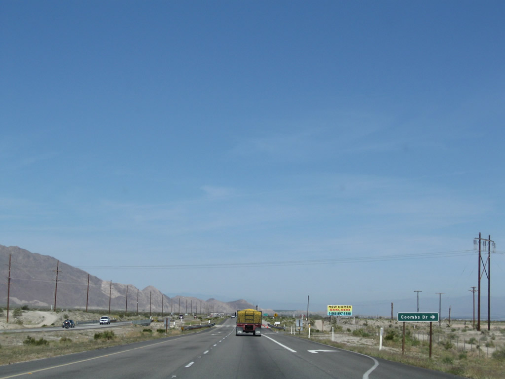
Leaving Salton City, the next marked intersection along California 86 north is with Coombs Drive. Ahead is a truck carrying citrus. Photo taken 03/14/09. |
|
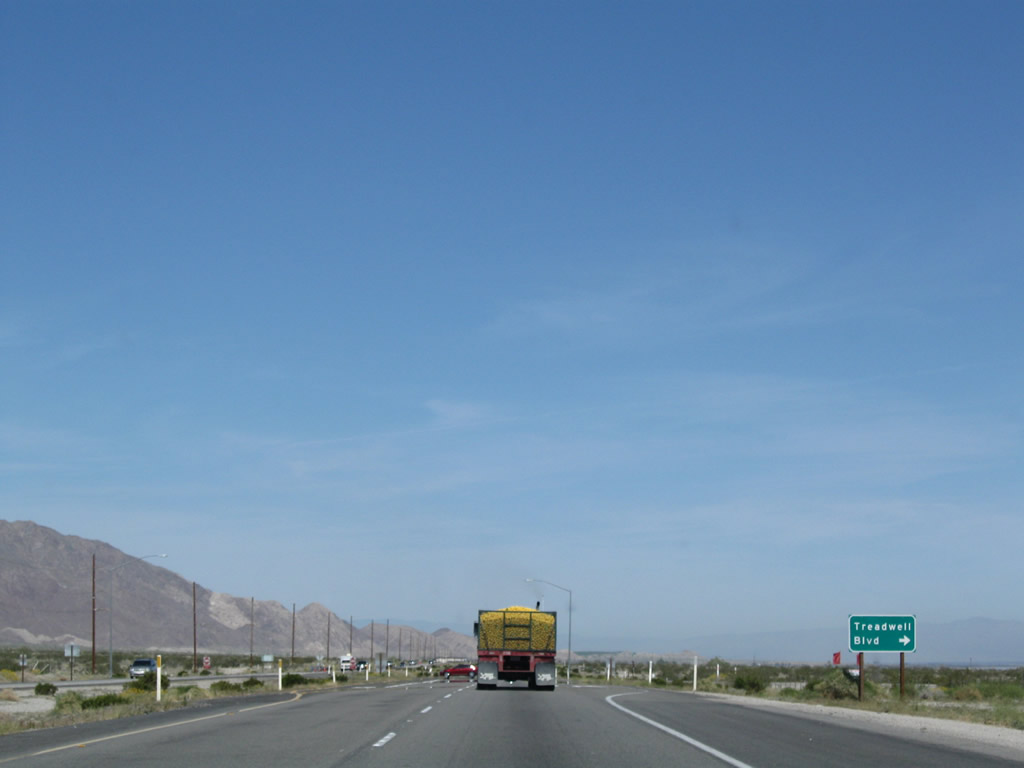
Northbound California 86 approaches Treadwell Boulevard. Photo taken 03/14/09. |
|
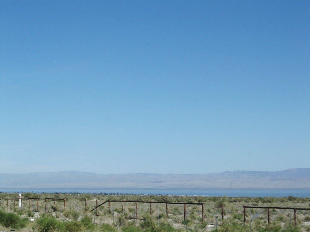
This view looks east toward the Salton Sea. Located within the Salton Sink, a low elevation area that straddles Imperial County and Riverside County, the Salton Sea sits at an elevation of 226 feet below sea level. It was formed in 1905 when floodwaters from the Colorado River valley flowed west through an irrigation dike into the sink. Floodwaters flowed into the sink for two years before it could be altered back to its regular course along the Colorado River. Due to polluted flows from the New River and Alamo River, the lack of an outfall, agricultural runoff, and increasing salinity, the saltwater lake has seen damaging fish kills and worsening water quality. Attempts are currently underway to fix the problems that plaque the Salton Sea. Photo taken 03/14/09. |
|
This California 86 north reassurance shield is posted after the Treadwell Boulevard intersection. Photo taken 03/14/09. |
|
Another California 86 north reassurance shield is posted, but this one has the Salton Sea as a backdrop. Photo taken 03/14/09. |
|
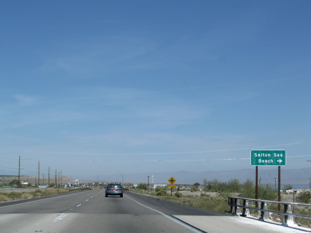
Northbound California 86 next approaches Brawley Avenue; turn right to the unincorporated community of Salton Sea Beach. Photo taken 03/14/09. |
|
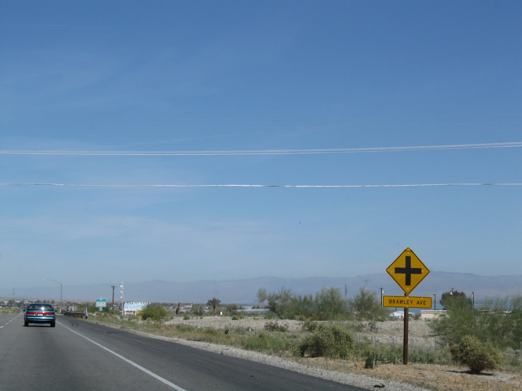
A second sign advises that the next intersection is with Brawley Avenue. Photo taken 03/14/09. |
|
Look for the point where the tall wooden power lines move away from California 86; an unmarked intersection with Coolidge Springs Road leads to an extant section of Historic U.S. 99. Much of the route between Calexico and here are largely under today's California 86, but some single-slab concrete is found along a loop near Desert Shores. Photo taken 03/14/09. |
Page Updated June 2, 2013.