
California 99 North - Kern County #2
| California 99 north | |||
|---|---|---|---|
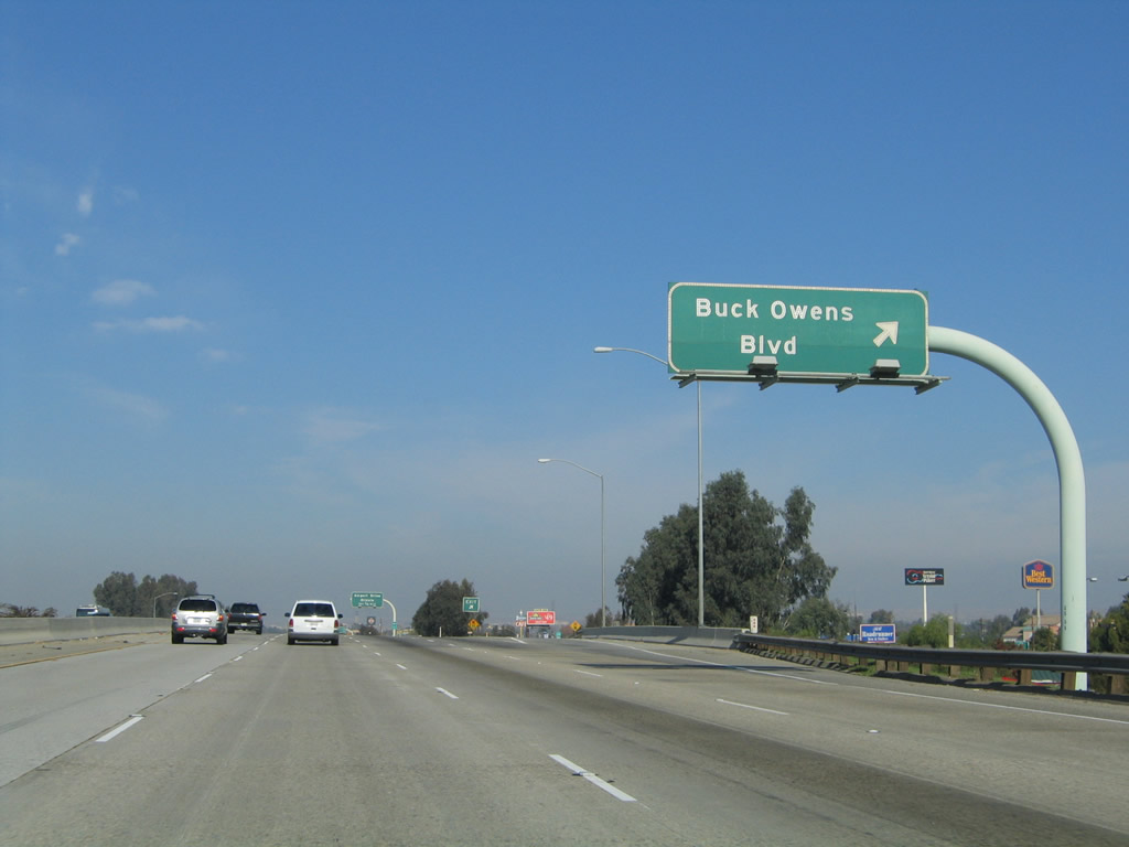 |
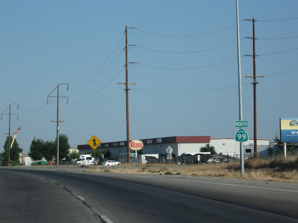
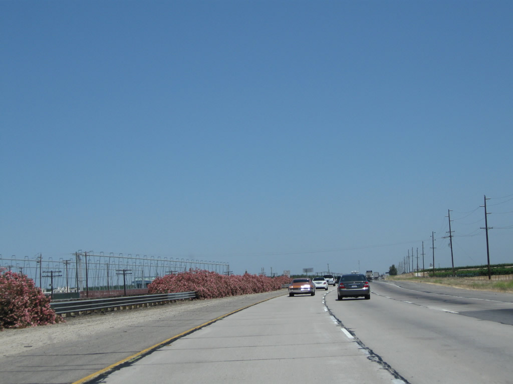
Northbound California 99 (Golden State Highway) next meets Exit 26B, Buck Owens Boulevard and Sillect Avenue. Use this exit to the Bakersfield arch, which spans over Sillect Avenue, which travels east from the off-ramp. Buck Owens Boulevard runs north-south, parallel to the freeway. This exit also connects to Sillect Avenue and the Buck Owens Crystal Palace Theater and Museum. Photo taken 11/25/04. | ||
 |
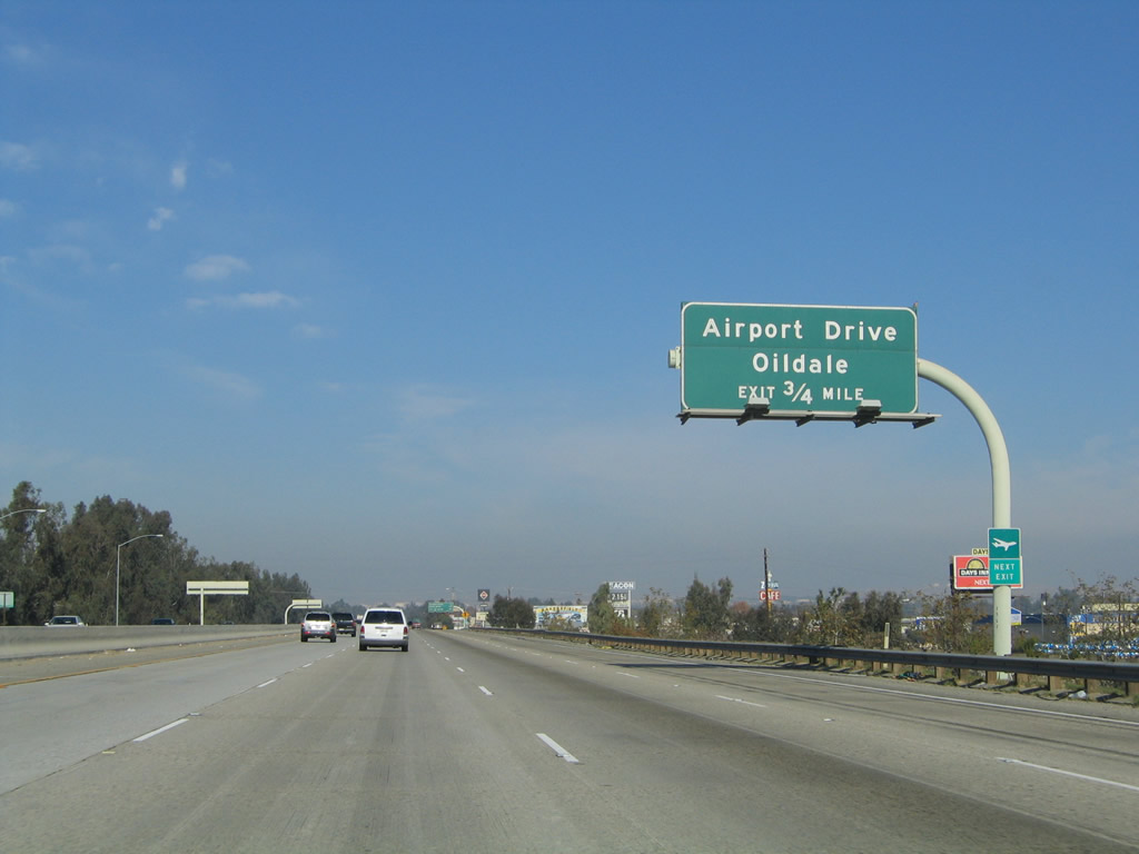 |
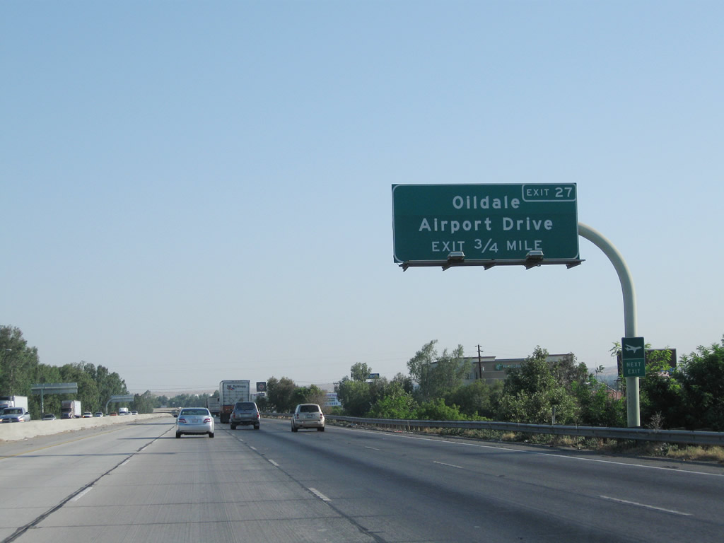
The next exit along California 99 north is Exit 27, Airport Drive to Oildale (three-quarters of a mile). This exit provides access to Meadows Field airport and the aptly named Oildale, which is located on the north side of the Kern River and is adjacent to the sprawling Kern River oil field. An entire hillside on the north bank of the river is covered with oil derricks and related industrial facilities. Photos taken 07/31/11 and 11/25/04. | |
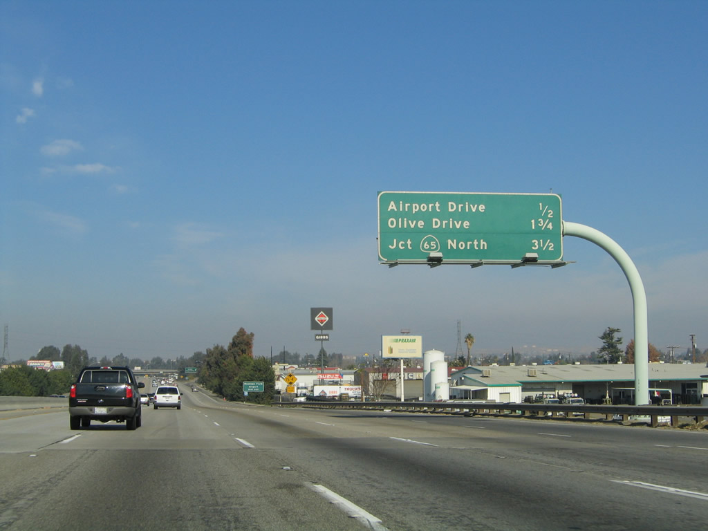 |
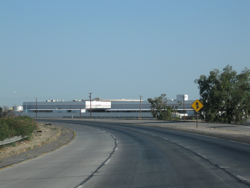
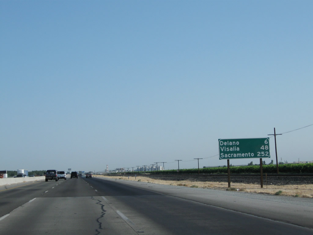
This mileage sign along California 99 north provides the distance to the next three exits: Exit 27, Airport Drive to Oildale; Exit 28, Olive Drive; and Exit 30, California 65 (Porterville Highway) north. This sign was replaced with a reflective sign with the same information in 2009. Photo taken 11/25/04. | ||
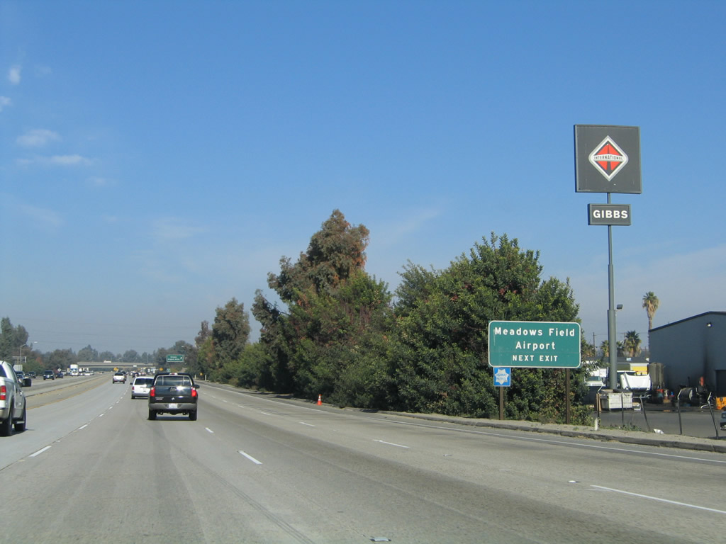 |
Use Airport Drive north to Meadows Field. This exit also connects to California 204 (Golden State Avenue) south. Photo taken 11/25/04. | ||
 |
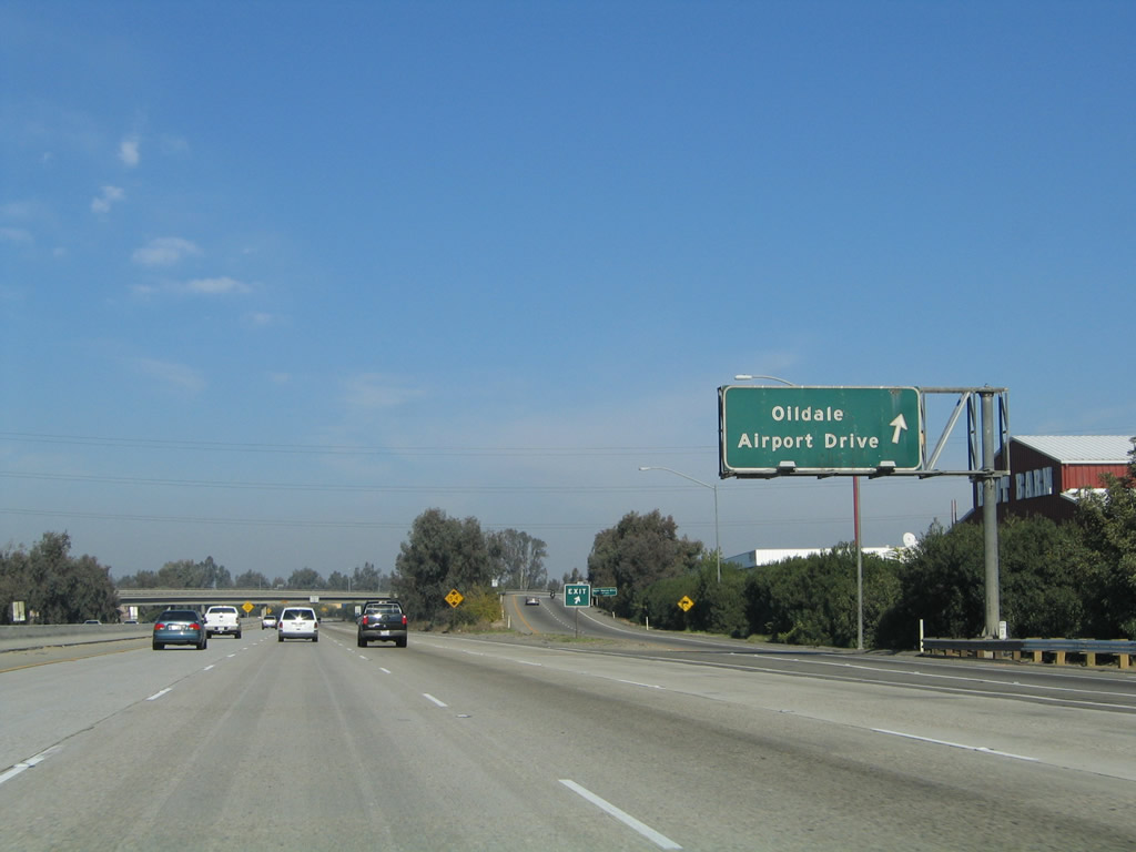 |
Northbound California 99 (Golden State Highway) meets Exit 27, Airport Drive north to the unincorporated community of Oildale, California 204 (Golden State Avenue) south, and Meadows Field. Airport Drive connects with Exit 6 of the California 204 & California 99 Business freeway, even though there is no direct connection from northbound California 99. The business route and California 204 both transition onto California 99 just north of this interchange. Photos taken 04/04/09 and 11/25/04. | |
 |
Passing through the Airport Drive interchange, a flyover ramp connects Airport Drive south with California 99 south. Photo taken 04/04/09. | ||
 |
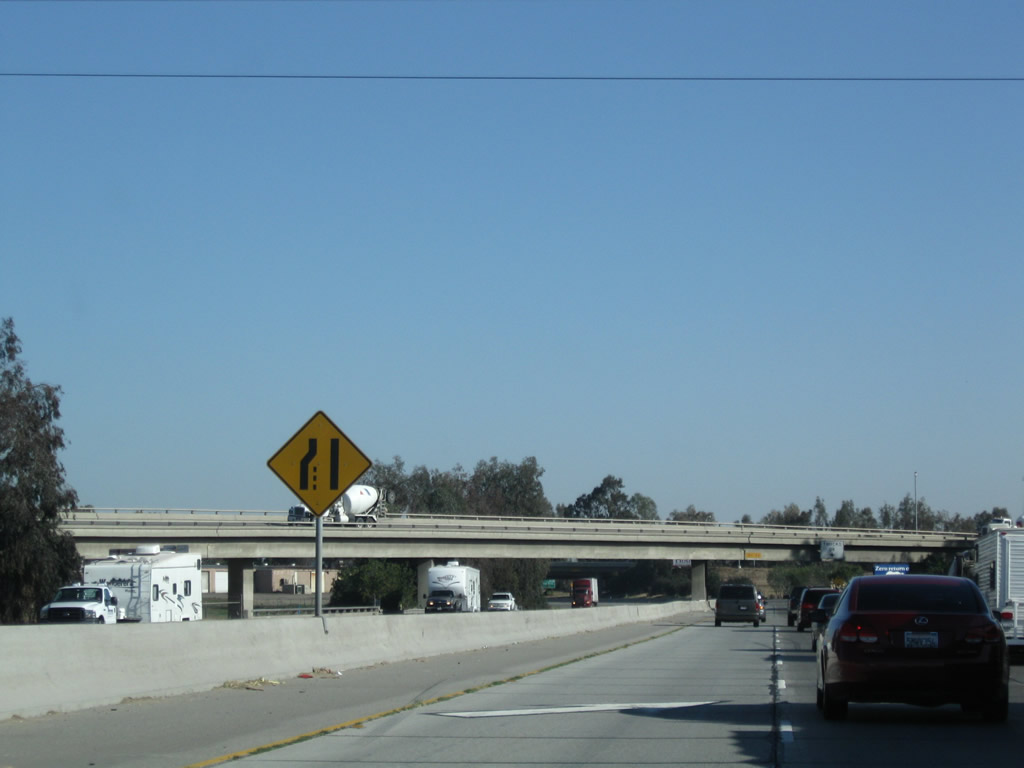
Soon thereafter, California 99 northbound passes under the connecting ramp from California 99 south to California 204 (Golden State Avenue) south. Between the California 204 and California 46 interchanges, California 99 follows the shared alignment of Historic U.S. 99 and U.S. 466. Photo taken 04/04/09. | ||
 |
 |
As traffic from California 204 and California 99 Business merges onto the northbound freeway, California 99 next passes under a Union Pacific Railroad bridge. From Bakersfield north to Fresno and Sacramento, California 99 will parallel the Union Pacific Railroad mainline through the Central Valley. Photos taken 04/04/09 and 11/25/04. | |
 |
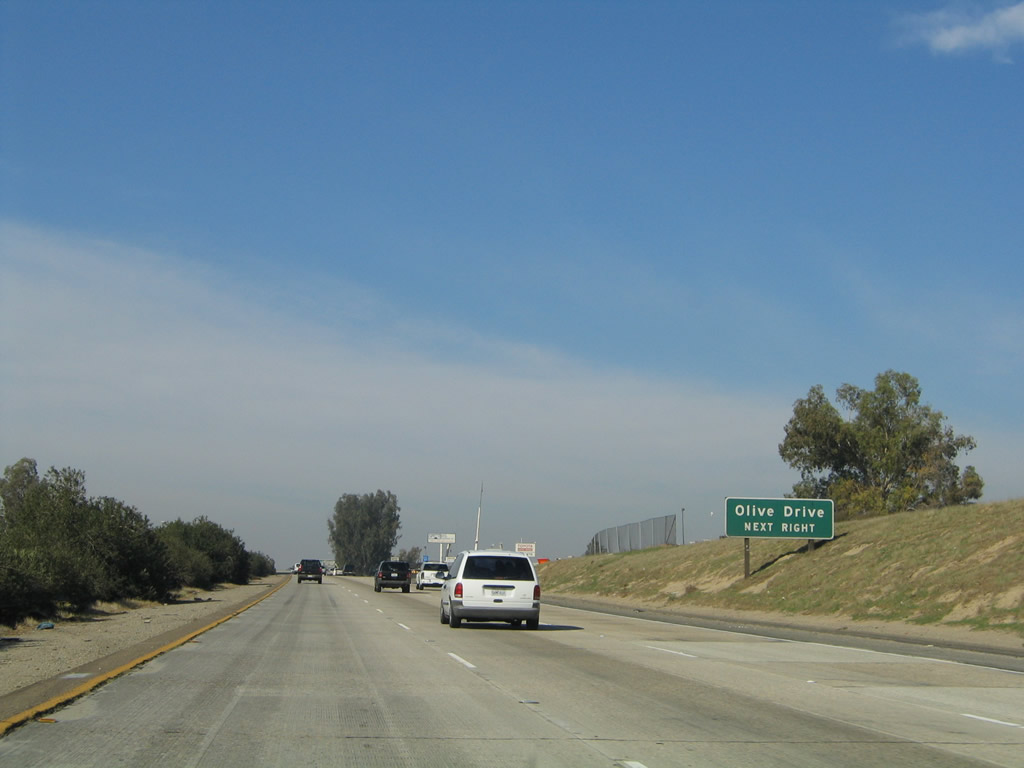 |
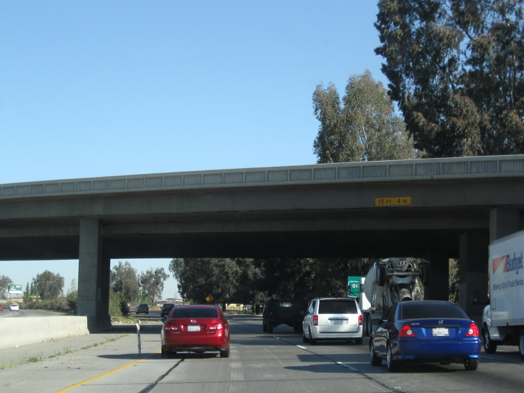
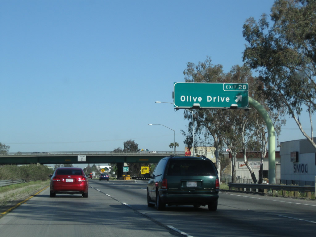
The next exit along California 99 north is Exit 28, Olive Drive. Photos taken 04/04/09 and 11/25/04. | |
 |
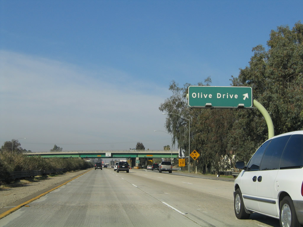 |
Northbound California 99 meets Exit 28, Olive Drive. Photos taken 04/04/09 and 11/25/04. | |
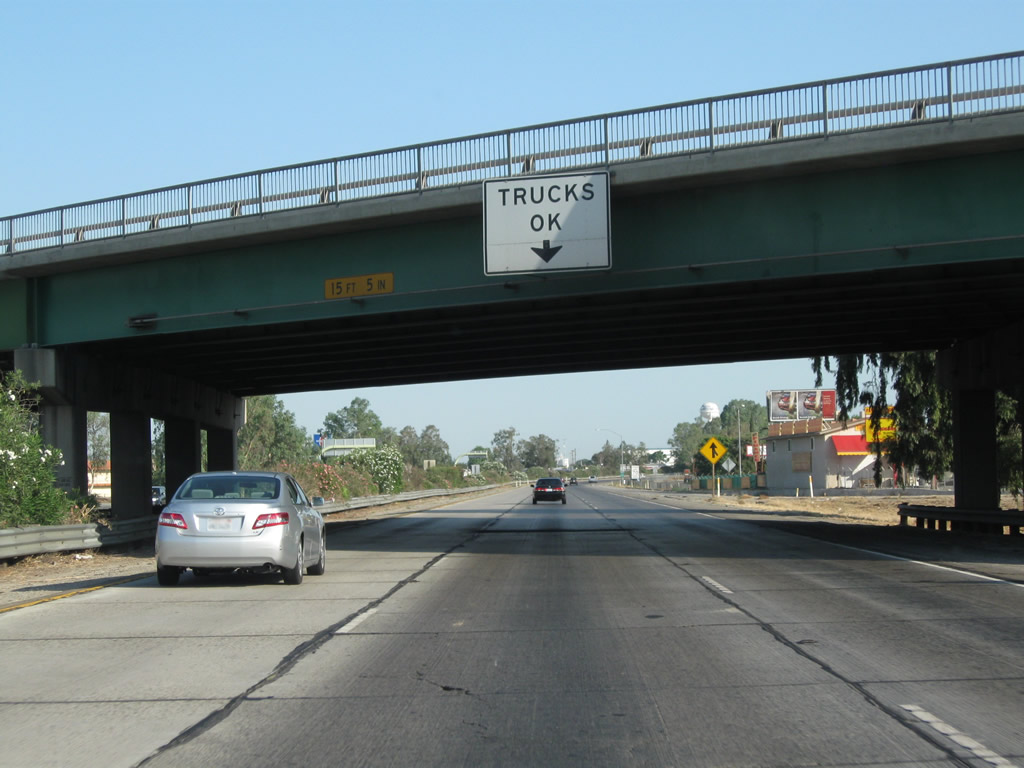 |
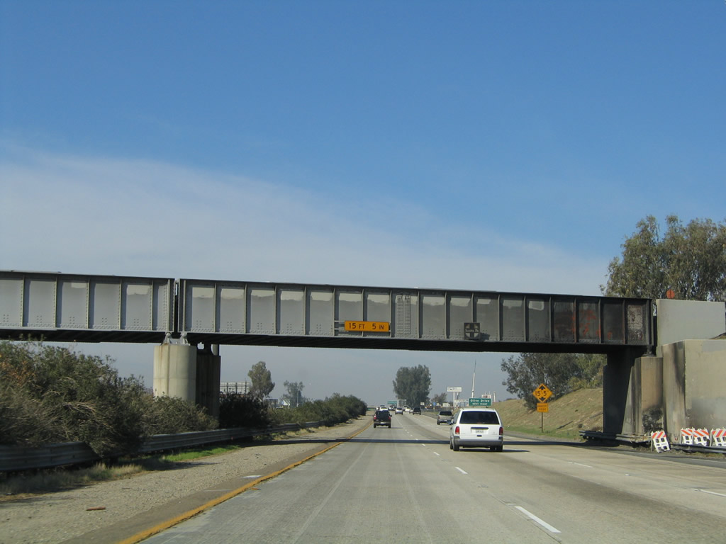
California 99 passes under Olive Drive; trucks are still encouraged to use the middle lane. Photo taken 07/31/11. | ||
 |
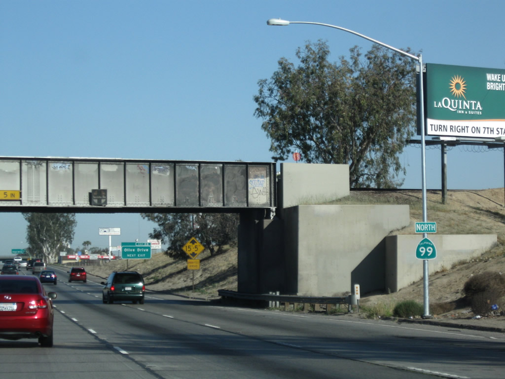
This California 99 north confirming marker is posted after the on-ramp from Olive Drive. Photo taken 07/31/11. | ||
 |
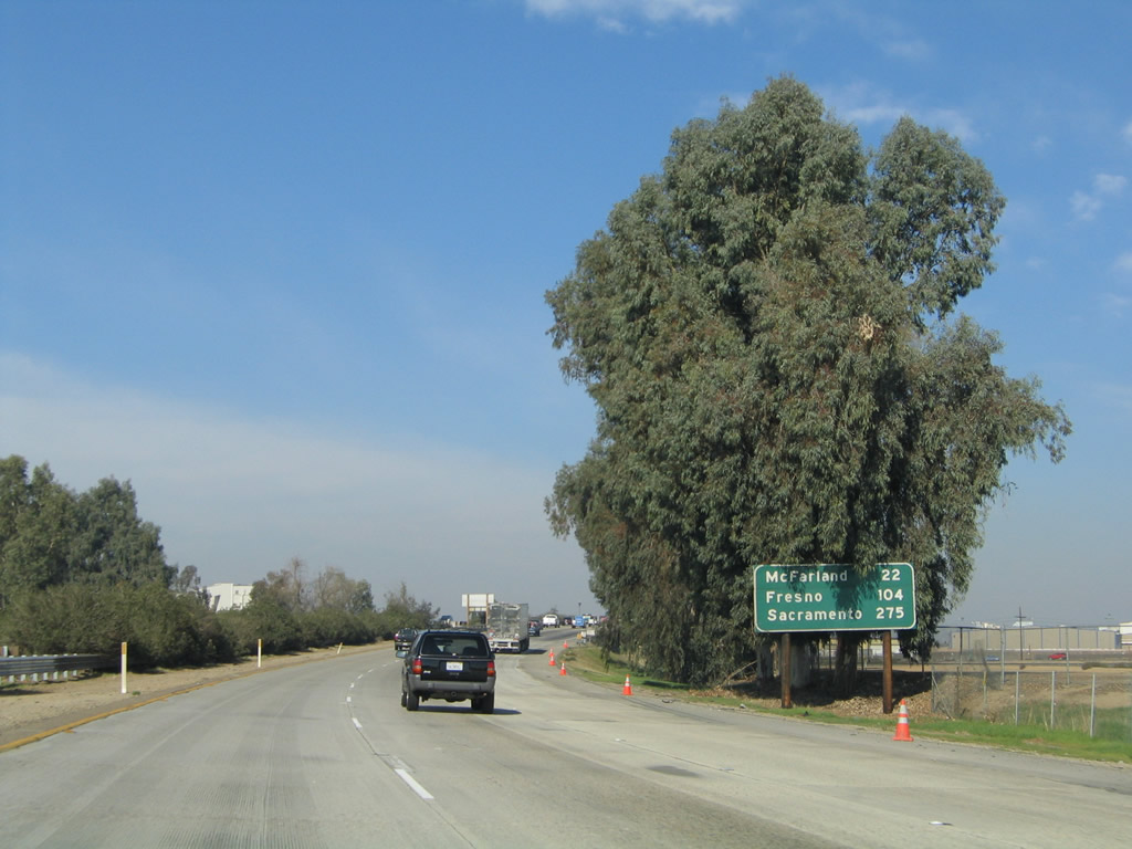 |
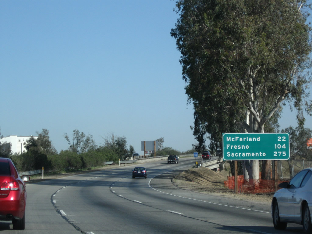
A mileage sign provides the distance to McFarland (22 miles), Fresno (104 miles), and Sacramento (275 miles). Photos taken 04/04/09 and 11/25/04. | |
 |
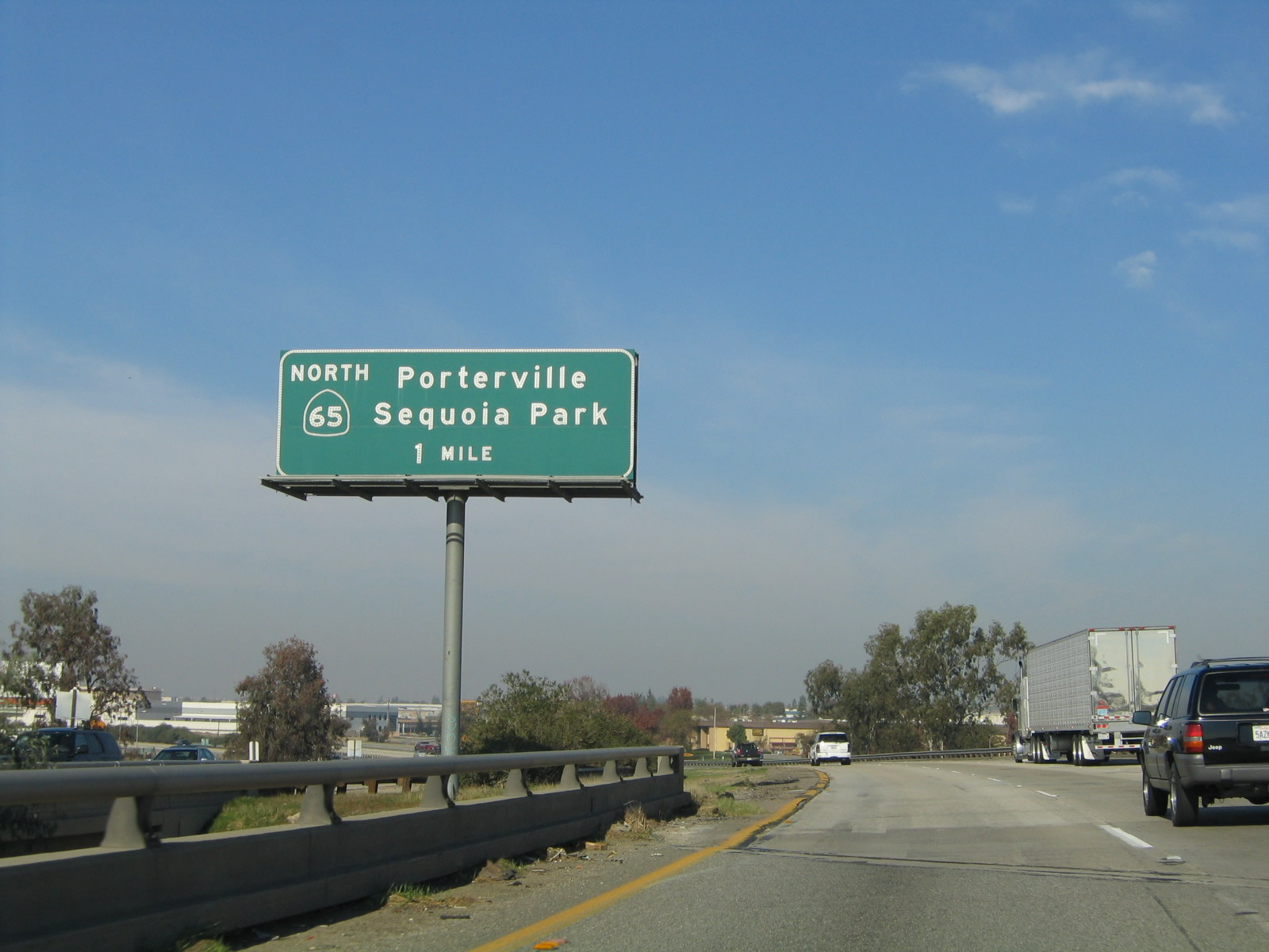 |
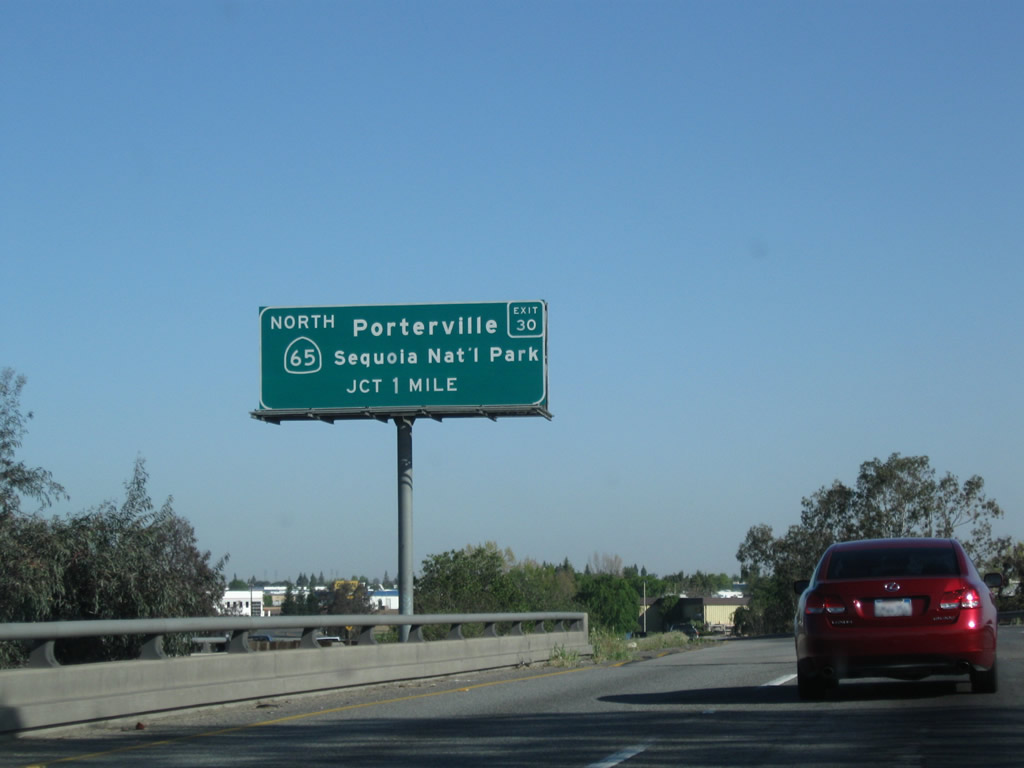
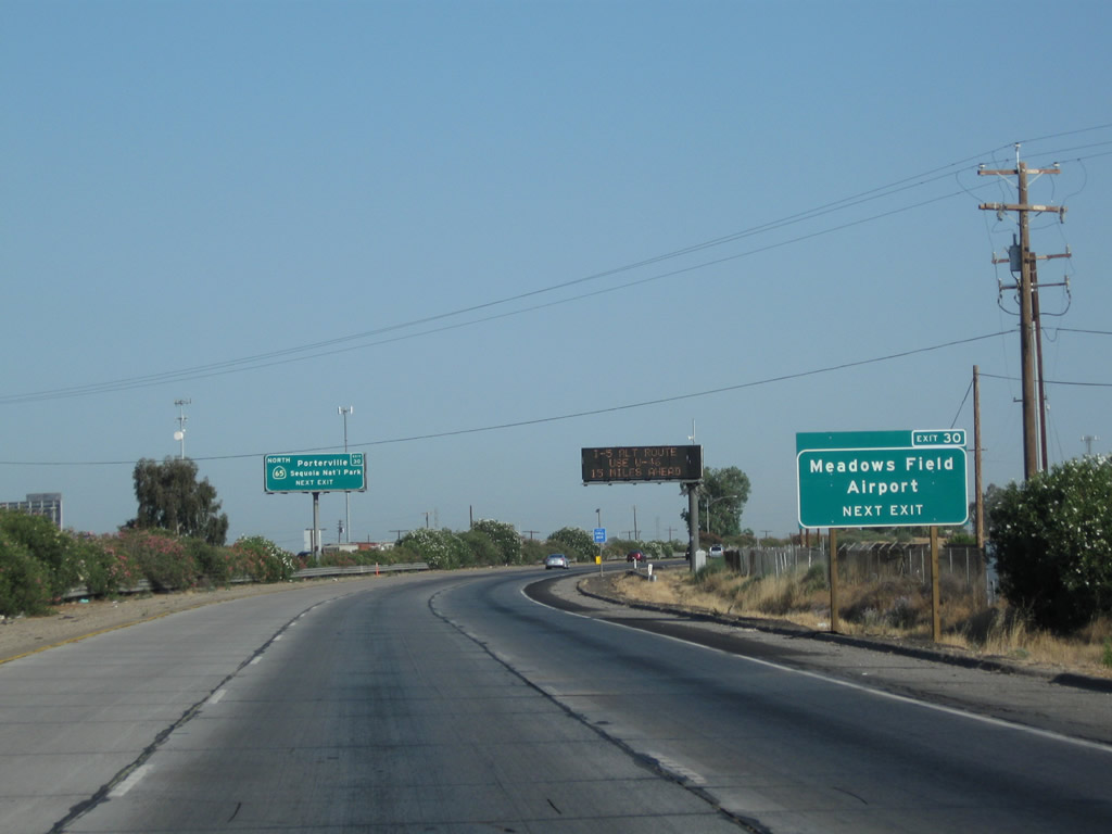
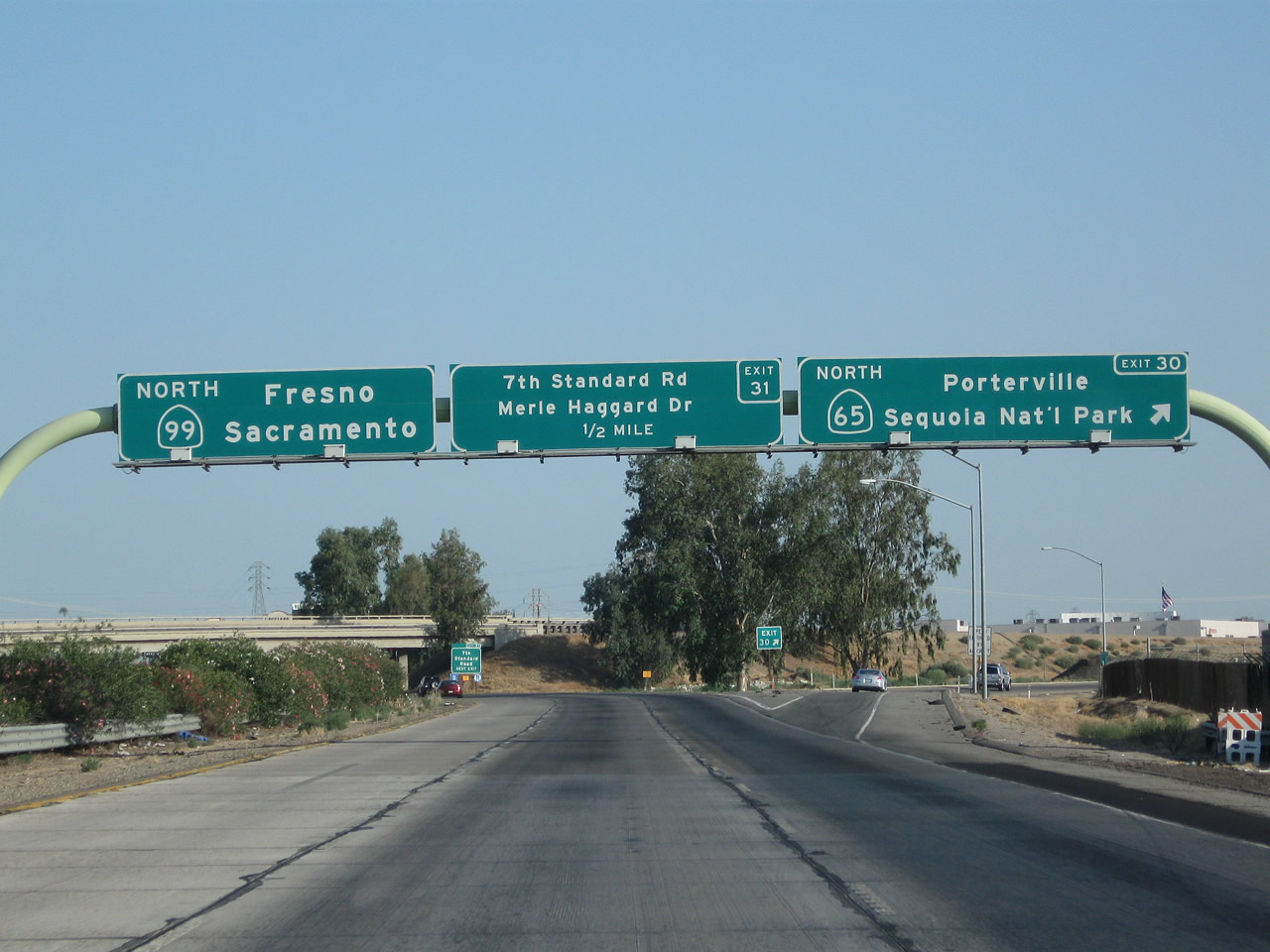
The next exit along California 99 north is Exit 30, California 65 (Porterville Highway) north to Porterville and Sequoia National Park (one mile). Photos taken 04/04/09 and 11/25/04. | |
 |
Traffic from Norris Road merges onto California 99 north; there is no access from northbound California 99 to Norris Road (Exit 29). Photo taken 07/31/11. | ||
 |
A California 99 north reassurance shield is posted soon thereafter; the off-ramp to California 65 is still ahead. Photo taken 07/31/11. | ||
 |
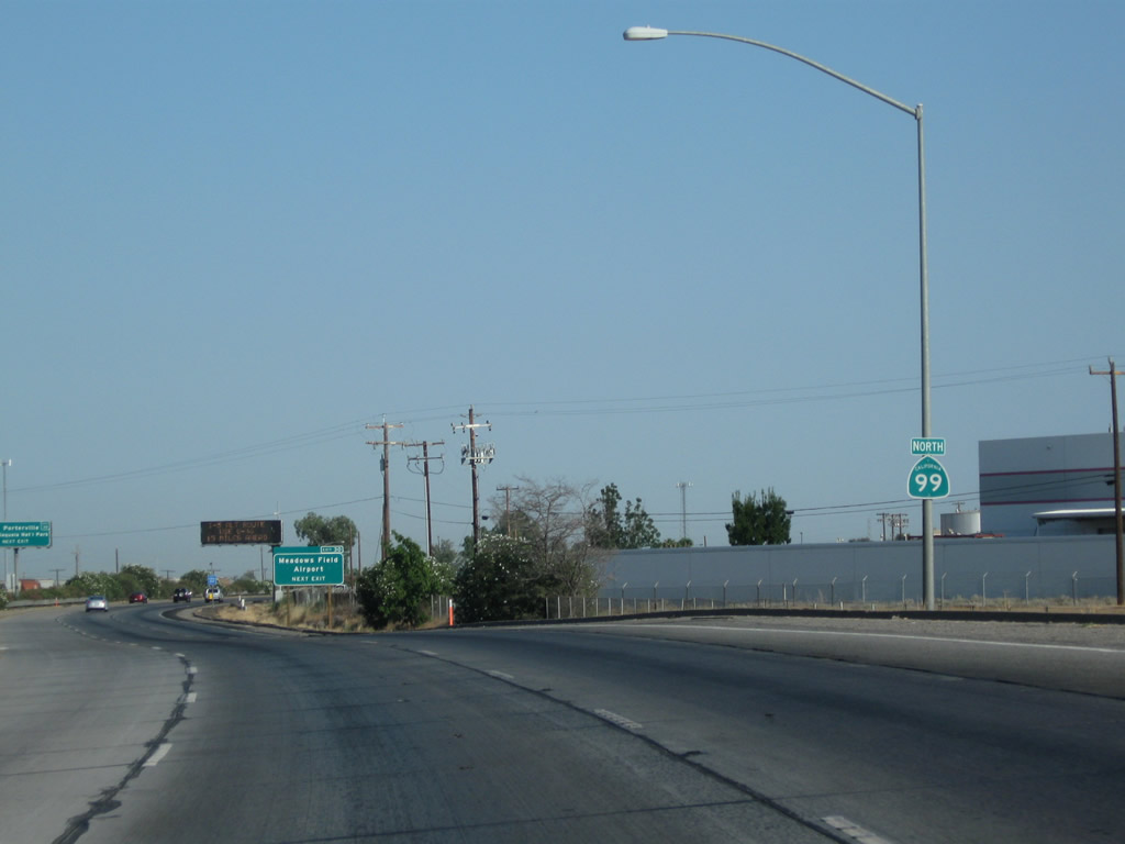
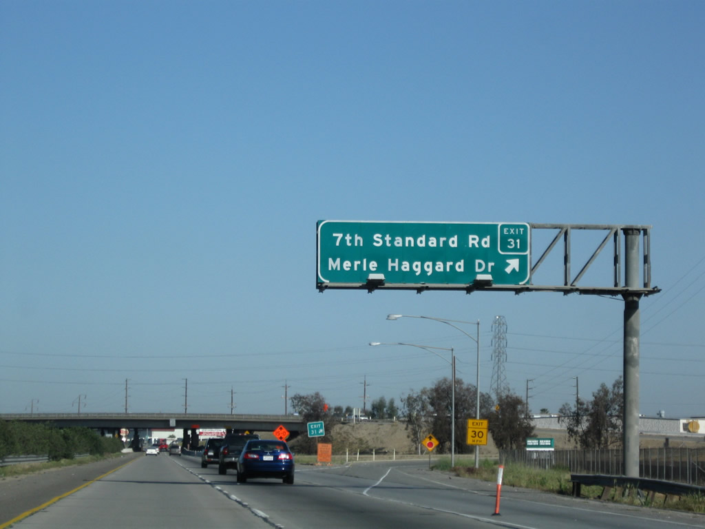
Another route to Meadows Field Airport is via California 65 north (Exit 30) to Merle Haggard Drive east. A dynamic message sign is located after the roadside sign (on this day, it was advising of a construction closure for a paving project along Interstate 5 in western Kern County). Photo taken 07/31/11. | ||
 |
 |
The next exit along California 99 north is Exit 30, northbound California 65, next right. California 65 is a fairly significant expressway route connecting California 99 with Ducor, Terra Bella, Porterville, and Exeter, ending at California 198 west of Sequoia National Park. A large gap exists for California 65 between Exeter and Roseville; plans call for the gap to be closed eventually as part of an Eastside Highway; plans are actively being pursued in Fresno County to that end as of 2012. California 65 has a shorter segment in Northern California; it resumes at its junction with Interstate 80 in Roseville (northeast of Sacramento) and generally follows Historic U.S. 99E north to Olivehurst, ending at California 70 south of Marysville. Photos taken 07/31/11 and 11/25/04. | |
 |
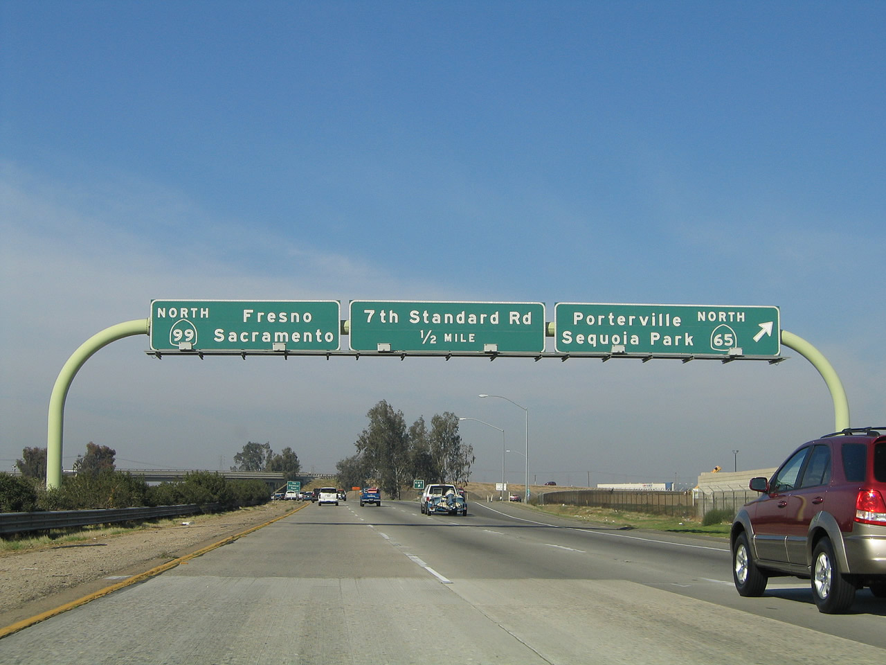 |
Northbound California 99 meets Exit 30, California 65 (Porterville Highway), near the unincorporated community of Oildale. California 65 is largely unconstructed; currently only its northern and southern segments exist. Known as the Eastside Highway, California 65 is proposed as a superhighway that would alleviate traffic demands on California 99 and Interstate 5. Studies are ongoing to develop a specific route, but construction is not expected until 2020 or later, and not all communities along its route desire its eventual completion. Additional segments of this highway would basically follow a new path roughly parallel to and east of California 99, ultimately linking with the existing northern California 65 near Roseville. Even with the ongoing conversion of California 99 into an Interstate-standard freeway, it is expected that California 65 will be required to provide relief, in addition to proposed expansion to Interstate 5 and the proposed yet often maligned high-speed rail project between Los Angeles and San Francisco that was approved by statewide ballot measure in 2008 (Proposition 1A). Photos taken 07/31/11 and 11/25/04. | |
 |
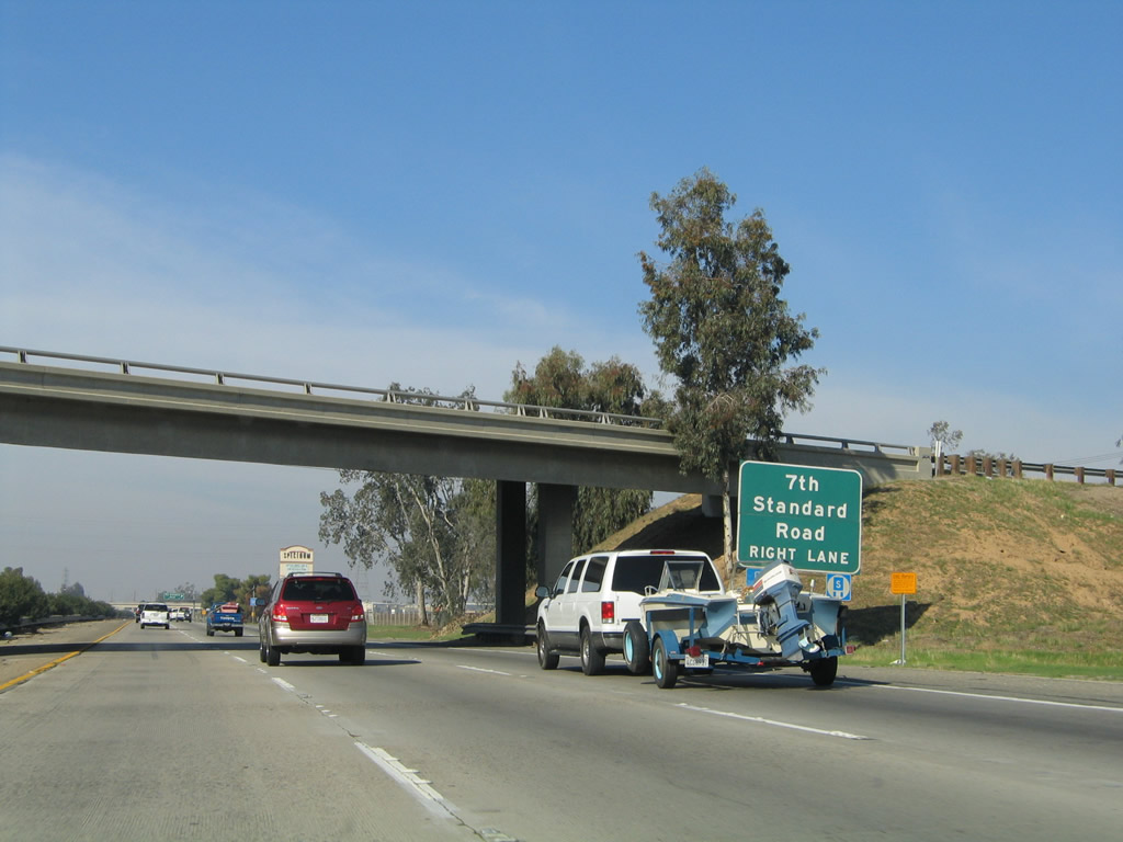 |
The next exit along California 99 (Golden State Highway) north is Exit 31, 7th Standard Road west and Merle Haggard Drive east (next right, one-quarter mile). The 7th Standard Road is a long route across Kern County, connecting to Interstate 5 to the west. Merle Haggard Drive will pass under a runway of the Meadows Field Airport, then proceed east into Oildale. Photos taken 04/04/09 and 11/25/04. | |
 |
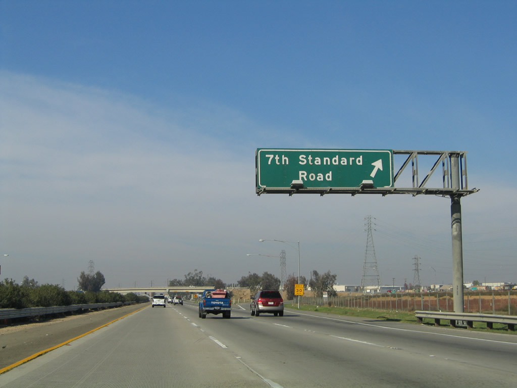 |
Northbound California 99 (Golden State Highway) meets Exit 31, 7th Standard Road west and Merle Haggard Drive east. Photos taken 04/04/09 and 11/25/04. | |
 |
This California 99 north confirming marker is posted after the on-ramp from 7th Standard Road and Merle Haggard Drive. Photo taken 07/31/11. | ||
 |
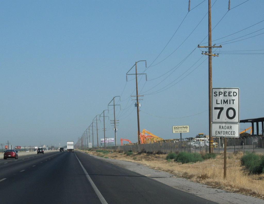 |
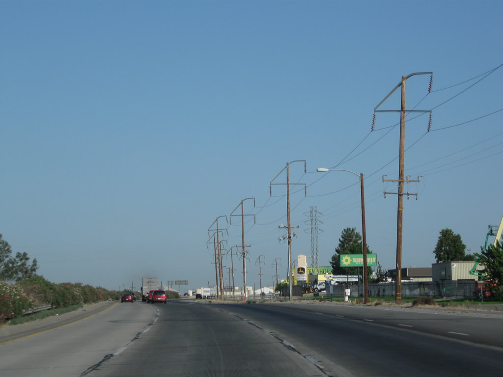
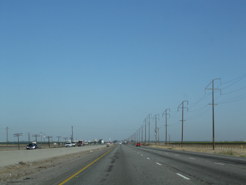
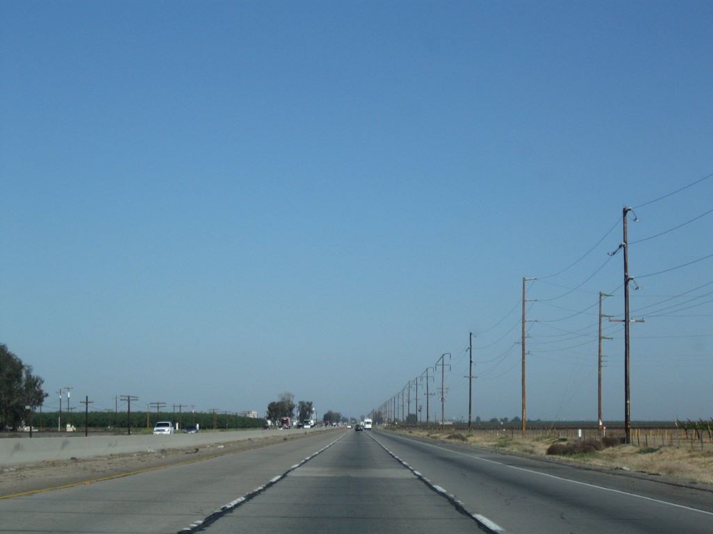
Between 7th Standard Road and Lerdo Highway, California 99 follows a long stretch with no exits alongside these Pacific Gas and Electric power lines. The speed limit along this rural stretch rises to 70 miles per hour. Photos taken 07/31/11 and 04/04/09. | |
 |
 |
||
 |
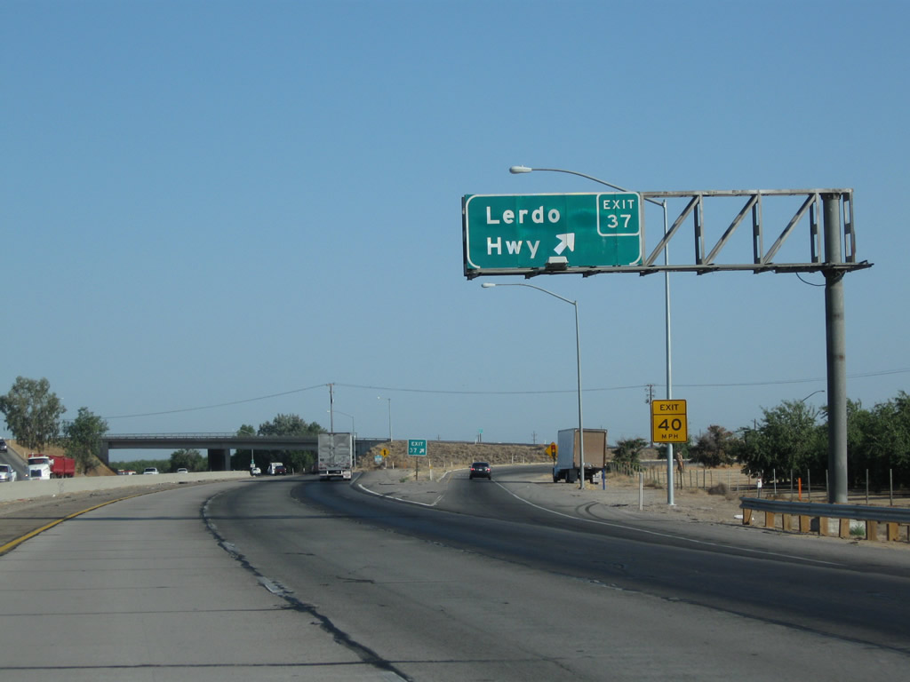
The next exit along California 99 (Golden State Highway) north is Exit 37, Lerdo Highway (one mile). Photo taken 04/04/09. | ||
 |
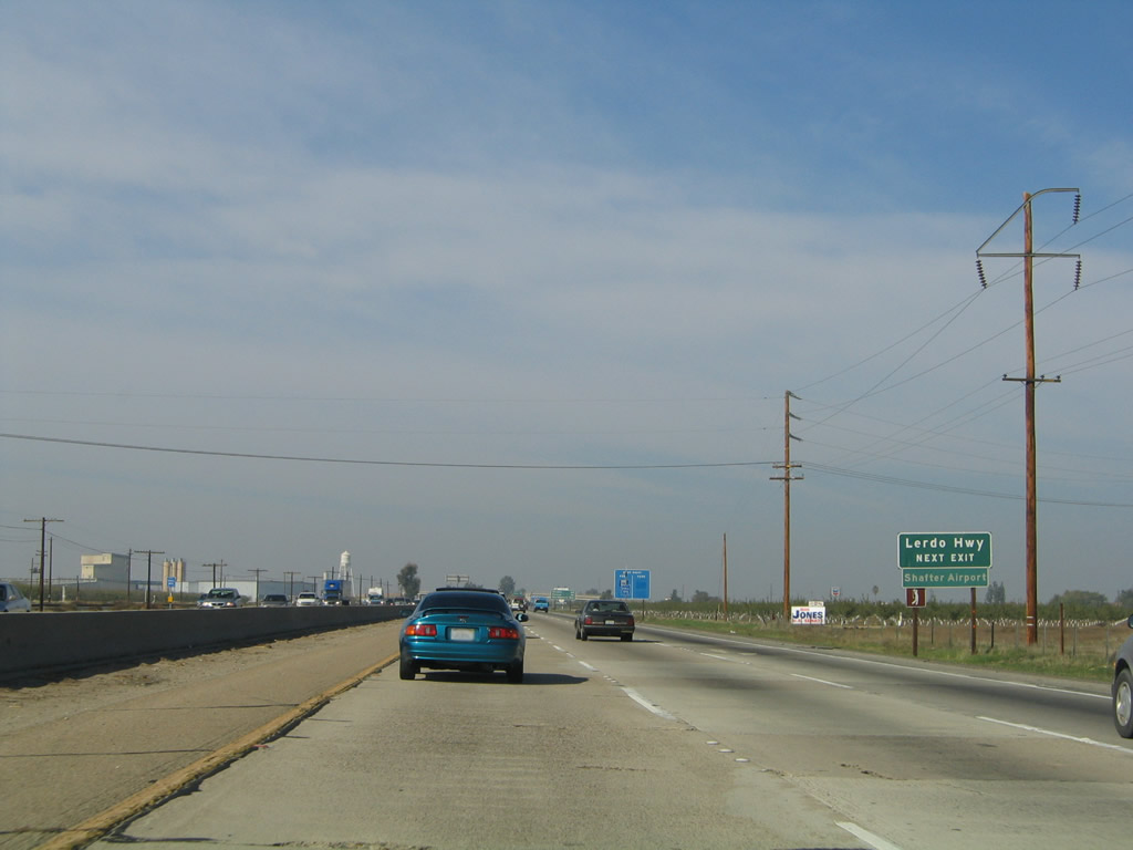 |
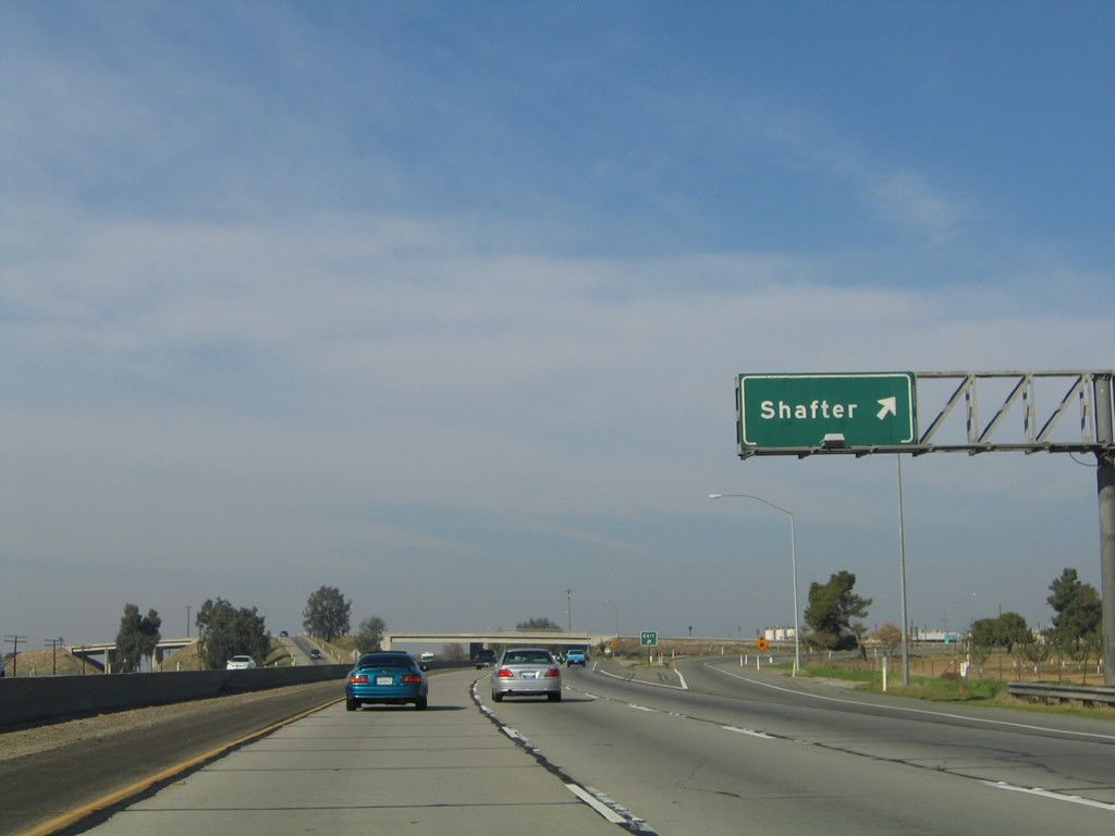
From this interchange, Lerdo Highway travels west to Shafter (California 43), Interstate 5/Westside Freeway, and California 33 and east to its end at California 65 (Porterville Highway). Photos taken 04/04/09 and 11/25/04. | |
 |
This mileage sign along California 99 (Golden State Highway) north provides the distance to Visalia (62 miles), Fresno (96 miles), and Sacramento (266 miles). Photo taken 04/04/09. | ||
 |
 |
Northbound California 99 meets Exit 37, Lerdo Highway. Photos taken 07/31/11 and 11/25/04. | |
 |
This California 99 north confirming marker is posted after the on-ramp from Lerdo Highway. Photo taken 06/19/10. | ||
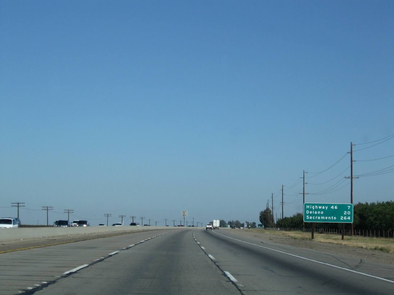 |
A mileage sign along California 99 north provides the distance to Exit 44, California 46 (Famoso Highway)west to Lost Hills and Paso Robles; Delano (20 miles), and Sacramento (264 miles). Photo taken 04/04/09. | ||
 |
 |
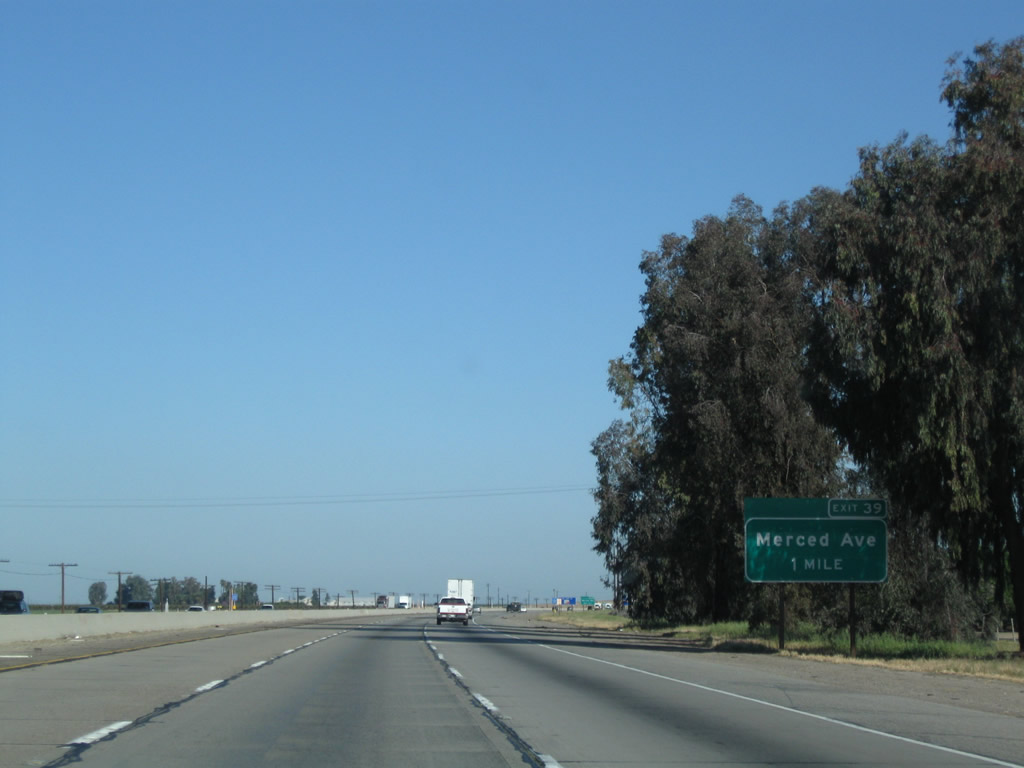
The next exit along California 99 north is Exit 39, Merced Avenue (one mile). Photos taken 04/04/09 and 11/25/04. | |
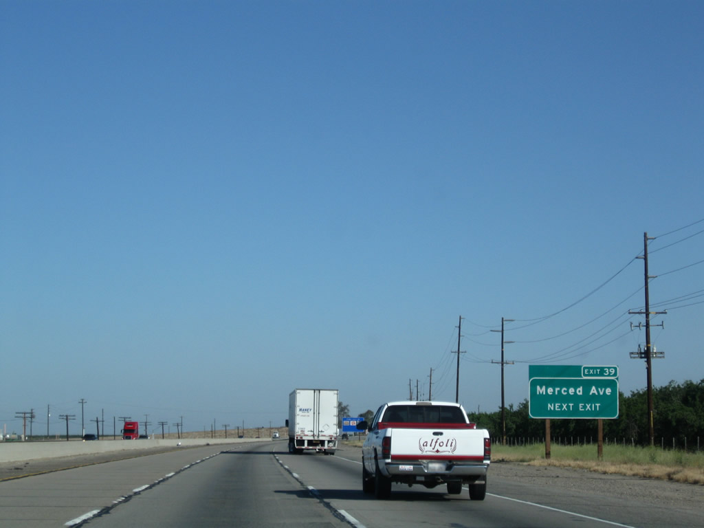 |
Merced Avenue travels east to California 65 and west for local access. A truck stop is located here (gas and food). Photo taken 04/04/09. | ||
 |
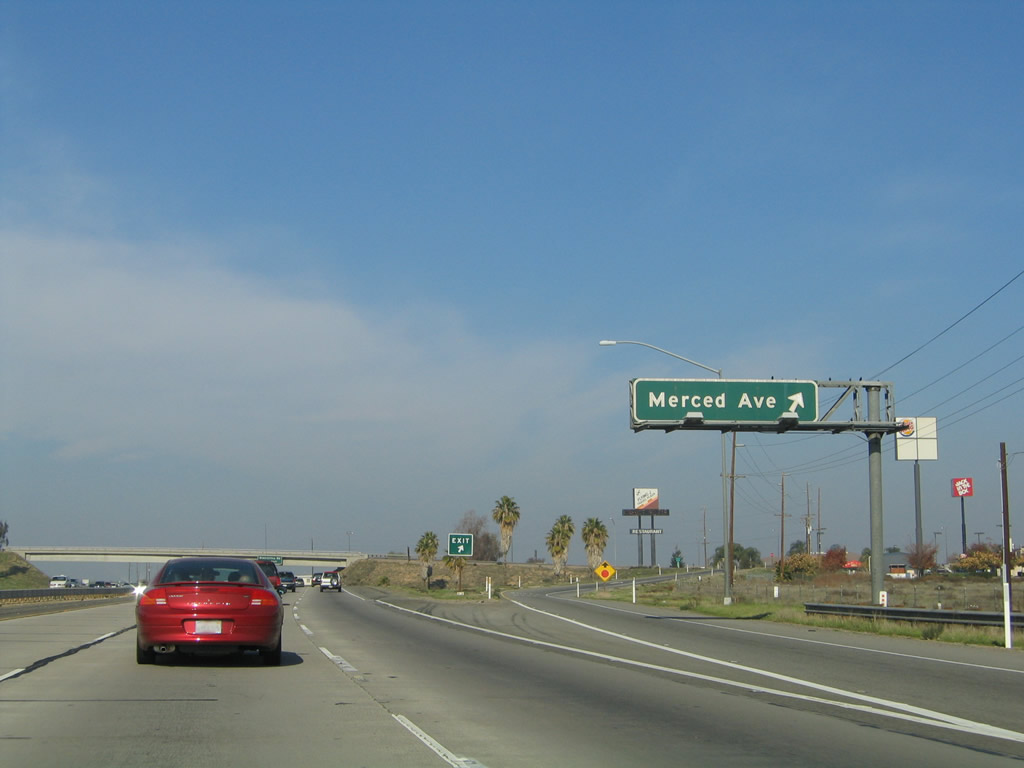 |
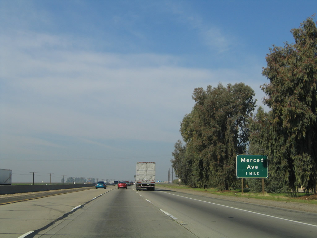
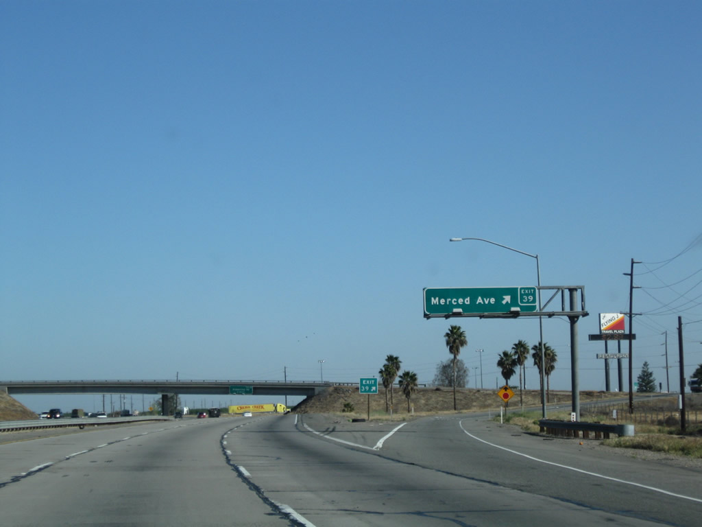
Northbound California 99 meets Exit 39, Merced Avenue. Merced Avenue travels east to meet California 65 near the Premier Oil Field. Several oil fields are located north of Bakersfield along California 65. Photos taken 04/04/09 and 11/25/04. | |
 |
 |
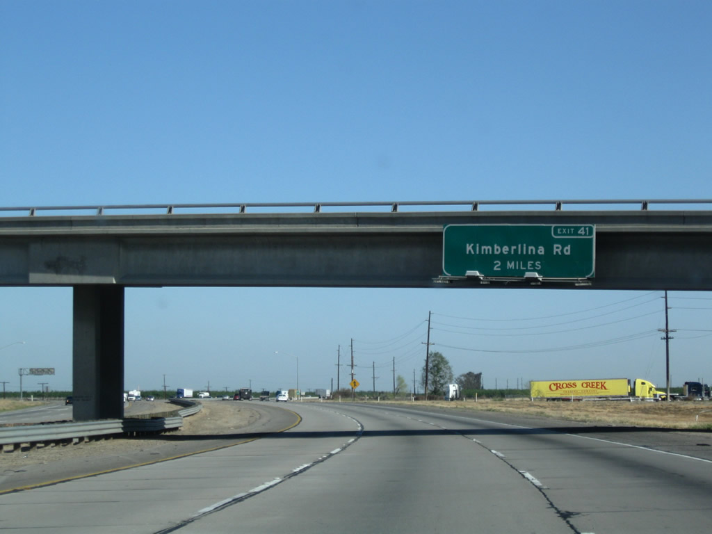
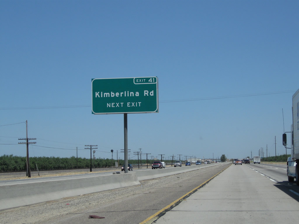
Passing under the Merced Avenue bridge, the next exit along California 99 (Golden State Highway) north is Exit 41, Kimberlina Road (two miles). Photos taken 04/04/09 and 11/25/04. | |
 |
This California 99 north confirming marker is posted after the on-ramp from Merced Avenue. Photo taken 06/19/10. | ||
 |
 |
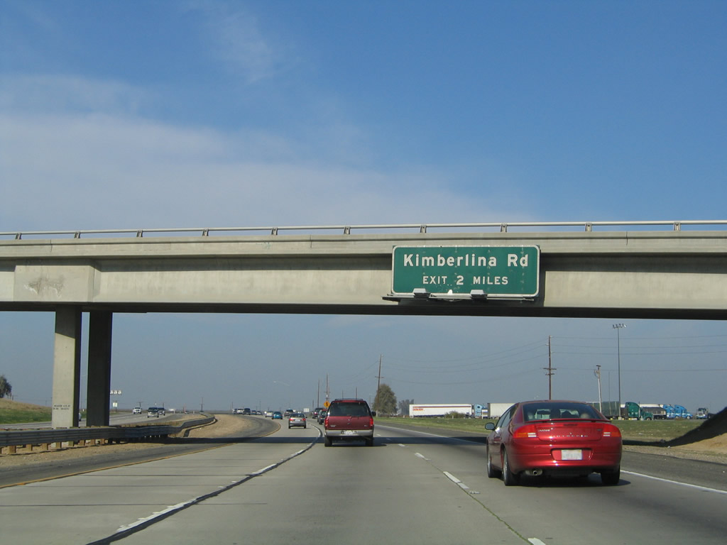
The next exit along California 99 north is Exit 41, Kimberlina Road. Note that the median has been replaced with an additional lane of traffic, and a concrete barrier separates the two directions. This is unlike the more rural feel of California 99 north of here, complete with landscaped median. Photo taken 06/19/10 and 11/25/04. | |
 |
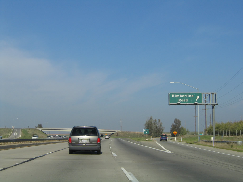 |
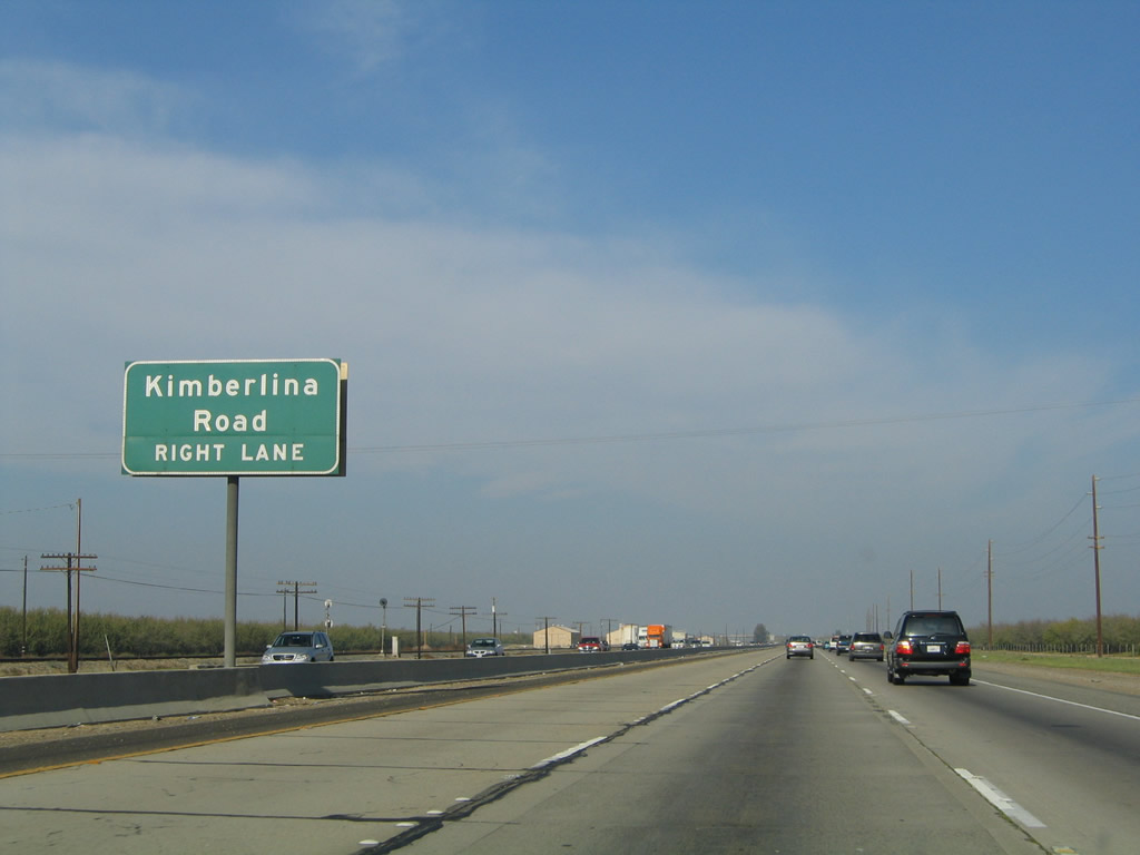
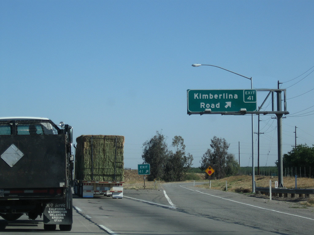
Northbound California 99 meets Exit 41, Kimberlina Road. Kimberlina Road leads east to Zerker Road and west to meet California 43 south of Wasco. Photo taken 04/04/09 and 11/25/04. | |
 |
Pink oleander lines the median, adding color to this agricultural landscape. Photo taken 06/19/10. | ||
 |
 |
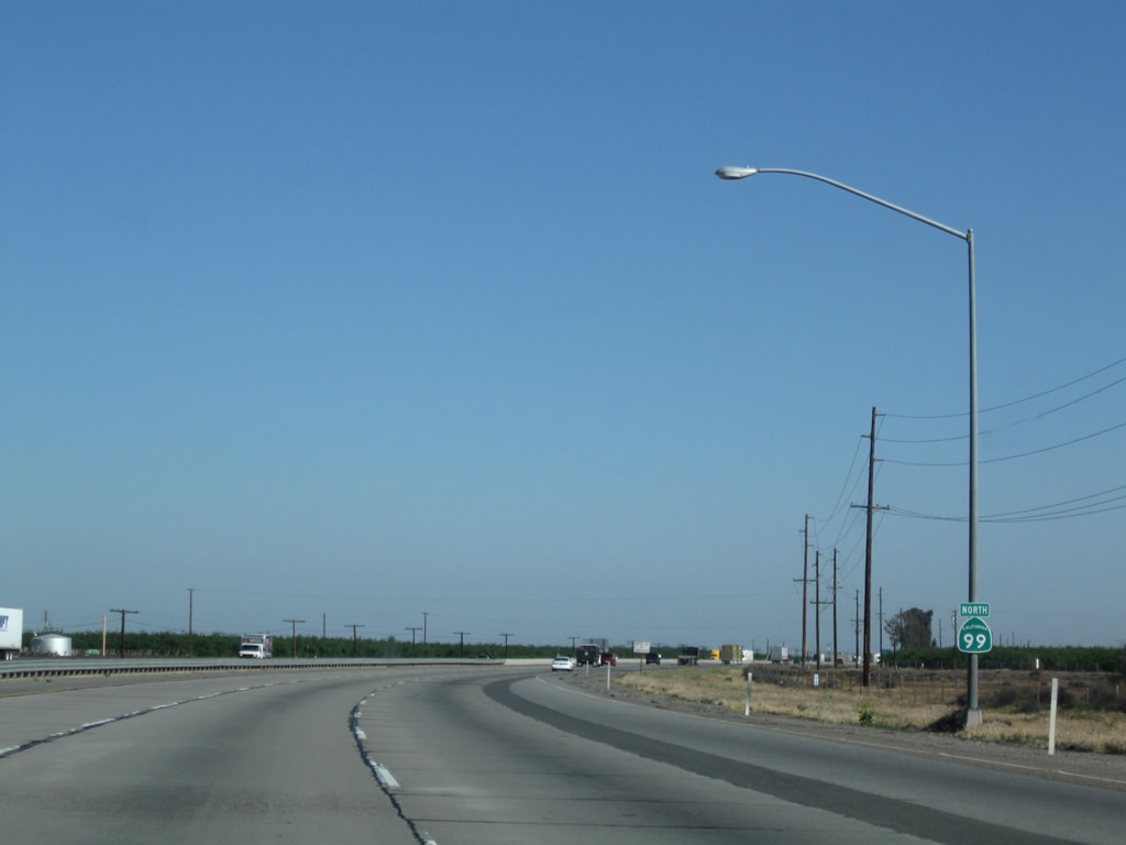
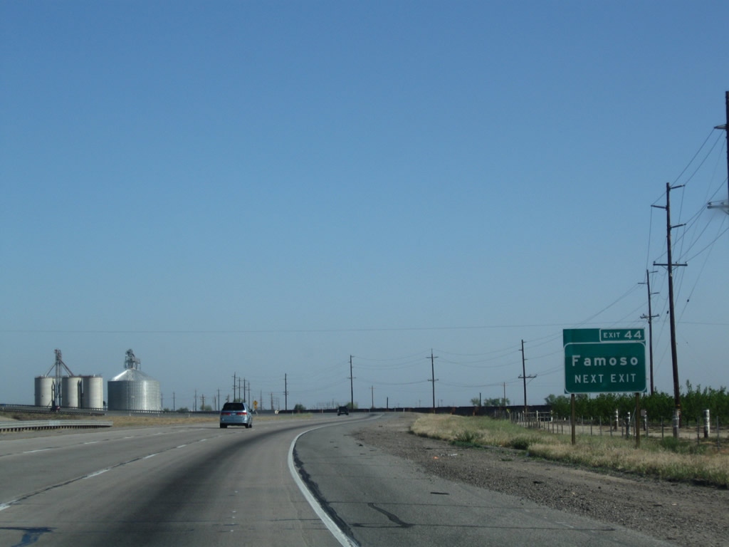
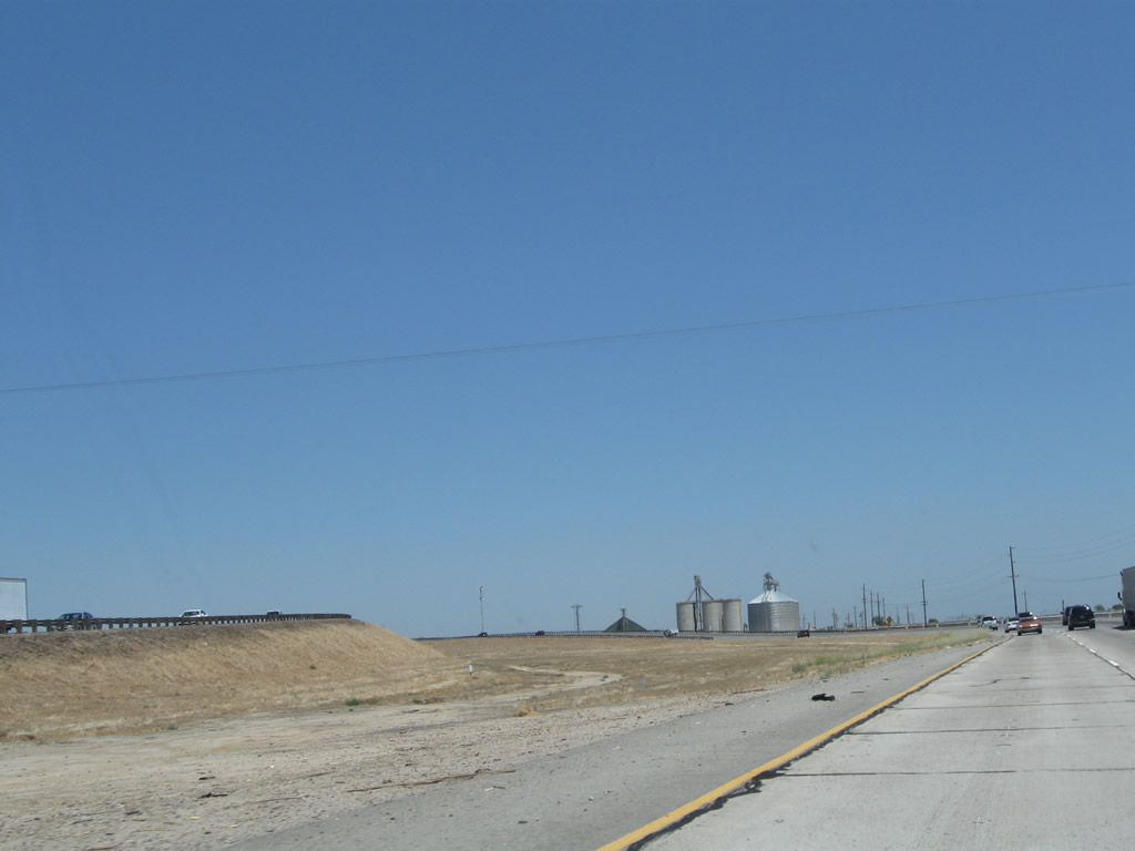
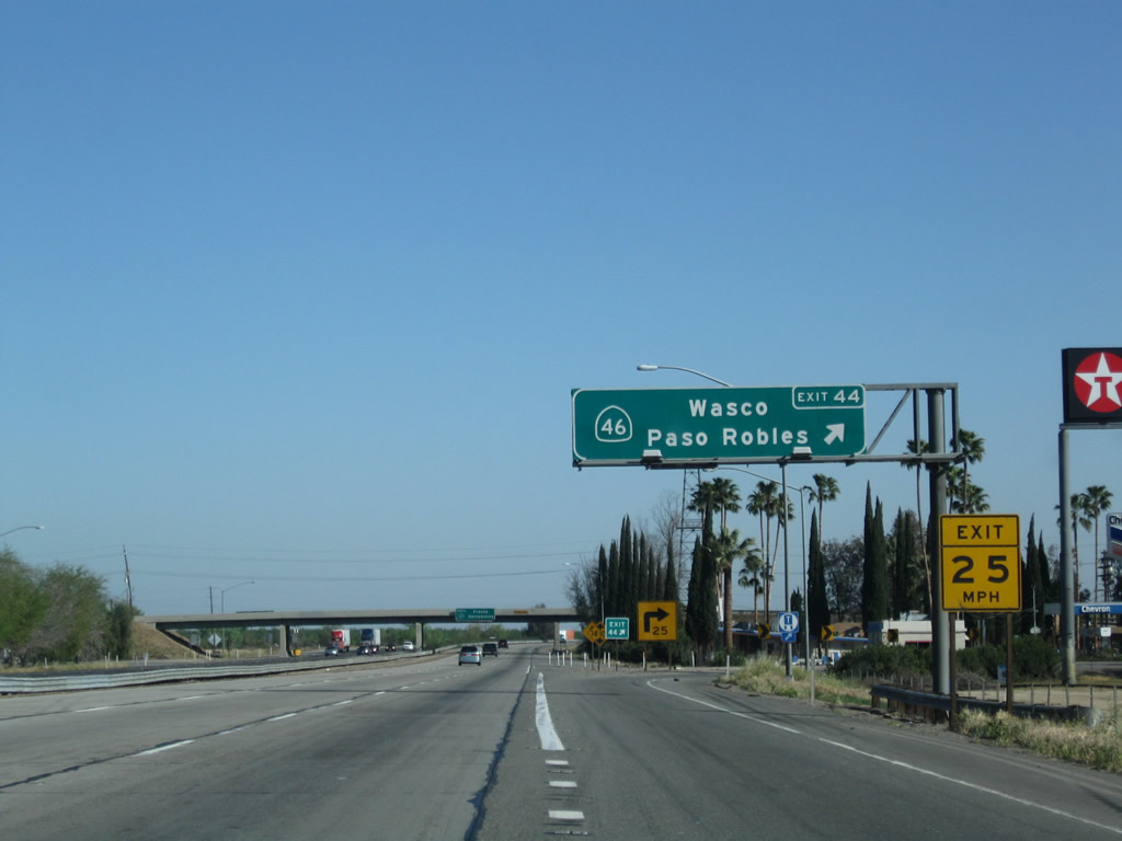
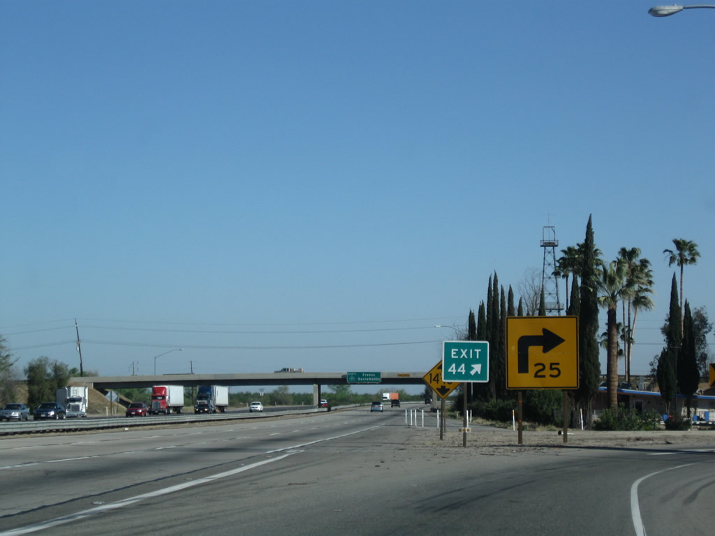
The next exit along California 99 north is Exit 44, California 46 (Famoso Highway), one and a half miles. This major route provides an alternative to California 58 to reach the coast. The next east-west route intersected by California 99 to reach the coast is California 152, some 122 miles north of here. Belying its importance, prior to 1964, California 46 was known as U.S. 466. Photos taken 04/04/09 and 08/15/03. | |
 |
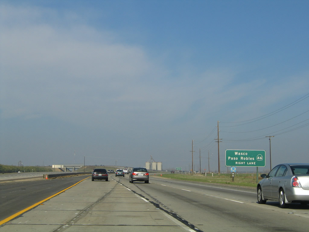 |
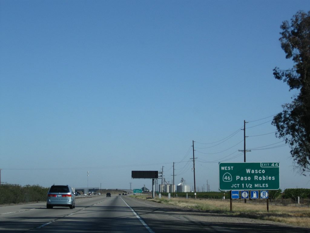
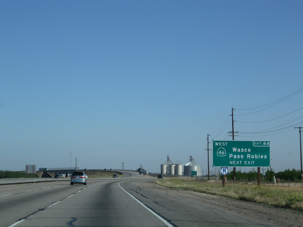
The next exit along California 99 (Golden State Highway) north is Exit 44, California 46 (Famoso Highway). California 46 leads west to the city of Wasco. Unlike most other Central Valley State Routes, California 46 extends all the way to the coast, arriving at California 1 just south of the Hearst Castle near Cambria. Some have considered California 46 as a possible expressway or freeway due to safety concerns along the mostly two-lane passing through the Coast Range between Interstate 5 and U.S. 101, and modest improvements have been enacted around the intersections between California 41 and California 46 (an area that is best known as the area where actor James Dean died in a car accident). Photos taken 04/04/09 and 11/25/04. | |
 |
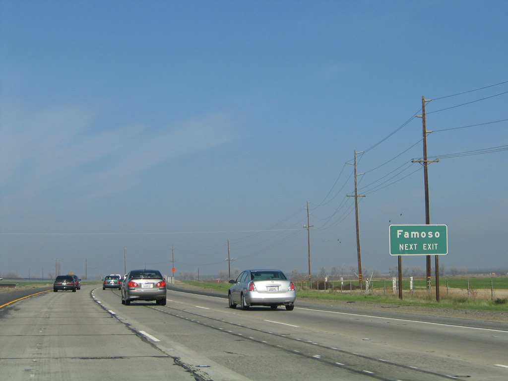 |
Use Exit 44 to Famoso, which is situated at the interchange between California 46 and California 99. Photos taken 04/04/09 and 11/25/04. | |
 |
 |
California 99 splits into two separate carriageways for the passage over the Union Pacific Railroad, which will switch sides from the west side of the freeway to the east side of the freeway. Photos taken 04/04/09 and 07/31/10. | |
 |
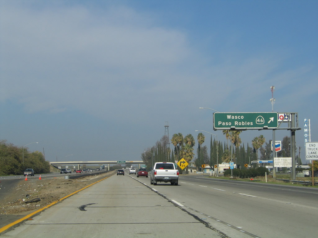 |
Northbound California 99 meets Exit 44, California 46 (Famoso Highway) west. A major east-west state route, California 46 crosses the Central Valley generally along the alignment of Historic U.S. 466, which was decommissioned in 1964. In addition to serving the Central Coast, California 46 will meet Interstate 5 in Lost Hills, then continues across the Cholame Hills before meeting U.S. 101 at Paso Robles. After a brief merge with U.S. 101, California 46 makes the final jog to meet California 1 at the coast. The exit eastbound connects to locally maintained Famoso-Woody Road, connecting to California 155 to the northeast at Woody. Photos taken 04/04/09 and 11/25/04. | |
 |
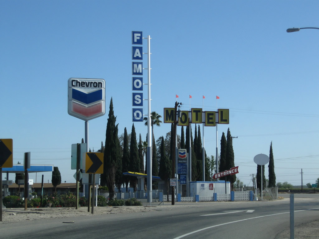 |
The off-ramp to Exit 44 is a sharp turn onto California 46 (Historic U.S. 466), with motorist services (gas and lodging) at the end of the off-ramp in Famoso. Photos taken 06/19/10 and 11/25/04. | |
 |
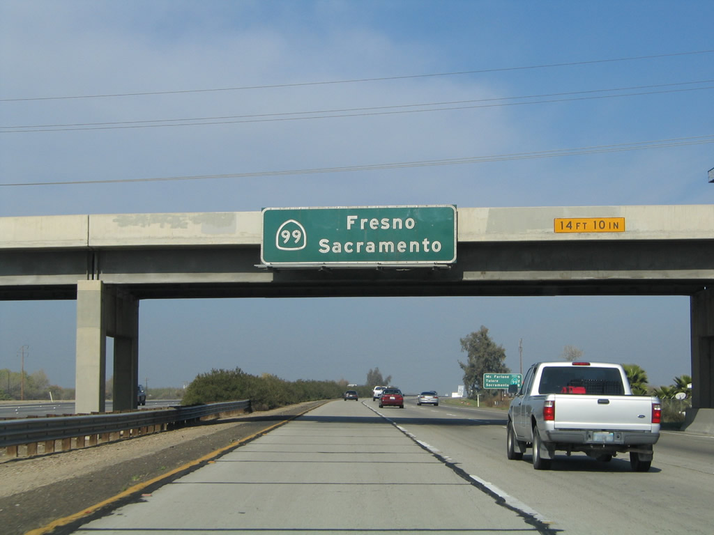 |
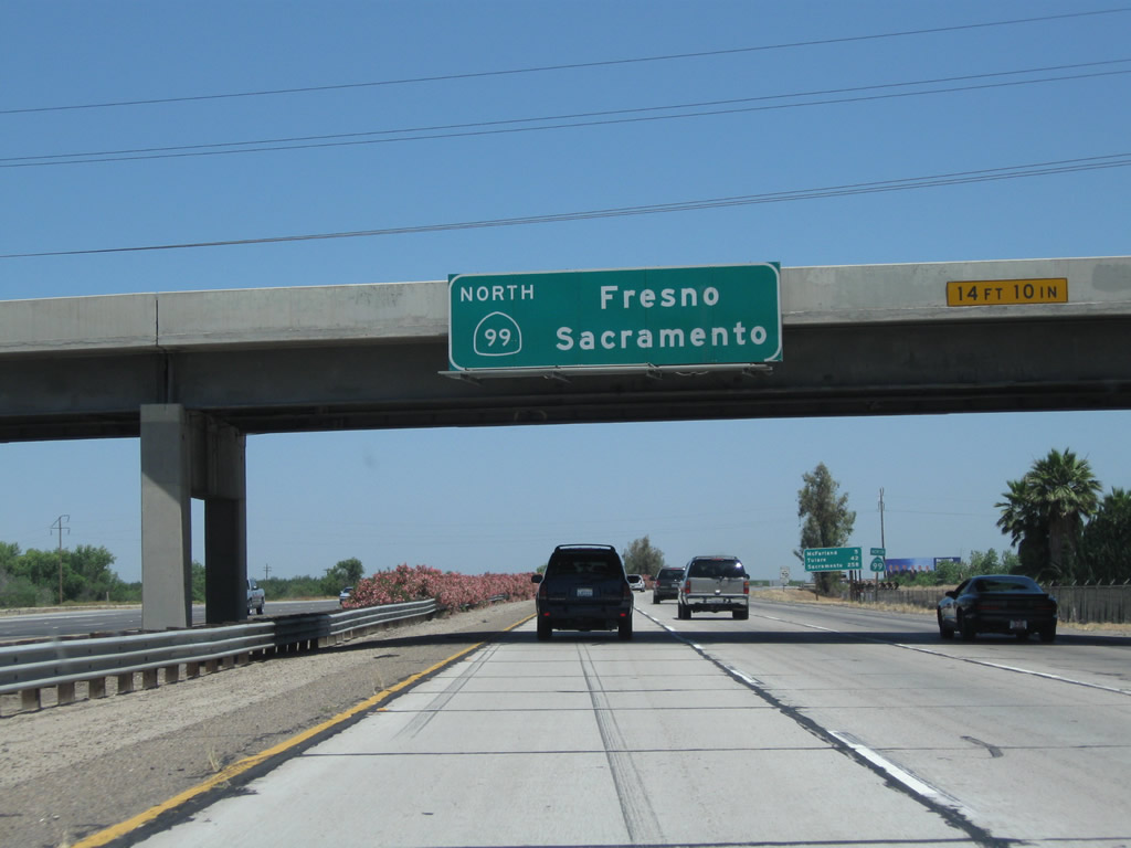
An overhead pull-through sign, mounted on the California 46 overpass, indicates that California 99 north travels north to Fresno and Sacramento. Photos taken 06/19/10 and 11/25/04. | |
 |
 |
After passing under the California 46 bridge, this mileage sign along California 99 north provides the distance to McFarland (five miles), Tulare (42 miles), and Sacramento (258 miles). Photos taken 04/04/09 and 06/19/10. | |
 |
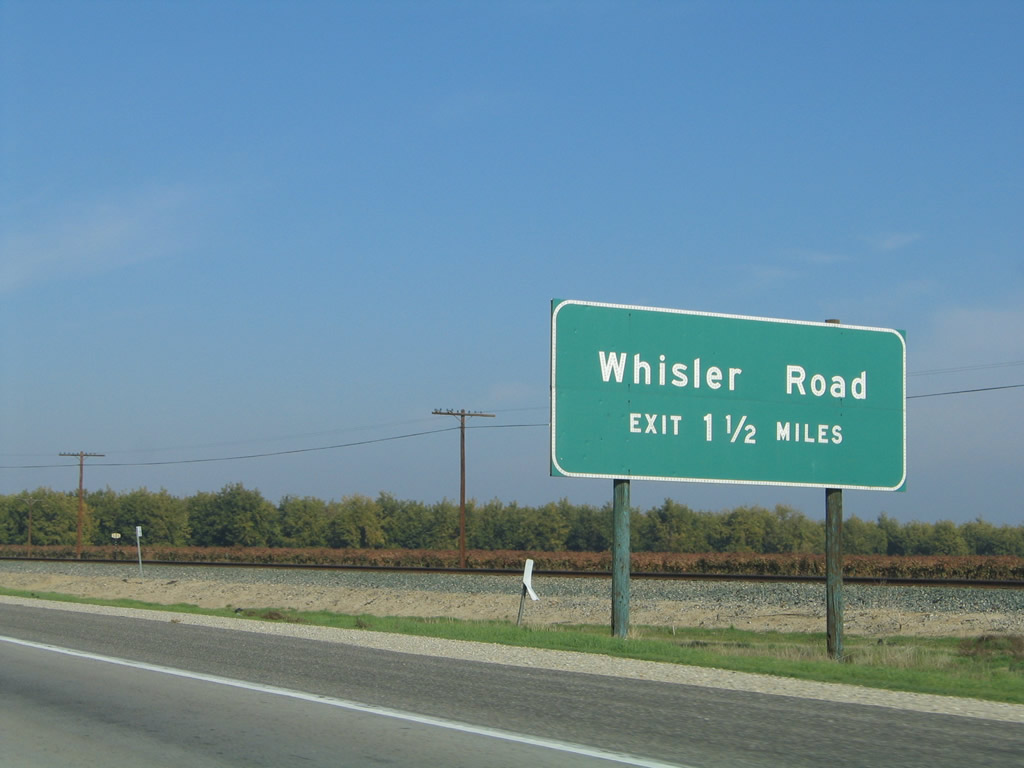 |
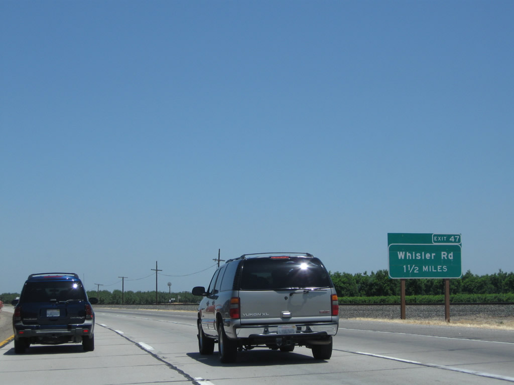
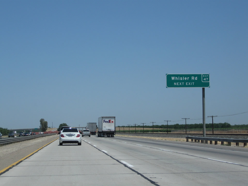
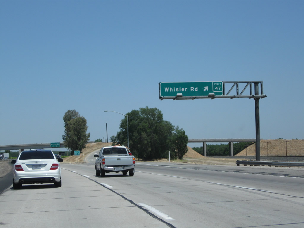
The next exit along California 99 north is Exit 47, Whisler Road. Photos taken 06/19/10 and 11/25/04. | |
 |
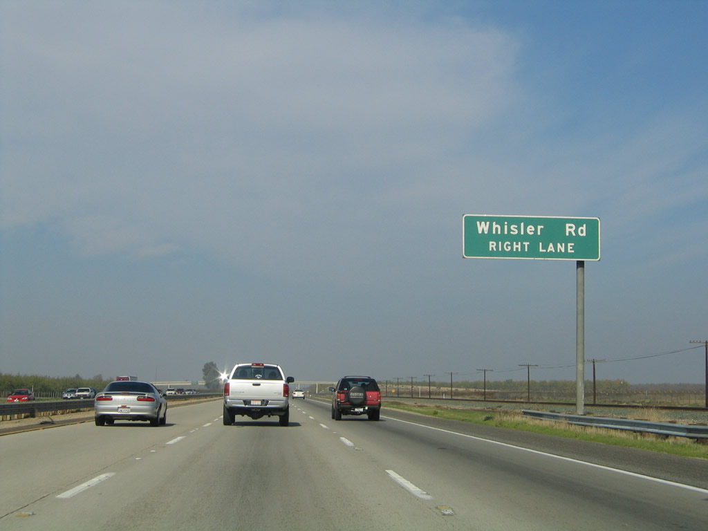 |
Whisler Road travels west to California 43 (Central Valley Highway) and east to Driver Road, providing local and ranch access. Photos taken 06/19/10 and 11/25/04. | |
 |
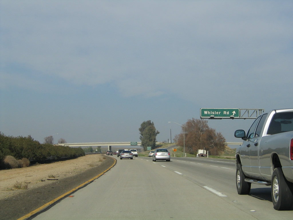 |
Northbound California 99 (Golden State Highway) meets Exit 47, Whisler Road. Photos taken 06/19/10 and 11/25/04. | |
 |
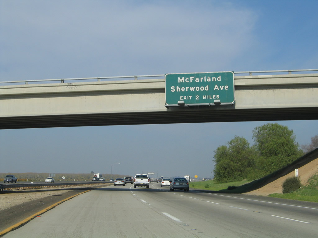 |
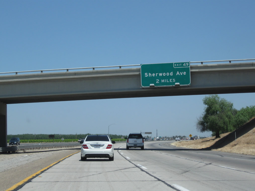
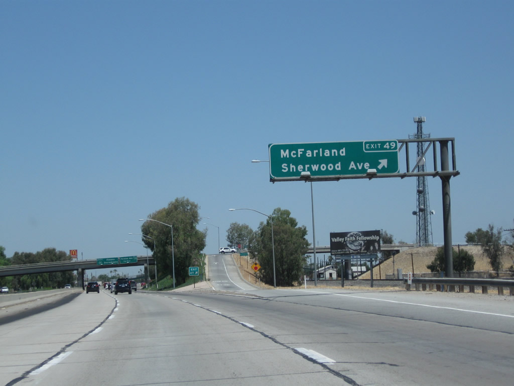
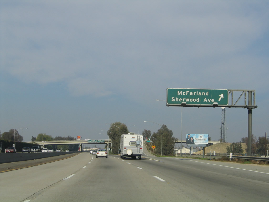
The next exit along California 99 north is Exit 49, Sherwood Avenue/McFarland (two miles). It is rare to find an advance sign for more than one mile along California 99. Photos taken 06/19/10 and 11/25/04. | |
 |
 |
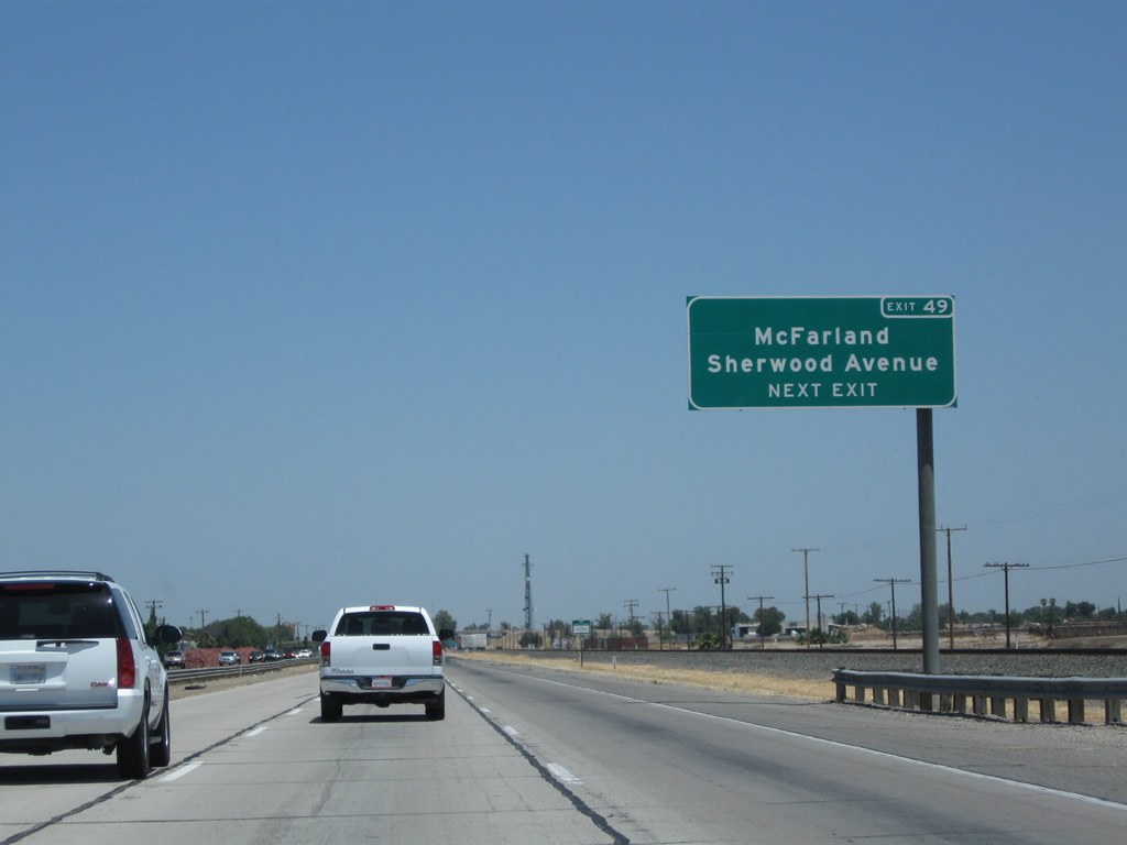
California 99 northbound approaches Exit 49, Sherwood Avenue. This is the primary exit leading into the city of McFarland. The freeway will cut through the center of the city, dividing it into east and west sections. There is no defined business route for California 99 in McFarland, but all motorist services (gas, food, and lodging) are available via Exit 49. Photos taken 06/19/10 and 11/25/04. | |
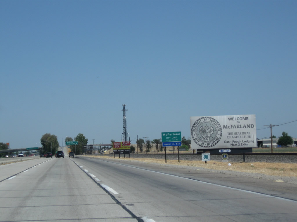 |
California 99 northbound approaches Exit 49, Sherwood Avenue to the city of McFarland, "The Heartbeat of Agriculture." McFarland, which is located just off the freeway, had a population of 12,707 as of the 2010 Census, sits at an elevation of 354 feet, and was incorporated on July 18, 1957. The primary economic driver here is agriculture. Photo taken 06/19/10. | ||
 |
 |
Northbound California 99 (Golden State Highway) meets Exit 49, Sherwood Avenue in McFarland. Photos taken 06/19/10 and 11/25/04. | |
 |
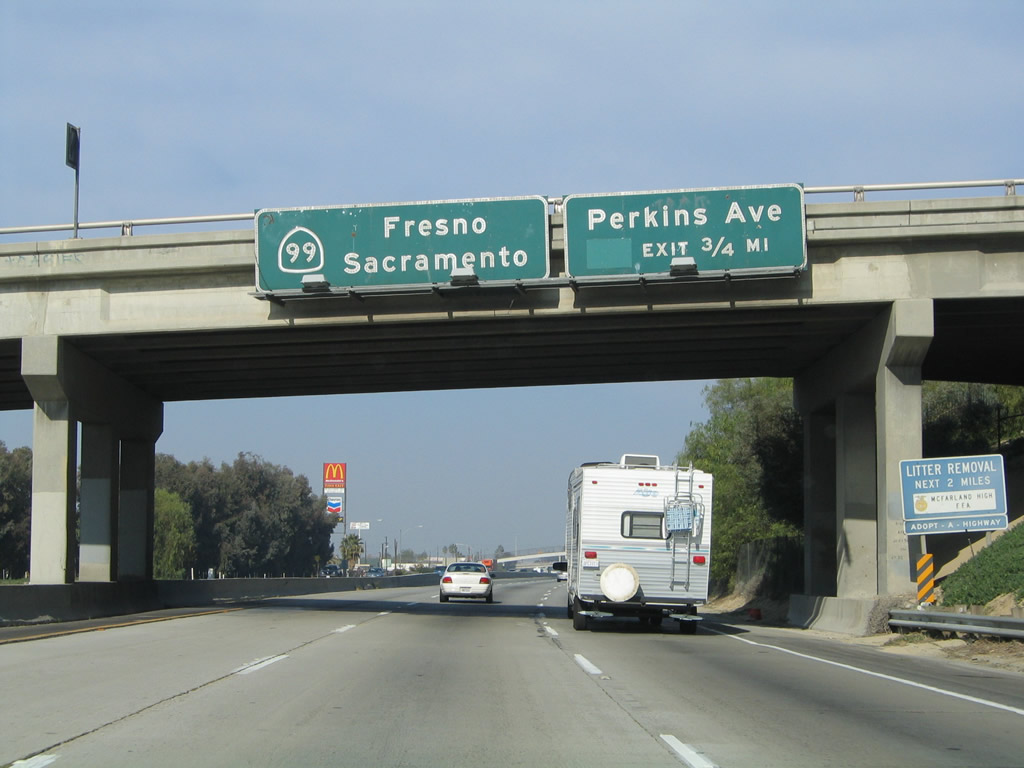 |
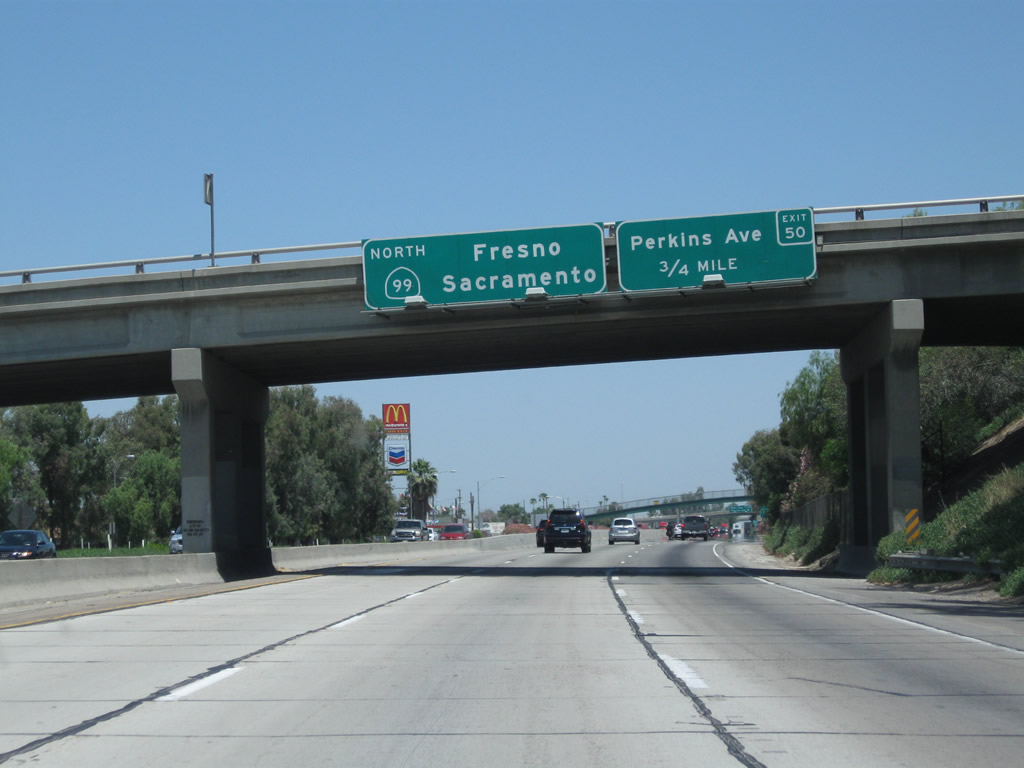
The next exit along California 99 north is Exit 50, Perkins Avenue (0.75 mile). Like many signs along this corridor, the original porcelain-enamel guide signs have been replaced with reflective signs with exit numbers. Photos taken 06/19/10 and 11/25/04. | |
 |
 |
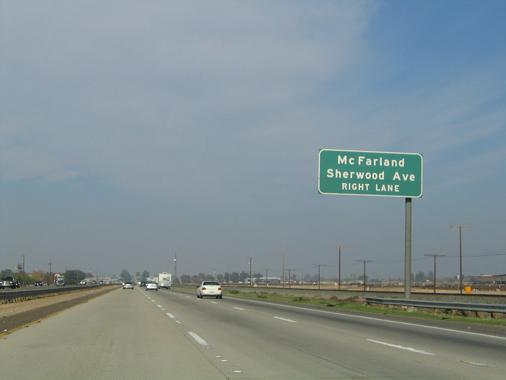
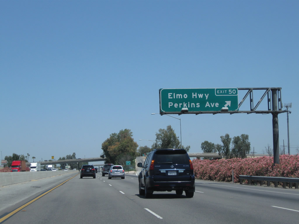
The next exit along California 99 north is Exit 50, Perkins Avenue and Elmo Highway (next right). This is the second and final McFarland interchange. The interchange connects to Perkins Avenue directly, and access to Elmo Highway is provided via Browning Road north. Photos taken 06/19/10 and 11/25/04. | |
 |
 |
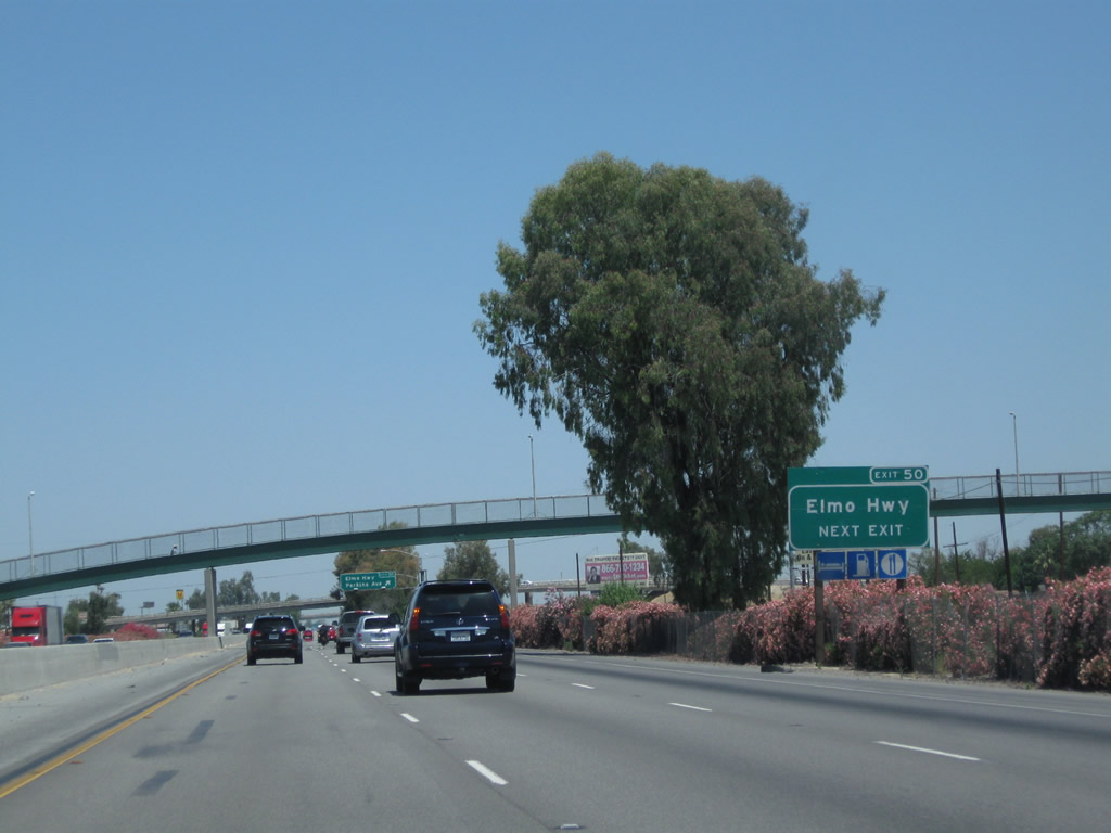
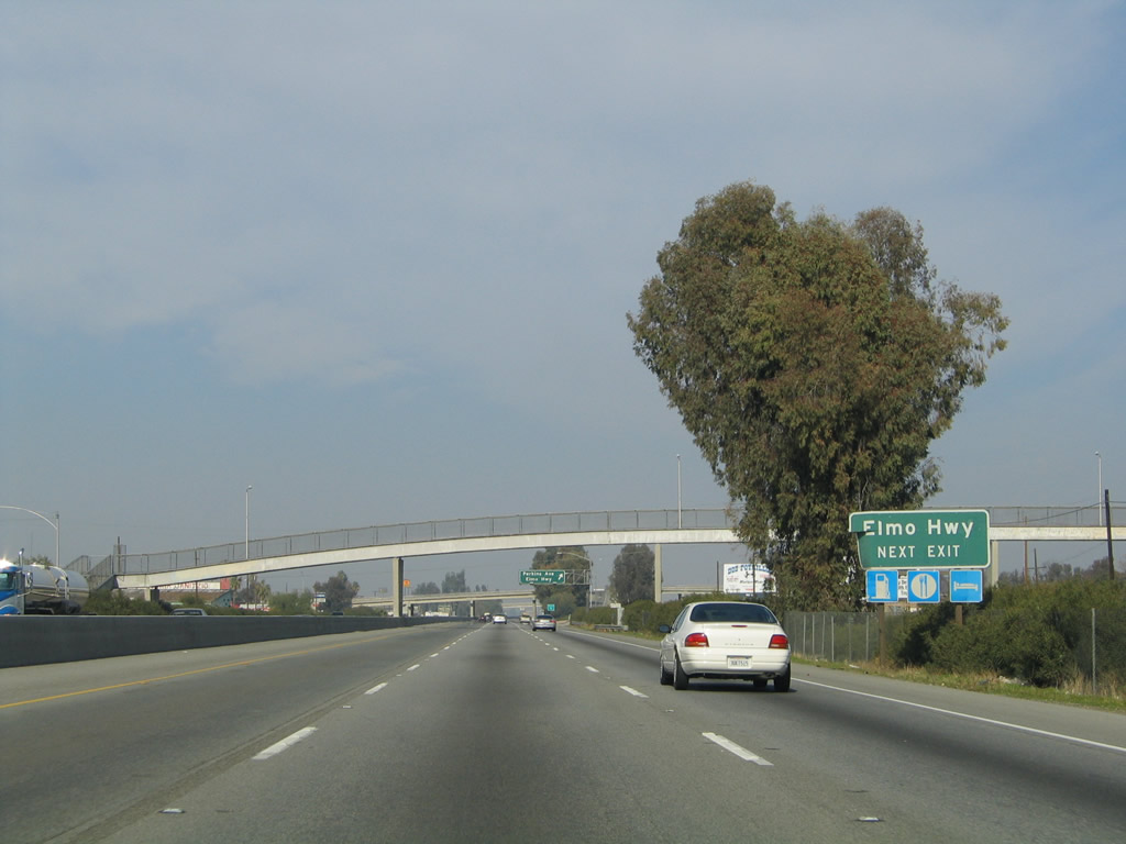
Northbound California 99 meets Exit 50, Perkins Avenue/Elmo Highway. Elmo Highway leads west to California 43 (Central Valley Highway) and east to Famoso-Porterville Highway. Photos taken 06/19/10 and 11/25/04. | |
 |
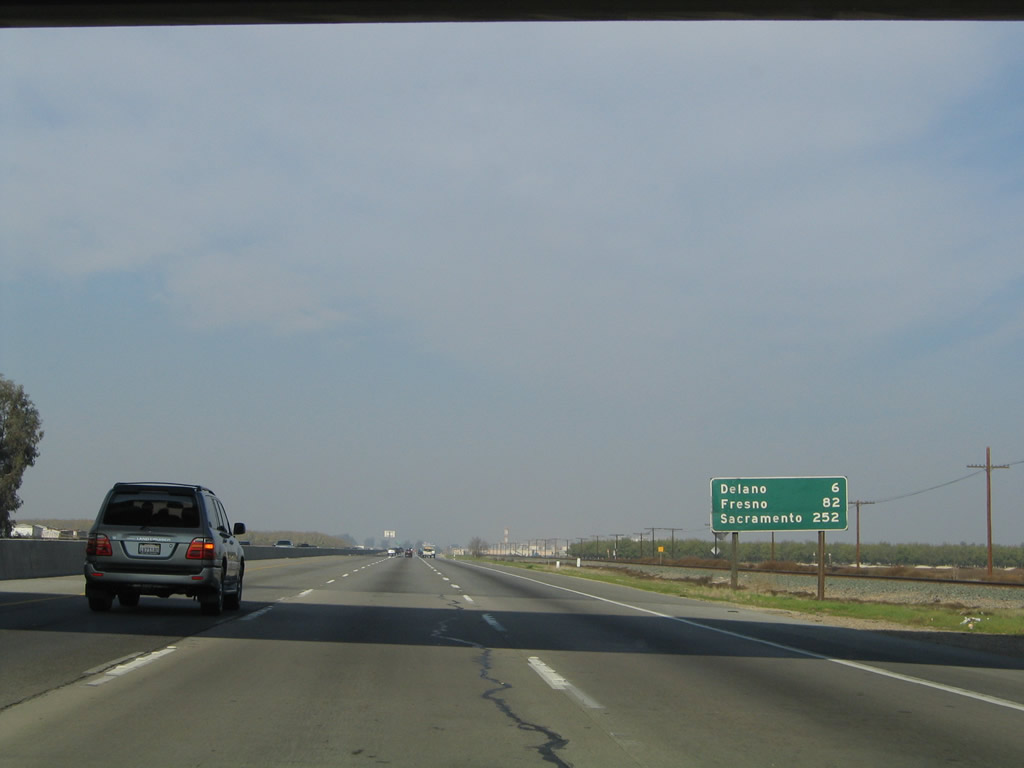 |
This mileage sign along California 99 north provides the distance to Delano (six miles), Fresno (82 miles), and Sacramento (252 miles). Photos taken 06/19/10 and 11/25/04. | |
 |
 |
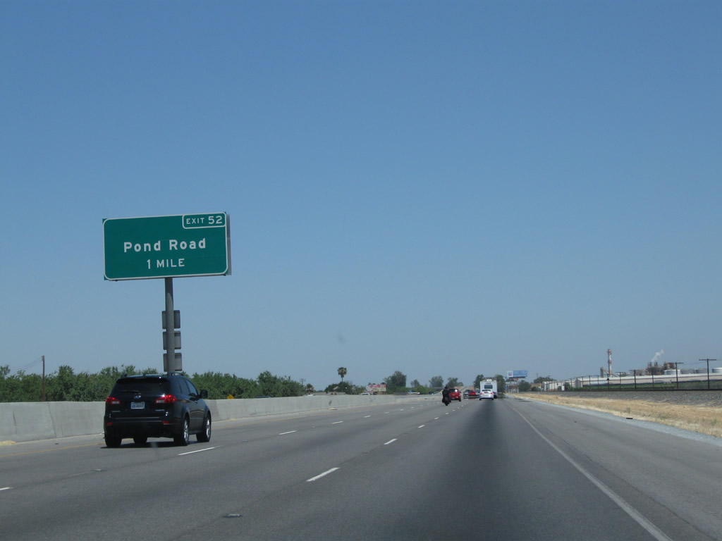
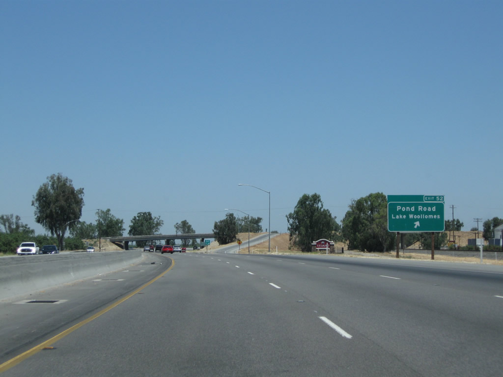
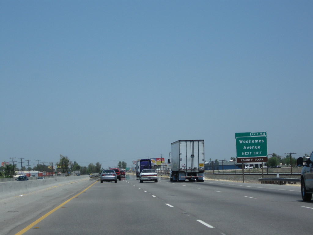
The next exit along California 99 north is Exit 52, Pond Road to Lake Woollomes. Pond Road travels west to the community of Pond (at California 43, the Central Valley Highway) and east to Lake Woollomes and the Famoso-Porterville Highway. Photos taken 06/19/10 and 11/25/04. | |
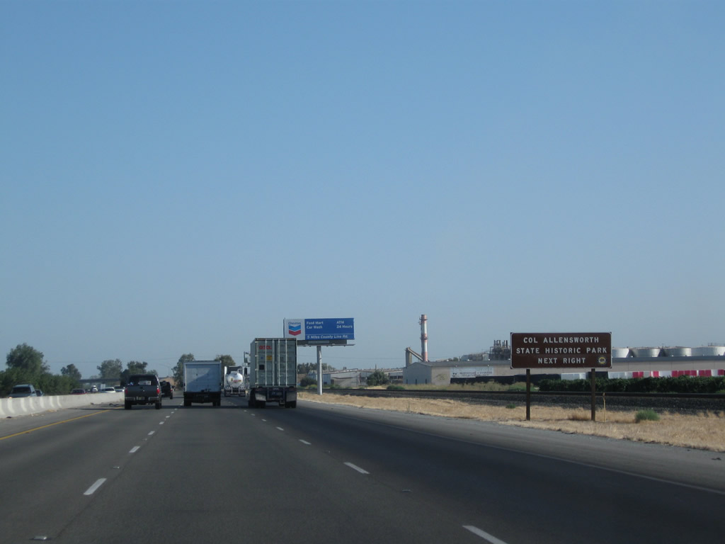 |
Use Pond Road west and California 43 north to Colonel Allensworth State Historic Park. The park is located near Pixley National Wildlife Refuge between Wasco and Corcoran. Photo taken 07/31/11. | ||
 |
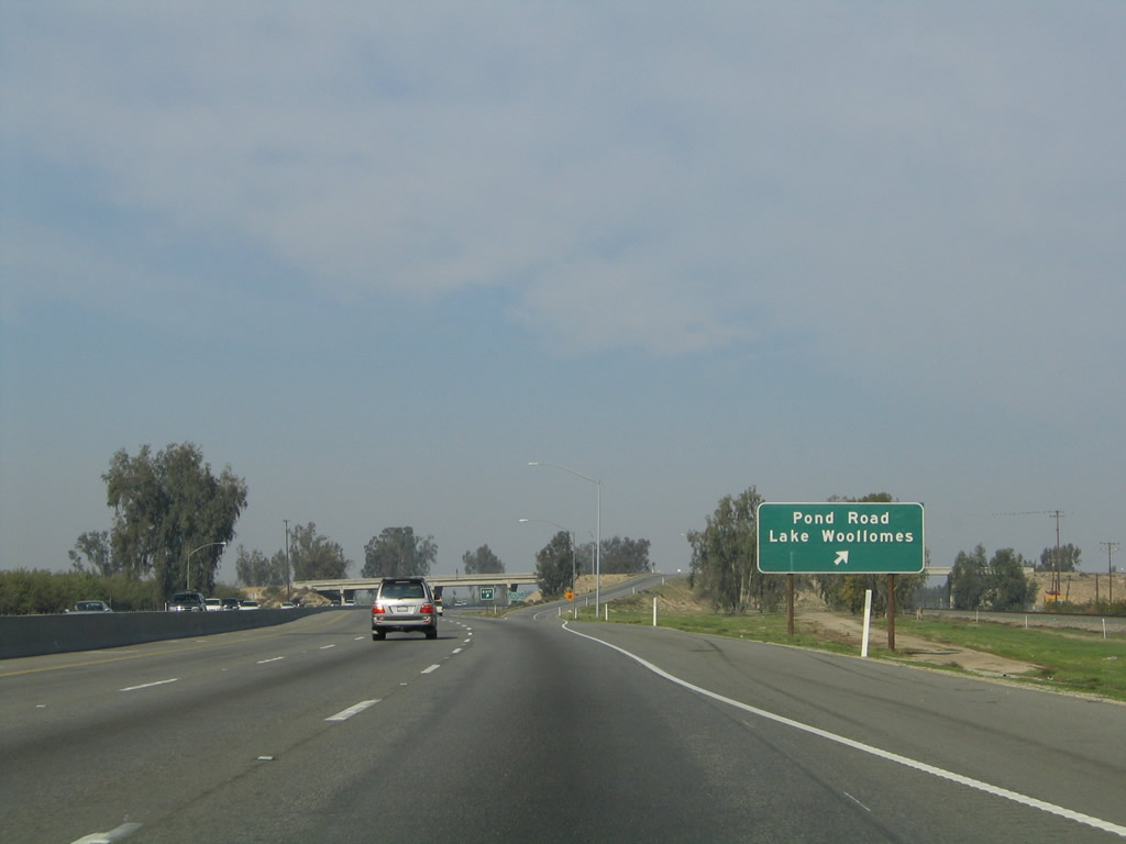 |
The next exit along California 99 north is Exit 52, Pond Road to Lake Woollomes. Pond Road travels west to the community of Pond (at California 43, the Central Valley Highway) and east to Lake Woollomes and the Famoso-Porterville Highway. Photos taken 06/19/10 and 11/25/04. | |
 |
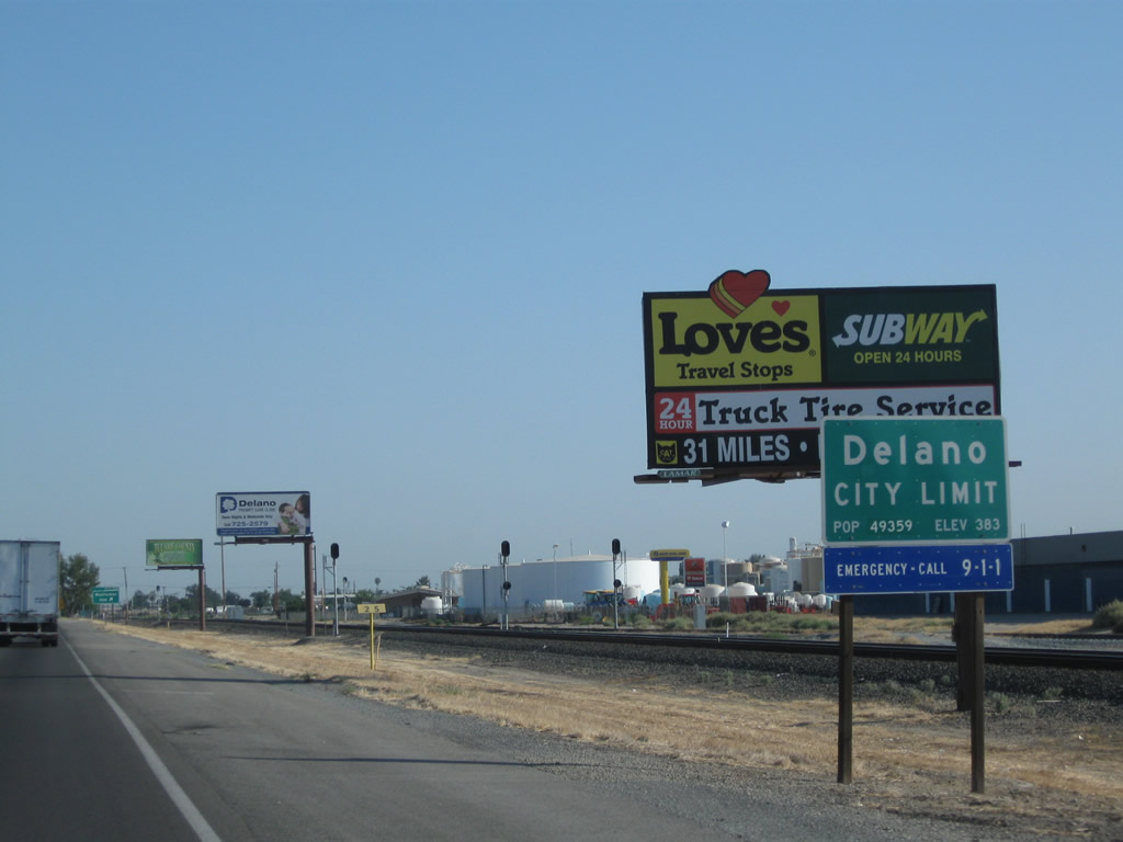
Near the off-ramp to Pond Road is a small monument sign welcoming travelers to the city of Delano. Photo taken 06/19/10. | ||
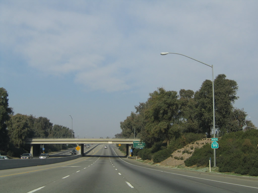
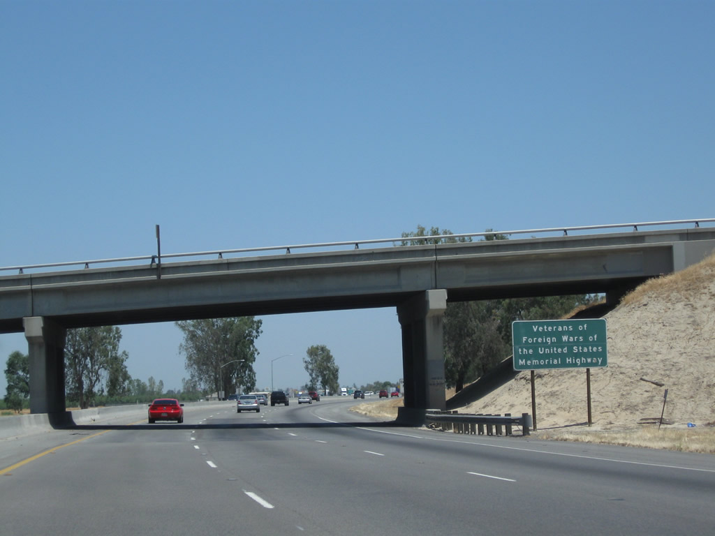 |
California 99 is designated as the Veterans of Foreign Wars of the United States Memorial Highway, as evidenced by this roadside sign near the Pond Road overpass. Photo taken 06/19/10. | ||
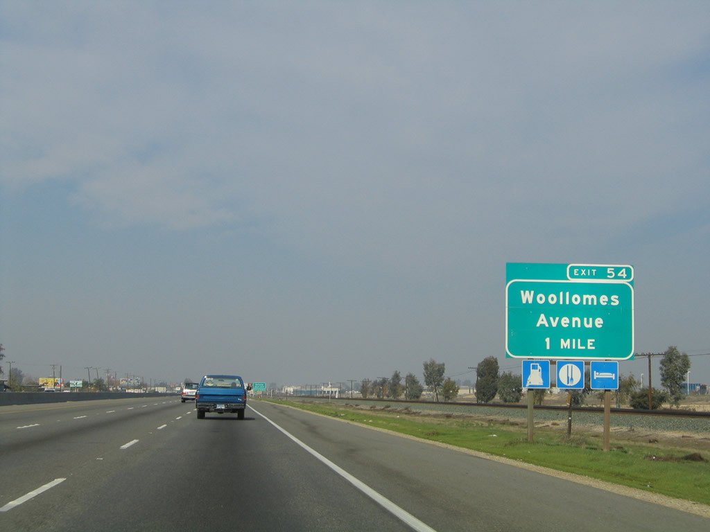 |
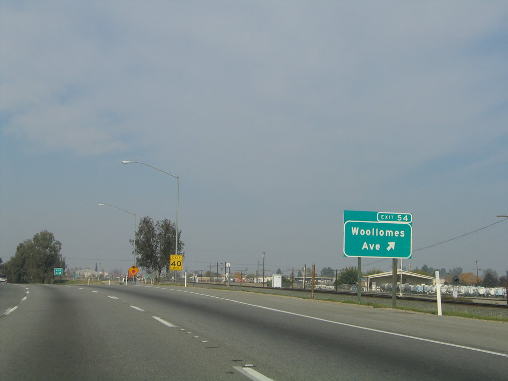
The first Delano exit is Exit 54, Woollomes Road and California 99 Business (High Street) north. High Street follows the original route of U.S. 99 through the city of Delano via California 99 Business. Photo taken 11/25/04. | ||
 |
 |
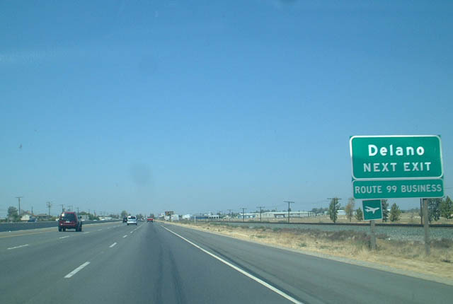 |
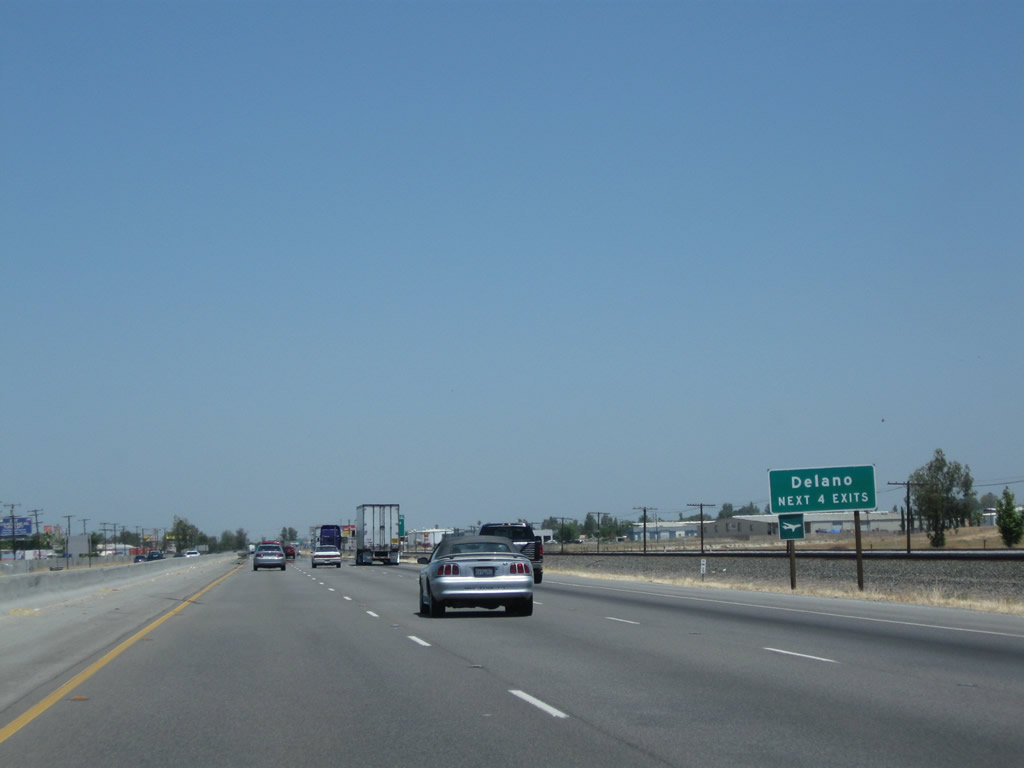
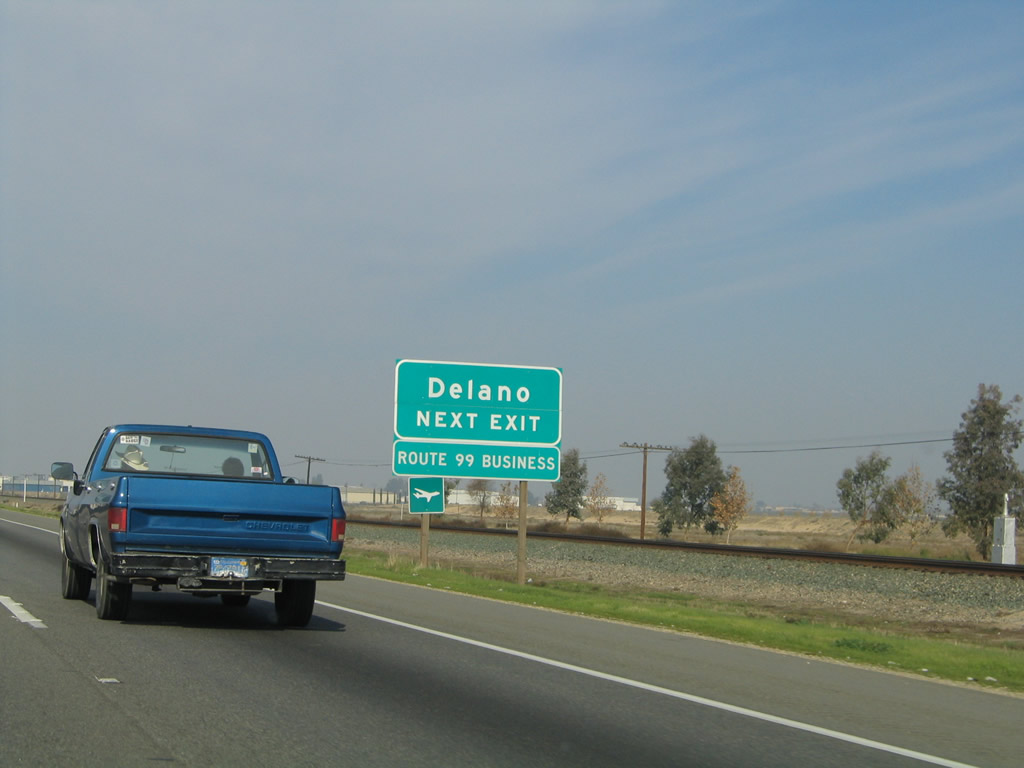
California 99 Business serves Delano, leaving the freeway at Exit 54, following High Street through the city, and rejoining California 99 at Exit 58. The 2003 and 2004 pictures show the "Route 99 Business" placard, which was removed in favor of "Delano Next Four Exits." It is unclear whether California 99 Business was simply deemphasized or decommissioned when the signs were changed between 2004 and 2007. Photos taken 06/19/10, 11/25/04, 08/15/03. | |
 |
Northbound California 99 (Golden State Highway) approaches Exit 54, California 99 Business (High Street) north and Woollomes Avenue (Airport Avenue) east/west. Upon exiting, turn right to Delano Municipal Airport. Photo taken 11/25/04. | |
 |
California 99 enters the city of Delano ("Working Together"), which had a population of 53,041 as of the 2010 Census and was incorporated on April 13, 1915. Photo taken 07/31/11. | |
 |
Soon thereafter, northbound California 99 meets Exit 54, California 99 Business (High Street) north and Woollomes Avenue (Airport Avenue) east/west. Photo taken 11/25/04. | |
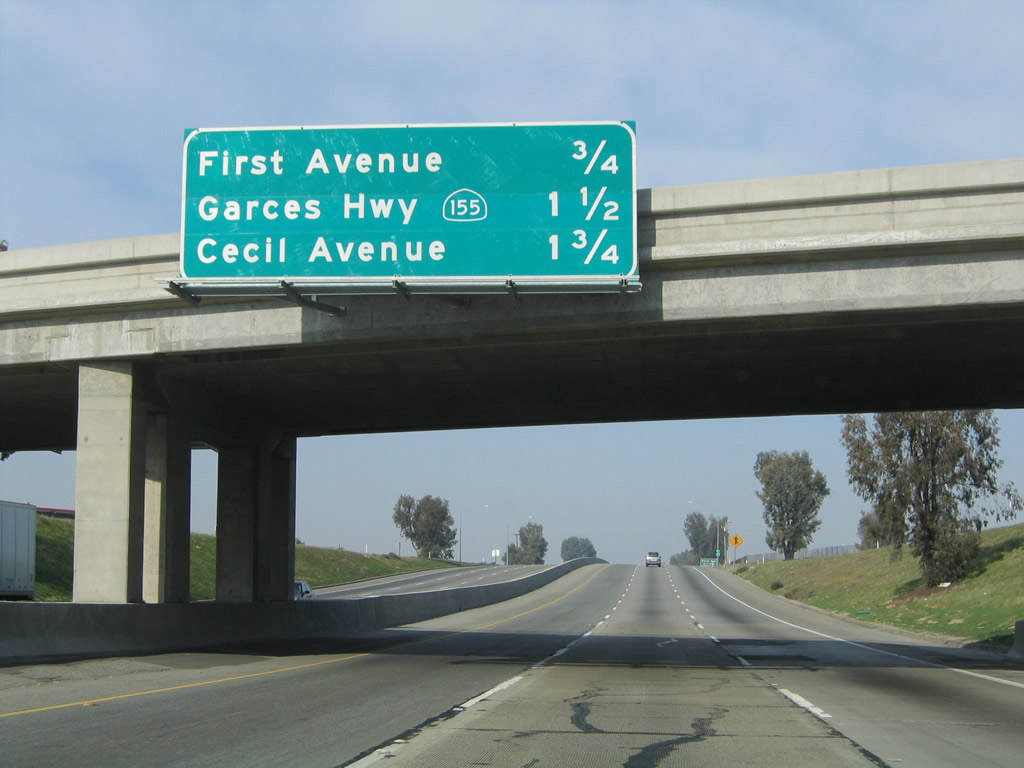 |
This mileage sign along California 99 north provides the distance to the next three exits: Exit 55, First Avenue; Exit 56, California 155 (Garces Highway) east to Central Delano and Kernell Avenue west; and Exit 57, Cecil Avenue. Photo taken 11/25/04. | |
 |
A California 99 north confirming shield assembly is posted after the on-ramp from Woollomes Avenue. Photo taken 11/25/04. | |
 |
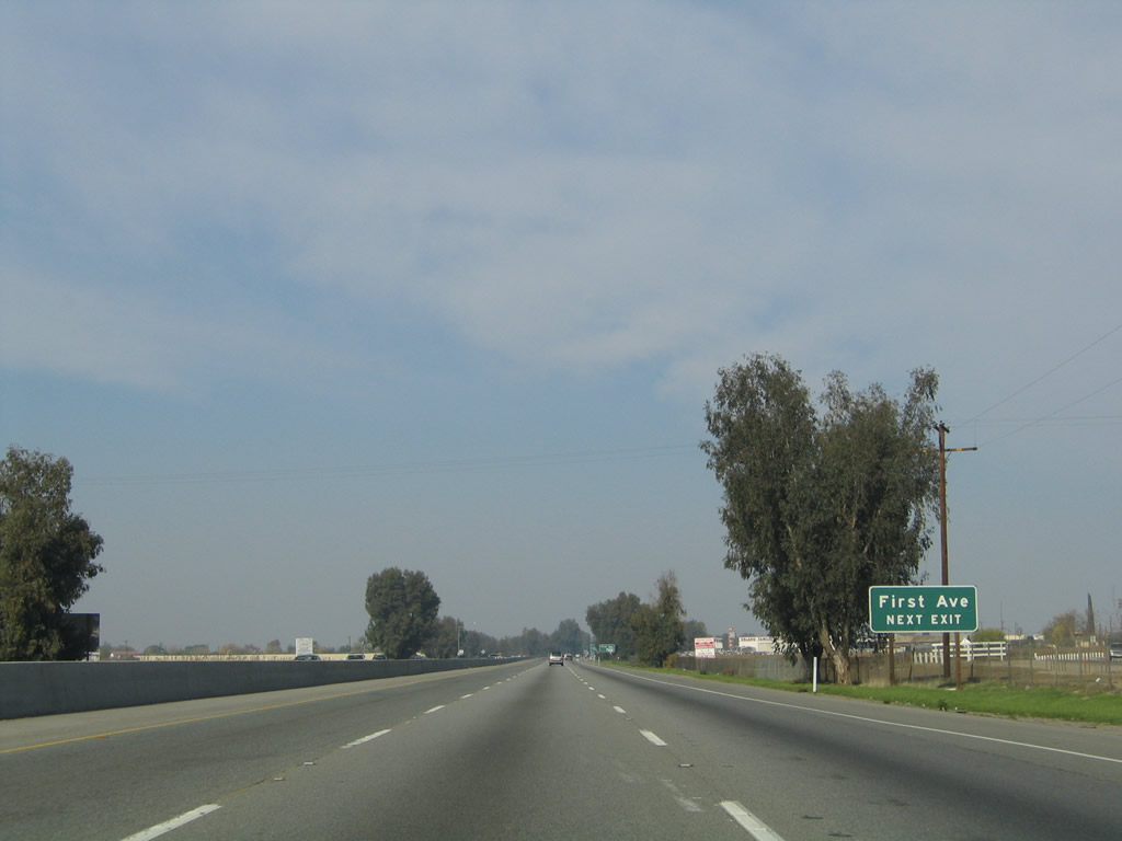 |
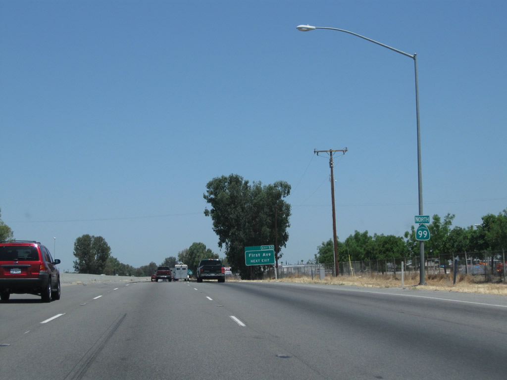
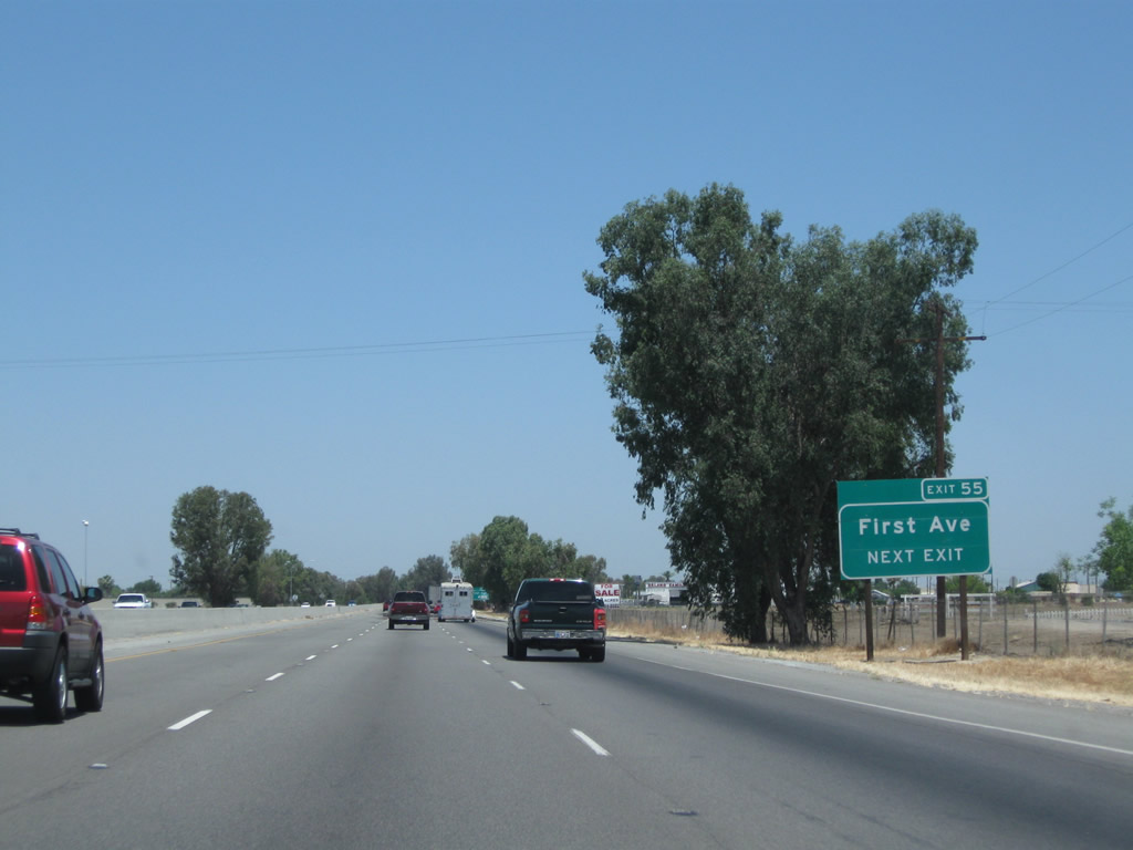
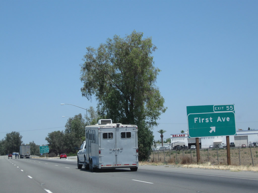
The next exit along California 99 north is Exit 55, First Avenue, next right. Photos taken 06/19/10 and 11/25/04. |
 |
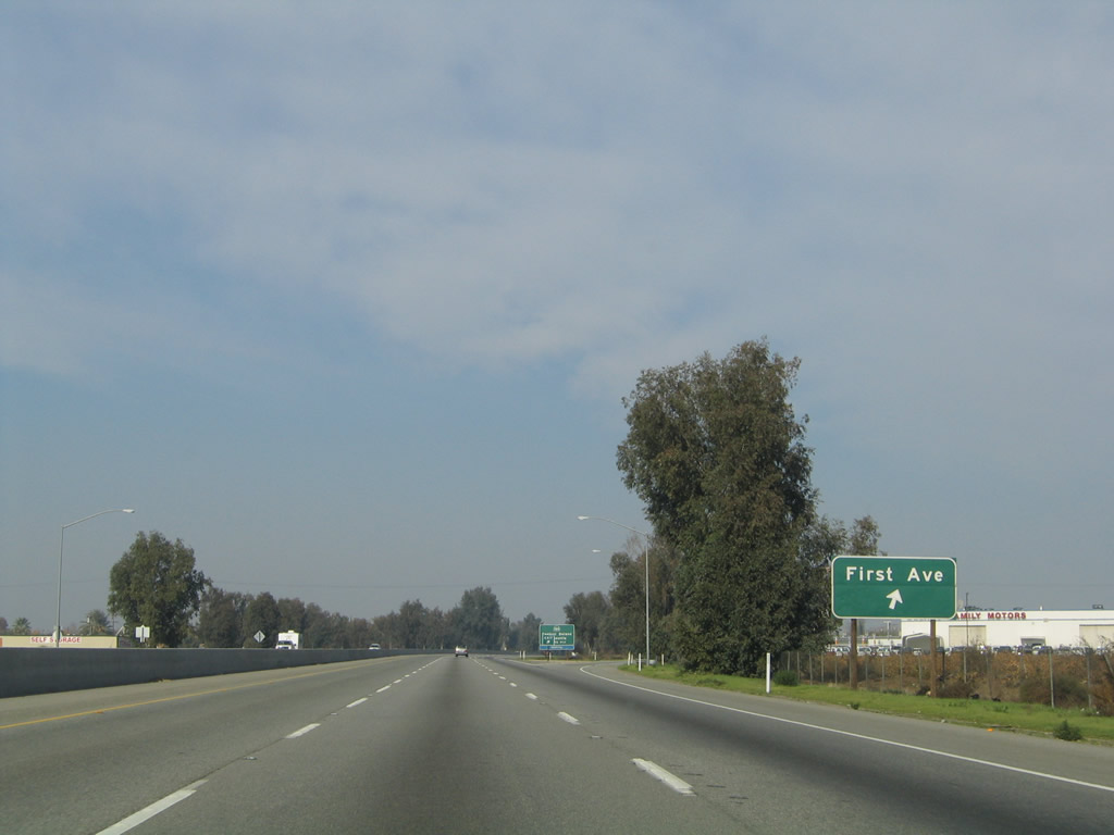 |
Northbound California 99 meets Exit 55, First Avenue in Delano. Photos taken 06/19/10 and 11/25/04. |
 |
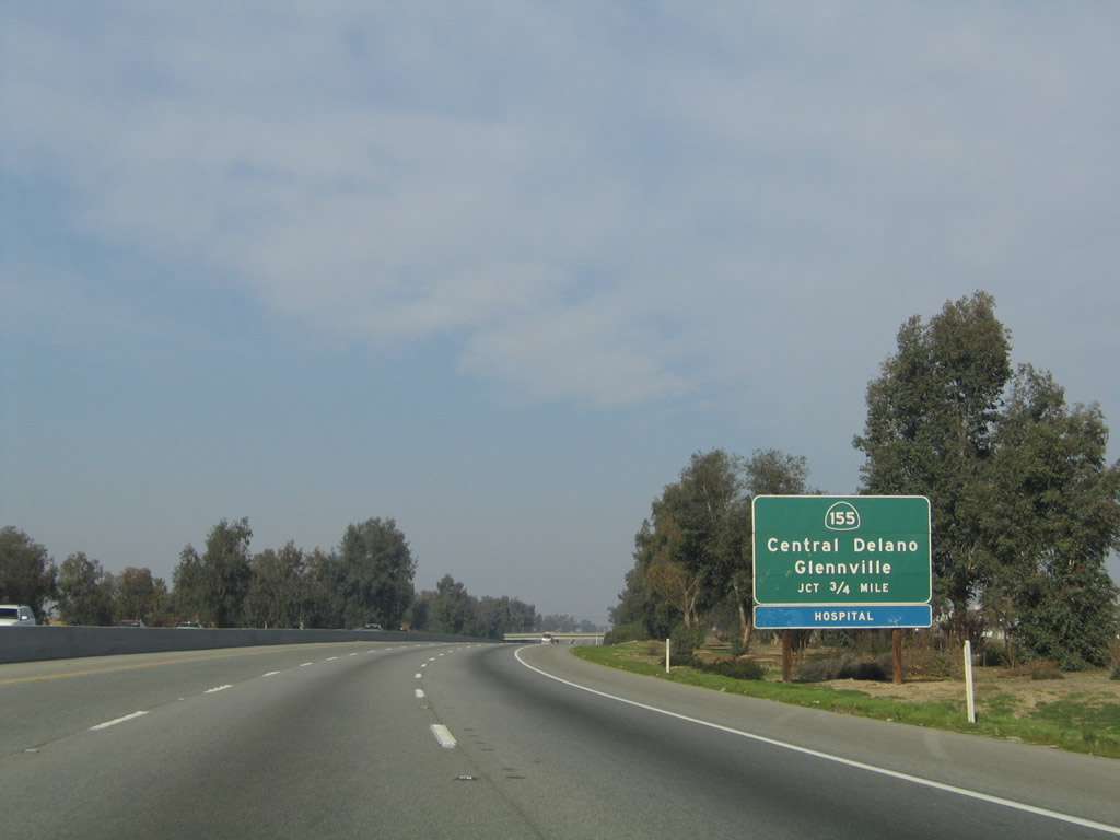 |
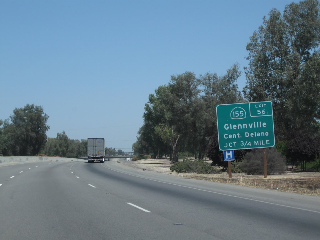
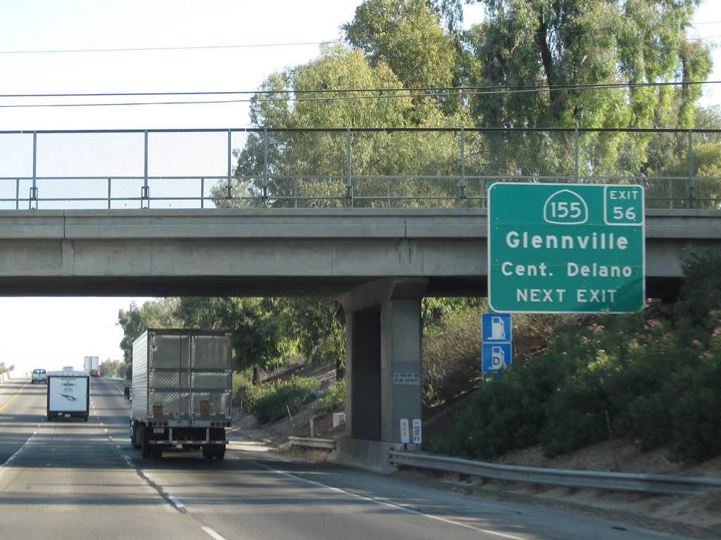
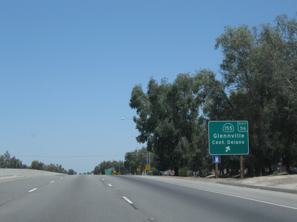
The next exit along California 99 north is Exit 56, California 155 (Garces Highway) east and Kernell Avenue west in Delano. Photos taken 06/19/10 and 11/25/04. |
 |
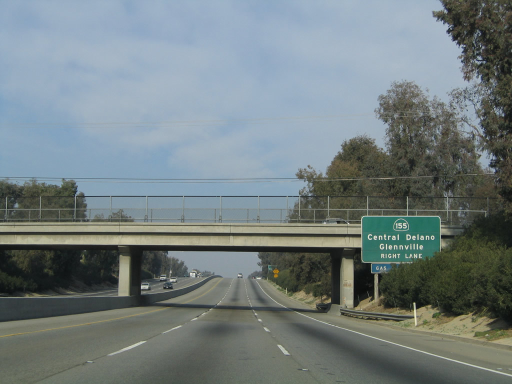 |
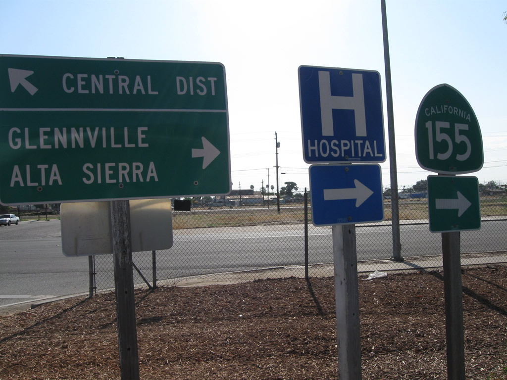
An east-west state route, California 155 leads east toward Lake Isabella via Woody, ending at California 178. Photos taken 06/19/10 and 11/25/04. |
 |
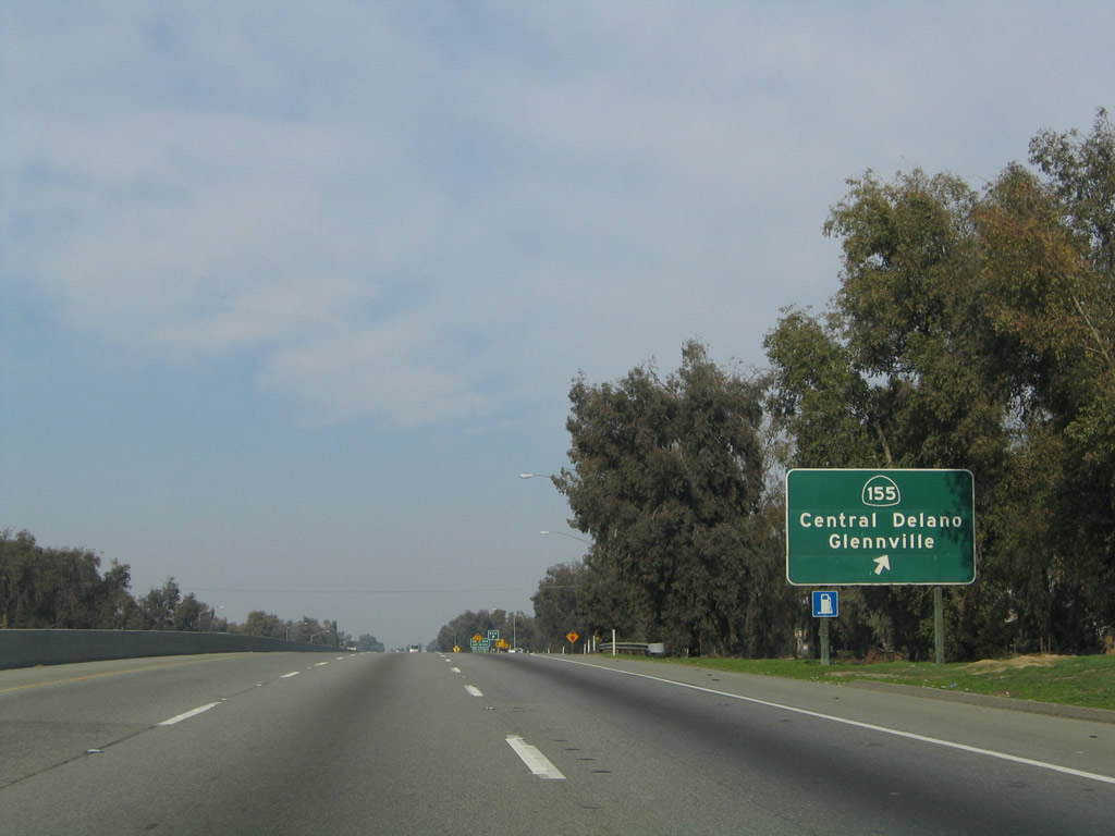 |
Northbound California 99 reaches Exit 56, California 155 (Garces Highway) east and Kernell Avenue west in Delano. Photos taken 06/19/10 and 11/25/04. |
 |
 |
These two pictures show the sharp off-ramp that connects California 99 north with Fremont Street and 9th Avenue. Upon exiting, turn right (south) on Fremont Street and proceed four blocks south to the Garces Highway left turn. Photos taken 07/31/11. |
 |
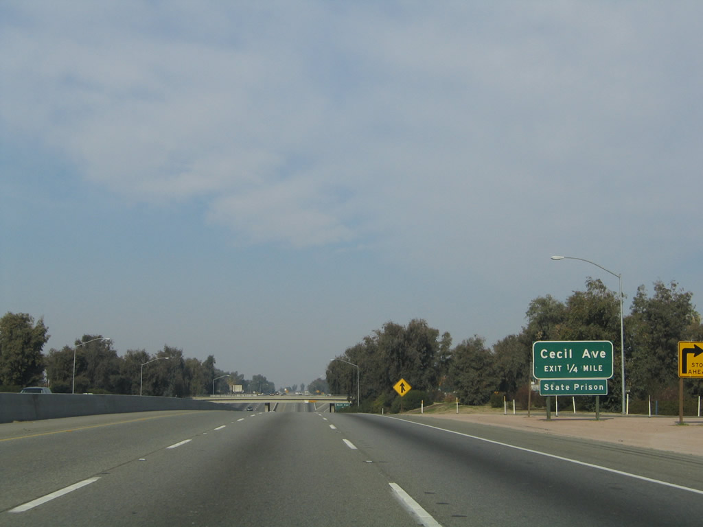 |
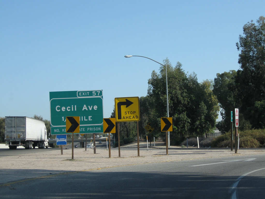
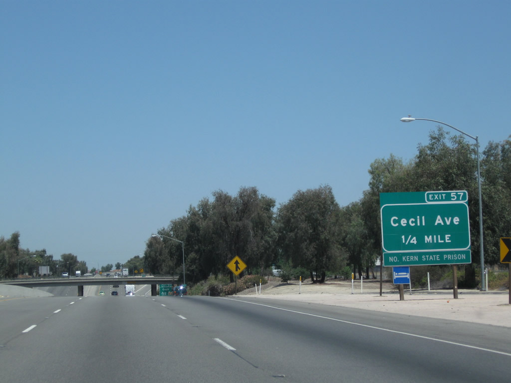
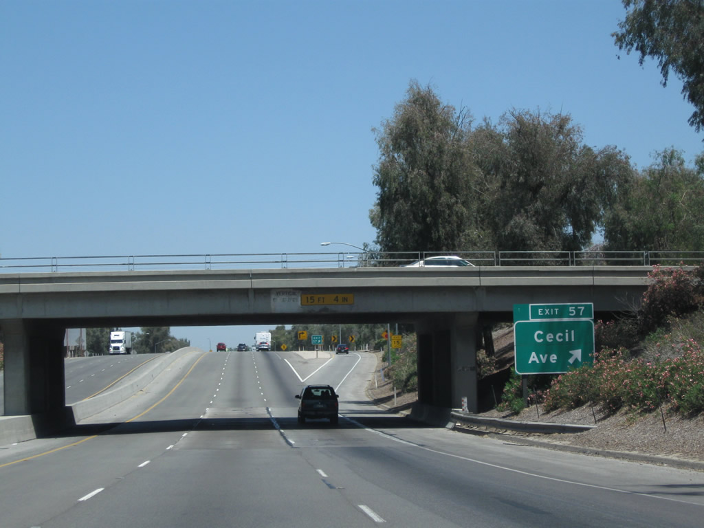
The next exit along California 99 north is Exit 57, Cecil Avenue (one-quarter mile) in Delano. After the Cecil Avenue exit, northbound California 99 will lose its third lane. Photos taken 06/19/10 and 11/25/04. |
 |
 |
Northbound California 99 meets Exit 57, Cecil Avenue. The North Kern State Prison is located several miles west of here along Cecil Avenue, about midway between California 43 and California 99. Photos taken 06/19/10 and 11/25/04. |
 |
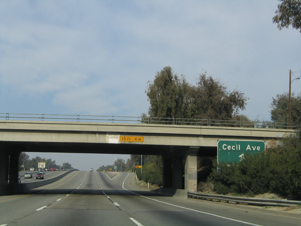
A California 99 north confirming shield assembly is posted after the on-ramp from Cecil Avenue. Photo taken 11/25/04. | |
 |
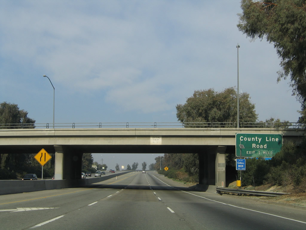 |
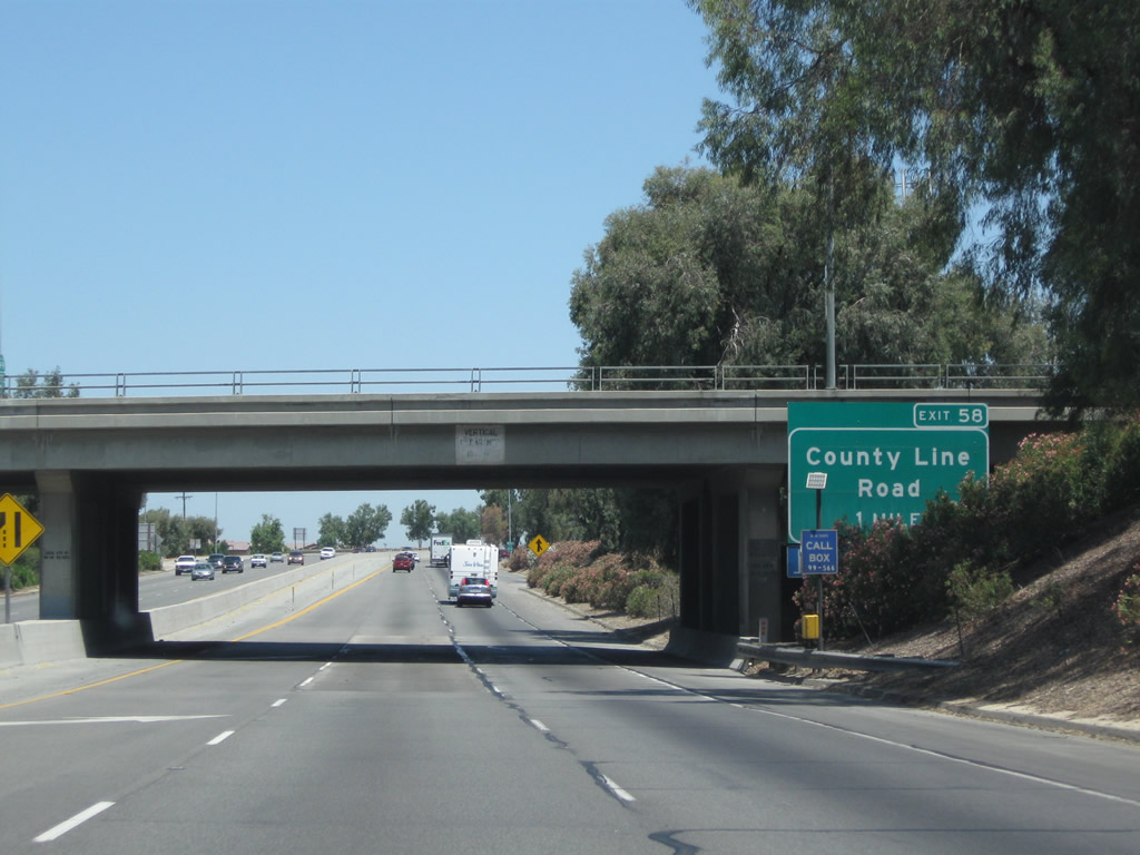
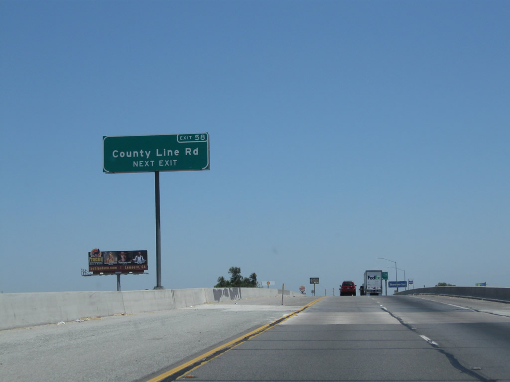
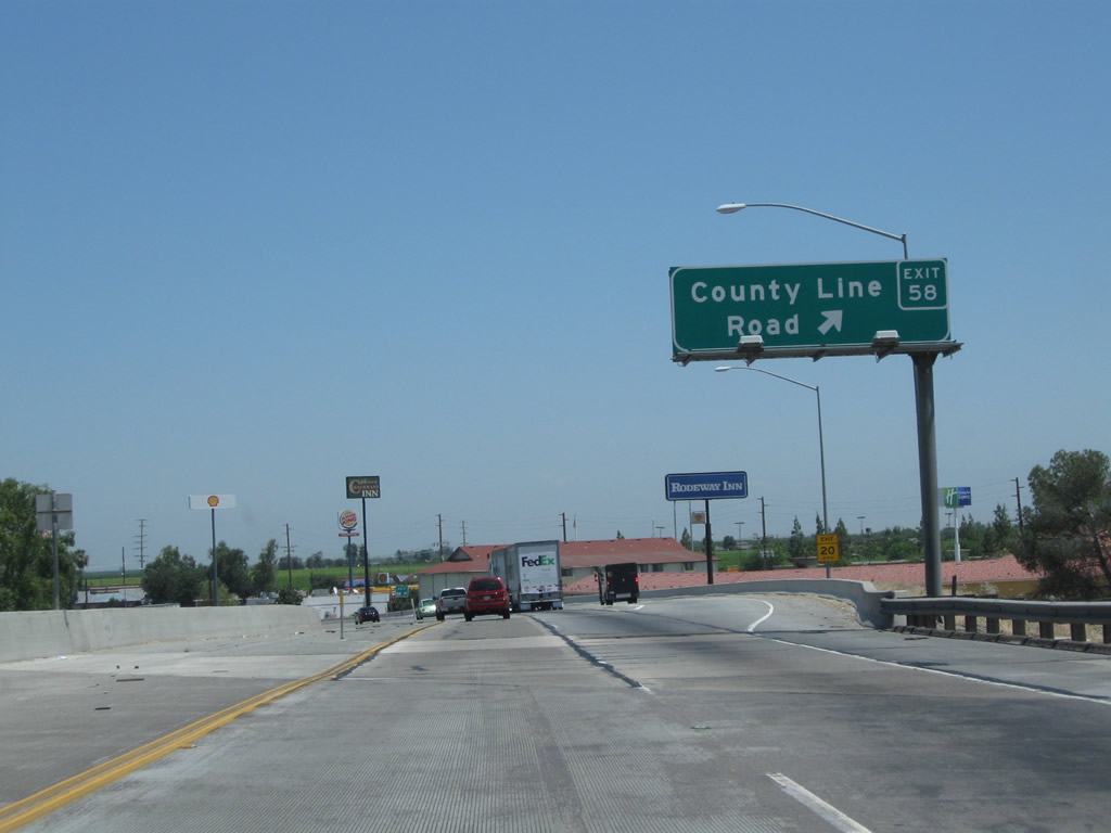
The next exit along California 99 north is Exit 58, County Line Road (California 99 Business (High Street) south). Photos taken 06/19/10 and 11/25/04. |
 |
Another California 99 north confirming shield assembly is posted soon thereafter. Photo taken 11/25/04. | |
 |
 |
County Line Road marks the boundary between Kern County and Tulare County as well as the northern edge of the city of Delano. Photos taken 06/19/10 and 11/25/04. |
 |
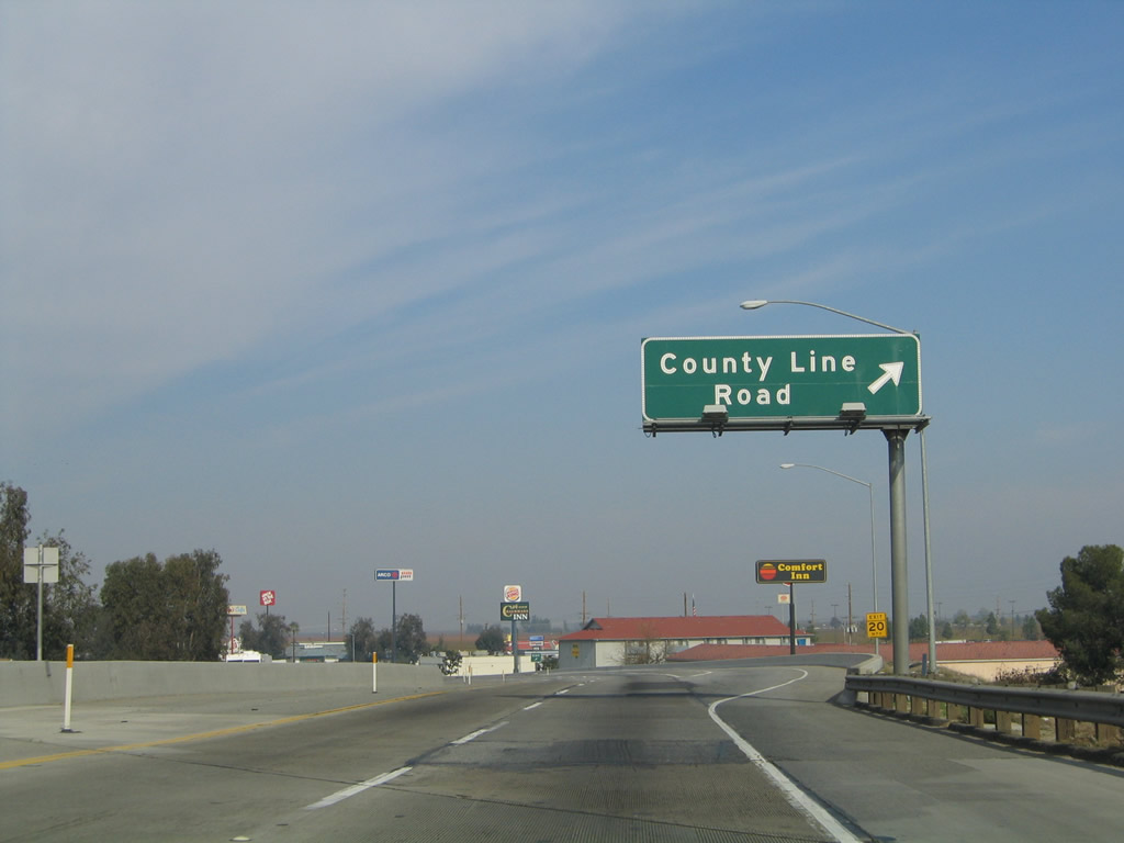 |
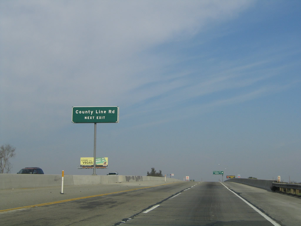
Northbound California 99 (Golden State Highway) meets Exit 58, County Line Road in northern Delano. Use County Line Road to California 99 Business (High Street) south. As the name implies, this is the last exit along northbound California 99 in Kern County; the freeway now enters Tulare County. Photos taken 06/19/10 and 11/25/04. |
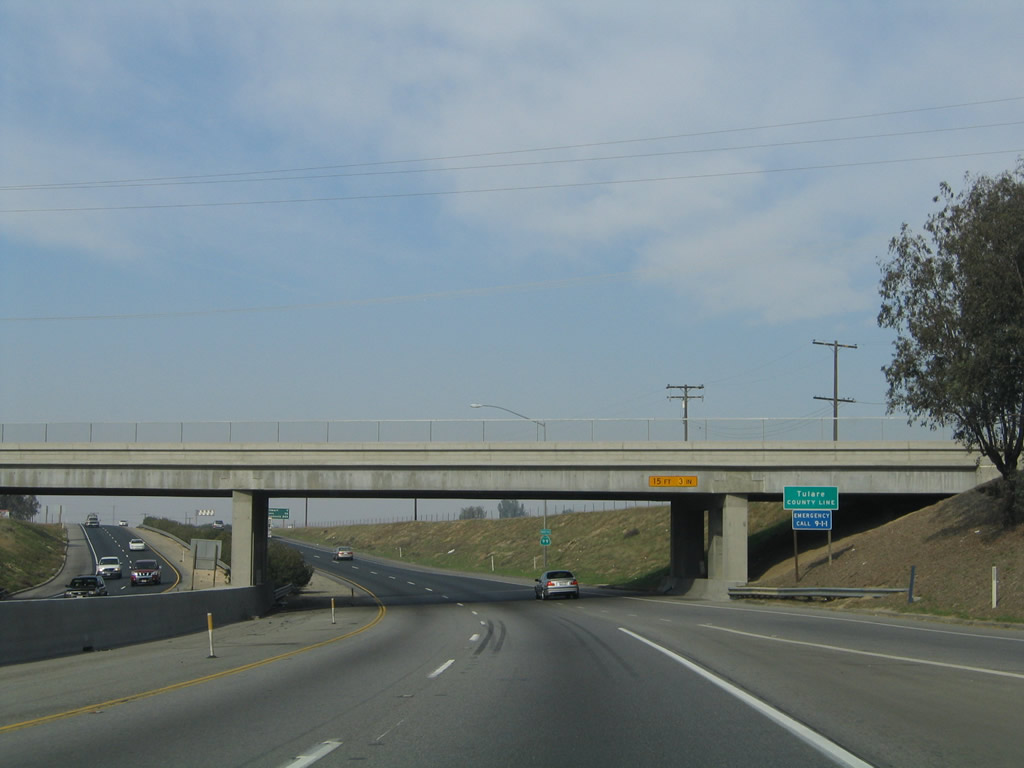 |
At the County Line Road overpass, California 99 departs Kern County and enters Tulare County. Photo taken 11/25/04. | |

Page Updated February 5, 2012.
|
About Contact Glossary |
In The News Interstate Guide |
Social Media:
 |
|
© 2000-25 AARoads.com | All Rights Reserved | Privacy Policy / Terms of Use
|
||