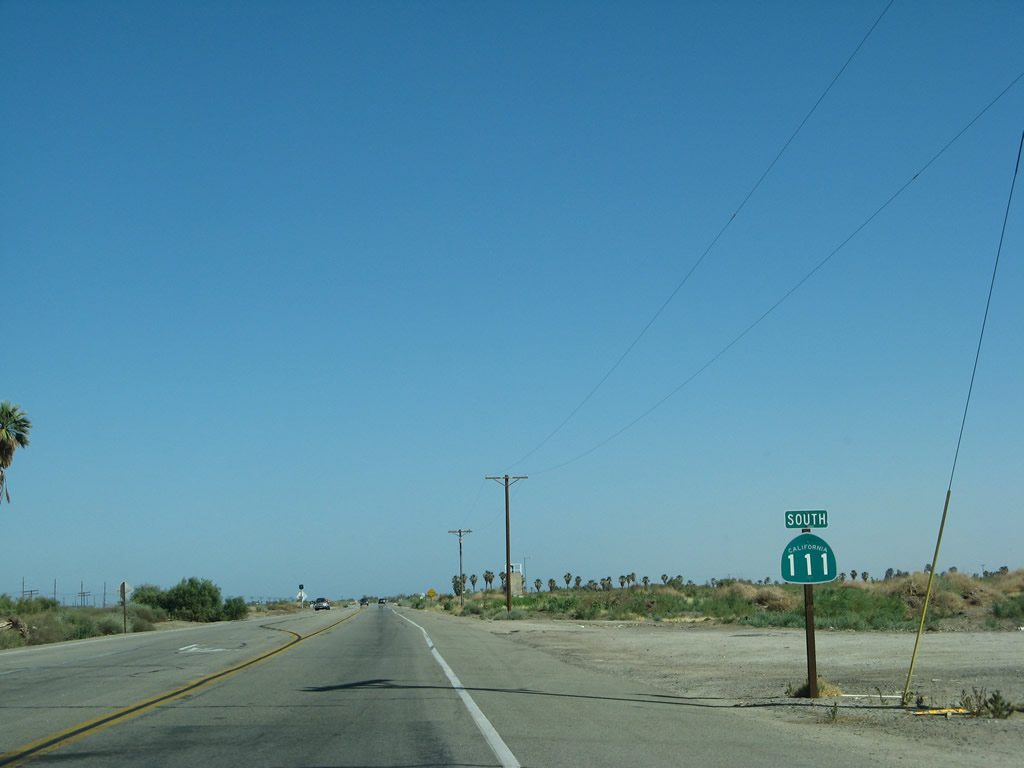
| California 111 south |
|
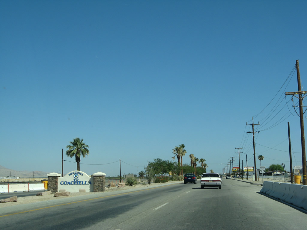
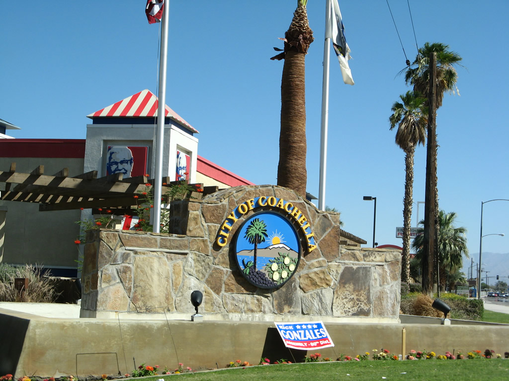
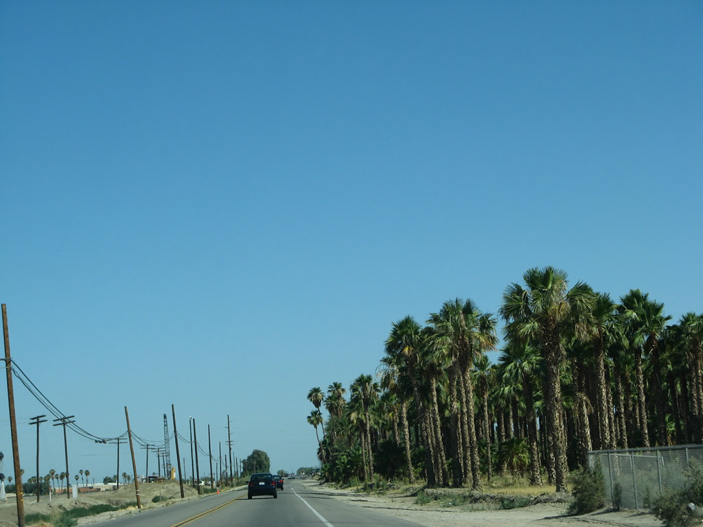
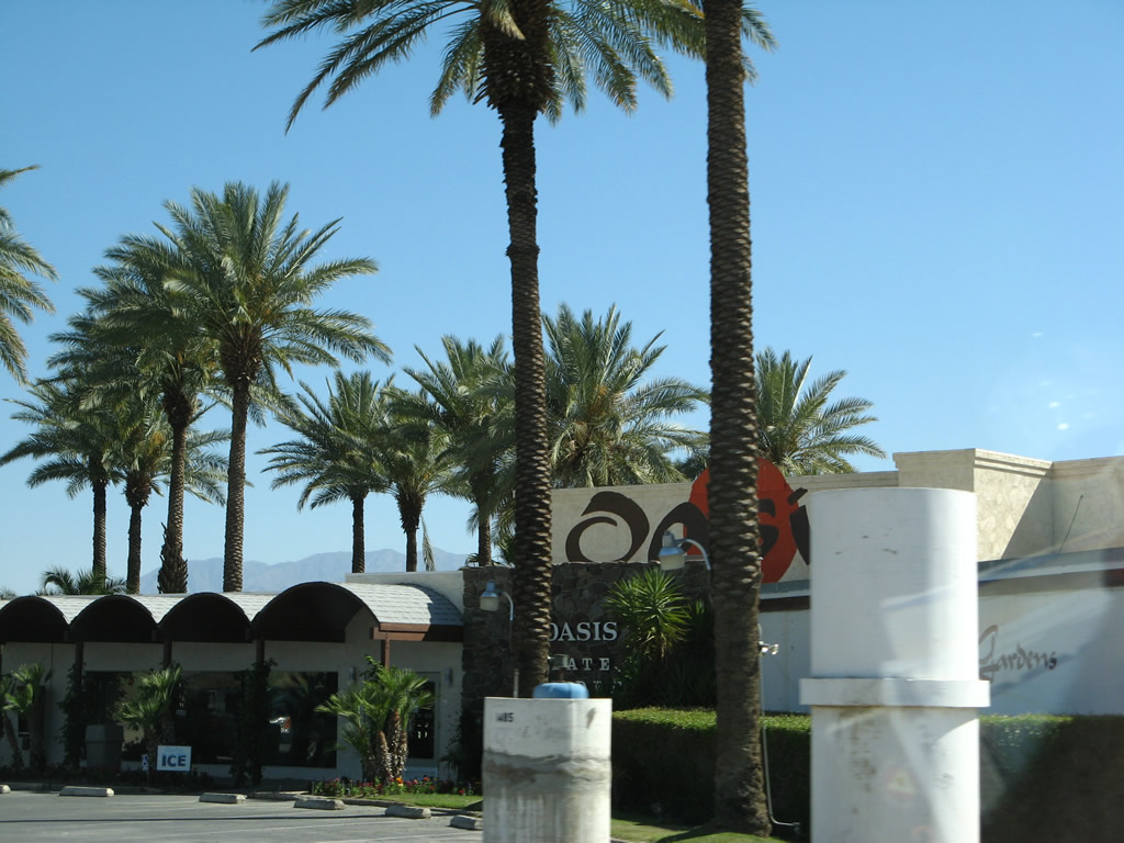
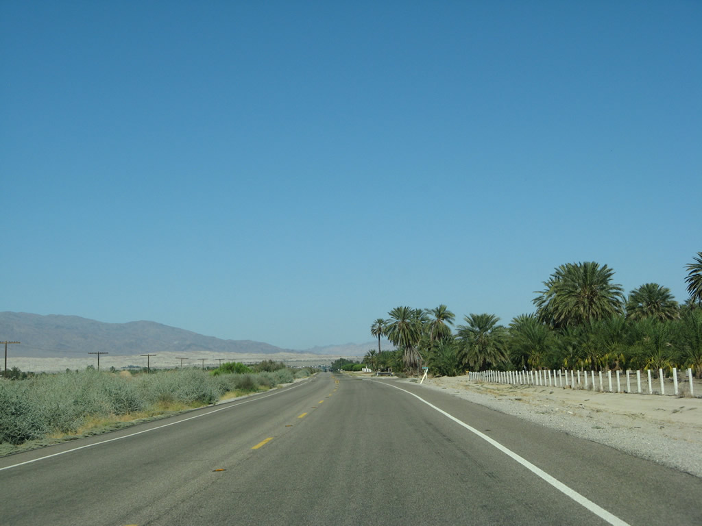
California 111 leaves the city of Indio and enters the city of Coachella upon passing under the Dillon Road (Business Loop I-10) bridge. Coachella, which is world-reknowned for its annual music festival (also called Coachella), is the last major city along California 111's string of desert cities. Known as the City of Eternal Sunshine, Coachella had a population of 40,704 as of the 2010 Census, was incorporated on December 13, 1946, and sits at an elevation of -66 feet below sea level. California 111 will stay well below sea level for most of the rest of its journey south toward the International Border. Photo taken 06/07/08. |
|
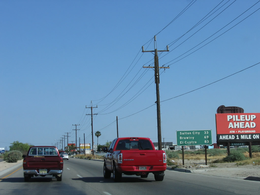
This mileage sign used to provide the distance to Salton City (33 miles), Brawley (69 miles), and El Centro (83 miles). Presumably, these mileage figures were via the California 86 corridor rather than California 111. This sign was gone by 2008. Photo taken 05/07/06. |
|
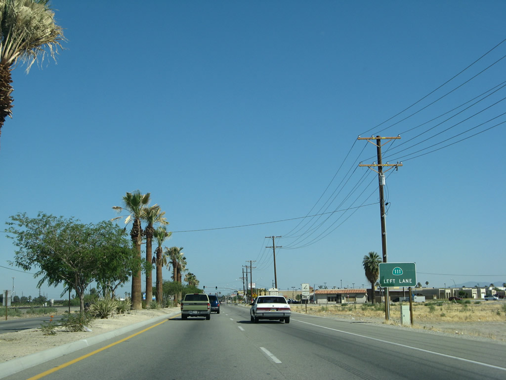
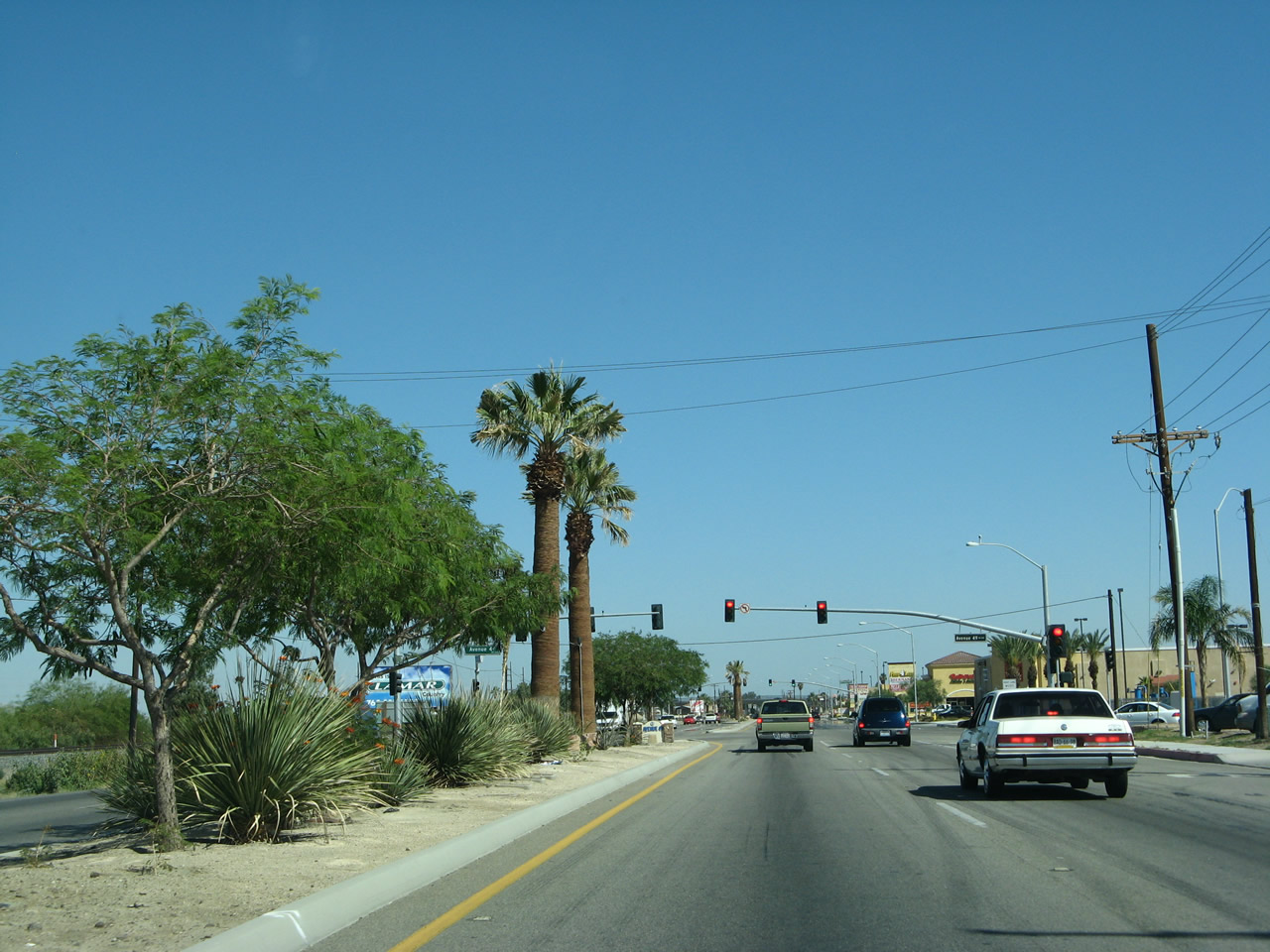
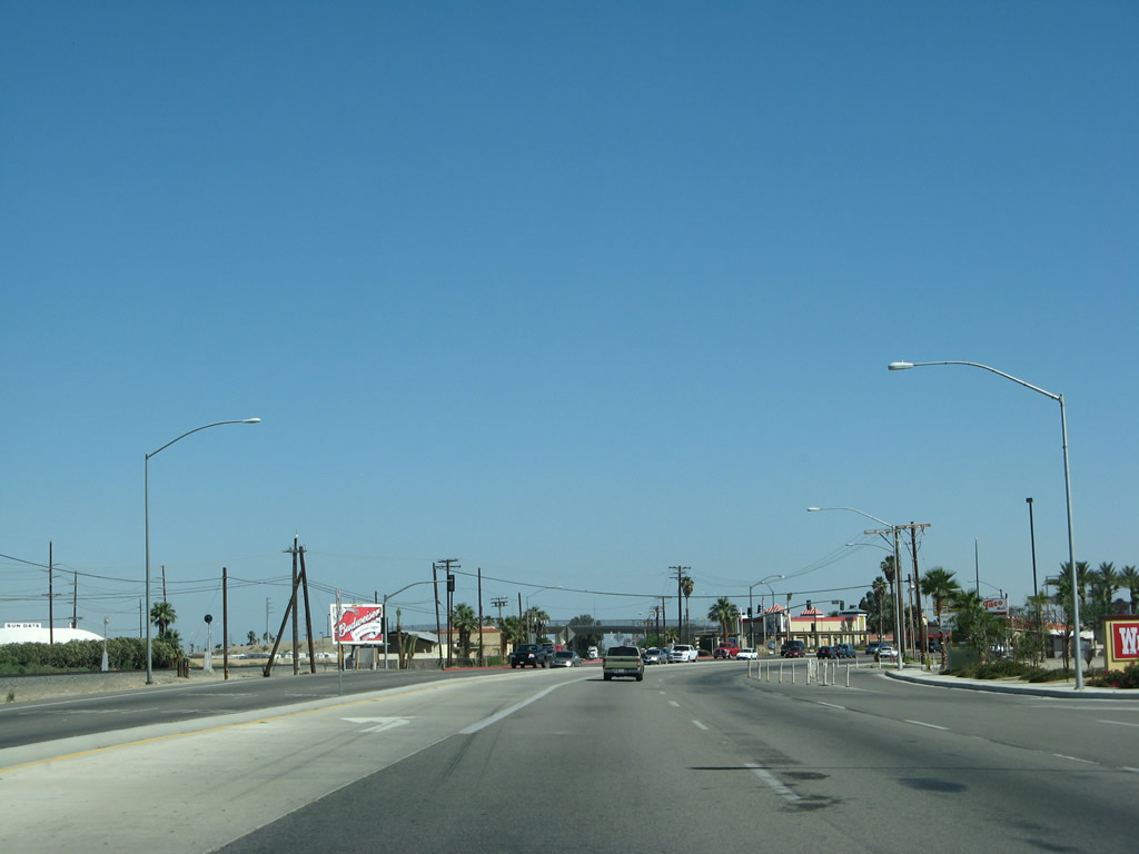
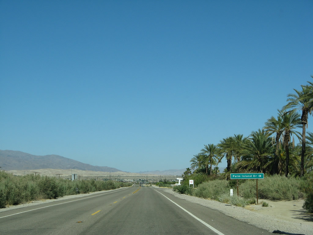
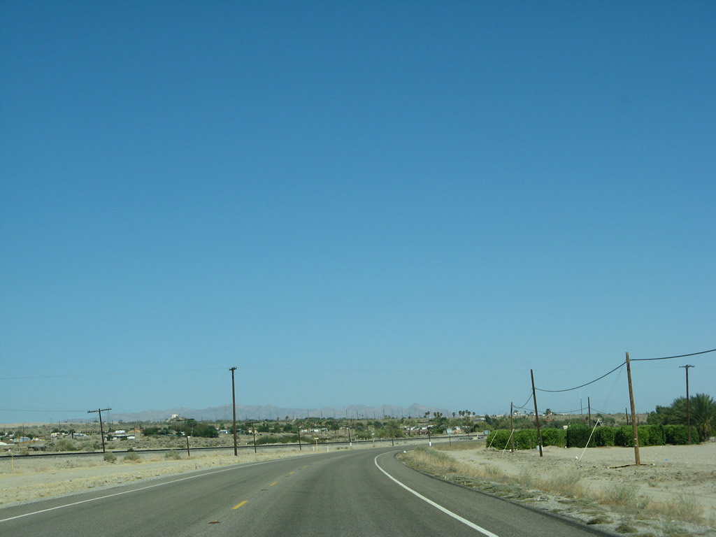
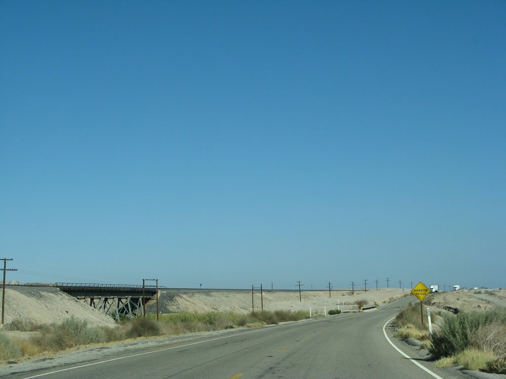
The next major intersections along California 111 south of Dillon Road in the city of Coachella will be with Avenue 49, Gateway Center, and Harrison Street, which was designated as California 86 until the California 86S bypass was constructed. This sign advises through traffic on California 111 to stay in the left lane. Photo taken 06/07/08. |
|
Back in 2006, a guide sign for California 111 south was posted in the median prior to Avenue 49. This sign was gone by 2008, replaced by palm trees and landscaping elements. Photo taken 05/07/06. |
|
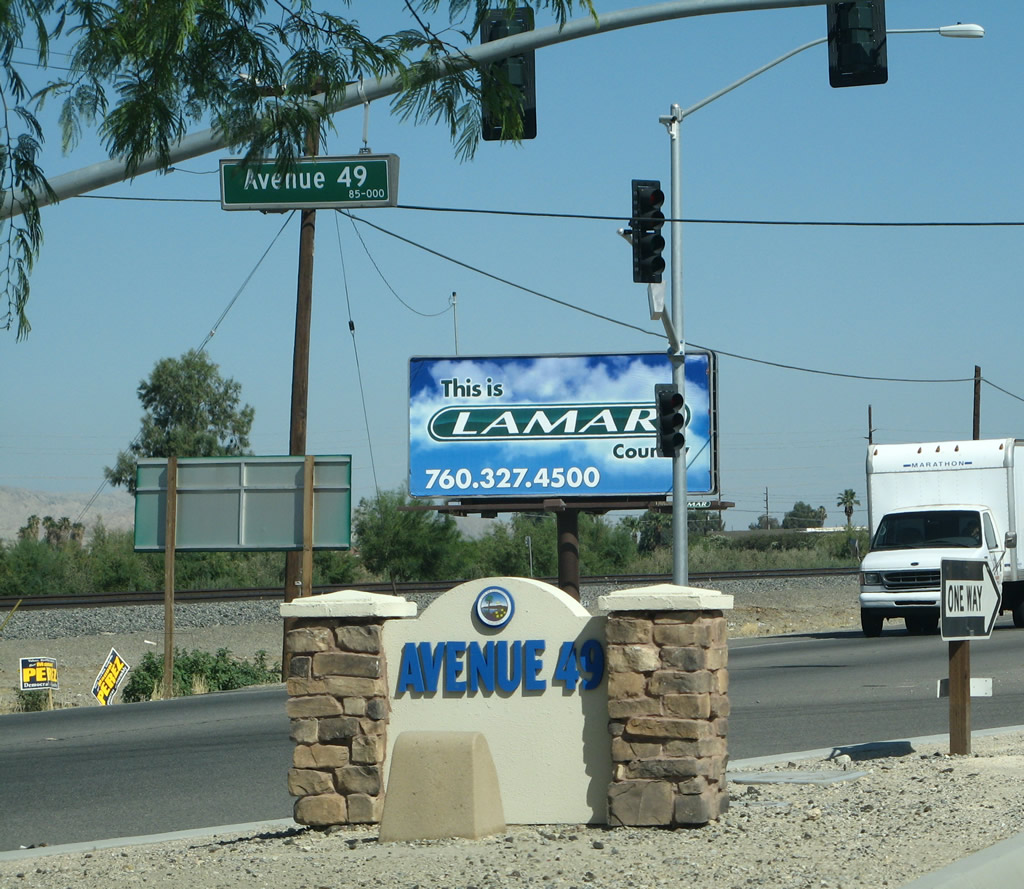
Southbound California 111 approaches Avenue 49, which travels west to Van Buren Street and provides local/residential access. Photo taken 06/07/08. |
|
This is the city-standard signage found in the median near the Avenue 49 signalized intersection. Photo taken 06/07/08. |
|
|
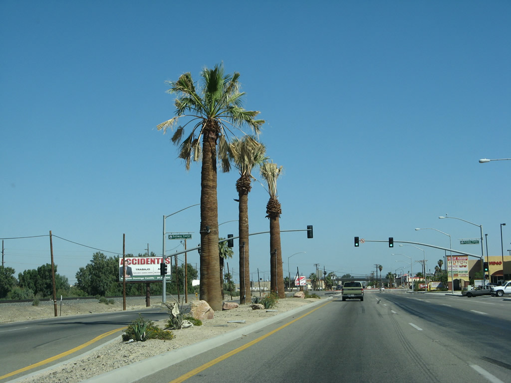
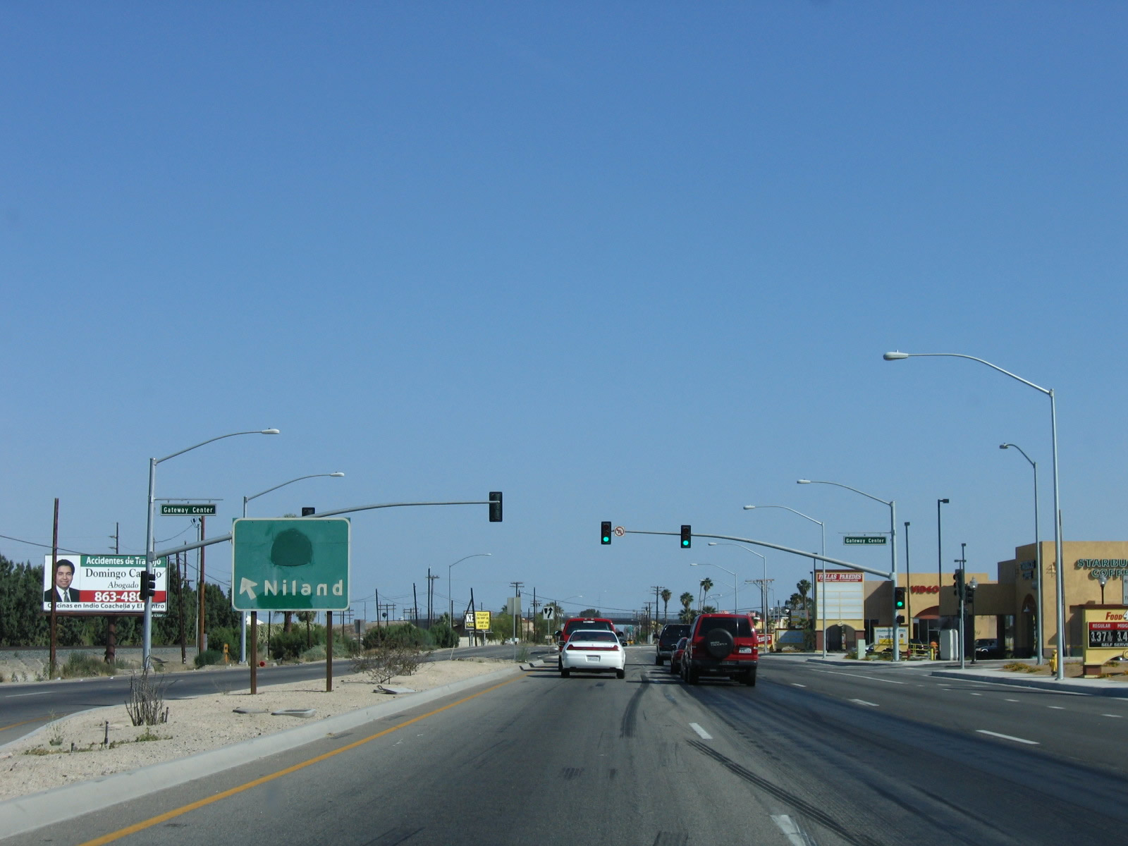
This traffic signal connects 111 with Gateway Center, which is shopping center with grocery store, food, and gas. In 2008, the median had palm trees. In 2006, the median had a "California 111 Niland" sign that had the "111" covered up. Photos taken 06/07/08 and 05/07/06. |
|
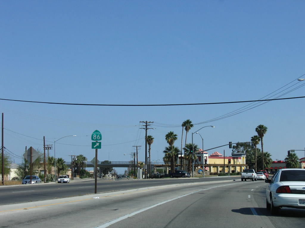
An overhead sign with lane allocations would be useful here. Through traffic on California 111 south use the left turn lane here as we approach the Grapefruit Boulevard/Harrison Street split. The right two lanes will transition directly onto Harrison Street (which is former California 86 and thus Historic U.S. 99). Photo taken 06/07/08. |
|
A California 86 trailblazer was posted in 2006 at the point where California 111 and California 86 used to diverge; this shield is now gone, since California 86 was transferred onto the California 86 Expressway (former California 86S). Photo taken 06/07/08. |
|
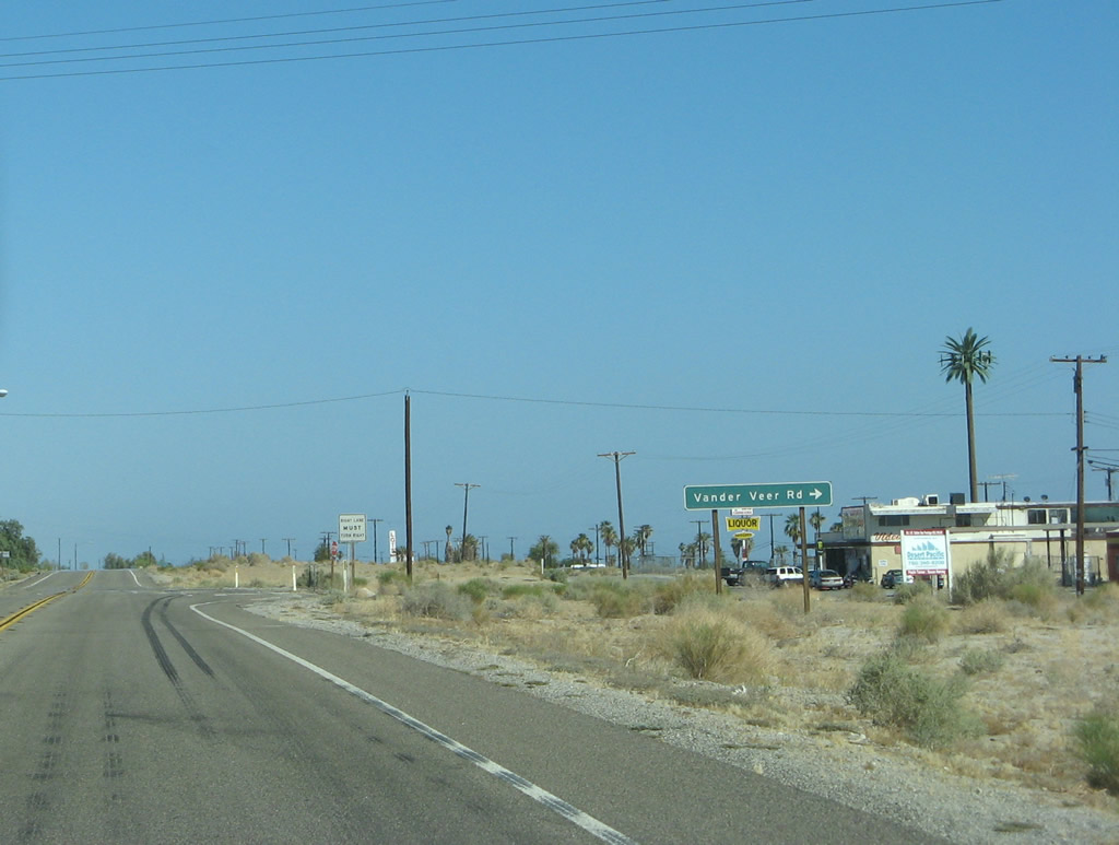
Another Coachella city-standard sign advises of the left turn for California 111 (Grapefruit Boulevard) south and straight ahead/bear right for California 86 (Harrison Street) south. Photo taken 06/07/08. |
|
Southbound California 111 and Former California 86 (Historic U.S. 99) split at this intersection. California 111 will aim southeast to leave Coachella, while Former California 86 will proceed south along Harrison Street. Former California 86 does not connect with California 86 expressway for quite some time, well south of Coachella. Photo taken 06/07/08. |
|
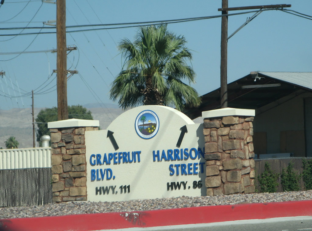
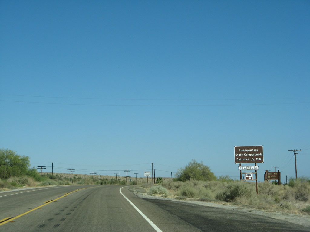
A Coachella city monument sign is found at the southeastern corner of California 111 (Grapefruit Boulevard) and Former California 86 (Harrison Street). California 111 will proceed southeast to Mecca, then skirt the eastern shore of the Salton Sea before connecting to the Imperial Valley cities of Calipatria, Brawley, El Centro, and Calexico. Since California 111 is not an expressway all the way around the Salton Sea, the fastest route south is via California 86 expressway and California 86. Photo taken 06/07/08. |
|
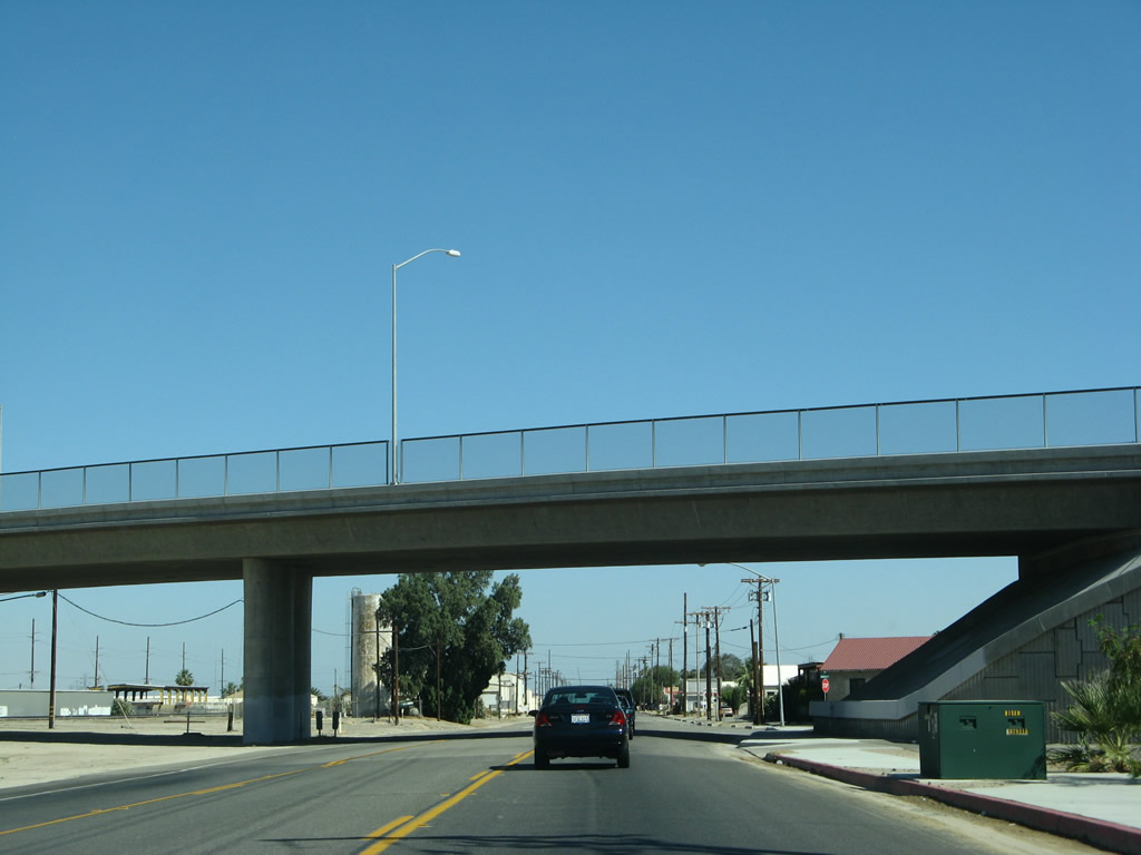
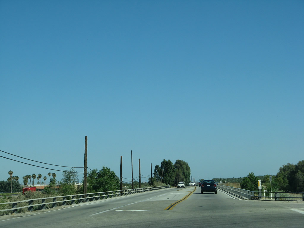
Leaving the split from Franklin Street, southbound California 111 proceeds southeast along Grapefruit Boulevard toward Thermal and Mecca. Avenue 50 crosses over California 111 and the railroad on this bridge. Photo taken 06/07/08. |
|
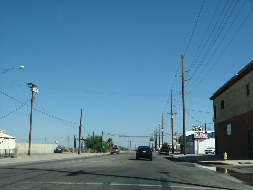
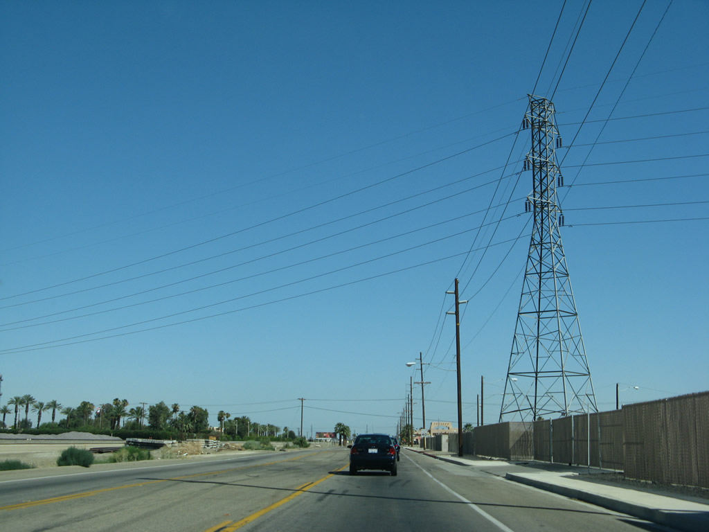
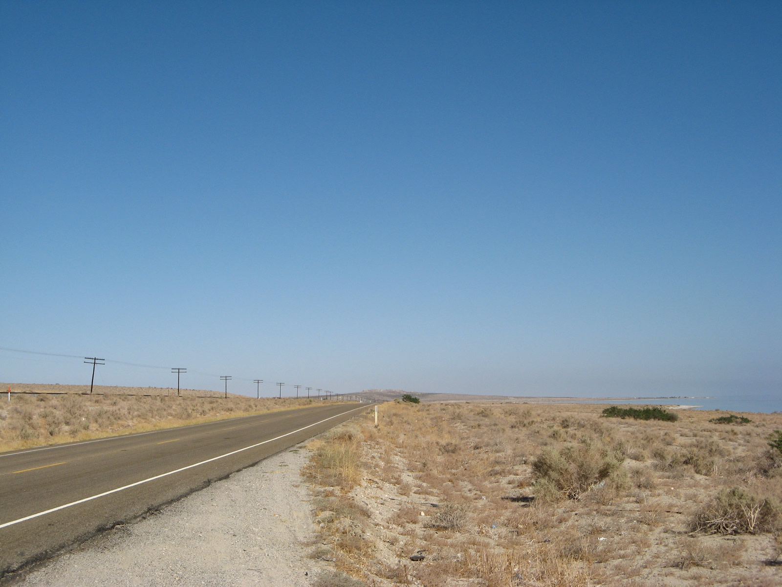
This segment of California 111 feels quite a bit different than prior segments further northwest in the Coachella Valley. First, California 111 is very close to the railroad, which results in more industrial land uses adjacent to the highway. Additionally, some of the beautification measures seen in places like Palm Desert are not evident on this particular stretch of highway. California 111 stays on the eastern edge of Coachella's developed area. Photo taken 06/07/08. |
|
Power lines converge on California 111, and a large substation is located on the west side of California 111. Photo taken 06/07/08. |
|
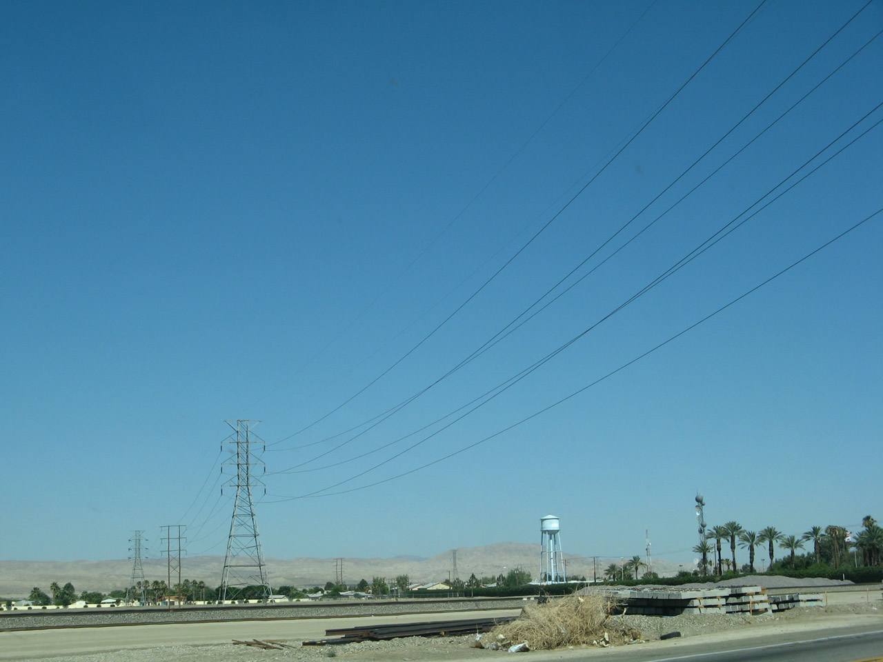
A taller tower carries power lines into the aforementioned substation. Photo taken 06/07/08. |
|
The power line will travel east from here toward another substation that connects this line in with the regional power grid. Also visible here are the railroad along with the Mecca Hills in the background. Photo taken 06/07/08. |
|
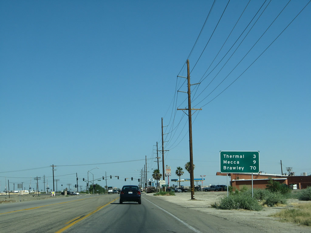
This mileage sign along California 111 south provides the distance to Thermal (three miles), Mecca (nine miles), and Brawley (70 miles). Photo taken 06/07/08. |
|
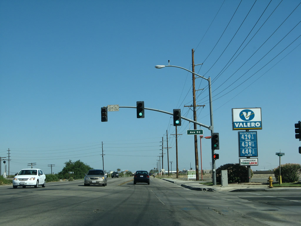
The next major intersection along southbound California 111 is with Avenue 52. Photo taken 06/07/08. |
|
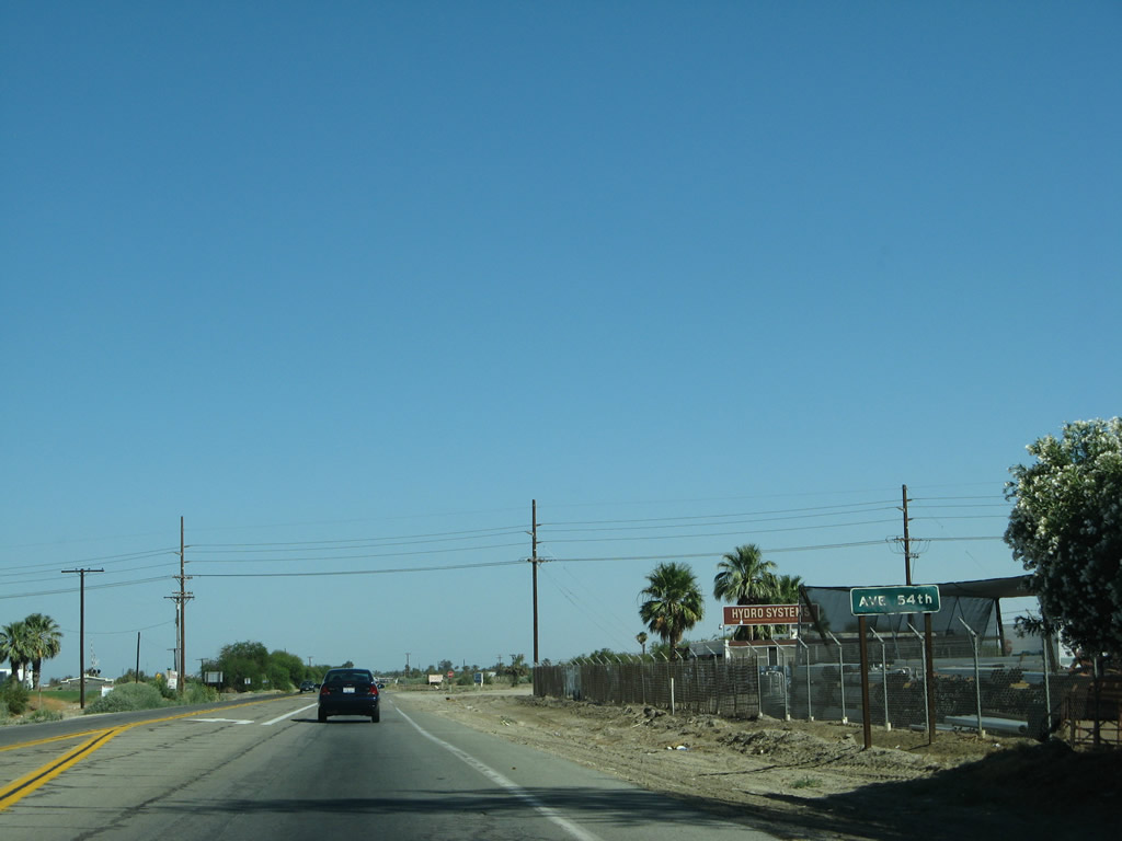
Southbound California 111 approaches Avenue 54. Unlike the consistent development seen all along the California 111 corridor thus far, areas further south open with limited or no development. Photo taken 06/07/08. |
|
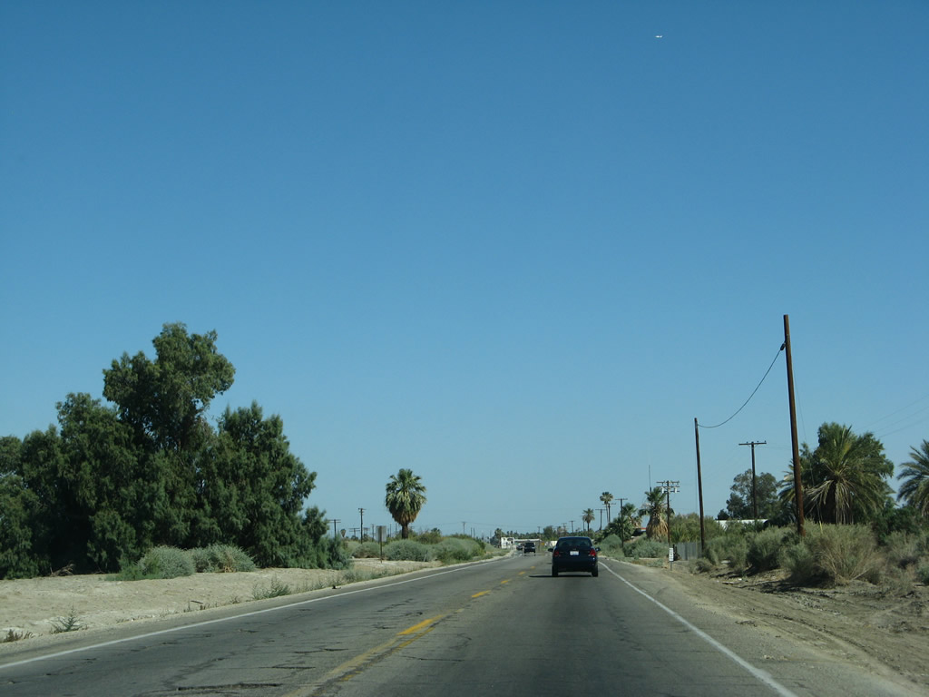
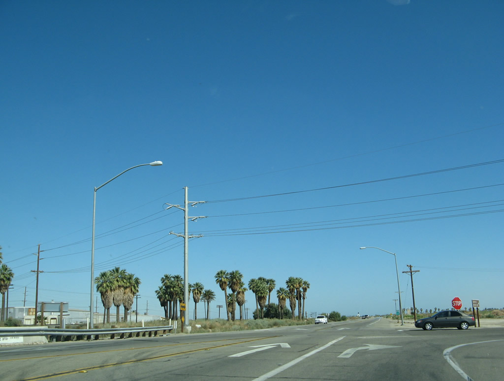
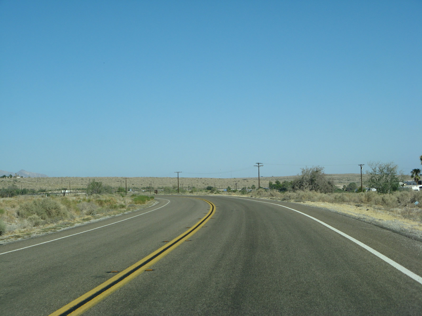
California 111 proceeds south, leaving Coachella and approaching the unincorporated community of Thermal. True to its name, Thermal has been the hottest spot in the country and may appear as the national high temperature during summer months.1 Part of this is due to its location almost 134 feet below sea level. This is not the place with the hottest extreme temperatures in the United States; that honor goes to Death Valley well north of here. Photo taken 06/07/08. |
|
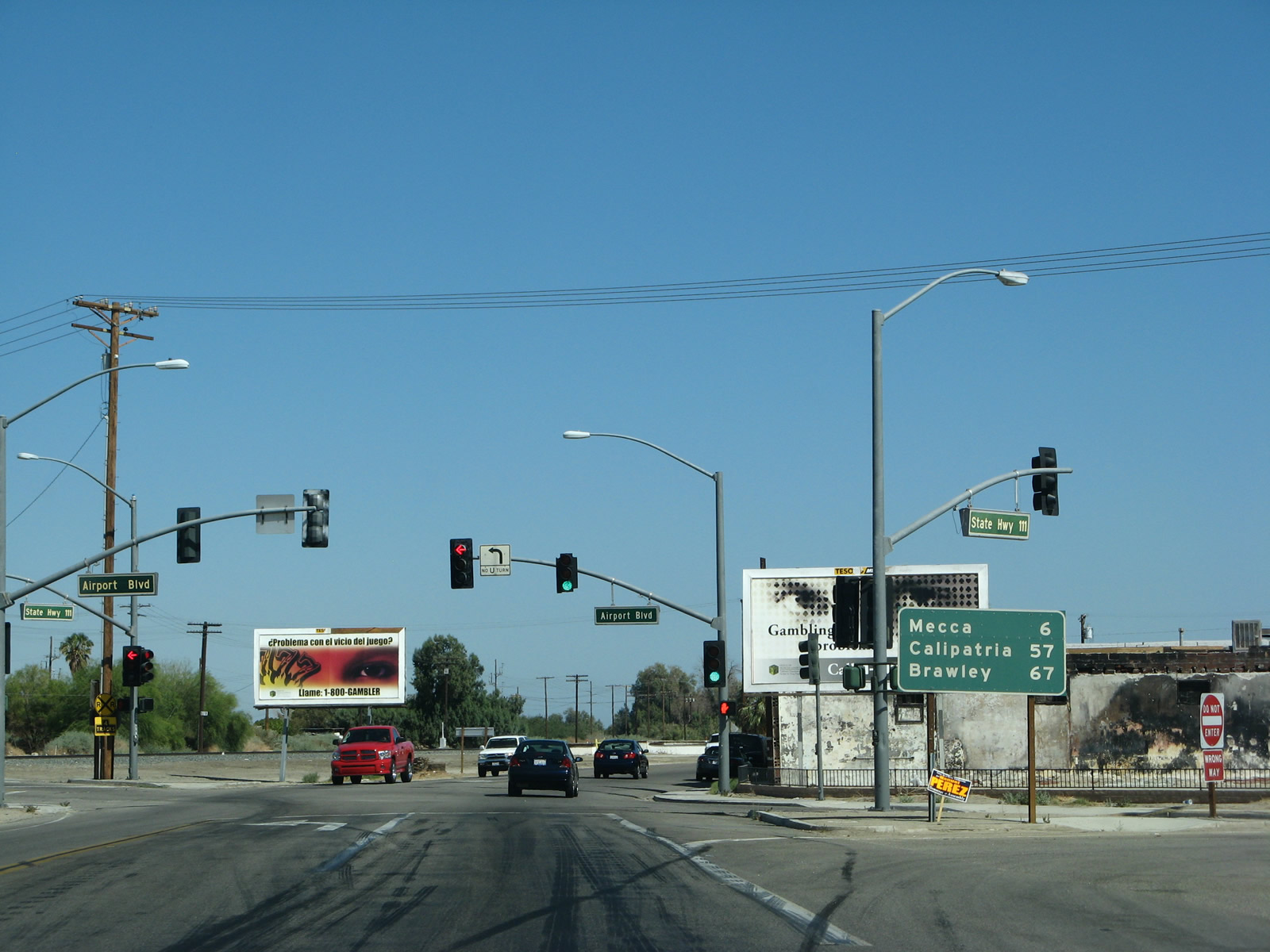
The next signalized intersection along California 111 south is with Airport Boulevard in Thermal. Photo taken 06/07/08. |
|
Southbound California 111 meets at this signalized intersection. Turn right (west) on Airport Boulevard to Jacqueline Cochran Regional Airport, a general aviation airport with an 8500-foot long runway. A mileage sign is also posted at this intersection, providing the distance to Mecca (six miles), Calipatria (57 miles), and Brawley (67 miles). Photo taken 06/07/08. |
|
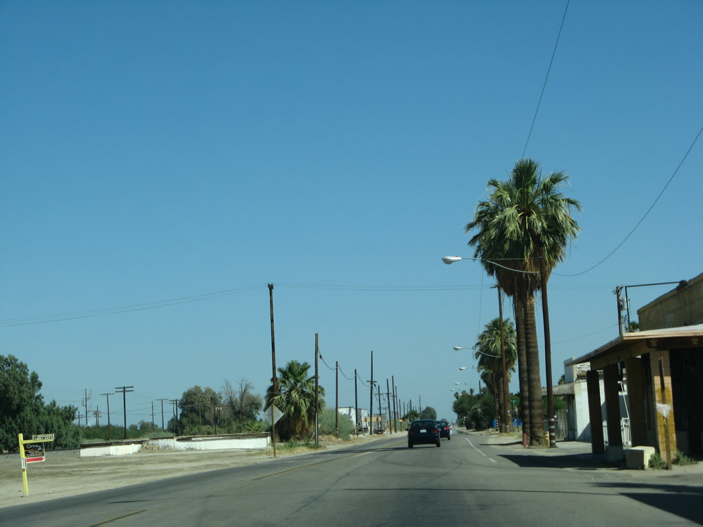
Some storefronts line the west side of California 111 in downtown Thermal after the Airport Boulevard intersection. Photo taken 06/07/08. |
|
A small forest of palms exists on the east side of California 111 just south of downtown Thermal. Photo taken 06/07/08. |
|
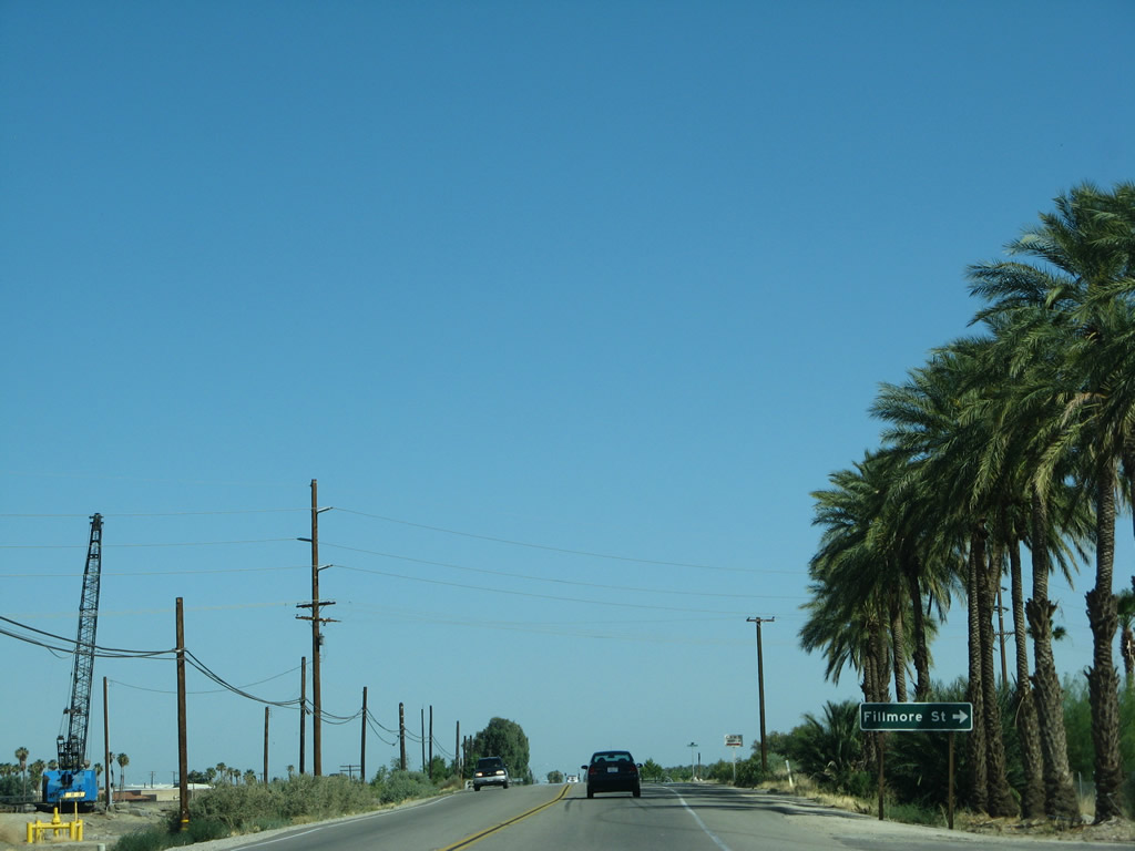
Southbound California 111 approaches Fillmore Street. Photo taken 06/07/08. |
|
California 111 south meets Fillmore Street south of Thermal. Immediately thereafter, California 111 crosses over the Whitewater River, which flows south into the north end of the Salton Sea. Photo taken 06/07/08. |
|
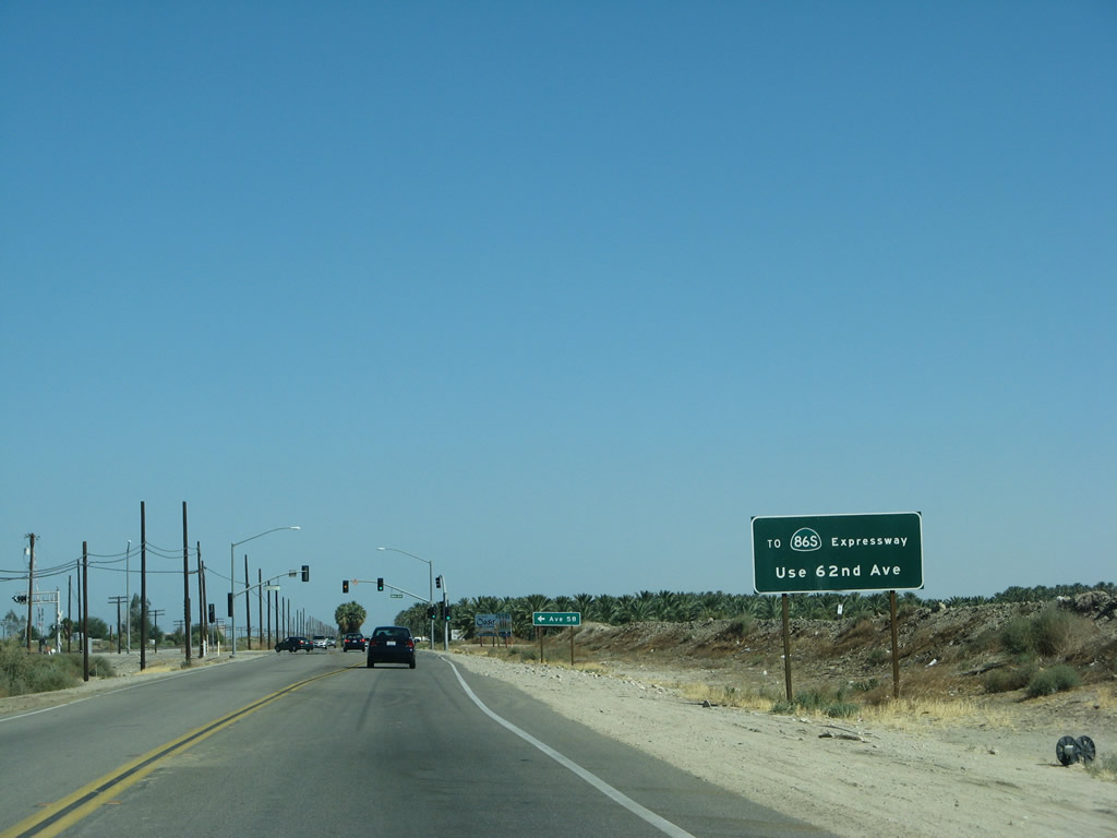
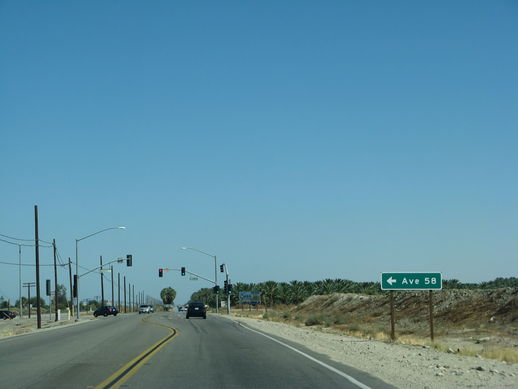
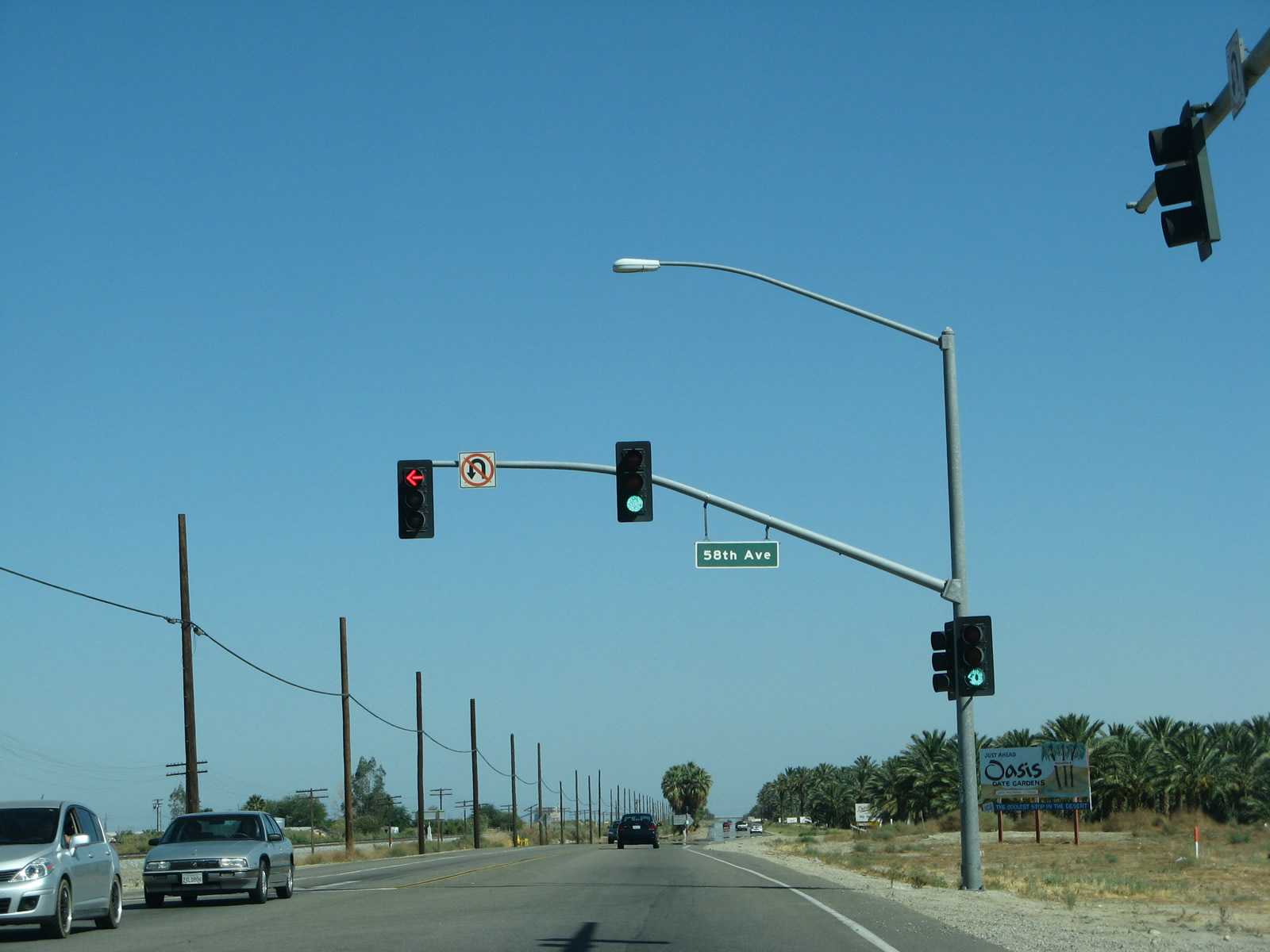
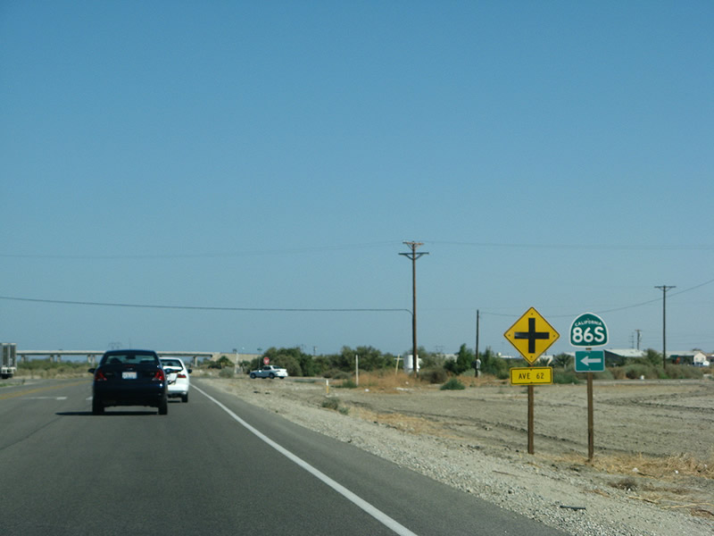
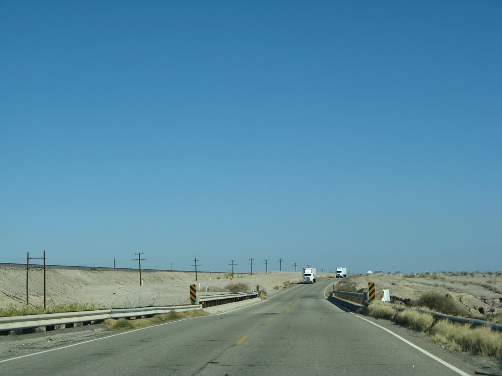
The next signalized intersection along California 111 south is with Avenue 58. To California 86, continue south on California 111 to Avenue 62 or Avenue 66. Photo taken 06/07/08. |
|
Avenue 58 travels east to provide local farm and ranch access in the southern Coachella Valley. A grade separation prevents traffic from Avenue 58 from connecting to California 86. Photo taken 06/07/08. |
|
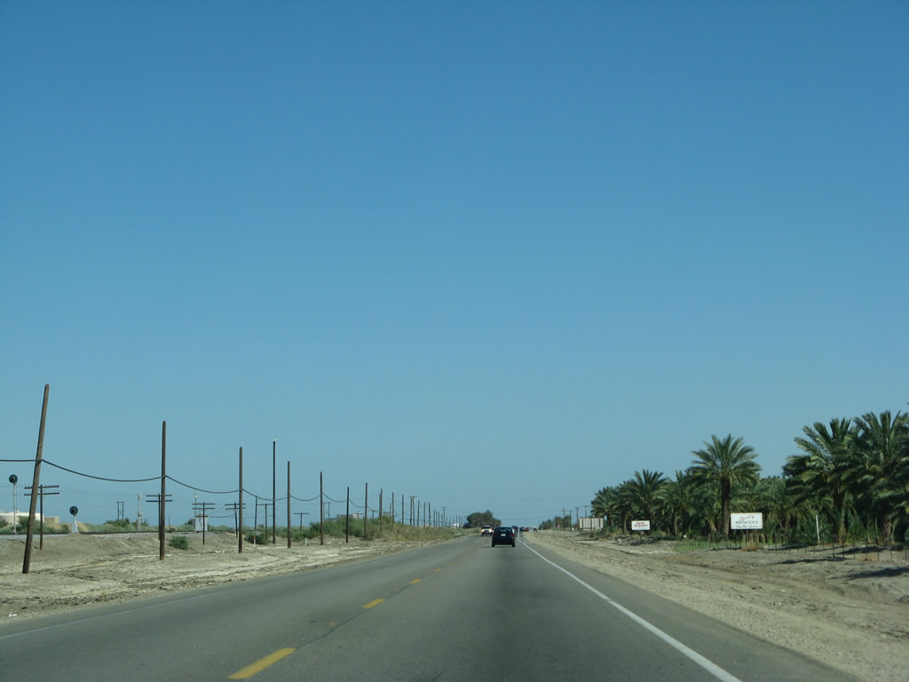
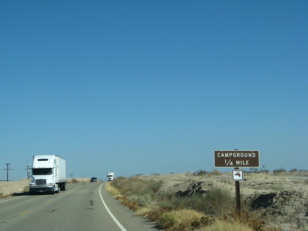
Southbound California 111 meets Avenue 58 at this signalized intersection. A billboard suggests that motorists should stop at Oasis Date Gardens, "The Coolest Stop in the Desert." Photo taken 06/07/08. |
|
|
|
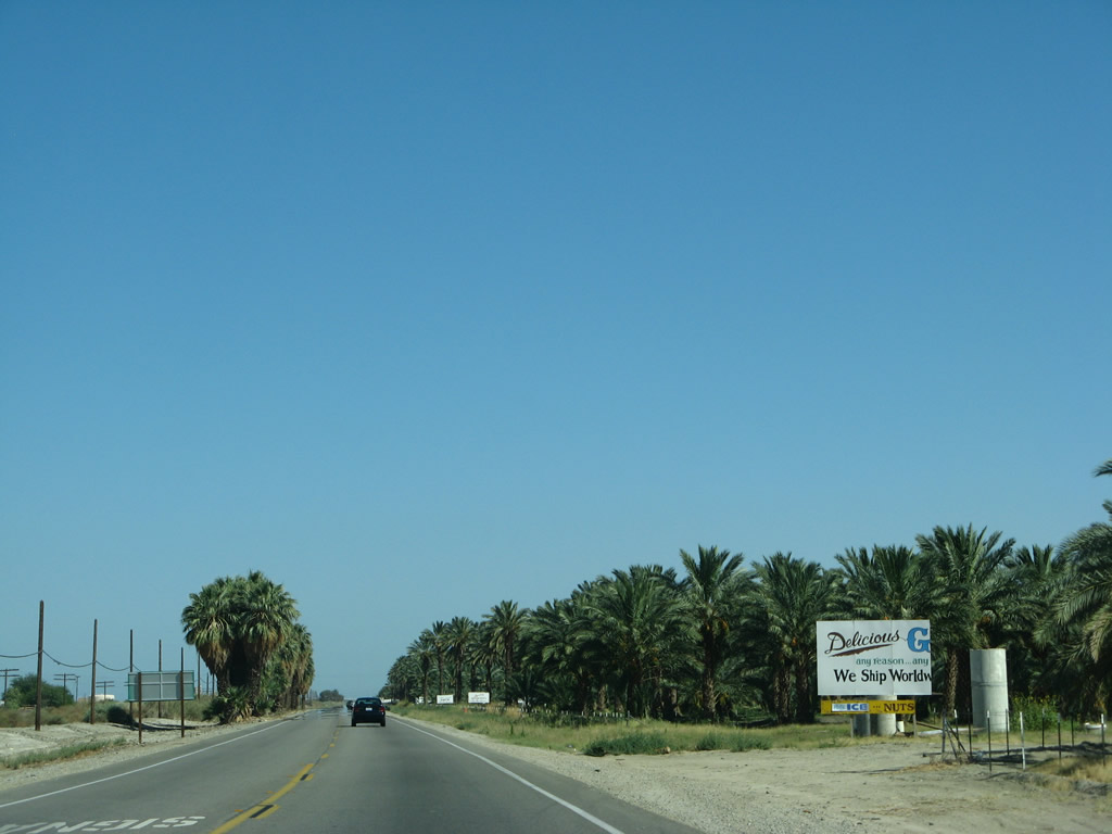
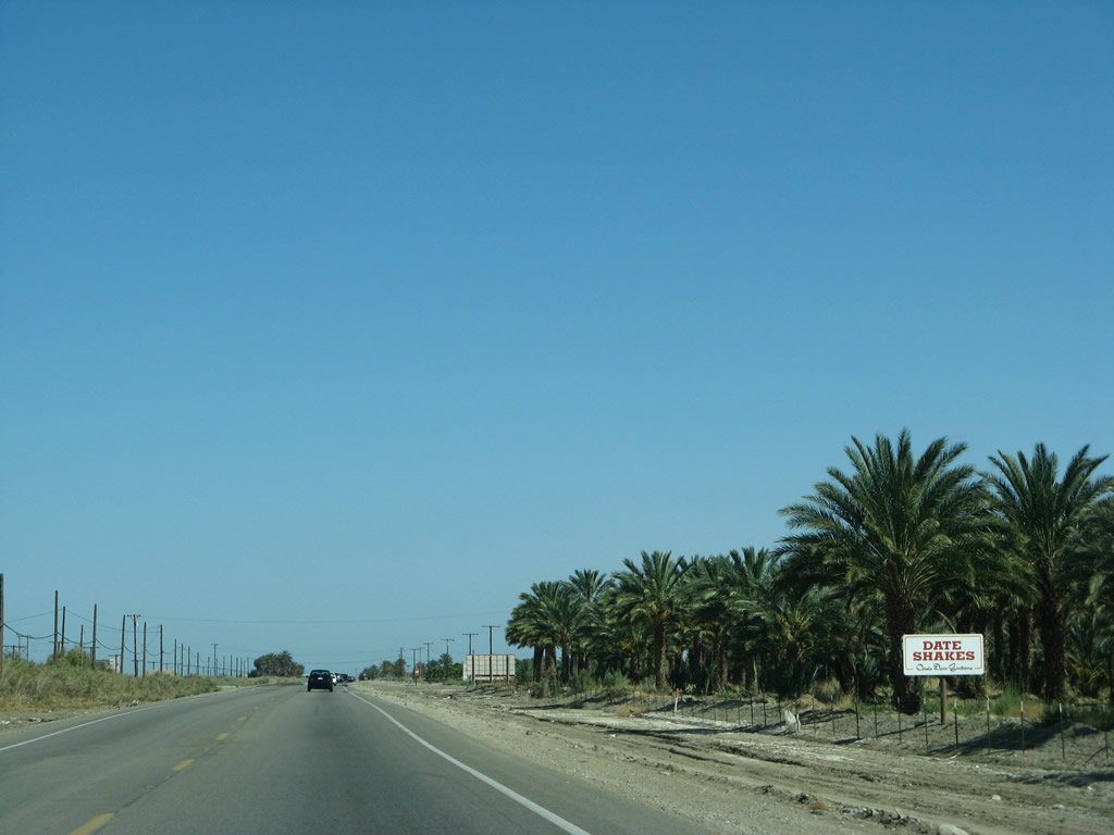
Sure enough, date palms line the west side of California 111. The entrance to the Oasis Date Gardens is on the right side of the state route. Photos taken 06/07/08. |
|
|
|
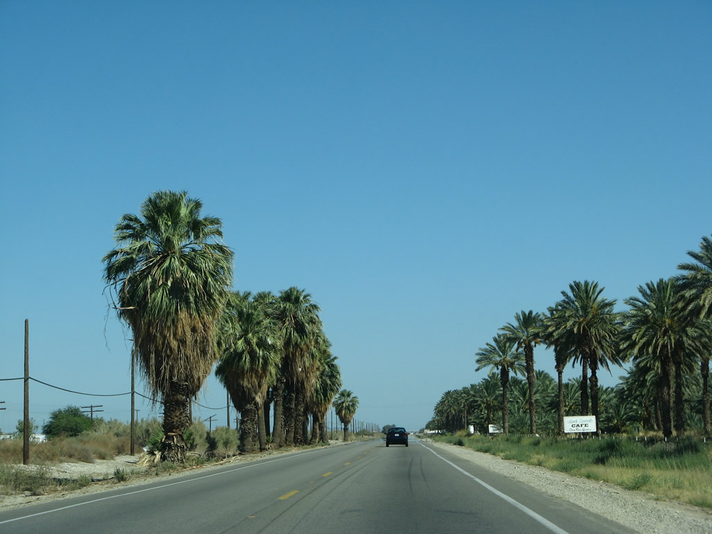
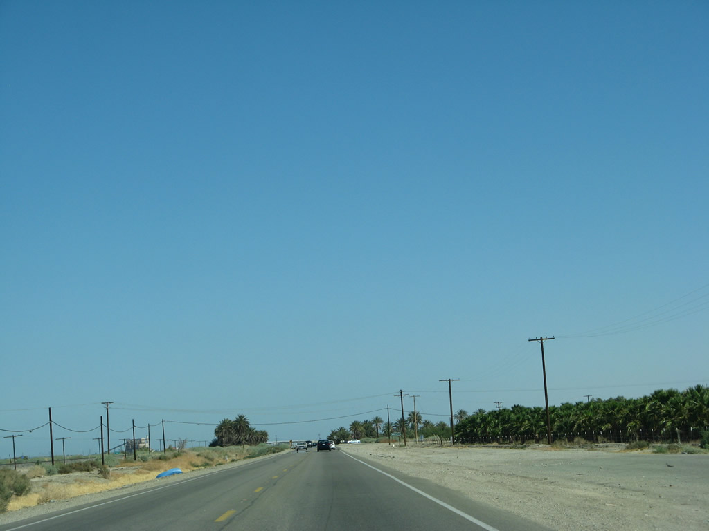
California 111 passes several date palm orchards as the highway proceeds southeast. Photos taken 06/07/08. |
|
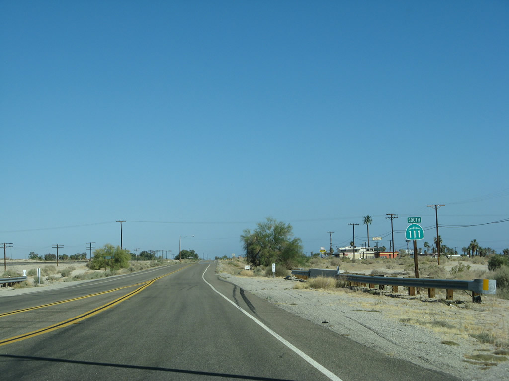
Southbound California 111 approaches Avenue 62. Turn left on Avenue 62 to connect to California 86, an expressway that travels northwest to Interstate 10 at Indio and southwest to skirt the western edge of the Salton Sea en route to Brawley via a four-lane expressway. California 111 also travels south to Brawley, but California 111 is mostly two-lane highway. Photo taken 06/07/08. |
|
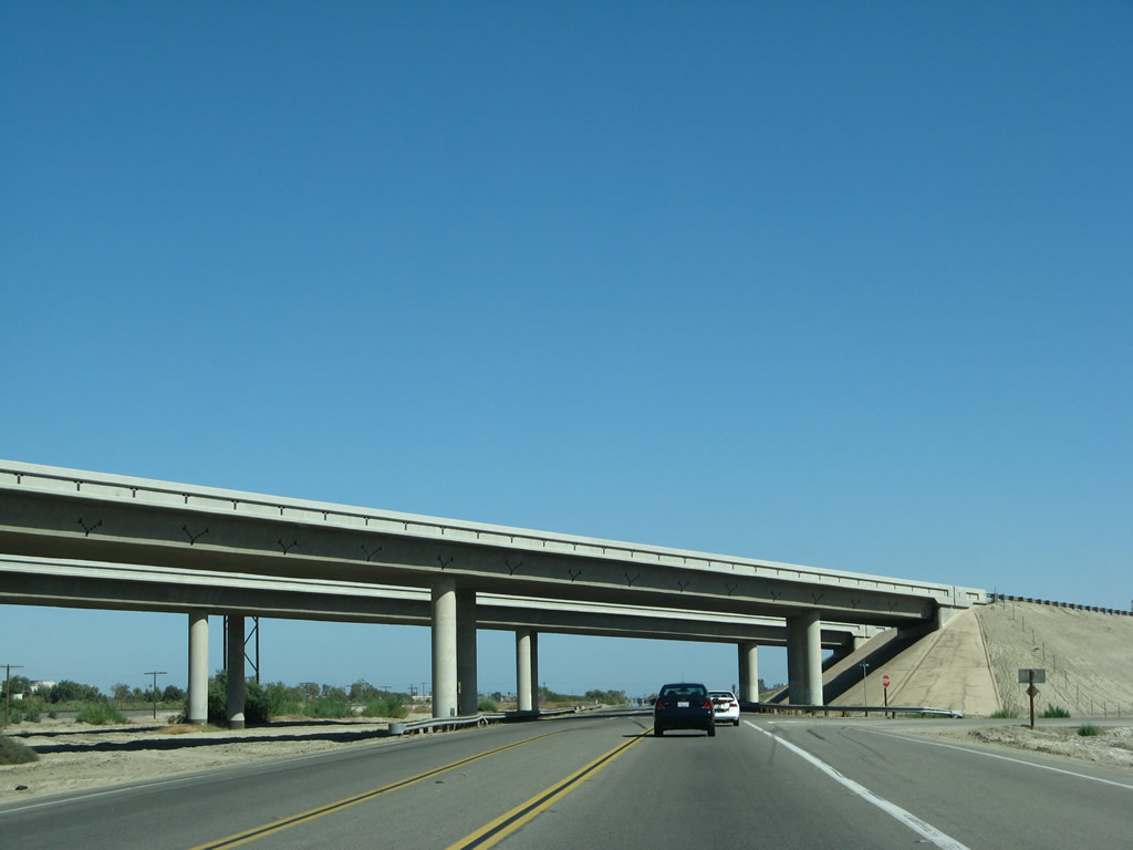
At Avenue 62, California 111 passes under the California 86 Expressway. There is no interchange here; another access route to California 86 is afforded via California 195 a few miles south of here. Believe it or not, we are still following the oldest alignment of Historic U.S. 60-70; these two routes will split off at 66th Avenue. Photo taken 06/07/08. |
|
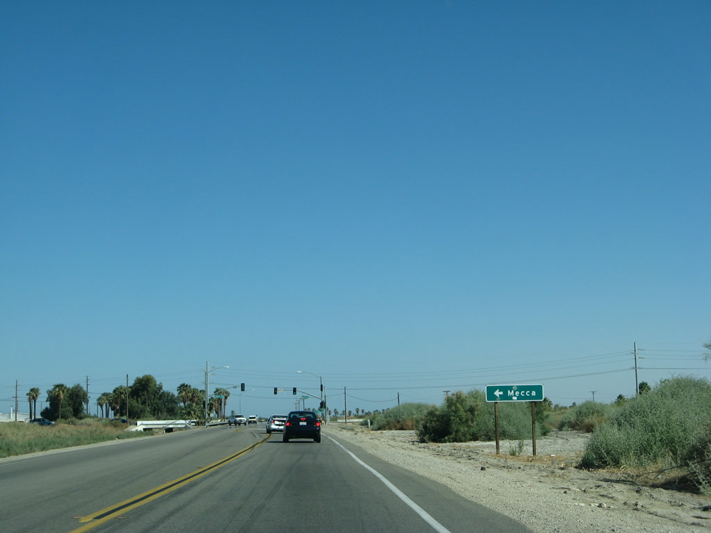
The next signalized intersection along California 111 south is with Avenue 66 east to the unincorporated community of Mecca. Photo taken 06/07/08. |
|
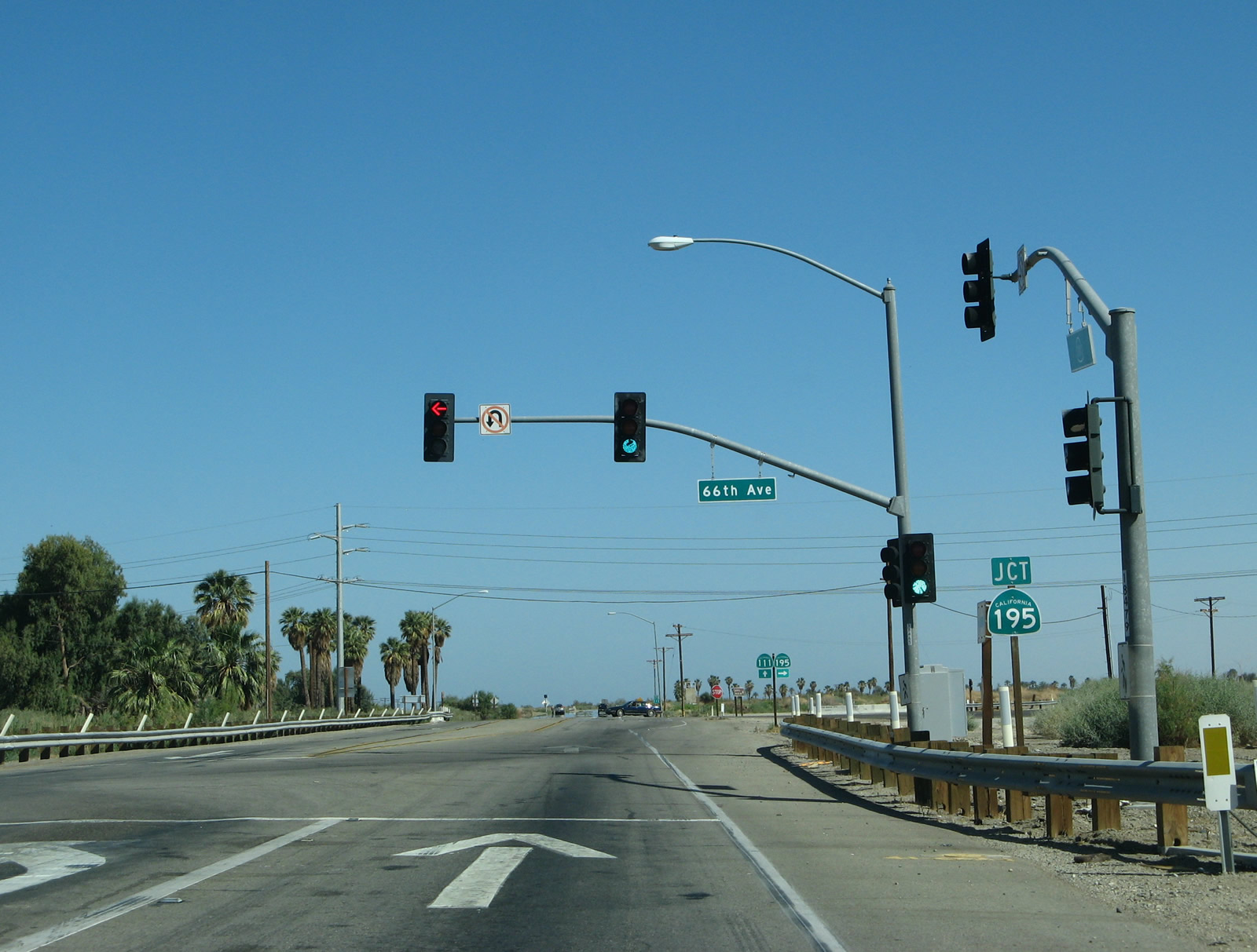
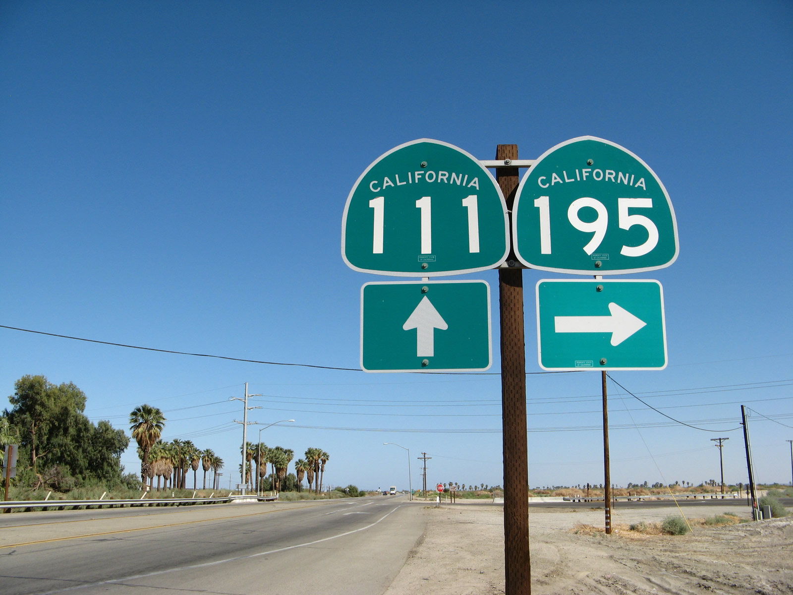
Southbound California 111 meets Avenue 66 at this traffic signal. Avenue 66 (or 66th Avenue) travels east into Mecca, an unincorporated community of 8,577 people (as of the 2010 Census). This desert community saw significant growth through the 2000s and benefitted from the extension of the California 86 expressway as well as significant growth in the other Coachella Valley communities to the northwest of here. The next intersection connects California 111 with California 195 west/south to California 86. Photo taken 06/07/08. |
|
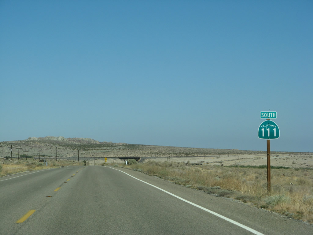
The next route marker points the way to California 111 south to Calipatria and California 195 west to California 86 en route to Brawley. This is the final decision point on whether to travel east or west of the Salton Sea. California 111 will travel on the east side of the sea and will stay fairly close to the shoreline while in Riverside County. Photo taken 06/07/08. |
|
Southbound California 111 meets California 195. Traffic on California 111 does not stop. Turn right for California 195 west to California 86 or continue straight ahead for the continuation of California 111 south. Turn left here for Historic U.S. 60-70 (original alignment) east via Box Canyon Road to Chiriaco Summit and Interstate 10. This is not a particularly fast route back to the freeway, but it does showcase some very old highway curves and alignments that date back to the origin of U.S. 60 in California. Photo taken 06/07/08. |
|
This California 111 south reassurance shield is posted after the California 195 intersection. The state route will now travel southeast alongside the eastern shore of the Salton Sea and proceed toward North Shore, Bombay Beach, Niland, and Calipatria. Photo taken 06/07/08. |
|
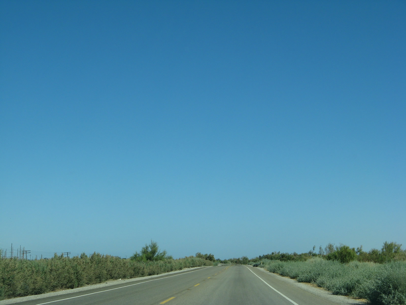
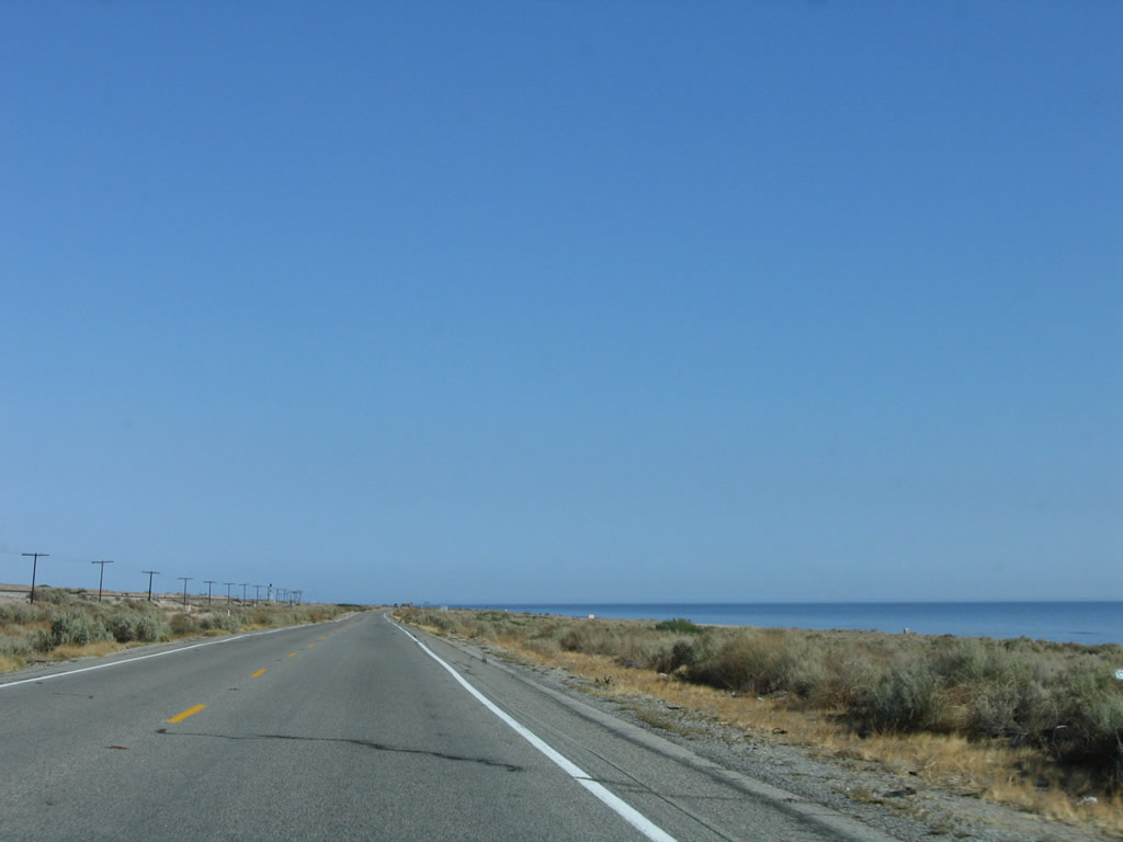
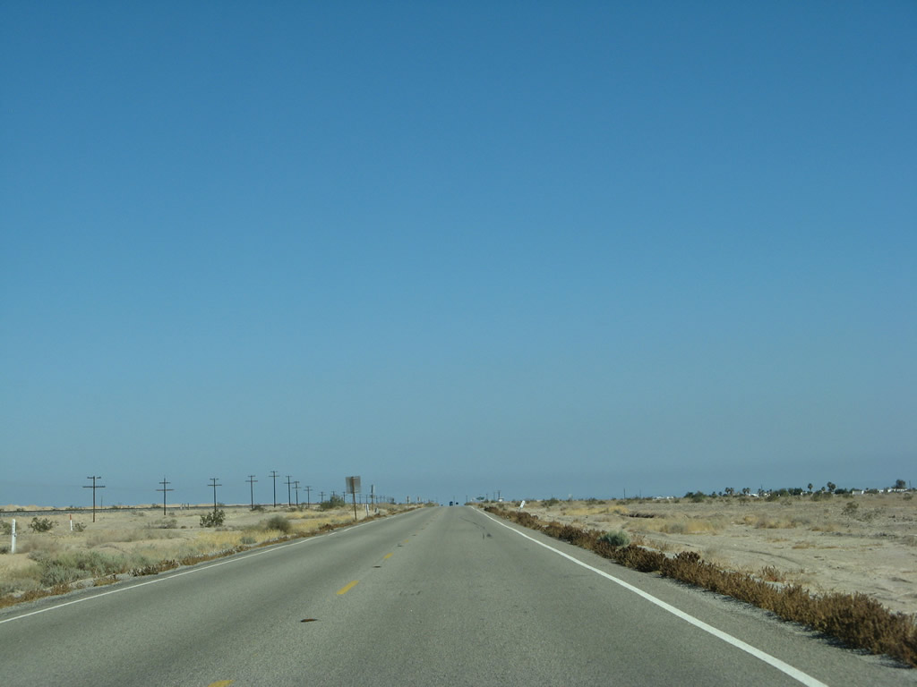
California 111 sees a rare expanse of empty road with no traffic southeast of Mecca. Photo taken 06/07/08. |
|
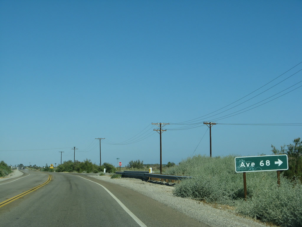
Southbound California 111 approaches Avenue 68 (next right). Photo taken 06/07/08. |
|
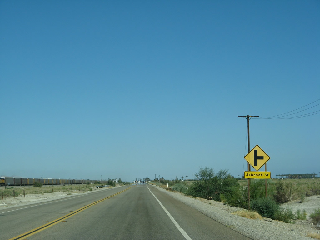
The railroad again comes into view as California 111 approaches Johnson Street (next right). Photo taken 06/07/08. |
|
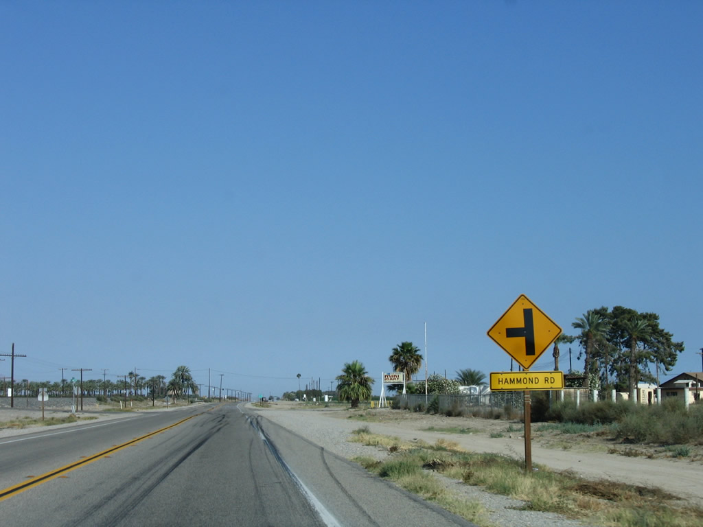
Soon thereafter, California 111 meets Hammond Road southeast of Mecca. Photo taken 05/07/06. |
|
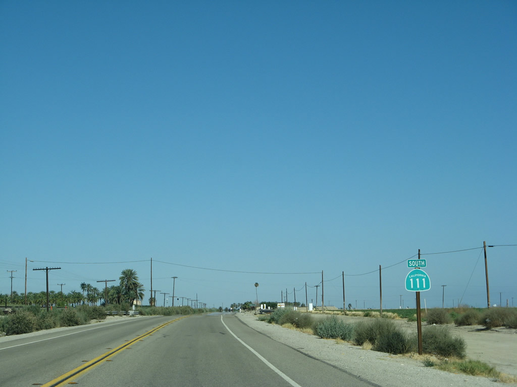
Another California 111 south reassurance shield is posted soon thereafter. Notably, few if any reassurance shields appeared on California 111 in the Coachella Valley. But now as we approach the north shore of the Salton Sea and leave the urbanized area, we see more of them with some degree of regularity. Photo taken 06/07/08. |
|
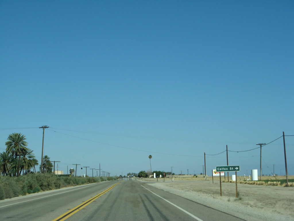
Southbound California 111 approaches Colfax Street. Photo taken 06/07/08. |
|
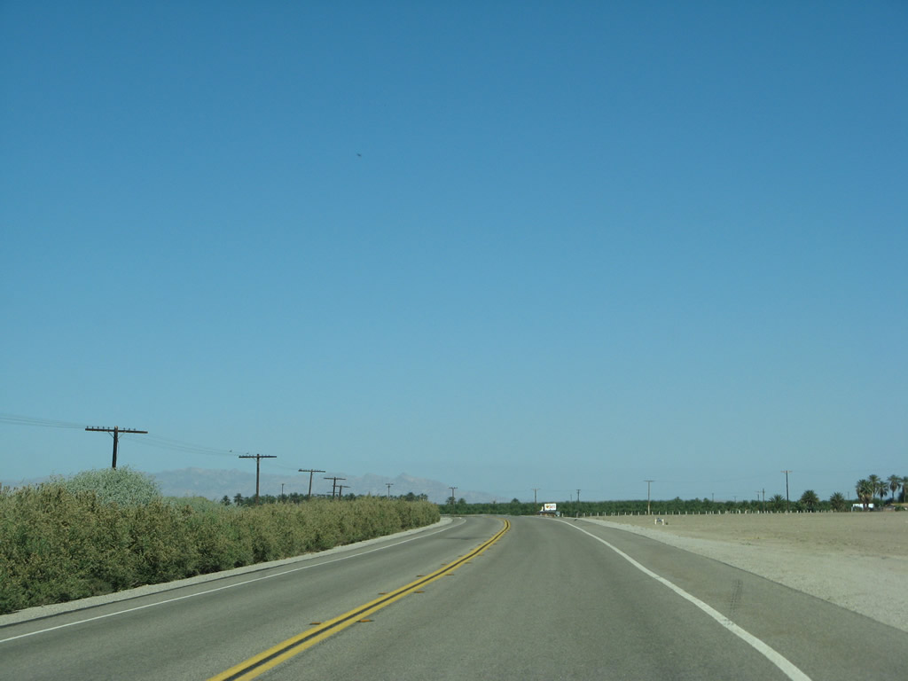
Further southeast, agriculture becomes the predominant land use along California 111. Photo taken 06/07/08. |
|
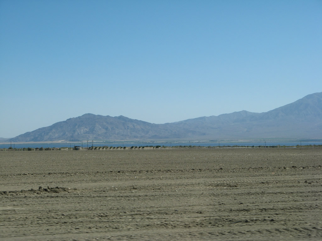
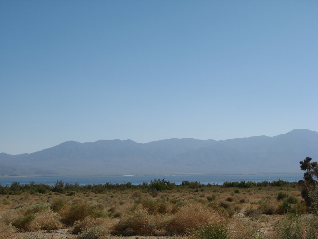
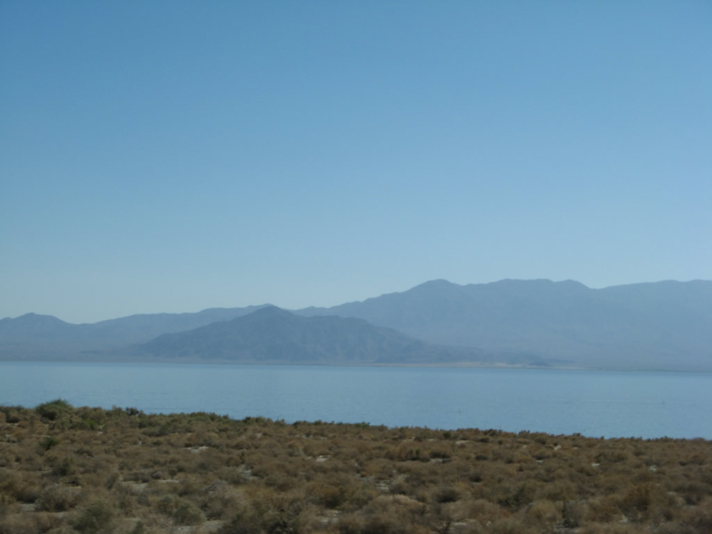
To the south , the Salton Sea comes into view from California 111. The state route curves to where it travels almost due east, and it will continue on this trajectory until reaching North Shore. Photo taken 06/07/08. |
|
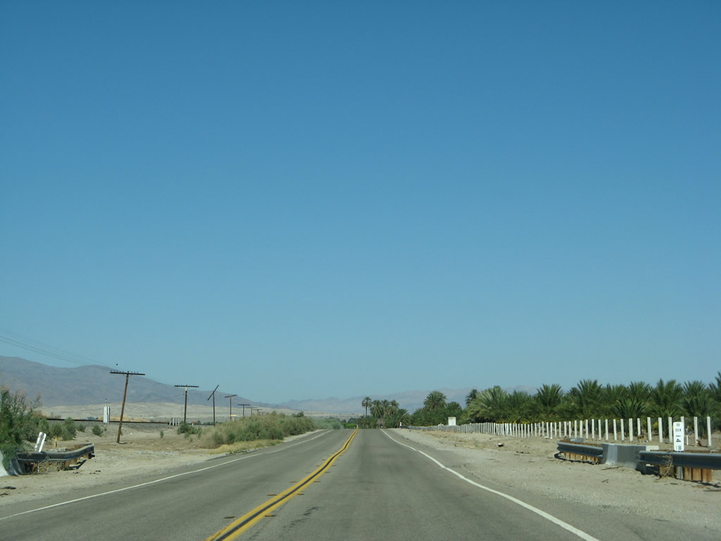
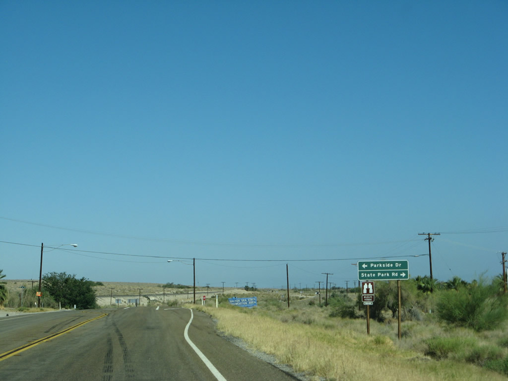
In 14 miles, California 111 will reach the Riverside-Imperial County Line (based on this postmile marker). For the next several miles, we will parallel the north shore of the Salton Sea. More farms and orchards line California 111. Portions of the shoreline of the Salton Sea are preserved as the Salton Sea State Recreation Area. Photo taken 06/07/08. |
|
|
|
|
|
| Orchards and farms follow California 111 as we travel almost due east to follow the north shore of the Salton Sea to the south and the railroad to the north. The development visible in the distance ahead is North Shore. Photos taken 06/07/08. |
|
|
|
|
|
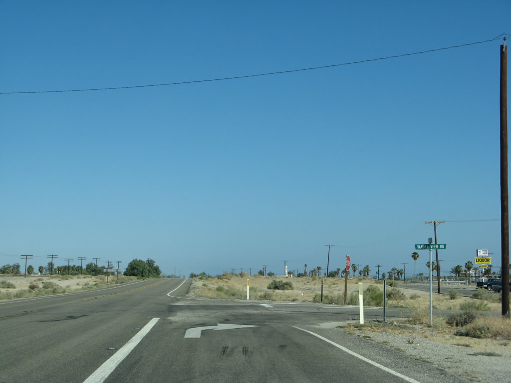
| Curving to the southeast again, California 111 approaches and enters the unincorporated community of North Shore. Developed in the 1960s as a master-planned community, North Shore had a population of 3,477 as of the 2010 Census. A notable ruin is the North Shore Beach & Yacht Club, which was inundated during the sea level rises of the 1980s. To access the abandoned club, turn right (south) on Vander Veer Road, then turn left (east) on Sea View Drive. You can return to California 111 via Desert Beach Drive northeast. Photos taken 06/07/08. |
|
|
|
|
|
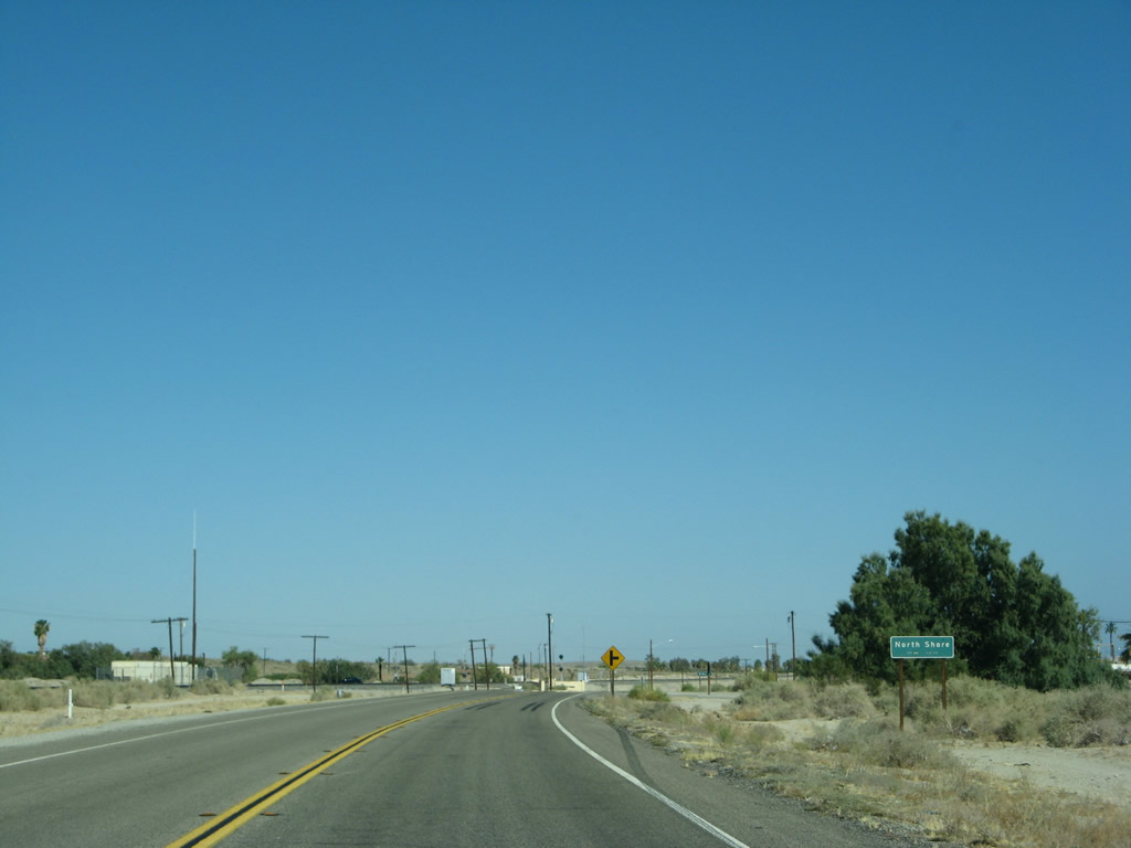
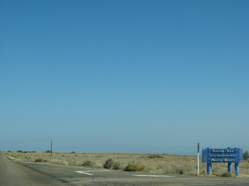
| Some limited motorist services are available in North Shore. Due to its proximity to the state recreation area, some camping is available, and some services cater to that crowd. The Salton Sea has seen its glory days, but due to agricultural runoff and pollution, its salinity has increased and usability as a recreational resource decreased. Lying at an elevation of 227 feet below sea level, the Salton Sea was formed in 1905 when the flooding Colorado River diverted into the Salton Sink rather than be tamed into a system of canals leading into the then-developing Imperial County. The flooding was stopped by 1907, but the sea remained, becoming the largest lake in California. Today, its primary sources of water are agricultural runoff, as well as the Whitewater River from the north and the Alamo and New Rivers flowing into the sea from the south. Since quite a bit of agricultural runoff flow from these rivers (especially the Alamo and New Rivers) into the Salton Sea, issues with the water quality and health of the sea remain to this day. A state governmental agency, the Salton Sea Authority, is in place to restore the Salton Sea.2, 3, 4 Photos taken 06/07/08. |
|
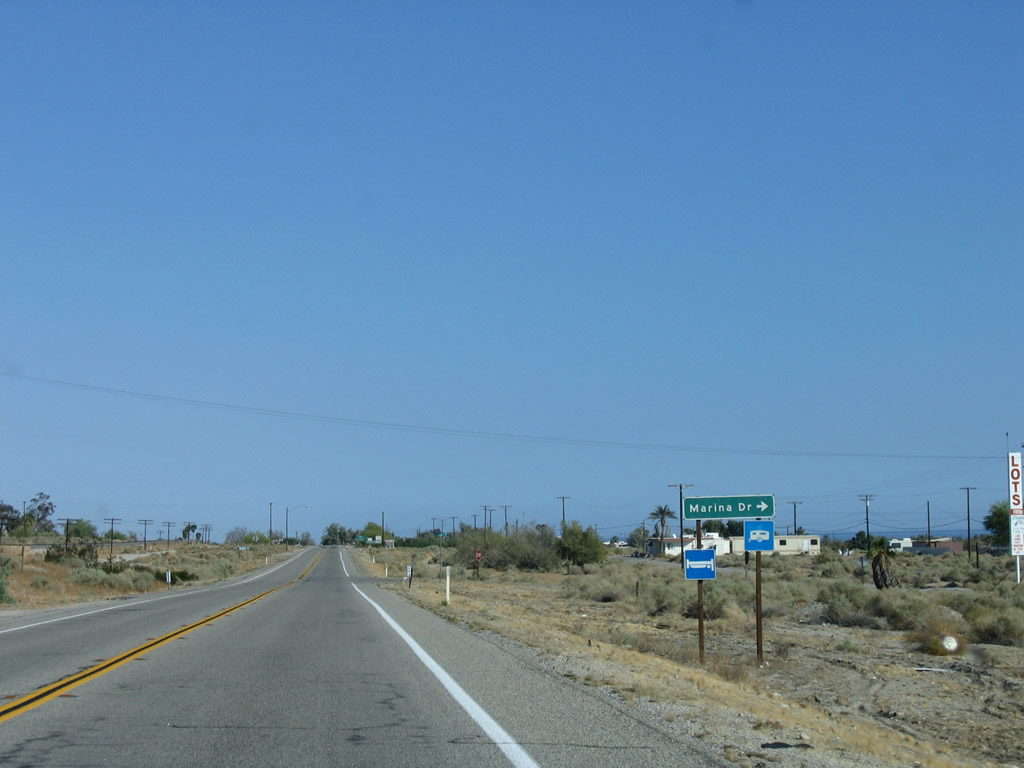
California 111 next approaches Marina Drive (next right). Photo taken 05/07/06. |
|
Still in North Shore, southbound California 111 approaches Desert Beach Drive. Turn left here to access the North Shore Beach & Yacht Club. Photo taken 06/07/08. |
|
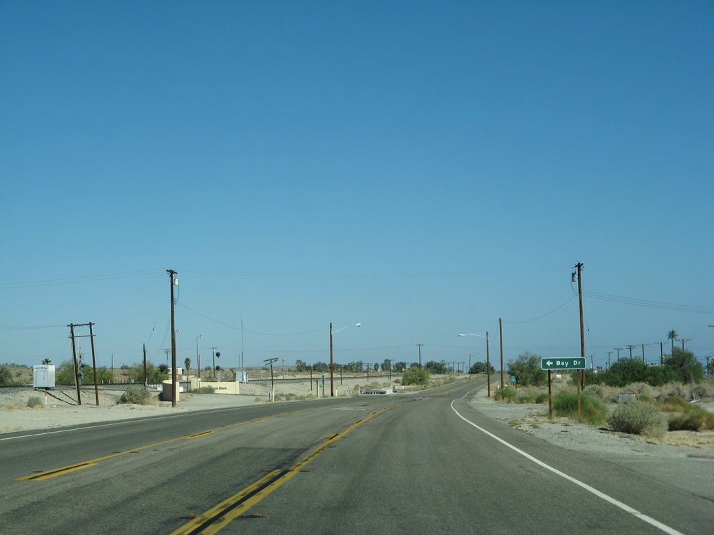
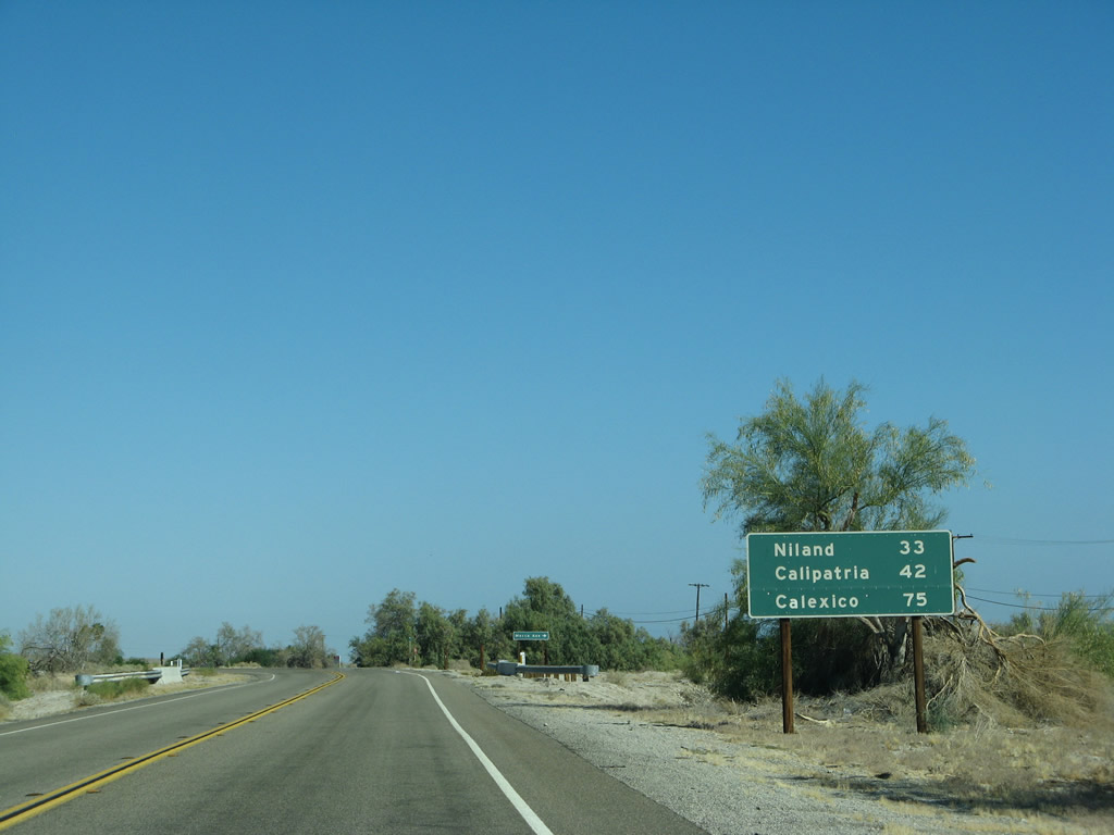
This mileage sign, posted after Desert Beach Drive, provides the distance along California 111 south to Niland (33 miles), Calipatria (42 miles), and Calexico (75 miles). Photo taken 06/07/08. |
|
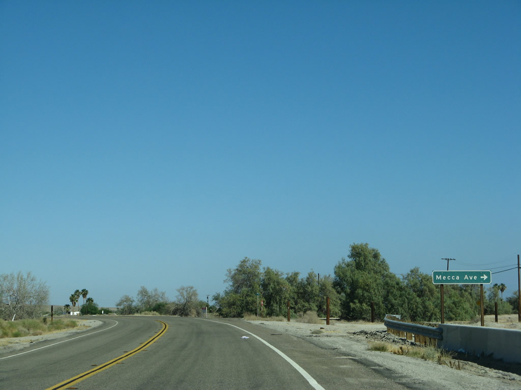
Southbound California 111 approaches Mecca Avenue, which serves a small residential community found between the state highway and shoreline. Photo taken 06/07/08. |
|
|
|
|
|
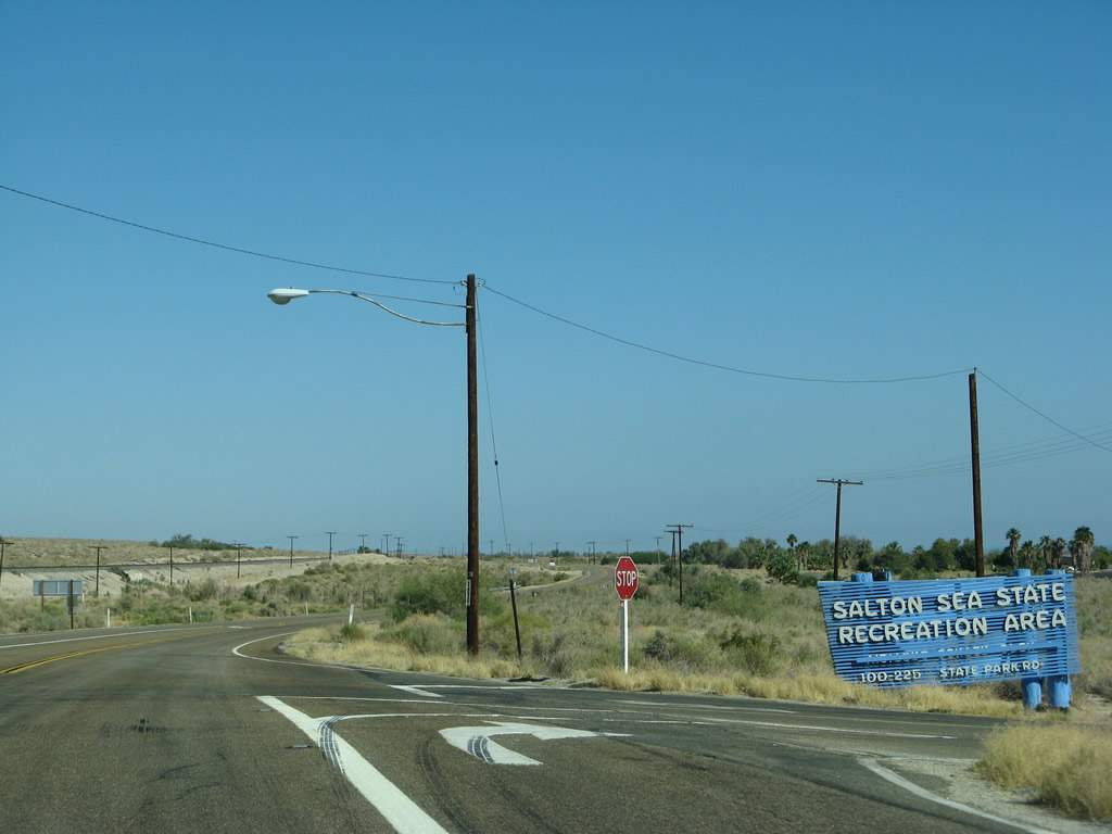
| Still parallel to the railroad, California 111 curves southeast toward the main entrance of the Salton Sea State Recreation Area. Camping is a popular activity here especially in the wintertime, when temperatures moderate and do not reach the extremes seen in the summertime. Due to seasonal closures and state park budget pressures, it is wise to check the official webpage before planning an overnight stay at this site. Photo taken 06/07/08. |
|
|
|
|
|
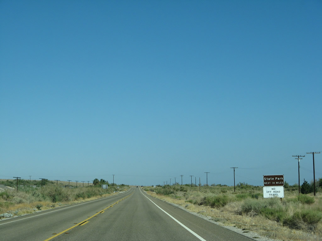
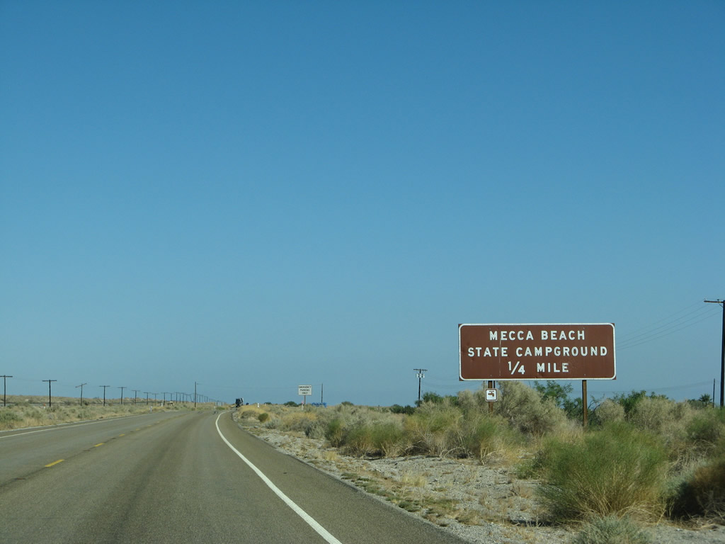
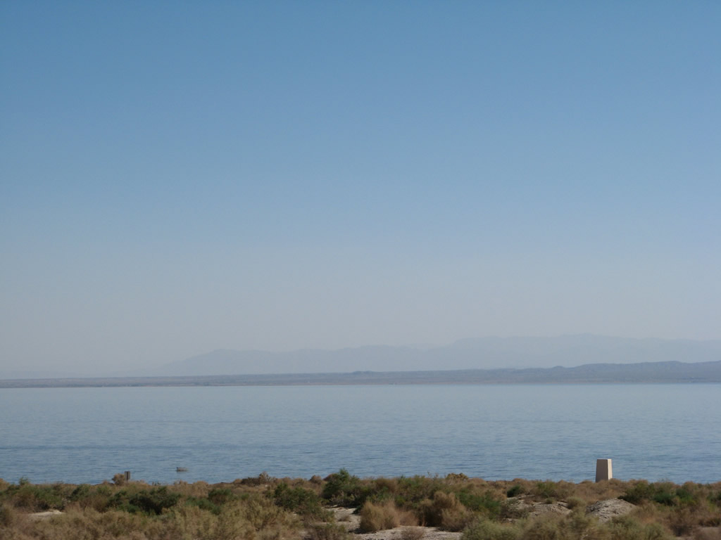
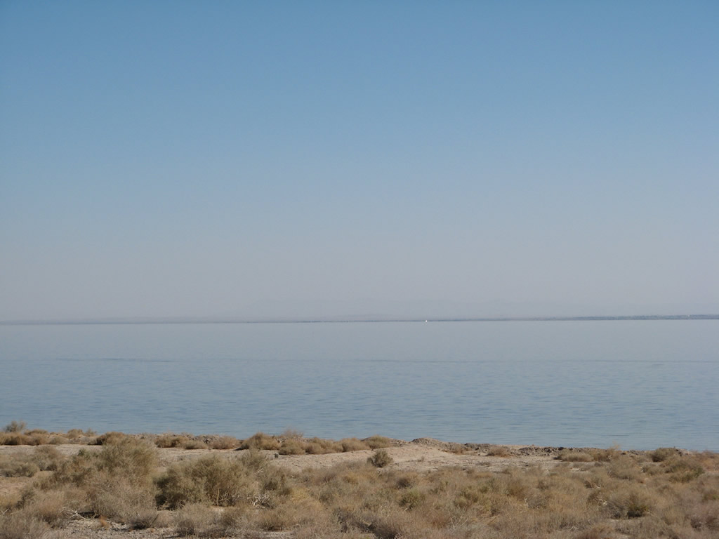
| For the next 14 miles, California 111 will pass through the Salton Sea State Recreation Area, which is protected land restricted from off road activity. A turnoff serves the Mecca Beach Campground. Some of the best views of the Salton Sea are from this stretch of California 111, which stay close to the shoreline has limited development separating the highway from the sea. Similar close vantage points are not common along the California 86 expressway on the west side of the sea. Photo taken 06/07/08 and 05/07/06. |
|
|
|
|
|
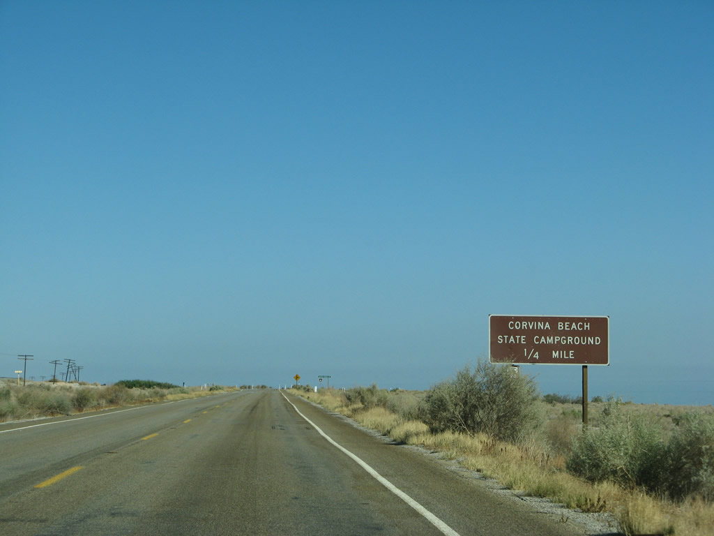
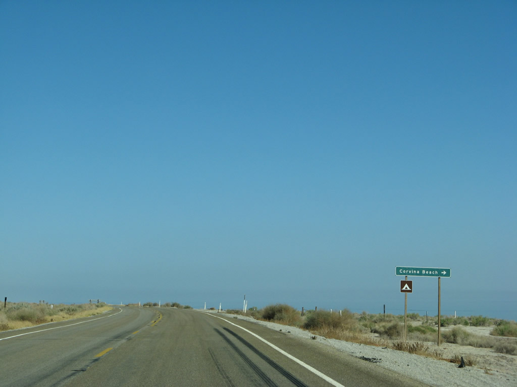
| California 111 next approaches a turnoff to the Corvina Beach Campground. More roadside views of the Salton Sea are also available. Photo taken 06/07/08. |
|
|
|
|
|
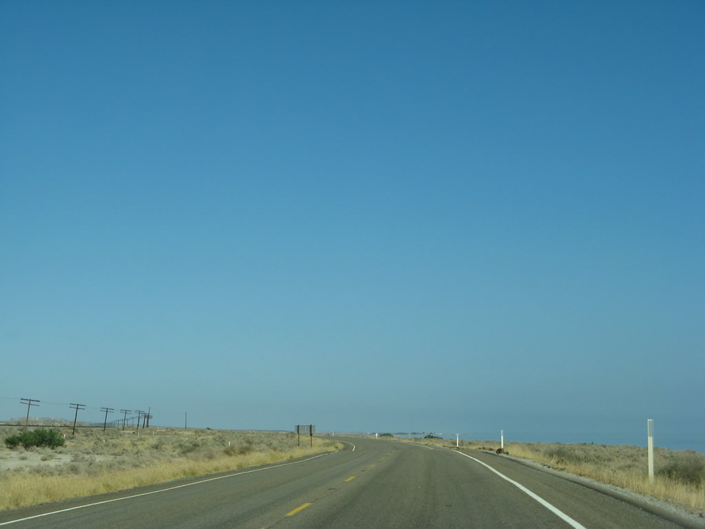
| Continuing southeast through the state recreation area, California 111 stays a bit lower in elevation as compared to the railroad. A bridge carries the highway over a wash, and the railroad's bridge raises it higher than the highway. Photo taken 06/07/08. |
|
|
|
|
|
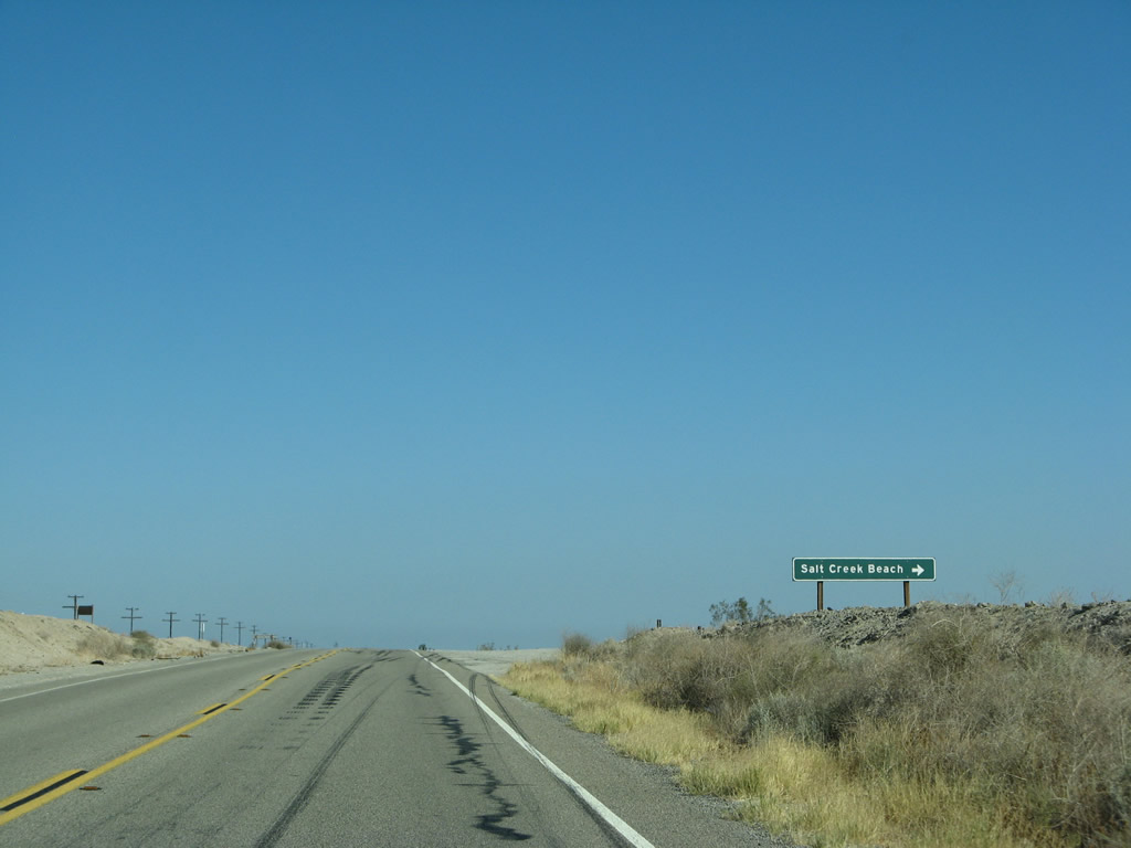
| Southbound California 111 approaches Salt Creek Beach, another campground within the state recreation area. Soon thereafter, California 111 leaves Riverside County and enters Imperial County. California 111 will remain within Imperial County for the remainder of its route, all the way to Calexico and the International Border (Frontera Internacional). Photo taken 06/07/08. |
Page Updated March 29, 2013.