
California 182
Southbound California 182 approaches its end at U.S. 395 in Bridgeport in the scenic Eastern Sierra Nevada. Photo taken 07/25/09.
California 182 is part of a bistate corridor from U.S. 395 at Bridgeport north to Wellington, Nevada. The route in Nevada is known as Nevada 338, and the route spends much of its time passing through the Humboldt Toiyabe National Forest.
| California 182 north | |
|---|---|
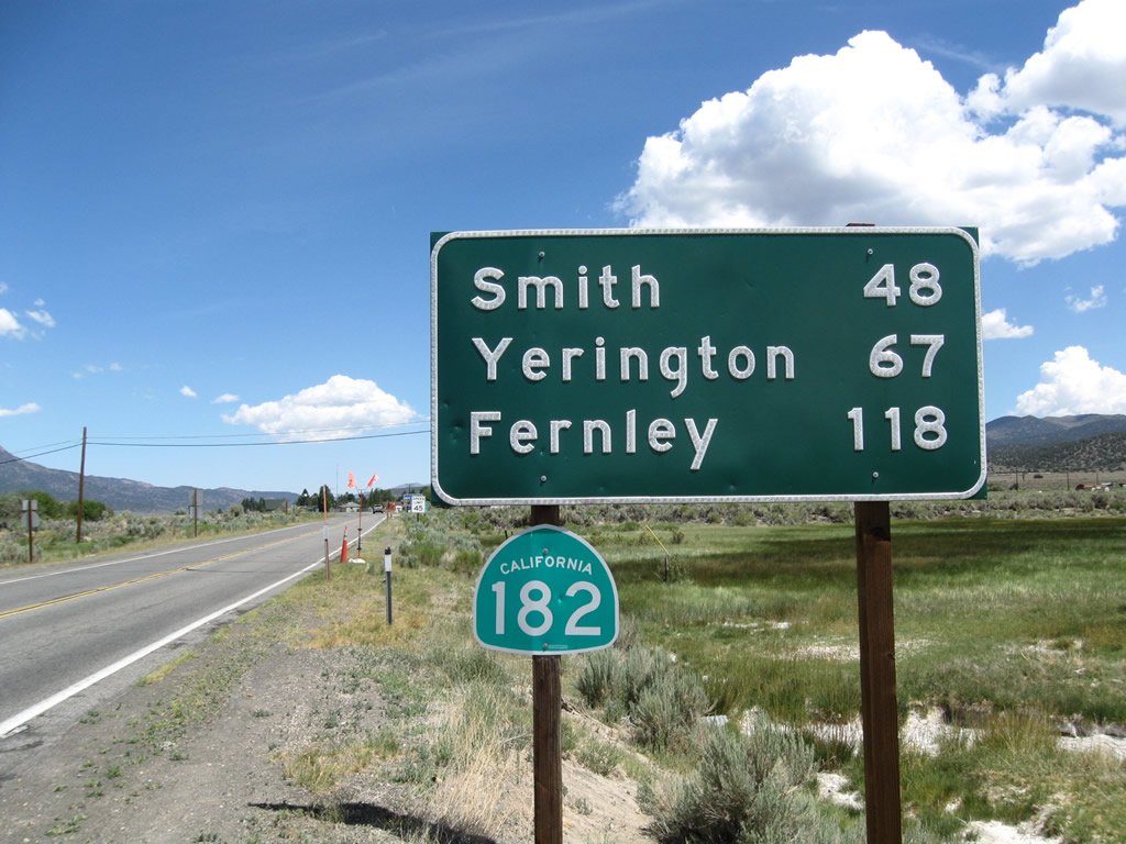 |
Upon leaving the U.S. 395 intersection, northbound California 182 begins with a mileage sign that provides the distance to three destinations in Nevada: Smith (48 miles), Yerington (Alternate U.S. 95, 67 miles), and Fernley (Interstate 80, 118 miles via Alternate U.S. 95 north). California 182 will follow the East Walker River to Devils Gate, where the highway leaves California and enters Nevada. Photo taken 07/25/09. |
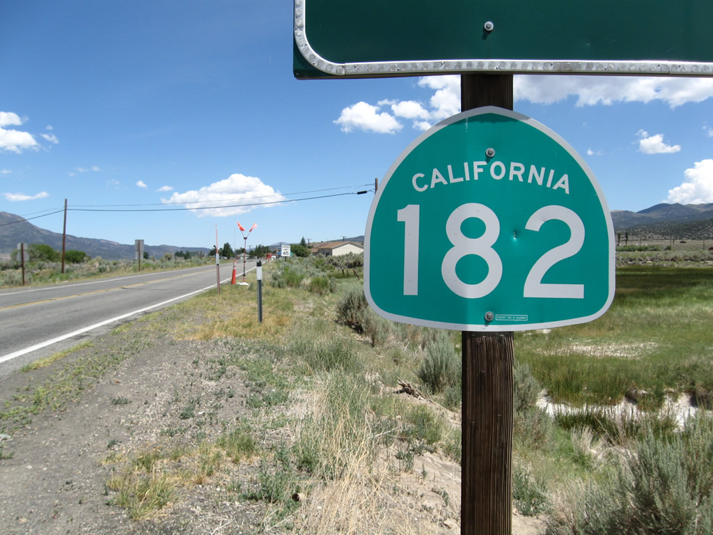 |
This is the first California 182 north reassurance shield; it is posted below the mileage sign. Photo taken 07/25/09. |
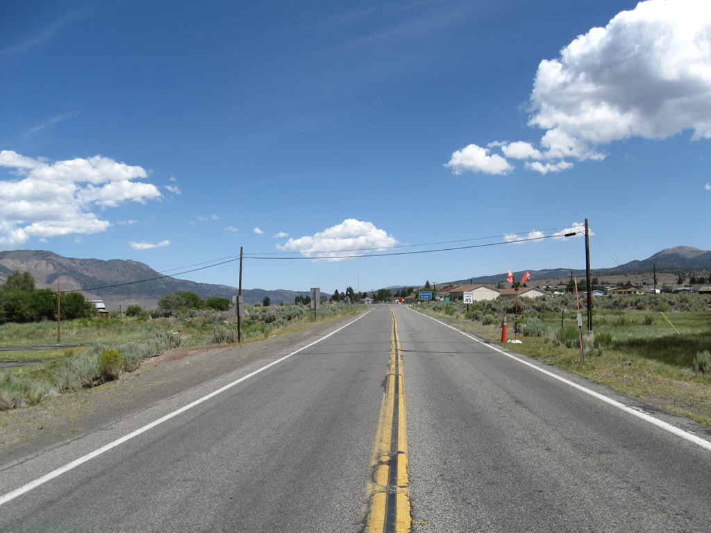 |
California 182 carries two lanes. The next motorist services are available in the Smith Valley at Yerington. Photo taken 07/25/09. |
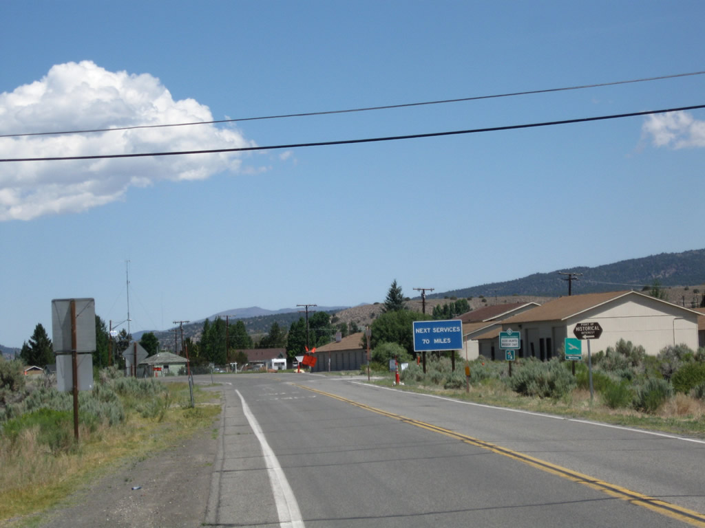 |
A blue information sign advises that the next services are 70 miles ahead. The next left turn connects to the Bridgeport Airport. Photo taken 07/25/09. |
| California 182 south | |
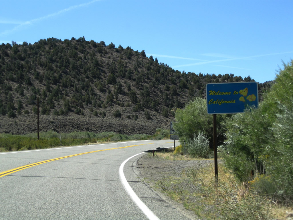 |
Leaving Nevada, Nevada 338 ends and California 182 begins, continuing the journey from Sweetwater, Nevada, toward Bridgeport. While a welcome to California sign is posted at the state line, there is no initial reassurance shield for California 182 ... in fact, there are no southbound reassurance shields except the end shield at U.S. 395 in Bridgeport. Photo taken 09/07/09. |
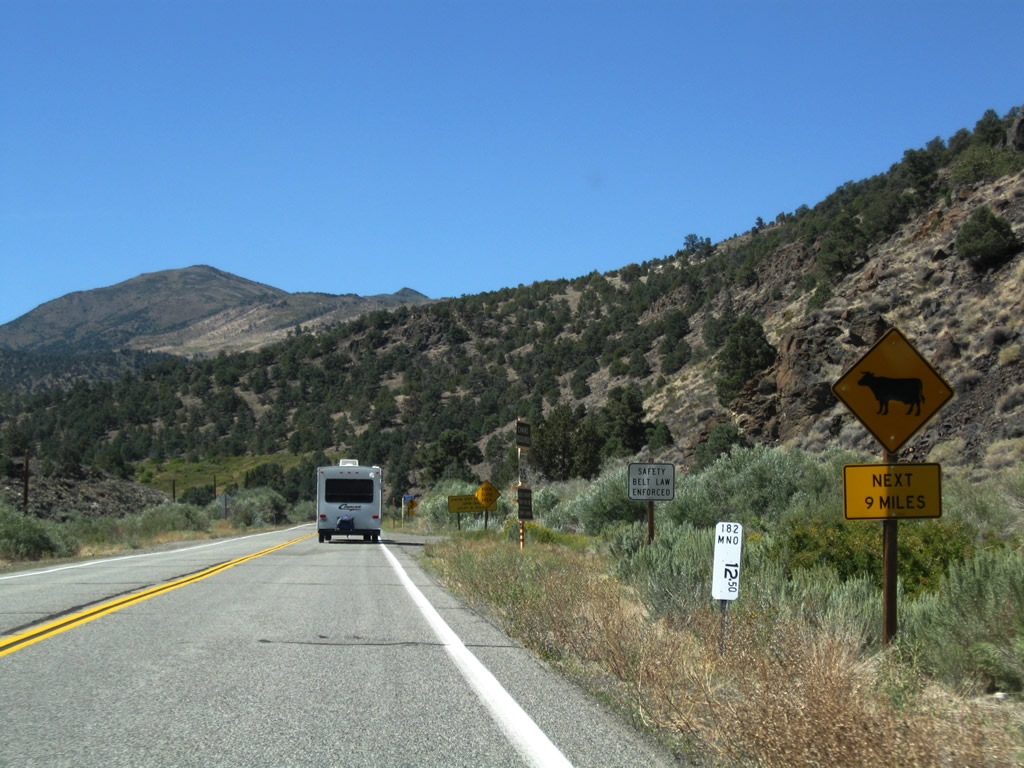 |
The first postmile (12.50) is posted shortly thereafter. California 182 passes through Devils Gate as it follows the East Walker River south toward Bridgeport. Photo taken 09/07/09. |
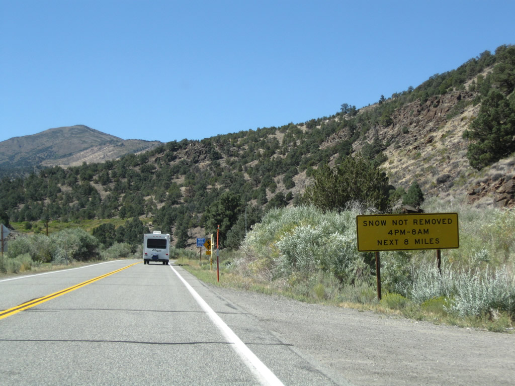 |
For the next eight miles (into the Bridgeport Valley), snow is not removed from California 182 during hours of darkness. Photo taken 09/07/09. |
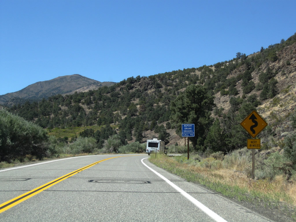 |
Watch for curves for the next eight miles. Photo taken 09/07/09. |
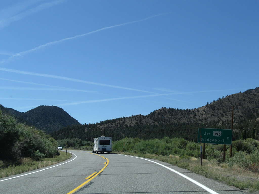 |
This mileage sign along California 182 provides the distance to U.S. 395 and Bridgeport, which is 11 miles south of this point. We are now about 1.5 miles south of the Nevada-California state line. Photo taken 09/07/09. |
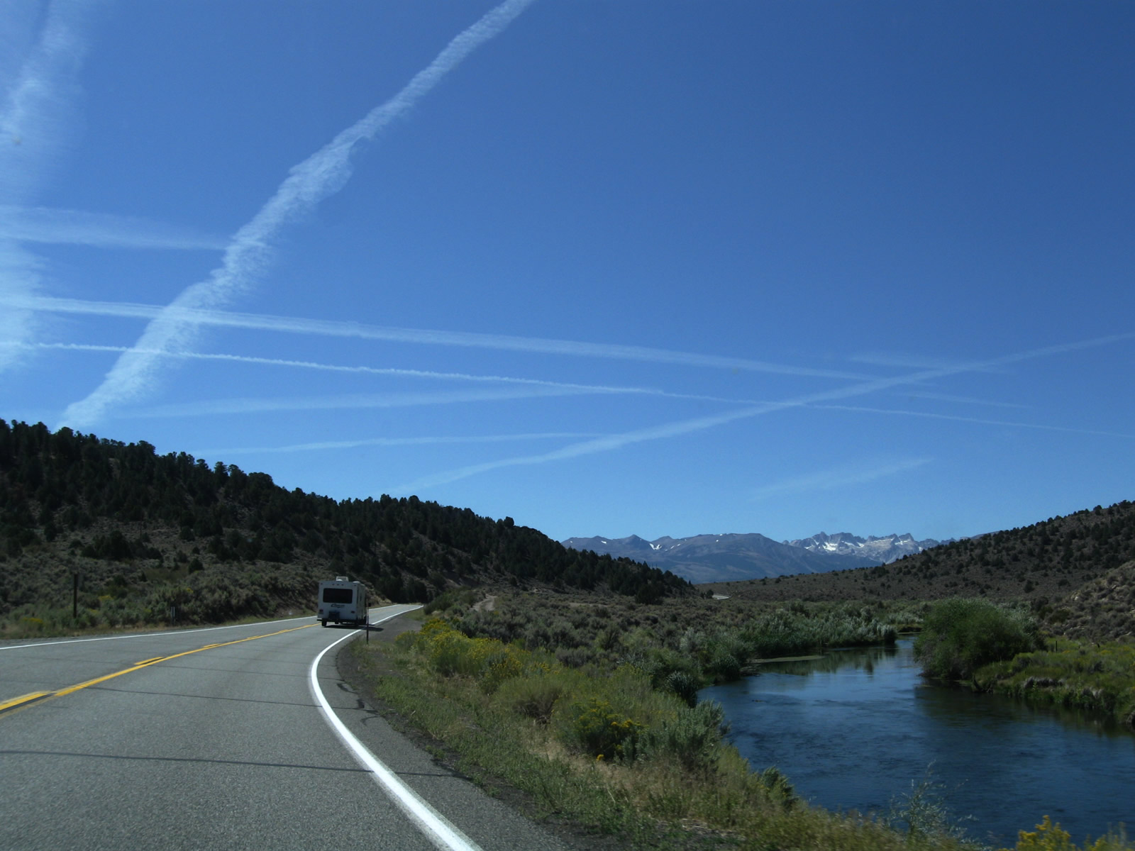 |
Following the East Walker River, southbound California 182 proceeds south through beautiful mountain scenery. Photo taken 09/07/09. |
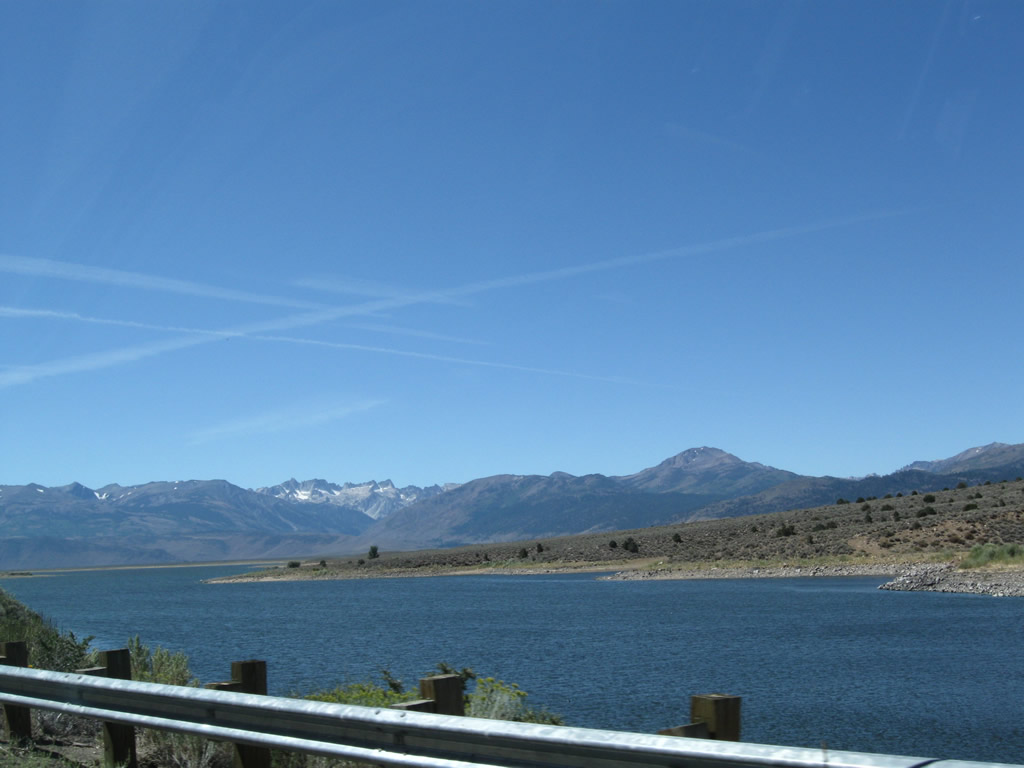 |
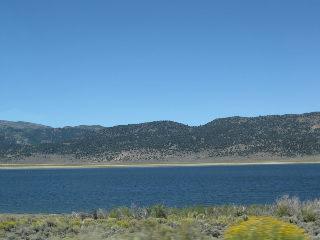
Bridgeport Reservoir emerges on the southwest side of California 182. A dam at the north end of the lake holds back the East Walker River to form this reservoir. Photo taken 09/07/09. |
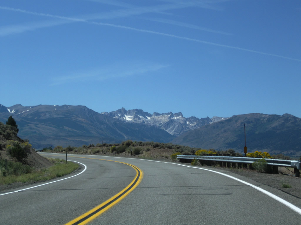 |
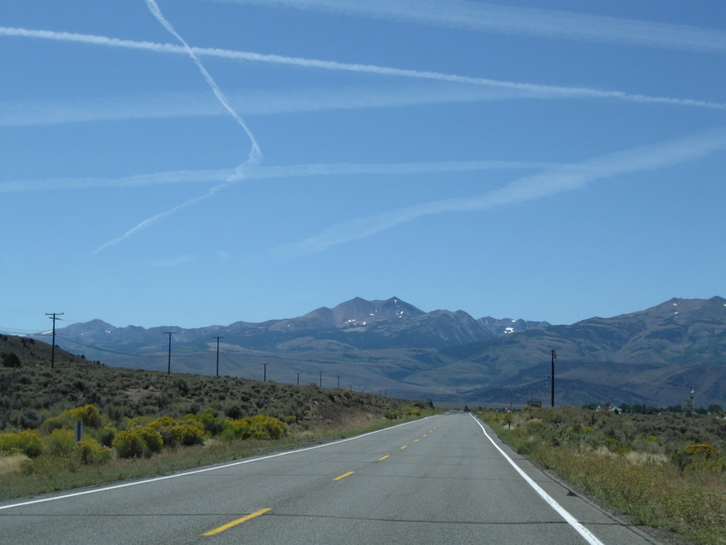
The Sierra Nevada rise in the distance above the Bridgeport Valley. Photo taken 09/07/09. |
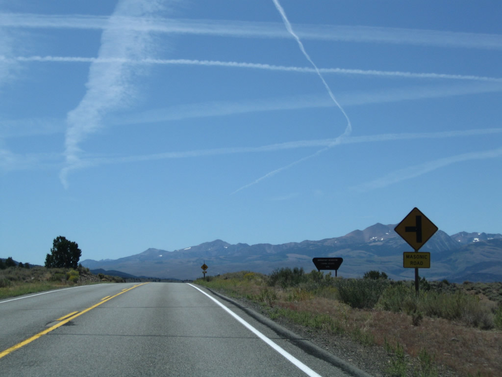 |
Southbound California 182 approaches Masonic Road. Photo taken 09/07/09. |
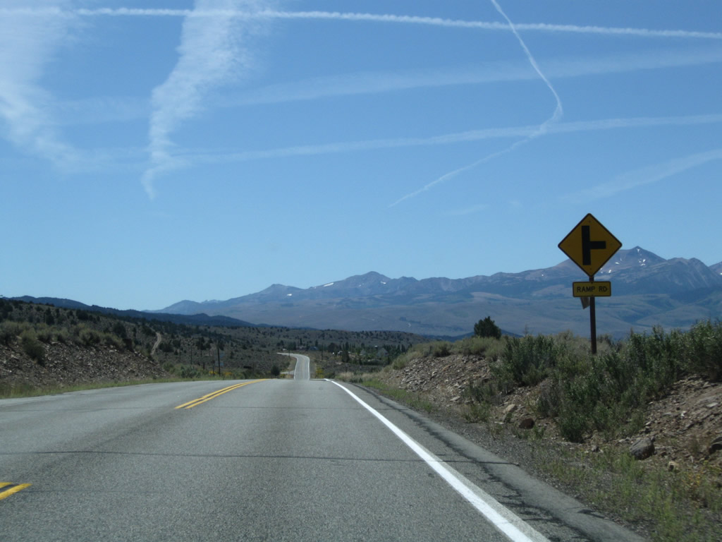 |
The next right turn connects California 182 south with the boat ramp to Bridgeport Reservoir. Photo taken 09/07/09. |
 |
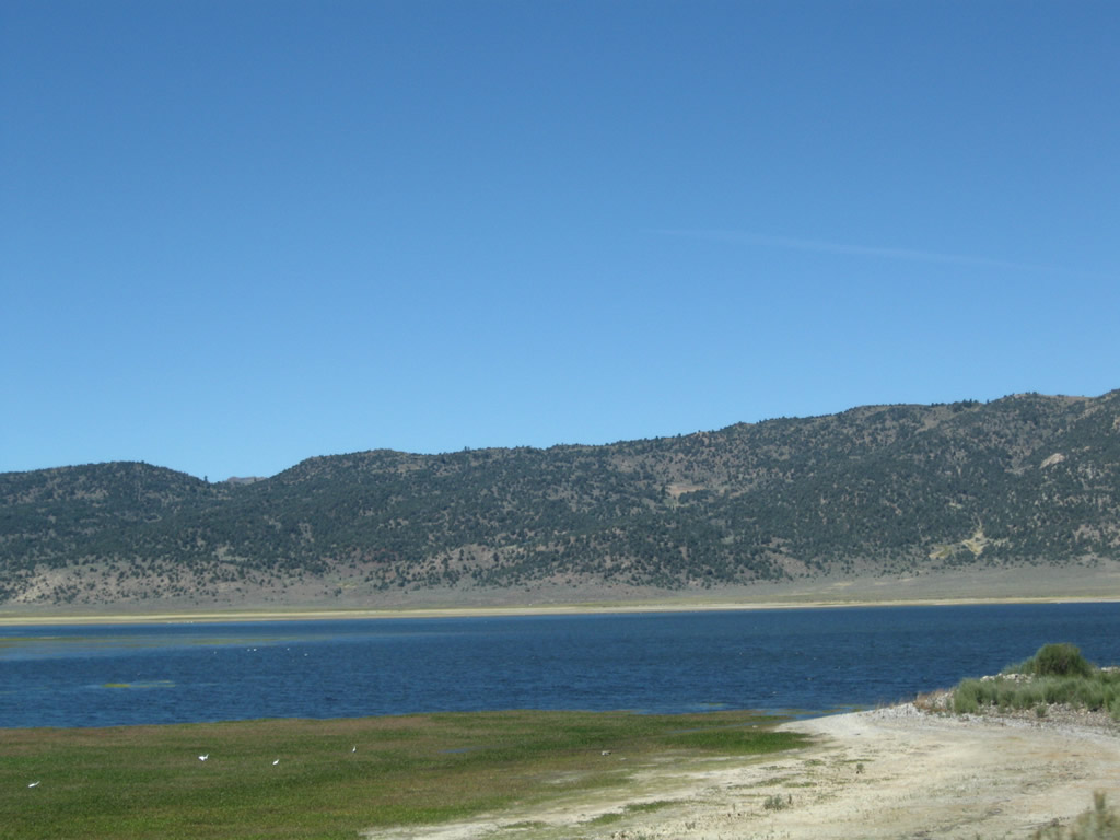
This view looks west across Bridgeport Reservoir. Photo taken 09/07/09. |
 |
Southbound California 182 continues due south as we continue along the eastern edge of Bridgeport Reservoir. Soon we will approach the unincorporated community of Bridgeport. Photo taken 09/07/09. |
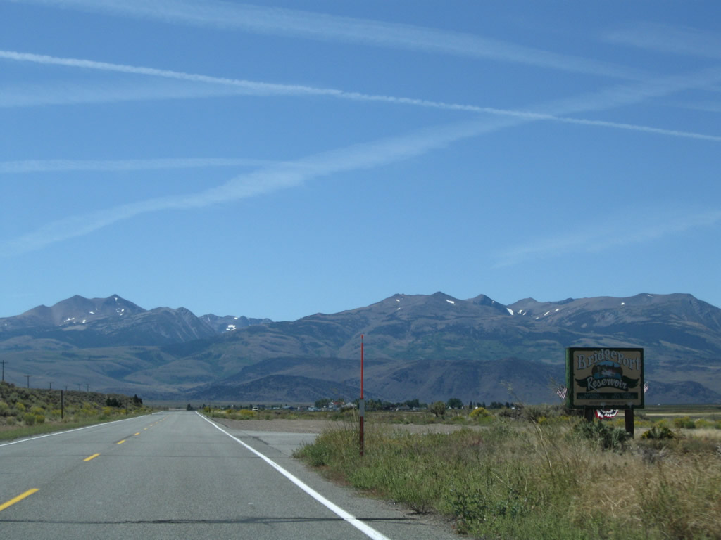 |
A sign welcomes visitors to Bridgeport Reservoir. Photo taken 09/07/09. |
 |
This view looks back at the reservoir again. Photo taken 09/07/09. |
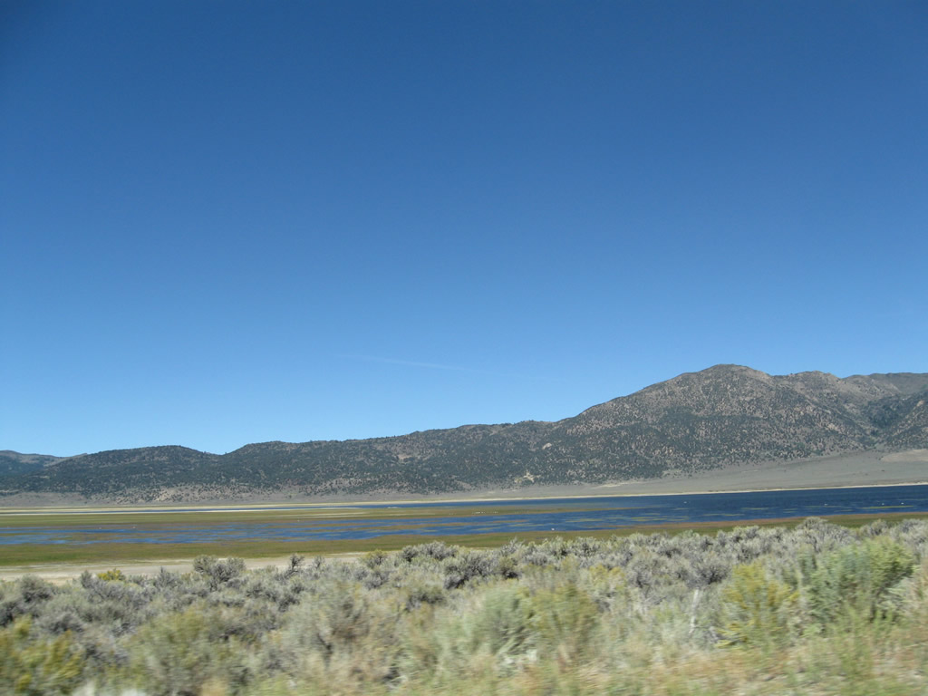 |
The southern end of Bridgeport Reservoir includes wetlands and lowlands that may or may not be under water depending on the level of the reservoir. Photo taken 09/07/09. |
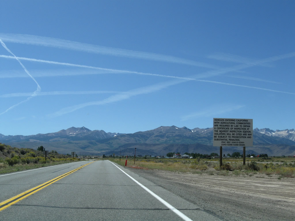 |
A regulatory sign advises inbound motorists to obtain a certificate of inspection for any agricultural commodities brought into the state of California. Photo taken 09/07/09. |
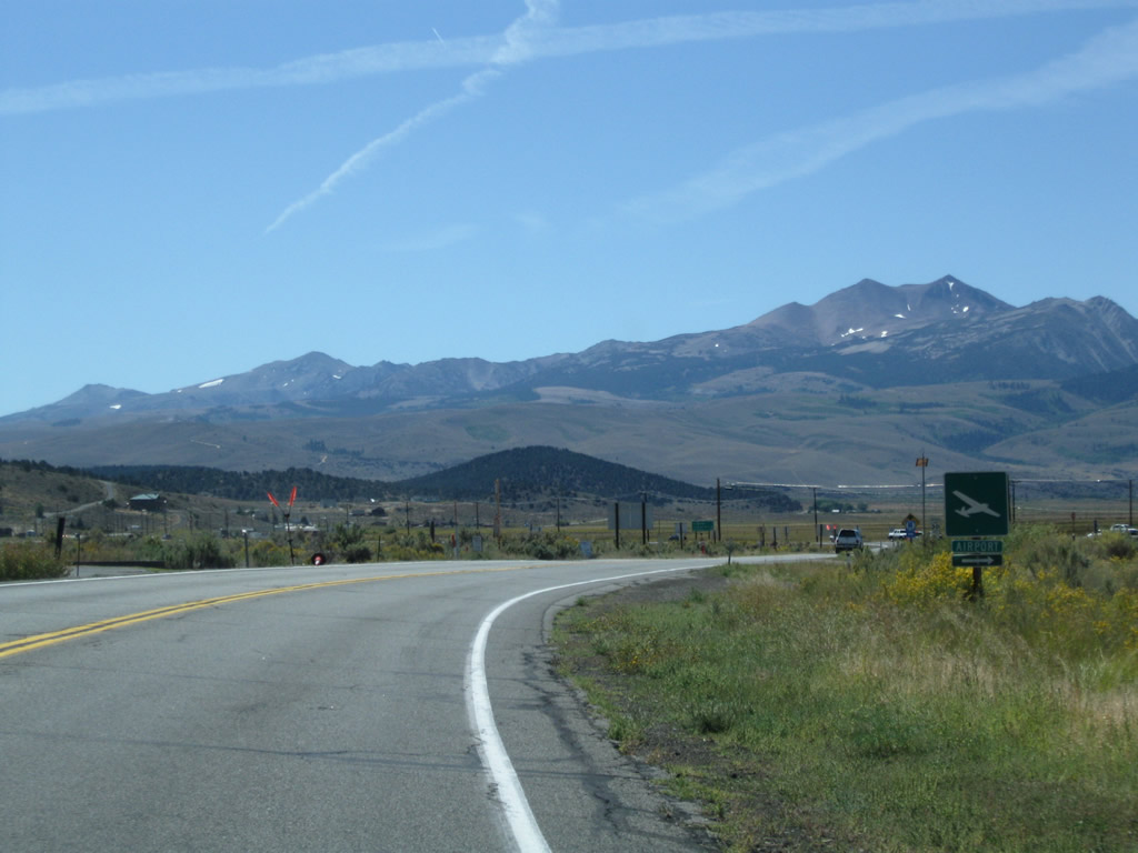 |
California 182 curves to the west for the final distance to U.S. 395. The next right connects to the Bridgeport Airport. Photo taken 09/07/09. |
 |
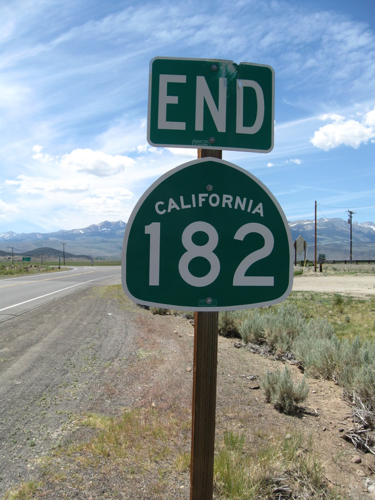 |
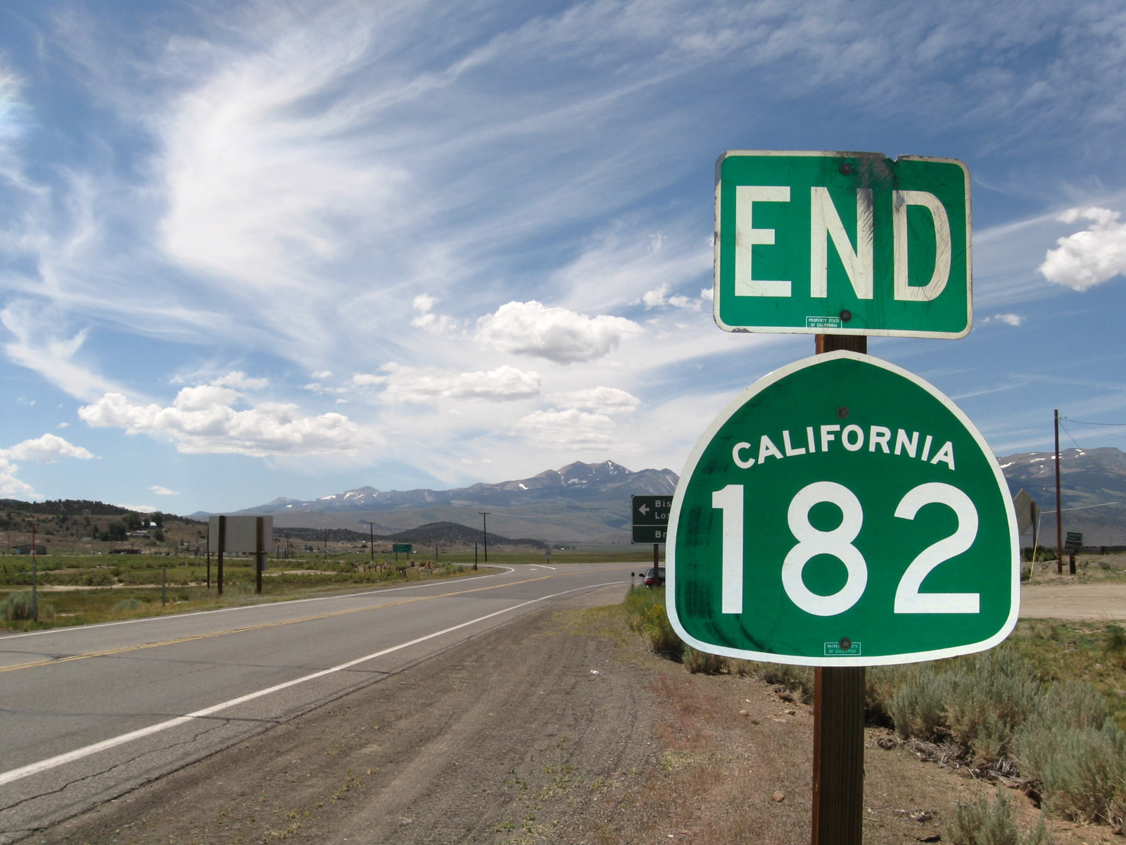
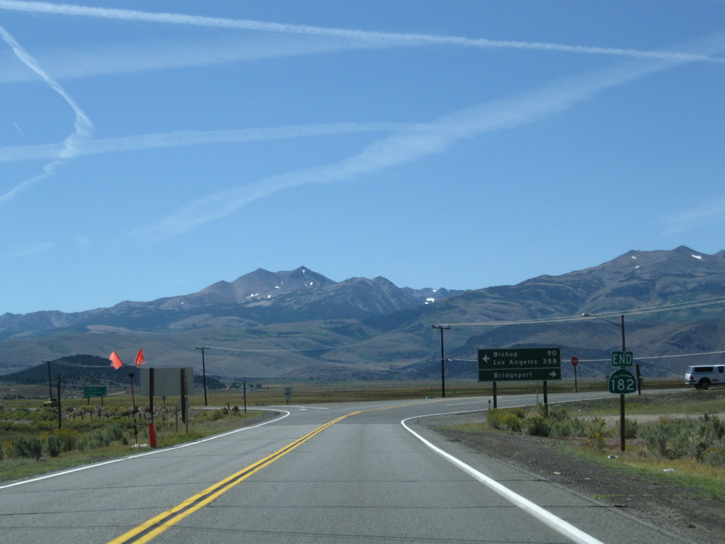
The only shield found on southbound California 182 is posted here at the southern terminus. This end shield is posted prior to the U.S. 395 intersection. Photos taken 09/07/09 and 07/25/09. |
 |
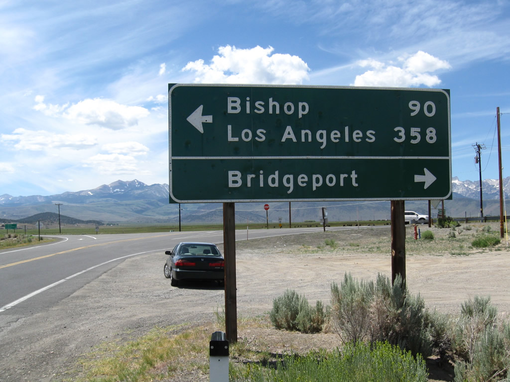 |
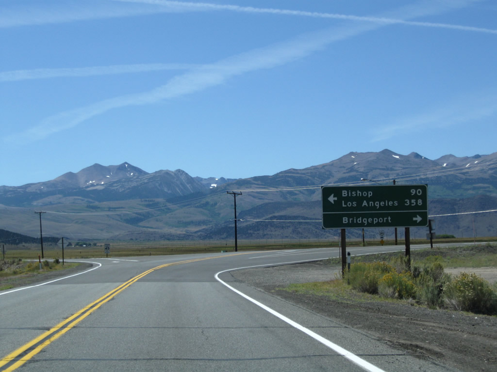
A mileage sign provides the distance to Bishop (90 miles) and Los Angeles (358 miles) via U.S. 395 south. Turn right along U.S. 395 north to downtown Bridgeport, where all motorist services are available. Bridgeport is the seat of Mono County. Photos taken 09/07/09 and 07/25/09. |
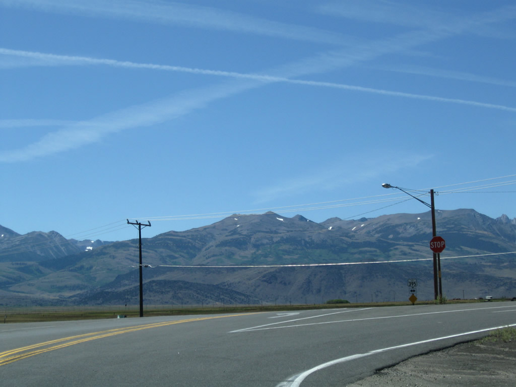 |
Southbound California 182 ends at its junction with U.S. 395. Turn left for U.S. 395 south or right for U.S. 395 north. Photo taken 09/07/09. |
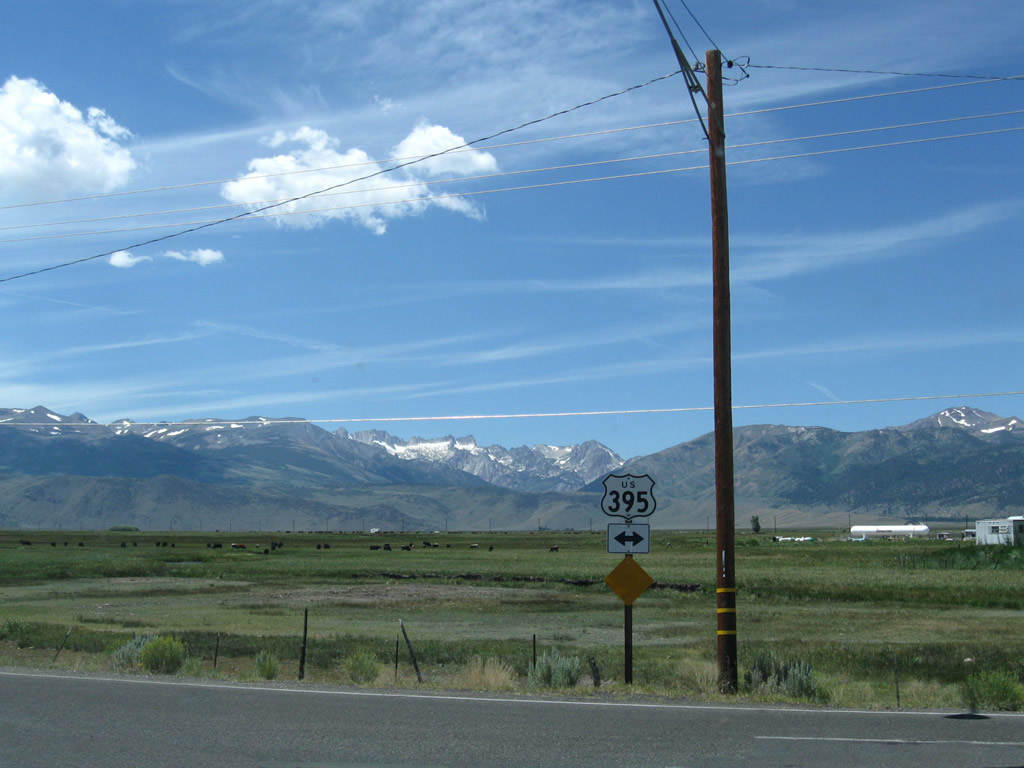 |
A trailblazer for U.S. 395 is posted at the southern end of California 182. Photo taken 07/25/09. |

Page Updated April 17, 2010.
|
About Contact Glossary |
In The News Interstate Guide |
Social Media:
 |
|
© 2000-25 AARoads.com | All Rights Reserved | Privacy Policy / Terms of Use
|
||