

Interstate 5 South - Shasta County
| Interstate 5 south | |
|---|---|
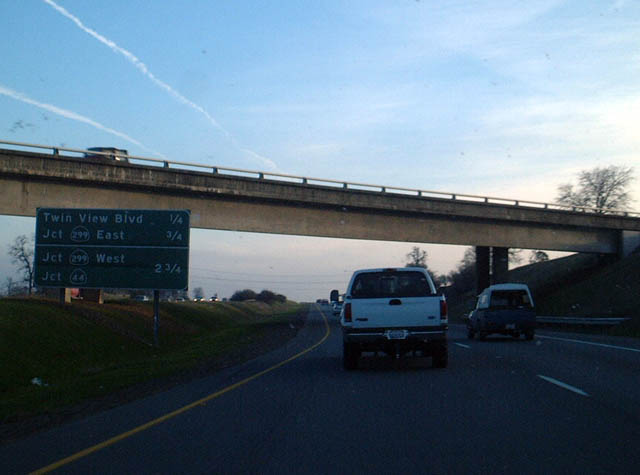 |
The next exit along Interstate 5 south is Exit 681A, Twin View Boulevard, one-quarter mile, just after the southbound California 273 exit in Redding. The next exit is Exit 680, California 299 east, three-quarters of a mile. Photo taken 01/20/03. |
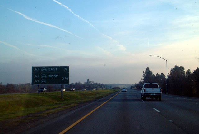 |
The next exit along Interstate 5 south is Exit 680, California 299 (former U.S. 299) east, three-quarters of a mile. Westbound California 299 merges onto Interstate 5 south for a short distance before continuing toward Eureka and the coast. Photo taken 01/20/03. |
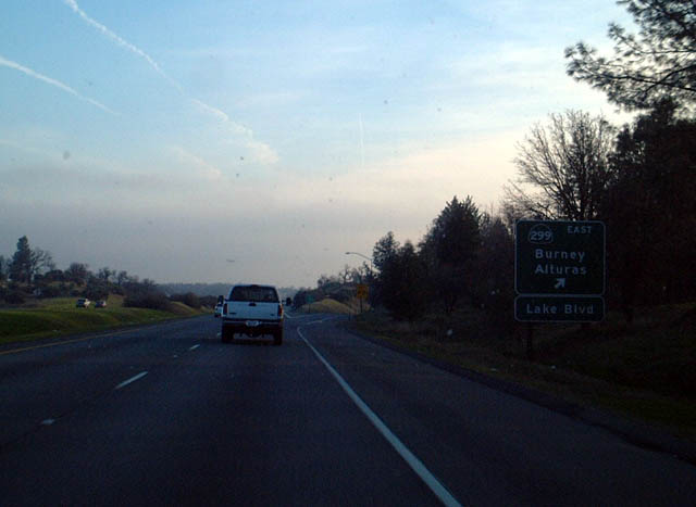 |
Southbound Interstate 5 reaches Exit 680, California 299 east. California 299 eastbound leads to Alturas in northeastern California. From there, California 299 continues to its end at the Nevada state line, connecting to unpaved Nevada 8A. Photo taken 01/20/03. |
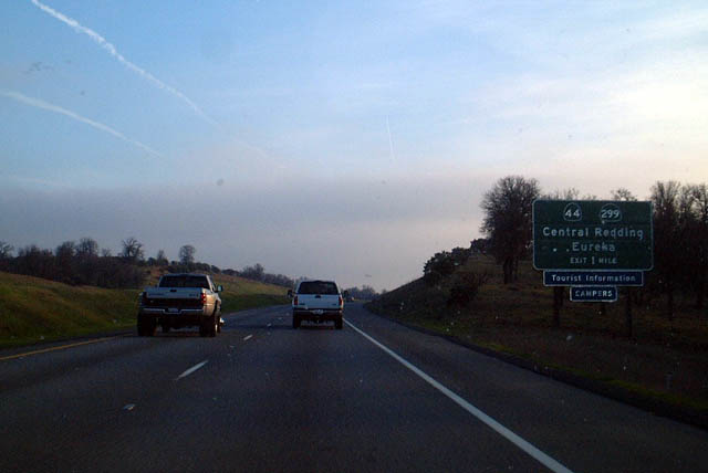 |
Southbound Interstate 5 and westbound California 299 approach Exit 678B, eastbound California 44 and Westbound California 299, one mile. This exit marks the western terminus of California 44. California 299 is historic U.S. 299, which used to connect Eureka and Alturas until 1964. The only remaining child route of U.S. 99 is U.S. 199 between Crescent City and Grants Pass, Oregon. U.S. 399 between Ventura and Bakersfield (which was roughly routed via California 33 and 119) was also decommissioned in 1964. Photo taken 01/20/03. |
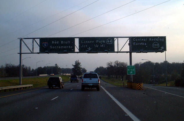 |
Southbound Interstate 5 reaches Exit 678B, eastbound California 44 (to Lassen National Volcanic Park) and Westbound California 299 (to Eureka and the North Coast). Photo taken 01/20/03. |
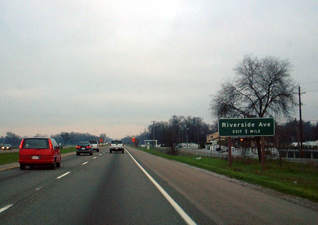 |
As it leaves Redding, southbound Interstate 5 passes into the low fog common in winter months in the northern Central Valley. This is Interstate 5 as it approaches Exit 670, Riverside Avenue. Photo taken 01/20/03. |
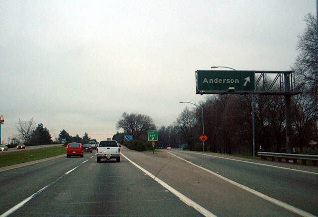 |
Southbound Interstate 5 reaches Exit 668, Anderson. Note the exit number is present on the gore point signage. This connector route links Interstate 5 with California 273 (former U.S. 99) to the west. Photo taken 01/20/03. |
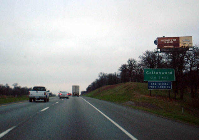 |
The next exit along Interstate 5 south is Exit 665, Junction (former) Business Loop I-5, Cottonwood, one mile. The loop supposedly returns to the Interstate at Exit 662. Photo taken 01/20/03. |
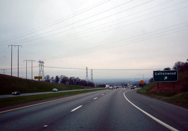 |
Southbound Interstate 5 reaches Exit 665, Junction (former) Business Loop I-5, Cottonwood. Photo taken 01/20/03. |
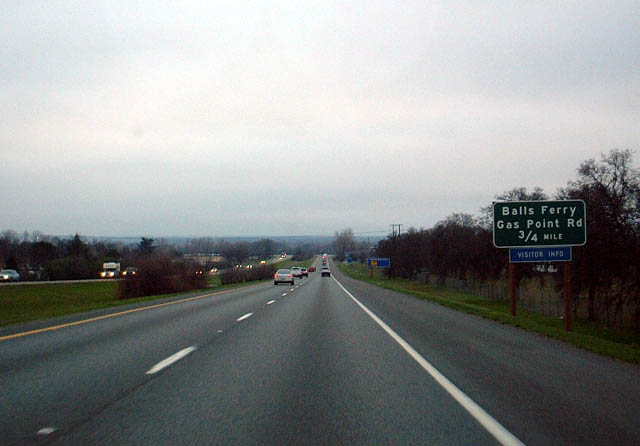 |
The next exit along Interstate 5 south is Exit 664, eastbound Shasta County A-17/Balls Ferry Road and Westbound Gas Point Road, three-quarters of a mile. Photo taken 01/20/03. |
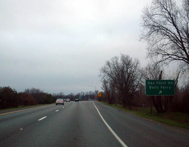 |
Southbound Interstate 5 reaches Exit 664, eastbound Shasta County A-17/Balls Ferry Road and Westbound Gas Point Road. Eastbound Shasta County A-17 leads to California 44 east of Redding, and it leads to Lassen National Volcanic Park. Photo taken 01/20/03. |
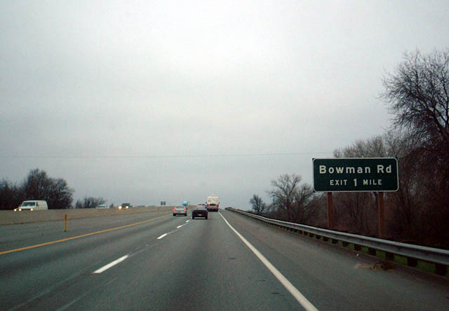 |
The next exit along Interstate 5 south is Exit 662, Tehama County A-5/Bowman Road/northbound Business Loop I-5 to Cottonwood. Photo taken 01/20/03. |
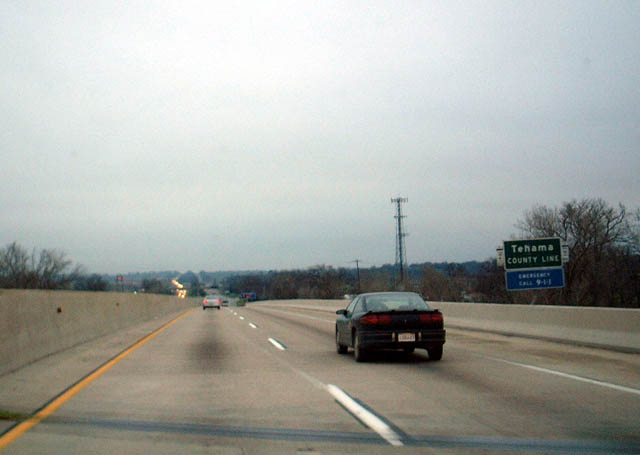 |
Southbound Interstate 5 crosses into Tehama County, leaving Shasta County, just prior to the Tehama County A-5/Bowman Road Exit. Photo taken 01/20/03. |


Page Updated July 27, 2004.
|
About Contact Glossary |
In The News Interstate Guide |
Social Media:
 |
|
© 2000-25 AARoads.com | All Rights Reserved | Privacy Policy / Terms of Use
|
||