

Interstate 5 South - Colusa County
| Interstate 5 south | |
|---|---|
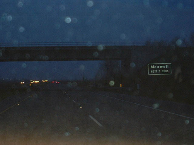 |
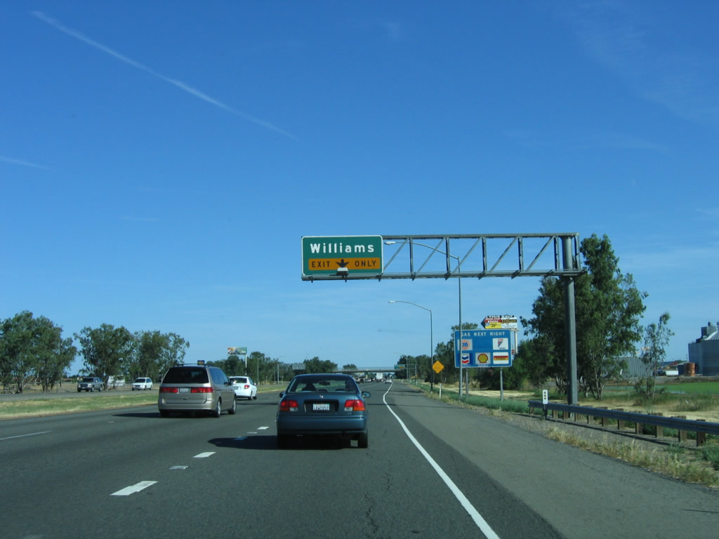
Interstate 5 continues south in Colusa County to intersect with Old U.S. 99W, and this occurs again at Exit 588/Business Loop I-5 south to Maxwell. At this exit, the business loop again splits off Interstate 5 to serve the Colusa County communities of Maxwell and Williams, with the business route returning to the freeway south of Williams. Much of the freeway that bypasses Maxwell and Williams in Colusa County was built in 1971. Several of the original overhead signs are mostly porcelain enamel, which was still the standard for freeways built in 1971. Photo taken 01/20/03. |
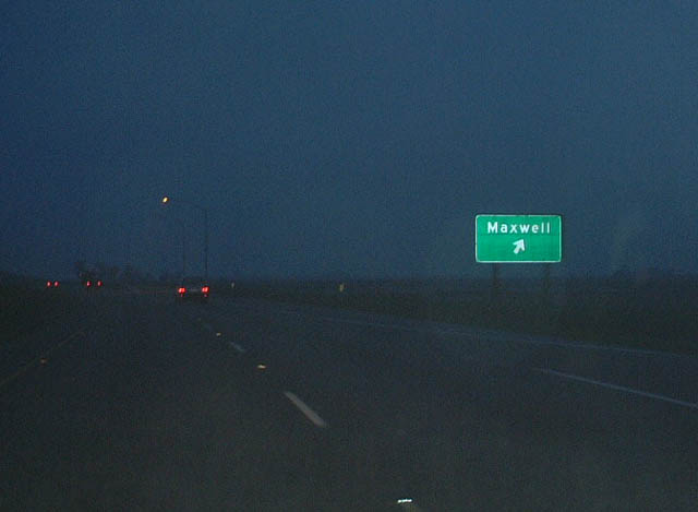 |
Southbound Interstate 5 reaches Exit 588, Business Loop I-5/Maxwell. The business loop follows old U.S. 99W, and several street signs refer to the highway as Road 99W. Some historic U.S. 99W shields are posted as well. Photo taken 01/20/03. |
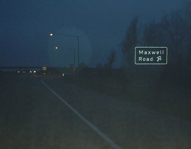 |
Soon thereafter, southbound Interstate 5 reaches Exit 586, Maxwell Road. Maxwell Road leads west to meet Business Loop I-5 in Maxwell; it heads east via the Delevan National Wildlife Refuge before terminating at its junction with California 45 north of Colusa. Photo taken 01/20/03. |
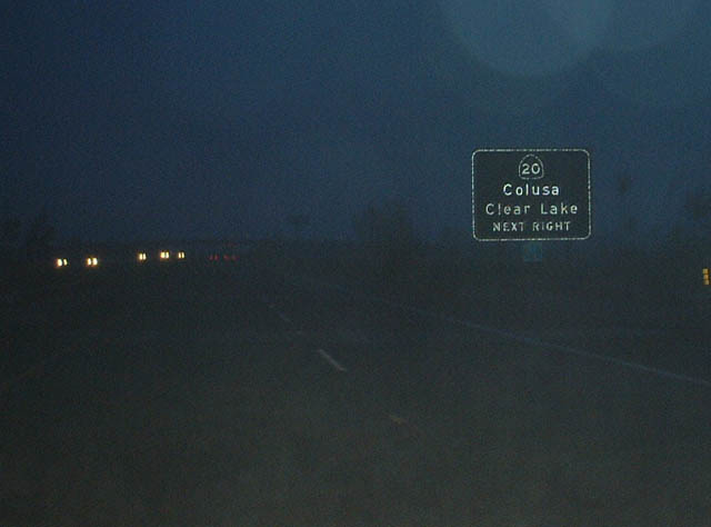 |
A bit further south, southbound Interstate 5 approaches Exit 578, California 20. California 20 west leads to Clear Lake and Lake County, including connections to the communities of Clearlake, Clearlake Oaks, Nice, Lucerne, and Upper Lake. Ultimately, California 20 ends at the coast, where it meets California 1 near Fort Bragg. California 20 east leads to California 45 in Colusa, then crosses the Sacramento River at Meridian, en route to Marysville/Yuba City and Grass Valley/Nevada City. At its eastern end, California 20 merges onto Interstate 80 at Emigrant Gap; this is a good route for through traffic to Lake Tahoe and beyond (rather than going south to Sacramento). Photo taken 01/20/03. |
 |
A new auxiliary lane is formed by the on ramp from California 20 to Interstate 5 south. This lane becomes exit only for Exit 577, California 20 Business (E Street) west to Williams and east to Colusa. Photo taken 05/29/06. |
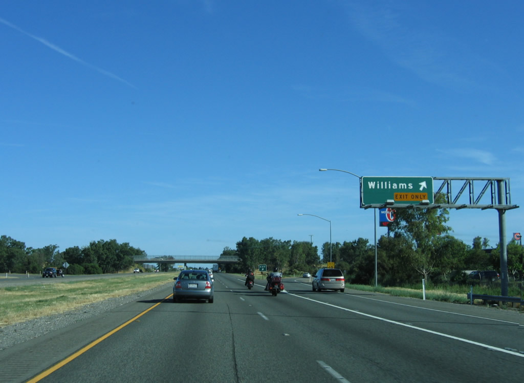 |
Southbound Interstate 5 reaches Exit 577, California 20 Business (E Street) west to Williams and east to Williams Airport. This is the main services exit for Williams, including gas, food, and lodging. California 20 Business leads west to meet Business Loop I-5 in downtown Williams, then reconnects with California 20 west of town. To the east of the freeway, California 20 Business passes a few more motorist services, turns north on Husted Road near Williams Airport, then merges back onto mainline California 20 near Freshwater Road. California 20 then continues east en route to Colusa. Photo taken 05/29/06. |
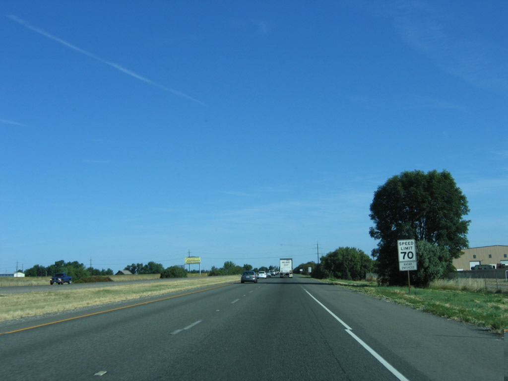 |
The speed limit of southbound Interstate 5 remains 70 miles per hour as we continue south though Williams. Photo taken 05/29/06. |
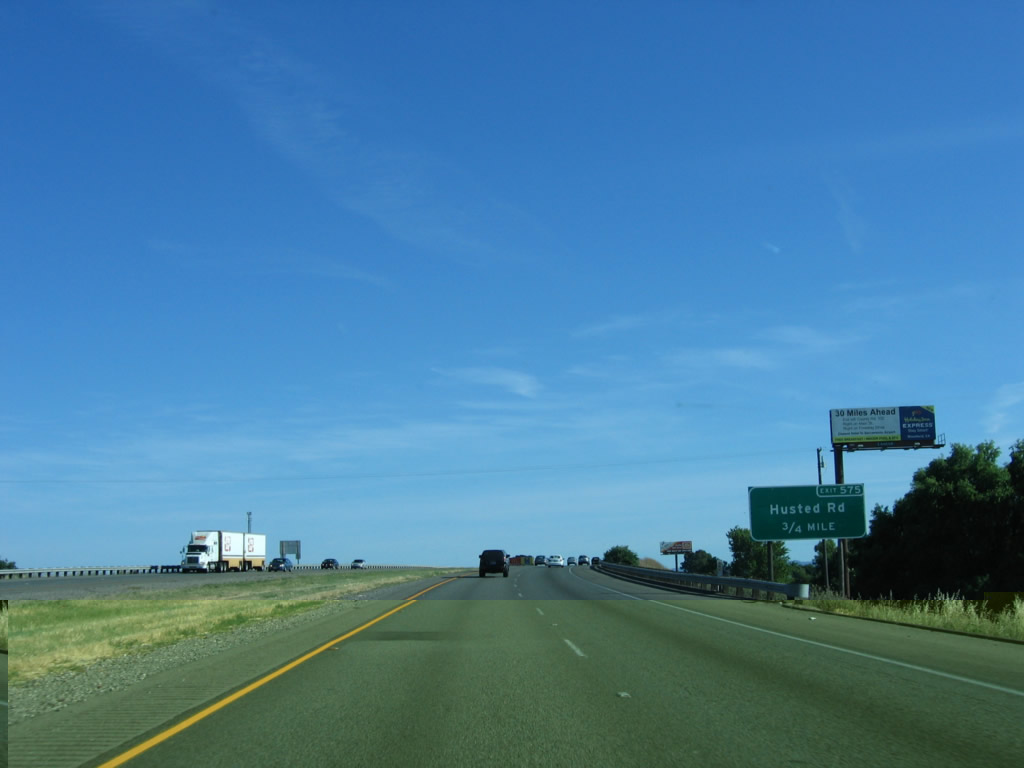 |
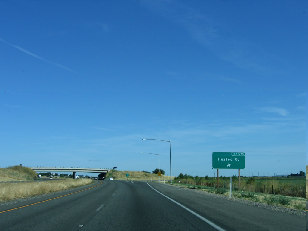
The next exit along Interstate 5 south is Exit 575, Business Loop I-5 (Old Highway 99W) (7th Street) via Husted Road. To the business loop from this interchange, follow Husted Road north to 7th Street/Old Highway 99W north. Exit 575 marks the southern terminus of Business Loop I-5, which began at Exit 588 near Maxwell for a distance of 13 miles. Photo taken 05/29/06. |
 |
Interstate 5 crosses over the railroad tracks and Business Loop I-5 (Old Highway 99W) (7th Street) on this bridge. Photo taken 05/29/06. |
 |
Southbound Interstate 5 meets Exit 575, Business Loop I-5 (Old Highway 99W) (7th Street) via Husted Road. From this interchange, Husted Road travels south to Myers Road and north to California 20 Business (E Street). Photo taken 05/29/06. |
 |
This Interstate 5 south shield is located after the on-ramp from the Husted Road interchange. This section of Interstate 5 (from Husted Road to Arbuckle) was built in 1967. Photo taken 05/29/06. |
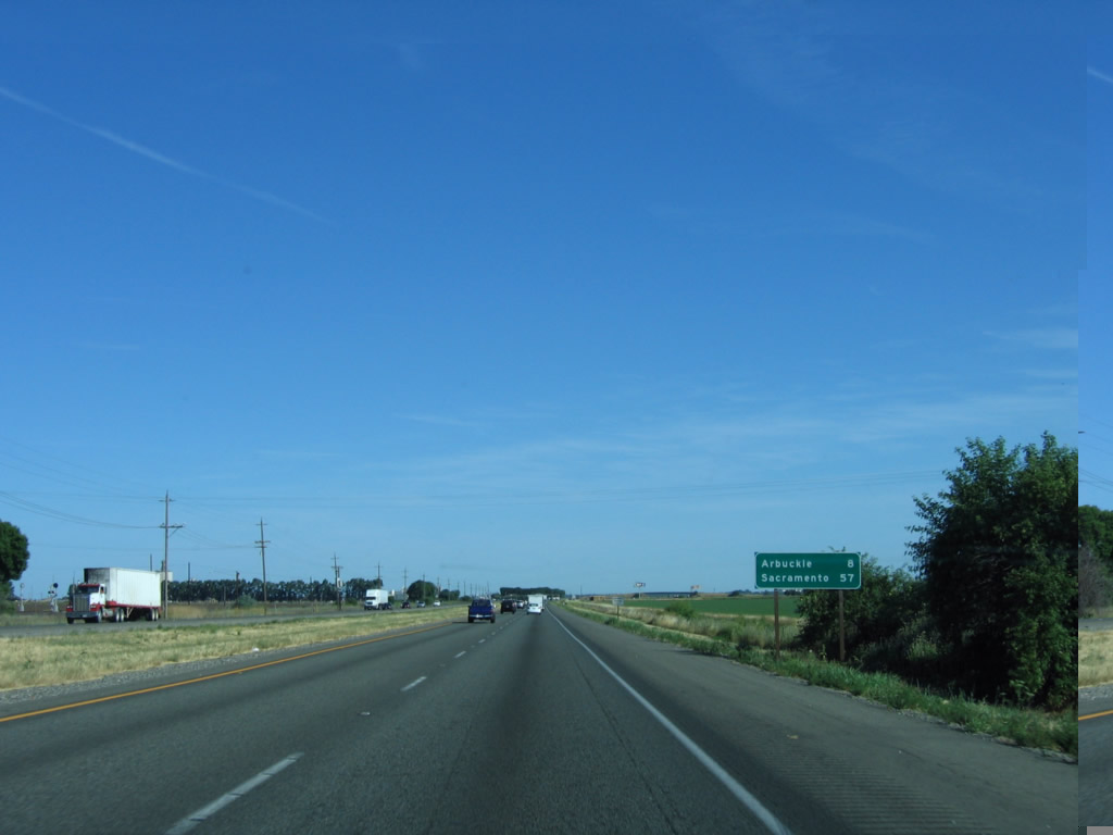 |
A mileage sign for Arbuckle (eight miles) and Sacramento (57 miles). Photo taken 05/29/06. |
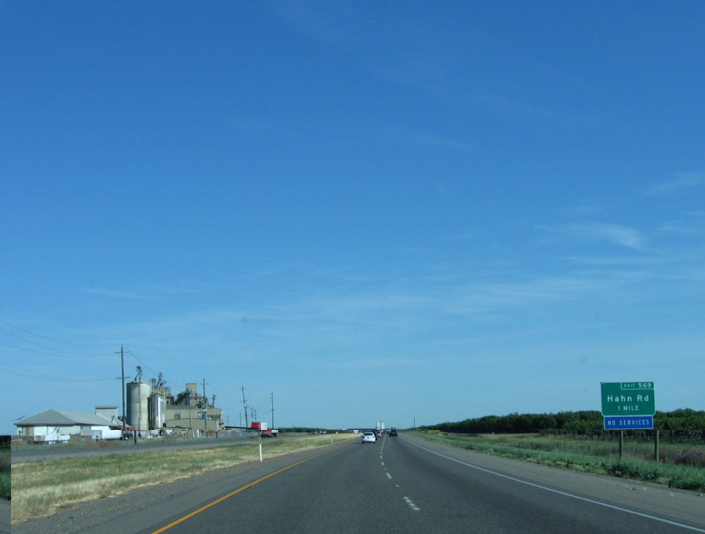 |
The next exit along Interstate 5 south is Exit 569, Hahn Road. This road travels west to Cortina School Road and east to California 45 at the town of Grimes along the Sacramento River. At this point Old U.S. 99W remains on the east side of the freeway along with the railroad. Photo taken 05/29/06. |
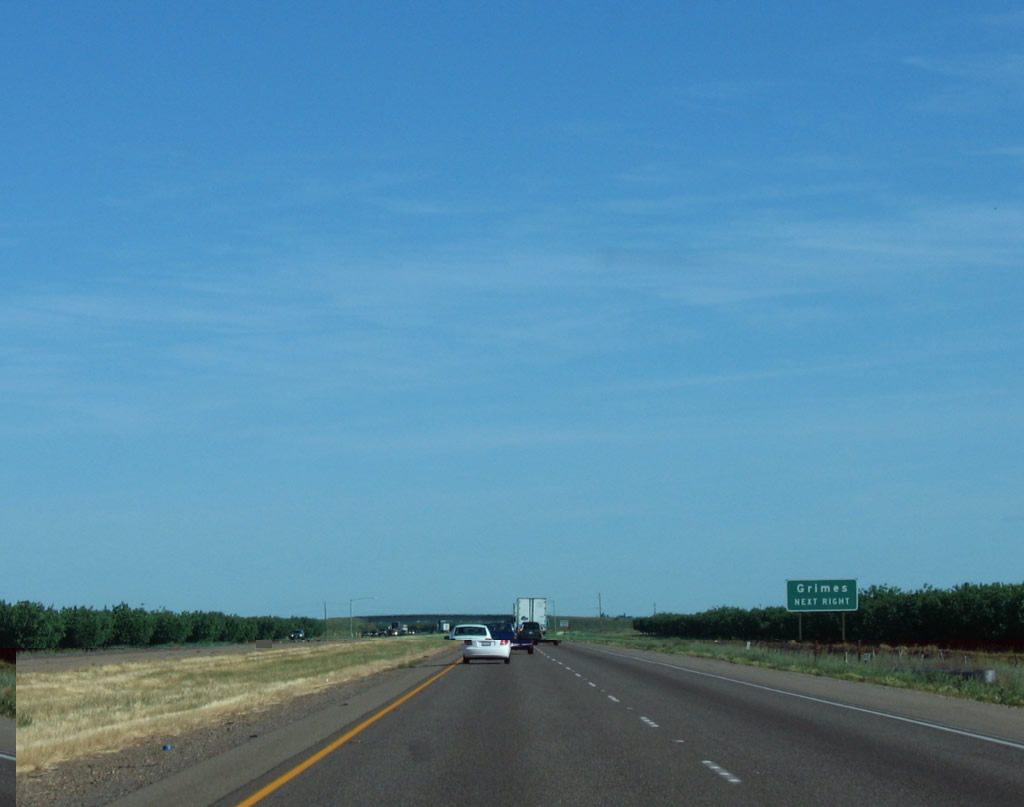 |
East of here, Hahn Road changes into Grimes-Arbuckle Road east to California 45 and Grimes. Photo taken 05/29/06. |
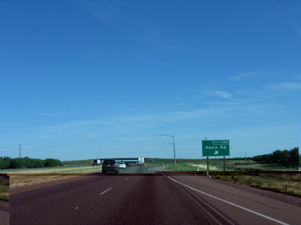 |
Southbound Interstate 5 reaches Exit 569, Hahn Road. No services are available at this interchange. Photo taken 05/29/06. |
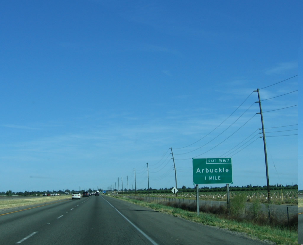 |
The next exit along southbound Interstate 5 is Exit 567, Business Loop I-5/Fifth Avenue (Old Highway 99W) south to Arbuckle. This short business loop begins at Exit 567 and ends at Exit 566. Motorist services are available in Arbuckle, which is an unincorporated community within Colusa County. As of the 2000 Census, 2,332 lived in Arbuckle. Photo taken 05/29/06. |
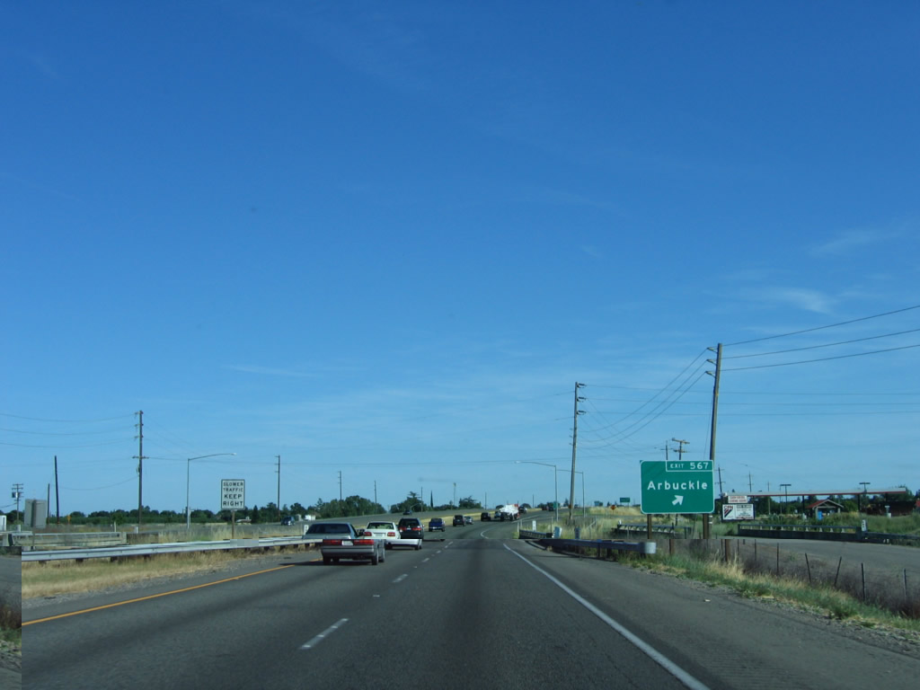 |
Southbound Interstate 5 reaches Exit 567, Business Loop I-5/Fifth Avenue (Old Highway 99W) south to Arbuckle. Photo taken 05/29/06. |
 |
The Arbuckle community limits sign shows a population of 837 and an elevation of 137 feet. However, the 2000 Census population figure for Arbuckle is much larger (2,332 people). Photo taken 05/29/06. |
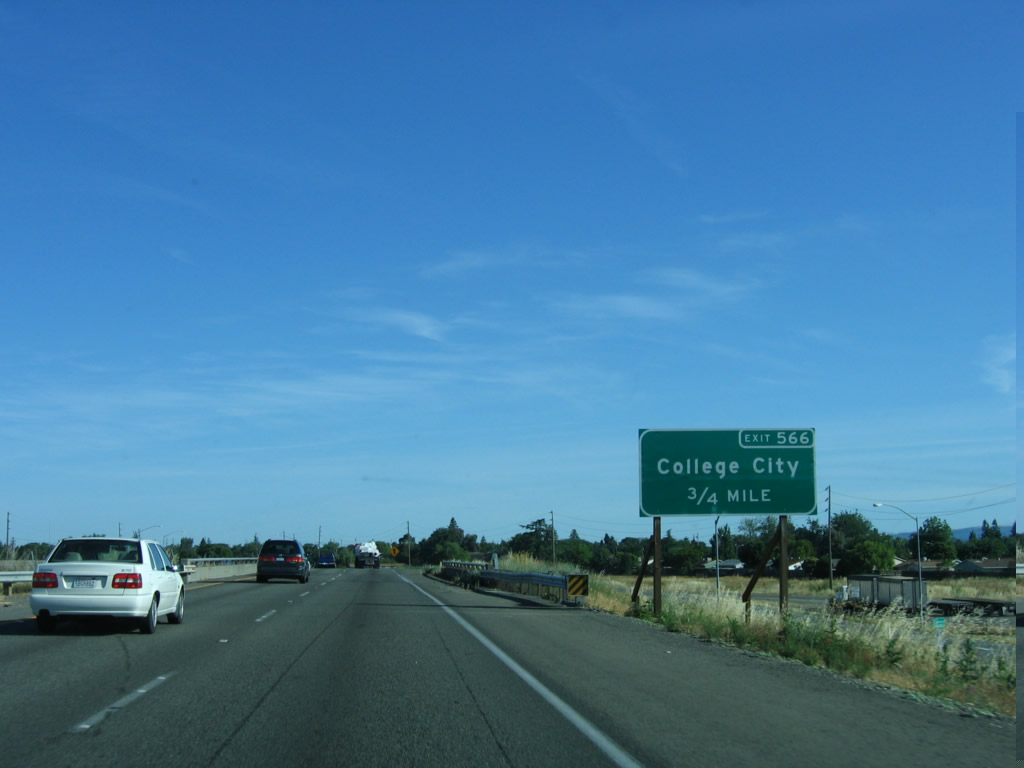 |
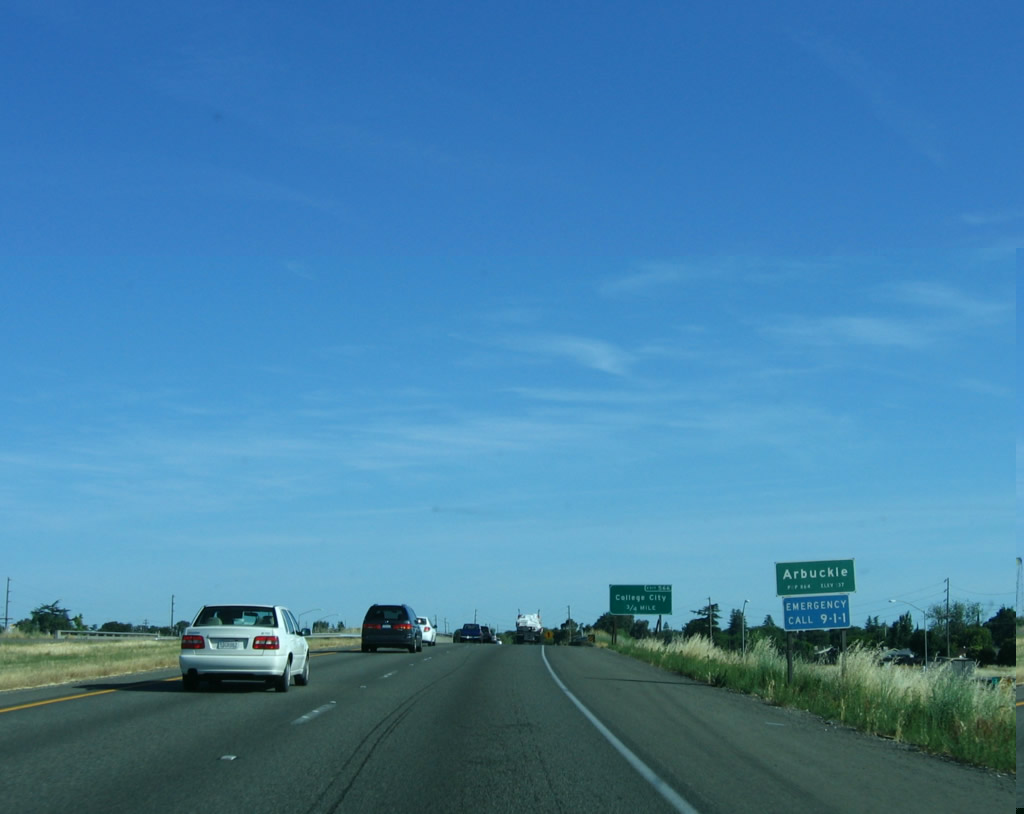
The next exit along southbound Interstate 5 is Exit 566, Business Loop I-5/Fifth Street north, Hillgate Road west, Wildwood Way south, and Grimes-Arbuckle Road east to College City and Grimes. Photo taken 05/29/06. |
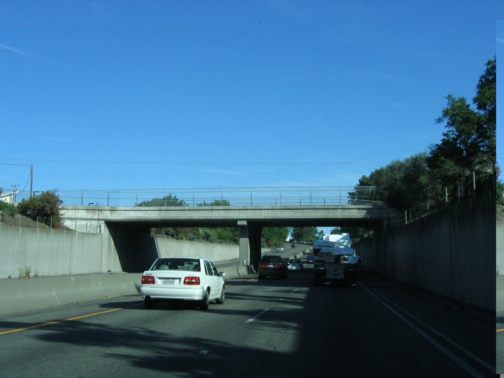 |
Alleviating travelers from the consistent agricultural landscape of the northern Central Valley, Interstate 5 drops below grade as it passes through the central part of Arbuckle. This section of Interstate 5 (Arbuckle bypass between Exits 567 and 566) was built in 1957. An overpass for Hall Street dominates the view. Photo taken 05/29/06. |
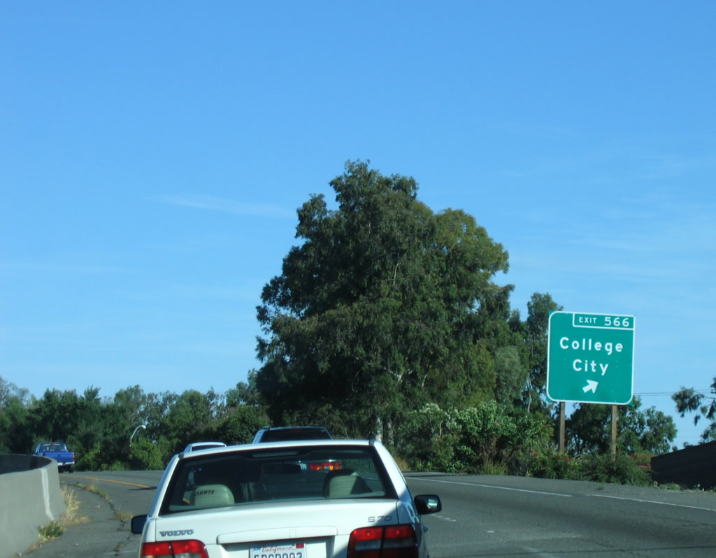 |
Southbound Interstate 5 reaches Exit 566, Business Loop I-5 and Grimes-Arbuckle Road east to College City. The unincorporated community of College City is located east along Grimes-Arbuckle Road. Photo taken 05/29/06. |
 |
This reassurance shield along Interstate 5 south is found after the on-ramp from Exit 566. The section of Interstate 5 from Exit 566 south to the Colusa-Yolo County Line was constructed in 1967. Photo taken 05/29/06. |
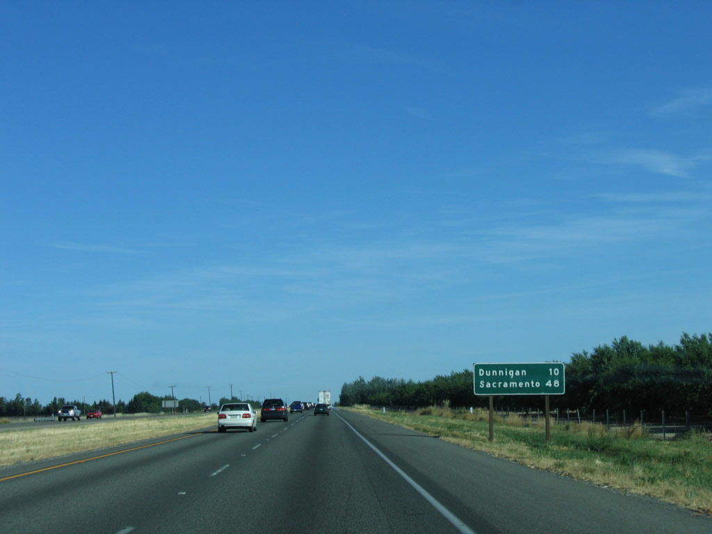 |
A mileage sign for Dunnigan (10 miles) and Sacramento (48 miles) is posted shortly thereafter. Photo taken 05/29/06. |
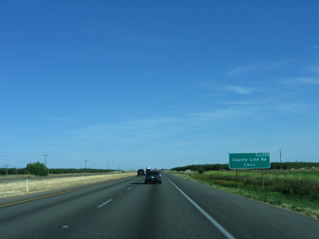 |
The next exit along Interstate 5 south is Exit 559, County Line Road and Road 1. Photo taken 05/29/06. |
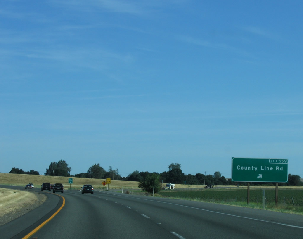 |
Southbound Interstate 5 reaches Exit 559, County Line Road (also known as Road 1) west to Wildwood Road and east to California 45. Photo taken 05/29/06. |
 |
Interstate 5 leaves Colusa County and enters Yolo County upon crossing under County Line Road. Photo taken 05/29/06. |


Page Updated January 13, 2008.
|
About Contact Glossary |
In The News Interstate Guide |
Social Media:
 |
|
© 2000-25 AARoads.com | All Rights Reserved | Privacy Policy / Terms of Use
|
||