
Interstate 8 West - California 86 to San Diego County Line
| Interstate 8 west | |
|---|---|
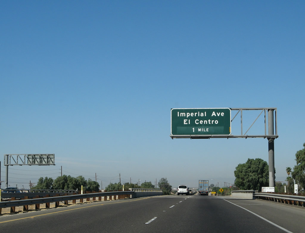 |
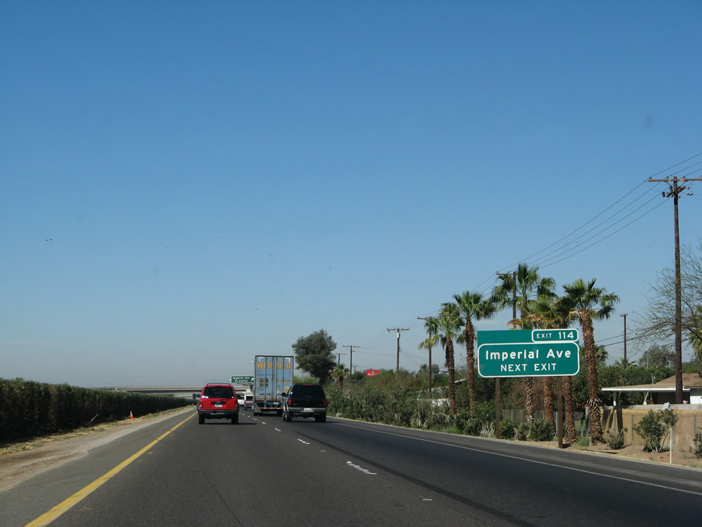
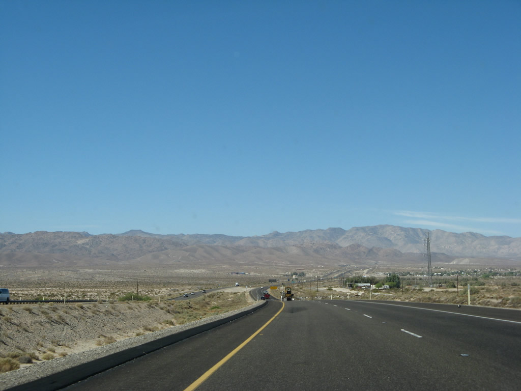
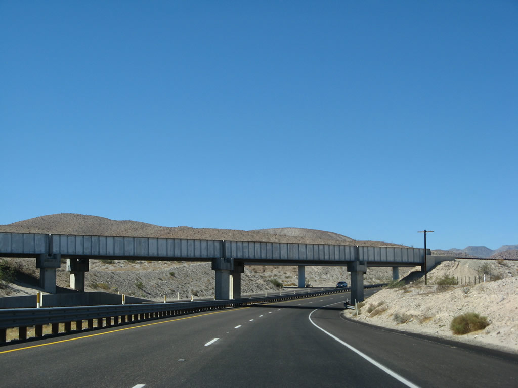
The El Centro business loop returns to the Interstate only one mile ahead, at Exit 114. This photo shows westbound Interstate 8 as it approaches Exit 114, eastbound Business Loop I-8, Imperial Avenue, the second and last El Centro interchange. The business loop is longer than Interstate 8 between these two interchanges, and it takes a much longer course through town, heading due north to Old U.S. 80, following U.S. 80 west for approximately a mile, and then returning to the freeway via Imperial Avenue. Photo taken 03/19/07. |
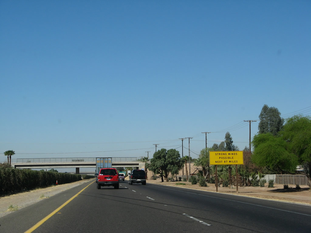 |
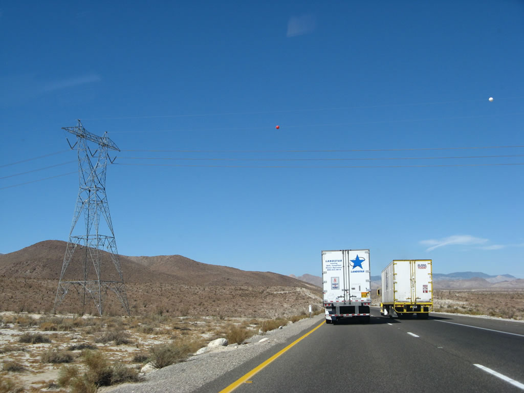
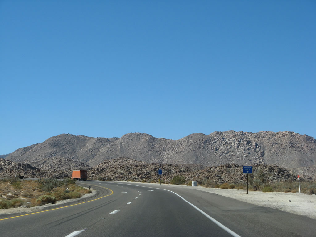
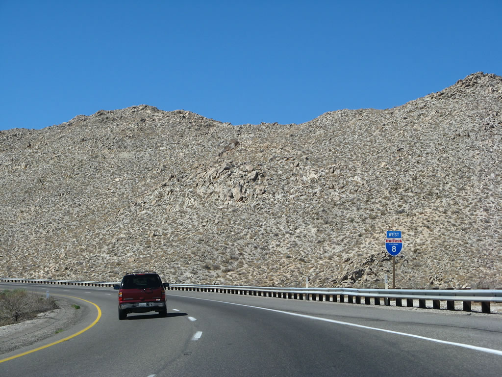
This sign does not lie: strong winds are common along westbound Interstate 8 for the next 87 miles, from El Centro west to Alpine. The winds are especially challenging at the top of Devils Canyon/In-ko-Pah Gorge and at the various high points of the freeway in San Diego County. Note the brief appearance of freeway landscaping: oleander in the median and xeriscape (cactus and other succulents) on the north side of the freeway. Photo taken 03/19/07. |
 |
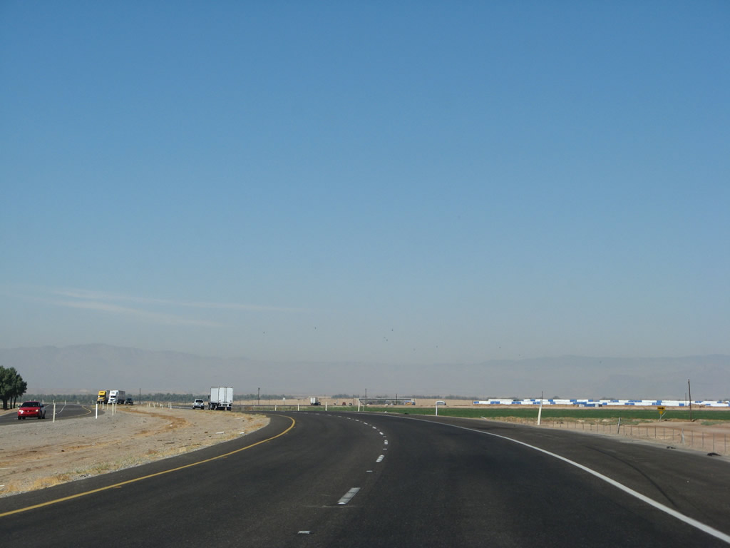
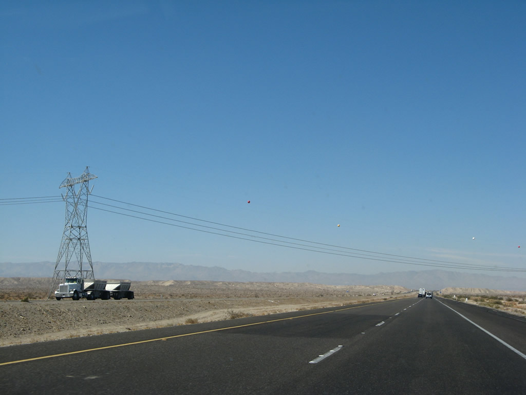
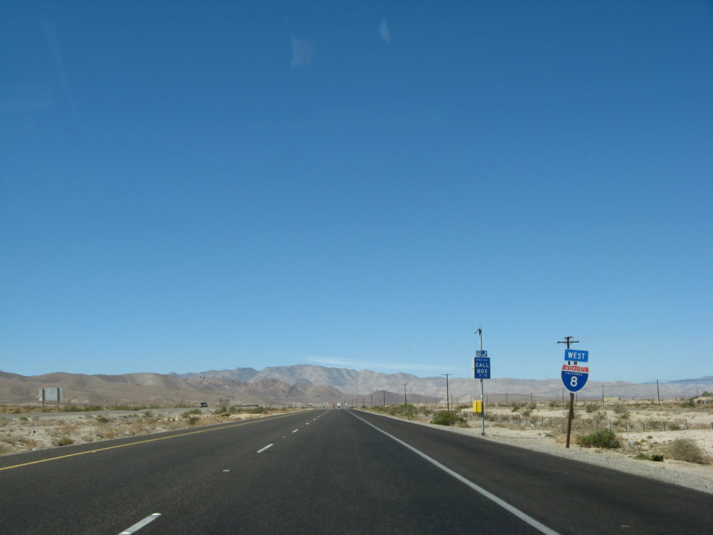
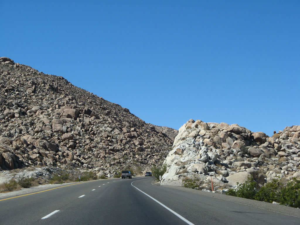
Westbound Interstate 8 approaches Exit 114, eastbound Business Loop I-8 (Imperial Avenue). The business loop is basically an upside-down "U," connecting to downtown El Centro via Imperial Avenue, Adams Avenue (Old U.S. 80), and Fourth Street (California 86). Photo taken 03/19/07. |
 |
The interchange between Interstate 8 and Imperial Avenue is currently a trumpet interchange. Imperial Avenue only travels north from Exit 114. However, plans call for Imperial Avenue to be extended south from this interchange, which will require the trumpet to be removed and replaced with an interchange that permits movements south. More than likely, this would be a diamond interchange, but we have not yet seen official plans. If built, Imperial Avenue extension would open up current agricultural areas south of Interstate 8 to new home development. Such construction will occur once funding is identified, probably between 2008 and 2012. Photo taken 03/19/07. |
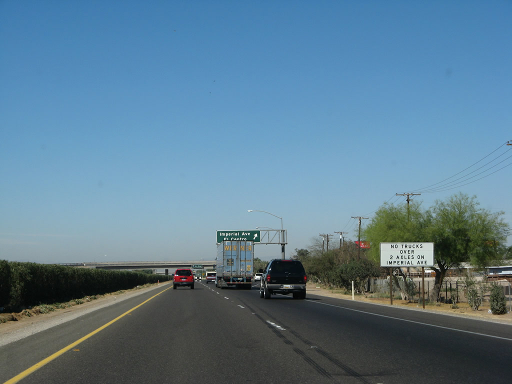 |
Trucks with more than two axles are not permitted on Imperial Avenue northbound, which pretty much rules out any semi-trucks (except smaller delivery trucks). Photo taken 03/19/07. |
 |
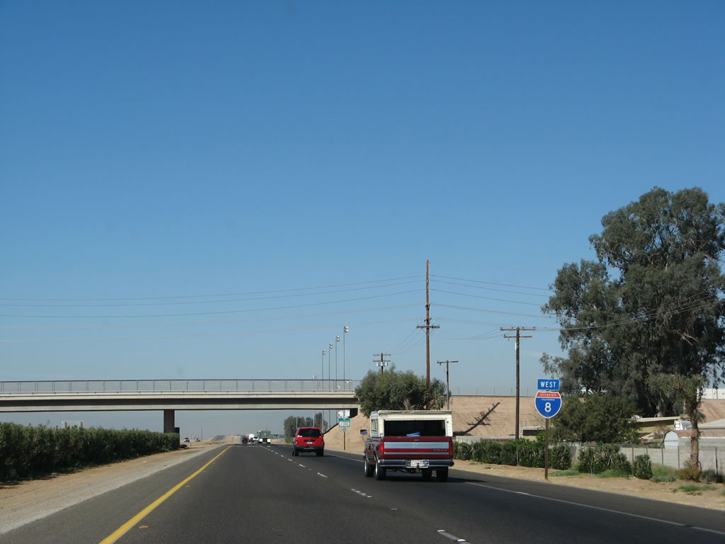
Westbound Interstate 8 reaches Exit 114, eastbound Business Loop I-8 (Imperial Avenue). Use this exit to El Centro High School and the residential areas southwest of downtown El Centro. Photo taken 03/19/07. |
 |
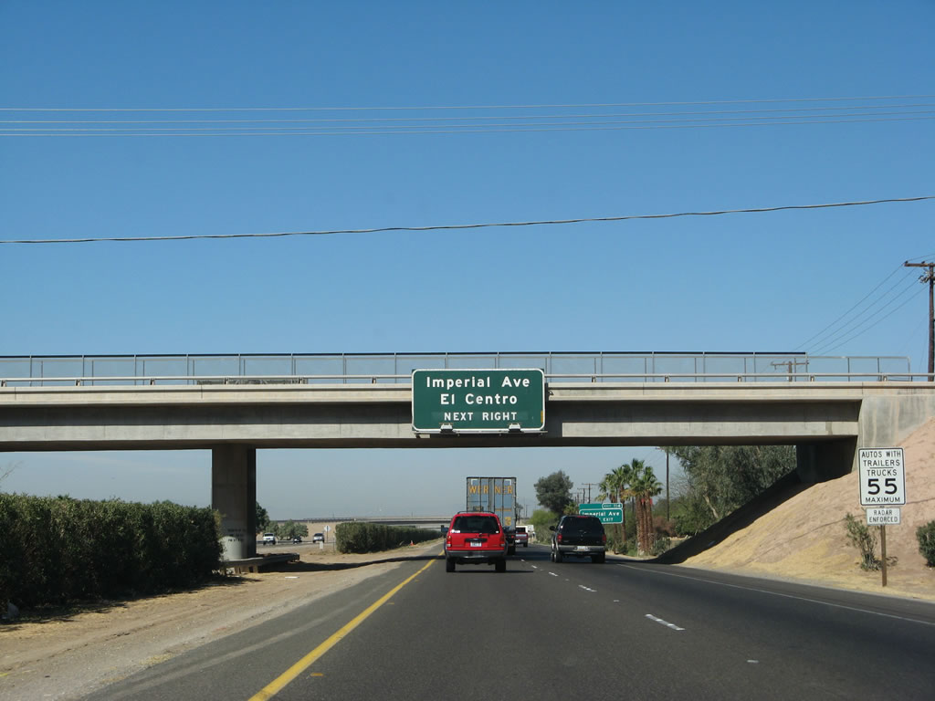
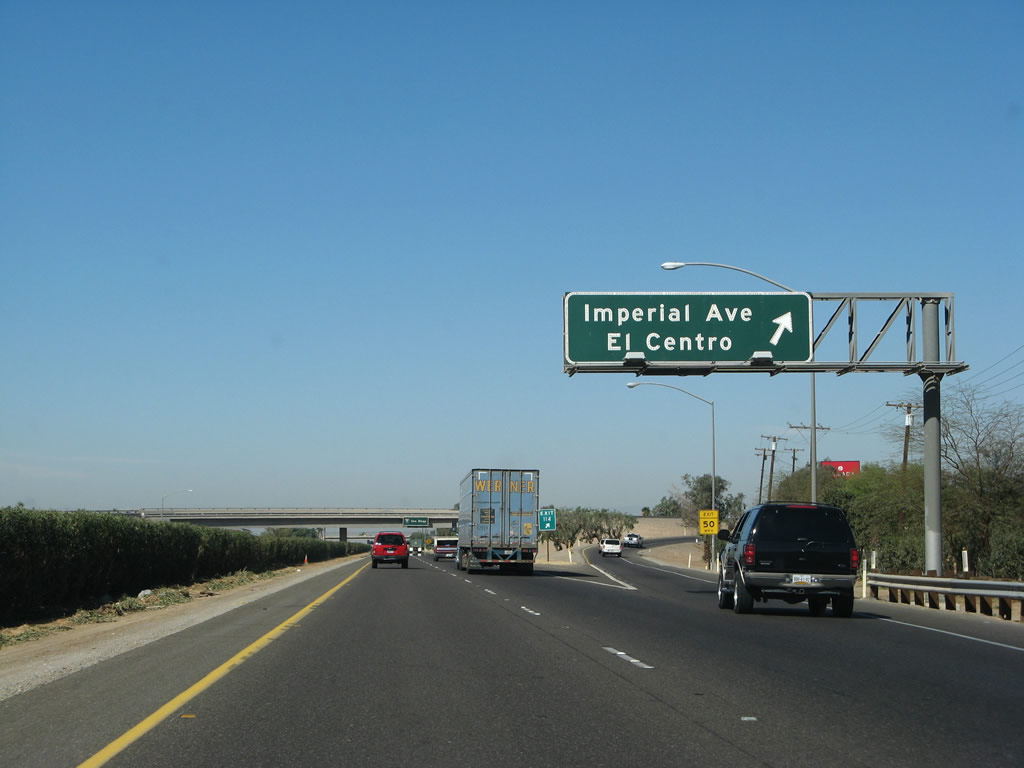
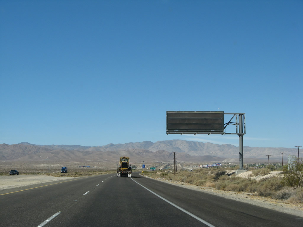
This signage for west Interstate 8 to San Diego is mounted on the Business Loop I-8 (Imperial Avenue) overpass in El Centro. This is the last overhead sign along westbound until reaching the urban areas of San Diego. Once the Imperial Avenue interchange is reconstructed, this overpass and this sign will likely be gone. Photo taken 03/19/07. |
 |
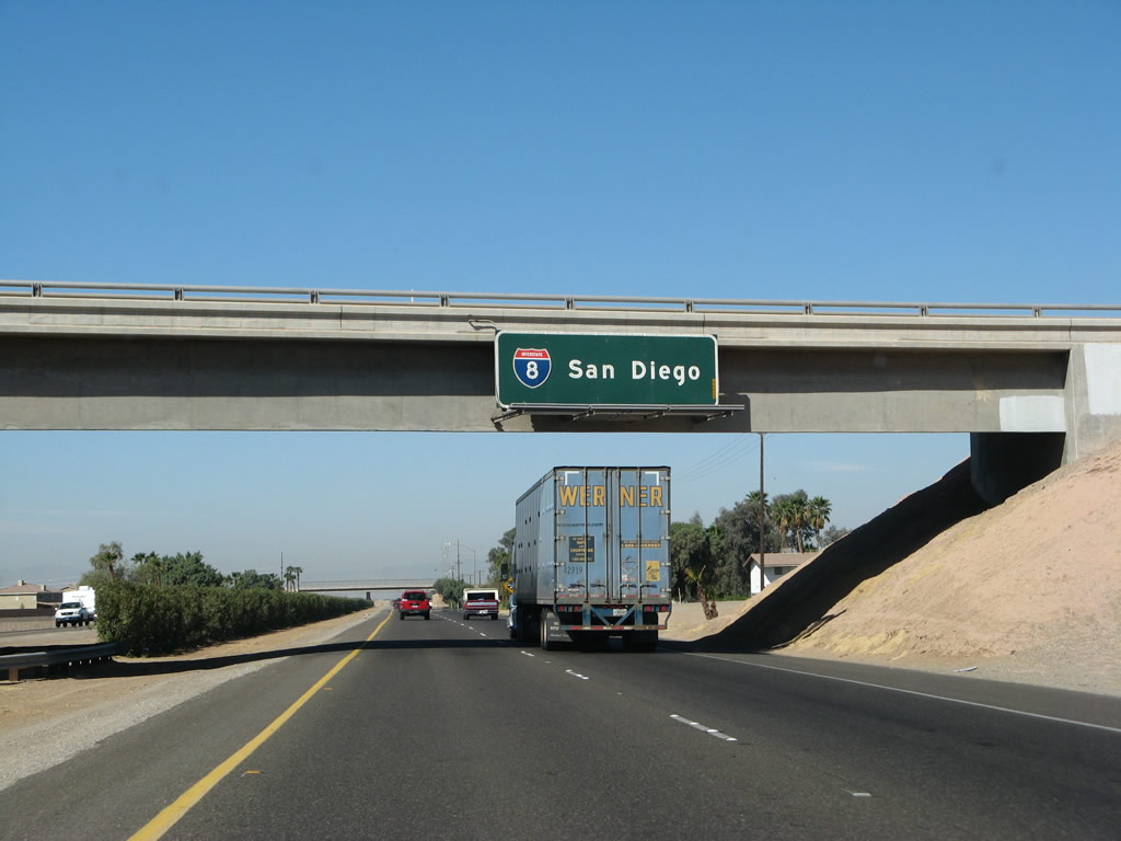
This Interstate 8 west reassurance shield is posted after Exit 114, Business Loop I-8 (Imperial Avenue). Photo taken 03/19/07. |
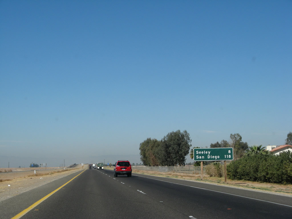 |
Shortly thereafter, this mileage sign provides the distance to Seeley (eight miles) and the control city of San Diego (118 miles). Photo taken 03/19/07. |
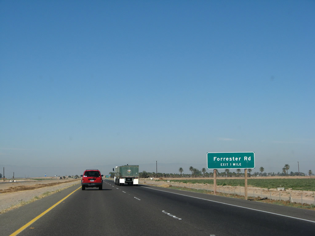 |
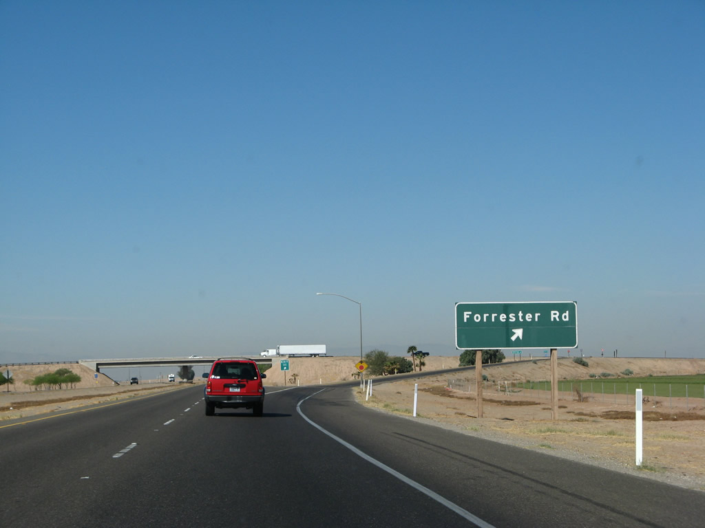
The next exit along westbound Interstate 8 is Exit 111, Imperial County S-30 (Forrester Road), one mile. Photo taken 03/19/07. |
 |
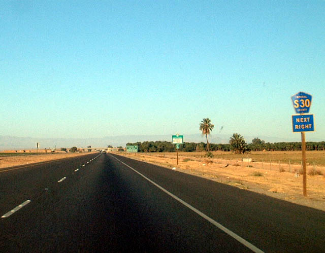 |
A palm farm comes into view on the north side of the freeway as we approach Exit 111, Imperial County S-30 (Forrester Road). Use Forrester Road north to Naval Air Station El Centro, which is the winter home of the Blue Angels. Unfortunately, someone removed the Imperial County S-30 standalone trailblazer when the new reflective sign was installed. Photos taken 03/19/07 and 01/01/03. |
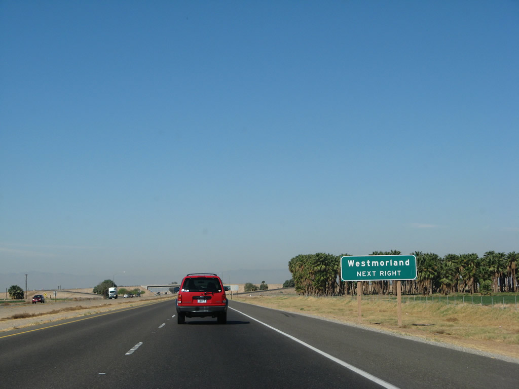 |
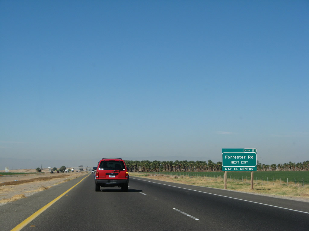
Imperial County S-30 (Forrester Road) leads north to Westmorland and south to meet California 98 at Mount Signal. Although the county road is not kept to the same standards as California 86, it offers a less traveled route that bypasses the cities of El Centro, Imperial, and Brawley. As a result, Imperial County S-30 is the best route to connect Interstate 8 with not just Westmorland, but also the California 78-86 expressway north to Indio (in case traffic didn't use California 111). Photo taken 03/19/07. |
 |
Westbound Interstate 8 reaches Exit 111, Imperial County S-30 (Forrester Road). The El Centro Naval Auxiliary Air Station may be reached by taking Forrester Road north to Hackleman Road, then Hackleman Road east to the air station. Photo taken 03/19/07. |
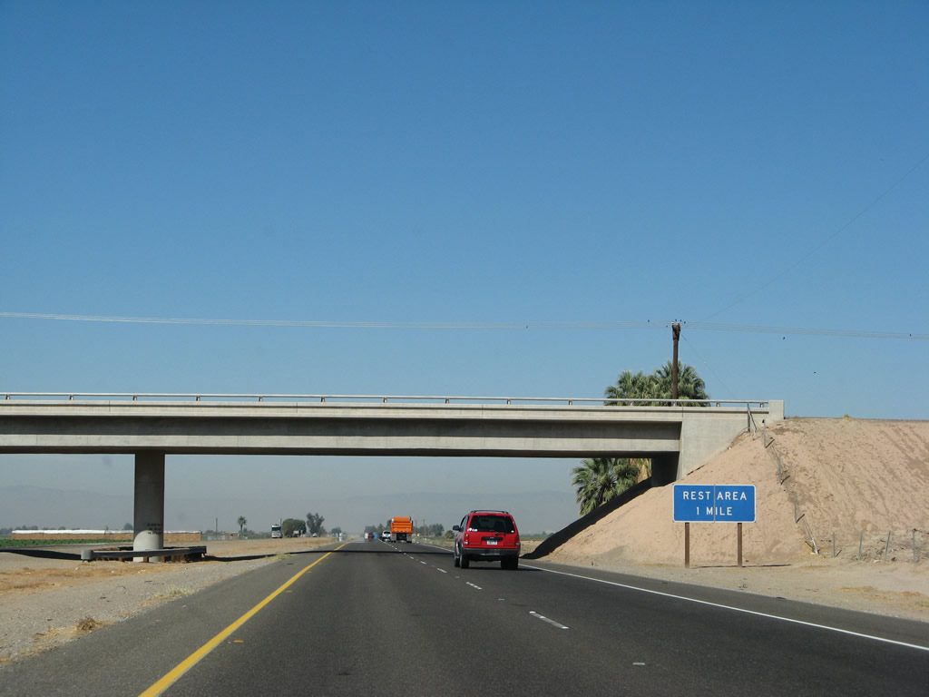 |
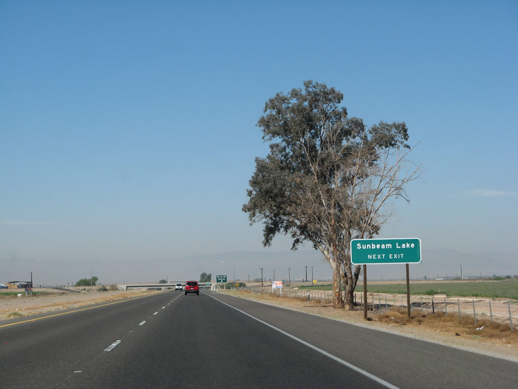
The next exit from Interstate 8 west is Exit 108, Sunbeam Rest Area, one mile. Sunbeam Rest Area is named for Sunbeam Lake County Park located northwest of here (and accessible via Exit 107, Imperial County S-29 (Drew Road)). Photo taken 03/19/07. |
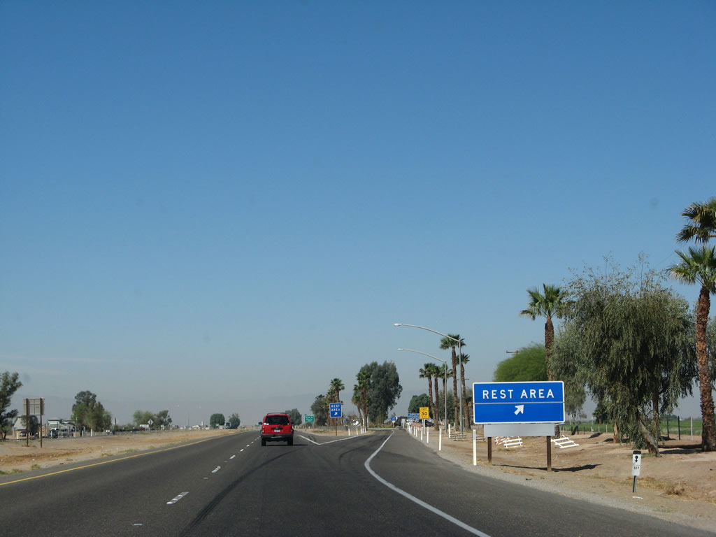 |
The Sunbeam Rest Area is the second and final rest area for Interstate 8 west in the Imperial Valley. The only remaining rest area on westbound Interstate 8 is located at Exit 51, San Diego County S-1 (Buckman Springs Road). Photo taken 03/19/07. |
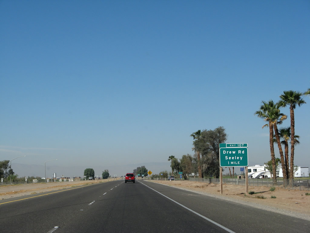 |
The next exit along Interstate 8 west is Exit 107, Imperial County S-29 (Drew Road), one mile. This is the former route of California 98. Originally, California 98 ended at U.S. 80 in Seeley, following Imperial County S-29 from near Mt. Signal northwest to U.S. 80. However, when California 98 was extended on its current alignment to Exit 87, the old state highway was remanded to local control and designated Imperial County S-29. Photo taken 03/19/07. |
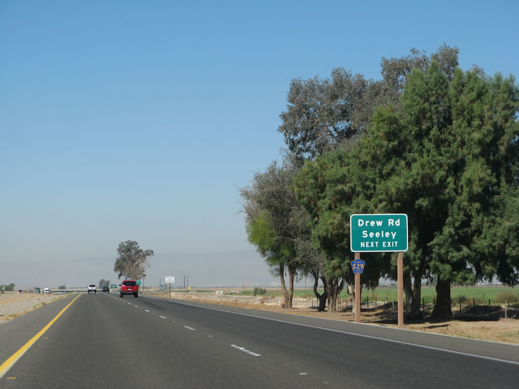 |
The next exit along westbound Interstate 8 is Exit 107, Imperial County S-29 (Drew Road). The town of Seeley is located north of this interchange along Imperial County S-80 (Old U.S. 80) via northbound Imperial County S-29. Southbound Imperial County S-29 passes through irrigated farmland en route to a southern terminus at California 98 near the Westside Main Canal crossing. Photo taken 03/19/07. |
 |
Use Imperial County S-29 (Drew Road) north to Sunbeam Lake County Park. Photo taken 03/19/07. |
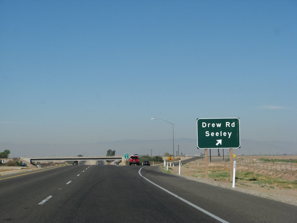 |
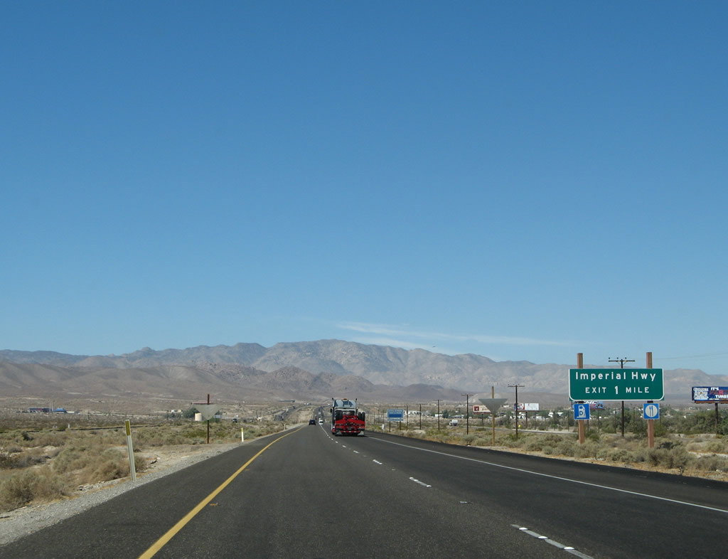
Westbound Interstate 8 reaches Exit 107, Imperial County S-29 (Drew Road). Like a line in the sand, the agricultural fields end and are replaced by the comparative barren, dry desert after the freeway passes through this interchange and crosses the New River. This is the last exit with services (in Seeley); there are no more services on Interstate 8 west until Exit 89, Imperial County S-2 (Imperial Highway). Photo taken 03/19/07. |
 |
Now at the gore point for Exit 107, we are afforded a view of the lowest point on the Interstate Highway System (not in an underwater tunnel). Ahead, Interstate 8 will cross the New River after the Drew Road interchange at an elevation of 52 feet below sea level. From the New River concrete culvert west to California 98 (Exit 87), this section of Interstate 8 was built in 1968. Photo taken 03/19/07. |
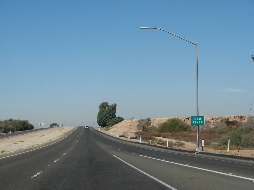 |
The New River runs throughout the year with urban runoff from Mexicali, Baja California Norte, and agricultural runoff from various farms throughout the region. This mixture of water is generally not very clean, and it drains into the Salton Sea, thus exacerbating the water quality issues that plague that saltwater lake. The crossing here is afforded by a concrete culvert. Photo taken 03/19/07. |
 |
This Interstate 8 west reassurance shield is posted after the New River culvert and the lowest point on the Interstate Highway System. Photo taken 03/19/07. |
 |
This mileage sign provides the distance to Ocotillo (at Exit 89, a distance of 17 miles) and San Diego (111 miles to downtown). Photo taken 03/19/07. |
 |
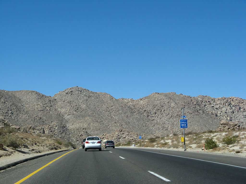
The Laguna Mountains (and the Jacumba and In-Ko-Pah Mountains), which form the western edge of the Imperial Valley, come into view along westbound Interstate 8. This is the last major agriculture we'll see on Interstate 8 in the Imperial Valley. Photo taken 03/19/07. |
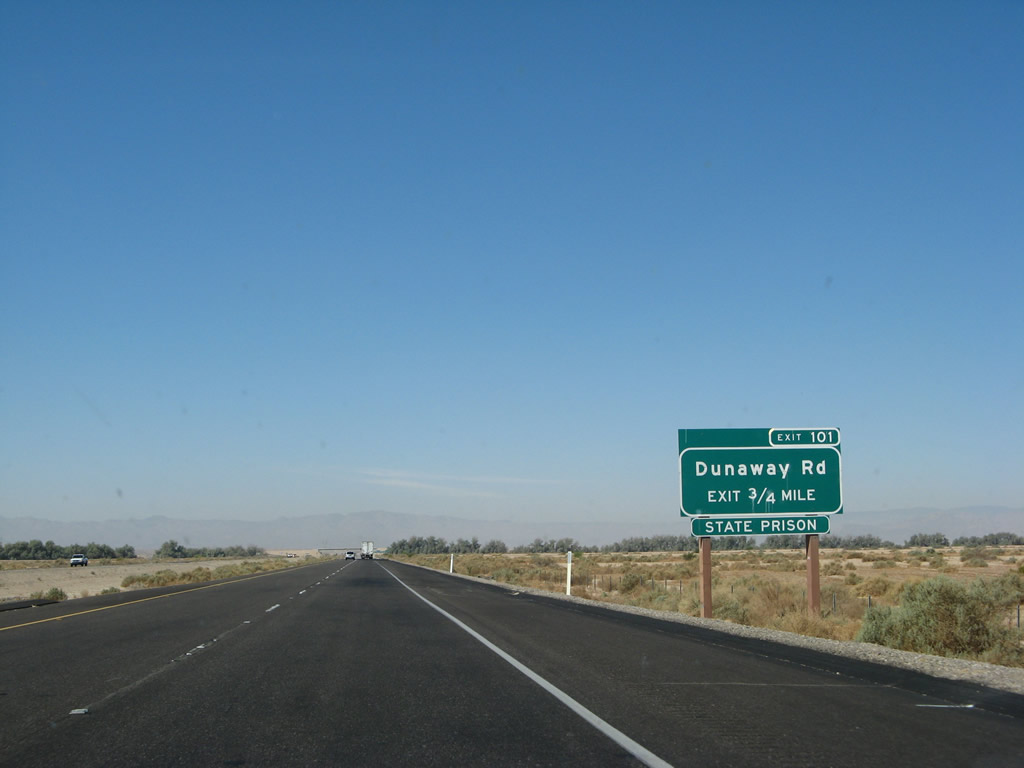 |
The next exit along Interstate 8 west is Exit 101, Dunaway Road. Dunaway Road leads north to meet Imperial County S-80 (Evan Hewes Highway) near Dixieland. Plaster City, the current western terminus of the east-west railroad passing through the valley, is located west along Imperial County S-80. Photo taken 03/19/07. |
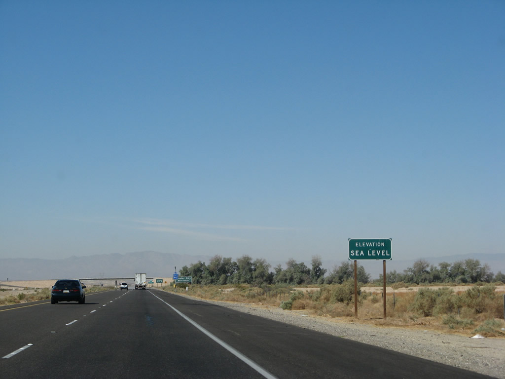 |
Finally reaching Sea Level once again, westbound Interstate 8 continues its gradual ascent out of the Imperial Valley and into the Laguna Mountains, which loom in the distance. Interstate 8 may be the only Interstate highway that goes below sea level. Photo taken 03/19/07. |
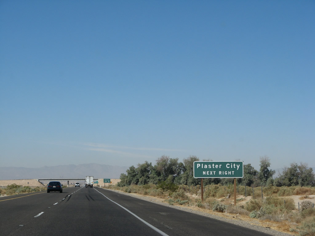 |
Use Dunaway Road north to Imperial County S-80 (Evan Hewes Highway) west to Plaster City. There are no services in Plaster City, just a large cement plant that can be seen from the freeway. Truck traffic is common along this route to and from the plant. Photo taken 03/19/07. |
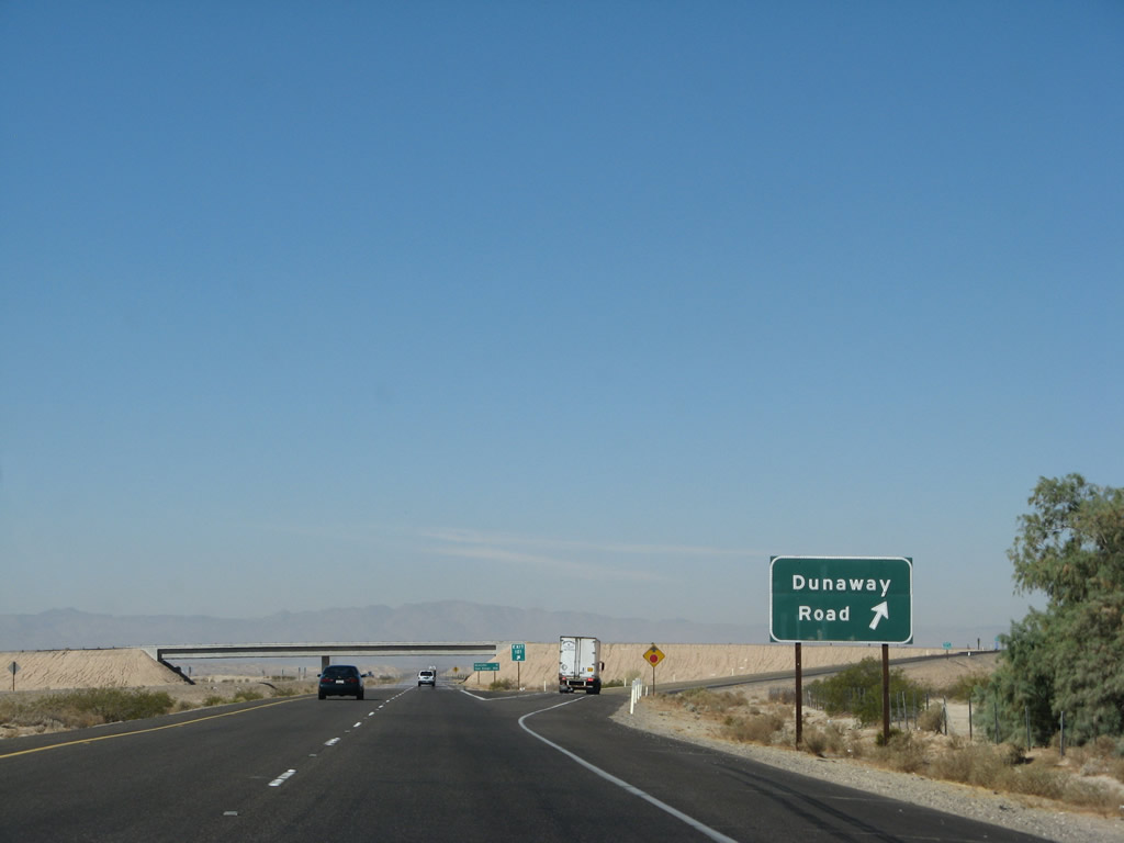 |
Westbound Interstate 8 reaches Exit 101, Dunaway Road. Plaster City is so named because of the primary product of the processing facility located there. The railroad carries dry plaster from the facility to consumers. The railroad west of Plaster City has been reopened after extensive capital investment and improvements to the railroad, especially through Carrizo Gorge. However, it currently only sees limited use each day. Photo taken 03/19/07. |
 |
Now at the Exit 101 gore point, there is very little that grows on its own at this end of the Colorado Desert. With limited rainfall squeezed out by the Laguna Mountains, this area receives only a couple inches of precipitation each year. Photo taken 03/19/07. |
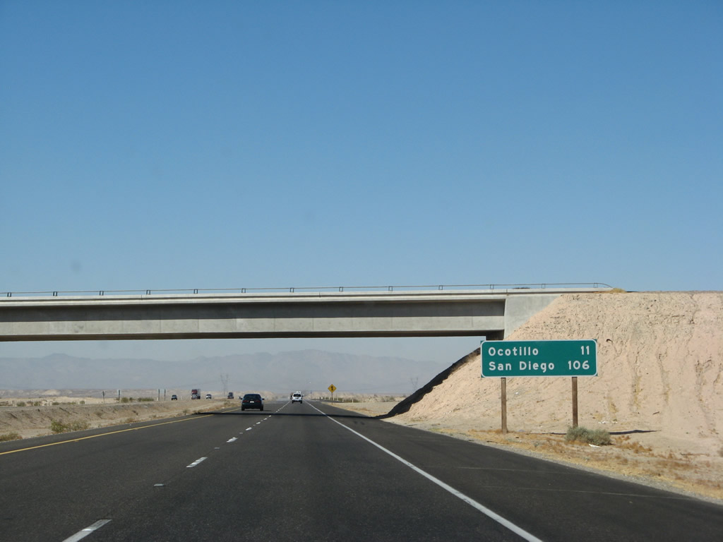 |
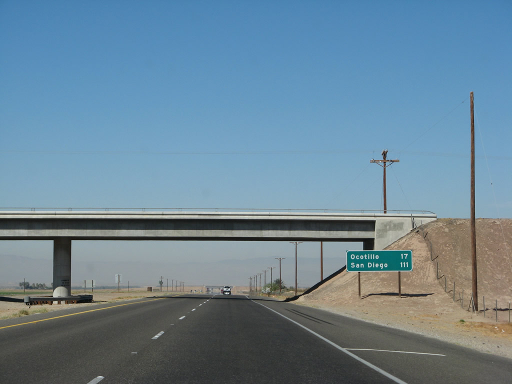
This mileage sign provides the distance to Ocotillo (11 miles) and San Diego (106 miles). It is 11 miles to the next exit: Imperial County S-2 (Imperial Highway) north to Ocotillo and the massive Anza-Borrego Desert State Park. Photo taken 03/19/07. |
 |
An Interstate 8 west reassurance shield is posted after the on-ramp from Exit 101, Dunaway Road. Photo taken 03/19/07. |
 |
The Southwest Powerlink again meets up with Interstate 8. After passing through a large substation in the Yuha Desert to the south, power imported from Mexico joins the 500 kV line. From here, the Southwest Powerlink will continue west toward the San Diego metropolitan area. Photo taken 03/19/07. |
 |
Cresting through the Yuha Buttes, Interstate 8 sees the final distance of the Imperial Valley. Coyote Wells and Ocotillo come into view, as does the beginning of the steep climb up Devils Canyon. Photo taken 03/19/07. |
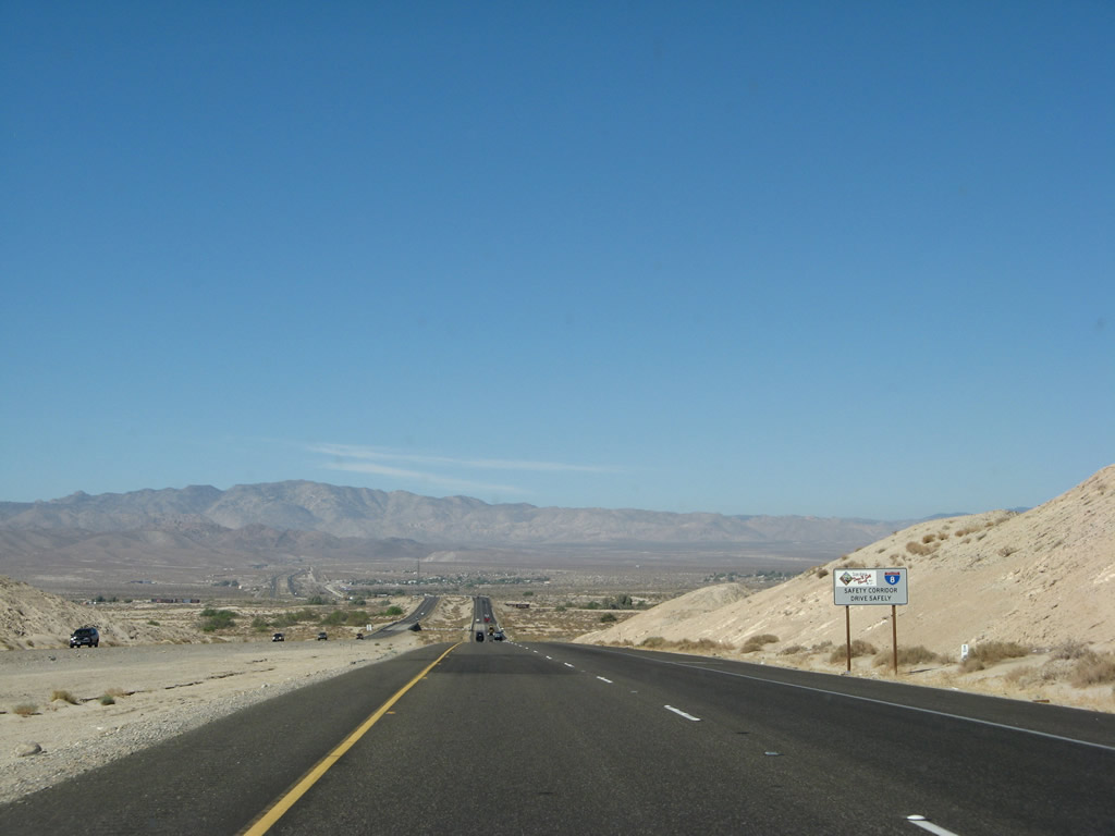 |
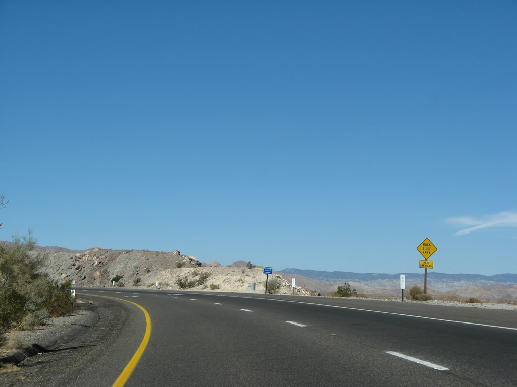
Interstate 8 through Devils Canyon is part of an established safety corridor as identified on this sign. Photo taken 03/19/07. |
 |
Interstate 8 crosses the South Coyote Wash on this 1968 bridge. During flood events from summer monsoons and hurricanes, this wash can be a raging torrent of water; in fact, such floods have damaged structures on Old U.S. 80 and Interstate 8 in the past, specifically by Hurricane Kathleen in September 1976. Photo taken 03/19/07. |
 |
Here's another view of the mountains that Interstate 8 will soon ascend. Beautiful! Photo taken 03/19/07. |
 |
Strong winds are possible for the next 63 miles; this is a continuation of the strong wind warning sign posted in El Centro prior to the Imperial Avenue interchange (Exit 114). Photo taken 03/19/07. |
 |
The weather on top of the mountain ridges will be vastly different than the valley floor. Temperatures at the top are likely to be lower, and wind speeds are likely to be faster. During winter storms, watch for snow, ice, and wind warnings posted on this variable message sign. Photo taken 03/19/07. |
 |
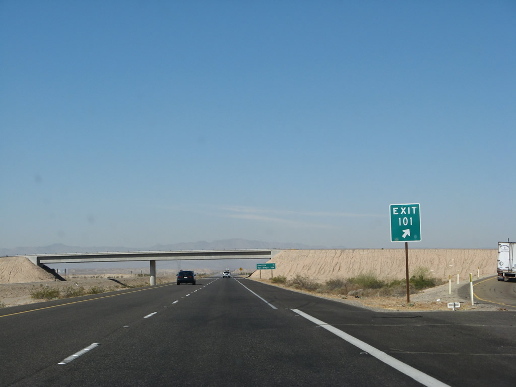
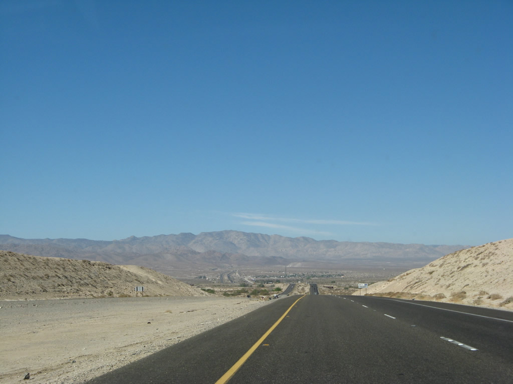
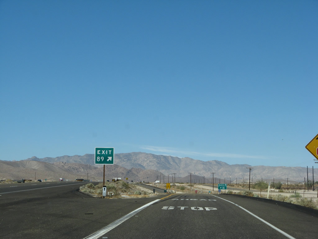
The next exit along westbound Interstate 8 is Exit 89, Imperial County S-2 (Imperial Highway), one mile. The town of Ocotillo is located at this interchange, with food and gas available. This is the last exit in the Imperial Valley for Interstate 8 westbound; the highway begins to climb into the Laguna Mountains after this interchange. Photo taken 03/19/07. |
 |
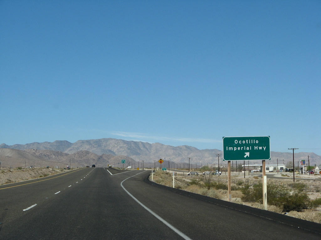
Imperial County S-2 leads northwest from this interchange into San Diego County, leading to a variety of desert parks, including the massive Anza Borrego Desert State Park and Agua Caliente County Park. By now it is clear that Caltrans forgot to include the Imperial County S-2 trailblazer on the mainline. There is one on the off-ramp, however. Photo taken 03/19/07. |
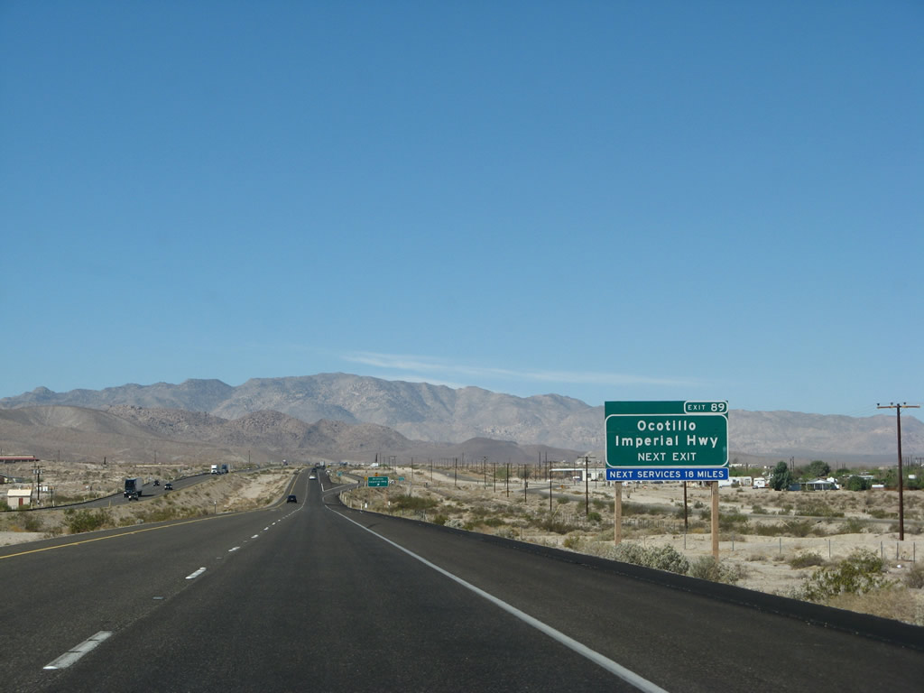 |
There are no services for 18 miles (not until Exit 73, Jacumba). The next 18 miles are almost entirely uphill, with a chance for cars overheating during the hot summer months. This picture shows westbound Interstate 8 approaching Exit 89, Imperial County S-2, next right. Photo taken 03/19/07. |
 |
Westbound Interstate 8 reaches Exit 89, Imperial County S-2 (Imperial Highway). Southbound Imperial County S-2 leads to California 98 east for those motorists needing to reach that highway. In addition, Ocotillo is the western terminus of Imperial County S-80 (Evan Hewes Highway), but there are some vintage segments of Old U.S. 80 west of Ocotillo as well as a point of access to the Carrizo Gorge via Dos Cabeza Road. Photo taken 03/19/07. |
 |
At the gore point for Exit 89, we exit the freeway. The town of Ocotillo knows tragedy, as significant portions of it were destroyed by Hurricane Kathleen in September 1976. Several people died in the floodwaters, and it took time for the town to recover. Photo taken 03/19/07. |
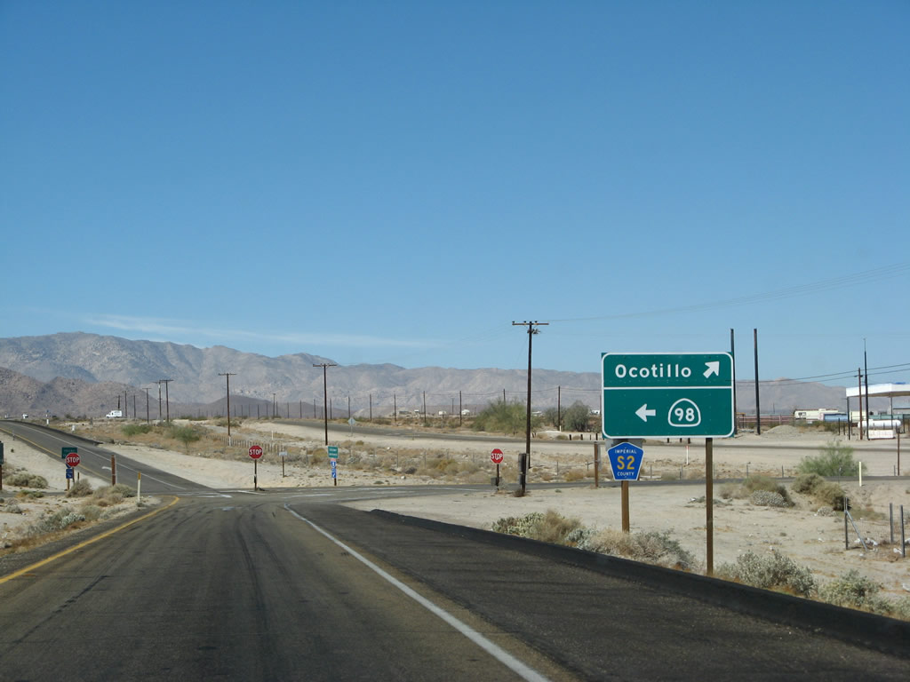 |
Nearing the base of the ramp, a left turn follows Imperial County S-2 about a half-mile south to California 98, which serves as the southern terminus of the county road. To the north, Imperial County S-2 first intersects Imperial County S-80 (Old U.S. 80), marking the western terminus of Imperial County S-80. After passing through Ocotillo, Imperial County S-2 follows Imperial Highway into San Diego County, passing through the Yuha Desert Recreation Area into Anza Borrego Desert State Park. Some of the interesting features found on Imperial County S-2 into the Carrizo Badlands, Sweeney Pass, Canebrake, Vallecito Valley, Butterfield Ranch, and Earthquake Valley. Photo taken 03/19/07. |
 |
This reassurance shield for Interstate 8 west is posted after the Imperial Highway interchange. Photo taken 03/19/07. |
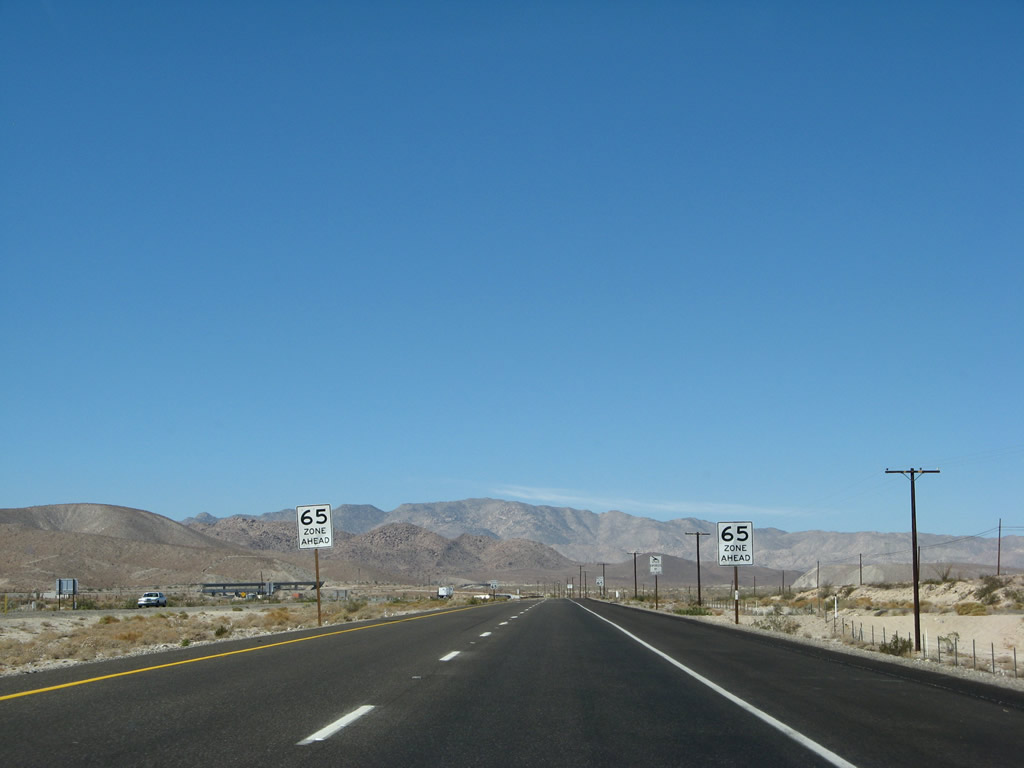 |
Beginning the ascent up through Devils Canyon, the speed limit drops to 65 miles per hour for the first time since leaving Arizona. Photo taken 03/19/07. |
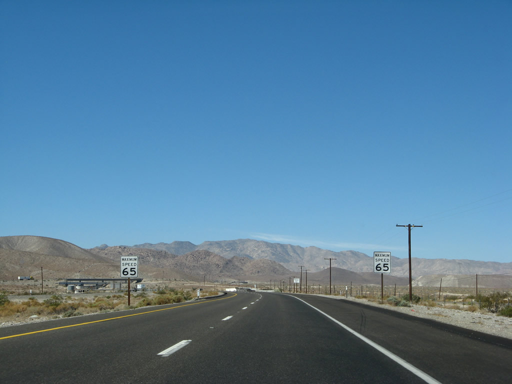 |
A pair of "Maximum Speed 65" signs are posted on westbound Interstate 8. The bridges in the distance ahead are associated with the directional interchange with California 98 east. There is no access to California 98 from westbound Interstate 8. Photo taken 03/19/07. |
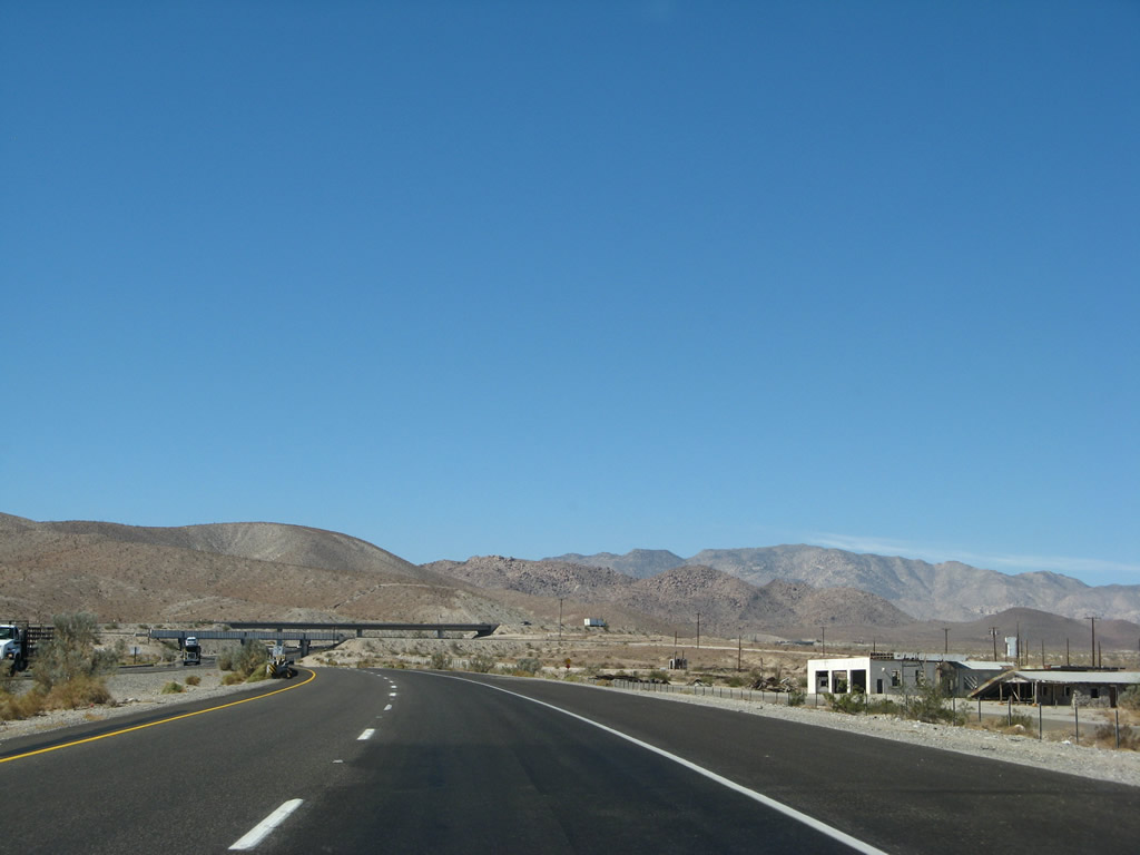 |
An old gas station frontage is visible on the north side of Interstate 8 along the frontage road, which is the remnant of U.S. 80. Now that the parallel alignment of U.S. 80 is not drivable, the only way to continue the journey west on U.S. 80 is to follow Interstate 8 west until Exit 77, In-Ko-Pah Road. Unfortunately, all the remnant sections of road in In-Ko-Pah Gorge is not visible on westbound; they can only be seen by eastbound travelers (except for extant sections reachable from Mountain Springs Road). Photo taken 03/19/07. |
 |
The Coyote Wells structure carries the railroad over Interstate 8 on this steel girder bridge built in 1957. This bridge was built back when U.S. 80 was in service, and it is still in use today for Interstate 8 traffic. The Interstate 8/California 98 separation structure is the next overhead concrete bridge. Photo taken 03/19/07. |
 |
Westbound California 98 flies over Interstate 8 on this one-lane bridge; it will swing around to merge onto westbound Interstate 8. This marks the western terminus of California 98. Photo taken 03/19/07. |
 |
Preparing to merge with California 98 west, an Interstate 8 west reassurance shield is posted on the transition ramp. The Southwest Powerlink (see right edge of photo) will also join Interstate 8 to climb up the Jacumba Mountains, which is the first rise. Photo taken 03/19/07. |
 |
Merging with California 98 west, Interstate 8 west continues to climb. Despite the steep climb up Devils Canyon, the roadway is only two lanes wide. As we ascend, watch for slow moving vehicles. Due to the summer heat that can bring temperatures well into the triple digits, Interstate 8 has frequent water stops for radiators (the water is not potable). Call boxes can be used in emergencies. Photo taken 03/19/07. |
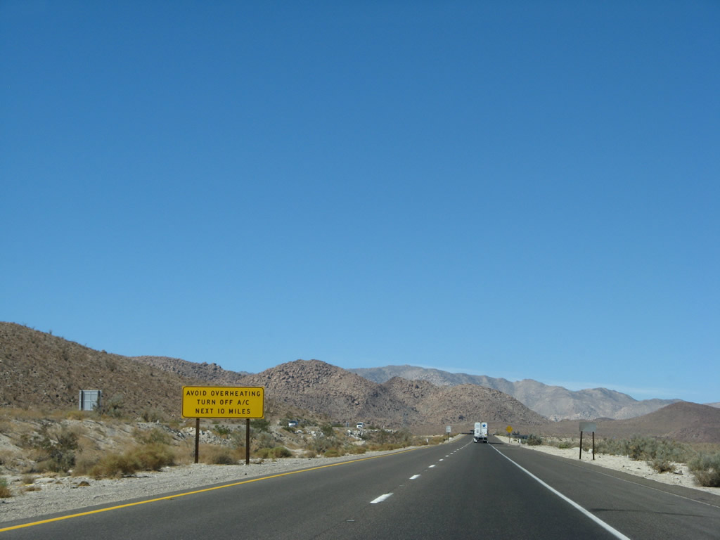 |
To avoid overheating on the incline in Devils Canyon, this sign recommends against using air conditioning. Photo taken 03/19/07. |
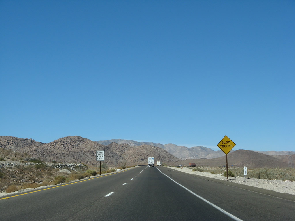 |
Watch for slow trucks! At this point, the eastbound lanes will separate from the westbound lanes. Eastbound lanes take In-Ko-Pah Gorge, which is the original alignment of U.S. 80. Westbound lanes take Devils Canyon, which was constructed in 1963 on a new alignment. Prior to constructing Interstate 8 in the canyon, there was no prior paved highway. Photo taken 03/19/07. |
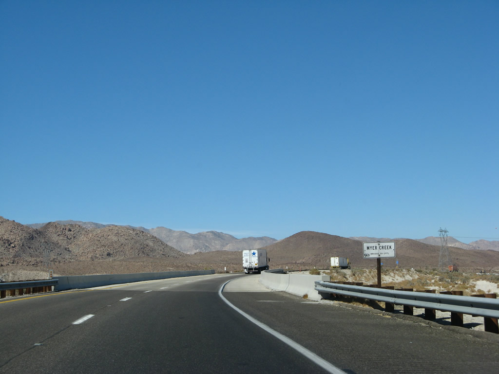 |
Westbound Interstate 8 crosses over Myer Creek on this 1978 bridge. It had to be replaced because of Hurricane Kathleen, which came north from the tropics via the Sea of Cortez (Gulf of California). Entering the United States, the storm centered around El Centro and brought heavy rains and gale force winds into the region, with as much as ten inches of rain falling throughout the region over the course of two days. Much of the town of Ocotillo was wiped out by the hurricane (several died in the floodwaters), major sections of Interstate 8 were destroyed, and the San Diego and Arizona Eastern Railroad was damaged to the point of abandonment as a result of damages sustained along its route (the railroad was recently rehabilitated and recommissioned into service).1 Photo taken 03/19/07. |
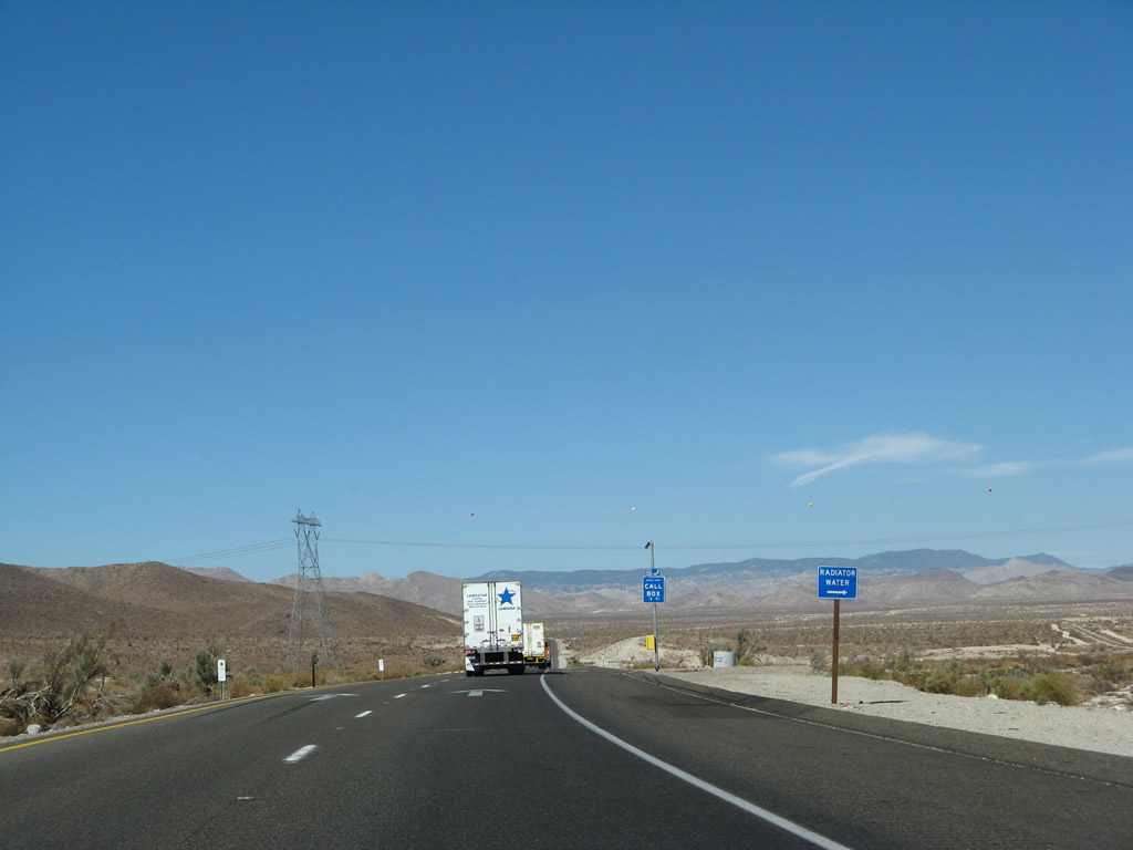 |
A radiator stop is located adjacent to the call box at postmile IMP9.10. Several more water stops are located on the route uphill. The water is not potable, so do not drink it. Photo taken 03/19/07. |
 |
The Southwest Powerlink crosses over the westbound lanes of Interstate 8. Two trucks struggle to pass each other on the upslope. Photo taken 03/19/07. |
 |
Continuing the climb west, watch for falling rock. The freeway bends to the southwest, and it will continue in that general direction (or due south) all the way to In-Ko-Pah and the Desert View Tower. Photo taken 03/19/07. |
 |
Wrapping around a bend, several gorgeous views of the mountains can be afforded as Interstate 8 plunges into Devils Canyon. Photo taken 03/19/07. |
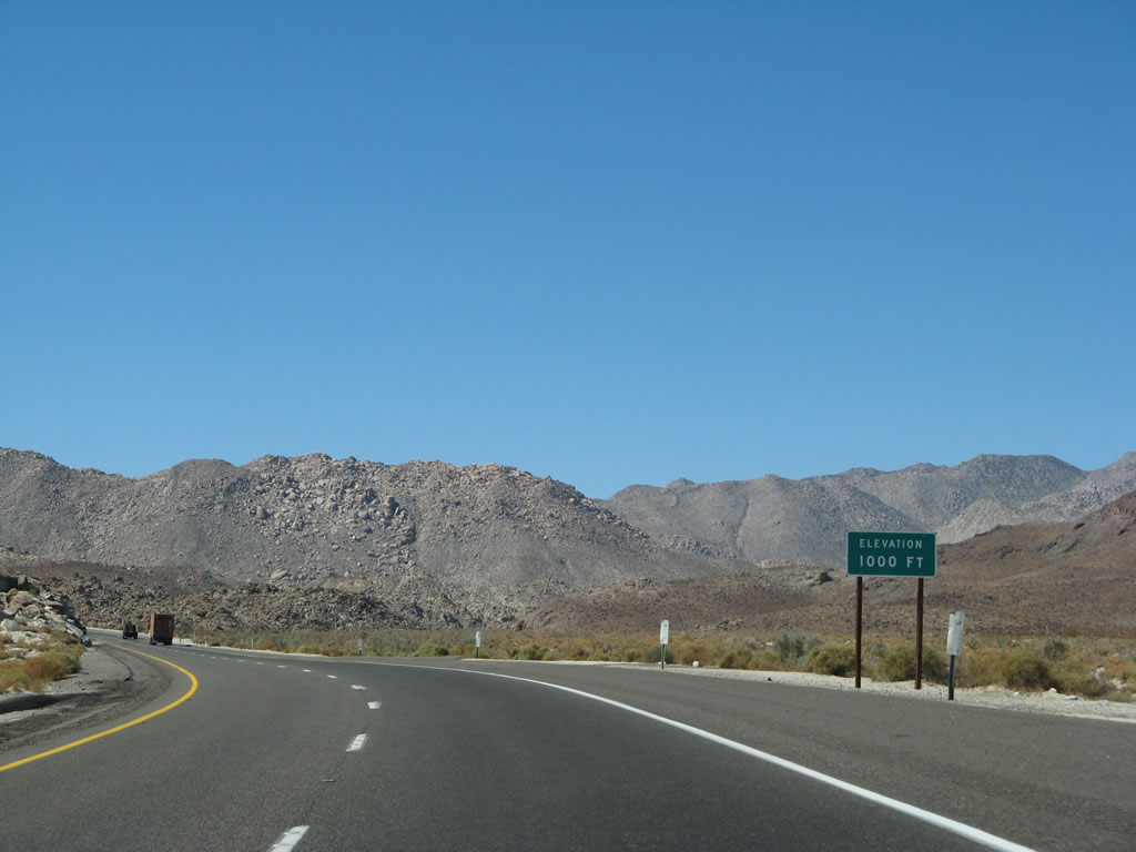 |
Already we have reached 1,000 feet, a far cry from the sea level sign seen near the Dunaway Road interchange. The freeway continues uphill at a near six percent grade. Photo taken 03/19/07. |
 |
A pair of white "straight ahead" arrows are painted onto the roadway as we pass by another radiator water stop. This is to ensure motorists who stop remember to turn right onto westbound Interstate 8. Photo taken 03/19/07. |
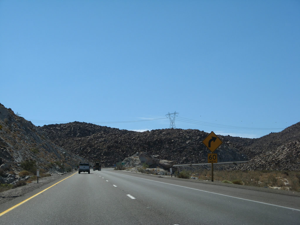 |
Now traveling due south for a bit, we approach a 60-mile-per-hour curve. Photo taken 03/19/07. |
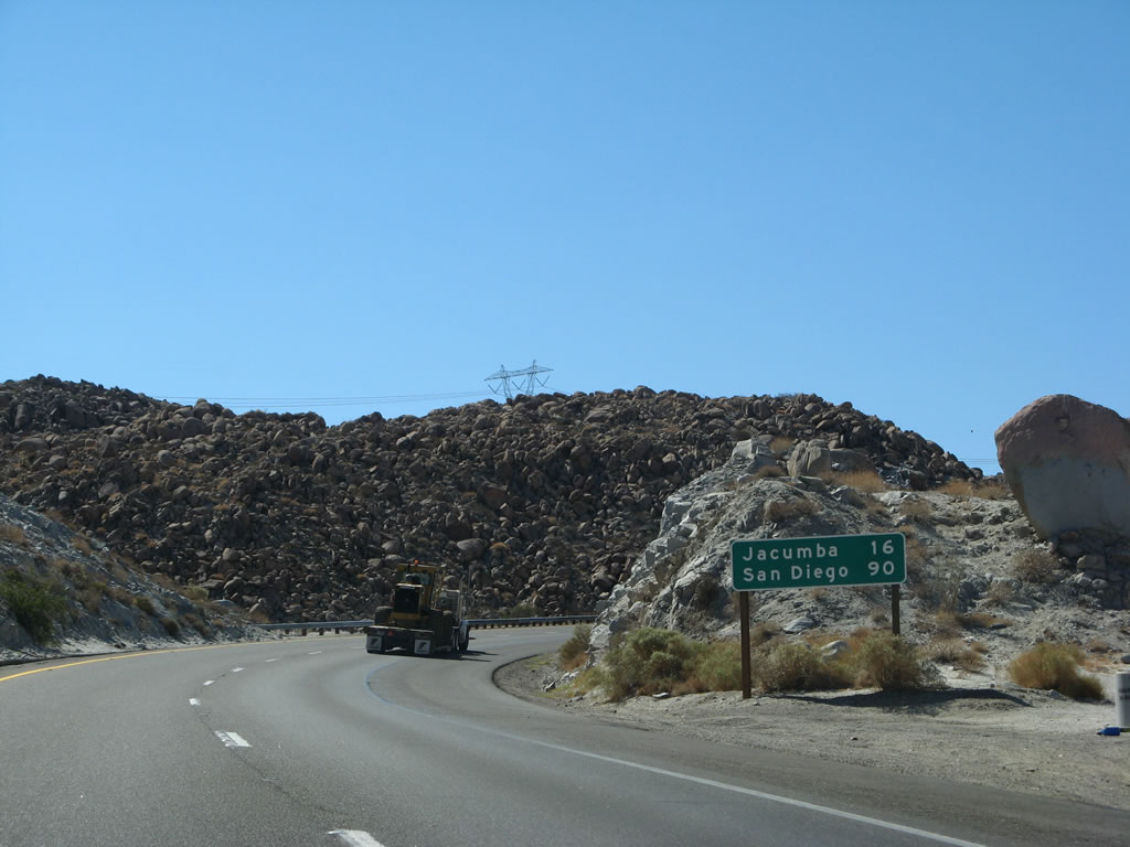 |
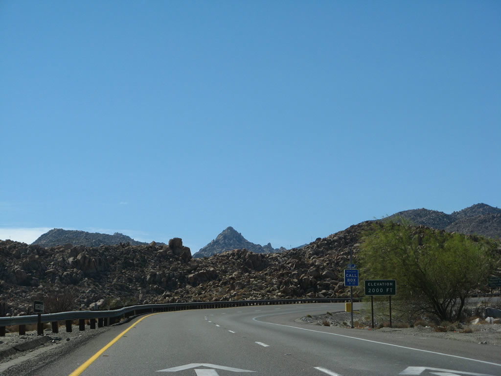
This mileage sign provides the distance to Jacumba (16 miles) and San Diego (90 miles). Photo taken 03/19/07. |
 |
Passing by postmile 6.00, the freeway wraps around to the west again. Photo taken 03/19/07. |
 |
Towering rocks and rock cuts on this uphill alignment make for somewhat treacherous driving experience, but the scenery is simply stunning. Photo taken 03/19/07. |
 |
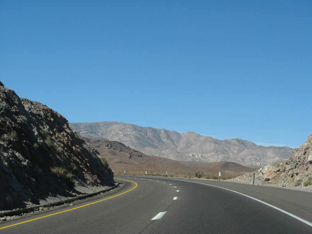
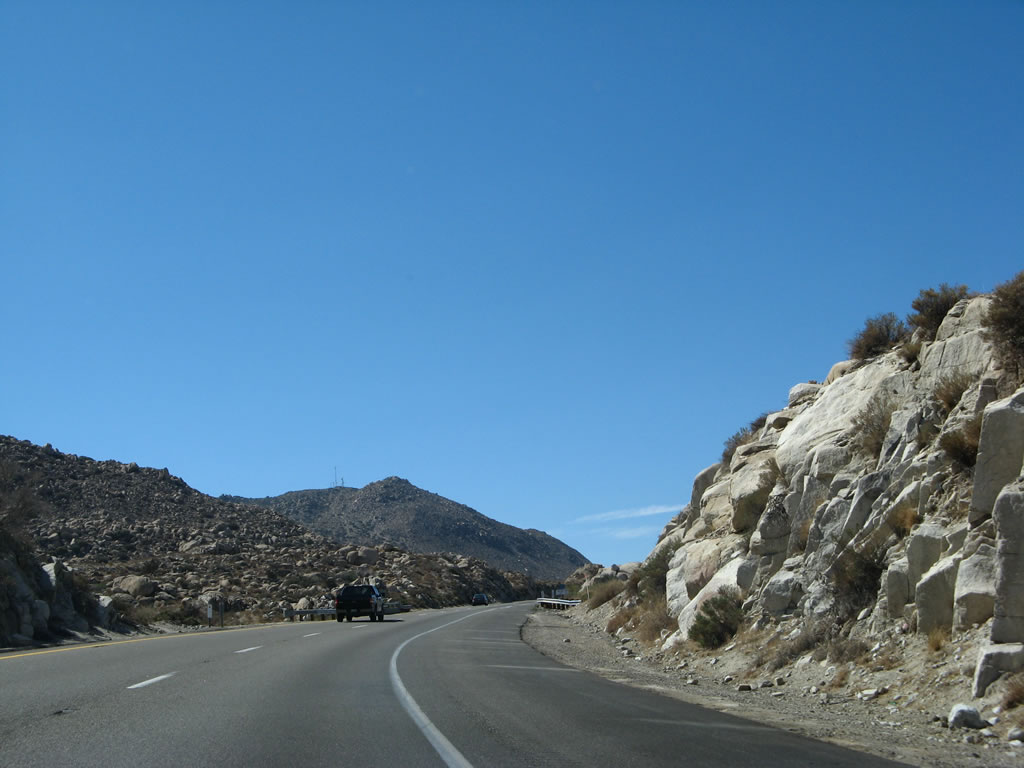
The ridge of the Jacumba Mountains comes into view as Interstate 8 continues west into Devils Canyon. This ascent is very steep, and slow vehicles are common on this stretch of freeway. The westbound and eastbound lanes split by as much as a mile in this stretch, since each direction uses a different canyon for the steep upgrade/downgrade. U.S. 80 used In-Ko-Pah Gorge, not Devils Canyon, so there are no remnants of the old road in Devils Canyon. Photo taken 03/19/07. |
 |
Turning southwest again, Interstate 8 crosses the first Devils Canyon bridge, which was built in 1963. Photo taken 03/19/07. |
 |
The second Devils Canyon bridge comes into view as Interstate 8 continues southwest toward Mountain Springs. Photo taken 03/19/07. |
 |
 |
A fence helps keep wind gusts from blowing cars and trucks around on the second Devils Canyon bridge. Built in 1963, the bridge has a deficient shoulder and is not as wide as prescribed by Interstate standards. Photos taken 03/19/07. |
 |
After crossing the second Devils Canyon bridge, we reach 2,000 feet on westbound Interstate 8. Soon, westbound and eastbound lanes will reunite as we reach the top of Devils Canyon. Photo taken 03/19/07. |
 |
The next exit along Interstate 8 west is Exit 80, Mountain Springs Road (note lack of exit number). Having reached the top of Devils Canyon, westbound Interstate 8 will soon merge back onto the same alignment as eastbound Interstate 8, which followed Myer Creek through In-Ko-Pah Gorge. Photo taken 03/19/07. |
 |
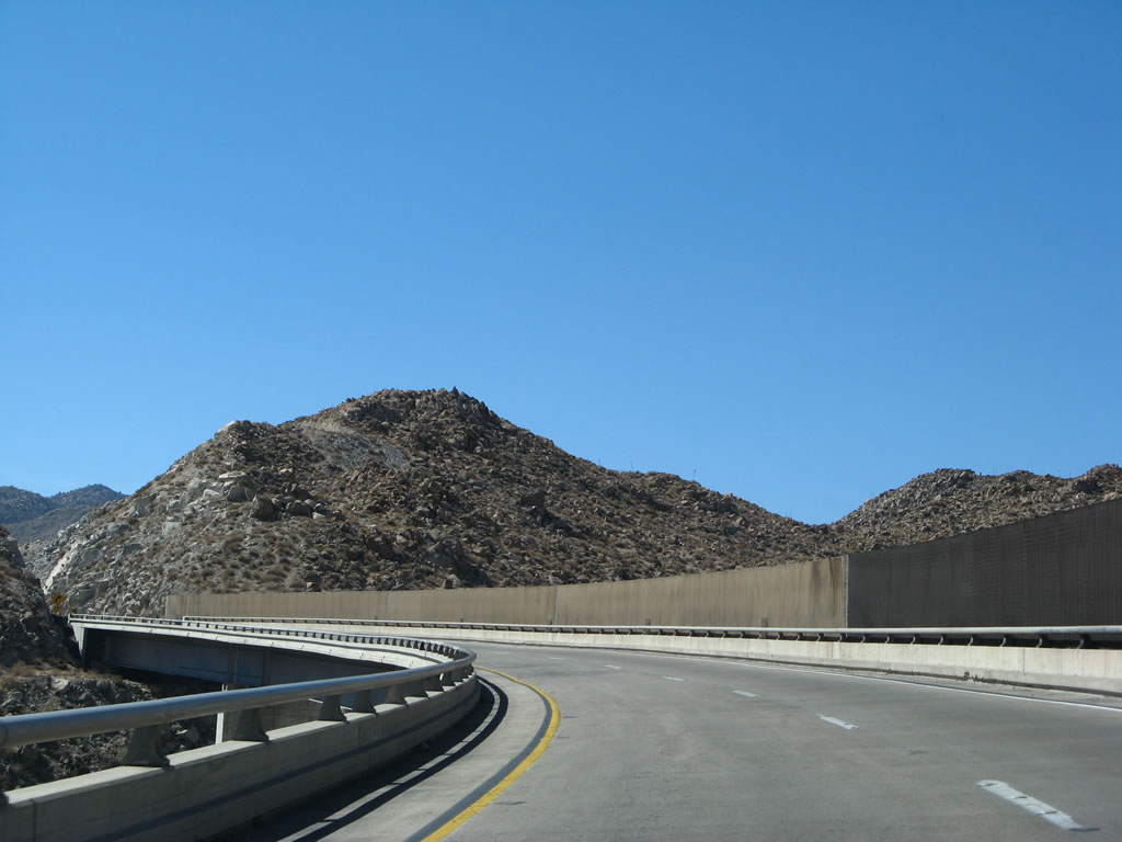
Westbound Interstate 8 reaches Exit 80, Mountain Springs Road. This is the penultimate Imperial County interchange. This exit connects to Mountain Springs, which consists of a few ranches and some public access lands. Mountain Springs Road is not a through road. Use this exit to see some old alignments of Old U.S. 80, including some sections featuring twin-slab concrete poured in the 1930s. Note that some stretches of Old U.S. 80's concrete segments are on private property and cannot be accessed. Remnants of the old road can be seen briefly from the freeway, especially as we ascend to the Desert View Tower and the top of In-Ko-Pah Gorge. Photo taken 03/19/07. |
 |
An Interstate 8 west reassurance shield is posted after Exit 80, Mountain Springs Road as the freeway continues its ascent up In-Ko-Pah Gorge to the Desert View Tower and summit. Watch for slow moving vehicles. Interstate 8 again turns due south. Photo taken 03/19/07. |
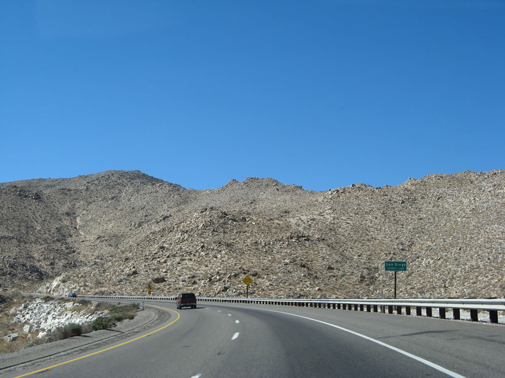 |
Interstate 8 turns south on an alignment that happens to straddle the Imperial County-San Diego County line. So, the freeway enters San Diego County for the first time here. Photo taken 03/19/07. |
 |
Interstate 8 continues its steep ascent, gaining a thousand feet in elevation in a little over three miles. Photo taken 03/19/07. |
 |
Continuing south, Interstate 8 reenters Imperial County. Note the cut in the rock above the freeway. This is an old alignment of U.S. 80 that is no longer in use. Photo taken 03/19/07. |
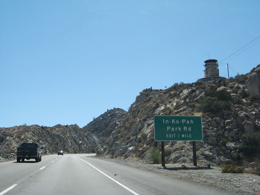 |
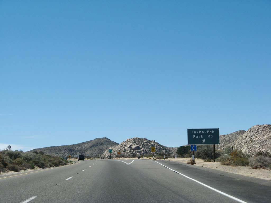
The next exit along westbound Interstate 8 is Exit 77, In-Ko-Pah Park Road to Old U.S. 80. The Desert View Tower can be seen, holding its silent sentry over In-Ko-Pah Gorge and the vast Imperial Valley below it. Photo taken 03/19/07. |
 |
Massive rock cuts were required to keep Interstate 8 at a steady grade as it continues to climb toward the In-Ko-Pah Park Road interchange. Photo taken 03/19/07. |
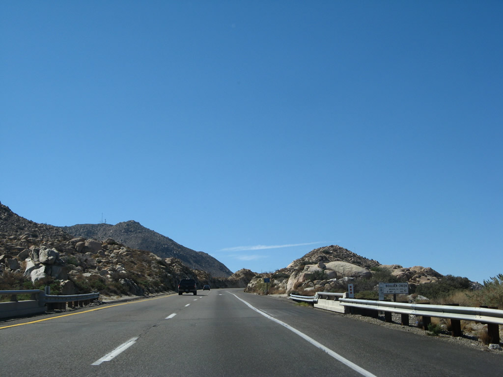 |
The Boulder Creek was built in 1963. This is the last structure along Interstate 8 in Imperial County. Photo taken 03/19/07. |
 |
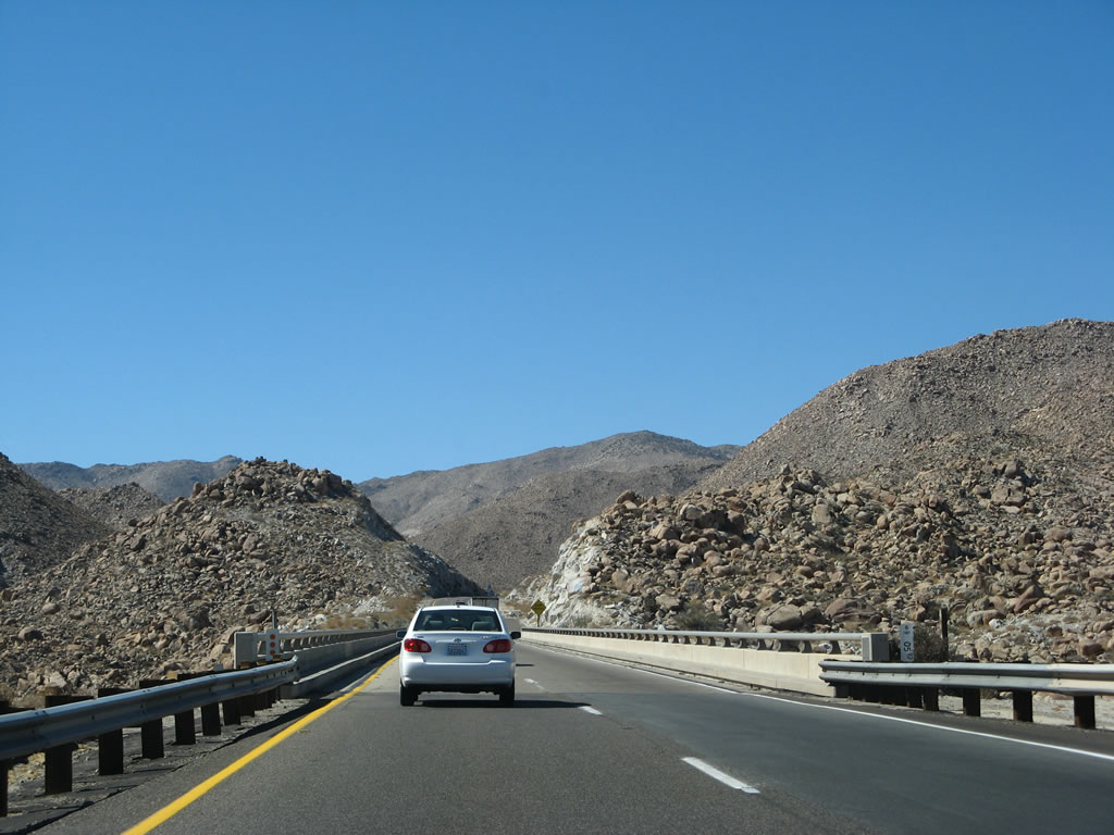
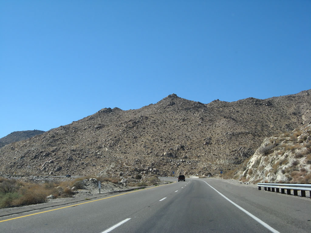
Another massive rock cut is present as Interstate 8 west nears the top of this long uphill grade. The next interchange (In-Ko-Pah Park Road) marks the beginning of a long stretch of extant U.S. 80 (which is called "Old Highway 80") as it passes through Jacumba, Bankhead Springs, Boulevard, Manzanita, Live Oak Springs, Pine Valley, Guatay, and Descanso before rejoining Interstate 8 at Exit 40. Much of the alignment is paved in original 1930s concrete, and several old bridges and culverts remain in use or are still standing adjacent to the old road. For those with time, it is well worth the detour (although Interstate 8 is pretty nice too!). Brown Historic U.S. 80 shields are posted along this stretch of old road. Photo taken 03/19/07. |
 |
Coming to near the top, we reach 3,000 feet. This amounts to a 2,720-foot gain in elevation between the town of Ocotillo (el. 380 feet at Exit 89) and here (at Exit 77), a distance of 12 miles. Photo taken 03/19/07. |
 |
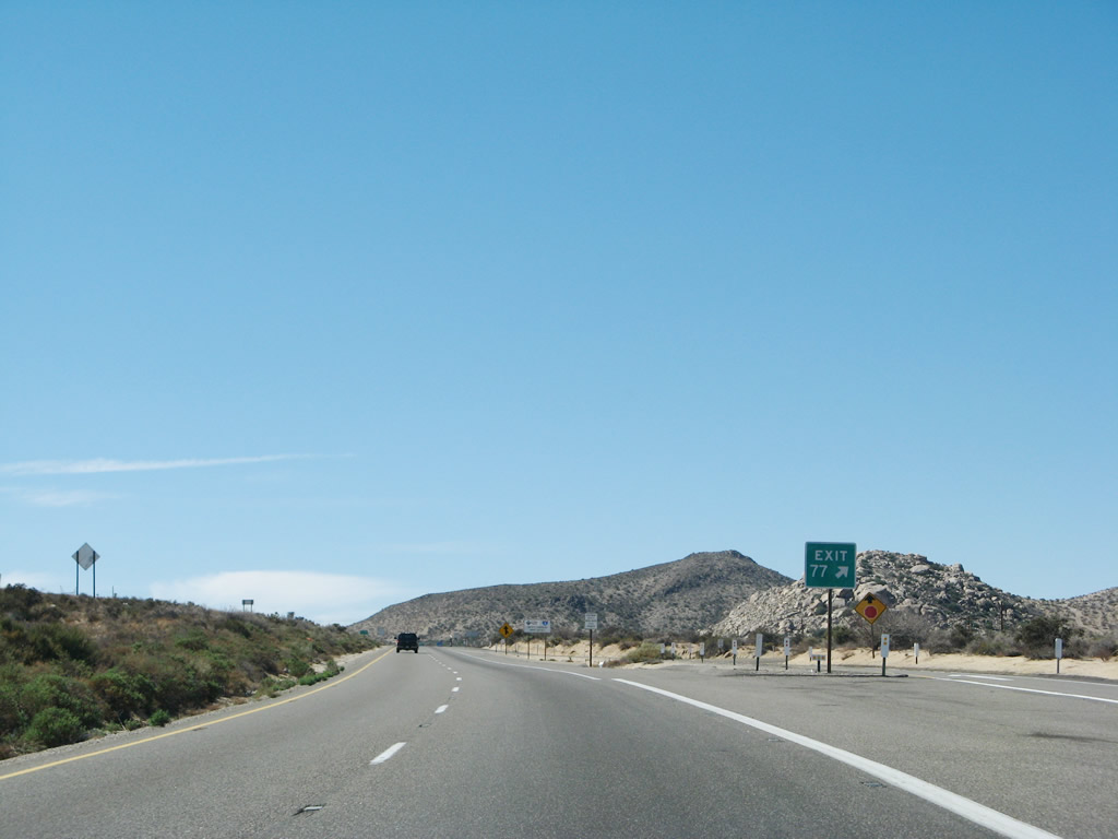
The first exit in San Diego County along westbound is Exit 77, Junction Old Historic U.S. 80 (In-Ko-Pah Park Road). Old U.S. 80 splits from the freeway at this exit, heading west as a separate highway to Jacumba. Near Jacumba, U.S. 80 (and Interstate 8) comes very close to the Mexican border, and this is as close as Interstate 8 will get to Mexico for the remainder of its westbound route. In-Ko-Pah Park Road leads east to the Desert View Tower, which provides stunning views of the Colorado Desert, Imperial Valley, and Salton Sea from the top of the gorge. Photo taken 03/19/07. |
 |
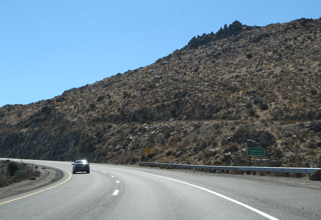
At Exit 77 (In-Ko-Pah Park Road to Old U.S. 80), Interstate 8 finally leaves Imperial County for the last time and turns west again. Next up is San Diego County, which carries Interstate 8 west the rest of the way through the mountains to the inland valleys, coastal areas, and ultimately the Pacific Ocean. Photo taken 03/19/07. |
| Interstate 8 scenes | |
|---|---|
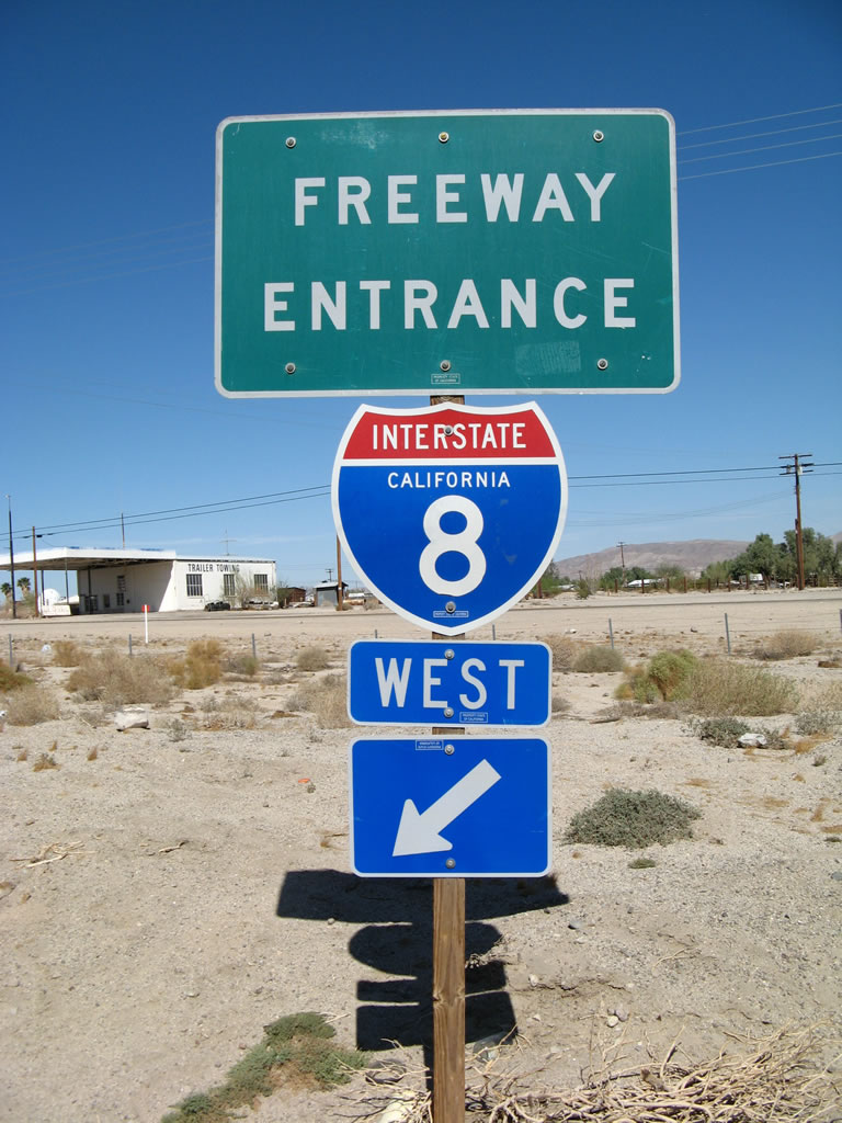 |
This freeway entrance shield is posted at the on-ramp to Interstate 8 west from Imperial County S-2, Imperial Highway in Ocotillo. Photo taken 03/19/07. |
Sources:
- Hurricane Kathleen: Destructive Storm Hits the Desert - by Desert Darlene of Luckins Artwork

Page Updated August 31, 2008.
|
About Contact Glossary |
In The News Interstate Guide |
Social Media:
 |
|
© 2000-25 AARoads.com | All Rights Reserved | Privacy Policy / Terms of Use
|
||