
U.S. 9

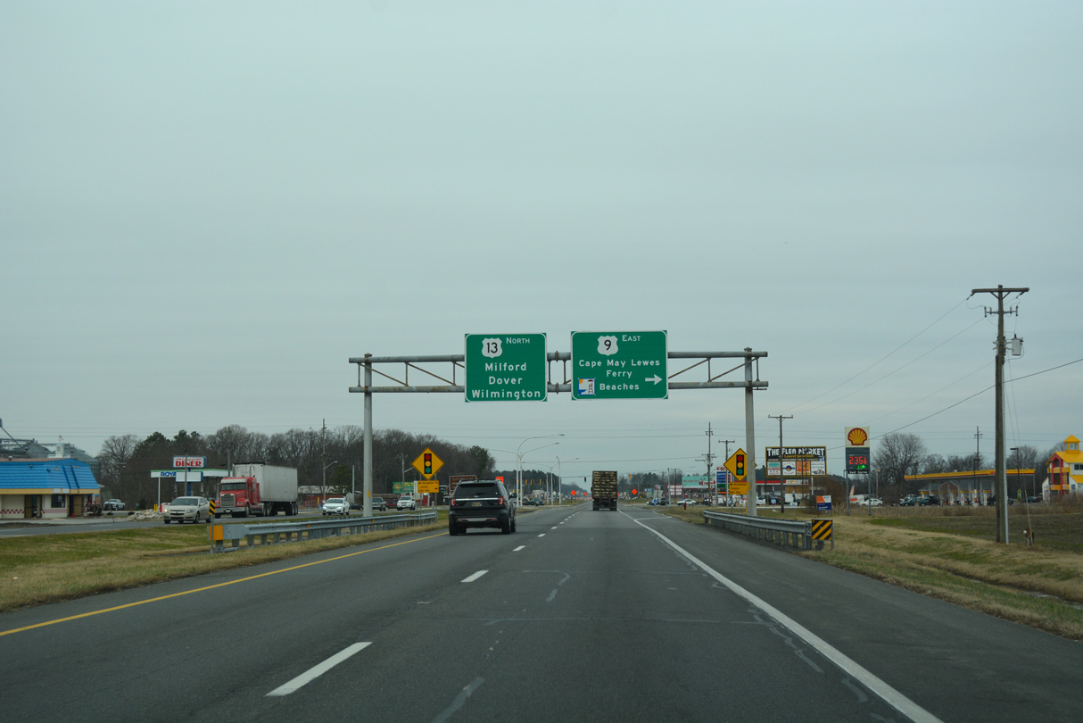
U.S. 13 (Sussex Highway) north at the eastbound beginning of U.S. 9. - 01/16/2017
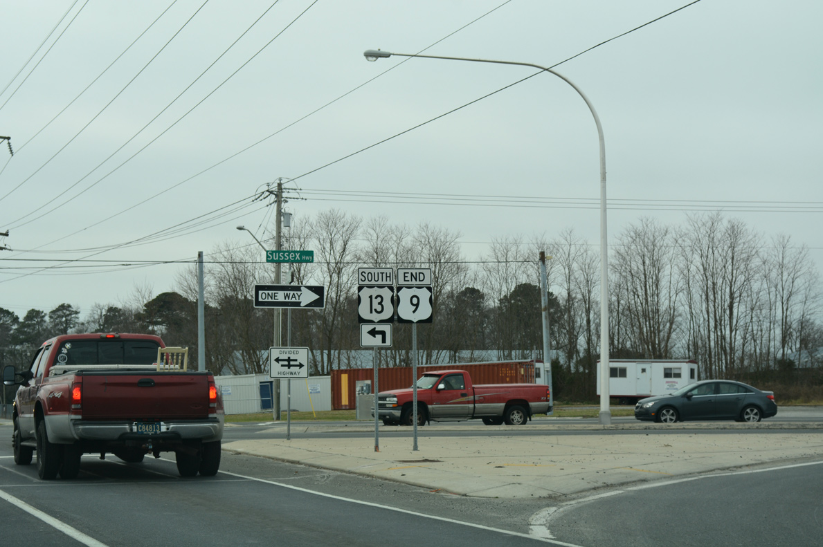
The west end of U.S. 9 at U.S. 13 in Laurel. - 01/16/2017
U.S. 9 comprises one of the several east-west routes in Sussex County. Until 1974, the alignment of U.S. 9 was a part of SR 28 between Laurel and Georgetown and SR 18 from Georgetown to Five Points, while U.S. 9 ended in Cape May, New Jersey. As approved by the American Association of State Highway and Transportation Officials (AASHTO) on June 25, 1974, U.S. 9 was extended across Delaware Bay via the Cape May-Lewes Ferry to Lewes and the aforementioned routes west southwest to U.S. 13 at Laurel.
U.S. 9 Delaware Guides
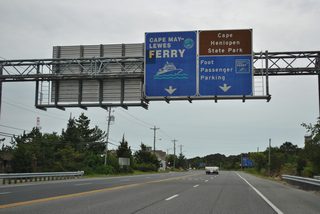
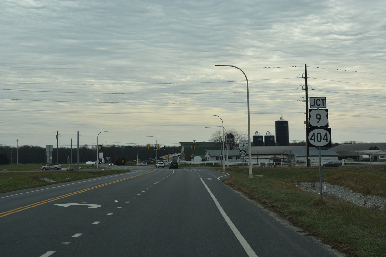
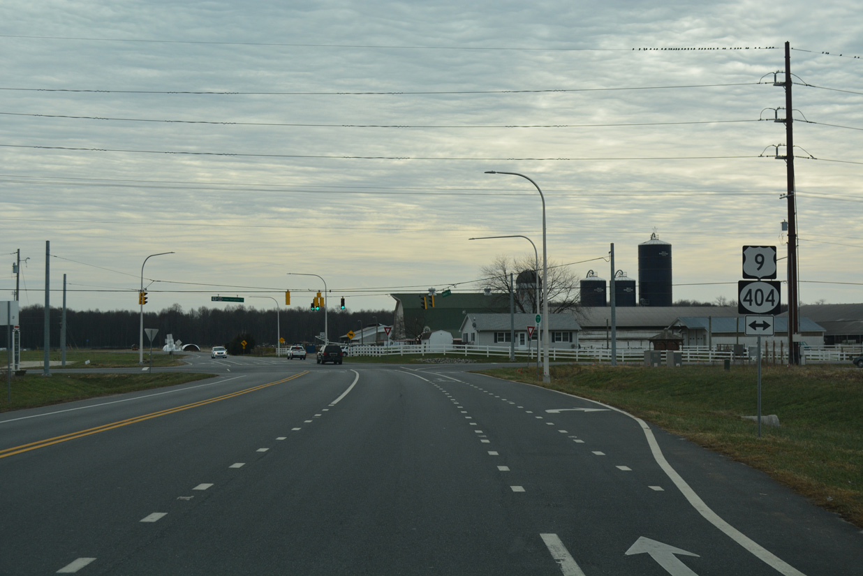
U.S. 9 partitions with U.S. 9 Business at Five Points as SR 404 concludes the multi-state route started in Wye Mills, Maryland. U.S. 9 Business, designated by 1976 per the Delaware Official Highway Map, follows Savannah Road northeast from Five Points to Cape Henlopen Drive through Lewes. U.S. 9 travels just to the south along a combination of Kings Highway and Theo C. Freeman Memorial Highway to Cape Henlopen Drive and the Cape May Lewes Ferry landing.
U.S. 9 (County Seat Highway) branches northeast from U.S. 13 at the town of Laurel along a rural route 12.7 miles to Georgetown. SR 20 intersects the US highway midway between the two towns at Hardscrabble. East from U.S. 113, U.S. 9 takes Market Street to Downtown Georgetown, where a roundabout at Bedford Street connects the route with SR 18/404.
Leading away from Georgetown, U.S. 9/SR 404 advance eastward along a rural drive to SR 30 at Gravel Hill and SR 5 at Harbeson. Development increases along the highway eastward to Cool Spring and Five Points, where U.S. 9 turns onto SR 1 south for a 1.1 mile overlap.
U.S. 9 Delaware Mileage: 30.89
U.S. 9 Annual Average Daily Traffic (AADT)
- 9,411 - U.S. 13 to Fire Tower Road
- 8,690 - Fire Tower Road to SR 20
- 6,615 - SR 20 to Old Furnace Road
- 9,533 - Old Furnace Road to west Georgetown limit
- 10,930 - west Georgetown limit to U.S. 113
- 12,876 - U.S. 113 to SR 404
- 19,735 - SR 404 to Railroad Avenue
- 15,959 - Railroad Avenue to Steiner Road
- 16,131 - Steiner Road to SR 5
- 14,136 - SR 5 to SR 1
- 57,743 - SR 1 north to SR 1 south
- 10,740 - SR 1 south to Kings Highway (Road 268)
- 16,329 - Kings Highway (Road 268) to Clay Road (Road 269)
- 16,382 - Clay Road to Lewes limits
- 16,382 - Clay Road to Lewes limits
- 9,889 - Lewes limits to Freeman Highway
- 2,695 - Freeman Highway to Cape Henlopen Drive
- 4,708 - Cape Henlopen Drive to Henlopen State Park
- 961 - Henlopen State Park to Cape May Lewes Ferry
Source: Delaware Vehicle Volume Summary 2015 (Traffic Summary)
Sweetbriar Road south at U.S. 9/SR 404 (Lewes-Georgetown Highway). Underway from March 2014 to November 2015, the HSIP Sussex County, US 9 Project rebuilt the approaching intersection. Dedicated turn lanes were added in all directions, signals were upgraded and roadway lighting was installed.
12/17/17
Associated work with the HSIP (Highway Safety Improvement Program) project at U.S. 9 and Sweetbriar Road realigned the intersection with Log Cabin Road northward away from U.S. 9/SR 404. Lewes-Georgetown Highway travels locally west to Harbeson and east to Belltown.
12/17/17
Photo Credits:
- Alex Nitzman: 12/17/17
Connect with:
Page Updated Tuesday December 02, 2025.