
Put the finishing touches on a major overhaul and update for the Maryland section of AARoads. Finally added photos dating from trips between August 2005 and July 2010, covering mostly the Interstate 95 corridor, Baltimore, Washington, and areas in between. Things updated within the Maryland Highway guides include:
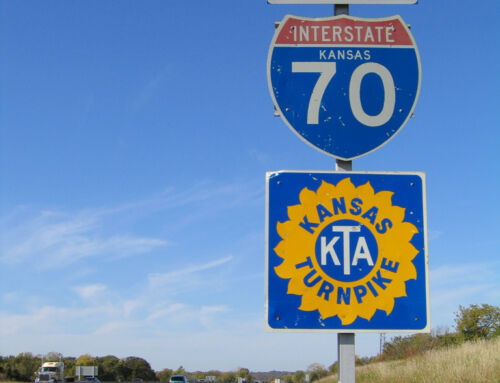
- Maps covering Baltimore, Cecil and Harford Counties extracted from a geodatabase built of northeastern Maryland, including a shapefile created that covers some of the abandoned freeway proposals such as the defunct Interstate 70, the Windlass Freeway, the Jones Falls Expressway northern extension.
- A look at surface routes through Baltimore from several drives through the city during Summer 2010, including looks at Maryland 2, Maryland 25, Perring Parkway south, Maryland 129 north, Maryland 139 south, Maryland 144/Frederick Avenue west, Maryland 147 north, and various other smaller segments.
- An overhaul of all freeway pages, covering new Clearview-based sign assemblies on Interstates 83, 95, 395, 695, etc.
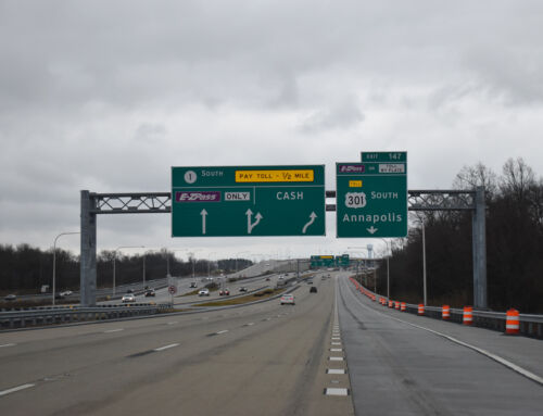
- New highway construction such as the I-95 Express Toll Lanes and the new Woodrow Wilson Bridge.
- Several road enthusiast items of interests including:

The new stack interchange between Interstates 95 & 695 east of Baltimore, including a stub for an eventual direct ramp with the new I-95 Express Toll Lanes.

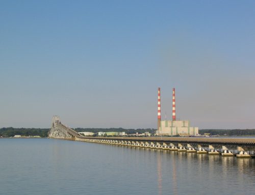
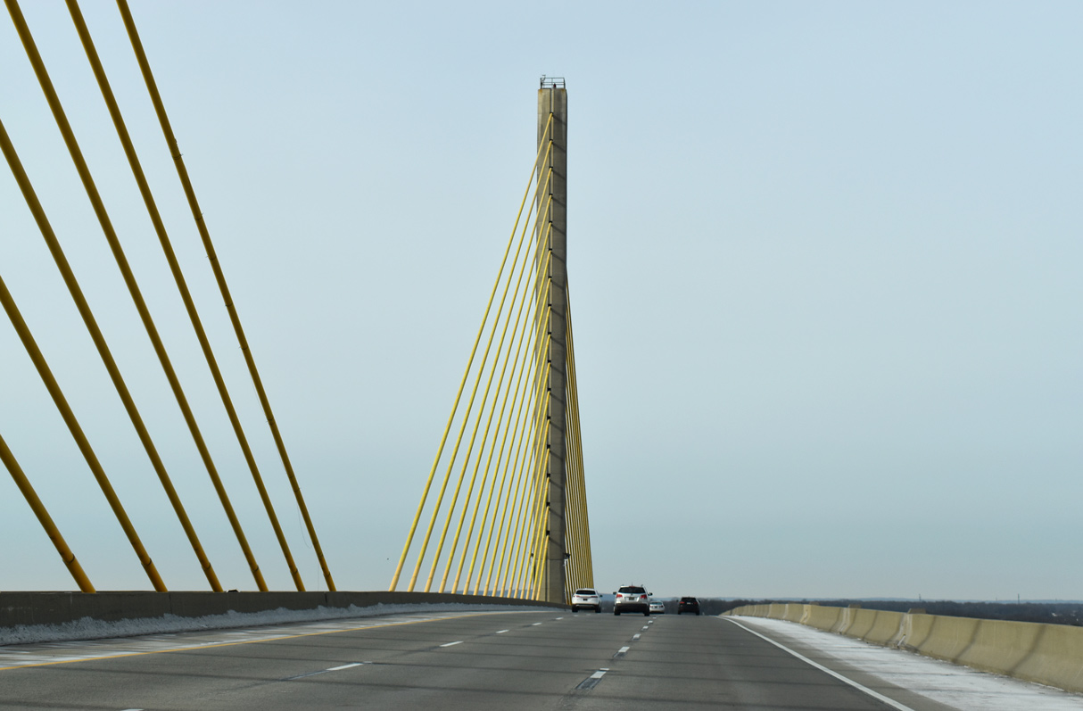
A southbound look at the new Woodrow Wilson Bridge.

Plenty instances of Clearview…

Revisits to routes previously covered.

Button copy signs.

Old reassurance shields in the city of Baltimore.

Old city-installed Interstate 83 trailblazers with the custom Maryland sign font.

And a few gems…

