
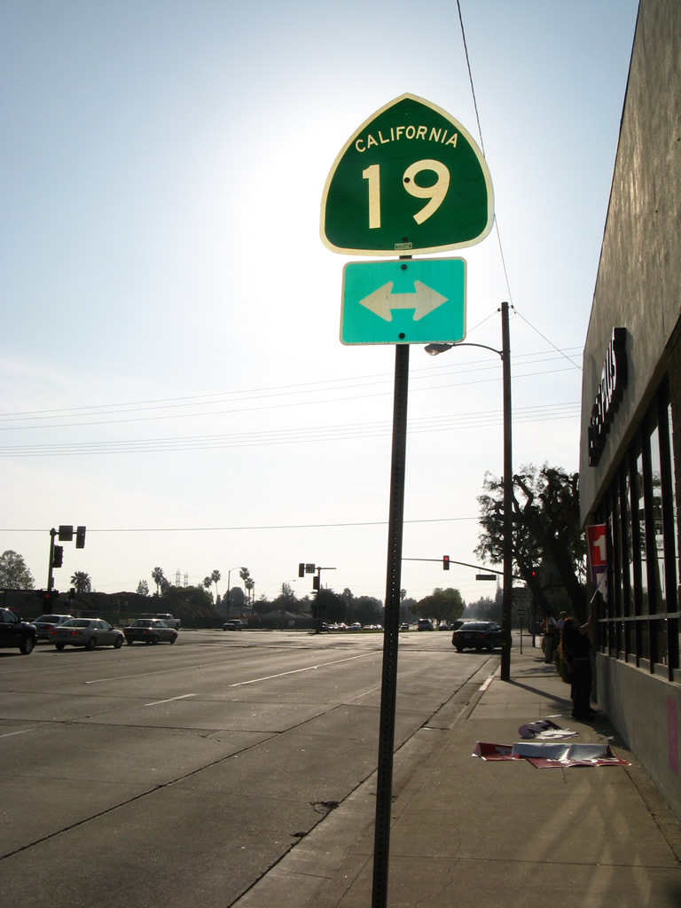
California 19
California 19 is located entirely within the Los Angeles basin, originating at a traffic circle with California 1 in Long Beach and extending north via Lakewood Boulevard and Rosemead Boulevard through Lakewood, Bellflower, Paramount, Downey, Pico Rivera, Rosemead, Temple City, and East Pasadena. Portions of the route have been decommissioned to local control, including the southernmost segment at California 1 (Pacific Coast Highway). However, signage generally remains in place.
The section of California 19 north of Pico Rivera is technically California 164, but it is signed as California 19 to allow for route continuity. California 164 is planned to someday connect the northern section of California 19 directly with Interstate 605, thus offering a freeway that travels due north to Interstate 210 (rather than turn northeast as Interstate 605 currently does). However, it is unlikely that this freeway connection would ever be constructed.
| California 19 (Lakewood Boulevard) north (former U.S. 91 north and California 18 east) | |
|---|---|
 |
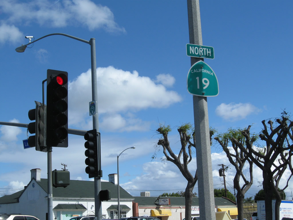
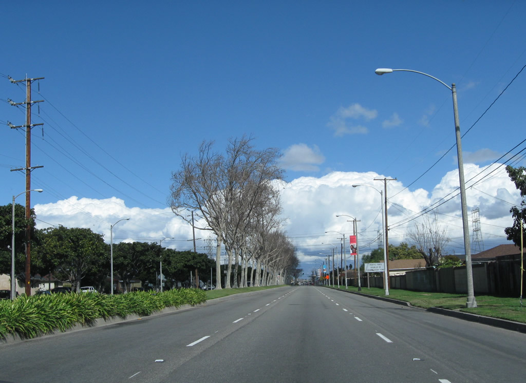
California 19 begins northbound as it emerges from the Los Alamitos Traffic Circle in the city of Long Beach. This is also where historic U.S. 91 separated from Pacific Coast Highway and traveled north along with California 19 toward Downey. The southernmost segment of the state route was relinquished to the city of Long Beach for maintenance, but other segments remain under state control. Photo taken 02/26/11. |
 |
This view looks north along California 19 (Lakewood Boulevard) after leaving the Los Alamitos Traffic Circle and the California 1 junction in Long Beach. Three lanes carry California 19 north. Photo taken 02/26/11. |
 |
Owing to its status as a historic state highway, divoted curbing lines the centerline median of California 19. Photo taken 02/26/11. |
 |
The first traffic signal along California 19 north is with Stearns Street. A landscaped median barrier separates traffic on California 19 from houses alongside the highway. Photos taken 02/26/11. |
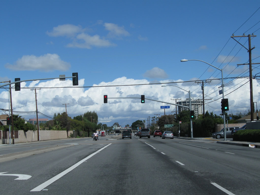 |
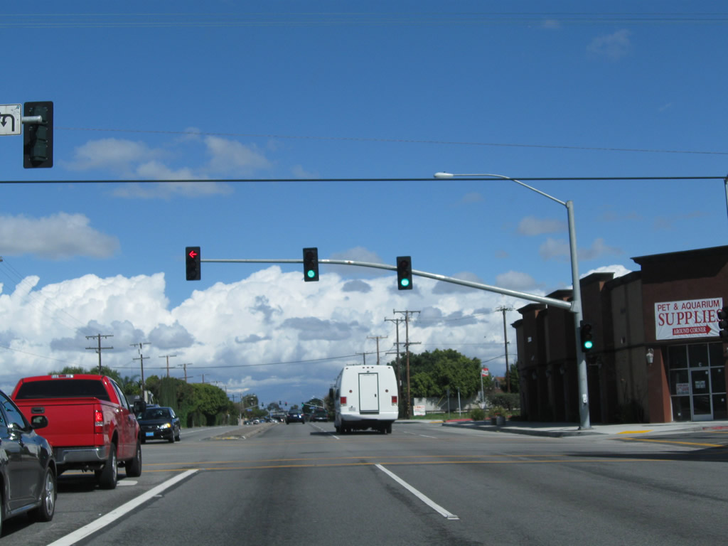
Northbound California 19 (Lakewood Boulevard) approaches 23rd Street. Photo taken 02/26/11. |
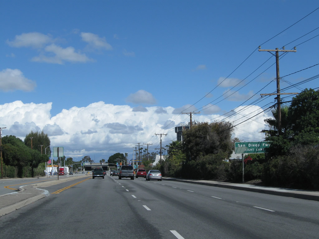 |
Continuing north, California 19 (Lakewood Boulevard) prepares to meet Interstate 405 (San Diego Freeway). This older sign only acknowledges the freeway name, not the numerical designation of 405. Photo taken 02/26/11. |
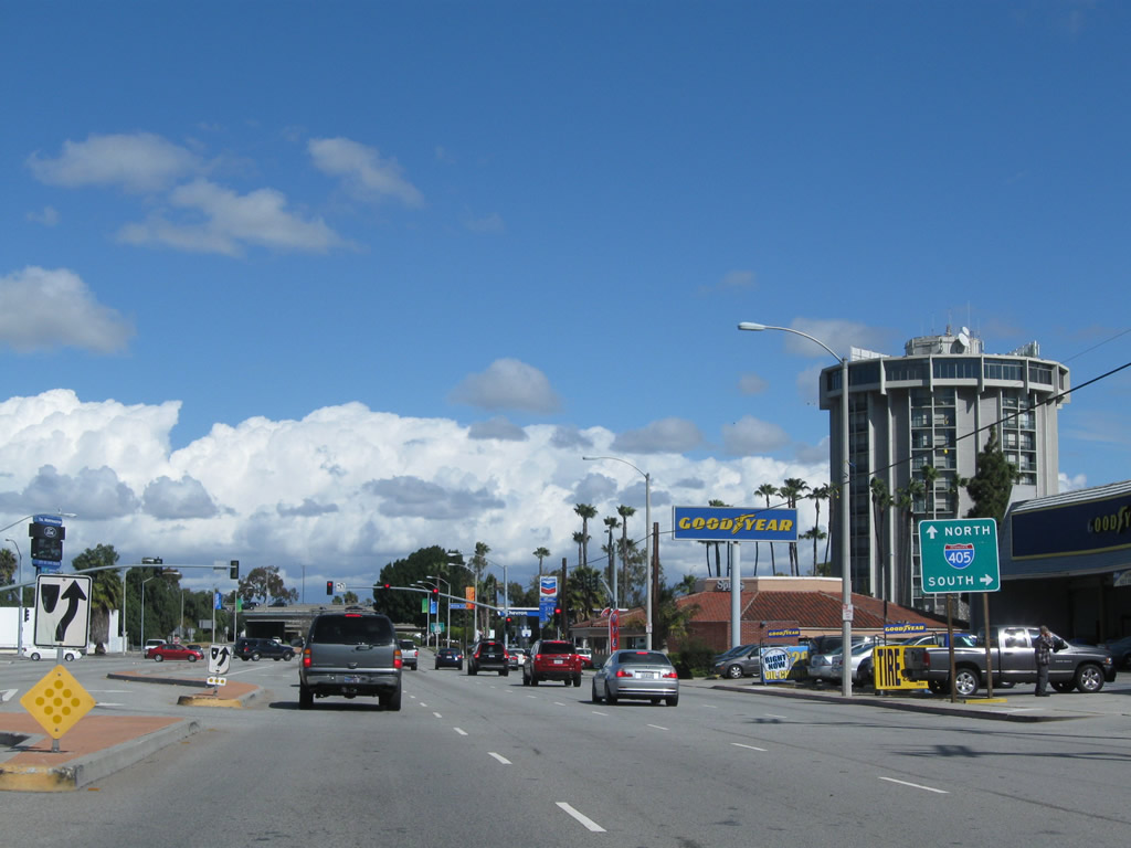 |
Turn right (east) on Willow Street to Interstate 405 (San Diego Freeway) southeast to Irvine and San Diego. Stay right for the loop ramp onto Interstate 405 north to Santa Monica and San Fernando Valley. Photo taken 02/26/11. |
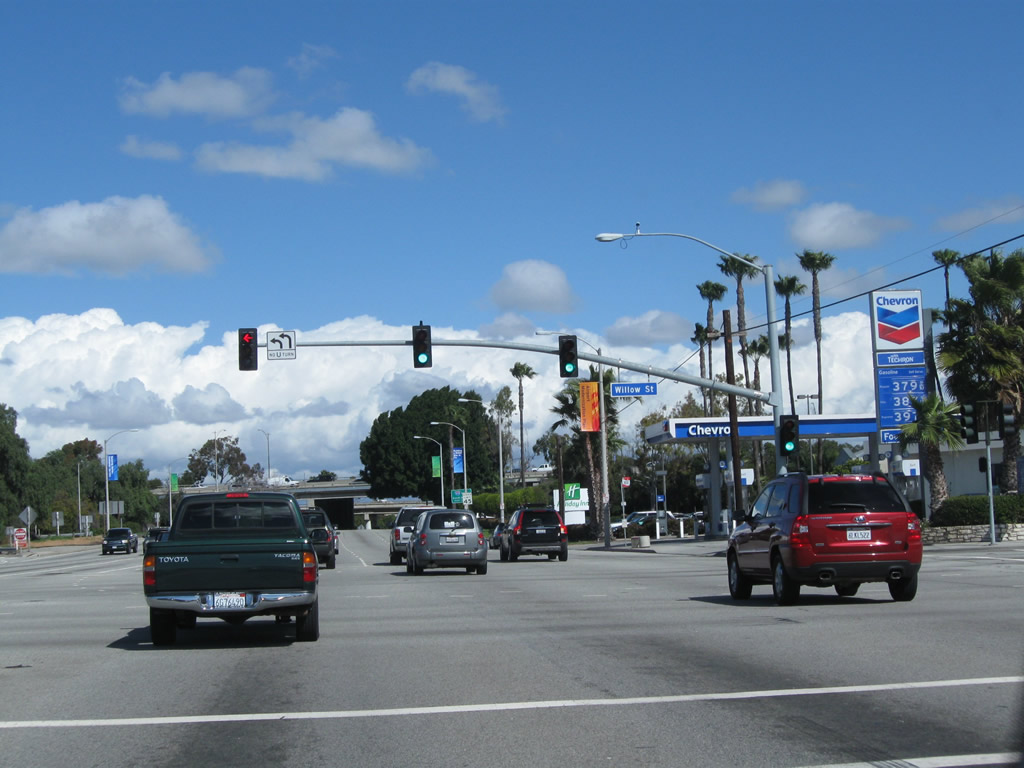 |
Northbound California 19 meets Willow Street at this traffic signal. Turn right here for Interstate 405 south; stay right for the loop ramp to Interstate 405 north. Photo taken 02/26/11. |
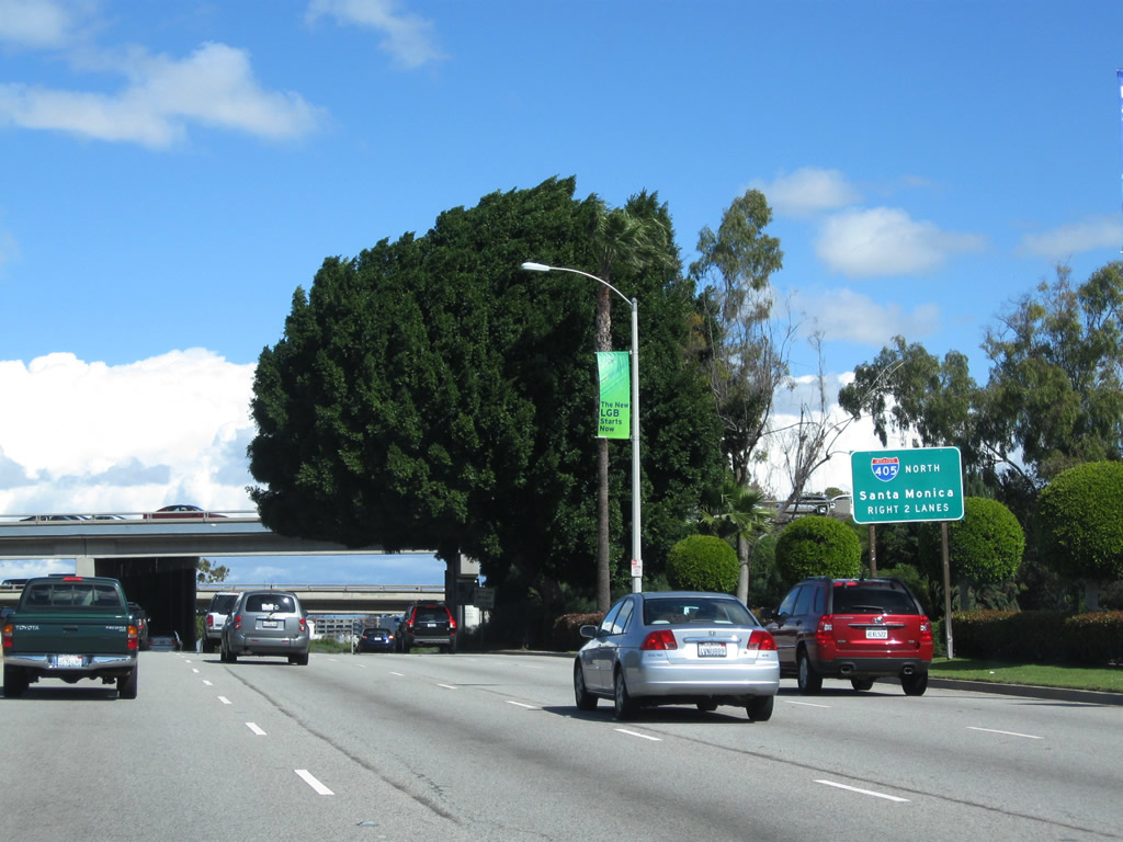 |
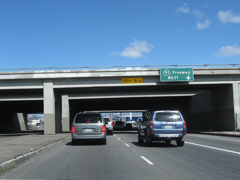
The right two lanes of California 19 north connect to Interstate 405 (San Diego Freeway) north to Santa Monica, San Fernando Valley, and Bakersfield. Photo taken 02/26/11. |
 |
Interstate 405 (San Diego Freeway) passes over Lakewood Boulevard. Stay left to continue north on California 19 to Long Beach Airport and Downey. Photo taken 02/26/11. |
 |
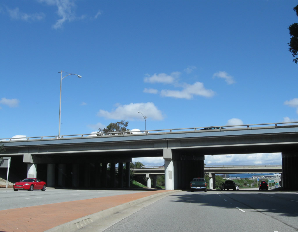
Now under Interstate 405, this view looks north toward the on-ramp to Interstate 405 north and the airport runway tunnel. Photo taken 02/26/11. |
 |
Northbound California 19 (Lakewood Boulevard) meets the on-ramp to Interstate 405 (San Diego Freeway) north to Santa Monica. Photo taken 02/26/11. |
 |
 |
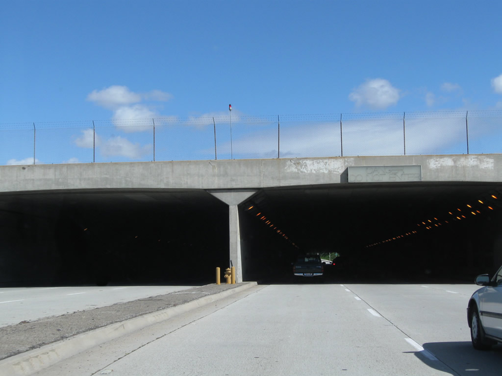 |
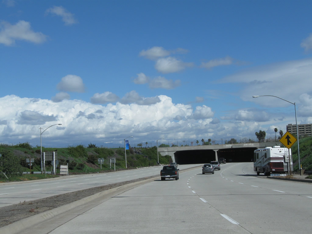
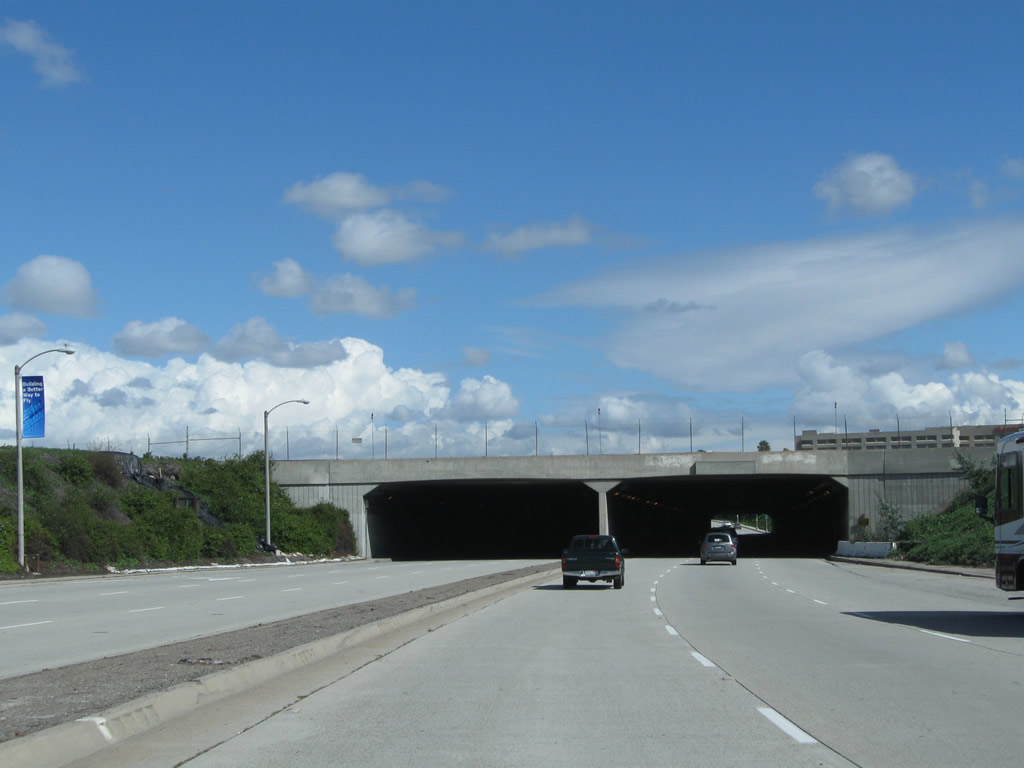
Leaving the Interstate 405 interchange, northbound California 19 (Lakewood Boulevard) stays below grade so it can pass under the main runway for Long Beach Airport. Photos taken 02/26/11. |
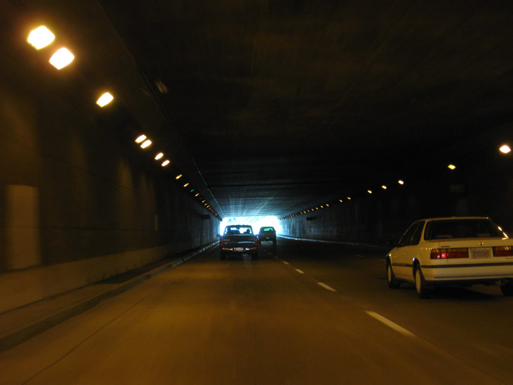 |
Three lanes of California 19 proceed through this cut and cover tunnel, which was built in 1958 and expanded in 1982 to its current width. The airport runway passes overhead. At the end of the tunnel is the first California 19 north reassurance shield (not shown here). Photo taken 02/26/11. |
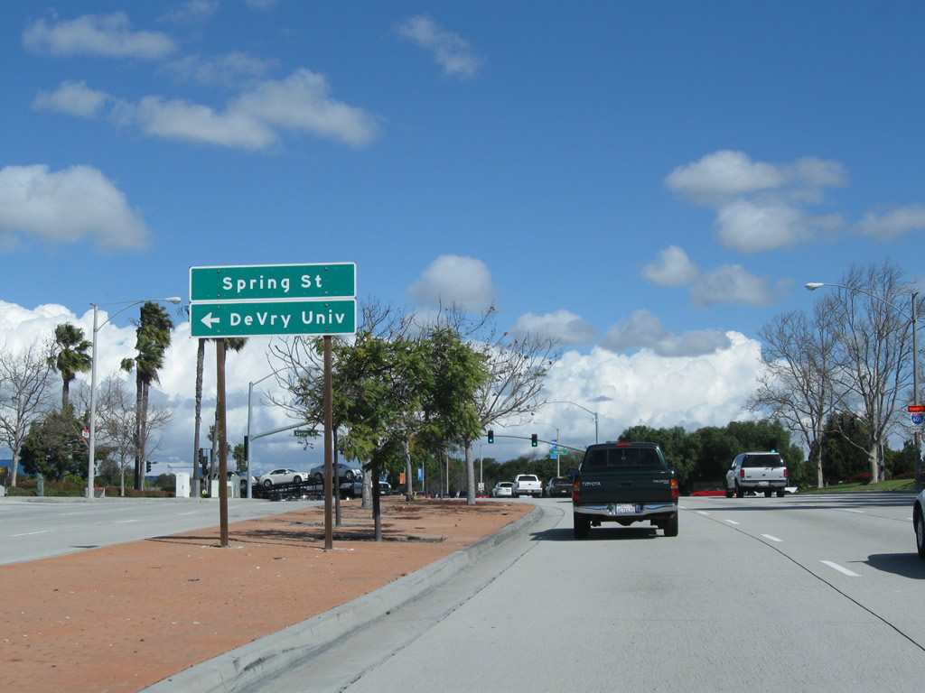 |
Leaving the airport tunnel behind, California 19 ascends back to surface grade and approaches Spring Street. The state route was realigned in the late 1950s to accommodate the expansion of Long Beach Airport. Old alignments of California 19 are still in use on airport property as service roads; look at the aerial view of the airport to see where those north-south fragments can be found. Photo taken 02/26/11. |
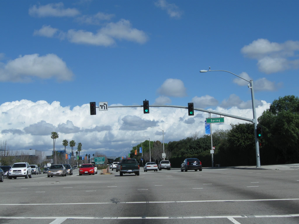 |
Northbound California 19 meets Spring Street. Photo taken 02/26/11. |
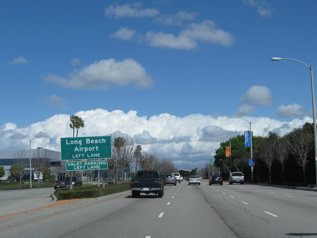 |
Stay left for the connection to the Long Beach Airport. Photo taken 02/26/11. |
 |
Turn left from California 19 north onto Donald Douglas Drive into Long Beach Airport. Turn right at the intersection ahead for Wardlow Road. Photo taken 02/26/11. |
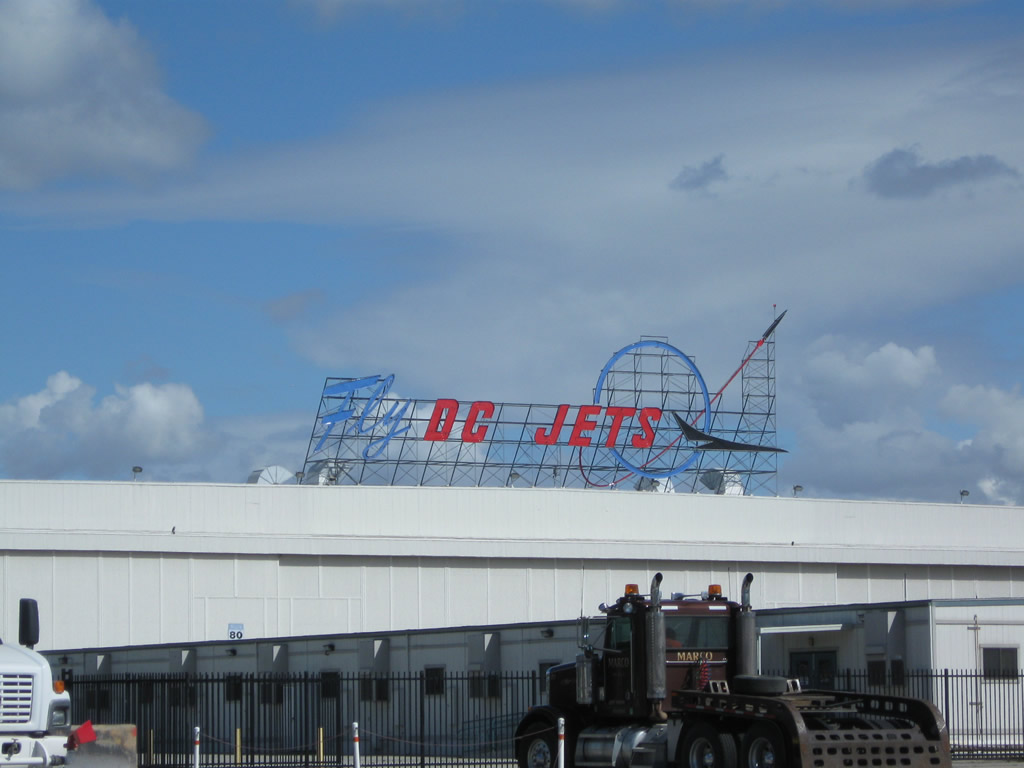 |
A "Fly DC Jets" sign is visible on the east side of California 19 north away from the vicinity of the airport. This sign remained over a defunct Douglas DC-10 factory. Photo taken 02/26/11. |
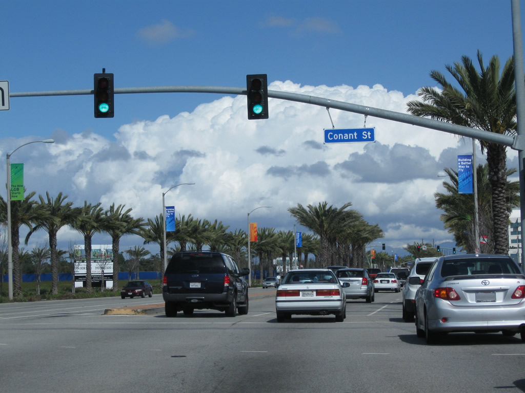 |
Northbound California 19 (Lakewood Boulevard) meets Conant Street. Photo taken 02/26/11. |
 |
Northbound California 19 meets Douglas Center Drive. Photo taken 02/26/11. |
 |
A California 19 north reassurance shield is posted prior to Carson Street on northbound Lakewood Boulevard. Photo taken 02/26/11. |
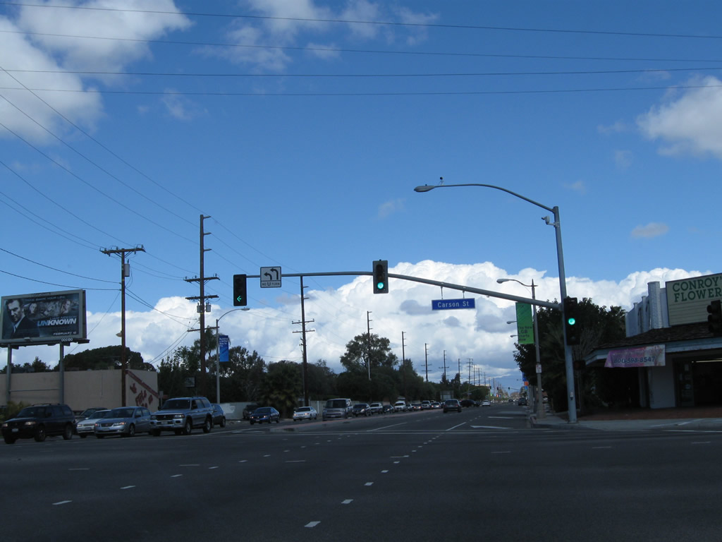 |
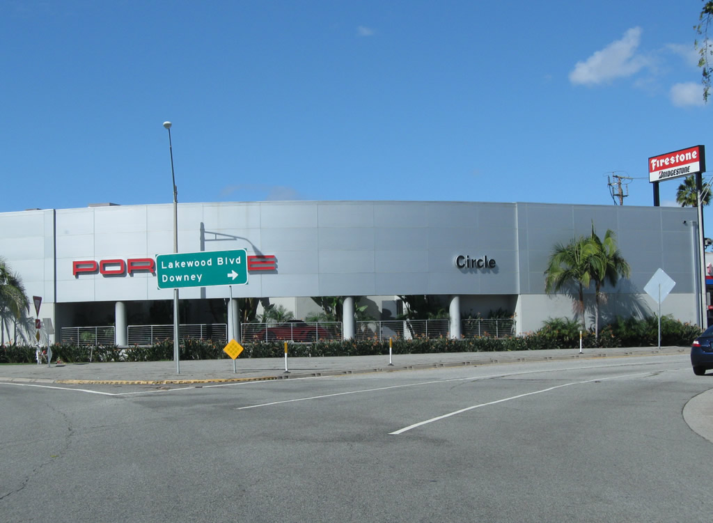
Northbound California 19 next meets Carson Street at this traffic signal. Here, Former U.S. 91 and California 18 turn east onto Carson Street, which changes names into Lincoln Avenue once in Orange County. After this intersection, California 19 will serve as the border between Long Beach on the west and the city of Lakewood on the east. At Del Amo Street, California 19 fully enters Lakewood. Photo taken 02/26/11. |
| California 19 (Lakewood Boulevard) north | |
|---|---|
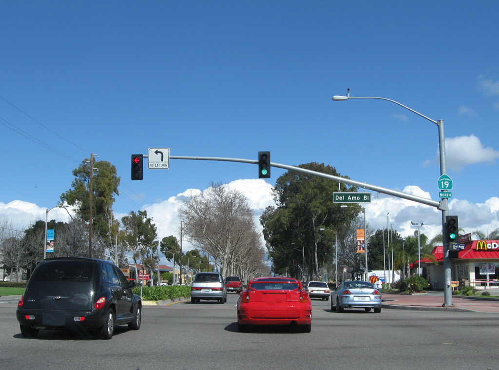 |
California 19 north meets Del Amo Boulevard at this intersection. The state route now fully enters Lakewood. The city had a population of 79,345 as of the 2000 Census. Lakewood incorporated as a city on April 16, 1954. This city is notable for being the hometown of the first Denny's ("America's Diner") in 1953. Photo taken 02/26/11. |
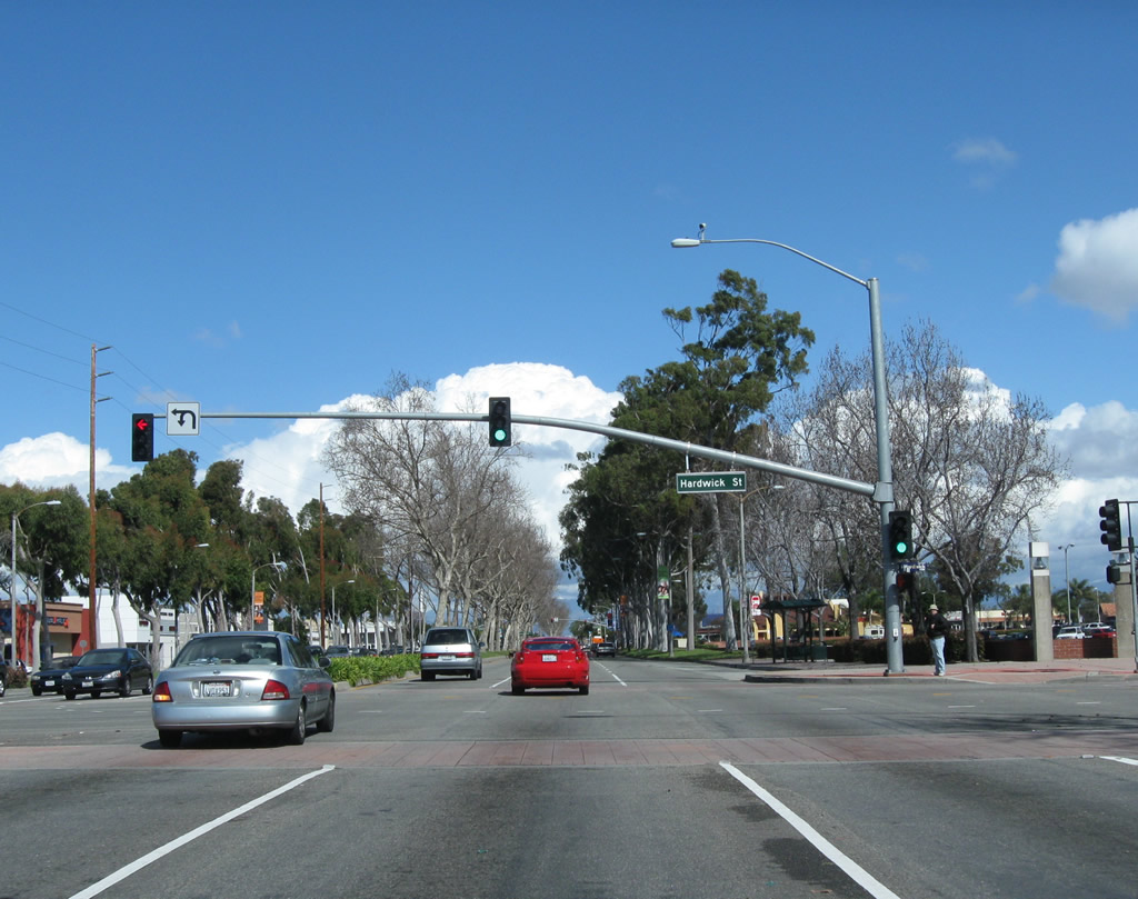 |
Northbound California 19 (Lakewood Boulevard) meets Hardwick Street. Turn right here for the Lakewood Center, a shopping mall. Photo taken 02/26/11. |
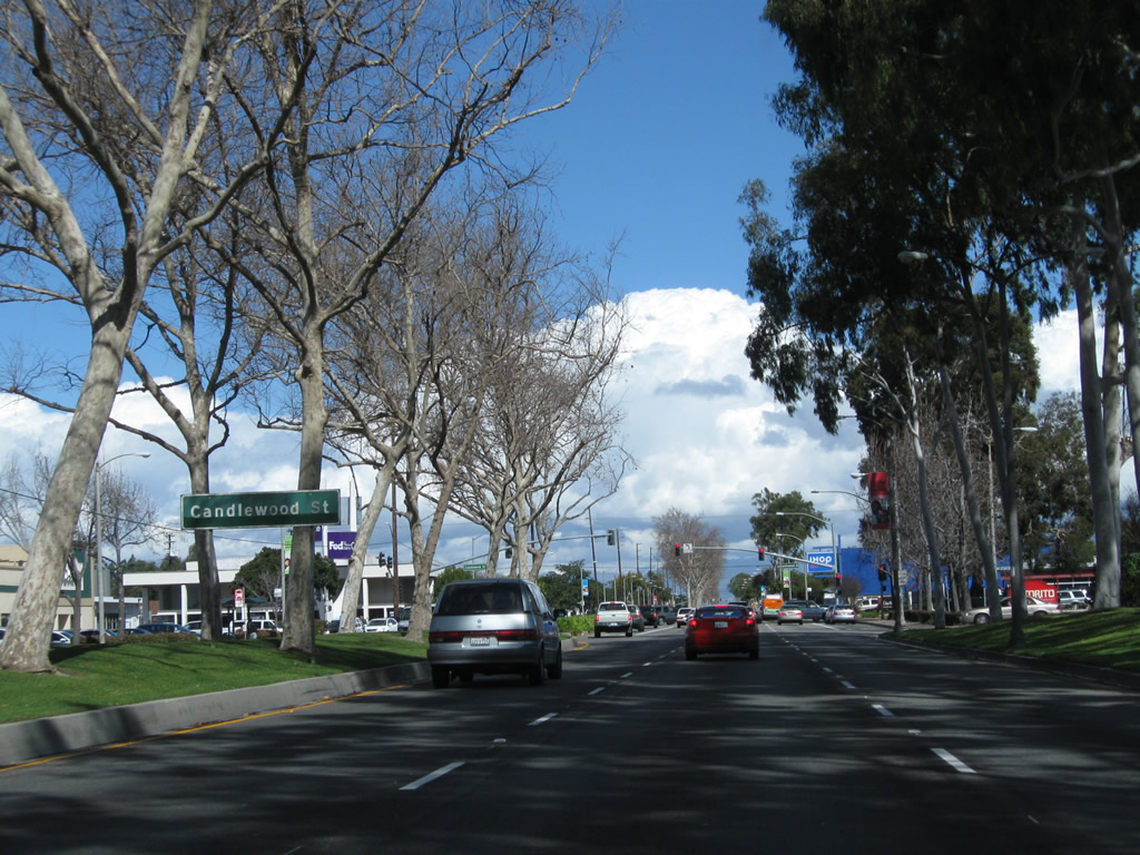 |
An older sign is posted in the median of California 19 (Lakewood Boulevard) north for Candlewood Street. Photo taken 02/26/11. |
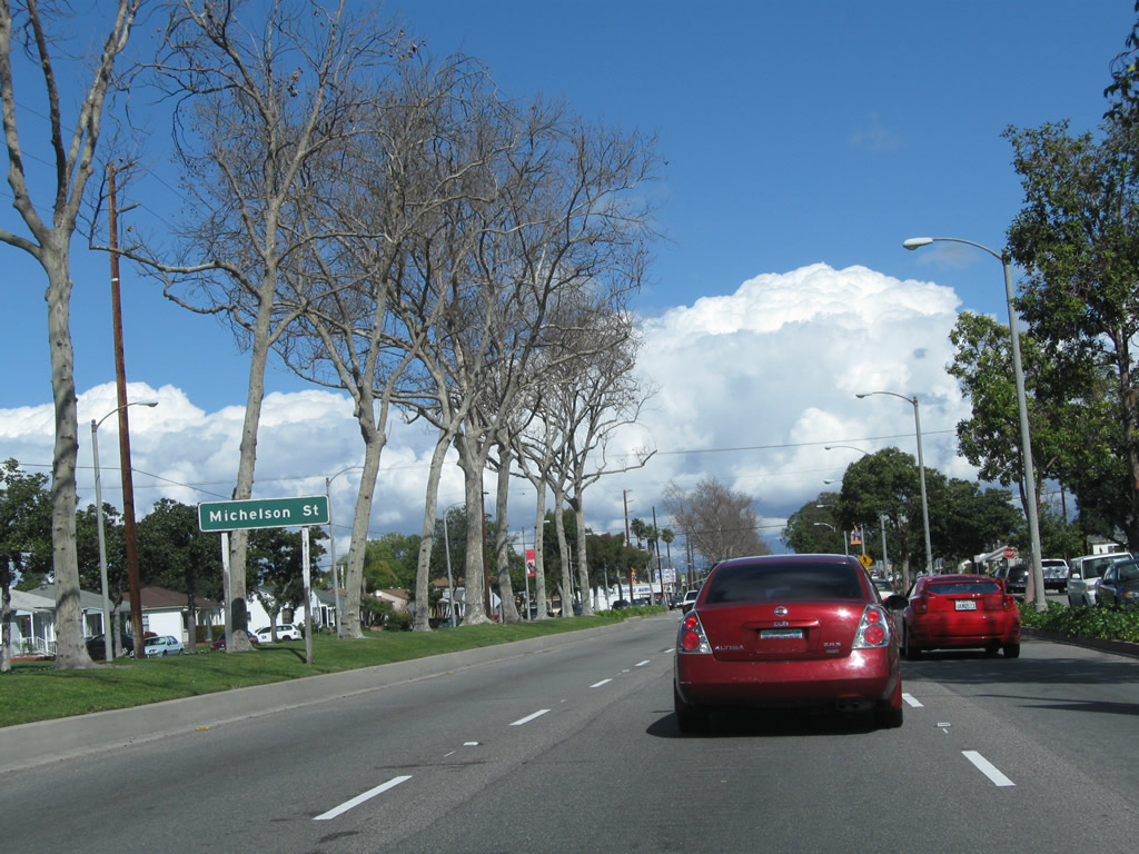 |
A similar sign is posted for the upcoming intersection with Michelson Street. California 19 (Lakewood Boulevard) continues almost due north within the street grid of Lakewood. Photo taken 02/26/11. |
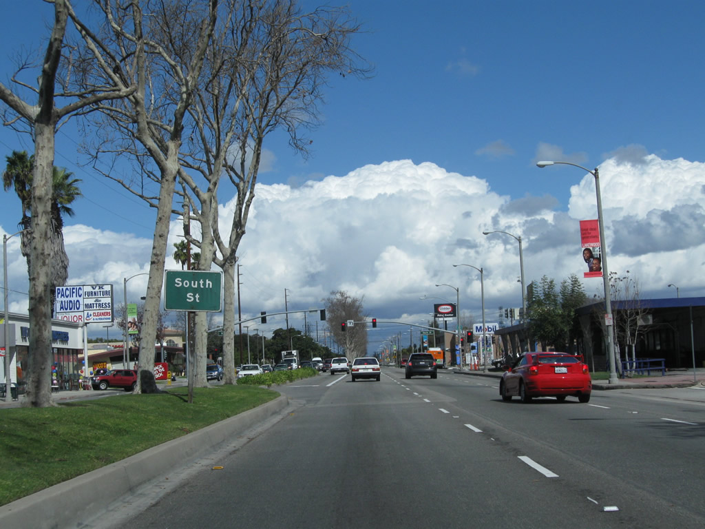 |
The next major intersection along California 19 (Lakewood Boulevard) north is with South Street. Turn left (west) for Lakewood Regional Medical Center. To the east, South Street eventually interchanges with Interstate 605 (San Gabriel River Freeway) at Exit 5B. Photo taken 02/26/11. |
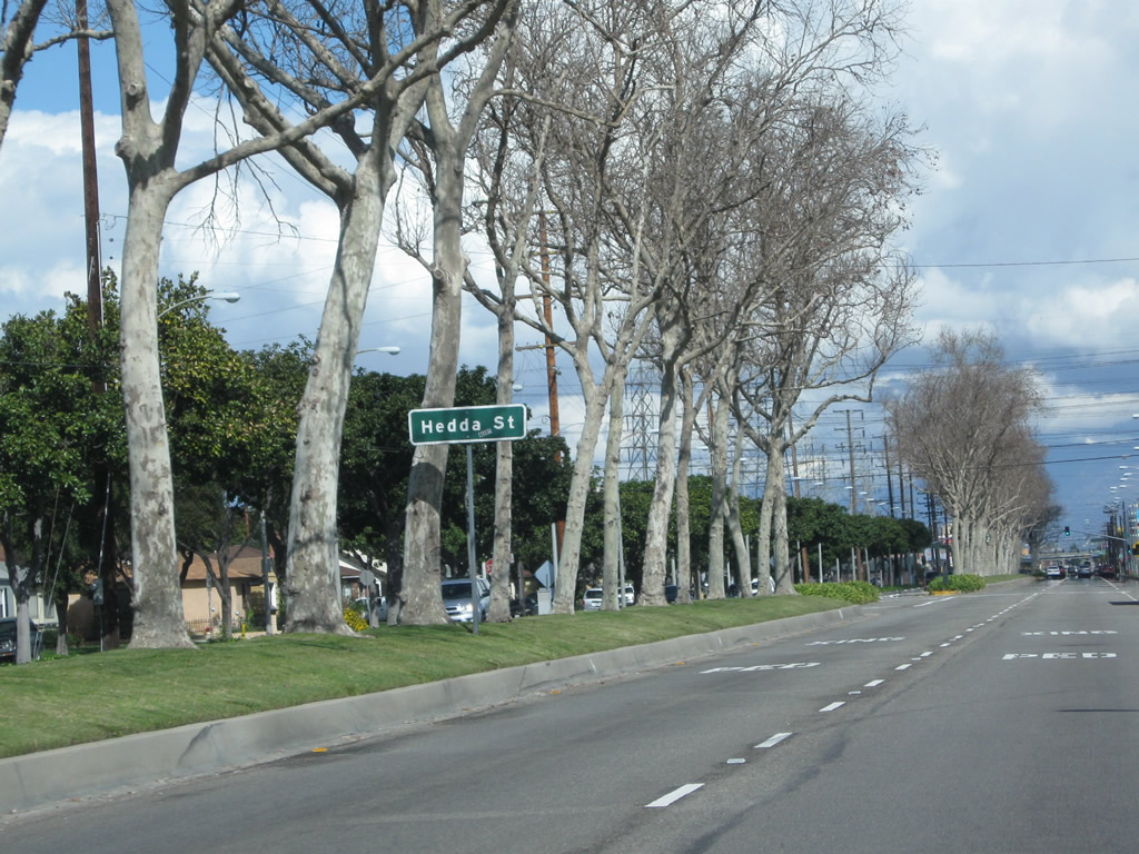 |
Northbound California 19 (Lakewood Boulevard) approaches Hedda Street. This part of Lakewood is known as Mayfair. Photo taken 02/26/11. |
 |
Three lanes carry California 19 (Lakewood Boulevard) north through Lakewood (Mayfair). Photo taken 02/26/11. |
 |
Northbound California 19 (Lakewood Boulevard) approaches Ashworth Street, which is the last intersection on California 19 in Lakewood. After this intersection, California 19 will enter the city of Bellflower. Photo taken 02/26/11. |
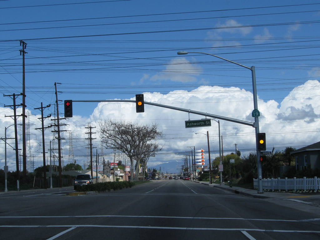 |
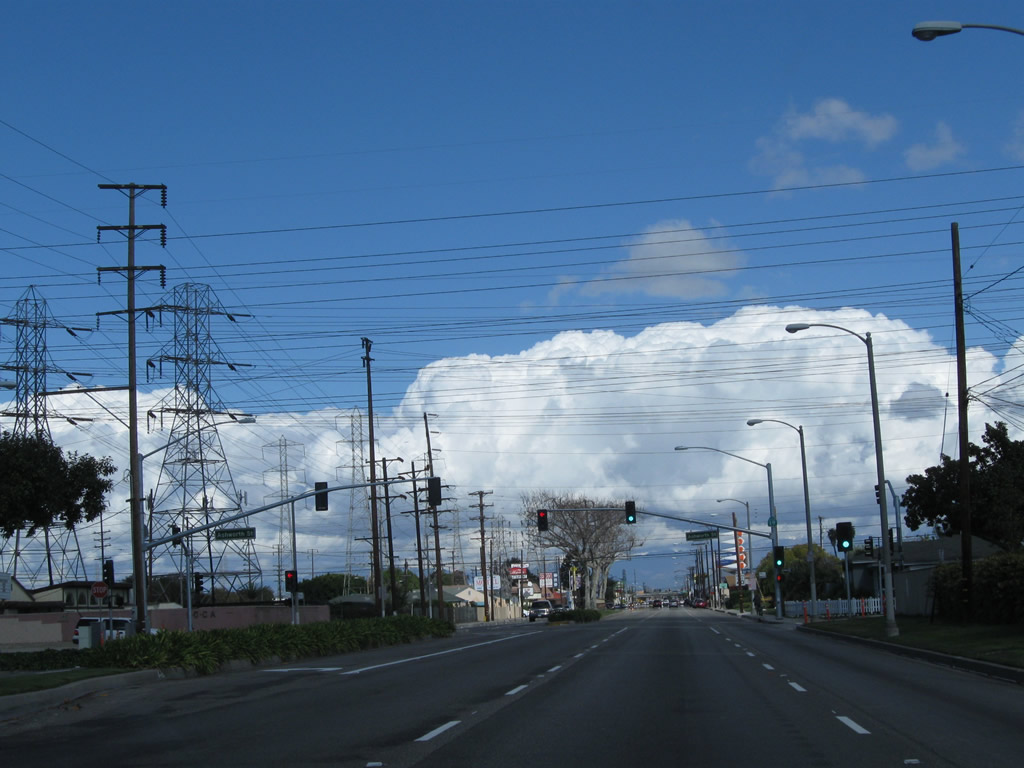
Shortly thereafter, California 19 (Lakewood Boulevard) meets Ashworth Street. A set of Southern California Edison power lines cross over the state highway along the city limits boundary between Lakewood and Bellflower. These lines will turn north to parallel California 19 on the west side until just after the California 91 interchange, where they will turn west again. Photo taken 02/26/11. |
 |
California 19 (Lakewood Boulevard) leaves Lakewood and enters the city of Bellflower. The city was incorporated on September 3, 1957. As of the 2000 Census, the city had a population of 72,878 people and consisted of 6.2 square miles of area. Photo taken 02/26/11. |
 |
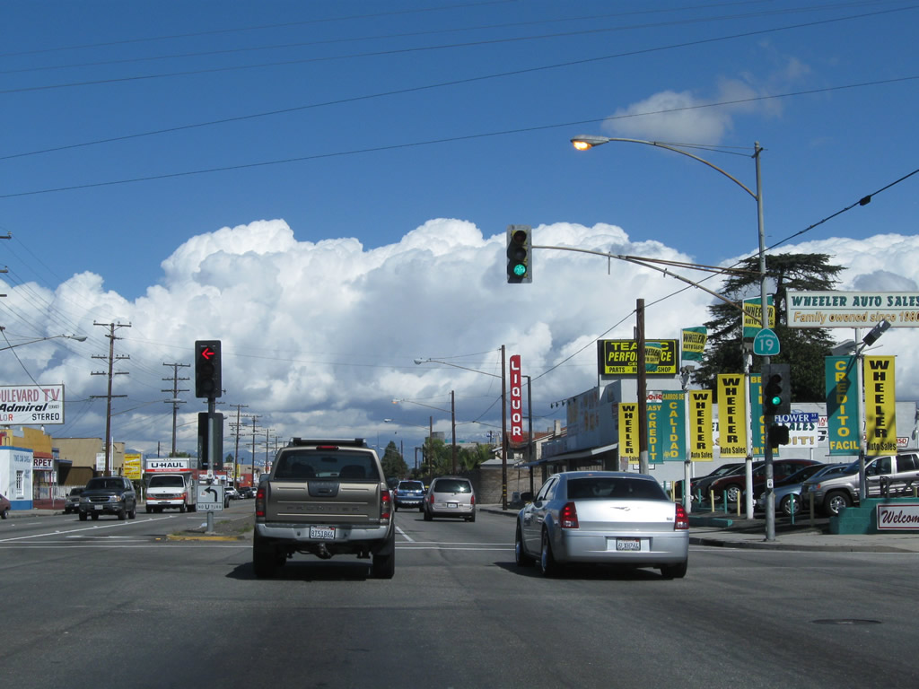
Soon after entering Bellflower, northbound California 19 (Lakewood Boulevard) meets Former California 14/Artesia Boulevard at this traffic signal. A small green guide sign posts the mileage to Downey five miles north of here, downtown Bellflower one mile east of here, and the northern reaches of Long Beach one mile west of here. Prior to 1964, Artesia Boulevard was designated as a state highway (California 14) that was renumbered in favor of California 91, and the freeway ultimately replaced Artesia Boulevard as the principal east-west route through this part of the Los Angeles Basin. Of course, California 14 is now the designation for the Antelope Valley Freeway from Interstate 5 north through Santa Clarita toward Palmdale and Lancaster. Photo taken 02/26/11. |
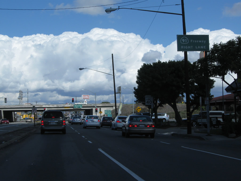 |
Immediately thereafter, northbound California 19 (Lakewood Boulevard) approaches California 91 (Artesia Freeway). The first right turn connects to California 91 east to Anaheim, Fullerton, Corona, and Riverside. The second right links to California 91 west to Long Beach, Carson, Gardena, Hermosa Beach, and Manhattan Beach. Photo taken 02/26/11. |
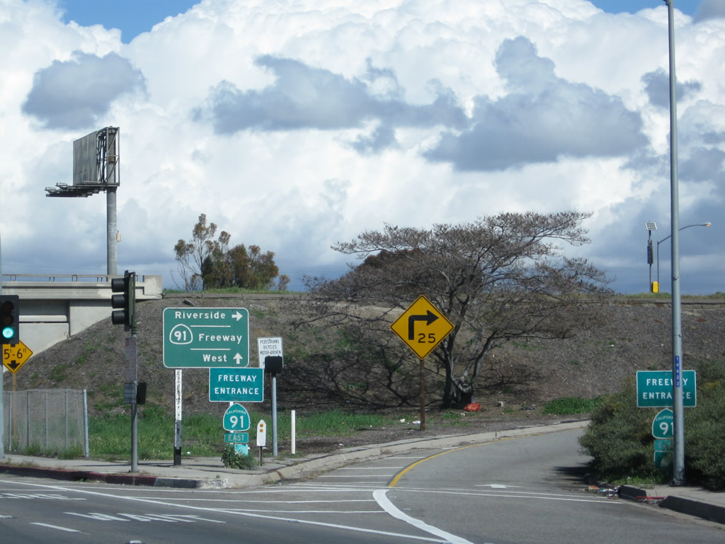 |
The guide sign for California 91 advises of California 91 east to Riverside and California 91 ... west. No control city is provided. The westbound control city for California 91 tends to be "Beach Cities," but some signs only show the cardinal direction. This most likely because California 91 serves several cities at its west end, with no particular city larger than the others. Photo taken 02/26/11. |
 |
The right lane of California 19 north connects directly to California 91 west to Long Beach and the Beach Cities (Hermosa Beach and Manhattan Beach). Photo taken 02/26/11. |
 |
After passing under California 91, the Southern California Edison power lines turn west again, leaving California 19 behind. These lines will parallel California 91 for some distance to the west of here. Photo taken 02/26/11. |
 |
Continuing north, California 19 meets Flower Street at this intersection in Bellflower. Photo taken 02/26/11. |
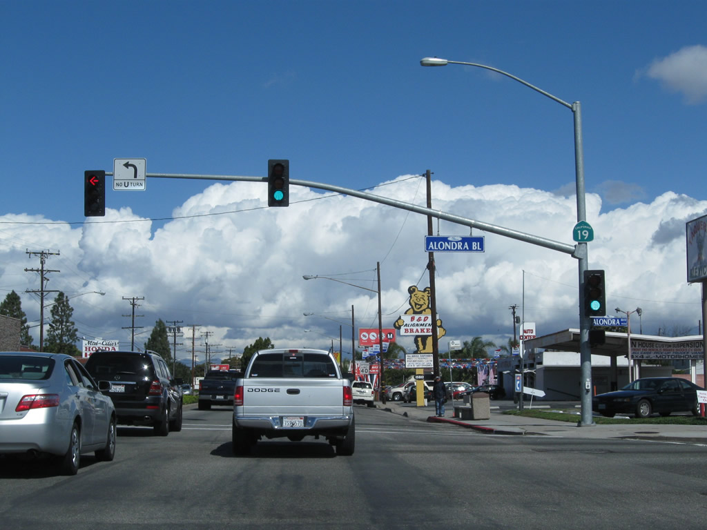 |
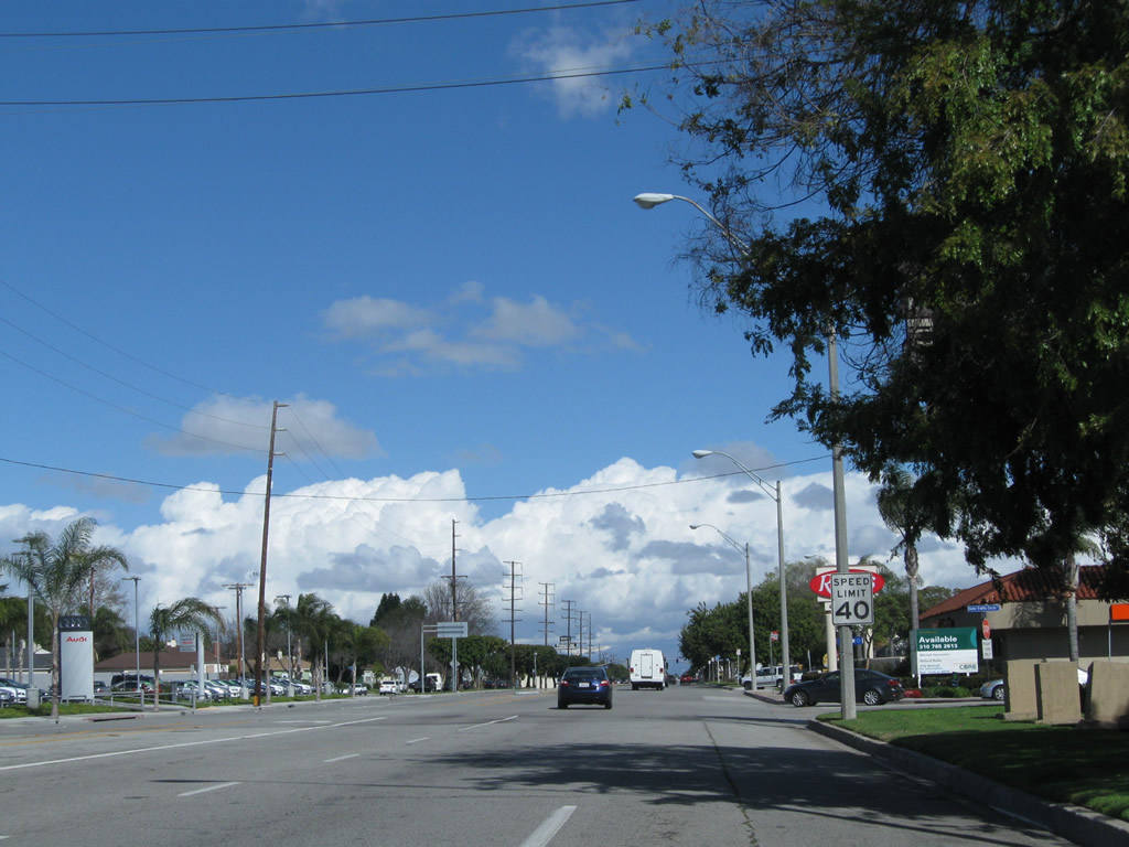
Northbound California 19 meets Alondra Boulevard at this traffic signal. This major east-west corridor travels east into Norwalk and La Mirada and west to the cities of Paramount and Compton. Between Alondra Boulevard and near Rosecrans Avenue, California 19 serves as the boundary between Bellflower on the east and Paramount on the west. The city of Paramount had a population 55,266 as of the 2000 Census and was incorporated on January 30, 1957. Photo taken 02/26/11. |
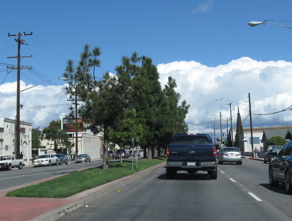 |
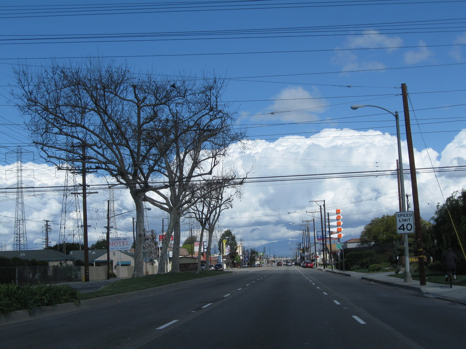
From time to time, older highway standards such as divoted curbing make an appearance. This example of divoted curbing is found on Lakewood Boulevard after the Alondra Boulevard intersection. The median was nicely planted with turf and trees. Photo taken 02/26/11. |
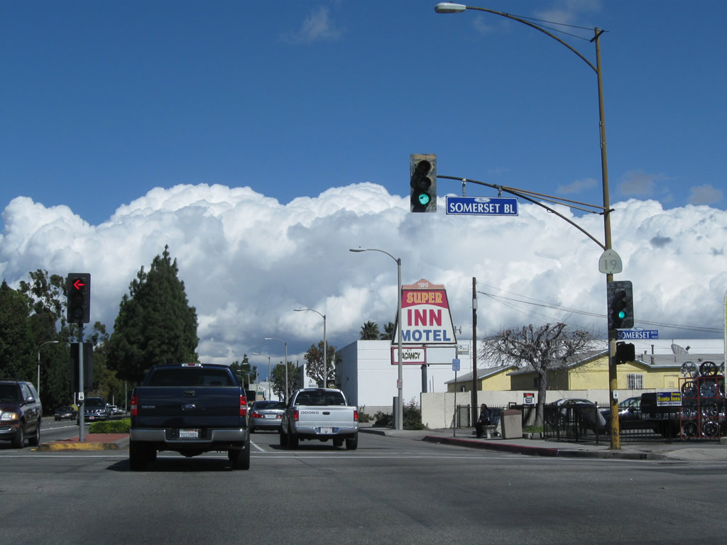 |
A very old, faded California 19 reassurance shield is posted on the mast arm for the traffic signal along northbound California 19 at Somerset Boulevard. Photo taken 02/26/11. |
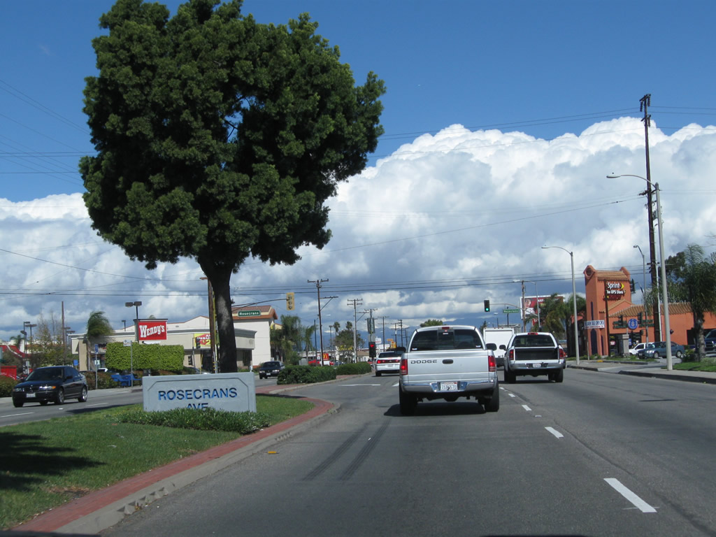 |
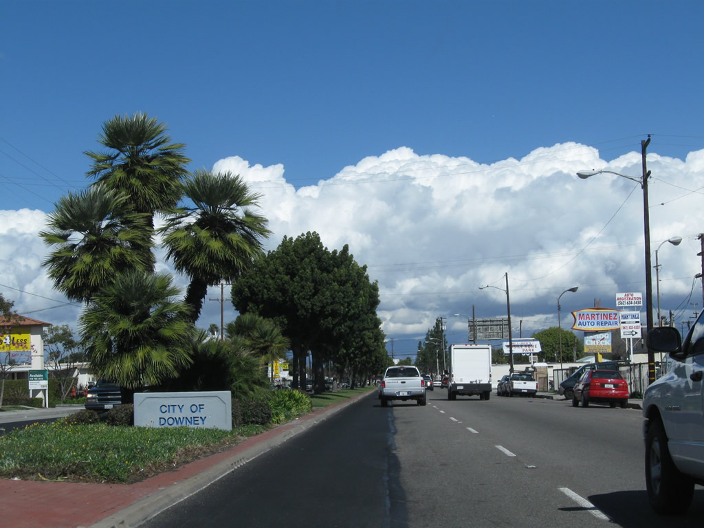
Leaving Paramount, California 19 now straddles the boundary between Bellflower on the east and Downey on the west. The city of Downey, which is listed as the northbound control city for Lakewood Boulevard leaving Los Alamitos Traffic Circle in Long Beach, is one of the more populous cities of the Los Angeles Basin. It had a population 107,323 as of 2000 Census and was incorporated on December 17, 1956. The "Rosecrans Avenue" street monument sign in the median is a city of Downey standard. Photo taken 02/26/11. |
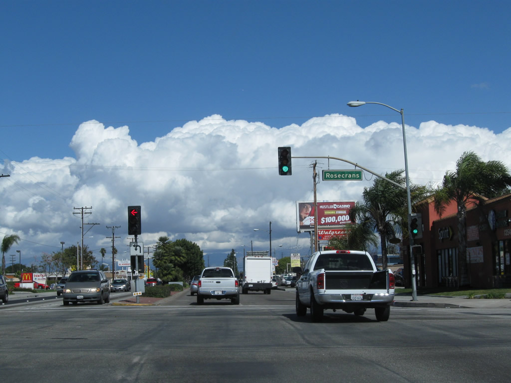 |
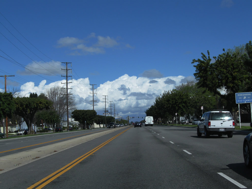
Northbound California 19 intersects Rosecrans Boulevard at this traffic signal. Another major arterial, Rosecrans Avenue travels east to Norwalk, Santa Fe Springs, La Mirada, and Fullerton. To the west, Rosecrans Avneue connects Downey with Paramount, East Rancho Dominguez, Compton, Rosewood, Gardena, Hawthorne, and Manhattan Beach. Photo taken 02/26/11. |
 |
A city of Downey monument sign is posted in the median after Rosecrans Avenue. California 19 will fully enter Downey at the intersection with Gardendale Street. Photo taken 02/26/11. |
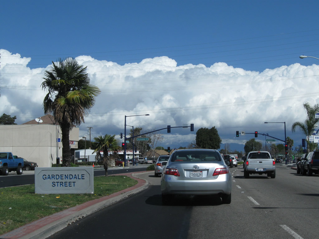 |
Northbound California 19 approaches and meets Gardendale Street at this traffic signal. Around this point, California 19 stops traveling due north and curves toward the northeast. Photo taken 02/26/11. |
 |
California 19 next approaches Interstate 105/Glenn Anderson (Century) Freeway. An on-ramp connects California 19 north with Interstate 105 east. Note the graffiti on this relatively new sign. Photo taken 02/26/11. |
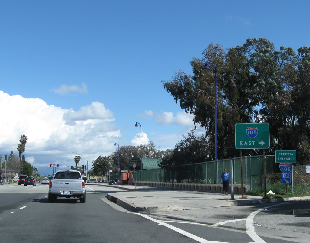 |
Northbound California 19 (Lakewood Boulevard) meets the on-ramp to Interstate 105/Glenn Anderson Freeway east to Norwalk. The next left connects California 19 to Interstate 105 east. Photo taken 02/26/11. |
 |
At this traffic signal, turn left to connect to Interstate 105 west to Los Angeles International Airport (LAX) and El Segundo. Photo taken 02/26/11. |
 |
Leaving the Interstate 105 interchange, the next major intersection along California 19 north is with Imperial Highway, a major east-west arterial that extends from El Segundo to Yorba Linda (the easternmost portion of which is designated as part of California 90). Photo taken 02/26/11. |
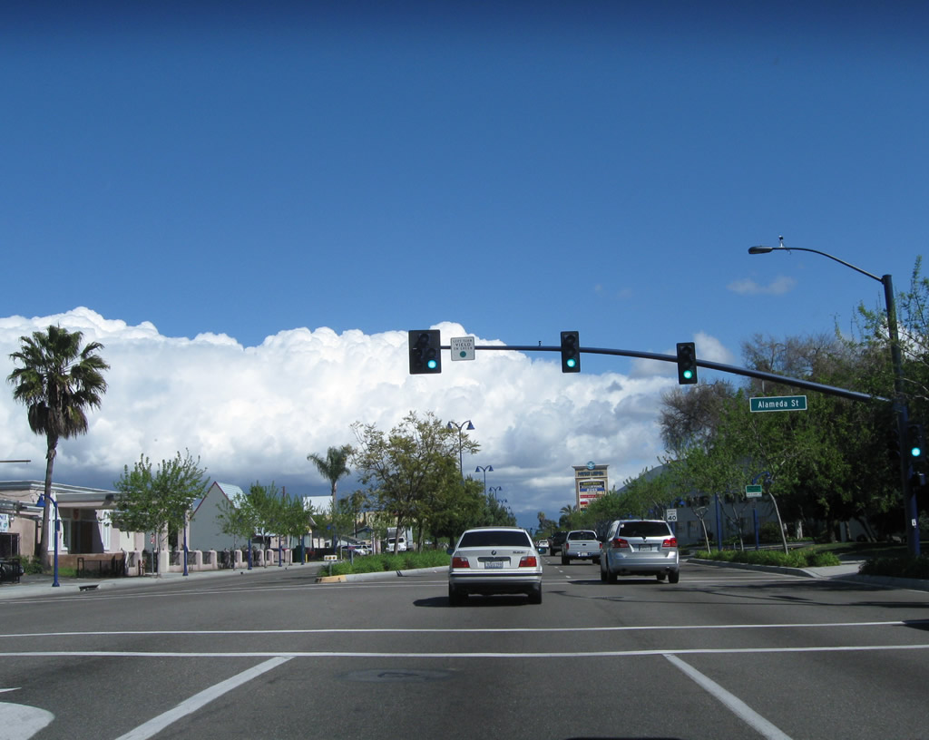 |
Near Downey Studios, California 19 meets Alameda Street; this is not the same as the Alameda Street that carries part of California 47 and parallels the Alameda Corridor railroad. Photo taken 02/26/11. |
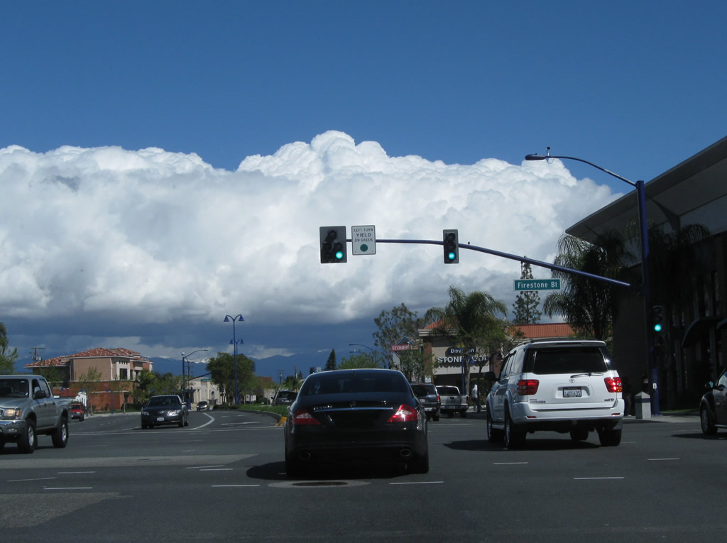 |
Still in Downey, California 19 (Lakewood Boulevard) meets Firestone Boulevard (Former California 42) at this signalized intersection. The northeast corner of this intersection houses the Stonewood Center. Photo taken 02/26/11. |
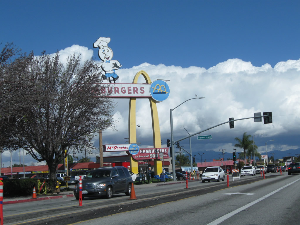 |
At Florence Avenue at 10207 Lakewood Boulevard is the oldest surviving McDonald'. Opened in 1953, it features the original "Golden Arches." Although it closed for business briefly in the mid-1990s, it is open for business currently. Photo taken 02/26/11. |
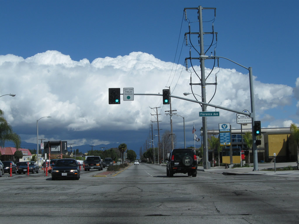 |
Northbound California 19 (Lakewood Boulevard) meets Florence Avenue in Downey. Photo taken 02/26/11. |
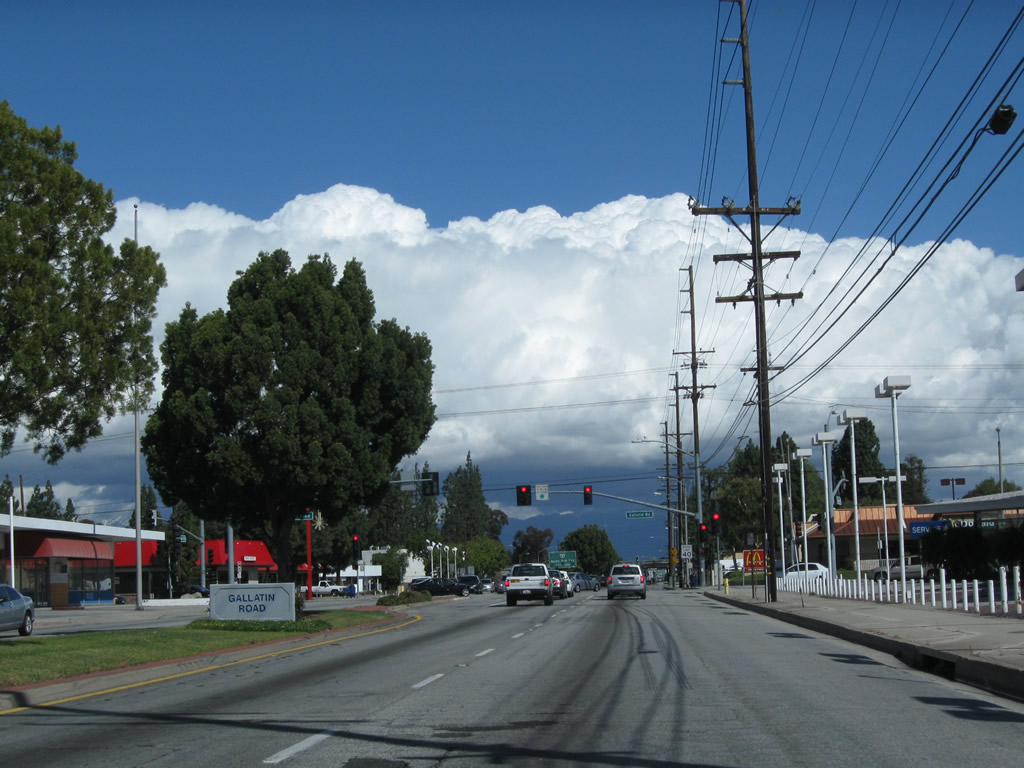 |
California 19 approaches Gallatin Road. Photo taken 02/26/11. |
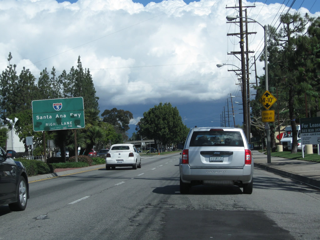 |
The next major interchange after Gallatin Road is with Interstate 5 (Santa Ana Freeway). This busy freeway travels northwest to downtown Los Angeles and southeast to Santa Ana and San Diego. Photo taken 02/26/11. |
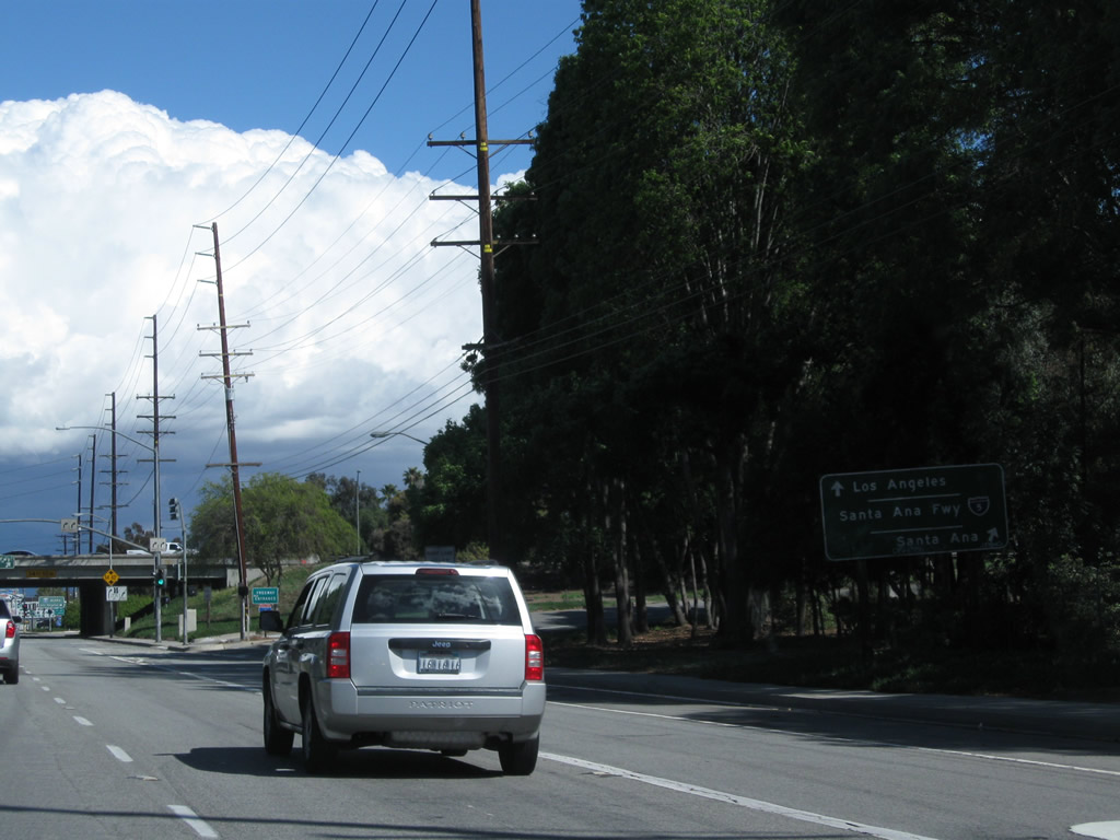 |
The first ramp in the Interstate 5 interchange links California 19 north with Interstate 5 south. The second right connects to Interstate 5 north. Photo taken 02/26/11. |
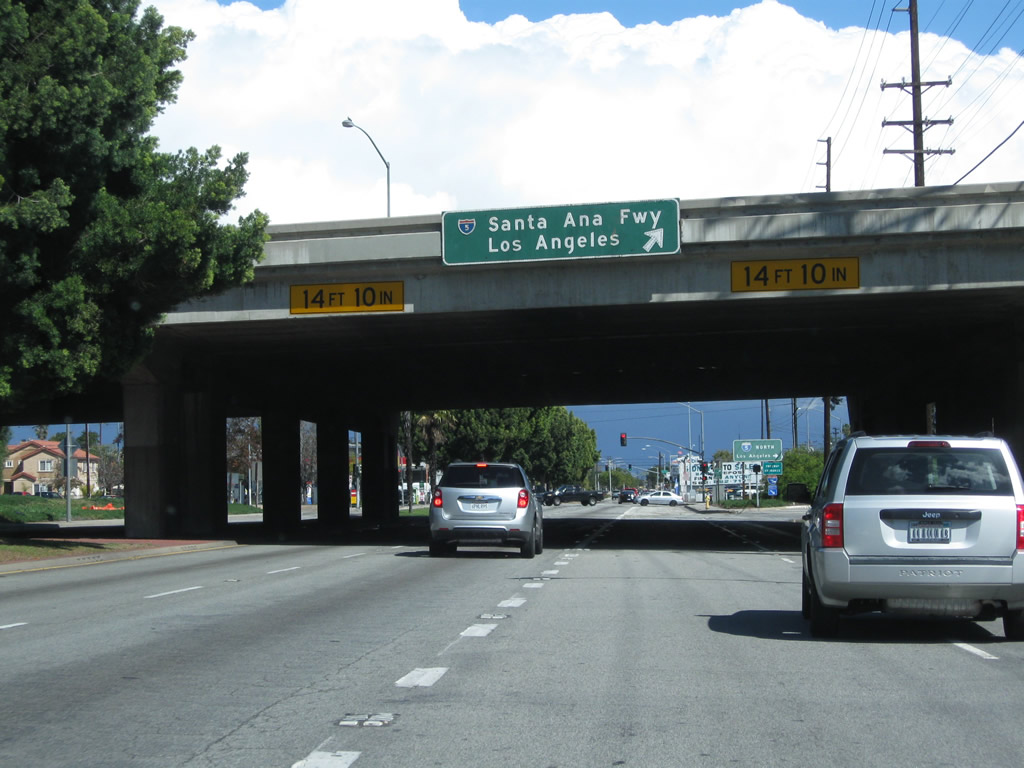 |
After the Interstate 5 overpass, California 19 will connect with the on-ramp to Interstate 5 north to downtown Los Angeles. Photo taken 02/26/11. |
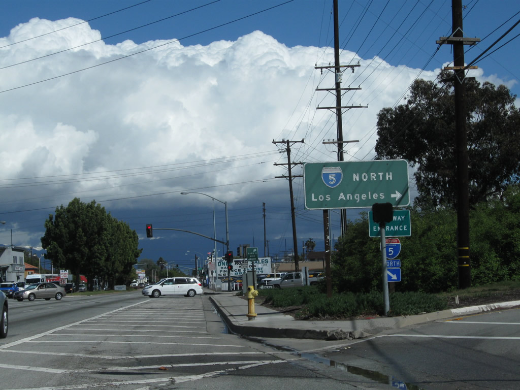 |
Northbound California 19 (Lakewood Boulevard) meets the on-ramp to Interstate 5 (Santa Ana Freeway) north to Los Angeles. Ahead, California 19 changes names from Lakewood Boulevard to Rosemead Boulevard. This shift happens at Telegraph Road (second traffic signal visible ahead). Telegraph Road, which is old California 26, is the boundary between the city of Downey and city of Pico Rivera. Photo taken 02/26/11. |
| California 19 scenes | |
 |
 |
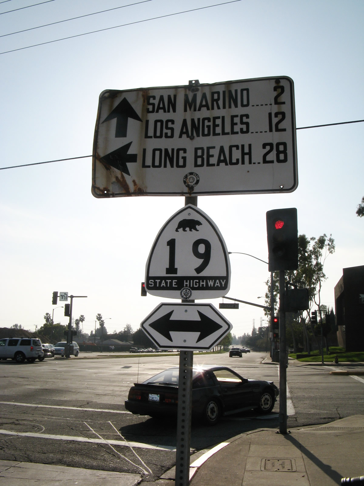
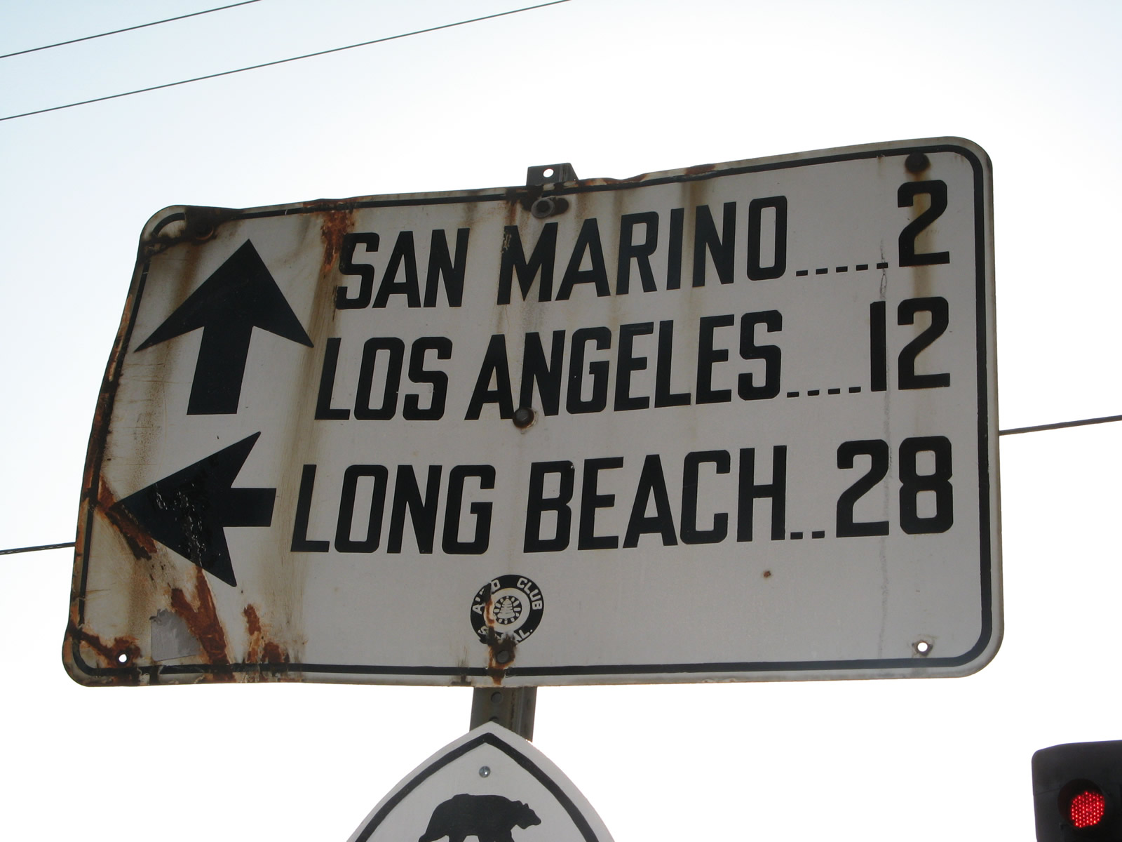
In unincorporated Los Angeles County west of Arcadia and southeast of Pasadena, westbound Huntington Drive approaches California 19 (Rosemead Boulevard). This picture was taken into the sun late in the day with flash. Photos taken 03/25/07. | |
 |
 |
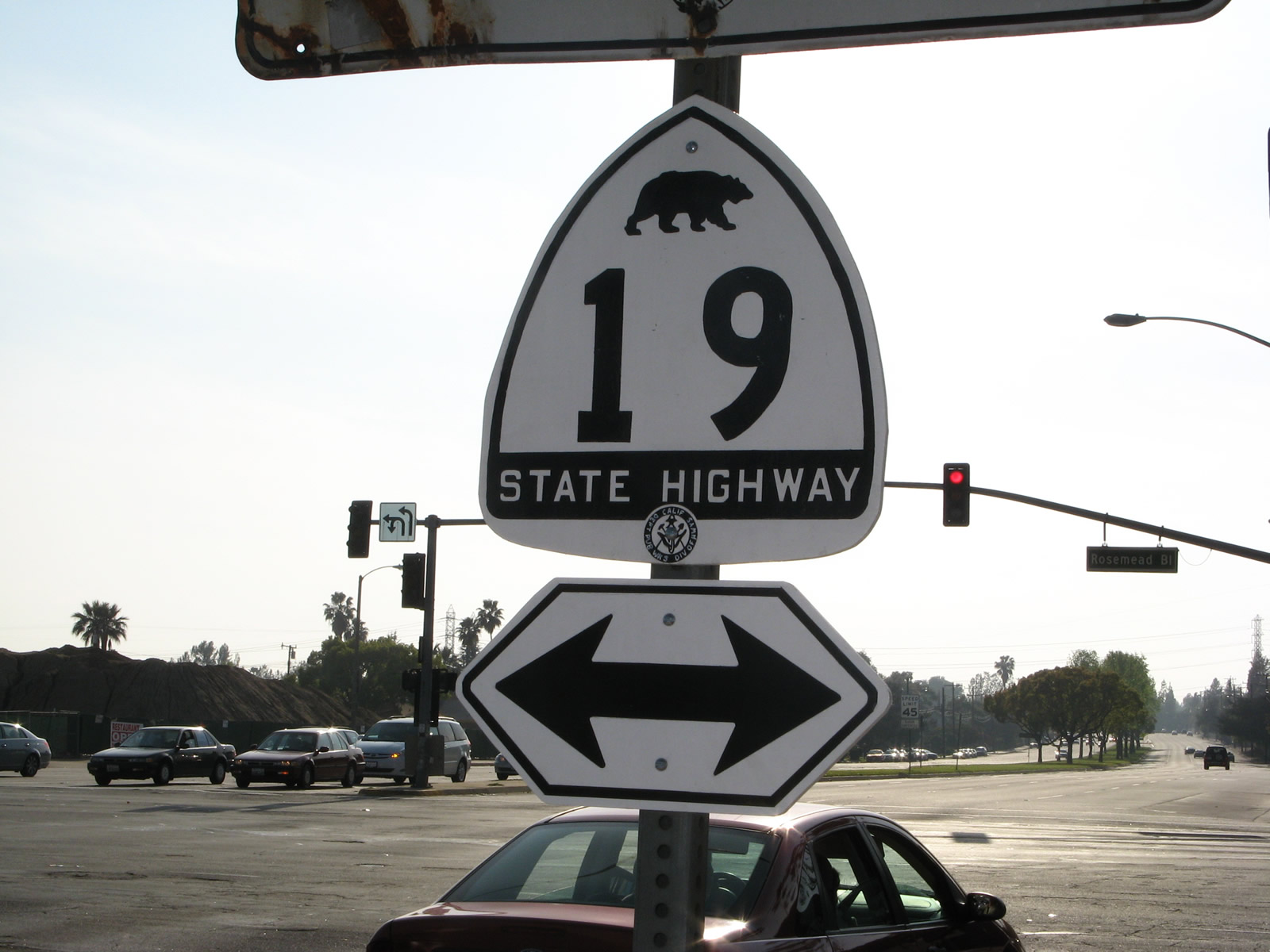 |
Westbound Huntington Drive meets California 19 (Rosemead Boulevard). Prior to 2008, a white guide sign placed by the Automobile Club of Southern California (ACSC) still directed traffic at this intersection. Mounted below the mileage sign was a replica of a white California 19 bear shield. Both of these signs are now gone. Photos taken 03/25/07. |

Page Updated March 5, 2011.
|
About Contact Glossary |
In The News Testimonials Interstate Guide |
Social Media:
 |
|
© 2000-23 AARoads.com | All Rights Reserved | Privacy Policy / Terms of Use
|
||