
California 27
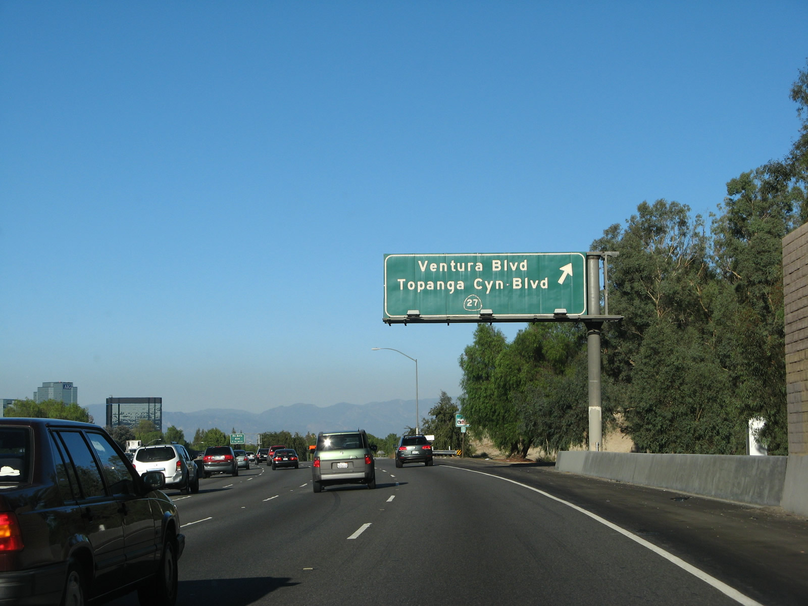
California 27 travels along Topanga Canyon Boulevard between California 1 (Pacific Coast Highway) and California 118 (Ronald Reagan Freeway). Here, southbound U.S. 101 (Ventura Freeway) approaches Exit 27, Ventura Boulevard (former U.S. 101 Business) east to California 27 (Topanga Canyon Boulevard) north through the San Fernando Valley and south to Malibu. Photo taken 09/30/07.
California 27 is a north-south route connecting Topanga Beach in the city of Malibu (California 1 (Pacific Coast Highway)) with the San Fernando Valley in Los Angeles via Topanga Canyon and the Santa Monica Mountains. In Los Angeles, after crossing U.S. 101 (Ventura Freeway), California 27 (Topanga Canyon Boulevard) serves the Canoga Park and Chatsworth communities of the San Fernando Valley.
| California 27 north | |
|---|---|
 |
California 27 follows Topanga Canyon Boulevard from California 1 (Pacific Coast Highway) north toward Topanga and then into the Woodland Hills community of the city of Los Angeles. Continuing north through the western San Fernando Valley, California 27 reaches its northern conclusion at California 118 (Ronald Reagan [Simi Valley] Freeway). Photo taken 07/03/05. |
 |
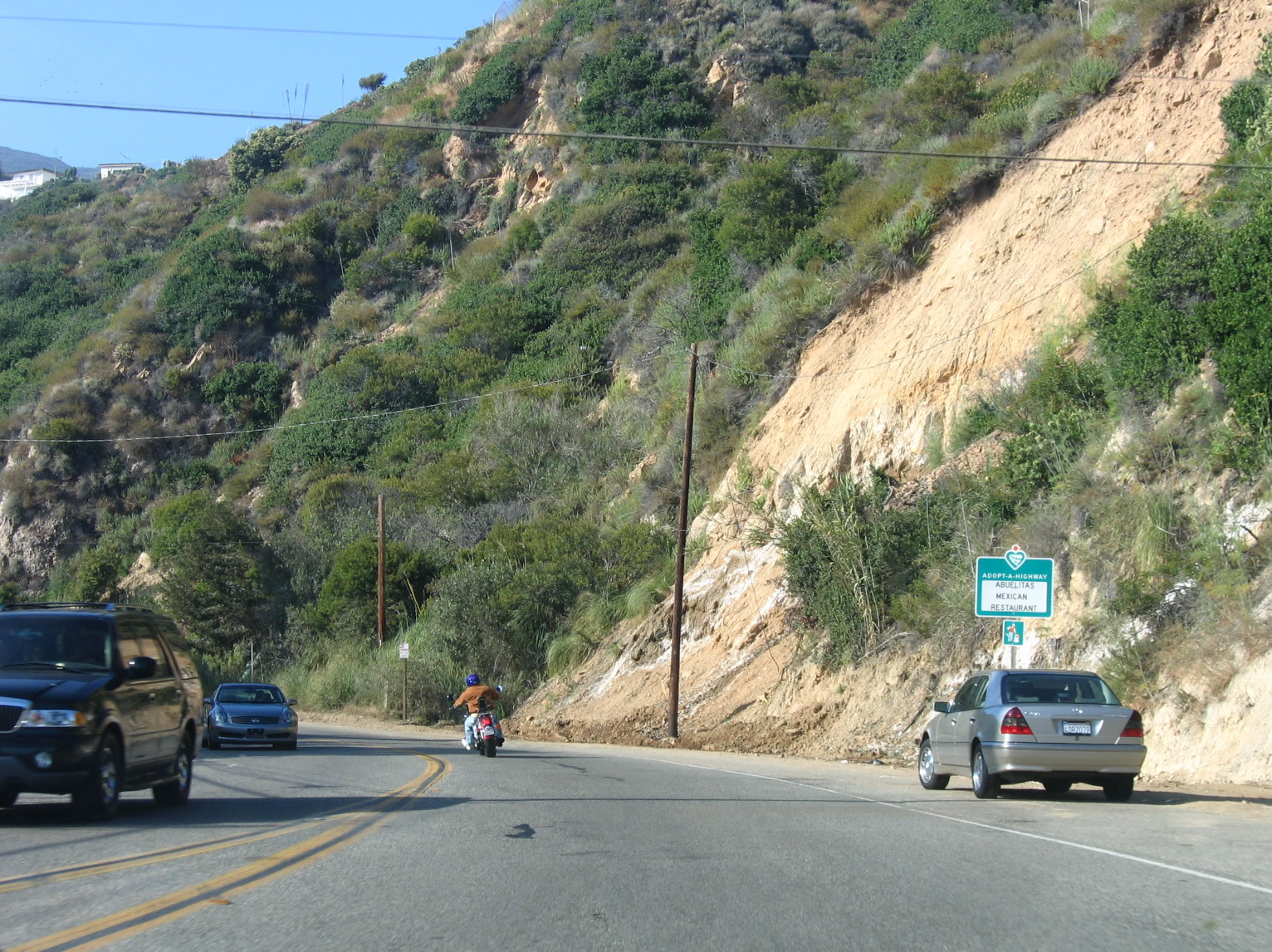
The segment of California 27 between California 1 (Pacific Coast Highway) and U.S. 101 (Ventura Freeway) follows a winding, curving path through Topanga State Park and Santa Monica Mountains National Recreation Area. The highway generally follows Topanga Creek from the coast north to the community of Topanga. Photo taken 07/03/05. |
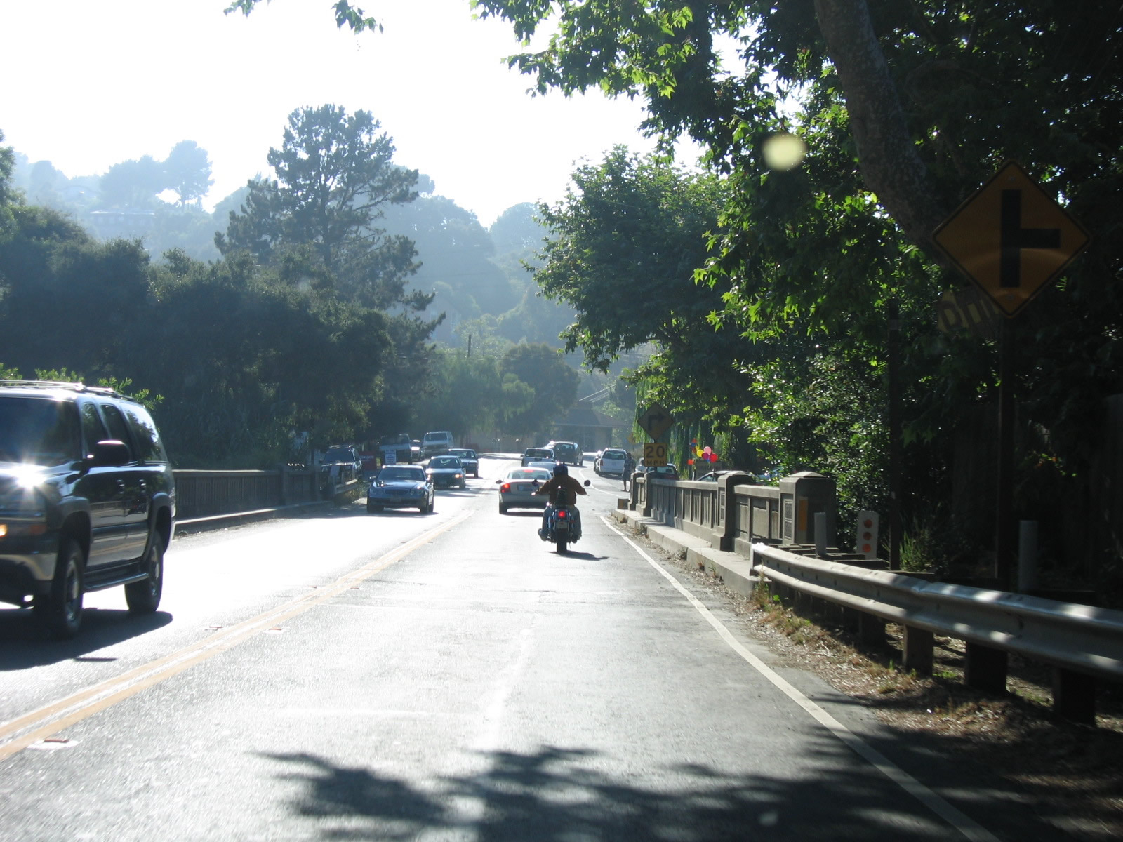 |
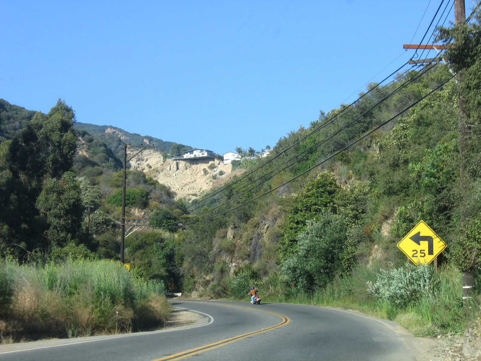
Northbound California 27 passes over an old bridge and enters the community of Topanga. The next major intersection is with Old Topanga Canyon Road, which offers an alternate route from Topanga north to U.S. 101. Photo taken 07/03/05. |
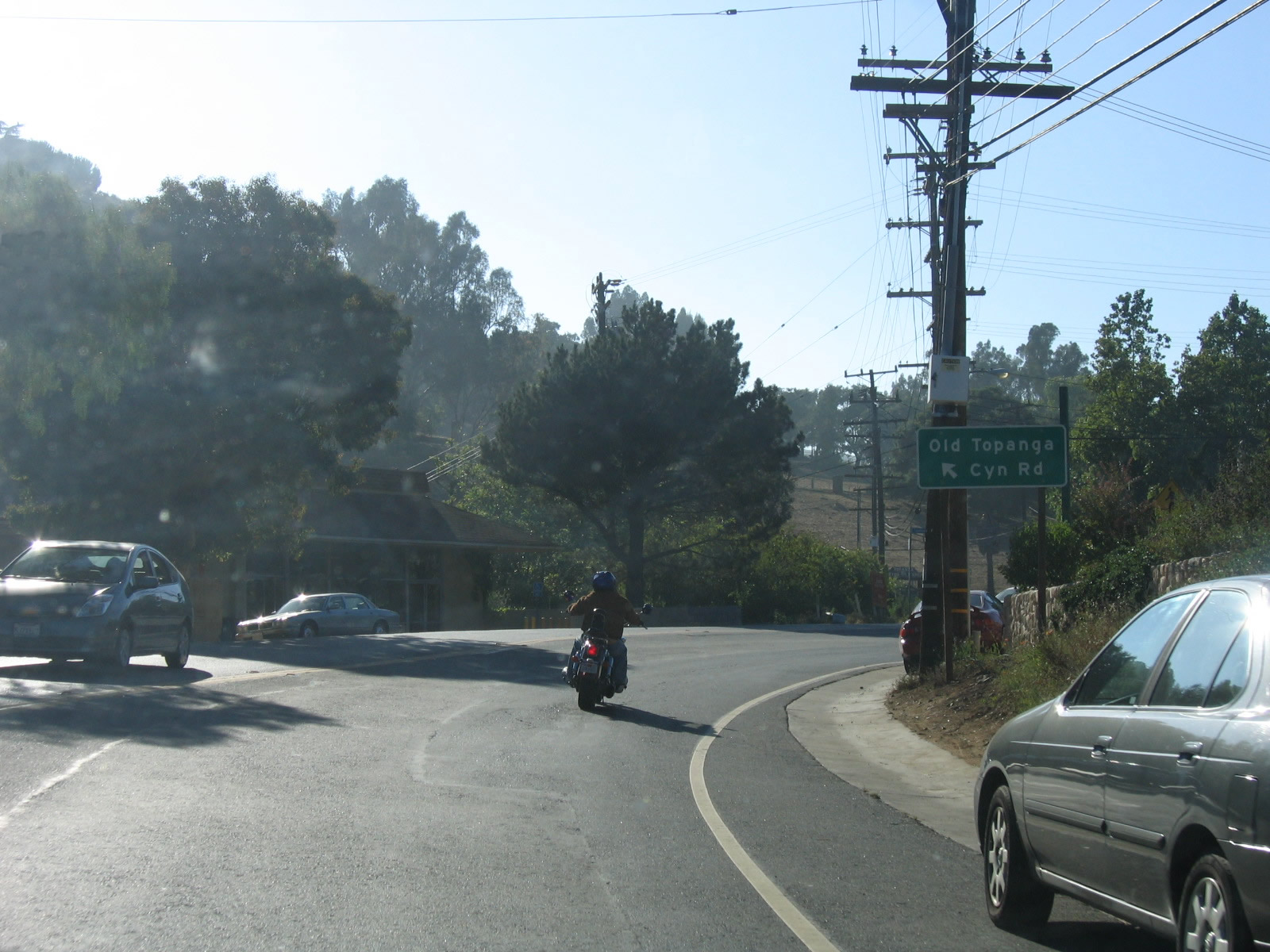 |
California 27 and Old Topanga Canyon Road split shortly thereafter. It is not clear if Old Topanga Canyon Road ever served as a part of the state highway system. We have not been able to locate a map or other evidence that shows California 27 (or its predecessor route) ever followed Old Topanga Canyon Road. Photo taken 07/03/05. |
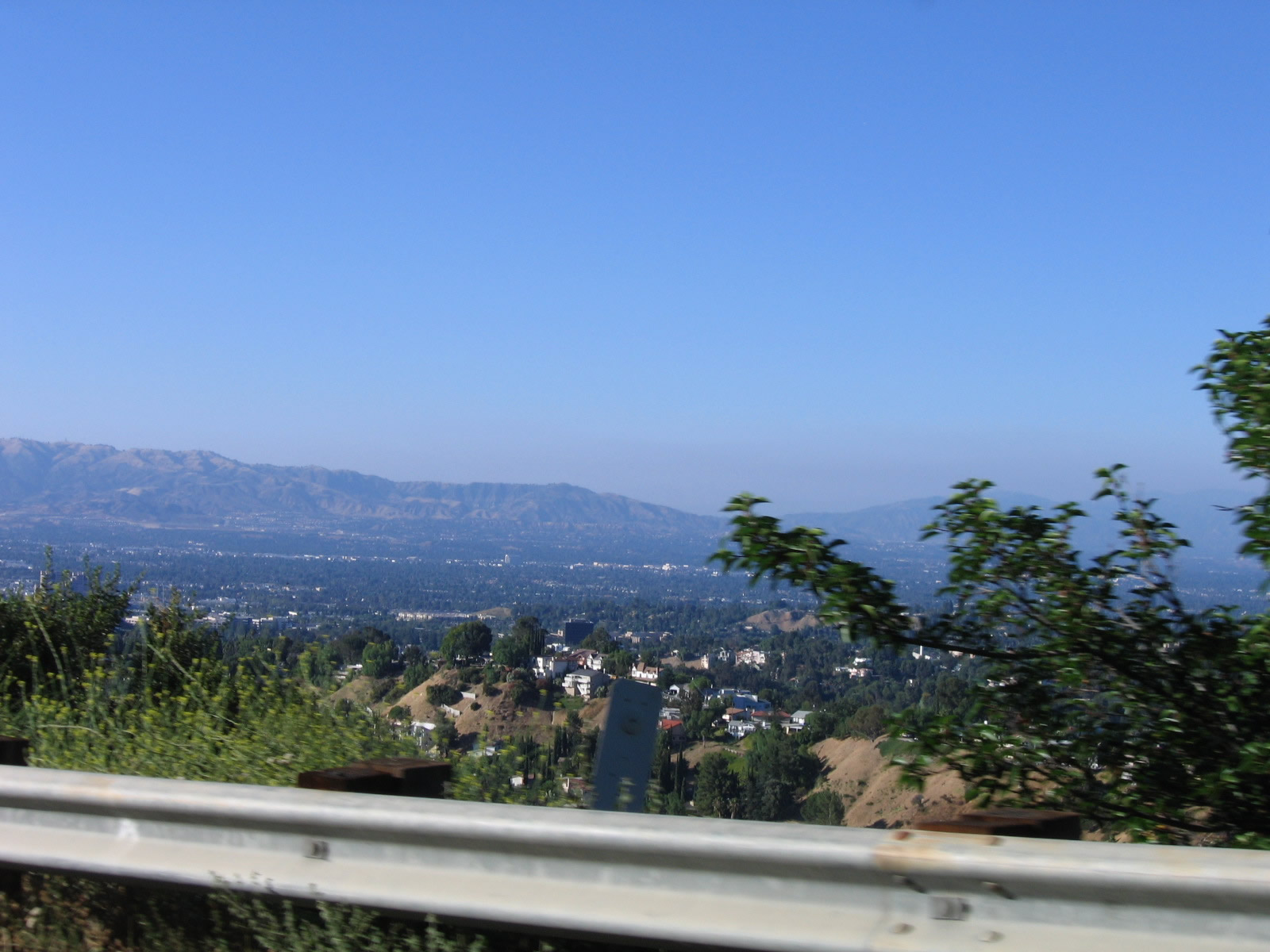 |
The San Fernando Valley comes into view along northbound California 27 (Topanga Canyon Boulevard). Photo taken 07/03/05. |
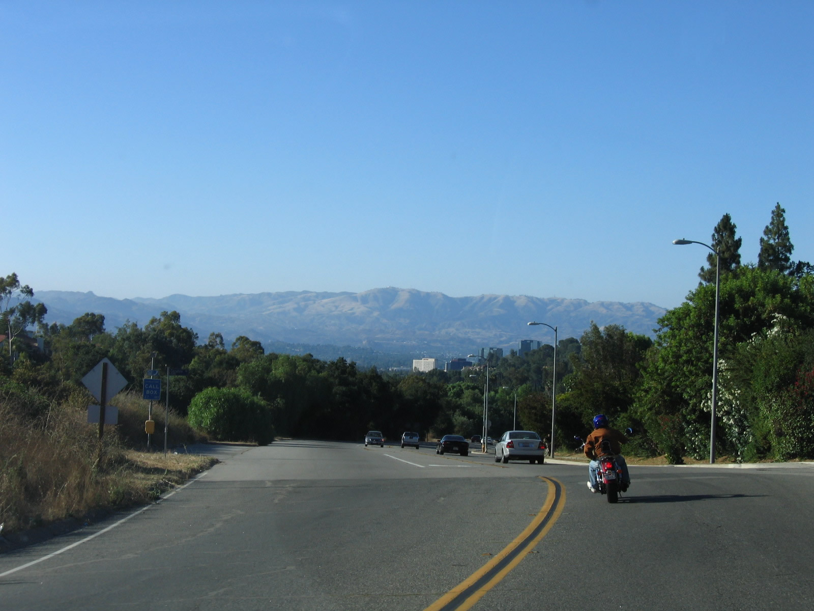 |
Two-lane California 27 widens and becomes more suburban as it descends from the Santa Monica Mountains into the San Fernando Valley and the Woodland Hills community of the city of Los Angeles. Photo taken 07/03/05. |
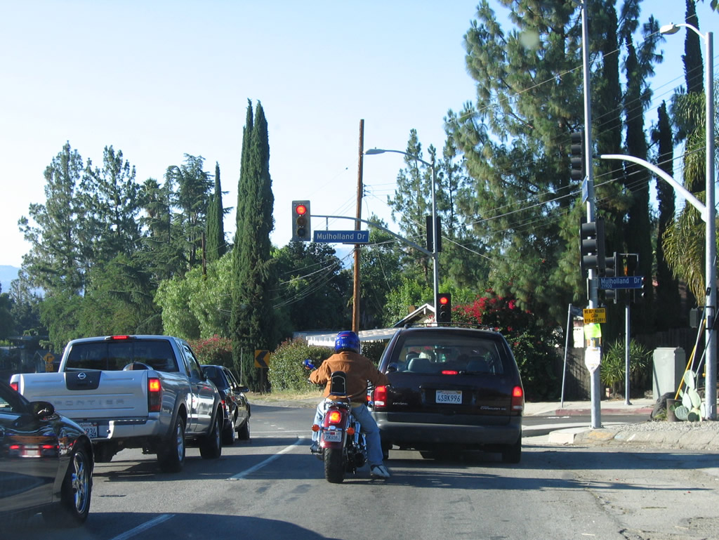 |
Northbound California 27 meets Mulholland Drive at this signalized intersection. Photo taken 07/03/05. |
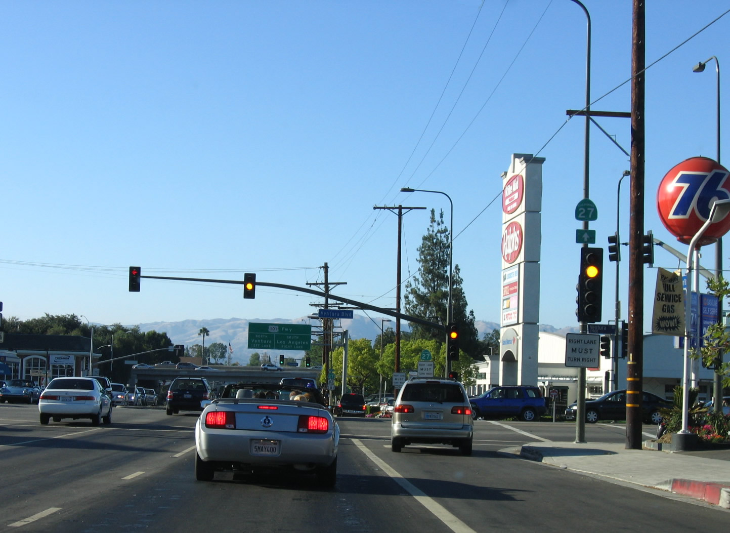 |
California 27 (Topanga Canyon Boulevard) meets former U.S. 101 Business (Ventura Boulevard) at this traffic signal. The junction with U.S. 101 lies ahead. Photo taken 07/03/05. |
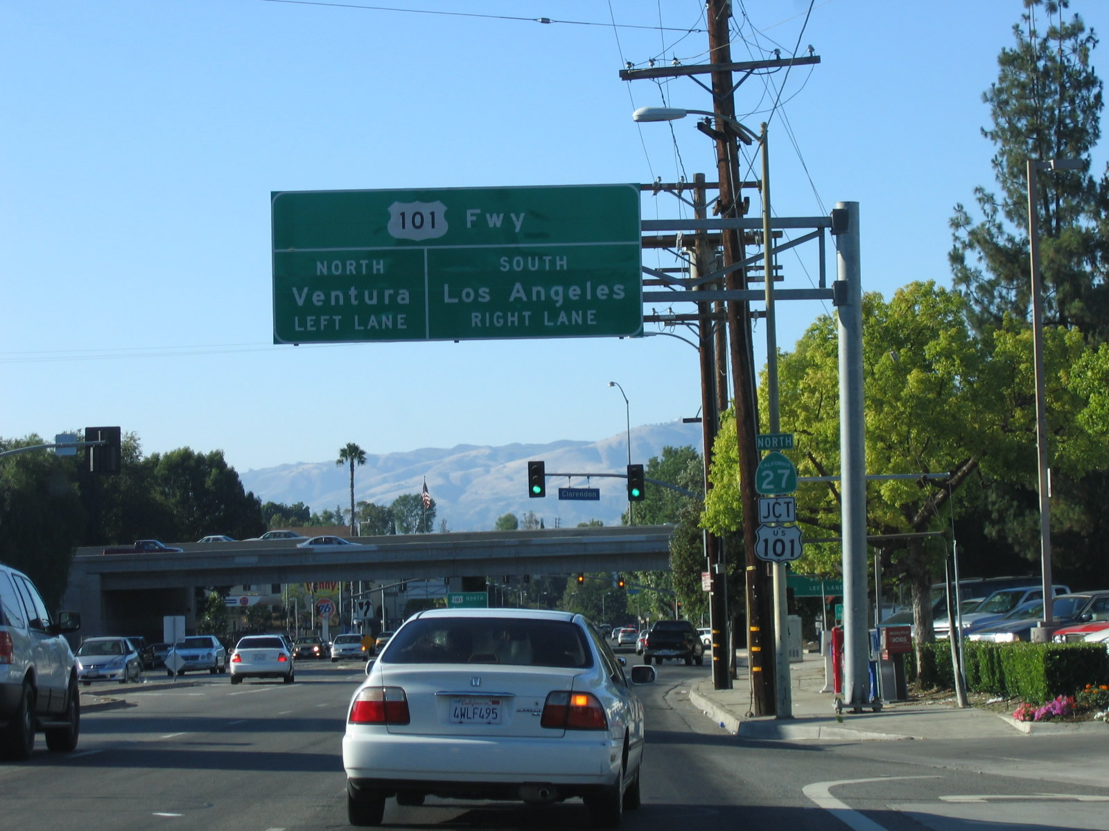 |
Northbound California 27 next approaches U.S. 101, which travels north (west) to Ventura and Santa Barbara and south (east) to Los Angeles. U.S. 101 travels almost perfectly east-west along the southern edge of the San Fernando Valley parallel to Ventura Boulevard. Photo taken 07/03/05. |
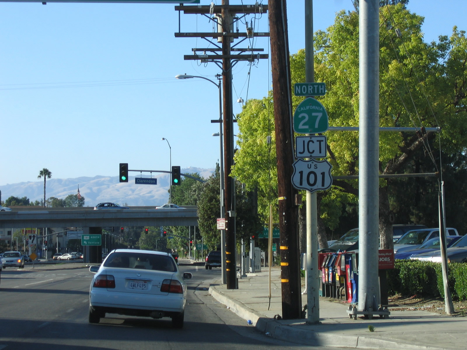 |
A shield assembly for California 27 and U.S. 101 is posted after the Ventura Boulevard intersection. Photo taken 07/03/05. |
| California 27 scenes | |
|---|---|
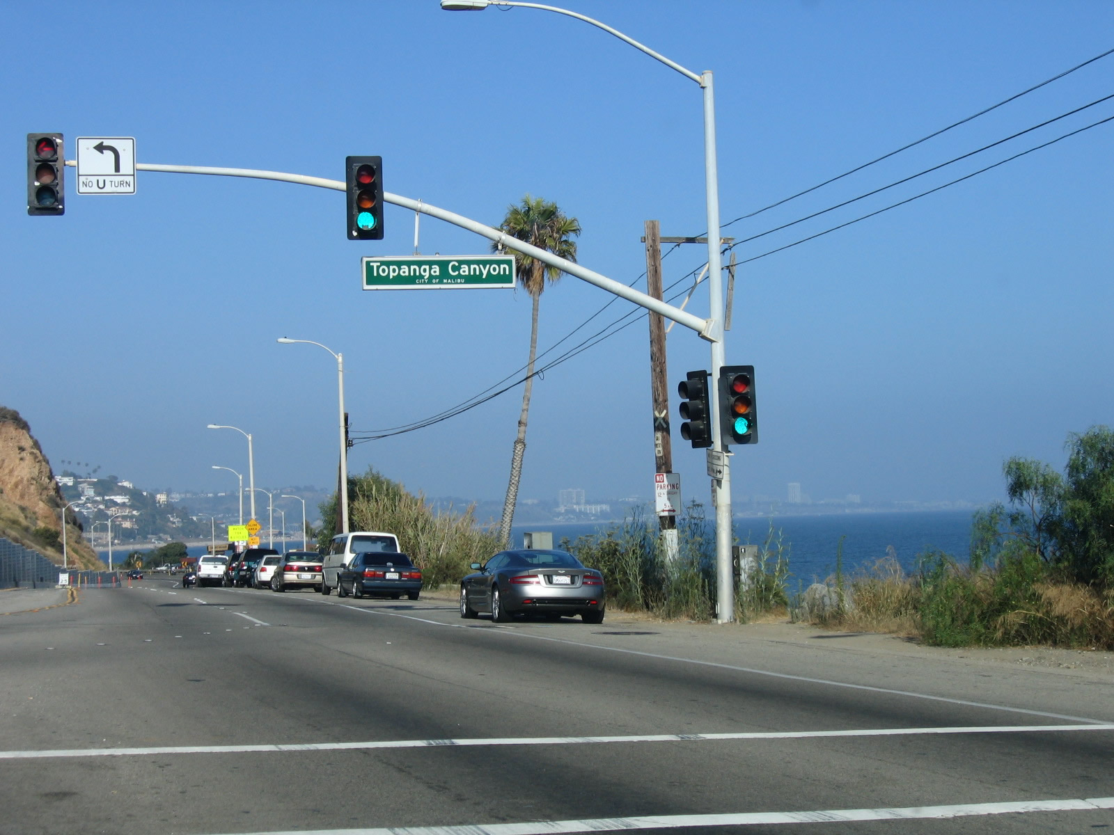 |
Southbound California 1 (Pacific Coast Highway) approaches California 27 (Topanga Canyon Boulevard) in the city of Malibu within a short distance of the beach. Photo taken 07/03/05. |

Page Updated November 10, 2015.
|
About Contact Glossary |
In The News Testimonials Interstate Guide |
Social Media:
 |
|
© 2000-23 AARoads.com | All Rights Reserved | Privacy Policy / Terms of Use
|
||