California 38 is an oddly-shaped state route that begins at California 18 near the Big Bear Lake Dam, heads north and then east along the northshore of the lake, then heads south through Big Bear City (on a duplex with California 18) before turning east and then south to descend out of the mountains near Angelus Oaks. California 38 then turns due west along Mill Creek before meeting its terminus at Interstate 10 in Redlands. The mountain topography makes this route look more indirect than it really is, since it traverses some very high elevations between California 18 and Interstate 10.
| California 38 north/west |
|
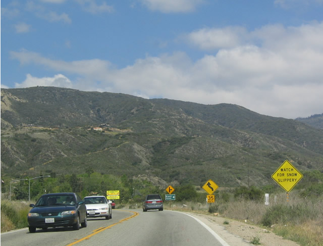
The impressive San Bernardino Mountains loom in front of California 38 as eastbound traffic leaves the populated areas of Redlands and Mentone and approach the national forest. Photo taken 04/18/04. |
|
Bryant Street heads due south to Yucaipa and Calimesa near Interstate 10. Photo taken 04/18/04. |
|
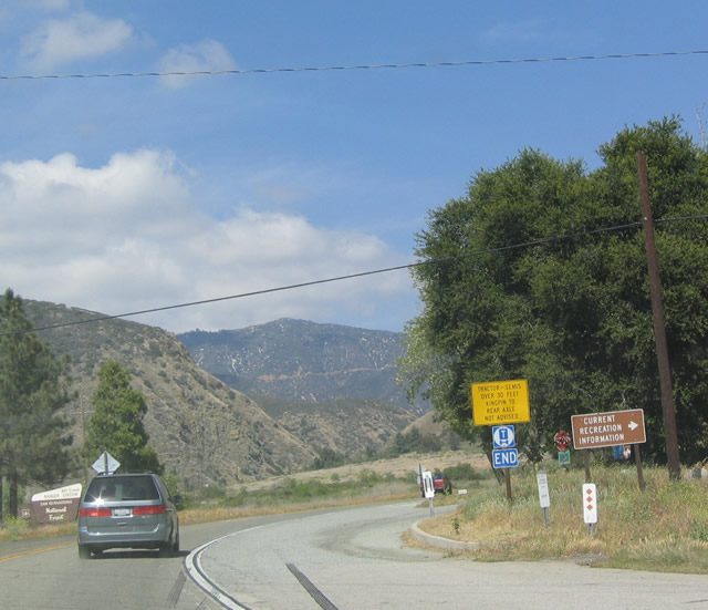
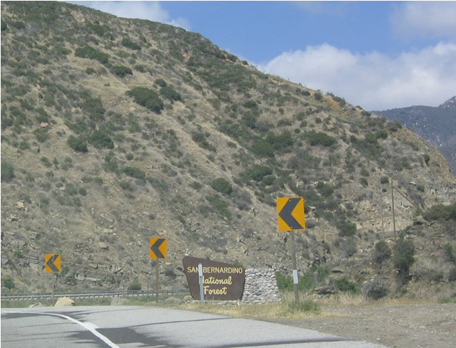
Eastbound California 38 at the Mill Creek Ranger Station, which doubles as a Visitors Center. Photo taken 04/18/04. |
|
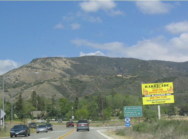
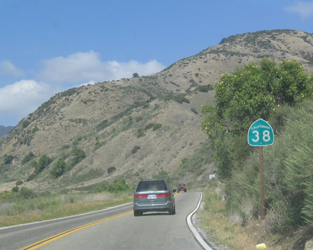
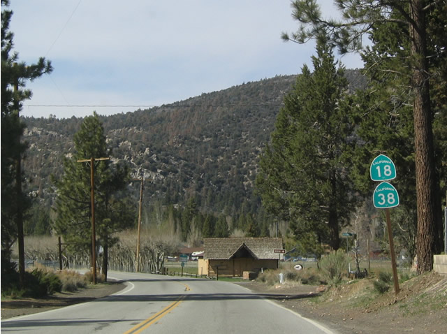
As is typical along California 38 in both directions, no directional banner is used. That is largely because California 38 starts heading east, turns north, turns east again, turns north, then angles west to end near the Big Bear Lake Dam. Photo taken 04/18/04. |
|
Traffic along this stretch of California 38 is heavier than it is north of the Forest Falls turnoff because most day traffic is accessing the recreational opportunities before heading up into the mountains. Photo taken 04/18/04. |
|
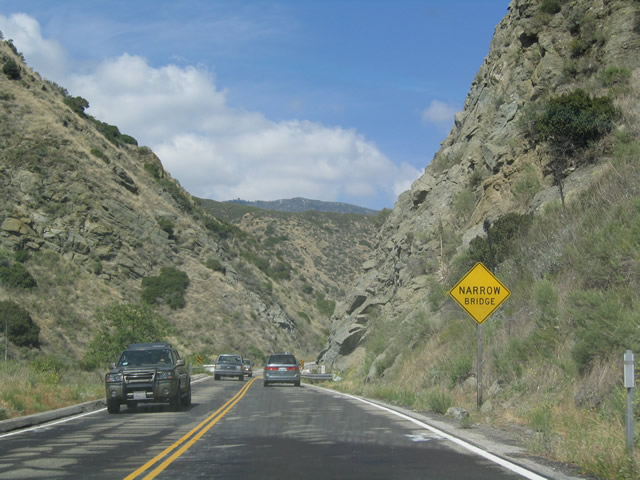
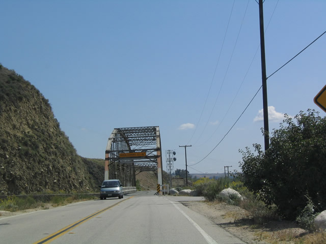
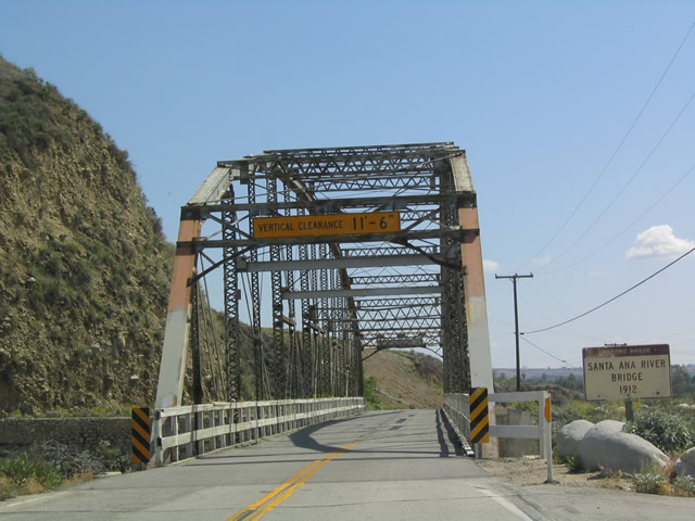
A narrow bridge sign warns of the second old bridge crossing over the Santa Ana River. Photo taken 04/18/04. |
|
This is the second of two older bridges located along California 38 as it approaches the Santa Ana River Canyon. Photo taken 04/18/04. |
|
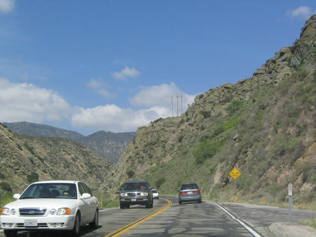
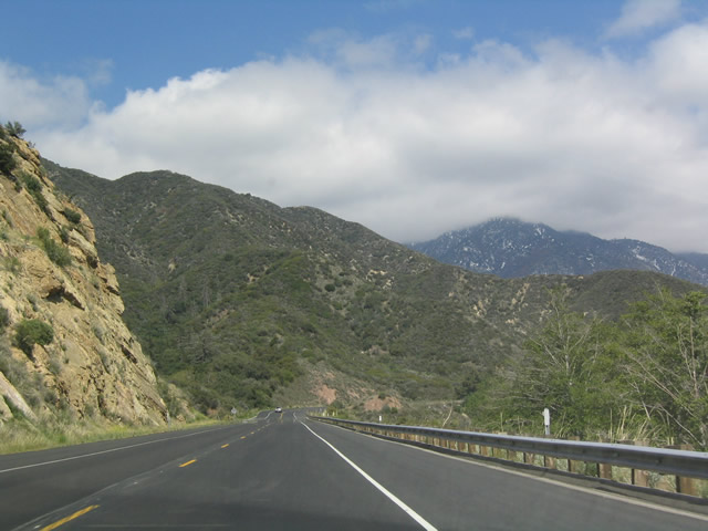
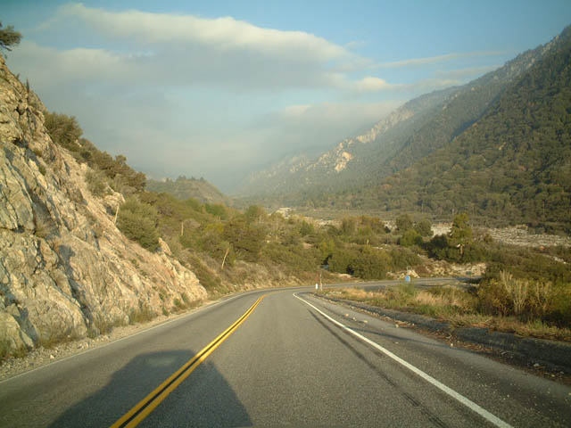
Eastbound California 38 enters the San Bernardino National Forest as passes into a canyon between the Yucaipa Range to the south and Morton Peak/San Bernardino Mountains to the north. Photo taken 04/18/04. |
|
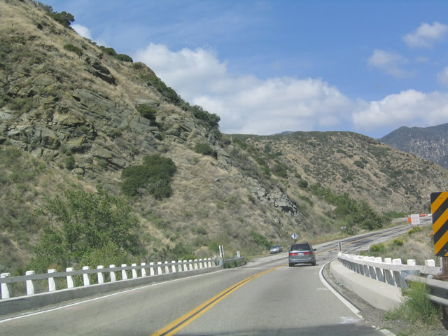
A good section of California 38 in the canyon was resurfaced in 2004. Photo taken 04/18/04. |
|
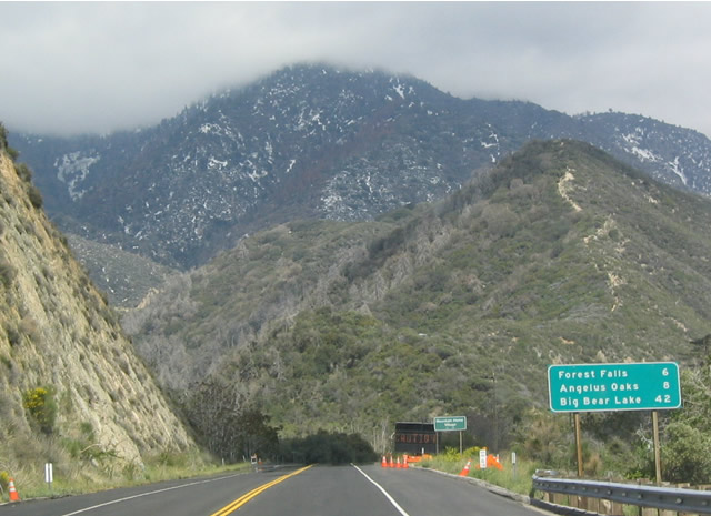
Eastbound California 38 remains straight and wide as it passes through the Santa Ana River Canyon. This mileage sign provides the distance to the next two immediate destinations: Forest Falls (turnoff is three miles ahead) and Angelus Oaks. Photo taken 04/18/04. |
|
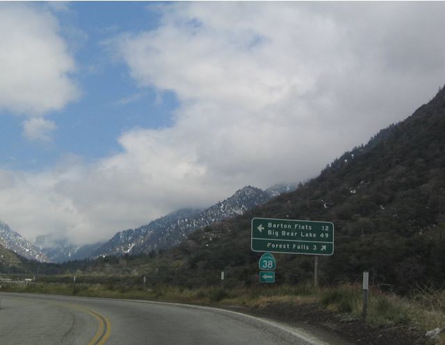
At Mill Creek Canyon Road, California 38 turns onto a switchback helping the road gain elevation en route to Angelus Oaks and ultimately Big Bear Lake. Mill Creek Canyon Road heads due east to Forest Falls and the Big Falls Picnic Area. California 38, meanwhile, will head briefly west again, then turn north as it ascends to Angelus Oaks. Photo taken 04/18/04. |
|
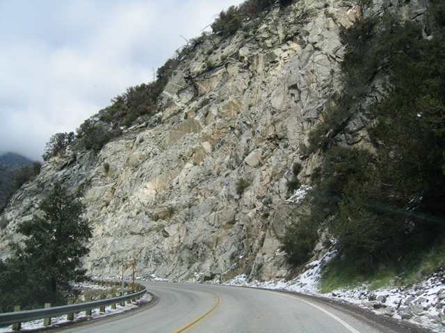
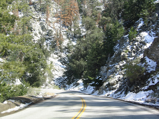
Some rock cuts had to be made to allow the two-lane highway to make its ascent to Angelus Oaks. Photo taken 04/18/04. |
|
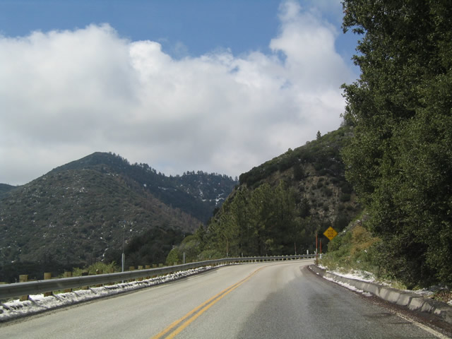
California 38 heads due north as it approaches Angelus Oaks, and the clouds in the distance are actually situated over Running Springs and Green Valley Lake. Other pictures taken on the same day show the clouds over California 18 and California 189. Photo taken 04/18/04. |
|
California 38 does not host nearly as much traffic as California 18 or California 330 since it takes a fairly lengthy route to Big Bear Lake and Lake Arrowhead (via California 18). Photo taken 04/18/04. |
|
This phone is among the last ones to be found along east/northbound California 38 as it leaves Angelus Oaks and continues its ascent to Onyx Summit. Photo taken 04/18/04. |
|
Most of California 38 between Angelus Oaks and Big Bear City lies within the San Bernardino National Forest, with the exception of some private areas such as Barton Flats. Both Big Bear Lake and Fawnskin are located on the shore of Big Bear Lake. Photo taken 04/18/04. |
|
Scenic California 38 continues east, climbing toward Barton Flats and ascending toward the headwaters of the Santa Ana River and Onyx Summit. Photo taken 04/18/04. |
|
Rock outcroppings such as this one are commonly seen along this portion of California 38 as it ascends from the Santa Ana River valley. Photo taken 04/18/04. |
|
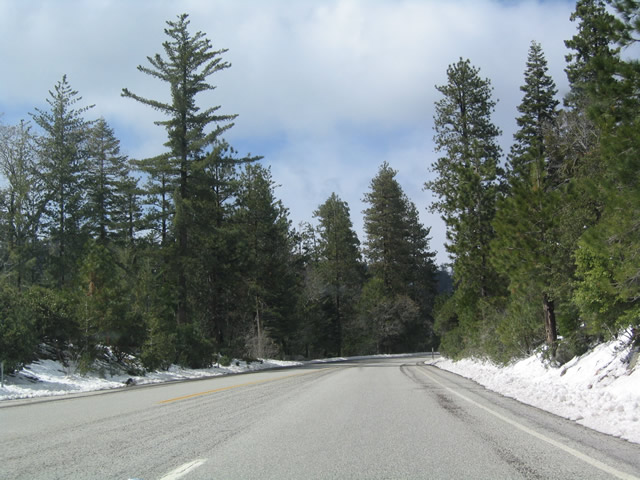
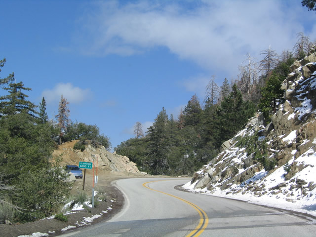
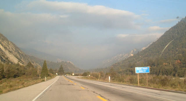
Now past Barton Flats, a small community midway up the mountain that lies in the shadow north of Mt. San Gorgonio (el. 11,502 feet), California 38 continues east. Some snow is still visible at the 6,000-foot elevation. Photo taken 04/18/04. |
|
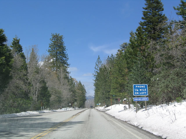
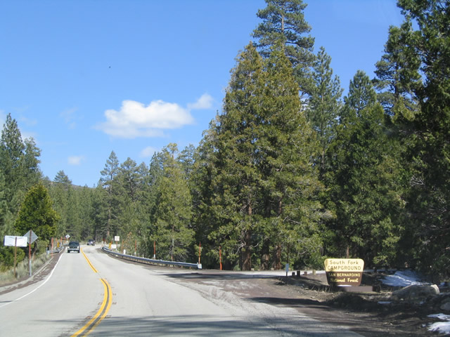
Several national forest campgrounds, including the South Fork Campground, are located along California 38 as it climbs to Onyx Summit. Photo taken 04/18/04. |
|
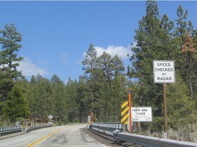
The Santa Ana River has its headwaters south of Onyx Summit, and it separates from California 38 after this bridge. Photo taken 04/18/04. |
|
Occasionally, California 38 offers a passing lane as it climbs. Photo taken 04/18/04. |
|
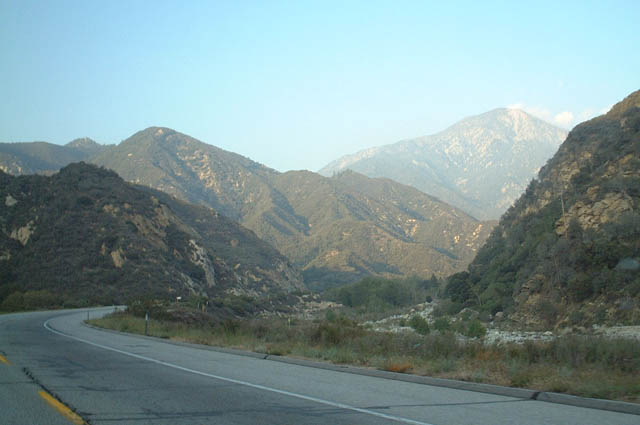
A mixture of sagebrush and trees dominate the topography as California 38 ascends to Onyx Summit. At this point, California 38 is heading mostly east, but it will change direction to due north before reaching the pass. The switch in directions will be noticeable as the sun angle changes gradually in the following pictures. Photo taken 04/18/04. |
|
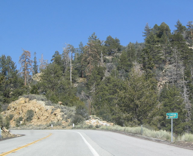
This graffitied, 8,000-foot elevation sign betrays the altitude to which California 38 is ascending. Photo taken 04/18/04. |
|
Safety turnouts such as this one permit slow moving traffic to pull over and allow faster moving traffic to pass. This is especially important for those cars towing boats and recreational vehicles such as motorcycles and all-terrain vehicles. Photo taken 04/18/04. |
|
Recently placed road salt and gravel betray the icy conditions of California 38 as it approaches the Onyx Summit. Photo taken 04/18/04. |
|
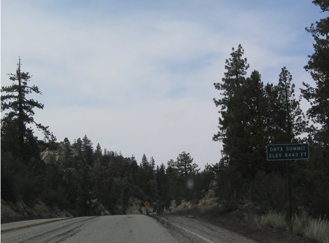
Northbound California 38 at Onyx Summit, the tallest state highway summit in Southern California at an elevation of 8,443 feet (some maps show this summit at an elevation of 8,440 feet while the sign shows it at 8,443 feet). From here, California 38 descends to Big Bear Lake. Photo taken 04/18/04. |
|
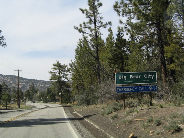
California 38/Greenspot Boulevard enters Big Bear City, which is just east of the City of Big Bear Lake. Photo taken 04/18/04. |
|
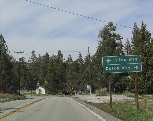
Northbound California 38 at Sites Way/Dutch Way in Big Bear City. Photo taken 04/18/04. |
|
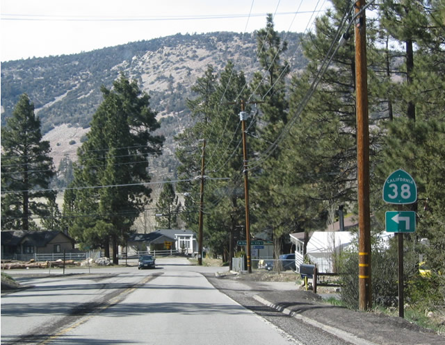
Just prior to reaching California 18, northwestbound California 38 makes a 90-degree left turn to turn west. Photo taken 04/18/04. |
|
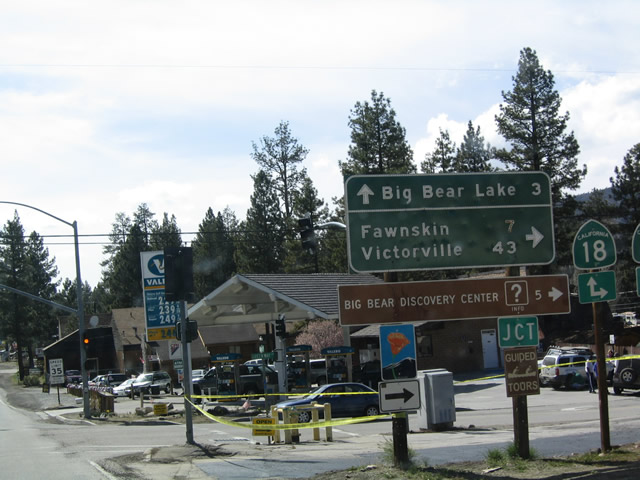
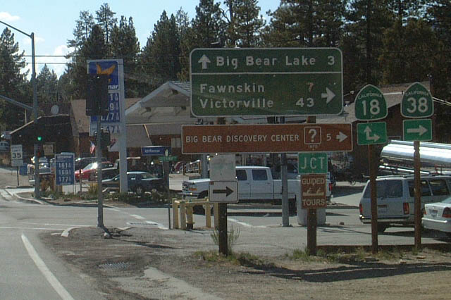
California 38 reaches its junction with California 18 in Big Bear City. Use California 18 west to reach Big Bear Lake (south shore) and California 18 north/California 38 west to reach the north shore (Minnelusa and Fawnskin) as well as Lucerne Valley, Victorville, and Hesperia. Photo taken 04/18/04. |
|
|
Westbound California 38 and northbound California 18 are well-signed through the merged section north of Big Bear City. Photo taken 04/18/04. |
|
Westbound California 38 and northbound California 18 approach the end of their brief merged section; the routes divide a quarter mile ahead of here. Photo taken 04/18/04. |
|
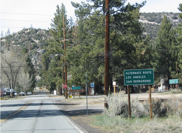
Westbound California 38/Northbound California 18 have this sign indicating an "alternate route to Los Angeles" as they approach their split. It is not clear which route is the alternate, but our guess is northbound California 18, considering that it goes to Lucerne Valley and joins Interstate 15 near Victorville. Photo taken 04/18/04. |
|
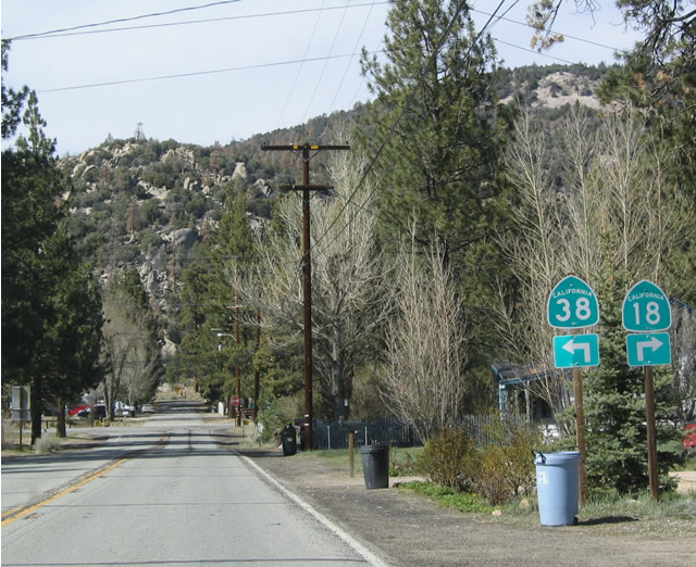
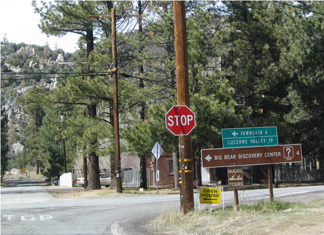
Westbound California 38 reaches the end of its combined section with California 18 north of Big Bear City. California 38 continues west by making a left (toward Fawnskin), and California 18 continues north by making a right (to Lucerne Valley, note missing arrow). Photo taken 04/18/04. |
|
|
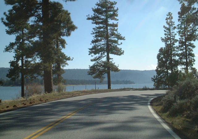
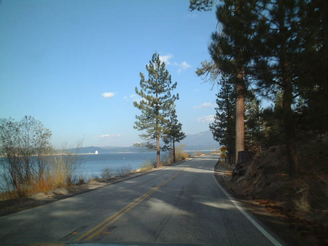
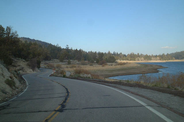
Scene along westbound California 38 along the north shore of Big Bear Lake. Photo taken 05/02/02. |
|
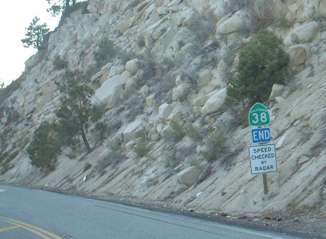
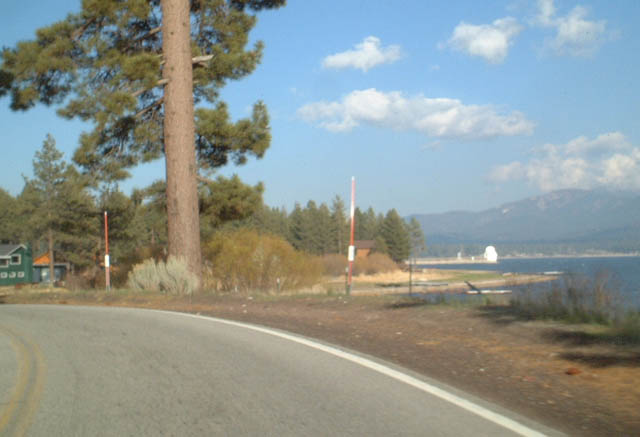
Westbound California 38 ends at its junction with California 18 just north of the Big Bear Lake dam. Photo taken 05/02/02. |
| California 38 South/East |
|
Eastbound California 38 begins after its junction with California 18, just north of the Big Bear Lake dam. Photo taken 05/02/02. |
|
|
|
|
|
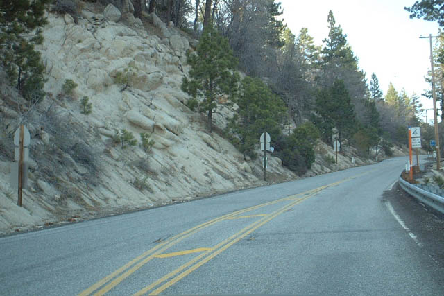
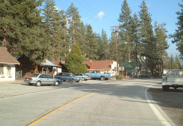
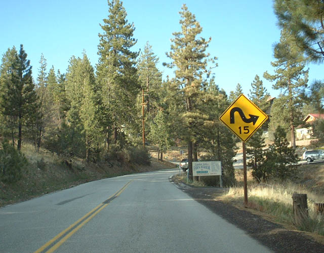
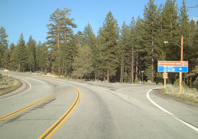
This series of photos follows California 38 along the north shore of Big Bear Lake. Although the highway passes through a few small towns, it is primarily rural, and California 38 is the primary access to hiking trails north of the lake. The south shore is far more urbanized. Fawnskin, the largest settlement on this stretch of California 38, is situated on a bay in the lake, and it features vacation homes, bed and breakfasts, and excellent restaurants. Photos taken 05/02/02. |
|
Eastbound California 38 approaching its second junction with California 18. From here, California 38 eastbound duplexes with California 18 westbound as they enter Big Bear City. Photo taken 05/02/02. |
|
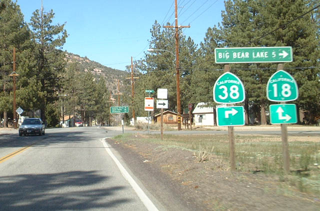
Westbound California 38 at California 18 in Big Bear City. California 18 leads west from here to follow the south shore, and California 18-38 lead north from here toward the north shore of the lake and Fawnskin via California 38 and Victorville via California 18. Photo taken 05/02/02. |
|
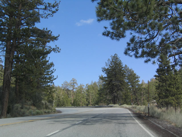
Marketed as an alternative route back to the Los Angeles Basin, eastbound California 38 leaves Big Bear City in an easterly direction, before heading south and west to end at Redlands. Photo taken 05/02/02. |
|
|
|
|
|
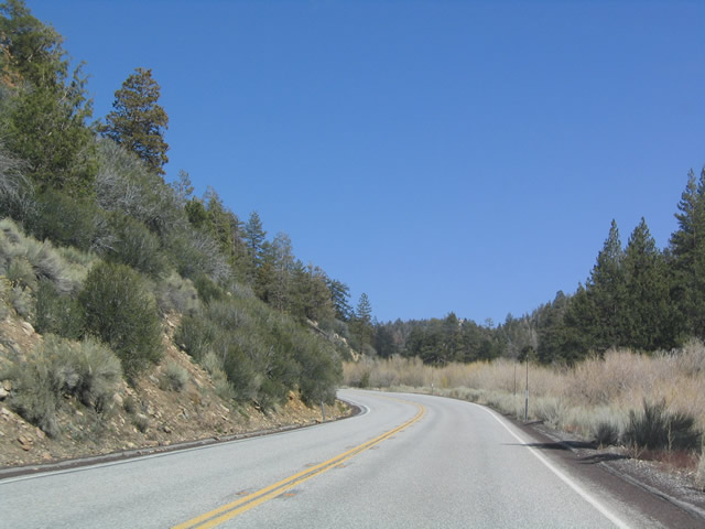
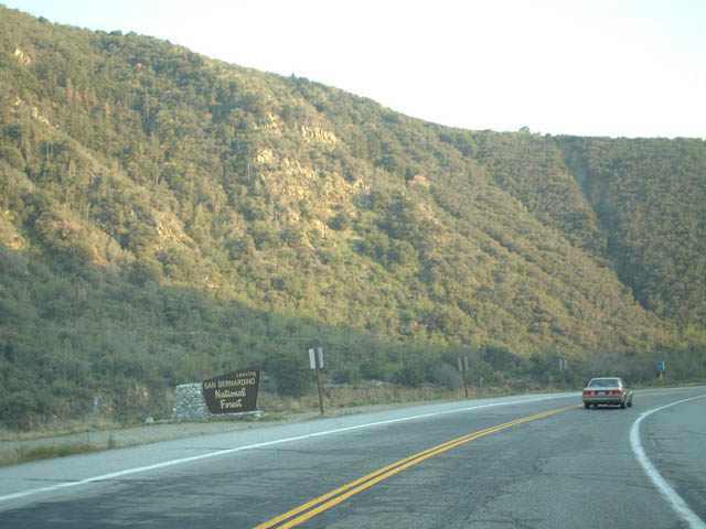
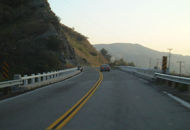
These photos show California 38 between Big Bear City and Redlands. The highway passes through largely unpopulated areas located within the San Bernardino National Forest. The first, fourth, and fifth pictures were taken along southbound, while the second and third pictures were taken facing north. Photos taken 05/02/02. |
|
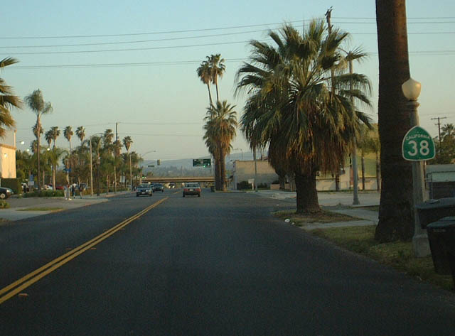
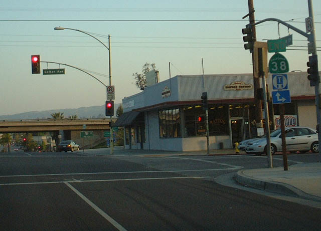
Southbound California 38 passes through the city of Redlands on its way to Interstate 10. Photo taken 05/02/02. |
|
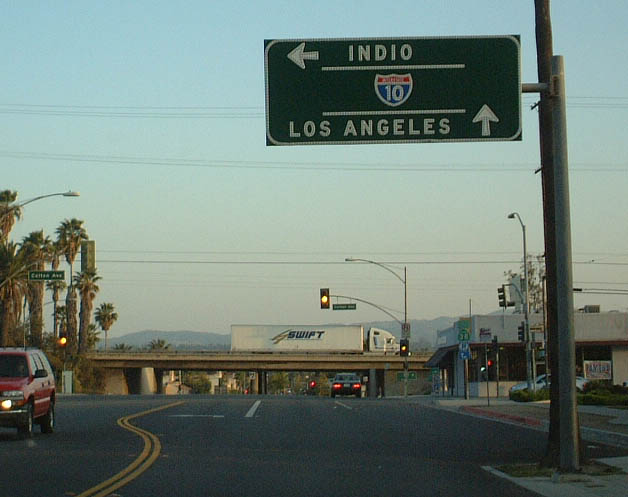
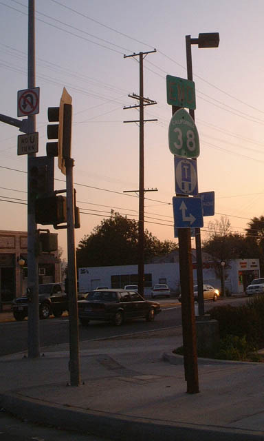
Southbound California 38 signage approaching Interstate 10. Photo taken 05/02/02. |
|
End Southbound California 38 shield assembly one block north of the on-ramp to westbound Interstate 10 in Redlands. Photos taken 05/02/02. |
|
| California 38 Scenes: Greenspot Road Bridge |
|
|
|
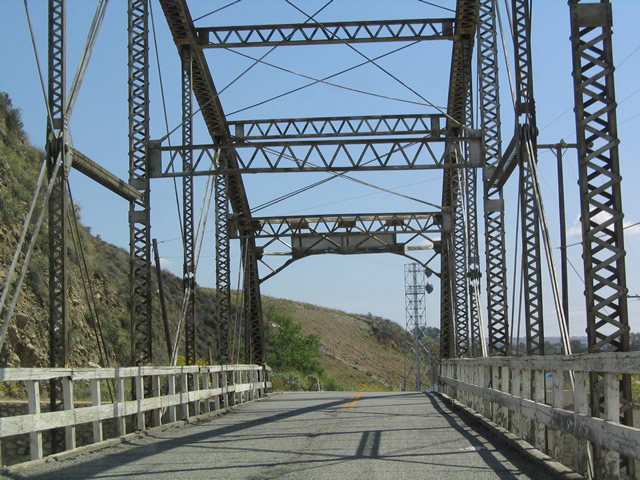
This series of pictures shows the truss bridge along Greenspot Road that spans the Santa Ana River west of Highland and north of California 38 near Yucaipa. Photo taken 04/18/04. |
| California 38 Scenes: Florida Street Bridge |
|
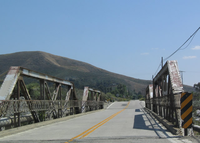
View of the Florida Street pony truss bridge over Mill Creek, a tributary to the Santa Ana River. Florida Street is located just north of California 38 at Yucaipa, and it connects to Greenspot Road. Photo taken 04/18/04. |
Page Updated May 2, 2004.