
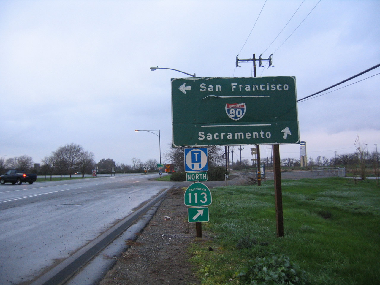
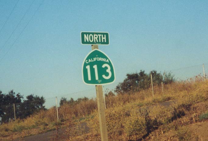
California 113
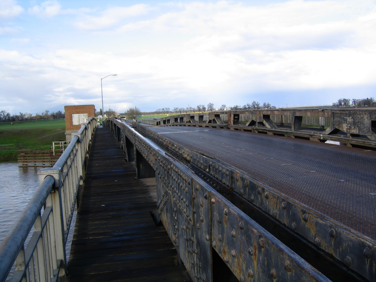
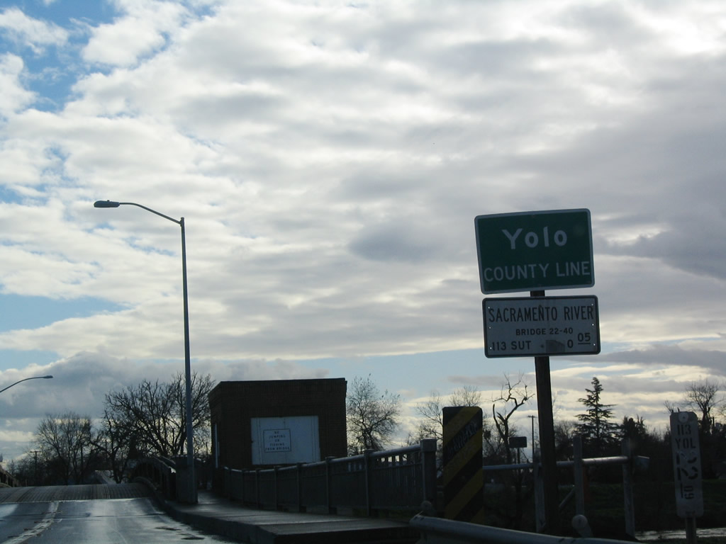
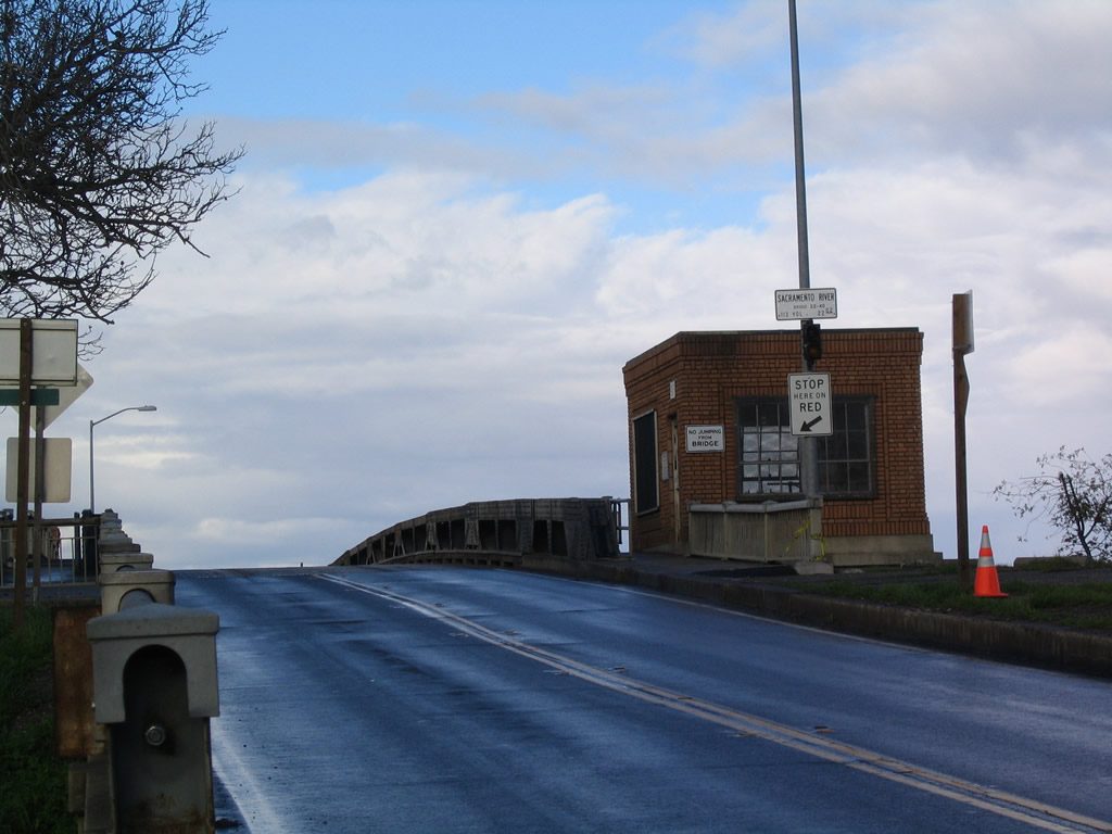
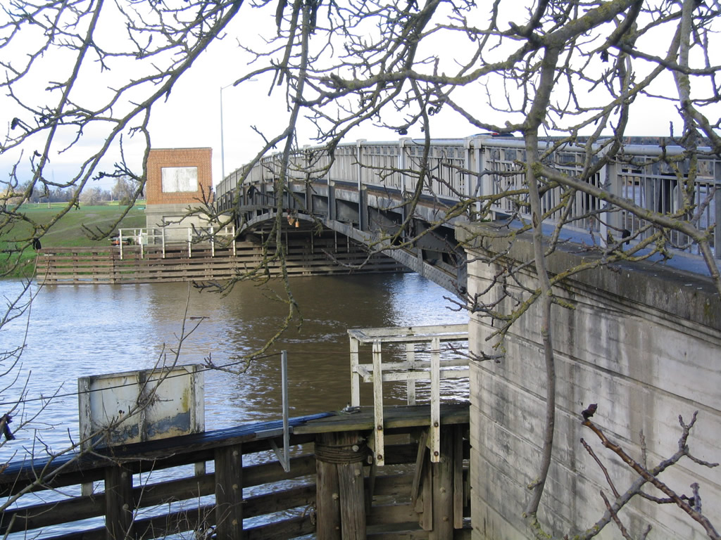
California 113 crosses the Sacramento River on this drawbridge near Knights Landing. It was built in 1933 and expanded to its current configuration in 1949. This view looks north toward the Yolo-Sutter County Line. Photo taken 01/01/05.
California 113 begins at California 12 between Birds Landing and Rio Vista, then leads north to Dixon before merging with Interstate 80 eastbound. California 113 turns north as a freeway at Davis, and it meets Interstate 5 at Woodland. After merging briefly with Interstate 5, California 113 continues north, parallel to the Sacramento River. It ends at California 99 south of Marysville.
Between Interstate 80 in Davis and Interstate 5 in Woodland, the route of today's California 113 parallels Historic U.S. 99W. At Woodland, U.S. 99W turned north via today's Interstate 5 toward Williams and Red Bluff. Similarly, between Interstate 80 in Davis and California 99, California 113 follows a portion of old U.S. 40 Alternate. After following California 99 (and old California 24) north to Yuba City, U.S. 40 Alternate turned onto California 70 north en route to the Feather River Canyon.
| California 113 south | |
|---|---|
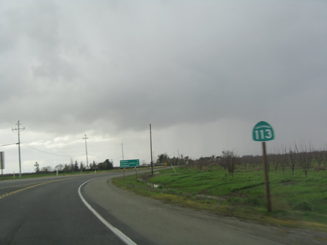 |
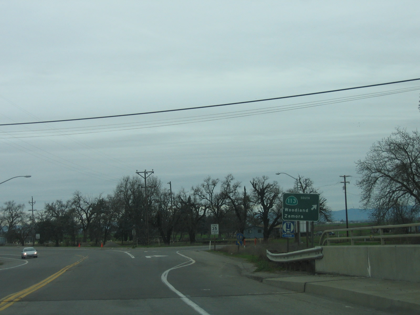
California 113 begins its southbound journey upon separating from California 99 south of Yuba City. Between California 99 and Interstate 5, California 113 follows original California 24 and U.S. 40 Alternate. Since this picture was taken, the California 99/113 intersection was realigned to match up with Tudor Road, and a traffic signal was installed to govern the flow of traffic. Photo taken 01/01/05. |
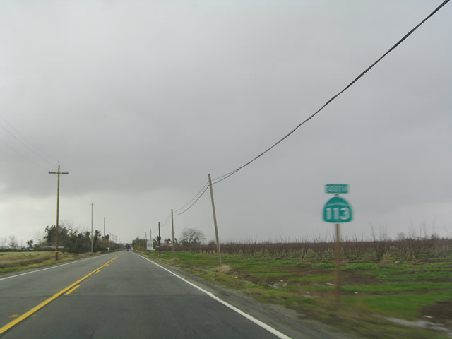 |
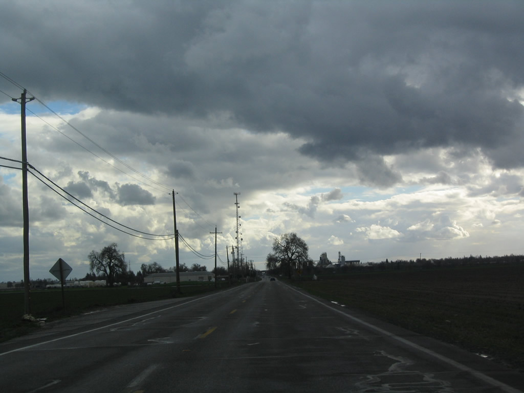
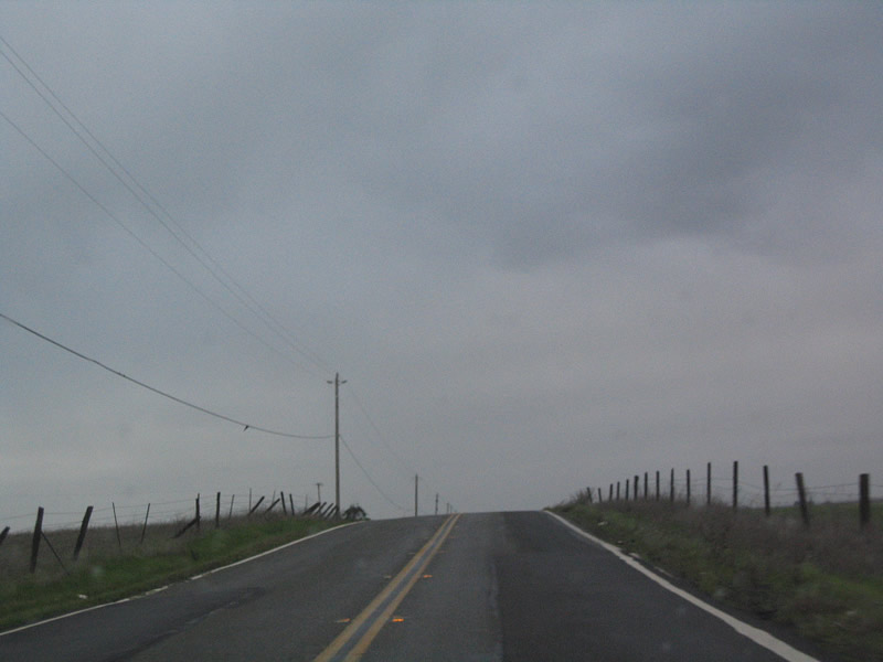
Rain set in as we follow California 113 southwest toward Knights Landing and Woodland. Not shown in this series of pictures are the separation of California 113 from Tudor Road and the Sutter Causeway bridge over the Sutter Bypass. The Sutter Bypass allows for floodwaters to be carried through the rural farmlands rather than through urban areas, thus reducing potential damage caused by California's often unpredictable weather. It begins at the Sacramento River near Sutter Buttes (east of Colusa) and extends southeast to merge with the Feather River and ultimately with the Sacramento River again near Verona. Photo taken 01/01/05. |
 |
 |
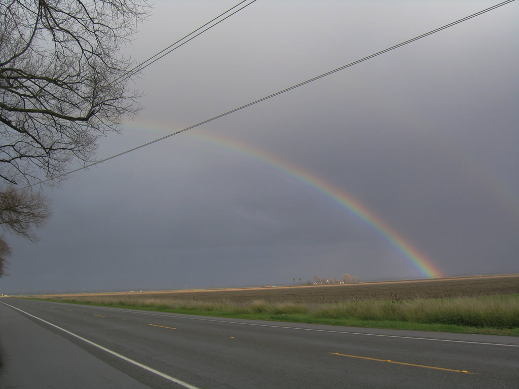 |
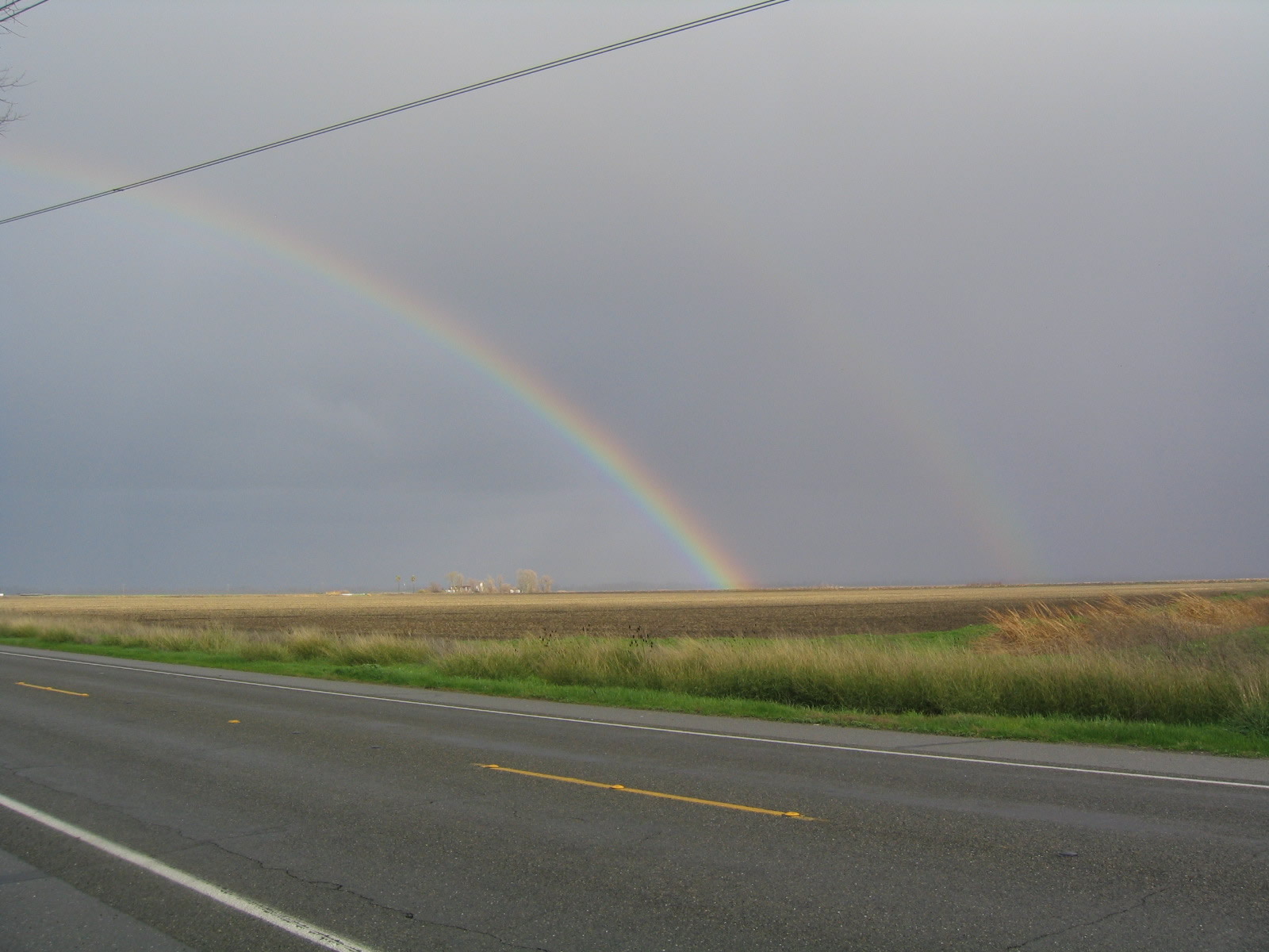
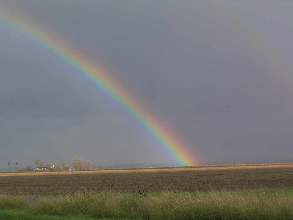
Leaving the sogginess behind, late-day sun brought a dual rainbow over the fertile fields of the Sacramento Valley, as seen from California 113. Photos taken 01/01/05. |
 |
The rainbow in the last picture was taken near the point where California 113 passes under the Pacific Gas & Electric 500kV power line that connects the Tracy substation to the south with the Table Mountain substation to the north (near Oroville). Photo taken 01/01/05. | ||
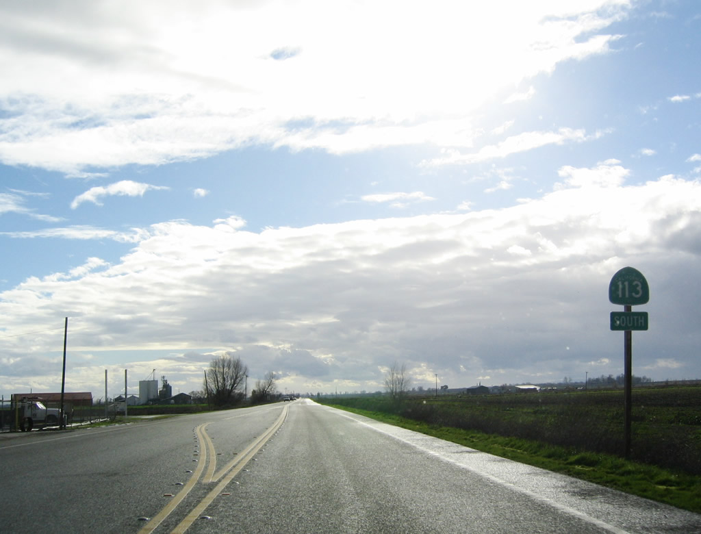 |
This California 113 south reassurance shield is posted prior to the Sacramento River crossing. Photo taken 01/01/05. | ||
 |
 |
 |
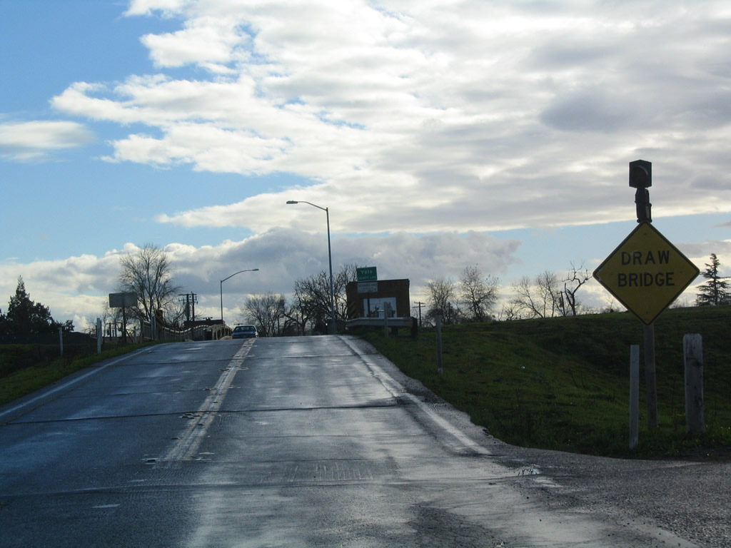
California 113 uses a drawbridge to cross over the Sacramento River near Knights Landing. This bridge was built in 1933 and widened in 1949. At this point, California 113 leaves Sutter County and enters Yolo County. Photos taken 01/01/05. |
 |
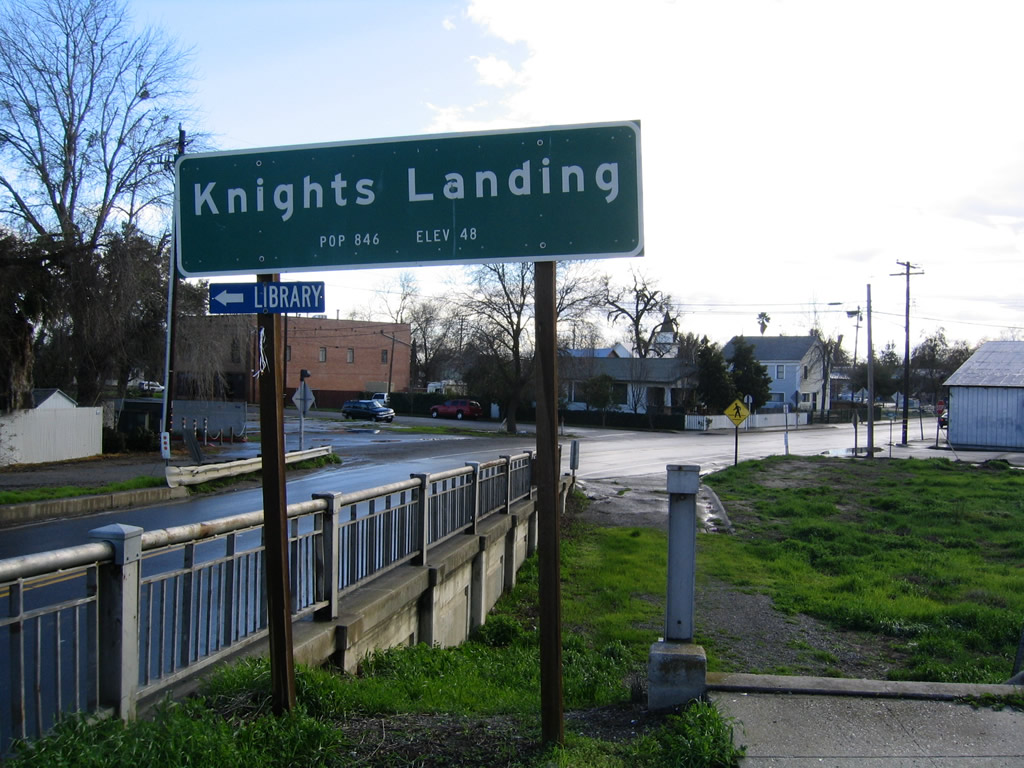 |
California 113 enters the unincorporated community of Knights Landing. Photos taken 01/01/05. | |
 |
 |
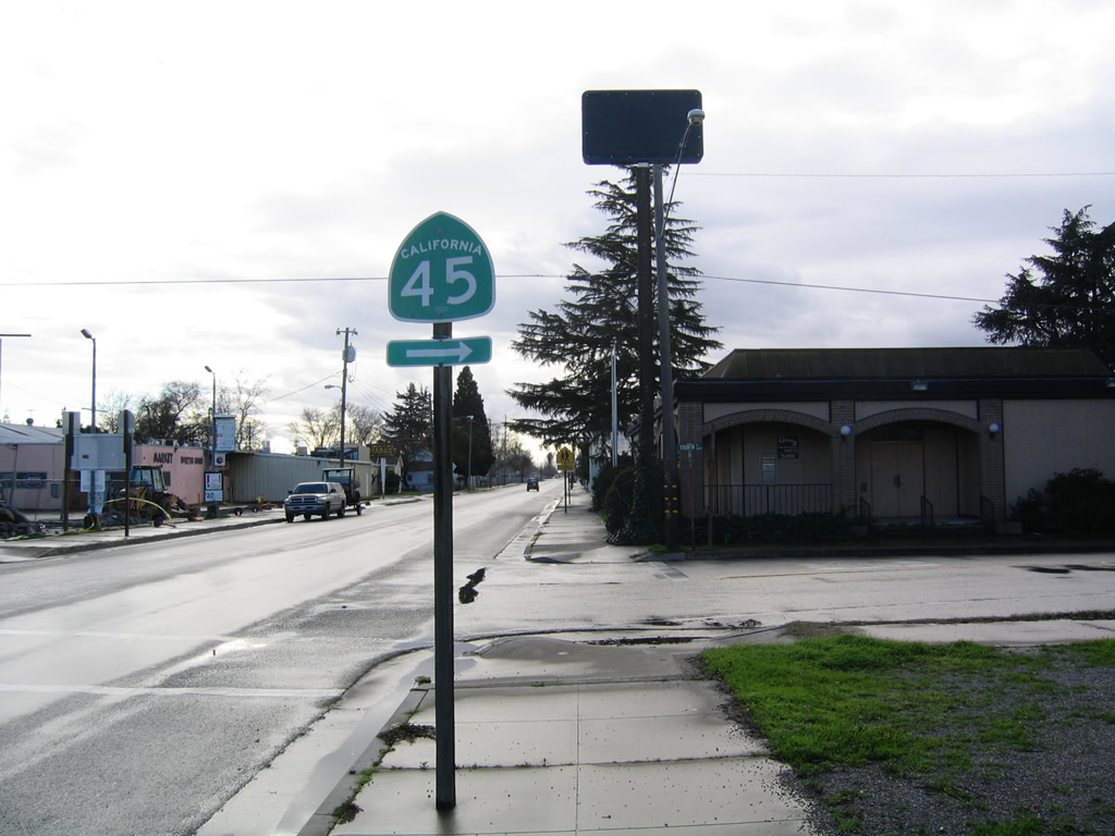 |
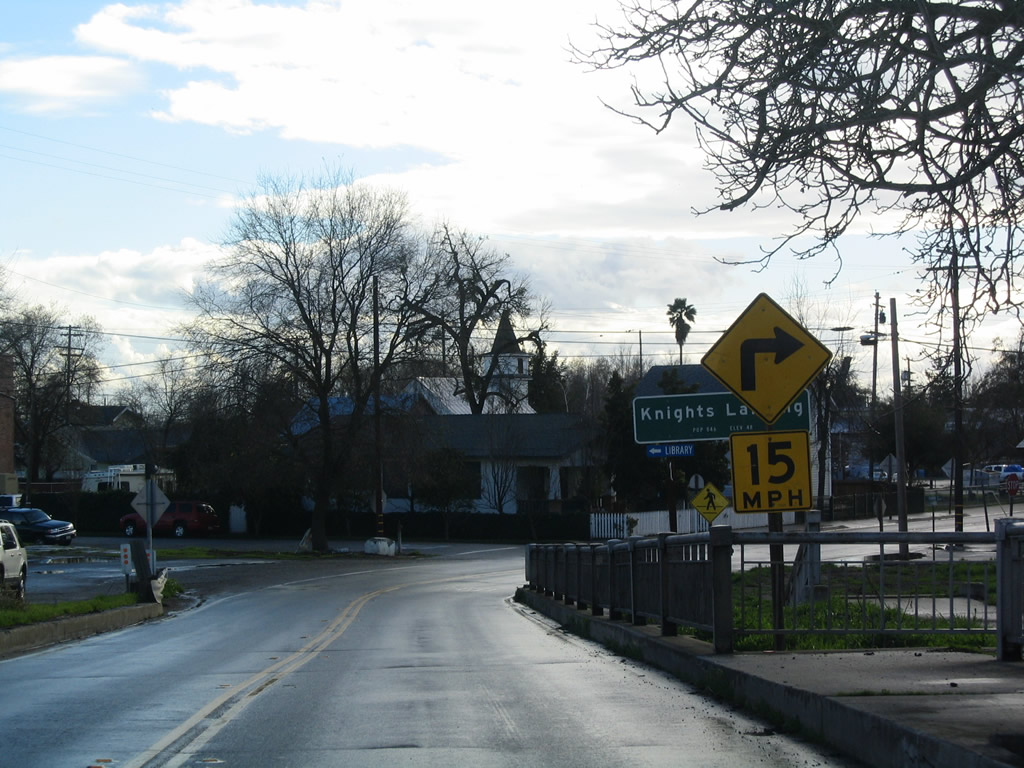
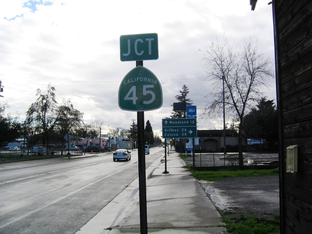
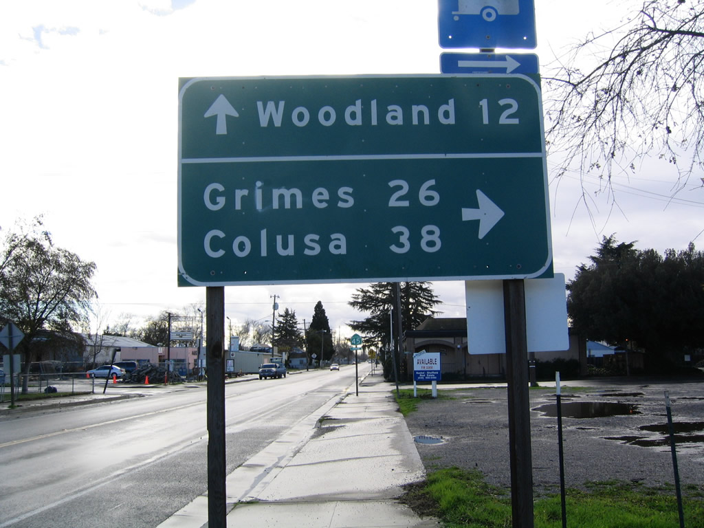
In Knights Landing, southbound California 113 meets California 45, which travels north along the west bank of the Sacramento River to Grimes, Colusa, and Hamilton City. Photos taken 01/01/05. |
 |
California 113 proceeds south out of Knights Landing and crosses the Ridge Cut Slough just west of Knights Landing. Immediately after this intersection, California 113 will approach its junction with Yolo County E-8, which travels south along Road 102 en route to a junction with Interstate 5 Exit 536 just east of Woodland. Photo taken 01/15/06. |
 |
This wide bridge that carries California 113 over Ridge Cut Slough was built in 1994. Photo taken 01/15/06. |
 |
After crossing the Ridge Cut Slough, southbound California 113 splits with Yolo County E-8, which travels south along Road 102 en route to a junction with Interstate 5 Exit 536 just east of Woodland. Turn right to continue on California 113 south to Woodland, or stay left to follow E-8 south to south Woodland. Both routes are relatively fast ways to Interstate 5. Photo taken 01/15/06. |
 |
A small Yolo County E-8 trailblazer is posted just after the guide sign pointing to the continuation of California 113. Photo taken 01/01/05. |
 |
Leaving the Yolo County E-8 intersection, California 113 proceeds south toward Woodland. Photo taken 01/01/05. |
 |
 |
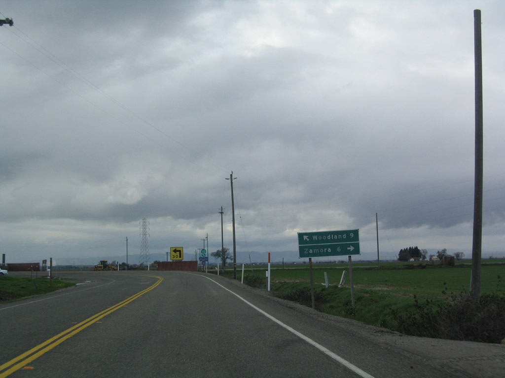
Southbound California 113 approaches Yolo County E-10 and Yolo County E-11. E-10 follows Road 13 west to Zamora and Interstate 5; E-11 follows Road 99E north to Road 108, then follows Road 98A to its northern terminus at California 45. A portion of Yolo County E-11 is unpaved. Photos taken 01/01/05. |
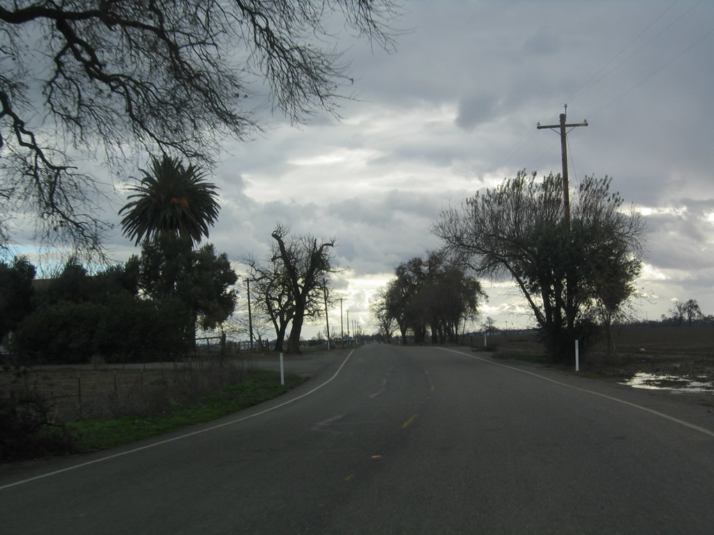 |
Leaving the Yolo County E-10 and E-11 intersection, California 113 proceeds south again toward Woodland. Photo taken 01/01/05. |
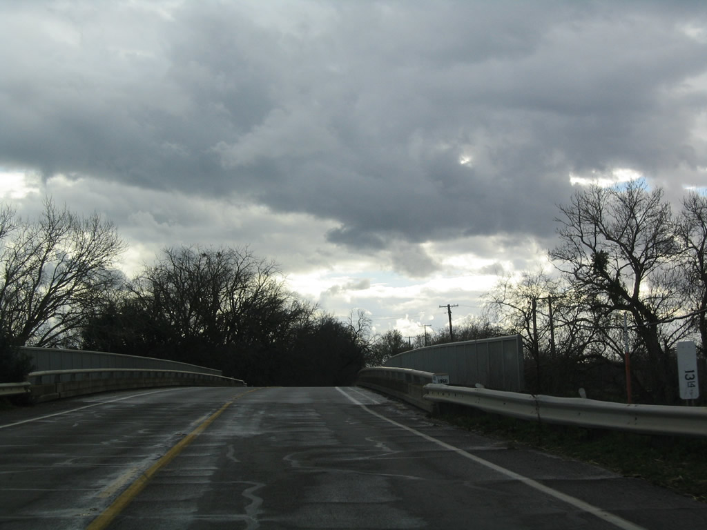 |
California 113 next crosses over Cache Creek via this 1960 bridge. Cache Creek flows from Clear Lake southeast to the Sacramento River. Parts of the Cache Creek are paralleled by California 16 west of Woodland. Photo taken 01/01/05. |
 |
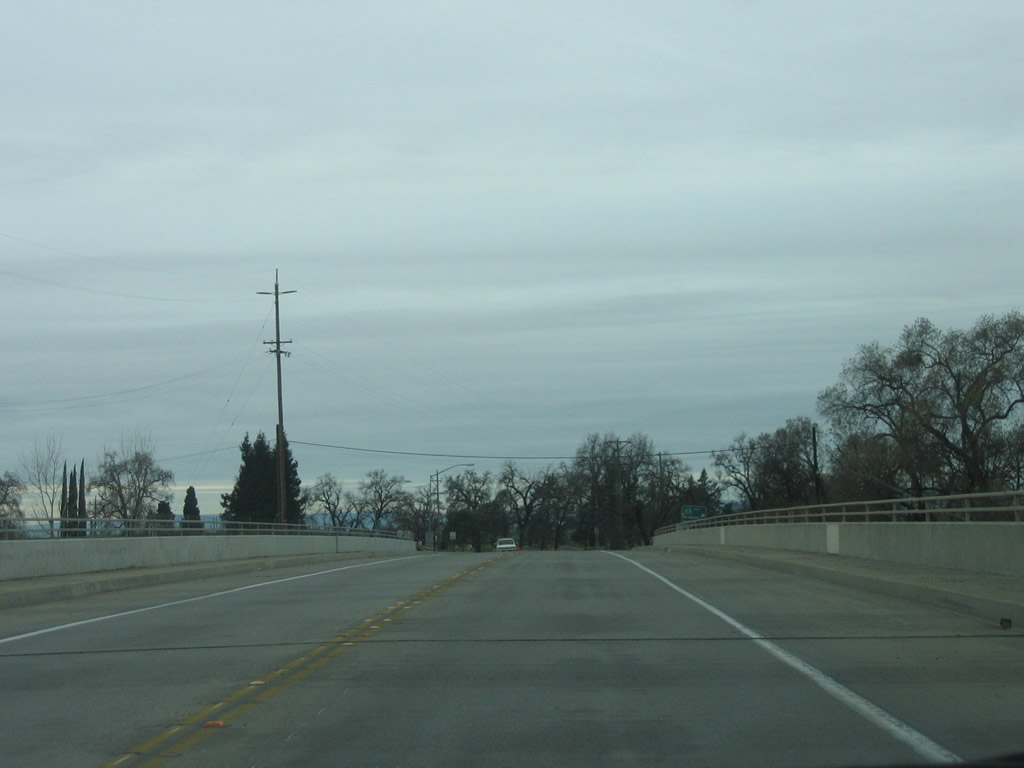
Rain clouds continue to gather as we follow California 113 toward Woodland. Photo taken 01/01/05. |
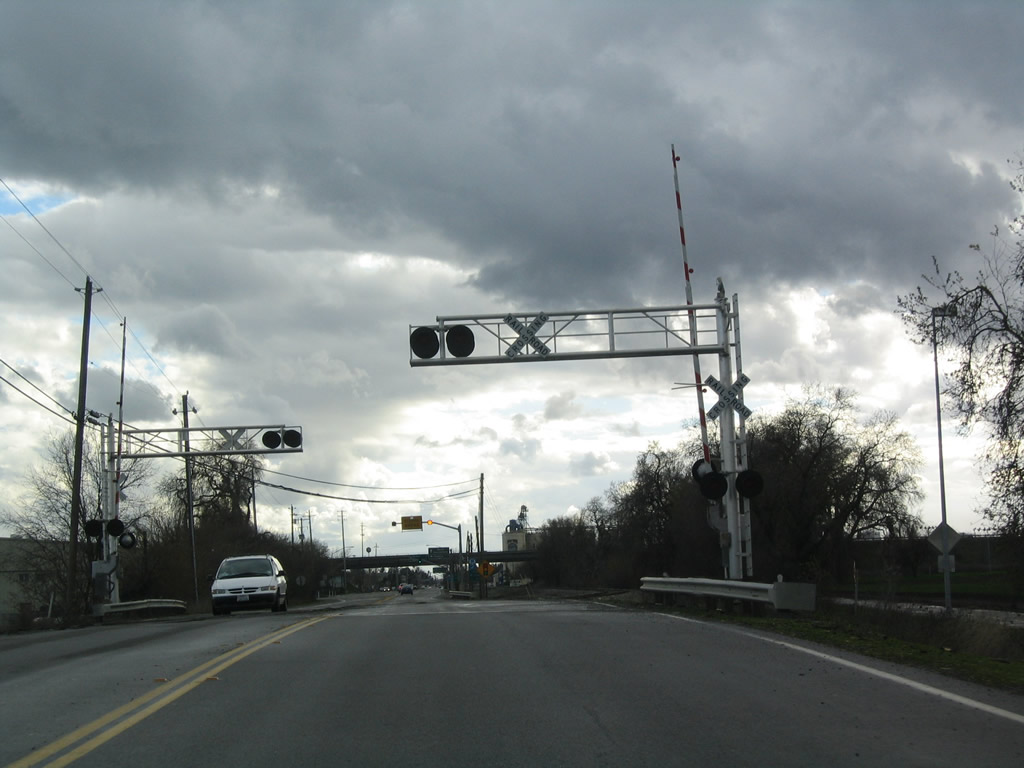 |
California 113 crosses a railroad track just before reaching Interstate 5. Photo taken 01/01/05. |
 |
 |
 |
 |
 |
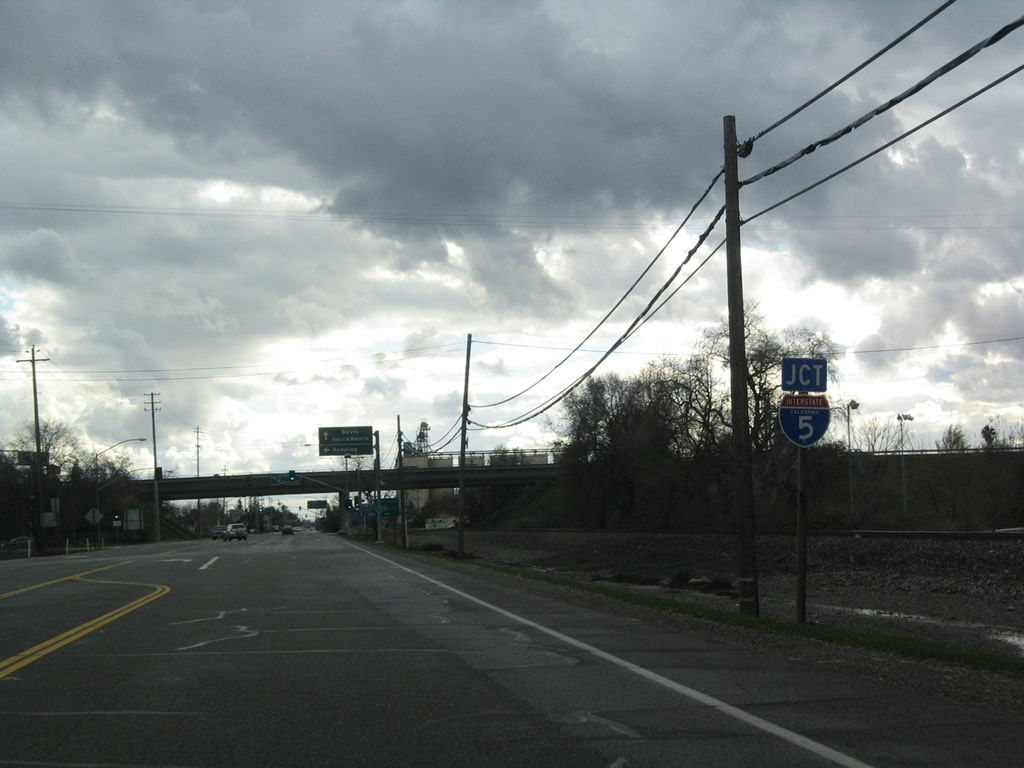
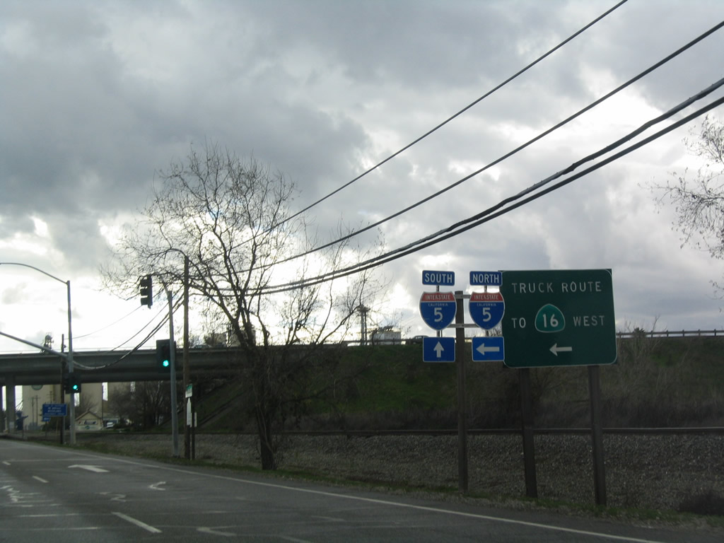
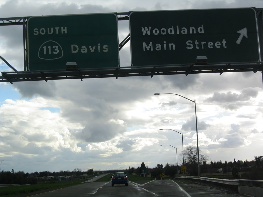
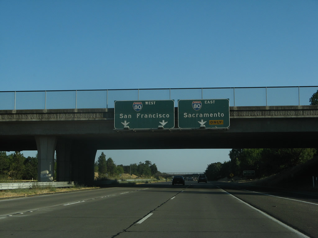
| Southbound California 113 approaches Interstate 5. A loop ramp connects to Interstate 5 north to Williams, Red Bluff, and Redding. The second left connects to Interstate 5 south to Sacramento and California 113 south to Davis. Beyond I-5, East Street continues south into Downtown Woodland as a locally maintained road. Photos taken 01/01/05. | ||||
| Interstate 5 & California 113 south | |
|---|---|
 |
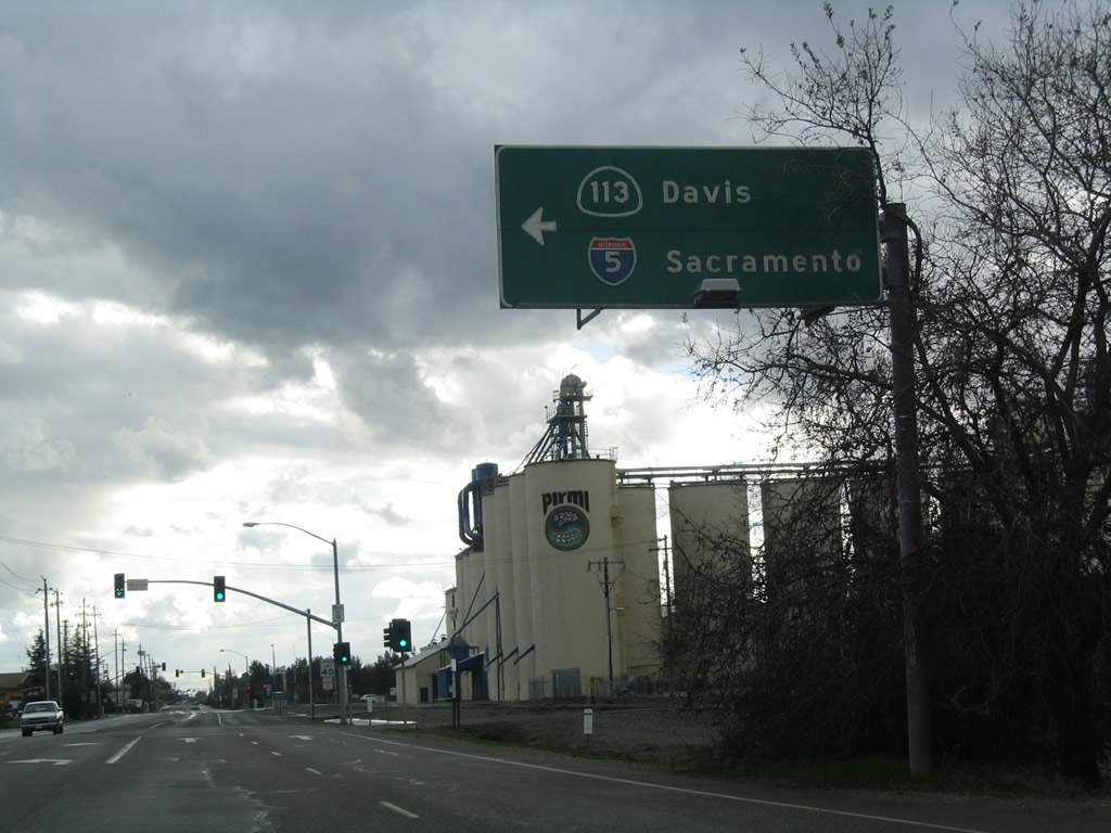
The next exit along southbound Interstate 5 is Exit 537, California 113 (Vic Fazio Highway) south to Davis. This section of California 113 is a freeway, and it offers a good connection to Interstate 80 west to Dixon, Vacaville, and Fairfield without having to travel through West Sacramento. Photo taken 05/29/06. |
 |
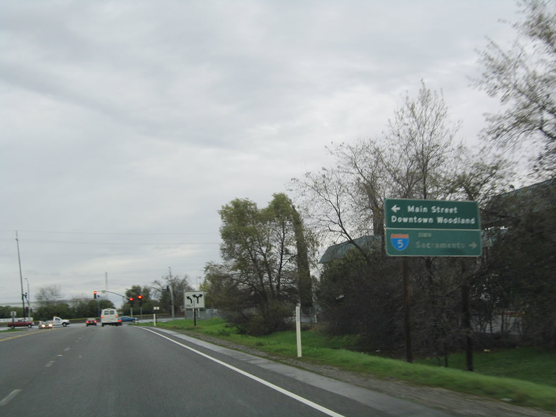
California 113 south also serves as the connection to Business Loop I-5 (Main Street) west to downtown Woodland. There is no direct connection from Interstate 5 south to Business Loop I-5 west to Woodland. Historic U.S. 99W and former U.S. 40 Alternate follow the California 113 corridor from Woodland south to Davis; it did not continue along the Interstate 5 corridor. Photo taken 05/29/06. |
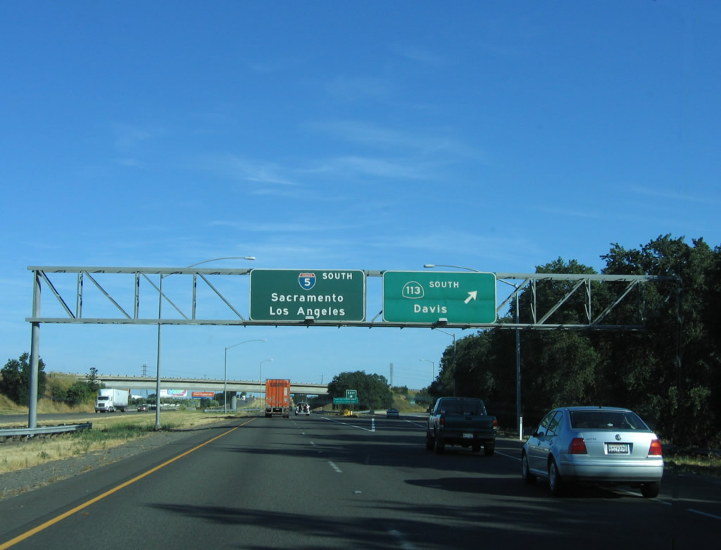 |
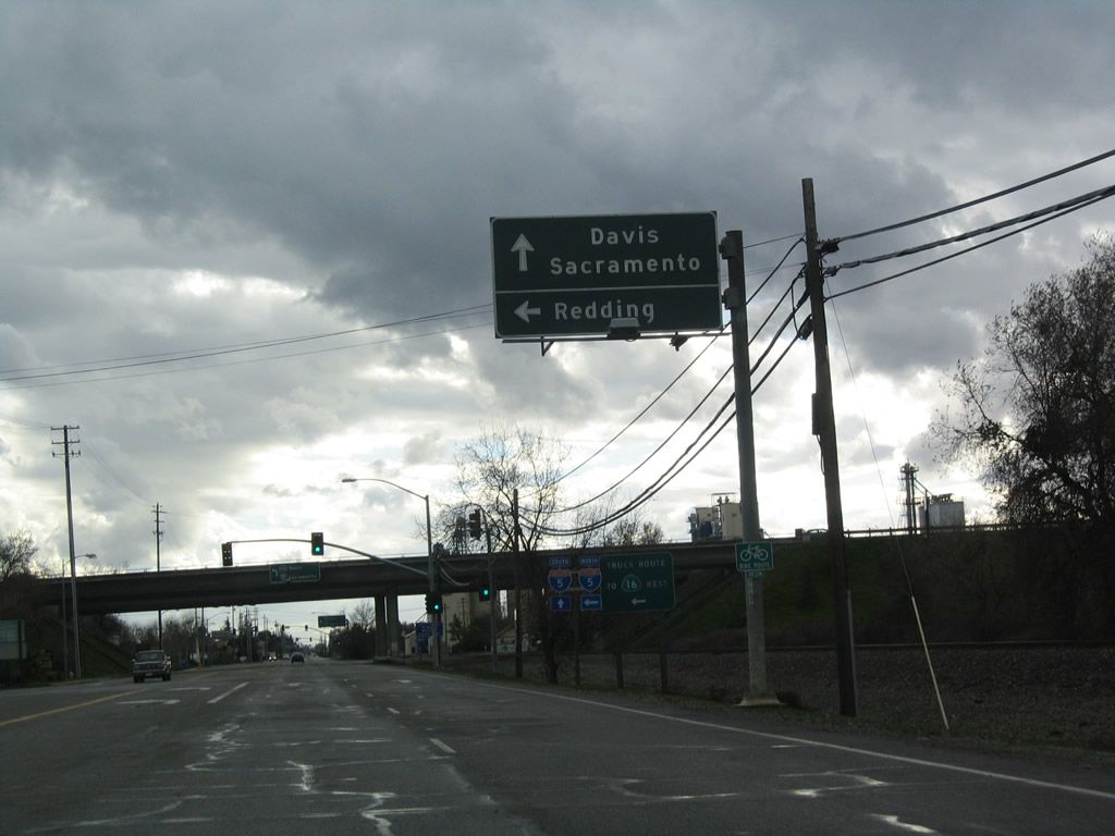
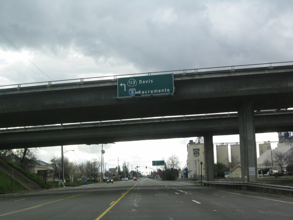
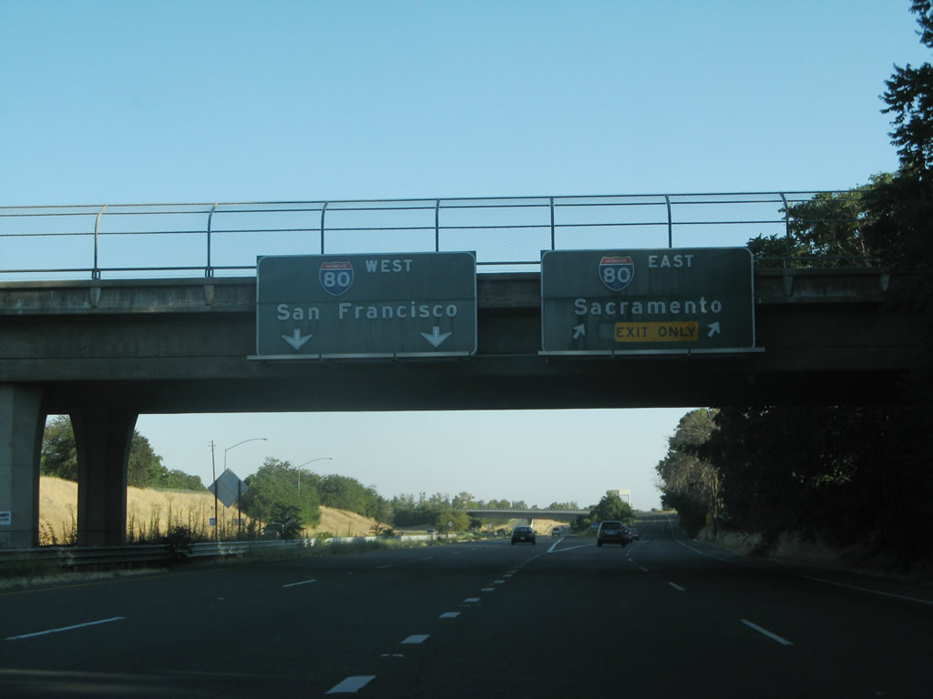
Southbound Interstate 5 reaches Exit 537, California 113 south to Business Loop I-5 (Main Street) west and to the city of Davis. This freeway connects to Interstate 80 at Davis, and it provides a westerly bypass around Sacramento between Interstate 5 and Interstate 80. california 113 continues south of Interstate 80 as a rural road, terminating at California 12 west of Rio Vista. For the first time, Interstate 5 is signed for both Sacramento and Los Angeles. Los Angeles will remain the southbound control city from here south all the way to near the Interstate 10 interchange near downtown Los Angeles. Photo taken 05/29/06. |
| California 113 south | |
 |
California 113 splits away from Interstate 5, now as a freeway connecting Woodland with Davis. The first interchange along California 113 south will be with Business Loop I-5 (Main Street) (Exit 37). Photo taken 01/01/05. |
 |
Business Loop I-5 (Main Street) travels west into downtown Woodland. Photo taken 01/01/05. |
 |
Southbound California 113 meets Exit 37, Business Loop I-5 (Main Street). Photo taken 01/01/05. |
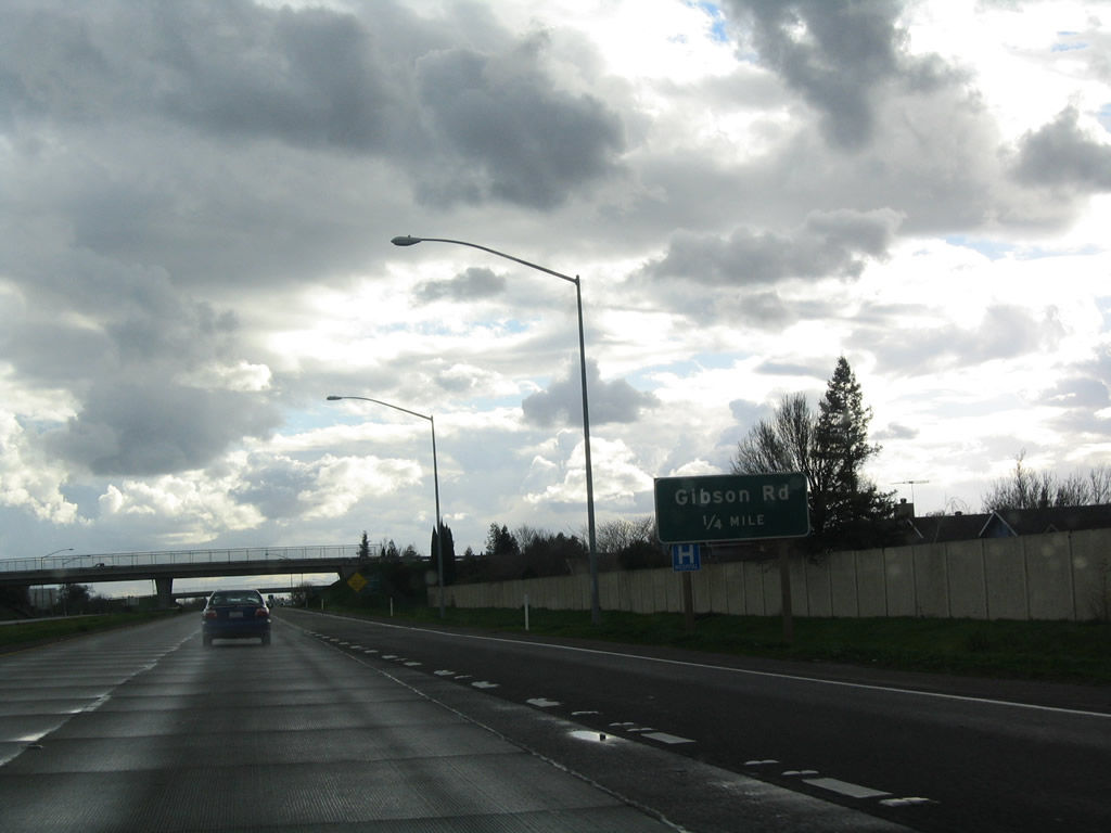 |
The next exit along California 113 south is Exit 36, Gibson Road. Photo taken 01/01/05. |
 |
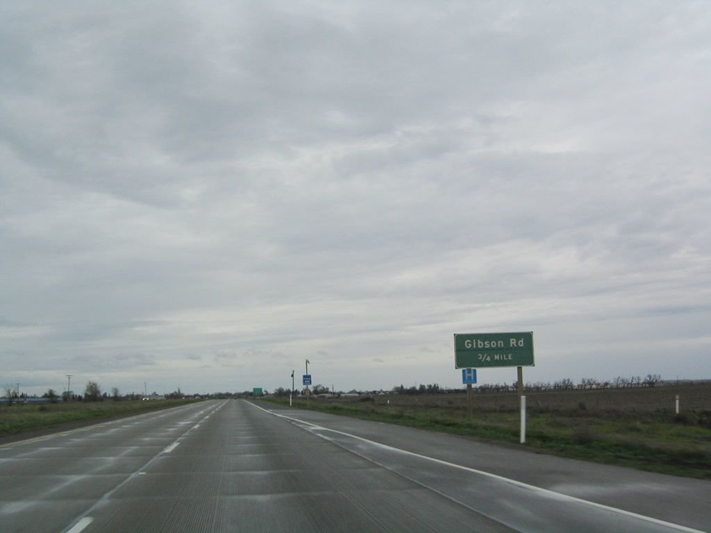
Southbound California 113 (Vic Fazio Highway) meets Exit 36, Gibson Road. Photo taken 01/01/05. |
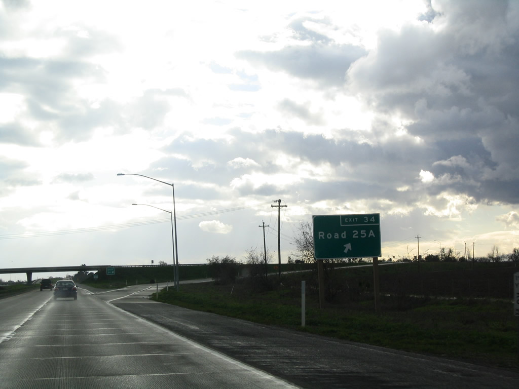 |
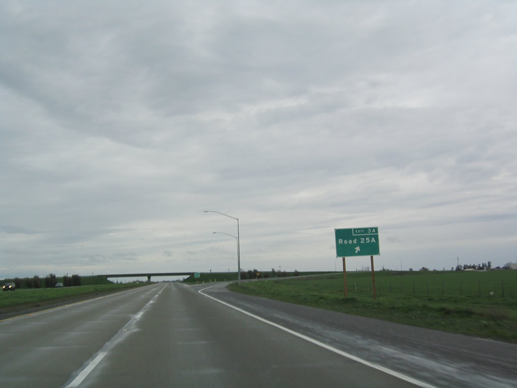
Two miles south, California 113 next meets Exit 34, Road 25A. Photo taken 01/01/05. |
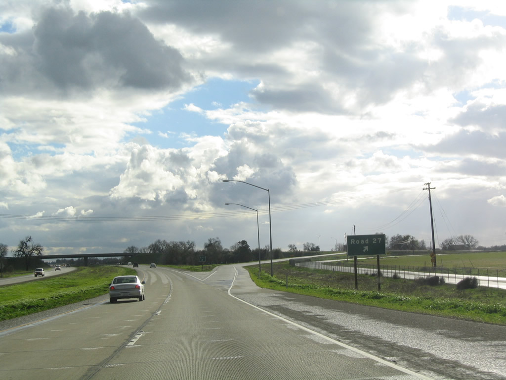 |
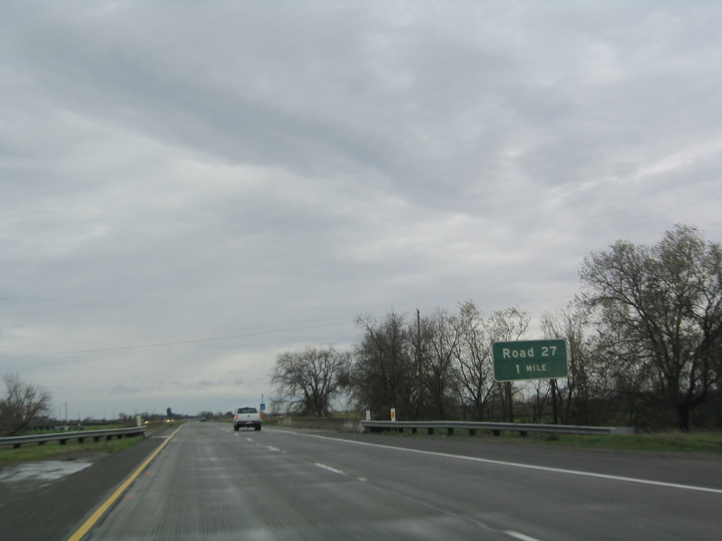
The next exit along California 113 south is Exit 33, Road 27. Photo taken 01/01/05. |
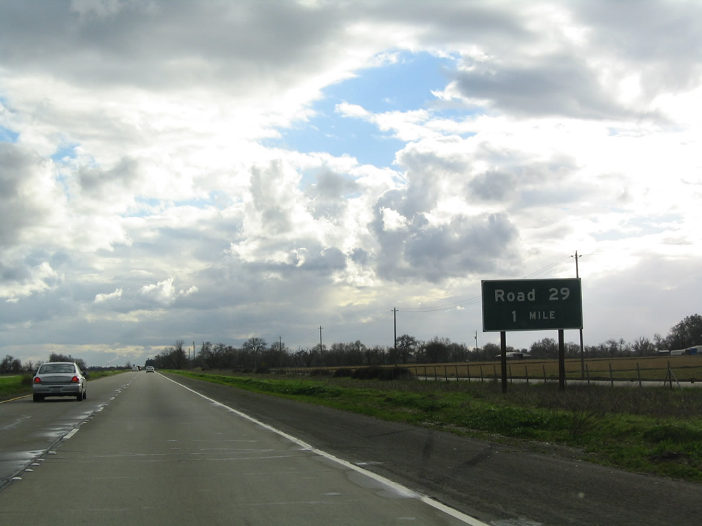 |
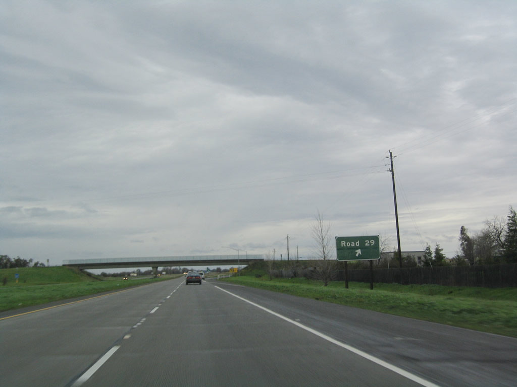
The next exit along California 113 south is Exit 31, Road 29. Photo taken 01/01/05. |
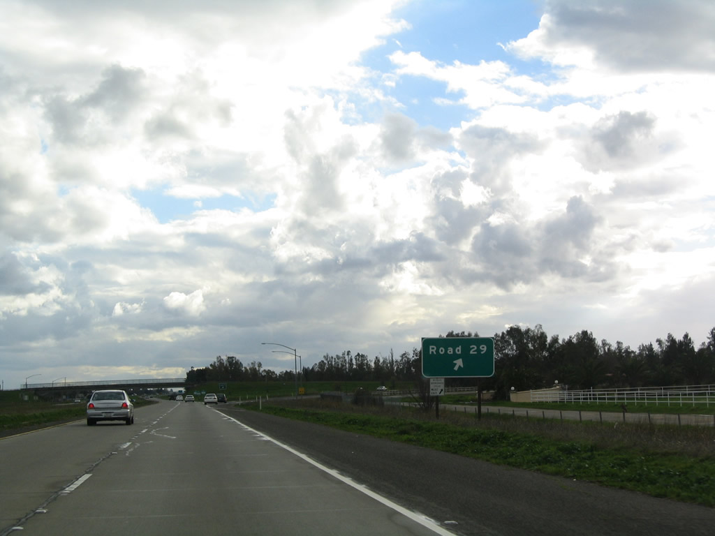 |
Southbound California 113 (Vic Fazio Highway) meets Exit 31, Road 29. Photo taken 01/01/05. |
 |
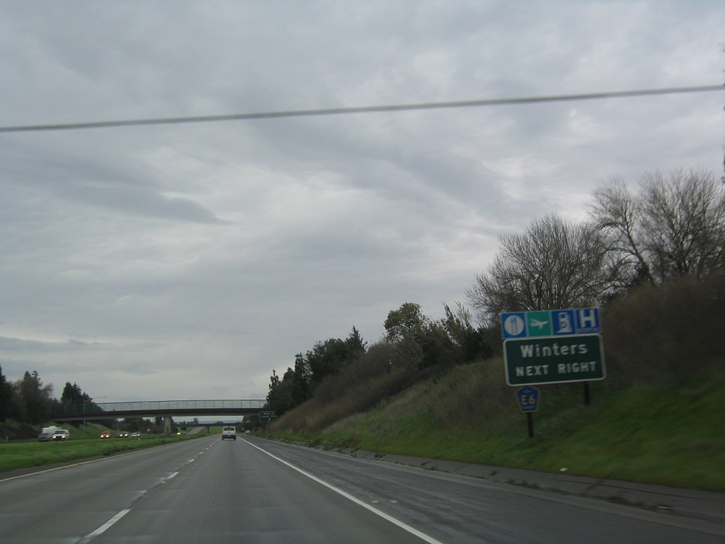
The next exit along California 113 south is Exit 29, Yolo County E-6 (Covell Boulevard) west to Winters and east to Davis. Photo taken 01/01/05. |
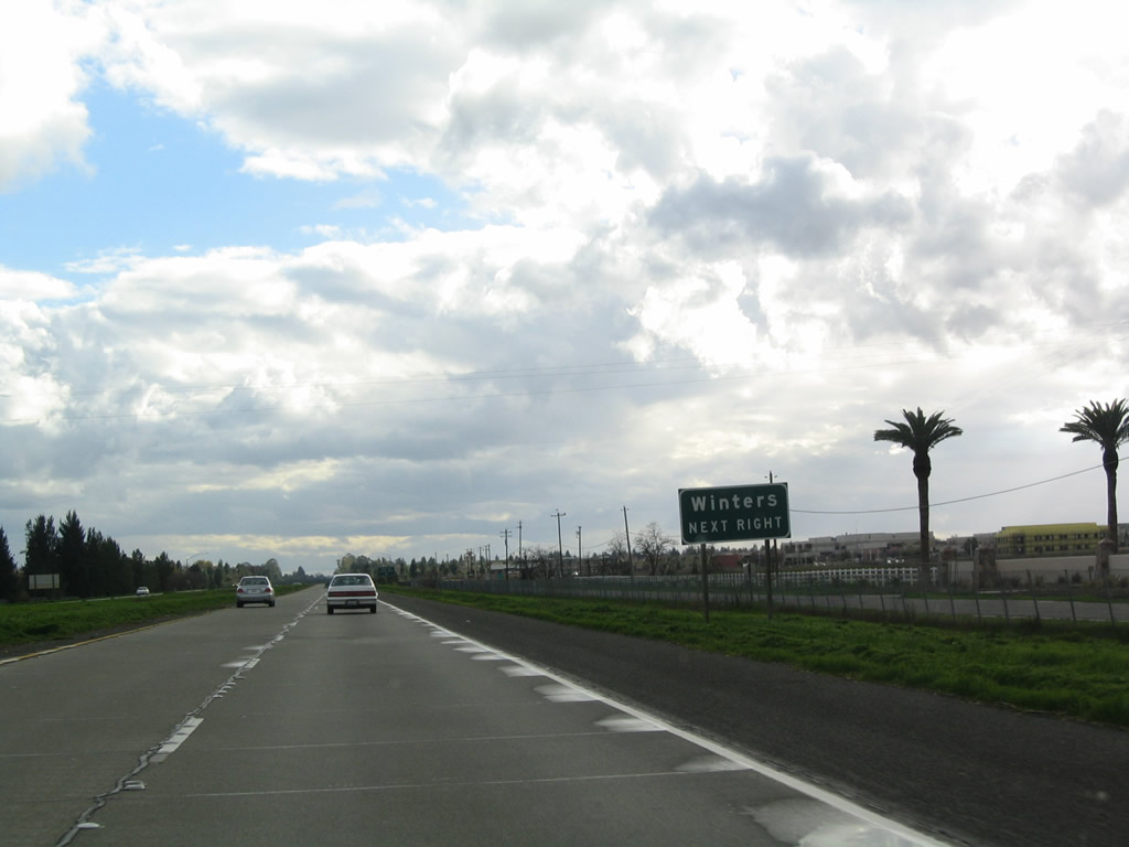 |
E-6 is an east-west county highway that extends from Davis west to Winters, where it meets California 128 en route to Napa Valley and Calistoga. Photo taken 01/01/05. |
 |
Southbound California 113 (Vic Fazio Highway) reaches Exit 29, Yolo County E-6 (Covell Boulevard) west to Winters and east to Davis. Photo taken 01/01/05. |
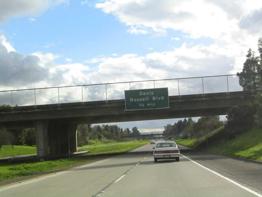 |
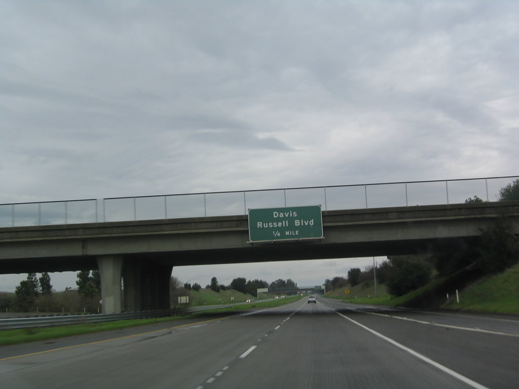
The next exit along southbound California 113 (Vic Fazio Highway) is Exit 28, Russell Boulevard. Photo taken 01/01/05. |
 |
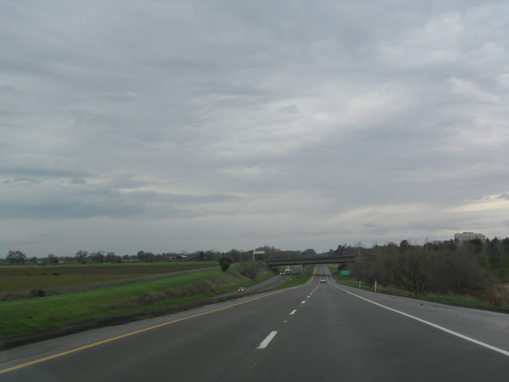
Traveling through the city of Davis, southbound California 113 (Vic Fazio Highway) reaches Exit 28, Russell Boulevard. Davis had a population of 60,308 as of 2000 Census and is home to the University of California at Davis. The city sits in the Central Valley west of Sacramento at the intersection of Interstate 80 and California 113. Davis was incorporated on March 28, 1917. Photo taken 07/07/07. |
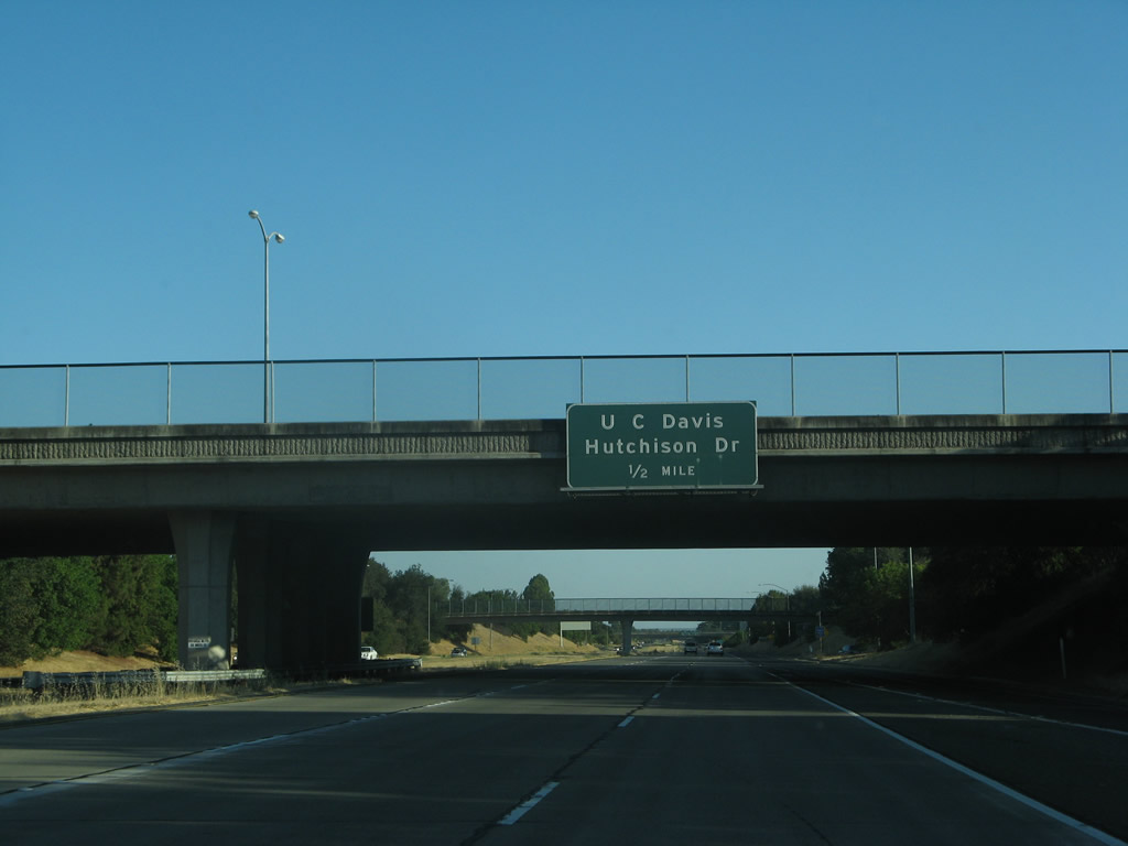 |
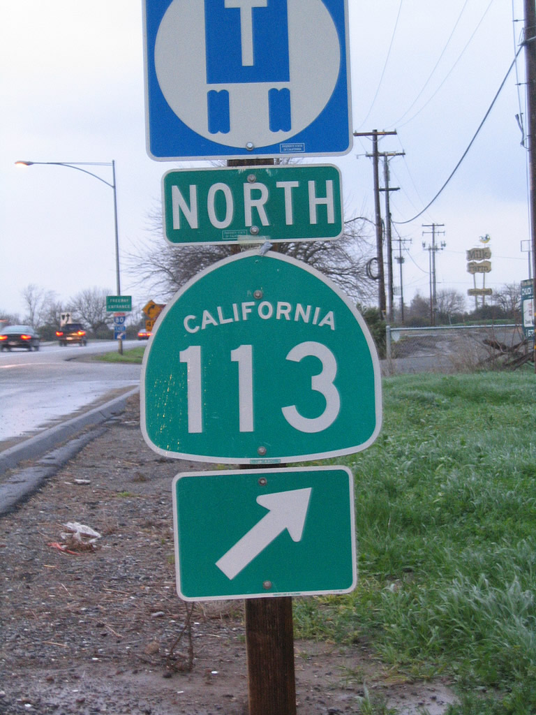
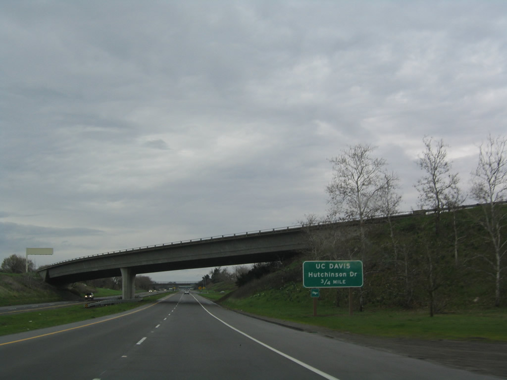
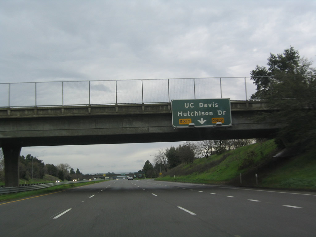
The next exit along southbound California 113 (Vic Fazio Highway) is Exit 27, Hutchinson Drive to the University of California at Davis. Photo taken 07/07/07. |
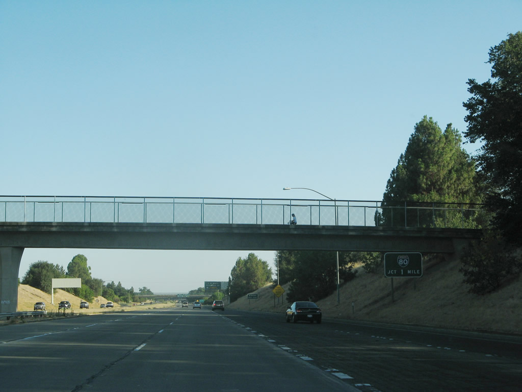 |
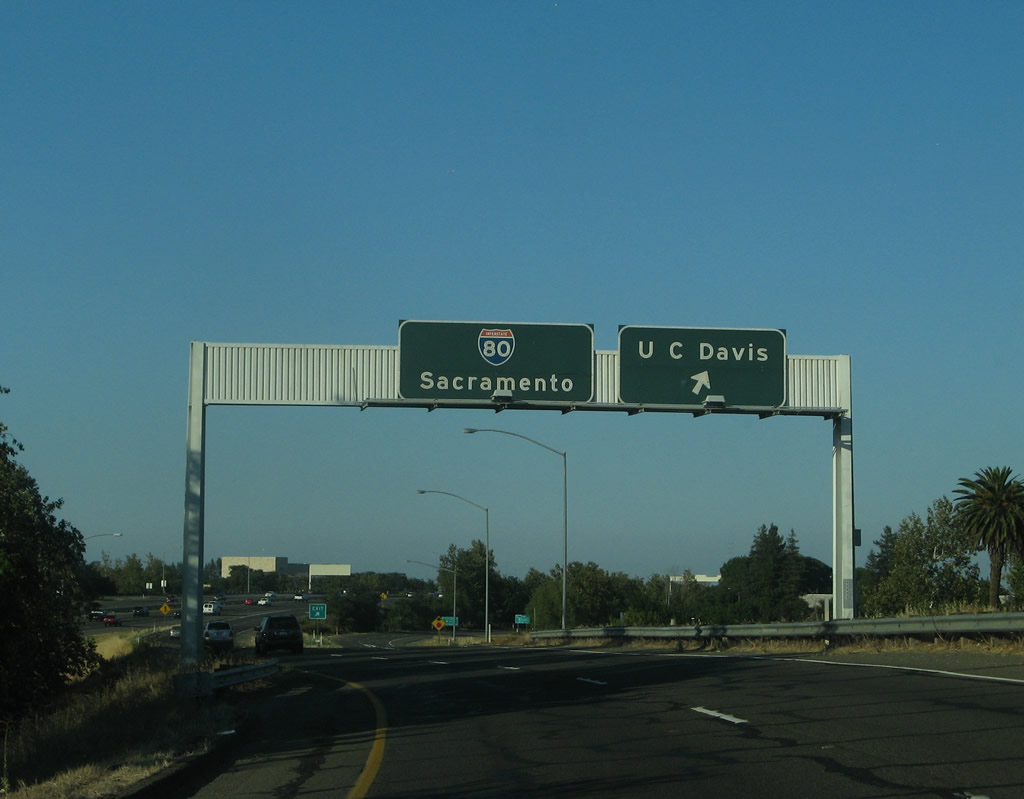
After Exit 27, Hutchinson Drive, the final exits along Vic Fazio Highway south will be Exits 26B-A, Interstate 80 west to San Francisco and east to Sacramento and Reno. Photo taken 07/07/07. |
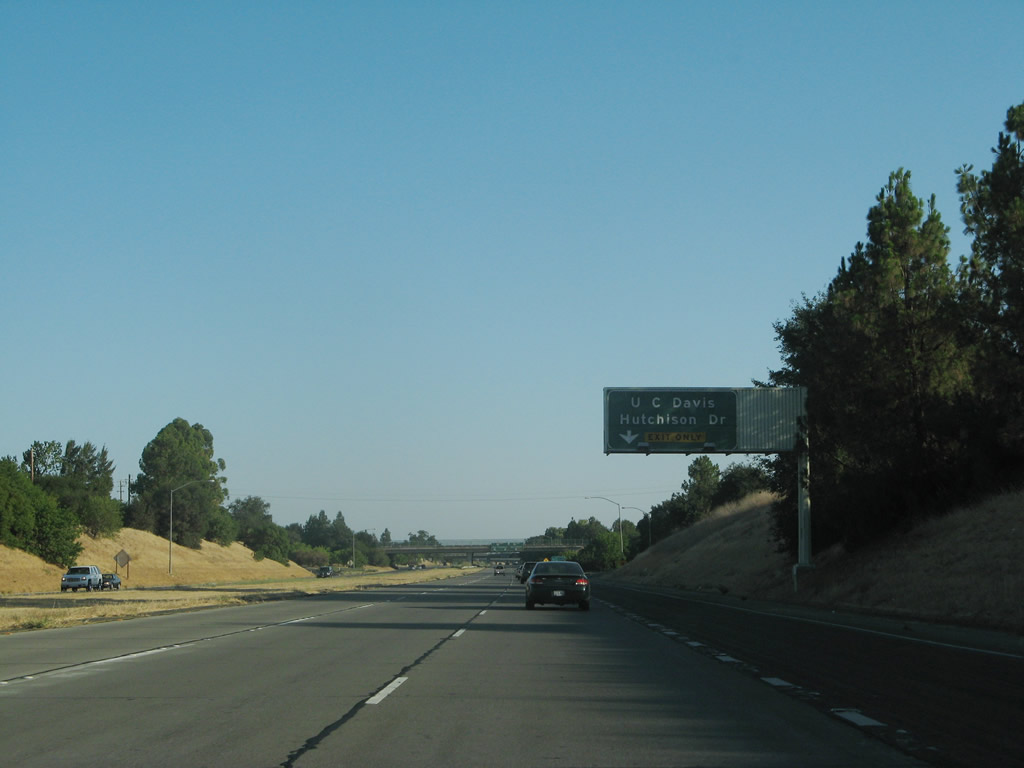 |
The right lane of southbound California 113 (Vic Fazio Highway) becomes exit only for Exit 27, Hutchinson Drive to the University of California at Davis. Photo taken 07/07/07. |
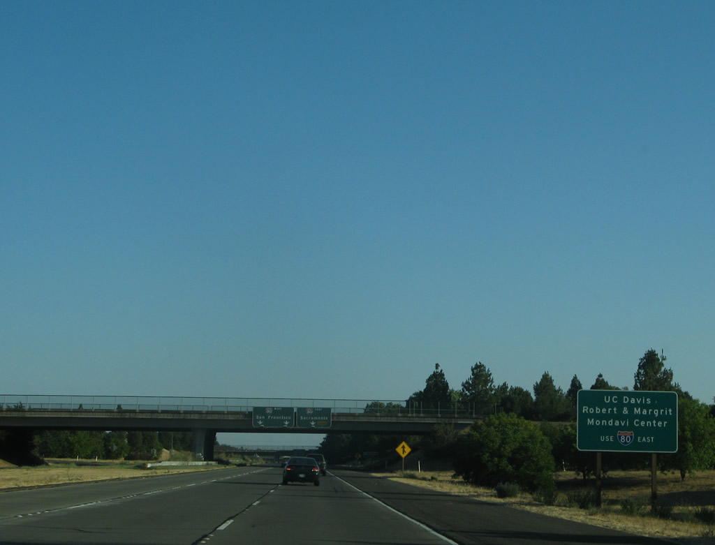 |
After the off-ramp to Hutchinson Drive, southbound California 113 approaches the junction with Interstate 80. To the University of California at Davis - Robert and Margrit Mondavi Center, follow the ramp to Interstate 80 east. Photo taken 07/07/07. |
 |
The left two lanes of southbound California 113 connect to Interstate 80 west to Vacaville, Fairfield, Vallejo, Richmond, Berkeley, Oakland, and San Francisco. The right lane connects to Interstate 80 east to Sacramento as well as a ramp to the University of California at Davis - Robert and Margrit Mondavi Center. Photo taken 07/07/07. |
 |
Although not signed, southbound California 113 follows the ramp to Interstate 80 west. Stay right to follow the ramp to Interstate 80 east to Sacramento and Reno. Photo taken 07/07/07. |
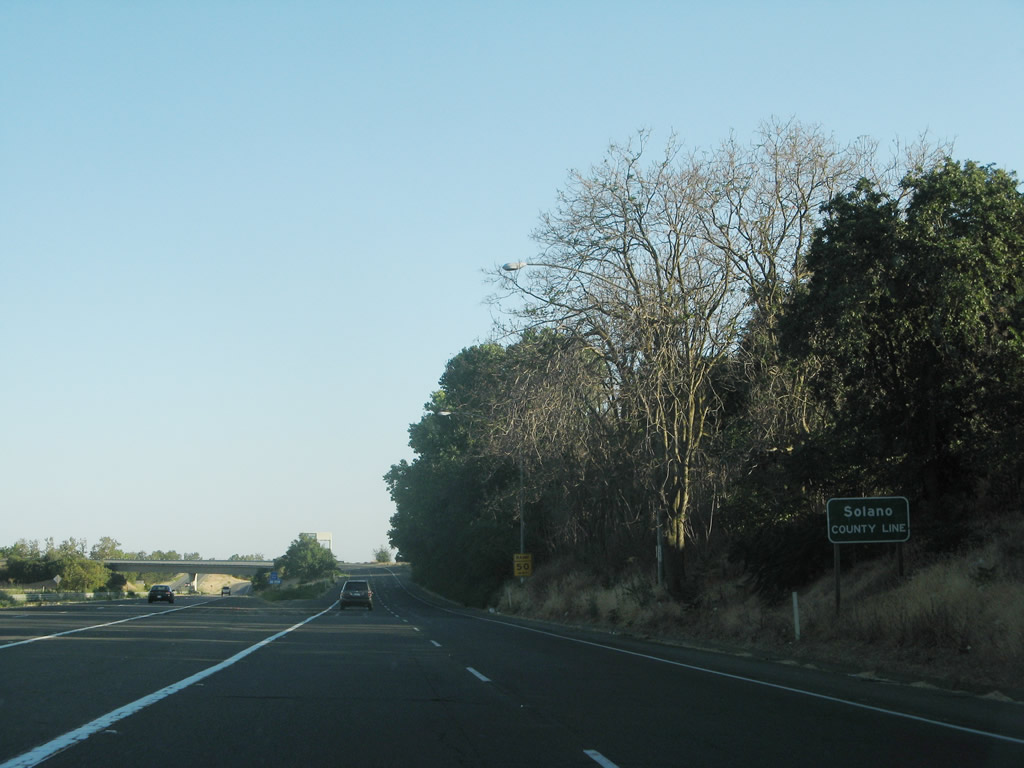 |
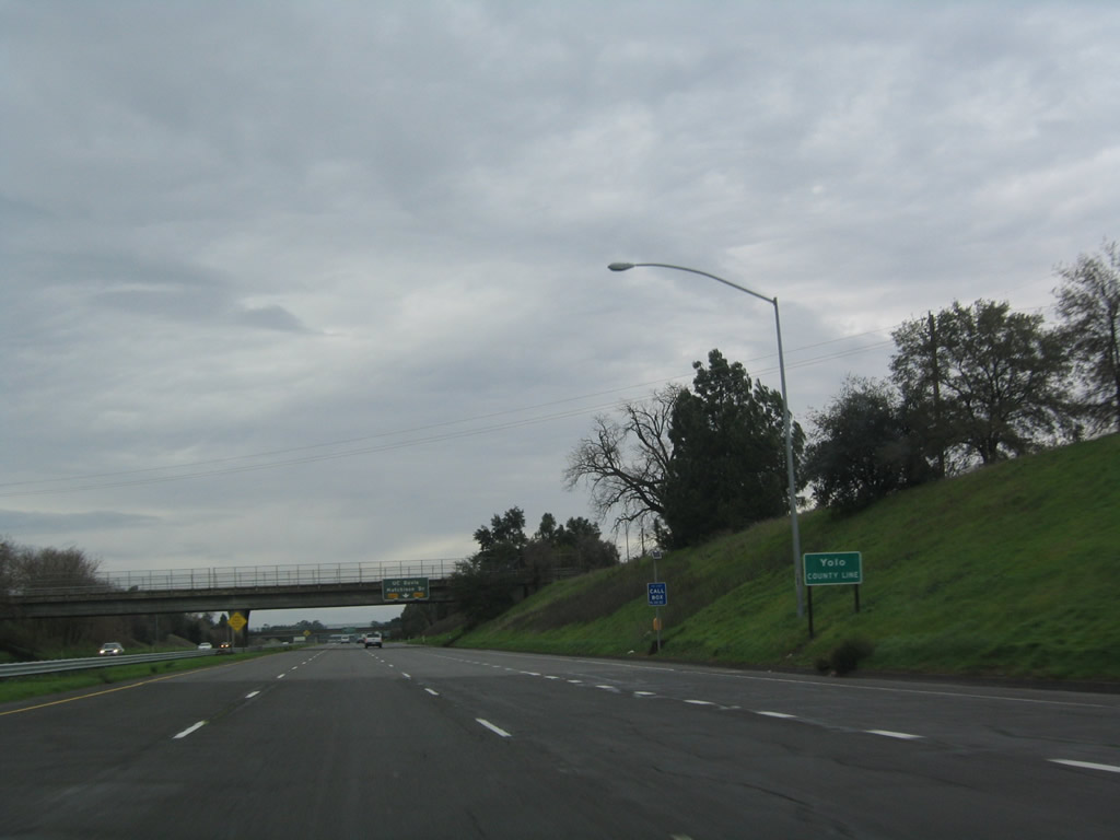
After the ramps split from the Vic Fazio Highway, California 113 leaves Yolo County and enters Solano County. Photo taken 07/07/07. |
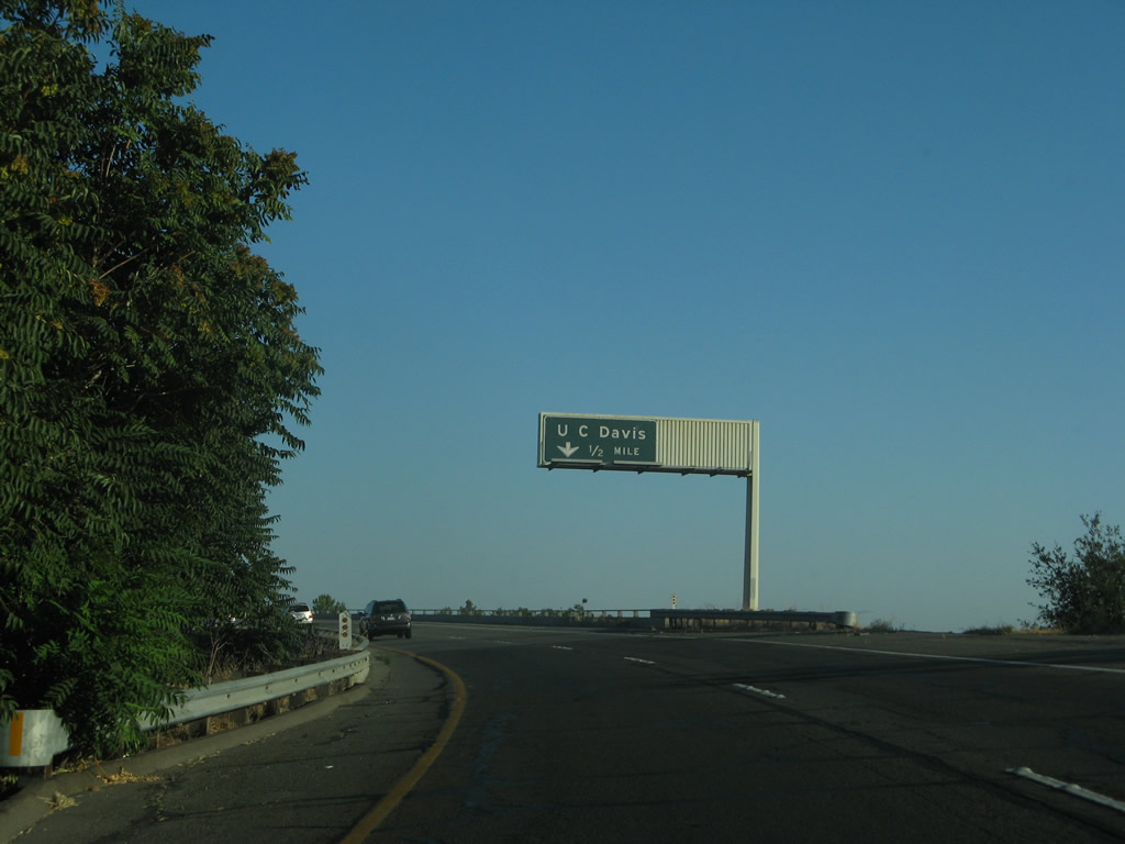 |
Now on the transition ramp from California 113 south to Interstate 80 east is a ramp to the University of California at Davis, including the Robert and Margrit Mondavi Center. (This ramp is signed as Exit 71 from the mainline of Interstate 80 east.) Photo taken 07/07/07. |
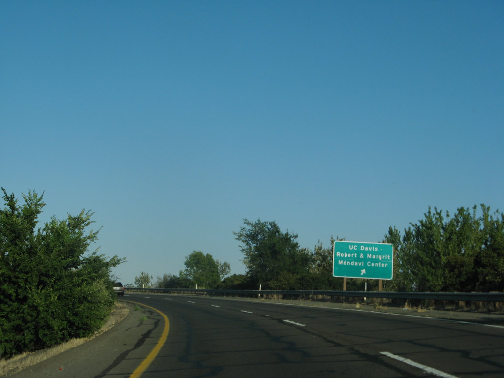 |
Exit here to the University of California at Davis and the Robert and Margrit Mondavi Center. Stay left to connect to Interstate 80 east to Sacramento. Photo taken 07/07/07. |
 |
An overhead sign is posted for the split between UC Davis and Interstate 80 east. Photo taken 07/07/07. |
| California 113 north | |
 |
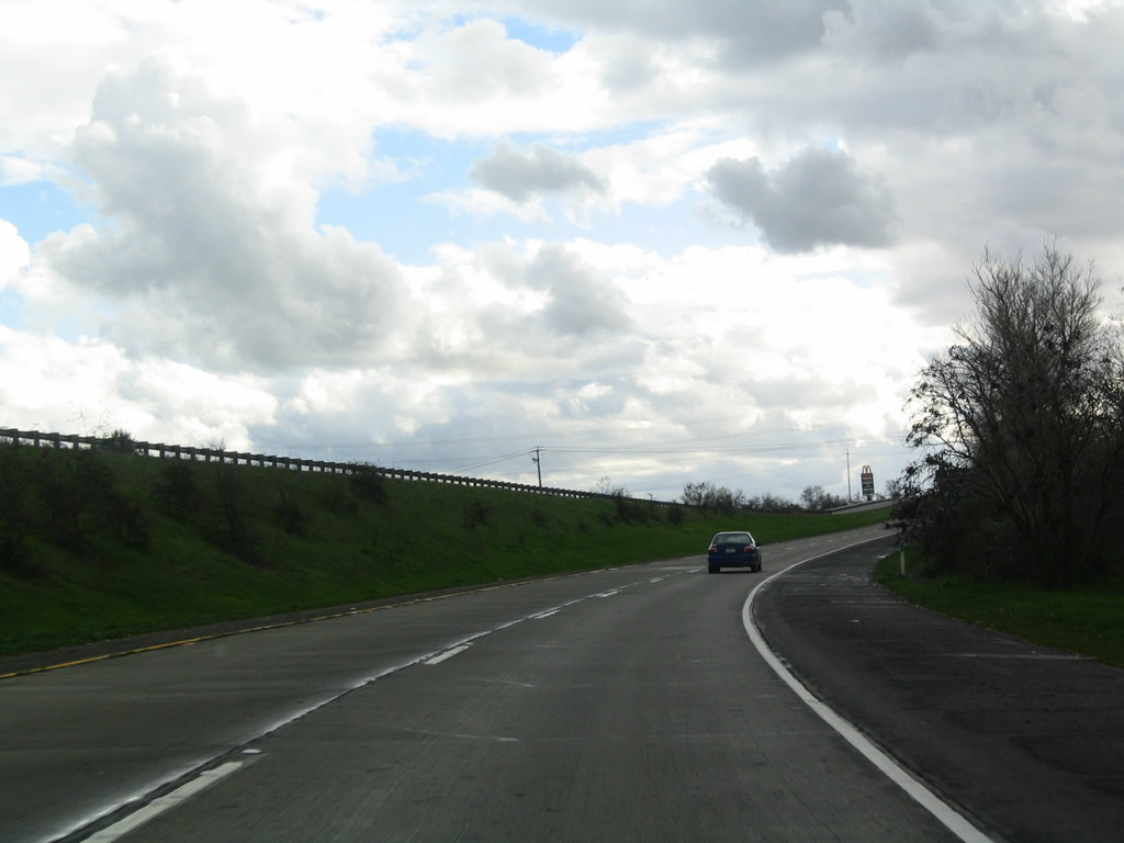
California 113 begins in the California Delta region at California 12 about midway between Fairfield and Rio Vista. Initially, this state route is a narrow, lightly traveled two-lane highway that gradually builds in importance as it approaches Dixon. Photo taken 12/31/04. |
 |
In Dixon, northbound California 113 meets Interstate 80. California 113 north will join with Interstate 80 east, sharing pavement between Dixon and Davis. Photo taken 12/31/04. |
 |
California 113 is well signed for its shared alignment with Interstate 80. Photo taken 12/31/04. |
 |
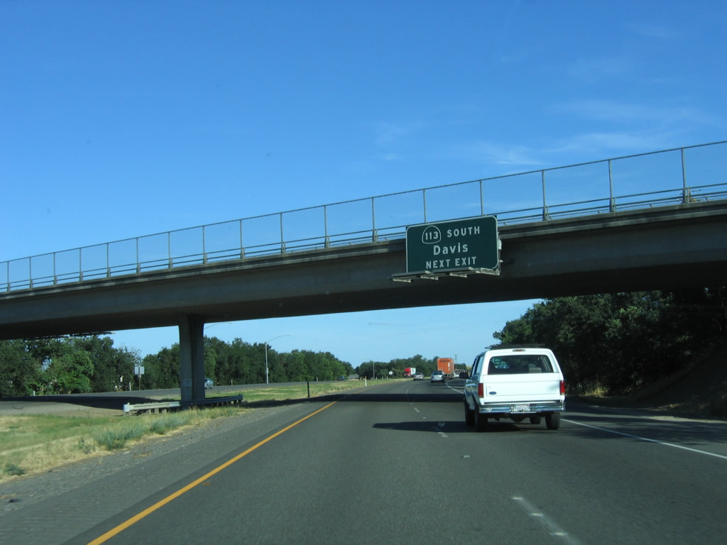
Leaving Interstate 80 at Exit 70, California 113 resumes its northbound journey between Davis and Woodland. California 113 was constructed as a four-lane freeway between Interstate 80 and Interstate 5 on an alignment parallel to Old U.S. 99W and Old U.S. 40 Alternate. Photo taken 12/27/04. |
 |
The first exit along California 113 (Vic Fazio Highway) north is Exit 27, Hutchinson Drive to the University of California at Davis. An overhead ramp carries traffic from California 113 south onto Interstate 80 east. Photo taken 12/27/04. |
 |
California 113 leaves Solano County and enters Yolo County. Photo taken 12/27/04. |
 |
The right lane of California 113 north becomes exit only for Exit 27, Hutchinson Drive. Take Hutchinson Drive east to the University of California at Davis campus. To the west, Hutchinson Drive connects to Pedrick Road. Photo taken 12/27/04. |
 |
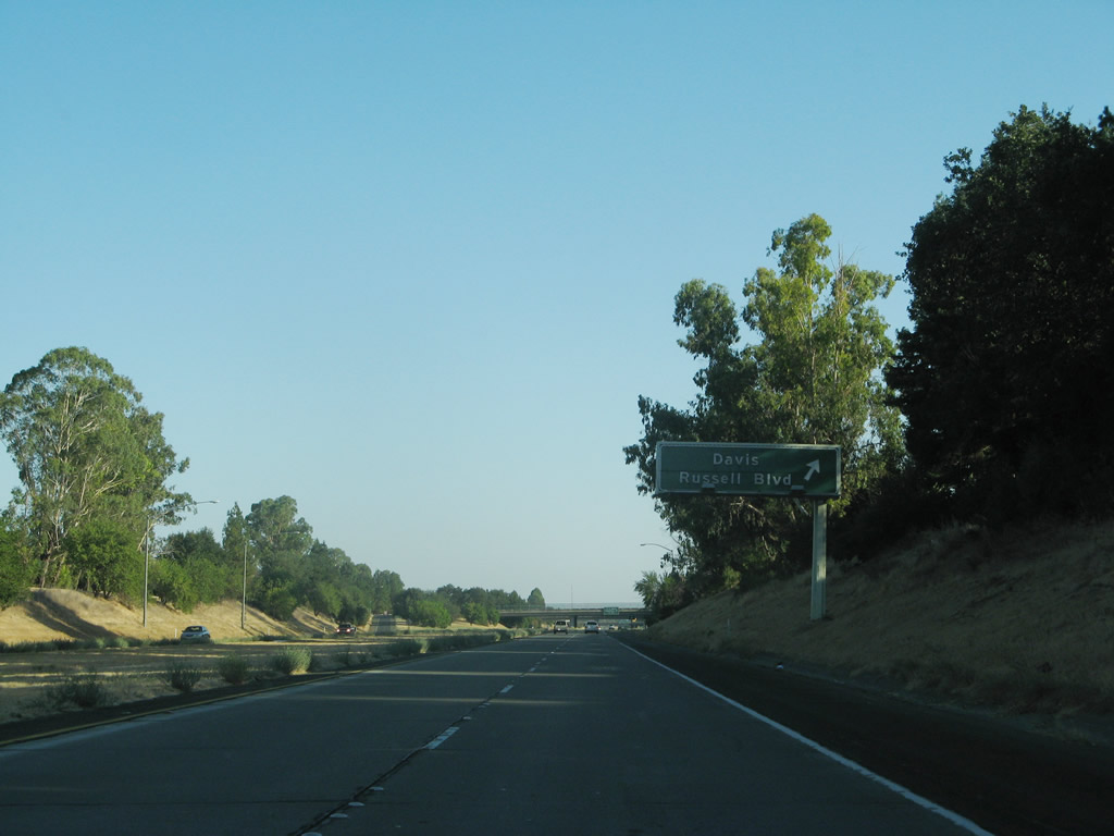
Passing under Hutchinson Drive, the next interchange along California 113 north is Exit 28, Russell Boulevard. Use Russell Boulevard east to downtown Davis. Photo taken 12/27/04. |
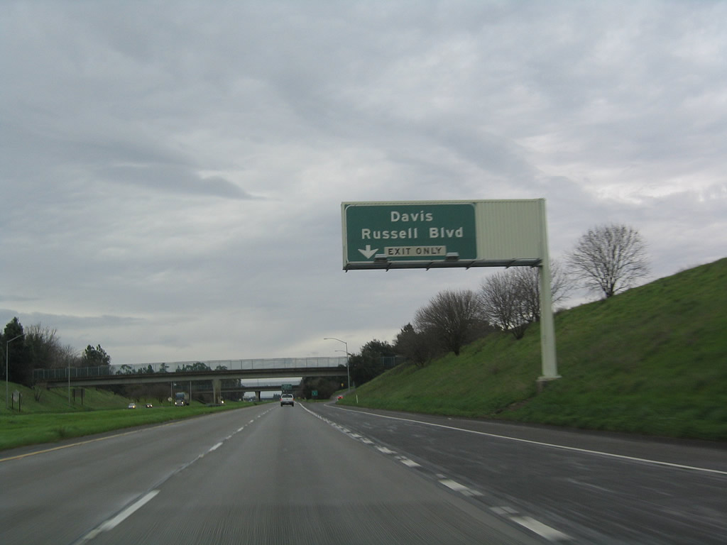 |
The right lane of California 113 (Vic Fazio Highway) north becomes exit only for Exit 28, Russell Boulevard. A major east-west arterial, Russell Boulevard is the original path of U.S. 40/Lincoln Highway through western Davis. Photo taken 12/27/04. |
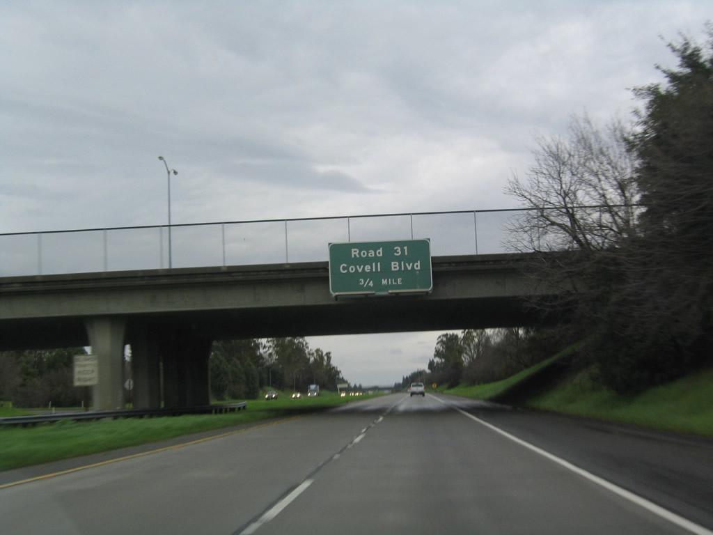 |
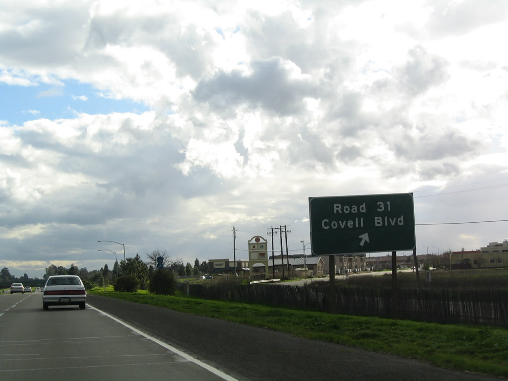
Passing under Russell Boulevard, the next interchange along California 113 north is Exit 29, Yolo County E-6 (Covell Boulevard) east to Davis and west to Winters. Photo taken 12/27/04. |
 |
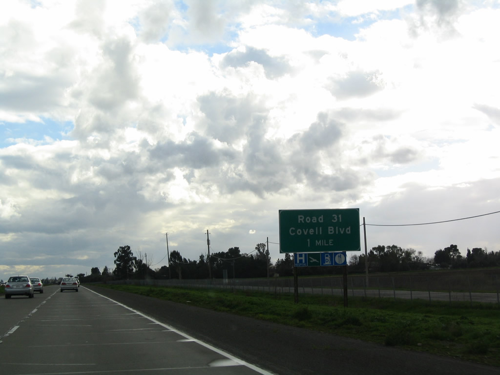
Yolo County E-6 travels west from this interchange along Covell Boulevard, which becomes Road 31 upon leaving Davis. E-6 then proceeds east along Road 31, shifts southwest a bit via Road 93A, then curves west again via Road 32 (Russell Boulevard) for the final distance to Winters. At the interchange with Interstate 505, westbound E-6 transitions directly onto California 128 west en route to Napa Valley and Calistoga. Photo taken 12/27/04. |
 |
Northbound California 113 reaches Exit 29, Yolo County E-6 (Covell Boulevard) east to Davis and west to Winters. Photo taken 12/27/04. |
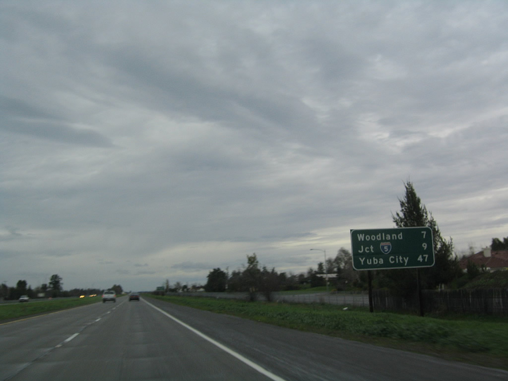 |
This mileage sign along California 113 north provides the distance to Woodland (seven miles), Interstate 5 (nine miles), and Yuba City (47 miles). Photo taken 12/27/04. |
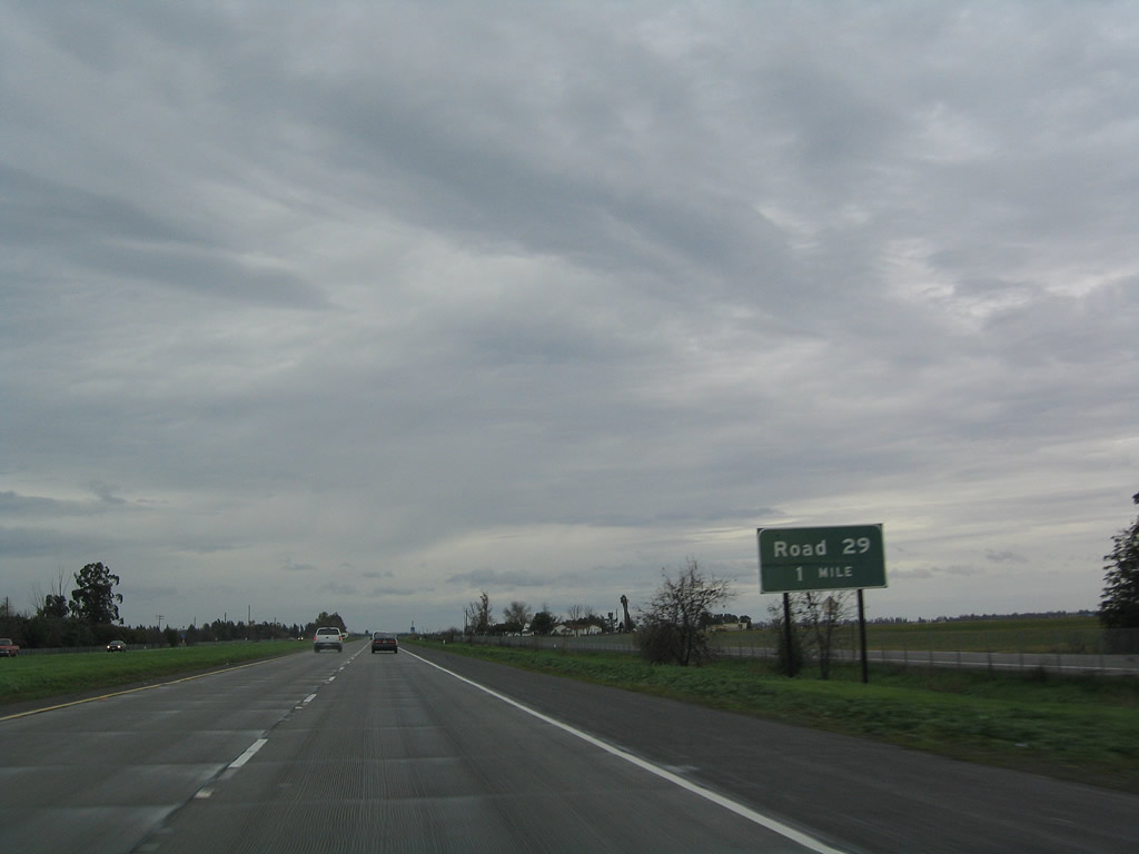 |
Now north of Davis and back into rural lands, the next exit along California 113 north is Exit 31, Road 29 (one mile). Photo taken 12/27/04. |
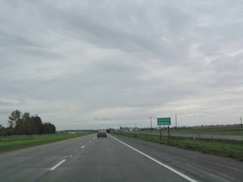 |
California 113 is the Vic Fazio Highway between Interstate 80 and Interstate 5. Photo taken 12/27/04. |
 |
Northbound California 113 reaches Exit 31, Road 29. Photo taken 12/27/04. |
 |
The next exit along California 113 (Vic Fazio Highway) north is Exit 33, Road 27 (one mile). Photo taken 12/27/04. |
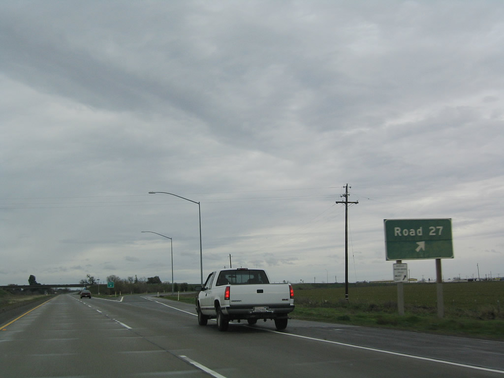 |
Northbound California 113 (Vic Fazio Highway) meets Exit 33, Road 27. Photo taken 12/27/04. |
 |
The next exit along California 113 north is Exit 34, Road 25A (one mile). Photo taken 12/27/04. |
 |
Northbound California 113 (Vic Fazio Highway) meets Exit 34, Road 25A. Photo taken 12/27/04. |
 |
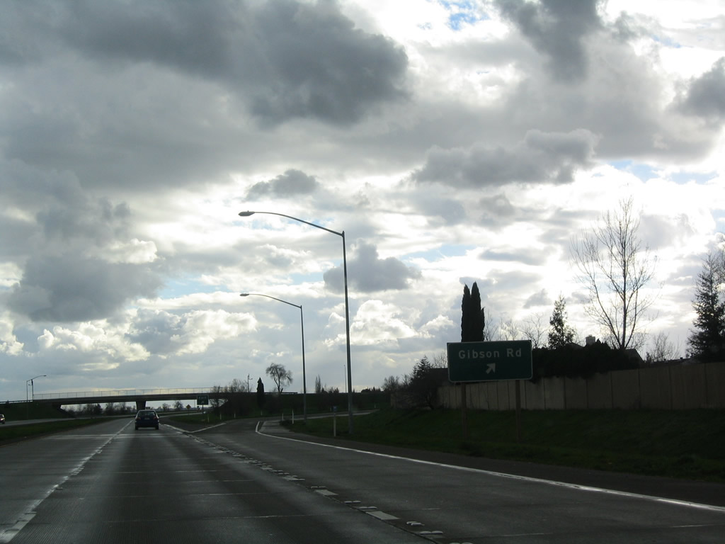
The next exit along California 113 (Vic Fazio Highway) north is Exit 36, Gibson Road (0.75 mile). Photo taken 12/27/04. |
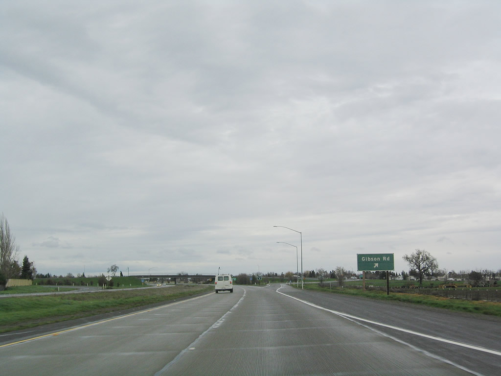 |
Northbound California 113 (Vic Fazio Highway) meets Exit 36, Gibson Road. Photo taken 12/27/04. |
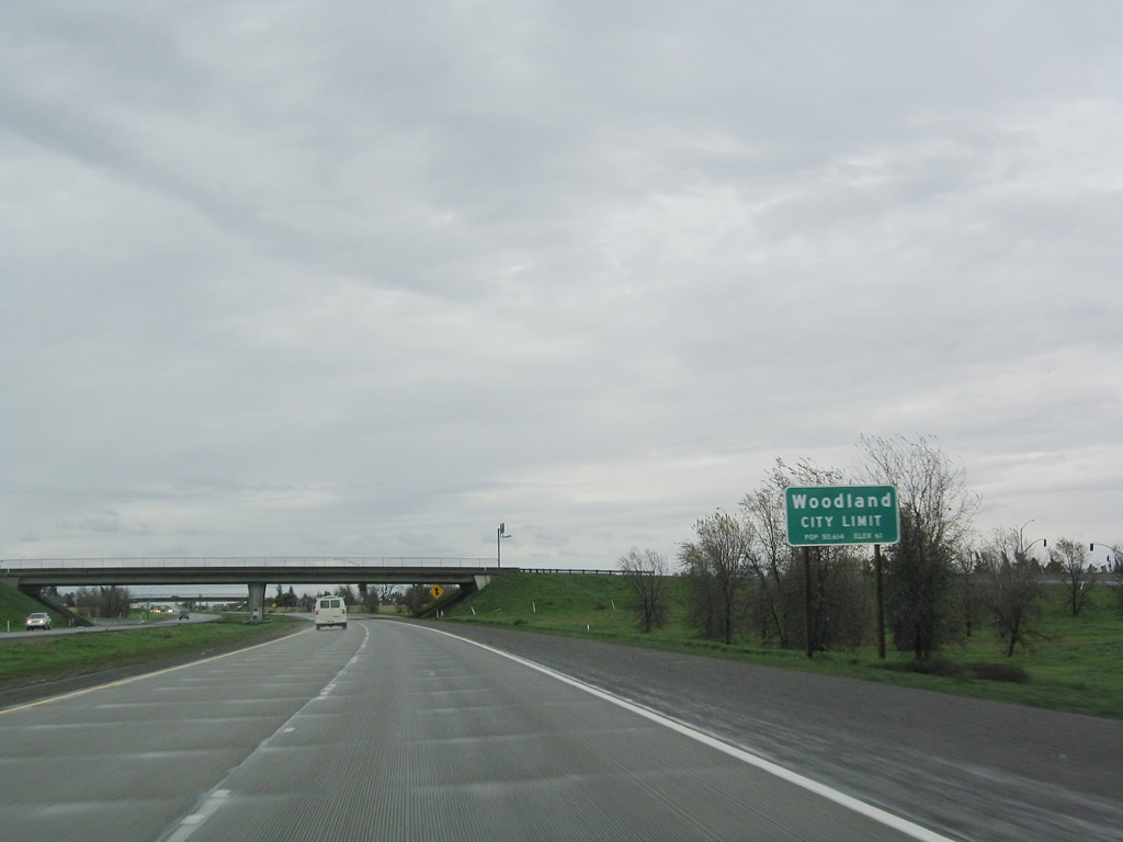 |
California 113 enters the city of Woodland, which is the seat of Yolo County. Woodland was incorporated on February 22, 1871, and it had a population of 55,468 as of the 2010 Census. Photo taken 12/27/04. |
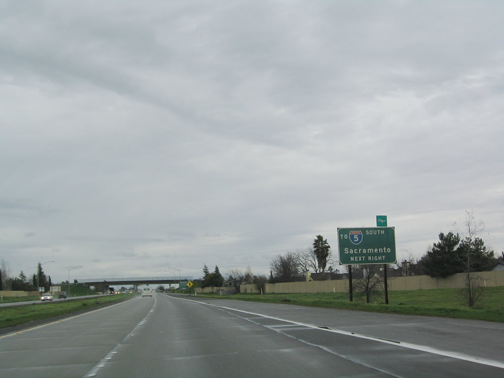 |
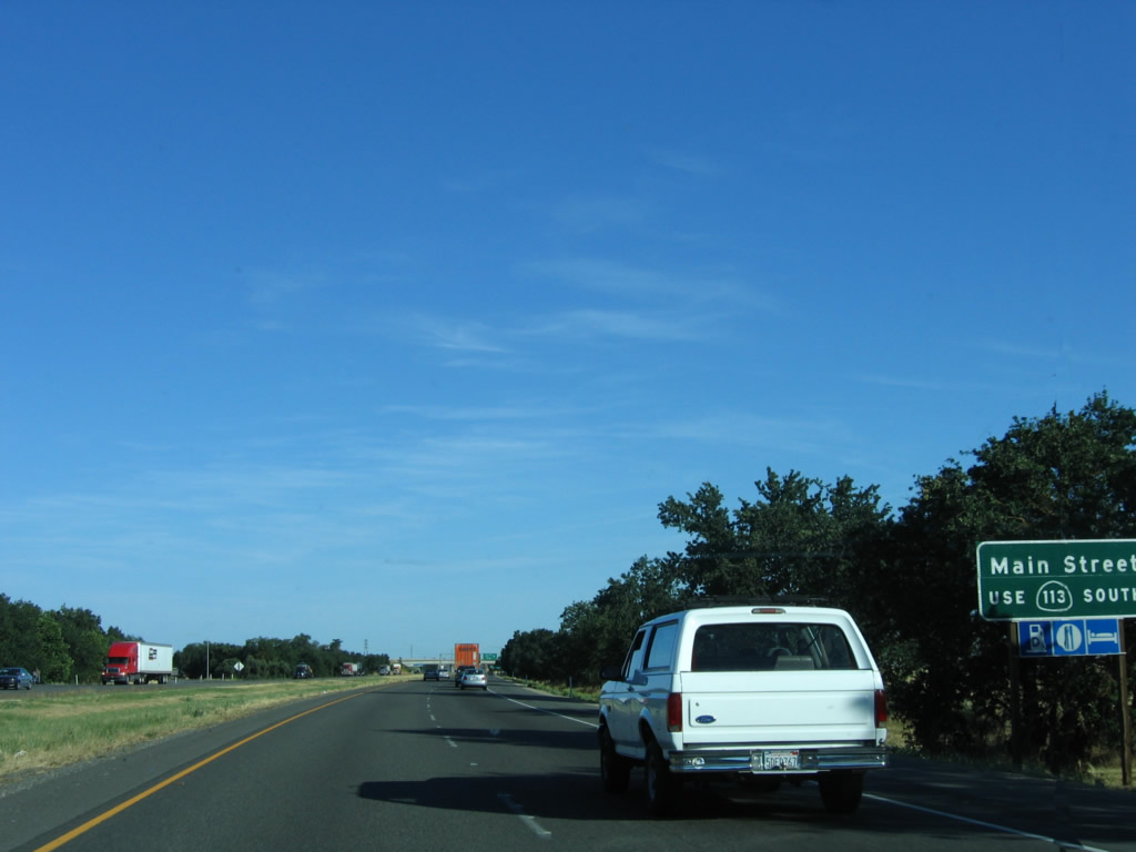
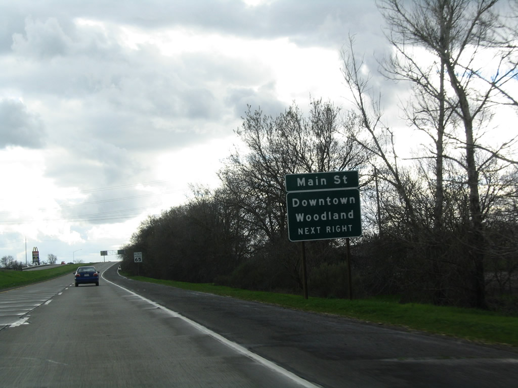
The next interchange along California 113 (Vic Fazio Highway) connects to Main Street, which serves as the Interstate 5 business route through Woodland. It is also the only route from California 113 north to Interstate 5 south. Photo taken 12/27/04. |
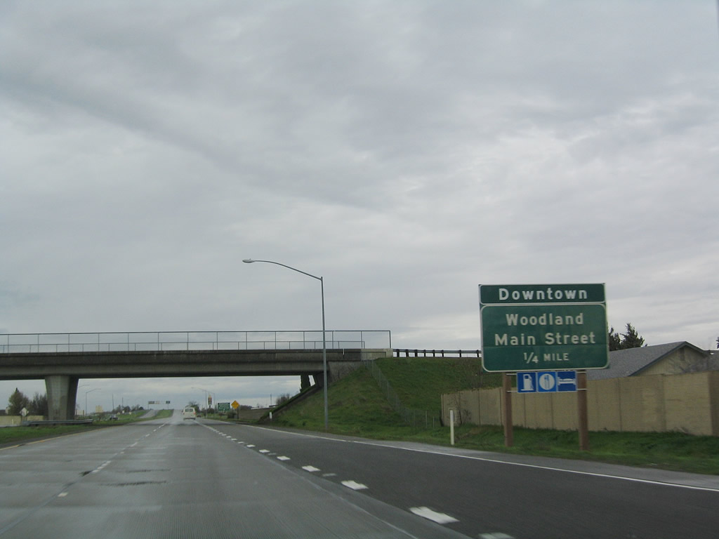 |
Use Main Street west into downtown Woodland. Business Loop I-5 travels west along Main Street, then turns north along with California 16 and Yolo County E-7 via Road 98 to end at Interstate 5 Exit 541. Photo taken 12/27/04. |
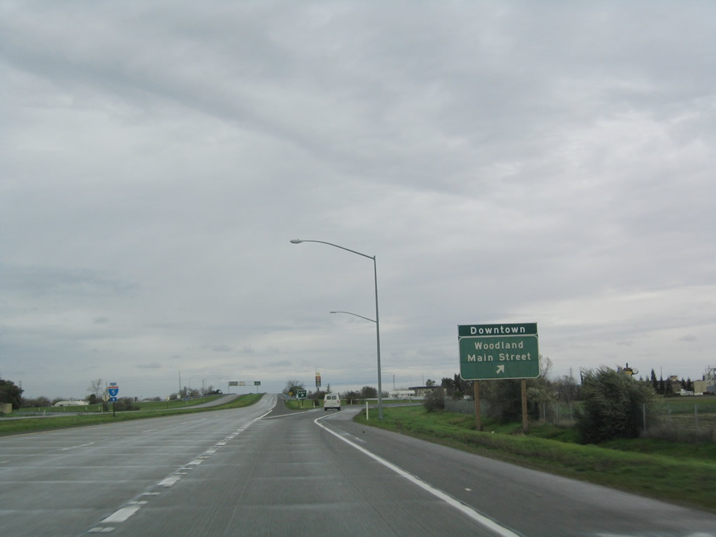 |
Northbound California 113 (Vic Fazio Highway) meets Exit 37, Business Loop I-5 (Main Street) west to downtown Woodland or east to Interstate 5 south. After this off-ramp, the left two lanes of California 113 north will merge with Interstate 5 north briefly, then separate soon thereafter. Photo taken 12/27/04. |
 |
Now on the off-ramp from California 113, turn left for Business Loop I-5 (Main Street) west to downtown Woodland or east to Interstate 5 south. Photo taken 12/27/04. |
 |
 |
|
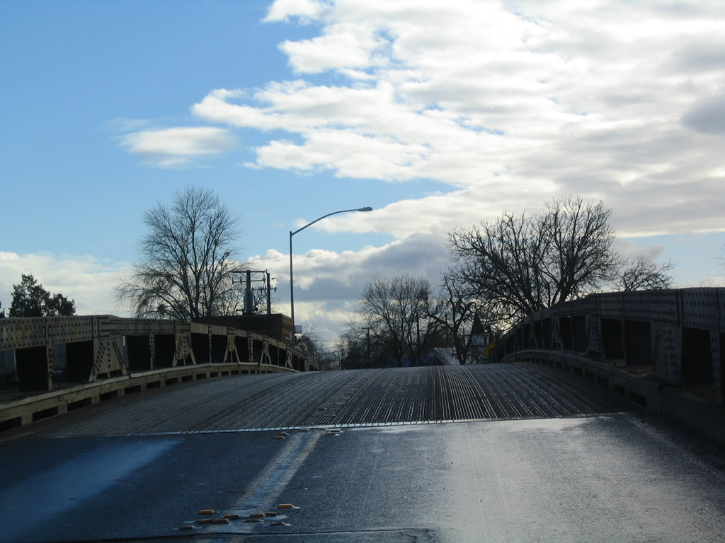
Northbound California 113 crosses over the Sacramento River in Knights Landing via this drawbridge, which was built in 1933 and expanded in 1949. Photos taken 01/01/05. |
 |
Skipping ahead north of the river crossing, California 113 proceeds north (along with Historic U.S. 40 Alternate and Historic California 24) between Woodland and Yuba City. This California 113 north reasurance shield is posted along the two-lane section north of Woodland. Photo taken by Joel Windmiller (03/29/01). |
| California 113 scenes | |
|---|---|
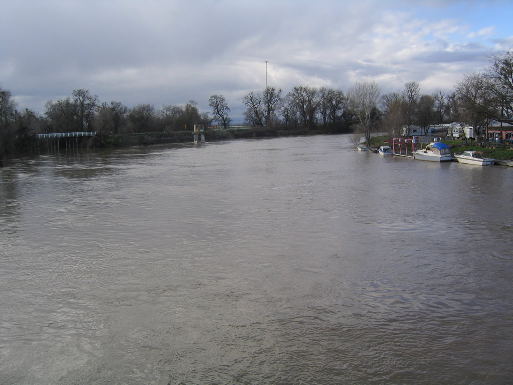 |
This view looks north at the Sacramento River as seen from the Knights Landing bridge along California 113. Photo taken 01/01/05. |
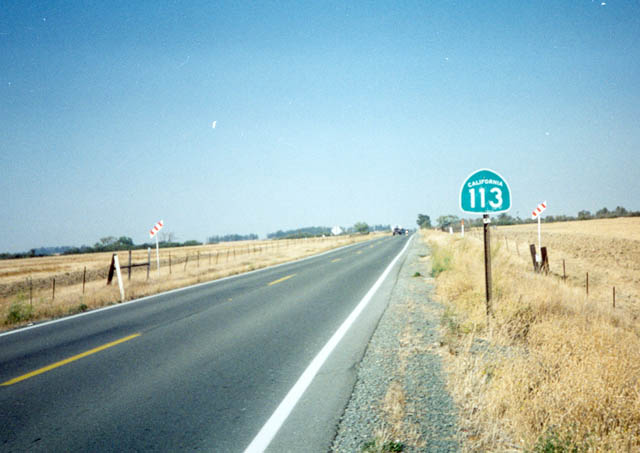 |
California 113 shield near Dixon north of California 12. Photo taken by Trevor Carrier (Summer 2002). |
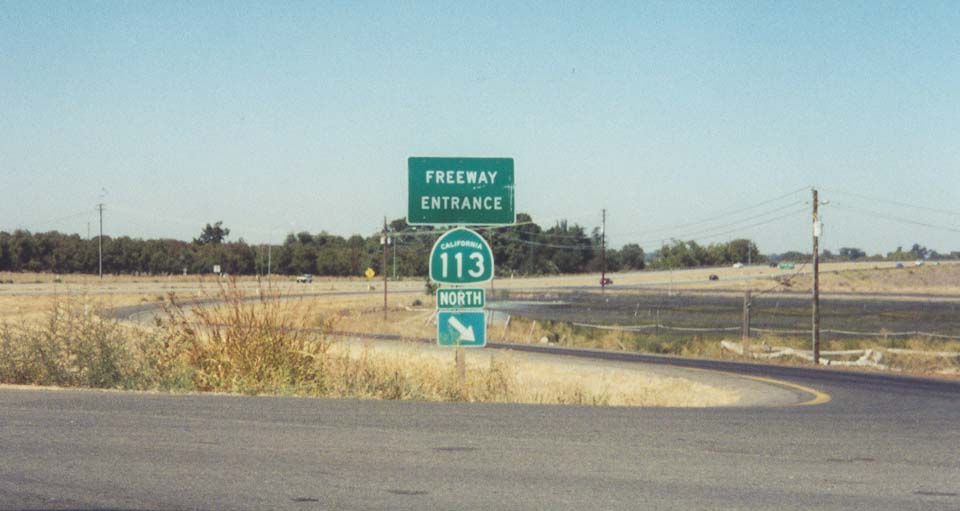 |
California 113 freeway entrance shield on the freeway section between Interstate 80 (Davis) and Interstate 5 (Woodland). Photo taken by Joel Windmiller (03/29/01). |
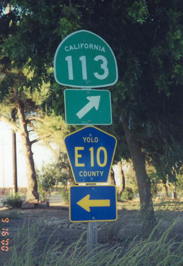 |
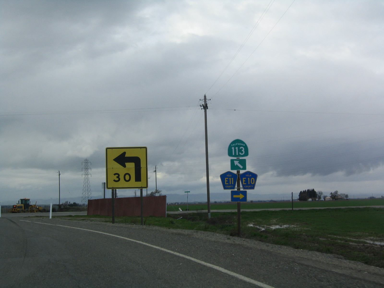
California 113 at Yolo County E-10. Northbound County Route E-10 leads to California 45 south of Tyndall Landing. Photo taken by Joel Windmiller (03/29/01). |

Page Updated January 16, 2012.
|
About Contact Glossary |
In The News Testimonials Interstate Guide |
Social Media:
 |
|
© 2000-23 AARoads.com | All Rights Reserved | Privacy Policy / Terms of Use
|
||