
California 116
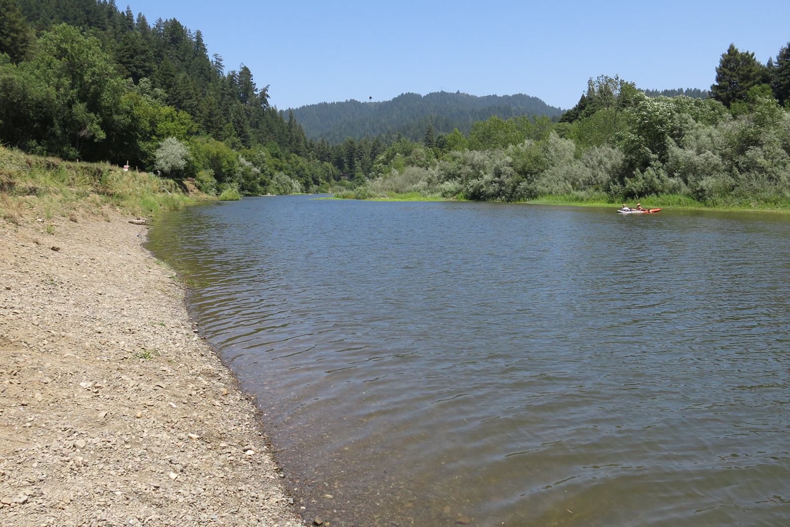
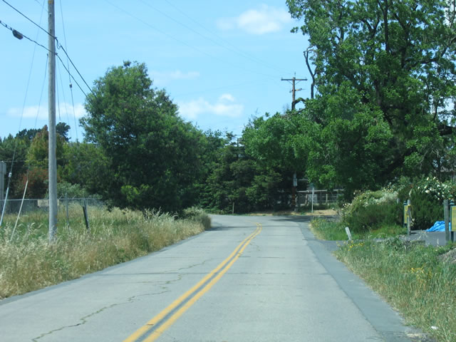
From the coast to Guerneville, California 116 closely follows the Russian River. This picture was taken during the dry season; waters can be much higher and faster during winter months. Photo taken 07/06/13.
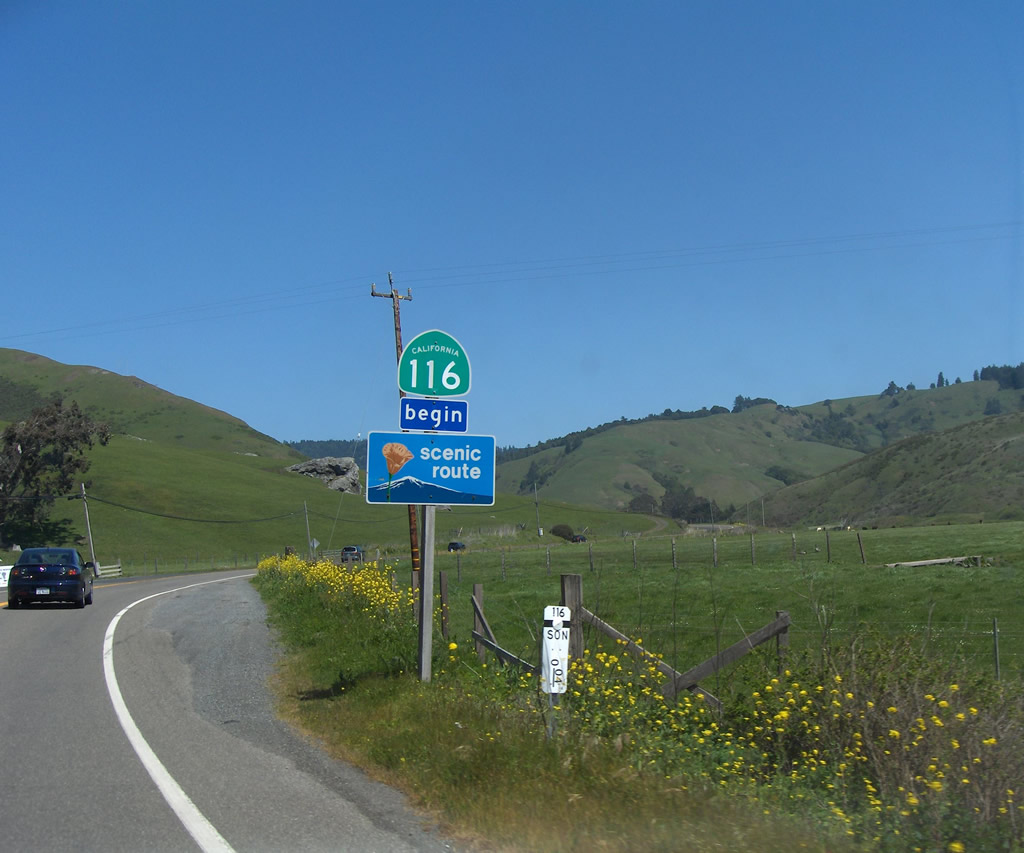
California 116 is a diagonal route that begins at the Sonoma Coast near the mouth of the Russian River, then travels southeast past Guerneville and Forestville to meet California 12 in Sebastopol. Following the Gravenstein Highway southeast, California 116 merges onto southbound U.S. 101 (Redwood Highway) near Cotati and Rohnert Park. Splitting from U.S. 101 at Petaluma, California 116 turns southeast again, terminating at California 121 north of Sears Point and south of Sonoma.
| California 116 east | |
|---|---|
 |
The first shield for California 116 after the California 1 intersection also indicates that the route to Guernville and Forestville en route to Sebastopol is a scenic route. From here, California 116 follows the Russian River east to Guerneville, then turns southeast toward Sebastopol. Photo taken by Trevor Carrier (04/09/07). |
 |
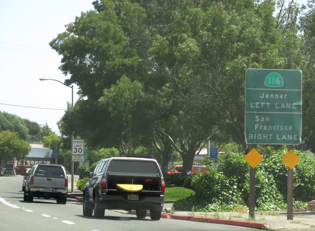
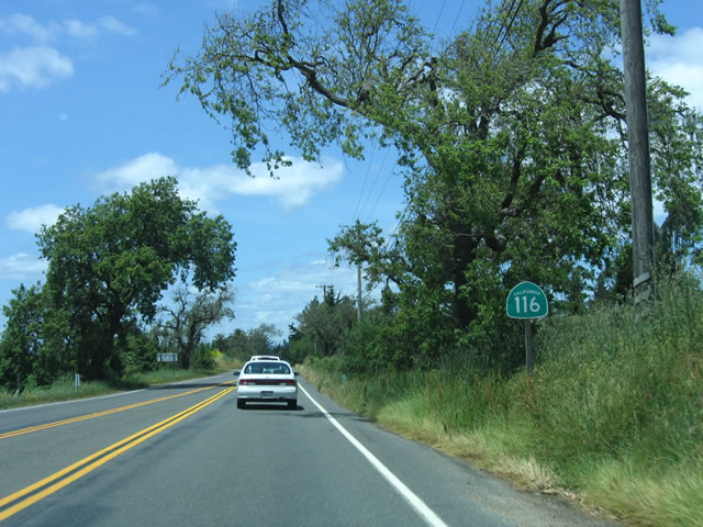
This reassurance shield is posted along Guerneville Highway between Jenner and Guerneville. California 116 will follow and stay close to the Russian River from Jenner east to Guerneville. Photo taken by Trevor Carrier (04/09/07). |
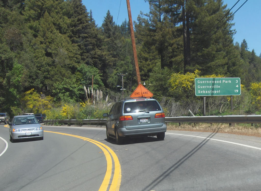 |
This mileage sign on eastbound California 116 provides the distance to Guernewood Park (three miles), Guerneville (four miles), and Sebastopol (19 miles). Photo taken by Trevor Carrier (04/09/07). |
 |
 |
 |
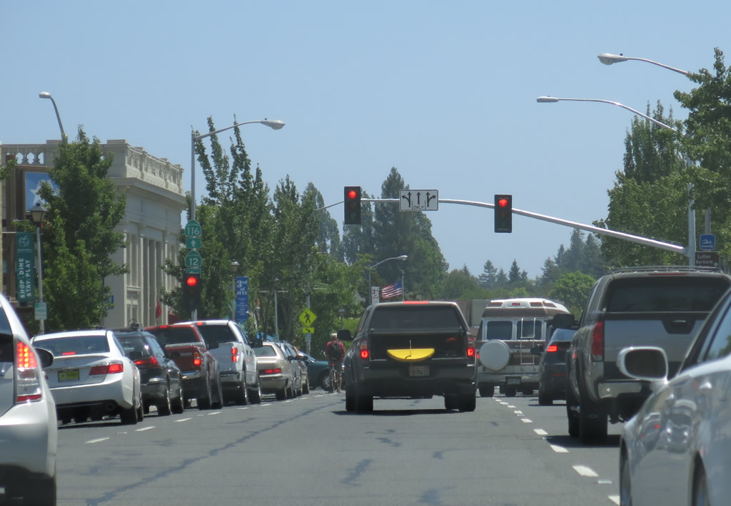
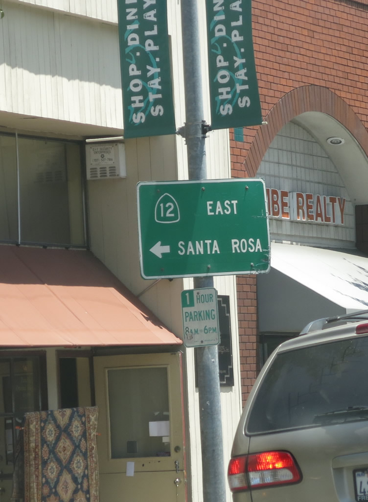
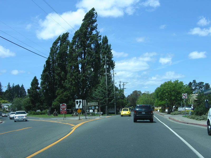
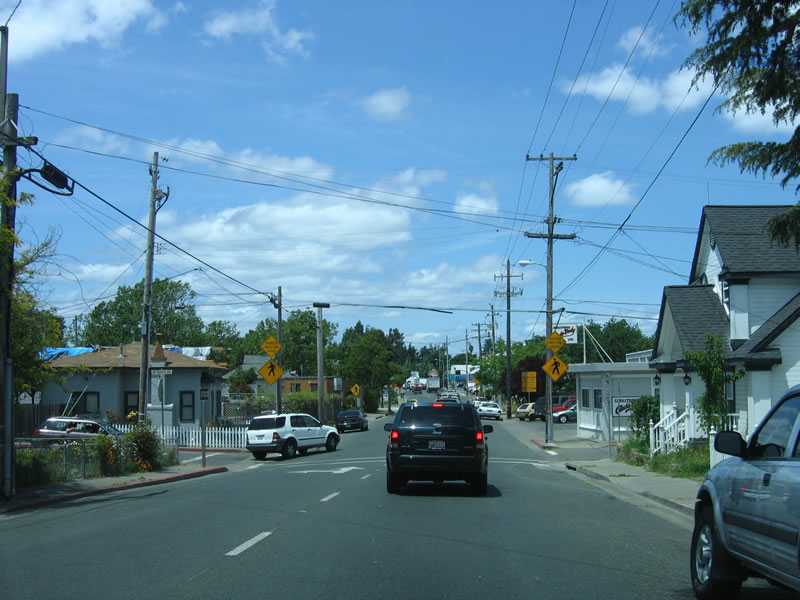
Skipping ahead past Guerneville, California 116 curves southeast away from the Russian River and enters the city of Sebastopol. Once in the downtown area, California 116 splits into a one-way couplet, with the eastbound direction traveling almost due south along Main Street. Southbound California 116 (Main Street) approaches California 12 (Bodega Avenue). California 12 travels east from Sebastopol to Santa Rosa. Photos taken 07/06/13. |
 |
At the south end of Sebastopol, the two directions of California 116 merge back together. Southbound Main Street and northbound Petaluma Avenue merge together to create Gravenstein Highway from here southeast to the U.S. 101 interchange. A sign points the way to California 116 west to Jenner and east to Petaluma and San Francisco. Photo taken 07/06/13. |
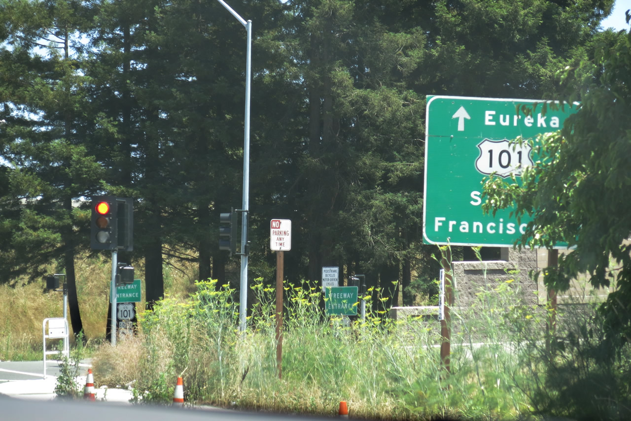 |
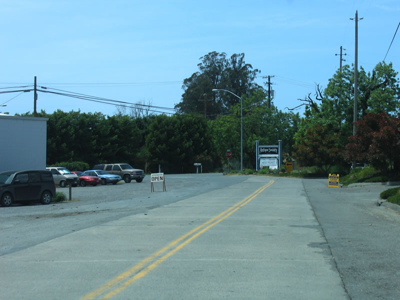
Eastbound California 116 approaches U.S. 101 in the city of Cotati. Turn right for U.S. 101 south and California 116 east to Petaluma and San Francisco. Turn left for U.S. 101 north to Rohnert Park, Santa Rosa, and Eureka. Photo taken 07/06/13. |
| California 116 west | |
|---|---|
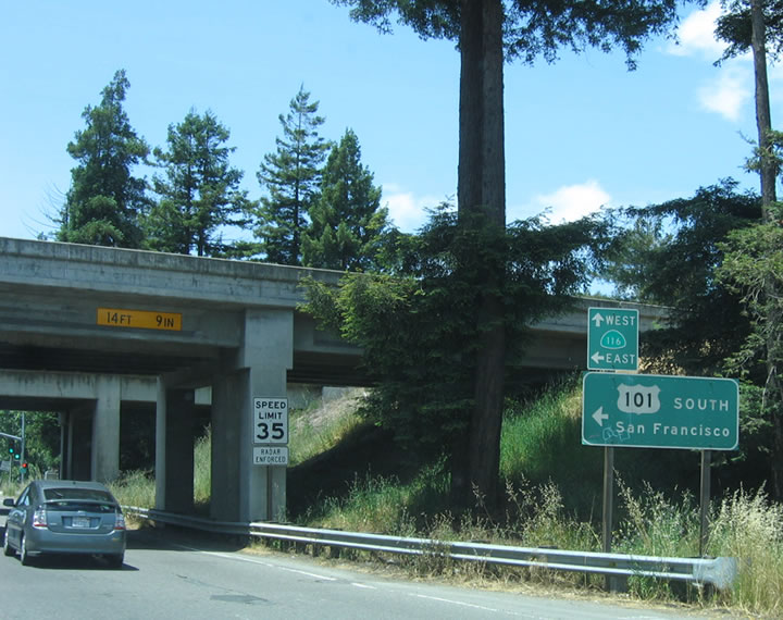 |
After westbound California 116 departs from U.S. 101 (Redwood Highway) at Exit 481B, traffic turns left onto Gravenstein Highway for the route into Sebastopol. California 116 passes under U.S. 101, which enables travelers to turn east onto California 116 via the ramp to U.S. 101 south. Photo taken 05/25/06. |
 |
On the west side of U.S. 101, the first traffic signal is with Redwood Drive, a frontage road. California 116 immediately drops from two to one westbound lane. Photo taken 05/25/06. |
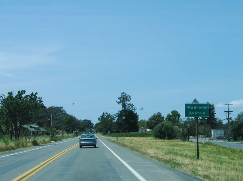 |
Westbound California 116 approaches Madrone Lane. There appears to be rights of way reserved for the future expansion of California 116 to four lanes. Photo taken 05/25/06. |
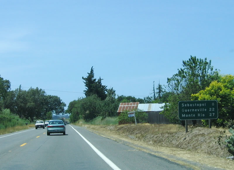 |
This mileage sign provides the distance to Sebastopol (eight miles), Guerneville (22 miles), and Monte Rio (27 miles). The state route changes dramatically between the landscape here and that of the road hugging the flood-prone Russian River near Guerneville. Photo taken 05/25/06. |
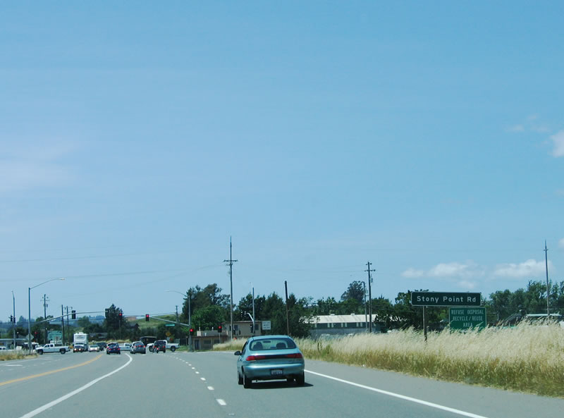 |
Westbound California 116 approaches the traffic signal for Stony Point Road. Use Stony Point Road north to California 12 and Santa Rosa. Photo taken 05/25/06. |
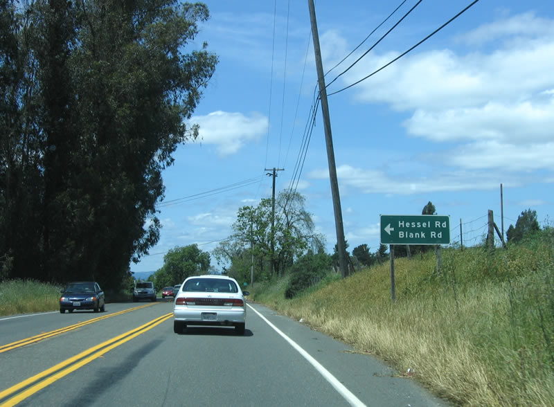 |
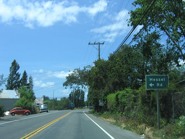
Generally a two-lane highway, California 116 has only two lanes after its intersection with Stony Point Road. Here, California 116 west approaches Hessel Road and Blank Road. Photo taken 05/25/06. |
 |
A single reassurance shield (without directional banner) is posted on westbound California 116 after the preceding intersection. Photo taken 05/25/06. |
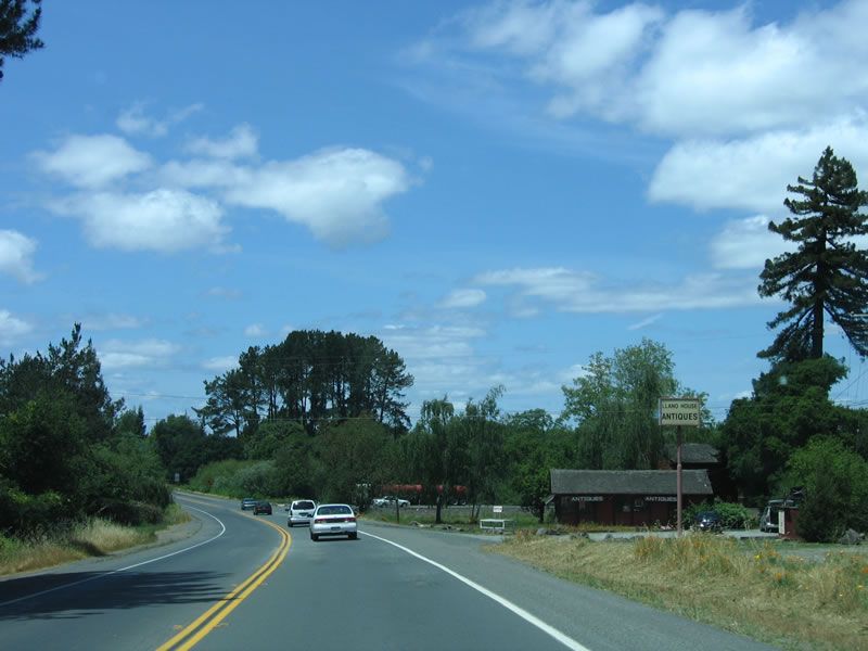 |
A small antique store is located at this roadside stand. At the bend in the road, an older alignment appears on the right side of California 116. Photo taken 05/25/06. |
 |
Westbound California 116 approaches Hessel Road for a second time. Photo taken 05/25/06. |
 |
Another old alignment is visible here, and it can still be driven. The concrete road features an old bridge and provides local and residential access, while the mainline of California 116 has limited side street access. Photo taken 05/25/06. |
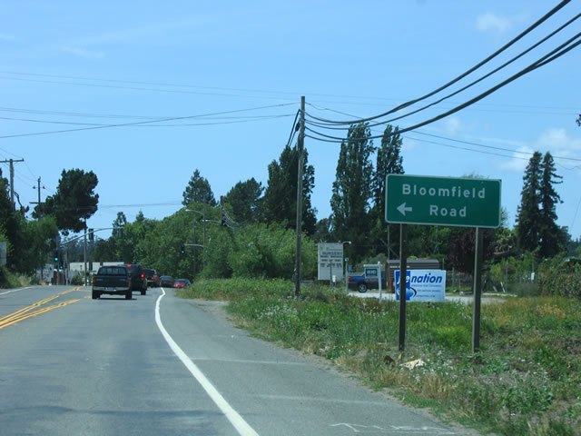 |
Bloomfield Road is another side street served by California 116 west. Photo taken 05/25/06. |
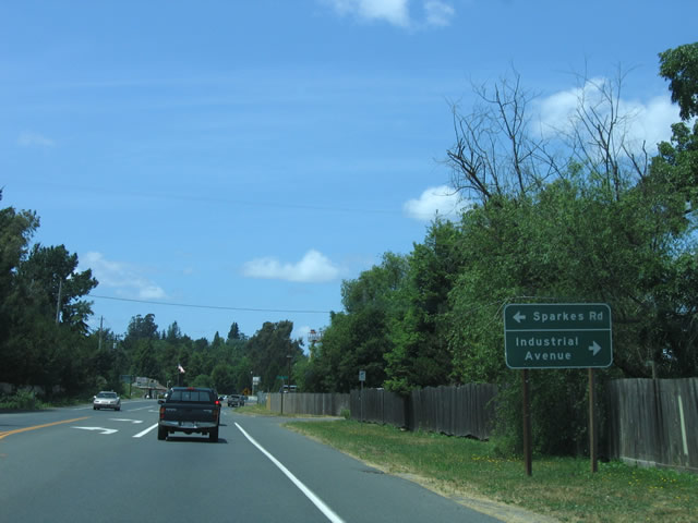 |
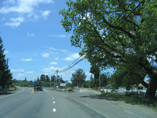
Westbound California 116 approaches Sparkes Road and Industrial Avenue. Note the expanded rights of way along California 116 based on the placement of the wooden fences. Photo taken 05/25/06. |
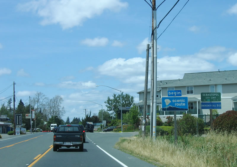 |
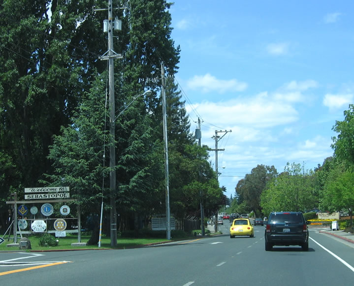
Sebastopol was founded as a town in the 1850s and incorporated as a city in 1902. Home to 7,774 as of the 2000 Census, it seems to have a lost just a few people as of the 2005 Estimate (7,598 people). Photo taken 05/25/06. |
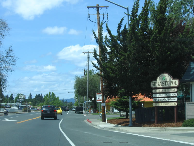 |
The city of Sebastopol has many interesting attributes, including its status as a nuclear free zone and home to Luther Burbanks farm. Photo taken 05/25/06. |
 |
Entering the urban center of Sebastopol, California 116 splits into a one-way couplet, with a park appearing in the block in between the two directions of state route. Photo taken 05/25/06. |
 |
Westbound California 116 now has two through lanes of traffic as it passes through downtown Sebastopol. Photo taken 05/25/06. |
 |
Older style homes and bungalows line the street as California 116 continues its trek northwestward. Photo taken 05/25/06. |
 |
This advisory sign indicates that trucks and vehicles with long trailers may be prohibited from following California 116 along the Russian River to the coast. The road is winding and can be treacherous, especially during the winter rainy season. Photo taken 05/25/06. |
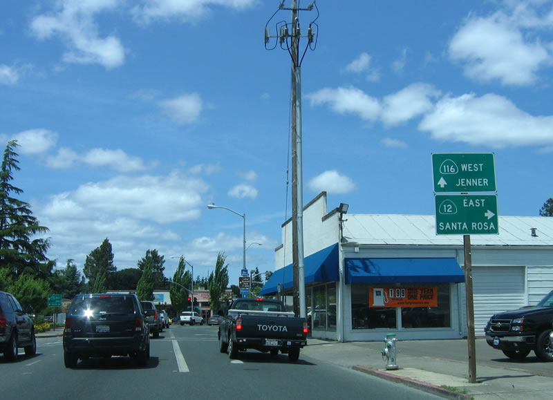 |
These signs are the first indication of the junction between California 116 west and California 12 east. This intersection will mark the western terminus of California 12, which travels east to Santa Rosa, Sonoma, Napa, and Interstate 80. This busy road transitions into a freeway almost immediately upon leaving Sebastopol. Photo taken 05/25/06. |
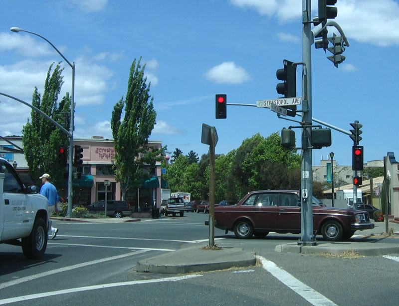 |
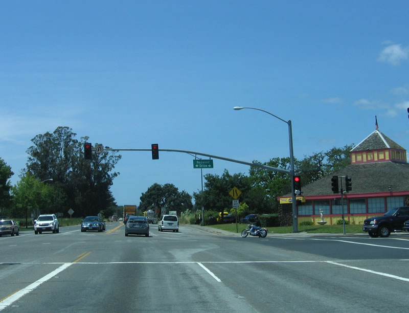
Westbound California 116 meets eastbound California 12 at the intersection of Petaluma Avenue and Sebastopol Avenue in downtown Sebastopol. Continue straight ahead to follow California 116 toward Guerneville and the coast. Photo taken 05/25/06. |
| Former California 116 - Old Gravenstein Highway | |
|---|---|
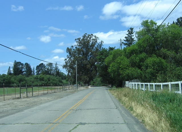 |
Old Gravenstein Highway used to carry California 116 until it was moved onto a short bypass route in a rural area between Petaluma and Sebastopol. The old road now serves homes and ranches for a brief section. Photo taken 05/25/06. |
 |
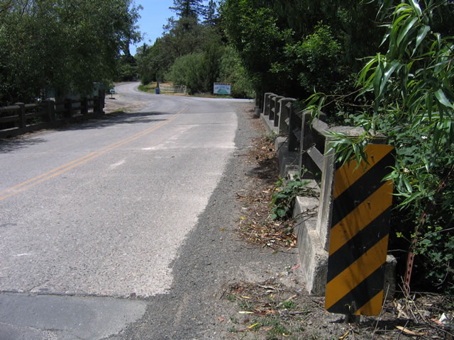
The old alignment of California 116 is either concrete or concrete covered by asphalt (with the asphalt gradually pealing back or cracking over the expansion joints). Photo taken 05/25/06. |
 |
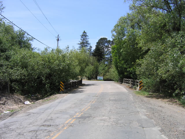
An old bridge with unusual fence-style guard rail is located along the short Old Gravenstein Highway alignment. Photo taken 05/25/06. |
 |
Just northwest of the bridge is this concrete segment of Old Gravenstein Highway. Photo taken 05/25/06. |
 |
The concrete travels in a straight line, but traffic is forced to move left to make the reconnection onto California 116 (Gravenstein Highway). Photo taken 05/25/06. |
| California 116 scenes | |
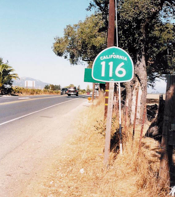 |
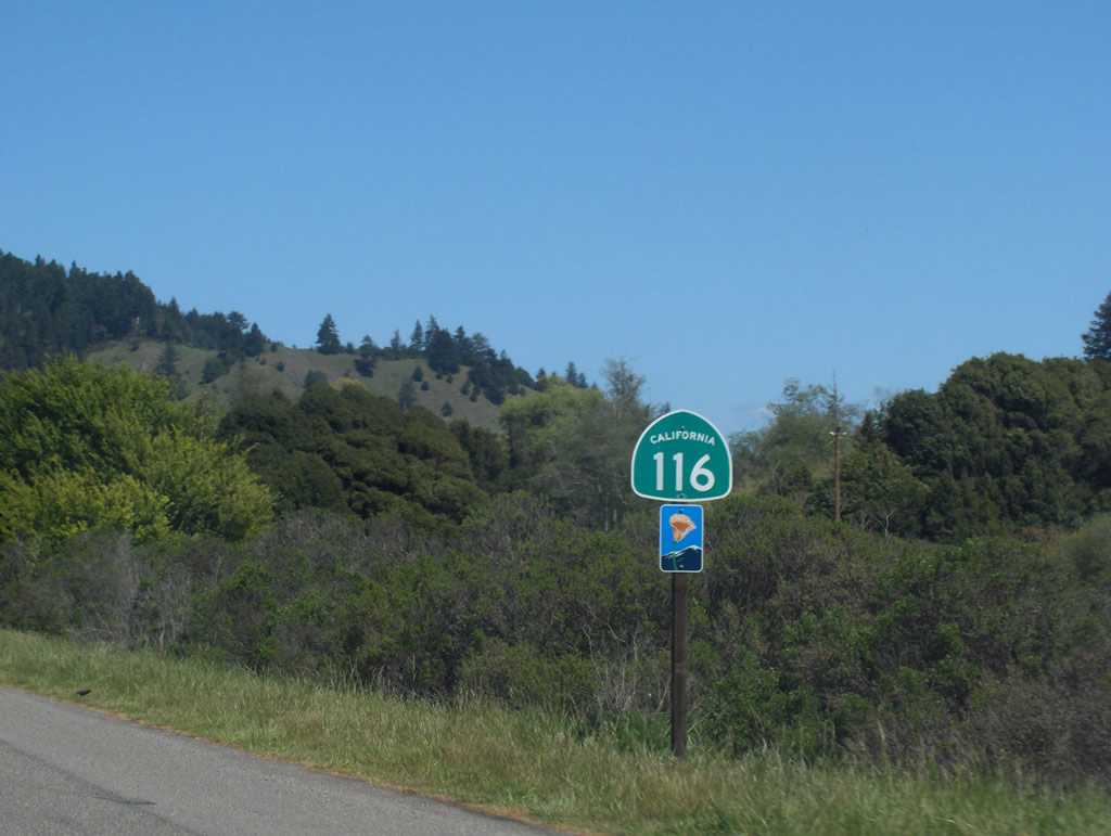
California 116 reassurance shield in Sonoma County. Photo taken by Trevor Carrier (2002). |

Page Updated September 22, 2013.
|
About Contact Glossary |
In The News Testimonials Interstate Guide |
Social Media:
 |
|
© 2000-23 AARoads.com | All Rights Reserved | Privacy Policy / Terms of Use
|
||