
California 136
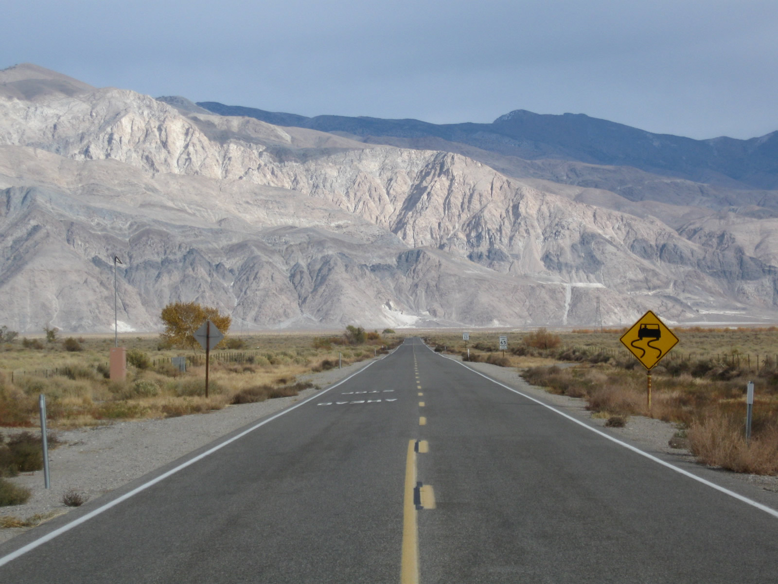
California 136 leaves Lone Pine and U.S. 395 to complete the loop around Owens Lake (formed by California 136, California 190, and U.S. 395). The often-dry Owens Lake was once comparably full of water, until water was transported south through the Los Angeles Aqueduct to serve Southern California. In the distance ahead are the Inyo Mountains; California 136 will turn southeast to avoid the mountains and join California 190 southeast of the small community of Keeler. Photo taken 11/10/08.
California 136 connects U.S. 395 with California 190 in the Eastern Sierra, from Lone Pine southeast to Keeler around the north edge of often-dry Owens Lake.
| California 136 east | |
|---|---|
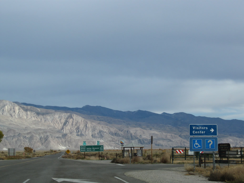 |
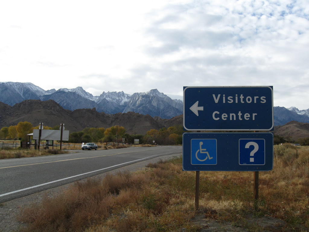
Leaving the intersection with U.S. 395 in Lone Pine, the first right turn leads into the Eastern Sierra Visitors Center. The visitors center features tourist information for the Eastern Sierra. Photo taken 11/10/08. |
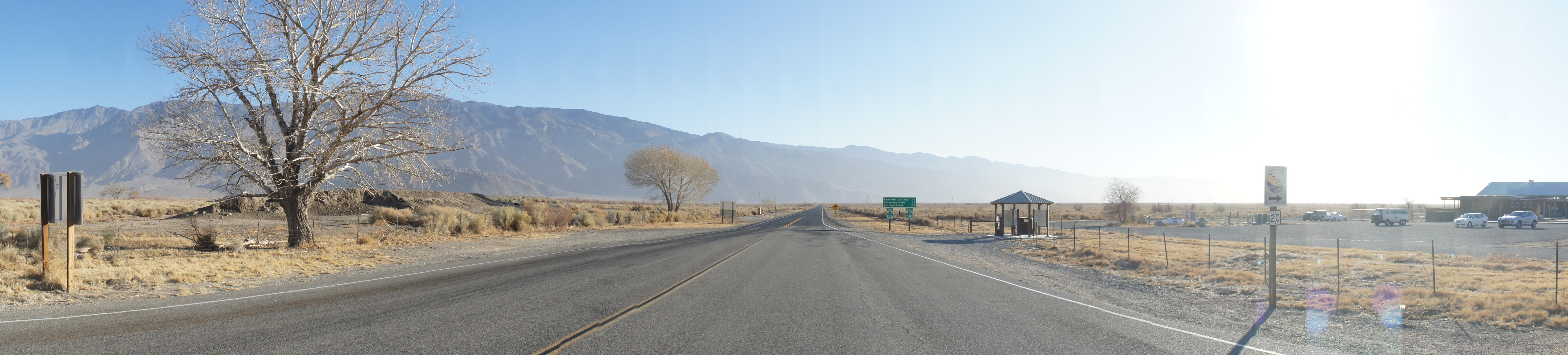 |
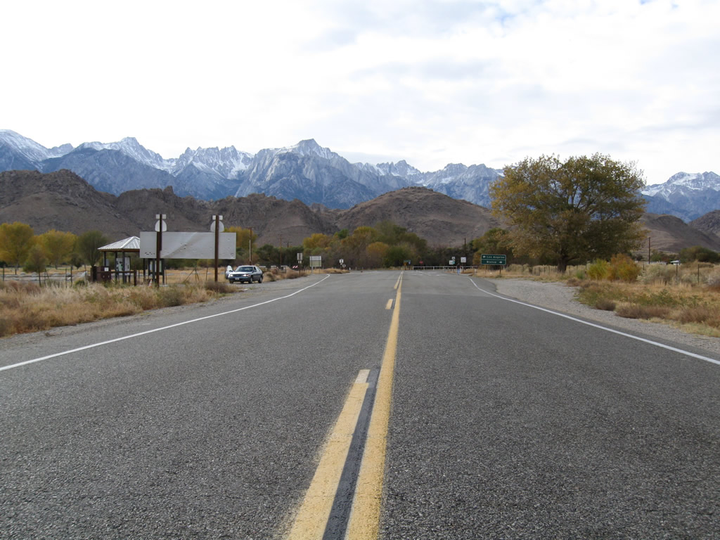
This panoramic view looks east along California 136 after the U.S. 395 intersection. Photo taken 01/15/12 by Martin Grahl. |
 |
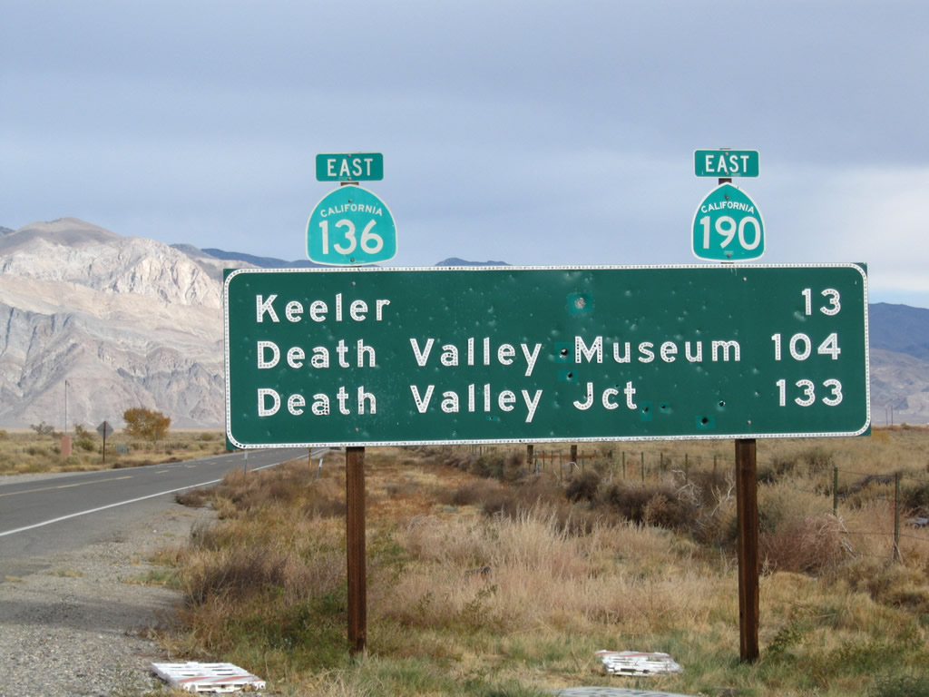 |
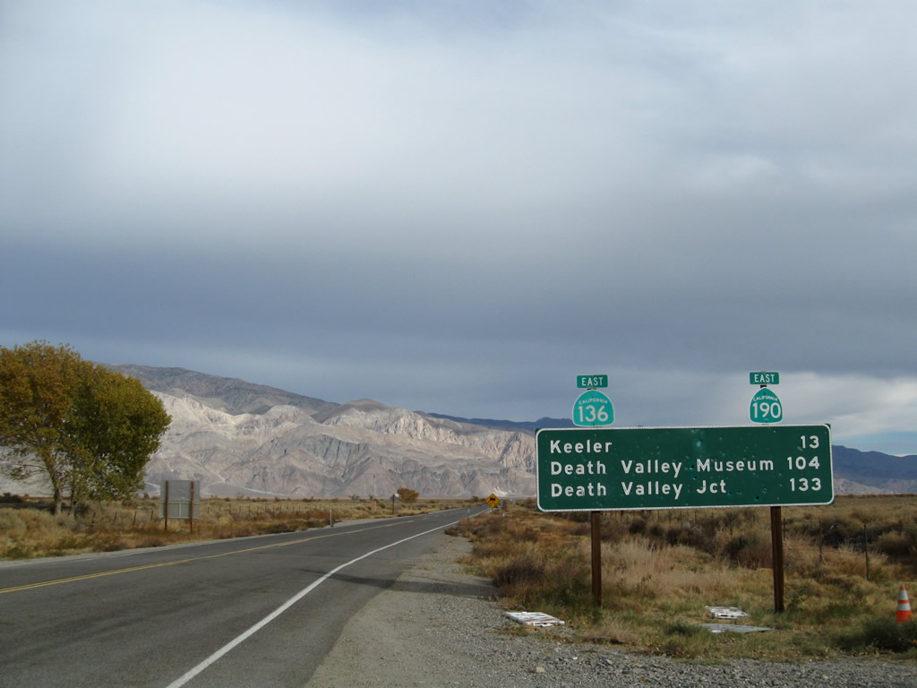
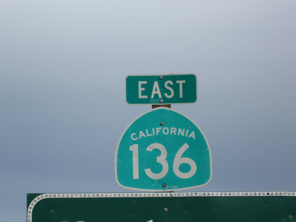
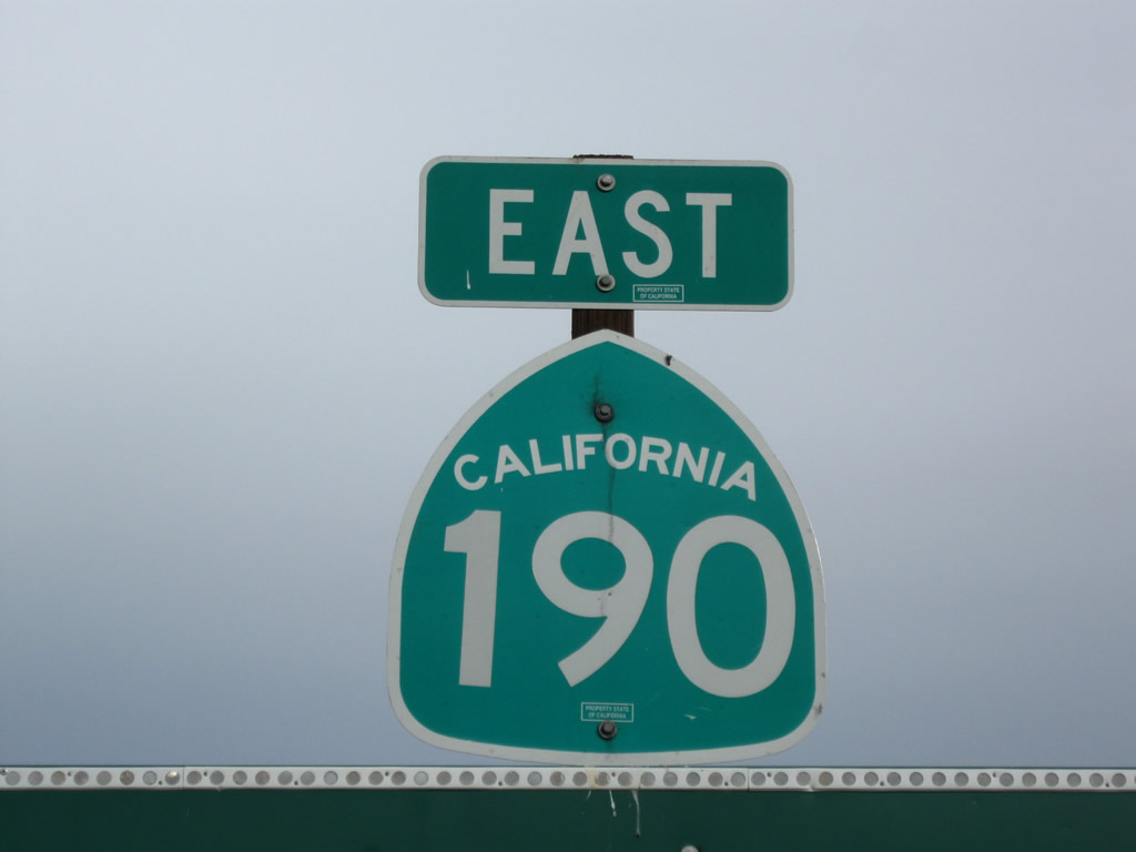
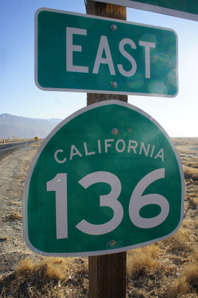
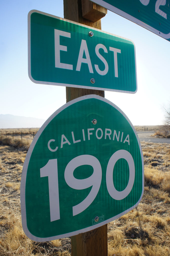
This mileage sign provides the distance to Keeler (13 miles), Death Valley Museum (104 miles), and Death Valley Junction (California 127, 133 miles). Not shown is the distance to the California 190 junction, which is located about five miles southeast of Keeler along California 136. This mileage sign is fairly old and has apparently been used for target practice through the years. Sure enough, it was replaced by 2012 (see below). Shields for both California 136 and California 190 are posted on top of the mileage sign. Photos taken 11/10/08. |
 |
 |
|
 |
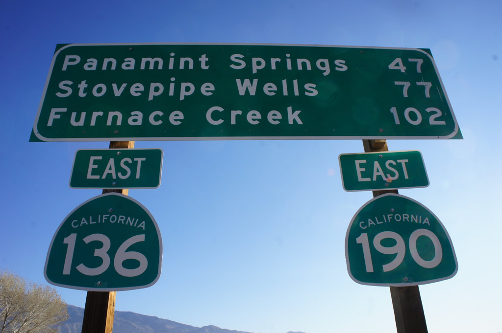 |
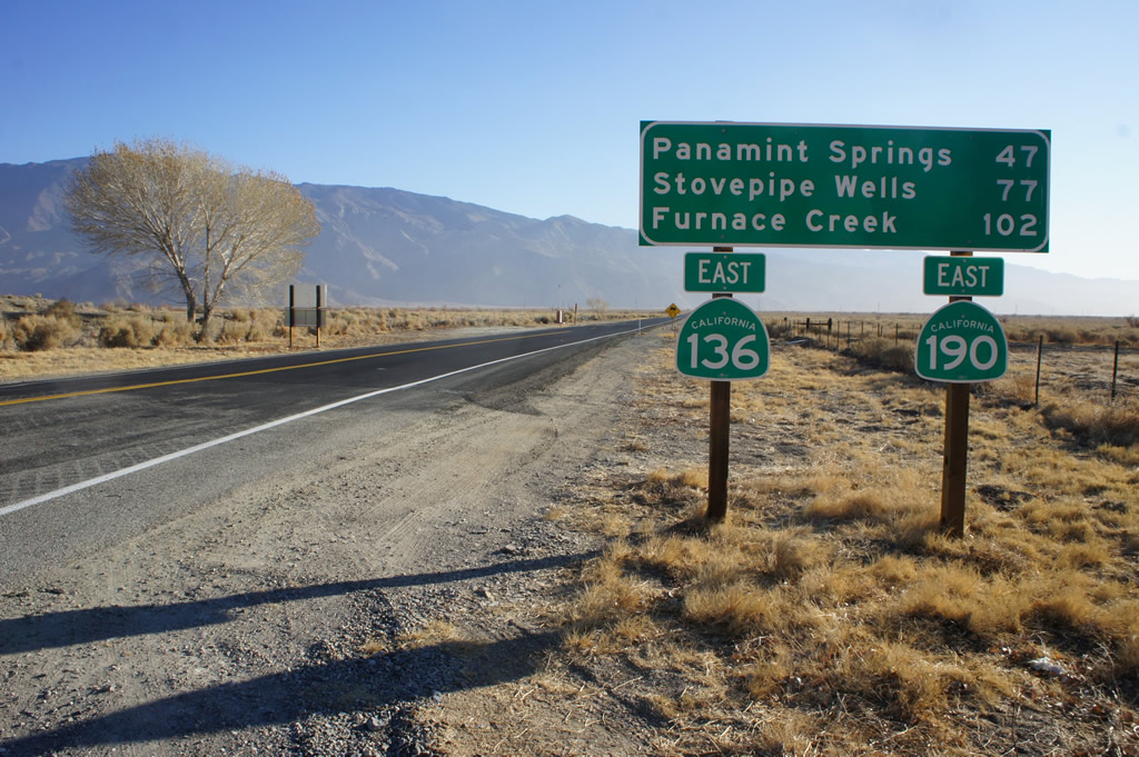
The replacement mileage sign completely revised the list of destinations via California 136 and California 190 east. The sign now points the way to Panamint Springs (47 miles), Stovepipe Wells (77 miles), and Furnace Creek (102 miles). Photos taken 01/15/12 by Martin Grahl. |
 |
 |
| California 136 west | |
|---|---|
 |
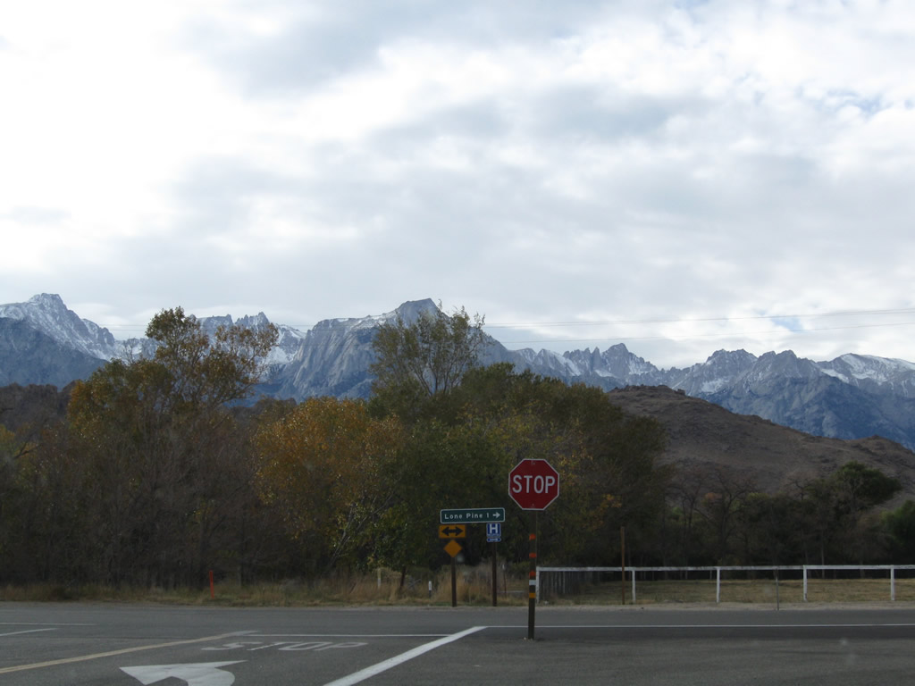
After making the arc around the eastern and northern edge of Owens Lake, California 136 approaches U.S. 395. Prior to the intersection with U.S. 395 in Lone Pine, the next left turn leads into the Eastern Sierra Visitors Center. The visitors center features tourist information for the Eastern Sierra. Photo taken 11/10/08. |
 |
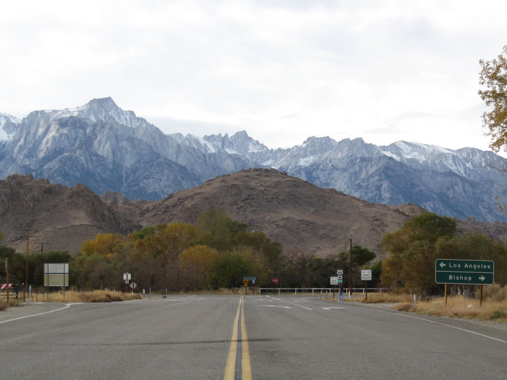
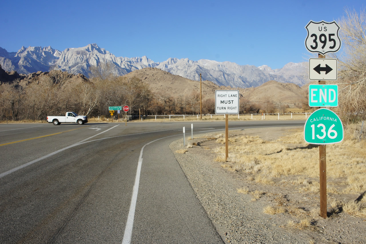
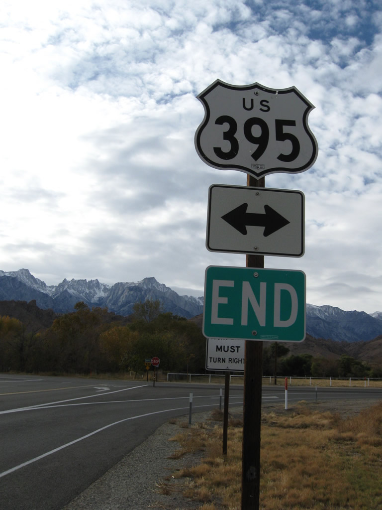
Two-lane California 136 approaches its end at U.S. 395 (Three Flags Highway). In the distance, the towering Sierra Nevada including Mount Whitney dominate the view. Photo taken 11/10/08. |
 |
 |
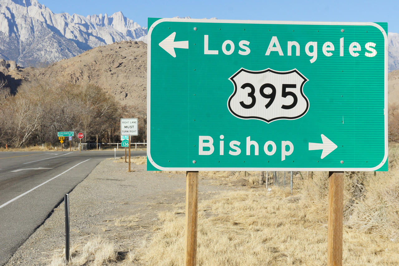 |
U.S. 395 (Three Flags Highway) (former U.S. 6 (Grand Army of the Republic Highway)/Midland Trail) travels north to Bishop and Reno and south to Los Angeles (via California 14/Former U.S. 6) and San Bernardino-Riverside-San Diego via U.S. 395 and Interstate 15 south. Photos taken 01/15/12 by Martin Grahl and 11/10/08. |
 |
 |
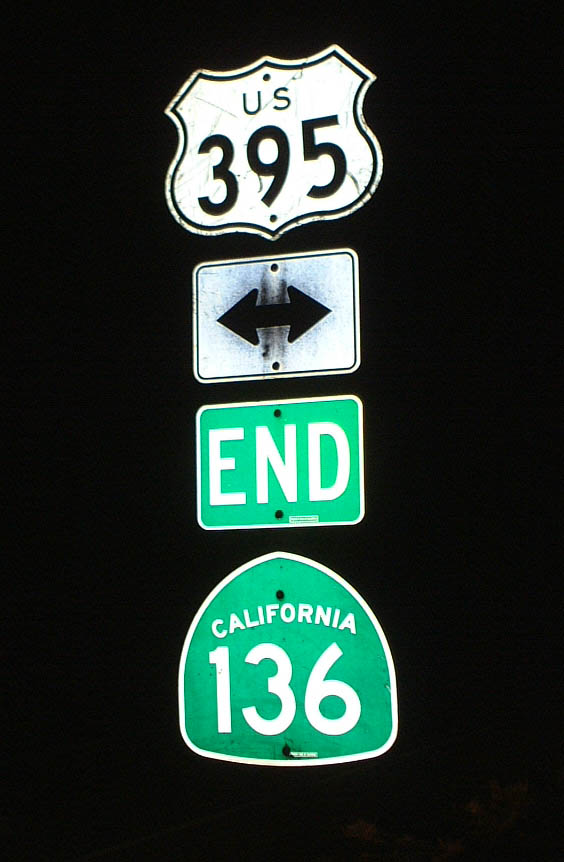 |
The end of California 136 at U.S. 395 in Lone Pine is signed with an end shield. The California 136 shield was in place in 2002 but was missing in 2008 when we visited here again and back by 2012. California 136 is a connector route that skirts the dry bed of the once-full Owens Lake, connecting U.S. 395 with California 190 east of Owens Lake. From the eastern end of California 136, California 190 continues east into Death Valley. Photos taken 11/10/08 and 01/19/02. |
 |
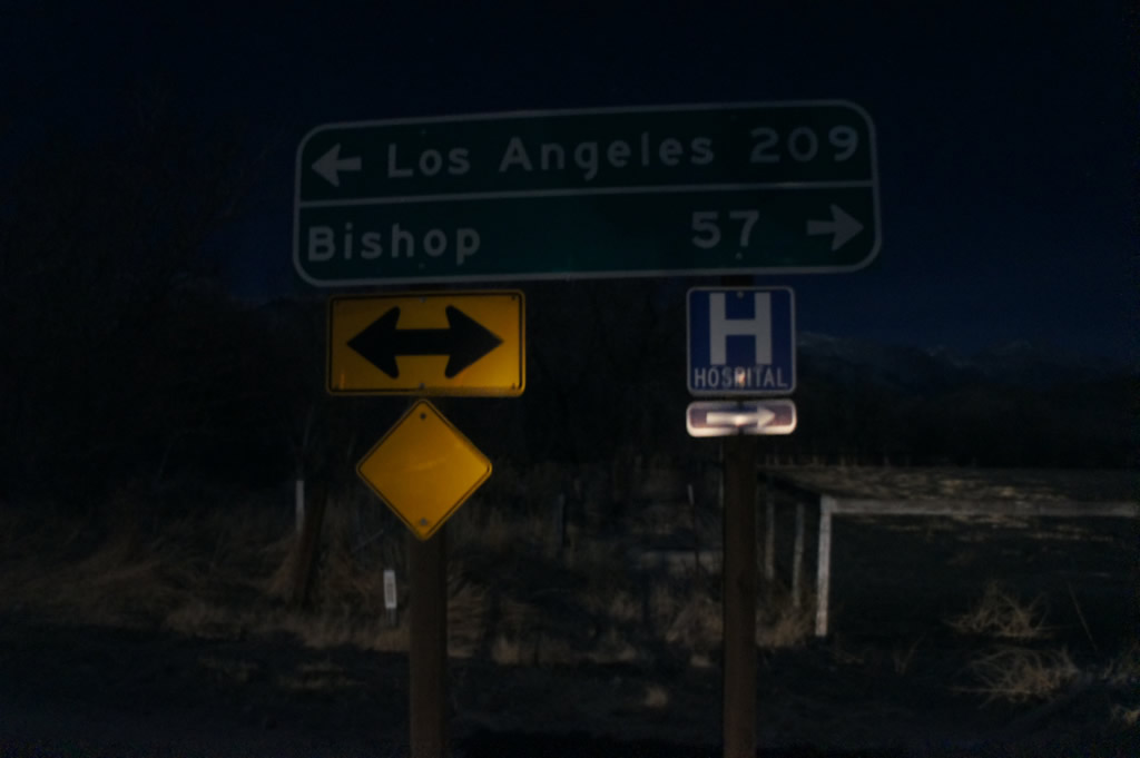 |
At the T-intersection with U.S. 395, California 136 comes to its western terminus. Turn right for Lone Pine (one mile to downtown), which provides all motorist services. The small mileage sign was replaced by 2012 with mileages provided for Los Angeles to the south and Bishop to the north. Photos taken 11/10/08 and 01/15/12 by Martin Grahl. | |

Page Updated January 23, 2012.
|
About Contact Glossary |
In The News Testimonials Interstate Guide |
Social Media:
 |
|
© 2000-23 AARoads.com | All Rights Reserved | Privacy Policy / Terms of Use
|
||