
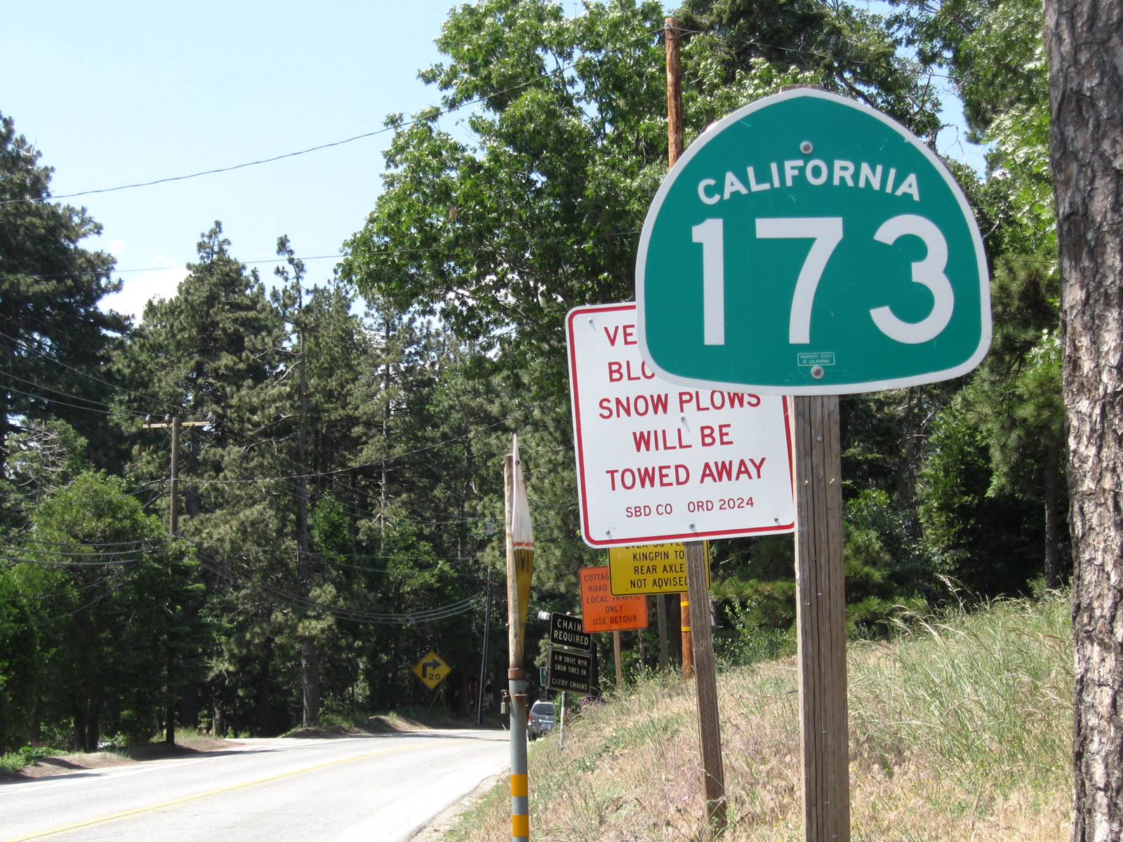
California 173
California 173 is a 23.04-mile state route divided into three components: (1) a paved, two-lane highway from California 138 near Silverwood (south of Hesperia) west to a point just east of the intersection with Arrowhead Lake Road via Summit Valley and Mojave River Forks; (2) an unpaved dirt road currently closed to through traffic from that point east to Willow Creek Road (Rifle Range Road) via the northern face of the San Bernardino Mountains; and (3) a paved, two-lane highway from the gate closure at Willow Creek Road (Rifle Range Road) southeast via Lake Arrowhead to California 18 (Rim of the World Highway) at Crest Park.
Unpaved Segment Closure
California 173 was a traversable route in its entirety until a press release on February 15, 2011, announced that the unpaved section would be closed to through traffic permanently in early March 2011.1 As a result of this action, California 173 is now effectively split into two separate routes. In the meantime, some residents have proposed shifting responsibility of the dirt road segment to either San Bernardino County or the U.S. Forest Service, but as of October 2012, no deal has yet been struck to reopen the road and move it into another governmental entity's jurisdiction.2, 3 The center portion of the route, while closed to the general motoring public, remains the only remaining unpaved state highway in California (as Caltrans continues to provide roadway preservation maintenance to the closed roadway).
History
Assigned as a state highway in 1933, California 173 was commissioned in the same year as nearby California 189 and included the entire route from California 138 to California 18. The legislative designation was changed to match the state sign route, which was assigned in 1964 (along with many other state highway numerical designations in California).
| California 173 east | |
|---|---|
 |
This is the first California 173 shield along eastbound after California 138 northwest of Silverwood Lake. Photo taken 04/18/04. |
 |
 |
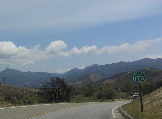
View of the mountains as California 173 passes north of Silverwood Lake. Photo taken 04/18/04. |
 |
A left turn on Arrowhead Lake Road heads north into Hesperia, connecting with Main Street and Interstate 15 Exit 143. Meanwhile, California 173 continues east toward its dirt road segment. Photo taken 04/18/04. |
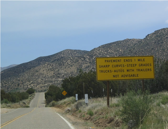 |
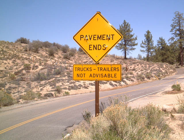
The paved section of eastbound California 173 ends only one mile east of Arrowhead Lake Road. Photo taken 04/18/04. |
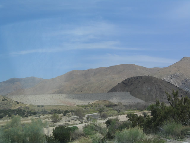 |
View of the proposed but unused Mojave Forks Dam as seen from eastbound California 173. Photo taken 04/18/04. |
 |
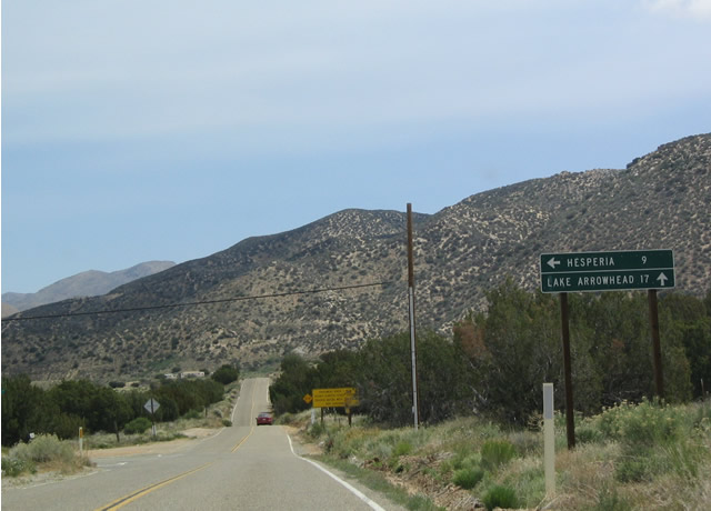
Eastbound California 173 as it approaches the dirt road segment east of Arrowhead Lake Road. Photo taken 04/18/04. |
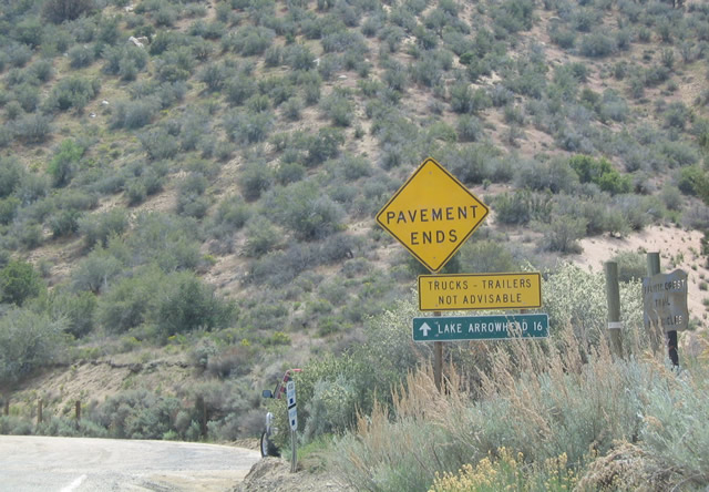 |
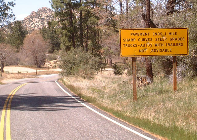
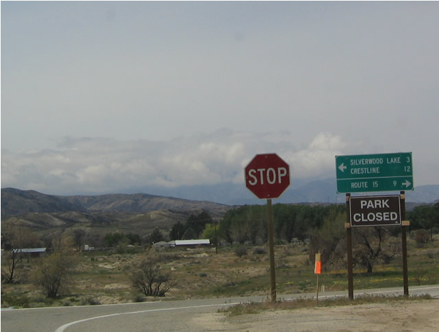
It is a long 16 miles from here to Lake Arrowhead, because about half of those miles are on dirt road. Through traffic is advised to use California 138 and California 18 to Lake Arrowhead. Photo taken 04/18/04. |
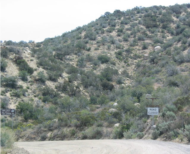 |
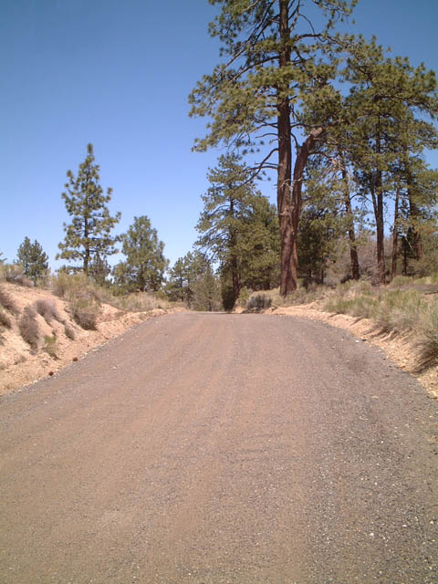
Eastbound California 173 as the dirt road begins. The sign says that the road is closed, but no barricades prevent travelers from driving California's only remaining dirt state route. Photo taken 04/18/04. |
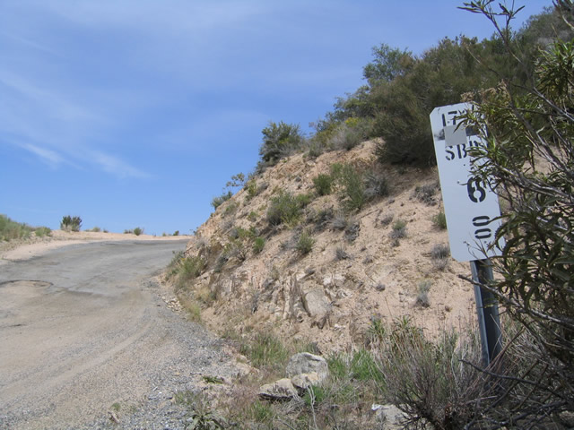 |
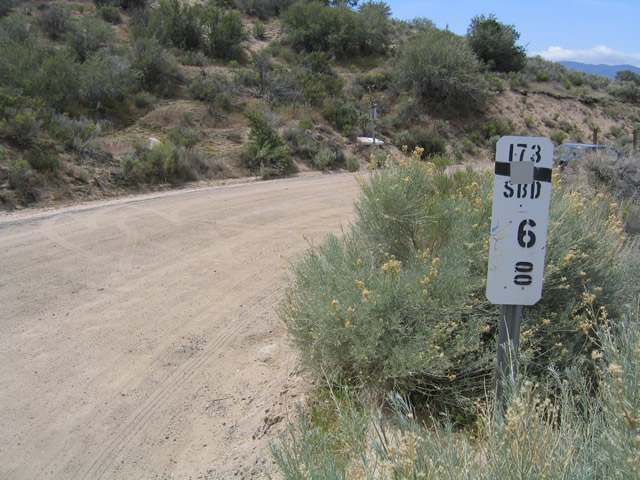
The dirt road section of California 173 is fully mileposted. This is the first milepost after California 173 changes into a dirt road east of Arrowhead Lake Road. Photo taken 04/18/04. |
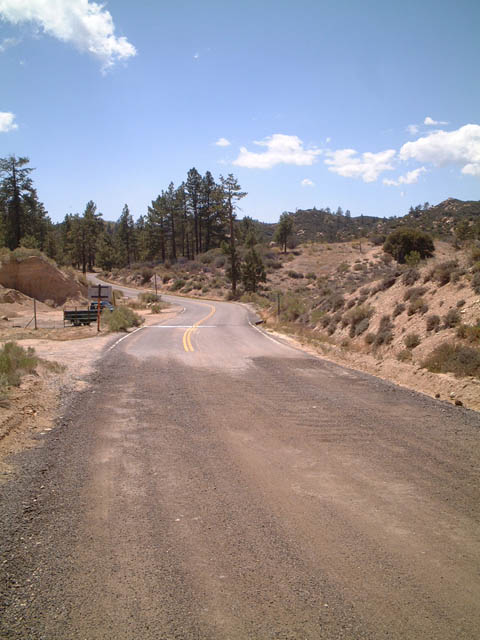 |
Pavement begins on eastbound California 173 at a point in the San Bernardino National Forest just northwest of Lake Arrowhead. Photo taken 05/01/02. |
 |
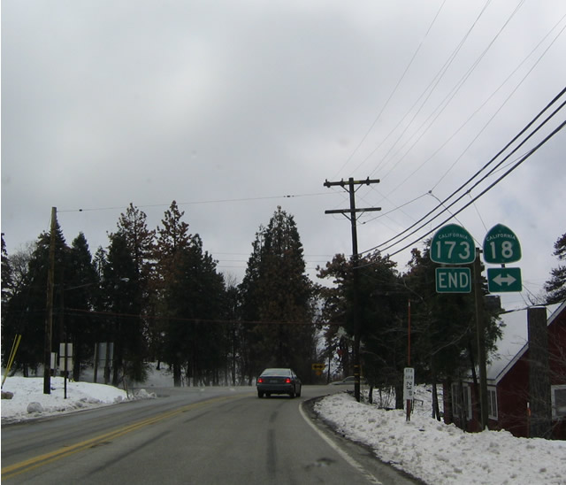 |
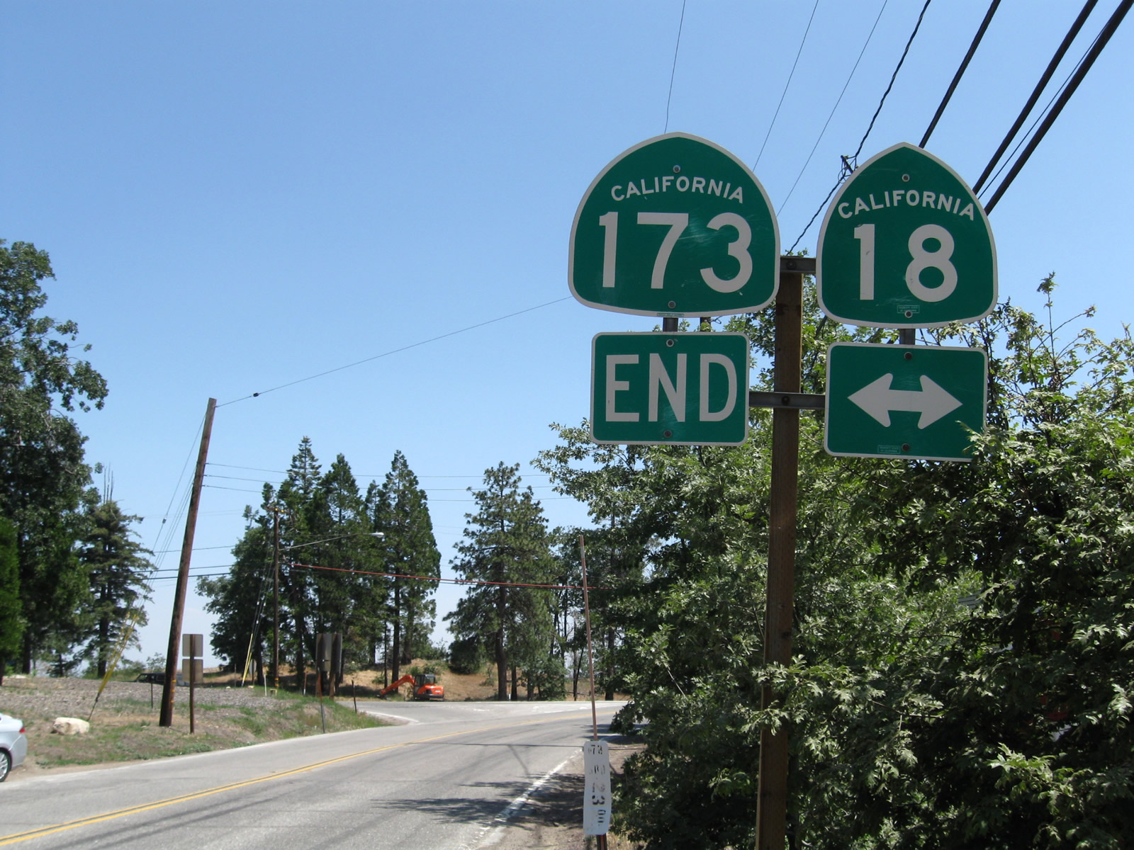
Eastbound California 173 ends at its junction with California 18 in the unincorporated community of Crest Park just south of Lake Arrowhead Village. Note the snow from the April 2004 picture; winter storms commonly bring snow to the San Bernardino Mountains during the months of December through March. Photos taken 06/27/09 and 04/18/04. |
 |
California 173 will reach its terminus at a stop sign-controlled intersection with California 18 (Rim of the World Highway) in Crest Park. Photo taken 06/27/09. |
| California 173 west | |
|---|---|
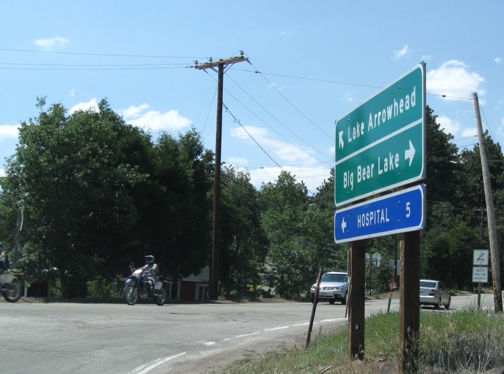 |
Upon turning off California 18, this green guide sign points the way to California 173 north to Lake Arrowhead and California 18 east to Running Springs and Big Bear Lake. Photo taken 06/27/09. |
 |
This is the first California 173 west reassurance shield after the intersection with California 18 (Rim of the World Highway). From here, California 173 will travel north to Lake Arrowhead, pass alongside the eastern edge of the lake, then turn north and northwest toward the dirt road section. Photo taken 06/27/09. |
 |
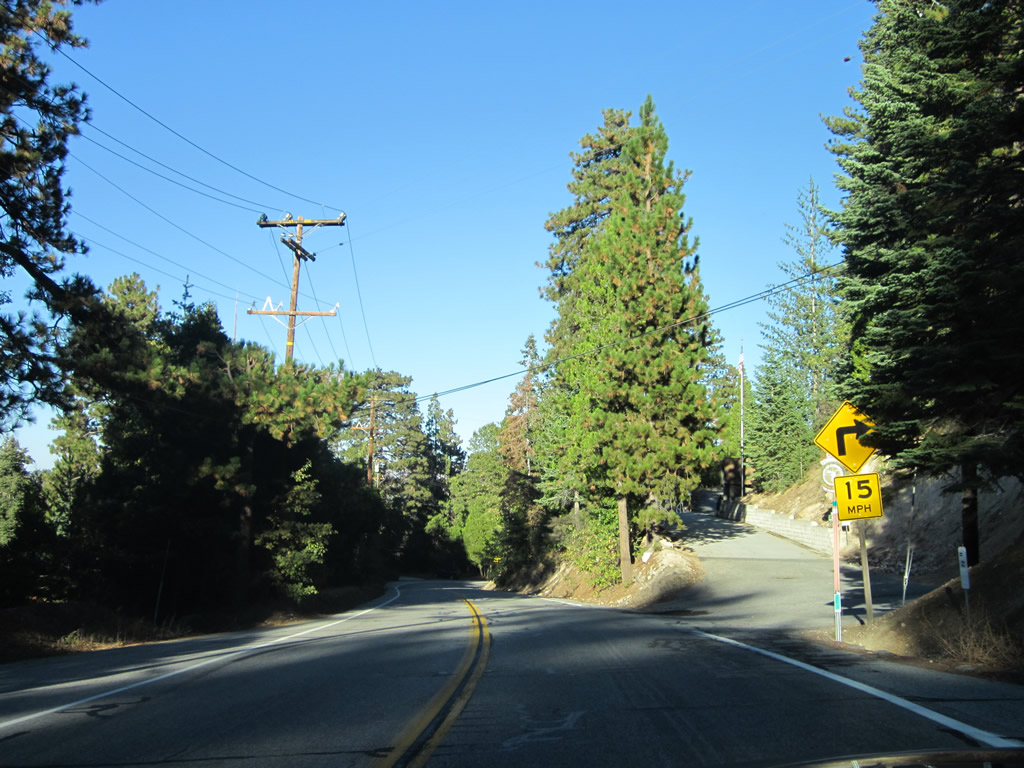
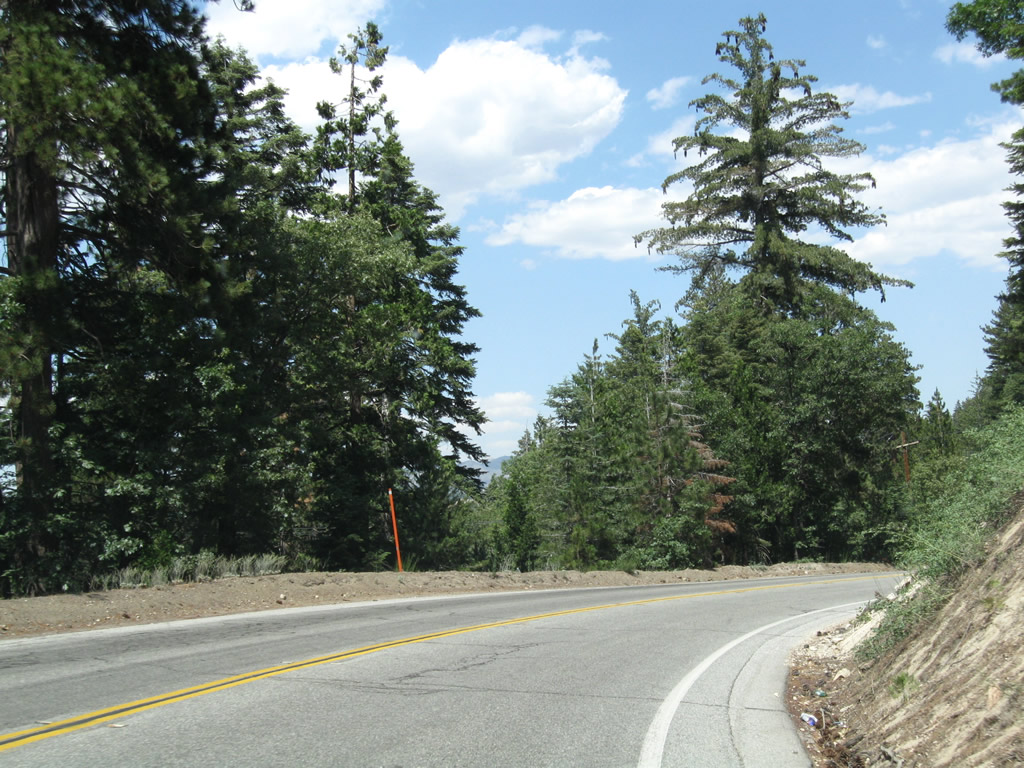
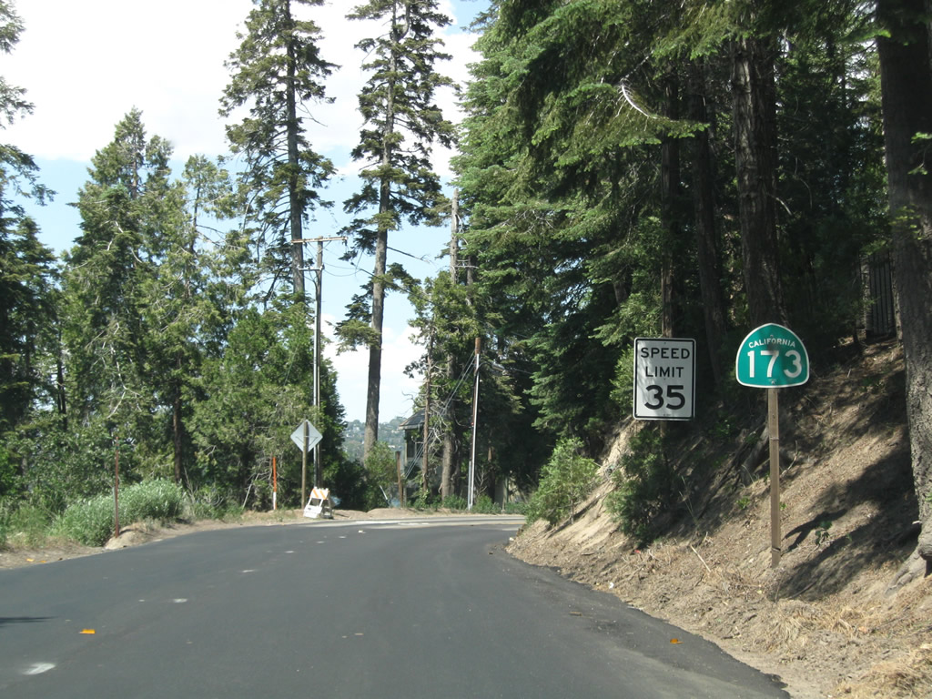
Generally with two lanes, California 173 is a mountain highway punctuated by several curves, grade changes and limited sight distances. Photo taken 06/27/09. |
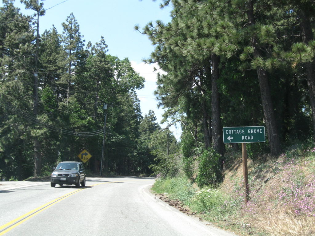 |
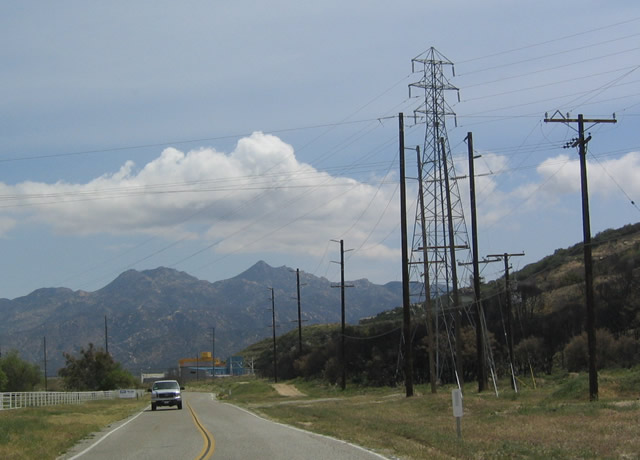
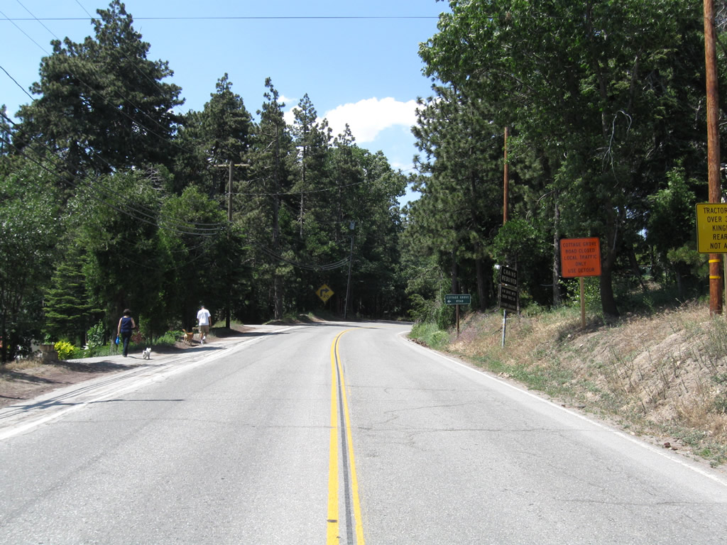
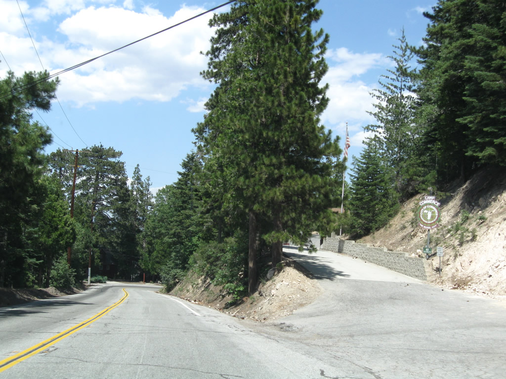
Westbound (northbound) California 173 meets the turnoff to Cottage Grove Road. This road provides local residential access adjacent to the state route. Photo taken 06/27/09. |
 |
 |
 |
 |
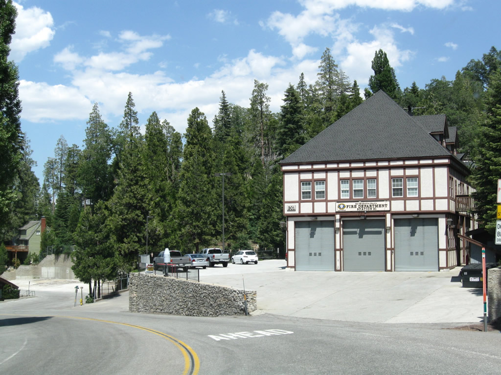 |
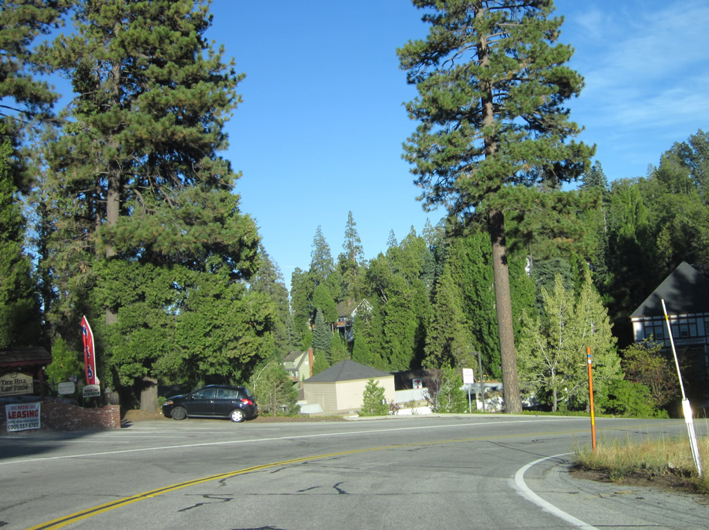
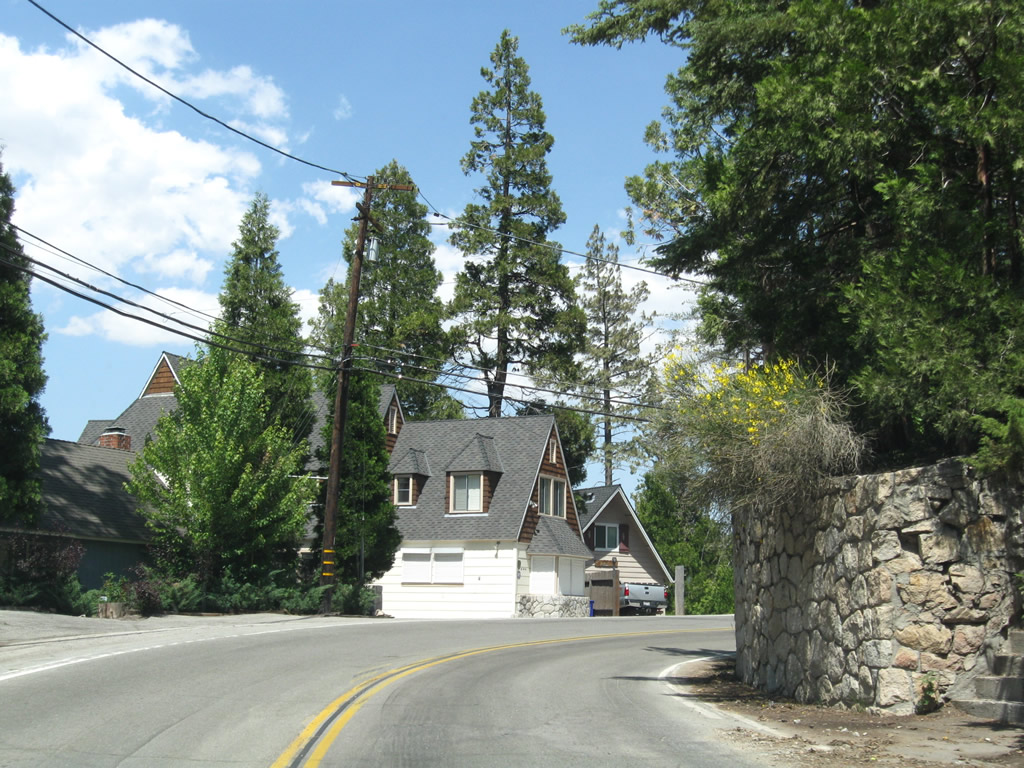
| Several sharp turns -- along with driveways, downhill slopes, slow traffic, and changing weather conditions -- warrant a slower speed on mountainous California 173 as we traffic due north into Lake Arrowhead Village. The last picture, which shows the village fire house, is located just prior to the intersection that connects to both California 189 and Lake Arrowhead Village. Photos taken 06/27/09 and 10/13/12. | ||||
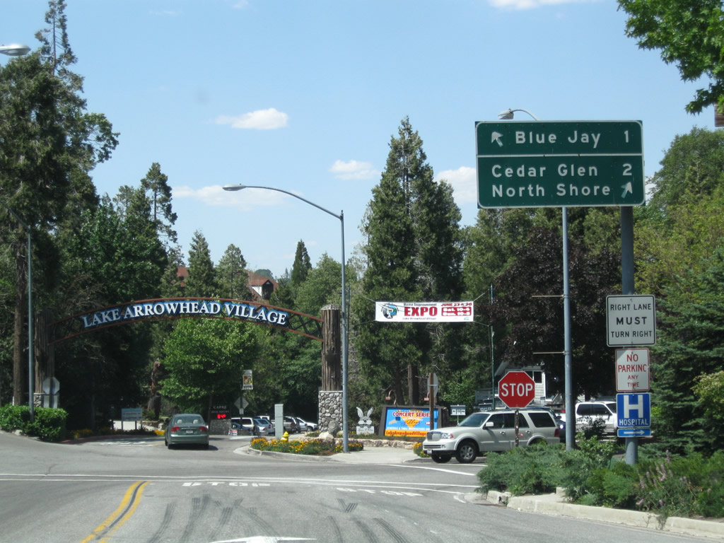 |
Westbound California 173 approaches the junction with California 189 and the entrance to Lake Arrowhead Village. Turn left for California 189 west to Blue Jay and Twin Peaks; turn right for the continuation of California 173 northwest to the eastern and northern shores of Lake Arrowhead. Continue straight ahead into the Lake Arrowhead Village, which features outlet shops, restaurants, and views of the lake. Note the lack of any state highway shields at this complicated intersection. Photo taken 06/27/09. |
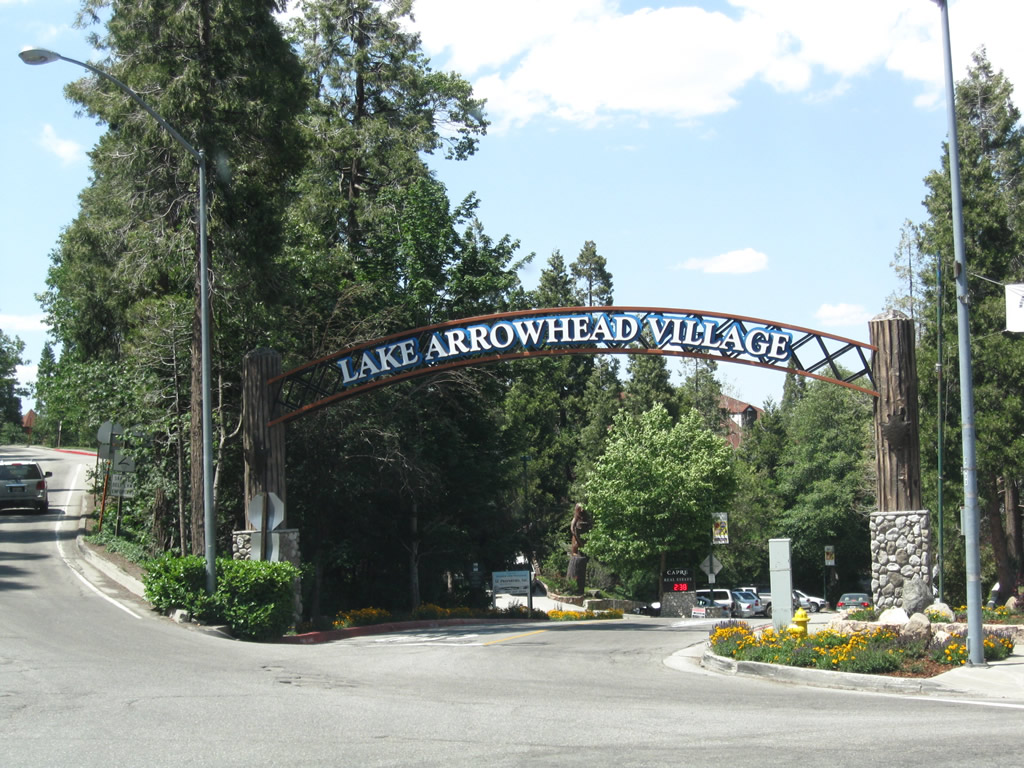 |
An arch spans the entrance to the privately owned Lake Arrowhead Village ("Old World Charm, New World Excitement"). The village is part of the larger unincorporated community of Lake Arrowhead, which had a population of 12,424 as of the 2010 Census. Bear left here to connect to California 189 west, or pass through the arch to enter the village. Bear right to continue on California 173 northwest. Photo taken 06/27/09. |
 |
Leaving the Lake Arrowhead Village entrance area, a California 173 reassurance marker appears. While California 173 is not a good choice for through traffic, it does provide access to the north shore of Lake Arrowhead. Photo taken 06/27/09. |
 |
More sharp turns and driveways line California 173 north of the main village entrance, so motorists should use caution while driving through here. Photo taken 06/27/09. |
 |
Visible through the trees to the left, SR 173 west skirts along the eastern shore of Lake Arrowhead. Photo taken 05/01/02. |
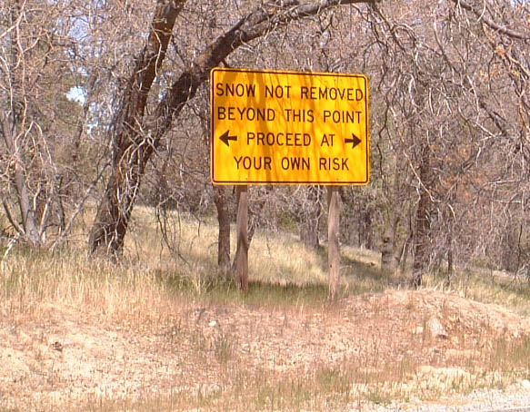 |
Snow removal is not conducted on California 173 northwest of Lake Arrowhead. Photo taken 05/01/02. |
 |
 |
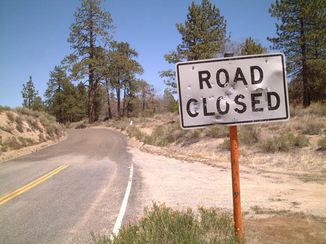
Westbound California 173 at the point where the pavement ends at a point in the San Bernardino National Forest just northwest of Lake Arrowhead. The signs display "Road Closed," but the road is open for use. Photos taken 05/01/02. |
 |
 |
|
 |
The dirt road section of California 173 is fully mileposted. This is the last milepost after California 173 changes from a dirt road east of Arrowhead Lake Road into a paved road along westbound. Photo taken 04/18/04. | |
 |
 |
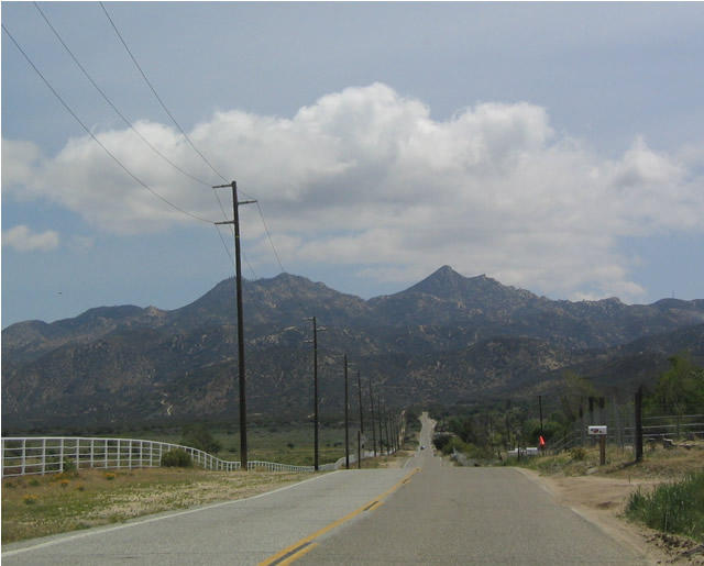
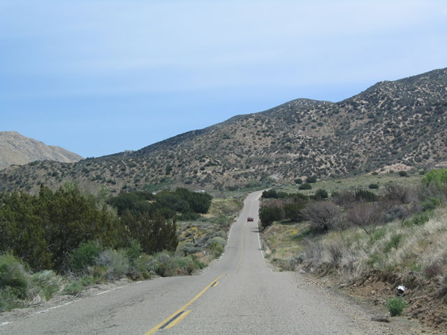
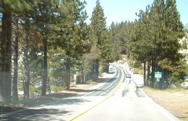
These two pictures are taken along westbound California 173 as we travel north of Silverwood Lake and through Mojave Forks prior to the California 138 intersection. Photo taken 04/18/04. |
 |
Westbound California 173 ends at California 138. Photo taken 04/18/04. | |
 |
Once California 173 meets California 138, a right turn follows California 138 west to Interstate 15; a left turn follows California 138 east to California 18 in Crestline. Photo taken 04/18/04. | |
| California 173 scenes | |
|---|---|
 |
This view of Lake Arrowhead is seen from a boat dock accessible near the outlet shops off of California 173. Photo taken 05/01/02. |
Sources:
- State Route 173 (Unpaved Portion) Permanent Closure - Caltrans District 8 Press Release dated February 15, 2011, by Terri Kasinga. Relevant quote: "The California Department of Transportation (Caltrans) will permanently close an approximate five mile section of unpaved State Route 173 (SR-173) in early March 2011. The route is located west of Lake Arrowhead in the San Bernardino Mountains and is the only state highway in California in which the travel way is comprised of dirt. The route will be closed from west of the original closure at Willow Creek Road, downhill to east of Arrowhead Lake Road, just east of Hesperia. The decision to close the roadway was made by transportation officials late last year based on safety concerns or the motoring public. The roadway is narrow, unpaved, and in many areas does not have two travel lanes for the safe passage of opposing vehicles."
- Route Concept Fact Sheet District 8: State Route 173 by Caltrans District 8 Division of Planning, March 2000. Relevant quote: "Segment 2 is unpaved and traverses mountainous terrain. The unpaved section is generally closed in the winter and often restricted to one-lane width. The closures normally occur between the months of November and April depending upon weather conditions. Traffic volumes on this segment are extremely low. Only about 50 vehicles traverse this segment per day and many of them are public vehicles (Caltans, sewer districts, and utility companies, etc). Segments 2 and 3 primarily have no State highway purpose and are considered by the mountain communities to serve as a backdoor fire escape even though the route has not been needed for this purpose since it entered the State highway system in 1933. ... Most of the traffic on the route is concentrated in the Lake Arrowhead area and is comprised of local trips. Other State highways (SR-138, 189 and 18) provide alternate service and links to State Route 173. The route traverses through National Forest, the City of Hesperia, and the County of San Bernardino. Relinquishment of SR-173 to these jurisdictions should be considered. "
- Highway 173 to close Permanently? on My Jeep Rocks Forum; retrieved on October 14, 2012. Relevant quote: "Caltrans has tried to relinquish the road over the years and the Department remains willing to do so," by Terri Kasing, Caltrans Public Information Officer.

Page Updated October 14, 2012.
|
About Contact Glossary |
In The News Testimonials Interstate Guide |
Social Media:
 |
|
© 2000-23 AARoads.com | All Rights Reserved | Privacy Policy / Terms of Use
|
||