
California 262
California 262 is a short expressway (divided highway with traffic signals) that follows Mission Boulevard between Interstate 880 and Interstate 680 in the city of Fremont.
Additional capacity improvements to this route are underway at the western end of this short, one-mile state route, including an additional lane in each direction and the reconnection of two sections of Warren Avenue in Fremont's Warm Springs District. This project is fully described at Caltrans' Interstate 880/California 262 Mission Boulevard interchange project.
A 2002 Caltrans study considered whether California 262 should be converted to full freeway standards. Six options were considered for a potential California 262 freeway corridor, including (from north to south):1
- Auto Mall Parkway/Durham Road corridor
- Grimmer Boulevard
- Existing Mission Boulevard
- Scott Creek Road, Milmont Drive and Dixon Landing Road
- California 237 (Calaveras Boulevard) from Interstate 880 to Interstate 680
- Montague Expressway
At this point, all of these alternatives are unlikely to occur soon due to the cost of constructing any of these freeway-grade improvements. The future of California 262 is dependent upon the future configuration of California 237 to the south (Option #5). If California 237 is built as a freeway-grade facility between Interstate 880 and Interstate 680 (it is currently an at-grade city street), California 262 is to be decommissioned per the current legislative definition for Route 262 in the Streets and Highways Code.
| California 262 west | |
|---|---|
 |
California 262 begins at the modified cloverleaf interchange (built in 1971, widened in 1997) with Interstate 680 in Fremont's Warm Springs district. This view shows traffic from Interstate 680 south merging onto California 262 (Mission Boulevard) west. There are no reassurance shields for California 262, although signage from southbound Interstate 680 lists Mission Boulevard west as part of California 262. Photo taken 11/25/07. |
 |
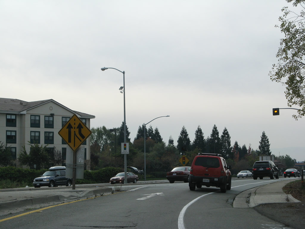
The entire route of California 262 is located within the city of Fremont. Incorporated on January 23, 1956, the city of Fremont is home to 203,413 people as of the 2000 Census and was formed from the merger of five smaller communities: Centerville, Irvington, Mission San Jose, Niles, and Warm Springs. The city consists of 87.1 square miles and is named for John C. Fremont, the Great Pathfinder. The first traffic signal is with Mohave Drive. Photo taken 11/25/07. |
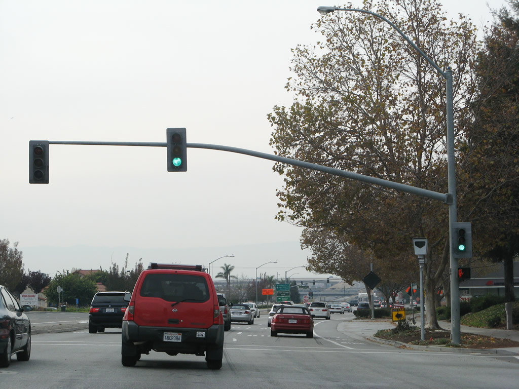 |
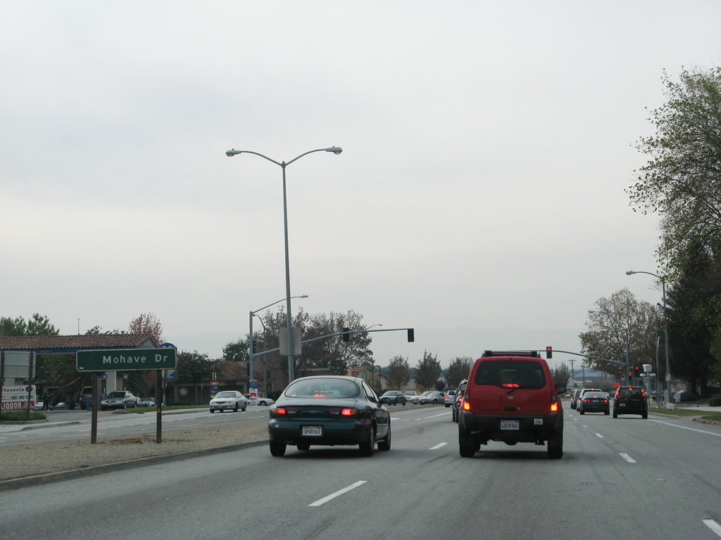
There are only two traffic signals along California 262. The first traffic signal (shown here) is with Mohave Drive, which provides access to residential and commercial areas along both sides of the state route. The traffic signal is photo-enforced with a red light camera. Photo taken 11/25/07. |
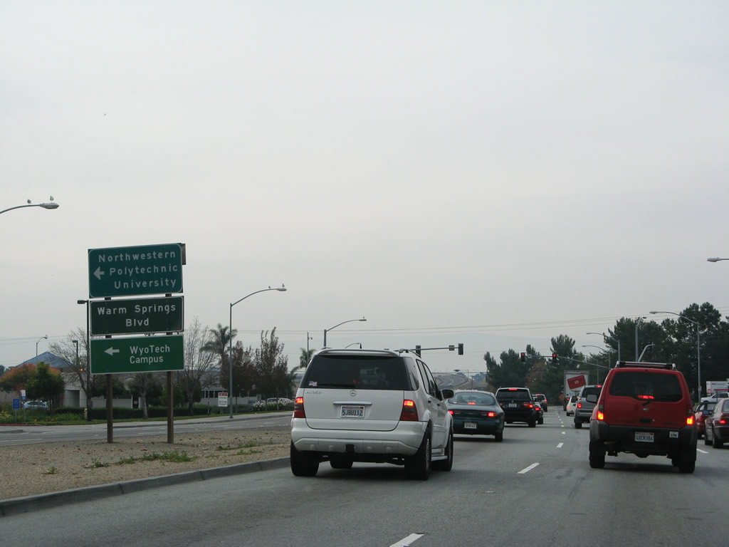 |
The next signalized intersection along California 262 (Mission Boulevard) east is with Warm Springs Boulevard. On the northeast corner of this intersection is Warm Springs Plaza. Use Warm Springs Boulevard north to Osgood Road and Grimmer Boulevard. To the south, Warm Springs Boulevard connects to Warren Avenue and Scott Creek Road before entering the city of Milpitas in Santa Clara County and changing into Milpitas Boulevard. Photo taken 11/25/07. |
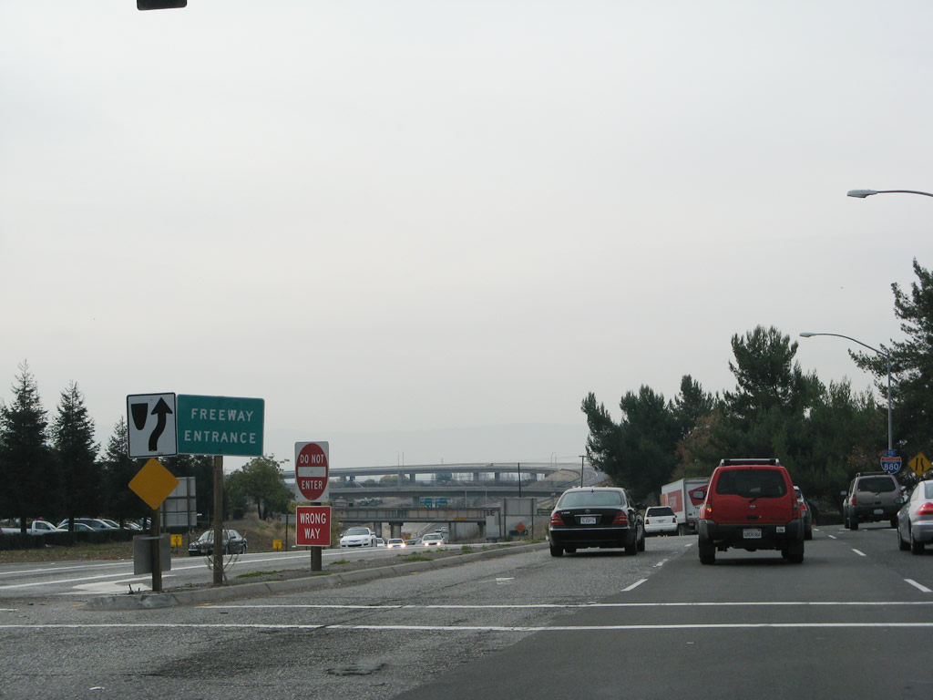 |
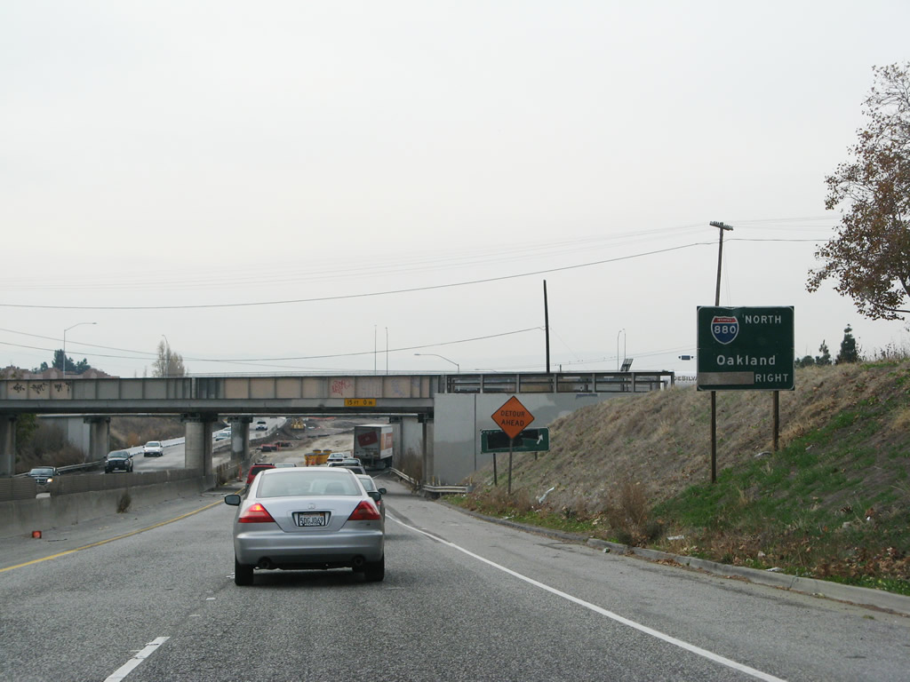
Passing through the Warm Springs Boulevard intersection, a freeway entrance sign is posted (without a state reassurance shield). From here, California 262 prepares to meet Interstate 880. The ramps for that interchange are visible in the distance. Photo taken 11/25/07. |
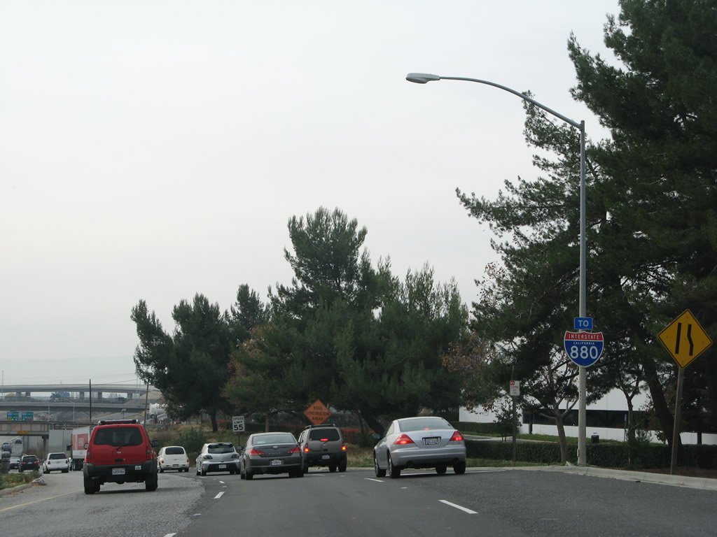 |
A "To Interstate 880" trailblazer is posted shortly thereafter. The remainder of California 262 takes on freeway characteristics. At this point, California 262 narrows to two westbound lanes. Photo taken 11/25/07. |
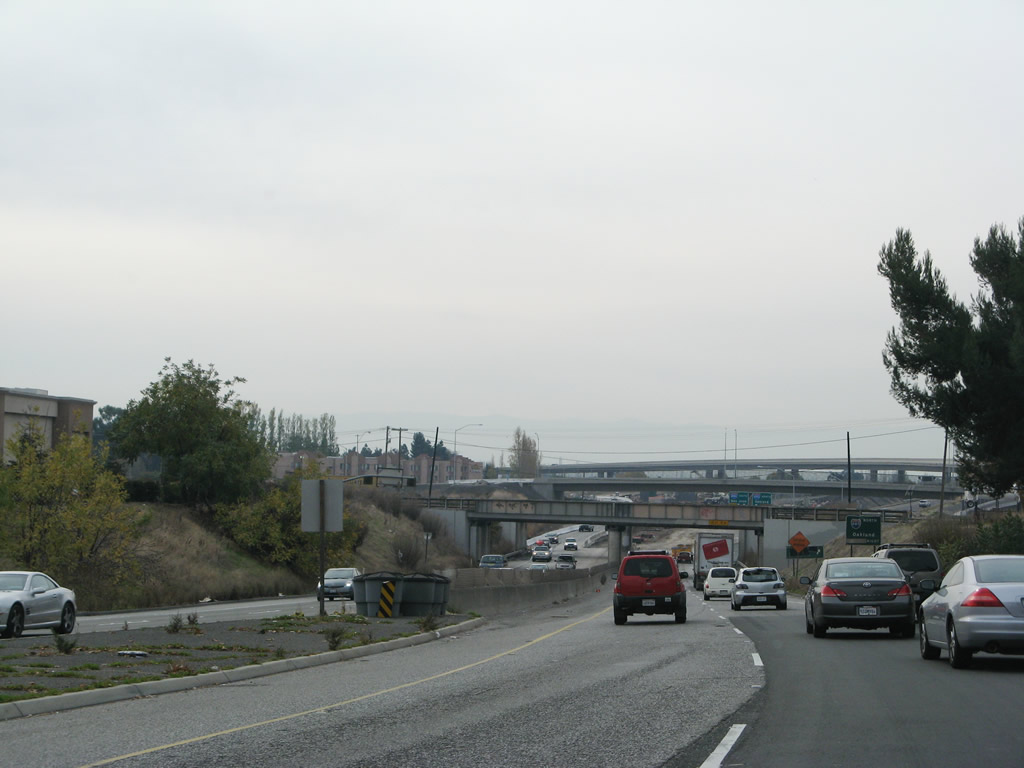 |
A jersey barrier serves as the median as California 262 continues west under two railroad overpasses and under Kato Road before reaching Interstate 880. Photo taken 11/25/07. |
 |
Due to ongoing construction, the Kato Road exit ramp was closed. This ramp would also connect to East Warren Avenue eastbound. The next exit is the connection to Interstate 880 (Nimitz Freeway) north to Oakland, followed by the connector to Interstate 880 south to San Jose. Photo taken 11/25/07. |
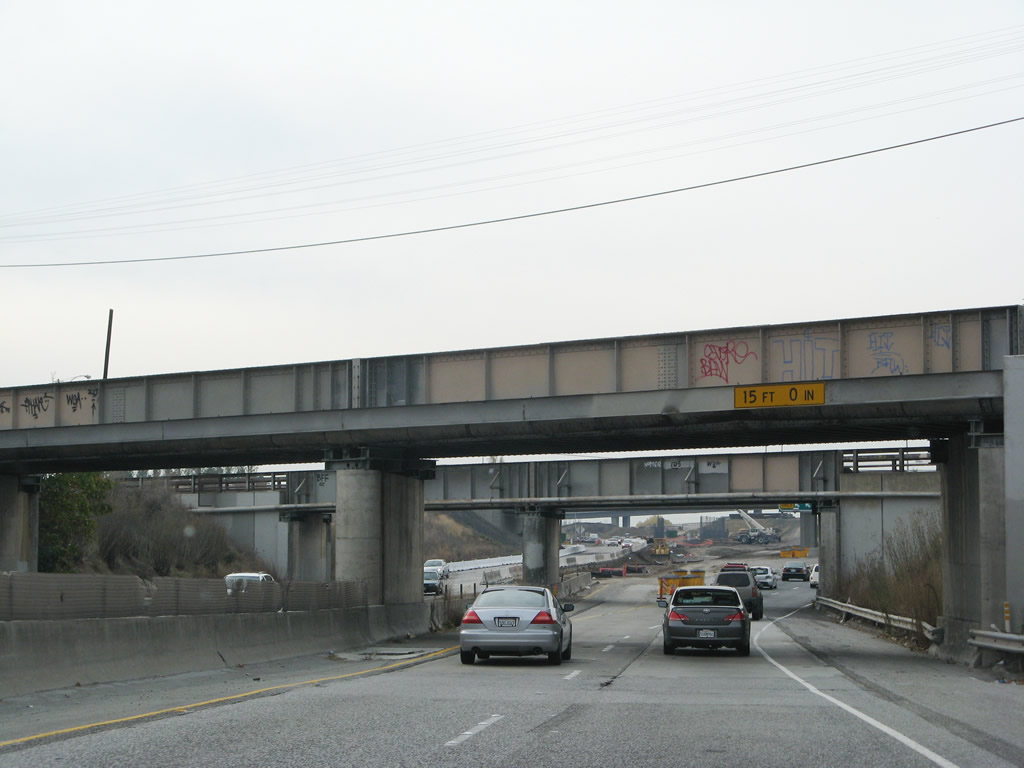 |
This brief section of freeway was built in the 1950s, with the two railroad overpasses built in 1953-1954 and the original Kato Road overpass built in 1958 (and replaced with the current construction project). Photo taken 11/25/07. |
 |
The new Kato Road overpass, which features a much wider bridge to accommodate more lanes, comes into view after passing under the two railroad bridges. The final configuration of the new California 262 becomes clearer. The right lane of westbound California 262 will provide access to Interstate 880 north to Oakland, but both lanes will offer access to Interstate 880 south to San Jose. Photo taken 11/25/07. |
 |
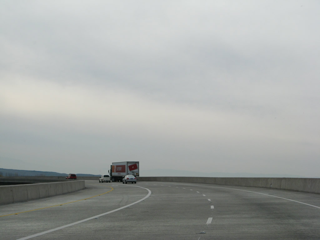 |
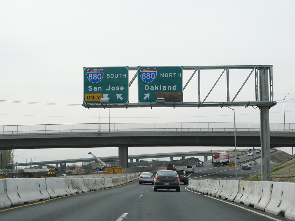
The two lanes of California 262 widen to include a high occupancy vehicle lane, then flies over the main lanes of Interstate 880. At the end of the ramp is a final exit to Gateway Boulevard, which serves the business park in southwestern Fremont west of Interstate 880. Photos taken 11/25/07. |
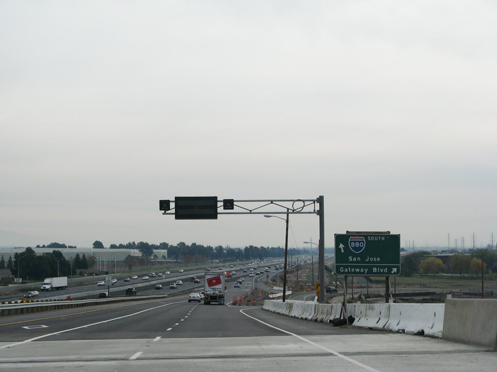 |
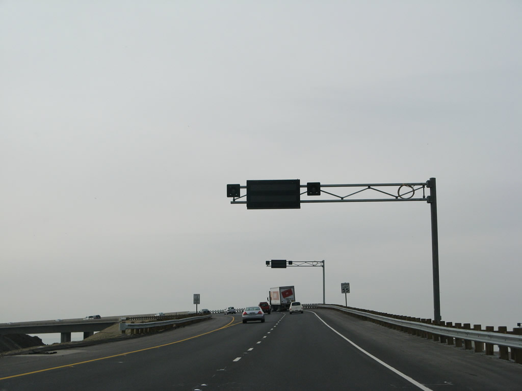
Westbound California 262 splits with Gateway Boulevard at this point and comes to an end as the lanes merge onto Interstate 880 (Nimitz Freeway). Typical given its lack of reassurance shields, no end shield assembly is present. Photo taken 11/25/07. |
Sources:
- California Highways: Routes 257 through 264 by Daniel Faigin includes a description of the 2002 Caltrans study of the California 262 corridor

Page Updated January 5, 2008.
|
About Contact Glossary |
In The News Testimonials Interstate Guide |
Social Media:
 |
|
© 2000-23 AARoads.com | All Rights Reserved | Privacy Policy / Terms of Use
|
||