
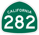
California 282
California 282 is an eight-block long couplet in Coronado, with westbound traffic using Third Street and eastbound traffic using Fourth Street. It is the primary connection between California 75/San Diego-Coronado Bay Bridge and the North Island Naval Air Station. As such, it sees heavy commuter traffic in the mornings and evenings.
Future Aspirations
Plans for alleviating the traffic include the possibility of tunneling underneath the residential areas to minimize traffic impacts caused by the location of the base in Coronado. However, such a tunnel would be very expensive, and it is currently being studied as one of several alternatives to reduce traffic problems on California 75 and California 282 through Coronado.
| California 282/Third Street west | |
|---|---|
 |
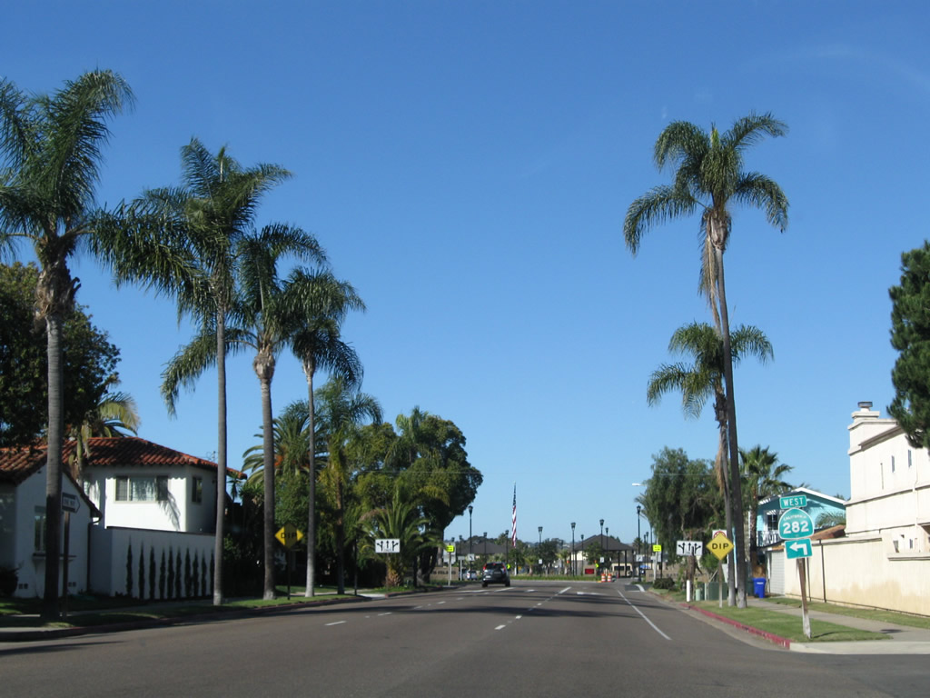
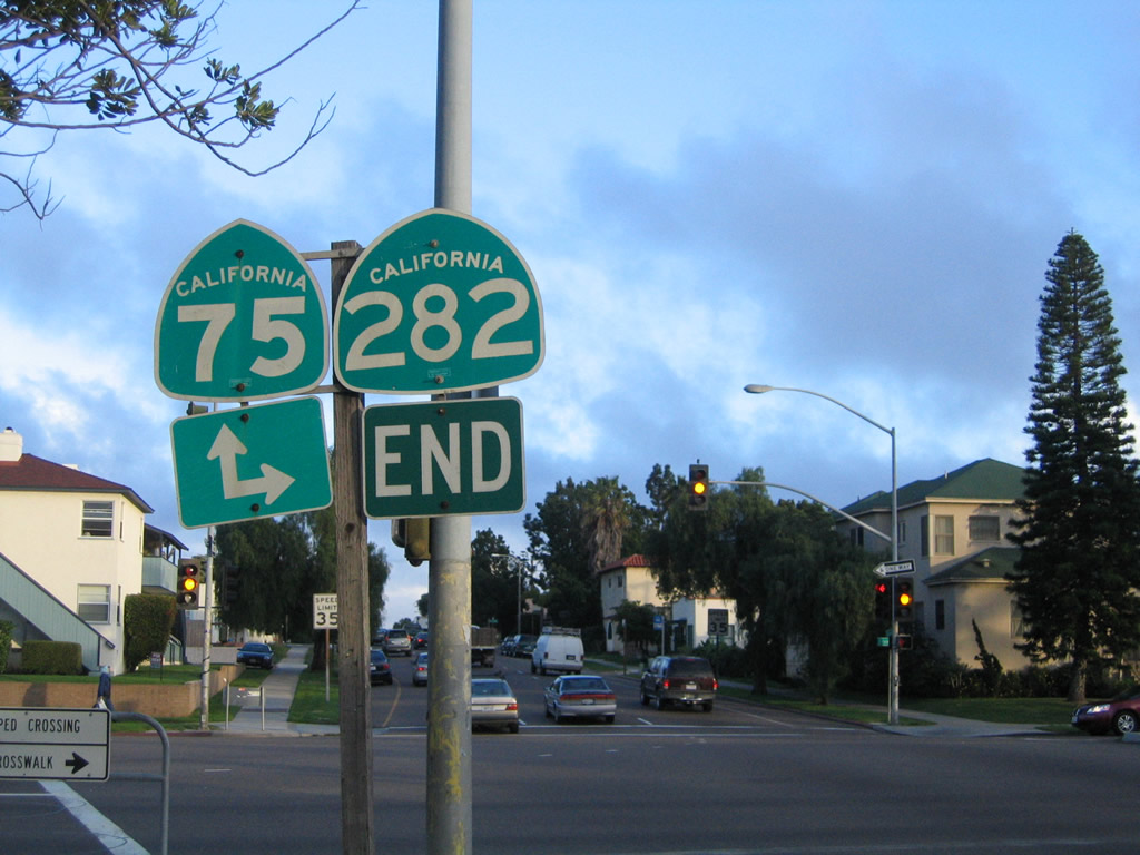
At the Orange Avenue intersection, California 75 turns south toward the Hotel del Coronado, while California 282 begins for a short run toward the main gate for the North Island Naval Air Station. Photo taken 01/18/09. |
 |
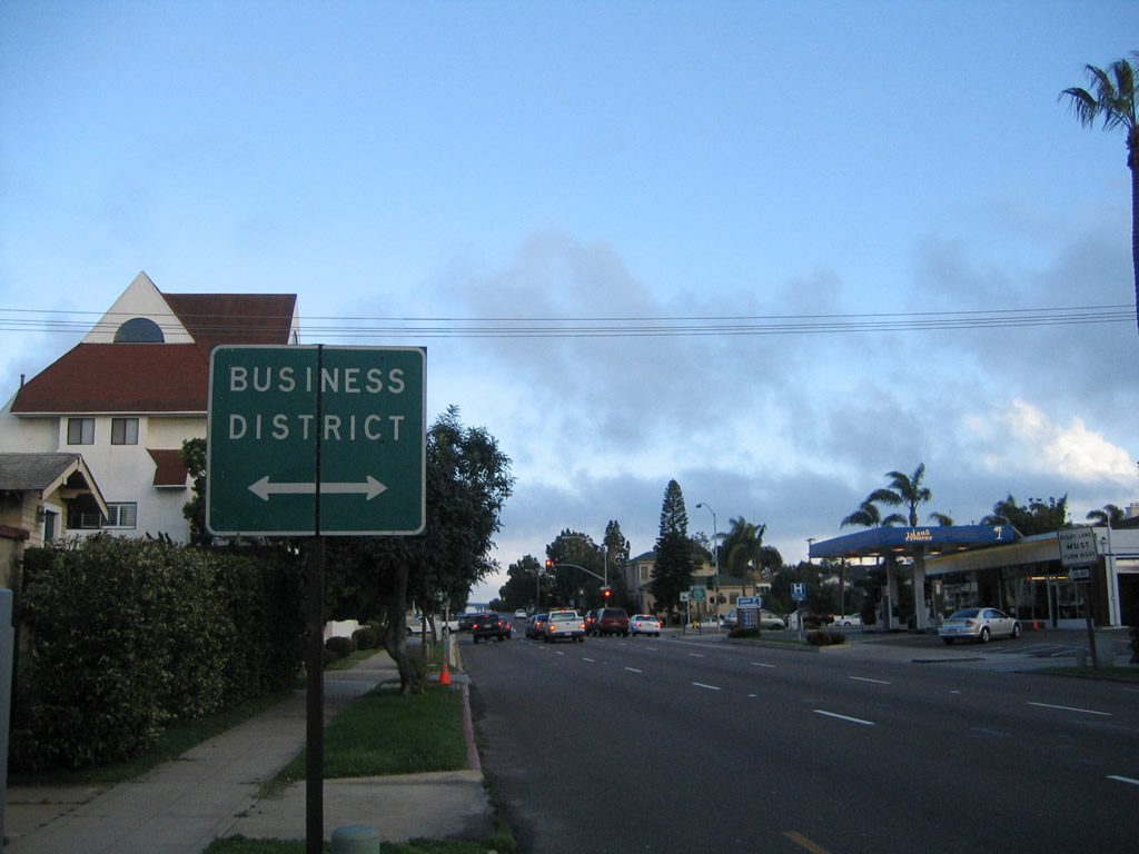
After the Orange Avenue intersection, three lanes carry traffic from the Coronado Business District toward the main gate entrance to the base. Photo taken 01/18/09. |
 |
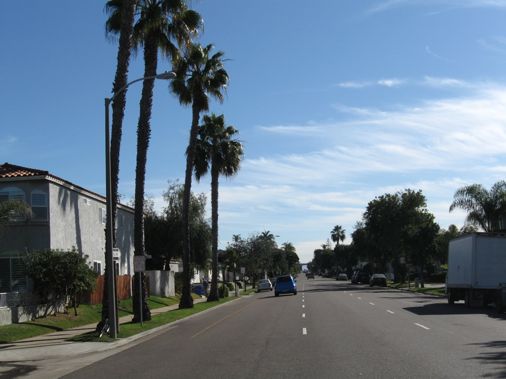
Residences line both sides of this busy commuter corridor. The U.S. Navy base generates substantial traffic, especially at shift changes. Watch for heavy traffic during morning and afternoon commuting hours. Photo taken 01/18/09. |
 |
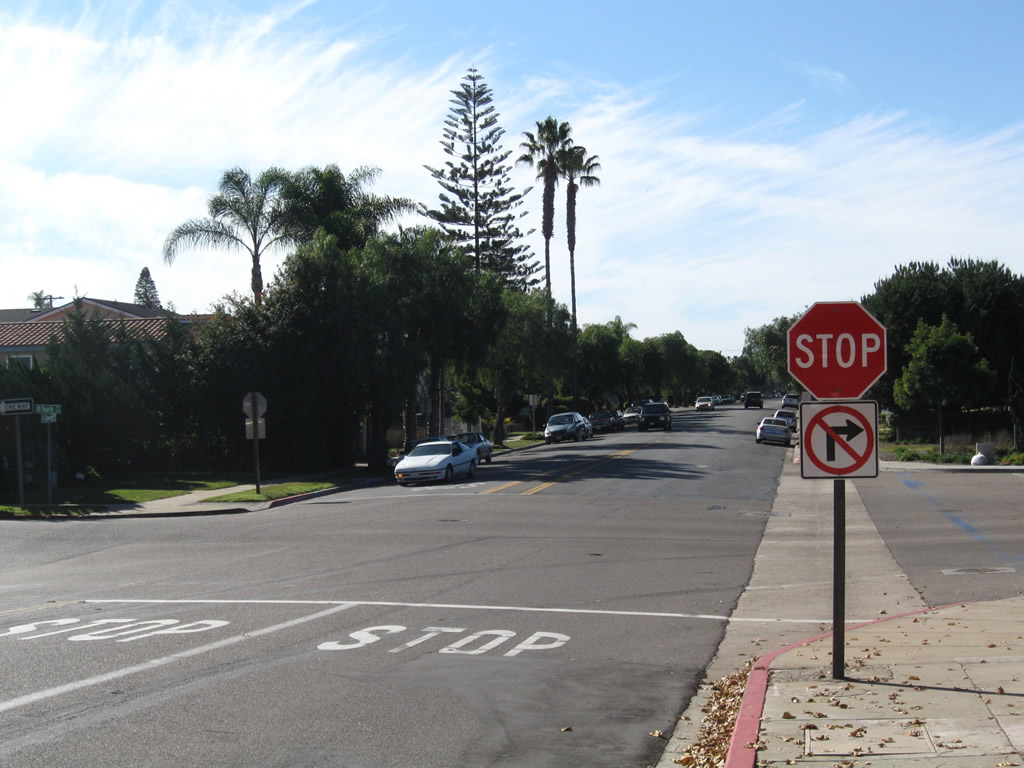
Certain movements (turns) are not permitted during commuting hours. This view is at Third Street and G Avenue in Coronado. Photo taken 01/18/09. |
 |
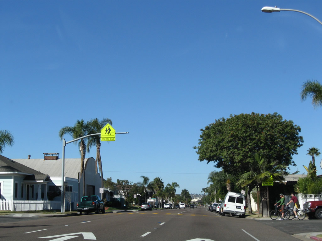
The next intersection along California 282/Third Street west is a six-way intersection with north-south H Street and northwest-southeast Palm Avenue. On the north side of the street is Palm Park, which is bounded by Palm Avenue, Third Street, and I Avenue. Photo taken 01/18/09. |
 |
Passing Palm Park, the next intersection is with I Avenue. Photo taken 01/18/09. |
 |
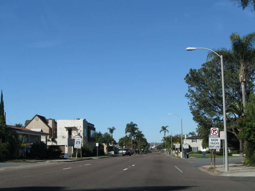
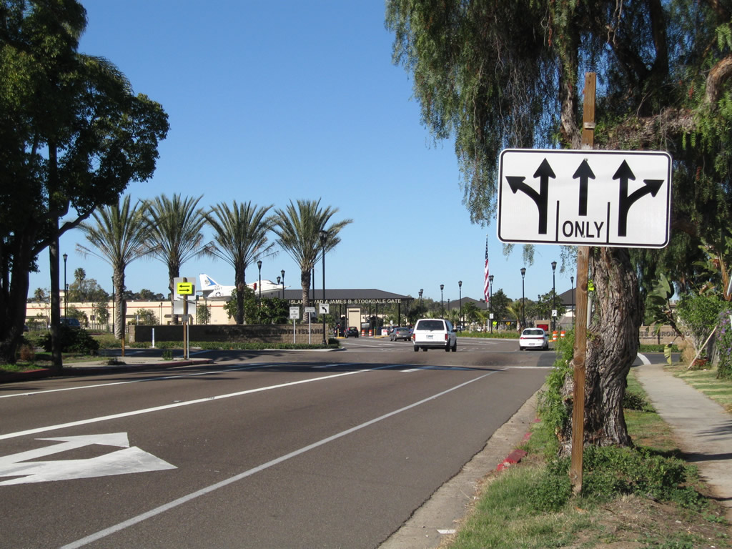
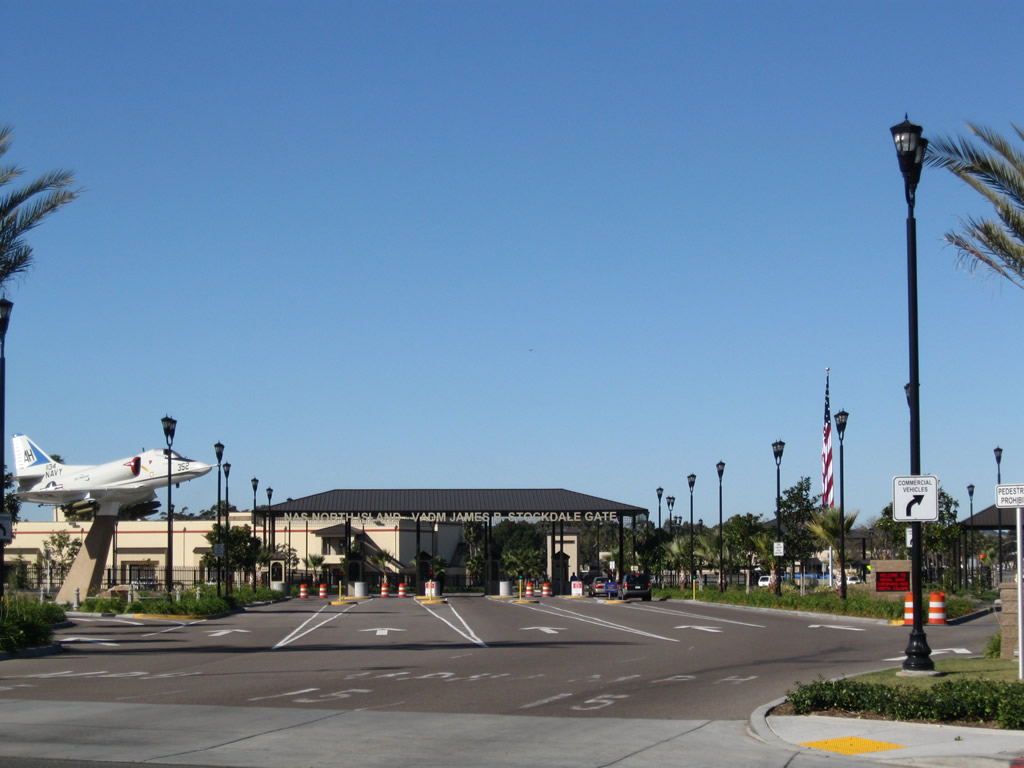
At the intersection with J Avenue, westbound California 282 approaches the entrance to the North Island Naval Air Station. Westbound California 282 will turn left (south) on Alameda Boulevard, while Third Street will default into the Vice Admiral James R. Stockdale Gate. This gate serves as the main entrance to the U.S. Navy base. Photo taken 01/18/09. |
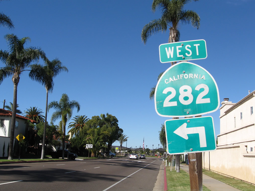 |
The only standalone shield along westbound California 282 is this trailblazer posted on westbound Third Street at J Avenue, which is one block prior to Alameda Boulevard. Note the use of Series D-Bold font. Photo taken 01/18/09. |
 |
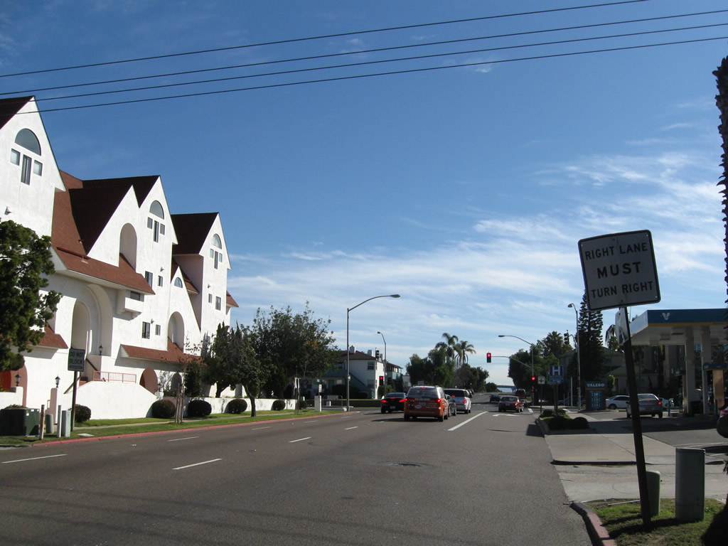
All three lanes will enter the U.S. Navy base (note the gate in the background). Only the left and right lanes offer turns onto Alameda Boulevard. Use the left lane to turn onto California 282/Alameda Boulevard south. Photo taken 01/18/09. |
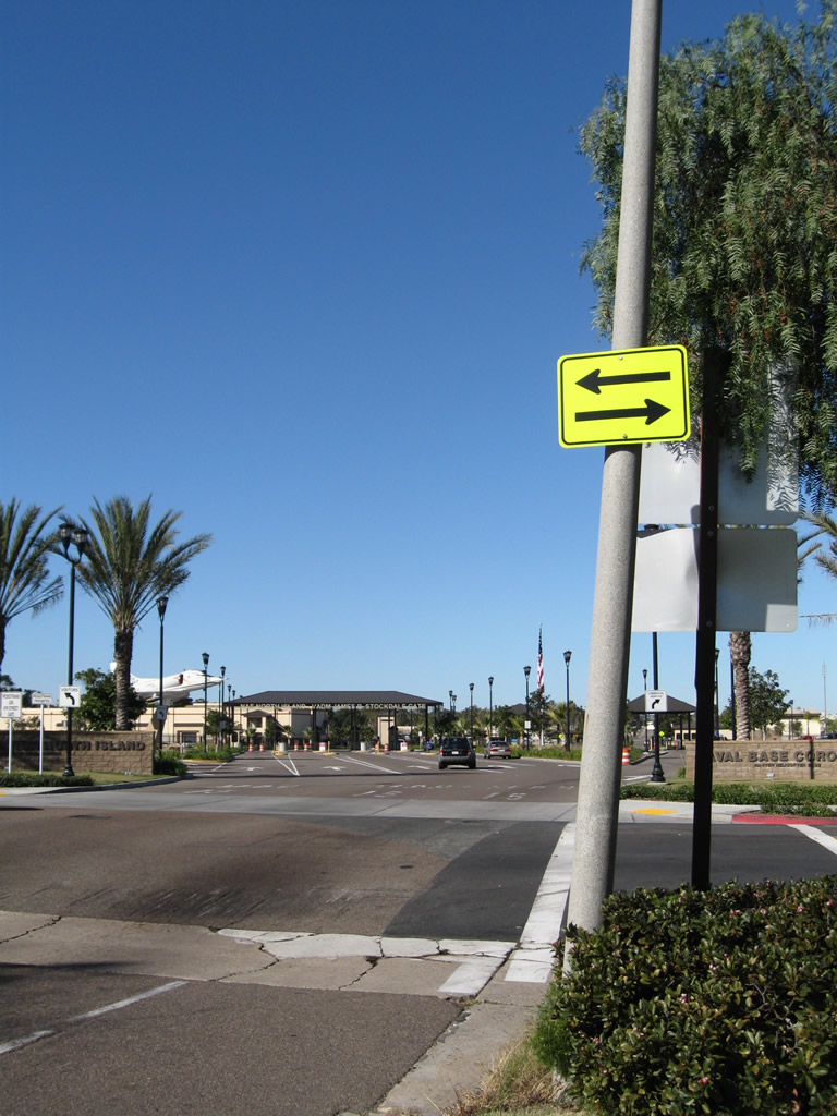 |
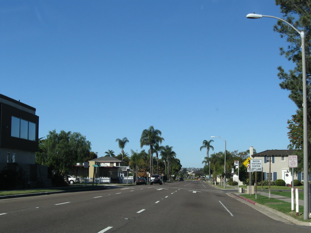
Westbound California 282/Third Street meets Alameda Boulevard. Visitors should stay left to enter the visitors center parking lot (after the Alameda Boulevard intersection) and to request permission to enter the base. The main three lanes proceed to the security checkpoint; all motorists must present a valid identification to gain access to the base. If you are uncertain, turn left or right onto Alameda Boulevard or enter the visitors center. Photo taken 01/18/09. |
 |
The entrance to the North Island Naval Air Station is located beyond the Alameda Boulevard intersection. Note the left ramp to the visitors center. California 282 turns south for one block on Alameda Boulevard to the location of the former base entrance from Fourth Street. Photo taken 01/18/09. |
| California 282/Alameda Boulevard south | |
|---|---|
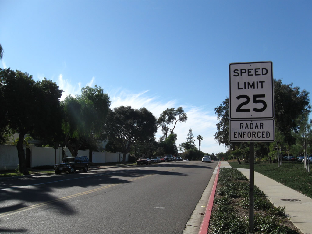 |
Upon turning south on Alameda Boulevard, California 282 continues for one more block along Alameda Boulevard. This extra block of state highway was part of the original entrance to the main gate of the naval station. When the entrance was moved from Fourth Street to Third Street, the one block stretch of Alameda Boulevard remained in the state highway system, thus connecting westbound California 282 with eastbound California 282. The speed limit is 25 miles per hour. Photo taken 01/18/09. |
 |
As part of the base entrance realignment, there used to be a right turn permissible onto Fourth Street. Once the entrance was moved to Third Street, the right turn onto Fourth Street was prohibited. Photo taken 01/18/09. |
 |
Right turns onto one-way eastbound Fourth Street are now prohibited due to the realignment of the base entrance. Traffic may turn left onto Fourth Street to travel back toward the Coronado business district or continue straight on locally maintained Alameda Boulevard toward the beach. Photo taken 01/18/09. |
 |
Westbound California 282 ends at the intersection of Alameda Boulevard and Fourth Street. One-way McCain Street enters this intersection from the right. Turn left to follow California 282 east back to the Coronado business district and the bridge to San Diego. There is no right turn permitted here. No end shield is present. Photo taken 01/18/09. |
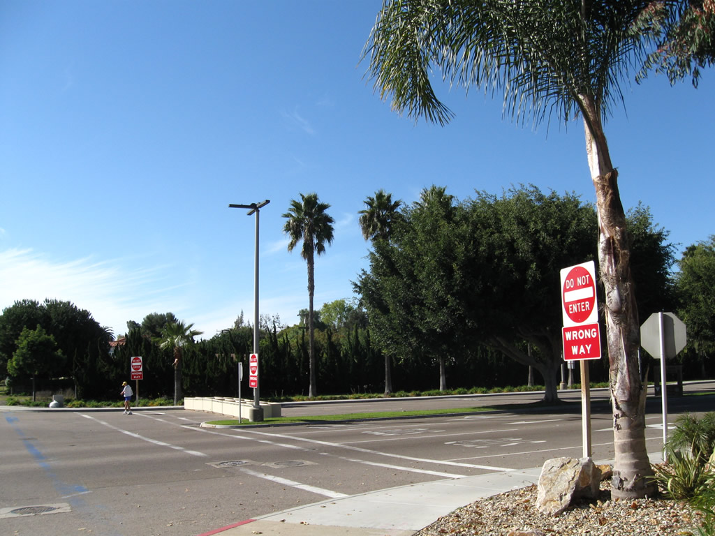 |
The former entrance to the base is now the exit from the base and flanked by DO NOT ENTER signs. The lanes that used to guide motorists onto the base have been reversed; the former exit lanes are not in use currently. Several barricades block passage to the former exit lanes. Photo taken 01/18/09. |
| California 282/Fourth Street east | |
 |
California 282 leads east from the North Island Naval Air Station toward the San Diego-Coronado Bay Bridge and points beyond. Photo taken 01/18/09. |
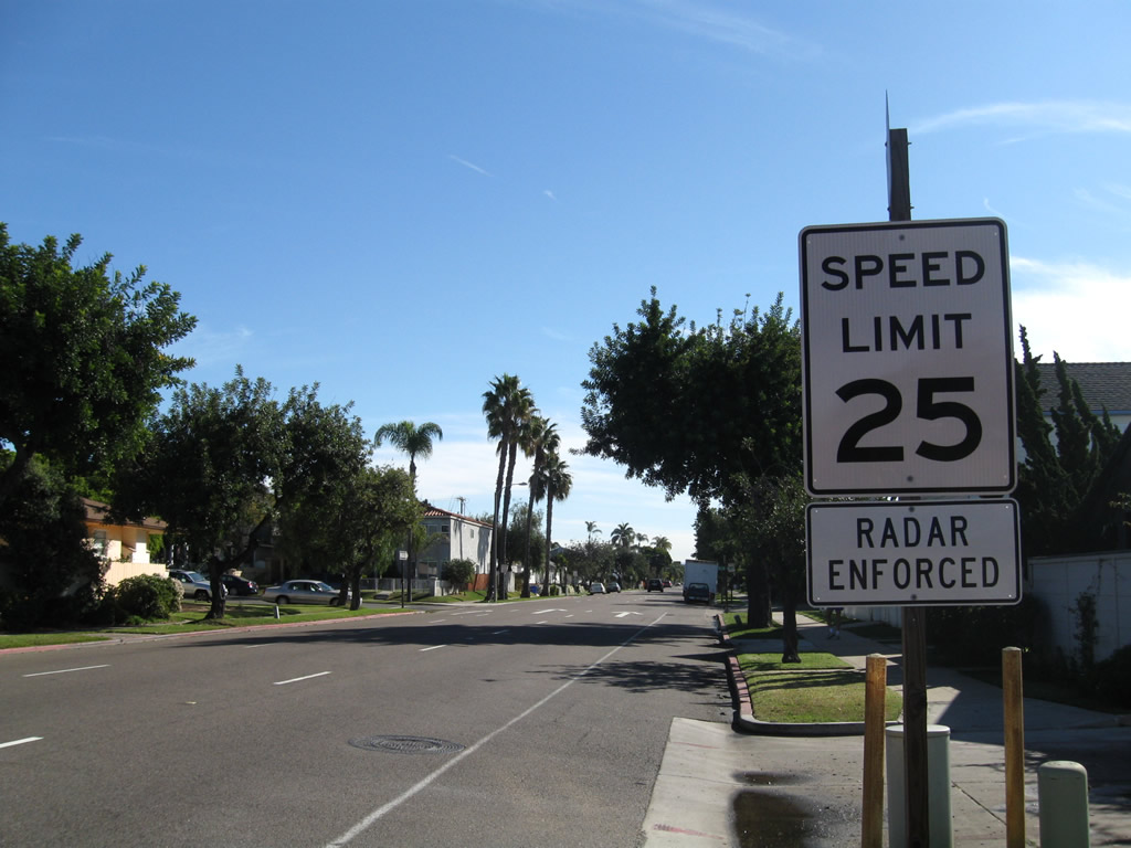 |
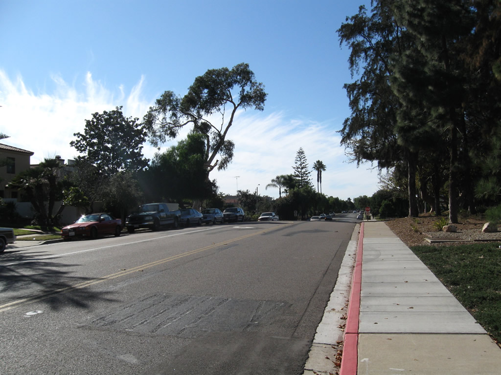
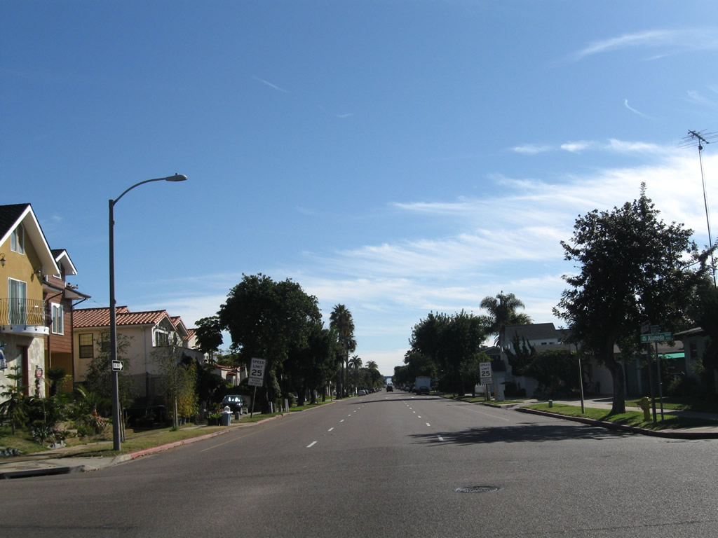
The speed limit along the entire length of Fourth Street (California 282) is 25 miles per hour. This street is heavily enforced by local law enforcement. Residences line both sides of Fourth Street from the naval base east to the Orange Avenue business district. Photo taken 01/18/09. |
 |
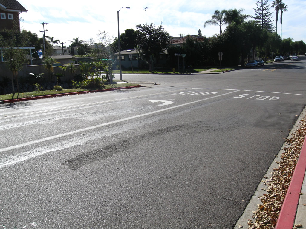
Three lanes carry eastbound traffic on Fourth Street (California 282). The state route is currently unsigned along eastbound, since the eastbound reassurance shield and end shield are both gone as of 2008. Permitted parking is available on either side of Fourth Street. Photo taken 01/18/09. |
 |
Eastbound California 282/Fourth Street approaches California 75 (Orange Avenue). Turn left or right for the downtown Coronado Orange Avenue Business District. Photo taken 02/19/05. |
 |
After E Avenue, eastbound California 282/Fourth Street approaches California 75. Photo taken 01/18/09. |
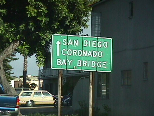 |
The San Diego-Coronado Bay Bridge may be reached by continuing straight ahead past the California 75 junction as shown on this sign along eastbound (sign is now gone). Photo taken 08/99. |
 |
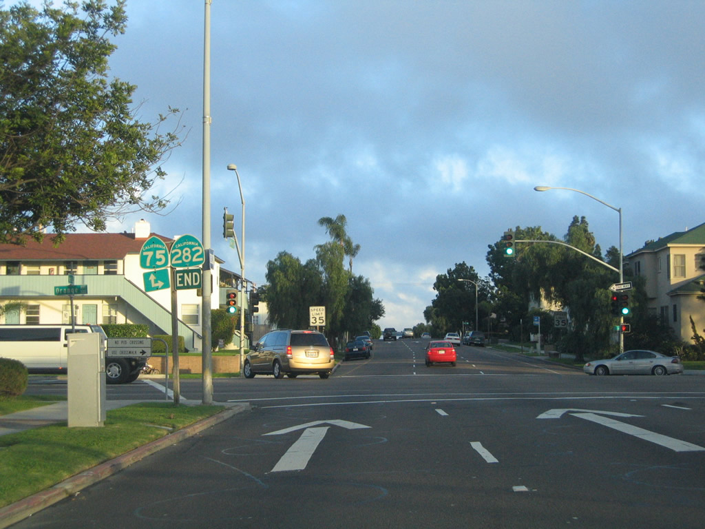 |
An end California 282 shield assembly used to be posted at its junction with California 75 (Orange Avenue) on the left side of the roadway. The shields have since been removed (gone by 2008). California 75 north continues straight ahead on Fourth Street onto the San Diego-Coronado Bay Bridge, while southbound California 75 turns south through downtown Coronado onto the Silver Strand. Photos taken 02/19/05. |
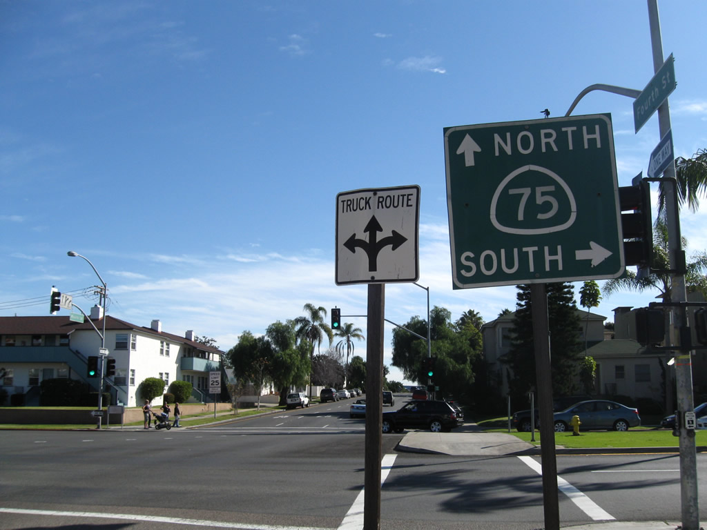 |
On the right side of Fourth Street, eastbound California 282/Fourth Street meets California 75 (Orange Avenue) at this intersection. This marks the eastern terminus of this very short route. Photo taken 01/18/09. |
| California 282 scenes | |
|---|---|
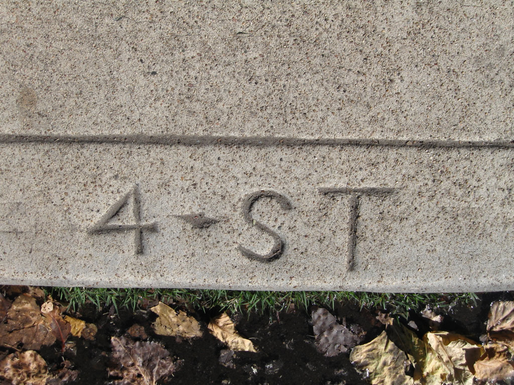 |
A date stamp etched into the concrete curb along California 282/Fourth Street shows the street name. Photo taken 01/18/09. |
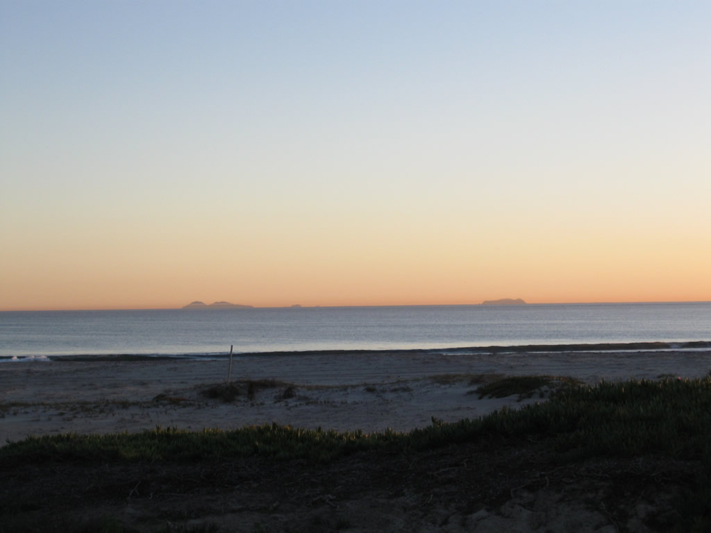 |
Located in Mexico, the Coronado Islands are visible on clear days from the Coronado beach (and from Point Loma). On this clear day, Santa Ana winds blew warm air from the east, thus pushing moist air away from the coast and bringing clear, dry air from the desert. Photo taken 01/18/09. |
 |
 |
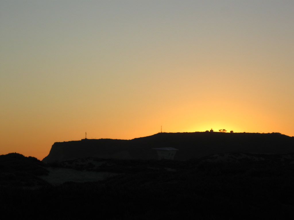 |
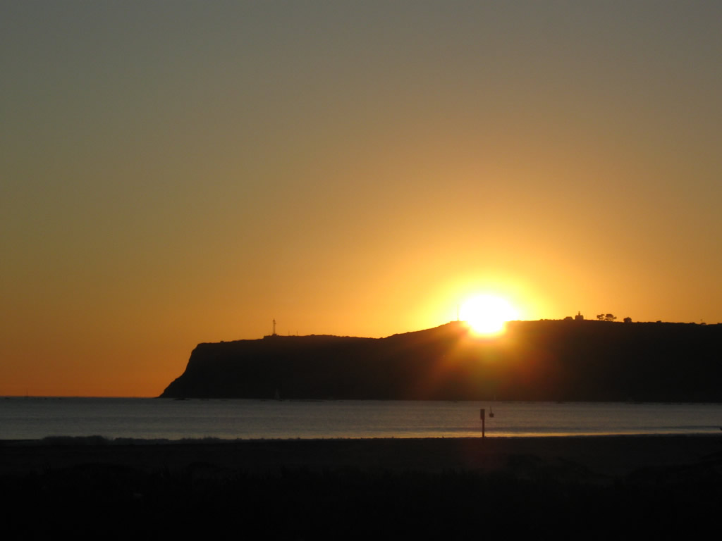
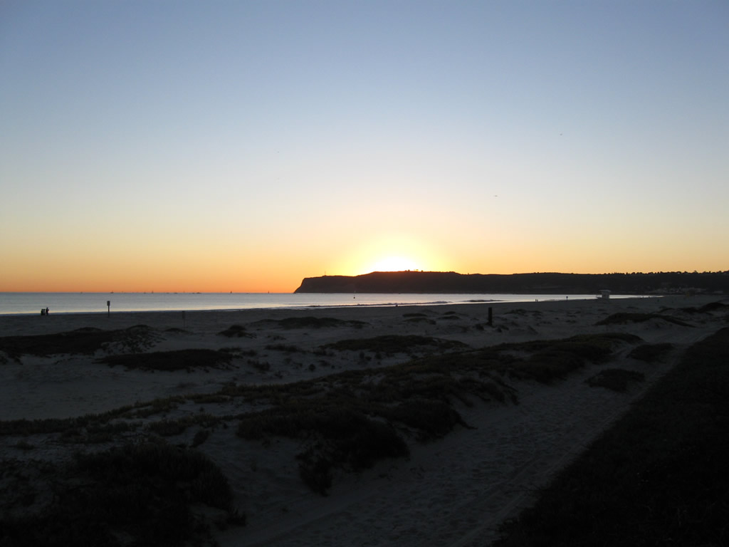
The sun sets over Point Loma on this sunny (and warm) winter day on the beach west of the naval air station. The Cabrillo light house can be seen on the distant horizon. Photos taken 01/18/09. |

Page Updated January 19, 2009.
|
About Contact Glossary |
In The News Testimonials Interstate Guide |
Social Media:
 |
|
© 2000-23 AARoads.com | All Rights Reserved | Privacy Policy / Terms of Use
|
||