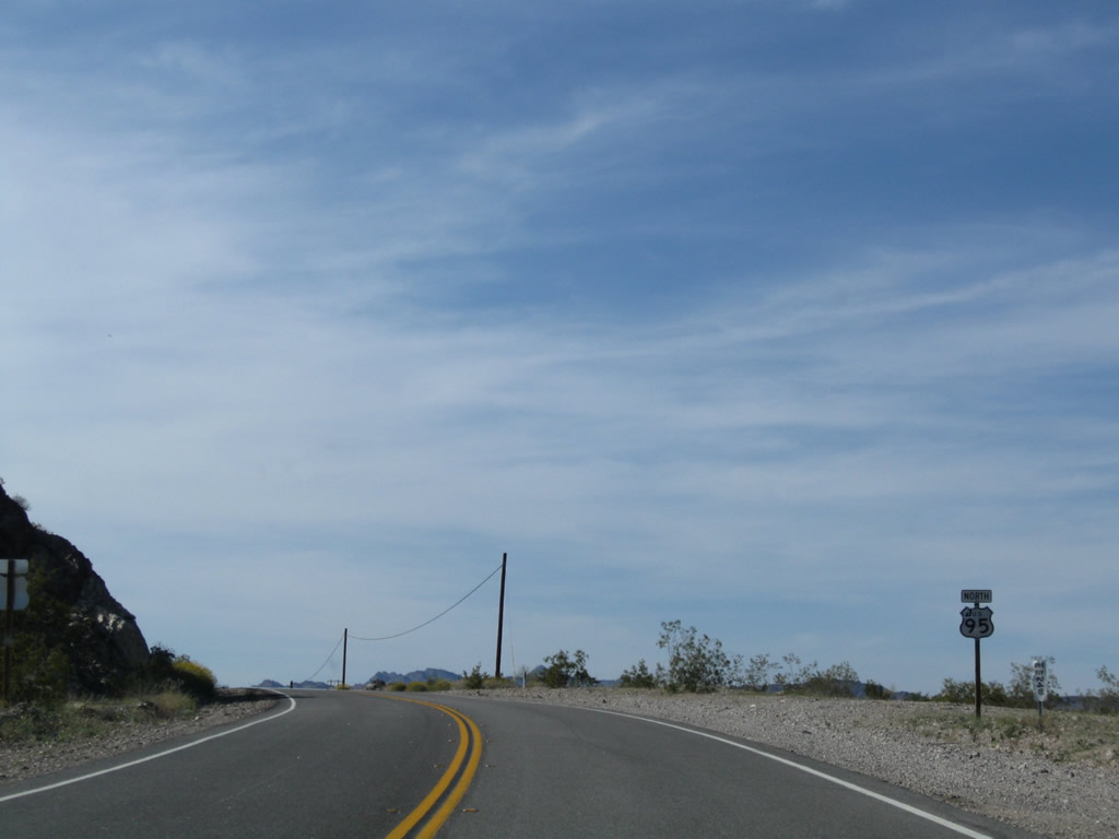
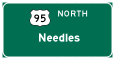
| U.S. 95 north |
|
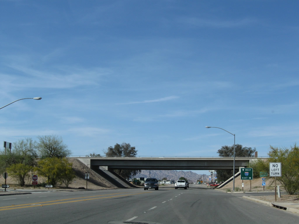
Intake Boulevard north enters the diamond interchange where U.S. 95 north splits with Interstate 10 west in Blythe. Photo taken 03/14/09. |
|
Signs at the eastbound on-ramp for I-10 from Intake Boulevard omit U.S. 95 south to Quartzsite. Photo taken 03/14/09. |
|
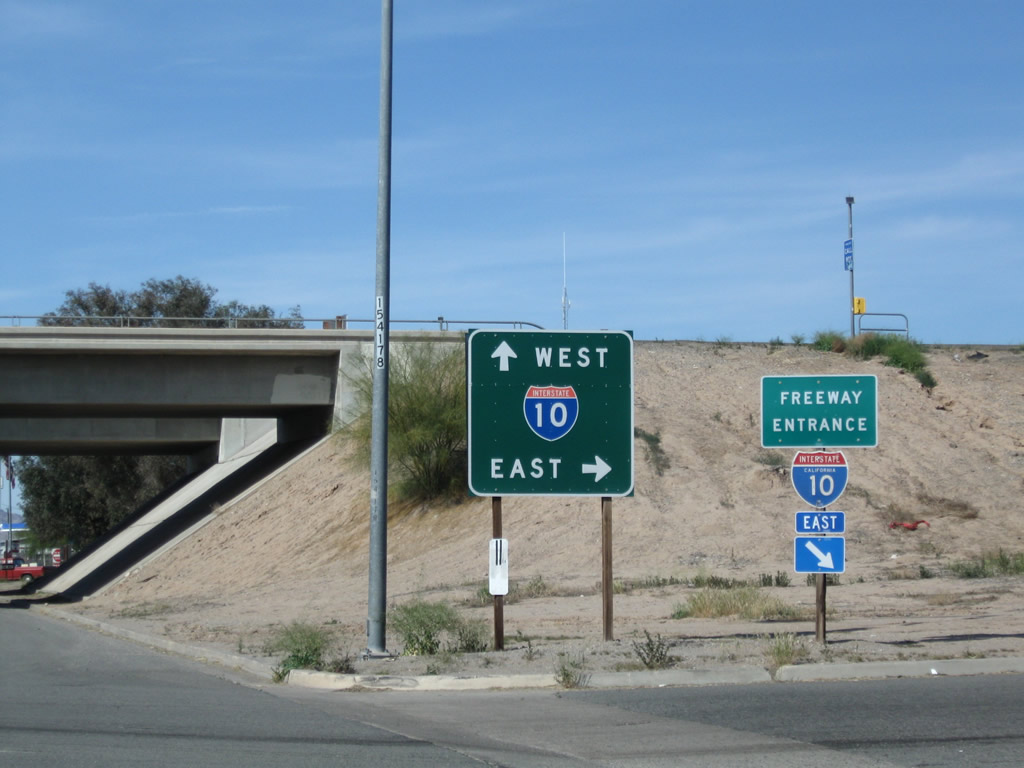
The succeeding left turn from Intake Boulevard connects with Interstate 10 west to Los Angeles. Photo taken 03/14/09. |
|
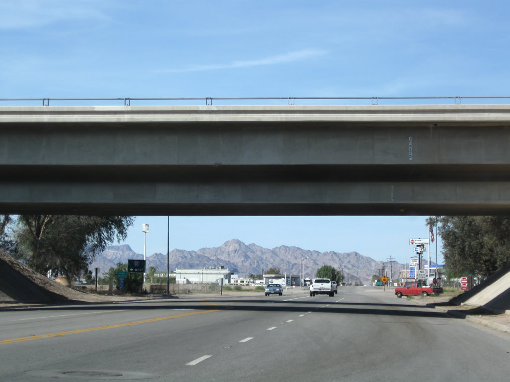
Departing from interstate 10 westbound, U.S. 95 turns north onto Intake Boulevard. Photo taken 11/10/00. |
|
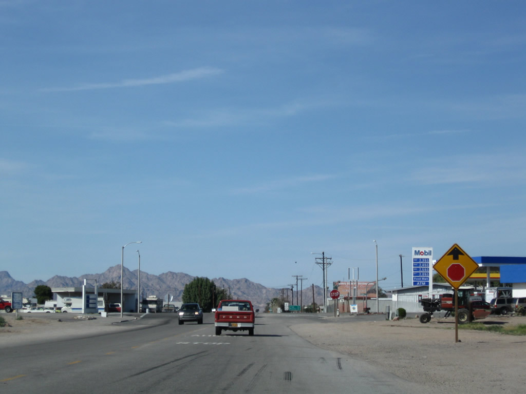
Beyond I-10, U.S. 95 (Intake Boulevard) meets Business Loop I-10 (Hobson Way) at an unmarked intersection. Photo taken 03/14/09. |
|
|
Business Loop I-10 turns west along old U.S. 60-70 into Downtown Blythe while U.S. 95 continues north to Vidal Junction and Needles. Photos taken 03/14/09 and 11/10/00. |
|
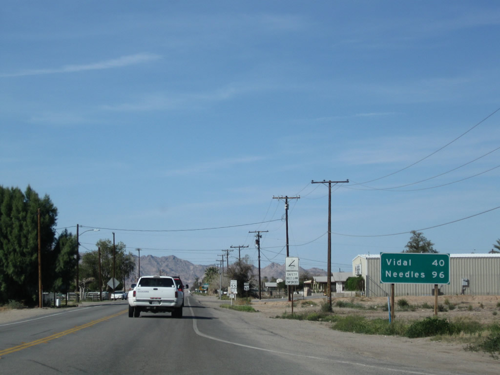
This mileage sign, found along northbound U.S. 95 (Intake Boulevard) after the intersection with Business Loop I-10 (Hobson Way), provides the distance to Vidal Junction (40 miles) and Needles (96 miles). Services are limited along U.S. 95 between Blythe and Needles. Photo taken 03/14/09. |
|
|
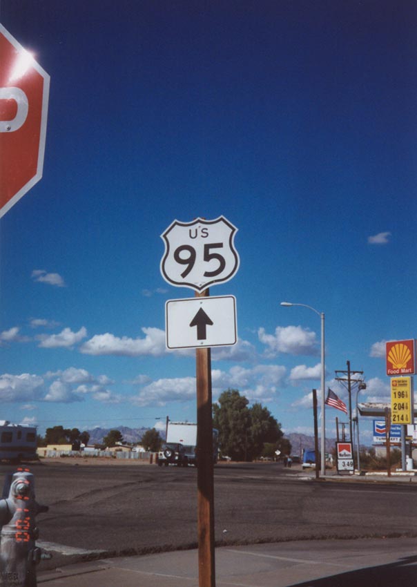
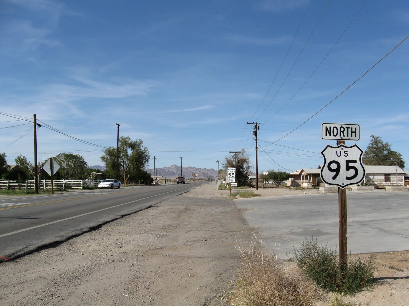
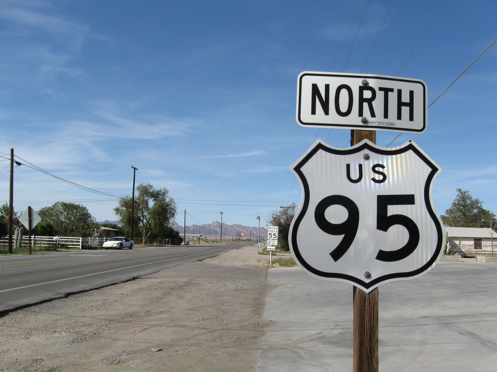
The first reassurance shield along U.S. 95 north in Blythe stands after Hobson Way. Photos taken 03/14/09. |
|
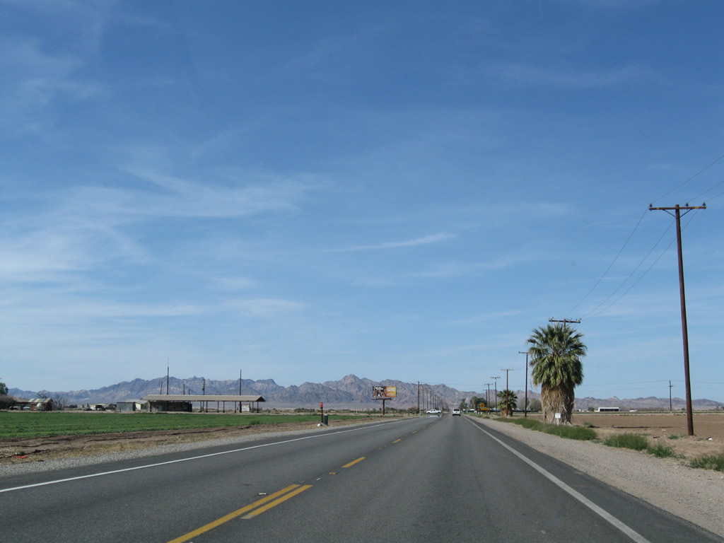
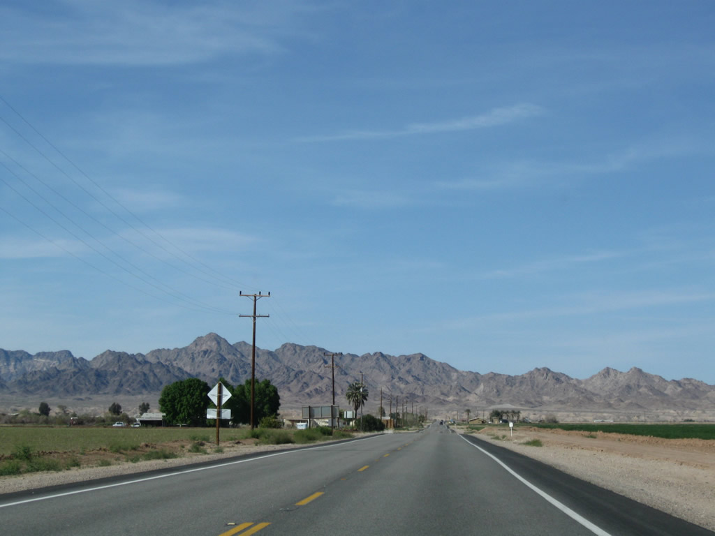
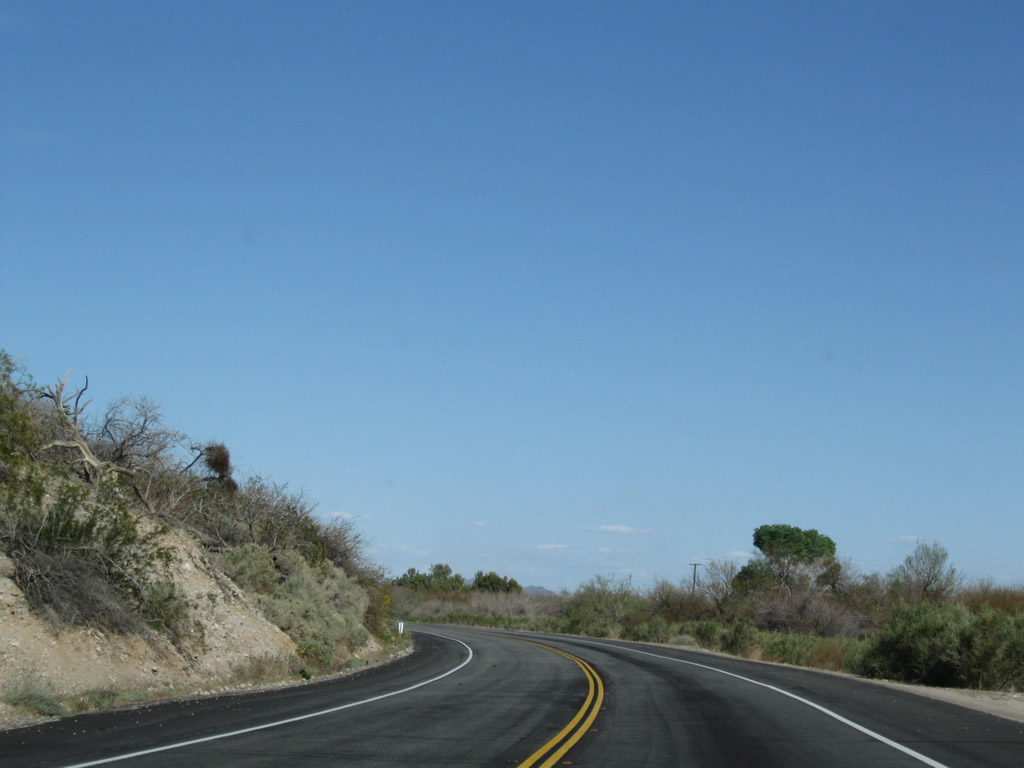
Leaving Blythe, the two-lane highway proceeds through fertile farmland along the west bank of the Colorado River in the Palo Verde Valley. Photo taken 03/14/09. |
|
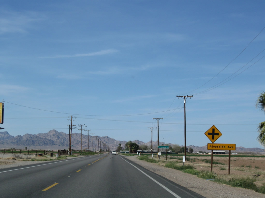
Northbound U.S. 95 (Intake Boulevard) approaches Riverside Avenue (Chanslor Way). This east-west road provides local access within the valley. Turn right to the fairgrounds. Photo taken 03/14/09. |
|
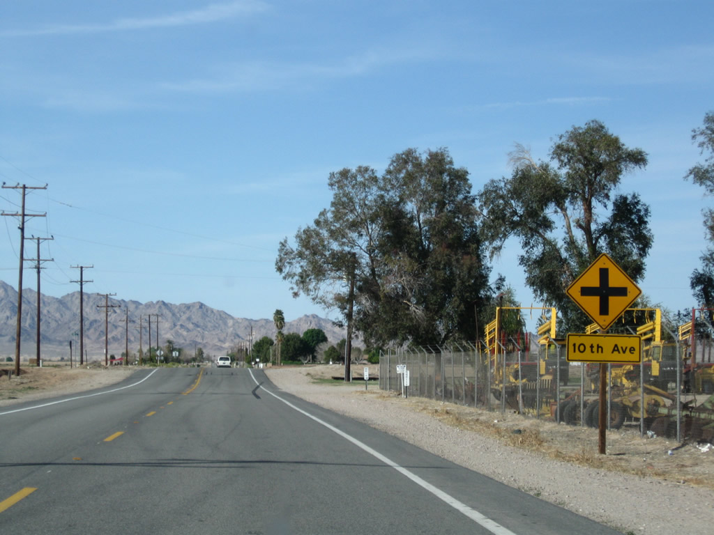
The next marked intersection along northbound Intake Boulevard is with 10th Avenue; the numbered avenues decrease along U.S. 95 north through the agricultural valley. Photo taken 03/14/09. |
|
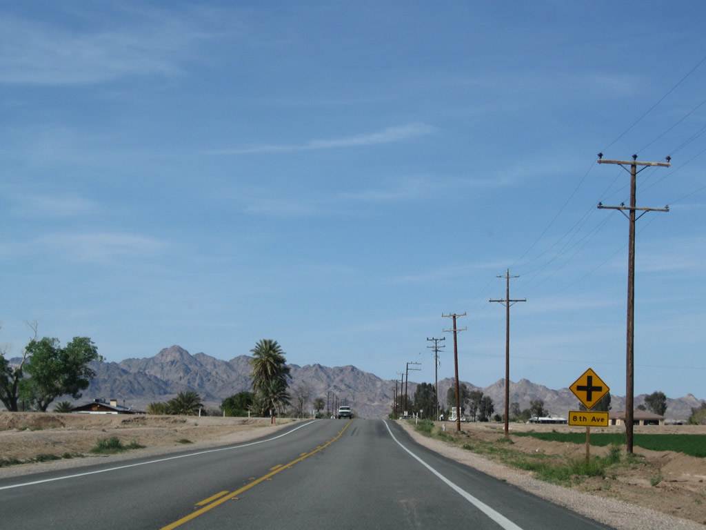
Northbound U.S. 95 (Intake Boulevard) approaches 8th Avenue. Photo taken 03/14/09. |
|
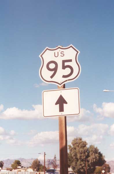
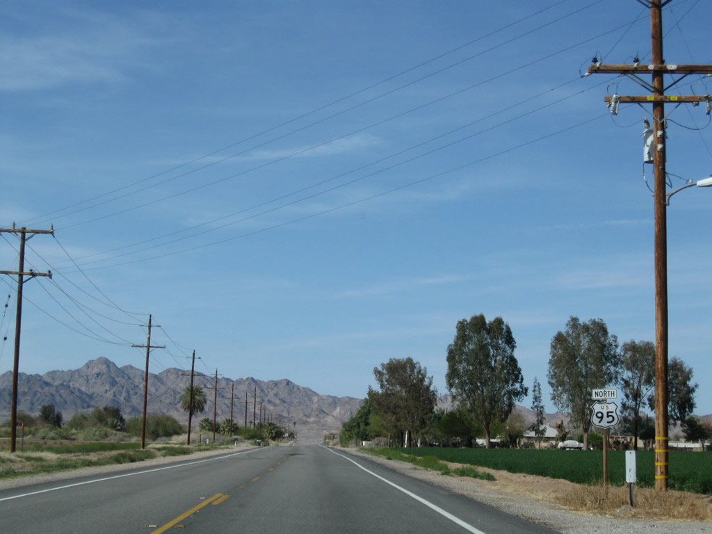
Another U.S. 95 north reassurance shield is posted after the 8th Avenue intersection. Photo taken 03/14/09. |
|
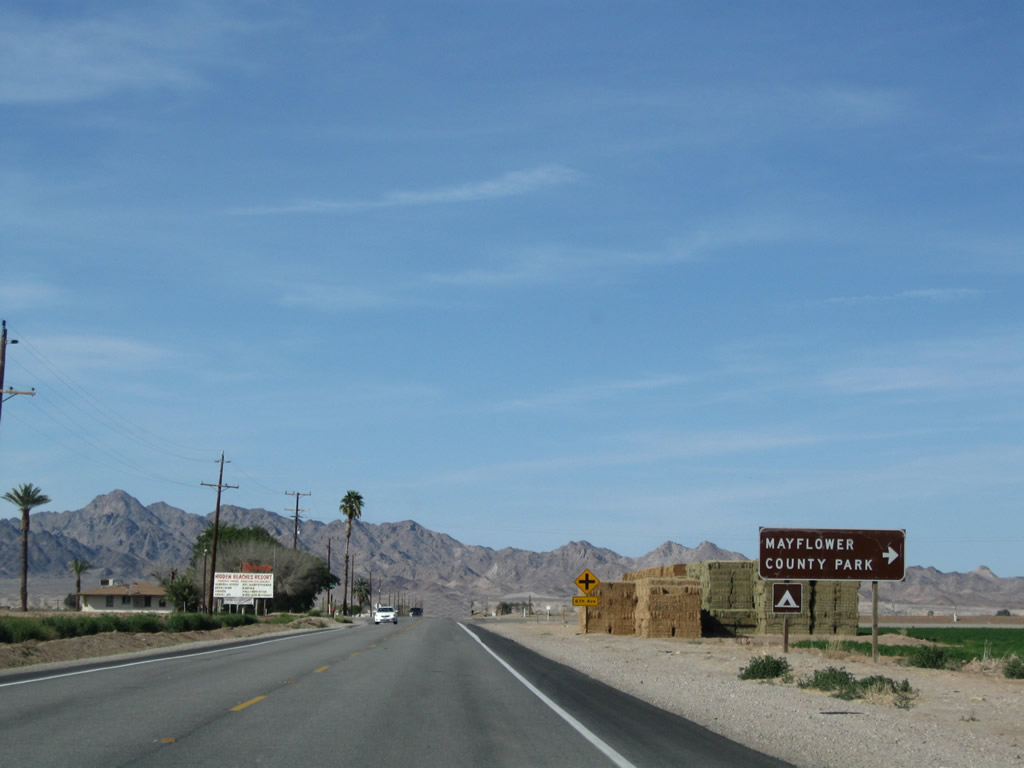
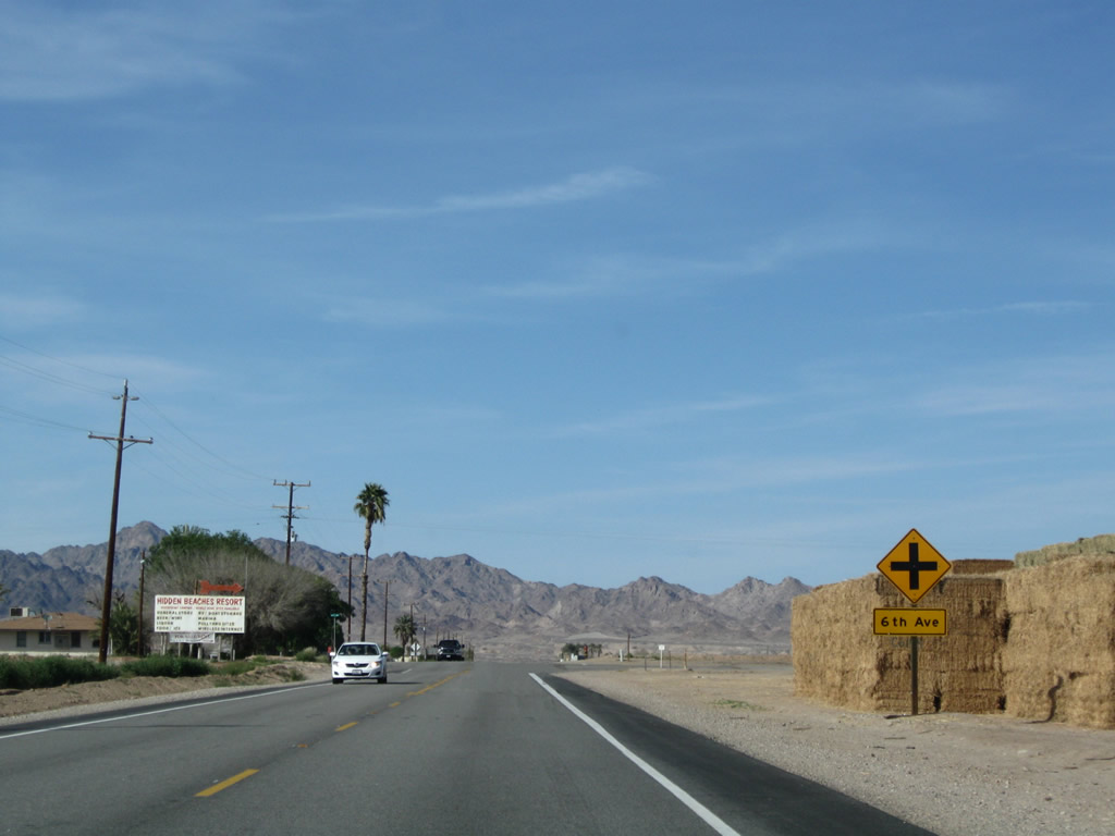
Northbound U.S. 95 (Intake Boulevard) approaches 6th Avenue. Turn left to Palo Verde College and right to Mayflower County Park and Hidden Beaches along the Colorado River. Water access and camping are available by turning right here. Photo taken 03/14/09. |
|
Northbound U.S. 95 (Intake Boulevard) meets 6th Avenue. Photo taken 03/14/09. |
|
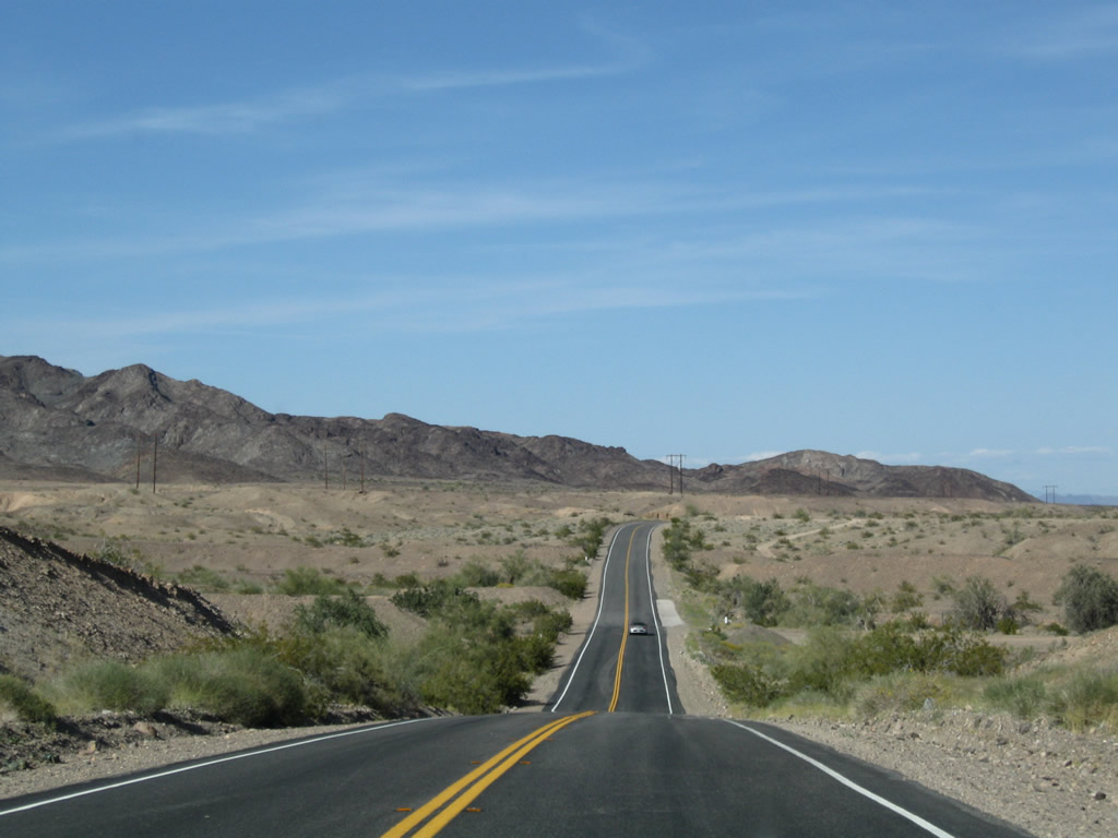
This view looks north after the 6th Avenue intersection toward the Big Maria Mountains. Prior to reaching the mountains, U.S. 95 will turn northeast to avoid them and stay close to the river. Photo taken 03/14/09. |
|
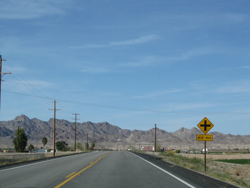
Northbound U.S. 95 (Intake Boulevard) approaches 4th Avenue, which also provides local and farm access east and west of the highway. Photo taken 03/14/09. |
|
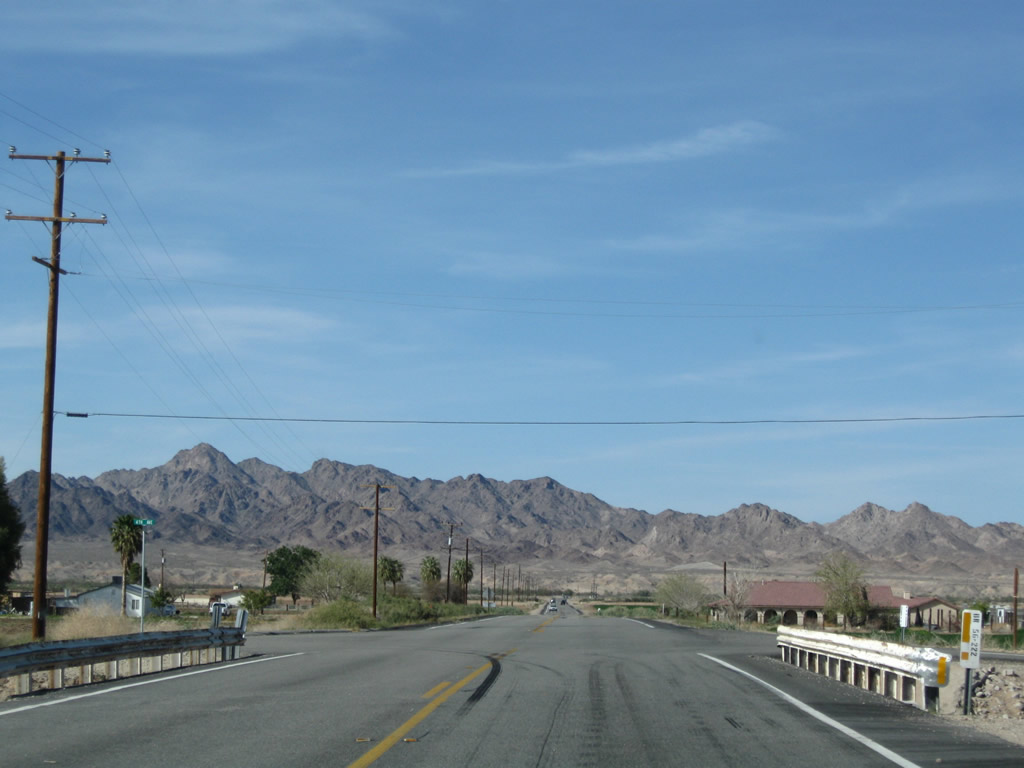
Near the 4th Avenue intersection is this bridge with white painted guardrail. Photo taken 03/14/09. |
|
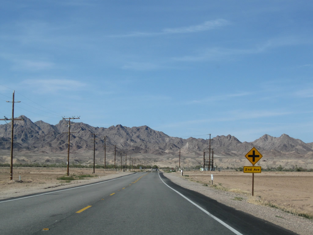
Northbound U.S. 95 (Intake Boulevard) next approaches 2nd Avenue. Photo taken 03/14/09. |
|
|
|
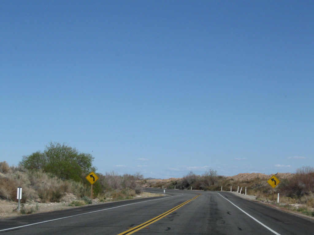
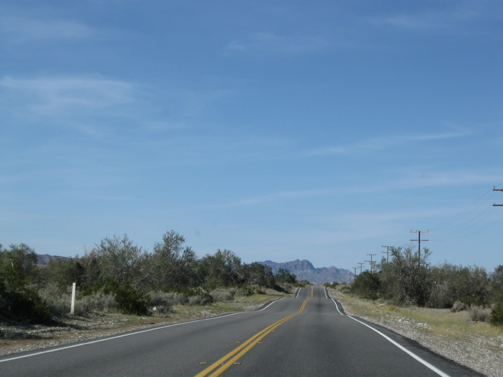
Northbound U.S. 95 turns northeast to avoid the Big Maria Mountains and stay close to the Colorado River. Photos taken 03/14/09. |
|
|
|
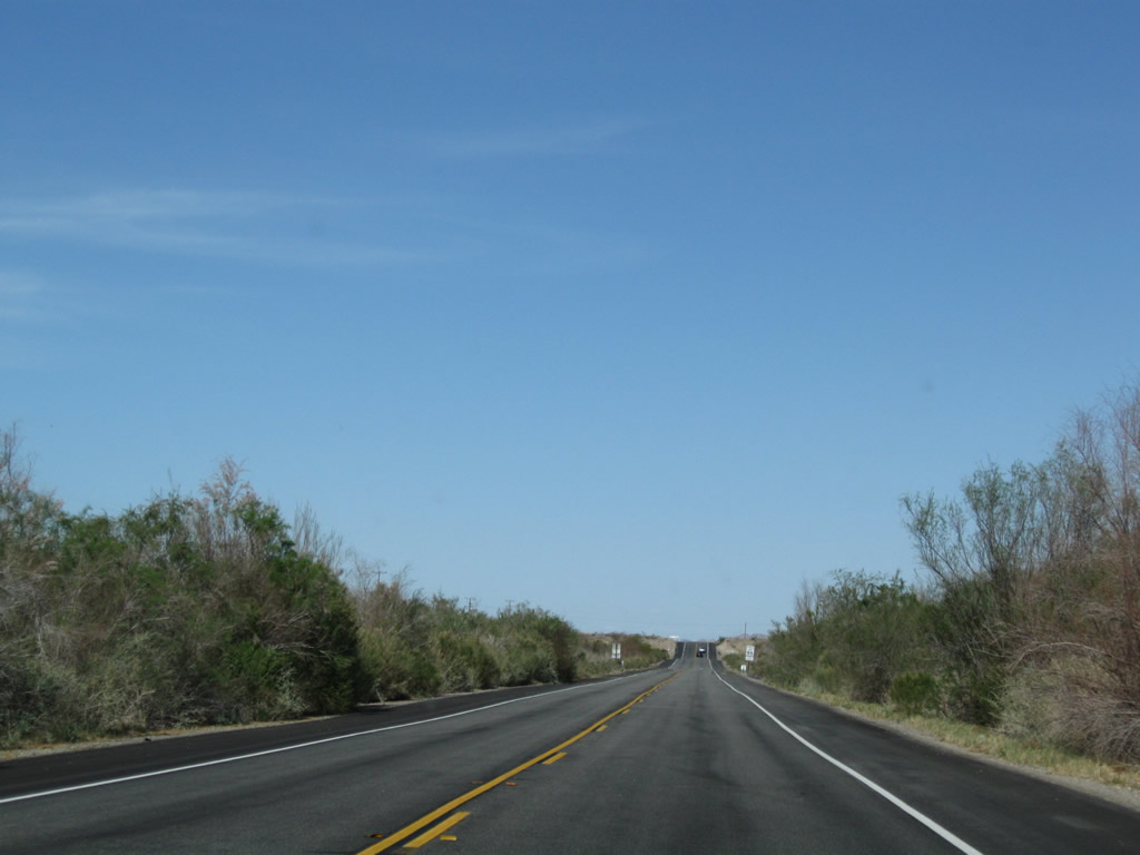
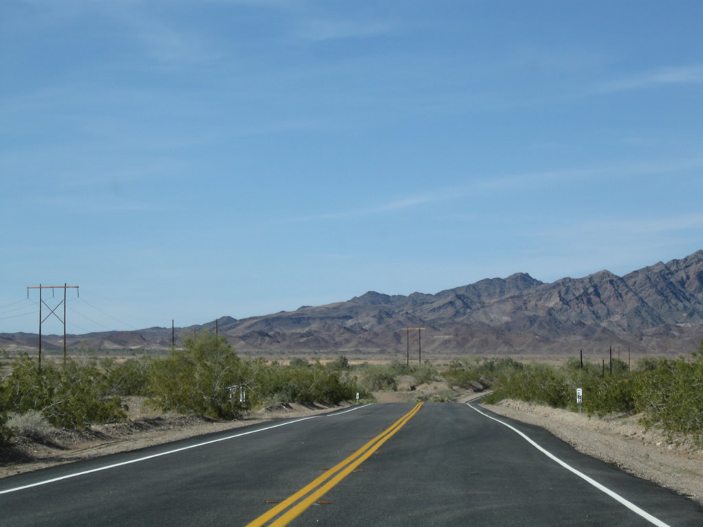
As the roadway turns closer to the water, U.S. 95 leaves the fertile areas surrounding Blythe and now approach the Palo Verde Dam. Photos taken 03/14/09. |
|
|
|
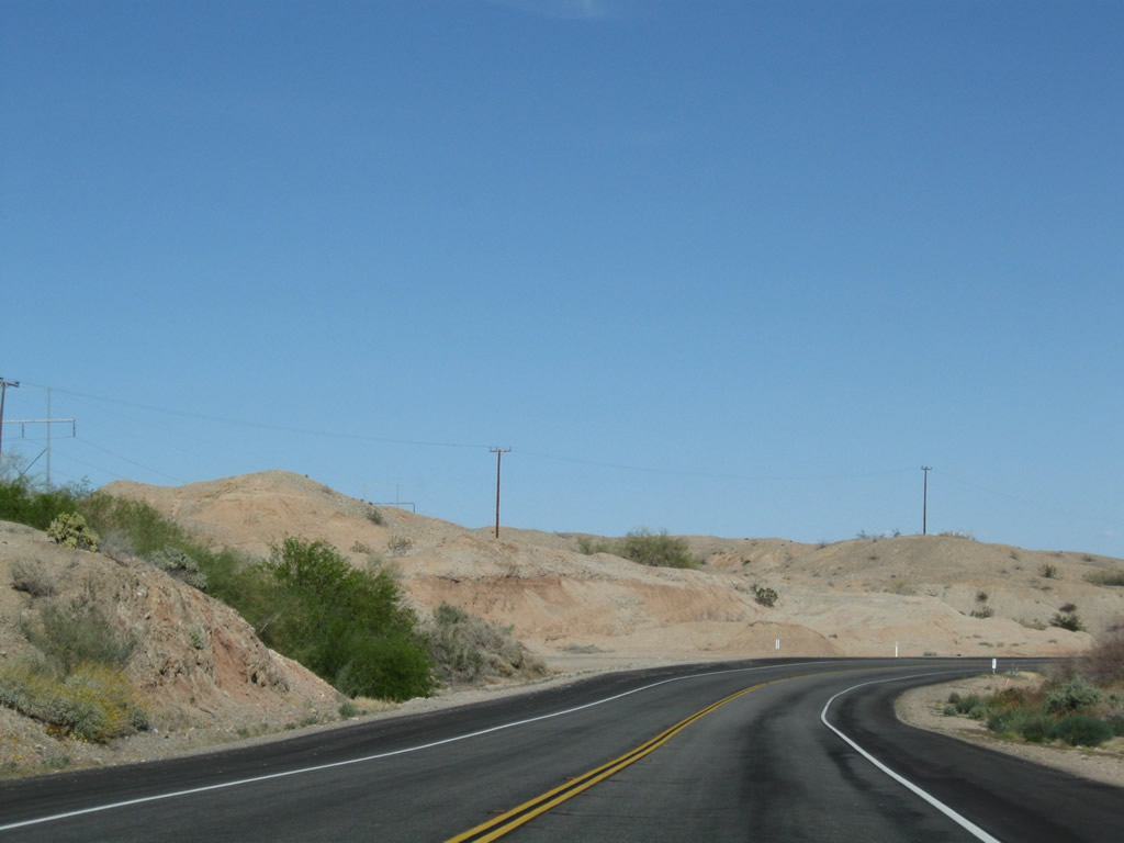
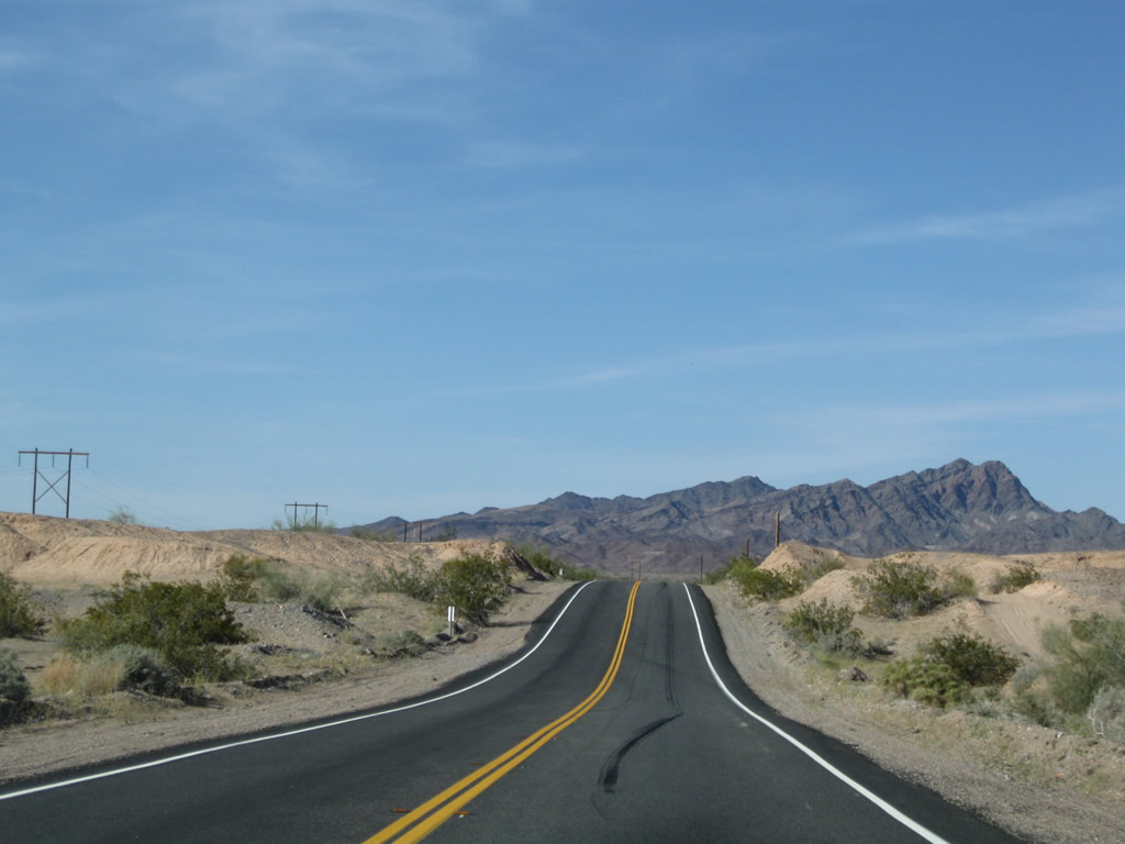
To the north and west of U.S. 95 are foothills and desert environment; to the east and south are the areas adjacent to the Colorado River. Photos taken 03/14/09. |
|
|
|
|
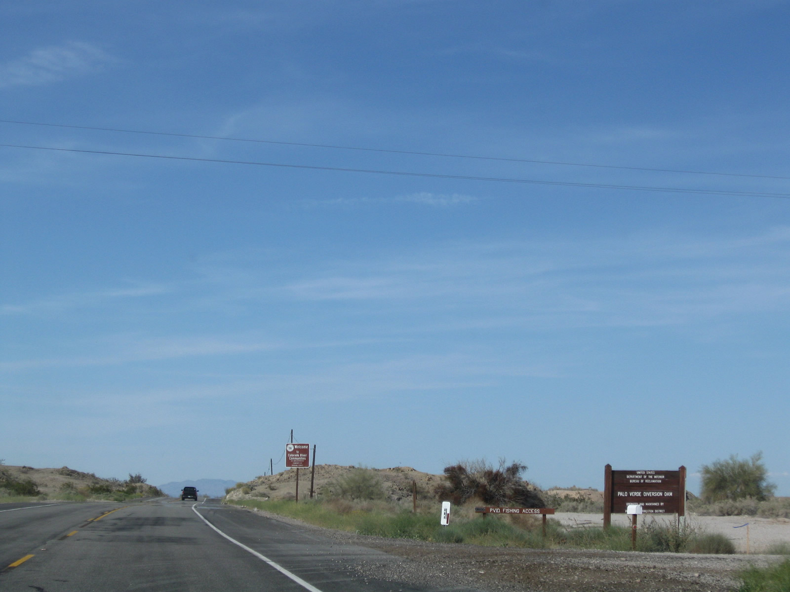
Northbound U.S. 95 approaches the turnoff for the Palo Verde Diversion Dam. The dam holds back water as part of an elaborate river management plan for the Colorado River south of Lake Mead. In addition to flood control, the dam is also part of a water diversion network. Water is diverted from the river for agricultural and urban uses via aqueducts that send water both west toward coastal Southern California and east toward central Arizona (Phoenix). Photo taken 03/14/09. |
|
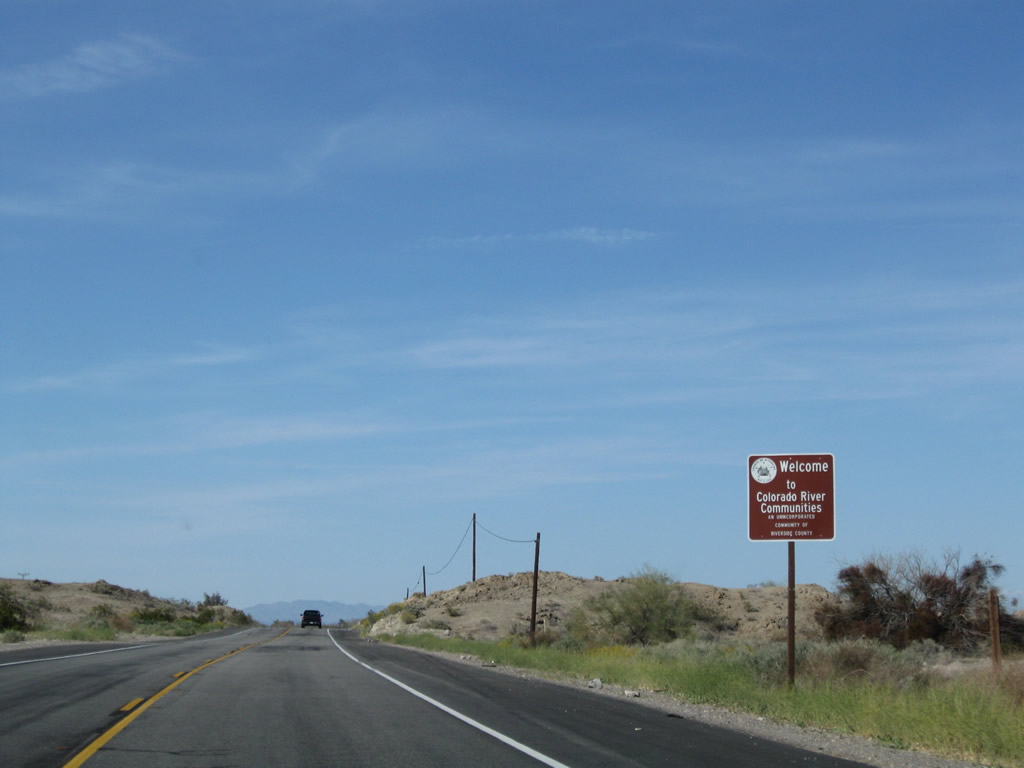
U.S. 95 enters the unincorporated community of Colorado River Communities. For the next 15-20 miles, U.S. 95 closely parallels the west bank of the Colorado River. Several resorts, marinas, and homes line this section of the river. Photo taken 03/14/09. |
|
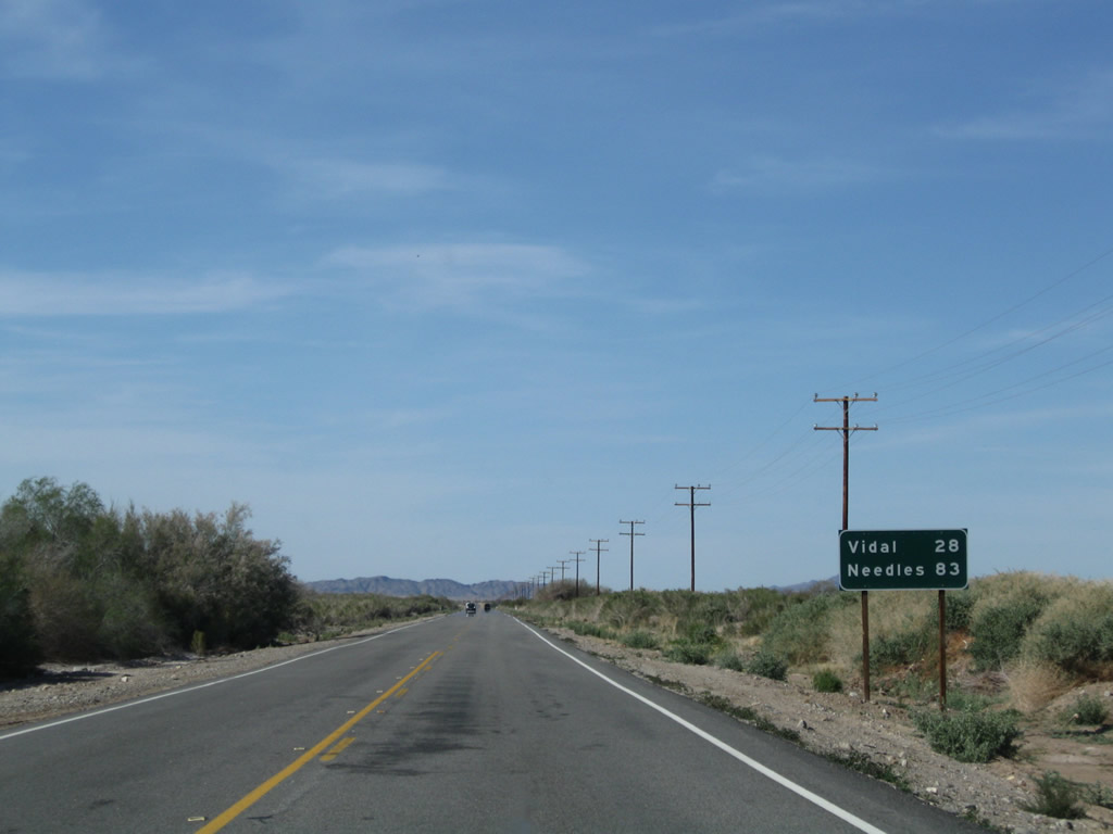
This mileage sign along U.S. 95 north provides the distance to Vidal (28 miles) and Needles (83 miles). Photo taken 03/14/09. |
|
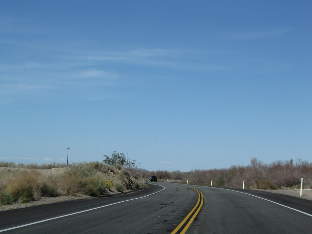
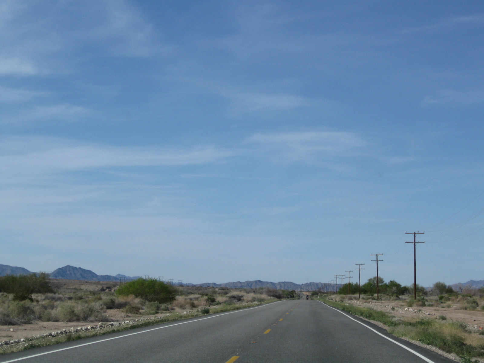
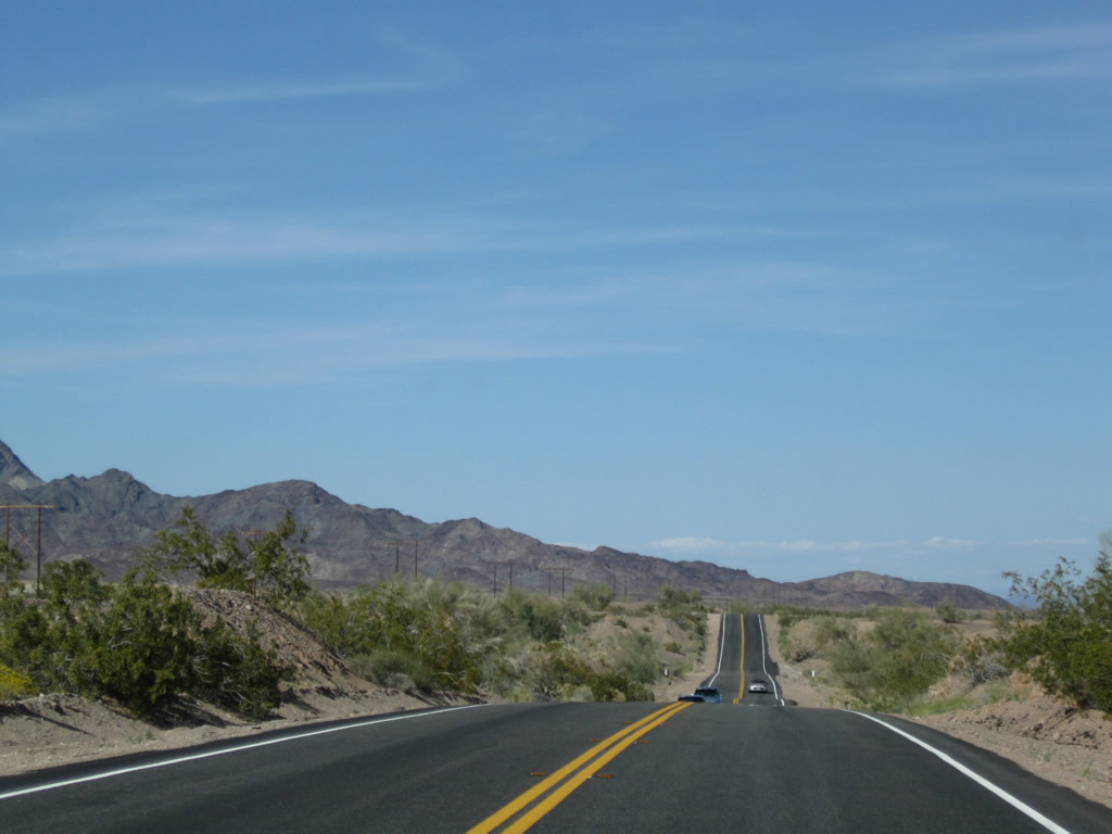
As the mountains pull away to the northwest, U.S. 95 straightens out and continues alongside the river. A mirage brings the appearance of a reflection (of the distant car) into non-existent water on the pavement. Photo taken 03/14/09. |
|
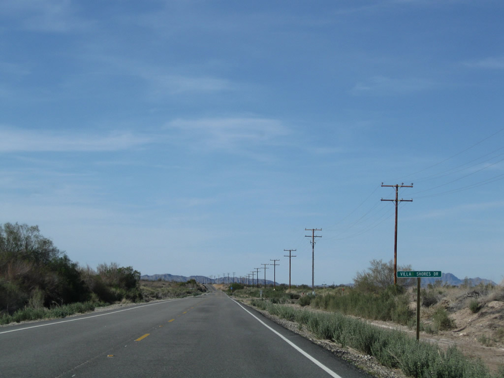
Northbound U.S. 95 approaches Villa Shores Drive east to the Colorado River. Photo taken 03/14/09. |
|
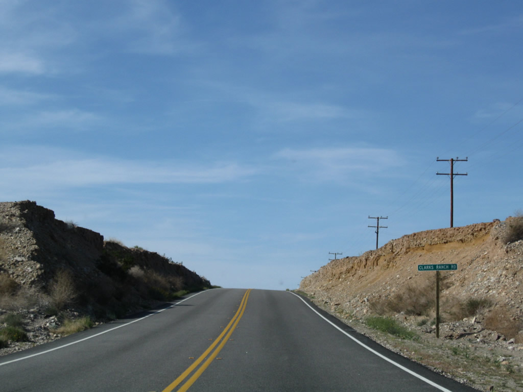
Northbound U.S. 95 approaches Clarks Ranch Road. Photo taken 03/14/09. |
|
|
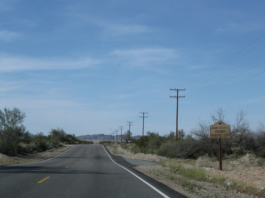
Near Pheasant Lane is this historical marker for Giant Desert Figures (Blythe Intaglios) along northbound U.S. 95. Photos taken 03/14/09. |
|
|
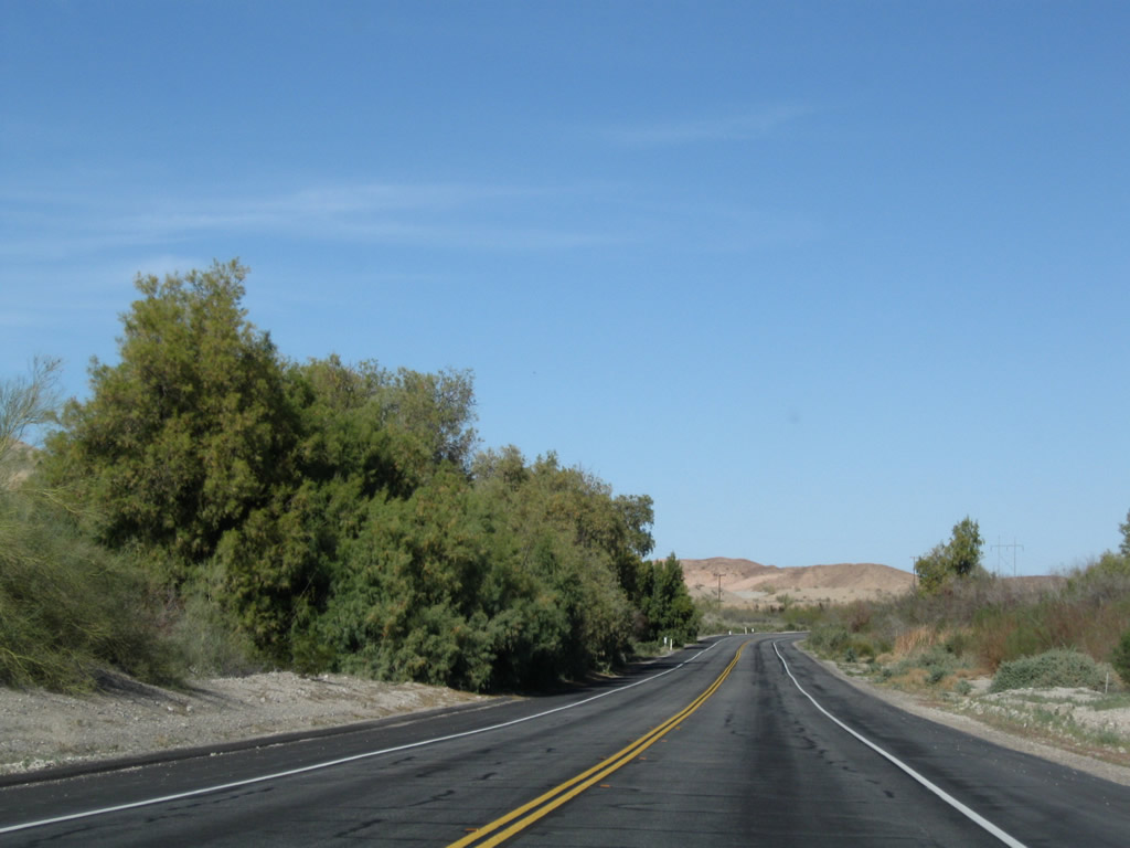
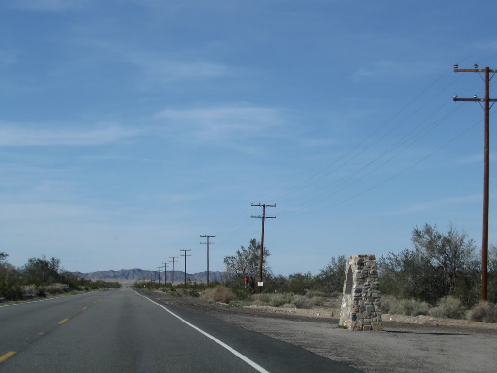
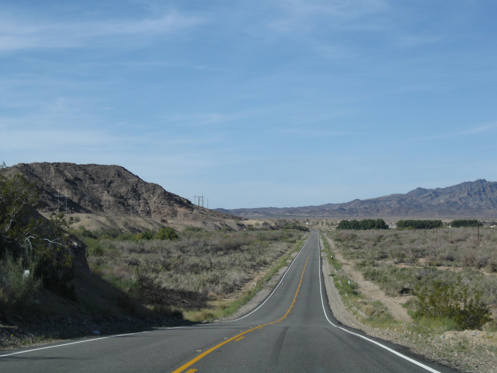
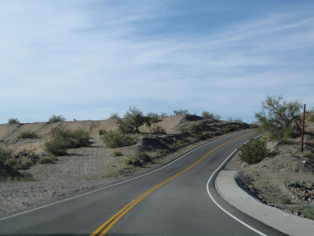
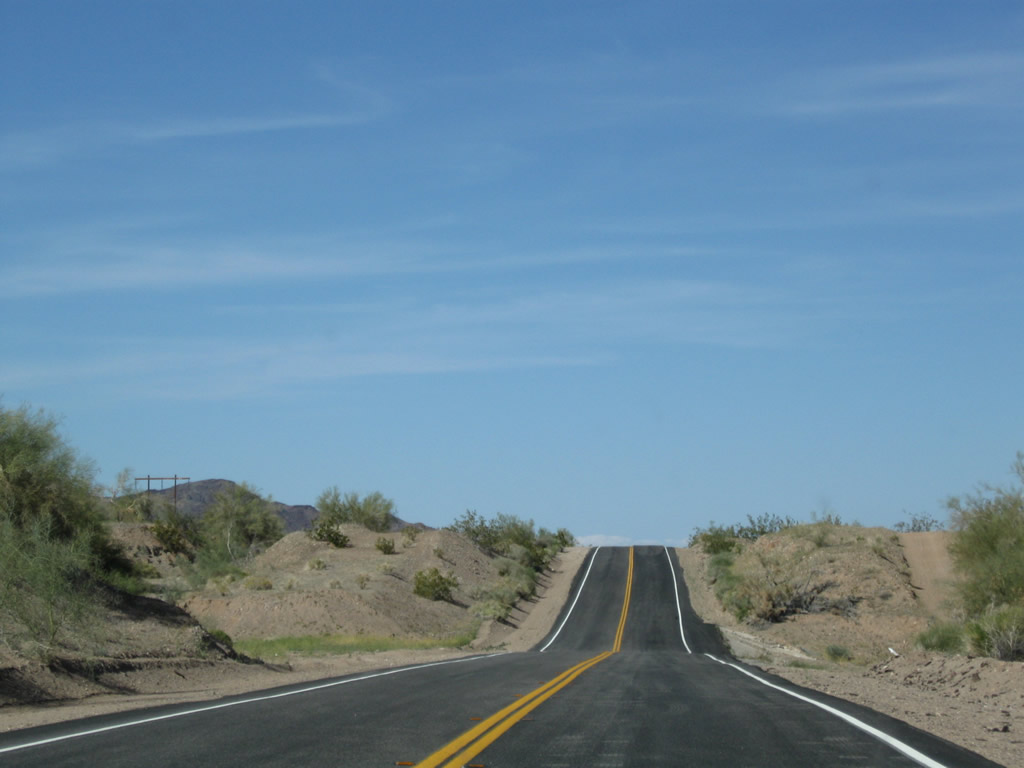
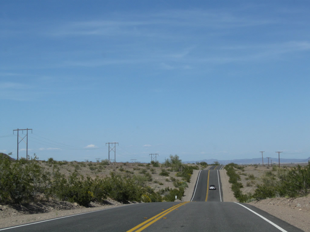
U.S. 95 continues north through the desert after the Blythe Intaglios. Photos taken 03/14/09. |
|
|
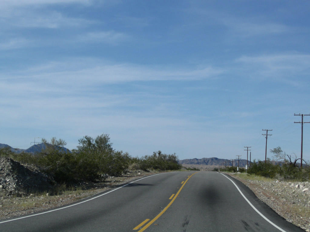
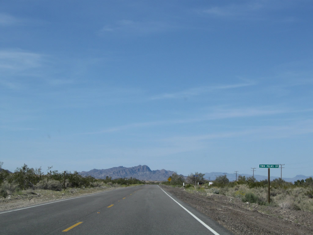
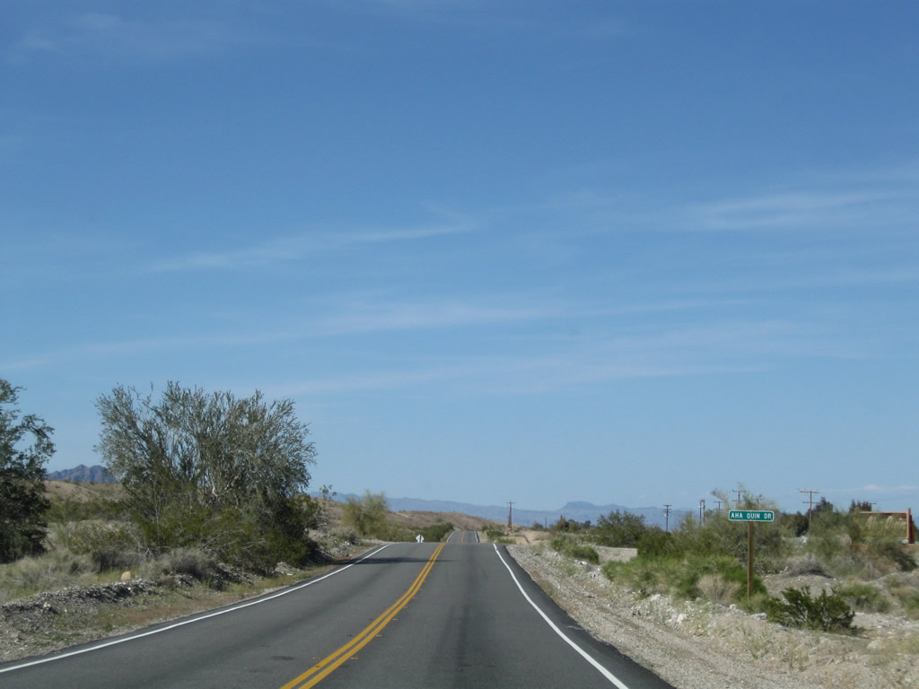
Northbound U.S. 95 passes by King River Road, Twin Palms Drive, Paradise Lane, and Aha Quin Drive. The last road connects with the Aha Quin Resort. Photos taken 03/14/09. |
|
|
|
|
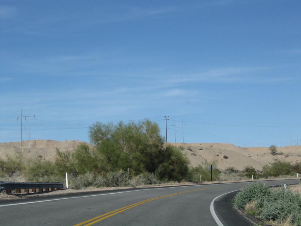
This suite of photos shows U.S. 95 as it proceeds north through the Colorado River Communities area. Photos taken 03/14/09. |
|
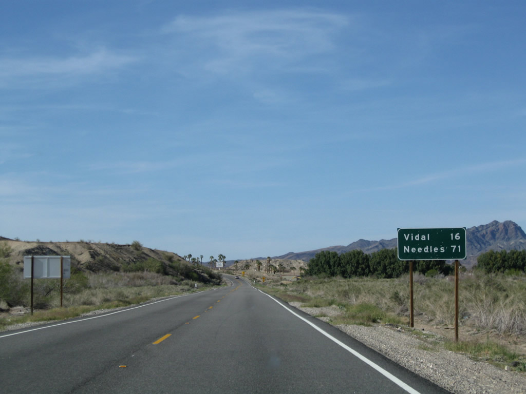
This mileage sign provides the distance to Vidal (16 miles) and Needles (71 miles) along northbound U.S. 95. Photo taken 03/14/09. |
|
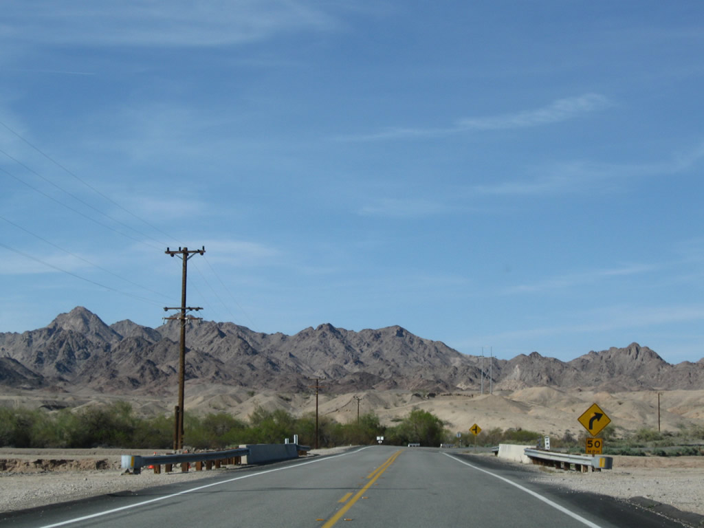
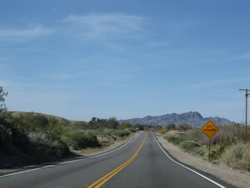
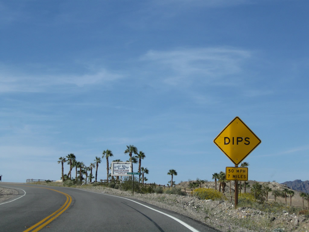
Due to dips along the road, U.S. 95 motorists are advised to reduce their speed to 50 miles per hour for the next seven miles. Photo taken 03/14/09. |
|
Near mile 24 is another U.S. 95 north reassurance shield. Photo taken 03/14/09. |
|
|
|
|
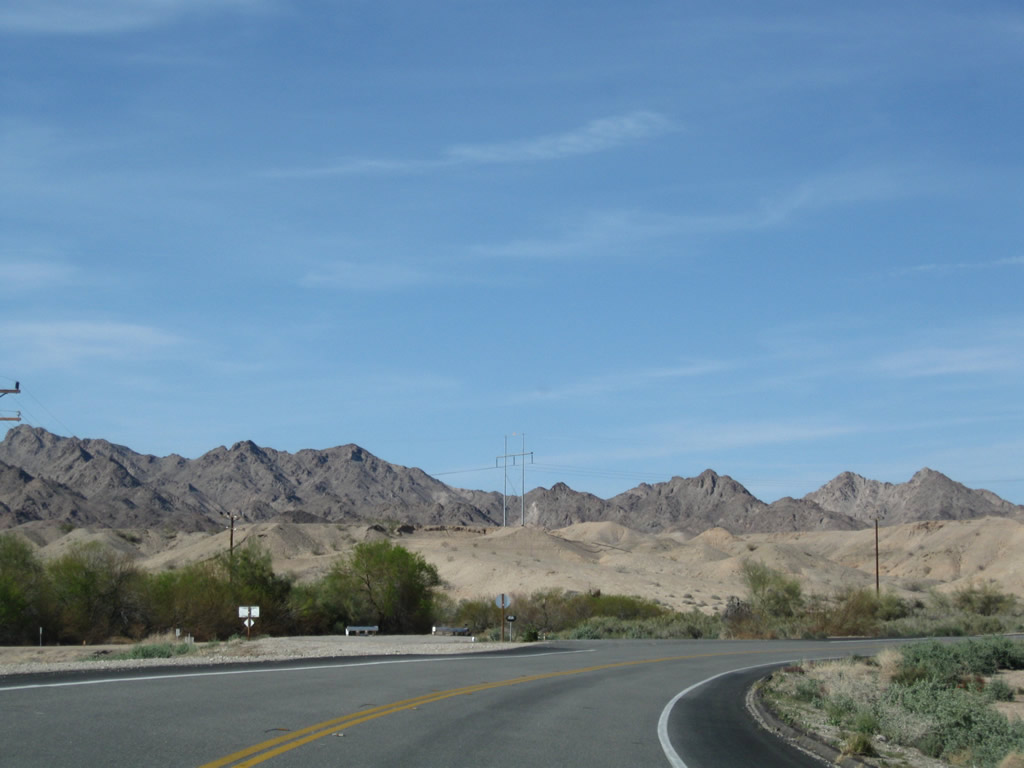
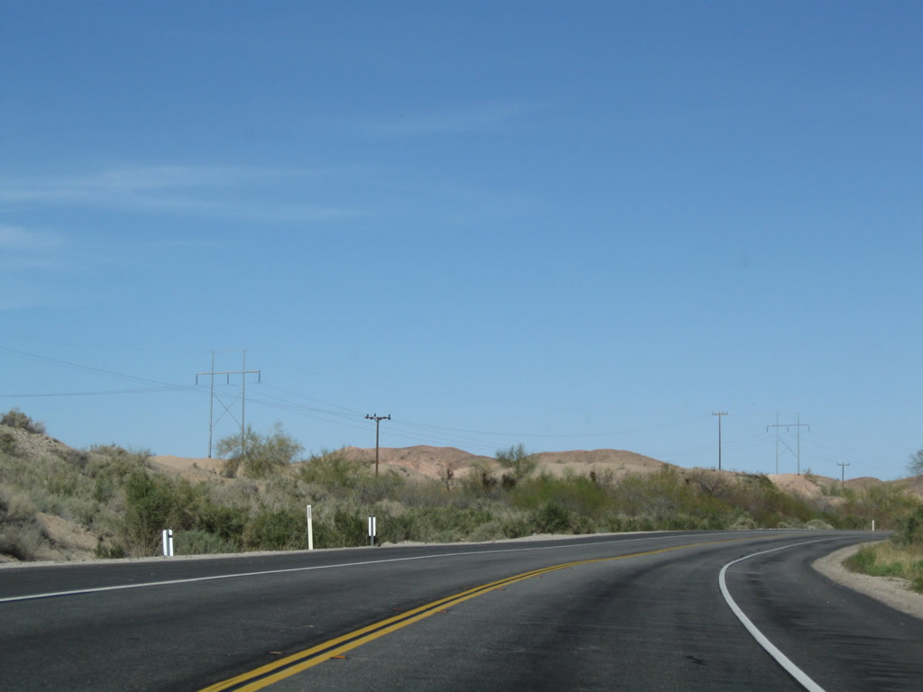
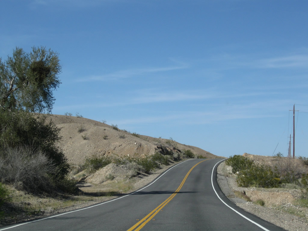
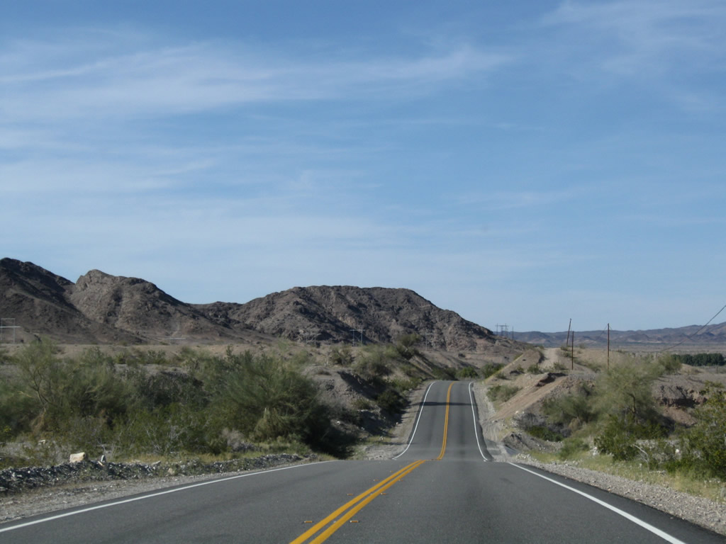
This suite of photos shows U.S. 95 through the dips and valleys. Photos taken 03/14/09. |
|
|
|
|
|
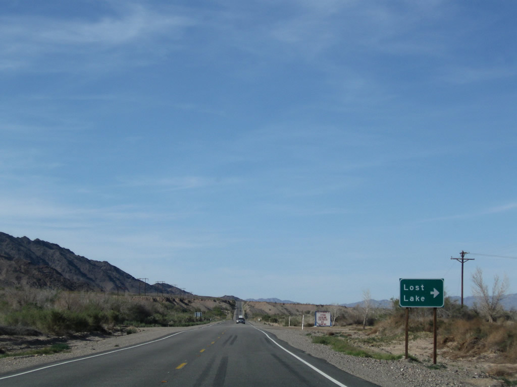
Northbound U.S. 95 approaches the Lost Lake Resort turnoff. Most motorist services (food, gas, and camping) are available at the resort. Photo taken 03/14/09. |
|
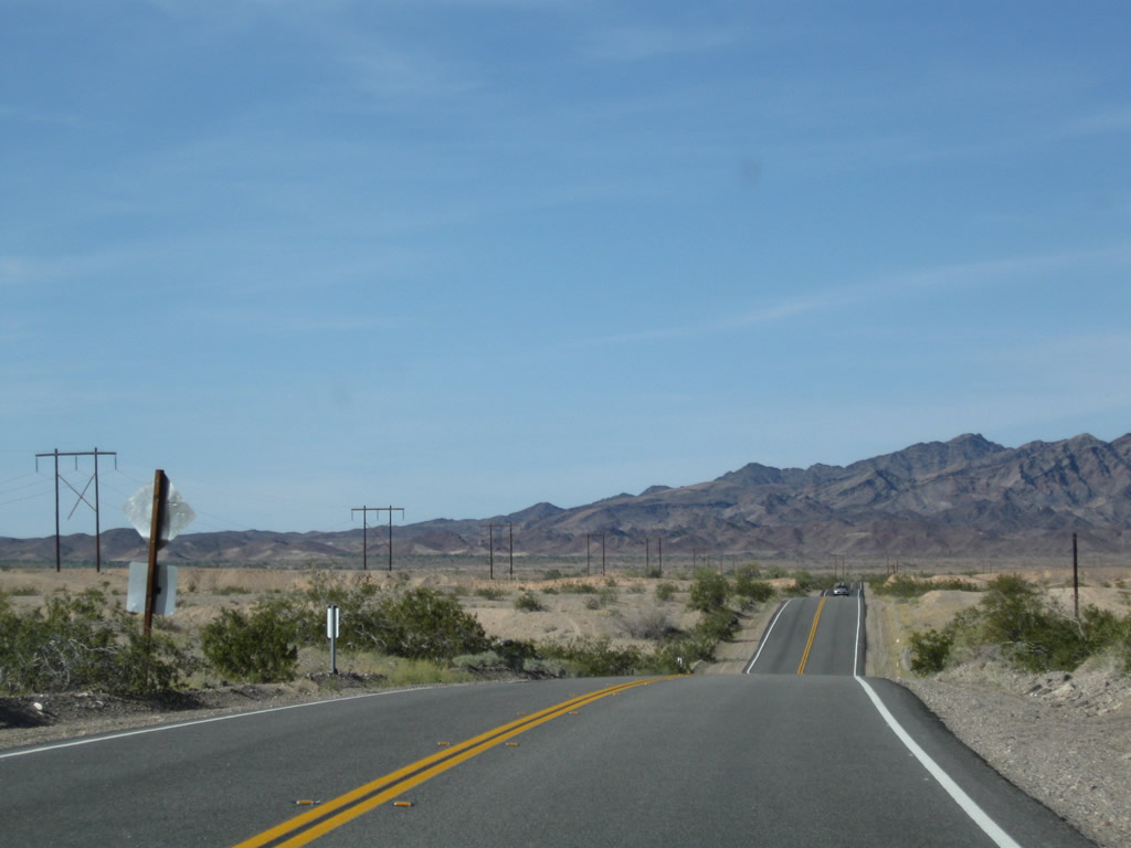
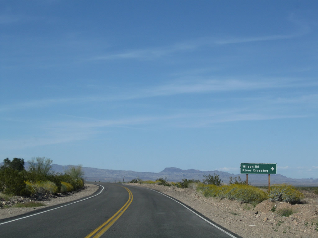
Soon thereafter, U.S. 95 approaches Agnes Wilson Road east to Parker Valley and Poston, Arizona. The Colorado River crossing is one of the few between California and Arizona that is not part of the California state route system (other examples of non-state crossings include the Imperial Dam and Laguna Dam crossings). Photo taken 03/14/09. |
|
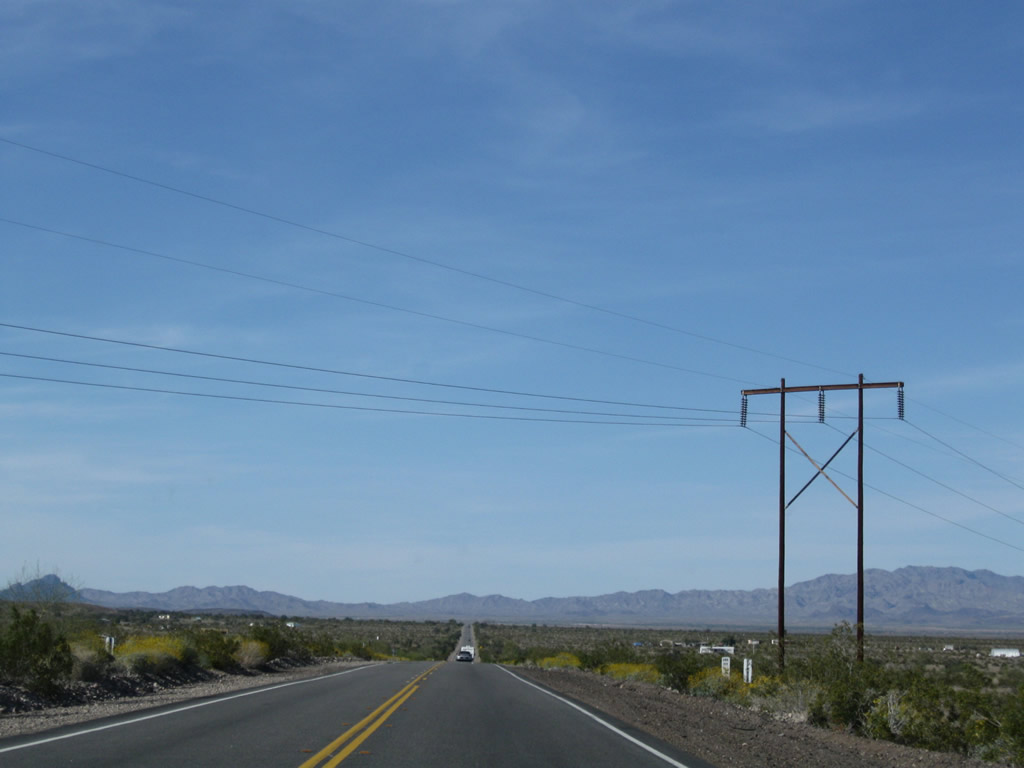
A high-voltage power transmission line crosses over U.S. 95 near the Agnes Wilson Road intersection. To the west of U.S. 95 are the Riverside Mountains. Photo taken 03/14/09. |
|
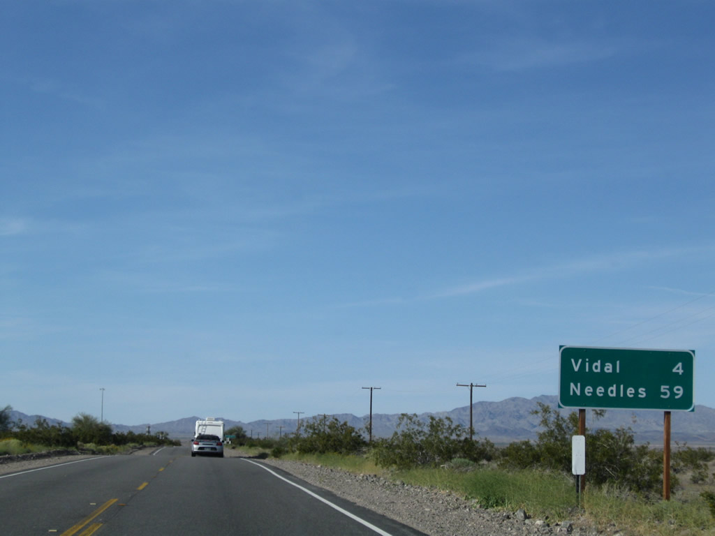
This mileage sign provides the distance to Vidal (four miles) and Needles (59 miles). Photo taken 03/14/09. |
|
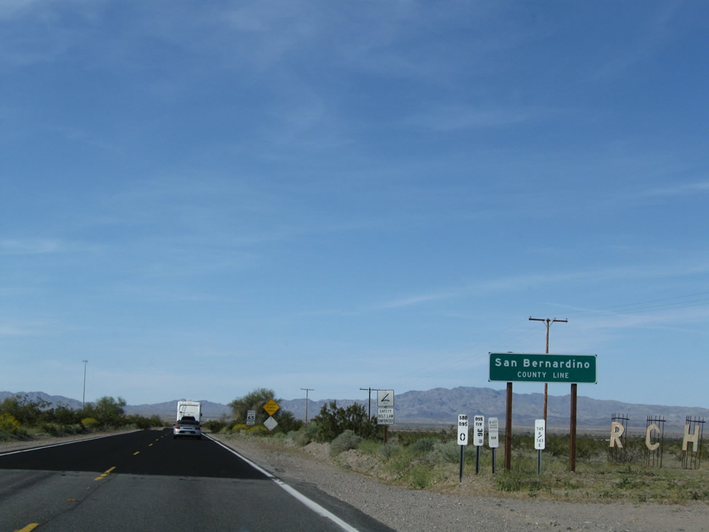
Northbound U.S. 95 leaves Riverside County and enters San Bernardino County. From here, the highway turns northwest toward Vidal and Vidal Junction. Photo taken 03/14/09. |
Page Updated August 2, 2009.