
State Route 20
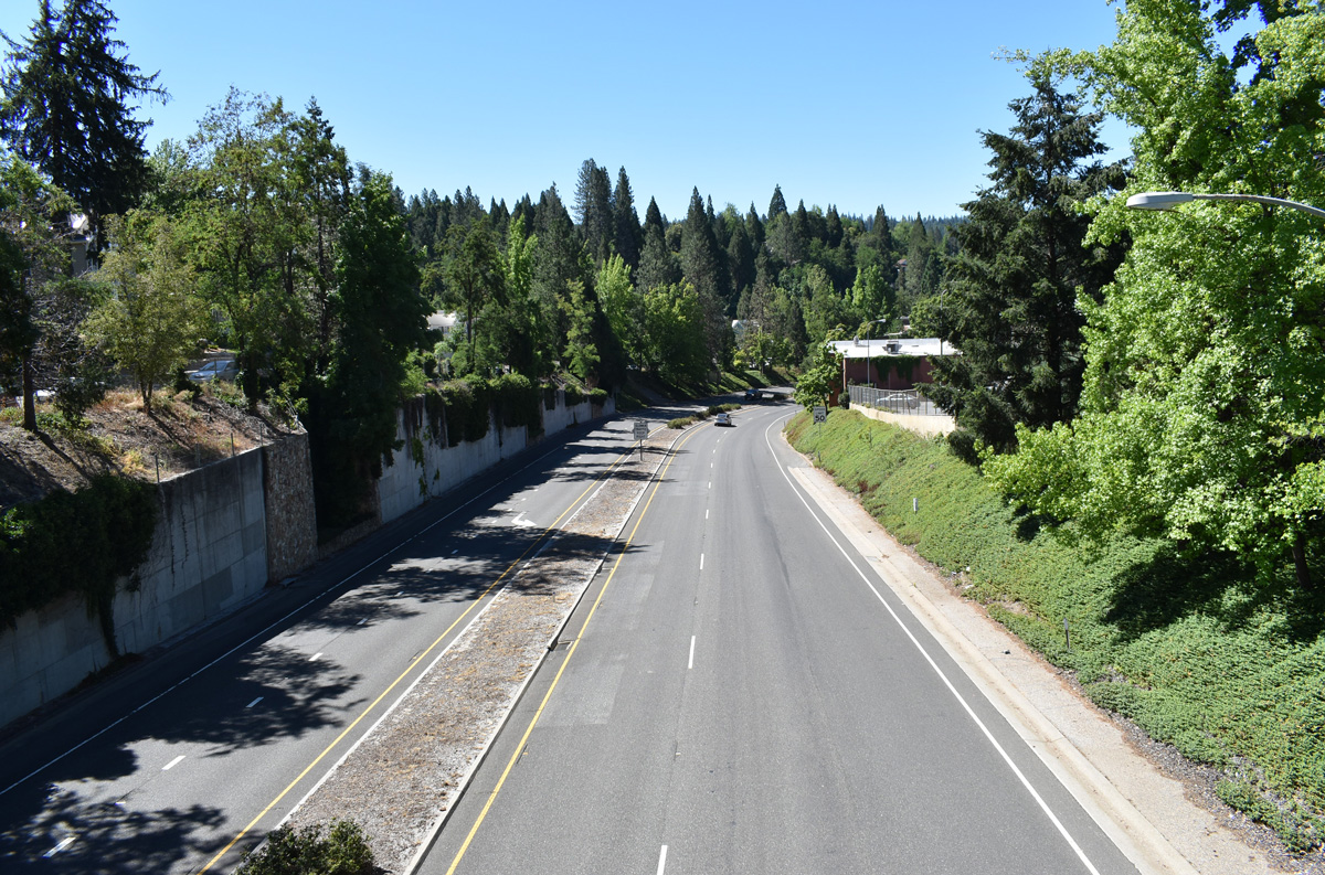
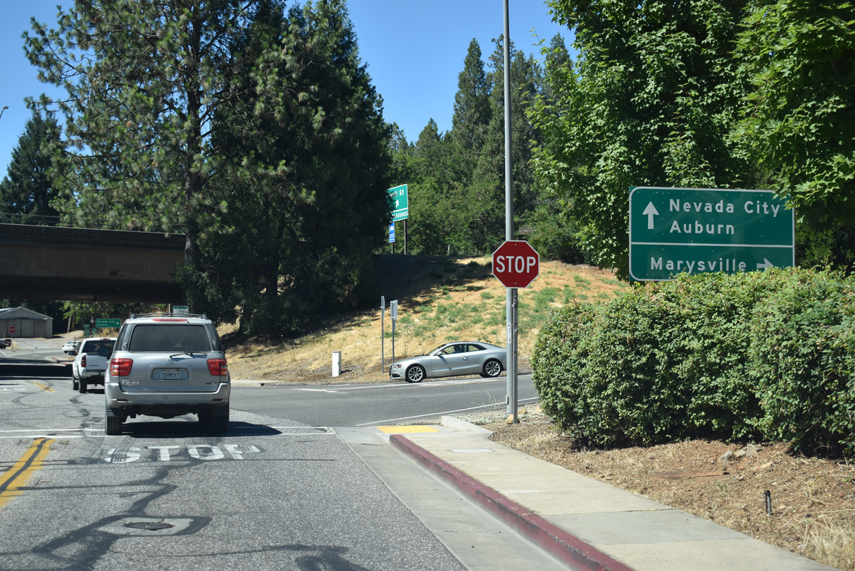
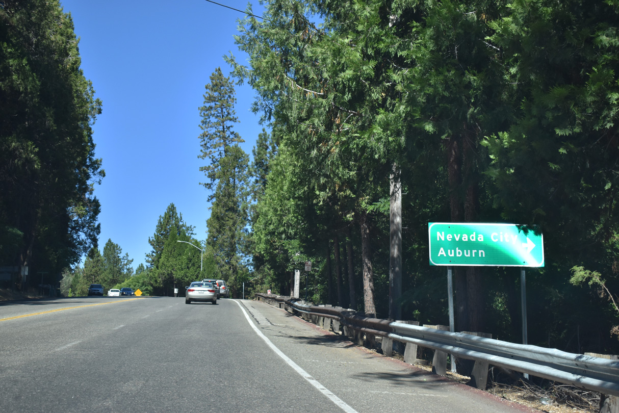
SR 20 combines with SR 49 for 5.1 miles along the Golden Center Freeway in Nevada County. This view looks south from Washington Street in Nevada City. - 07/11/2018
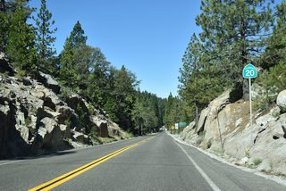
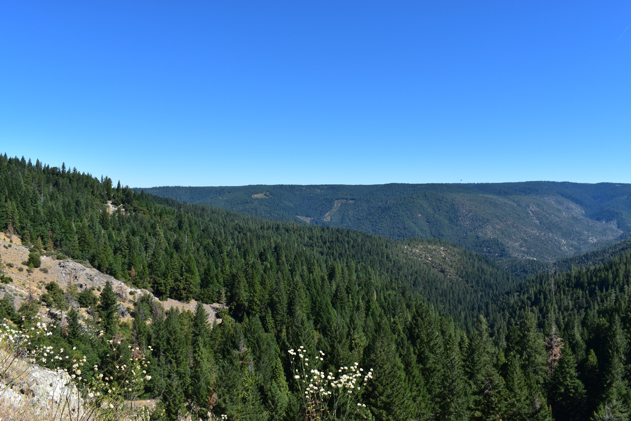
Connecting the ocean fog with the sapphire waters of Lake Tahoe, State Route 20 is a major east-west highway in Northern California. SR 20 passes through a wide variety of landscapes in Northern California, including redwood forest, the largest natural lake wholly located within California (Clear Lake), the Central Valley, Gold Country and the Sierra Nevada. The highway is generally two lanes, with occasional freeway segments where it merges with U.S. 101 and SR 49.
California State Route 20 Guides
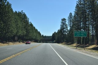
East - Grass Valley - 9 photos
SR 20/49 East - Grass Valley to Nevada City - 21 photos
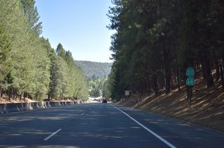
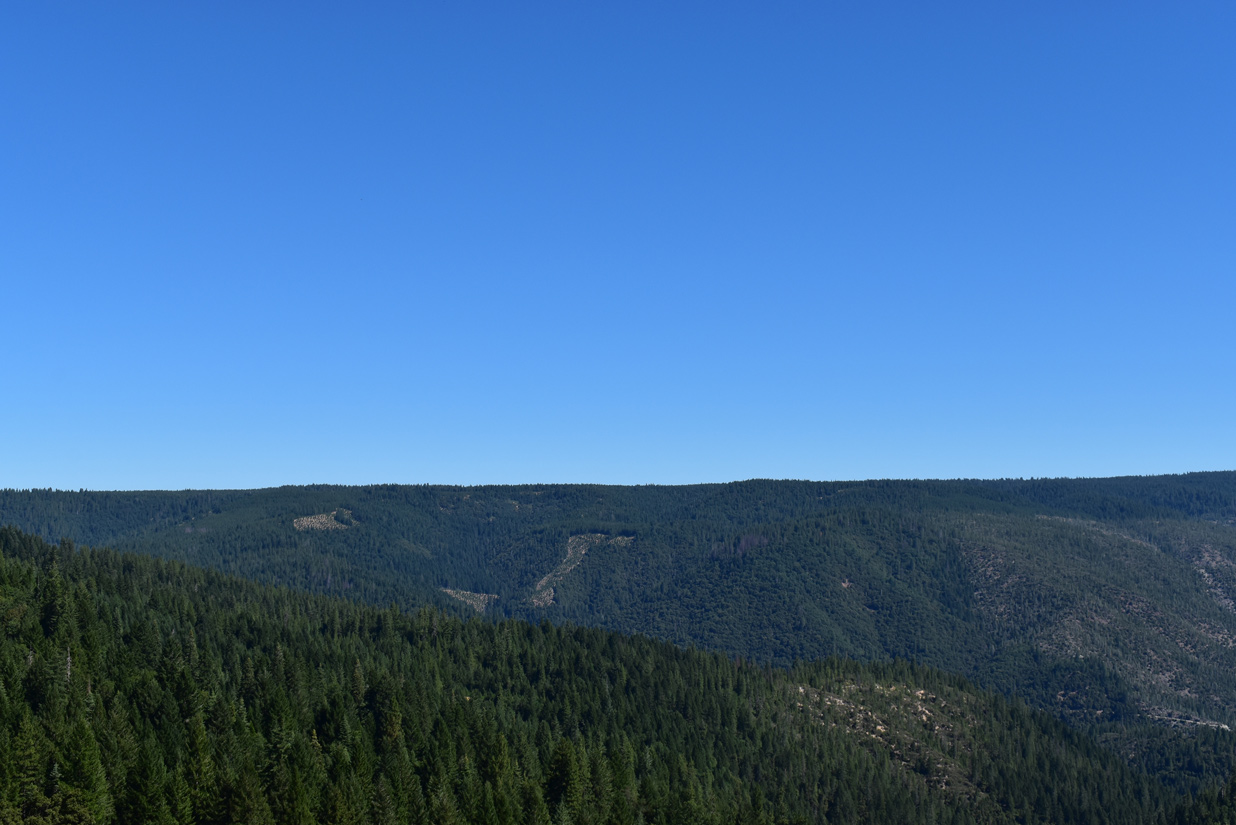
West - Placer / Nevada Counties - 63 photos
SR 20/49 South - Nevada City to Grass Valley - 23 photos
State Route 20 Business - 19 photos
East
- Mendocino County
- Lake County
- Colusa County
- Sutter County
- Yuba County
West
 scenes
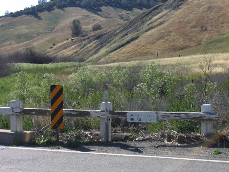
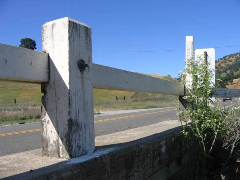
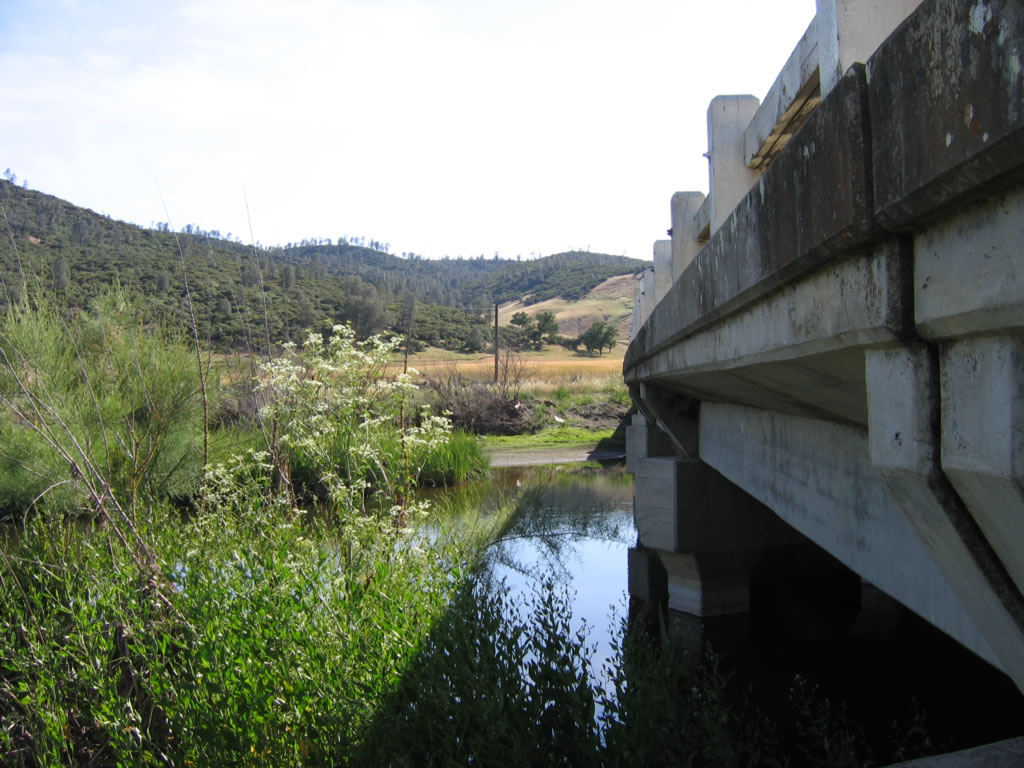
The original bridge crossing Bear Creek along SR 20 in western Colusa County was built in 1930. Located just west of SR 16, it was replaced with a modern span by 2012.
05/29/06
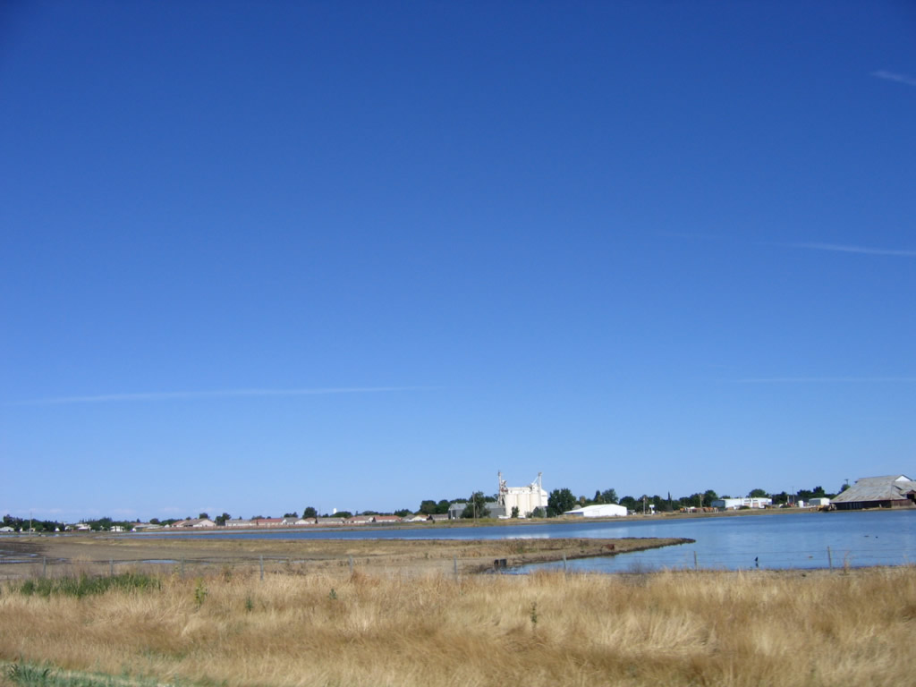
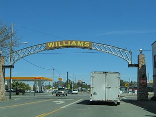
Looking south from the SR 20 bypass of Williams at the regional center in rural Colusa County.
05/29/06
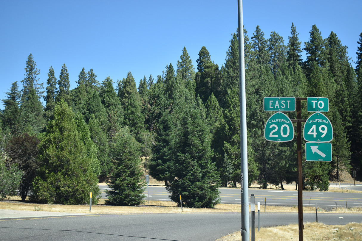
Mill Street south at the folded diamond interchange with SR 20 west to Marysville in Grass Valley.
07/11/18
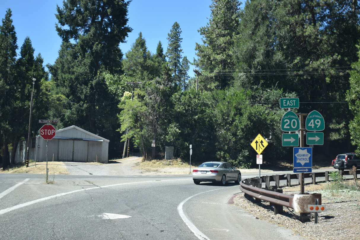
Mill Street intersects McCourtney Road just beyond the SR 20 over crossing in Grass Valley. McCourtney Road connects with the eastbound on-ramp to adjacent SR 49 and Nevada City.
07/11/18
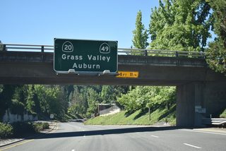
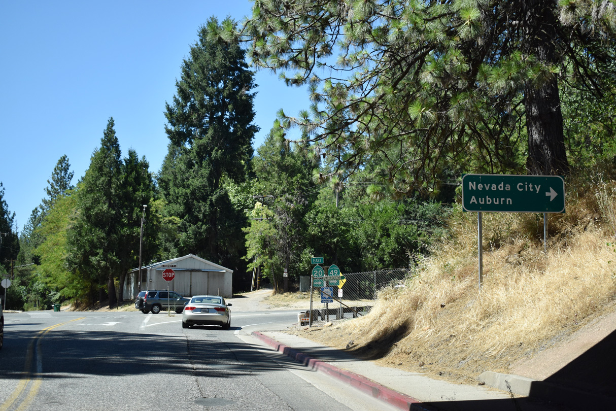
McCourtney Road west at the SR 20 eastbound on-ramp in Grass Valley. SR 20 combines with SR 49 along the Golden Center Freeway nearby. SR 49 leads south to Auburn.
07/11/18
Photo Credits:
- Andy Field: 05/29/06
- ABRoads: 07/11/18
Connect with:
Page Updated Wednesday March 20, 2019.