
Mississippi

Sitemap to all pages covering the state of Mississippi. Contributions and photography for the Mississippi guides from Alex Nitzman, Andy Field, Brent Ivy, Carter Buchanan, Justin Cozart and Trevor B.
Interstates

 Interstate 10
246 photos
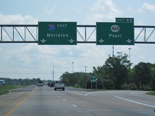
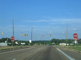
 Interstate 20
294 photos
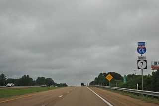
 Interstate 55
579 photos
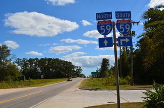
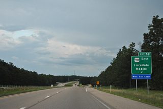
 Interstate 59
329 photos
 Interstate 110
55 photos
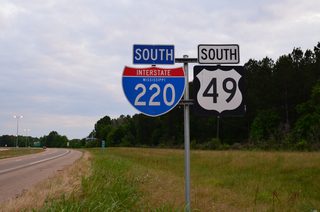
 Interstate 220
58 photos

 Interstate 269
77 photos
U.S. Highways
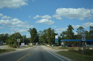
 U.S. 11
78 photos

 U.S. 45
113 photos
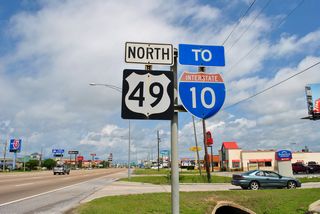
 U.S. 49
315 photos
 U.S. 84
117 photos
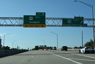
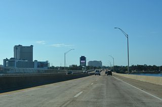
 U.S. 90
Informative Guide
 U.S. 98
164 photos
State Highways
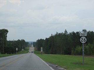
 Highway 26
109 photos
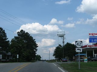
 Highway 42
18 photos
 Highway 57
14 photos
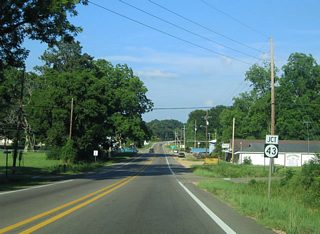
 Highway 63
50 photos
 Highway 184 - Collins
8 photos
 Highway 184 - Monticello
9 photos
 Highway 184 - Prentiss
9 photos
 Highway 184 - Silver Creek
2 photos
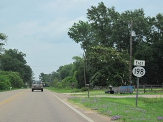
 Highway 198 - Lucedale
15 photos
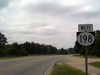 Highway 198 - McLain
5 photos
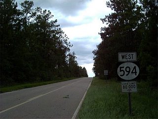
 Highway 594
4 photos

 Highway 611
21 photos
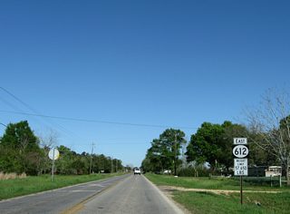
 Highway 612
5 photos
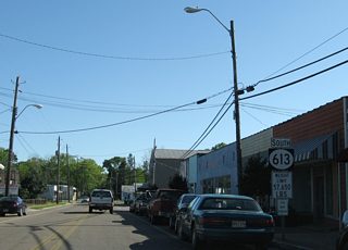
 Highway 613
14 photos
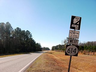
 Highway 614
4 photos
City/Area Guides
Jackson
23 Photos
Mississippi Gulf Coast
30 PhotosPopulation
| State Population | |||||
|---|---|---|---|---|---|
| 2,961,279 | |||||
| Metropolitan Populations | |||||
| Jackson | 591,978 | Gulfport-Biloxi | 416,259 | Hattiesburg | 172,231 |
| Tupelo | 163,398 | Meridian | 97,587 | Laurel | 83,613 |
| Top County Populations | |||||
| Hinds | 227,742 | Harrison | 208,621 | DeSoto | 185,314 |
| Rankin | 157,031 | Jackson | 143,252 | Madison | 109,145 |
| Top City Populations | |||||
| Jackson | 157,821 | Gulfport | 71,438 | Southaven | 56,644 |
| Biloxi | 46,127 | Hattiesburg | 45,806 | Olive Branch | 39,646 |
| Tupelo | 38,303 | Meridian | 36,011 | Oxford | 28,315 |
| Sources: 2020 U.S. Census Data (metro populations and counties), 2020 U.S. Census Estimate (cities) | |||||
About Mississippi
- Capital:
 Jackson
 - Nickname: Magnolia State
- State Flower: Magnolia
- State Bird: Mockingbird
- State Tree: Magnolia
- Land Area: 46,923.27 square miles, 32nd largest
- Total Interstate Mileage: 831.47 miles
- Highest Point: Woodall Mountain 806 feet
- Lowest Point: Sea Level
- Number of Counties: 82
- Statehood: 20th state; admitted December 10, 1817
About the Mississippi State Highway System
One and two digit state routes are primary and orientated with the lowest odd numbered route running north-south from west to the east and the even numbered routes assigned to east-west highways and counting upwards from north to south. There are some exceptions. Mississippi also utilizes a route clustering system for the numbering of three-digit routes. These range from the 300 series at the northern end of the state to the 600 series within the Gulf Coast counties. 100 series numbers are reserved for former alignments of U.S. Highways and act as business loops or alternate alignments to the parent US Route. Mississippi Highway 245 is an exception to this rule as it represents an old alignment of U.S. 45 Alternate. Unsigned highways are legislative in nature and range in the 700s, 800s and 900s, with a clustering system from north to south similar to the 300-600 series. Signs for these routes appear occasionally throughout the state.
Last updated: Friday November 1, 2024