
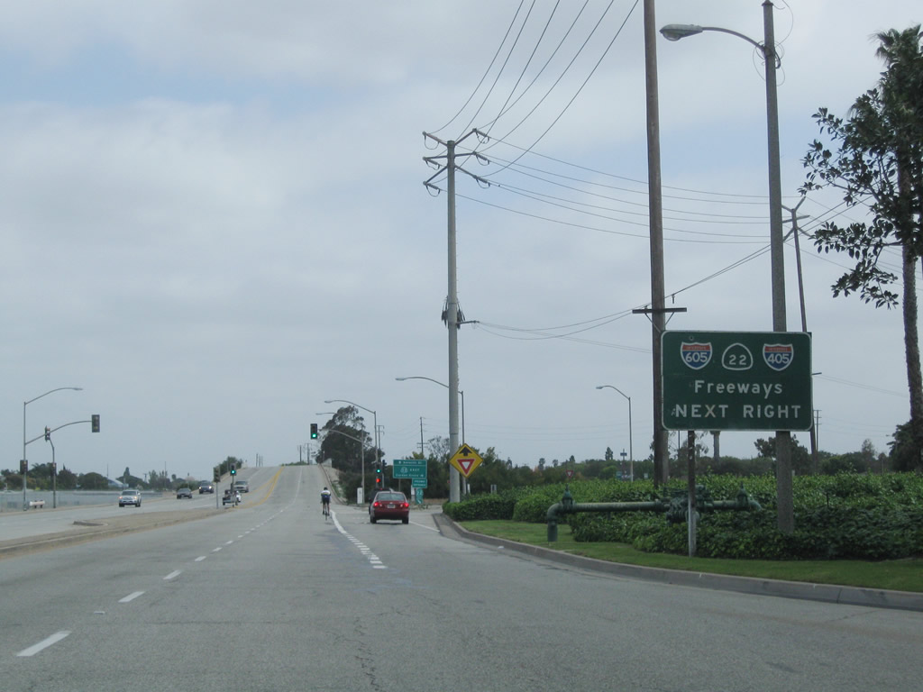
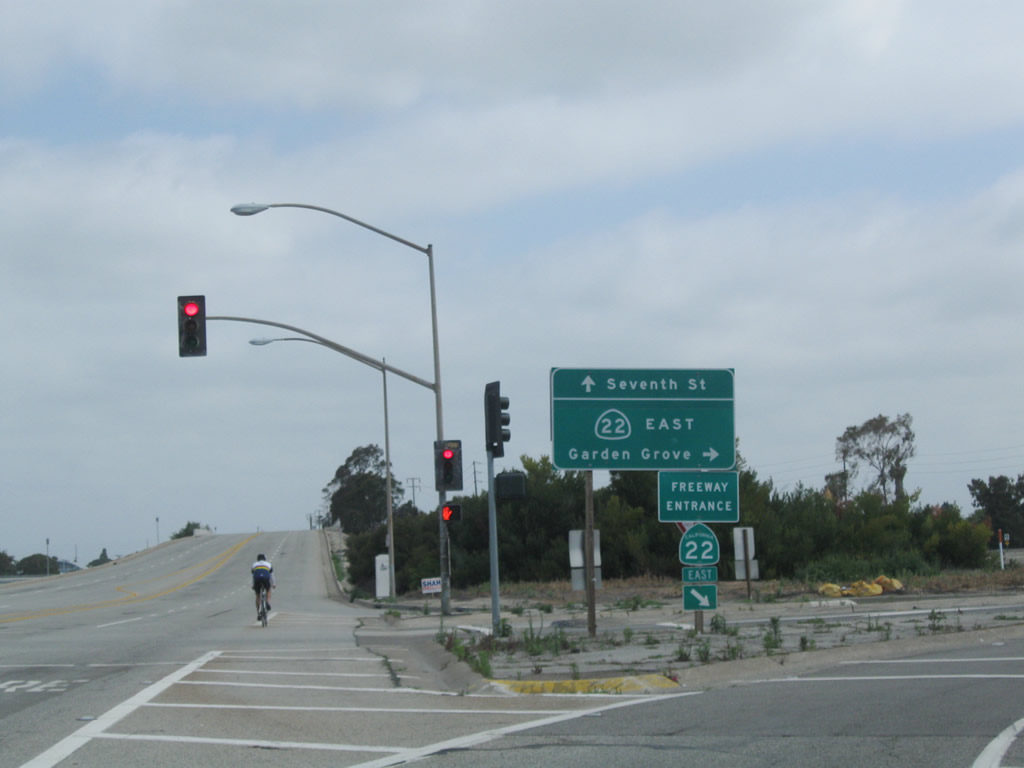
California 22
California 22 is a major east-west corridor through southern Los Angeles County and Orange County; the freeway segment is known as the Garden Grove Freeway. The state route begins at California 1 as a surface street, but quickly upgrades to a freeway when it interchanges with Studebaker Road. After a brief duplex with Interstate 405 southbound, California 22 continues due east as its own four- to six-lane freeway. After passing through the Orange Crush interchange (Interstate 5 / California 57), California 22 ends at California 55 (Costa Mesa Freeway). The entire Garden Grove Freeway corridor between Interstate 405 and California 55 was completely reconstructed in the mid-2000s, beginning in 2004 and finishing in 2007.
California 22 Highway Guides
California 22 was largely constructed as a freeway between 1964 and 1967, with some exceptions. Based on the Caltrans District 12 bridge log, the following segments were constructed in the following years:
- Los Alamitos Channel Bridge - 1958
- Shared Alignment with Interstate 405 - 1966
- Interstate 405 to Knott Street - 1966
- Knott Street to California 39 and Newland Street - 1964
- Newland Street to Magnolia Street - 1965
- Magnolia Street to The City Drive - 1965
- The City Drive through Orange Crush Interchange (Interstate 5, California 57) to Main Street - 1963
- Main Street to California 55 - 1967
Between 2004 and 2007, California 22 was reconstructed between Interstate 405 and California 55. Improvements included new through and auxiliary lanes, new high occupancy vehicle (carpool) lanes, and interchange modifications to improve efficiency and merging. Future improvements are planned to include new carpool lane connections with intersecting freeways.
| California 22 scenes | ||
|---|---|---|
 |
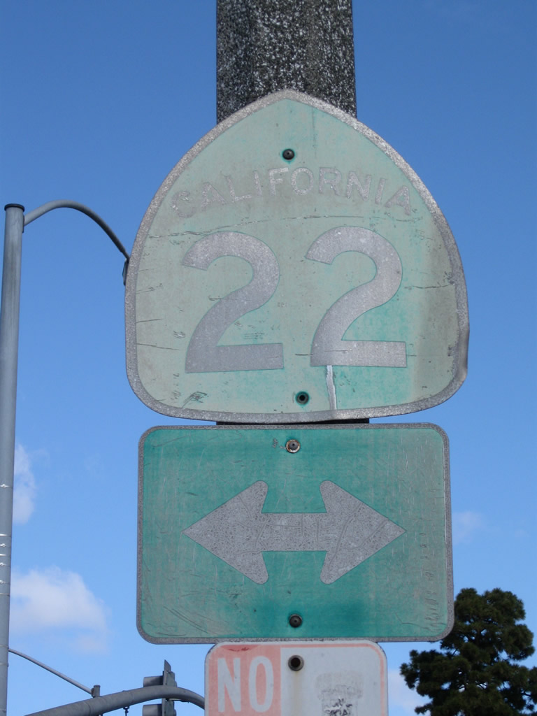 |
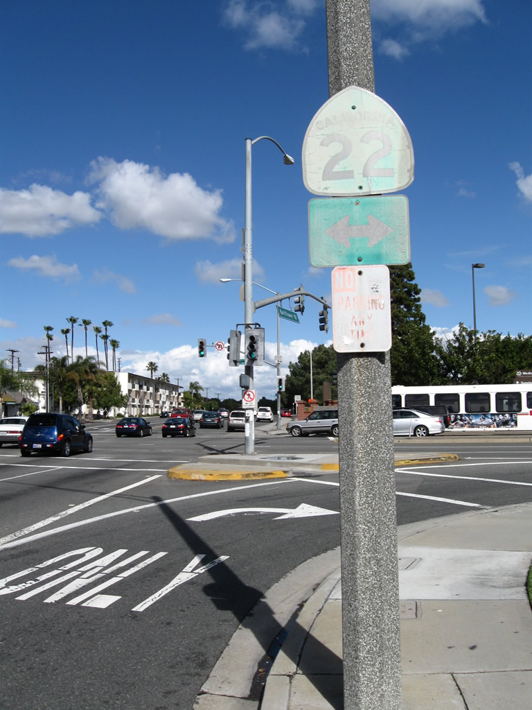
A rather old California 22 trailblazer is posted on Bellflower Boulevard north as it approaches the intersection with Seventh Street in Long Beach. Photos taken 02/26/11. |
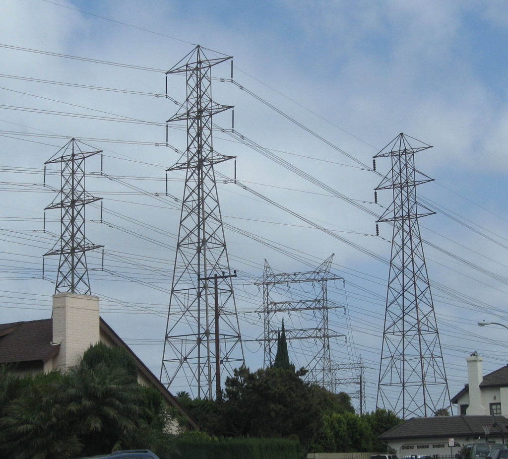 |
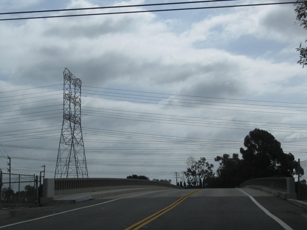
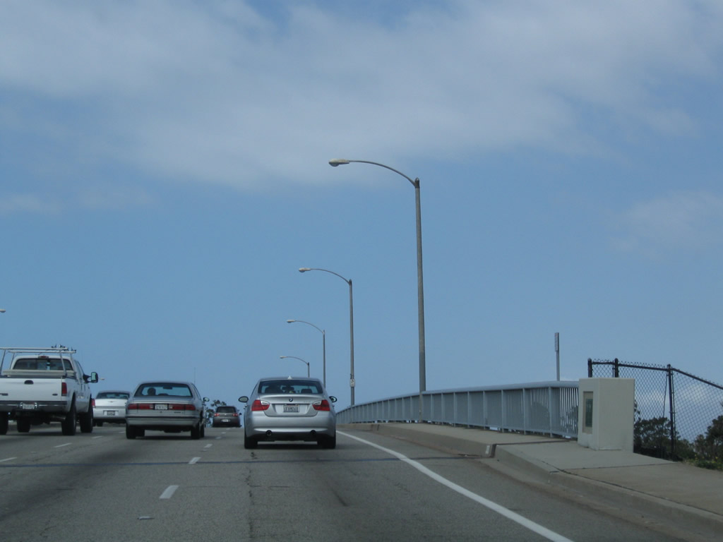
A large power plant sits south of California 22 (Seventh Street) and east of Studebaker Road in Long Beach. Southern California Edison and Los Angeles Department of Water and Power electric transmission lines converge on this power plant, including these lines visible from a neighborhood just north of California 22. Photo taken 05/02/10. | |
 |
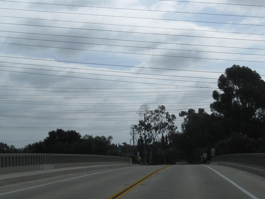 |
The old alignment of California 22 over the San Gabriel River is College Park Drive. The original bridge complete with old concrete railing can be found via the Studebaker Road off-ramp from California 22 west. This bridge now serves as the primary route into a small suburban residential community (Edison Park) bounded by Interstate 405, California 22, and the San Gabriel River. These views look east on College Park Drive. Photos taken 05/02/10. |
 |
 |
Now looking west on College Park Drive are these views of the bridge over the San Gabriel River. Photos taken 05/02/10. |
 |
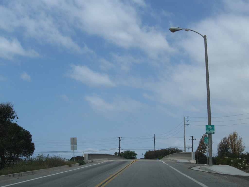
Northbound Studebaker Road approaches California 22 in Long Beach. Since the mega-interchange between California 22, Interstate 405, and Interstate 605 is located just east of here, all three routes are signed here. Take California 22 east to Interstate 605 north to Duarte, Interstate 405 north to LAX and Santa Monica, Interstate 405 south to Irvine and San Diego, and California 22 east to Garden Grove and Orange. Photo taken 05/02/10. |
 |
Shortly thereafter, northbound Studebaker Road meets the right turn to California 22 east to Interstate 605 north to Duarte, Interstate 405 north to LAX and Santa Monica, Interstate 405 south to Irvine and San Diego, and California 22 east to Garden Grove and Orange. Continue straight ahead to connect to California 22 (Seventh Street) west to Long Beach. Photo taken 05/02/10. |
 |
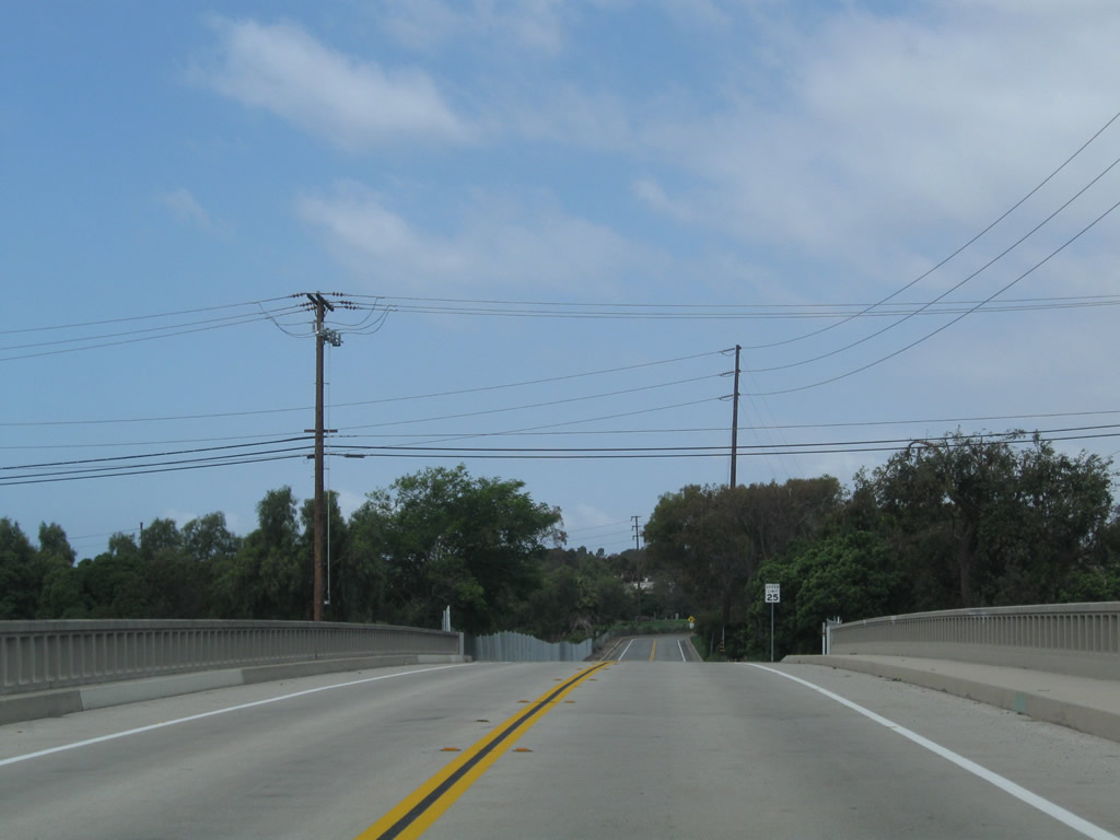
The connecting ramp from Studebaker Road north to California 22 east splits at this point; stay right to connect to California 22 east. Photo taken 05/02/10. |
| Miscellaneous Scenes from Long Beach | ||
|---|---|---|
| Second Street west | ||
 |
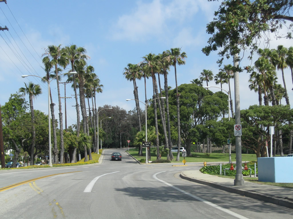
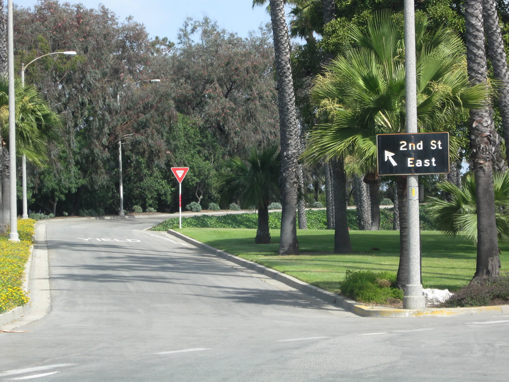
Second Street parallels California 22 as it travels west past California 1 (Pacific Coast Highway) and Marina Drive and enters the city of Long Beach. Photo taken 05/02/10. | |
 |
 |
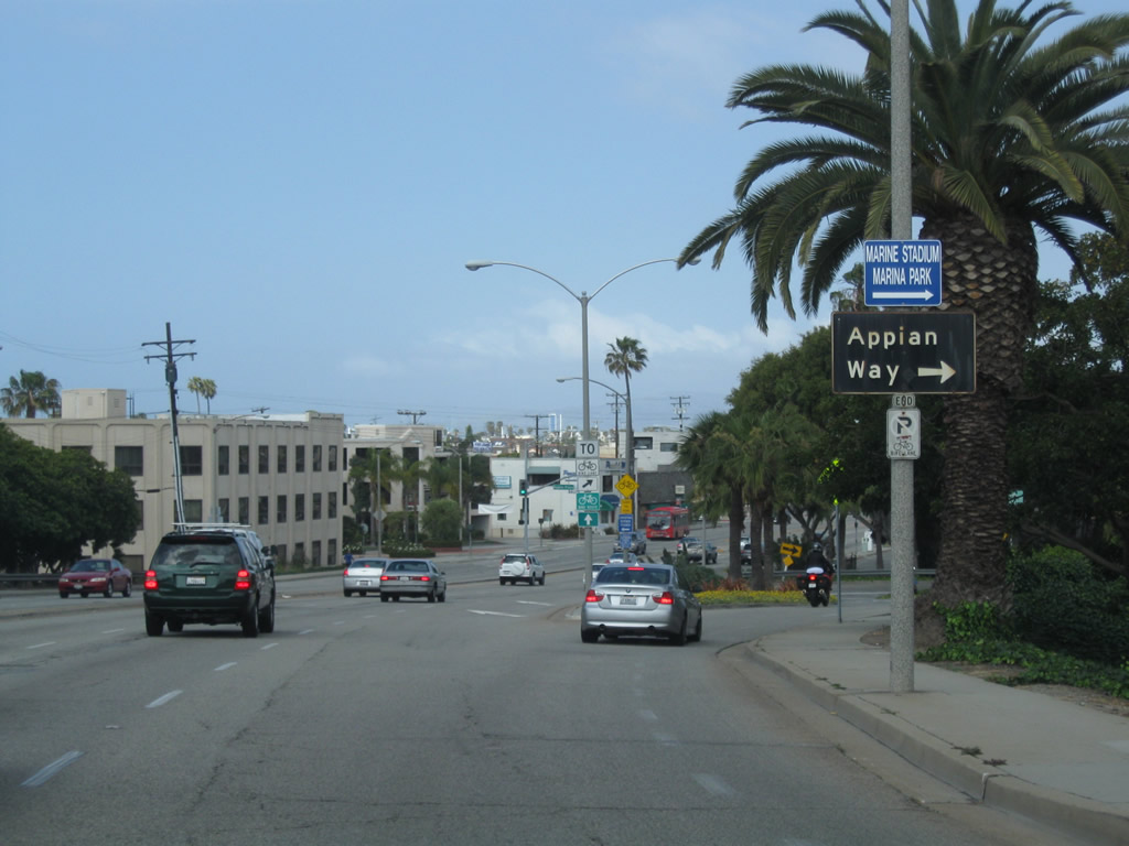
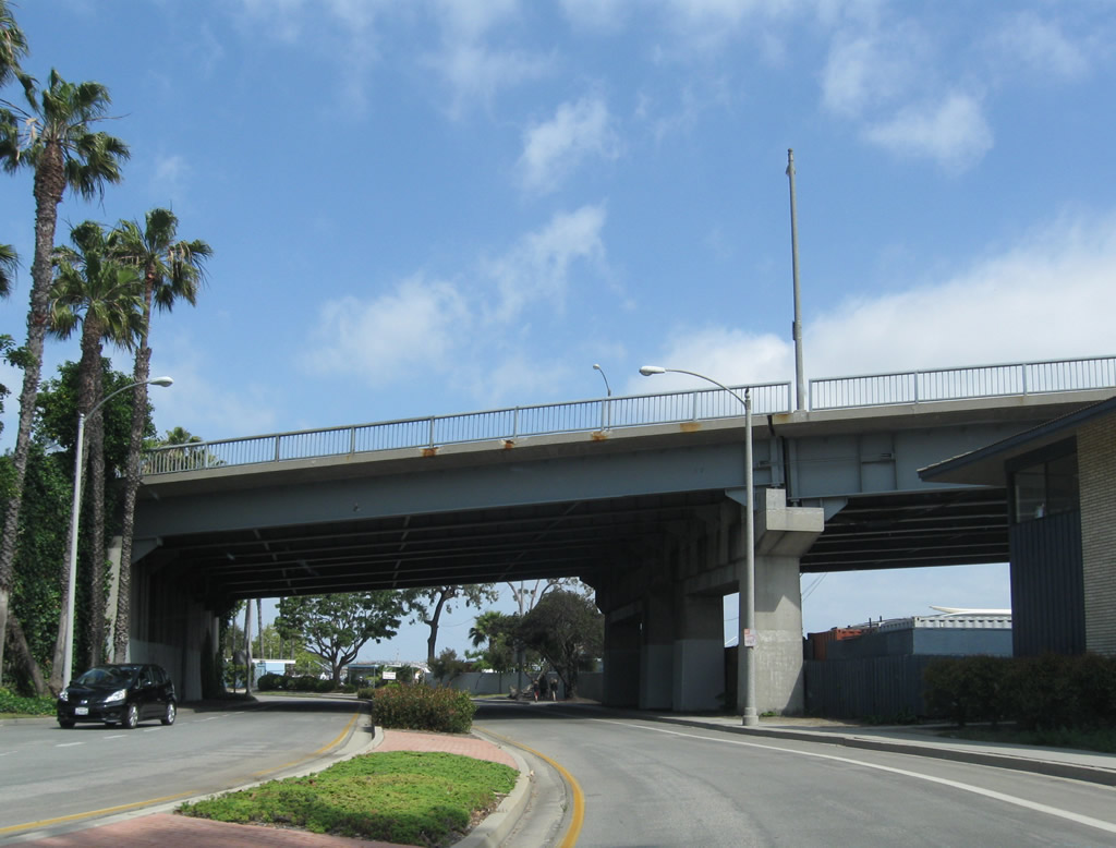
Three lanes carry Second Street over a channel into Long Beach; turquoise colored bridge railings line the highway. The next interchange with with Appian Way. Photos taken 05/02/10. |
 |
 |
Westbound Second Street meets Appian Way at this connecting ramp. The guide sign for Appian Way is one of the few remaining porcelain-enamel, black guide signs in the Southland. Photos taken 05/02/10. |
| Appian Way north | ||
|---|---|---|
 |
 |
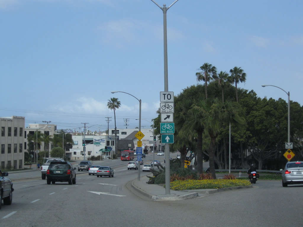
Northbound Appian Way approaches Second Street. At this point, traffic connecting to Second Street east should bear left off of Appian Way. Photos taken 05/02/10. |
 |
Appian Way north passes under Second Street in Long Beach. Photos taken 05/02/10. | |

Page Updated September 23, 2010.
|
About Contact Glossary |
In The News Testimonials Interstate Guide |
Social Media:
 |
|
© 2000-23 AARoads.com | All Rights Reserved | Privacy Policy / Terms of Use
|
||