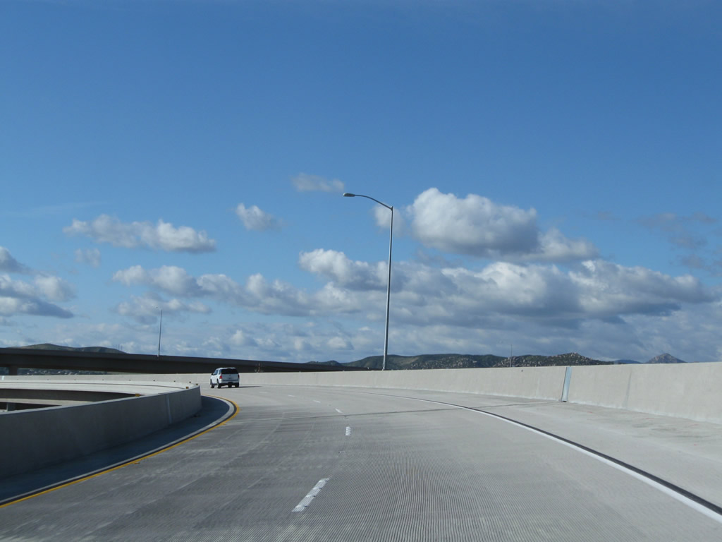
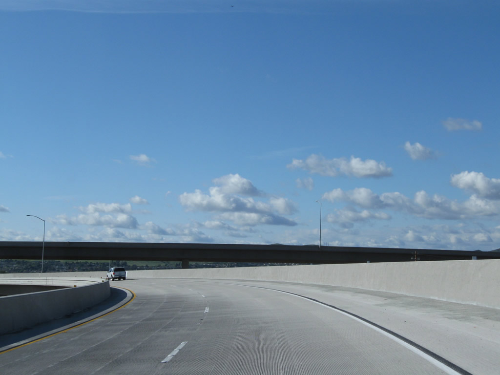
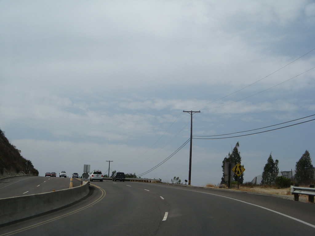
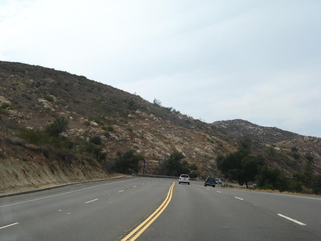
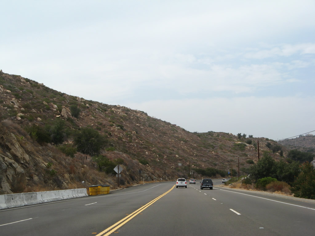
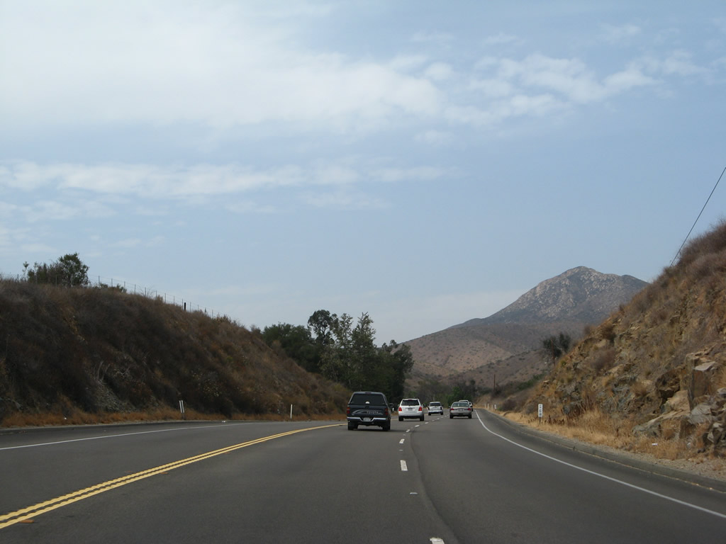
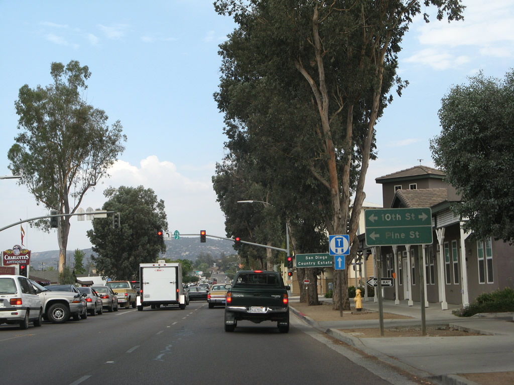
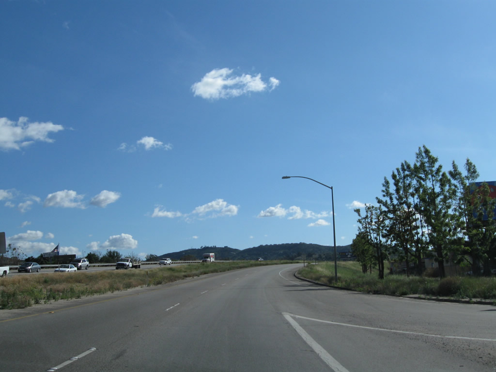
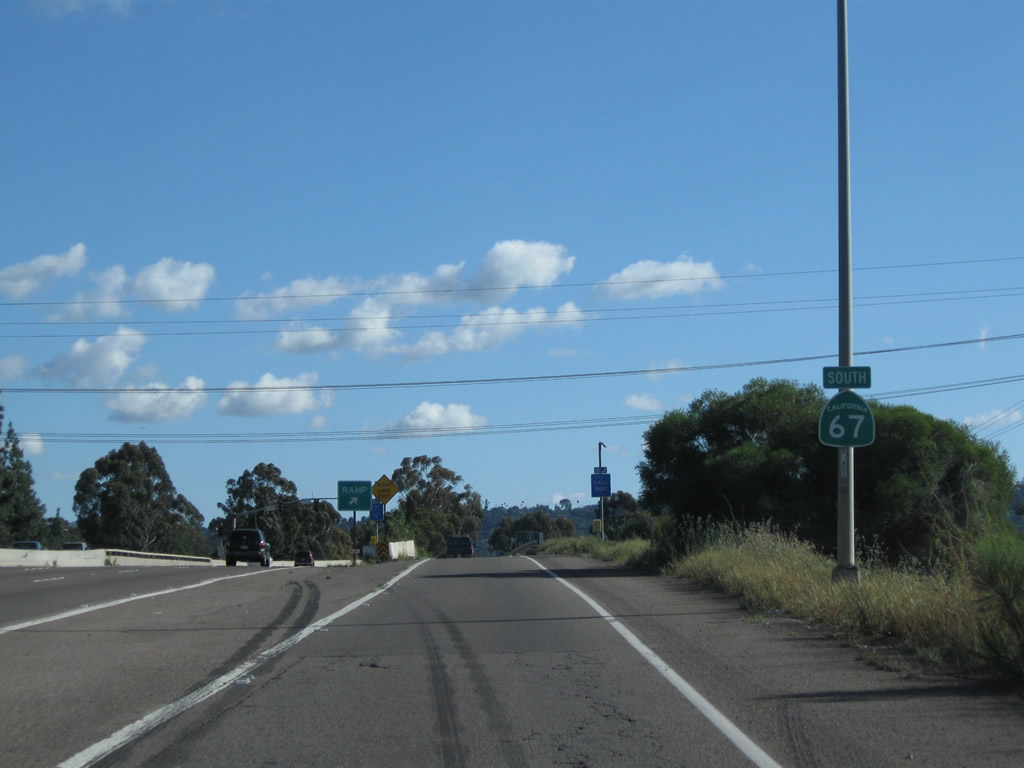
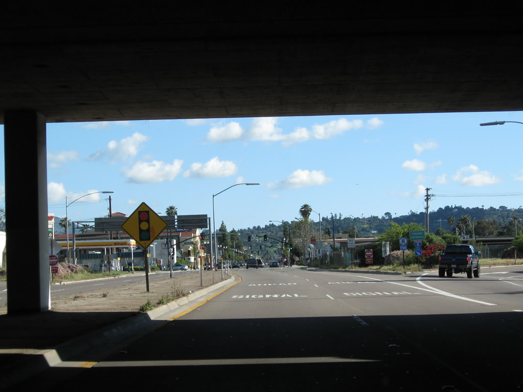
California 67 is the San Vicente Freeway from Interstate 8 in El Cajon to California 78 in Ramona via Santee and Lakeside. From Lakeside north to the unincorporated community of Ramona, California 67 is mostly a two-lane, somewhat mountainous route with occasional passing lanes and expressway segments. This corridor sees a fair share of accidents due to high speed, limited sight distance, and a fair amount of traffic. Long-range plans call for eventual expressway/divided highway standards for the length of the entire state route.
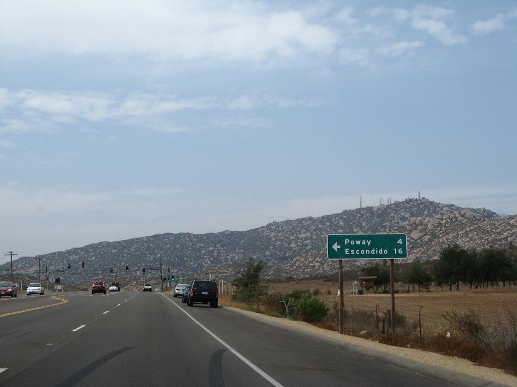
Proposals have been floated for converting California 67 between Lakeside and Ramona into an expressway for its entire length, and some have advocated merging California 67 and 125 into a single north-south freeway corridor north to California 78 west of Ramona, with a possible extension north to Interstate 15 near Rainbow or even to Interstate 10 near Redlands. A State Routes 67 and 125 corridor study from June 2002 conducted by the San Diego Association of Governments (SANDAG) recommended widening of California 67 to a four-lane conventional highway between Vigilante Road and the vicinity of Mussey Grade Road and Dye Road. A bypass of Ramona could conceivably begin near this point (by extending Dye Road east to San Vicente Road as a two-lane collector road), but no official plan for construction was proposed in the 2015-2030 timeframe.
A discarded freeway proposal for California 67 was publicly announced by Caltrans in May 2000. This bypass would have gone due north from California 67 at Archie Moore Road to California 78 near Bandy Canyon Road (about four miles east of the San Diego Wild Animal Park). This highway would be planned for long-term needs, and it had not previously been in the San Diego Association of Governments (local planning agency) roads/highways plan. The aforementioned corridor study looked at combining the needs of both California 67 and California 125, most likely as a result of the northerly extension of California 125 north through Poway being considered unlikely. A combined California 67/125 corridor would also serve as a trade route, providing another route to the international border that avoids most of metropolitan San Diego. As of April 2011, a freeway widening of California 67 remains a long-range, unfunded proposal.
Due to the multitude of accidents along the two-lane segment of California 67, less costly improvements to enhance safety are being planned for the corridor, including additional barriers and climbing lanes.
| California 67 north |
|
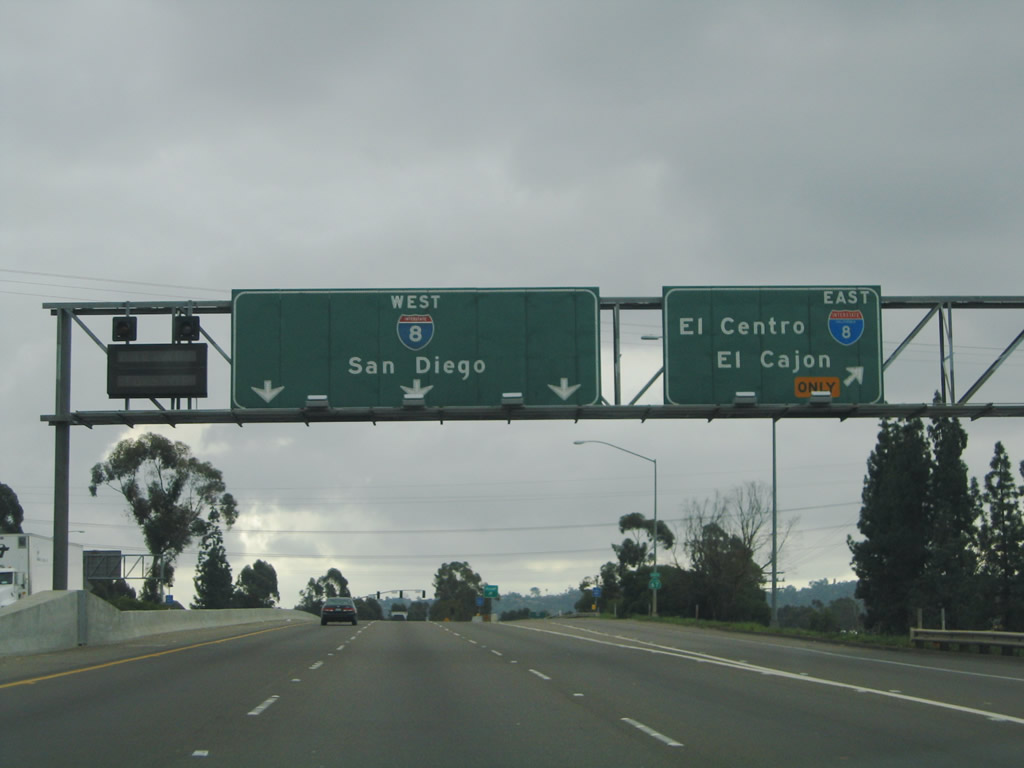
Northbound Magnolia Street transitions directly onto California 67 at the Interstate 8 interchange in the city of El Cajon. The first ramp is to Exit 1A, Interstate 8 east, following by a cloverleaf ramp onto Interstate 8 west (Exit 1B). For a long time, this intersection was only a cloverleaf, but the later addition flyover ramps from eastbound Interstate 8 to Northbound California 67 and from southbound California 67 to westbound Interstate 8 changed the dynamic of the interchange. Photo taken 10/12/03. |
|
After Magnolia changes into California 67, the second ramp of the cloverleaf interchange connects to Interstate 8 westbound. California 67 begins in the city of El Cajon, which had a population of 94,869 as of the 2000 Census and was incorporated on November 12, 1912. Photo taken 10/12/03. |
|
Northbound California 67 meets Exit 1B, Interstate 8 (Kumeyaay Highway) west to San Diego. California 67 continues north toward Santee, Lakeside, and Ramona, while Interstate 8 west leads to La Mesa and San Diego. Photo taken 10/12/03. |
|
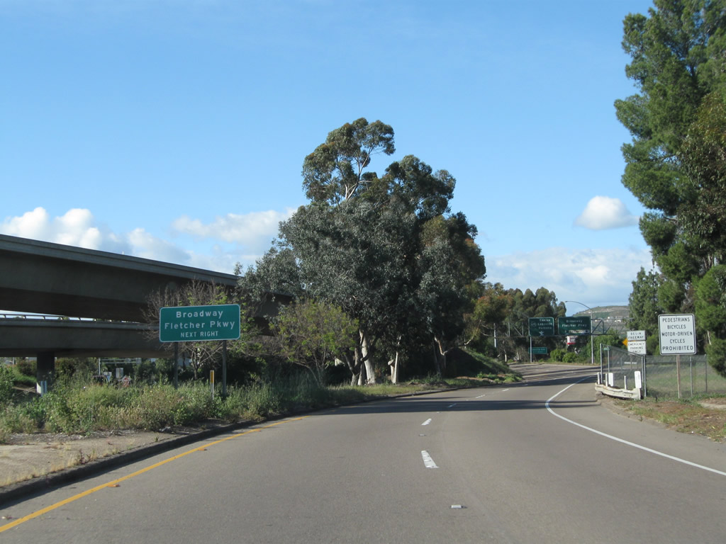
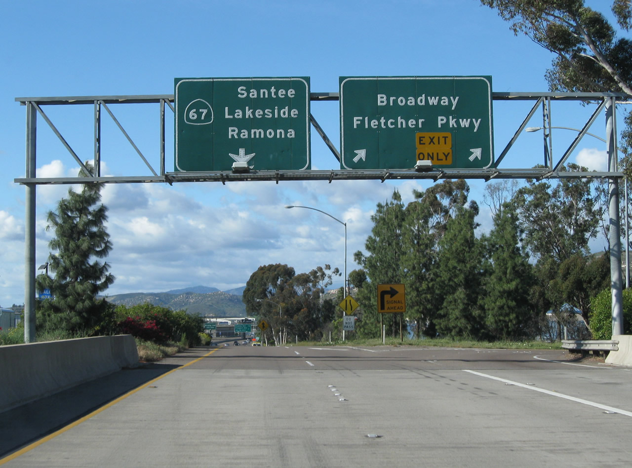
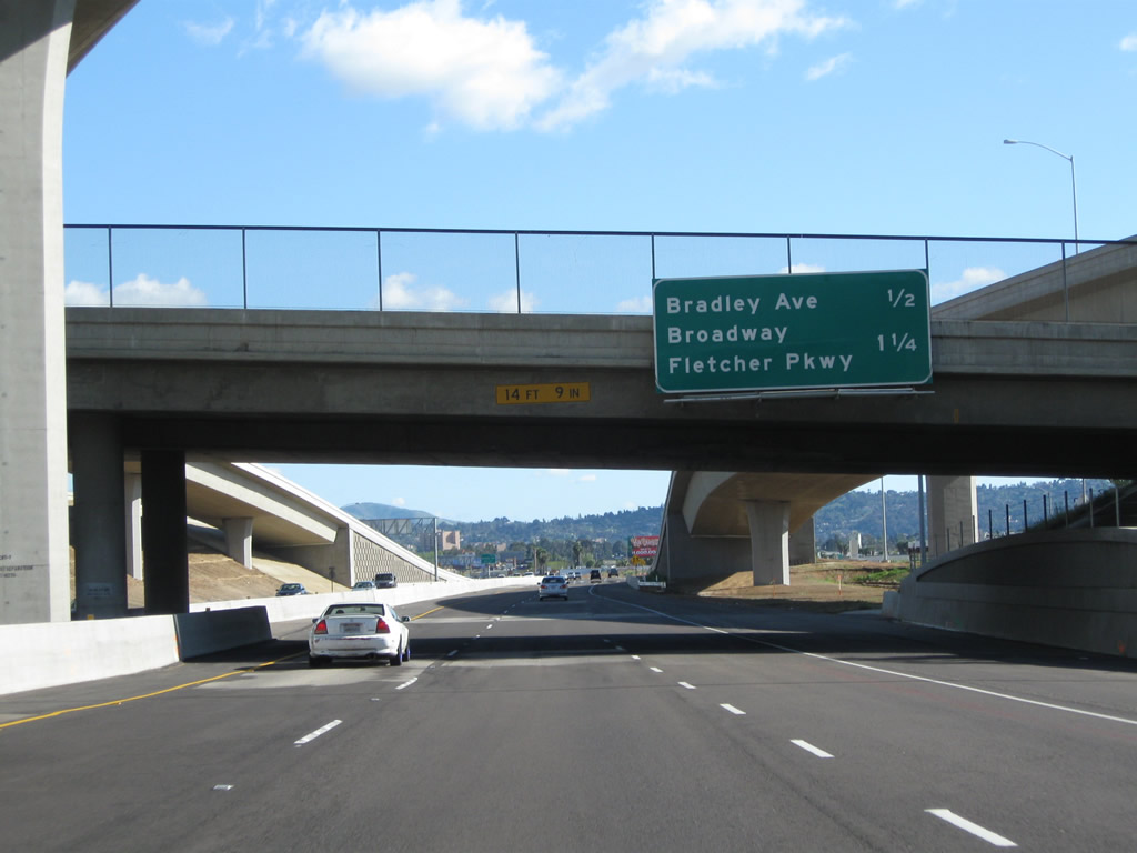
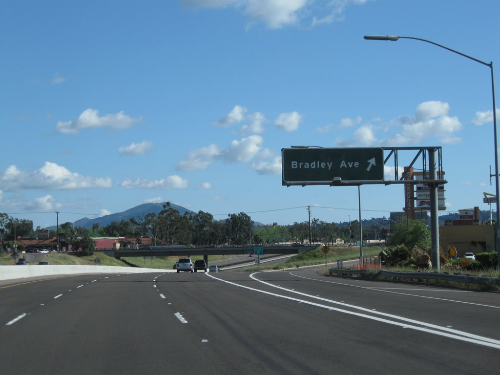
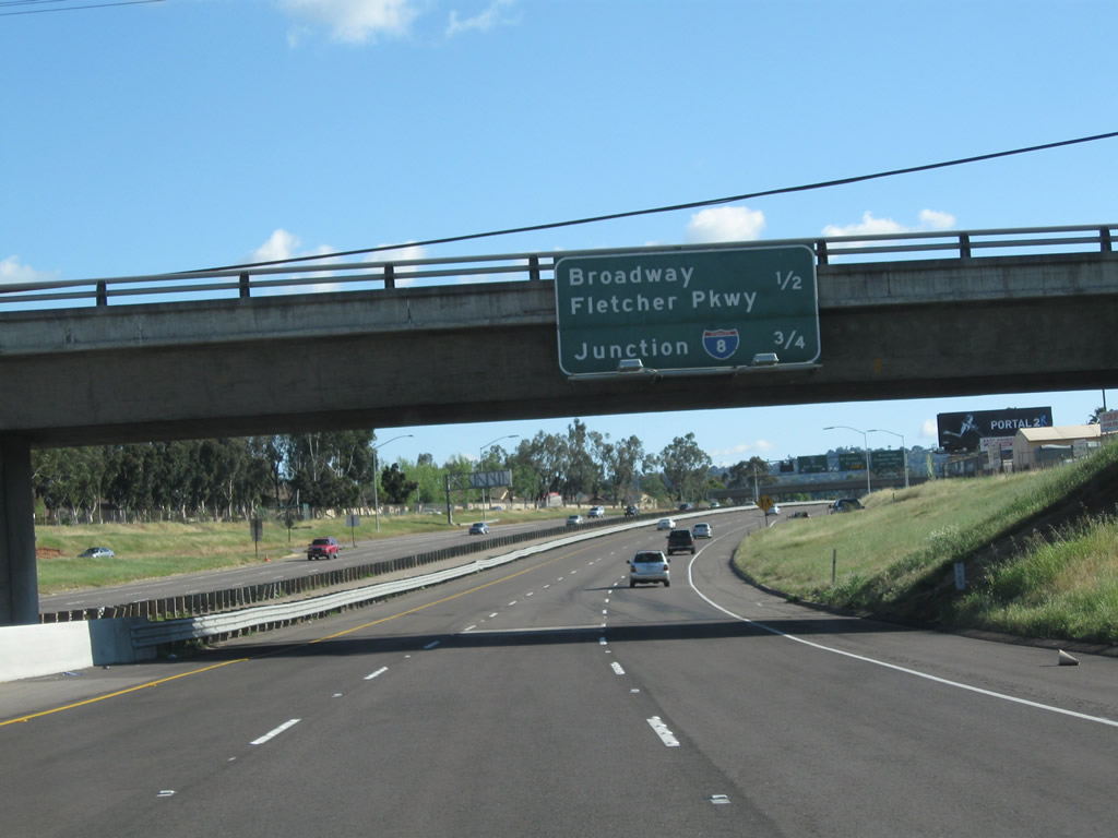
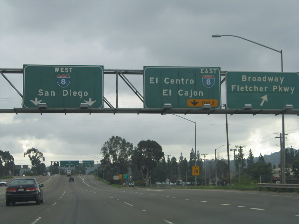
The next exit along California 67 (San Vicente Freeway) north is Exit 1C, Broadway, Fletcher Parkway, and Magnolia Avenue. Photo taken 04/09/11. |
|
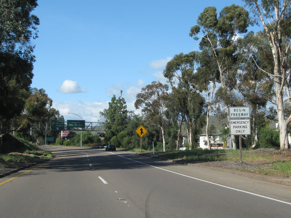
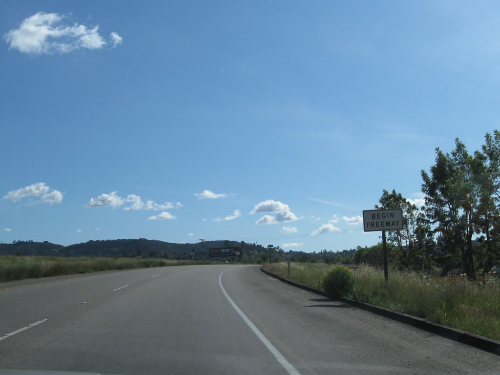
A Begin Freeway sign for California 67 (San Vicente Freeway) is posted between Interstate 8 and the off-ramp to Exit 1C, Broadway, Fletcher Parkway, and Magnolia Avenue in El Cajon. Photo taken 04/09/11. |
|
The right two lanes of California 67 (San Vicente Freeway) north connect to Exit 1C, Broadway, Fletcher Parkway, and Magnolia Avenue. The left two lanes will carry California 67 north to Santee, Lakeside, and Ramona. Photo taken 04/09/11. |
|
The off-ramp to Exit 1C actually lands on Graves Avenue, which parallels California 67 on the east side of the freeway. Upon exiting, turn right on Graves Avenue south. At the traffic signal, turn right for Fletcher Parkway west to Parkway Plaza shopping center and Fletcher Hills. Turn left for Broadway east to Bostonia. To the continuation of Magnolia Avenue, follow Fletcher Parkway west, pass under the California 67 freeway, and turn right north at the first traffic signal. Magnolia Avenue is old California 67 and will follow the freeway on the west side. Photo taken 04/09/11. |
|
Northbound California 67 (San Vicente Freeway) reaches Exit 1C, Broadway, Fletcher Parkway, and Magnolia Avenue. Ahead, traffic from Interstate 8 east merges onto California 67 from the left. Photo taken 04/09/11. |
|
|
The main lanes of California 67 (San Vicente Freeway) north reduce to one through lane prior to merging with traffic from Interstate 8. Photos taken 04/09/11. |
|
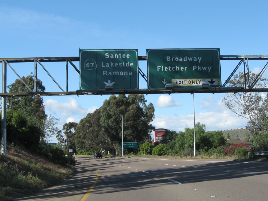
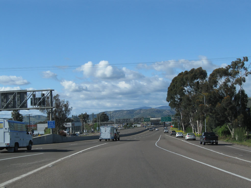
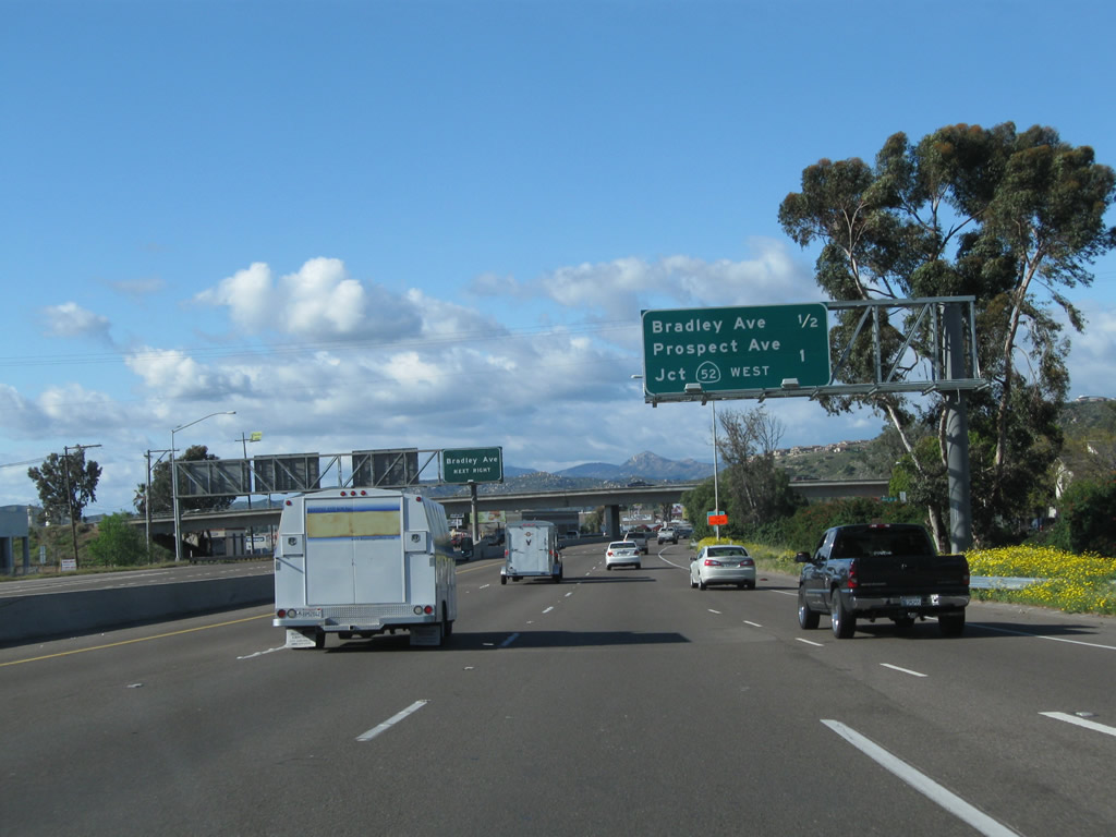
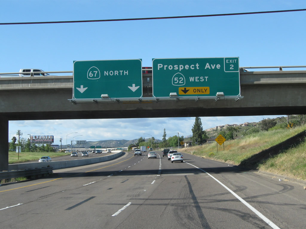
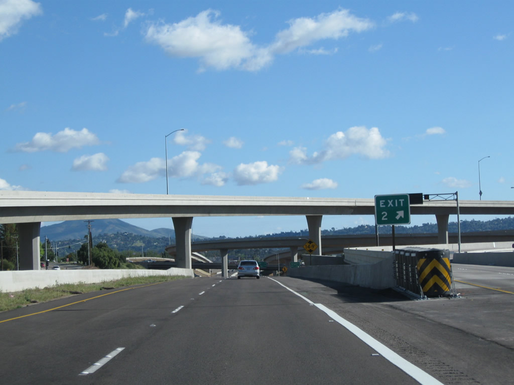
This mileage sign along California 67 (San Vicente Freeway) north provides the distance to the next two exits: Exit 1D, Bradley Avenue and Exit 2, California 52 (Soledad Freeway) west to La Jolla and Prospect Avenue. Photo taken 04/09/11. |
|
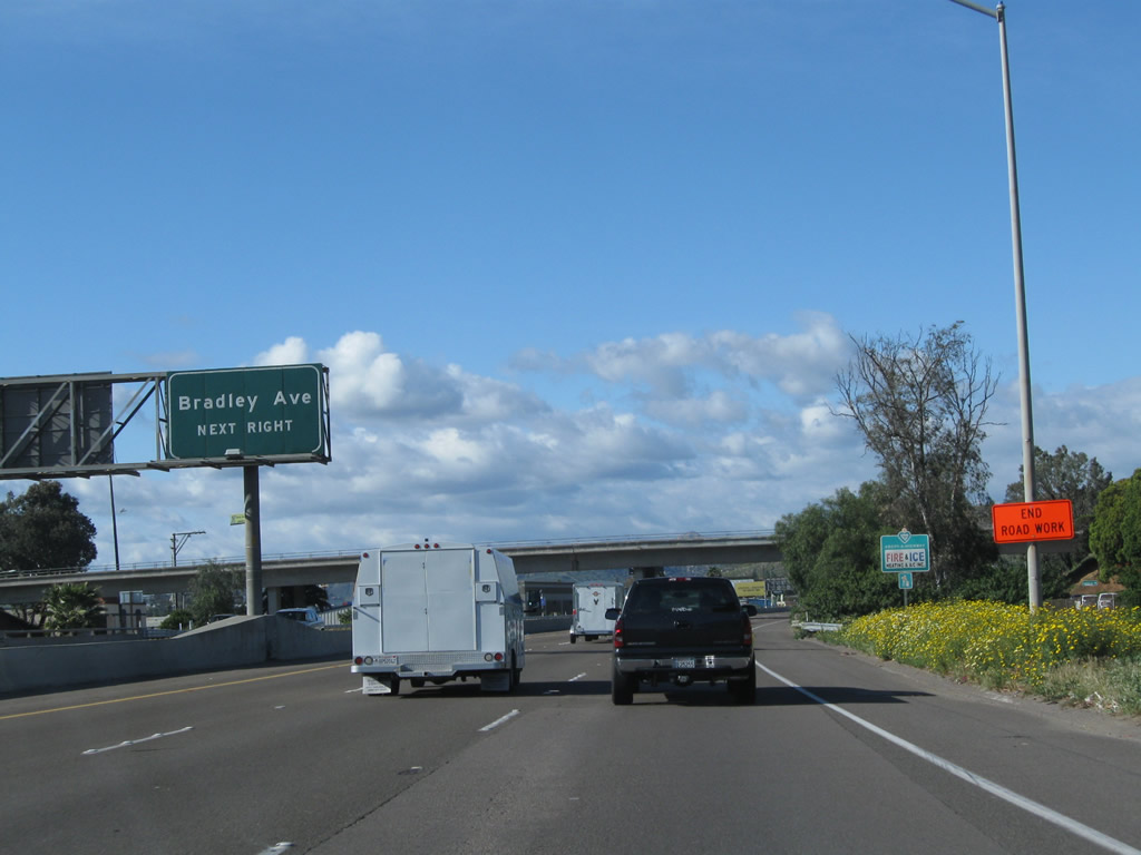
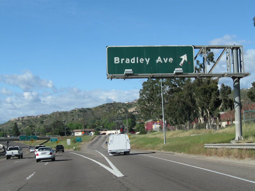
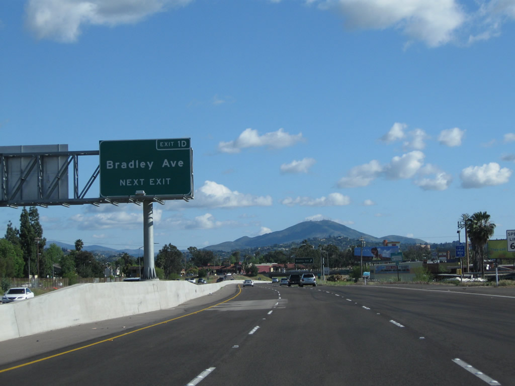
The next exit along California 67 (San Vicente Freeway) north is Exit 1D, Bradley Avenue. Use this exit to Gillespie Field, a general aviation airport managed by the County of San Diego. Photo taken 04/09/11. |
|
California 67 (San Vicente Freeway) passes under Greenfield Drive. Photo taken 04/09/11. |
|
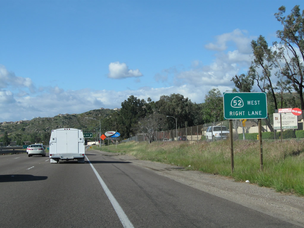
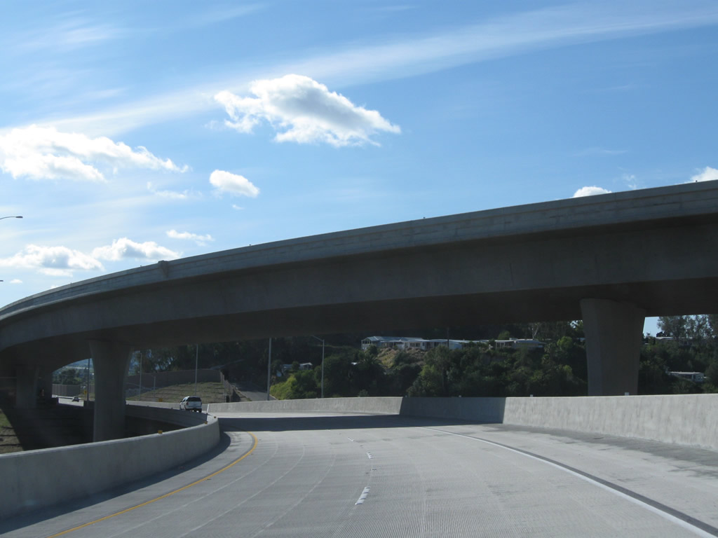
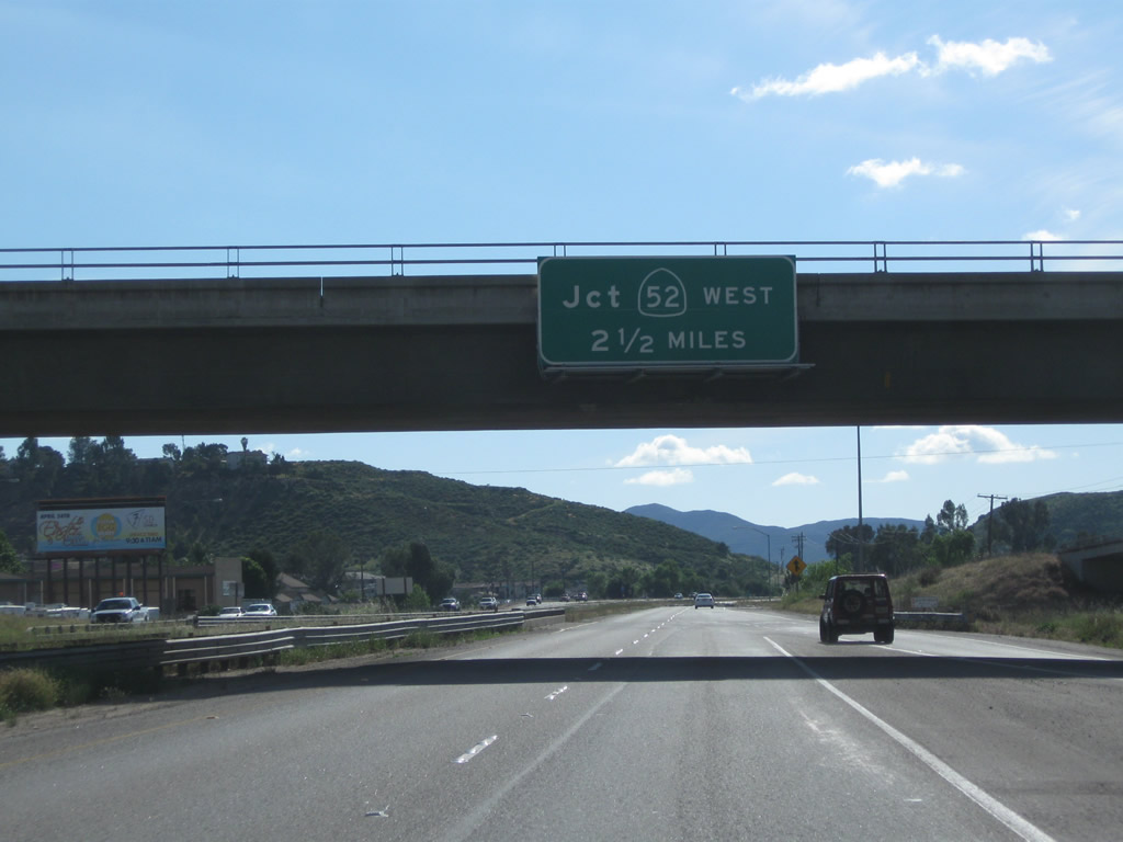
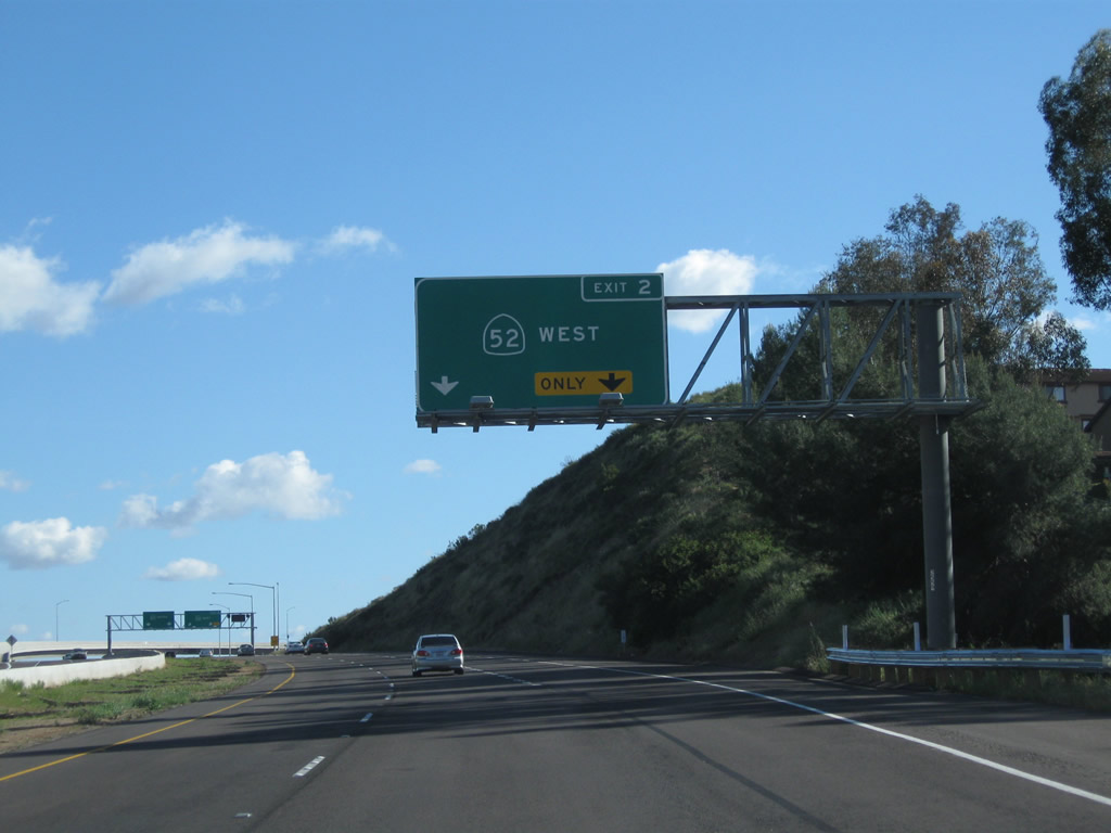
California 52 (Soledad Freeway) begins its westbound journey at California 67 Exit 2. Traveling west, California 52 passes through Santee, skirts the northern edge of Mission Trails Regional Park and Tierrasanta, proceeds past Miramar Landfill, then proceeds through San Clemente Canyon before transitioning onto La Jolla Parkway (Ardath Road) en route to La Jolla. Photo taken 04/09/11. |
|
TransNet (one-half cent sales tax) funded the California 52 extension and the interchange with California 67. The segment of California 52 between California 125 and California 67 opened to traffic on March 29, 2011. Photo taken 04/09/11. |
|
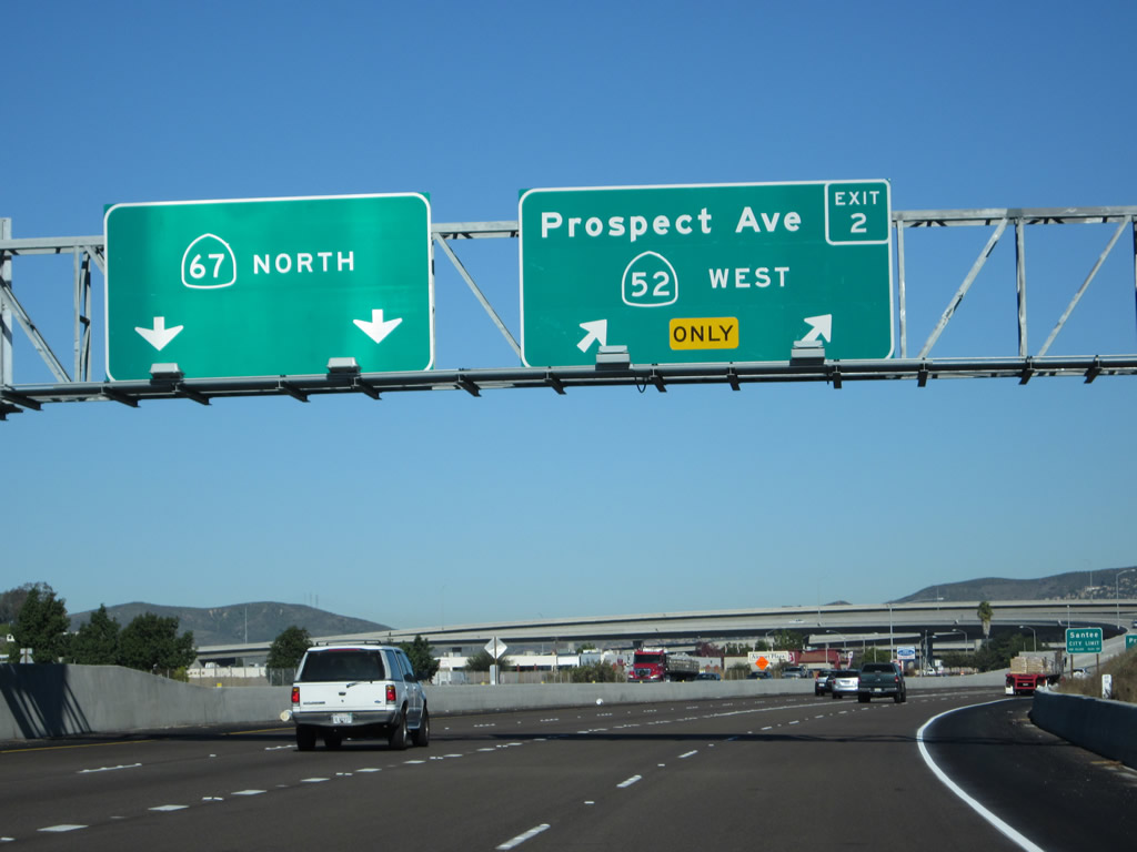
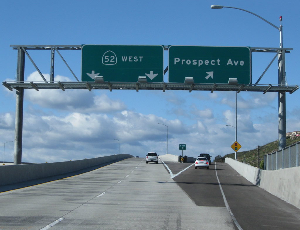
Northbound California 67 (San Vicente Freeway) reaches Exit 1D, Bradley Avenue. The following interchange is Exit 2, California 52 (Soledad Freeway) west to La Jolla, which includes a connecting ramp to Prospect Avenue. Photo taken 04/09/11. |
|
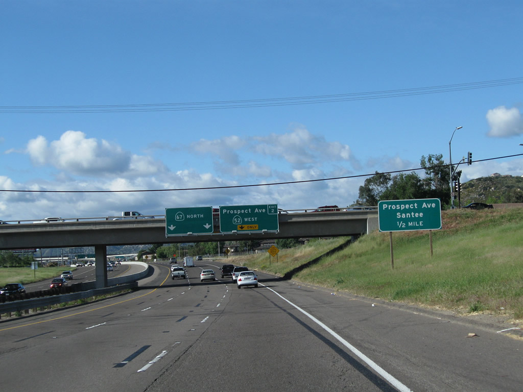
Use Prospect Avenue west into Santee. Prospect Avenue connects with Magnolia Avenue (Old California 67), which travels north into Santee as well. Finally, California 52 west to Cuyamaca Street (Exit 17) will bring traffic into Santee. Photo taken 04/09/11. |
|
|
Passing under Bradley Avenue, northbound California 67 (San Vicente Freeway) approaches Exit 2, California 52 (Soledad Freeway) west to La Jolla. The right lane becomes exit only for California 52 west, while the left two lanes will carry California 67 north to Lakeside and Ramona. Note the older roadside sign that was removed when the 52 extension was constructed. Photos taken 04/09/11 and 08/25/07. |
|
Use Exit 2 to Prospect Avenue west into Santee. This sign is now gone with the construction of California 52 extension and accompanying freeway interchange. Photo taken 08/25/07. |
|
This view looks north on California 67 from the on-ramp leading from Bradley Avenue. Photo taken 12/28/11. |
|
|
Northbound California 67 (San Vicente Freeway) reaches Exit 2, California 52 (Soledad Freeway) west to La Jolla and Prospect Avenue. Note the prior configuration of this interchange before California 52 was extended east; Exit 2 was a simple diamond interchange with Prospect Avenue. Photos taken 12/28/11 and 08/25/07. |
|
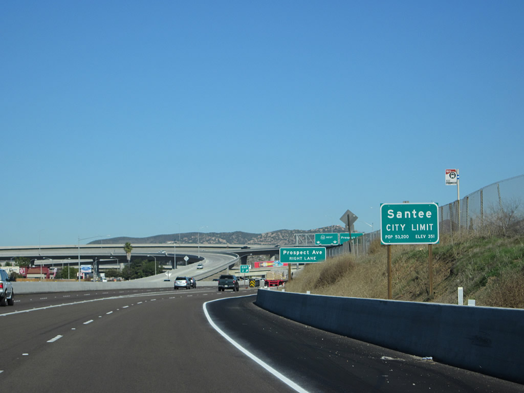
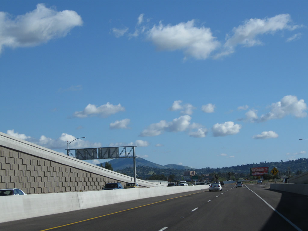
Within the interchange between California 67 and California 52, the freeway enters the city of Santee. Incorporated on December 1, 1980, Santee consists of 16.56 square miles, sits at an elevation of 350 feet, and had a population of 53,413 as of the 2010 Census and 52,975 as of the 2000 Census. Continuing construction of new homes has brought rapid growth to this city through the 1990s. Santee lies northeast of the city of San Diego and north of El Cajon. A portion of Mission Trails Regional Park lies within the city limits of Santee, while the majority of the park is within the city of San Diego. Photo taken 12/28/11. |
|
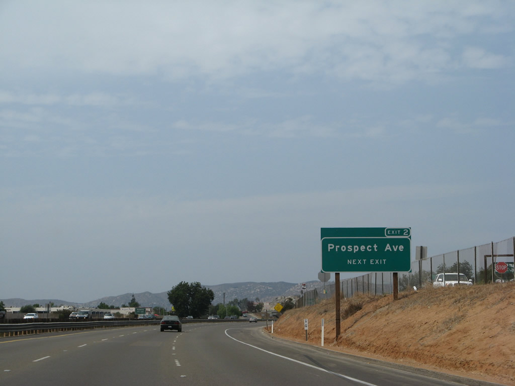
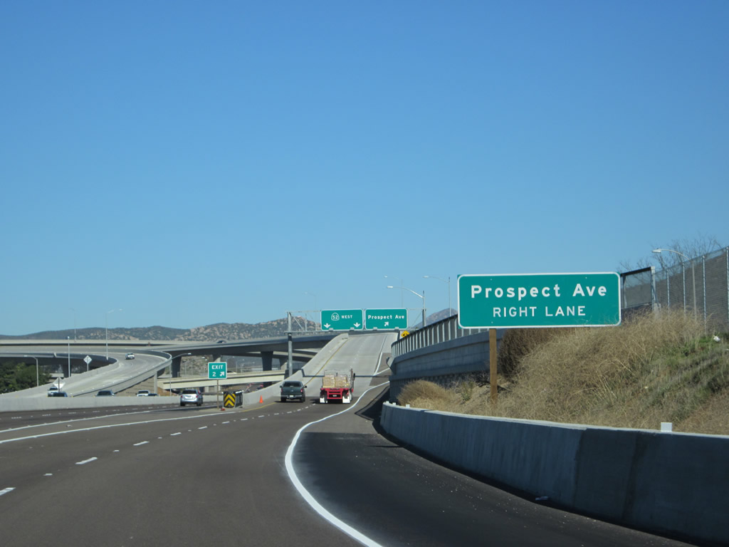
Upon entering the transition lanes from California 67 north to California 52 west, the first off-ramp will connect to Prospect Avenue. Photo taken 12/28/11. |
|
The Prospect Avenue off-ramp is the first right from the transition ramp. The left two lanes will connect to California 52 west. Photo taken 04/09/11. |
|
|
|
|
|
| This series of pictures shows the newly opened transition ramp that connects California 67 north with California 52 west. Photos taken 04/09/11. |
|
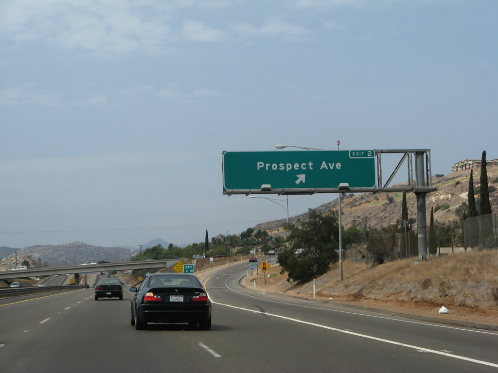
Looking at the old configuration of the Prospect Avenue interchange, we see this California 67 sign that has since been removed. Photo taken 08/25/07. |
|
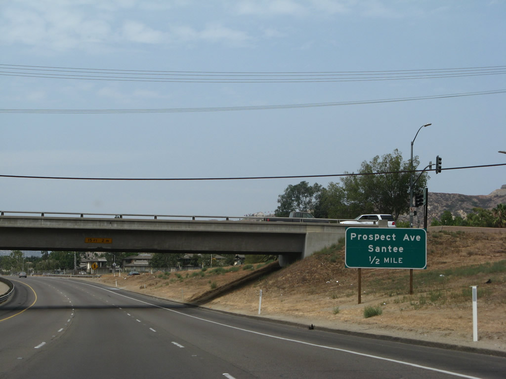
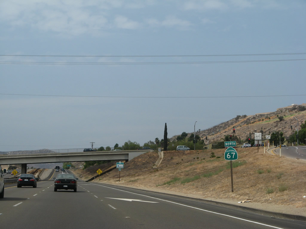
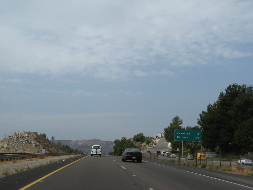
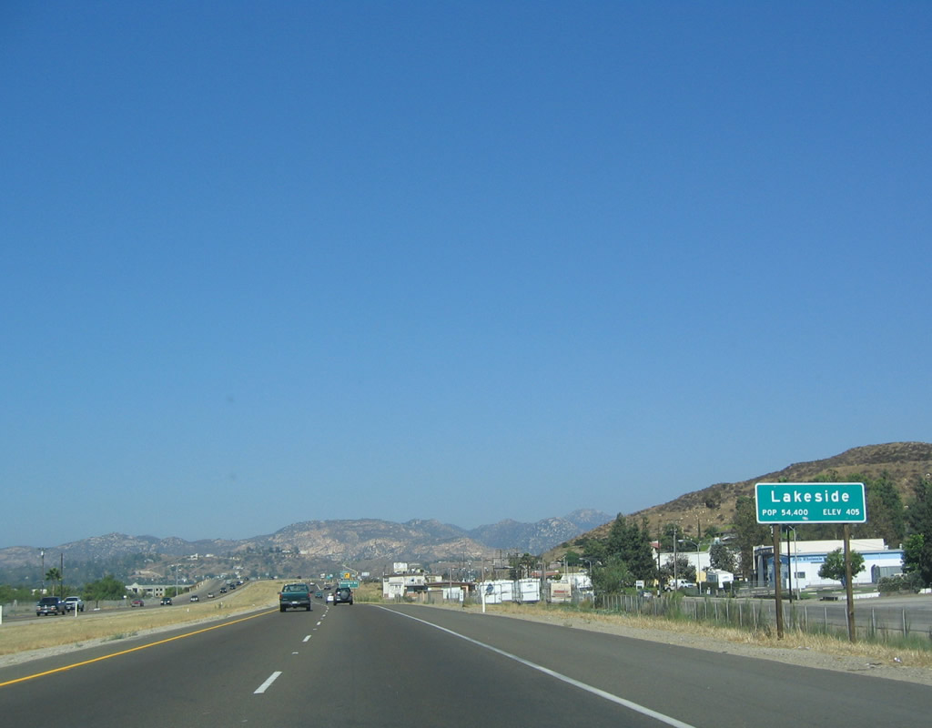
Now gone, this mileage sign used to provide the distance to Lakeside (three miles) and Ramona (22 miles), both unincorporated communities of San Diego County. Photo taken 08/25/07. |
|
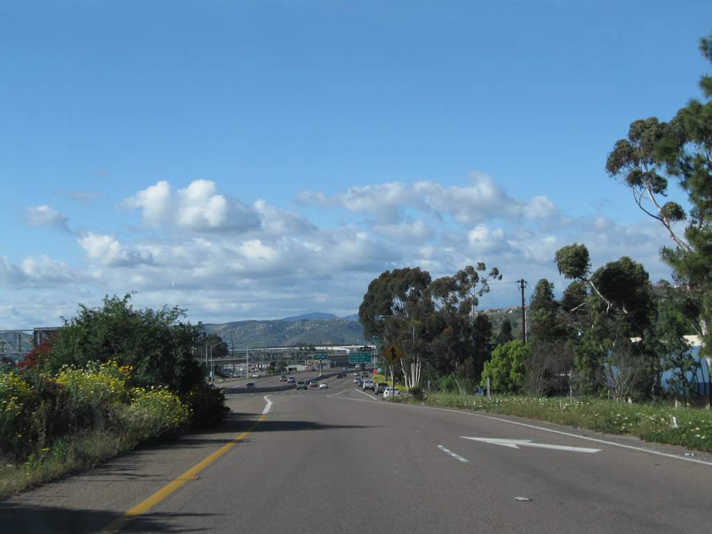
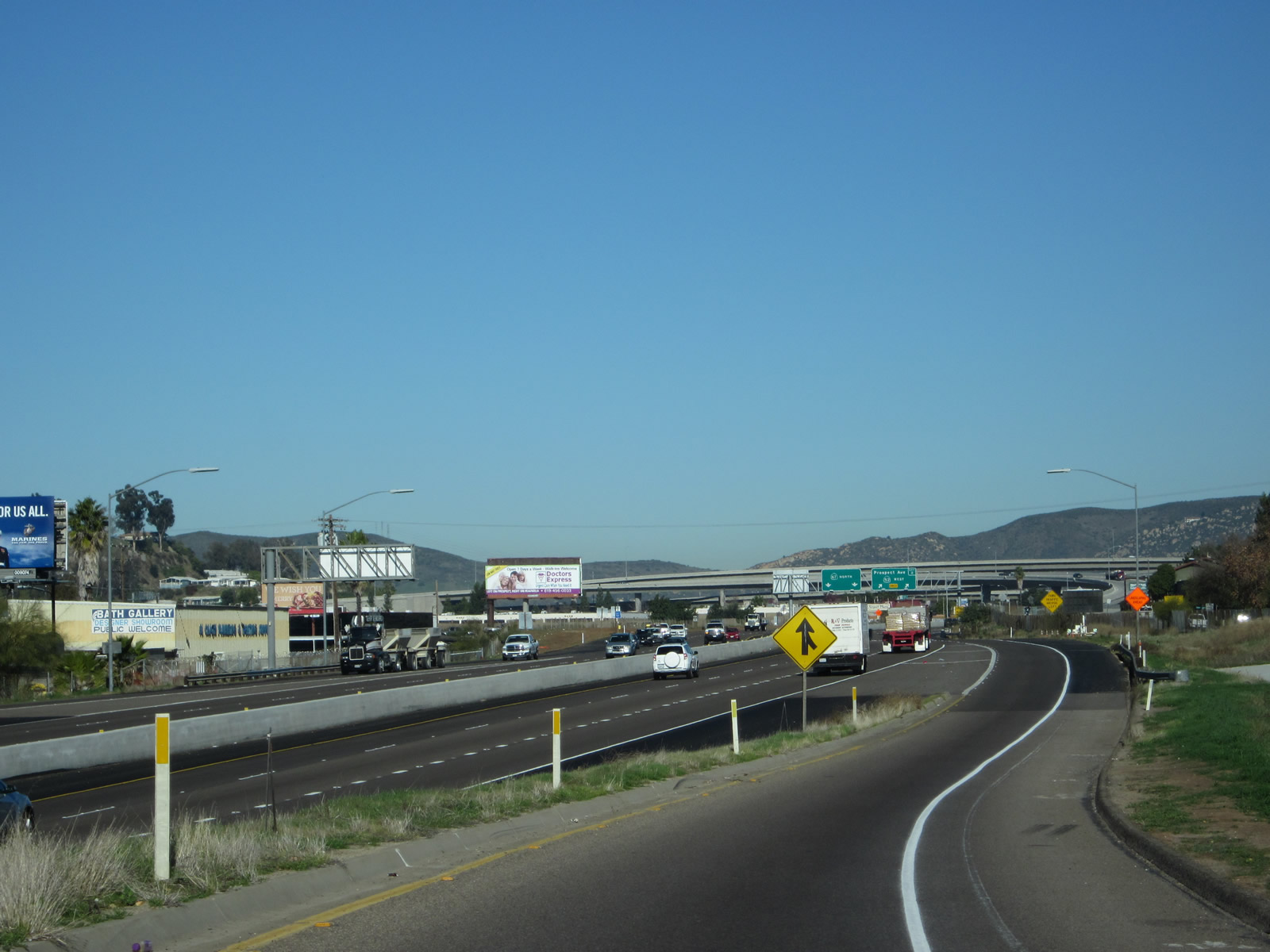
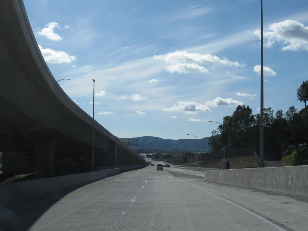
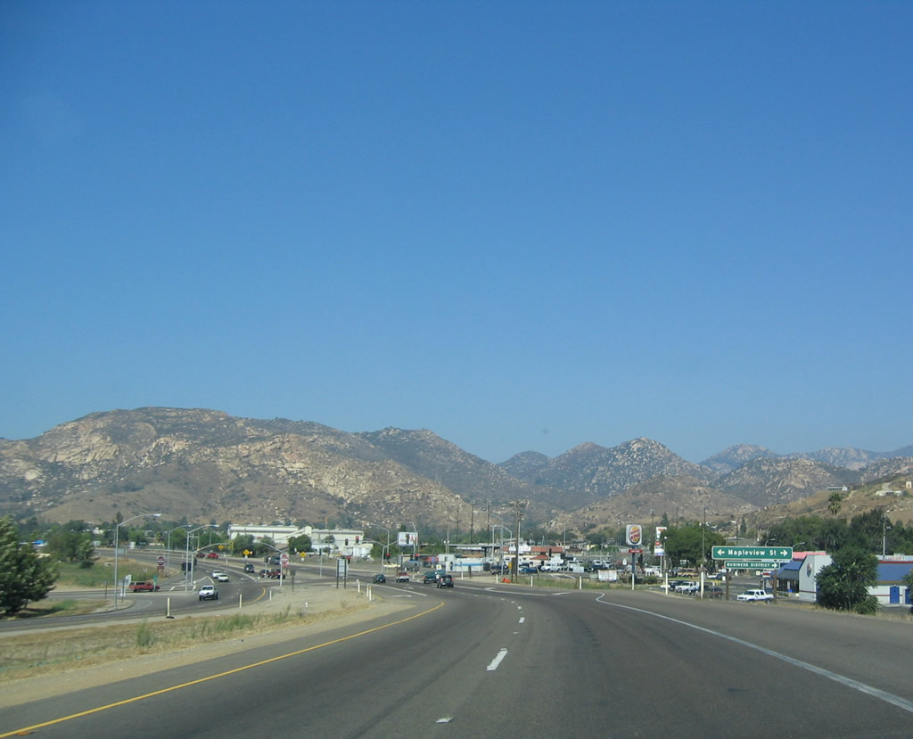
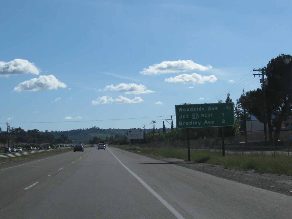
Leaving the interchange between California 67 and California 52, traffic from California 52 east merges onto California 67 north. The freeway continues north for a bit, then will curve toward the northeast between Woodside Avenue and Mapleview Street. Photo taken 04/09/11. |
|
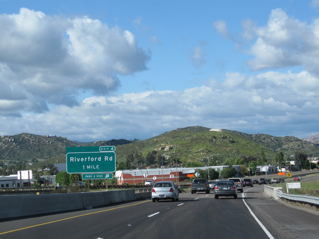
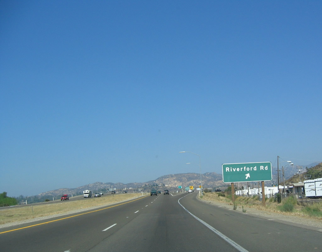
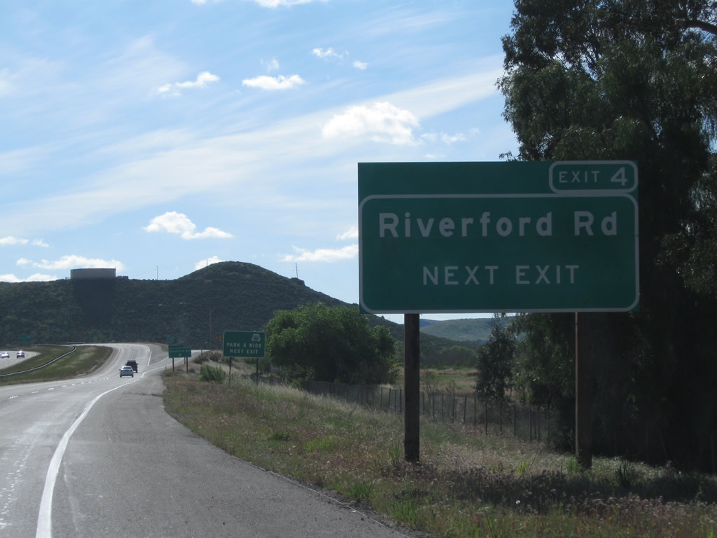
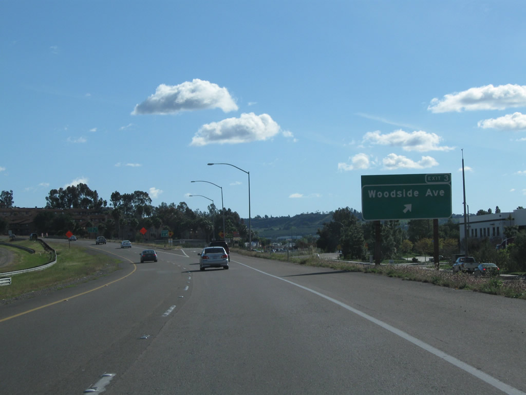
The next exit along California 67 (San Vicente Freeway) north is Exit 4, Riverford Road and Woodside Avenue. Photo taken 04/09/11. |
|
California 67 leaves Santee and enters the unincorporated community of Lakeside before reaching Exit 4. Lakeside had a population of 19,560 as of the 2000 Census (as a Census-designated place). The community is named for its proximity to Lindo Lake. Use Mapleview Street east to Maine Street south to Lakeshore Drive east to Lindo Lake Park. A community center is located on the west shore of the lake. Photo taken 10/12/03. |
|
|
Northbound California 67 meets Exit 4, Riverford Road. The Riverford Road exit is the first Lakeside exit. Photos taken 04/09/11 and 10/12/03. |
|
The off-ramp from California 67 (San Vicente Freeway) north to Exit 4, Riverford Road and Woodside Avenue is a hard right turn, connecting to a traffic signal with Woodside Avenue. Turn left on Woodside Avenue to connect to Riverford Road. Photo taken 04/09/11. |
|
|
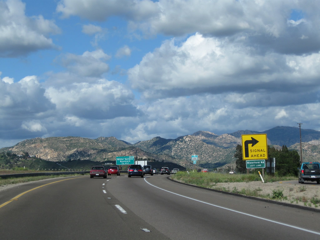
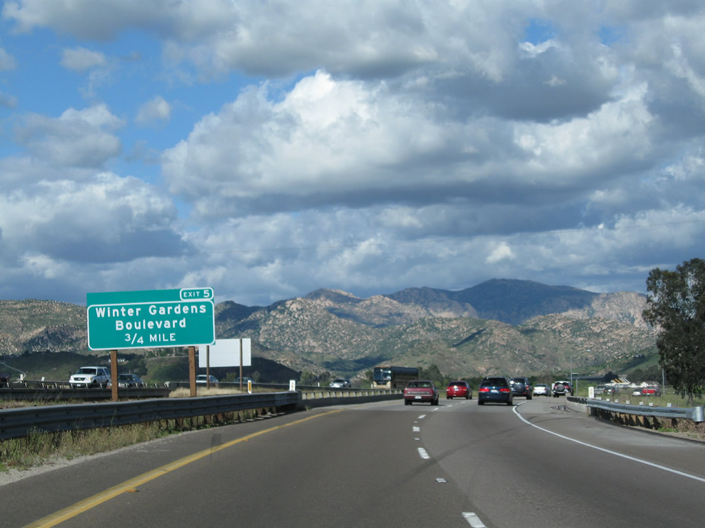
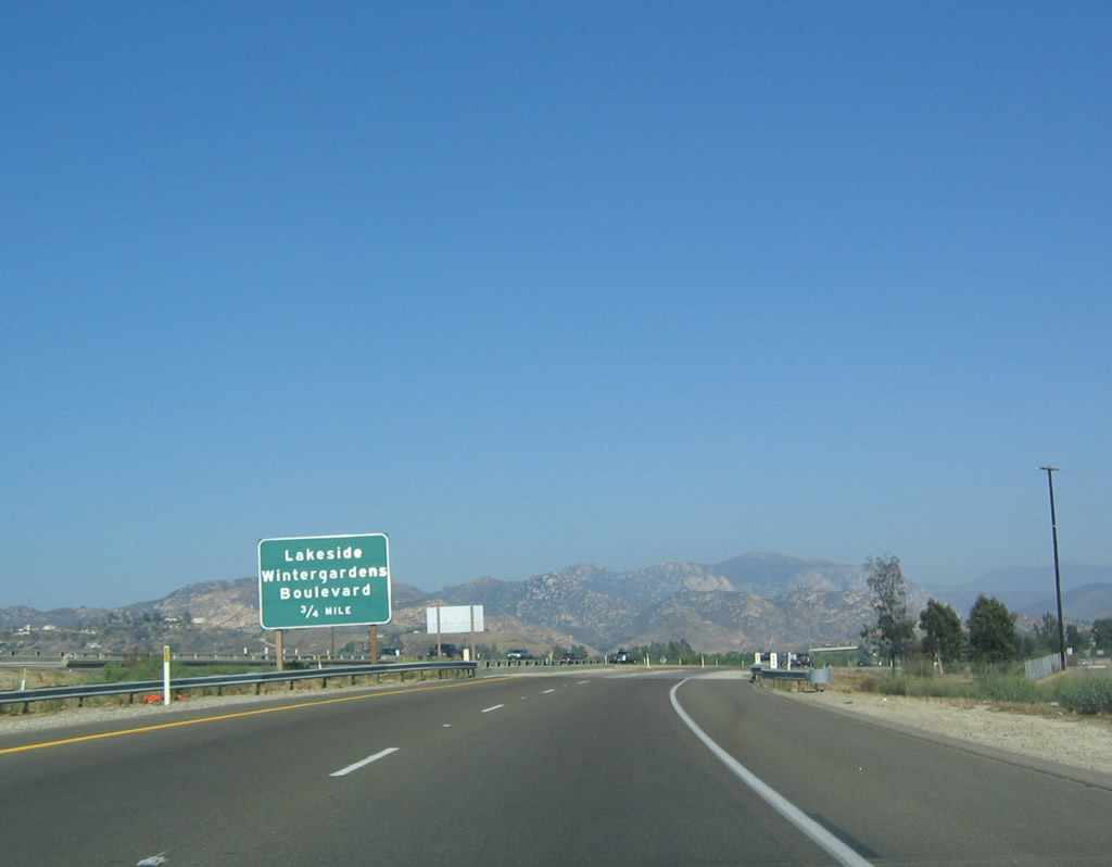
The next exit along northbound is Exit 5, Wintergardens Boulevard, 0.75 mile. Photos taken 04/09/11 and 10/12/03. |
|
This California 67 north reassurance shield is posted between Exits 4 and 5. Photo taken 10/12/03. |
|
|
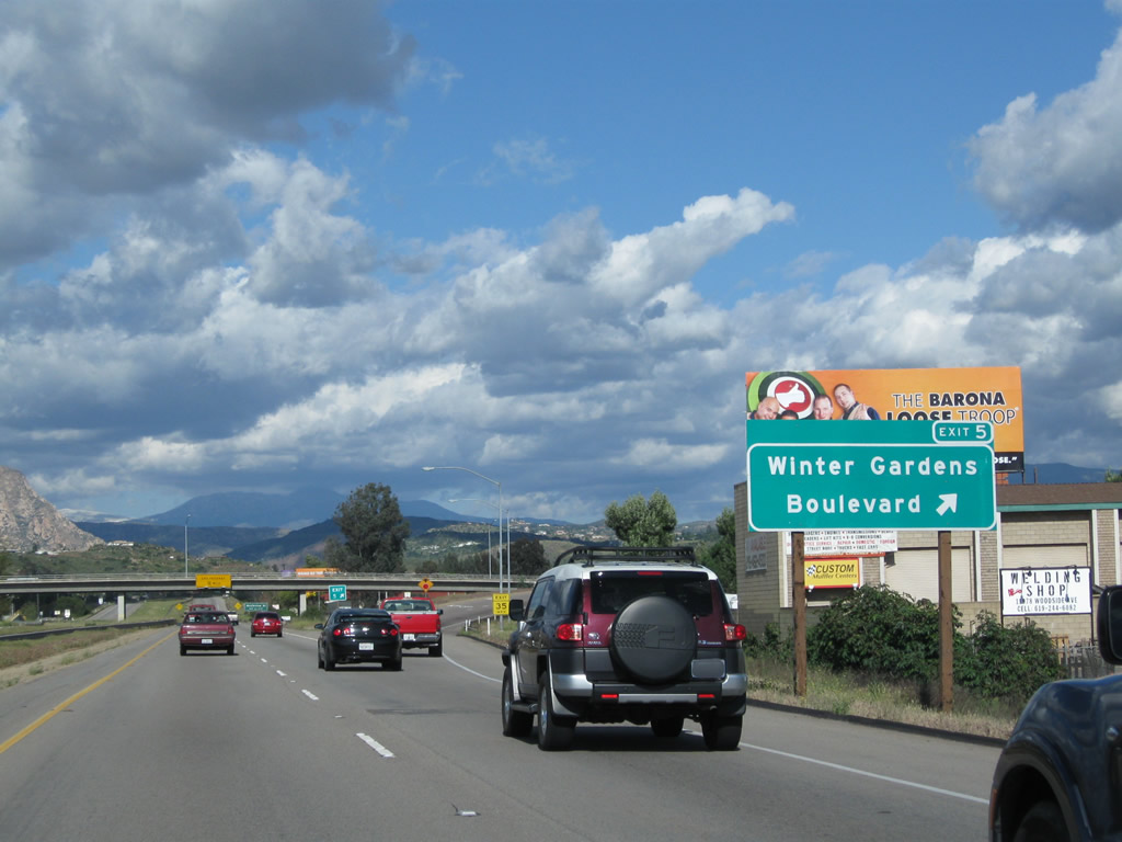
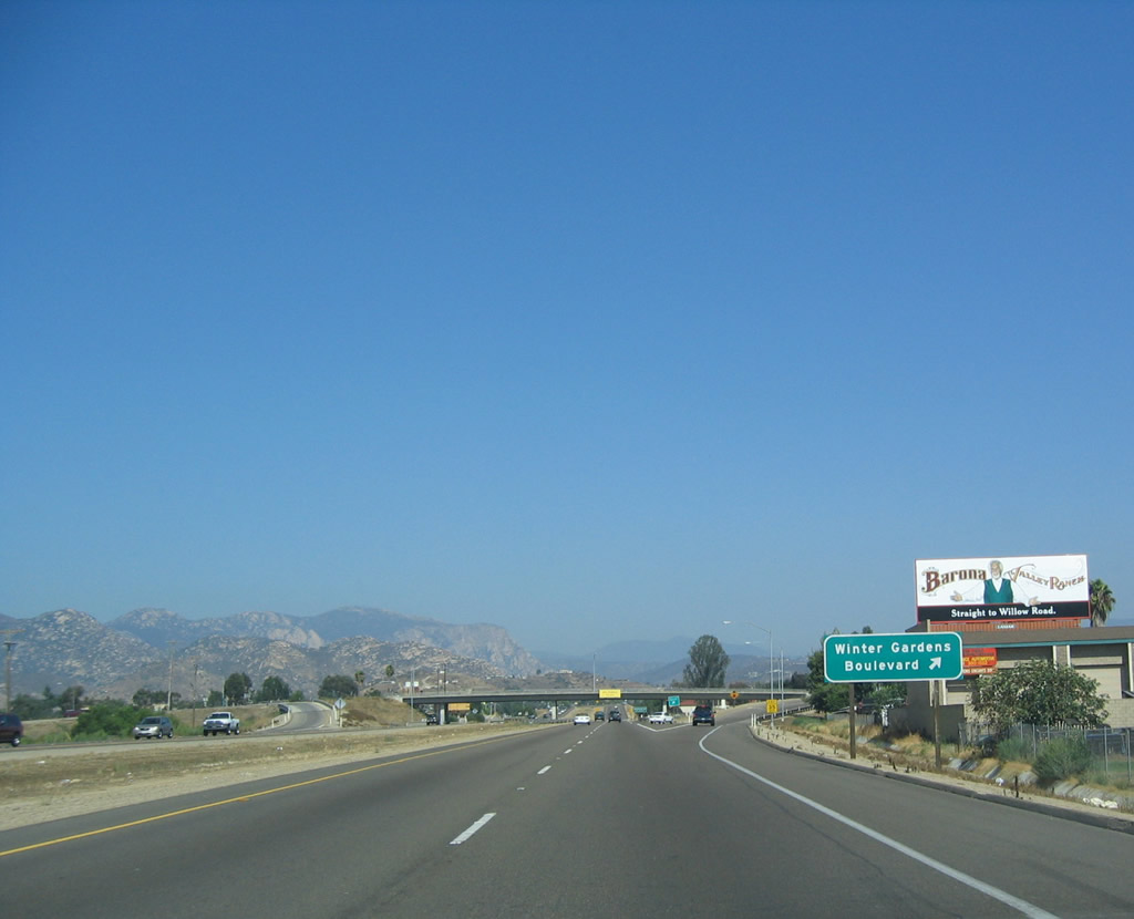
Northbound California 67 reaches Exit 5, Lakeside/Winter Gardens. The sign was replaced in the early 2000s and again in the late 2000s to include the exit number. Photos taken 04/09/11 and 10/12/03. |
|
|
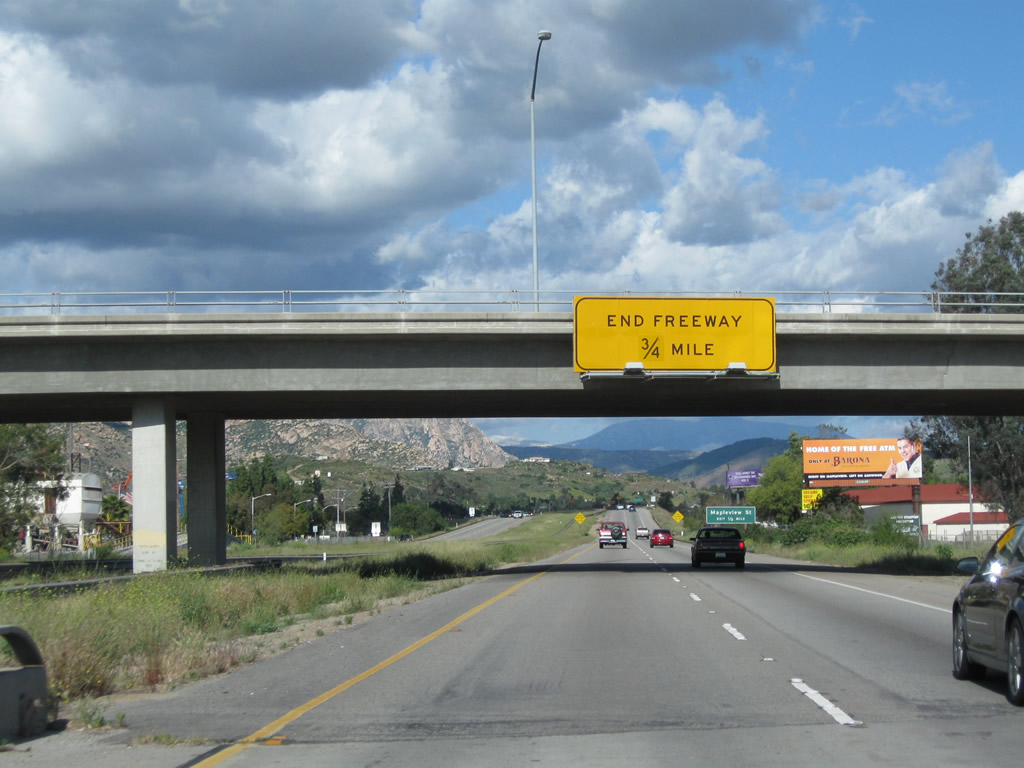
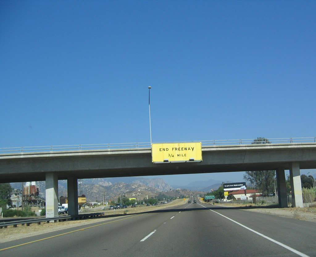
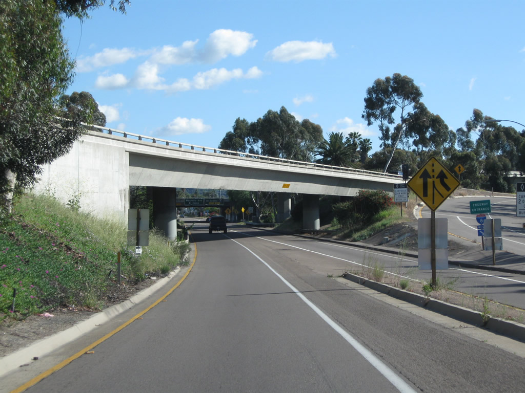
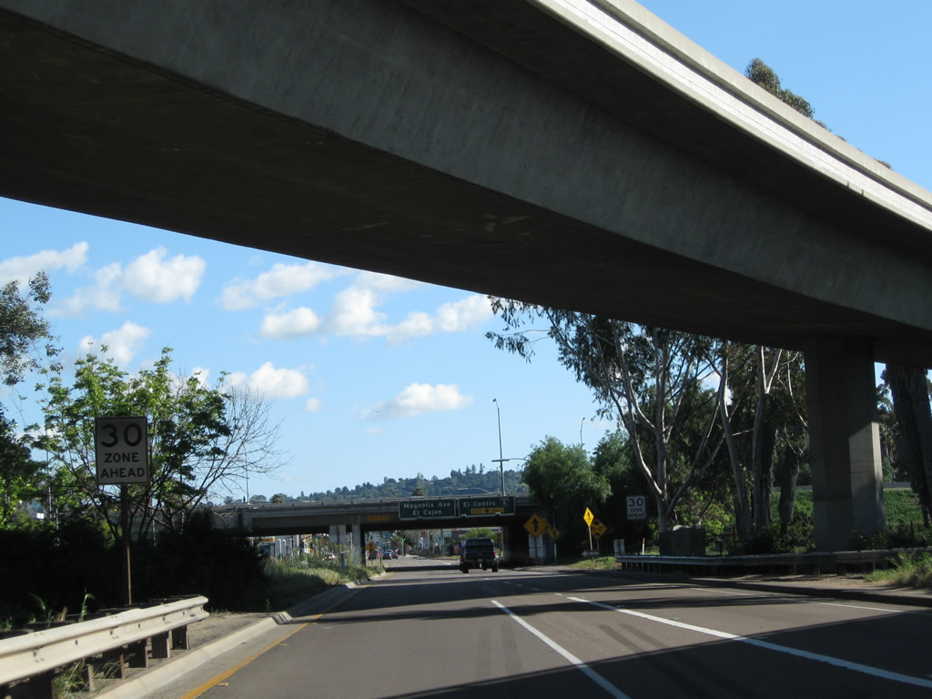
After passing Exit 5, the California 67 freeway prepares to convert to a conventional, two-lane highway for the remainder of its journey to Ramona. This yellow warning sign advises that the freeway ends in 0.75 mile; what it does not tell you is that the end features a traffic light at Mapleview Street that may cause back-ups onto the freeway. Photos taken 04/09/11 and 10/12/03. |
|
The freeway will end and become a regular at-grade highway at Exit 6, Mapleview Street. Okay, this is not really an interchange, and this "exit" marks the northern end of the freeway section. Photo taken 10/12/03. |
|
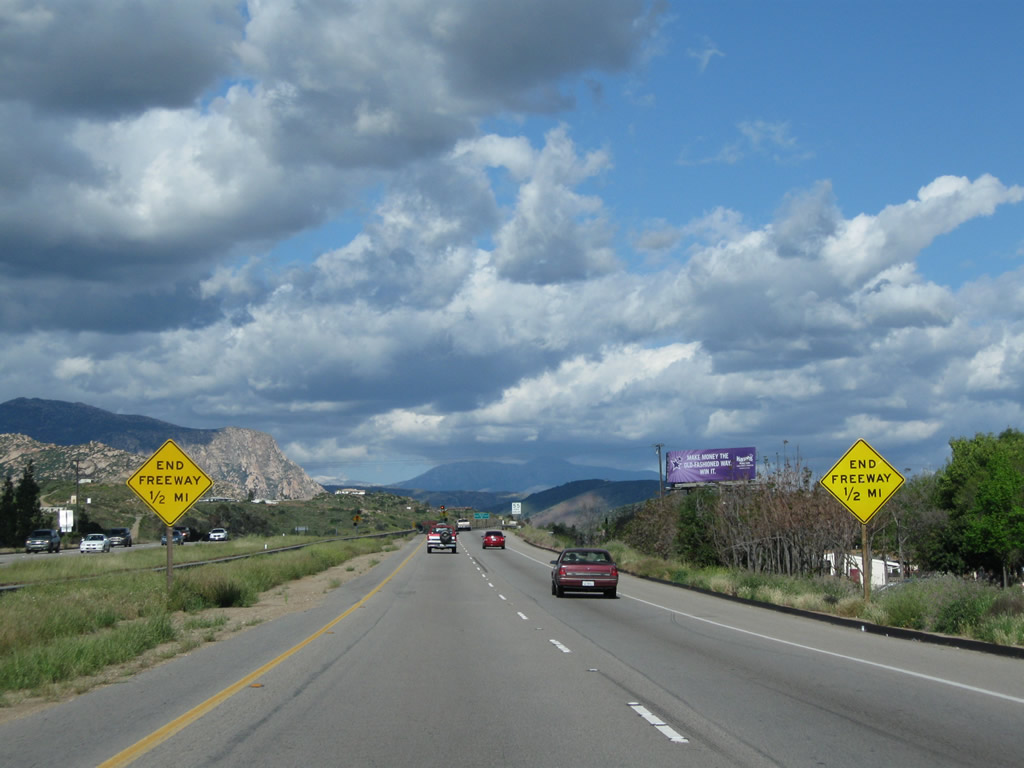
A pair of yellow "end freeway" diamond signs are posted on either side of the northbound lanes of California 67. Photo taken 04/09/11. |
|
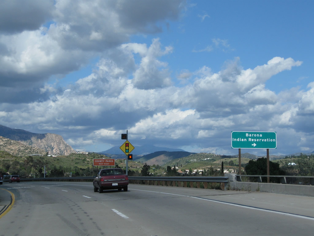
Use Mapleview Street east to Ashwood Street north to Barona Indian Reservation. One of several Indian reservations sporting gaming, dining, golf, and hotel, Barona Resort and Casino is located off Wildcat Canyon Road (Ashwood Street turns into Wildcat Canyon Road after passing by El Capitan High School and Willow Road). Barona is a popular destination and brings traffic from California 67 onto Mapleview Street. Photo taken 04/09/11. |
|
Northbound California 67 approaches Mapleview Street (Exit 6) in Lakeside. This traffic signal is for Mapleview Street, Maine Street, and Lake Jennings Park Road. Mapleview Street changes names into Lake Jennings Park Road east of here; Lake Jennings Park Road offers a quick route from California 67 to Interstate 8 east to Alpine and El Centro. Photo taken 10/12/03. |
|
|
A traffic signal governs the flow of traffic between California 67 and Mapleview Street. Ahead, California 67 downgrades to a two-lane conventional highway and crosses the San Diego River. Photos taken 04/09/11. |
|
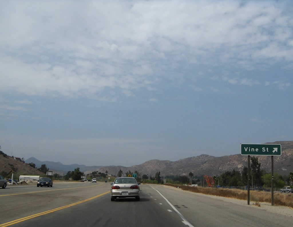
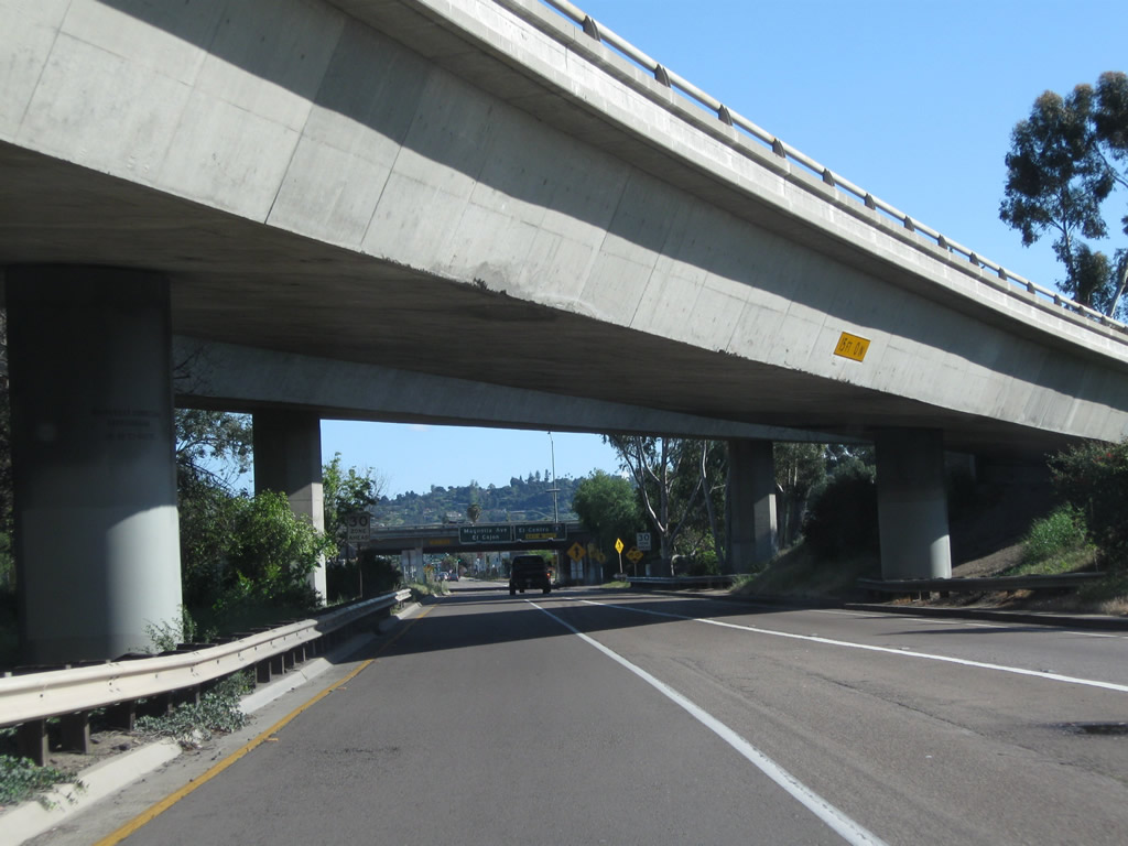
Leaving the Mapleview Street intersection, California 67 loses its freeway status and becomes a two-lane conventional highway. An off-ramp connects California 67 to Vine Street. Photo taken 08/25/07. |
|
An EXIT gore point sign is posted at the point where California 67 north meets the connecting ramp to Vine Street. Photo taken 08/25/07. |
|
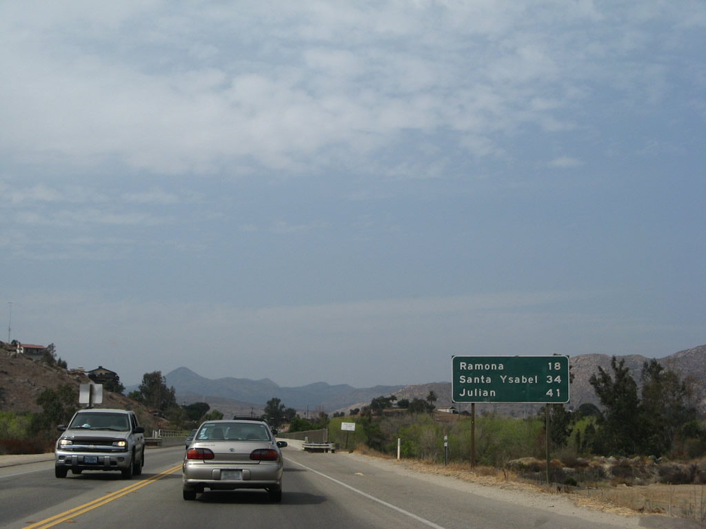
This mileage sign provides the distance to Ramona (18 miles), Santa Ysabel (34 miles), and Julian (41 miles). Photo taken 08/25/07. |
|
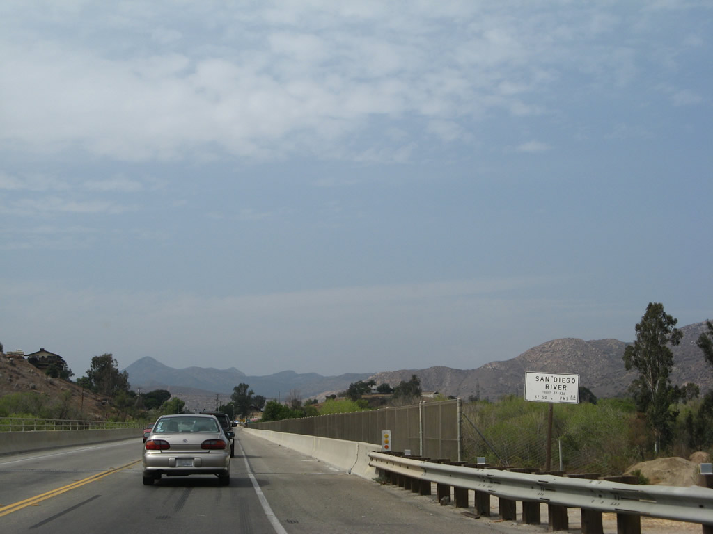
California 67 crosses over the San Diego River. Photo taken 08/25/07. |
|
A second span over the San Diego River would be needed if California 67 is ever expanded to four lanes over the San Diego River. Photo taken 08/25/07. |
|
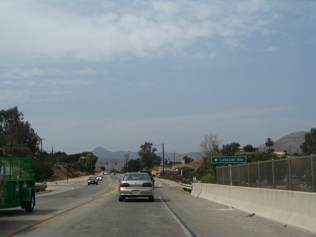
Northbound California 67 meets Lakeside Avenue on the north end of the San Diego River bridge. Photo taken 08/25/07. |
|
The next major intersection along California 67 is with Willow Road. Photo taken 08/25/07. |
|
Due to the relatively high incident of crashes and injuries along California 67, this sign was posted to remind motorists to be safety conscious on the trip to Ramona. Photo taken 08/25/07. |
|
Northbound California 67 meets Gold Bar Lane at this traffic signal. Photo taken 08/25/07. |
|
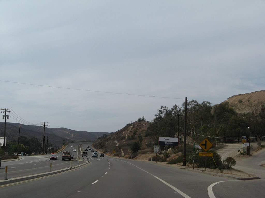
California 67 approaches Posthill Road and San Vicente Road. Photo taken 08/25/07. |
|
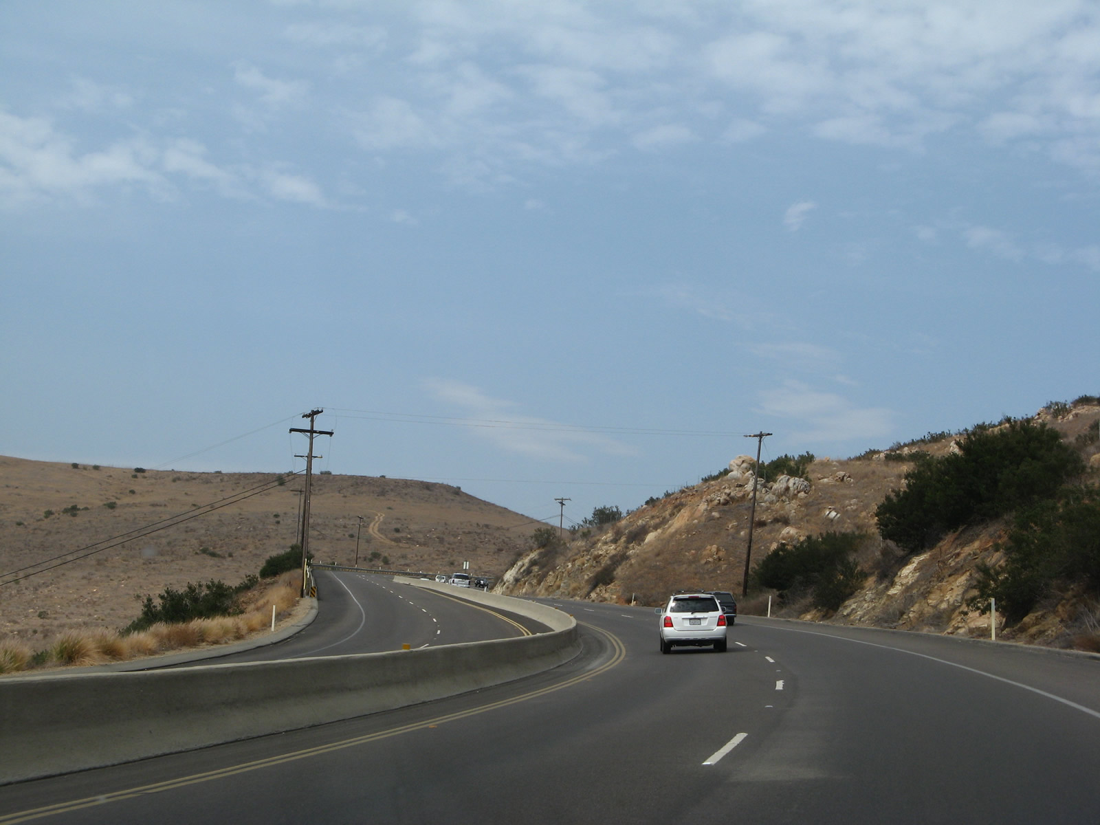
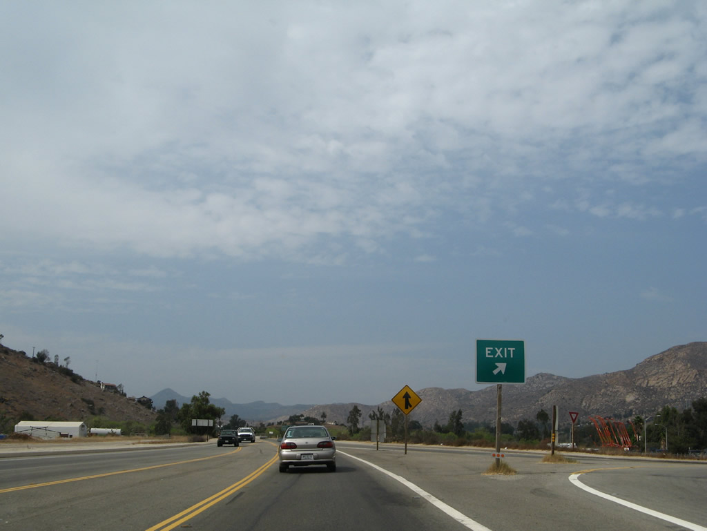
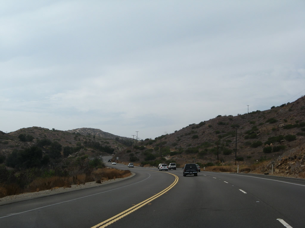
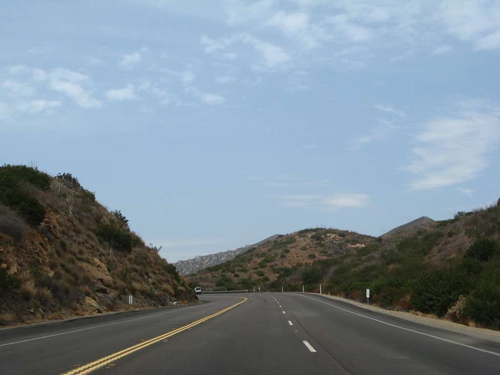
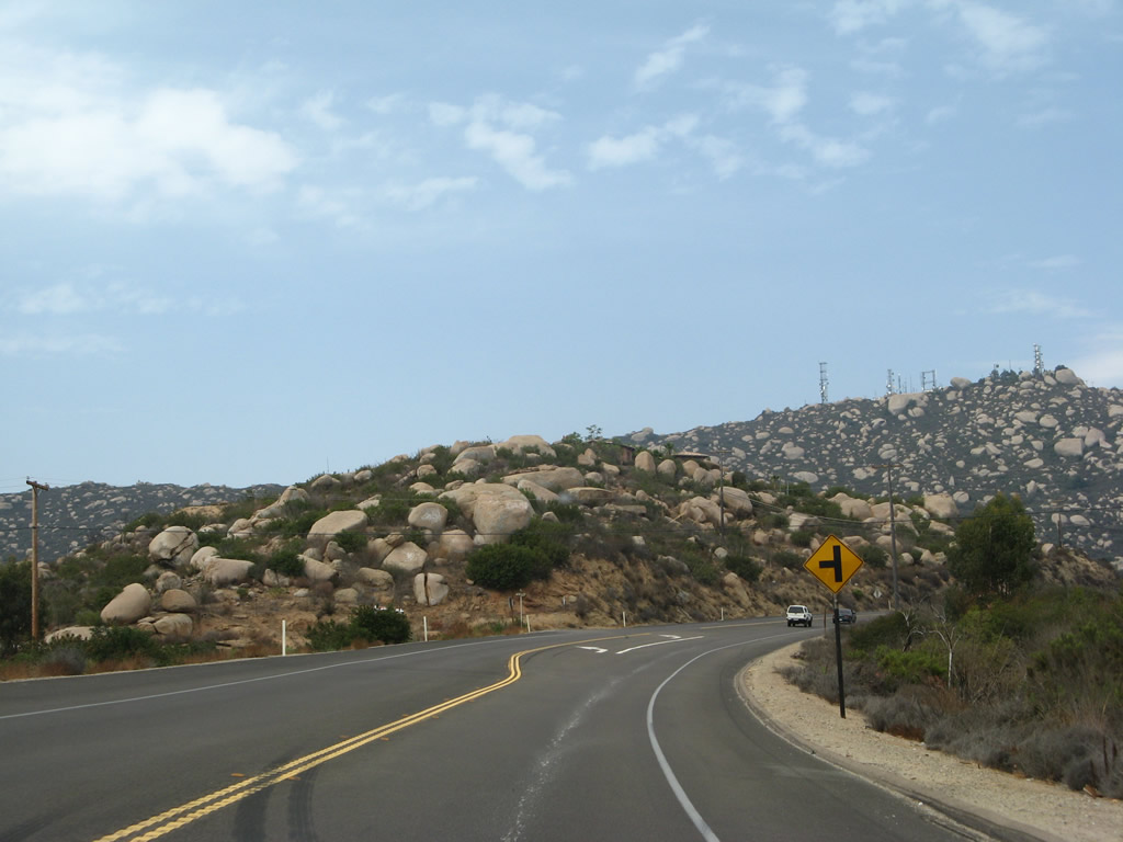
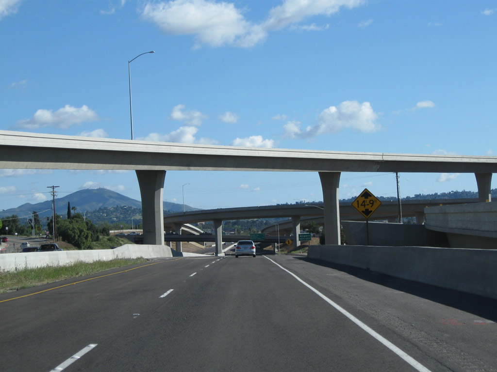
California 67 widens out to four lanes as it begins its major ascent to gain elevation. The next left connects to Slaughterhouse Canyon Road. Photo taken 08/25/07. |
|
|
|
|
|
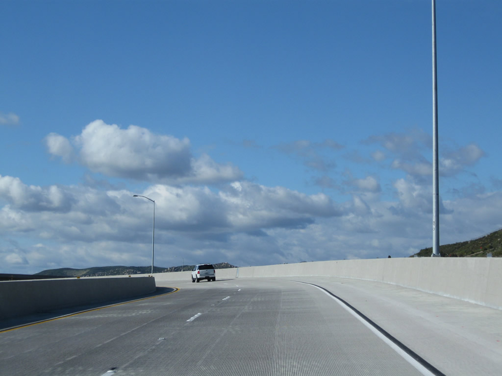
| Traveling uphill, California 67 sweeps toward the eastern edges of the city of Poway as it passes through open space on its way to Ramona. Photos taken 08/25/07. |
|
|
|
|
|
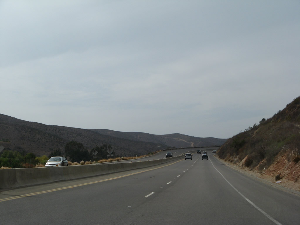
| California 67 does not remain four lanes. At the top of the grade, the northbound lanes continue with two lanes, but the southbound lanes narrow to one. The highway flattens out somewhat and continues to meander through open space areas north of Lakeside and east of Poway. Photos taken 08/25/07. |
|
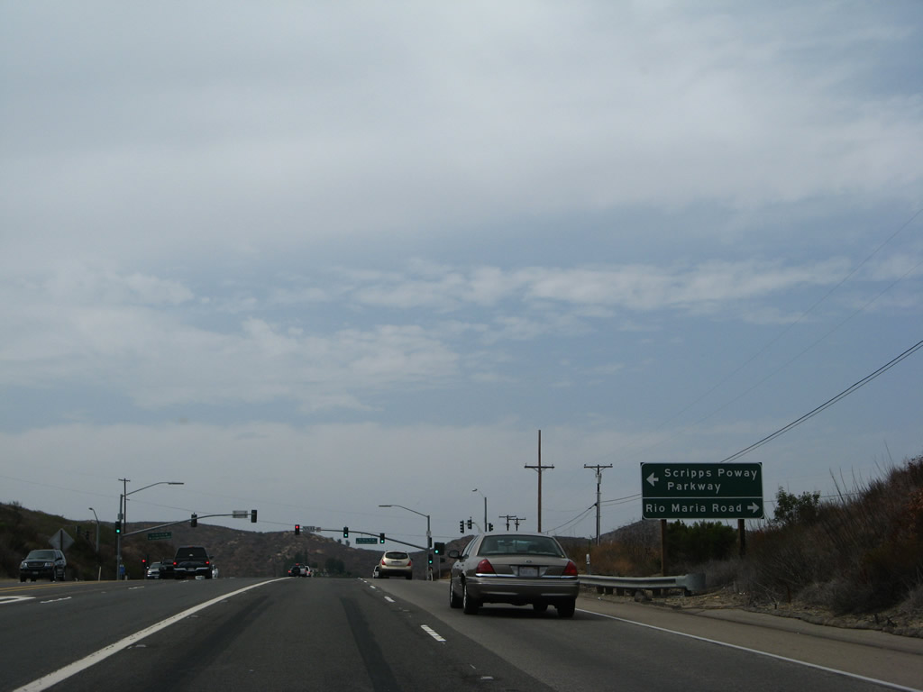
Northbound California 67 approaches Scripps-Poway Parkway. Turn left on Scripps-Poway Parkway to the city of Poway and the city of San Diego communities of Scripps-Miramar Ranch, Miramar Ranch North, and Mira Mesa. Photo taken 08/25/07. |
|
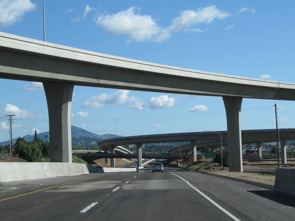
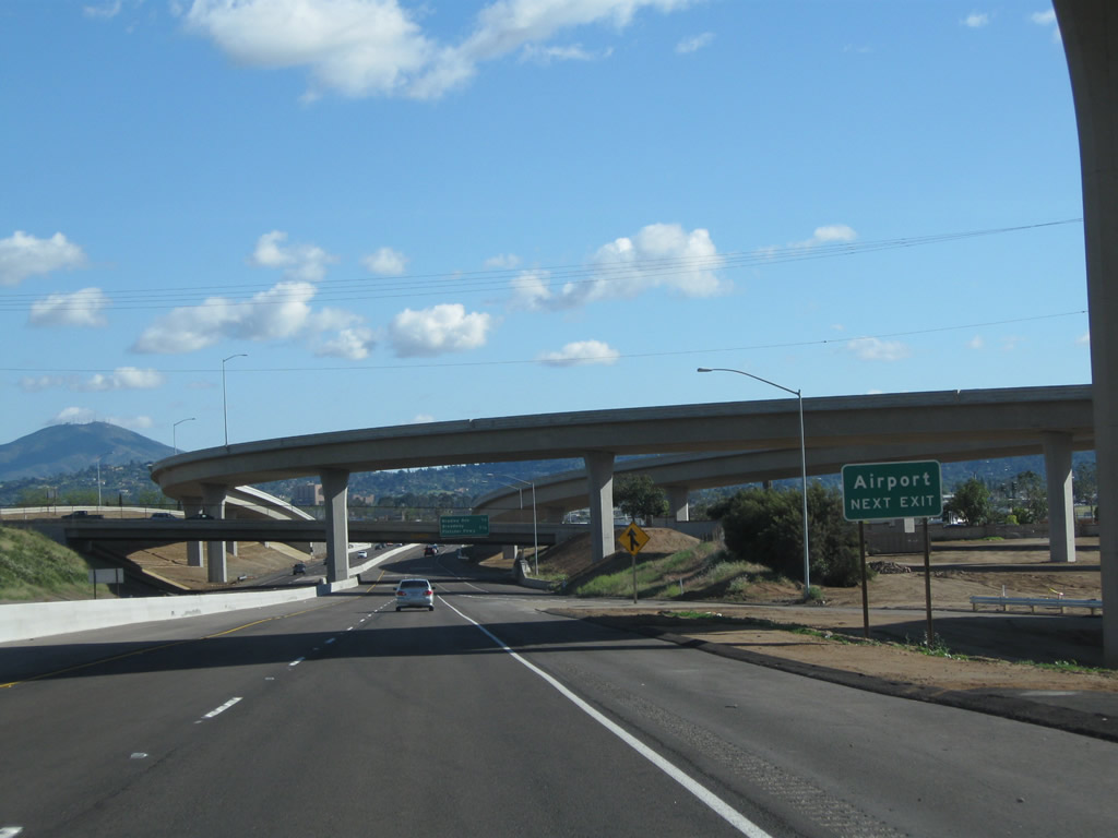
California 67 meets Scripps-Poway Parkway. Briefly considered as a possible alignment for an extension of California 56 east, Scripps Poway Parkway is a four-lane highway, changing into a conventional city street upon entering the city of San Diego. It is the best route from the California 67 corridor to the Interstate 15 corridor. Photo taken 08/25/07. |
|
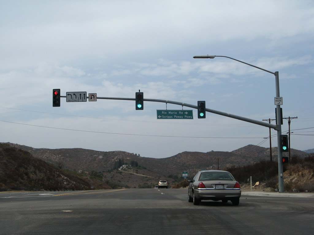
A California 67 north route marker is posted after the Scripps-Poway Parkway. Photo taken 08/25/07. |
|
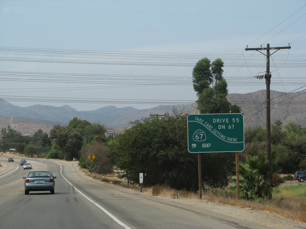
Another California 67 safety corridor sign is posted after Scripps-Poway Parkway. Designated a safety corridor by Caltrans, California 67 has frequent collisions, some of them head-on, as a result of the frequent curves, heavy traffic, and high speeds. Some of the additional traffic may be attributed to the new backcountry Indian casinos that have been added to the landscape since the late 1990s. Photo taken 08/25/07. |
|
Two northbound lanes carry California 67 traffic uphill between Scripps-Poway Parkway and San Diego County S-4 (Poway Road). Photo taken 08/25/07. |
|
|
|
|
|
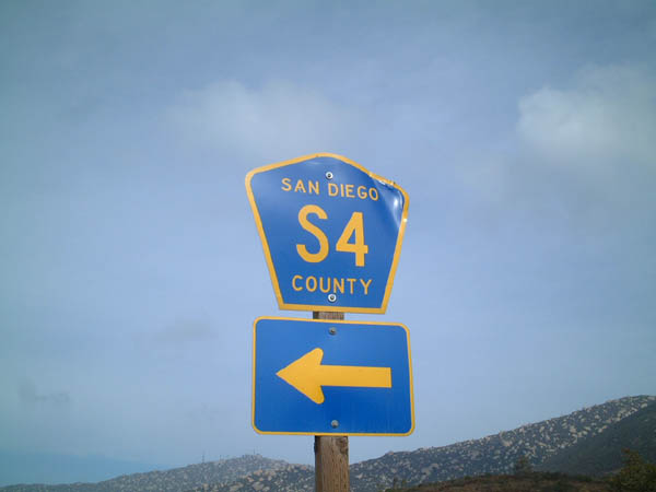
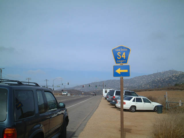
| Northbound California 67 approaches and meets San Diego County S-4 (Poway Road). The S-4 shield was in place in 2001 and gone in 2007. CR S-4 west leads to Poway and the city of San Diego communities of Sabre Springs and Rancho Peñasquitos. Also at this intersection is a small parking area for those who wish to climb Iron Mountain, part of a county open space trail network. A trail begins eastward and ascends the mountain in a somewhat circuitous manner to allow for an easier grade. The view from the top of the mountain is fantastic, and one can see much of central San Diego from this vantage point. Photos taken 08/25/07 and 12/05/01. |
|
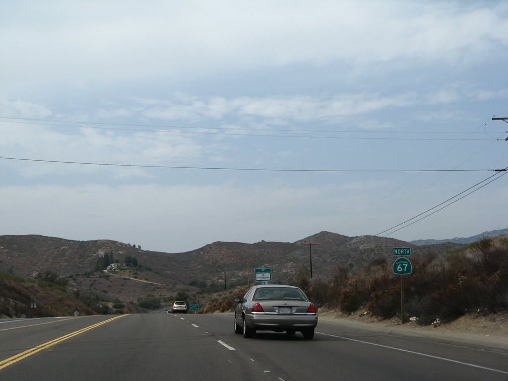
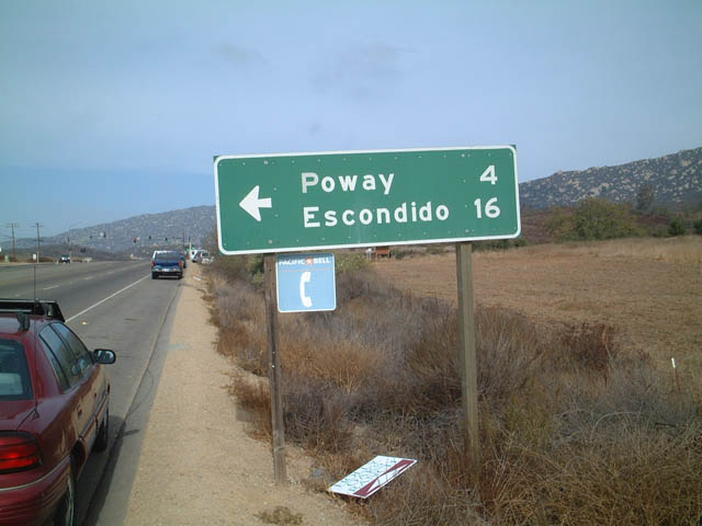
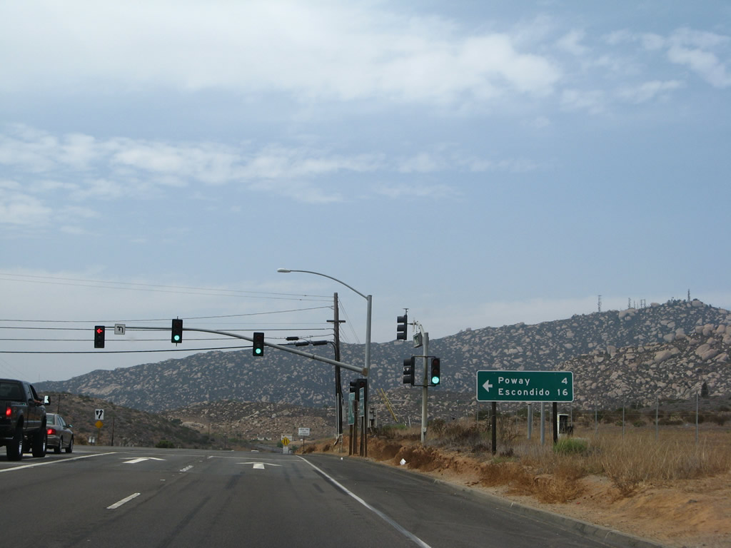
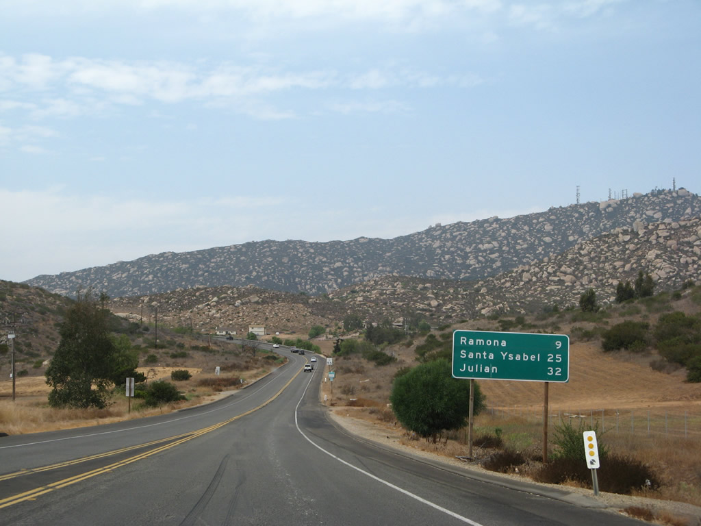
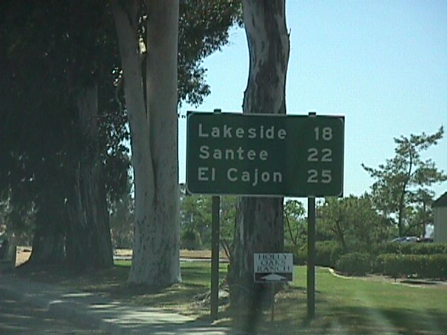
Traveling north of Poway Road (CR S-4), this mileage sign provides the distance to Ramona (nine miles), Santa Ysabel (25 miles), and Julian (32 miles). Santa Ysabel and Julian are both accessed via California 78 east, which connects to California 67 in Ramona. Photo taken 08/25/07. |
|
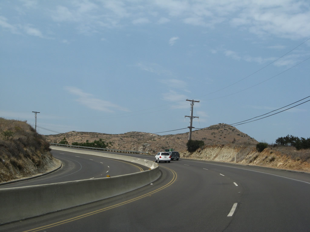
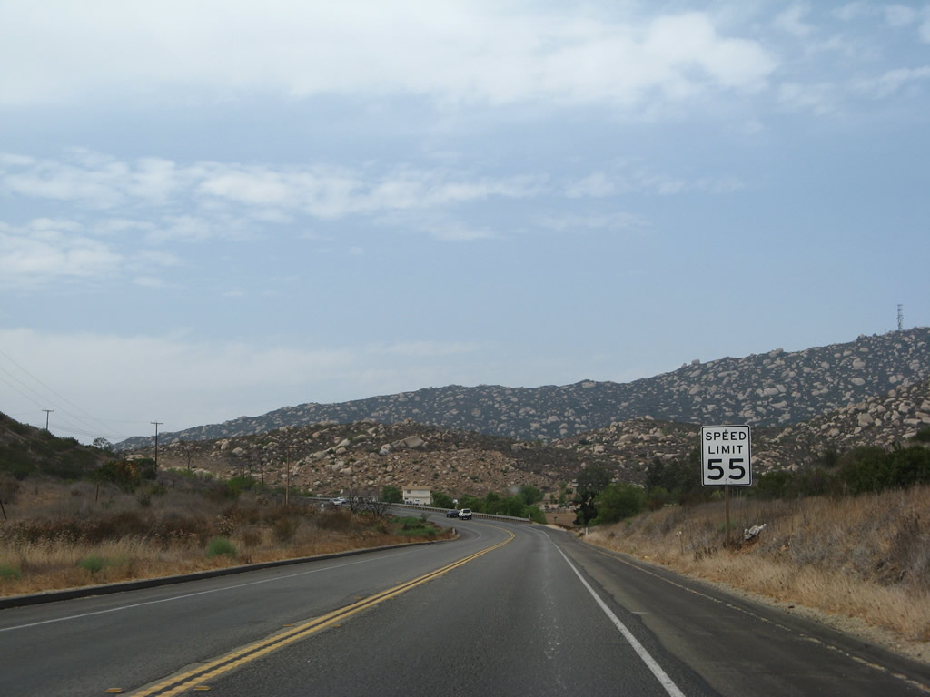
The state route narrows to two lanes north of Poway Road yet continues with generally heavy traffic loads en route to Ramona. Photo taken 08/25/07. |
|
California 67 approaches a left turnoff to Running Deer Trail. Photo taken 08/25/07. |
|
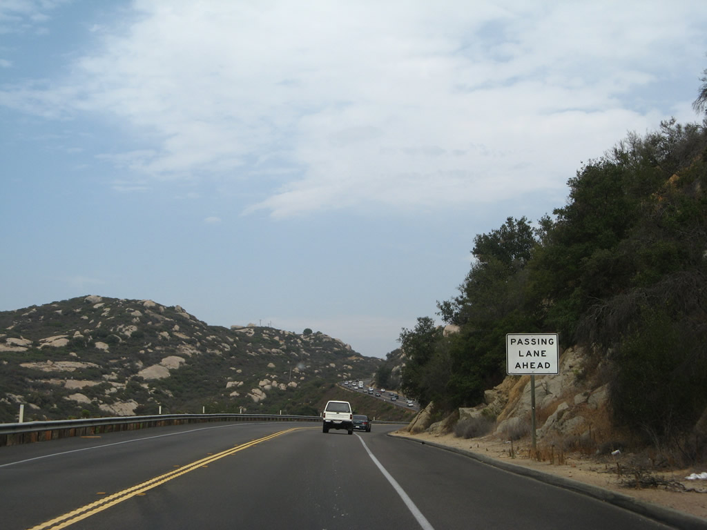
Another passing lane is available on California 67 north soon thereafter. Photo taken 08/25/07. |
|
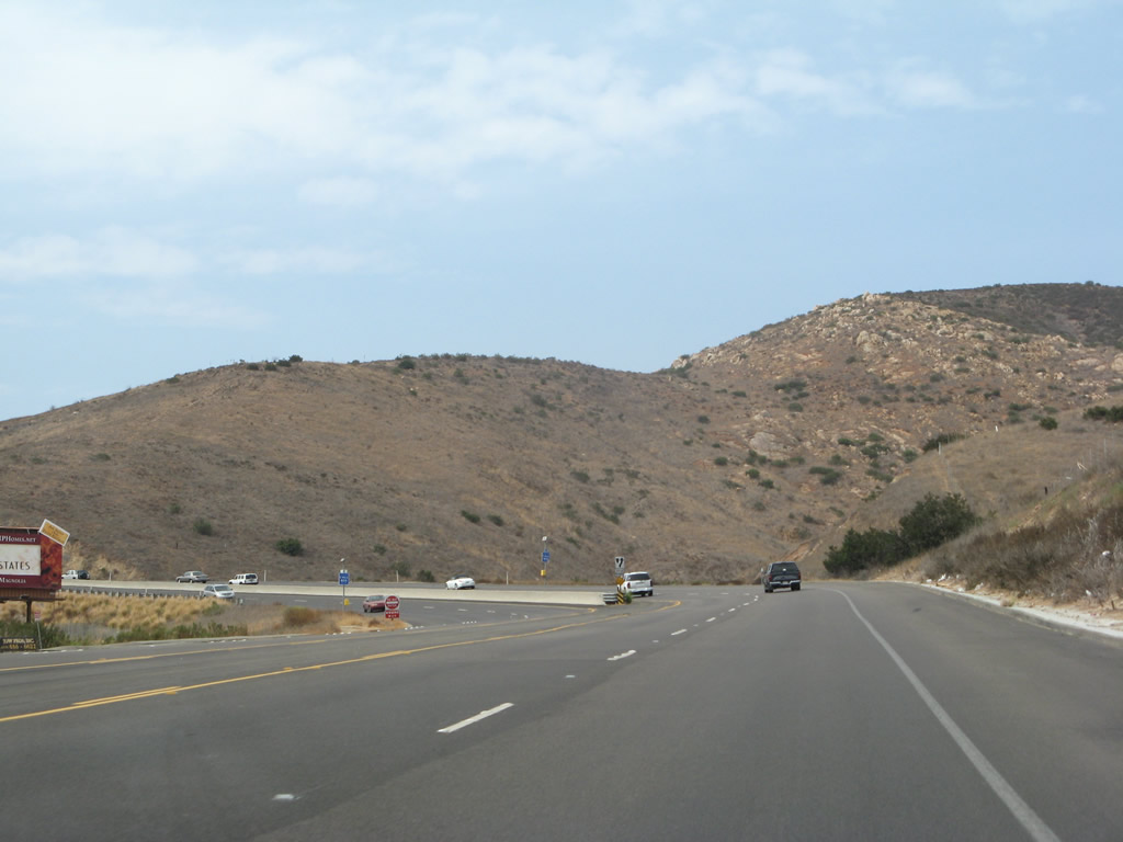
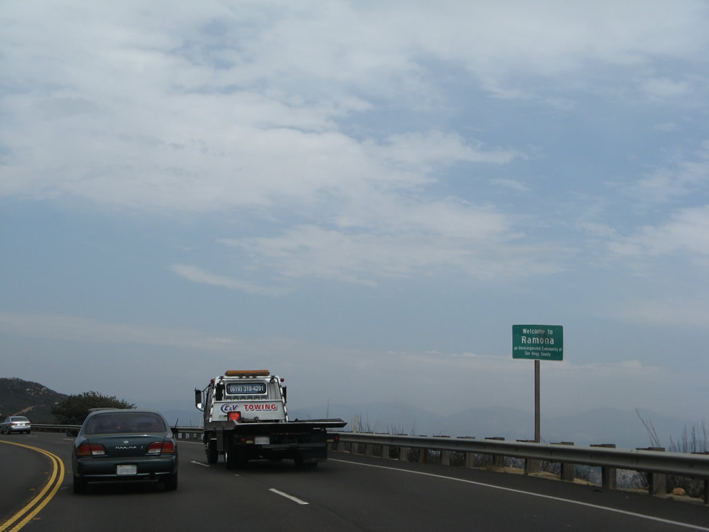
California 67 enters the unincorporated community of Ramona, which had a population of 20,292 as of the 2010 census. Despite its size and population, Ramona is not an incorporated city, yet discussions occur periodically to make Ramona formally into a city. Photo taken 08/25/07. |
|
Once in Ramona, the character of California 67 changes. More side streets, driveways, and other traffic interaction is a change from the relatively open areas seen along California 67 north of Lakeside through eastern Poway. Watch carefully for stopped or slowed traffic. Photo taken 08/25/07. |
|
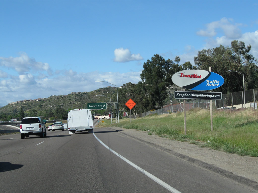
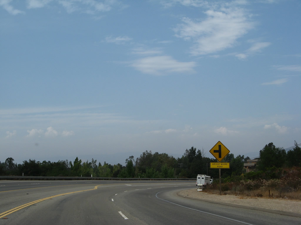
California 67 approaches a left turn to Archie Moore Road. At this point, California 67 curves to the east and travels due east Mussey Grade Road, where it will turn northeast. Photo taken 08/25/07. |
|
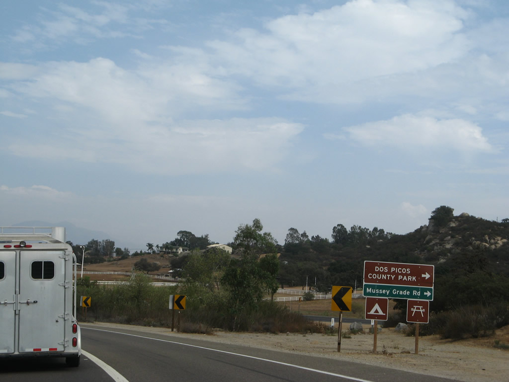
About a mile or so east of there, California 67 approaches Mussey Grade Road (next right). California 67 will curve to the northeast again and becomes known as Main Street. Photo taken 08/25/07. |
|
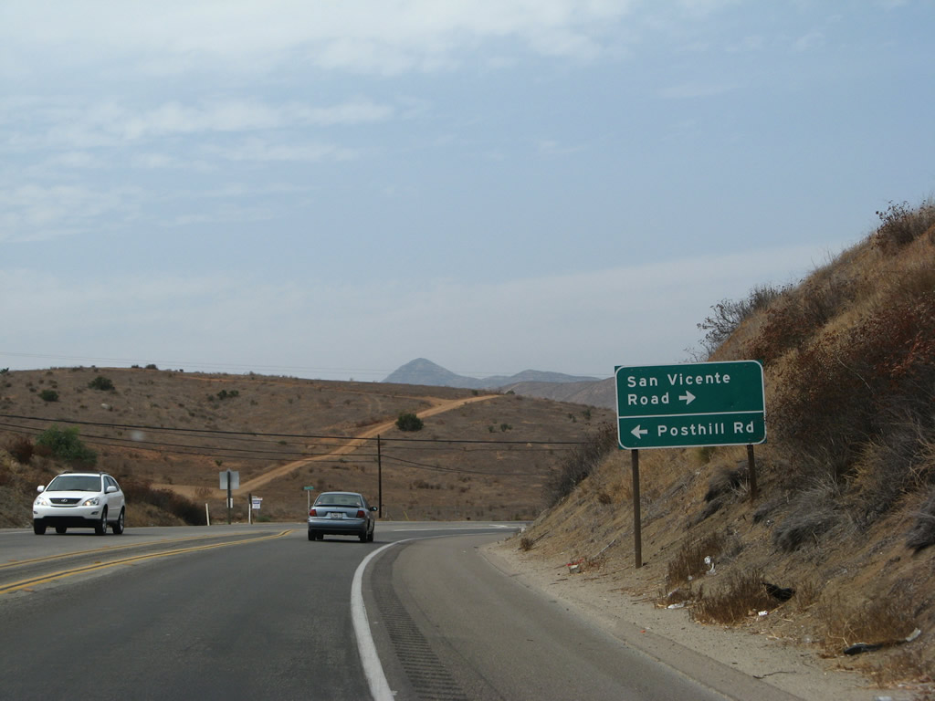
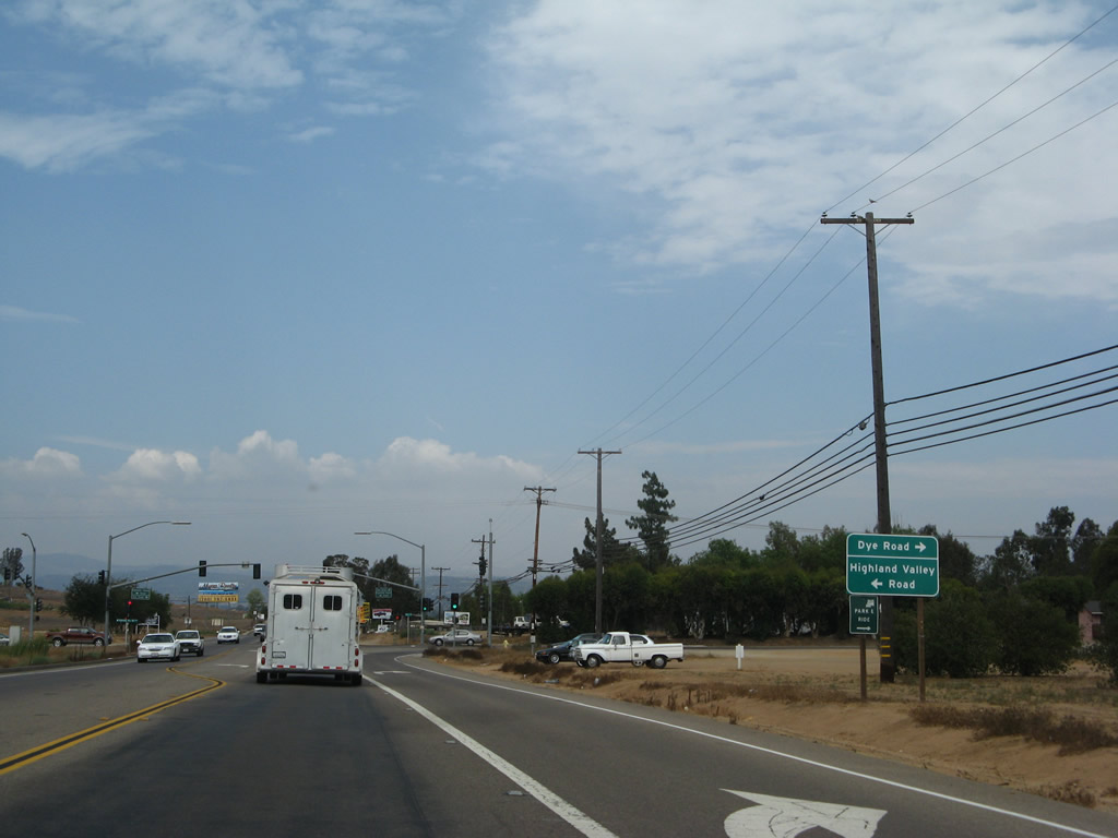
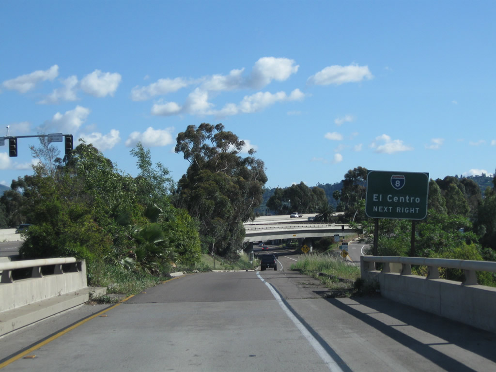
Continuing north, California 67 (Main Street) approaches the signalized intersection with Highland Valley Road and Dye Road. Turn left on Highland Valley Road to connect with Pomerado Road (Old U.S. 395) in the city of San Diego community of Rancho Bernardo. Photo taken 08/25/07. |
|
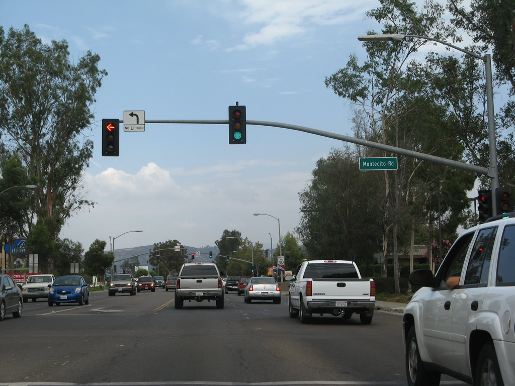
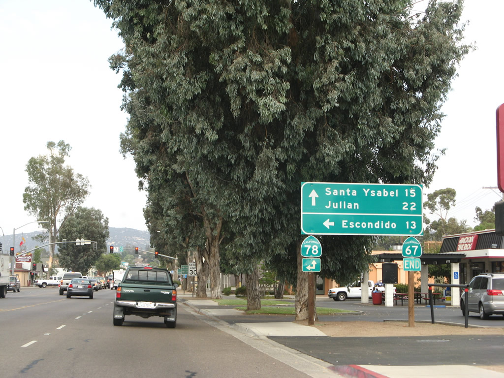
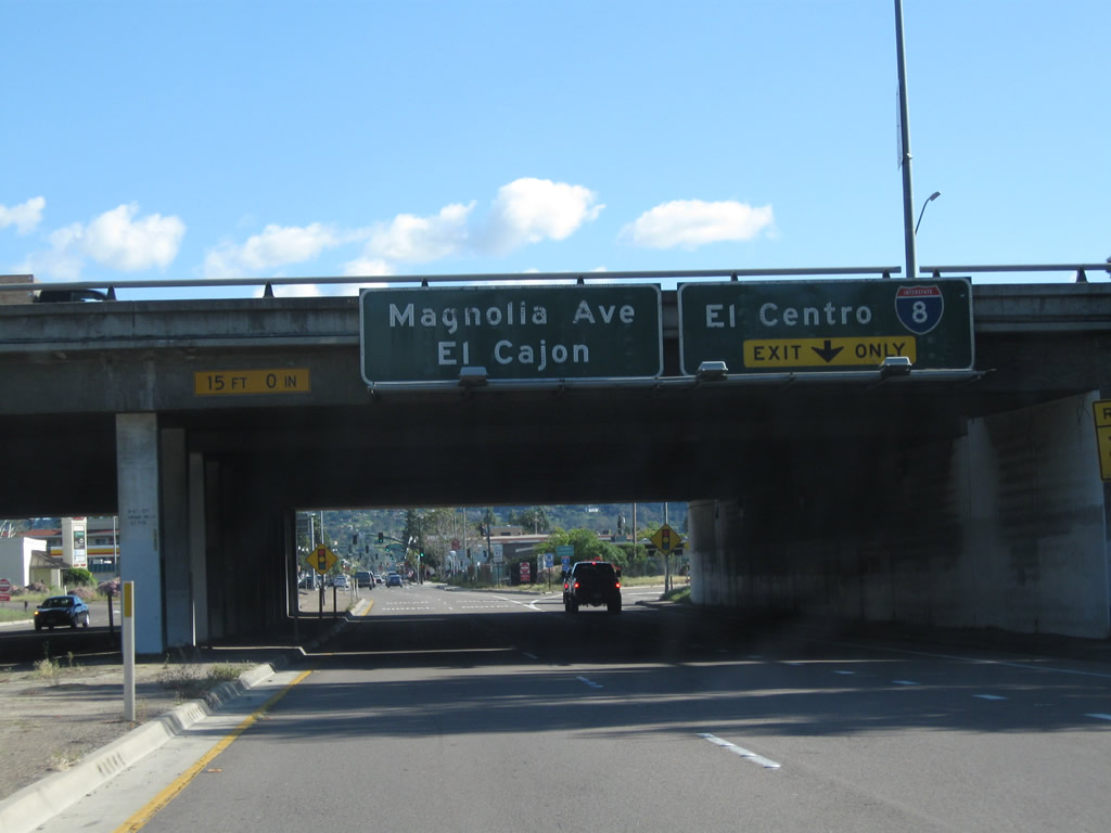
Changing into a more urbanized roadway, California 67 (Main Street) widens to four lanes yet sees more cross streets, shopping centers, housing, and other trappings of civilization. This traffic signal connects California 67 north with Montecito Road. Ahead, California 67 approaches California 78, representing the north end of California 67. Photo taken 08/25/07. |
|
|
|
|
|
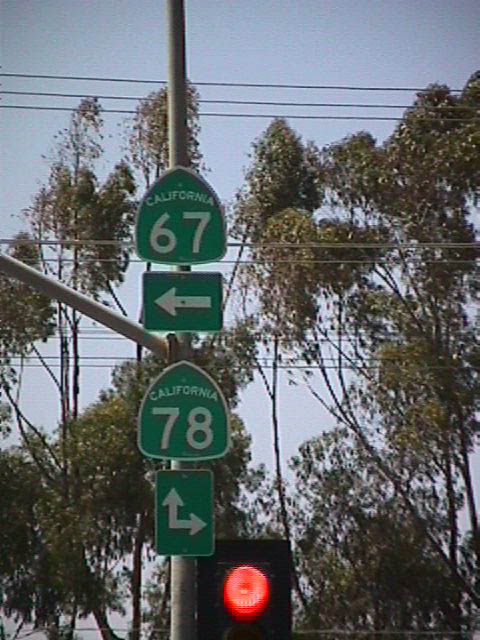
| Northbound California 67 ends at its junction with California 78 in Ramona. The state route is signed with an end placard. California 78 (Tenth Street) west leads toward San Pasqual Valley, the San Diego Zoo Safari Park (formerly the Wild Animal Park), and Escondido. Continuing straight, traffic is defaulted onto California 78 (Main Street) eastbound, which leads to Santa Ysabel and Julian (known for its apple pie). Turning right at this intersection will connect to Tenth Street southeast, which connects to San Vicente Road south. This is the original alignment of California 67. Although the road goes for several miles southbound, it ends at a private residence just north of San Vicente Reservoir. The rest of the original route was flooded over by the reservoir. Once the reservoir was complete, California 67 has to be realigned westward to its current path. Photos taken 08/25/07. |
| California 67 south |
|
The first mileage along California 67 (Main Street) south in Ramona is located shortly after the intersection with California 78 (Tenth Street). The sign provides the distance to Lakeside, Santee, and El Cajon. Omitted is Poway. Photo taken 06/06/99. |
|
This is the first reassurance shield along California 67 (Main Street) south in Ramona. Note the Lucky's grocery store sign partially obscured by a tree in this 1999 picture. In Southern California, this grocery chain had been acquired by Albertson's around 2000 (a successor Lucky's grocery store was later formed in Northern California several years thereafter). Photo taken 06/06/99. |
|
|
Leading away from the signalized intersection with Maplewood Street in Lakeside, California 67 transitions to the San Vicente Freeway) south. Photos taken 04/09/11. |
|
A California 67 south reassurance shield follows. For southbound traffic, there is no access to Winter Gardens Boulevard (unlike northbound). Photo taken 04/09/11. |
|
The next three exits along California 67 south are: Exit 4, Riverford Road; Exit 3, Woodside Avenue; and Exit 2, California 52 (Soledad Freeway) west to La Jolla. This sign is mounted on the Winter Gardens Boulevard overpass. Photo taken 04/09/11. |
|
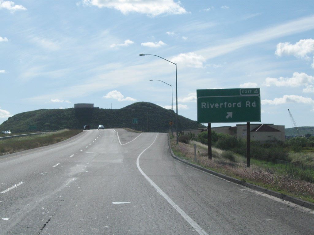
The next exit along California 67 south is Exit 4, Riverford Road. Photo taken 04/09/11. |
|
Southbound California 67 (San Vicente Freeway) reaches Exit 4, Riverford Road. Photo taken 04/09/11. |
|
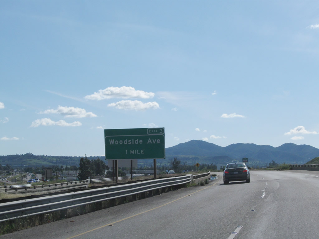
The next exit along California 67 south is Exit 3, Woodside Avenue. Upon exiting, there is no direct access back onto California 67 south. Motorists must use Magnolia Avenue south. Photo taken 04/09/11. |
|
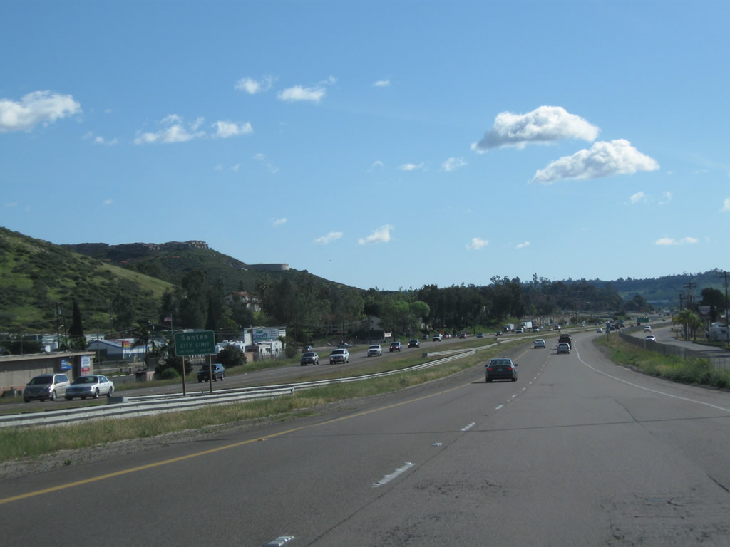
California 67 leaves Lakeside and enters the city of Santee. Incorporated on December 1, 1980, Santee consists of 16.56 square miles, sits at an elevation of 350 feet, and had a population of 52,975 as of the 2000 Census. Photo taken 04/09/11. |
|
The next three exits along California 67 south are: Exit 3, Woodside Avenue; Exit 2, California 52 (Soledad Freeway) west to La Jolla; and Exit 1D, Bradley Avenue. Photo taken 04/09/11. |
|
Southbound California 67 (San Vicente Freeway) reaches Exit 3, Woodside Avenue. Photo taken 04/09/11. |
|
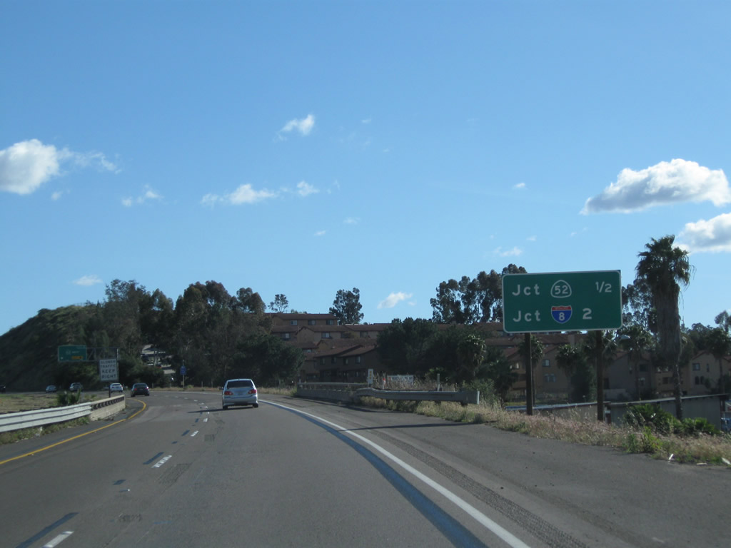
A roadside mileage sign along California 67 south provides the distance to the next two freeway interchanges: Exit 2, California 52 (Soledad Freeway) and Exits 1B-A, Interstate 8. Omitted are Exit 1D, Bradley Avenue and Exit 1C, Broadway. Photo taken 04/09/11. |
|
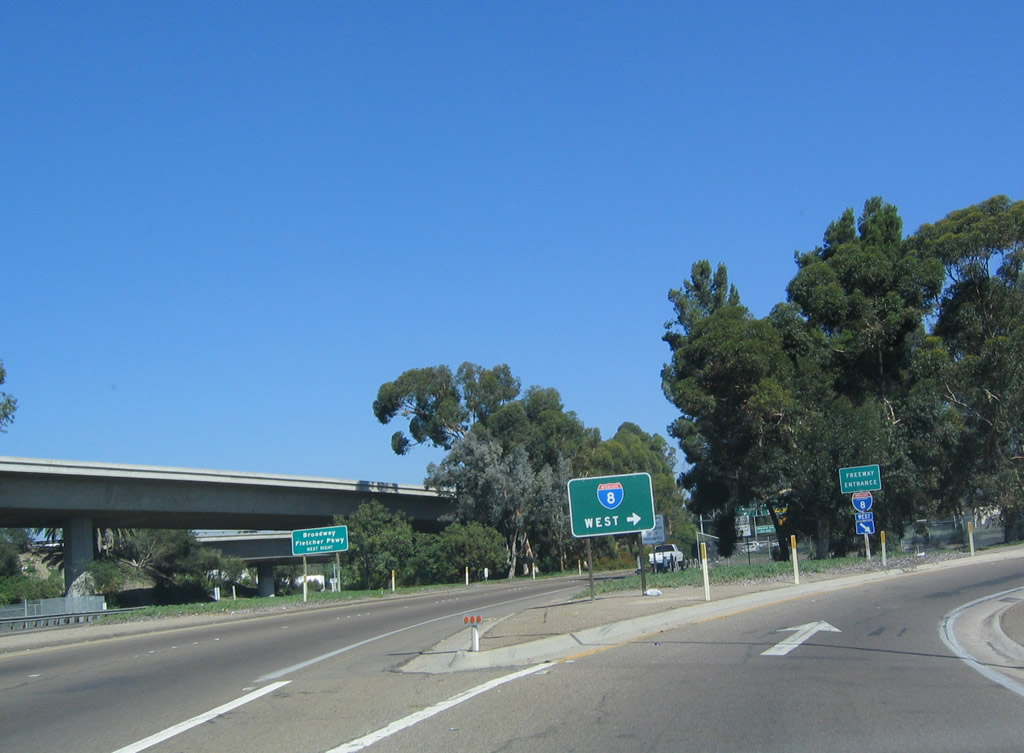
The right two lanes of California 67 (San Vicente Freeway) south provide access to Exit 2, California 52 (Soledad Freeway) west to Santee, Mission Trails Regional Park, Tierrasanta, Kearny Mesa, San Clemente Canyon, Clairemont, University City, and La Jolla. Photo taken 04/09/11. |
|
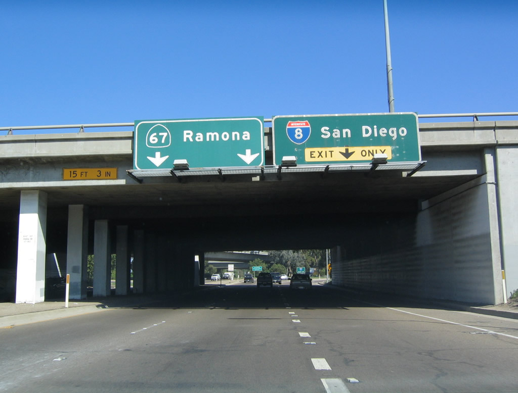
Southbound California 67 (San Vicente Freeway) reaches Exit 2, California 52 (Soledad Freeway) west to La Jolla. The left two lanes continue south on California 67 to El Cajon. Photo taken 04/09/11. |
|
|
|
California 67 (San Vicente Freeway) proceeds south through the California 52 (Soledad Freeway) interchange. Flyover ramps connect California 52 east to California 67 north and California 67 north to California 52 west. Photo taken 04/09/11. |
|
The next exit along California 67 (San Vicente Freeway) south is Exit 1D, Bradley Avenue. Use this exit to Gillespie Field, a general aviation airport managed by the County of San Diego. Photo taken 04/09/11. |
|
This mileage sign along California 67 south provides the distance to the next two exits: Exit 1D, Bradley Avenue and Exit 1C, Broadway and Fletcher Parkway. Photo taken 04/09/11. |
|
|
Traffic from California 52 east merges onto California 67 south. Photos taken 04/09/11. |
|
This guide sign for Exit 1D, Bradley Avenue was added when California 52 signs were installed in the opposite direction. Photo taken 04/09/11. |
|
Southbound California 67 (San Vicente Freeway) reaches Exit 1D, Bradley Avenue. Photo taken 04/09/11. |
|
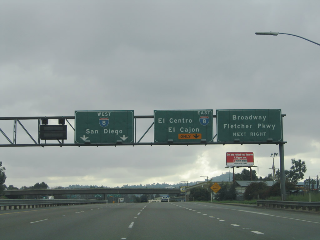
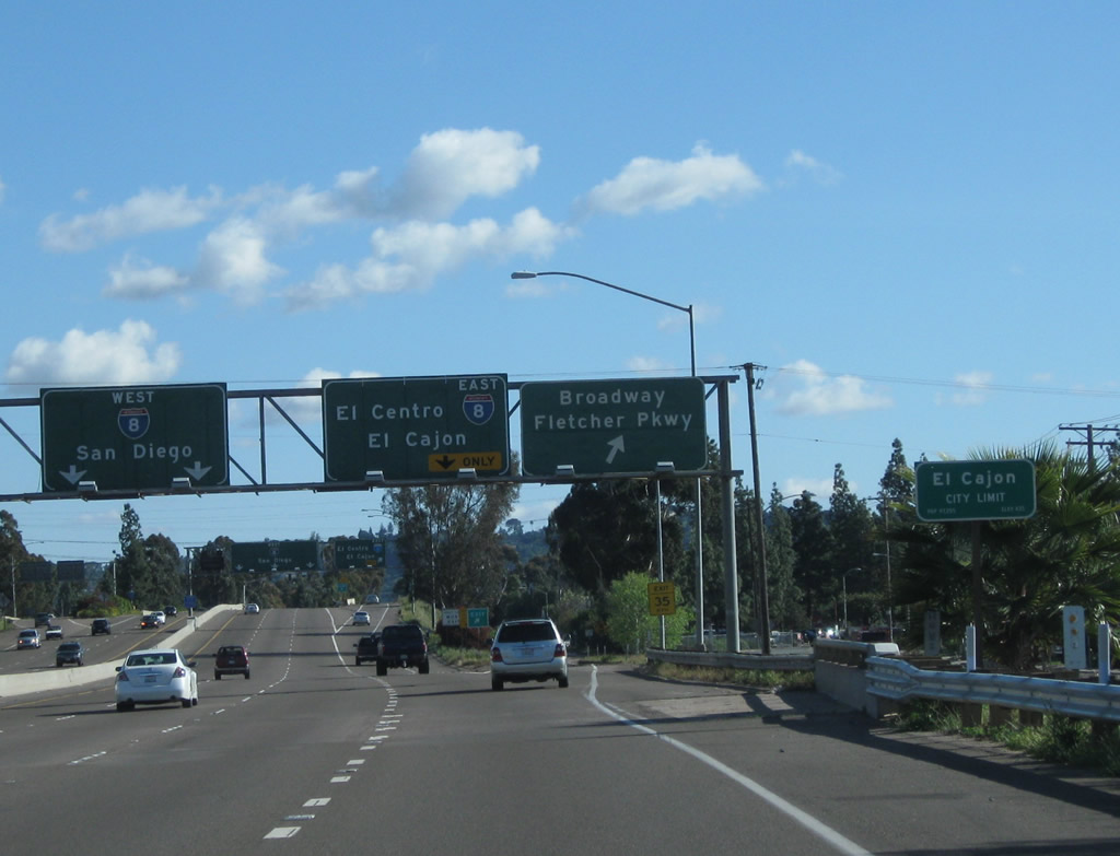
The next exit along California 67 (San Vicente Freeway) south is Exit 1C, Broadway and Fletcher Parkway. Broadway travels east to Bostonia, while Fletcher Parkway travels west to Fletcher Hills and Grossmont. Photo taken 04/09/11. |
|
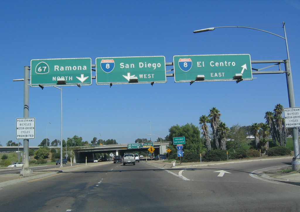
Southbound California 67 approaches its southern terminus with Interstate 8 in El Cajon. The next exit is Exit 1C, Broadway and Fletcher Parkway, followed by Exits 1A-B, Interstate 8 east to El Centro and west to San Diego. Photo taken 02/07/05. |
|
California 67 leaves Santee and enters the city of El Cajon, which had a population of 94,869 as of the 2000 Census and was incorporated on November 12, 1912. Photo taken 04/09/11. |
|
Southbound California 67 reaches Exit 1C, Broadway and Fletcher Parkway. Stay left for Exit 1A, Interstate 8 west to San Diego and right for Interstate 8 east to El Centro. To Magnolia Avenue south to downtown El Cajon, stay right. Photo taken 02/07/05. |
|
Immediately thereafter, California 67 splits between Exit 1A, Interstate 8 west to San Diego and Exit 1B, Interstate 8 east to El Centro. Stay right for Interstate 8 east; the left three lanes connect to Interstate 8 west. Photo taken 02/07/05. |
|
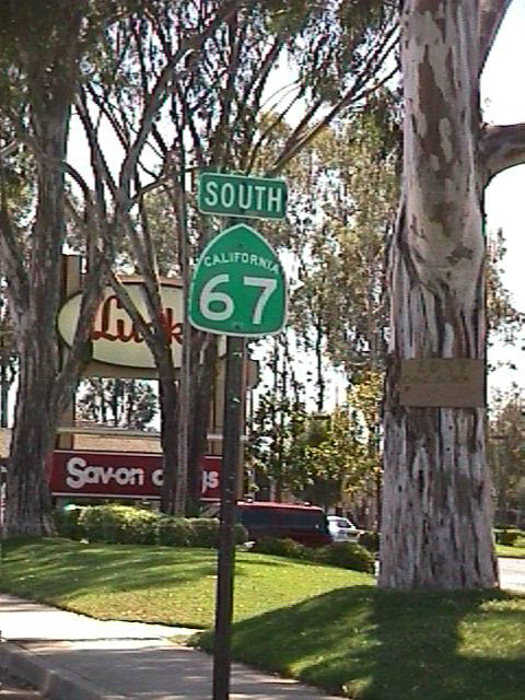
A California 67 south reassurance shield is posted here, as the state route effectively follows the ramp to Interstate 8 west and Magnolia Avenue south. Photo taken 04/09/11. |
|
A single lane will connect California 67 south with Interstate 8 west (Exit 1B) and Magnolia Avenue. Photo taken 04/09/11. |
|
|
|
Traffic from California 67 south merges with Magnolia Avenue south. Magnolia Avenue then passes under the ramp that connects California 67 with Interstate 8 west. Stay left for Magnolia Avenue into downtown El Cajon or right for the link to Interstate 8 east (loop ramp). Photos taken 04/09/11. |
|
The right lane of California 67 (Magnolia Avenue) south connects with Interstate 8 west at Exit 1B. Stay left for downtown El Cajon. Photo taken 04/09/11. |
|
Southbound California 67 (Magnolia Avenue) meets Exit 1B, Interstate 8 west. Photo taken 04/09/11. |
|
State maintenance ends as we meet the loop ramp to Interstate 8 west. An end truck route sign is posted here; an end California 67 shield would also be appropriate here. Ahead, Magnolia Avenue travels into downtown El Cajon, meeting Historic U.S. 80 and Business Loop I-8 at the Main Street intersection. Photo taken 04/09/11. |
|
Southbound Magnolia Avenue immediately meets Madison Avenue at this traffic signal in El Cajon. Photo taken 04/09/11. |
| California 67 scenes |
|
San Vicente Road north at the junction of California 78 and the northern terminus of California 67 in Ramona. Photo taken 06/06/99. |
Page Updated February 25, 2012.