California 98 is an east-west state route in Imperial County that travels between and parallels Interstate 8 and the international border with Mexico. It passes through the city of Calexico, and otherwise passes by rural farms and desert environs. Beginning at Interstate 8 at the foot of In-ko-pah Gorge, California 98 merges back onto Interstate 8 east of Holtville.
| California 98 east |
|
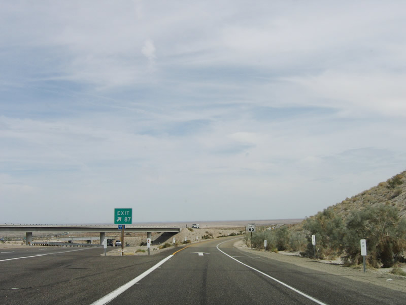
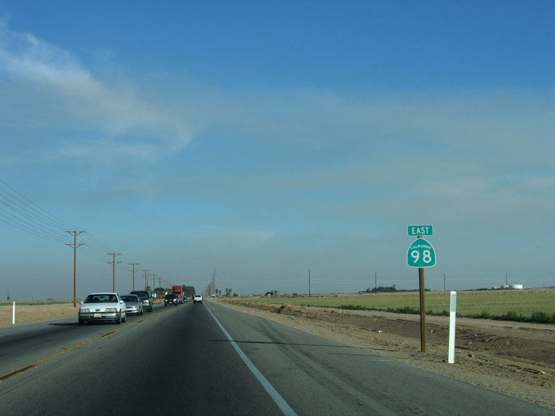
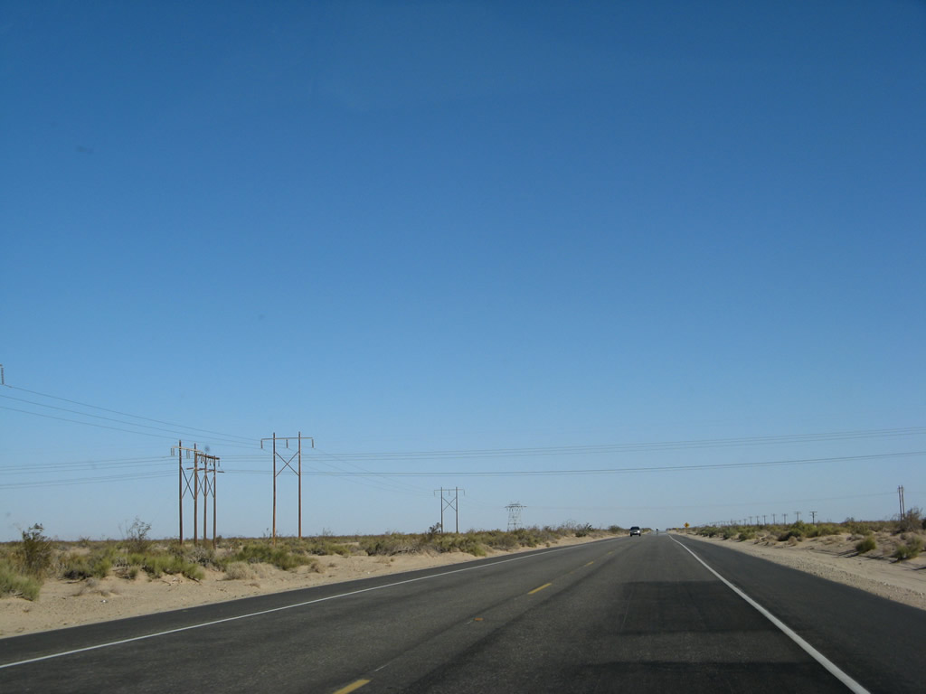
Eastbound Interstate 8 and eastbound California 98 split at Exit 87 at the foot of the In-Ko-Pah Gorge. The Imperial Valley lies ahead. Photo taken 03/26/06. |
|
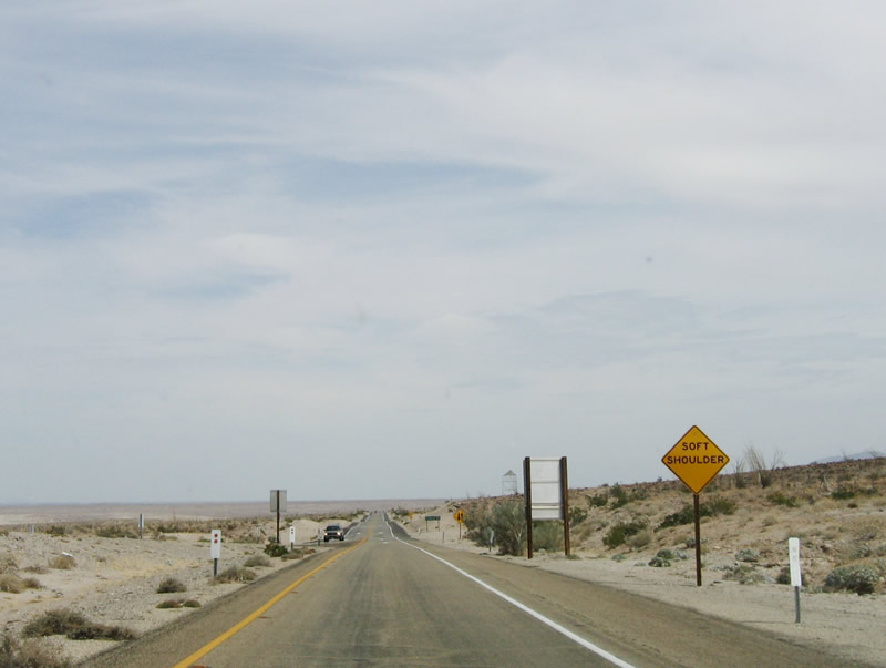
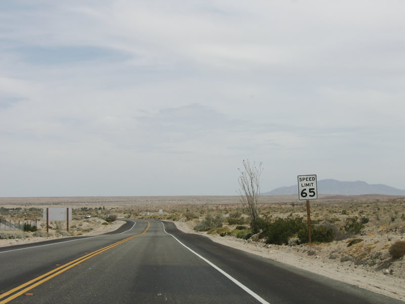
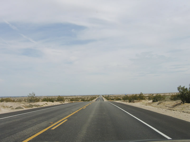
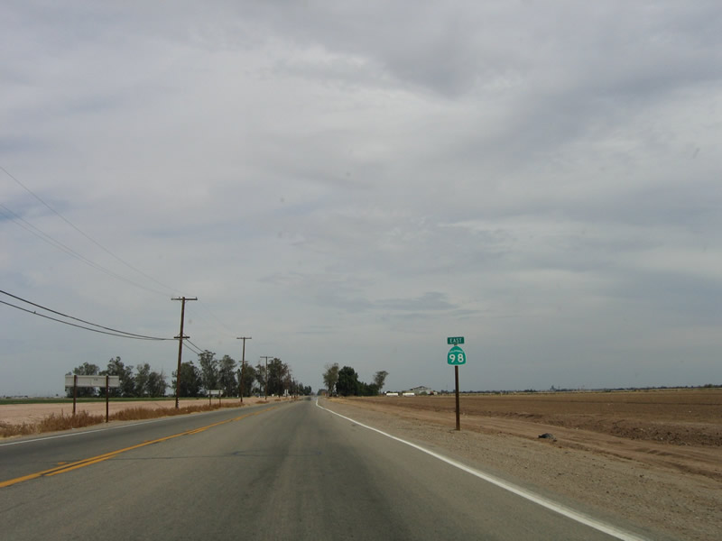
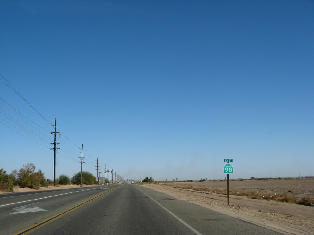
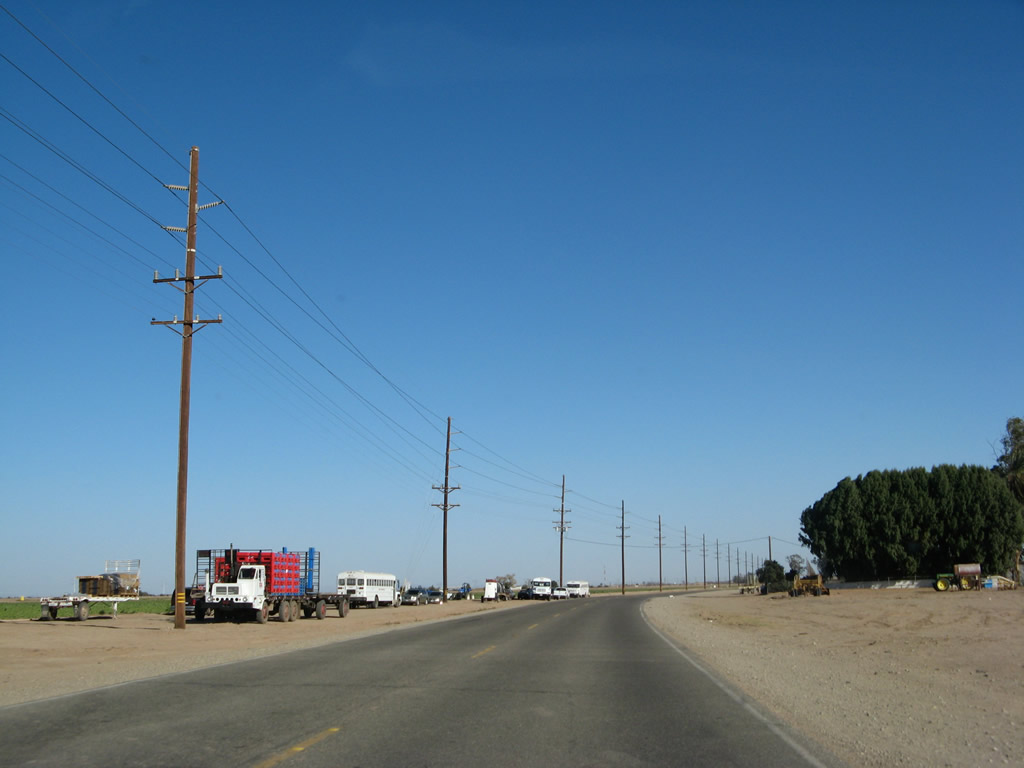
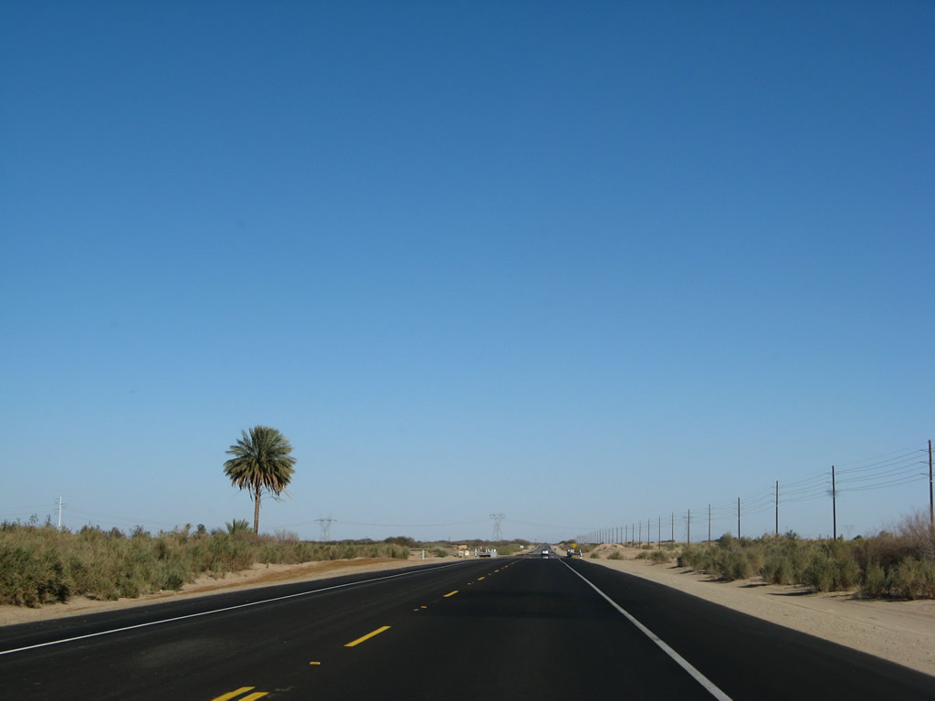
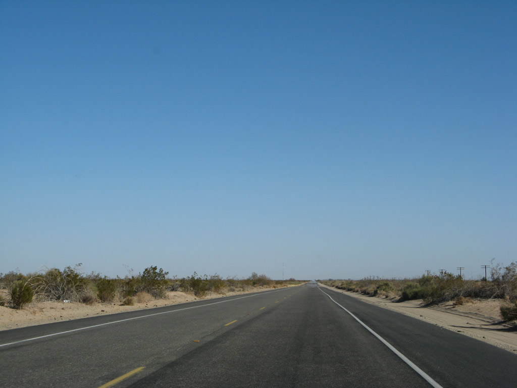
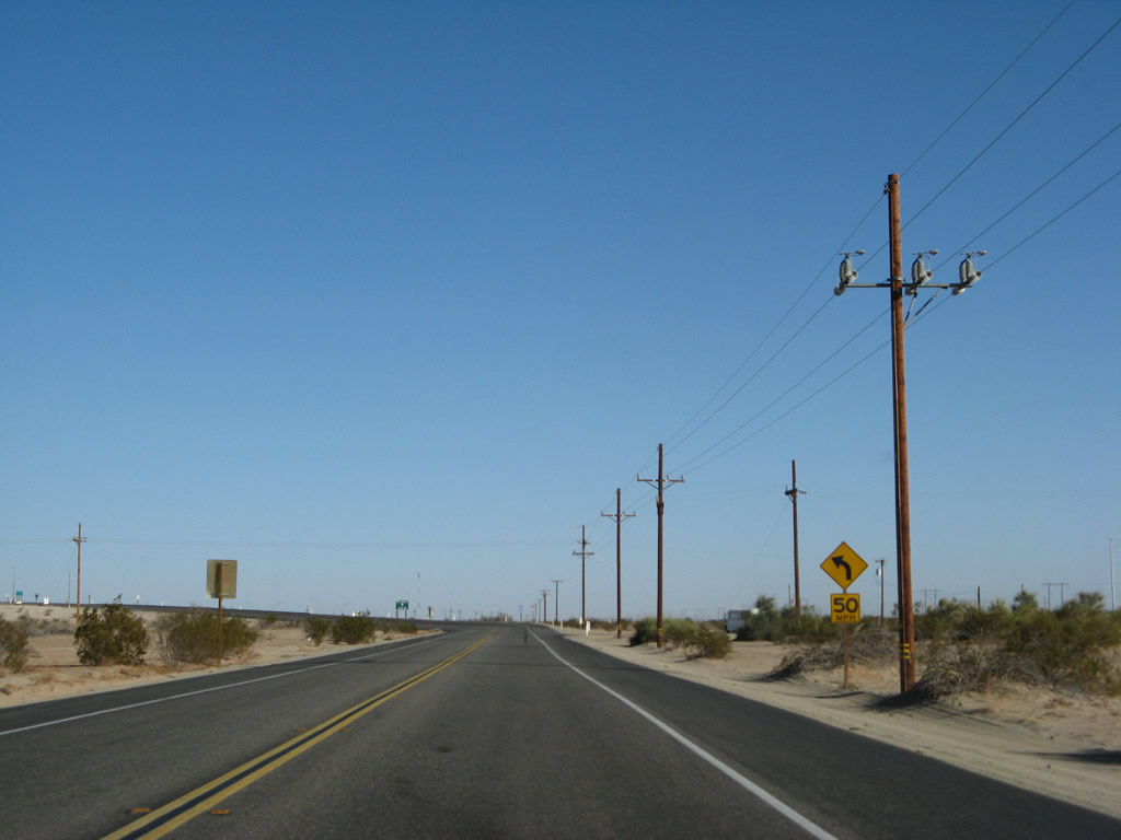
Emerging from Interstate 8, California 98 starts as a two-lane limited access highway with a 65 miles per hour speed limit. Note that the shoulders are soft and have limited traction should you need to stop. Photo taken 03/26/06. |
|
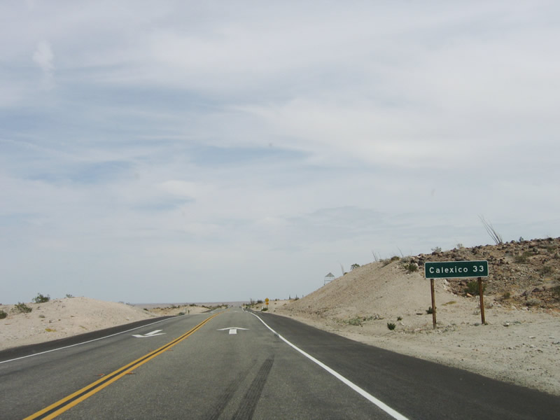
The only city on California 98 is Calexico, which is 33 miles east of here in the heart of the Imperial Valley. Photo taken 03/26/06. |
|
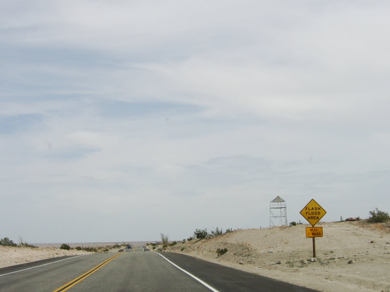
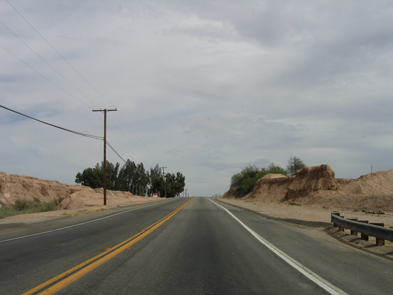
Since California 98 hugs the undulating terrain of the Imperial Valley, so flash floods are possible during the summer monsoon season or during the winter storm season. Photo taken 03/26/06. |
|
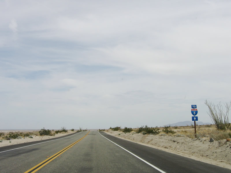
A small trailblazer for Interstate 8 is posted after the transition ramp from eastbound Interstate 8 to eastbound California 98. Continue east along California 98 to north Imperial County S-2 to return to Interstate 8. Photo taken 03/26/06. |
|
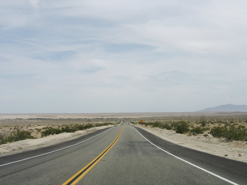
California 98 drops in elevation, and it will soon be below sea level. Photo taken 03/26/06. |
|
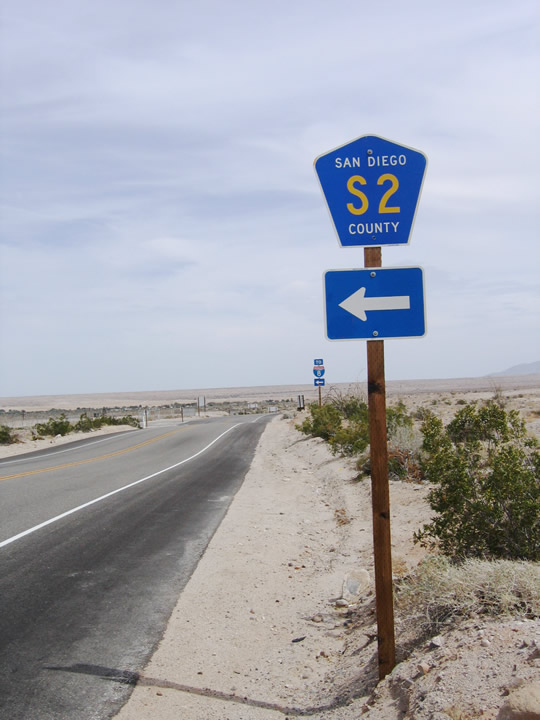
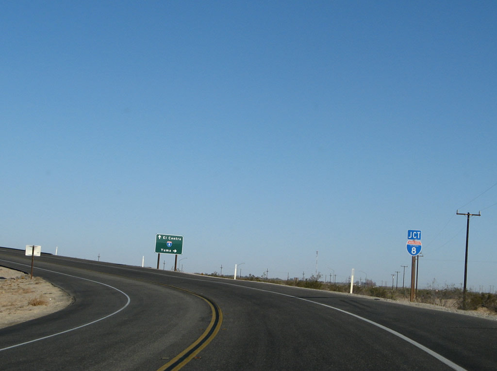
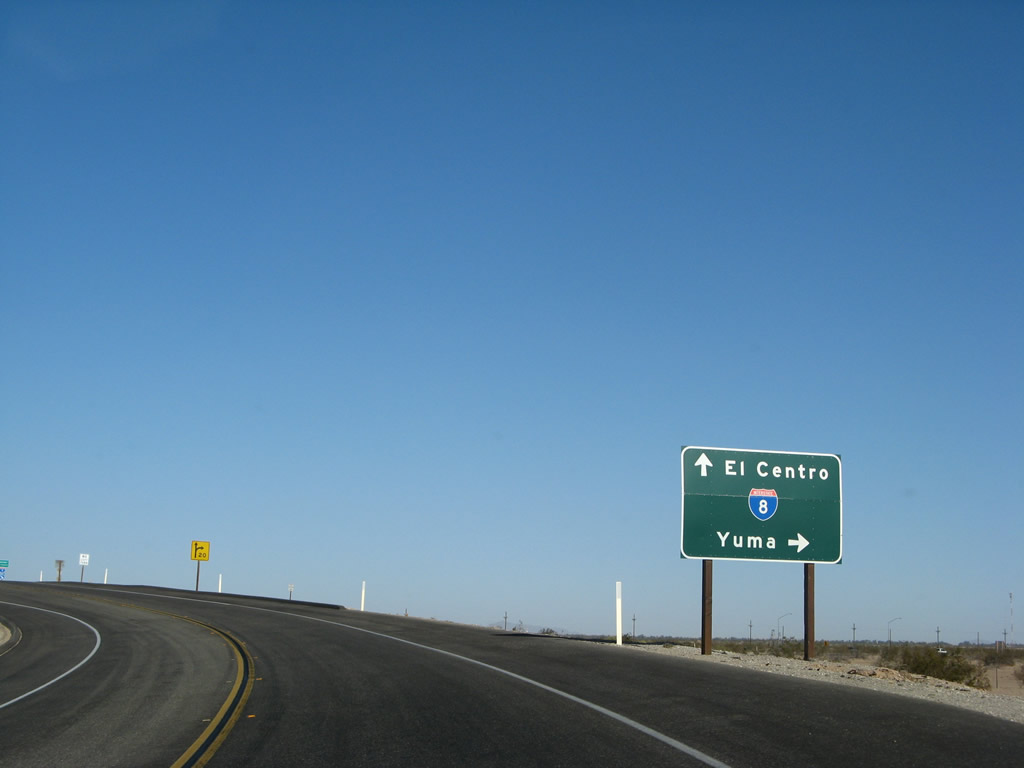
The first intersection along eastbound California 98 is the junction with Imperial County S-2 (Imperial Highway). Note that the sign incorrectly calls this "San Diego County S-2." Photo taken 03/26/06. |
|
Another Interstate 8 trailblazer is posted for northbound Imperial County S-2. Photo taken 03/26/06. |
|
Follow Imperial County S-2 northwest to Ocotillo and into San Diego County. Within San Diego County, S-2 serves Carrizo Badlands, Sweeney Pass, Canebrake, Agua Caliente County Park, Vallecito, and Shelter Valley before meeting California 78 at Scissors Crossing. Photo taken 03/26/06. |
|
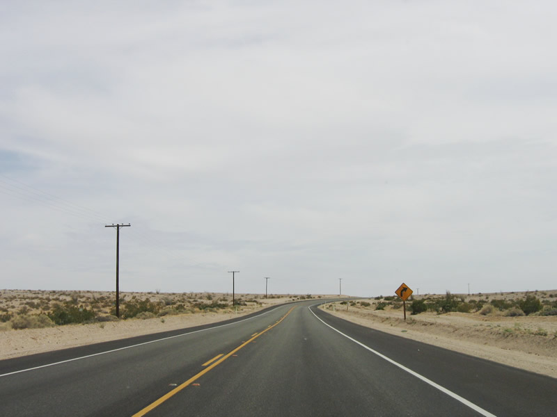
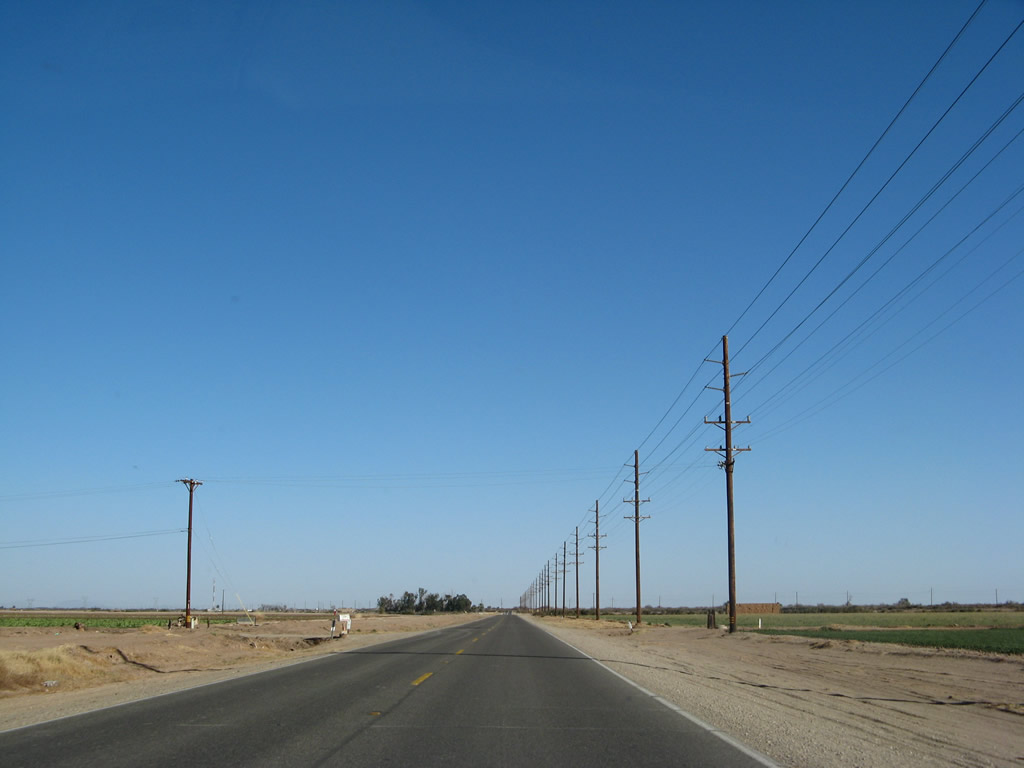
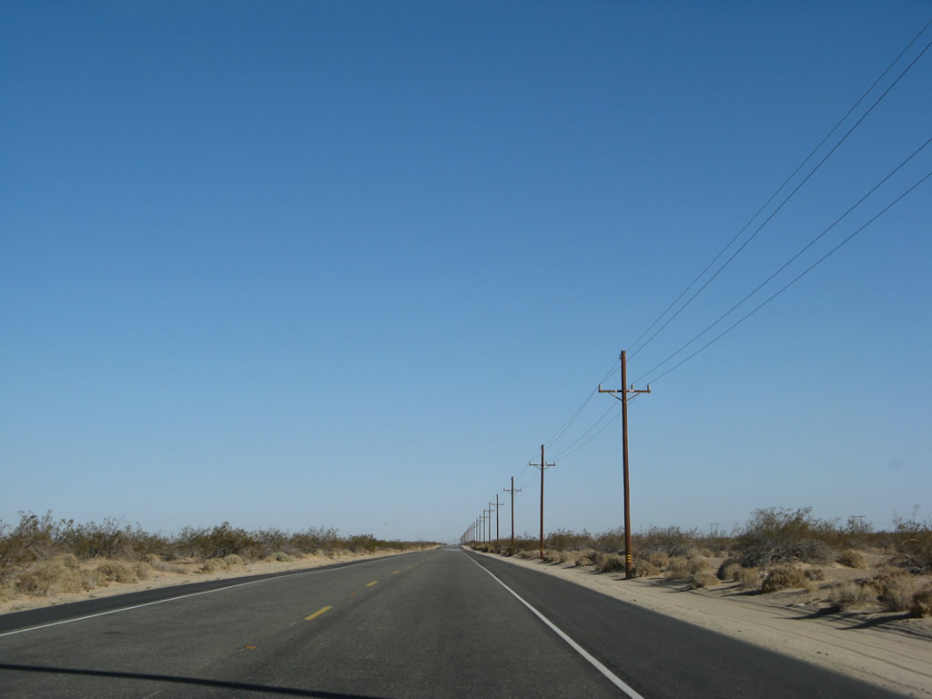
The upcoming section of California 98 is very desolate and features little, if any, manmade structures beyond the highway and the water stops. The speed limit on this two-lane expressway is 65 miles per hour. Signal Mountain comes into view in the distance; it is in Mexico. Photo taken 03/26/06. |
|
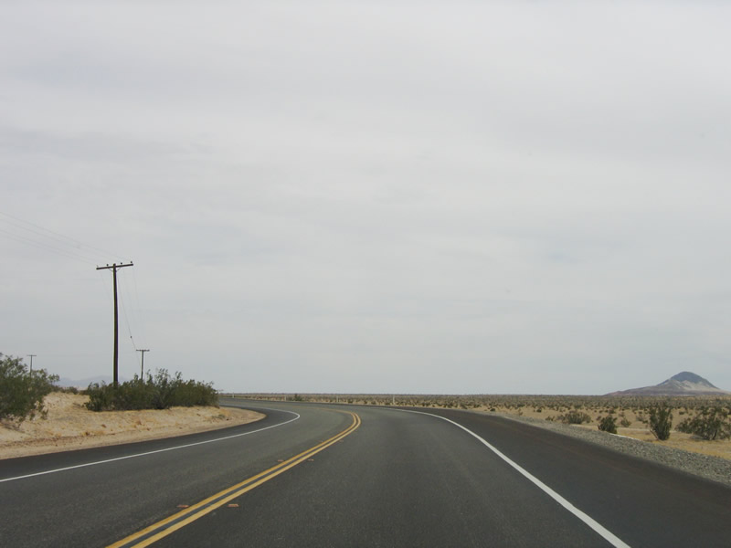
The highway curves a bit to the southeast. Photo taken 03/26/06. |
|
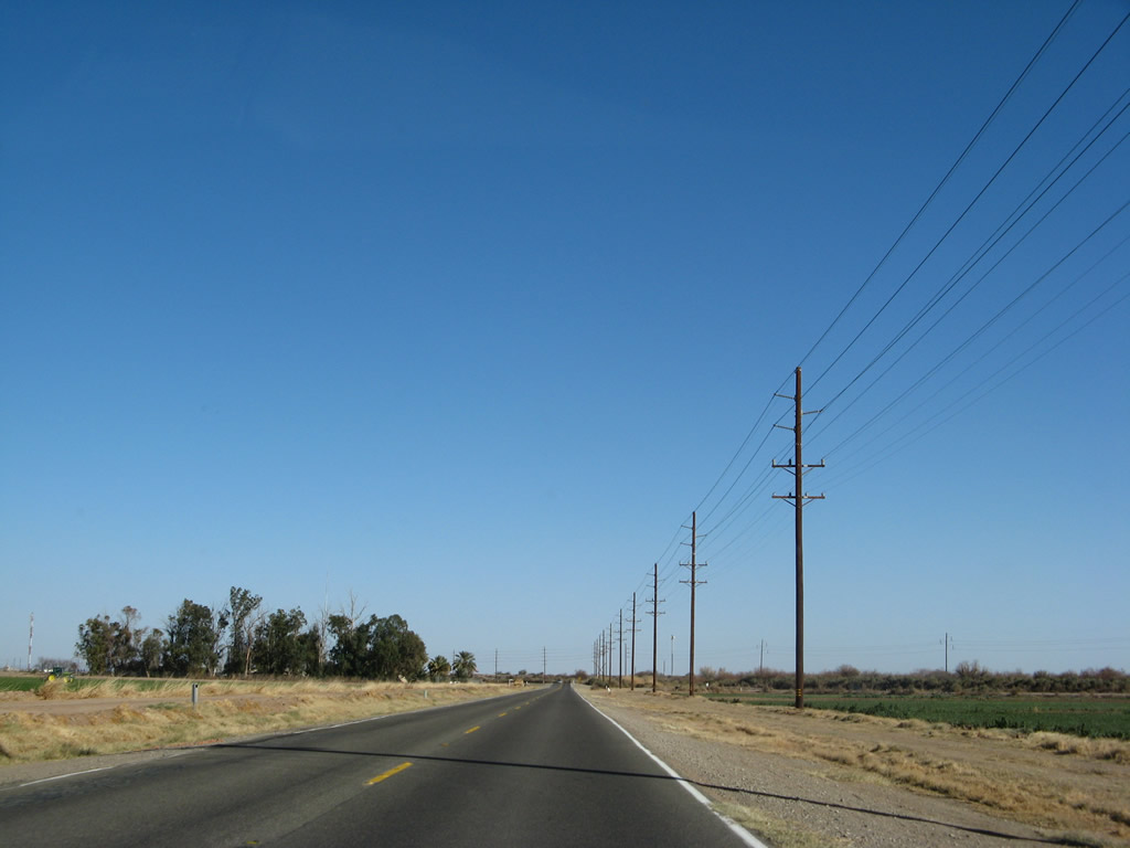
Afterward, the highway turns again toward the south and then to the east. This area is known as the Yuha Desert, and it is part of federally owned Bureau of Land Management (BLM) holdings. Plants are not as common as in other parts of the desert due to the rainshadow effect caused by the nearby Cuyamaca Mountains. Photo taken 03/26/06. |
|
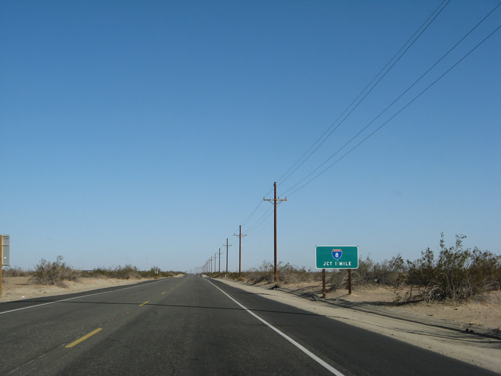
A reassurance shield for California 98 is posted here, followed by a mileage sign. Photo taken 03/26/06. |
|
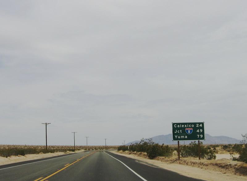
This mileage sign within the Yuha Desert provides the distance to Calexico, the junction with Interstate 8, and Yuma, Arizona. Photo taken 03/26/06. |
|
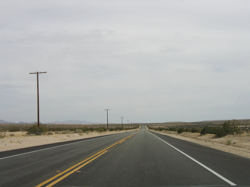
Some parts of California 98 in the Yuha Desert are brutally straight. Photo taken 03/26/06. |
|
Signal Mountain is getting closer, but the highway turns east again rather than continue southeast toward Mexico. Photo taken 03/26/06. |
|
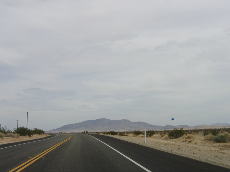
These blue flags, which are posted next to containers every several hundred feet, offer water to travelers (legal or illegal) who pass through the Yuha Desert. The word "water" is written in English, Spanish, or both languages. Photo taken 03/26/06. |
|
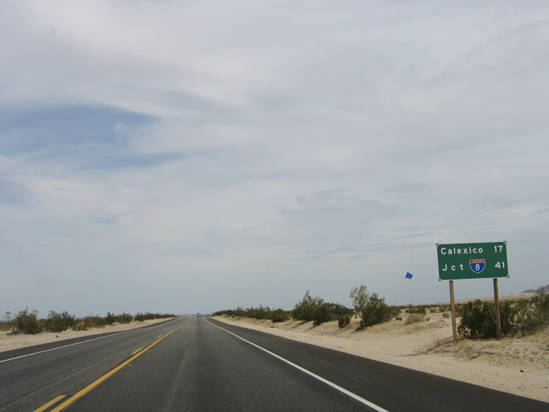
This mileage sign provides the distance to Calexico (17 miles) and Interstate 8 (41 miles). Photo taken 03/26/06. |
|
Again, the Yuha Desert stretch of California 98 can be very straight. Photo taken 03/26/06. |
|
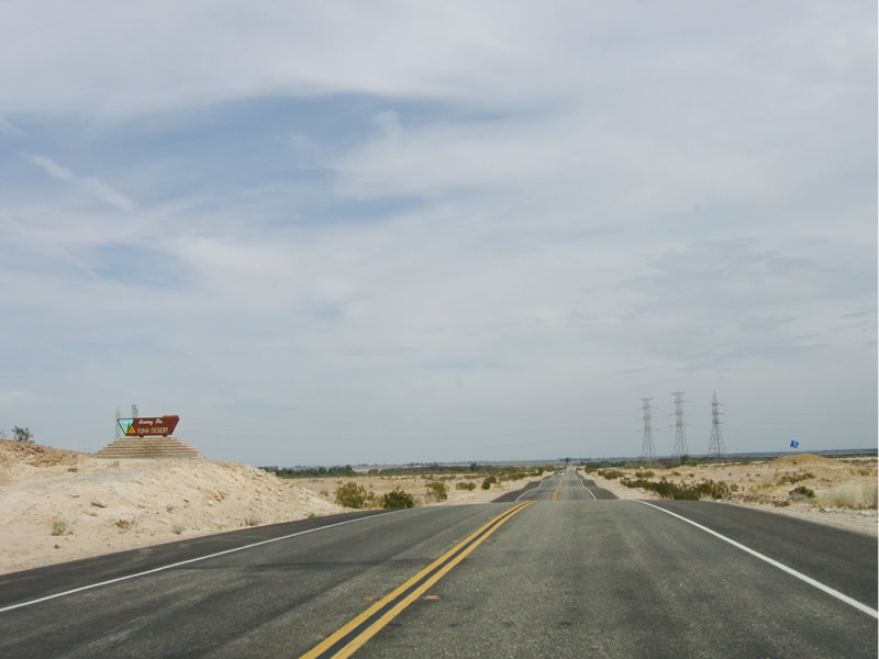
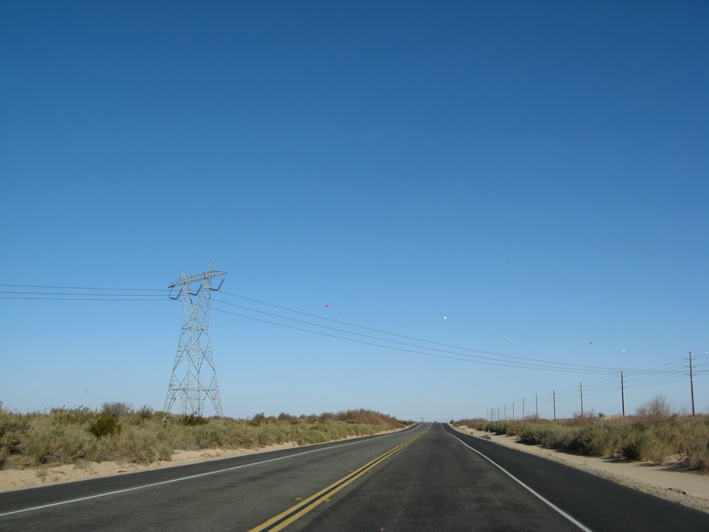
This Bureau of Land Management sign advises that California 98 is leaving the Yuha Desert area. A final blue flag waves in the air, followed by the appearance of several power lines in the distance. Photo taken 03/26/06. |
|
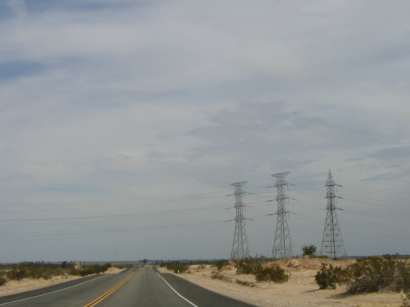
A set of three power lines comes into view ahead; these three lines carry electricity from Mexican power plant north to the Southwest Powerlink, a 500 KV power line that connects Arizona with San Diego. Photo taken 03/26/06. |
|
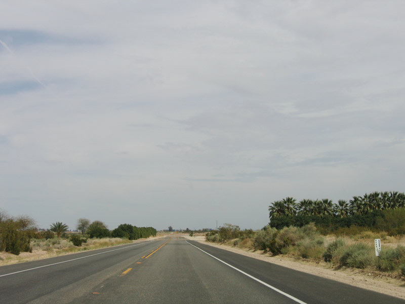
Agriculture, in its most limited forms, becomes noticeable after California 98 crosses under the trio of power lines. Palms are grown in a nursery on the south side of California 98 in the distance. Photo taken 03/26/06. |
|
Palms love the climate of the desert and grow well here. Oftentimes, they are transplanted from nurseries such as this one to locations in coastal Southern California, where they become a part of housing or commercial developments. Photo taken 03/26/06. |
|
A U.S. Border Patrol vehicle, which is commonly seen along California 98, is parked on the shoulder of the highway near the Westside Canal. Photo taken 03/26/06. |
|
Eastbound California 98 crosses over the Westside Canal, which brings water from the Colorado River to the various farms and ranches located throughout the western Imperial Valley. Photo taken 03/26/06. |
|
The next intersection along eastbound California 98 is the junction with Imperial County S-29, which travels north to Seeley via Drew Road. This intersection is notable for another reason. The section of modern California 98 from Interstate 8 Exit 87 to this point was a later addition to the state route. Originally, California 98 followed what is now Imperial County S-29 north to end at U.S. 80 in Seeley. When the state highway was extended, the old alignment was returned to local control and is now part of the county route system. Photo taken 03/26/06. |
|
Continuing east, California 98 now enters irrigated fields of verdant acres, with agricultural operations prevalent on both sides of the flat highway. Photo taken 03/26/06. |
|
The next intersection along eastbound California 98 is with Pulliam Road. Photo taken 03/26/06. |
|
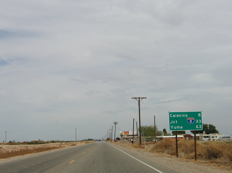
This mileage sign provides the distance to Calexico (8 miles), Interstate 8 (33 miles) and Yuma, Arizona (63 miles). Photo taken 03/26/06. |
|
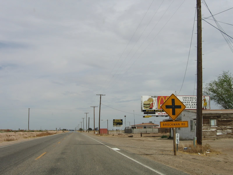
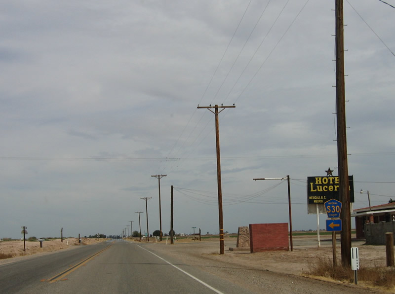
The next crossroads is the junction with Imperial County S-30, Brockman Road, in the community of Mount Signal. There is not much development in Mount Signal. Photo taken 03/26/06. |
|
Imperial County S-30 travels north from this point along Brockman Road, transitioning onto Forrester Road and continuing north to Westmorland, the Salton Sea National Wildlife Refuge, and Calipatria. Photo taken 03/26/06. |
|
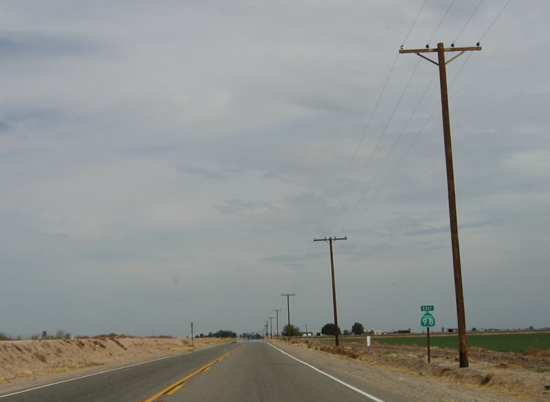
After Imperial County S-30 (Brockman Road), this reassurance shield is posted on eastbound California 98. Photo taken 03/26/06. |
|
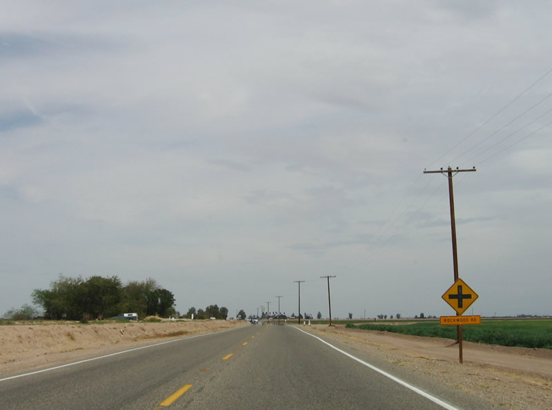
The next intersection along eastbound is with Rockwood Road. Photo taken 03/26/06. |
|
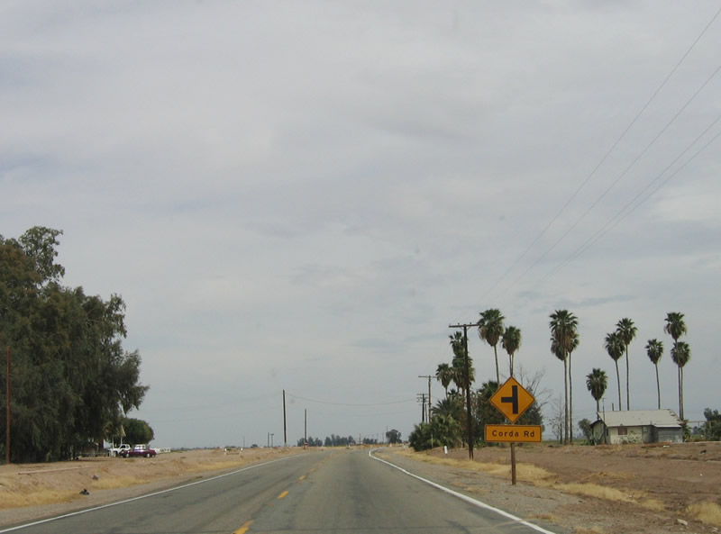
Corda Road follows as the next signed intersection. Photo taken 03/26/06. |
|
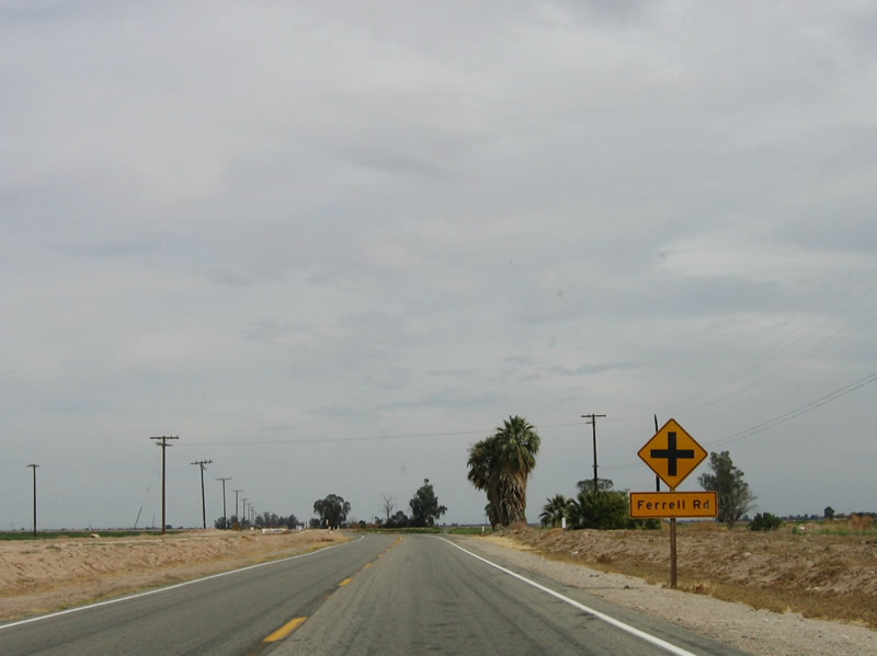
Ferrell Road is the next intersection along eastbound California 98. Photo taken 03/26/06. |
|
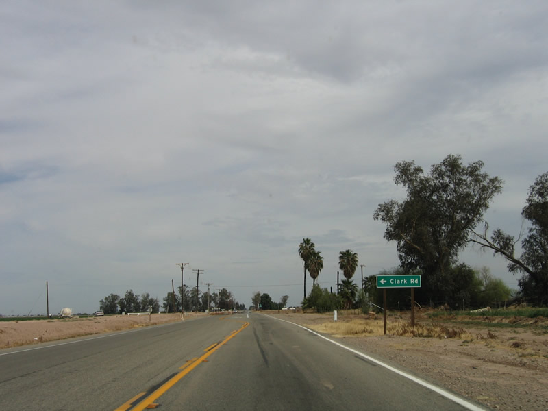
Following Ferrell Road is the intersection with Clark Road. All of these roads are local access, farm to market roads. Photo taken 03/26/06. |
|
An eastbound California 98 shield is posted after the Clark Road intersection. Photo taken 03/26/06. |
|
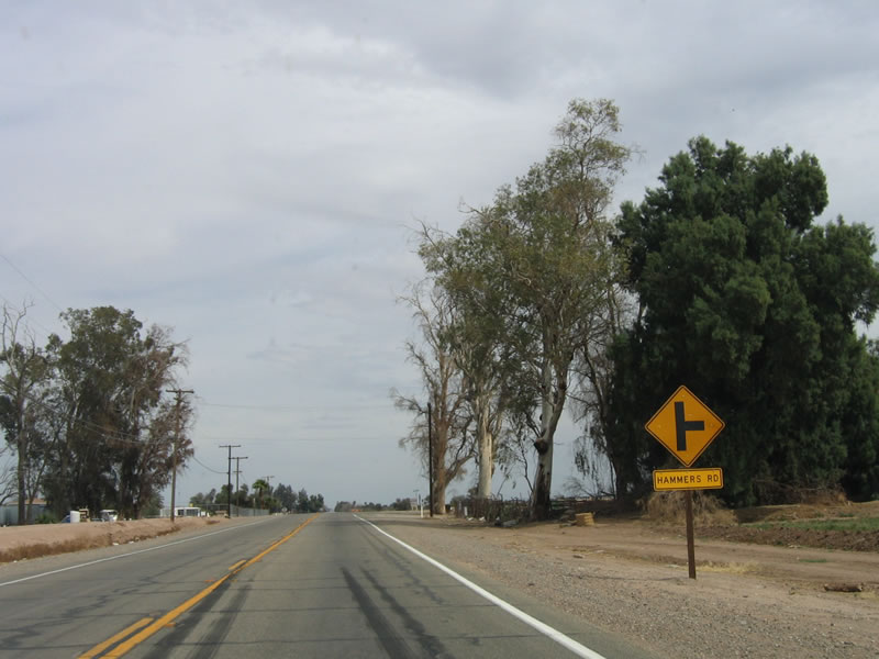
A right turn to Hammers Road is up next. Photo taken 03/26/06. |
|
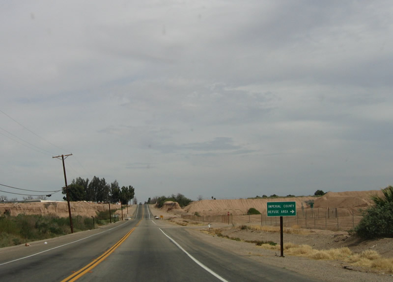
California 98 prepares to dip to its lowest point along the route, as it enters the New River valley. The Imperial County refuse disposal site is located adjacent to the river. Photo taken 03/26/06. |
|
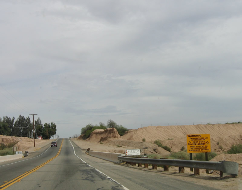
A two-lane bridge carries California 98 over the New River. Often touted as one of the most polluted rivers in the country, the New River carries pollutants from Mexicali, Baja California, Mexico. As it picks up agricultural runoff, the New River swells with chemicals, sewer waste, and other untreated byproducts. This toxic stew empties into the Salton Sea, bringing the toxicity level upward for the fragile, beautiful sea. Photo taken 03/26/06. |
|
California 98 climbs out of the New River valley. Photo taken 03/26/06. |
|
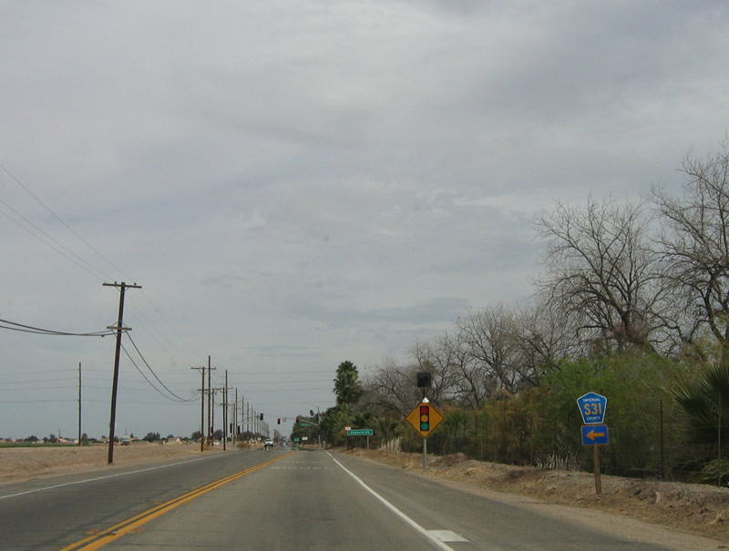
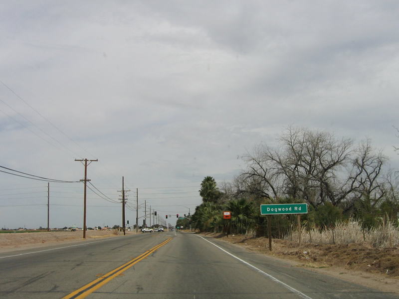
Continuing east, California 98 approaches Imperial County S-31, Dogwood Road. Photo taken 03/26/06. |
|
Use Imperial County S-31 (Dogwood Road) north to Heber, El Centro, and Brawley. The county route provides an alternative to north-south California 86 and California 111. Photo taken 03/26/06. |
|
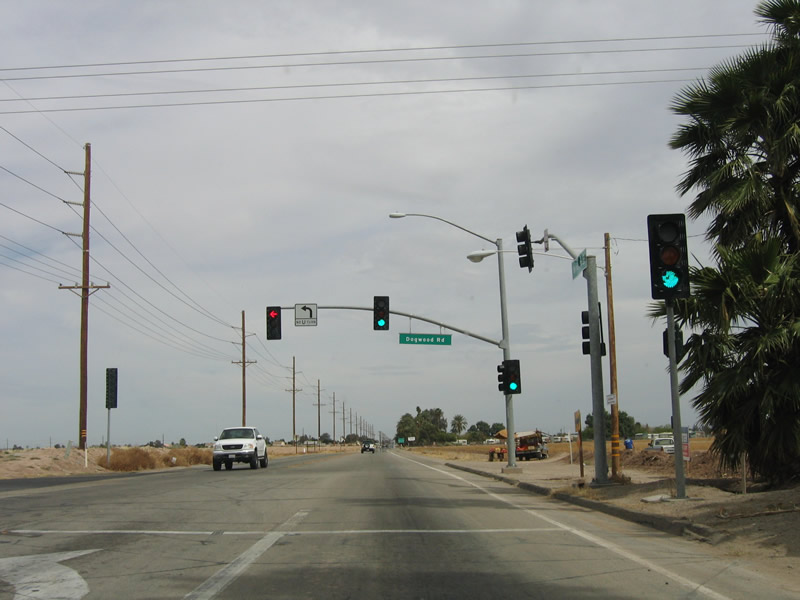
Imperial County S-31 reaches its southern terminus at this traffic signal with California 98 west of Calexico. Photo taken 03/26/06. |
|
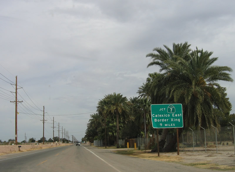
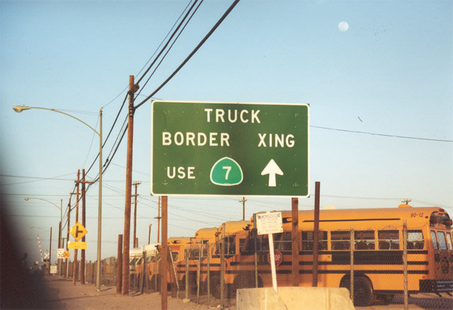
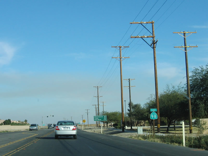
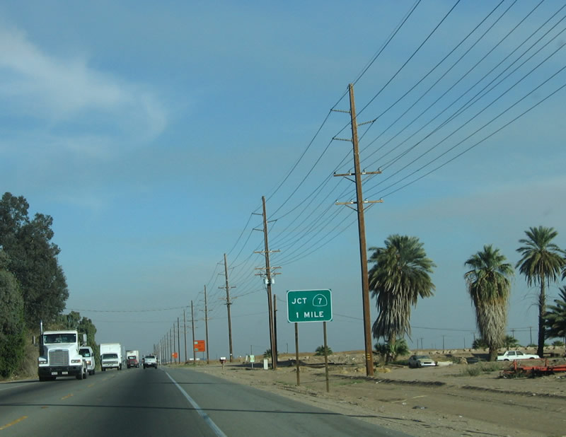
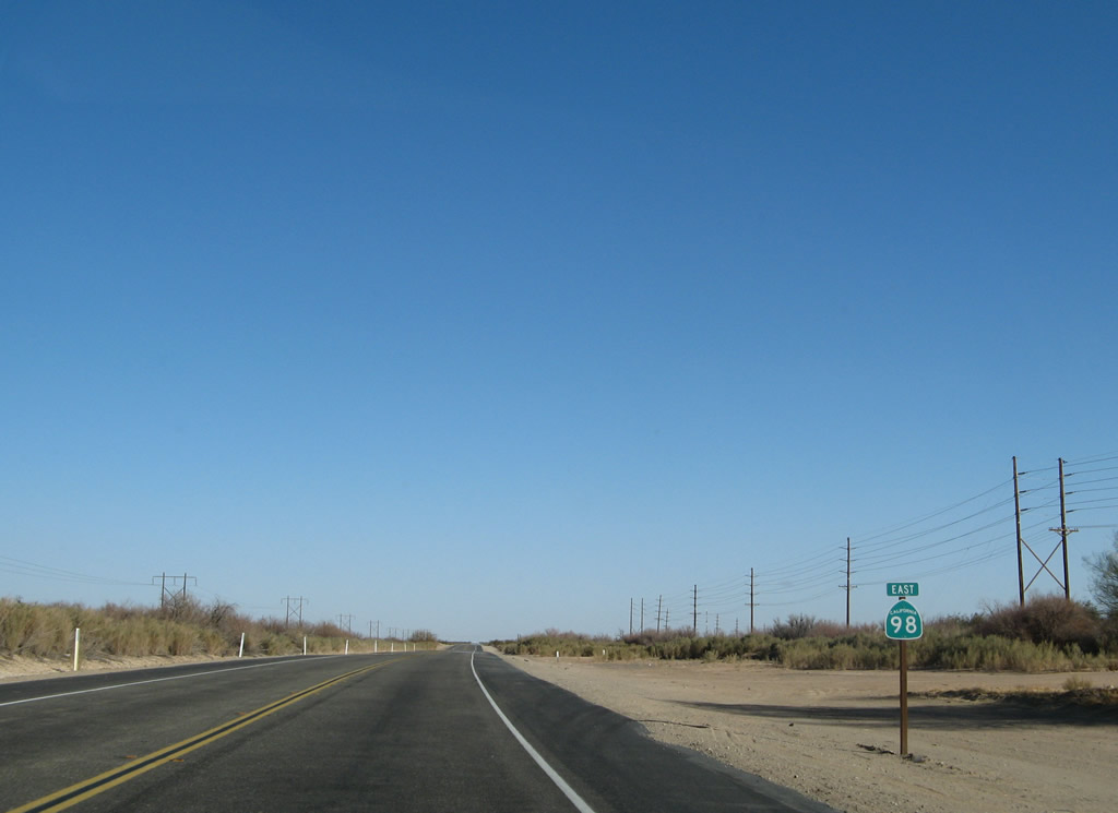
This sign indicates that the junction with California 7 is another 9 miles east. Photo taken 03/26/06. |
|
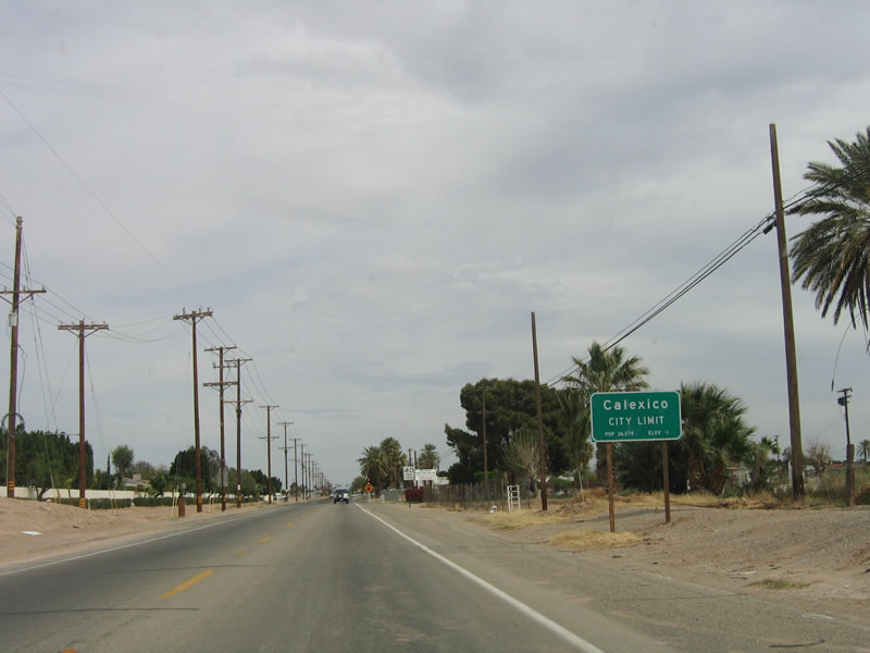
Calexico is "Where Mexico and California Meet." Home to 36,274 people as of an estimate taken in 2005 by the state Department of Finance, Calexico was incorporated in 1908 and consists of 7.87
square miles as of 2005. Photo taken 03/26/06. |
|
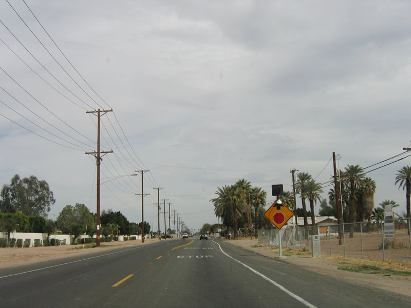
A four-way stop is positioned immediately after the entrance to the city of Calexico for D. Navarro Avenue. Photo taken 03/26/06. |
|
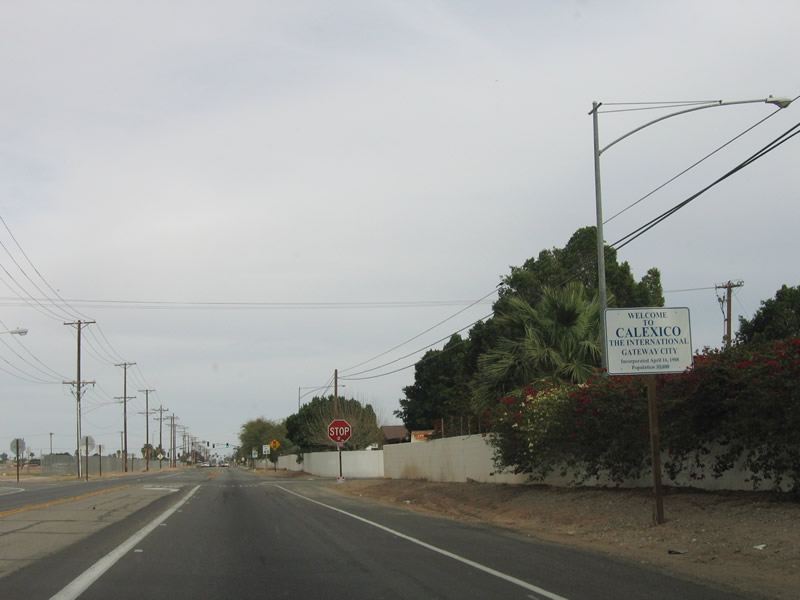
Due to its position on the border with Mexico, Calexico calls itself an international gateway city. Photo taken 03/26/06. |
|
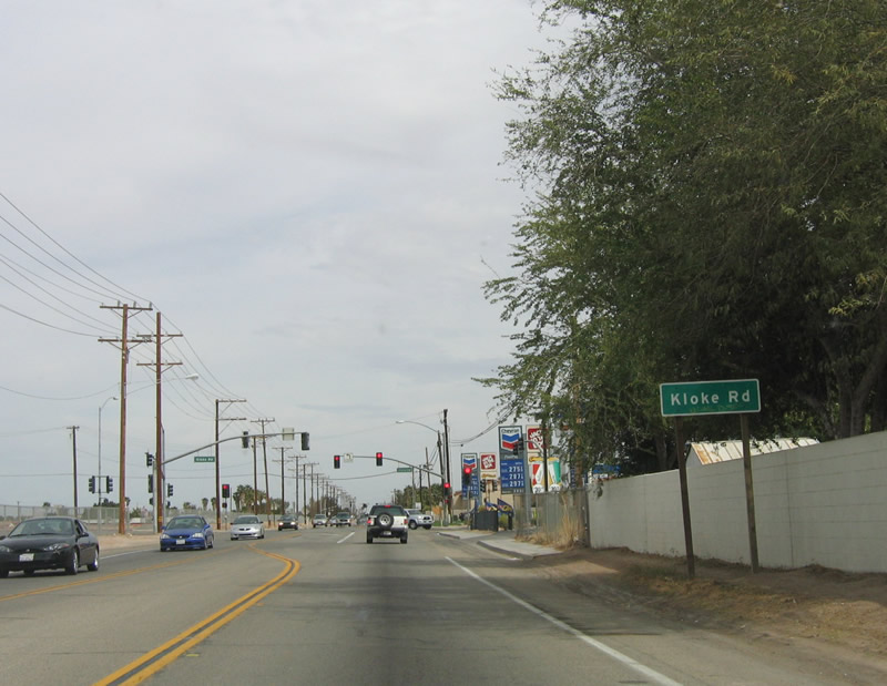
The first signalized intersection is with Kloke Road. Photo taken 03/26/06. |
|
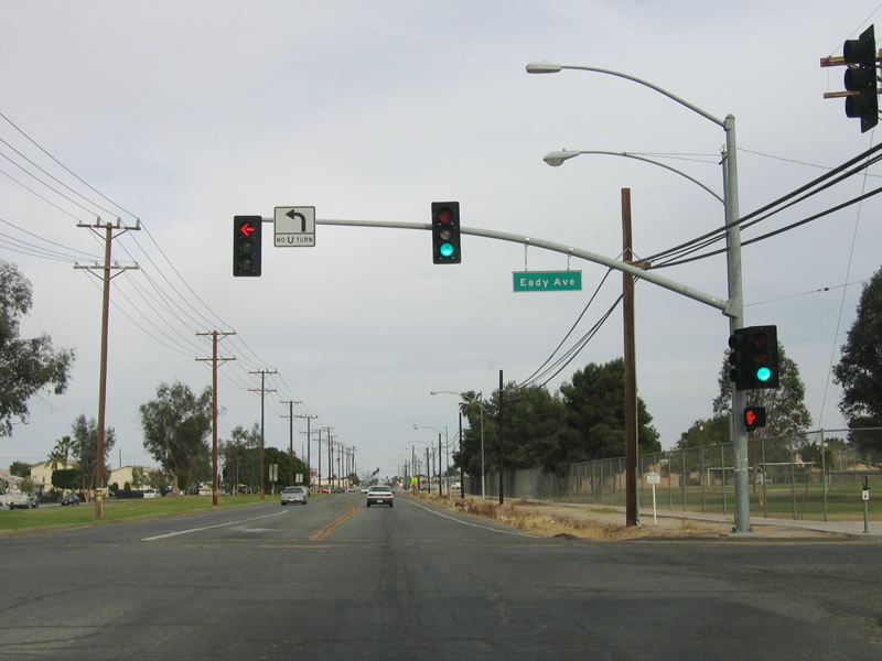
The next signalized intersection is with Eady Avenue. Photo taken 03/26/06. |
|
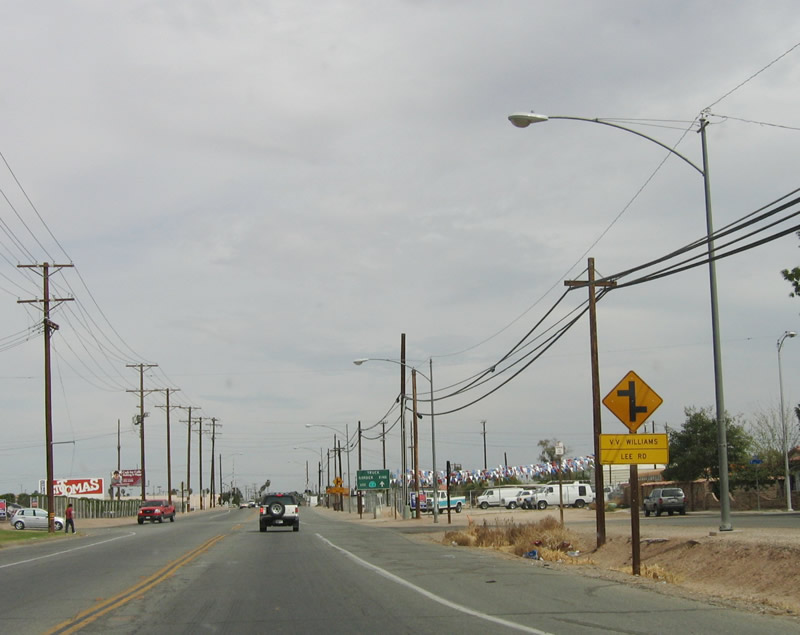
Continuing east, the next intersections are with VV Williams and Lee Road. Photo taken 03/26/06. |
|
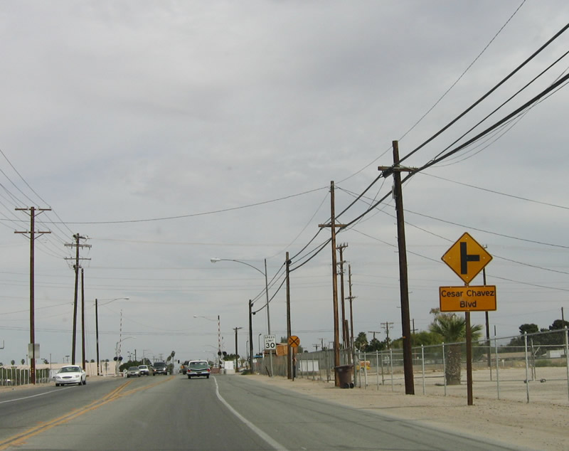
Prior to the railroad crossing, the next right turn is for Cesar Chavez Boulevard. Use Cesar Chavez Boulevard south as an alternative to California 111 en route to the international border. Photo taken 03/26/06. |
|
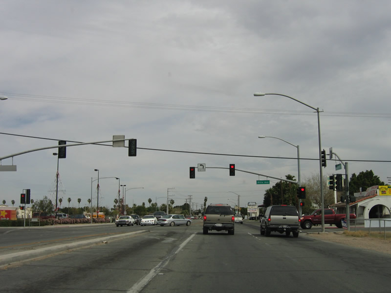
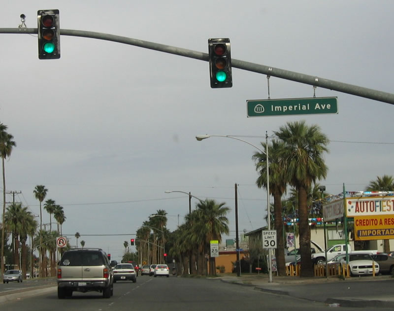
The next signalized intersection along eastbound California 111 is with Ollie Avenue. Photo taken 03/26/06. |
|
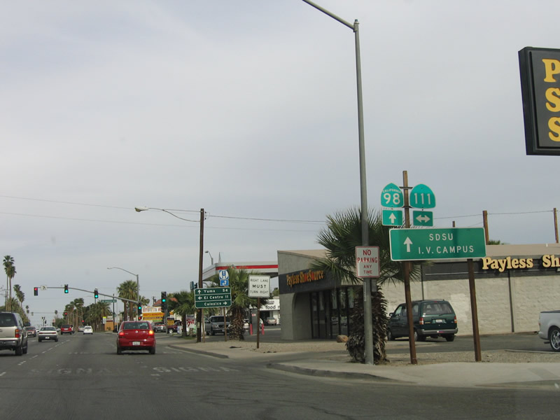
A California 111 shield is positioned on this directional sign, along with California 98. Photo taken 03/26/06. |
|
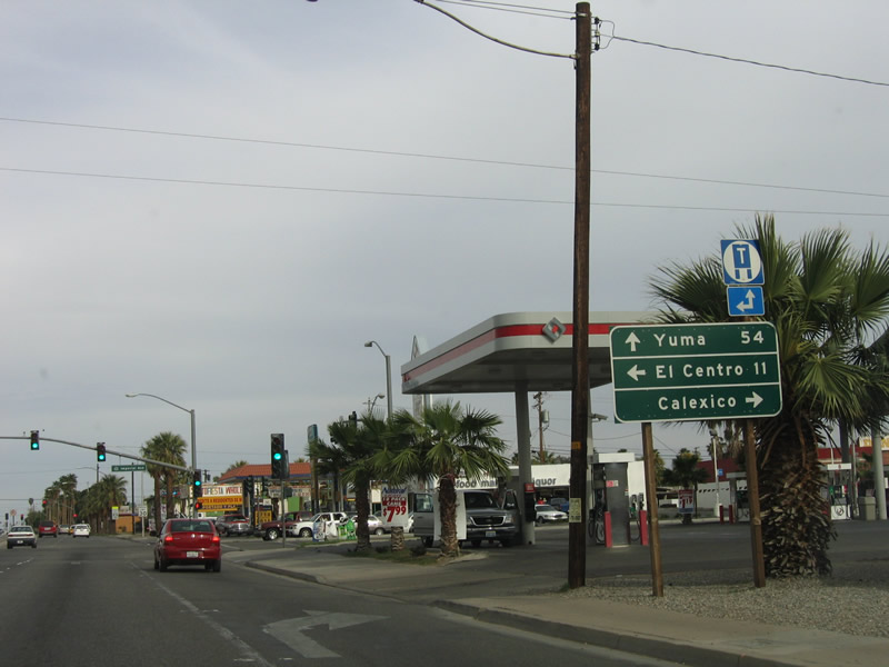
This mileage sign provides the distance to Yuma (54 miles), El Centro (11 miles), and downtown Calexico. Photo taken 03/26/06. |
|
This close-up of the mast arm traffic signal shows the detail of the California 111 shield on the street name indicator. In Caltrans District 11, this type of signage at a signalized intersection is standard. Photo taken 03/26/06. |
|
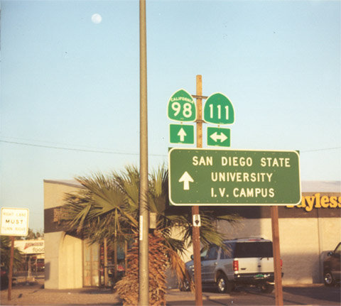
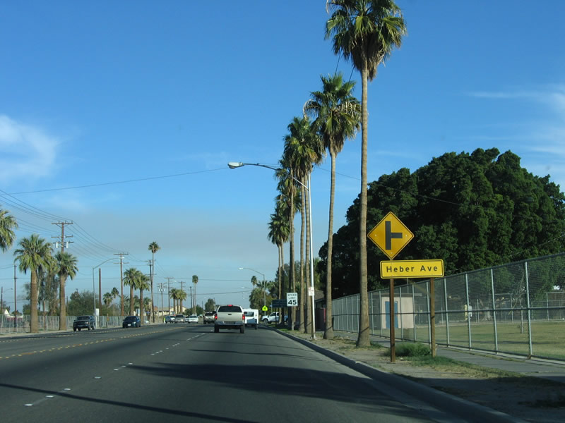
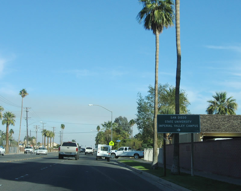
After the California 111 intersection, the next signed intersection along eastbound California 98 is with Heber Avenue. Photo taken 01/27/06. |
|
Use Heber Avenue south to the Imperial Valley campus of San Diego State University. Photo taken 01/27/06. |
|
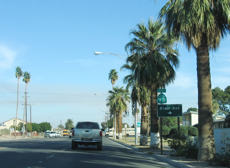
Approaching Blair Avenue, eastbound California 98 is signed with this reassurance shield in eastern Calexico. Photo taken 01/27/06. |
|
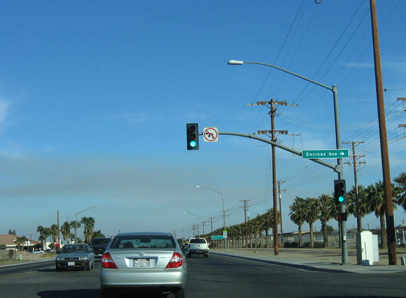
The next traffic signal along eastbound California 98 is with Encinas Avenue. Photo taken 01/27/06. |
|
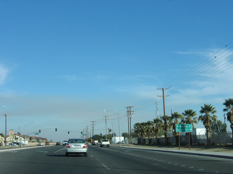
Meadows Road and Andrade Avenue form the next signalized intersection along eastbound California 98. Photo taken 01/27/06. |
|
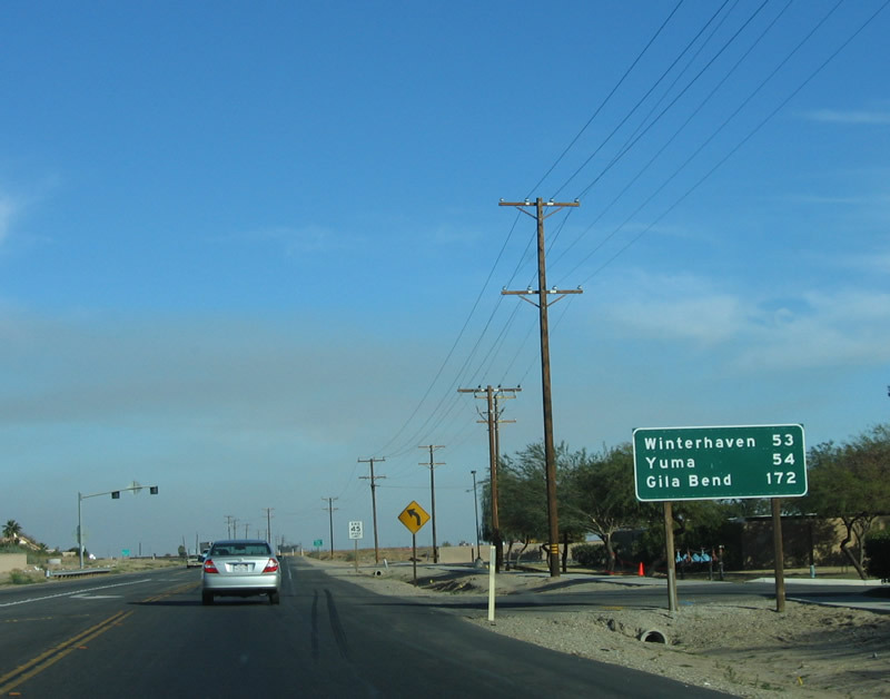
Now leaving urban Calexico, a reassurance shield and mileage sign is posted on eastbound California 98. Photo taken 01/27/06. |
|
The mileage sign provides the distance to Winterhaven, Yuma, and Gila Bend (the latter two locations are within Arizona). Photo taken 01/27/06. |
|
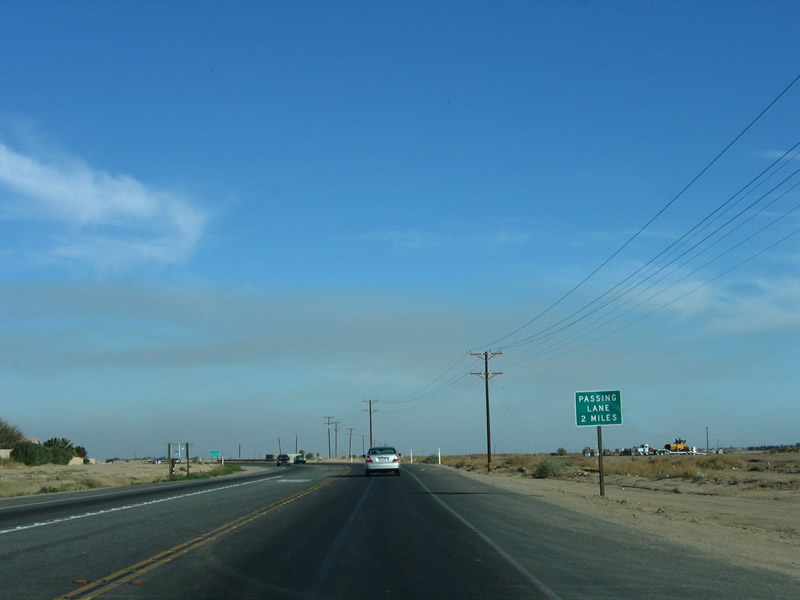
A passing lane is available about three miles after the last mileage sign. Photo taken 01/27/06. |
|
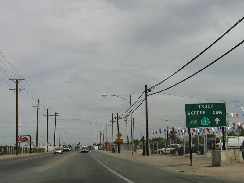
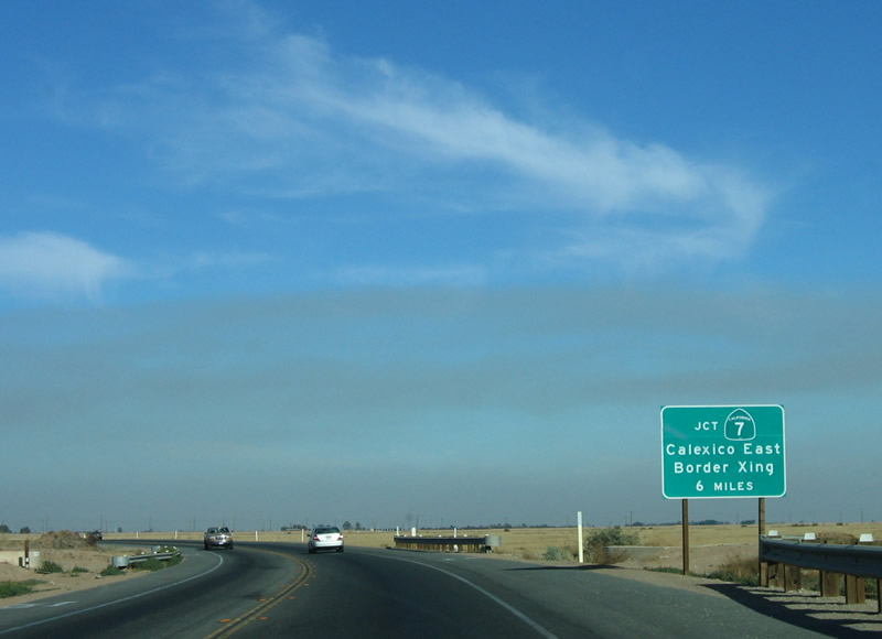
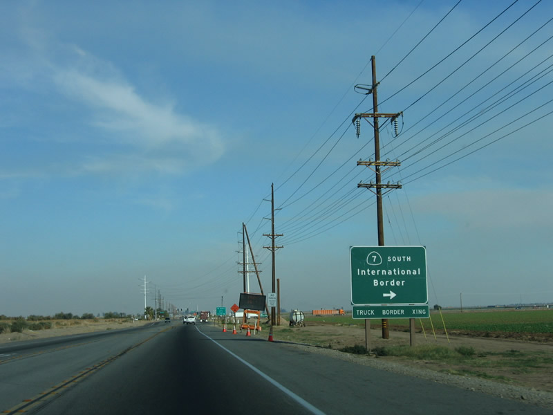
This sign advises of the California 7 junction, which offers a route south into Mexico via the Calexico East Port of Entry. Commercial vehicles must use California 7 south. Photo taken 01/27/06. |
|
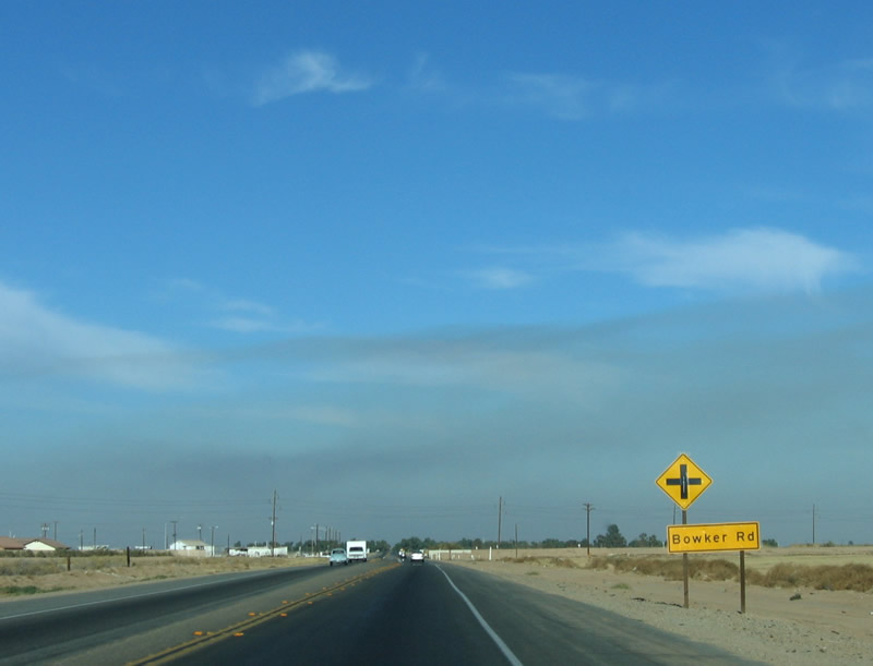
The next intersection along eastbound is with Bowker Road. Photo taken 01/27/06. |
|
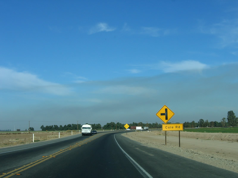
Cole Road offers a quick route from California 98 back to California 111 north. The road skirts the north edge of Calexico. Photo taken 01/27/06. |
|
The passing lane allows for slower traffic to take the right lane and be passed by faster moving vehicles. Photo taken 01/27/06. |
|
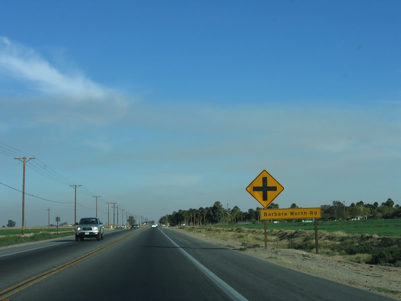
The next signed intersection along eastbound California 98 is with Barbara Worth Road. Photo taken 01/27/06. |
|
Anderholt Road is the next intersection on eastbound California 98. Photo taken 01/27/06. |
|
A reassurance shield for California 98 is posted after Anderholt Road. Photo taken 01/27/06. |
|
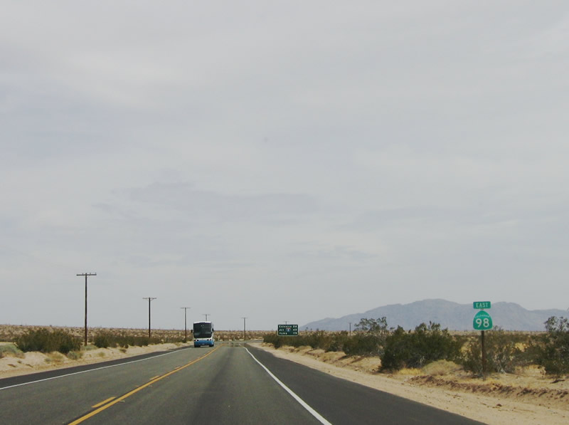
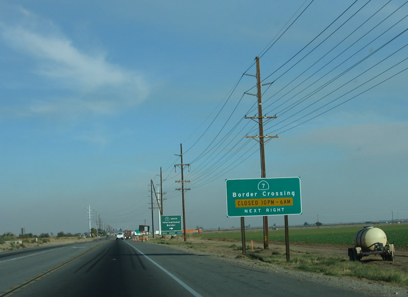
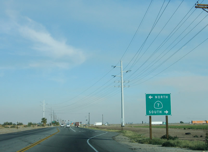
Eastbound California 98 approaches California 7, which travels north to Interstate 8 and south to the Calexico Port of Entry. Photo taken 01/27/06. |
|
The port of entry along California 7 is not open between 10 p.m. and 6 a.m. Photo taken 01/27/06. |
|
Use California 7 to travel south to the International Border with Mexico. Photo taken 01/27/06. |
|
California 7 is a major north-south expressway constructed in phases between 1999 and 2006 that connects Interstate 8 with the Calexico II border crossing (Garita Numero Dos) to the International Border with Mexico. Photo taken 01/27/06. |
|
The intersection with California 7 is a signalized intersection. Photo taken 03/26/06. |
|
This California 98 east reassurance shield is posted after the California 7 intersection east of Calexico. There are no services on California 98 east of California 7. Photo taken 01/15/07. |
|
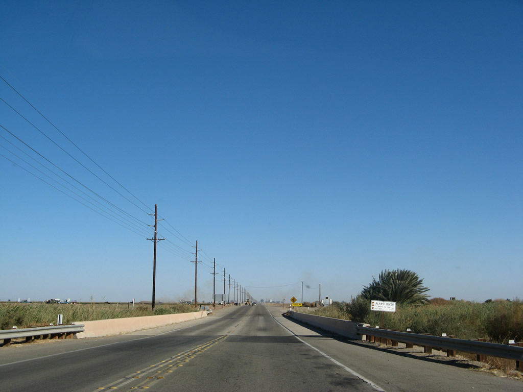
Eastbound California 98 crosses over the Alamo River. which flows from Mexicali north into the United States. From here it flows north into the Salton Sea on a route roughly parallel to the New River. Much of the flow of this river consists of urban and agricultural runoff. Photo taken 01/15/07. |
|
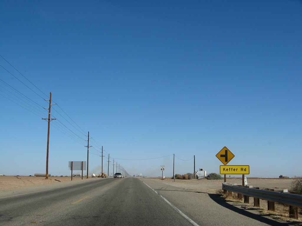
Shortly thereafter, California 98 approaches Keffer Road, which is the old alignment of Imperial County S-32 south of Interstate 8. With the construction of the California 7 expressway, Imperial County S-32 was decommissioned south of Interstate in favor of the state route. Photo taken 01/15/07. |
|
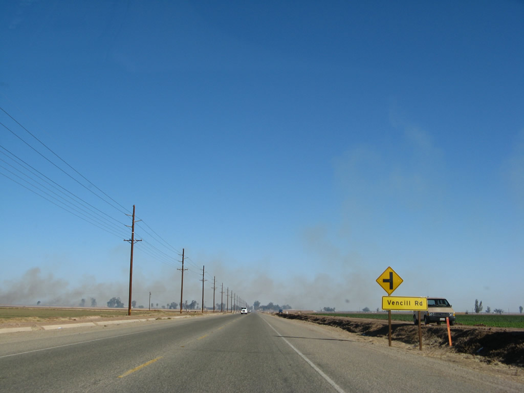
Continuing east, California 98 approaches Vencill Road. The smoke in the background is the result of farmers burning their fields to increase productivity. The fires are most common during the winter months, and in some cases, they can cause poor visibility on the highway. Photo taken 01/15/07. |
|
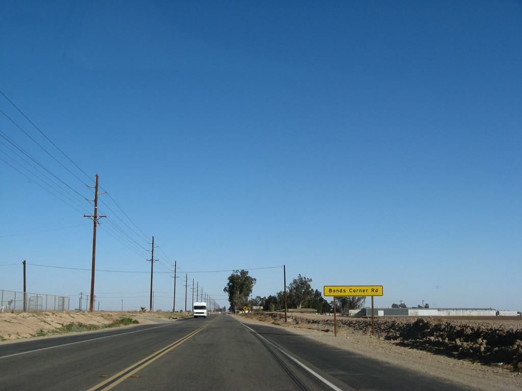
Eastbound California 98 enters Bonds Corner, a small community located at the intersection of California 98 and Bonds Corner Road. From here, Bonds Corner Road travels north to Holtville. Photo taken 01/15/07. |
|
Bonds Corner Road travels due north to Interstate 8, meeting the freeway at Exit 128. From there, Bonds Corner Road turns to the northeast to follow the east bank of the Alamo River to its end in Holtville, some ten miles north of here. Photo taken 01/15/07. |
|
After the Bonds Corner Road intersection, this reassurance shield for California 98 east to Interstate 8 is posted. Photo taken 01/15/07. |
|
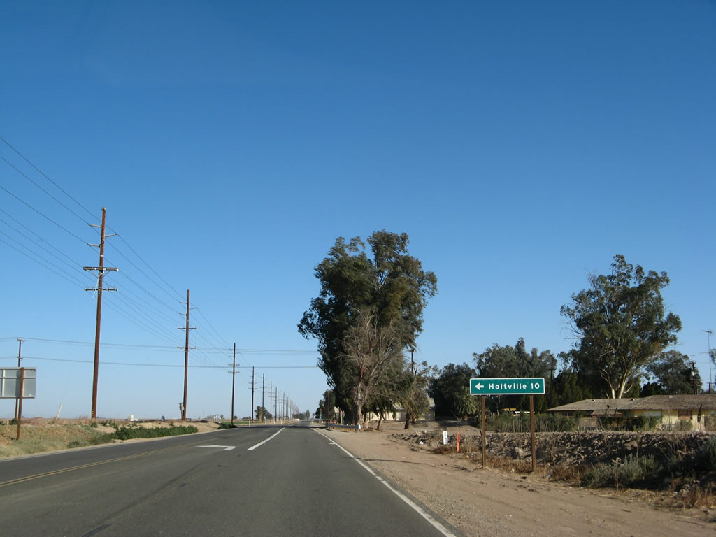
A mileage sign for the city of Yuma, Arizona, is posted on eastbound California 98 after leaving Bonds Corner. California 98 will rejoin Interstate 8 at Exit 143, and Interstate 8 provides the connection to Winterhaven and Yuma. Photo taken 01/15/07. |
|
More agricultural fields line California 98 as the two-lane highway continues east. The white school buses are used to transport day laborers to the fields to harvest the fruit and vegetables grown in the valley. Photo taken 01/15/07. |
|
Eastbound California 98 approaches Imperial County S-33, Bonesteele Road. From here, Imperial County S-33 travels north on Bonesteele Road, Miller Road, and Highline Road to California 78 at Brunts Corner. Photo taken 01/15/07. |
|
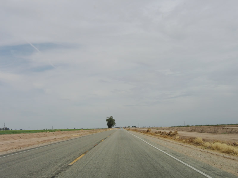
California 98 continues east as it passes through more agricultural fields. Photo taken 01/15/07. |
|
|
|
The All-American Canal comes into view (protected by a levee, so the water is not visible from the highway), and California 98 turns a bit to the northeast at this point to parallel the canal. Photos taken 01/15/07. |
|
|
|
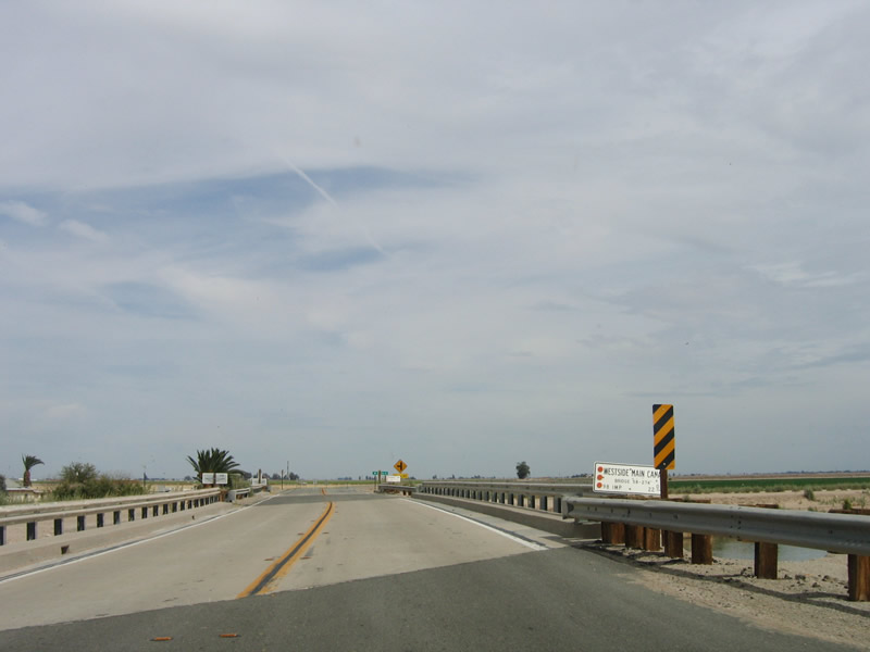
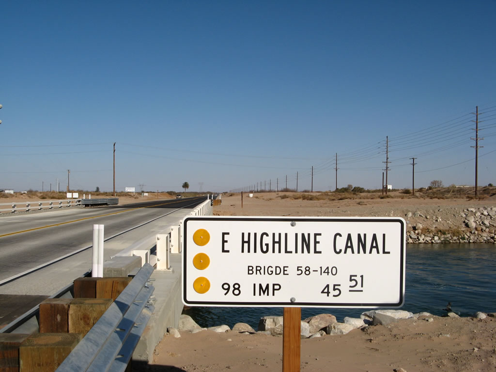
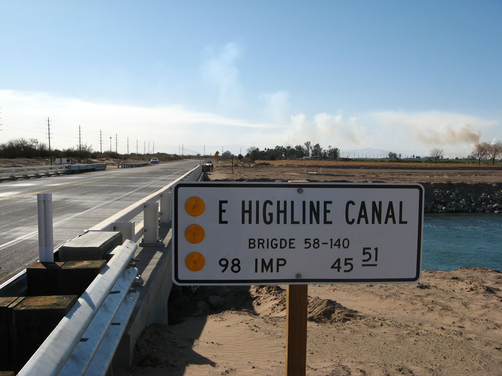
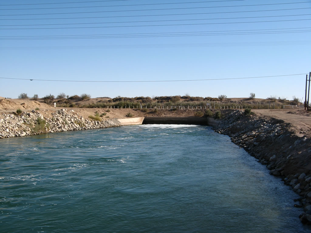
After making the turn, California 98 crosses the East Highline Canal, which diverges from the All-American Canal just south of here. This bridge was originally constructed in 1939 and was reconstructed in 2006, which resulted in temporary closures of this section of California 98 during the construction period. Photos taken 01/15/07. |
|
After crossing the East Highline Canal, eastbound California 98 leaves the agricultural fields of the Imperial Valley and enters the undeveloped desert. A lone palm tree comes into view on the north side of the two-lane highway. Photo taken 01/15/07. |
|
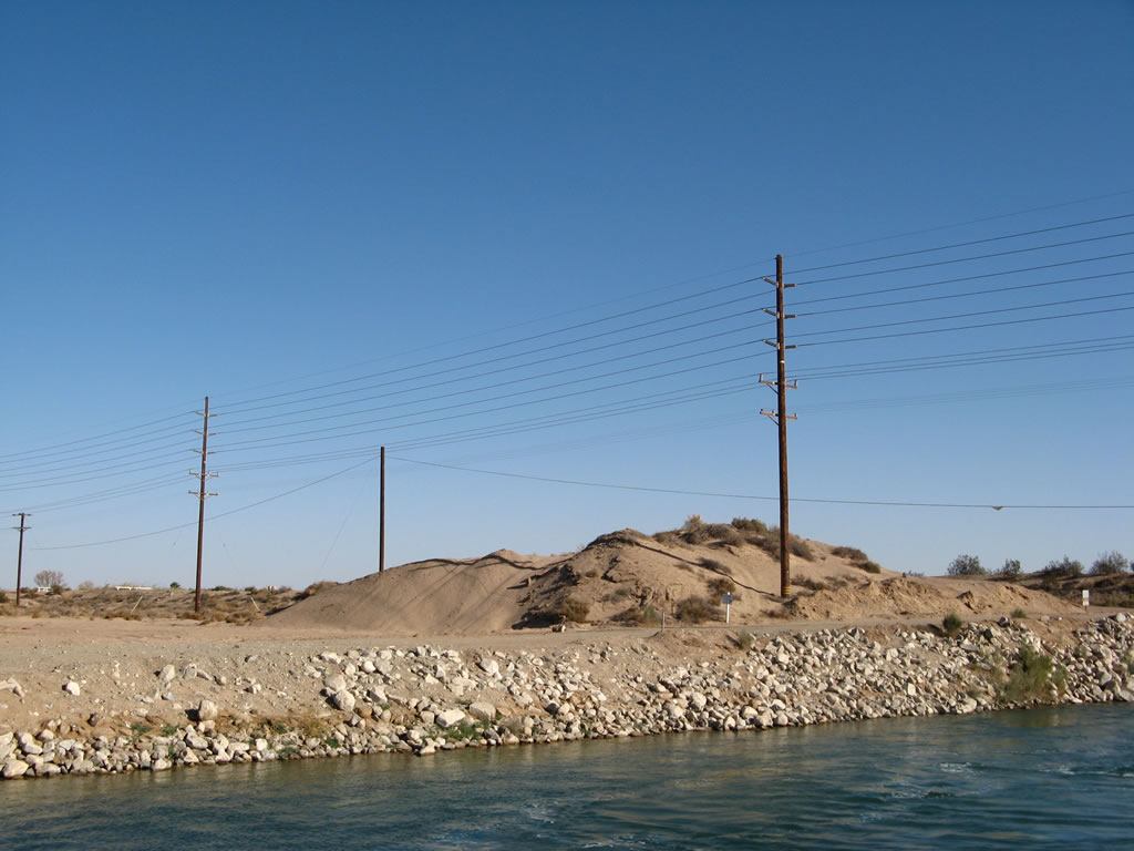
The Southwest Powerlink, a major 500kV power line crosses California 98. The power line connects power facilities in southern Arizona (including Palo Verde Nuclear Power Generating Station) with facilities in Mexicali and San Diego. Photo taken 01/15/07. |
|
A California 98 east reassurance shield is posted as the highway continues into the desert. The All-American Canal continues alongside the highway to the south, and the power lines follow it to the next hydroelectric generating station. (Power is generated as the water cascades from the elevation of the Colorado River west to the Imperial Valley which lies below sea level.) Photo taken 01/15/07. |
|
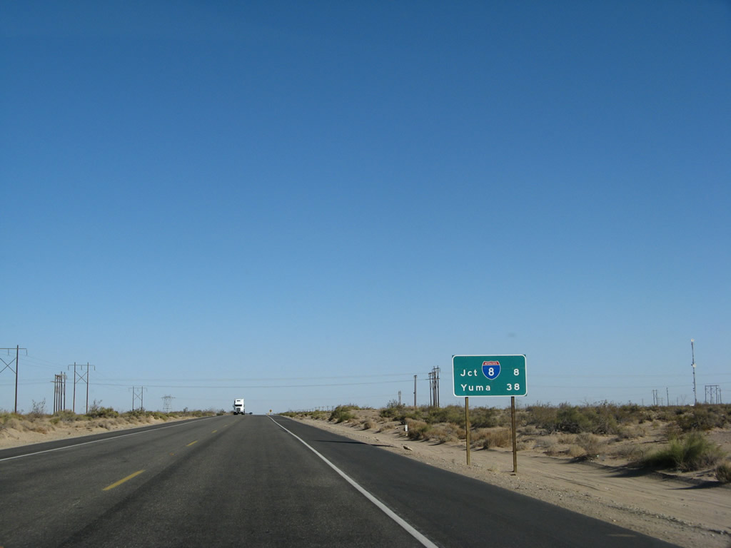
This mileage sign provides the distance to the junction with Interstate 8 (eight miles at Exit 134) and Yuma, Arizona (38 miles). Photo taken 01/15/07. |
|
An Imperial Irrigation District power facility is located on the All-American Canal here, which explains the presence of so many power lines converging on this area. Photo taken 01/15/07. |
|
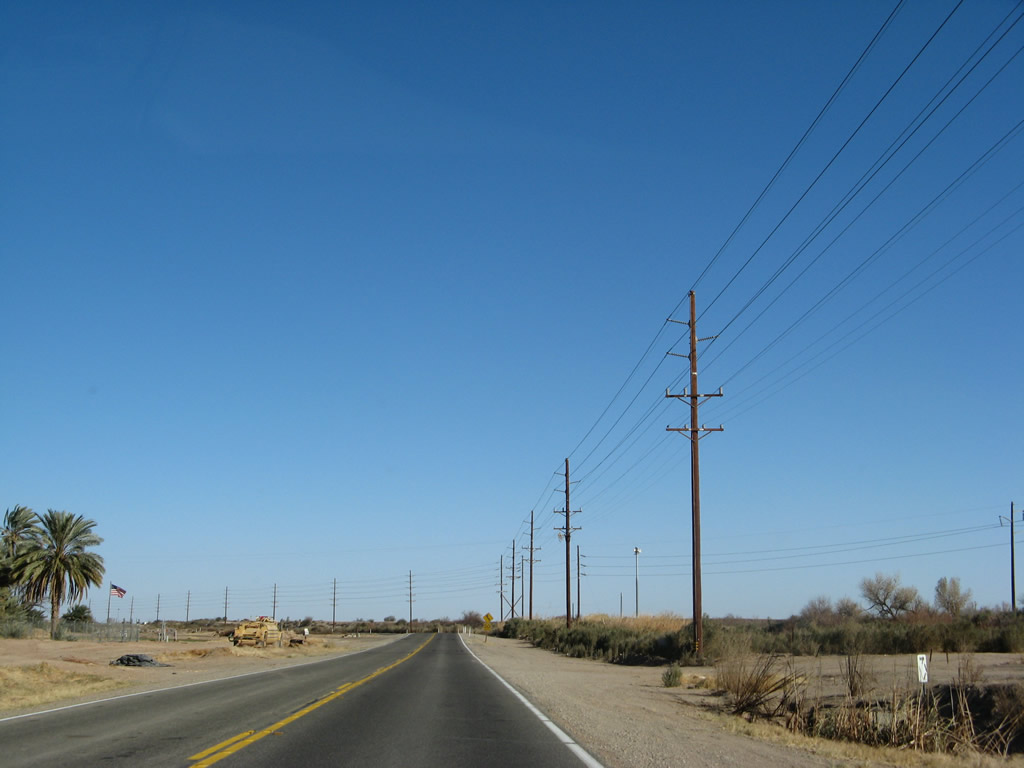
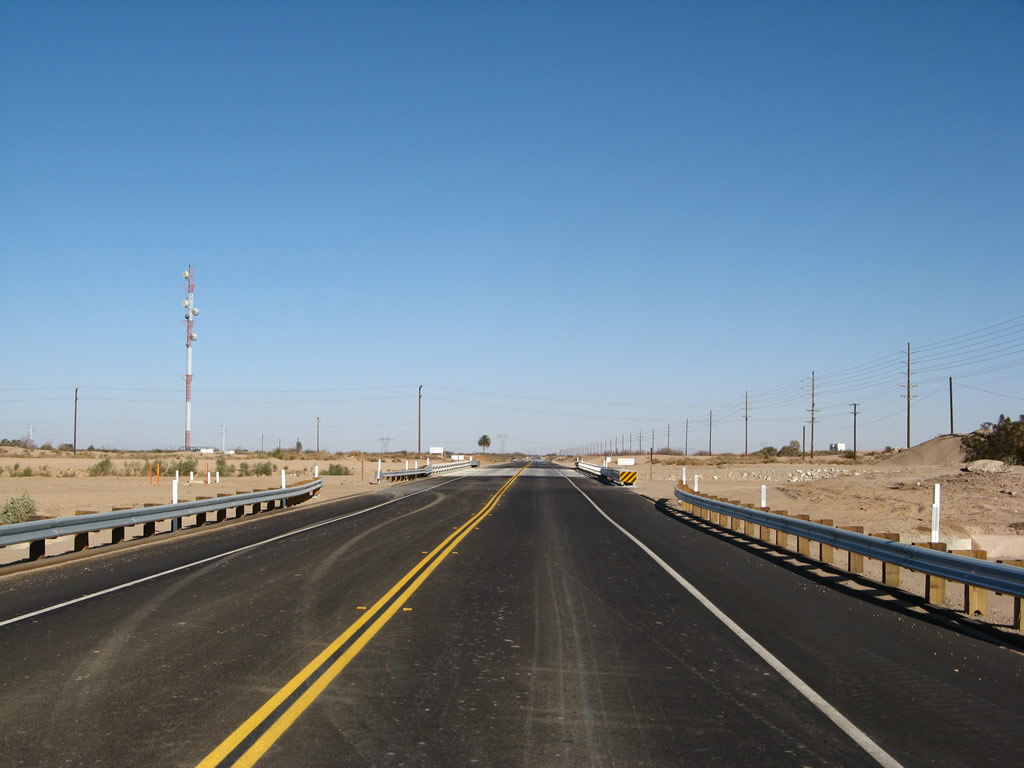
The two-lane highway enters a terrain devoid of human development except for the canal and powerlines to the south. Much of this land is part of the East Mesa, which brings us out of the Imperial Valley and toward the Algodones Dunes. This land is not nearly as fertile as the lowlands of the Imperial Valley. Watch for the soft, sandy shoulder when stopping along this stretch of highway. Photo taken 01/15/07. |
|
The Tamarisk Long-Term Visitors Area is operated by the federal Bureau of Land Management and offers camping and recreational vehicle parking. Photo taken 01/15/07. |
|
Continuing east, California 98 approaches Interstate 8 in one mile. This interchange marks the eastern terminus of California 98. Photo taken 01/15/07. |
|
The highway turns to the north to make the final approach to Interstate 8. Photo taken 01/15/07. |
|
Eastbound California 98 approaches Interstate 8. This trailblazer for Interstate 8 features a "junction (JCT)" banner and has a 1979 specification Interstate 8 shield. Photo taken 01/15/07. |
|
Unlike the western terminus of California 98, which features a directional interchange with no access to eastbound Interstate 8, the eastern terminus is a full diamond interchange. Use Interstate 8 east to El Centro and San Diego; use Interstate 8 west to Winterhaven, Yuma, and Tucson. Photo taken 01/15/07. |
|
California 98 ends at its junction with Interstate 8. The first ramp connects to Interstate 8 east to Yuma; the left turn connects to Interstate 8 west to El Centro. There is no end shield present. Photo taken 01/15/07. |
|
| California 98 west |
|
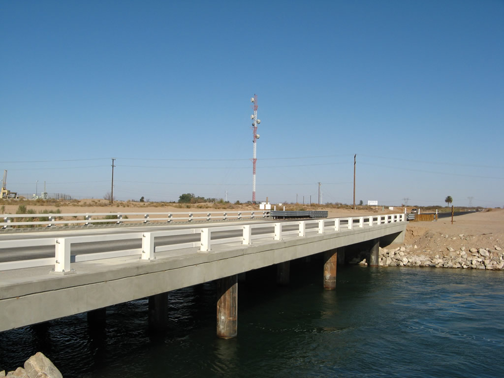
California 98 prepares to cross the East Highline Canal on this bridge, which was built in 1939 and widened in 2006. The new bridge rails and concrete curbs were designed to emulate the 1930s bridge construction common to that era, resulting in white rails and divoted curbs. Photo taken 01/15/07. |
|
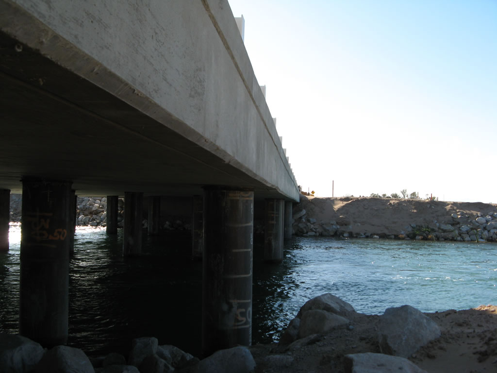
This view shows the substructure of the East Highline Canal bridge. The East Highline Canal begins its northerly journey here, at the divergence from the All-American Canal. Photo taken 01/15/07. |
|
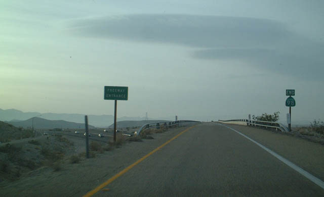
Westbound California 98 ends as it merges onto Interstate 8 westbound just west of Ocotillo and Imperial County S-2. Photo taken 12/14/02. |
|
| California 98 scenes |
|
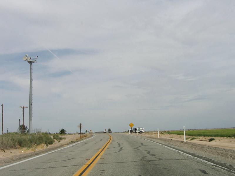
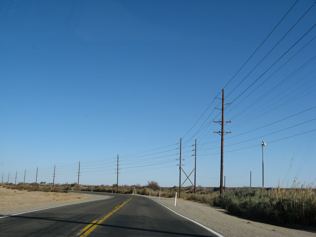
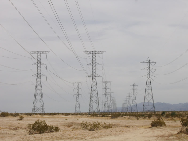
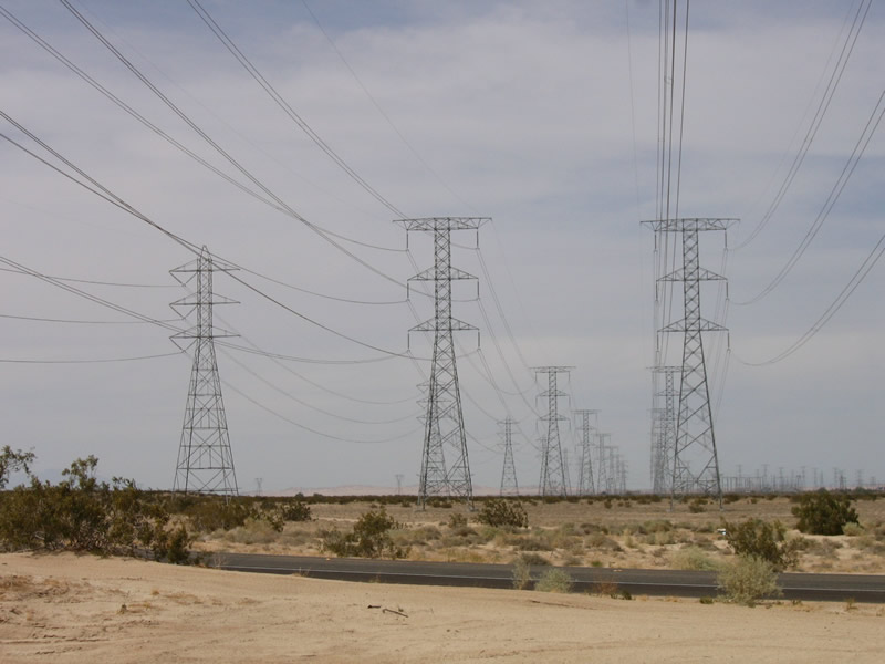
Near the eastern edge of the Yuha Desert, these 230kV power lines carry electricity from Mexico into the United States. The power line on the right is managed by San Diego Gas & Electric and is known as the Imperial Valley-La Rosita Line, named after the two substations it connects. It was constructed prior to the other two lines. La Rosita is the name for both a substation and a power plant in Mexico; this older line connects to the substation. The other two power lines were constructed in late 2001 and early 2002 by Intergen and Sempra. These lines added capacity between new power generation facilities and the United States transmission grid. Photo taken 03/26/06. |
|
These power lines are west of Calexico, looking north toward the large Imperial Valley substation, where they merge into the east-west 500 kV line. The power lines originate in Mexico and bring energy generated by two power plants into the United States: The easternmost line brings power from the Termoelectrica de Mexicali Power Plant, and the middle line brings power from the La Rosita Power Plant. After a series of legal skirmishes, the power lines were granted approval by the U.S. Department of Energy in 2004.1. Photo taken 03/26/06. |
|
|
|
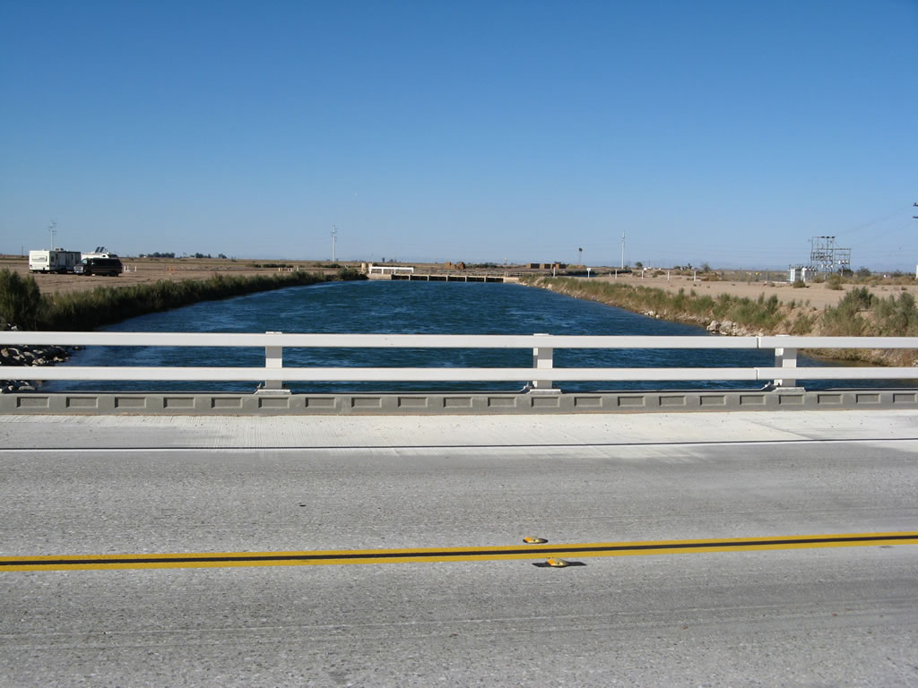
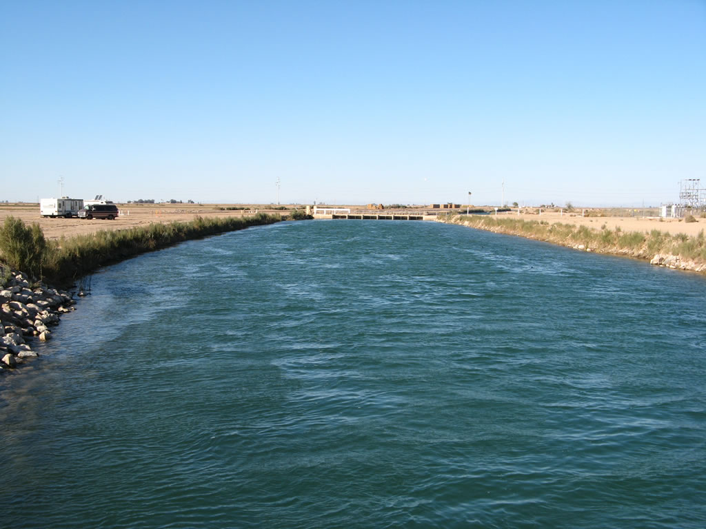
The East Highline Canal Bridge was originally constructed in 1939 and was reconstructed in 2006, which resulted in temporary closures of this section of California 98 during the construction period. This series of photos shows the bridge from the south side of the canal as well as views of the canal looking north. Despite the clear blue of the canal, do not swim in the canal: It has a fast current and is dangerous. Photos taken 01/15/07. |
|
|
Now looking south, the East Highline Canal diverges from the All-American Canal. Photos taken 01/15/07. |
Page Updated May 20, 2007.