
California 154
California 154 remains entirely within Santa Barbara County and provides an inland alternative to U.S. 101 between Los Olivos and Santa Barbara via an inland route. It was originally part of a much longer California 150, connecting all of California 246 (via Surf, Solvang, and Santa Ynez), all of California 154, California 192 through Santa Barbara (Foothill Road and East Valley Road), and the existing California 150 between Carpinteria and Santa Paula under California 150.
| California 154 west | |
|---|---|
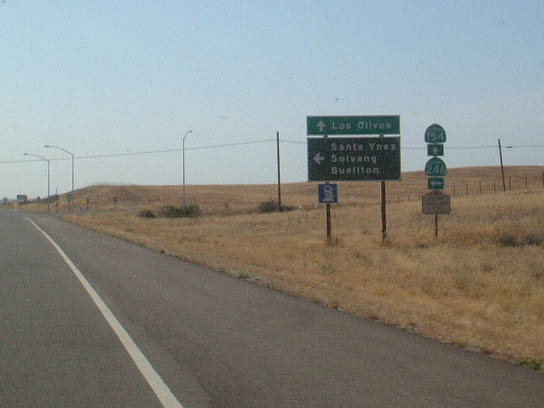 |
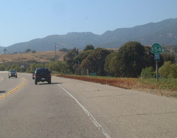
Westbound California 154 approaching westbound California 246. California 246 heads west via the original route of California 150 toward Solvang, Buellton, and Lompoc. Photo taken 06/02/02. |
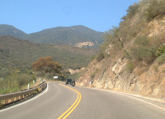 |
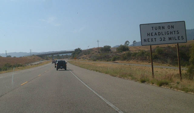
Westbound California 154 on its way ascending the Santa Ynez Mountains between Santa Barbara and the view overlooking Lake Cachuma. Photo taken 06/02/02. |
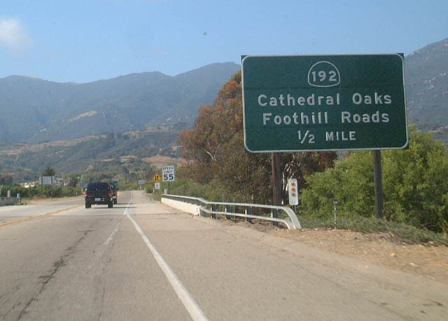 |
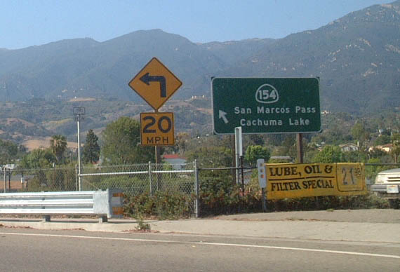
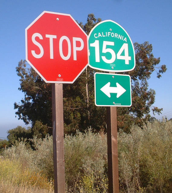
Westbound California 154 approaching California 192 (Foothill Road/Cathedral Oaks Road), one-half mile. Photo taken 06/02/02. |
|
Westbound California 154 at California 192 (Foothill Road/Cathedral Oaks Road). Note that California 154 is a two-lane freeway, or "Super Two," through this area. Photo taken 06/02/02. |
 |  |  |
These three pictures show the Super Two along westbound California 154 approaching and after the California 192 overpass. Photos taken 06/02/02. |
 |
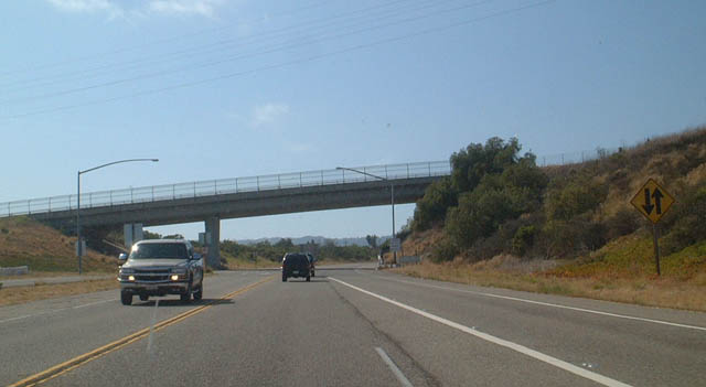
California 154 begins its westerly journey after the U.S. 101 interchange in Santa Barbara. Photo taken 06/02/02. |
| California 154 Scenes: Cold Spring Arch Bridge | |
|---|---|
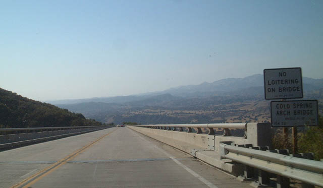 |
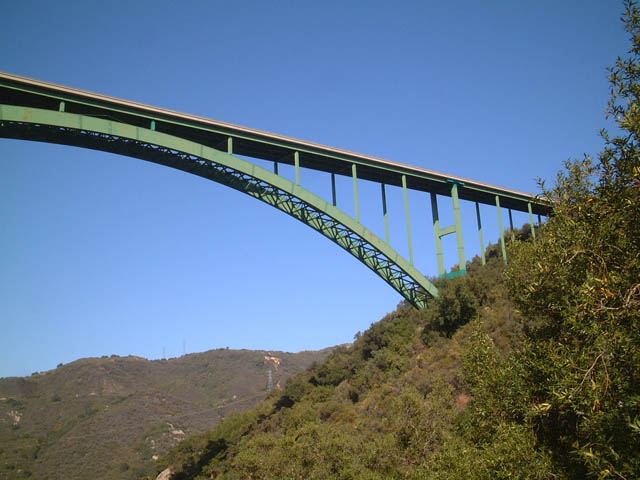
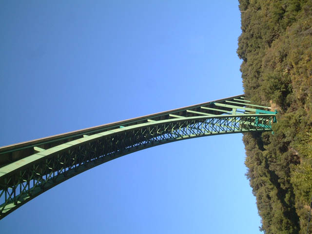
Along westbound California 154, the Cold Spring Arch Bridge is barely noticeable for its graceful arch as seen from on top of the bridge deck. However, it is clear that this bridge is very high above the canyon below. Photo taken 06/02/02. |
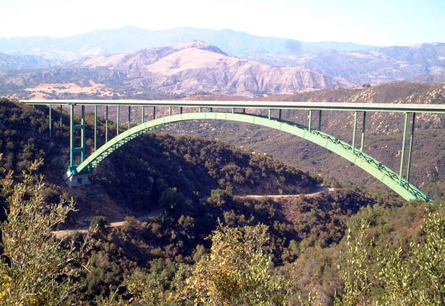 |
The Cold Spring Arch Bridge won an award for outstanding iron works shortly after it was constructed in the early 1960s. Photo taken 06/02/02. |
 |
 |
 |
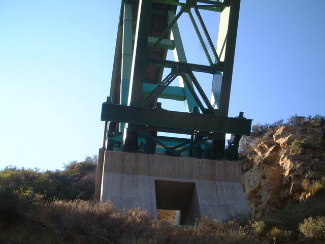
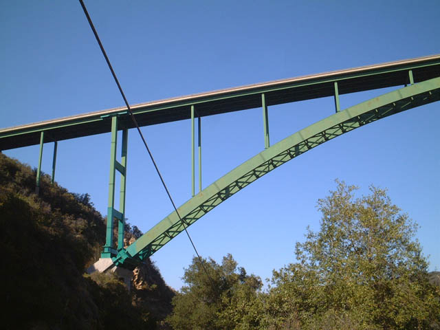
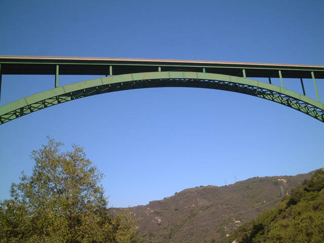
Views of the approach of the Cold Spring Bridge as seen from underneath the bridge along the original alignment of California 154 (Stagecoach Road). Photo taken 06/02/02. |
 |
 |
||
 |
 |
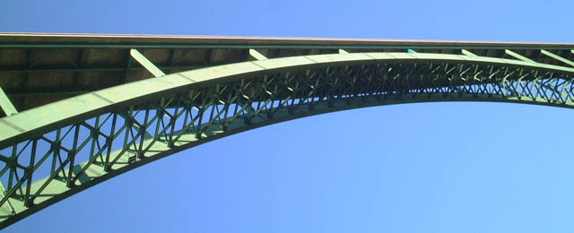 |
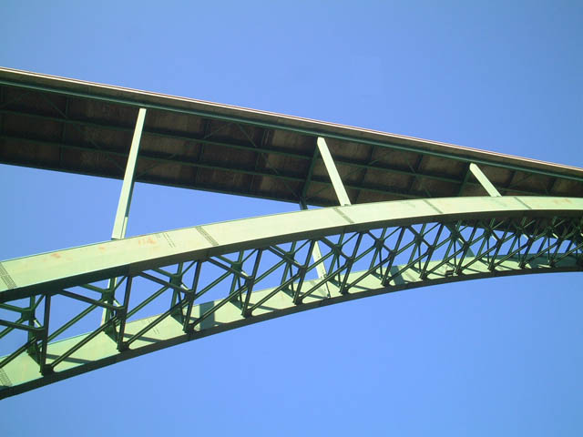
View of the midsection of the Cold Spring Bridge as seen from underneath the bridge along the original alignment of California 154 (Stagecoach Road). Photos taken 06/02/02. |
 |
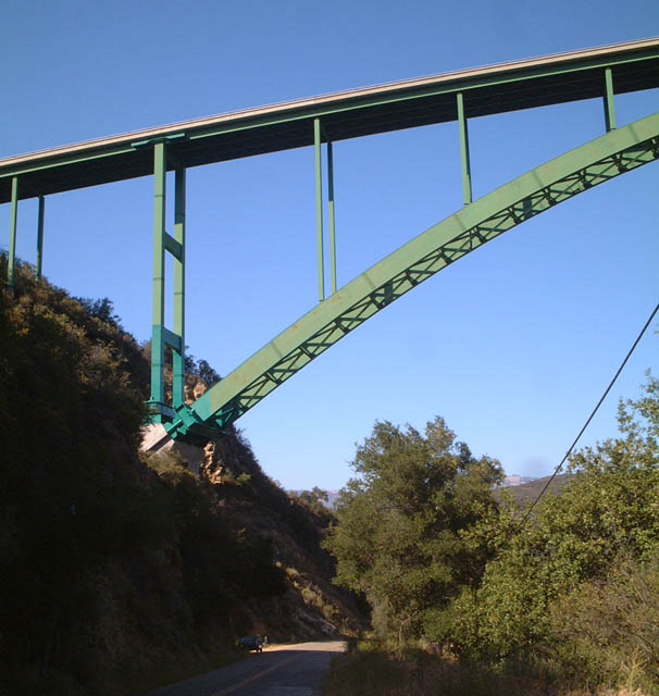
View of the eastern approach of the Cold Spring Bridge as seen from underneath the bridge along the original alignment of California 154 (Stagecoach Road). The bridge is almost too long to fit into one picture! Photo taken 06/02/02. |
 |
California 154 shield at the eastern end of Stagecoach Road. Stagecoach Road is the old alignment of California 154 that winds its way to the floor of the Cold Spring Canyon. This road is recommended for excellent views of the Cold Spring Arch Bridge. Photo taken 06/02/02. |

Page Updated April 15, 2007.
|
About Contact Glossary |
In The News Testimonials Interstate Guide |
Social Media:
 |
|
© 2000-23 AARoads.com | All Rights Reserved | Privacy Policy / Terms of Use
|
||