California 162 has two segments: a western segment in Mendocino County from U.S. 101 to Round Valley and an eastern segment from Elk Creek to Lake Oroville. A missing middle segment over Mendocino Pass in the Mendocino National Forest is proposed but remains unconstructed. An unpaved forest service road approximates the proposed state route corridor, but it is unlikely to be built.
| California 162 east |
|
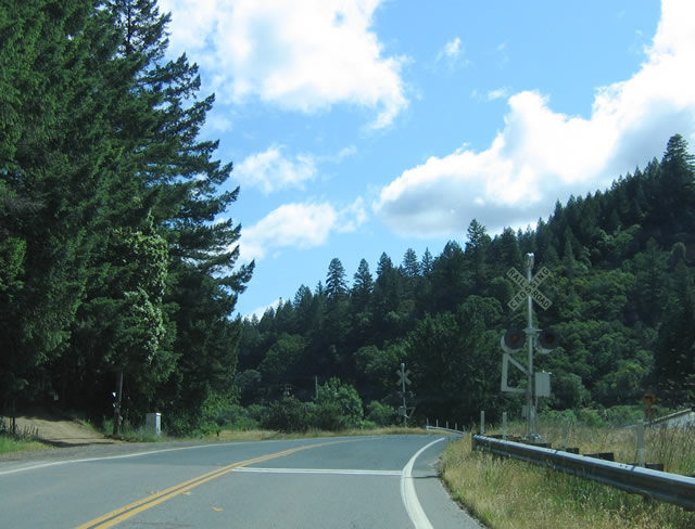
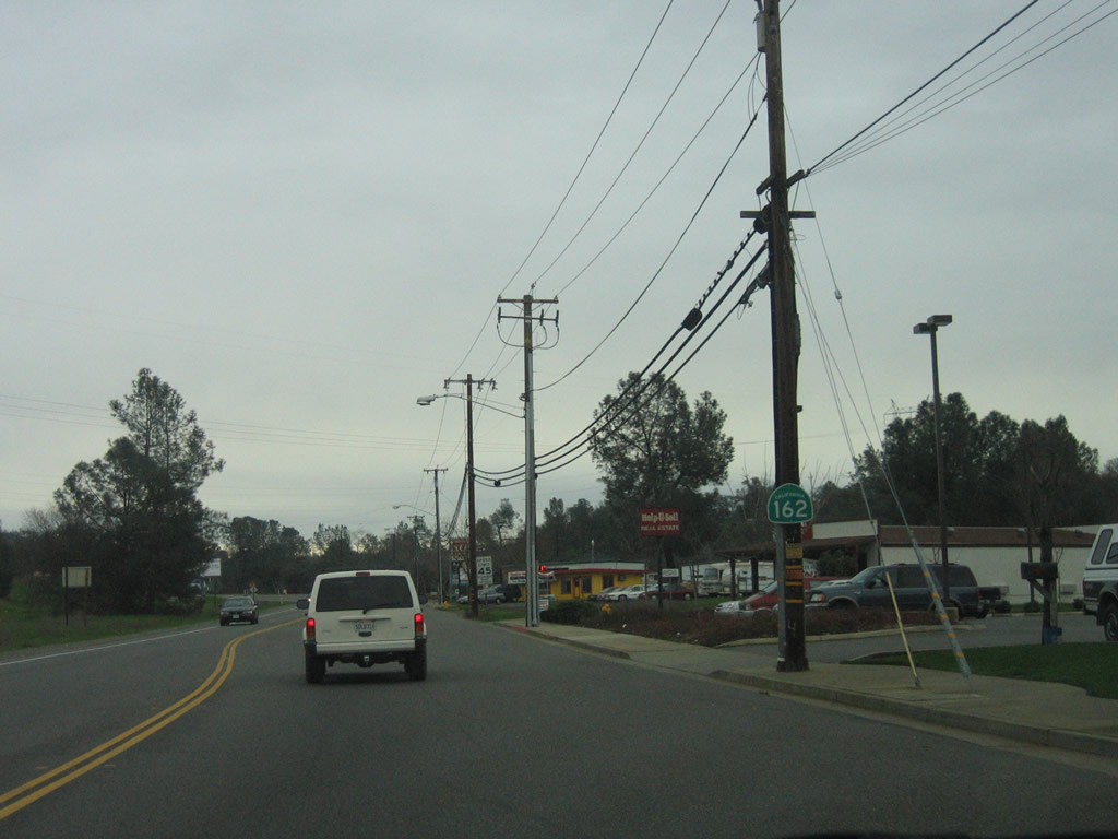
California 162 is a split route, with one segment connecting U.S. 101 with Covelo and Round Valley. The other section is located in the Central Valley, providing an east-west route between Elk Creek and Oroville via Willows and Butte City. Unconstructed is the section over Mendocino Pass, which would connect Covelo with Elk Creek via forest service roads. We begin our profile on the western section of California 162, as eastbound California 162 crosses the railroad tracks immediately after the U.S. 101 intersection in Mendocino County. Photo taken 05/26/06. |
|
Most of the bridges in use today along California 162 were built between 1951 and 1958, with some notable exceptions (such as the Elk Creek bridge). Photo taken 05/26/06. |
|
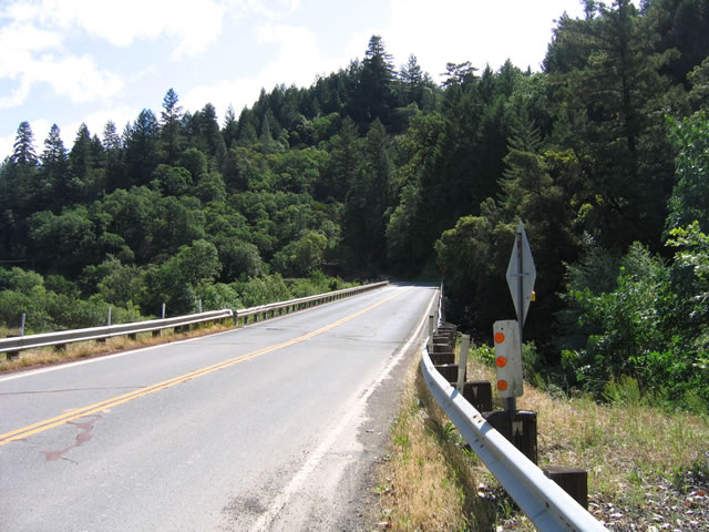
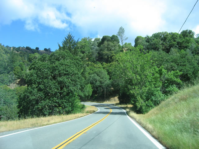
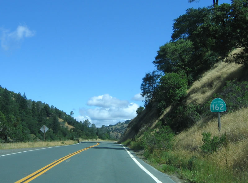
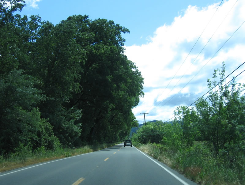
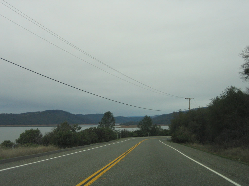
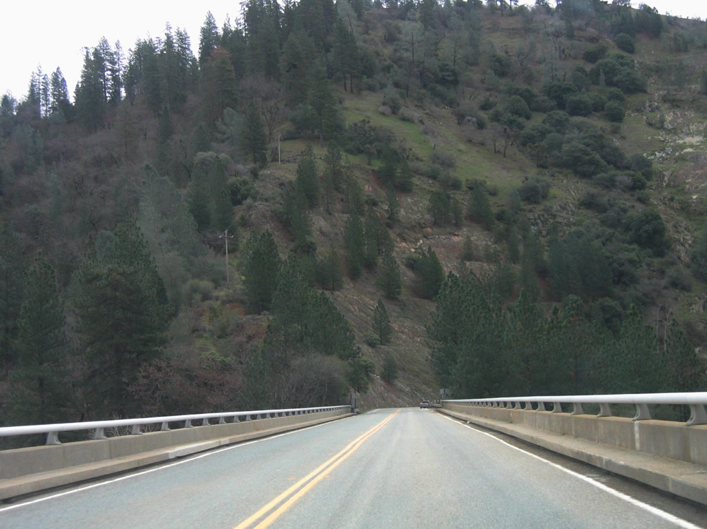
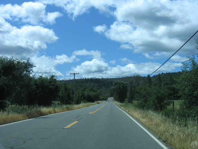
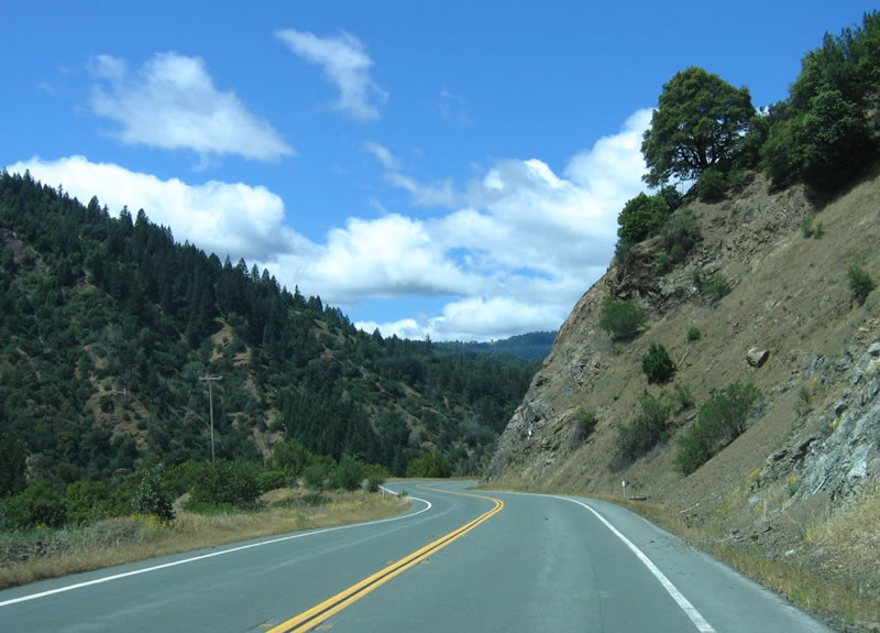
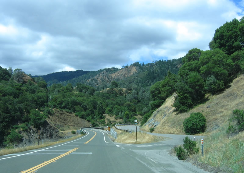
Sunny skies prevail as California 162 begins its winding route east toward Covelo and Round Valley. Photo taken 05/26/06. |
|
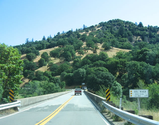
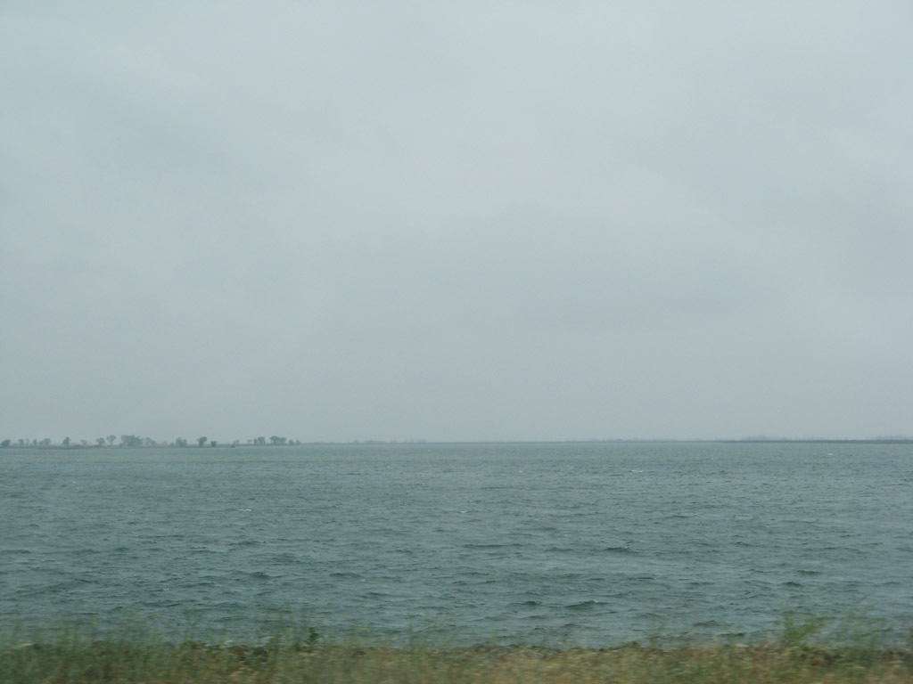
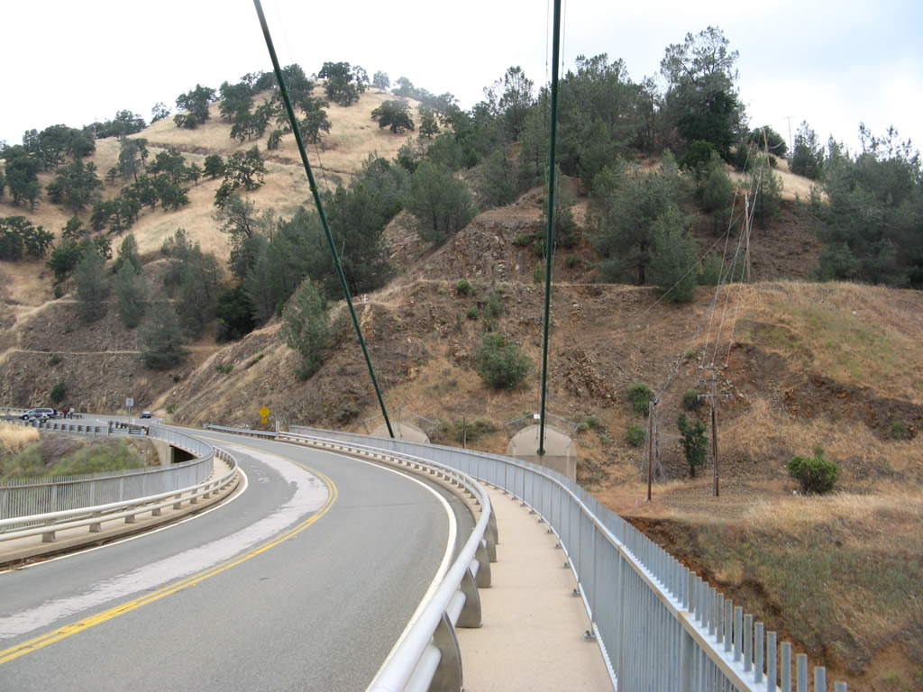
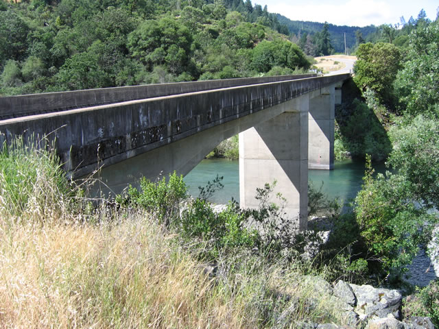
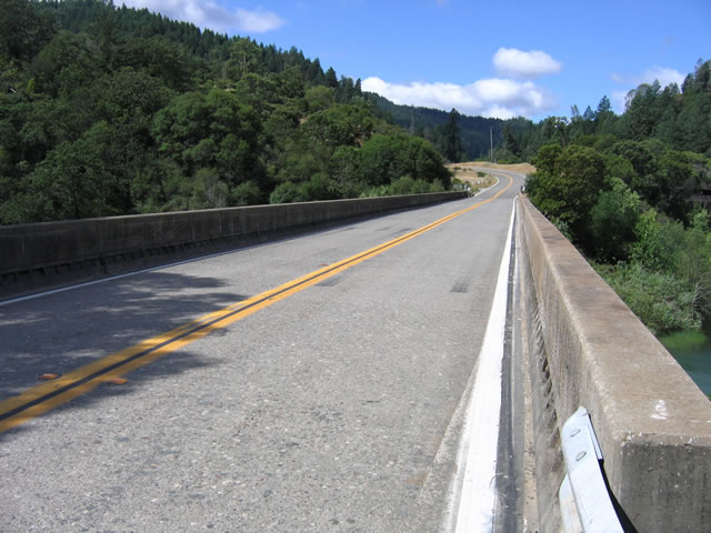
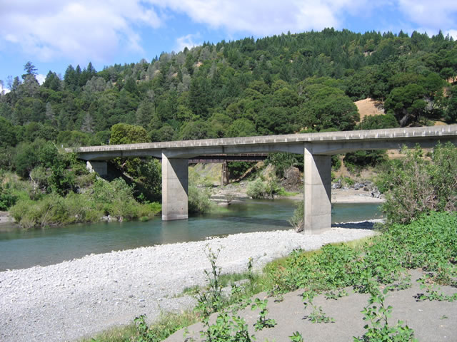
The Eel River bridge carries California 162 high above the Eel River. Built in 1938, this is one of the older bridges still in use on California 162. See below for additional photos of the Eel River bridge. Photo taken 05/26/06. |
|
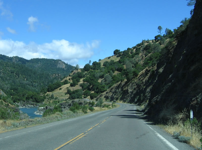
Along California 162, several vistas such as this one allow for views of the Eel River along with the highway as California 162 travels east. Photo taken 05/26/06. |
|
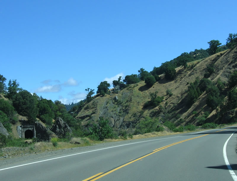
A train tunnel can be seen along California 162 as the highway continues to follow the Eel River. Photo taken 05/26/06. |
|
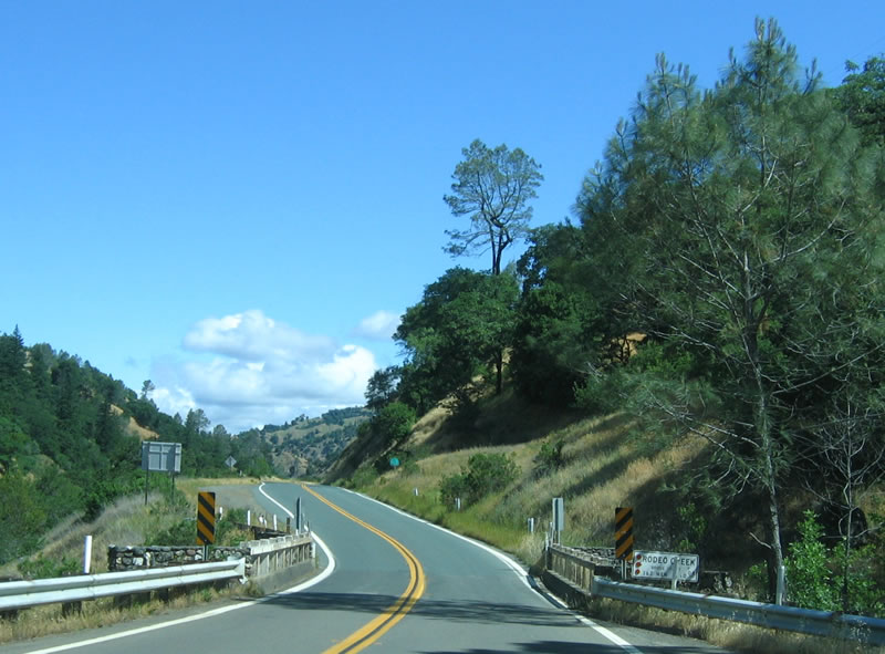
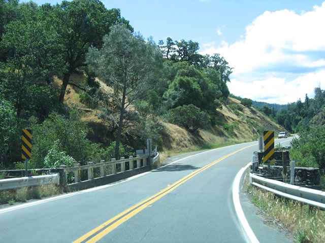
The Rodeo Creek bridge was constructed in 1940 and is still in use today. Photo taken 05/26/06. |
|
A California 162 reassurance shield is posted after the Rodeo Creek bridge. Photo taken 05/26/06. |
|
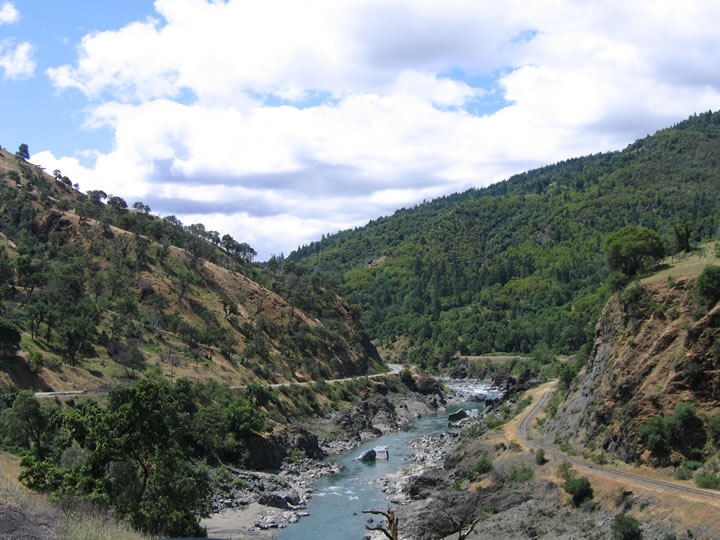
Another scenic view of the Eel River and California 162 comes into view as the state highway continues traveling north and east toward Dos Rios and Covelo. Photo taken 05/26/06. |
|
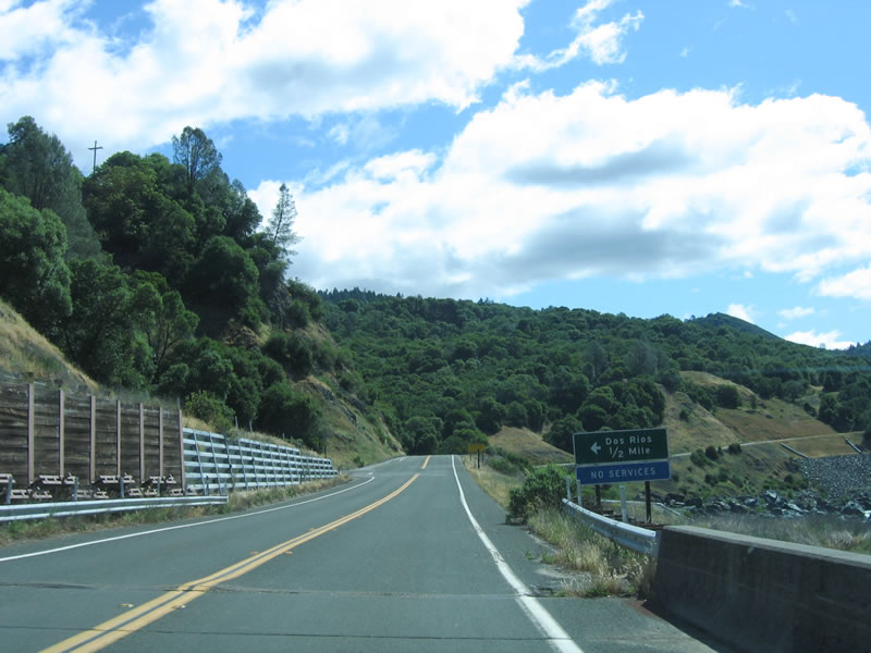
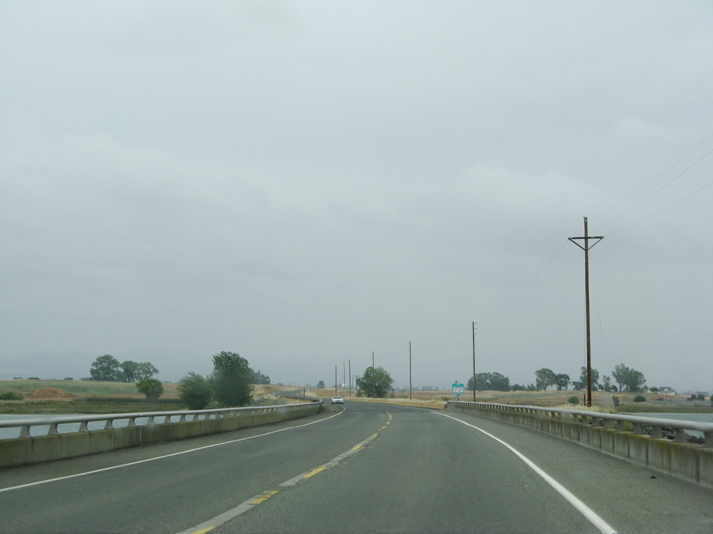
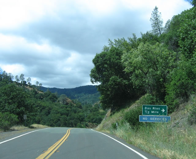
The Dos Rios cut off allows for a short cut route from California 162 west to U.S. 101 at Laytonville via Laytonville-Dos Rios Road. At the time this photo was taken, the cut off road was closed due to slides from the previous winter's rains. Photo taken 05/26/06. |
|
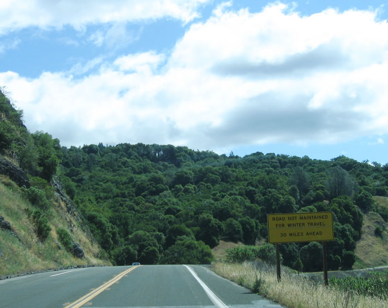
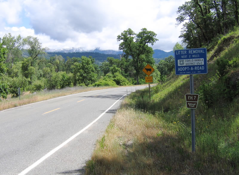
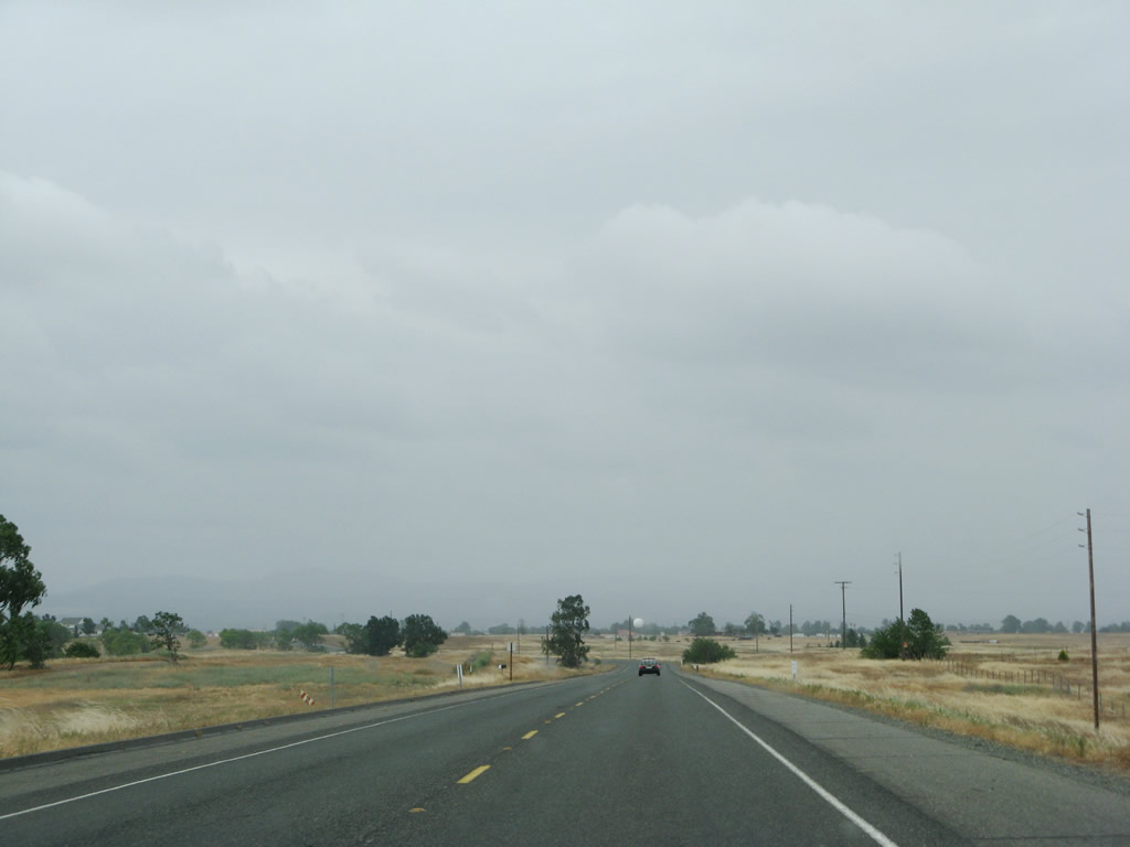
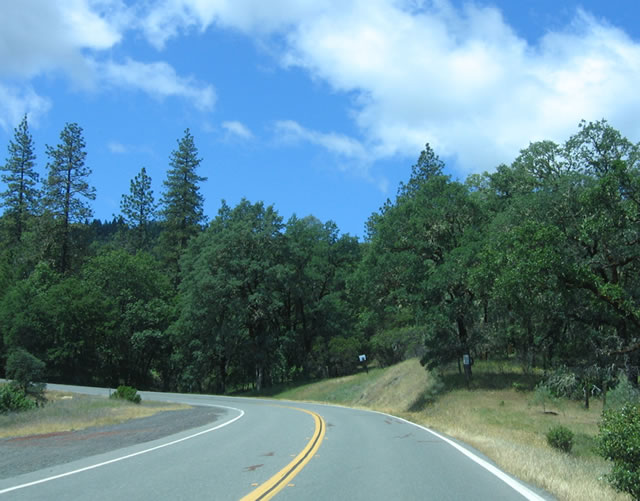
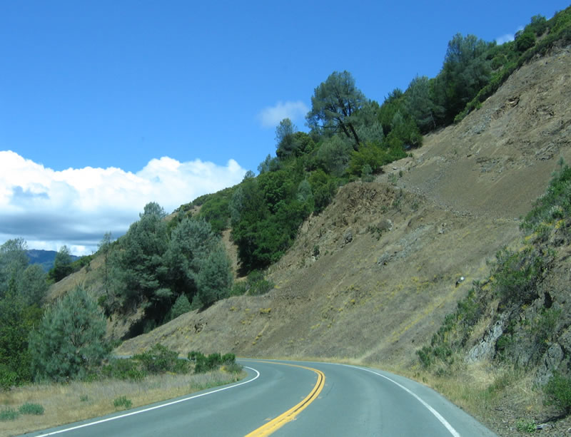
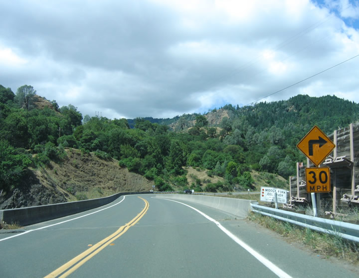
During winter months, the route through Mendocino National Forest (including Mendocino Pass) is not maintained for snow removal and is not appropriate for winter travel. Photo taken 05/26/06. |
|
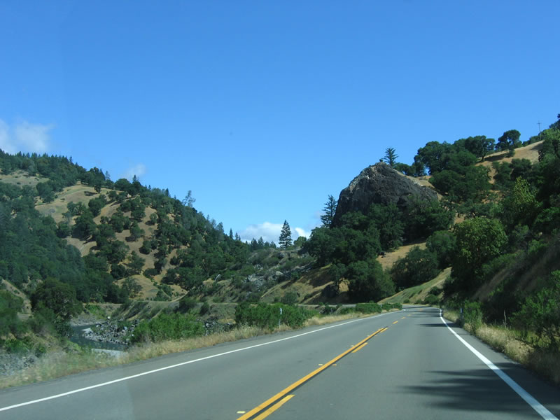
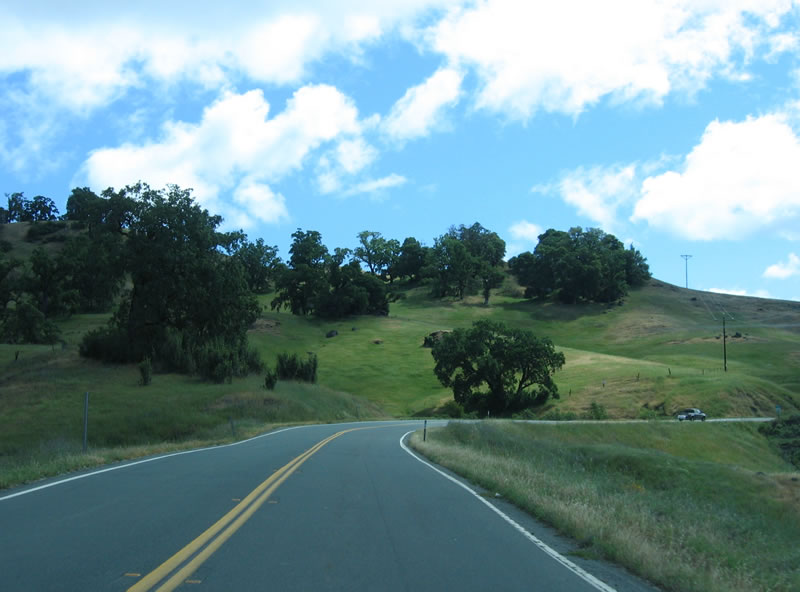
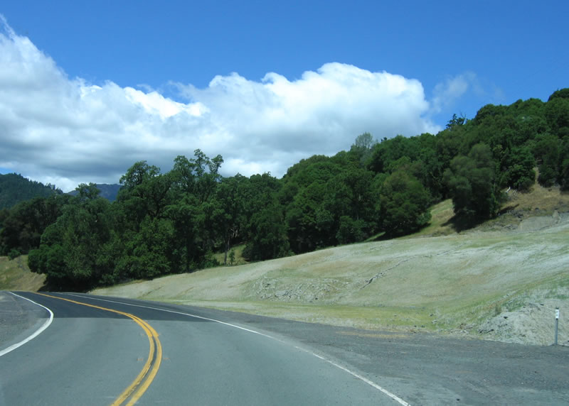
East of Dos Rios, California 162 pulls away from the Eel River and climbs over a pass over the Poonkinny Ridge, with Round Mountain visible to the east. Photo taken 05/26/06. |
|
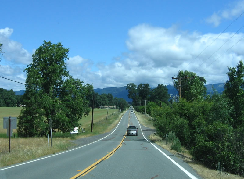
After the climb and descent from Poonkinny Ridge, California 162 lands in the Round Valley, traveling due north now toward the town of Covelo. A good portion of the northern Round Valley is part of the Round Valley Indian Reservation. Photo taken 05/26/06. |
|
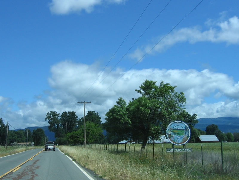
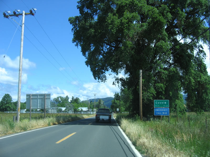
A circular welcome sign for Round Valley is posted alongside California 162. Photo taken 05/26/06. |
|
Entering the town of Covelo, houses can be seen along northbound California 162 as the state highway continues. Covelo had a population of 1,175 as of the 2000 Census. Photo taken 05/26/06. |
|
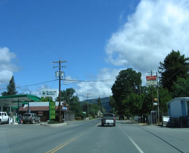
Very expensive gas and shops can be found in Covelo. California 162 continues north through downtown Covelo. Of course we only have ourselves to blame: May 2006 was one of the most expensive times to take a road trip in California in terms of gas prices. Photo taken 05/26/06. |
|
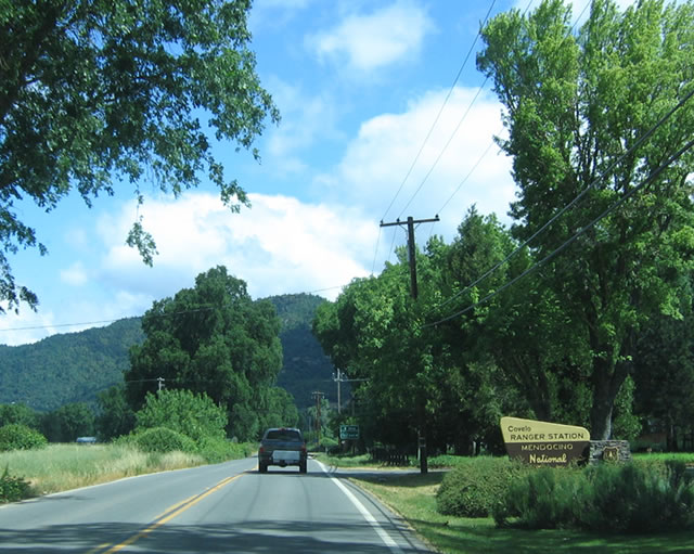
The Covelo Ranger Station for Mendocino National Forest provides information and maps for visitors to the national forest as well as allow back country users to register. Photo taken 05/26/06. |
|
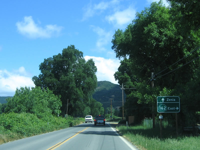
California 162 turns east again at this intersection; turn right to follow California 162 (via Mendocino Pass Road) or continue straight ahead to Zenia via Mina Road. Photo taken 05/26/06. |
|
Now traveling east on California 162/Mendocino Pass Road, the state highway feels more like a country lane with lush foliage and farms on either side. Photo taken 05/26/06. |
|
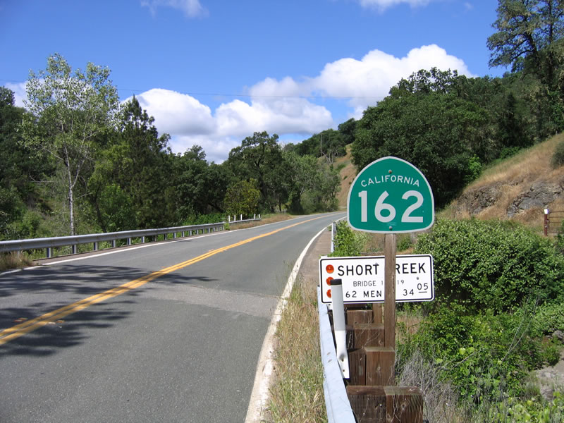
Reaching the end of the Round Valley, California 162 passes by a farm house and prepares to reach its end. California 162 ends at the Short Creek bridge (built in 1962), which is signed with an end shield. Photo taken 05/26/06. |
|
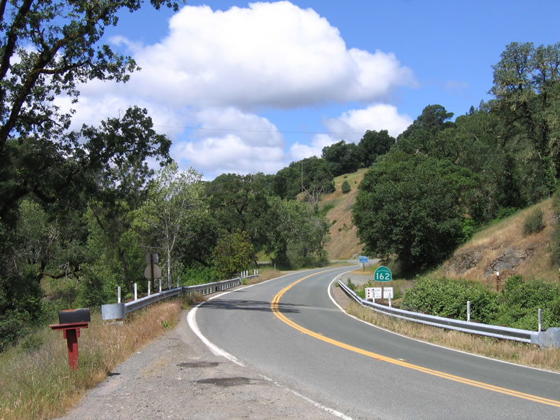
After the end shield, California 162 becomes Forest Service Highway 7 and is shielded with this tiny brown sign. From here, the forest service route crosses over Mendocino Pass, but much of the route is substandard and unpaved. Photo taken 05/26/06. |
|
Now in the Sacramento Valley and traveling east along California 162 after the northern California 99 intersection, this California 162 route marker points the way east toward Oroville. Photo taken 05/24/08. |
|
|
|
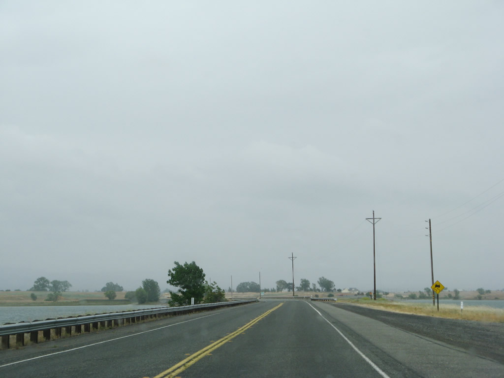
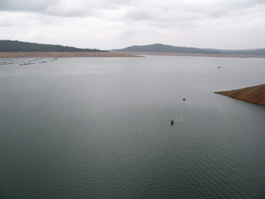
Immediately after leaving California 99, two-lane California 162 crosses the Thermalito Afterbay via a causeway. The afterbay allows water to be stored after exiting Lake Oroville to produce hydroelectric power when needed while maintaining a controlled flow on the Feather River downstream. The water from the afterbay can also be pumped back into the reservoir for additional power and water needs. Photos taken 05/24/08. |
|
Leaving the Thermalito Afterbay area, California 162 proceeds east through grasslands and oak trees en route to Oroville. Photo taken 05/24/08. |
|
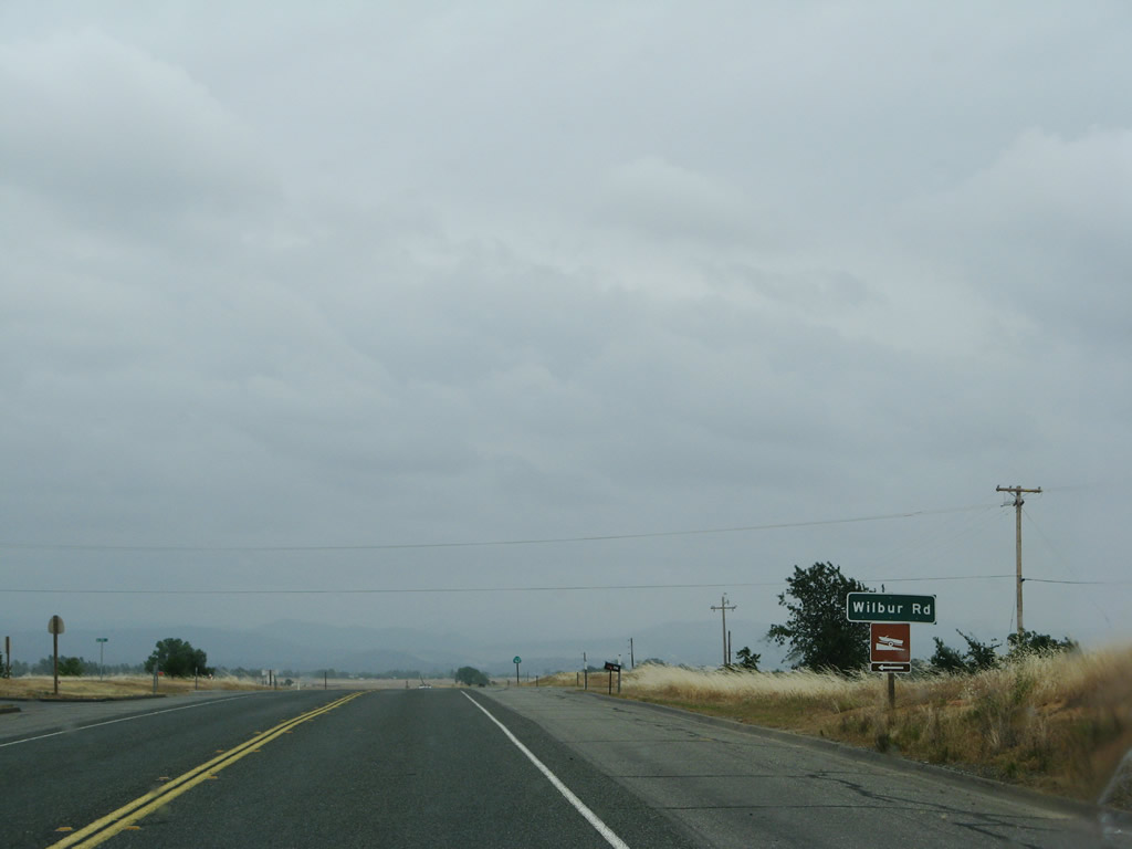
Eastbound California 162 approaches the intersection with Wilbur Road, which travels north to Oroville Junction. The road south reaches a dead end near a branch of the Thermalito Afterbay. Photo taken 05/24/08. |
|
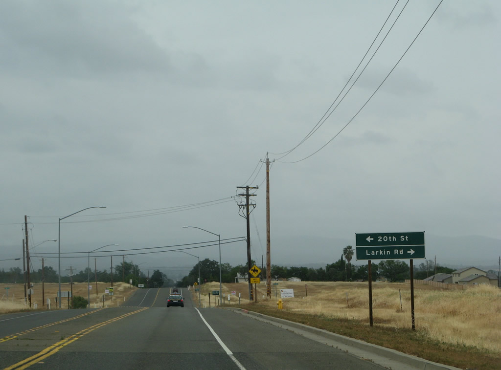
Soon thereafter, eastbound California 162 approaches the intersection with 20th Street and Larkin Road. California 162 starts to see residential development as it enters the outskirts of Oroville. Photo taken 05/24/08. |
|
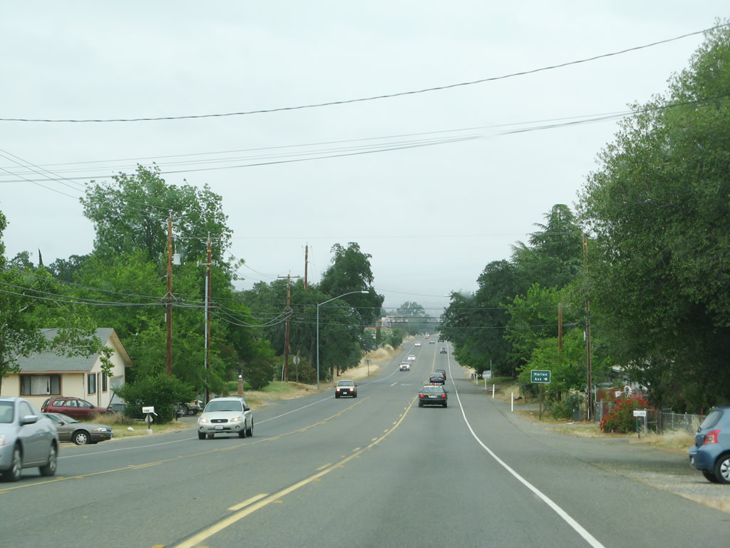
California 162 sees residential development as the state highway approaches Harlan Avenue. Photo taken 05/24/08. |
|
Eastbound California 162 crosses over the Feather River on this bridge, which was built in 2000. Photo taken 05/24/08. |
|
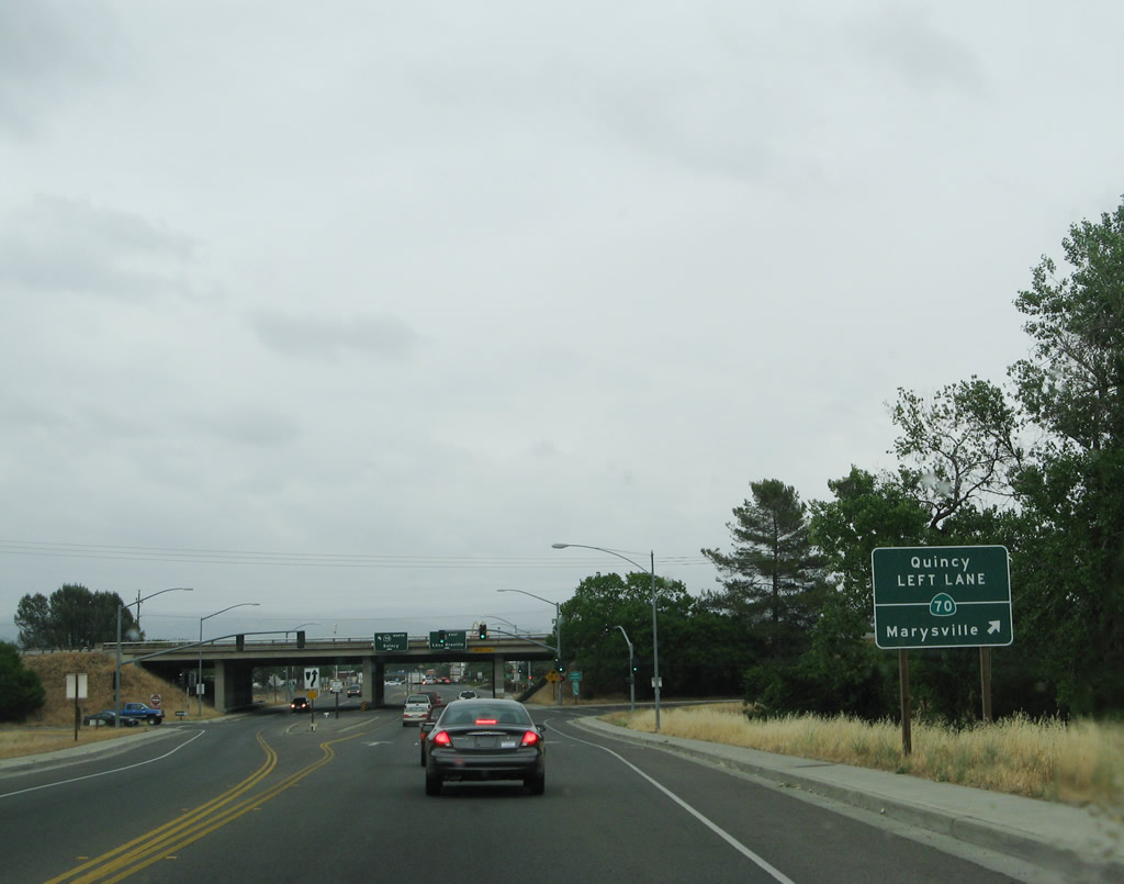
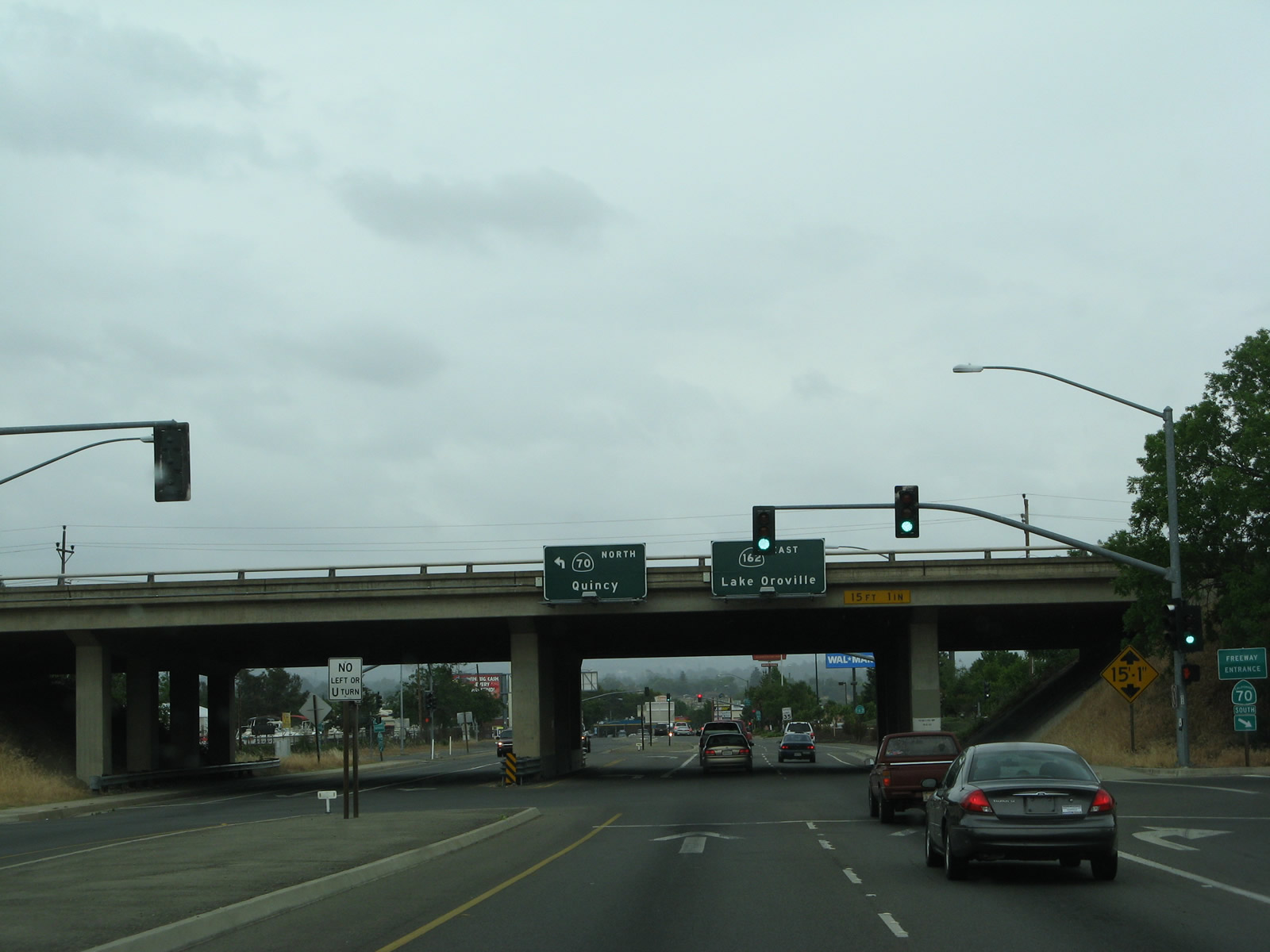
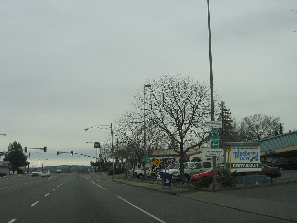
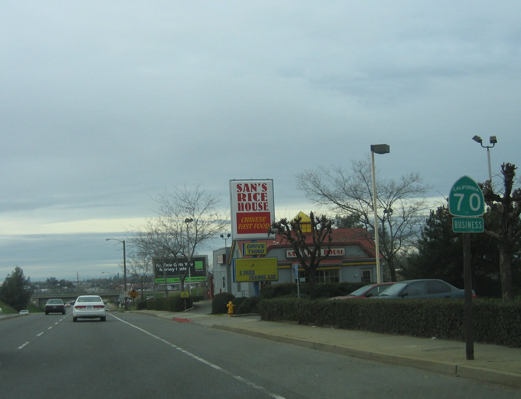
After crossing the Feather River, eastbound California 162 approaches the interchange with California 70. Use California 70 south to Marysville and Sacramento or north to Chico (via California 149) and Oroville. Photo taken 05/24/08. |
|
Eastbound California 162 meets the on-ramp to California 70 south. The next left connects to California 70 north. Photo taken 05/24/08. |
| California 70 Business north & 162 east |
|
|
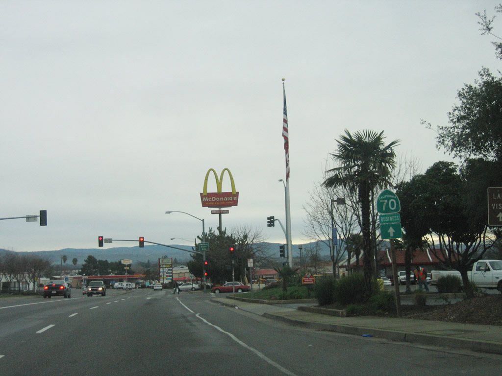
After the California 70 interchange, California 162 shares alignment briefly with California 70 Business. The two routes will both follow Oroville Dam Boulevard between California 70 and Myers Street, where California 70 Business will turn north onto Myers Street. The business route passes through downtown Oroville, then returns to California 70 via Nelson Avenue. Photos taken 01/15/06 and 05/24/08. |
|
Eastbound California 162 and northbound California 70 Business meet Feather River Boulevard at this traffic signal. Photo taken 01/15/06. |
|
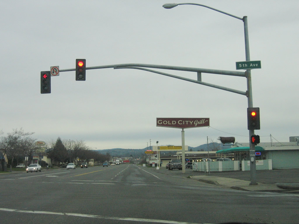
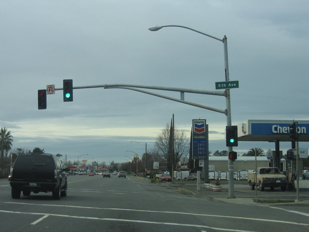
Continuing east, California 162 and northbound California 70 Business next meet Fifth Avenue, which travels north to Bedrock Park along the Feather River. Photo taken 01/15/06. |
|
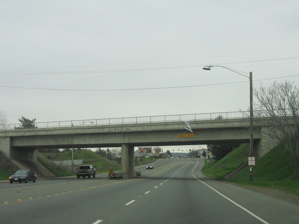
California 162 and California 70 Business have a grade separation from the railroad by way of this 1986 overpass. Photo taken 01/15/06. |
|
The truck route ends as eastbound California 162 and northbound California 70 Business approach the Lincoln Street signalized intersection. Photo taken 01/15/06. |
|
A California 162 east route marker shield is posted between Lincoln Street and Myers Street. Photo taken 01/15/06. |
|
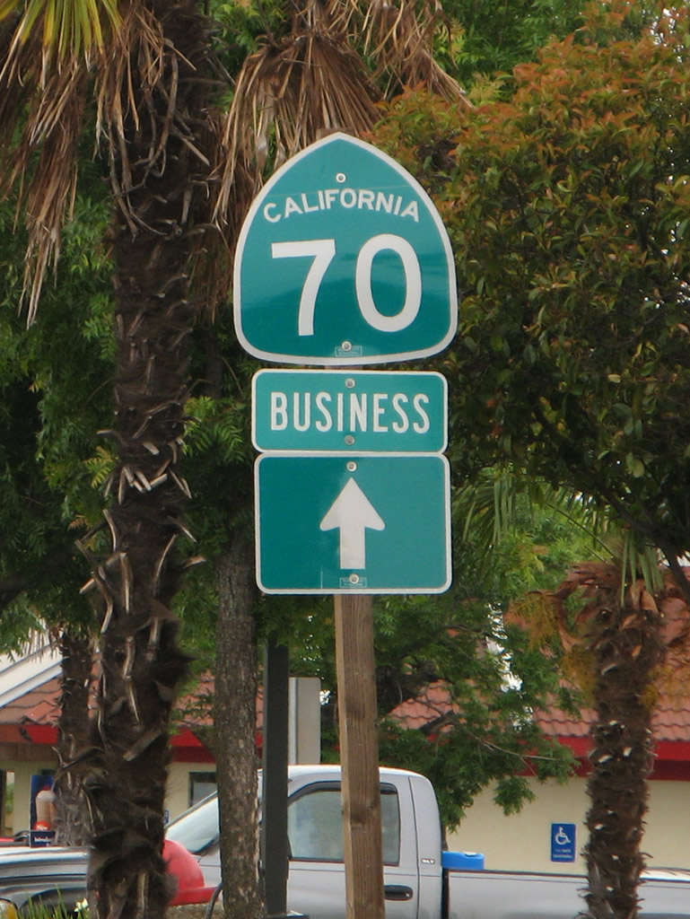
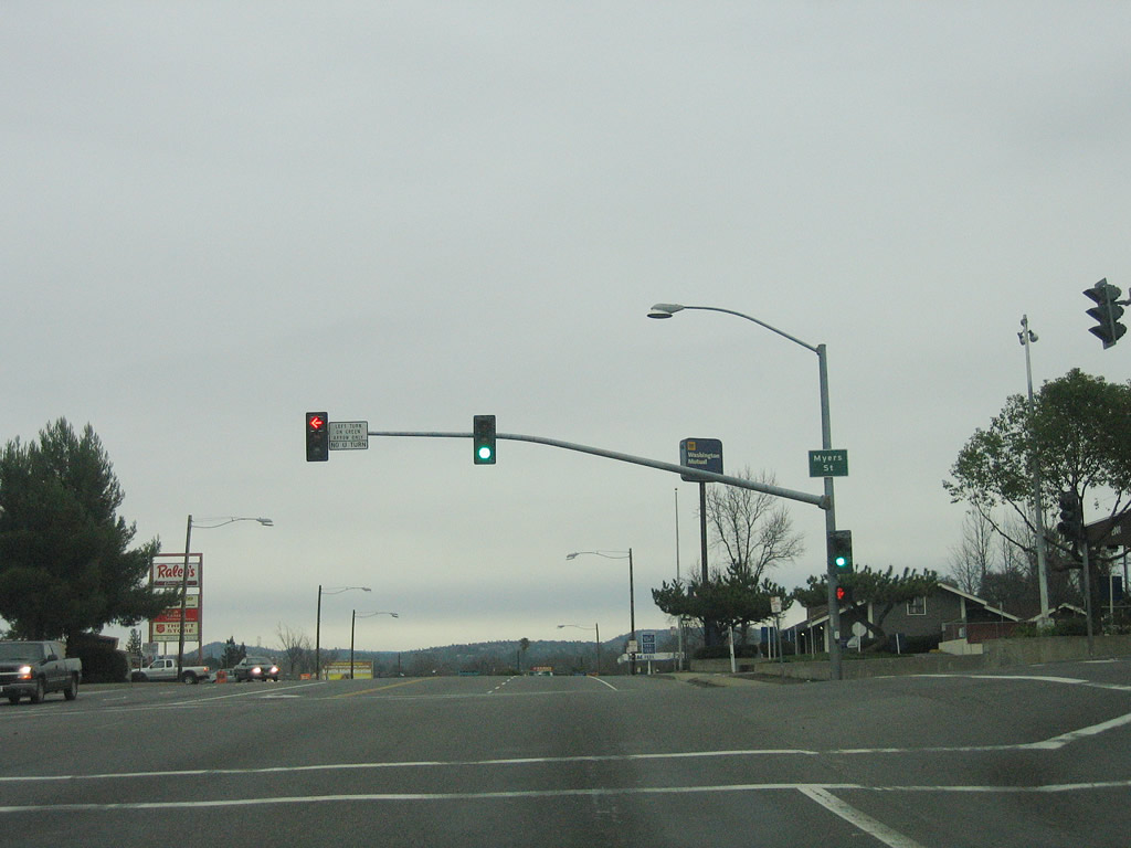
At Myers Street, the routes divide. Turn left (north) on Myers Street for California 70 Business north to historic downtown Oroville (via Historic California 24 and Old U.S. 40 Alternate). California 162 will proceed east along Oroville Dam Boulevard. Photo taken 01/15/06. |
|
Eastbound California 162 (Oroville Dam Boulevard) meets California 70 Business/Myers Street at this signalized intersection. Photo taken 01/15/06. |
| California 162 east |
|
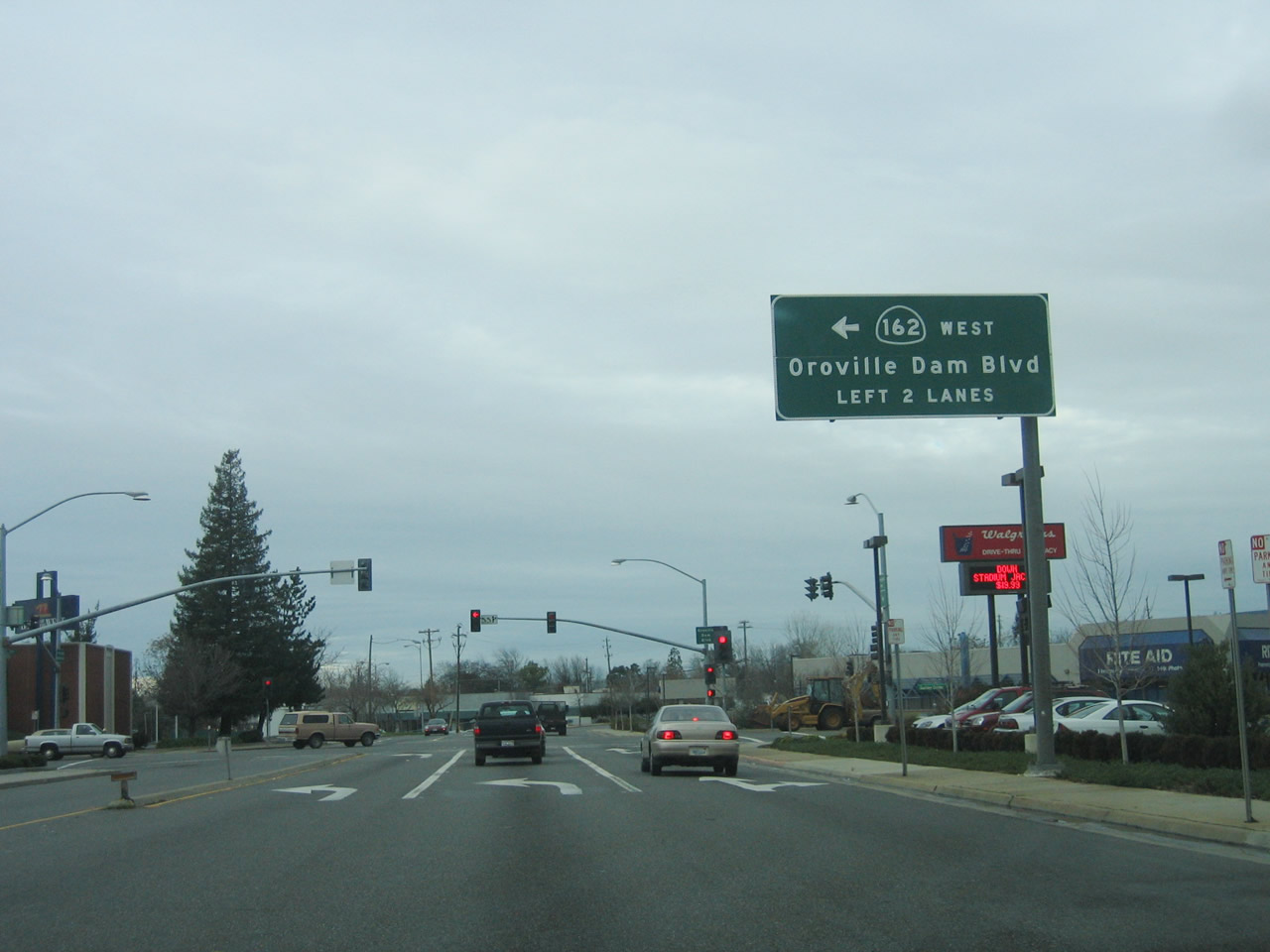
At Washington Avenue, California 162 will shift from Oroville Dam Boulevard onto Olive Highway. Through traffic on California 162 east should merge right for the turnoff. Turn left on Washington Avenue to reconnect with California 70 Business near the Feather River Bridge, where Washington Avenue transitions directly onto Table Mountain Boulevard. Photo taken 01/15/06. |
|
Use California 162/Olive Highway east to Lake Oroville State Recreation Area. Follow Oroville Dam Boulevard northeast to connect with Butte County B-2/Orange Avenue west and B-2/Oroville Dam Boulevard east to Oroville Dam. Photo taken 01/15/06. |
|
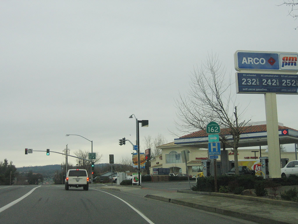
A California 162 route marker is posted soon after the Washington Avenue intersection. California 162 will leave the urbanized area of Oroville and continue toward Lake Oroville State Recreation Area. Photo taken 01/15/06. |
|
|
|
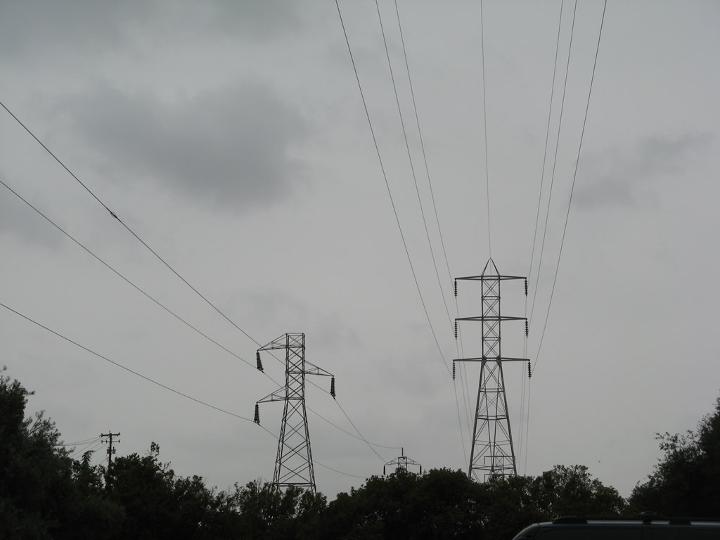
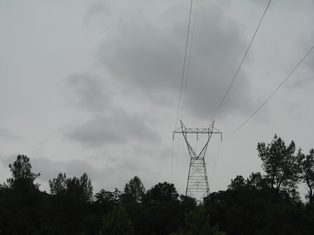
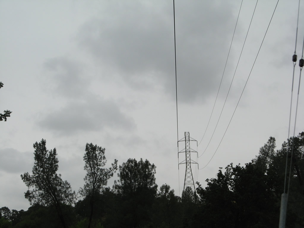
Three sets of powerlines cross over California 162, each with their own unique tower design. These lines carry power past the Oroville Dam complex south. Photos taken 05/24/08. |
|
Eastbound California 162 approaches the turnoff to Tyme Way. Photo taken 01/15/06. |
|
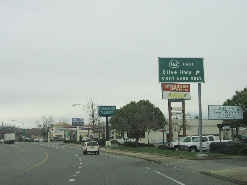
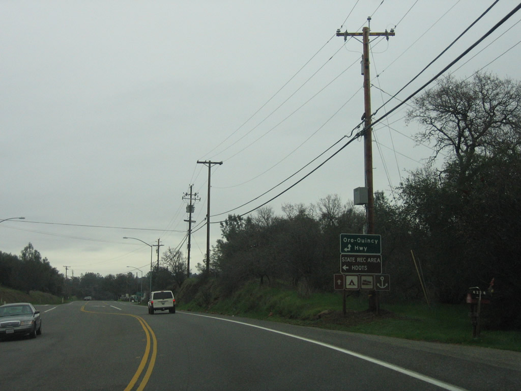
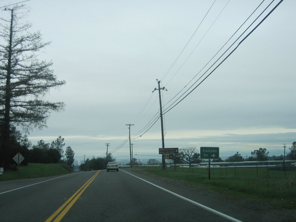
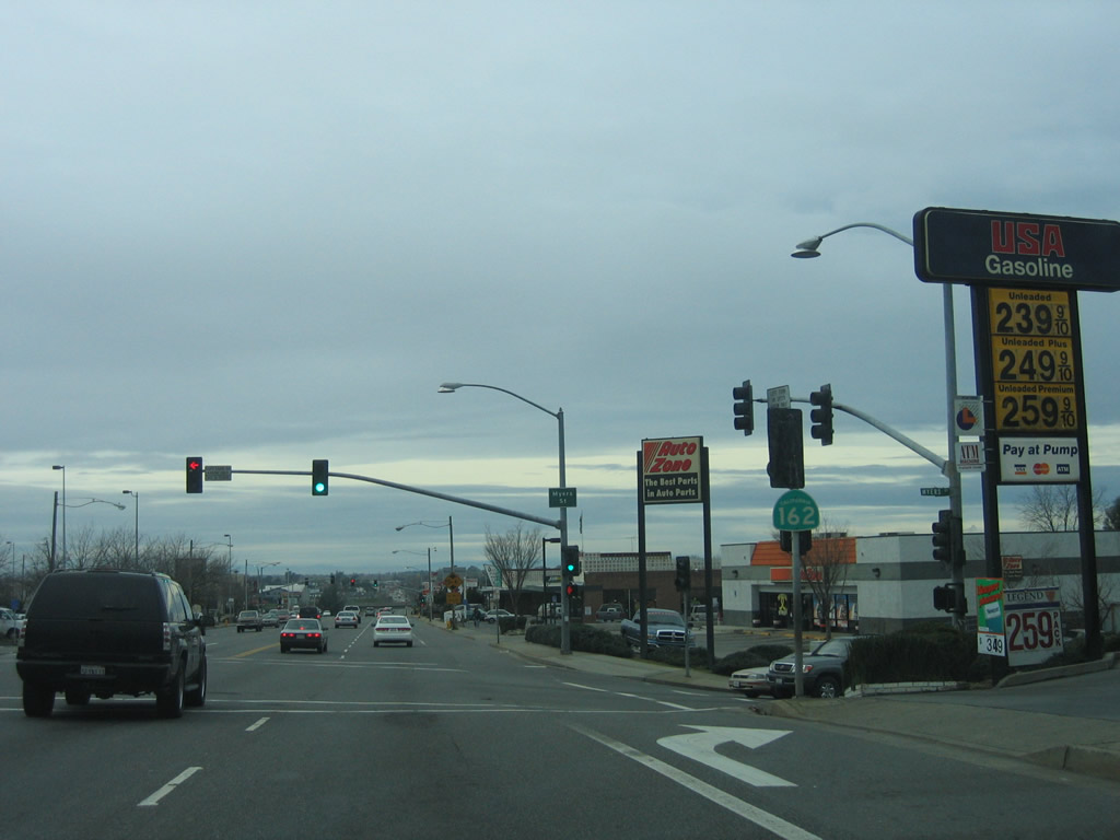
At the junction with Oroville-Quincy Highway, California 162/Olive Highway merges onto Oroville-Quincy Highway. This designation will carry the rest of California 162 until its end in the state recreation area, and it will continue as a county road all the way to Quincy, offering an alternative to California 70 over a parallel route. Photo taken 01/15/06. |
|
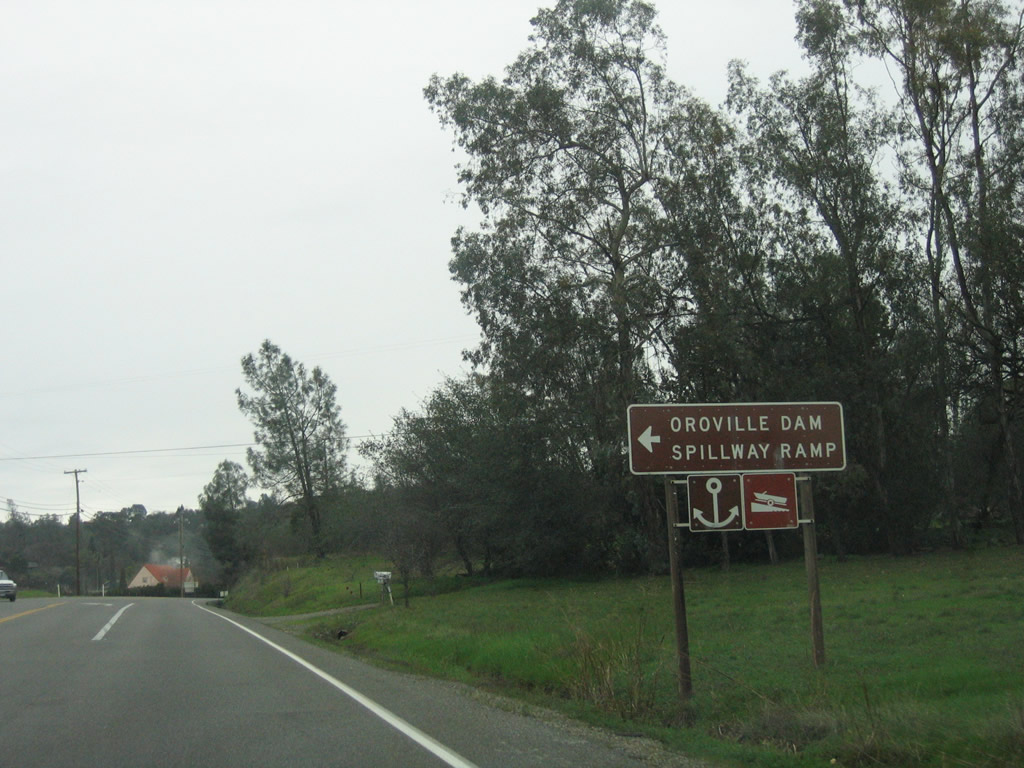
Eastbound California 162/Olive Highway (Oroville-Quincy Highway) approaches the turnoff to Butte County B-2/Canyon Drive north to Oroville Dam. The county route designation is poorly signed; it takes Canyon Drive north to Oroville Dam Boulevard, then turns west on Oroville Dam Boulevard, Orange Avenue, and Montgomery Street into downtown Oroville. Photo taken 01/15/06. |
|
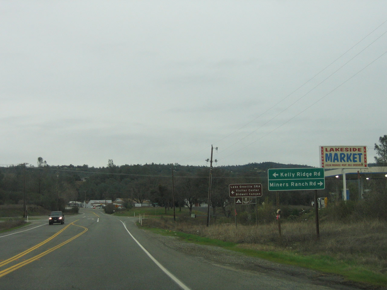
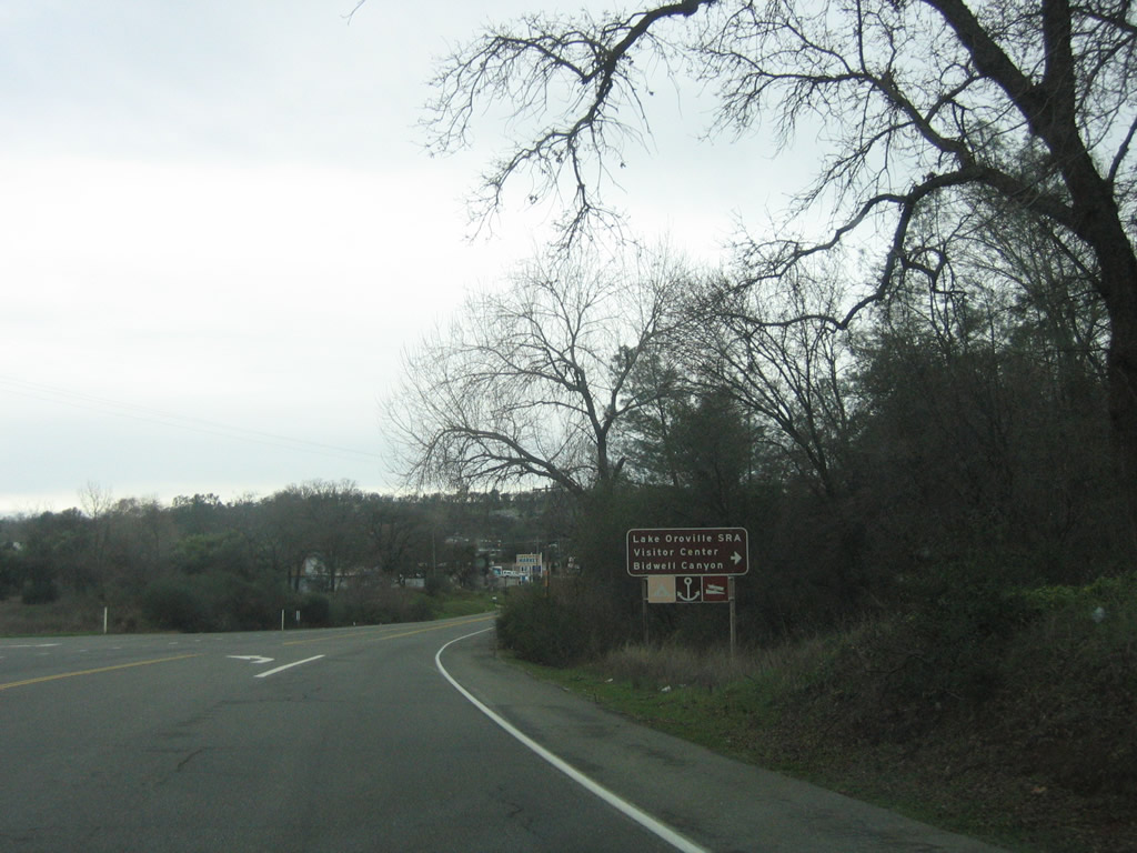
Continuing east, California 162/Olive Highway (Oroville-Quincy Highway) approaches the intersection with Kelly Ridge Road (north) and Miners Ranch Road (south). Use Kelly Ridge Road north to the Lake Oroville State Recreation Area Visitors Center. Photo taken 01/15/06. |
|
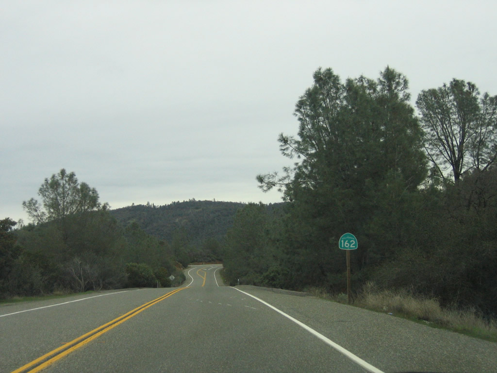
A California 162 east reassurance shield is posted after the Kelly Ridge Road intersection. Ahead, California 162 enters Lake Oroville State Recreation Area. Photo taken 01/15/06. |
|
Another California 162 east reassurance shield is posted further in the state recreation area. Photo taken 01/15/06. |
|
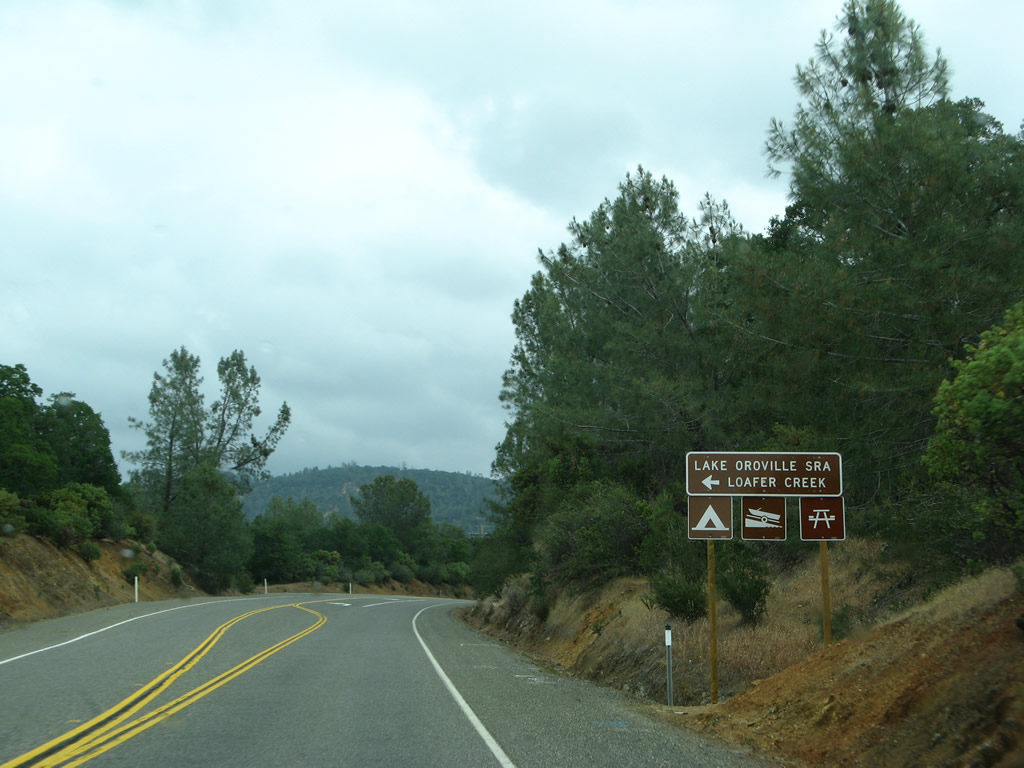
Turn left here for the Loafer Creek site, which includes a boat ramp, campground, and picnic area. Photo taken 05/24/08. |
|
|
|
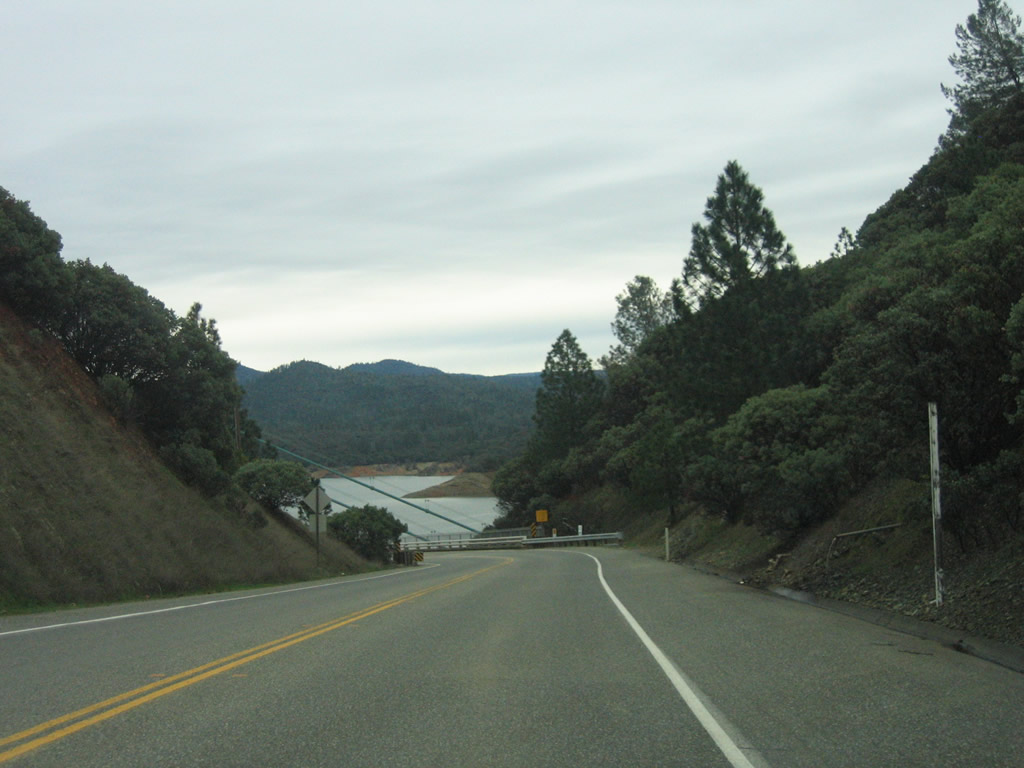
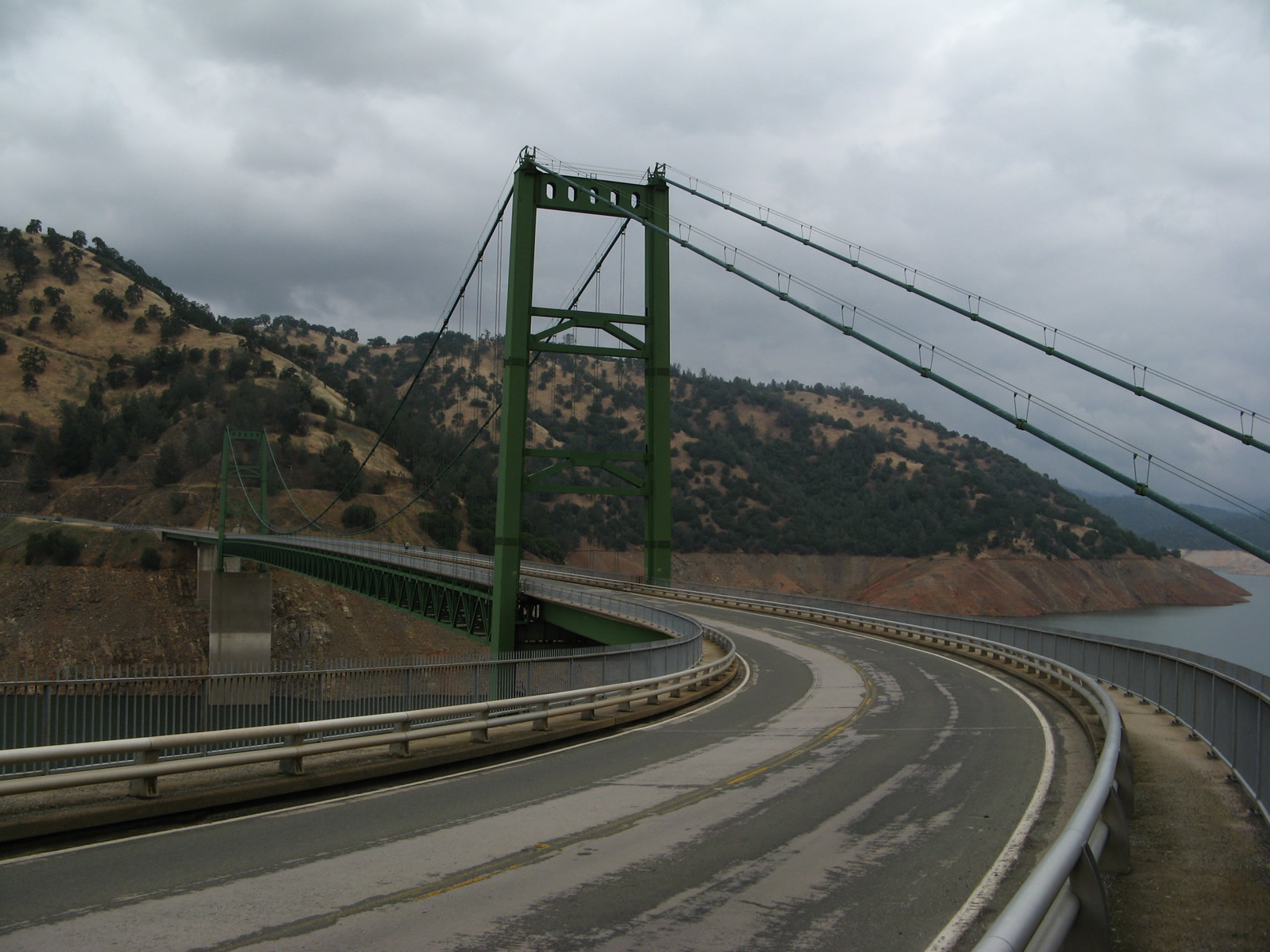
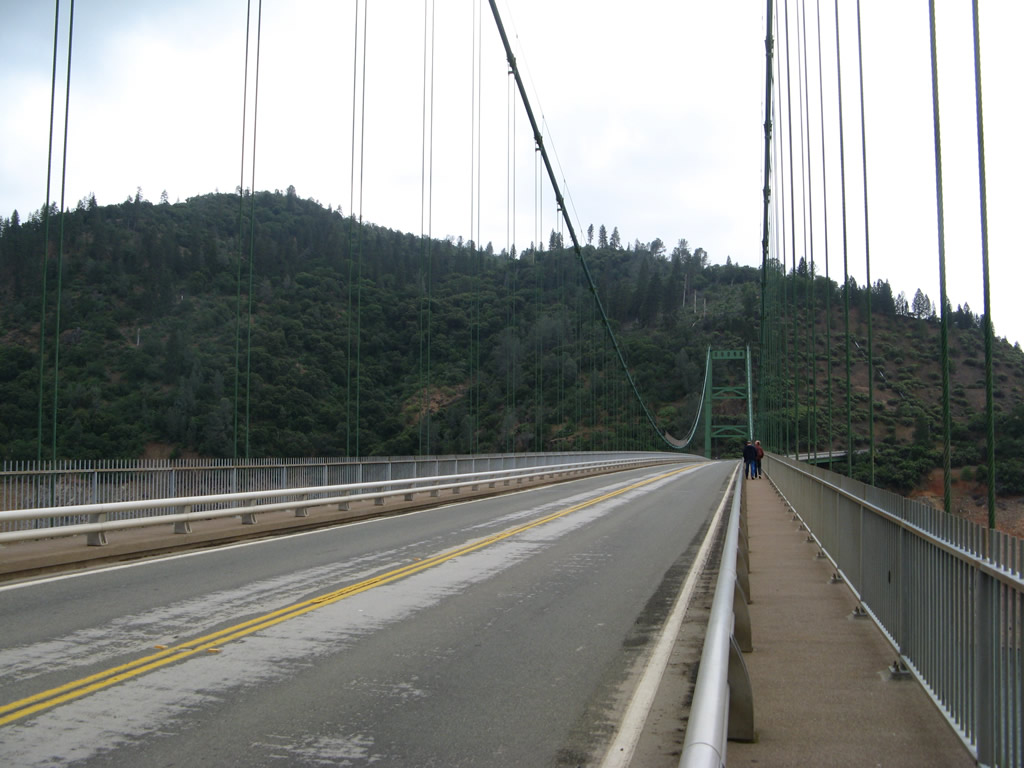
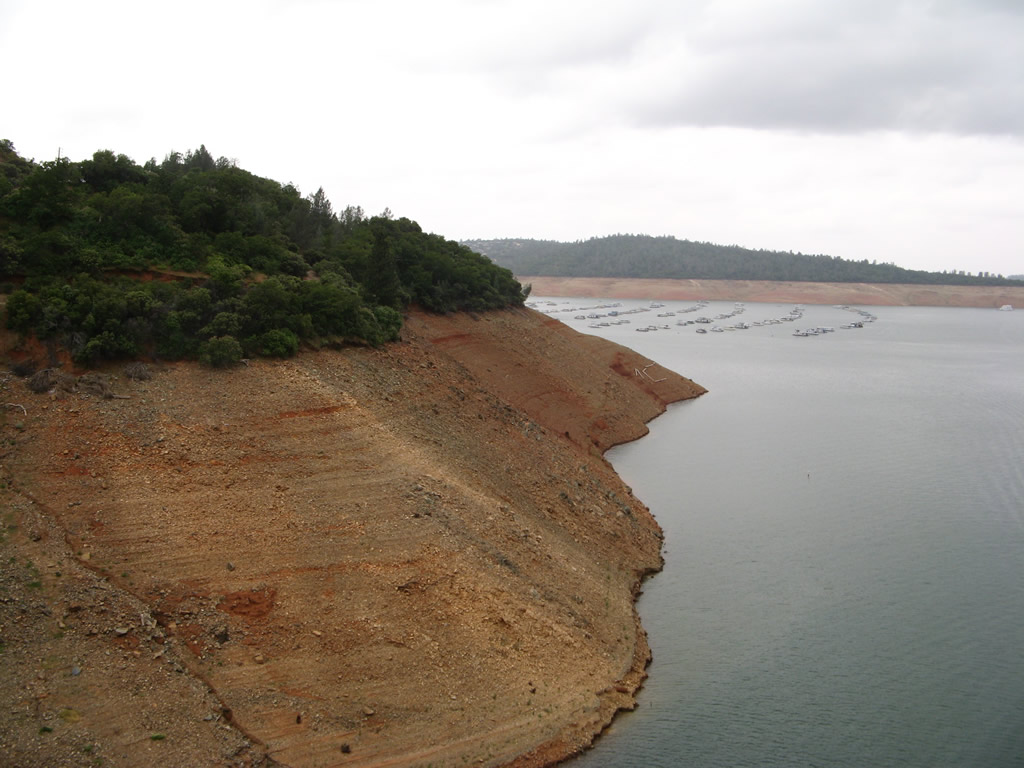
California 162 continues along the southern edge of Lake Oroville, then curves due north toward the Middle Fork of the Feather River. At the span over this leg of Lake Oroville, California 162 will use a suspension bridge to make the crossing. Photos taken 05/24/08 and 01/15/06. |
|
|
The approach to the suspension bridge is obscured as California 162 heads downhill and winds through several curves. A sharp turn north awaits at the bottom of the grade. Photos taken 01/15/06. |
|
|
|
|
|
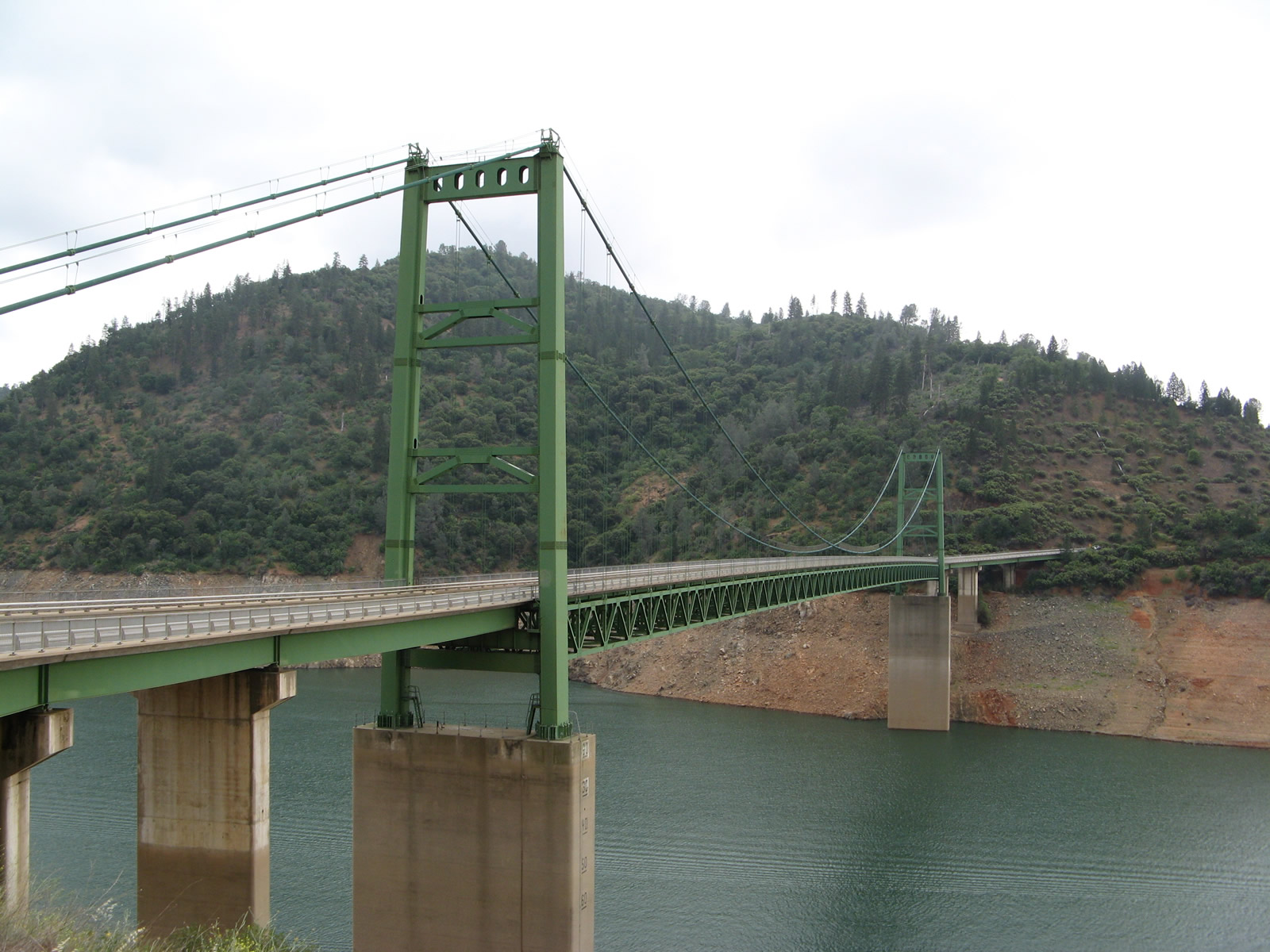
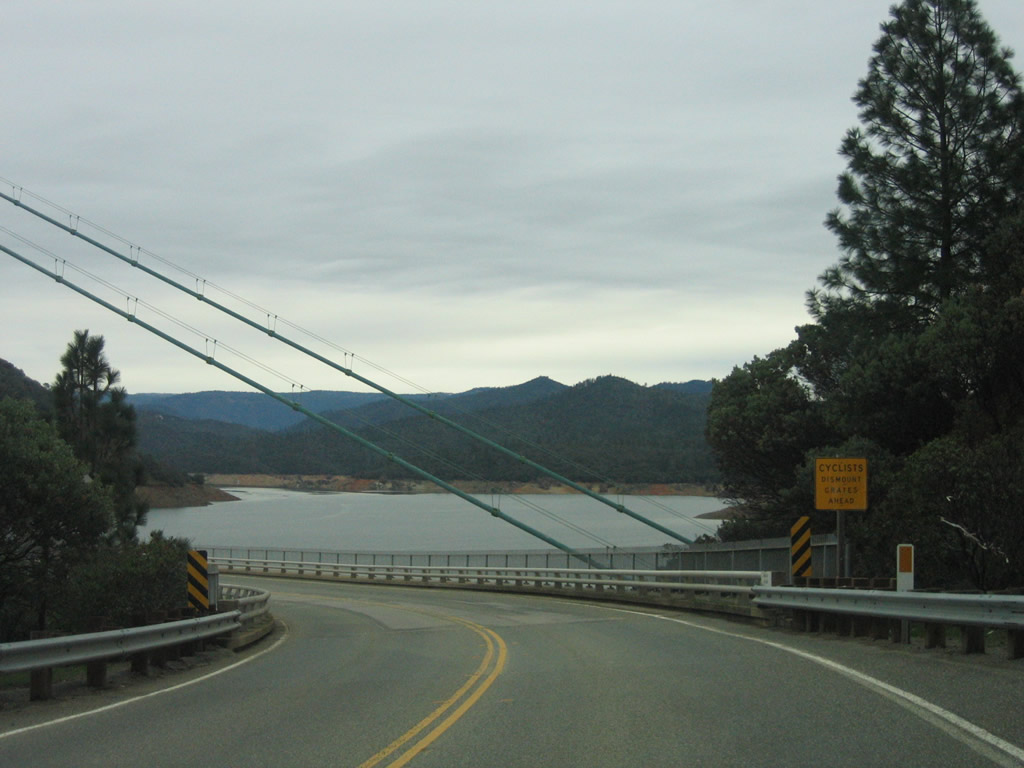
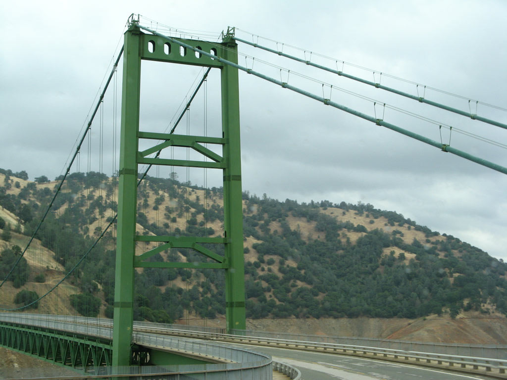
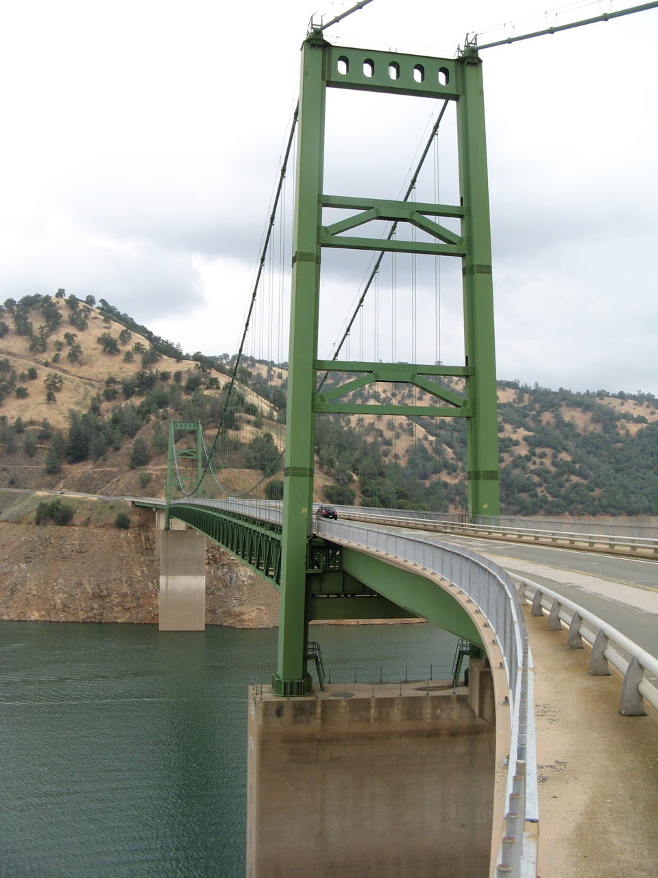
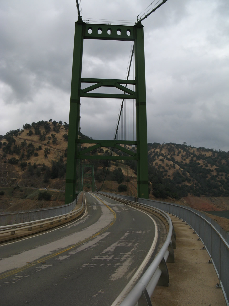
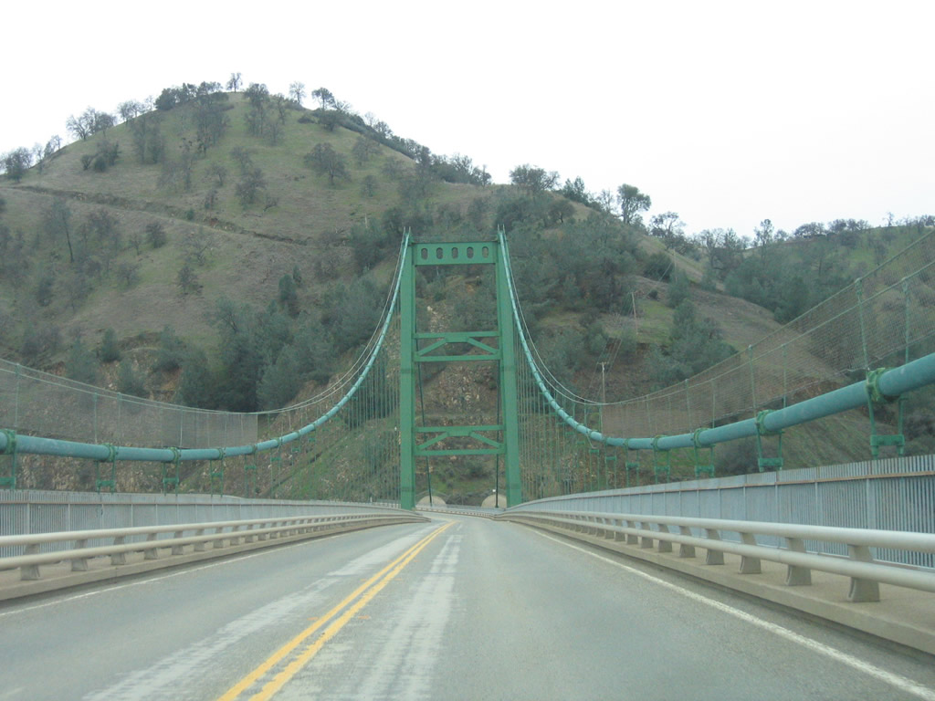
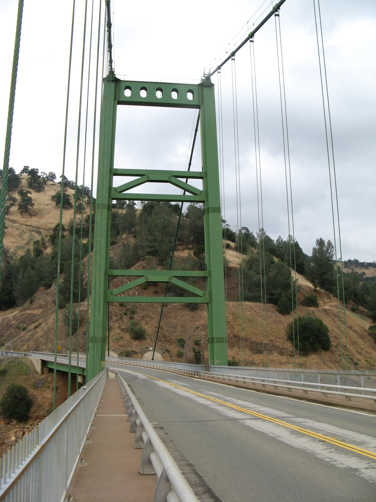
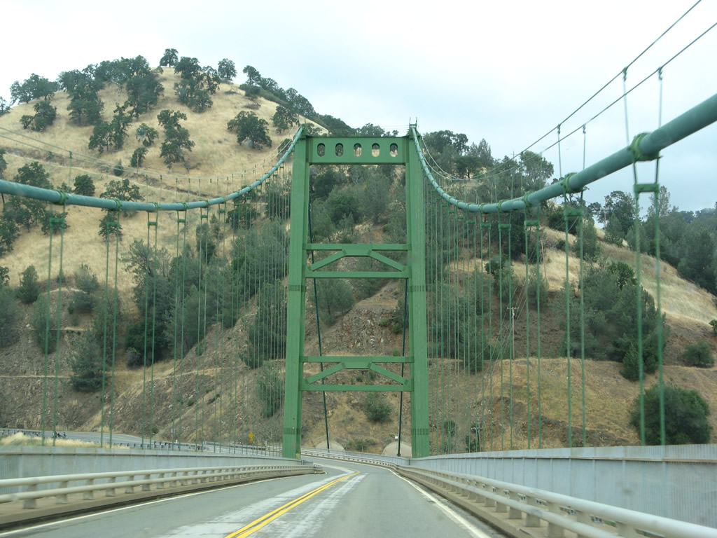
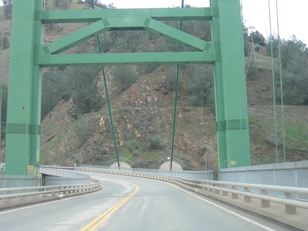
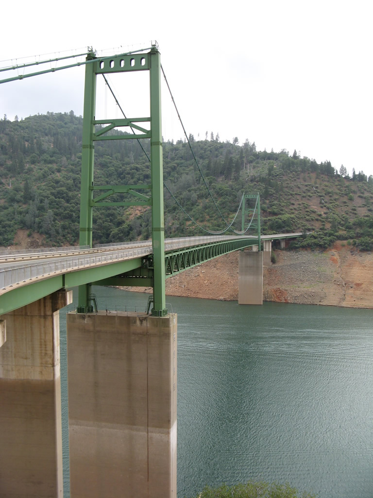
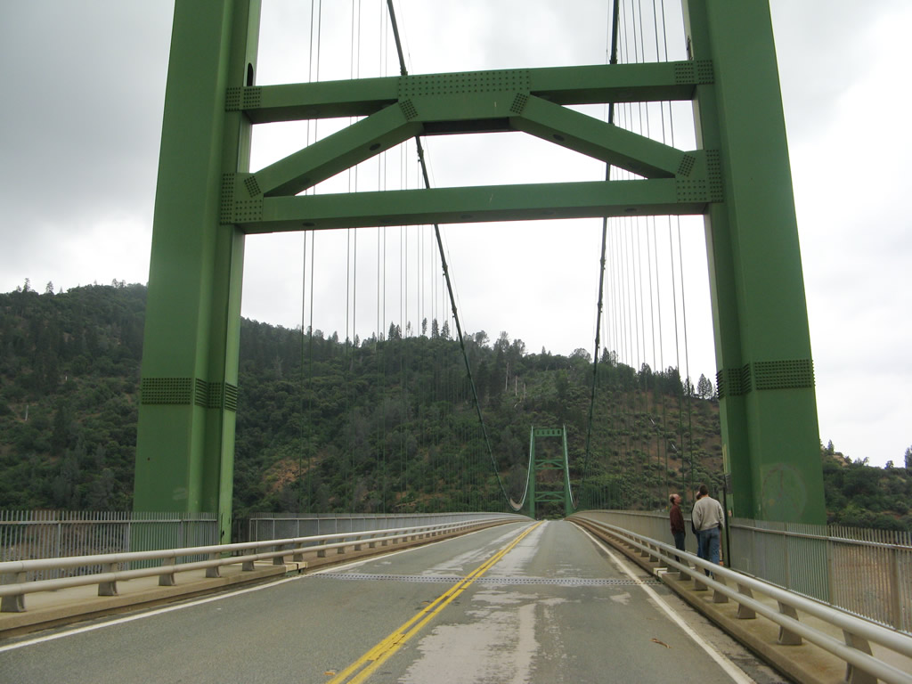
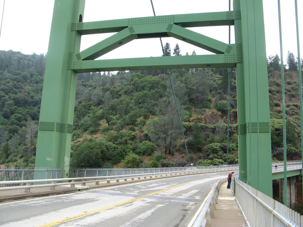
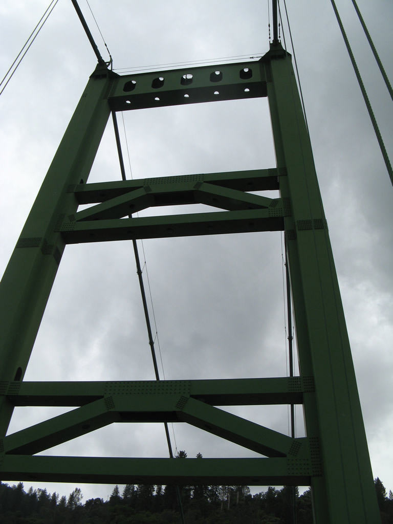
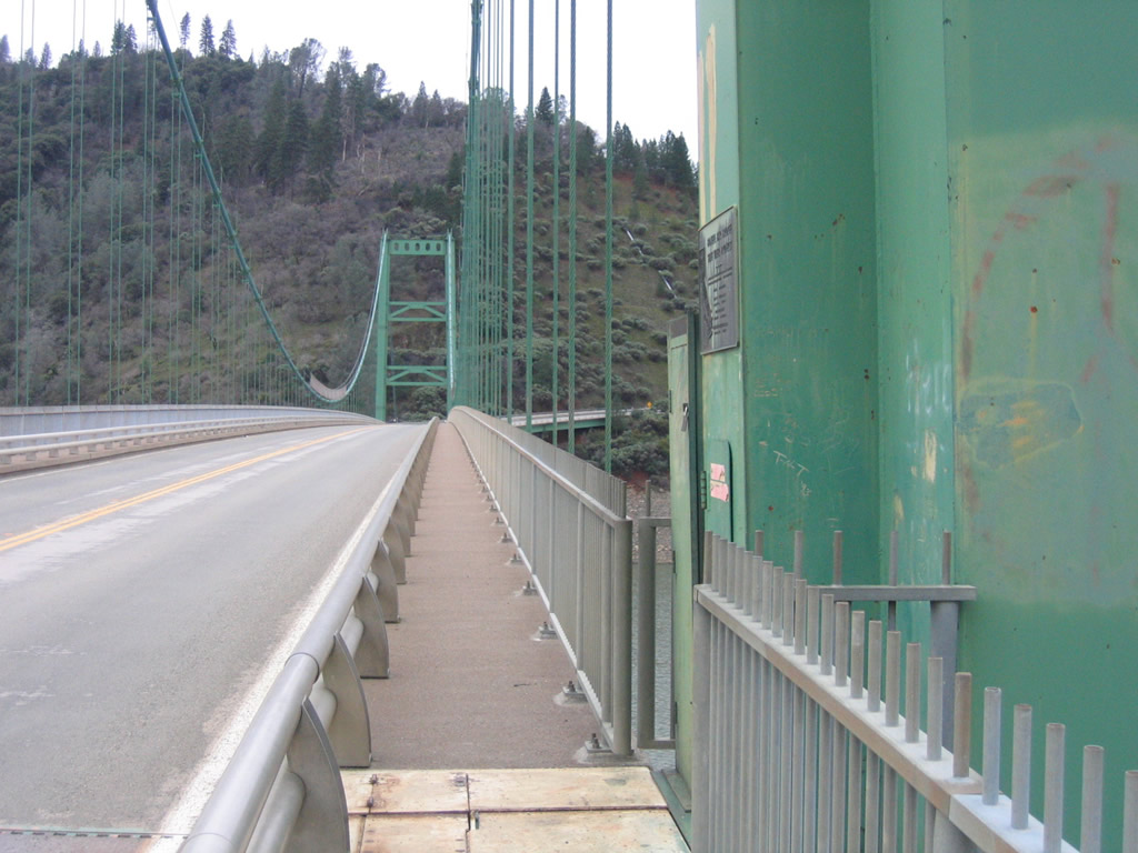
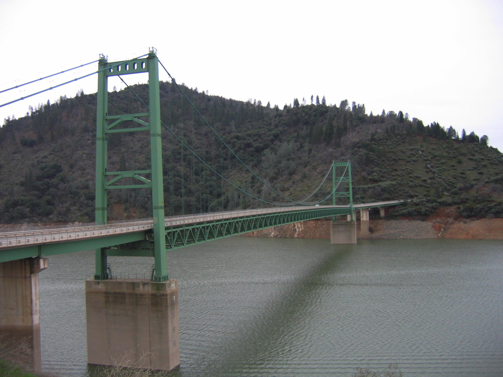
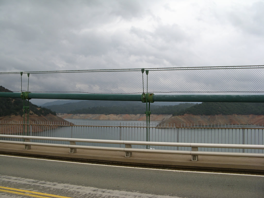
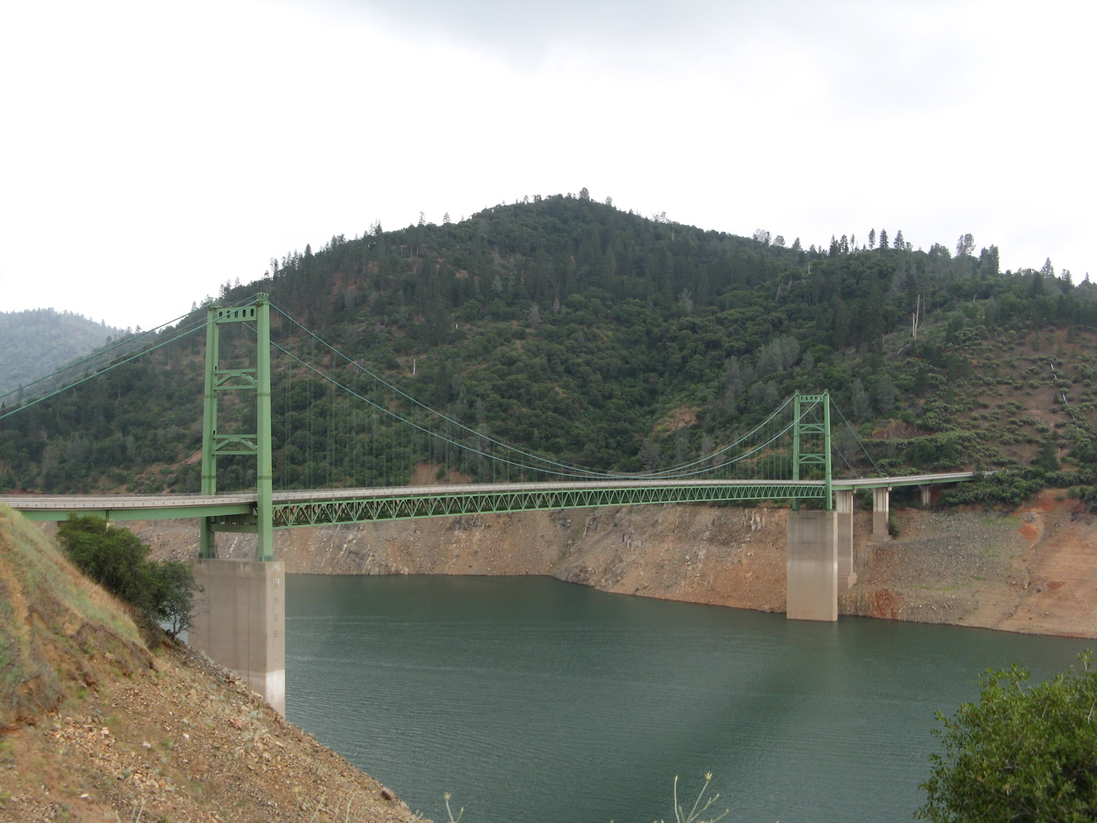
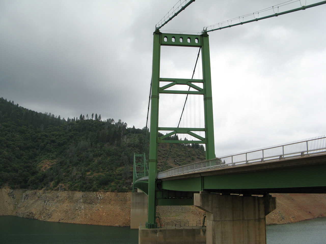
| The Bidwell Bar Bridge carries California 162 over the Middle Fork of the Feather River, which is a branch of sprawling Lake Oroville. This suspension bridge, dedicated on September 25, 1965, carries the two-lane Oroville-Quincy Highway through the state recreation area. The total bridge length is 1,792 feet, and the main span is 1,108 feet. This Bidwell Bar Bridge, which rises to an elevation of 627 feet above the streambed, replaced the original Bidwell Bar Bridge, which crossed the river prior to the construction of the dam and inundation of the site of the original bridge. The original bridge was moved prior to the area being flooded and is now used as part of a walking path at the south side of the lake near a parking lot located at the north end of Bidwell Canyon Road near a marina. Along this "new" suspension bridge, "eastbound" California 162 is actually traveling due north. Photos taken 01/15/06 and 05/24/08. |
|
|
|
|
|
|
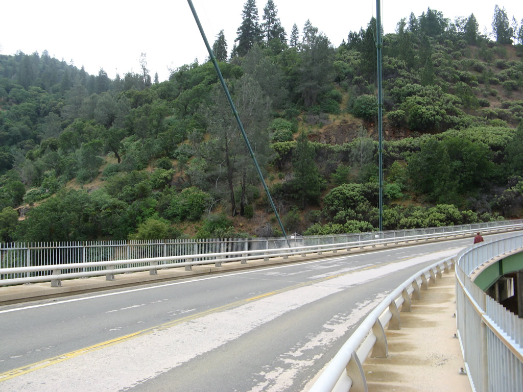
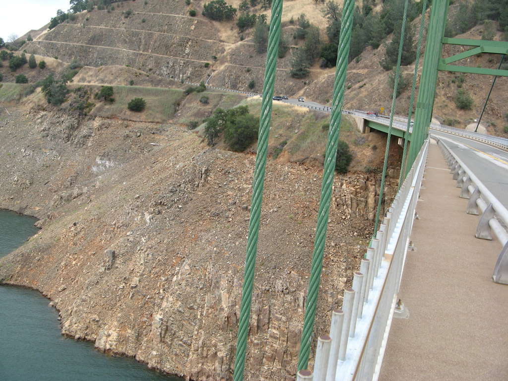
California 162 stays within sight of the waters of Lake Oroville as it proceeds north off the Bidwell Bar Bridge en route to the state route's eastern terminus. A realignment was required to prevent the highway from slipping into the lake, hence the deep cuts into the side of the hill. Photo taken 05/24/08. |
|
California 162 continues to skirt the eastern edge of Lake Oroville as the state highway proceeds north. Photo taken 01/15/06. |
|
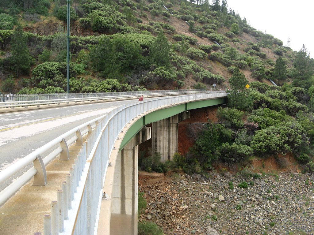
Another bridge carries California 162 over another branch of Lake Oroville. Known as the Canyon Creek Bridge, this bridge was constructed in 1967 and allows motorists to continue northeast toward Quincy. Most of the route to Quincy is county maintained, but the state highway will continue for another mile. Photo taken 01/15/06. |
|
The narrow, two-lane Canyon Creek Bridge carries California 162 north over this branch of Lake Oroville. Photo taken 01/15/06. |
|
California 162 continues north on dry land. Photo taken 01/15/06. |
|
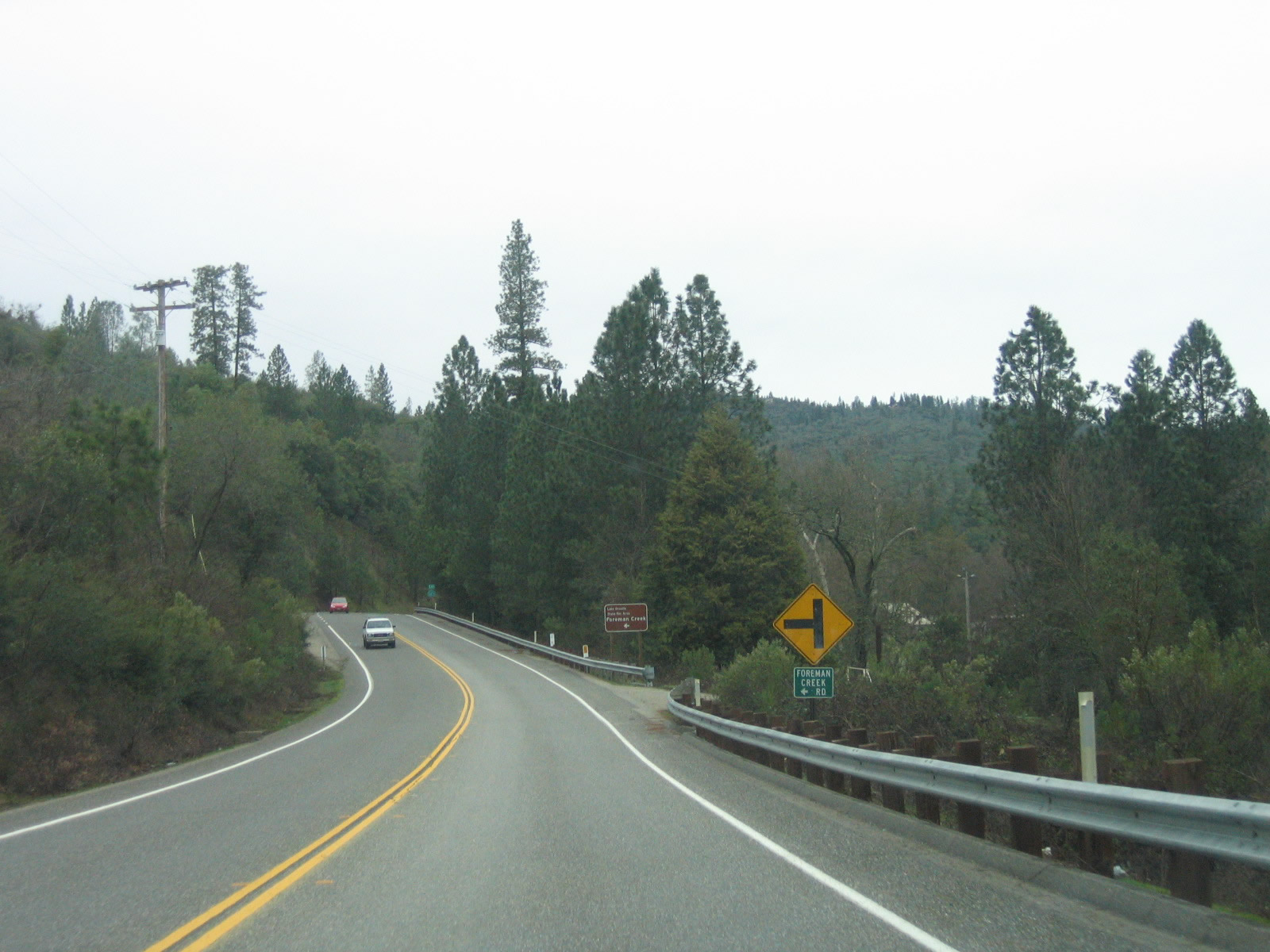
Eastbound California 162 approaches its eastern terminus at Foreman Creek Road. Turn left on Foreman Creek Road to the Foreman Creek site of the Lake Oroville State Recreation Area. Photo taken 01/15/06. |
|
At Foreman Creek Road, eastbound California 162 comes to a seemingly abrupt end. The state only built California 162 this far east; from here northeast to Quincy, the Oroville-Quincy Highway is county maintained. This easternmost segment of California 162 is a product of the Lake Oroville project; the bridges and cuts needed to route a highway above the lake level was done by the state as part of the State Water Project. Photo taken 01/15/06. |
| California 162 west |
|
California 162 begins its westbound journey along Oroville-Quincy Highway at the intersection with Foreman Creek Road in Lake Oroville State Recreation Area. The state route helps carry through traffic through the bridges necessitated by the creation of Lake Oroville and also allows access to several recreation area sites along the way. California 162 will mostly travel south until curving west toward the city of Oroville. This is the first westbound shield for California 162. Photo taken 01/15/06. |
|
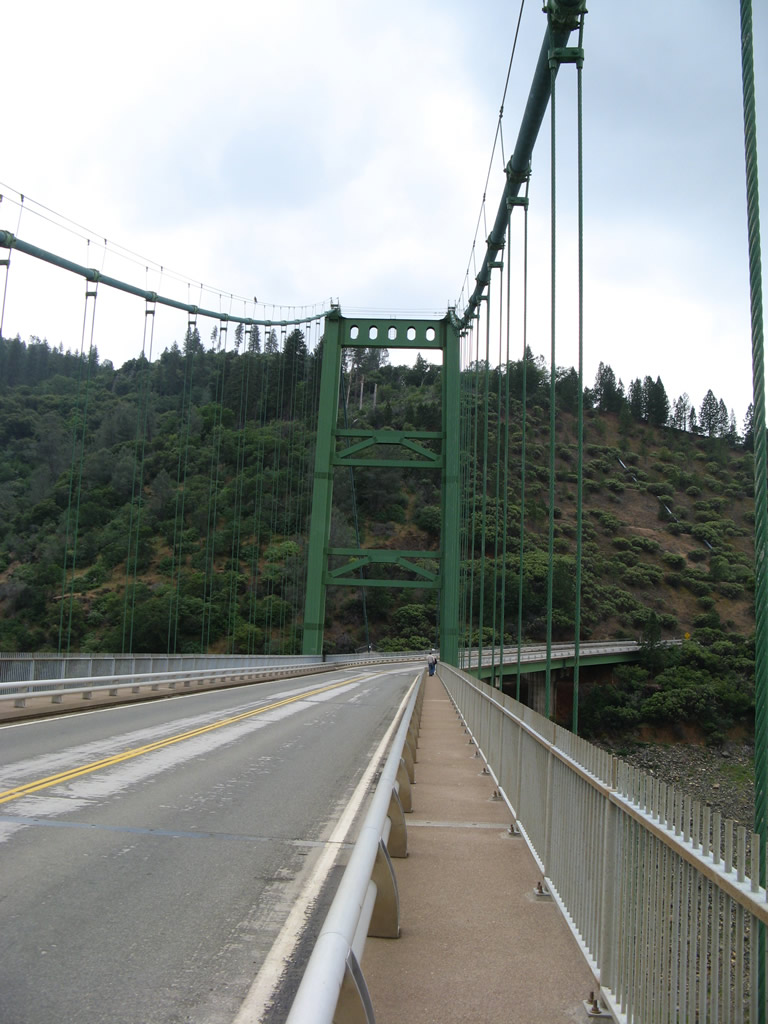
California 162 will cross two major bridges to follow the eastern edge of Lake Oroville. The first bridge is the Canyon Creek Bridge, which is visible at the bottom of this grade. The bridge was built in 1967 and allows California 162 to pass above this branch of Lake Oroville. A second bridge, the Bidwell Bar Bridge (suspension bridge) is a bit further south of here. Photo taken 01/15/06. |
|
Westbound California 162 crosses over the Canyon Creek Bridge, which has two lanes and no shoulders. Photo taken 01/15/06. |
|
Fairly major rock cuts were needed to route California 162 between the Canyon Creek Bridge and the Bidwell Bar Bridge. Photo taken 01/15/06. |
|
|
|
|
|
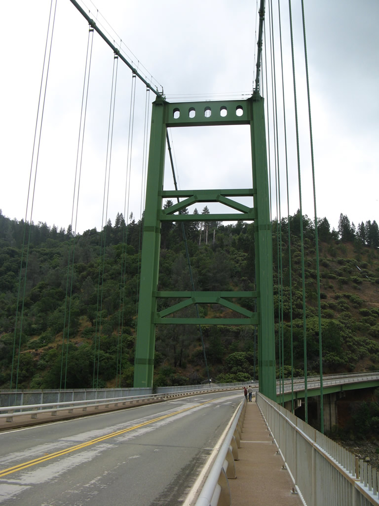
| The Bidwell Bar Bridge carries California 162 over the Middle Fork of the Feather River, which is a branch of sprawling Lake Oroville. This suspension bridge, dedicated on September 25, 1965, carries the two-lane Oroville-Quincy Highway through the state recreation area. The total bridge length is 1,792 feet, and the main span is 1,108 feet. This Bidwell Bar Bridge, which rises to an elevation of 627 feet above the streambed, replaced the original Bidwell Bar Bridge, which crossed the river prior to the construction of the dam and inundation of the site of the original bridge. The original bridge was moved prior to the area being flooded and is now used as part of a walking path at the south side of the lake near a parking lot located at the north end of Bidwell Canyon Road near a marina. Along this "new" suspension bridge, "eastbound" California 162 is actually traveling due north. Photos taken 01/15/06 and 05/24/08. |
|
|
|
|
|
|
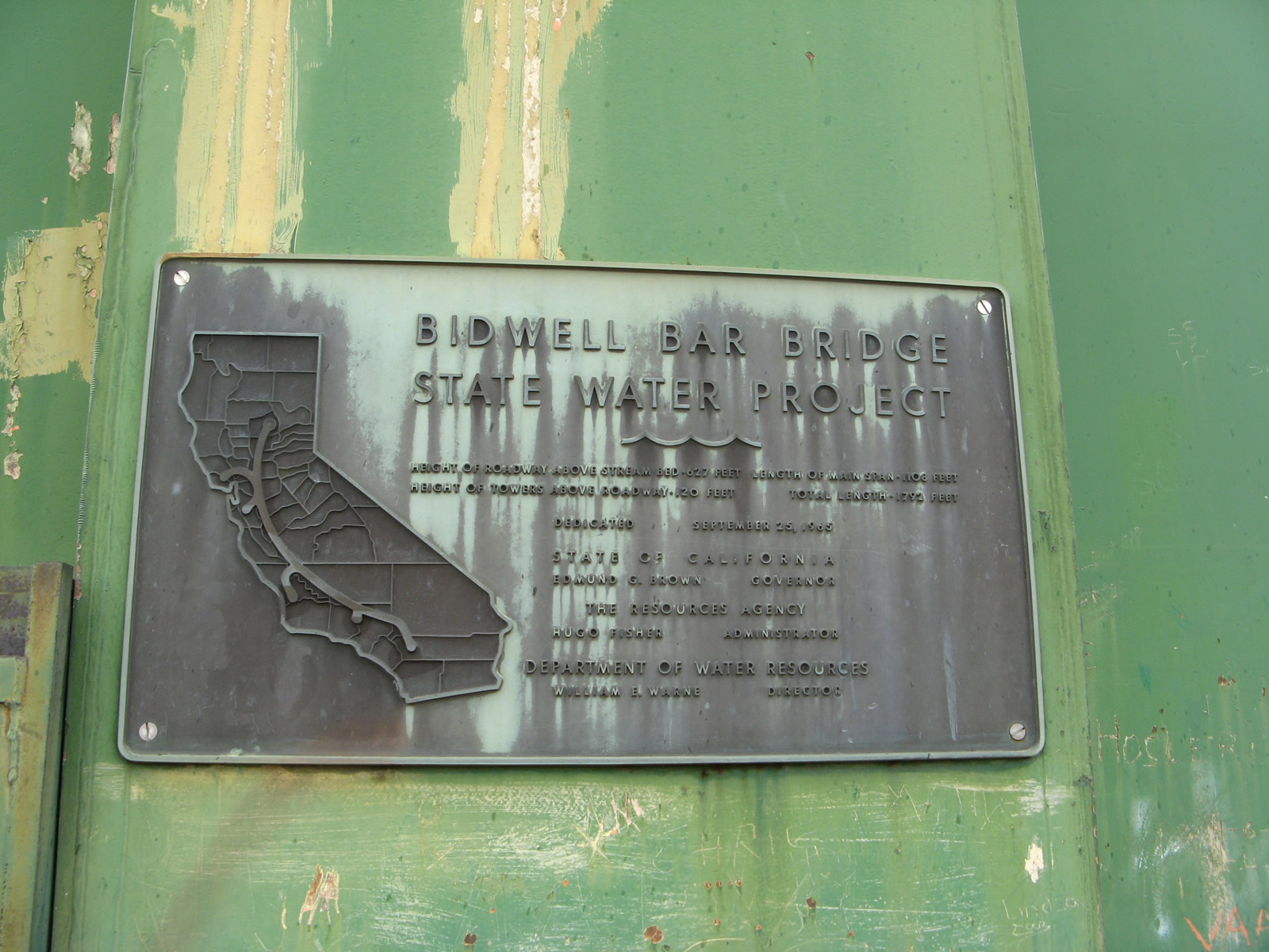
A plaque commemmorating the dedication of the Bidwell Bar Bridge is located at the base of the north suspension tower on the west side (next to the sidewalk). Photo taken 01/15/06. |
|
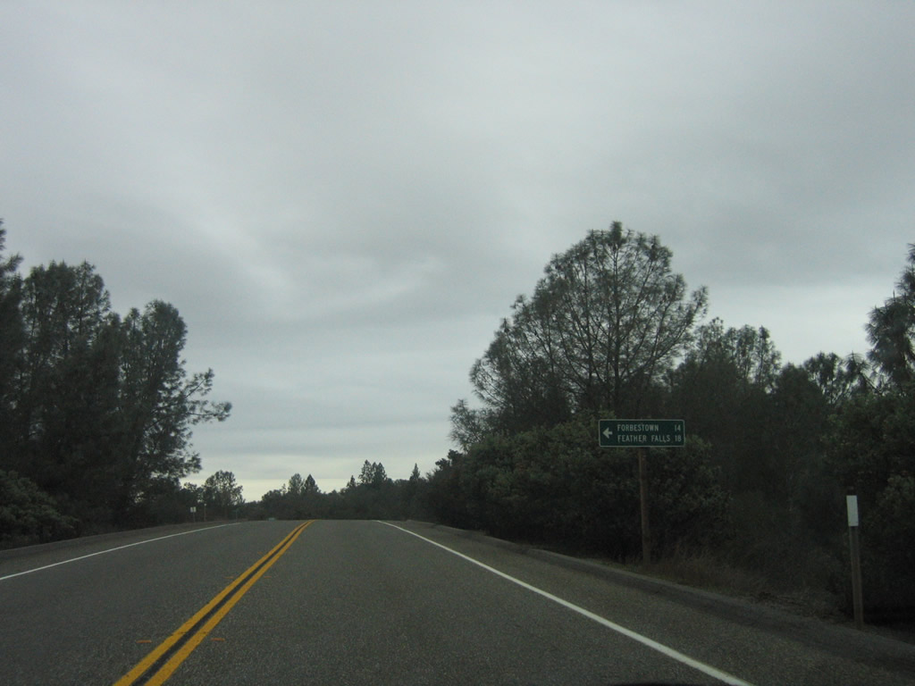
Westbound California 162 approaches the turnoff to Forbestown Road en route to Forbestown (14 miles) and Feather Falls (18 miles). Photo taken 01/15/06. |
|
A California 162 west reassurance shield is posetd after the Forbestown Road intersection. Photo taken 01/15/06. |
|
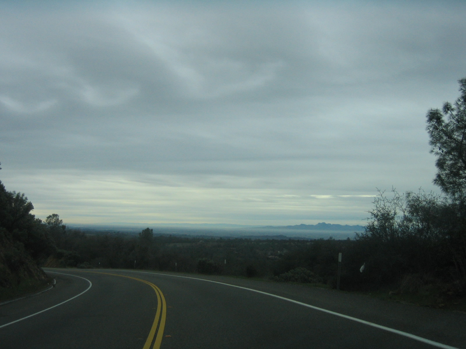
The Sacramento Valley and Sutter Buttes come into view as California 162 loses elevation within the state recreation area. Photo taken 01/15/06. |
|
Westbound California 162 approaches the turnoff to Kelly Ridge Road. Turn right at the next intersection to the Lake Oroville State Recreation Area visitors center. Photo taken 01/15/06. |
|
A bit further ahead, westbound California 162 approaches Butte County B-2/Canyon Drive to Oroville Dam. B-2 connects to the dam, then turns west to follow Oroville Dam Boulevard, Orange Avenue, and Montgomery Street into downtown Oroville. B-2 is mostly unsigned. Photo taken 01/15/06. |
|
A California 162 west reassurance shield is posted after the B-2 intersection. Photo taken 01/15/06. |
|
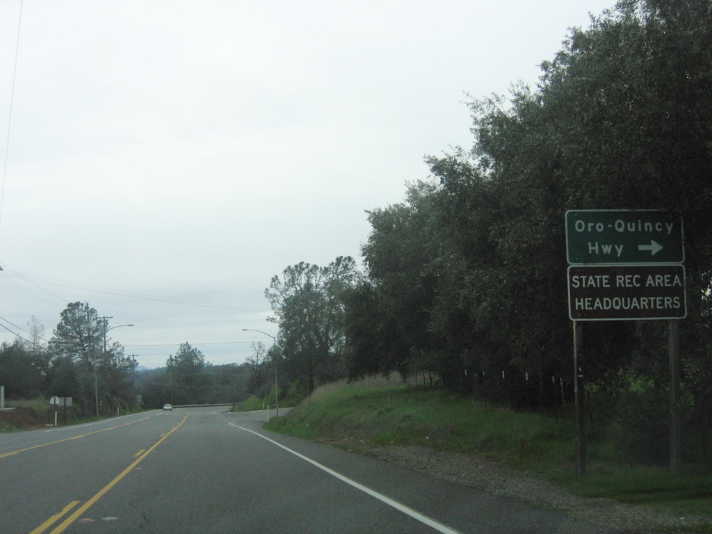
Oroville-Quincy Highway splits away from California 162 at this intersection. California 162 veers left along Olive Highway. Photo taken 01/15/06. |
|
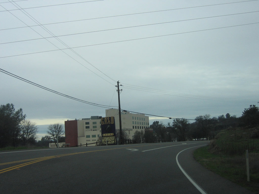
California 162 serves the Gold Country Casino (left turn ahead). Photo taken 01/15/06. |
|
Entering the city of Oroville, California 162 will split from Olive Highway and turn onto Oroville Dam Boulevard. Photo taken 01/15/06. |
|
Westbound California 162 approaches California 70 Business/Myers Street north. Unfortunately, the intersection with California 70 Business is unsigned from this direction. Ahead, California 70 Business will merge onto California 162 (Oroville Dam Boulevard) west. Photo taken 01/15/06. |
| California 70 Business south & 162 west |
|
Soon thereafter, California 162 (Oroville Dam Boulevard) west and California 70 Business south meet Lincoln Street at this intersection. Photo taken 01/15/06. |
|
A California 70 Business reassurance marker is posted after the Lincoln Street intersection. Photo taken 01/15/06. |
|
Westbound California 162 (Oroville Dam Boulevard) and southbound California 70 Business meet Fifth Avenue at this traffic signal. Photo taken 01/15/06. |
|
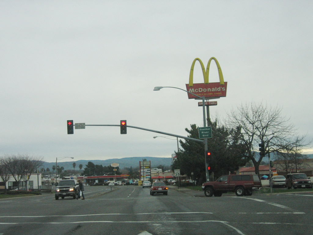
The right lane of California 162 (Oroville Dam Boulevard) west becomes exit only for California 70 north to Chico and Quincy. This marks the western terminus of California 70 Business. Photo taken 01/15/06. |
|
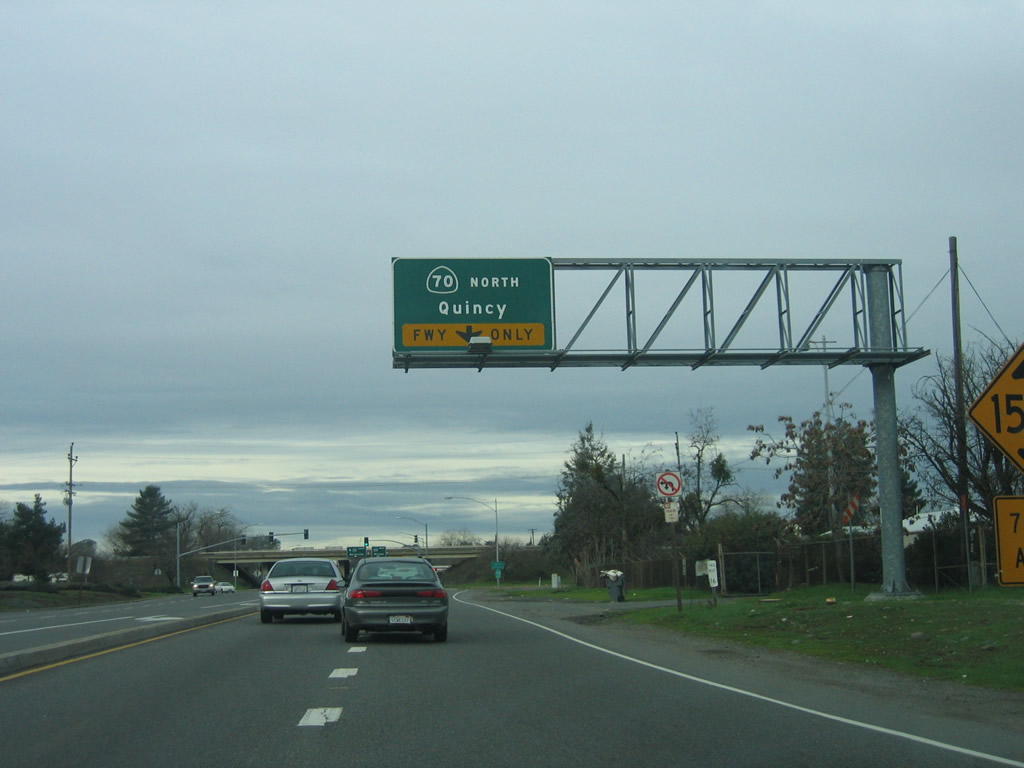
Westbound California 162 (Oroville Dam Boulevard) meets the on-ramp to California 70 north. The next left connects to California 70 south to Marysville, and California 162 itself continues west to Willows. Photo taken 01/15/06. |
| California 162 west |
|
|
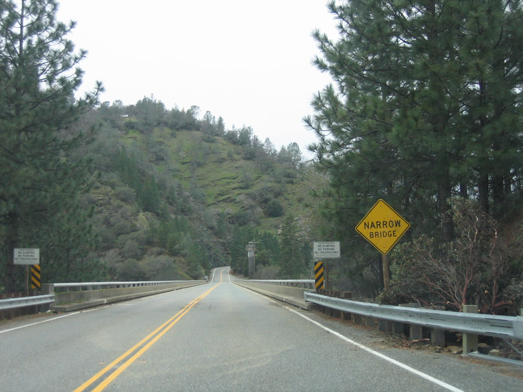
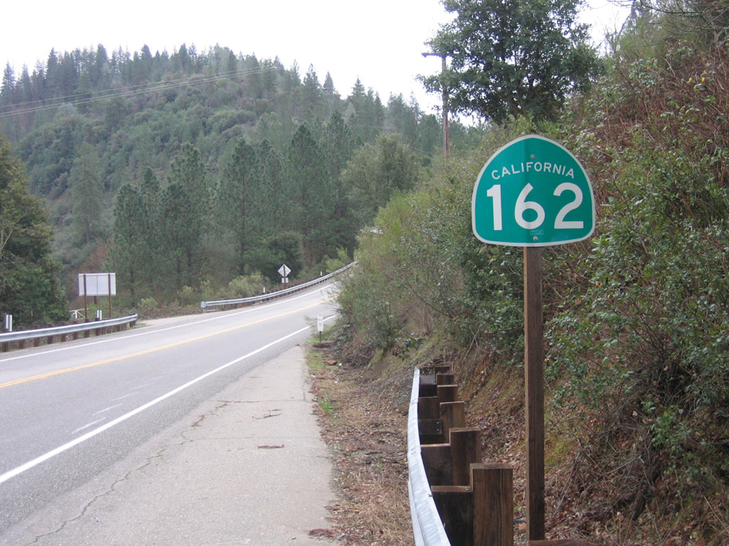
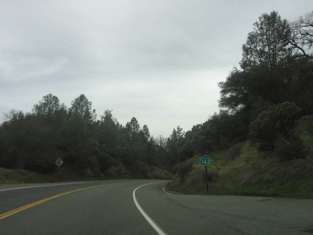
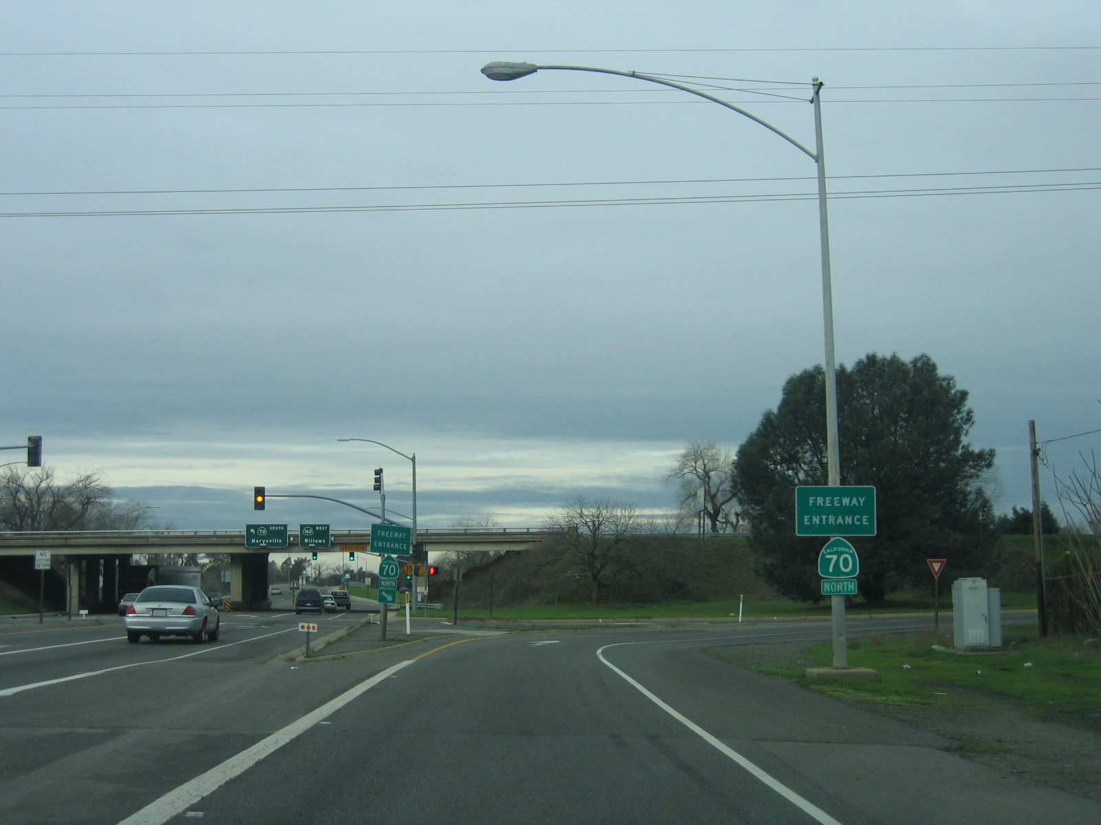
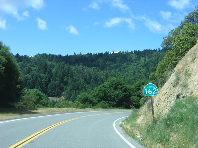
The first shield for California 162 west in Mendocino County is posted here, at the Short Creek bridge along Mendocino Pass Road. California 162 travels west to Covelo, turns south to cross the Poonkinny Ridge, crosses the ridge in a westerly direction to Dos Rios, then aims south and west to meet U.S. 101 near Longvale alongside the Middle Fork of the Eel River. Photos taken 05/26/06. |
|
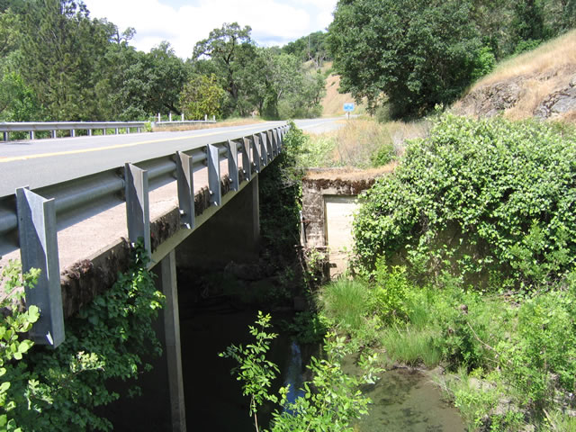
This view shows the underside of the 1962 Short Creek bridge along California 162 west. Remnants of an older bridge approach can be seen. Photo taken 05/26/06. |
|
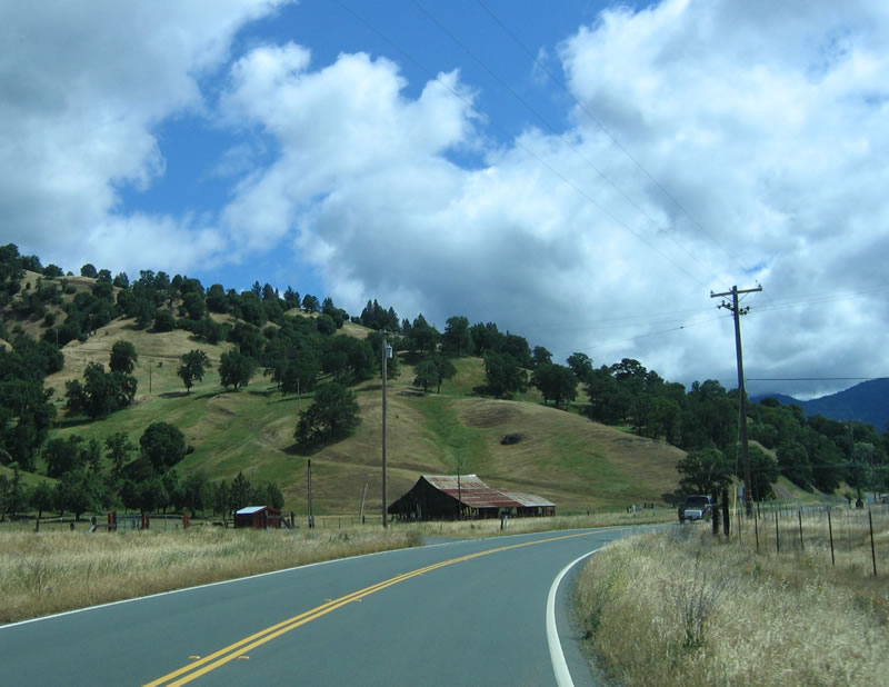
Entering Round Valley, California 162 assumes a rural/agricultural feel. Round Valley is surrounded on all sides by mountains and ridges: Poonkinny Ridge to the south, Bluenose Ridge to the northeast, Dingman Ridge to the southeast, and Round Mountain to the south. Photo taken 05/26/06. |
|
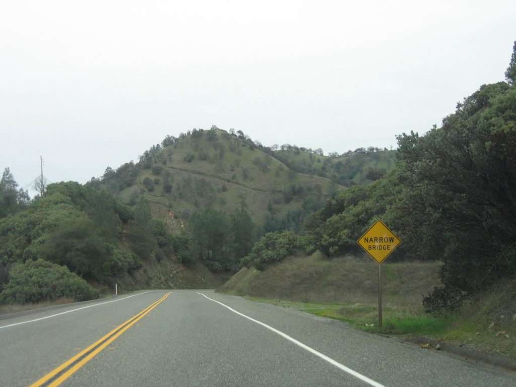
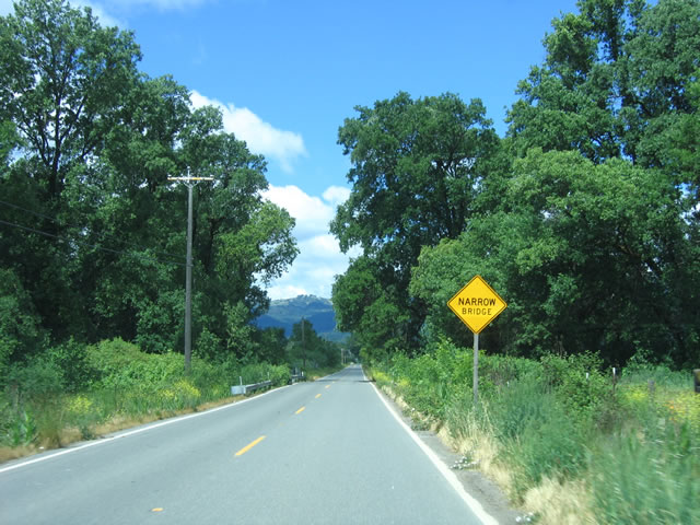
A narrow bridge sign is posted as westbound California 162 approaches Mina Road. Photo taken 05/26/06. |
|
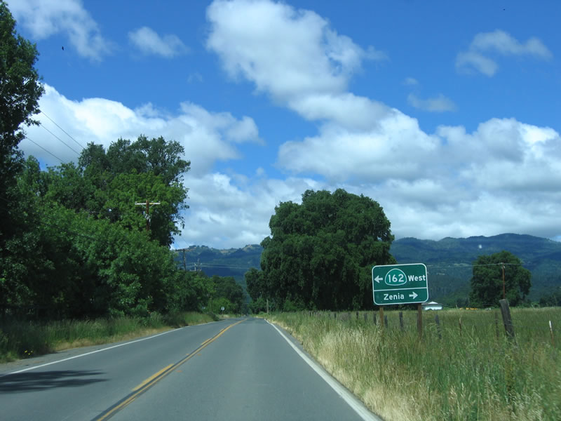
At Mina Road, westbound California 162 will turn south, and Mendocino Pass Road will come to its end. Use Mina Road north to Zenia. Photo taken 05/26/06. |
|
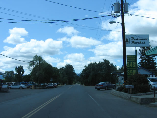
California 162 travels south through the town of Covelo, passing by downtown shops and gas station. Photo taken 05/26/06. |
|
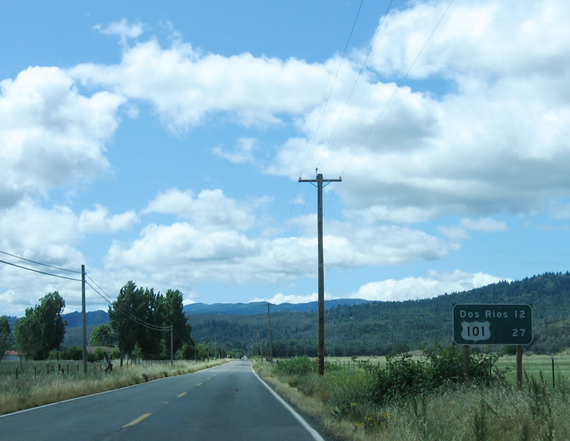
Upon leaving Covelo, a mileage sign provides the distance to Dos Rios (12 miles) and U.S. 101 (27 miles). Photo taken 05/26/06. |
|
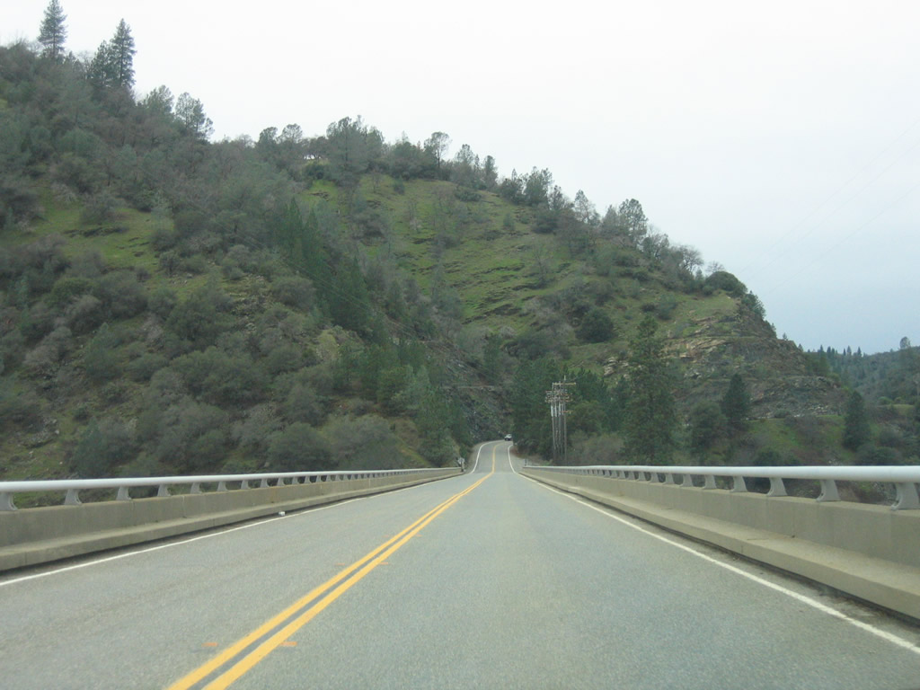
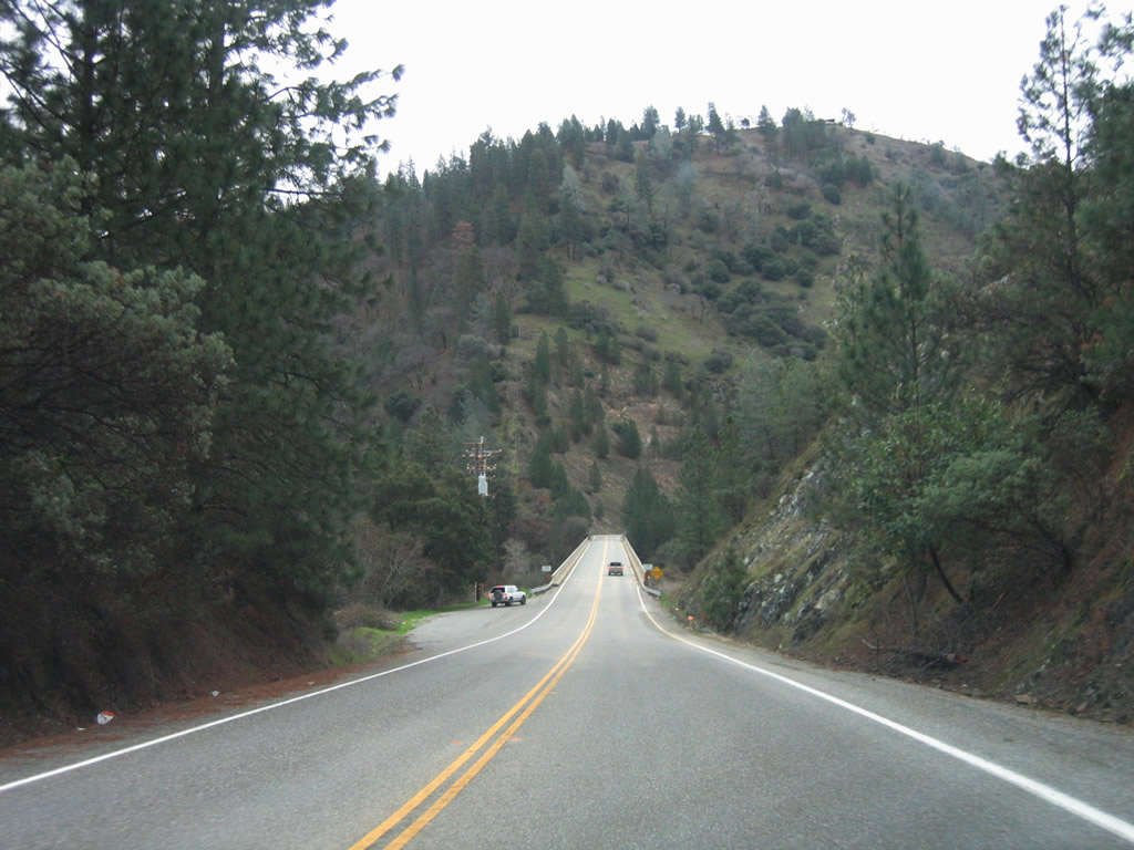
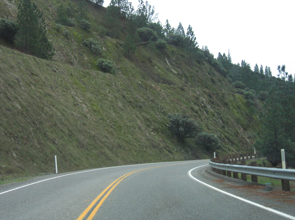
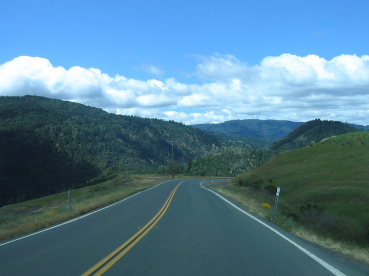
The straight-as-an-arrow California 162 will soon have lots of curves and twists as it prepares to leave Long Valley and ascend Poonkinny Ridge. Photo taken 05/26/06. |
|
|
|
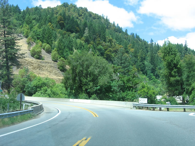
Traveling over the Poonkinny Ridge, California 162 has lots of switchbacks and curves. Traffic can be busy, since this is the only road connecting Covelo to the rest of the state during most months (except summer). Photos taken 05/26/06. |
|
|
|
|
|
Westbound California 162 approaches Laytonville-Dos Rios Road at the Dos Rios cutoff. This route was not open at the time this picture was taken. Photos taken 05/26/06. |
|
California 162 west crosses the Middle Fork of the Eel River. Photo taken 05/26/06. |
|
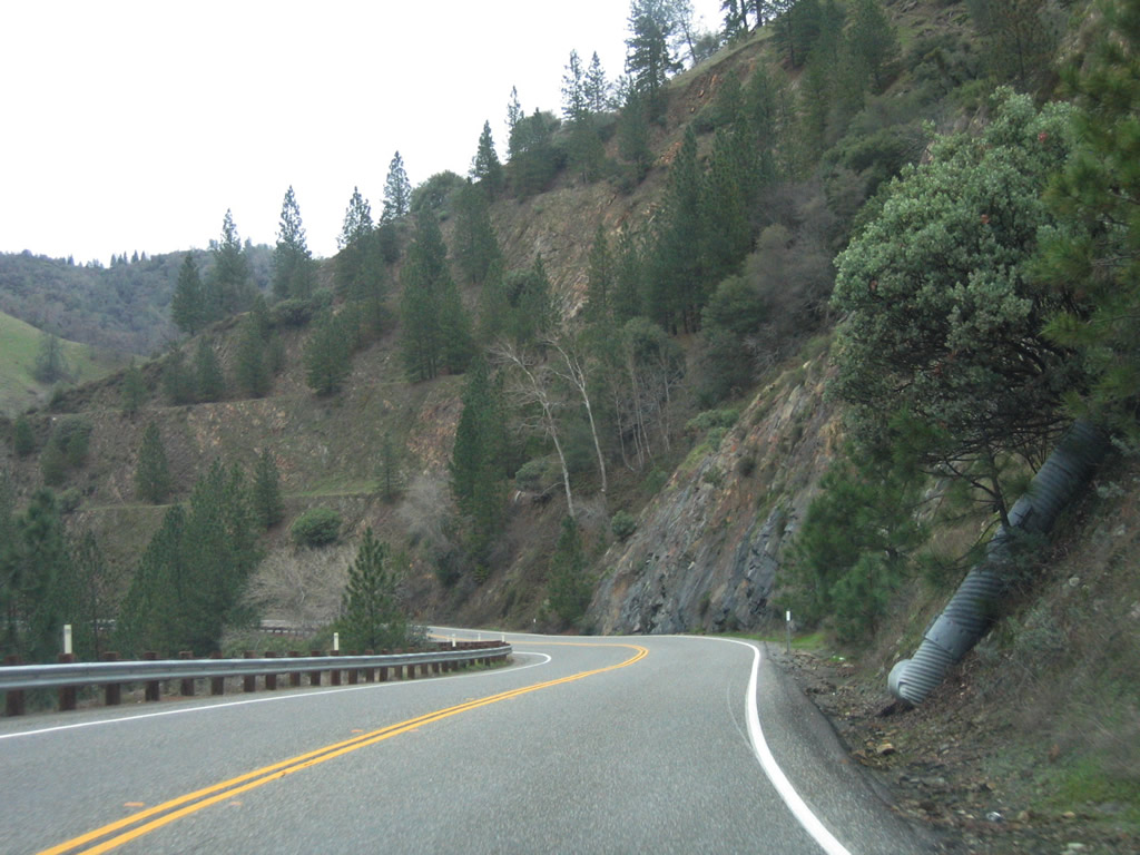
Views of the Eel River, such as this one, can be fantastic. Photo taken 05/26/06. |
|
Westbound California 162 crosses the Rodeo Creek bridge (1940) near Postmile 10.08. Photo taken 05/26/06. |
|
|
Continuing west, California 162/Covelo Road again crosses the Middle Fork of the Eel River on this bridge. California 162 sees multiple Eel River crossings along the Covelo Road segment. Photos taken 05/26/06. |
|
The last bridge on westbound California 162 carries the state highway over the Long Valley Creek (built in 1995). Photo taken 05/26/06. |
|
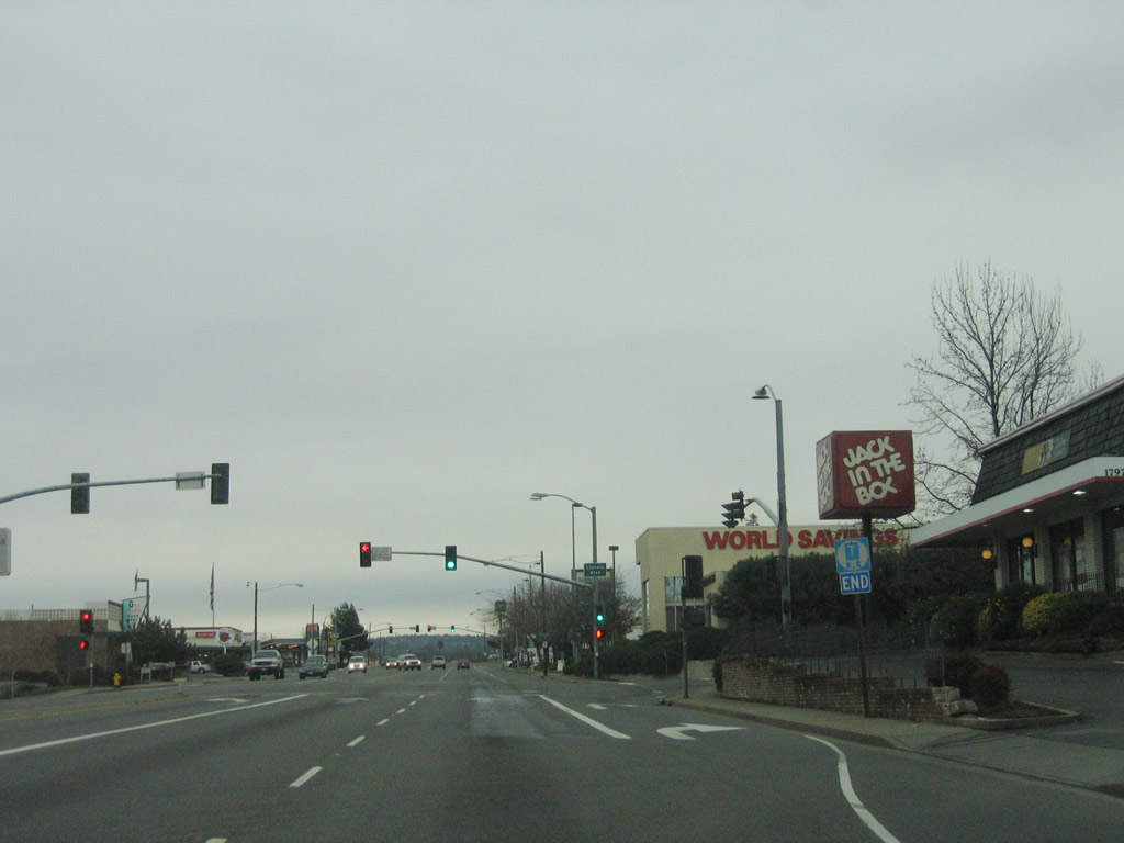
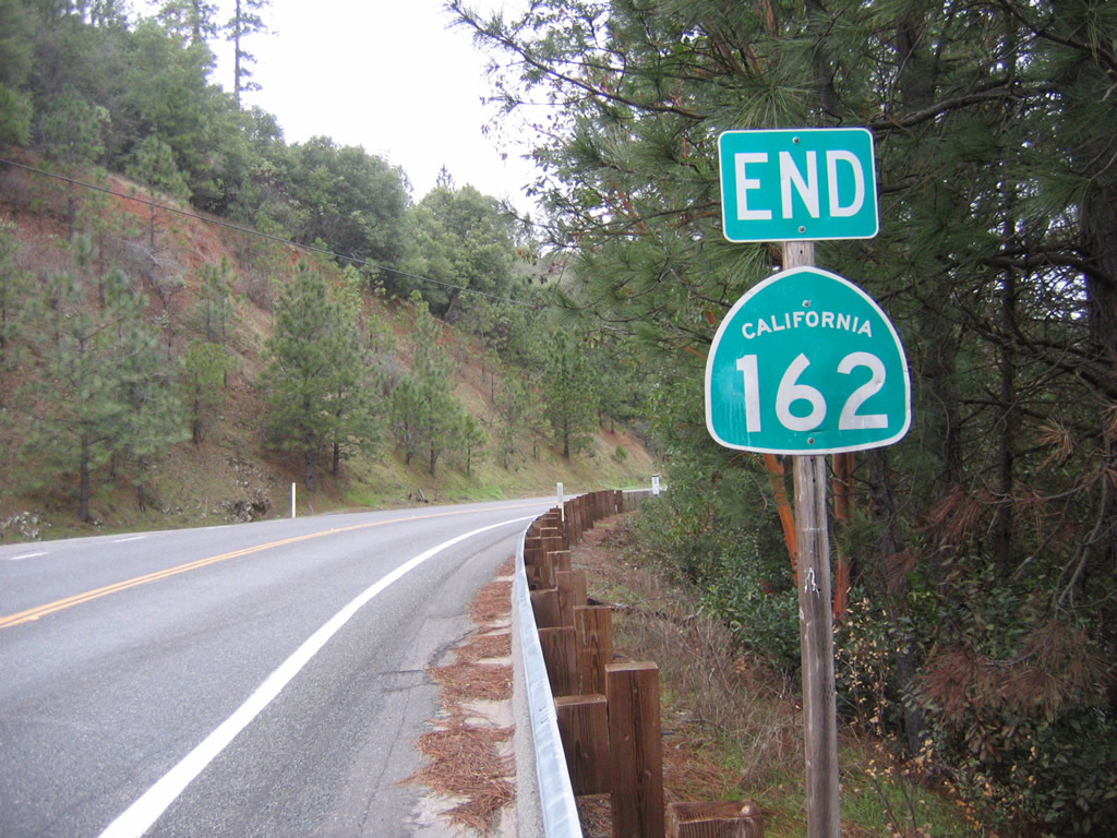
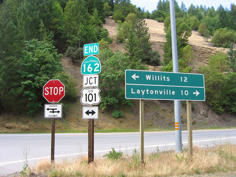
California 162 is signed to end at its intersection with U.S. 101. Turn north on U.S. 101 to Laytonville or south to Willits. Photo taken 05/26/06. |
| California 162 scenes |
|
|
|
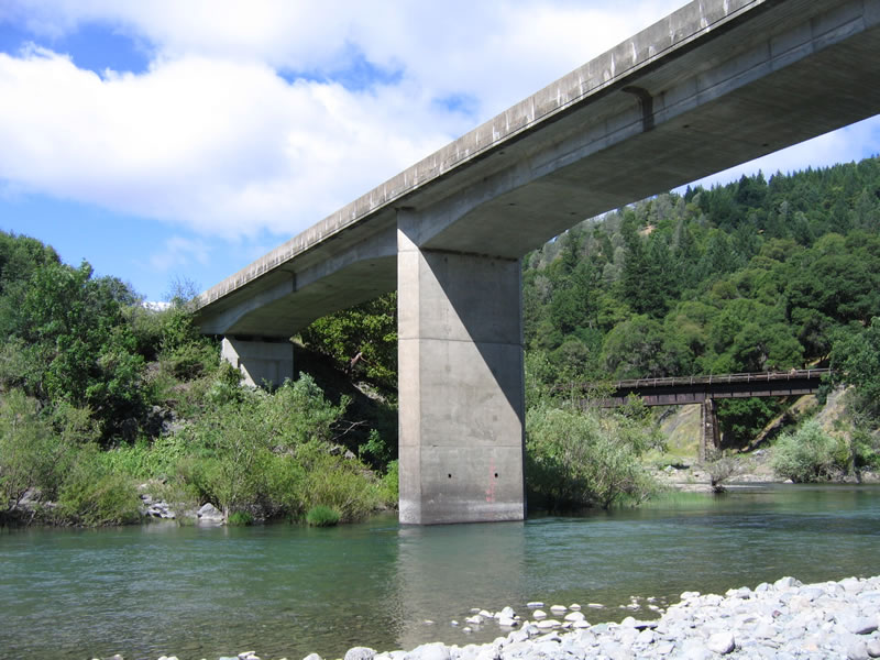
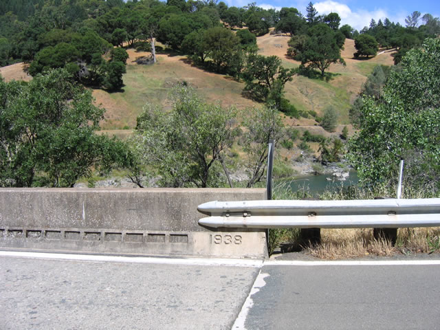
This 1938 bridge carries California 162 over the Eel River (note the date stamp embedded in the concrete curb on the bridge). These views also show the bridge from above and below the bridge deck. Photos taken 05/26/06. |
|
|
|
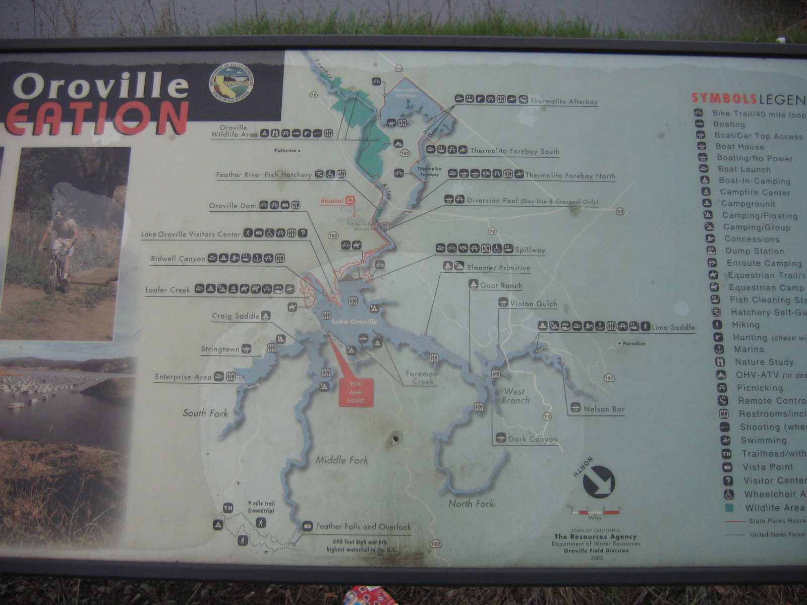
These storyboards tell the tale of Lake Oroville. They are located at the small turnout located at the north end of the Bidwell Bar Bridge. Photos taken 01/15/06. |
|
|
|
|
|
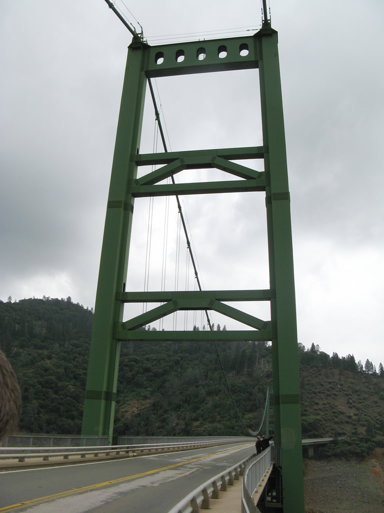
| This series of pictures shows some scenery shots of the new Bidwell Bar Bridge, which was dedicated on September 25, 1965. This suspension bridge was needed once Oroville Dam was built, as the new Lake Oroville would overwhelm and inundate the original Bidwell Bar Bridge. The total bridge length is 1,792 feet, and the main span is 1,108 feet. This Bidwell Bar Bridge, which rises to an elevation of 627 feet above the streambed, replaced the original Bidwell Bar Bridge, which crossed the river prior to the construction of the dam and inundation of the site of the original bridge. The original suspension bridge is historic as it dates back to the 1850s. Photos taken 05/24/08. |
|
|
|
|
|
Page Updated January 6, 2012.