
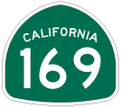
California 169
California 169 is a planned route from U.S. 101 to California 96 parallel to the Klamath River. The route has been constructed at each end, but a large gap exists in the middle (due to difficulty in building the road next to the sizeable Klamath River). As a result, the northern branch connects U.S. 101 with the community of Klamath Glen, while the southern branch extends from California 96 to Johnsons along Martins Ferry Road.
| California 169 (Northern Segment) east | |
|---|---|
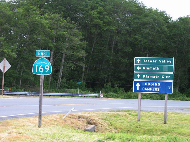 |
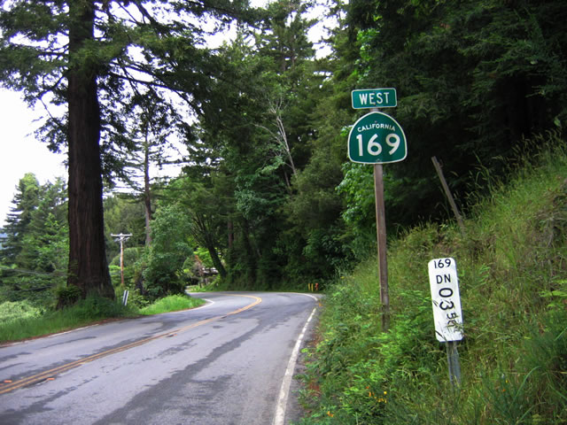
This is the first shield for California 169 after leaving U.S. 101 Exit 769. This short section of California 169 acts as a spur route, leading southeast to Klamath and Klamath Glen along the north bank of the Klamath River. California 169 is a split route, with this section traveling only to Klamath Glen, and another section follows the river along Martins Ferry Road from California 96 (at Weitchpec) northwest to Johnsons. The missing link is unlikely to be built due to the terrain and proximity to the river. Nevertheless, both extant sections are signed as California 169, and proposed route is shown on the state official maps between Johnsons and Klamath Glen (despite the fact it is very unlikely to be built). Photo taken 05/26/06. |
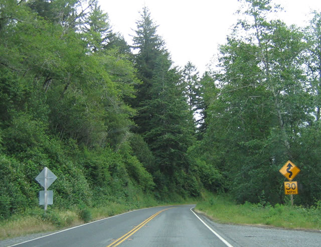 |
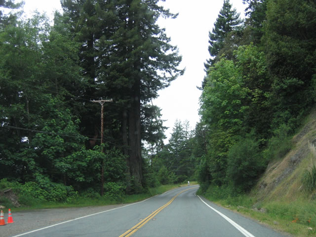
California 169 is only two lanes wide with no divided highway segments or extra lanes. The route stays close to the river and is narrow. Photo taken 05/26/06. |
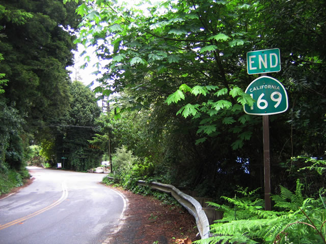 |
The eastern end of the northern segment of California 169 is signed with an end shield as California 169 enters Klamath Glen. The road itself dead ends shortly after state maintenance ends, as there is no connection to Johnsons upstream. Photo taken 05/26/06. |
| California 169 (Northern Segment) west | |
|---|---|
 |
Leaving Klamath Glen, this is the first reassurance shield along westbound California 169. As noted on the postmile, the route is only 3.5 miles long. Photo taken 05/26/06. |
 |
California 169 is a narrow, two-lane highway that has driveways and other access point along its short route. Photo taken 05/26/06. |
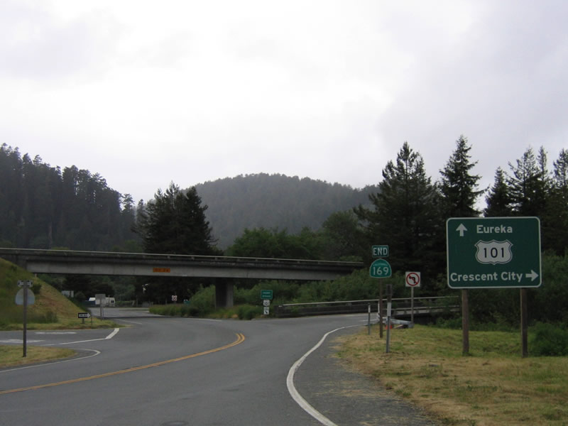 |
An end shield for California 169 is posted at the Exit 769 interchange with U.S. 101. Continue straight ahead to the old town Klamath site or turn north on U.S. 101 to Crescent City or south on U.S. 101 to Arcata and Eureka. Photo taken 05/26/06. |
| California 169 scenes | |
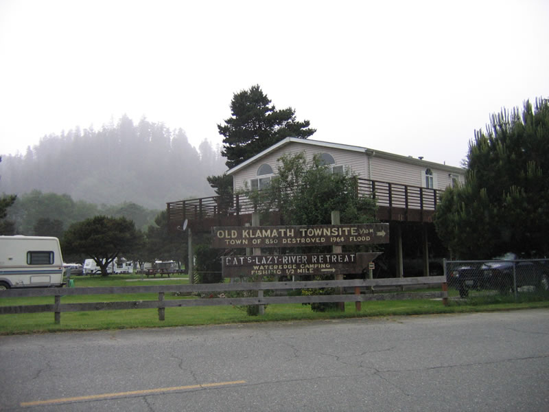 |
The town of Klamath specifically was affected by the 1964 floods (which was last discussed in context of Humboldt Redwoods State Park) when the entire downtown was washed away by floodwaters. The town relocated from its original location on the north bank of the Klamath River west of U.S. 101 to a new location west of U.S. 101 on higher ground. The incredible 1964 flood, which also caused havoc along the Eel River, caused the Klamath River to wipe away most of the town of Klamath as well as the bridge that carried U.S. 101 over the river. The 1964 brought the highest recorded level of 55.2 feet, and it carried logs and debris down river, slamming into the former U.S. 101 bridge with such force that the bridge was completely destroyed. Today, remnants of the bridge approach and the former downtown of Klamath can be seen at Exit 769 (California 169 to Klamath and Terwer Valley) from U.S. 101, then turning west on Chapman Street, then turning west again on Alder Camp Road. Alder Camp Road enters a wide section of road, which was the old village of Klamath. Remnant foundations, sidewalks, and other trappings of the old downtown can still be seen, but most remnants are now gone. It is very difficult to get to the north end of the old U.S. 101 bridge that was destroyed in 1964, but it can be seen through a thicket of trees and brush. Photo taken 05/26/06. |

Page Updated February 3, 2007.
|
About Contact Glossary |
In The News Testimonials Interstate Guide |
Social Media:
 |
|
© 2000-23 AARoads.com | All Rights Reserved | Privacy Policy / Terms of Use
|
||