
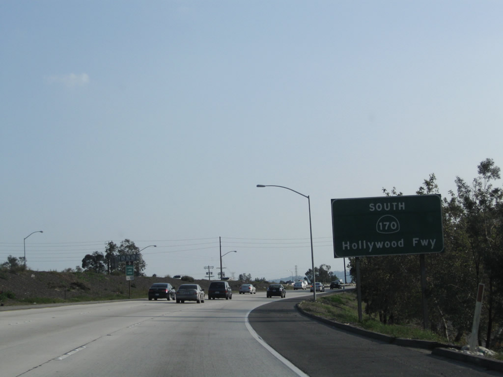
California 170
California 170 consists of three separate yet distinct routes: (1) an unconstructed freeway between Los Angeles International Airport (LAX) and California 90 (Marina Freeway) (southern segment of the Laurel Canyon Freeway - see below), (2) Highland Avenue from California 2 (Santa Monica Boulevard) through Hollywood to U.S. 101 (Hollywood Freeway) Exit 9C (scheduled for turnover to the city of Los Angeles in 2007), and (3) the Hollywood Freeway between U.S. 101 & California 134 and Interstate 5. Only the third segment is actively signed as California 170; the other two segments have been turned over to local maintenance or have never been constructed. Had the state built La Cienega Boulevard south of Interstate 10, it likely would have become part of the third, southernmost segment of California 170. All of California 170 is within the city limits of Los Angeles.
History
The northern segment of the Hollywood Freeway (California 170) was built in stages through the 1960s as listed in the Caltrans District 7 Bridge Log:
- U.S. 101 to Magnolia Boulevard - 1962
- Magnolia Boulevard to Victory Boulevard - 1966
- Victory Boulevard to Interstate 5 - 1968
| California 170 (Highland Avenue) north | |
|---|---|
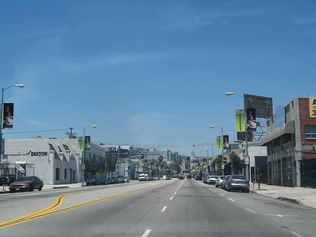 |
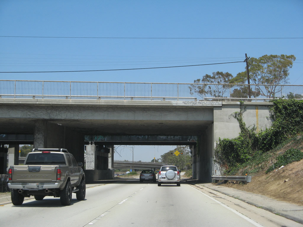
California 170 begins as a city street north of California 2 (Santa Monica Boulevard) (Old U.S. 66). The state route is not signed as such and is known as Highland Avenue as it travels north through the Hollywood community of the city of Los Angeles. Photo taken 07/01/07. |
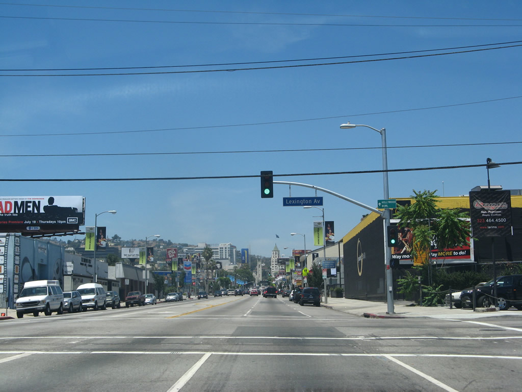 |
Northbound California 170 (Highland Avenue) meets Lexington Avenue at this traffic signal. Photo taken 07/01/07. |
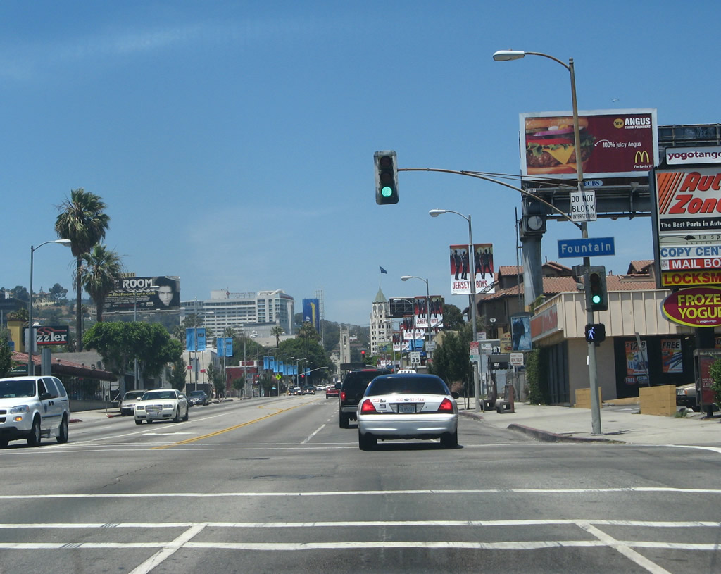 |
One block north, California 170 (Highland Avenue) meets Fountain Avenue at this traffic signal. Photo taken 07/01/07. |
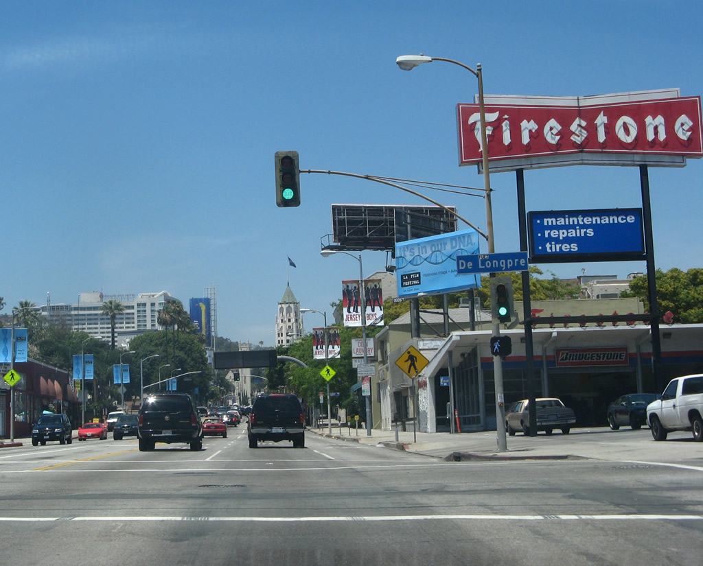 |
The next signalized intersection along California 170 (Highland Avenue) north is with DeLongpre Avenue. Photo taken 07/01/07. |
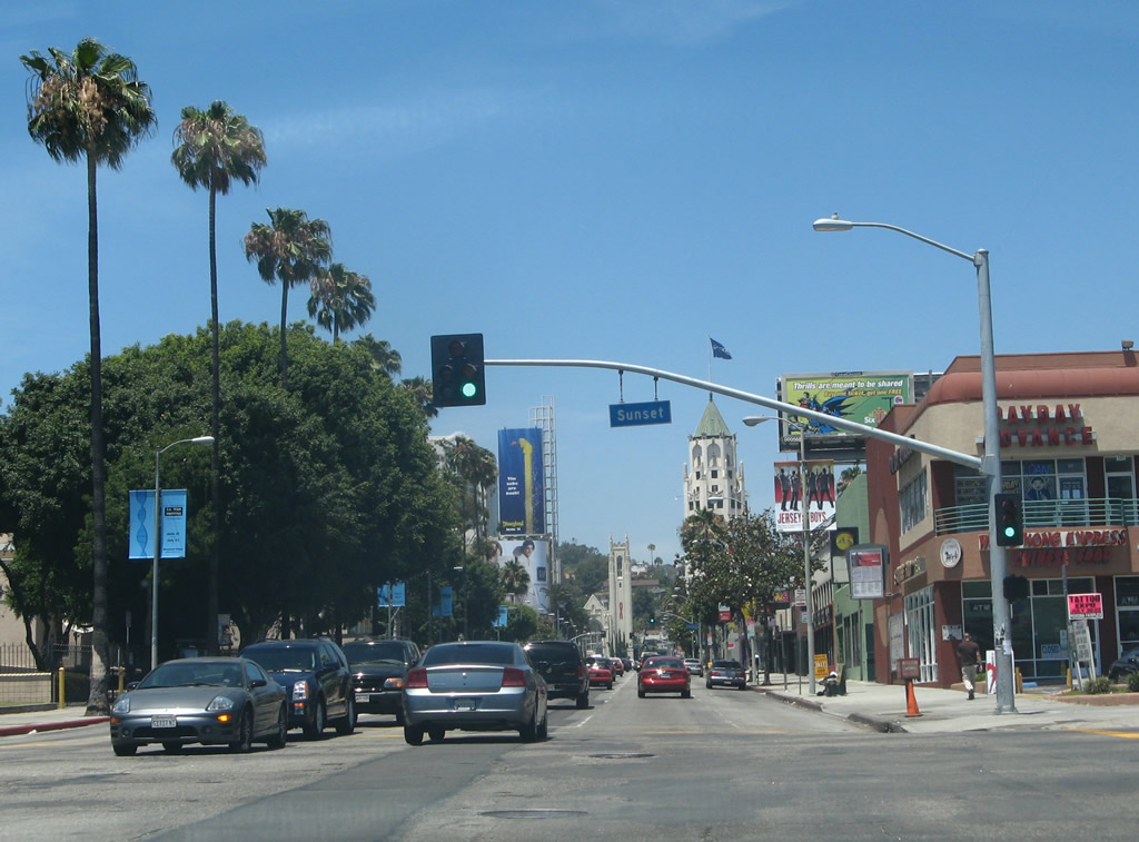 |
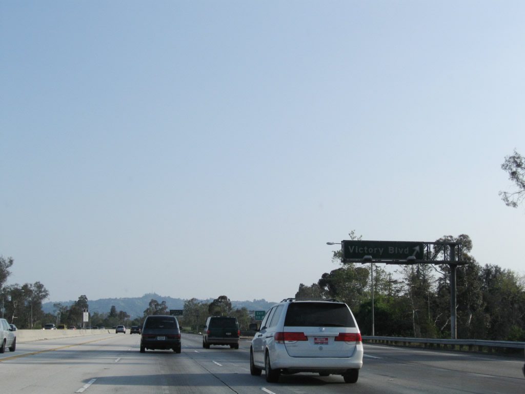
Northbound California 170 (Highland Avenue) meets Sunset Boulevard at this traffic signal. Photo taken 07/01/07. |
 |
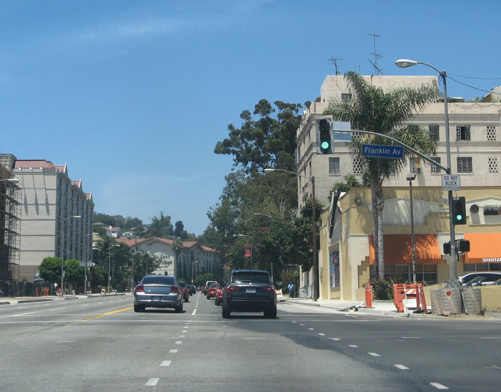
One block north, California 170 (Highland Avenue) meets Selma Avenue at this traffic signal. Photo taken 07/01/07. |
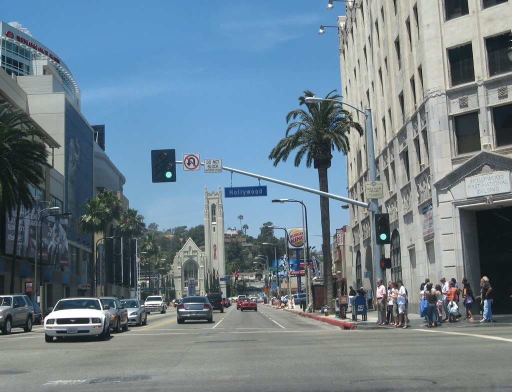 |
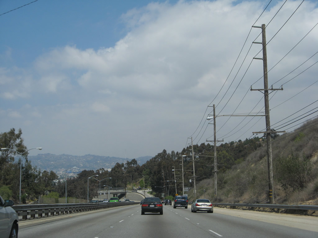
The next signalized intersection along California 170 (Highland Avenue) is with Hollywood Boulevard. Most major Hollywood attractions are located just west of the Highland and Hollywood intersection. Photo taken 07/01/07. |
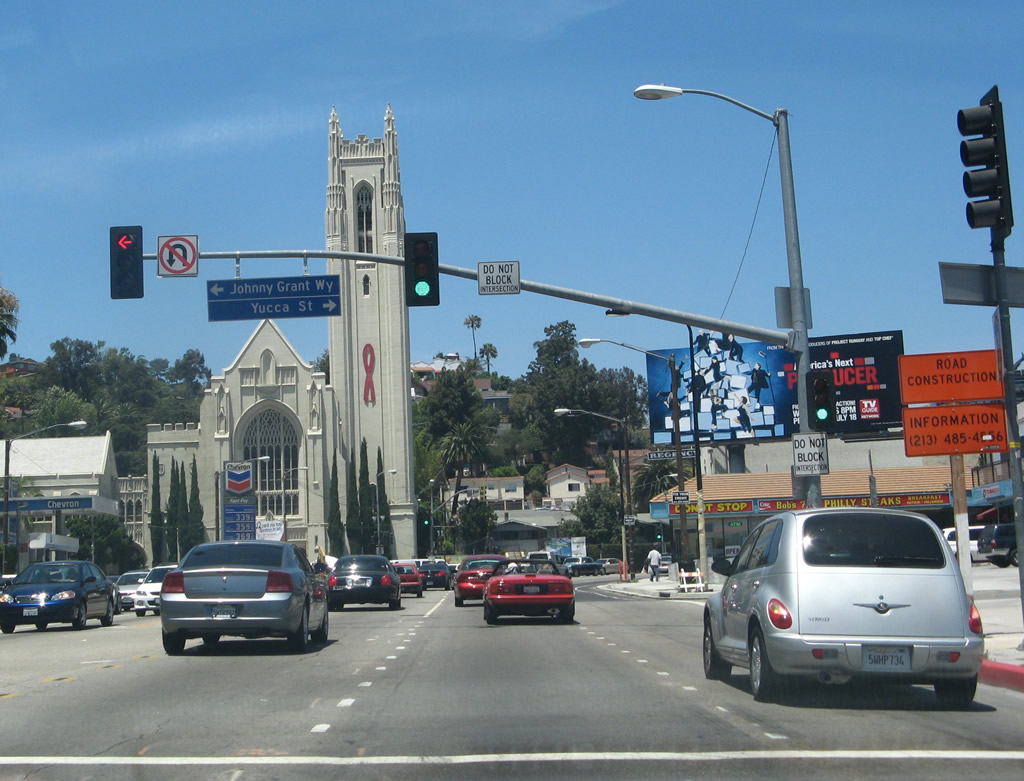 |
Northbound California 170 (Highland Avenue) meets Yucca Street at this traffic signal. Photo taken 07/01/07. |
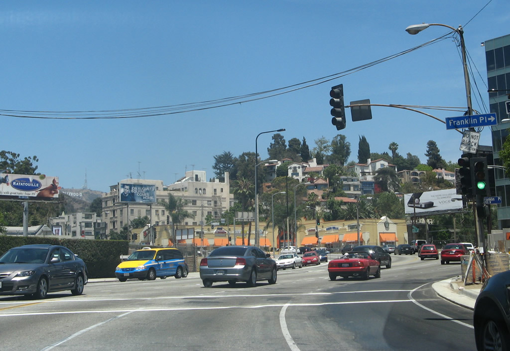 |
The world-famous HOLLYWOOD sign comes into view on the hillside behind a church near the Franklin Place intersection. Photo taken 07/01/07. |
 |
At the intersection with Franklin Avenue, turn right to U.S. 101 (Hollywood Freeway) south or continue straight to follow California 170 (Highland Avenue) north to the Hollywood Freeway north. Photo taken 07/01/07. |
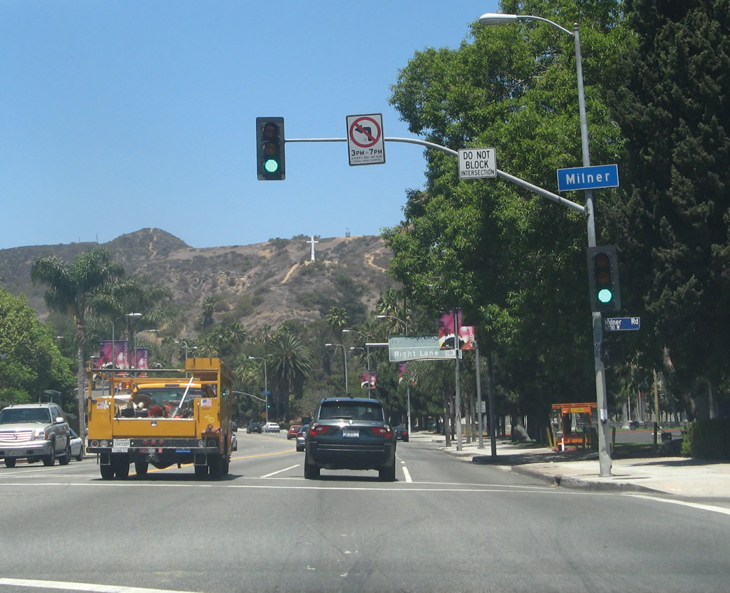 |
Northbound California 170 (Highland Avenue) meets Milner Road at this traffic signal. Photo taken 07/01/07. |
 |
An old U.S. 101 overhead guide sign is posted along northbound California 170 (Highland Avenue) prior to the Odin Street traffic signal. Photo taken 07/01/07. |
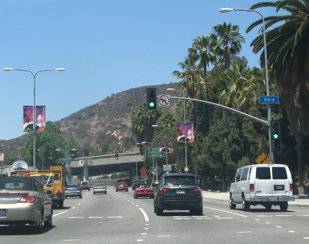 |
Northbound California 170 (Highland Avenue) meets Odin Street at this traffic signal. Photo taken 07/01/07. |
 |
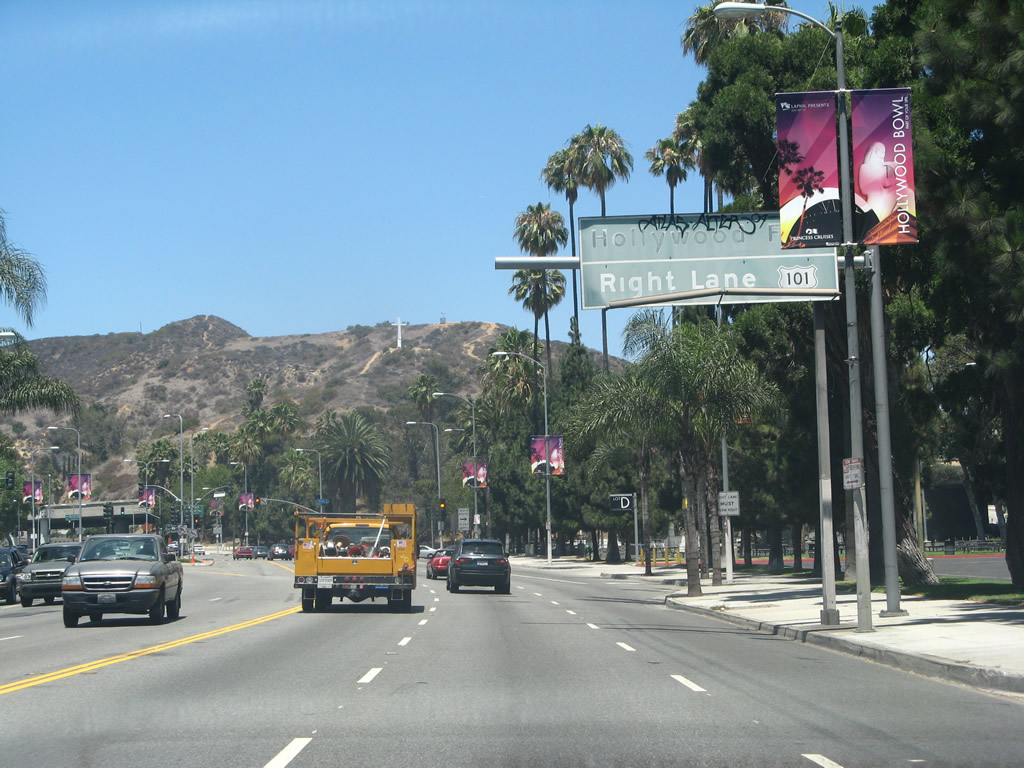
The final traffic signal along northbound California 170 (Highland Avenue) is with Pat Moore Way northwest to the Hollywood Bowl. Turn right here for the freeway entrance to U.S. 101 south. Photo taken 07/01/07. |
 |
California 170 splits at this point. Stay left to follow Highland Avenue north onto Cahuenga Boulevard or stay right to merge onto U.S. 101 (Hollywood Freeway) north to the San Fernando Valley. Photo taken 07/01/07. |
 |
Two lanes of California 170 (Highland Avenue) merge directly onto U.S. 101 north; they become the left two lanes of the Hollywood Freeway. To continue north on California 170, stay left until the routes divide at the Ventura Freeway interchange. Photo taken 07/01/07. |
| Route Break along U.S. 101 (Hollywood Freeway) | |
| California 170 (Hollywood Freeway) north | |
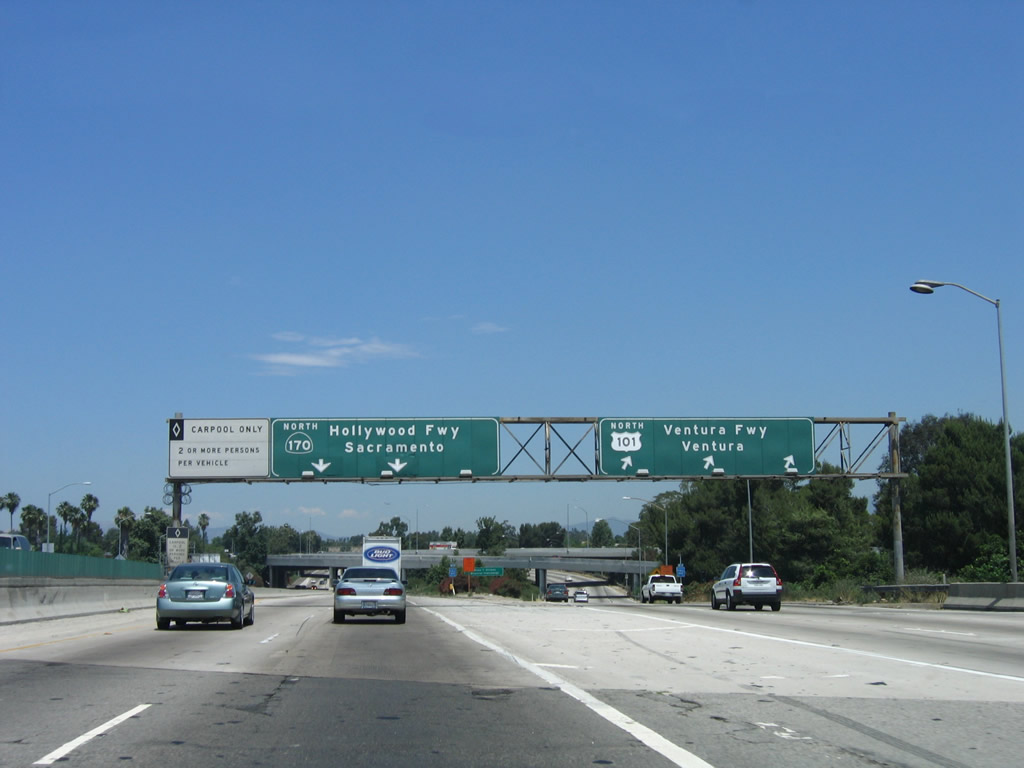 |
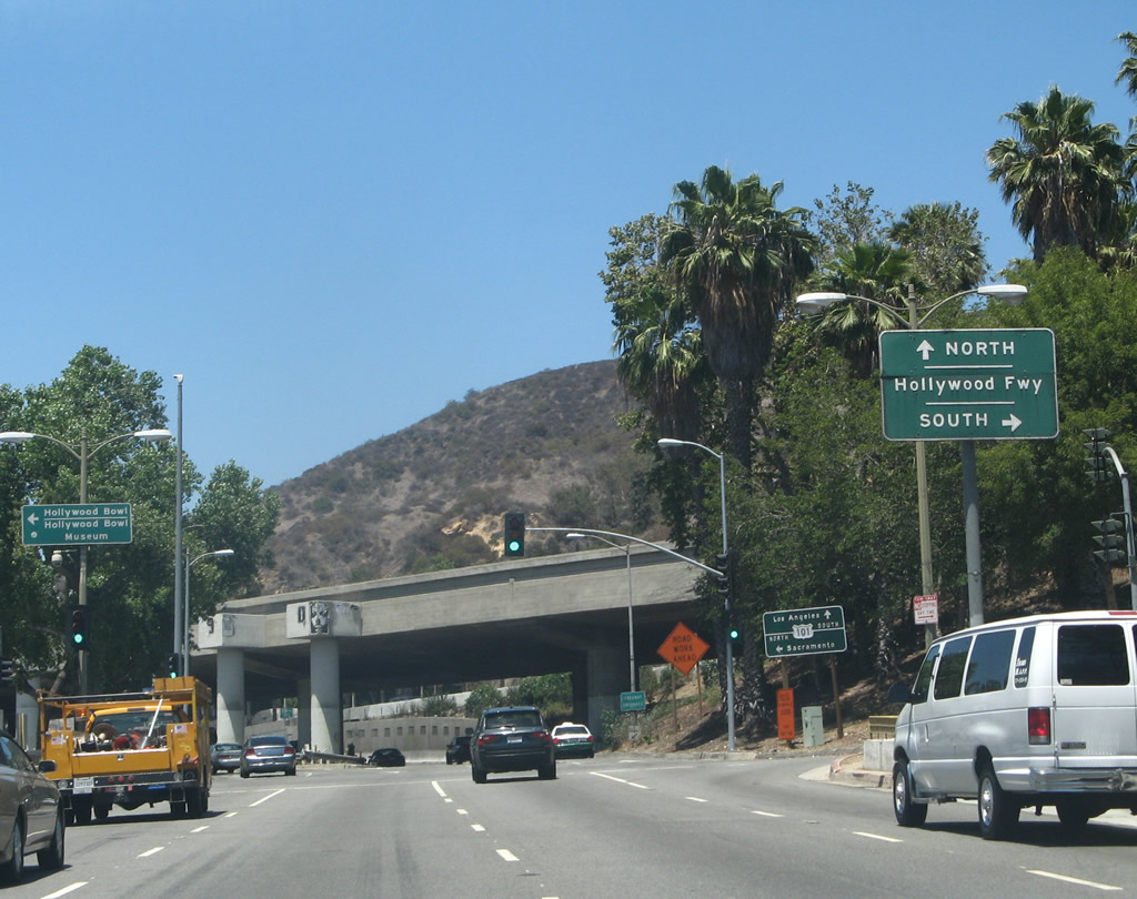
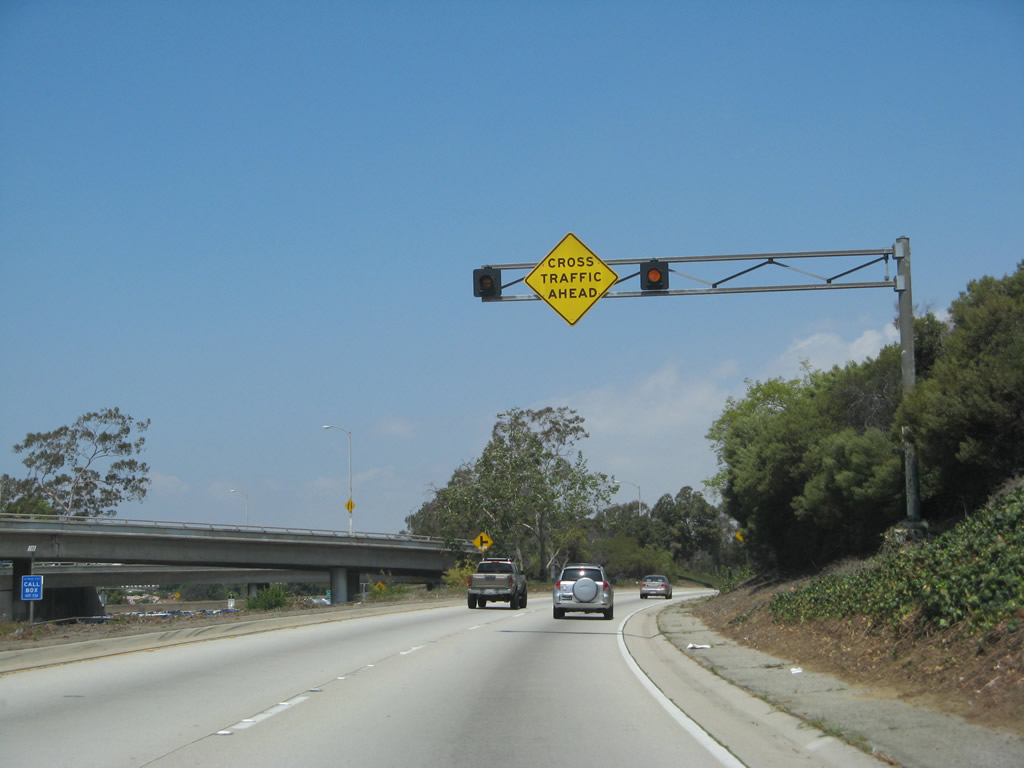
California 170 and U.S. 101 split just north of Universal City at the Hollywood Split interchange. Stay left to follow California 170 (Hollywood Freeway) north to Interstate 5 north to Sacramento or stay right to remain on U.S. 101 north via the Ventura Freeway to Ventura, Santa Barbara, and San Luis Obispo. Photo taken 06/28/06. |
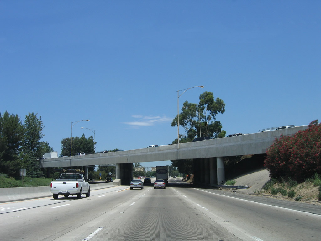 |
As California 170 north passes under the transition ramp to U.S. 101 (Ventura Freeway), a high occupancy vehicle lane begins. This lane will remain for the entire length of the California 170 freeway. Photo taken 06/28/06. |
 |
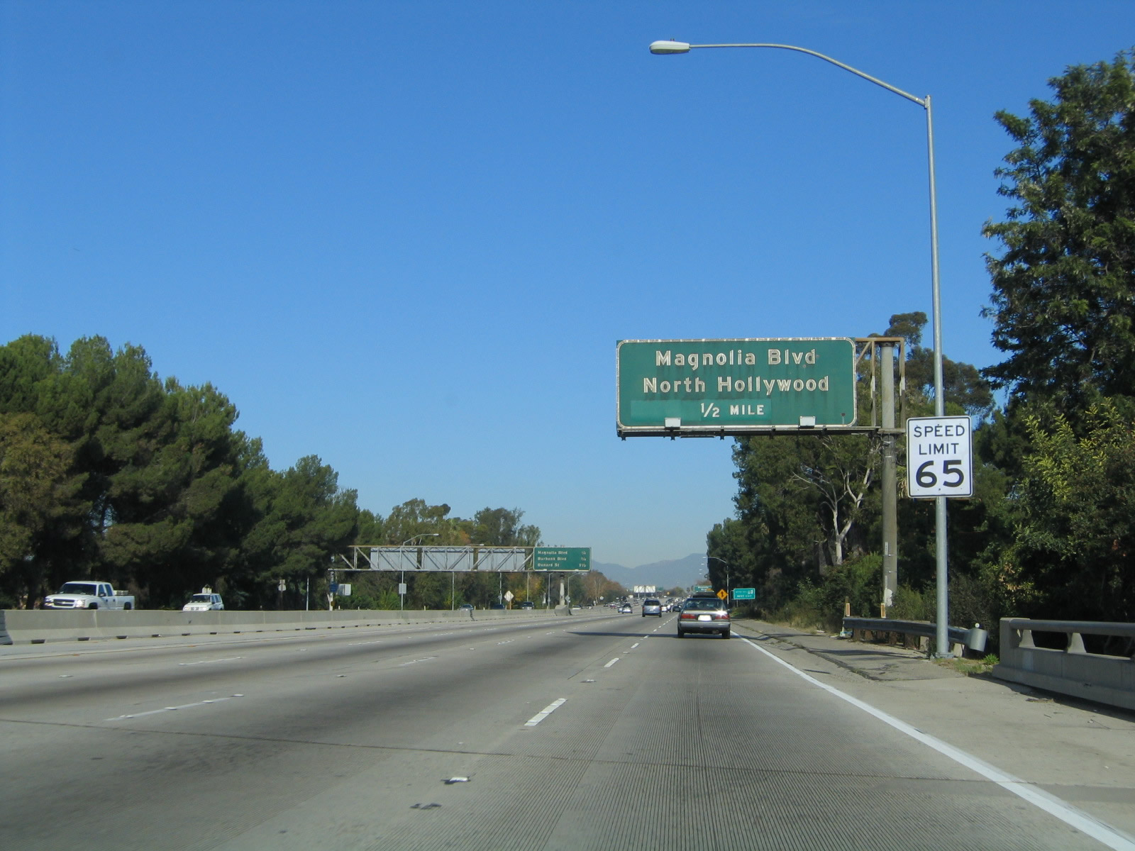
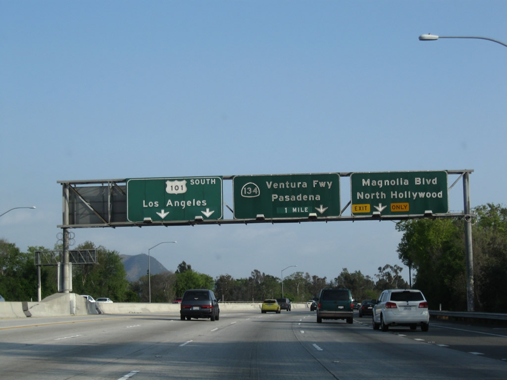
The first exit along northbound California 170 (Hollywood Freeway) after the U.S. 101 split is Exit 6, Magnolia Boulevard/North Hollywood. Use Exit 6 to Valley Village, a community of the city of Los Angeles. Photo taken 11/25/04. |
 |
Northbound California 170 approaches Exit 6, Magnolia Boulevard/North Hollywood. Photo taken 11/25/04. |
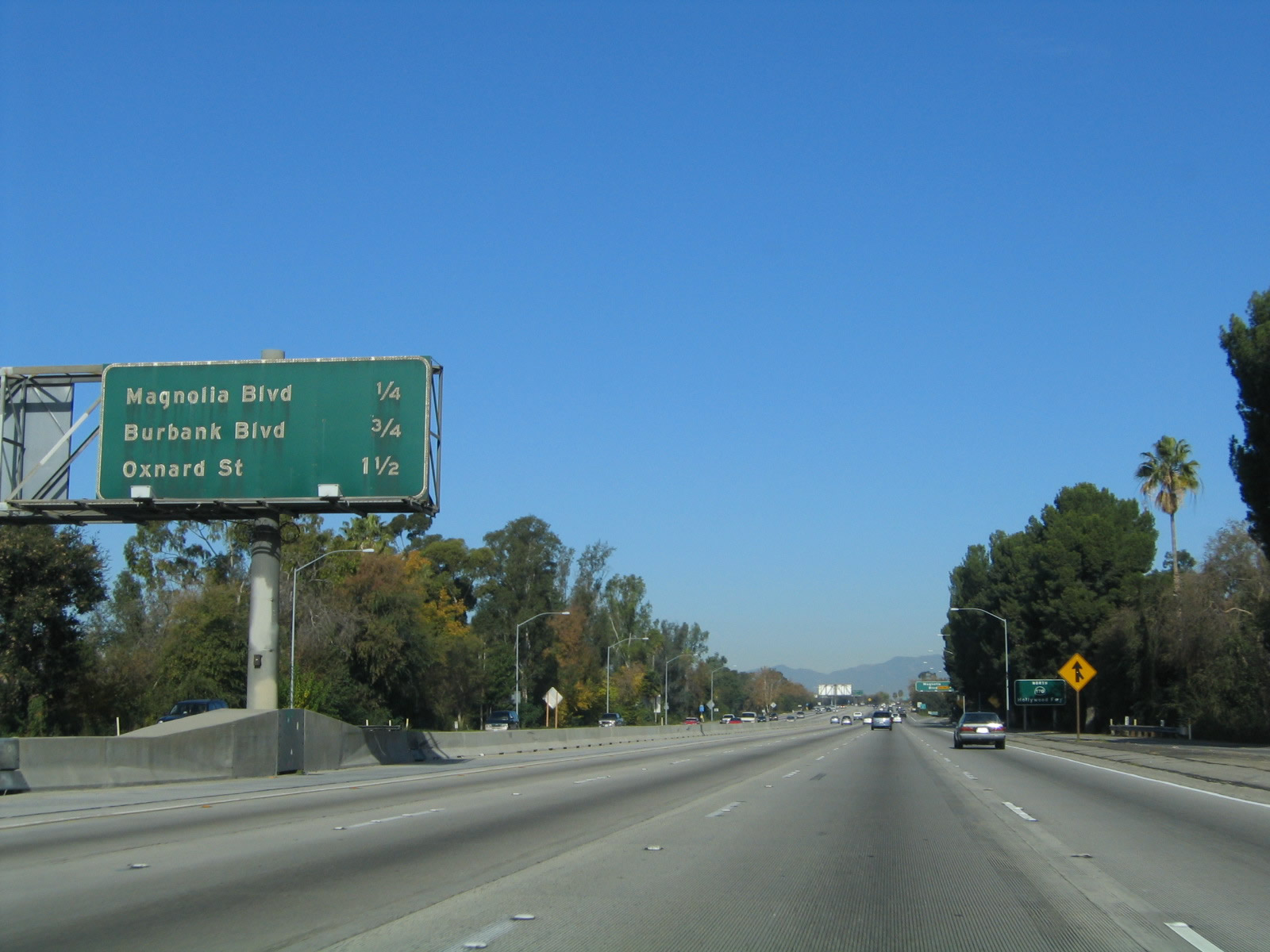 |
This mileage sign along northbound California 170 (Hollywood Freeway) provides the distance to the next three exits: Exit 6, Magnolia Boulevard/North Hollywood; Exit 7, Burbank Boulevard; and Exit 8A, Oxnard Street. Note how tight the high occupancy vehicle lane is against the median barrier! Photo taken 11/25/04. |
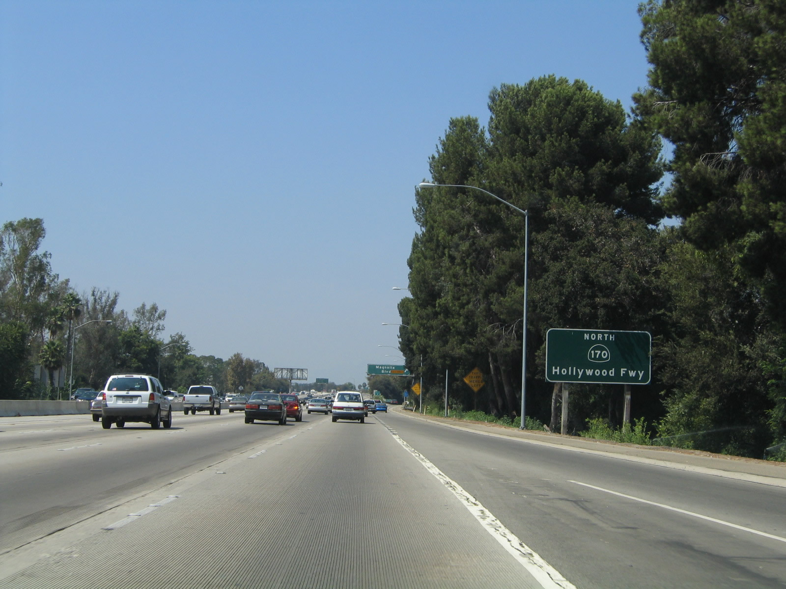 |
Now free of U.S. 101, this sign indicates that northbound California 170 is now the Hollywood Freeway. Photo taken 08/24/04. |
 |
Northbound California 170 (Hollywood Freeway) reaches Exit 6, Magnolia Boulevard/North Hollywood. Photo taken 11/25/04. |
 |
Now on the off-ramp to Exit 6, turn left to Valley Village and right to North Hollywood and the Red Line subway station. Photo taken 11/25/04. |
 |
This mileage sign along northbound California 170 provides the distance to the next three exits: Exit 7, Burbank Boulevard; Exit 8A, Oxnard Street; and Exit 8B, Victory Boulevard. Photo taken 11/25/04. |
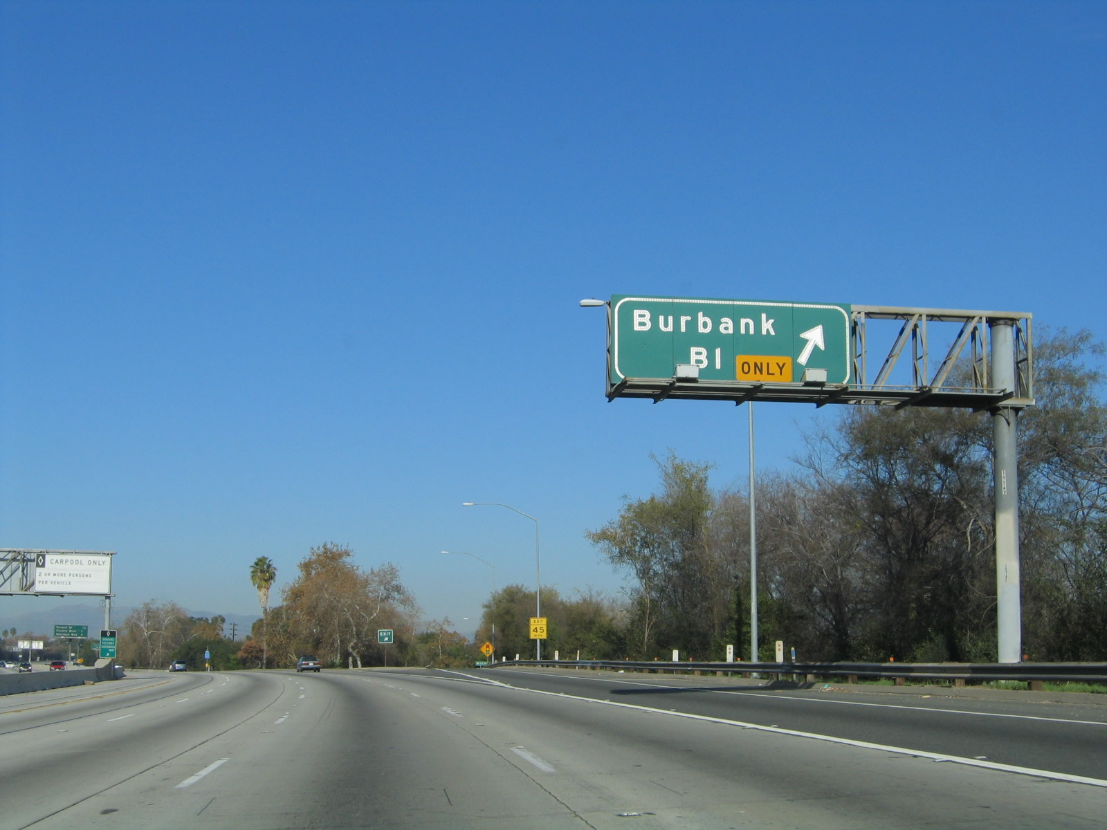 |
Northbound California 170 (Hollywood Freeway) reaches Exit 7, Burbank Boulevard. Photo taken 11/25/04. |
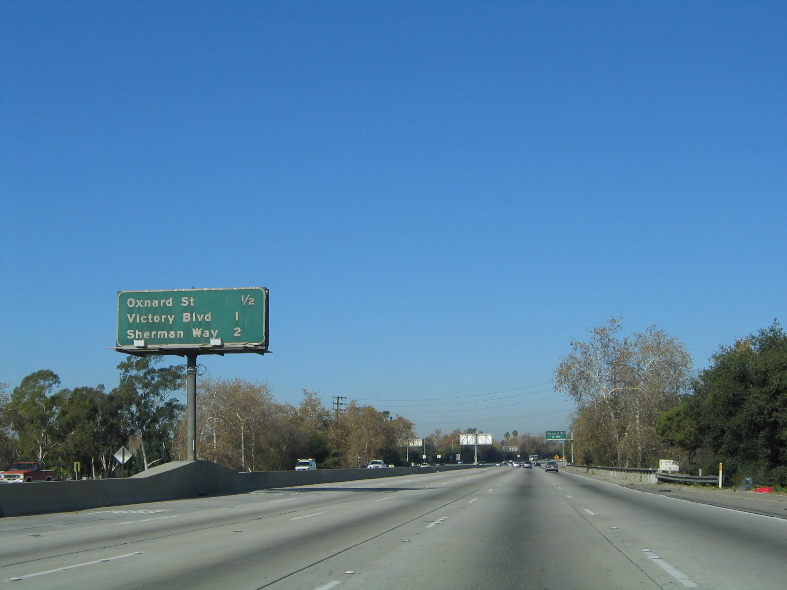 |
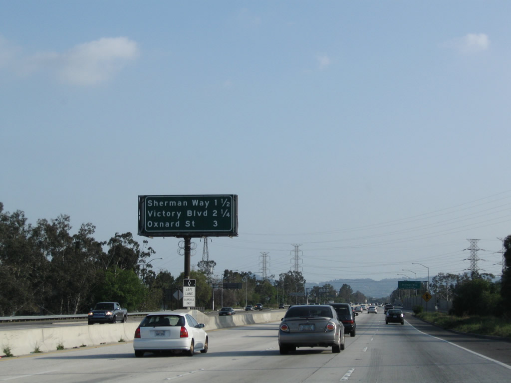
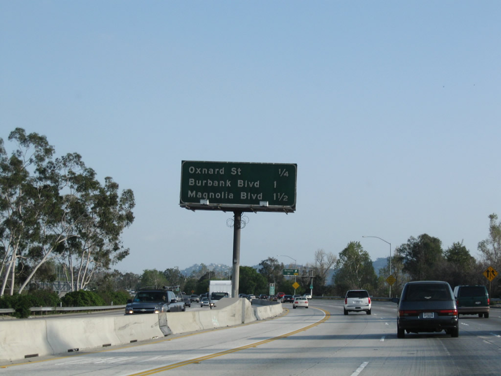
This mileage sign along northbound California 170 provides the distance to the next three exits: Exit 8A, Oxnard Street; Exit 8B, Victory Boulevard; and Exit 9, Sherman Way. Photo taken 11/25/04. |
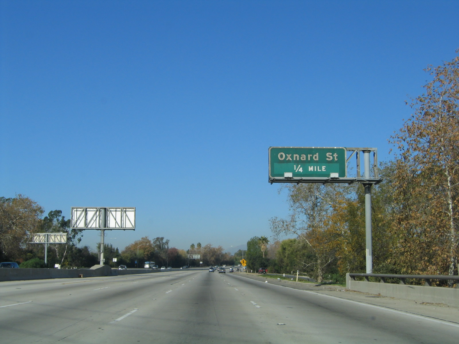 |
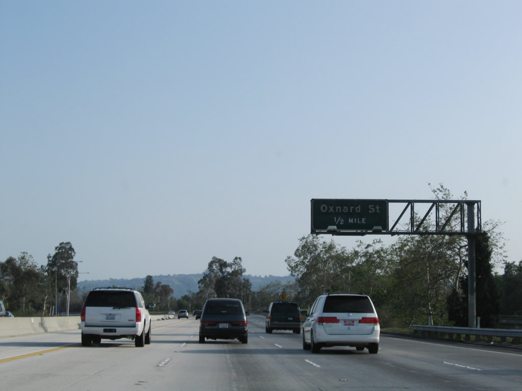
The next exit along northbound California 170 (Hollywood Freeway) is Exit 8A, Oxnard Street, next right. Photo taken 11/25/04. |
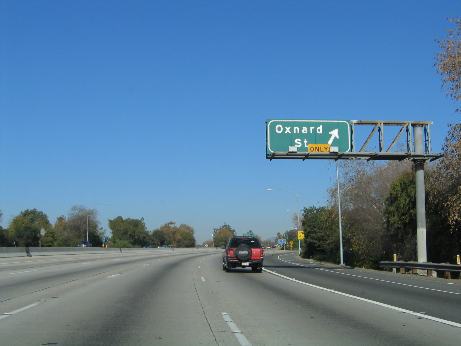 |
Northbound California 170 (Hollywood Freeway) reaches Exit 8A, Oxnard Street (right lane exit only). Photo taken 11/25/04. |
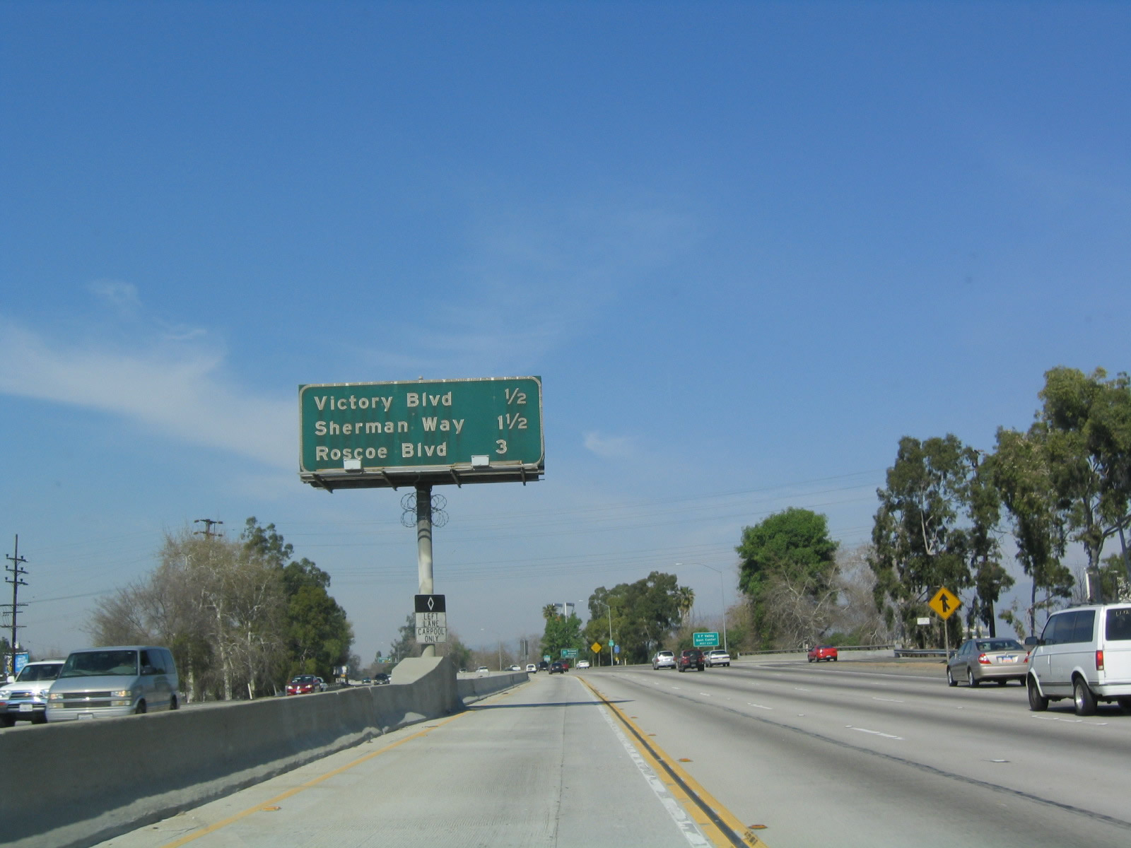 |
This mileage sign along northbound California 170 provides the distance to the next three exits: Exit 8B, Victory Boulevard; Exit 9, Sherman Way; and Exit 10, Roscoe Boulevard. Photo taken 02/15/04. |
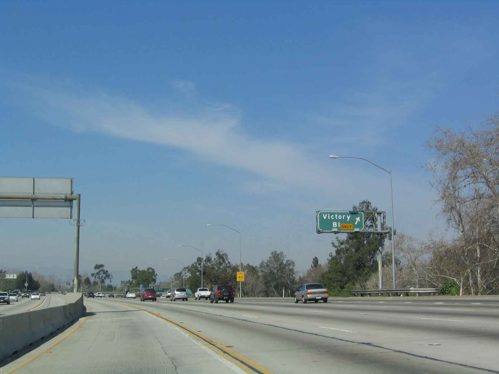 |
Northbound California 170 reaches Exit 8B, Victory Boulevard. Photo taken 02/15/04. |
 |
This view looks at the porcelain enamel signage found on the off-ramp to Exit 8B, Victory Boulevard. Photo taken 11/25/04. |
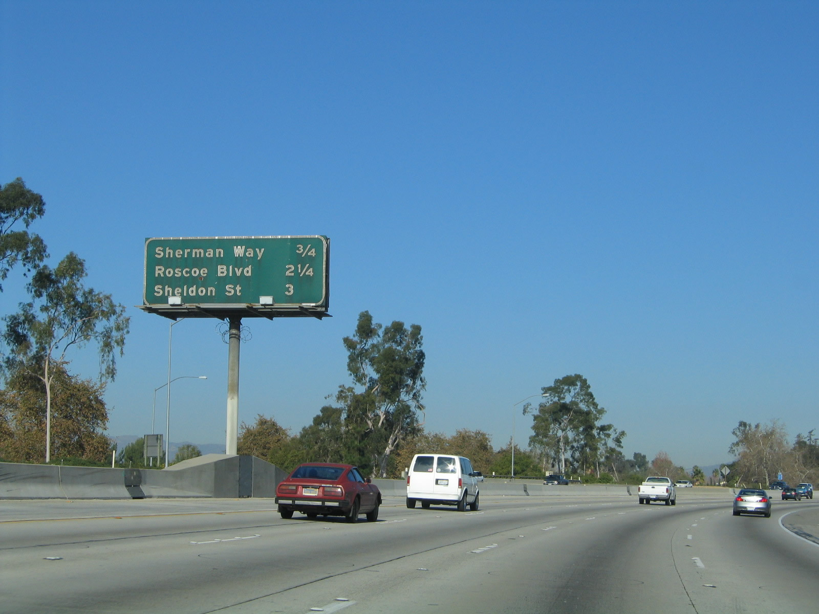 |
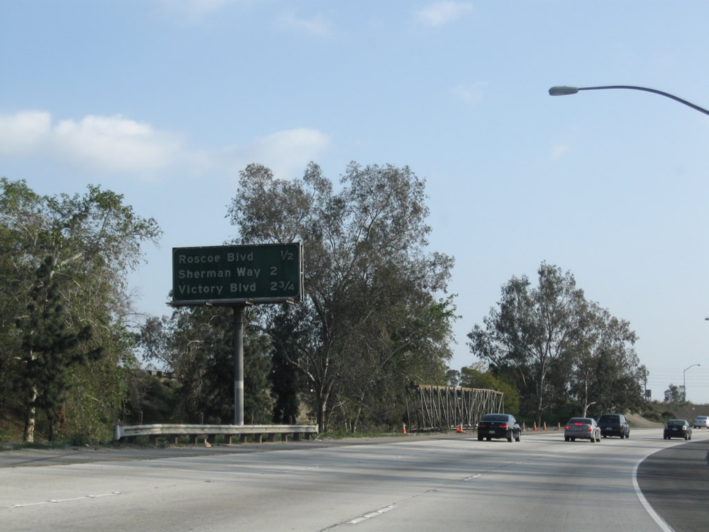
This mileage sign along northbound California 170 (Hollywood Freeway) for the next three exits: Exit 9, Sherman Way; Exit 10, Roscoe Boulevard; and Exit 11, Sheldon Street. Photo taken 11/25/04. |
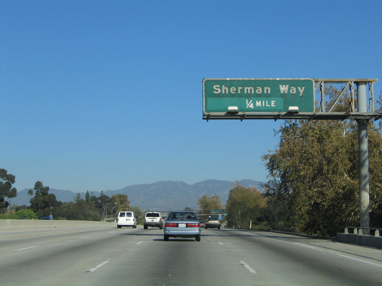 |
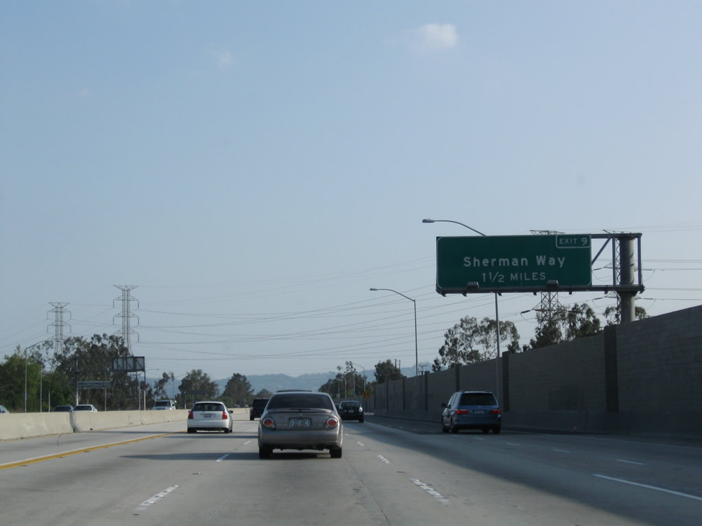
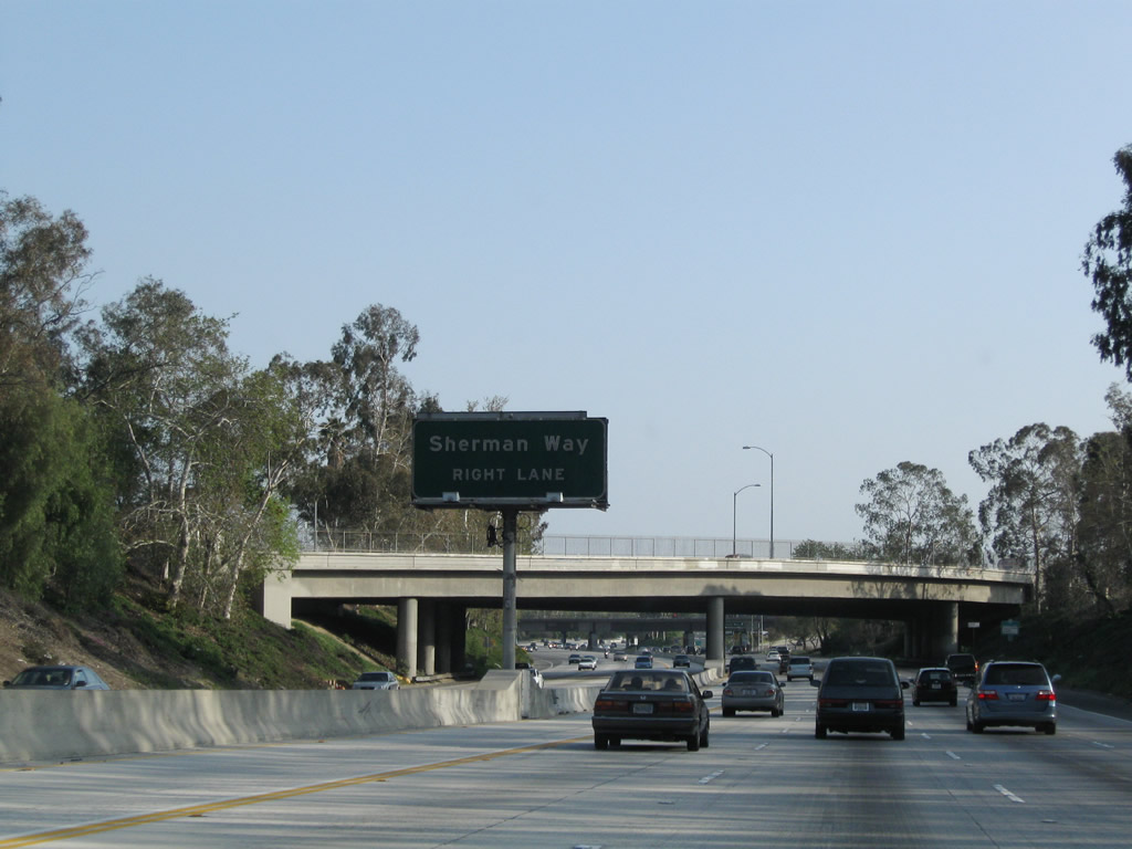
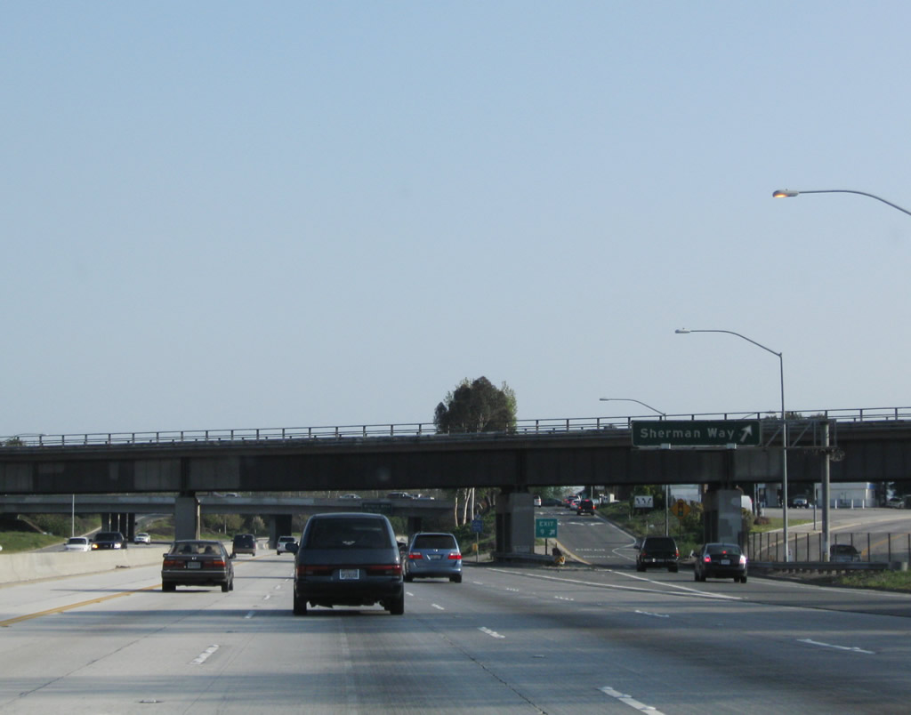
The next exit along California 170 (Hollywood Freeway) north is Exit 9, Sherman Way (one-quarter mile). Photo taken 11/25/04. |
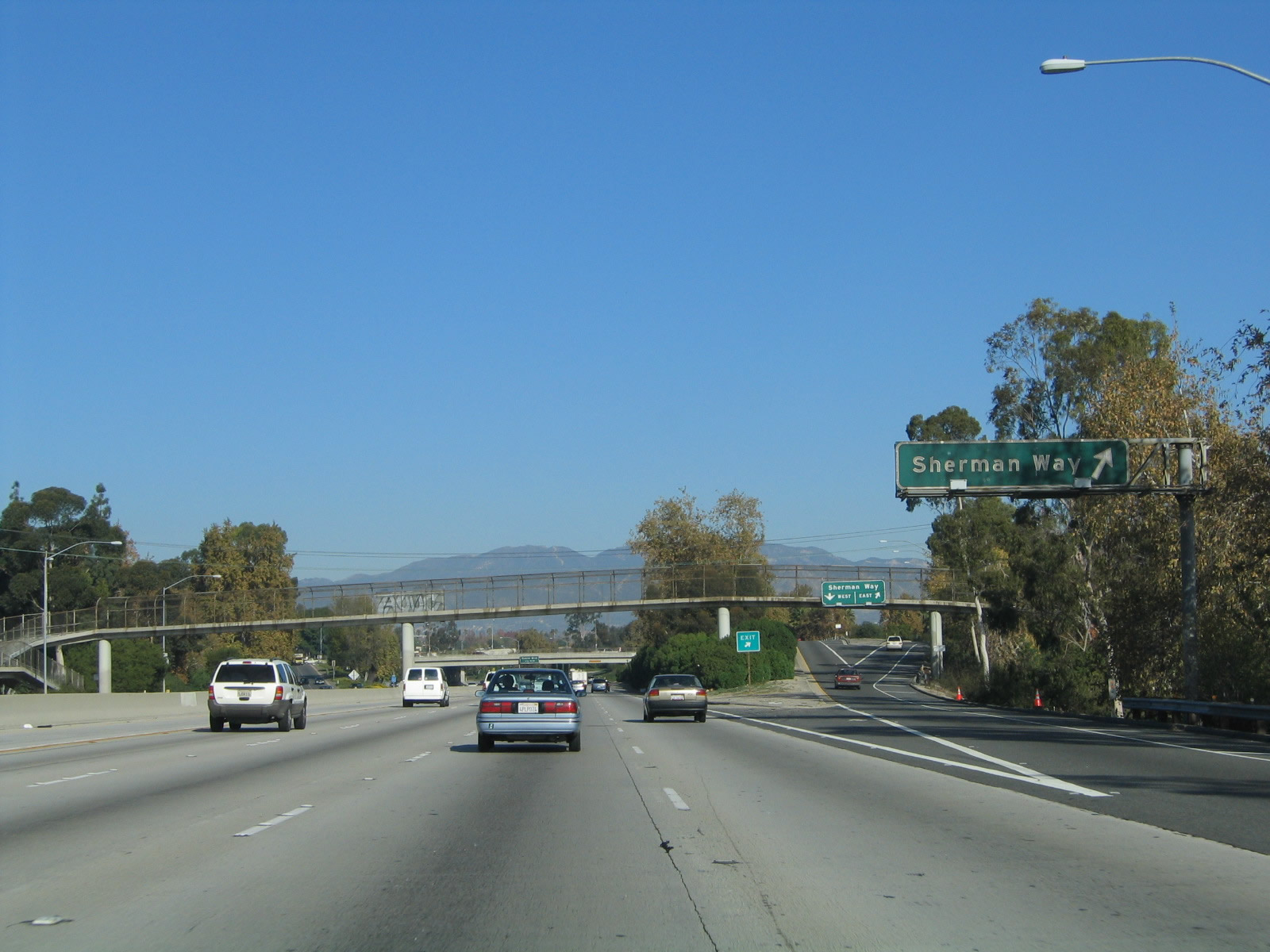 |
Northbound California 170 (Hollywood Freeway) reaches Exit 9, Sherman Way. Photo taken 11/25/04. |
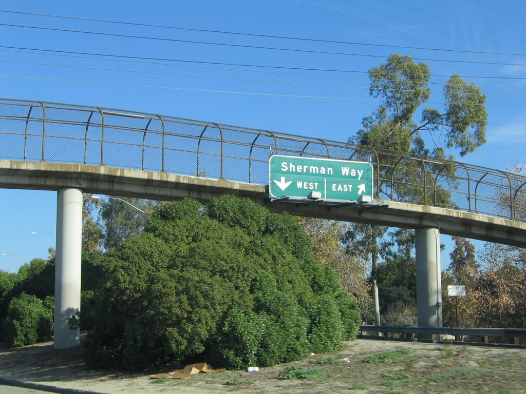 |
The off-ramp for Sherman Way splits between east/west. Photo taken 11/25/04. |
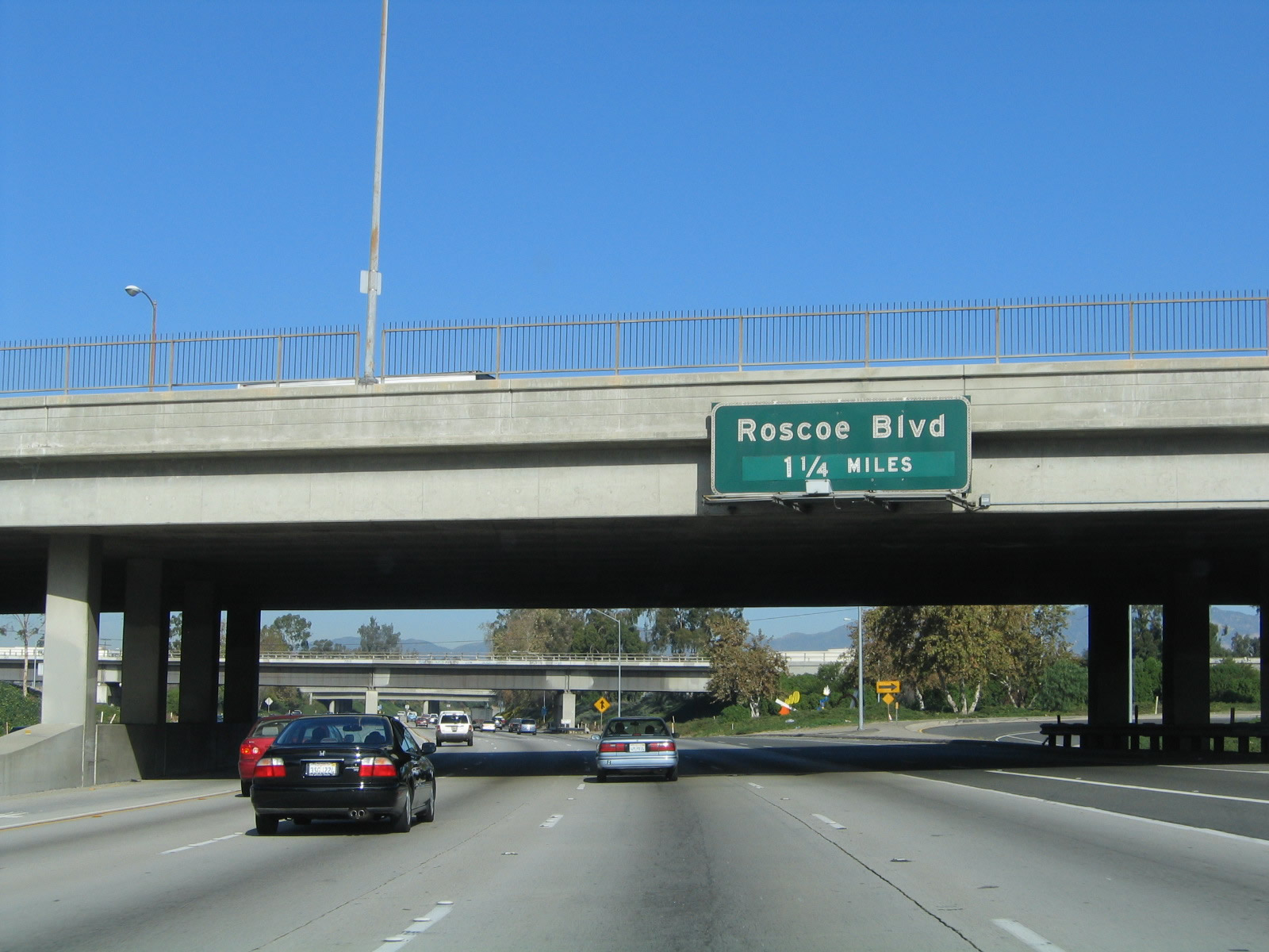 |
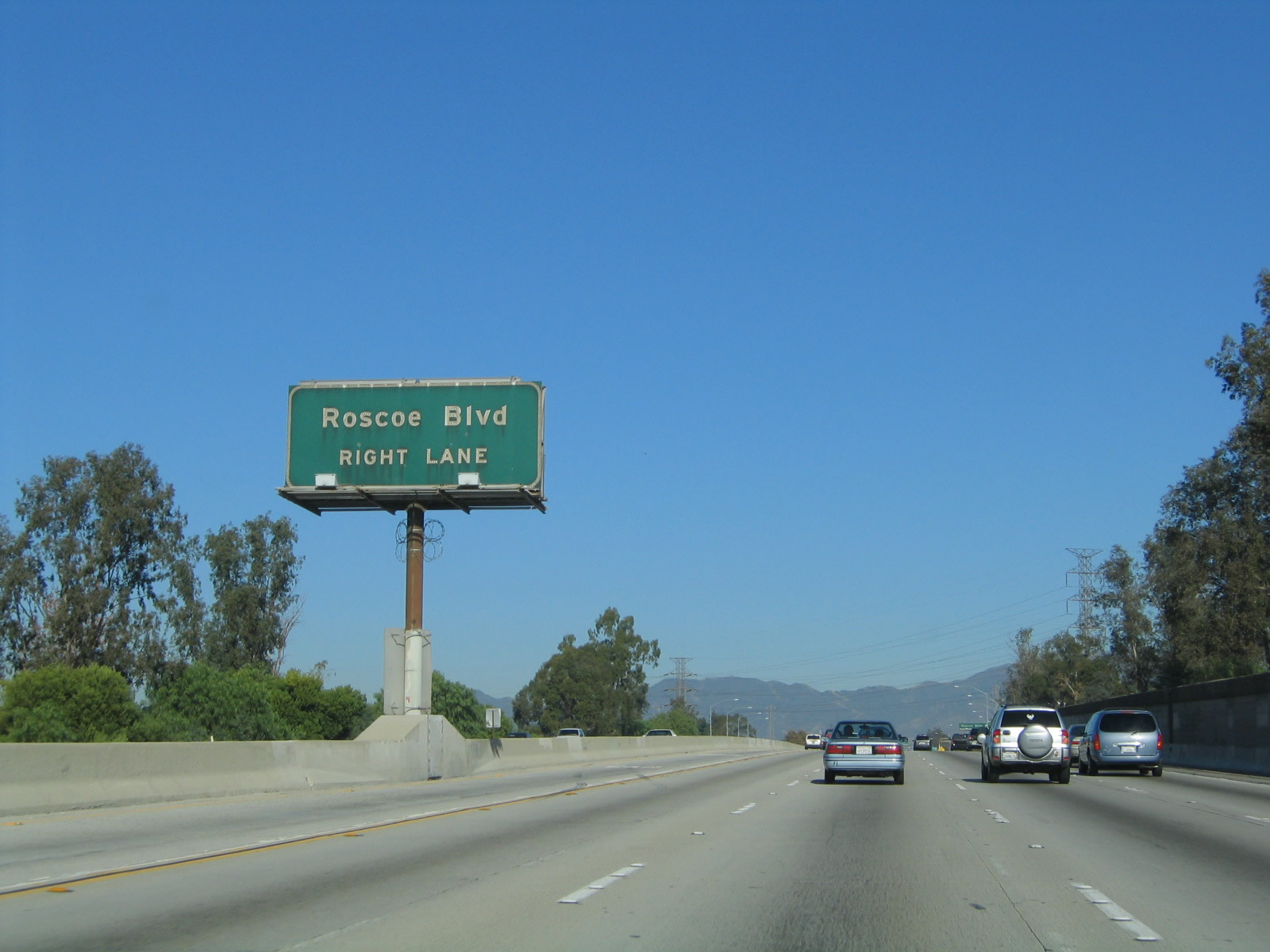
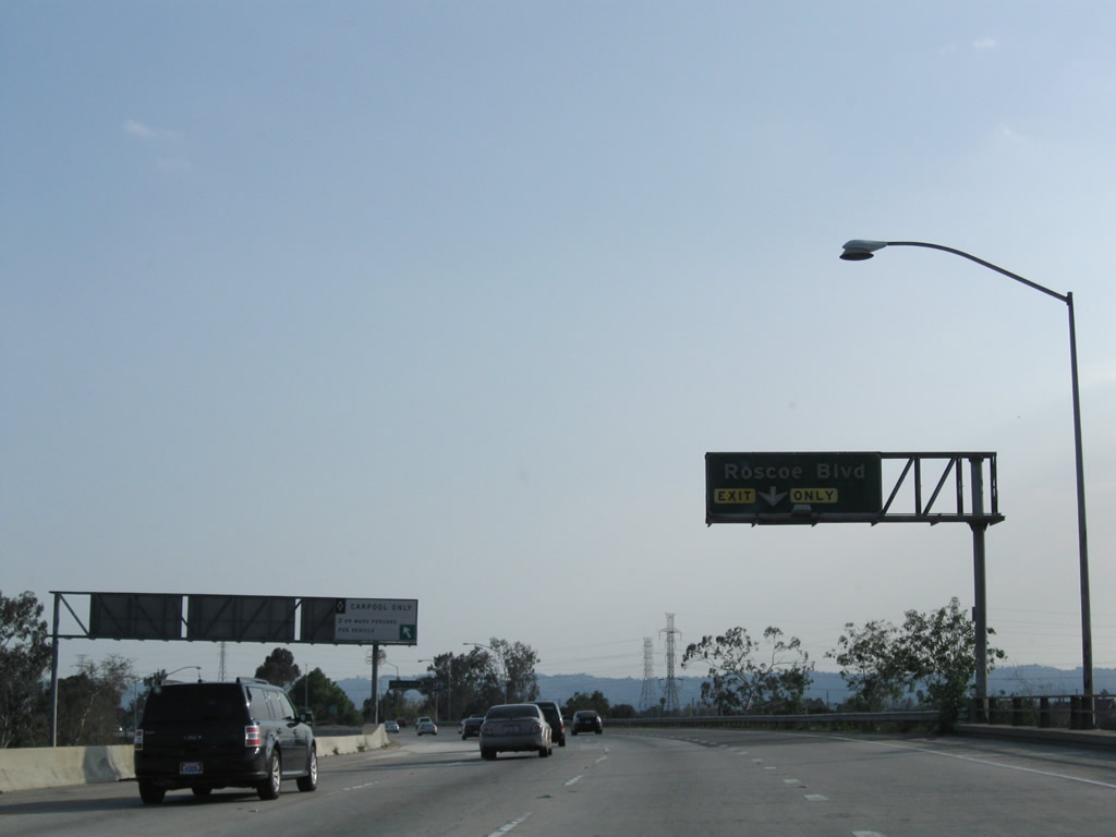
The next exit along northbound is Exit 10, Roscoe Boulevard (1.25 miles). Photo taken 02/15/04. |
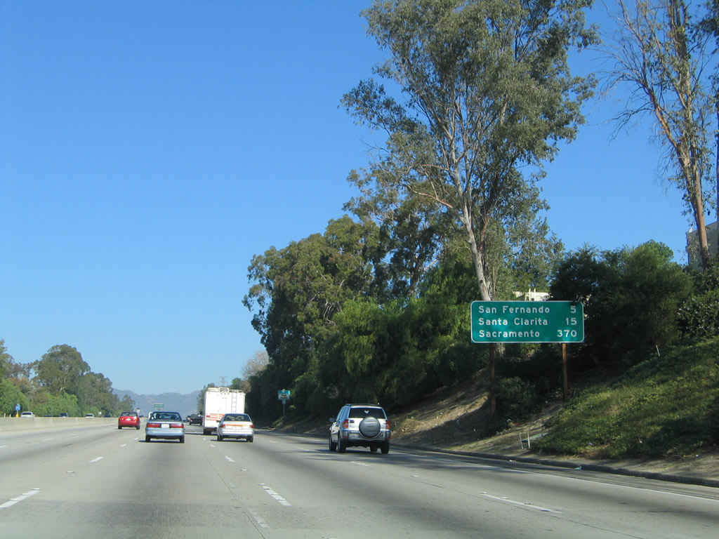 |
A mileage sign provides the distance to San Fernando (five miles), Santa Clarita (15 miles), and Sacramento (370 miles). California 170 uses the northbound control city of Sacramento, just like Interstate 5. Photo taken 02/15/04. |
 |
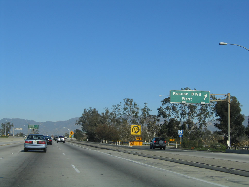
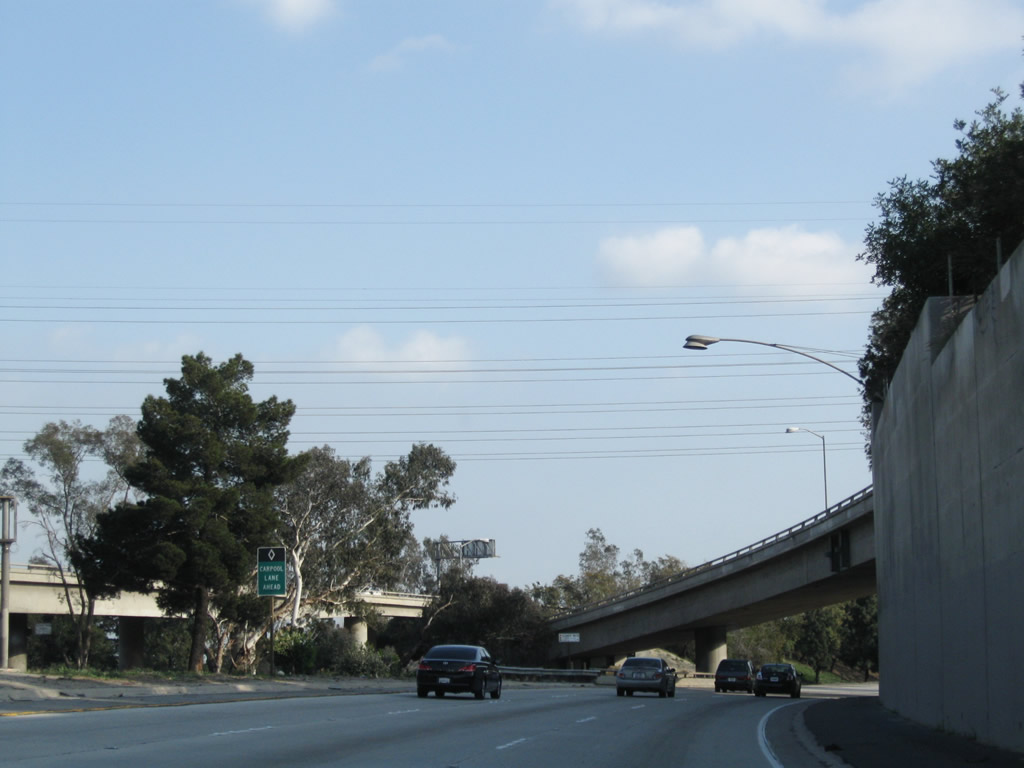
Roscoe Boulevard leads east to Interstate 5 in the San Fernando Valley and west to Interstate 405 Exit 68. Photo taken 11/25/04. |
 |
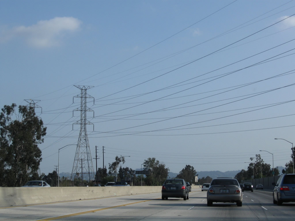
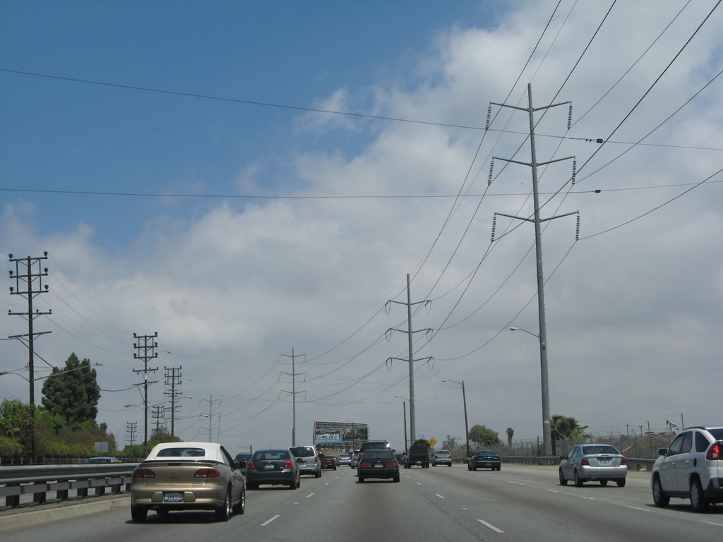
Just south of the off-ramp to Roscoe Boulevard, a Los Angeles Department of Water and Power (LADWP) 230 KV power line crosses over California 170. Photo taken 02/15/04. |
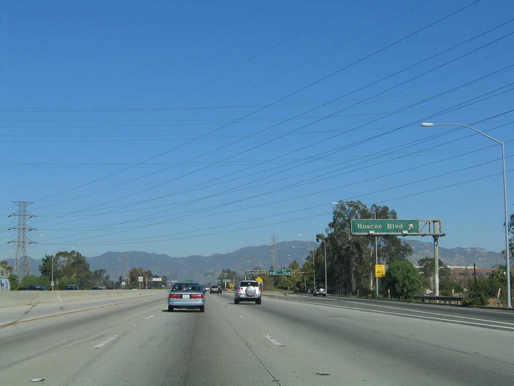 |
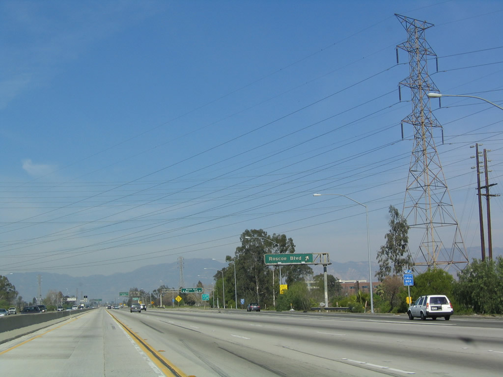
Northbound California 170 reaches Exit 10, Roscoe Boulevard. Photo taken 11/25/04. |
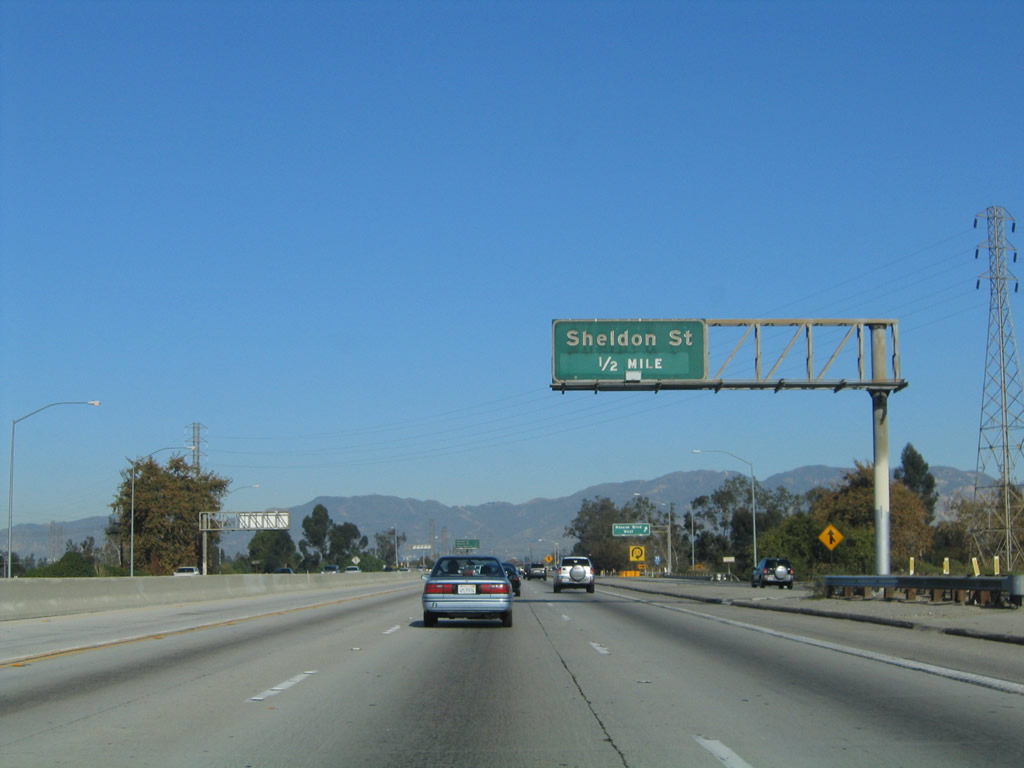 |
The next exit along northbound California 170 is Exit 11A, Sheldon Street (0.50 mile). Photo taken 11/25/04. |
 |
This view looks at the collector distributor lanes for the Roscoe Boulevard interchange. Photo taken 11/25/04. |
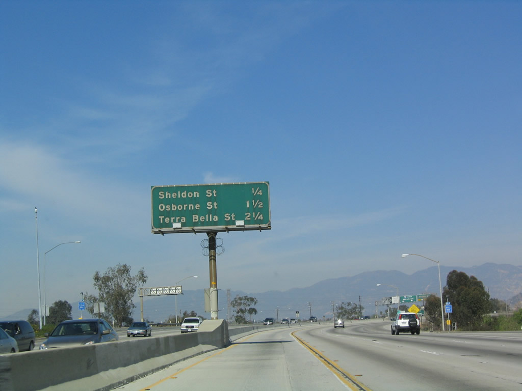 |
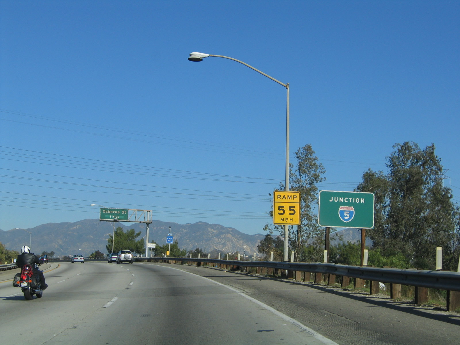
This mileage sign along northbound California 170 provides the distance to three of the next four exits. The first on the list is Exit 11A, Sheldon Street, but the other two are actually on northbound Interstate 5 (Golden State Freeway): Exit 154, Osbourne Street and Exit 155A, Terra Bella Street. Interstate 5 is not listed on this mileage sign since all through traffic must merge onto the Golden State Freeway. Photo taken 11/25/04. |
 |
The right lane of California 170 (Hollywood Freeway) becomes exit only for Exit 11A, Sheldon Street. Stay left for the connection to Exit 11B, Interstate 5 (Golden State Freeway) north to Bakersfield and Sacramento. Photo taken 11/25/04. |
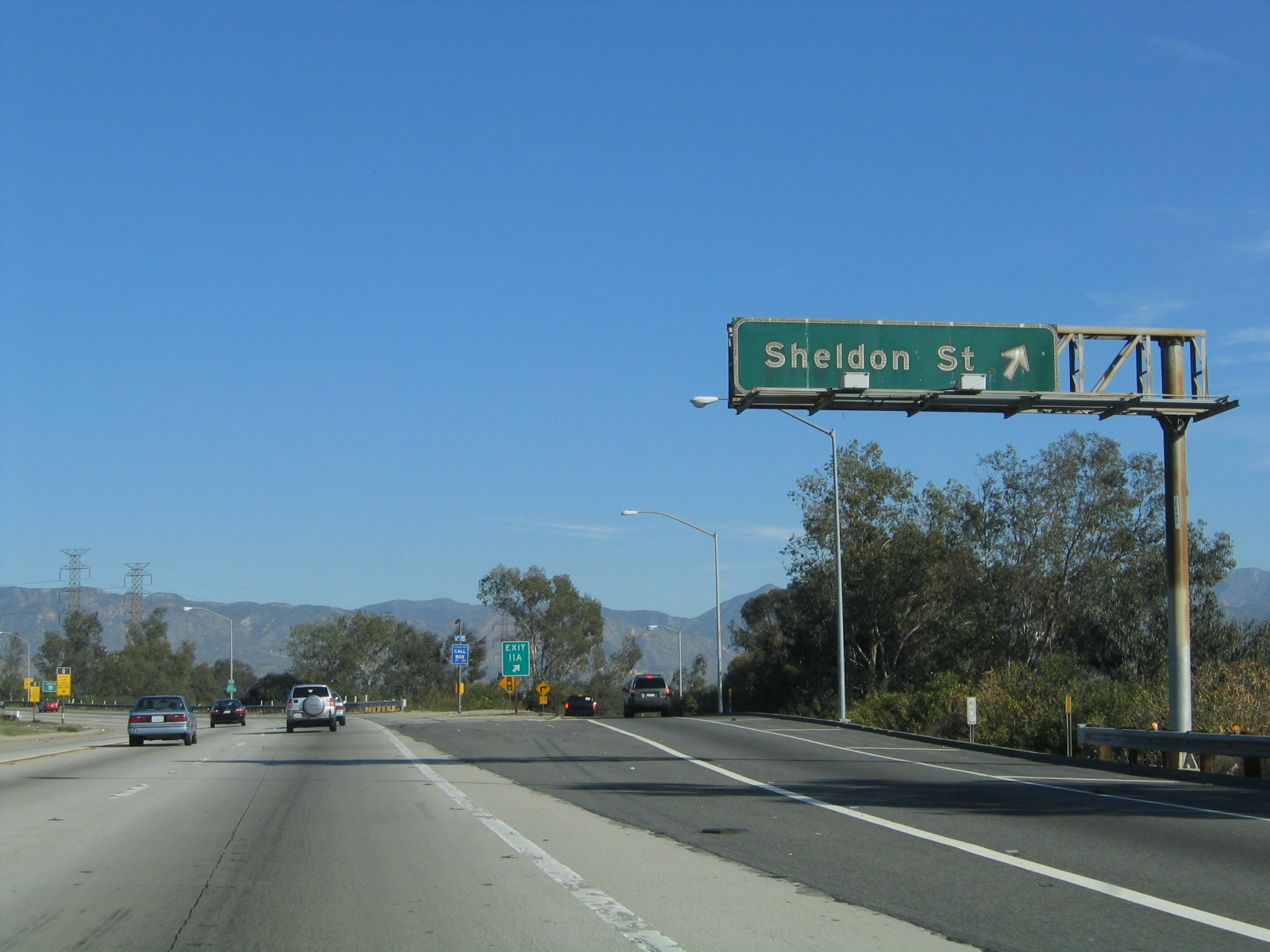 |
Northbound California 170 reaches Exit 11A, Sheldon Street. Photo taken 11/25/04. |
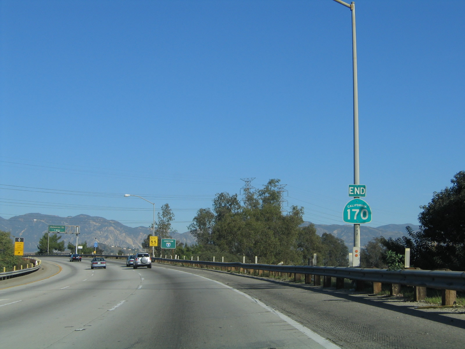 |
An end shield for California 170 north is posted as the Hollywood Freeway transitions onto northbound Interstate 5 (Golden State Freeway). Photo taken 11/25/04. |
 |
A roadside sign for the Interstate 5 sign is posted after the end shield; the ramp to Interstate 5 north is considered Exit 11B. There is no direct ramp to Interstate 5 south. Photo taken 11/25/04. |
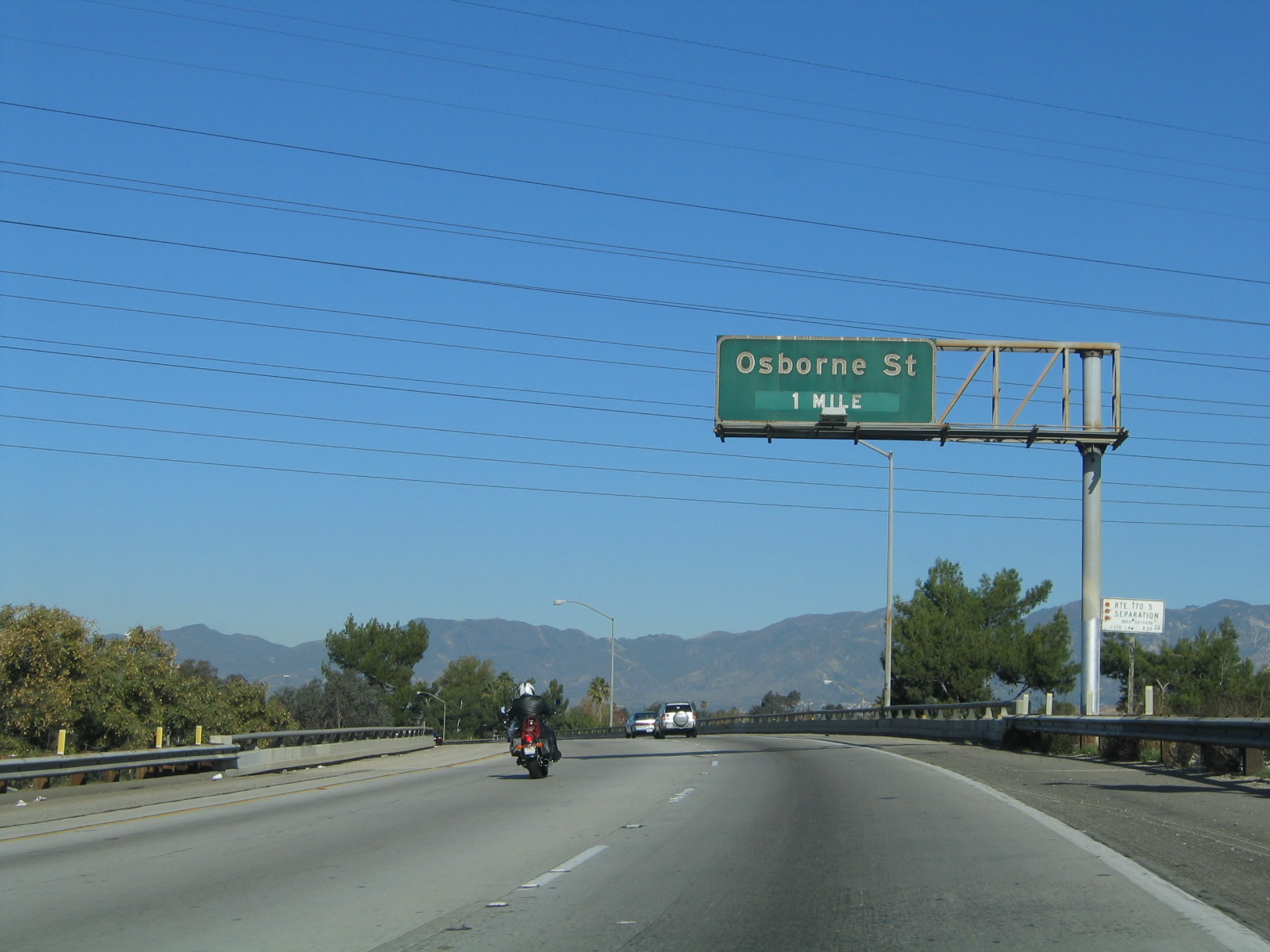 |
The next exit along northbound Interstate 5 after the two freeways merge together is with Exit 154, Osbourne Street. Photo taken 11/25/04. |
 |
View of the transition ramp from northbound California 170 onto Interstate 5 (Golden State Freeway). Note that California 170 transitions into the left lanes of Interstate 5. Photo taken 11/25/04. |
| California 170 (Hollywood Freeway) south | |
|---|---|
 |
Leaving Interstate 5 at the split between the Golden State Freeway and Hollywood Freeway, southbound California 170 carries three lanes and will soon gain a high occupancy vehicle (HOV) lane. Had U.S. 6 not been decommissioned in 1964, it is probable that California 170 would have been designated as a re-route of U.S. 6 from the San Fernando Valley to downtown Los Angeles (rather than following today's Interstate 5 alignment). Photo taken 03/15/09. |
 |
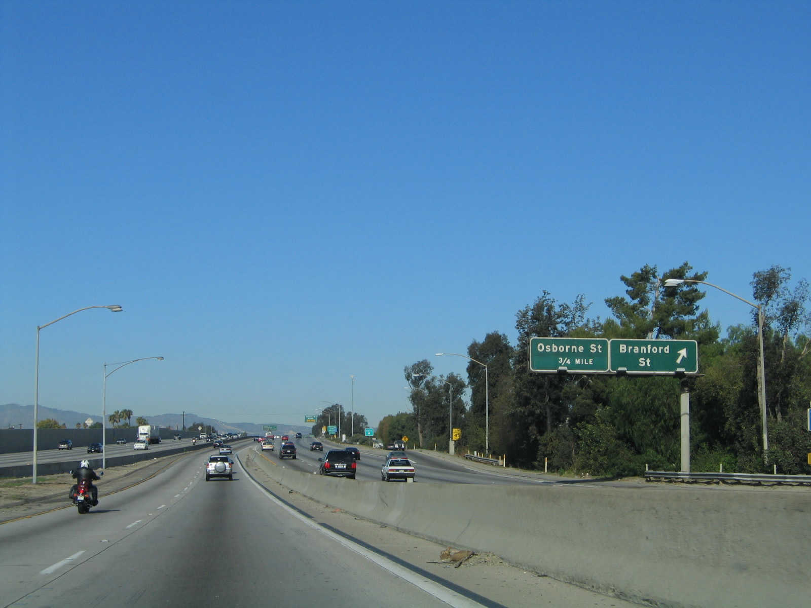
Southbound California 170 crosses over the Tujunga Wash and passes under the ramp from Branford Street to Interstate 5 (Golden State Freeway) south. Photo taken 03/15/09. |
 |
This mileage sign provides the distance to the first three exits from California 170 (Hollywood Freeway) south: Exit 10, Roscoe Boulevard; Exit 9, Sherman Way; and Exit 8B, Victory Boulevard. Photo taken 03/15/09. |
 |
The overhead sign bridge previously in use along southbound Interstate 5 (Golden State Freeway) at the California 170 split was temporarily housed on the east side of the Hollywood Freeway. Photo taken 03/15/09. |
 |
The first southbound reassurance sign for California 170 includes the name Hollywood Freeway. This storied freeway travels south from Interstate 5 (Golden State Freeway) to the Four-Level Interchange (junction between the Santa Ana, Harbor, and Pasadena Freeways, or between Interstate/California 110 and U.S. 101). Photo taken 03/15/09. |
 |
The right lane of California 170 (Hollywood Freeway) south becomes exit only for Exit 10, Roscoe Boulevard. Photo taken 03/15/09. |
 |
A high occupancy vehicle lane (HOV+2) begins on the left side of the Hollywood Freeway. Photo taken 03/15/09. |
 |
Southbound California 170 (Hollywood Freeway) reaches Exit 10, Roscoe Boulevard. This exit along with the rest of the Hollywood Freeway south to the Cahuenga Pass serves the various communities within the San Fernando Valley section of the city of Los Angeles. Photo taken 03/15/09. |
 |
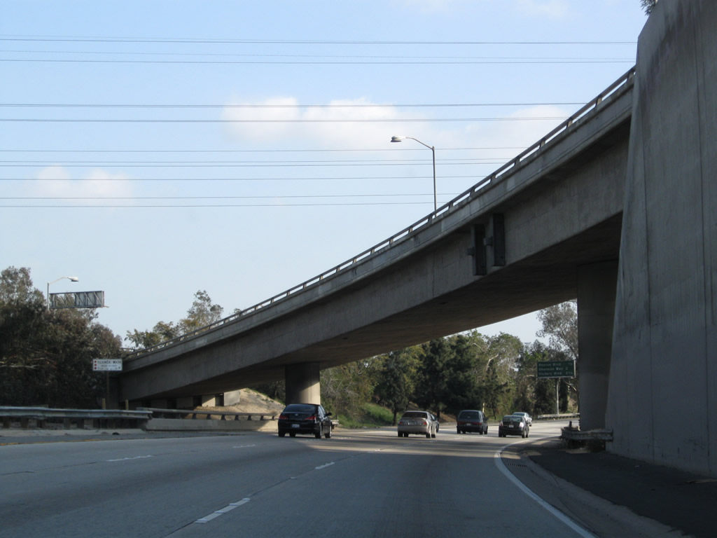
This mileage sign provides the distance to the next three exits from California 170 (Hollywood Freeway) south: Exit 9, Sherman Way; Exit 8B, Victory Boulevard; and Exit 8A, Oxnard Street and Laurel Canyon Boulevard. Photo taken 03/15/09. |
 |
The next exit on California 170 (Hollywood Freeway) south is Exit 9, Sherman Way (1.50 miles). Photo taken 03/15/09. |
 |
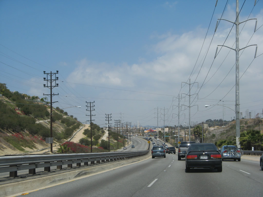
A set of Los Angeles Department of Water and Power (LADWP) power lines cross over the Hollywood near the on-ramp from Roscoe Boulevard. Photo taken 03/15/09. |
 |
The second carpool lane entrance is located between the on-ramp from Roscoe Boulevard and Exit 9, Sherman Way. Photo taken 03/15/09. |
 |
A roadside exit number sign is posted for Exit 9, Sherman Way. Photo taken 03/15/09. |
 |
An older porcelain enamel sign for Sherman Way is posted in the median. Sherman Way is a major east-west arterial street. Photo taken 03/15/09. |
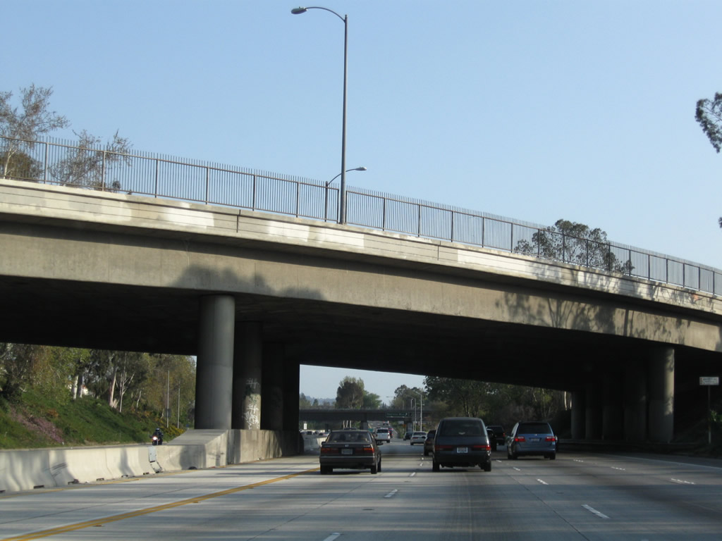 |
Whitsett Avenue crosses over the Hollywood Freeway. Photo taken 03/15/09. |
 |
Southbound California 170 (Hollywood Freeway) reaches Exit 9, Sherman Way. Photo taken 03/15/09. |
 |
The next exit on California 170 (Hollywood Freeway) south is Exit 8B, Victory Boulevard (0.75 mile). Photo taken 03/15/09. |
 |
This mileage sign provides the distance to the next three exits from California 170 (Hollywood Freeway) south: Exit 8B, Victory Boulevard; Exit 8A, Oxnard Street and Laurel Canyon Boulevard; and Exit 7, Burbank Boulevard. Photo taken 03/15/09. |
 |
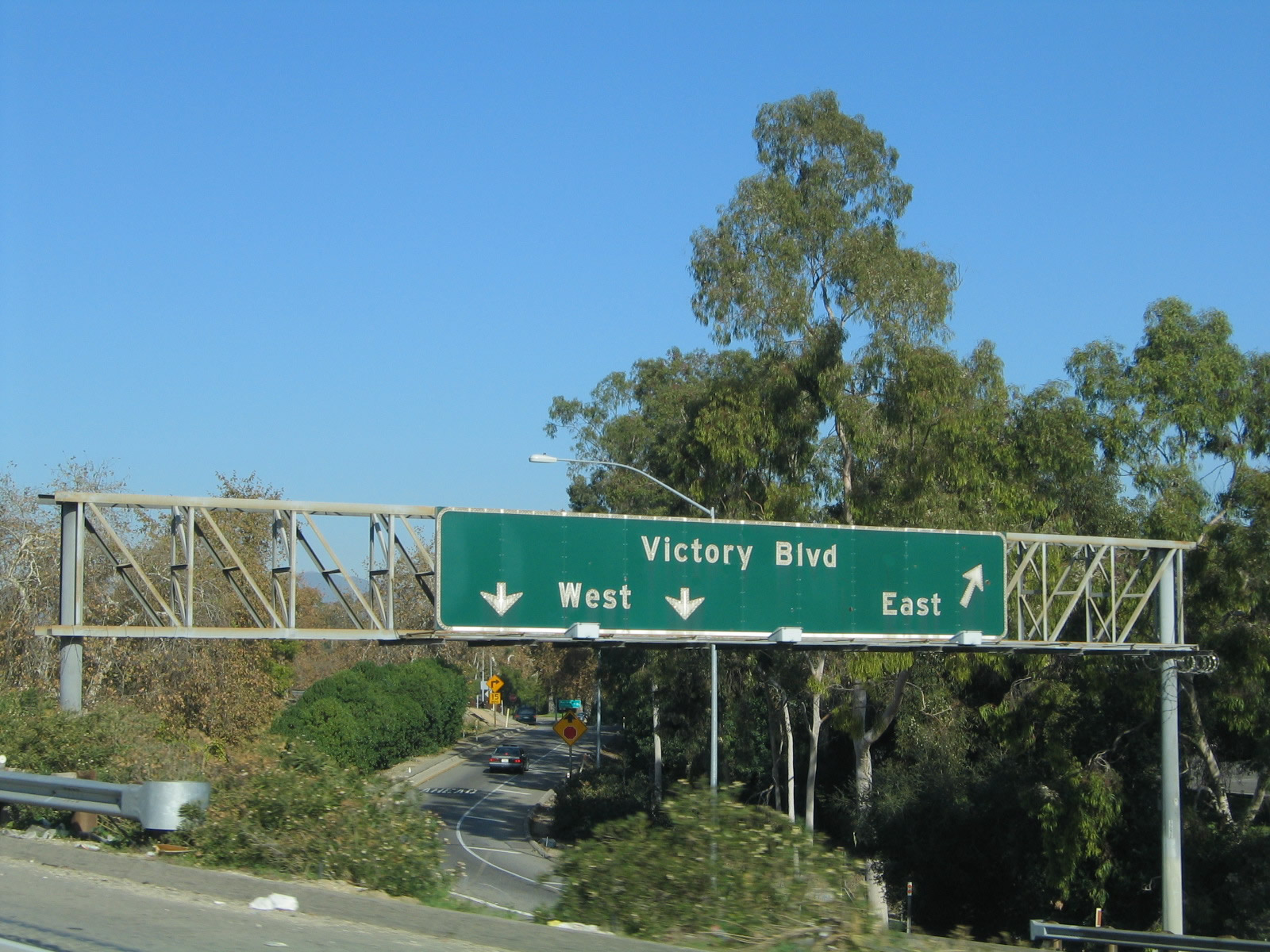
Southbound California 170 (Hollywood Freeway) meets Exit 8B, Victory Boulevard. Photo taken 03/15/09. |
 |
The next exit on California 170 (Hollywood Freeway) south is Exit 8A, Oxnard Street and Laurel Canyon Boulevard. Photo taken 03/15/09. |
 |
This mileage sign provides the distance to the next three exits from California 170 (Hollywood Freeway) south: Exit 8A, Oxnard Street and Laurel Canyon Boulevard; Exit 7, Burbank Boulevard; and Exit 6B, Magnolia Boulevard. Photo taken 03/15/09. |
 |
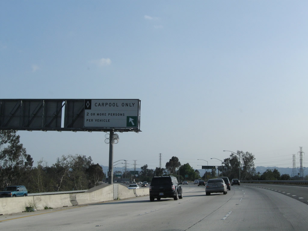
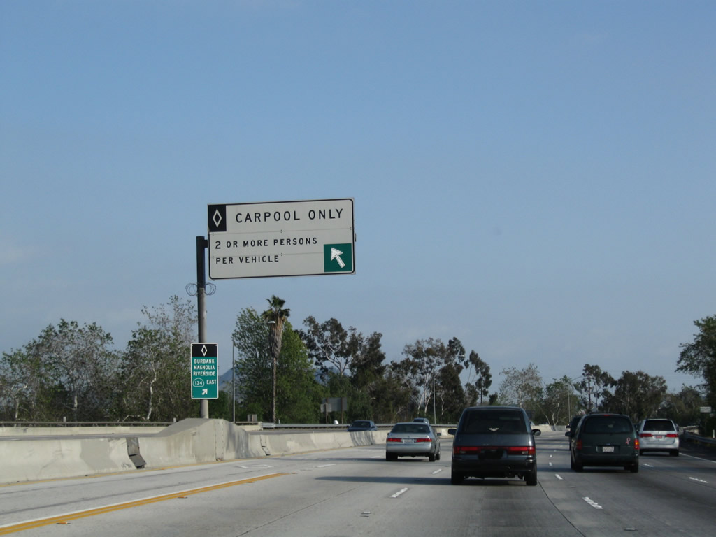
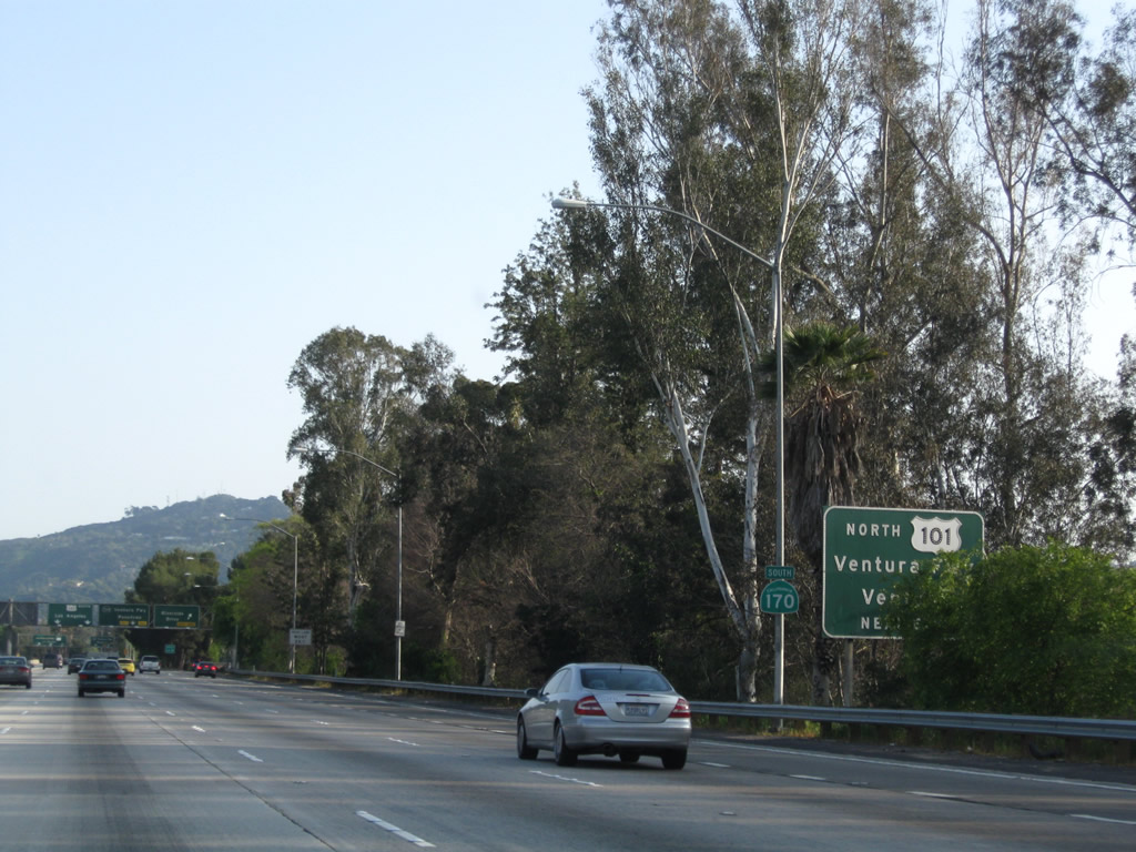
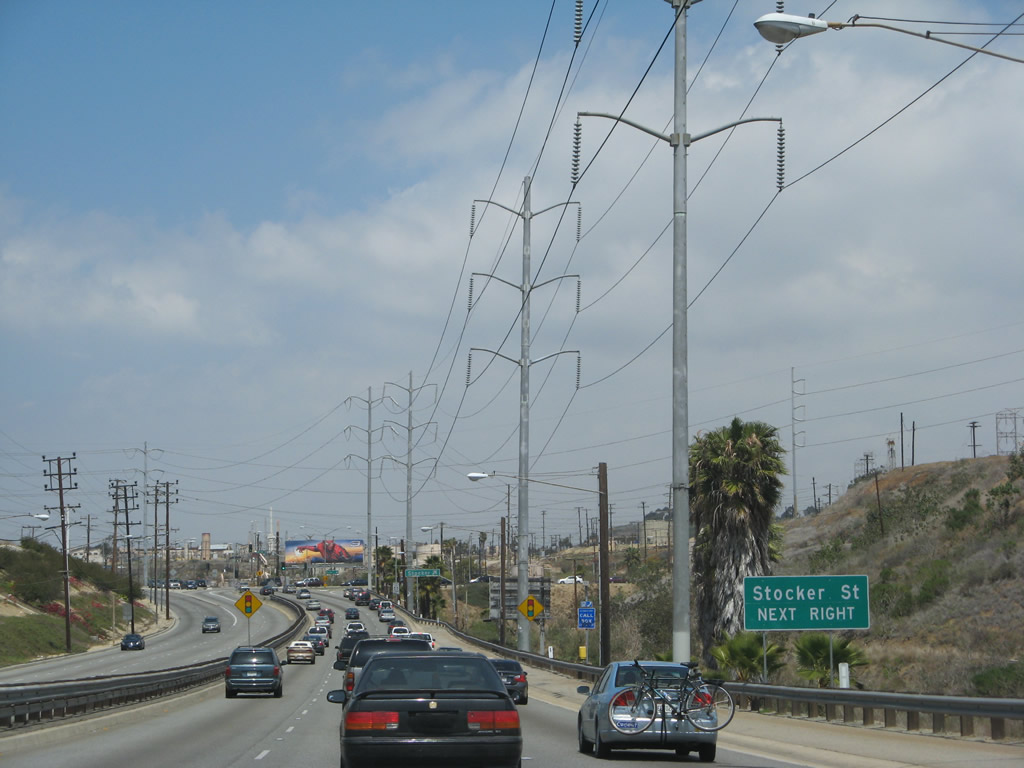
Since there is no direct connector ramp from California 170 (Hollywood Freeway) south to California 134 (Ventura Freeway) east from the HOV lane, one must use the main lanes exit. This sign is posted on the carpool lane, since the next entrance/exit point is the last one before the U.S. 101 and California 134 interchange. We are still a couple miles north of the U.S. 101 and California 134 (Ventura Freeway) interchange. Photo taken 03/15/09. |
 |
Southbound California 170 (Hollywood Freeway) reaches Exit 8A, Oxnard Street (east-west) and Laurel Canyon Boulevard (north-south). Photo taken 03/15/09. |
 |
The third entrance/exit from the carpool lanes is located just south of the Oxnard Street interchange along California 170 (Hollywood Freeway) south. Photo taken 03/15/09. |
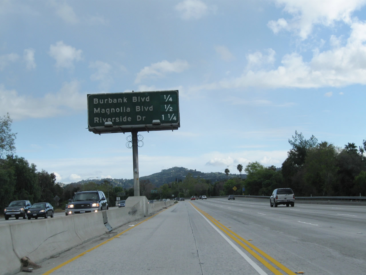 |
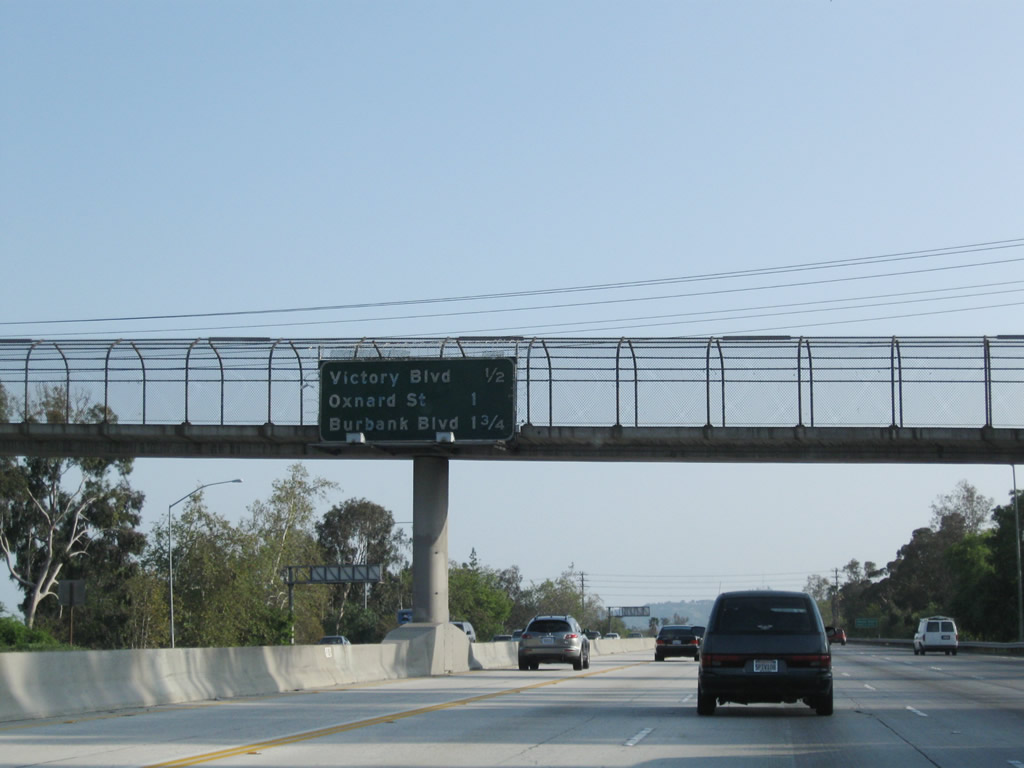
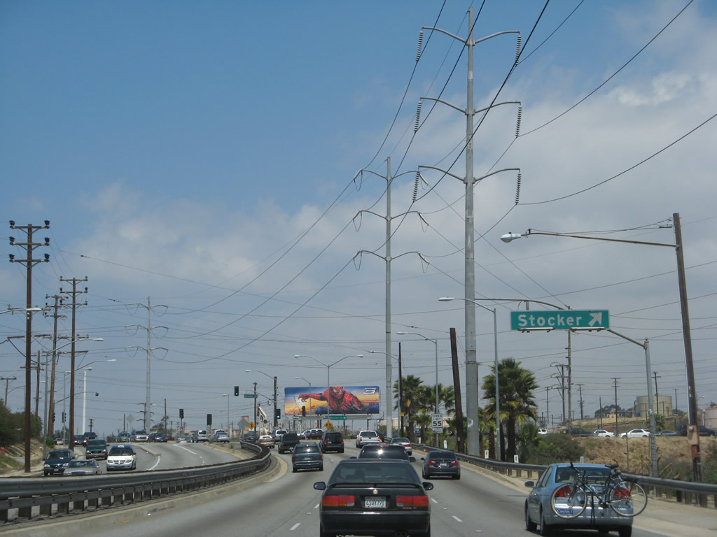
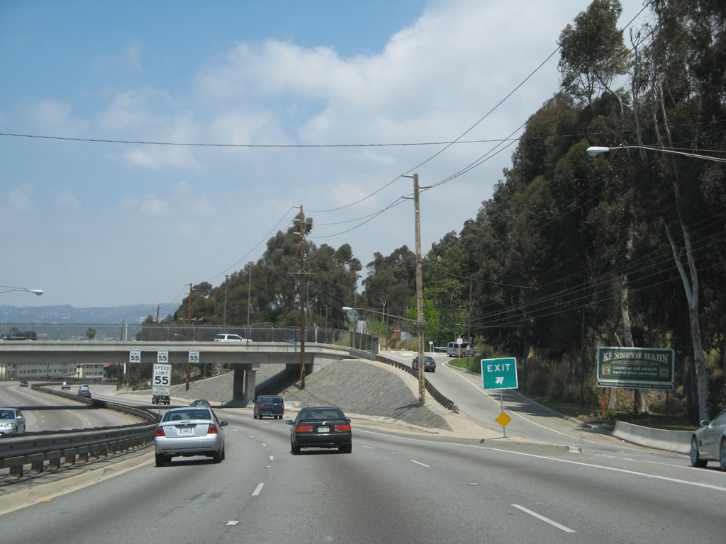
This mileage sign provides the distance to the next three exits from California 170 (Hollywood Freeway) south: Exit 7, Burbank Boulevard; Exit 6B, Magnolia Boulevard; and Exit 6A, Riverside Drive. Photo taken 02/26/11. |
 |
Southbound California 170 (Hollywood Freeway) reaches Exit 7, Burbank Boulevard. Photo taken 03/15/09. |
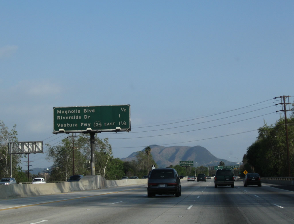 |
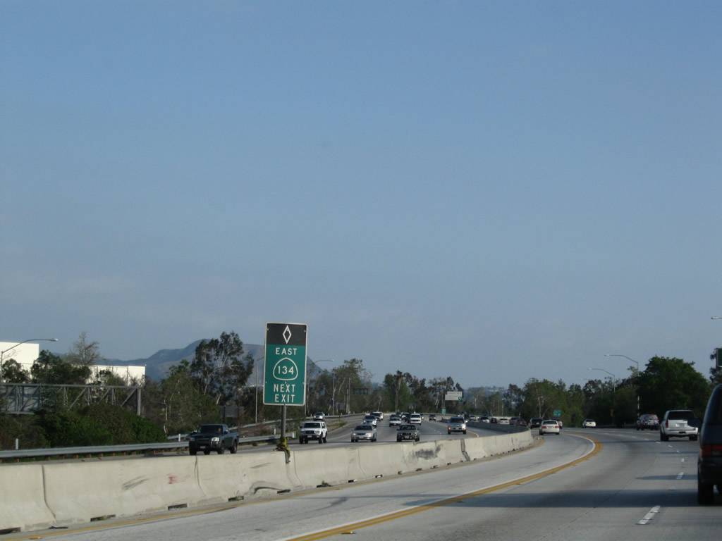
This mileage sign provides the distance to the next three exits from California 170 (Hollywood Freeway) south: Exit 6B, Magnolia Boulevard; Exit 6A, Riverside Drive; and Exit 5B, California 134 (Ventura Freeway) east to Glendale and Pasadena. Photo taken 03/15/09. |
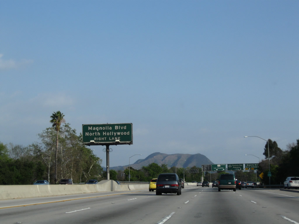 |
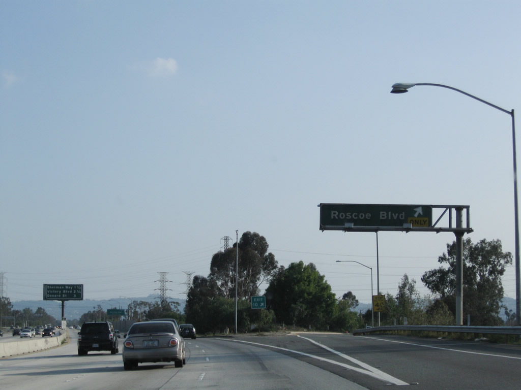
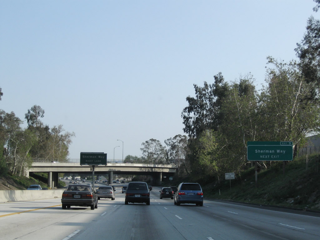
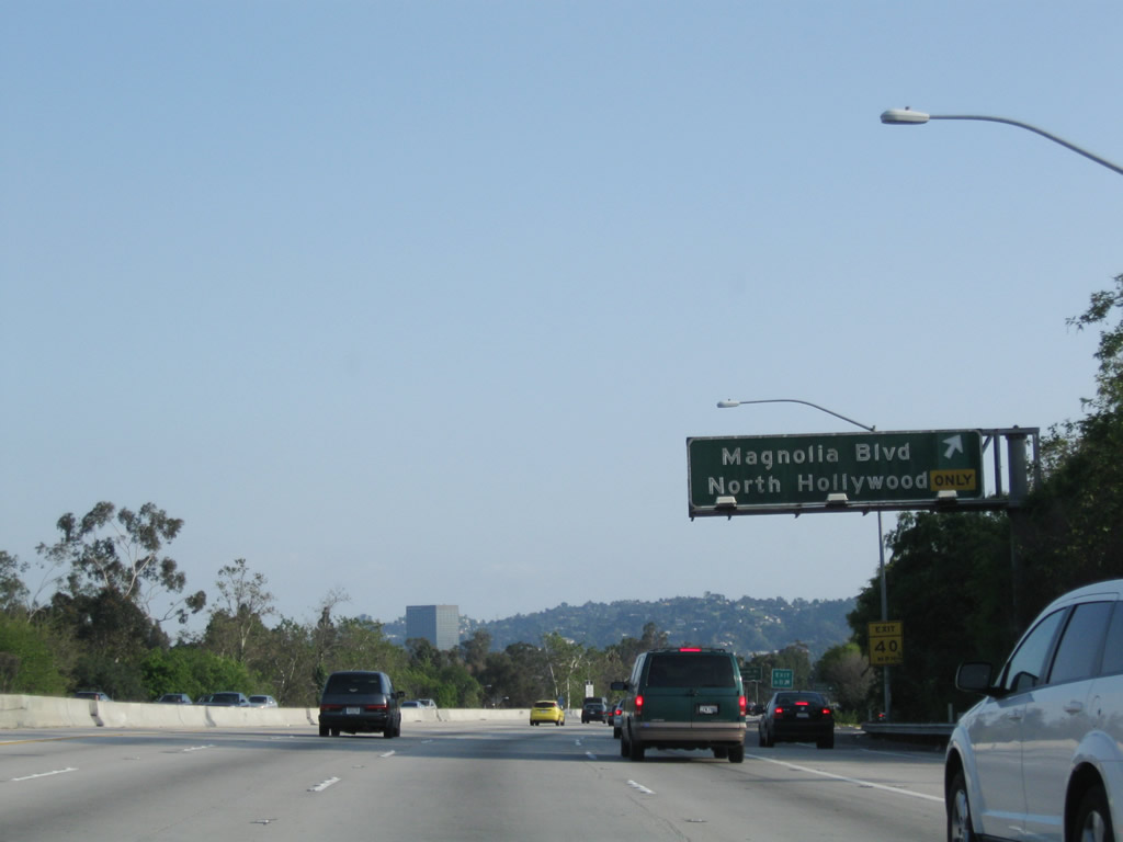
The next exit from California 170 (Hollywood Freeway) south is Exit 6B, Magnolia Boulevard to North Hollywood. Photo taken 03/15/09. |
 |
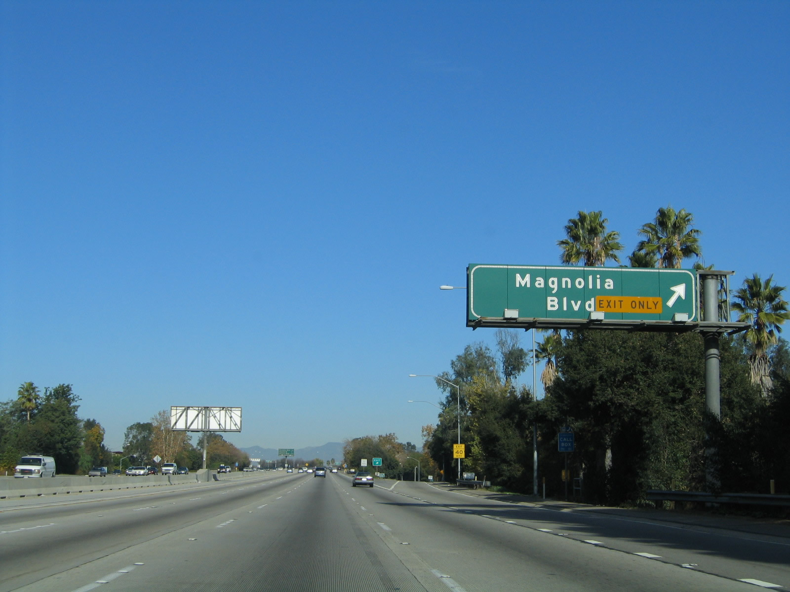
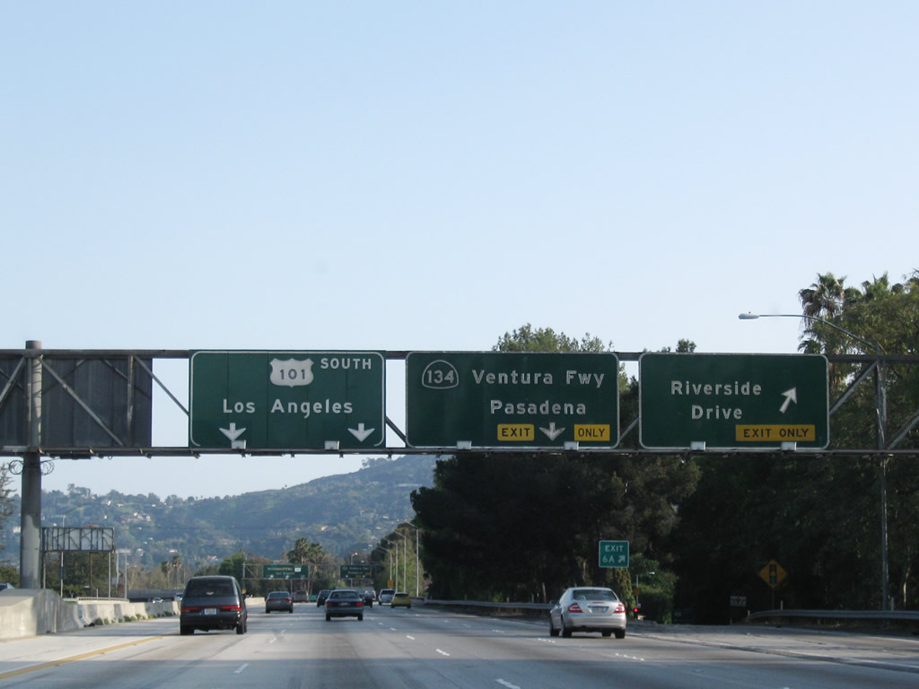
The right lane of California 170 (Hollywood Freeway) south becomes exit only for Exit 6B, Magnolia Boulevard. This overhead sign bridge omits Exit 6A, Riverside Drive but includes the last two exits along California 170 south: Exit 5B, California 134 (Ventura Freeway) east and Exit 5A, U.S. 101 (Hollywood Freeway) south to Hollywood and downtown Los Angeles. Photo taken 03/15/09. |
 |
Southbound California 170 (Hollywood Freeway) reaches Exit 6B, Magnolia Boulevard. Photo taken 03/15/09. |
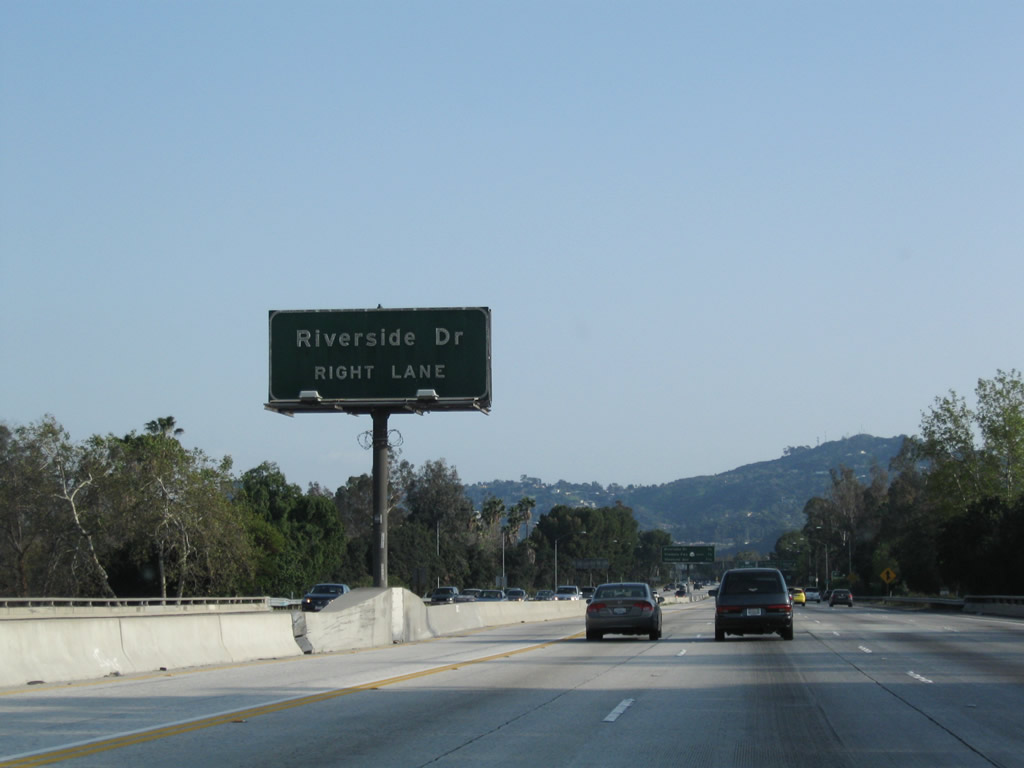 |
The next exit from California 170 (Hollywood Freeway) south is Exit 6A, Riverside Drive. Photo taken 03/15/09. |
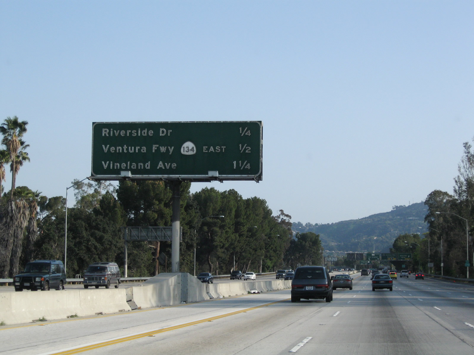 |
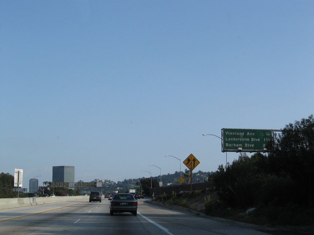
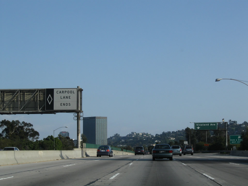
This mileage sign provides the distance to the final two exits from California 170 (Hollywood Freeway) south: Exit 6A, Riverside Drive and Exit 5B, California 134 (Ventura Freeway) east to Glendale and Pasadena (Hollywood Split Interchange). The other exit listed here is for Exit 12B, Vineland Avenue, which is the next exit from U.S. 101 (Hollywood Freeway) south after California 170 merges with U.S. 101. Notably, this sign is one of the few remaining examples of a white button copy state route shield. Photo taken 03/15/09. |
 |
Since there is currently no direct transition ramp from California 170 south to U.S. 101 north (west) or to Ventura Boulevard (Old U.S. 101), that connection must be made via Exit 6A, Riverside Drive. Photo taken 03/15/09. |
 |
Southbound California 170 (Hollywood Freeway) reaches Exit 6A, Riverside Drive. The next interchange is Exits 5B-A, California 134 east and U.S. 101 south. Photo taken 03/15/09. |
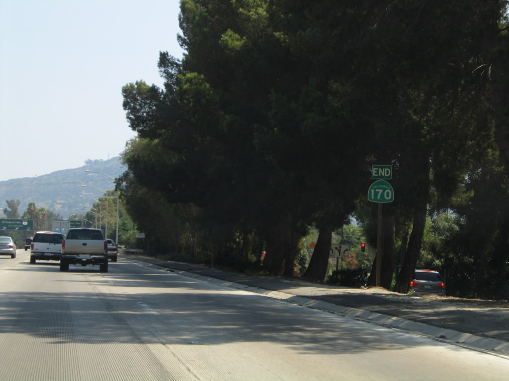 |
An end shield for California 170 south is posted after the off-ramp to Exit 6A, Riverside Drive. Technically California 170 continues to Highland Avenue, but for signing purposes an end shield here is accurate. Photo taken 08/24/04. |
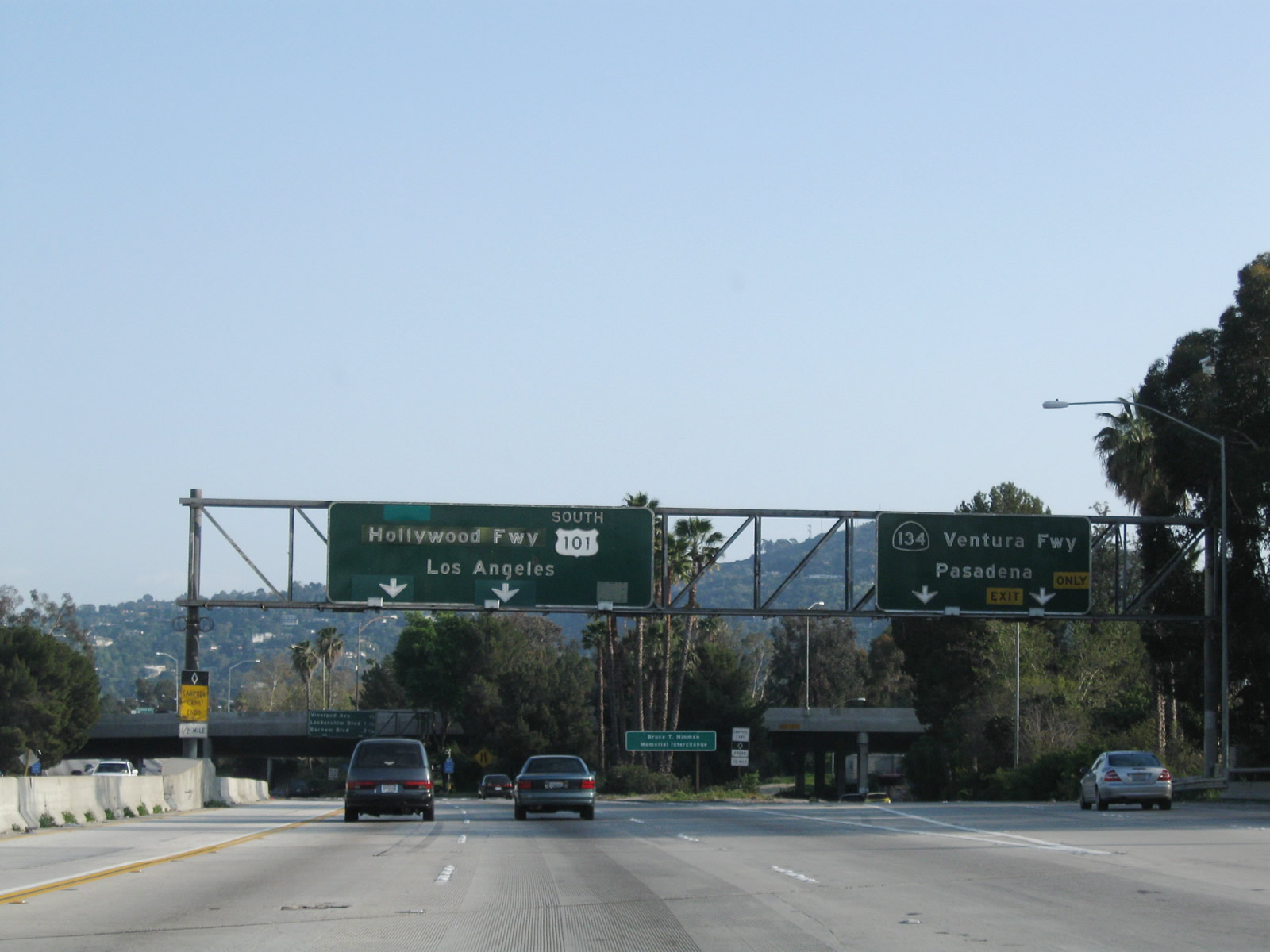 |
Immediately thereafter, southbound California 170 (Hollywood Freeway) splits: The right two lanes connect to Exit 5B, California 134 (Ventura Freeway) east, while the left three lanes (plus HOV lane) connect to Exit 5A, U.S. 101 (Hollywood Freeway) south. One could argue that California 170 "silently merges" with U.S. 101 between here and the Highland Avenue exit, but there is no signage to support that. Most do not know that California 170 continues south along Highland Avenue in Hollywood. Photo taken 03/15/09. |
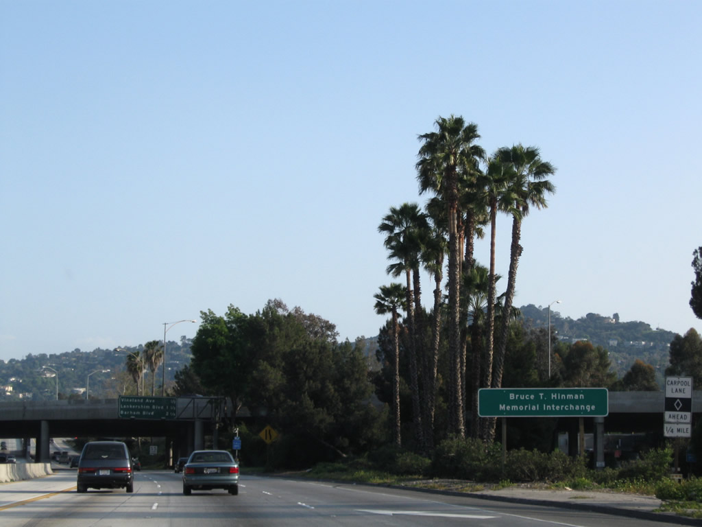 |
The interchange between 101, 134, and 170 (commonly known as the Hollywood Split Interchange) is officially known as the Bruce T. Hinman Memorial Interchange. Photo taken 03/15/09. |
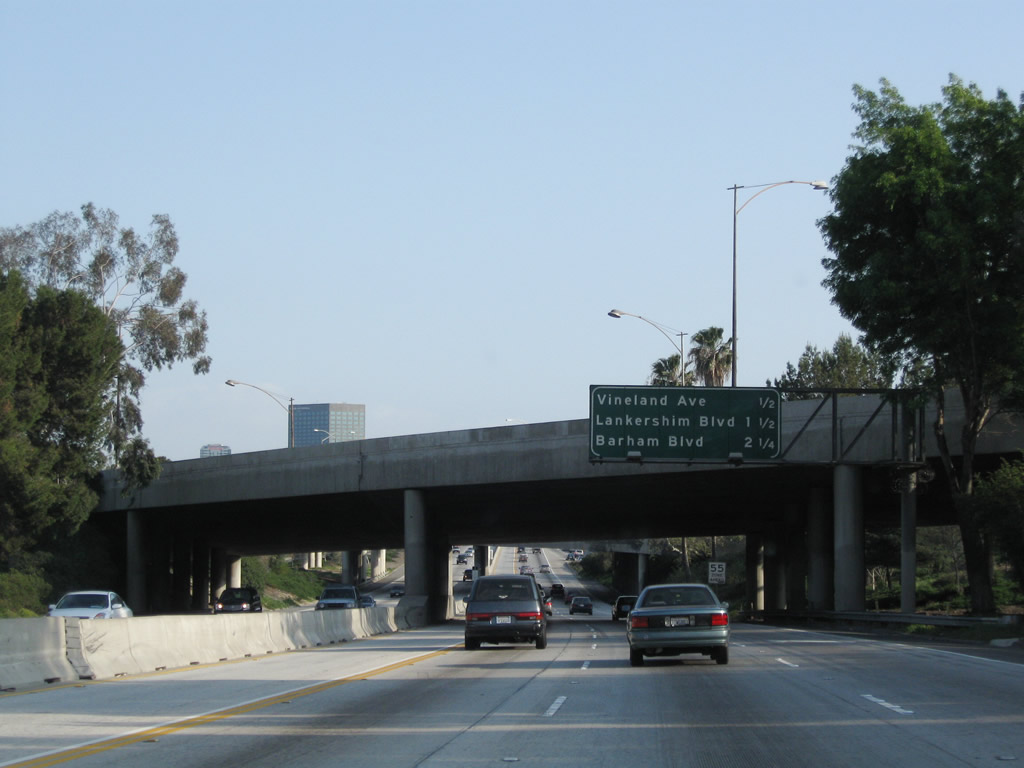 |
Now on the "transition ramp" from California 170 south to U.S. 101, this mileage sign provides the distance to the next three exits along U.S. 101 (Hollywood Freeway): Exit 12B, Vineland Avenue; Exit 12A, Lankershim Boulevard; and Exit 11B, Barham Boulevard (Cahuenga Pass). Photo taken 03/15/09. |
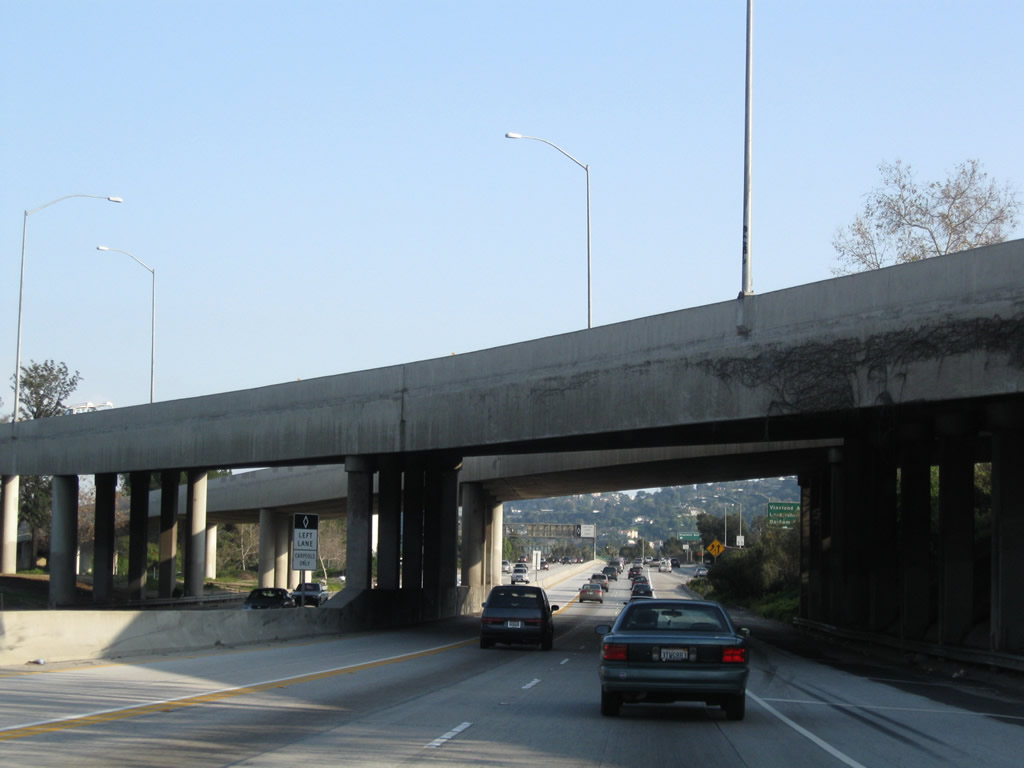 |
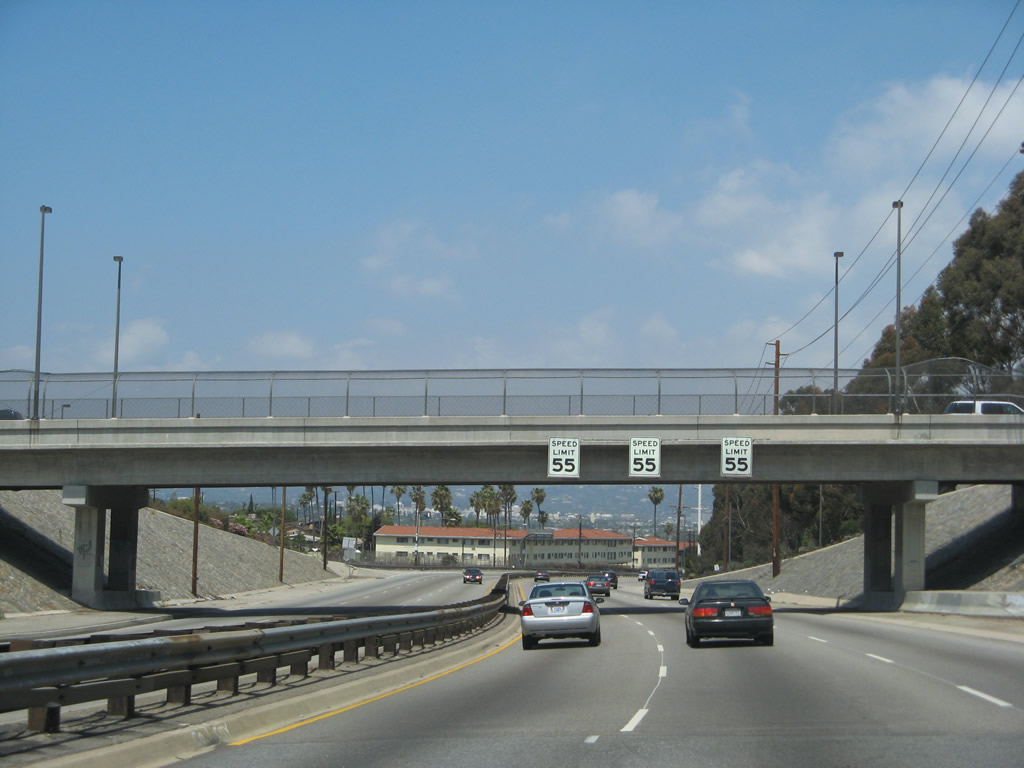
Passing under the Ventura Freeway within the Hollywood Split interchange, southbound California 170 narrows to two general purpose lanes and one high occupancy vehicle lane. The speed limit also reduces to 55 miles per hour and will remain at that speed through Hollywood to downtown Los Angeles. Photo taken 03/15/09. |
 |
Traffic from U.S. 101 merges onto the Hollywood Freeway from the right. An identical mileage sign is posted on the U.S. 101 connecting ramp. Photo taken 03/15/09. |
 |
The carpool lane ends once 170 and 101 complete their merge. From here, U.S. 101 continues south over the Cahuenga Pass to Hollywood and downtown LA. California 170 will resume as an unsigned route at the Highland Avenue interchange just south of Cahuenga Pass. Photo taken 03/15/09. |
| Route Break along U.S. 101 (Hollywood Freeway) | |
| California 170 (Highland Avenue) south | |
Laurel Canyon Freeway
Although many freeways currently criss-cross the greater Los Angeles region, plenty of additional freeways were contemplated yet never constructed. One of these was the Laurel Canyon Freeway, a proposed north-south freeway planned to be signed as California 170. The Laurel Canyon Freeway would have begun at Interstate 405 and La Cienega Boulevard and traveled north along a corridor generally defined along La Cienega Boulevard, Fairfax Avenue, and Laurel Canyon Boulevard. The freeway would then link to U.S. 101 and California 170 at or near the Hollywood Split, which is the interchange between the Ventura Freeway and Hollywood Freeway (or between U.S. 101, California 134, and California 170). None of the Laurel Canyon Freeway was built except for the freeway portions of La Cienega Boulevard through Baldwin Hills. The rest of the route encountered local opposition, especially through western Los Angeles, the city of West Hollywood, and the city of Los Angeles community of Laurel Canyon. Today, this freeway is dead and won't be built.
The photos below profile the segments of La Cienega Boulevard that were constructed to freeway or expressway standards by Los Angeles County. The freeway segments of the boulevard through the Baldwin Hills is maintained by the county since the Baldwin Hills are largely unincorporated.
| La Cienega Boulevard north | |
|---|---|
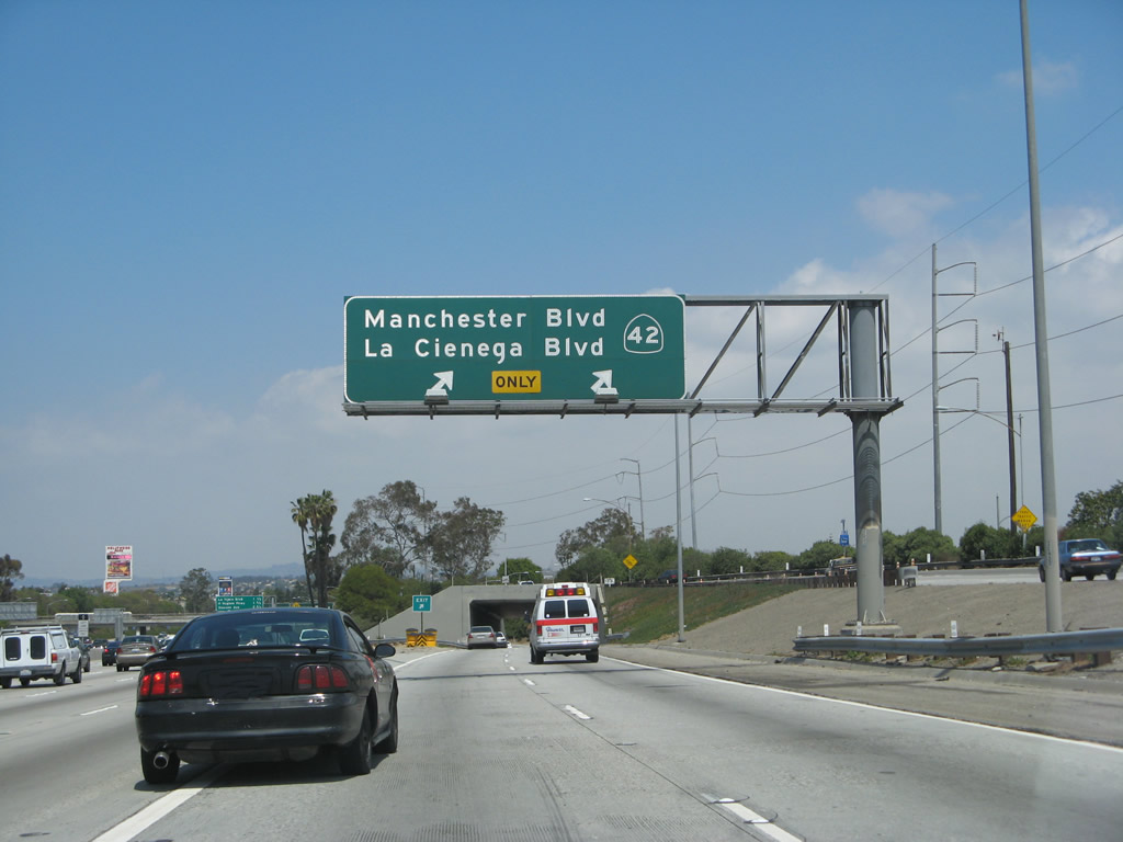 |
Although not part of the state highway system, this series of photos profiles La Cienega Boulevard as it leads north from Interstate 405 toward Interstate 10. In this photo, La Cienega Boulevard splits off Interstate 405 (San Diego Freeway) at the California 42/Manchester Boulevard interchange. Photo taken 04/21/07. |
 |
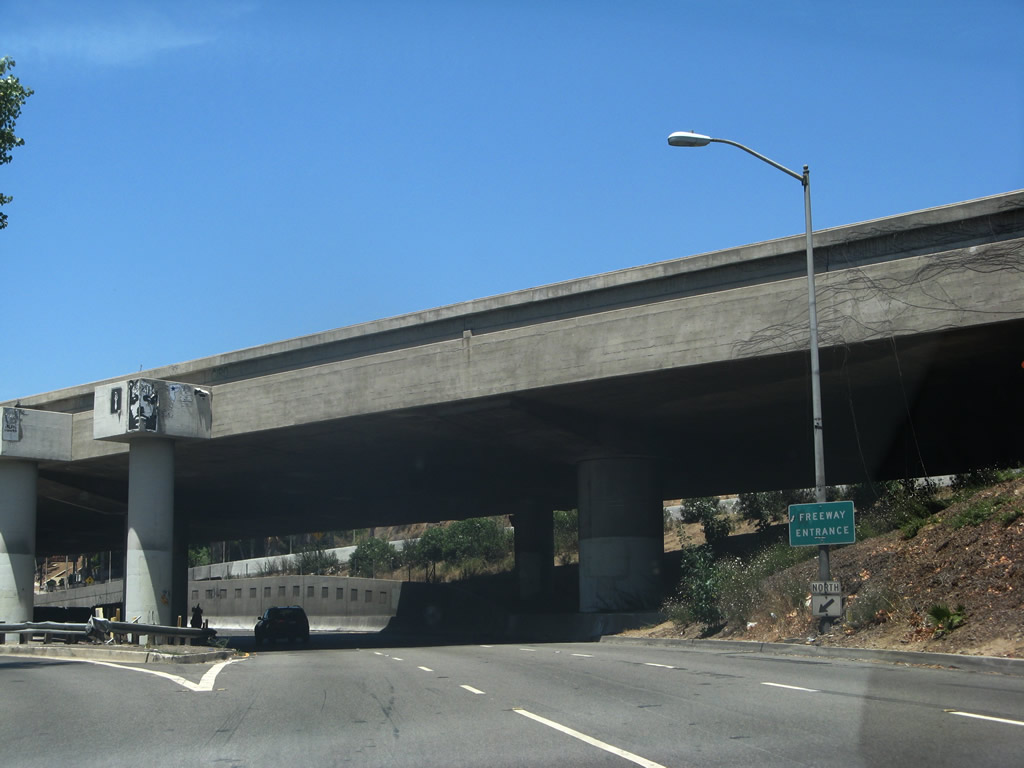
Once on the off-ramp to La Cienega Boulevard and Manchester Boulevard, stay left to follow La Cienega Boulevard. This interchange was configured as a freeway-to-freeway interchange, even though the freeway to La Cienega Boulevard was never built. Photo taken 04/21/07. |
 |
The off-ramp eventually splits between La Cienega Boulevard and Manchester Boulevard (Exit 47, former California 42). Photo taken 04/21/07. |
 |
 |
Now on its own alignment parallel to Interstate 405, northbound La Cienega Boulevard avoids most cross streets starting with Manchester Boulevard, which crosses overhead. Photos taken 04/21/07. |
 |
Another bridge carries Florence Avenue over La Cienega Boulevard. Here the freeway is still within the footprint of nearby Interstate 405. Photo taken 04/21/07. |
 |
After the Florence Avenue overpass, northbound La Cienega Boulevard pulls away from Interstate 405 and shifts onto its own alignment. The highway carries four to six lanes and has traffic signals and cross traffic between here and Slauson Avenue. Photo taken 04/21/07. |
 |
La Cienega Boulevard is maintained by the city of Los Angeles. Photo taken 04/21/07. |
 |
This is a very busy roadway, with limited sidewalks to start and power lines hanging over the travel lanes. There are several approaching side streets, so watch for turning traffic. Photo taken 04/21/07. |
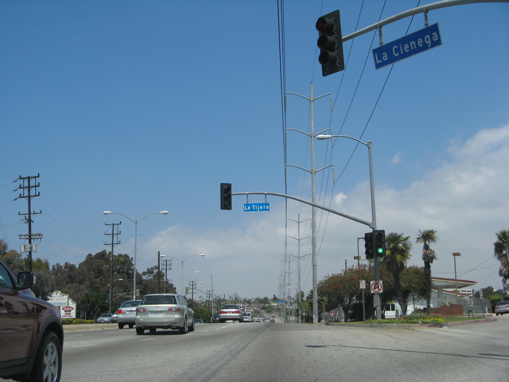 |
Northbound La Cienega Boulevard meets La Tijera Boulevard at this traffic signal. Photo taken 04/21/07. |
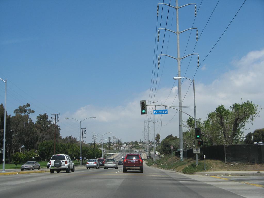 |
Immediately thereafter, northbound La Cienega Boulevard meets Fairview Boulevard at this traffic signal. Photo taken 04/21/07. |
 |
A pedestrian bridge crosses La Cienega Boulevard to allow residential access to a school on the east side of La Cienega Boulevard. Photo taken 04/21/07. |
 |
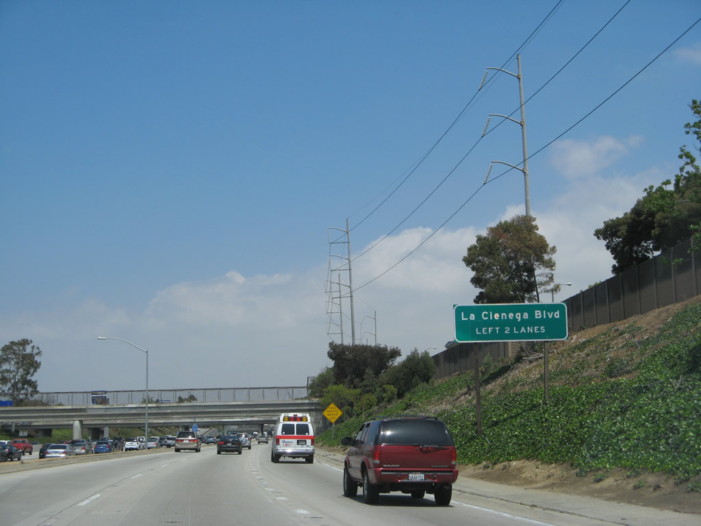
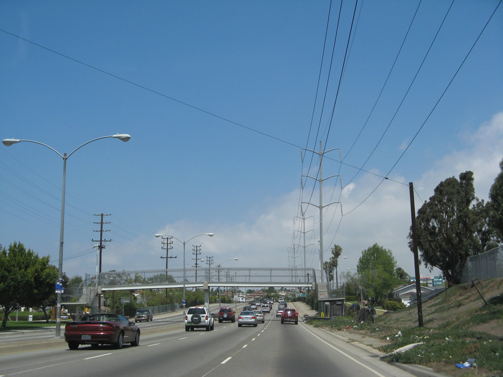
Beginning its freeway segment, the first exit along northbound La Cienega Boulevard is with Slauson Avenue (next right). This freeway segment would likely have been incorporated into California 170/Laurel Canyon Freeway had it been constructed as originally envisioned. Photo taken 04/21/07. |
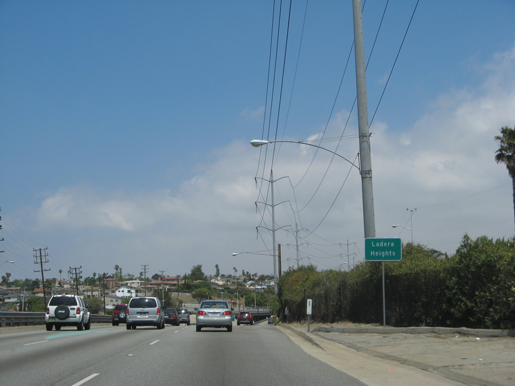 |
La Cienega Boulevard enters the community of Ladera Heights. Photo taken 04/21/07. |
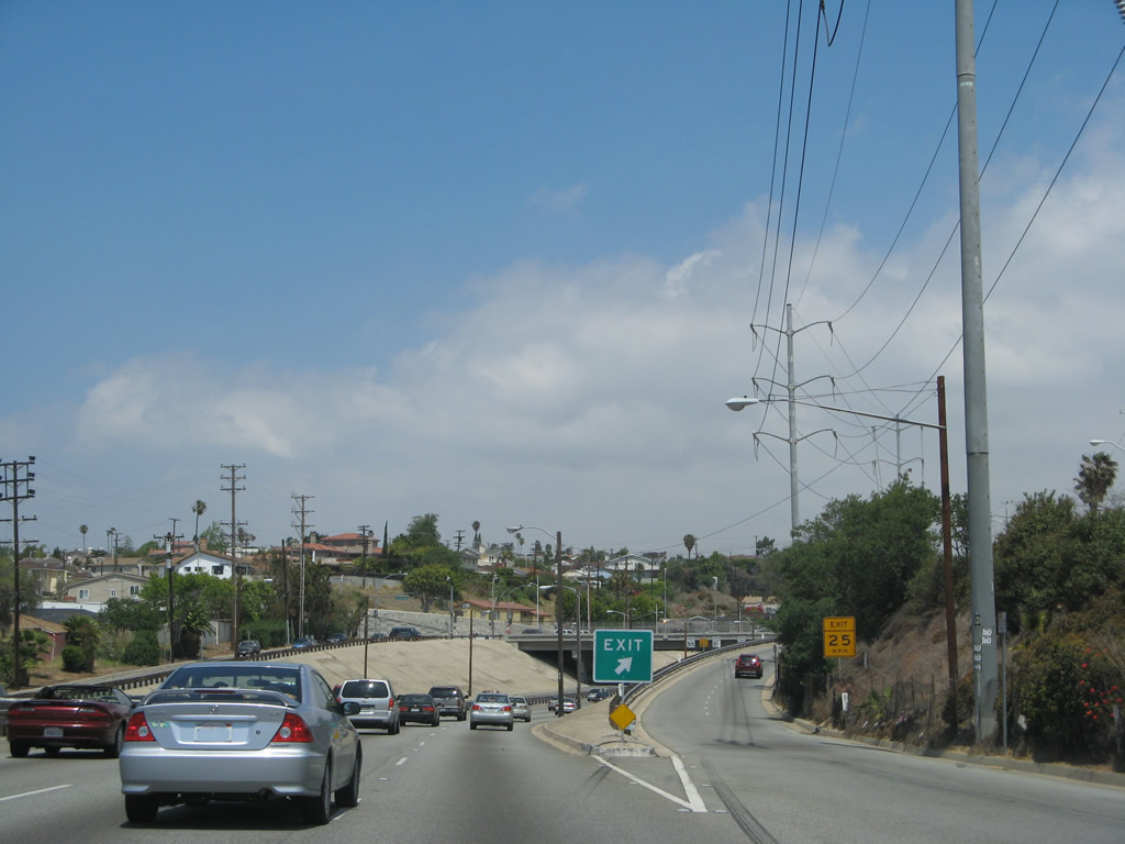 |
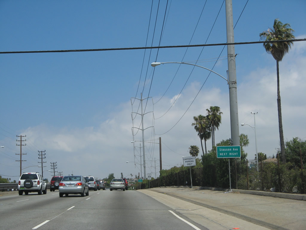
Northbound La Cienega Boulevard meets the off-ramp to Slauson Avenue, which is the planned alignment for California 90 should it ever be extended east of the Marina Freeway segment. Photo taken 04/21/07. |
 |
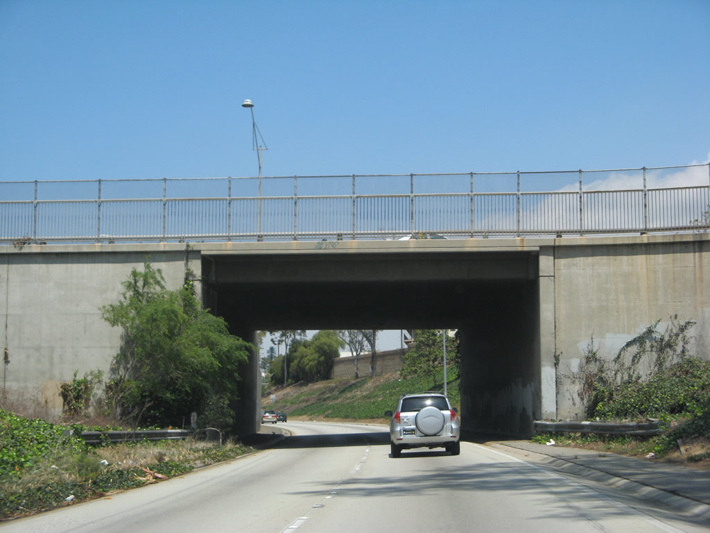
Built in the 1940s, La Cienega Boulevard features an older look to its freeway segment. Concrete banks line both sides of the freeway as it descends to pass under Slauson Avenue. Photo taken 04/21/07. |
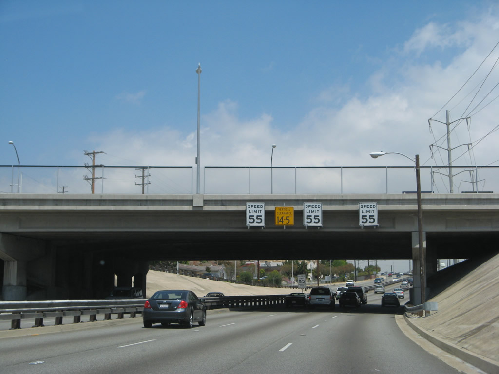 |
Somewhat unusual was an experiment to have different speed limits in each lane of La Cienega Boulevard, using the concept that the left lane would have faster vehicles and the right lane would have slower vehicles. The experiment called for the left lane to have a faster speed limit than the right lane, and speed limit signs were posted on overpasses along La Cienega Boulevard back when the study was conducted. As one could imagine, the various speed limits did not work, and now there are three speed limit signs, each with the same speed limit, posted over each lane of northbound La Cienega at Slauson Avenue. Photo taken 04/21/07. |
 |
As a new lane joins northbound La Cienega Boulevard after the Slauson Avenue interchange, the freeway now has four northbound lanes ... but not for long. Photo taken 04/21/07. |
 |
La Cienega Boulevard skirts the western edge of the Baldwin Hills, which have been tapped for oil and gas for decades. Photo taken 04/21/07. |
 |
The next traffic signal along La Cienega Boulevard north is with Stocker Street (next right). Yes, the freeway (briefly) ends ahead. Photo taken 04/21/07. |
 |
Use the right lane to connect from La Cienega Boulevard north to Stocker Street east. Photo taken 04/21/07. |
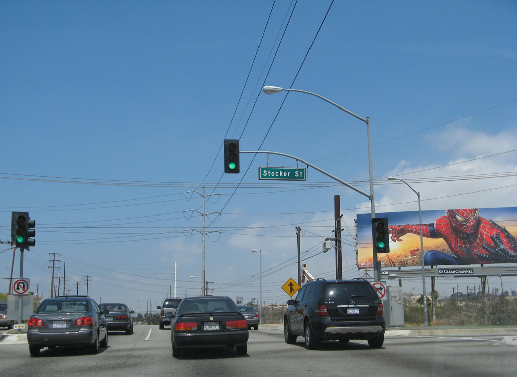 |
Northbound La Cienega Boulevard meets Stocker Street at this traffic signal. The freeway resumes ahead. Photo taken 04/21/07. |
 |
The tall power lines that have lined La Cienega Boulevard since leaving Interstate 405 finally split away after the Stocker Street intersection. Photo taken 04/21/07. |
 |
La Cienega Boulevard continues through the industrial Baldwin Hills area. Look for oil derricks and other oil-related plants nearby. Photo taken 04/21/07. |
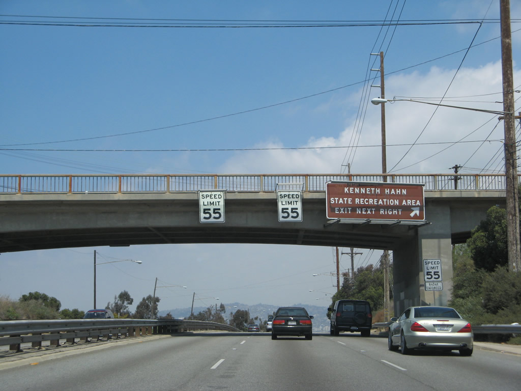 |
The next (and final) exit along La Cienega Boulevard is with Kenneth Hahn State Recreation Area Drive in Baldwin Hills (next right). Photo taken 04/21/07. |
 |
This view looks north along La Cienega Boulevard in the Baldwin Hills toward the Kenneth Hahn State Recreation Area Drive interchange. Photo taken 04/21/07. |
 |
Northbound La Cienega Boulevard meets the off-ramp to Kenneth Hahn State Recreation Area Drive in Baldwin Hills. Photo taken 04/21/07. |
 |
Passing under Kenneth Hahn State Recreation Area Drive is another triple speed limit sign assembly. We've not seen this arrangement with speed limit signs anywhere else in Southern California. The three different speed limit signs are posted here because at one point an experiment was conducted where each lane had a separate speed limit, with rates faster to the left and slower to the right. Photo taken 04/21/07. |
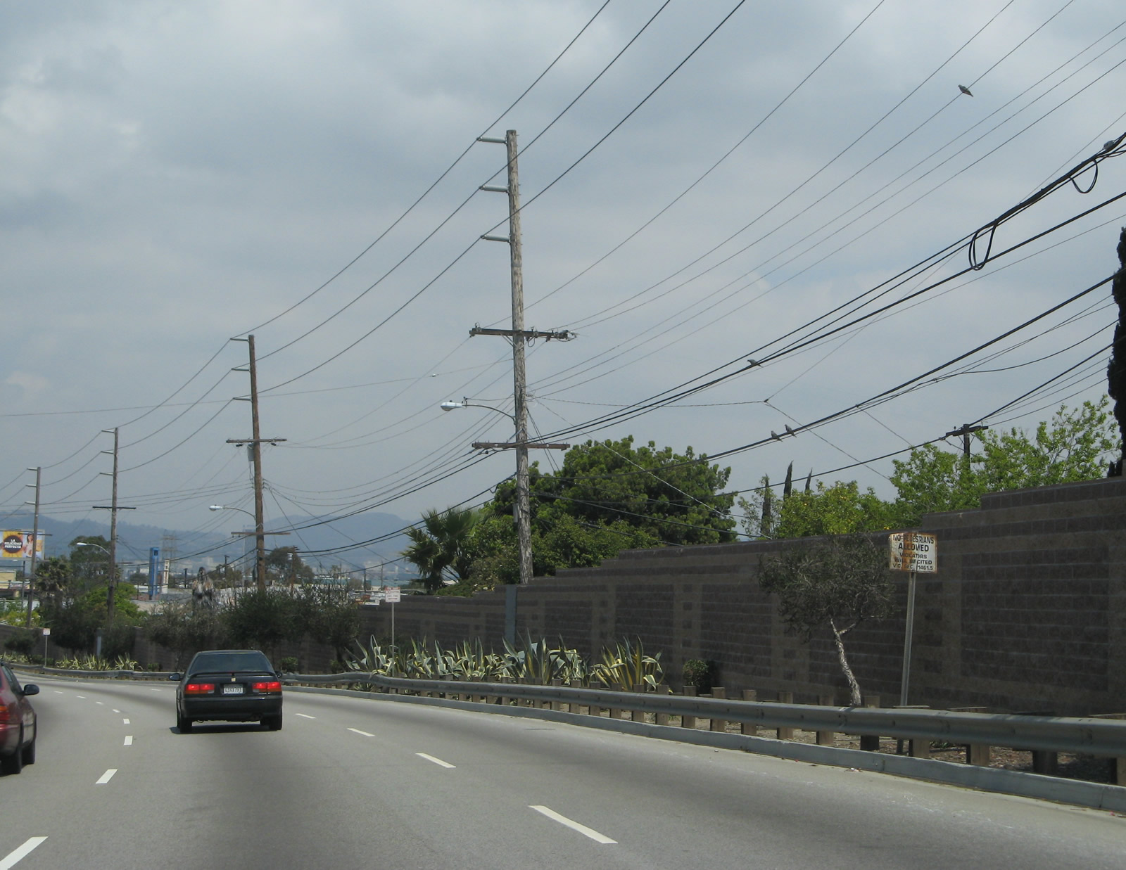 |
A very old sign warns that pedestrians are prohibited along La Cienega Boulevard north of Kenneth Hahn State Recreation Area Drive. Photo taken 04/21/07. |
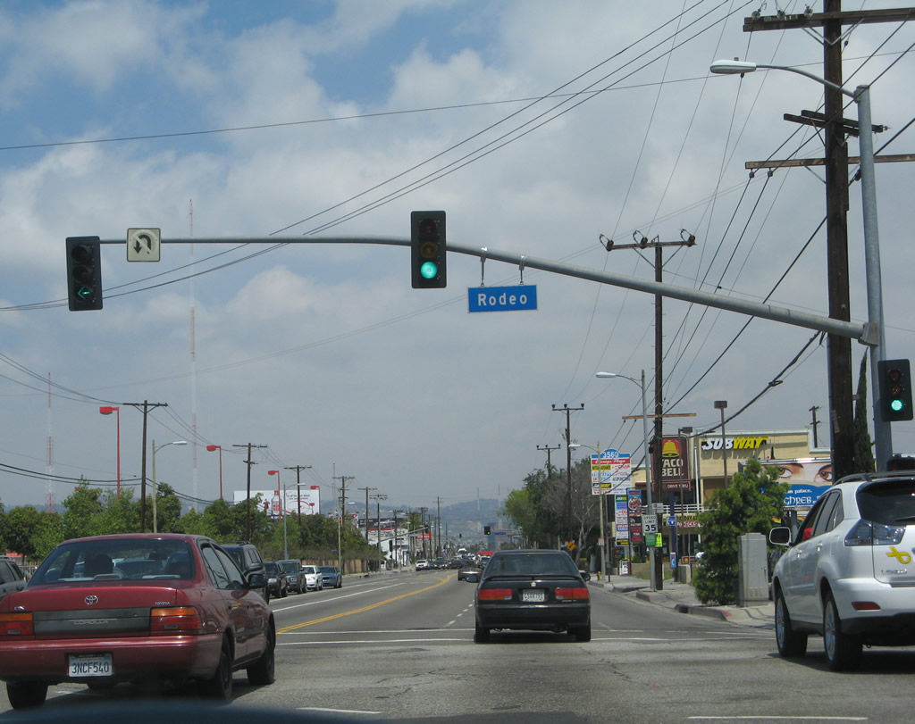 |
The freeway ends as La Cienega Boulevard approaches and meets Rodeo Road. The rest of La Cienega Boulevard north is a standard city street, including its interchange with Interstate 10 (Santa Monica Freeway). Photo taken 04/21/07. |
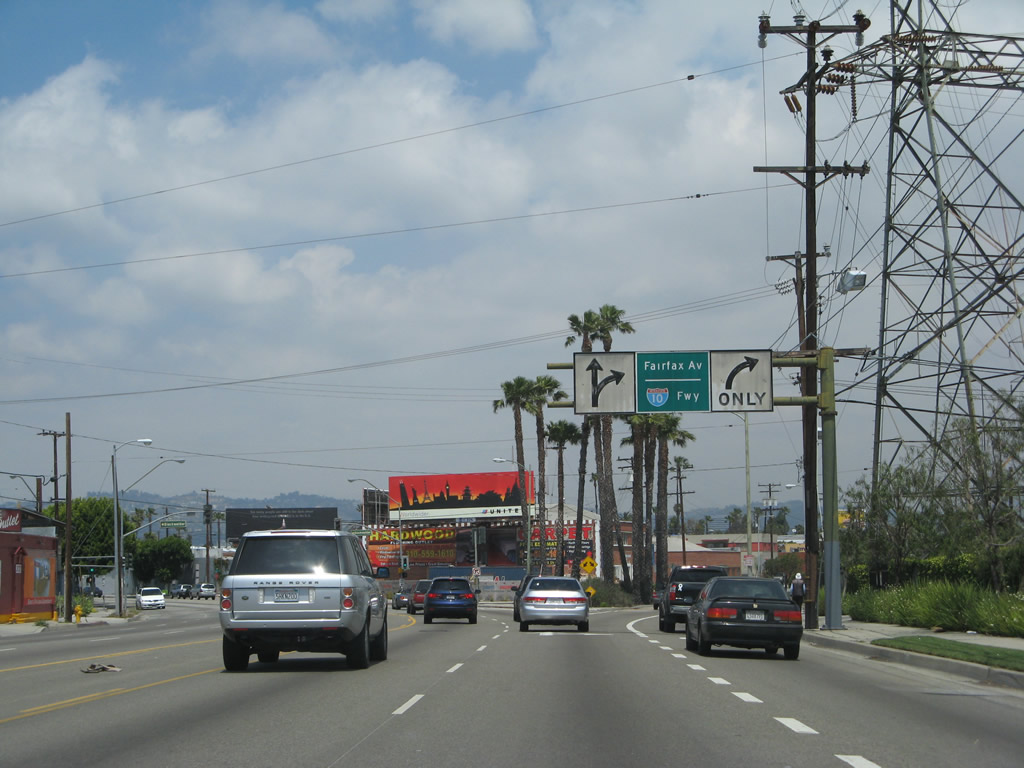 |
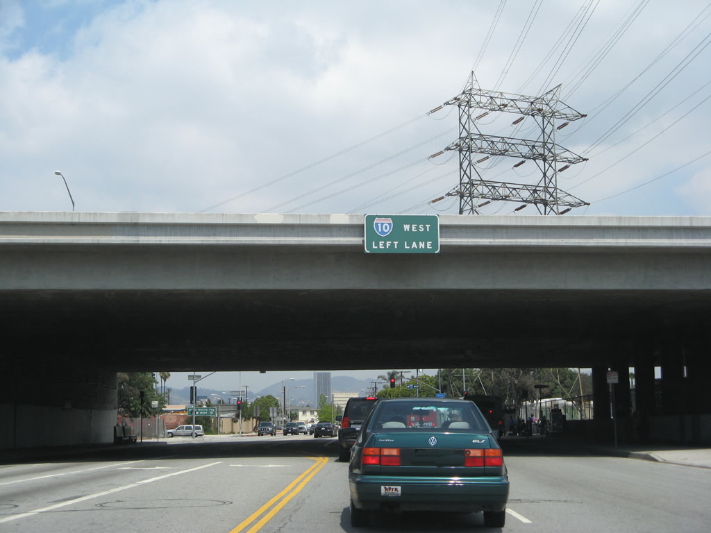
After passing the intersection with Jefferson Boulevard, northbound La Cienega Boulevard prepares to split with Fairfax Avenue. Stay left for La Cienega Boulevard to California 187 (Venice Boulevard) or right for Fairfax Avenue to Interstate 10 (Santa Monica Freeway). Photo taken 04/21/07. |
| Fairfax Avenue north | ||||
|---|---|---|---|---|
 |
 |
 |
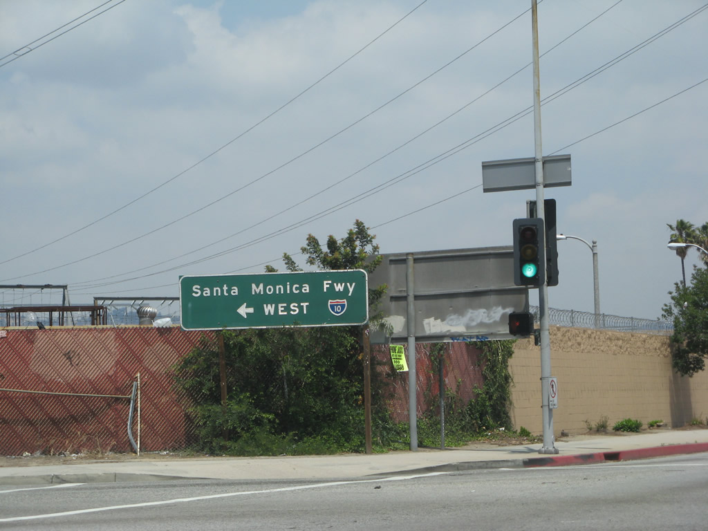 |
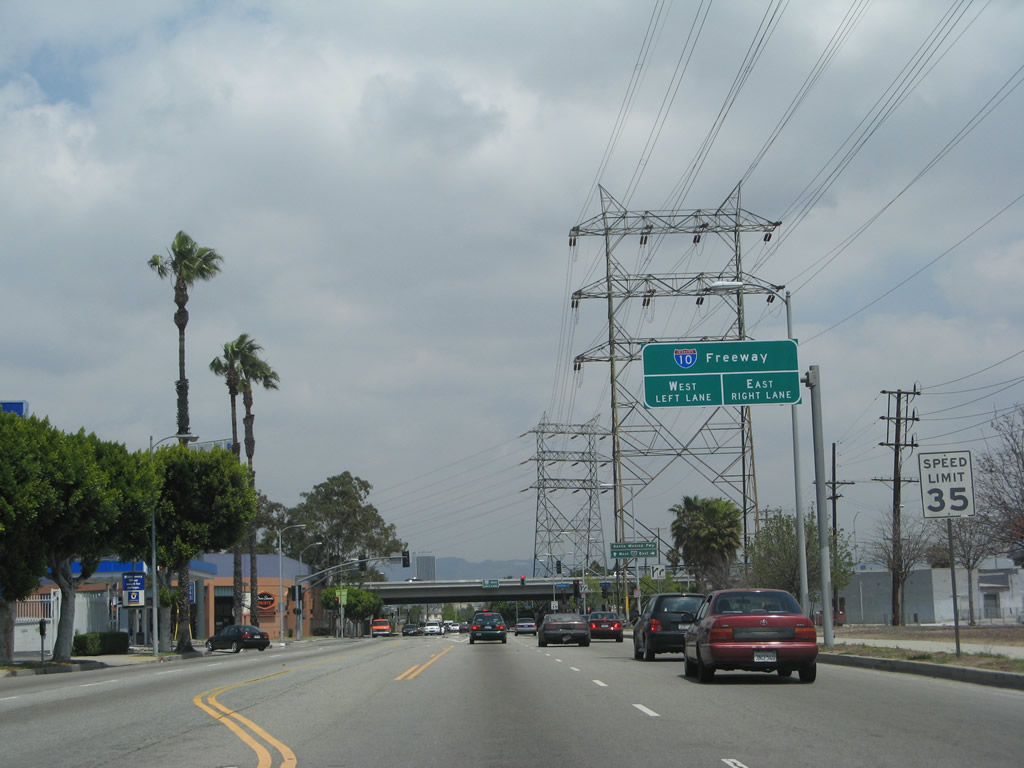
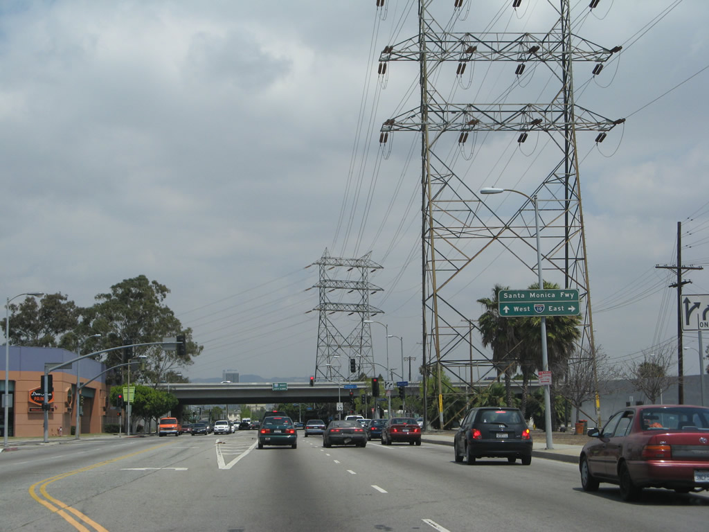
This series of photos shows the connection from La Cienega Boulevard to Interstate 10 (Santa Monica Freeway) via Fairfax Avenue in Los Angeles. Photos taken 04/21/07. |

Page Updated April 14, 2011.
|
About Contact Glossary |
In The News Testimonials Interstate Guide |
Social Media:
 |
|
© 2000-23 AARoads.com | All Rights Reserved | Privacy Policy / Terms of Use
|
||