
California 186
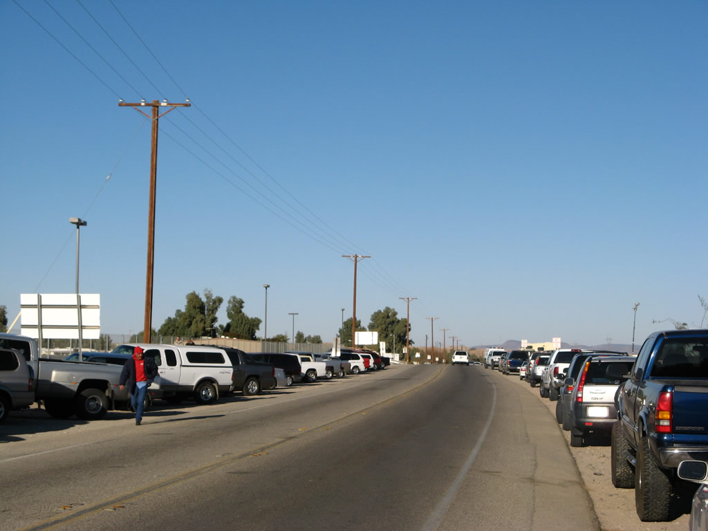
California 186 is a short spur route from Interstate 8 south to Andrade and the Andrade Border Crossing into Mexico. The route is only two lanes wide, but it carries a fair amount of traffic. Plans call for this highway to be widened to four lanes between the international border and Interstate 8 to accommodate the increasing traffic flow.
| California 186 (Algodones Road) south | |
|---|---|
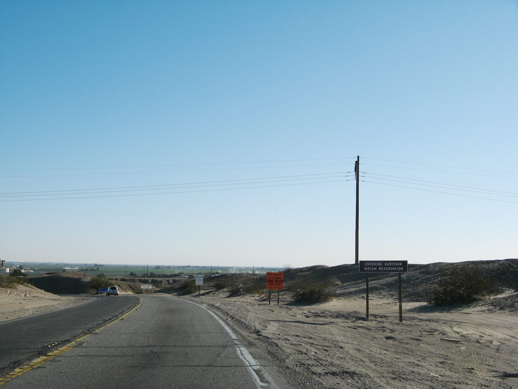 |
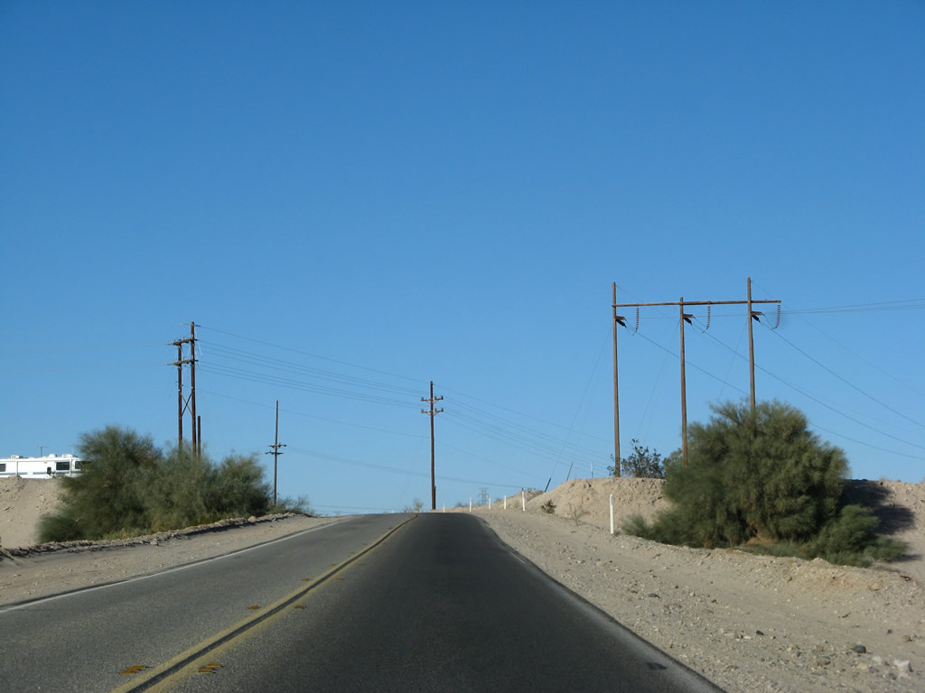
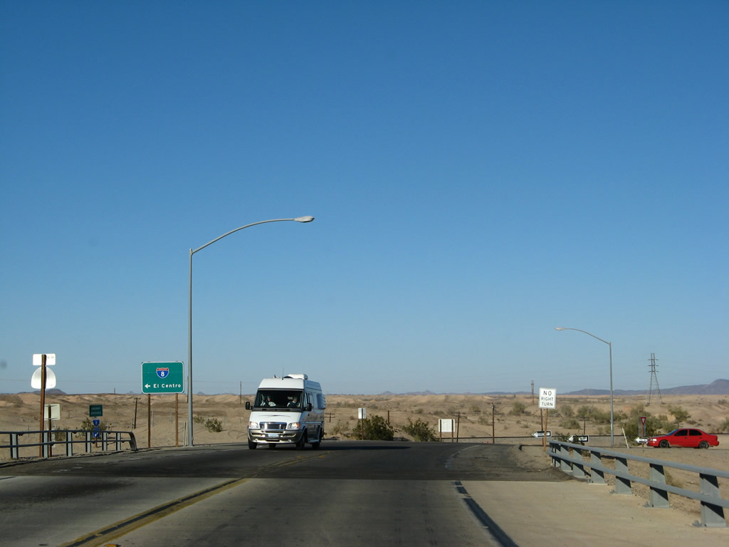
South of Interstate 8, two-lane California 186 follows Algodones Road south toward the International Border with Mexico. The state route is scheduled to be widened to a four-lane, divided highway configuration in the future to accommodate the increasing traffic counts south to Andrade. Initially, California 186 passes through the Quechan Indian Reservation. Photo taken 01/15/07. |
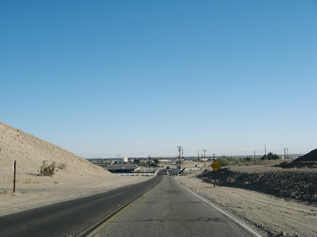 |
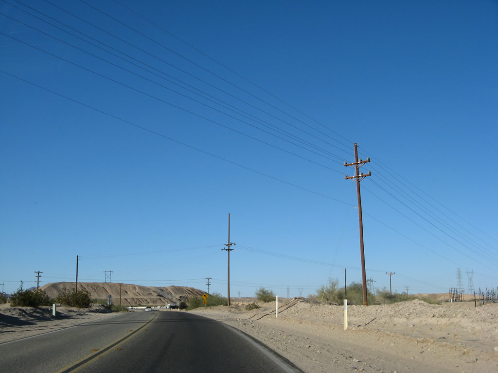
After ascending to a hill, California 186 descends toward the All American Canal crossing, which was built in 1938 at the same time the canal was built. To the west of California 186 is Pilot Knob Mesa, which sits 742 feet and separates the Colorado River valley from the Imperial Valley. Photo taken 01/15/07. |
 |
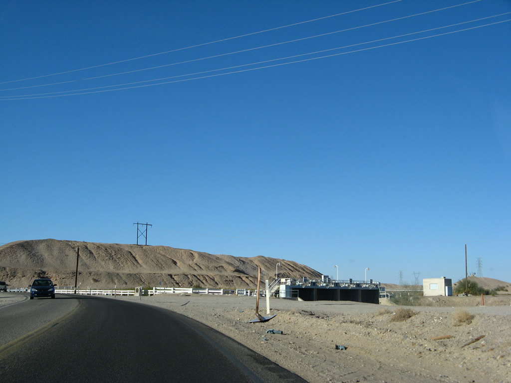
A California 186 south reassurance shield is posted as Algodones Road crosses over the All American Canal near the Rockwood check diversion gate. Despite the fact that the Colorado River lies very close to the canal, the All American Canal does not begin (diverge from the river) at this point. While there is a connection between the canal and the river via the Rockwood gate, the All-American Canal initially diverges from the river at Laguna Dam off Imperial County S-24. Photo taken 01/15/07. |
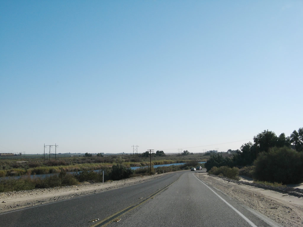 |
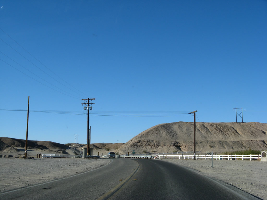
Aiming a bit southeast, a diversion canal of the Colorado River comes into view shortly after the All American Canal crossing. The power lines are located on a strip of land located between the diversion canal and the river. The highway will turn southwest for its final distance to the small town of Andrade and the border crossing with Mexico. Photo taken 01/15/07. |
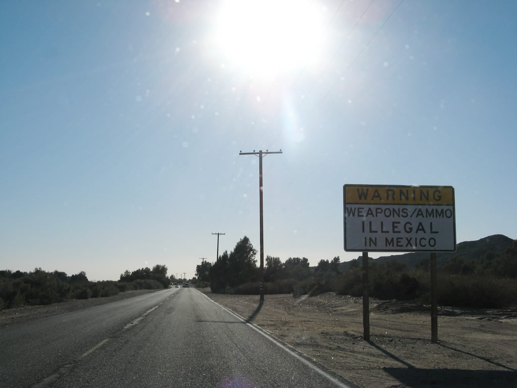 |
The typical warning signs for traffic entering Mexico appear along California 186 as it continues southwest toward Andrade and Mexico. The first sign advises of the permit required to export firearms, and this sign warns that guns and ammunition are illegal in Mexico. After these signs, slow down. Parked cars will appear on both sides of the highway. Photo taken 01/15/07. |
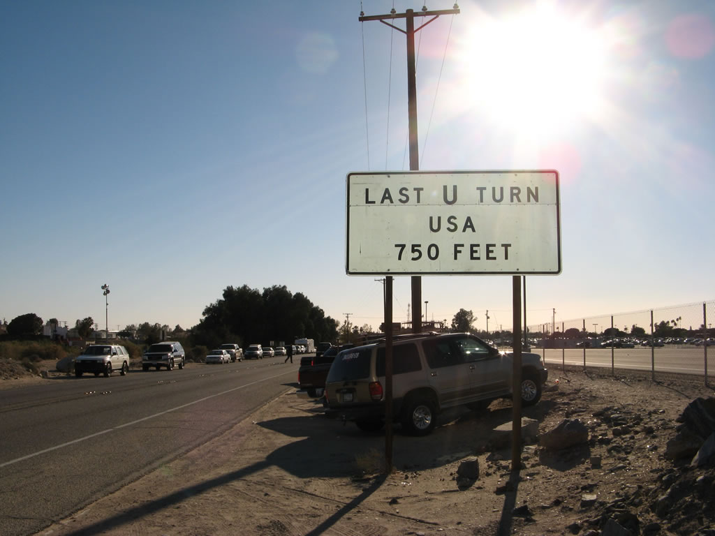 |
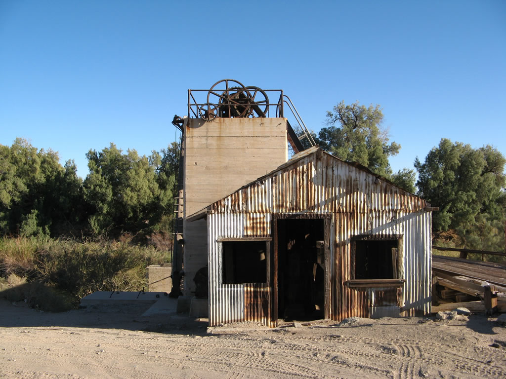
A large parking lot appears on the west side of California 186 for pedestrian traffic entering Mexico. Otherwise, all traffic on California 186 will default into crossing the border into Mexico. The only chance to turn around is the last U.S. U-Turn, which is 750 feet ahead. On the west side of the road, almost lost in the many parked vehicles, is Hanlon Heading, an old water diversion facility built in 1905. Photo taken 01/15/07. |
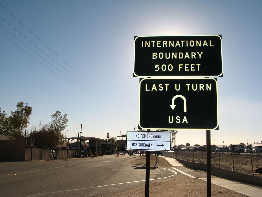 |
The last U.S. U-Turn is simply a cul-de-sac/wide spot in the road. All through traffic will default into the border crossing into Mexico, which is 500 feet ahead. Photo taken 01/15/07. |
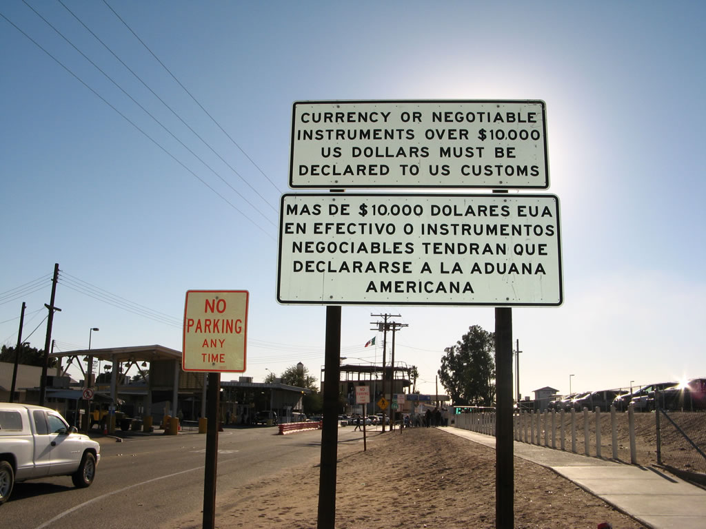 |
Continuing south, the U.S. Customs Station appears on the east side of the highway. This sign warns that large sums of money (greater than $10,000) is required to be declared to U.S. Customs. The town of Andrade is mostly devoted to commerce across the border, including the parking areas and the pedestrian facilities. Most services, however, are in Algodones, Baja California Norte, on the south side of the border. Photo taken 01/15/07. |
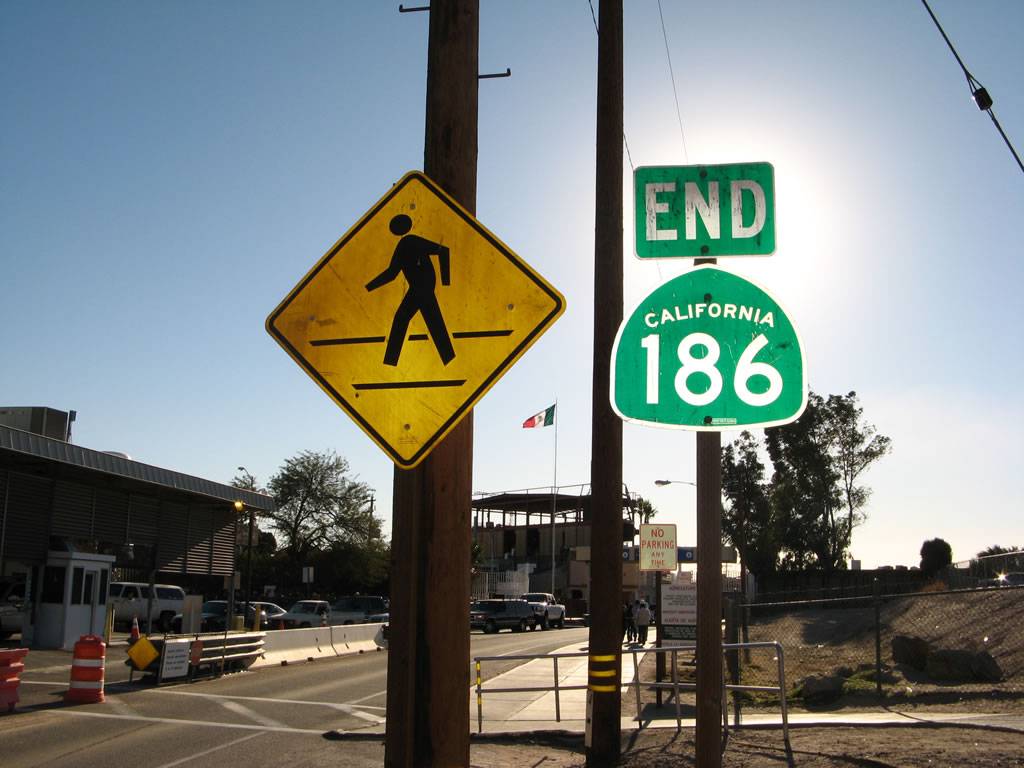 |
Shortly afterward, California 186 comes to an end. The U.S. Customs Station is located here, and the through lane will connect to the Mexican Port of Entry. Photo taken 01/15/07. |
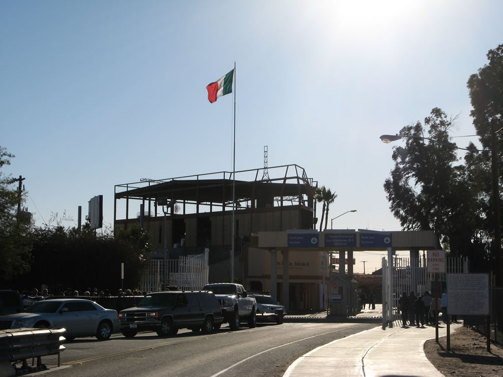 |
The Mexican flag flies over the Mexican side of the border crossing at the U.S.-Mexico border crossing. The border fence can be seen in the distance. Photo taken 01/15/07. |
| California 186 (Algodones Road) north | |
|---|---|
 |
Now traveling north on California 186, this view shows the state highway as it begins at the last U-Turn in Andrade. From here, California 186 travels north on a two-lane alignment to Interstate 8 west of Winterhaven/Yuma and east of Felicity. Photo taken 01/15/07. |
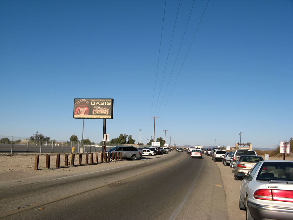 |
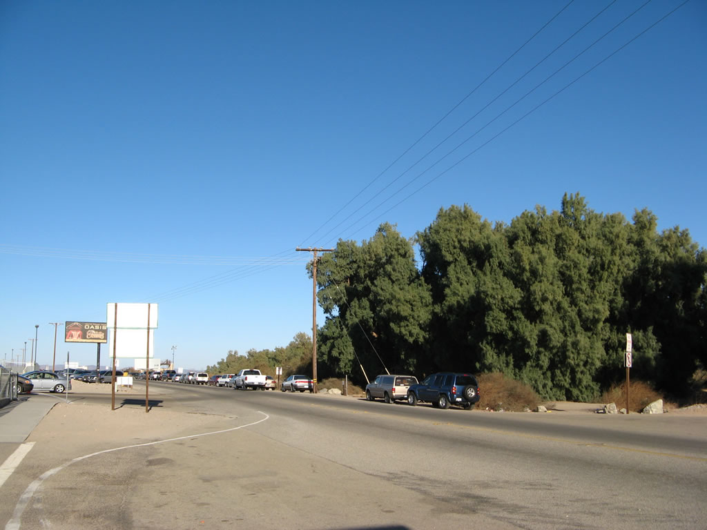
A billboard advertising for Quechan Indian Reservation's Paradise Casino is posted on the west side of California 186 (Algodones Road) as it travels north past cars parked along the highway. Despite "No Parking Any Time" signs on both sides of California 186, people frequently park alongside the state highway in order to avoid paying to park at one of the large parking lots on the west side of the highway in Andrade. Photo taken 01/15/07. |
 |
More cars line California 186 as it finds its way north away from the port of entry and border crossing with Mexico. As can be seen by the clothes worn by the pedestrian, it was a cold day in the desert this January afternoon. Photo taken 01/15/07. |
 |
The Hanlon Heading diversion dam can be seen from northbound California 186 as the state highway leaves Andrade. Photo taken 01/15/07. |
 |
Welcome to California, the Golden State! The standard welcome sign featuring the state flower, the California Poppy, is located on the east side of the highway. On the west side of the highway is a recreational vehicle (RV) area. Photo taken 01/15/07. |
 |
State law requires that front seat passengers wear a seat belt. Signs like this on northbound California 186 were posted in 2004 to advise motorists of the law. Photo taken 01/15/07. |
 |
California 186 turns a bit to the northwest as it approaches the Rockwood diversion gate. Photo taken 01/15/07. |
 |
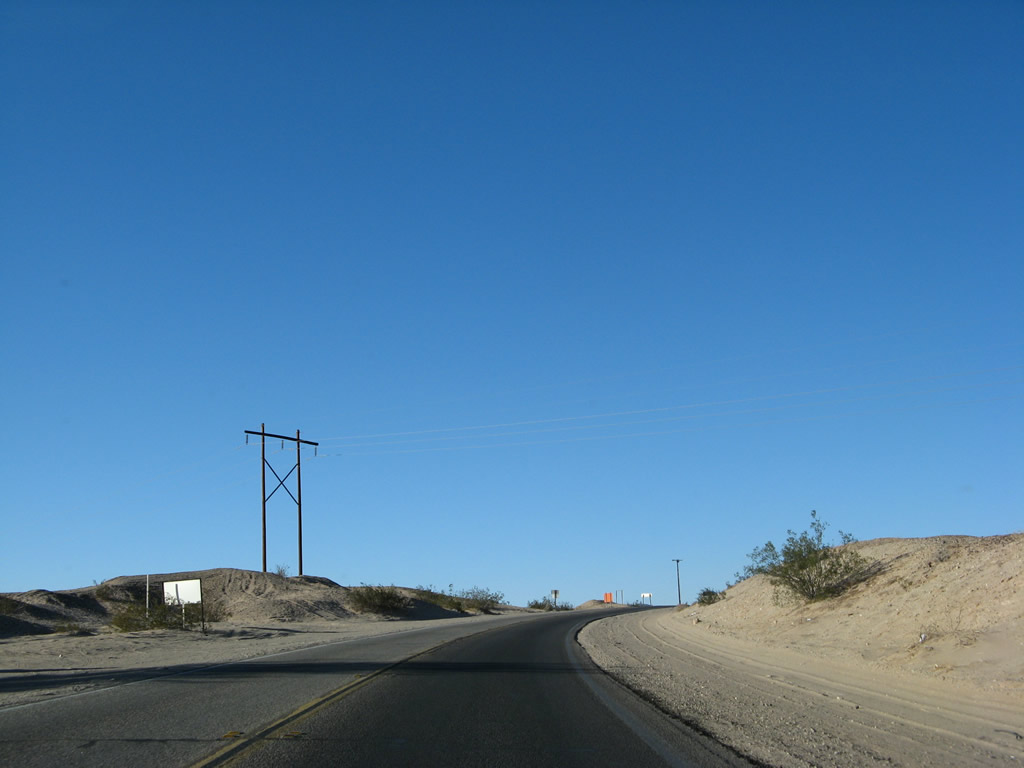
A flurry of power lines owned by the Imperial Irrigation District cross California 186. Shortly, California 186 will cross the All American Canal, which is the primary diversion of Colorado River water west to the Imperial Valley. Photo taken 01/15/07. |
 |
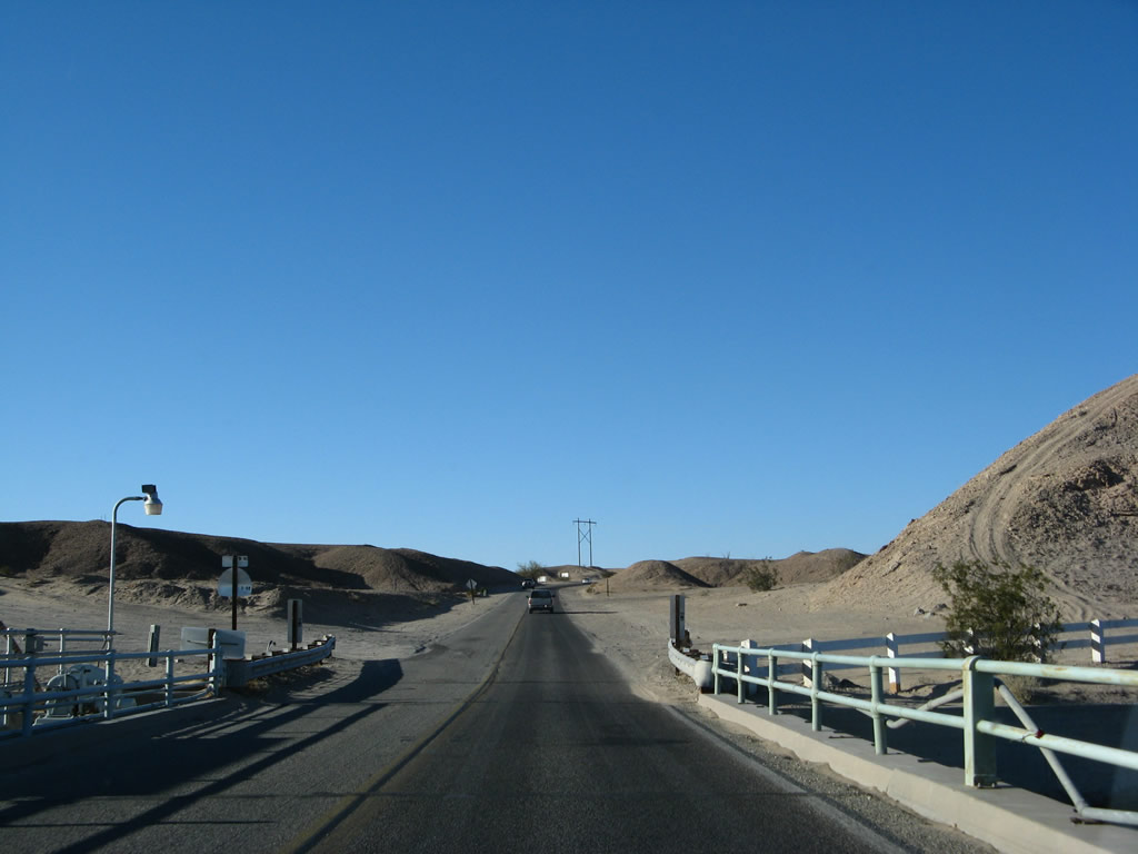
Despite being a heavily traveled state highway, California 186 has soft shoulders (dirt), and this makes passing on California 186 difficult. Photo taken 01/15/07. |
 |
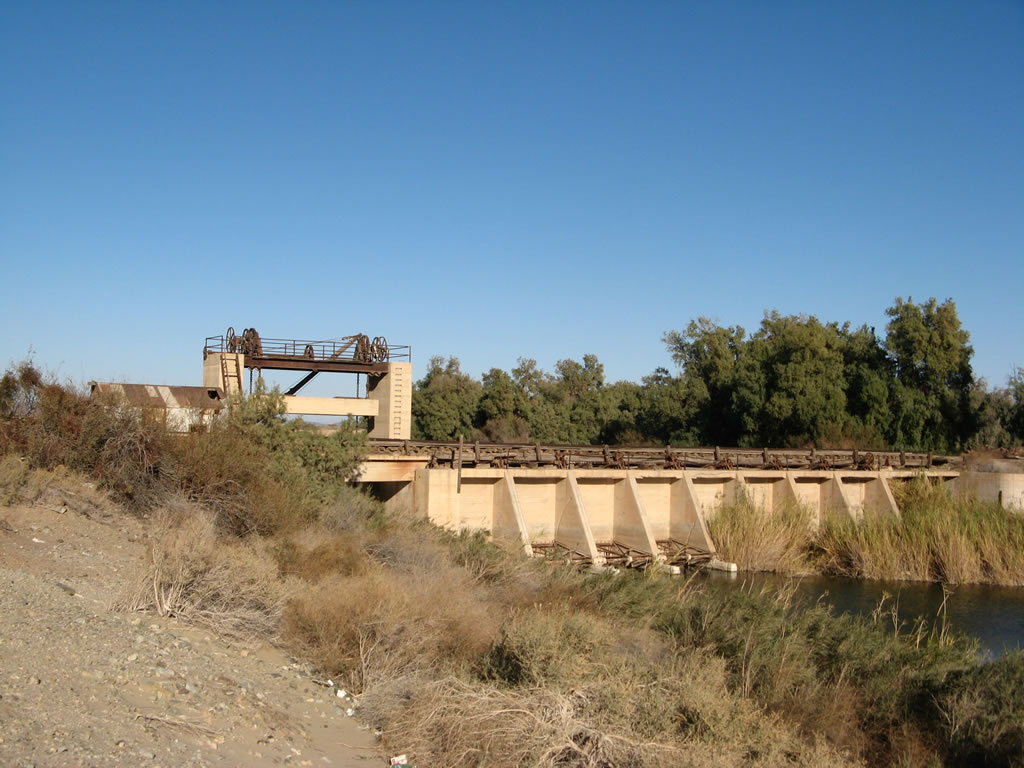
The Rockwood Diversion Gate connects the Colorado River with the All American Canal at this point. After turning a bit to the west, California 186 will cross the All American Canal on a bridge that dates back to the canal's construction in the late 1930s-early 1940s. Photo taken 01/15/07. |
 |
A California historic marker is located at the Rockwood Gate, alongside a wide spot on the road that allows for parking (although on some sand). Photo taken 01/15/07. |
 |
The All American Canal is the principal route for Colorado River water to be delivered to the farms and ranches of the Imperial Valley. In addition, the canal supplies some urban areas and areas served by the East Highline Canal. This bridge, built in 1938, carries California 186 over the canal. Plans call for the canal to be lined with concrete starting in 2007, which would reduce the amount of water that seeps into the ground. This has angered local farmers in the Imperial Valley as well as people in Mexico who rely on the seepage to supply the groundwater. Controversy follows water throughout the West, and the Colorado River diversion into the All American Canal is no exception. Photo taken 01/15/07. |
 |
Original bridge railings carry the state highway over the All American Canal. White fences keep people away from the edge of the canal itself, which moves swiftly to the west as it travels toward the Imperial Valley. Drownings and other tragedies happen occasionally when people try to swim in or cross through the canals, not realizing the extent of the rapid current. Photo taken 01/15/07. |
 |
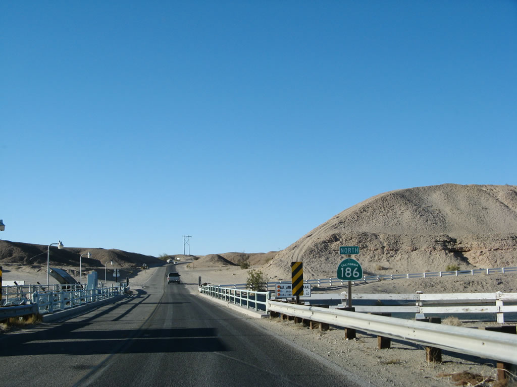
Leaving the All American Canal behind, California 186 approaches Interstate 8 after crossing this hill. Photo taken 01/15/07. |
 |
At the top of the hill is the interchange with Interstate 8 and the end of California 186. Turn right to follow Interstate 8 east to the Arizona cities of Yuma, Gila Bend, Casa Grande, and Tucson. Turn left to follow Interstate 8 west to Holtville, El Centro, and San Diego. Photo taken 01/15/07. |
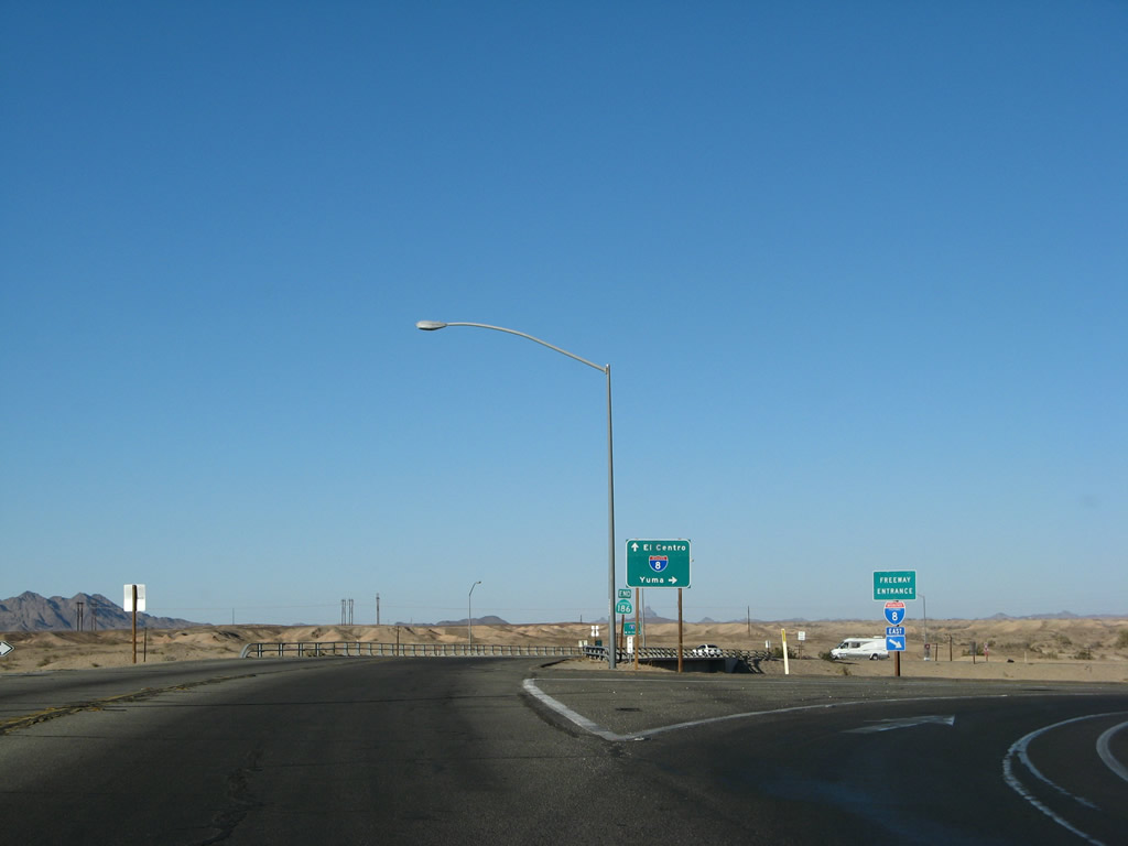 |
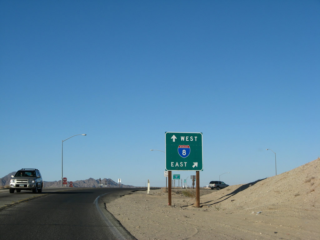
The ramp to Interstate 8 east to Winterhaven and Yuma is a high-speed ramp. Since the interchange with Interstate 8 is a diamond, continue straight ahead for the connection to Interstate 8 west. Photo taken 01/15/07. |
 |
 |
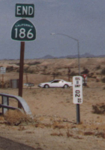 |
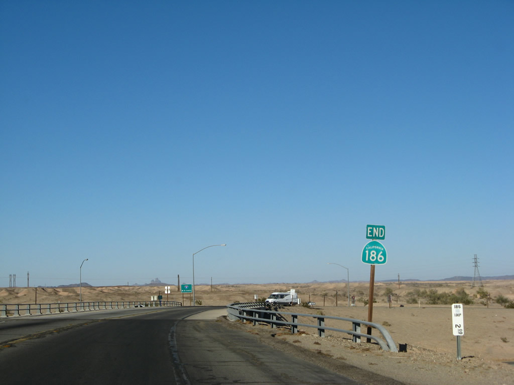
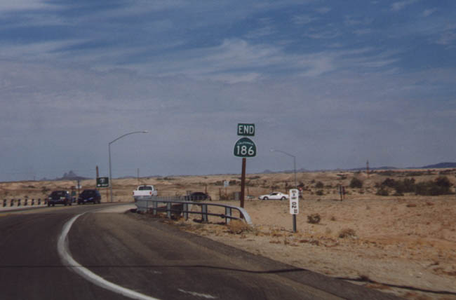
An end California 186 shield is posted prior to the bridge crossing over Interstate 8. California 186 is one of the few state routes that have an end shield assembly at both ends of the route. Another example in Catrans District 11 is California 163, which also has end shield assemblies at both ends. Photos taken 01/15/07 and 09/99. |
 |
Crossing over Interstate 8, the next left is the connection to Interstate 8 west to Holtville, El Centro, and San Diego. For Old U.S. 80 west, exit onto Interstate 8 west. Continuing straight ahead, the state highway converts into Old U.S. 80 / Araz Road east to Winterhaven. Photo taken 01/15/07. |
| California 186 scenes | |
|---|---|
 |
 |
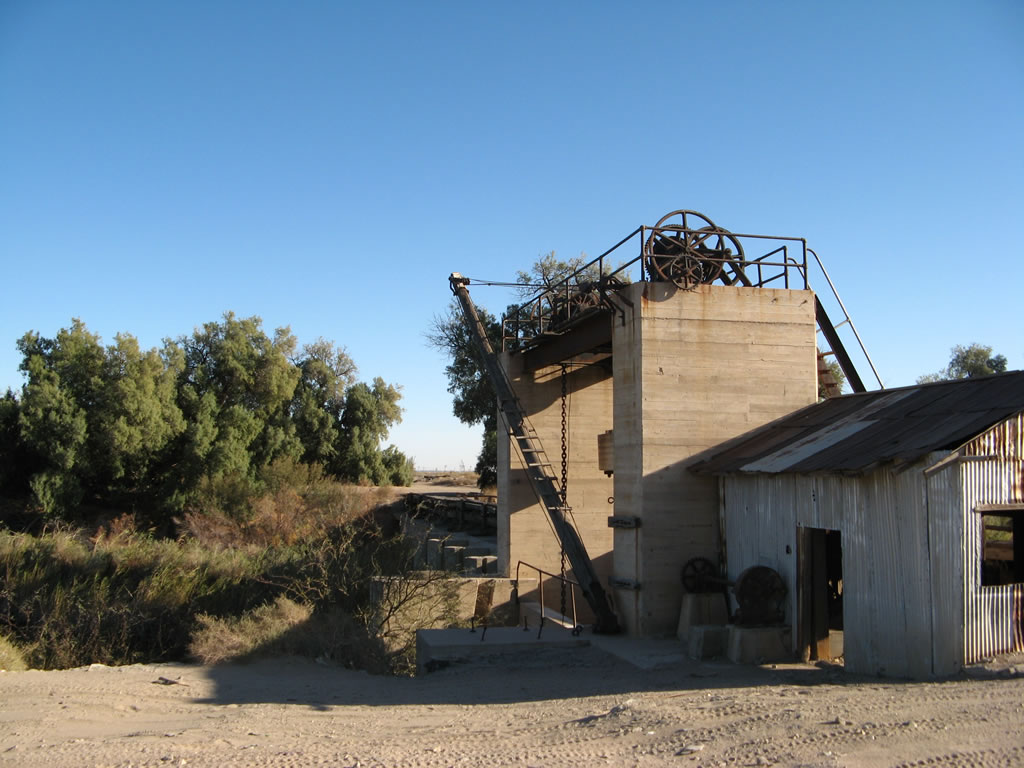 |
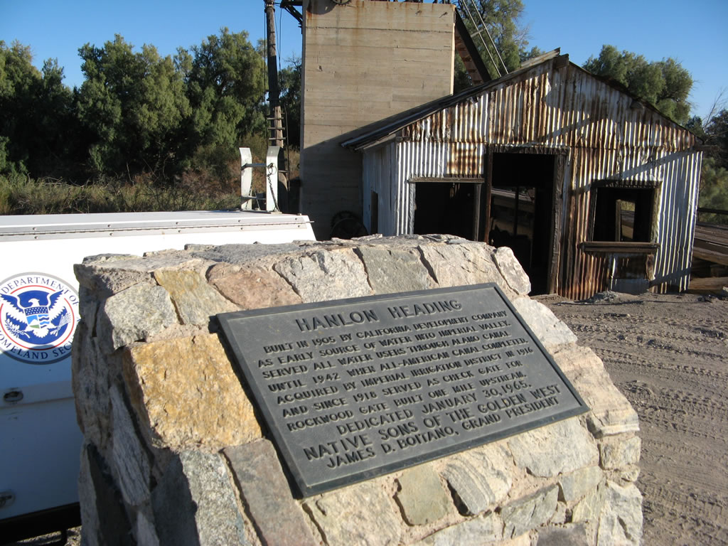
On the east side of California 186, across from the Andrade parking lots, is a plaque memorializing the Hanlon Heading, which is an old water diversion facility built in 1905 by the California Development Company. The facility was used to divert Colorado River water west to the Imperial Valley until the All American Canal was built in the late 1930s and early 1940s. Today, the facility is owned by the Imperial Irrigation District and serves as a check gate on the Colorado River in conjunction with Rockwood Gate one mile north. An old wooden bridge crosses the diversion gate on the south side, and the building associated with the structure is in disrepair. Photos taken 01/15/07. |

Page Updated June 9, 2007.
|
About Contact Glossary |
In The News Testimonials Interstate Guide |
Social Media:
 |
|
© 2000-23 AARoads.com | All Rights Reserved | Privacy Policy / Terms of Use
|
||