California 211 connects U.S. 101 at Fernbridge with Ferndale; the route is unconstructed from Ferndale south through the Lost Coast to California 1 at Rockport. The unconstructed route would likely follow an alignment parallel to Chemise Mountain Road, Wilder Ridge Road, and Mattole Road.
| California 211 south |
|
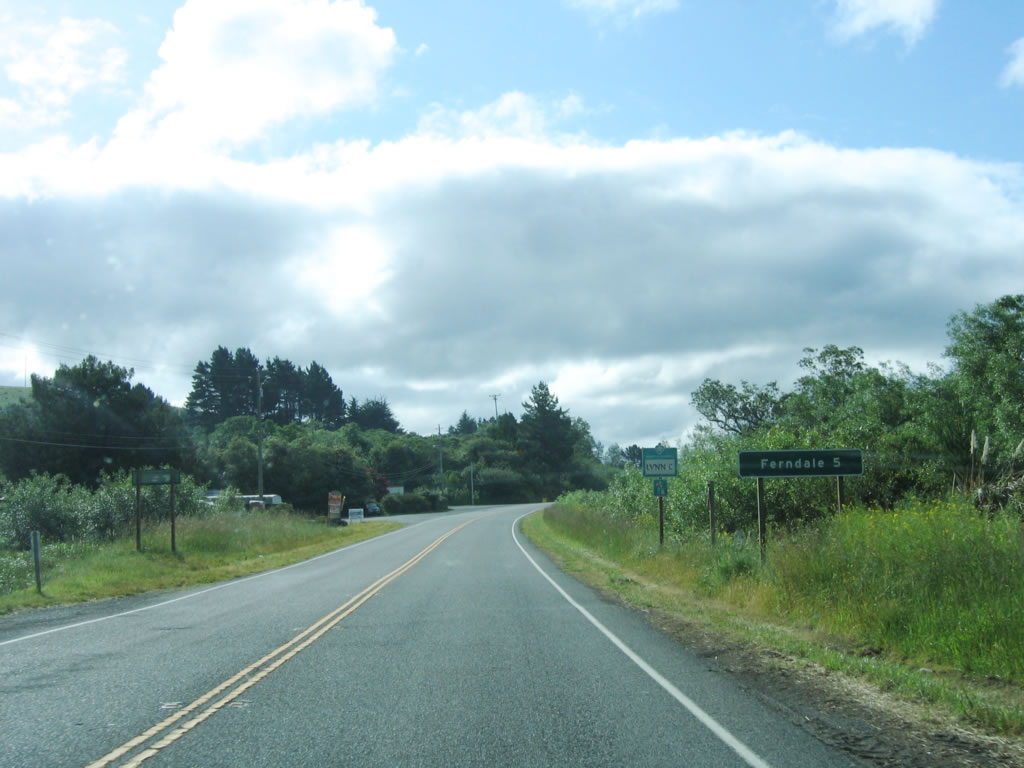
California 211 begins at Exit 692 from U.S. 101 by taking over Eel River Drive (which changes into Fernbridge Drive). Initially California 211 travels due south on Fernbridge Drive (Old U.S. 101) through the town of Fernbridge, then turns west to cross the Eel River. This mileage sign provides the distance to Ferndale, five miles. Photo taken 05/29/06. |
|
At the stop sign ahead, California 211 will turn west onto the Fernbridge, while Fernbridge Drive continues south to merge onto U.S. 101 at Exit 691. Since access at Exit 691 is limited (directional interchange), it is fair to describe all of Fernbridge Drive between Exits 691 and 692 as part of California 211. Photo taken 05/29/06. |
|
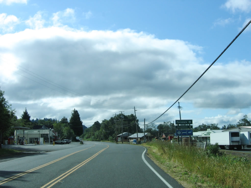
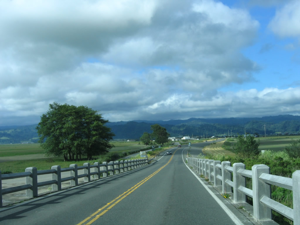
Southbound California 211 enters the town of Fernbridge. At this intersection, California 211 turns southwest to Ferndale. Continue straight ahead to merge back onto U.S. 101 south. Photo taken 05/29/06. |
|
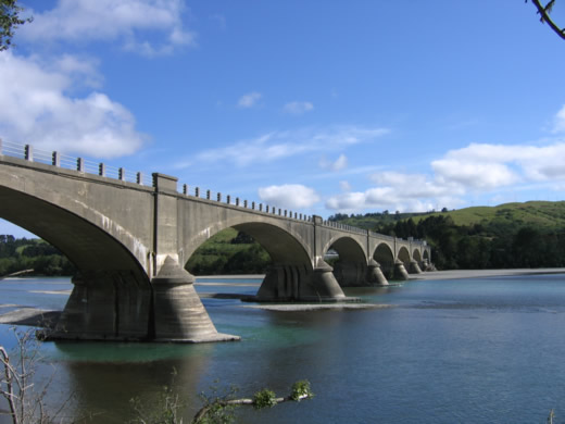
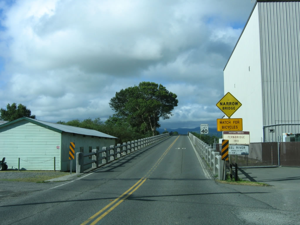
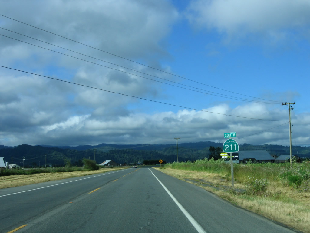
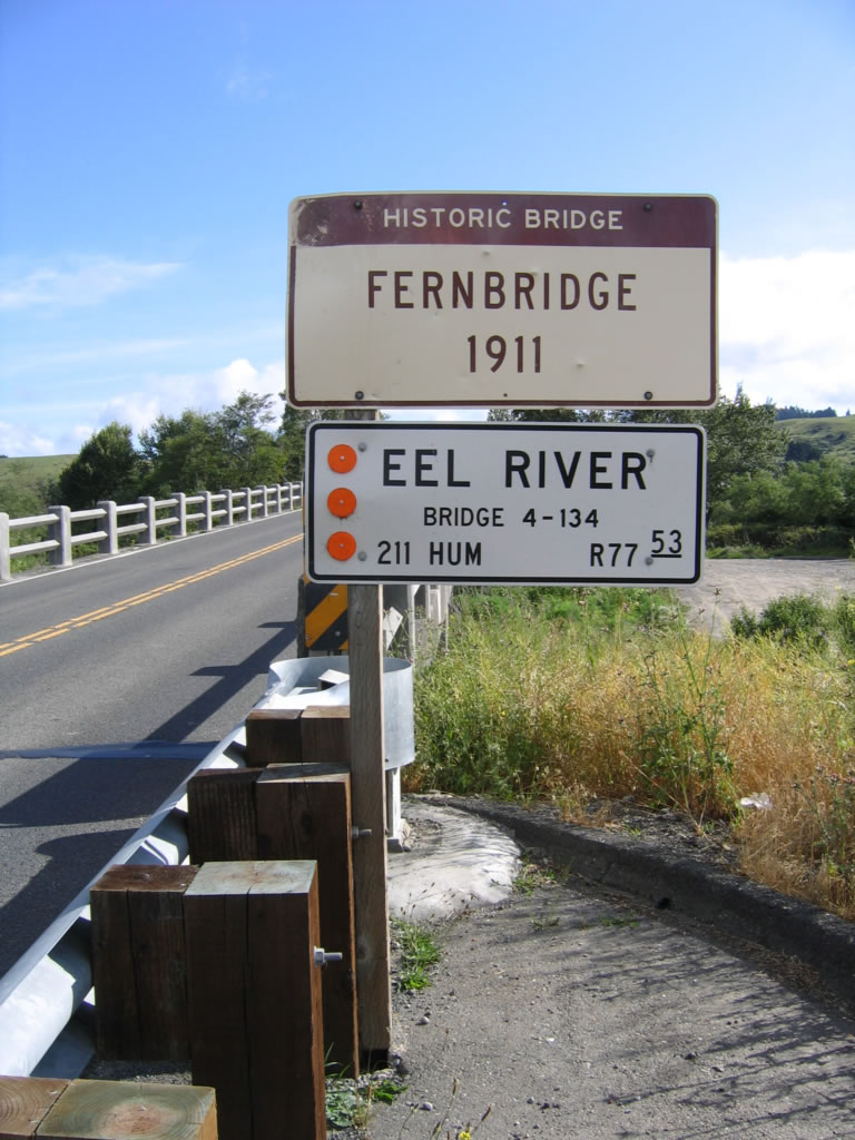
Upon turning at the stop sign, California 211 immediately prepares to cross the Eel River. This bridge, built in 1911, is historical and features multiple concrete arches to carry the state highway across the massive river. Note the mileage for California 211 (78.56 miles), which includes quite a bit of the unconstructed state route south of Ferndale. Photo taken 05/29/06. |
|
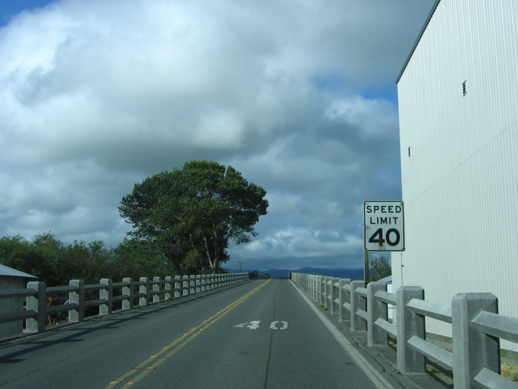
The speed limit on the "Queen of Bridges" is only 40 miles per hour due to the lack of shoulders and narrow lanes. Photo taken 05/29/06. |
|
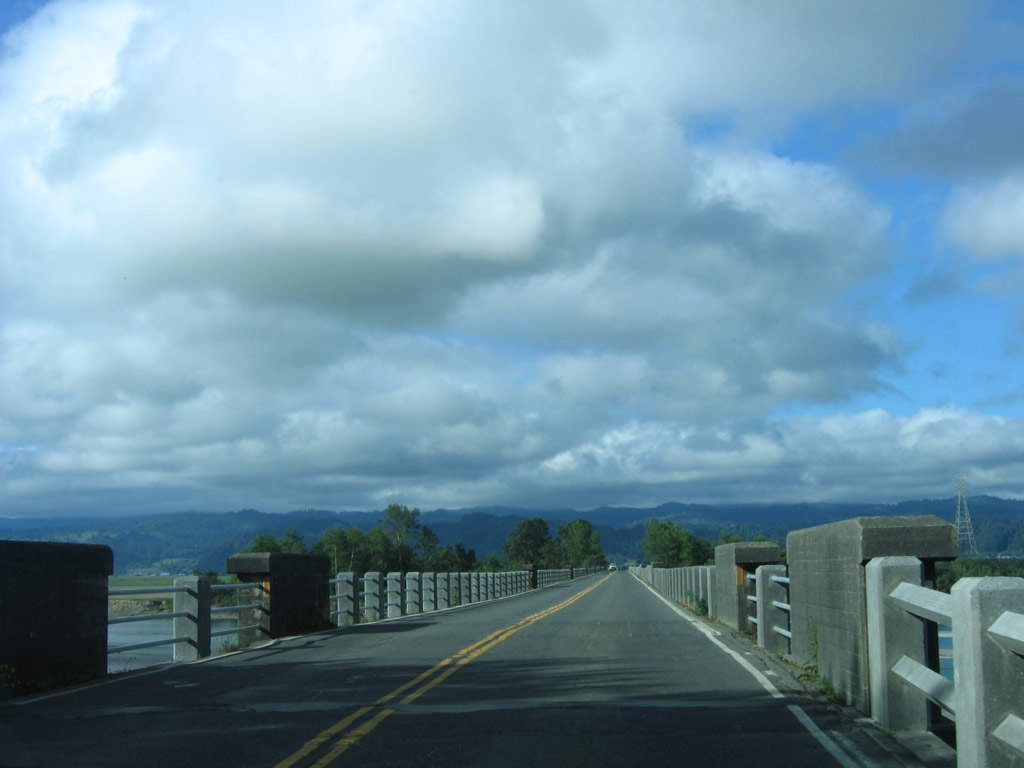
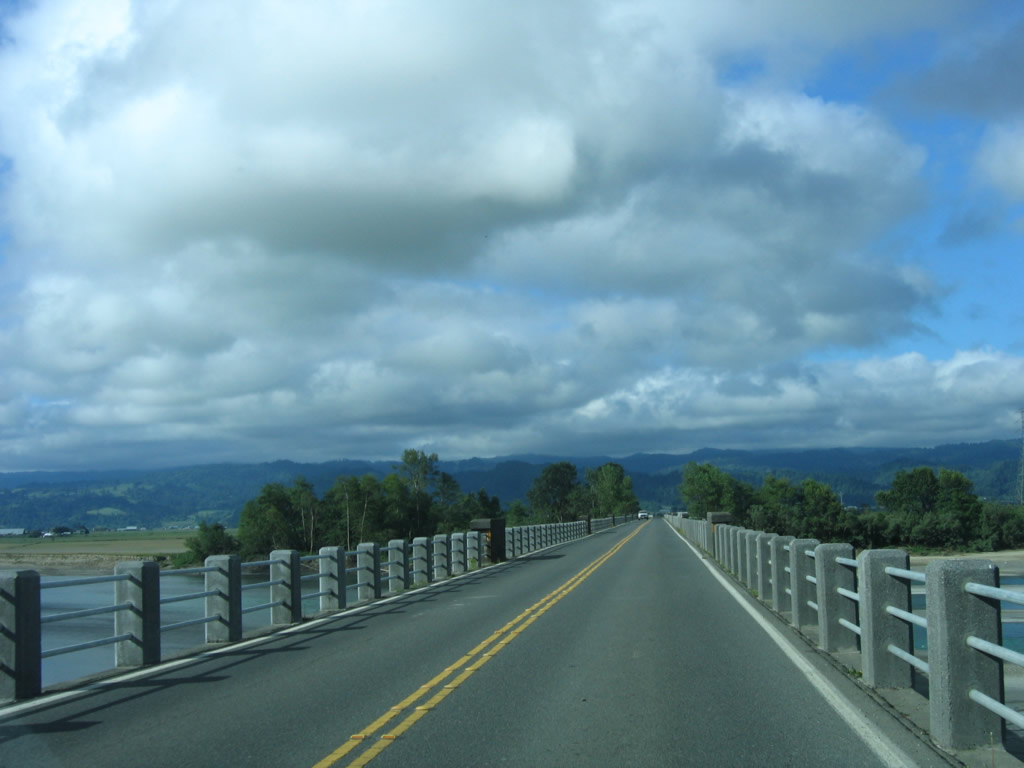
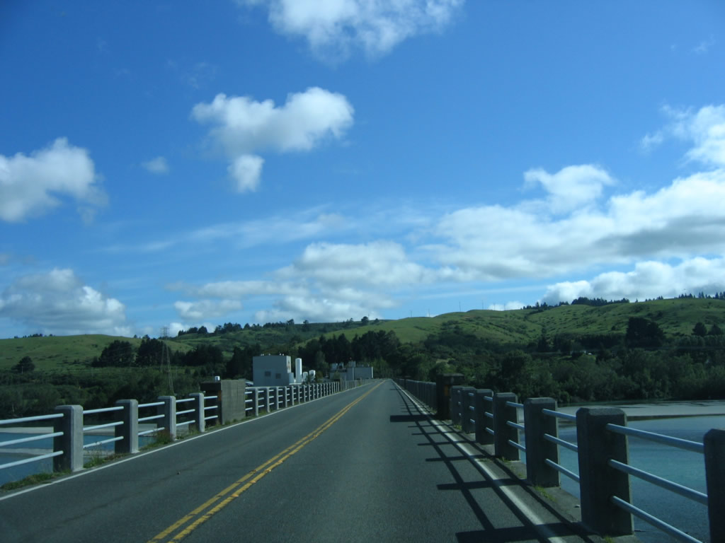
After ascending the Fernbridge, California 211 crosses the wide Eel River. Note the change in bridge railings that is visible at this point on the bridge. Photo taken 05/29/06. |
|
|
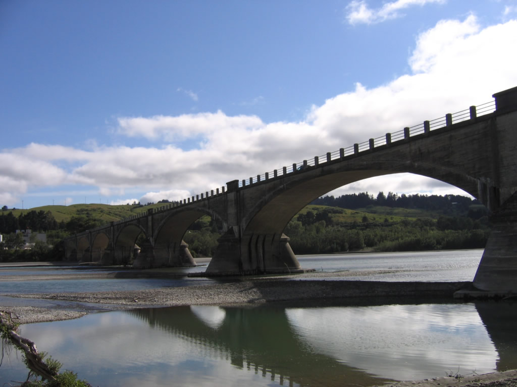
Straight and flat across the Eel River, the Fernbridge is approximately 1320 feet (nearly a quarter of a mile) long. This reinforced concrete arch span bridge is considered to be one of the world's longest and is the oldest still in use.1 Photos taken 05/29/06. |
|
|
The floods of 1964, which destroyed multiple bridges upriver along the Eel River, did not destroy the Fernbridge. Debris from upriver could pass between the wide arches. About seven months before this photo was taken (December 2005), the Fernbridge was threatened by floodwaters due to the heavy rains of that year, but the bridge survived unscathed. Photos taken 05/29/06. |
|
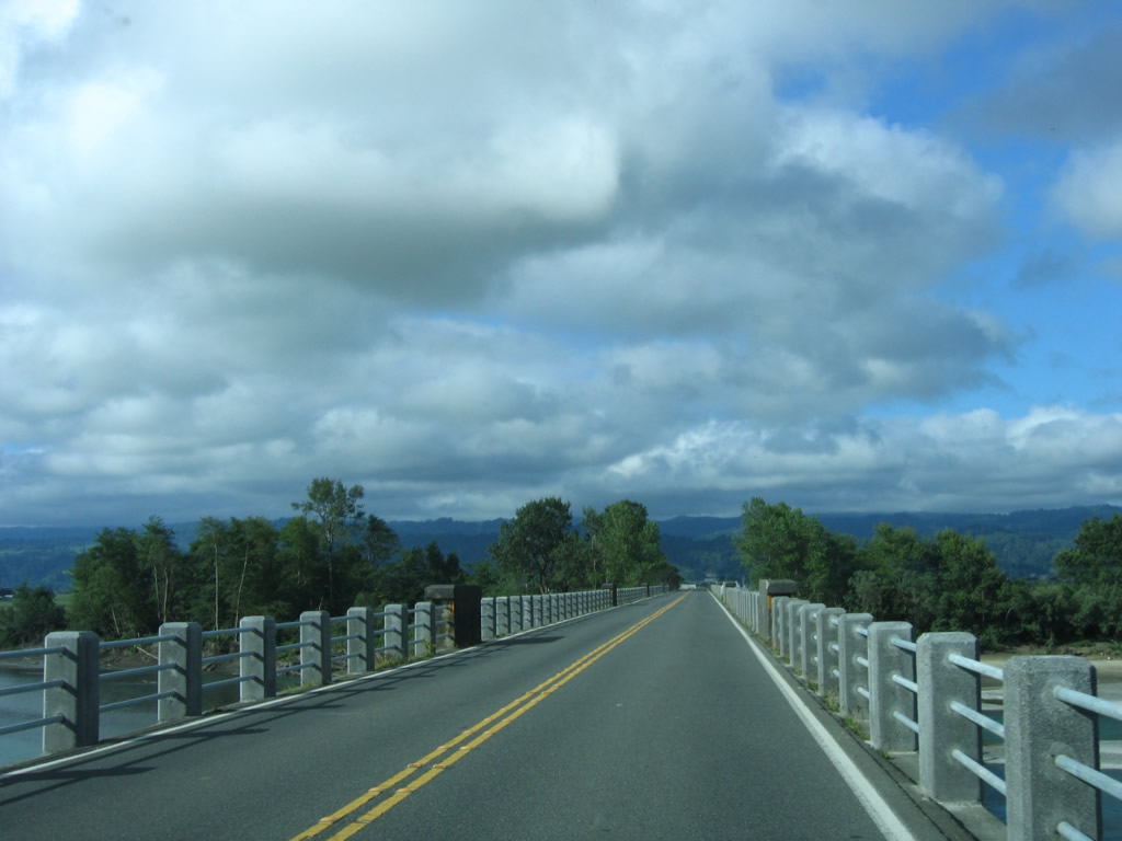
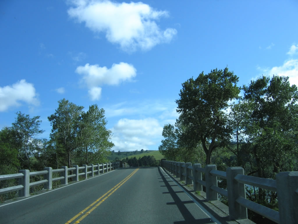
The Fernbridge descends back to land, and California 211 travels southwest to Ferndale. Photo taken 05/29/06. |
|
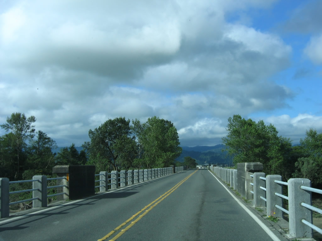
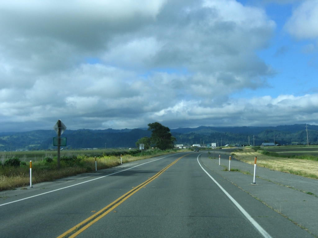
After leaving the Fernbridge, southbound California 211 passes through farmland and ranches as it heads toward Ferndale. The speed limit increase to 55 miles per hour for the final distance into town. Photo taken 05/29/06. |
|
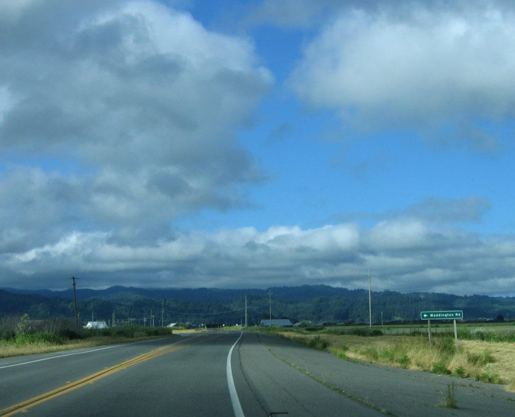
Southbound California 211 approaches Waddington Road, which travels south to Grizzly Bluff Road. Photo taken 05/29/06. |
|
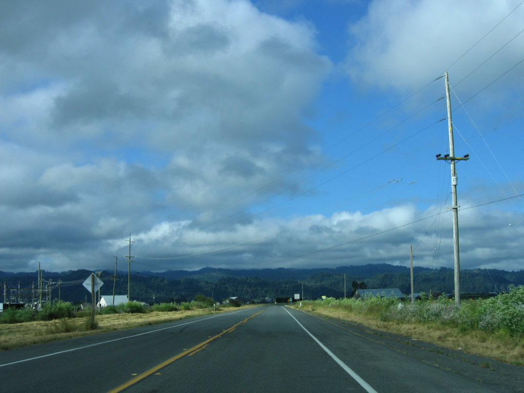
Pacific Gas and Electric (PG&E) power lines cross over California 211 as the highway approaches Ferndale. Photo taken 05/29/06. |
|
A California 211 south reassurance shield is posted shortly thereafter as the state highway continues to Ferndale. Photo taken 05/29/06. |
|
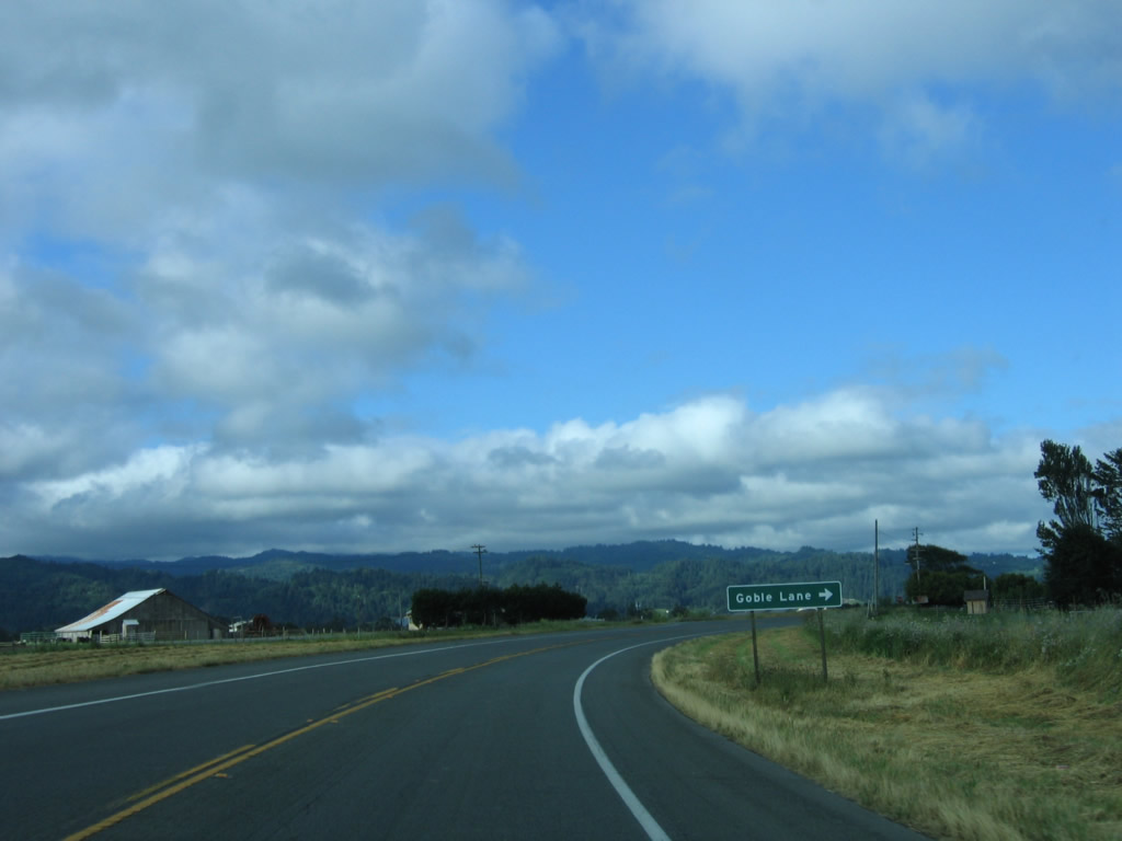
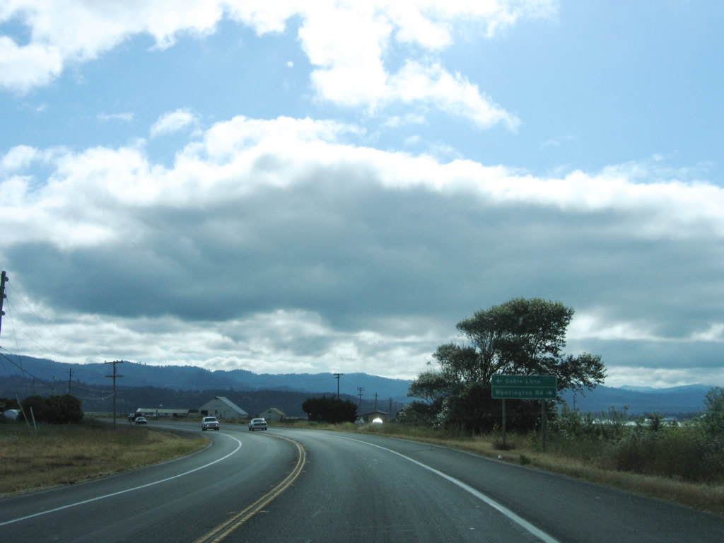
The next intersection along southbound California 211 is with Goble Lane. Photo taken 05/29/06. |
|
|
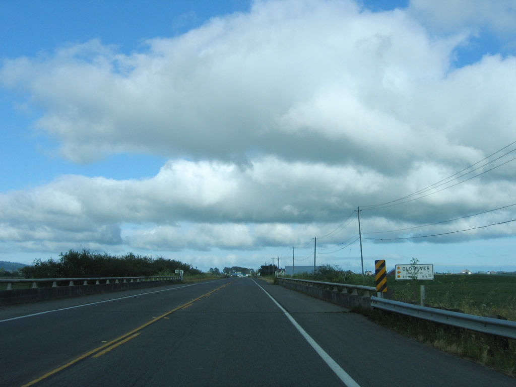
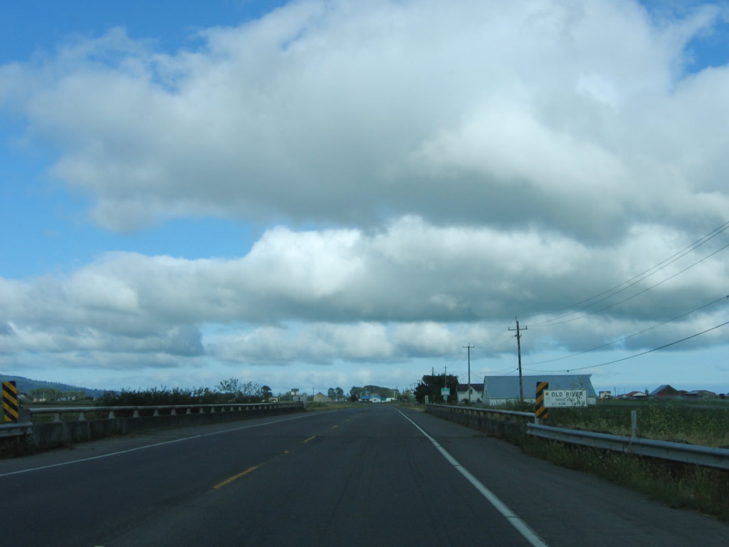
California 211 crosses the Old River on these two bridges. Photos taken 05/29/06. |
|
|
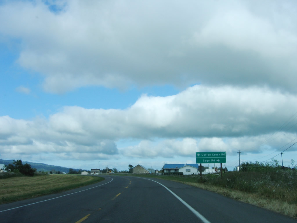
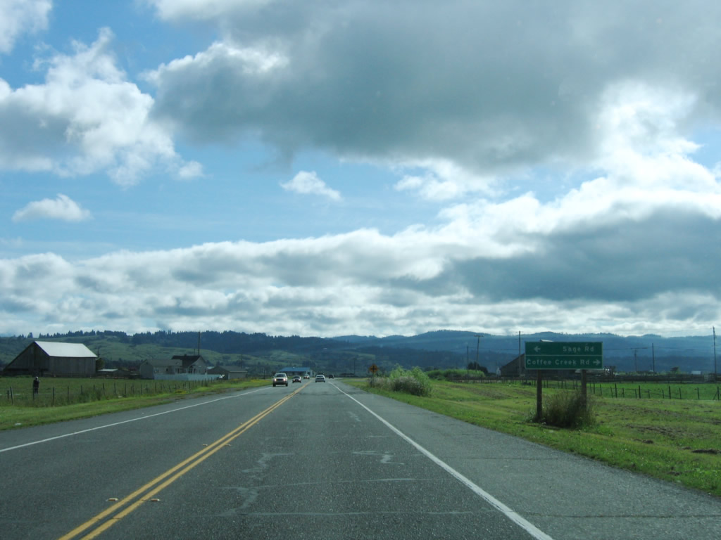
After the Old River crossings, California 211 (now traveling southwest) approaches the intersection with Coffee Creek Road south and Sage Road north. Photos taken 05/29/06. |
|
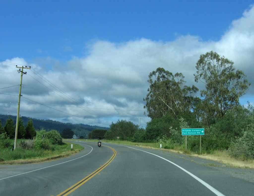
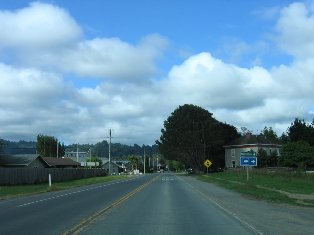
Southbound California 211 approaches Port Kenyon Road, which travels west to serve farm and ranch access northwest of the city of Ferndale. Photo taken 05/29/06. |
|
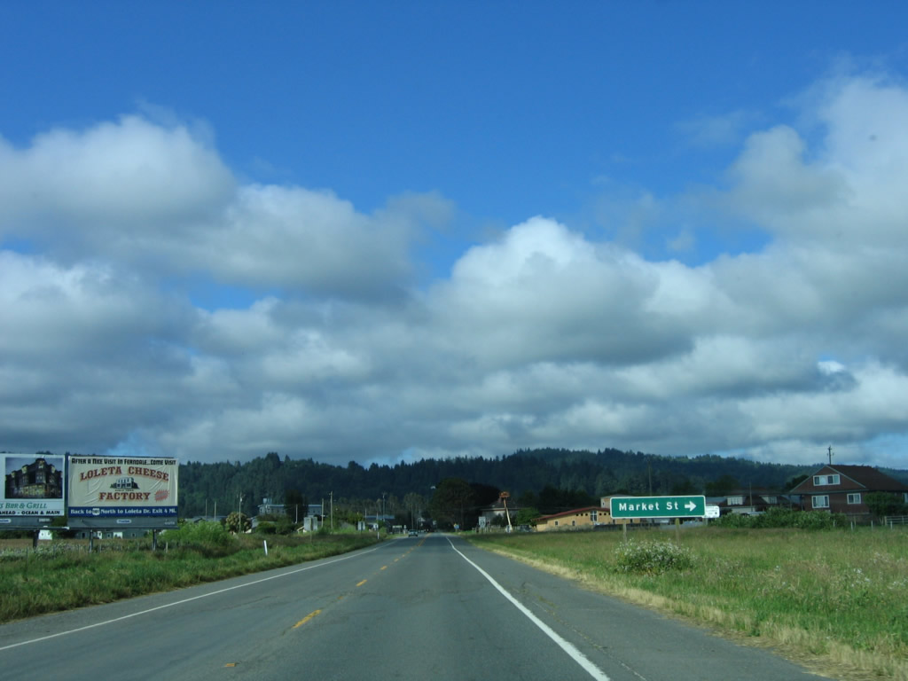
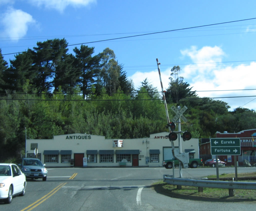
Shortly thereafter, California 211 south approaches Market Street north to Port Kenyon Road and Van Ness Avenue west. Photo taken 05/29/06. |
|
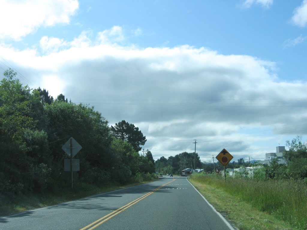
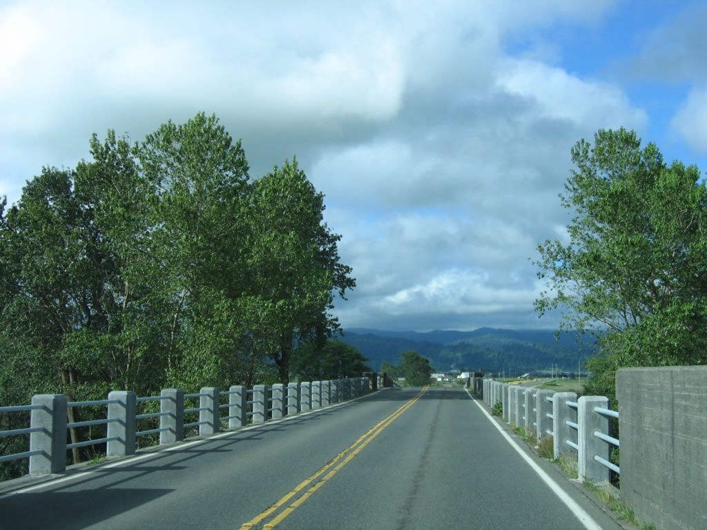
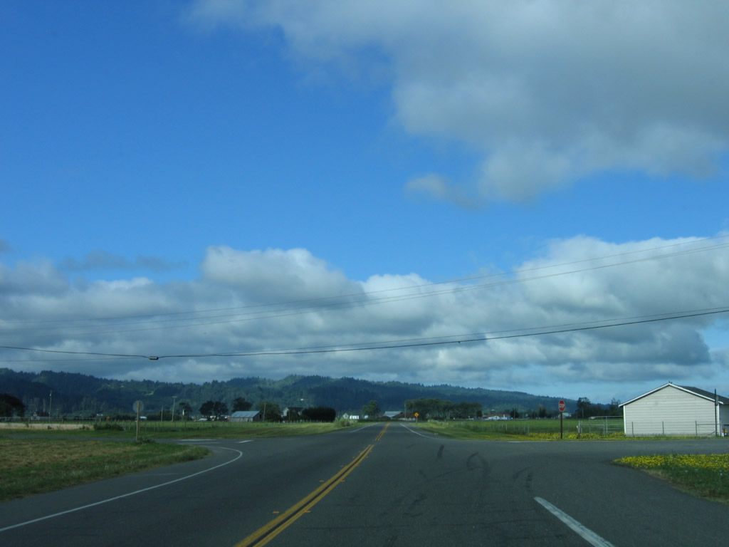
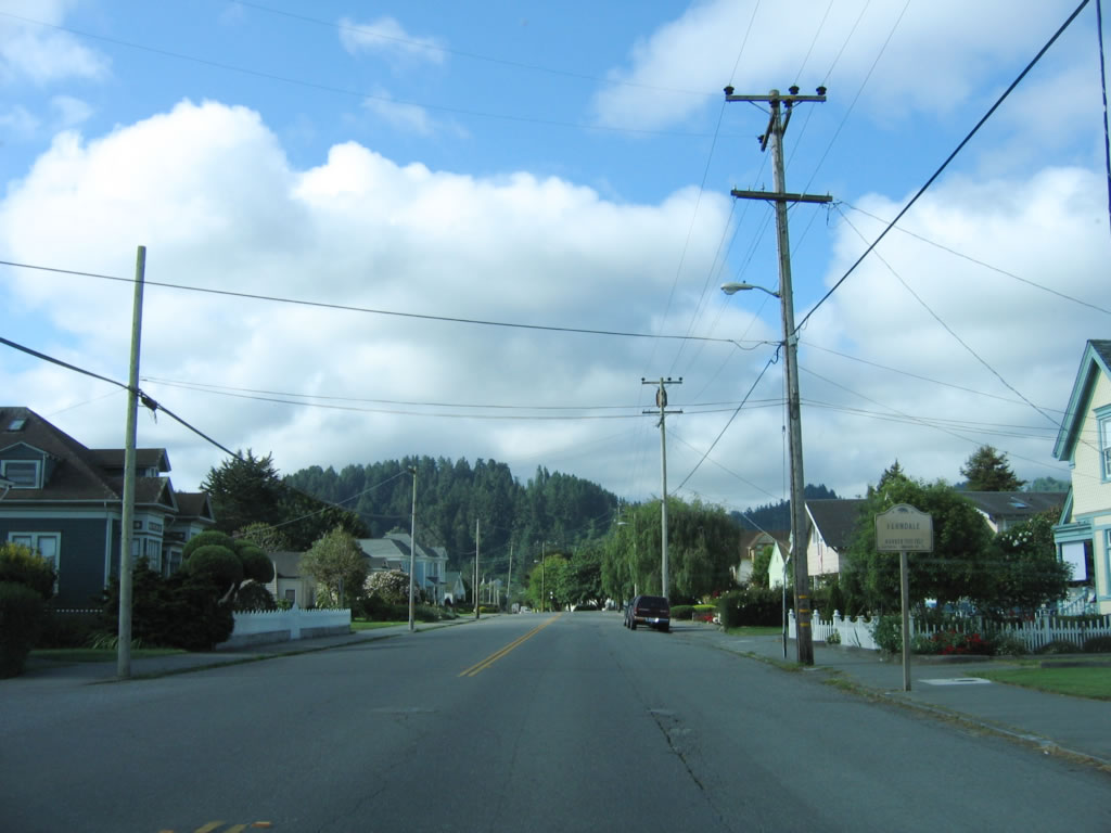
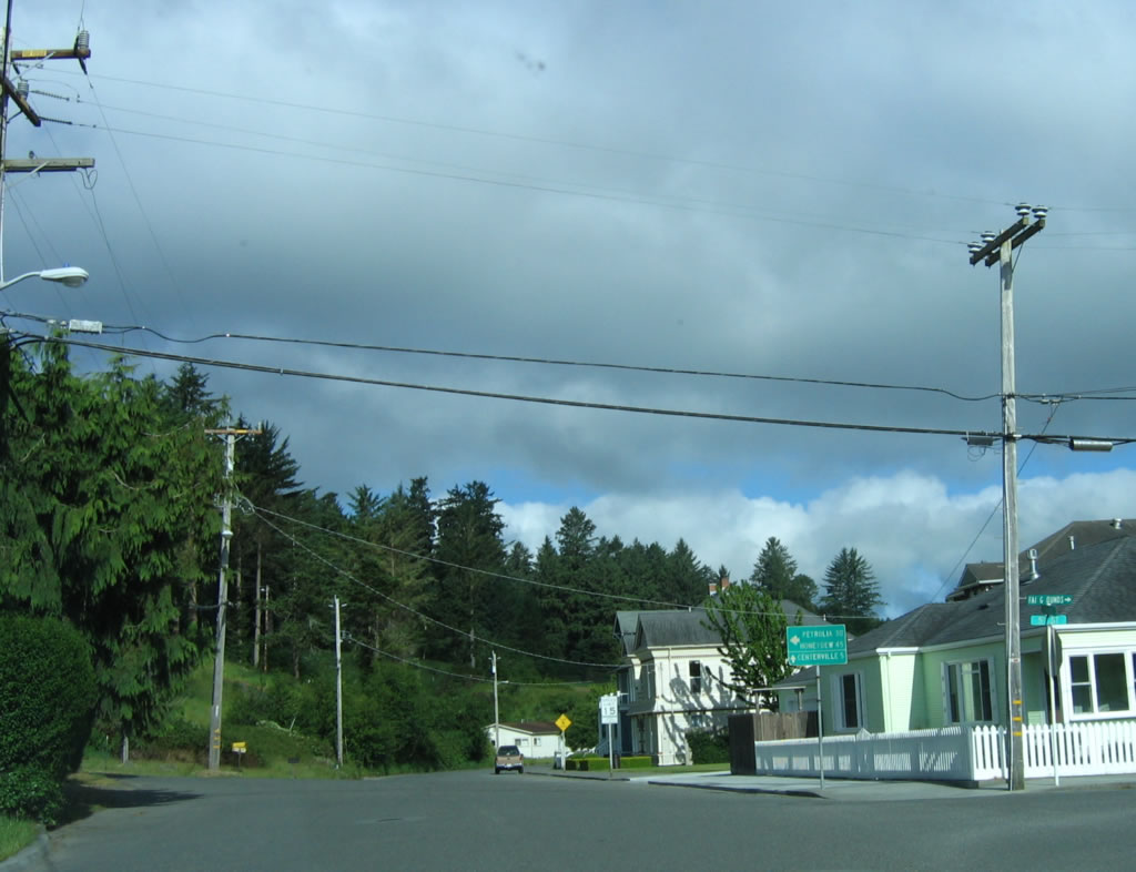
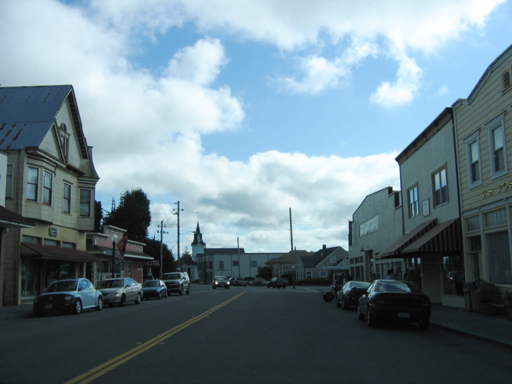
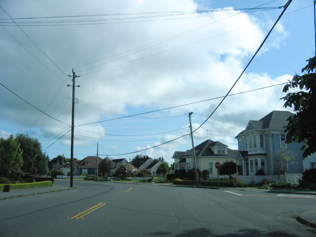
California 211 enters the city of Ferndale. As of the 2000 Census, 1,388 people called Ferndale home. The city lies at the end of the state highway and north of the Lost Coast, which is only accessible by local roads. The city is a general law city incorporated in 1893. The speed limit of California 211 (Main Street) drops to 25 miles per hour. Photo taken 05/29/06. |
|
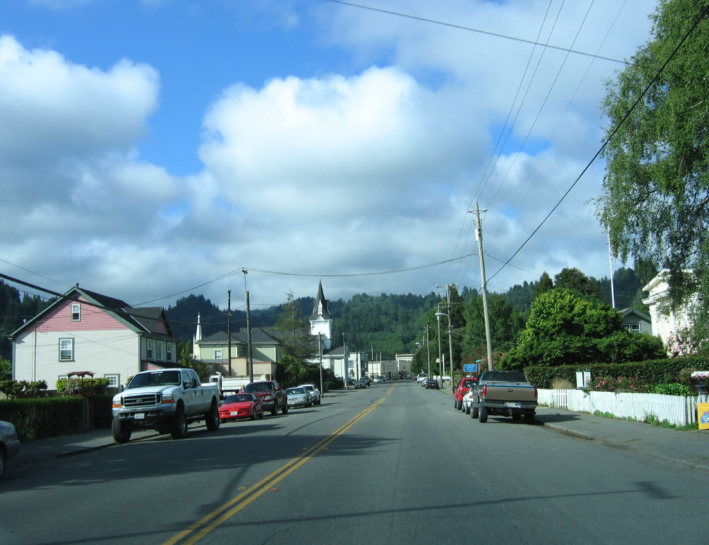
California 211/Main Street passes through residential areas, then will enter downtown Ferndale. Photo taken 05/29/06. |
|
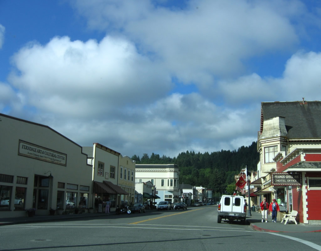
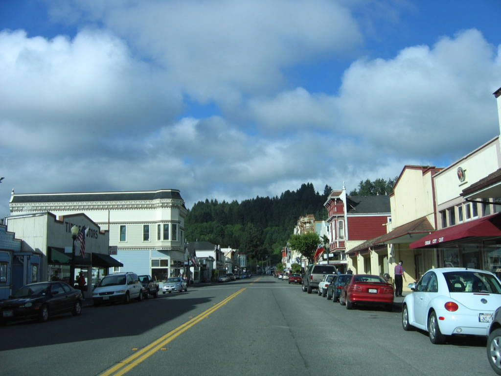
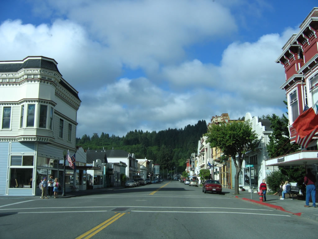
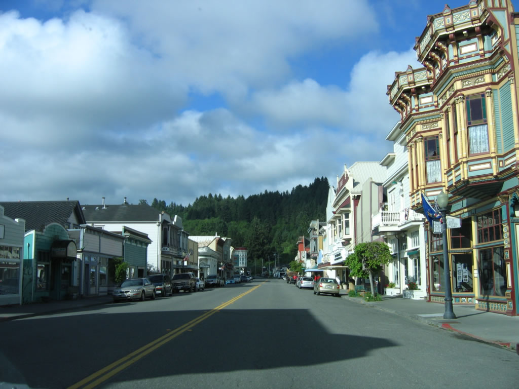
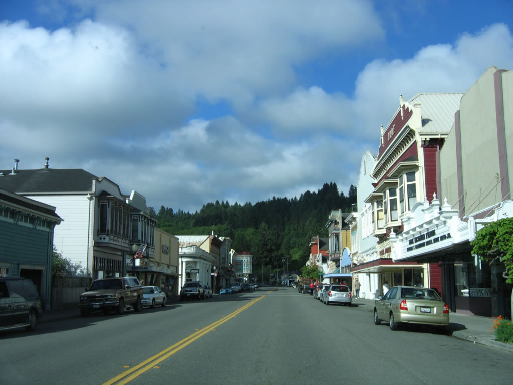
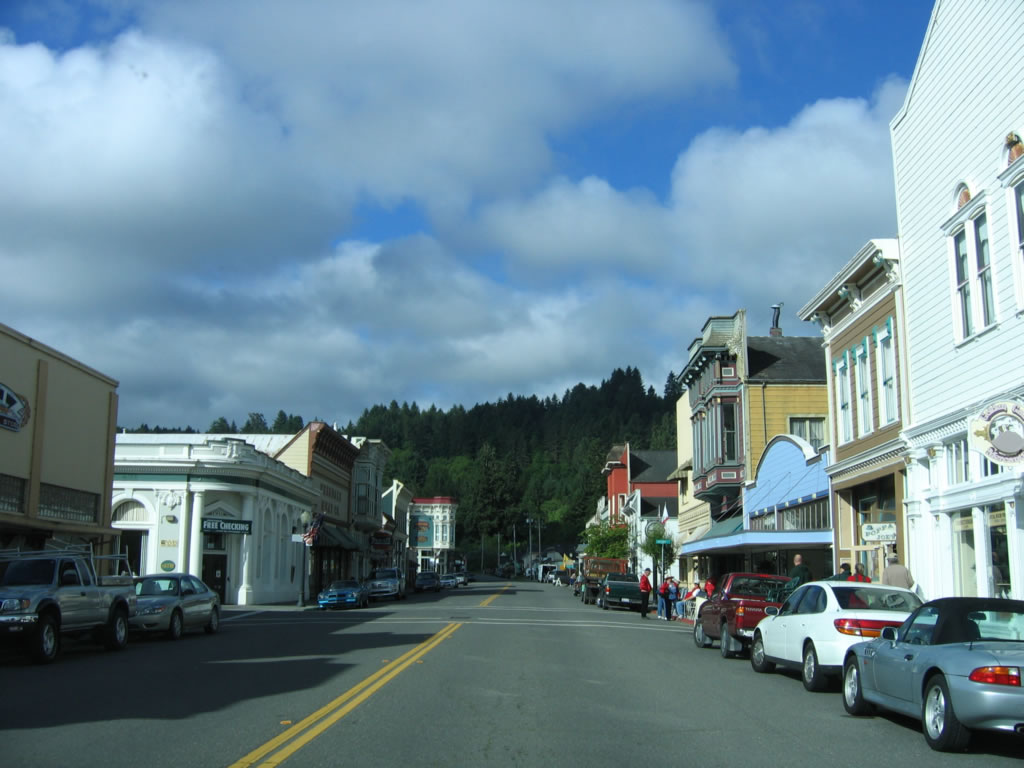
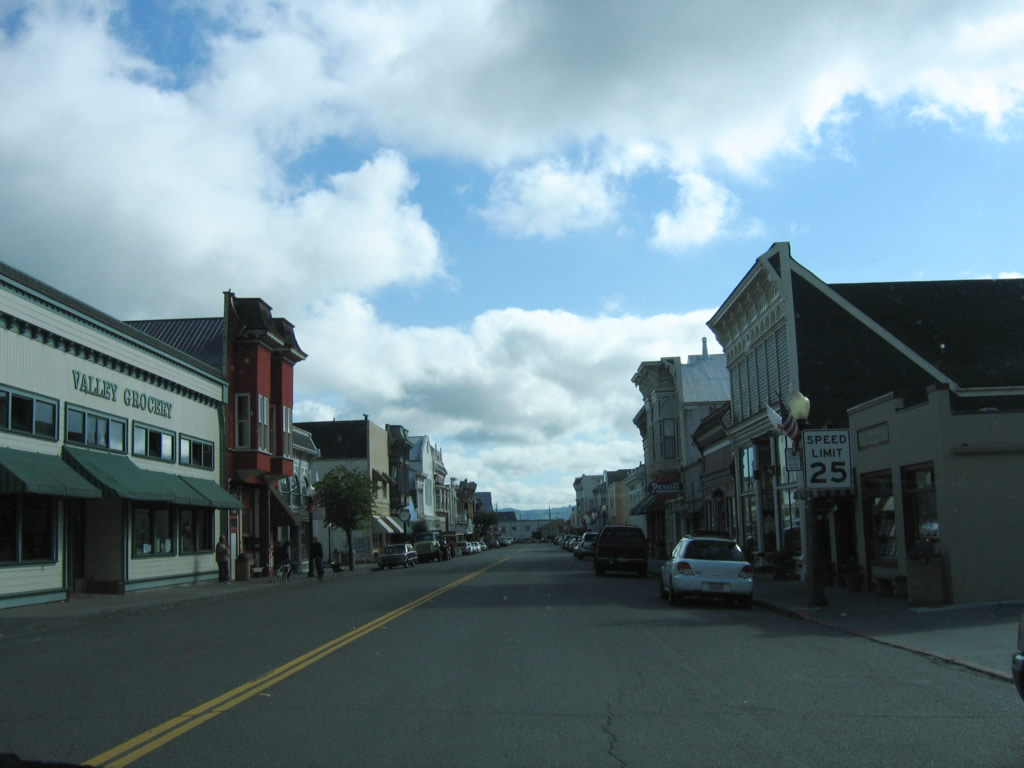
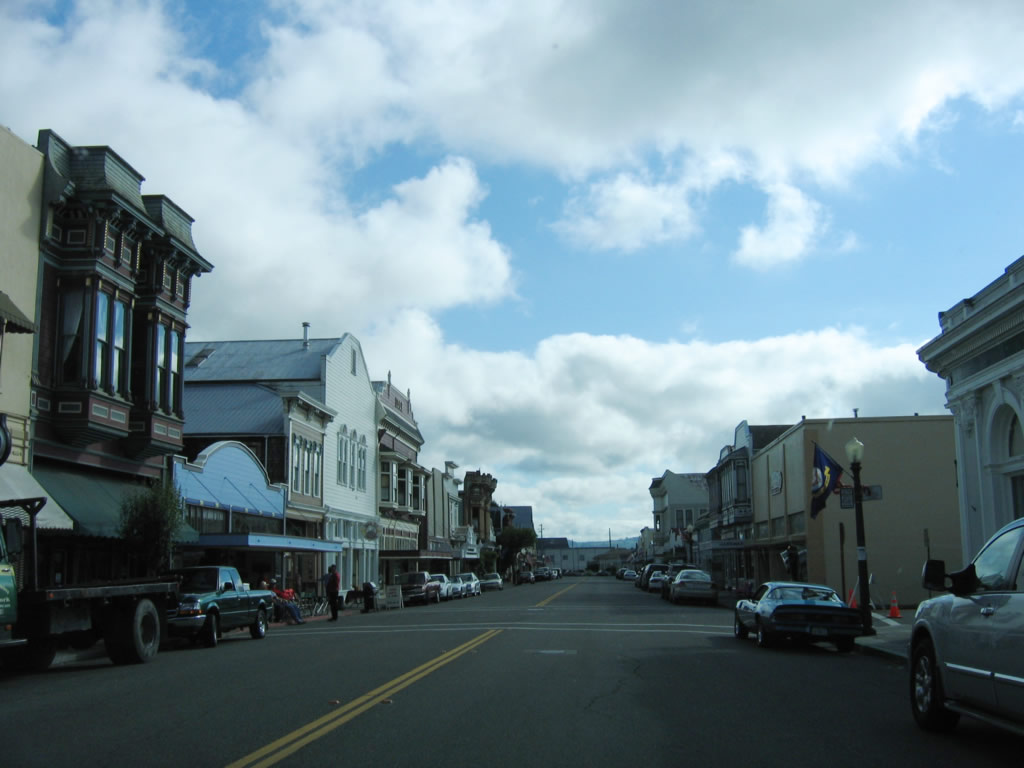
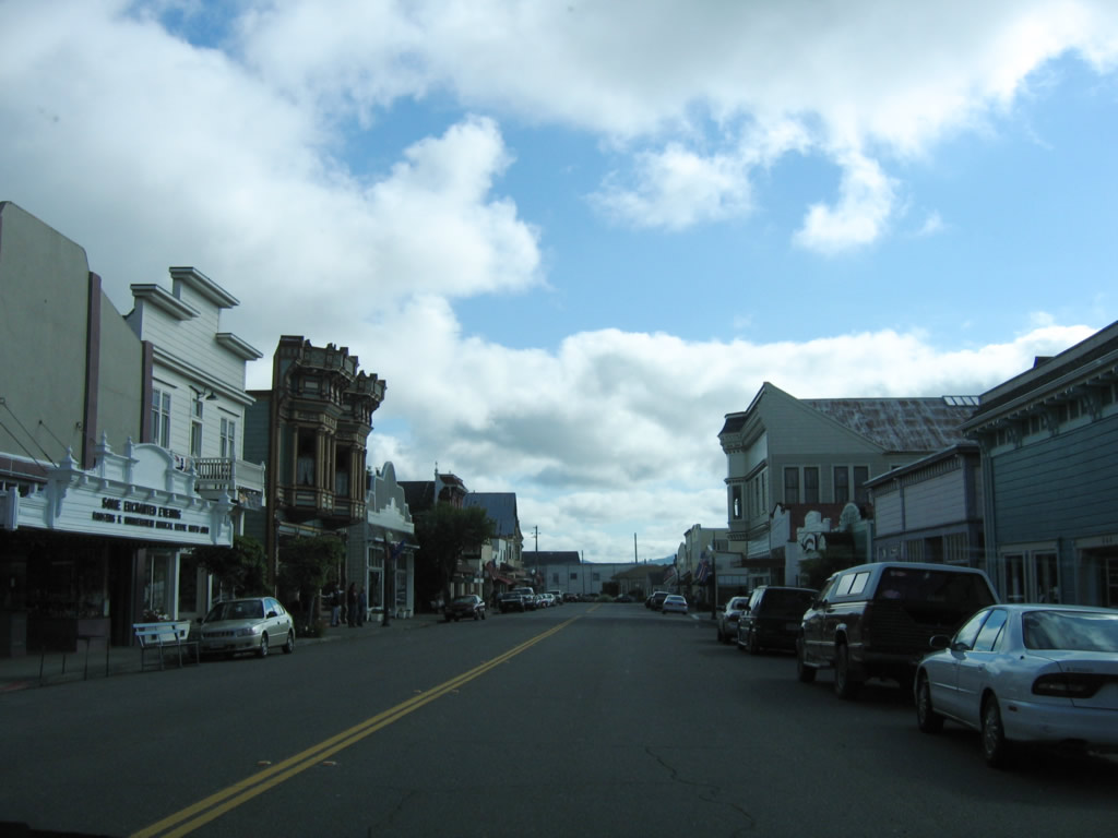
The entire city of Ferndale is a historic area. Victorian homes line Main Street, and a variety of shops, restaurants, and inns line the street. For more, visit the Chamber of Commerce webpage. Photo taken 05/29/06. |
|
|
|
|
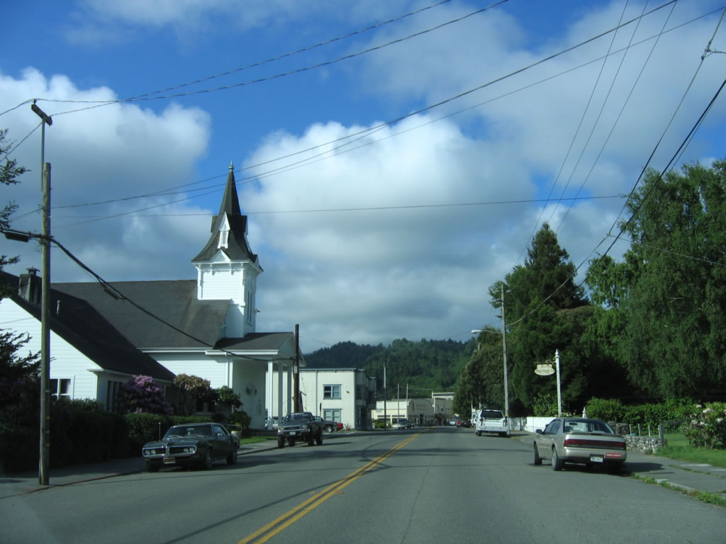
This suite of photos shows southbound California 211 as it travels through downtown Ferndale and passes by the Victorian structures that make this city so special and unique in Northern California. At the end of Main Street at the intersection with Ocean Avenue, California 211 also ends. On paper, California 211 is proposed to continue south from Ferndale through the Lost Coast to California 1 in Mendocino County, but such an extension is very unlikely. Ocean Avenue travels northwest from downtown Ferndale, changes into Centerville Road, and connects to Centerville Beach County Park at the Pacific Ocean. Wildcat Road, meanwhile, continues south into the Lost Coast. Photos taken 05/29/06. |
|
|
|
|
| Wildcat Road south |
|
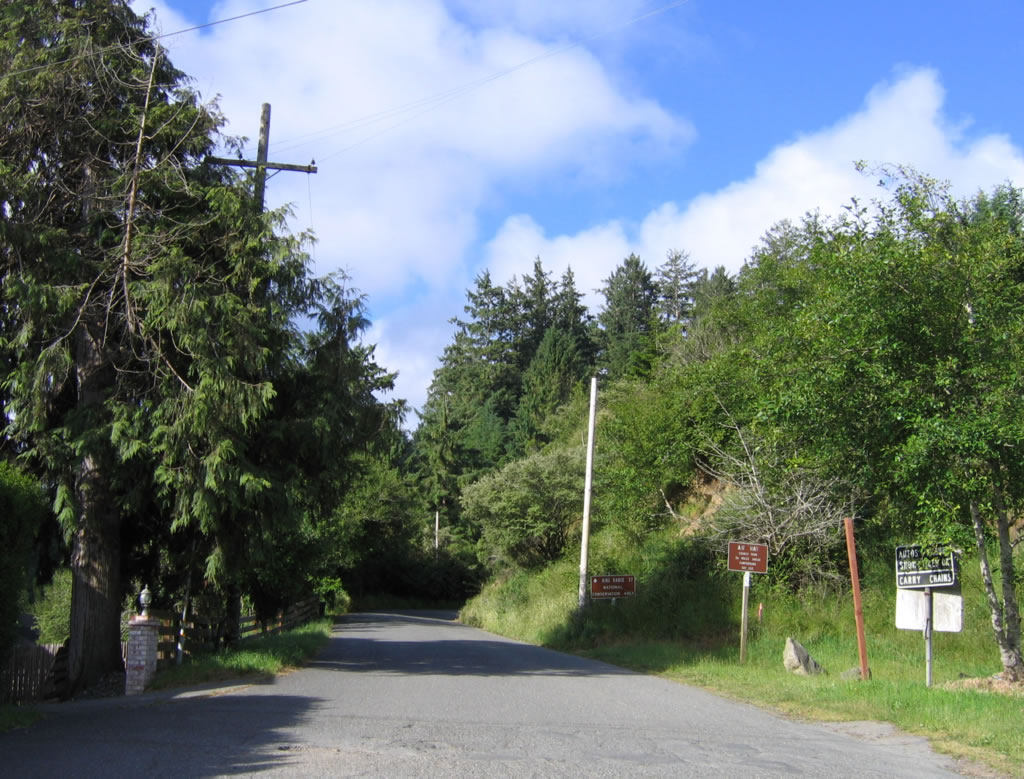
Wildcat Road travels south of the city of Ferndale and will connect to the Lost Coast. This road is not for the faint of heart - there are limited services, and the road is a long, slow trip. Photo taken 05/29/06. |
|
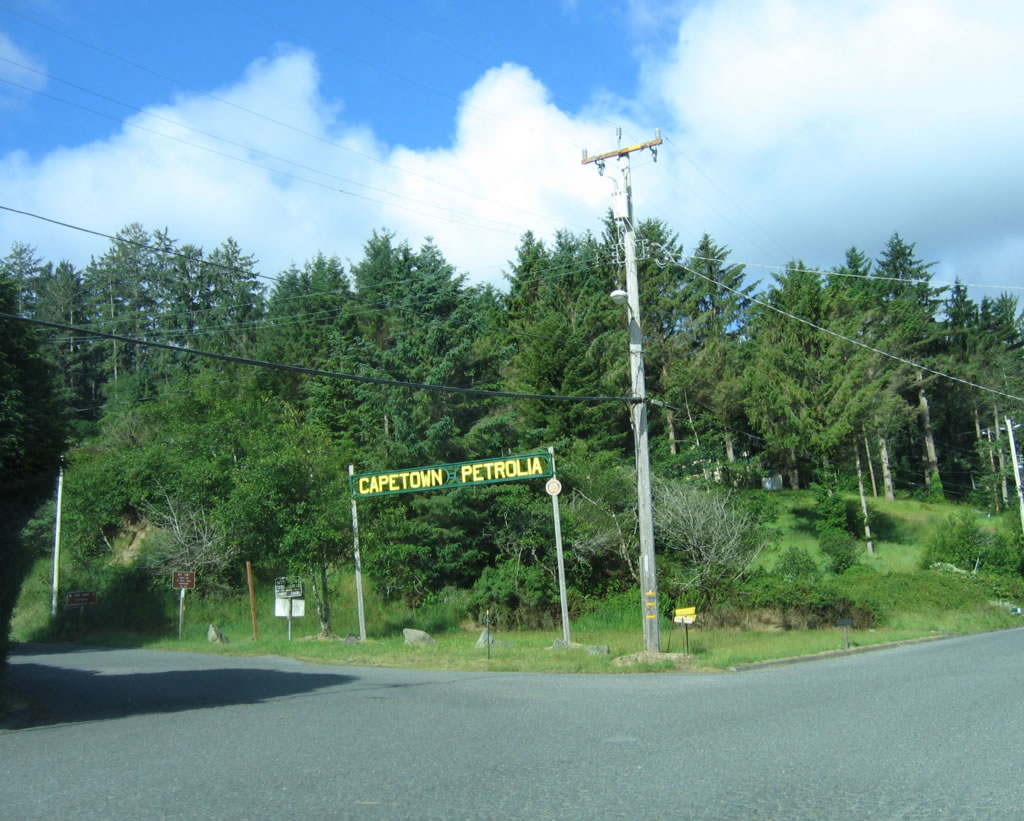
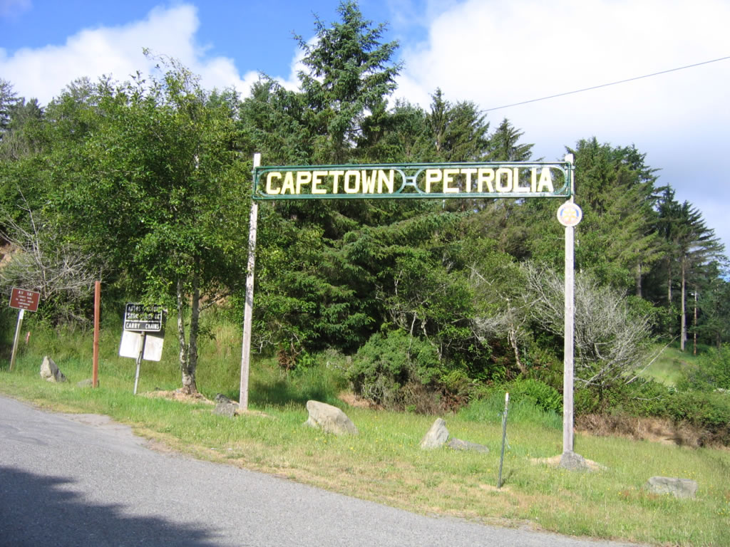
An arch for the communities of Capetown and Petrolia is posted on southbound Wildcat Road. Wildcat Road changes into Mattole Road, which winds its way to Capetown, parallels the Lost Coast between Capetown and Petrolia, and enters Petrolia. Turning inland, Mattole Road links with Wilder Ridge Road at the town of Honeydew. Mattole Road travels east to meet U.S. 101 in Humboldt Redwoods State Park, while Wilder Ridge Road continues south from Honeydew to Briceland and ultimately Redway. Photo taken 05/29/06. |
| California 211 north |
|
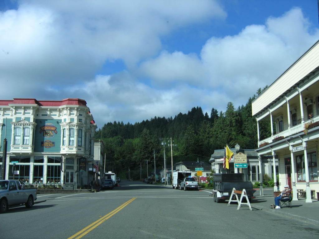
Turning north, California 211 begins at the intersection of Ocean Avenue and Main Street at the south end of the historic downtown area. Photo taken 05/29/06. |
|
|
|
California 211/Main Street travels north through historic, downtown Ferndale. Photos taken 05/29/06. |
|
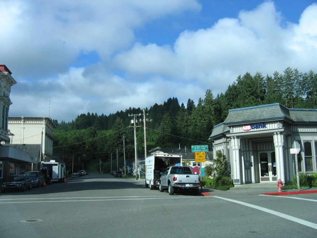
Northbound California 211/Main Street meets Herbert Street at this intersection in Ferndale. Photo taken 05/29/06. |
|
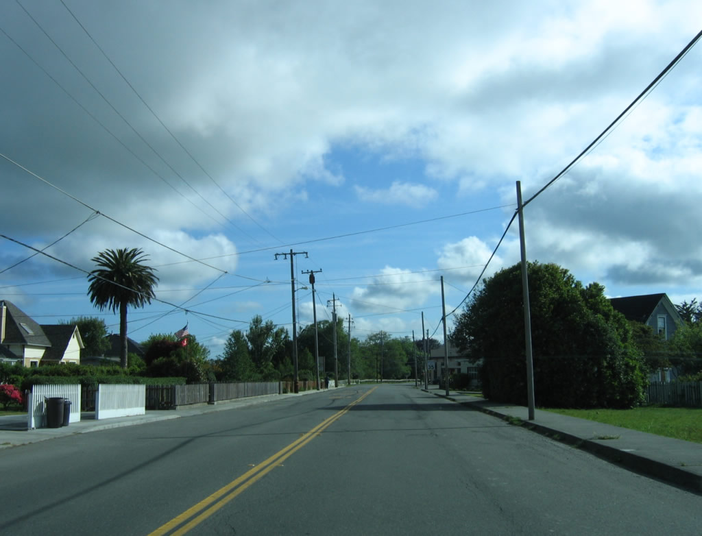
Shortly thereafter, California 211/Main Street passes through a residential area in northern Ferndale. Photo taken 05/29/06. |
|
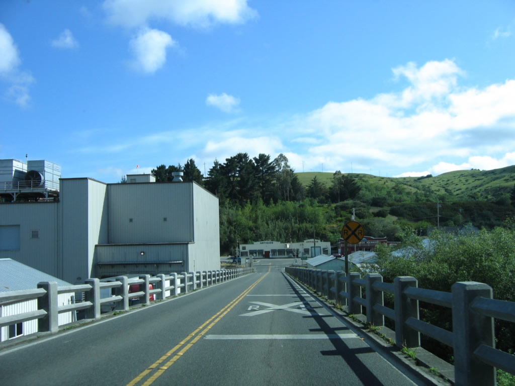
The first reassurance shield for California 211 is posted on Main Street as the state highway leaves Ferndale and approaches Market Street. Photo taken 05/29/06. |
|
Northbound California 211 approaches Sage Road and Coffee Creek Road. Photo taken 05/29/06. |
|
After crossing Old Creek, California 211 approaches Goble Lane and Waddington Street. Photo taken 05/29/06. |
|
California 211 immediately prepares to cross the Eel River. This bridge, built in 1911, is historical and features multiple concrete arches to carry the state highway across the massive river. Photo taken 05/29/06. |
|
|
|
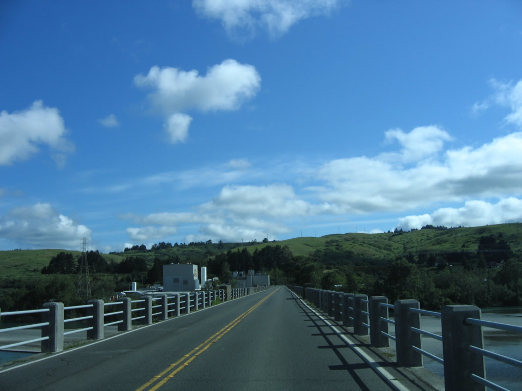
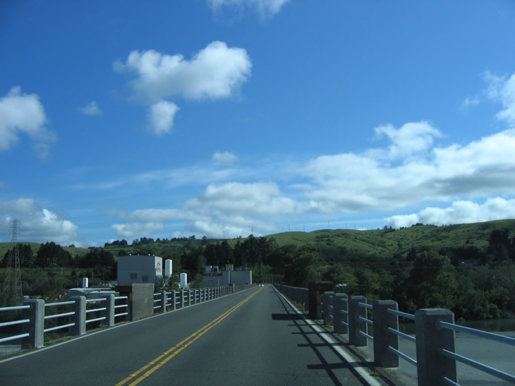
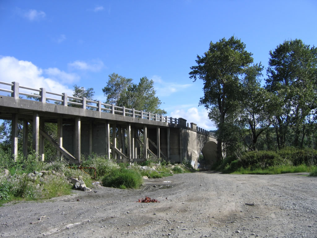
California 211 crosses the Eel River on the 1911 Fernbridge. In the distance, a creamery is located in the town of Fernbridge on the north side of the bridge. Photos taken 05/29/06. |
|
|
|
|
Northbound California 211 ends at Fernbridge Drive after crossing the Eel River. Turn left to U.S. 101 north to Eureka and turn right to U.S. 101 south to Ukiah. Photo taken 05/29/06. |
| California 211 scenes |
|
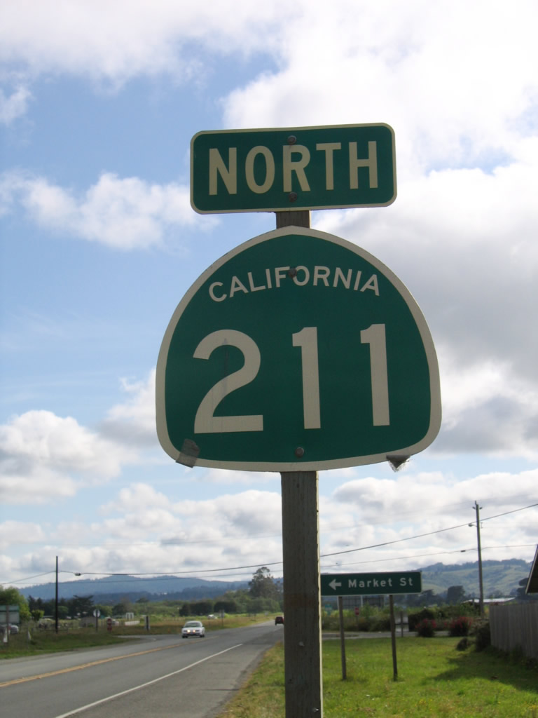
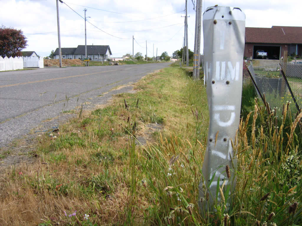
Market Street and Port Kenyon Road form an old alignment of California 211, which was originally signed as California 1. This remnant postmile marker is located on northbound Market Street north of California 211 near Ferndale. When California 1 was rerouted to end at U.S. 101 at Leggett, the unconstructed portion of California 1 and this orphaned stretch from Ferndale northeast to Fernbridge was redesignated as California 211 in 1984. At the same time, California 1 was rerouted onto former California 208 from the coast to Leggett in Mendocino County. Photo taken 05/29/06. |
|
|
|
|
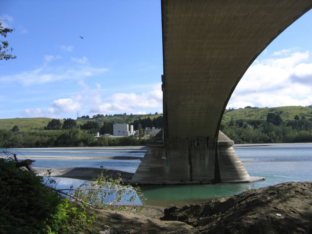
Fernbridge, which was built in 1911, carries California 211 over the Eel River. This suite of photos shows the historic concrete arch bridge from the river level on the south side of the river. Photos taken 05/29/06. |
Page Updated May 20, 2007.