
California 213 - Western Avenue
California 213 is the section of Western Avenue from 25th Street in San Pedro (Los Angeles) and Interstate 405 Exit 36B along the border between Torrance and Los Angeles via the eastern edges of Lomita and Ranchos Palos Verdes.
| California 213 south | |
|---|---|
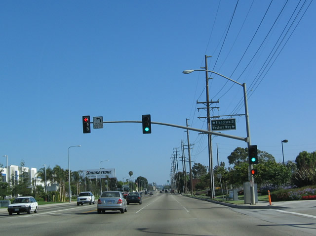 |
California 123 begins its southbound journey at Interstate 405 (San Diego Freeway) near 190th Avenue. In this picture, California 213 follows Western Avenue as it straddles Los Angeles (to the left/east) and Torrance (to the right/west) as it approaches Francisco Street east and Western Way west. Photo taken 05/30/04. |
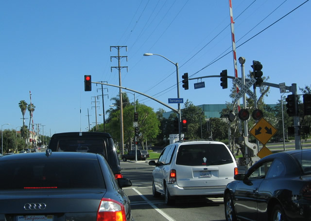 |
The traffic signal for east-west Torrance Boulevard is a few blocks south of Del Amo Boulevard. Torrance Boulevard eastbound passes through the Harbor Gateway community of Los Angeles, then meets Interstate 110 in Long Beach. To the west, Torrance Boulevard enters the city of Torrance, passing by the Civic Center between Maple Avenue and Madrona Avenue. Photo taken 05/30/04. |
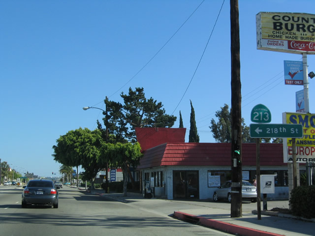 |
Southbound California 213/Western Avenue reaches 218th Street after the Carson Street intersection. A left on 218th Street leads into the Harbor Gateway community of Los Angeles. Photo taken 05/30/04. |
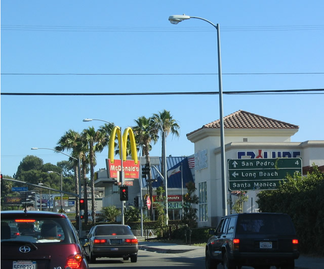 |
The only state highway intersected by California 213 is California 1 (Pacific Coast Highway). This mileage sign provides the distance to the California 1 (Pacific Coast Highway) destinations of Long Beach (south/east) and Santa Monica (north/west). Continue south on California 213 to San Pedro and Rancho Palos Verdes. Photo taken 05/30/04. |
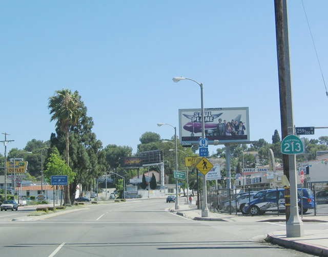 |
Southbound California 213/Western Avenue reaches 259th Street; note the signage ahead for Anaheim Street east. Photo taken 05/30/04. |
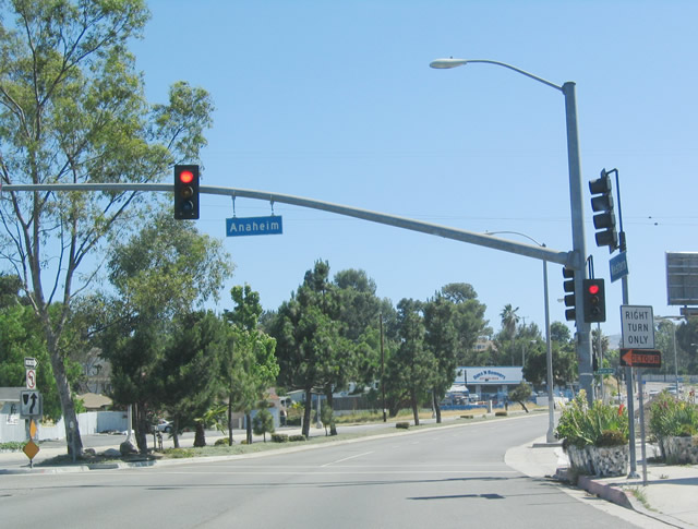 |
Use Anaheim Street east to Carson and Long Beach. Photo taken 05/30/04. |
 |
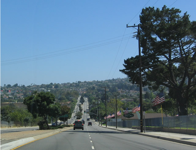
Southbound California 213/Western Avenue approaches Palos Verdes Drive North. Palos Verdes Drive is divided into four geographic parts, creating a Palos Verdes Drive North, East, South, and West. Together, they form a rough loop around the city of Rancho Palos Verdes, with some spurs emanating from the loop into adjoining cities. Photo taken 05/30/04. |
 |
View of southbound California 213/Western Avenue after Palos Verdes Drive North. Photo taken 05/30/04. |
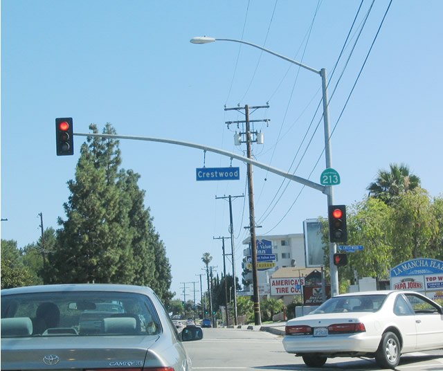 |
Upon reaching Crestwood Street, California 213/Western Avenue prepares to ascend the eastern slope of the Palos Verdes Hills. Photo taken 05/30/04. |
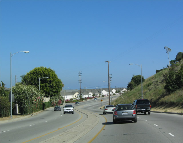 |
View of southbound California 213/Western Avenue after Broadway. Photo taken 05/30/04. |
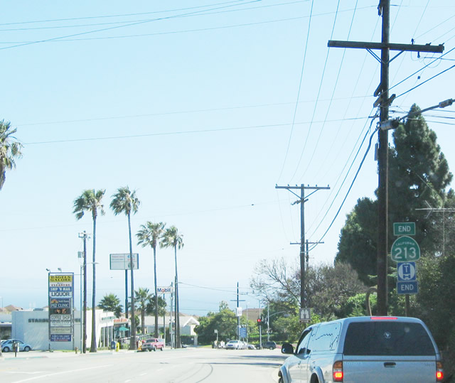 |
While the Thomas Guide shows the southern end of California 213 at South Paseo del Mar at White Point Park, the end California 213 shield is located along southbound just prior to the 25th Street intersection. The truck route also ends here. Photo taken 05/30/04. |
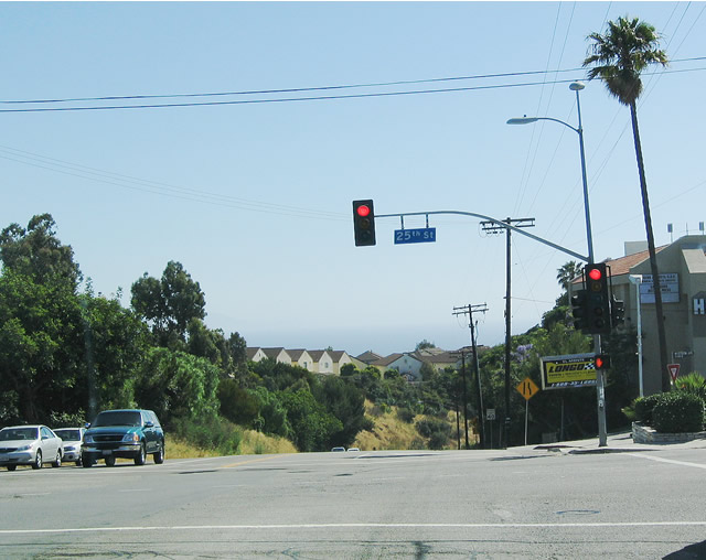 |
The southern terminus of California 213 is located at the intersection of Western Avenue and 25th Street. Twenty-fifth Street becomes Palos Verdes Drive South to the west, once 25th Street leaves San Pedro and enters Rancho Palos Verdes. Eastbound 25th Street connects with Gaffey Street southwest of the Los Angeles Harbor. Photo taken 05/30/04. |

Page Updated October 2, 2004.
|
About Contact Glossary |
In The News Testimonials Interstate Guide |
Social Media:
 |
|
© 2000-23 AARoads.com | All Rights Reserved | Privacy Policy / Terms of Use
|
||