
California 229
California 229 is a short, winding route that connects California 58 east of Santa Margarita with California 41 near Creston. The southern portion of this route is only one and a half lanes wide, so there is no center divide markings. The route is well-signed for most of its length, especially the two-lane section nearest California 41.
| California 229 north | |
|---|---|
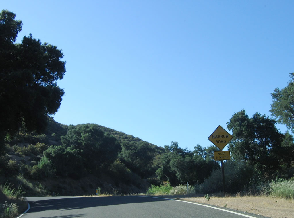 |
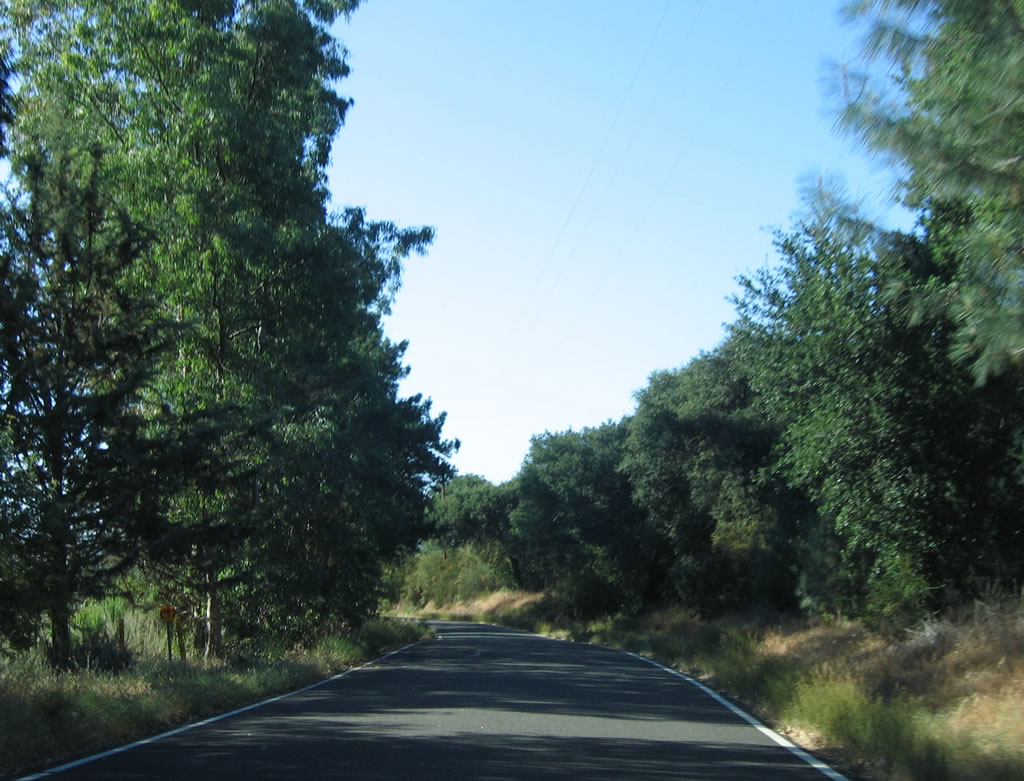
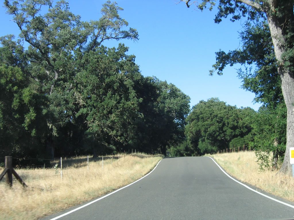
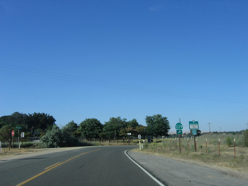
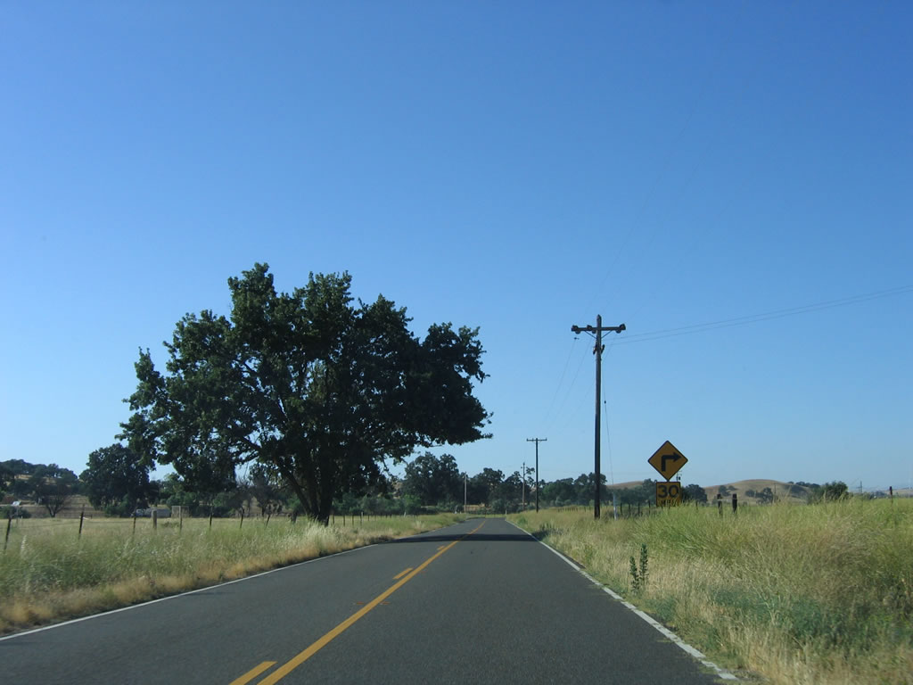
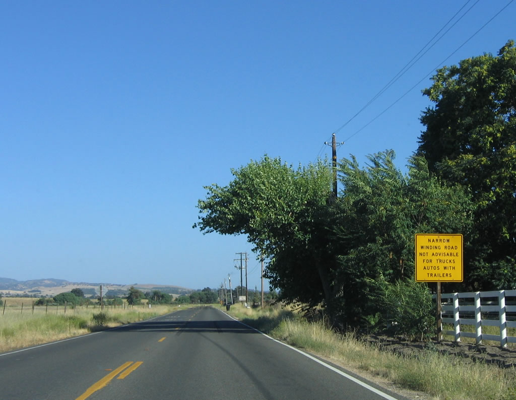
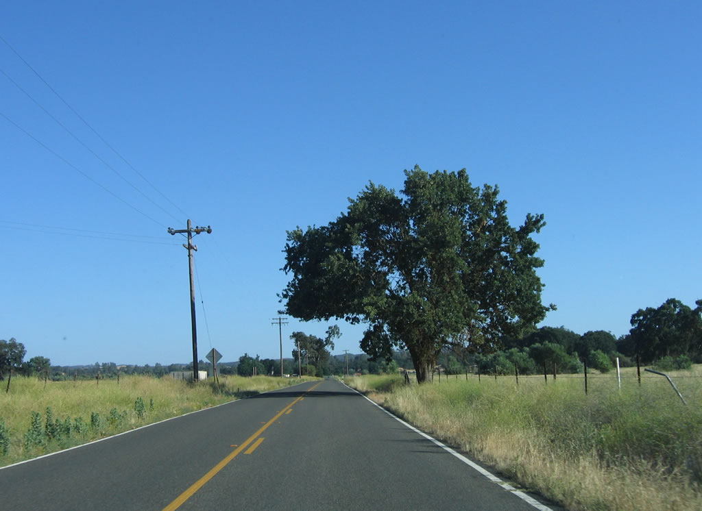
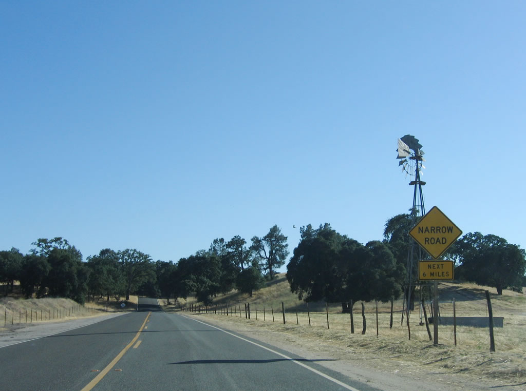
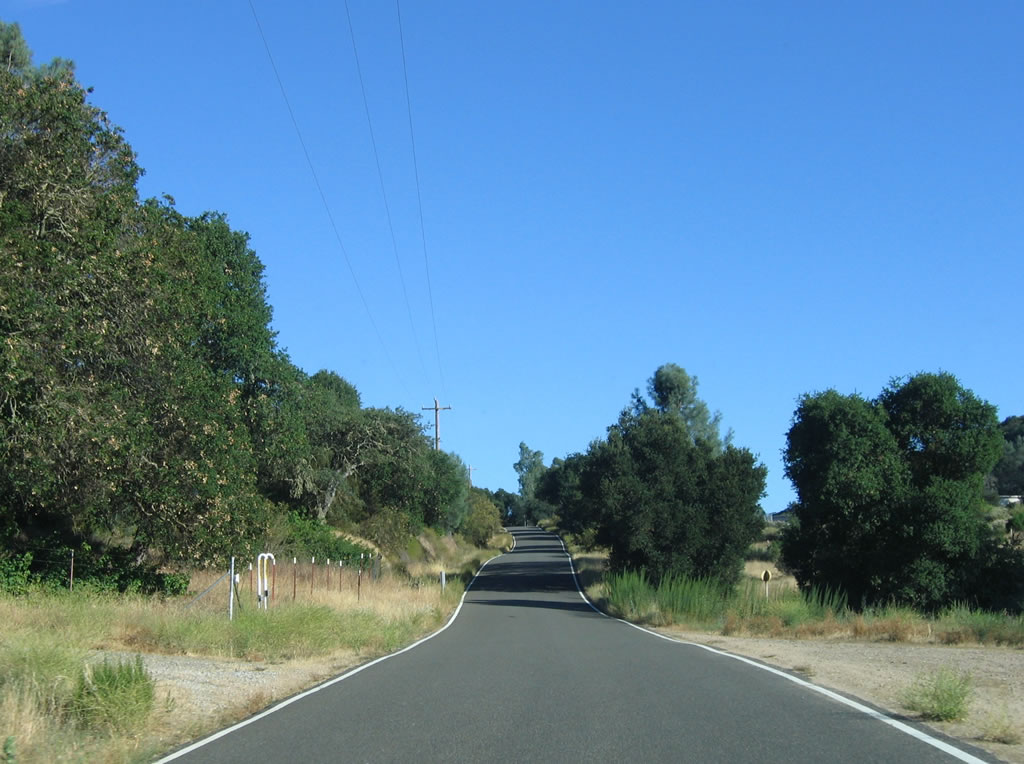
Northbound California 229 sees a one-and-a-half lane configuration: There is no center yellow painted line, and the white lines are painted at the edges of the pavement. A "Narrow Road Next 6 Miles" sign is posted shortly after California 229 north splits away from California 58 northeast of Santa Margarita in rural San Luis Obispo County. Photo taken 07/05/06. |
 |
 |
 |
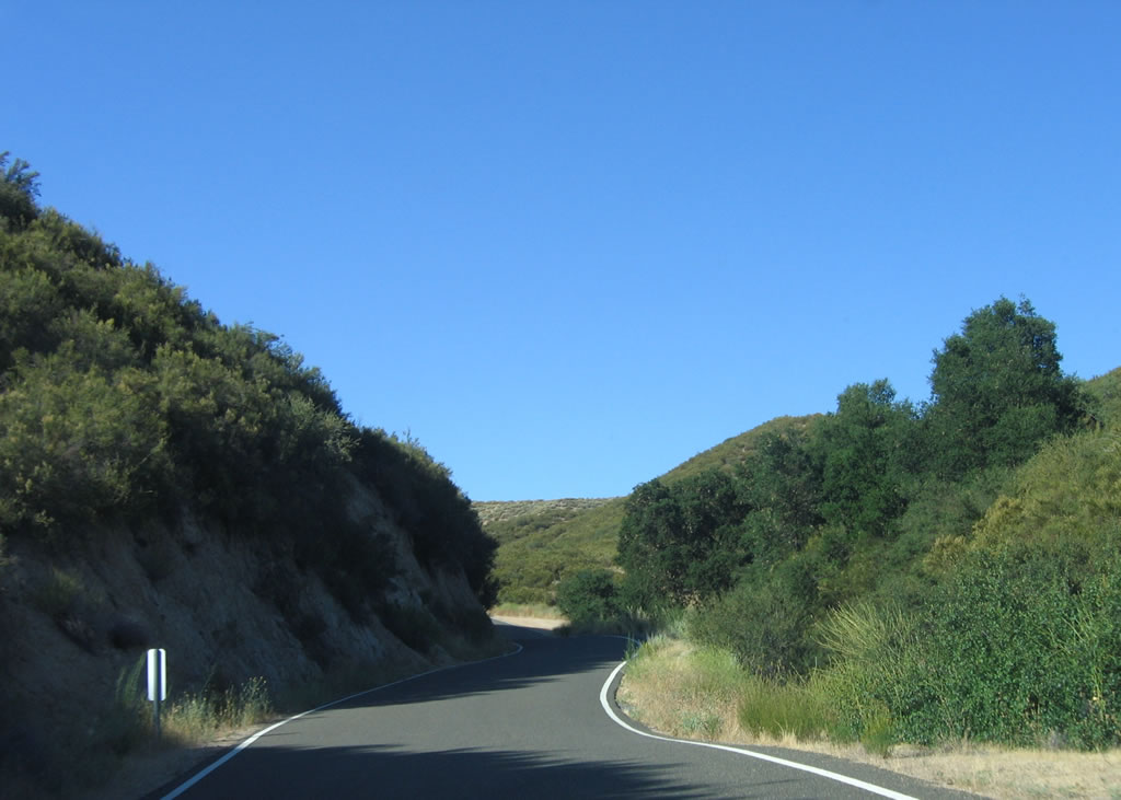
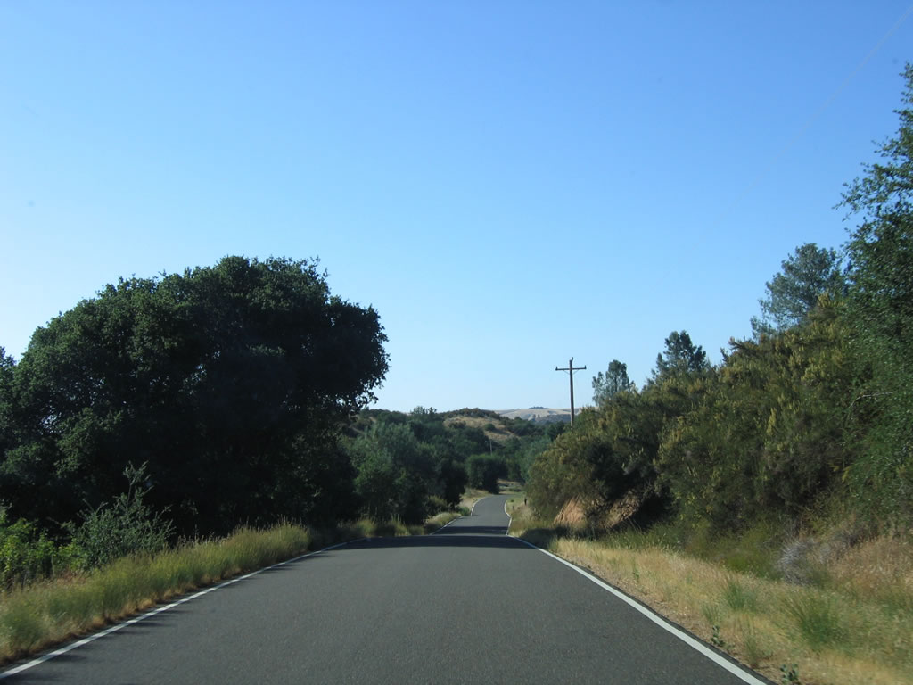
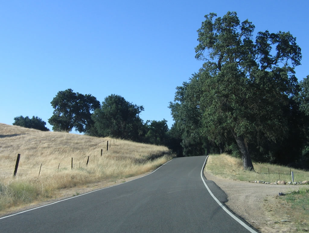
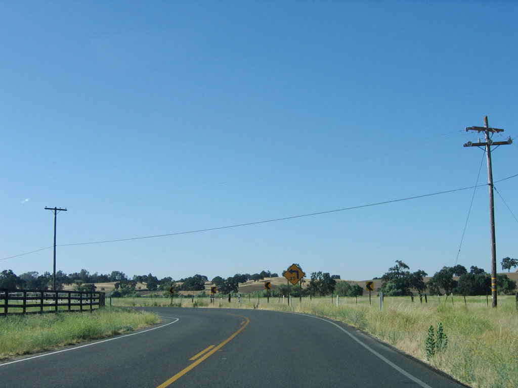
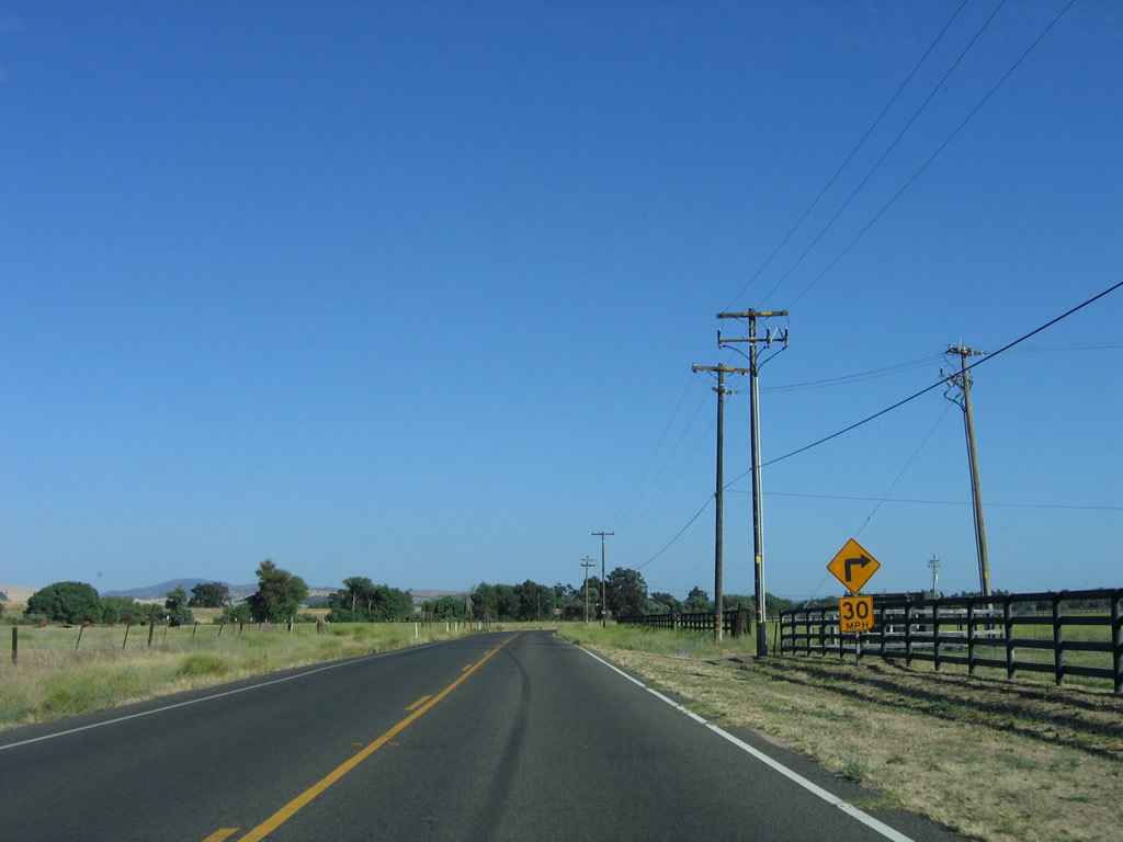
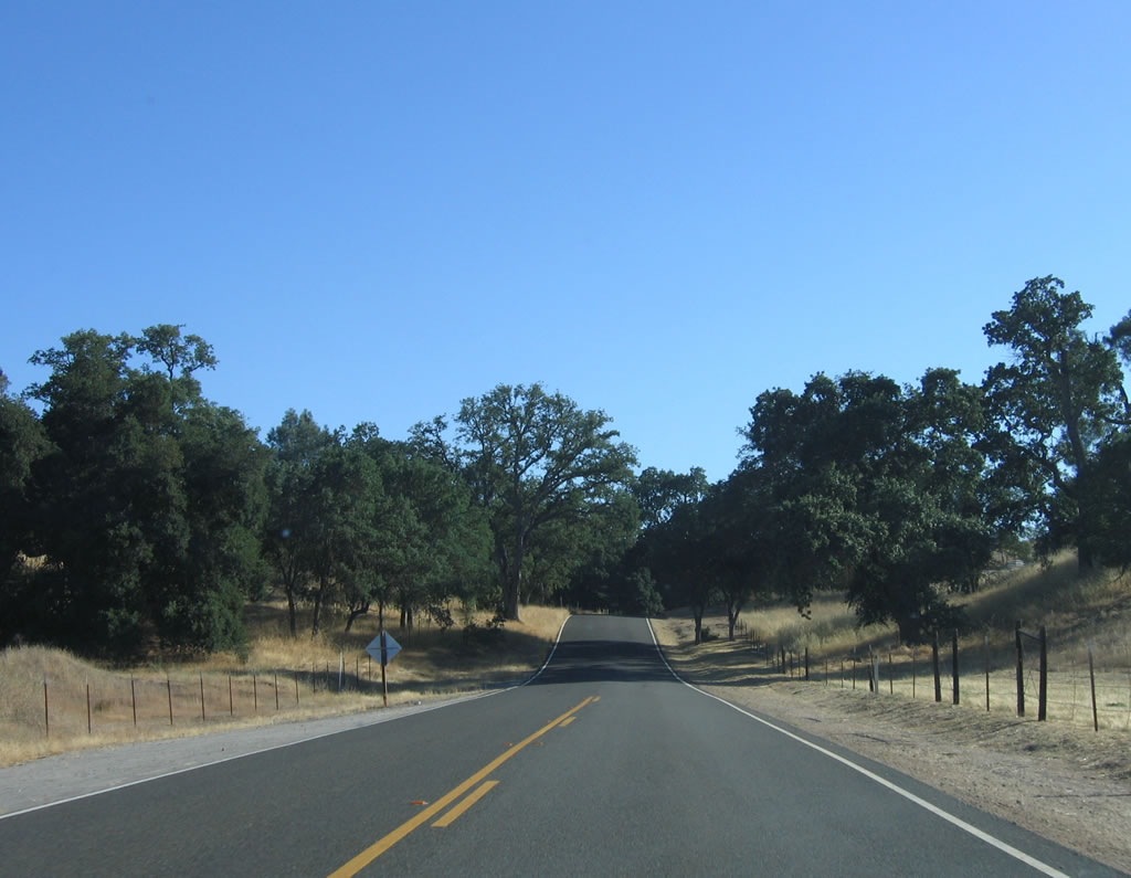
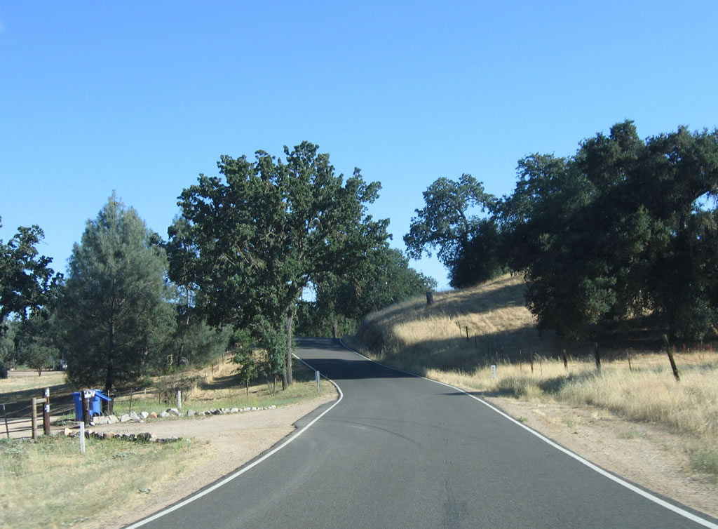
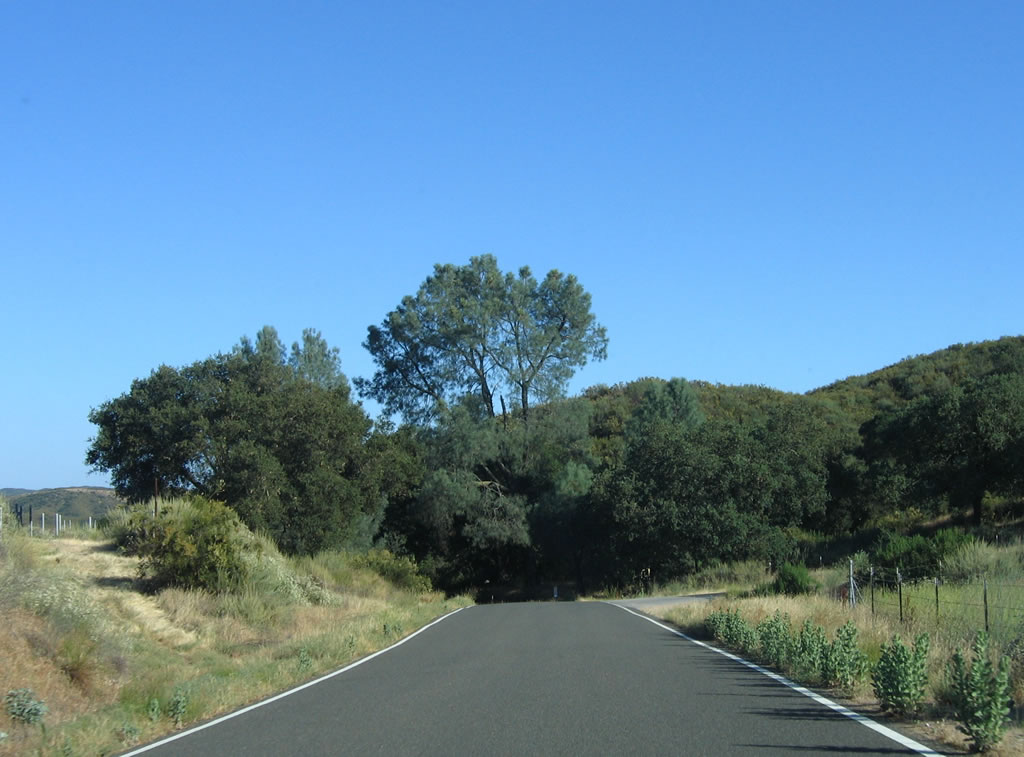
Along the initial six miles, California 229 has limited sight distance caused both by curves and by hilly terrain. This suite of photos shows the first three miles of narrow road. The last photo shows the 3.00 post mile for northbound California 229. Photos taken 07/05/06. |
 |
 |
 |
|
 |
 |
 |
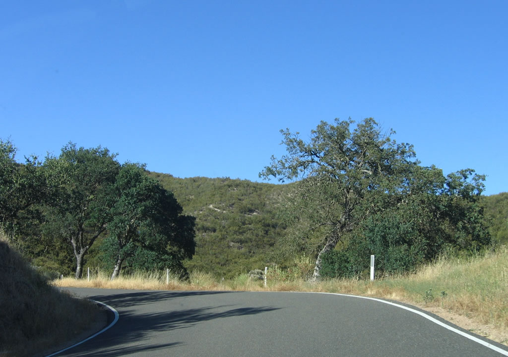
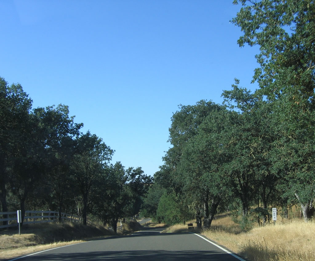
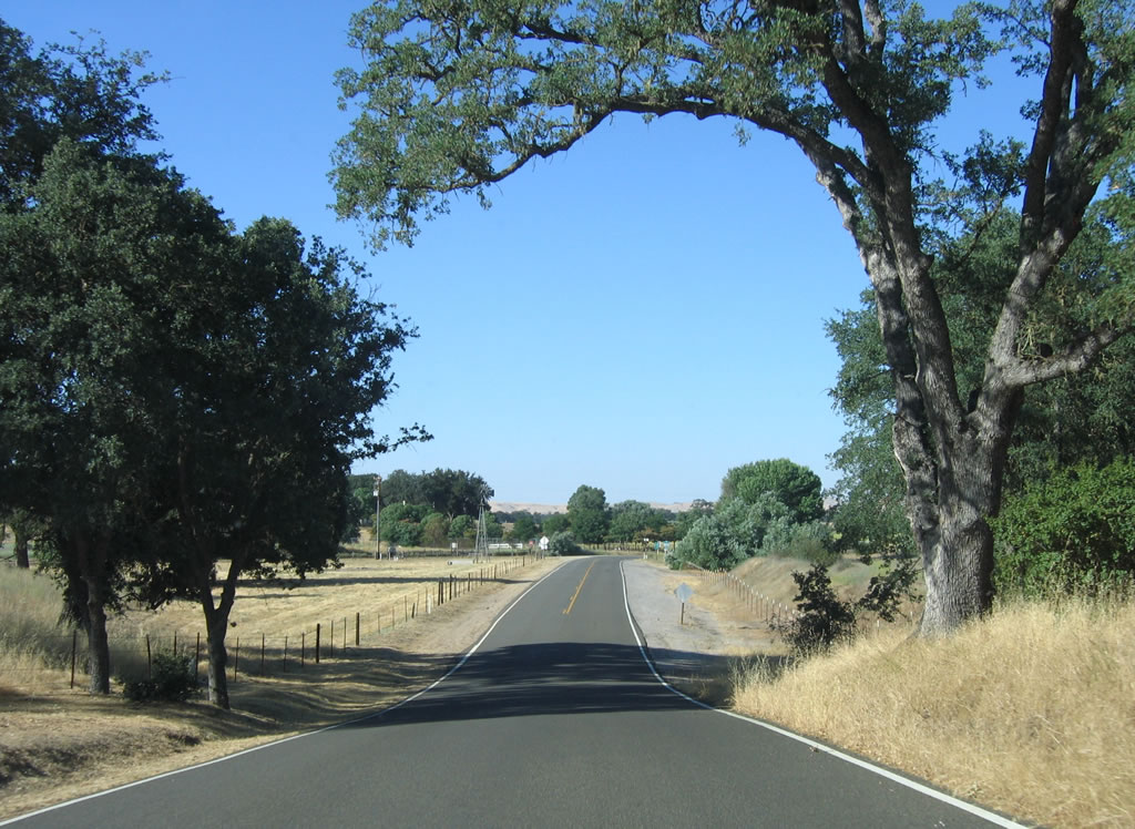
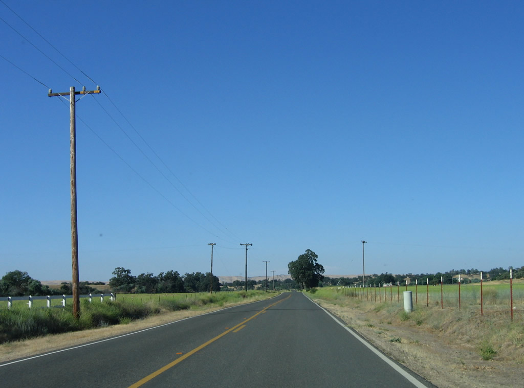
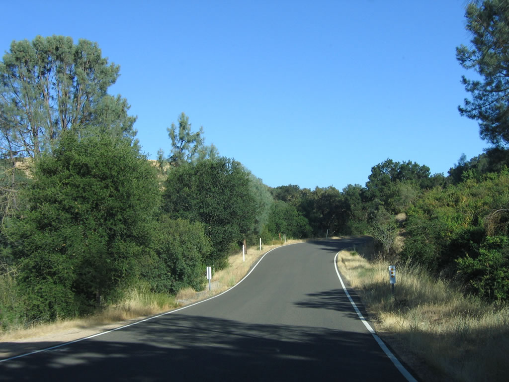
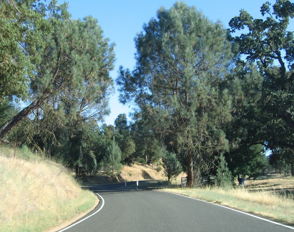
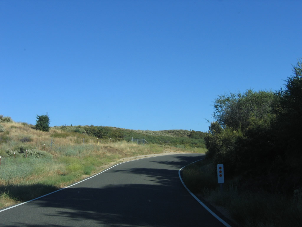
Continuing along northbound California 229, the next three miles are more of the same: narrow road, seemingly limitless live oaks and scrub, and undeveloped terrain. Take this road and enjoy the sights (especially with the windows down). Photos taken 07/05/06. |
 |
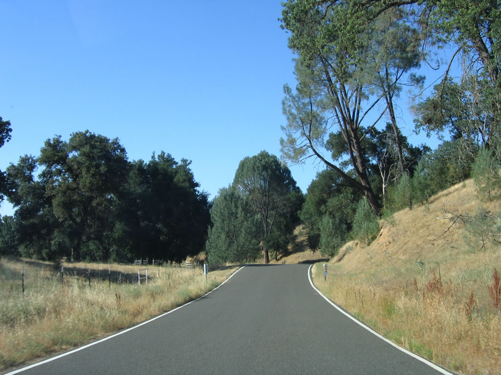
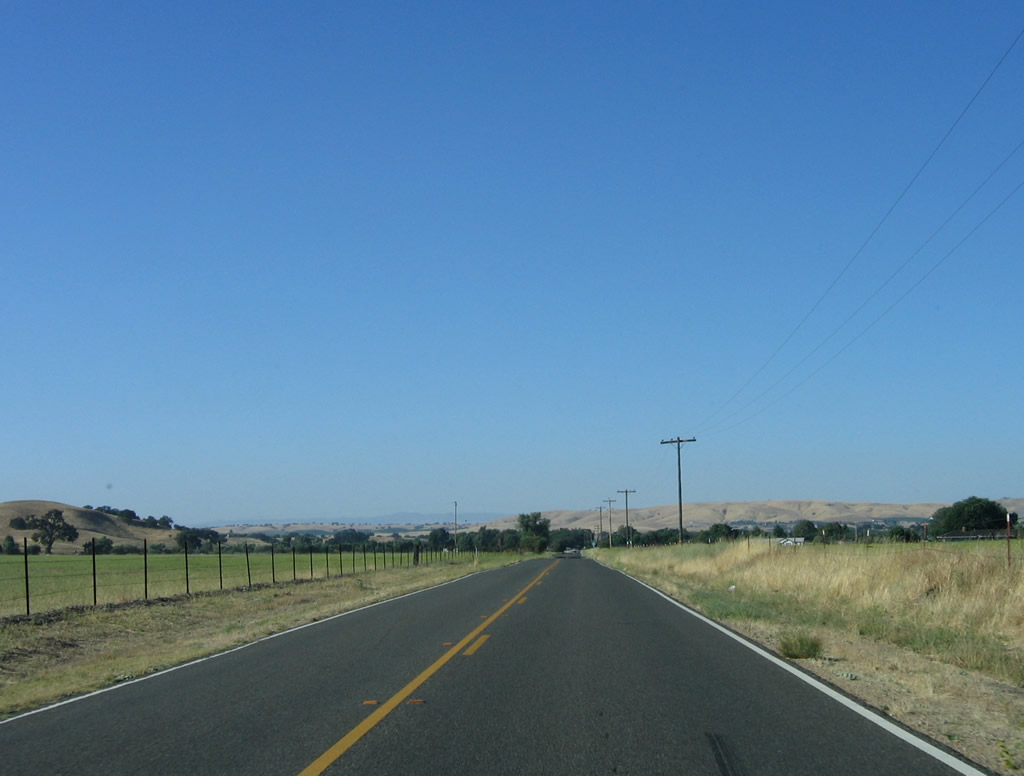
The narrow road finally comes to an end as the one-and-a-half road widens to a full two lanes. California 229 will remain a conventional two-lane highway from this point north to the California 41 intersection north of Creston. Photo taken 07/05/06. |
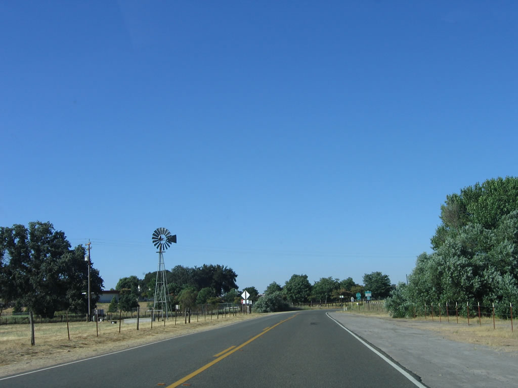 |
A windmill and ranch can be seen on the west side of California 229 north. Photo taken 07/05/06. |
 |
Northbound California 229 meets Rocky Canyon Road at this intersection. At this point, California 229 turns a bit to the northeast toward Creston. This is also the first reassurance/trailblazer for California 229 on northbound. Photo taken 07/05/06. |
 |
Straightening out, northbound California 229 follows ranches on both sides of the state route. Photo taken 07/05/06. |
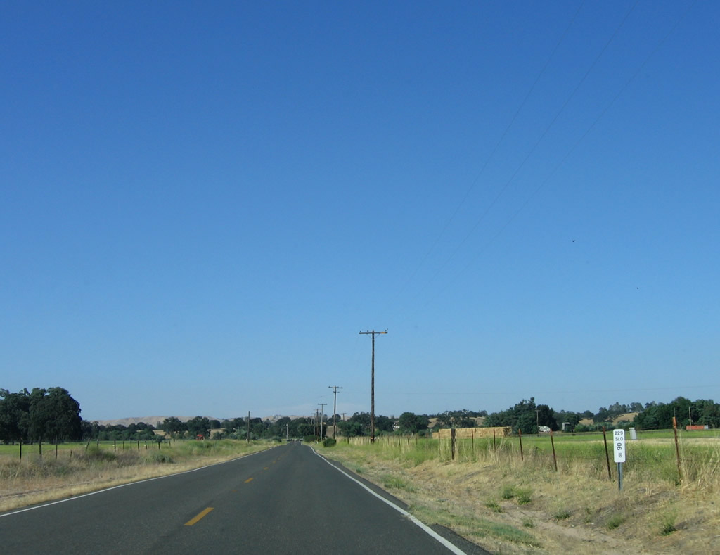 |
A 6.00 postmile is situated along the straight section of California 229. If not for the narrow section earlier, this would almost feel like a normal state highway for this part of the state. Photo taken 07/05/06. |
 |
Another sharp turn lies ahead next to this driveway. Photo taken 07/05/06. |
 |
... And another sharp turn to the right comes immediately thereafter! Photo taken 07/05/06. |
 |
California 229 again travels north toward Creston. Photo taken 07/05/06. |
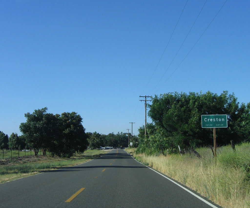 |
Creston is another unincorporated community of San Luis Obispo County - population 270, elevation 1,110 feet. Photo taken 07/05/06. |
 |
Downtown Creston features an an intersection with O'Donovan Road, which travels southeast to a junction with California 58. Photo taken 07/05/06. |
 |
This California 229 reassurance shield is posted on northbound after leaving the community of Creston. Photo taken 07/05/06. |
 |
Northbound California 229 makes a final sharp left turn before intersecting with California 41/Creston-Eureka Road. Photo taken 07/05/06. |
 |
California 229 approaches its northern terminus at California 41. The end point is at the upcoming stop sign. Photo taken 07/05/06. |
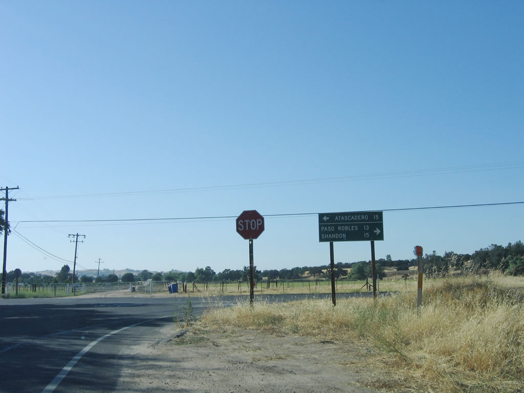 |
There is no end shield assembly for California 229 at the junction with California 41. A mileage sign provides the distance to Atascadero (15 miles) via California 41 west and Shandon (15 miles) via California 41 east. Through a connection with Geneseo Road, traffic can take a short cut to Paso Robles, which is 13 miles northwest of here. However, access to Geneseo Road is achieved via California 41 east, then a left turn onto Geneseo Road north. Photo taken 07/05/06. |
| California 229 south | |
|---|---|
 |
Now traveling south, we begin with the first southbound California 229 reassurance shield after departing from the California 41 intersection. Photo taken 07/05/06. |
 |
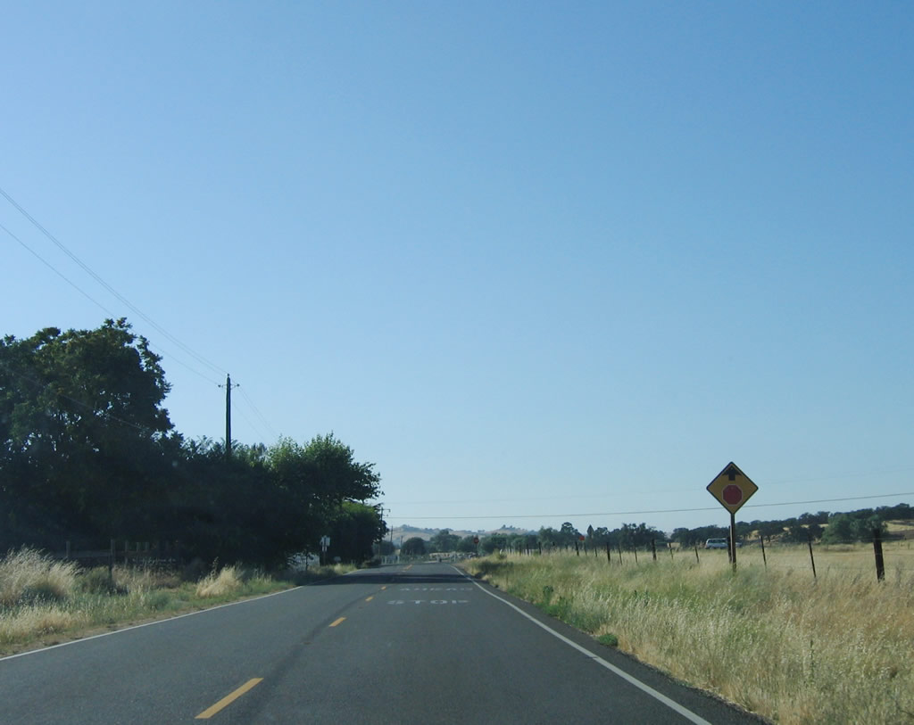
Southbound California 229 is fairly straight until south of Creston, but it is winding with only one and a half lanes for the final six miles before meeting California 58. Photo taken 07/05/06. |
 |
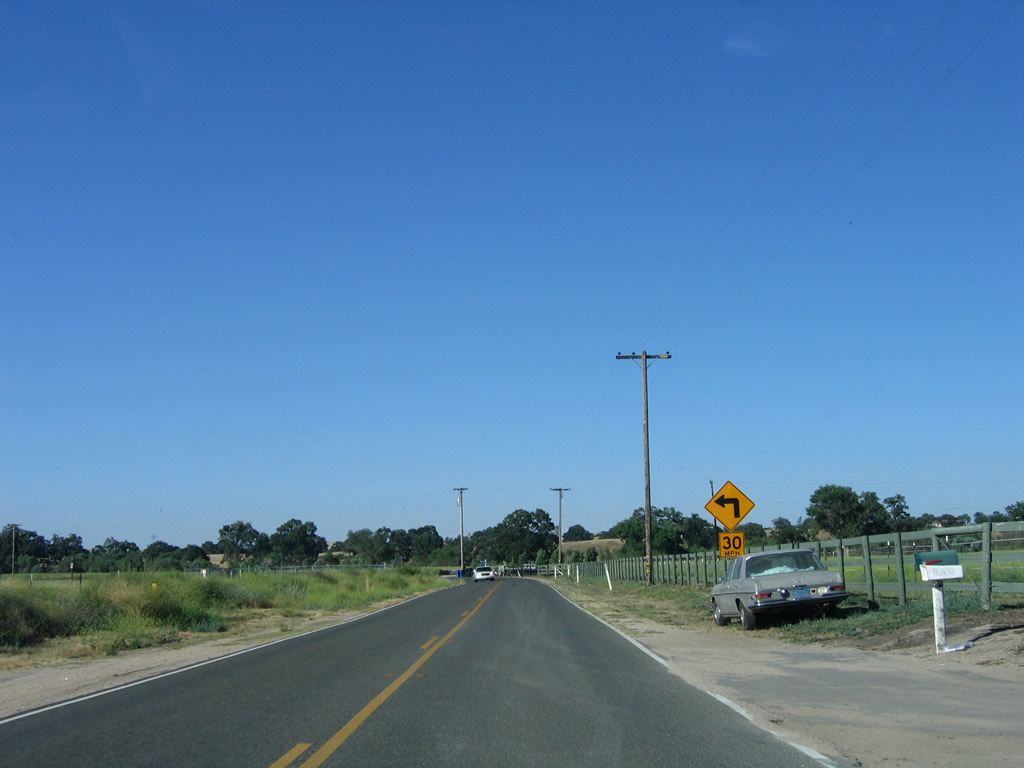
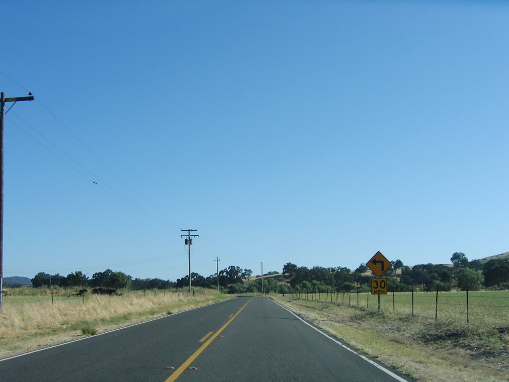
The first of many sharp curves on southbound California 229 is this 30 miles per hour curve. Photo taken 07/05/06. |
 |
Southbound California 229 enters the unincorporated community of Creston, which is home to 270 people and sits at an elevation of 1,110 feet. No motorist services are available in Creston. Photo taken 07/05/06. |
 |
Downtown Creston features a tall oak tree and several houses that line California 229. Look for O'Donovan Road for an alternate route south to California 58 east to California Valley and Carrizo Plain National Monument. Photo taken 07/05/06. |
 |
A sharp left turn lies along southbound California 229 after leaving the community of Creston. Photo taken 07/05/06. |
 |
Another oak tree rests next to California 229 after the last turn. Photo taken 07/05/06. |
 |
Briefly traveling directly into the sun on this summer afternoon, southbound California 229 meets Rocky Canyon Road southwest at this intersection. California 229 turns a bit to the south at this point. Photo taken 07/05/06. |
 |
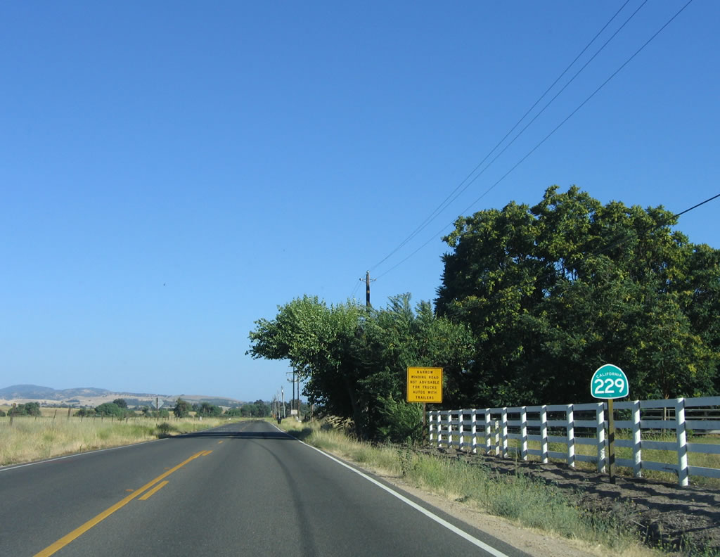
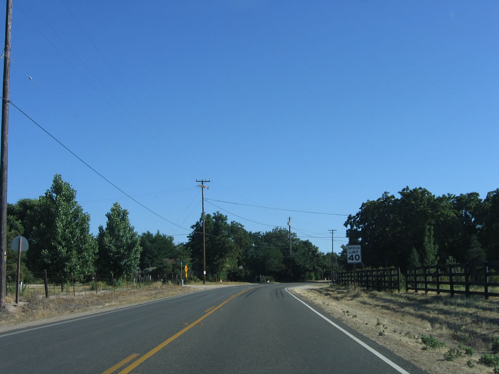
California 229 prepares to narrow to its one-and-a-half lane configuration. This configuration will continue until the California 58 junction, which is a little less than six miles south of here. Photo taken 07/05/06. |
 |
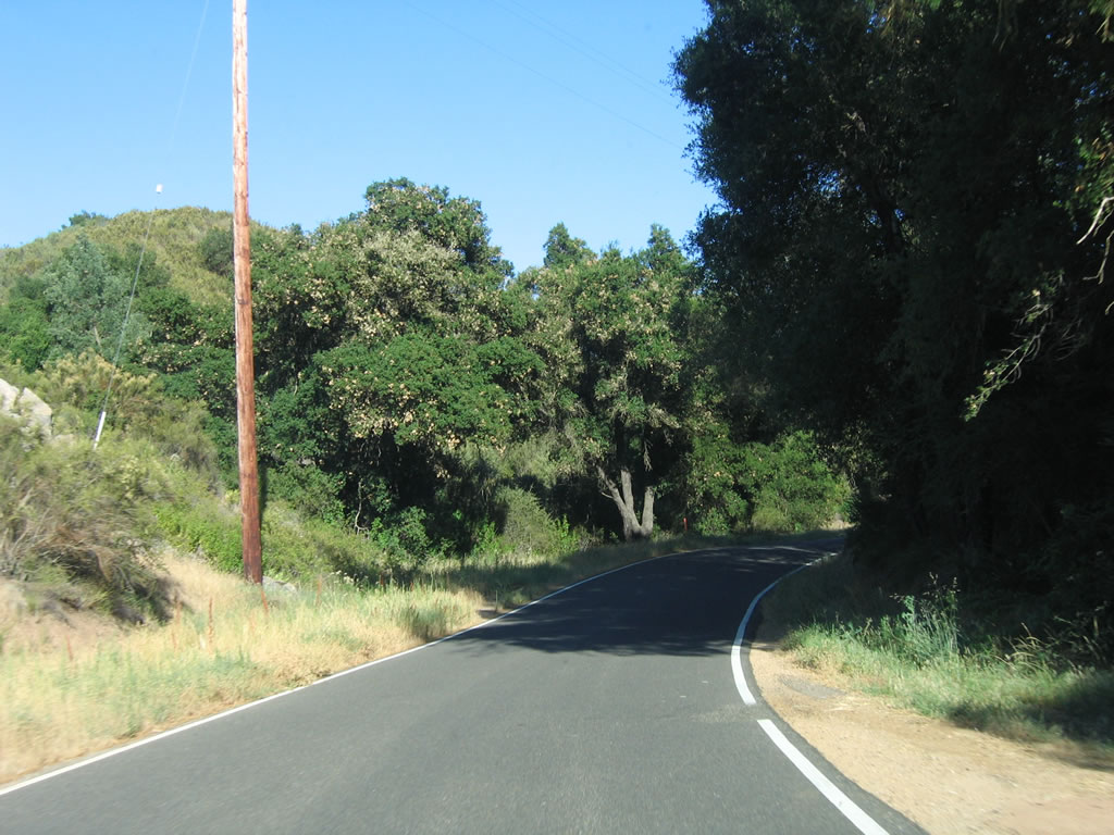
The road narrows at this point, and the centerline striping disappears. Driving through this section can be treacherous: Be mindful of limited sight distance and curves. Photo taken 07/05/06. |
 |
 |
 |
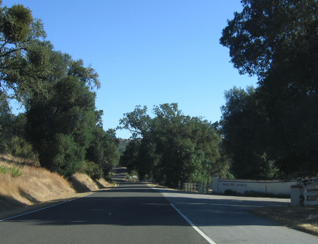 |
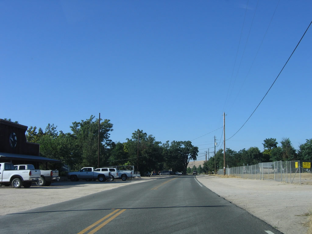
Southbound California 229 passes through the one-and-a-half lane segment between Creston and California 58. Note the limited sight distance as well as an entrance to Blue Sky Ranch and a connection to Lion Ridge Road. Photos taken 07/05/06. |
 |
 |
 |
 |
 |
California 229 travels over a final ridge before descending to the intersection with California 58. Photo taken 07/05/06. |
 |
No control cities for California 58 east/west are used. To the east, California 58 travels over La Panza Range into California Valley, then crosses the Temblor Range into McKittrick in Kern County. To the west, California 58 travels to Santa Margarita, then ends at its interchange with U.S. 101 (El Camino Real) at Exit 211. Photo taken 07/05/06. |
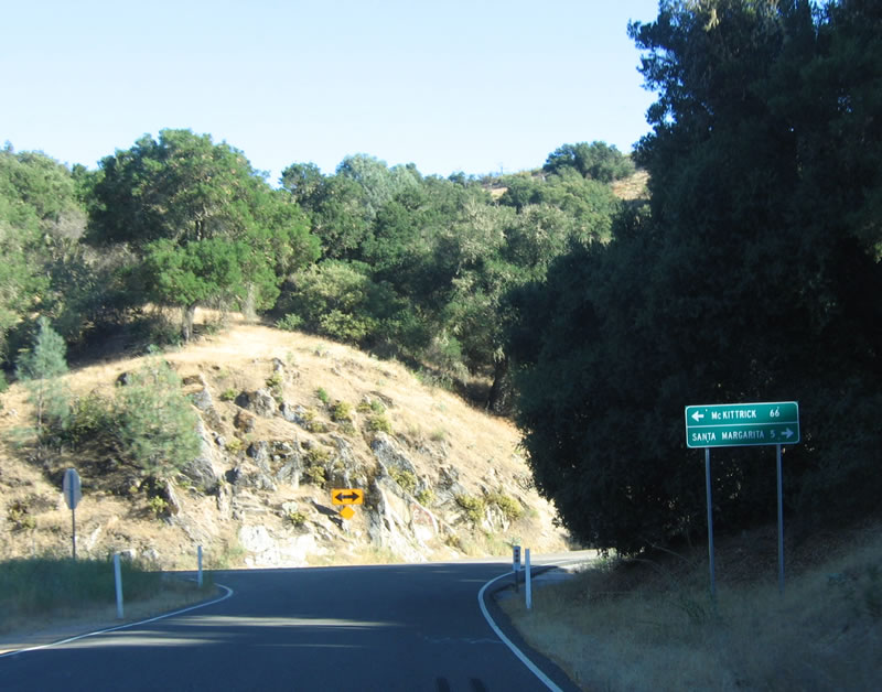 |
A mileage sign with the control cities of California 58 east (McKittrick - 66 miles) and west (Santa Margarita - three miles) is posted at the south end of California 229. Photo taken 07/05/06. |
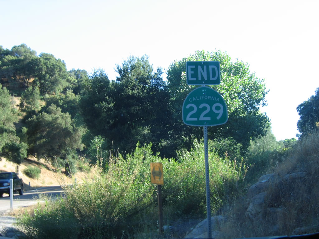 |
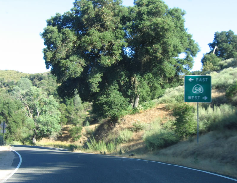
An end California 229 shield assembly is posted shortly before the California 58 intersection. Through traffic from southbound California 229 to westbound California 58 do not need to stop here. Turn left to California 58 east to California Valley and McKittrick. Photo taken 07/05/06. |

Page Updated October 21, 2007.
|
About Contact Glossary |
In The News Testimonials Interstate Guide |
Social Media:
 |
|
© 2000-23 AARoads.com | All Rights Reserved | Privacy Policy / Terms of Use
|
||