California 271 is assigned to two segments of old U.S. 101. The first segment starts at U.S. 101 near Cummings (Exit 609) and ends at California 1 in Leggett. The second segment begins south of Piercy at U.S. 101 Exit 625 and continues north to U.S. 101 in Cooks Valley near the Mendocino-Humboldt County Line. The intervening segment may be constructed if U.S. 101 is bypassed around Leggett; currently this section is two lanes. In the meantime, U.S. 101 is not cosigned with California 271 between the two segments.
| California 271 (Northern Section) south |
|
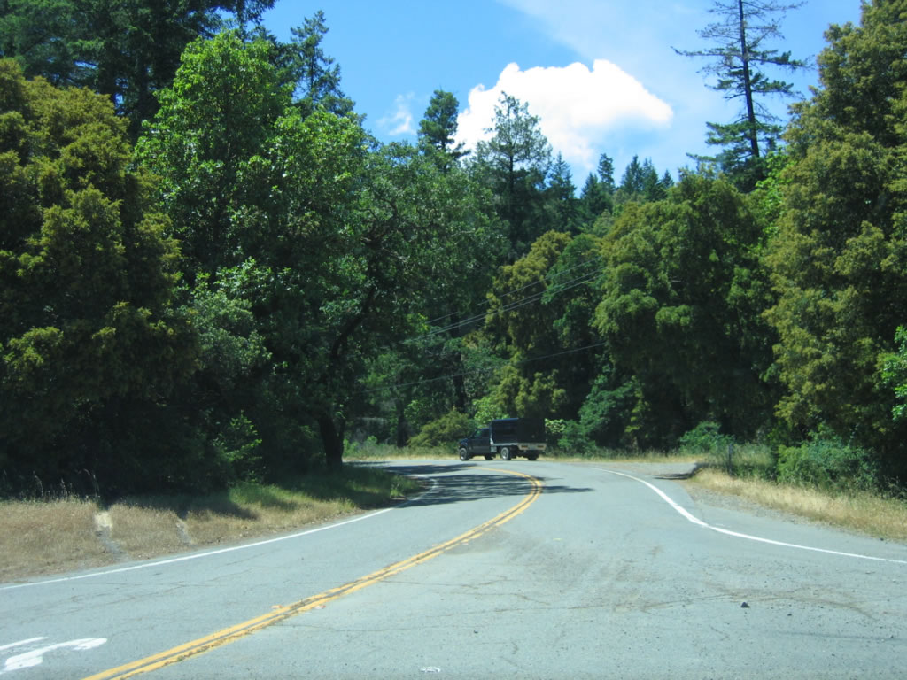
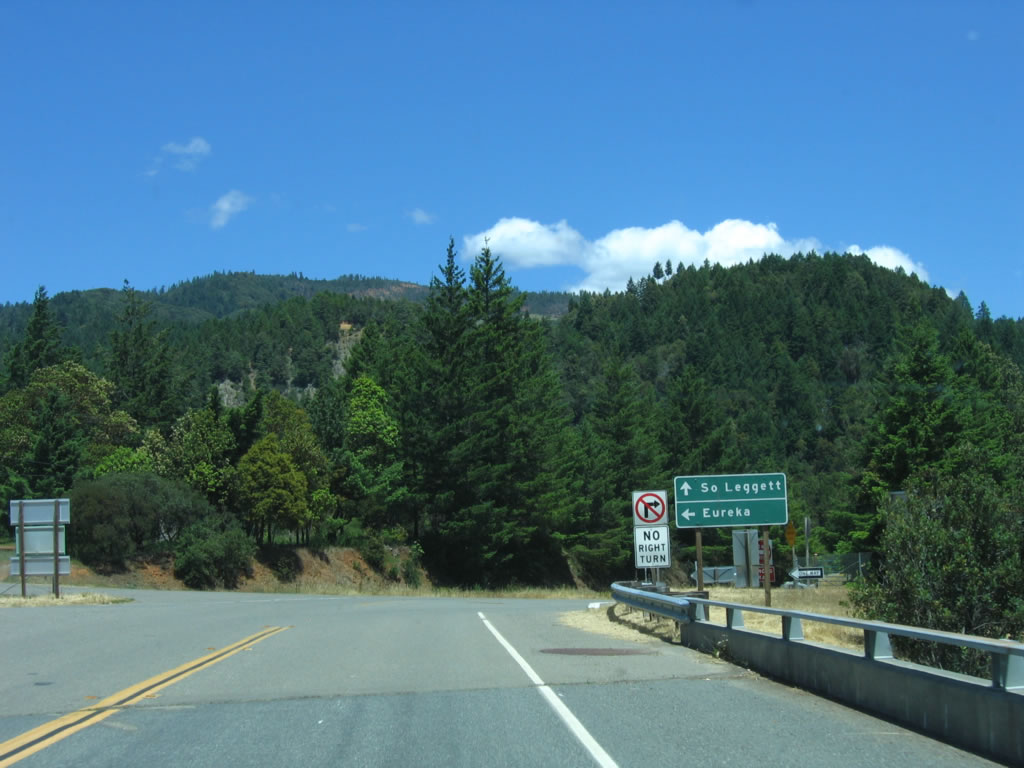
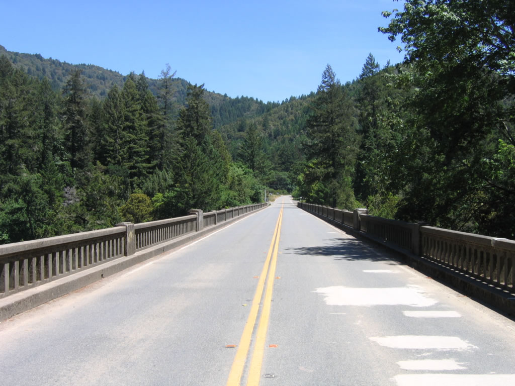
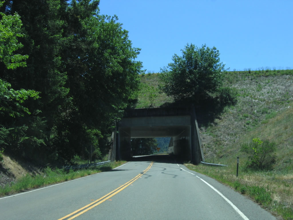
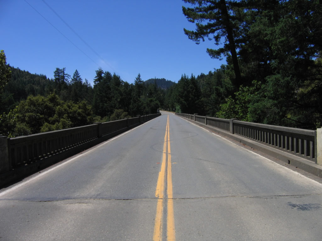
Leaving U.S. 101 in Cooks Valley, the northern section of California 271 follows the freeway south from Cooks Valley through Piercy to rejoin U.S. 101 at Exit 625. This is the old alignment of U.S. 101 and has several old bridges on it. A second section of California 271 runs from California 1 at Leggett south to U.S. 101 at Cummings. We begin here on southbound California 271 after the U.S. 101 intersection. Photo taken 05/29/06. |
|
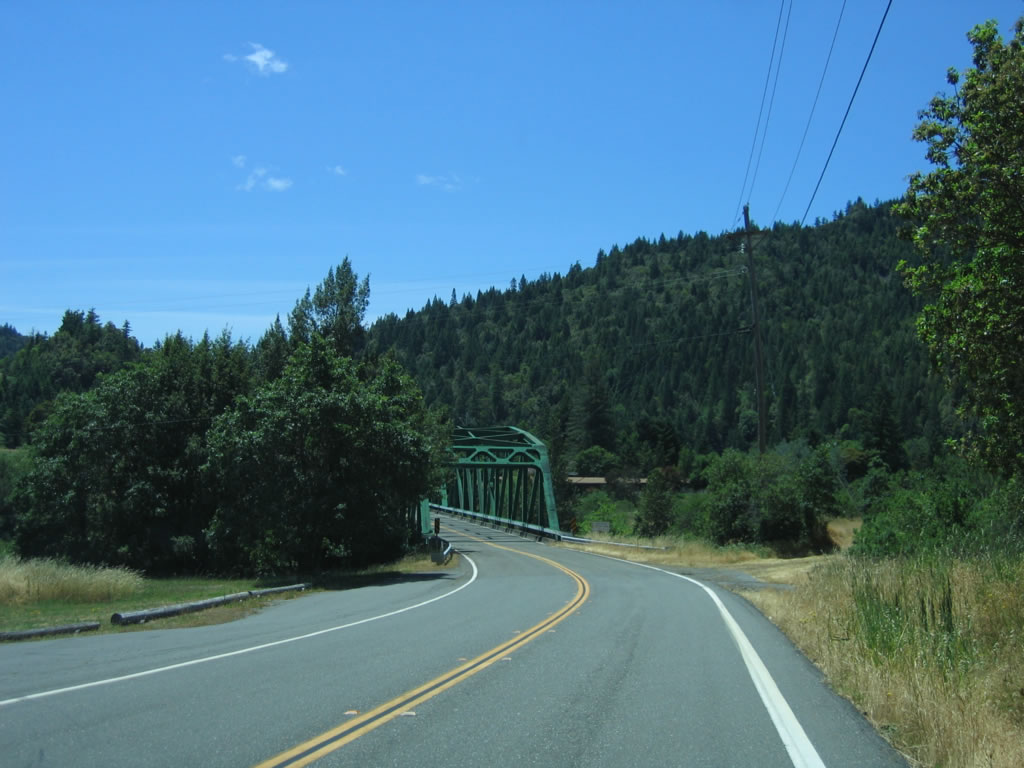
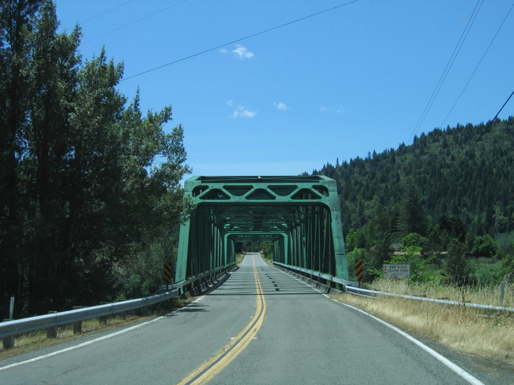
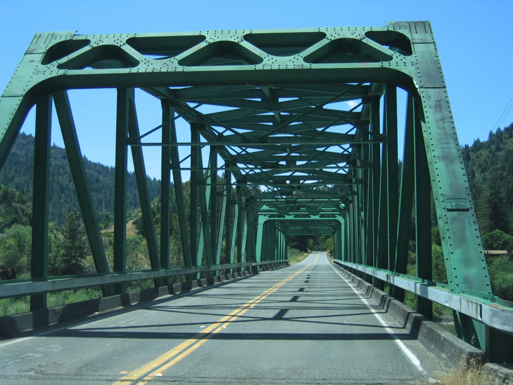
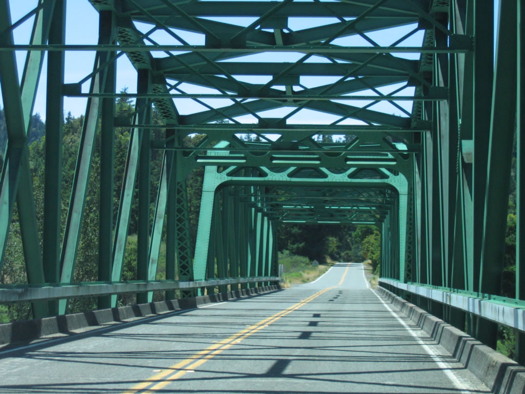
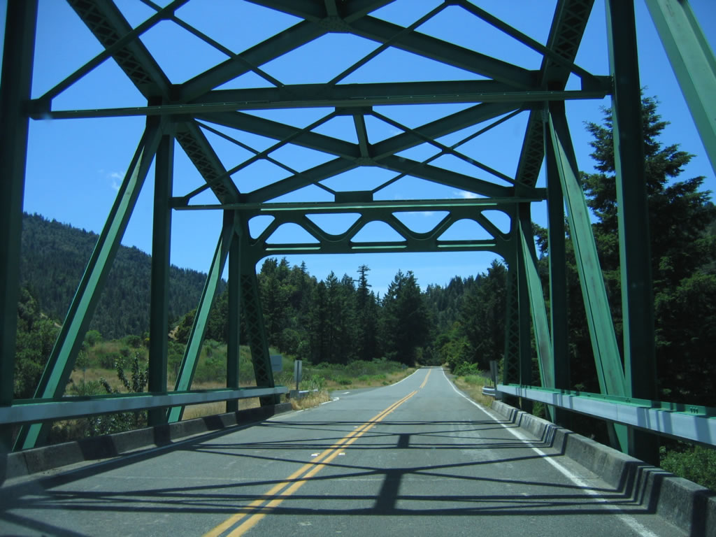
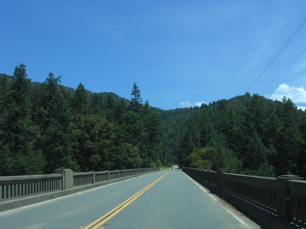
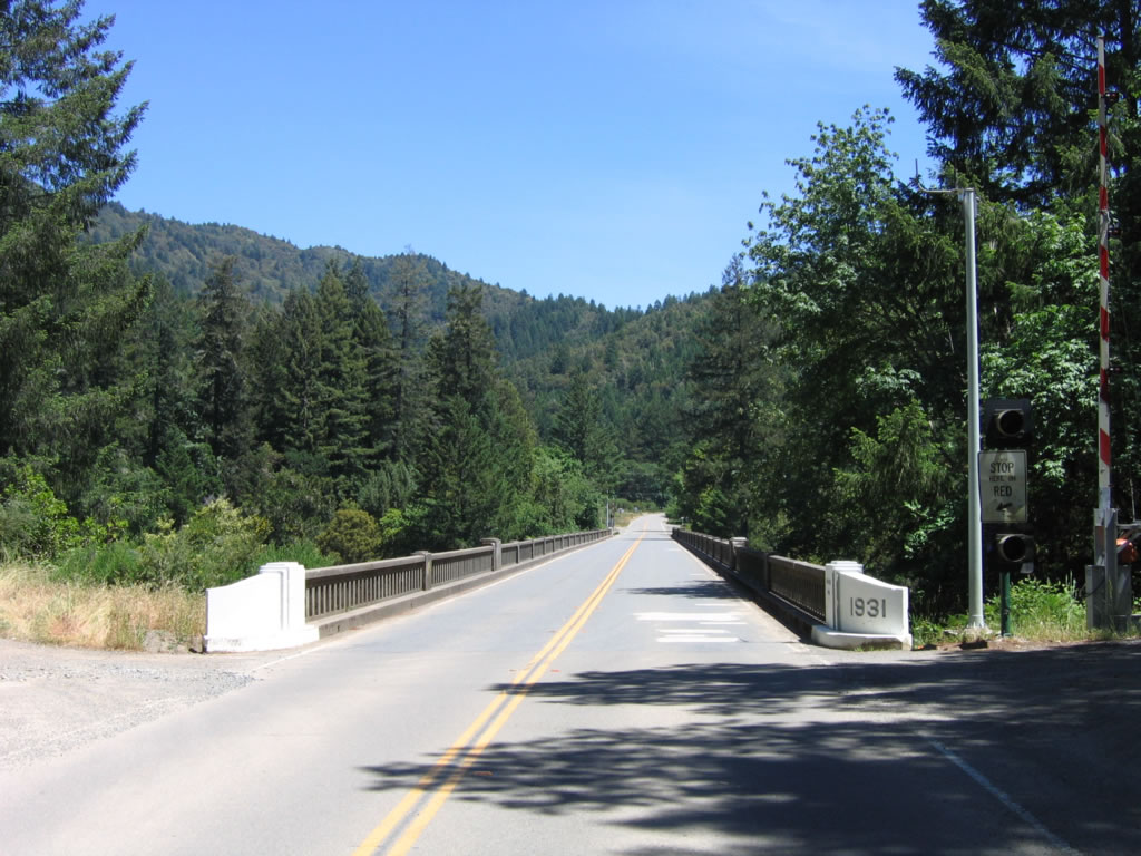
The first old bridge along southbound California 271 carries old U.S. 101 over the South Fork of the Eel River on this steel through truss bridge. Photo taken 05/29/06. |
|
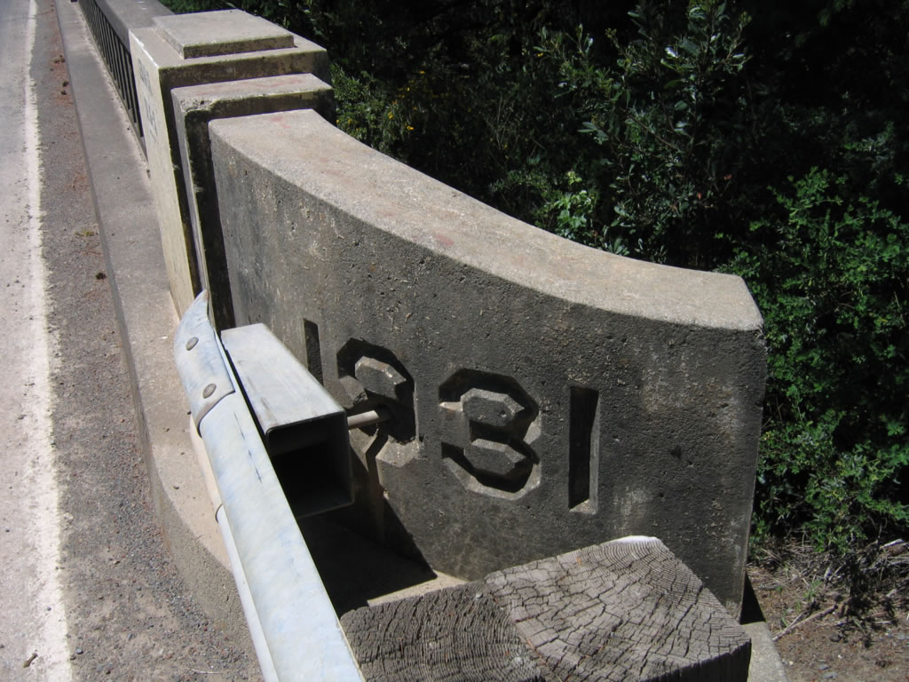
This bridge, located at Mendocino County postmile 22.57, was originally built in 1917 and expanded in 1934. Photo taken 05/29/06. |
|
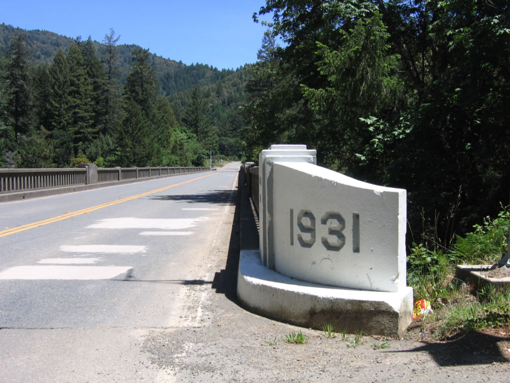
The 1934 date stamp plaque is posted on the steel truss. The McClintic-Marshall Corporation of Chicago built the expanded bridge; in addition, the same company built the steel superstructure of the Golden Gate Bridge in 1932.1 Photo taken 05/29/06. |
|
|
|
This suite of photos shows the 1934 steel truss bridge carrying California 271 (Old U.S. 101) over the South Fork of the Eel River. Photos taken 05/29/06. |
|
|
|
|
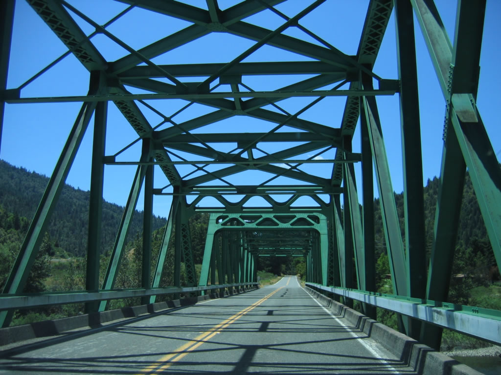
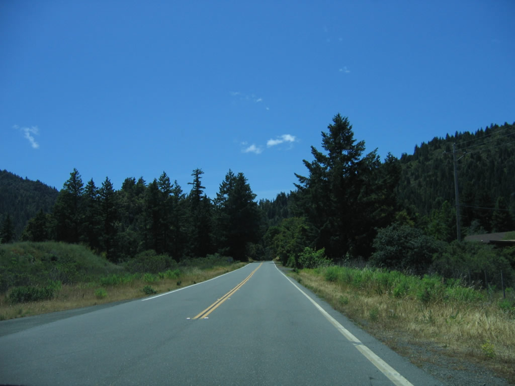
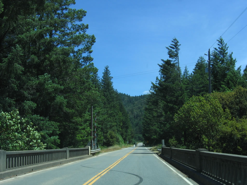
After crossing the South Fork of the Eel River, southbound California 271 continues on its two-lane alignment toward the town of Piercy and leaving Cooks Valley. Photo taken 05/29/06. |
|
The first reassurance shield for California 271 is posted shortly thereafter. Photo taken 05/29/06. |
|
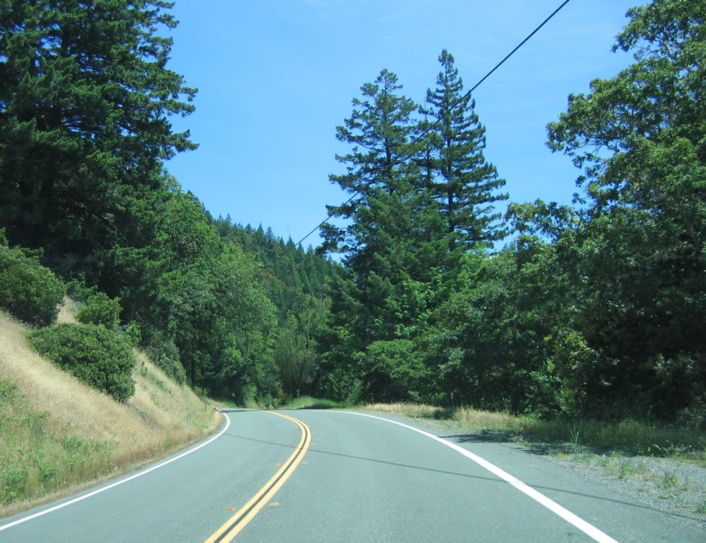
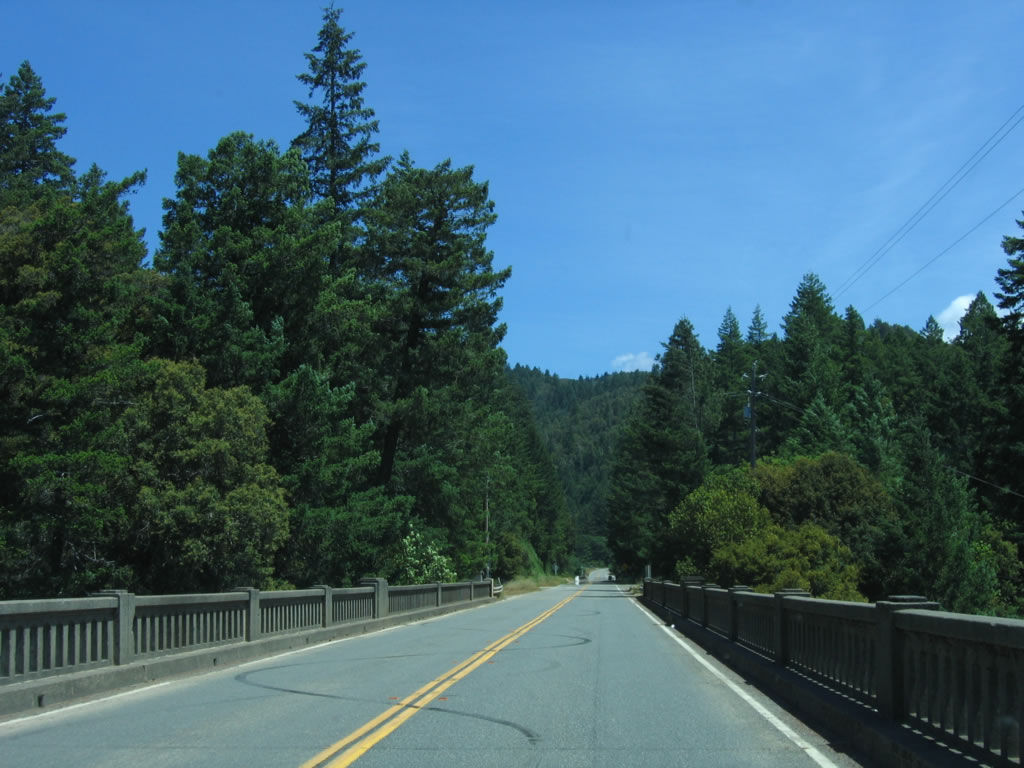
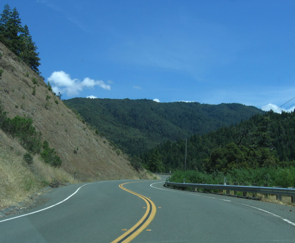
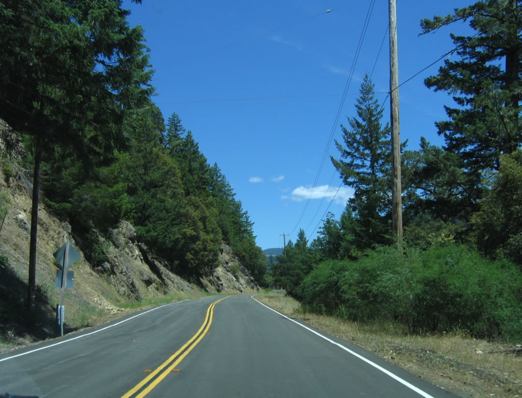
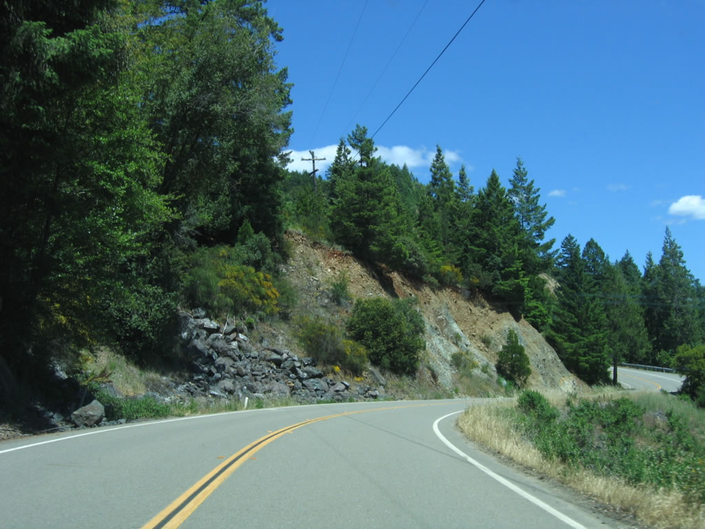
Paralleling the South Fork of the Eel River along the east bank, southbound California 271 offers scenic views of the river and redwoods while closely following the nearby U.S. 101 freeway. Photo taken 05/29/06. |
|
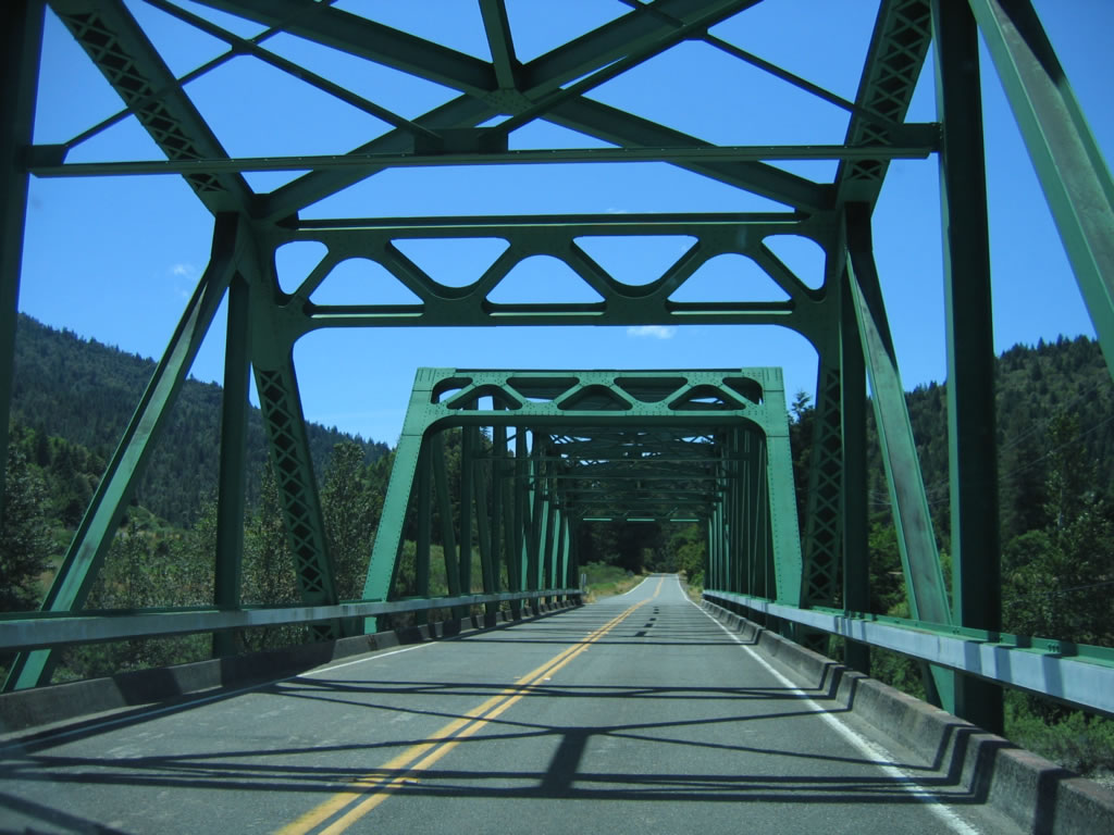
Around postmile 22, California 271/Old Redwood Highway closely parallels U.S. 101, which can be seen to the left of and above the old road. Photo taken 05/29/06. |
|
U.S. 101 and California 271 closely follow each other. The old road has much less traffic than the newer alignment of U.S. 101. Photo taken 05/29/06. |
|
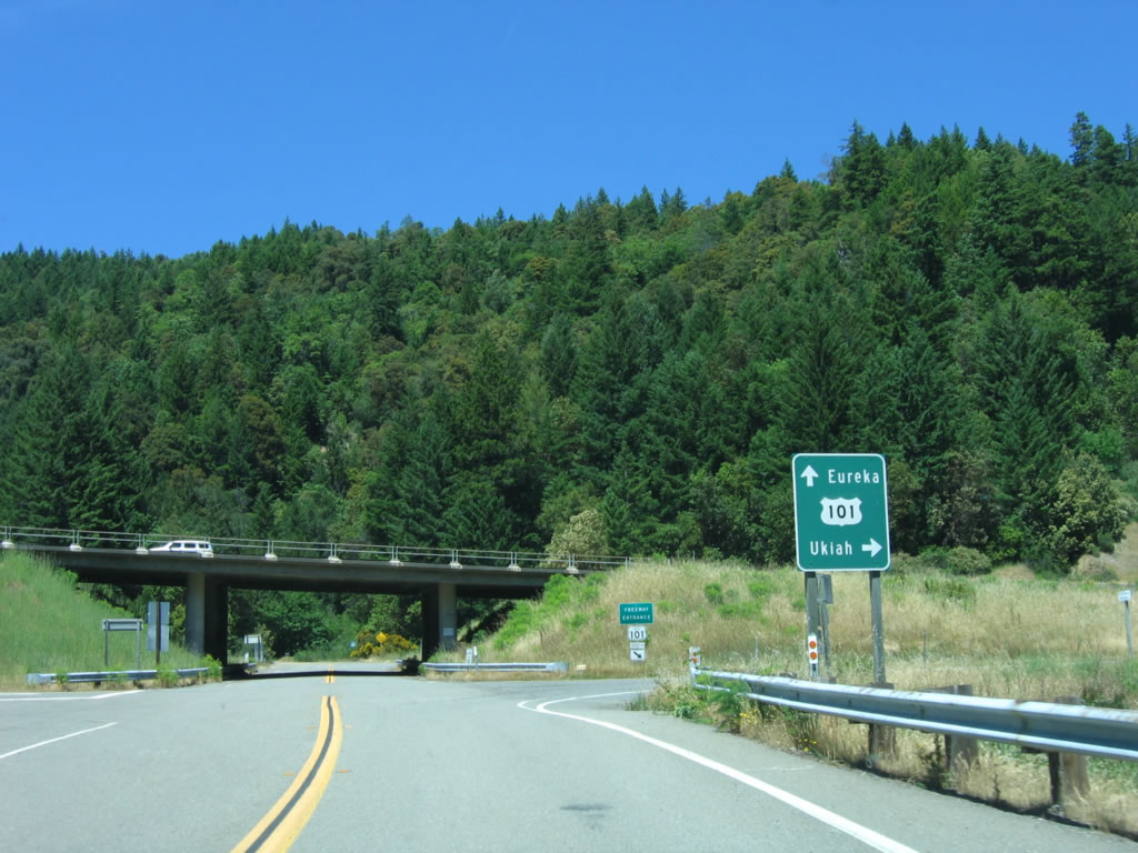
The one-mile advance sign on southbound U.S. 101 for Exit 627, Junction California 271/Piercy can be seen from California 271, which serves as the frontage road for U.S. 101. Photo taken 05/29/06. |
|
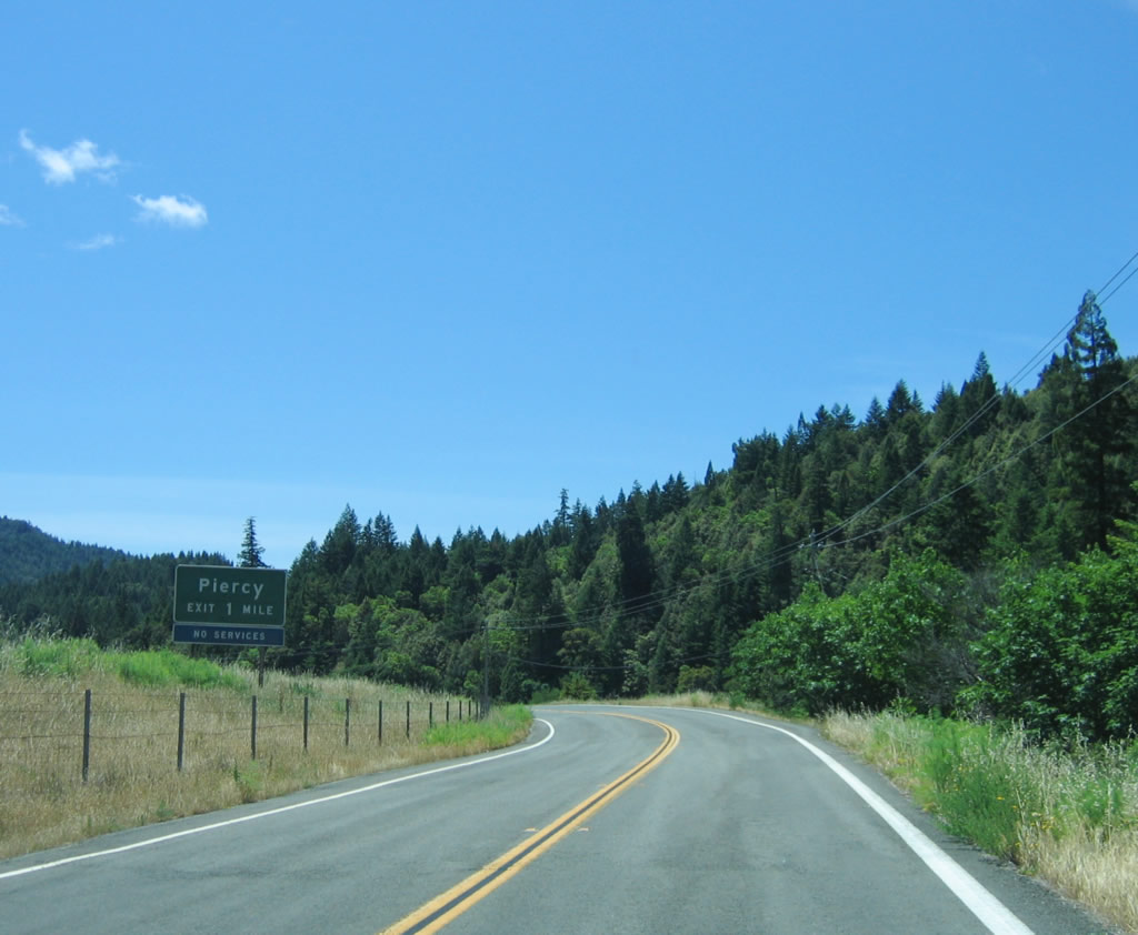
Southbound California 271 enters the town of Piercy, which is known for its annual Reggae on the River festival and Confusion Hill, a local tourist attraction located on U.S. 101 south of town. Piercy is home to 193 people and is 639 feet above sea level. Photo taken 05/29/06. |
|
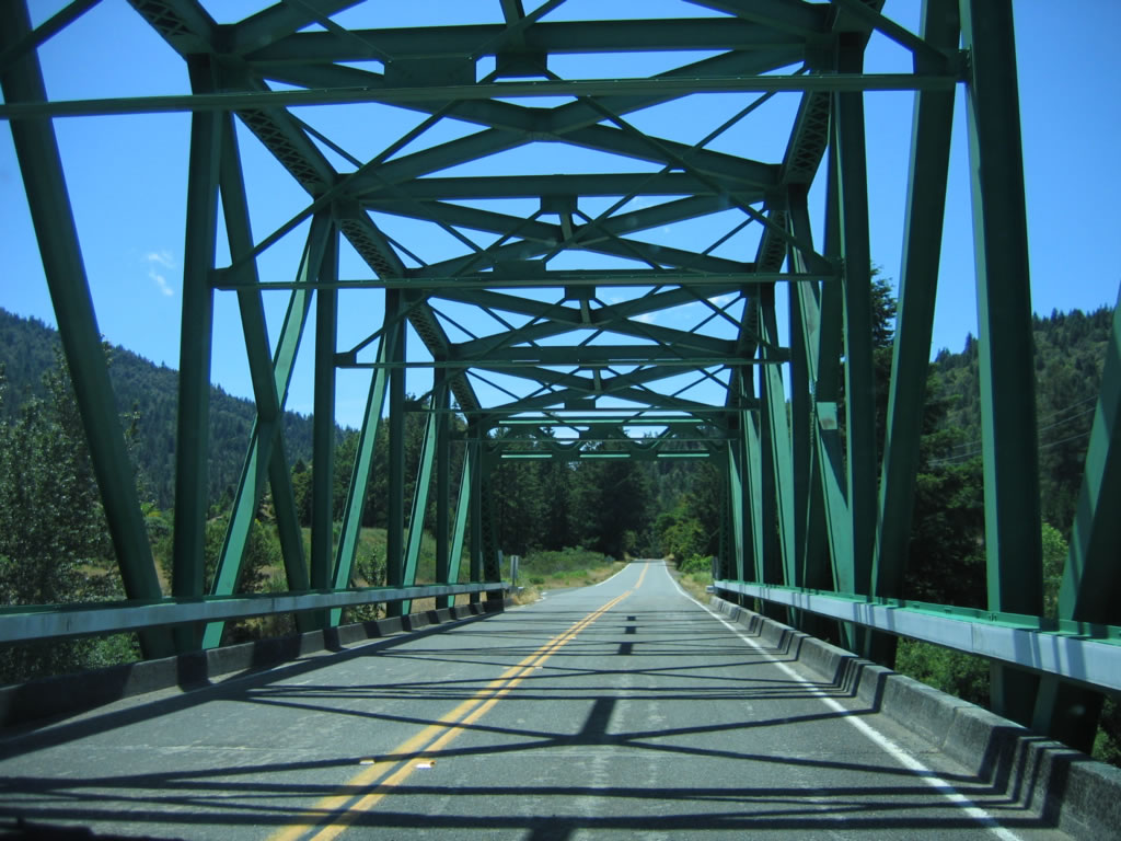
California 271 continues south toward its junction with U.S. 101/Redwood Highway. Photo taken 05/29/06. |
|
At this intersection, California 271 turns to the southeast to intersect U.S. 101. Piercy is a very small town with several residences and ranch homes; it is the northernmost town in Mendocino County. Photo taken 05/29/06. |
|
Southbound California 271 approaches U.S. 101. This brief east-west section allows the state highway to intersect U.S. 101 at a right angle; the older alignment was abandoned in order to construct the interchange. Photo taken 05/29/06. |
|
After the U.S. 101 interchange, another California 271 reassurance shield is posted. Photo taken 05/29/06. |
|
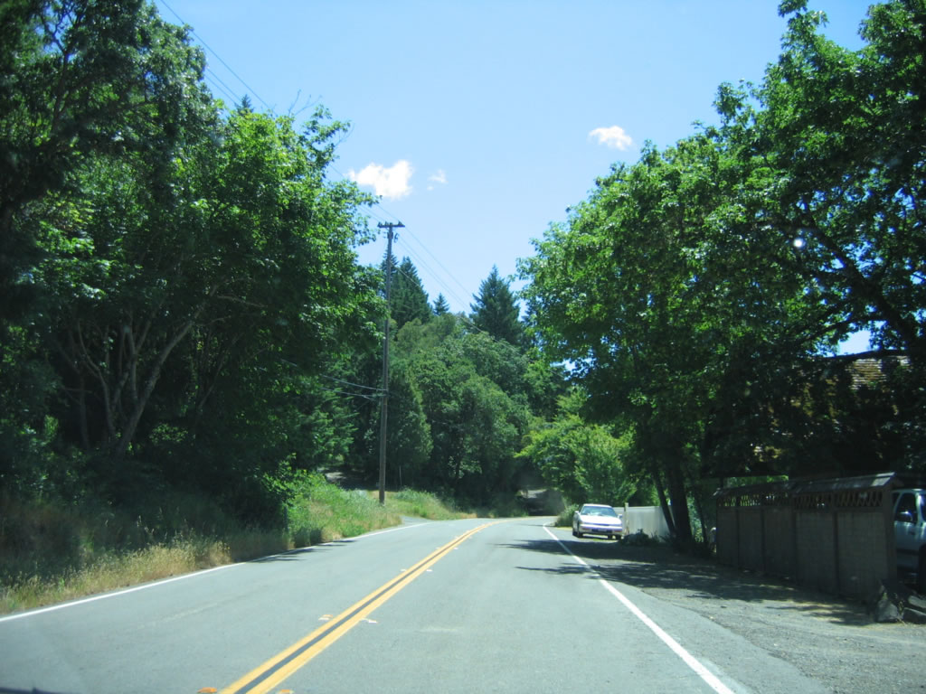
Two-lane California 271 continues south, this time on the east side of U.S. 101. Photo taken 05/29/06. |
|
|
|
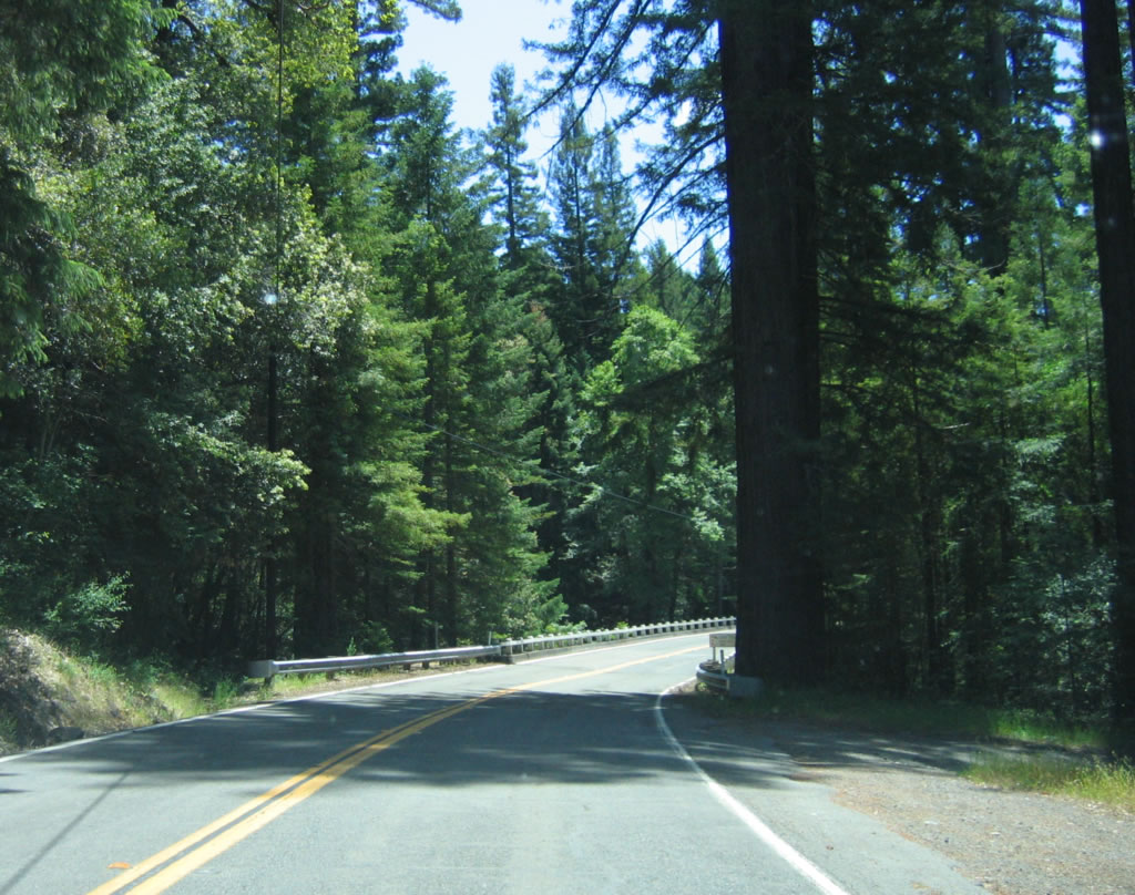
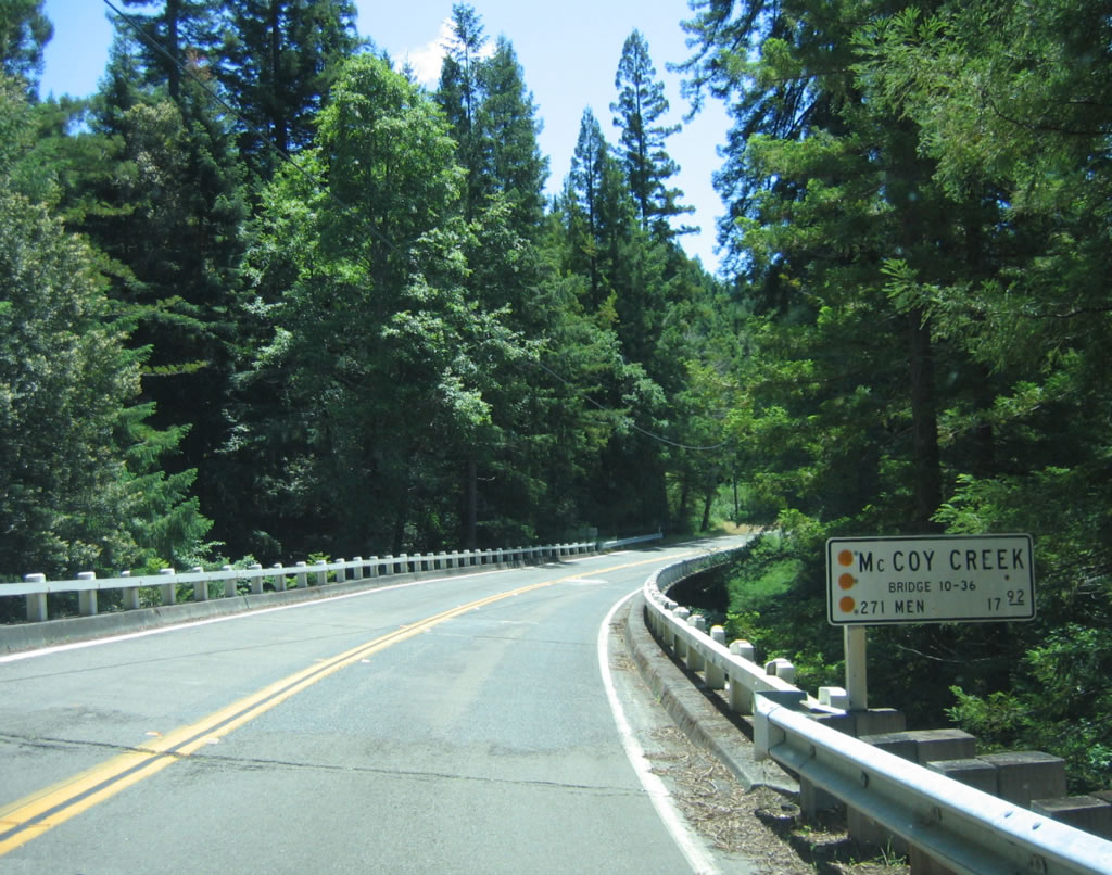
A wood and steel girder bridge carries California 271 over the McCoy Creek bridge, which was built in 1935 and expanded in 1957. Note the old style white wooden bridge railing. Photos taken 05/29/06. |
|
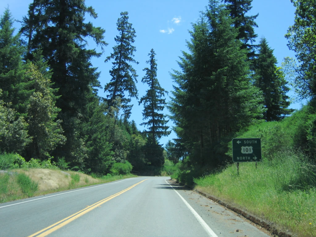
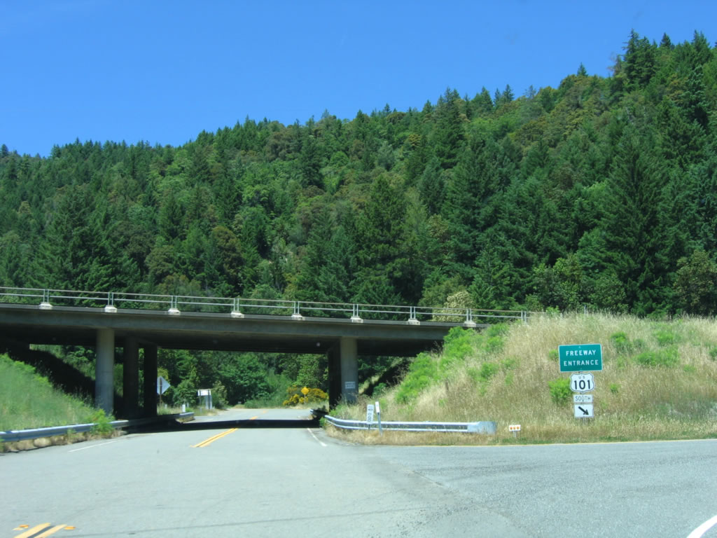
After the McCoy Creek Bridge, southbound California 271 again approaches U.S. 101, this time at Exit 625. The northern section of California 271 ends at Exit 625 and resumes again south of California 1. Photo taken 05/29/06. |
|
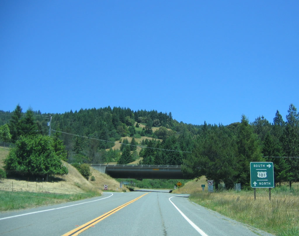
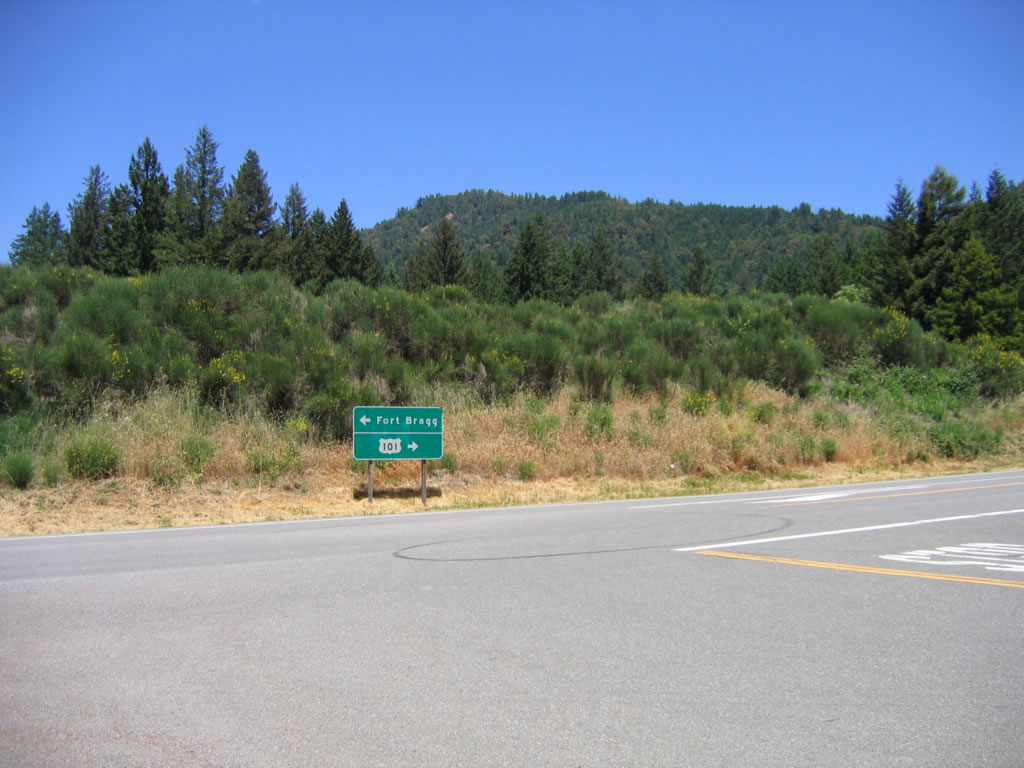
Southbound California 271 meets U.S. 101/Redwood Highway at this interchange. Although the old alignment continues straight ahead, it ends and is not a through road. To continue south on California 271, follow U.S. 101 south over Confusion Hill to California 1 south, then turn south onto California 271 at Leggett. Photo taken 05/29/06. |
| California 271 (Southern Section) south |
|
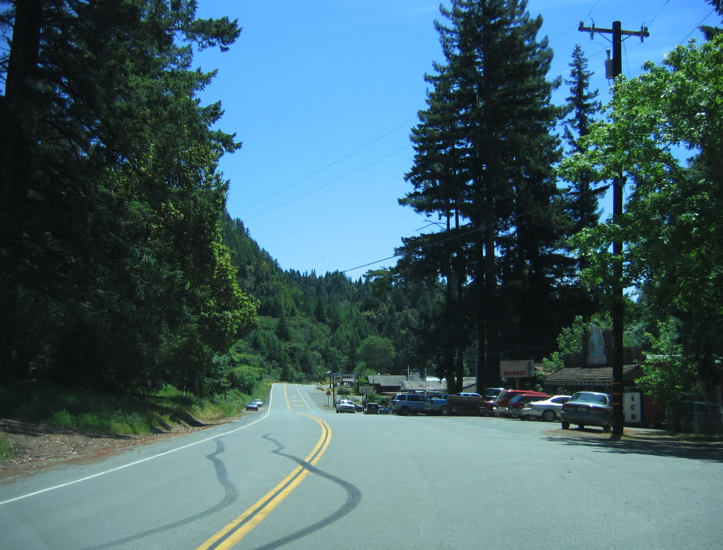
Downtown Leggett is located along the west side of California 271 as the state highway begins its journey south from the California 1 intersection toward Cummings. Photo taken 05/29/06. |
|
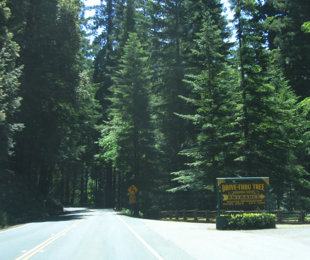
South of downtown Leggett, the entrance to the Drive Thru Tree is located on the right side of southbound California 271. Photo taken 05/29/06. |
|
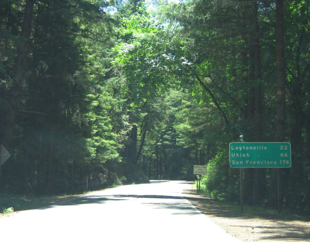
This mileage sign provides the distance to Laytonville (22 miles), Ukiah (66 miles), and San Francisco (176 miles) via the combination of California 271 and U.S. 101. Photo taken 05/29/06. |
|
A 6.50 postmile is posted south of the previous mileage sign. Photo taken 05/29/06. |
|
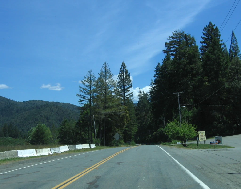
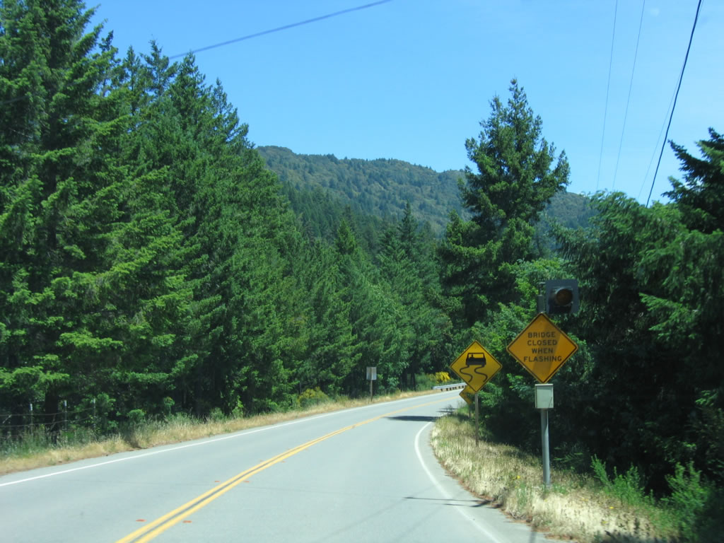
Some services are available southeast of Leggett along California 271. Photo taken 05/29/06. |
|
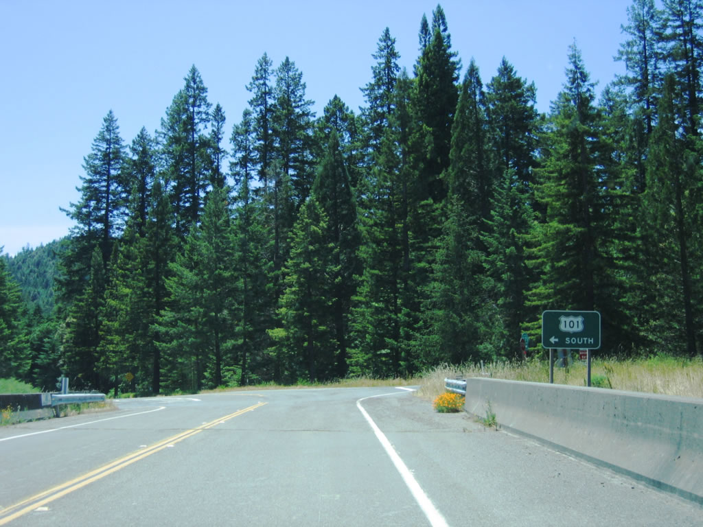
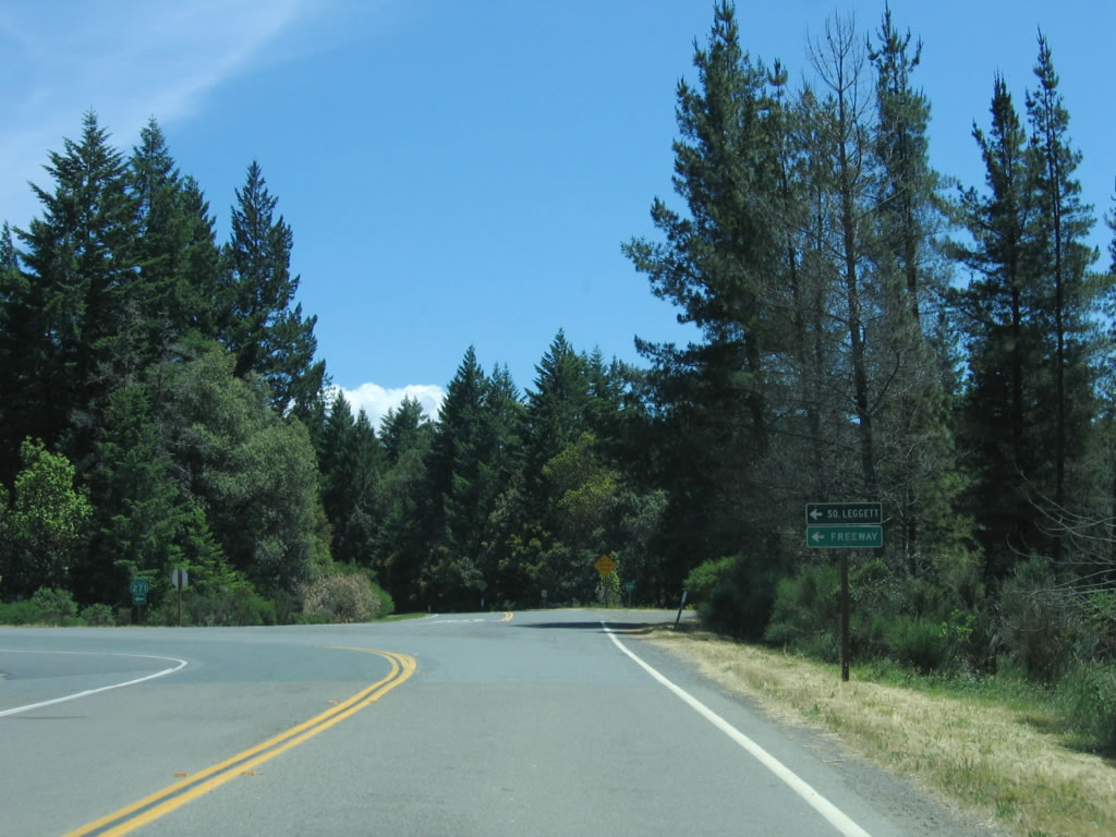
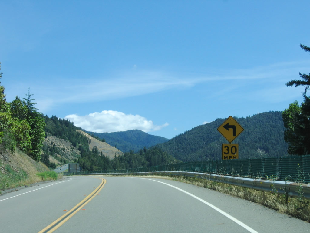
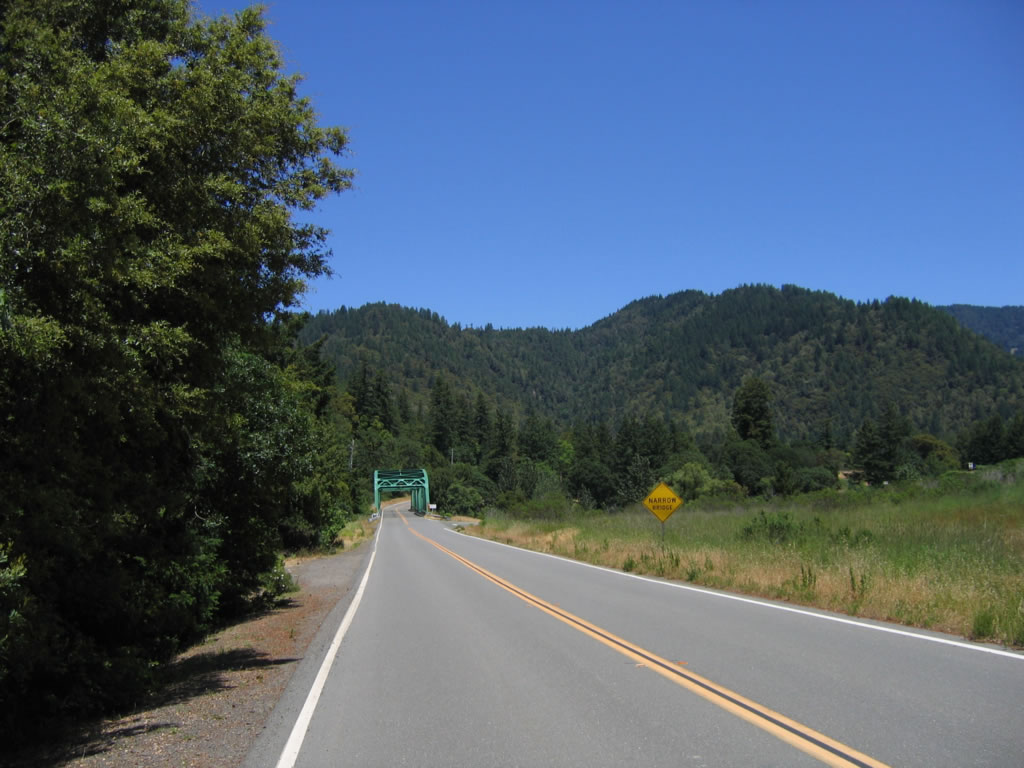
Approaching an interchange with U.S. 101/Redwood Highway (Exit 614), California 271 makes an abrupt left turn to cross the freeway toward South Leggett. Photo taken 05/29/06. |
|
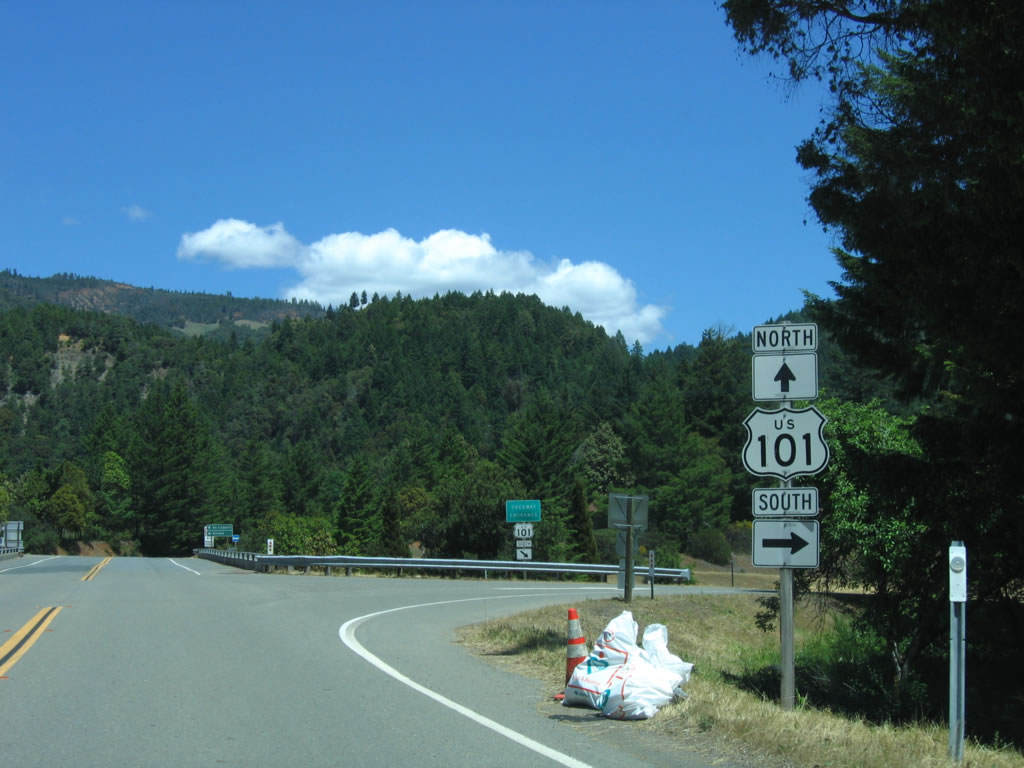
The first ramp connects southbound California 271 with U.S. 101 south; the second ramp is a left turn onto U.S. 101 north. Photo taken 05/29/06. |
|
Now at the second ramp (left turn to U.S. 101 north to Eureka), California 271 continues southeast toward South Leggett. Photo taken 05/29/06. |
|
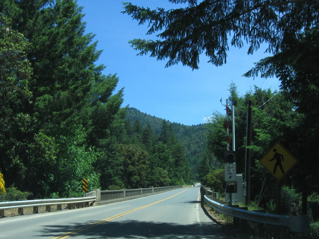
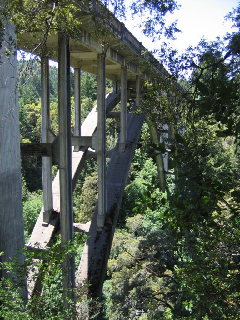
After the U.S. 101 interchange, California 271 prepares to cross two historical bridges: Cedar Creek (postmile 5.22) and Big Dann Creek (postmile 4.92). Both bridges were constructed in 1931-1933 and are concrete arch bridges. Photo taken 05/29/06. |
|
|
Old style concrete bridge rail lines the Cedar Creek Bridge. Note the lack of shoulders. Photos taken 05/29/06. |
|
|
|
|
Only 0.30 mile further south, California 271 crosses the Big Dann Creek Bridge. This bridge is only a bit shorter than the Cedar Creek Bridge, and it was also marked in the field as being built in 1931 and shows as being built in 1933 in the bridge log. Photos taken 05/29/06. |
|
|
|
|
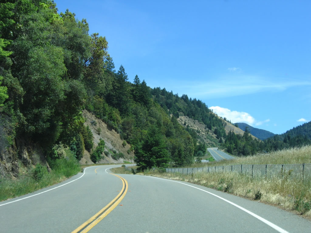
After crossing the two arch bridges, U.S. 101 again comes into view. California 271 will turn alongside U.S. 101, then pass underneath the freeway. Photos taken 05/29/06. |
|
|
|
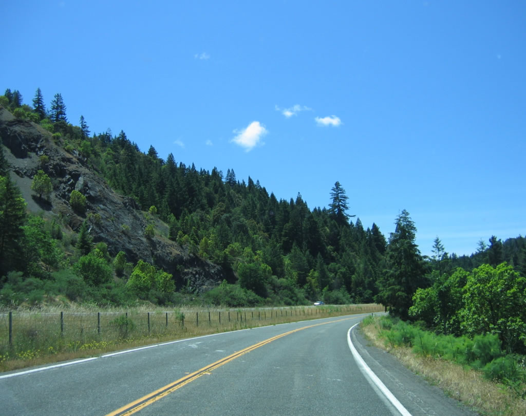
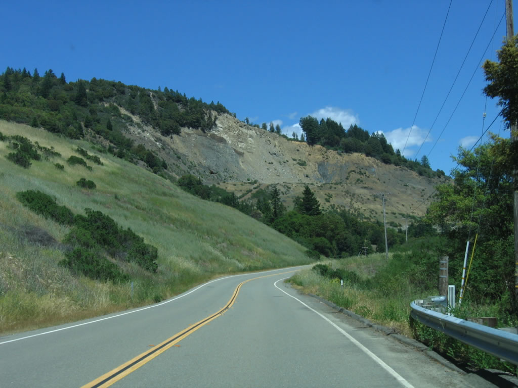
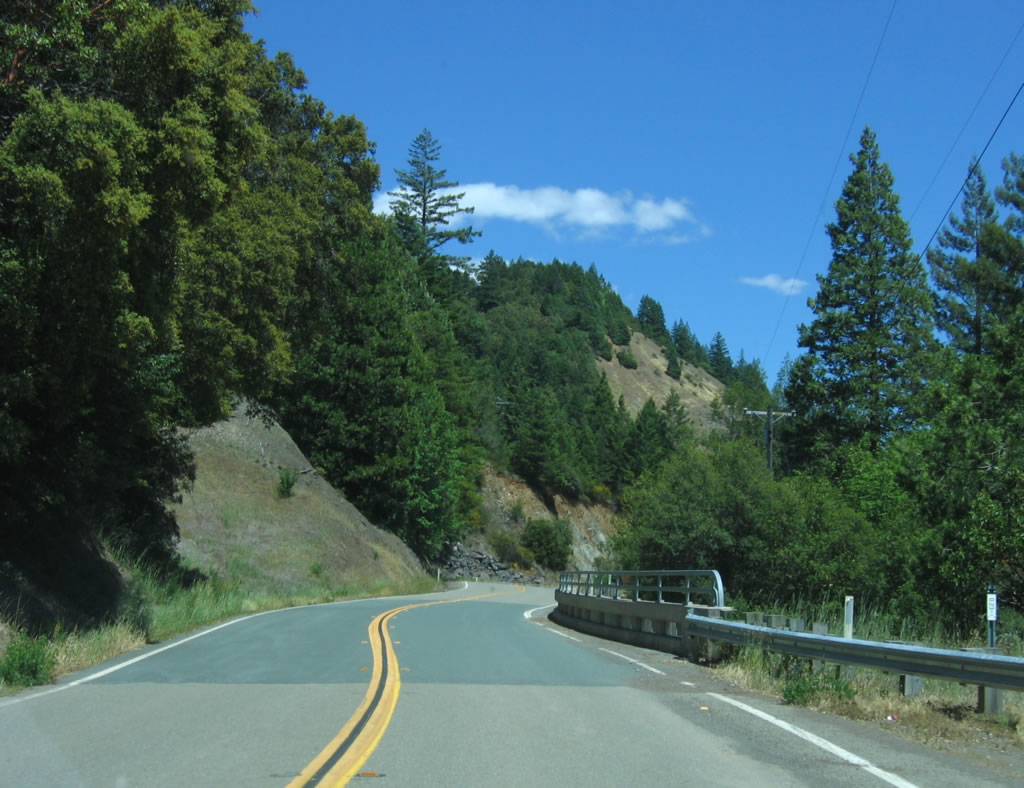
California 271 continues south, now on the west side of the U.S. 101 freeway. In the valley below is the South Fork of the Eel River. Photo taken 05/29/06. |
|
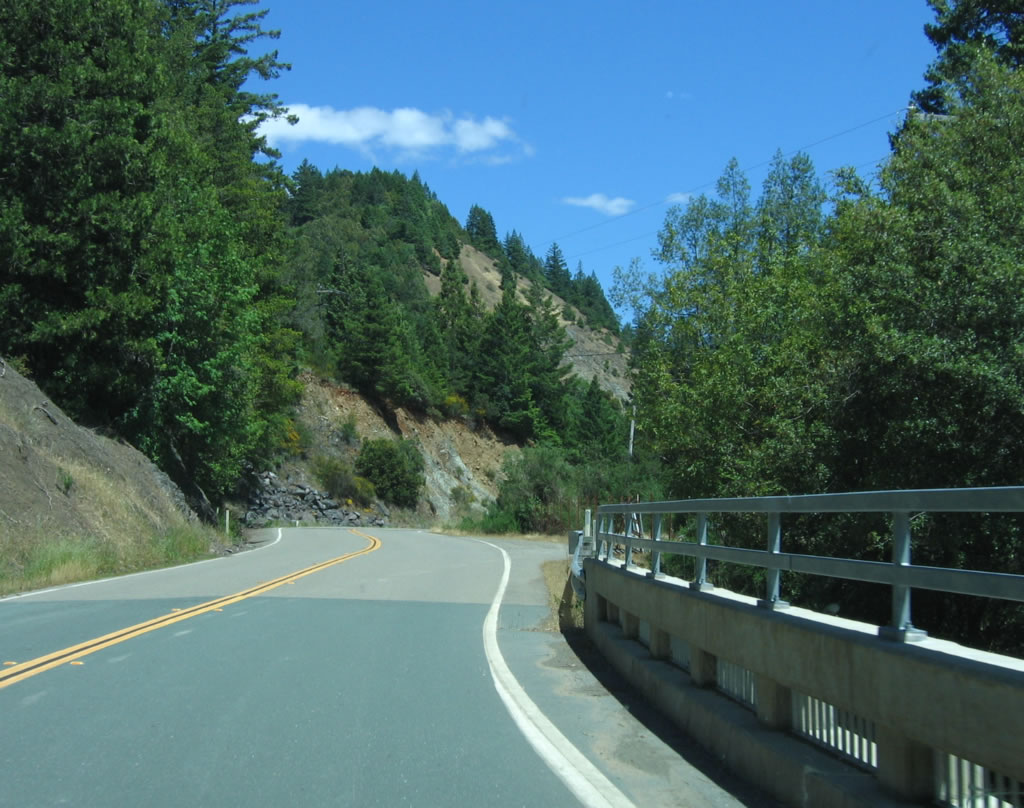
A rock cut for the U.S. 101 freeway becomes visible on southbound California 271. Photo taken 05/29/06. |
|
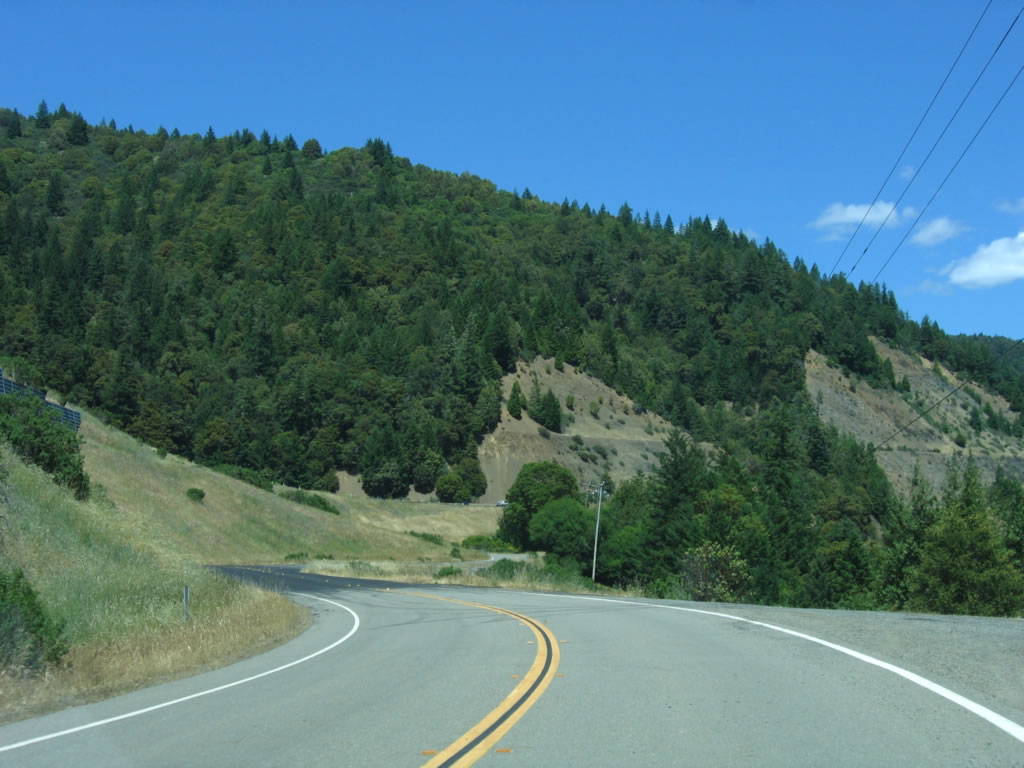
More of the U.S. 101 freeway comes into view, including rock cuts. Photo taken 05/29/06. |
|
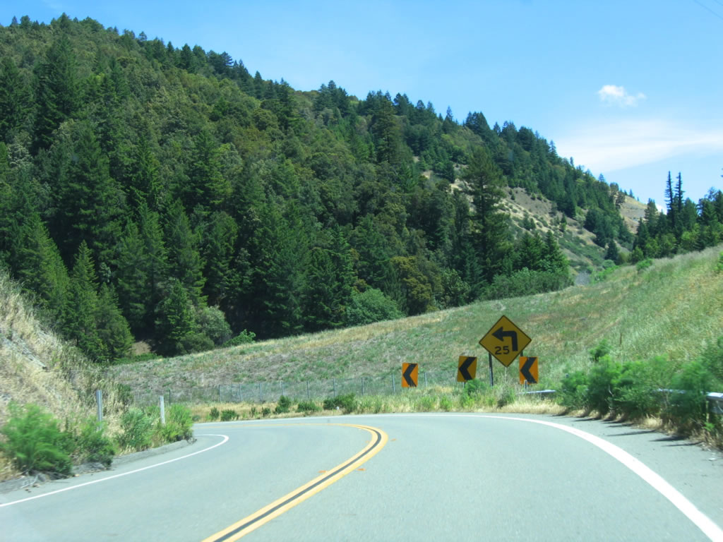
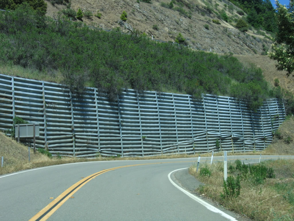
A retaining wall for the freeway comes into view as California 271 comes close to the freeway again. From here, California 271 turns due east along with U.S. 101 toward Cummings. Photo taken 05/29/06. |
|
Above California 271 to the left is the freeway, and to the right is the South Fork of the Eel River. Photo taken 05/29/06. |
|
|
A side hill viaduct supports this section of California 271. Note the unusual bridge railing. Photo taken 05/29/06. |
|
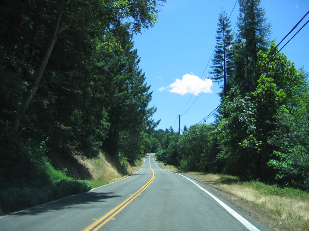
California 271 continues east along its course, staying high above the river and snug next to U.S. 101. Photo taken 05/29/06. |
|
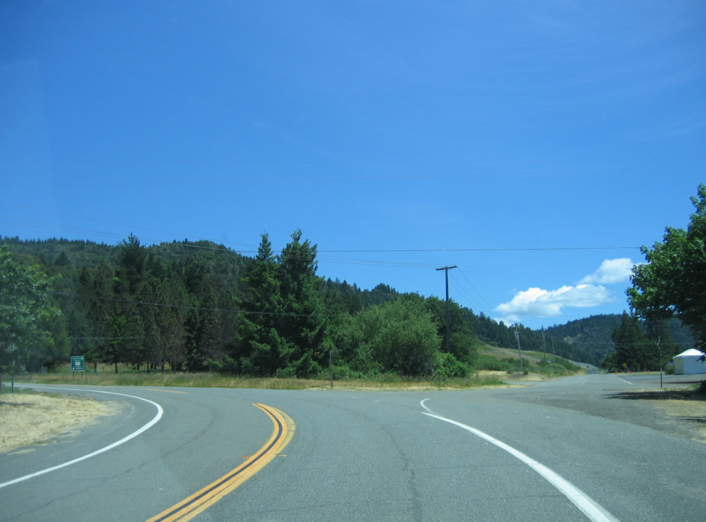
Turning a bit to the east and north, California 271 meets U.S. 101 at Exit 609. Photo taken 05/29/06. |
|
California 271 ends at its junction with U.S. 101 at Exit 609. The highway will dead end after passing under the freeway. The first ramp connects California 271 south to U.S. 101 south to Ukiah, and the second ramp (left turn) connect to U.S. 101 north to Eureka. Photo taken 05/29/06. |
| California 271 (Southern Section) north |
|
California 271 prepares to cross the Cedar Creek at postmile 5.22 after the Big Dann Creek bridge. Both bridges were constructed in 1933 and are concrete arch bridges. Photo taken 05/29/06. |
|
The date stamp on the Cedar Creek bridge is 1931; the Caltrans District 1 bridge log lists the bridge's construction date as 1933. Photo taken 05/29/06. |
|
This centerline view shows northbound California 271 as it crosses the Cedar Creek. Photo taken 05/29/06. |
|
The southern section of California 271 ends at its junction with California 1 in Leggett. At this intersection, turn left to follow California 1 south to Fort Bragg, or turn right to connect to U.S. 101 north to Eureka or south to Ukiah. For the continuation of California 271, turn right on California 1, then turn left (north) on U.S. 101. Photo taken 05/29/06. |
| California 271 (Northern Section) north |
|
Now on the northern section of California 271, this view of the 1934 steel truss bridge over the South Fork of the Eel River is seen along northbound California 271 just prior to the northern terminus of California 271 at U.S. 101 near Cooks Valley. Photo taken 05/29/06. |
| California 271 Scenes |
|
|
|
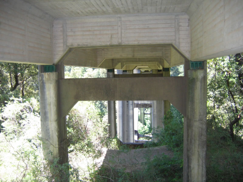
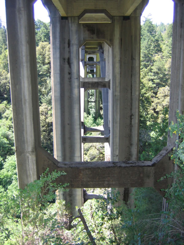
The Cedar Creek Bridge carries California 271 over Cedar Creek. The structure is a concrete deck arch, with a 185.6 meter length and 8.2 meter width. This suite of photos shows the underside of the bridge. Photos taken 05/29/06. |
Page Updated December 7, 2007.