| Interstate 80 West |
|
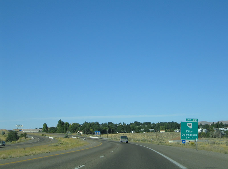
Nevada 225 (Mountain City Highway) intersects Interstate 80 just north of downtown Elko (Exit 301). The state highway travels 100.353 miles between Idaho Street (Business Loop I-80/SR 535) to the Idaho State line (Idaho 51) near Owyhee. Photo taken 09/09/05. |
|
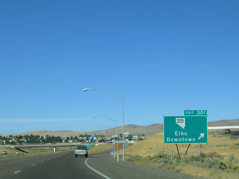
Westbound at the Exit 301 diamond interchange with Nevada 225 (Mountain City Highway). Nevada 225 ends one mile to the south at Business Loop I-80. The business loop carries motorists eastward to downtown and westward to Elko Municipal Airport. Northward the state highway makes it ways toward Mountain City in 83 miles. Photo taken 09/09/05. |
|
Interstate 80 continues along the backside of Elko Municipal Airport from Nevada 225 to the west side of Elko. Pictured here is a neutered reassurance marker posted after Exit 301. Photo taken 09/09/05. |
|
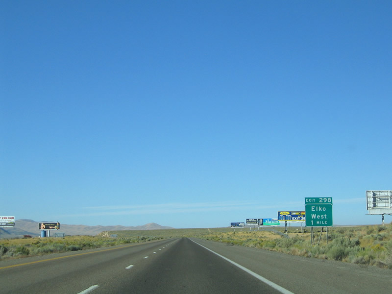
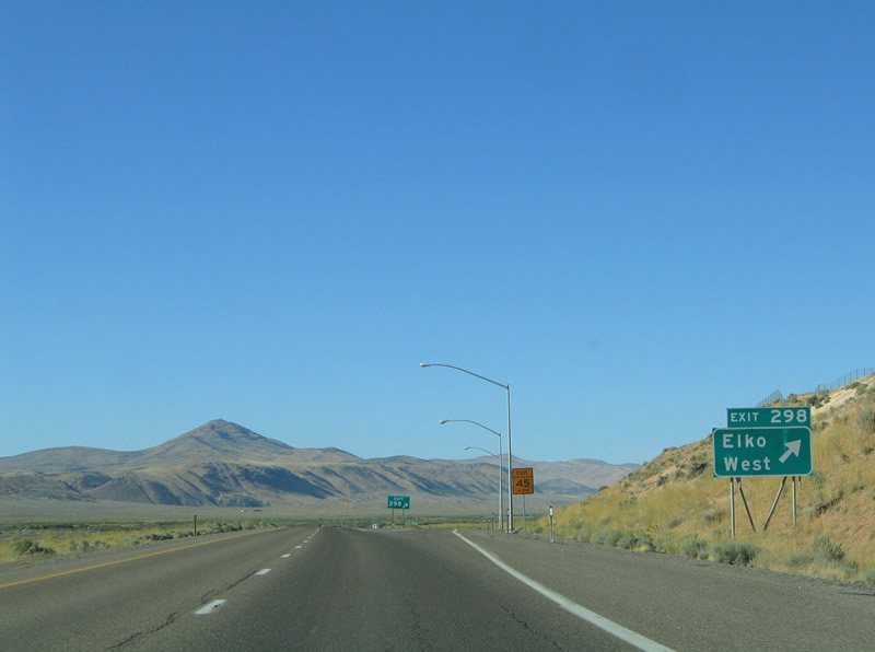
Approaching the return of Business Loop I-80 & Nevada 535 (Idaho Street) at Exit 298 on Interstate 80 west. Elko represents the seventh largest town in the state of Nevada with a population around 23,000. The community began as a transshipment and supply center along the Central Pacific Railroad line in 1869 and was home to the original University of Nevada. Photo taken 09/09/05. |
|
Business Loop I-80 & Nevada 535 end at the Exit 298 diamond interchange with Interstate 80 west of Elko. Old U.S. 40 (Idaho Street) continues as a frontage road along the eastbound lanes of Interstate 80. Photo taken 09/09/05. |
|
|
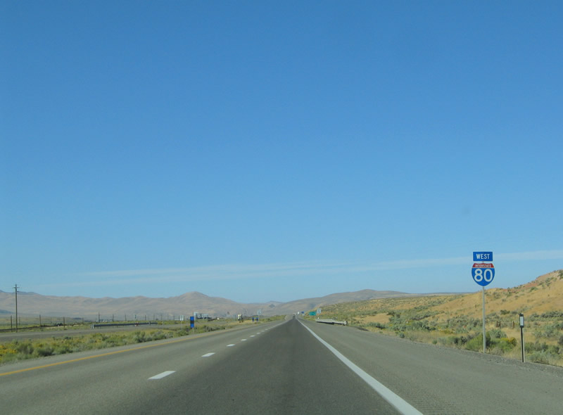
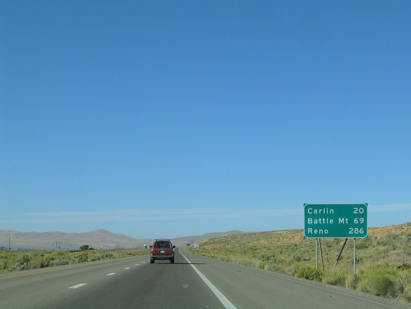
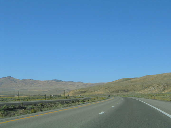
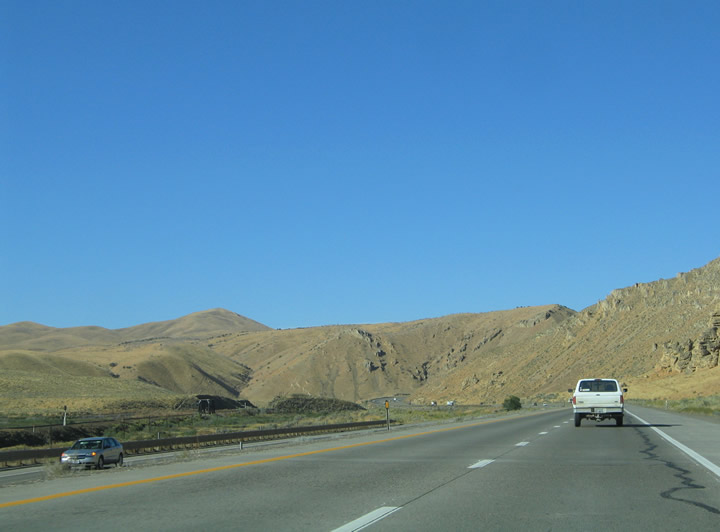
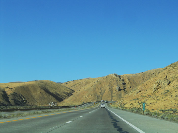
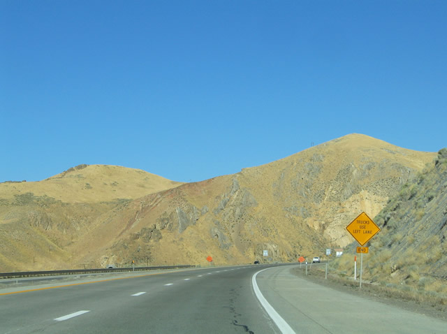
Continuing west of Elko along Interstate 80. The freeway, Union Pacific Railroad, and Humboldt River press through the Independence Mountains on the 20 mile drive to Carlin. Photos taken 09/09/05. |
|
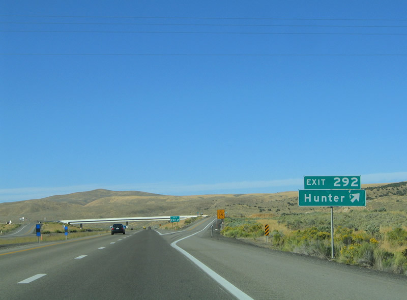
Nearing the settlement of Hunter on Interstate 80 westbound at Exit 292. The ranching area is devoid of any traveler services. Photo taken 09/09/05. |
|
Maggie Creek Ranch Road and Old U.S. 40 tie into Interstate 80 at the Exit 292 diamond interchange. Hunter lies to the south. Photo taken 09/09/05. |
|
|
|
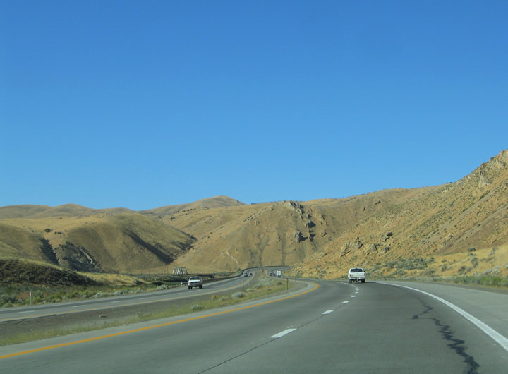
| Interstate 80, the Union Pacific Railroad, and the Humboldt River advance westward toward Carlin. 09/09/05 |
|
|
|
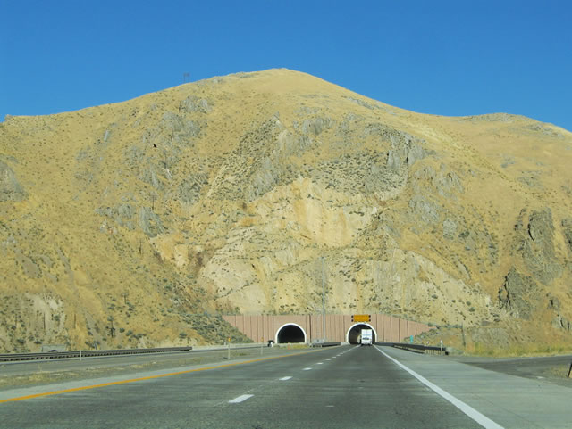
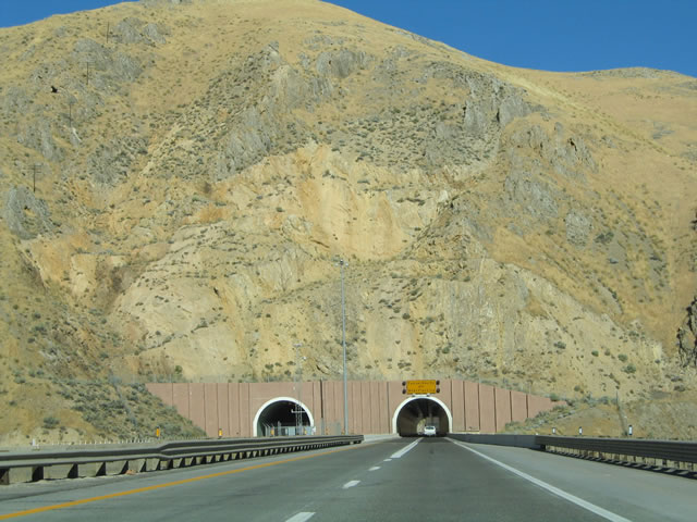
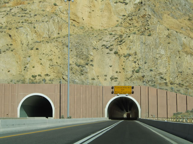
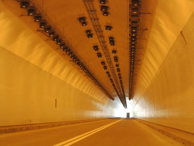
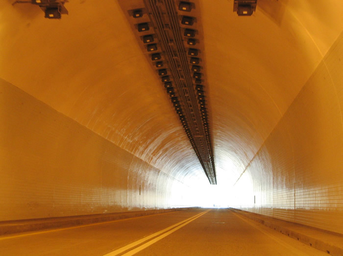
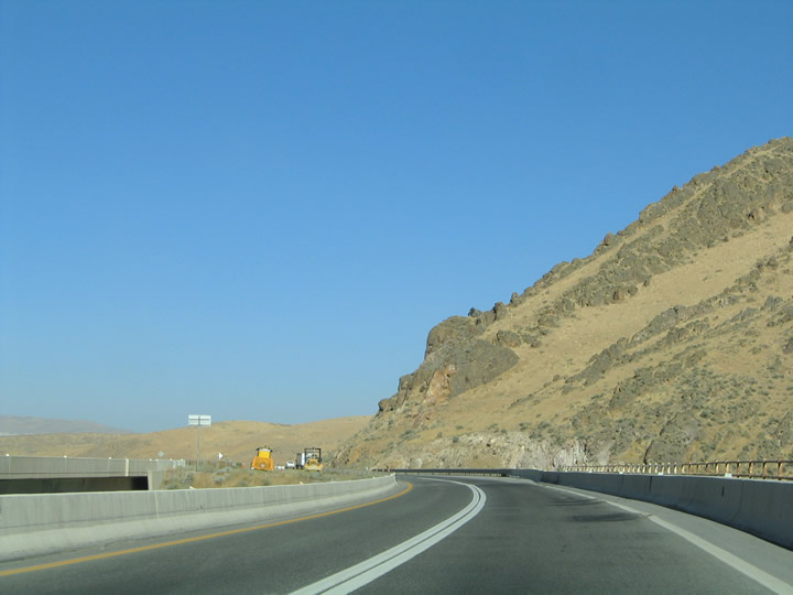
| Interstate 80 passes one of the Independence Mountains just east of Carlin through a quarter mile long tunnel. 09/09/05 |
|
|
|
| This tunnel is one of three in the state of Nevada. The other two exist through Cave Rock at Lake Tahoe and McCarran International Airport in Las Vegas. The Union Pacific Railroad passes through the same mountain in a tunnel of its town. Two railroad trestle bridges otherwise span the Humboldt River along the eastbound side of Interstate 80. 09/09/05 |
|
|
|
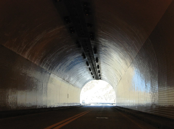
| The I-80 Carlin Tunnels opened to traffic on September 25, 1975. They bypassed a winding section of U.S. 40 paralleling the Humboldt River lined with several sharp curves.1 Photos taken 09/09/05. |
|
Interstate 80 emerges from the Carlin Tunnel three miles east of Carlin. The forthcoming community is a small railroad-mining town. Meeting the freeway ahead is Nevada 221 (Greenhorn Cutoff). Photo taken 09/09/05. |
|
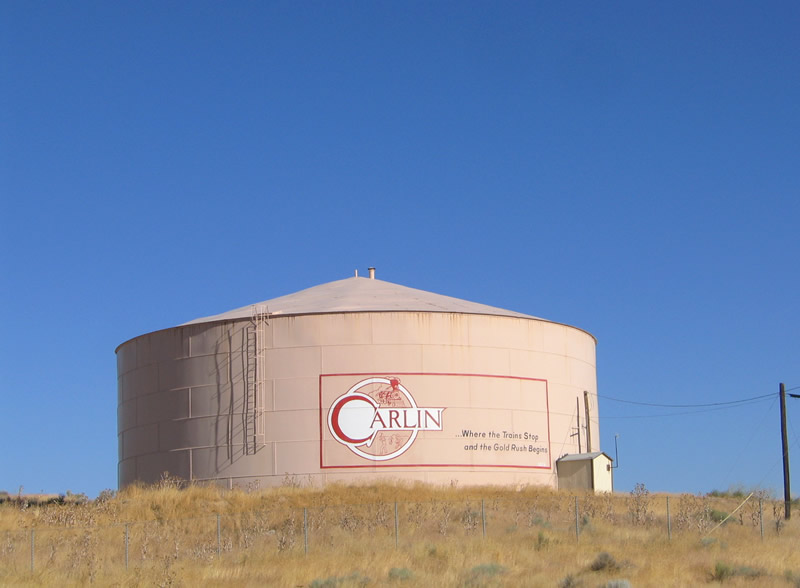
Carlin is best known for its location at the south end of the Carlin Trend, a largely productive gold mining area. The town itself is home to an old downtown and growing commercial district along Bush Street (old U.S. 40). Travelers will find several services including gas, food, and lodging. Photo taken 09/09/05. |
|
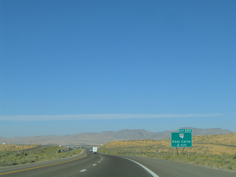
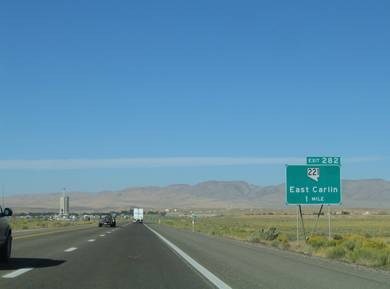
Nevada 221 carries Business Loop I-80 2.853 miles along Chestnut Street through downtown Carlin. The loop returns to Interstate 83 at Exit 279. Photo taken 09/09/05. |
|
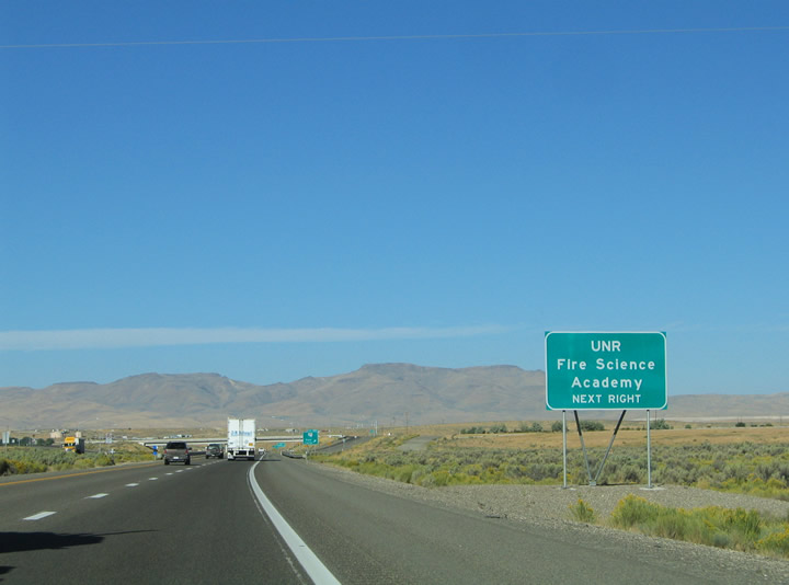
Use Exit 282 onto Chestnut Street east for the University of Nevada Reno Fire Science Academy. Photo taken 09/09/05. |
|
Exit 282 departs Interstate 80 westbound for Business Loop I-80 & Nevada 221 (Greenhorn Cutoff) west. The pair merge with old U.S. 40 (Chestnut Street) just south of the diamond interchange outside of Carlin itself. Photo taken 09/09/05. |
|
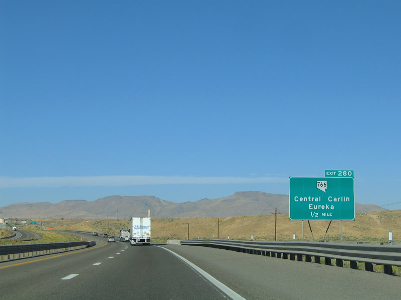
Next in line is the Exit 280 diamond interchange with Nevada 766 (10th Street / Newmont Gold Mine Road) at central Carlin. Nevada 766 travels 11.5 miles northwest from Carlin to Simon Creek in northern Eureka County. Photo taken 09/09/05. |
|
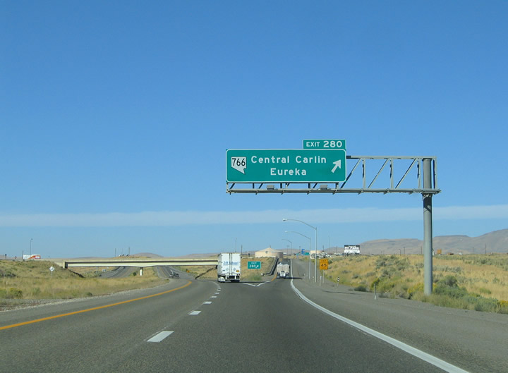
Westbound at the Exit 280 ramp departure to Nevada 766 (10th Street) on Interstate 80. Nevada 766 ends two blocks south at Business Loop I-80 & Nevada 221 (Chestnut Street). Photo taken 09/09/05. |
|
|
|
Scenes along Interstate 80 from central Carlin to west Carlin. A half-diamond interchange returns Business Loop I-80 & Nevada 221 to the freeway at Exit 279. Photos taken 09/09/05. |
|
|
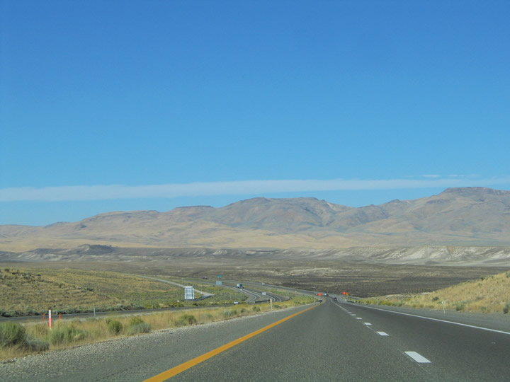
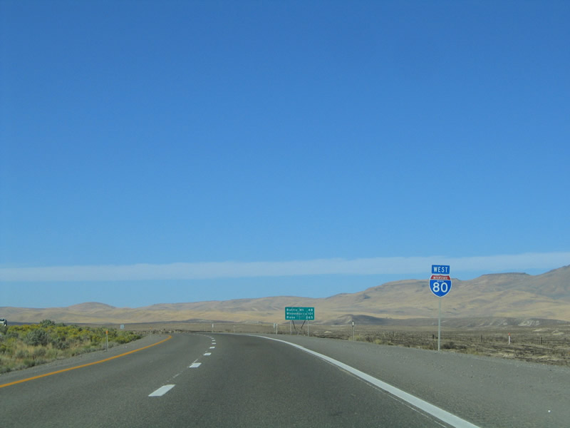
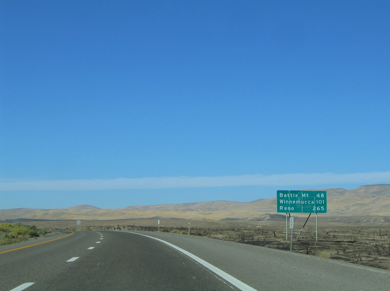
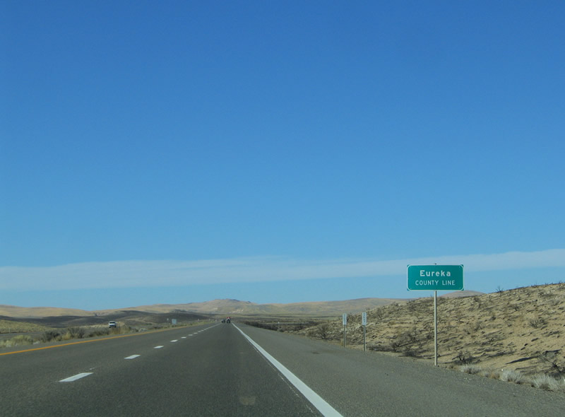
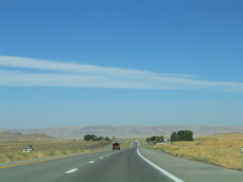
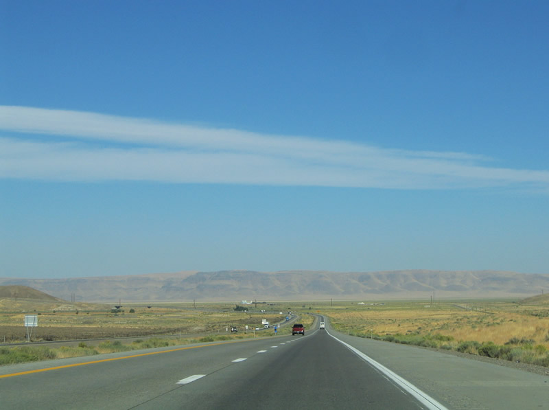
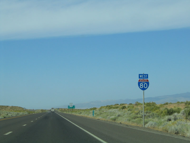
Interstate 80 leaves Elko County for Eureka County in the fire damaged lands west of Elko. Battle Mountain represents the next destination of consequence along the desert freeway. Photos taken 09/09/05. |
|
|
|
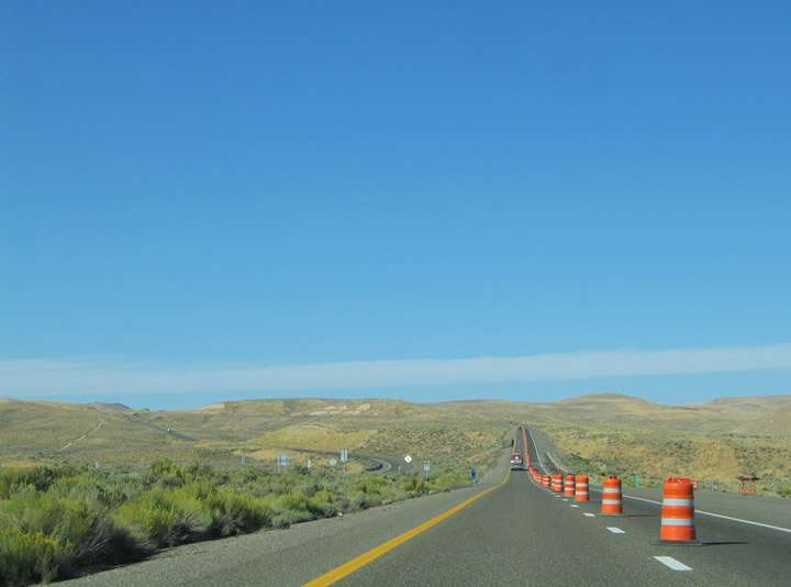
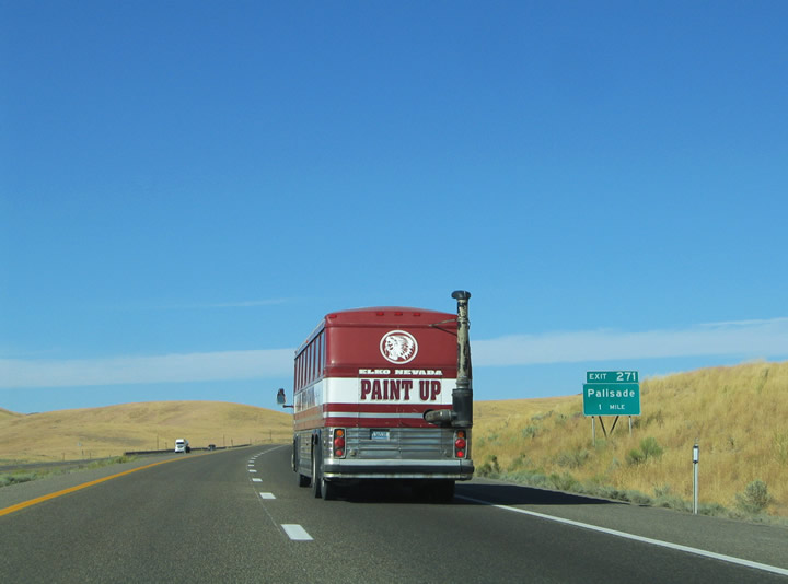
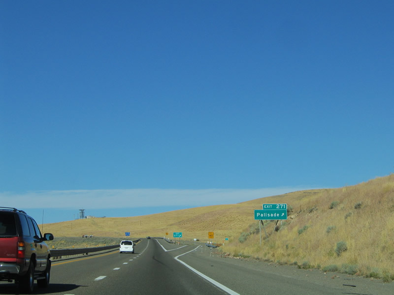
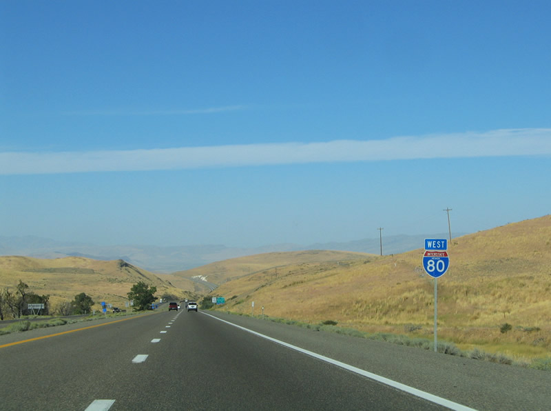
The Interstate 80 carriageways split ahead of the Exit 271 diamond interchange for Palisade. Palisade lies 6.7 miles southeast of the freeway at the one time junction between the Union Pacific Railroad line and Eureka & Palisade short-line. Photo taken 09/09/05. |
|
Frenchie Road meets Interstate 80 at the Exit 271 diamond interchange. The desert road joins Palisade with the freeway near Emigrant Pass (el. 6,089 ft). Palisade itself constitutes the remnants of an old railroad town in a canyon through which the railroad and Humboldt River travel. Photo taken 09/09/05. |
|
|
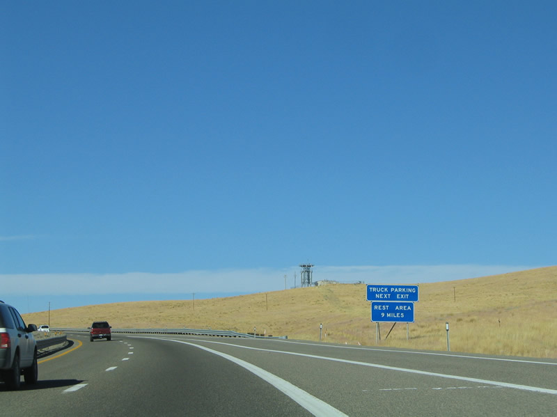
A truck parking area lies just west of Exit 271 at Emigrant Pass in the southern Tuscarora Mountains. Photos taken 09/09/05. |
|
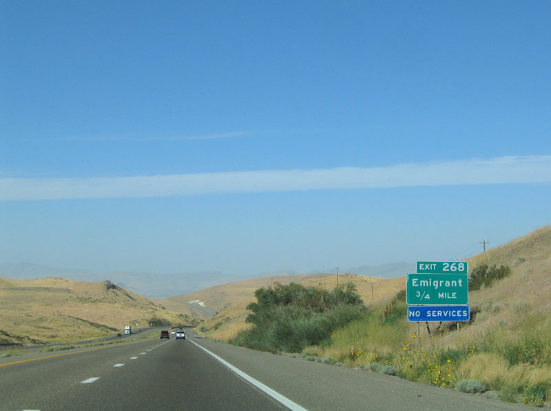
The settlement of Emigrant lies at the Exit 268 interchange on Interstate 80 near Emigrant Pass. The Photo taken 09/09/05. |
|
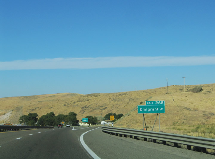
A folded-diamond interchange serves Emigrant at Exit 268. There is no outlet from the interchange into the adjacent mountains. Photo taken 09/09/05. |
|
|
|
|
|
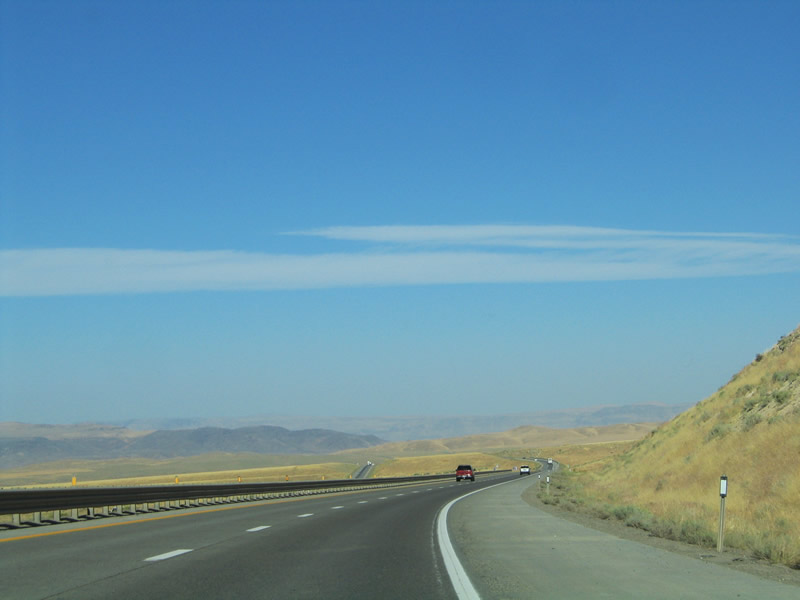
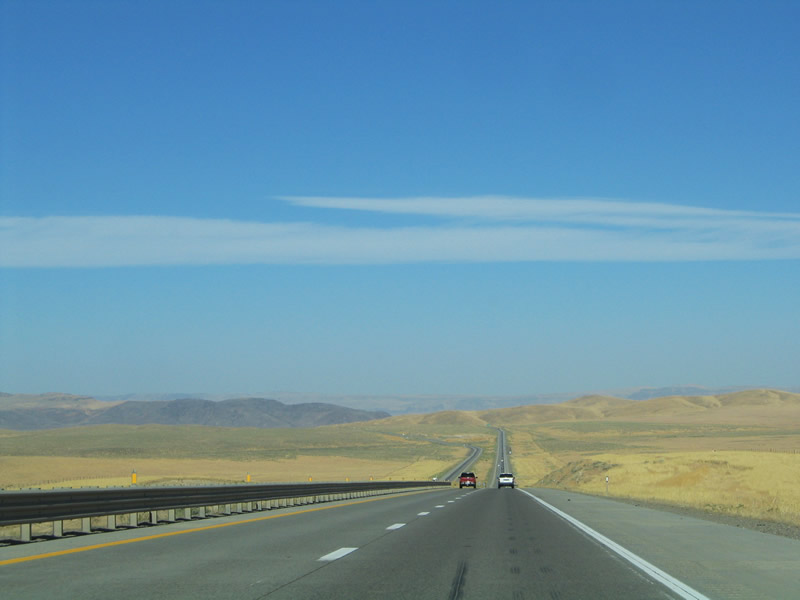
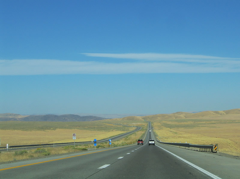
Interstate 80 continues west from Emigrant Pass onto a long descent toward the Boulder Valley. Twin Summit (el. 5,672 ft.) resides along the drive. Photos taken 09/09/05. |
|
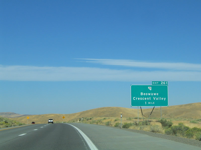
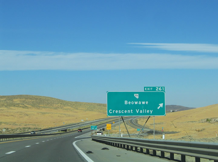
Interstate 80 meets the northern terminus of Nevada 306 (Gold Acres Road) at Exit 261. Nevada 306 ventures 30.4 miles southwest from the freeway to Beowawe, Crescent Valley and the site of Gold Acres. Photo taken 09/09/05. |
|
The Exit 261 diamond interchange resides at the bottom of the Interstate 80 descent in Boulder Valley. Photo taken 09/09/05. |
|
Exit 261 leaves Interstate 80 westbound for Nevada 306 (Gold Acres Road) south. Beowawe, a small railroad village, exists six miles to the south in the Whirlwind Valley. The valley was home to one of the largest active geyser systems in the world until the early 1960s. A large geothermal power plant utilizes the bulk of the steam now. Photo taken 09/09/05. |
|
|
|
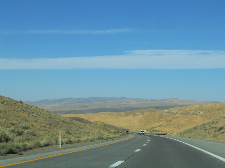
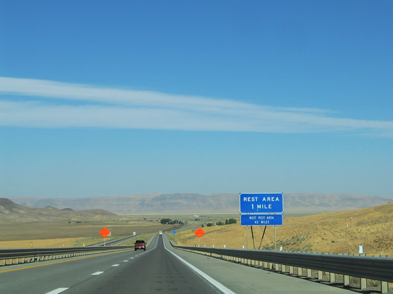
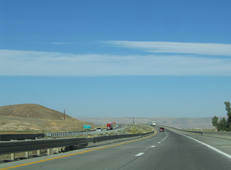
Interstate 80 ascends from the Boulder Valley across the northern reaches of the Shoshone Range between Nevada 306 and Dunphy. A rest area lies along the upgrade after Exit 261. The Humboldt River otherwise shifts from south of the freeway to north of Interstate 80. Photos taken 09/09/05. |
|
|
|
|
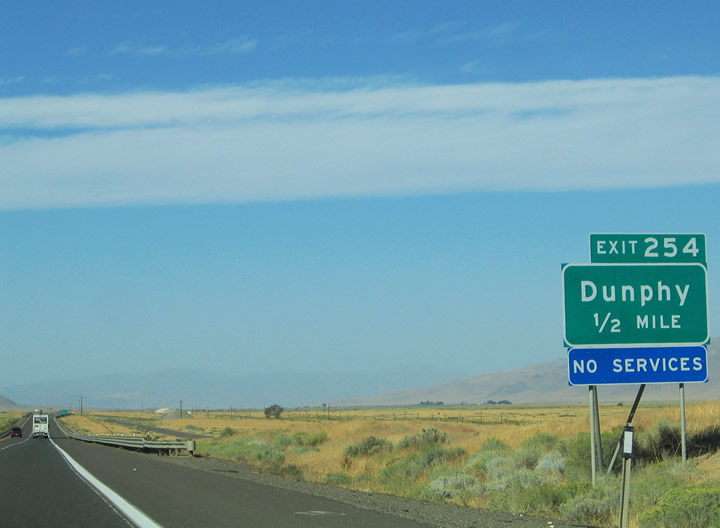
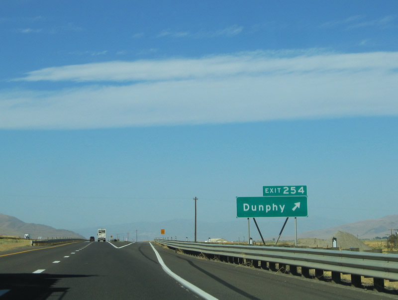
Old U.S. 40 loops north from Interstate 80 to the settlement of Dunphy from Exit 254. Photo taken 09/09/05. |
|
Interstate 80 westbound at the Exit 254 diamond interchange west of Dunphy. Old U.S. 40 enters the scene from the northeast and parallels the freeway along the westbound lanes to Battle Mountain. Photo taken 09/09/05. |
|
|
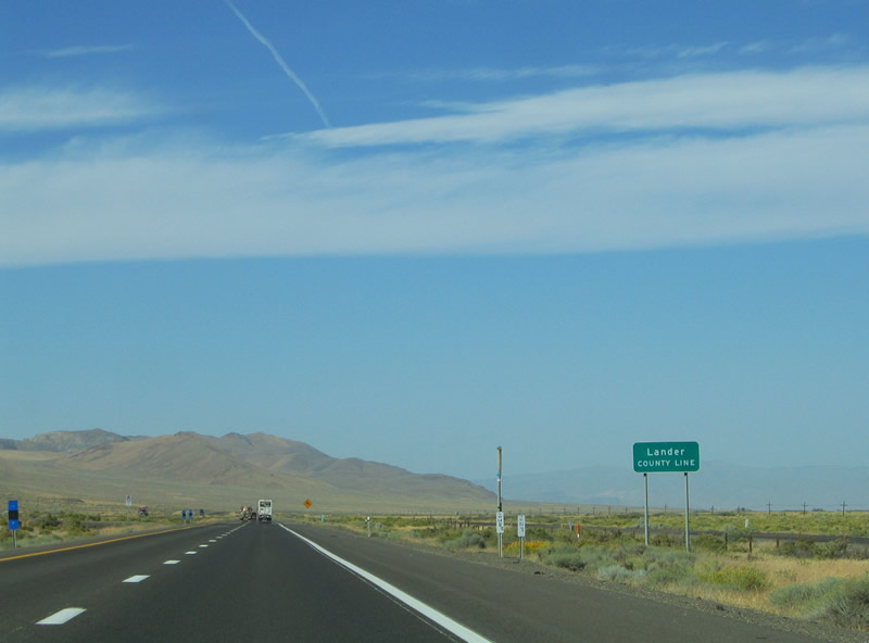
Interstate 80 continues westward along the Boulder Valley and northern edge of the Shoshone Range. The freeway and parallel old U.S. 40 enter Lander County just west of Exit 254. Photos taken 09/09/05. |
|
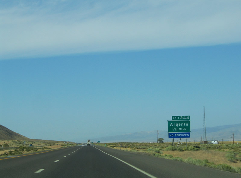
Another diamond interchange links Interstate 80 and the adjacent old U.S. 40 at the settlement of Argenta (Exit 244). The Union Pacific Railroad line parallels the two roadways through the area. Photo taken 09/09/05. |
|
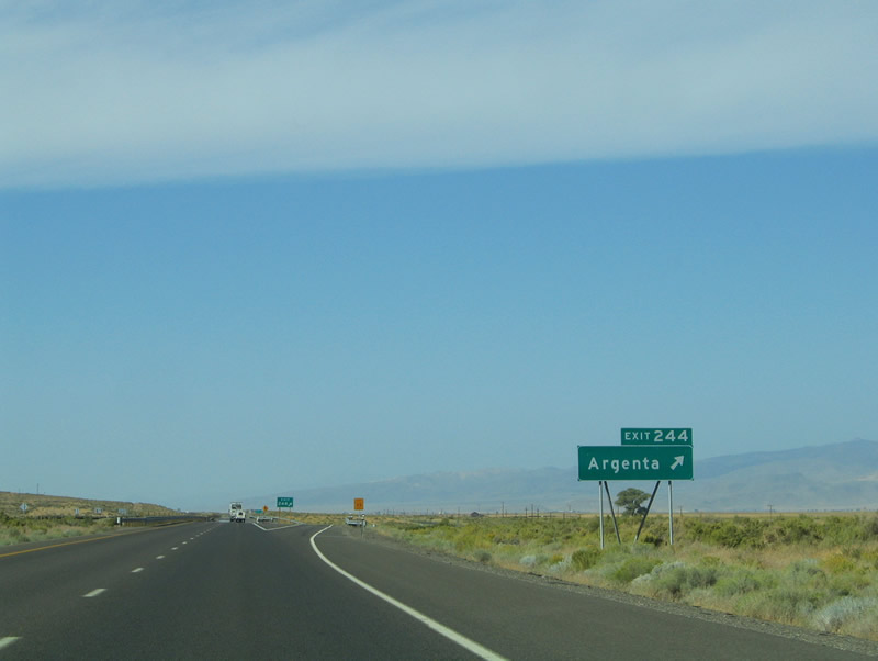
Westbound at the Exit 244 ramp departure to old U.S. 40 and Argenta. There are no services at the interchange. Photo taken 09/09/05. |
|
|
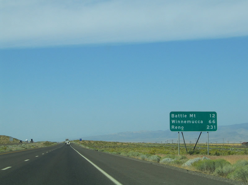
Interstate 80 curves southwest along the edge of the Shoshone Range before straightening out on the 12 mile drive to Battle Mountain from Argenta. The Sheep Creek Range rises along the northern horizon. Photos taken 09/09/05. |
|
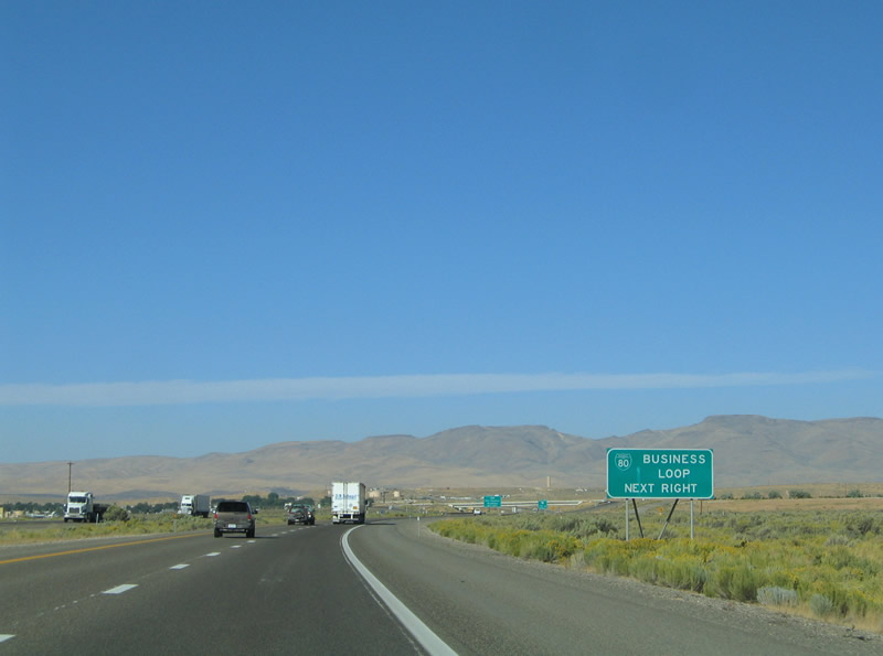
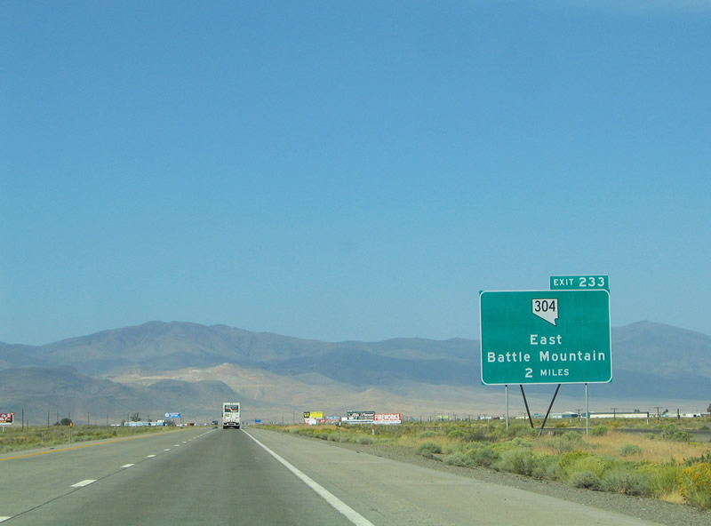
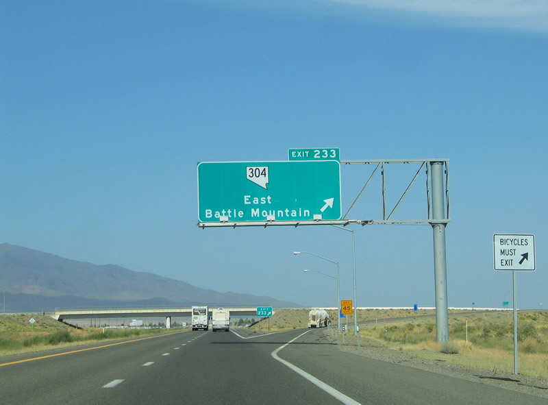
Interstate 80 enters the Battle Mountain area. Departing the freeway ahead is Business Loop I-80/SR 304 (Front Street) from Exit 233. SR 304 travels 3.017 miles through downtown Battle Mountain. Photo taken 09/09/05. |
|
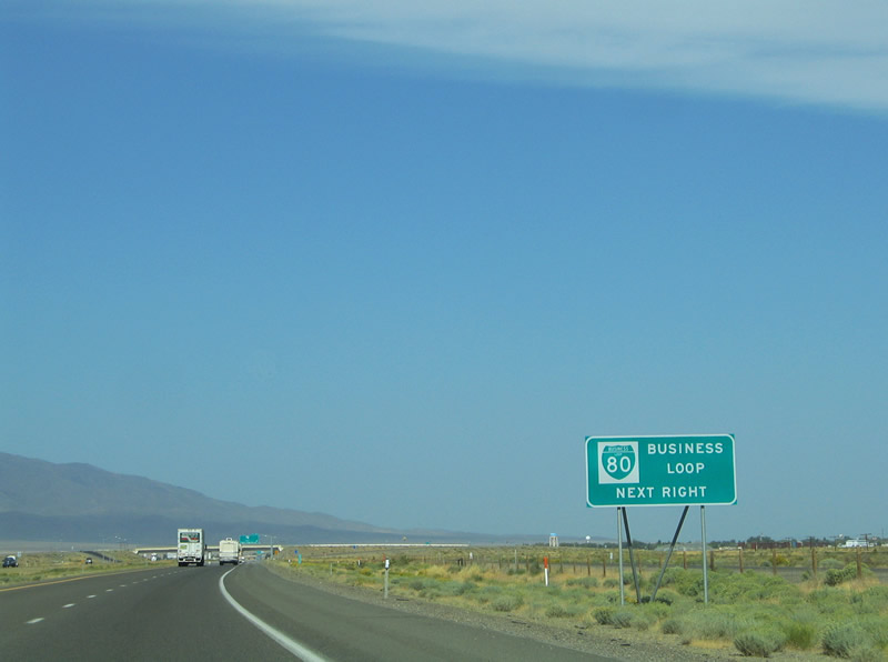
Auxiliary guide sign touting the Nevada 304 designation as Business Loop I-80. Battle Mountain provides the largest array of travel services between Carlin and Winnemucca, a distance of 100 miles. Photo taken 09/09/05. |
|
Interstate 80 enters the Battle Mountain area north of Lander County Airport. Hilltop Road enters the scene from the southeast and meets the freeway at the Exit 233 diamond interchange. Business Loop I-80 & Nevada 304 turn west onto Front Street from Hilltop Road at old U.S. 40 (Muleshoe Road). Photo taken 09/09/05. |
Page Updated July 9, 2012.