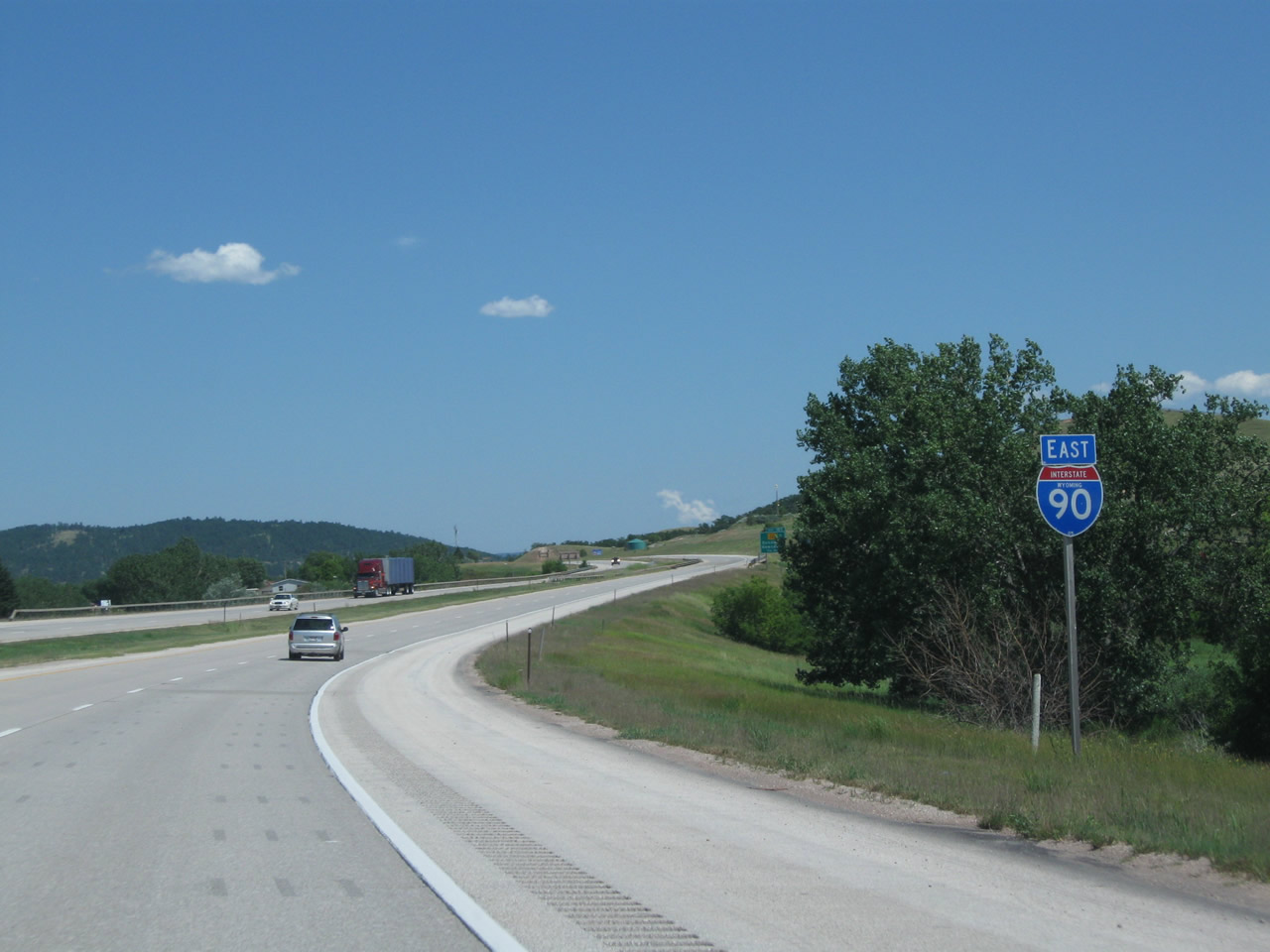
| Interstate 90 and U.S. 14-16 East |
|
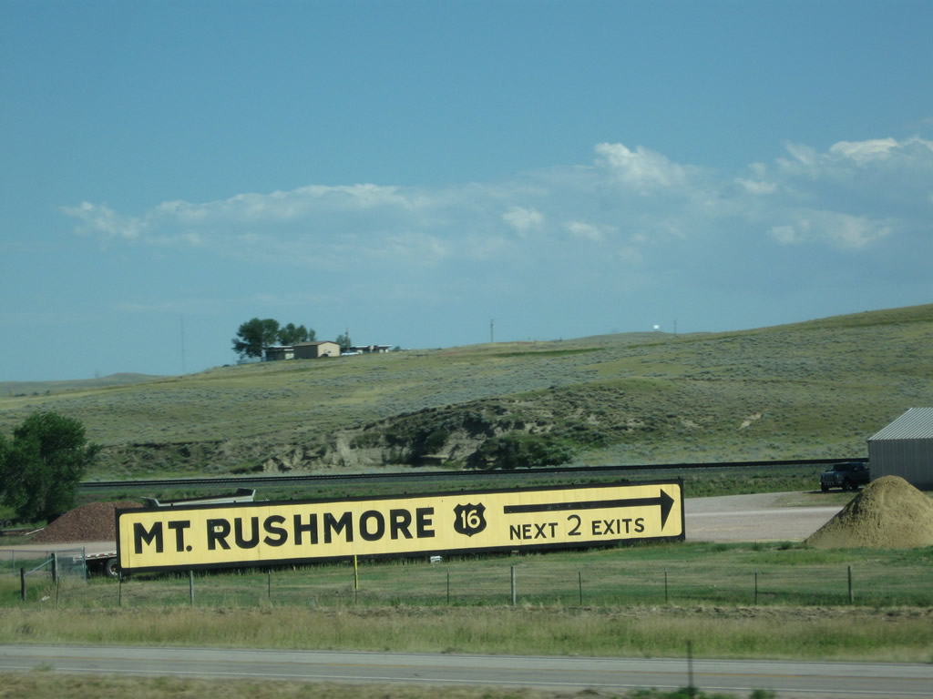
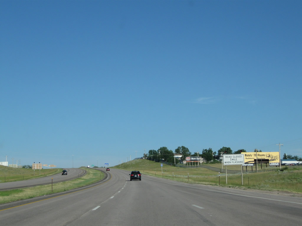
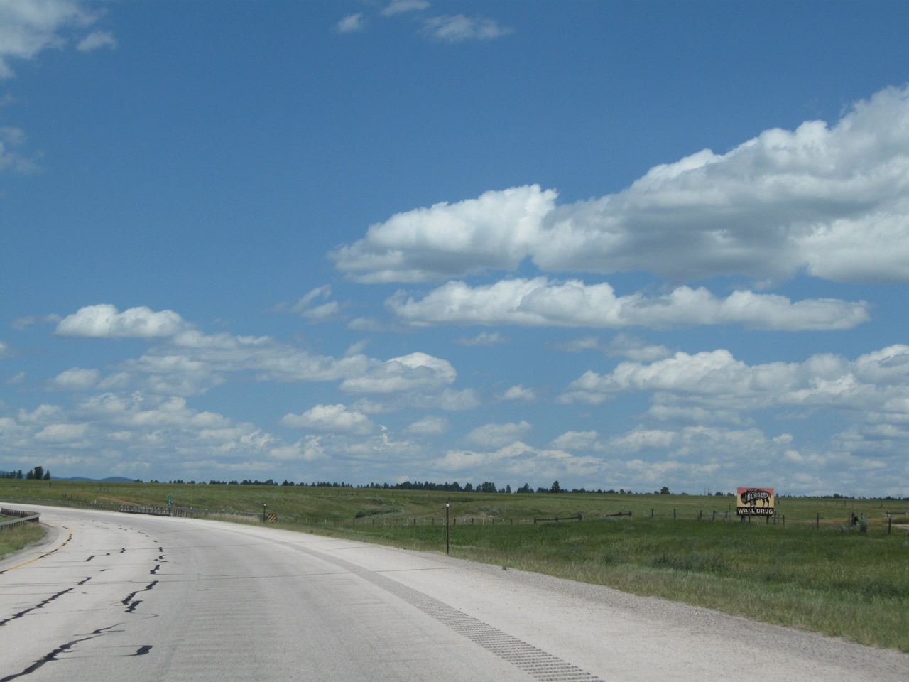
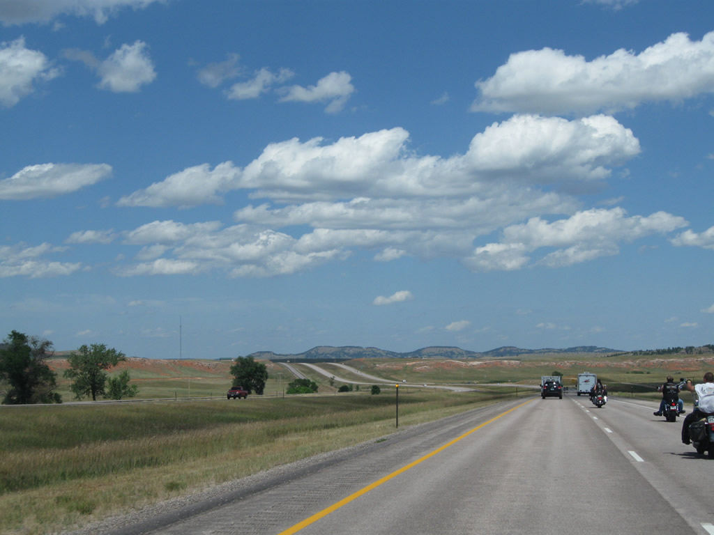
Catering to tourists, this billboard advises motorists en route to Mount Rushmore in South Dakota to use U.S. 16 east. Take either Exit 153 or Exit 154 to connect to U.S. 16 east en route to Newcastle, Custer, Crazy Horse, and Mount Rushmore. An alternative is to follow Interstate 90 east to Rapid City, then follow U.S. 16 west (south) to Keystone and Mount Rushmore. Photo taken 08/08/10. |
|
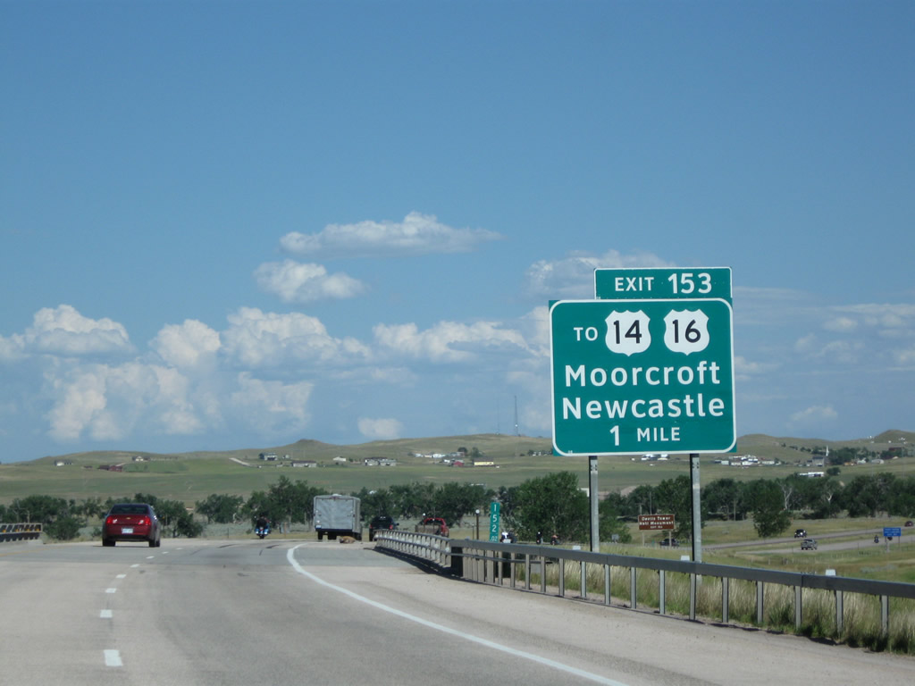
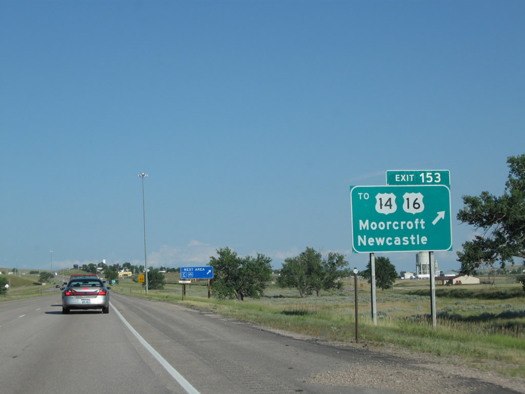
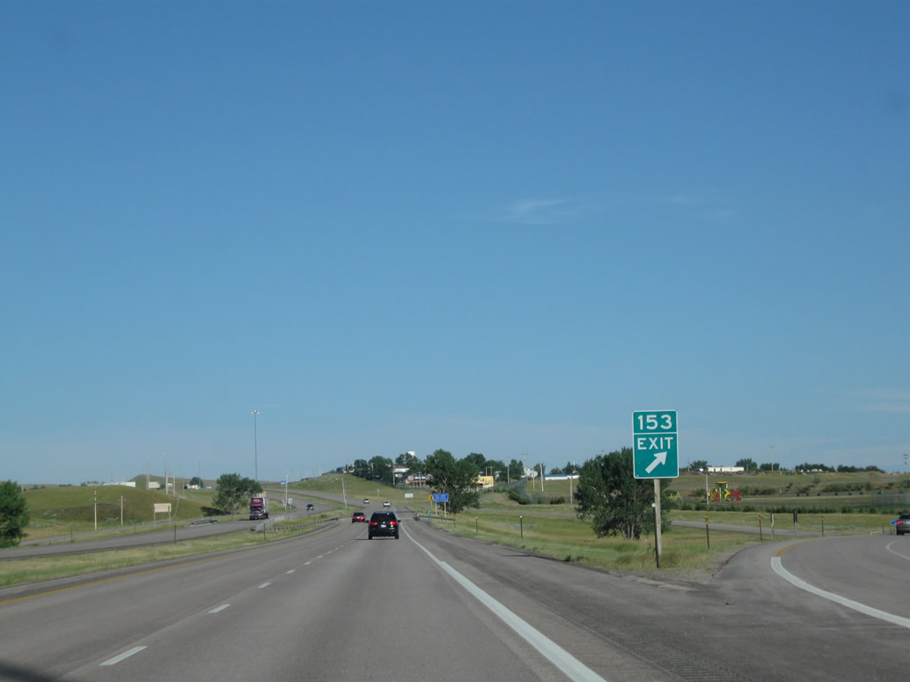
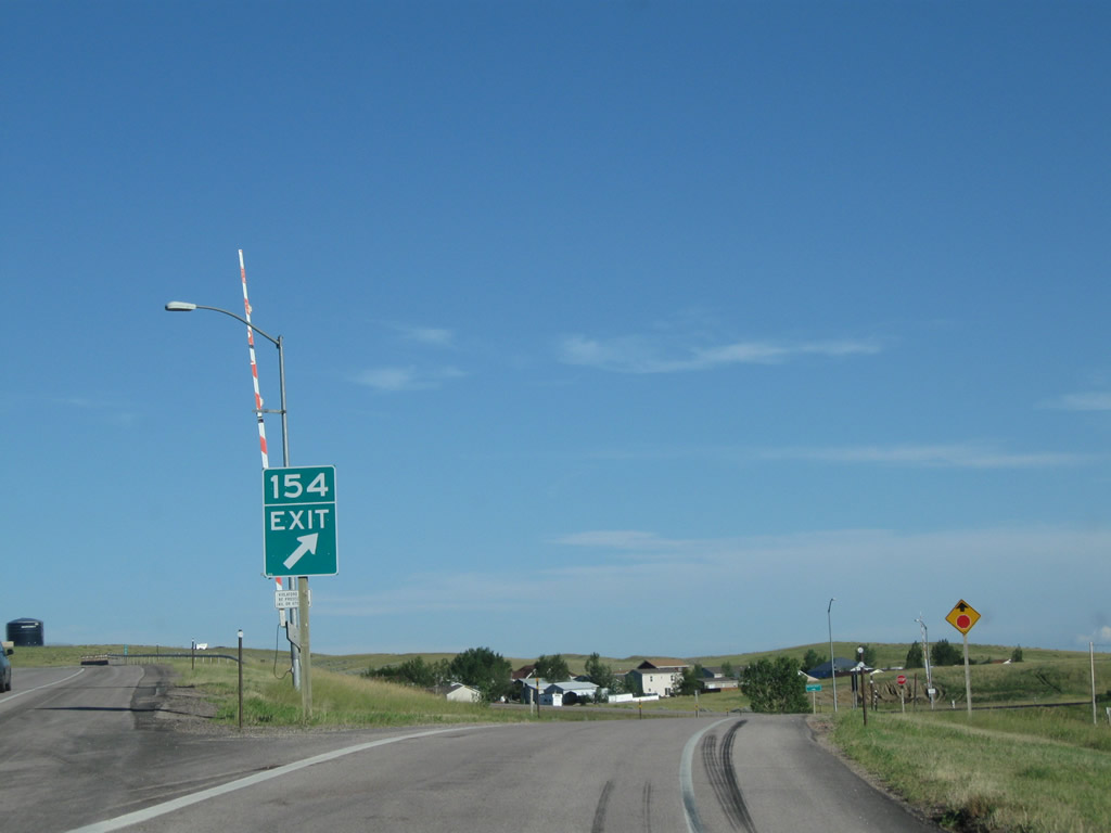
The first Crook County exit along eastbound Interstate 90 and U.S. 14-16 is Exit 153, Junction Business Loop I-90 and U.S. 14-16 east into Moorcroft with connections to Devils Tower via U.S. 14 and Newcastle and Custer via U.S. 16. Oddly, the business route designation is omitted from this sign, even though the loop is well signed through town. The business route will rejoin Interstate 90 at Exit 154, so it is a fairly short loop. Photo taken 08/08/10. |
|
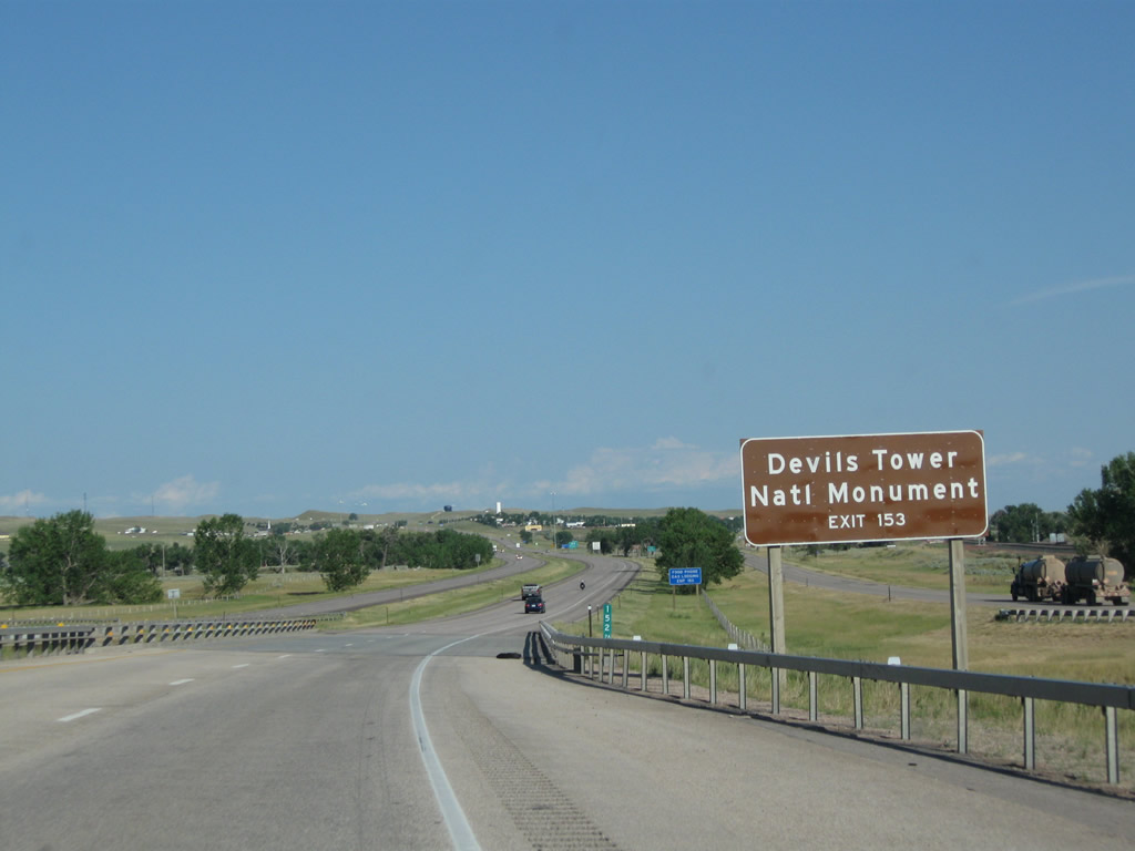
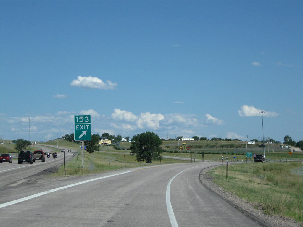
Use Exit 153 (Junction Business Loop I-90 and U.S. 14-16) to reach U.S. 14 east en route to Devils Tower National Monument. Follow U.S. 14 east to Wyoming 24 east to Wyoming 110 west to the monument. The drive passes through a forested butte area northwest of Sundance, which is where U.S. 14 rejoins Interstate 90. Photo taken 08/10/08. |
|
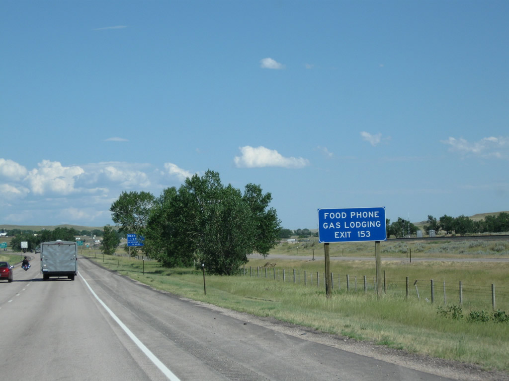
Most motorist services (food, gas, and lodging) are available in Moorcroft via either Exit 153 or Exit 154. Photo taken 08/10/08. |
|
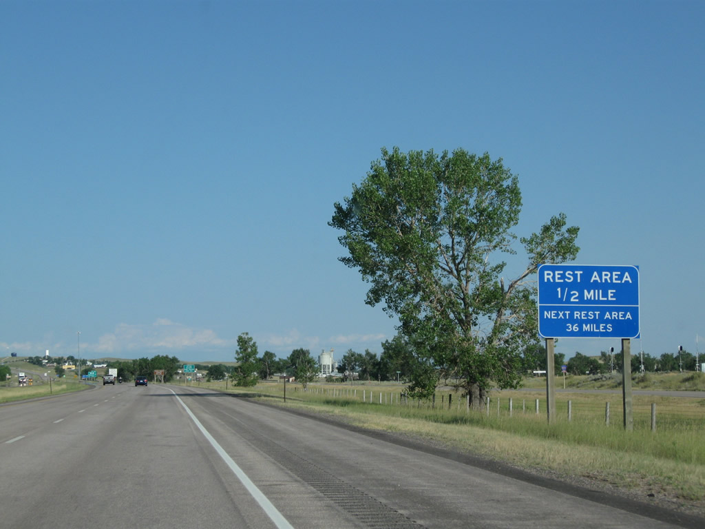
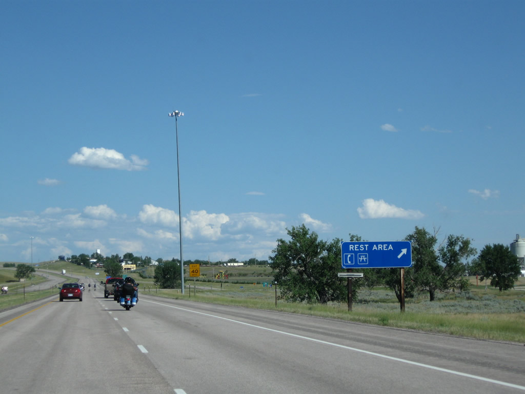
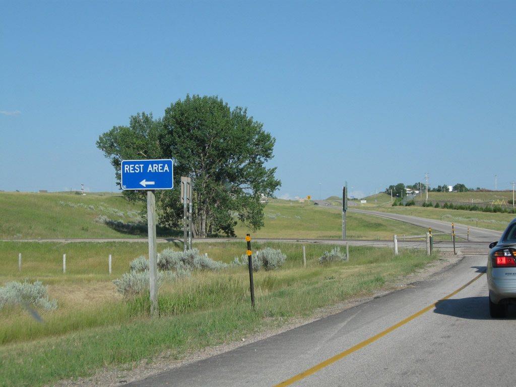
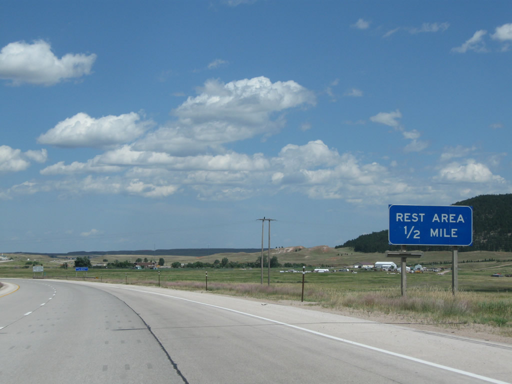
A rest area is also located at Exit 153. The rest area features restrooms, telephone, and water and is located on the banks of the Belle Fourche River on the north side of the freeway. Photo taken 08/10/08. |
|
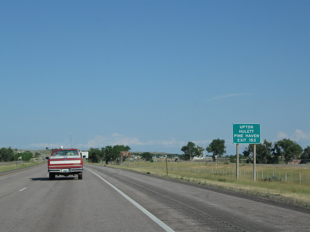
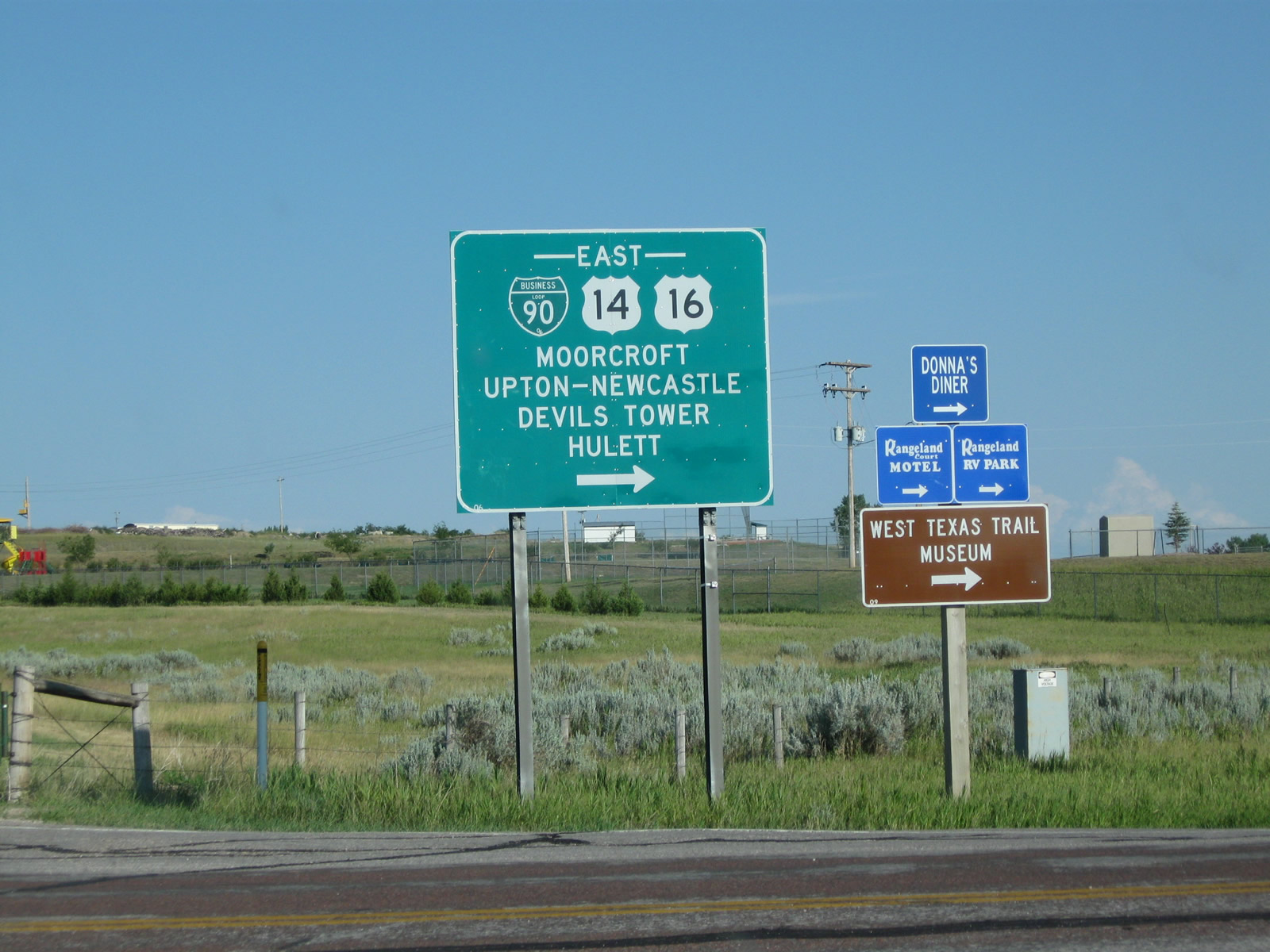
To Upton and Hulett, follow U.S. 14-16 east into downtown Moorcroft. Use U.S. 16 east to Upton and U.S. 14 east to Wyoming 24 east to Hulett. Photo taken 08/10/08. |
|
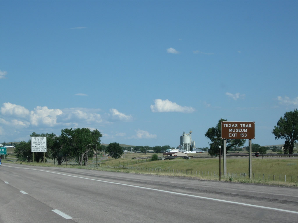
Texas Trail Museum is located in Moorcroft (use Exit 153). Photo taken 08/10/08. |
|
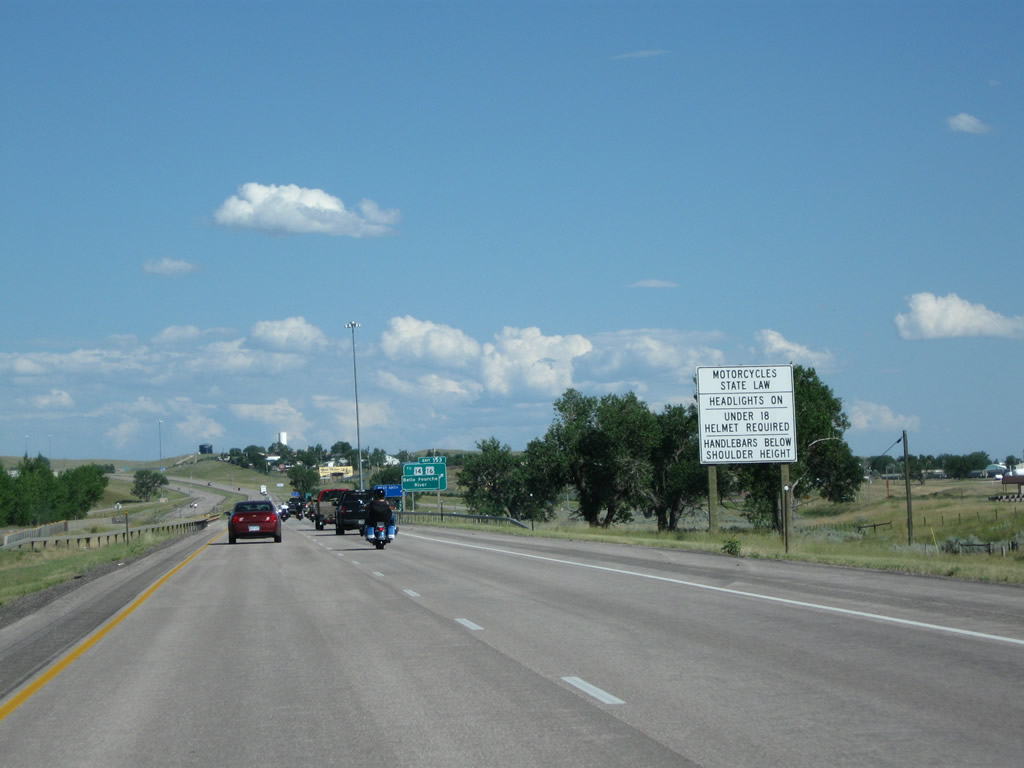
Regulations associated with motorcycles are posted prior to the West Moorcroft Interchange. These regulations are important given the number of motorcycle riders along Interstate 90 in early August, which is the tiemframe of the annual Sturgis rally. Photo taken 08/08/10. |
|
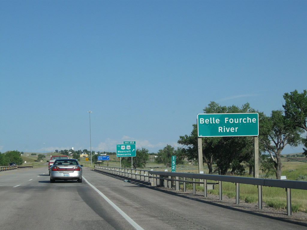
Interstate 90 crosses over the Belle Fourche River prior to the offramp to Exit 153 (West Moorcroft Interchange). The river originates southwest of here and flows northeast into the Keyhole Reservoir. After passing by Devils Tower, the Belle Fourche River passes through the city of Belle Fourche, South Dakota, before flowing east in the Missouri River watershed. Photo taken 08/10/08. |
|
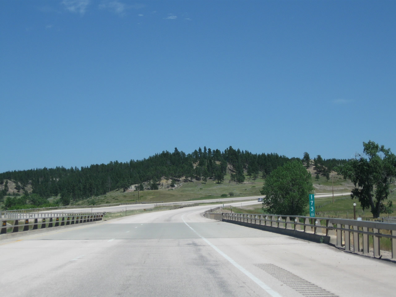
Interstate 90 and U.S. 14-16 separate here at Exit 153, Junction Business Loop I-90 and U.S. 14-16 east to Moorcroft. The two US routes will divide in downtown Moorcroft. U.S. 14 travels north of the freeway toward Devils Tower and Hulett; it will rejoin Interstate 90 in Sundance. U.S. 16 travels southeast toward Newcastle and avoids Interstate 90 until Rapid City, which is the eastern terminus of U.S. 16 (which used to enjoy a much longer route all the way to Detroit, Michigan, before it was truncated). Photo taken 08/10/08. |
|
Use Exit 153 to the rest area, which is located on the north side of the interchange and features restrooms, telephone, and water. Photo taken 08/08/10. |
|
|
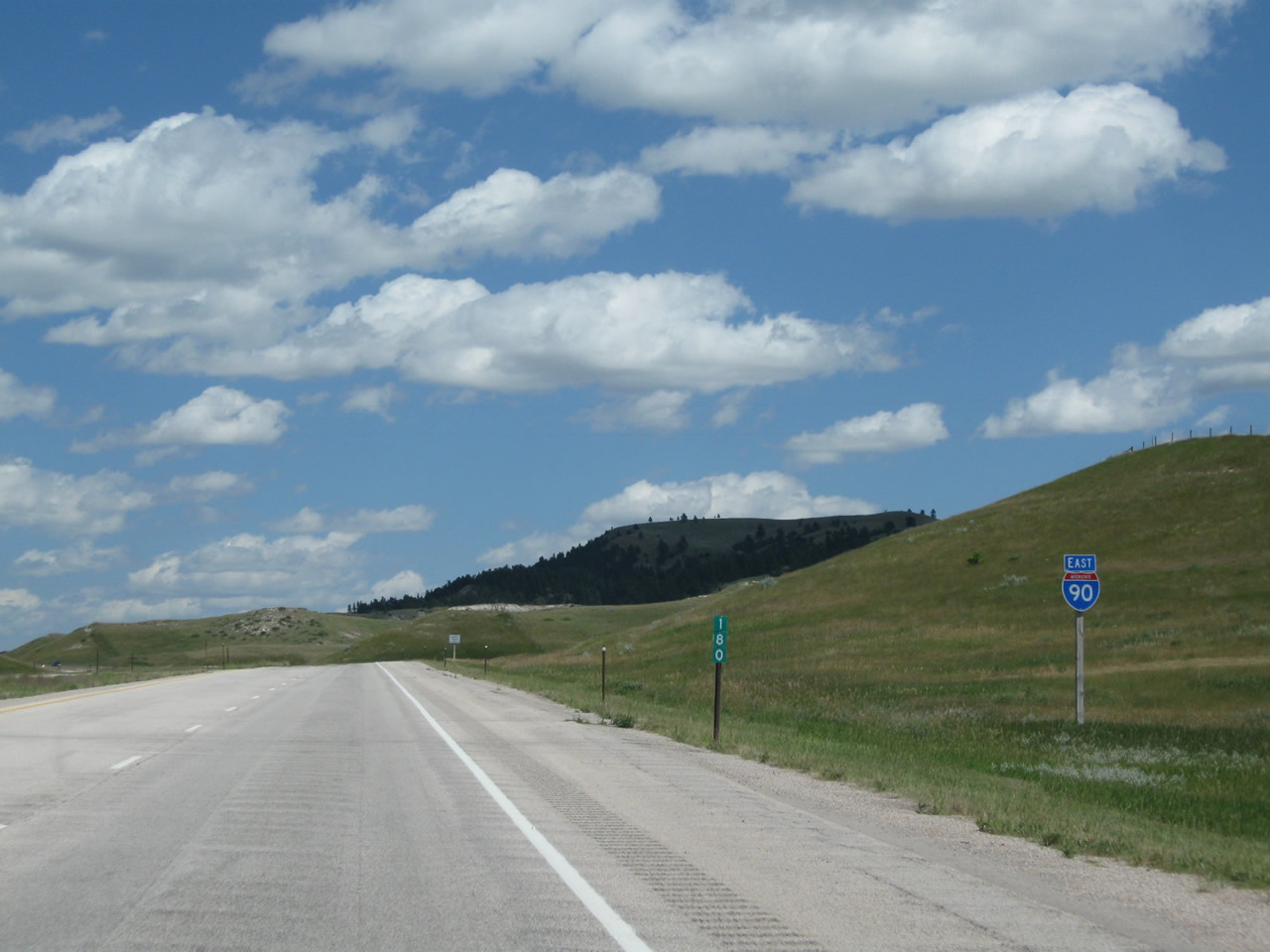
Eastbound Interstate 90 reaches Exit 153, Junction Business Loop I-90 and U.S. 14-16 east to Moorcroft, Devils Tower, Hulett, Upton, Newcastle, and Custer. Historically, Moorcroft was the point (up until the Great Renumbering of 1936) where U.S. 16 used to follow today's U.S. 14 alignment east to Rapid City, and today's U.S. 16 alignment was known as U.S. 216. When U.S. 14 was extended west in 1936, U.S. 216 was eliminated in favor of U.S. 16, U.S. 116 near Sheridan became U.S. 14, and U.S. 420 became U.S. 14 in 1936 (and later Wyoming 14 in 1945 and Alternate U.S. 14 in 1965). Photos taken 08/03/10 and 08/08/10. |
|
Upon exiting from the Interstate, stay right for the connection to Business Loop I-90 and U.S. 14-16 east and Wyoming 51 (Old U.S. 14-16) west. At the base of the offramp to Exit 153, turn left to the Rest Area. Photo taken 08/10/08. |
|
At the base of the ramp, Business Loop I-90 is signed alongside U.S. 14-16 on their way into Moorcroft. The town of Moorcroft (elevation 4,206 feet above sea level) in western Crook County is home to 807 people (per the 2000 Census), the town has an economy based on ranching and tourism. Mine workers also drive from Moorcroft to energy-rich Campbell County to the west. Photo taken 08/10/08. |
| Interstate 90 East (Moorcroft to Sundance) |
|
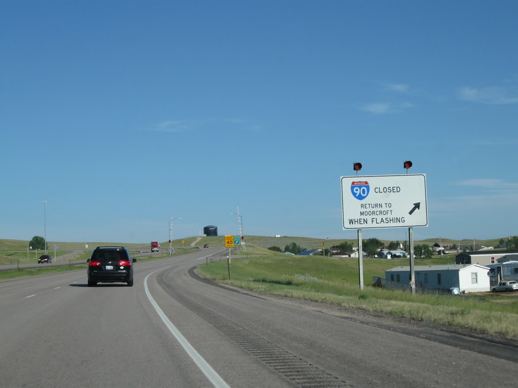
Back on mainline Interstate 90, we cross through the West Moorcroft Interchange and proceed around the northern edge of the urban limits of Moorcroft. Most development lies to the south of the freeway. One mile ahead, Interstate 90 may be closed during inclement weather. During those freeway closure events, motorists must exit at Exit 154, Junction Business Loop I-90 (East Moorcroft Interchange). Photo taken 08/03/10. |
|
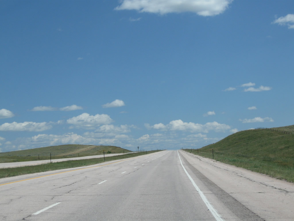
Once again free of companion U.S. routes, Interstate 90 will stand alone between Moorcroft and Sundance. Photo taken 08/03/10. |
|
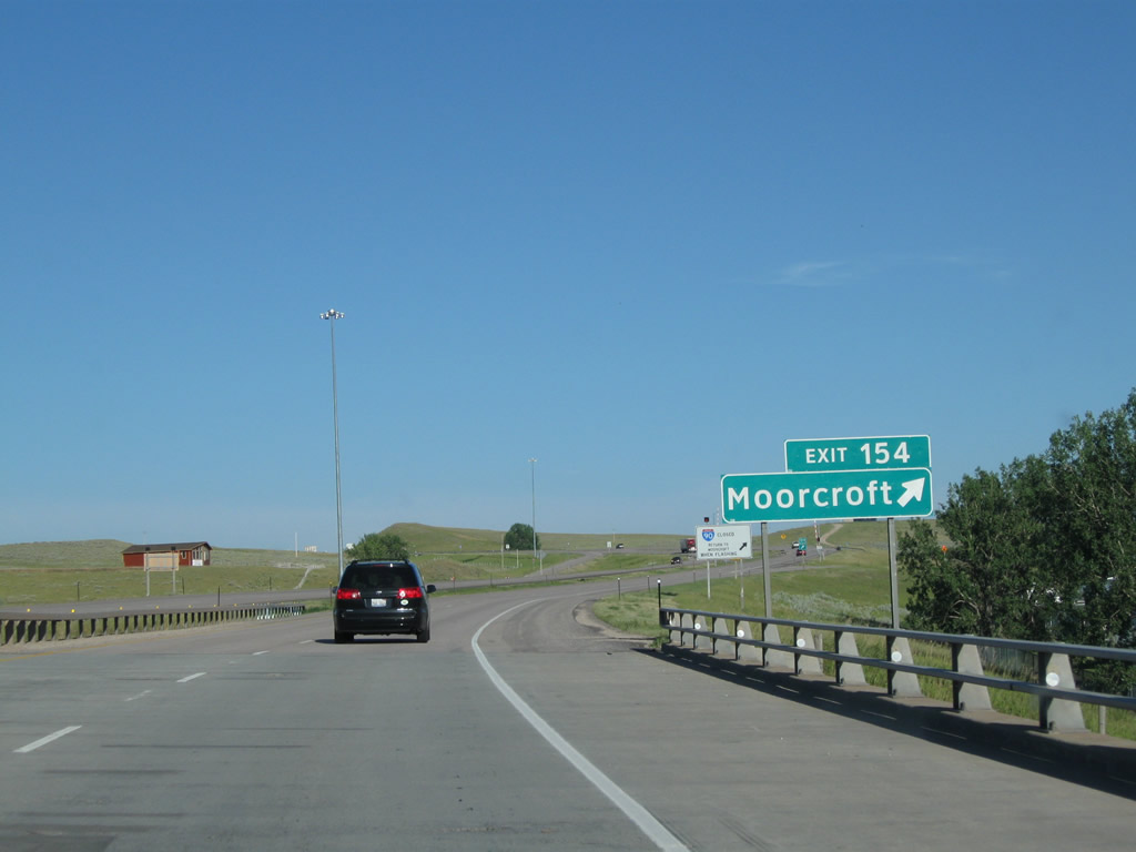
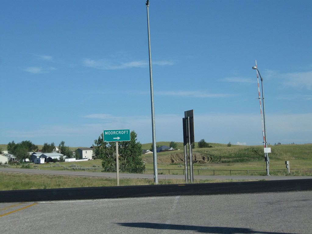
The next exit along Interstate 90 east is Exit 154, Junction Business Loop I-90 (East Moorcroft Interchange). Follow the business route south to the junction with U.S. 16 east (for motorists wishing to avoid passing through downtown Moorcroft and continuing southeast toward Upton, Newcastle, and Custer). Photo taken 08/03/10. |
|
At the point where Interstate 90 passes over U.S. 14 is a second sign for Exit 154, Junction Business Loop I-90 west (East Moorcroft Interchange) to U.S. 16 east. This sign was converted to Clearview font in 2008. Photo taken 08/03/10. |
|
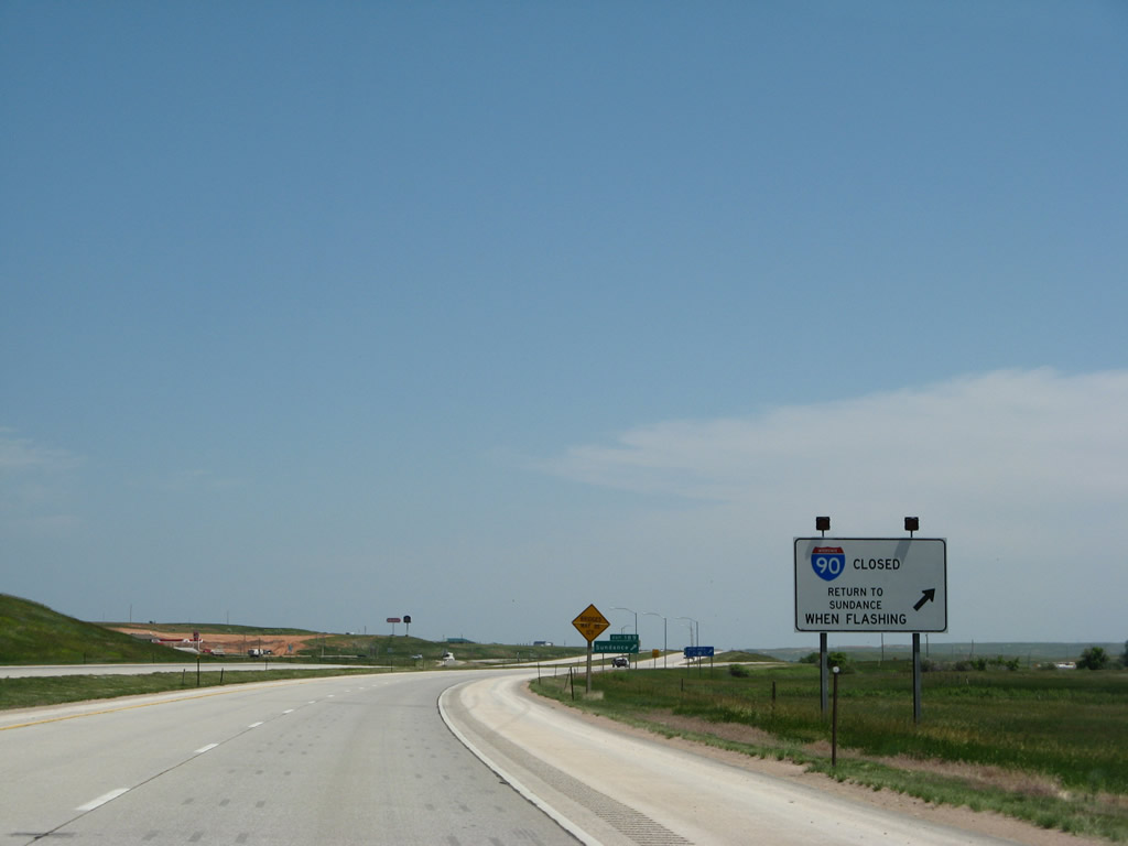
A second sign warns of possible closure of Interstate 90 east between Moorcroft and Sundance. Exit here when the beacons are flashing. Photo taken 08/03/10. |
|
Eastbound Interstate 90 meets Exit 154, Junction Business Loop I-90 (East Moorcroft Interchange). This is the last interchange that features full motorist services (gas, food, lodging) until Sundance. Photo taken 08/03/10. |
|
At the base of the offramp, a single sign points the way to Moorcroft. None of the advance signs mention the business loop or the connection to U.S. 16 east. Photo taken 08/03/10. |
|
Back on the mainline freeway and after the onramp from the Moorcroft business route is this Interstate 90 east reassurance route marker. Photo taken 08/06/10. |
|
Interstate 90 proceeds east through rolling hills as it leaves Moorcroft. Photo taken 08/06/10. |
|
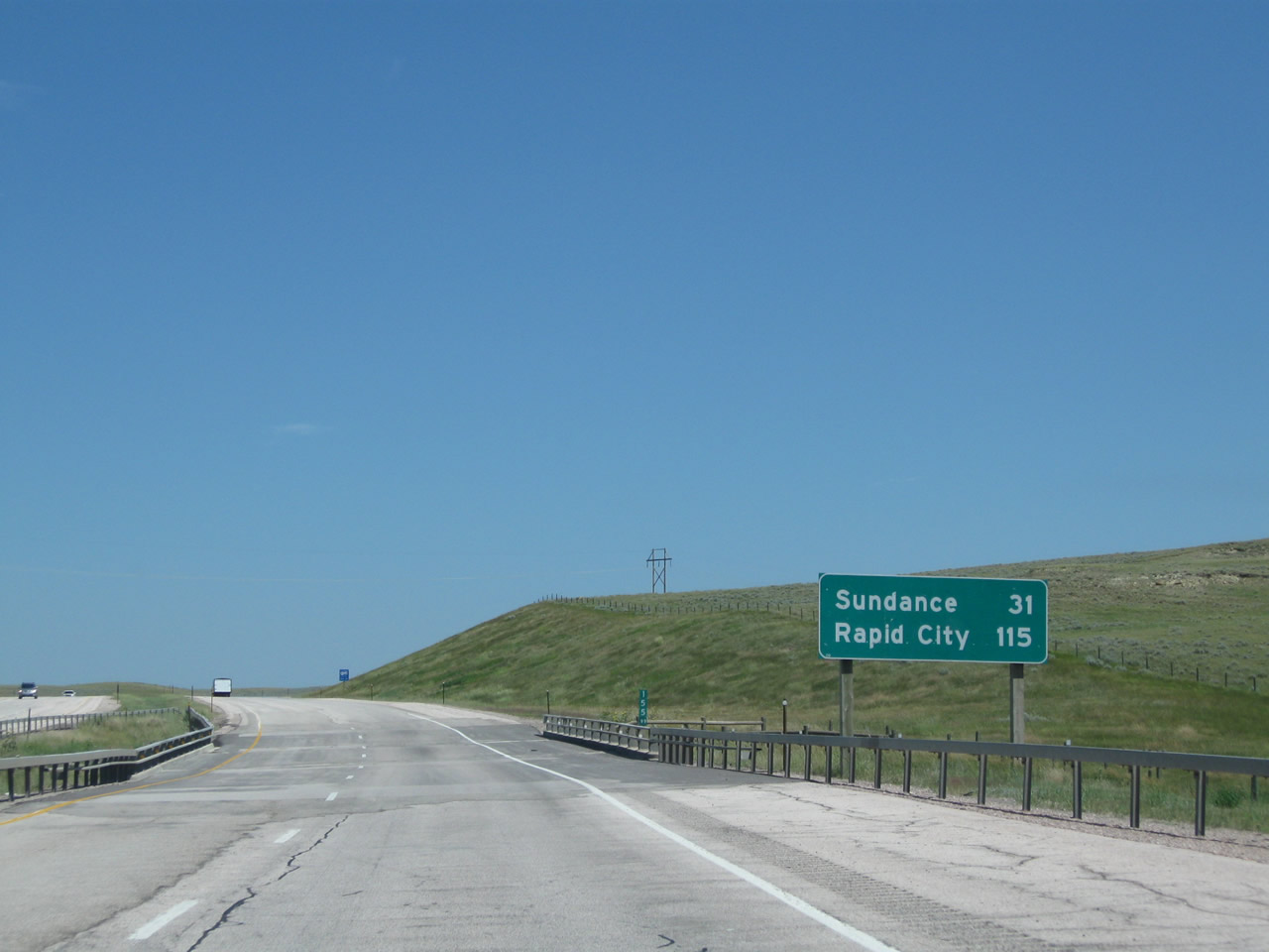
This mileage sign along Interstate 90 east provides the distance to Sundance (31 miles) and the control city of Rapid City (115 miles). Photo taken 08/06/10. |
|
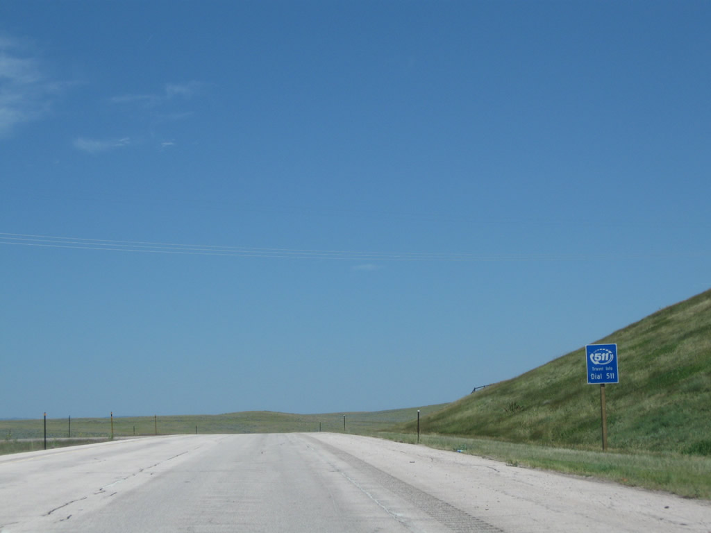
Like many states and regions, Wyoming offers 511 travelers information and assistance. Photo taken 08/06/10. |
|
|
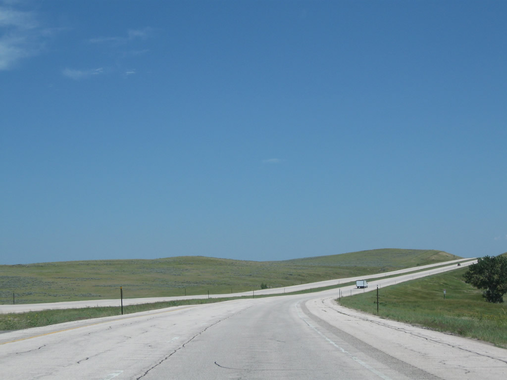
What is the difference between these two pictures? Well, the 2011 picture shows quite a few clouds in the sky, but it also shows a new side road just north of the freeway. The clear-sky picture was taken just one year earlier, in 2010. Photos taken 08/06/10 and 08/12/11. |
|
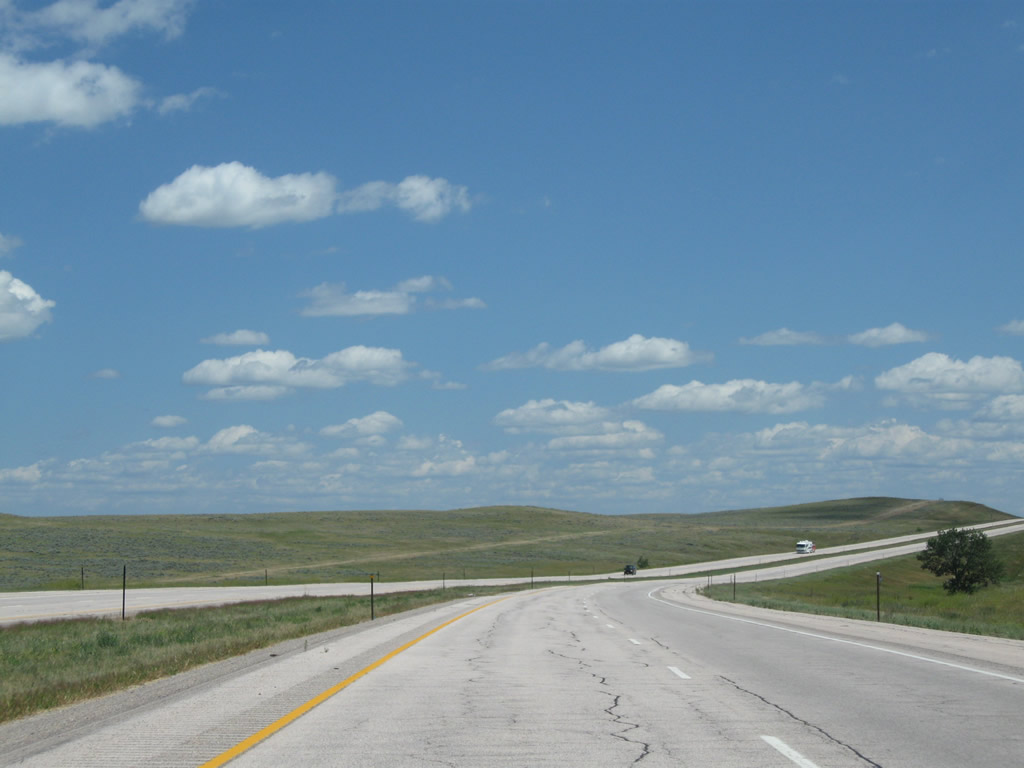
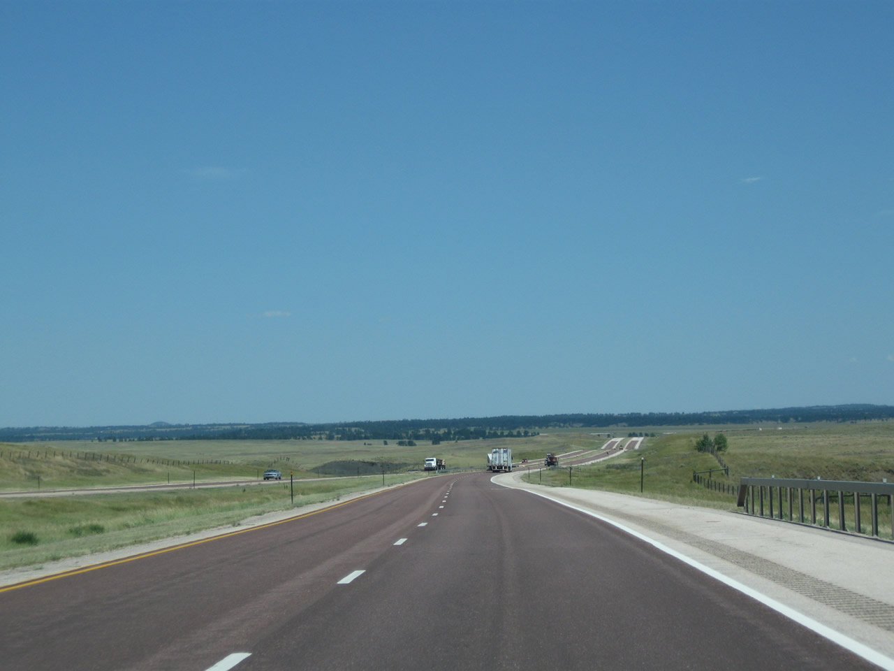
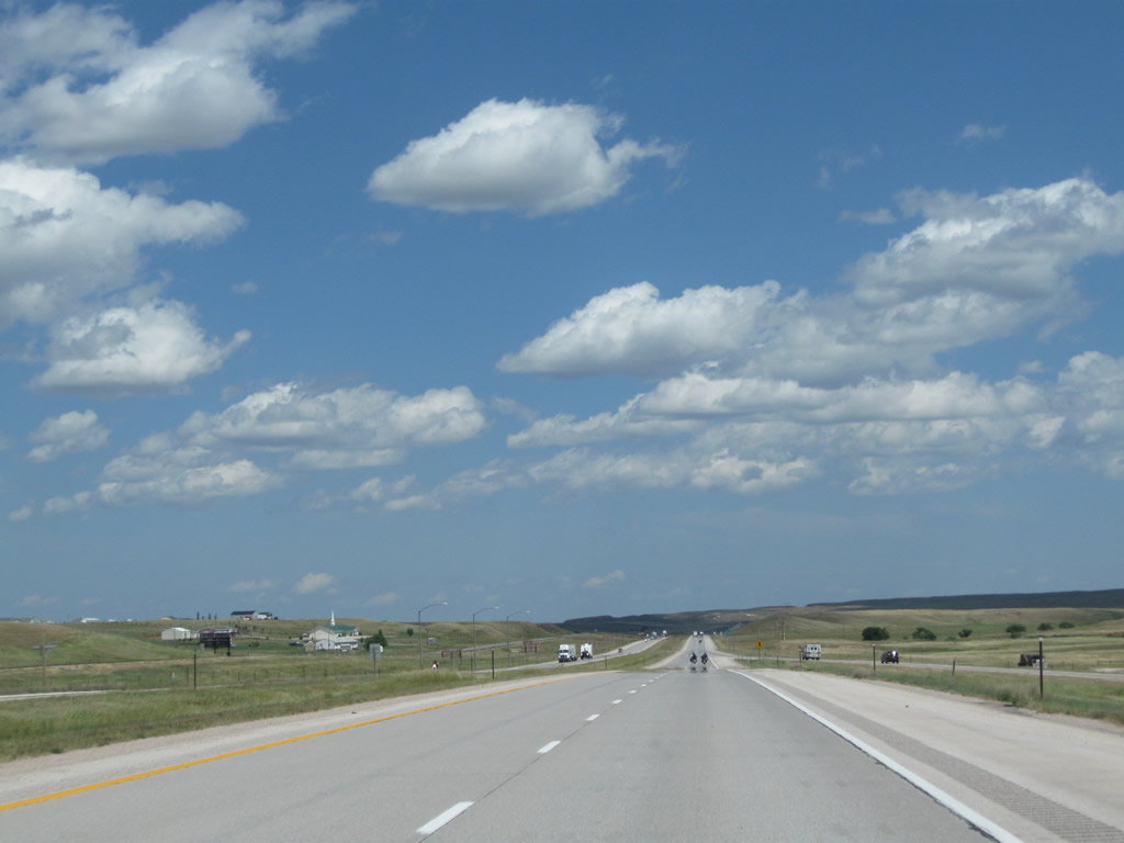
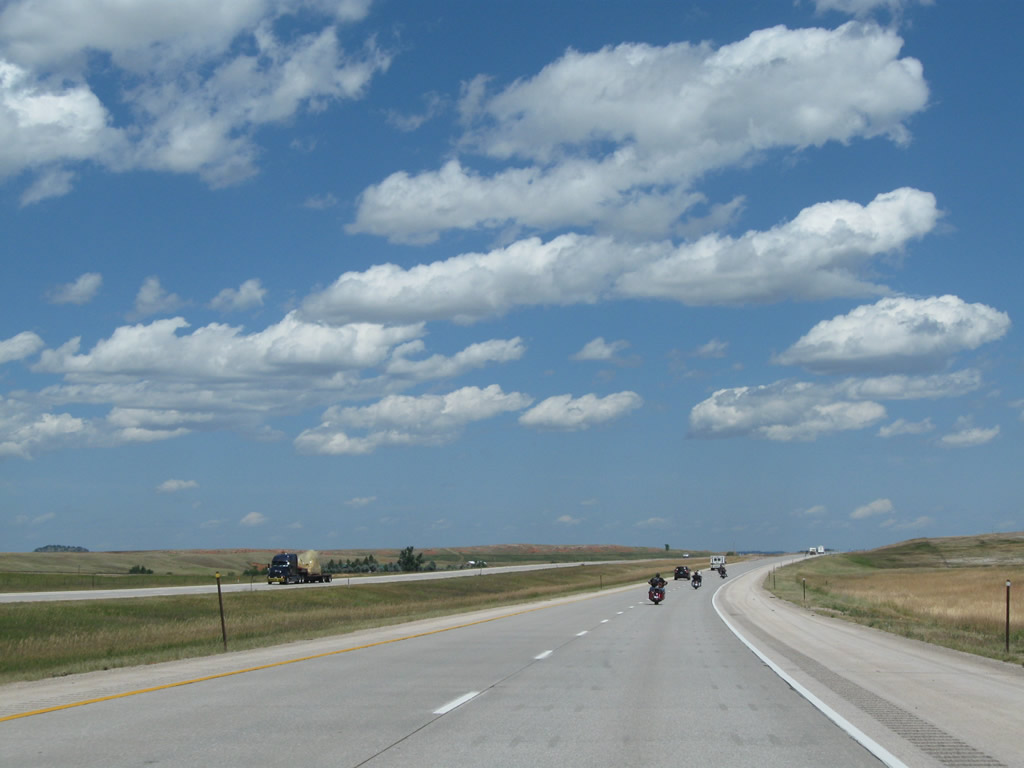
Heading uphill on Interstate 90 east, traffic was surprisingly light, given that the Sturgis Motorcycle Rally was underway at the time this picture was taken. Motorcycle and recreational vehicle traffic increases each year toward the end of July and beginning of August as the rally and related entertainment gets underway in Sturgis, South Dakota, which lies east of here along Interstate 90. Photo taken 08/12/11. |
|
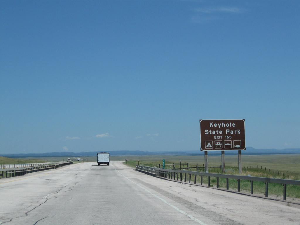
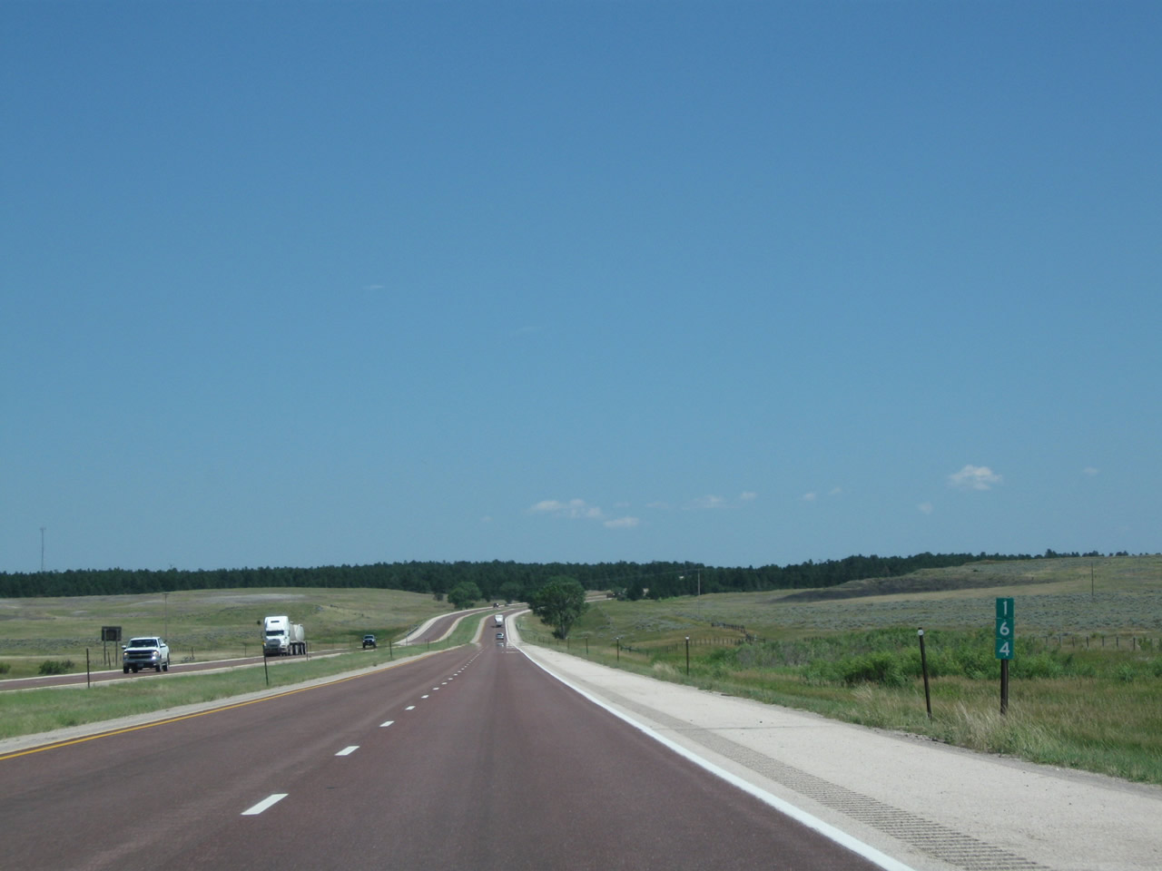
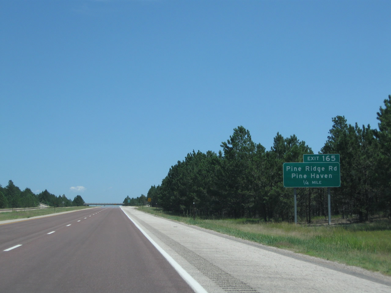
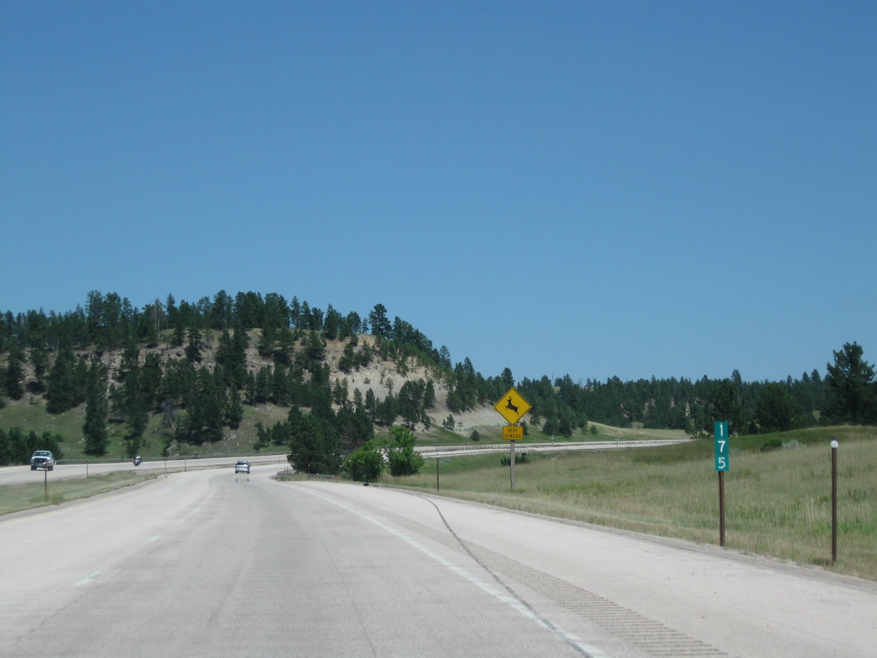
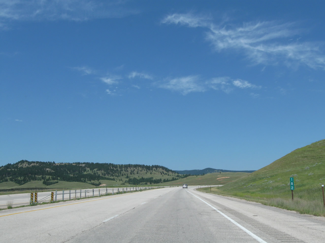
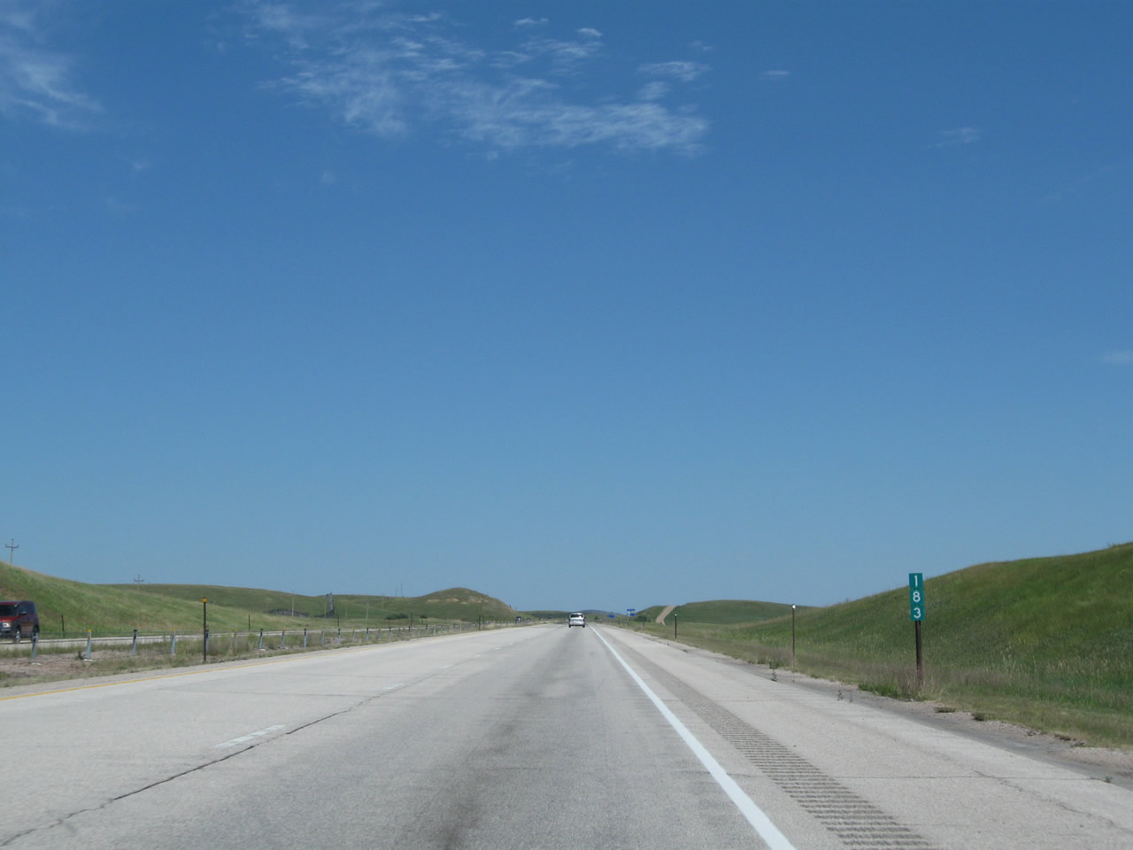
To Keyhole State Park (including Keyhole Reservoir), use Exit 165, Pine Ridge Road and follow it north toward Pine Haven. The reservoir area offers camping, fishing, swimming, and hiking among other activities. Photo taken 08/06/10. |
|
|
|
|
|
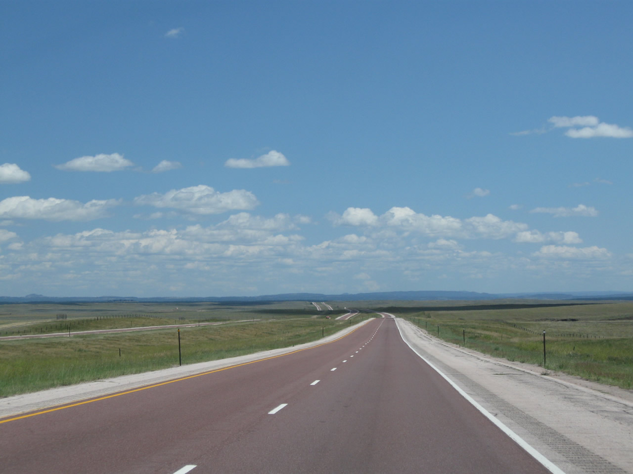
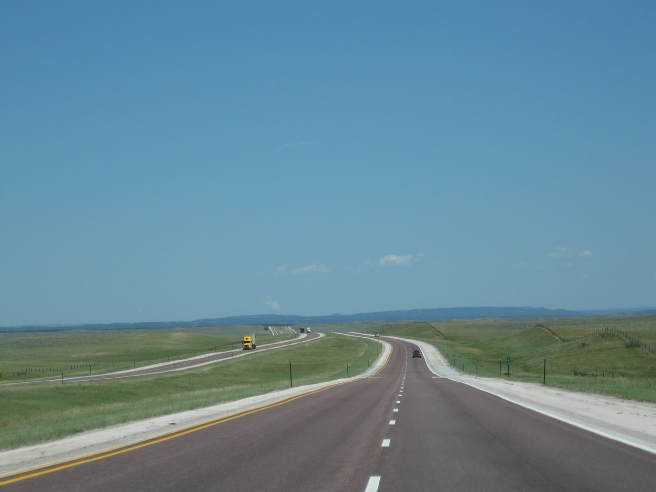
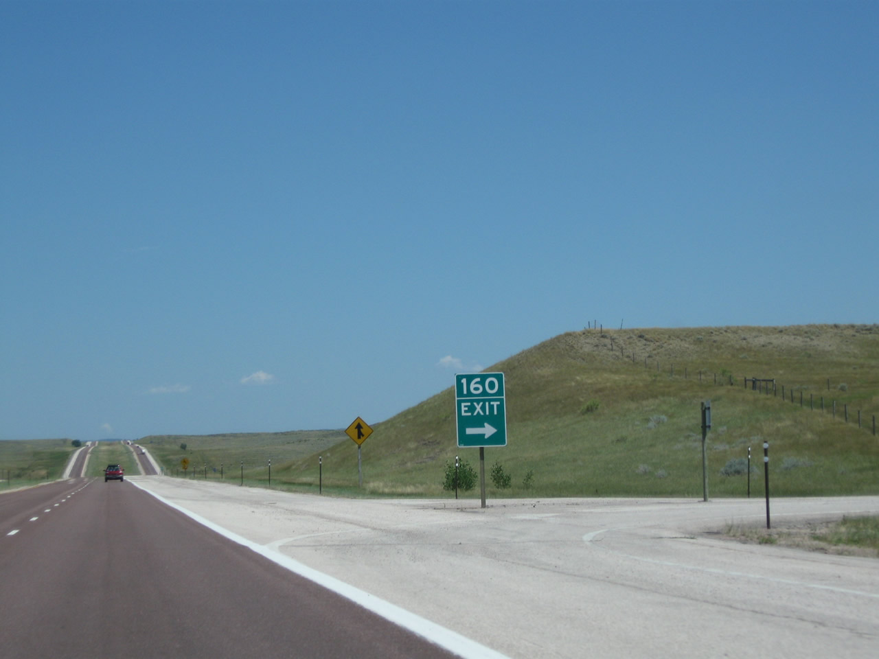
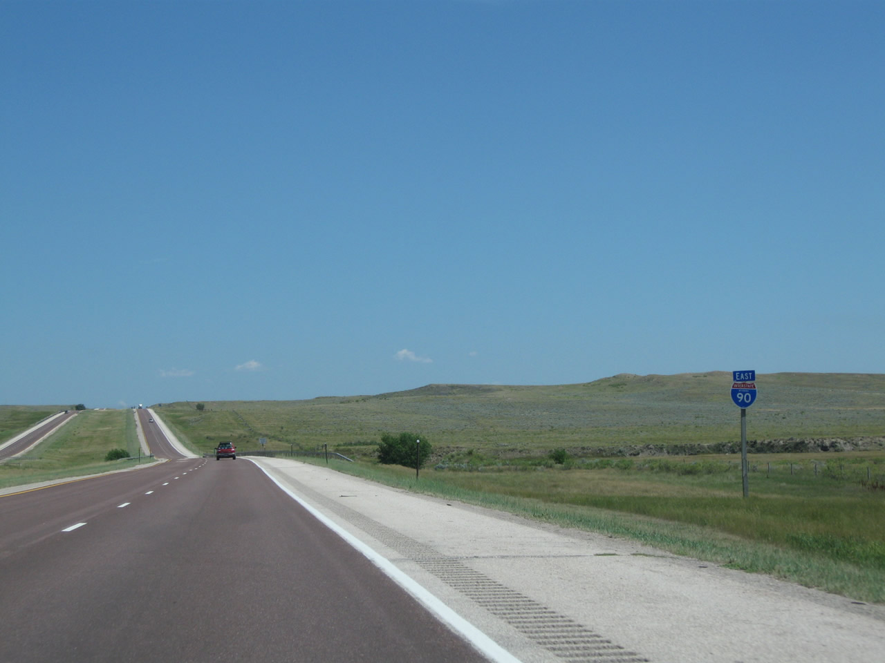
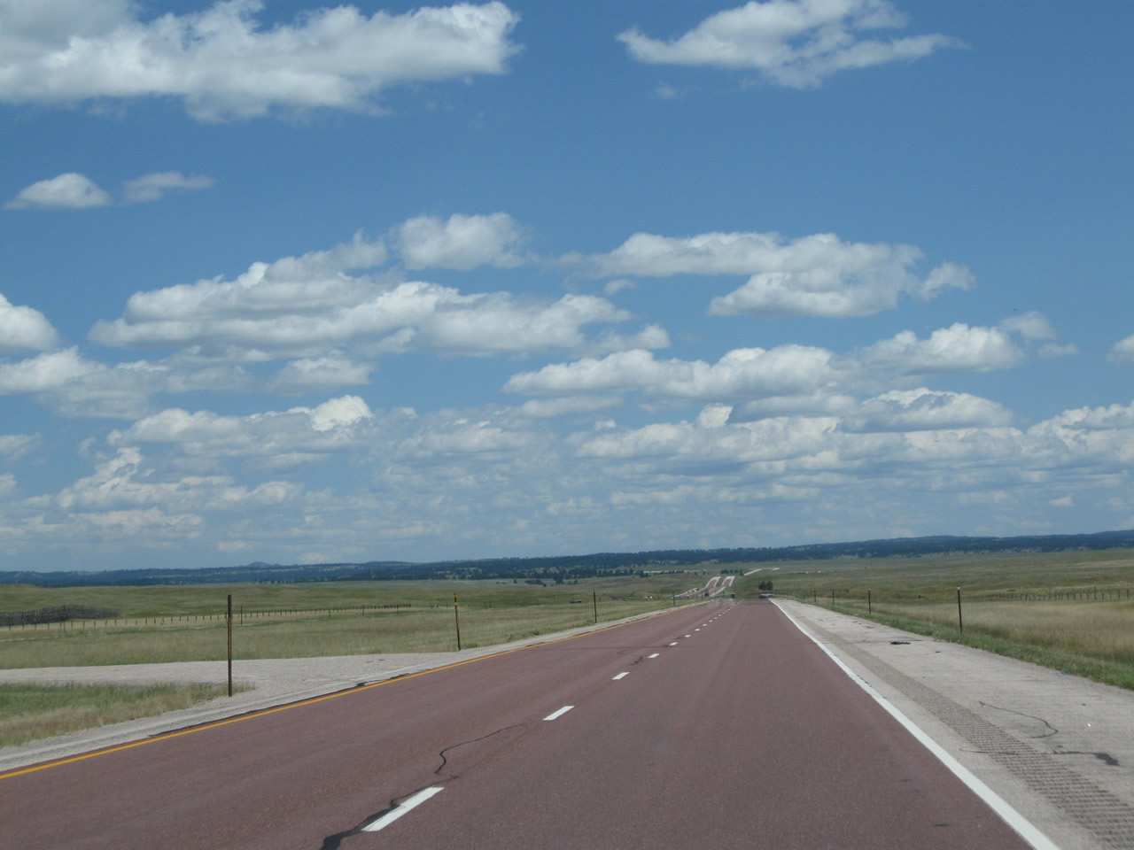
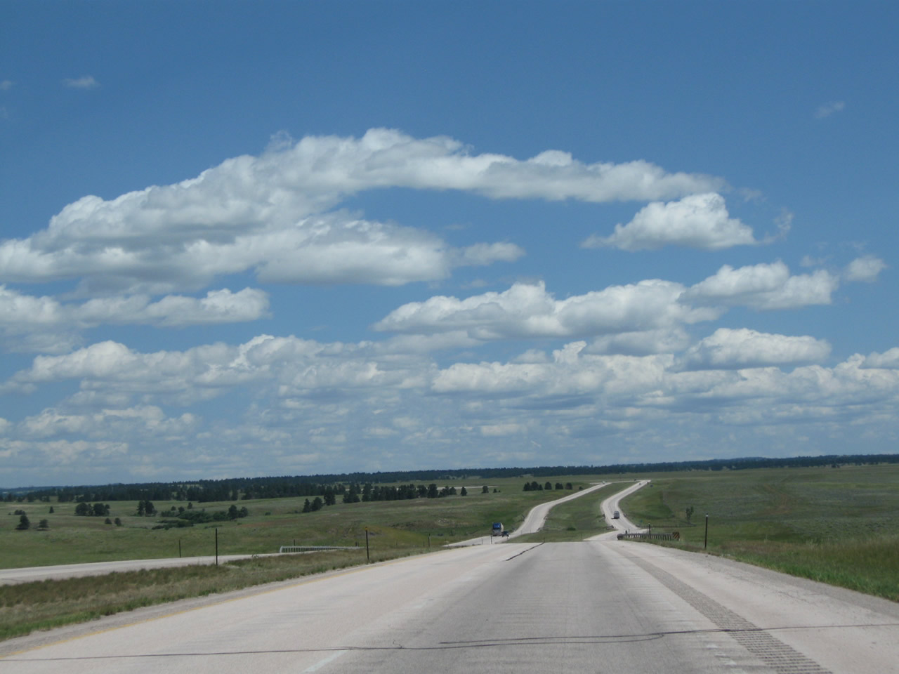
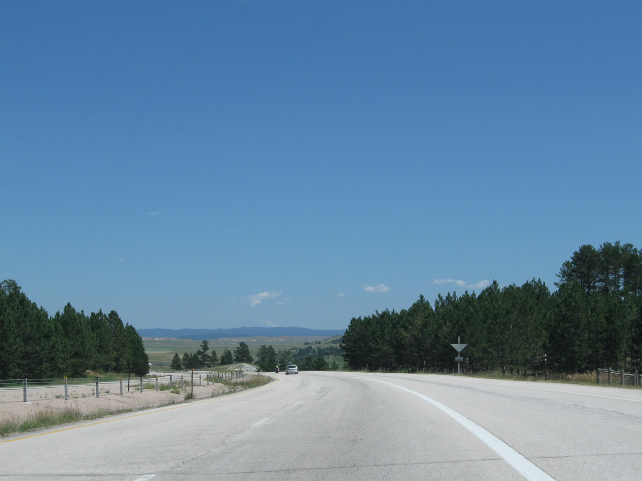
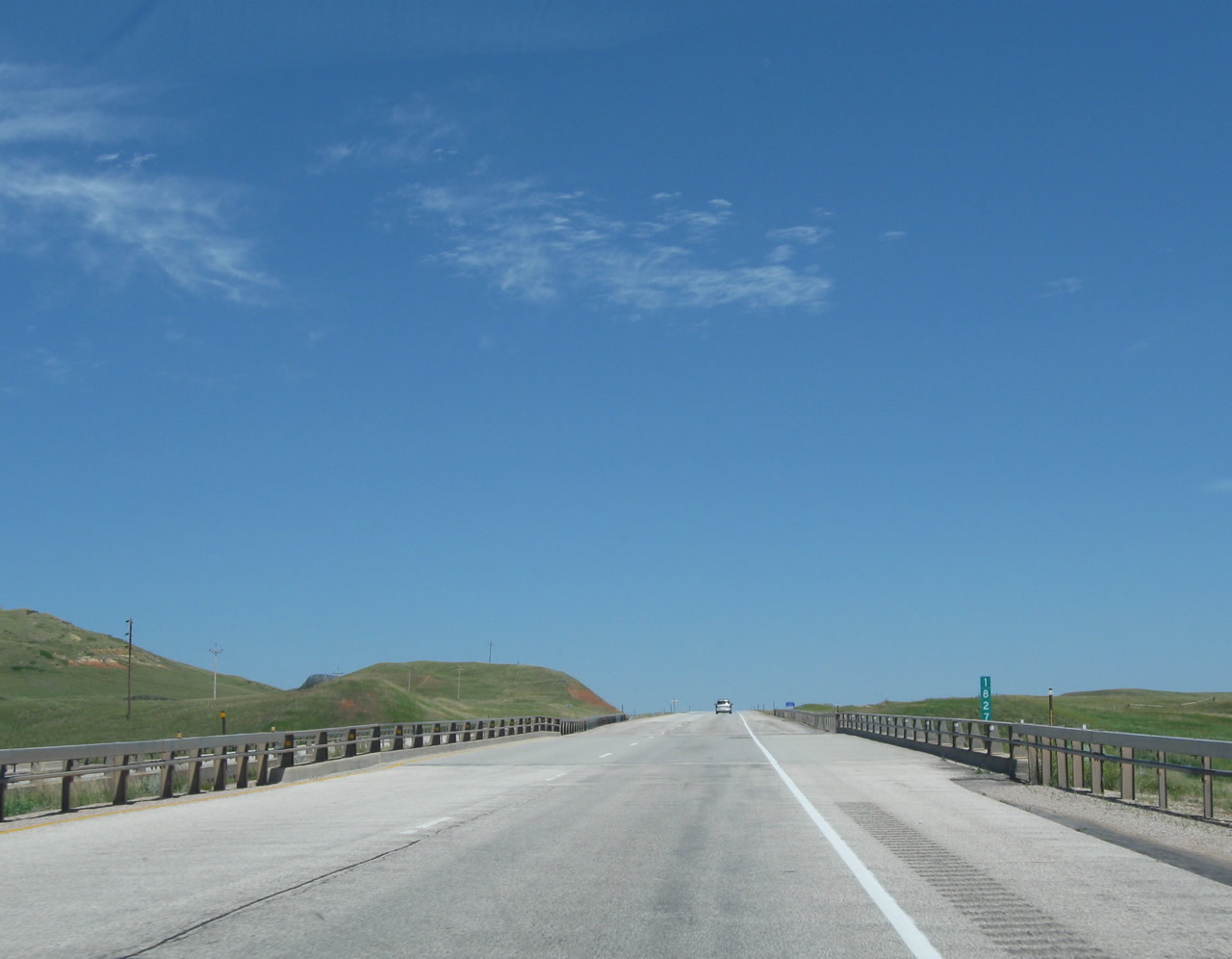
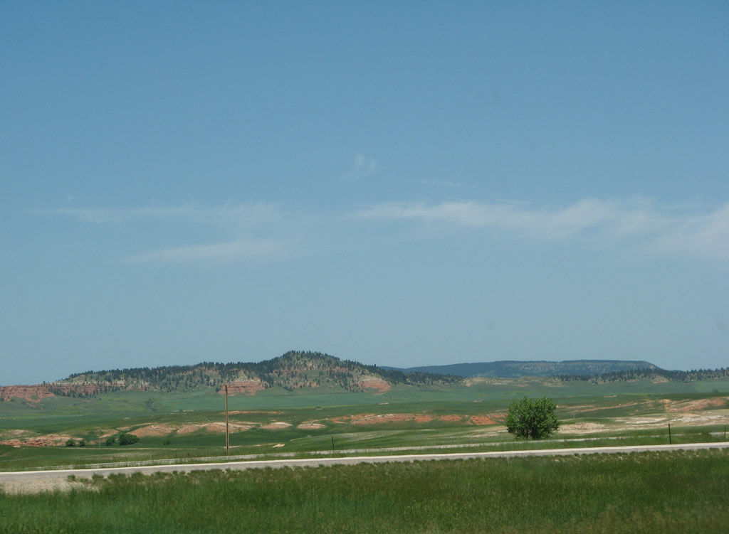
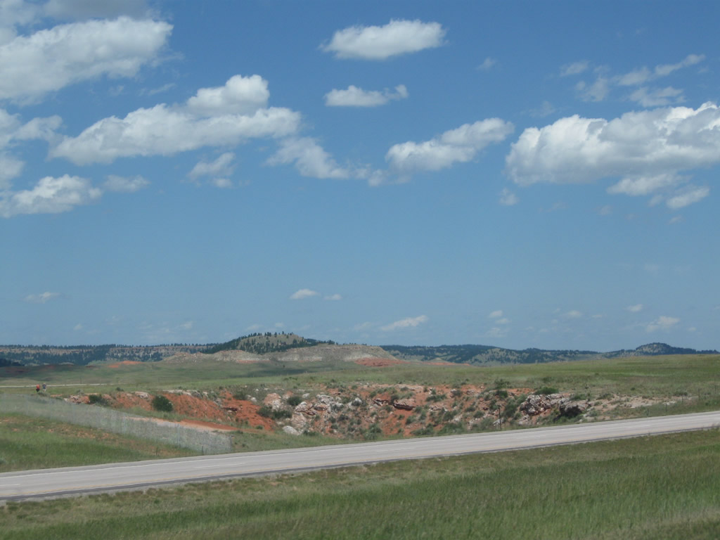
| These commanding views look east as we descend toward Wind Creek. In the distance are Inyan Kara Mountain (on the National Register of Historic Places) and nearby hills and mountains separating Moorcroft from Sundance. After the Wind Creek Road interchange (Exit 160), Interstate 90 will ascend to forested Pine Ridge. Photos taken 08/12/11 and 08/06/10. |
|
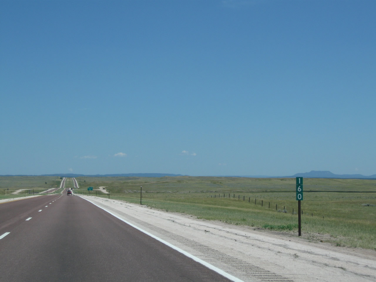
The next exit along Interstate 90 east is Exit 160, Junction Crook County Route 201/Wind Creek Road. This is a local ranch exit not intended for through traffic. No services are available at this interchange; a parking area is located a short distance ahead for those wishing to stop to take in the sweeping vistas. Photo taken 08/06/10. |
|
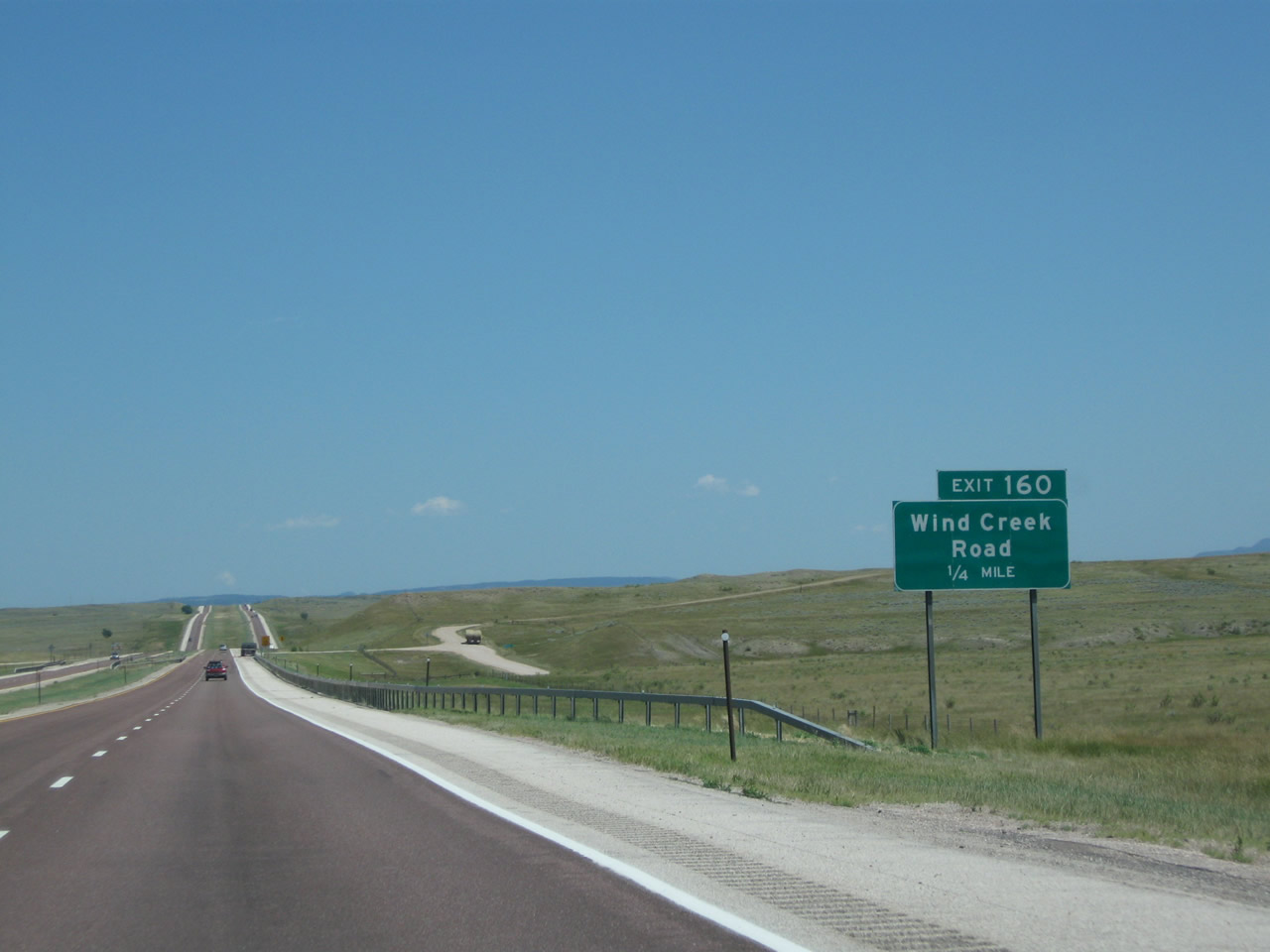
After passing over Wind Creek Road, the offramp to Exit 160 is a 90-degree right turn. Exiting traffic should slow down considerably before making the turn. Traffic from Wind Creek Road must join the freeway from a full stop. Photo taken 08/06/10. |
|
An Interstate 90 east reassurance shield is posted after the Wind Creek Road onramp. Ahead, the freeway will enter the Wyoming Black Hills, which lead into South Dakota's Black Hills. Photo taken 08/06/10. |
|
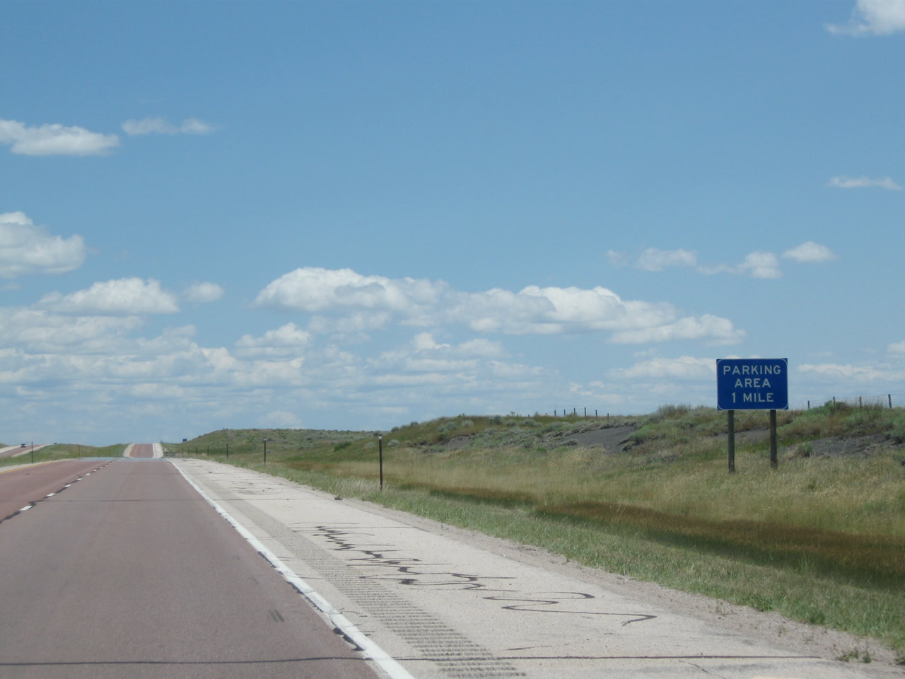
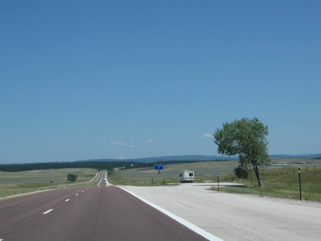
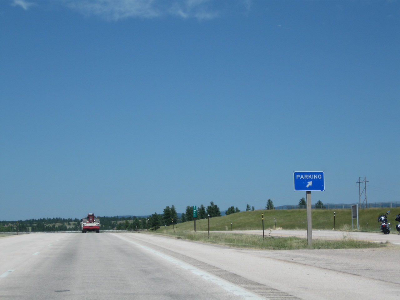
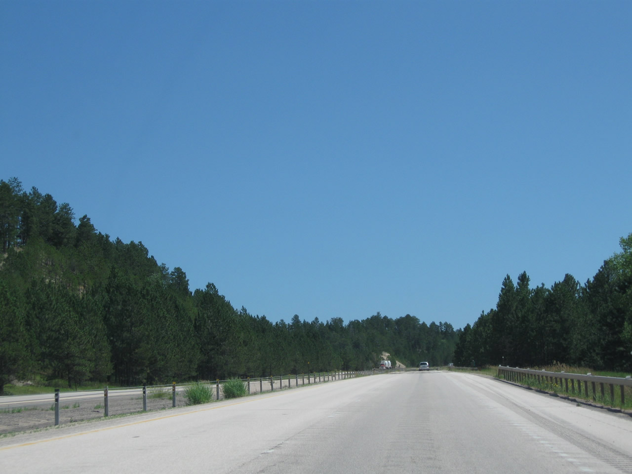
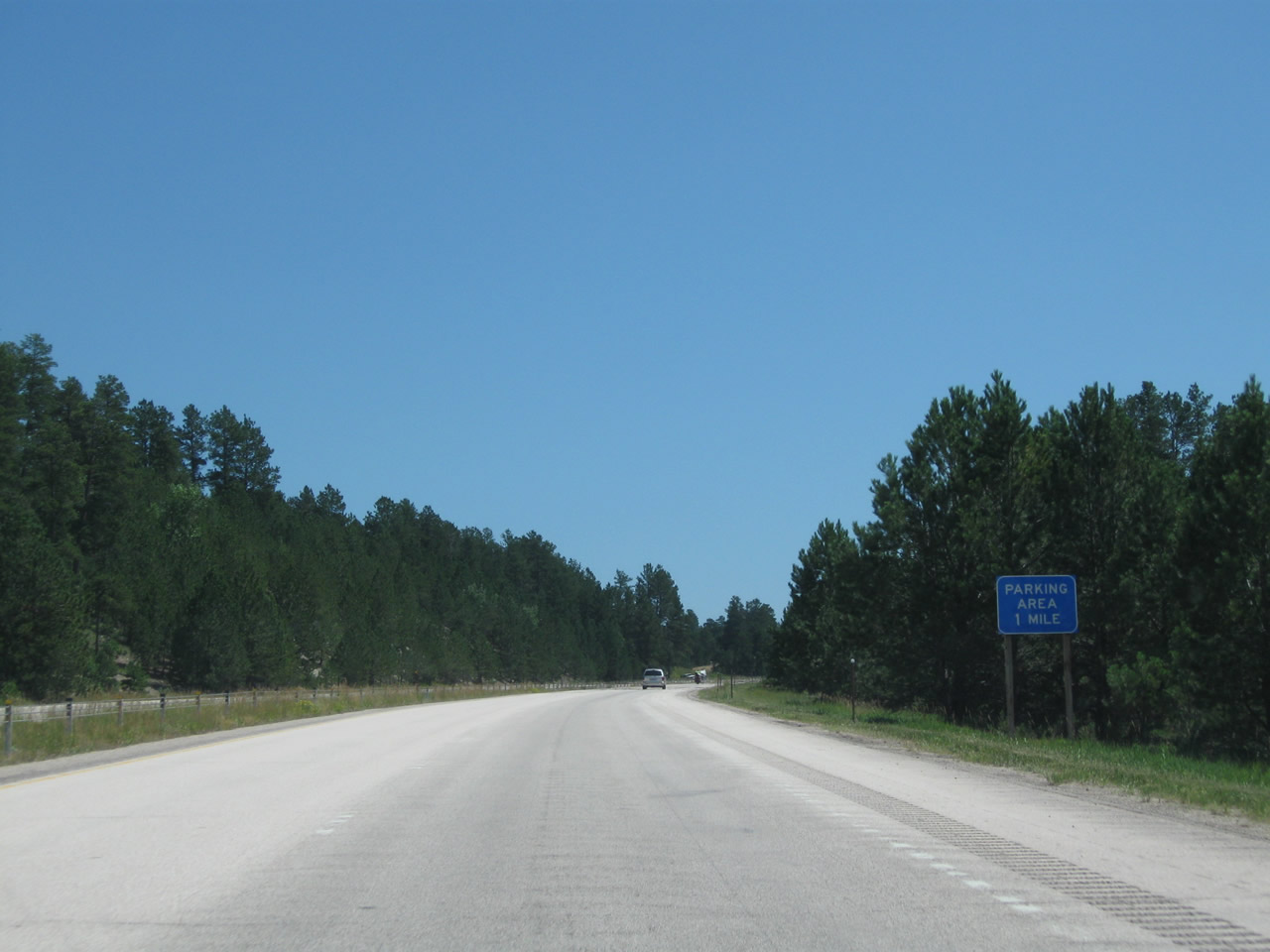
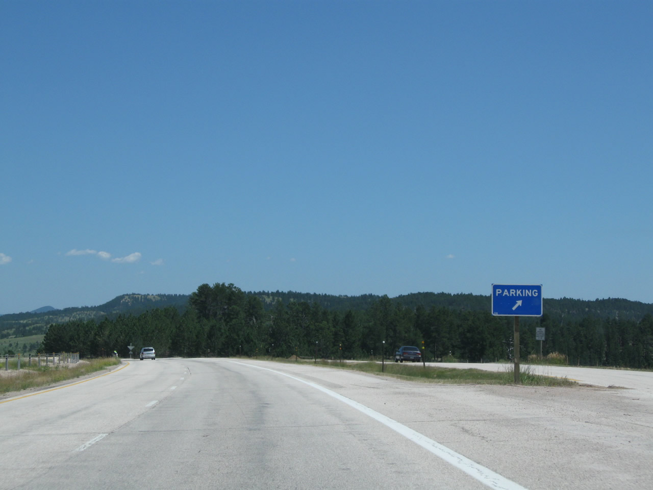
Climbing toward Pine Ridge, eastbound Interstate 90 next approaches Exit 163, Parking Area (one mile). Photo taken 08/12/11. |
|
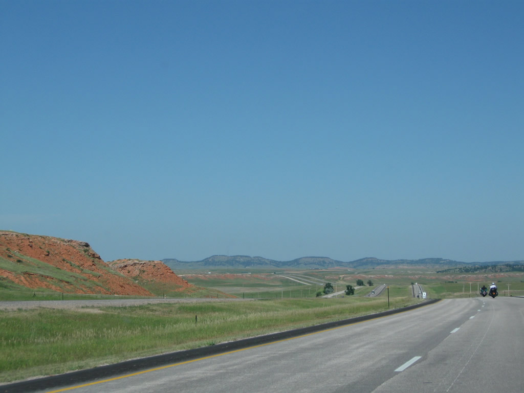
Common on rural highways in northeastern Wyoming, the pavement again changes to red asphalt. Photo taken 08/06/10. |
|
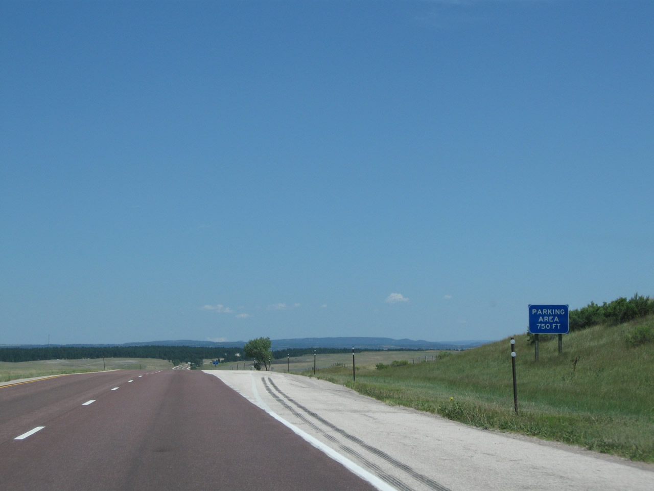
As forested Pine Ridge comes into view, eastbound Interstate 90 approaches Exit 163, Parking Area (750 feet). Motorists may wish to use this pull out for emergencies or to stop and take in the view. There are neither services nor restrooms at the parking area. Photo taken 08/12/11. |
|
|
|
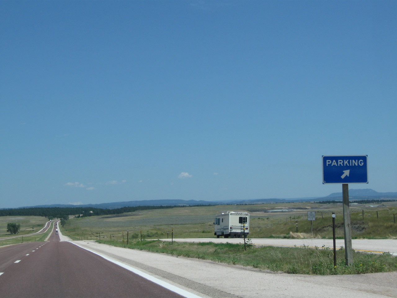
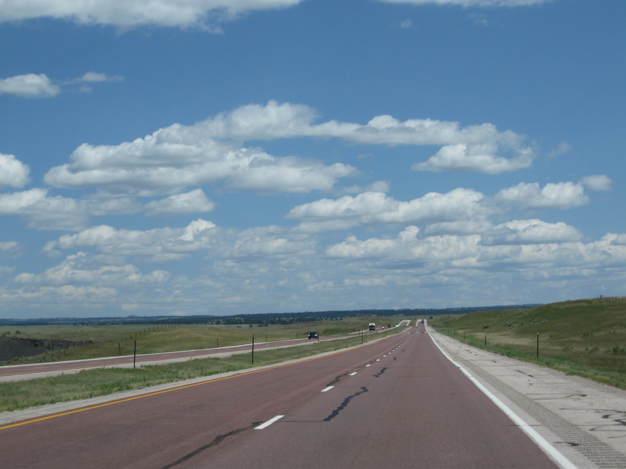
Eastbound Interstate 90 reaches Exit 163, Parking Area. Toward the east, Pine Ridge rises in the distance. The freeway will pass over Pine Ridge, then proceed toward the vicinity of Inyan Kara. Photos taken 08/06/10 and 08/12/11. |
|
|
|
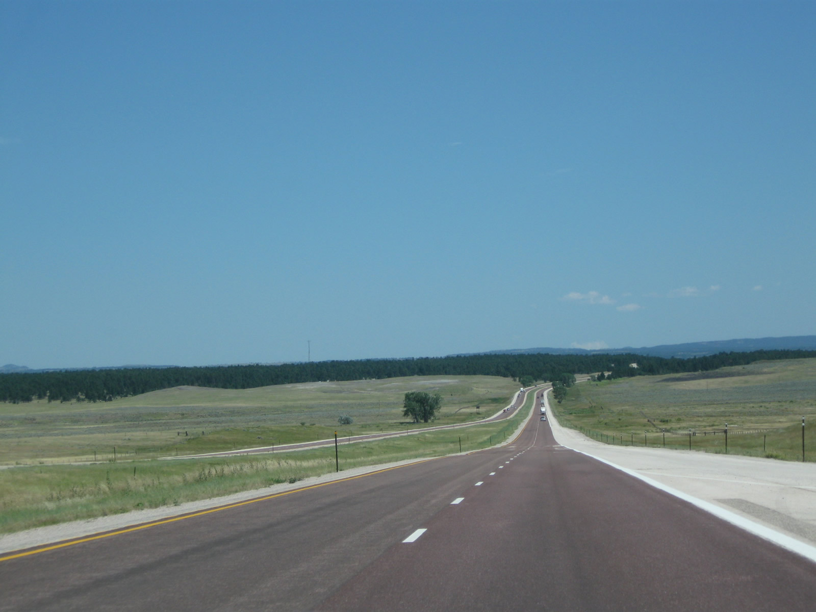
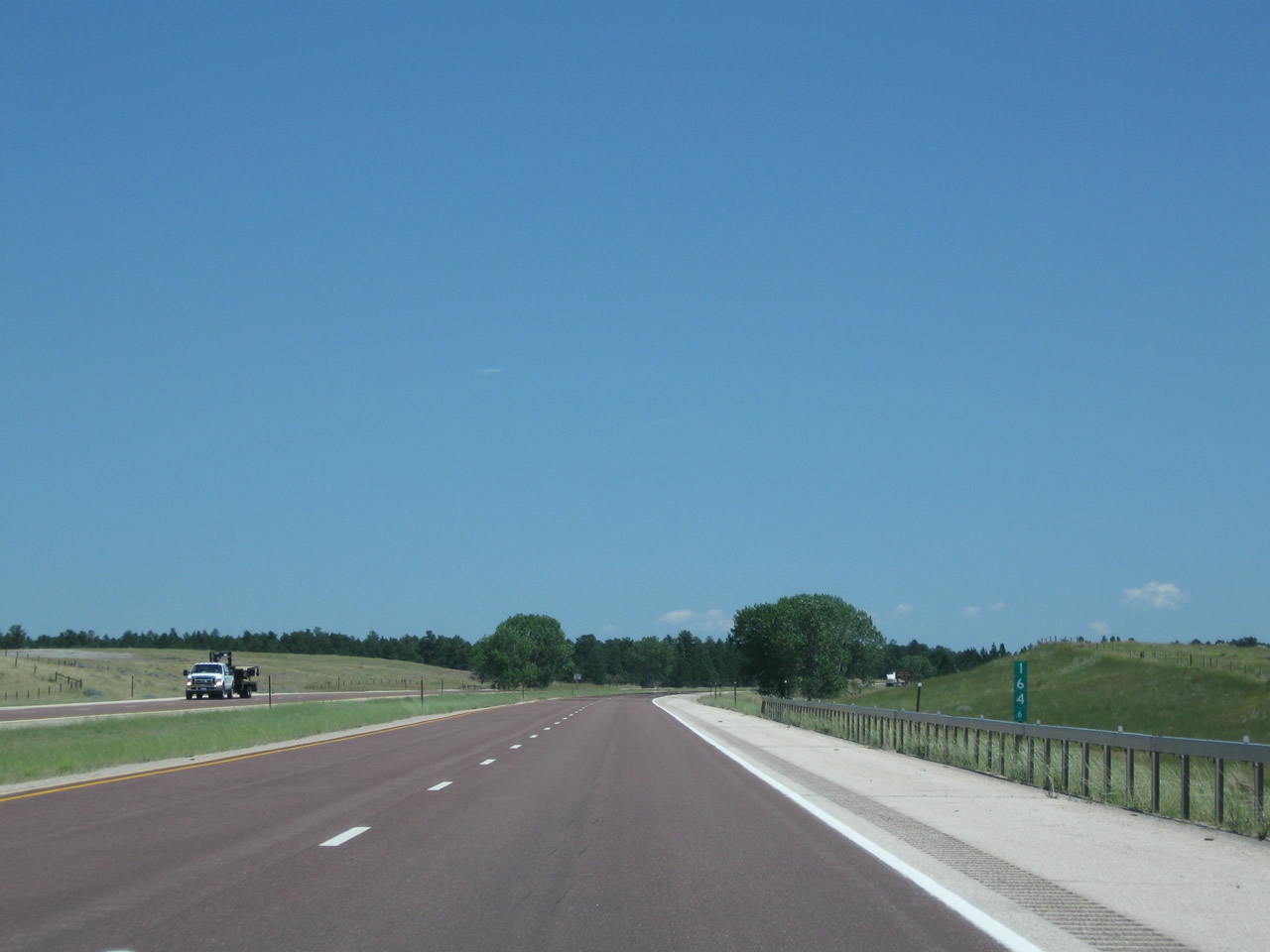
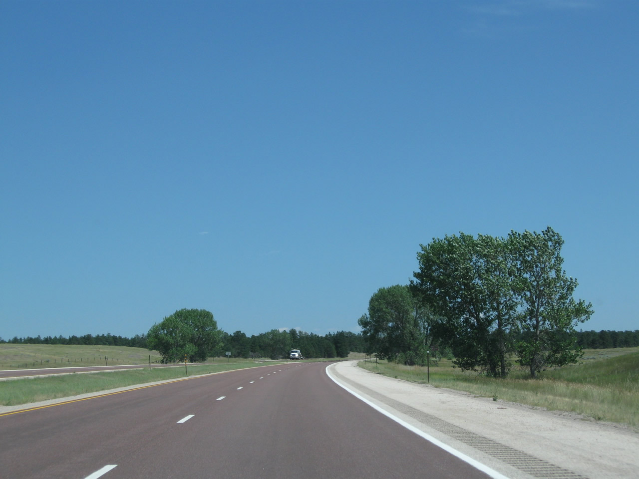
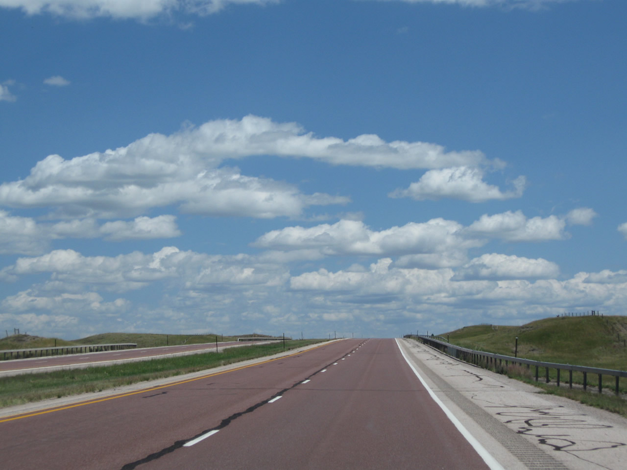
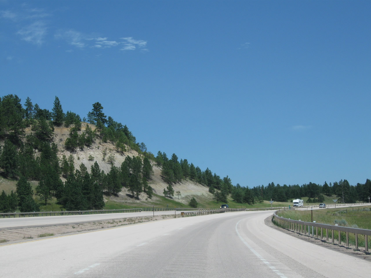
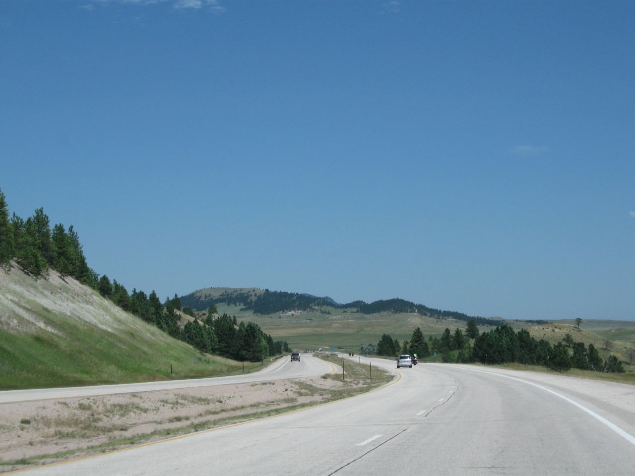
Proceeding east, this series of pictures shows Interstate 90 as it travels east between the parking area and Pine Ridge Road (Exit 165). As the freeway gains elevation, the grass and sagebrush-covered plains yield to trees and forest. Photos taken 08/06/10 and 08/12/11. |
|
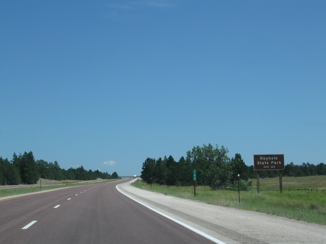
Use Exit 165 to Keyhole State Park. Photo taken 08/06/10. |
|
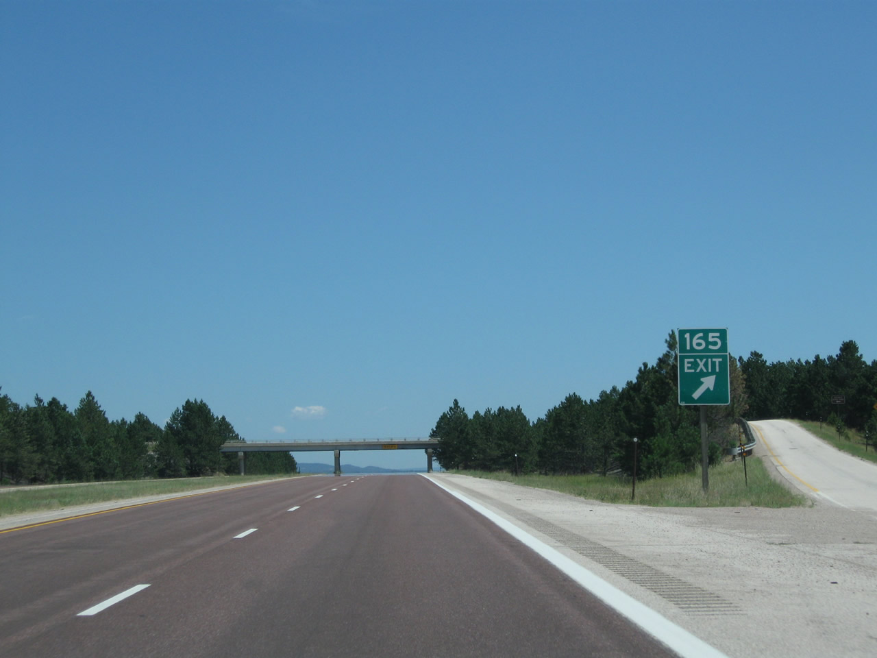
The next interchange along Interstate 90 east is Exit 165, Junction Crook County Route 160/Pine Ridge Road to Crook County Route 205. Use Pine Ridge Road (Crook County Route 205) north to Keyhole State Park and Pine Haven. Photo taken 08/06/10. |
|
Eastbound Interstate 90 reaches Exit 165, Junction Crook County Route 160/Pine Ridge Road. Interstate 90 briefly sees forest as it passes through the Pine Ridge Road interchange, but the freeway will descend back into the plains on the other side. Photo taken 08/06/10. |
|
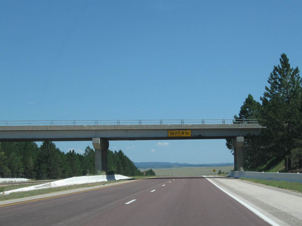
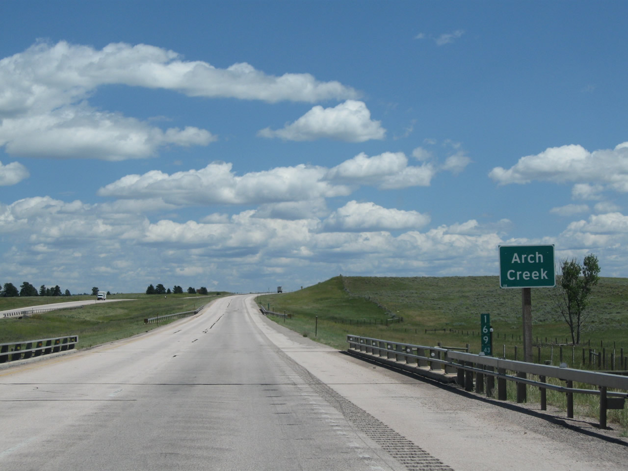
Interstate 90 passes under Crook County Route 160/Pine Ridge Road. The freeway crests here and begins to descend toward Arch Creek. Photo taken 08/06/10. |
|
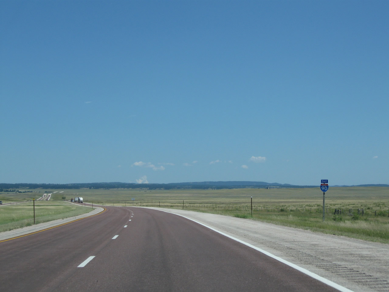
The plains come into view as the freeway loses elevation and leaves Pine Ridge. Photo taken 08/06/10. |
|
An Interstate 90 east reassurance shield is posted after the Pine Ridge Road onramp. Photo taken 08/12/11. |
|
|
|
|
|
| This series of pictures follows Interstate 90 east as it descends from Pine Ridge and crosses Arch Creek. After crossing Arch Creek, Interstate 90 approaches another parking area (Exit 170). Photos taken 08/12/11 and 08/06/10. |
|
|
|
|
|
|
The next exit along Interstate 90 east is Exit 170, Parking Area (750 feet). Photo taken 08/06/10. |
|
Eastbound Interstate 90 meets Exit 170, Parking Area. Motorists may wish to use this pull out for emergencies or to stop and take in the view. A roadside sign at this parking area provides the history of Inyan Kara Mountain. There are neither services nor restrooms at the parking area. Photo taken 08/06/10. |
|
|
|
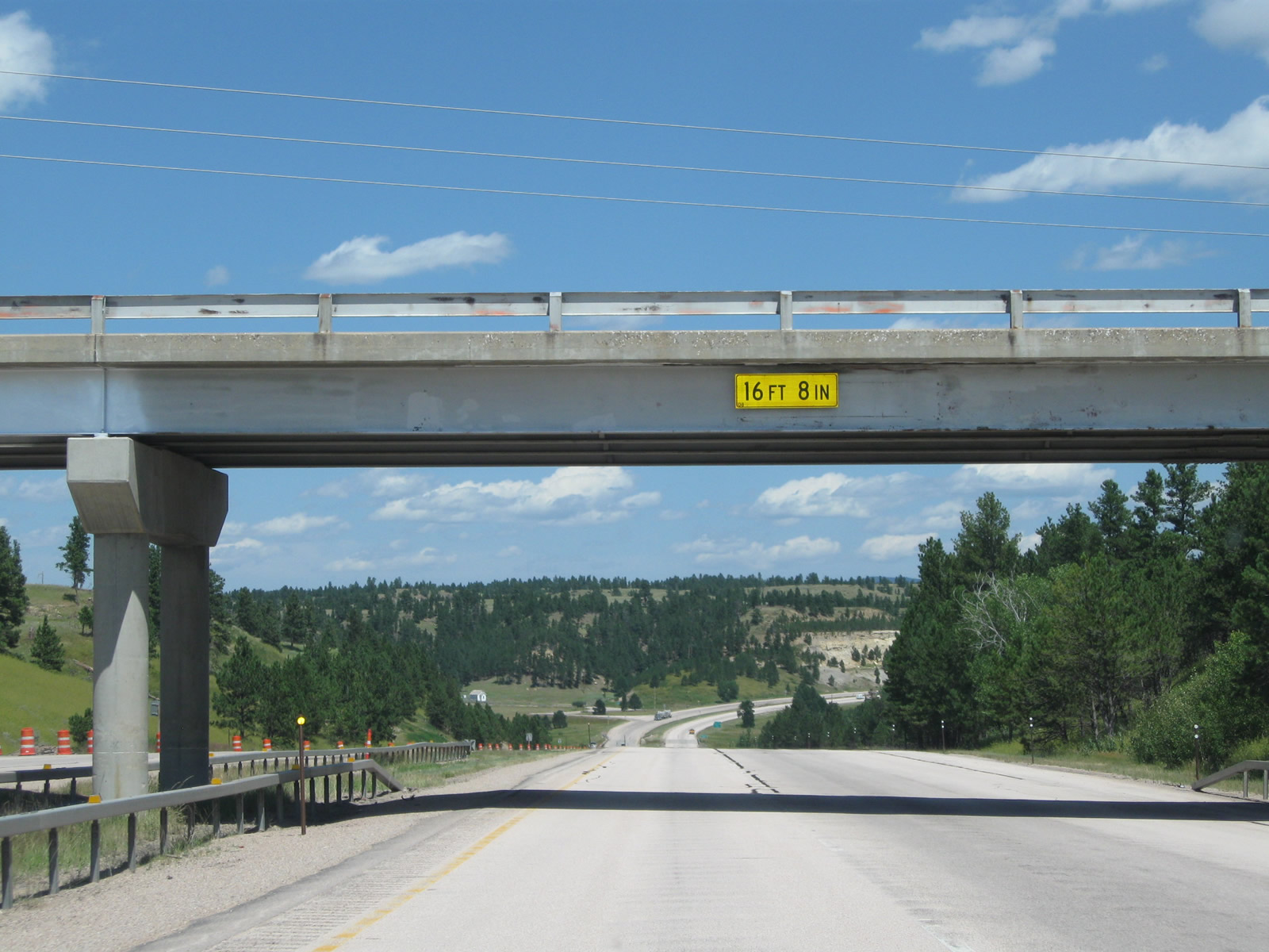
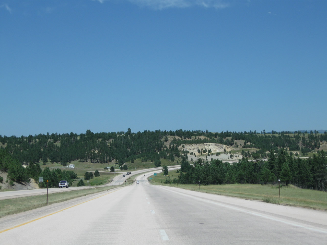
Interstate 90 passes under Crook County Route 93/Old Sundance Road. To Old Sundance Road, use Exit 172, Inyan Kara Road. Look under the bridge for a scenic view downhill toward Inyan Kara Creek as the Black Hills forest resumes. Photos taken 08/06/10 and 08/12/11. |
|
|
|
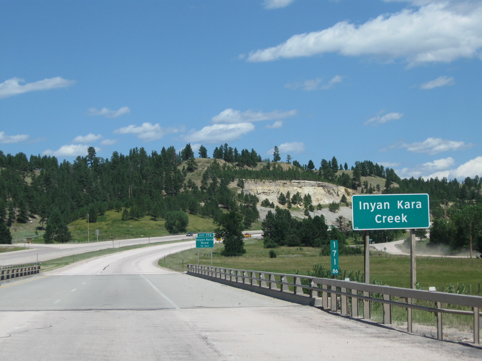
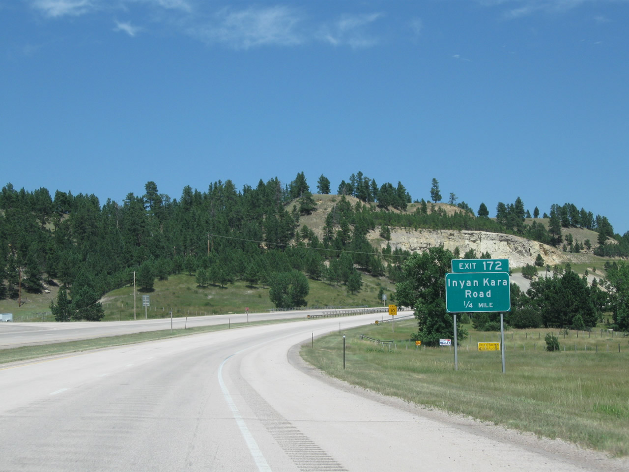
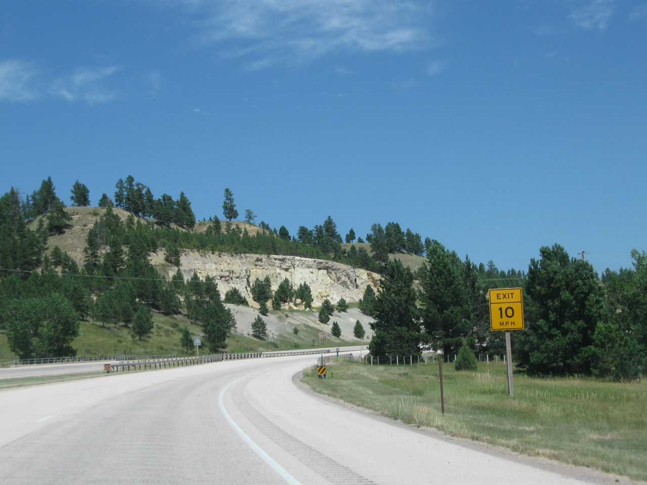
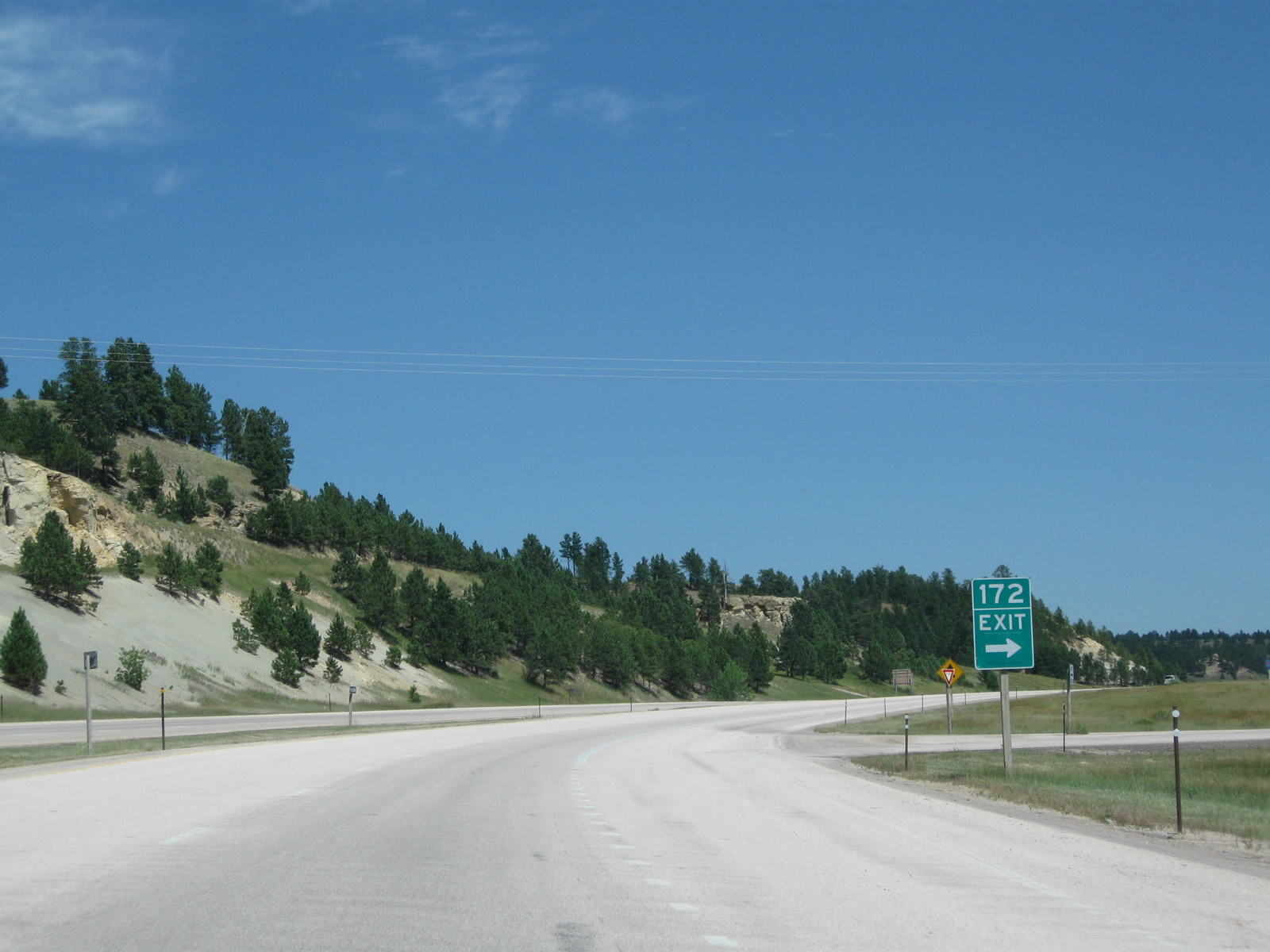
At the bottom of the grade is Inyan Kara Creek (note the Clearview font in use), followed by the offramp to Exit 172, Inyan Kara Road (Crook County Route 151). The offramp is very sharp, so a 10-mile-per-hour warning sign is posted prior to the actual ramp. Photos taken 08/06/10 and 08/12/11. |
|
Eastbound Interstate 90 meets Exit 172, Junction Crook County Route 151/Inyan Kara Road. Like most county-maintained roads in Crook County, Inyan Kara Road is unpaved. However, it does interconnect with other major routes, including U.S. 14 to the north. Photo taken 08/06/10. |
|
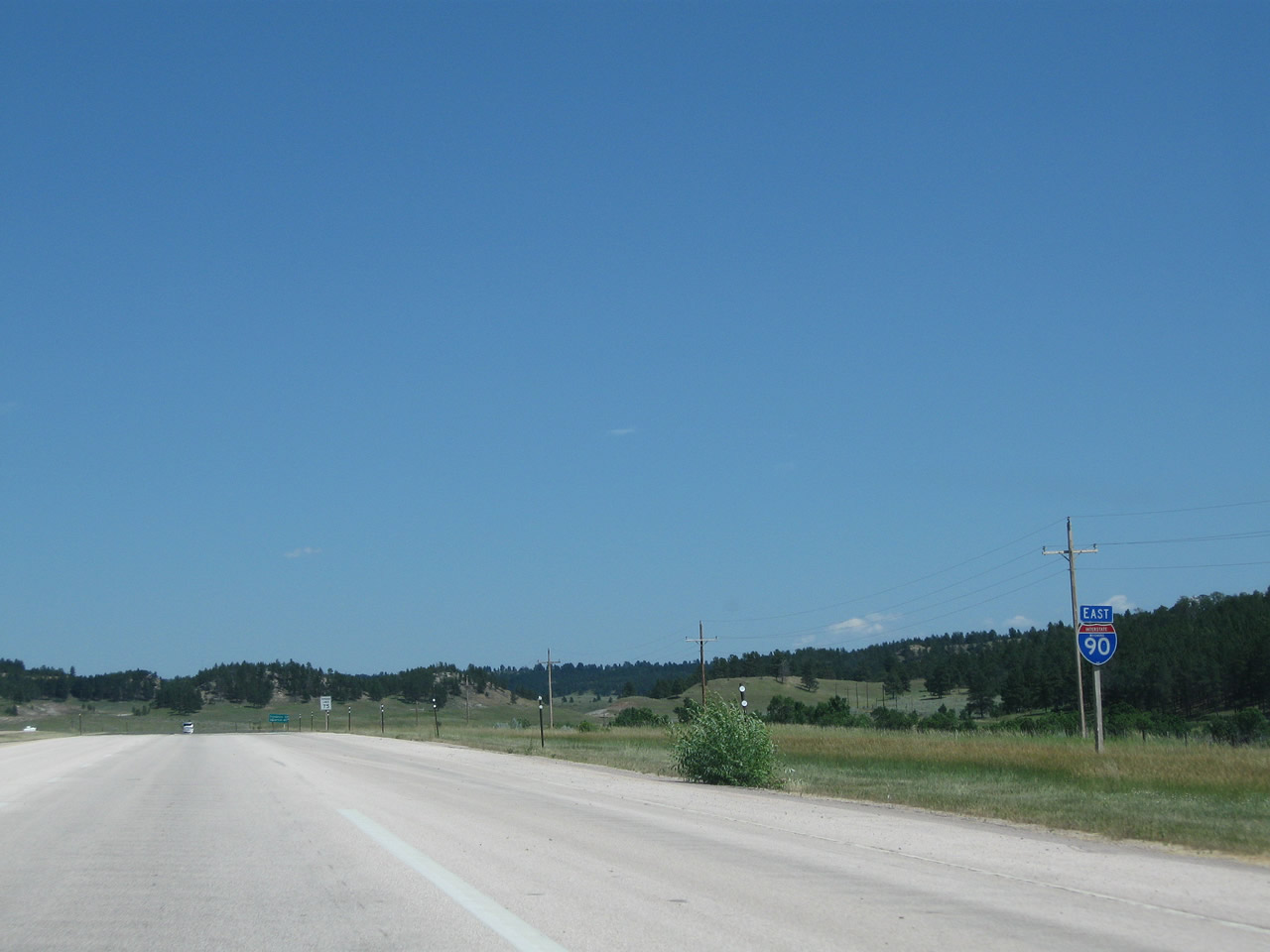
An Interstate 90 east reassurance route marker is posted after the onramp from Inyan Kara Road. Photo taken 08/06/10. |
|
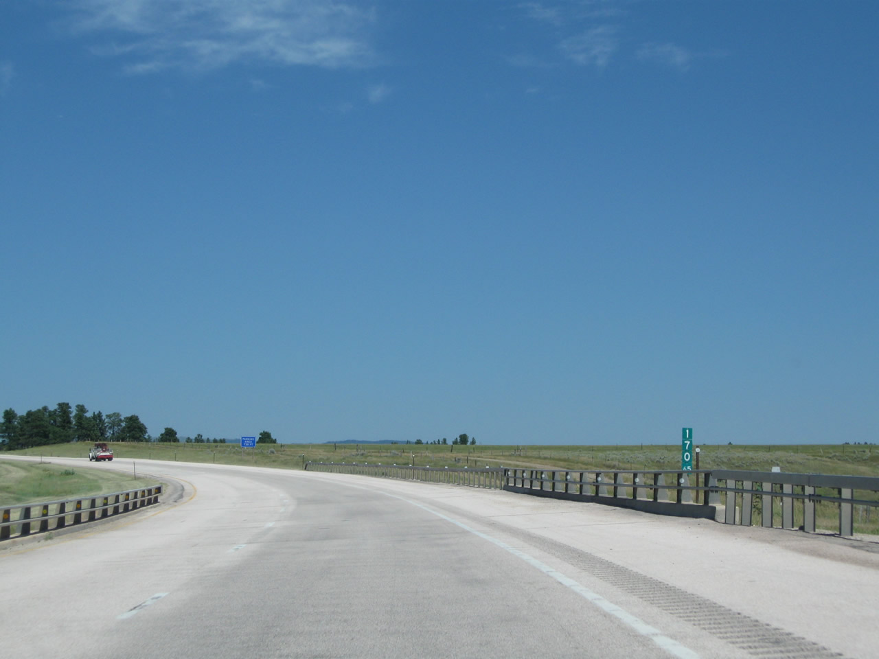
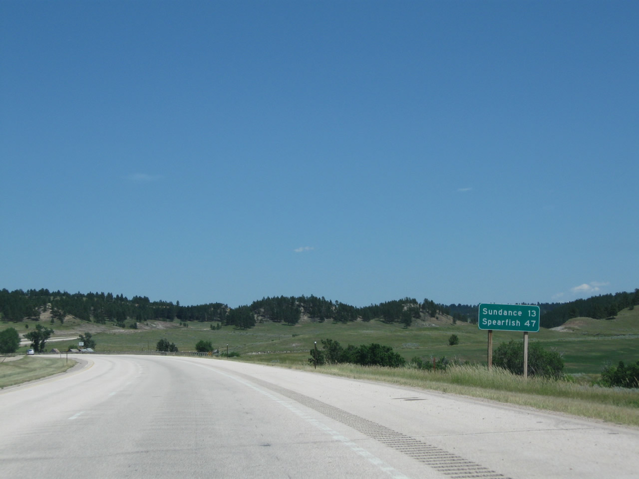
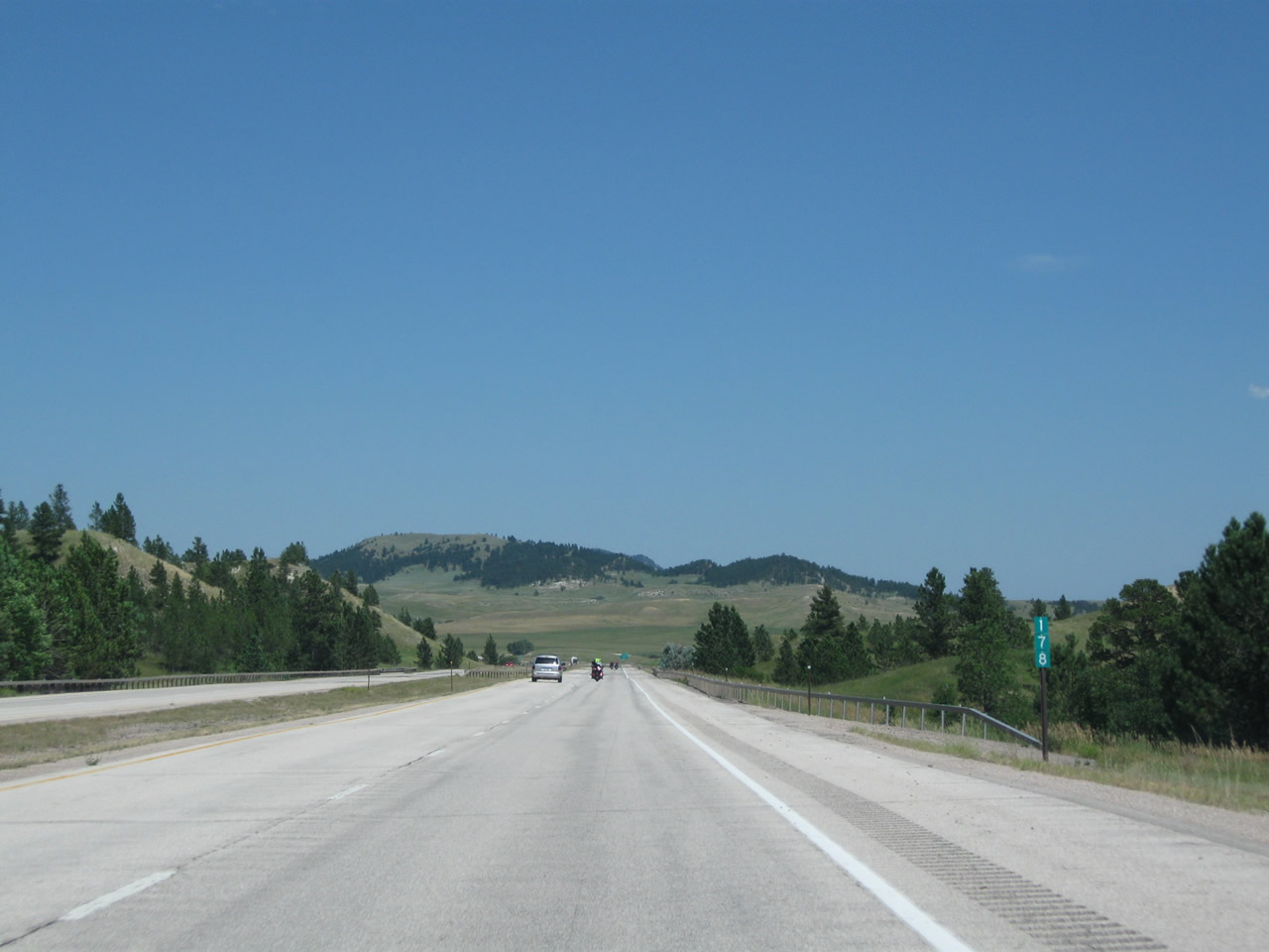
This mileage sign along Interstate 90 east provides the distance to Sundance (13 miles) and Spearfish, South Dakota (47 miles). Omitted is the distance to Rapid City. Photo taken 08/06/10. |
|
|
|
|
|
| This series of pictures follows Interstate 90 east as it ascends from Inyan Kara Creek toward picturesque Coal Divide. Another parking area (Exit 177) is located near the top of the grade at Coal Divide. Photos taken 08/12/11 and 08/06/10. |
|
|
|
|
|
|
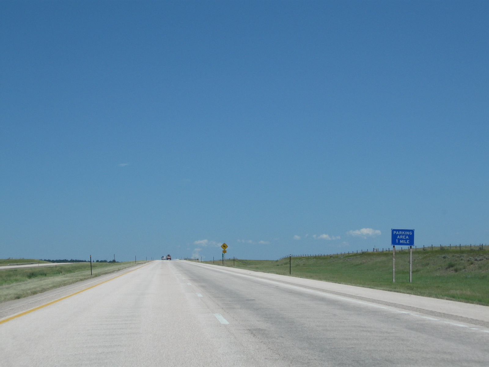
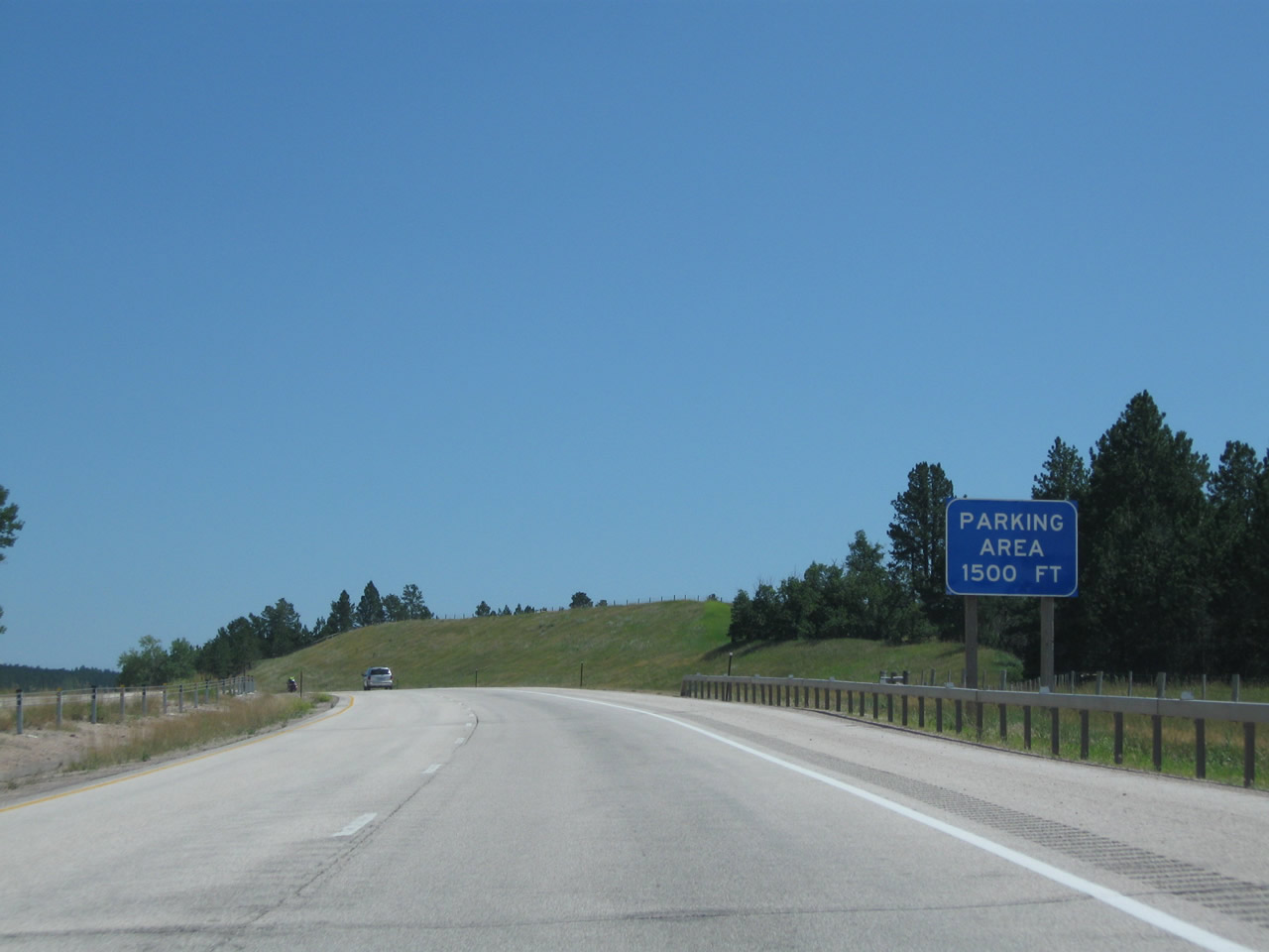
Eastbound Interstate 90 approaches Exit 177, Parking Area (1500 feet). Motorists may wish to use this pull out for emergencies or to stop and take in the view. There are neither services nor restrooms at the parking area. Photo taken 08/06/10. |
|
At the top of the grade between Inyan Kara Creek and Coal Divide, eastbound Interstate 90 meets Exit 177, Parking Area at Coal Divide. During winter months, when snow and ice are prevalent along the route, the drive between Moorcroft and Sundance can be treacherous (especially near Pine Ridge and Inyan Kara). The parking area offers a chance to install or remove tire chains or to place a cell phone call. Cell service along this section of Interstate 90 can be spotty depending on the carrier; check with the cellular service provider ahead of your trip. Photo taken 08/06/10. |
|
|
|
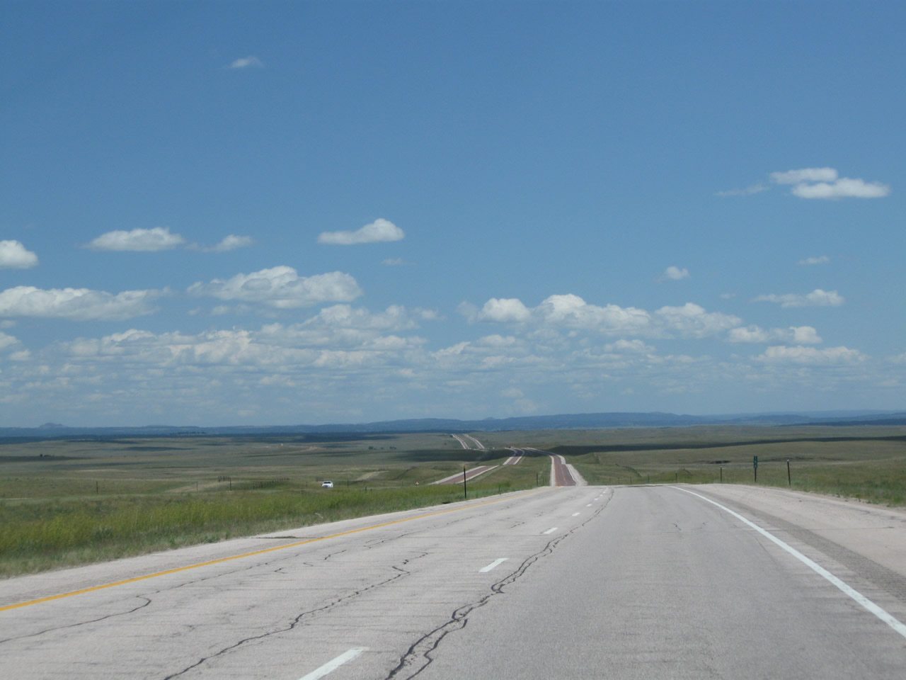
Interstate 90 descends from Coal Divide. Once again, rolling plains and forested hills intermix to create a grand view of the Wyoming Black Hills. Much of the forested land north of Interstate 90 is part of Black Hills National Forest. Photos taken 08/06/10. |
|
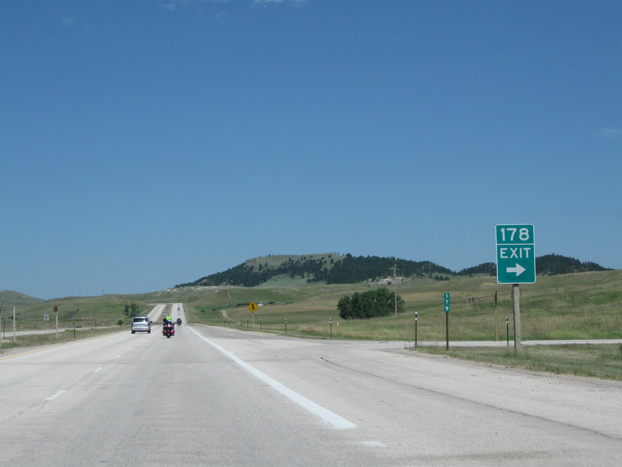
At the bottom of the grade, eastbound Interstate 90 approaches Exit 178, Coal Divide Road and Beaver Creek Road (0.25 mile). Upon exiting, turn north for Coal Divide Road (Crook County Route 120) and Old Sundance Road or south for Beaver Creek Road (Crook County Route 216). Photo taken 08/06/10. |
|
Eastbound Interstate 90 reaches Exit 178, Coal Divide Road (Crook County Route 120) and Beaver Creek Road (Crook County Route 216). This exit requires a sharp right turn from the freeway, so the posted exit speed is 15 miles per hour. Photo taken 08/06/10. |
|
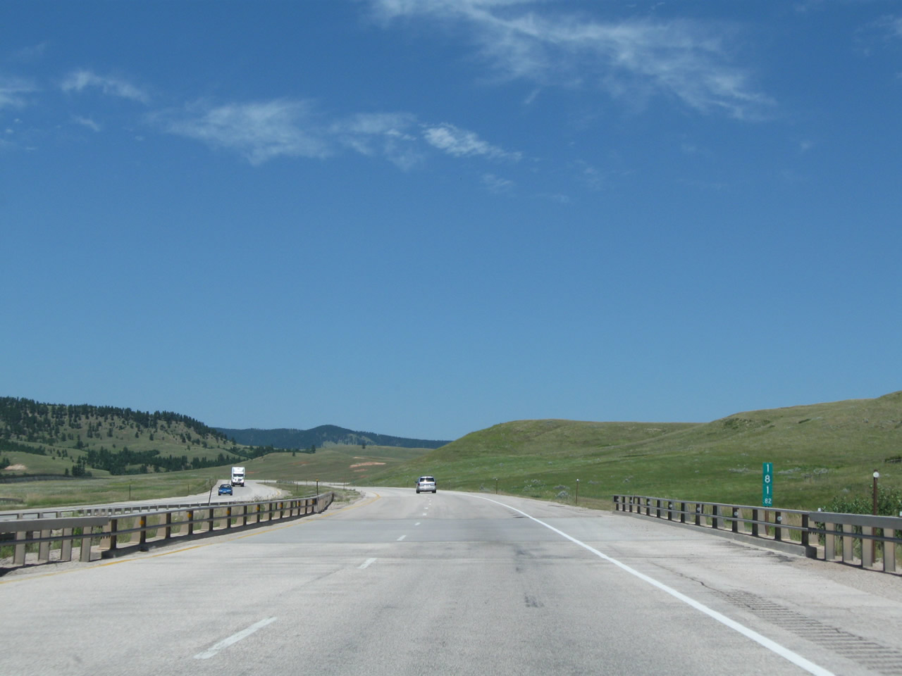
After the Coal Divide Interchange, this Interstate 90 east reassurance shield is posted after the onramp. Note that this shield omits the state name of Wyoming (and thus is "neutered"), a trend that is increasingly common in the Equality State. Back in the early 1990s, there were virtually no standalone neutered shields anywhere in Wyoming; that of course has changed since then. This shield is posted next to Milepost 180. Photo taken 08/12/11. |
|
|
|
|
|
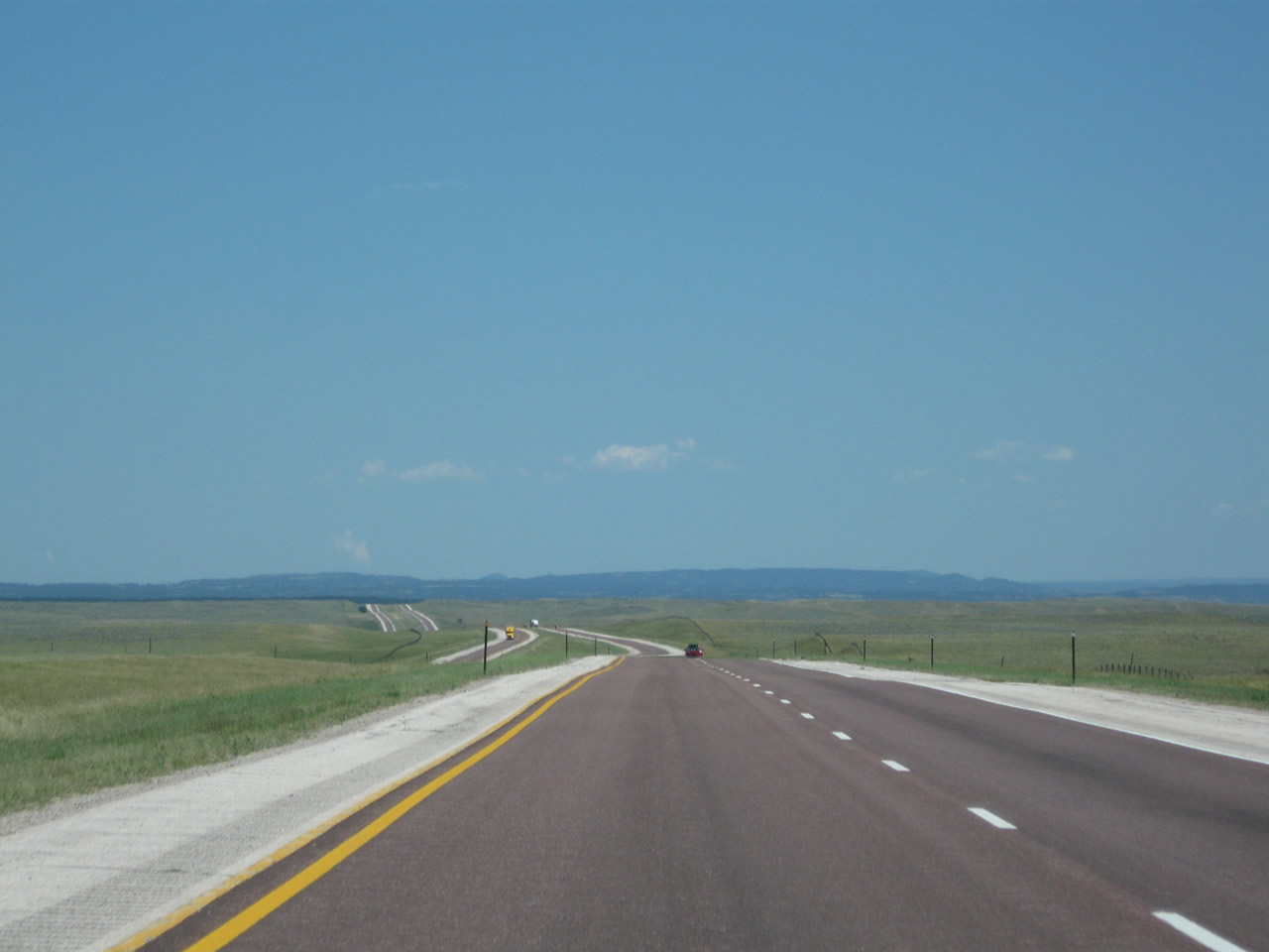
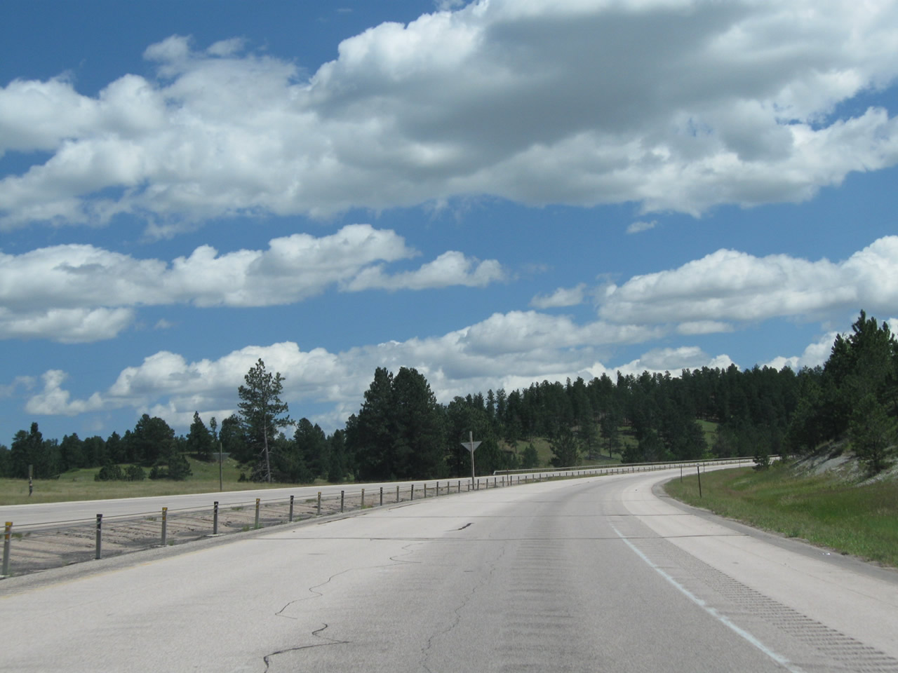
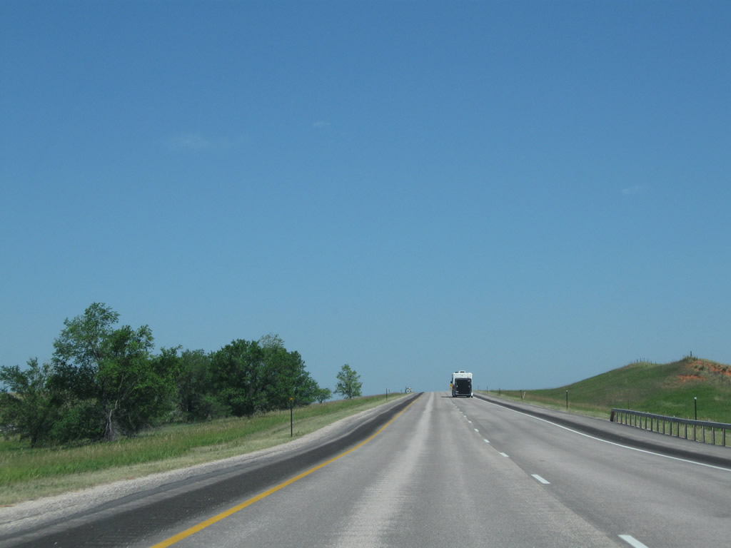
| This series of pictures follows Interstate 90 east between the Coal Divide Interchange and the outskirts of Sundance. The freeway ascends from Beaver Creek and approaches Sundance from the southwest. Photos taken 08/06/10. |
|
|
|
|
|
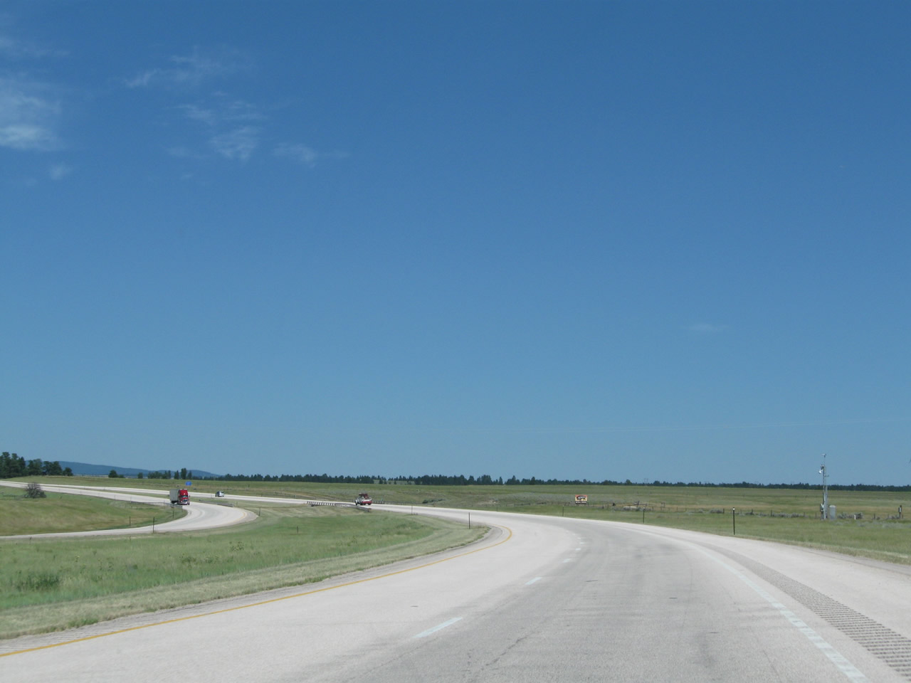
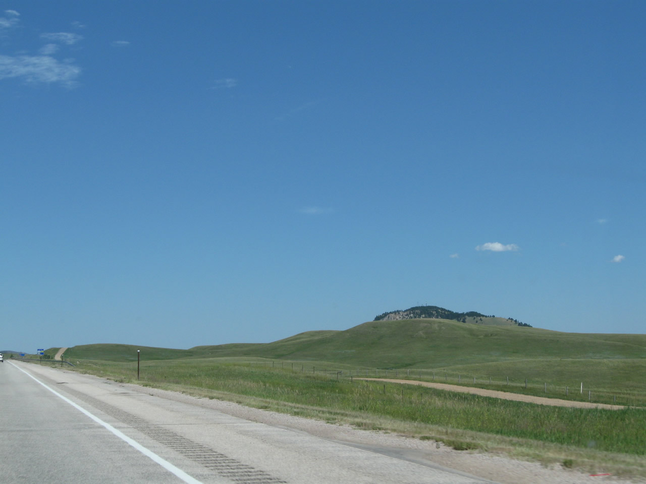
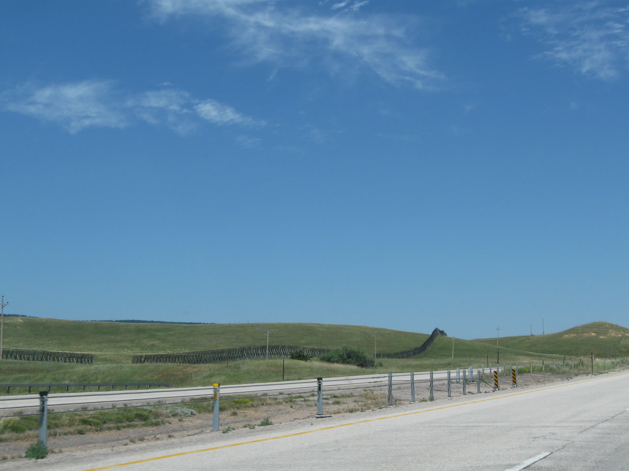
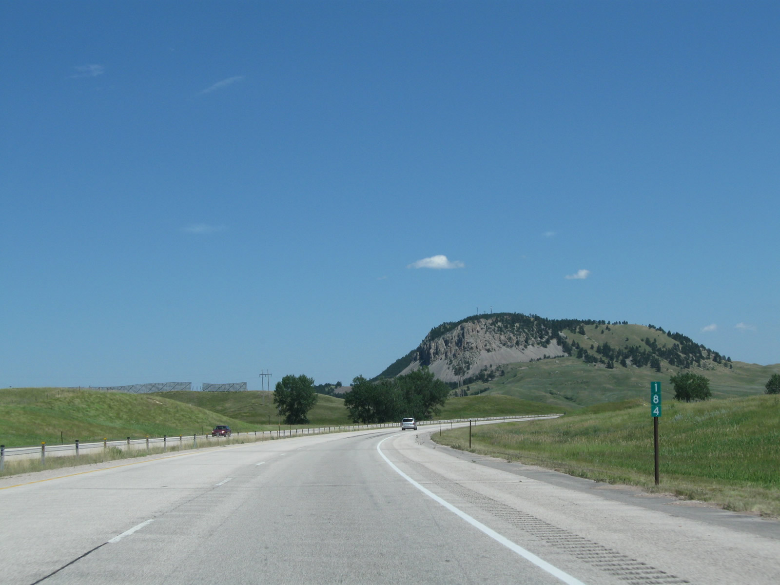
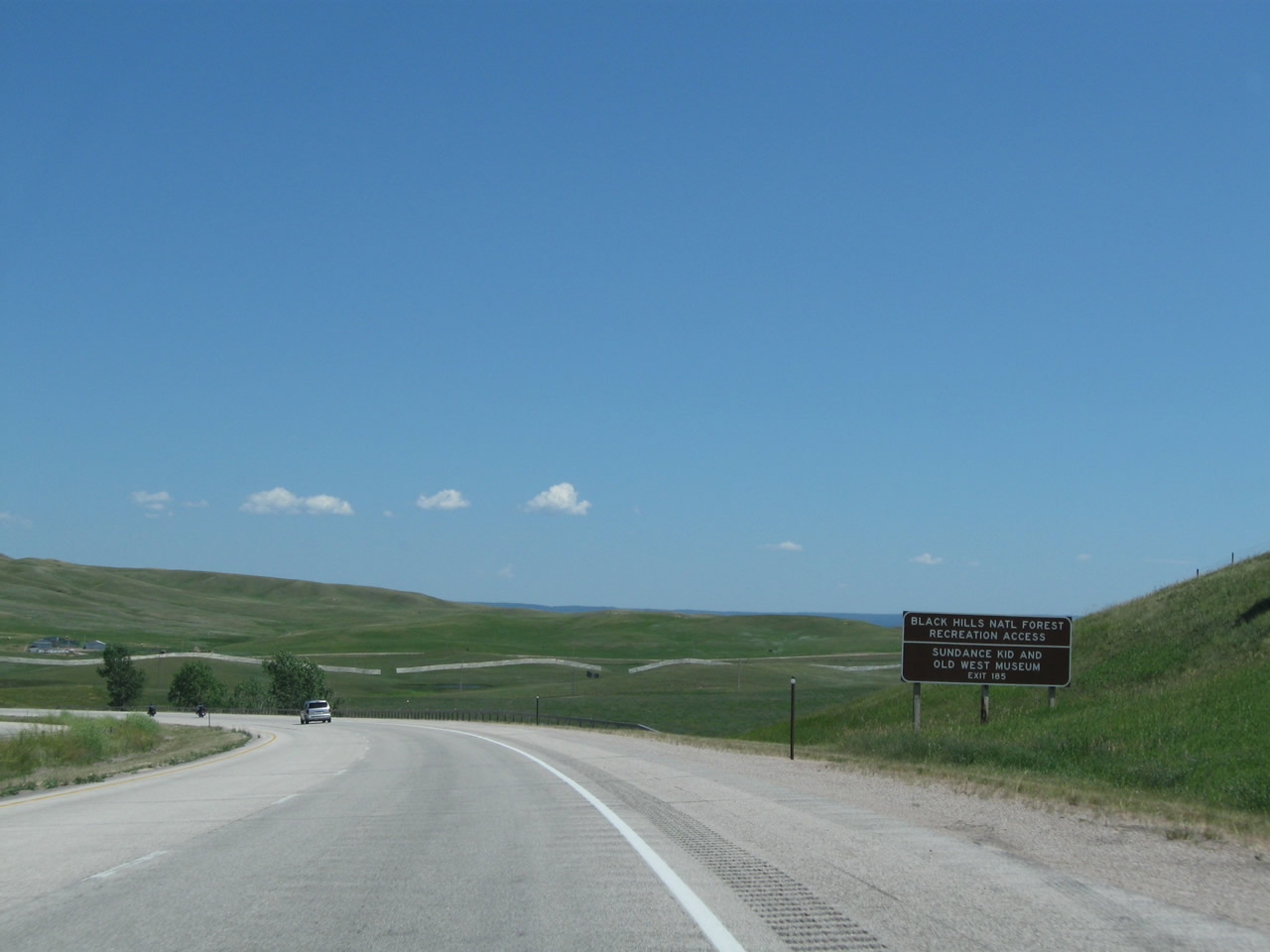
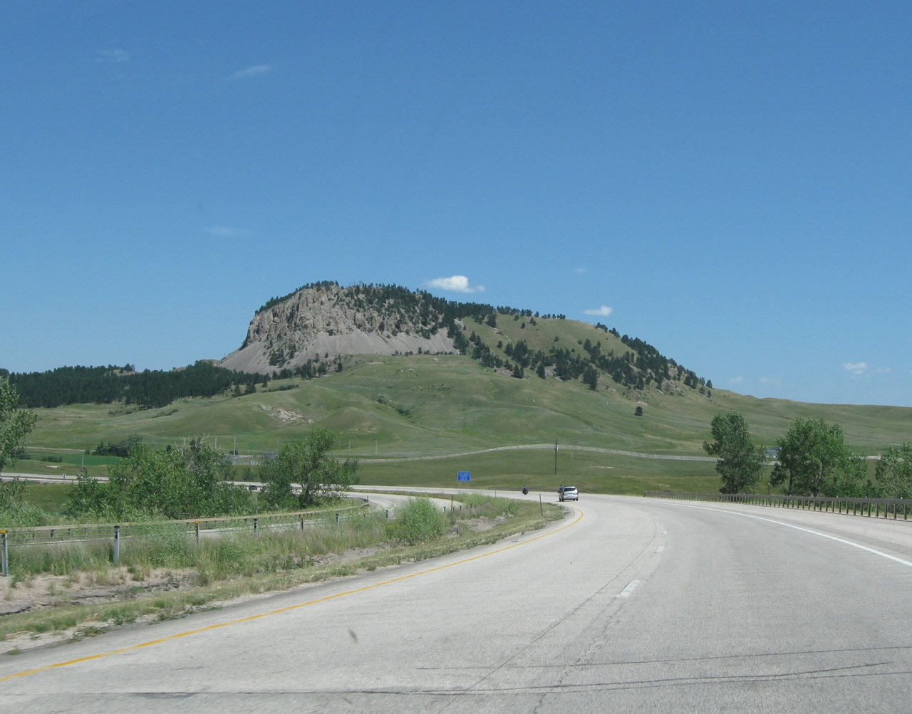
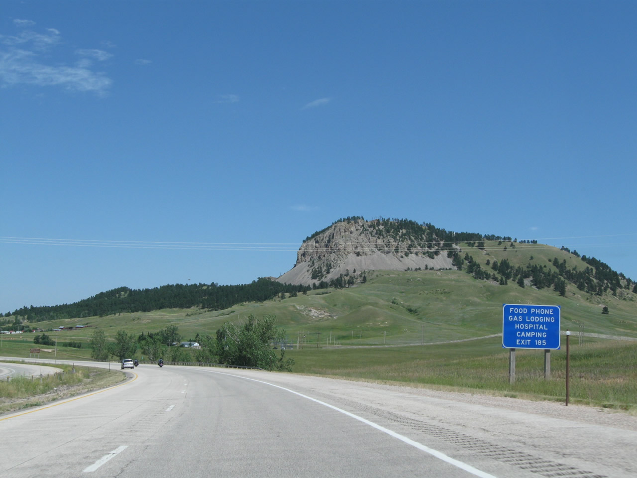
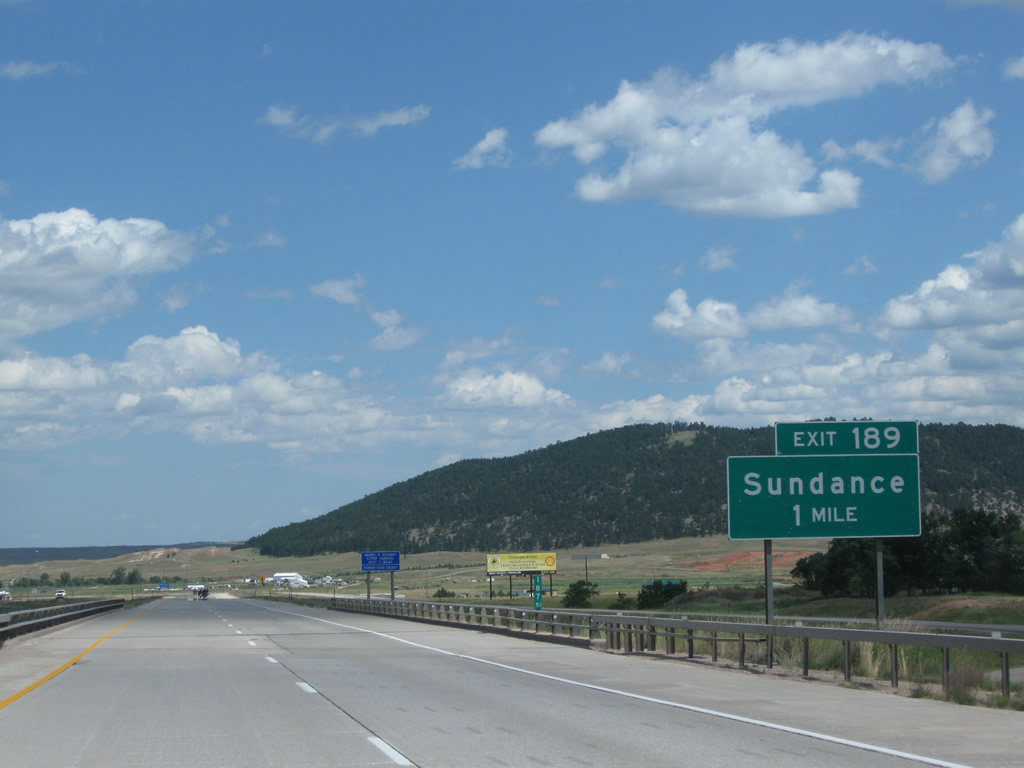
| Continuing east, Interstate 90 will next approach the Western Sundance Interchange (Exit 185). A series of blue service signs appear prior to the first gree guide signs for the interchange. Dominating the view as we come toward Sundance is Sundance Mountain (elevation 5,810 feet above sea level), which some say is shaped like a lumbering buffalo. Photos taken 08/06/10. |
|
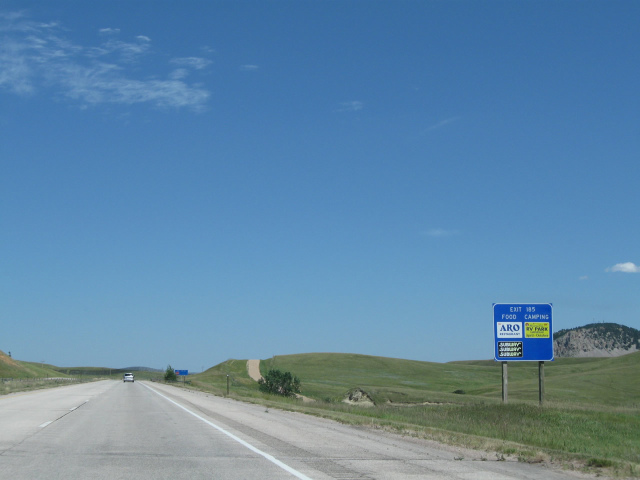
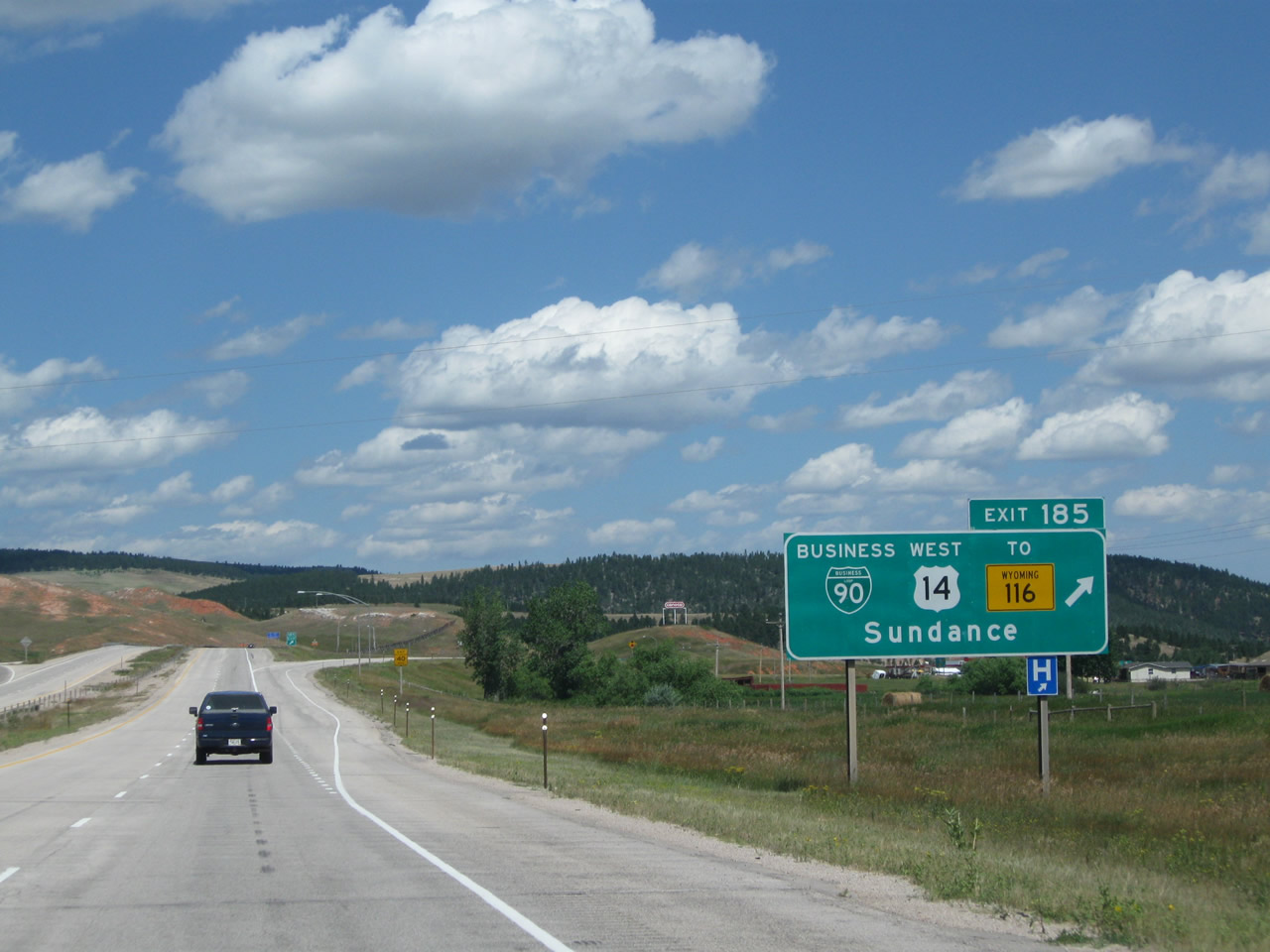
The next three exits along Interstate 90 east all serve the town of Sundance (population 1,161 as of the 2000 Census and elevation 4,750 feet above sea level). Sundance is the seat of Crook County; motorist services are available in Sundance (including gas, food, and lodging). These three exits are: Exit 185, U.S. 14 and Business Loop I-90/West Street to Wyoming 116; Exit 187, Wyoming 585/South Sixth Street; and Exit 189, Junction Business Loop I-90 and U.S. 14/East Cleveland Street. Photo taken 08/06/10. |
|
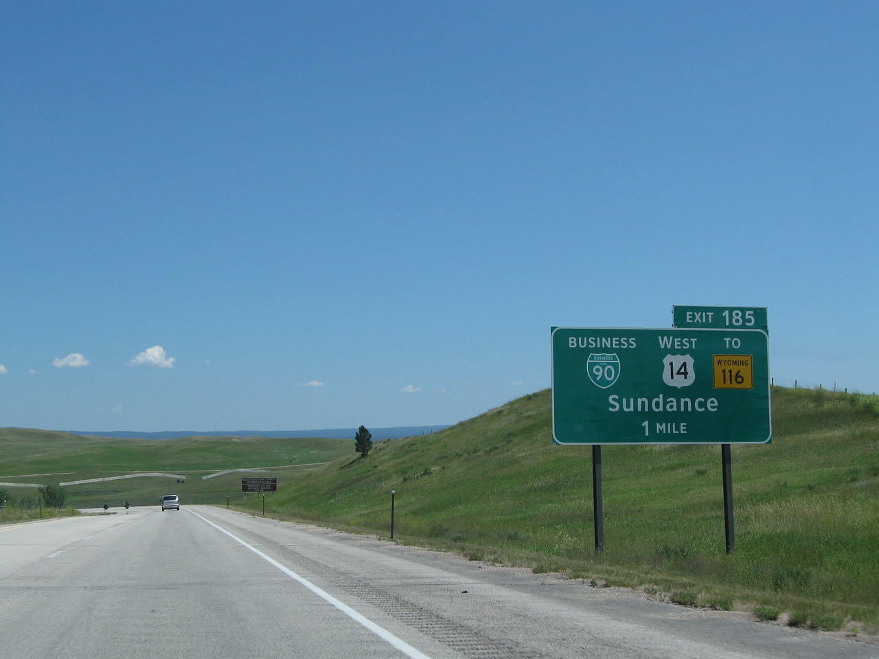
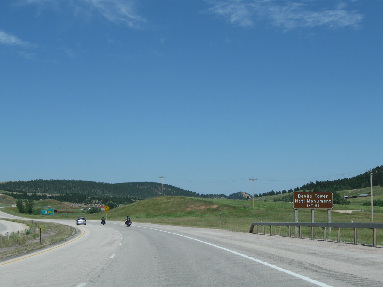
The next exit along Interstate 90 east is Exit 185, U.S. 14 and Business Loop I-90 to Wyoming 116. Upon exiting at this diamond interchange, turn left to follow U.S. 14 northwest to Devils Tower and Hulett. Turn right to follow Business Loop I-90 and U.S. 14 east into Sundance. Wyoming 116, a northeast-southwest route travels southwest toward Upton and Wright. Use Business Loop I-90 and U.S. 14 east to Wyoming 116 southwest. Through Sundance, Business Loop I-90 follows Cleveland Street and meets Wyoming 585 near the center of town. The business route and U.S. 14 will return to Interstate 90 at Exit 189. Photo taken 08/06/10. |
|
Sundance is the site for a particularly famous arrest and trial during the Wild West Days. The Sundance Kid (Harry Alonzo Longabaugh) was arrested for stealing a horse in 1887; Longebaugh gained his nickname as the Sundance Kid while in jail for 18 months. He was popularized in the 1969 film Butch Cassidy and the Sundance Kid, in which he was played by actor Robert Redford. A museum about the history of Crook County, including the Sundance Kid's visit, is located in the basement of the Crook County Courthouse in downtown Sundance off Business Loop I-90. Photo taken 08/06/10. |
|
Sundance Mountain and its buffalo appearance clearly come into view as Interstate 90 approaches the Western Sundance Interchange. Photo taken 08/06/10. |
|
Use Exit 185 for food, gas, lodging, camping, phone, and hospital. Photo taken 08/06/10. |
|
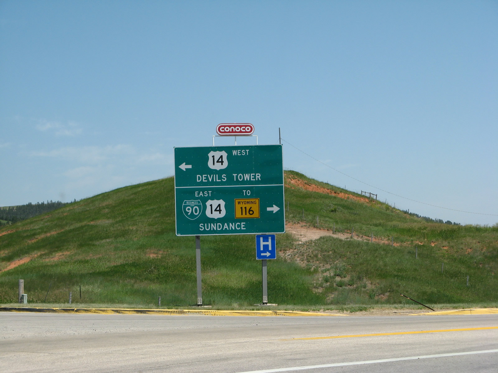
To Devils Tower National Monument, follow U.S. 14 west. Photo taken 08/06/10. |
|
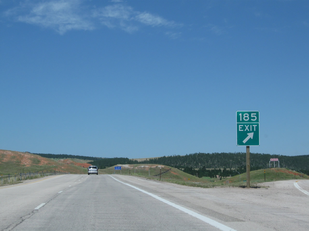
Eastbound Interstate 90 reaches Exit 185, Junction Business Loop I-90 and U.S. 14 east to Sundance; U.S. 14 west to Devils Tower; and Wyoming 116 southwest to Upton and Wright. The business route departs the Interstate here and will return to Interstate 90 at Exit 189. Photo taken 08/12/11. |
|
As is commonly found in Wyoming, the exit number appears above the word "Exit" at Exit 185. Photo taken 08/06/10. |
|
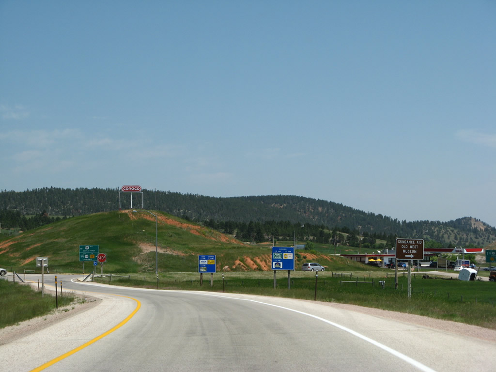
Upon exiting, this sign advises motorists to turn right (east) on Business Loop I-90 and U.S. 14 to the Sundance Kid Old West Museum at the Crook County Courthouse. Photo taken 07/05/08. |
|
At the bottom of the offramp from Exit 185, turn left for U.S. 14 west to Devils Tower National Monument. Turn right for Business Loop I-90 and U.S. 14 east to Sundance and Wyoming 116 south to Upton and Wright. Photo taken 07/05/08. |
|
Back on the mainline, an Interstate 90 east reassurance shield is posted after the onramp from Business Loop I-90 and U.S. 14 (West Sundance Interchange). Photo taken 08/06/10. |
|
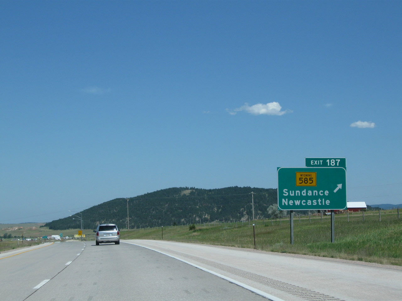
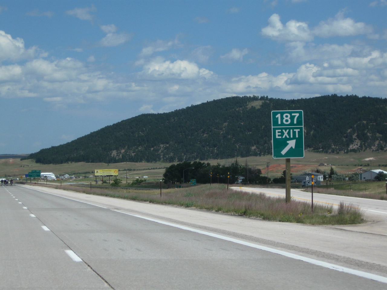
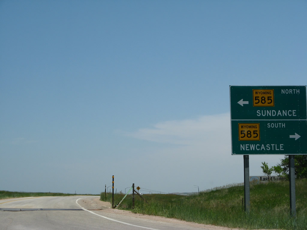
The next exit along Interstate 90 east is Exit 187, Wyoming 585/Sixth Street. Use Wyoming 585 north into downtown Sundance or south to Four Corners and Newcastle (via U.S. 85). Photo taken 08/06/10. |
|
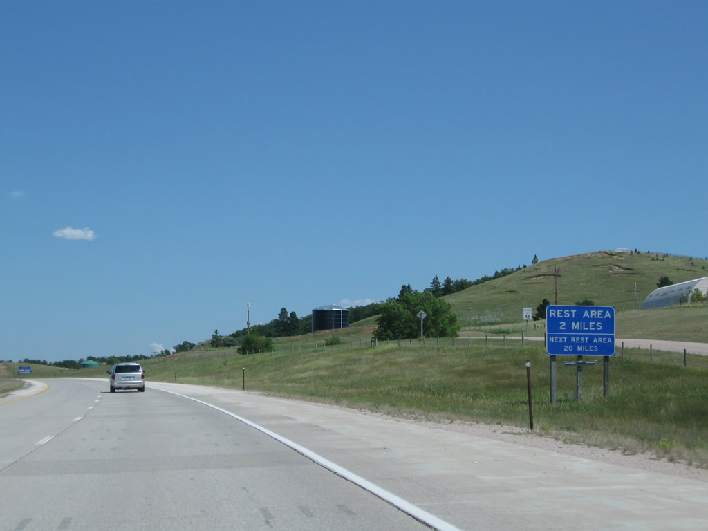
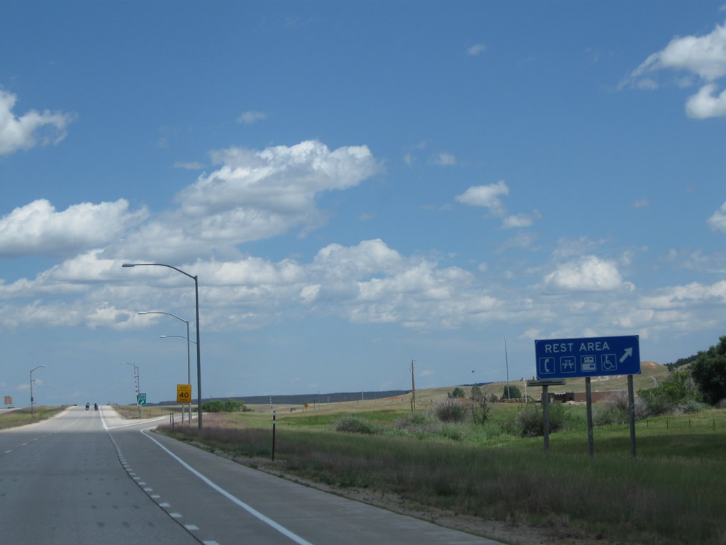
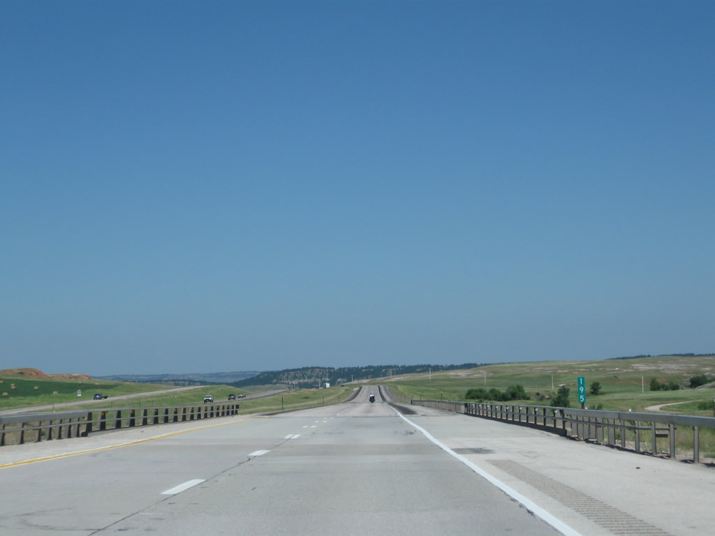
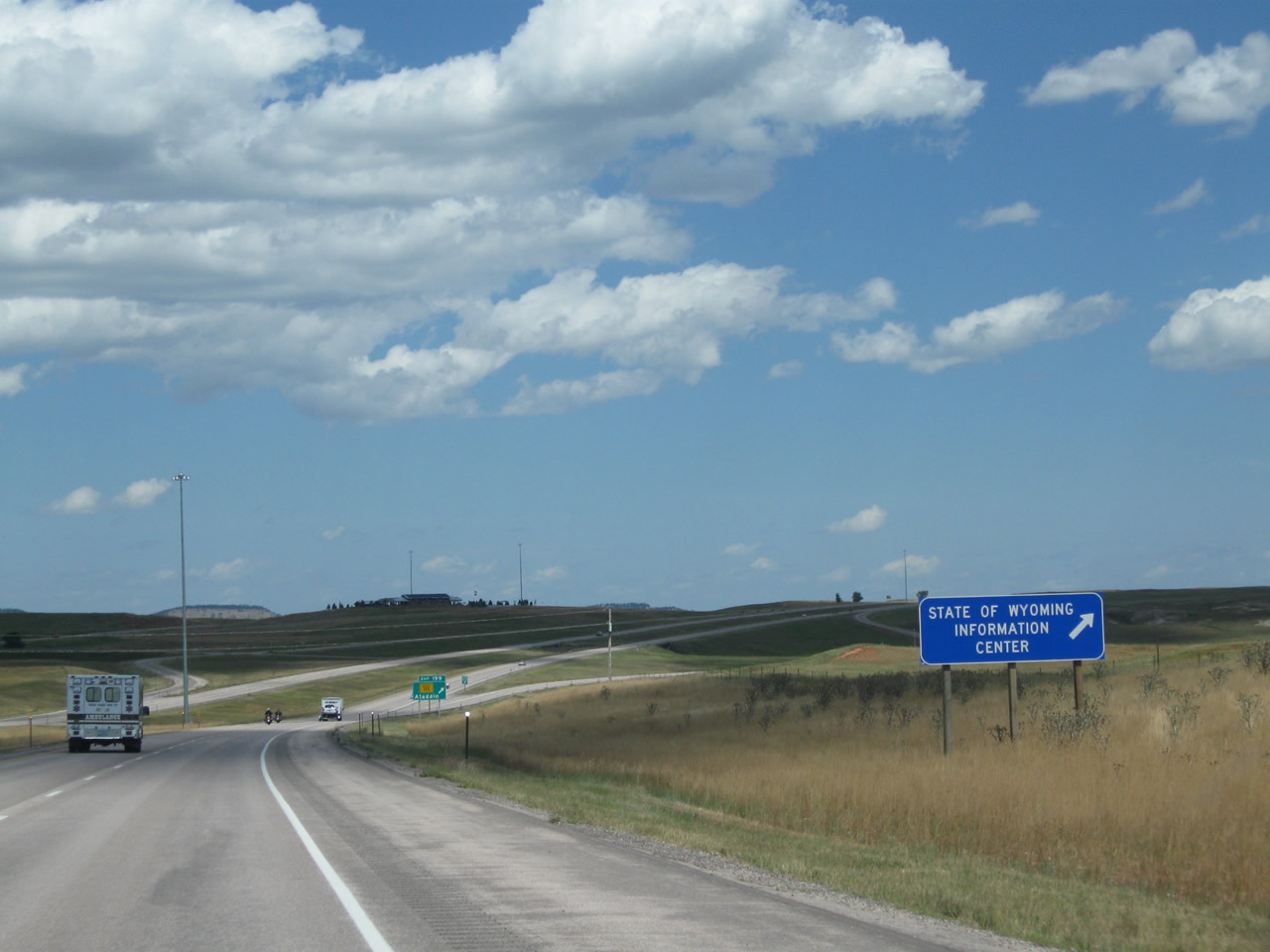
A Rest Area is located at Exit 189 (two miles ahead) with restrooms, parking, and picnic tables. The next rest area after this is at Exit 199, Wyoming 111, which is the Northeast Wyoming Information Center. This picture was taken before the new welcome center south of Aladdin opened. Photo taken 08/06/10. |
|
Eastbound Interstate 90 meets Exit 187, Wyoming 585/Sixth Street north to downtown Sundance and south to Newcastle. Photo taken 08/06/10. |
|
The interchange between Interstate 90 and Wyoming 585 is a full diamond with high-speed exit ramps. This gore point sign was converted to Clearview font in 2011. Photo taken 08/12/11. |
|
At the base of the offramp, turn left for Wyoming 585/Sixth Street north to Sundance or turn right for Wyoming 585 south to Four Corners, Newcastle, and points south via U.S. 85. Photo taken 07/05/08. |
|
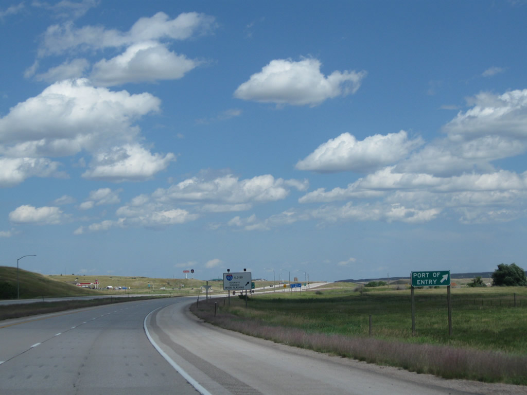
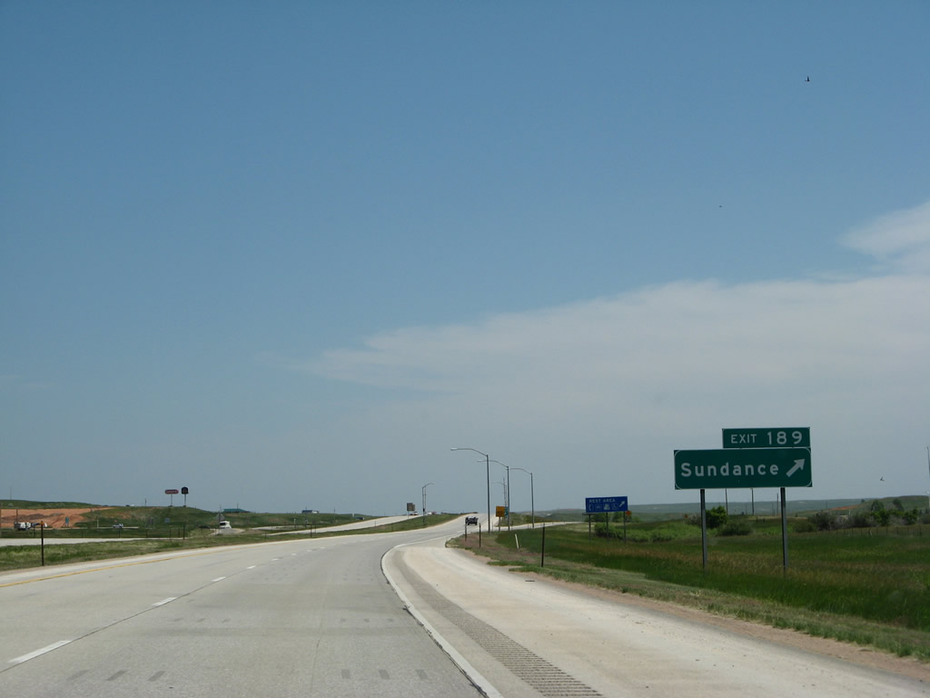
Back on the mainline, the next exit along Interstate 90 east is Exit 189, Junction Business Loop I-90 and U.S. 14/Cleveland Street west, along with the Sundance Rest Area and Port of Entry. Photo taken 08/12/11. |
|
|
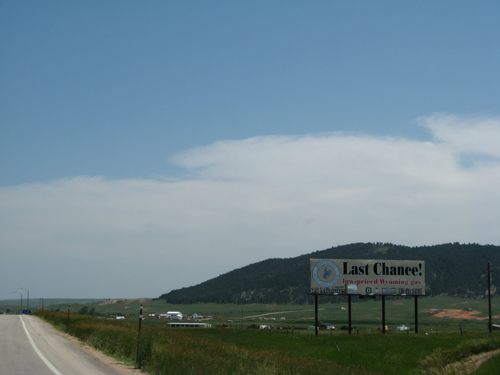
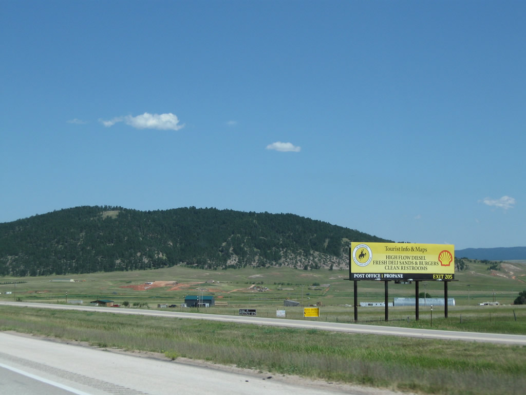
This billboard advertises a truck stop operating near the Wyoming-South Dakota state line in the community of Beulah. Notably, in 2008 the billboard highlighted the "last chance ... low-priced Wyoming gas," while the 2010 version of the billboard was less focused on gas price and moreso on amenities and tourist information available at the truck stop. Tourist information is also available at the state information center, which opened in 2010 at Exit 199. Photos taken 07/05/08 and 08/06/10. |
|
Use Exit 189 to the Sundance Rest Area (one-half mile). Like most rest areas in Wyoming, motorists must use a regular exit (in this case, the East Sundance Interchange) to access the facility. Photo taken 08/12/11. |
|
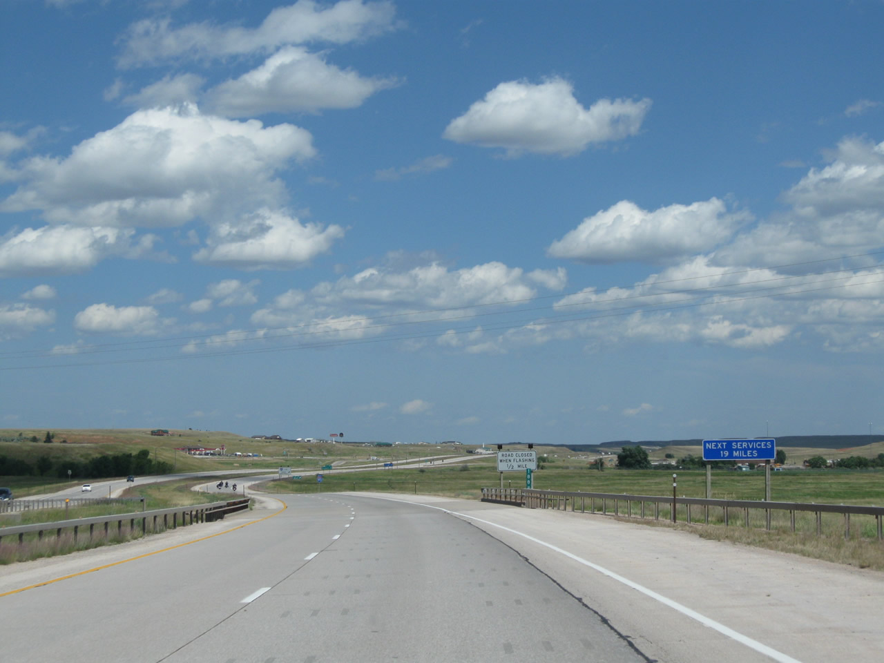
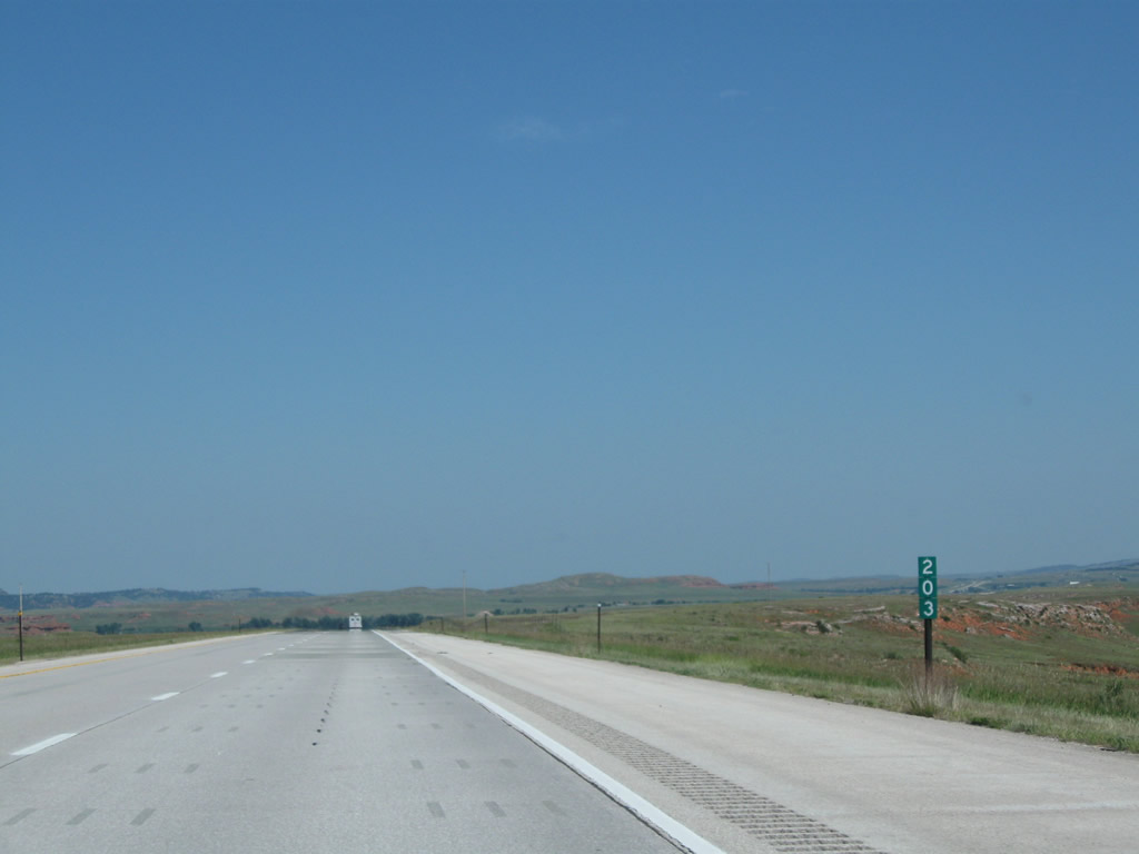
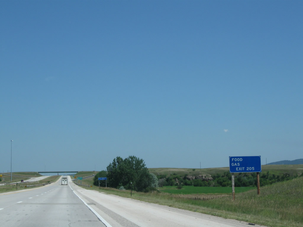
The next motorist services after Exit 189 are available at Exit 205, Beulah, at the truck stop advertised on the billboard shown above. That exit is about 15 miles east of here, so we're not sure why this sign says 19 miles. Photo taken 08/12/11. |
|
An Interstate 90 east reassurance shield posted after Exit 187. Photo taken 08/12/11. |
|
Trucks should stop at Exit 189 for the Port of Entry located near the East Sundance Interchange. Photo taken 07/05/08. |
|
Trucks and commercial vehicles may need to stop at Exit 189 for the Port of Entry located at the East Sundance Interchange. At the bottom of the offramp, turn right (south) for the connection to the Rest Area and Port of Entry. Photo taken 07/05/08. |
|
Eastbound Interstate 90 reaches Exit 189, Junction Business Loop I-90 and U.S. 14 west to Sundance, the Port of Entry, and Rest Area (East Sundance Interchange). U.S. 14 rejoins Interstate 90 ahead; however, the old alignment of U.S. 14 is maintained by the state as a frontage road to the freeway from this interchange east all the way to the state line. The frontage road does not have a state highway designation but is paved and open for traffic. Photo taken 08/12/11. |
|
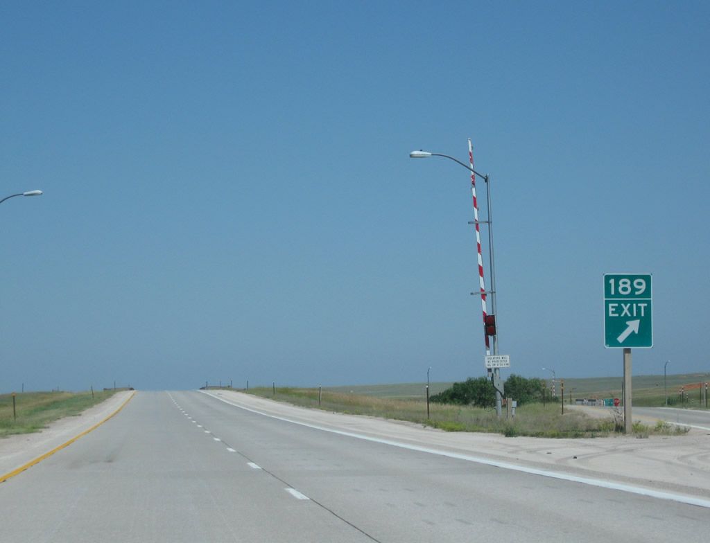
A final sign indicates that the Rest Area is at Exit 189. Photo taken 08/12/11. |
|
A closure gate is located next to the gore point for Exit 189 at the East Sundance Interchange. Photo taken 08/06/10. |
|
This view looks east on Interstate 90 from the East Sundance Interchange. Ahead, U.S. 14 will join Interstate 90 for the remaining distance to the Wyoming-South Dakota State Line. Photo taken 08/12/11. |
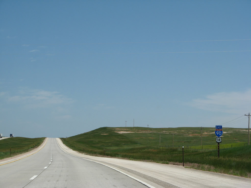
| Interstate 90 and U.S. 14 East (Sundance to South Dakota State Line) |
|
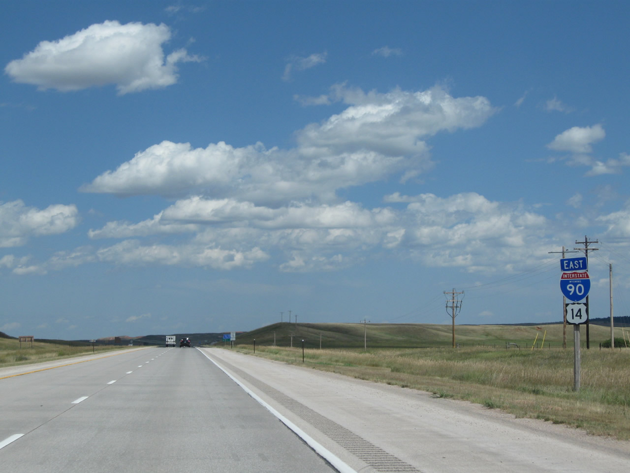
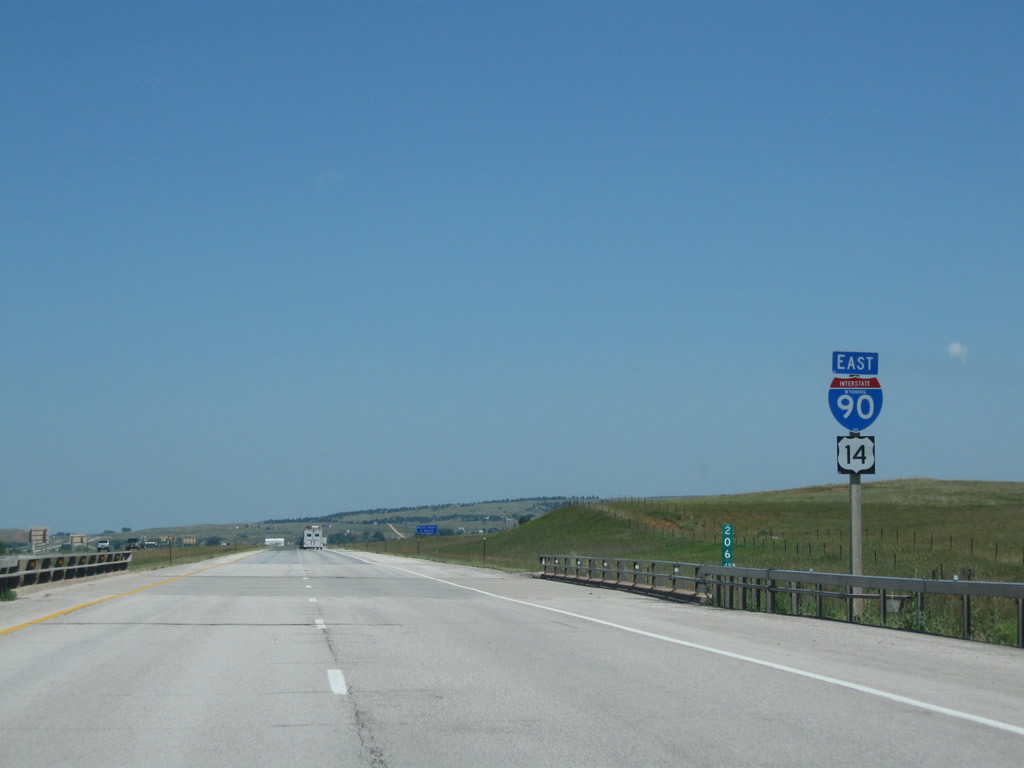
After the onramp from Business Loop I-90 and U.S. 14, an Interstate 90 and U.S. 14 east reassurance shield assembly is posted. U.S. 14 will remain cosigned with Interstate 90 from here east through Rapid City to Wall, near Badlands National Park. At Wall, U.S. 14 will diverge from Interstate 90 en route to the capital of South Dakota, Pierre. From there, U.S. 14 will generally parallel Interstate 90 but stay to its north until near the Mississippi River. U.S. 14 ultimately terminates at U.S. 41 on the north side of Chicago. Photo taken 08/12/11. |
|
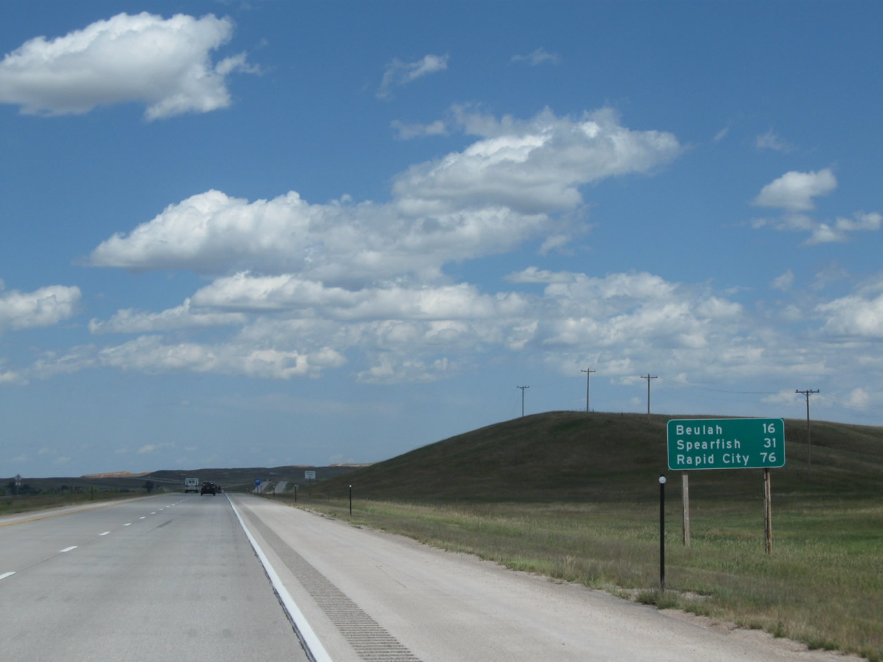
This mileage sign provides the distance to Beulah (16 miles), Spearfish (31 miles), and Rapid City (76 miles) via Interstate 90 and U.S. 14 east. Photo taken 08/12/11. |
|
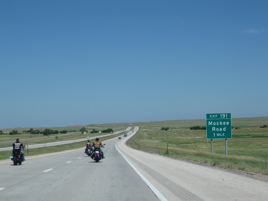
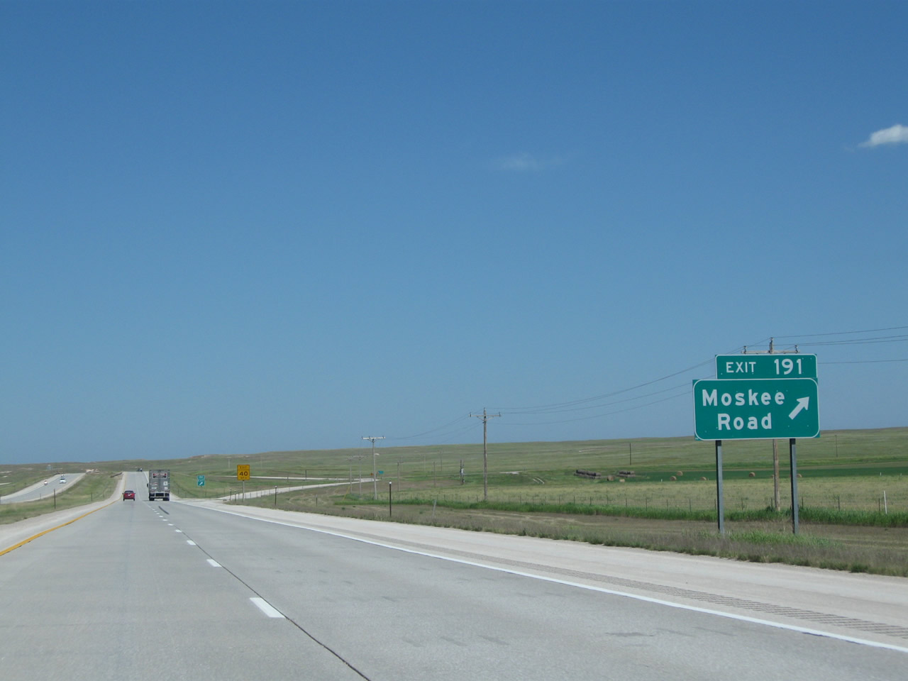
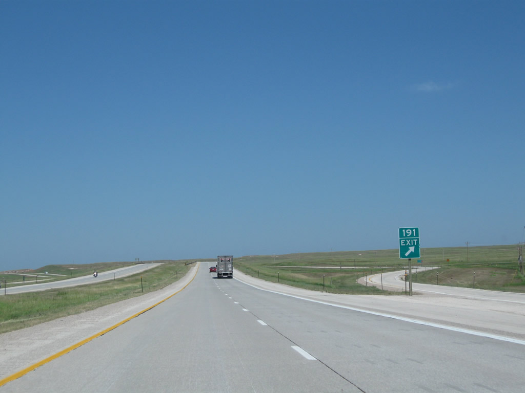
The next exit along Interstate 90 and U.S. 14 east is Exit 191, Moskee Road (one mile). Designated as Crook County Route 207, Moskee Road is a paved road that travels south into Black Hills National Forest and is a popular access point to the Wyoming Black Hills. Areas accessible via Moskee Road south include Williams Divide, Black Buttes, Moskee, and Cold Springs Creek. Photo taken 08/06/10. |
|
Eastbound Interstate 90 and U.S. 14 reaches Exit 191, Junction Crook County Route 207/Moskee Road. Use Moskee Road north to Old U.S. 14, the north frontage road. Photo taken 08/06/10. |
|
Exit 191 is a diamond interchange. Since the interchange was built to this standard, it probably sees more traffic than other rural interchanges built with hard, 90-degree offramps. Photo taken 08/06/10. |
|
An Interstate 90 and U.S. 14 east reassurance shield assembly is posted after the onramp from Moskee Road. Photo taken 07/05/08. |
|
|
|
|
|
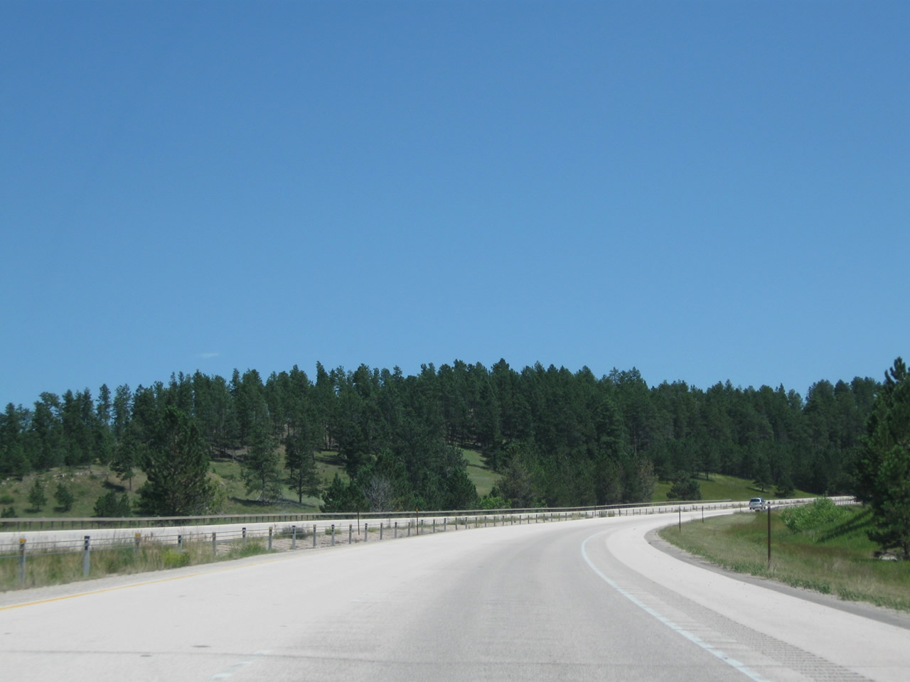
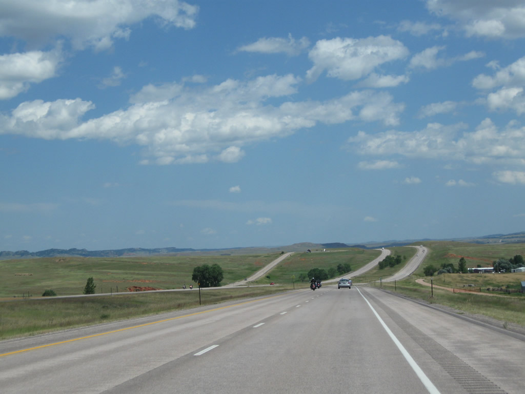
| This series of pictures follows Interstate 90 and U.S. 14 west between the Moskee Road interchange and the Aladdin interchange (Wyoming 111 at Exit 199). The freeway passes through the Wyoming Black Hills, which features rolling hills, forested ridges, and colored vistas. Some agricultural areas with irrigated fields come into view along the freeway corridor. Photos taken 07/05/08, 08/06/10, and 08/12/11. |
|
|
|
|
|
|
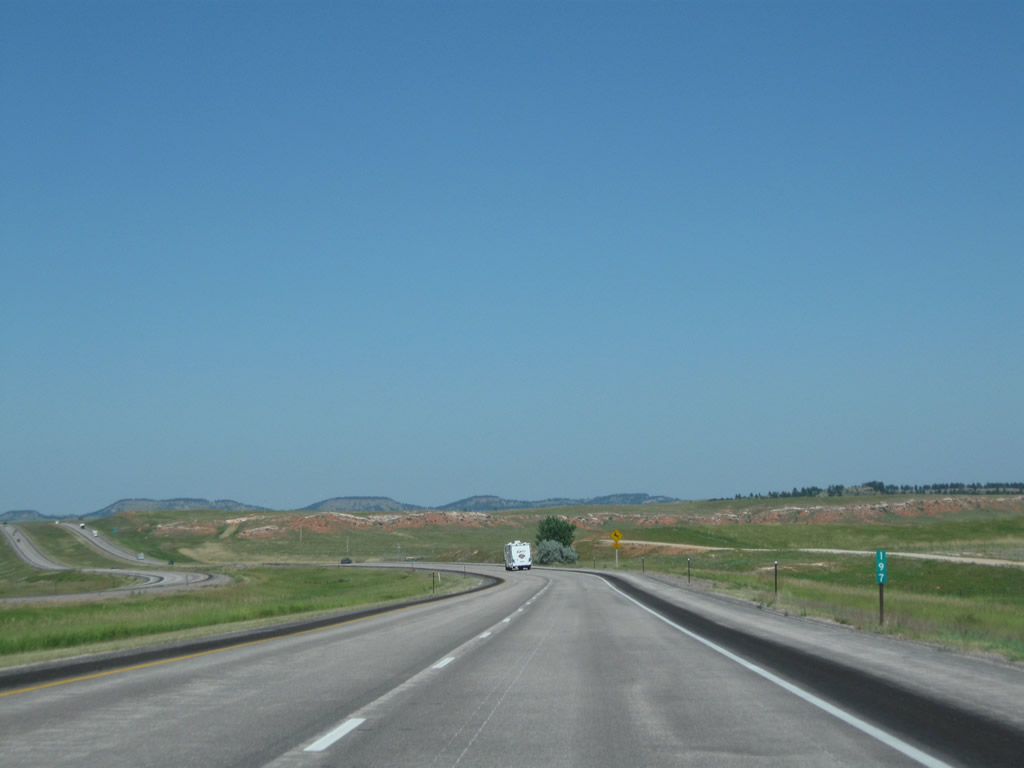
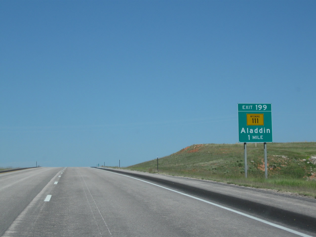
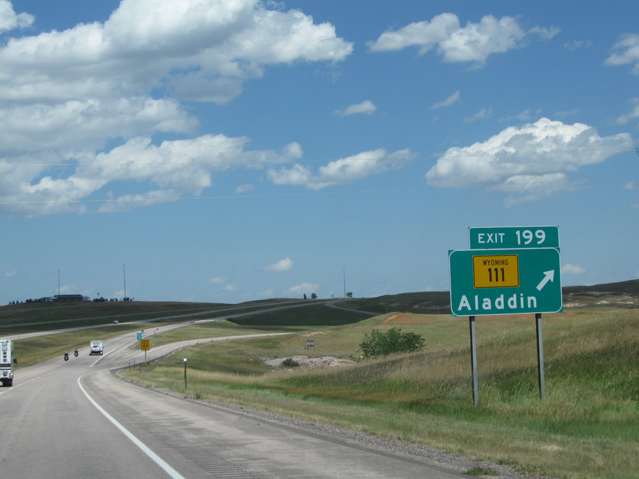
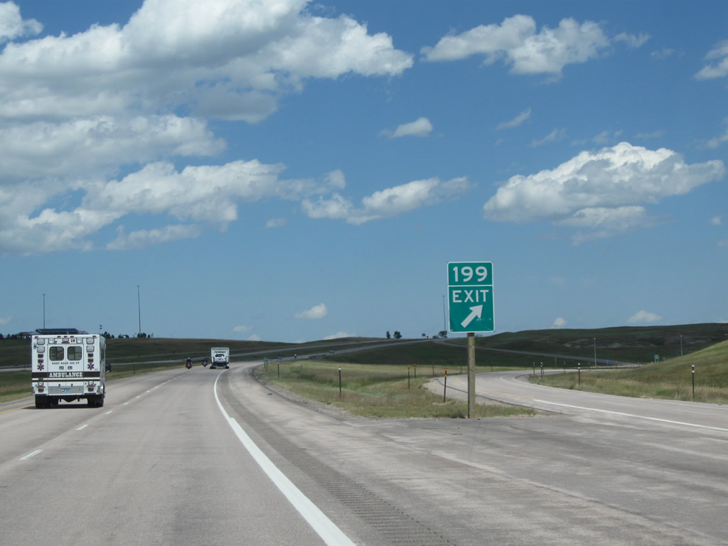
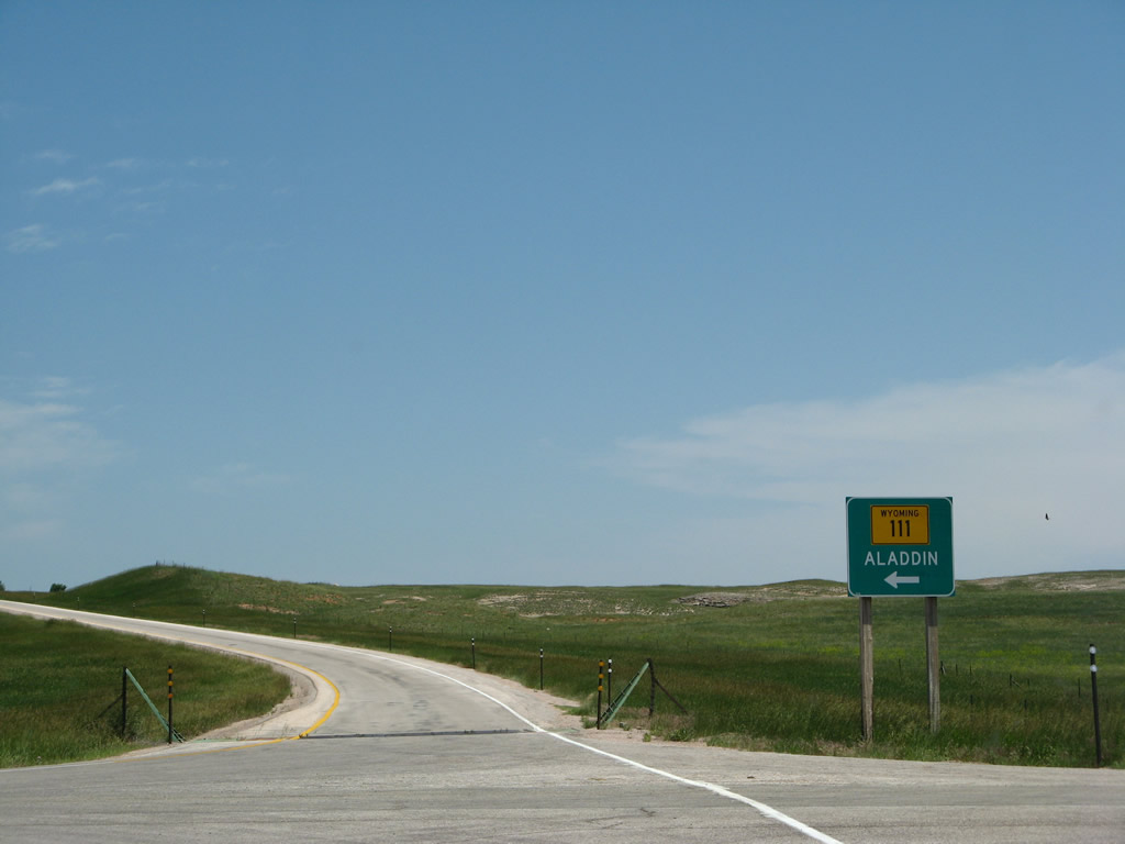
The next exit along Interstate 90 and U.S. 14 east is Exit 199, Wyoming 111 north to Aladdin and Wyoming 24 (one mile). Wyoming 111 is a short north-south state highway that originates at this interchange and extends north to Wyoming 24 in Aladdin. Wyoming 24, in turn, travels east to Belle Fourche, South Dakota, or west to Hulett and Devils Tower National Monument. Photo taken 08/06/10. |
|
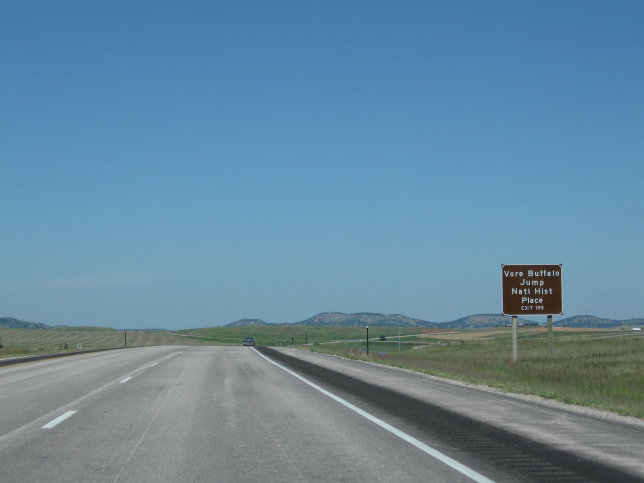
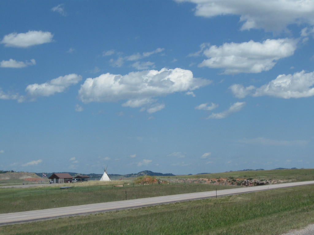
The Vore Buffalo Jump2 is a major archaeological site located between Old U.S. 14 and Interstate 90 on the north side of the freeway. Discovered when the Interstate 90 freeway was being constructed in the early 1970s, the Vore Buffalo Jump is "a natural sinkhole that was used as a bison trap from about 1500 to 1800 A.D. Buffalo were driven over the edge of the sink hole as a method for the Native American tribes to procure the large quantities of meat and hides needed to survive the harsh prairie winters." Students and scholars frequent the site to excavate old bones and continue to find the remains of animals. A visitors center and excavation site building (opened in July 2011) are available on site for visitors for a nominal fee. Photo taken 08/06/10. |
|
On July 16, 2010, the Northeast Wyoming Information Center was dedicated and opened for public use.1 This facility not only provides restrooms and tourist information, but it also provides museum-quality exhibits about the region. To access the center, follow Wyoming 111 north to Old U.S. 14 east to the visitors center driveway. Photo taken 08/12/11. |
|
Eastbound Interstate 90 and U.S. 14 meet Exit 199, Wyoming 111 north to Aladdin. Photo taken 08/12/11. |
|
Exit 199 is a diamond interchange, with a long off-ramp to Wyoming 111. Photo taken 08/12/11. |
|
At the bottom of the offramp is this trailblazer guide sign for Wyoming 111 north to Aladdin. Turn left here for both the Vore Buffalo Jump and Northeast Wyoming Information Center (via Old U.S. 14 east). Photo taken 08/12/11. |
|
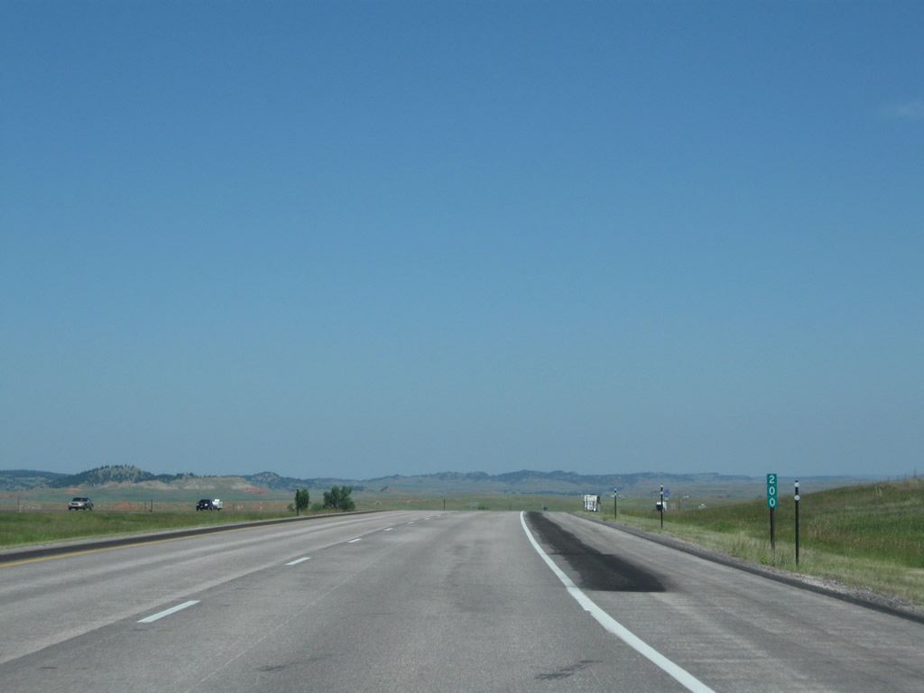
Milepost 200 is posted immediately after the onramp from Exit 199, Wyoming 111. Photo taken 08/06/10. |
|
Both Interstate 90 and U.S. 14 east are signed after milepost 200. Photo taken 08/06/10. |
|
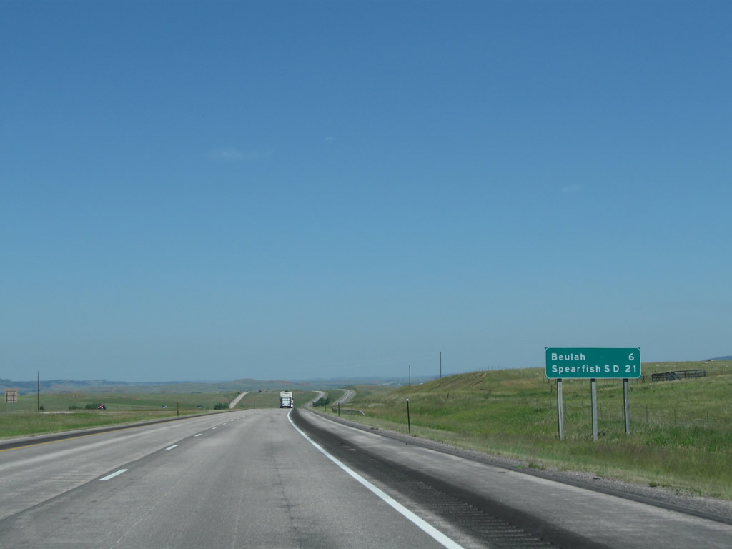
This mileage sign provides the distance to Beulah (six miles) and Spearfish (21 miles). Photo taken 08/06/10. |
|
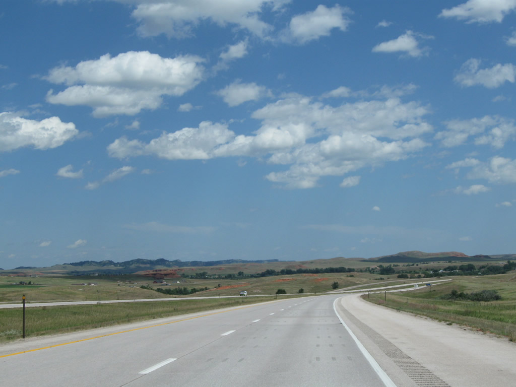
A sweeping view of the Wyoming Black Hills takes in both Interstate 90 and Old U.S. 14. Photo taken 08/12/11. |
|
|
|
|
|
| After cresting over a hill, the Vore Buffalo Jump will briefly become visible on the south side of the freeway near Milepost 203. This site is accessible via Old U.S. 14 via either Exit 199 or Exit 205. Photos taken 08/06/10 and 08/12/11. |
|
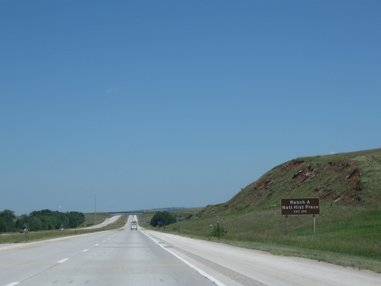
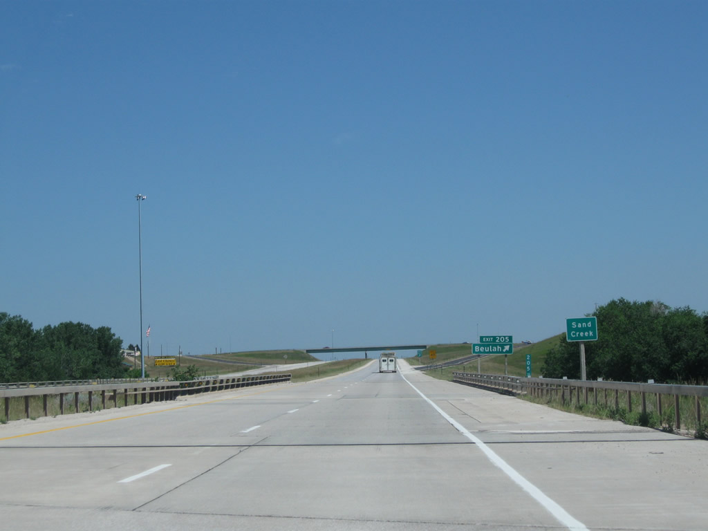
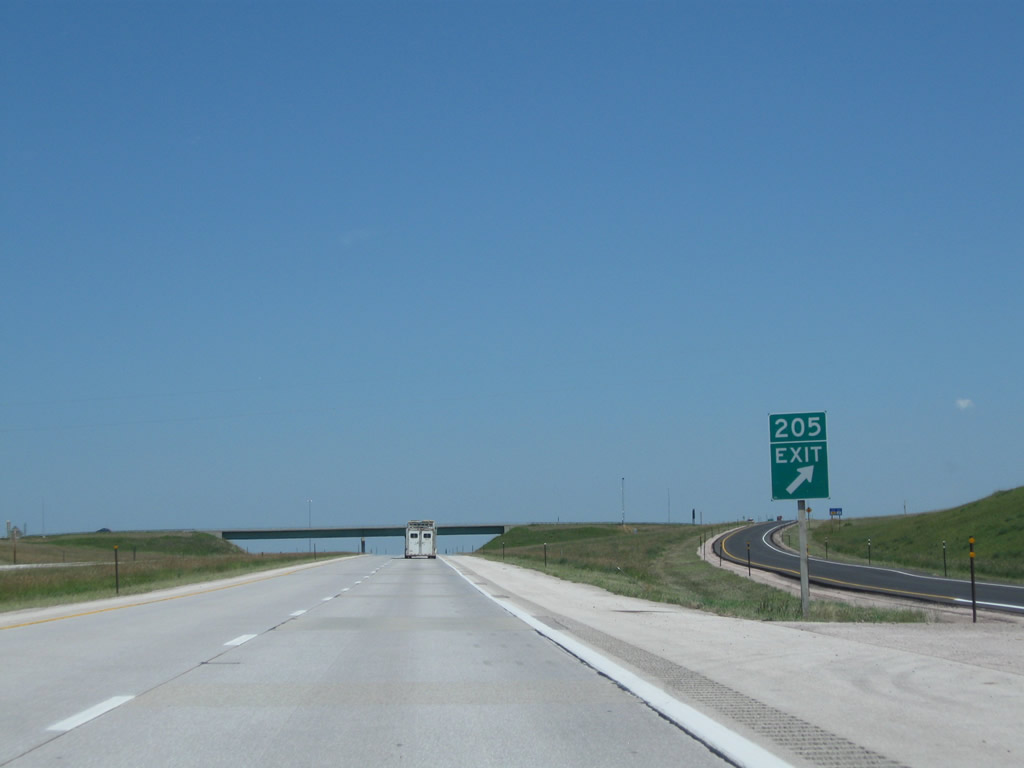
The final interchange in Wyoming along Interstate 90 and U.S. 14 east is Exit 205, Sand Creek Road (Crook County Route 129) to Beulah (one mile). Photo taken 08/06/10. |
|
Use Exit 205 to Ranch A National Historic Place, an educational center complex owned by the state of Wyoming that is centered around a historical lodge built in the late 1920s and preserved today. Photo taken 08/06/10. |
|
Gas and food are available at Beulah, including a truck stop on the north side of the freeway. Photo taken 08/06/10. |
|
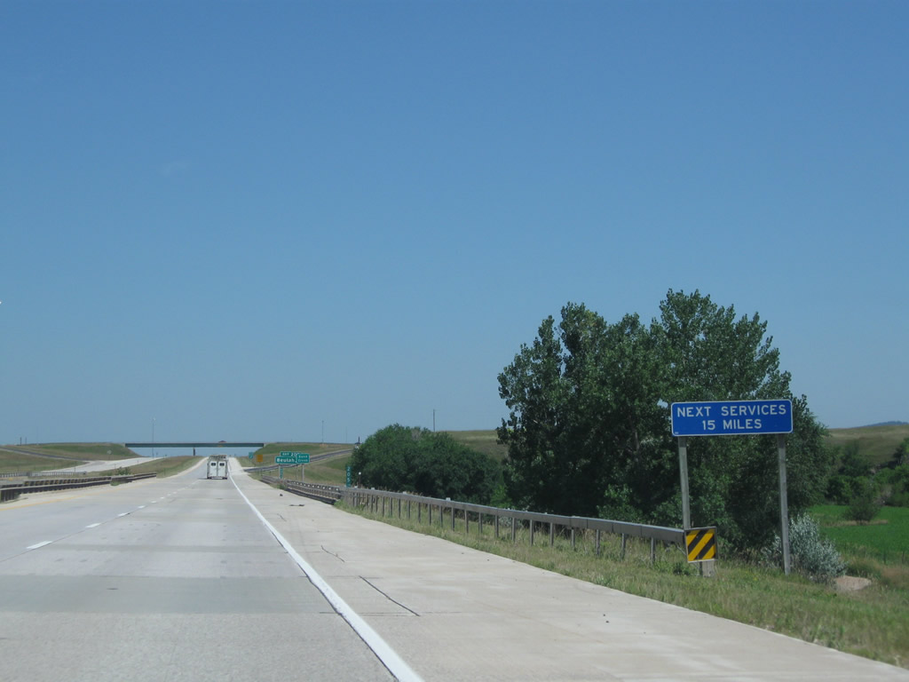
The next services are 15 miles east of here, in Spearfish, South Dakota. Photo taken 08/06/10. |
|
Interstate 90 passes over Sand Creek prior to the offramp for Exit 205. Photo taken 08/06/10. |
|
Eastbound Interstate 90 and U.S. 14 meet Exit 205, Sand Creek Road (Crook County Route 129) to Beulah. Photo taken 08/06/10. |
|
The interchange between Interstate 90 and U.S. 14 and Sand Creek Road is a standard diamond, with Sand Creek Road passing overhead. Photo taken 08/06/10. |
|
Interstate 90 and U.S. 14 pass under the Sand Creek Road bridge. Photo taken 08/12/11. |
|
A final Interstate 90 and U.S. 14 east reassurance shield assembly is posted in Wyoming. The state line is about one and a half miles east of here. Photo taken 08/06/10. |
|
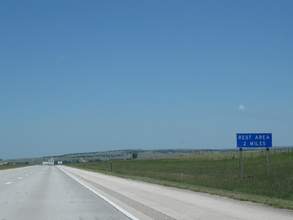
The next exit along Interstate 90 and U.S. 14 east is the State of South Dakota Welcome Center (Exit 1). Restrooms and tourist information are available at this rest stop. Photo taken 08/06/10. |
|
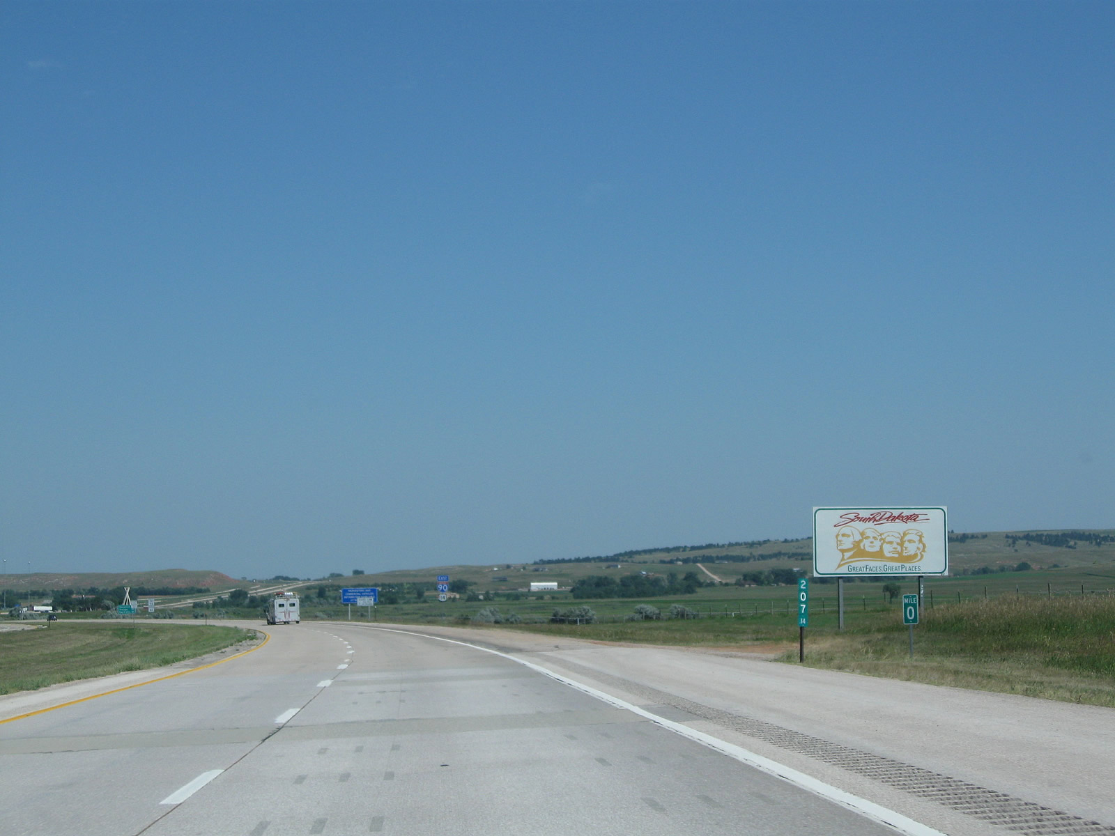
The state line separating Wyoming from South Dakota comes into view. Photo taken 08/12/11. |
|
At Milepost 207.14, Interstate 90 and U.S. 14 leave the state of Wyoming and enter the state of South Dakota. The rest area (Exit 1) is a short distance ahead. Photo taken 08/06/10. |
Page Updated August 28, 2011.