| U.S. 6 East |
|---|
|
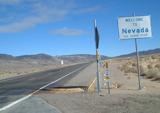
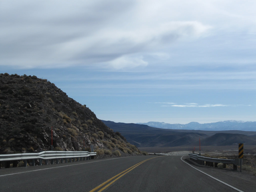
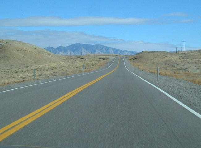
U.S. 6 leaves the Golden State of California and enters the Silver State of Nevada and Mineral County. From here, U.S. 6 will travel east across Montgomery Pass (elevation 7,167 feet above sea level) to the site of Coaldale, where it meets U.S. 95. Photos taken 11/11/08 and 01/20/02. |
|
|
|
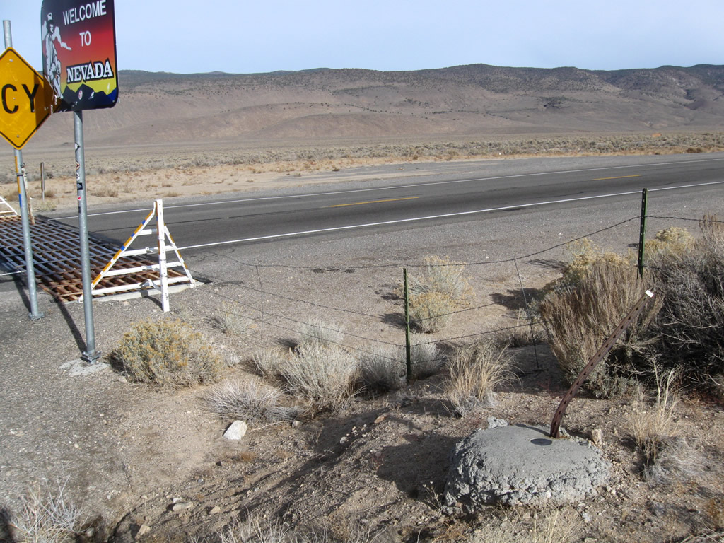
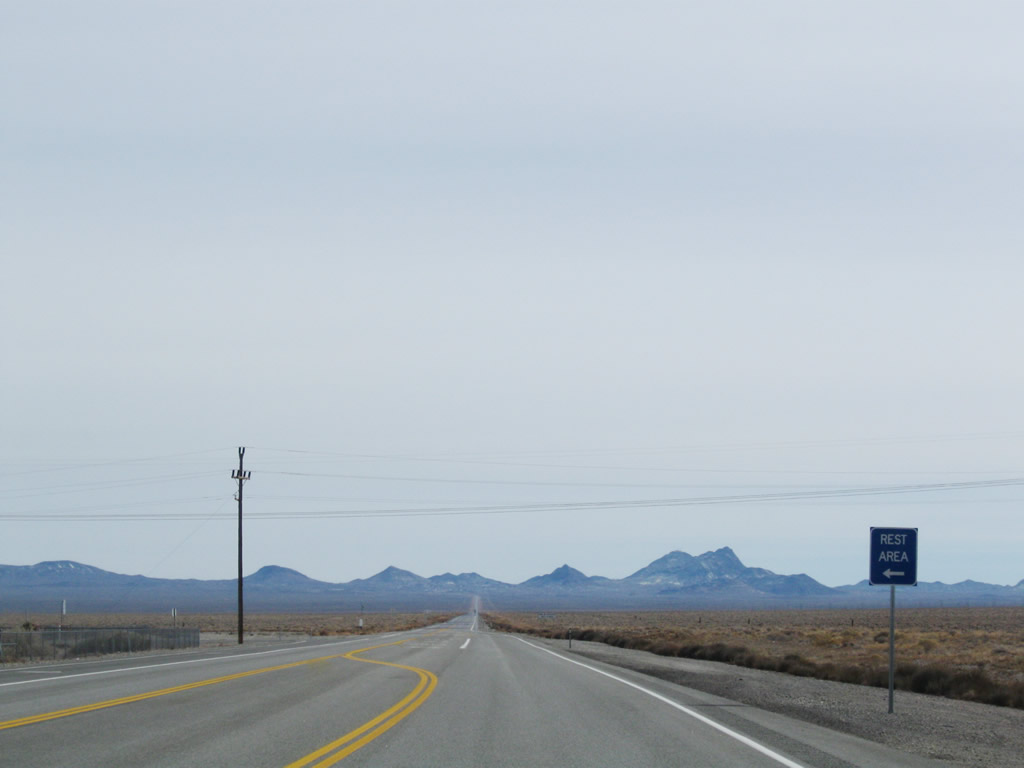
A welcome sign greets travelers as they cross the state line into Nevada. The welcome sign changed between 2002 and 2008. The border is also signified with a 0.00 milepost and cattle guard. Photos taken 11/11/08 and 01/20/02. |
|
|
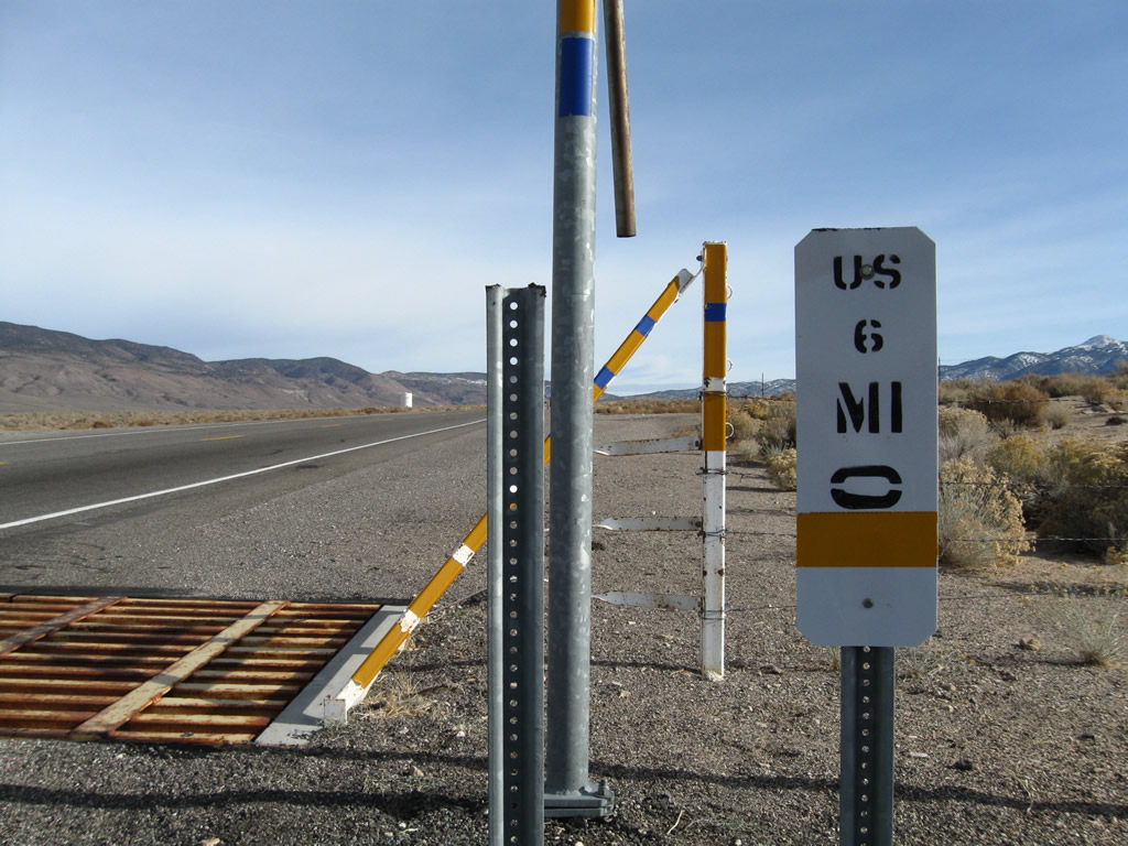
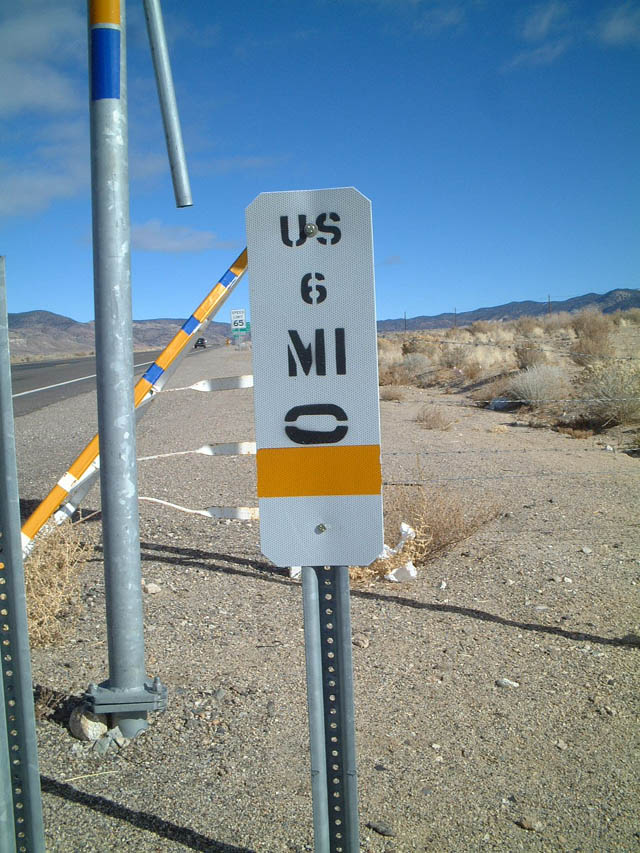
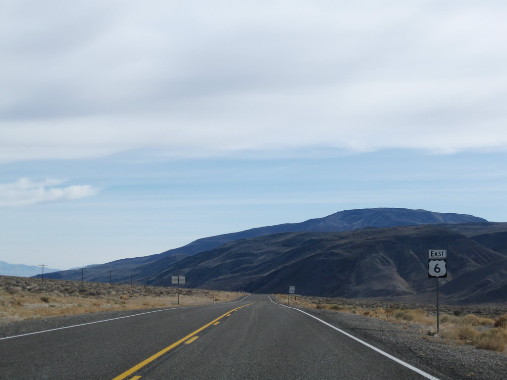
Nevada uses white mile markers as references along its state highway system. While similar to those found in California, the white reference markers in Nevada have subtle differences, including a prefix that distinguishes whether the route is an Interstate, U.S., or State Highway. This particular reference marker is posted at the zero mile for U.S. 6 in Mineral County at the California-Nevada State Line. Photos taken 11/11/08 and 01/20/02. |
|
|
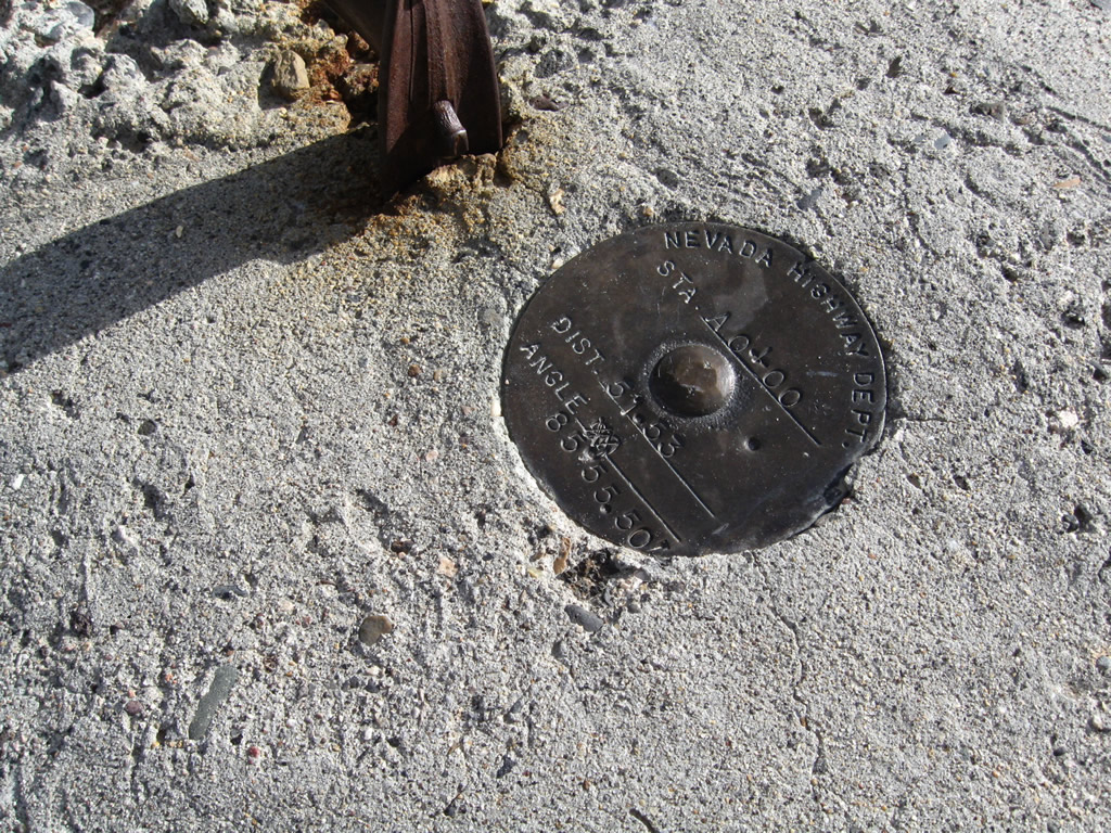
This survey marker is placed a bit away from the highway near the white milepost/reference marker. Photos taken 11/11/08. |
|
|
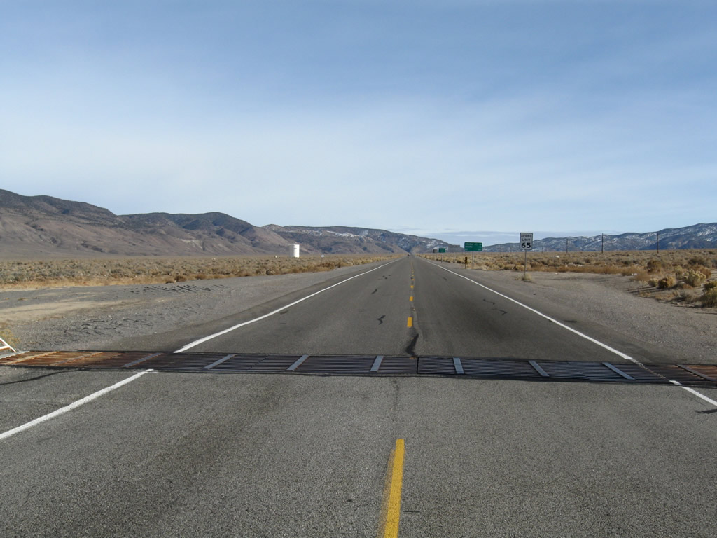
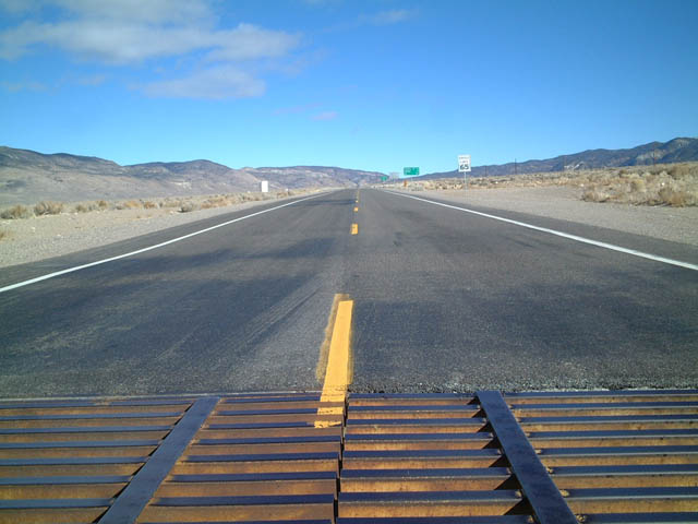
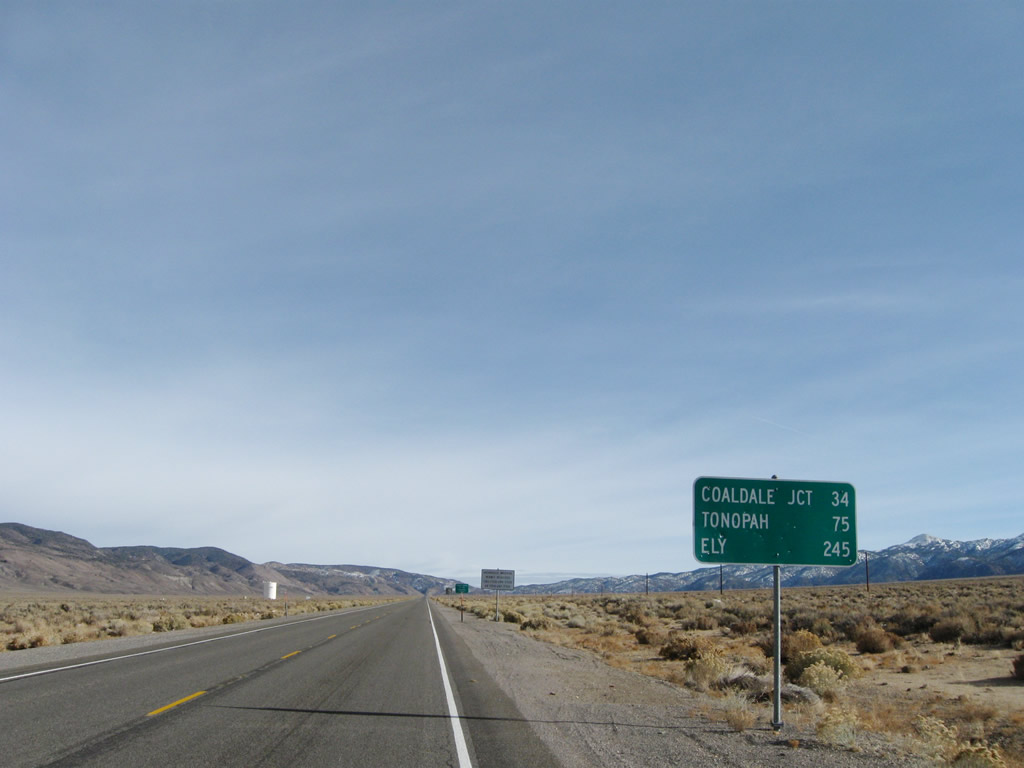
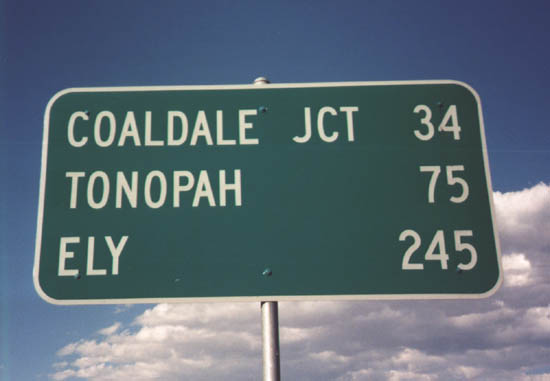
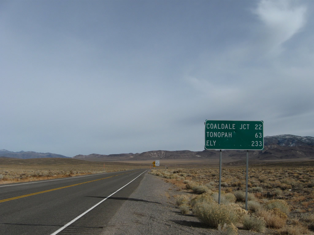
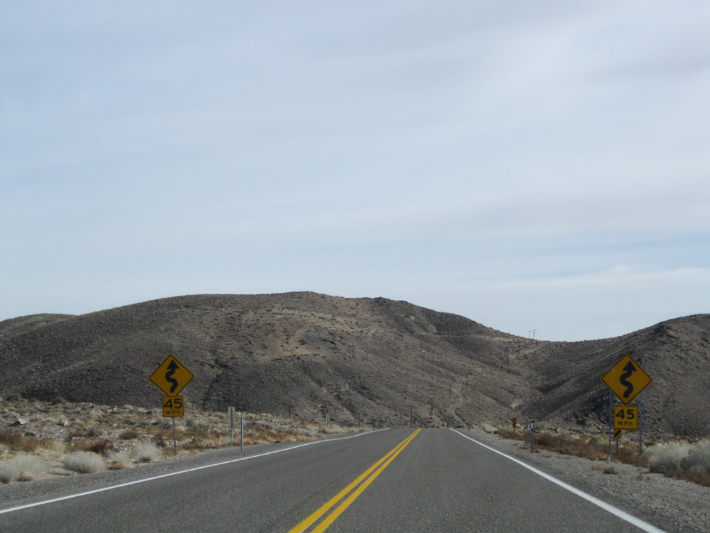
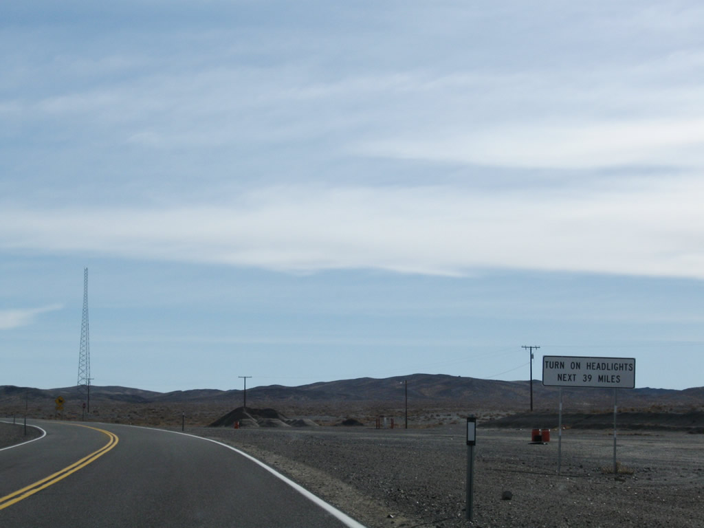
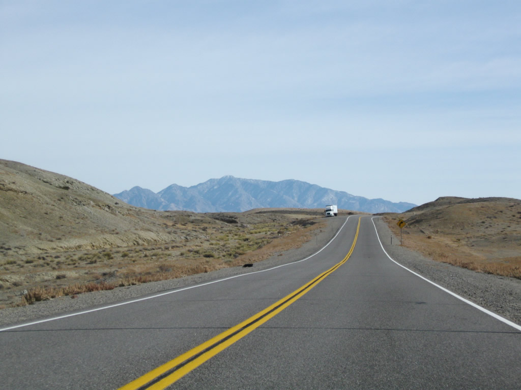
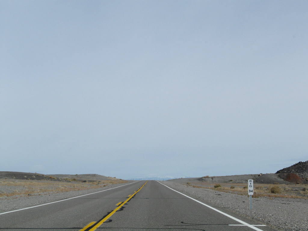
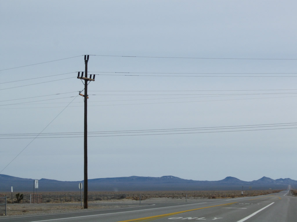
The first mileage sign on eastbound U.S. 6 provides the distance to Coaldale Junction (34 miles), Tonopah (75 miles), and Ely (245 miles). It is a long drive across the state of Nevada! Photos taken 11/11/08 and 08/98. |
|
|
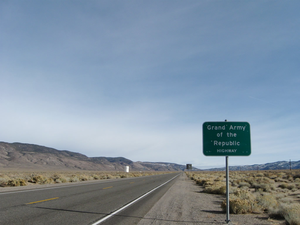
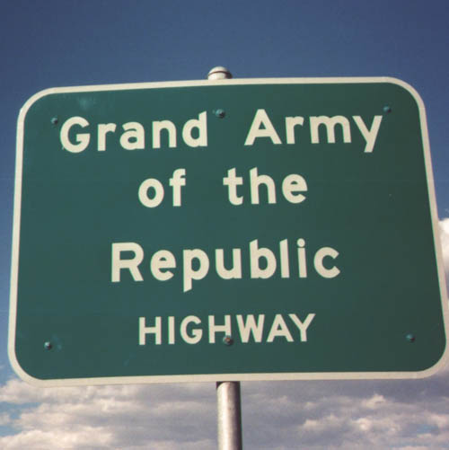
U.S. 6 is designated as the Grand Army of the Republic Highway. Originating in California, shields for the route are posted along California 14, U.S. 395, and U.S. 6. The designation continues as U.S. 6 turns northeast to cross Nevada. Occasional signs such as this one are posted along U.S. 6 on its journey across the Silver State. Photos taken 11/11/08 and 08/98. |
|
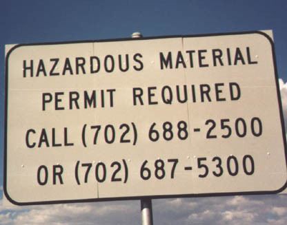
All trucks carrying hazardous materials much register with the Nevada Department of Transportation as posted on this entry sign. This sign was no longer in place by 2008. Photo taken 08/98. |
|
|
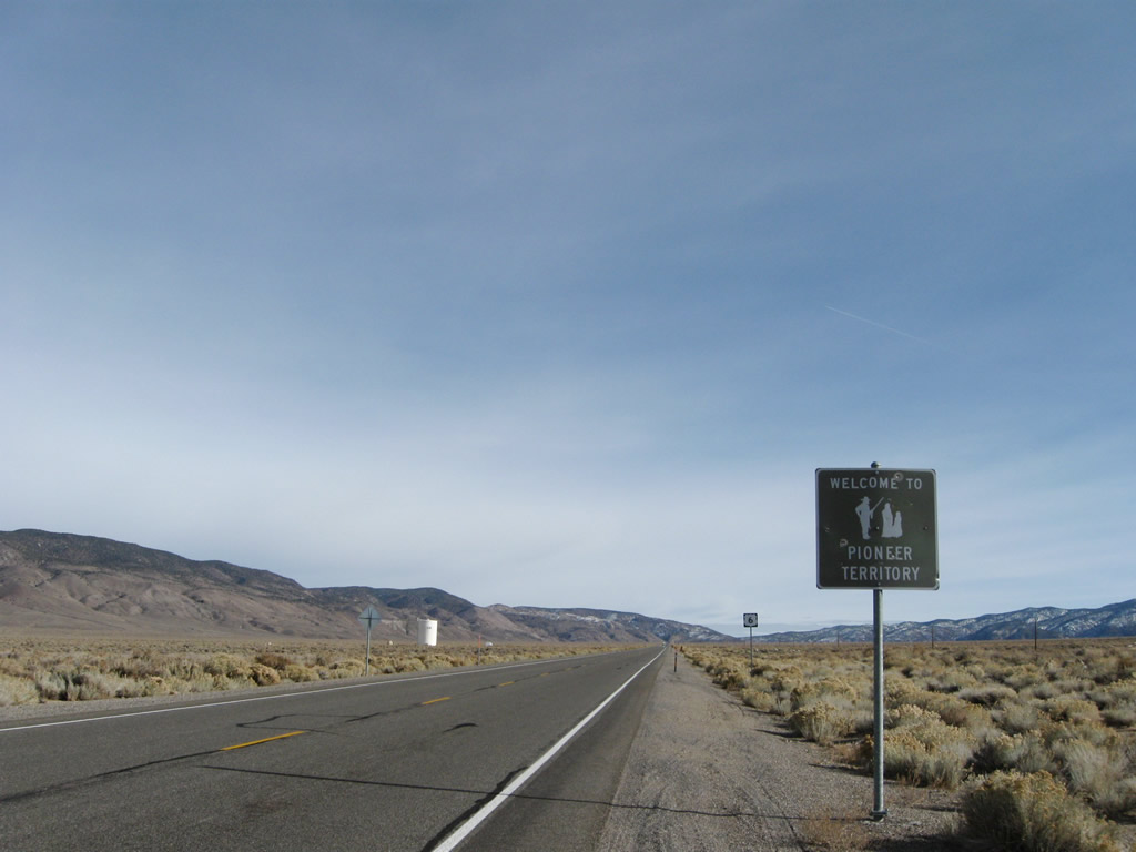
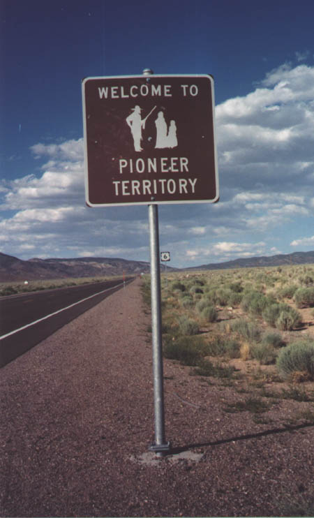
A tourist sign "Welcome to Pioneer Territory" refers to the division of the Silver State into multiple regions for tourists to visit. Much of Central Nevada falls into Pioneer Territory. Photos taken 11/11/08 and 08/98. |
|
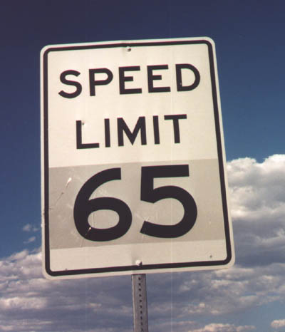
The speed limit on U.S. 6 is 65 miles per hour, which is common for the two-lane, rural highways such as U.S. 6. Photo taken 08/98. |
|
|
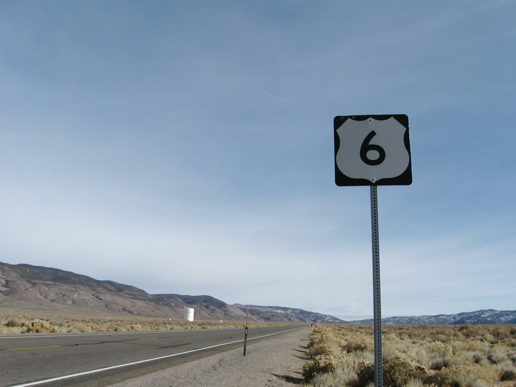
This is the first shield on eastbound U.S. 6. It is the first to use the familiar white on black square shield, since California uses cut-out U.S. route markers. Photos taken 11/11/08 and 08/98. |
|
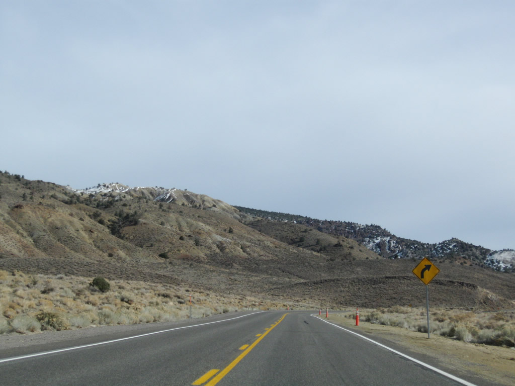
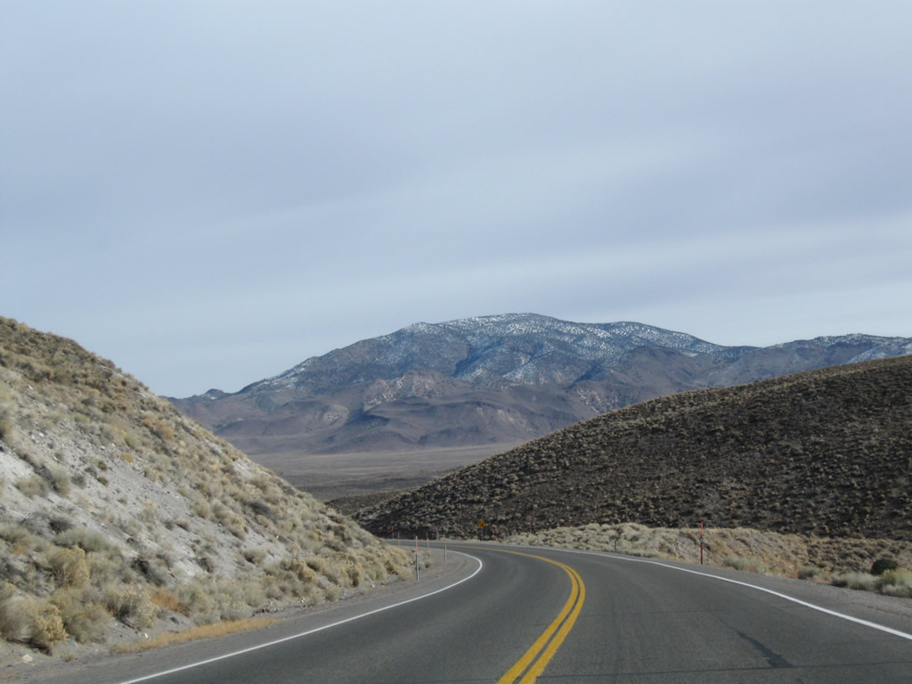
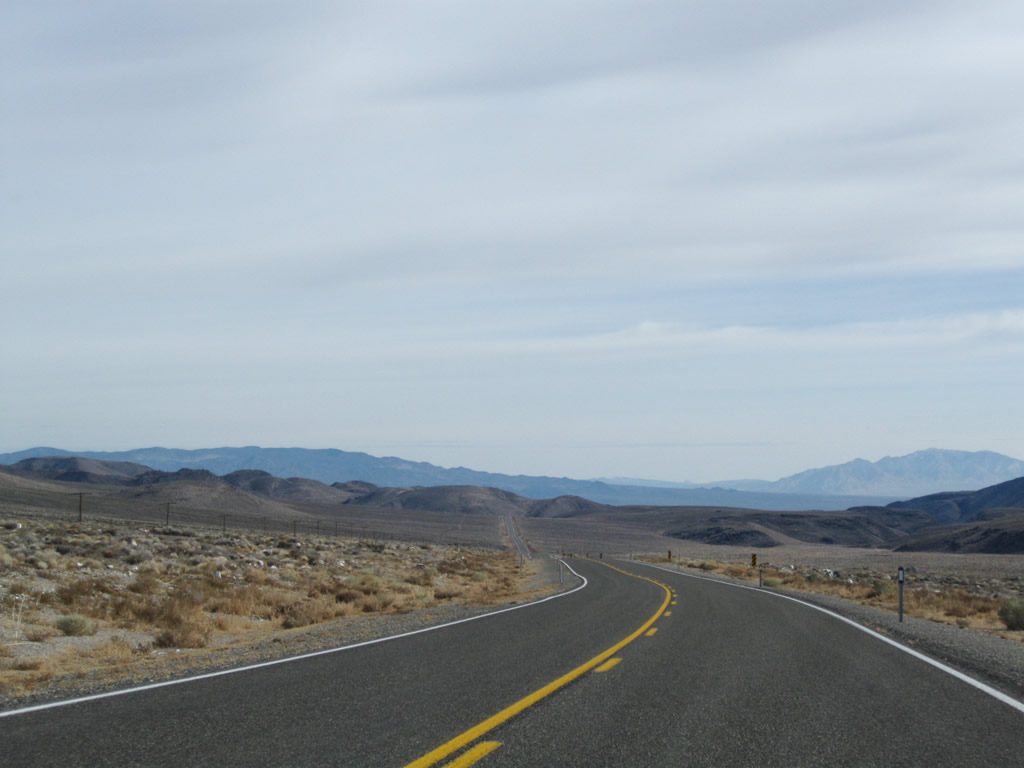
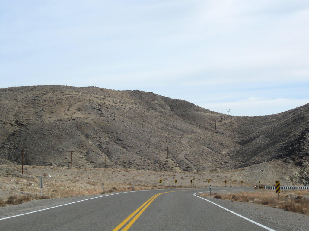
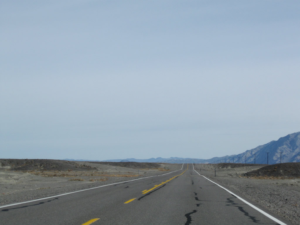
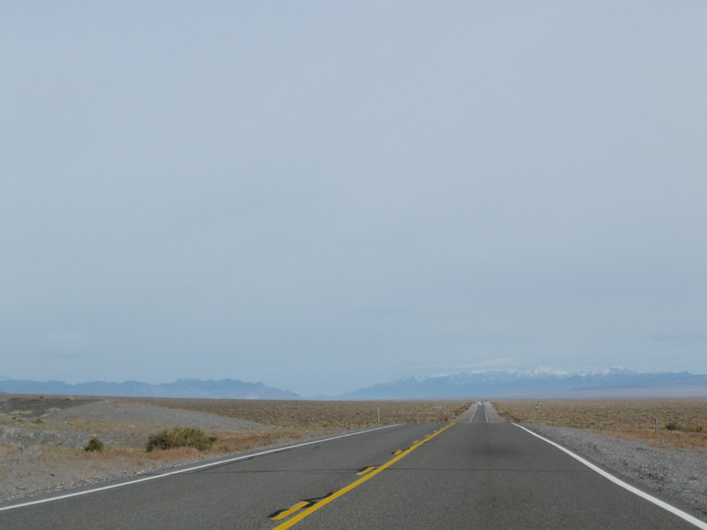
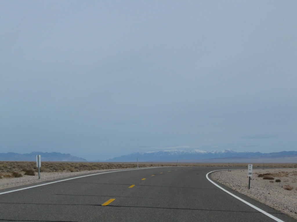
Leaving the vicinity of the state line, U.S. 6 gains elevation almost immediately. Looking toward the northeast across the Queen Valley, sagebrush dominates the view at the land gains elevation toward Montgomery Pass. Photo taken 11/11/08. |
|
|
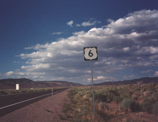
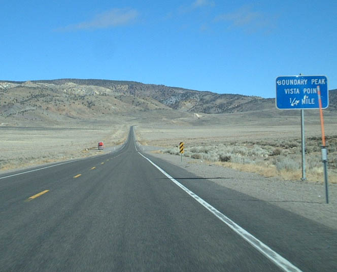
U.S. 6 east approaches a pullout just east of the California State Line. This pullout (which is really a wide spot in the road) provides outstanding views of Boundary Peak, which straddles the state line of Nevada and California. It is one of the tallest peaks of the Eastern Sierra. Photos taken 11/11/08 and 01/20/02. |
|
|
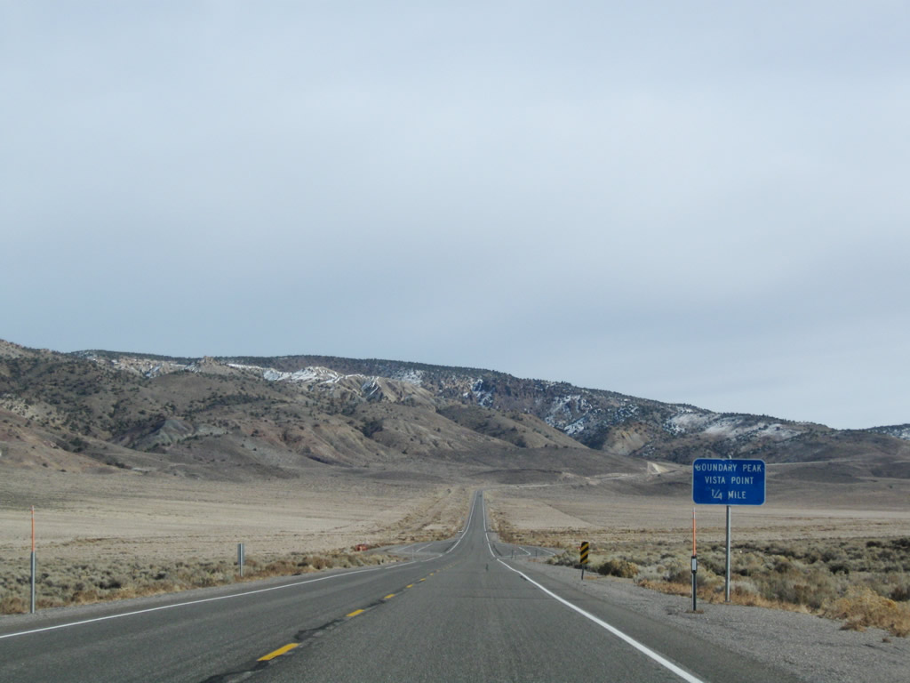
The vista point for Boundary Peak features a few trash receptacles and a wide parking area. Leaving the vista point, U.S. 6 continues its journey uphill to Montgomery Pass. Photos taken 11/11/08. |
|
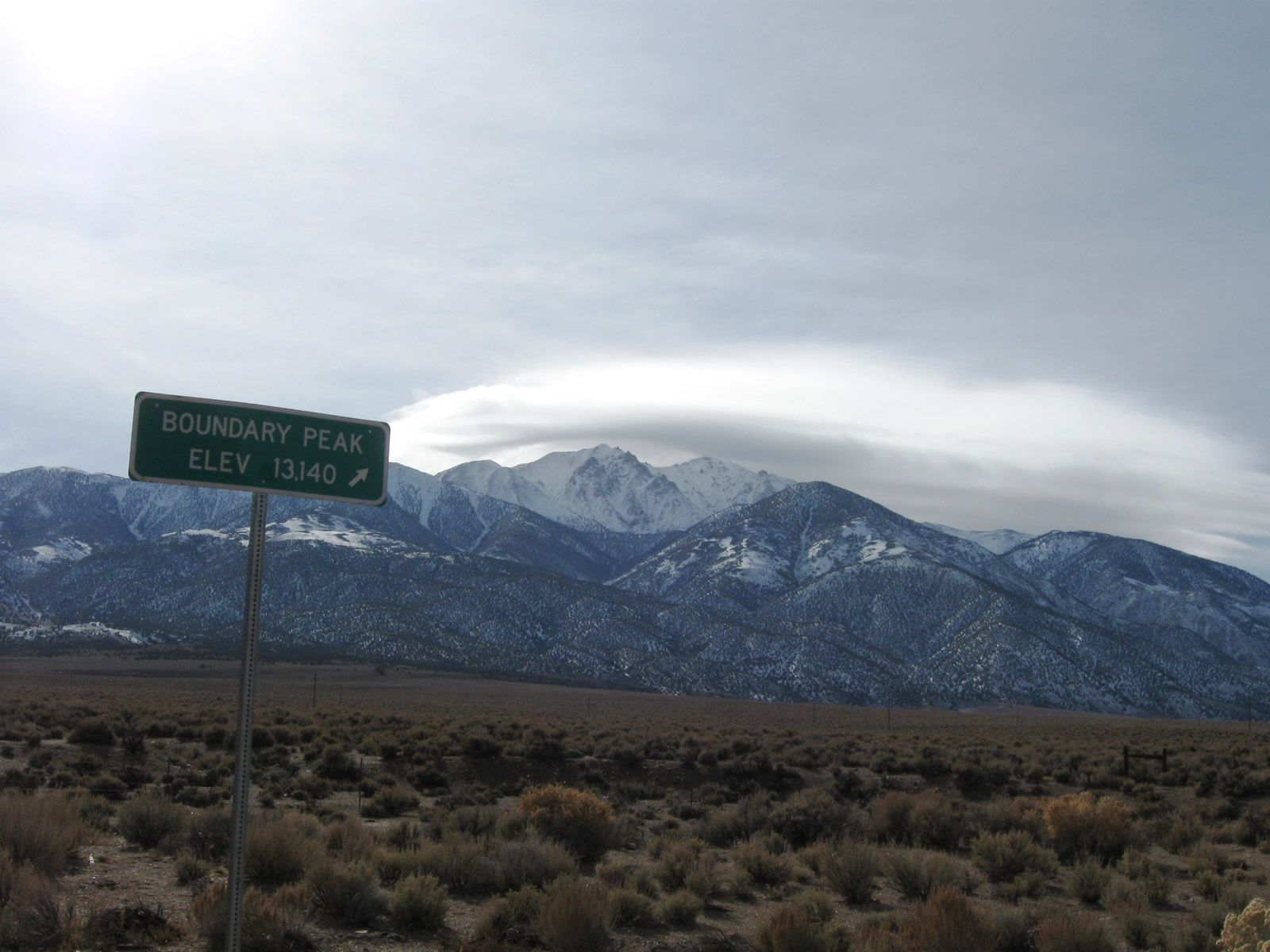
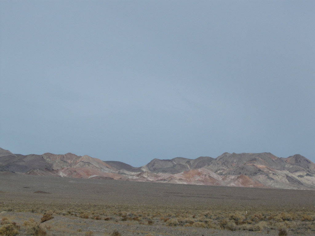
This view looks southeast toward Boundary Peak, elevation 13,140 feet above sea level. Photo taken 11/11/08. |
|
|
|
|
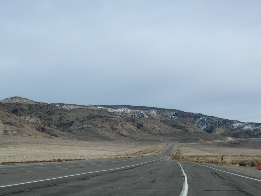
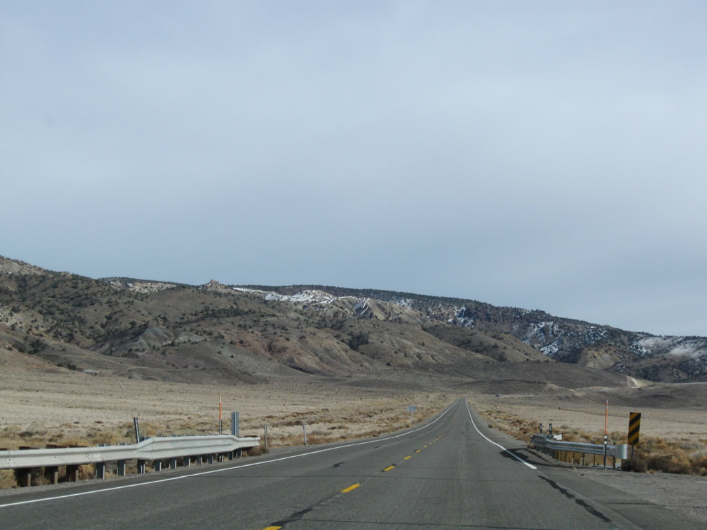
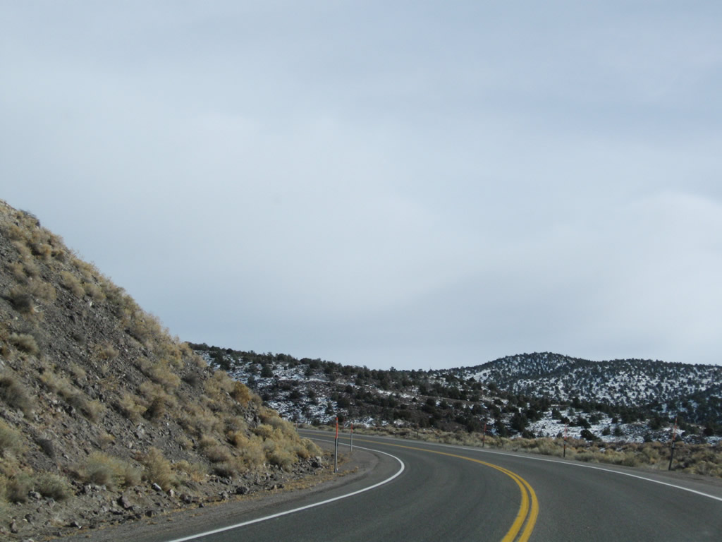
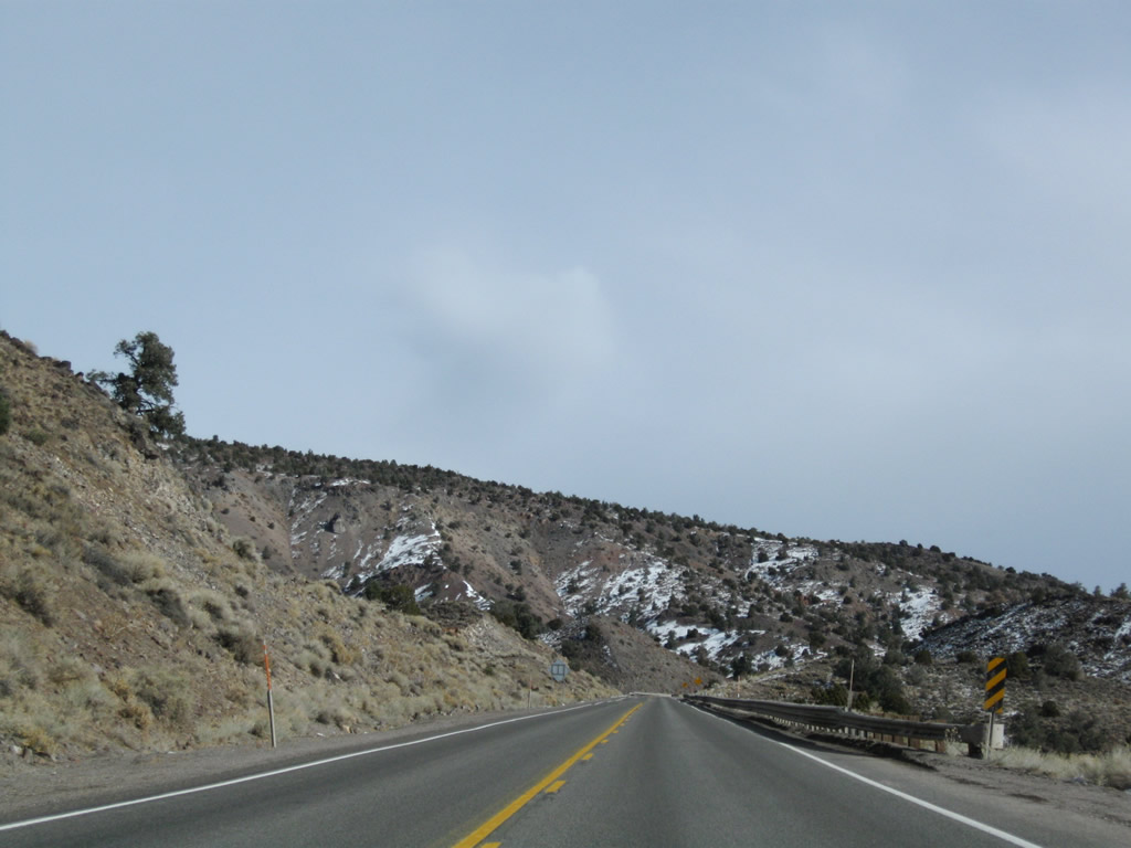
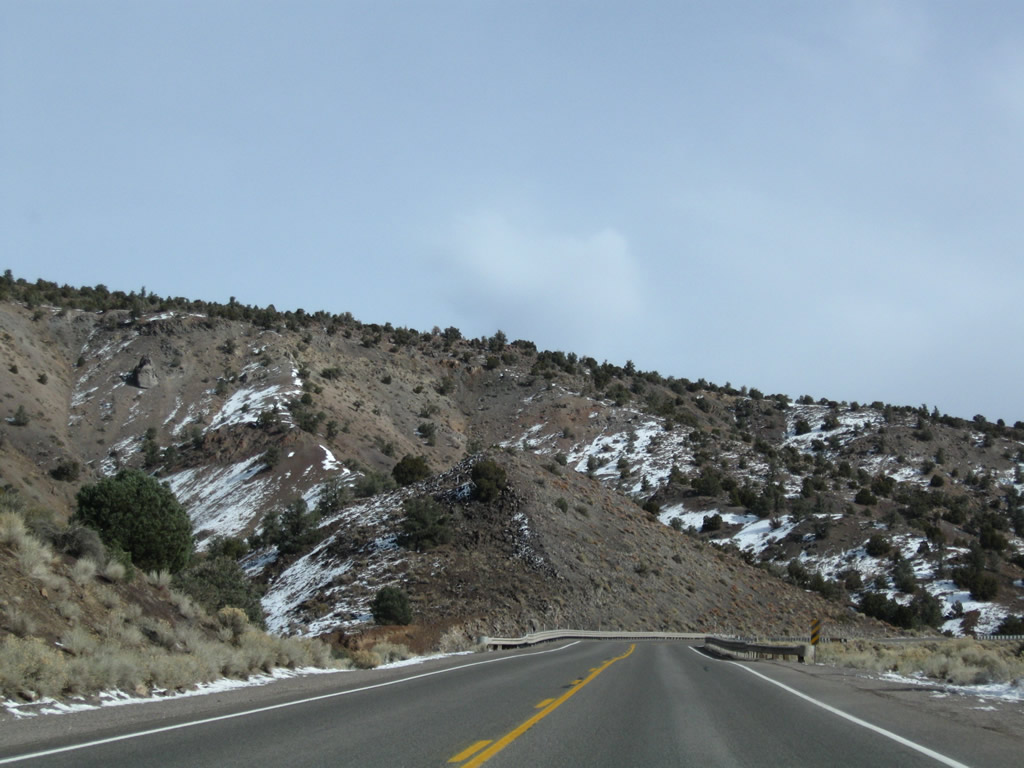
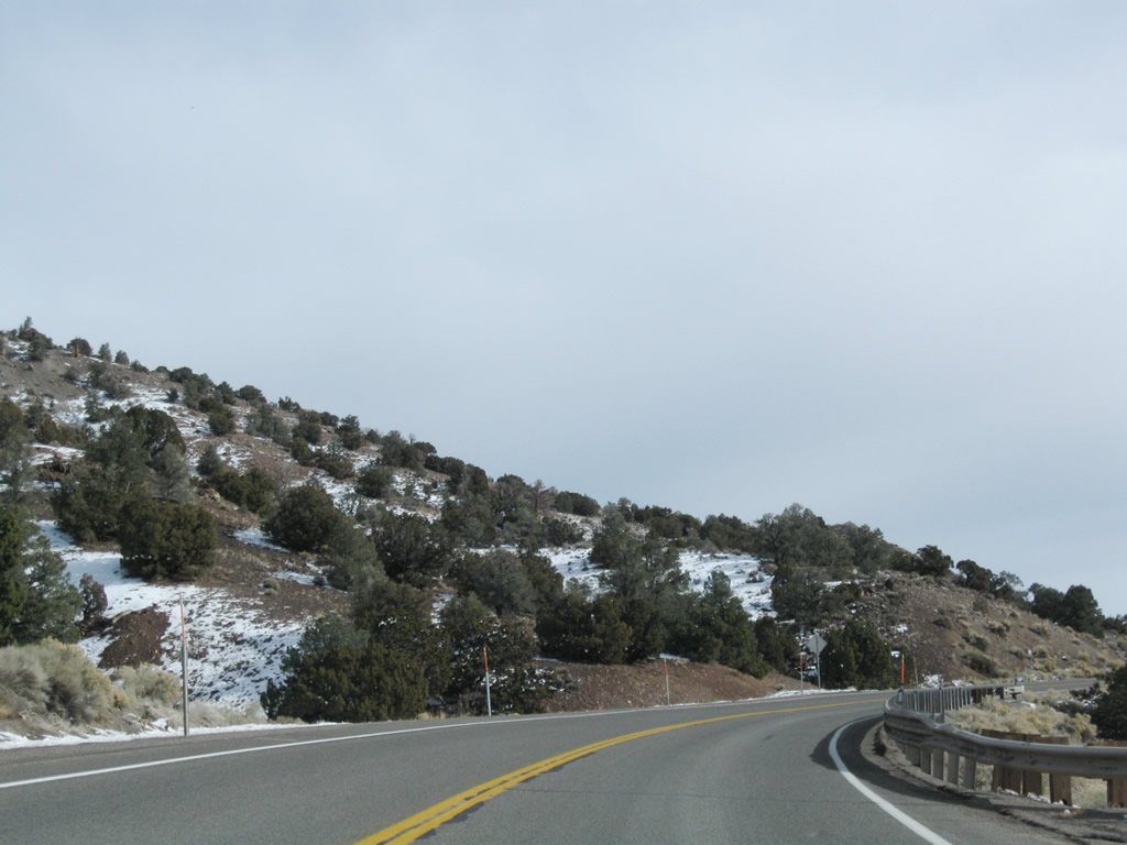
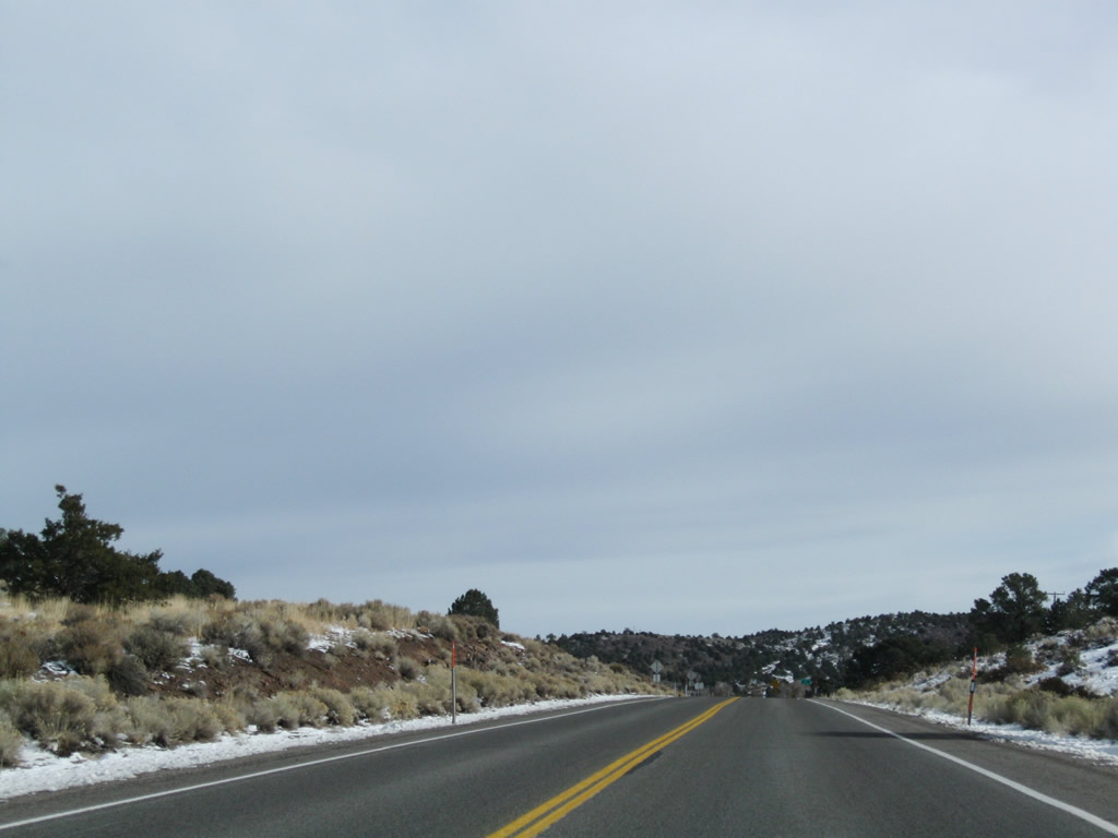
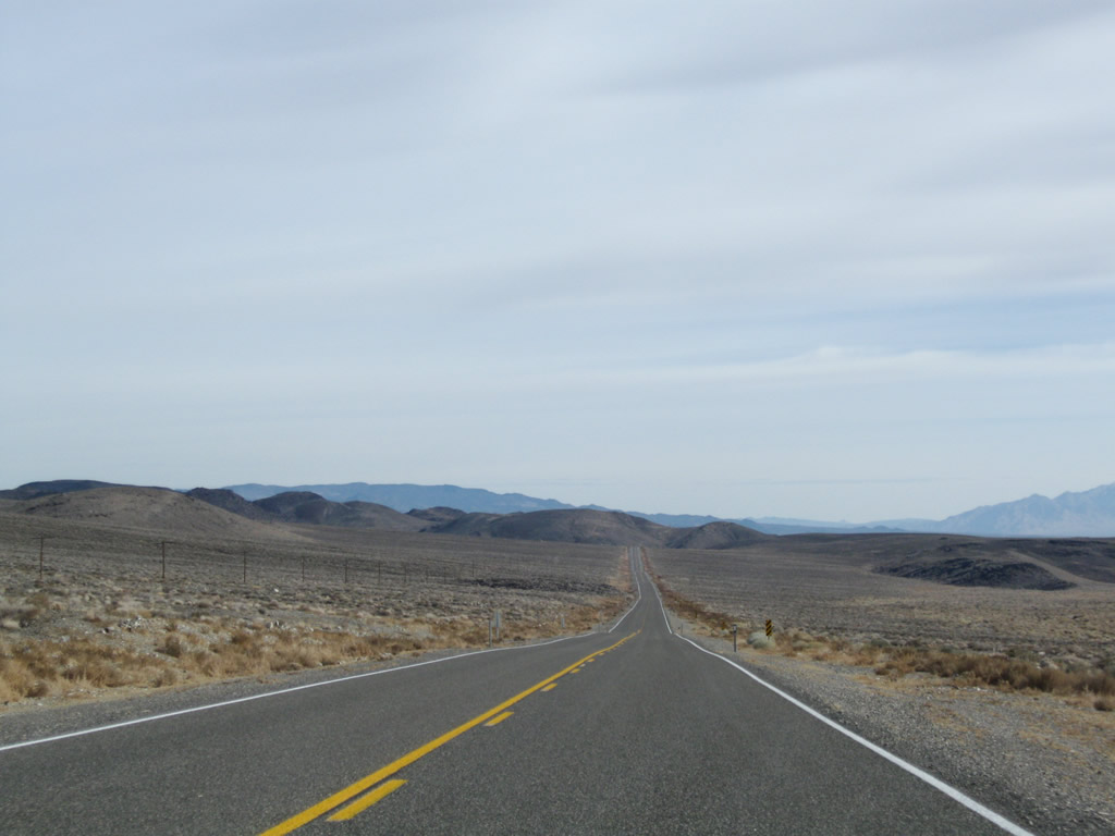
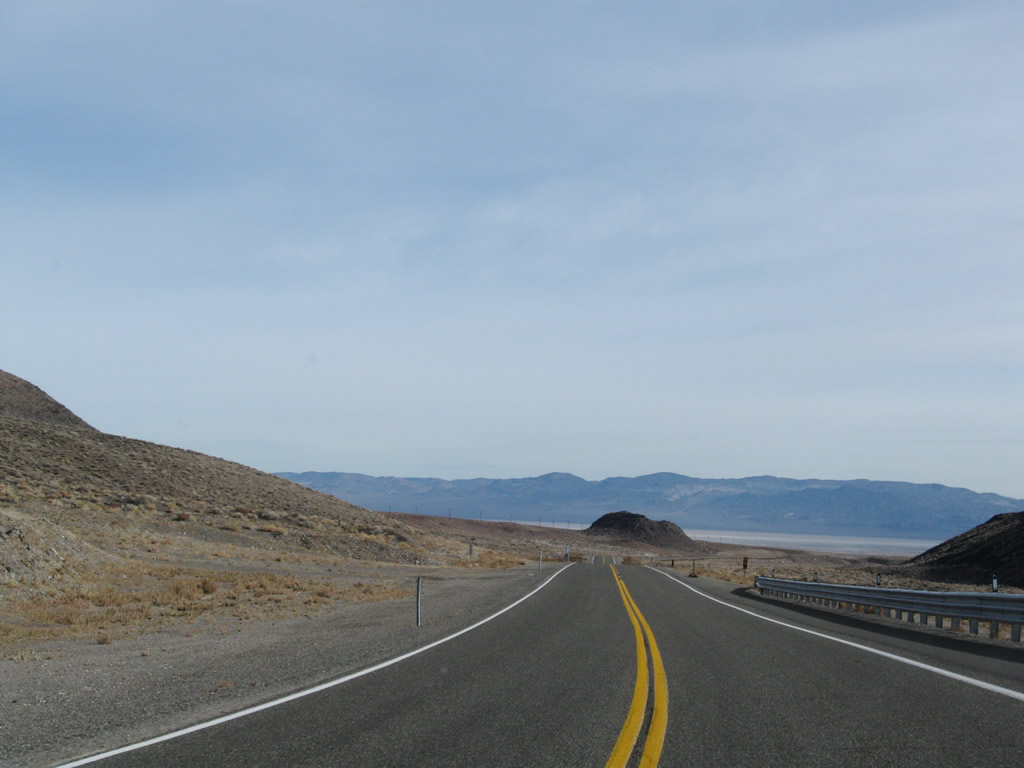
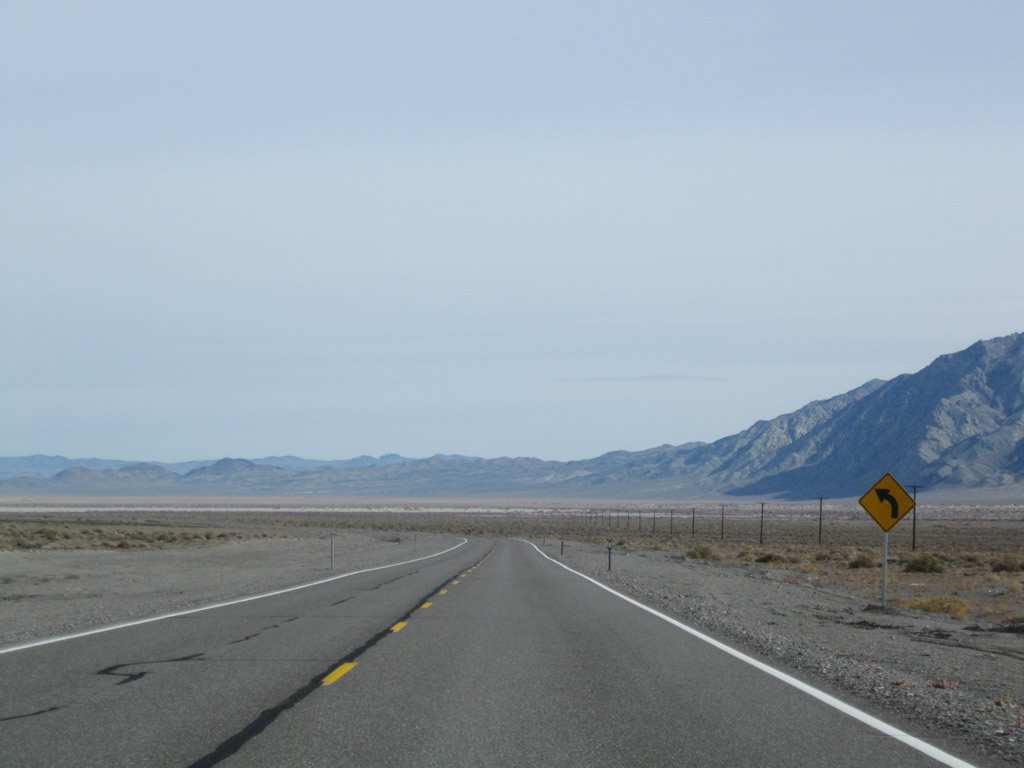
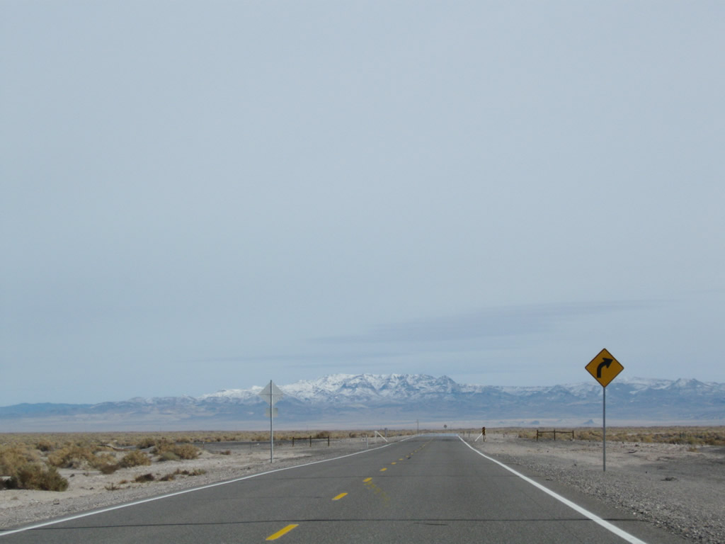
This series of photos follows U.S. 6 as the U.S. highway ascends Montgomery Pass. While most of the route can be driven at normal highway speeds, there are some curves and steep grades along the way. Photos taken 11/11/08 and 01/20/02. |
|
|
|
|
|
|
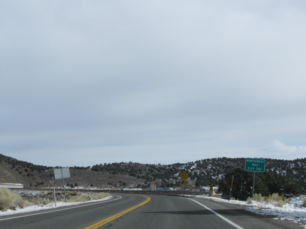
Eastbound U.S. 6 reaches Montgomery Pass, elevation 7,167 feet above sea level. A small sign advises of the elevation, but the actual summit lies a bit further ahead. Photos taken 11/11/08 and 01/20/02. |
|
|
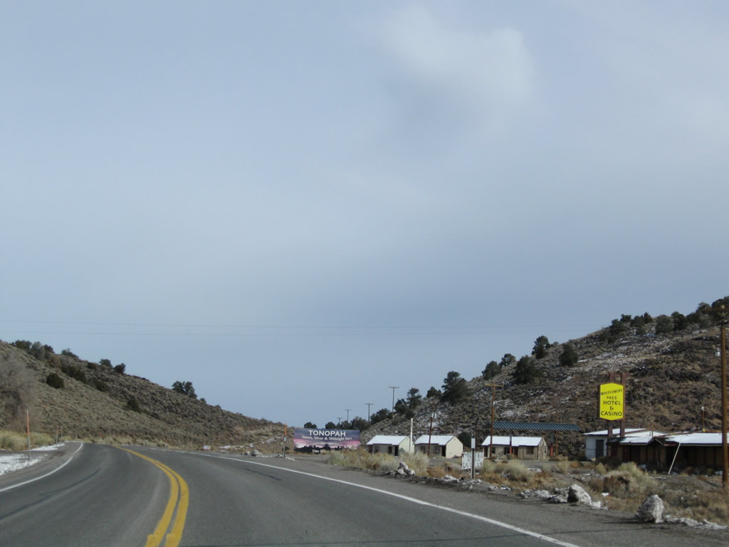
A small settlement lies at Montgomery Pass, including a sometimes open-sometimes closed hotel and casino. Photos taken 11/11/08 and 01/20/02. |
|
|
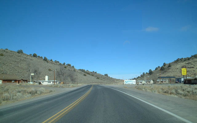
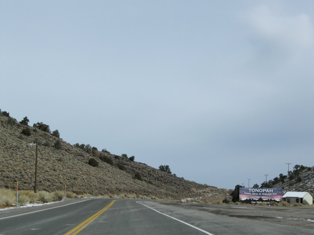
Leaving the settlement of Montgomery Pass, U.S. 6 reaches the summit and highest point of the pass. Nearby is a billboard advertising tourism in Tonopah, which is east of here along U.S. 6 and U.S. 95 in Nye County. Photos taken 11/11/08. |
|
|
|
|
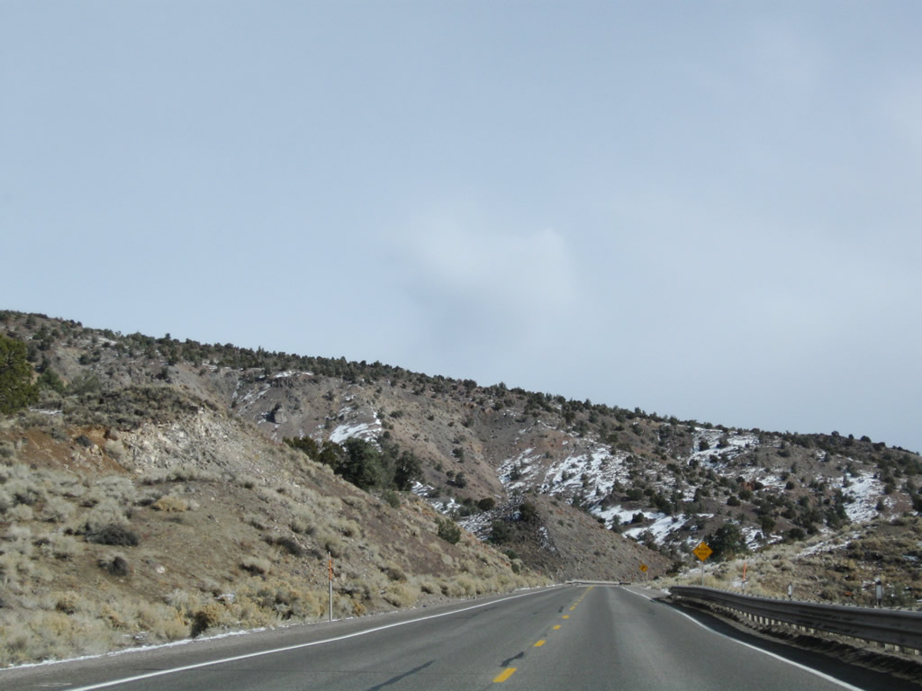
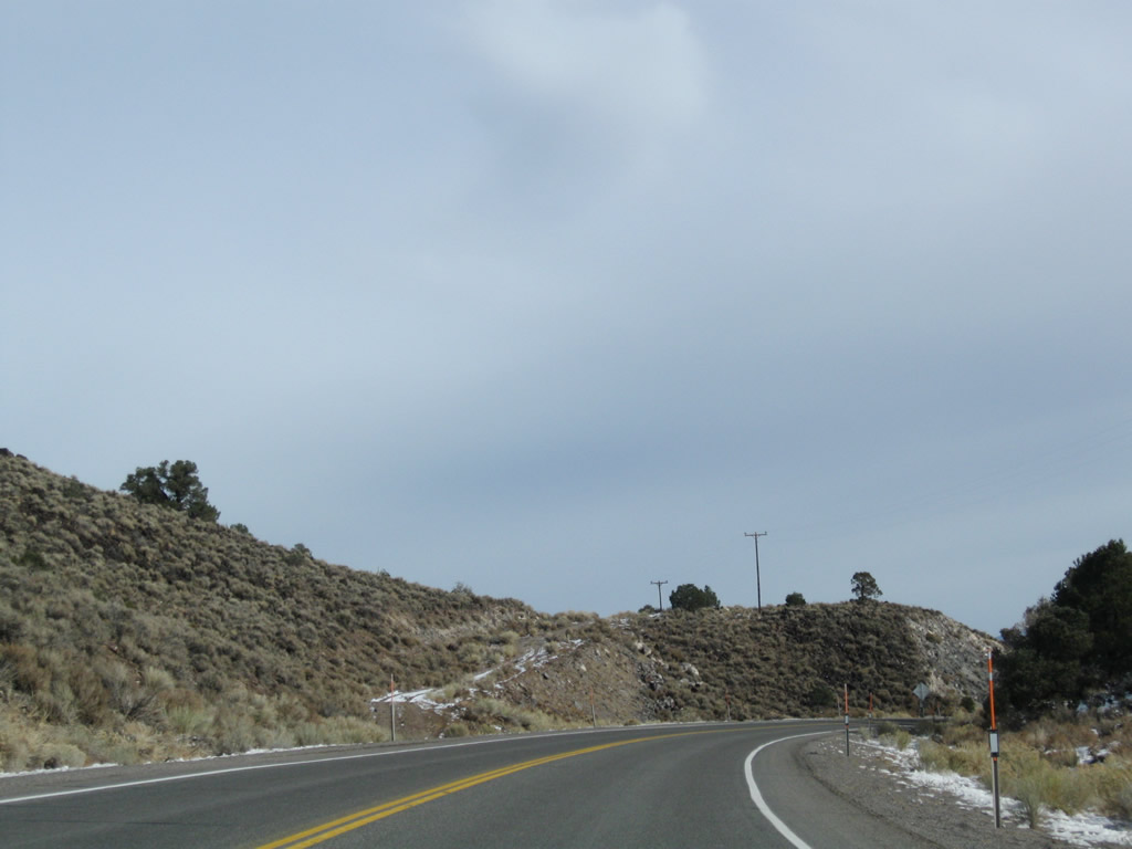
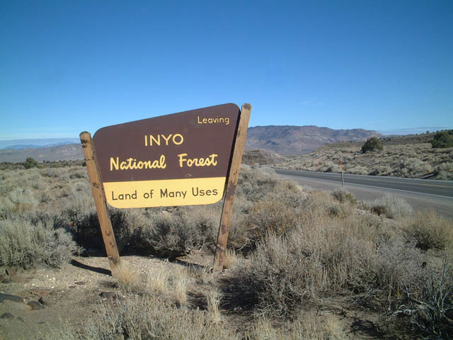
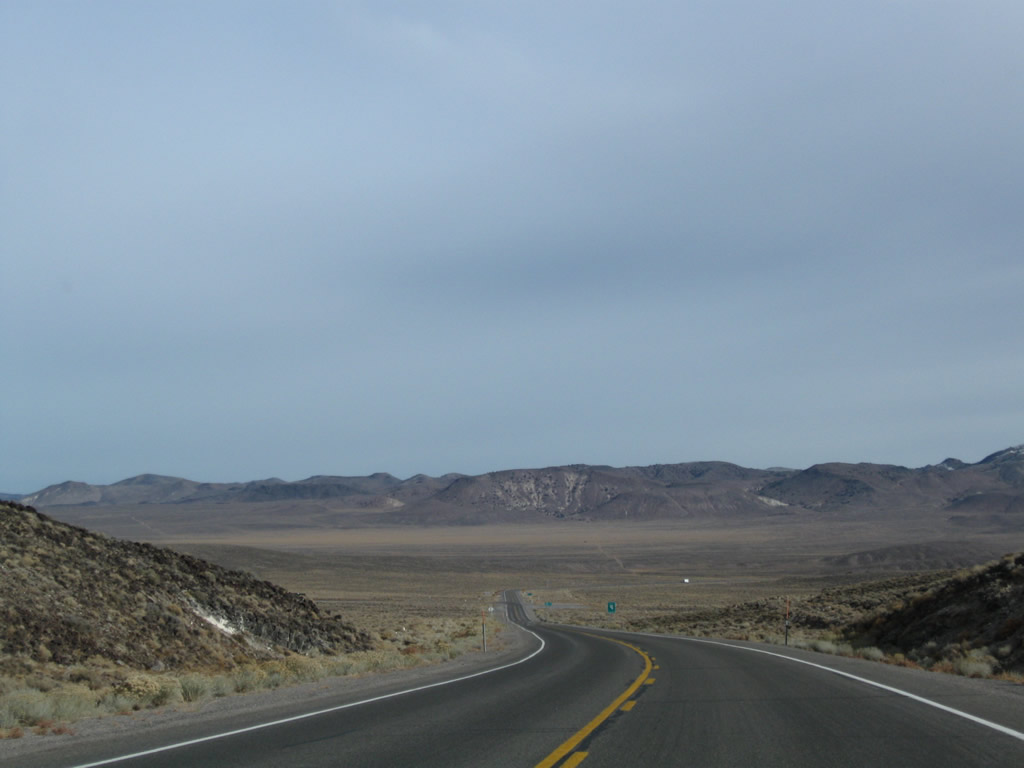
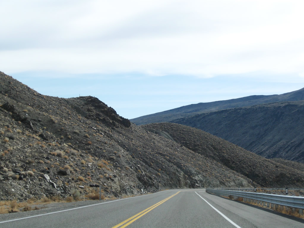
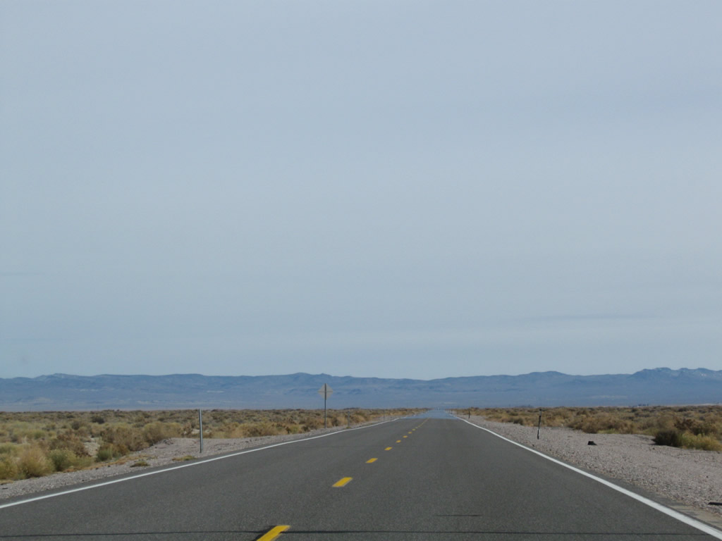
This series of photos follows U.S. 6 as the highway descends from Montgomery Pass on a grade that can be as severe as six percent. Watch for slow traffic on the lengthy downhill route. U.S. 6 leaves Inyo National Forest as it descends from Montgomery Pass. Photos taken 11/11/08 and 01/20/02. |
|
|
|
|
|
|
|
|
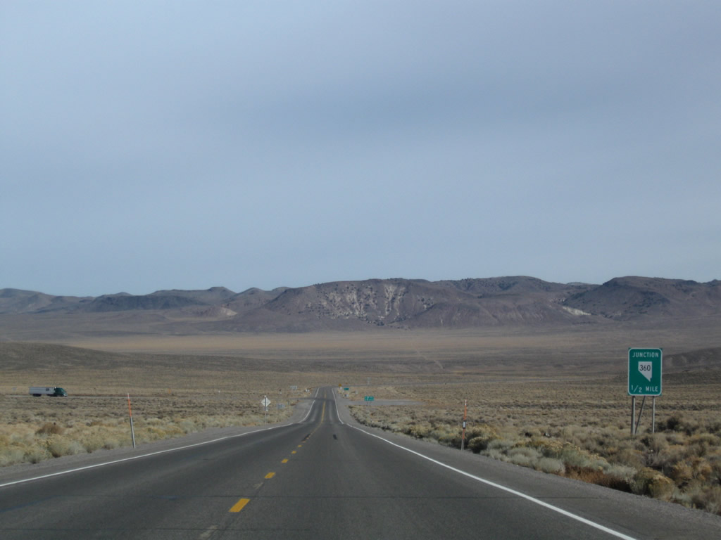
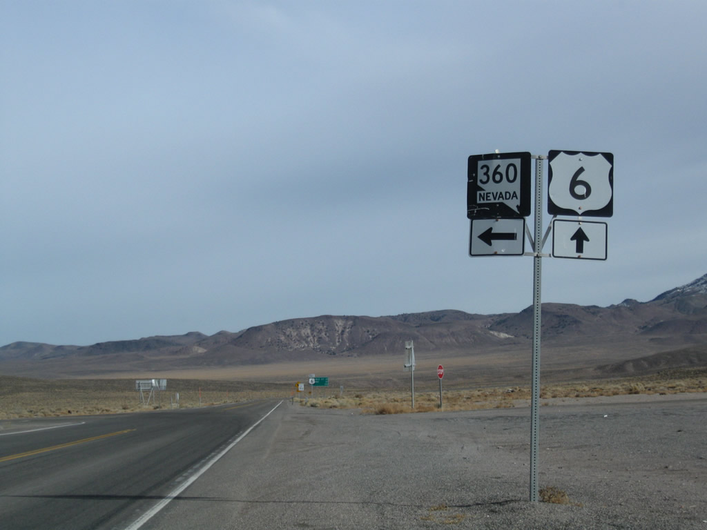
Coming off the downgrade from Montgomery Pass, eastbound U.S. 6 approaches the site of Basalt and the junction with Nevada 360. From this intersection, Nevada 360 travels north to U.S. 95. Photos taken 11/11/08. |
|
|
|
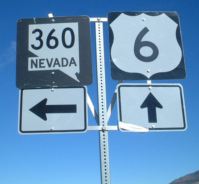
Eastbound U.S. 6 reaches Nevada 360 at this intersection. Use Nevada 360 north to U.S. 95 near Mina and Hawthorne. This turn off also connects to Nevada 361 north to U.S. 50 at Middlegate. Photos taken 11/11/08 and 01/20/02. |
|
|
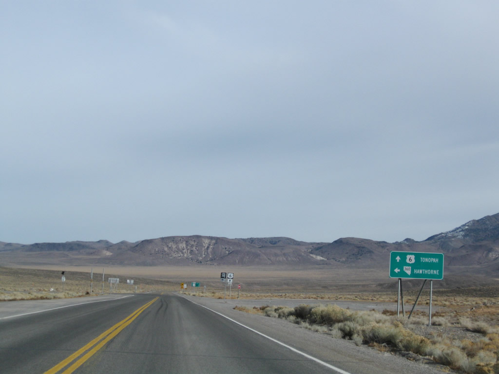
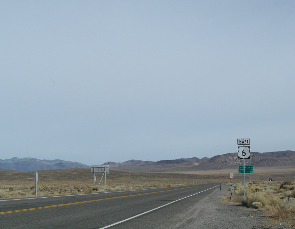
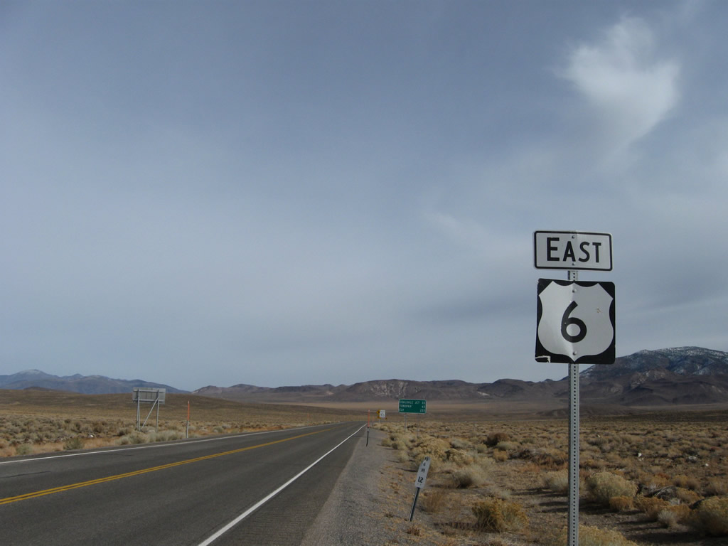
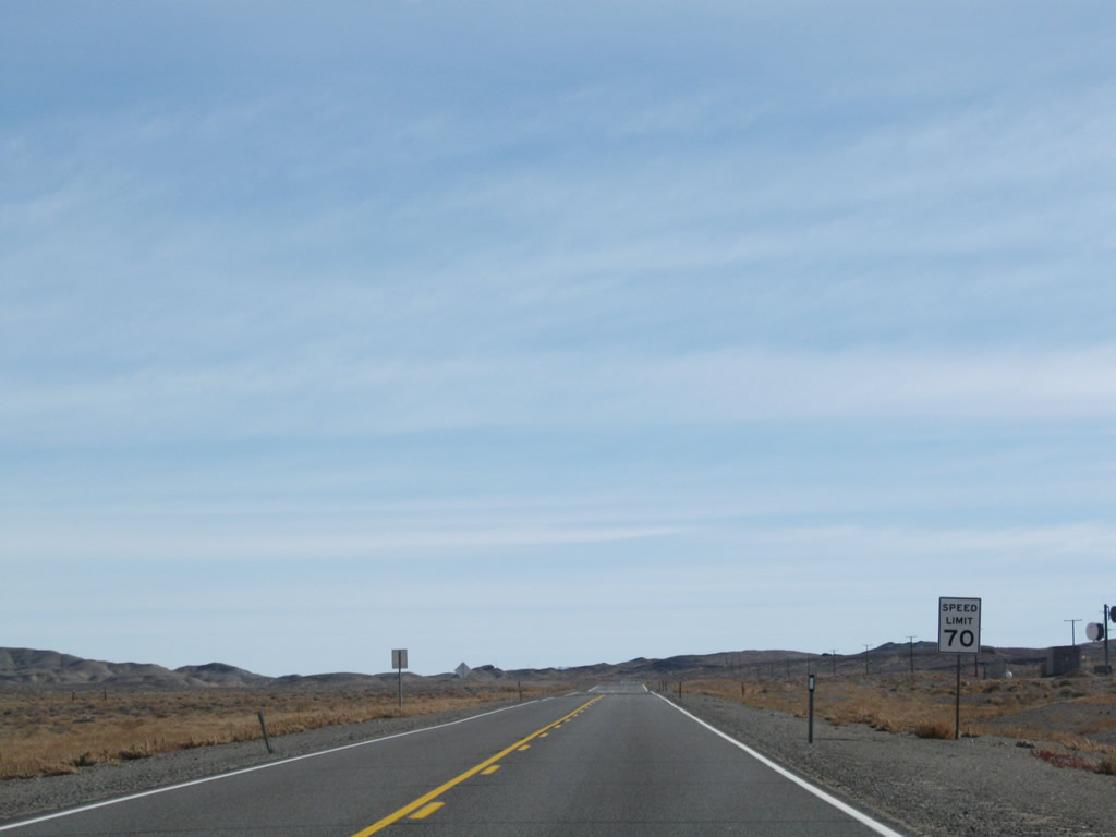
A U.S. 6 east reassurance shield is posted after its intersection with Nevada 360 in Basalt. A mileage sign provides the distance to Coaldale Junction (22 miles), Tonopah (63 miles), and Ely (233 miles). The speed limit rises to 70 miles per hour now that we are off the pass. Photos taken 11/11/08. |
|
This mileage sign provides the distance to Coaldale Junction (22 miles), Tonopah (63 miles), and Ely (233 miles). Photo taken 11/11/08. |
|
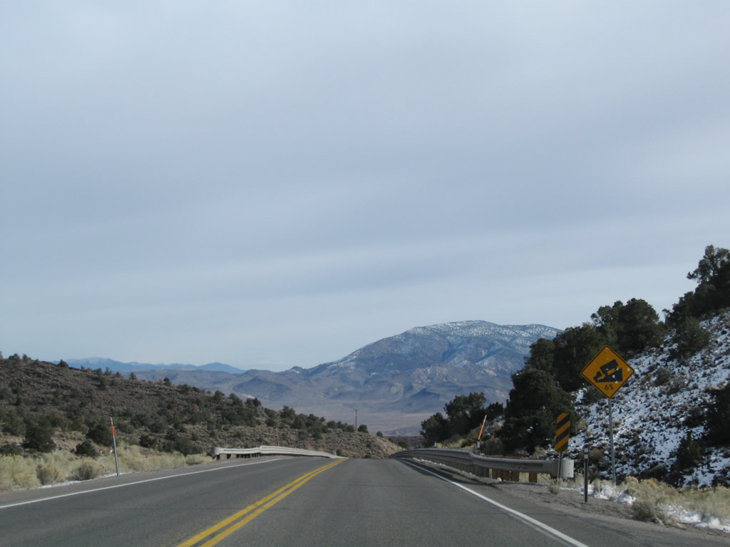
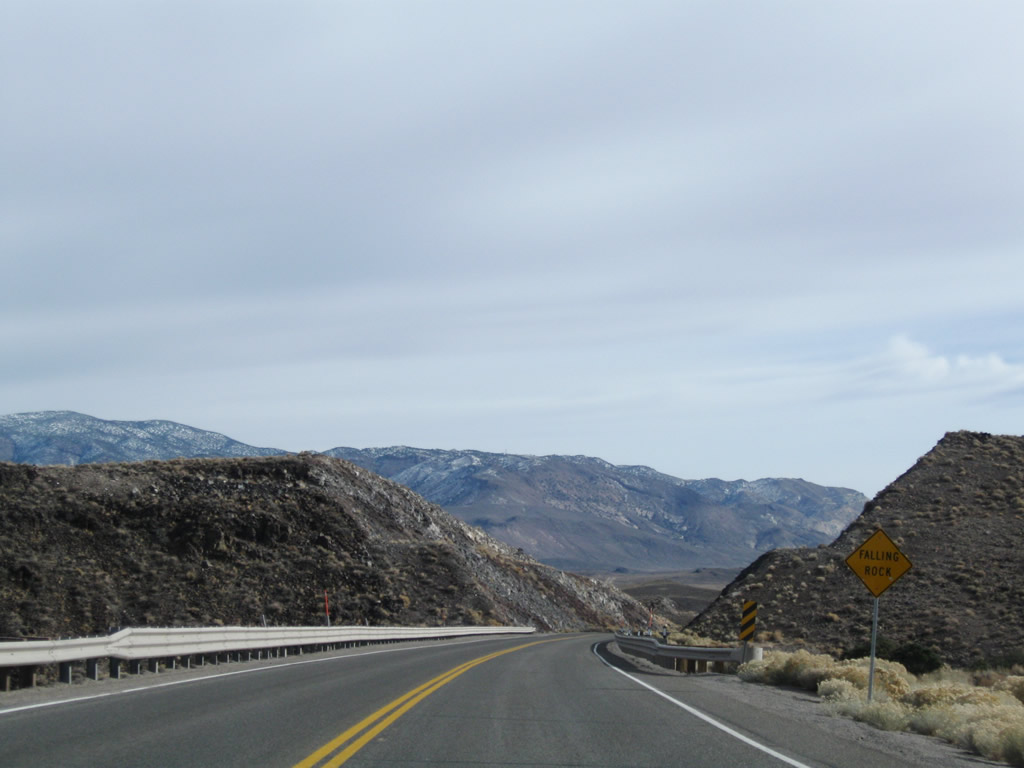
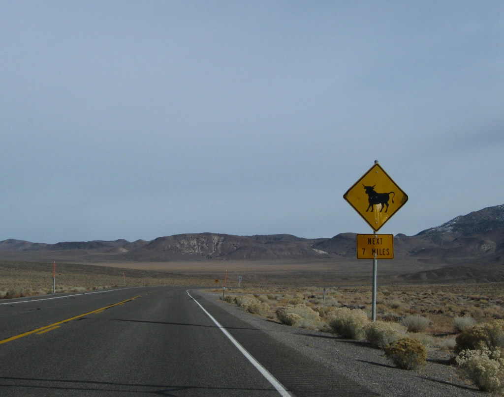
A sign featuring a bull is used in Nevada to represent the potential of loose range stock on the highway. There are no fences on either side of the highway to restrain animals for the next seven miles, so watch for them possibly on the highway. Photo taken 11/11/08. |
|
|
|
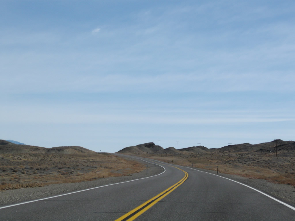
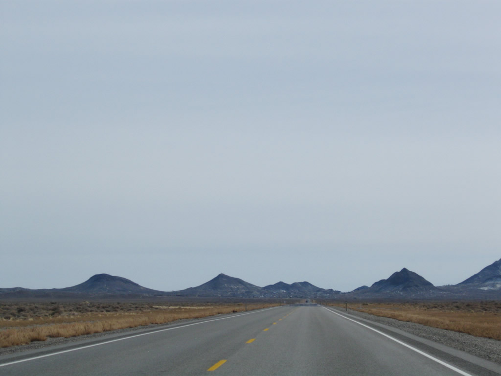
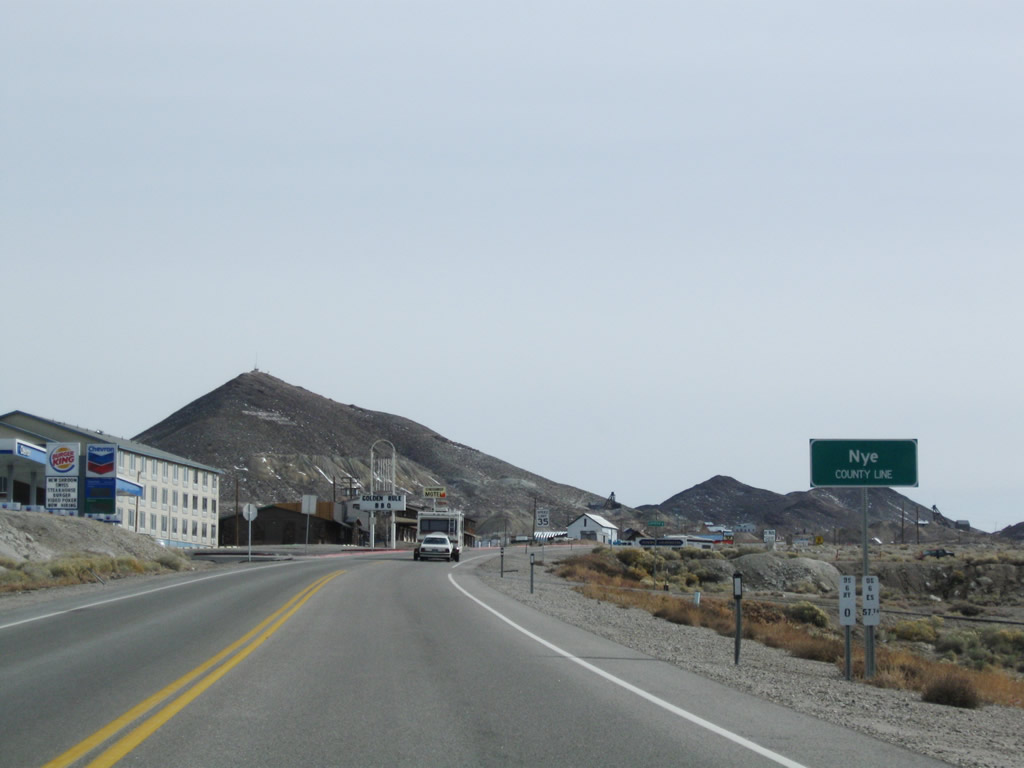
Continuing east, U.S. 6 turns due east for the first time since leaving Bishop. The highway will skirt the southern edge of Miller Mountain (elevation 8,729 feet above sea level) and then continue toward the Mineral-Esmeralda County Line. Photos taken 11/11/08. |
|
|
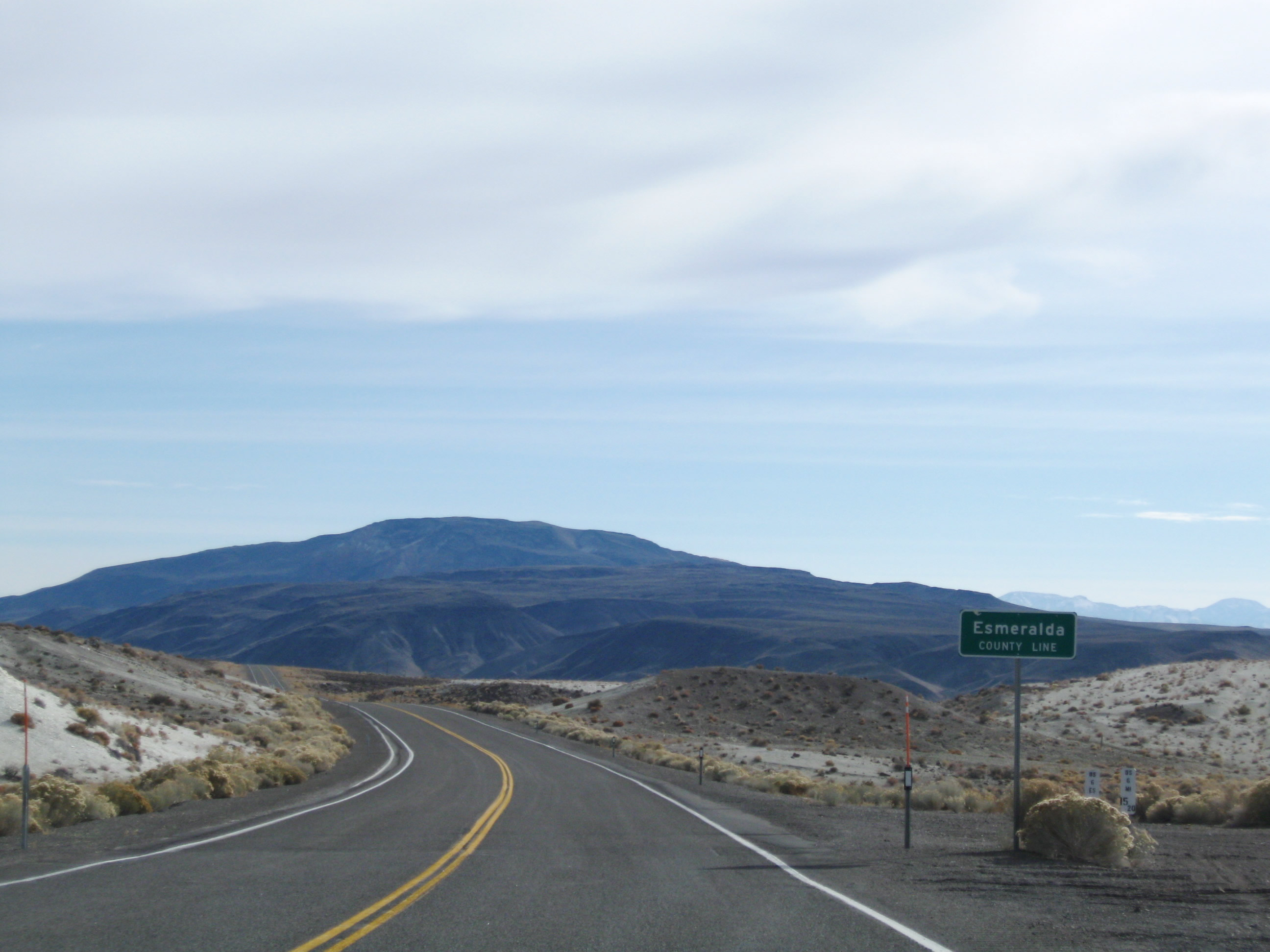
U.S. 6 leaves Mineral County and enters Esmeralda County (population 971 as of the 2000 Census). This county, which has a small population, has a huge area, encompassing some 3,589 square miles of area. Esmeralda County was formed in 1861, prior to the inclusion of the state of Nevada into the United States of America in 1864. Gold and silver mining was part of the original growth of the county in the 19th century, along with other parts of Nevada. However, with the decline of mining activities through the 20th century, Esmeralda County today is very rural with only a few settlements within its expanse. Photos taken 11/11/08. |
|
|
|
|
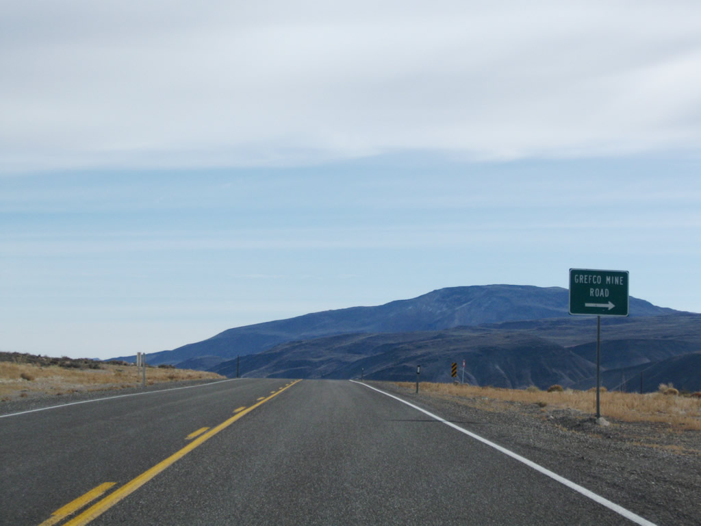
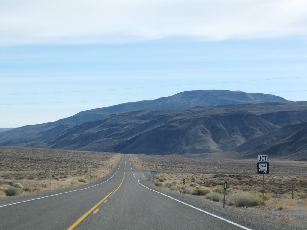
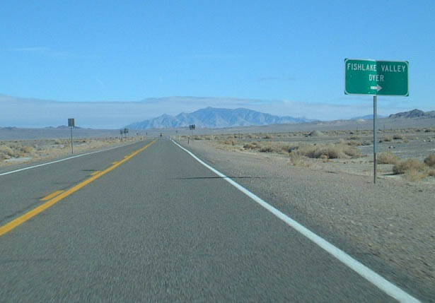
Soon thereafter, eastbound U.S. 6 approaches and meets Nevada 264, which travels south into the Fish Lake Valley and to the unincorporated community of Dyer. Southeast of Dyer, Nevada 264 crosses into California and becomes California 266 and meets California 168 in Oasis. California 168 then travels west over Westgard Pass to meet U.S. 395 at Big Pine. California 266, meanwhile, turns east to return to Nevada, changing into nevada 266. From the state line, Nevada 266 travels almost due east through Lida to end at U.S. 95 at Lida Junction south of the Esmeralda County seat of Goldfield. Photos taken 11/11/08. |
|
|
|
|
|
|
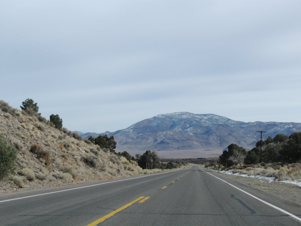
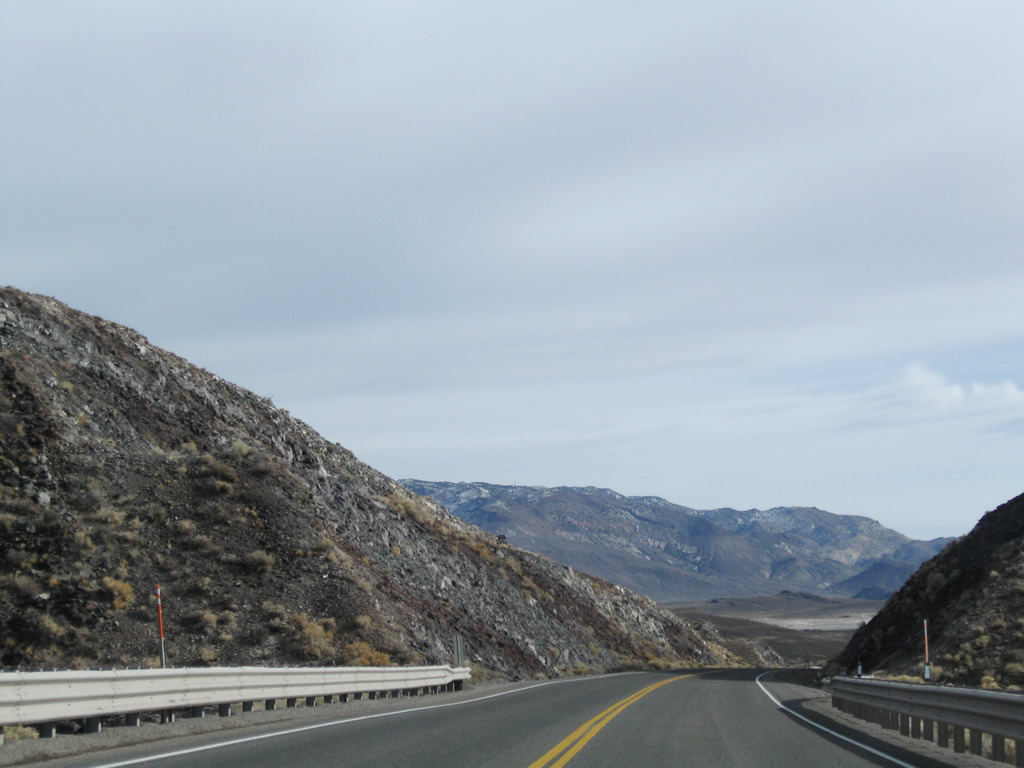
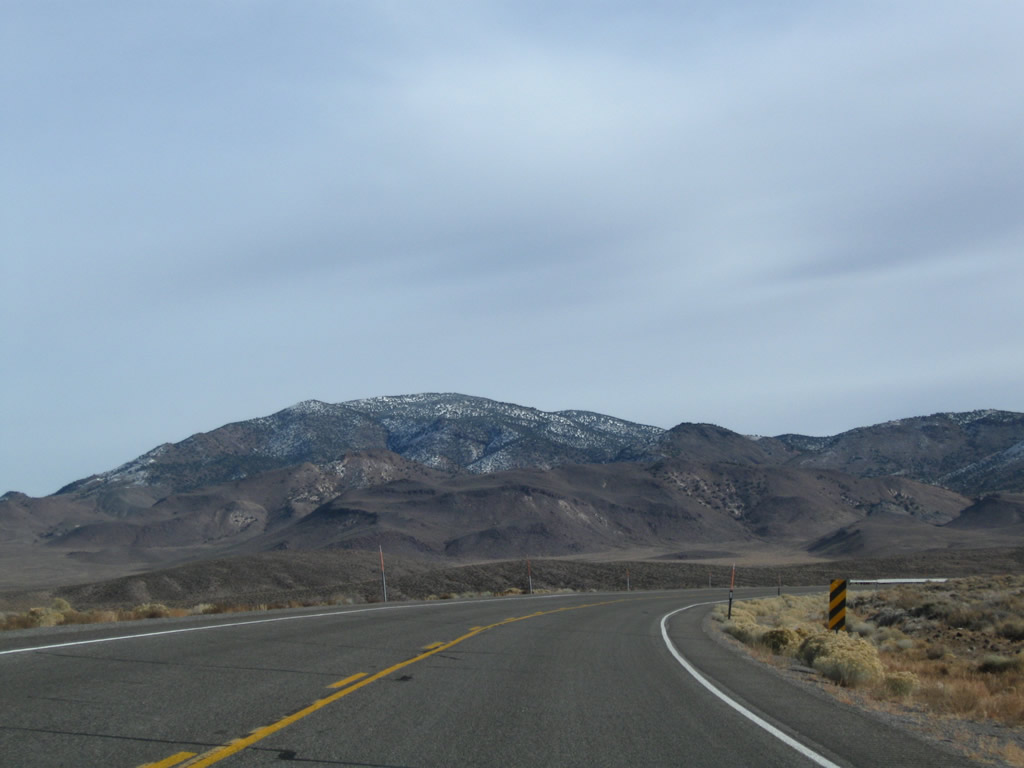
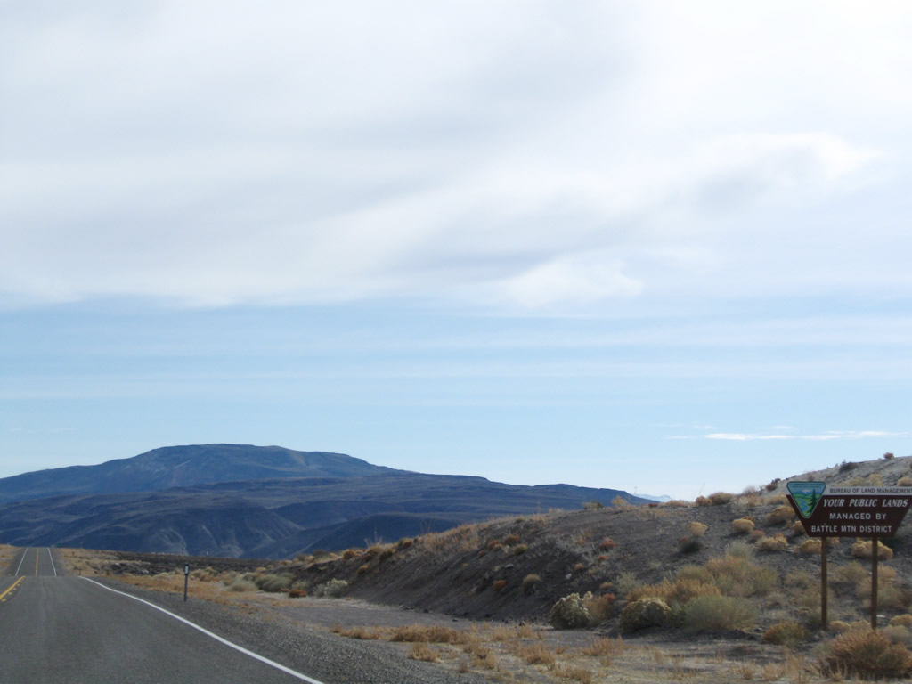
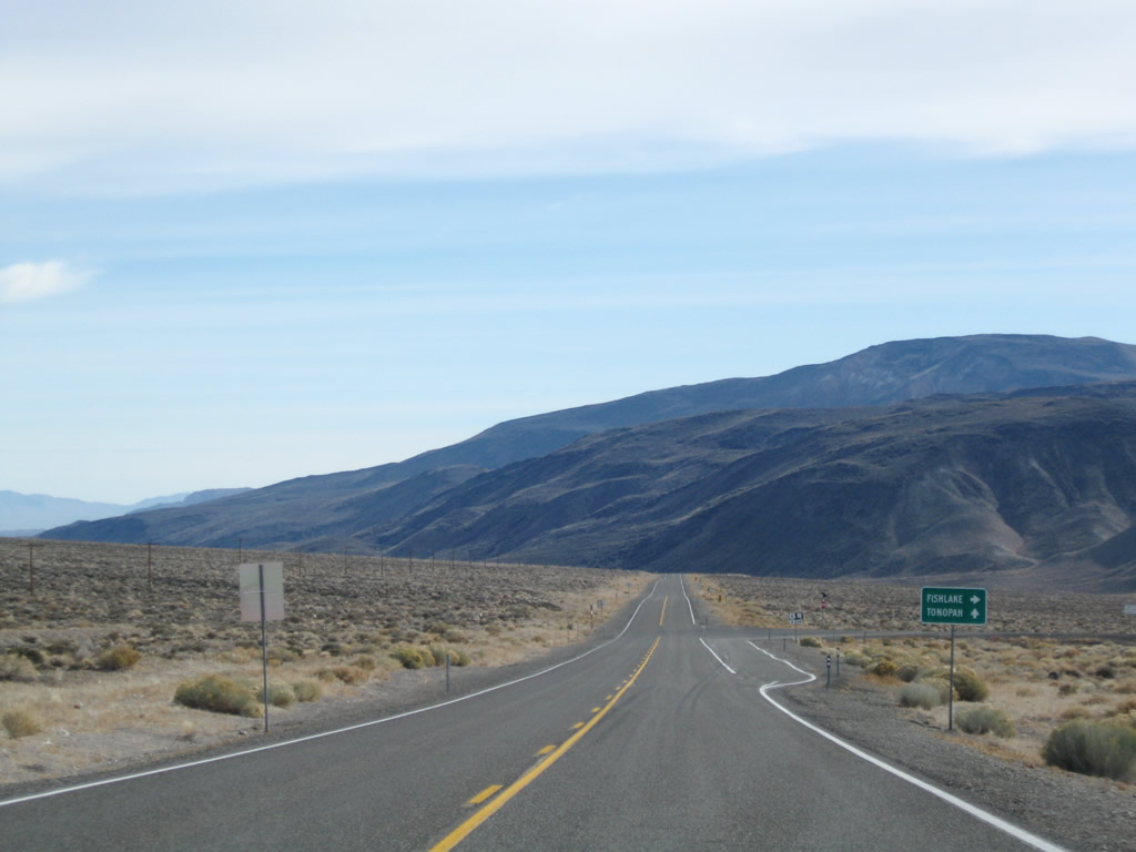
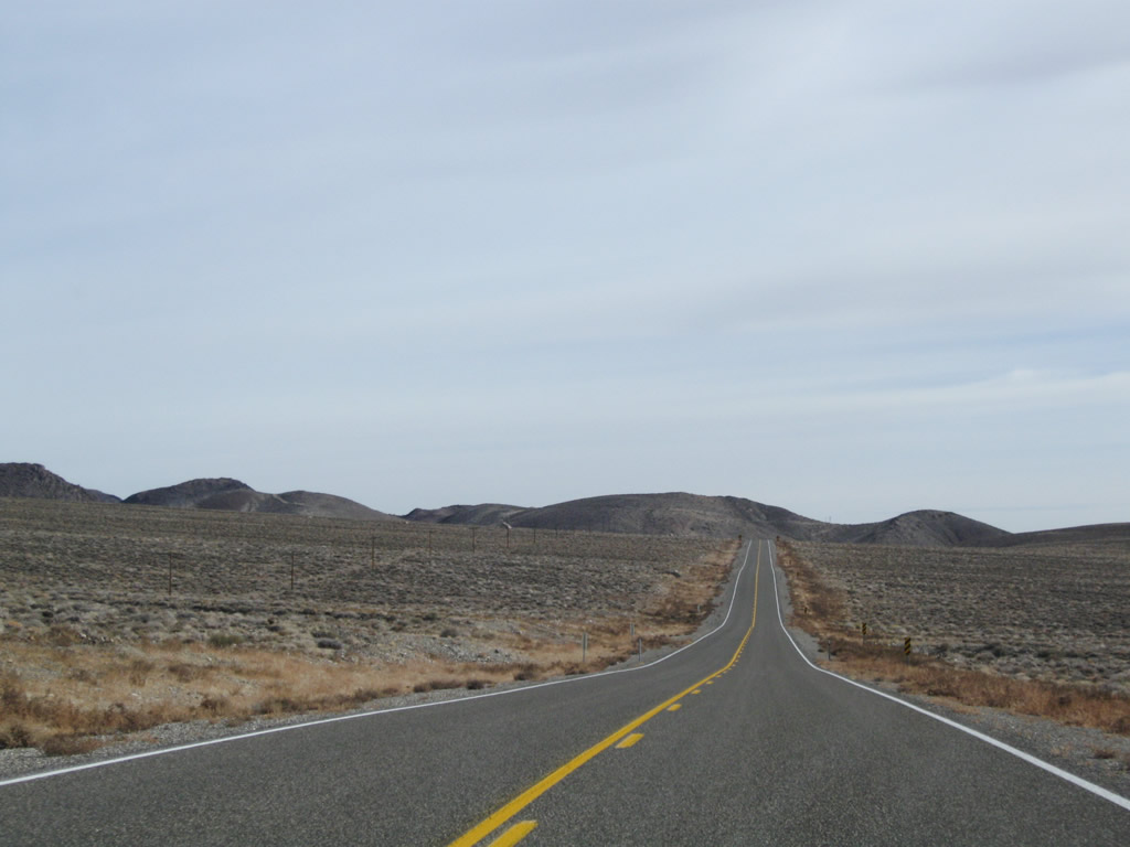
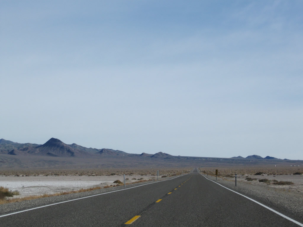
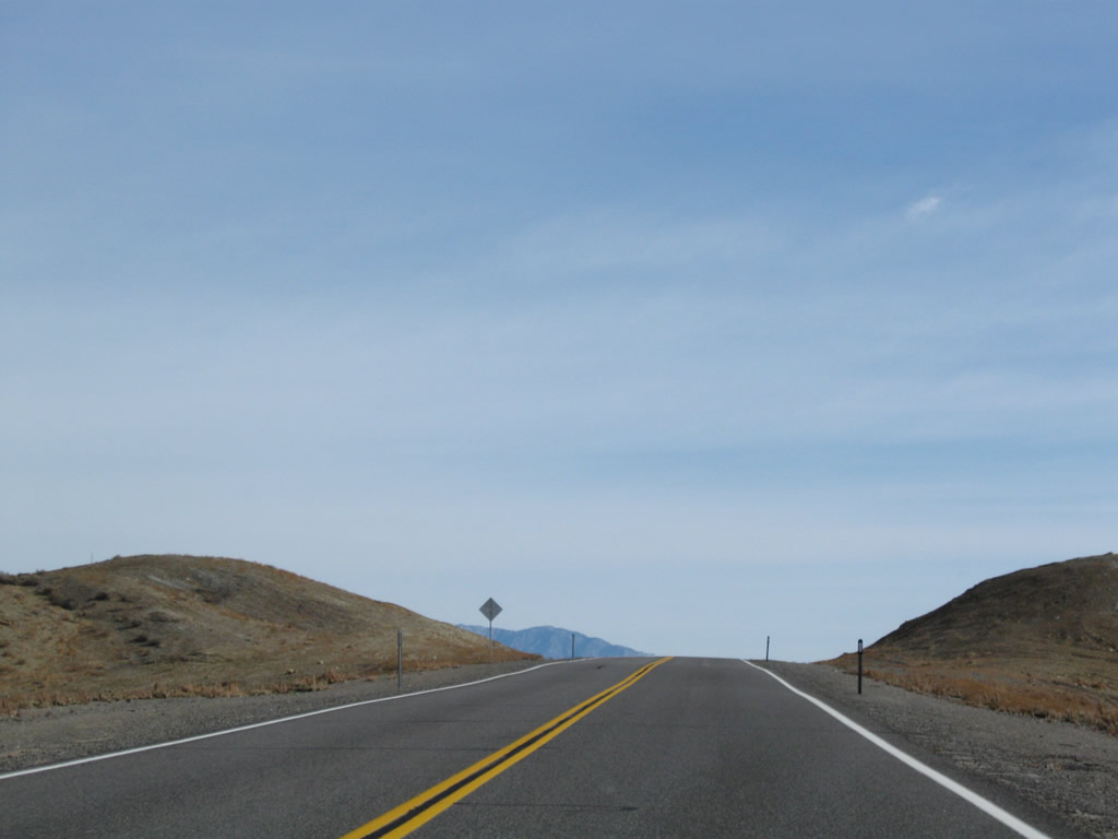
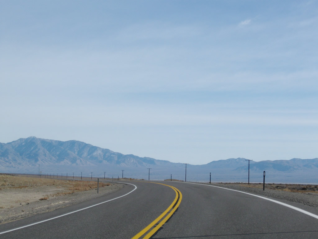
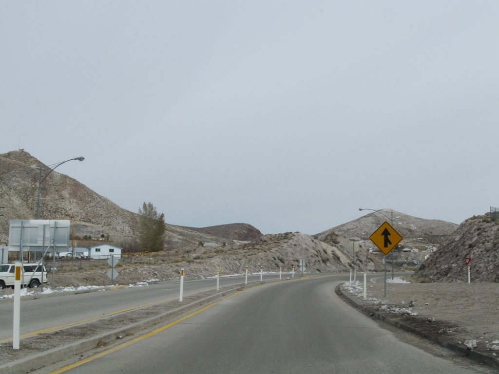
U.S. 6 leaves the Nevada 264 intersection and proceeds esat between Miller Mountain to the north and Volcanic Hills to the south. Long, vast stretches of highway characterize this portion of U.S. 6. A curving section with a six percent grade is located about midway between Nevada 264 and Nevada 773; signage advises a reduced speed through this area. Photos taken 11/11/08. |
|
|
|
|
|
|
|
|
|
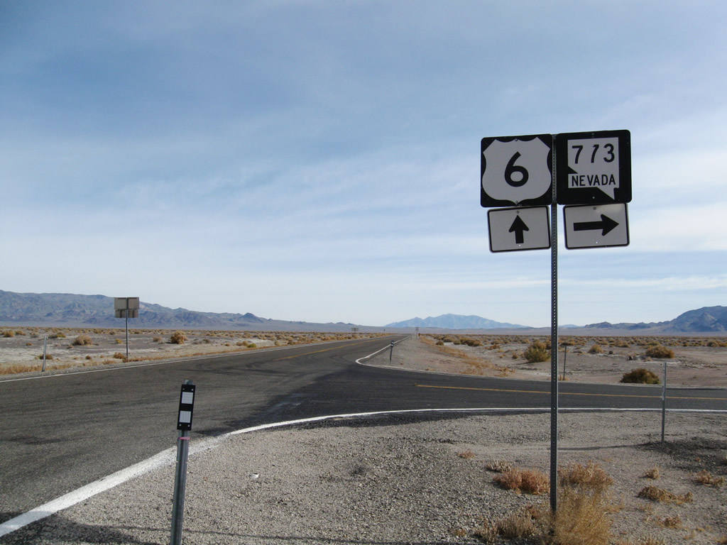
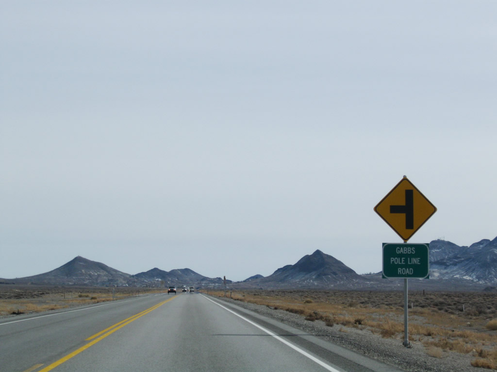
Eastbound U.S. 6 next approaches Nevada 773 south, which travels southwest to connect with Nevada 264 south en route to Fish Lake Valley, Dyer, and Oasis. Photos taken 01/20/02. |
|
In the progression of signs for the Nevada 773 intersection, the first sign is the Nevada 773 junction shield, while the second sign is the guide sign for Fish Lake Valley and Dyer. Photo taken 01/20/02. |
|
A short distance later, U.S. 6 east meets Nevada 773 south at this intersection. Photo taken 11/11/08. |
|
Leaving the Nevada 773 intersection, U.S. 6 continues east toward Coaldale Junction and the intersection with U.S. 95. Photo taken 11/11/08. |
|
|
|
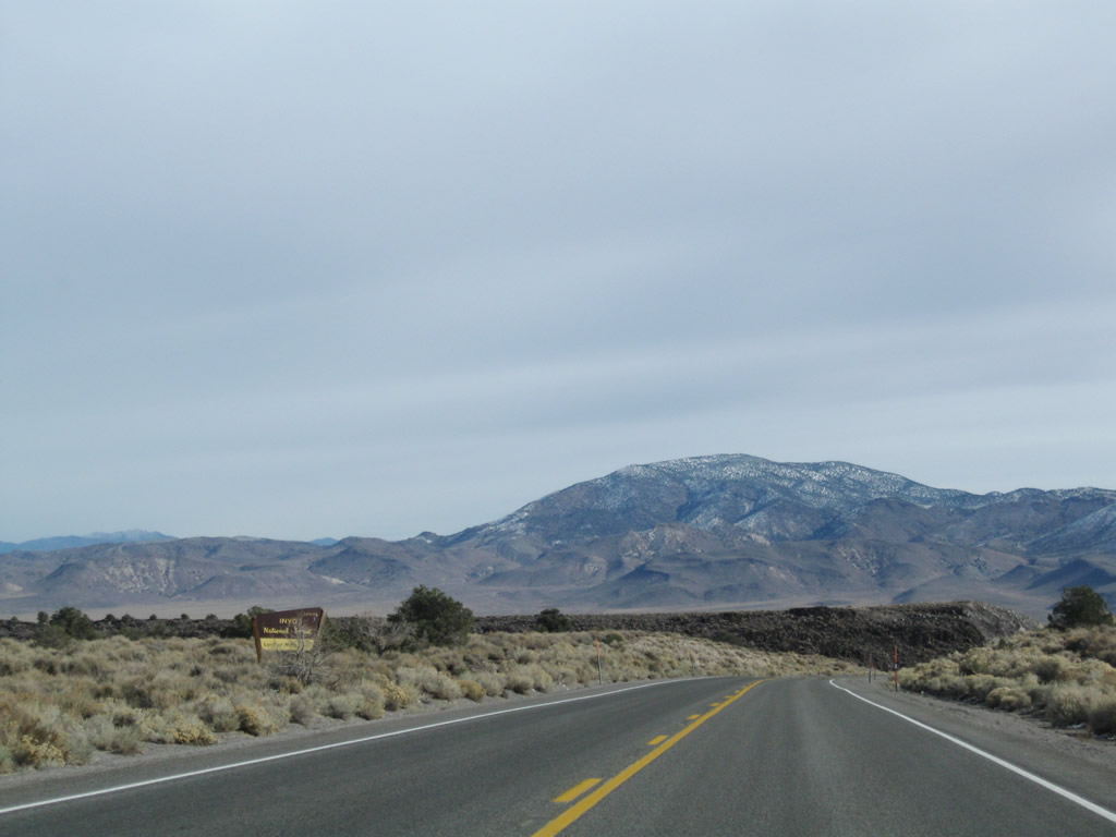
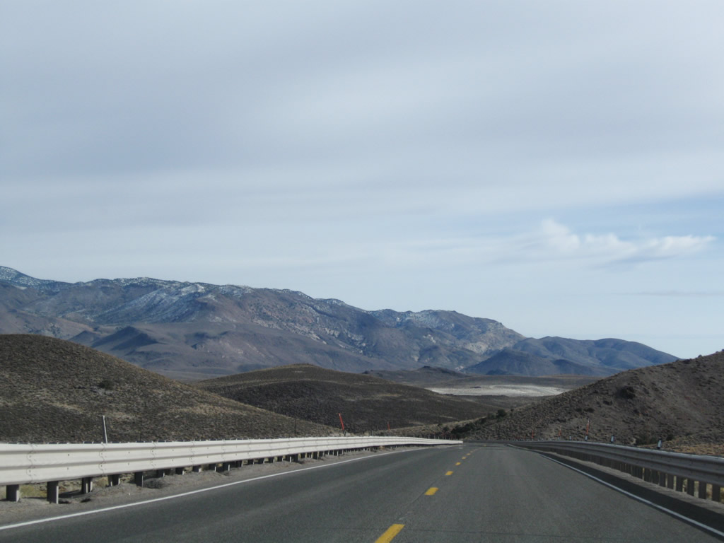
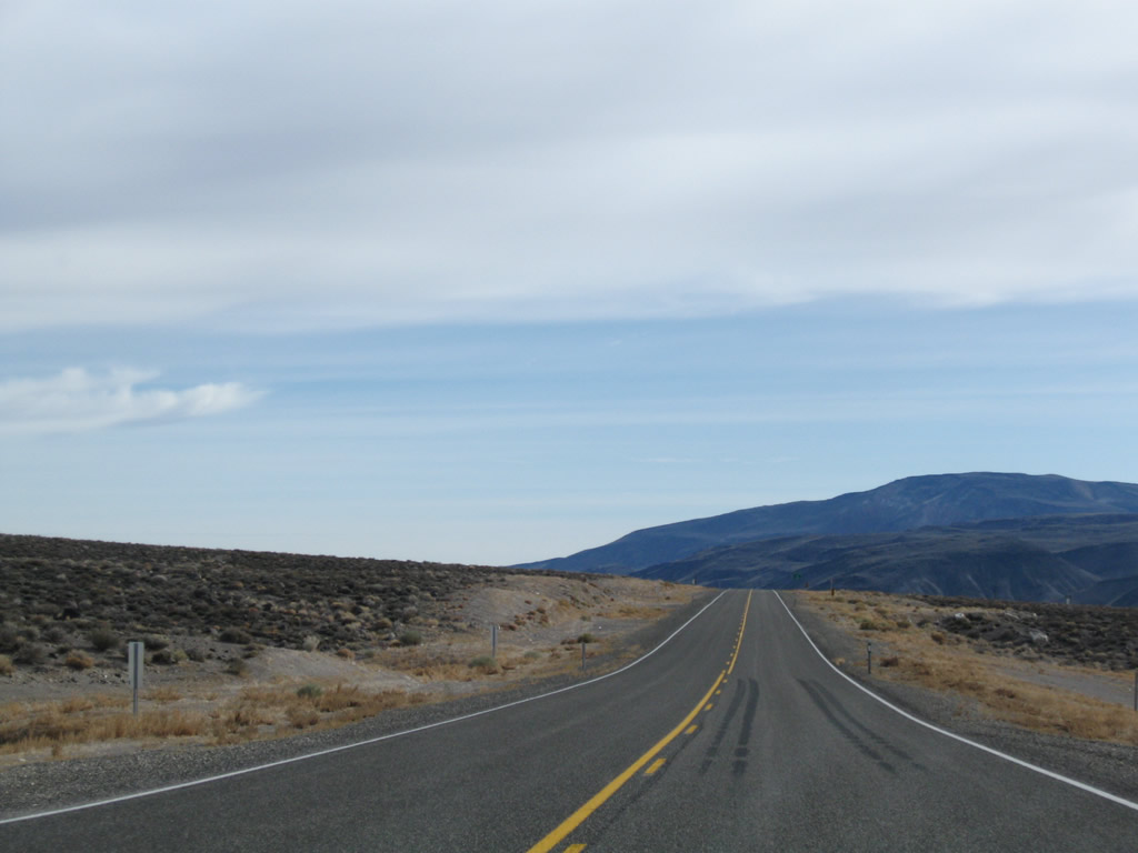
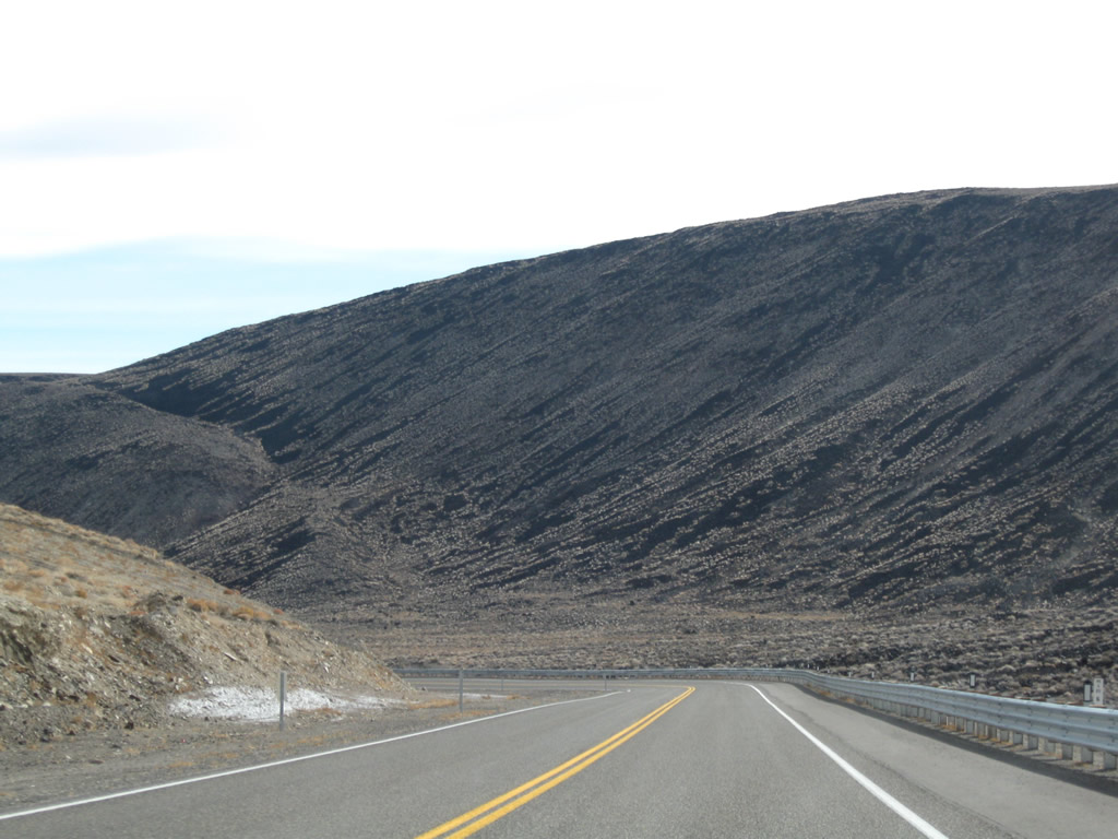
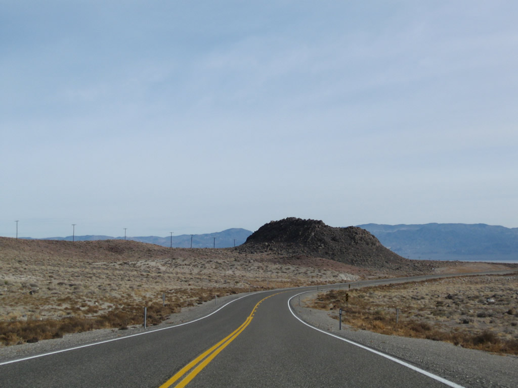
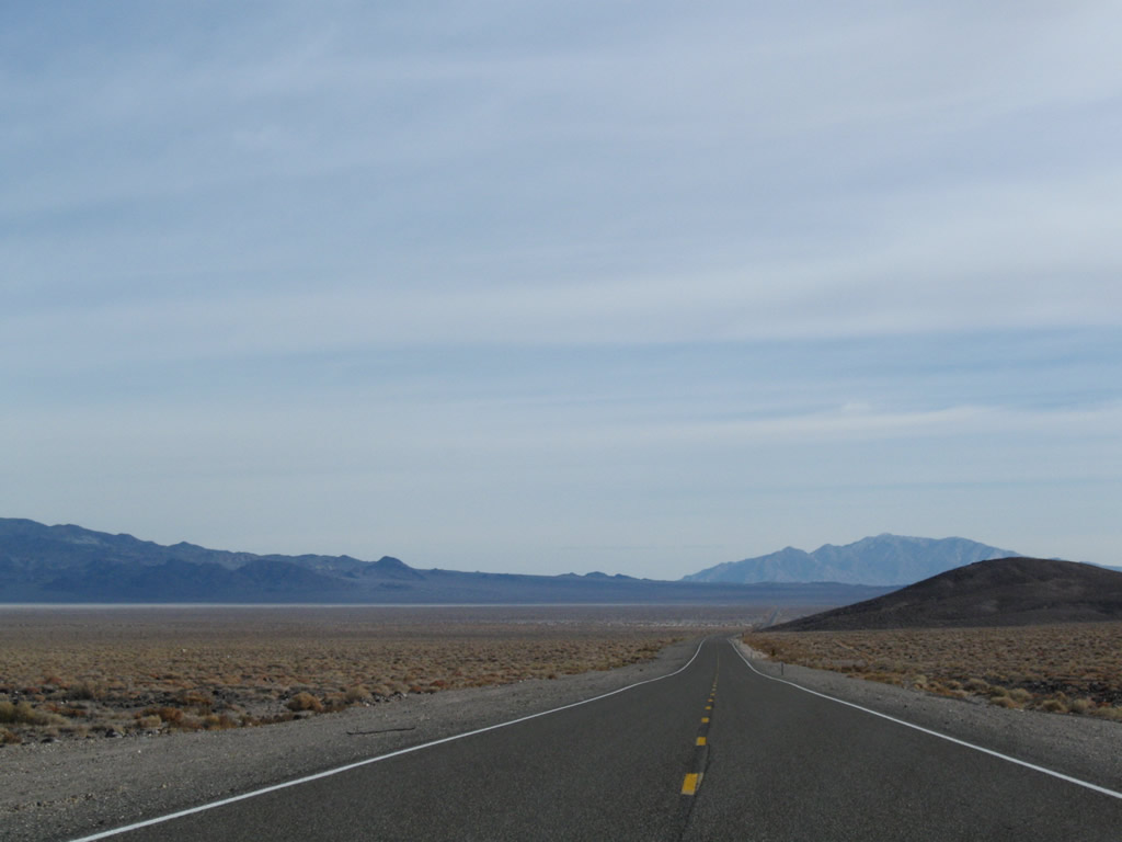
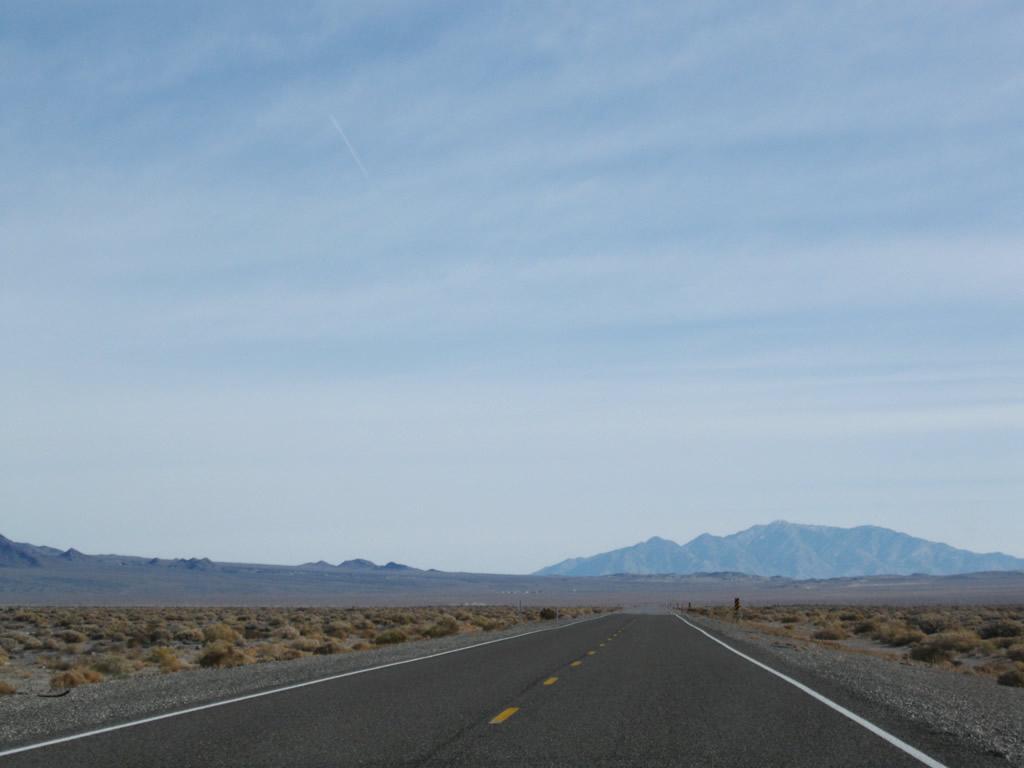
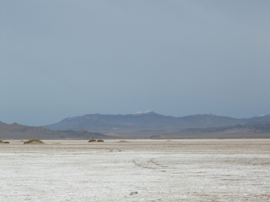
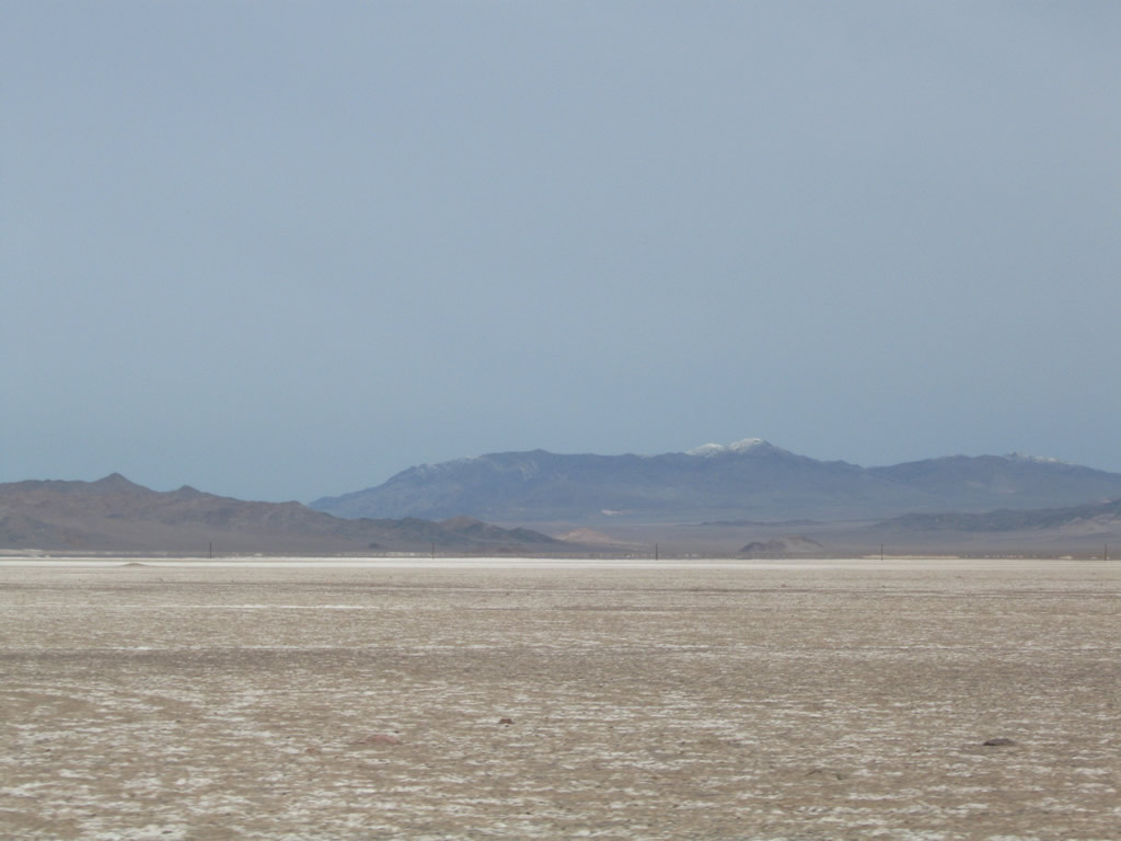
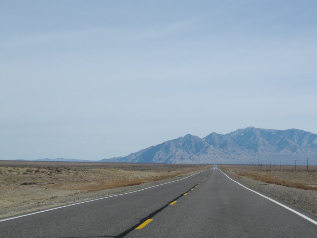
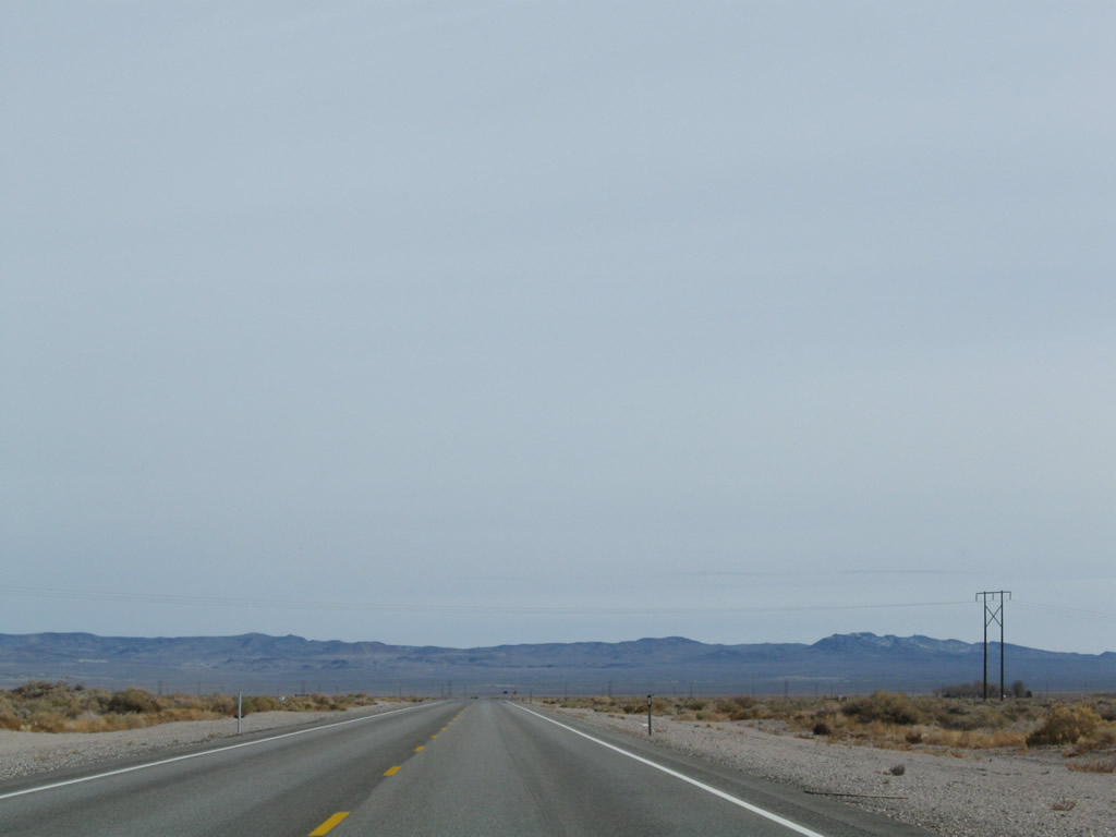
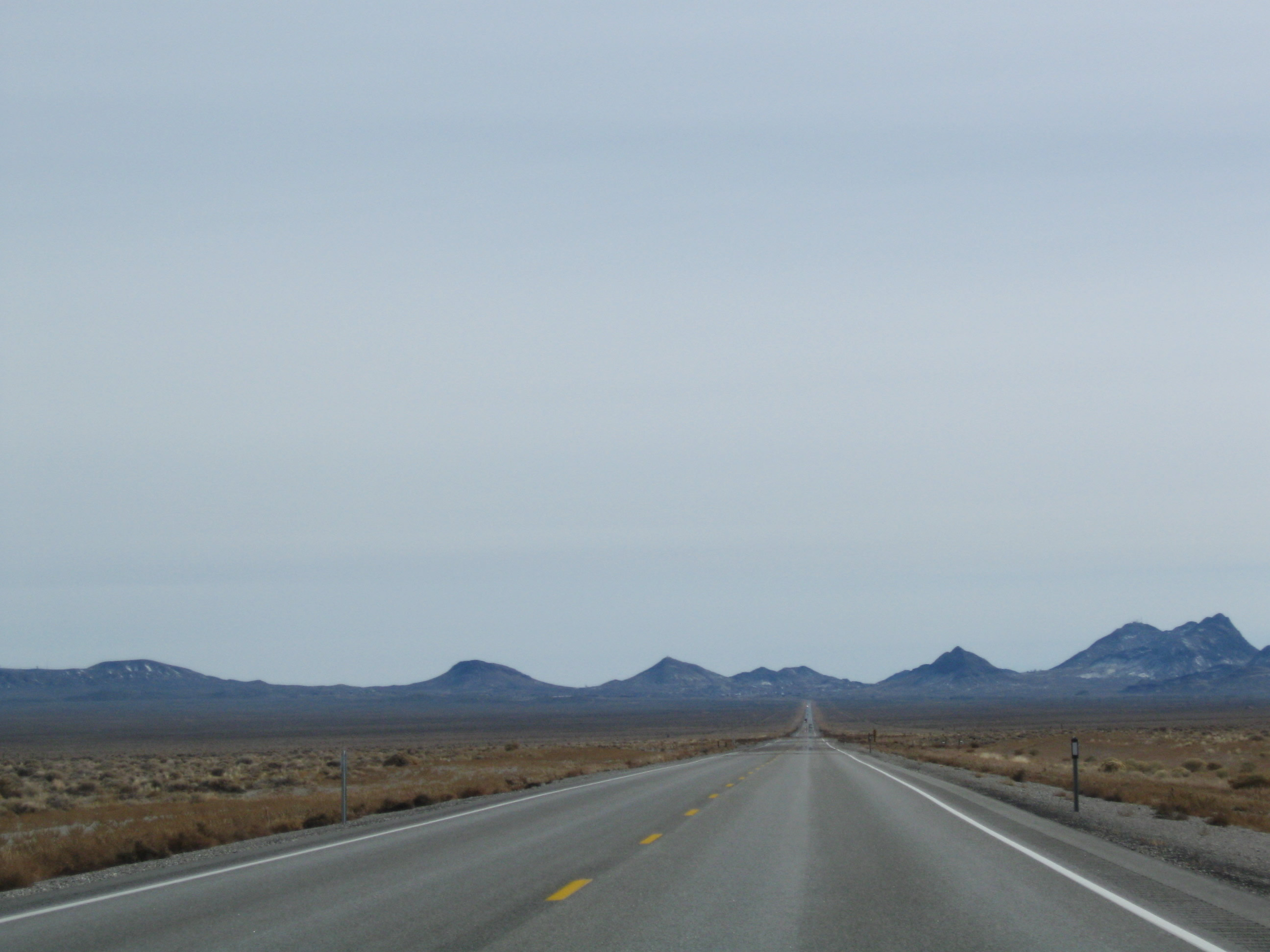
Long, flat stretches of highway between mountain passes are common along U.S. 6 across Nevada, including dry lakebeds such as the Columbus Salt Marsh (located north of U.S. 6 roughly between Nevada 773 and U.S. 95). In the Great Basin, rivers do not escape to the ocean; instead, they drain to the lowest point and either feed wetlands or lakes or dry out before reaching a lake. Photos taken 11/11/08. |
|
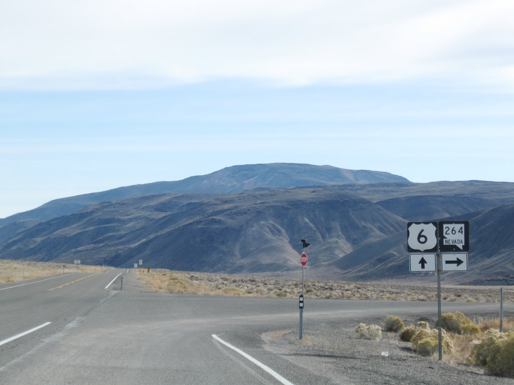
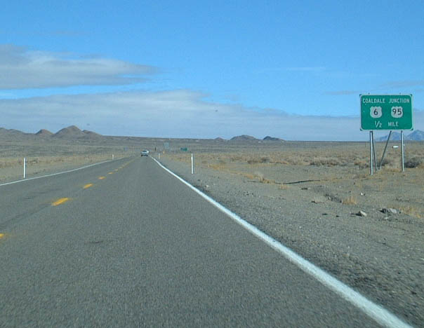
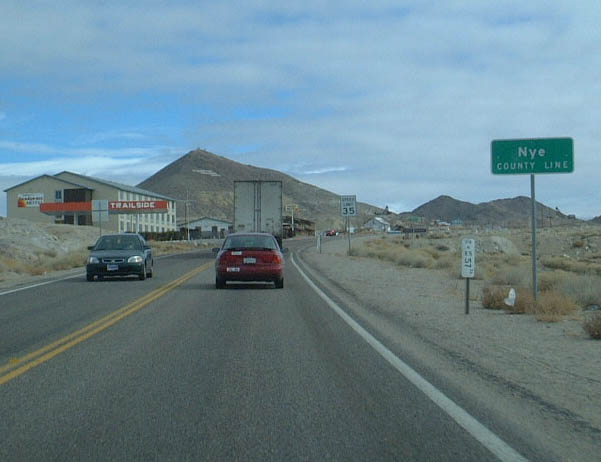
Continuing east, U.S. 6 next approaches its junction with U.S. 95 at Coaldale Junction (one-half mile). While there used to be civilization at this intersection, the remaining buildings are abandoned, having fallen into disrepair. Photo taken 01/20/02. |
|
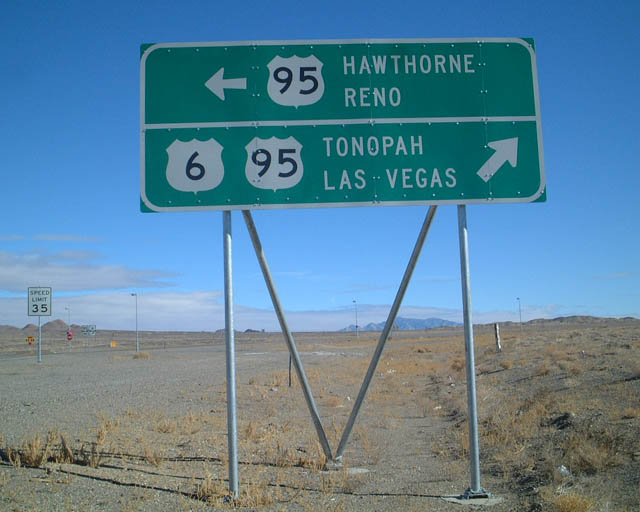
At U.S. 95, this sign advises of the control cities for U.S. 6 and U.S. 95. Continue east on U.S. 6-95 to Tonopah, Las Vegas, and Ely; turn north on U.S. 95 to Hawthorne and Reno. Photo taken 01/20/02. |
|
|
|
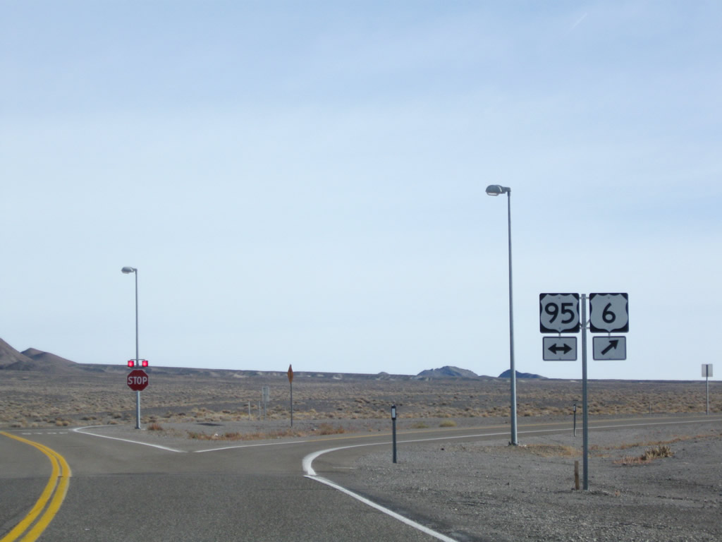
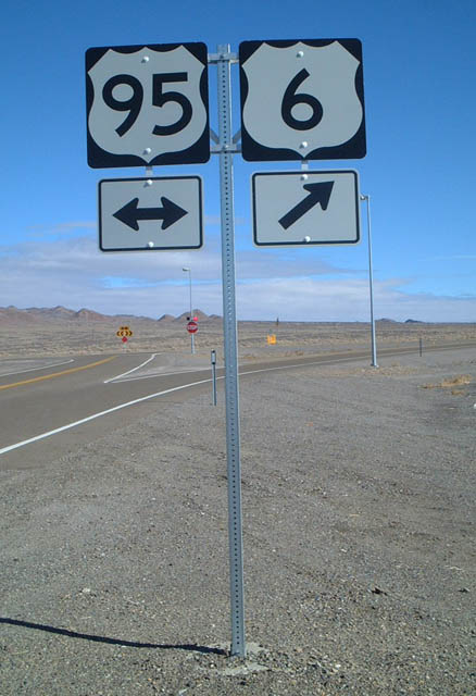
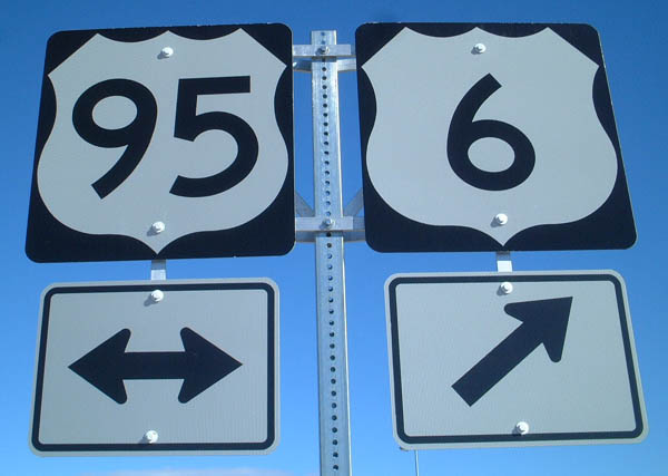
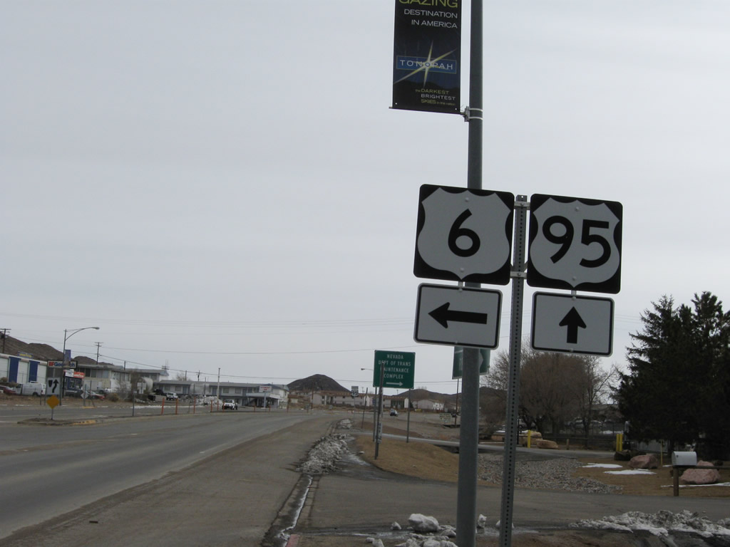
These trailblazer shields for U.S. 6 and U.S. 95 are posted at the Coaldale Junction intersection. Turn left for U.S. 95 north to Hawthorne and Yerington or right for U.S. 6 east and U.S. 95 south to Tonopah. Photos taken 11/11/08 and 01/20/02. |
| U.S. 6 east and U.S. 95 south |
|---|
|
A pair of reassurance shields for eastbound U.S. 6 and southbound U.S. 95 are posted at Coaldale Junction after the intersection. Photo taken 11/11/08. |
|
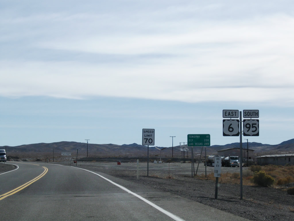
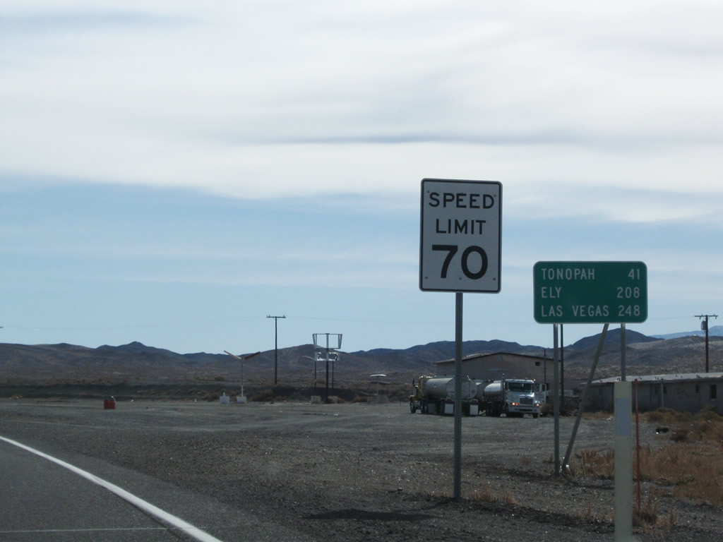
This mileage sign along eastbound U.S. 6 and southbound U.S. 95 at Coaldale provides the distance to Tonopah (41 miles), Ely (208 miles via U.S. 6 east), and Las Vegas (248 miles via U.S. 95 south). Photo taken 11/11/08. |
|
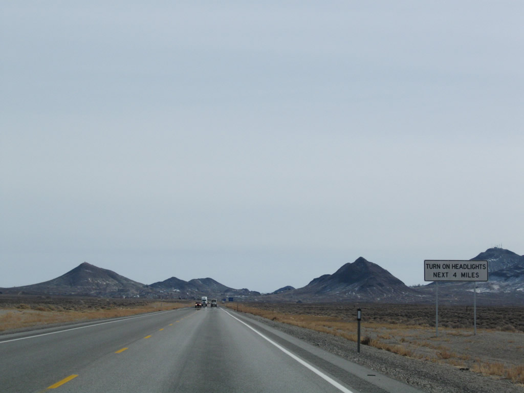
Leaving the settlement of Coaldale, U.S. 6 east and U.S. 95 south travels almost due east toward Tonopah. Since much of this route is through rural terrain, all motorists are required to use headlights during daytime as well as nighttime. Photo taken 11/11/08. |
|
The speed limit along U.S. 6 east and U.S. 95 south remains 70 miles per hour. Photo taken 11/11/08. |
|
|
|
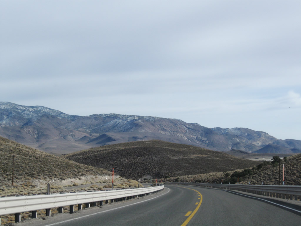
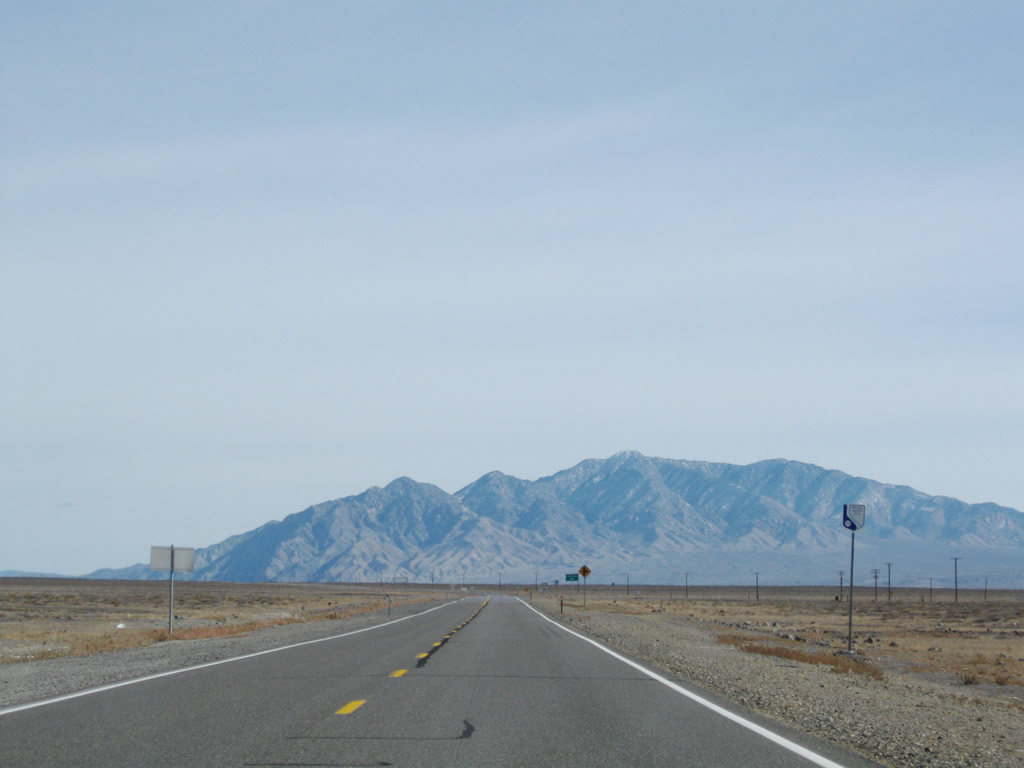
This series of photos follows U.S. 6 east and U.S. 95 south between Coaldale and the Nevada 265 intersection at Blair Junction. To the south is Emigrant Peak (elevation 6,790 feet above sea level) and to the north is Monte Cristo Range. After making the last turn, distant Lone Mountain (elevation 9,108 feet above sea level) comes into view. Photos taken 11/11/08. |
|
|
|
|
|
|
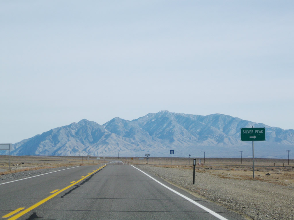
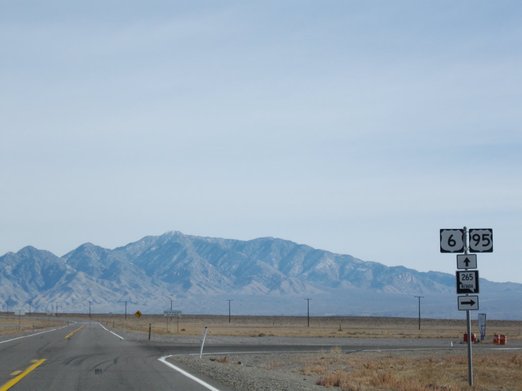
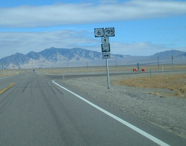
Approaching Blair Junction, U.S. 6 east and U.S. 95 south meet Nevada 265/Nivloc Road south to Silver Peak. Nevada 265 travels south to Silver Peak, an unincorporated town with a history steeped in silver and gold mining in the 19th century and today is adjacent to a lithium extraction facility in nearby Clayton Valley. Nevada 265 is not a through state highway; it ends upon reaching Silver Peak. Photos taken 11/11/08 and 01/20/02. |
|
|
|
|
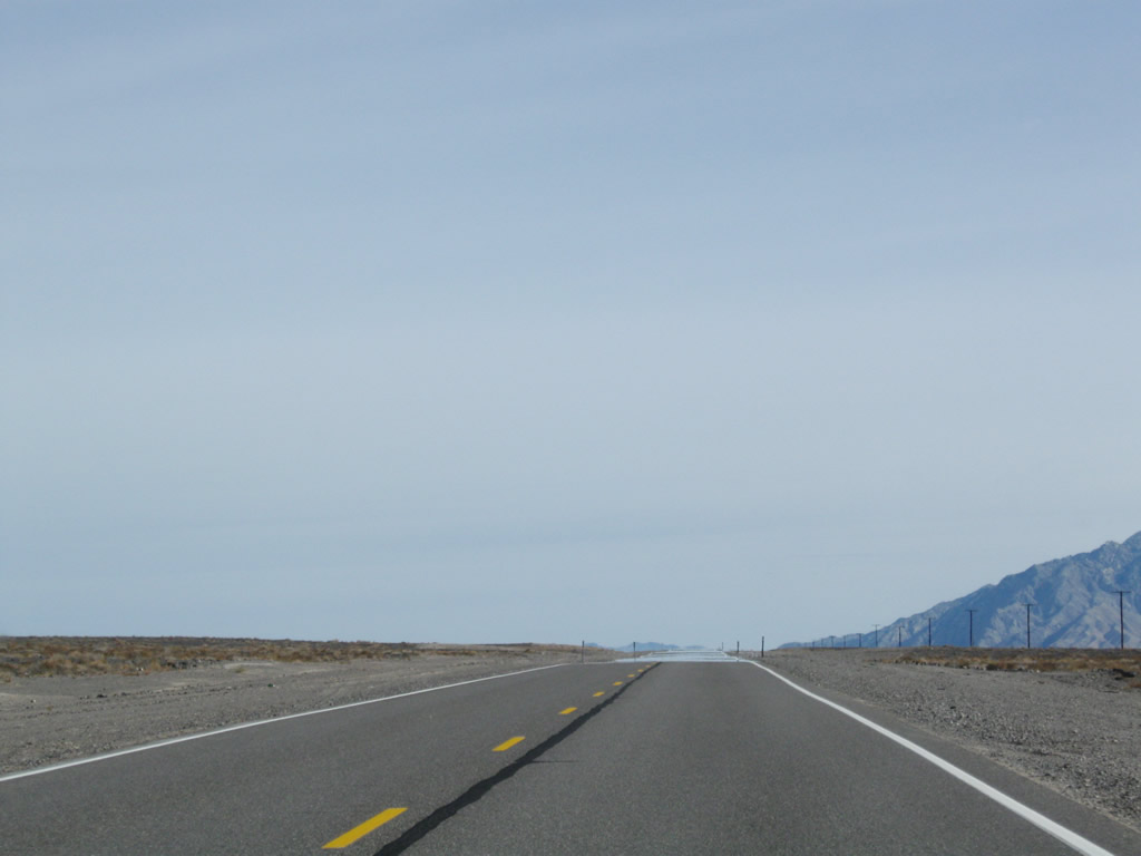
Continuing east after leaving Blair Junction and the Nevada 265 intersection, eastbound U.S. 6 and southbound U.S. 95 turn a bit to the northeast past Black Rock, then turns east to Millers, and then southeast again into Tonopah. Photos taken 11/11/08. |
|
|
|
|
|
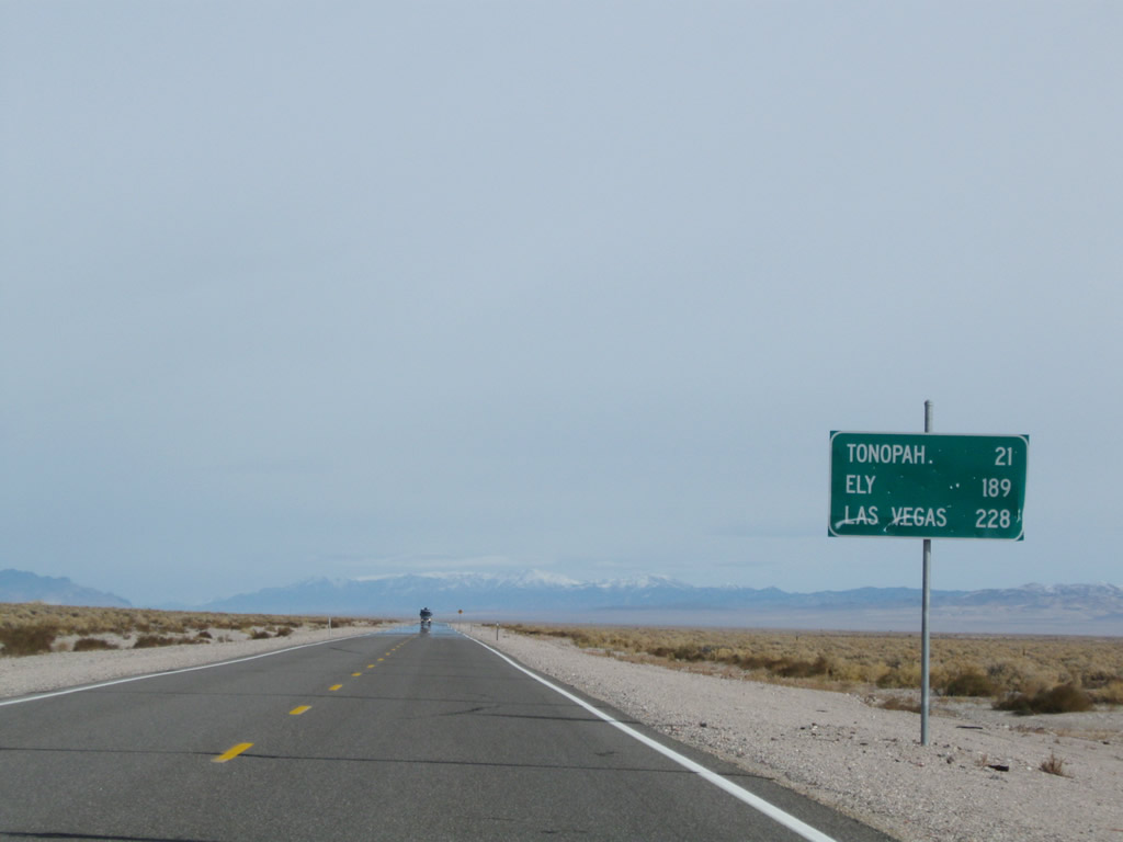
This mileage sign along eastbound U.S. 6 and southbound U.S. 95 provides the distance to Tonopah (21 miles), Ely (189 miles via U.S. 6 east), and Las Vegas (228 miles via U.S. 95 south). Photo taken 11/11/08. |
|
|
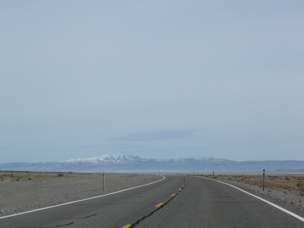
U.S. 6 and U.S. 95 veer east into the Big Smoky Valley. Prior to the turn, Arc Dome (elevation 11,361 feet above sea level) comes into view. Unlike the other mountains we've seen on this late fall day, snow has accumulated within the higher elevations of the Arc Dome Wilderness (part of Humboldt-Toiyabe National Forest). Photos taken 11/11/08. |
|
|
|
|
|
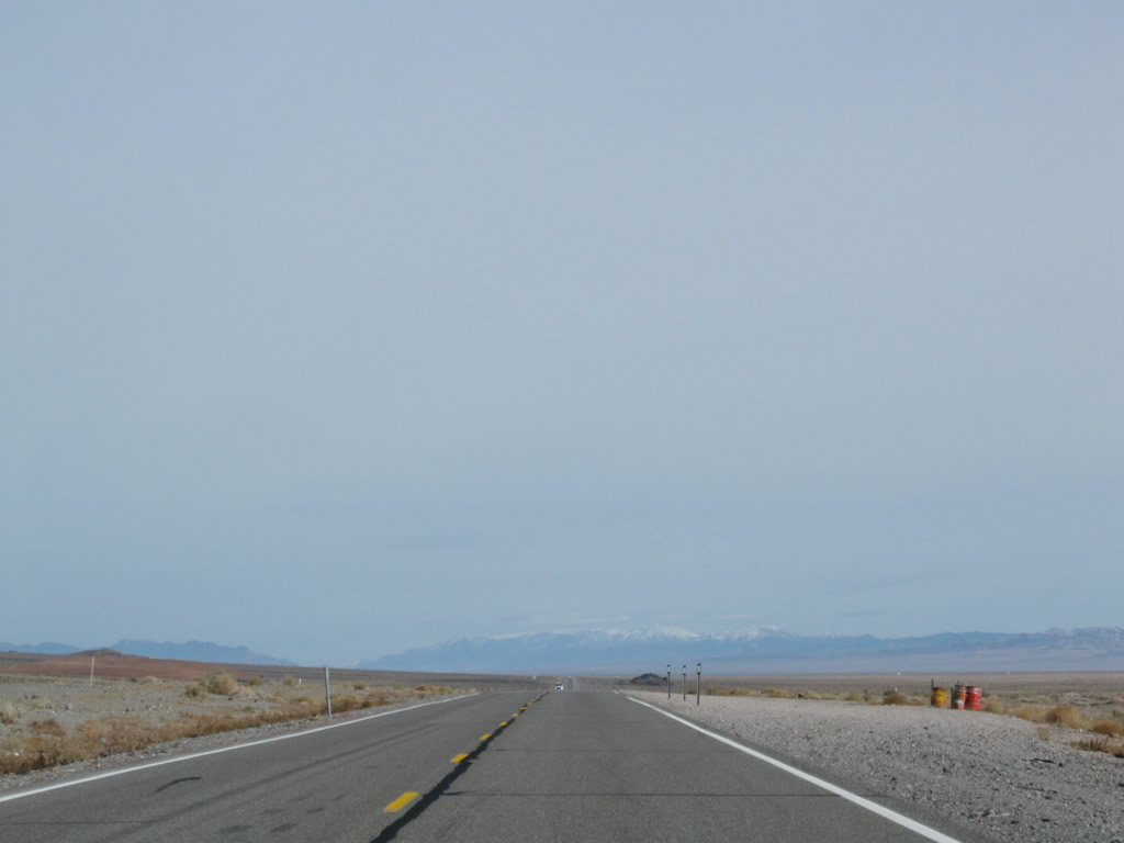
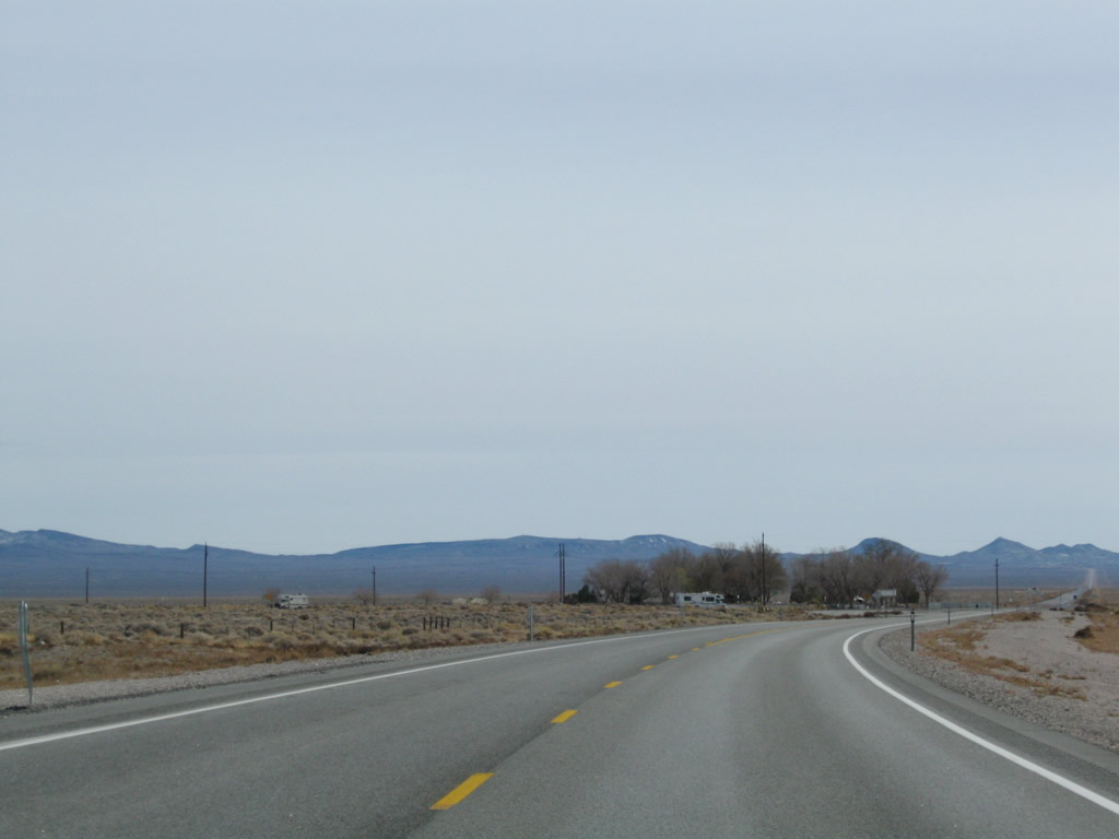
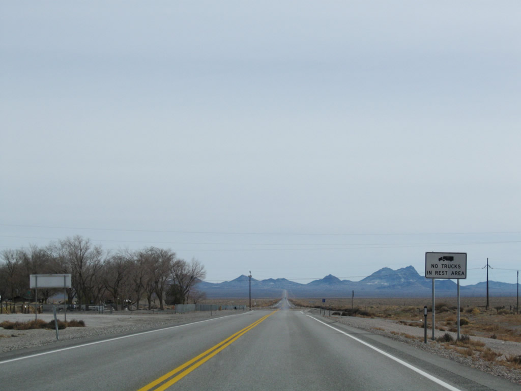
A power transmission line crosses over U.S. 6 and U.S. 95 in the Big Smoky Valley. A short distance later, U.S. 6-95 approaches a rest area at Millers. The rest area has full facilites (flush toilets, running water, picnic tables, litter barrels, and RV dump station). Trucks are prohibited from entering the rest area. Leaving Millers, U.S. 6-95 again turns southeast for the final distance into Tonopah. The town of Tonopah sits at the top of the grade ahead, near Ararat Mountain. Photos taken 01/20/02 and 11/11/08. |
|
|
|
|
|
|
|
|
|
|
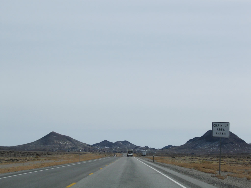
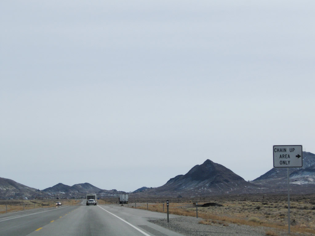
Gaining elevation, eastbound U.S. 6 and U.S. 95 approach Tonopah. Traffic counts increase as we get closer to the town. A chain-up area is located on the gradual up-slope; chains may be necessary during or after snow storms. Photos taken 11/11/08. |
|
|
|
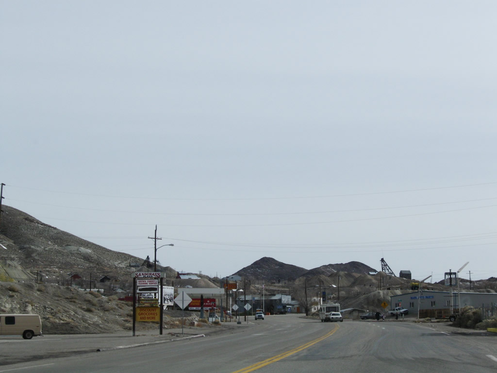
Entering the settled area of eastern Esmeralda County, eastbound U.S. 6 and U.S. 95 continue into Tonopah. Tonopah is actually in Nye County, and the U.S. highway will enter the town after crossing the Esmeralda-Nye County Line. Photos taken 11/11/08. |
|
|
Soon thereafter, U.S. 6 east and U.S. 95 south enter Nye County and leave Esmeralda County. Nye County had a population of 32,485 as of the 2000 Census and consists of 18,159 aquare miles. Created in 1864 (the same year Nevada was admitted into the United States of America as a state), Nye County's economy includes ranching, mining, gambling, and legalized prostitution. Its southernmost corner has since signficant growth (in and around Pahrump) in the 1990s and early 2000s due to comparable growth in Las Vegas during the same timeframe. Photos taken 11/11/08 and 01/20/02. |
|
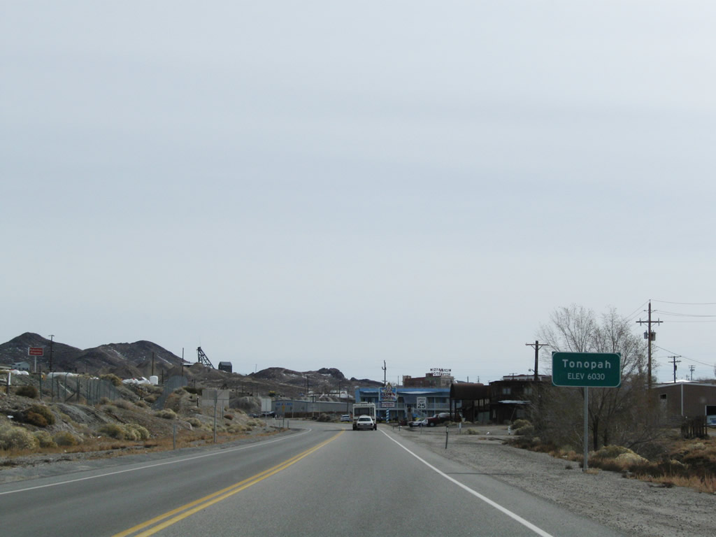
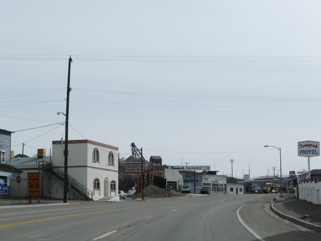
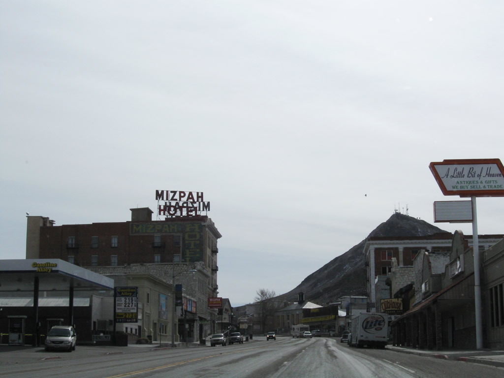
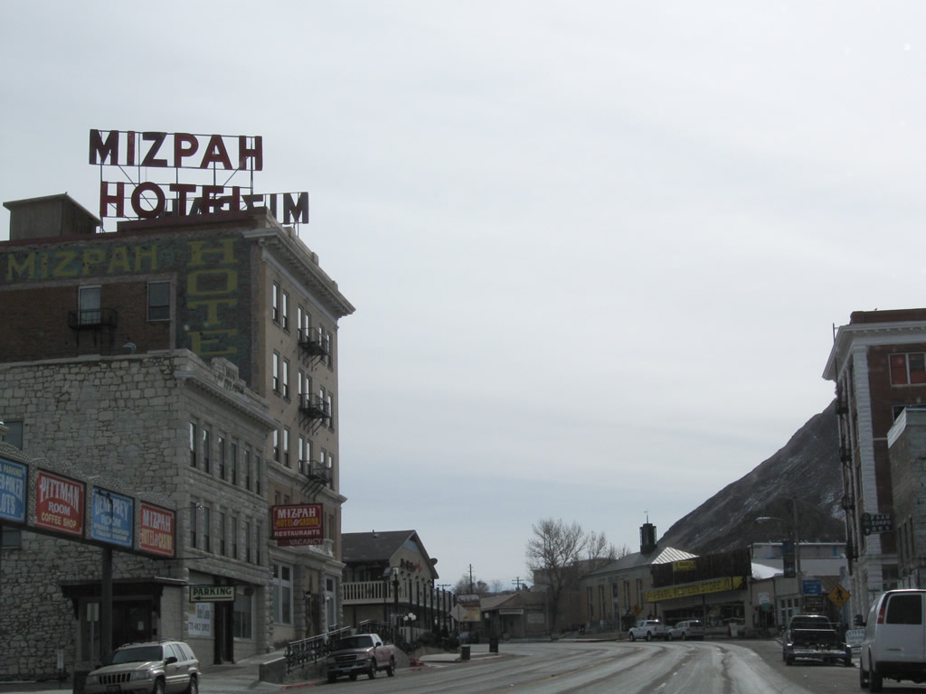
Eastbound U.S. 6 and southbound U.S. 95 enters the town of Tonopah, the Queen of the Silver Camps. Sitting at an elevation of 6,030 feet above sea level, Tonopah is unincorporated but was founded in 1900 and is the seat of Nye County. As of the 2000 Census, the population was 2,627 people and the town contains 16.2 square miles. Photo taken 11/11/08. |
|
|
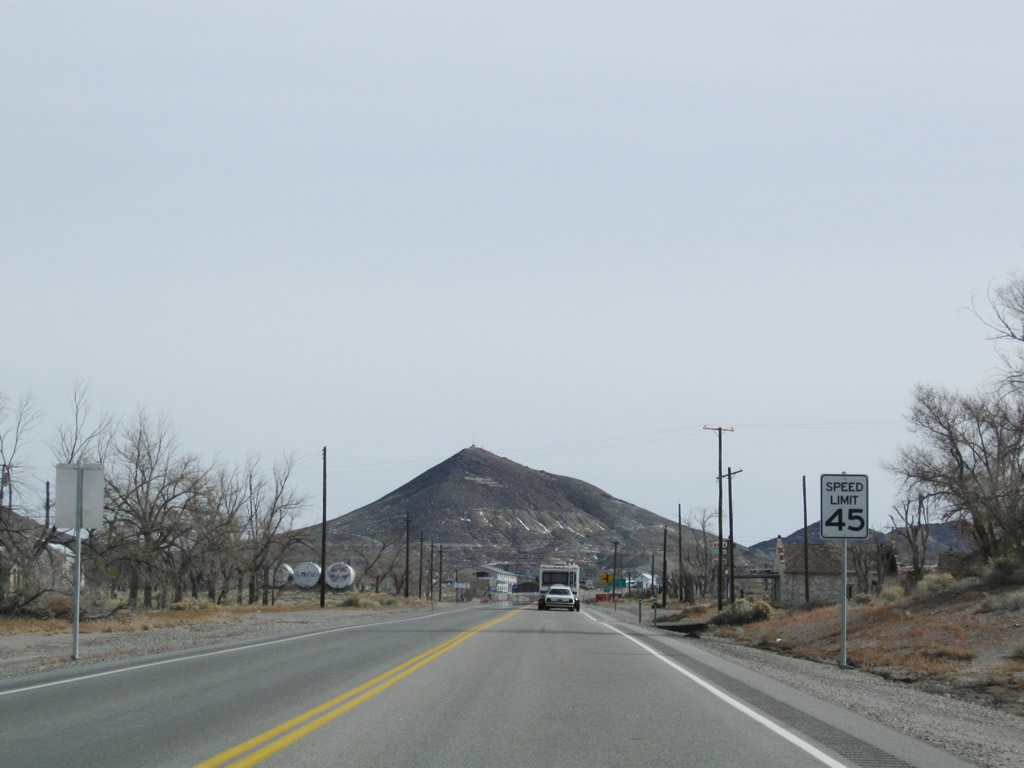
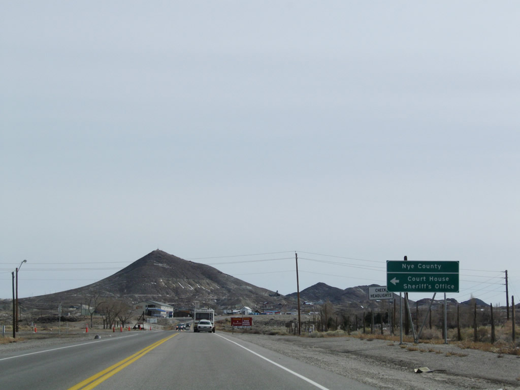
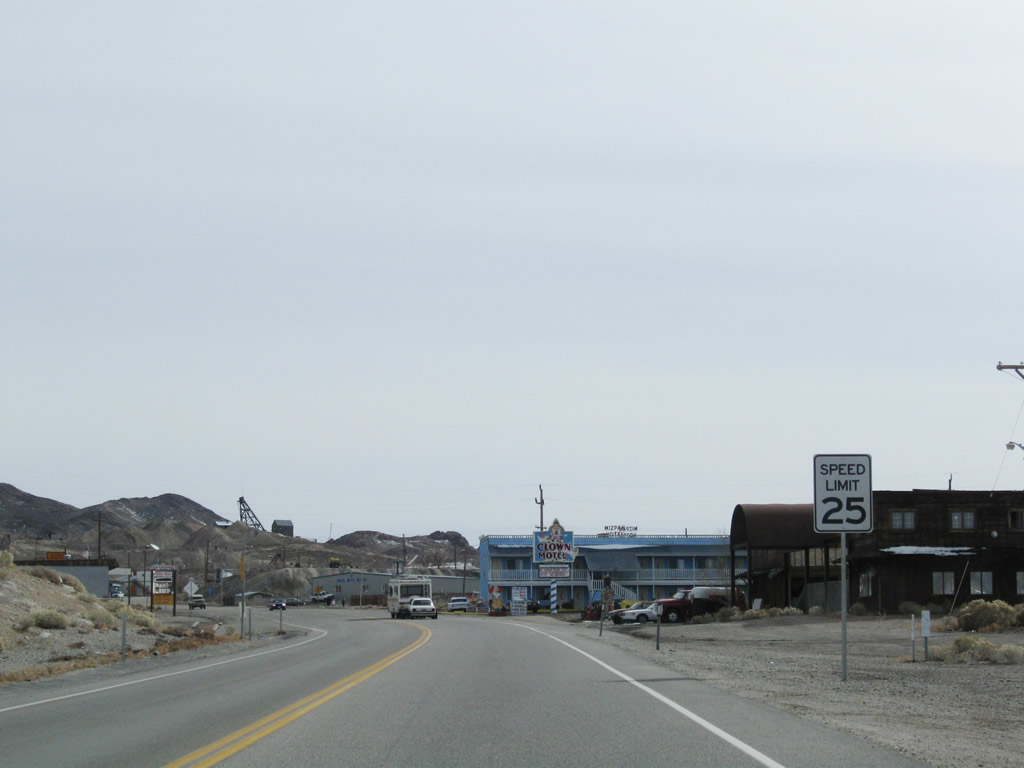
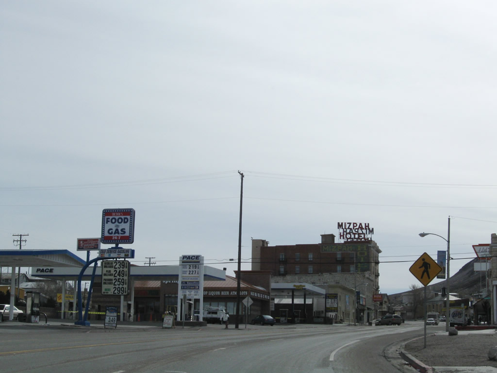
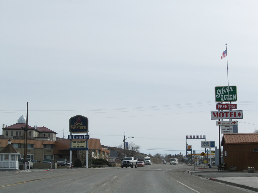
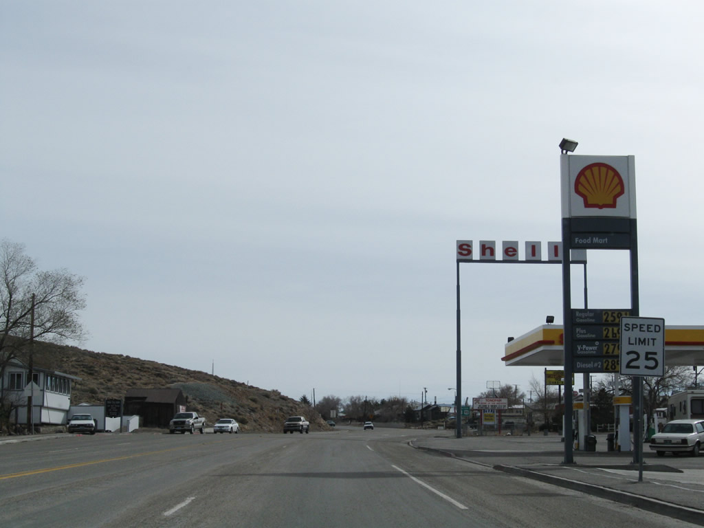
The speed limit reduces to 25 miles per hour as we approach downtown Tonopah. The seat of Nye County, Tonopah has the Nye County courthouse and most motorist services (gas, food, lodging). Photos taken 11/11/08. |
|
Like many old mining towns across Nevada, the town of Tonopah is steeped in history. This billboard discussed the Tonopah Train Depot, which was in existence between 1903 and 1980. To see remnants of the depot and other mining artifacts from the region's extensive mining history, visit Tonopah Historical Mining Park. Photo taken 11/11/08. |
|
|
|
|
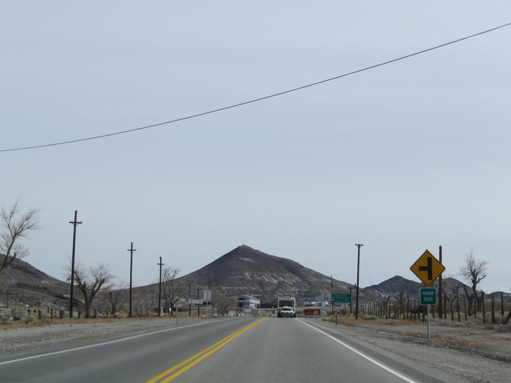
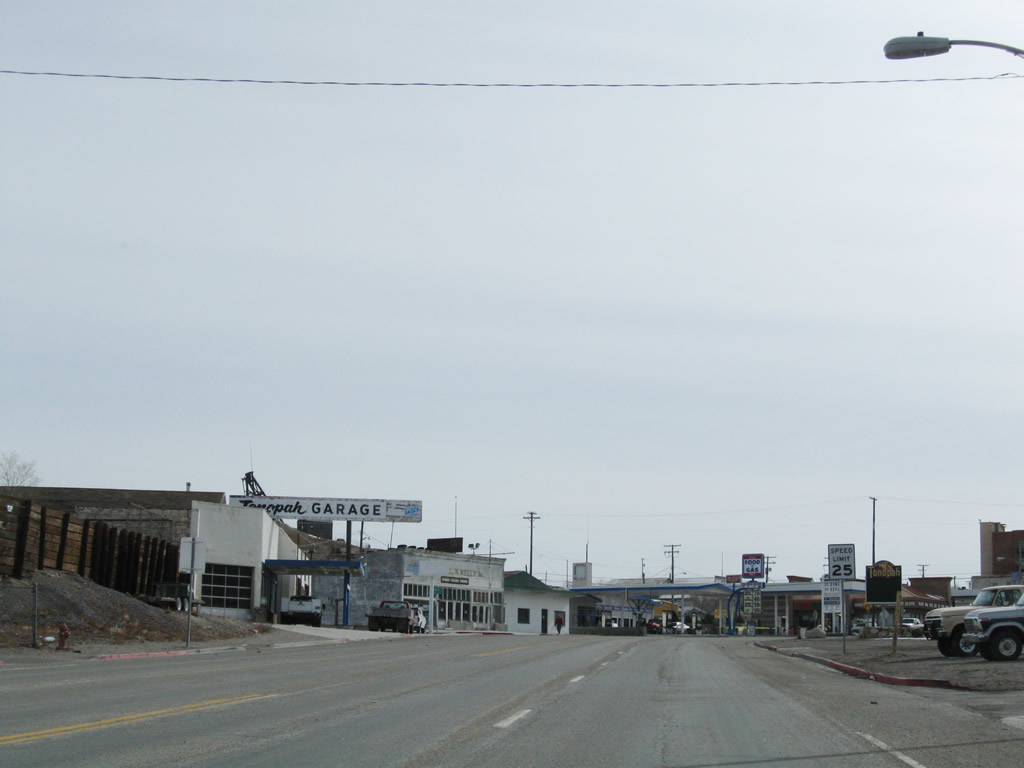
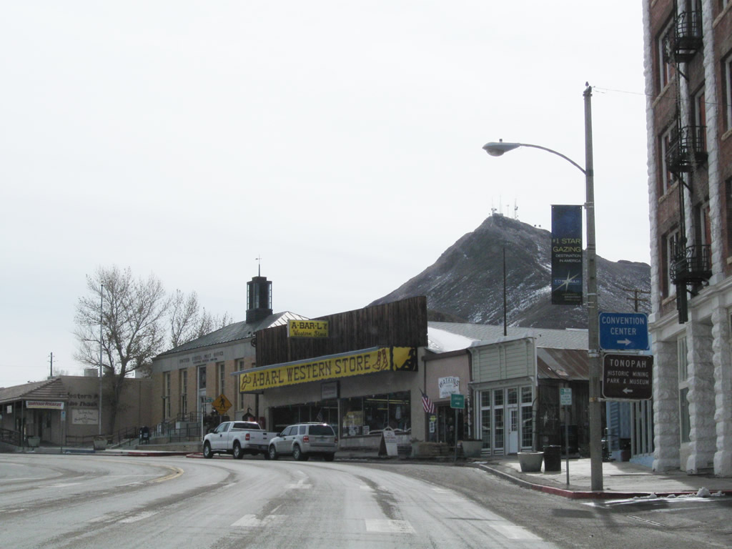
This series of photos follows eastbound U.S. 6 and U.S. 95 through Tonopah along Main Street. The highway turns nearly due south for a bit through the center of town. At the Brougher Avenue intersection, U.S. 6-95 turns south and becomes Erie Street. Photos taken 11/11/08. |
|
|
|
|
|
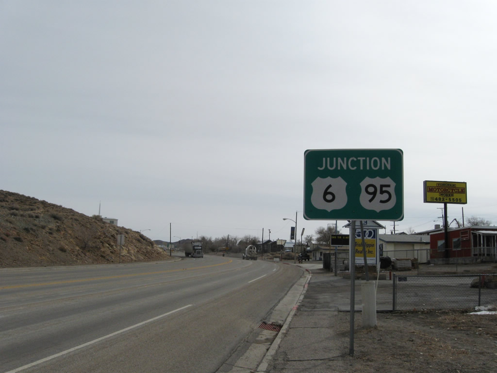
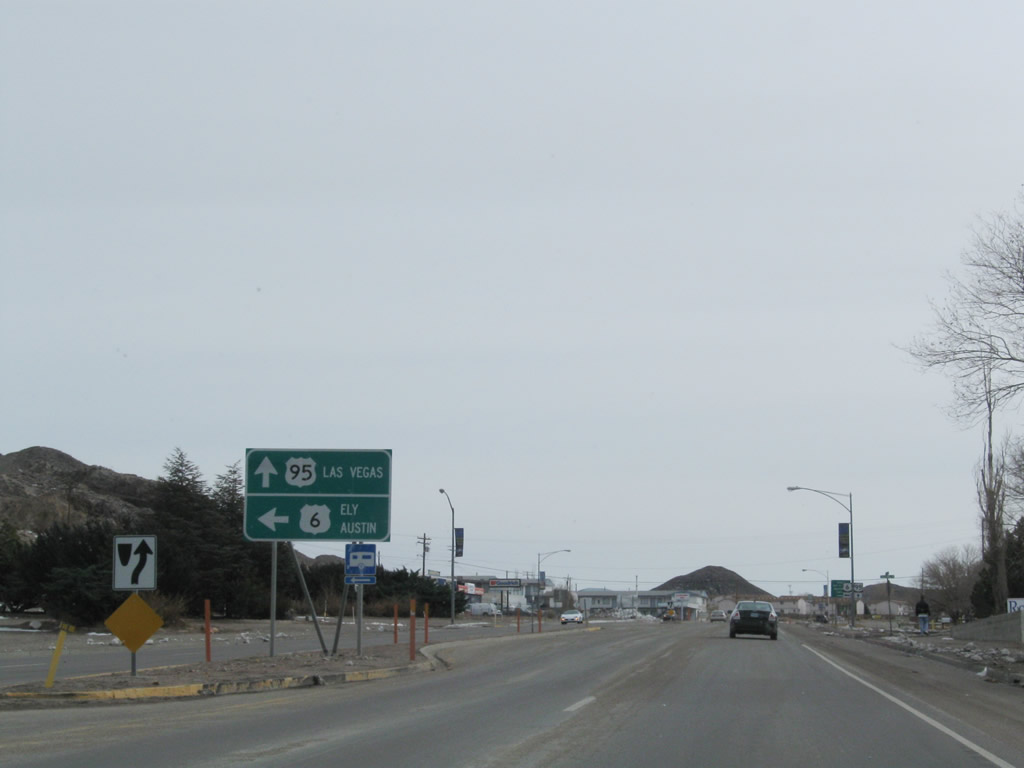
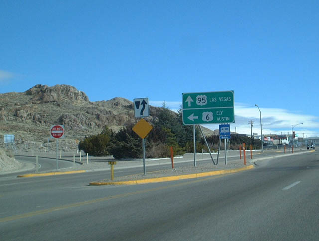
The routes divide in Tonopah. U.S. 95 turns south toward Goldfield, Beatty, and Las Vegas, while U.S. 6 begins its lonely journey toward Ely and the Great Basin National Park in eastern Nevada. Austin is located on U.S. 50, but it can be reached from U.S. 6 via Nevada 376 northbound. This particular sign was gone by 2008. Photo taken 11/11/08. |
|
|
At the left turn for the continuation of U.S. 6 is this guide sign. U.S. 6 travels east to the Ralston Valley and Tonopah Municipal Airport, then reaches the McKinney Tanks Summit and Warm Springs Summit before meeting Nevada 375 at Warm Springs. Turning northeast at Warm Springs, U.S. 6 leads through Big Sand Springs Valley and Railroad Valley before entering Ely (U.S. 50 and U.S. 93) in White Pine County. Photos taken 11/11/08 and 01/20/02. |
|
These trailblazer shields are posted for U.S. 6 east to Ely and U.S. 95 south to Las Vegas. Turn left here for U.S. 6 east or continue straight ahead for U.S. 95 south. Photo taken 11/11/08. |
| U.S. 6 east |
|---|
|
Leaving the intersection with U.S. 95/Erie Street, U.S. 6 immediately starts to descend out of Tonopah toward Ralston Valley and the Tonopah Regional Airport. Photo taken 11/11/08. |
|
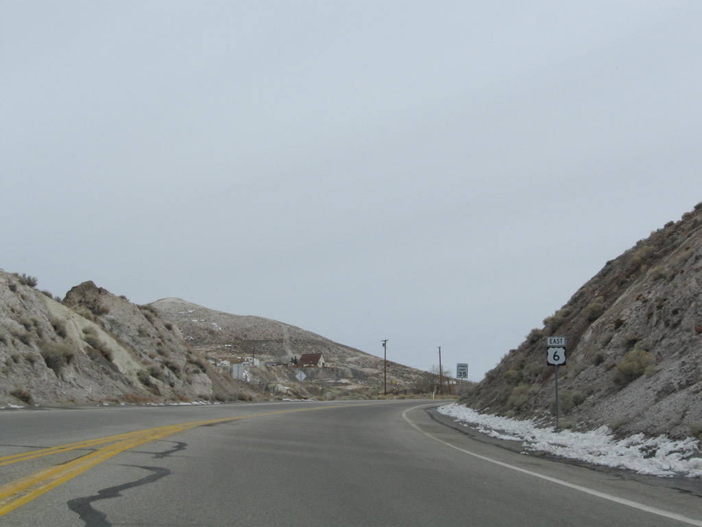
This U.S. 6 east reassurance shield is posted after leaving the intersection with U.S. 95. The upcoming distance to Ely is among the loneliest stretches of highway in Nevada and in America. Limited services are available between Tonopah and Ely. Photo taken 11/11/08. |
| U.S. 6-50 east |
|---|
|
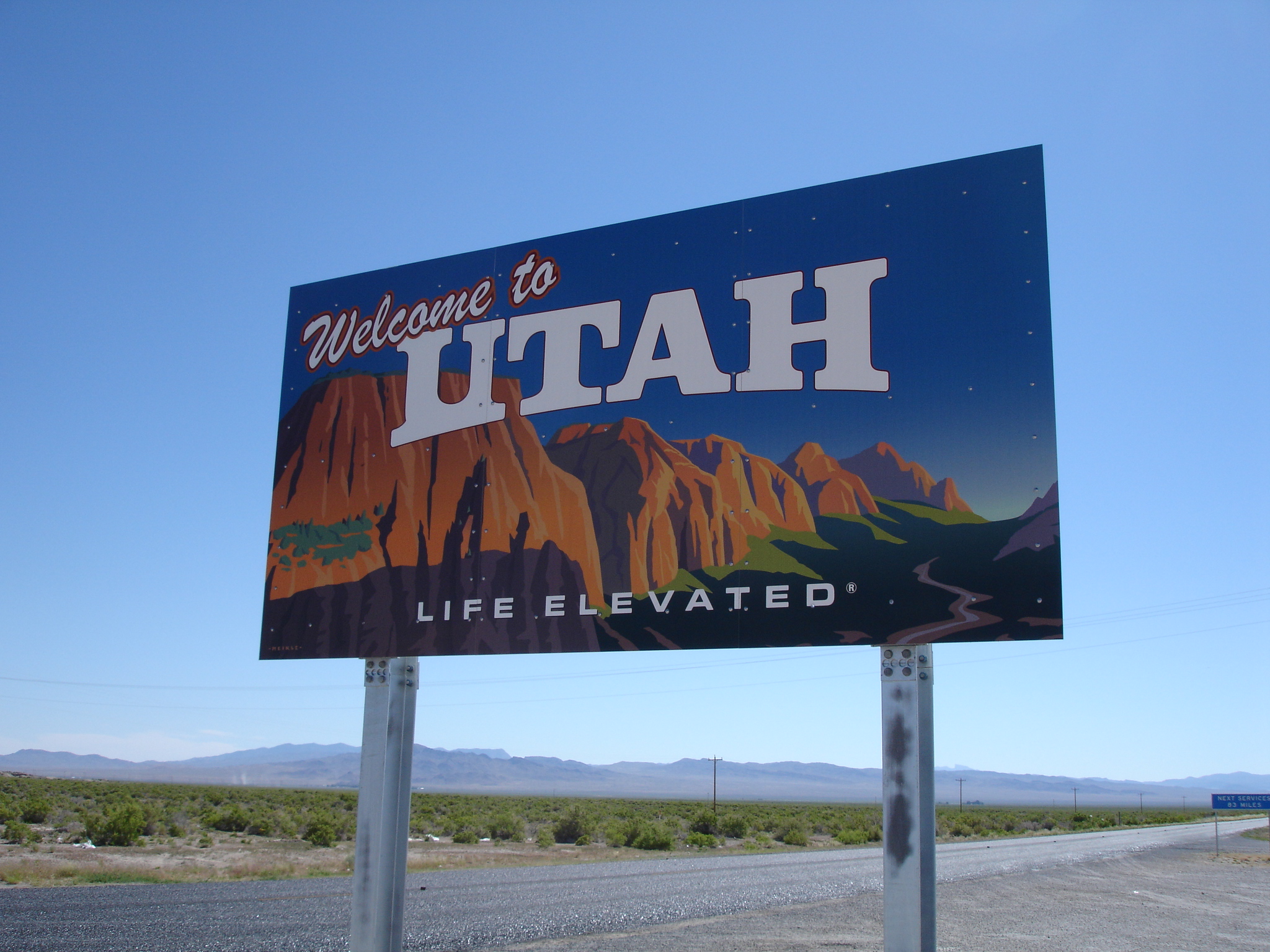
After the Nevada 487 intersection near Baker, U.S. 6-50 leave the state of Nevada and enter the state of Utah. Photo taken 06/20/10 by Mark Galbreath. |
Page Updated September 2, 2011.