| U.S. 6-50 west and U.S. 93 north |
|---|
|
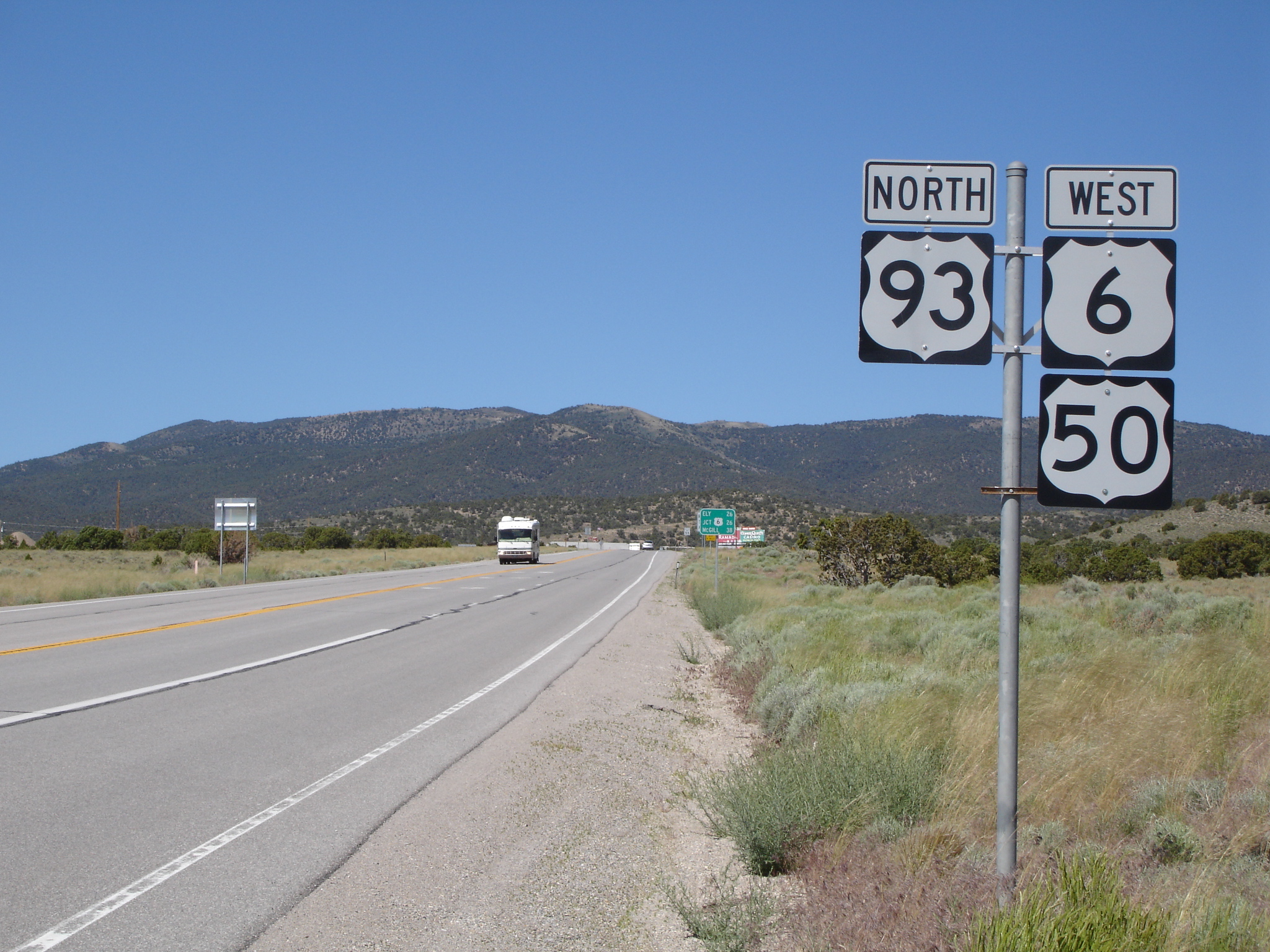
After Majors Junction (where U.S. 6, U.S. 50, and U.S. 93 meet west of Baker and southeast of Ely) is this reassurance shield assembly, which marks all three routes on this stretch of rural highway. Photo taken 06/20/10 by Mark Galbreath. |
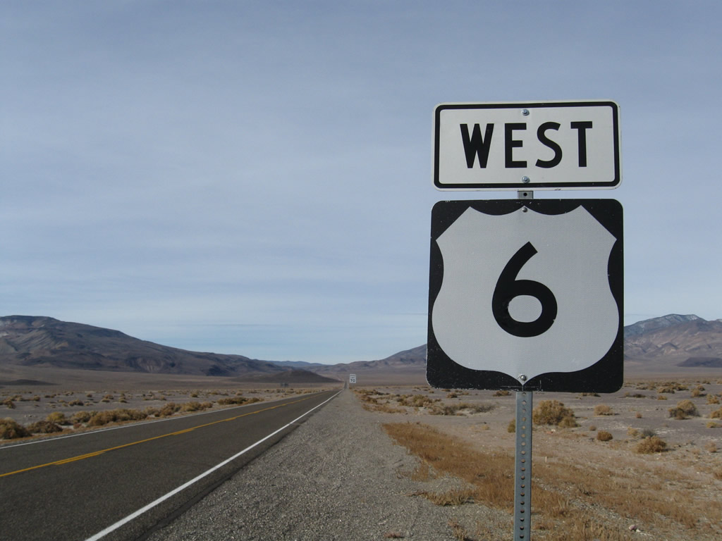
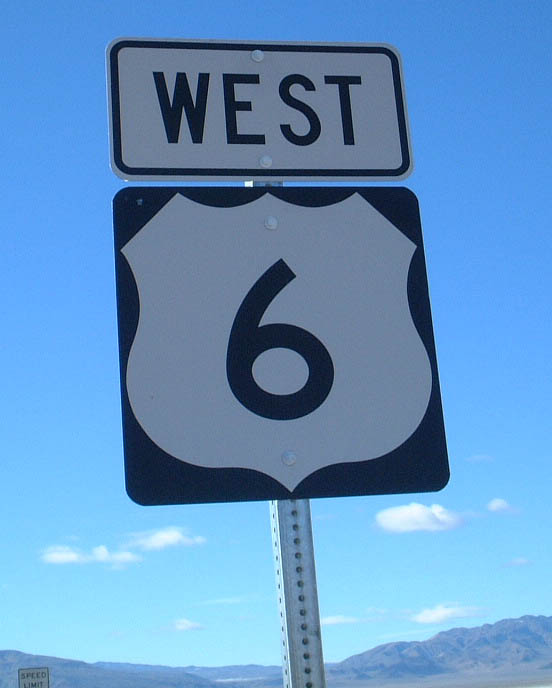
| U.S. 6 west |
|---|
|
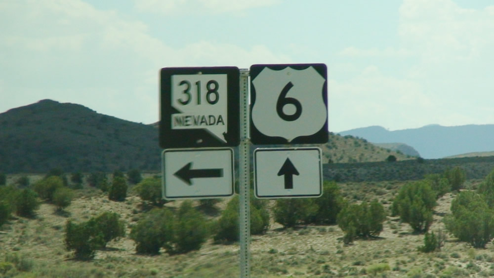
At Lund Junction in White Pine, westbound U.S. 6 meets Nevada 318. From here, U.S. 6 continues southwest toward Currant Summit (elevation 6,999 feet above sea level), Currant, and Warm Springs in Nye County. Nevada 318 travels south from here to Lund, Sunnyvale, and Hiko before ending at U.S. 93/Great Basin Highway near Ash Springs. Photo taken by Jose Gutierrez (08/15/07). |
|
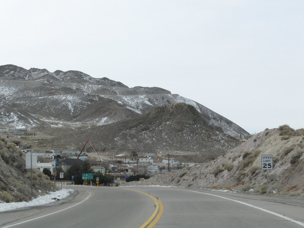
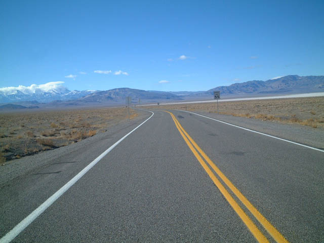
Some distance west, U.S. 6 approaches the town of Tonopah, the seat of Nye County. Tonopah, the Queen of the Silver Camps, sits at an elevation of 6,030 feet above sea level. Tonopah is unincorporated but was founded in 1900 and is the seat of Nye County. As of the 2000 Census, the population was 2,627 people and the town contains 16.2 square miles. Photo taken 11/11/08. |
|
The speed limit along U.S. 6 west reduces to 25 miles per hour for the distance through Tonopah. Photo taken 11/11/08. |
|
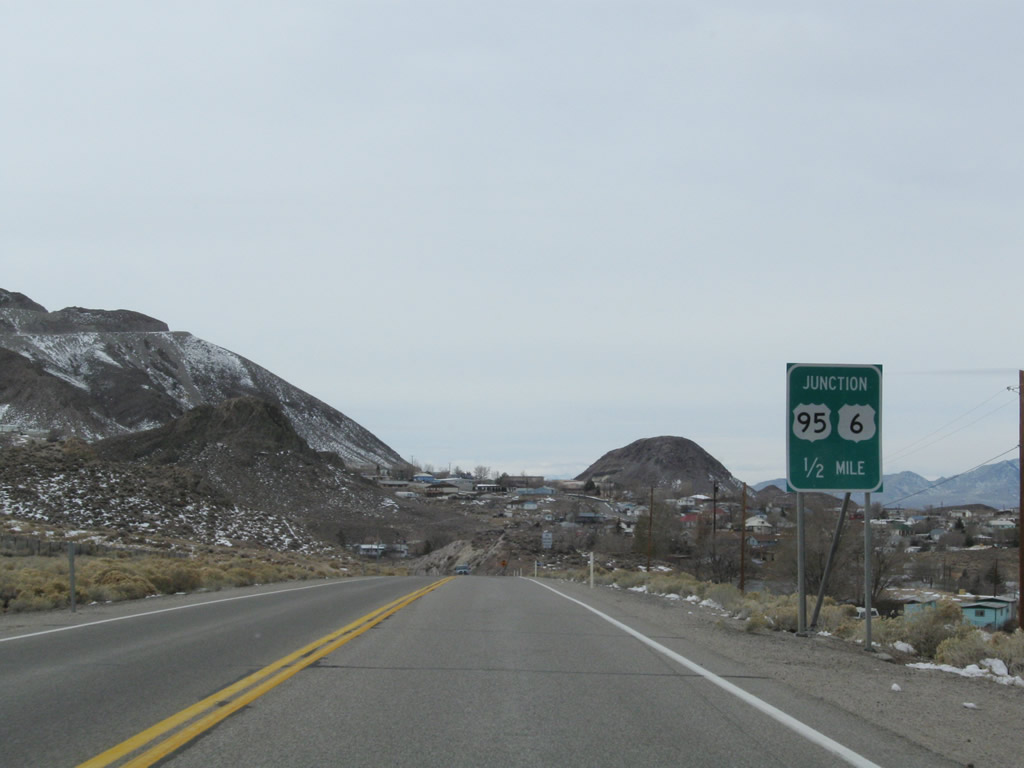
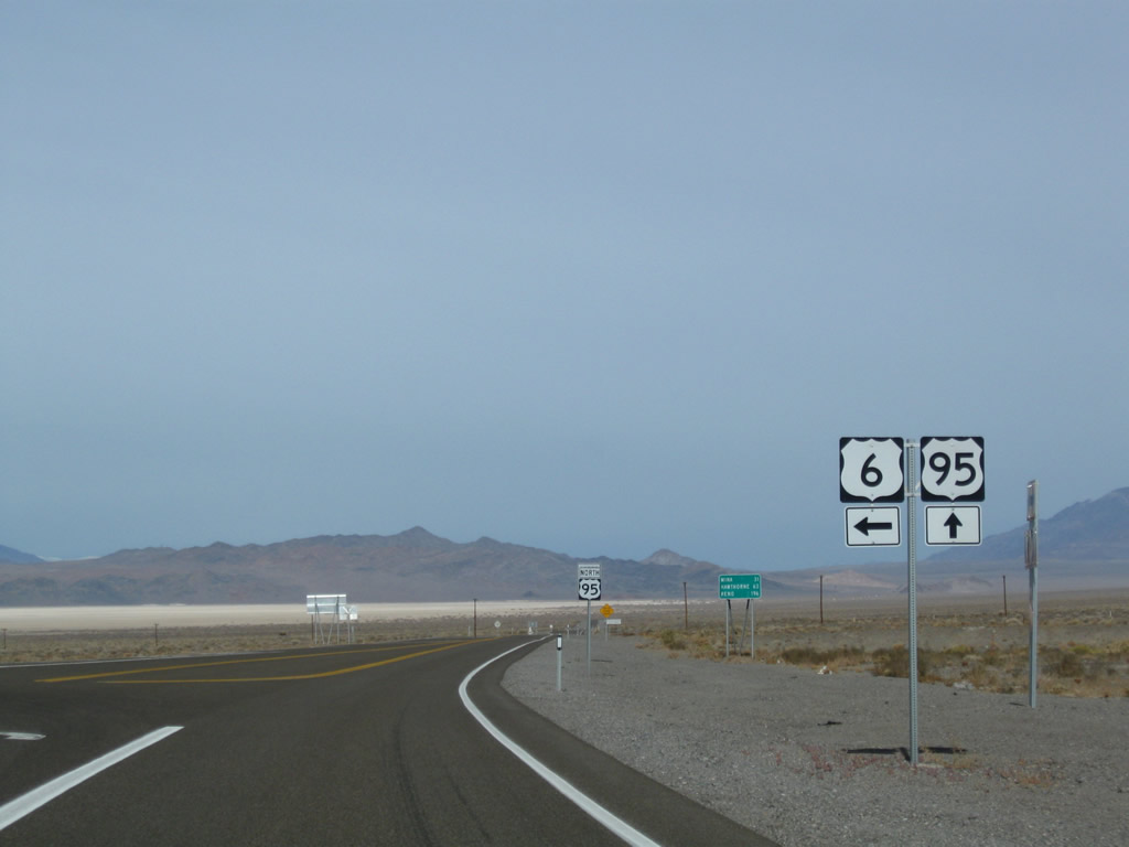
Ahead is the junction with U.S. 95. From this intersection, U.S. 6 west and U.S. 95 north proceed west through downtown Tonopah (right turn), while U.S. 95 south leads to Goldfield, Beatty, and Las Vegas via a left turn. Photo taken 11/11/08. |
|
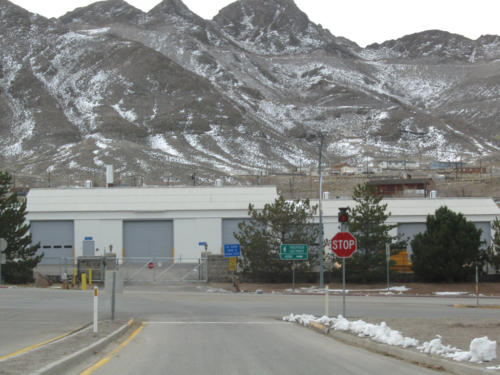
Westbound U.S. 6 meets U.S. 95/Erie Street in Tonopah. Turn left to Goldfield and Las Vegas, or turn right to downtown Tonopah, Hawthorne, and Bishop in the Eastern Sierra (U.S. 395). Photo taken 11/11/08. |
|
|
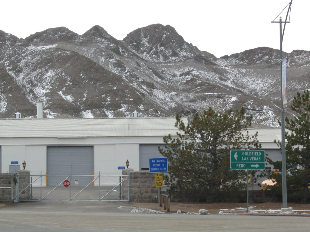
Turn left on U.S. 95/Erie Street to Goldfield and Las Vegas. U.S. 95 is a major north-south highway that extends throughout the Silver State of Nevada, originating near the southern tip and traveling northwest and then north through the state through Las Vegas, Goldfield, Tonopah, Hawthorne, Fallon, and Winnemucca. Photos taken 11/11/08. |
| U.S. 6 west and U.S. 95 north |
|---|
|
|
|
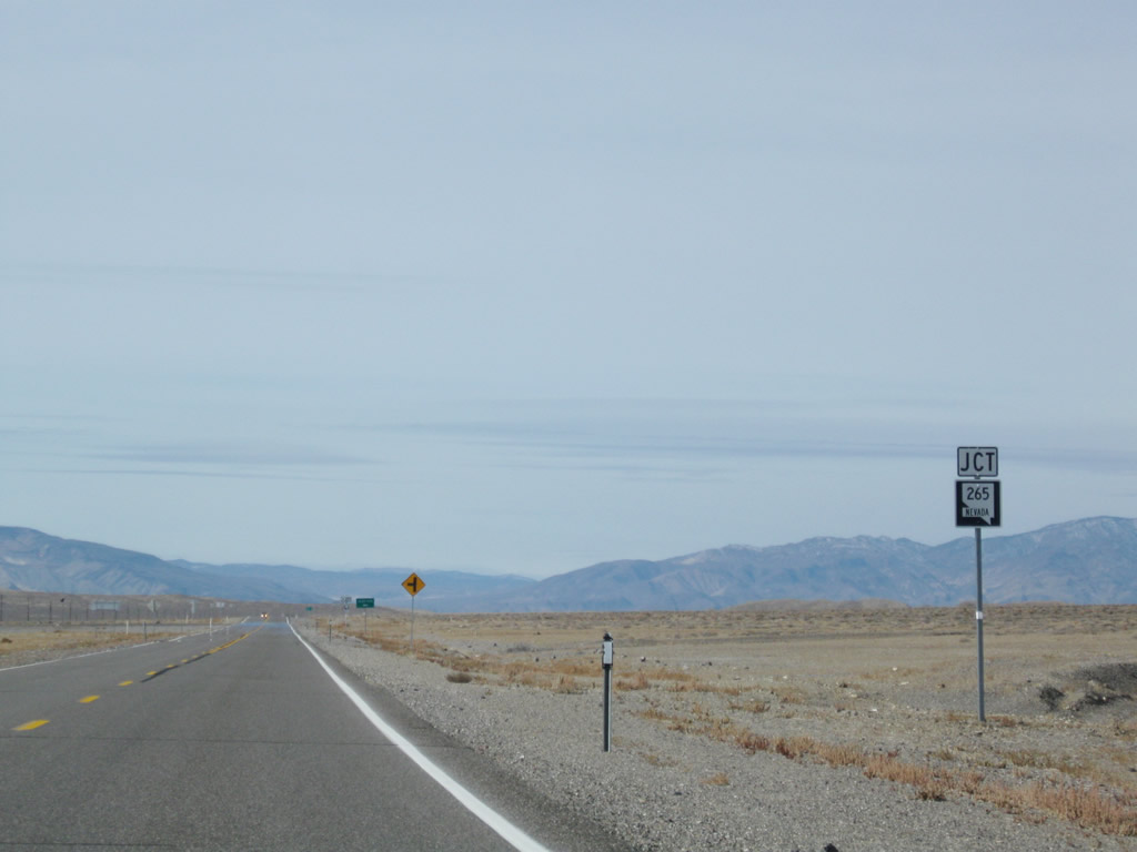
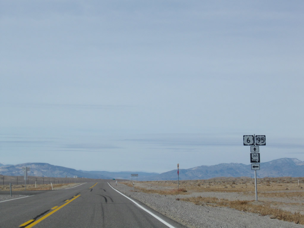
Approaching Blair Junction, U.S. 6 west and U.S. 95 north meet Nevada 265/Nivloc Road south to Silver Peak. Nevada 265 travels south to Silver Peak, an unincorporated town with a history steeped in silver and gold mining in the 19th century and today is adjacent to a lithium extraction facility in nearby Clayton Valley. Nevada 265 is not a through state highway; it ends upon reaching Silver Peak. Photos taken 11/11/08. |
|
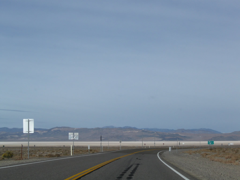
Several miles west of Nevada 265, U.S. 6 and U.S. 95 prepare to split at Coaldale Junction. This dramatic view shows the Columbus Salt Marsh, a huge dry lakebed located to the northwest of Coaldale that is mostly devoid of vegetation. The lakebed is the low point in the valley, and whatever precipitation runoff from neighboring mountains travels toward the lake. Due to the arid climate in the Great Basin, rainfall is uncommon, and thus the lakebed is mostly dry. Photo taken 11/11/08. |
|
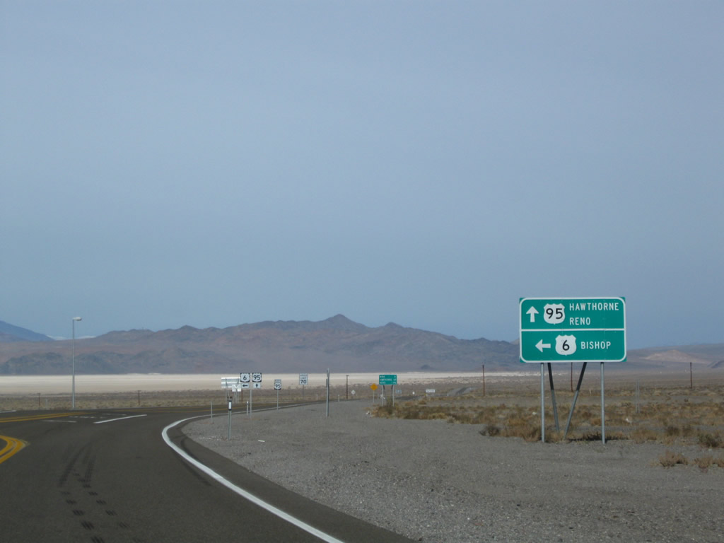
The routes divide at Coaldale Junction. As the highway turnsn from west to northwest, U.S. 6 will turn left to travel west toward Basalt, Montgomery Pass, Benton, and Bishop along the Grand Army of the Republic Highway. U.S. 95, meanwhile, curves to the north en route to Hawthorne and Fallon. Photo taken 11/11/08. |
|
A U.S. 6 and U.S. 95 trailblazer shield assembly is posted at the split. Turn left here for U.S. 6 west to Bishop or continue straight ahead for U.S. 95 north to Hawthorne and Fallon. Photo taken 11/11/08. |
| U.S. 6 west |
|---|
|
Westbound U.S. 6 leaves the U.S. 95 junction at Coaldale Junction. In the distance, the tall mountain with clouds around the top is Boundary Peak. U.S. 6 travels over the Montgomery Pass to the north of Boundary Peak. Photo taken 1/20/02. |
|
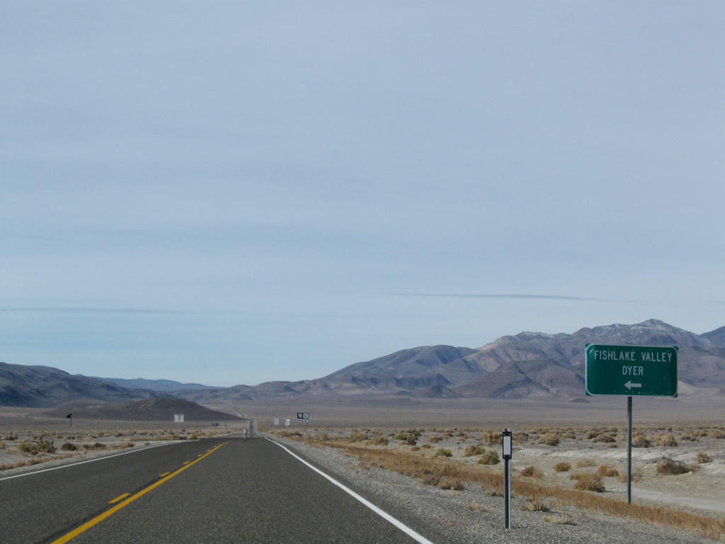
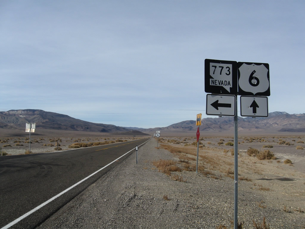
Between U.S. 95 at Coaldale Junction and Nevada 360 at Basalt, westbound U.S. 6/Grand Army of the Republic Highway sees two state highway intersections. The first, shown here, connects U.S. 6 west with Nevada 773 southwest to Nevada 264 en route to Fish Lake Valley, Dyer, and Oasis, California. Photo taken 11/11/08. |
|
|
Westbound U.S. 6 meets Nevada 773 southwest to Nevada 264. Photos taken 11/11/08. |
|
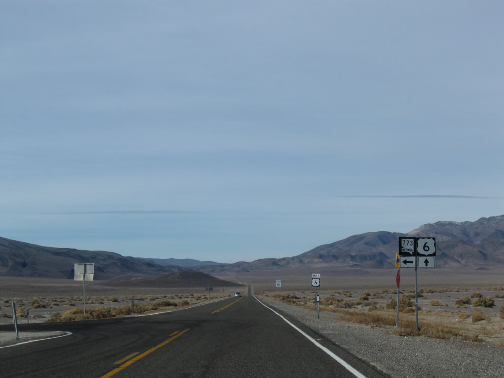
|
This U.S. 6 west reassurance shield is posted after the intersection with Nevada 773. U.S. 6 route markers generally appear after state highway intersections in this part of Nevada. Photos taken 11/11/08. |
|
This pavement-level view shows the U.S. 6 highway looking west. Photo taken 11/11/08. |
|
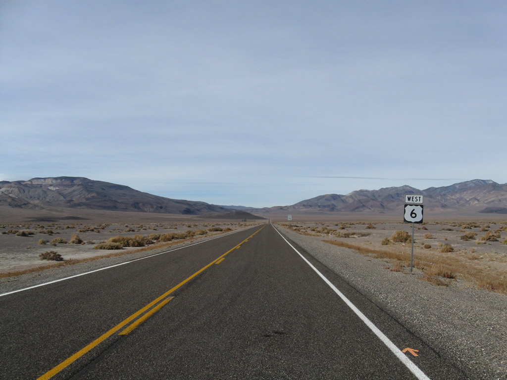
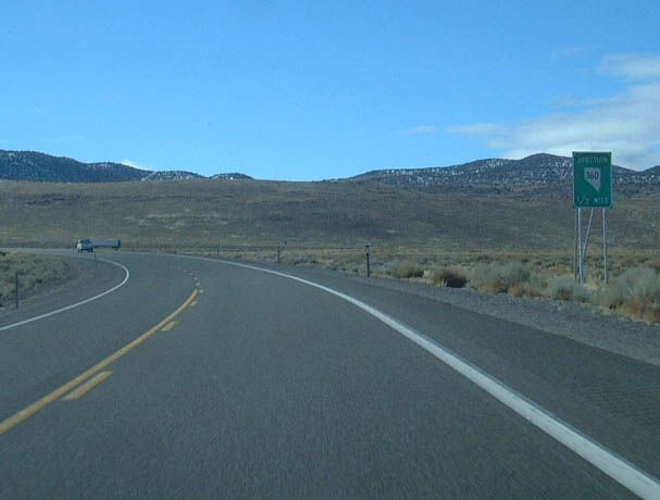
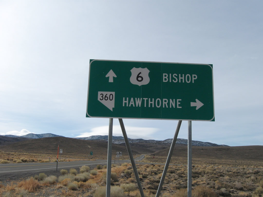
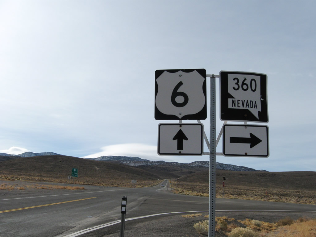
After passing by the Volcanic Hills (south side of highway) and Miller Mountain (north side of highway), westbound U.S. 6 meets Nevada 264, then approaches Nevada 360 north at the site of Basalt. Nevada 360 travels north from Basalt to U.S. 95 south of Mina. This highway is especially useful for travelers connecting from eastbound U.S. 6 to northbound U.S. 95 and vice-versa. Photo taken 01/20/02. |
|
|
Westbound U.S. 6/Grand Army of the Republic Highway (Midland Trail) next approaches Nevada 360, which travels north to Mina and U.S. 95. Photos taken 11/11/08. |
|
|
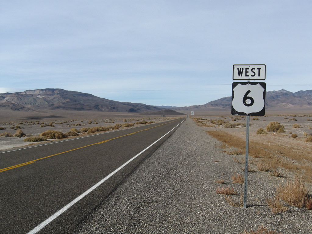
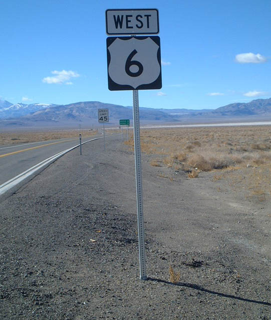
This U.S. 6 west reassurance shield is posted after Nevada 360. Photos taken 01/20/02. |
|
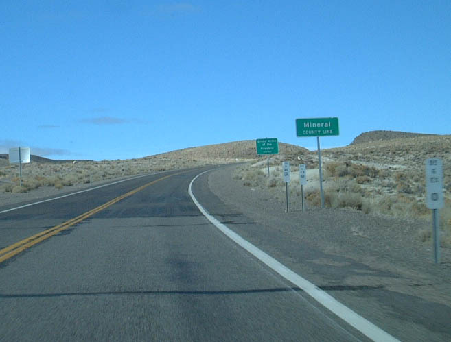
Continuing west, U.S. 6 crosses the Esmeralda-Mineral County Line. Note the postmile equation, since they reset at the county line. Photo taken 1/20/02. |
|
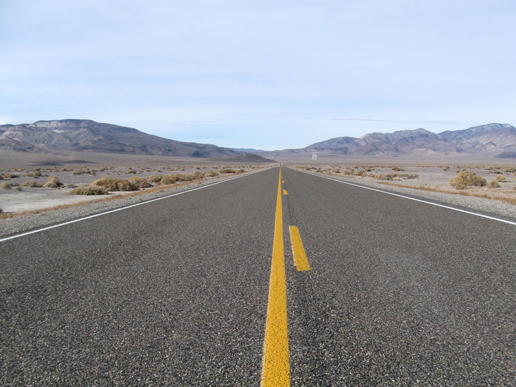
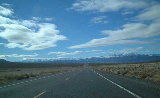
This view shows U.S. 6 west after the intersection with Nevada 264. Photo taken 1/20/02. |
|
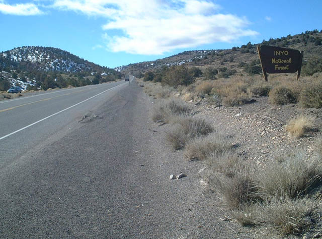
Westbound U.S. 6 enters Inyo National Forest as it heads up toward Montgomery Pass. Photo taken 1/20/02. |
|
U.S. 6 then descends Montgomery Pass, with massive Boundary Peak visible to the south of the U.S. highway. Boundary Peak rises 13,140 feet above sea level and is the highest point in the state of Nevada. Photo taken 1/20/02. |
|
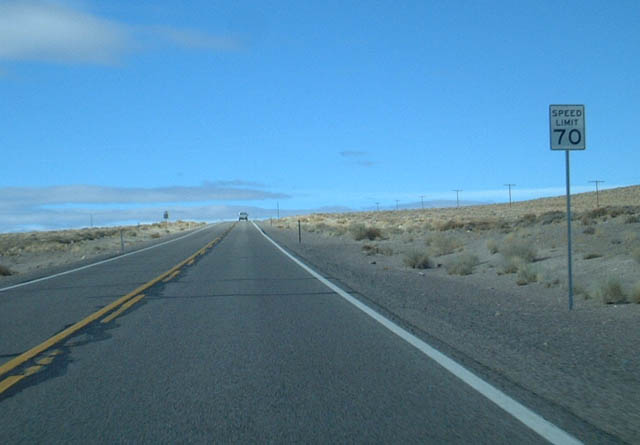
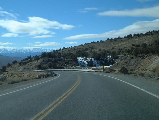
Since the traffic counts over Montgomery Pass are relatively low, U.S. 6 does not require any climbing lanes for trucks. Photo taken 01/20/02. |
|
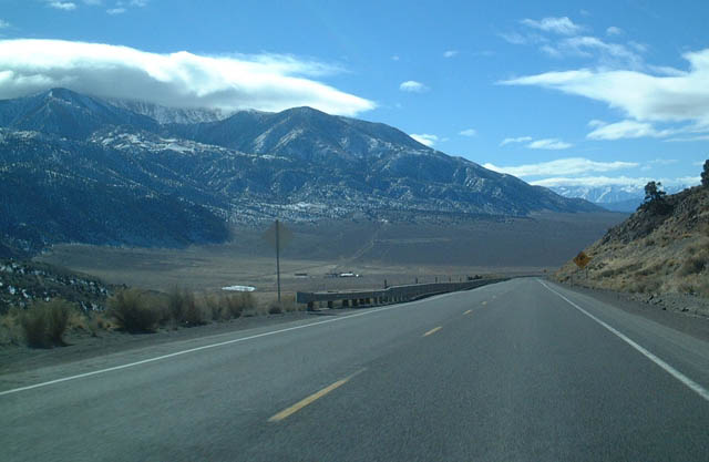
The Sierra Nevada loom in the distance as U.S. 6 west approaches the California-Nevada State Line. After crossing the state line, U.S. 6 will intersect California 120 at Benton, then turn south to end at U.S. 395 in Bishop. Photo taken 1/20/02. |
|
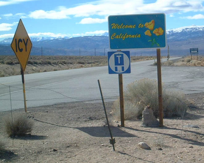
|
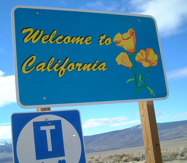
Soon thereafter, westbound U.S. 6 leaves Nevada and enters California at the state line. A welcome sign for California is posted at this point. Photo taken 1/20/02. |
Page Updated September 2, 2011.