
U.S. 95 South - Goldfield to Amargosa
| U.S. 95 south | |
|---|---|
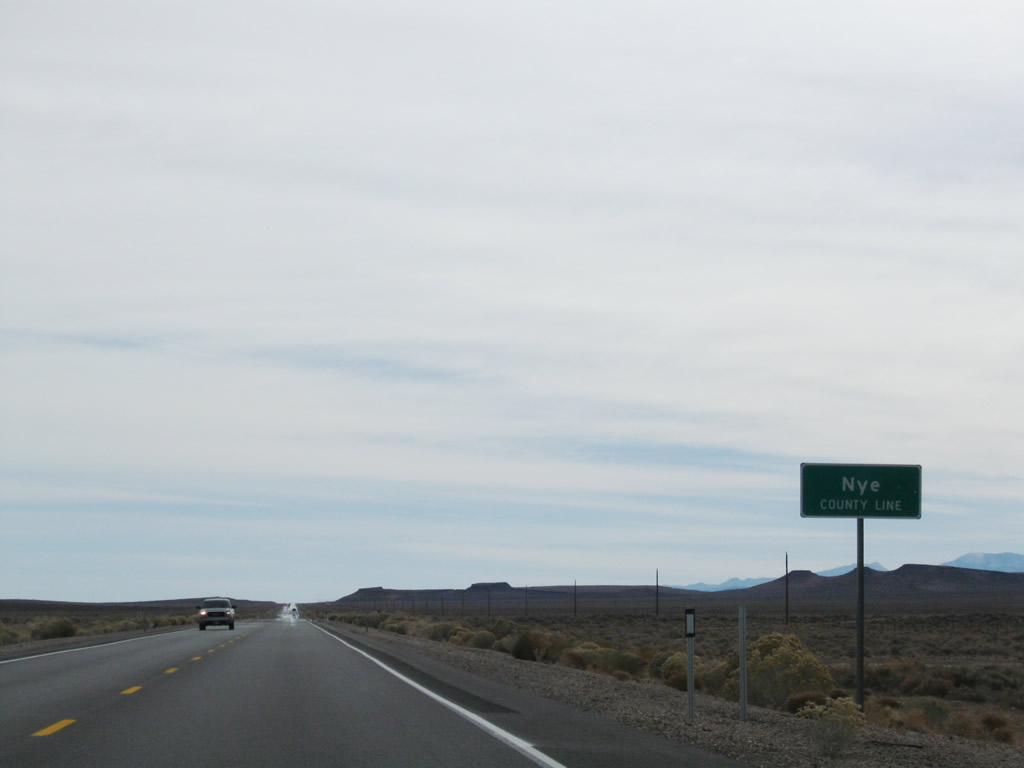 |
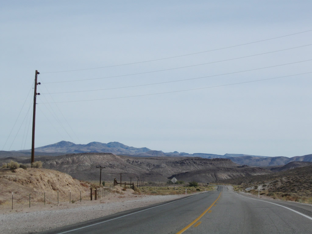
Southbound U.S. 95/Bonanza Highway leaves Esmeralda County a second and final time. At this point, the highway reenters sprawling Nye County (the highway left Nye County just south of Tonopah). Photo taken 11/11/08. |
 |
 |
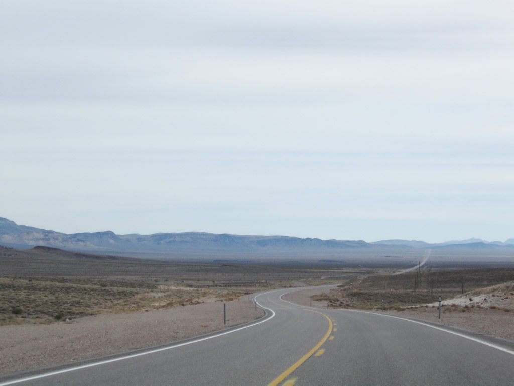 |
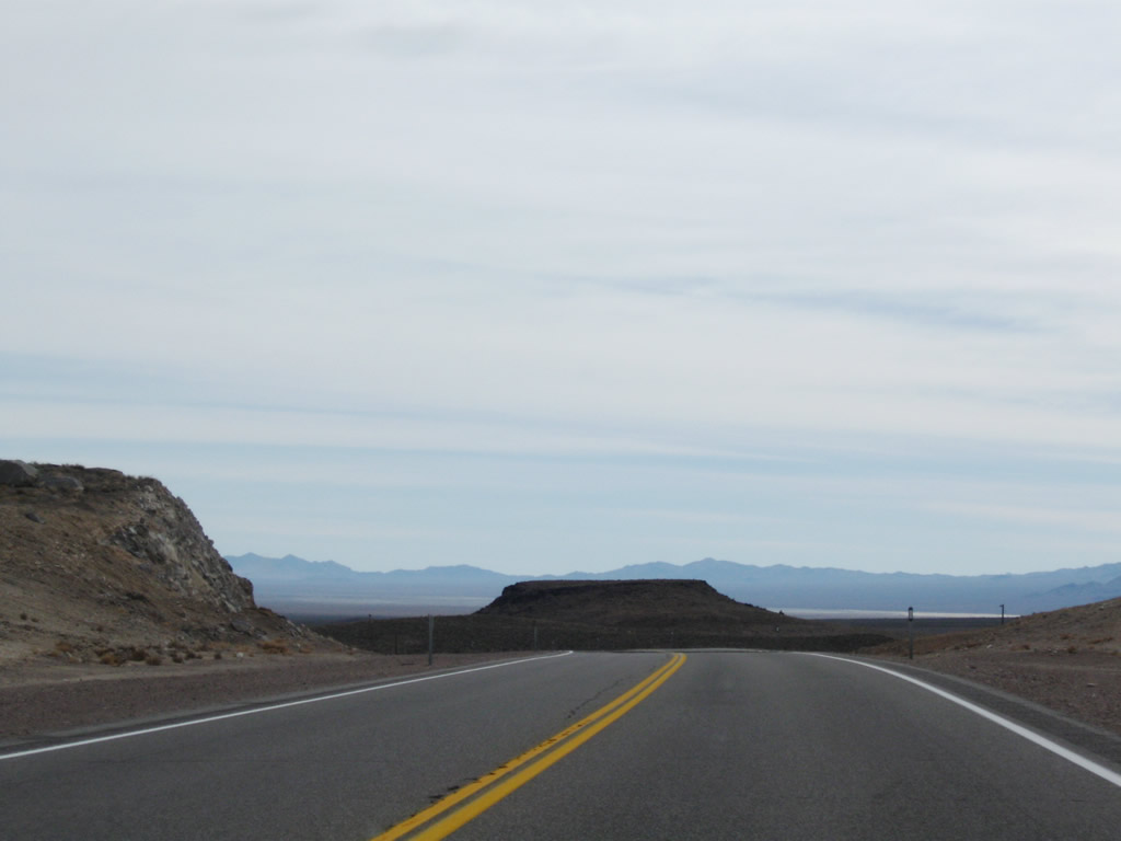
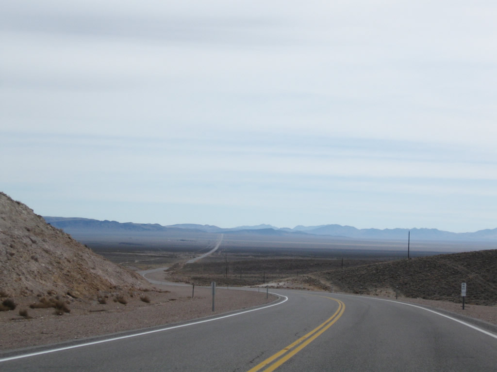
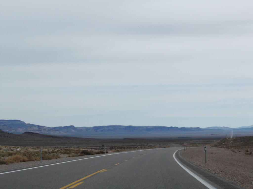
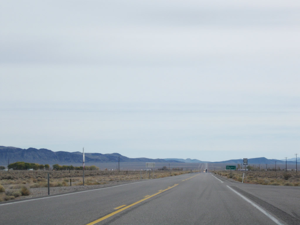
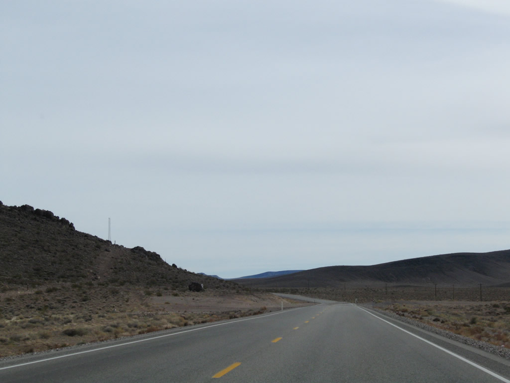
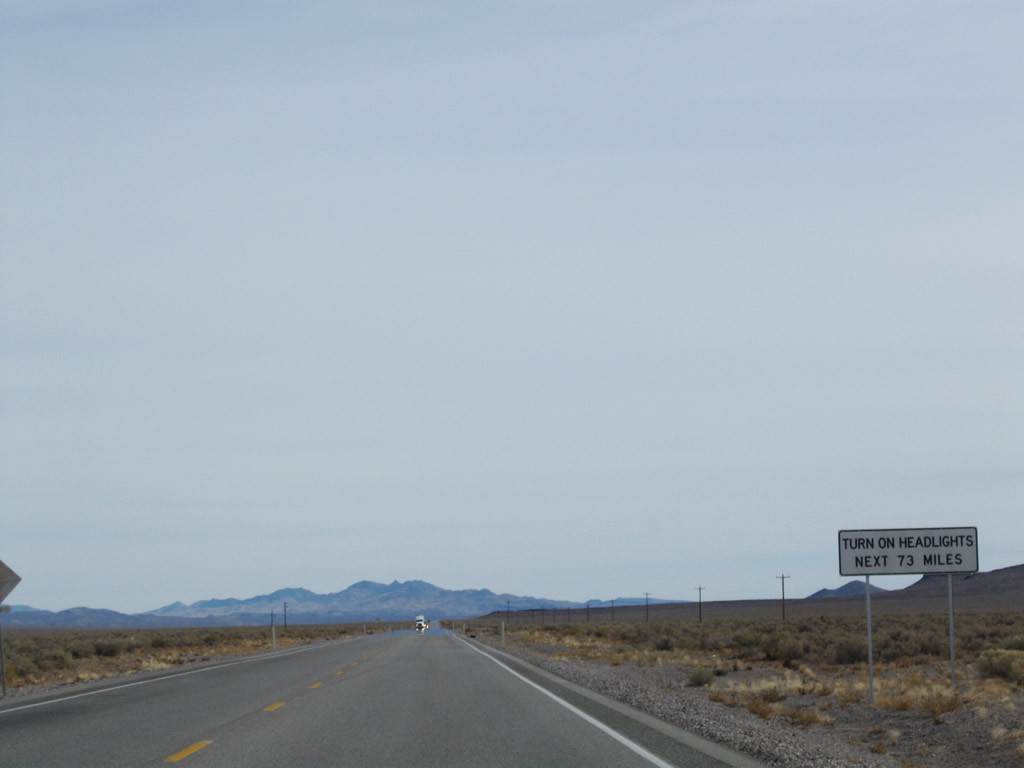
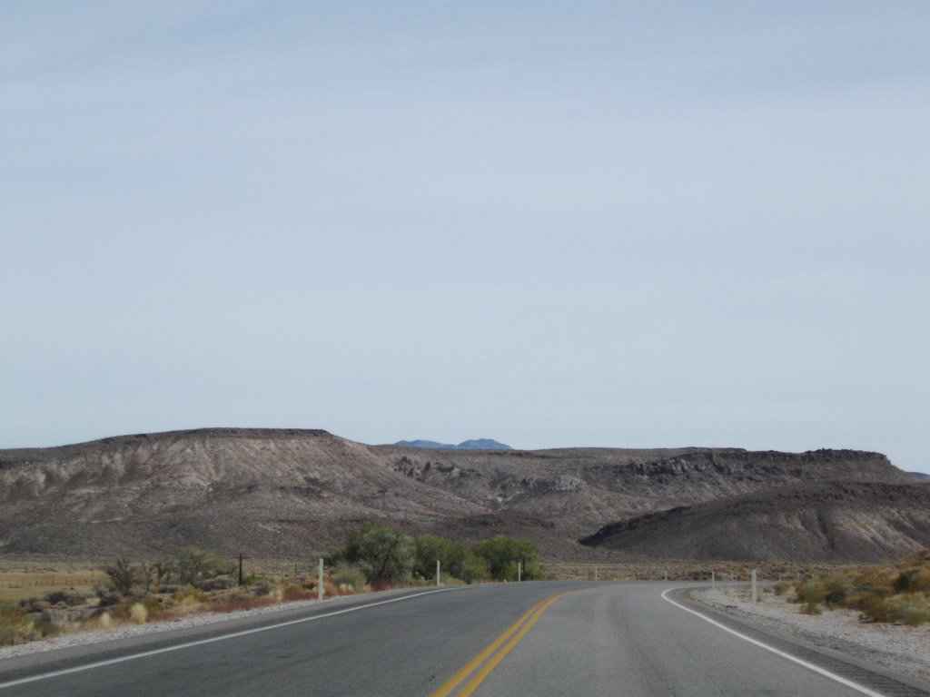
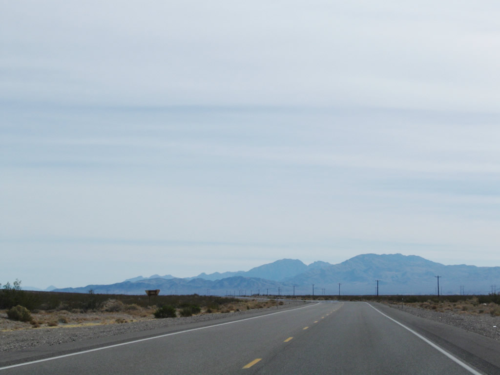
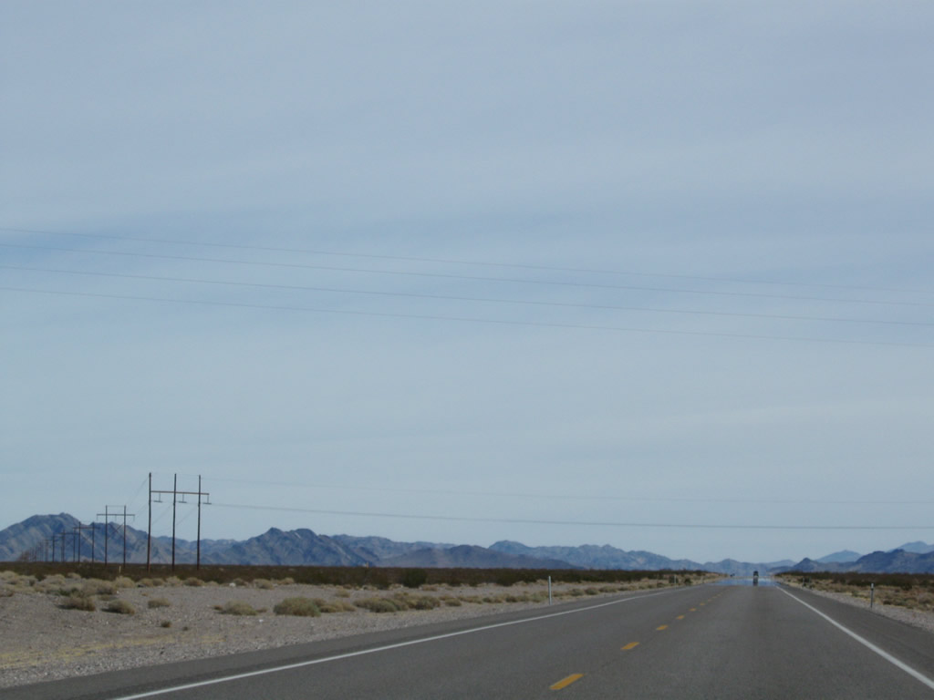
This series of photos follows U.S. 95 through rural Nye County between the Esmeralda-Nye County Line and Scottys Junction, where U.S. 95 will meet Nevada 267. Soon after crossing the county line, U.S. 95 ascends to Stonewall Pass. Photos taken 11/11/08. |
 |
 |
 |
|
 |
 |
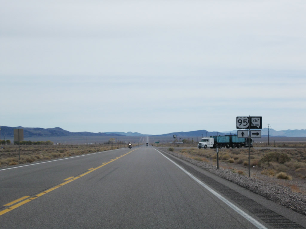 |
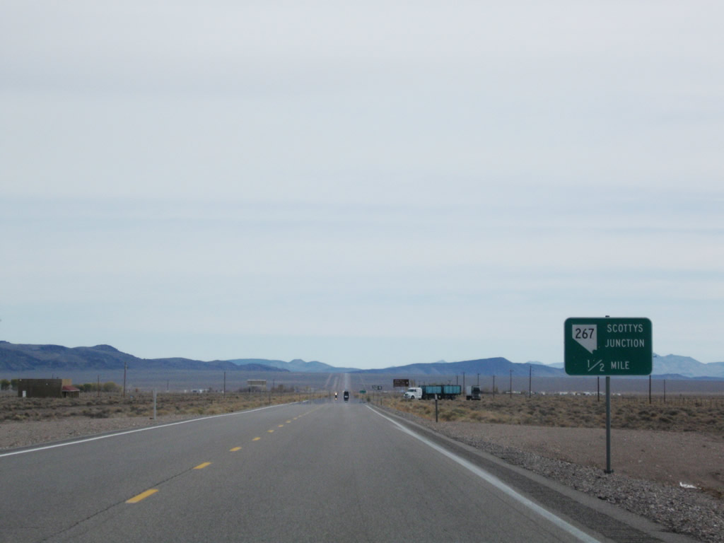
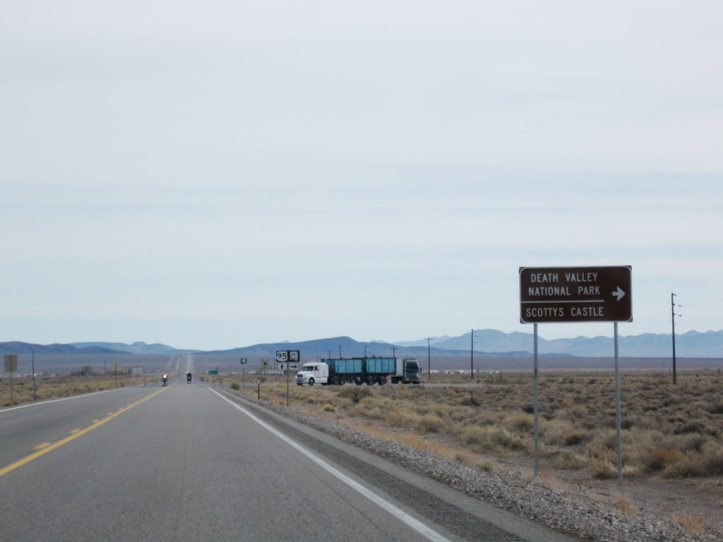
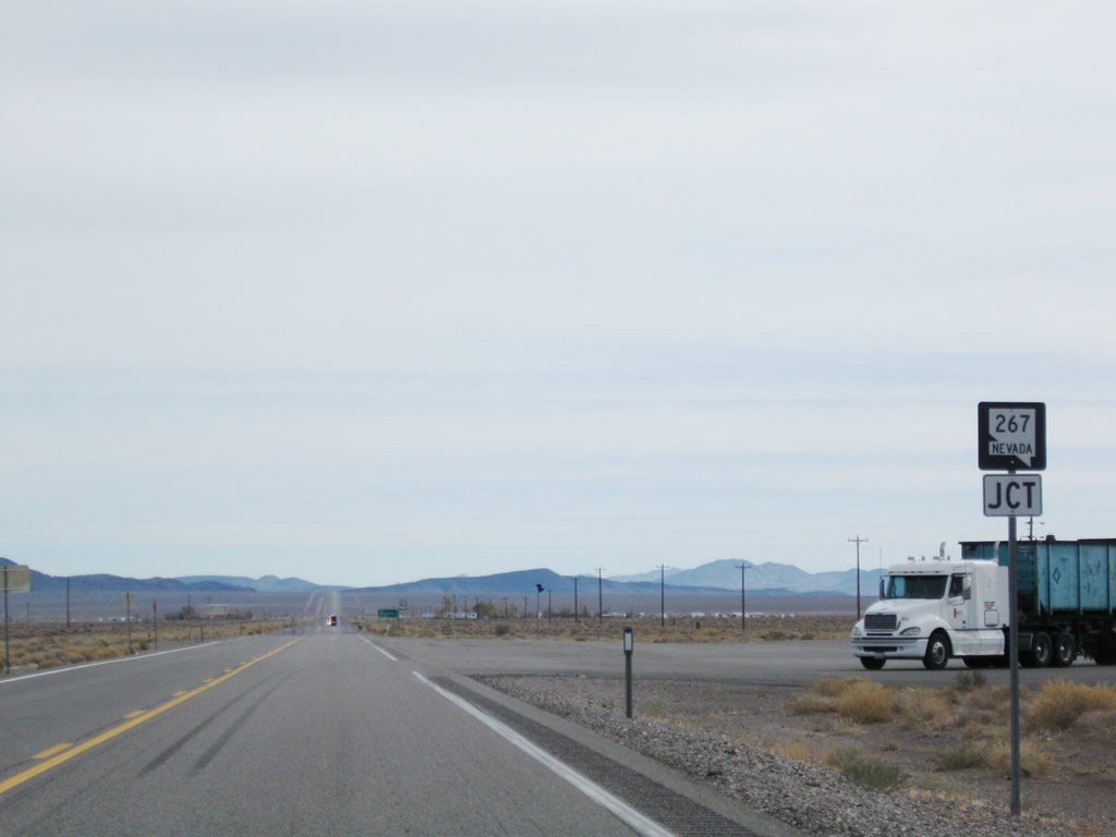
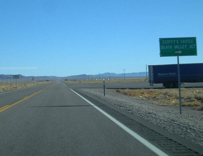
Southbound U.S. 95 meets Nevada 267. Nevada 267 leads to Scotty's Castle and Death Valley National Park in California. Upon reaching the state line, maintenance shifts from the Nevada Department of Transportation to the National Park Service. Scotty's Castle lies a few miles southwest of the Nevada-California state line, in Grapevine Canyon. This site is well worth the detour; however, monitor gas since limited facilities are available in the park. Photos taken 11/11/08 and 01/20/02. |
 |
 |
 |
|
 |
 |
 |
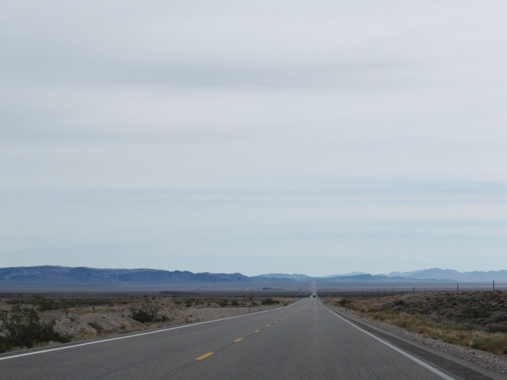
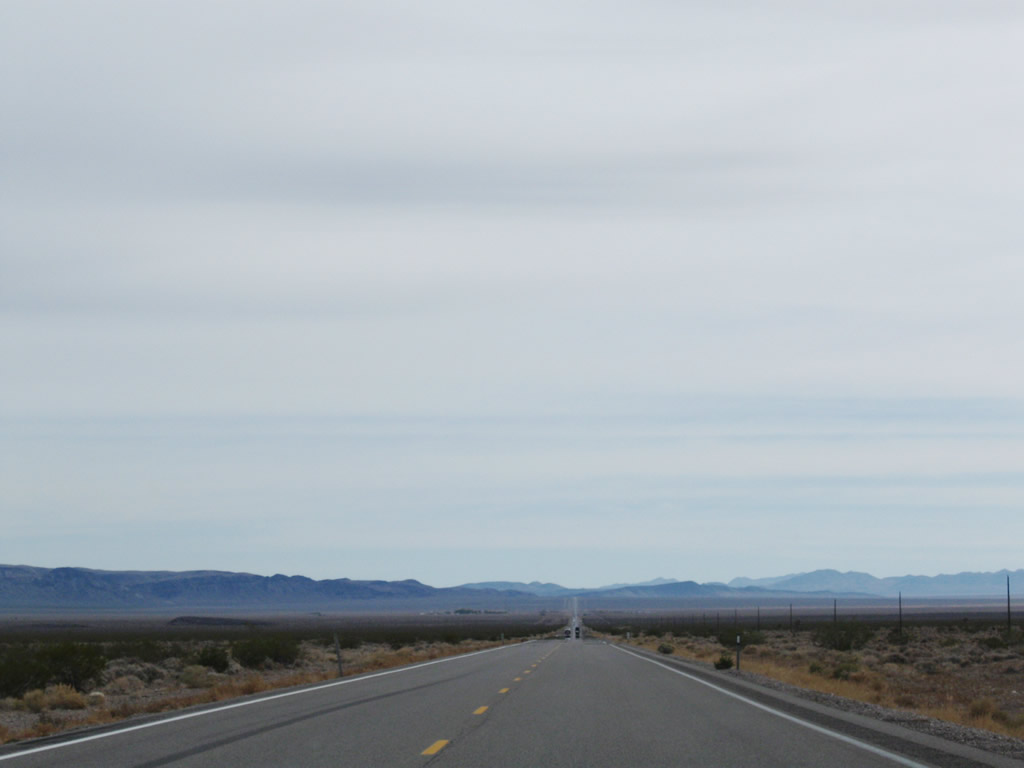
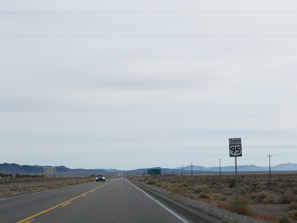
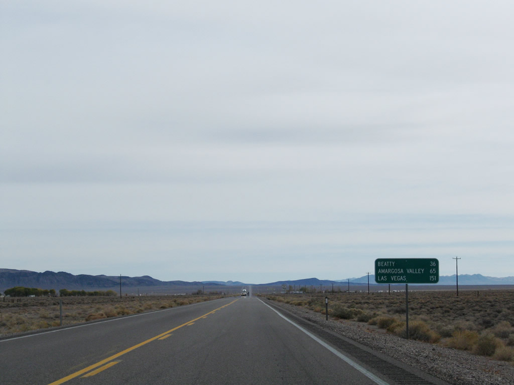
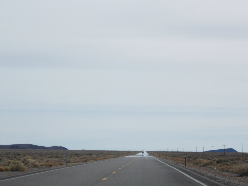
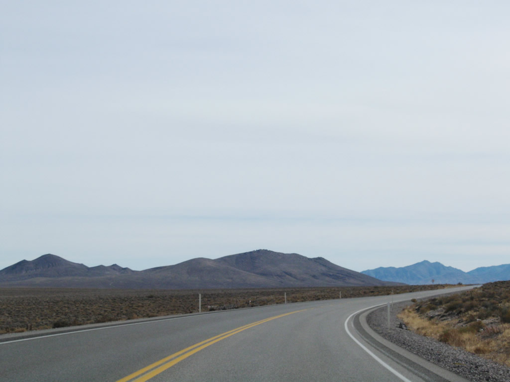
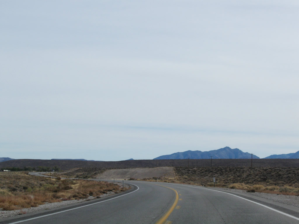
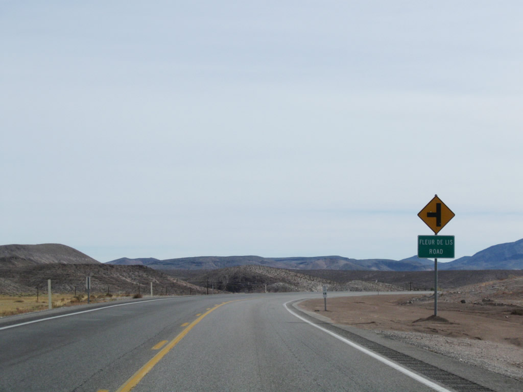
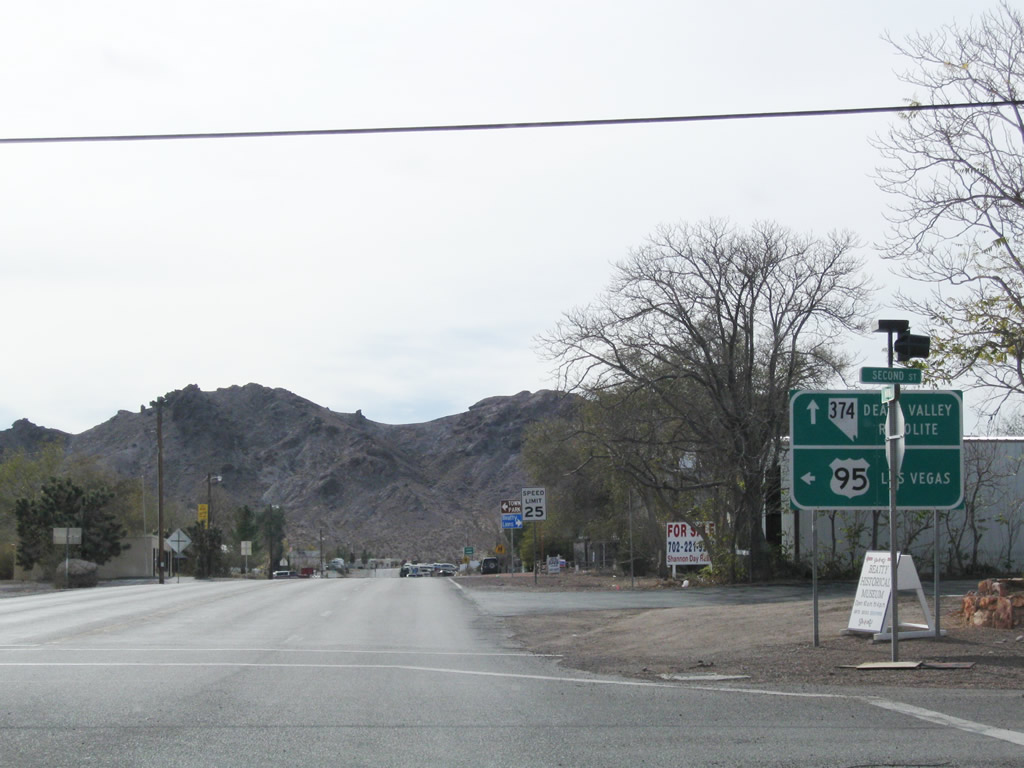
This series of photos follows U.S. 95 from Scotty's Junction southeast toward Beatty. Another mileage sign provides the distance to Beatty, Amargosa Valley, and Las Vegas. Photos taken 11/11/08. |
 |
 |
 |
|
 |
 |
 |
|
 |
 |
 |
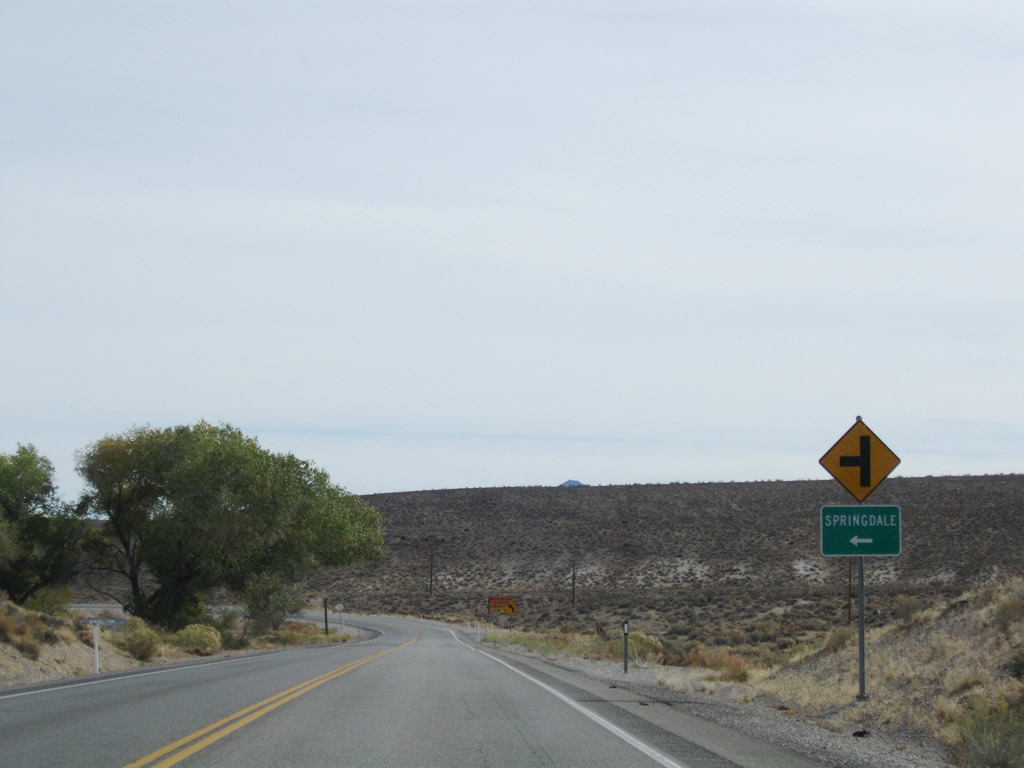
Southbound U.S. 95 passes through the settlement of Springdale, which is situated between the Bullfrog Mountains to the southwest and Oasis Mountain to the northeast. U.S. 95 has gradually lost elevation as it traveled from Tonopah south to Beatty. Photos taken 11/11/08. |
 |
 |
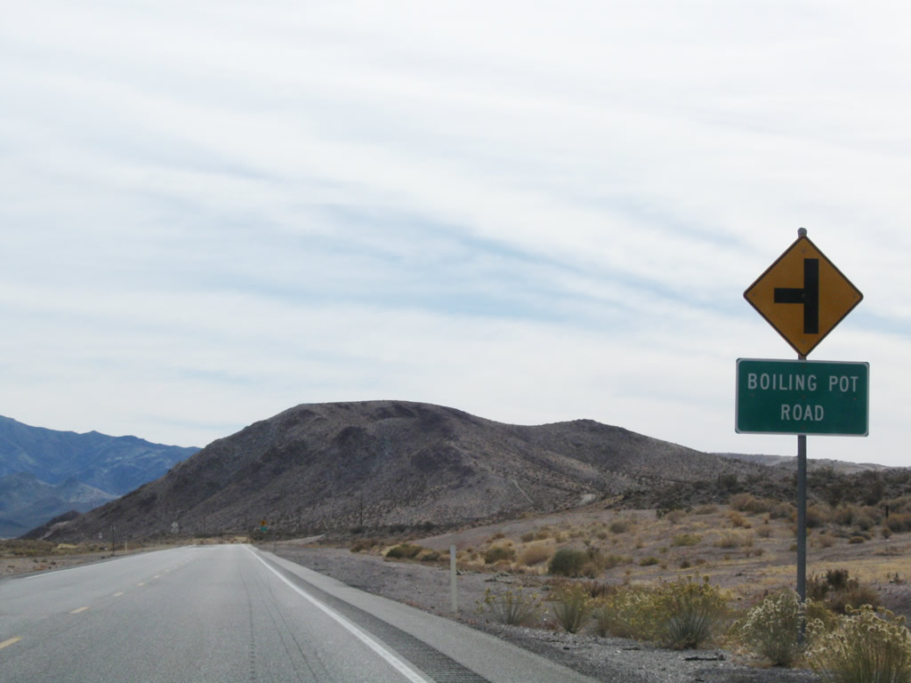 |
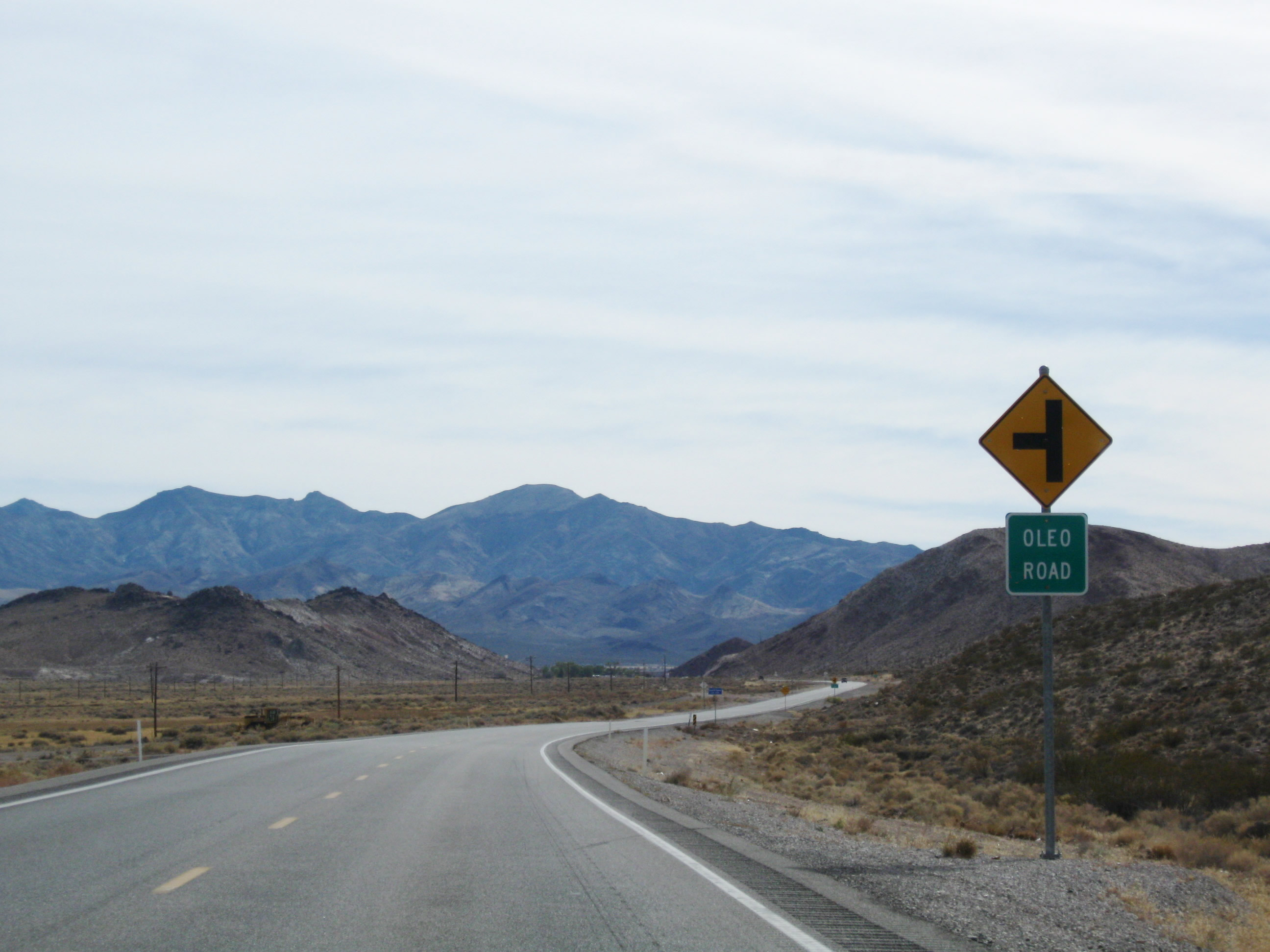
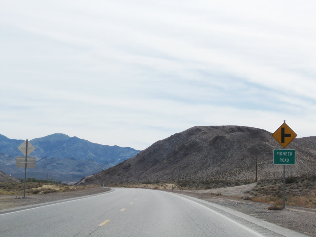
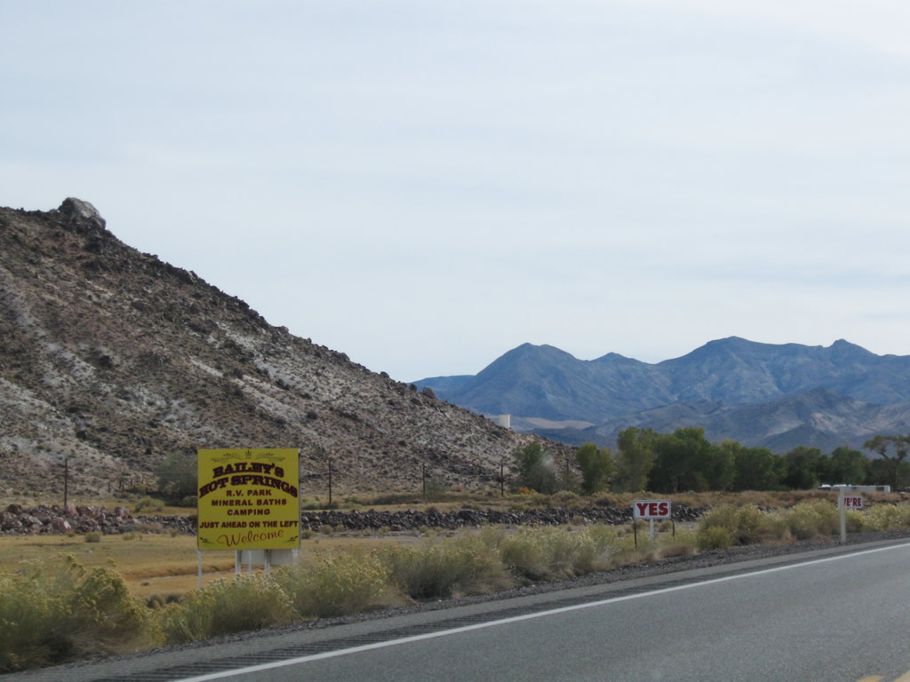
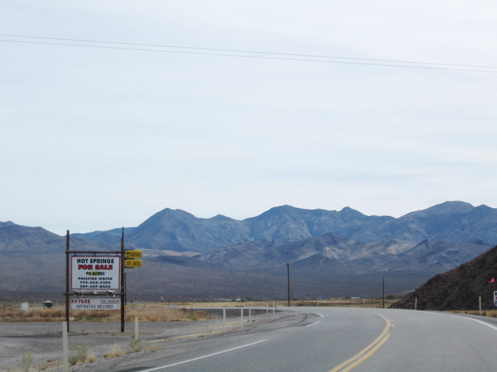
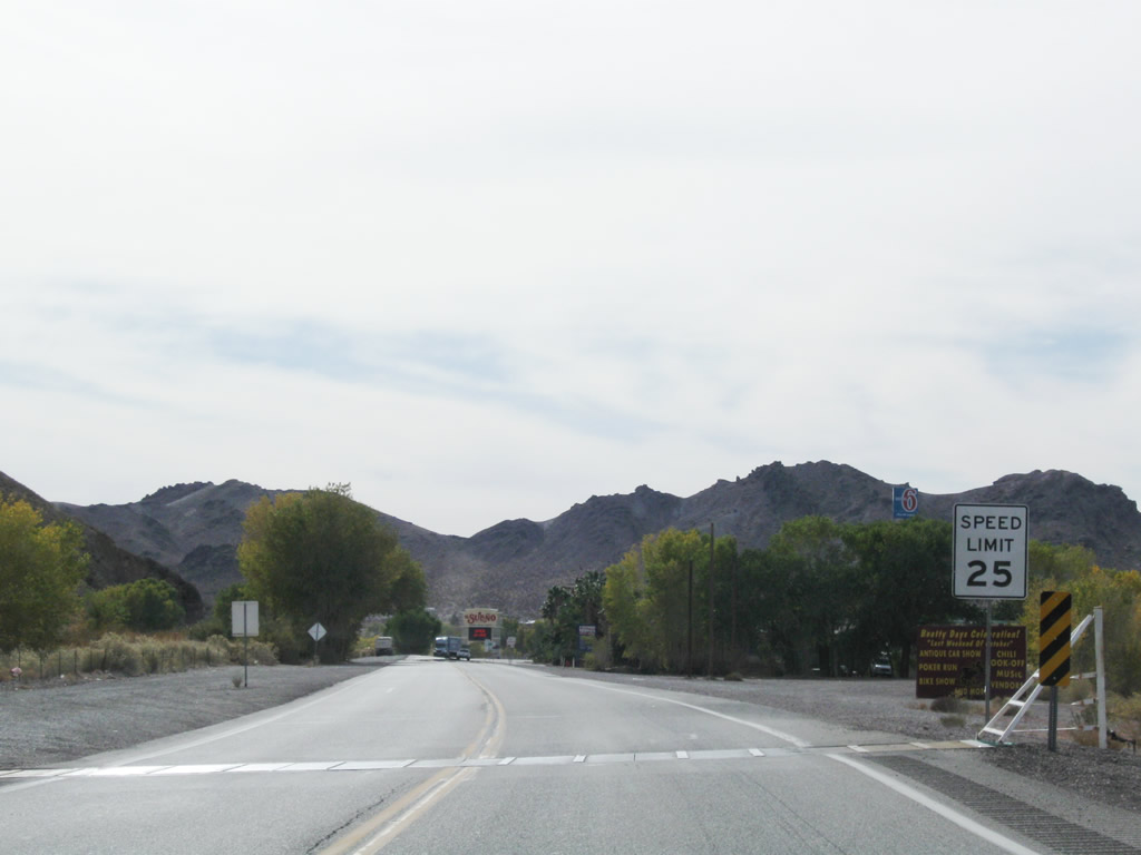
Between Springdale and Beatty, U.S. 95 passes a series of signed local roadways, an indication we are approaching civilization. Baileys Hot Springs are on the left (east) side of the highway as we approach Beatty. Photos taken 11/11/08. |
 |
 |
 |
 |
 |
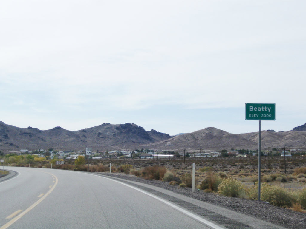
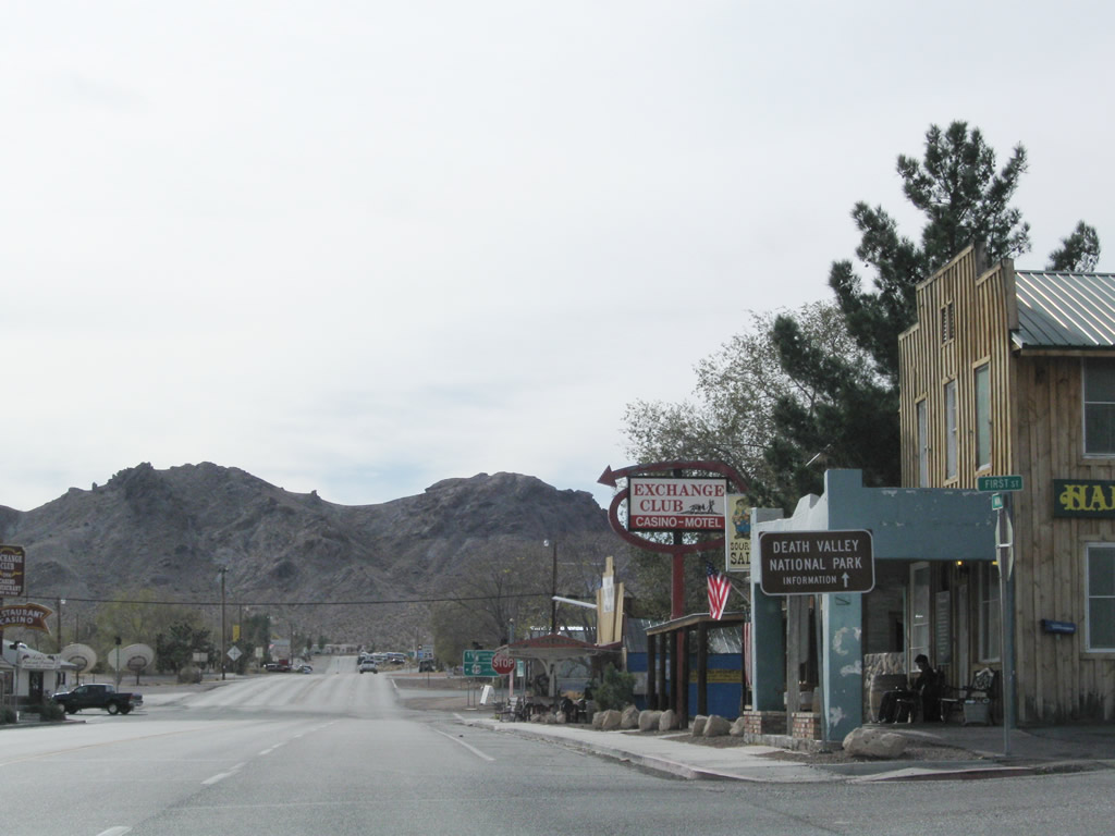
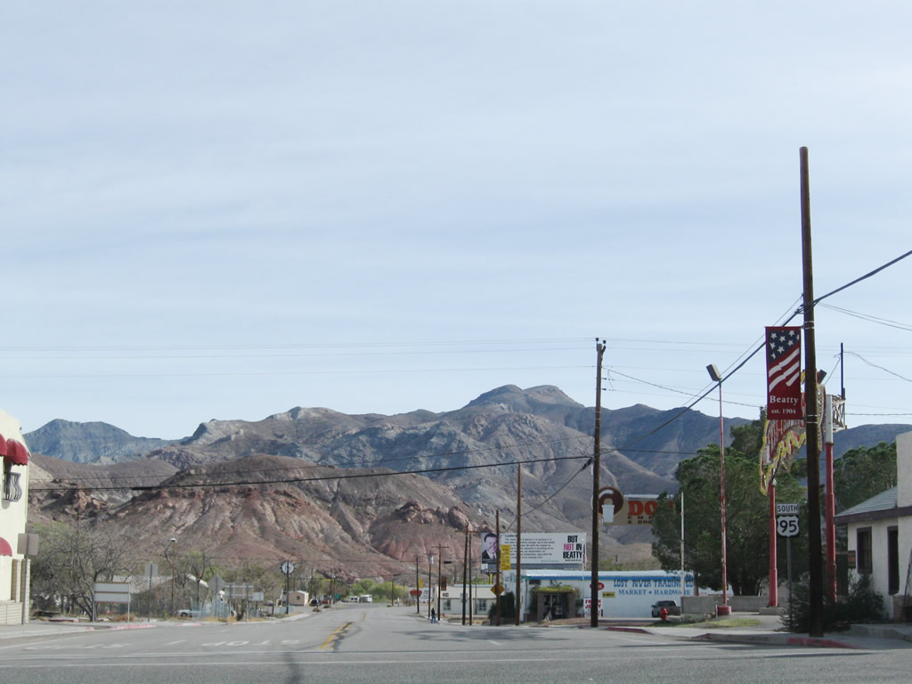
U.S. 95 enters the unincorporated town of Beatty, elevation 3,300 feet above sea level. The population of Beatty was 1,154 as of the 2000 Census. Settled by 1905, Beatty has its origins in mining like many towns in western Nevada. The nearby mining towns of Rhyolite and Bullfrog west of Beatty experienced the boom-and-bust cycle associated with gold mining. Only Beatty retains a population today due to its location on U.S. 95 and more recent increase in tourism (Gateway to Death Valley) and military activity (the nearby Nevada Test Site is a large military reservation that encompasses a significant portion of Nye County and includes the controversial Yucca Mountain project). Photos taken 11/11/08. | |
 |
 |
||
 |
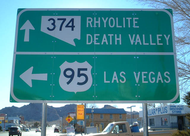 |
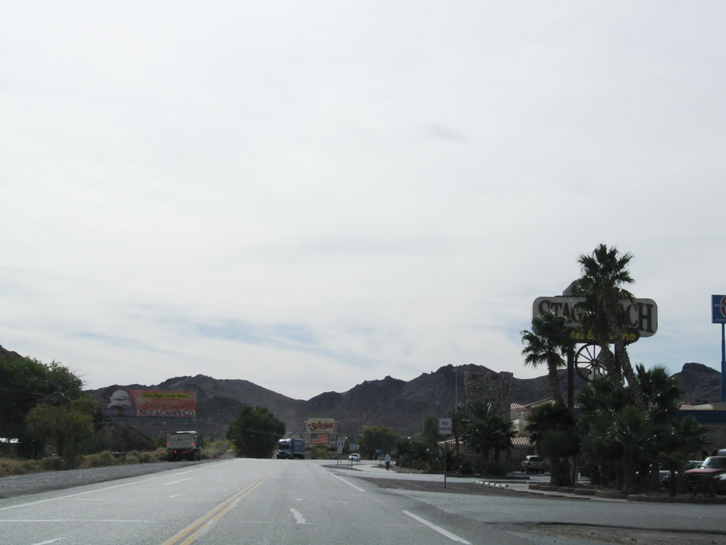
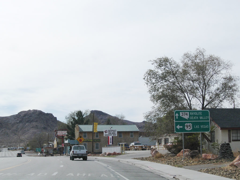
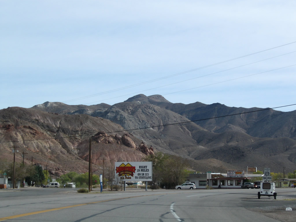
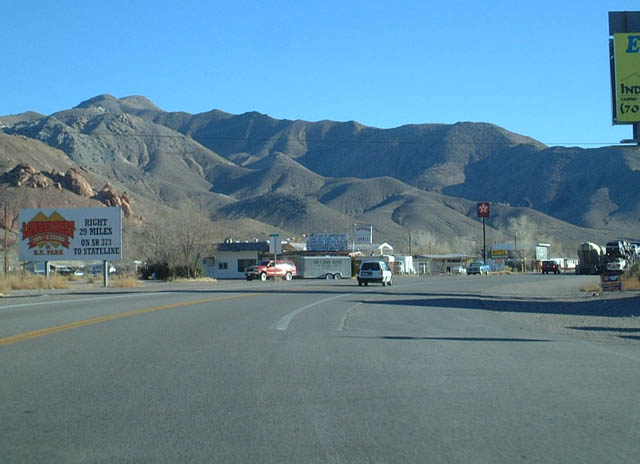
Now in downtown Beatty, southbound U.S. 95/Main Street approaches Nevada 374. At the upcoming intersection, turn left to continue southeast on U.S. 95/Second Street (Bonanza Highway) to Amargosa Valley and Las Vegas. Continue straight ahead to follow Nevada 374/Main Street southwest to Rhyolite, Bullfrog Mining District, and Death Valley National Park. Photos taken 11/11/08 and 1/20/02. | |
 |
A recreational guide sign advises traffic bound for Death Valley National Park to follow Nevada 374 southwest. This sign is posted at the intersection of southbound U.S. 95/Main Street and First Street. Photo taken 11/11/08. | ||
 |
 |
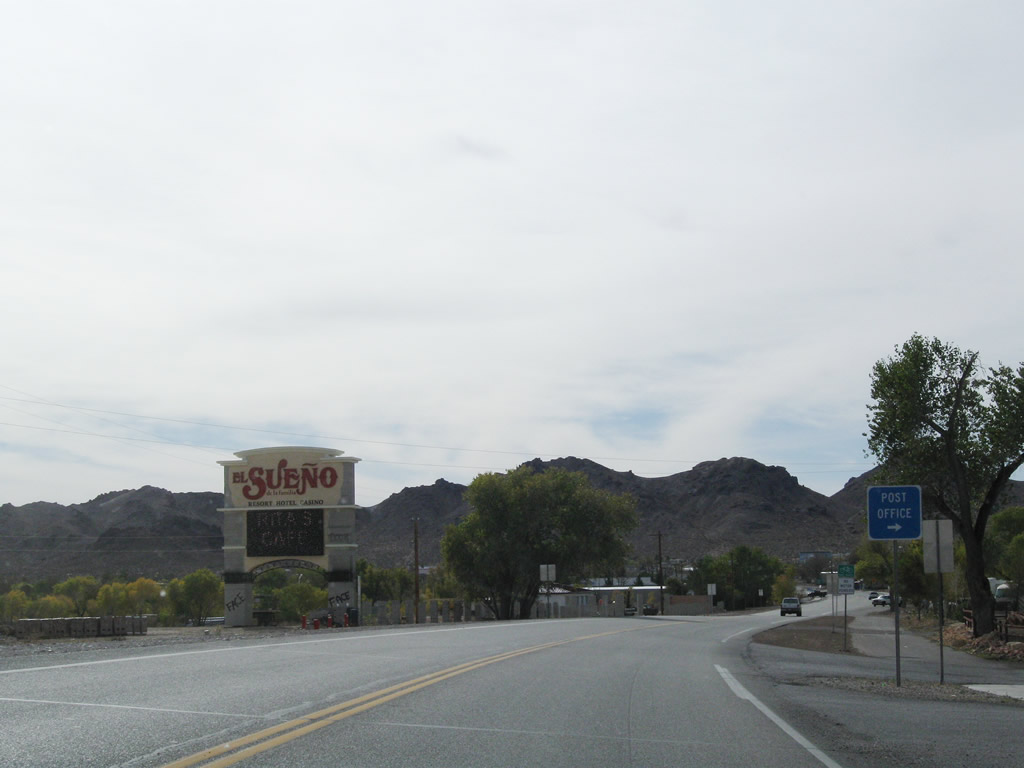
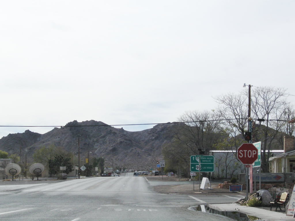
Southbound U.S. 95/Main Street meets Second Street at this stop sign. Turn left to follow U.S. 95 southeast to Amargosa Valley, Mercury, Indian Springs, and Las Vegas. Continue straight ahead to follow Nevada 374/Main Street southwest to Rhyolite and Death Valley. Photos taken 11/11/08. | |
 |
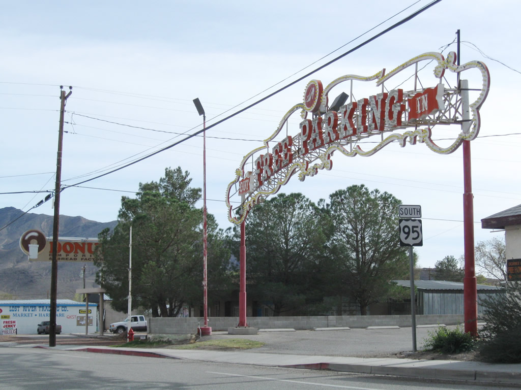 |
Leaving the intersection with Nevada 374/Main Street, a U.S. 95 south reassurance shield is posted next to a tall FREE PARKING arch welcoming visitors into a parking lot at the southeastern corner of the intersection. Photos taken 11/11/08. | |
 |
 |
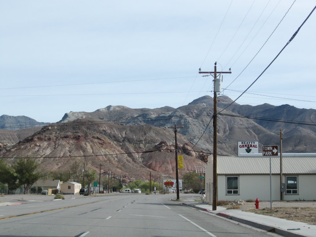
Passing Lewis Street, U.S. 95/Second Street approaches McDonald Street south to Beatty Town Park. A historical marker is located on the left side of the highway as it turns toward the south. Photos taken 11/11/08. | |
 |
U.S. 95 quickly opens up as the highway leaves Beatty. Photo taken 01/20/02. | ||
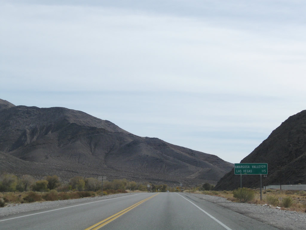 |
After passing a few more motels and gas stations as well as Beatty High School, U.S. 95 leaves Beatty. A mileage sign provides the distance to Amargosa Valley (29 miles) and Las Vegas (115 miles). Photo taken 11/11/08. | ||
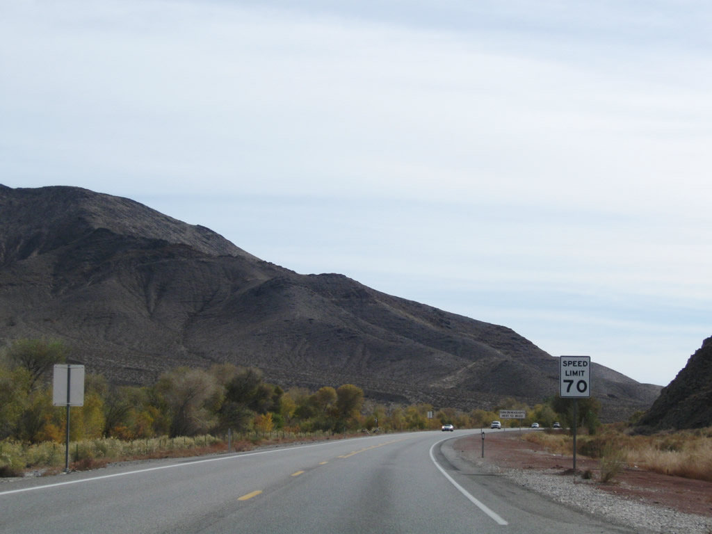 |
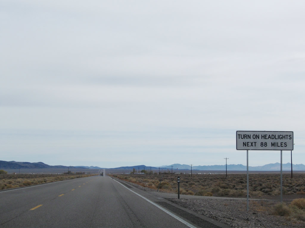
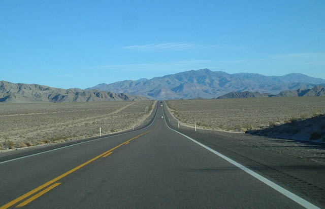
Following the Amargosa River, southbound U.S. 95 again reaches a 70 miles per hour speed limit and resumes the daytime headlights safety requirement. Photo taken 11/11/08. | ||
 |
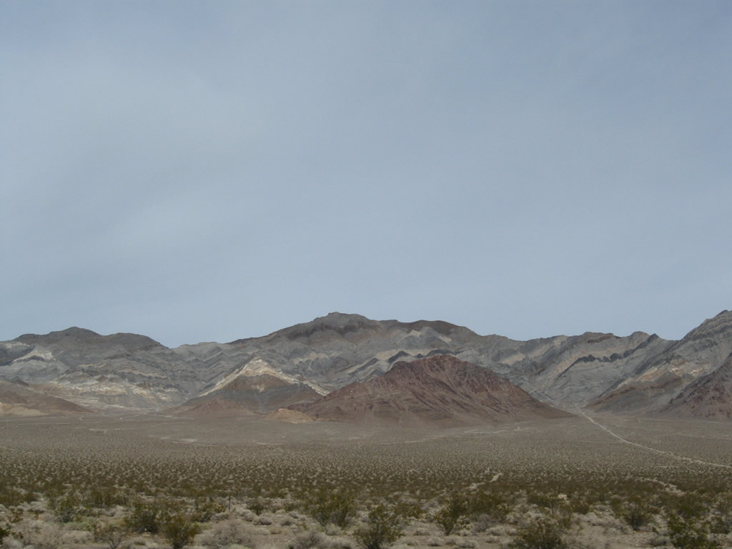
Passing through the Amargosa Narrows, the sprawling Amargosa Valley comes into view. From here, U.S. 95 will swing southesat around Bare Mountain and Wildcat Peak toward the settlement of Amargosa Valley. Photo taken 11/11/08. | ||
 |
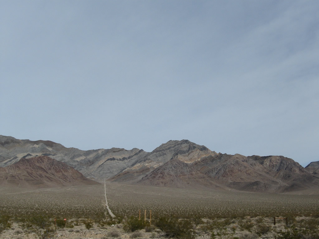 |
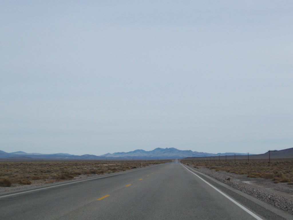
This view looks east at Bare Mountain and Wildcat Peak from U.S. 95 south. Photos taken 11/11/08. | |
 |
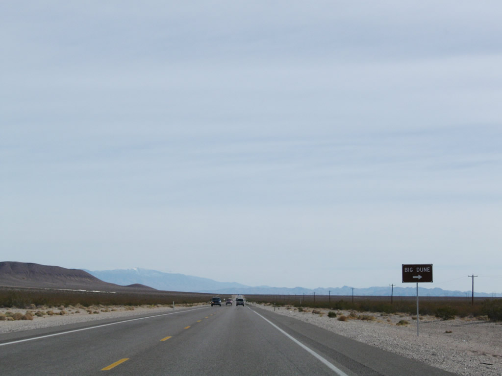 |
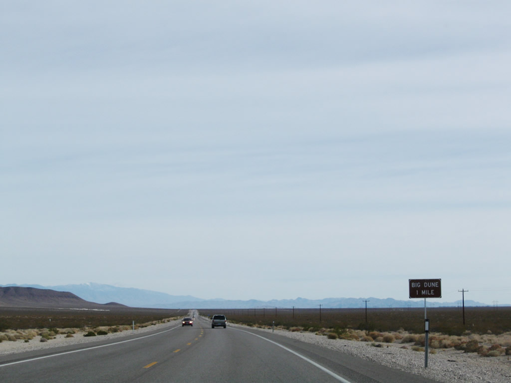
Southbound U.S. 95/Bonanza Highway approaches the turnoff for Big Dune. As the name implies, Big Dune is an off-road recrational area for enthusiasts. The sand dune tops out at an elevation of 2,731 feet above sea level, which is about 300 feet taller than the base elevation of 2,435 feet above sea level. Photos taken 11/11/08. | |
 |
 |
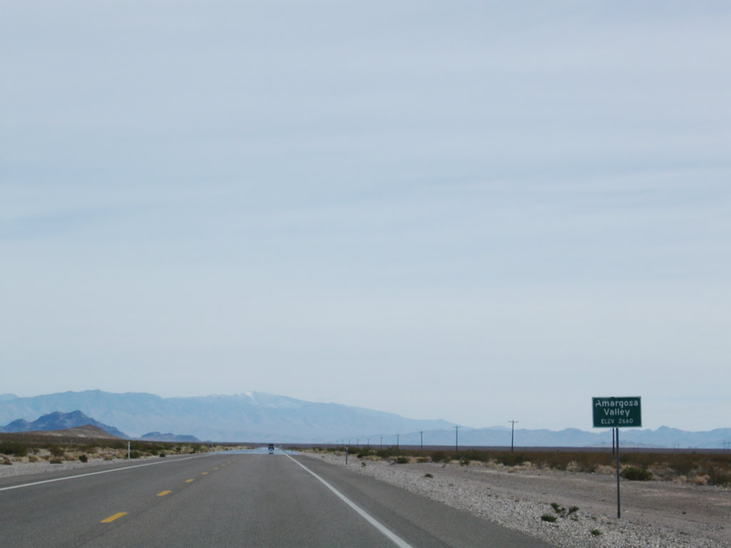
Continuing southeast, a sign welcomes visitors to Amargosa Valley (formerly Lathrop Wells). Photos taken 11/11/08. | |
 |
 |
A power transmission line passes over U.S. 95 in Amargosa Valley. Photos taken 11/11/08. | |
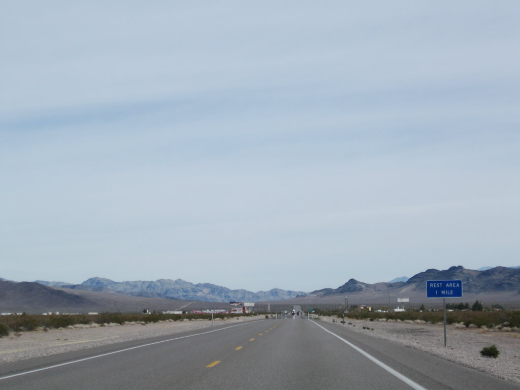 |
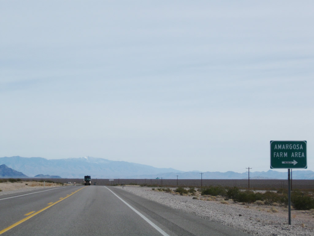
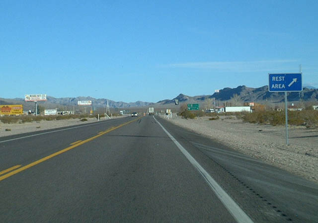
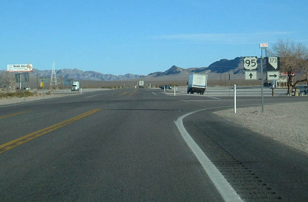
Development appears ahead as we approach the intersection with Nevada 373. The Amargosa Rest Area is located at the southeast corner of this intersection. Photo taken 11/11/08. | ||
 |
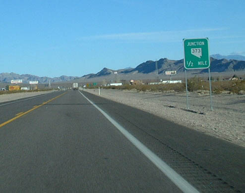 |
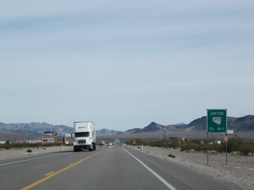
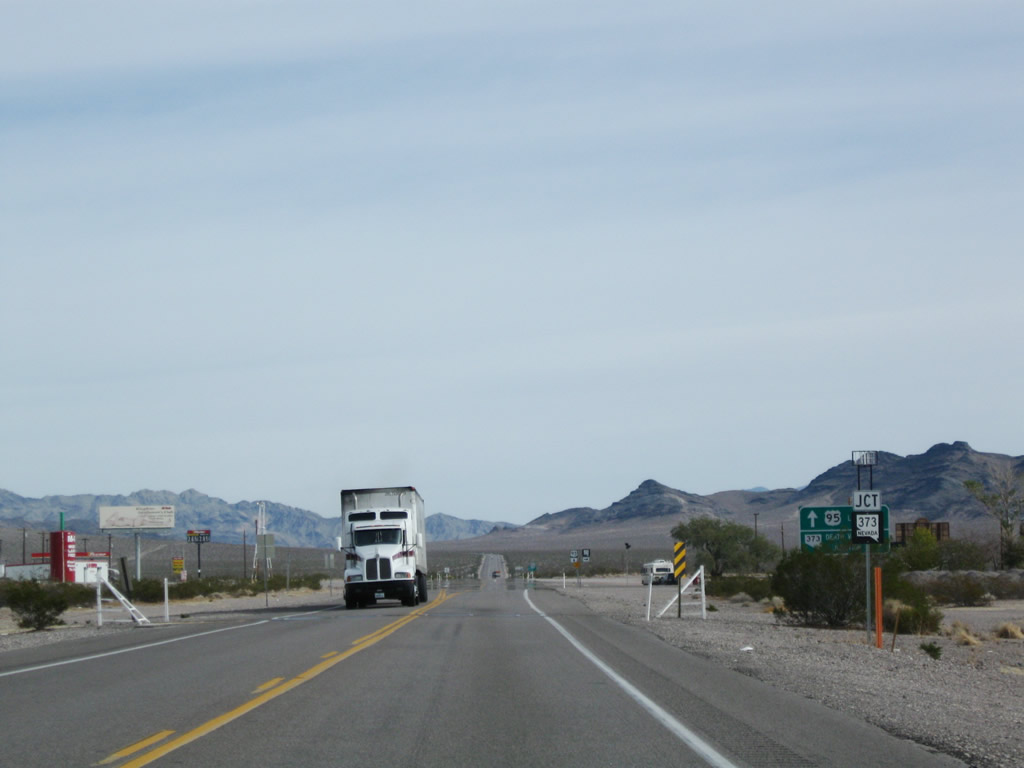
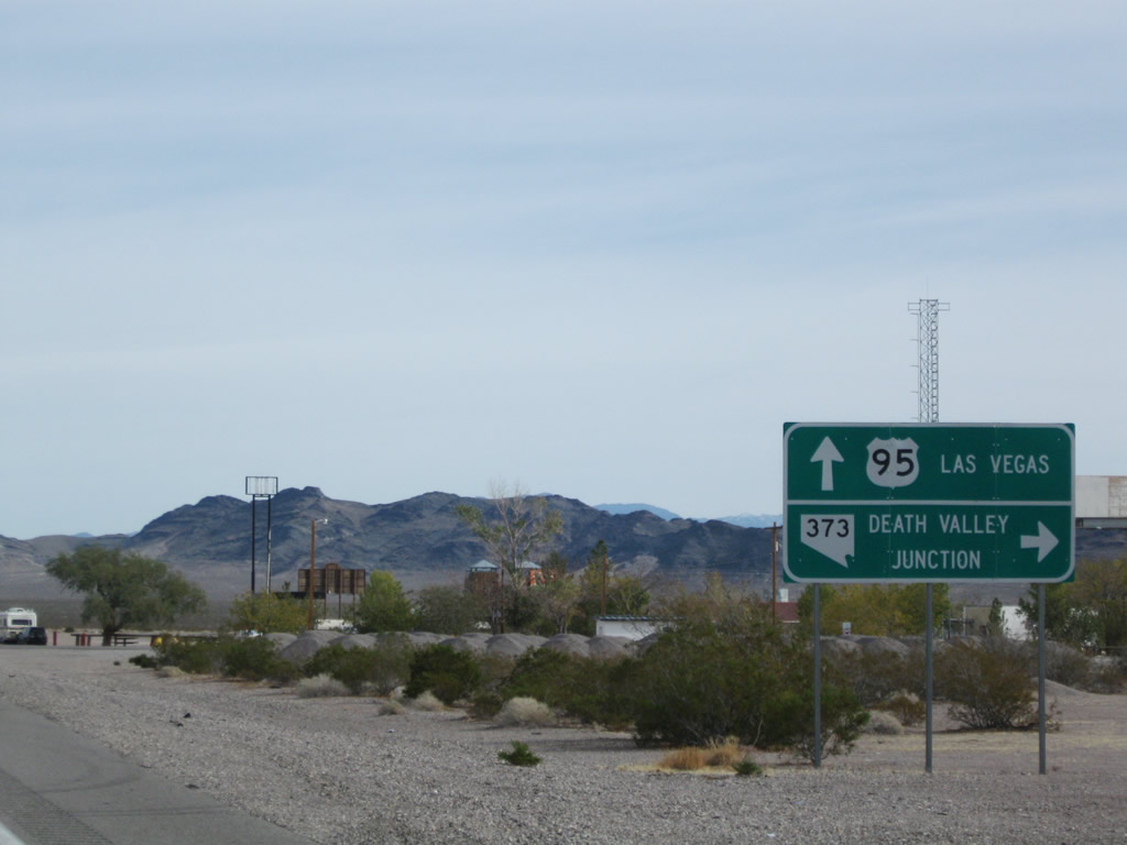
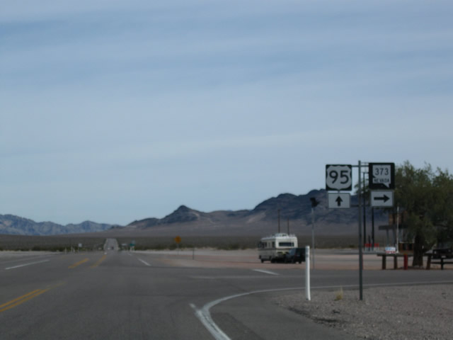
U.S. 95 approaches its junction with Nevada 373 (one-half mile). Use Nevada 373 south to California 127 en route to Death Valley National Park (via California 190) and to Interstate 15 at Baker. Through traffic to all Southern California destinations would be best served to follow Nevada 373 south to California 127 south to Interstate 15 south. Photos taken 11/11/08 and 01/20/02. | |
 |
U.S. 95 south next approaches the Amargosa Rest Area at the Nevada 373 junction. Photo taken 01/20/02. | ||
 |
 |
A second junction sign for Nevada 373 appears. Some motorist services (gas, food) are available at the north side of this intersection. Photos taken 11/11/08 and 01/20/02. | |
 |
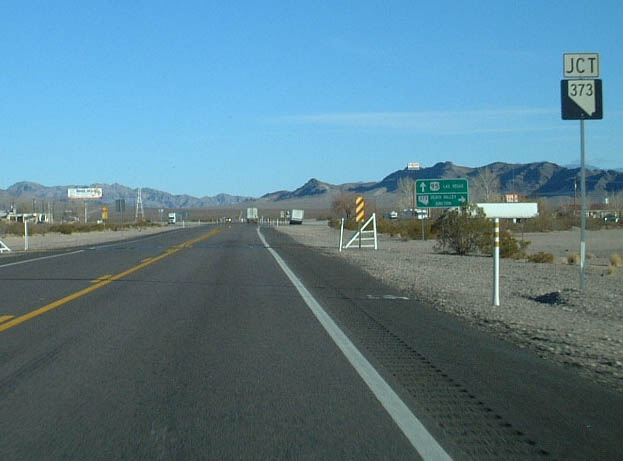
The next right connects U.S. 95 south to Nevada 373 south. The second right connects to the Amargosa Rest Area. Photo taken 11/11/08. | ||
 |
 |
U.S. 95 south and Nevada 373 south trailblazer shields are posted at the intersection. Photos taken 11/11/08 and 01/20/02. | |
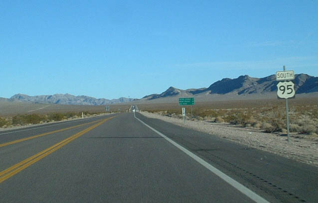 |
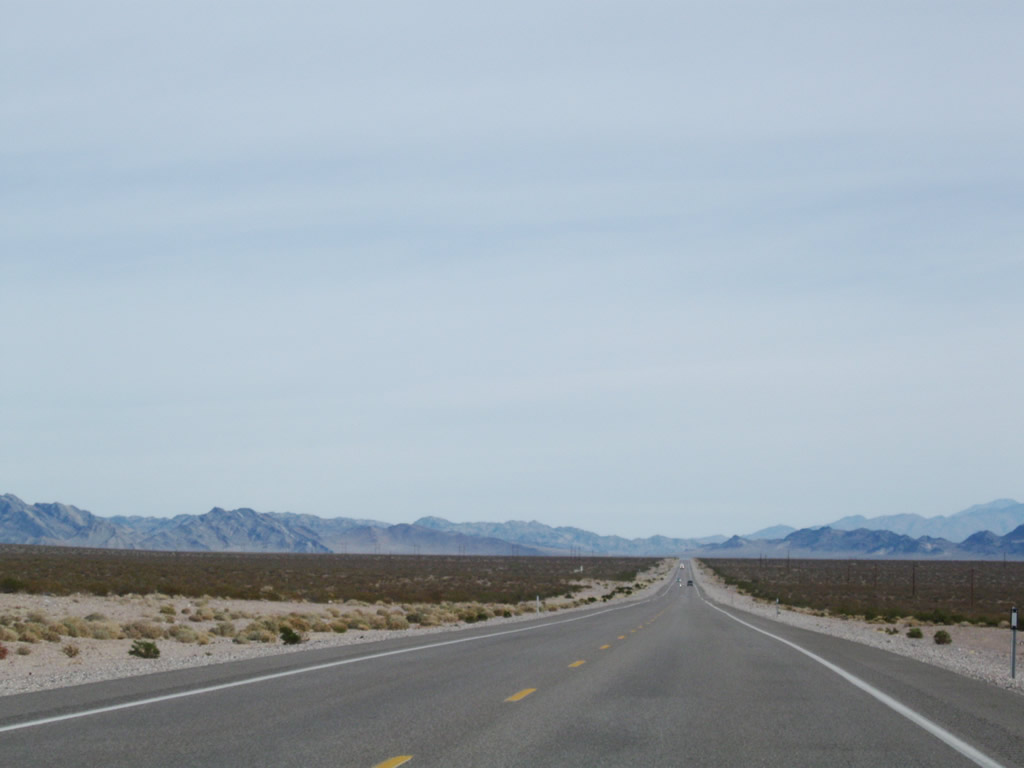
Continuing almost due east upon leaving the community of Amargosa Valley, U.S. 95 leaves Nevada 373 intersection and rest area and will skirt the southern edge of the Nevada Test Site, eventually approaching Mercury, Desert National Wildlife Refuge, and Indian Springs. Photo taken 01/20/02. |
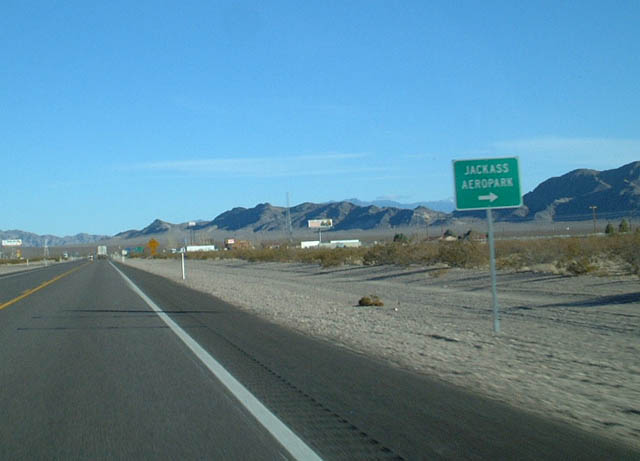 |
U.S. 95 south next approaches the turnoff for Jackass Aeropark (great name for an airport). Photo taken 01/20/02. |
 |
This view shows U.S. 95 southbound between Nevada 373 and Nevada 160. Photo taken 01/20/02. |
 |
 |
 |
Page Updated February 15, 2010.
|
About Contact FAQ |
Spotlights Interstate Guide |
Social Media:
 |
|
© 2000-25 AARoads.com | All Rights Reserved | Privacy Policy / Terms of Use
|
||