
California 59
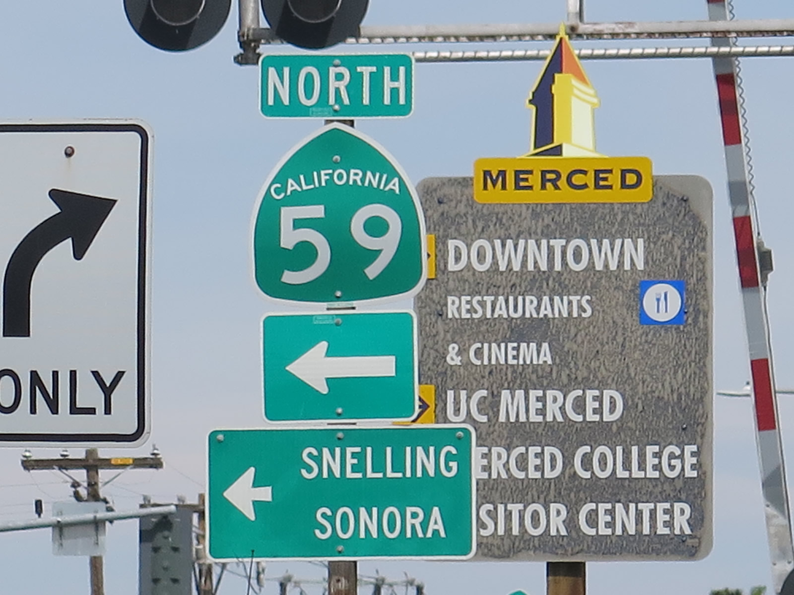
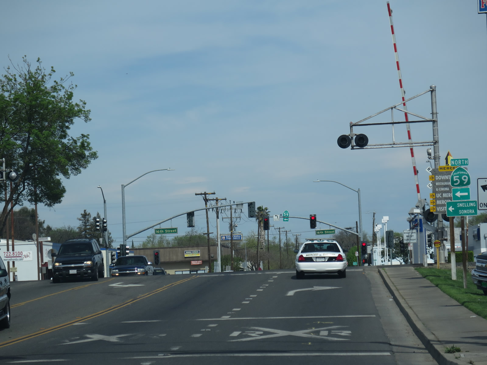
California 59 route marker posted along northbound V Street just north of California 99 in Downtown Merced. California 59 turns northwest here with California 99 Business (Sixteenth Street) before turning north along Snelling Highway en route to Snelling and Sonora. Photo taken 03/15/15.
California 59 is a north-south state route in the Central Valley. It begins at a trumpet interchange with California 152 near El Nido and travels north through Merced to the intersection of Merced Falls Road (Merced County J-16) and La Grange Road (Merced County J-59) northeast of Snelling. The intersection between these county routes approximates the location of where California 59 would meet with unconstructed/future California 65 near Snelling. Since California 65 does not yet exist near Snelling, California 59 turns north onto La Grange Road as Merced County J-59. The county route continues north from Snelling to La Grange, changing to Stanislaus County J-59 and ultimately Tuolumne County J-59 before the county route ends at a junction with California 108-120 west of Jamestown. Coupled with J-59 and California 108, California 59 serves as a route connecting Merced with Sonora.
| California 59 north | |
|---|---|
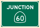
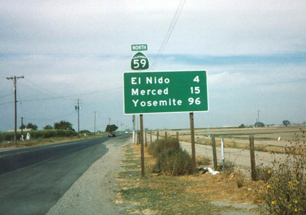 |
This mileage sign is posted along California 59 north after its junction with California 152 south of Merced. Photo taken by Trevor Carrier (Summer 2002). |
 |
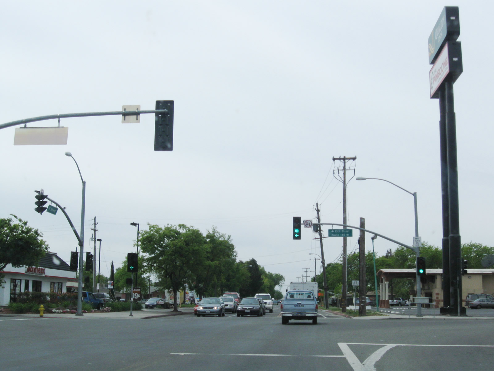
Northbound V Street passes under California 99 and approaches its signalized intersection with 14th Street, which serves as the freeway frontage road and carries both California 59 north and California 140 west. From here, California 59 proceeds ahead toward downtown Merced. Photo taken 03/15/15. |
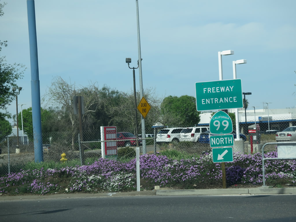 |
A California 99 north freeway entrance shield assembly is posted on the north side of V Street at the 14th Street intersection. A busy freeway known as "California's Work Horse" due to its high traffic volumes and significant truck traffic, California 99 travels northwest toward Modesto, then turns north toward Manteca, Stockton, and Sacramento. Photo taken 03/15/15. |
 |
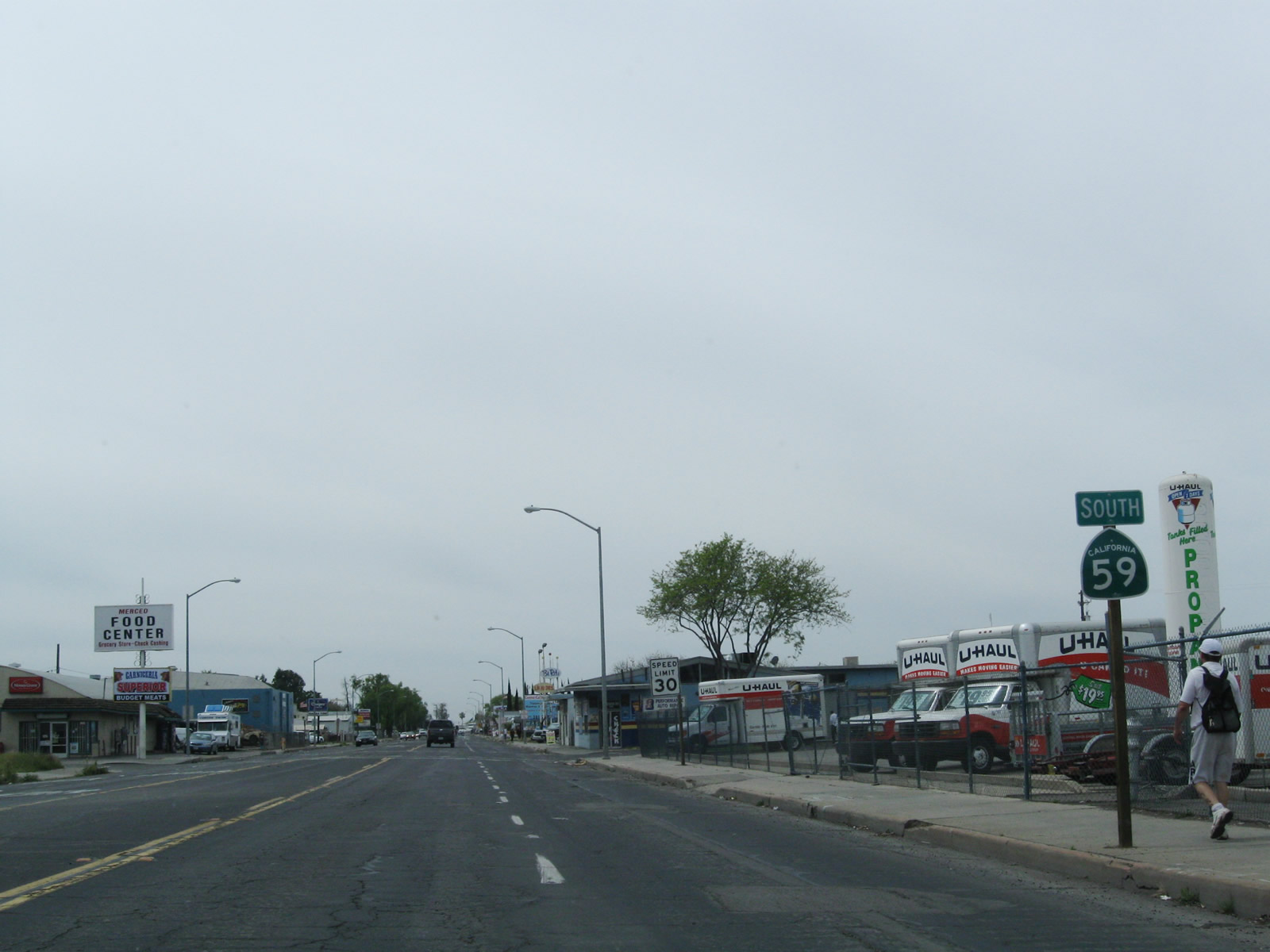
A single trailblazer for California 59 north is posted between 14th Street and 12th Street. After crossing the railroad tracks, California 59 will turn northwest onto 16th Street, which is old U.S. 99 and signed sporadically as California 99 Business. California 59 overlaps old U.S. 99 briefly, then splits north again toward Snelling, Jamestown, and Sonora. Photo taken 03/15/15. |
|
This is a close-up of the California 59 north trailblazer sign posted on northbound V Street. Photo taken 03/15/15. |
| California 59 north & Merced County J-16 east | |
 |
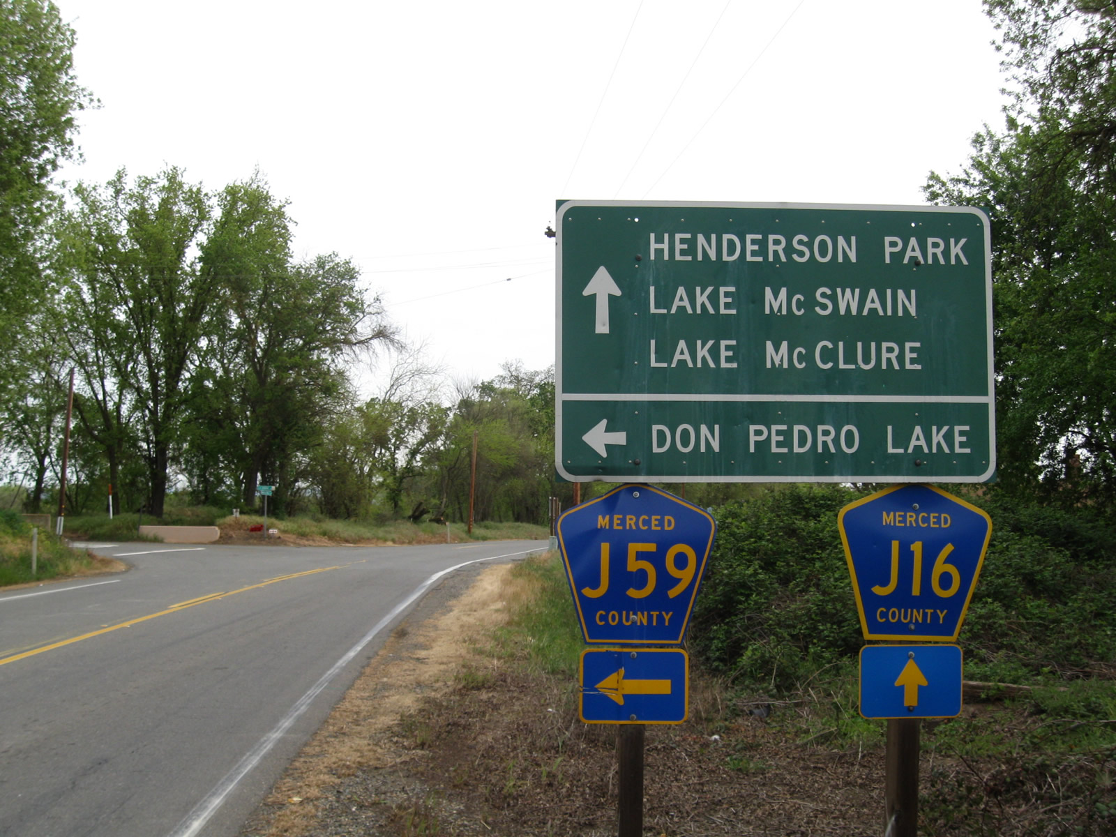
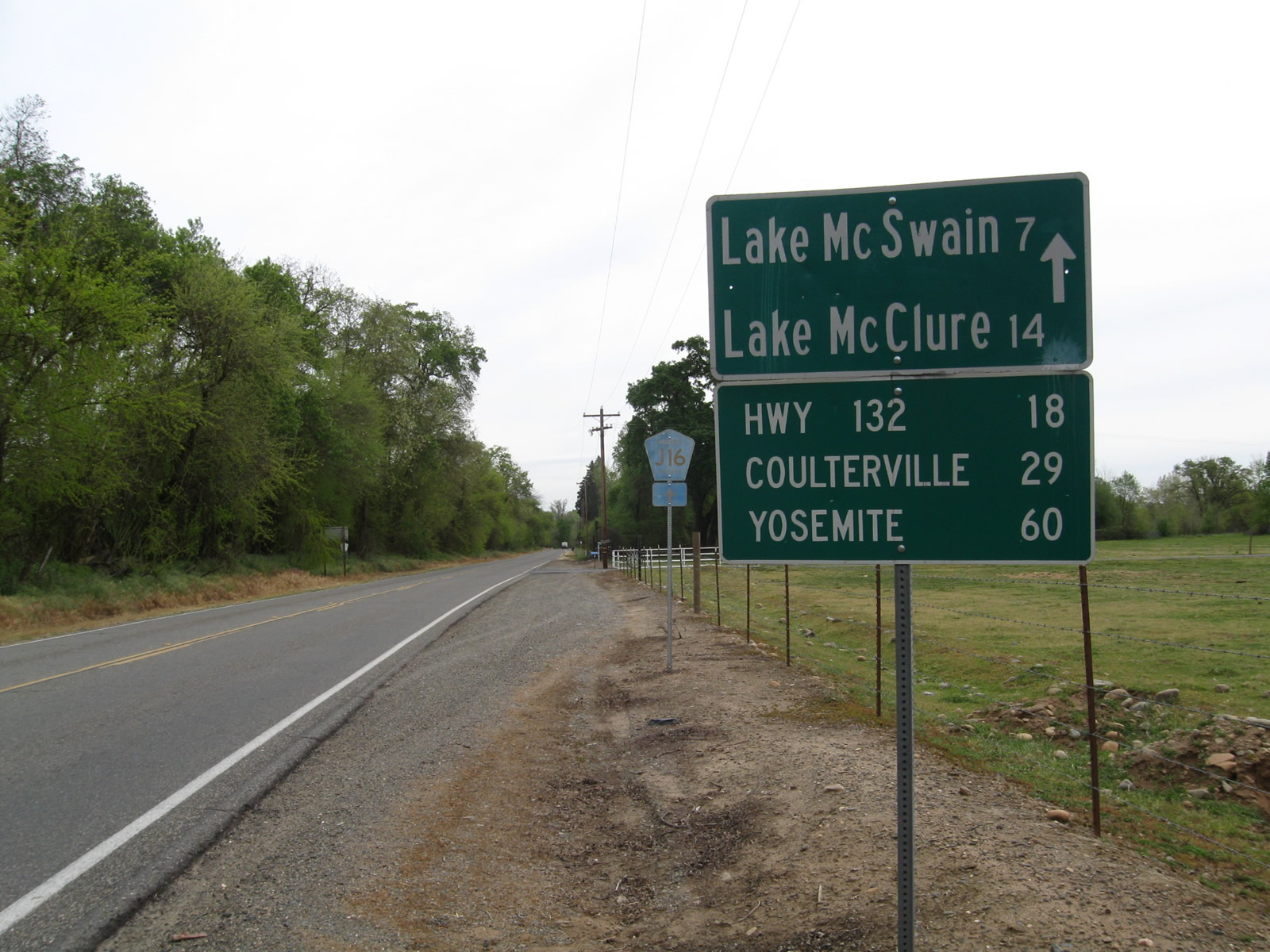
Leaving Snelling, northbound California 59 and eastbound Merced County J-16 (Merced Falls Road) approach their junction with Merced County J-59 (La Grange Road). This intersection marks the northern terminus of California 59. J-16 will continue east toward Lake McSwain and Lake McClure. Photo taken 04/13/09. |
 |
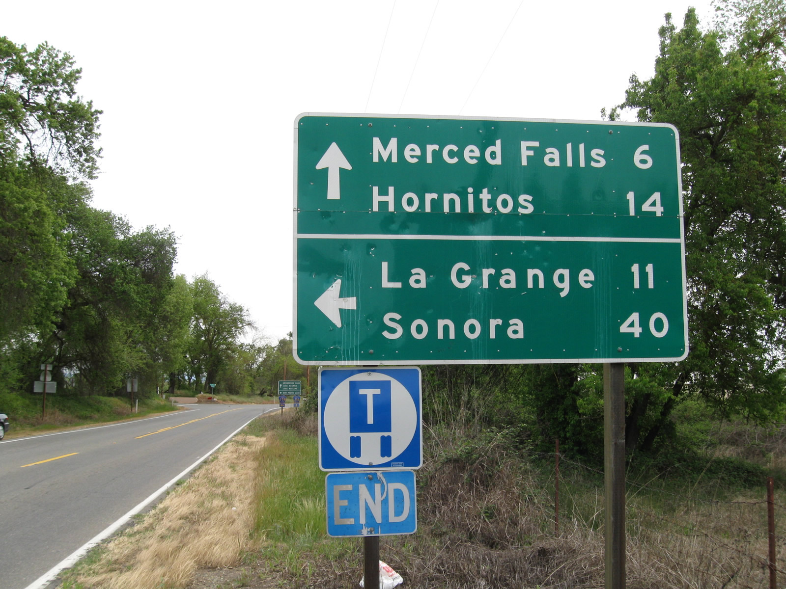
Both Merced County J-16 (Merced Falls Road) and Merced County J-59 (La Grange Road) are signed at the north end of California 59, but there is no end shield for California 59 as J-59 is assumed to continue the northbound journey toward Sonora. Photo taken 04/13/09. |
| Merced County J-16 - Merced Falls Road east | |
 |
After La Grange Road (J-59) turns north, this mileage sign is posted for places of interest along eastbound J-16. Photo taken 04/13/09. |
 |
After California 59 ends, eastbound Merced County J-16 (Merced Falls Road) continues east toward Lake McSwain, Lake McClure, Hornitos, and eventually connecting with California 49. From here, J-16 will continue the eastbound journey toward Hornitos. Photo taken 04/13/09. |
| County Route J-59 - La Grange Road south | |
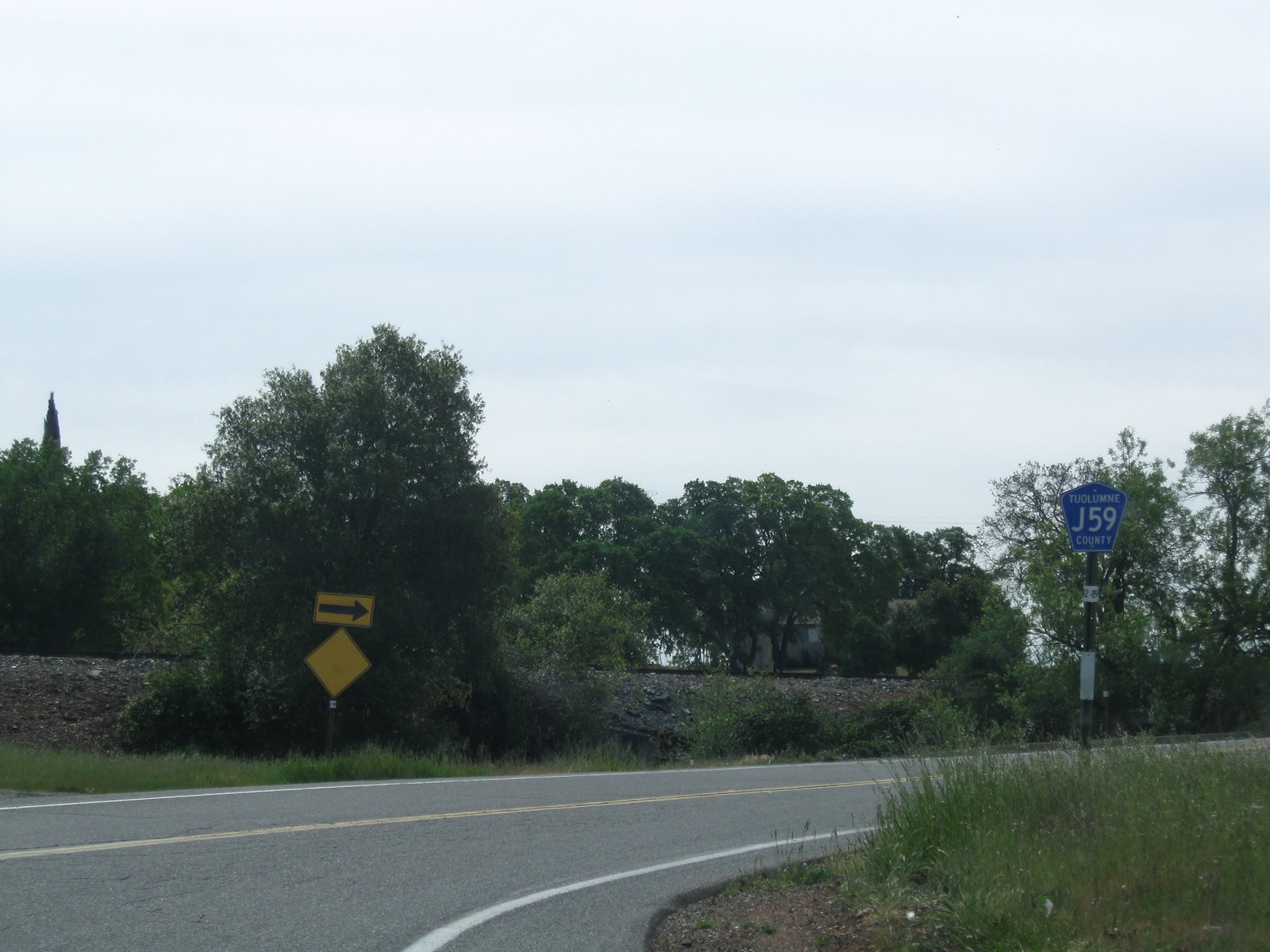 |
Tuolumne County J-59 originates at the junction of SR 108 and SR 120 west of Jamestown. The two-lane highway proceeds south along La Grange Road toward Snelling and Merced. As is common on Tuolumne County-maintained highways, the J-59 county pentagon route marker is signed in blue and white rather than blue and yellow. Photo taken 04/13/09. |
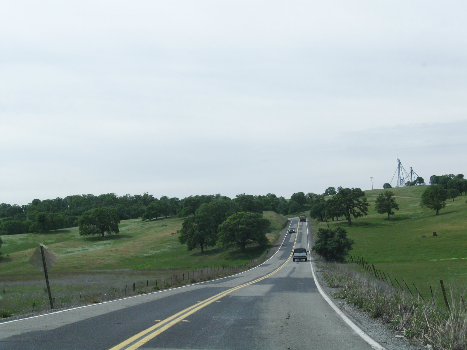 |
Tuolumne County J-59 (La Grange Road) passes through the foothills of the Sierra Nevada. The hills were green from recent rains from the winter season. Photo taken 04/13/09. |
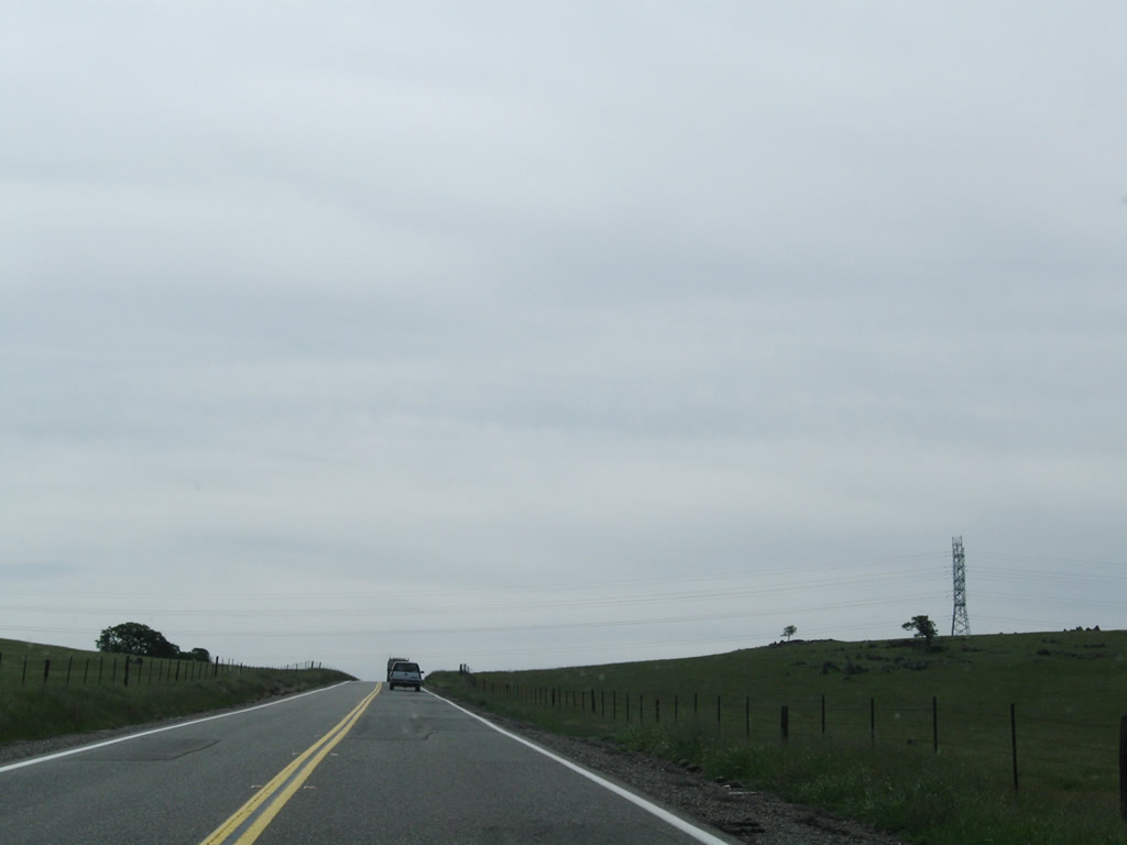 |
A set of Pacific Gas and Electric power lines crosses over Tuolumne County J-59. Photo taken 04/13/09. |
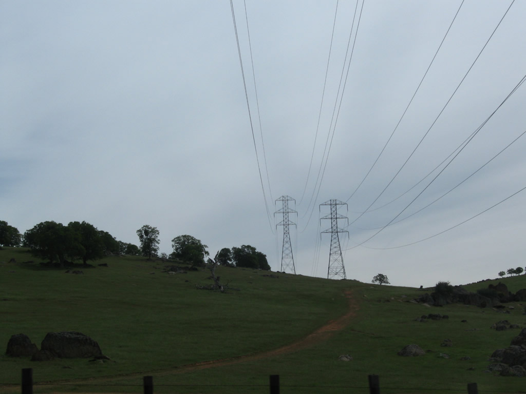 |
The tower design for these Pacific Gas and Electric power lines is fairly typical. Photo taken 04/13/09. |
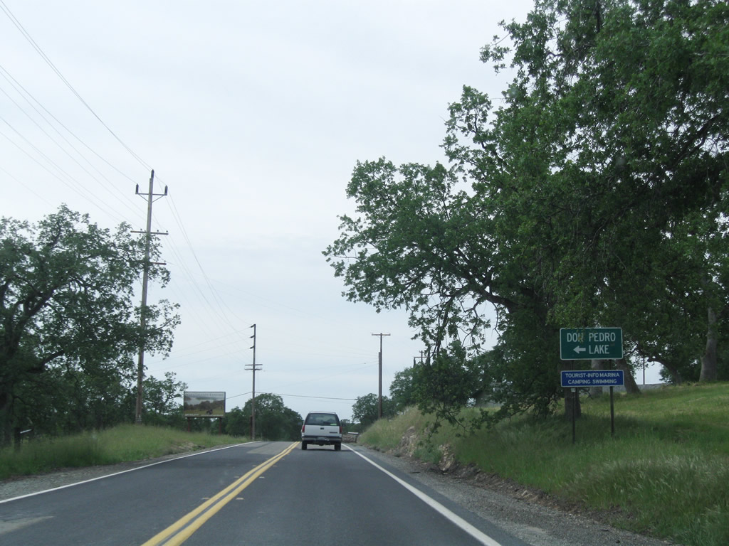 |
Several miles south, Tuolumne County J-59 (La Grange Road) meets Bonds Flat Road, which travels east to Lake Don Pedro (reservoir) and links with California 132 east en route to Coulterville and California 49. Photo taken 04/13/09. |
 |
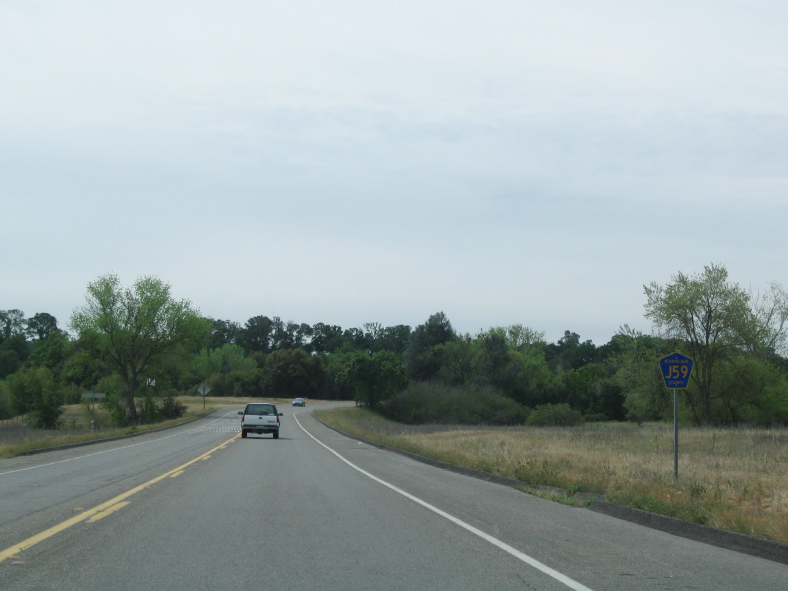
La Grange Road leaves Tuolumne County and enters Stanislaus County between Bonds Flat Road and the junction with California 132 in La Grange. This sign is posted after CR J-59 crossed over the Tuolumne River, which flows away from the Don Pedro reservoir. Although not shown here, an old alignment of CR J-59 (now known as Old La Grange Road) travels east of the existing alignment of CR J-59. It crosses the Tuolumne River on a through-truss bridge that is no longer open to traffic. Photo taken 04/13/09. |
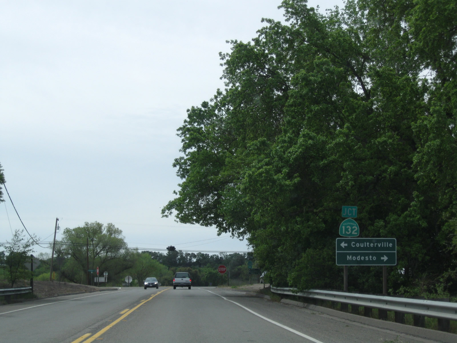 |
Southbound Stanislaus County J-59 (La Grange Road) approaches California 132, which travels east to Coulterville and west to Modesto and the California 99 corridor. California 132 ultimately travels west to meet Interstate 5 and Interstate 580 south of Tracy, offering a route that easily connects to the San Francisco Bay Area freeway network. Having said that, California 132 can be extremely busy between California 99 and Interstate 5. Photo taken 04/13/09. |
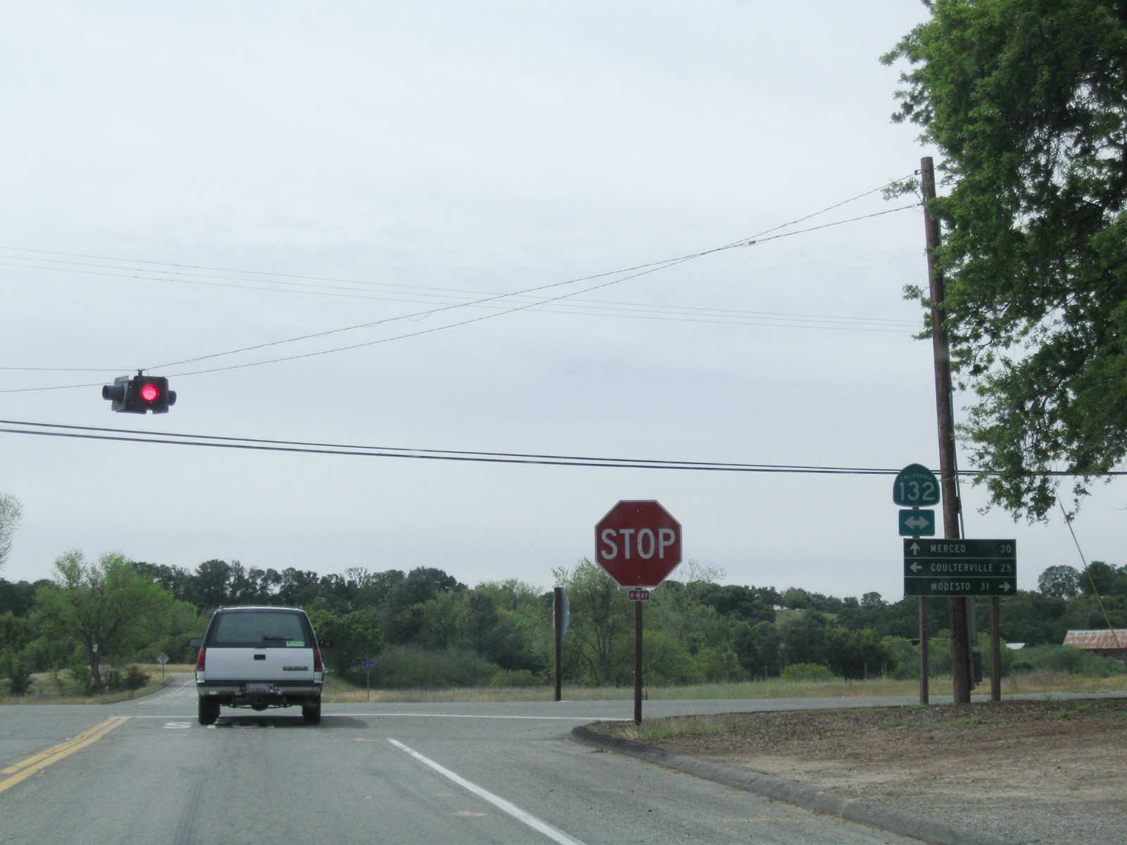 |
Stanislaus County J-59 (La Grange Road) meets California 132 at this four-way stop sign near the community of La Grange. Proceed ahead for J-59 south to Snelling and Merced. Photo taken 04/13/09. |
 |
A CR J-59 reassurance shield is posted after the California 132 intersection. Photo taken 04/13/09. |
 |
Another set of power lines cross over CR J-59 between La Grange and Snelling. Photo taken 04/13/09. |
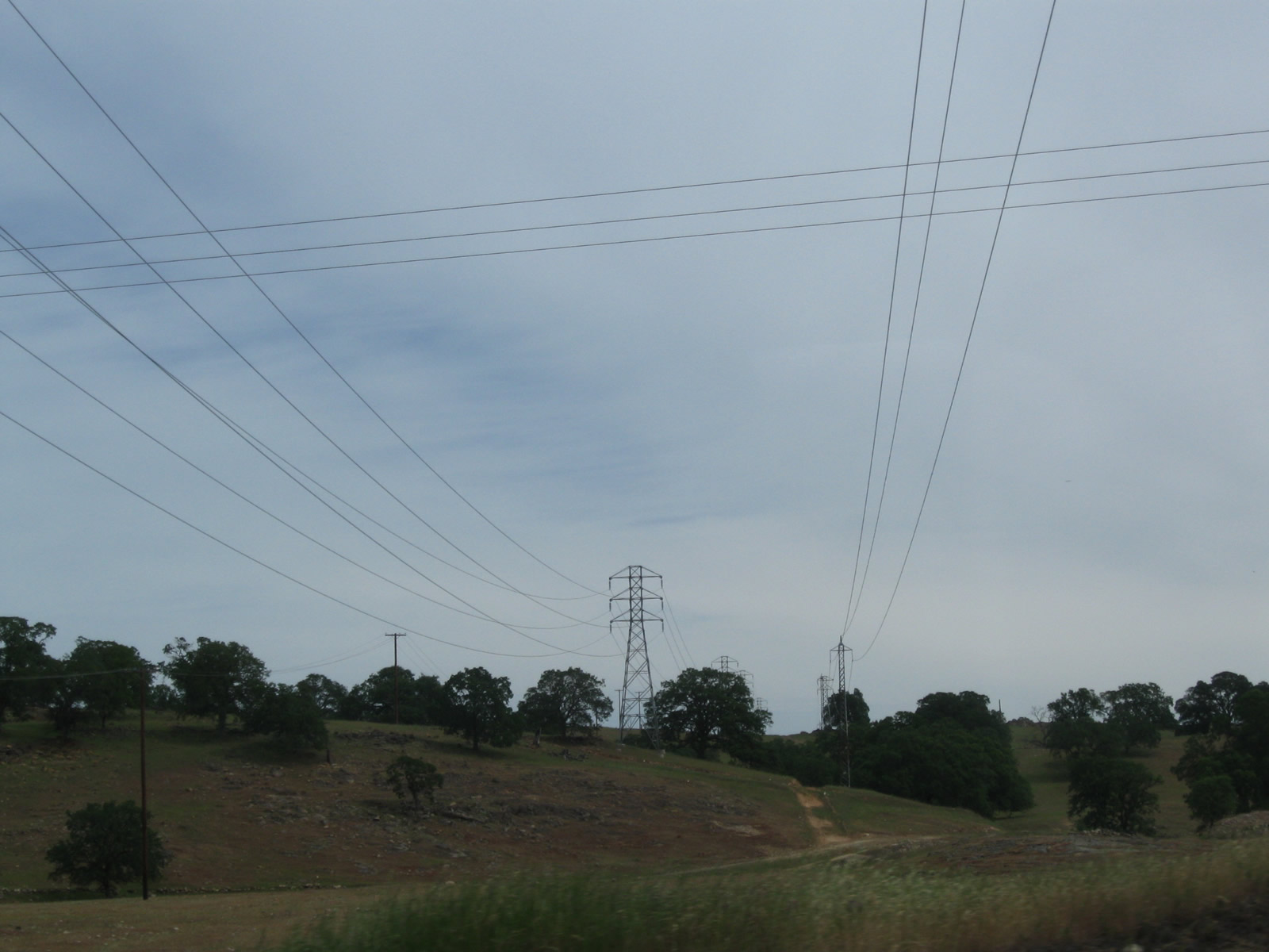 |
These power lines carry power generated from the Don Pedro Dam to the power grid. Photo taken 04/13/09. |
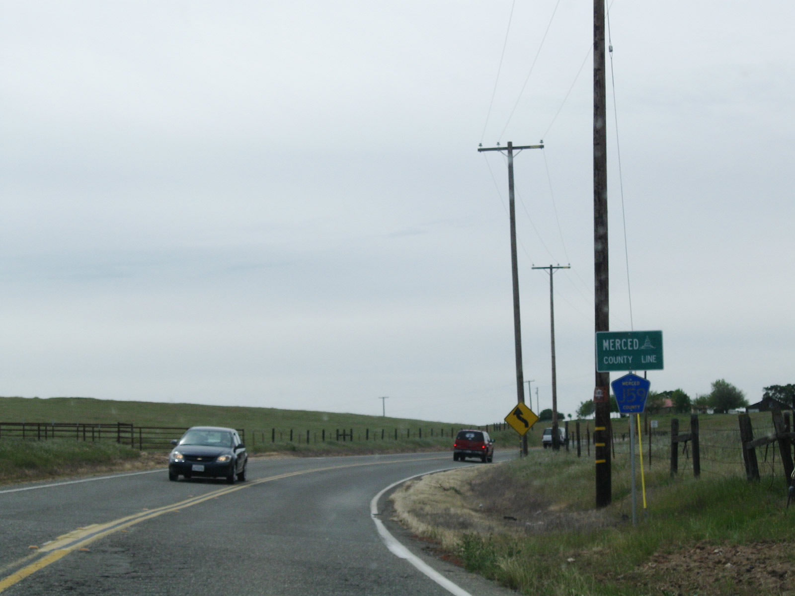 |
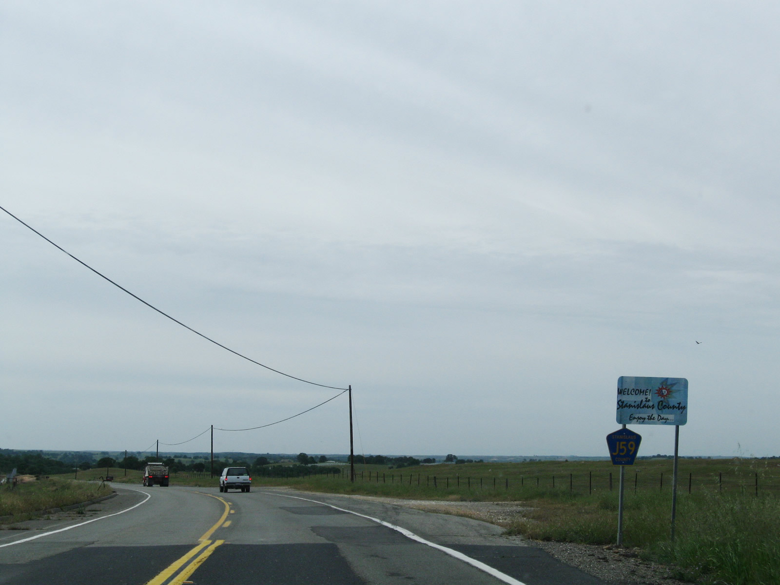
CR J-59 leaves Stanislaus County and next enters Merced County. Photo taken 04/13/09. |
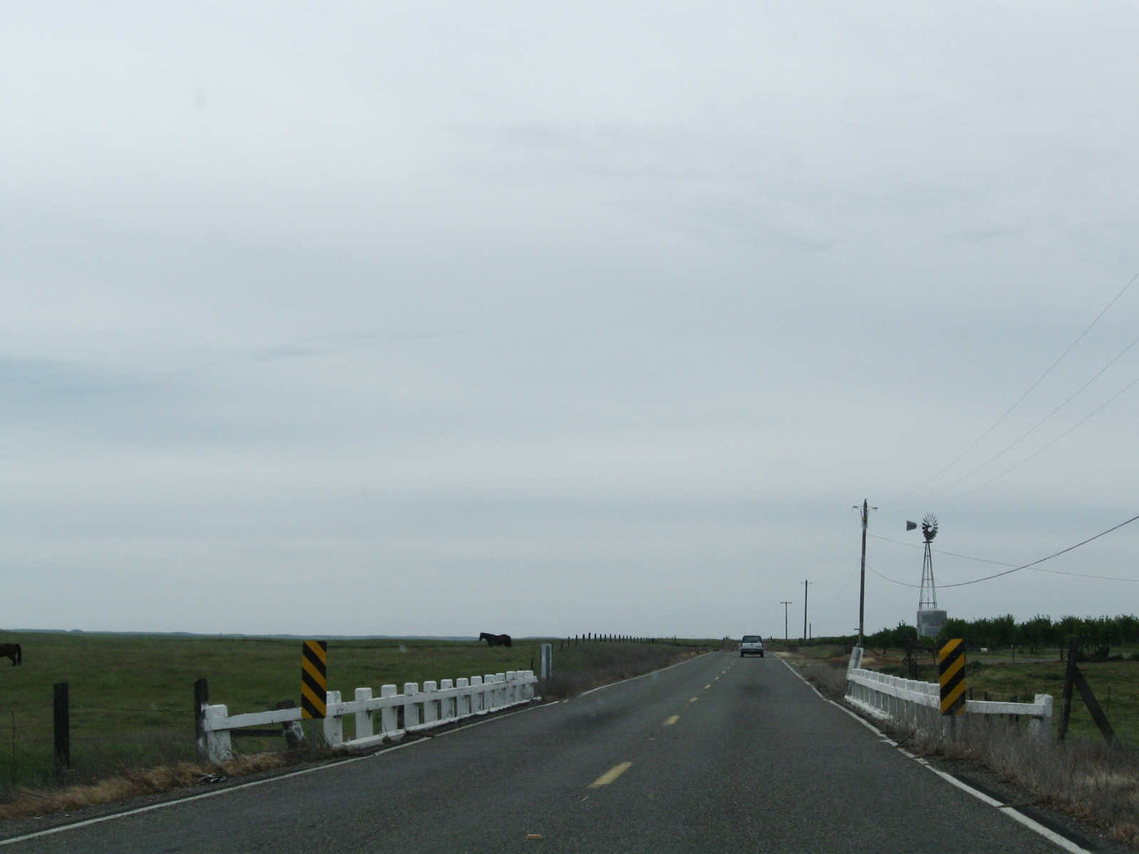 |
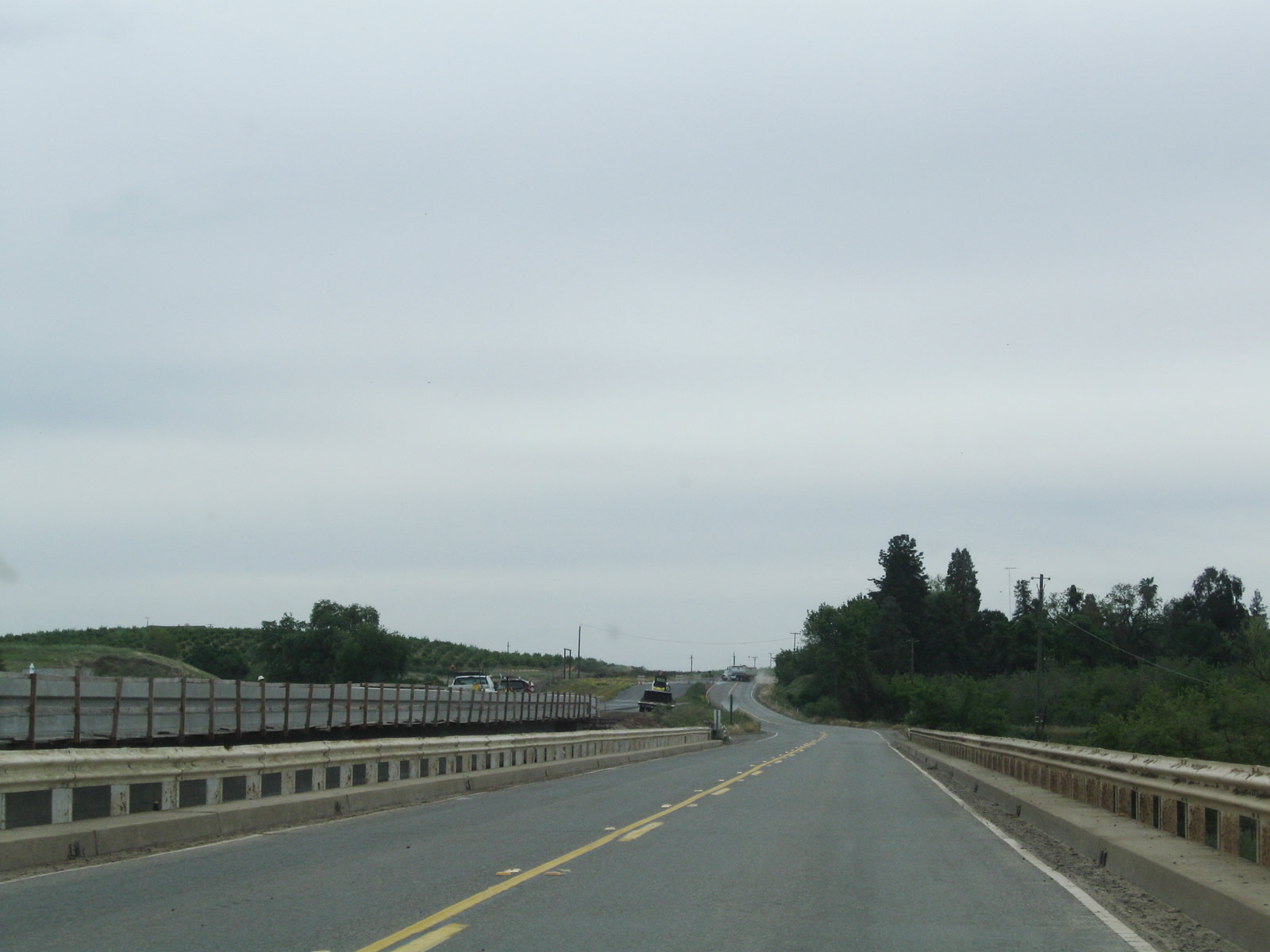
An older bridge, complete with white, wooden railing, is located on CR J-59 just north of Snelling. Some agricultural and ranching operations are visible from the county road. Photo taken 04/13/09. |
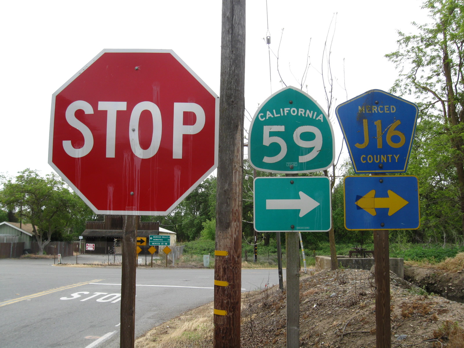 |
Reaching Snelling, CR J-59 reaches its southern terminus at Merced County J-16 (Merced Falls Road). At the stop sign, turn left for J-16 east to Lake McSwain and Lake McClure or turn right for California 59 south and CR J-16 west to Snelling, Merced, and Keyes. This intersection marks the current northern terminus of California 59. Photo taken 04/13/09. |
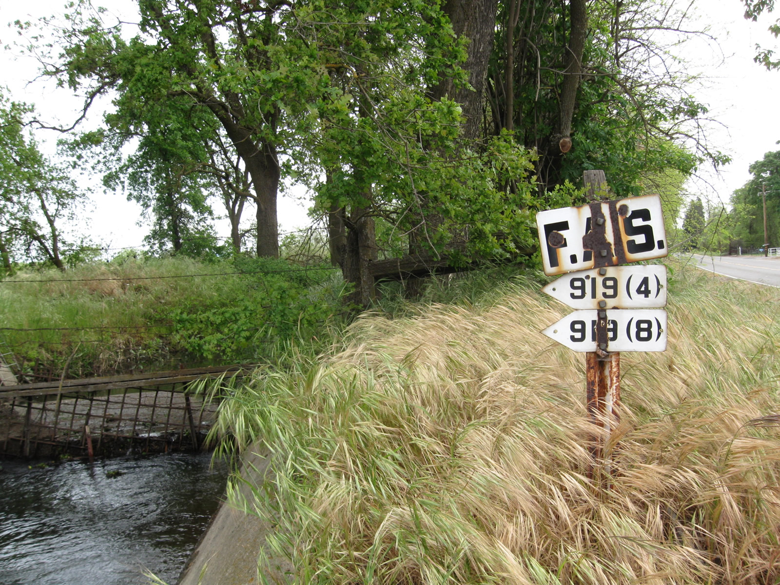 |
Nearby is an older, porcelain-enamel federal aid secondary marker. This type of signage is now considered obsolete and is increasingly difficult to find in California. Photo taken 04/13/09. |
| Merced County J-16 - Merced Falls Road west | |
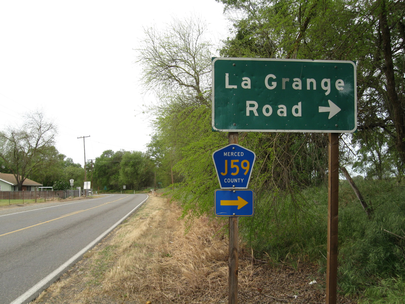 |
Approaching Snelling, westbound Merced County J-16 (Merced Falls Road) approaches Merced County J-59 (La Grange Road) north and California 59 south. This intersection marks the northern terminus of California 59. Turn right on La Grange Road for J-59 north to Jamestown and Sonora. Continue ahead for California 59 south to Merced and Merced County J-16 west to Keyes. Photo taken 04/13/09. |
| California 59 south & Merced County J-16 west | |
 |
Traveling southwest into Snelling, southbound California 59 and westbound Merced County J-16 (Merced Falls Road) reduce speed after the La Grange Road intersection. There are no end or begin signs for California 59 at the northern terminus. Photo taken 04/13/09. |
 |
Southbound California 59 and westbound J-16 enters the unincorporated community of Snelling in rural Merced County. Photo taken 04/13/09. |
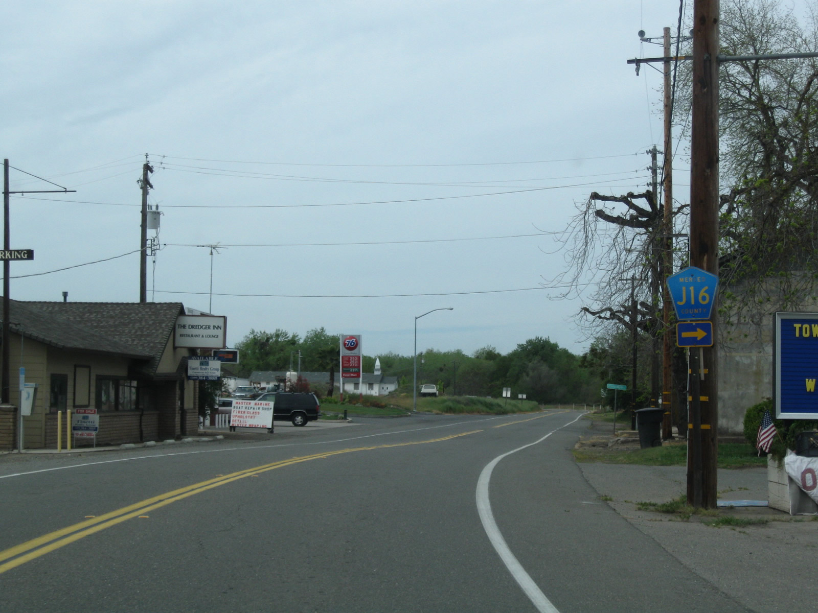 |
At the intersection with Montgomery Street in Snelling, westbound Merced County J-16 splits off toward Keyes along the California 99 corridor. Meanwhile, California 59 proceeds southwest toward Merced. Photo taken 04/13/09. |
| California 59 south | |
 |
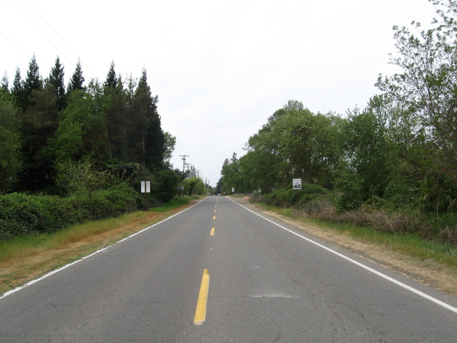
With spring in the air, California 59 proceeds south through a grove of trees just after the intersection with Snelling Road. Photo taken 04/13/09. |
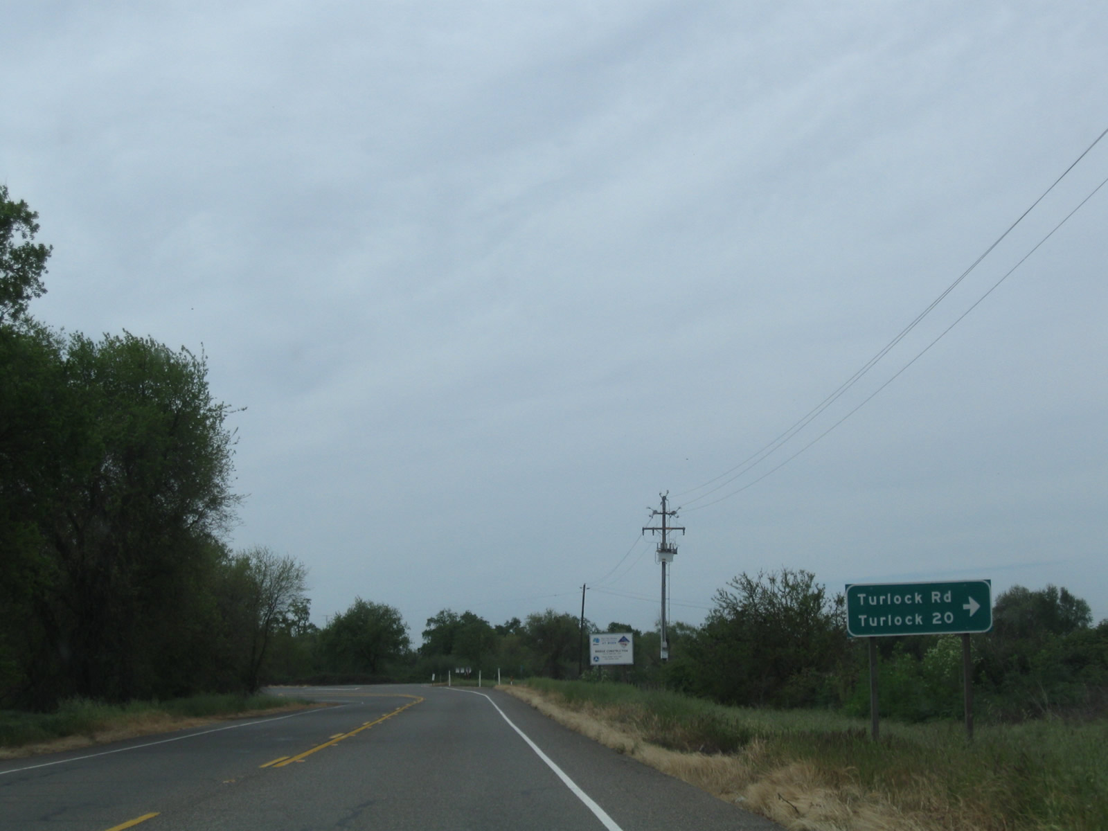 |
At Turlock Road (Merced County J-17), California 59 curves south toward Merced. Turn right for J-17/Turlock Road west to Turlock on the California 99 freeway corridor. Photo taken 04/13/09. |
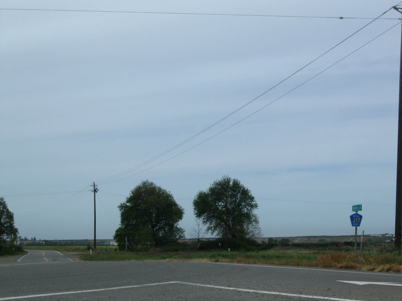 |
A Merced County J-17 shield is posted just west of California 59. Photo taken 04/13/09. |
 |
California 59 used to cross over the Merced River on this bridge; however, construction was underway in 2009 to replace it. By 2010, the new bridge was fully in service and the old bridge demolished. Photo taken 04/13/09. |
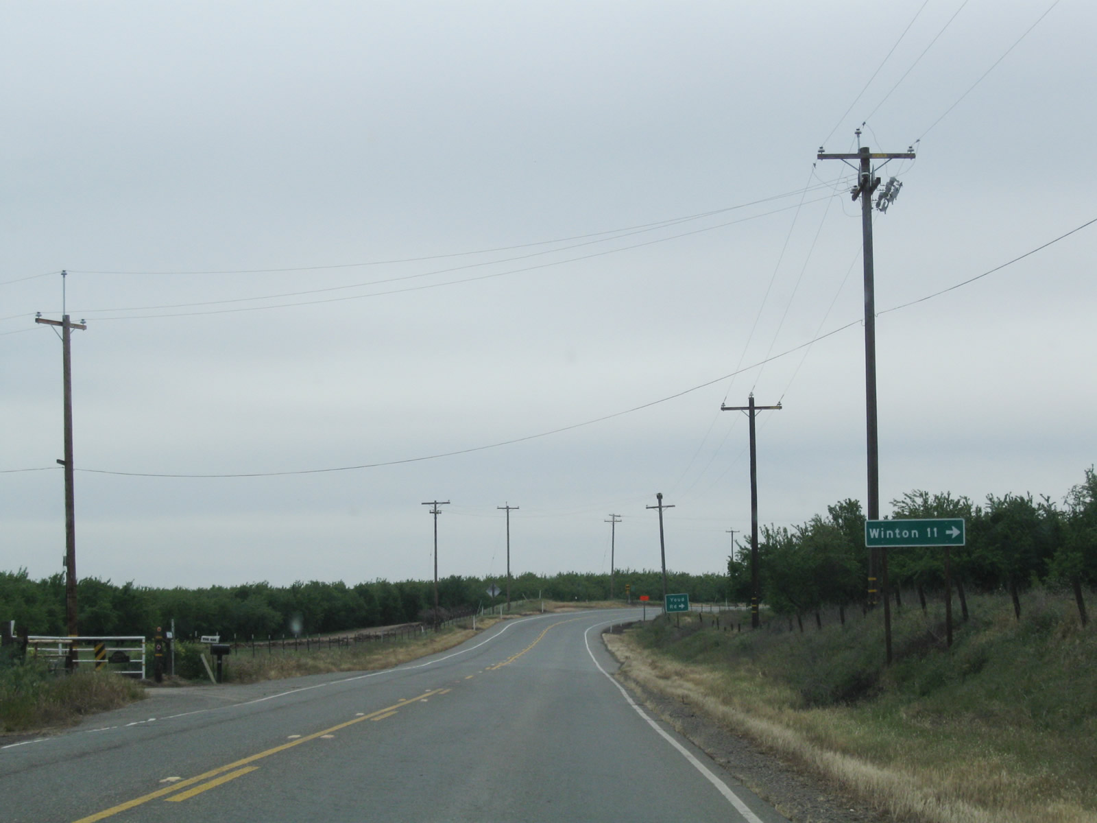 |
Southbound California 59 approaches Youd Road, which travels west to Winton (11 miles). Photo taken 04/13/09. |
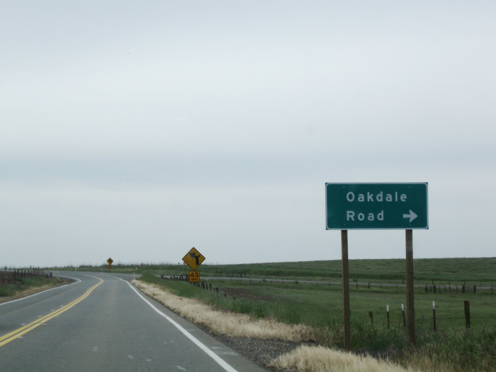 |
The next major intersection along southbound California 59 is with Oakdale Road, which travels northwest to Waterford. Photo taken 04/13/09. |
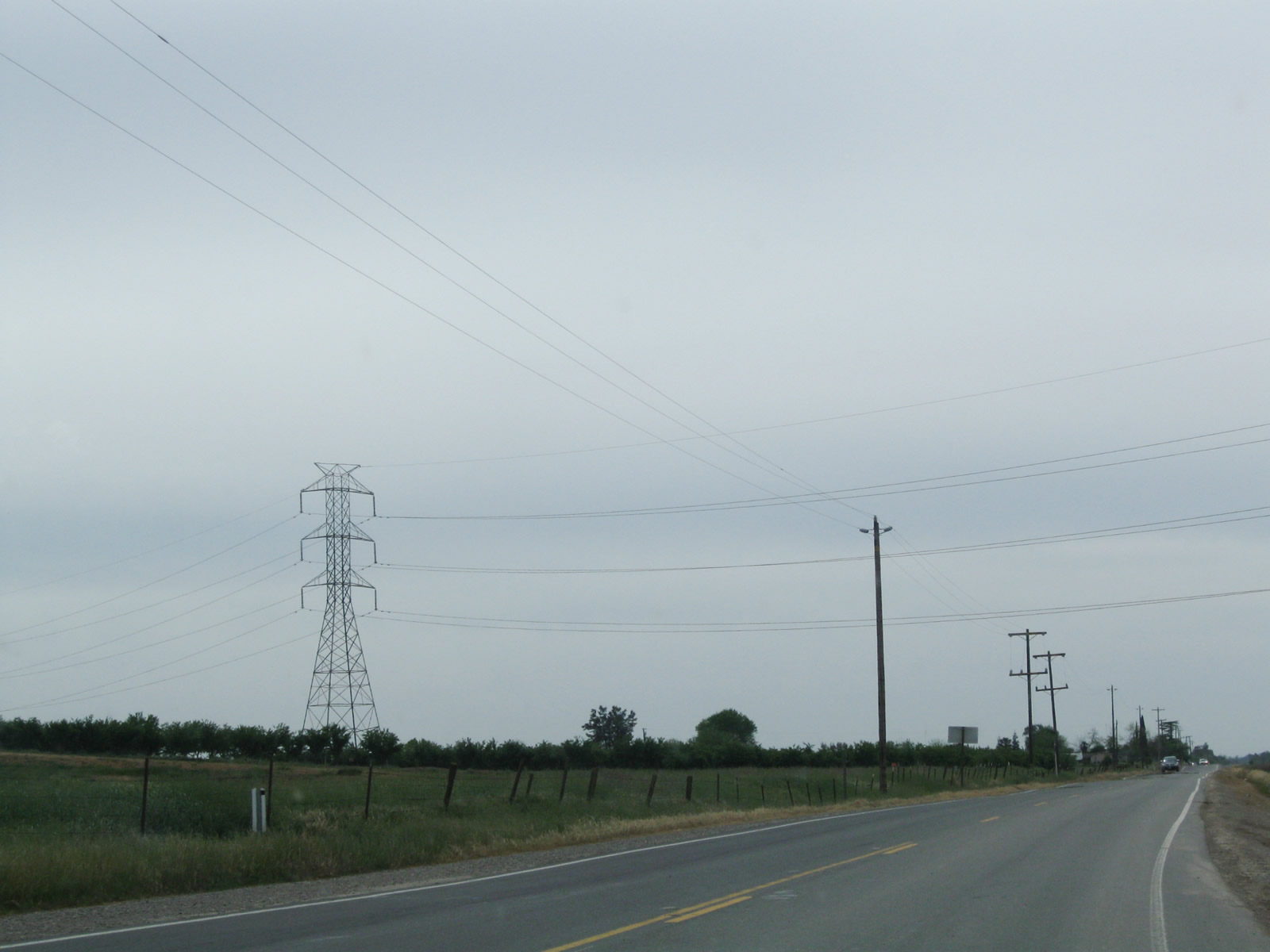 |
Another Pacific Gas and Electric power line passes over California 59 between Oakdale Road and Bellevue Road near a county disposal site. Photo taken 04/13/09. |
 |
Those power lines march northwest into the distance. Photo taken 04/13/09. |
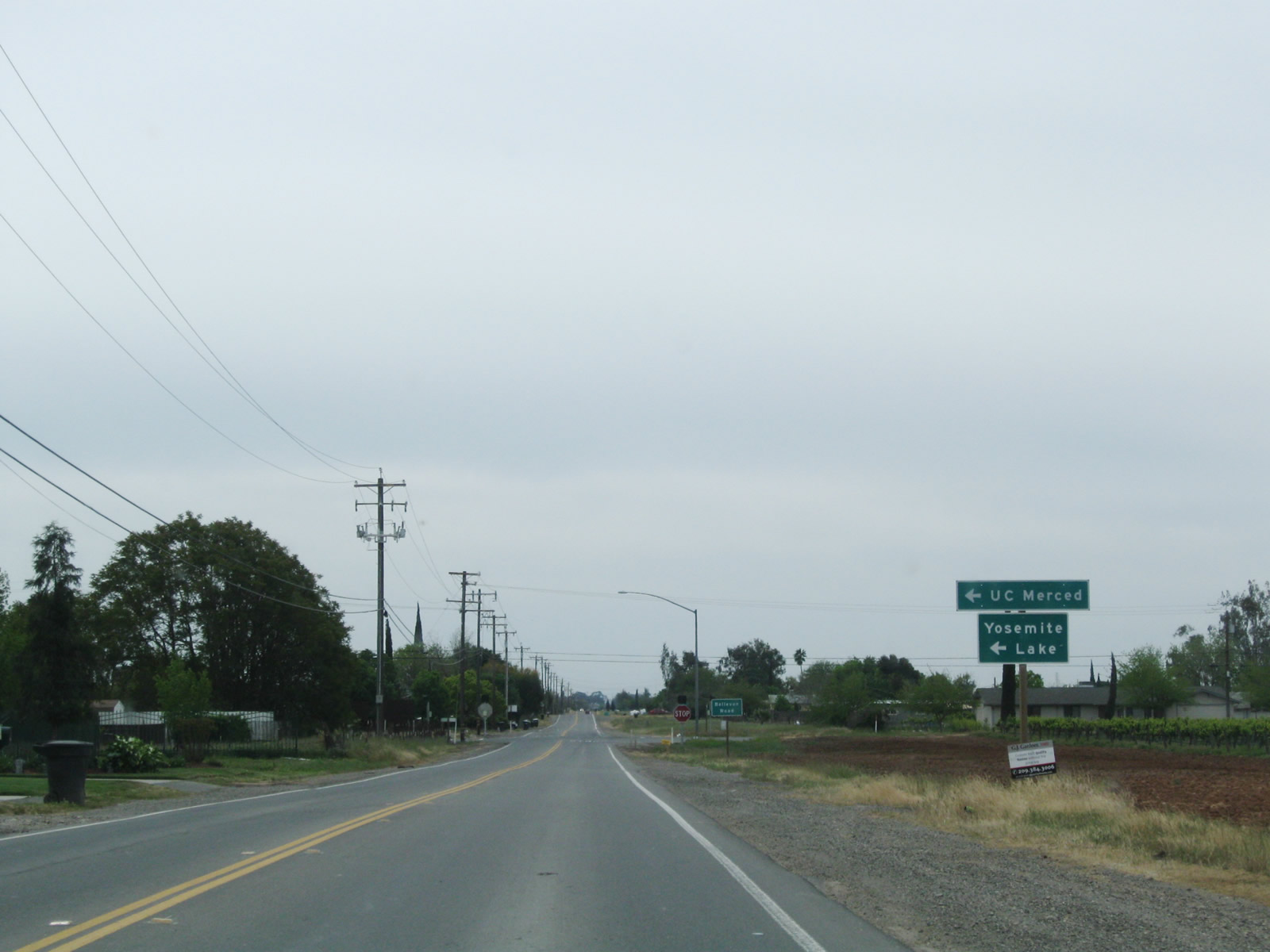 |
Southbound California 59 approaches Bellevue Road, which travels west to Franklin Road and east to Lake Yosemite County Park and the University of California at Merced (UC Merced). This campus is a relative newcomer to the the University of California network, having opened to students on September 5, 2005, after over 15 years of advance planning for the arrival of the tenth campus in the University of California system. Photo taken 04/13/09. |
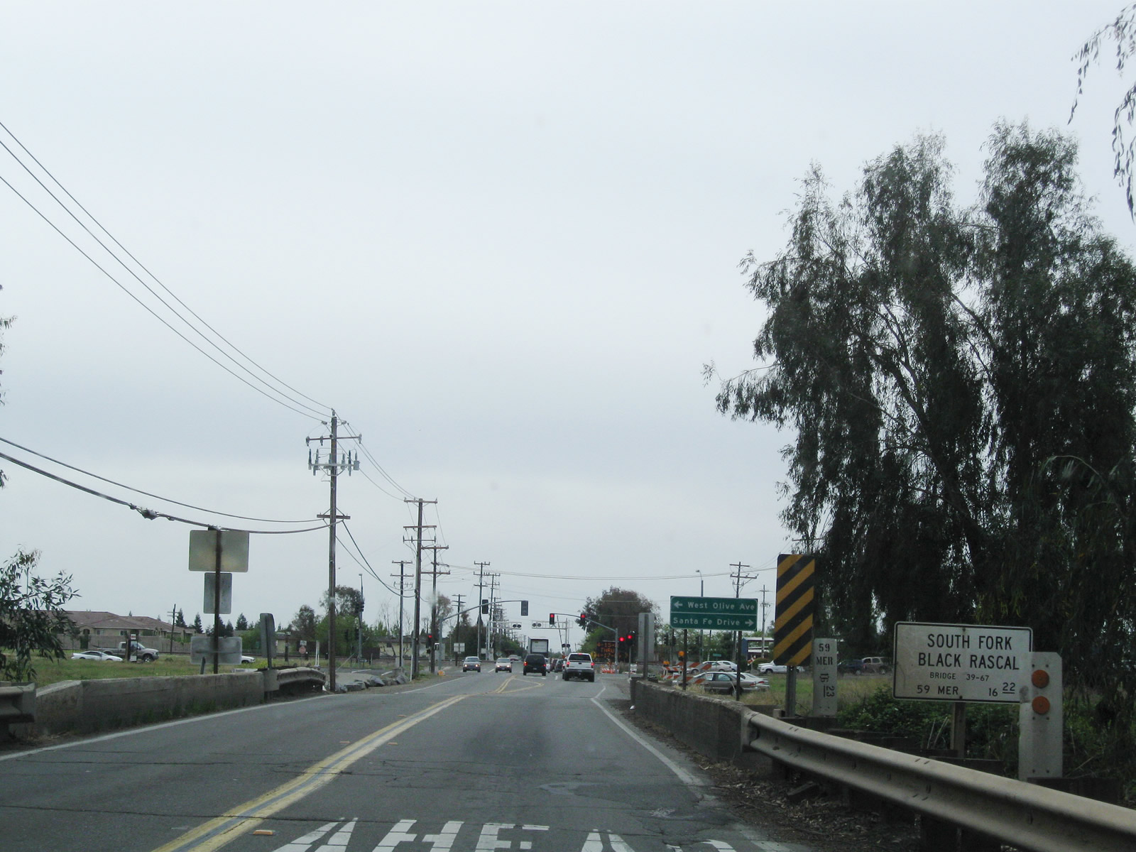 |
Continuing south, California 59 enters suburban Merced. A series of cross streets and traffic signals ensues. Here, California 59 crosses over the South Fork Black Rascal and proceeds toward an intersection with Merced County J-7 (Santa Fe Drive) and West Olive Avenue. Photo taken 04/13/09. |
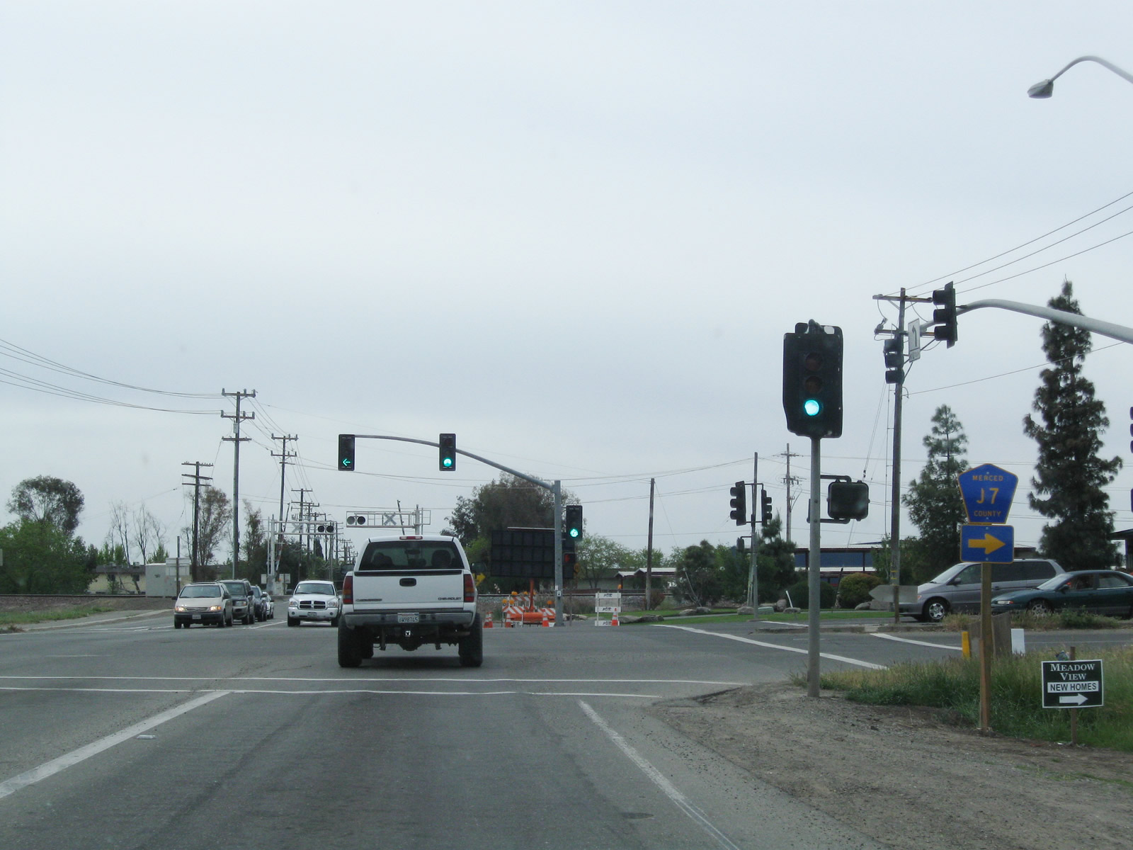 |
This signalized intersection along California 59 marks the southern terminus of Merced County J-7 (Santa Fe Drive). Turn right to follow J-7 northwest along Santa Fe Drive toward Winton, Ballico, Denair, Empire (California 132), Riverbank (California 108), Escalon (California 120), and Stockton (California 99). The county route extends into Stanislaus County and San Joaquin County, amounting to nearly 60 miles of signed county highway. Turn left for West Olive Avenue east. Photo taken 04/13/09. |
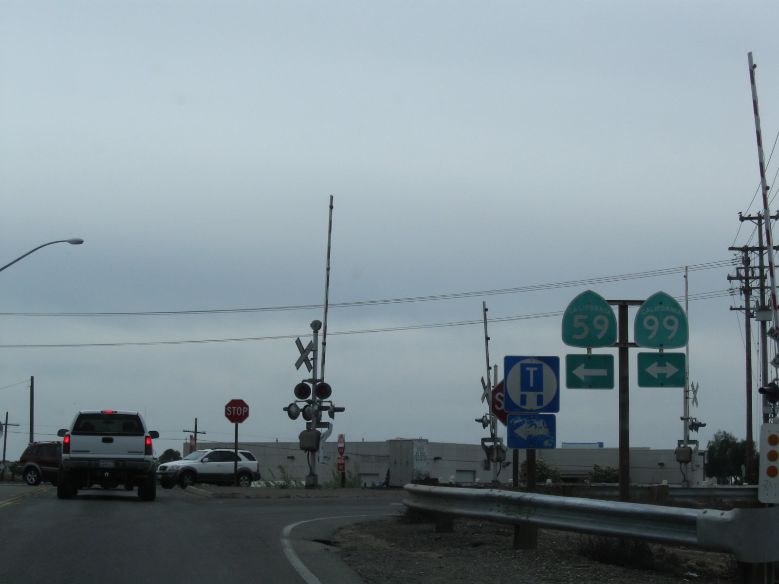 |
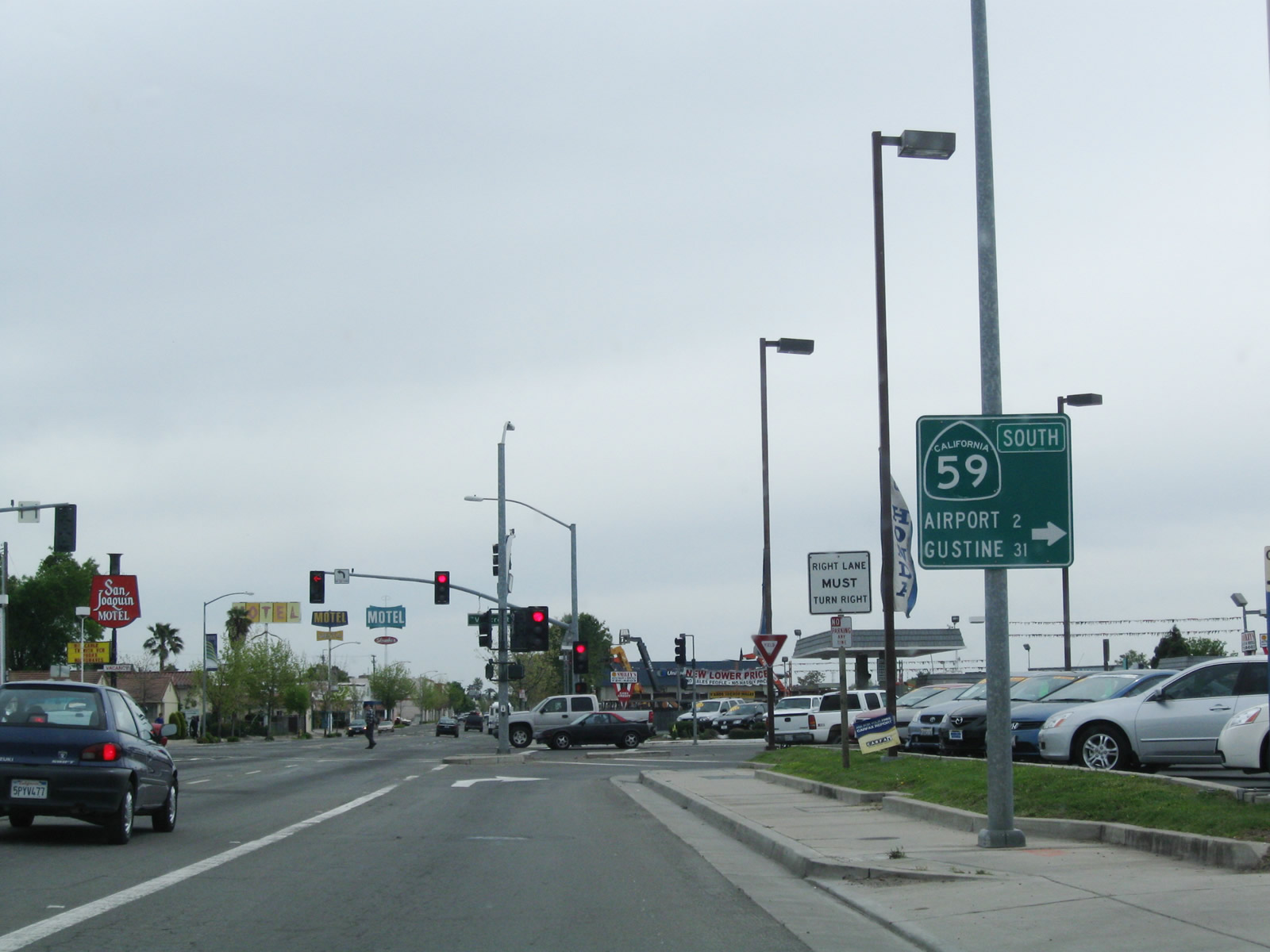
Continuing south, California 59 meets California 99 Business at this stop sign. Turn left here for California 59 and California 99 Business south to downtown Merced. Turn right for California 99 Business north to join California 99 en route to Atwater. A "business" banner is missing from this shield assembly. Photo taken 04/13/09. |
| California 59 & California 99 Business south | |
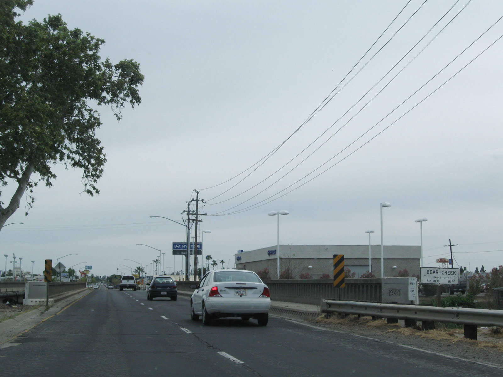 |
A 1940 bridge carries California 59 and California 99 Business (16th Street) over Bear Creek in Merced. Photo taken 04/13/09. |
 |
Southbound California 59 and California 99 Business split at the signalized intersection with V Street. From here, California 59 will travel southwest for a couple blocks to pass under California 99, meet California 140, and curve onto the 13th Street one-way frontage road. California 99 Business follows the old U.S. 99 corridor southeast from here into downtown Merced. Photo taken 04/13/09. |
| California 59 south | |
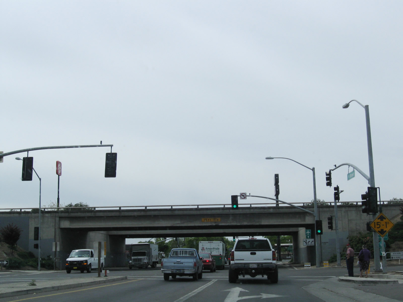 |
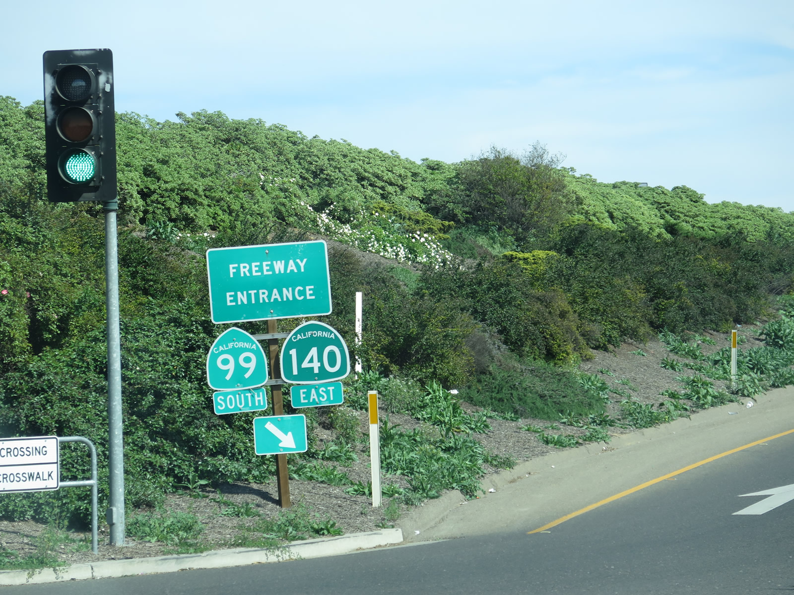
Southbound California 59 (V Street) travels two blocks between California 99 Business and the California 99 freeway in Merced. Approaching the elevated freeway, the first traffic signal links to 14th Street, which only travels one-way northwestbound. Look for a right turn onto California 99 north. After passing under the freeway, California 59 will connect to California 140 west to Gustine. Bear right on California 59 (V Street) to join California 140 west. Turn left after passing under the freeway for California 59 south, California 99 south, and California 140 east. California 59 will follow 13th Street south along the frontage road. Photo taken 04/13/09. |
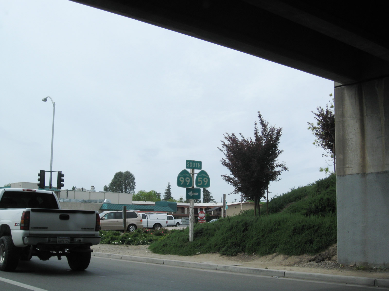 |
Both California 59 and California 99 south are posted for a left turn after passing under the freeway overpass. Stay right for the link to California 140 east. Photo taken 04/13/09. |
 |
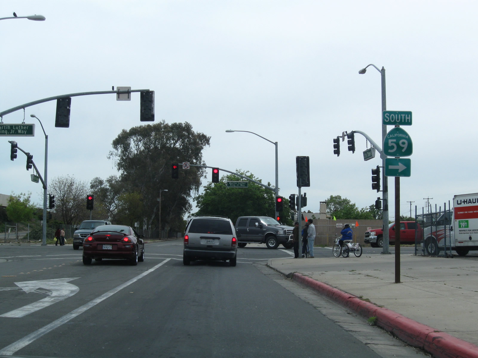
Southbound California 59 meets 13th Street at this traffic signal. Turn left for California 59 south, California 99 south, and California 140 east. Turn right for California 140 west. Continue straight ahead for V Street south. Photo taken 04/13/09. |
| California 59 & 140 east | |
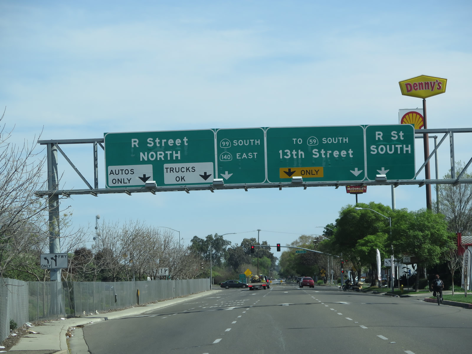 |
Between V Street and Martin Luther King, Jr. Way, California 59 travels along a one-way couplet along 13th Street and 14th Street. Northbound traffic actually utilizes a brief segment of the California 99 freeway itself, then takes 14th Street northwest to V Street. Southbound traffic follows 13th Street southeast all the way from V Street past R Street to Martin Luther King, Jr. Way without actually entering the freeway. This sign, posted on southbound 13th Street, confirms that California 59 remains off the California 99 freeway, while California 140 jumps onto the freeway. Photo taken 03/15/15. |
 |
At R Street, California 140 departs from California 59 (13th Street) and merges onto the southbound California 99 freeway. California 140 and California 99 will be merged from here until Exit 186B, less than two miles southeast of here. Meanwhile, California 59 continues southeast along the 13th Street frontage road alongside the freeway. Photo taken 03/15/15. |
| California 59 south | |
 |
Continuing south on 13th Street, California 59 prepares to turn right from 13th Street onto Martin Luther King, Jr. Way. Photo taken 04/13/09. |
 |
A California 59 south reassurance shield is posted along Martin Luther King, Jr. Way after the 13th Street intersection. California 59 now pulls away from the California 99 freeway and central Merced. Photo taken 04/13/09. |
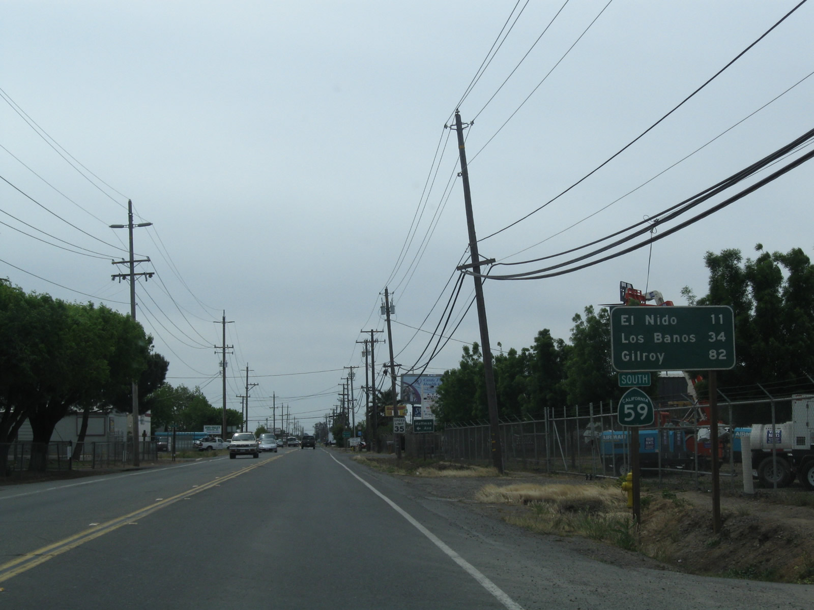 |
This mileage sign along California 59 south provides the distance to El Nido (11 miles), Los Banos (34 miles), and Gilroy (82 miles). The latter two destinations are via California 152 west. Photo taken 04/13/09. |
 |
Southbound California 59 meets California 152 at a trumpet interchange near El Nido. This interchange marks the southern terminus of California 59. An end shield is posted here. Photo taken 04/13/09. |
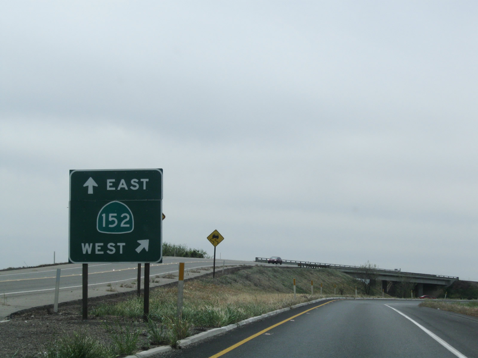 |
A gore point sign points the way to California 152 east to California 99 near Chowchilla and west to Los Banos and eventually Interstate 5 and Gilroy (U.S. 101). Photo taken 04/13/09. |

Page Updated March 18, 2015.
|
About Contact Glossary |
In The News Testimonials Interstate Guide |
Social Media:
 |
|
© 2000-23 AARoads.com | All Rights Reserved | Privacy Policy / Terms of Use
|
||