
California 61, California 112, and California 260
California 61 connects San Leandro with Oakland International Airport, the city of Alameda, and downtown Oakland. Although signed throughout as California 61, the portion of state highway along Webster Street and Posey Street is technically California 260. The segment of Davis Street between Doolittle Drive and California 185 (East 14th Street) is legislatively California 112, but it is signed as California 61. Legislatively, California 61 is proposed for extension south of Davis Street.
| California 61 south | |
|---|---|
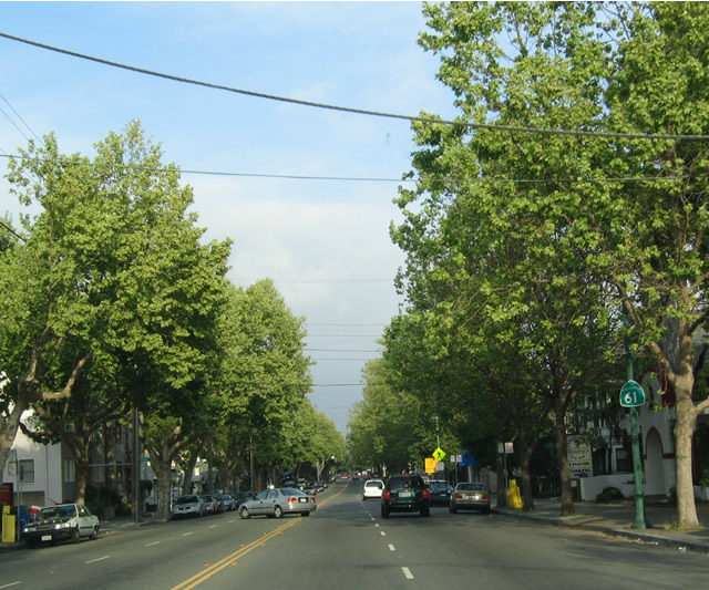 |
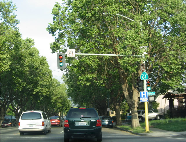
View of tree-lined California 61 as it heads south along Central Avenue. Photo taken 04/04/04. |
 |
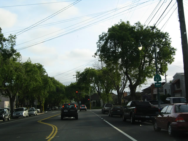
Lush trees and foliage dominate the urban residences along California 61 (Central Avenue) as it passes through the heart of Alameda. Photo taken 04/04/04. |
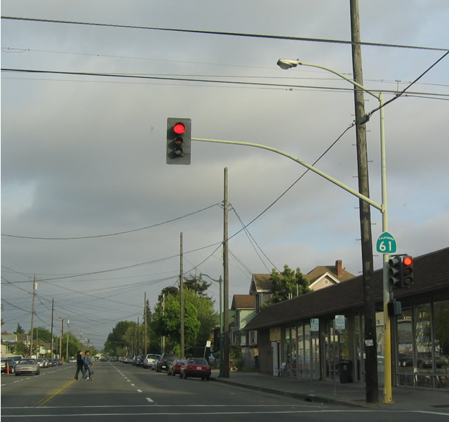 |
Southbound California 61 (Encinal Avenue) at Chestnut Street. Photo taken 04/04/04. |
 |
California 61 south turns right from Encinal Avenue onto Broadway. Photo taken 04/04/04. |
 |
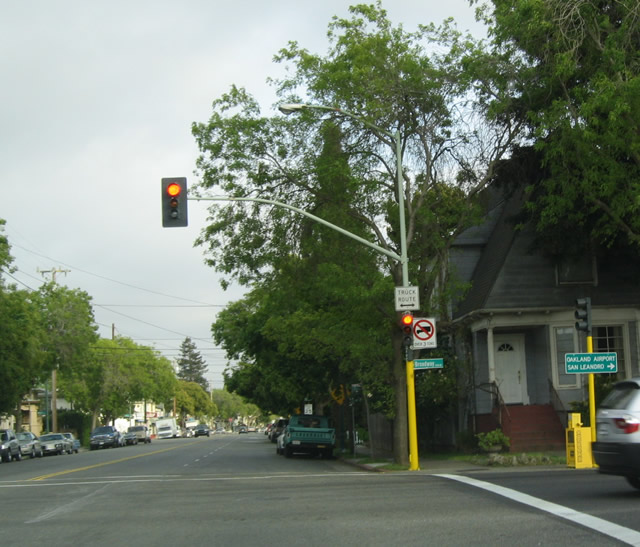
Briefly, California 61 follows Broadway until turning southeast again on Otis Drive. Photo taken 04/04/04. |
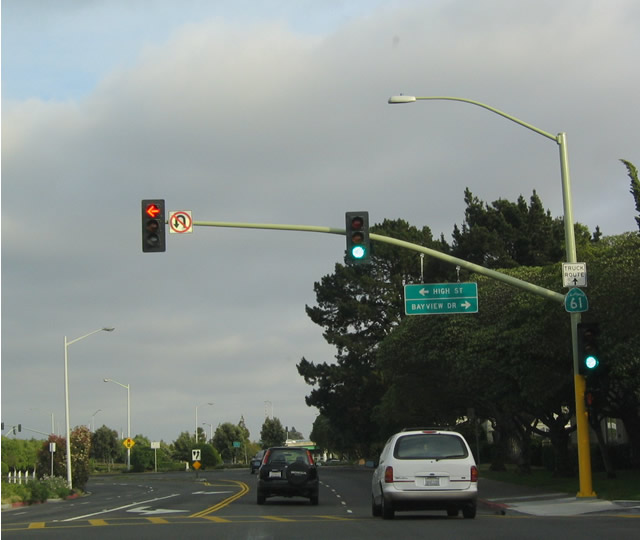 |
Southbound California 61 (Otis Drive) meets High Street and Bayview Drive at this traffic signal in Alameda. Photo taken 04/04/04. |
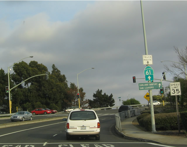 |
This reassurance shield indicates that California 61 leaves Alameda Island via the upcoming drawbridge. Photo taken 04/04/04. |
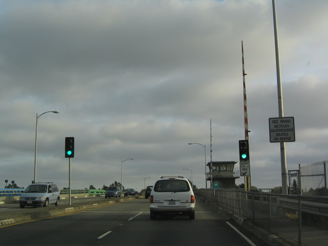 |
Southbound California 61 (Otis Drive) approaches the San Leandro Channel Drawbridge. Photo taken 04/04/04. |
 |
One of the rare drawbridges on the state route system, this bridge spans the San Leandro Channel that connects San Francisco Bay with San Leandro Bay. Photo taken 04/04/04. |
 |
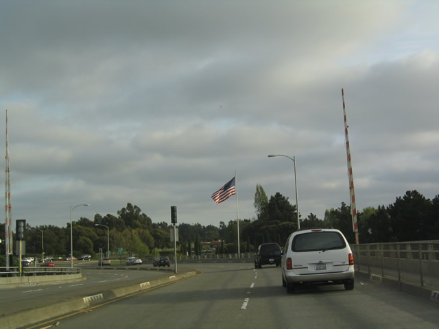
Late-day sun illuminates California 61 as the state route angles southeast away from the San Leandro Channel Drawbridge. Photo taken 04/04/04. |
 |
Doolittle Drive narrows to a two-lane facility as it skirts the airport property. California 61 leaves the city of Alameda and enters the city of Oakland. Photo taken 04/04/04. |
 |
Across San Leandro Bay, the Oakland/Alameda County Coliseum Complex (Network Associates Coliseum) are visible across the water; this facility is located next to Interstate 880, which gives a good idea of the distance from here to the arena. The Oakland Raiders, Oakland A', and Golden State Warriors play their respective professional sports (National Football League, Major League Baseball, and National Basketball Association) in the stadium/arena complex. Photo taken 04/04/04. |
 |
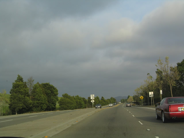
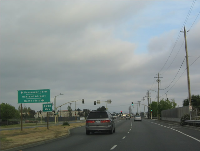
Southbound California 61 (Doolittle Drive) passes along the west shore of San Leandro Bay as it skirts the northeastern edge of the Oakland International Airport. The highway widens from two to four lanes upon reaching the airport entrances. Photo taken 04/04/04. |
 |
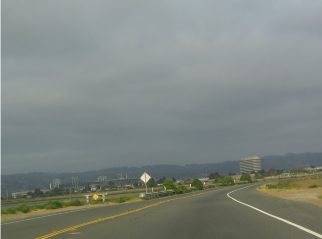
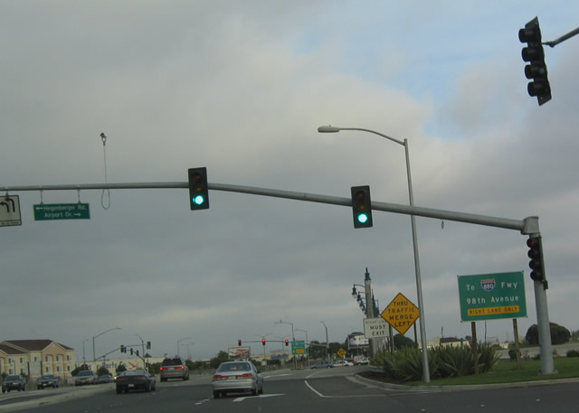
The Oakland International Airport is one of three major airports in the San Francisco Bay Area; the others are San Francisco International Airport on the peninsula and San Jose International Airport in the south bay. Photo taken 04/04/04. |
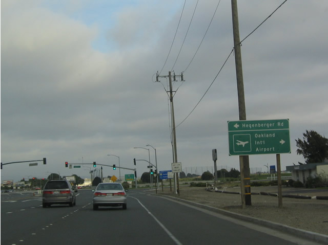 |
The Hegenberger Road Expressway is a major arterial route from the airport northeast to Interstate 880/NImitz Freeway, then onward to a Bay Area Rapid Transit (BART) Station before heading east past California 185/International Avenue. The expressway changes into 73rd Avenue and enters Eastmont. 73rd Avenue changes into Edwards Avenue before reaching Interstate 580 near its junction with California 13. Photo taken 04/04/04. |
 |
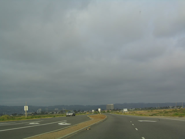
California 61 finally reaches the Oakland International Airport after passing by the lowlands of San Leandro Bay. The next exit connects to the airport access road. Photo taken 04/04/04. |
| California 61 scenes | |
|---|---|
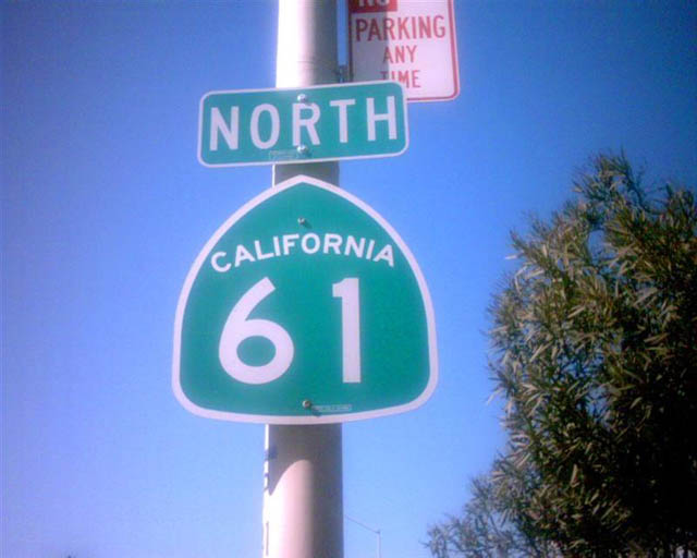 |
Northbound California 61 shield. Photo taken by Trevor Carrier (Summer 2002). |

Page Updated May 8, 2004.
|
About Contact Glossary |
In The News Testimonials Interstate Guide |
Social Media:
 |
|
© 2000-23 AARoads.com | All Rights Reserved | Privacy Policy / Terms of Use
|
||