
California 144
Southbound California 144/Sycamore Canyon Road approaches the roundabout with Alameda Padre Serra in Santa Barbara. This short route is state maintained between California 192 and this roundabout; beyond this point, it reverts to city maintenance. While the state law (Streets and Highways Code) requires signage directing motorists to the continuation of California 144, there are few if any remaining California 144 signs south of this roundabout. Photo taken 02/02/08.
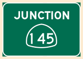
California 144 is a short north-south connector that follows Sycamore Canyon Road from the Sycamore Canyon/Salinas Roundabout at Alameda Padre Serra north to its junction with California 192/Foothill Road. Prior to relinquishment of the state highway along Milpas Street and Mason Street, California 144 originally began at U.S. 101 Exit 99A and followed (from south to north): Milpas Street, Mason Street, Salinas Street, and Sycamore Canyon Road for its approximately two miles. The portion of California 144 within Santa Barbara city limits was returned to city maintenance, but the portion in unincorporated county remains in the state highway system. Section 444(d) of the California Streets and Highways Code states that the "relinquished former portion of Route 144 in the City of Santa Barbara between Route 101 and Alameda Padre Serra is not a state highway and is not eligible for adoption under Section 81. For that relinquished former portion of Route 144, the City of Santa Barbara shall maintain signs directing motorists to the continuation of Route 144." When we visited in 2008, the city-maintained segment of former California 144 was no longer signed as required in this section of Streets and Highways Code. California 144 through Sycamore Canyon has been treacherous drive. A detour was posted due to a problem with mudslides near the California 144 and California 192 that were caused by wet winter of 2004-2005.
| Milpas Street north | |
|---|---|
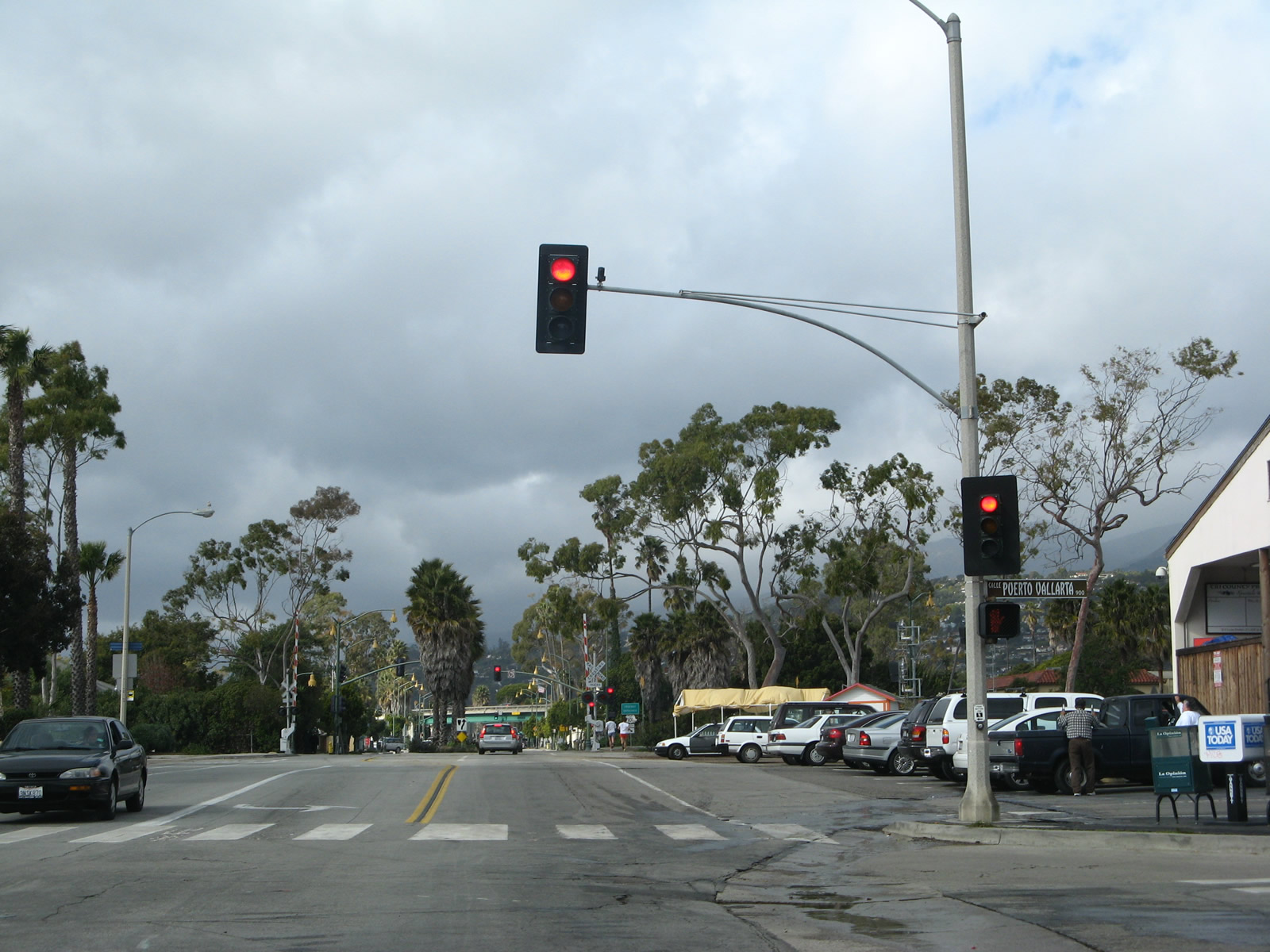 |
Leaving the coastal intersection with Cabrillo Boulevard in the city of Santa Barbara, northbound Milpas Street proceeds toward a signalized intersection with Calle Puerto Vallarta. This section of city street was not, as far as we know, ever a part of California 144 and never has been under state maintenance. Photo taken 02/02/08. |
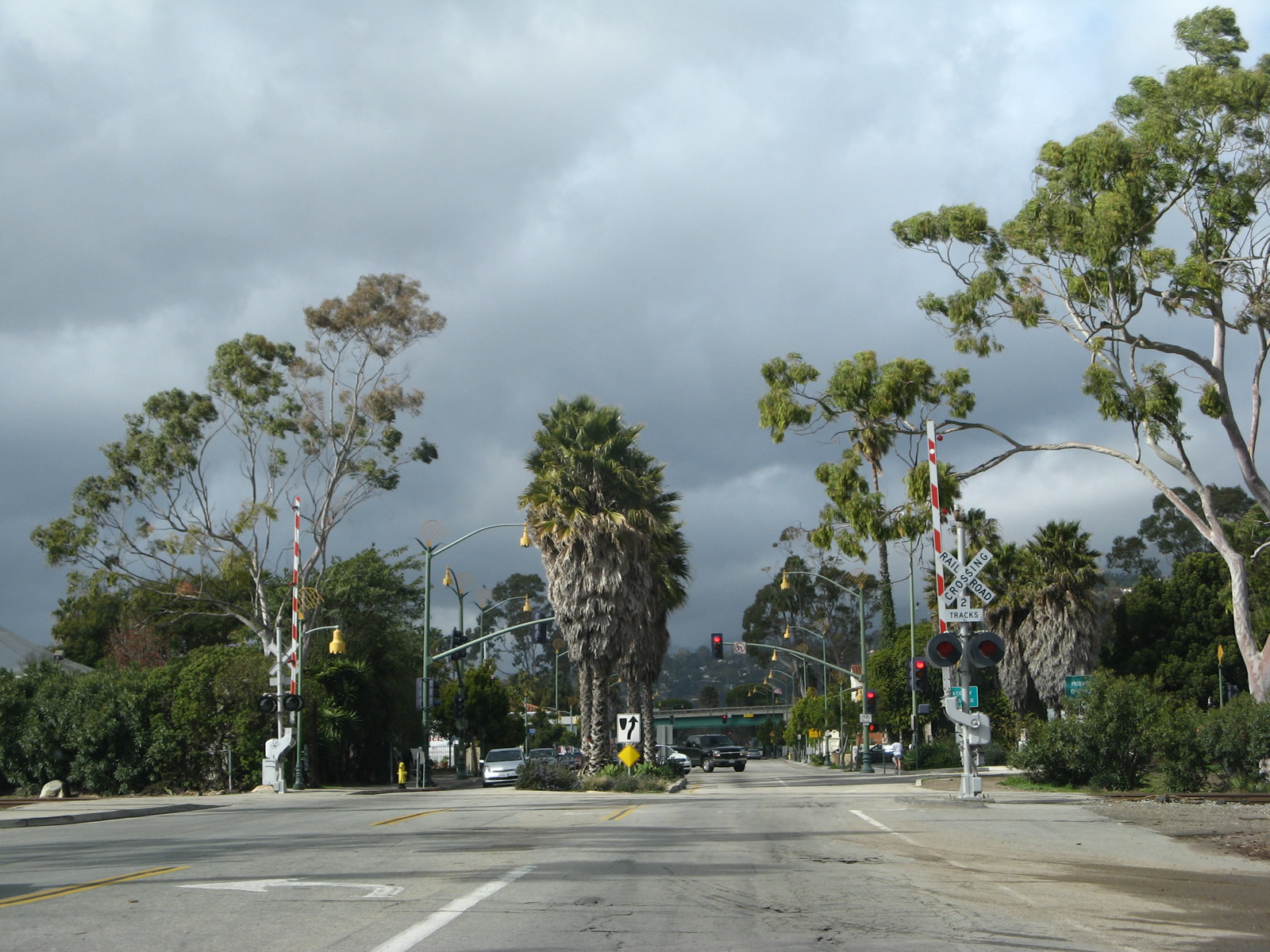 |
After Calle Puerto Vallarta, northbound Milpas Street crosses the railroad track (which carries the Amtrak Coast Starlight and commercial rail traffic) and proceeds toward a junction with U.S. 101 (El Camino Real). Photo taken 02/02/08. |
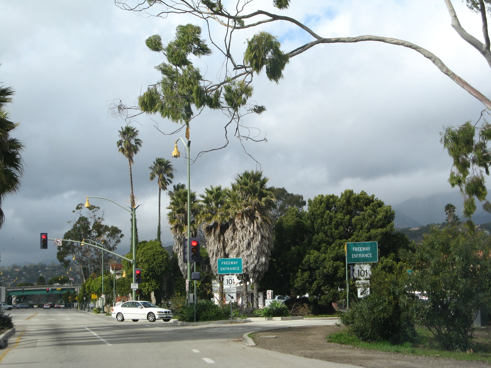 |
The next right turn connects Milpas Street with U.S. 101 south (east) toward Ventura and Los Angeles. Photo taken 02/02/08. |
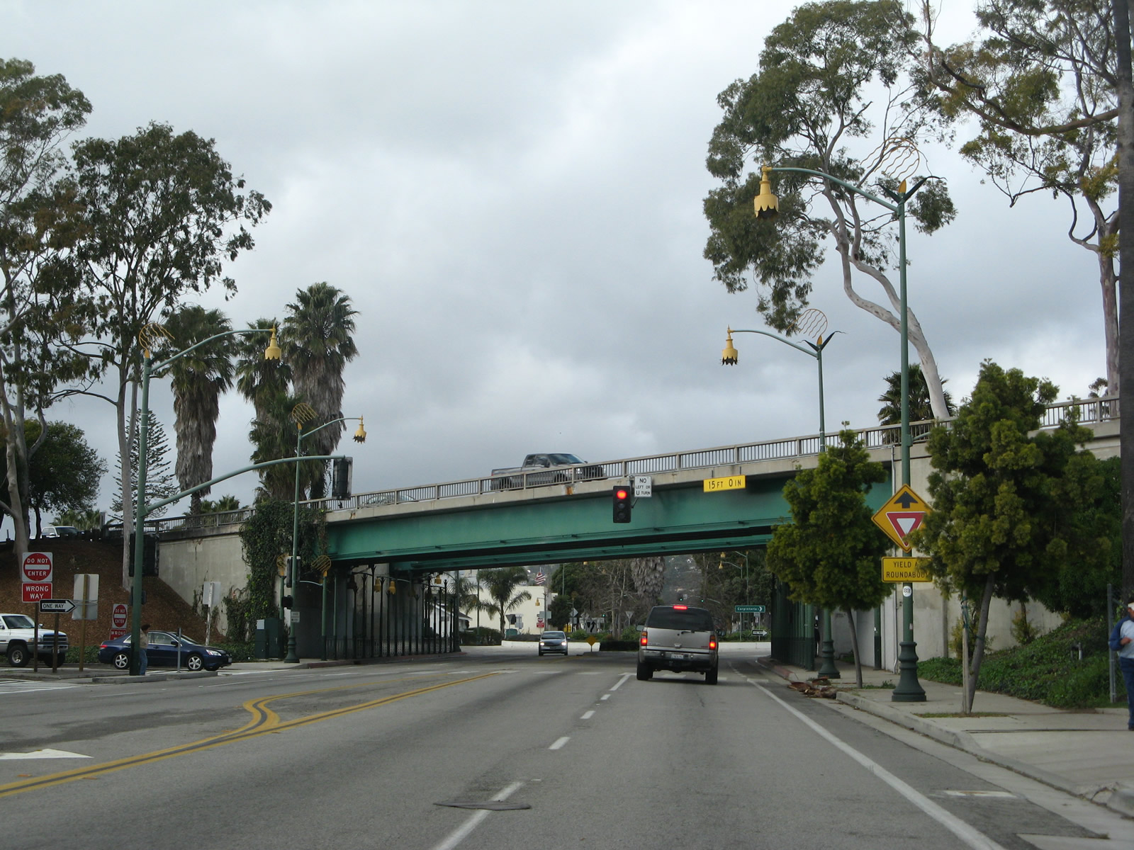 |
Milpas Street prepares to pass under the U.S. 101 freeway in downtown Santa Barbara. After this bridge, Milpas Street will enter a roundabout, which is where California 144 used to originate before it was removed from Milpas Street and Montecito Street. Photo taken 02/02/08. |
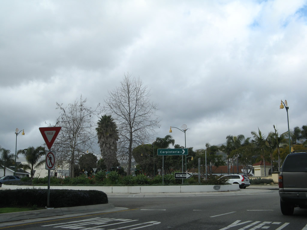 |
After passing under U.S. 101, Milpas Street enters a roundabout that connects the road with a U.S. 101 off-ramp and Carpinteria Street. Photo taken 02/02/08. |
| California 144 south | |
|---|---|
|
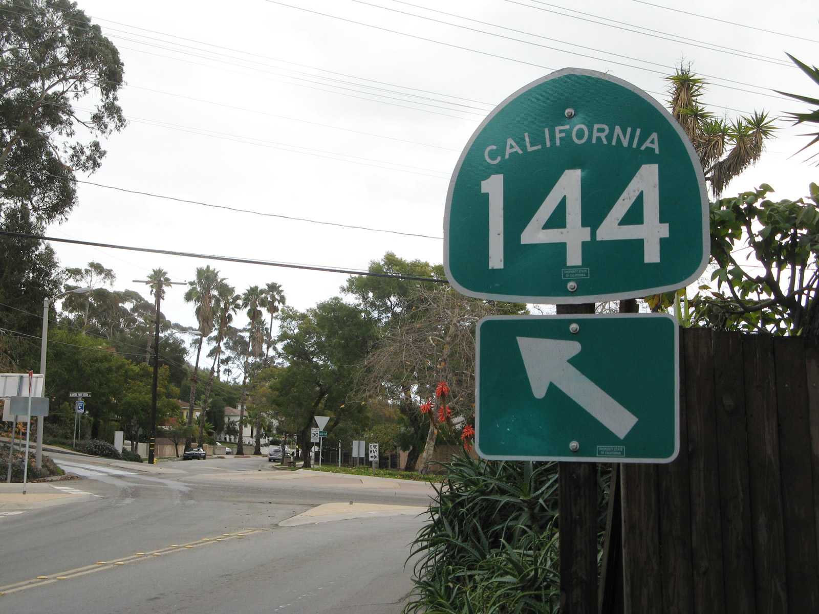
Southbound California 144/Sycamore Canyon Road approaches the roundabout with Alameda Padre Serra in Santa Barbara. California 144 will continue southwest along Montecito Street and then southeast on Milpas Street. The remaining portion of the route south of this roundabout was decommissioned from the state highway system in 2000. Sporadic signs such as this one indicate that the route continues, but the transition from Montecito Street to Milpas Street is not signed. Photo taken 02/02/08. |

Page Updated February 26, 2015.
|
About Contact Glossary |
In The News Testimonials Interstate Guide |
Social Media:
 |
|
© 2000-23 AARoads.com | All Rights Reserved | Privacy Policy / Terms of Use
|
||