California 203 connects U.S. 395 with Mammoth Lakes, ending at Minaret Summit just west of Mammoth Mountain Resort. A connection to Devils Postpile National Monument and Reds Meadow is available via Minaret Summit Road.
| California 203 east |
|
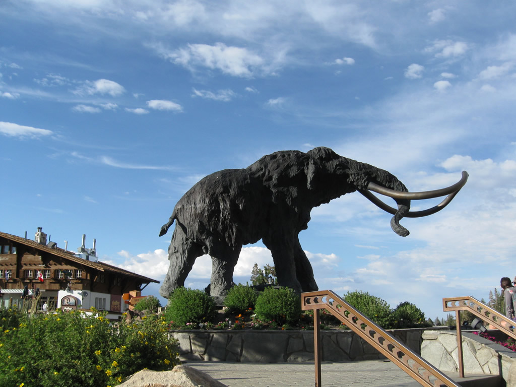
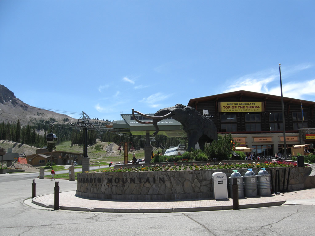
A large wooly mammoth statue sits next to the gondola terminal and visitors center near Mammoth Mountain Resort. Photo taken 07/25/09. |
|
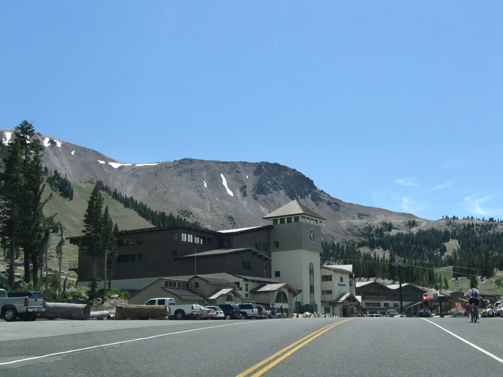
About a mile east of Minaret Summit (the western terminus of California 203), Mammoth Mountain resort sits on the south side of California 203. Photo taken 07/25/09. |
|
This view looks east from Mammoth Mountain resort along eastbound California 203. Photo taken 07/25/09. |
|
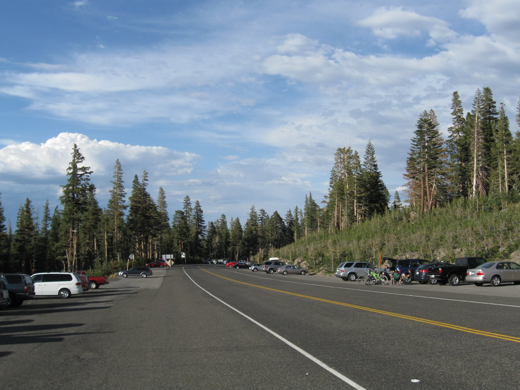
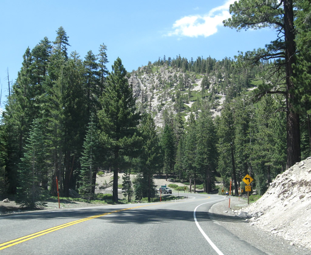
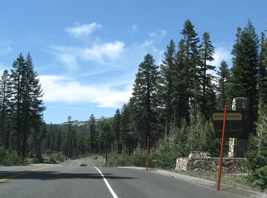
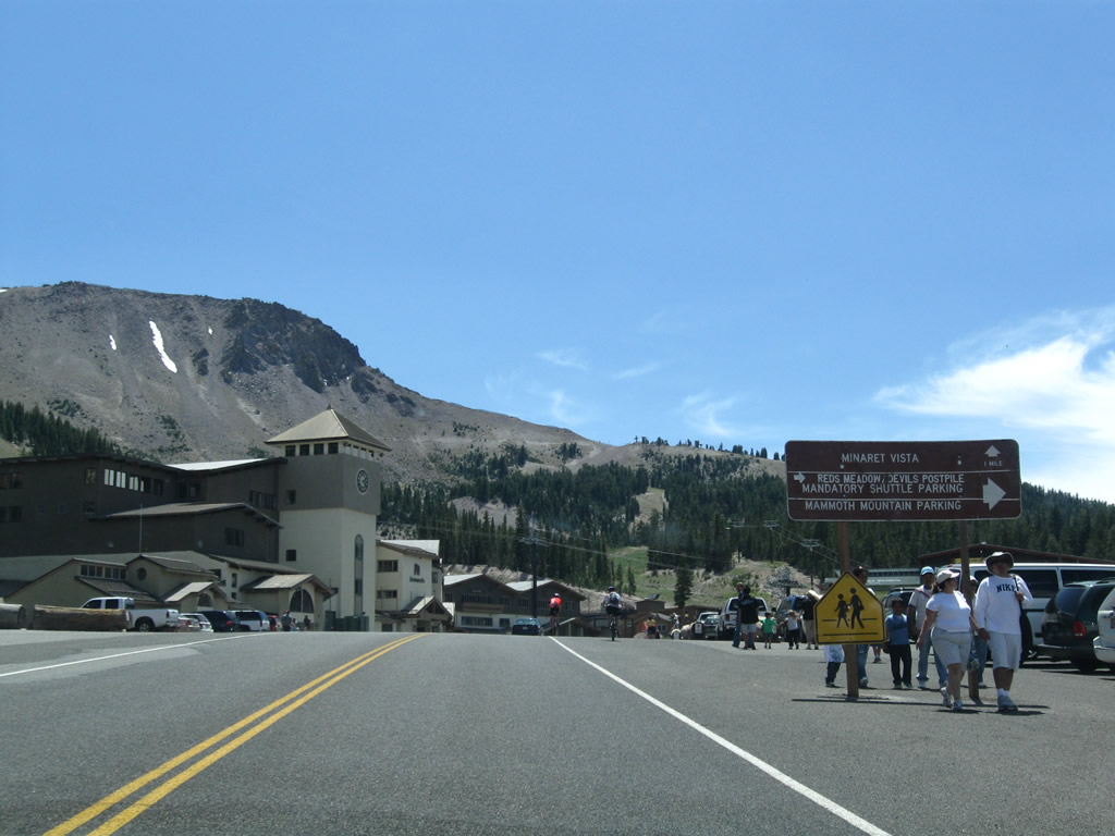
Leaving Mammoth Mountain resort, eastbound California 203 sees overflow parking along both sides of the state route. This parking area is the place to park when visiting Devils Postpile and Reds Meadow. Photo taken 07/25/09. |
|
|
|
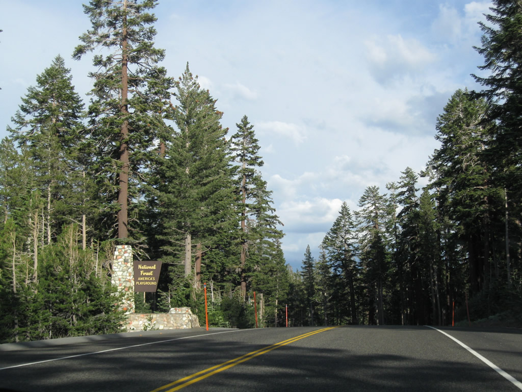
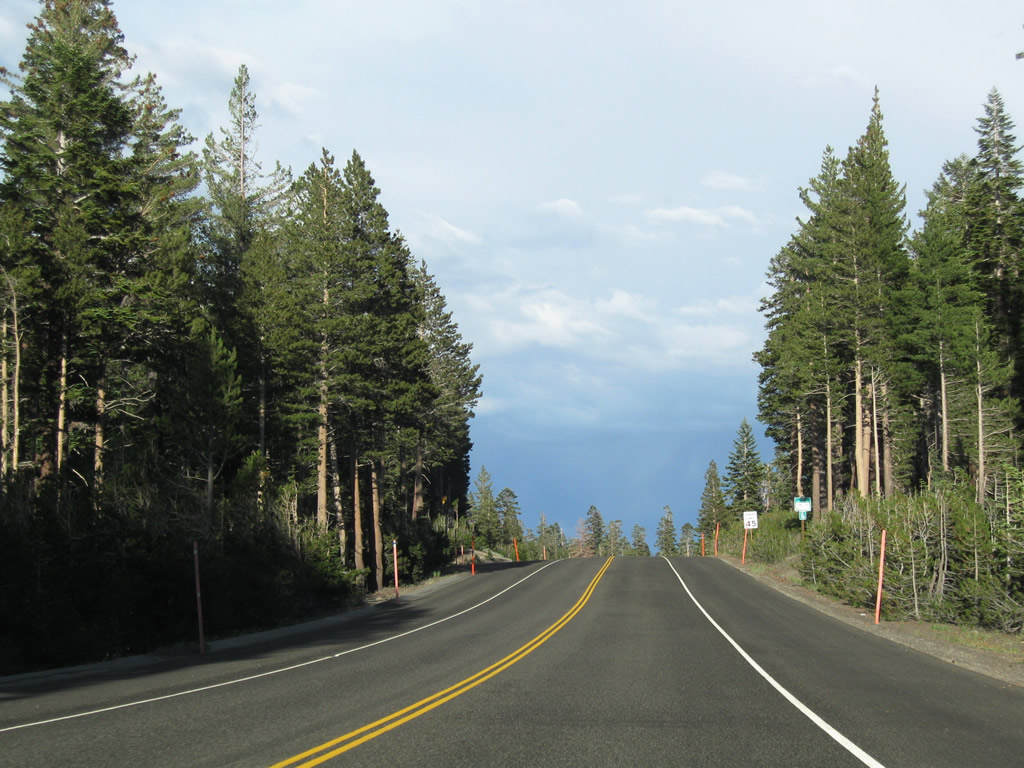
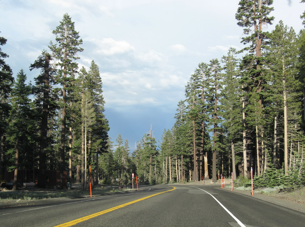
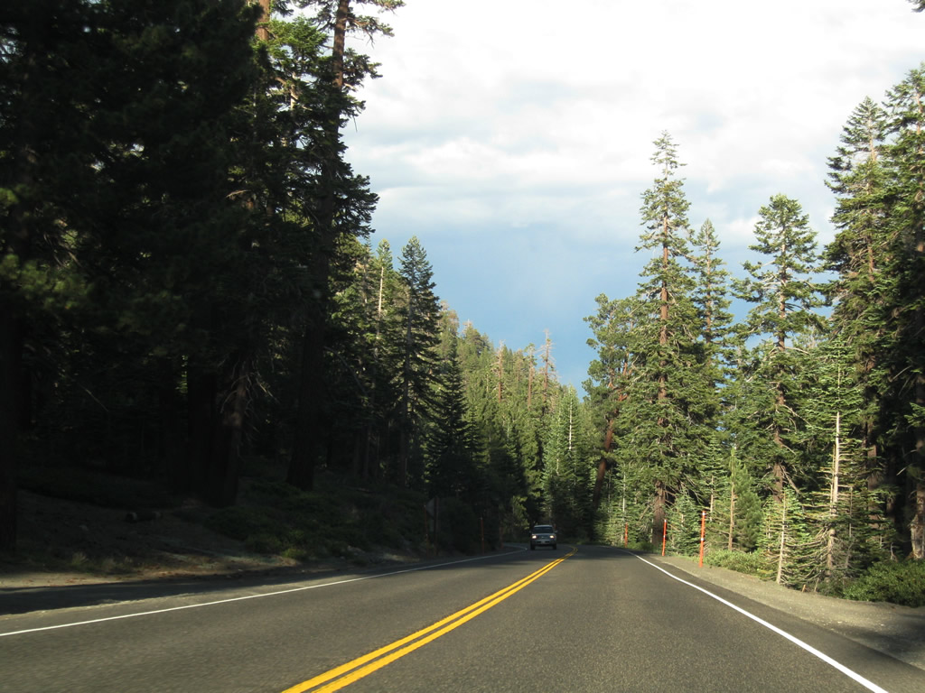
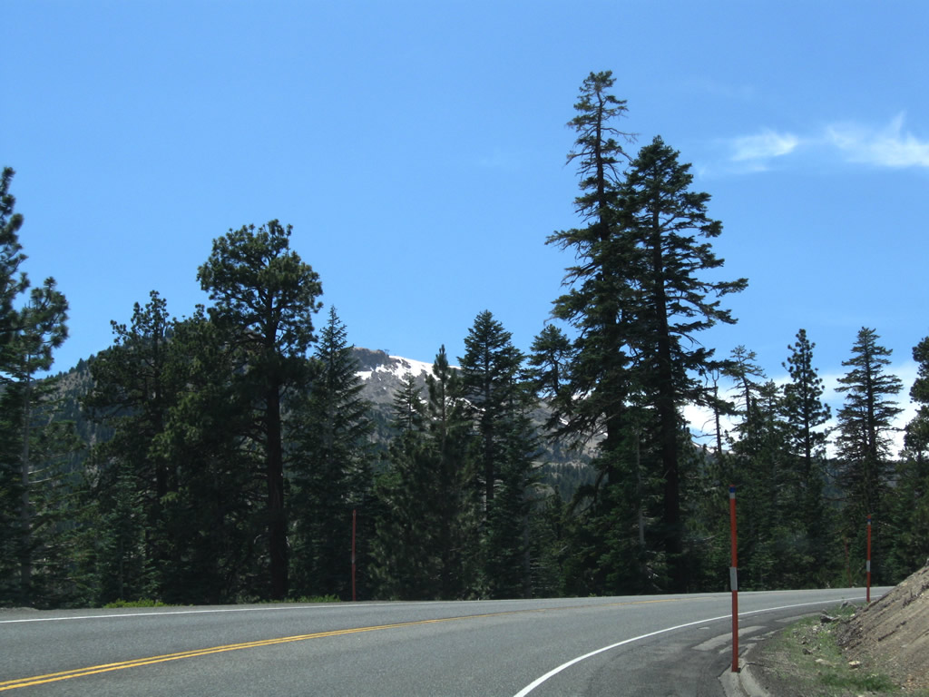
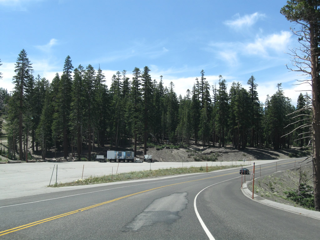
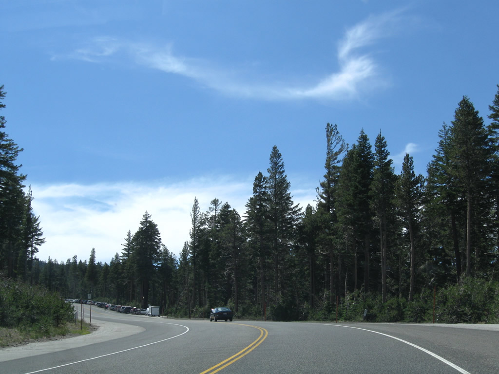
This series of photos follows California 203 east from Mammoth Mountain resort toward Earthquake Fault and downtown Mammoth Lakes. Photos taken 07/25/09. |
|
|
|
|
|
|
|
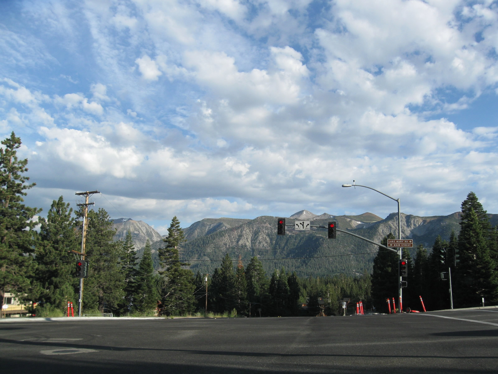
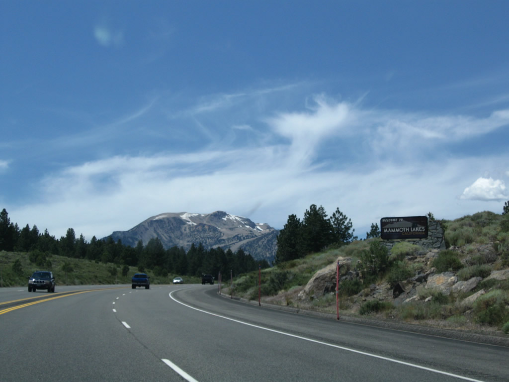
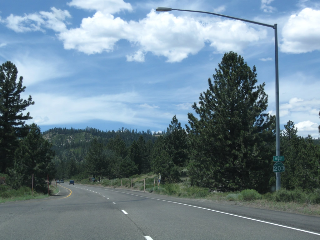
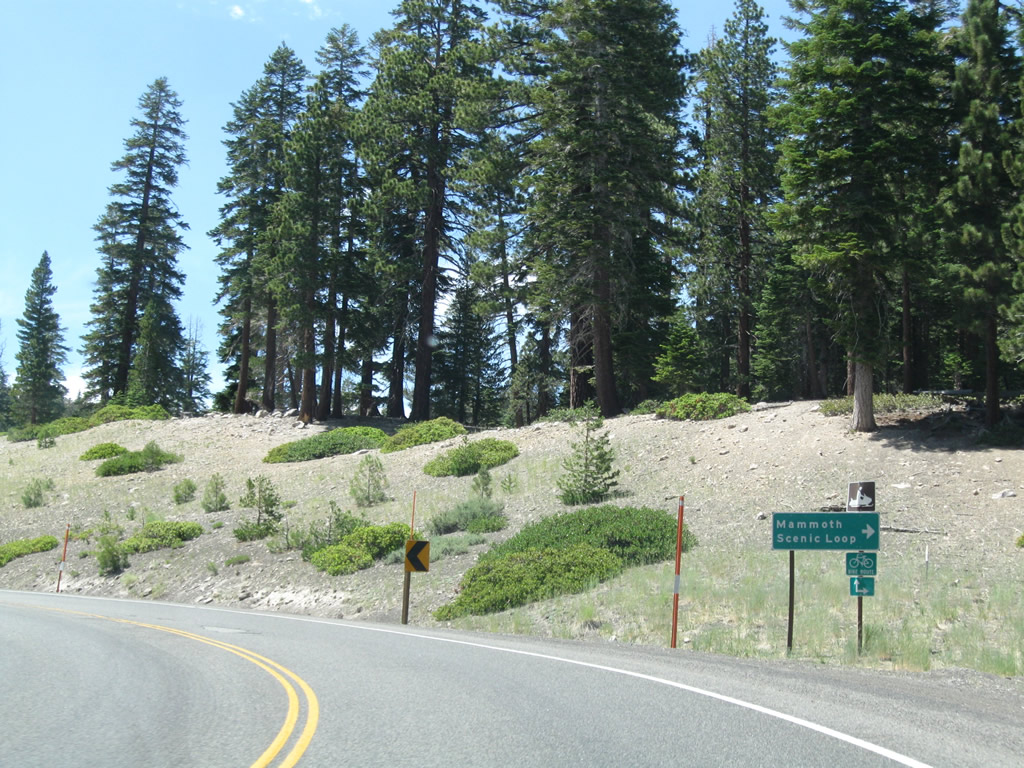
Eastbound California 203 meets Mammoth Scenic Loop, which travels north to join U.S. 395 near Crestview. Continue straight ahead to follow California 203 east into Mammoth Lakes and onward to U.S. 395 south to Bishop. Photo taken 07/25/09. |
|
California 203 makes a few more turns and curves before turning north briefly to enter downtown Mammoth Lakes. Photo taken 07/25/09. |
|
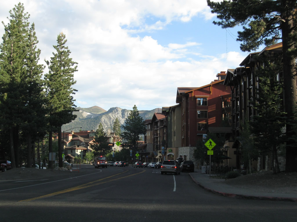
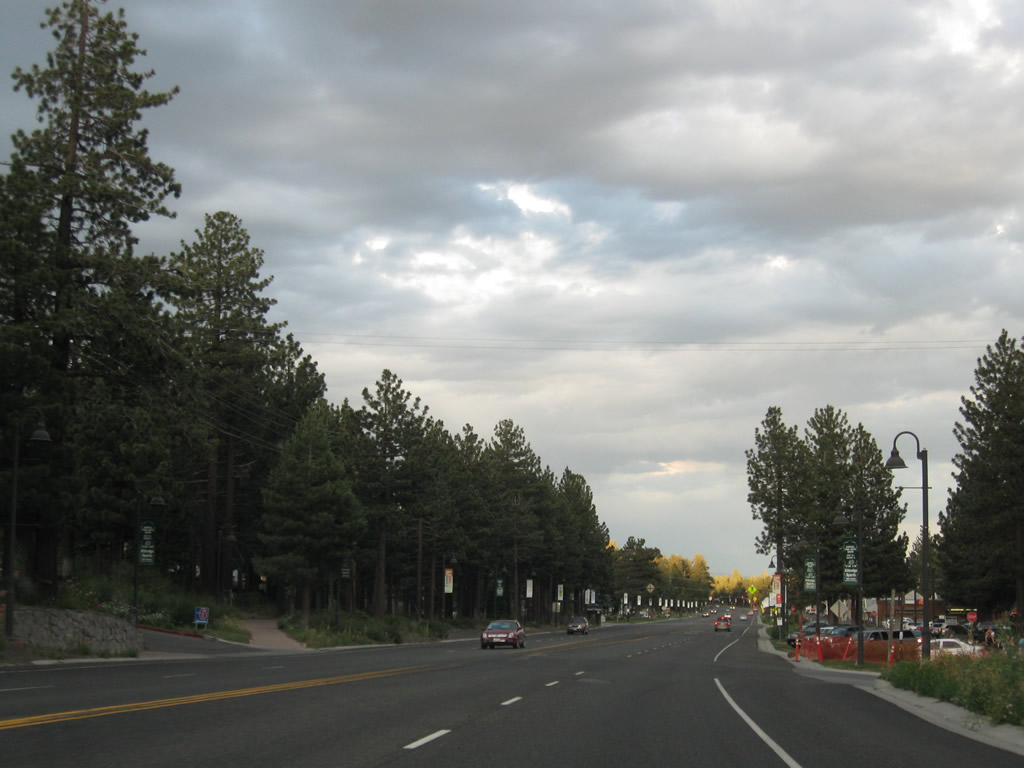
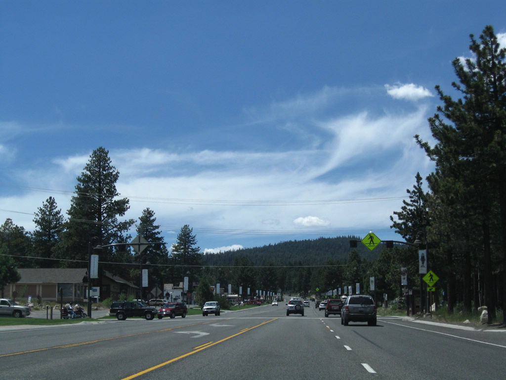
A series of condominiums line the sides of California 203 through downtown Mammoth Lakes. Mammoth Lakes sits at an elevation of 7,880 feet and had a population of 7,093 people as of the 2000 Census. The town incorporated on August 20, 1984. Mammoth Lakes is known as a gateway community for Mammoth Ski Resort and various recreational opportunities around Mammoth Lakes. U.S. 395 avoids Mammoth Lakes by staying to the east of the town; California 203 is the primary route through town. Photo taken 07/25/09. |
|
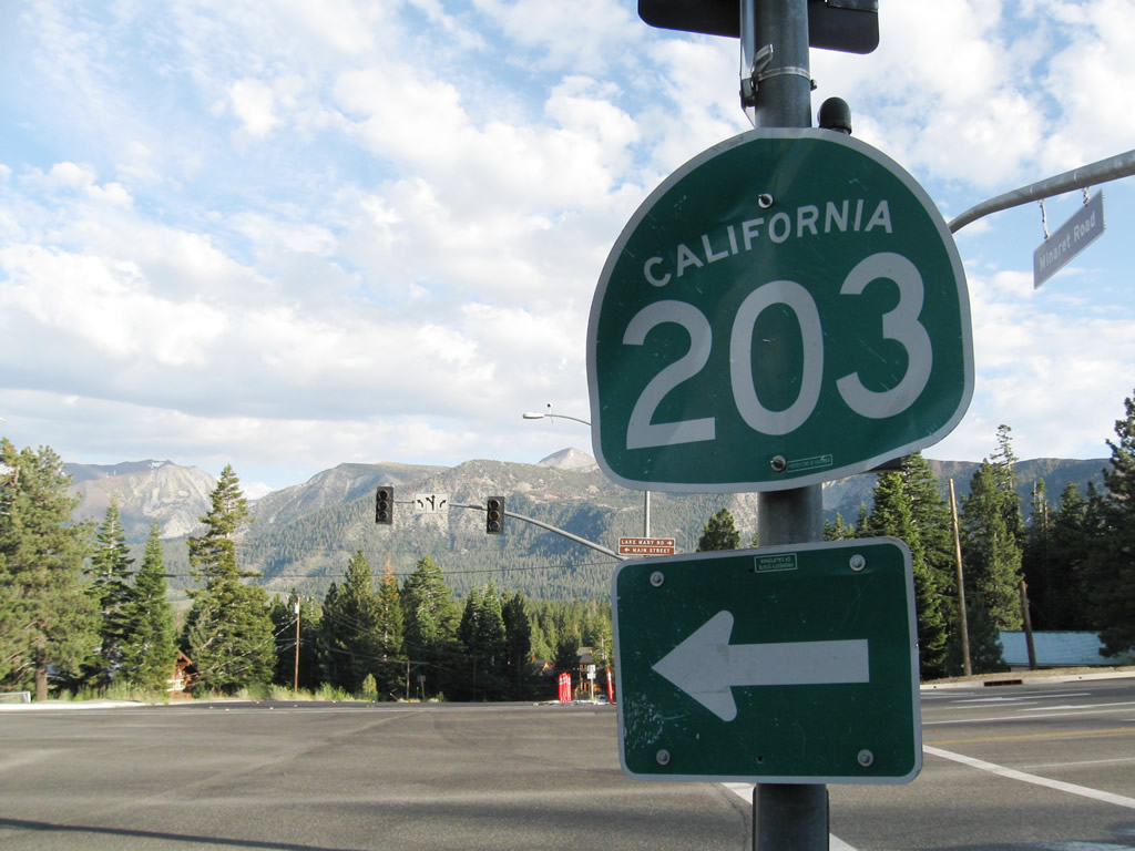
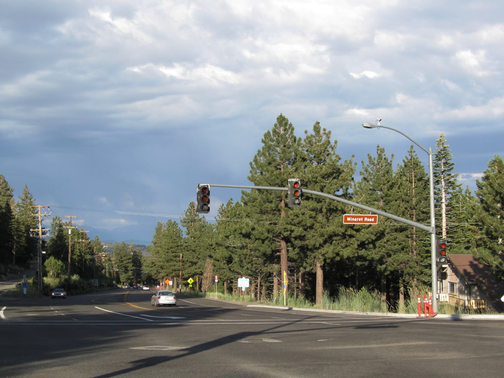
Just a few blocks southeast of there, California 203 approaches its first traffic signal: the intersection between Minaret Road and Lake Mary Road/Main Street. At this signal, California 203 turns left (east) onto Main Street. A single California 203 trailblazer is posted prior to the traffic signal. Photo taken 07/25/09. |
|
Continue straight to follow Minaret Street, or turn right to follow Lake Mary Road to the Mammoth Lakes, the namesake of this scenic high Sierra town. California 203 turns left onto Main Street at this point. Photo taken 07/25/09. |
|
Upon making the turn, eastbound California 203 follows Main Street east through the rest of Mammoth Lakes en route to U.S. 395. This view shows the traffic signal at Minaret Road. Photo taken 07/25/09. |
|
Most services are set back from California 203 (Main Street) along a frontage road. Photo taken 07/25/09. |
|
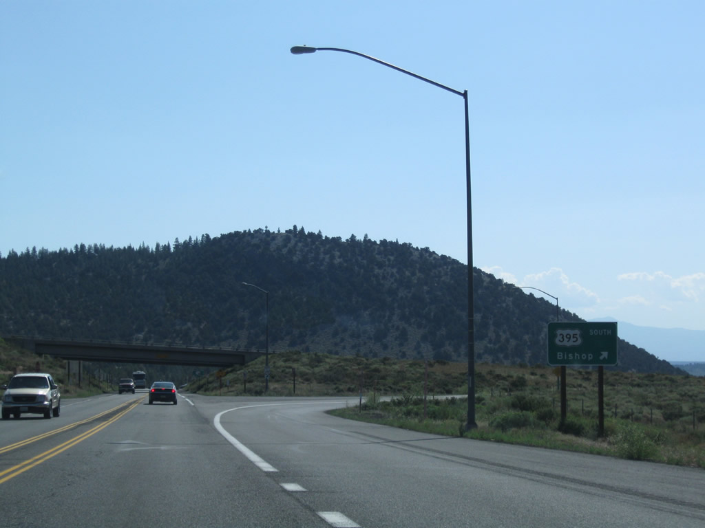
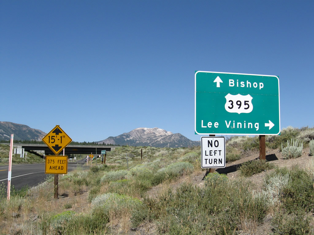
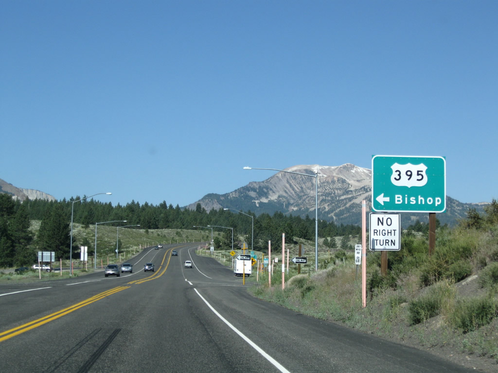
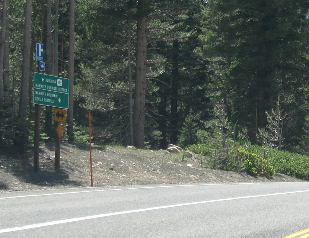
Skipping ahead, eastbound California 203 (Main Street) approaches U.S. 395. The first right links to U.S. 395 south to Bishop and Los Angeles, while the next left leads to U.S. 395 north to Lee Vining and Bridgeport. Photo taken 07/26/09. |
|
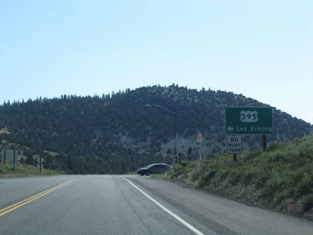
Eastbound California 203 meets U.S. 395 north to Lee Vining and Bridgeport. Photo taken 07/26/09. |
|
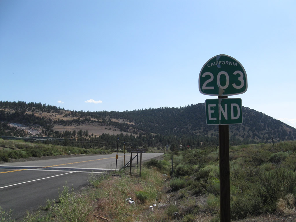
An end California 203 shield is posted after the on-ramp to U.S. 395 north. Main Street continues east a short distance to Casa Diablo Hot Springs and an extant stretch of old U.S. 395, but there is no outlet. Photo taken 07/26/09. |
| California 203 west |
|
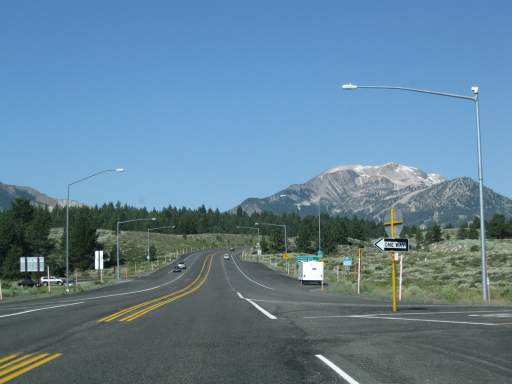
With Mammoth Mountain dominating the view, California 203 begins its westbound journey at the interchange with U.S. 395. Photo taken 07/26/09. |
|
Westbound California 203 approaches U.S. 395. The first right turn connects to U.S. 395 north to Lee Vining, Mono Lake, and Bridgeport. Turn left for U.S. 395 south to Bishop and Los Angeles. Photo taken 07/26/09. |
|
At the turnoff to U.S. 395 north is this mileage sign for California 203 west to the town of Mammoth Lakes (three miles). Photo taken 07/26/09. |
|
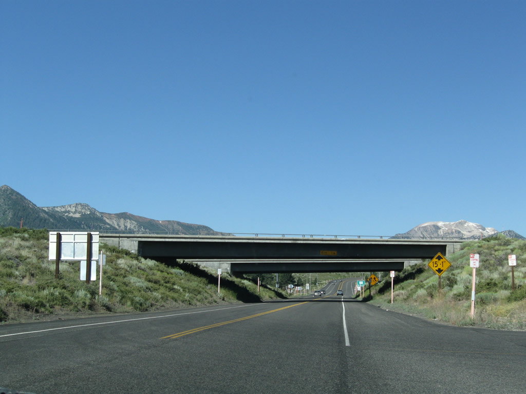
California 203 passes under U.S. 395 via this underpass. Photo taken 07/26/09. |
|
Westbound California 203 meets the left turn to U.S. 395 south en route to Bishop. Photo taken 07/26/09. |
|
Leaving the U.S. 395 interchange, California 203 begins as an expressway for the first three miles of its journey, then reverts to a standard urban street and finally into a rural road for the final distance to Mammoth Mountain Resort. An initial reassurance shield is posted after a parked vehicle (seen in distance ahead). Photo taken 07/26/09. |
|
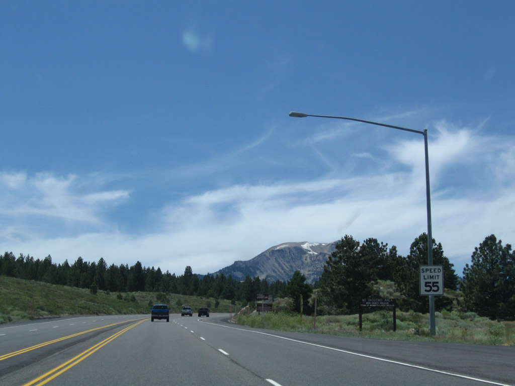
Continuing west along California 203, the initial segment is an expressway with a 55 mile-per-hour speed limit. This sign is posted after a mileage sign and reassurance shield (not shown here). Photo taken 07/25/09. |
|
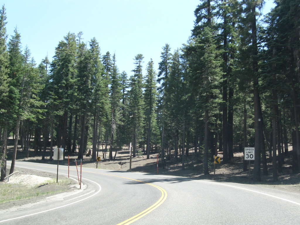
Beyond Mammoth Mountain and Minaret Summit (Mono-Madera County Line), traffic is restricted from using California 203 between the hours of 7:00 a.m. and 7:00 p.m. each day during summer months. Visitors wishing to see Devils Postpile National Monument, Rainbow Falls, and Reds Meadow must use the shuttle bus, which is available at the Mammoth Mountain resort parking lot. The shuttle bus requirement was implemented to remove excessive traffic between Agnew Meadows and Reds Meadow. The state route ends at Minaret Summit. Photo taken 07/25/09. |
|
The town of Mammoth Lakes sits at an elevation of 7,880 feet and had a population of 7,093 people as of the 2000 Census. The town incorporated on August 20, 1984. Mammoth Lakes is known as a gateway community for Mammoth Ski Resort and various recreational opportunities around Mammoth Lakes. All motorist services are available in Mammoth Lakes. U.S. 395 avoids Mammoth Lakes by staying to the east of the town; California 203 is the primary route west into town. Photo taken 07/25/09. |
|
California 203 widens to expressway standards as a median barriers separates the two directions of highway travel. Photo taken 07/25/09. |
|
Westbound California 203 enters the town of Mammoth Lakes shortly thereafter. Photo taken 07/25/09. |
|
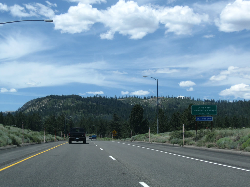
Meridian Boulevard links SR 203 with Cerro Coso Community College and Mammoth Ski Museum to the west. SR 203 continues west along Main Street into Mammoth Lakes. Photo taken 07/25/09. |
|
A California 203 west reassurance shield is posted after the Meridian Boulevard intersection. Photo taken 07/25/09. |
|
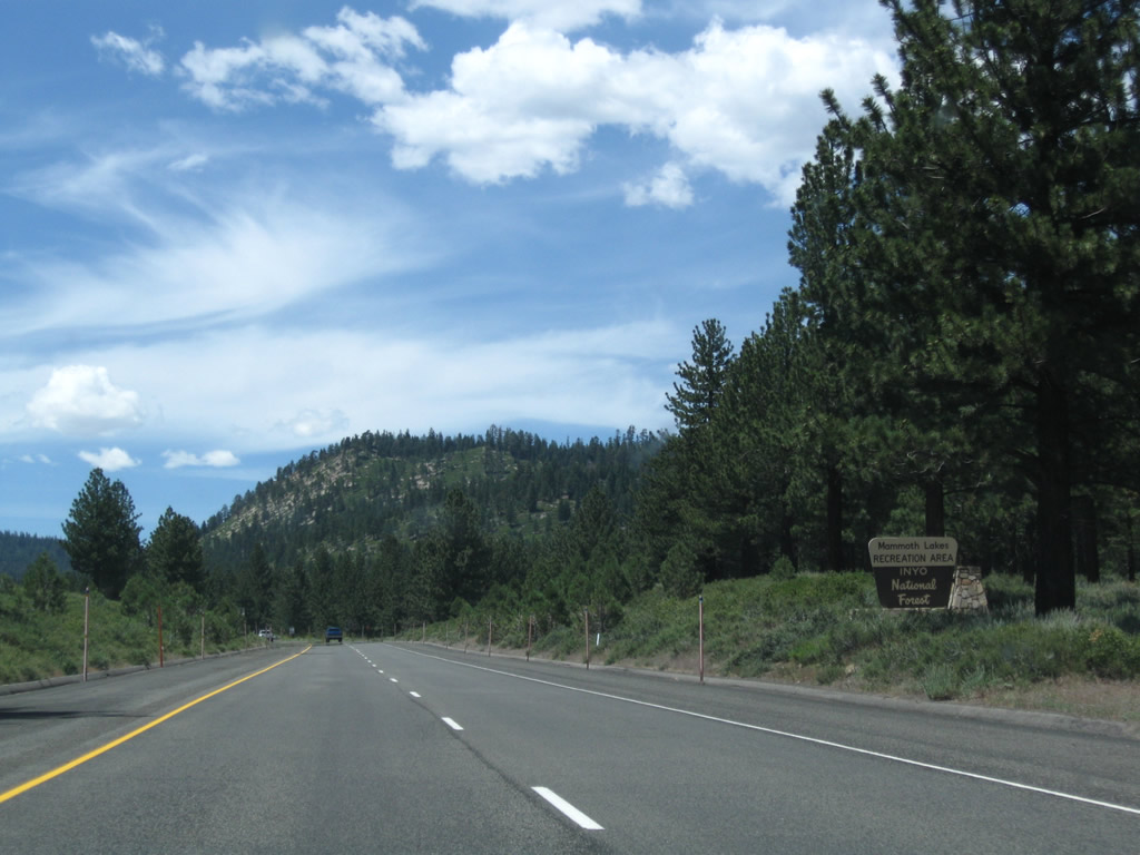
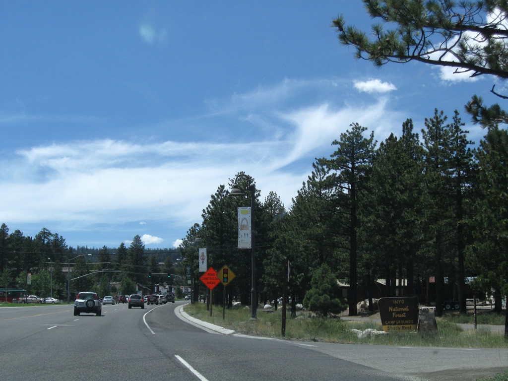
Many of the recreational areas in and around Mammoth Lakes are operated by Inyo National Forest, including many of the areas surrounding Devils Postpile, the lakes, and the ski resort. Photo taken 07/25/09. |
|
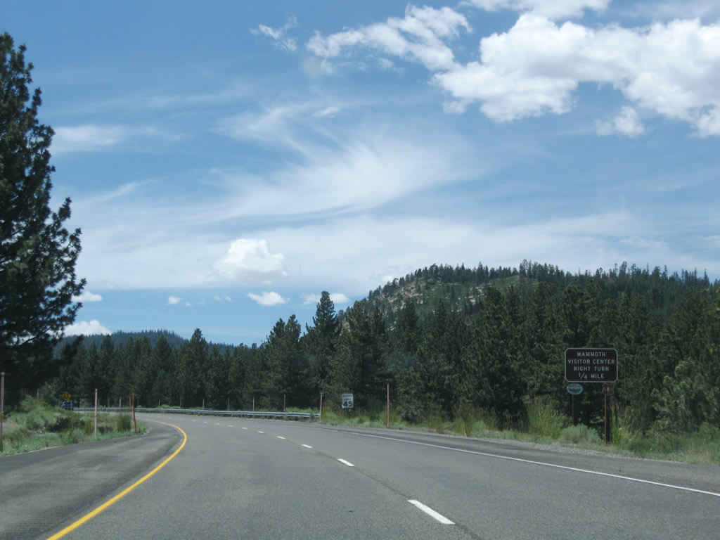
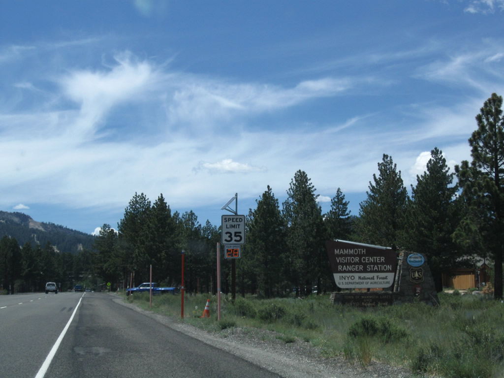
The next right connects to the Mammoth Lakes Visitor Center, which provides maps and brochures about visiting surrounding areas. Photo taken 07/25/09. |
|
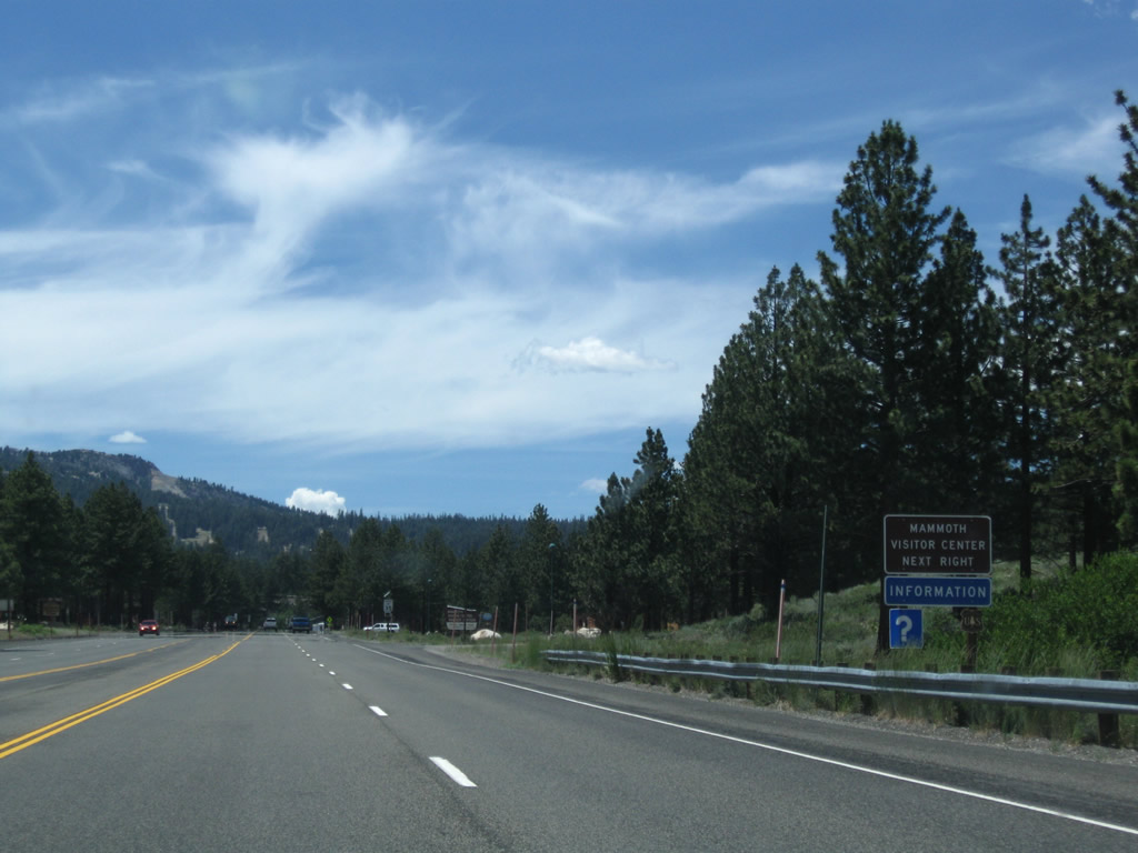
Westbound California 203 meets the turnoff to Mammoth Lakes Visitor Center. Photo taken 07/25/09. |
|
The visitor center also functions as a national forest ranger station. Photo taken 07/25/09. |
|
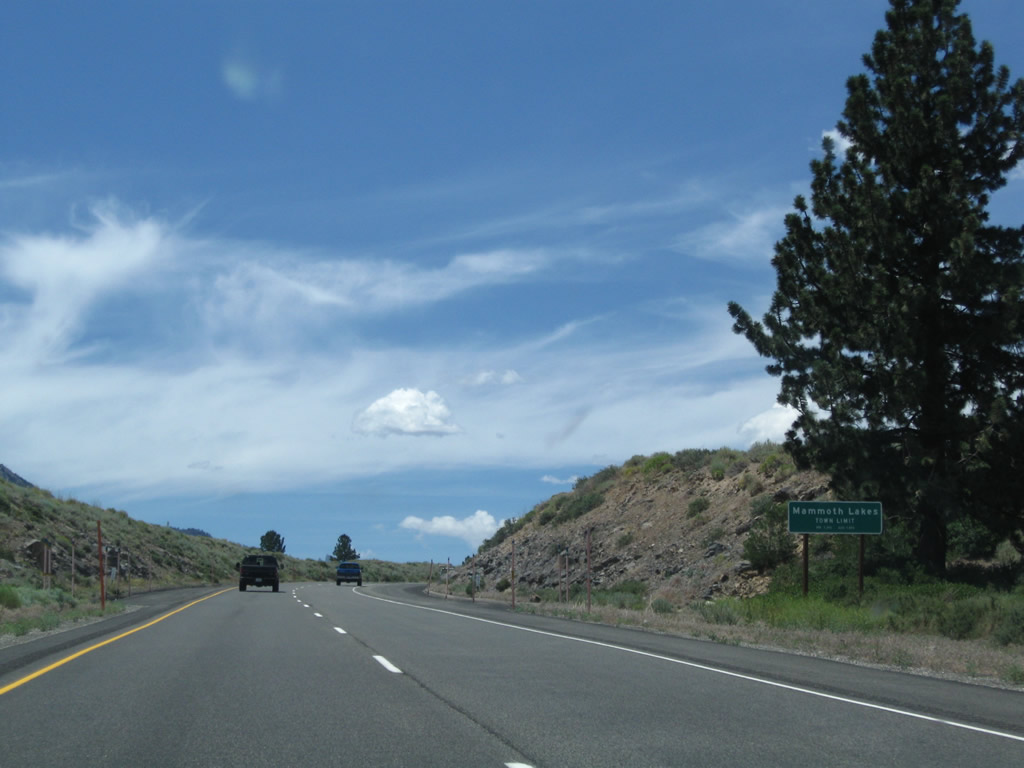
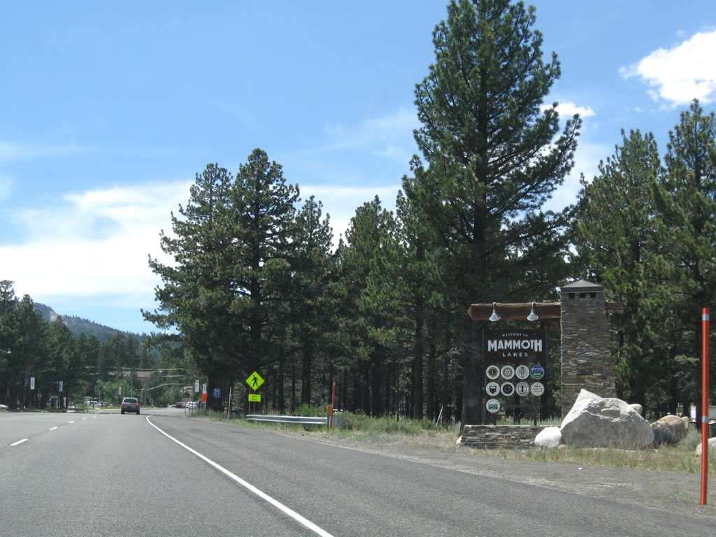
After the visitor center is another welcome sign for the town of Mammoth Lakes. After the visitor center turnoff, the expressway will change into a conventional urban roadway leading into town. Photo taken 07/25/09. |
|
The next intersection along westbound is with Sierra Park Road. Turn right here for Shady Rest Campground; turn left here for Mammoth Hospital. Photo taken 07/25/09. |
|
The first signalized intersection along California 203 (Main Street) west is with Old Mammoth Road. Old Mammoth Road leads southwest, joining with Lake Mary Road before reaching the Mammoth Lakes south of town. Photo taken 07/25/09. |
|
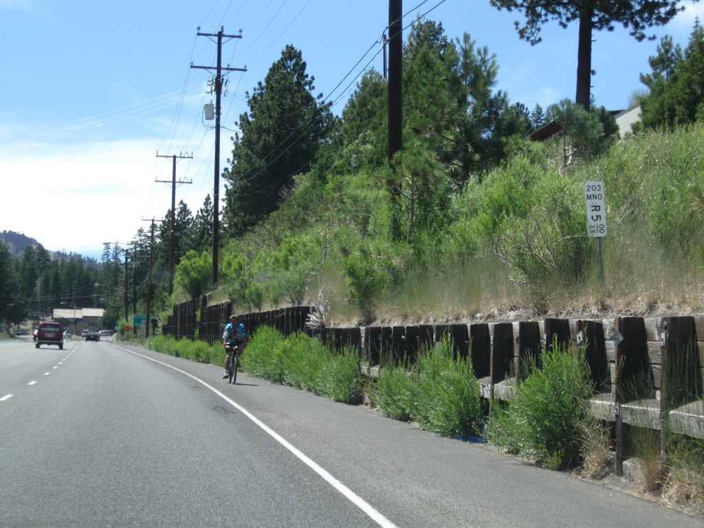
Westbound California 203 (Main Street) next meets Laurel Mountain Road at this intersection, which has a signed pedestrian crossing. Most services line the south side of Main Street via a frontage road that parallels California 203. Photo taken 07/25/09. |
|
Coming into downtown, a postmile marker indicates a mileage of 5.00 (realigned). Photo taken 07/25/09. |
|
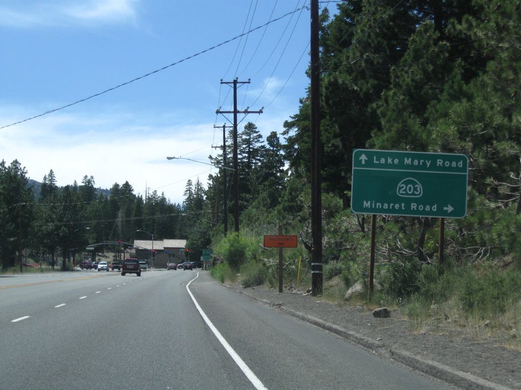
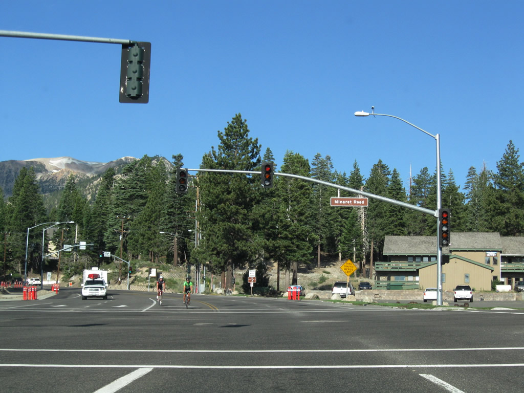
Westbound California 203 (Main Street) approaches the next traffic signal at Lake Mary Road and Minaret Road. Turn left to follow Minaret Road south, continue straight for Lake Mary Road south to Mammoth Lakes, or turn right for the continuation of California 203 west to Mammoth Mountain and Devils Postpile. Photo taken 07/25/09. |
|
A second sign advises of the destinations served by California 203 and Lake Mary Road. Photo taken 07/25/09. |
|
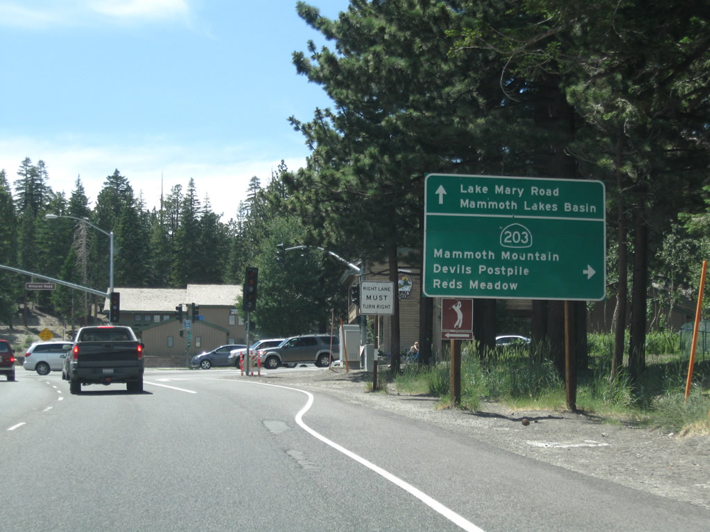
Westbound California 203 meets Minaret Road and Lake Mary Road. California 203 turns right at this intersection to travel toward Earthquake Fault, Mammoth Mountain, Devils Postpile, and Reds Meadow. Photo taken 07/25/09. |
|
|
|
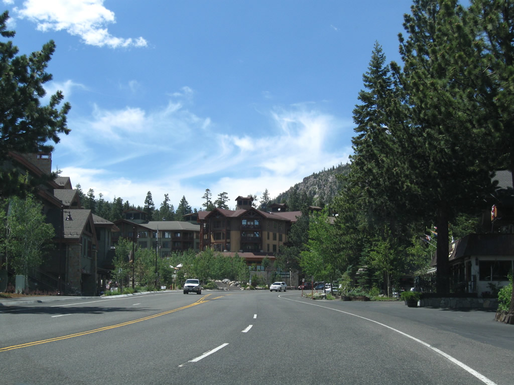
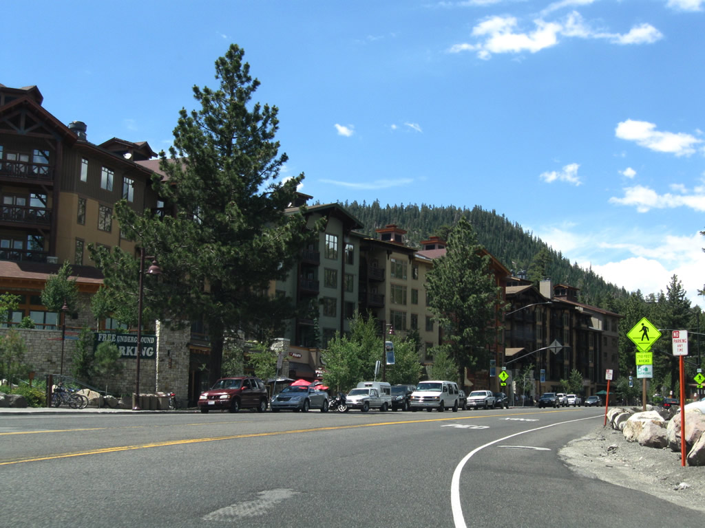
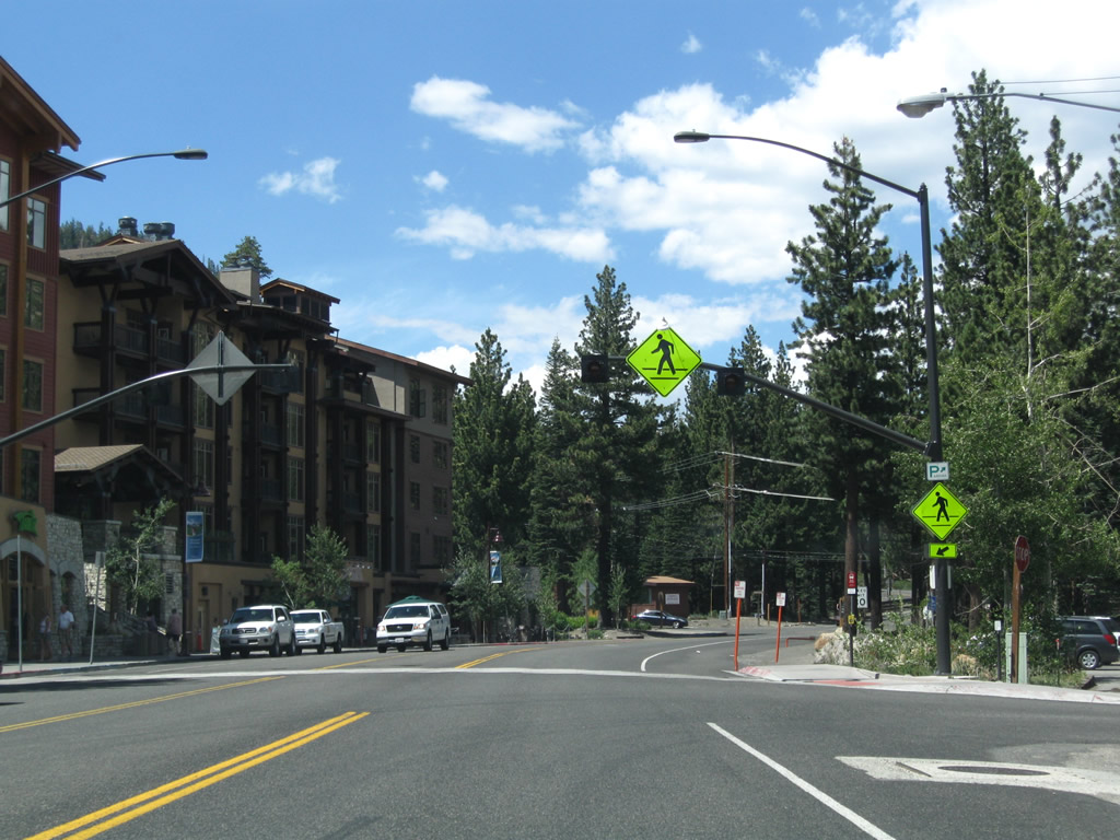
After the Minaret Road traffic signal, California 203 curves north briefly to pass by a series of large condominium resort complexes. Photos taken 07/25/09. |
|
This mileage sign along California 203 west provides the distance to Mammoth Mountain (four miles), Minaret Summit (five miles), and Devils Postpile National Monument (13 miles). The state route ends at Minaret Summit, and access to Devils Postpile requires a trip on a shuttle bus when in-season between 7:00 a.m. and 7:00 p.m. Photo taken 07/25/09. |
|
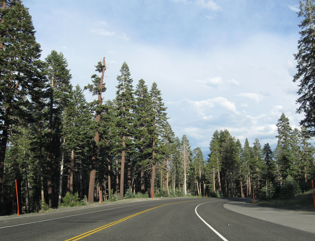
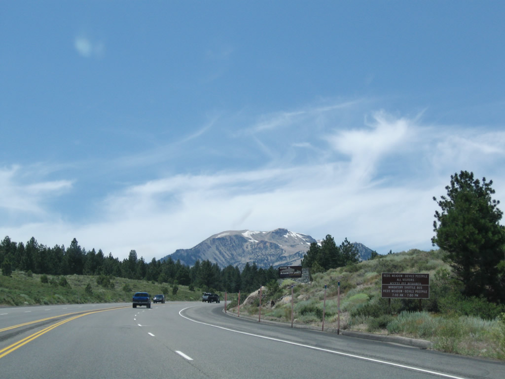
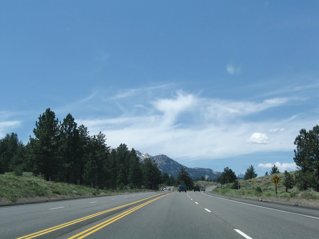
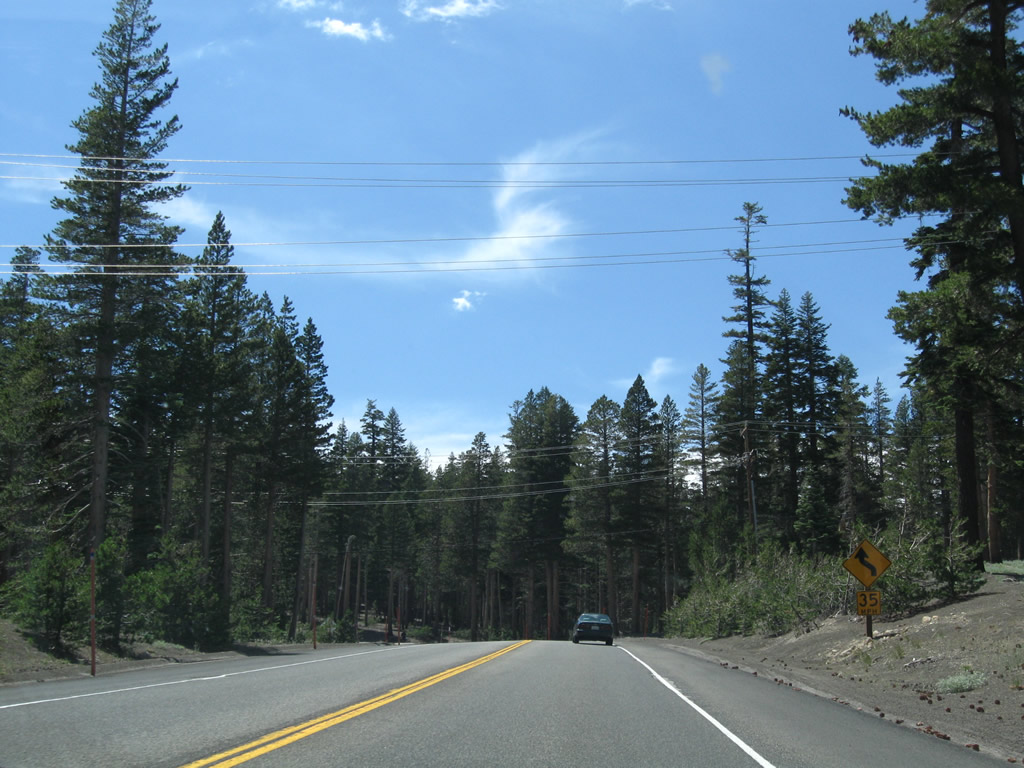
As we leave the urbanized portion of Mammoth Lakes, California 203 gains elevation and sees some winding road en route to the ski resort, Mammoth Mountain. Photo taken 07/25/09. |
|
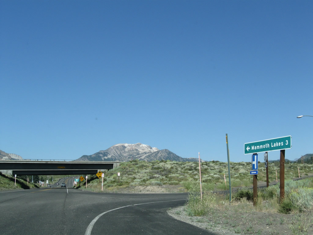
Westbound California 203 approaches Mammoth Scenic Loop Road, which travels north to join U.S. 395 near Crestview, south of Deadman Summit. Photo taken 07/25/09. |
|
Westbound California 203 meets Mammoth Scenic Loop Road. Photo taken 07/25/09. |
|
A guide sign at the south end of Mammoth Scenic Loop shows the destinations via California 203: east to U.S. 395 and west to Mammoth Mountain and Devils Postpile. Photo taken 07/25/09. |
|
|
|
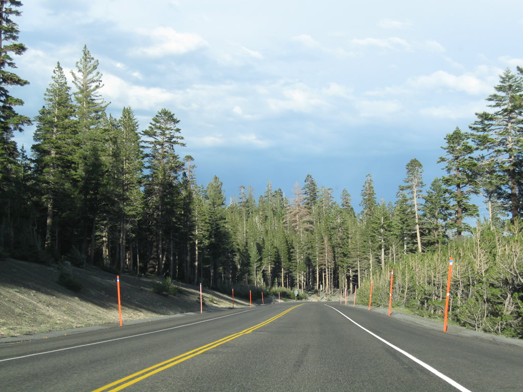
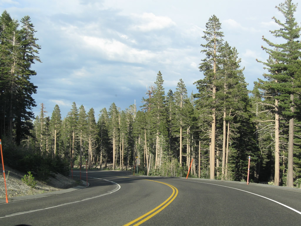
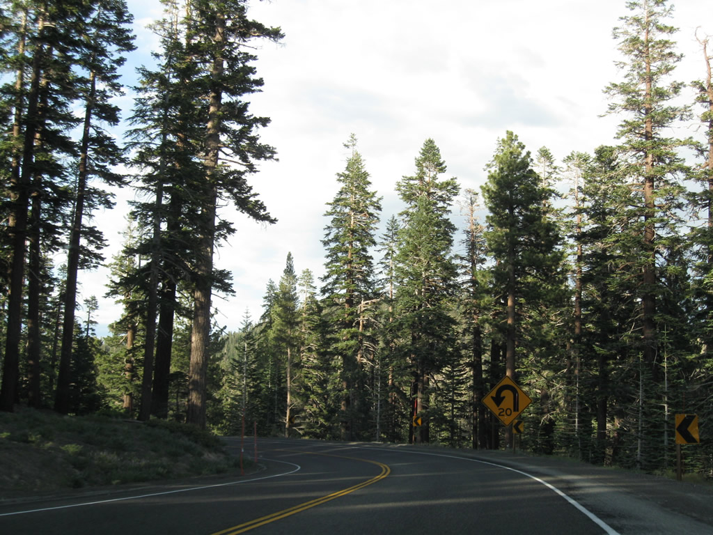
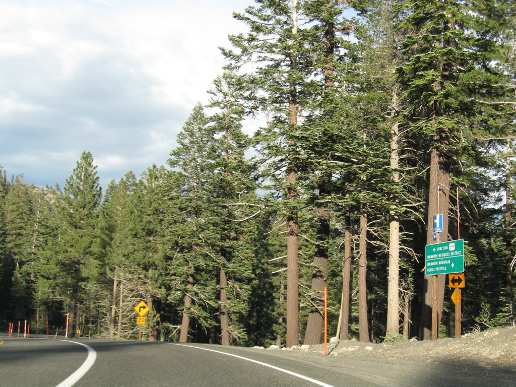
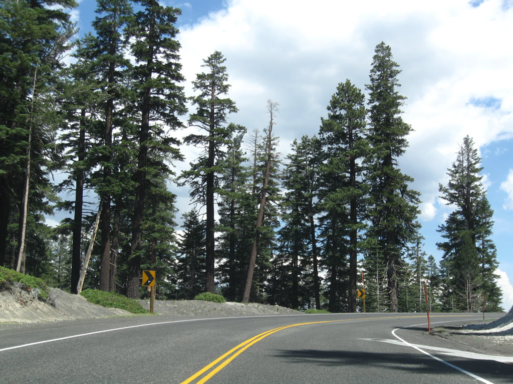
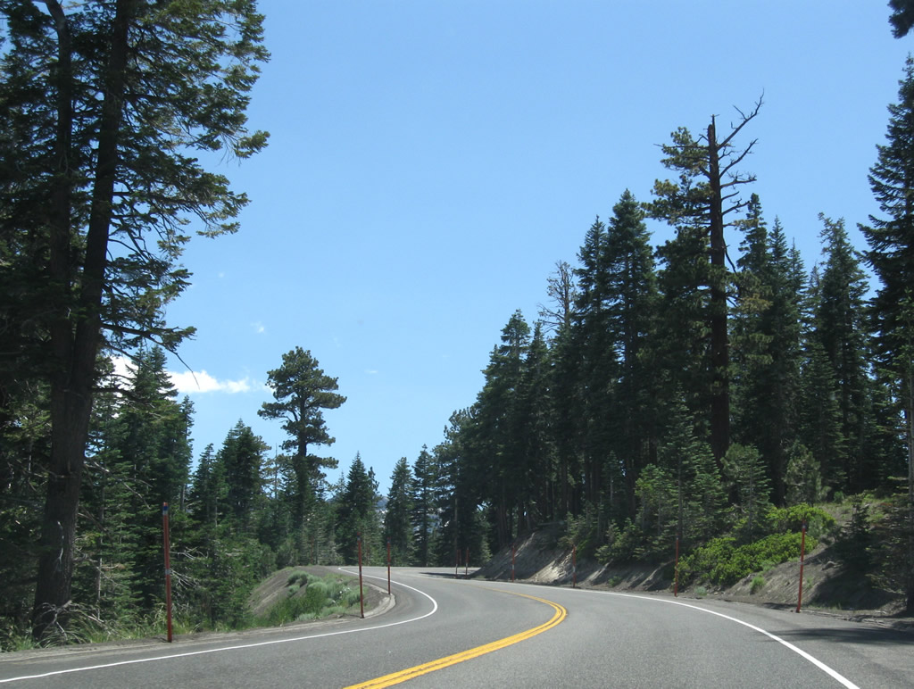
This series of photos follows California 203 west as it gains elevation and approaches the Mammoth Mountain ski resort. Photos taken 07/25/09. |
|
|
|
|
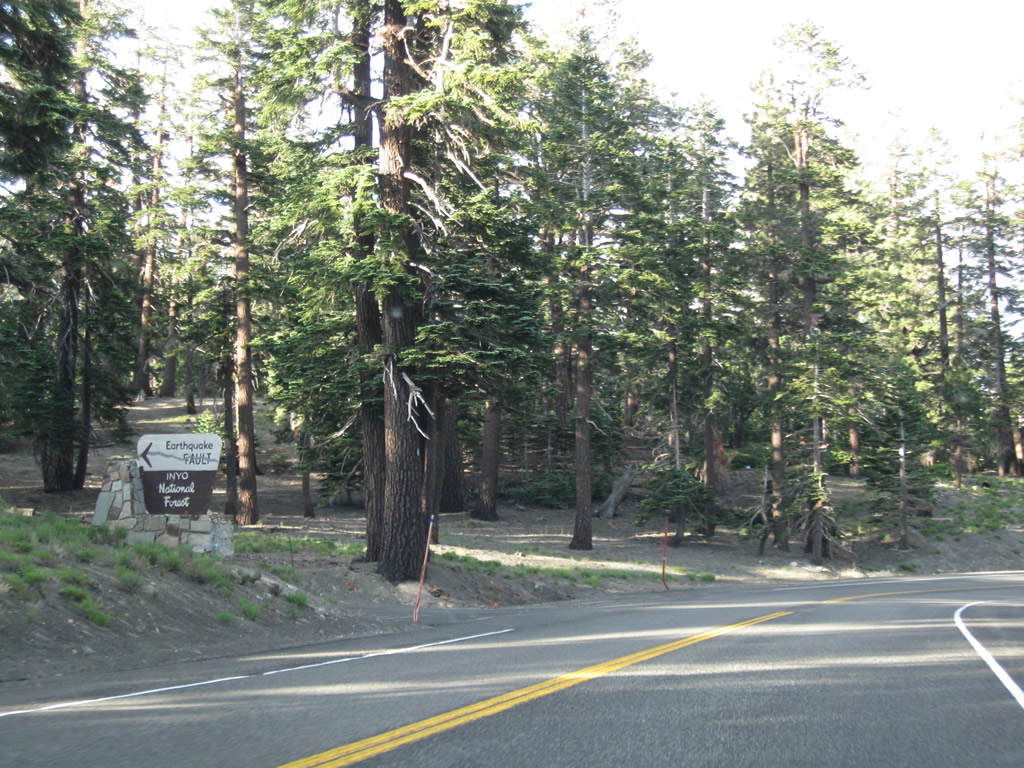
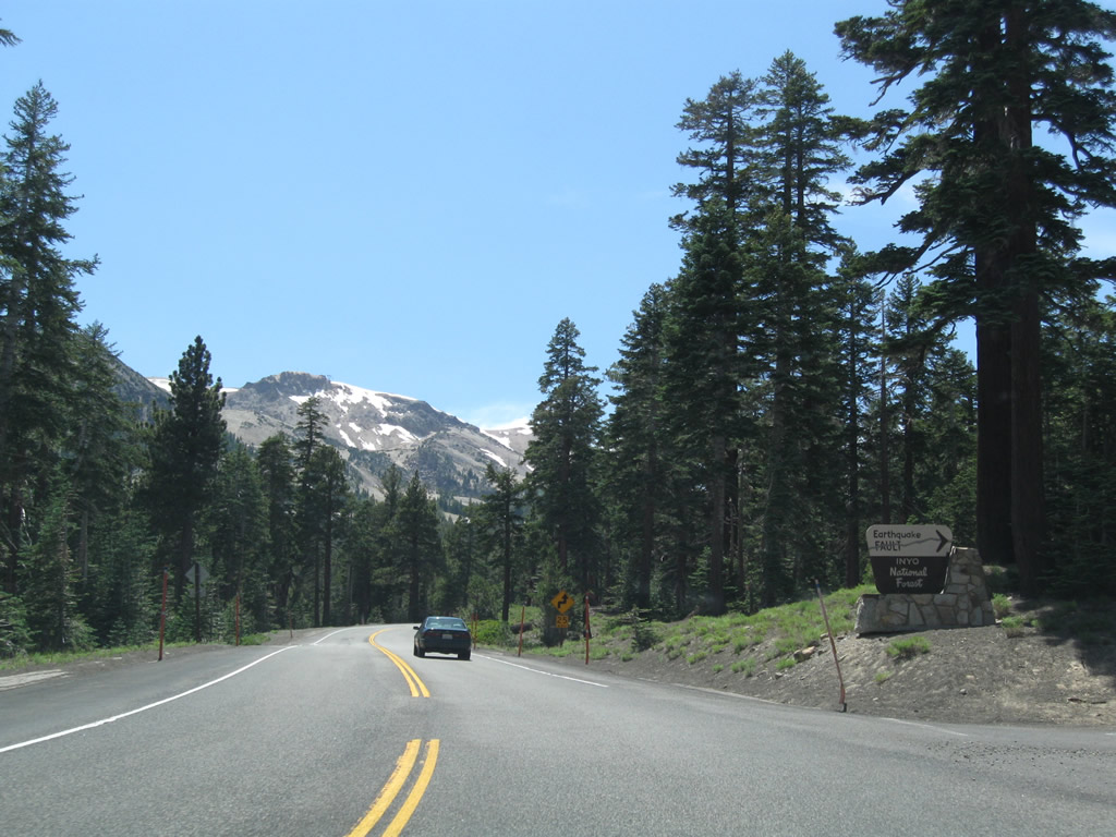
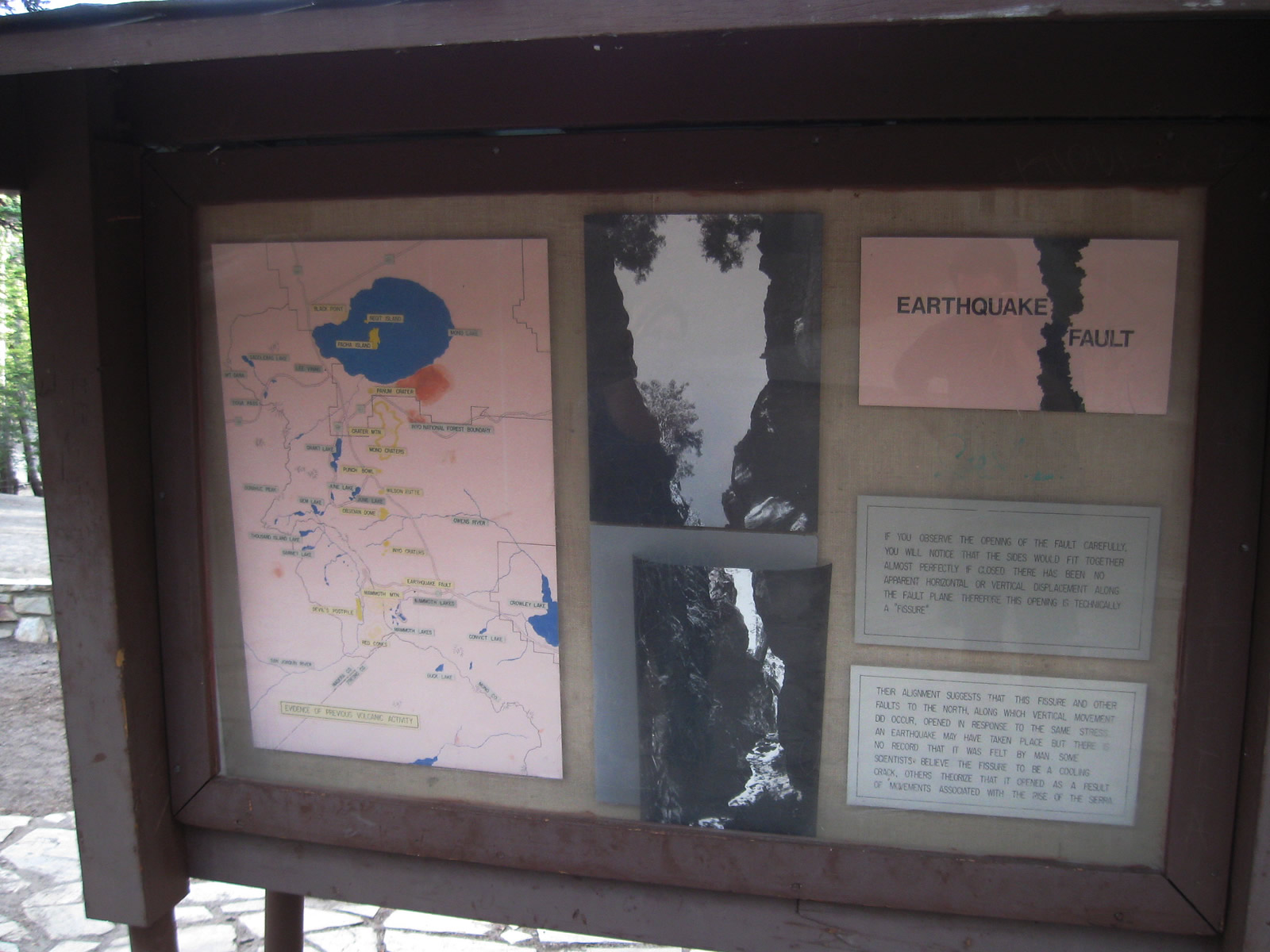
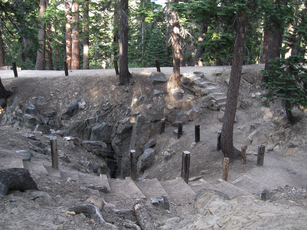
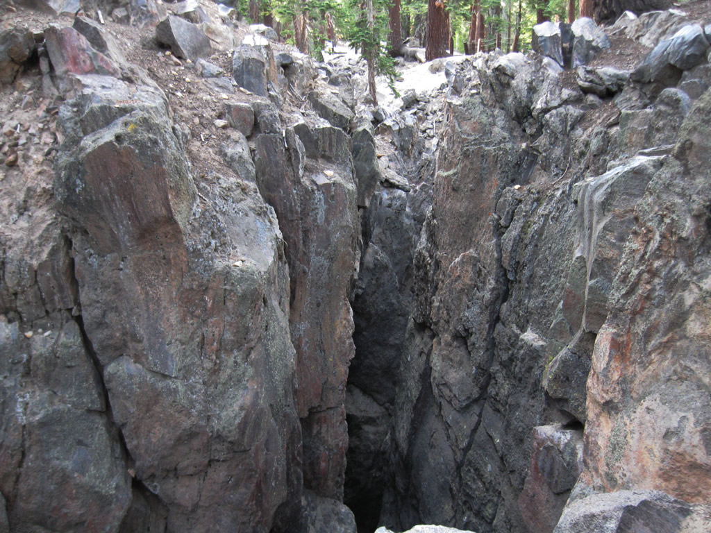
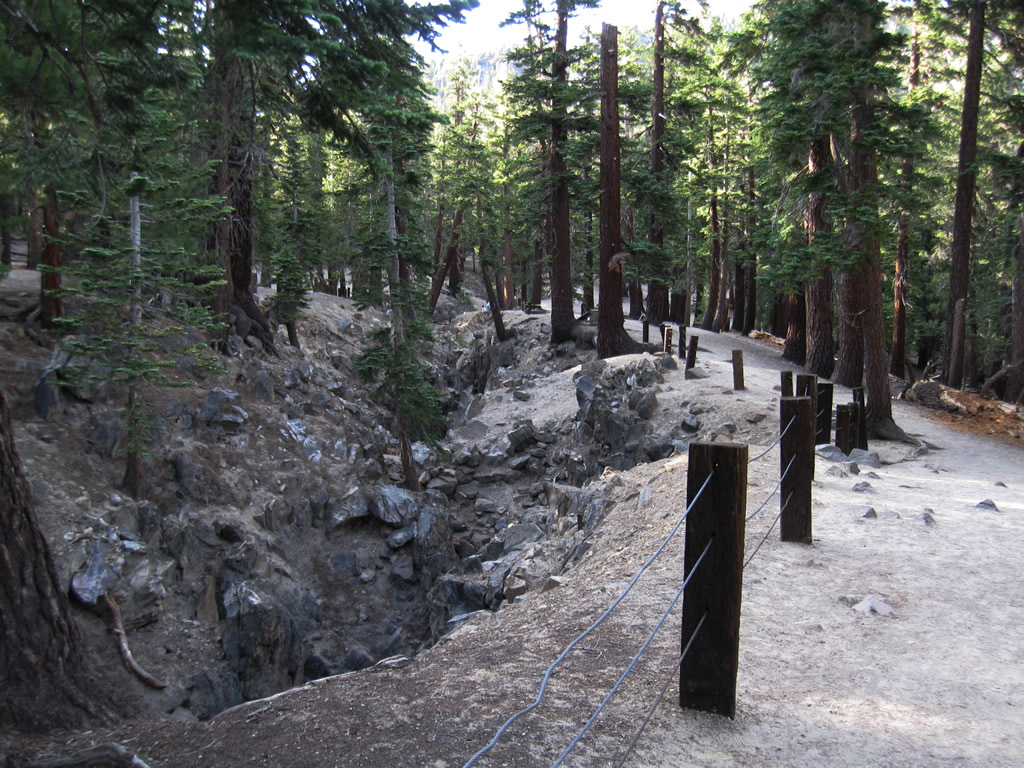
Westbound California 203 meets the turnoff to Earthquake Fault. A parking area adjacent to the 50-fott-deep fissure in the earth allows visitors to witness the extent of earth movement. Theories abound on the origin of this fissure: an earthquake, the rise of the Sierra Nevada, or lava. Geological activity is very common in and around Mammoth Lakes, resulting in astounding beauty but leaving the potential for danger. Photo taken 07/25/09. |
|
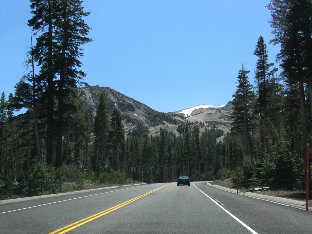
Passing under powerlines, California 203 continues to gain elevation before reaching Mammoth Mountain. Photo taken 07/25/09. |
|
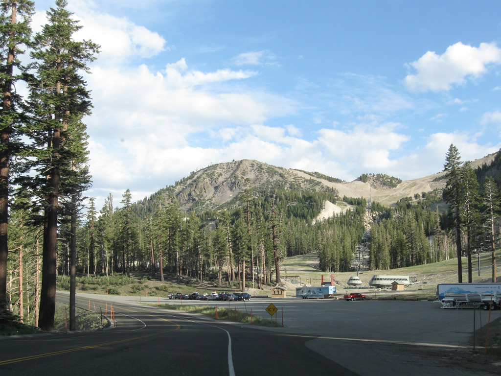
The slopes of Mammoth Mountain come into view. Skiers travel from all over the Southwest to ski at Mammoth Mountain. A common refrain each winter is the journey of skiers from Southern California up U.S. 395 to Mammoth for a weekend of skiing. Photo taken 07/25/09. |
|
An Inyo National Forest sign greets visitors to Mammoth Mountain. Parking areas line both sides of the highway. Photo taken 07/25/09. |
|
|
|
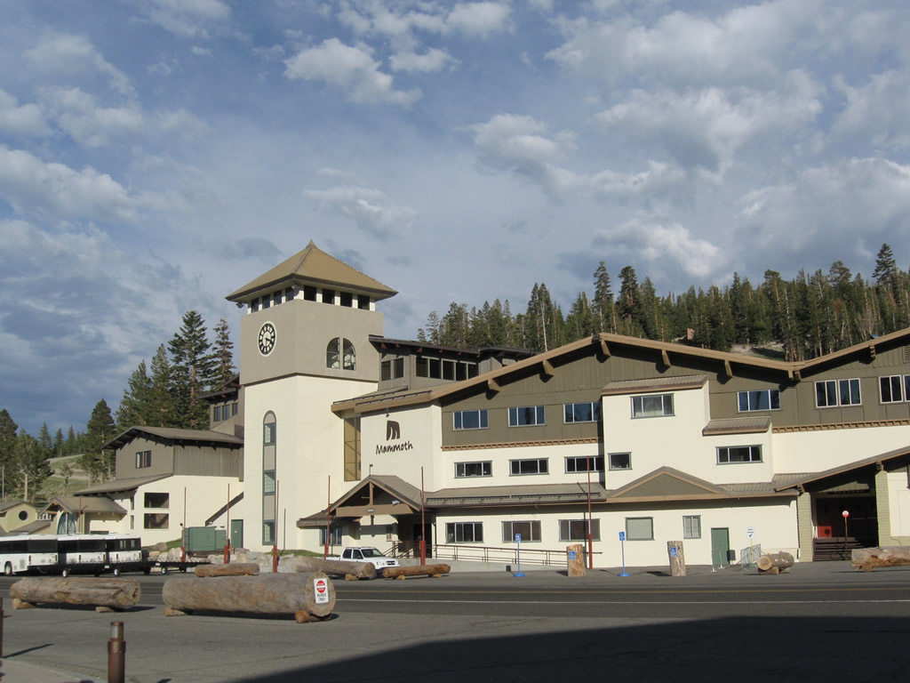
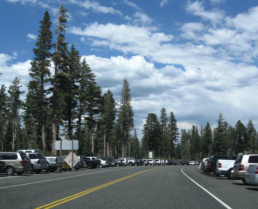
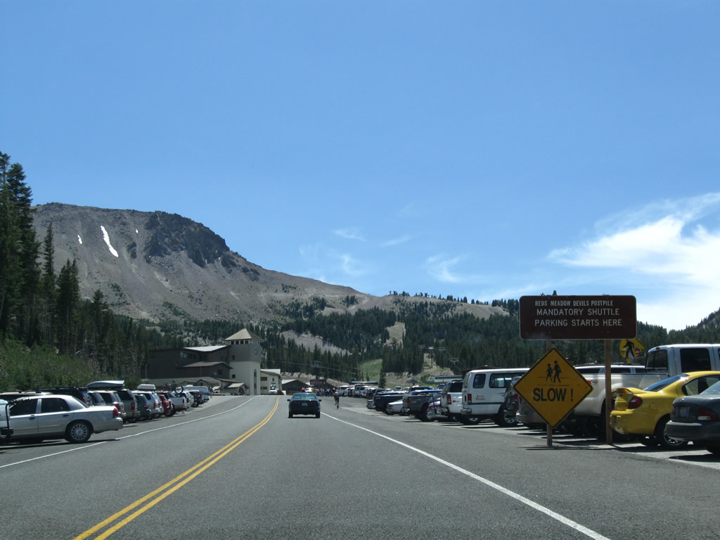
Westbound California 203 enters the large parking area for Mammoth Mountain resort. Both sides of the highway feature perpendicular parking, and a large parking lot is located closer to the resort. During hours of shuttle operation, all through traffic to Devils Postpile and Reds Meadow must park and take the shuttle into the valley. Photos taken 07/25/09. |
|
|
|
|
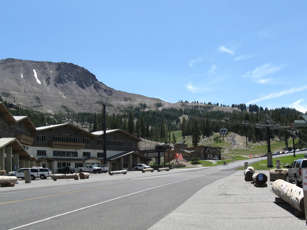
Passing through the Mammoth Mountain resort parking lot, a gondola line passes over the state route. Park here to ride the gondola or to see Devils Postpile and Reds Meadow. California 203 ends about one mile east of here at the Mono-Madera County Line at Minaret Summit. Beyond Minaret Summit (el. 9,174 feet), traffic is metered to allow only campers and shuttle buses. All day-use visitors between 7:00 a.m. and 7:00 p.m. are required to use the shuttle. The shuttle has not always been in place; it was first activated in 1980. Photo taken 07/25/09. |
|
A wooly mammoth (elephant) stands guard in front of the Mammoth Mountain gondola terminal. Tickets for the gondola and shuttle bus to Reds Meadow is located within the building behind the wooly mammoth. During winter, the road typically is unplowed beyond this point and thus is closed in winter west of here. Access to Devils Postpile and Reds Meadow is limited during winter due to snow closures. Photo taken 07/25/09. |
| Minaret Road (Postpile Road) - west |
|
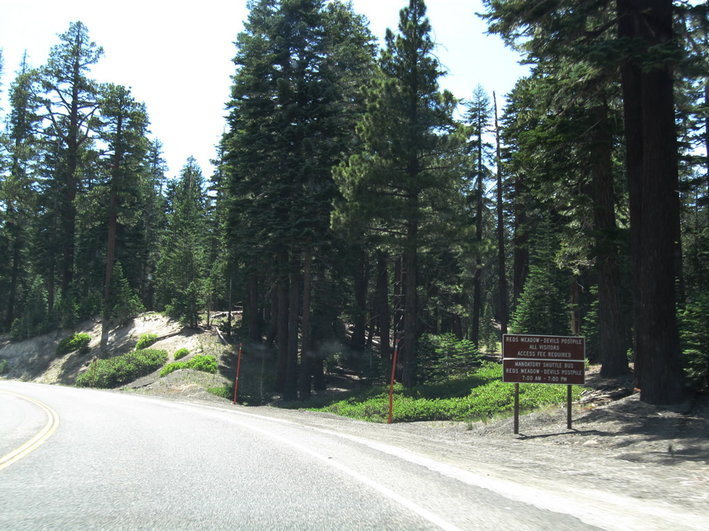
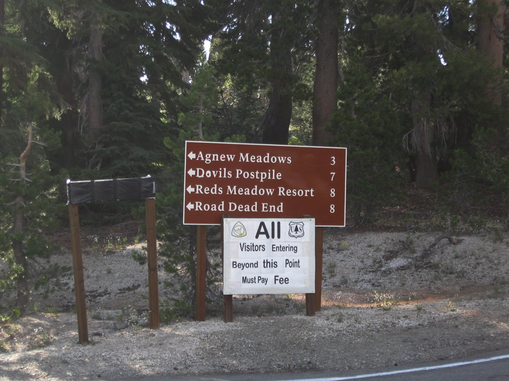
This mileage sign along Minaret Road provides the distance to Agnew Meadows (three miles), Devils Postpile (seven miles), Reds Meadow (eight miles), and Roads End (eight miles). The last eight miles are all under U.S. Forest Service maintenance and are not part of California 203. The road is only open in summer and requires a fee to be paid for entry, typically through the shuttle bus fare. Photo taken 07/25/09. |
|
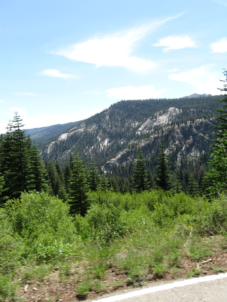
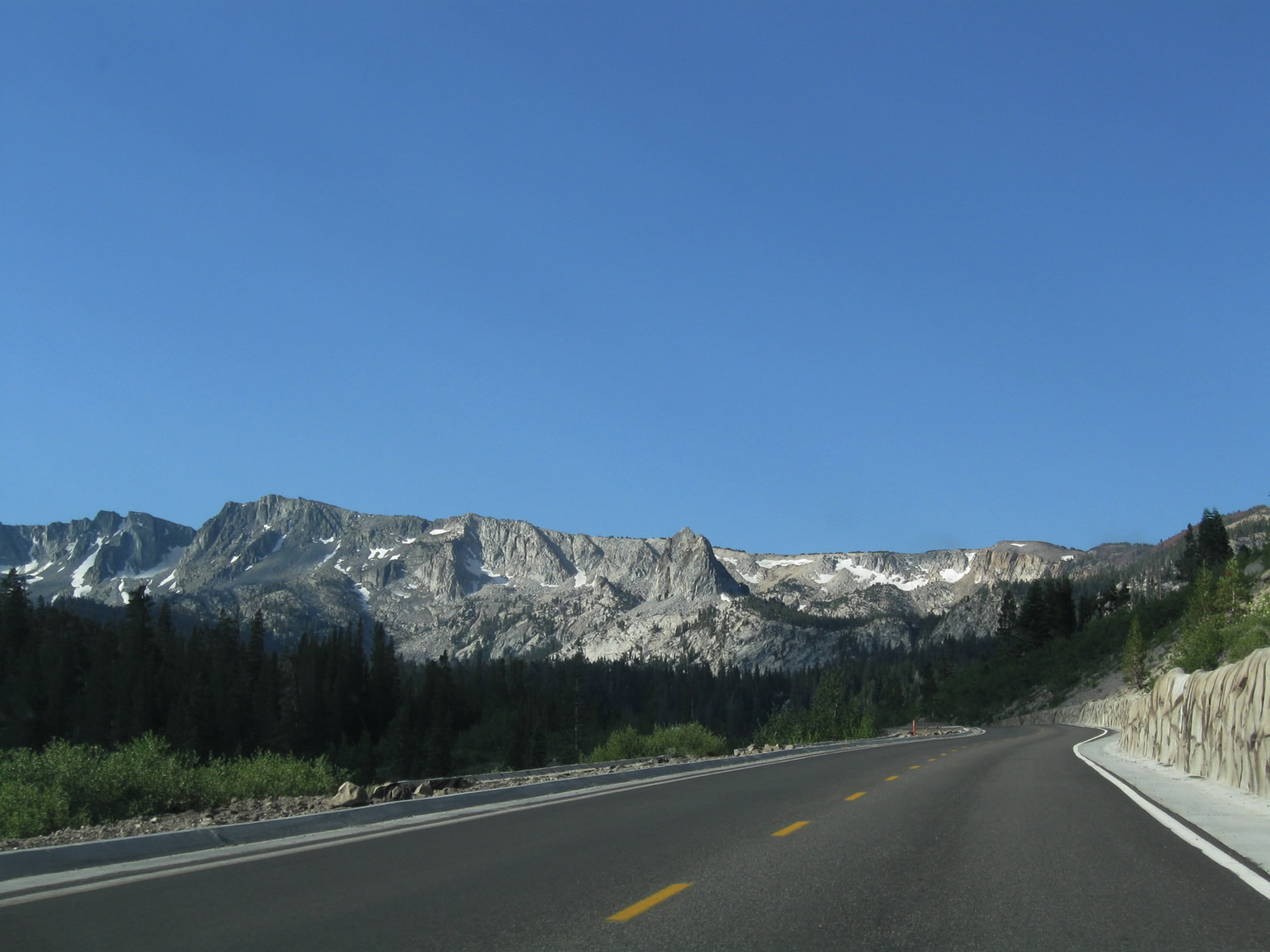
Riding the shuttle bus into the valley along Minaret Road after the end of California 203, the majestic Sierra Nevada rise on both sides of the highway. This photo was taken from the shuttle bus as we descended toward Agnew Meadows. Photo taken 07/25/09. |
| California 203 scenes |
|
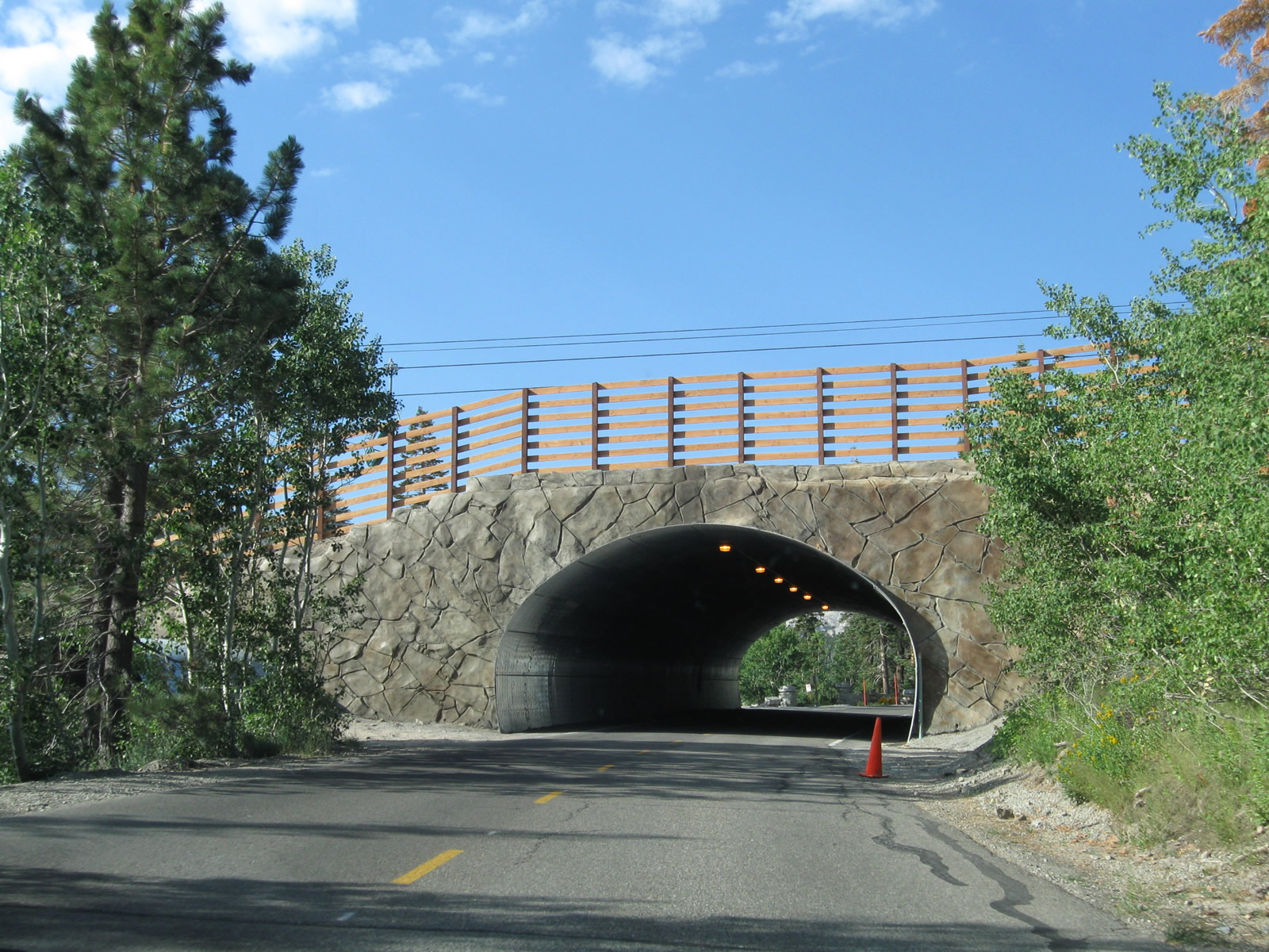
Although not part of California 203, Lake Mary Road is notable for a tunnel that carries the roadway under a ski run. At the time this picture was taken, construction was underway to incorporate a bike path into the roadway corridor. Photo taken 07/26/09. |
|
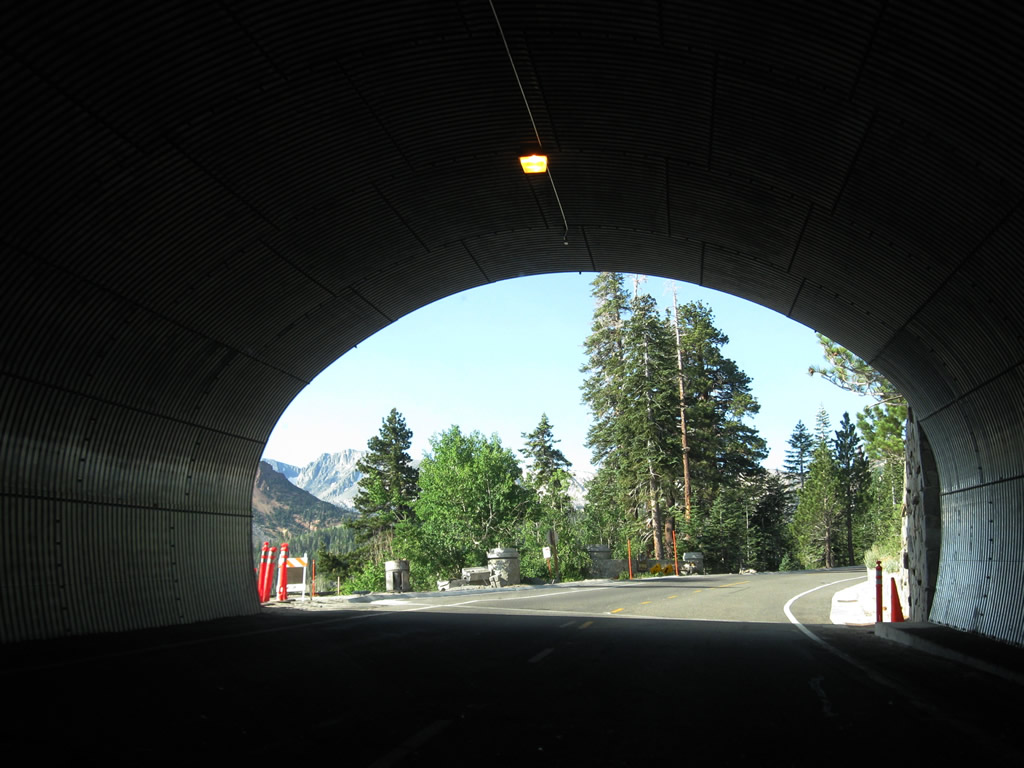
This view from the tunnel looks south toward Mammoth Lakes. Photo taken 07/26/09. |
|
Lake Mary Road curves southwest and then south toward the towering peaks that line up behind Mammoth Lakes, including Mammoth Peak (el. 11,030 feet). Photo taken 07/26/09. |
|
|
|
|
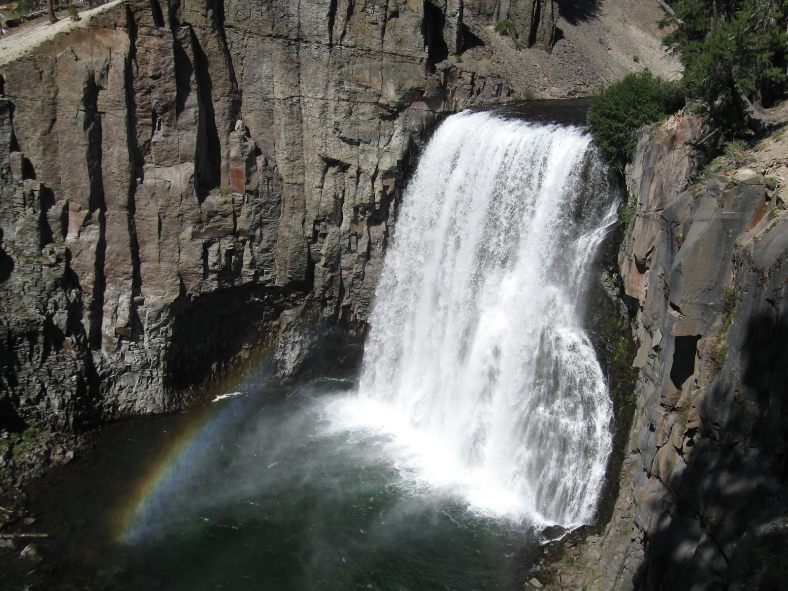
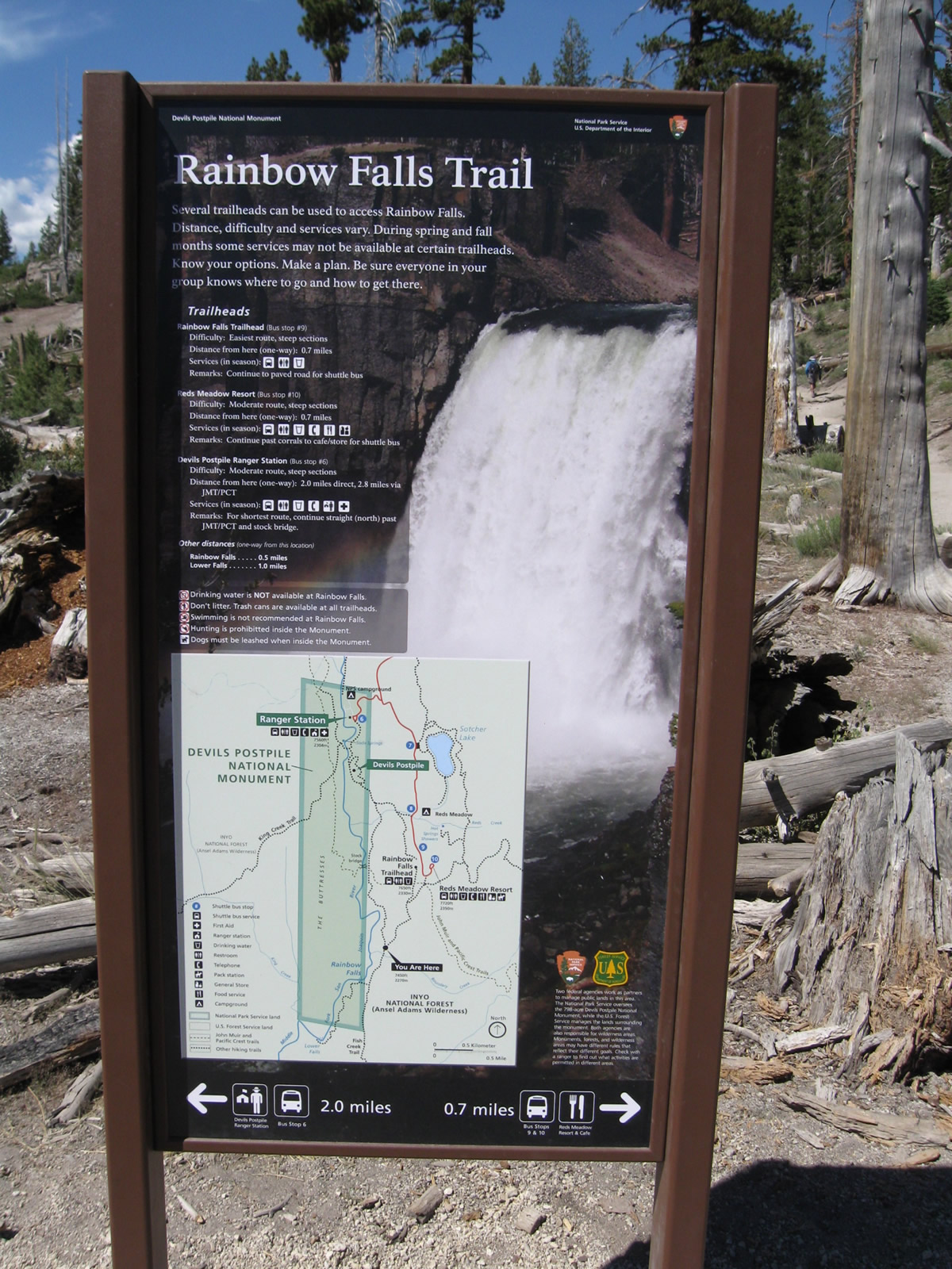
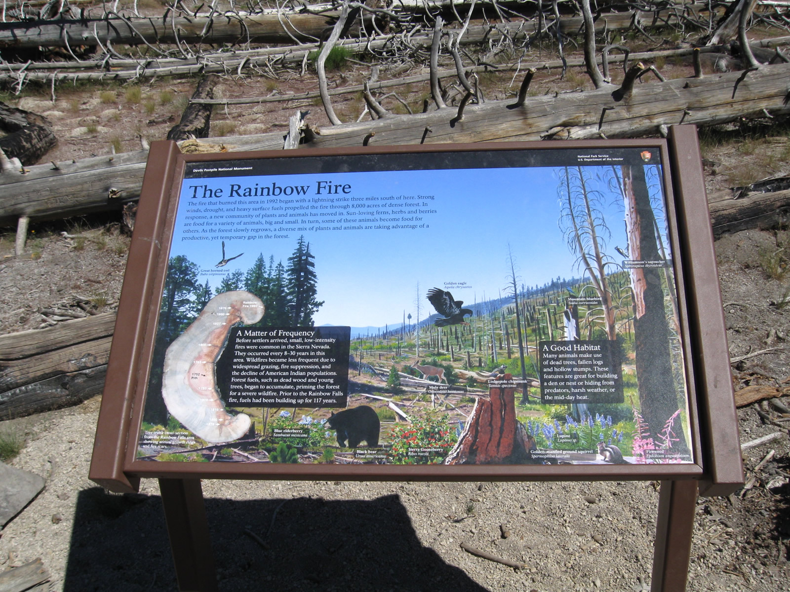
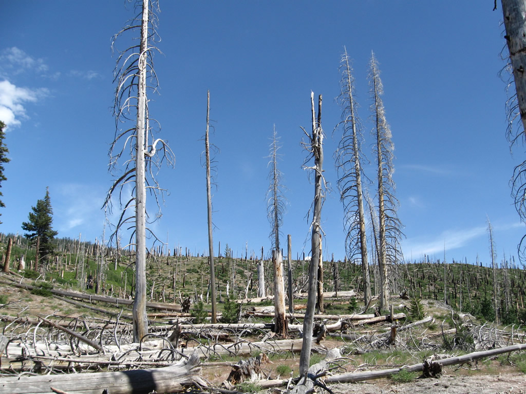
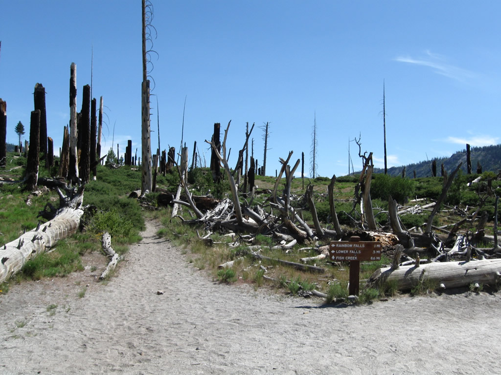
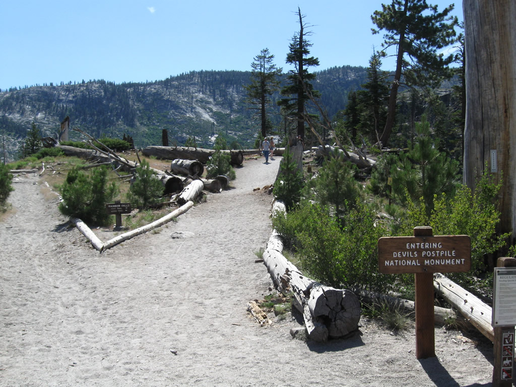
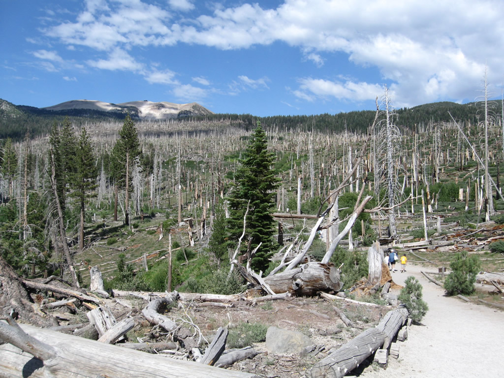
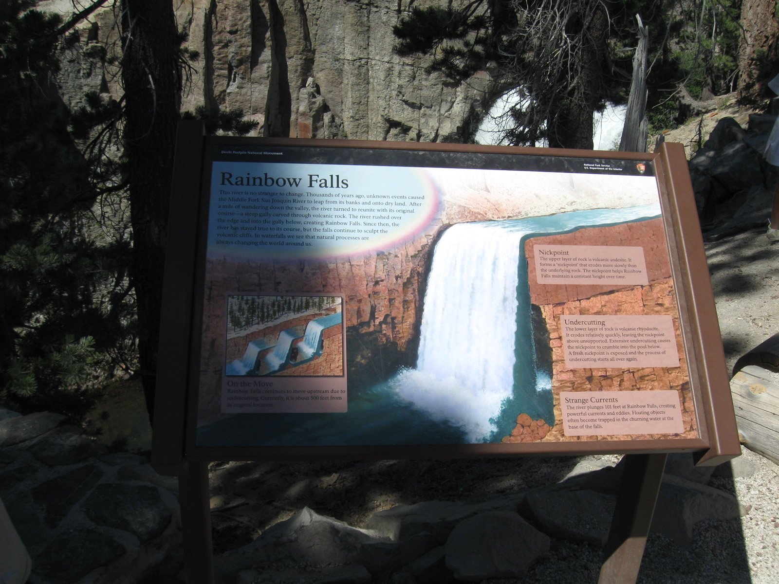
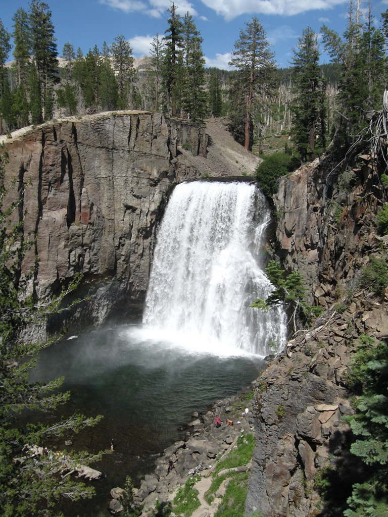
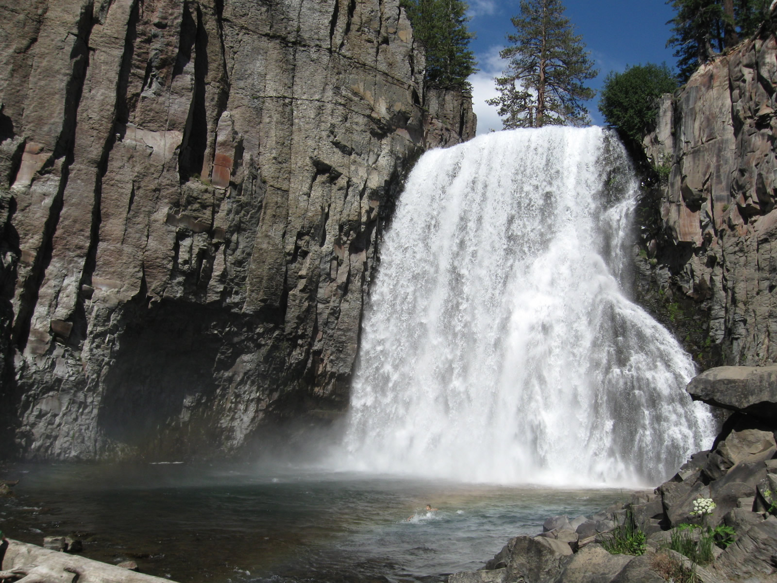
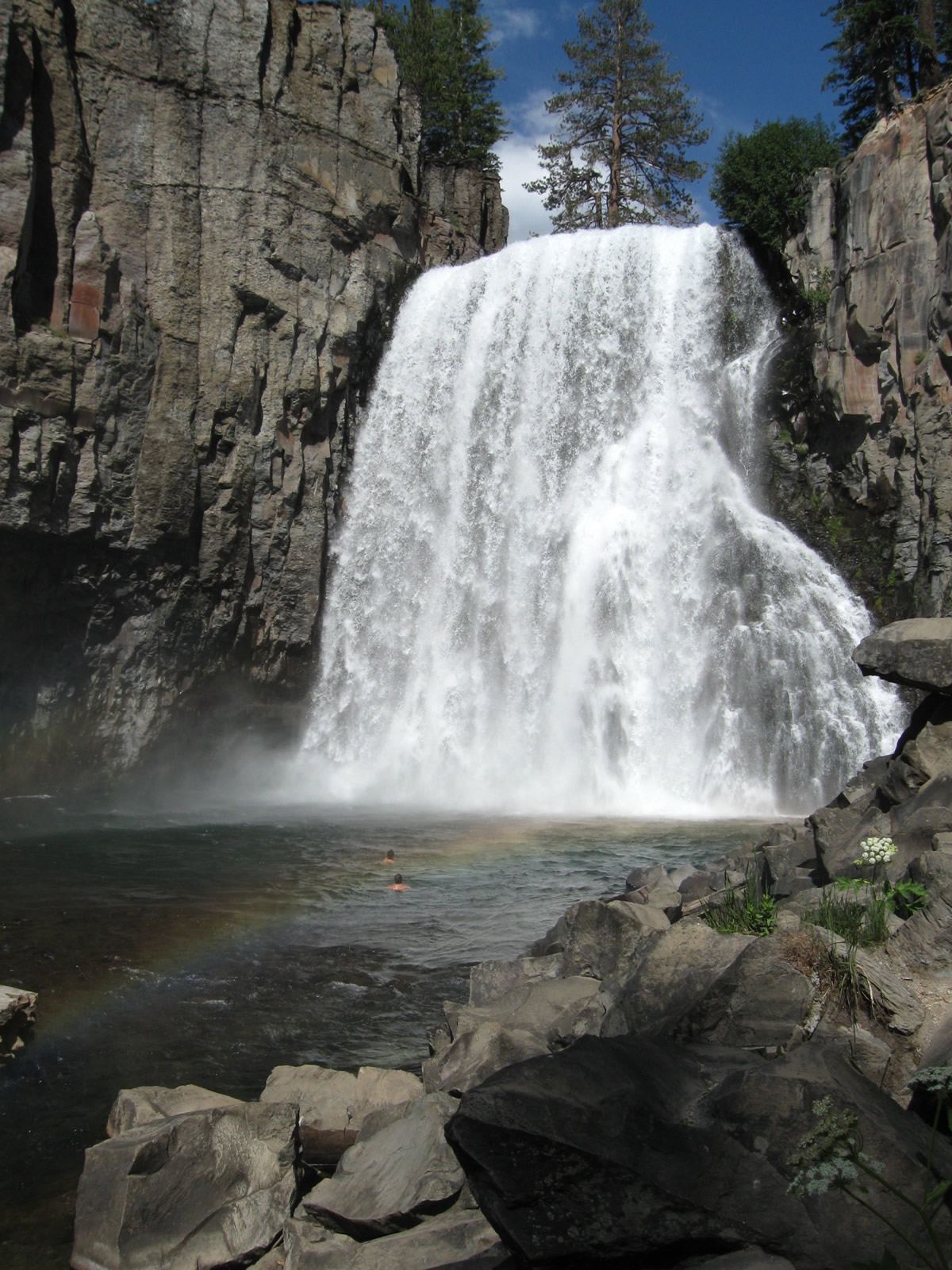
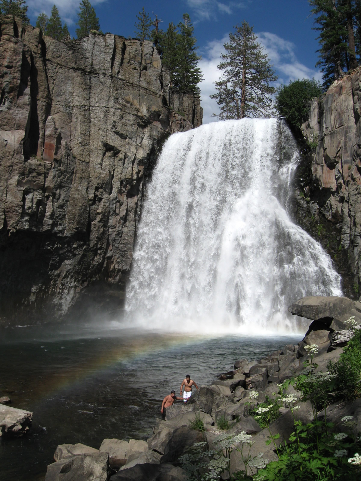
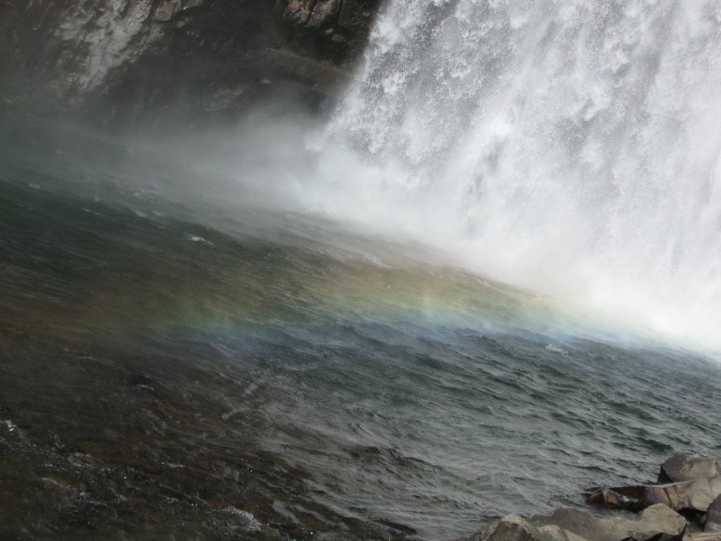
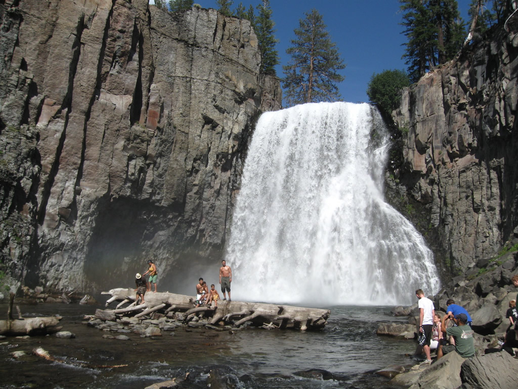
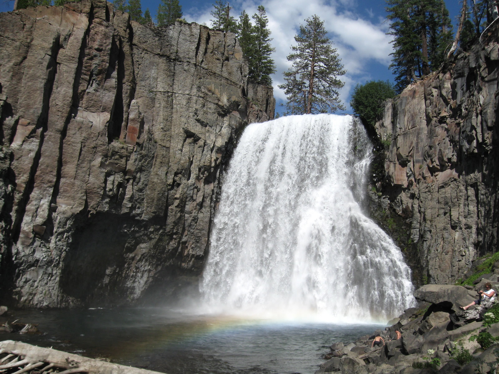
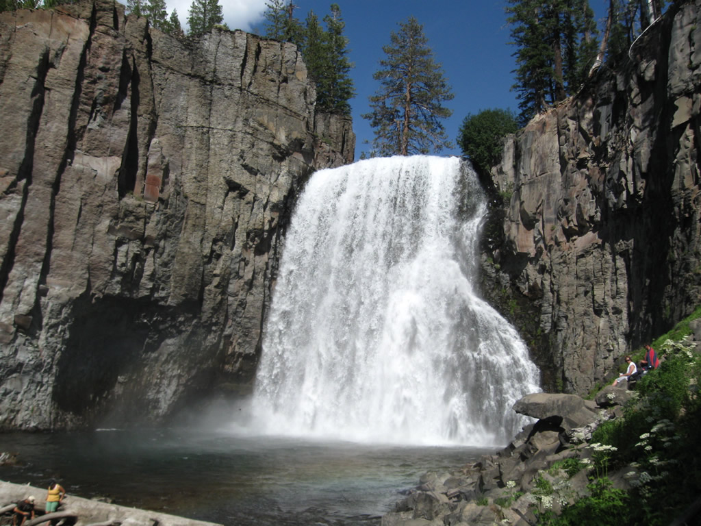
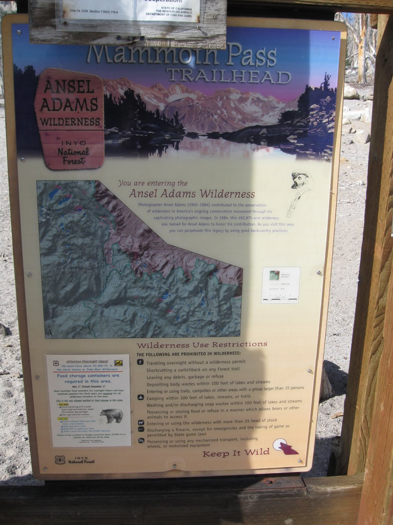
This series of photos shows Rainbow Falls, which is part of Devils Postpile National Monument. A hike along a dirt trail through Inyo National Forest (Ansel Adams Wilderness) connects Rainbow Falls with Devils Postpile. A fire burned significant portions of the valley in 1992, the year before rains drenched the area in the wet winter of 1992-1993. Rainbow Falls carries the Middle Fork of the San Joaquin River down 101 feet. For a couple hours around midday, a rainbow (as seen here) forms within the ample mist generated by the cascading water. Photos taken 07/25/09. |
|
|
|
|
|
|
|
|
|
|
|
|
|
|
|
|
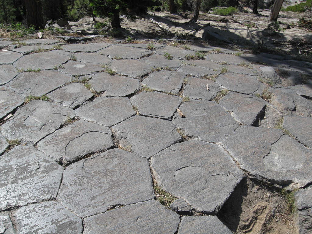
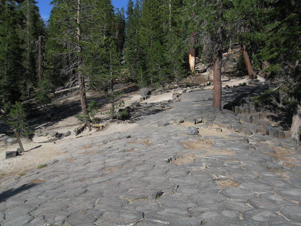
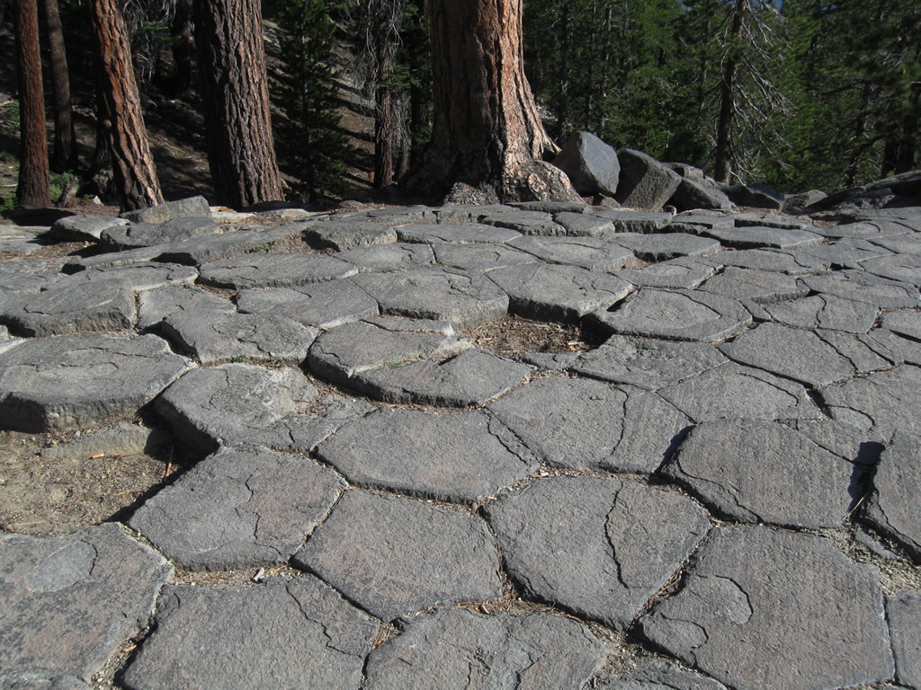
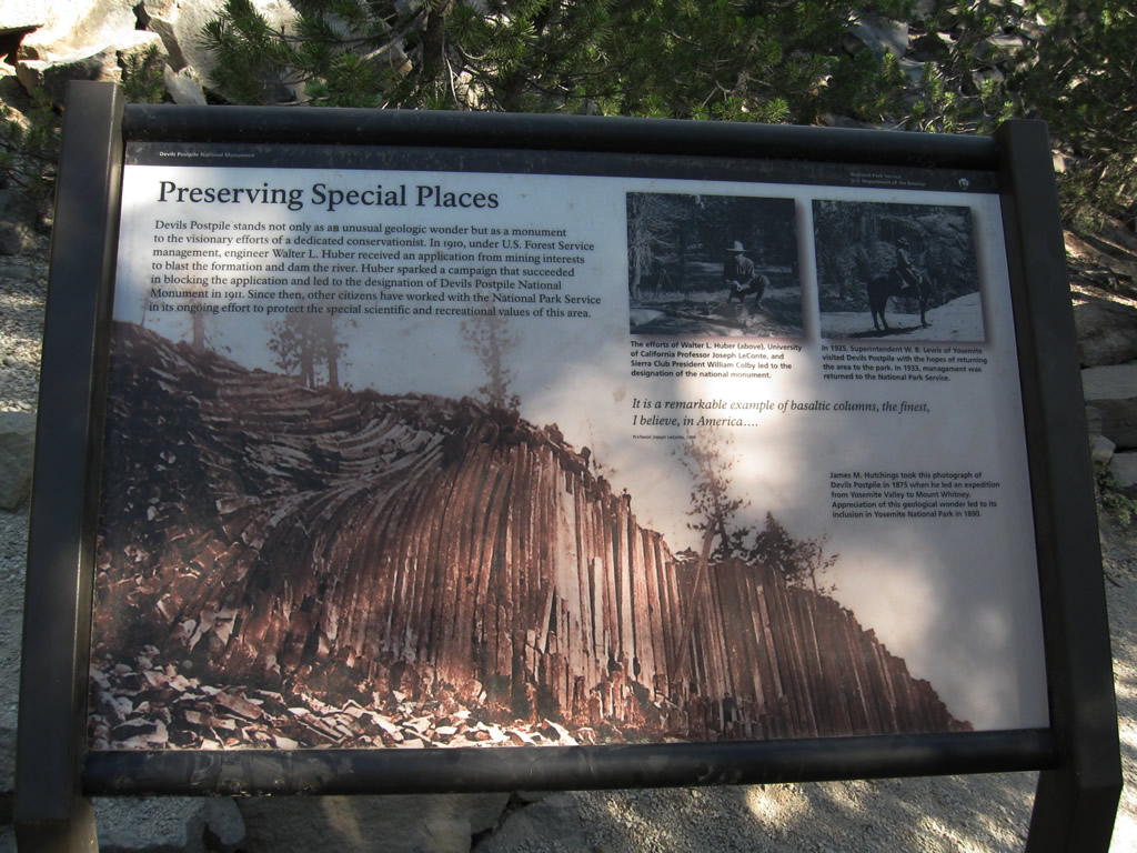
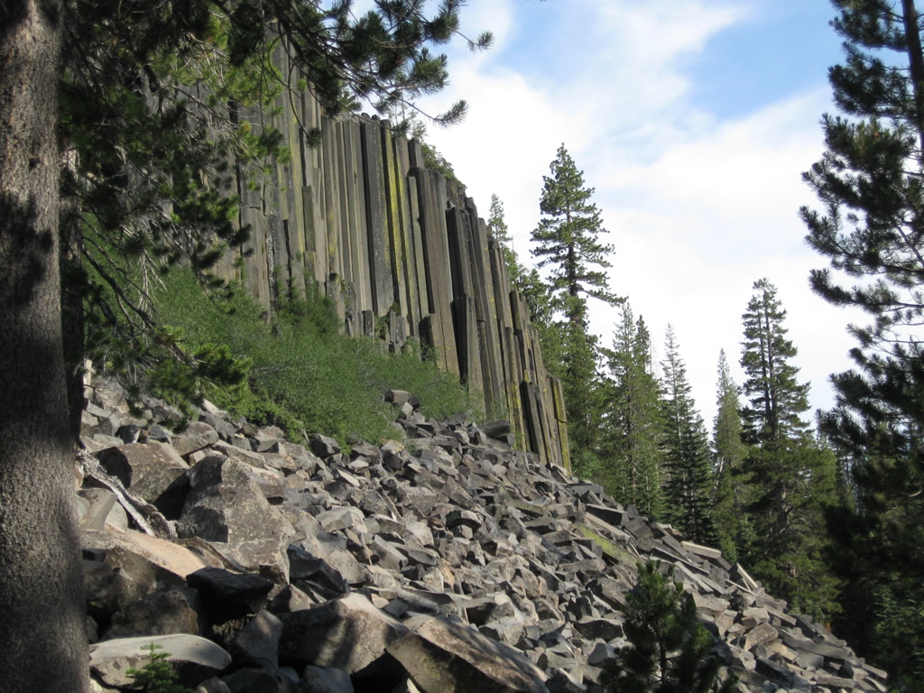
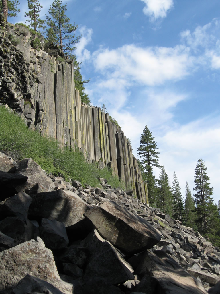
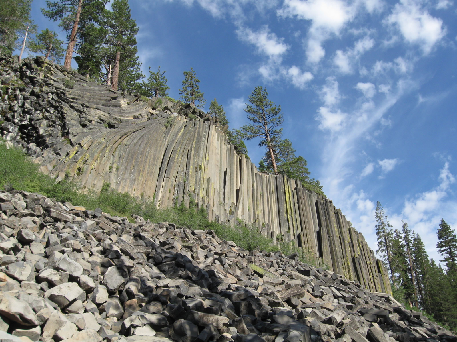
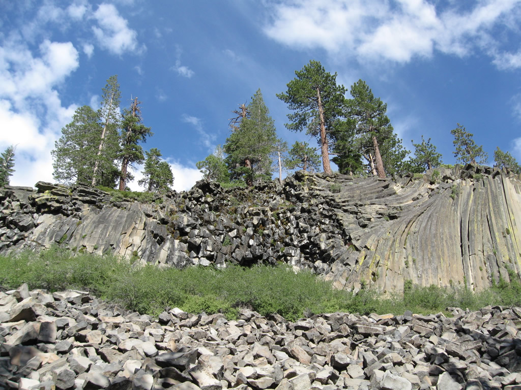
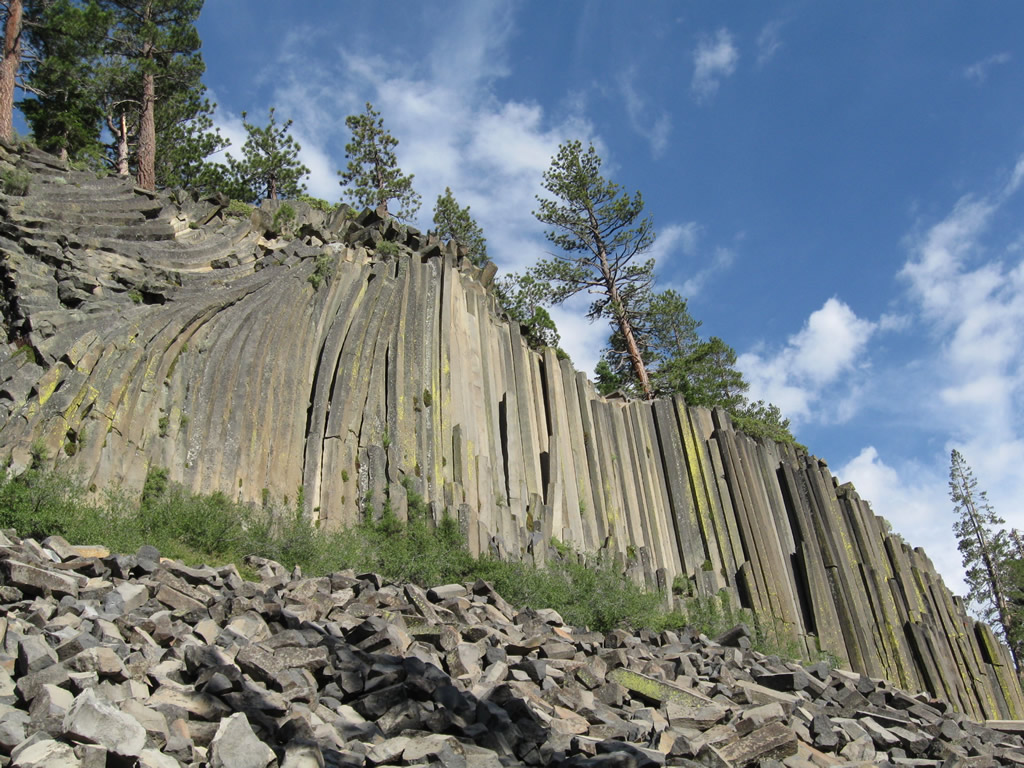
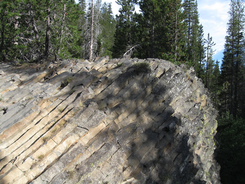
Near Rainbow Falls is Devils Postpile, which is also part of Devils Postpile National Monument. This series of photos shows the area around the postpile including the orderly stack of volcanic columns that persist to this day in their orderly arrangement. The top of the pile is accessible, and the columns form a nearly smooth floor with mostly hexagonal-shaped tiles. Photos taken 07/25/09. |
|
|
|
|
|
|
|
|
|
|
|
|
This series of photos shows Earthquake Fault, which is found along California 203 between Mammoth Lakes and the resort and ski area. Photos taken 07/25/09. |
|
|
|
|
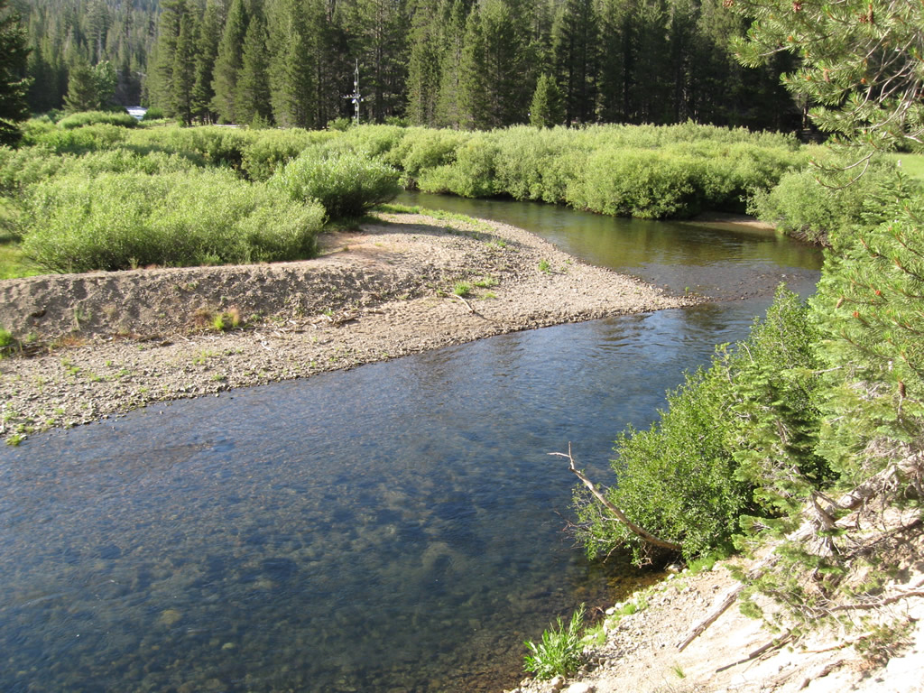
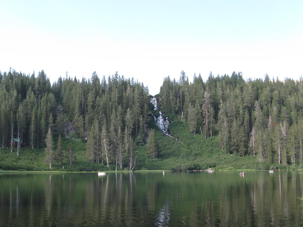
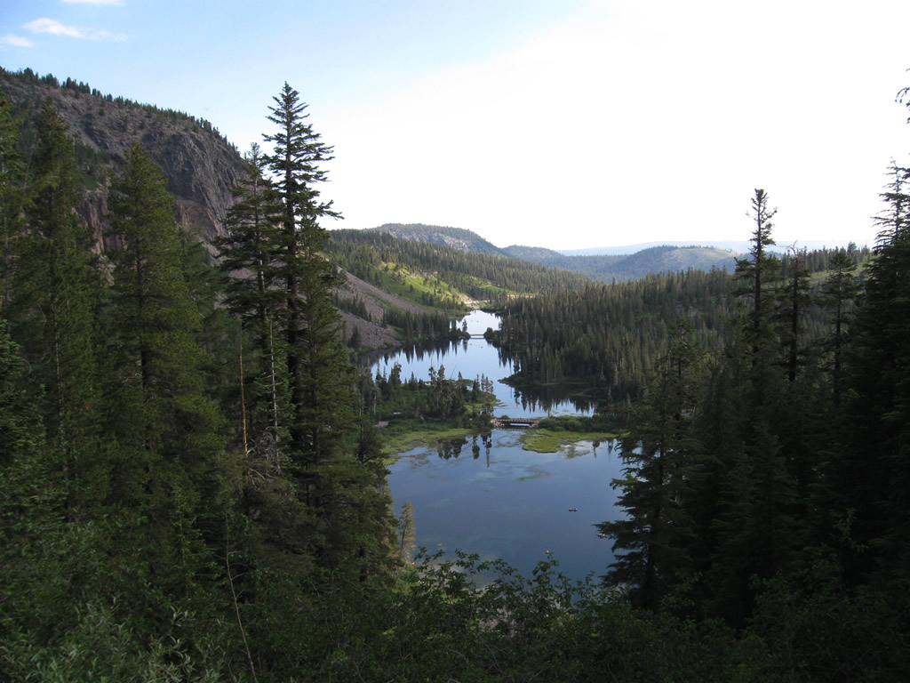
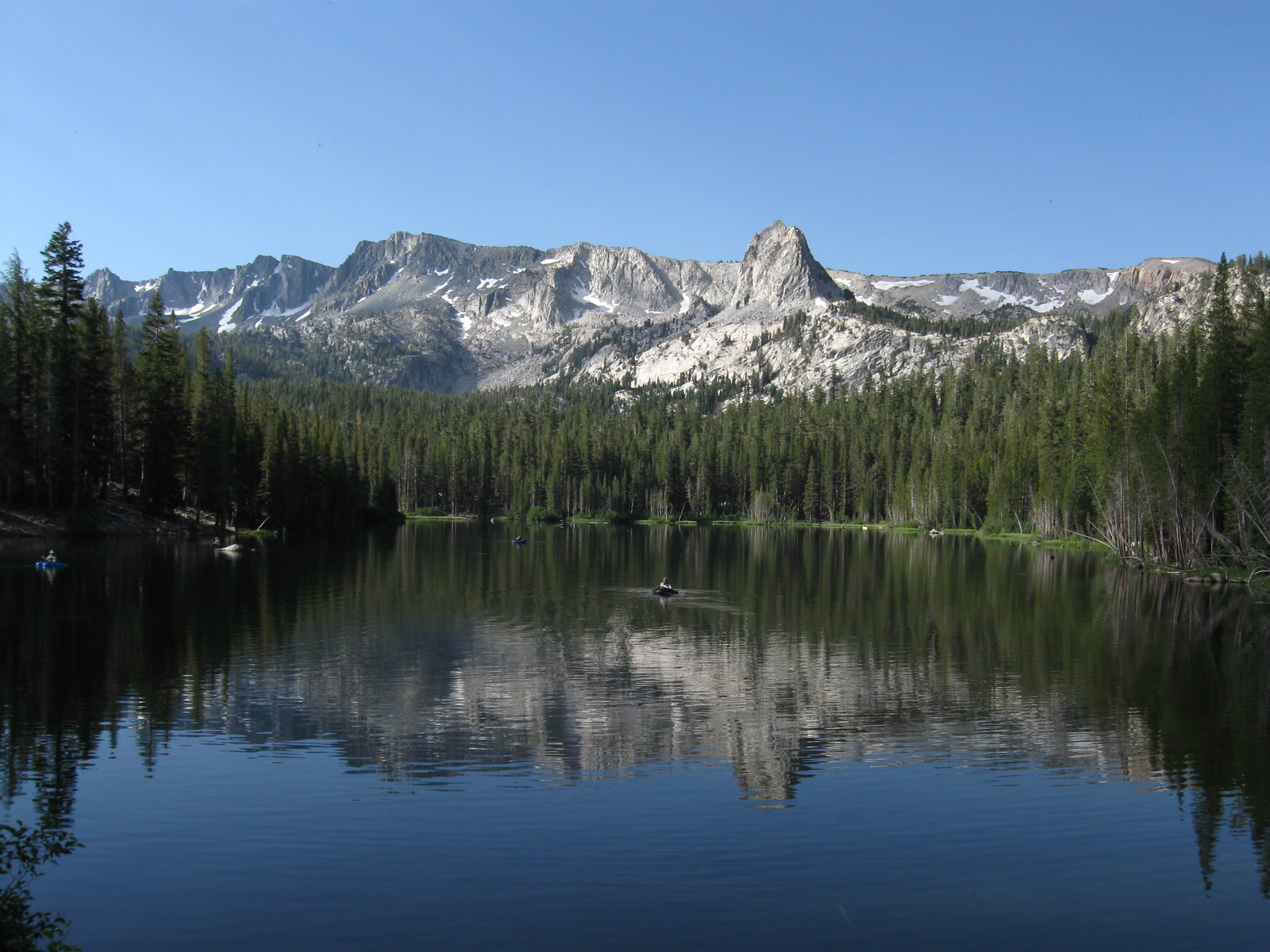
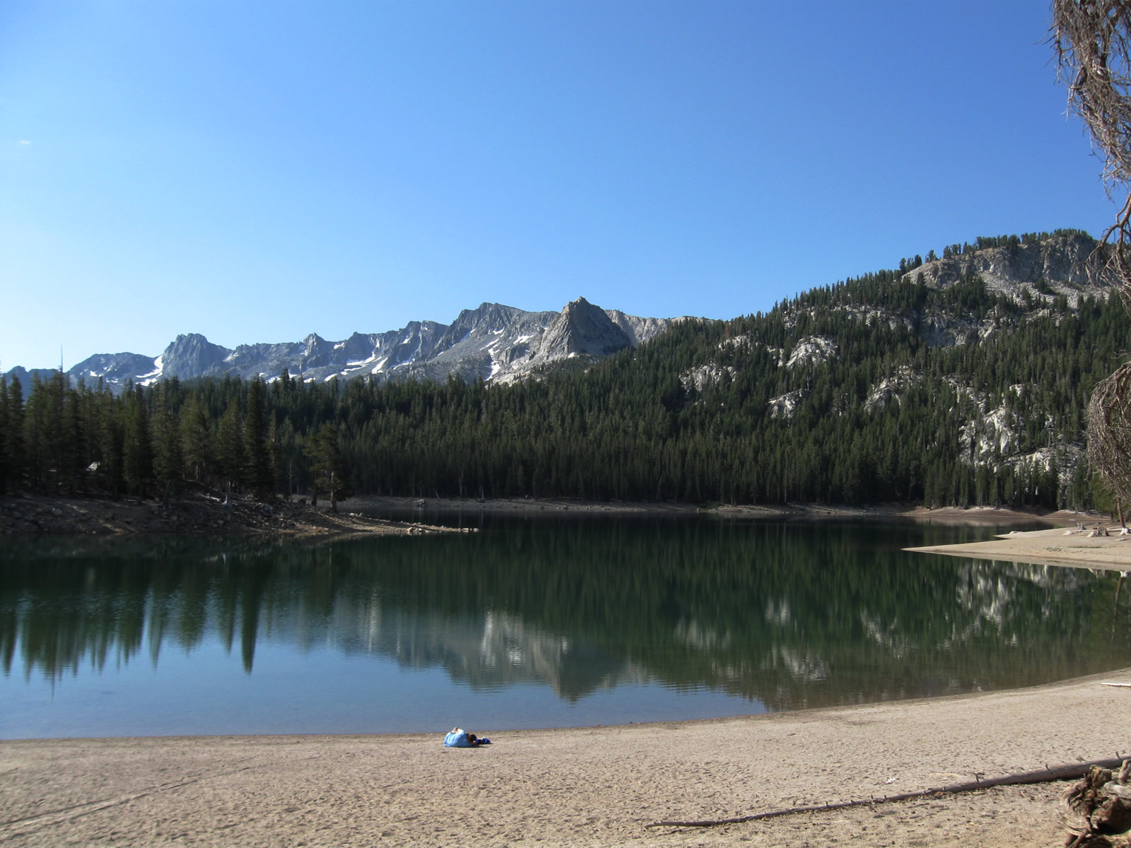
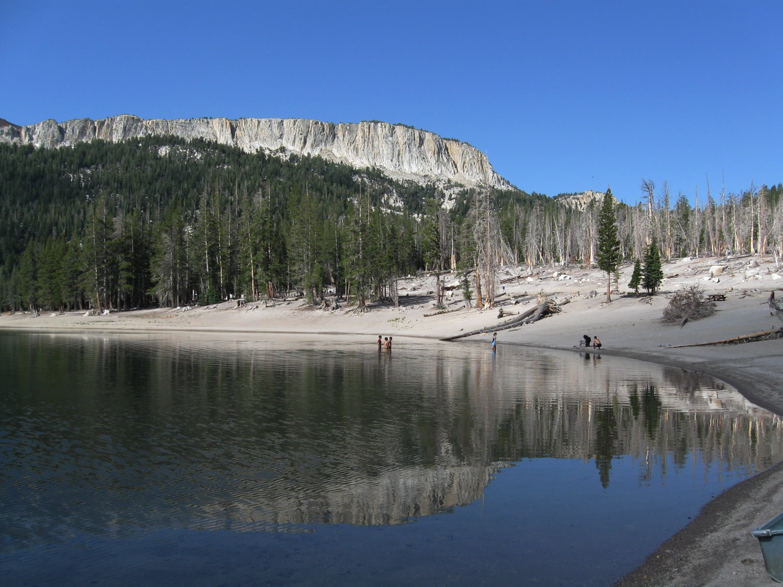
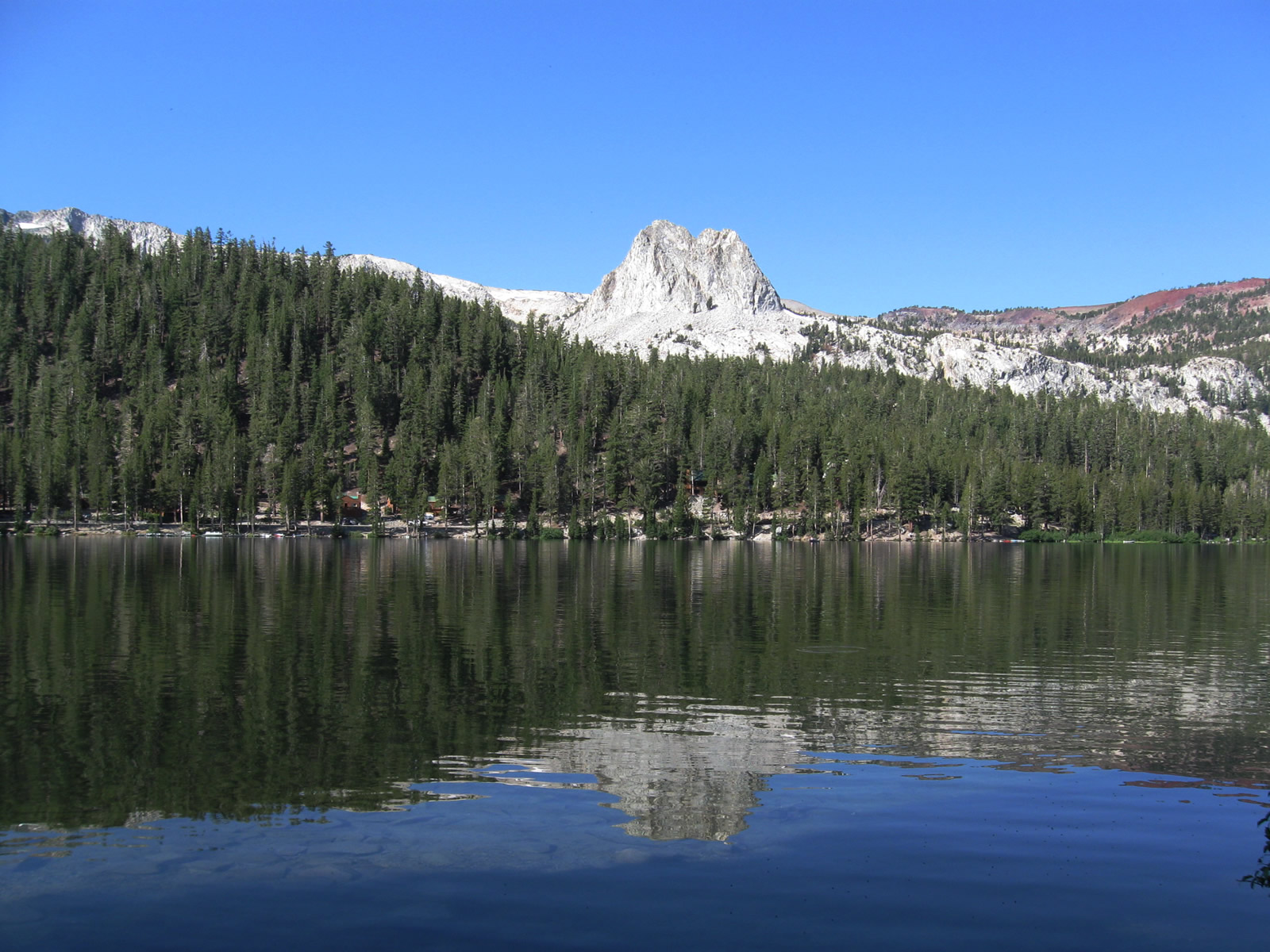
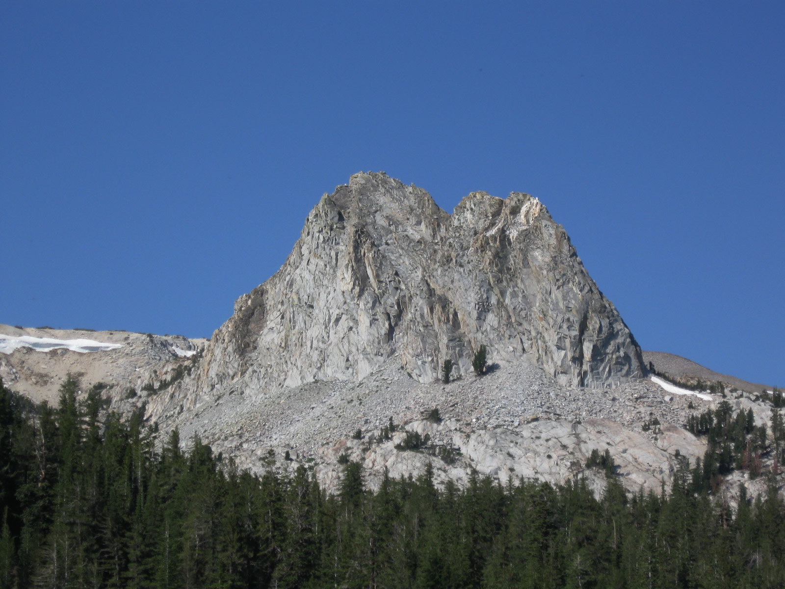
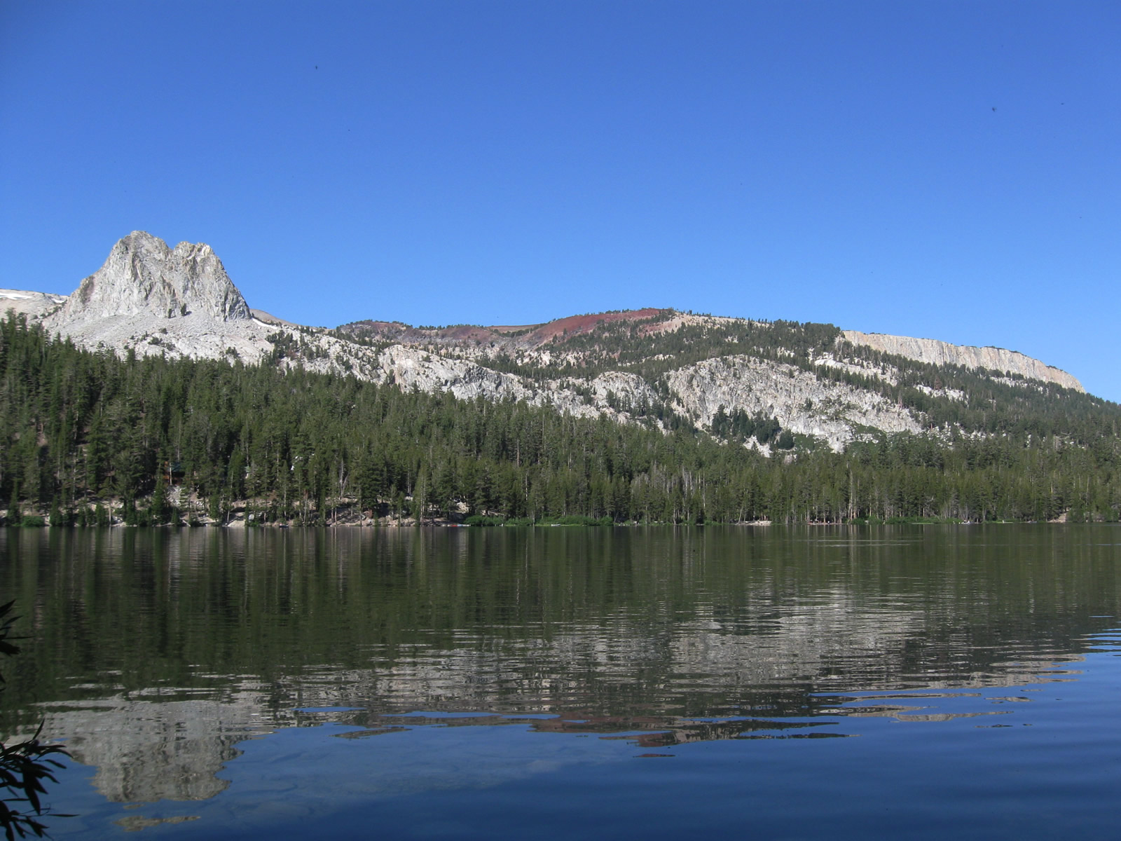
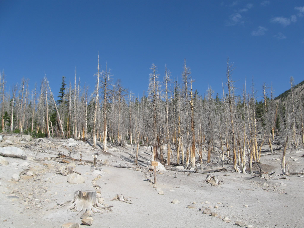
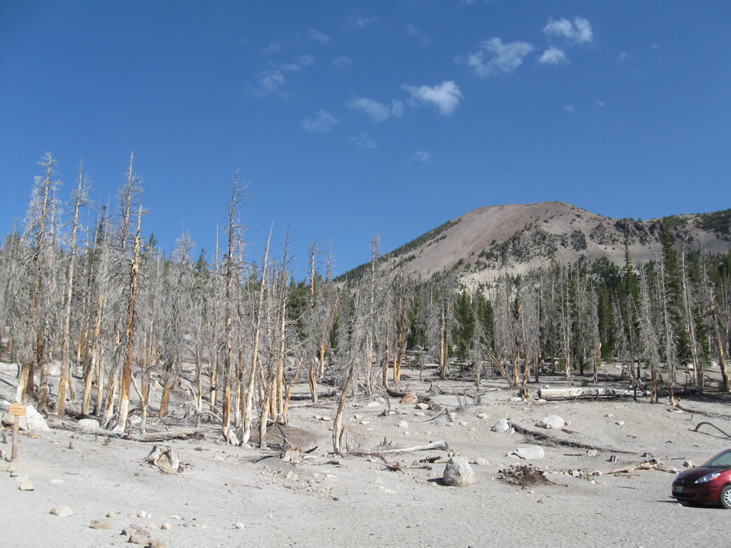
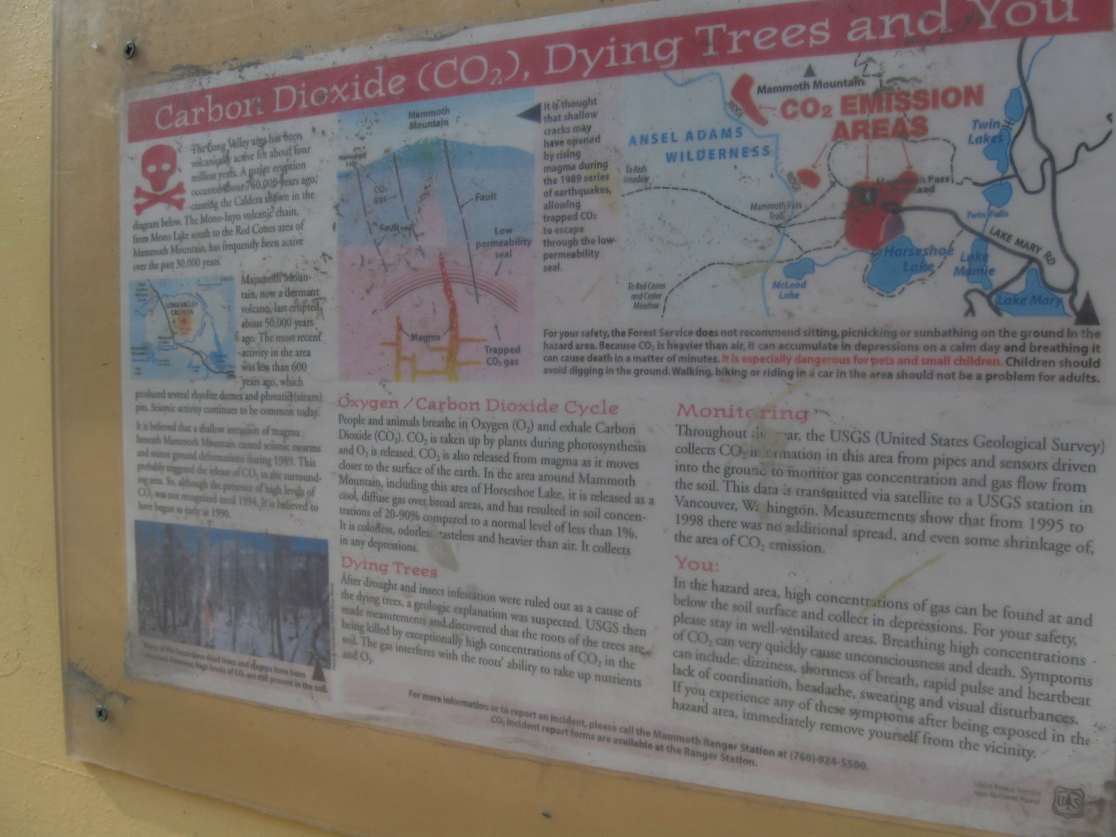
This series of photos shows the Mammoth Lakes, which lie at the southwestern end of Lake Mary Road. Namesake Lake Mary is the largest of the many lakes in this basin. Activities here include camping, hiking, swimming, and fishing. A towering rock formation (Crystal Crag) can be seen from around the lakes, offering a unique view. Volcanic activity around the lakes has resulted in some tree die-off, and warnings persist about the possibility of eruption. Photos taken 07/26/09. |
|
|
|
|
|
|
|
|
Page Updated April 27, 2010.