| Interstate 8 (Kumeyaay Highway) east |
|
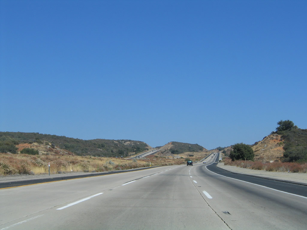
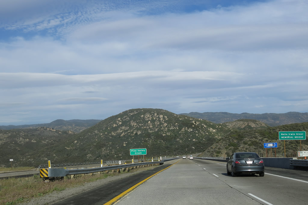
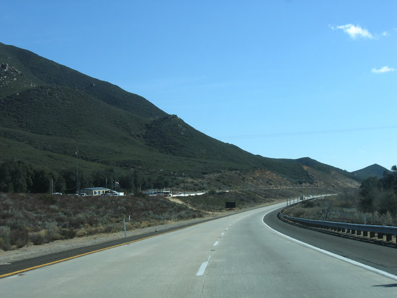
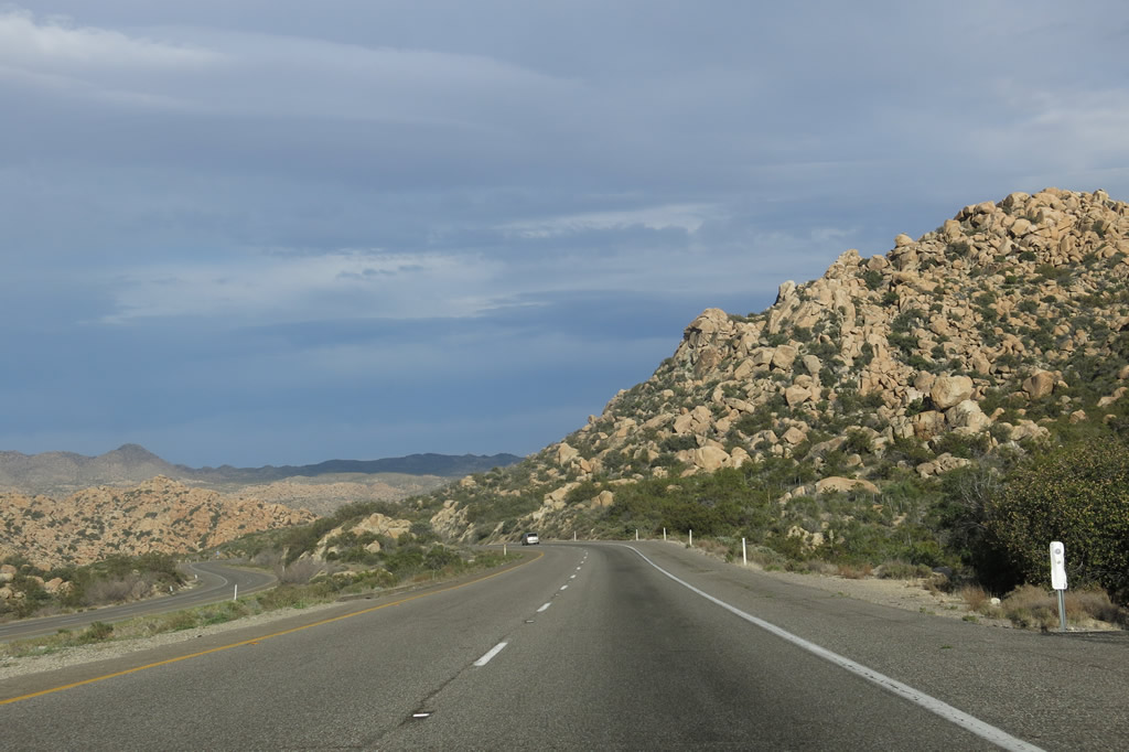
Eastbound Interstate 8 continues with its three lanes uphill as it next approaches the Pine Valley Creek Bridge, one of the tallest bridges on the Interstate Highway System. Photo taken 08/27/04. |
|
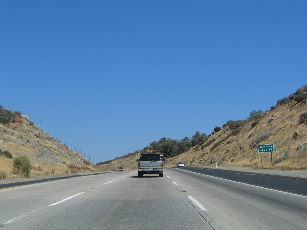
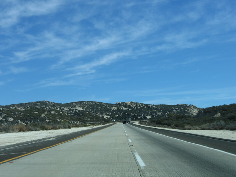
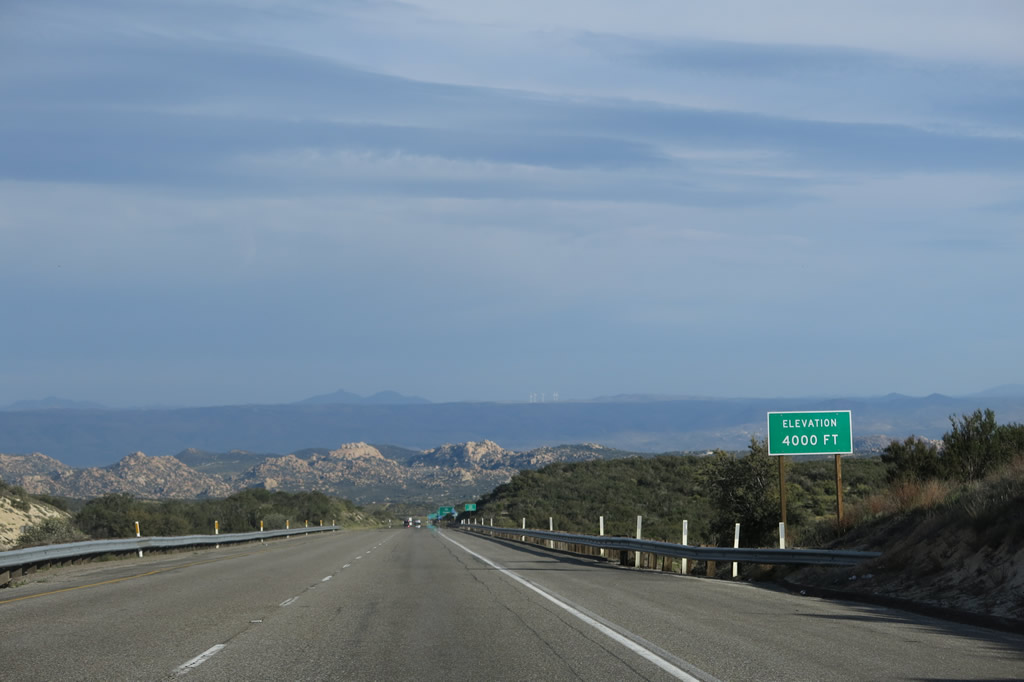
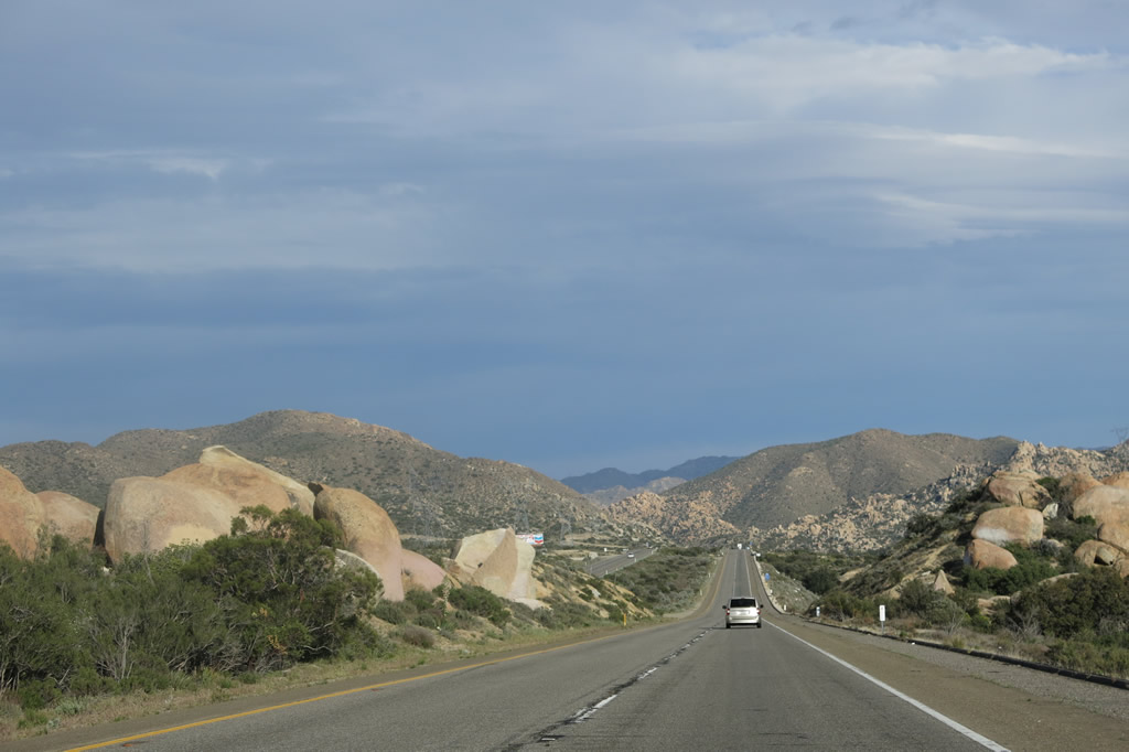
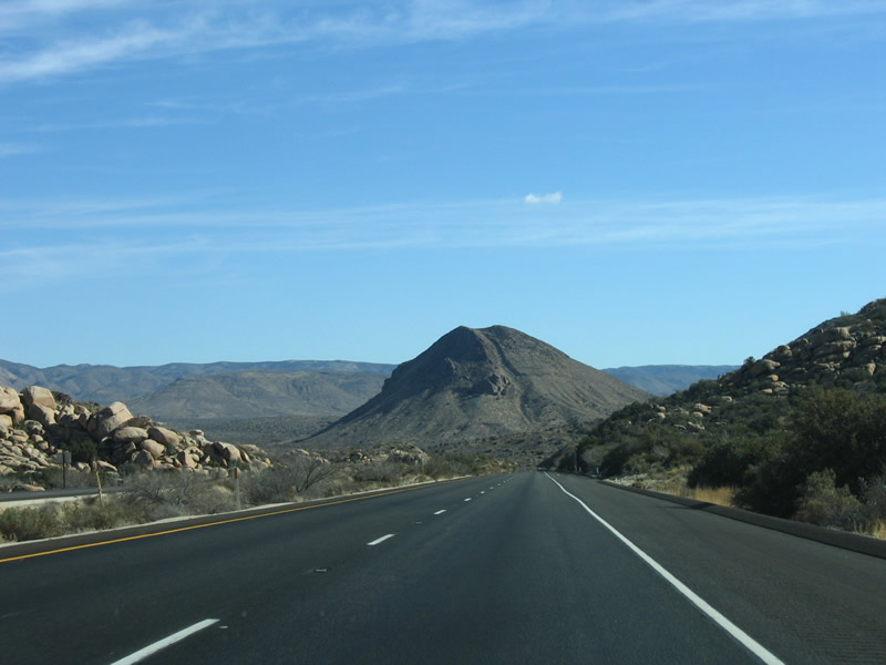
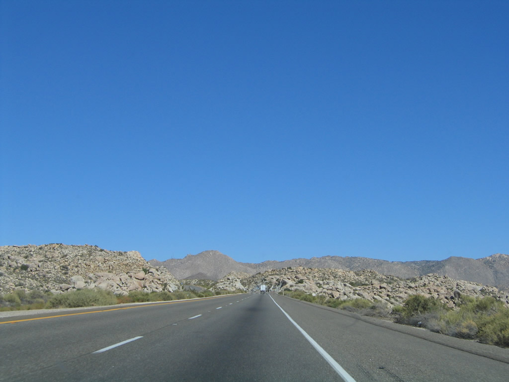
It did not take Interstate 8 long to reach an elevation of 4,000 feet. Although the freeway does not get much higher than this, the adjacent hills and mountains have elevations around 5,000 or 6,000 feet. Mount Laguna, for instance, has an elevation of 5,960 feet off San Diego County S-1 (Sunrise Highway). Photo taken 08/27/04. |
|
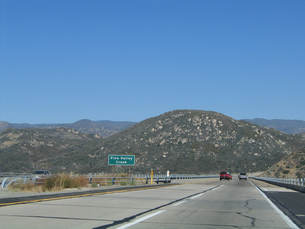
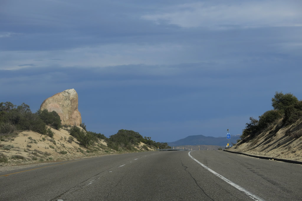
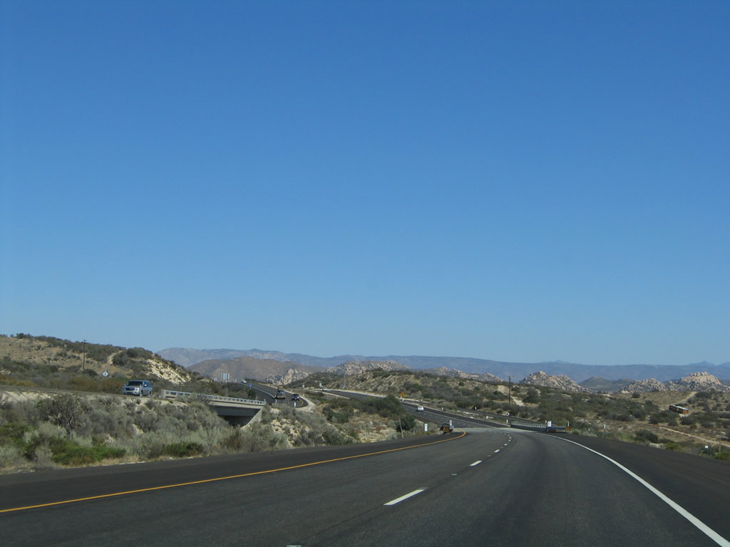
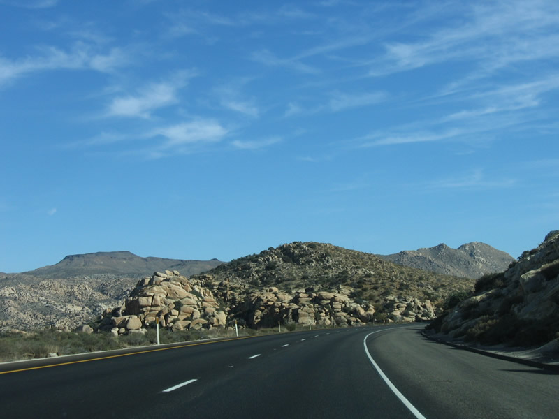
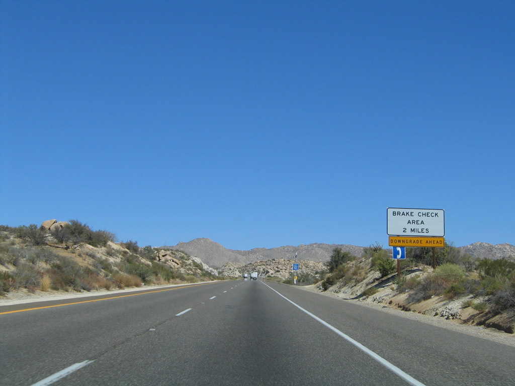
The deep valley cut by Pine Valley Creek comes into view, and the surrounding country opens up. The climbing lane finally comes to an end. Photo taken 08/27/04. |
|
|
The tall Pine Valley Creek Bridge is named in honor of Nello Irwin Greer, a Caltrans engineer who designed the bridge and recommended the modern alignment of freeway that avoids Pine Valley. This bridge allows the Interstate 8 freeway to cross over 200 feet above the floor of the valley. Due to its height, this bridge can have wind gusts and variable conditions not found on the bridge approaches. The bridge is not without its controversy, as an Olympic hopeful (Albert Heppner) jumped to his death on February 19, 2004. Photos taken 04/04/13 and 08/27/04. |
|
|
Interstate 8 is two lanes wide in each direction with Interstate-standard shoulders. There is no fence, but there is a guardrail. Stopping is not encouraged along the bridge. Photos taken 08/27/04 and 03/12/10. |
|
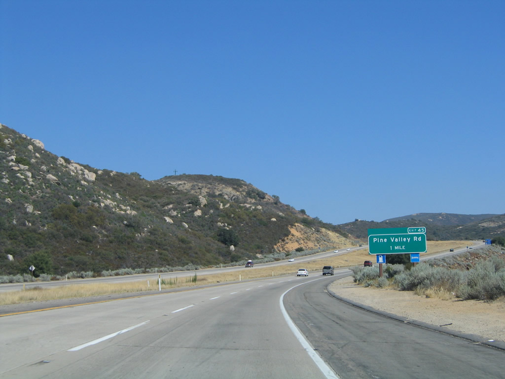
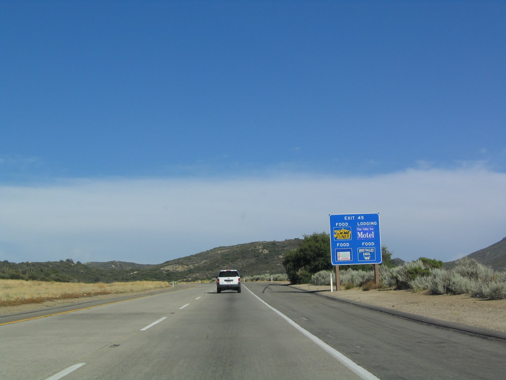
The next exit along eastbound Interstate 8 after the Pine Valley Creek Bridge is Exit 45, Pine Valley Road north to Pine Valley (el. 3,736 feet), one mile. Photo taken 08/27/04. |
|
With the implementation of the exit numbering system, new blue logo signs started to include exit numbers. This was the first such sign to be found in San Diego County (at Exit 45 along eastbound). Photo taken 08/20/04. |
|
|
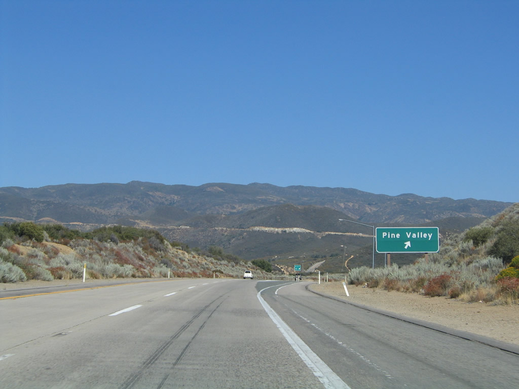
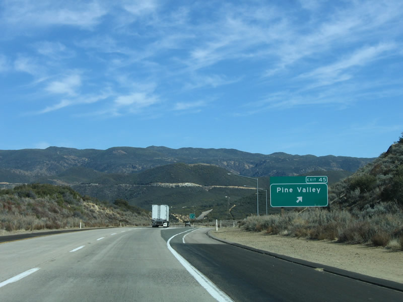
Eastbound Interstate 8 reaches Exit 45, Pine Valley Road north (note old and new exit number signage). This road connects the freeway with old U.S. 80 to the north and provides direct access to downtown Pine Valley, a small rural community situated in the valley carved by Pine Valley Creek. Photos taken 08/27/04 and 01/27/06. |
|
At the end of the off-ramp, turn left (north) on Pine Valley Road to the unincorporated community of Pine Valley and a link to Old U.S. 80. Photo taken 04/19/08. |
|
|
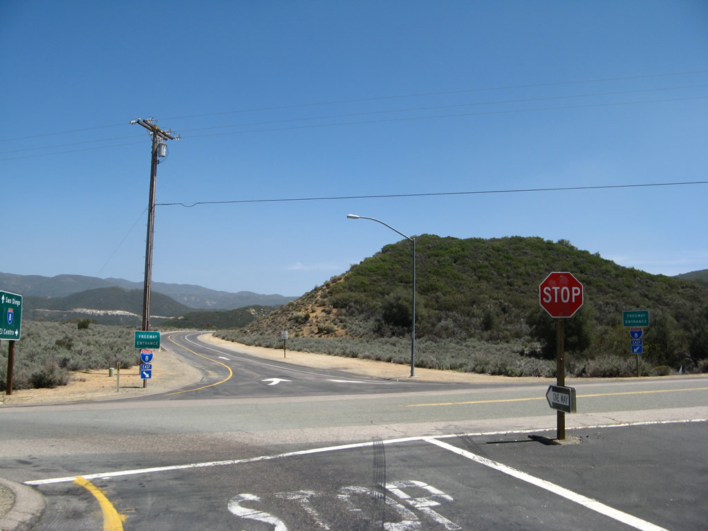
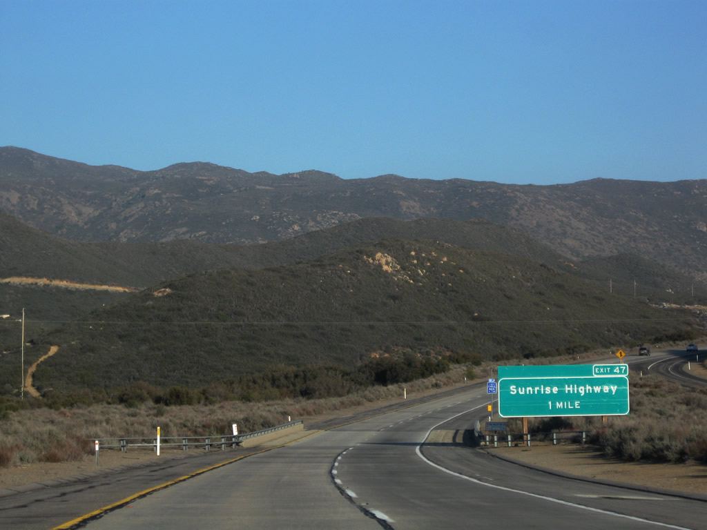
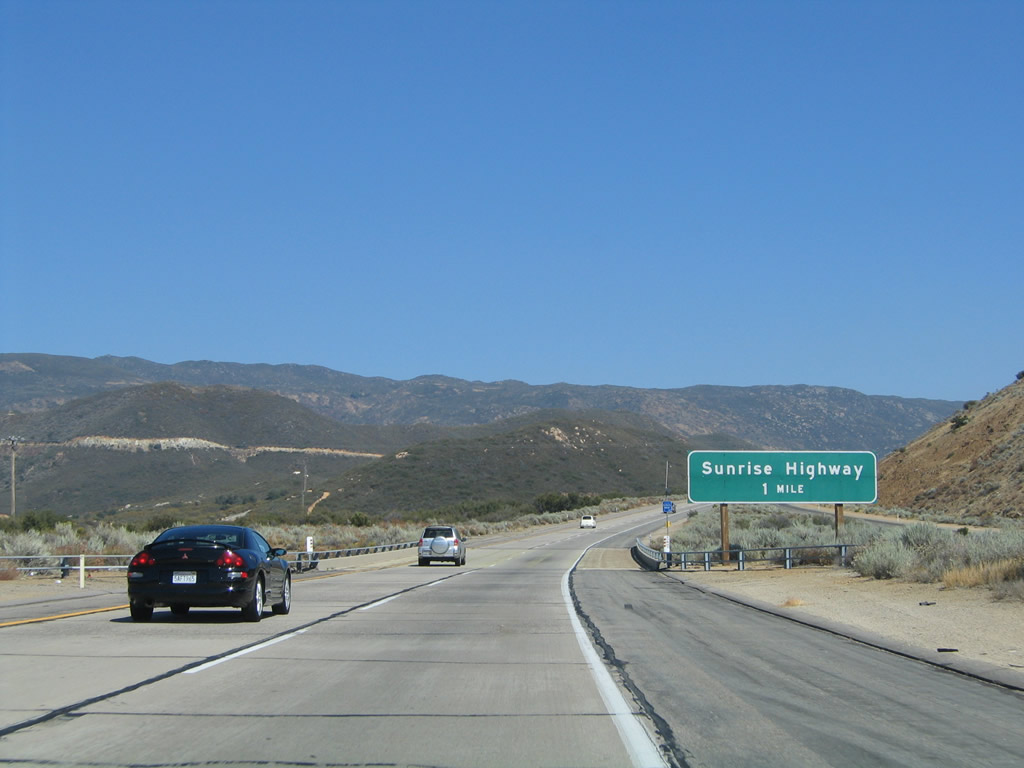
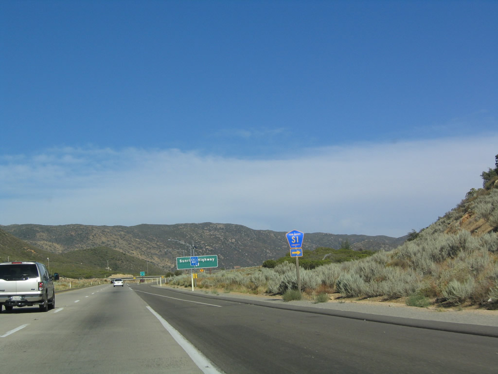
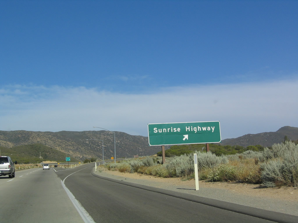
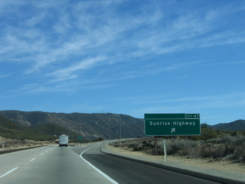
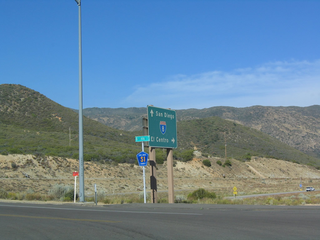
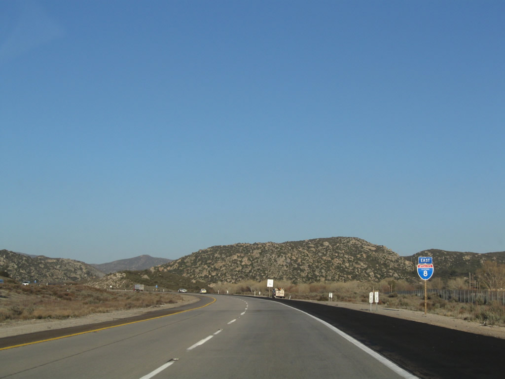
Back on the mainline, the next exit along eastbound Interstate 8 is Exit 47, San Diego County S-1 (Sunrise Highway) north and San Diego County S-1 south/Historic U.S. 80 east, one mile. This sign was replaced by 2009. Photos taken 03/12/10 and 08/27/04. |
|
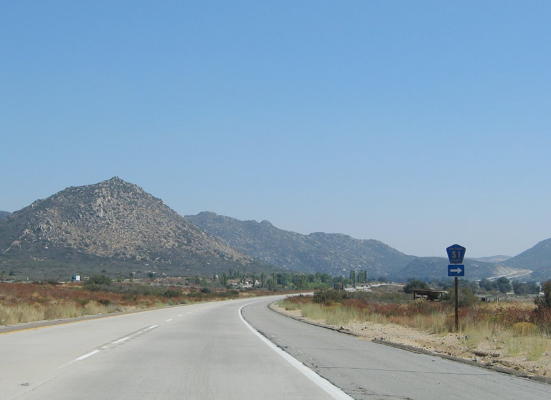
One of the most spectacular mountain drives in the county is the Sunrise Highway, which follows San Diego County S-1 north over Mount Laguna (el. 5,000-6,000 feet) and then into the northeastern fringes of Cuyamaca Rancho State Park. The highway provides stunning views of the surrounding mountains as well as the Imperial Desert (some of which is below sea level) and Salton Sea in the distance below. Photo taken 08/20/04. |
|
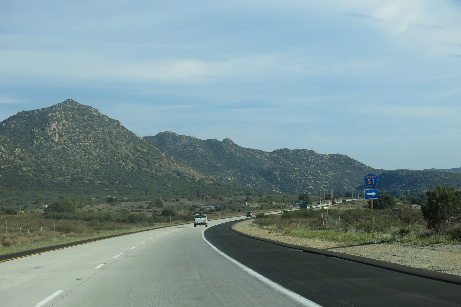
San Diego County S-1 begins at its intersection with California 79 north of Cuyamaca Rancho State Park, follows the Sunrise Highway south over the Laguna Mountains, then south via Buckman Springs Road past Lake Morena to reach its southern terminus at California 94 at Cameron Corners north of Campo, west of Boulevard. Photo taken 08/20/04. |
|
|
Eastbound Interstate 8 reaches Exit 47, San Diego County S-1 and Historic U.S. 80, Sunrise Highway. Photos taken 08/20/04 and 01/27/06. |
|
Now on the off-ramp, motorists can make a left at the top of the ramp in this diamond interchange to follow San Diego County S-1 (Sunrise Highway) north to the Laguna Mountains and U.S. 80 west to Pine Valley. Make a right here to follow U.S. 80 (Old Highway 80) east and San Diego County S-1 south to Buckman Springs. Photo taken 08/20/04. |
|
A lone San Diego County S-1 (Sunrise Highway) sign is posted at the top of the off-ramp. Photo taken 08/20/04. |
|
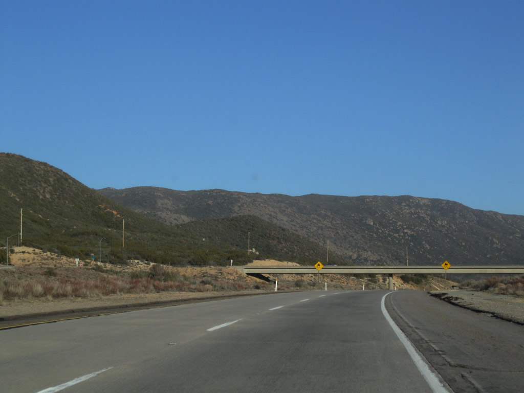
Returning to the mainline, Interstate 8 proceeds to a summit as it prepares to pass under Sunrise Highway. Photo taken 03/12/10. |
|
Interstate 8 cruises under the Sunrise Highway bridge. Photo taken 03/12/10. |
|
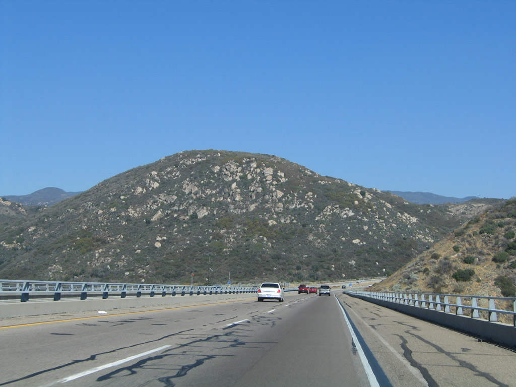
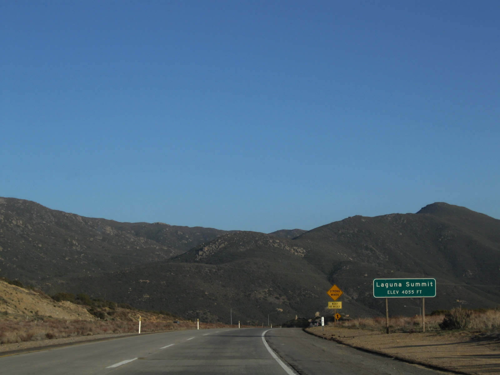
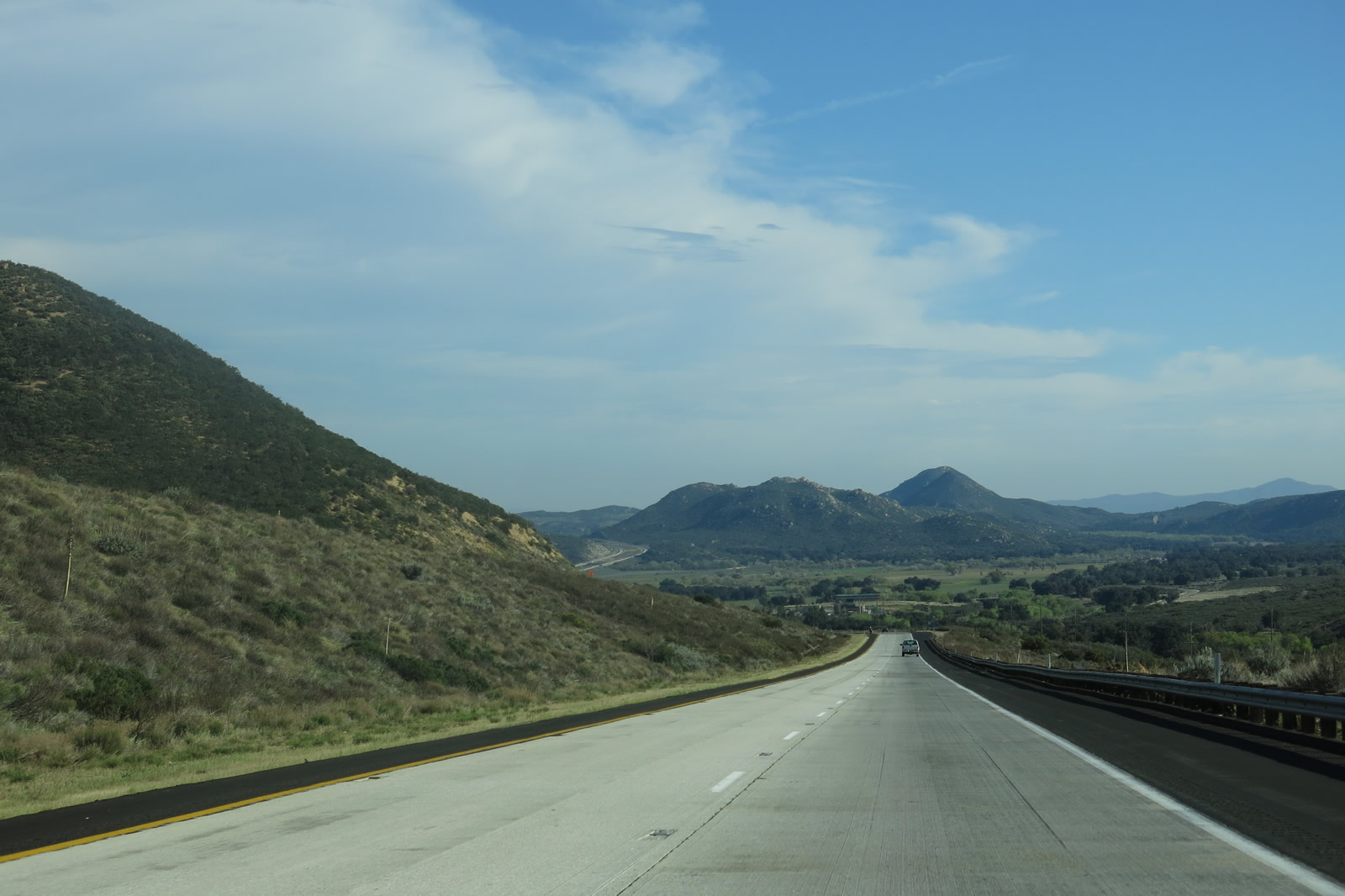
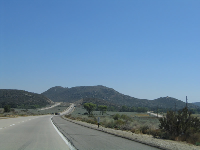
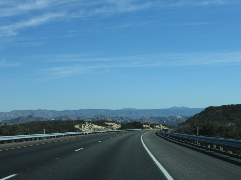
Just beyond the Sunrise Highway bridge, Interstate 8 reaches an elevation of 4,055 feet at Laguna Summit. The freeway will reach heights above 4,000 feet a few more times east of here, including Crestwood Summit and Tecate Divide. Another 4,000+ foot summit was reached just west of the Pine Valley Creek Bridge. Photo taken 03/12/10. |
|
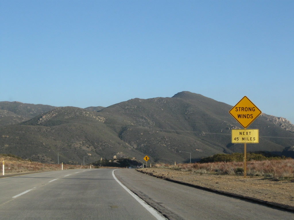
Watch for strong winds for the next 45 miles, especially during "Santa Ana" wind events that bring dry air from the northeast. Crosswinds can also be strong during winter storms; snow may fall at this elevation on occasion. Photo taken 03/12/10. |
|
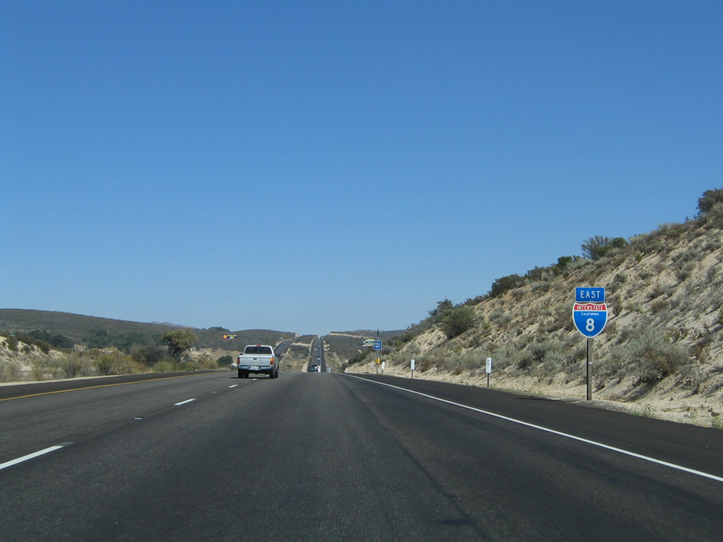
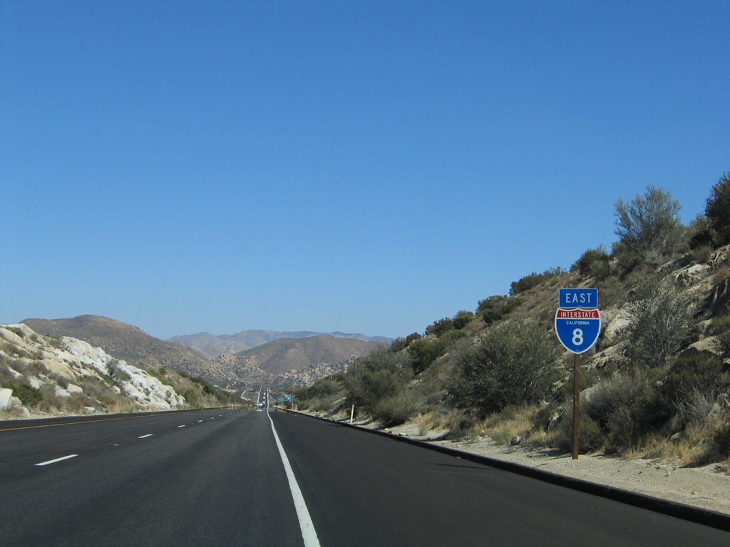
After traffic from the Sunrise Highway merges onto the freeway, motorists find this Interstate 8 east reassurance shield. This sign is posted right after the Laguna Summit (el. 4,055 feet) crest. Ahead, the freeway briefly turns almost due south to avoid Sheephead Mountain (el. 5,896 feet) and will approach a U.S. Border Patrol Station, which normally operates for westbound traffic only. Interstate 8 will proceed south past the checkpoint and Buckman Spring interchange (Exit 51), then curve east again after the Kitchen Creek Road/Cameron Road interchange. Laguna Summit is the first of three summits between Pine Valley Creek and In-Ko-Pah; the next two summits on Interstate 8 eastbound are Crestwood Summit and Tecate Divide. Photo taken 08/27/04. |
|
|
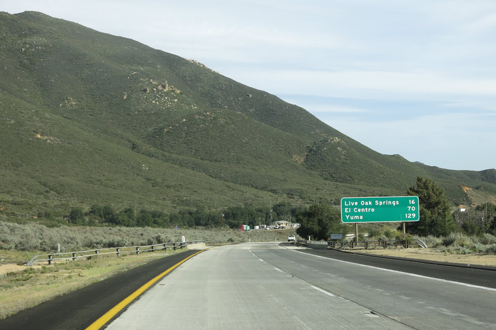
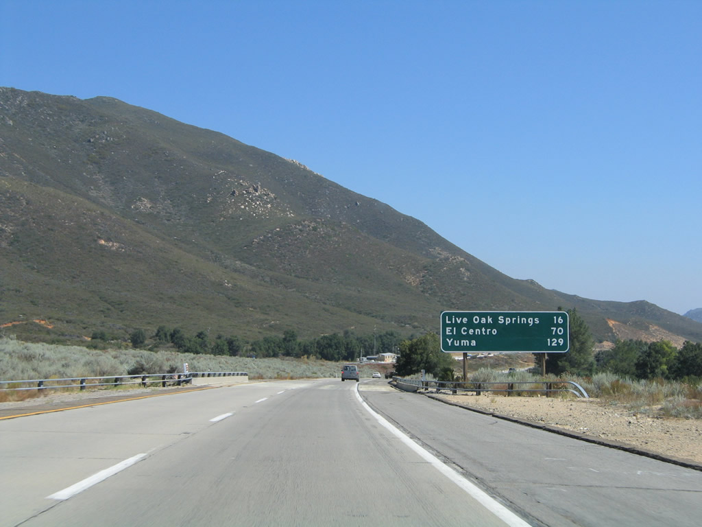
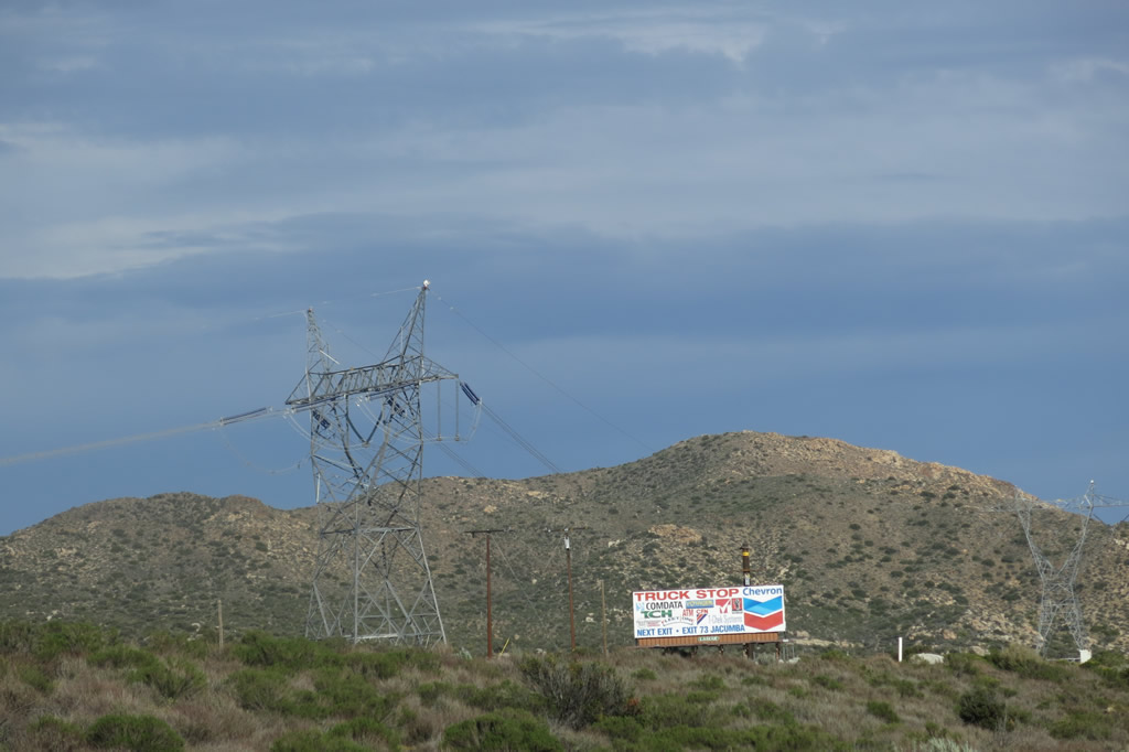
This mileage sign provides the distance to Live Oak Springs (16 miles), El Centro (70 miles), and Yuma (129 miles) via Interstate 8 east. This sign was replaced between 2004 and 2010. Photos taken 04/04/13 and 08/27/04. |
|
A U.S. Border Patrol Station is permanently located along both Interstate 8 and Old U.S. 80/San Diego County S-1 between the Laguna Summit interchange (Exit 47) and the Buckman Springs Road interchange (Exit 51). Officers stationed here may stop either direction of traffic at any time. Photo taken 01/27/06. |
|
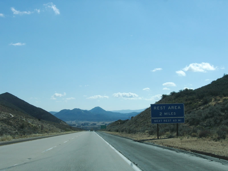
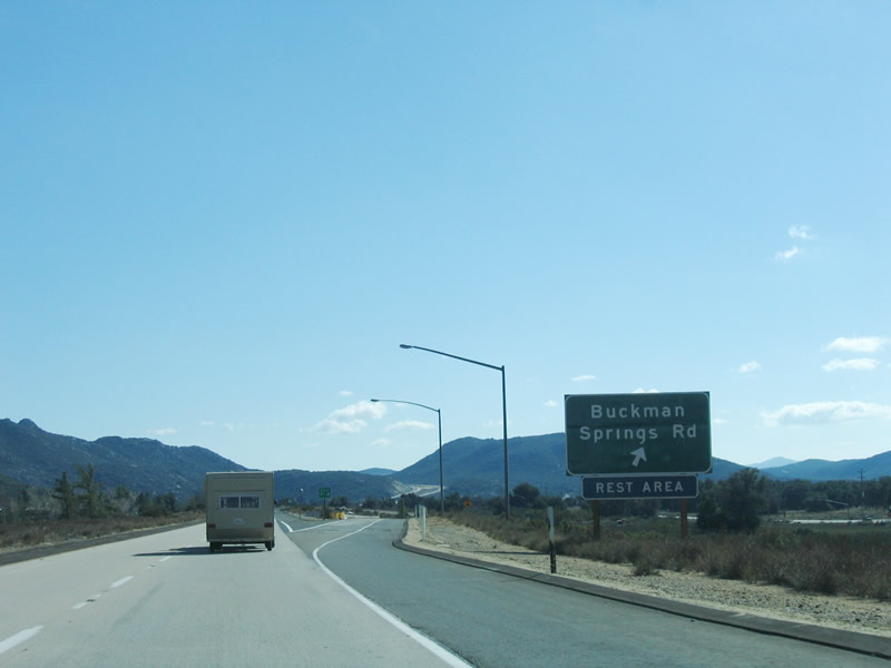
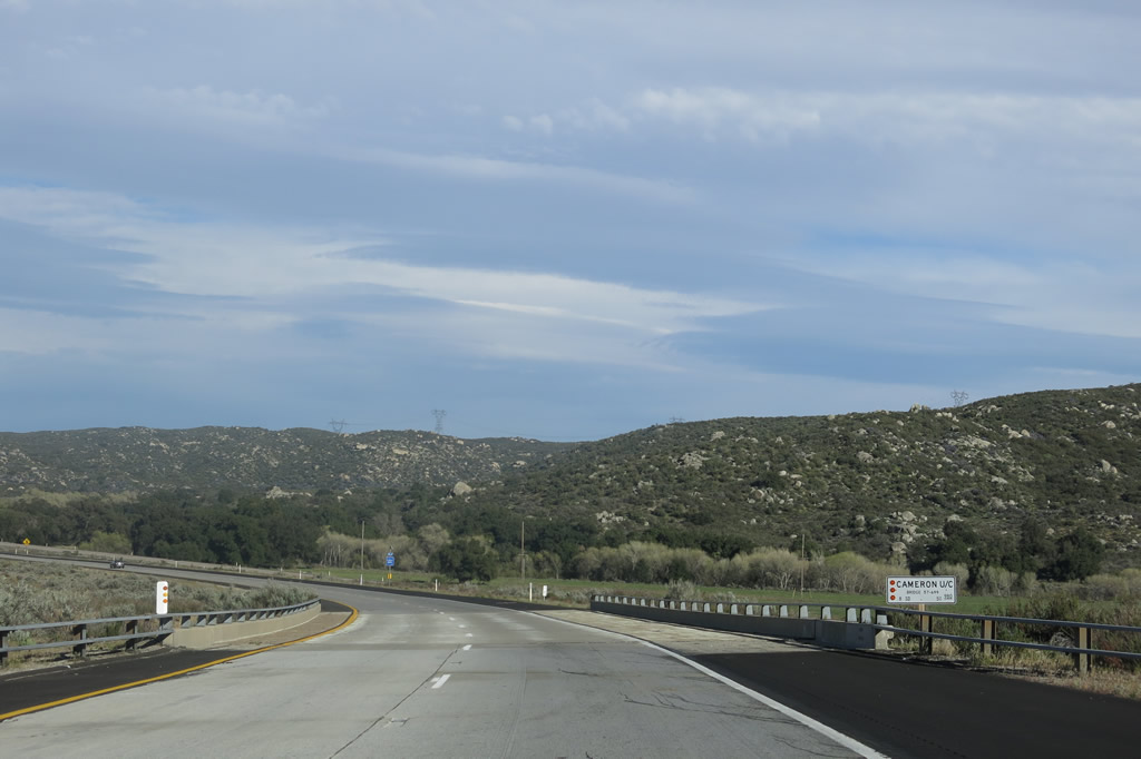
At the next interchange (Exit 51, Buckman Springs Road), a full-service rest area is located within the median. This rest area serves both directions of travel as well as San Diego County S-1 and Old U.S. 80. Photo taken 01/27/06. |
|
|
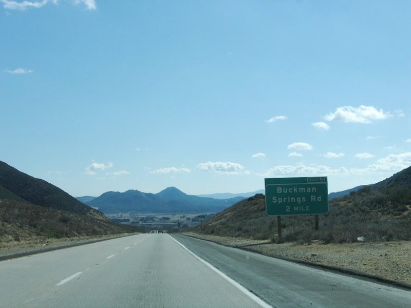
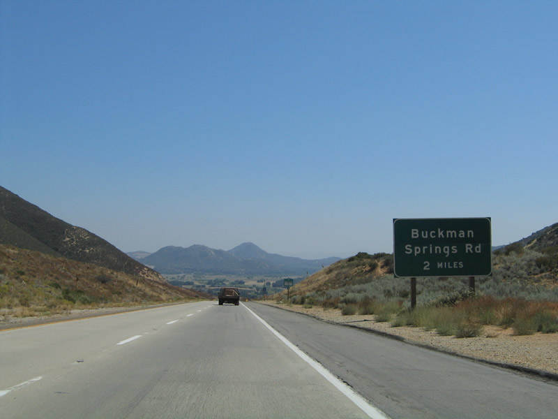
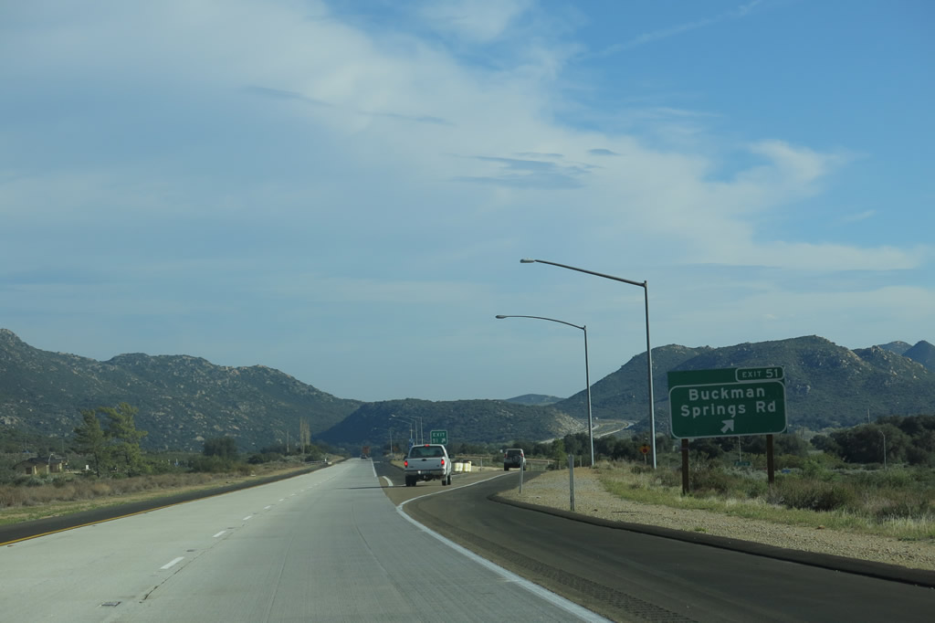
The next exit is Exit 51, Buckman Springs Road south to San Diego County S-1 en route to Lake Morena County Park, Morena Village, and Cameron Corners. The county road also connects to Old U.S. 80, which functions as a scenic alternative to Interstate 8 between Laguna Summit and Jacumba. Photos taken 01/27/06 and 08/27/04. |
|
|
|
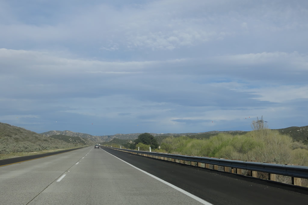
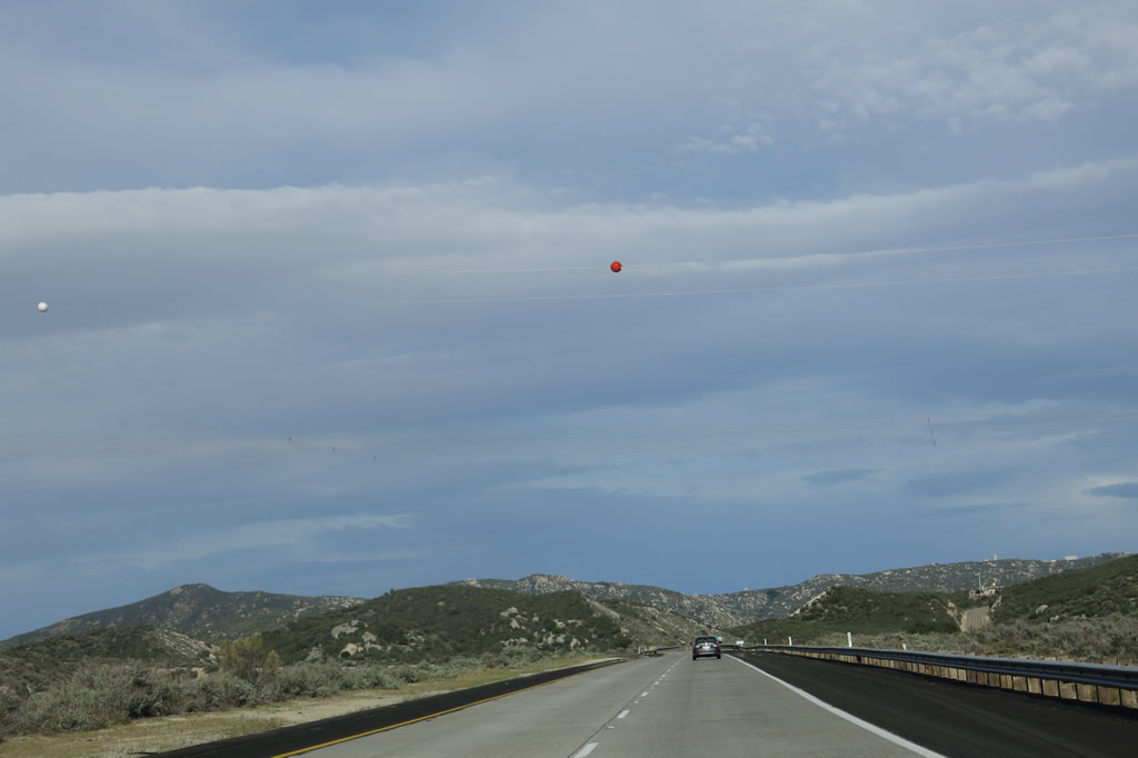
A breathtaking vista of the valley comes into view as Interstate 8 east continues to descend from Laguna Summit. This picture looks south through the valley. Photos taken 04/04/13 and 08/27/04. |
|
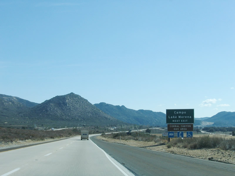
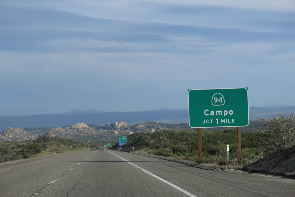
Use San Diego County S-1 (Buckman Springs Road) south to Campo, which is located on California 94 near the Pacific Crest Trail southern terminus and the San Diego Railway Museum. Photo taken 01/27/06. |
|
|
A standalone trailblazer for southbound San Diego County S-1 is posted prior to the Buckman Springs Road interchange. Photos taken 04/04/13 and 08/27/04. |
|
|
Eastbound Interstate 8 (Kumeyaay Highway) reaches Exit 51, San Diego County S-1 (Buckman Springs Road) south to Campo. This exit also serves the rest area located to the north of the eastbound lanes and south of the westbound lanes. Photos taken 04/04/13 and 01/27/06. |
|
An Interstate 8 reassurance shield is posted after the on-ramp from Buckman Springs Road. Photo taken 04/04/13. |
|
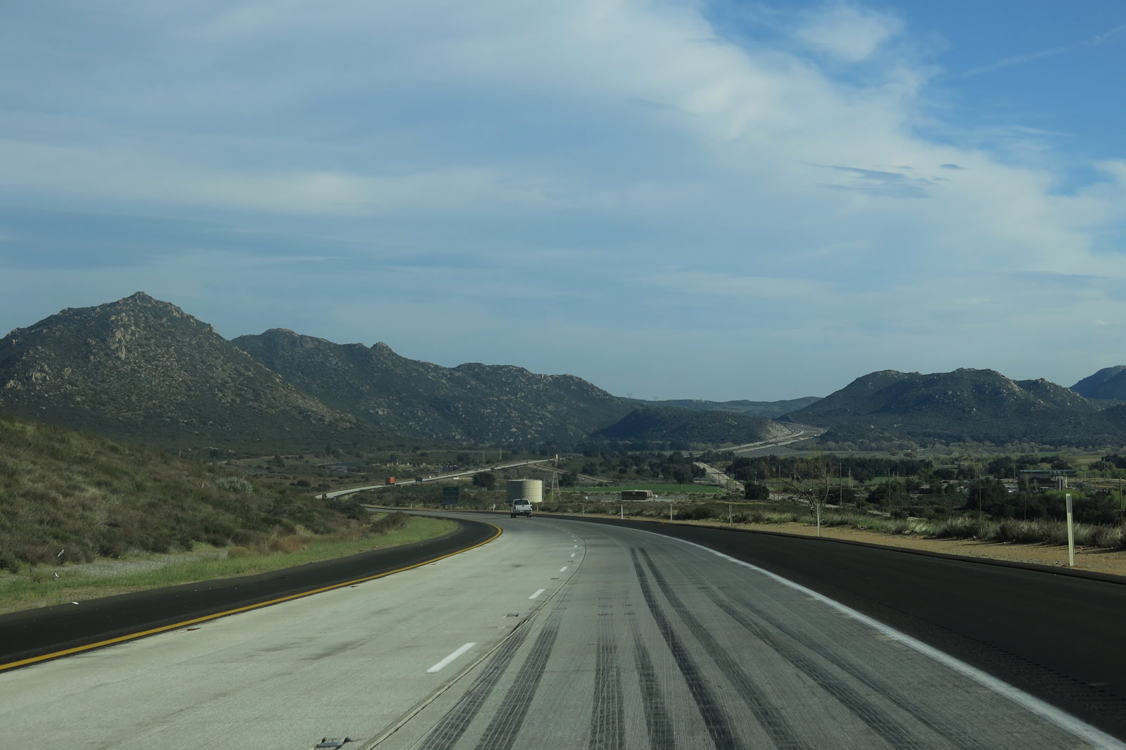
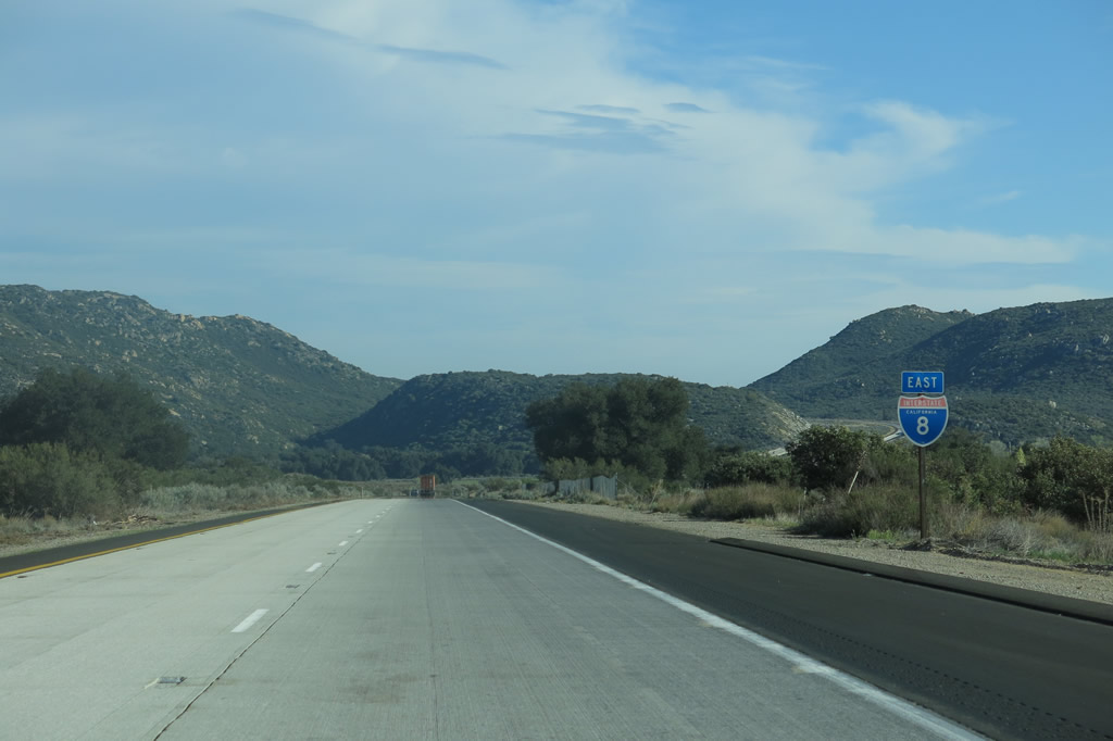
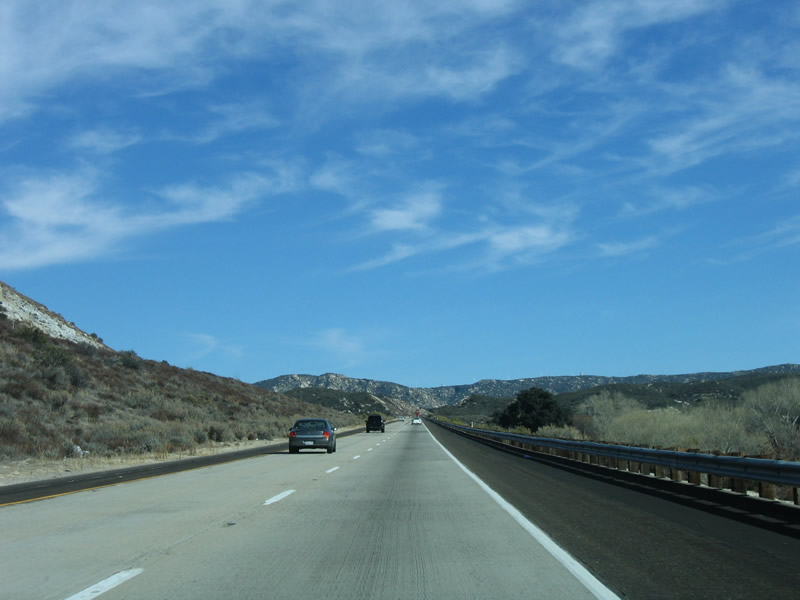
After the Buckman Springs Road interchange, Interstate 8 and U.S. 80 briefly parallel each other. U.S. 80 can be seen to the south of the freeway, following a two-lane, twin-slab concrete highway that dates from the early 1930s. Between here and In-Ko-Pah Park, Interstate 8 will remain north of U.S. 80, although the two highways will closely parallel each other for much of this distance (except near Jacumba, where Interstate 8 takes the more direct route by avoiding Jacumba). Photo taken 08/27/04. |
|
|
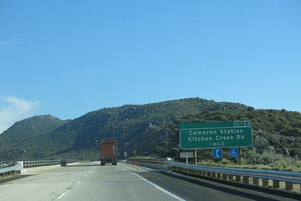
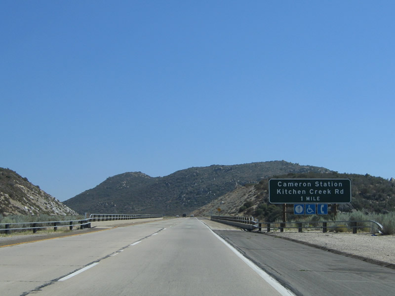
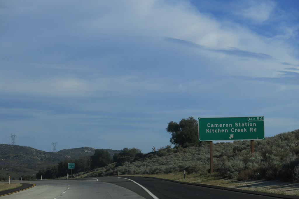
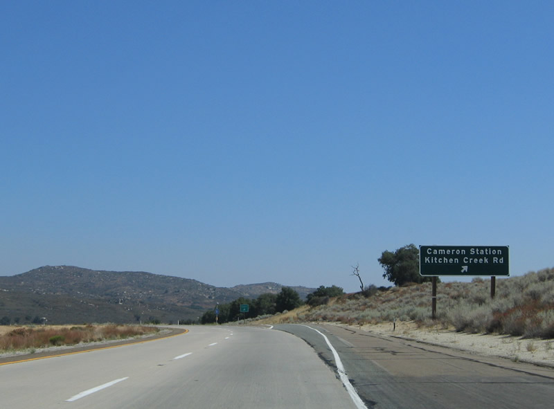
The next exit along eastbound Interstate 8 is Exit 54, Kitchen Creek Road north to Cibbets Flats and Cameron Road south to Cameron Station. The sign was replaced with an exit number sign by 2010. Photos taken 04/04/13 and 08/27/04. |
|
|
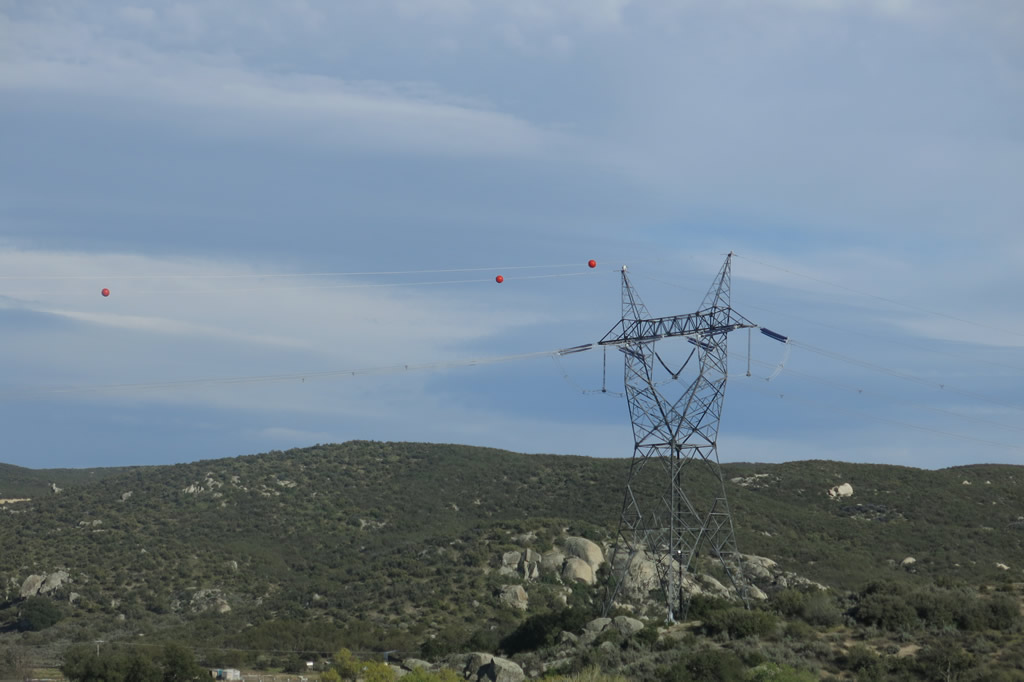
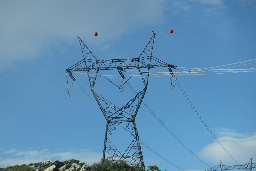
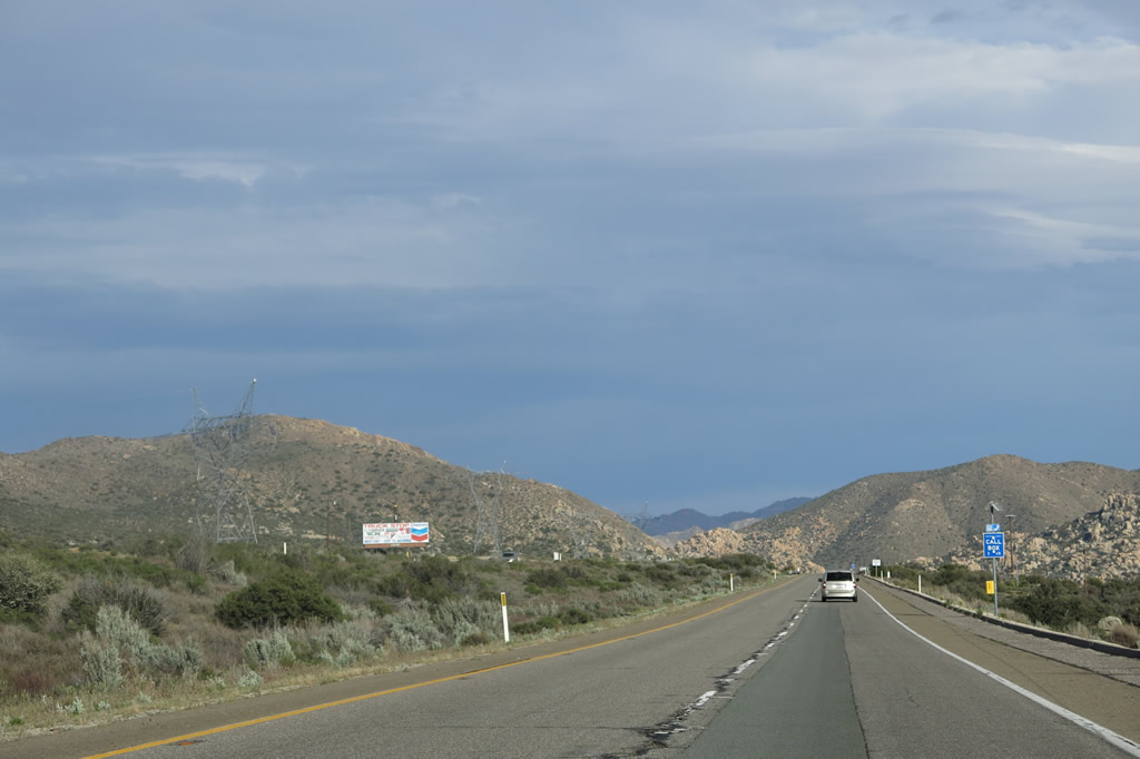
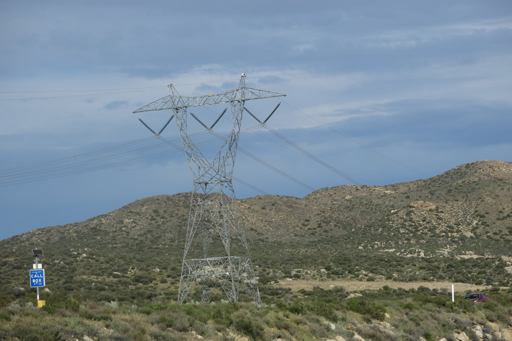
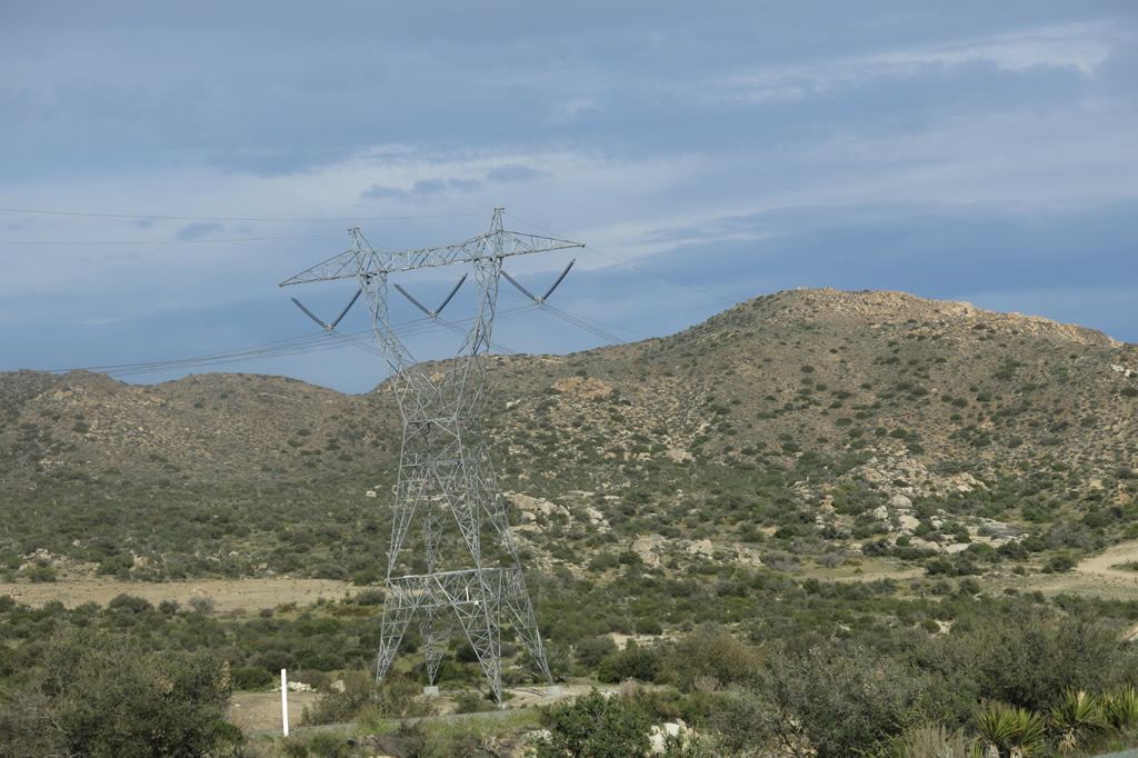
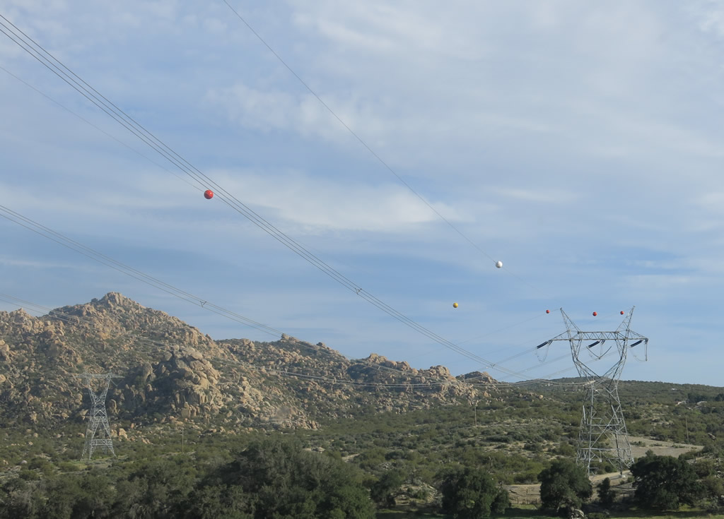
Eastbound Interstate 8 reaches Exit 54, Kitchen Creek Road north to Cibbets Flats and Cameron Road south to Cameron Station. A noticeable change between 2004 and 2013 was the addition of the 500kV Sunrise Powerlink pylons now visible on the distant hillside beyond the Kitchen Creek interchange. Photos taken 04/04/13 and 08/27/04. |
|
Interstate 8 passes through the Kitchen Creek Road interchange. Photo taken 03/12/10. |
|
|
Interstate 8 prepares to merge with the on-ramp from Kitchen Creek Road. Photos taken 04/04/13 and 01/27/06. |
|
An Interstate 8 reassurance shield is posted after the on-ramp from Kitchen Creek Road. Photo taken 03/12/10. |
|
|
|
|
|
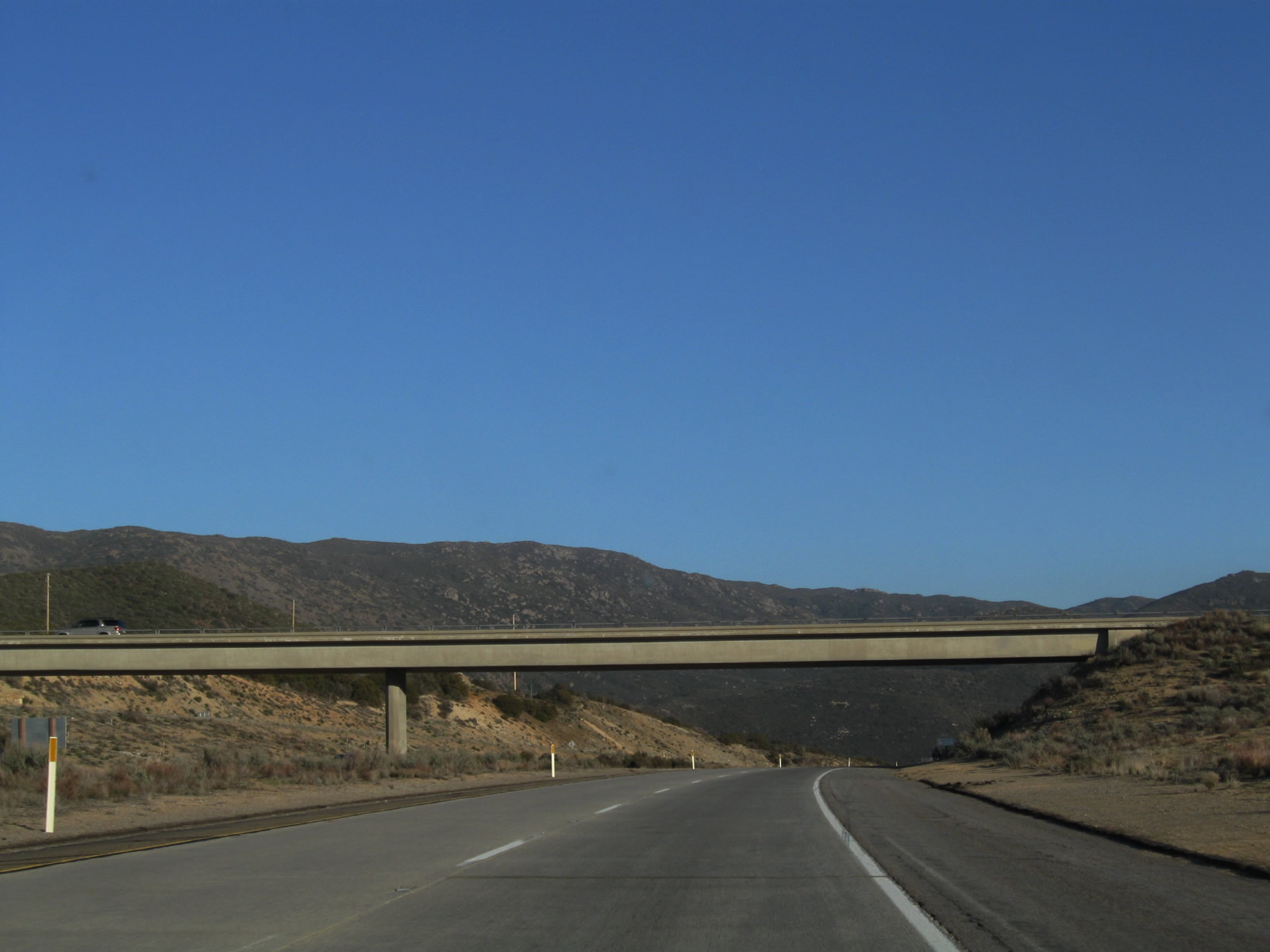
| After Exit 54 (Kitchen Creek Road/Cameron Road), the freeway begins to ascend again, this time toward Crestwood Summit. The Sunrise Powerlink, which was completed in 2012, crosses over Interstate 8 for the first time as a 500kV power line. The previous crossing (west of Alpine) was below ground and not easily visible from the freeway. A significant bridge along this stretch carries Interstate 8 over La Posta Road; it is shown in the last two pictures of this series. Photos taken 04/04/13, 03/12/10, 01/27/06, and 08/27/04. |
|
|
|
|
|
|
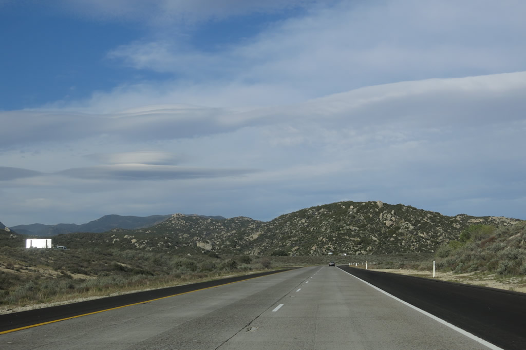
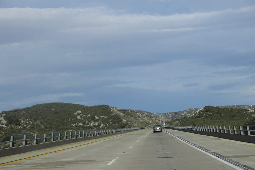
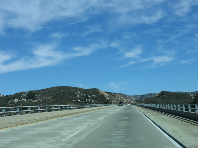
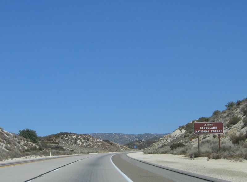
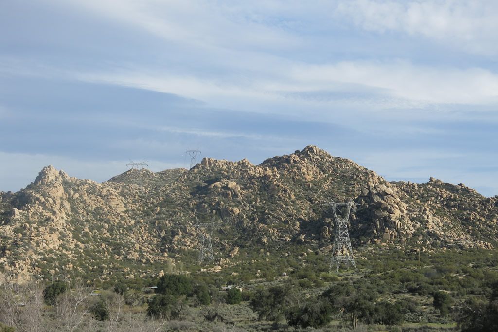
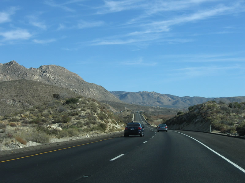
Interstate 8 between Exit 33 (Business Loop I-8/Alpine Boulevard and West Willows Road) and Exit 61 is within the Cleveland National Forest. Although much of the national forest is not a traditional forest with ample trees, but it includes three sets of mountains within the Peninsular Range:-Santa Ana,-Palomar,-and-Laguna (Cuyamaca)-Mountains. Traditional forests are more common at higher elevations, while the areas along Interstate 8 contain more shrubs and large brush such as chaparral. Photo taken 01/27/06. |
|
After departing the national forest, Interstate 8 continues to gain in elevation as the freeway approaches Crestwood Summit. Photo taken 01/27/06. |
|
|
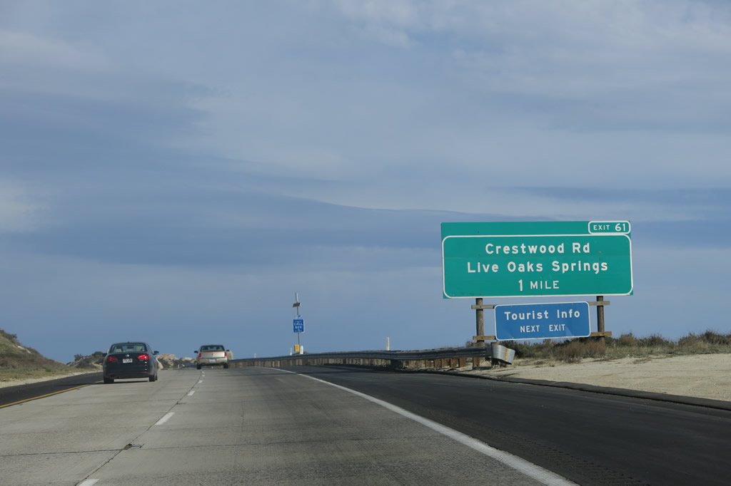
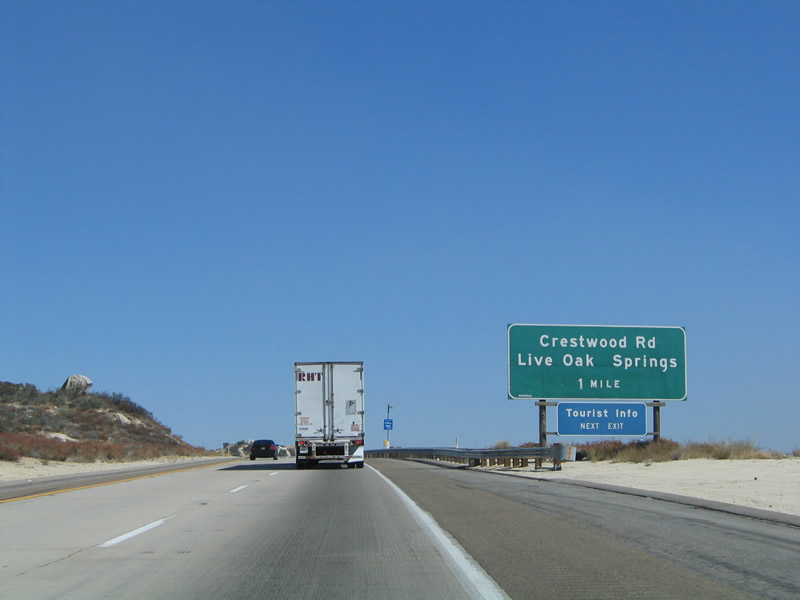
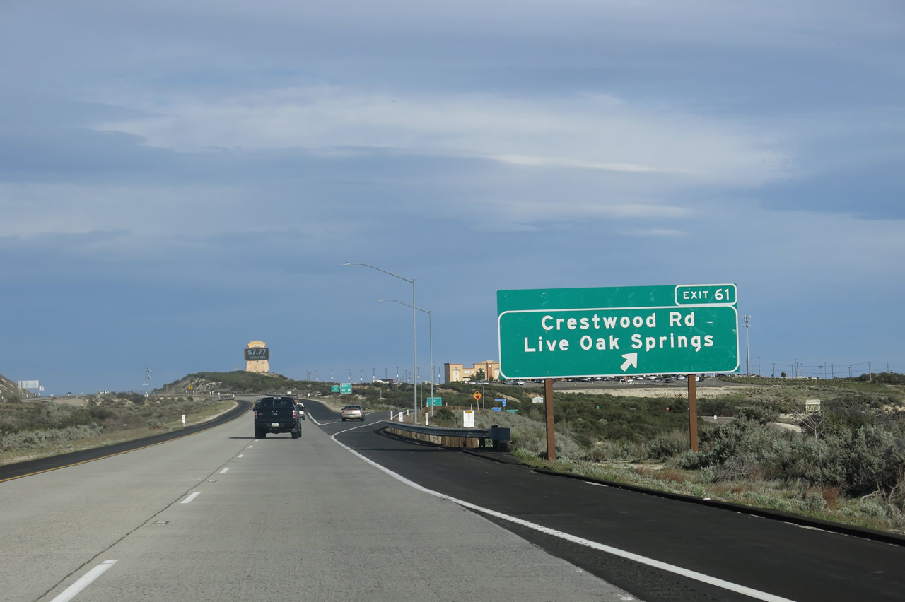
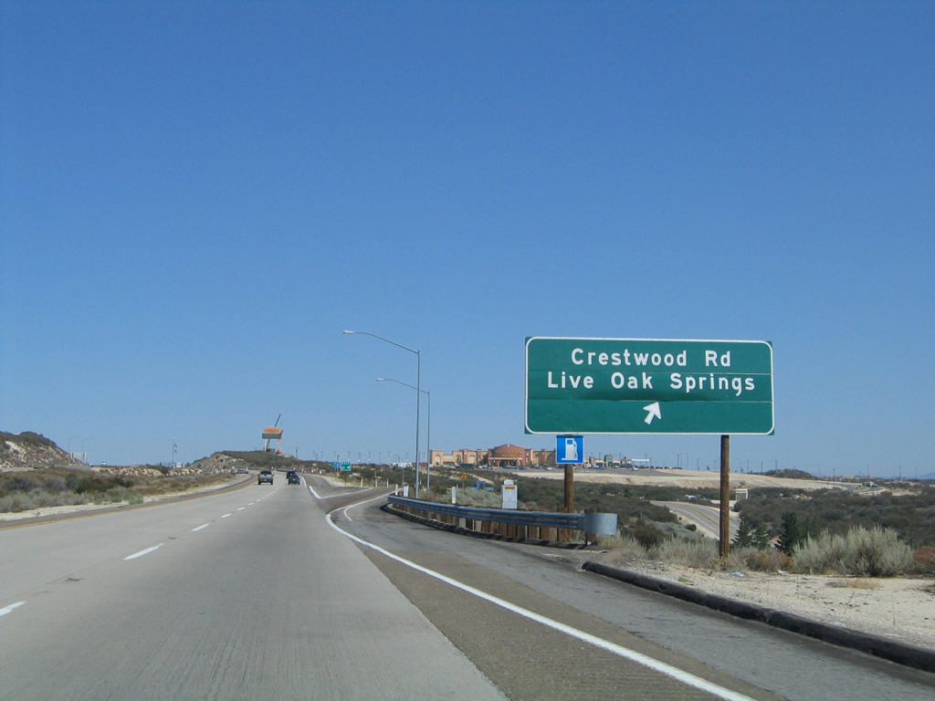
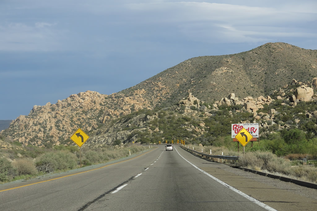
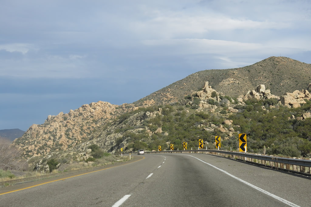
The next exit along eastbound Interstate 8 (Kumeyaay Highway) is Exit 61, Crestwood Road and Live Oak Springs Road. Use Exit 61 to Old Highway 80, a county-maintained road that parallels Interstate 8 to Boulevard, then aims southeast toward Jacumba. Photos taken 04/04/13 and 08/27/04. |
|
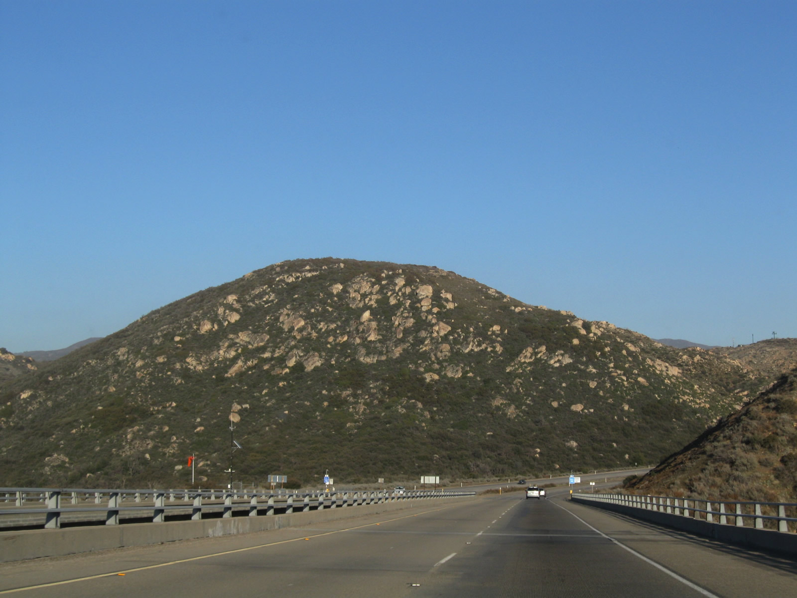
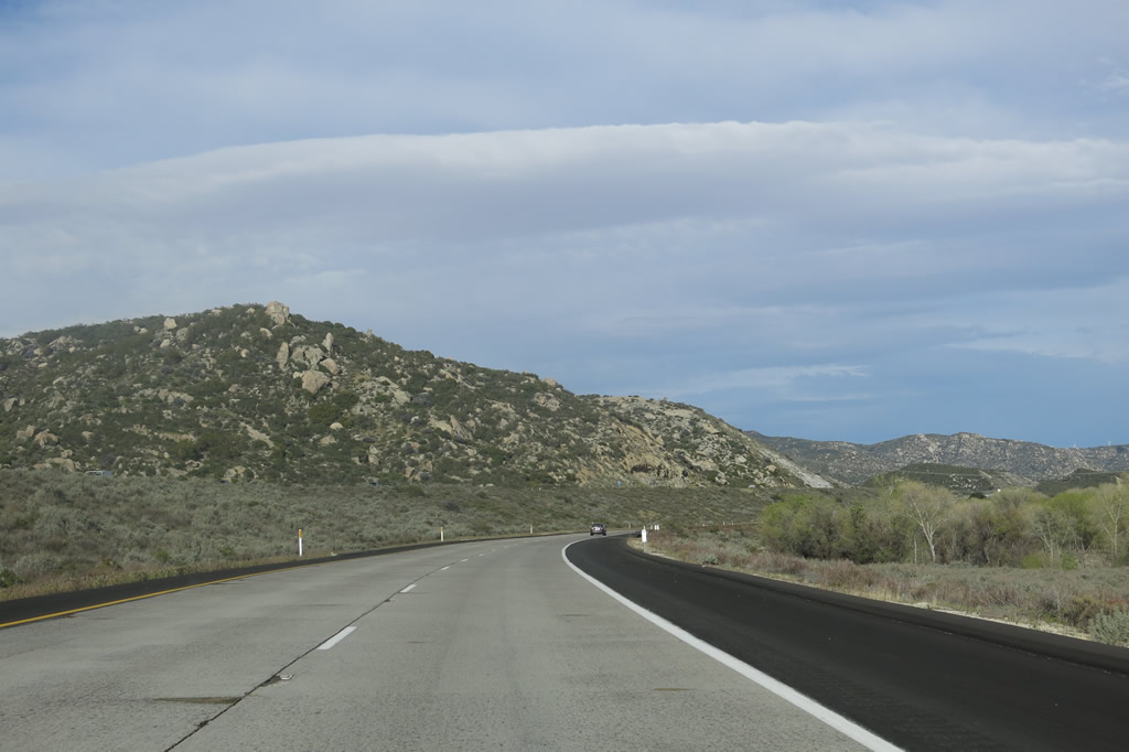
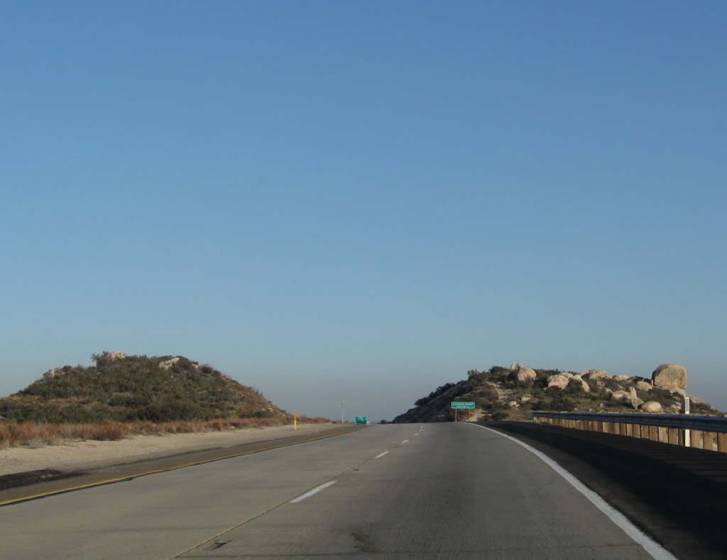
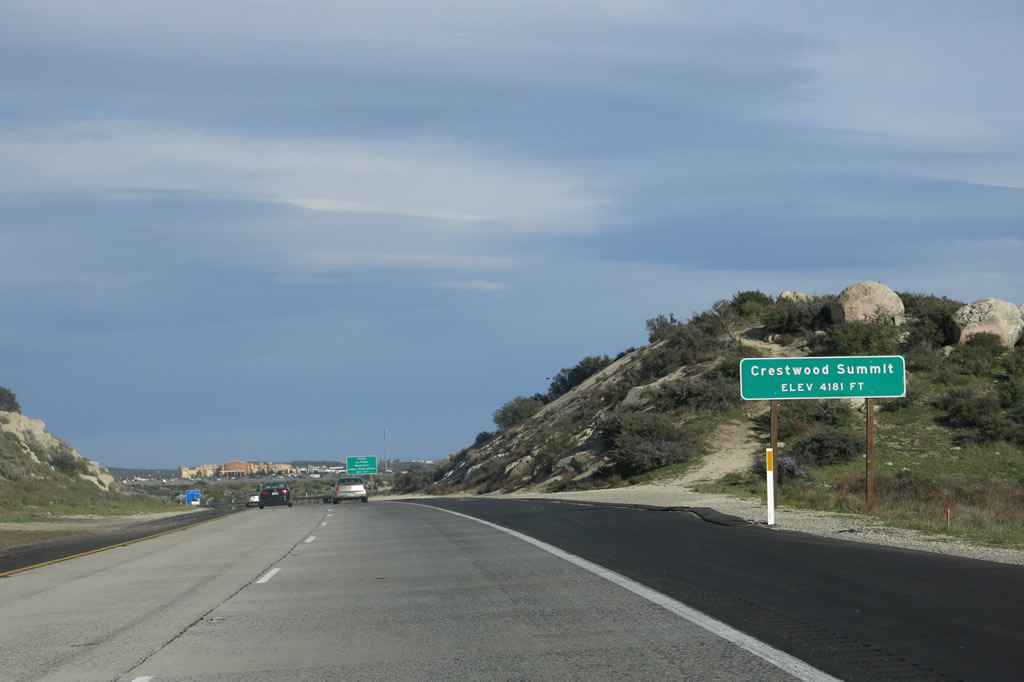
Crestwood Summit comes into view as Interstate 8 approaches another 4,000+ foot elevation. Photo taken 03/12/10. |
|
Prior to Exit 61, Interstate 8 again rises to another summit (divide), this time at Crestwood Summit, elevation 4,181 feet. This is the second of three such summits; the first was at Laguna Summit and the last one is at Tecate Divide. Photo taken 04/04/13. |
|
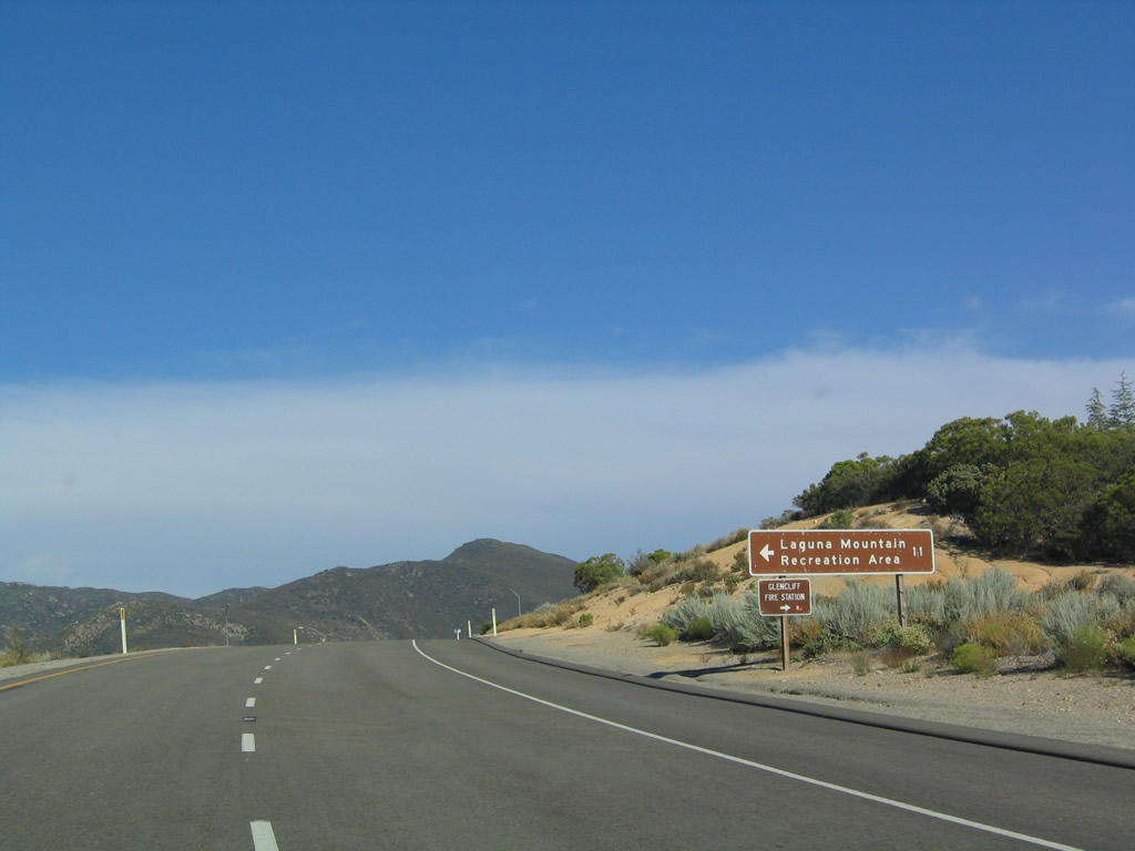
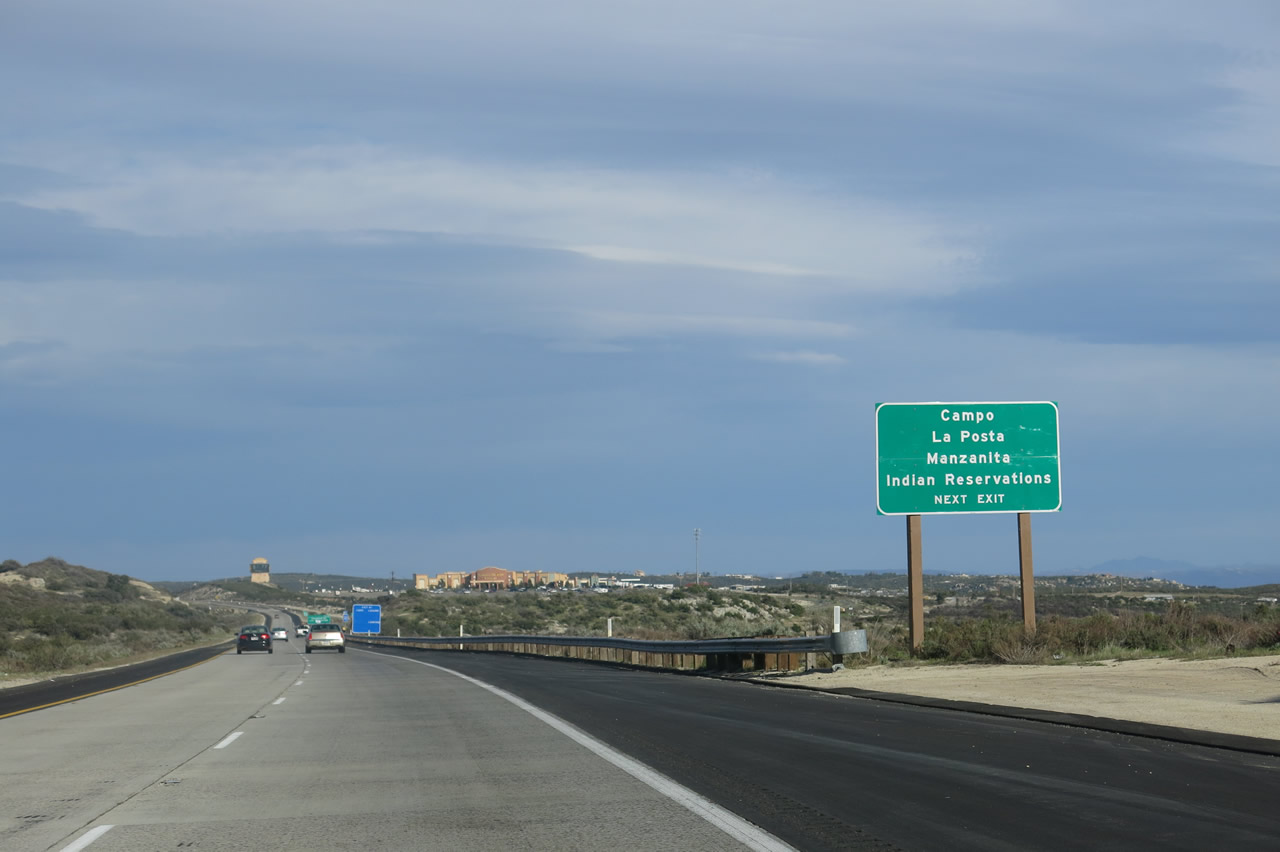
Use Exit 61 to the Campo, La Posta, and Manzanita Indian Reservations. This exit has the Golden Acorn Casino, which is located on an Indian Reservation and also functions as a truck stop. This is the best location for motorist services in either direction for many miles. Photo taken 04/04/13. |
|
|
Eastbound Interstate 8 (Kumeyaay Highway) reaches Exit 61, Crestwood Road, Live Oak Springs Road, and Old Highway 80 east (alternate route to Boulevard and Jacumba). Motorist services at this exit include gas and food at the Golden Acorn Casino. Photos taken 04/04/13 and 08/27/04. |
|
|
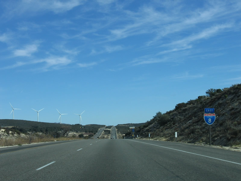
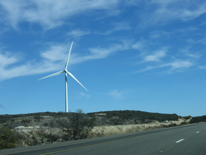
This Interstate 8 reassurance shield assembly is posted after the on-ramp from Exit 61, Crestwood Road and Live Oak Springs Road. In 2004, there were no wind turbines, but they were present by 2006. Photos taken 01/27/06 and 08/27/04. |
|
|
|
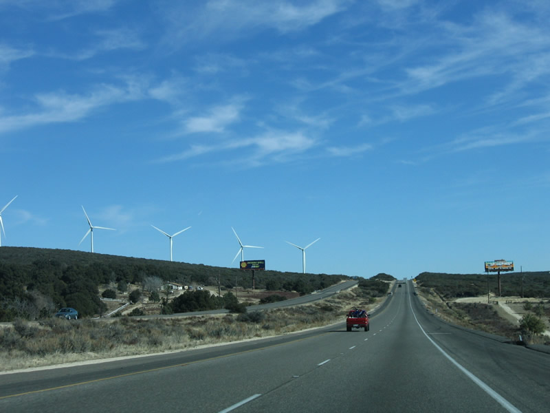
Immediately after the Crestwood Road/Live Oak Springs/Golden Acorn Interchange (Exit 61), a large wind turbine farm comes into view on eastbound Interstate 8. This suite of photos shows the wind farm. The turbines are huge, especially when compared with the cars and landscape. Photos taken 01/27/06. |
|
|
|
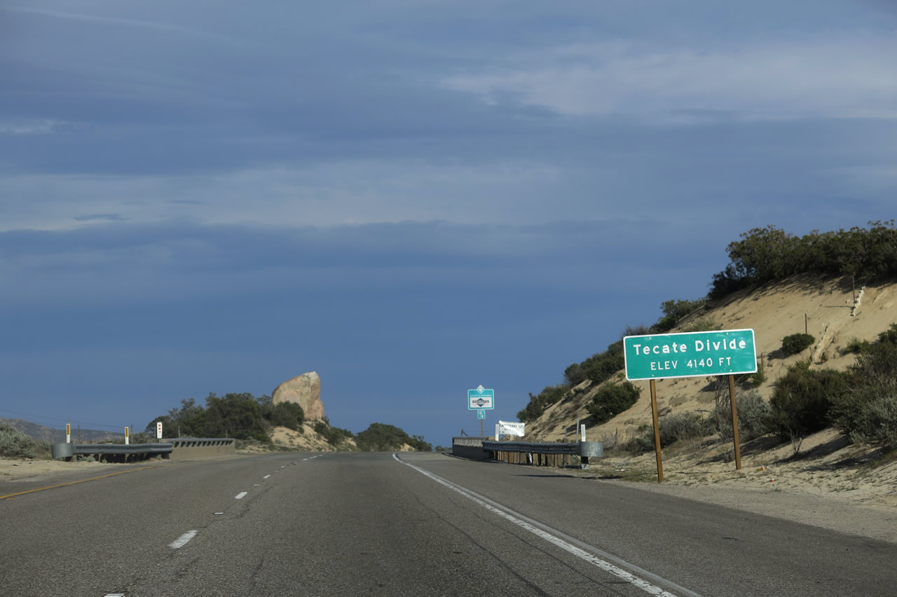
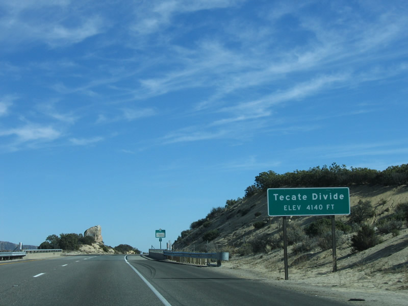
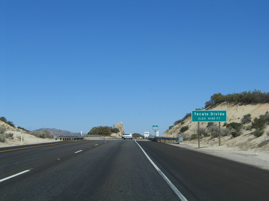
After the brief dip in elevation after the Crestwood Summit, eastbound Interstate 8 crosses the Tecate Divide (el. 4,140 feet), which is the third summit (after the Laguna and Crestwood Summits). From here, Interstate 8 begins a descent toward Jacumba Hot Springs and In-Ko-Pah Gorge. Photos taken 04/04/13, 01/27/06, and 08/27/04. |
|
|
|
These views are afforded along eastbound Interstate 8 after crossing the Tecate Divide. After the Tecate Divide, Interstate 8 will lose elevation and pass below 4,000 feet for the final time. Photos taken 04/04/13 and 01/27/06. |
|
|
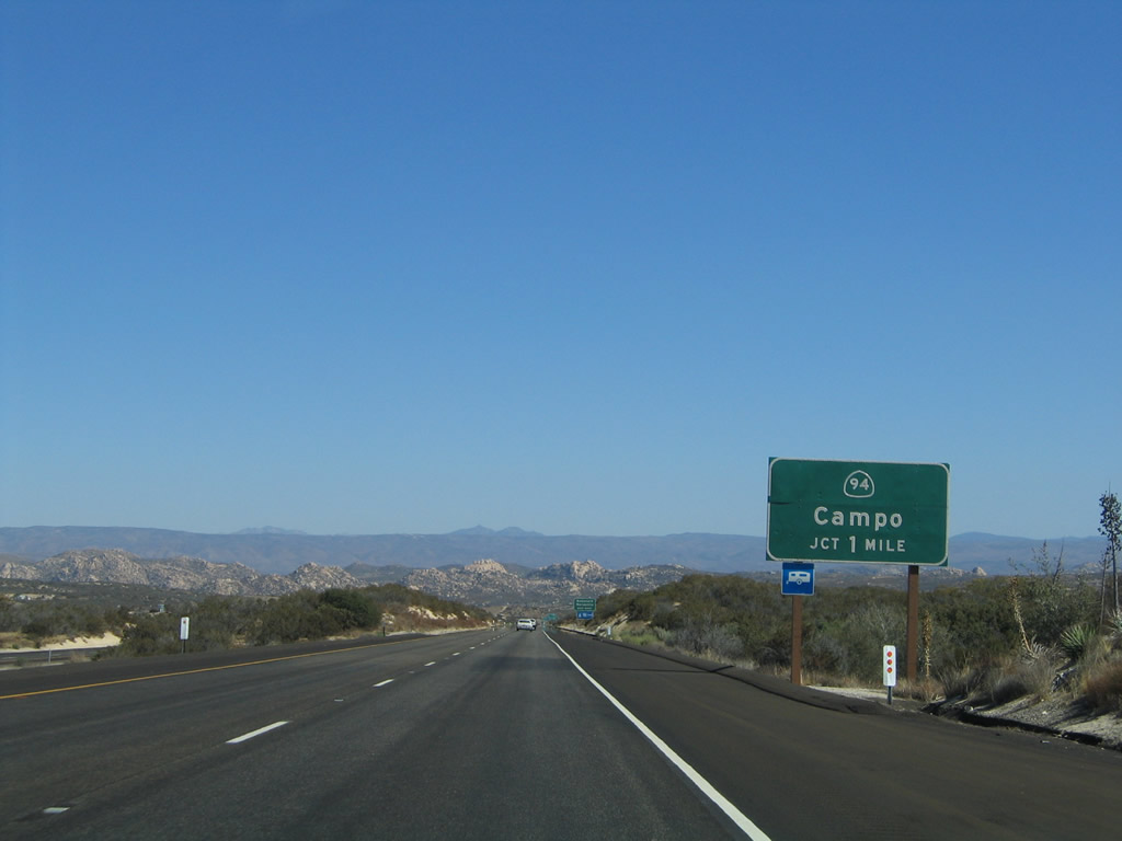
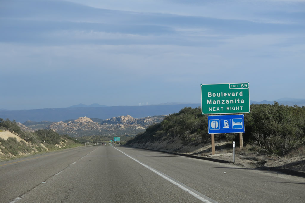
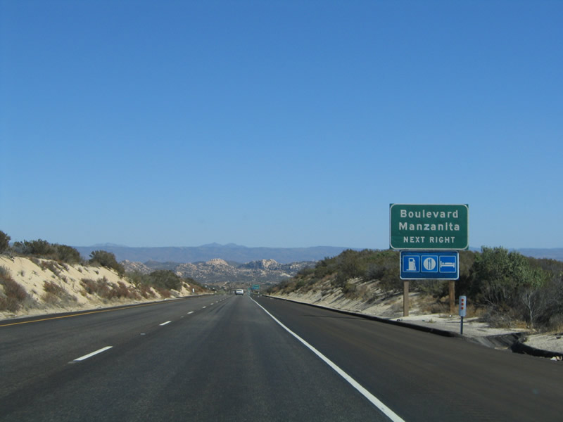
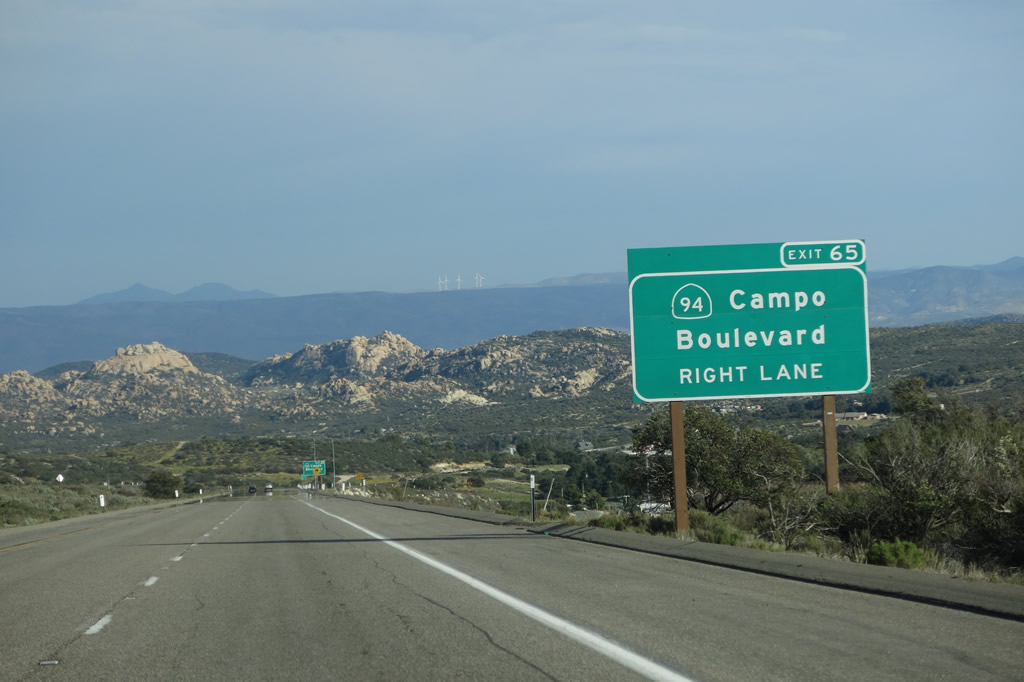
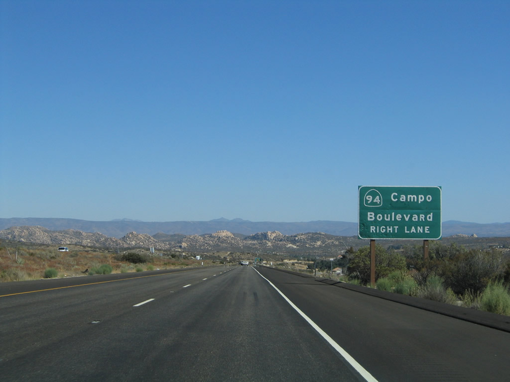
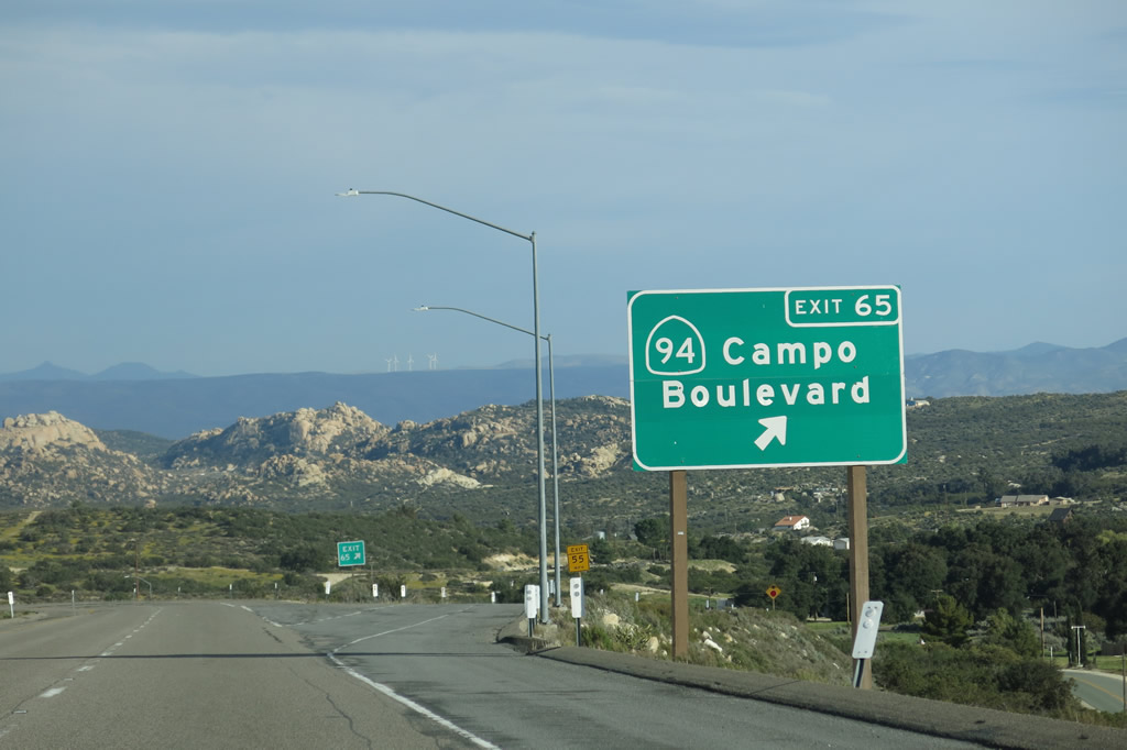
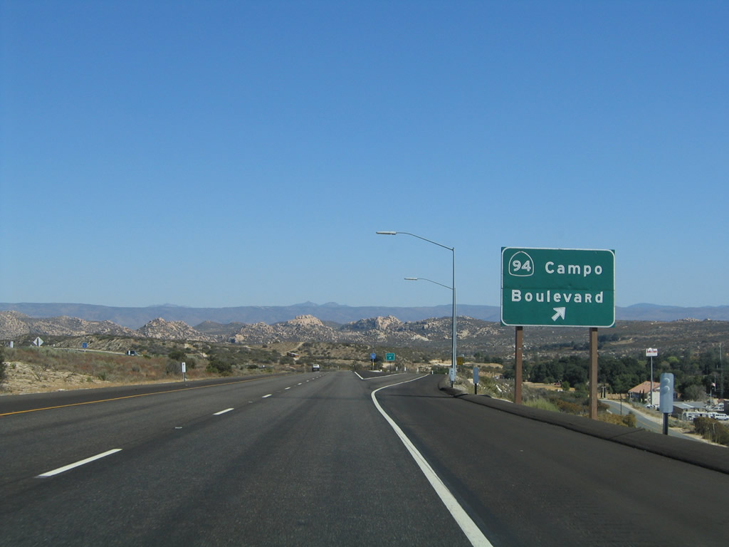
The next exit along eastbound Interstate 8 is Exit 65, California 94/Ribbonwood Road south to Boulevard. To the west of Boulevard, California 94 turns southwest toward Manzanita, Campo, and Tecate before angling northwest to San Diego. This interchange marks the eastern terminus of California 94. Photos taken 04/04/13 and 08/27/04. |
|
|
Use California 94 west to Boulevard and Manzanita, two towns located along the route of Old U.S. 80. The relatively flat and undeveloped area around Boulevard has been considered as a potential site for the often-proposed but never constructed replacement international airport for San Diego. Photos taken 04/04/13 and 08/27/04. |
|
|
While the section of California 94 between Interstate 8 and Tecate via Campo is only moderately traveled, the section between Campo and San Diego can be extremely busy, partially due to the increased truck traffic that crosses the International Border at Tecate and uses California 94 west to San Diego. Photos taken 04/04/13 and 08/27/04. |
|
|
Eastbound Interstate 8 (Kumeyaay Highway) reaches Exit 65, California 94/Ribbonwood Road. This interchange marks the eastern terminus of California 94. Photos taken 04/04/13 and 08/27/04. |
|
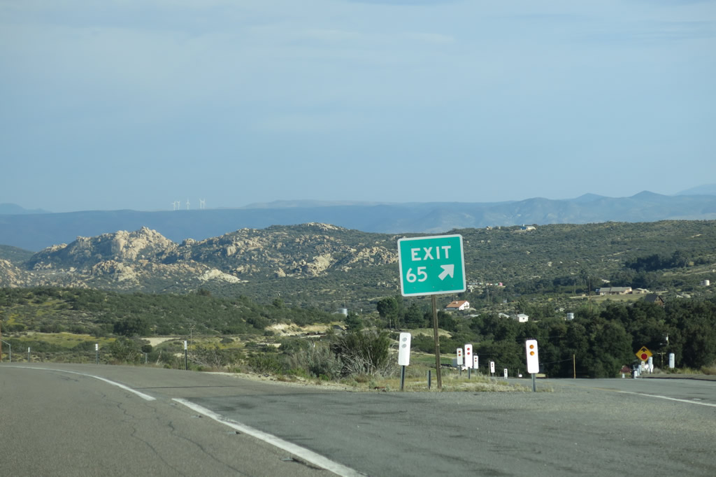
Exit 65 is signed at the gore point. The rocks of Walker Canyon come into view in the distance. Photo taken 08/27/04. |
|
California 94 reaches its eastern terminus at this rather modest, diamond interchange in eastern San Diego County, unlike its western end at Interstate 5 in a cavalcade of ramps just east of downtown San Diego. Photo taken 08/27/04. |
|
This reassurance shield is posted along eastbound Interstate 8 after Exit 65, California 94/Ribbonwood Road. Photo taken 08/27/04. |
|
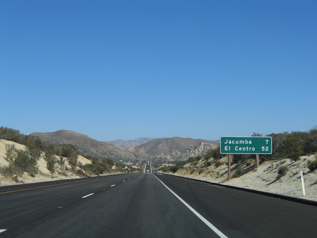
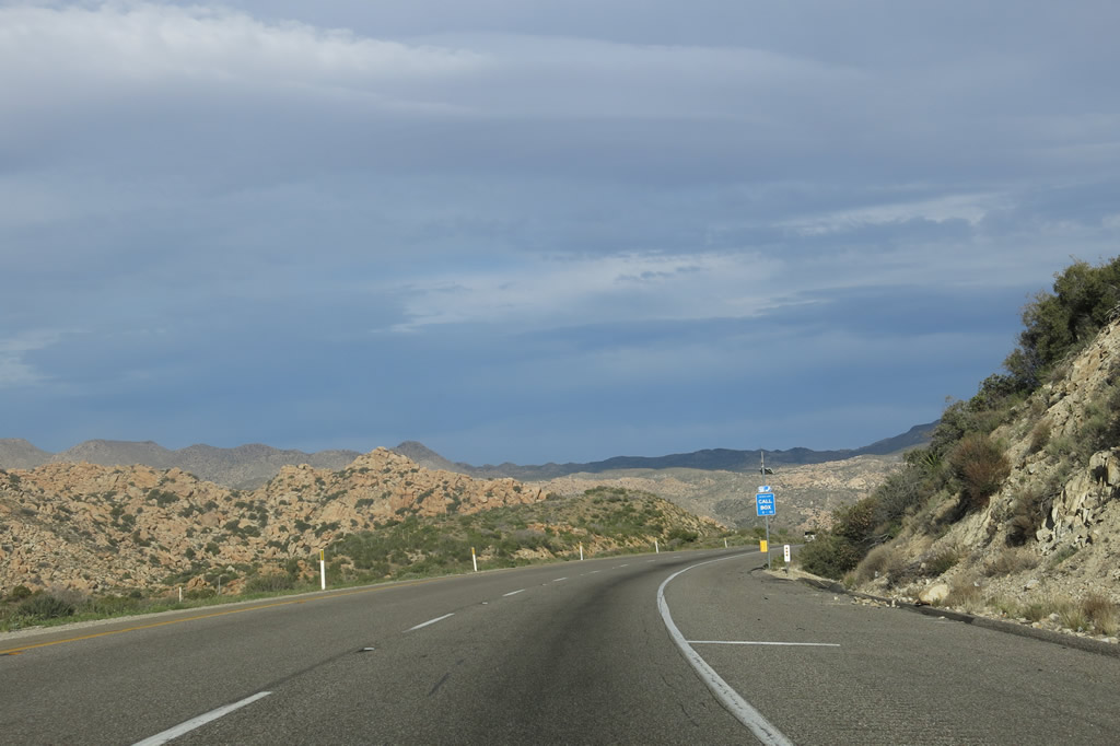
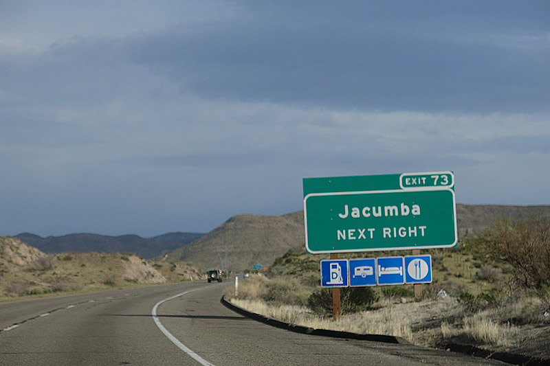
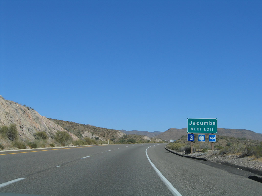
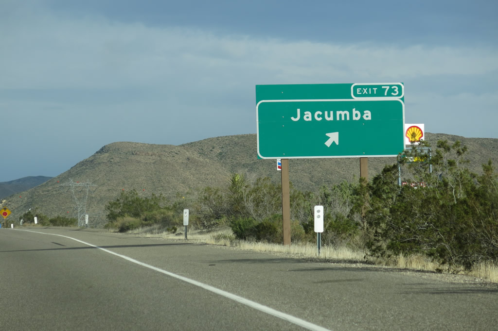
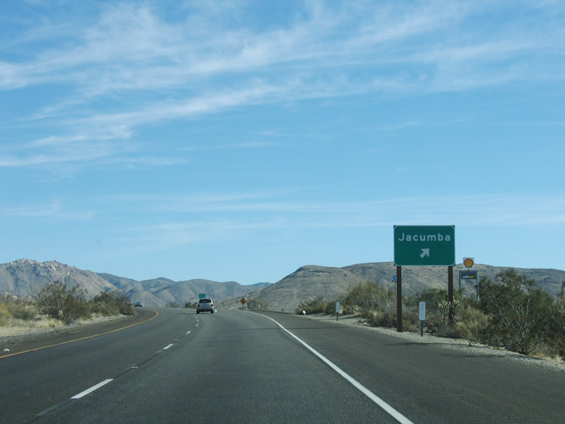
The next exit along eastbound Interstate 8 is Exit 72, Carrizo Gorge Road south to Jacumba Hot Springs, some seven miles east of the California 94 interchange. This mileage sign also provides the distance to El Centro in Imperial County. Photo taken 08/27/04. |
|
|
|
|
|
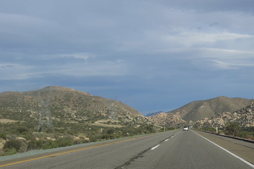
| Interstate 8 gradually loses elevation as it proceeds between Ribbonwood Road and Carrizo Gorge Road. The 500kV Sunrise Powerlink comes into view again and briefly parallels the freeway. Photos taken 04/04/13 and 01/27/06. |
|
|
|
|
|
|
|
|
|
|
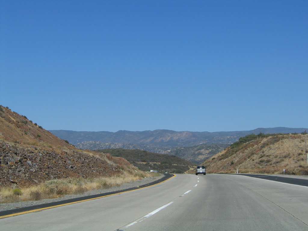
| Descending from Tecate Divide, Interstate 8 winds its way through Walker Canyon, a picturesque land of rocky chasms and steep canyons. The freeway rapidly loses elevation as it proceeds downhill toward the Carrizo Gorge Road interchange near the unincorporated community of Jacumba Hot Springs. Photos taken 04/04/13 and 01/27/06. |
|
|
|
|
|
|
Table Mountain (el. 4,089 feet) dominates the view on the north side of Interstate 8 as the freeway levels off at an elevation of about 2,800-2,900 feet. Photo taken 01/27/06. |
|
|
Finally, eastbound Interstate 8 approaches Exit 72, Carrizo Gorge Road south to Jacumba and north to Carrizo Gorge. Look for the San Diego and Imperial Valley Railroad undercrossing; this railroad travels northeast through Carrizo Gorge, passing through several tunnels and over several trestles. One of these railroad trestles is the tallest wooden railroad trestle in the country. Photos taken 04/04/13 and 08/27/04. |
|
|
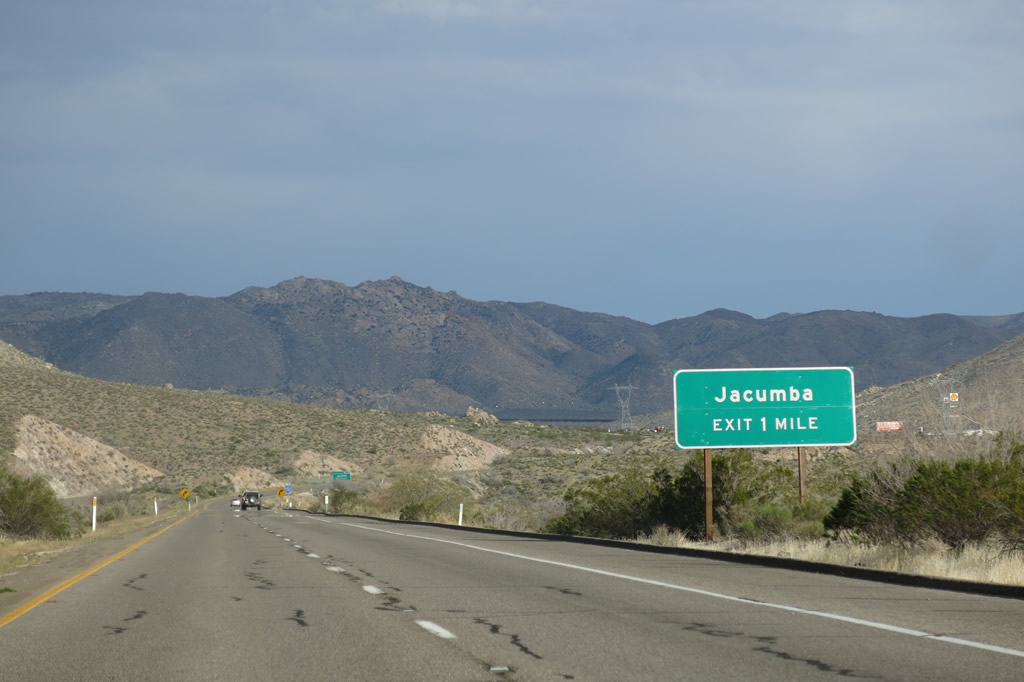
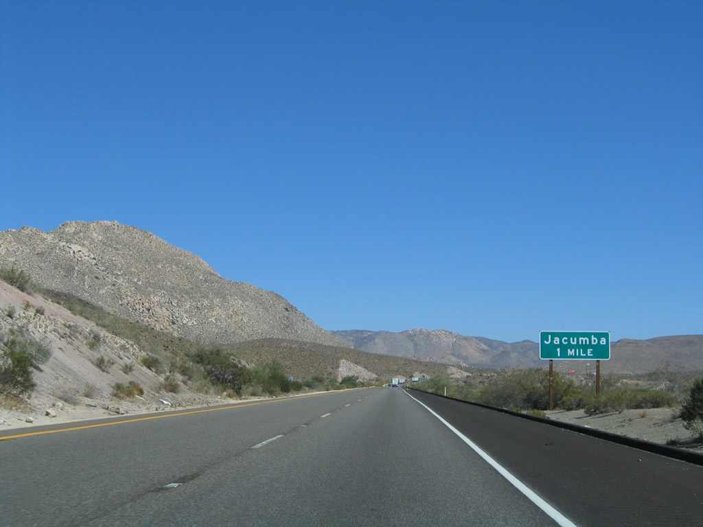
An exit number sign is posted for Exit 72, Carrizo Gorge Road. Jacumba Hot Springs is an unincorporated area of San Diego County. Known best for its namesake hot springs, Jacumba Hot Springs is located on Old U.S. 80 a few miles south of Interstate 8 near the U.S.-Mexico border. Photos taken 04/01/13 and 08/27/04. |
|
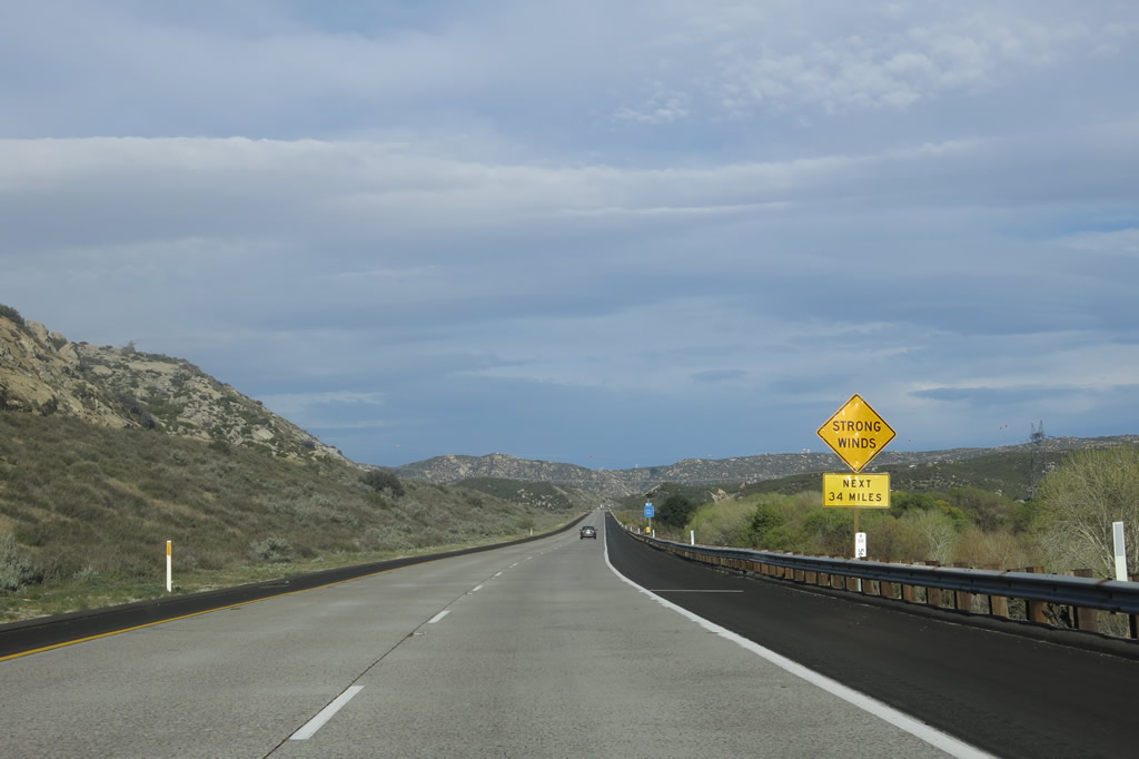
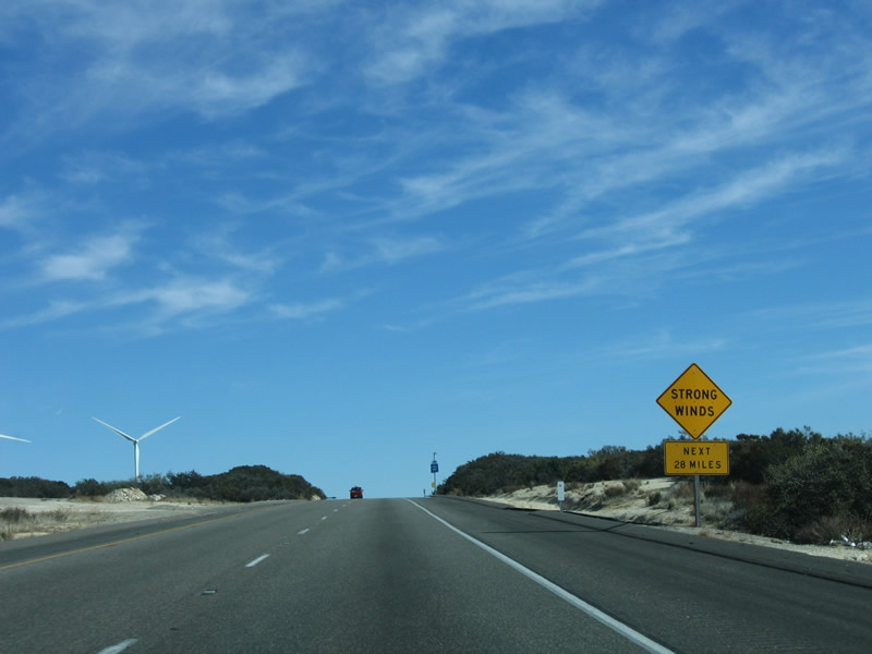
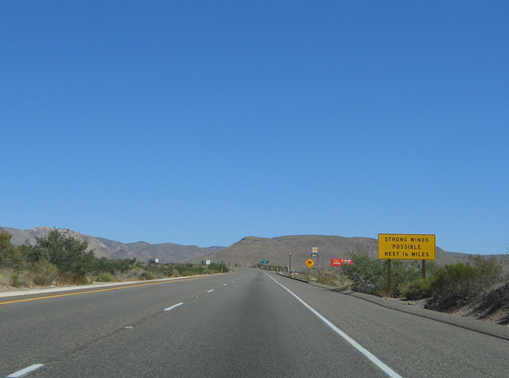
Strong winds remain possible (if not likely) for another 16 miles, which is enough distance to bring Interstate 8 down to the Imperial Valley floor. Photo taken 08/27/04. |
|
|
|
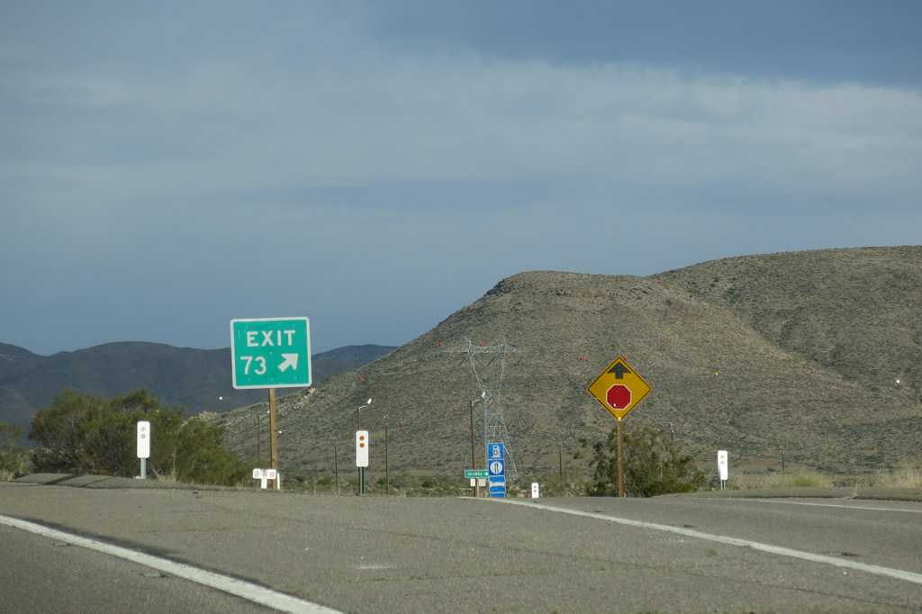
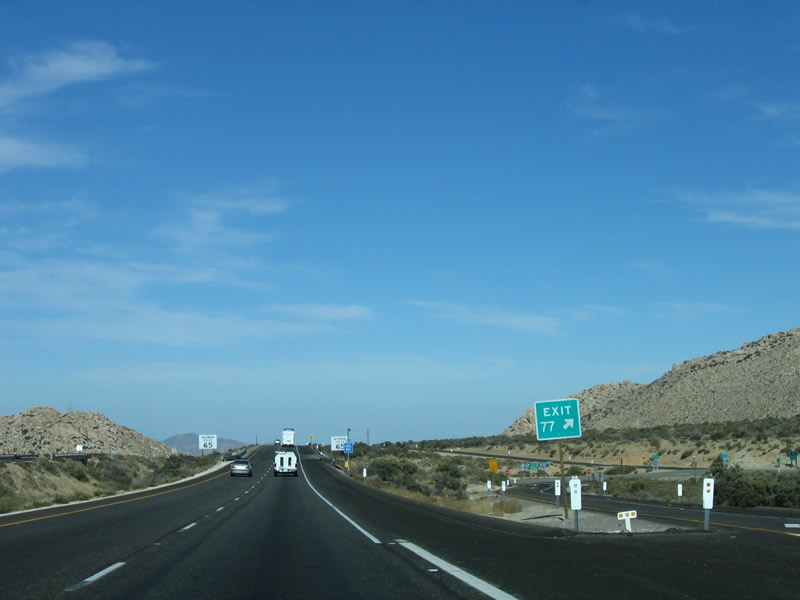
Eastbound Interstate 8 reaches Exit 72, Carrizo Gorge Road to Jacumba Hot Springs. This is the last exit with full motorist services until the Imperial Highway interchange (Exit 89), a distance of 17 miles. The 2013 picture also shows more of the Sunrise Powerlink, which will follow Interstate 8 through In-Ko-Pah Gorge and toward Ocotillo. Photos taken 04/04/13, 01/27/06, and 08/27/04. |
4
|
The gore point for the Carrizo Gorge Road off-ramp is signed with an exit number. Gas, food, and lodging are available in Jacumba Hot Springs. Photo taken 04/04/13. |
|
This reassurance shield for eastbound Interstate 8 is posted immediately after Exit 72, Carrizo Gorge Road. The next exit is the U.S. Border Patrol Inspection Station followed by In-Ko-Pah Gorge Road (Exit 77). Photo taken 08/27/04. |
|
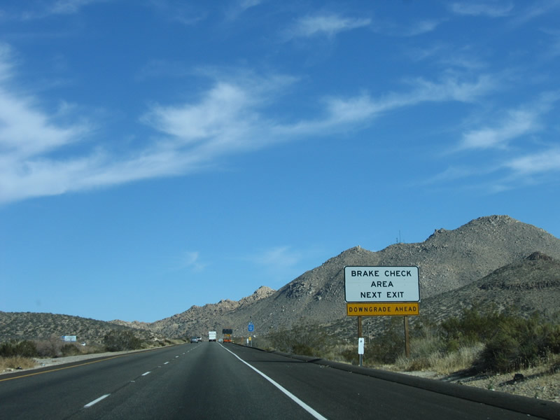
The brake inspection station is located near Milepost 76, and it doubles as a U.S. Border Patrol Inspection Station. Like other U.S. Border Patrol inspection stations, this station is not operated at all hours, but all motorists must stop when directed to do so by agents. Trucks may also use this pull out to check brakes before the long descent into the Imperial Valley. Photo taken 01/27/06. |
|
These rocks and hills give the area along Interstate 8 an almost moon-like appearance through this area. Photo taken 01/27/06. |
|
The next stop along eastbound Interstate 8 is the U.S. Border Patrol Inspection Station and truck brake inspection area. These checkpoints are designed to reduce the amount of smuggling, both in terms of illegal immigration and drugs. Interstate 8 is very close to the International Border with Mexico. While the freeway will soon turn north to move away from the border, it is very close at this location. The increased U.S. Border Patrol presence here is necessary to maintain border security. Photo taken 01/27/06. |
|
Eastbound Interstate 8 reaches Exit 76, U.S. Border Patrol Inspection Station and truck brake inspection area. At the time this photo was taken, the inspection station was not in operation. Photo taken 01/27/06. |
|
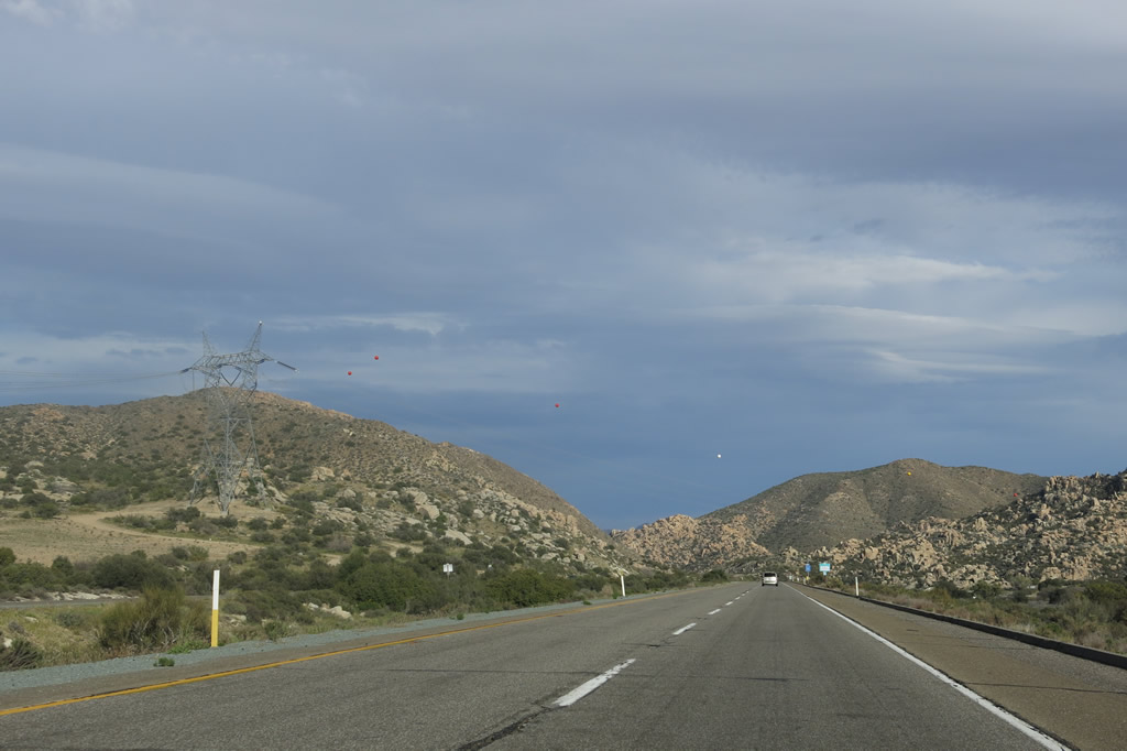
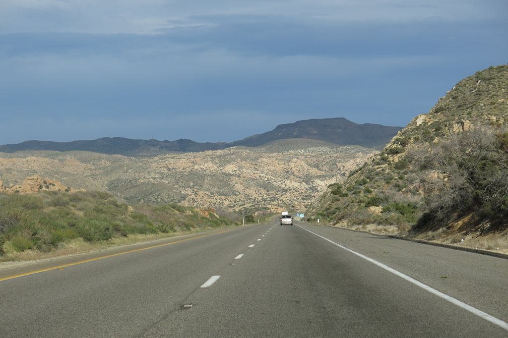
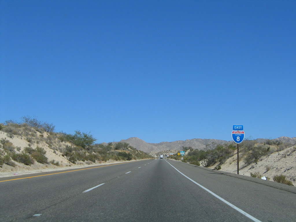
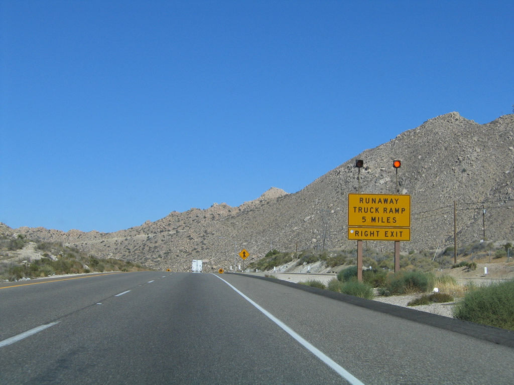
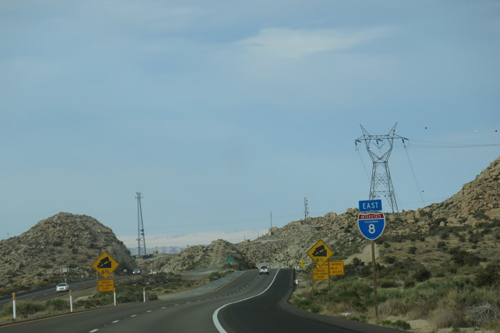
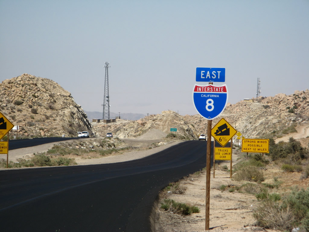
Interstate 8 passes by the U.S. Border Patrol Inspection Station. With the upcoming downgrade, a runaway truck ramp is offered in five miles. On the right (south) side of the freeway, look for both the Sunrise Powerlink and Southwest Powerlink (500kV power lines both owned by San Diego Gas & Electric) to come into view. They will both parallel the freeway as it approaches and descends In-Ko-Pah Gorge. Photo taken 01/27/06.
|
|
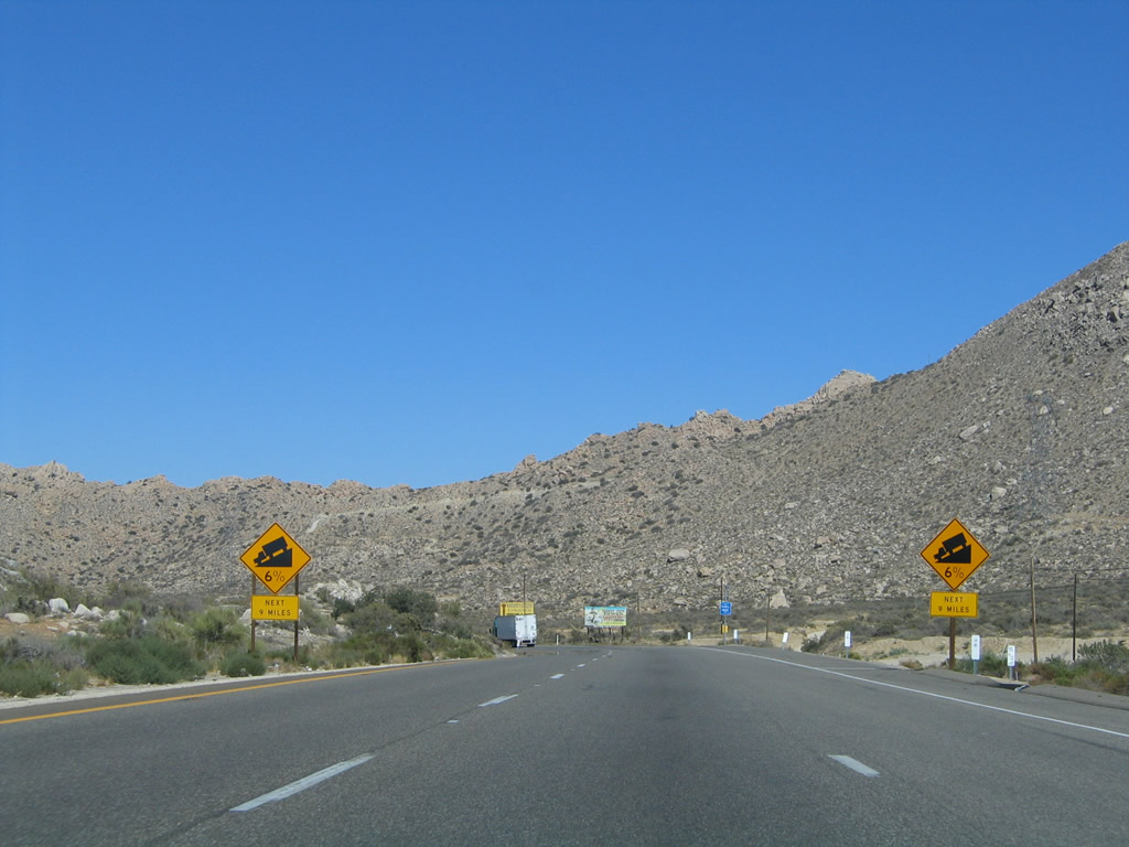
The grade that carries Interstate 8 from Jacumba down to the Imperial Valley floor via the Mountain Springs Grade and In-Ko-Pah Gorge is at times as steep as six percent. Photo taken 08/27/04. |
|
|
|
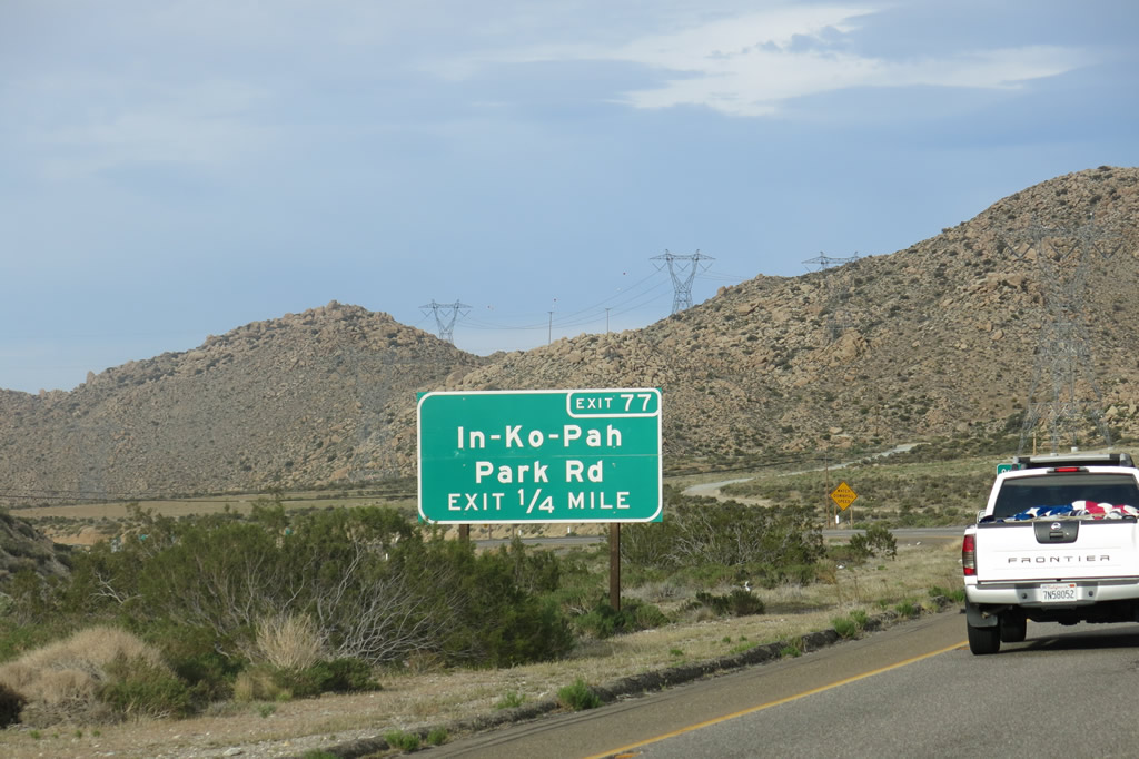
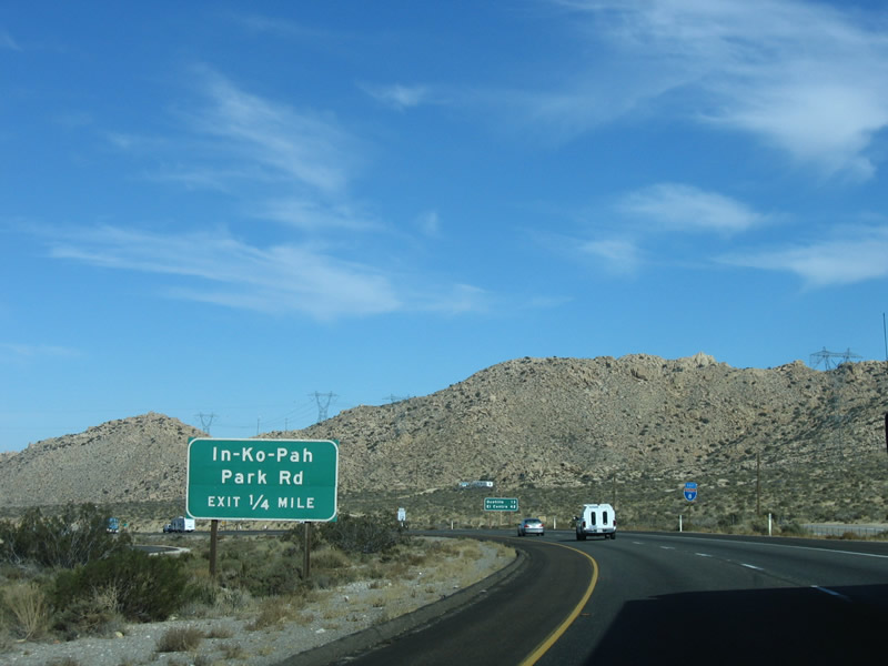
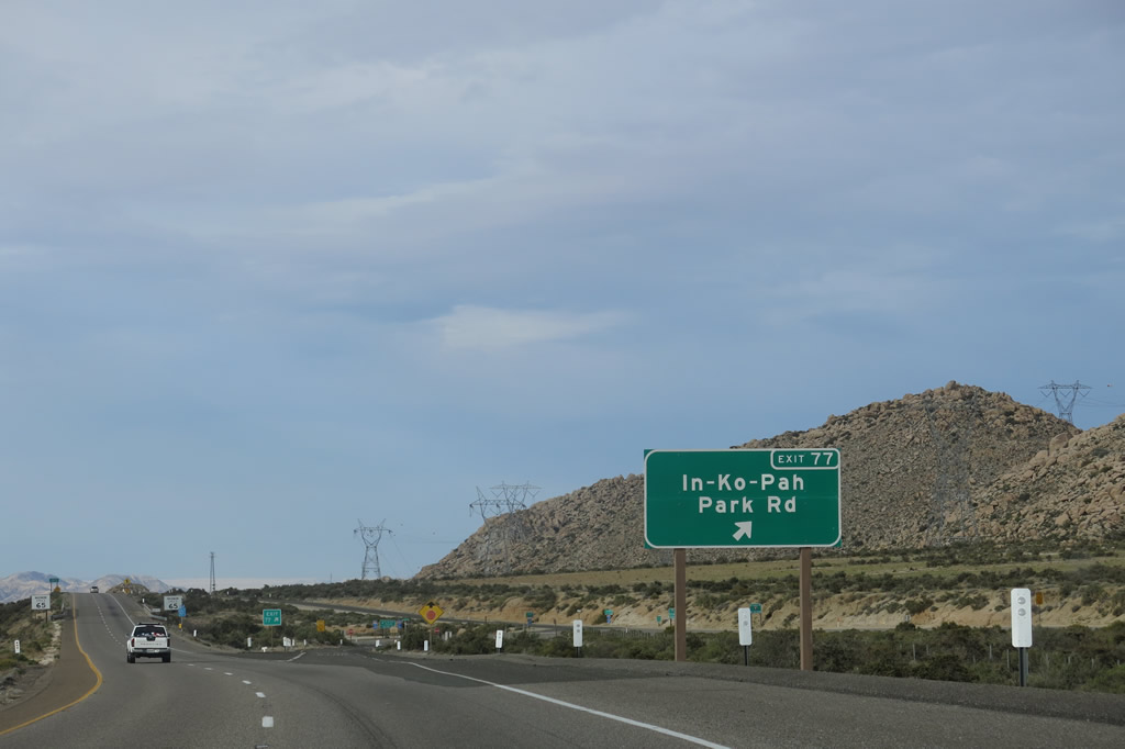
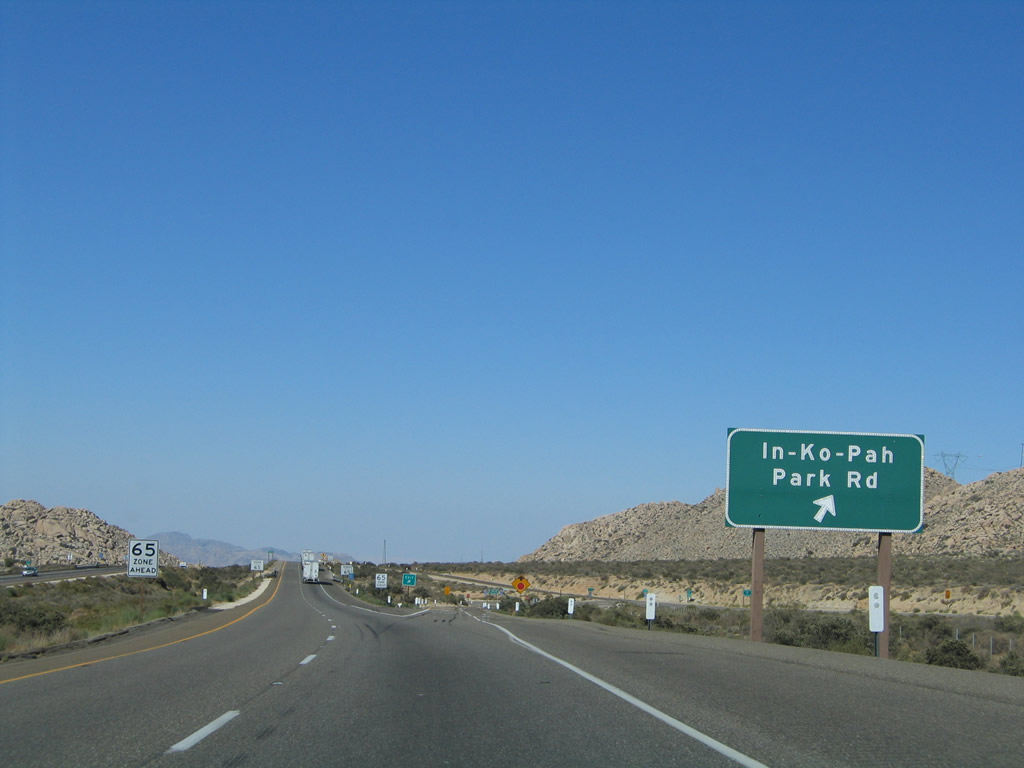
The next exit along eastbound Interstate 8 is Exit 77, Historic U.S. 80 and In-Ko-Pah Park Road. This is the final exit in San Diego County. Take this exit to see an extant section of Old U.S. 80 that leads to the Desert View Tower and to see an overview of Interstate 8 as it descends through Mountain Springs toward In-Ko-Pah Gorge and Devil's Canyon. Photos taken 04/04/13, 01/27/06, and 08/27/04. |
|
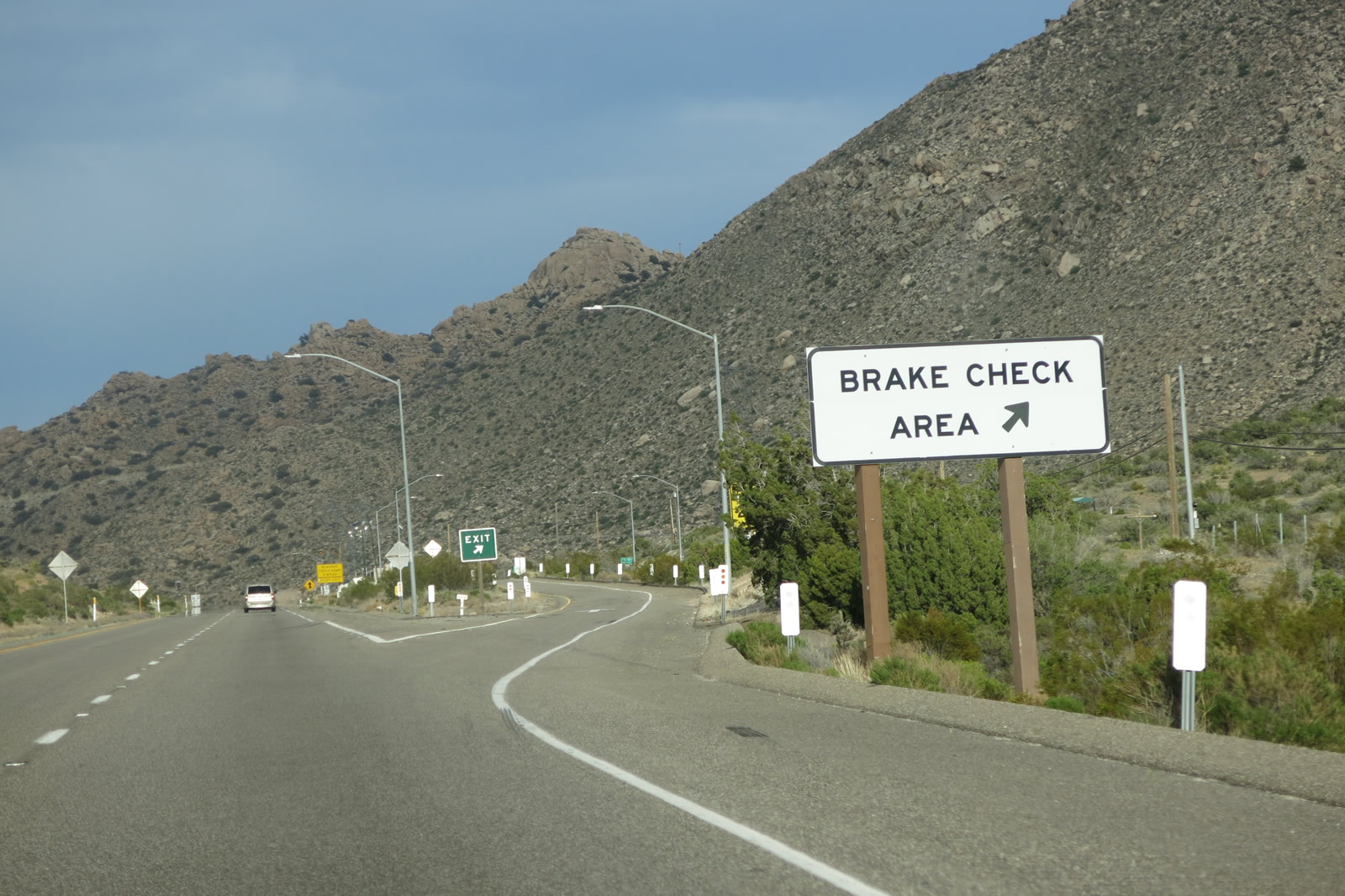
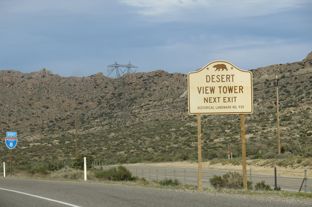
Use Exit 77 to the Desert View Tower. If you have the time, this is a great place to stop for some sightseeing and a brief tour of the tower. However, there are only limited services here (no gas, no restaurants, no lodging). Note the nearby Sunrise Powerlink and Southwest Powerlink running parallel to Interstate 8 at this point. Photo taken 08/27/04. |
|
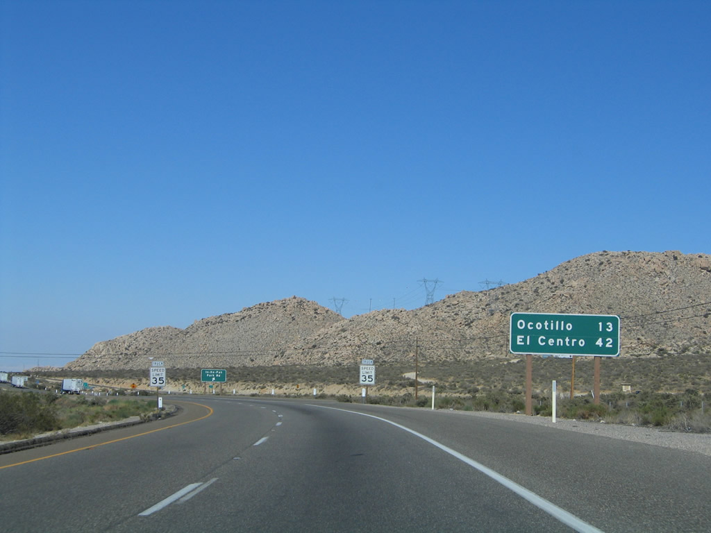
This mileage sign provides the distance to Ocotillo (Imperial County S-2) and El Centro (California 86). On the coming section of Interstate 8 east of In-Ko-Pah Park, be mindful of ongoing U.S. Border Patrol activities. It is possible to see active enforcement of border policies at any time. Photo taken 08/27/04. |
|
|
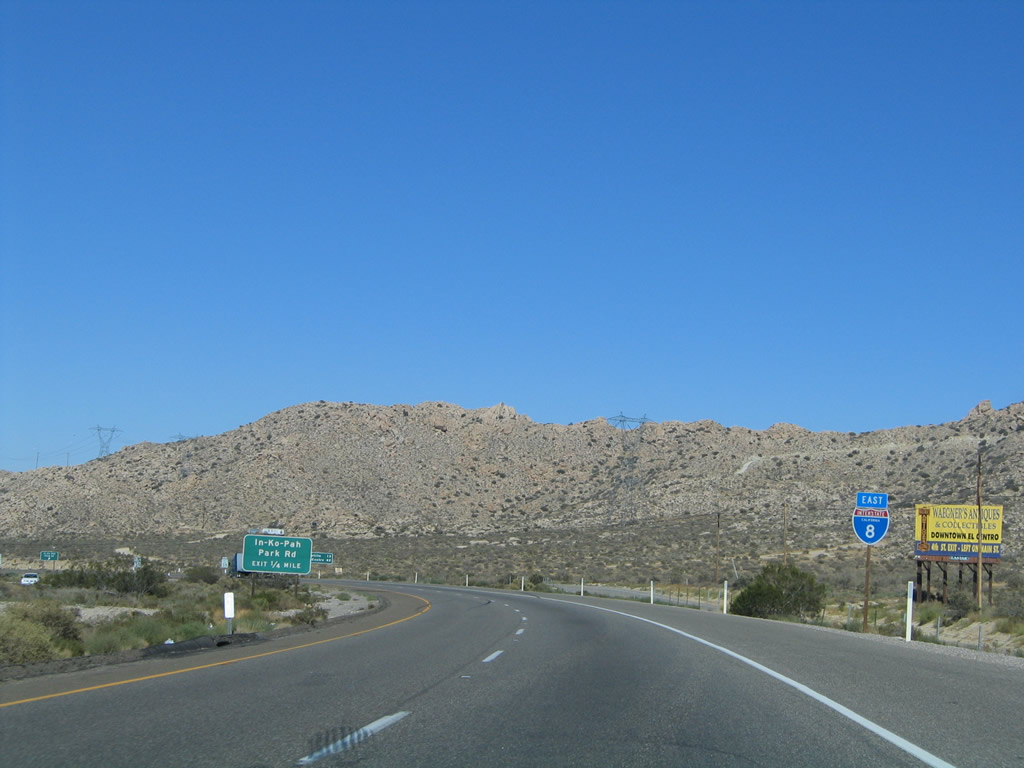
Eastbound Interstate 8 reaches Exit 77, Historic U.S. 80. Use U.S. 80 north (east) to follow In-Ko-Pah Road to the Desert View Tower. After crossing the Imperial County Line, the Historic U.S. connects to the Desert View Tower, but the driveable highway does not continue east beyond that point. Only remnants of the route exist between In-Ko-Pah Park and the interchange with Imperial County S-2 in Ocotillo, with a very lengthy section of twin-slab concrete for U.S. 80 at the Mountain Springs Road interchange. To the south (west), U.S. 80 travels back toward Jacumba. Photos taken 04/04/13 and 08/27/04. |
|
|
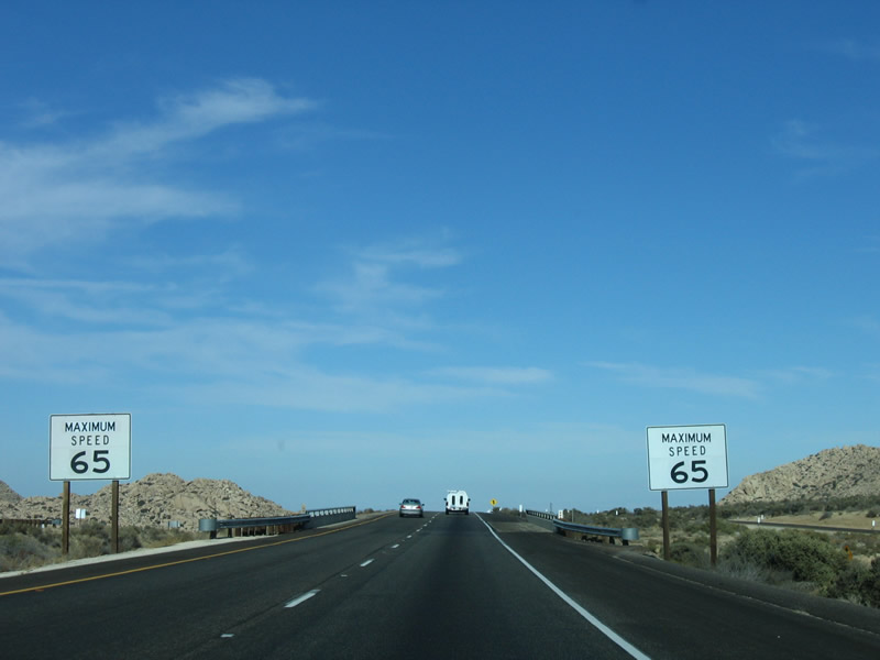
Passing over Historic U.S. 80 (In-Ko-Pah Park Road) at Exit 77, Interstate 8 prepares for the descent into the Imperial Valley, partially by reducing the speed limit to 65 miles per hour and by advising of the steep, 6% grade coming soon. Photos taken 01/27/06. |
|
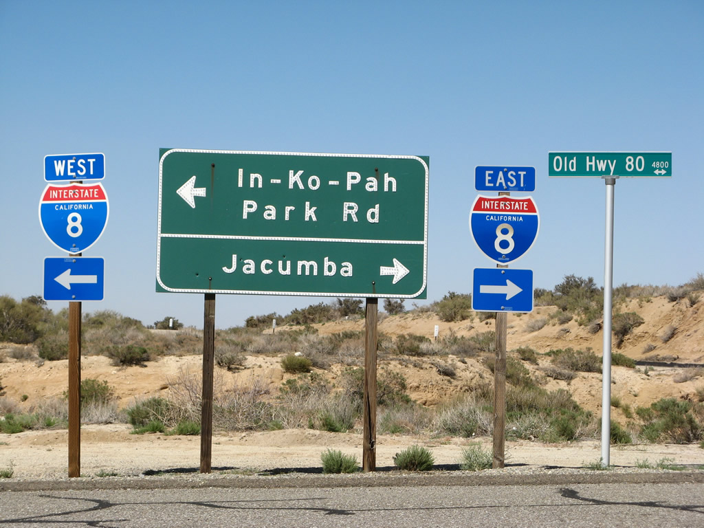
Upon exiting, this set of signs greets motorists. Turn left to follow Old Historic U.S. 80 (In-Ko-Pah Park Road) east to Desert View Tower and right to follow Old U.S.80 west to Jacumba. A connection to Interstate 8 east to Imperial Valley and El Centro is available by turning right and then left; a connection to Interstate 8 west to San Diego can be made by turning left and then making the first right. Photo taken 04/19/08. |
|
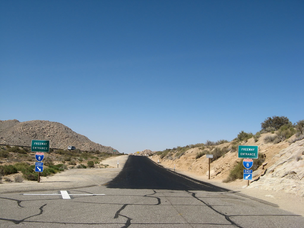
This is the freeway entrance from Historic U.S. 80 (In-Ko-Pah Park Road) to Interstate 8 east. Photo taken 04/19/08. |
|
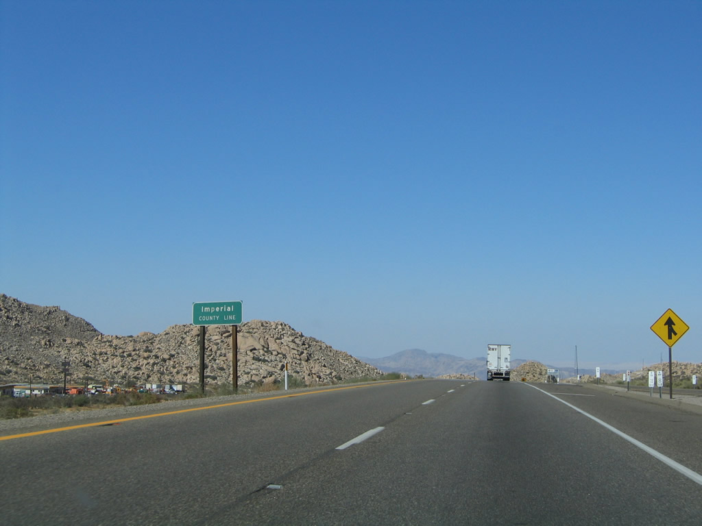
Returning to the mainline and after crossing the In-Ko-Pah Park Road overpass, eastbound Interstate 8 leaves San Diego County and enters Imperial County for the first time. Photo taken 08/27/04. |
|
|
An Interstate 8 reassurance shield is posted after the In-Ko-Pah Park Road on-ramp in Imperial County. After this shield, Interstate 8 begins its descent into In-Ko-Pah Gorge. Photos taken 04/04/13 and 04/19/08. |
Page Updated April 15, 2013.