| Interstate 80 West |
|---|
|
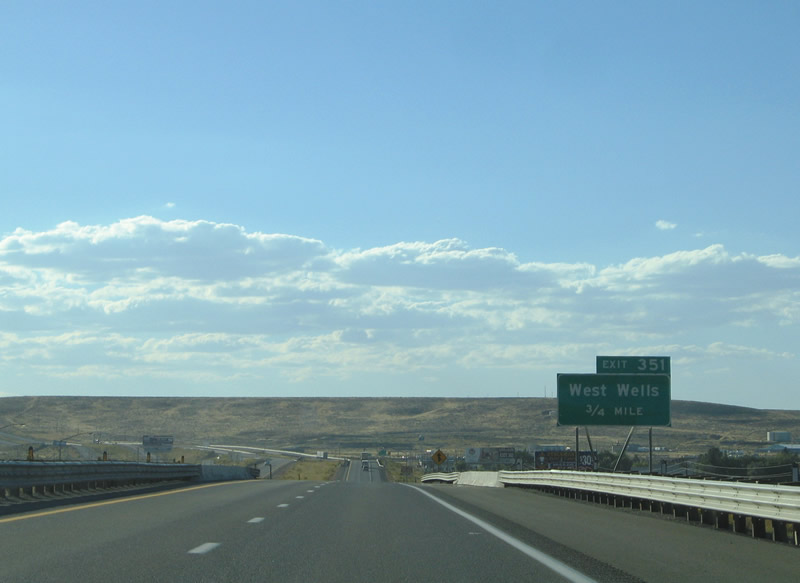
Still in the vicinity of Wells, westbound Interstate 80 crosses over the Great Basin Highway (U.S. 93) 0.75 miles east of the Exit 351 interchange with Business Loop I-80 and Nevada 223 (Humboldt Avenue). Photo taken 09/08/05. |
|
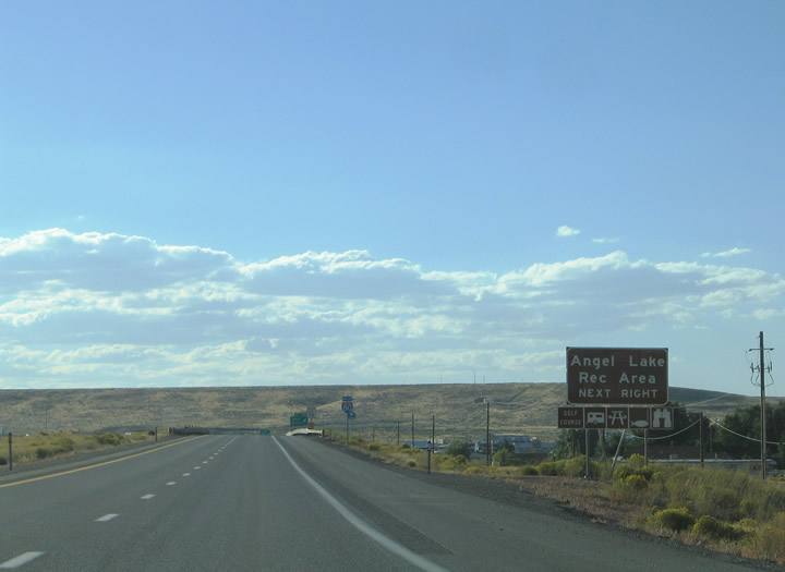
Humboldt Avenue continues south of Interstate 80 to Nevada 233 (Angel Lake Road) and Hogan Street in south Wells. Nevada 233 travels south 11.689 miles to Angel Lake Recreation Area. Angel Lake lies within Humboldt-Toiyabe National Forest. Photo taken 09/08/05. |
|
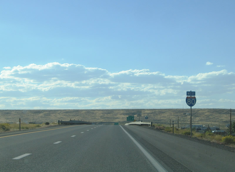
This Interstate 80 west reassurance marker is posted at the Shoshone Avenue under crossing. Shoshone Avenue leads southwest from Sixth Street to Clover Valley Road. Photo taken 09/08/05. |
|
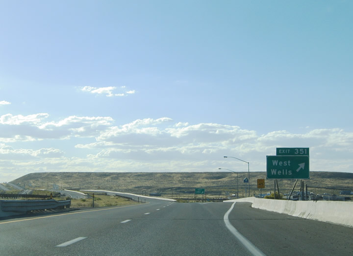
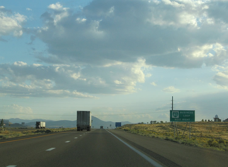
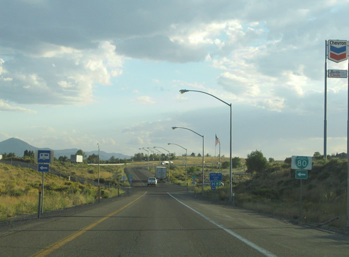
A diamond interchange facilitates the movements between Interstate 80, Business Loop I-80, and Nevada 223 (Humboldt Avenue). Use the business loop eastward for downtown Wells. Photo taken 09/08/05. |
|
|
|
Interstate 80 west makes its way out of Wells into the East Humboldt Range. A branch of the Union Pacific Railroad passes under the freeway just west of town. Photos taken 09/08/05. |
|
|
|
|
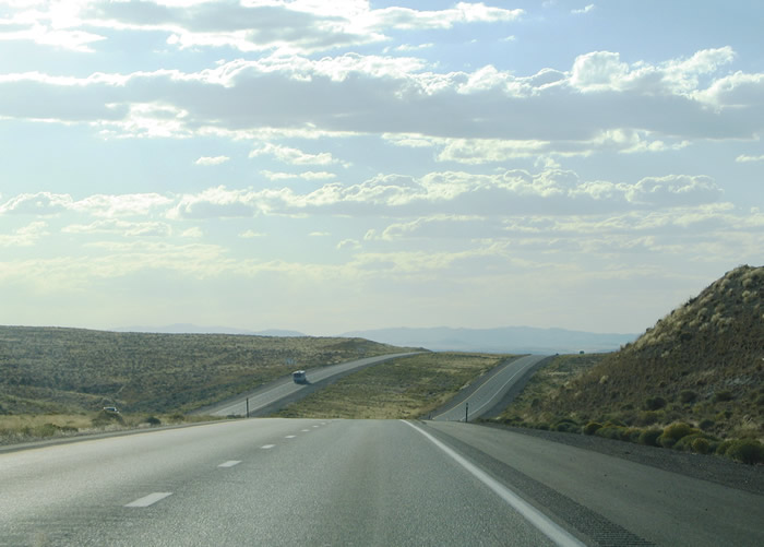
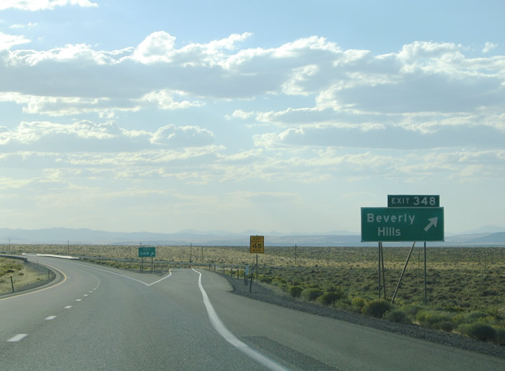
Old U.S. 40 returns to Interstate 80 at Beverly Hills three miles west of Wells. The former U.S. Highway kisses the westbound lanes of the freeway and continues west as a frontage road to Exit 343. Photo taken 09/08/05. |
|
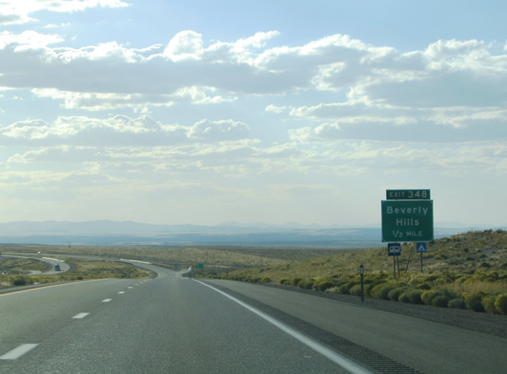
A short access road spurs south from Old U.S. 40 to the Exit 348 diamond interchange at Beverly Hills. Photo taken 09/08/05. |
|
|
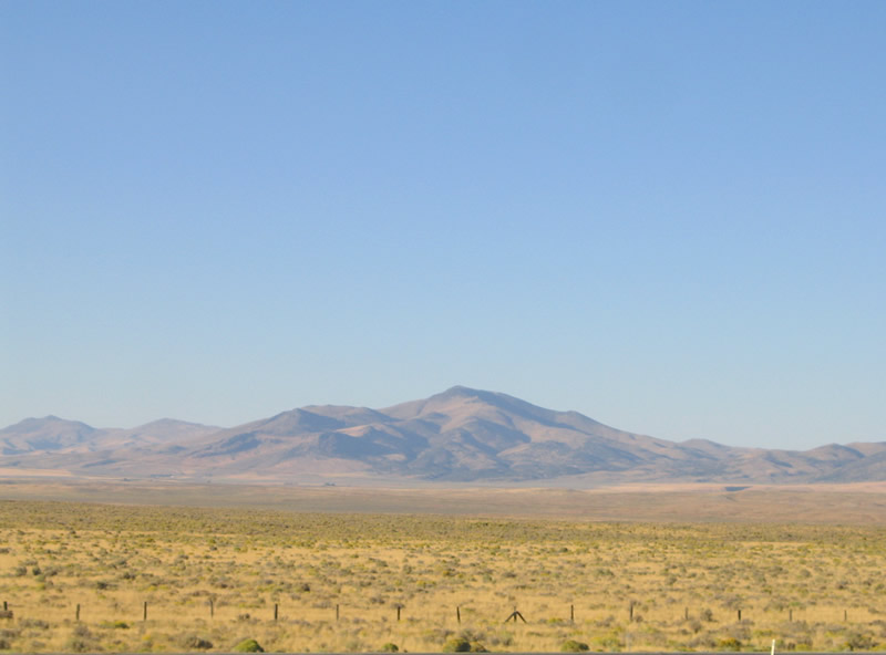
This view shows the continuation of the East Humboldt Range from Interstate 80 westbound between Exits 348 and 343. The freeway skirts the northern reaches of the Humboldt-Toiyabe National Forest on this stretch. Photos taken 09/08/05. |
|
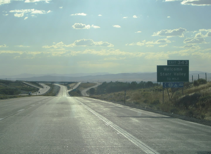
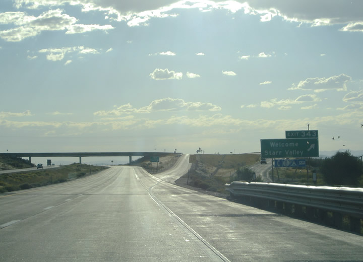
Old U.S. 40 and Nevada 230 (Starr Valley Road) meet Interstate 80 at Welcome and Exit 343. The former U.S. highway comprises the westbound side frontage road through the area. Nevada 230 loops 12.892 miles through Starr Valley between Exits 343 and 333. Photo taken 09/08/05. |
|
Westbound Interstate 80 reaches Exit 343, Nevada 230/Starr Valley Road (diamond interchange). National Forest Roads stem southward from the settlement of Welcome into Humboldt-Toiyabe National Forest. Old U.S. 40 continues alongside Interstate 80 through to the Union Pacific Railroad under crossing at Tabor Creek. Photo taken 09/08/05. |
|
|
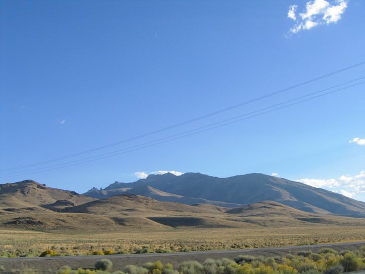
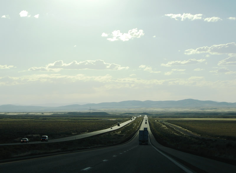
Pushing westward through Starr Valley toward Deeth along Interstate 80 west, the Independence Mountains rise beyond the valley floor. Pictured here is the aforementioned Union Pacific Railroad under crossing of Interstate 80. Photos taken 09/08/05. |
|
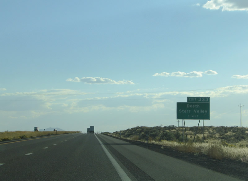
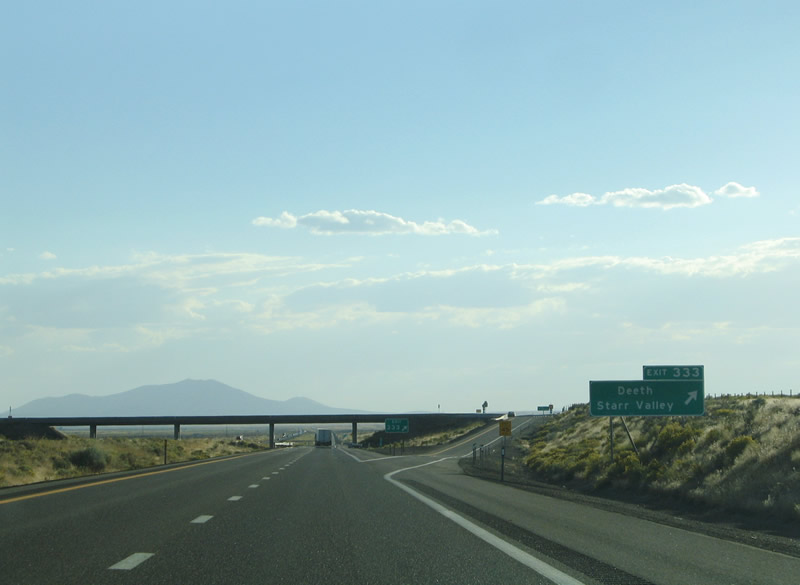
Exit 333 represents the return of Nevada 230 (Deeth Starr Valley Highway). The state route meets the freeway just west of Deeth and north of Oniel Basin Road. Photo taken 09/08/05. |
|
Westbound Interstate 80 reaches Exit 333, Nevada 230/Deeth-Starr Valley Highway east. A frontage road, perhaps original U.S. 40, follows the westbound lanes of Interstate 80 from Exit 333 to Exit 328. Photo taken 09/08/05. |
|
|
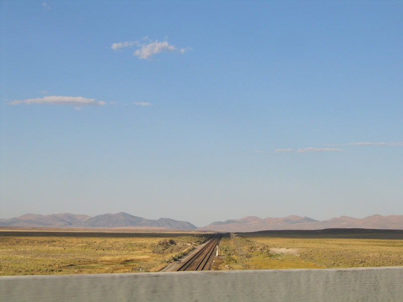
Pushing westward along Interstate 80 between Deeth and River Ranch. The freeway travels alongside the Humboldt River through this stretch. Photos taken 09/08/05. |
|
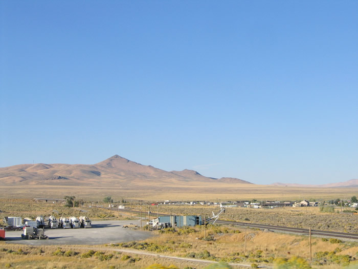
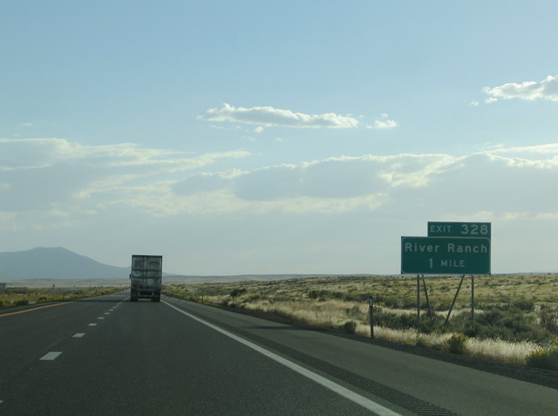
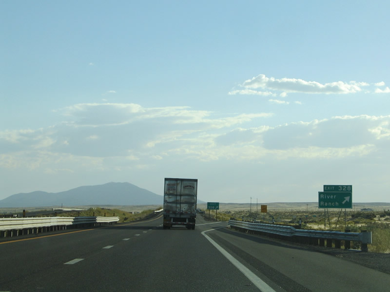
River Ranch lies along Interstate 80 and old U.S. 40 (Merganser Avenue and Ruddy Avenue) to the northwest of Exit 328. A small street grid lines the desert landscape at the ranch. Photo taken 09/08/05. |
|
Westbound Interstate 80 reaches Exit 333, River Ranch. Merganser Avenue spurs south from Old U.S. 40 and River Ranch to the Exit 328 diamond interchange with Interstate 80. Photo taken 09/08/05. |
|
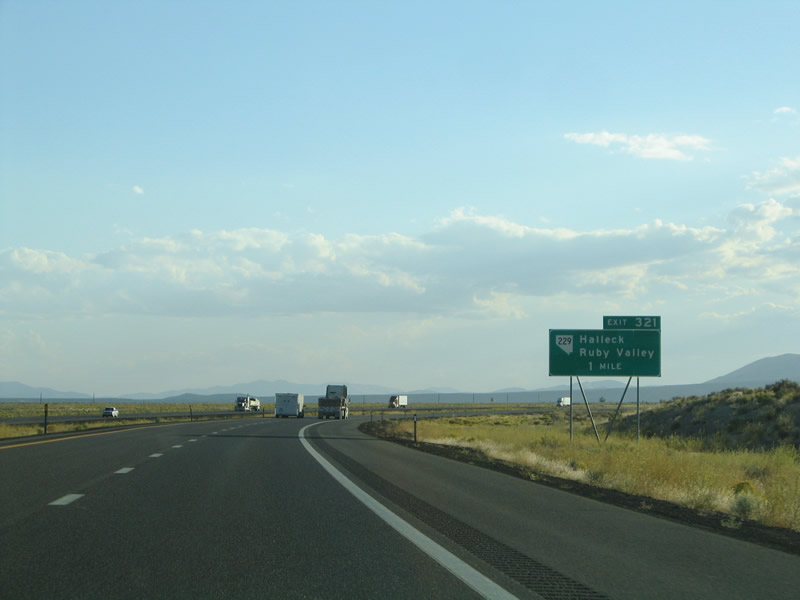
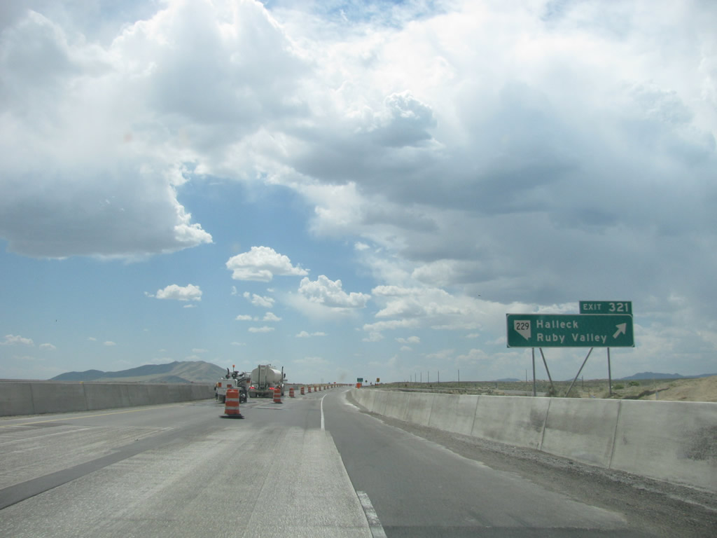
The next exit along Interstate 80 west is Exit 321 for SR 229. This state route intersects Interstate 80 at the Exit 321 trumpet interchange. The state route travels 60.190 miles south and east to U.S. 93 through the Ruby Valley and Secret Pass (el. 6,457 ft). The community of Halleck lies just one mile to the southeast at the Nevada 229 crossing of the Union Pacific Railroad line. Photo taken 09/08/05. |
|
Westbound Interstate 80 reaches Exit 321, Nevada 229 south to Halleck and Ruby Valley. Photo taken 05/16/12 by Steve Hanudel and Erik Slotboom. |
|
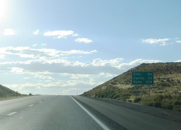
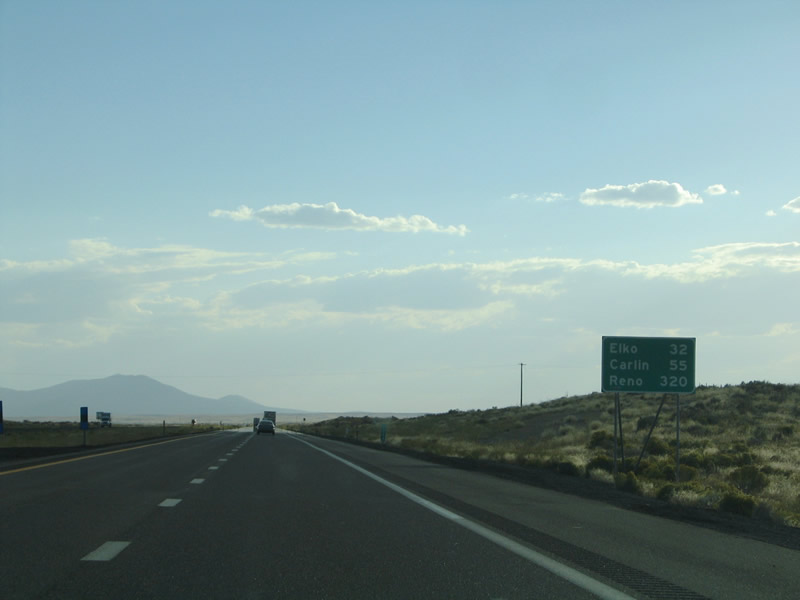
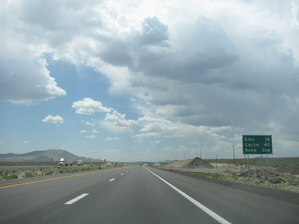
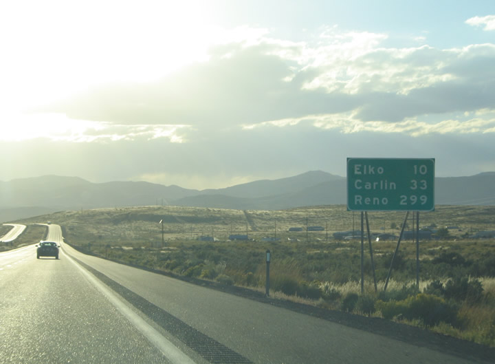
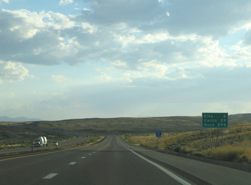
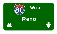
After the Nevada 229 interchange, this mileage sign along Interstate 80 west provides the distance to Elko (18 miles), Carlin (40 miles), and Reno (306 miles). Photo taken 05/16/12 by Steve Hanudel and Erik Slotboom. |
|
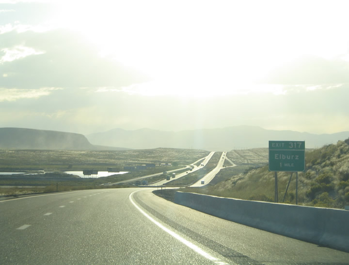
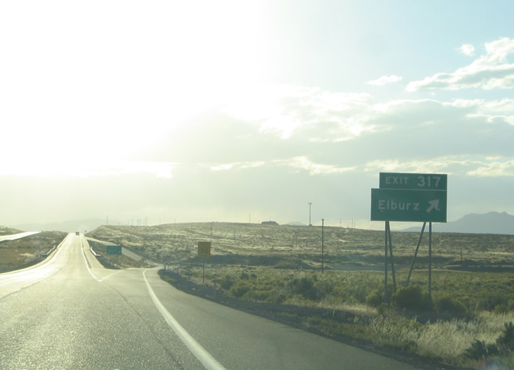
Due to the late hour of the day in late summer, we found ourselves traveling direclty into the sun for the next several miles, and our pictures show Interstate 80 basking in the late afternoon glow ... which was not to our benefit. Interstate 80 turns directly into the sun from Halleck west to Osino. The freeway enters the Elburz ranch area at Exit 317. Photo taken 09/08/05. |
|
Westbound Interstate 80 reaches Exit 317, Second Street and old U.S. 40 (via a diamond interchange). Large street grids lie to the north and south associated with the Elburz, Ryndon, and Devils Gate ranch areas. Photo taken 09/08/05. |
|
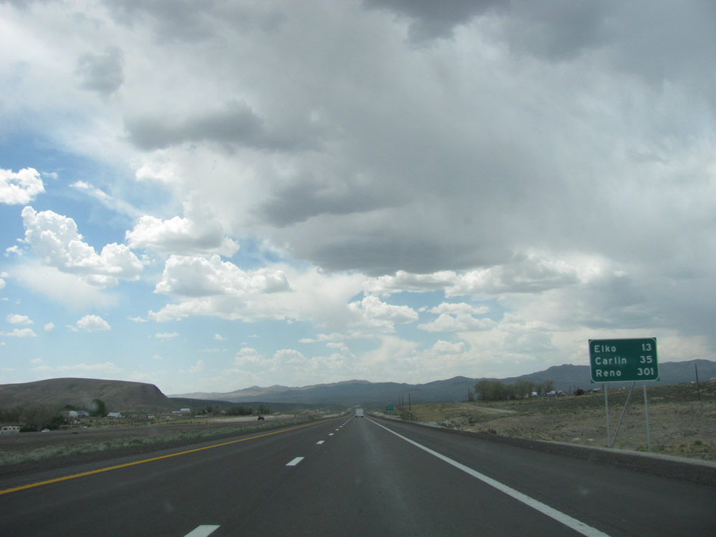
Another Interstate 80 westbound mileage sign (just six miles from the previous sign) lists the distances to Elko (Nevada 225), Carlin (Nevada 278), and Reno (U.S. 395). Photo taken 05/16/12 by Steve Hanudel and Erik Slotboom. |
|
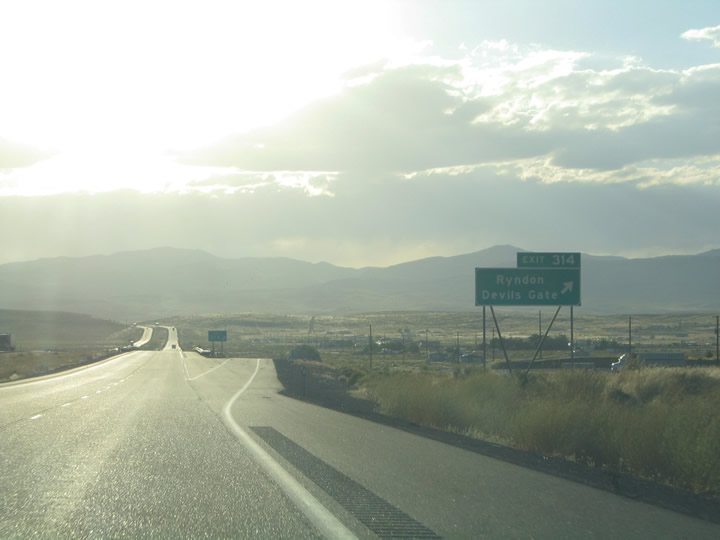
Westbound Interstate 80 reaches Exit 314, Ryndon and Devils Gate. Intersecting the freeway here is Third Street, Coal Mine Road, 2nd Street, and Frontier Avenue. Photo taken 09/08/05. |
|
|
|
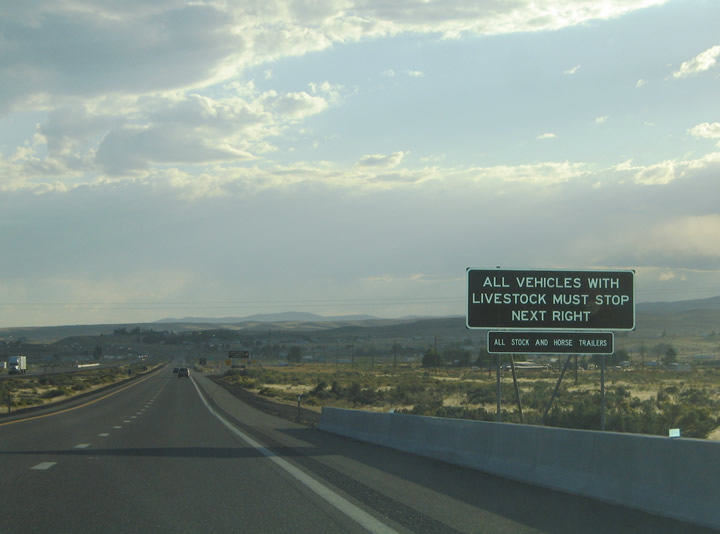
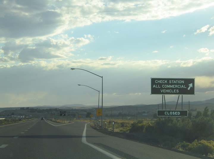
Continuing west toward Elko on Interstate 80, we encounter a check station, which is Nevada's term for a weigh station or port of entry. This facility lies along the freeway between Ryndon and Osino (Exit 310). All commercial vehicles and vehicles carrying livestock must enter the facility for inspection. Photo taken 09/08/05. |
|
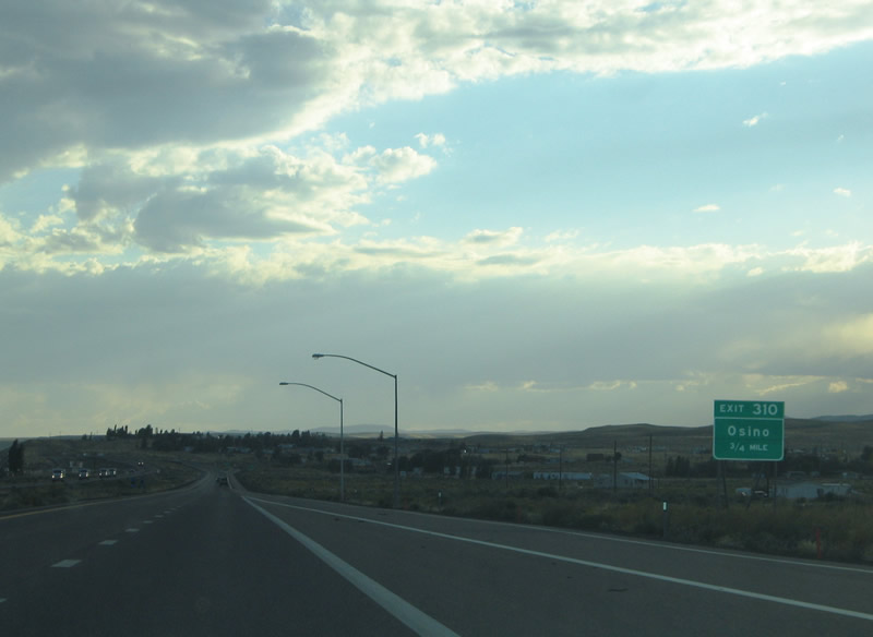
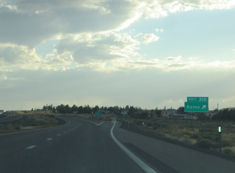
Interstate 80 west approaches exit 310, a diamond interchange at Osino (0.75 mile). Old U.S. 40 and Piute Road meet the freeway alongside a large street grid to the north. Photo taken 09/08/05. |
|
Westbound Interstate 80 reaches Exit 310, Osino. A short connector road joins Piute Road and Victory Boulevard to the north and old U.S. 40 and East Idaho Street to the south. Photo taken 09/08/05. |
|
|
|
Interstate 80 curves southwestward on the six mile drive between Osino and Elko. Elko represents the largest community along Interstate 80 between Reno and Salt Lake City. Here motorists can find a large array of travel services for the drive ahead. Photos taken 09/08/05. |
|
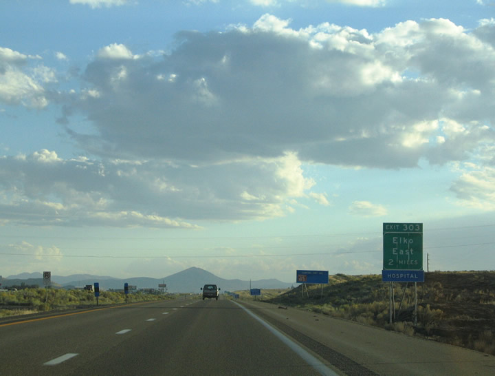
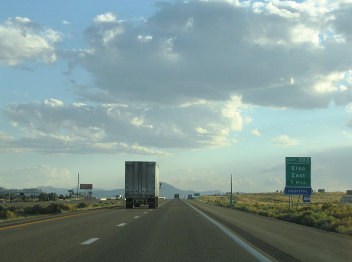
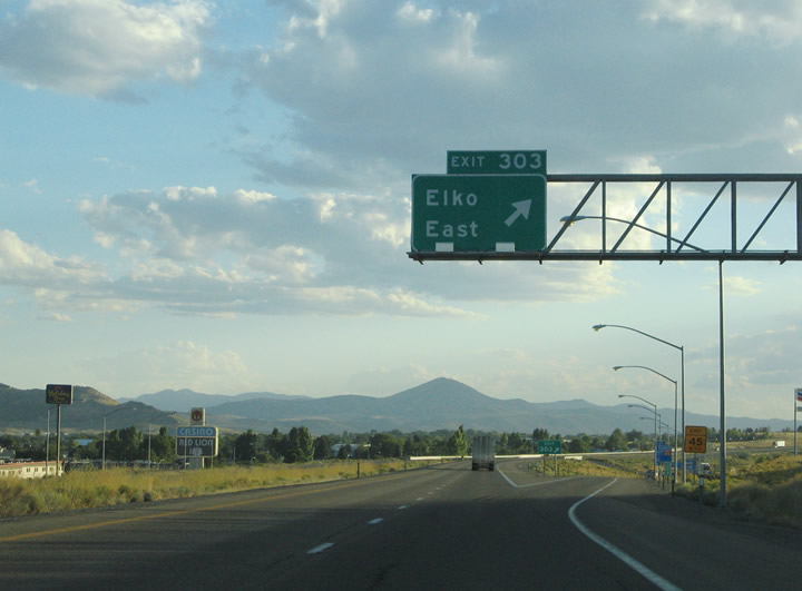
The next exit along Interstate 80 west is Exit 303 to Business Loop I-80 to Elko. This sign is posted two miles out of Elko on Interstate 80 west. Business Loop I-80 and Nevada 535 (Idaho Street) loop into downtown Elko via Old U.S. 40 between Exit 303 and Exit 298. Photo taken 09/08/05. |
|
A diamond interchange joins Interstate 80 with Jennings Way at Exit 303. Business Loop I-80 & Nevada 535 follow Jennings Way between the freeway and Idaho Street. Nevada 535 cosigns for the entire length of Business Loop I-80, a distance of 3.158 miles. Photo taken 09/08/05. |
|
A small guide sign indicates that Exit 303 serves Business Loop I-80. Nevada adopts its business loop signing practice from the state of California. California only posts auxiliary guide signs for business loops from its freeway mainlines. Photo taken 09/08/05. |
|
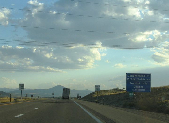
Nevada provides large service signs for its Department of Motor Vehicles from along its freeways. In addition to serving the Nevada DMV, Exit 303 also serves a Nevada Tourist Information Center situated along Idaho Street. Photo taken 09/08/05. |
|
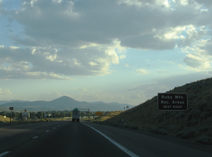
Travelers bound for Nevada 227 (Lamoille Highway) from Interstate 80 should take Business Loop I-80/SR 535 west from Exit 303 into downtown Elko. There Idaho Street intersects 5th Street, the northern terminus of Nevada 227. Nevada 227 constitutes a 20.132-mile long route between Elko and the Ruby Mountain Scenic Area. the business loop meets Nevada 535 Photo taken 09/08/05. |
|
Westbound Interstate 80 reaches Exit 303, Junction Business Loop I-80 and Nevada 535 west via Jennings Way. Jennings Way ties into Kittridge Canyon Road north of the freeway. Use Jennings Way to connect to Idaho Street to the south. Idaho Street carries Business Loop I-80 (and state-maintained segments are classified as Nevada 535, but substantial portions of Idaho Street are maintained by the city of Elko). Idaho Street follows the former routing of U.S. 40. Photo taken 09/08/05. |
|
A Business Loop I-80 shield directs motorists onto Jennings Way southbound for Idaho Street and downtown. The central business district lies one mile to the west along Idaho Street. Idaho Street east continues alongside Interstate 80 through to White Rock Road and Osino. Photo taken 09/08/05. |
Page Updated July 8, 2012.