| Interstate 80 and U.S. 30 (Lincoln Highway) west |
|
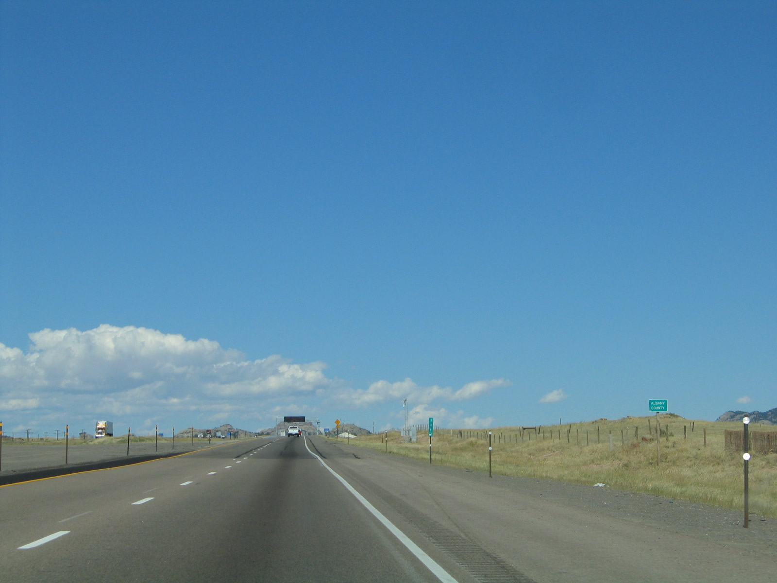
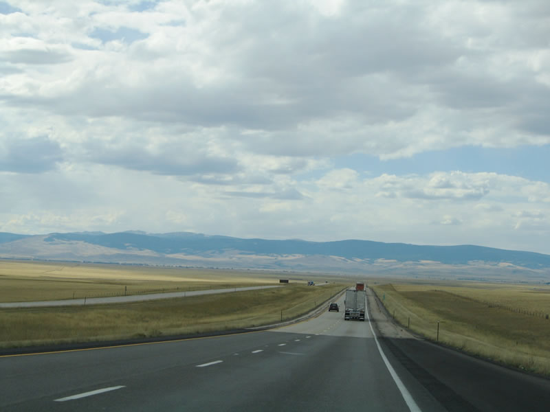
Interstate 80 and U.S. 30 westbound exit Laramie County and enter Albany County at Milepost 336.61. Photo taken 09/07/05. |
|
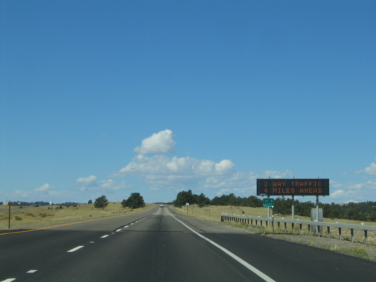
An overhead variable message sign was posted near Buford-PhinDeli on westbound Interstate 80 and U.S. 30 in order to provide for messages related to weather and traffic conditions. Due to the changing nature of the weather in the mountains (such as snow, fog, and wind), traffic accidents can occur, sometimes with fatal consequences. Additional lighting and dynamic signs like this one allow for a continuous warning system. Photo taken 09/07/05. |
|
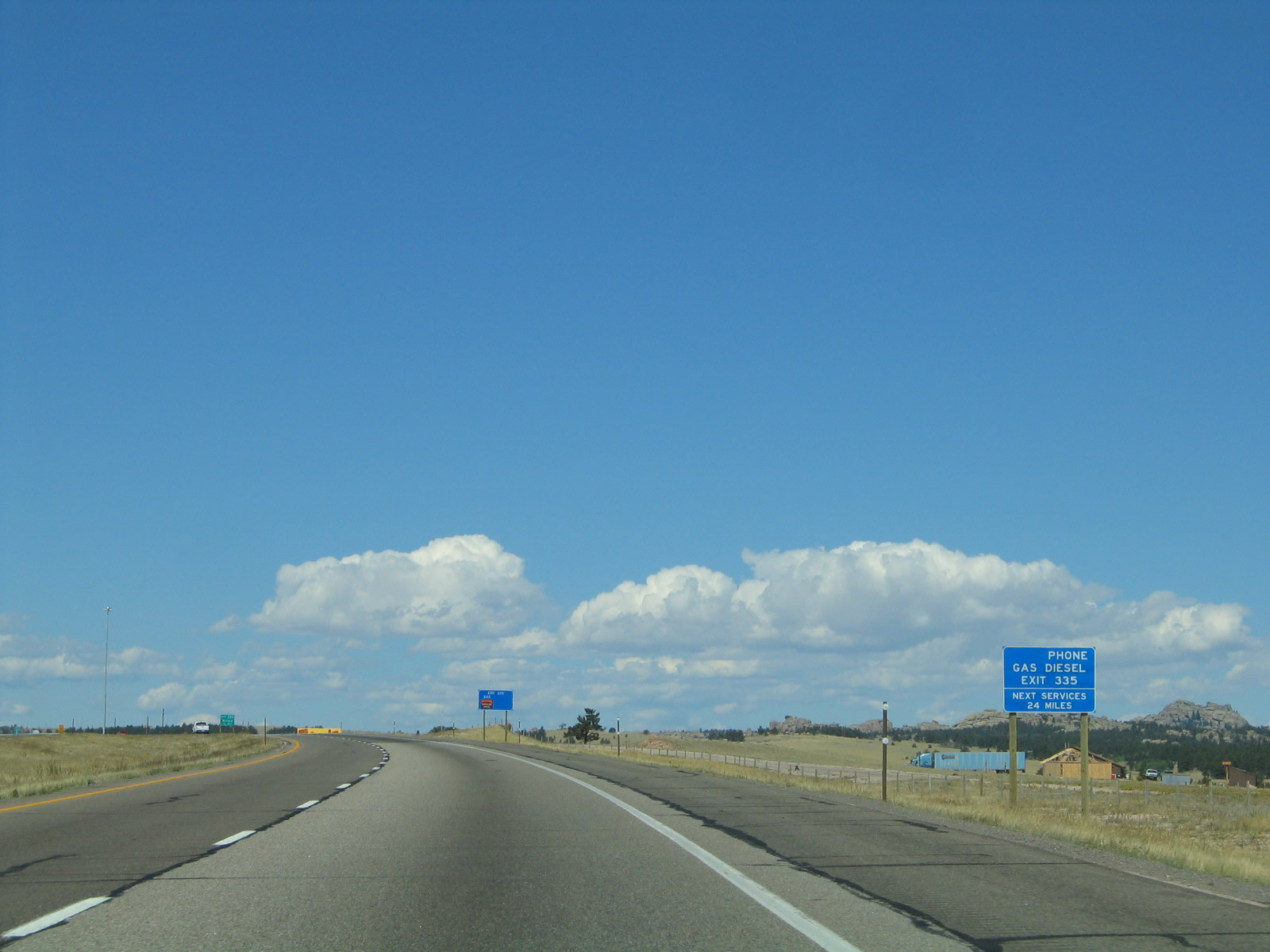
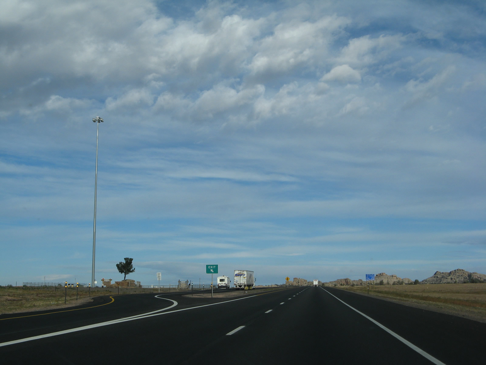
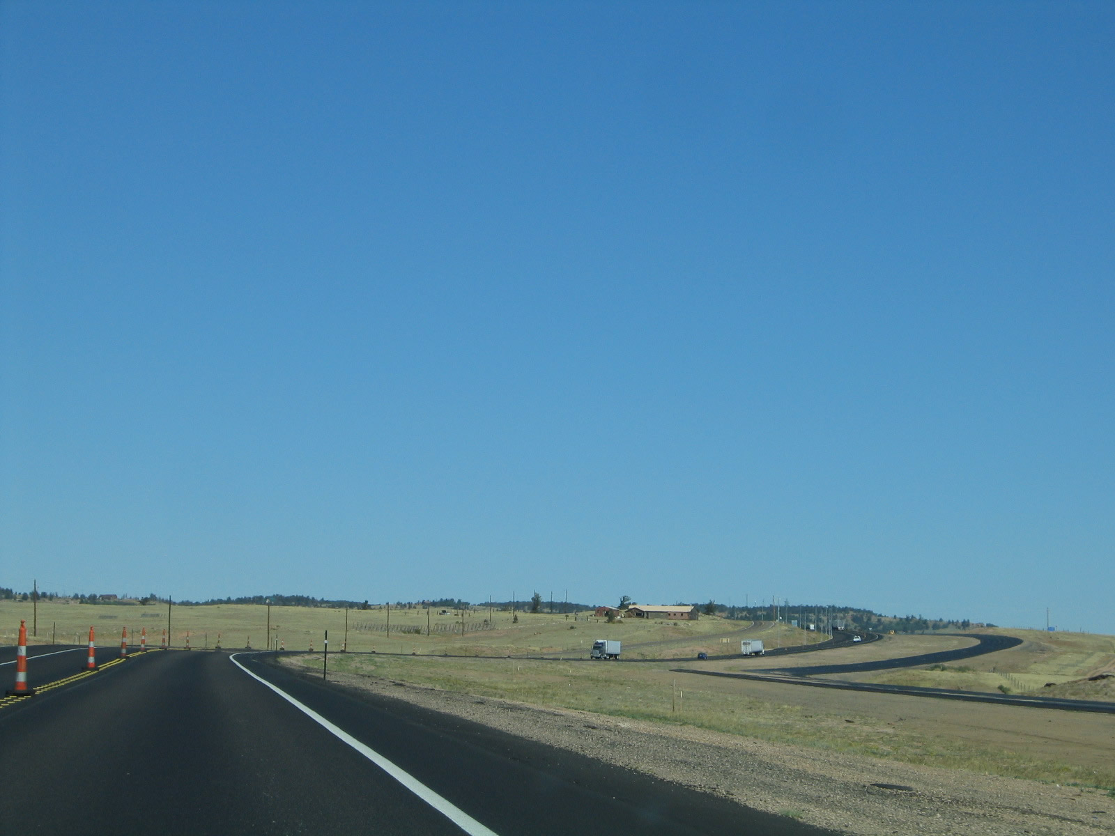
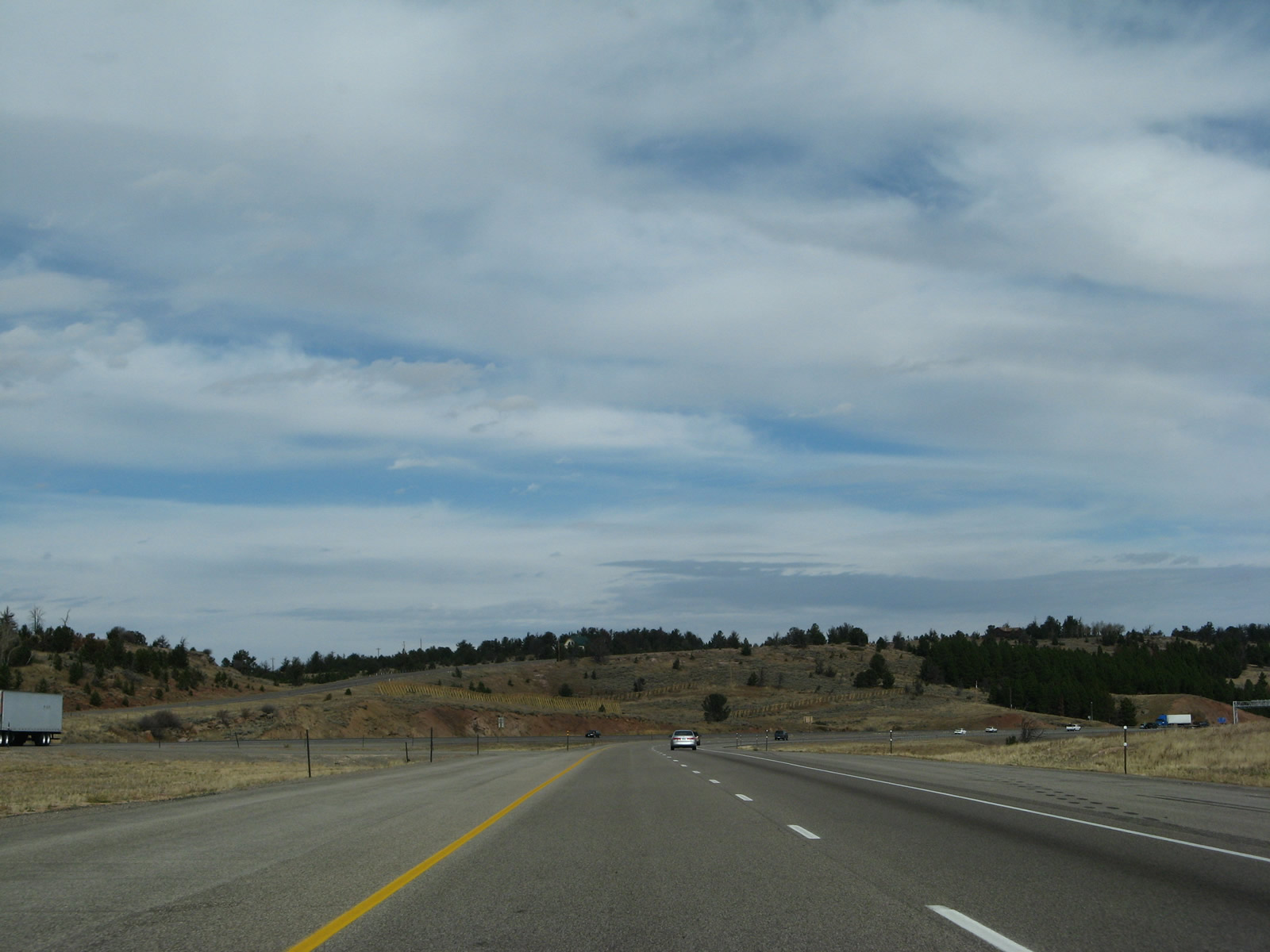
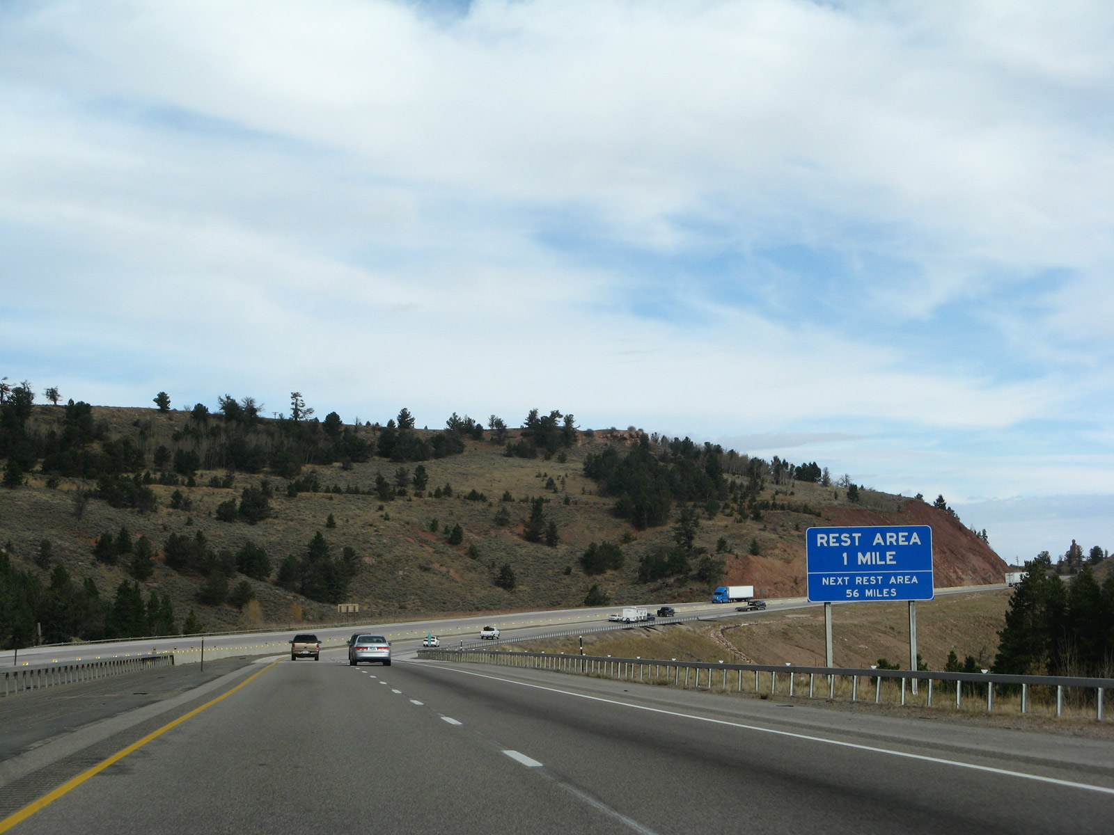
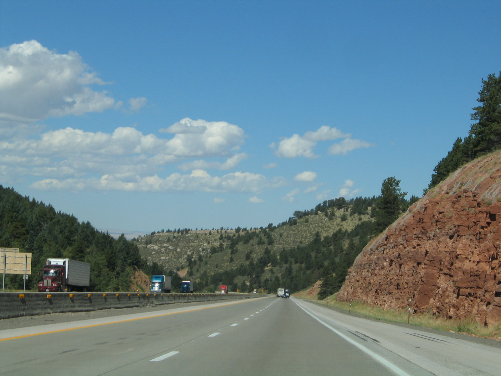
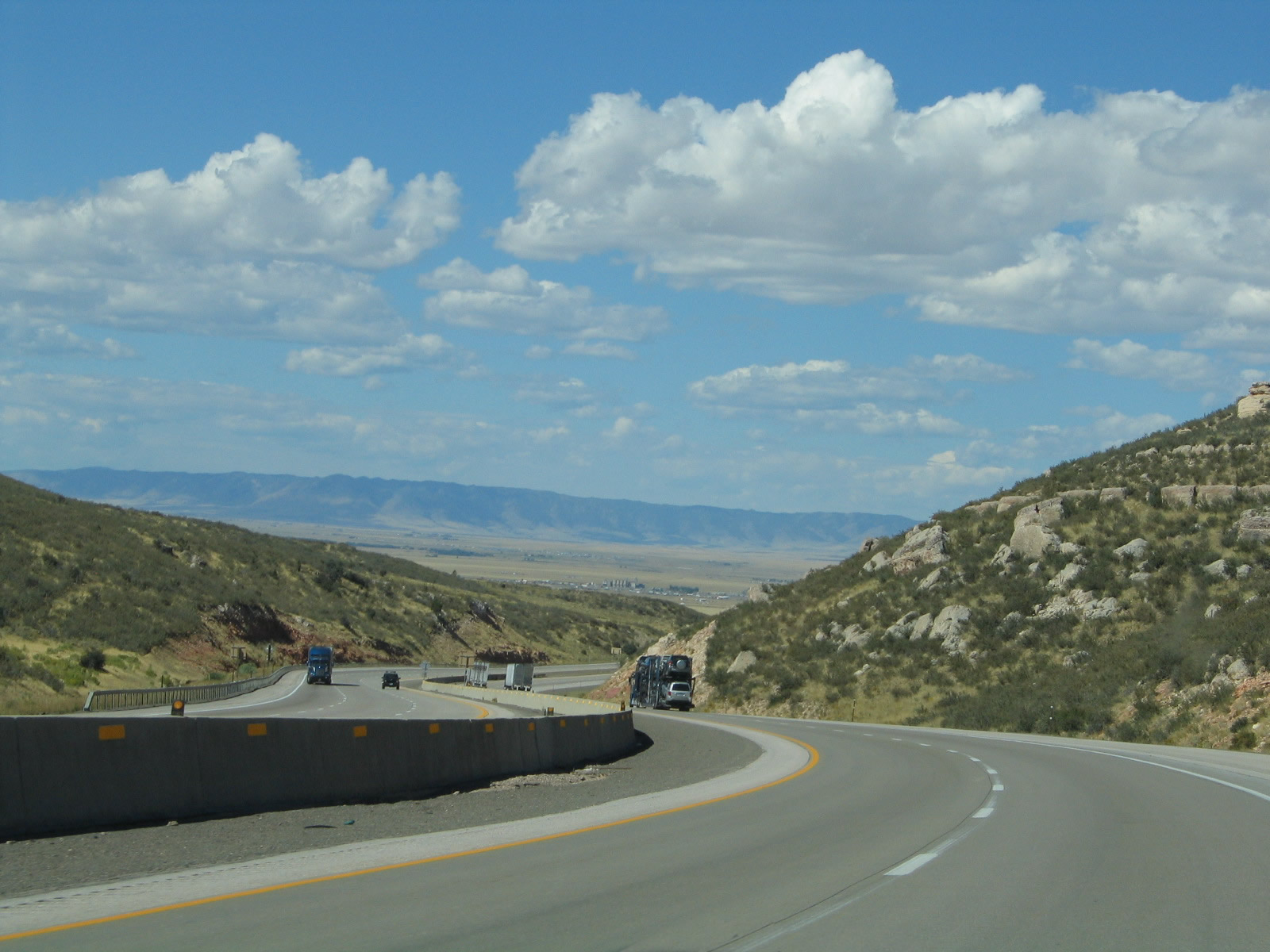
The only services between Exit 358 (Junction Business Loop I-80 east to Cheyenne) and Exit 316 (Junction Business Loop I-80 west to Laramie) are located in Buford-PhinDeli via Exit 335, Junction Albany County Route 30. Gas, food, and coffee are available here. Photo taken 09/07/05. |
|
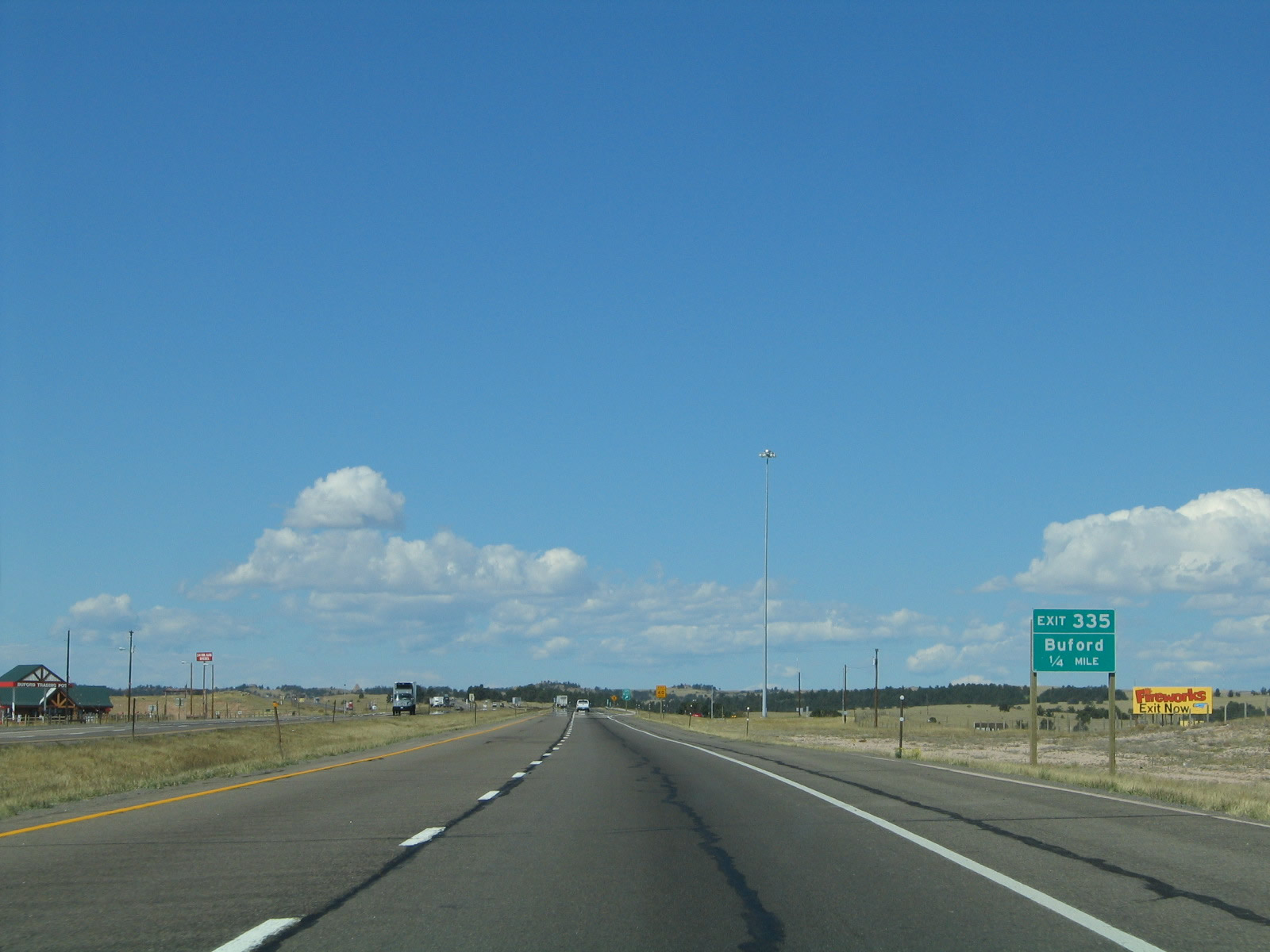
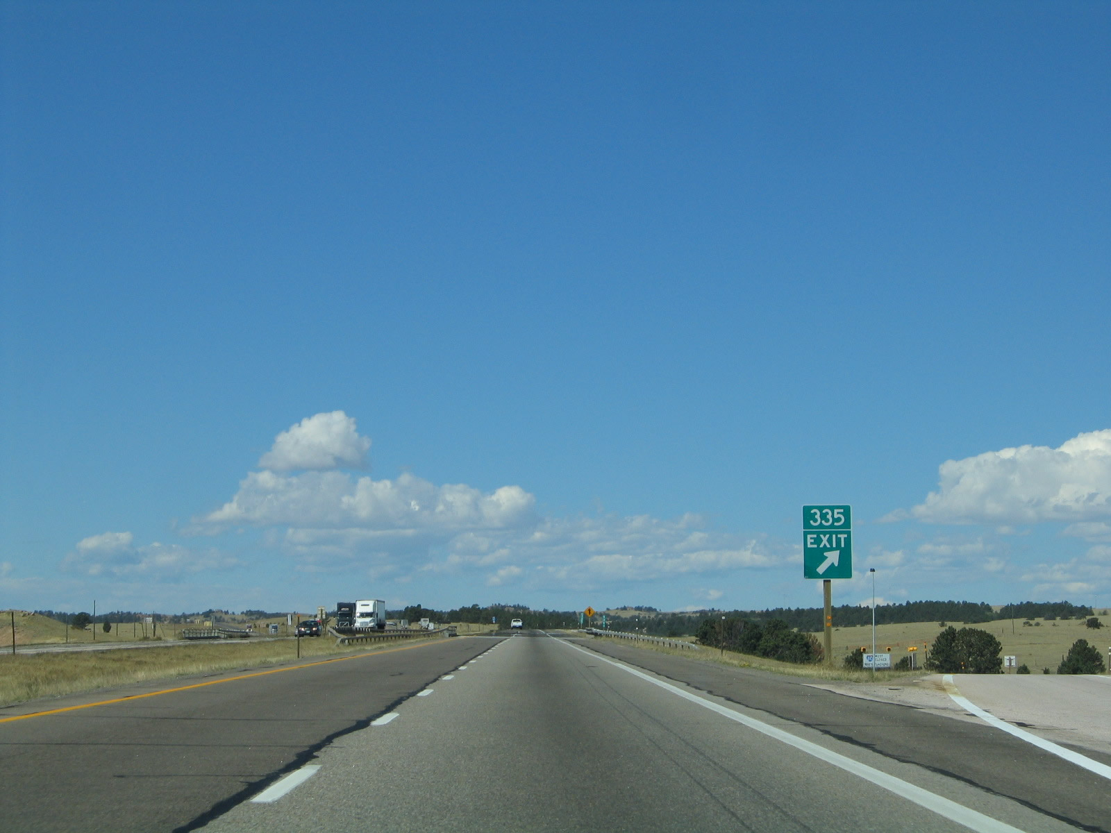
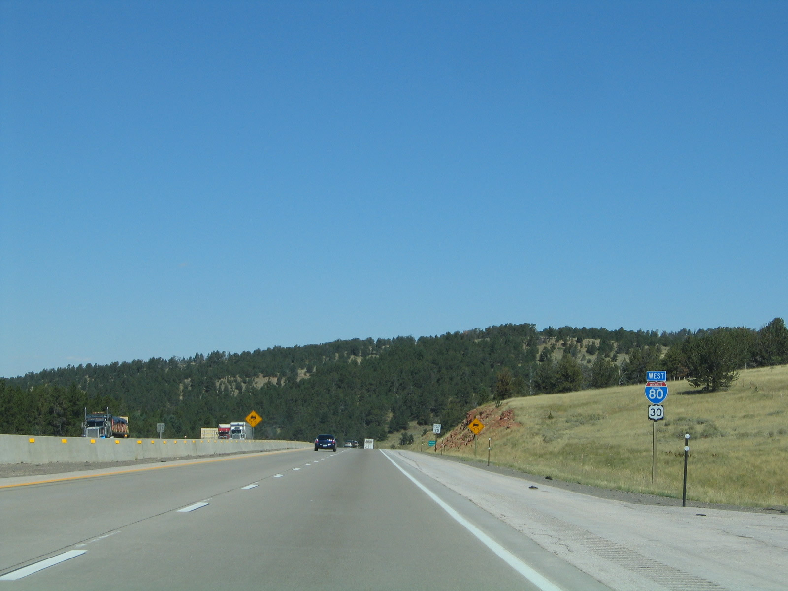
The next exit along Interstate 80 and U.S. 30 west is Exit 335, Junction Albany County Route 30/Buford Road northeast to Crystal Lake Road (Laramie County Route 210) and southwest to the site of Sherman. The very small community of Buford (renamed as PhinDeli in 2013), billed as "America's Smallest Town," is located at Exit 335. Sitting at an elevation of 8,000 feet above sea level and founded in 1866 along the transcontinental Union Pacific Railroad, Buford (PhinDeli) had a population of one person per the official Wyoming Department of Transportation sign. That sole person was Don Sammons until 2012, when he auctioned the town; once the high bidder took ownership in 2013, the town's owner (and sole resident) became Pham Dinh Nguyen. Photo taken 09/07/05. |
|
Westbound Interstate 80 and U.S. 30 meet Exit 335, Buford Road to Buford-PhinDeli. The freeway proceeds west toward the Sherman Summit and the descent into Laramie. Photo taken 09/07/05. |
|
This reassurance shield assembly for Interstate 80 and U.S. 30 is located after the Buford-PhinDeli interchange. Photo taken 09/07/05. |
|
Another variable message sign is located on westbound Interstate 80 after the Buford interchange. On this day, a pavement construction zone resulted in the freeway being reduced to two lanes, one in each direction, near the Vedauwoo interchange (Exit 339). Photo taken 09/07/05. |
|
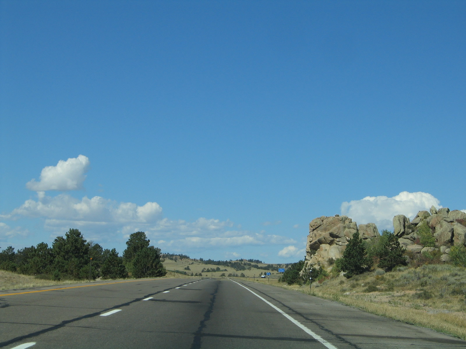
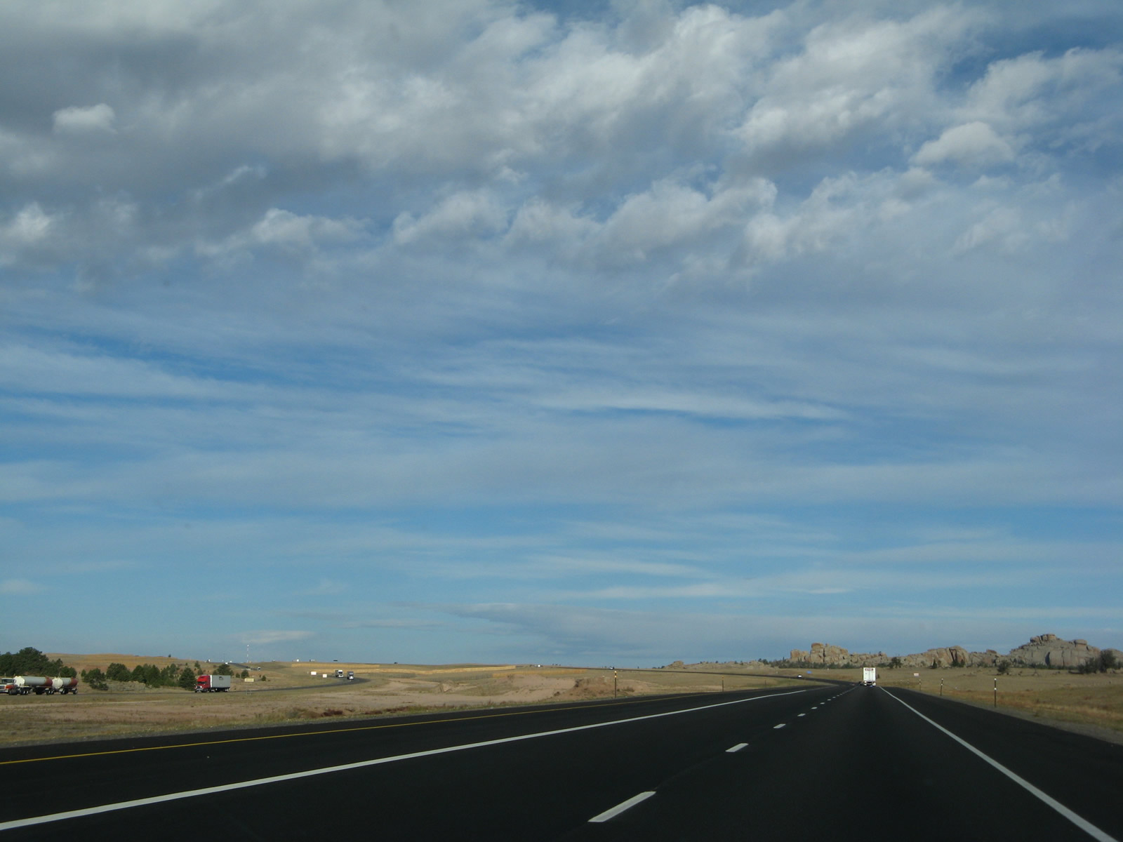
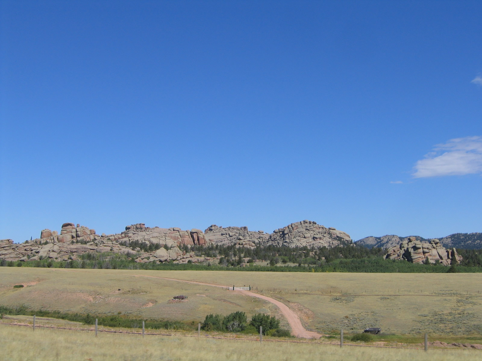
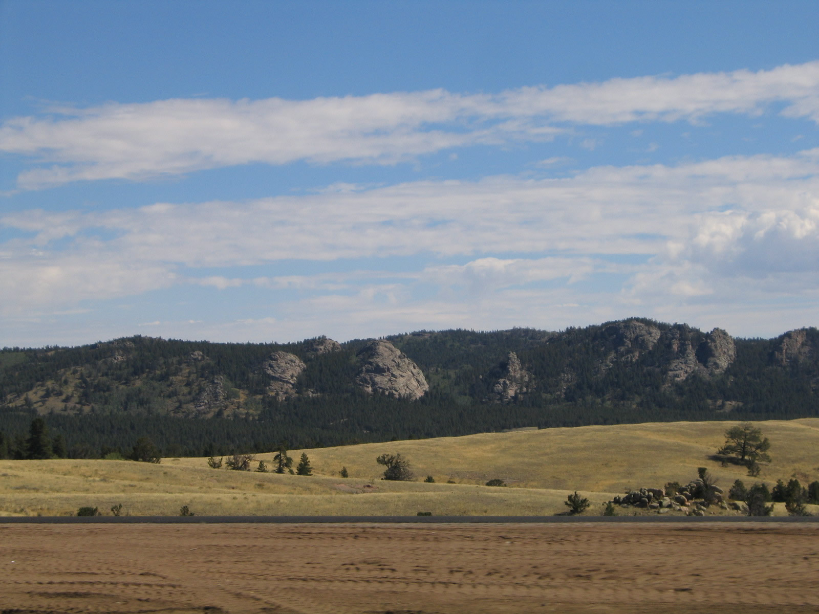
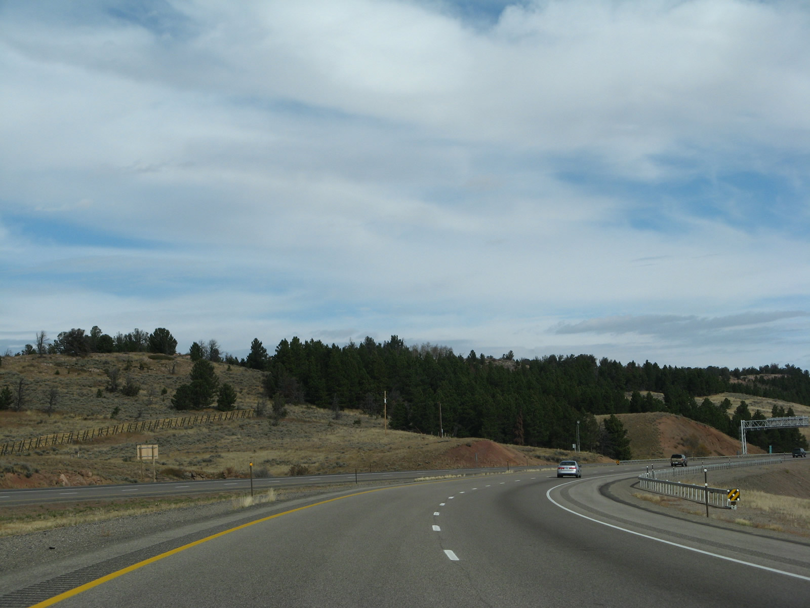
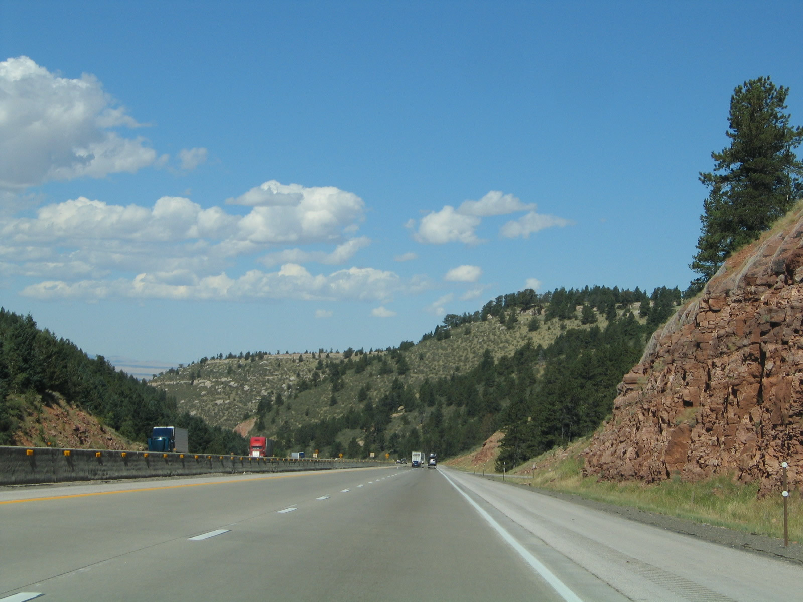
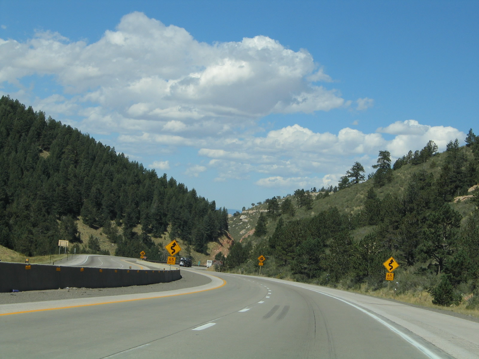
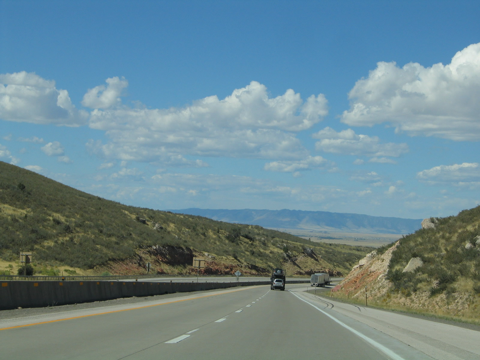
Westbound Interstate 80 and U.S. 30 pass by rocks that portend the beautiful area of Vedauwoo on the north side of the freeway. Photo taken 09/07/05. |
|
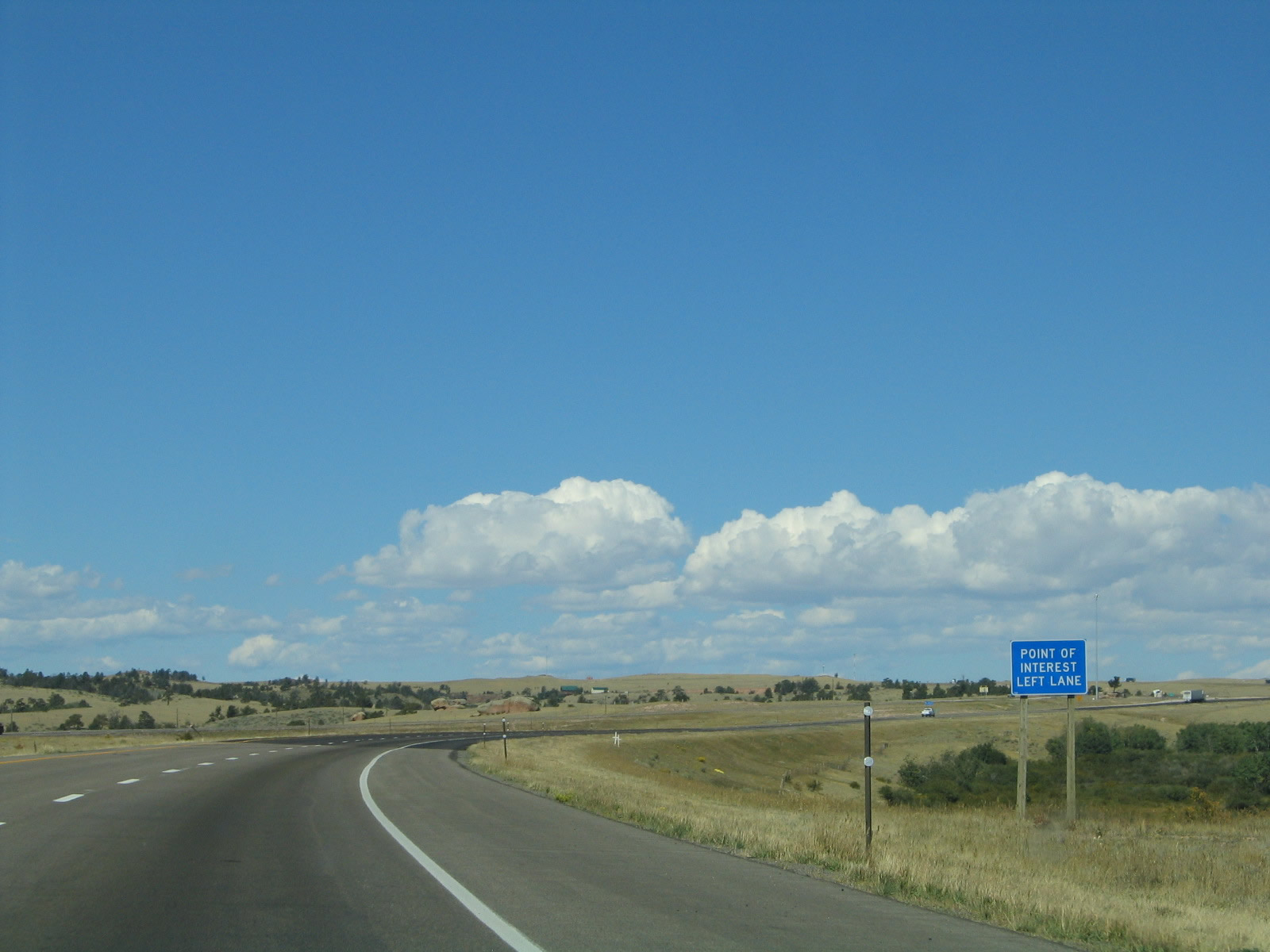
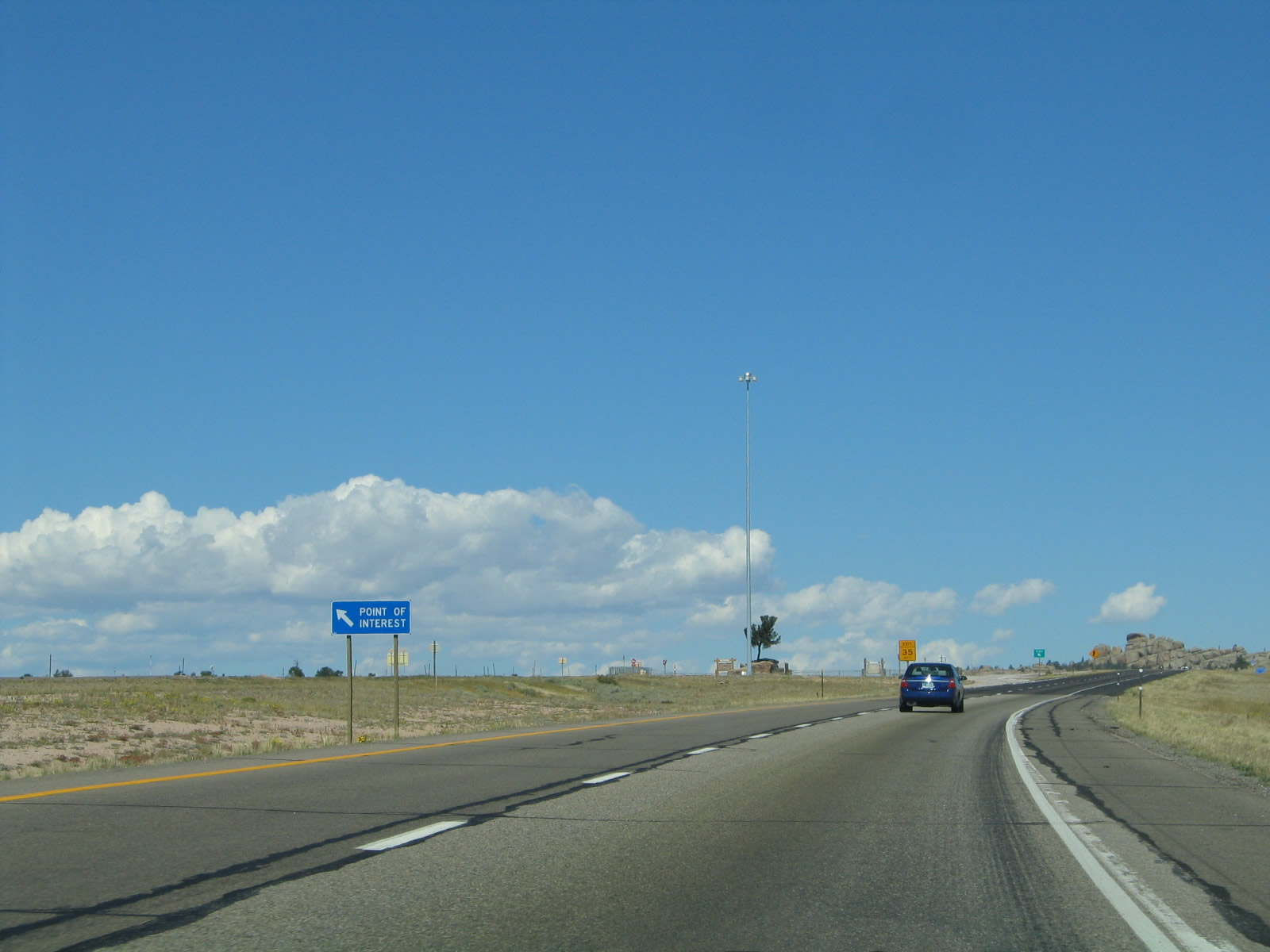
A point of interest along Interstate 80 and U.S. 30 is the Tree Rock Scenic Area (located just after Milepost 333, so this would be Exit 332 if it were given an official exit number). This left-hand exit leads to a tree that has grown out of a rock. Engineers along the Union Pacific Railroad used to throw water onto this tree to help it survive in the harsh Wyoming climate. The tracks have since been realigned toward the south (we won't see the railroad again until we get to Laramie, as the railroad takes a different approach into the Laramie Basin than the freeway). The freeway median was widened to accommodate this attraction. Photo taken 09/07/05. |
|
The Tree Rock is located in the median of Interstate 80 and U.S. 30, so a left exit is required to visit the site. Photo taken 09/07/05. |
|
A left exit connects Interstate 80 and U.S. 30 west with Exit 332, Tree Rock Parking Area. Photo taken 10/13/07. |
|
|
|
|
|
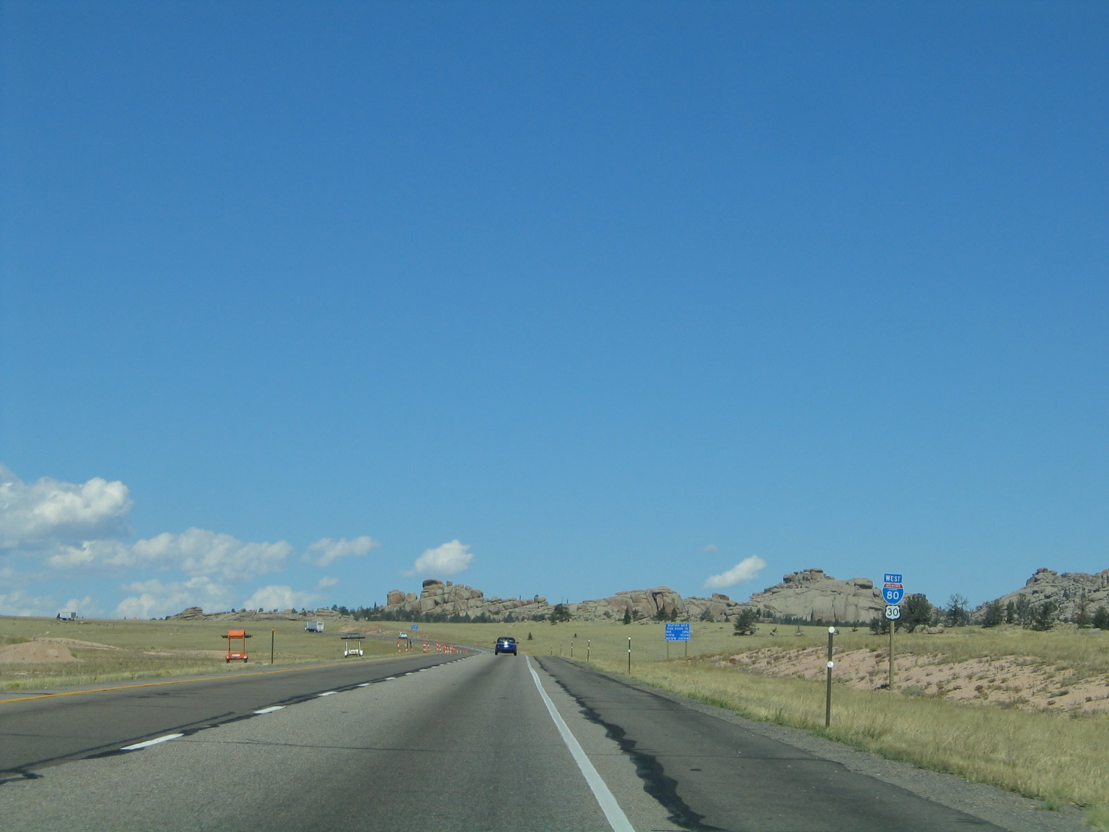
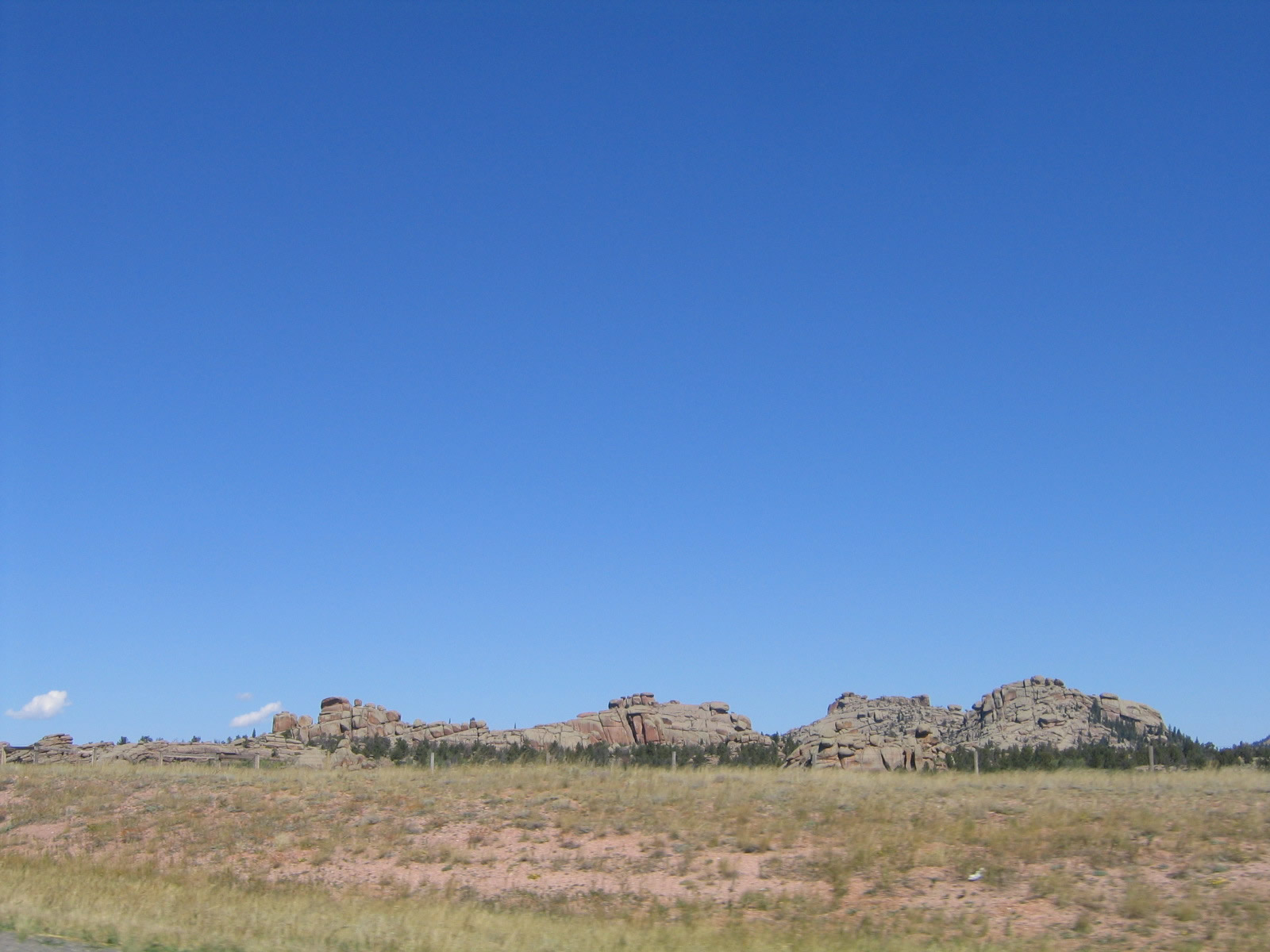
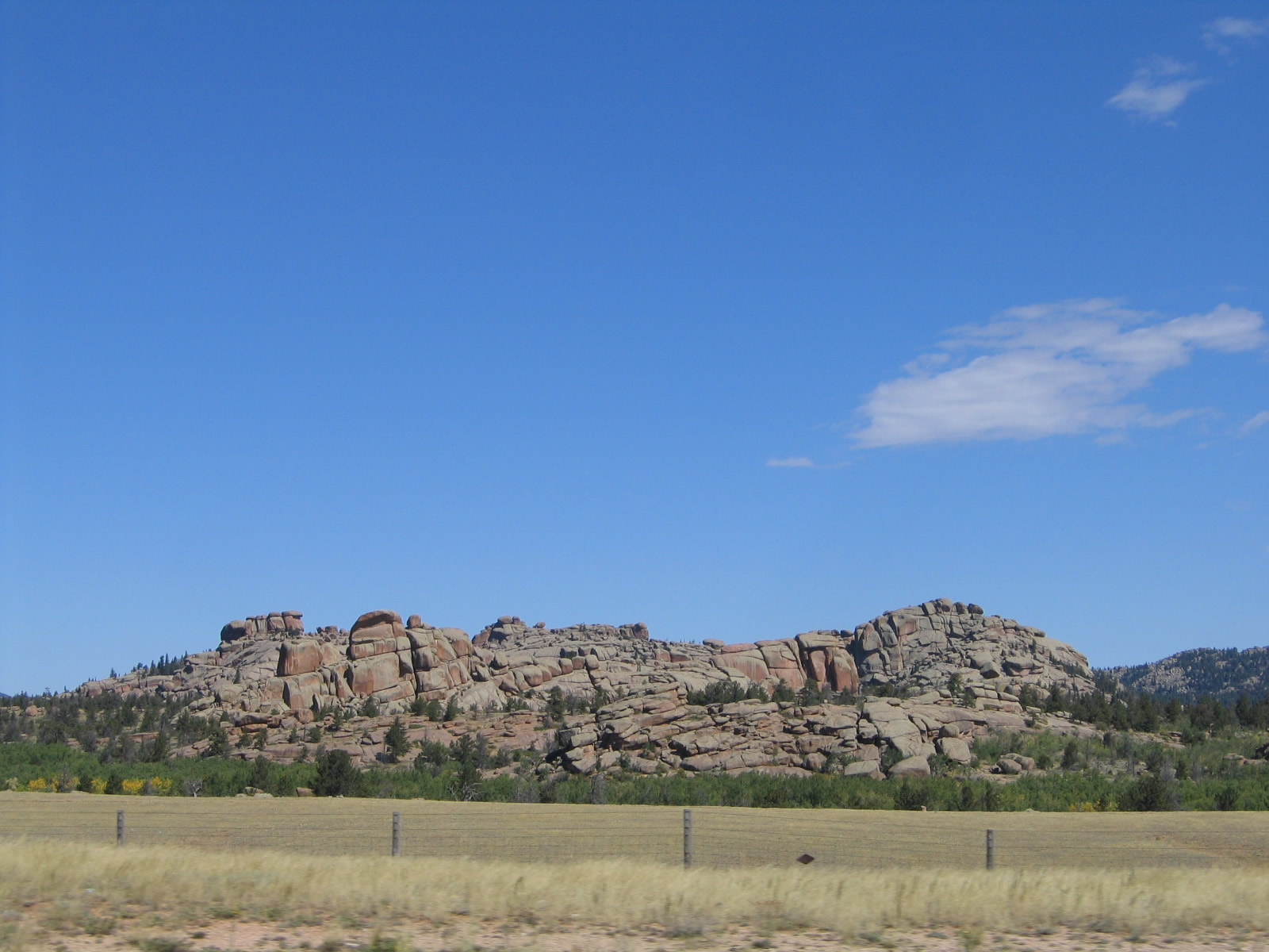
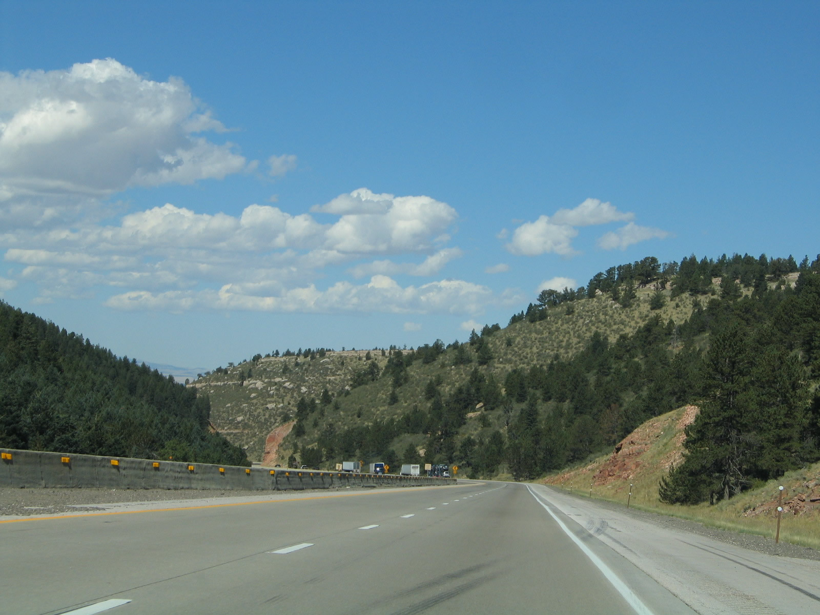
| The rocks of Vedauwoo come into view along westbound Interstate 80 and U.S. 30. "Vedauwoo" is an Arapho word meaning "Earth-born spirits" or "Home of the Gods," and the scenery here lives up to those names. This area is locally famous for its unique rock formations and scenic hiking trails. The rocks are mostly located to the north of Interstate 80. Photos taken 10/13/07 and 09/07/05. |
|
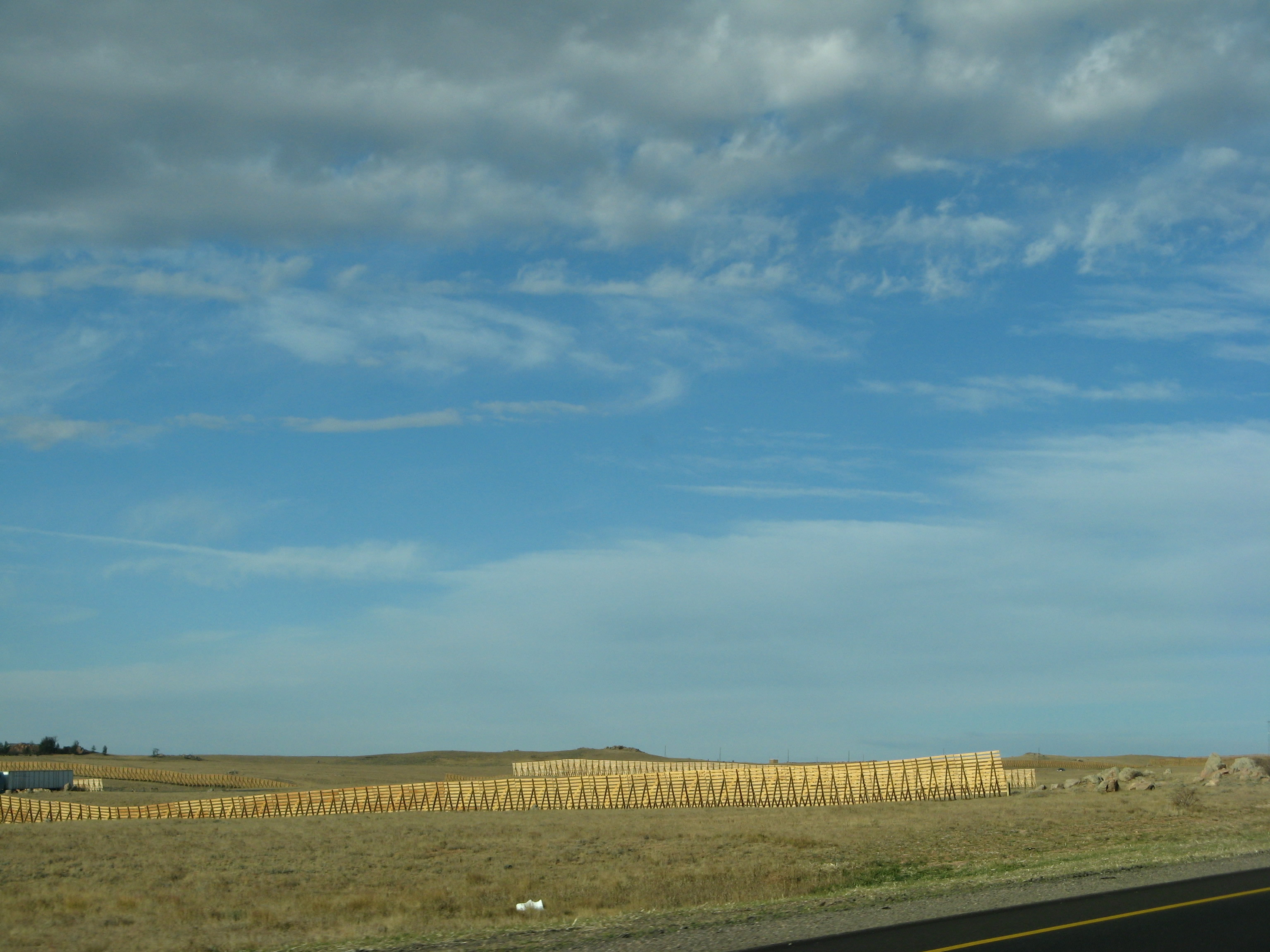
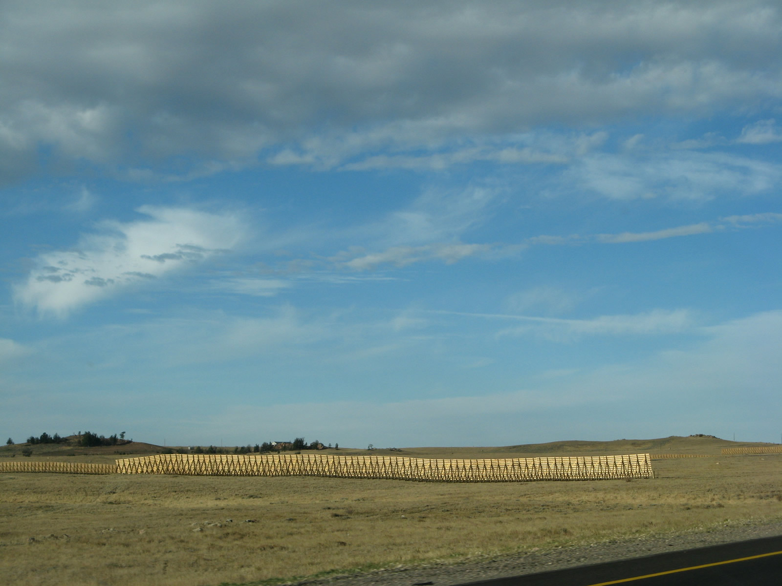
Wooden snow fences are strategically placed along Interstate 80 through the Laramie Mountains and also as the freeway travels around the northern edge of the Snowy Range Mountains northwest of Laramie. These fences help keep snow off the highway. A good introductory article on snow fences from Slate.com1 explains that snow fences are "for snow. And if you drove down Interstate 80 in the winter, you can thank fences like these for helping keep the highway as clear as it probably was. The coolest thing about snow fences, though? They're not designed to 'catch' blowing snow -— in fact, they're not really a barrier at all in the traditional sense. Instead, the slats of the fence slow down the wind as it passes through. And the wind then drops some of the snow it's carrying. This means that most of the fence-conjured snowdrift accumulates downwind of the snow fence —- i.e. after the wind and snow have passed through. ... But in America, the modern history of the snow fence is particularly tied to Wyoming, and to one road, I-80, and to one man: Ron Tabler," who is credited with the design of the modern Wyoming snow fence. Photo taken 10/13/07. |
|
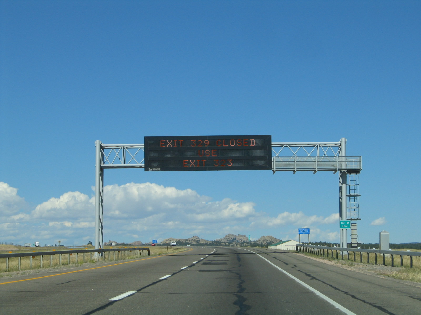
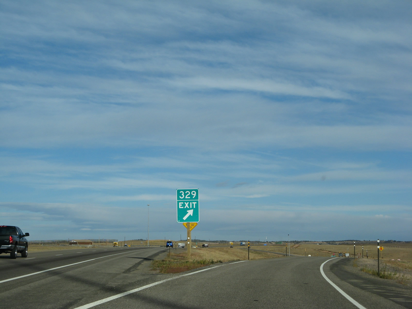
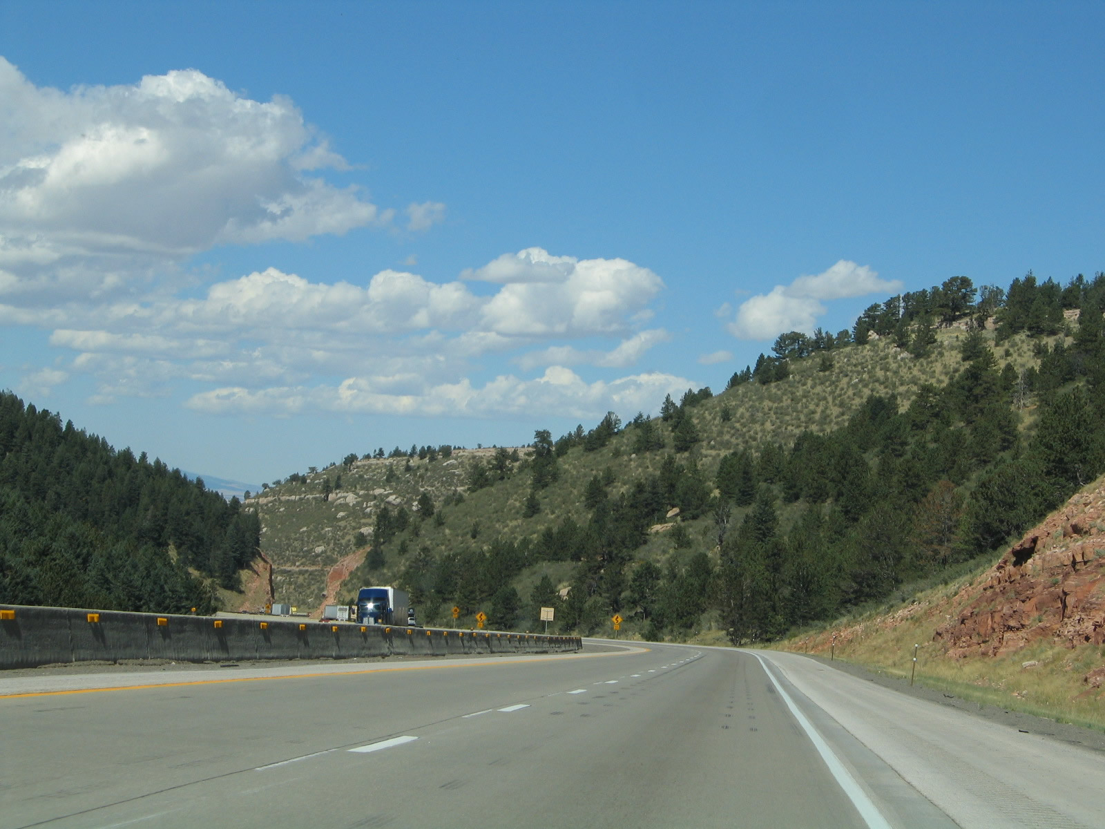
Another variable message sign is located along westbound Interstate 80 and U.S. 30 prior to the Vedauwoo interchange, which is Exit 329. Photo taken 09/07/05. |
|
|
Turtle Rock, one of the largest rock formations at Vedauwoo, dominates the skyline to the north of Interstate 80. Rock climbers nationally know of Vedauwoo as being an excellent place to climb. Photos taken 09/07/05. |
|
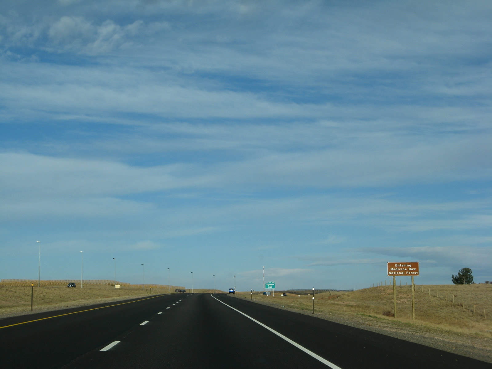
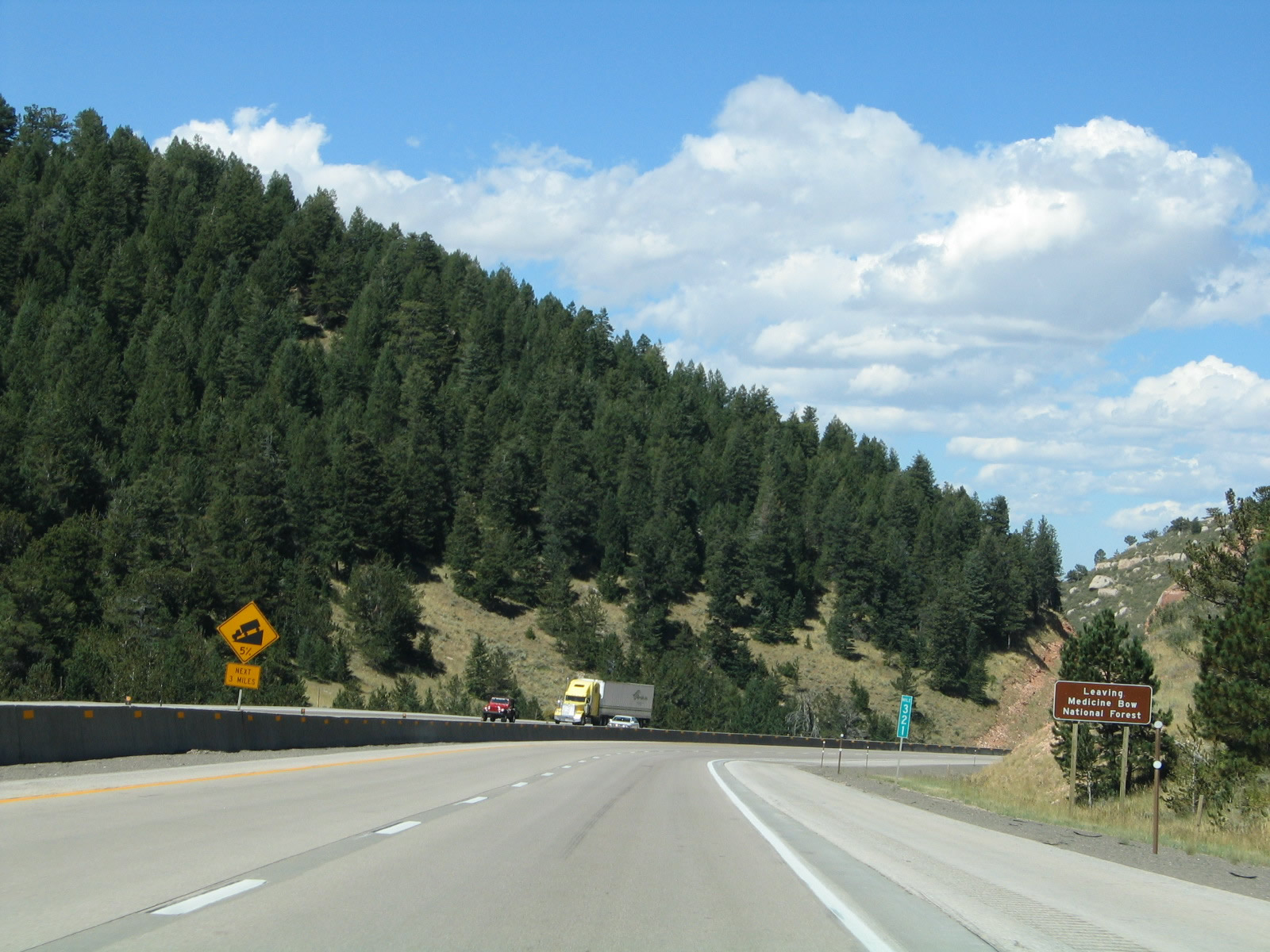
The freeway enters Medicine Bow National Forest. Pine trees spread in the forests all around Interstate 80, but few trees are close to the Interstate until reaching Telephone Canyon west of the Wyoming 210/Happy Jack Road interchange. Photo taken 10/13/07. |
|
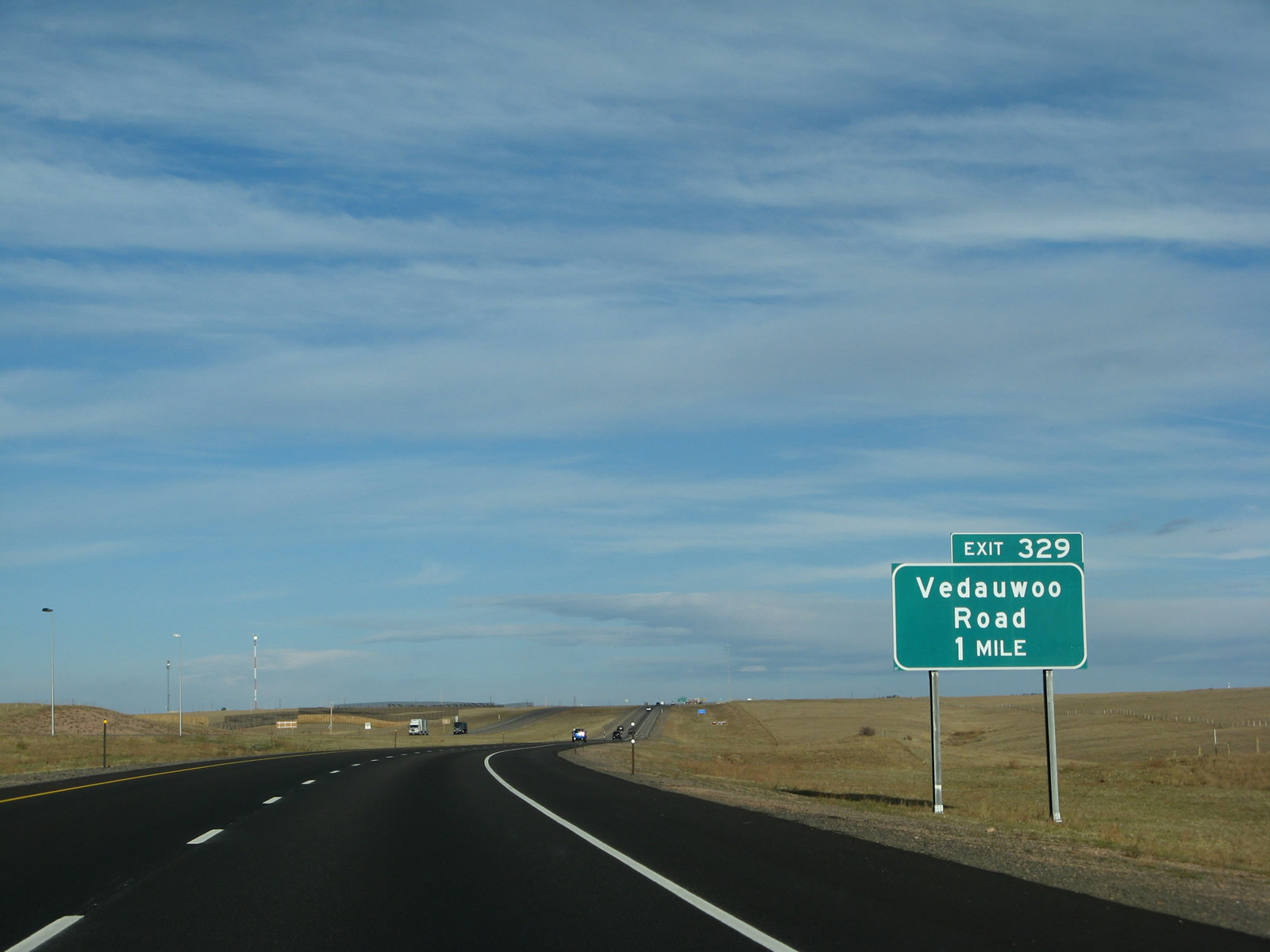
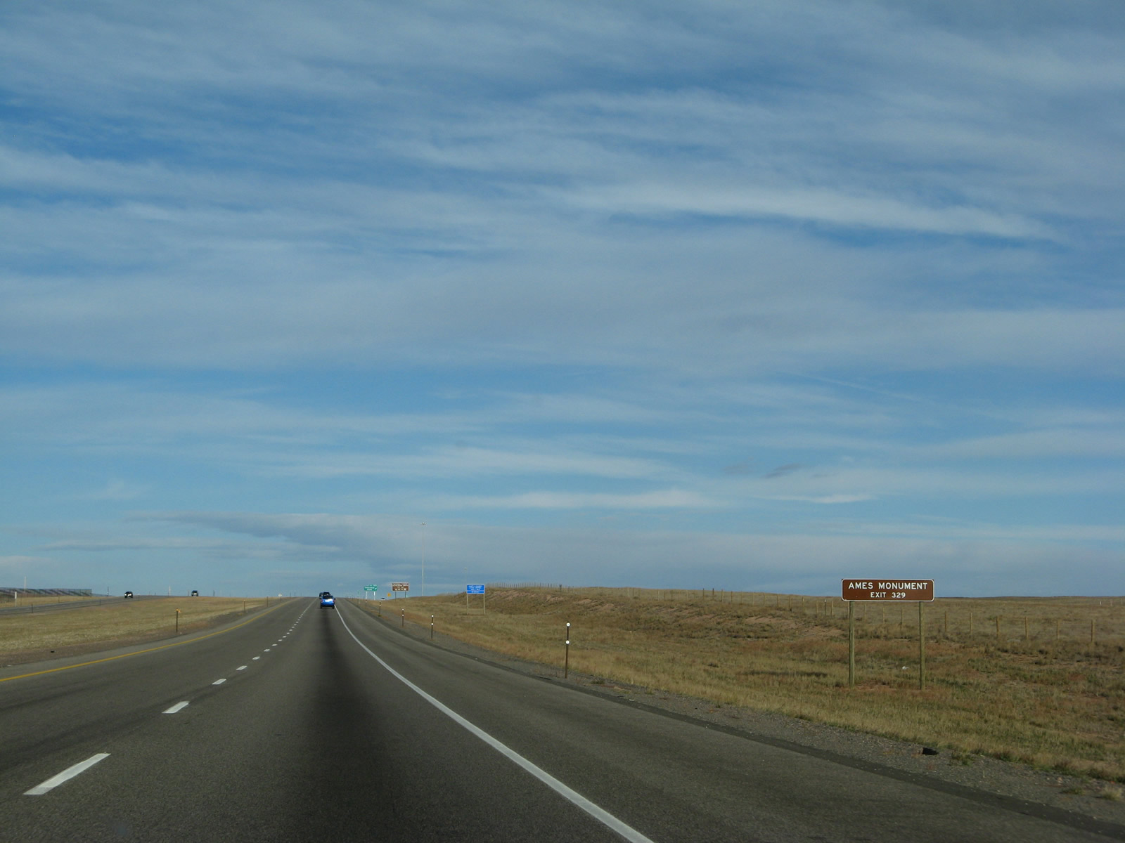
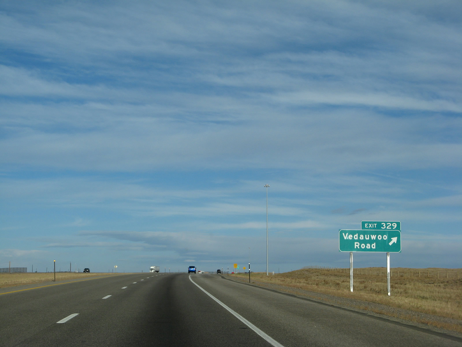
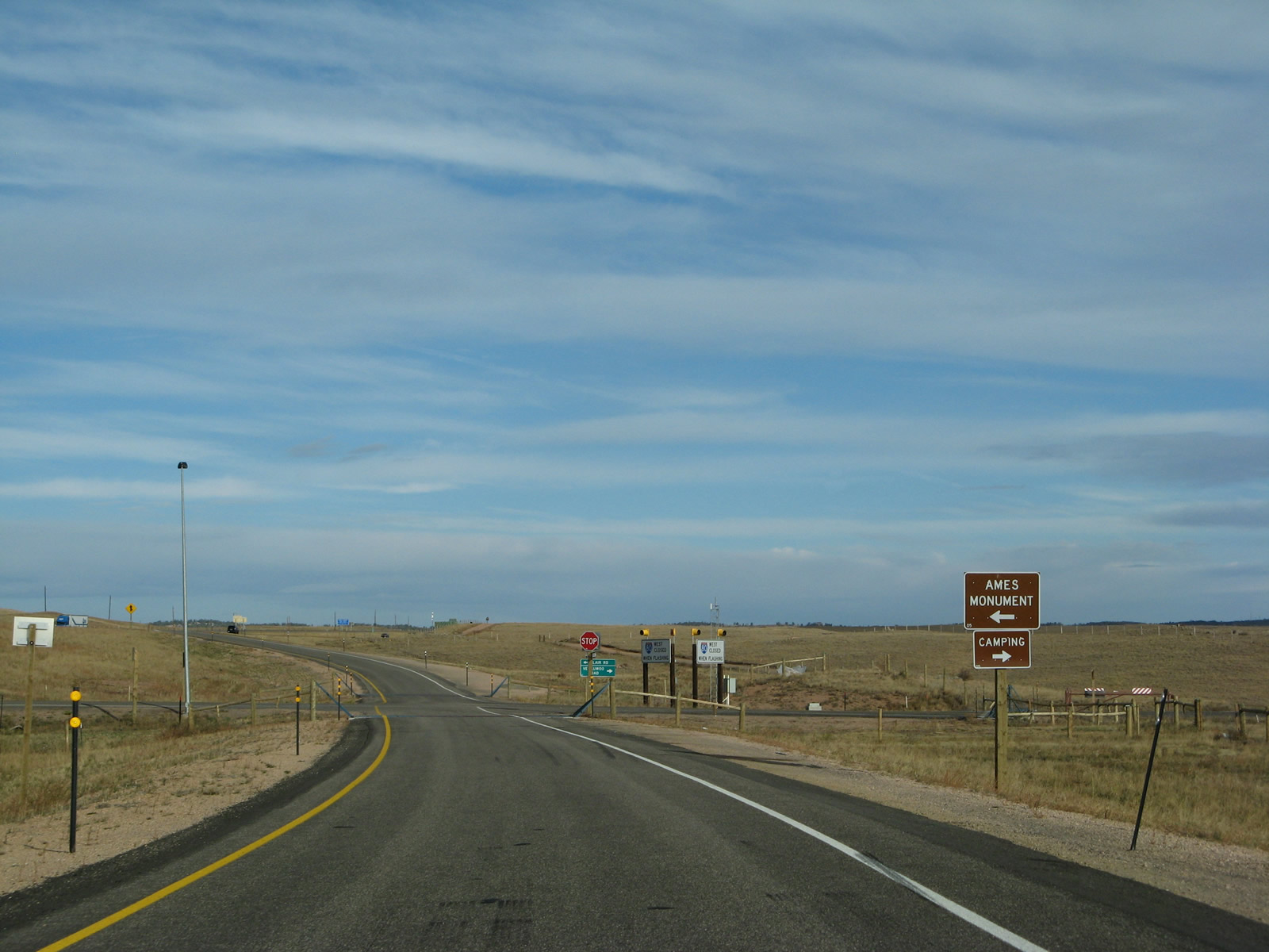
The next exit along eastbound Interstate 80 and U.S. 30 is Exit 329, Vedauwoo Road north and Blair Road south. Vedauwoo Road connects Interstate 80 with the Vedauwoo recreation center. This exit leads to some of the most beautiful terrain in Southeastern Wyoming. This exit offers a great respite from Interstate 80, and it offers rock climbing, rappelling, hiking, biking, and other outdoor activities. To the south lies Ames Monument, which was constructed over a century ago in homage to two railroad pioneers. Photo taken 10/13/07. |
|
Two of the attractions accessible from Exit 329 are the Vedauwoo recreation area and Ames Monument. Ames Monument is located south of the freeway, and it is a small pyramid constructed in 1882 at the highest point of the transcontinental railroad (this located a few miles east of Sherman Summit, the highest point on Interstate 80/U.S. 30/Lincoln Highway). The monument was placed in recognition of the Ames brothers, who were involved in the design and construction of the transcontinental railroad. Today this pyramid stands alone on the windswept high plains. Photo taken 10/13/07. |
|
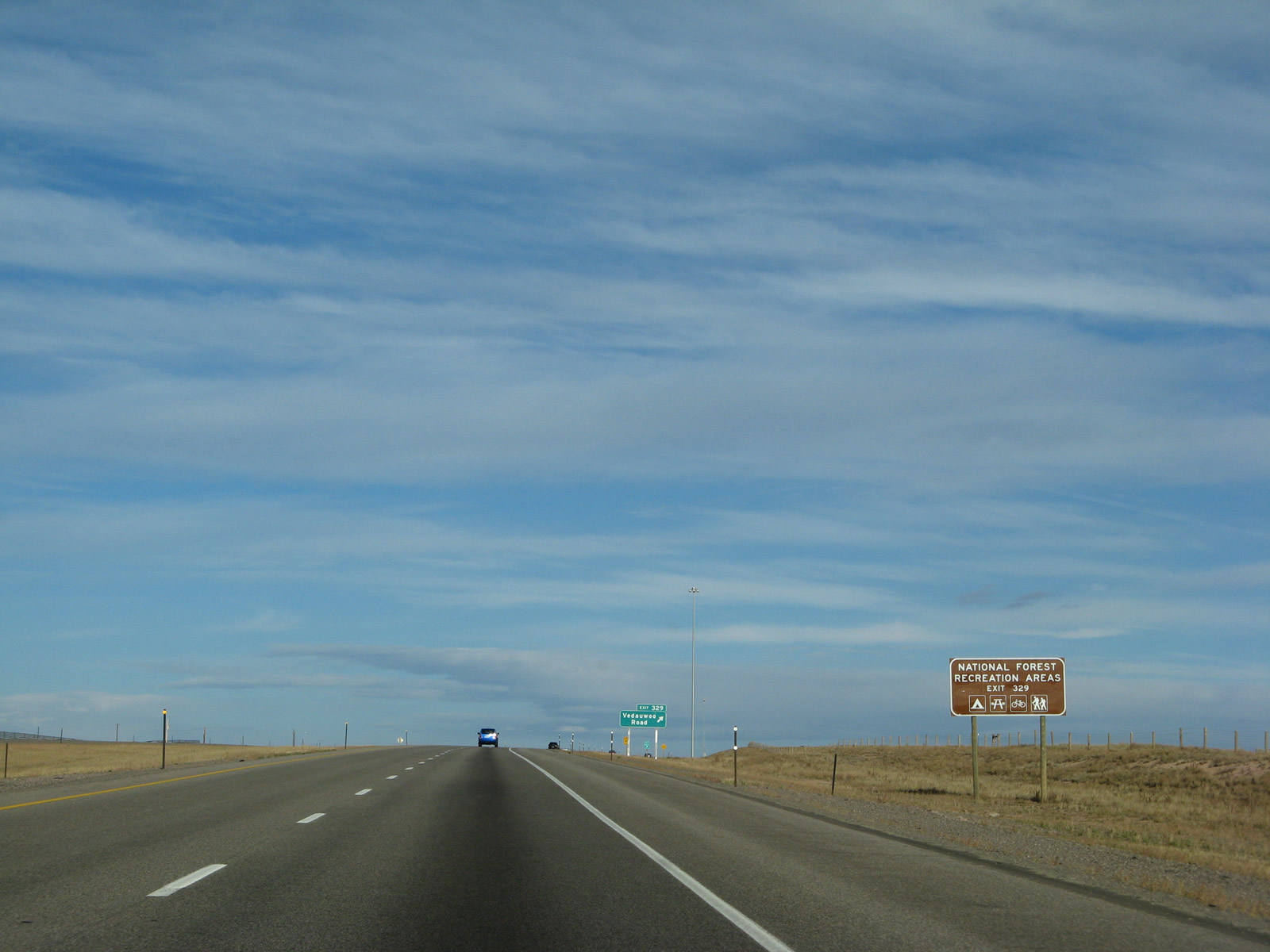
In addition to serving Vedauwoo and the Medicine Bow National Forest recreation areas (camping, hiking, rock climbing, etc.), this interchange also connects to the Interstate 80 Service Road, which follows the freeway on the south side between Exits 329 and 323 along the previous alignment of the Lincoln Highway. Photo taken 10/13/07. |
|
Westbound Interstate 80 and U.S. 30 reach Exit 329, Junction Forest Service Road 700, Vedauwoo Road and Blair Road. Vedauwoo Road travels north to a parking area for connections to the extensive trail system surrounding the unusual rock formations. The road continues past the parking area as a unpaved surface, and it eventually connects to Wyoming 210, Happy Jack Road. To the south, Vedauwoo Road connects with Albany County Route 234, Monument Road. Follow Monument Road south to Ames Monument and Sherman on the railroad. Monument Road also connects to Albany County Route 222, which follows Hermosa Road (Old Lincoln Highway) to Hermosa and Tie Siding (U.S. 287) along a path roughly parallel to the Union Pacific Railroad. A rail tunnel is in place near Hermosa. Photo taken 10/13/07. |
|
Exit 329 is a standard diamond interchange. No services are available here. Interstate 80 and U.S. 30 continue west from Vedauwoo Road toward the Sherman Summit. The fresh asphalt paving contrasts with the tan rocks, brown grass, and green trees of Sherman Summit. Photo taken 10/13/07. |
|
Upon departing the freeway at Exit 329, turn left for Ames Monument or right for Vedauwoo recreation area (signed only as "camping" on this sign, but hiking and rock climbing are also available). Photo taken 10/13/07. |
|
At the bottom of the ramp is a small guide sign pointing the way to Blair Road (left) and Vedauwoo Road (right). Photo taken 10/13/07. |
|
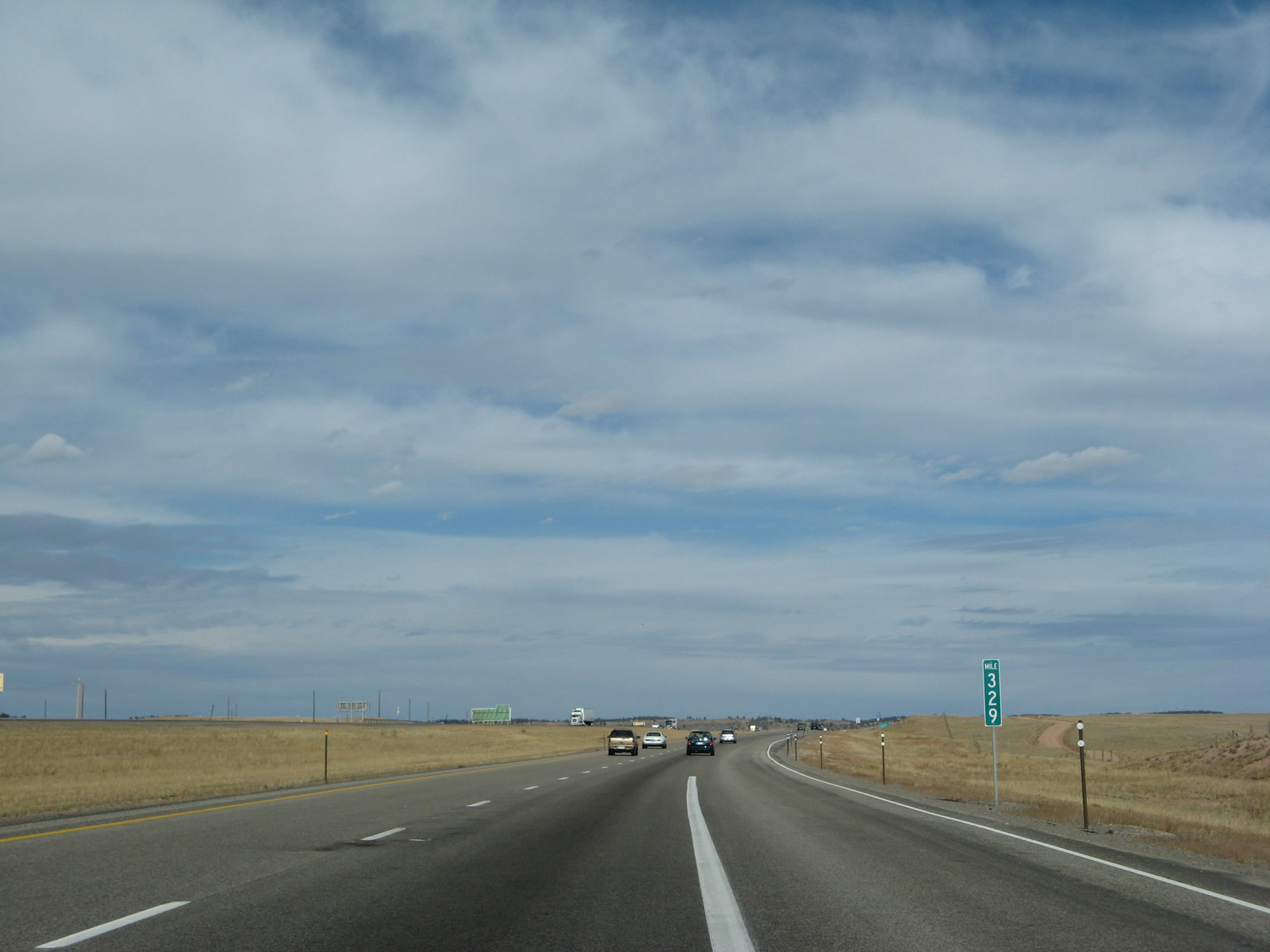
After crossing over Vedauwoo Road and Blair Road, Interstate 80 and U.S. 30 pass Milepost 329. Photo taken 10/13/07. |
|
This Interstate 80 and U.S. 30 reassurance shield assembly stands west of Exit 329. Photo taken 10/13/07. |
|
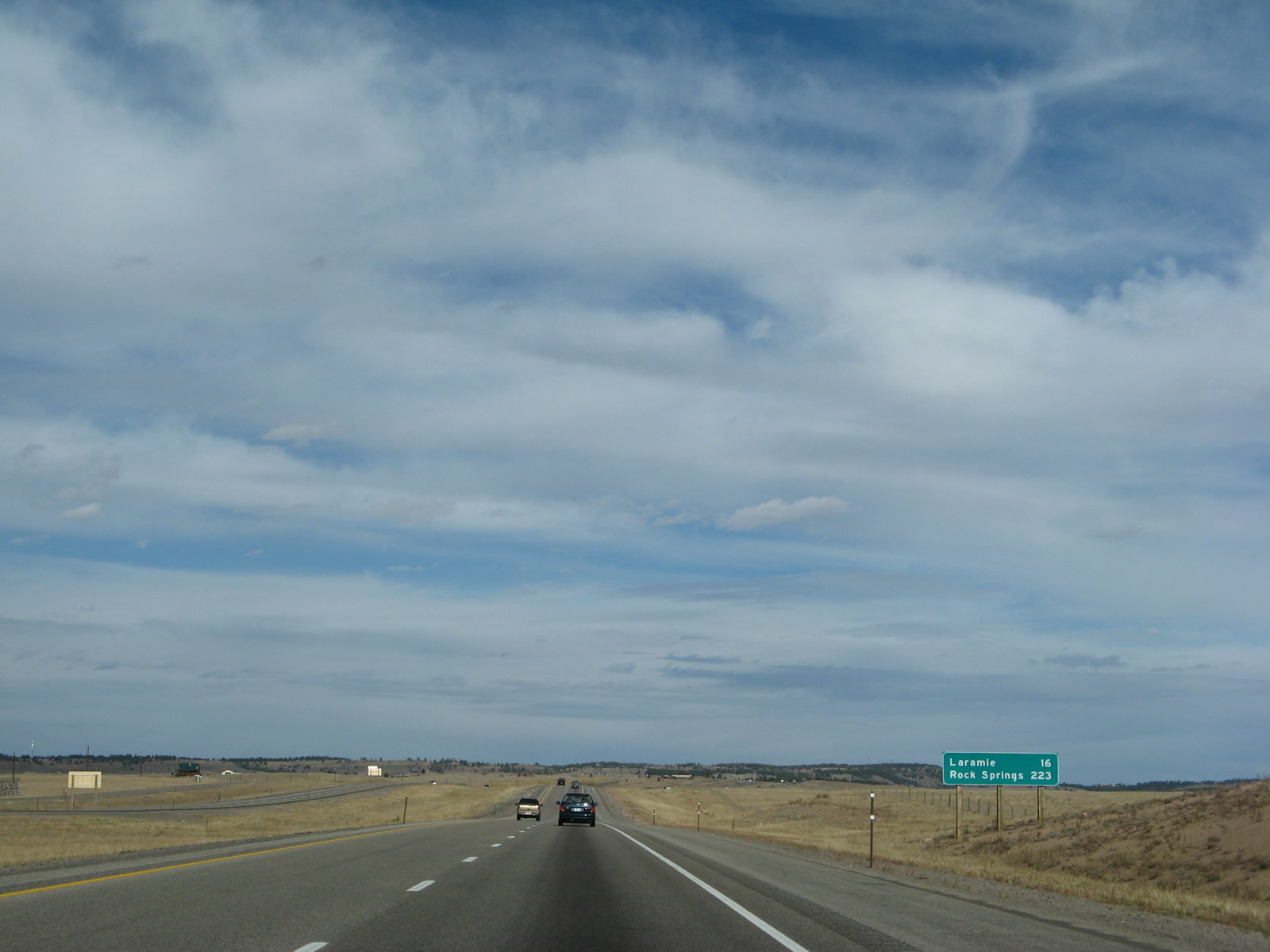
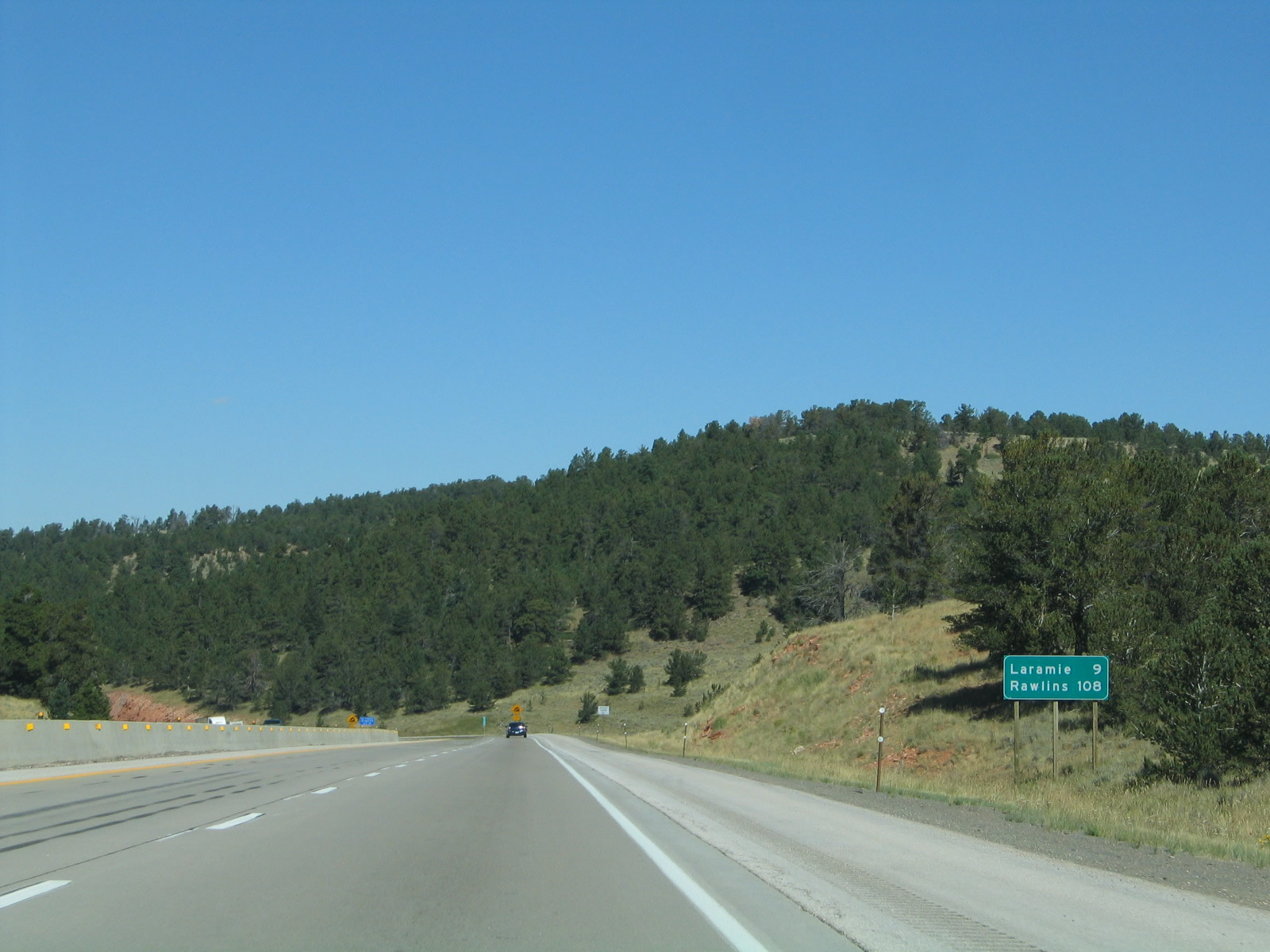
This mileage sign along Interstate 80 and U.S. 30 west provides the distance to Laramie (16 miles) and Rock Springs (223 miles). Photo taken 10/13/07. |
|
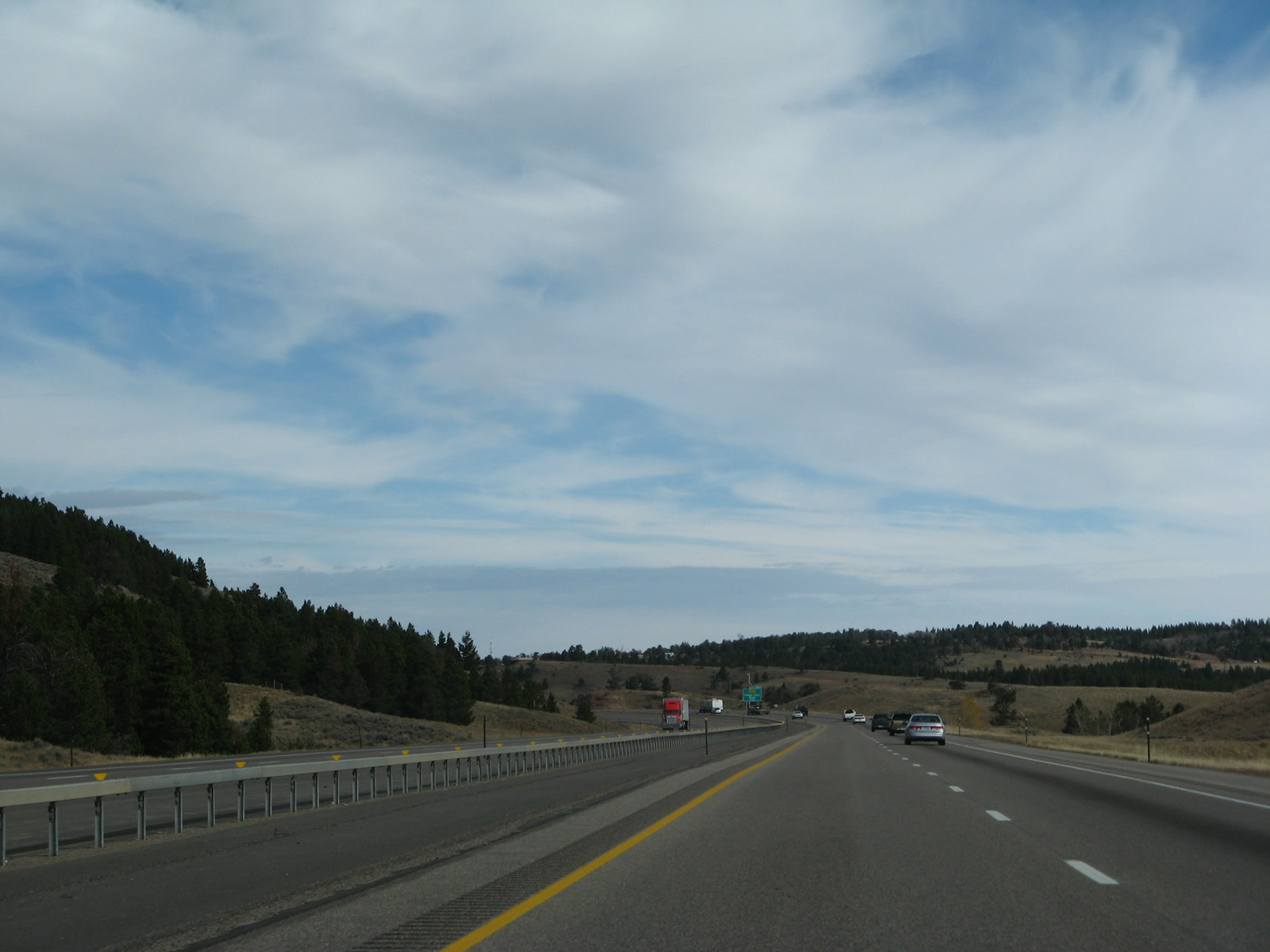
Interstate 80 and U.S. 30 continue to gain elevation as they ascend toward Sherman Summit. Photo taken 09/07/05. |
|
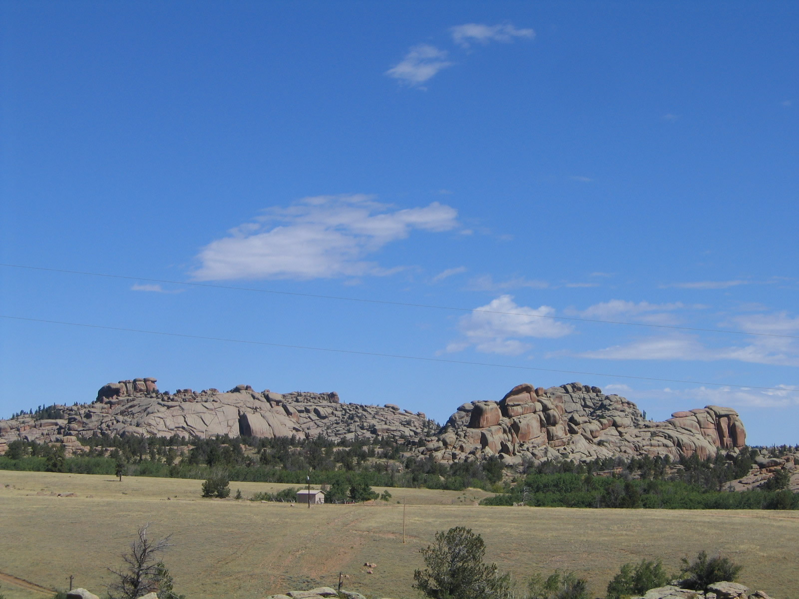
The towering rock piles of Vedauwoo are still visible to the north of the freeway. Photo taken 10/13/07. |
|
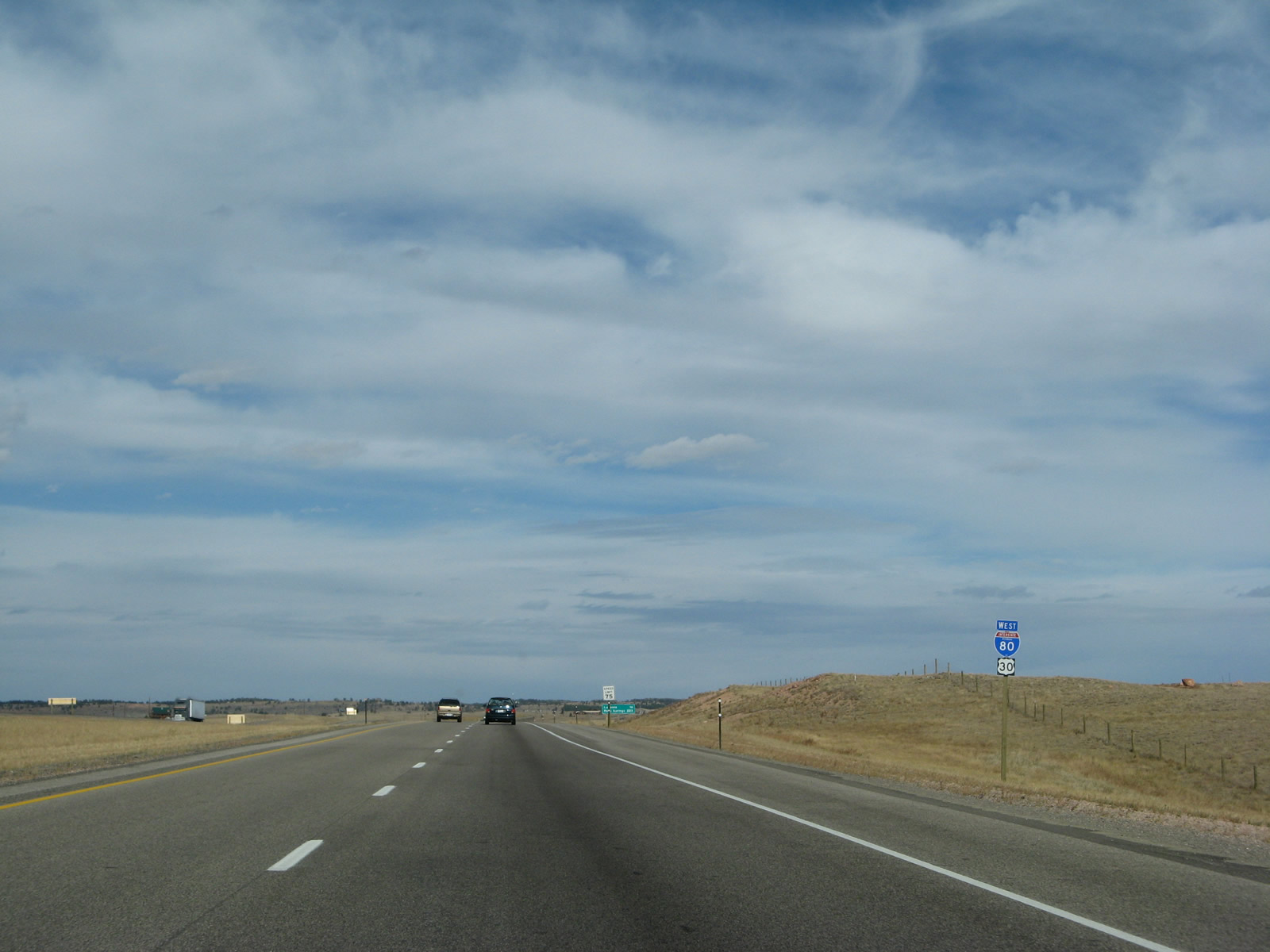
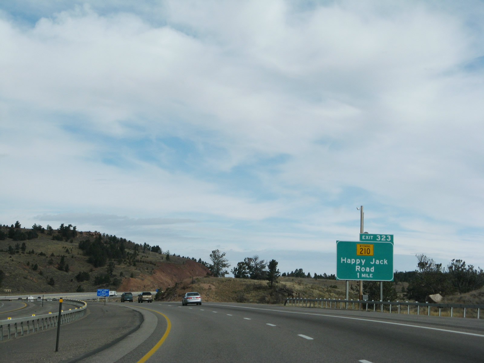
Additional National Forest Service recreation areas are accessible at Exit 323, Wyoming 210/Happy Jack Road east and Old Lincoln Highway (Interstate 80 Service Road) east. Only Interstate 80 and U.S. 30 proceeds through the interchange to continue west into Laramie. Photo taken 10/13/07. |
|
|
|
|
|
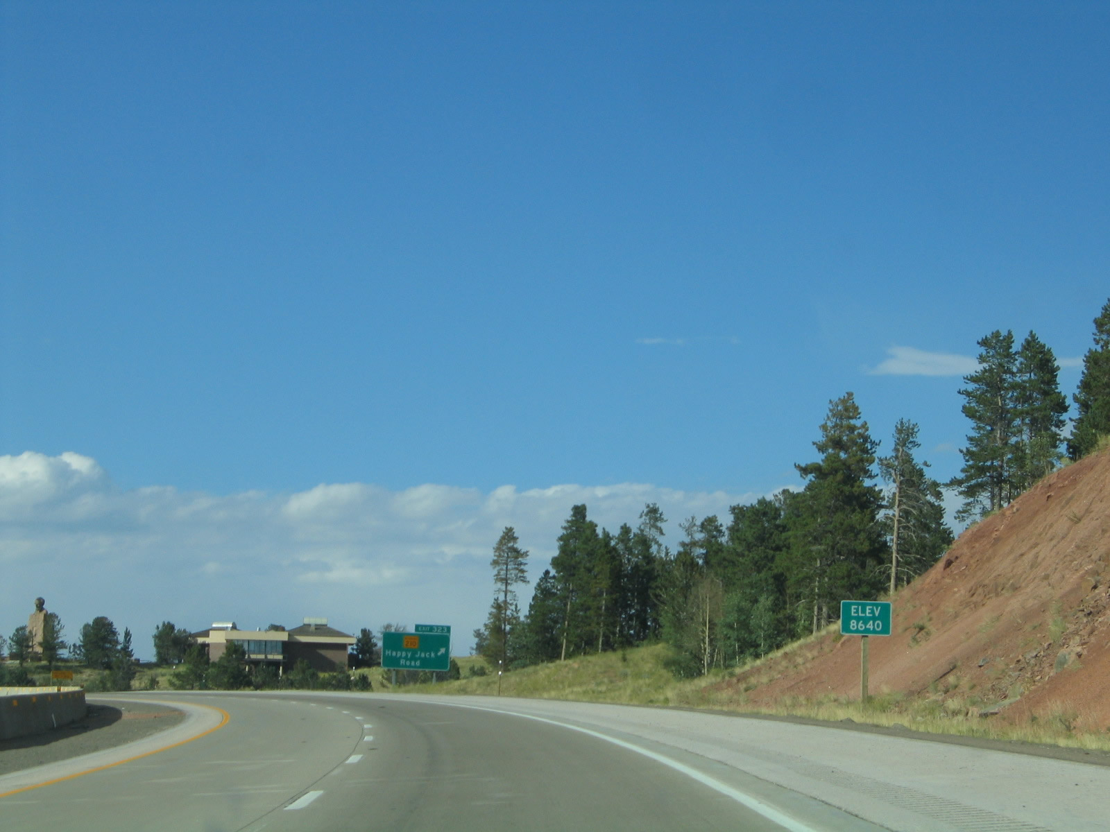
| Between Exit 329, Vedauwoo Road and Blair Road and Exit 323, Wyoming 210/Happy Jack Road east and Old Lincoln Highway (Interstate 80 Service Road) east, we see Interstate 80 and U.S. 30 gaining significant elevation until reaching Sherman Summit at elevation 8,640 feet above sea level. Photos taken 10/13/07 and 09/07/05. |
|
|
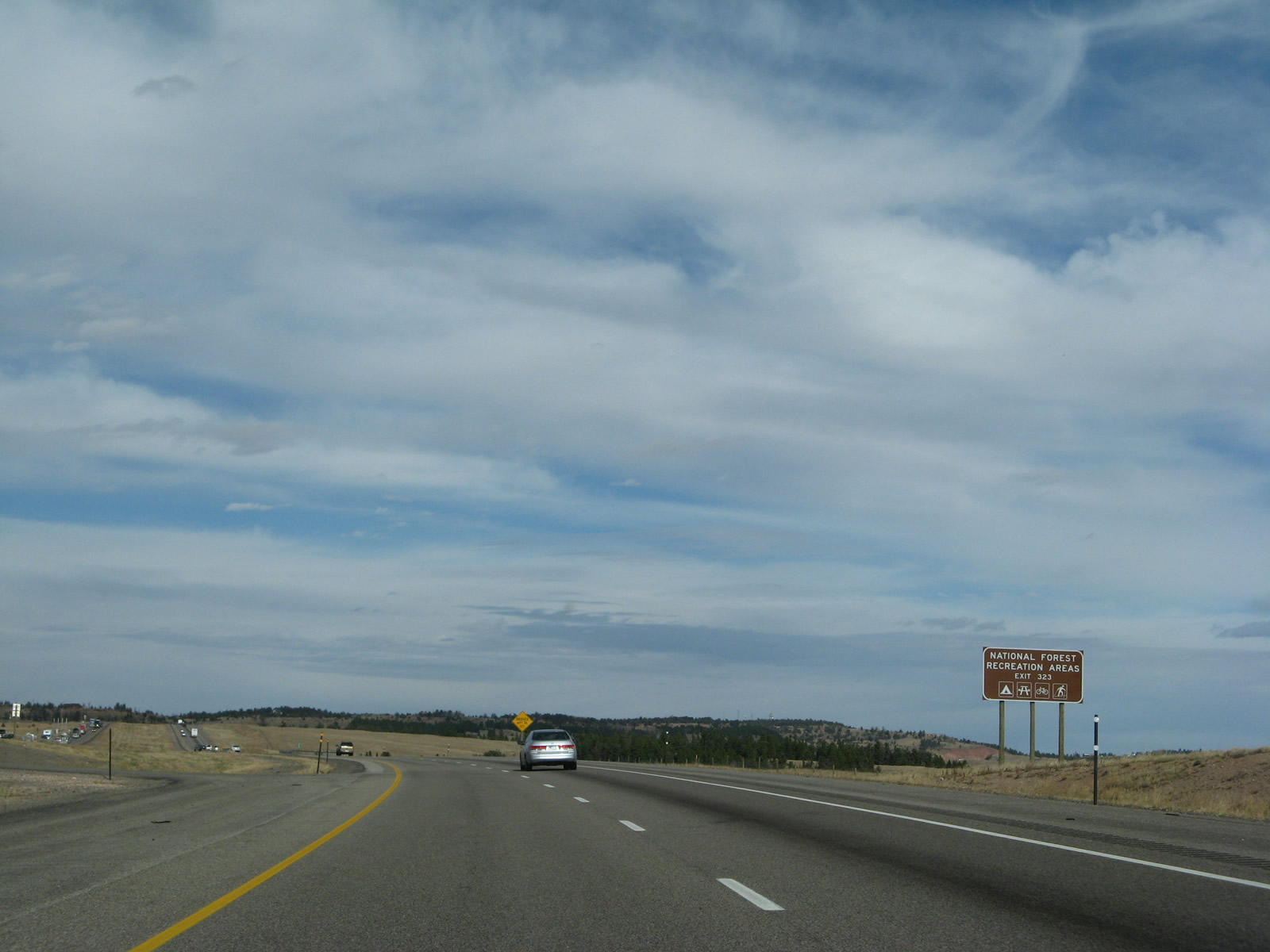
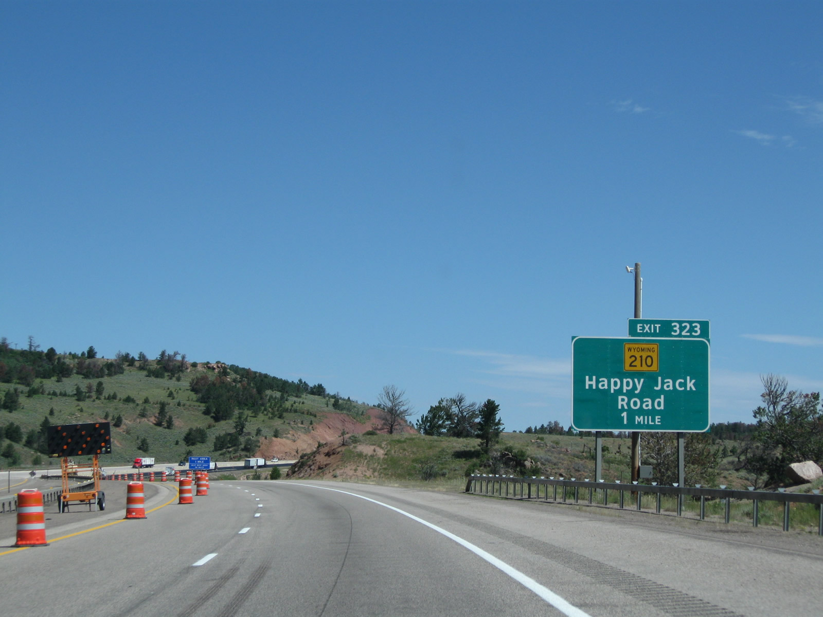
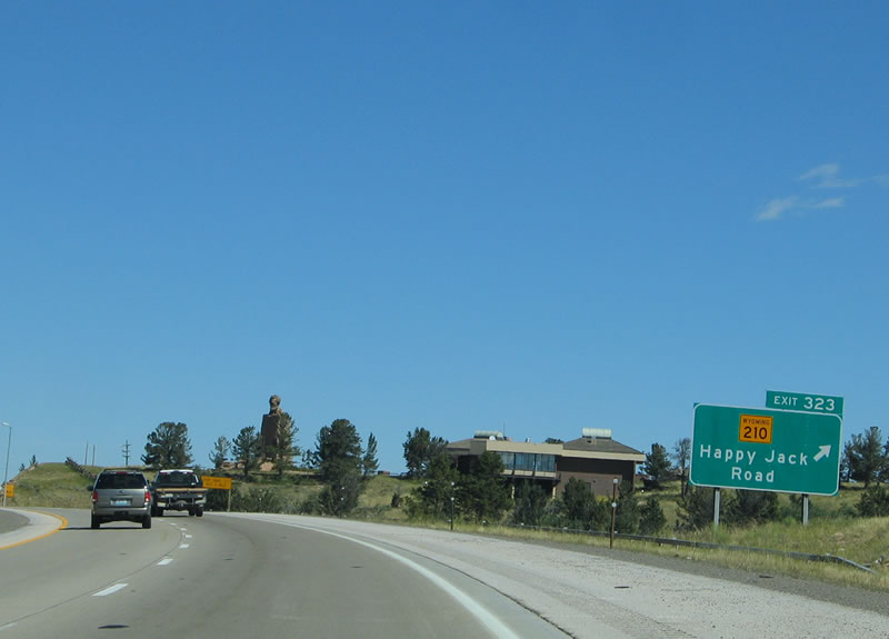
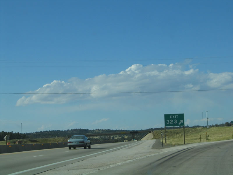
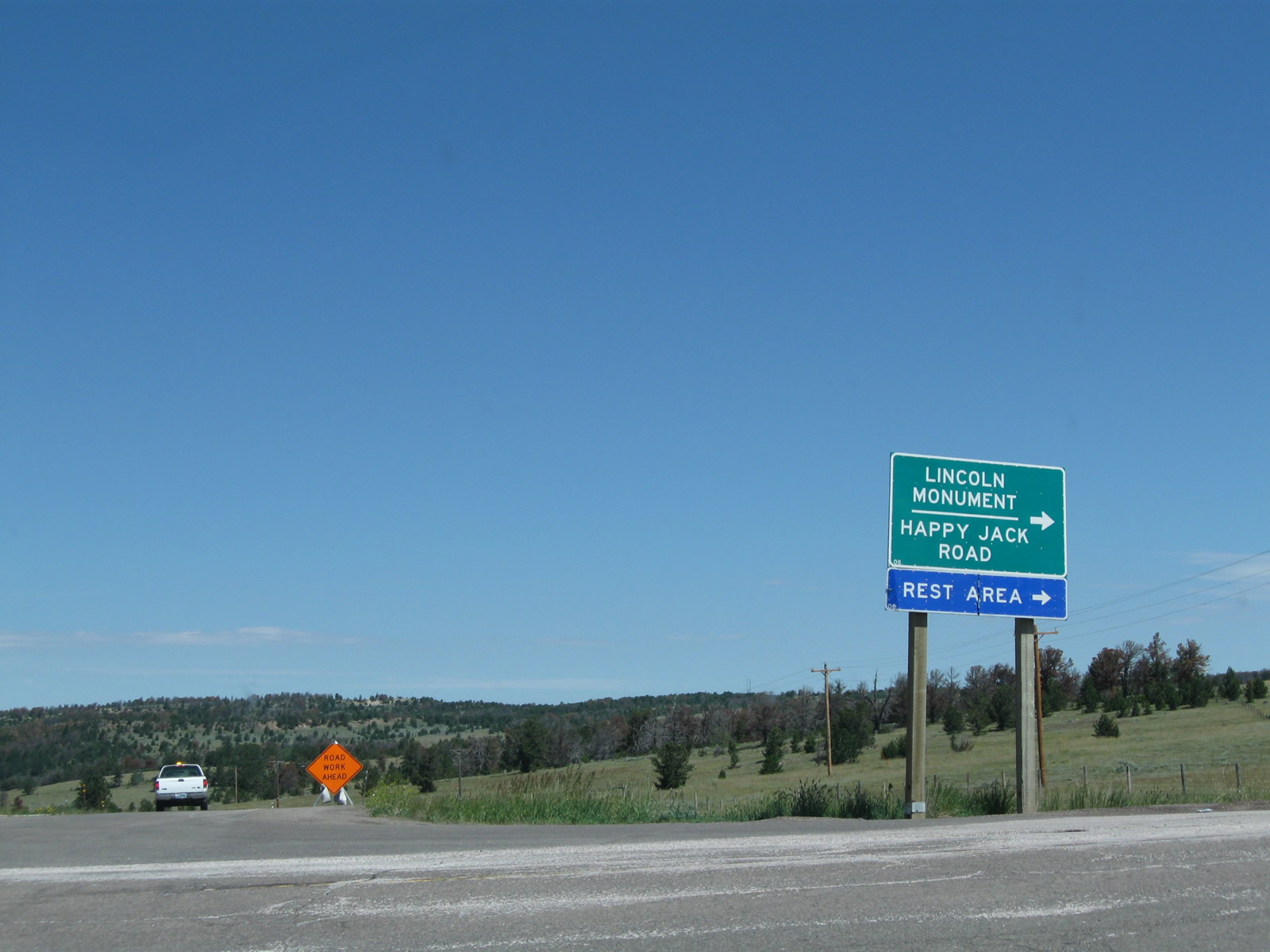
The next exit along westbound is Exit 323, Wyoming 210/Happy Jack Road east to the Summit Information Center, Lincoln Monument, Pole Mountain Wilderness, Medicine Bow National Forest, and Curt Gowdy State Park. Photos taken 08/02/10 and 10/13/07. |
|
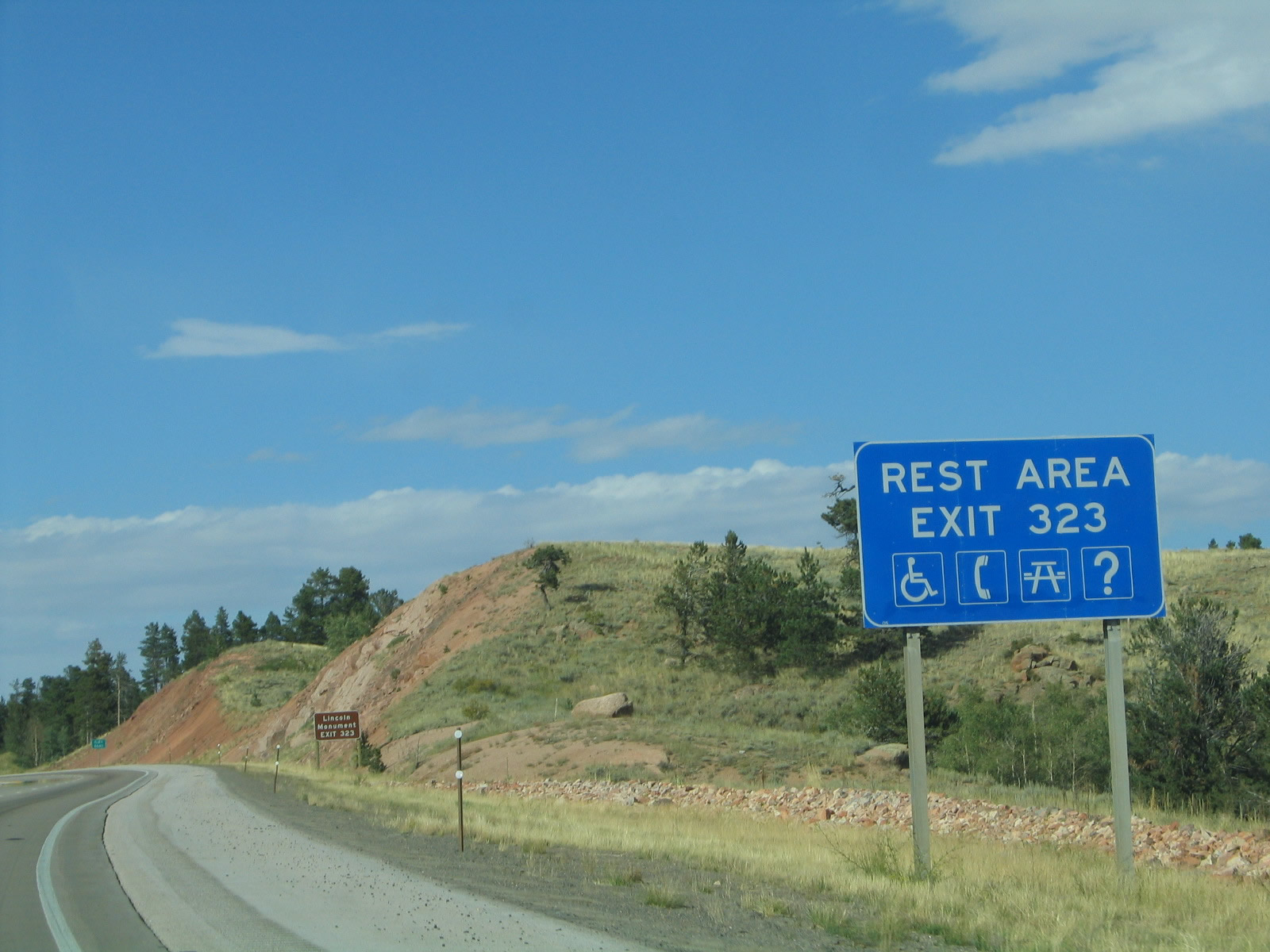
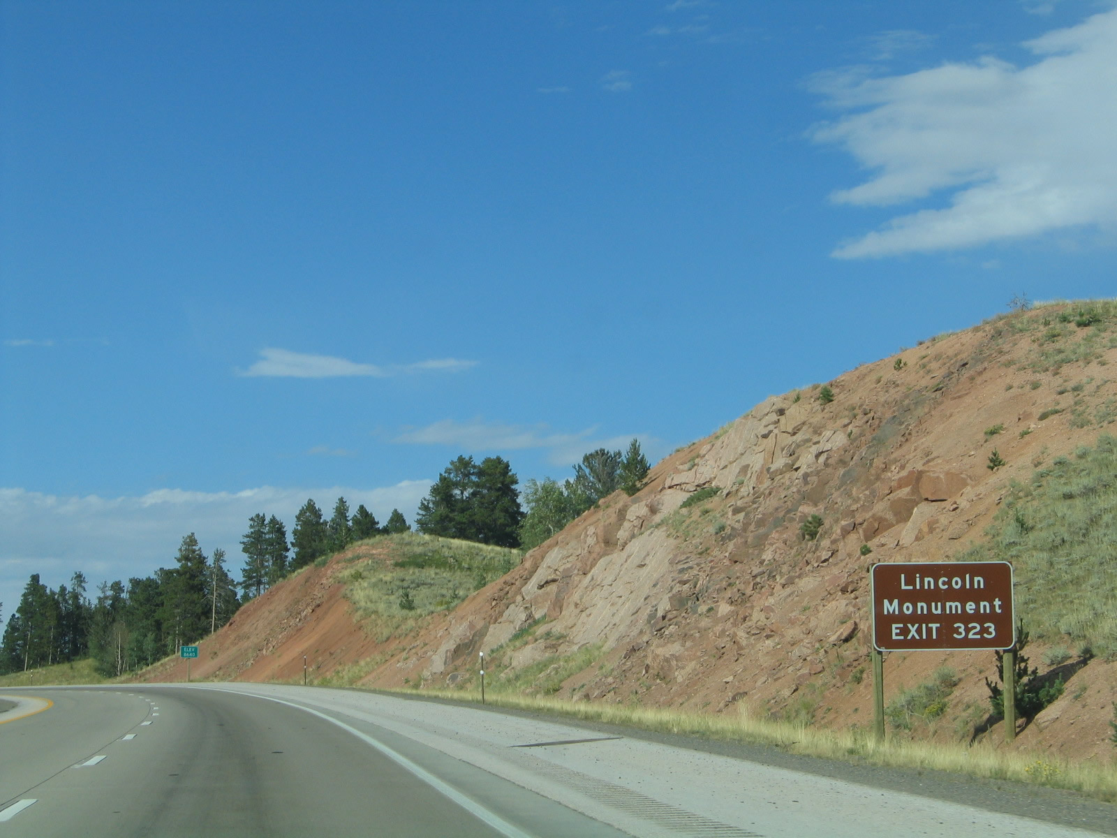
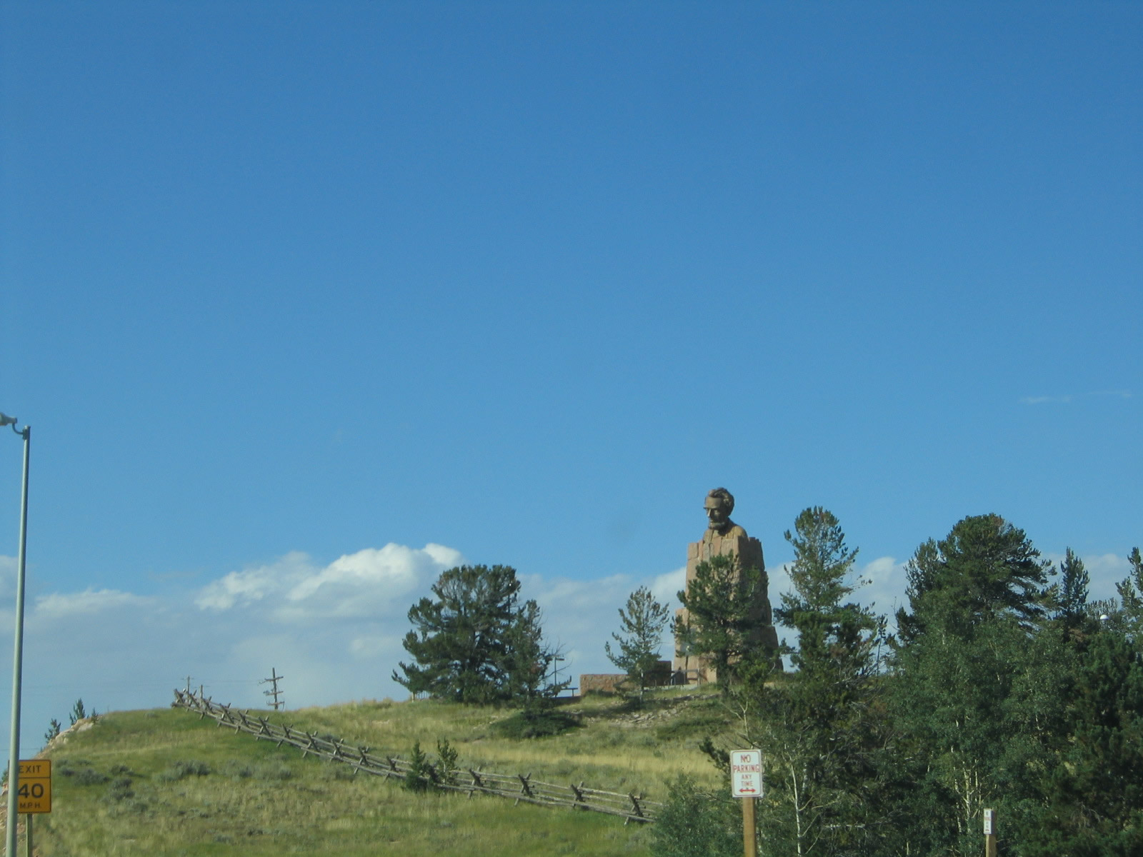
Exit 323 to WYO 210 leads to the Summit Rest Area. Located at the area is the Lincoln Monument, a large bust of President Abraham Lincoln overlooking the Father Road, the Lincoln Highway, which is today Interstate 80. Photo taken 10/13/07. |
|
Telephones, picnic tables, restrooms, visitor information, and view areas are all available at the Summit Rest Area. Note that the information center is seasonal, and it is closed during the winter months. Photo taken 09/06/05. |
|
Follow the signs for the rest area to visit the Lincoln Memorial, which is located adjacent to the Summit Rest Area parking lot. This bust was sculpted by Robert Russin to commemorate President Abraham Lincoln, for whom Interstate 80 and U.S. 30 in Wyoming are named. The bust overlooks the highest point on transcontinental Interstate 80 and U.S. 30, at elevation 8,640. In fact, this was once the highest point on the transcontinental railroad when its tracks were laid in 1868 prior to its realignment to the south between Buford and Laramie (along Harriman Road). Photo taken 09/06/05. |
|
On westbound, this is the only sign that indicates that this is the highest point on transcontinental Interstate 80 and U.S. 30. Most motorists probably ignore this tiny sign, and it is barely visible in this picture. A larger sign is present at the Summit Rest Area, but it seems like a larger sign, perhaps indicating that this is the highest point along the freeway, seems appropriate. The building in the background to the right (north) of the freeway is the Summit Rest Area and Tourist Information Center. Photo taken 09/06/05. |
|
Interstate 80 and U.S. 30 meet Exigt 323, Wyoming 210/Happy Jack Road. Use Wyoming 210 (Happy Jack Road) east to access most of the recreational areas of Medicine Bow National Forest (Pole Mountain Unit) as well as Curt Gowdy State Park. Curt Gowdy State Park is home to the annual Happy Jack Bluegrass Festival, which is held in August each year. Photo taken 09/06/05. |
|
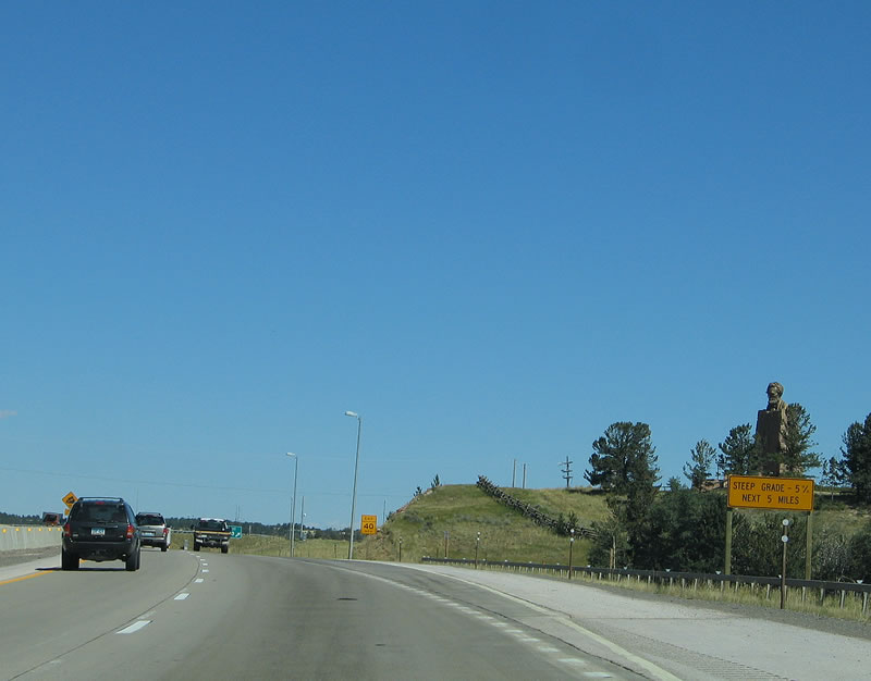
As for mainline traffic, the long ascent to Sherman Summit, which in some ways harkens back to western Nebraska (with elevations gaining from 2,800 feet at North Platte; 3,223 feet at Ogallala; 4,085 feet at Sidney; 6,063 feet at Cheyenne; and 8,640 feet here at Sherman Summit), comes to a close. Now, Interstate 80 and U.S. 30 west prepare to descend through Telephone Canyon into Laramie. The drop into Laramie (elevation 7,220 feet) takes only five miles at a 5% drop. Photo taken 09/06/05. |
|
Westbound Interstate 80 and U.S. 30 reach Exit 323, Wyoming 210/Happy Jack Road. To the south, Happy Jack Road connects to Old Lincoln Highway, which acts as the Interstate 80 Service Road between Exits 323 and 329. The service road travels to the former highest point on U.S. 30, which is at an even higher elevation than Interstate 80. Photo taken 09/06/05. |
|
The bust of President Abraham Lincoln looks down on Interstate 80, U.S. 30, and the Lincoln Highway. Photo taken 09/06/05. |
|
Now at the top of the ramp, turn right onto Happy Jack Road to the Summit Rest Area, Lincoln Memorial, and all destinations served by Wyoming 210 eastbound. Turn left to the Old Lincoln Highway alignment. Photo taken 08/02/10. |
|
Looking from the parking lot of the Summit Rest Area is this view of the Happy Jack Road interchange looking west on Interstate 80. Photo taken 09/06/05. |
|
Back on the mainline of Interstate 80 and U.S. 30 west (as seen from Wyoming 210), the freeway passes through the Happy Jack Road interchange at Sherman Summit. From here, the freeway descends into the Laramie Basin via Telephone Canyon. Photo taken 08/02/10. |
|
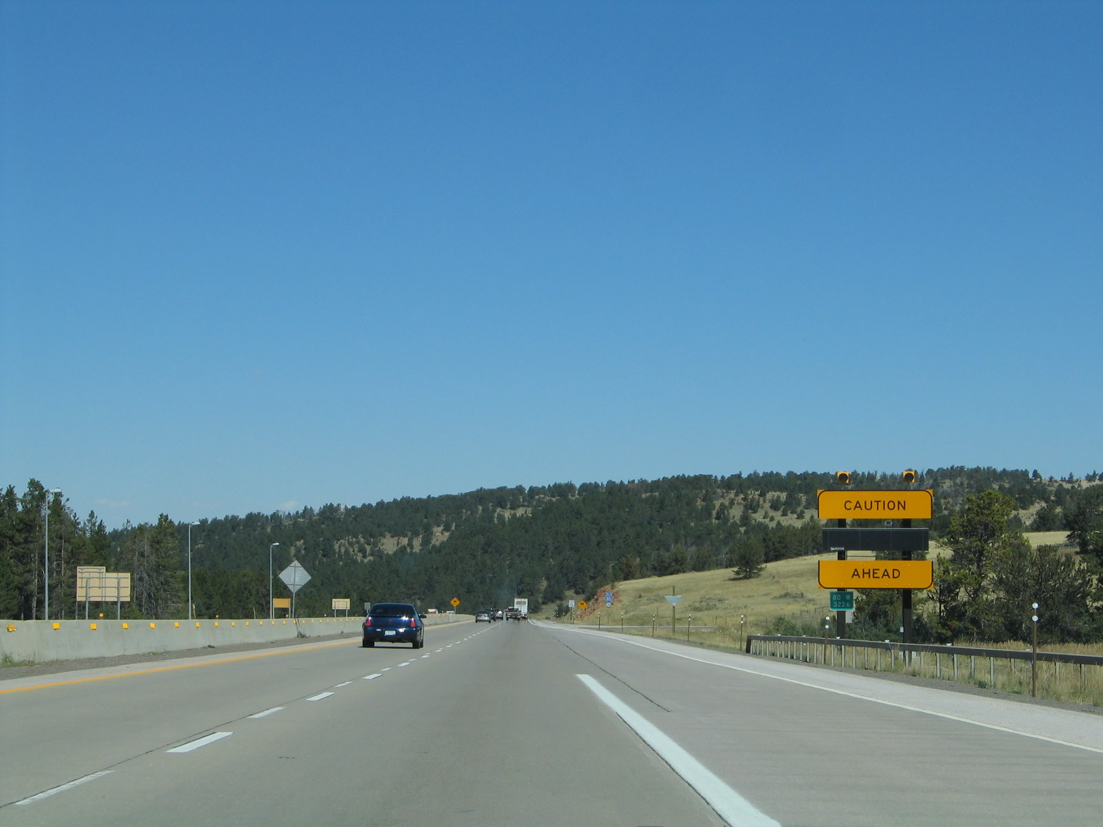
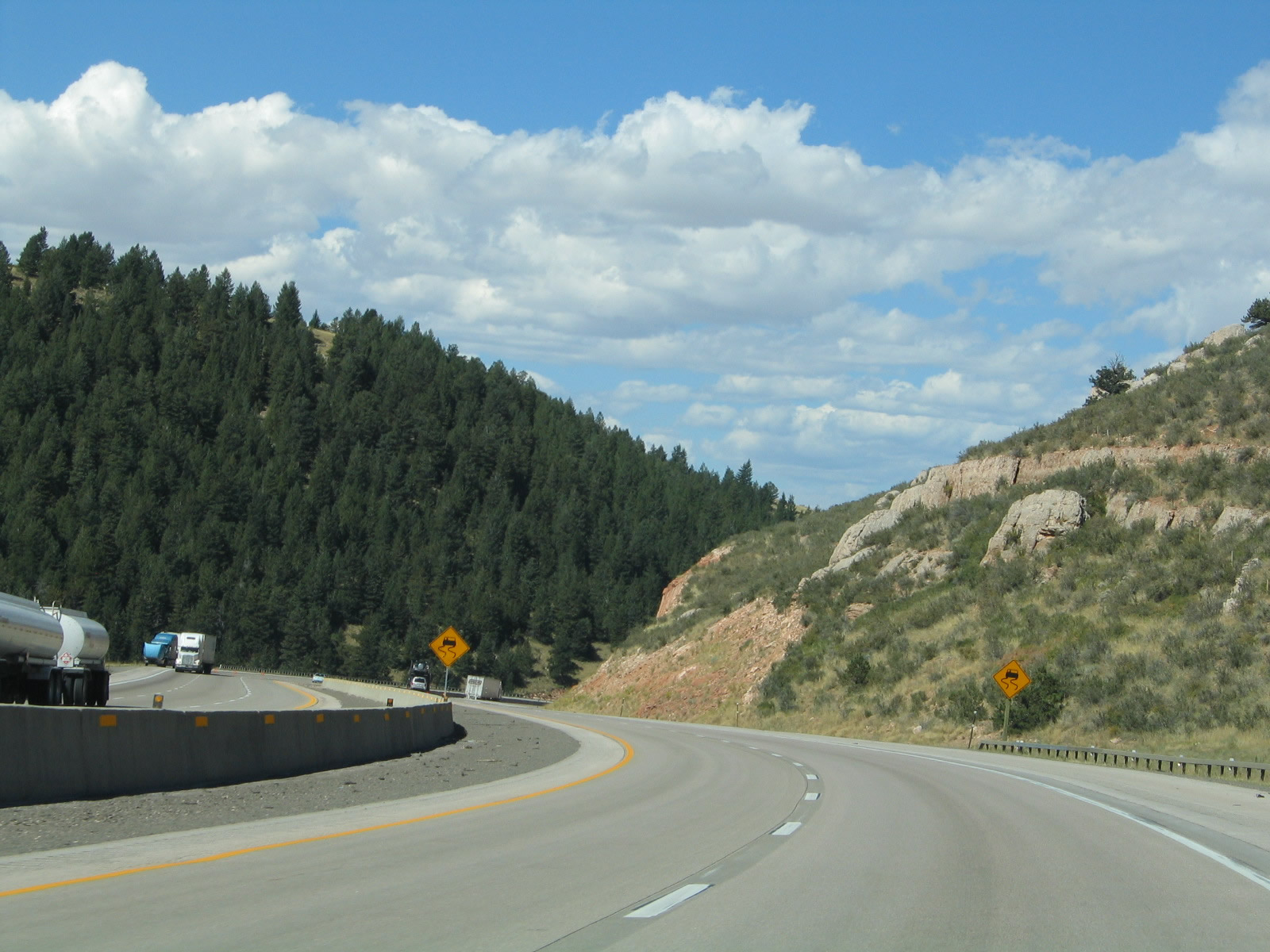
When flashing, this sign warns motorists of traffic advisories within Telephone Canyon. The speed limit reduces to 65 miles per hour through Telephone Canyon. Photo taken 09/07/05. |
|
Westbound Interstate 80 and U.S. 30 are signed on this reassurance shield assembly after the Wyoming 210/Happy Jack Road interchange. Photo taken 09/07/05. |
|
It is only nine miles from the Sherman Summit to Laramie. Rawlins is 108 miles distant, and the control city of Rock Springs is not listed on this sign. Photo taken 09/07/05. |
|
|
|
|
|
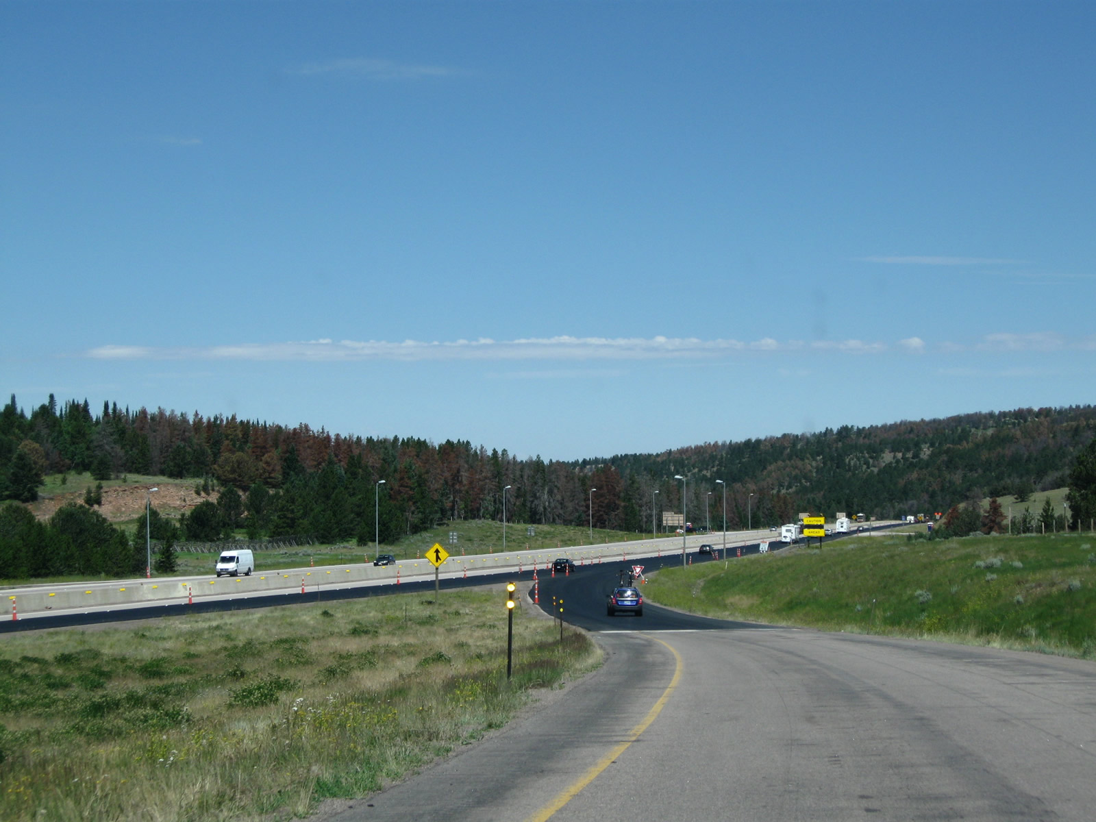
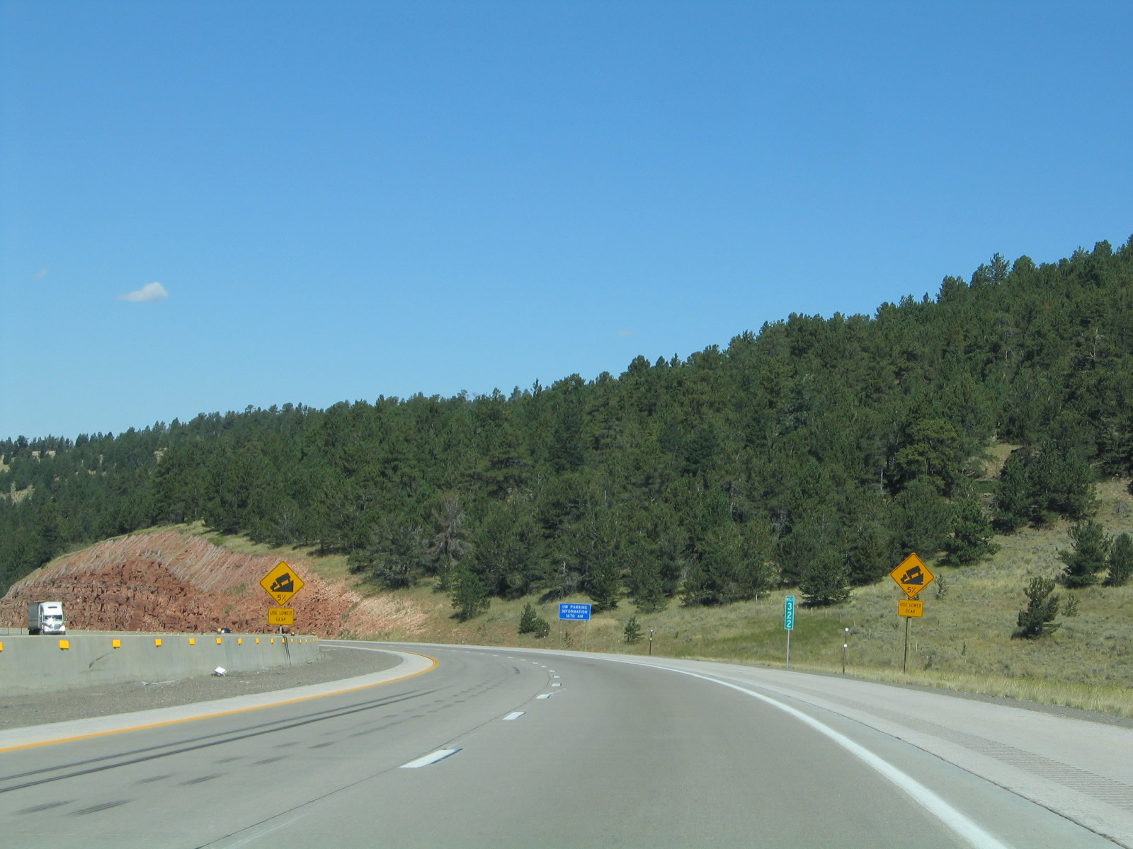
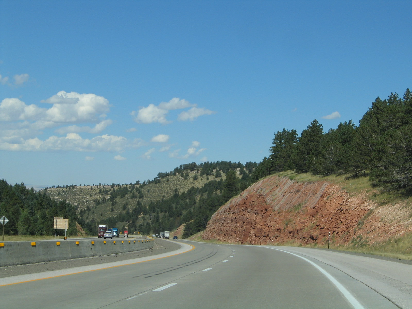
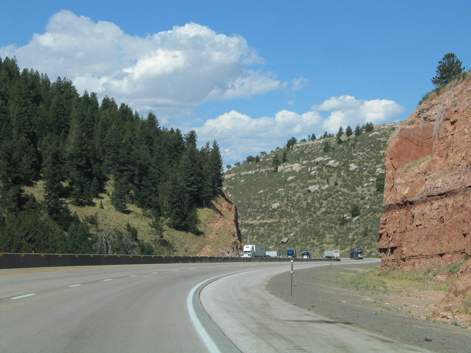
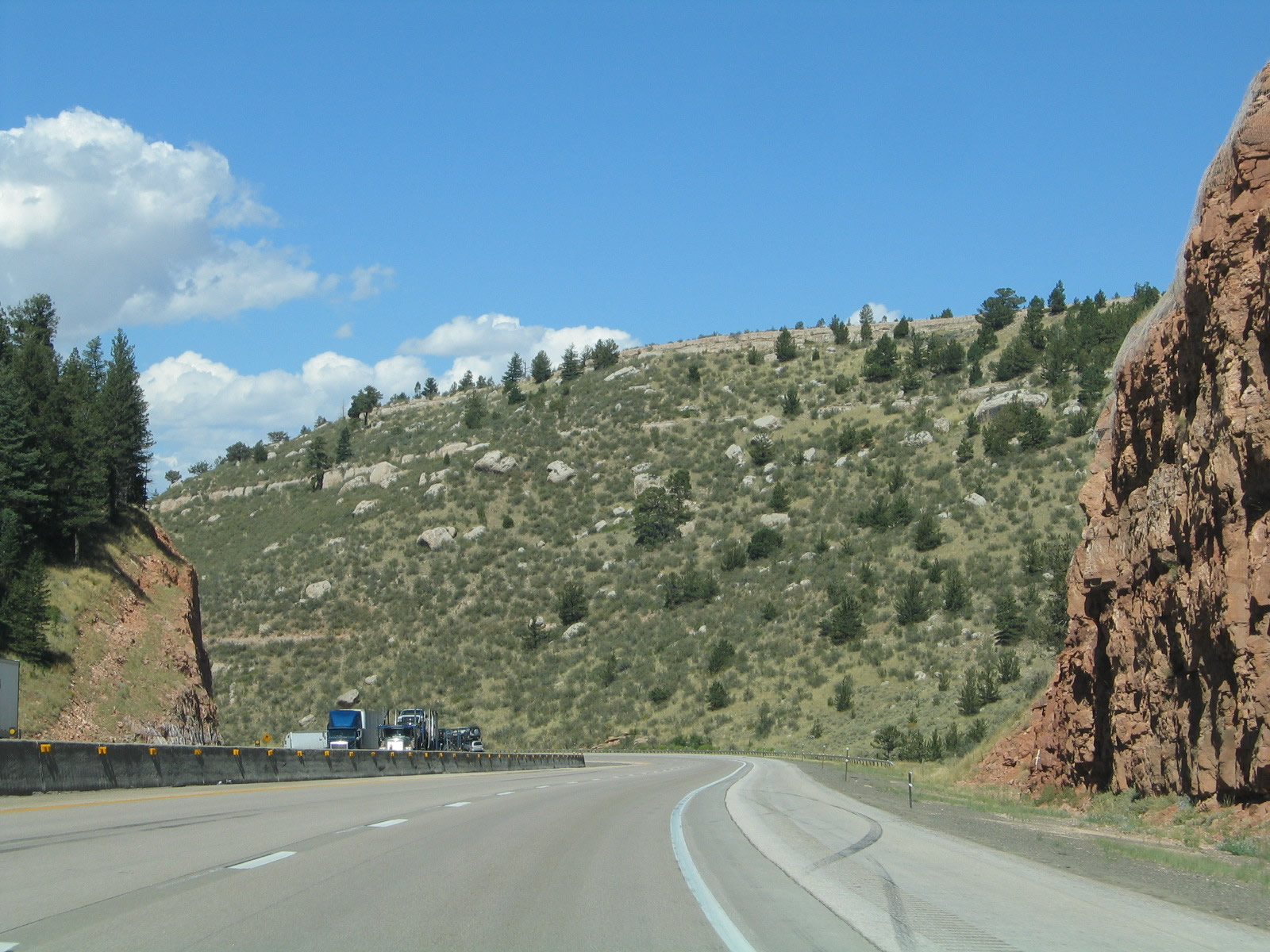
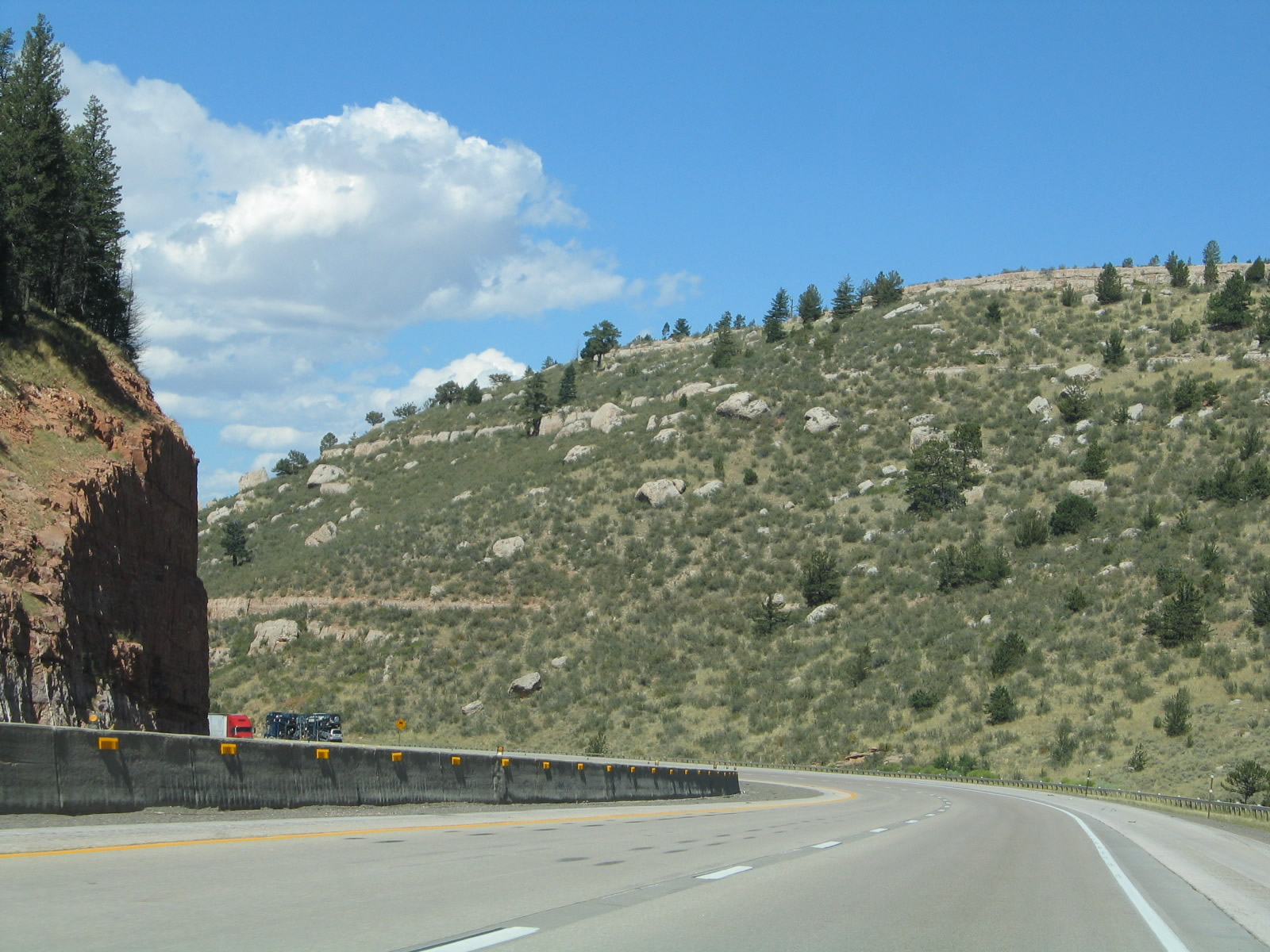
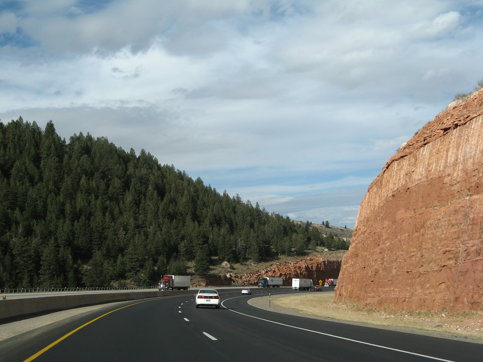
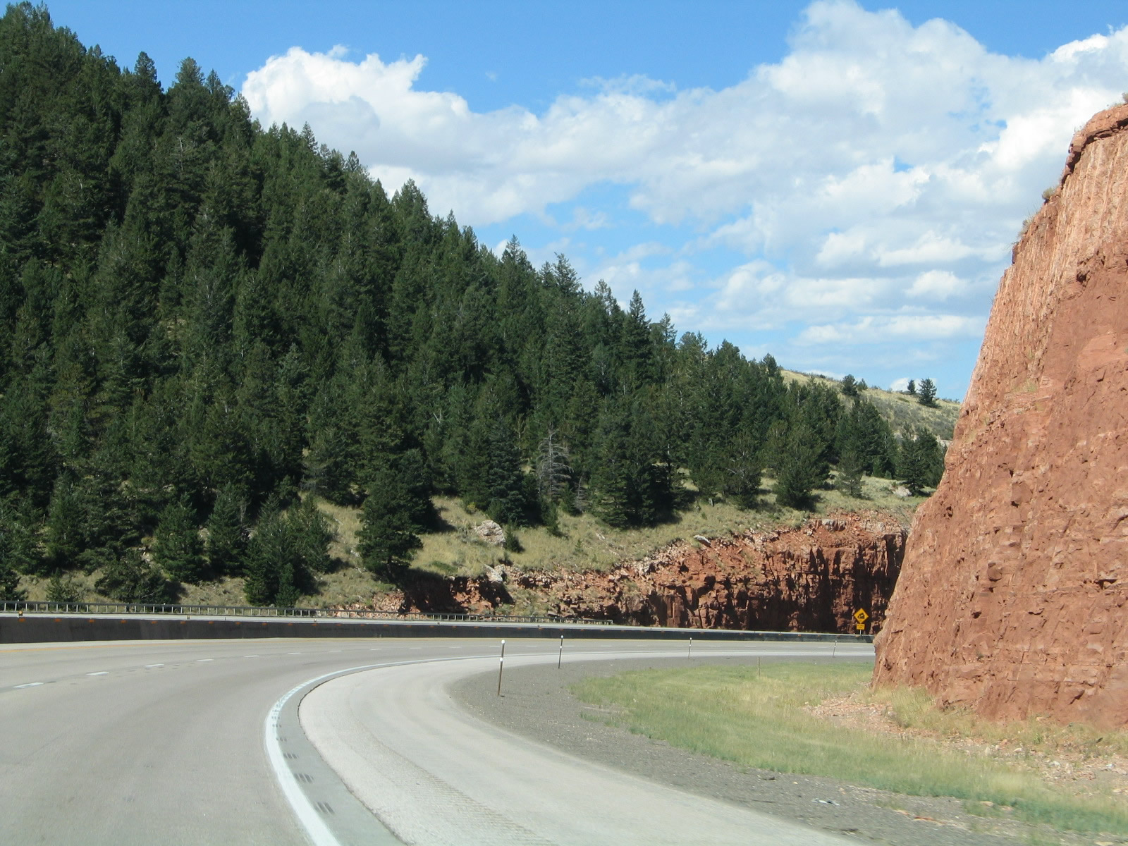
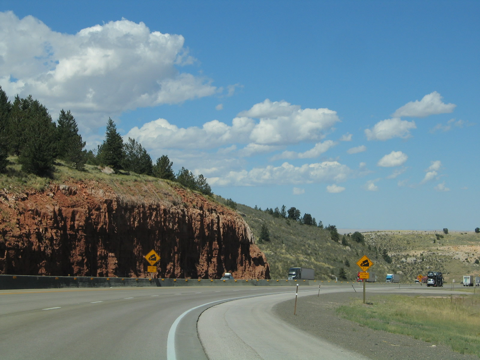
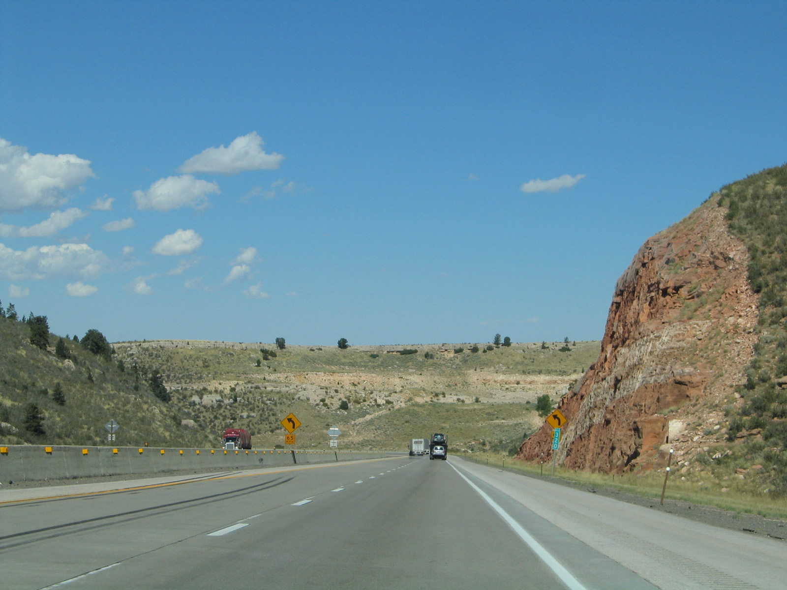
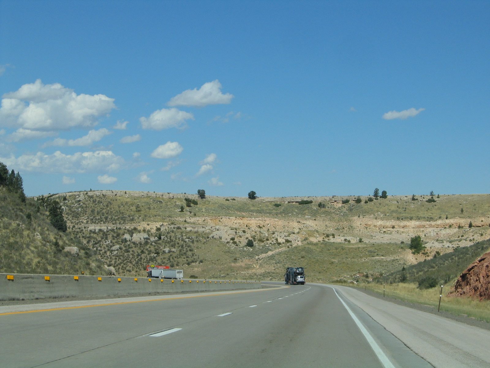
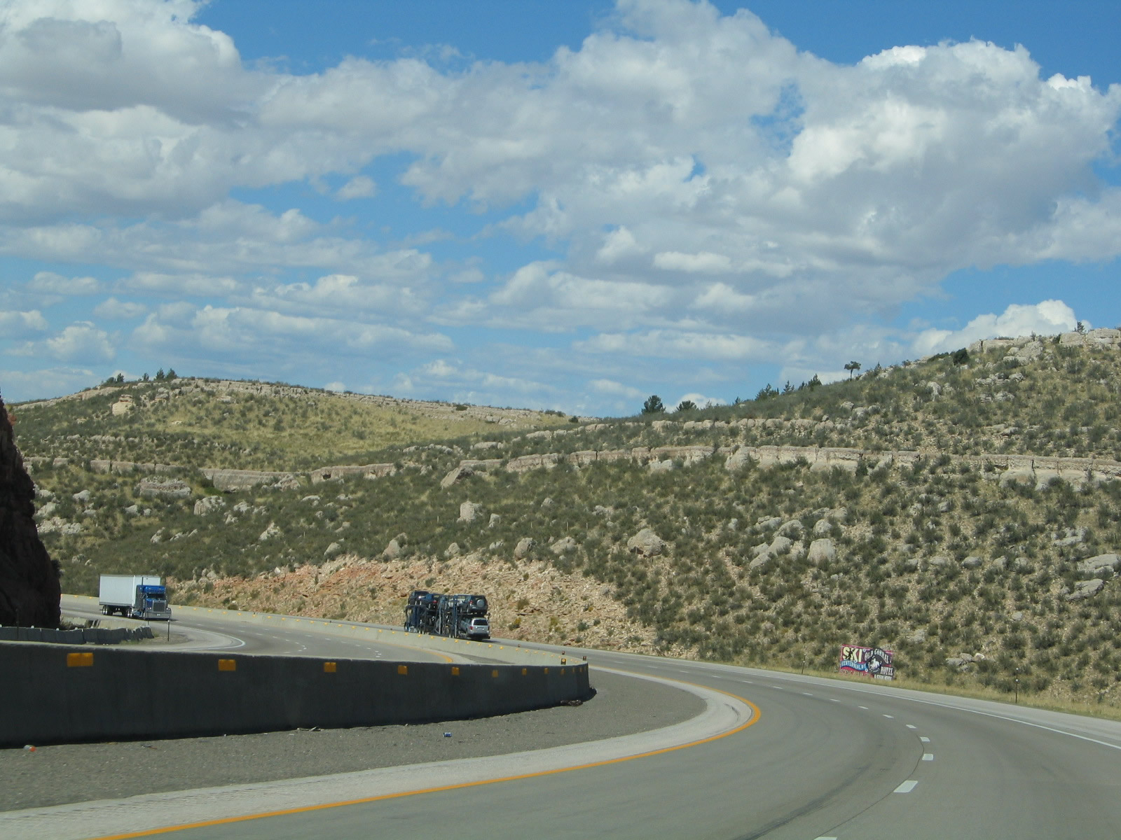
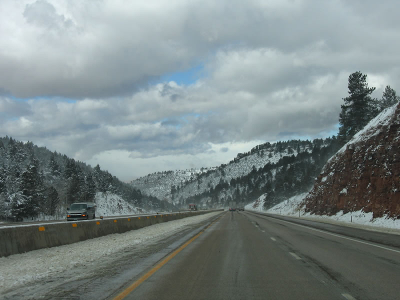
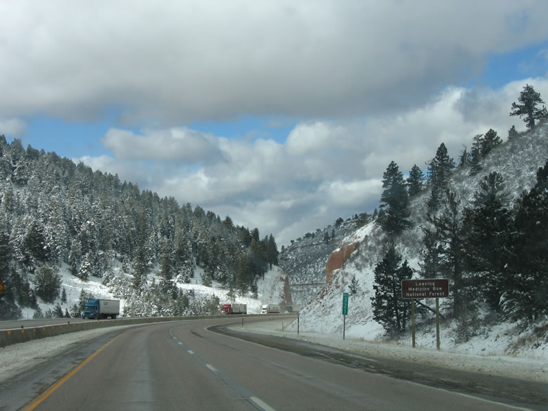
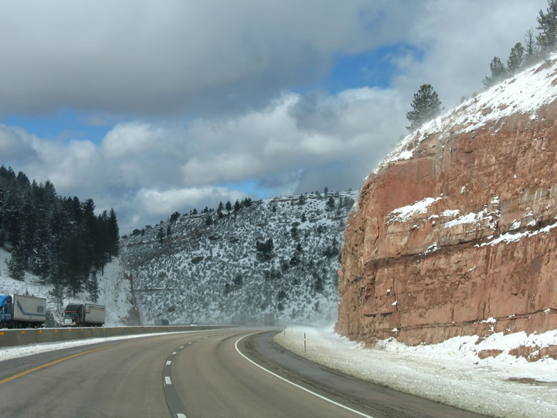
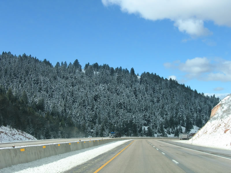
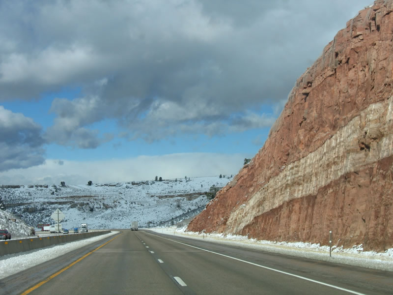
Interstate 80 and U.S. 30 travel through Telephone Canyon between Sherman Summit ("The Summit") and Laramie, dropping over one thousand feet in elevation. Large cuts of red rock became visible after the freeway was constructed. During 2000-2001, the freeway was reconstructed, and the canyon was widened to accommodate an additional eastbound climbing lane. Old U.S. 30 lies under the alignment of Interstate 80 through Telephone Canyon. Photos taken 09/07/05 and 10/13/07. |
|
|
|
|
|
|
|
|
|
|
|
|
|
|
|
|
After rounding another curve on the steep descent through Telephone Canyon, the Laramie Basin comes into view. This wide basin separates the Medicine Bow Mountains (a.k.a. Snowy Range) on the west from the Laramie Mountains on the east. Photo taken 09/07/05. |
|
|
|
|
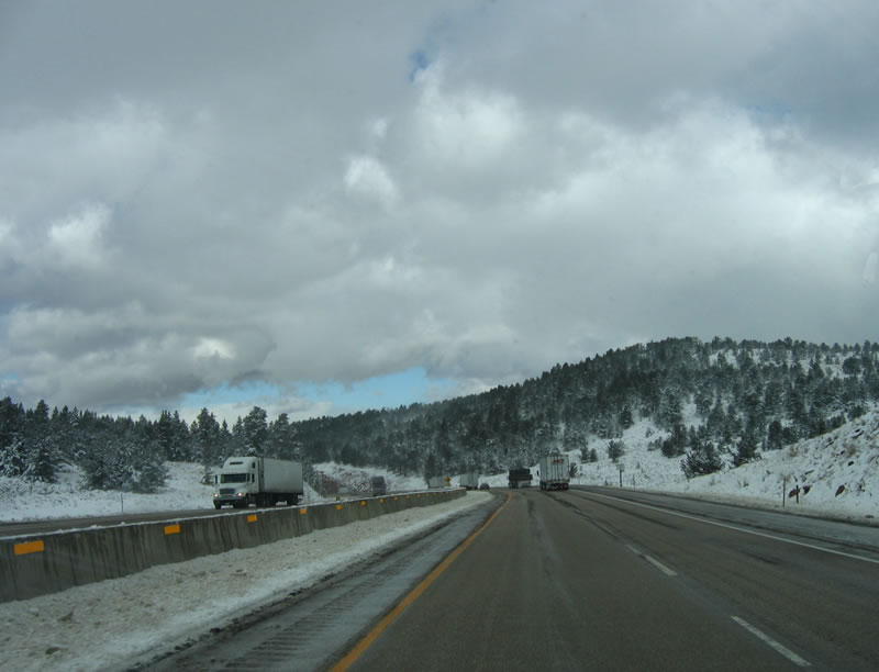
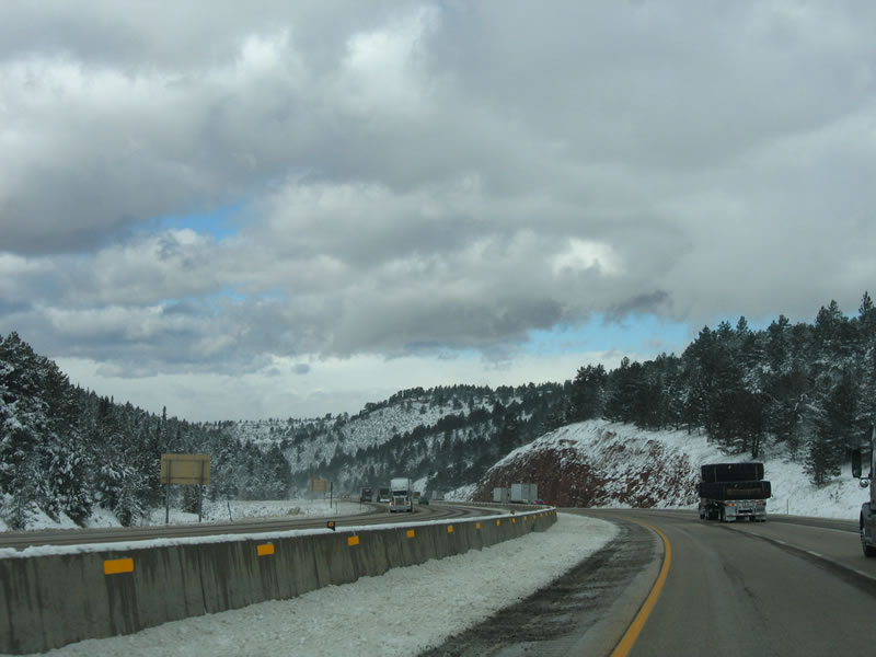
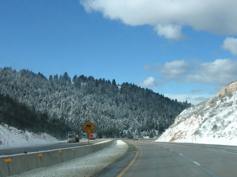
| Heading back up to the top of Telephone Canyon, we now look at Interstate 80 and U.S. 30 west immediately after a snow storm passed through the area, dropping several inches of snow. Photos taken 11/12/05. |
|
|
|
|
|
Continuing downhill, the carriageway between the eastbound and westbound directions splits briefly. Photo taken 09/07/05. |
|
After leaving the confines of Telephone Canyon, the Gem City of Laramie comes into view as a green oasis amid the vast yellow-brown grasses of the High Plains of Laramie Basin. To the right of the city, the tall dormitories of the University of Wyoming (White Hall and McIntyre Hall) come into view. These two buildings are the tallest inhabited structures in Wyoming. The tallest structure in the state is the Jim Bridger Power Plant in Point of Rocks, just east of Rock Springs off Interstate 80. Photo taken 09/07/05. |
|
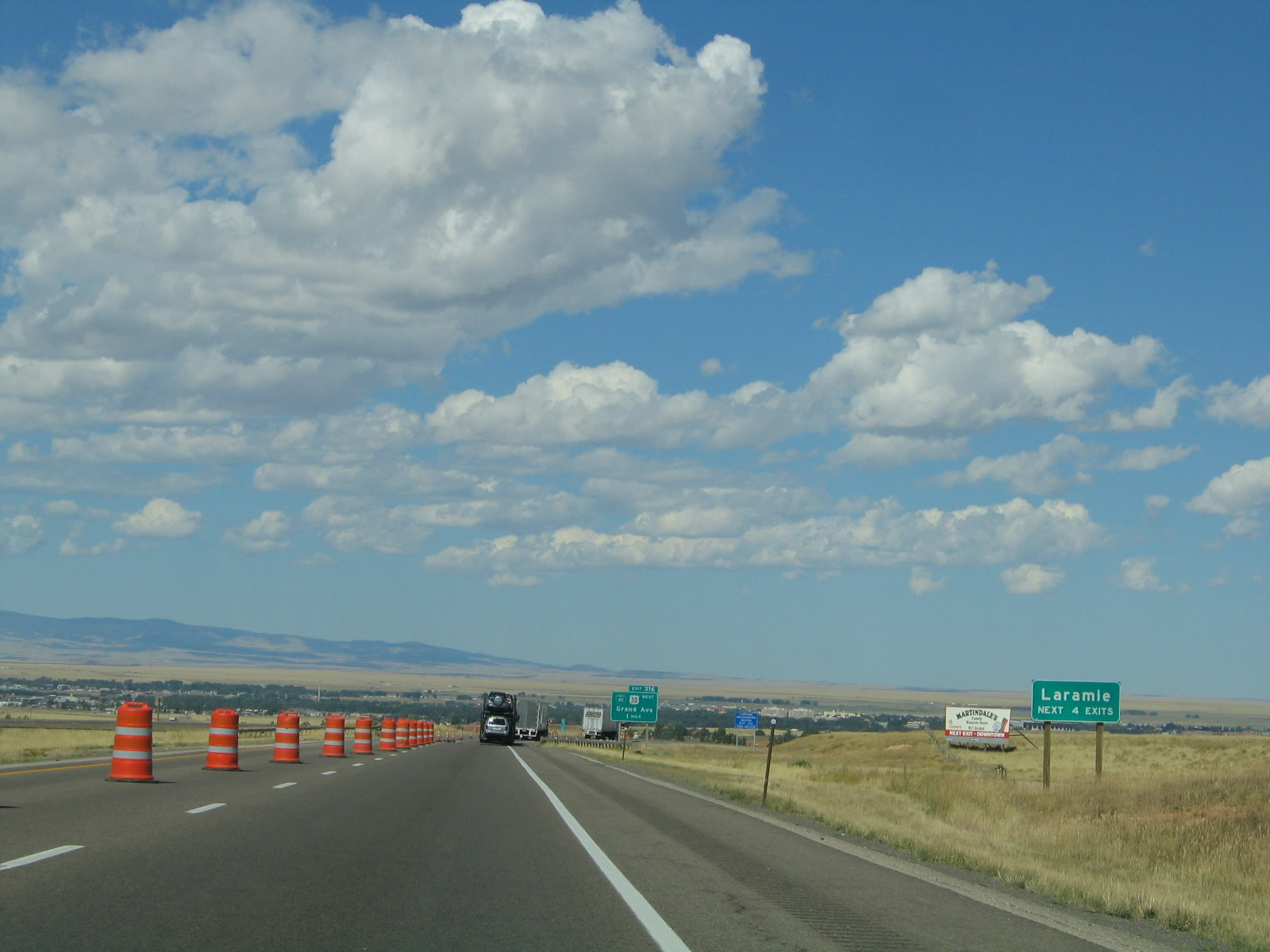
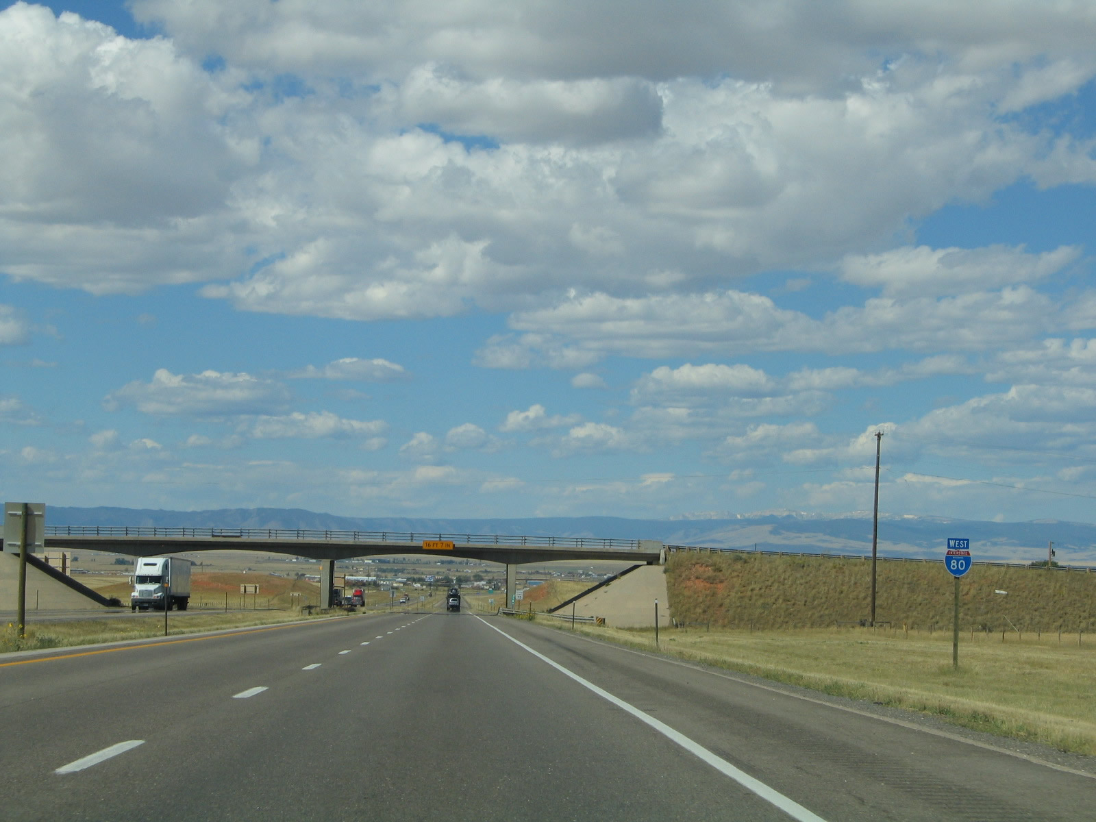
The next four exits all serve the city of Laramie: Exit 316, Junction Business Loop I-80 and U.S. 30, Grand Avenue; Exit 313, U.S. 287, Third Street; Exit 311, Wyoming 130 and Wyoming 230, Snowy Range Road; and Exit 310, Junction Business Loop I-80, Curtis Street. Laramie is home to 27,204 residents as of the 2000 Census and is estimated to have 26,441 people as of a 2004 estimate. Due to the presence of the university, the population of Laramie is rather fluid and transient, with students leaving during the summer months. The elevation of Laramie seems to vary depending on who you ask: the university cites 72,200 feet, while the chamber of commerce and Rand McNally 2006 Atlas say 71,265 feet. Annually, 10.88 inches of precipitation (rain and snow) falls in Laramie, with 36 inches in the form of snow. Perhaps the most famous weather statistic is the wind speed, which averages 12.8 miles per hour! Photo taken 09/07/05. |
|
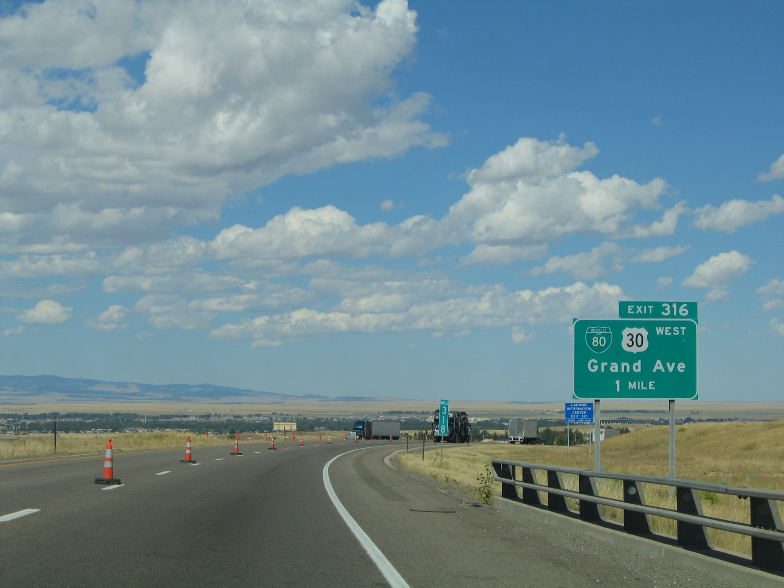
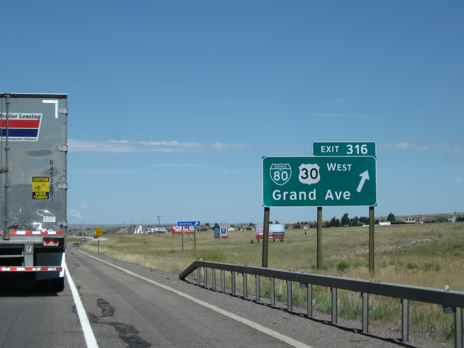
The next exit along Interstate 80 and U.S. 30 west is Exit 316, Junction Business Loop I-80 and U.S. 30/Grand Avenue west to Laramie. Interstate 80 and U.S. 30 prepare to split again as the freeway enters the Laramie urban area. U.S. 30 will follow the Lincoln Highway via Grand Avenue, Third Street, and U.S. 30-287 north to Rock River, Medicine Bow, and Hanna. Interstate 80, meanwhile, follows the Laramie marginal and stays south of U.S. 30 by passing through Arlington and Elk Mountain. The two routes will unify again about 80 miles northwest of here. Photo taken 09/07/05. |
|
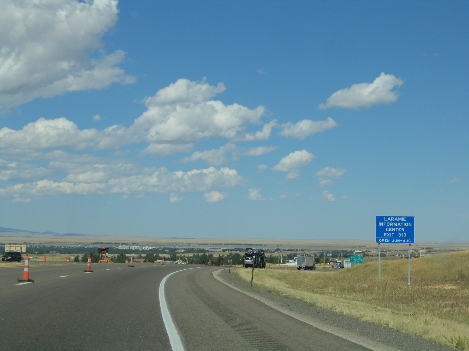
A visitor center is located off Third Street (U.S. 287) via Exit 313. Photo taken 09/07/05. |
|
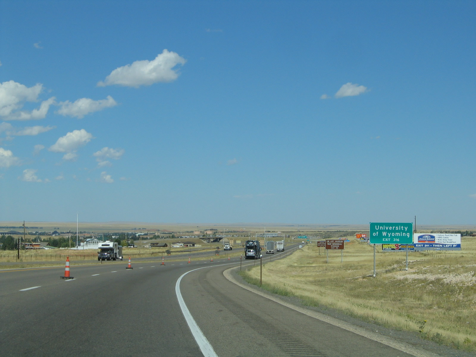
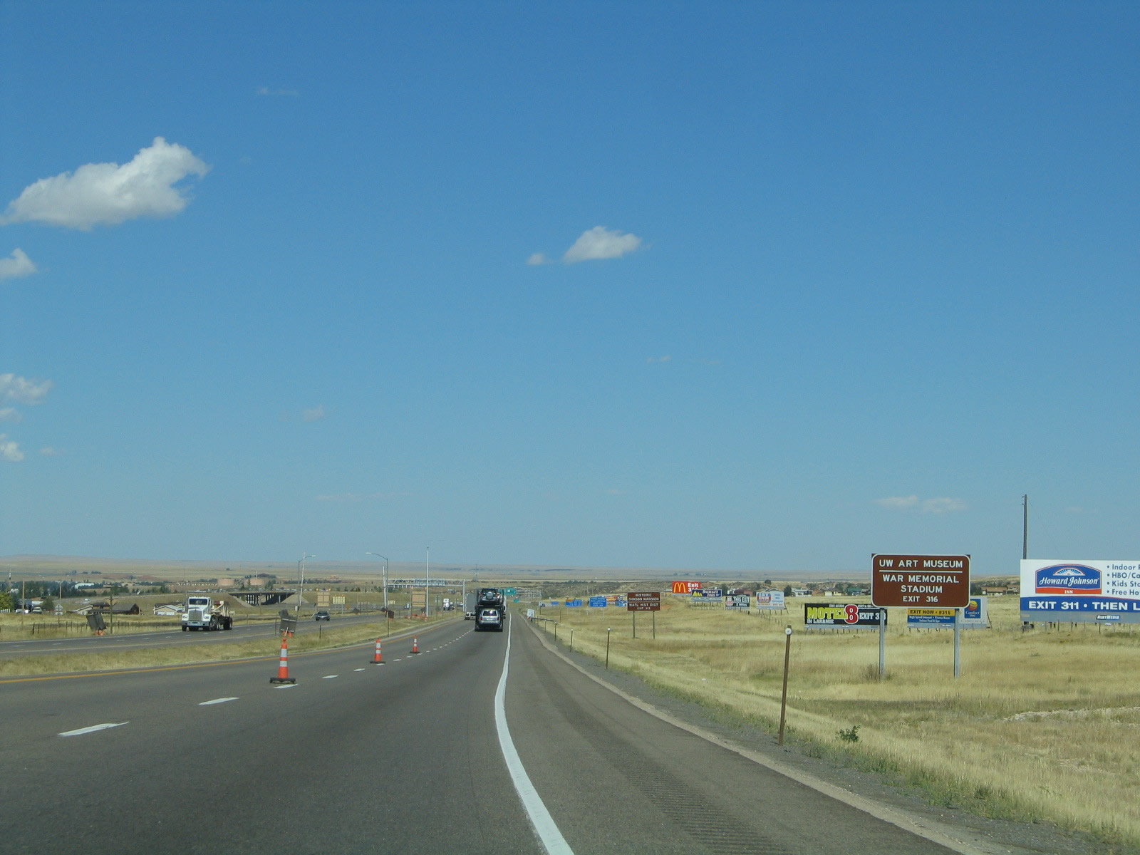
Laramie is well-known for being home to the University of Wyoming, which has an enrollment of over 13,000 students as of 2004. Some of the attractions at the university include the American Heritage Center, the War Memorial Stadium (football), Arena-Auditorium (basketball), and various museums. One of the most popular museums at the University of Wyoming is the geology museum and library. Photo taken 09/07/05. |
|
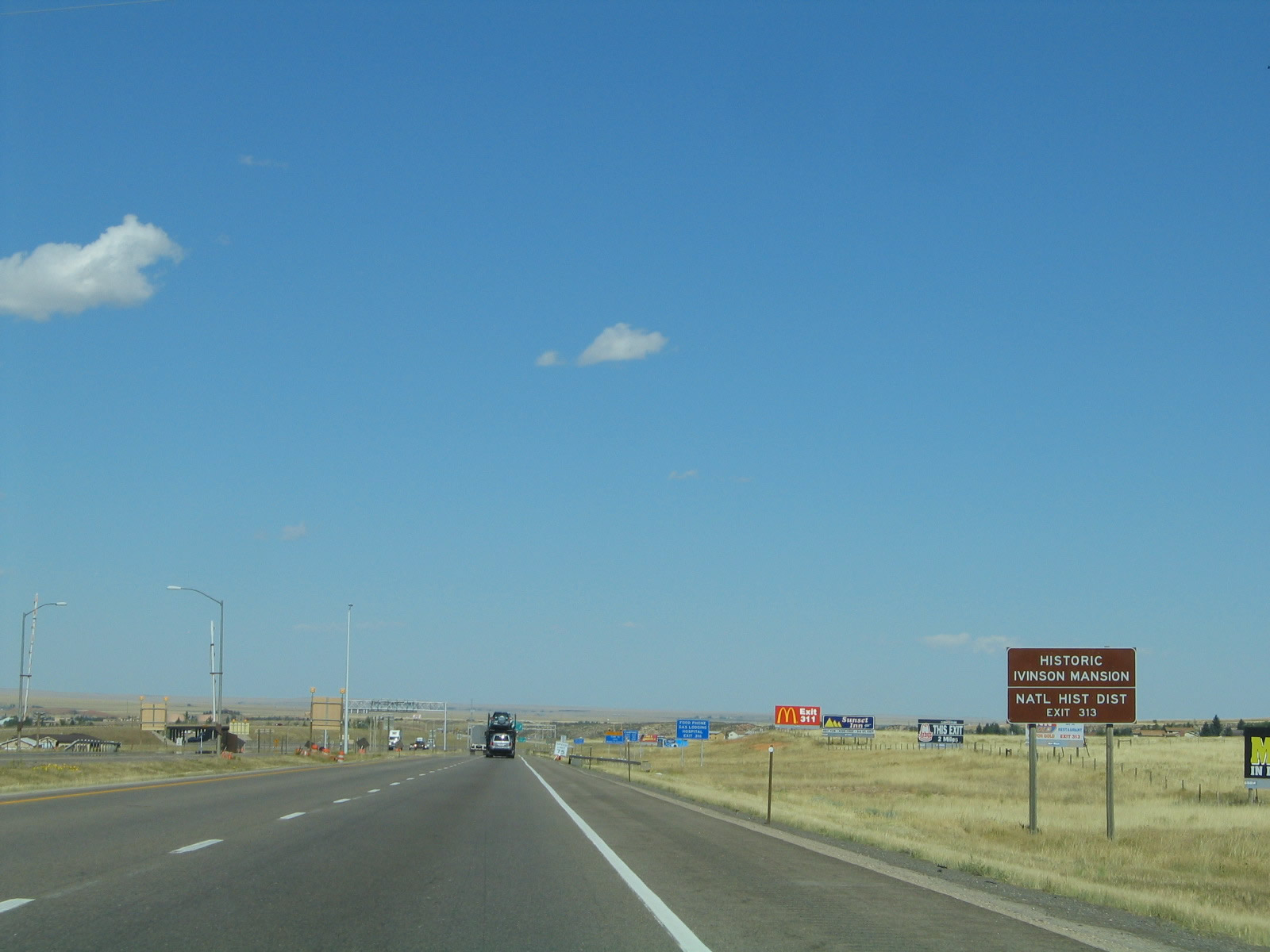
Attractions in Laramie include the state's only four year university, the art museum, the Laramie Plains Museum, and the city's Downtown main street, which is a national historic district. Photo taken 09/07/05. |
|
Part of the Laramie Plains Museum is the historic Ivinson Mansion. The overhead sign in the eastbound direction include a variable message sign and a warning sign if there's a need for a turnaround in case of inclement weather. Photo taken 09/07/05. |
|
|
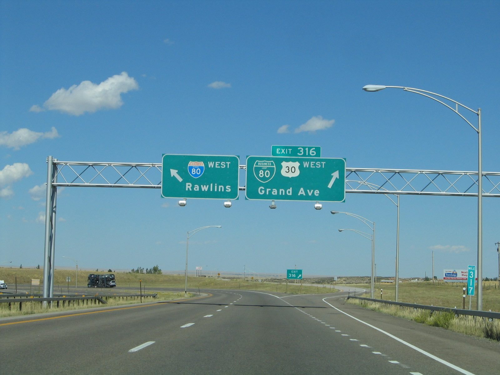
Westbound Interstate 80 and U.S. 30 split at Exit 316, with Business Loop I-80 and U.S. 30 following Grand Avenue (a second generation alignment of the Lincoln Highway) west, while Interstate 80 follows the Laramie Marginal around the city to form a bypass. U.S. 30 and Interstate 80 do not rejoin until they meet again at Walcott Junction in Carbon County, just east of Sinclair and Rawlins. Photos taken 08/02/10 and 09/07/05. |
| Interstate 80 west |
|
After the Grand Avenue interchange, Interstate 80 again rides solo with no companion U.S. highways. The overpass is for Albany County Route 58, Vista Drive. Photo taken 09/07/05. |
|
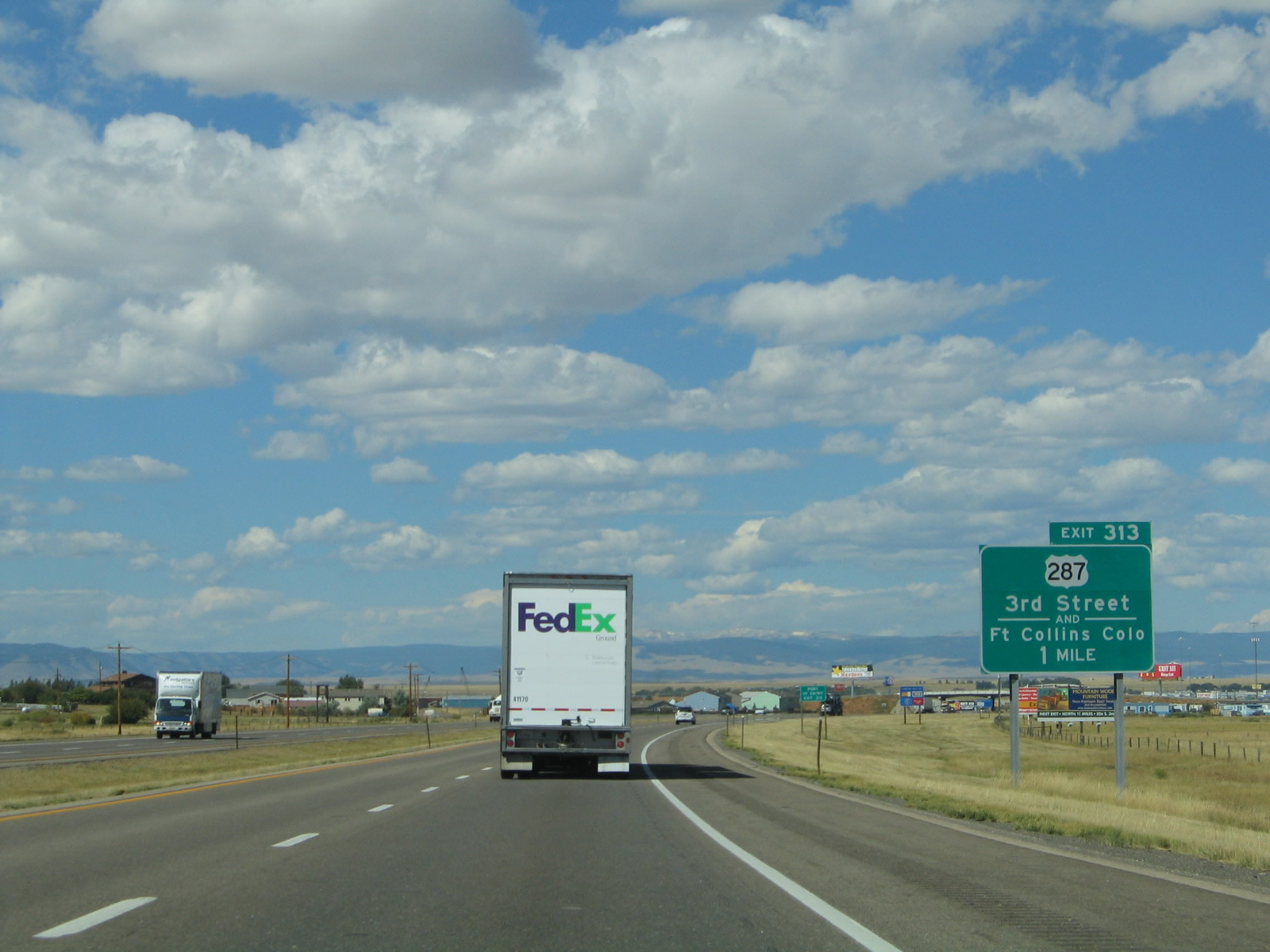
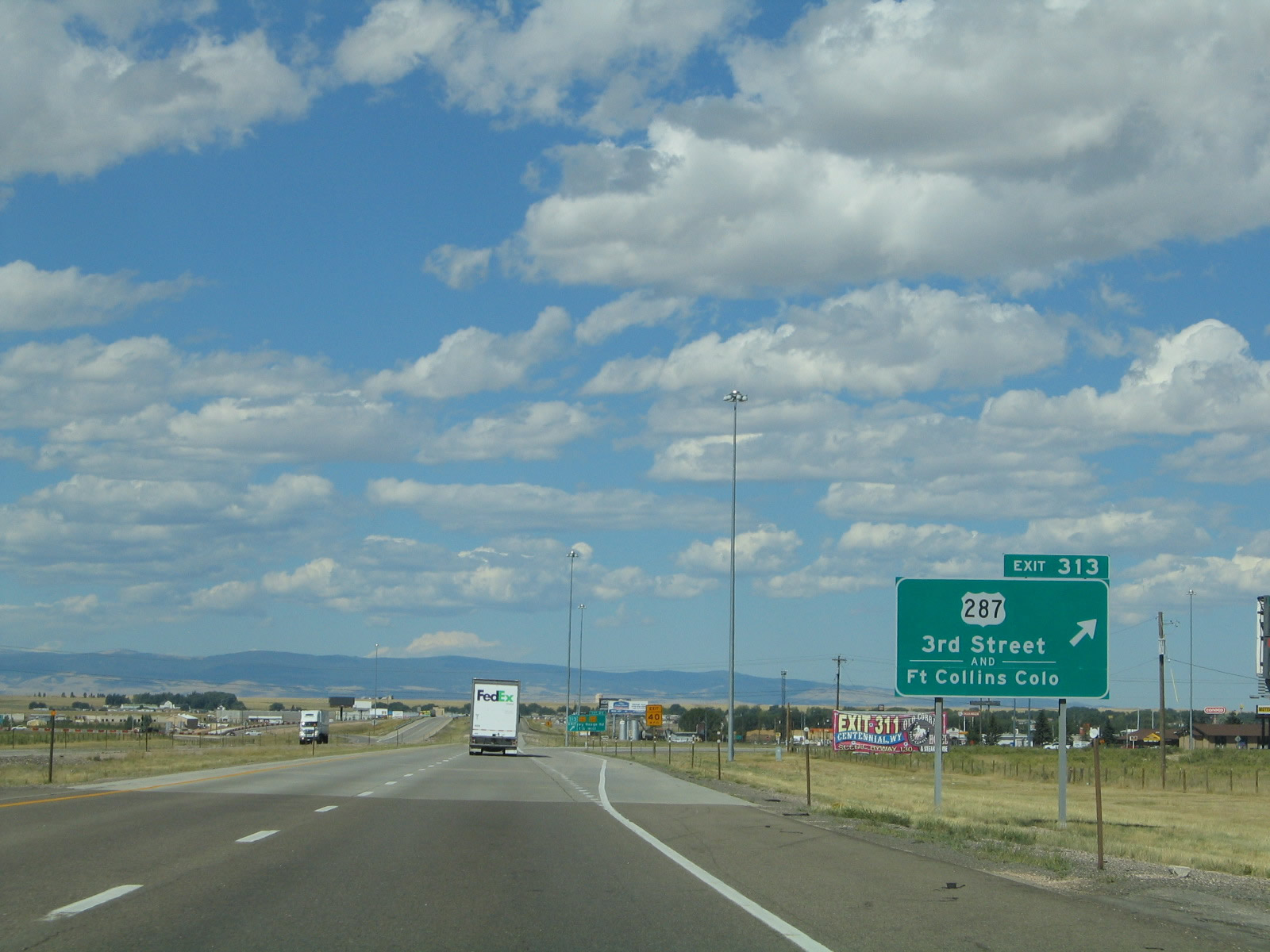
The next exit along westbound Interstate 80 is Exit 313, U.S. 287, Third Street. U.S. 287 is a major northwest-southeast route that cuts Wyoming diagonally. Not only is U.S. 287 the longest highway in Wyoming, it is also the longest three-digit U.S. highway in the country, as it traverses significant portions of some of the larger states in the country, including Texas, Colorado, Wyoming, and Montana. Most services are available at this interchange. Photo taken 09/07/05. |
|
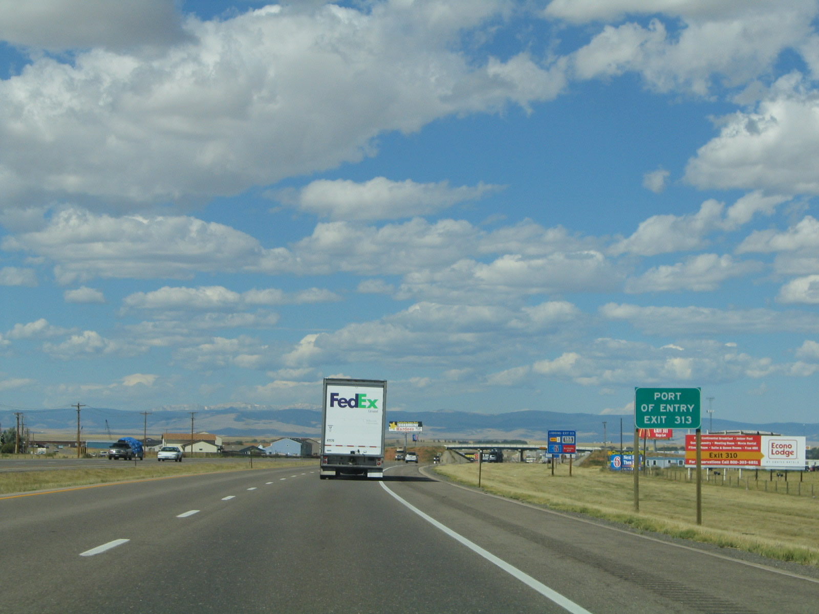
A port of entry for commercial vehicles is located south of Interstate 80 along U.S. 287. Photo taken 09/07/05. |
|
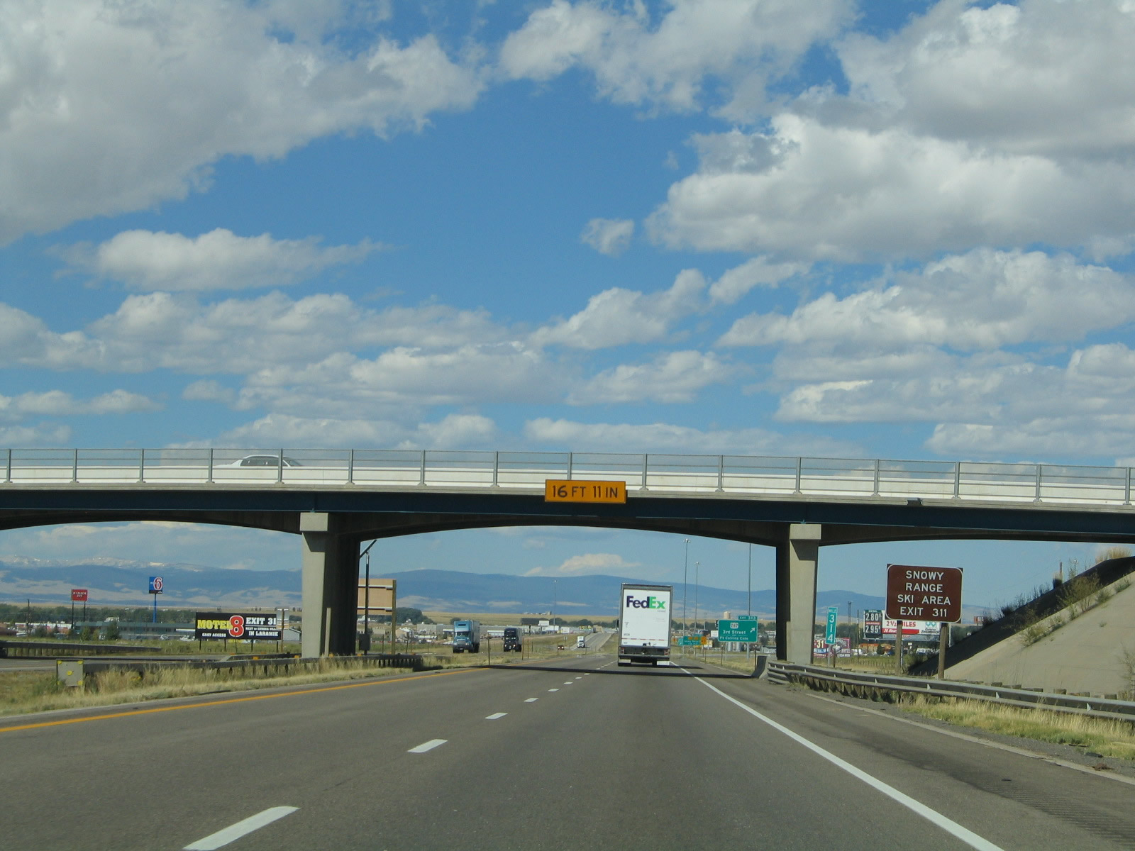
Interstate 80 passes under 15th Street overpass. Use Exit 311 (Wyoming 130/Snowy Range Road and Wyoming 230) to the Snowy Range Ski Area in the Medicine Bow Mountains near Centennial, about 30 miles west of Laramie. Photo taken 09/07/05. |
|
Westbound Interstate 80 reaches Exit 313, U.S. 287/Third Street. U.S. 287 leads south to Fort Collins via Tie Siding. This two-lane route provides a shorter alternative to Denver, although the signage does not reflect that. In 2000, this interchange was reconstructed, and this new ramp from eastbound Interstate 80 to southbound U.S. 287 was redesigned and placed on a new alignment. This signage is newer, and it reflects the newer standard of signage. To the south, the Union Pacific Railroad separation structure was under construction at this time, but it is scheduled for completion in October 2005. Photo taken 09/07/05. |
|
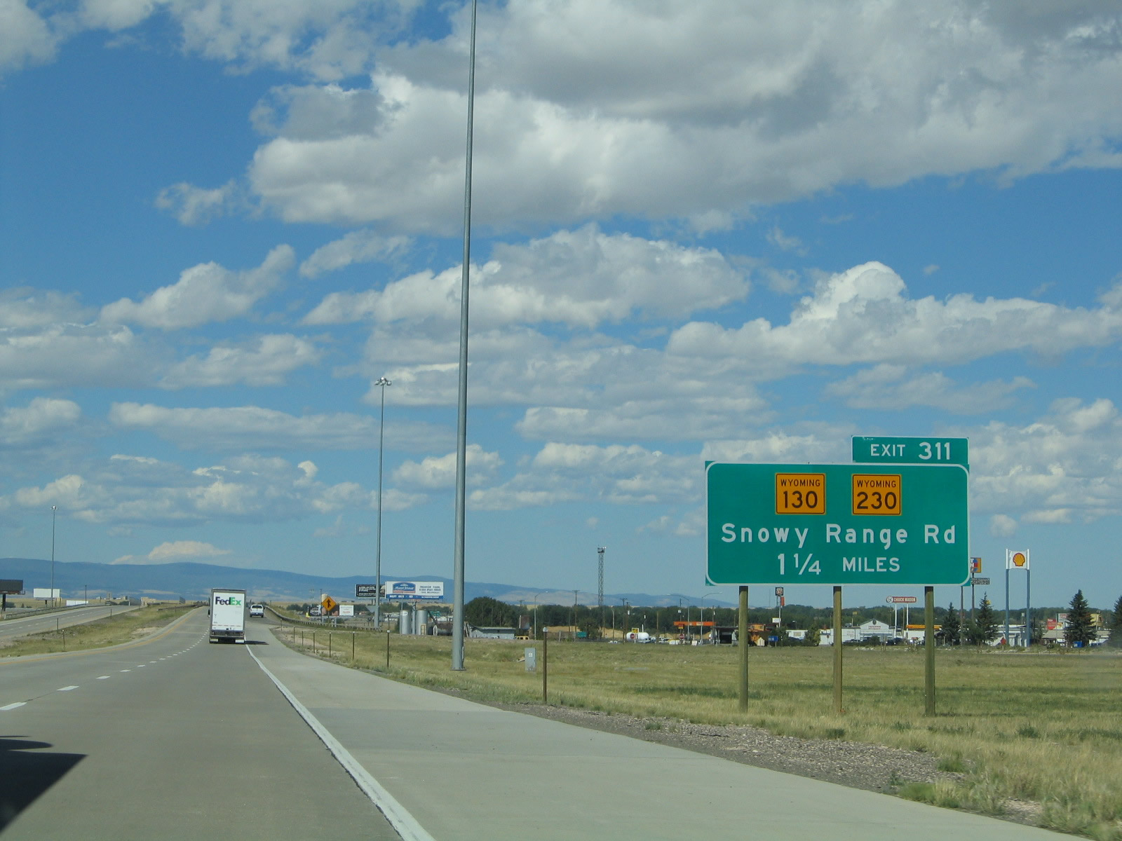
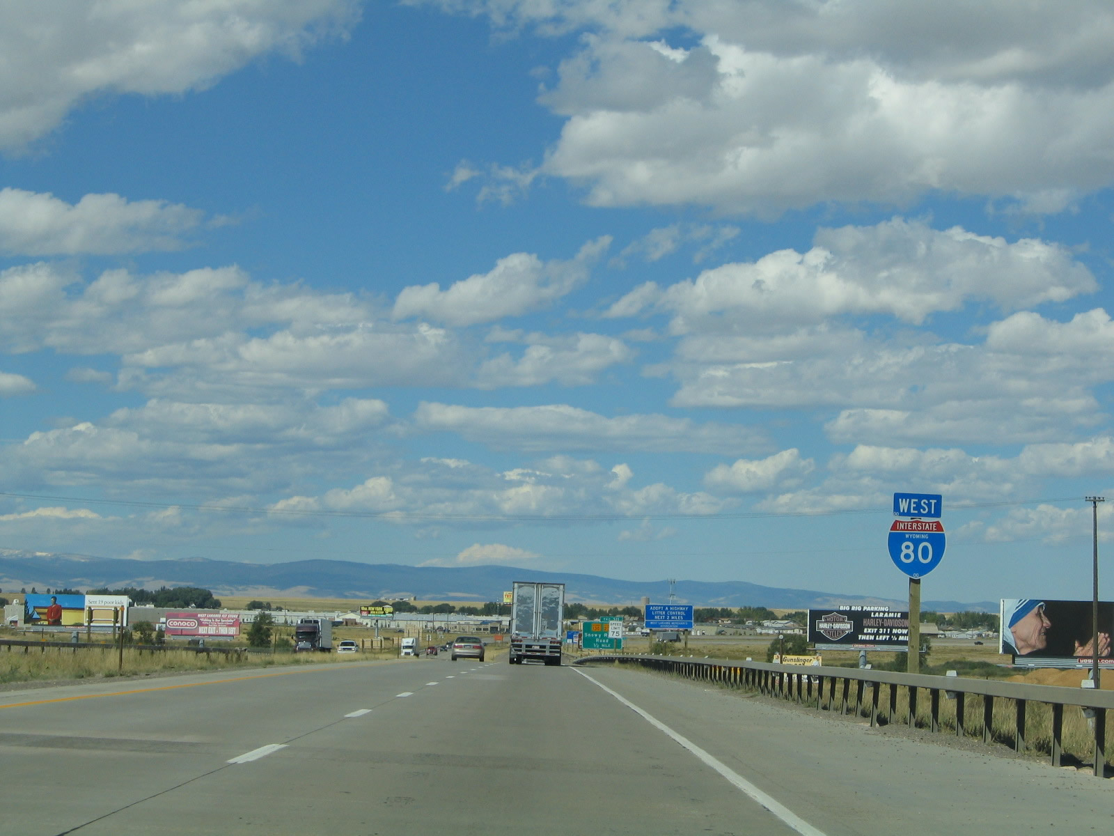
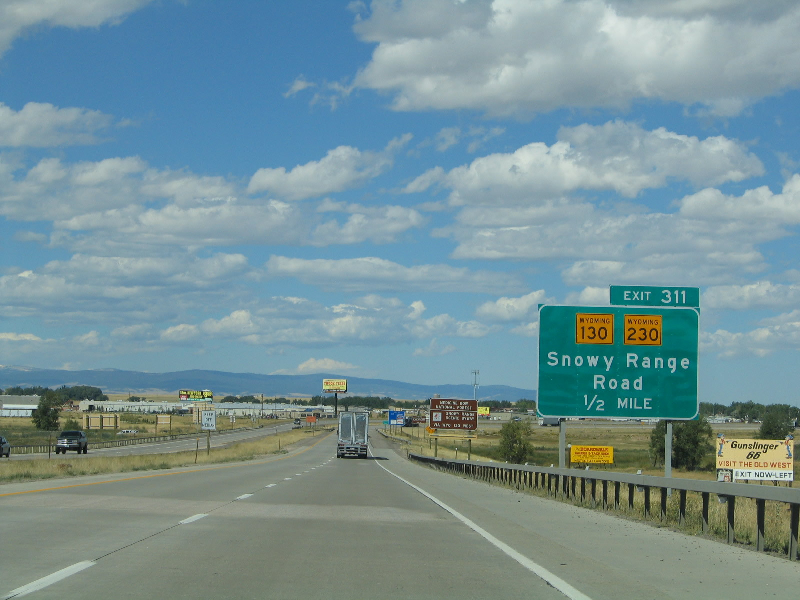
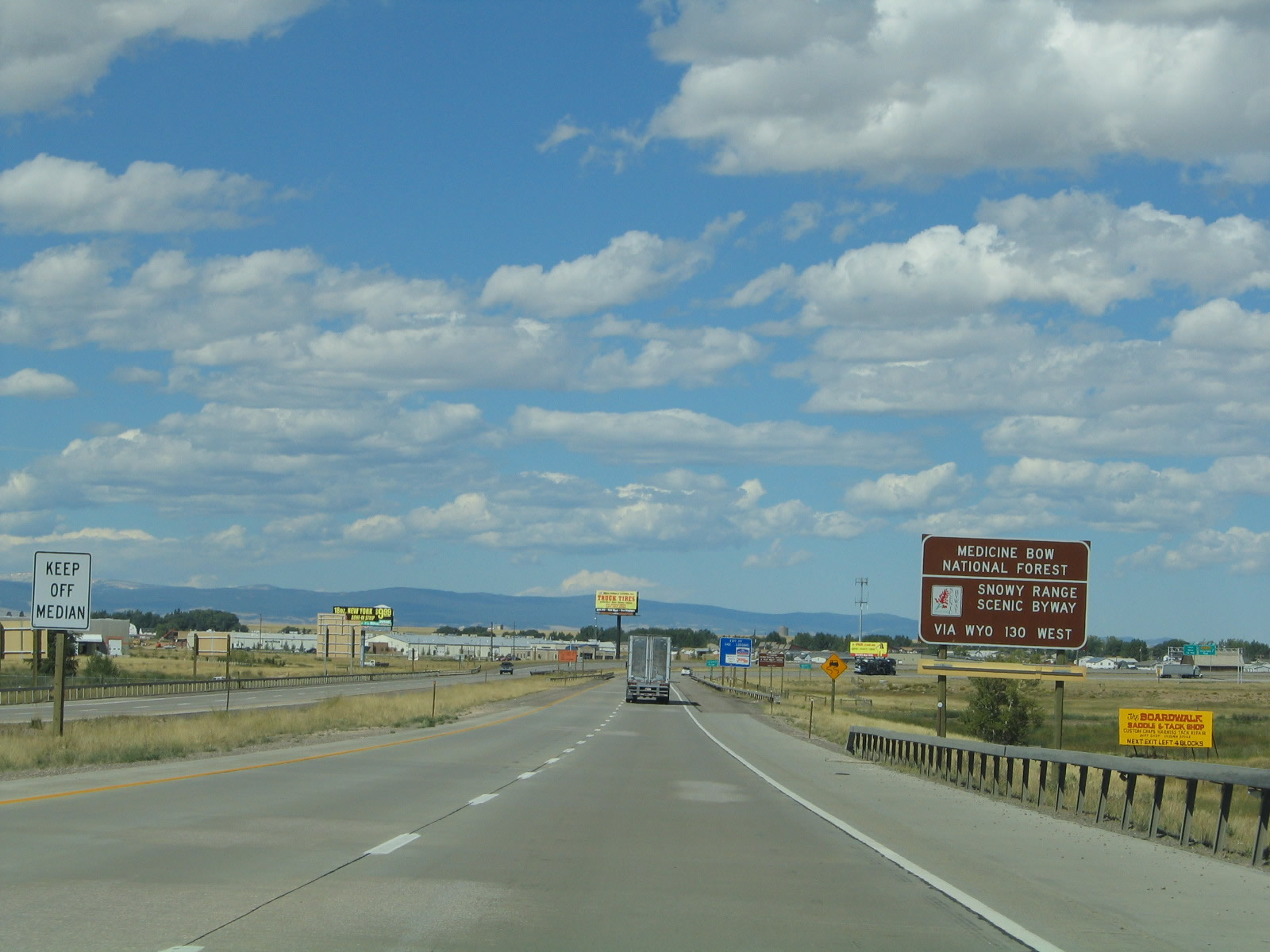
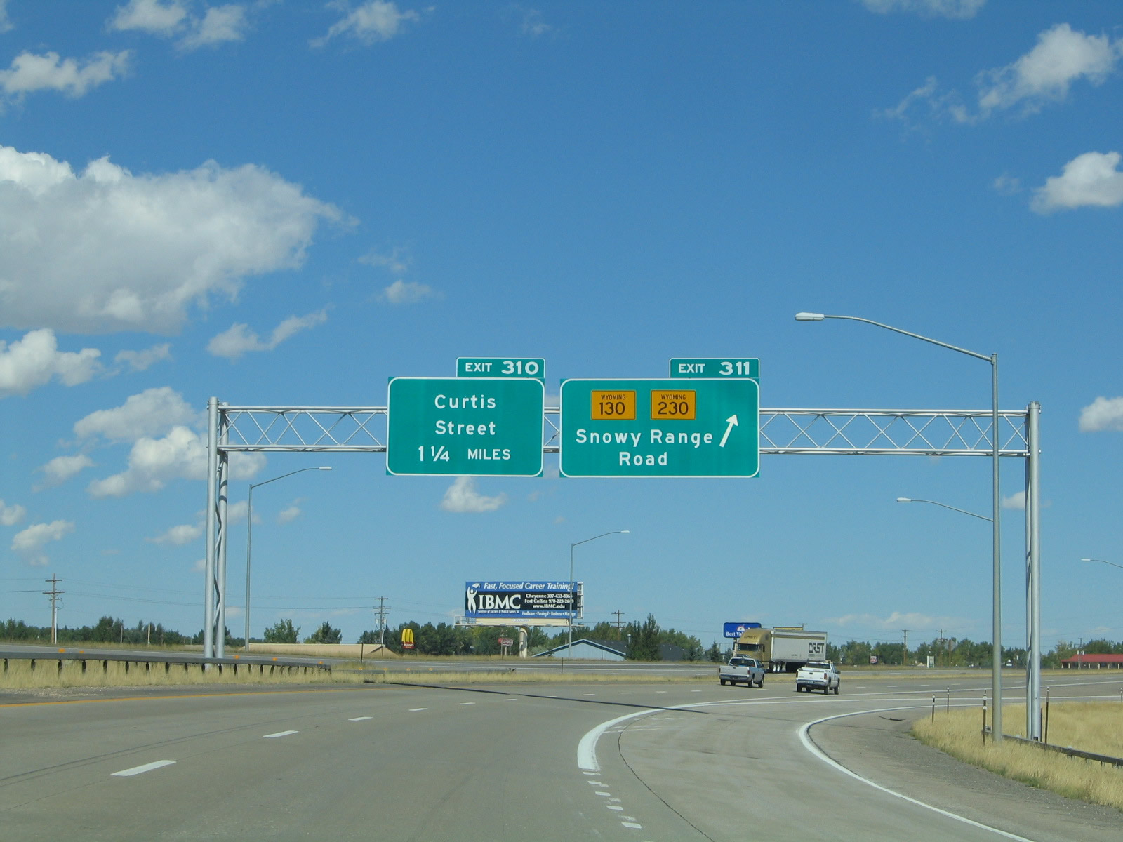
The next exit along westbound Interstate 80 is Exit 311, Wyoming 130 and Wyoming 230, Snowy Range Road. This diamond interchange connects directly to Wyoming 130-230 east to Business Loop I-80 and U.S. 30-287 (Third Street) near downtown Laramie and west to west Laramie. Wyoming 130 and 230 split a few blocks west of the Interstate 80 interchange. Wyoming 130 travels west to Centennial and the Snowy Range; Wyoming 230 offers an all-weather route to Encampment and Saratoga with a brief section through northern Colorado along Colorado 127 and Colorado 125. Photo taken 09/07/05. |
|
After the U.S. 287 interchange, we find another Interstate 80 reassurance shield. Photo taken 09/06/05. |
|
Interstate 80 continues around the Laramie Marginal, and the highway turns north after the U.S. 287 interchange. The third Laramie exit is Exit 311, Wyoming 130-230 east to Laramie and west to Snowy Range (via Wyoming 130) and Woods Landing and Jelm Mountain (via Wyoming 230). Wyoming 130 crosses the Laramie Basin and passes through the town of Centennial before ascending into the mountains. At the other side of the Snowy Range, Wyoming 130 serves Saratoga in the North Platte River Valley before turning north to rejoining Interstate 80 at Walcott. Wyoming 230 travels southwest, passing near Woods Landing, Jelm Mountain, Fox Park, and Mountain Home before entering the state of Colorado. The highway changes to Colorado 127, passes through "Three Way," follows Colorado 125 north, and reenters Wyoming southeast of Encampment and Riverside. Wyoming 230 ends at Wyoming 130 north of Encampment and Riverside yet south of Saratoga in Carbon County. Photo taken 09/07/05. |
|
To the Snowy Range Unit of the Medicine Bow National Forest, follow Wyoming 130 west to Centennial and continue into the mountains from there. Note that this scenic byway is closed during the winter. Photo taken 09/07/05. |
|
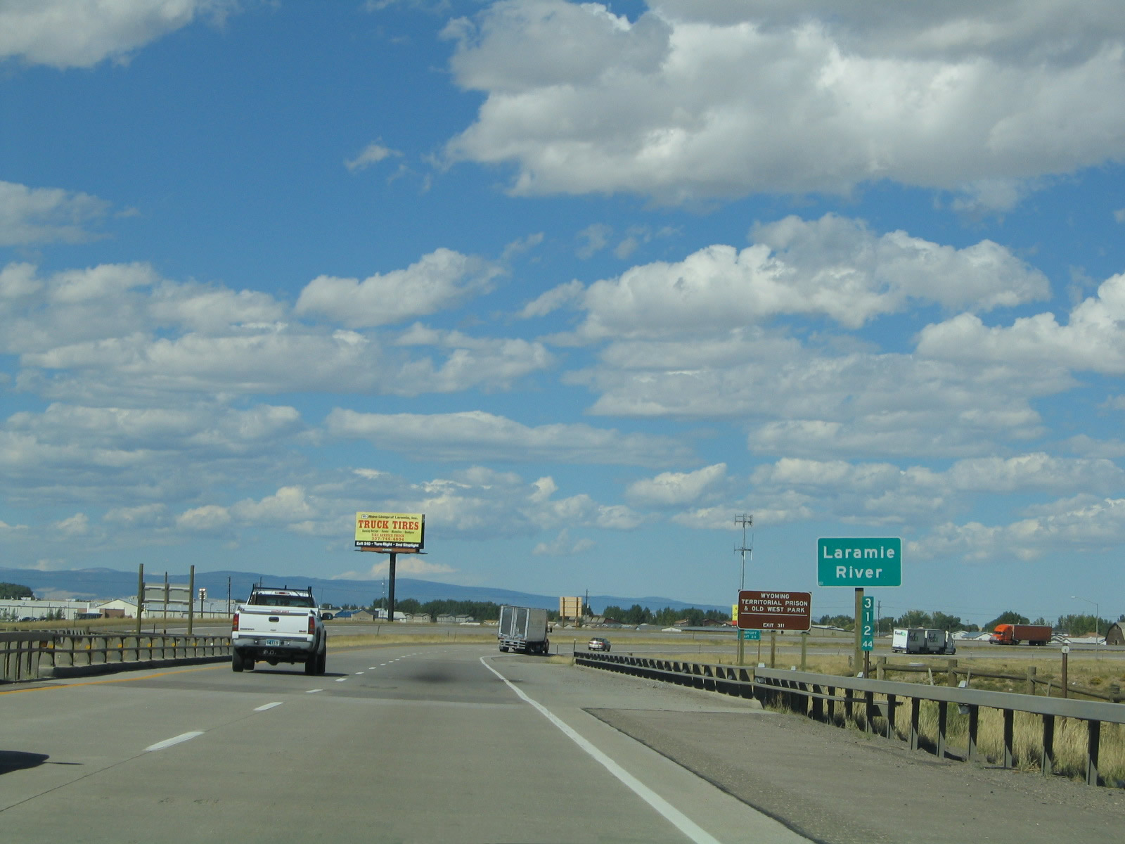
Westbound Interstate 80 crosses the Laramie River. The Laramie River passes through downtown Laramie, but it is hardly a focal point or attraction in town. Unfortunately, leaks from an old railroad tie factory poisoned the land around where Interstate 80 passes over the river, and these chemicals have prevented any development or access to this area. A clean-up would cost substantial funds, so for now the land lies in its original state. Another side effect is that the Laramie River is polluted from these residual chemicals. Photo taken 09/07/05. |
|
Use Wyoming 130-230/Snowy Range Road east to the Wyoming Territorial Prison State Historic Site. Photo taken 09/07/05. |
|
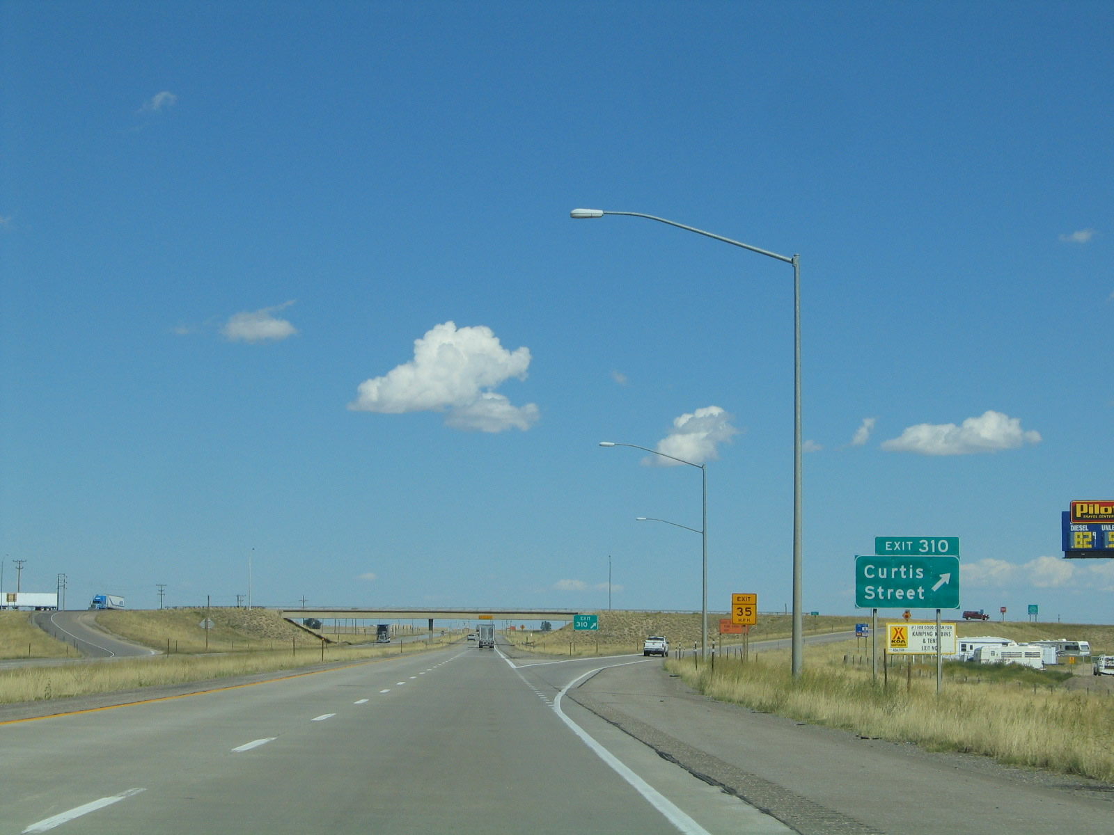
Westbound Interstate 80 reaches Exit 311, Wyoming 130 and Wyoming 230, Snowy Range Road. The next exit along westbound Interstate 80 is Exit 310, Junction Business Loop I-80/Curtis Street east to Laramie. Photo taken 09/07/05. |
|
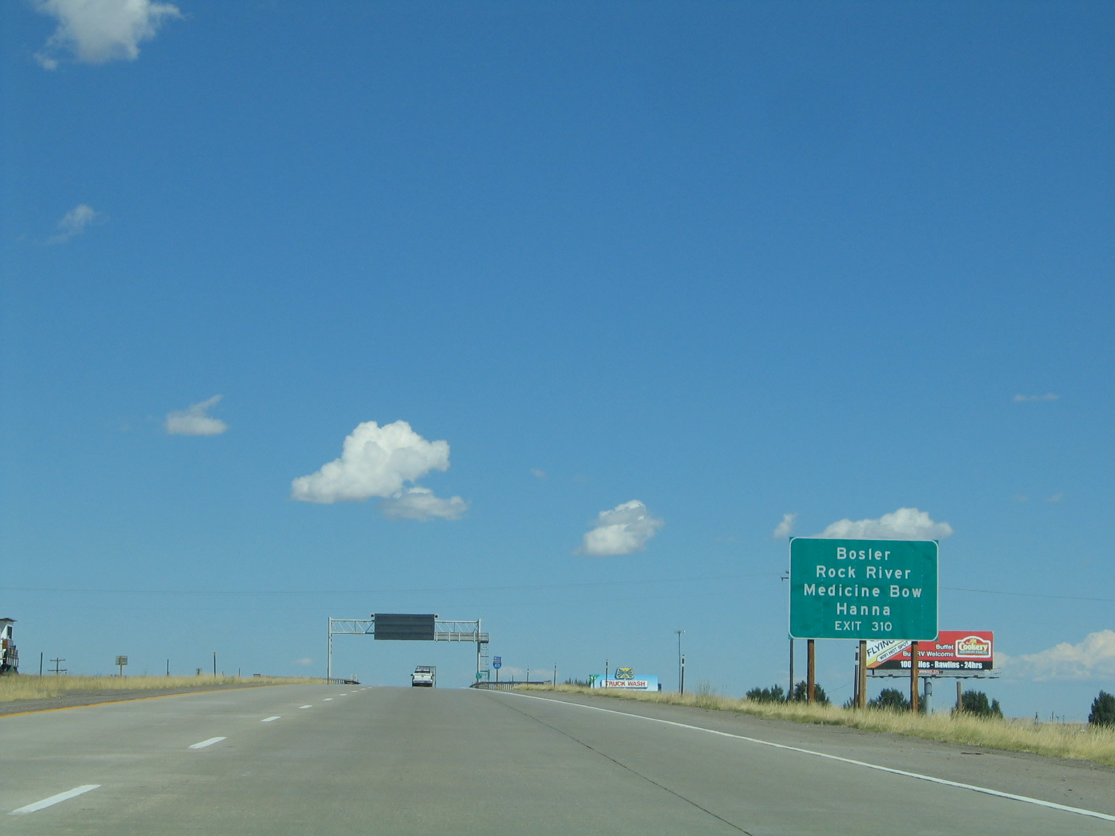
Curtis Street provides a one-mile connection between Interstate 80 and U.S. 30-287. By using Exit 310, westbound travelers may avoid most of the city of Laramie and connect to U.S. 30 and U.S. 287, which serve the towns of Bosler, Rock River, and Medicine Bow. Hanna is listed on this sign, but it would probably be faster to take Interstate 80 westbound to Exit 255, Wyoming 72. Photo taken 09/06/05. |
|
This variable message sign is located on westbound approaching Exit 310. This sign warns travelers of adverse conditions, caused by weather, traffic, accidents, and other incidents. A similar sign is found on eastbound after the Grand Avenue exit on the approach to Telephone Canyon and Sherman Summit. Photo taken 09/07/05. |
|
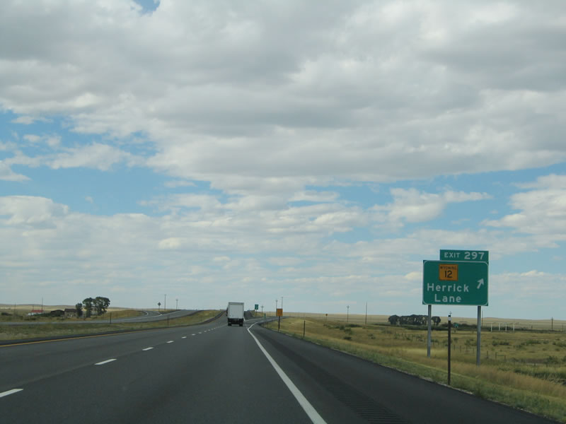
Westbound Interstate 80 reaches Exit 310, Junction Business Loop I-80 east (Curtis Street) to Laramie. The next exit is Exit 297, Wyoming 12, Herrick Lane, some 13 miles est of here. Photo taken 09/07/05. |
|
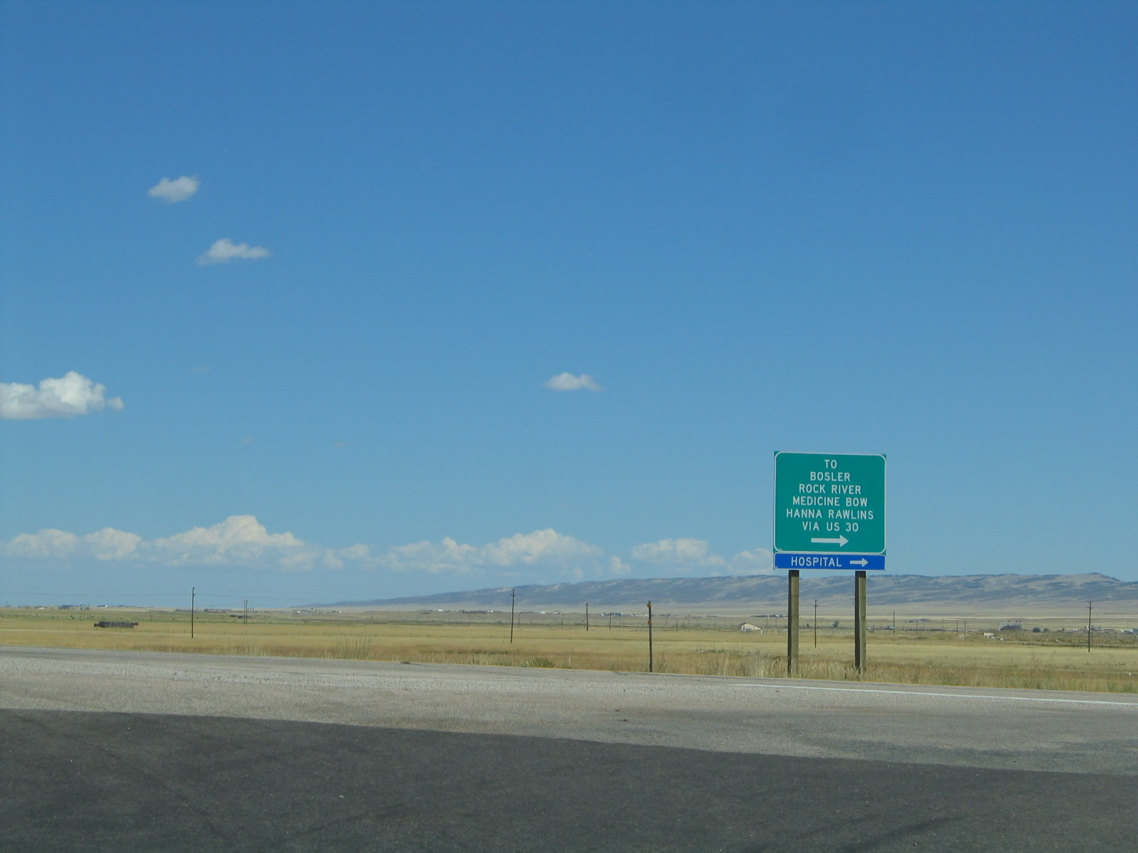
At the top of the ramp to Business Loop I-80/Curtis Street is this sign directing all motorists en route to Bosler, Rock River, Medicine Bow, and Hanna to follow U.S. 30-287 northwest via Curtis Street east to Third Street north. Photo taken 09/07/05. |
|
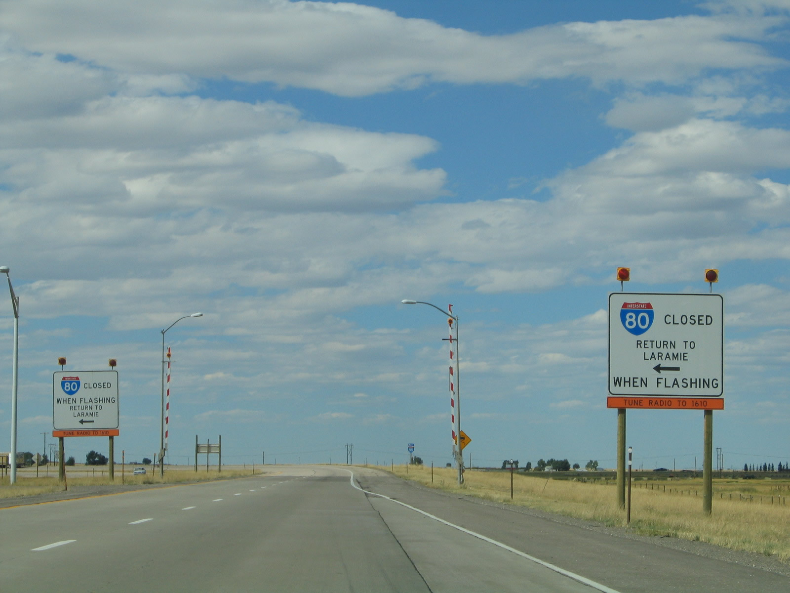
Back on the mainline of Interstate 80 west and looking after the Curtis Street interchange, we find another opportunity for motorists to return to Laramie (U-turn) in cases of inclement weather. Photo taken 09/07/05. |
|
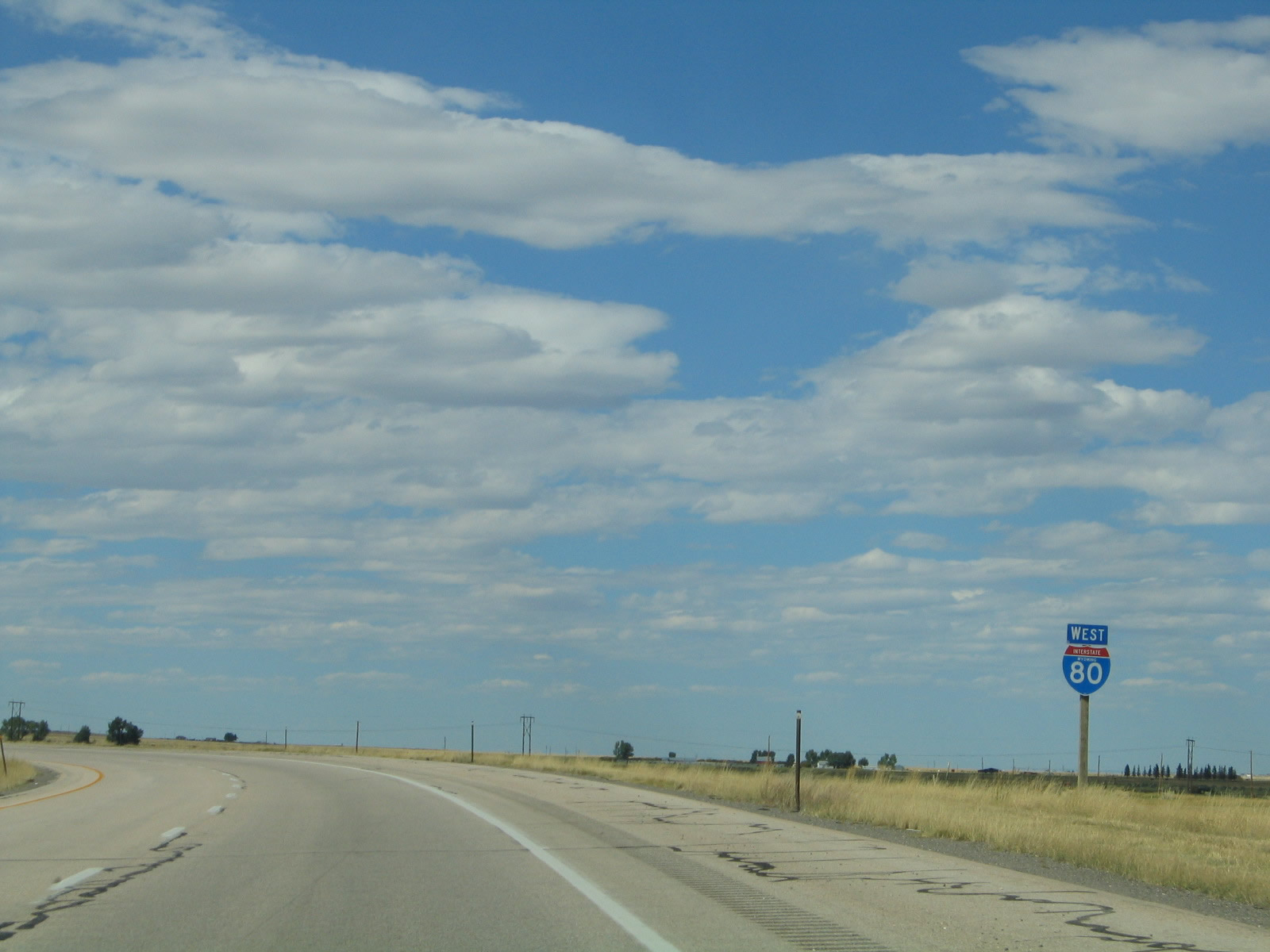
Immediately thereafter is this Interstate 80 reassurance shield along westbound. Photo taken 09/07/05. |
|
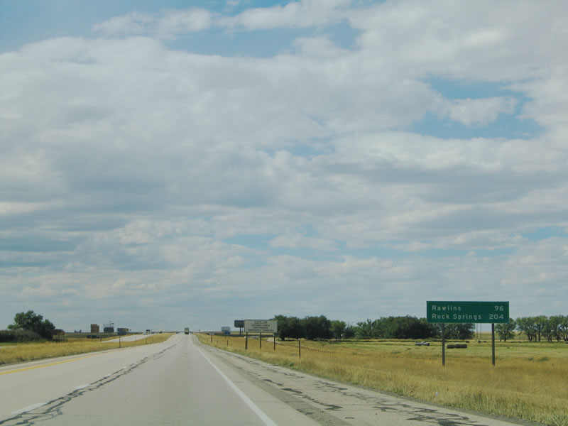
Following that is this mileage sign to the next two major cities along westbound Interstate 80: Rawlins (96 miles) and Rock Springs (204 miles). Interstate 80 now follows the "Snow Chi Minh" Trail en route to Rawlins. Photo taken 09/07/05. |
|
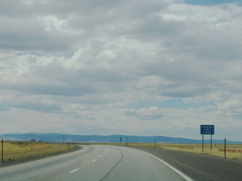
A truck parking area is available after the Curtis Street interchange, near Milepost 307. Photo taken 09/07/05. |
|
While Interstate 80 plies through the Laramie Basin, the freeway follows the approximate route of the Overland Trail via Arlington and Elk Mountain. Photo taken 09/07/05. |
|
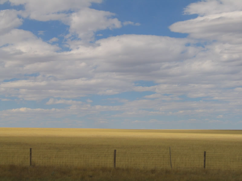
Most of the landscaping is wide open space with plenty of yellow-green grass. No intensive agriculture is to be found in the Laramie Basin due to the high alkalinity of the soil, but ranching is prevalent. Look around the basin for wildlife, including antelope and deer. Photo taken 09/07/05. |
|
The Snowy Range, which does not have as much snow on it in late August and early September as it would during any other time of the year, comes into view on westbound Interstate 80. The freeway skirts the range to the north, but it appears Interstate 80 will travel into the mountains based on this image. Photo taken 09/07/05. |
|
The next exit along westbound Interstate 80 is Exit 297, Wyoming 12, Herrick Lane. Wyoming 12 is a fairly short state route that begins at Wyoming 130 (Snowy Range Road) west of the Laramie Airport (General Brees Field) and travels northwest past Knadler Lake and Alsop Lake before interchanging with Interstate 80. The state highway continues for another couple of miles before ending at Mandell Lane (Albany County Route 57A). From that point westward, Herrick Lane changes into Albany County Route 57, Dutton Creek Road. Photo taken 09/07/05. |
|
Westbound Interstate 80 reaches Exit 297, Wyoming 12, Herrick Lane. Photo taken 09/07/05. |
|
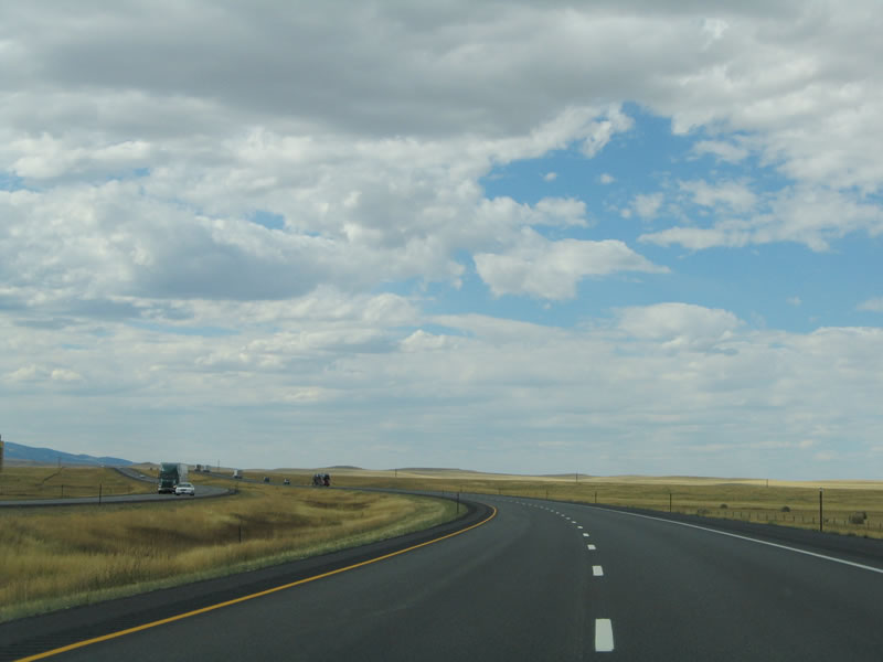
The freeway again turns west, offering another view of the unspoiled Laramie Basin. Photo taken 09/07/05. |
|
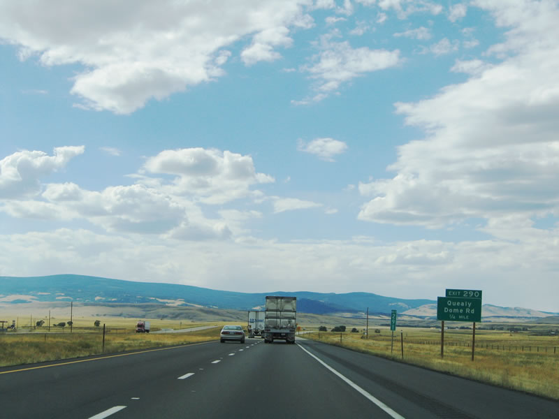
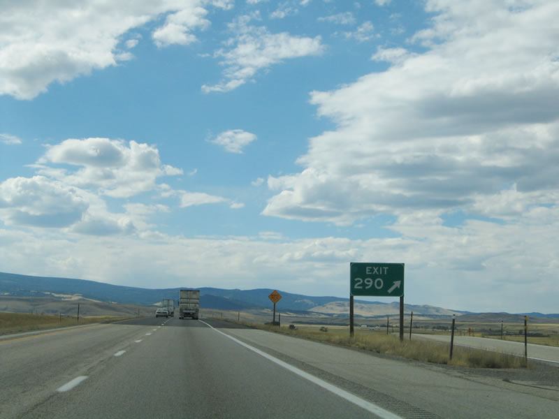
With the Snowy Range again as a backdrop, westbound Interstate 80 approaches Exit 290, Junction Albany County Route 59/Quealy Dome Road and Hunt Road. Photo taken 09/07/05. |
|
Again, only one guide sign and one gore point sign provide for the Quealy Dome Road interchange. There is a gas station at this exit, but that is the extent of the services available here. Photo taken 09/07/05. |
|
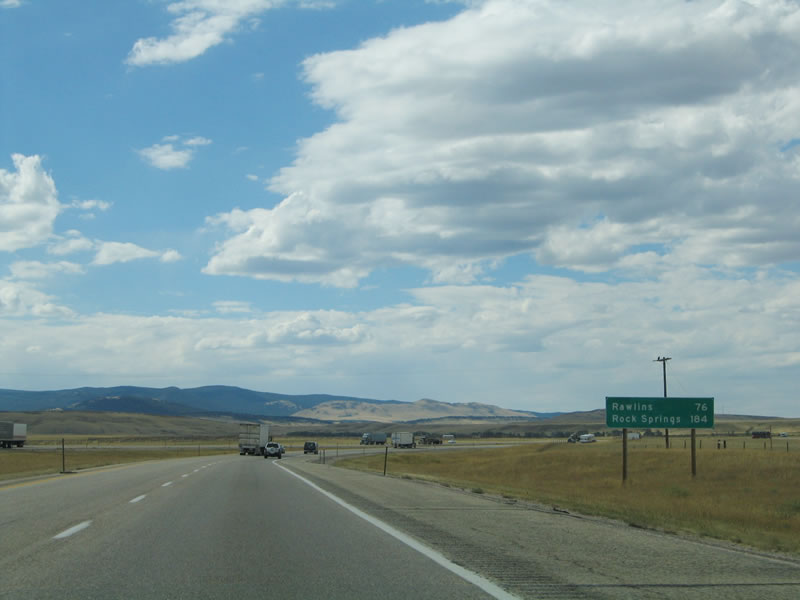
This mileage sign provides the distance to Rawlins and Rock Springs again after the Quealy Dome Road interchange. Photo taken 09/07/05. |
|
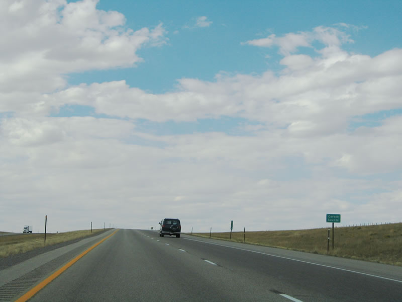
Westbound Interstate 80 leaves Albany County and enters Carbon County. Photo taken 09/07/05. |
Page Updated September 8, 2014.