
Interstate 90 East - Johnson County
| Interstate 90 East and U.S. 87 South | |
|---|---|
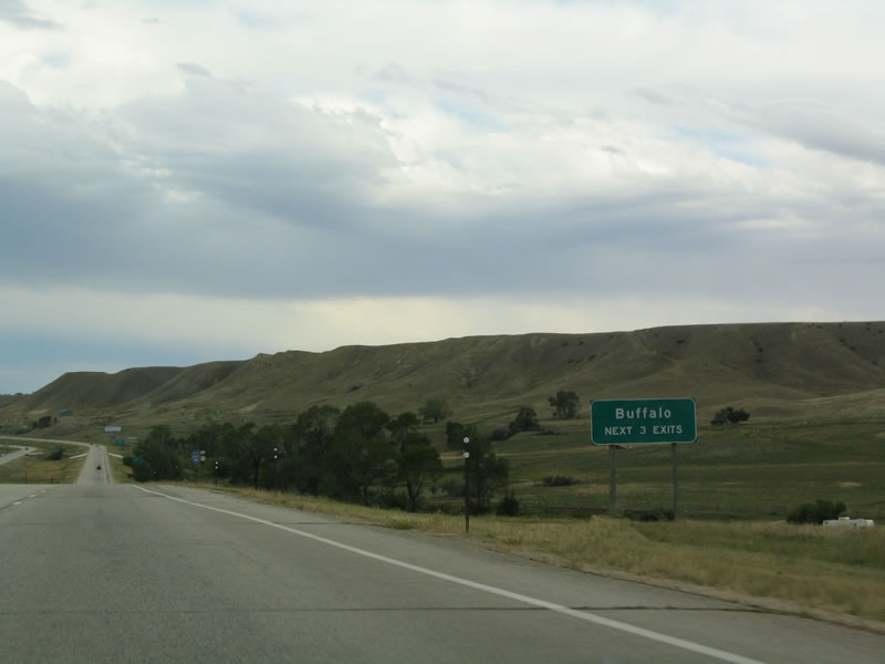 |
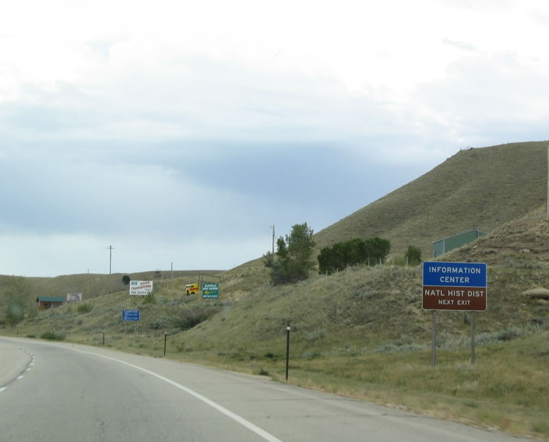
Three exits serve the city of Buffalo in north-central Wyoming: Exit 56A, Junction Business Loop I-25, Business Loop I-90, and Business U.S. 87 southwest; Exit 56A, Interstate 25 and U.S. 87 south; and Exit 58, U.S. 16 west to Buffalo and east to Ucross. Photo taken 09/01/04. |
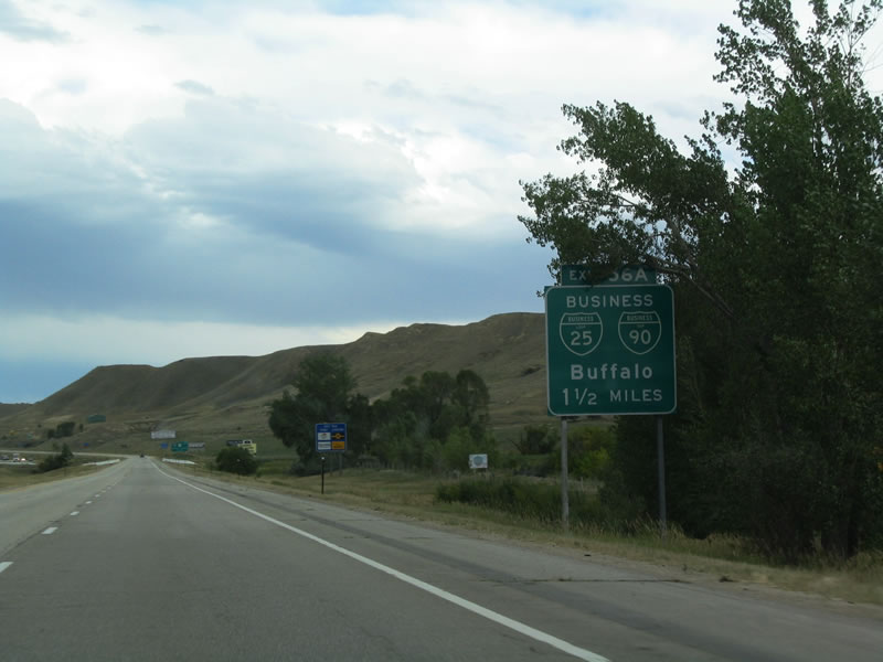 |
The first exit to serve Buffalo is the business loop for Interstate 90 and Interstate 25. Both business routes remain cosigned along Main Street; they separate at Hart Street, with Business Loop I-90 following U.S. 16/Hart Street east to return to Interstate 90. Business Loop I-25 continues south on Main Street, passing through downtown before merging onto Interstate 25 south of downtown. Photo taken 09/01/04. |
 |
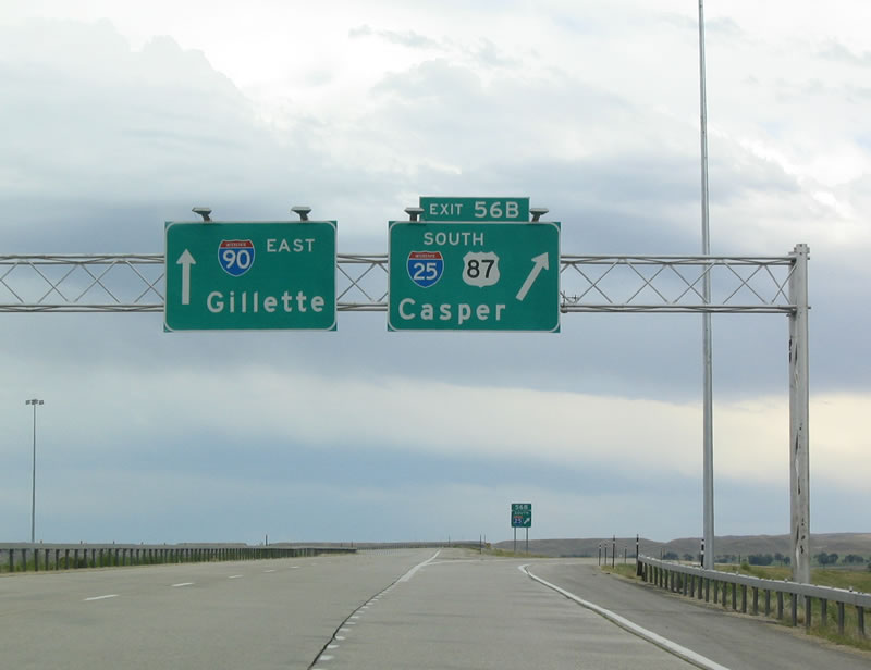
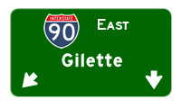
After the business route exit, the following exit is the junction with Interstate 25 and U.S. 87. For the first time since leaving Billings, Interstate 90 and U.S. 87 part ways for the last time: Interstate 90 turns east toward Gillette and Rapid City, while U.S. 87 follows Interstate 25 south toward Casper and Cheyenne. Photo taken 09/01/04. |
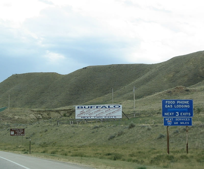 |
Buffalo is fairly remote and is an outpost in the sense that few services exist on either Interstate 90 east or Interstate 25 south. In fact, the next services on eastbound Interstate 90 are not until Gillette, some 68 miles east of here. This is one of the longest stretches of Interstate in Wyoming with no services. Interstate 25 does not fare much better; after leaving Buffalo, only Kaycee and Midwest (via Wyoming 387) offer services between Buffalo and Casper. Photo taken 09/01/04. |
 |
Historic Downtown Buffalo is found along Business Loop I-25/Main Street. Some of the sights here include the Occidental Hotel, Johnson County Court House, and the Jim Gatchell Museum. Passing through downtown Buffalo is Clear Creek, which drains from the Bighorn Mountains. Photo taken 09/01/04. |
 |
The city of Buffalo is home to 3,900 people as of the 2000 Census, and it is the gateway to the Bighorn Mountains. U.S. 16 follows the Cloud Peak Skyway west over the Powder River Pass in the southern Bighorn Mountains. Buffalo serves as the northern terminus of Interstate 25 at its junction with Interstate 90. Buffalo, like most of the cities in northern Wyoming, rests at a lower elevation (4,645 feet above sea level) than the cities along the Interstate 80 corridor. Photo taken 09/01/04. |
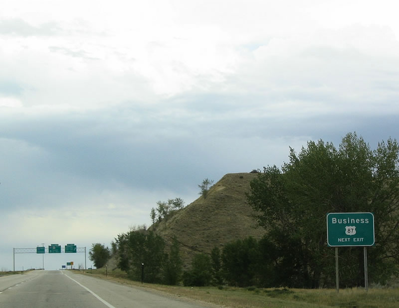 |
Business Loop I-25 and Business Loop I-90 are cosigned with Business U.S. 87. U.S. 87 itself remains on the freeway, bypassing downtown Buffalo. Photo taken 09/01/04. |
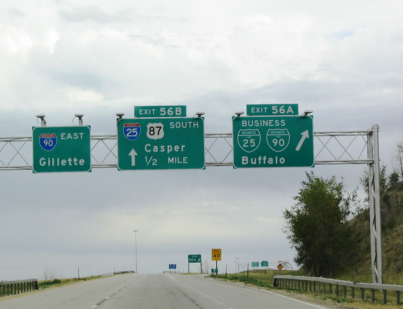 |
Eastbound Interstate 90 and southbound U.S. 87 reach Exit 56A, Junction Business Loop I-25 South, Business Loop I-90 East, and Business U.S. 87 South to Buffalo. The three business routes are cosigned into Buffalo, making the Buffalo business loop the only example of cosigned Interstate business loops in Wyoming. (Other sets of cosigned Interstate business loops include: Business Loop I-15 and Business Loop I-90 in Butte, Montana; Business Loop I-15 and Business Loop I-84 in Tremonton, Utah; and Business Loop I-69 and Business Loop I-94 in Port Huron, Michigan.) Photo taken 09/01/04. |
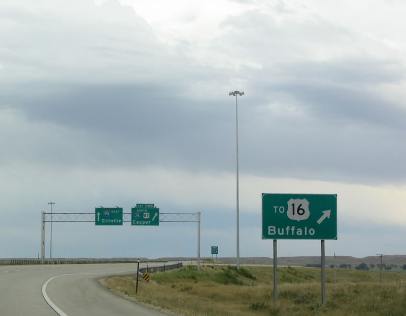 |
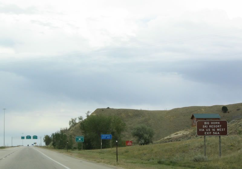
To U.S. 16 west to downtown Buffalo and the Cloud Peak Skyway, you can use either Exit 56B or Exit 58, but Exit 56B is faster from here. Photo taken 09/01/04. |
 |
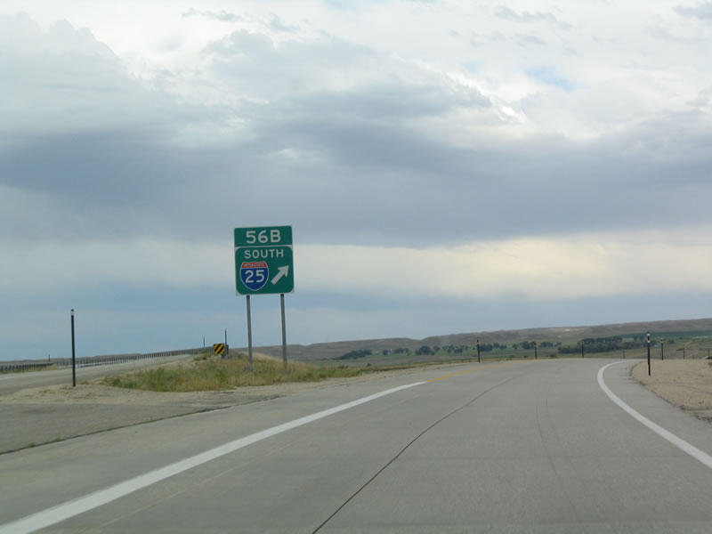
After a good distance merged together, Interstate 90 and U.S. 87 finally separate from each other, with U.S. 87 following Interstate 25 south all the way to Raton, New Mexico, with a few exceptions. This interchange marks the northern terminus of Interstate 25; it does not extend into Montana or to Canada. Photo taken 09/01/04. |
 |
Eastbound Interstate 90 and southbound U.S. 87 reaches the gore point for the transition ramp onto southbound Interstate 25. U.S. 87 leaves Interstate 90 and travels south from here on Interstate 25 toward Casper, Douglas, Wheatland, and Cheyenne. Interstate 90 continues east alone and will not gain a companion U.S. route again until the eastern Gillette interchange. Photo taken 09/01/04. |
| Interstate 90 East | |
|---|---|
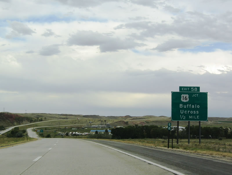 |
The next exit along eastbound Interstate 90 is Exit 58, Junction Business Loop I-90 and U.S. 16/Hart Street. Follow U.S. 16 west to Ucross, Clearmont, Leiter, Arvada, and Spotted Horse along a circuitous route that culminates in Gillette. Whereas U.S. 16 takes 97 miles to get to Gillette, Interstate 90 takes 68 miles. Interstate 90 does not follow a companion U.S. highway between Buffalo and Gillette, and this explains the lack of services and towns along the route. Photo taken 09/01/04. |
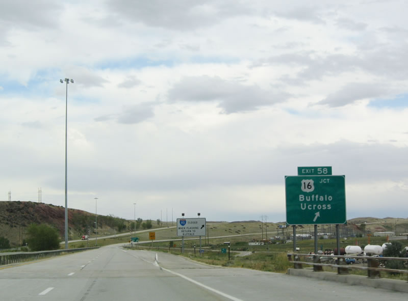 |
Eastbound Interstate 90 reaches Exit 58, Junction Business Loop I-90 and U.S. 16. To the west, U.S. 16 returns to Buffalo. This interchange is the first time Interstate 90 sees U.S. 16; U.S. 16 will become a companion of Interstate 90 between Gillette and Moorcroft, and it will merge back into Interstate 90 in Rapid City. Photo taken 09/01/04. |
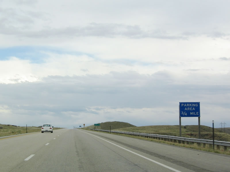 |
A truck parking area is located two miles east of the eastern Buffalo interchange. Photo taken 09/01/04. |
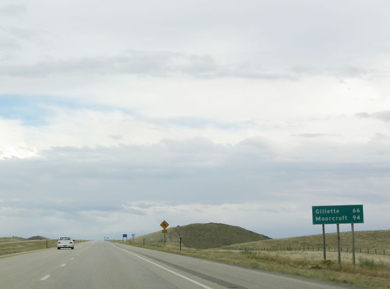 |
This mileage sign provides the distance to Gillette (66 miles) and Moorcroft (94 miles). Photo taken 09/01/04. |
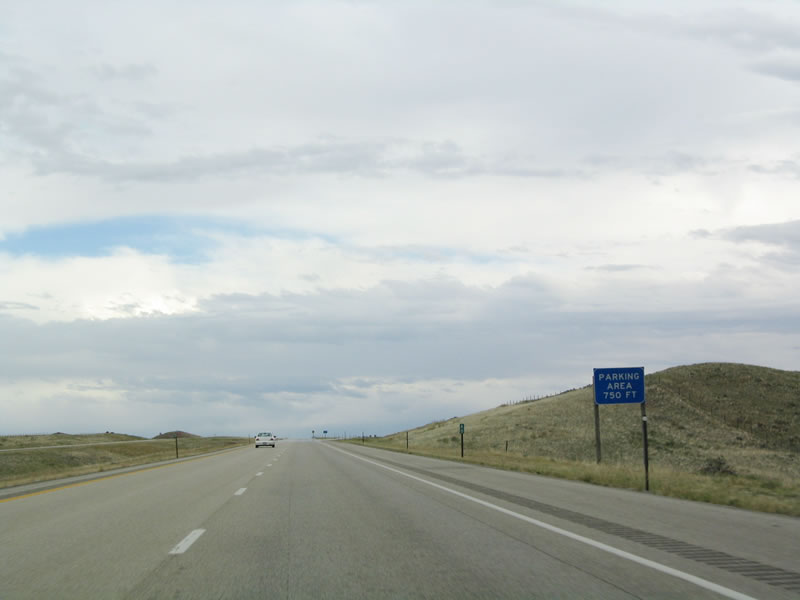 |
The parking area is located at the top of this hill. Photo taken 09/01/04. |
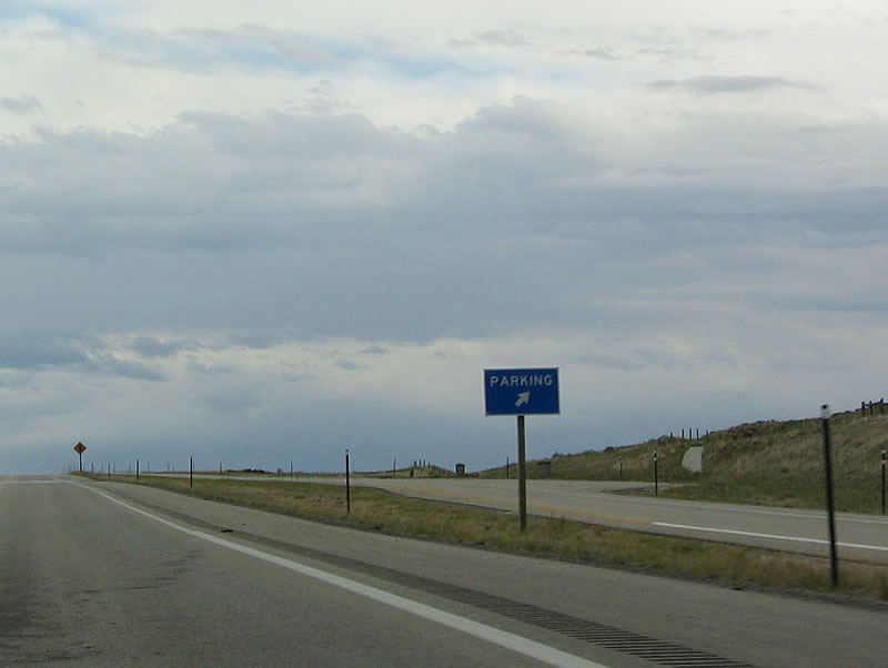 |
Aside from the parking lot and garbage cans, there are no facilities at this parking area. Photo taken 09/01/04. |
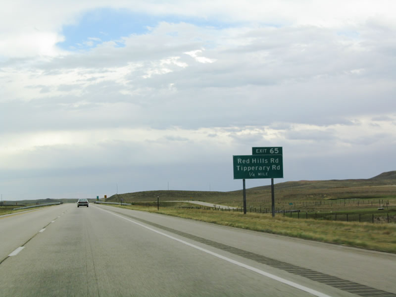 |
The next exit along eastbound Interstate 90 is Exit 65, Red Hills Road and Tipperary Road. Photo taken 09/01/04. |
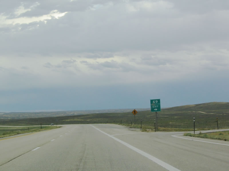 |
To exit onto Exit 69, a sharp, 90-degree right turn is required. Photo taken 09/01/04. |
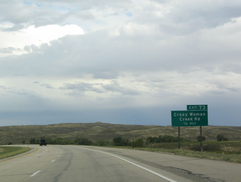 |
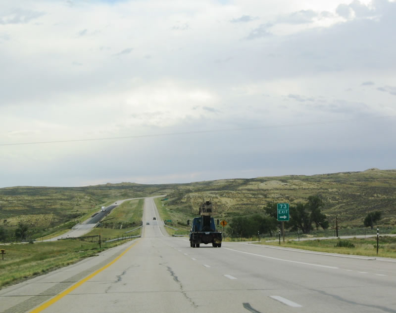
The next exit is Exit 73, Crazy Woman Creek Road. This exit provides local access to ranches. Photo taken 09/01/04. |
 |
At this vista, Interstate 90 descends into the Crazy Woman Creek basin. Photo taken 09/01/04. |
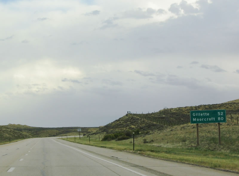 |
This mileage sign provides the distance to Gillette (52 miles) and Moorcroft (80 miles). Photo taken 09/01/04. |
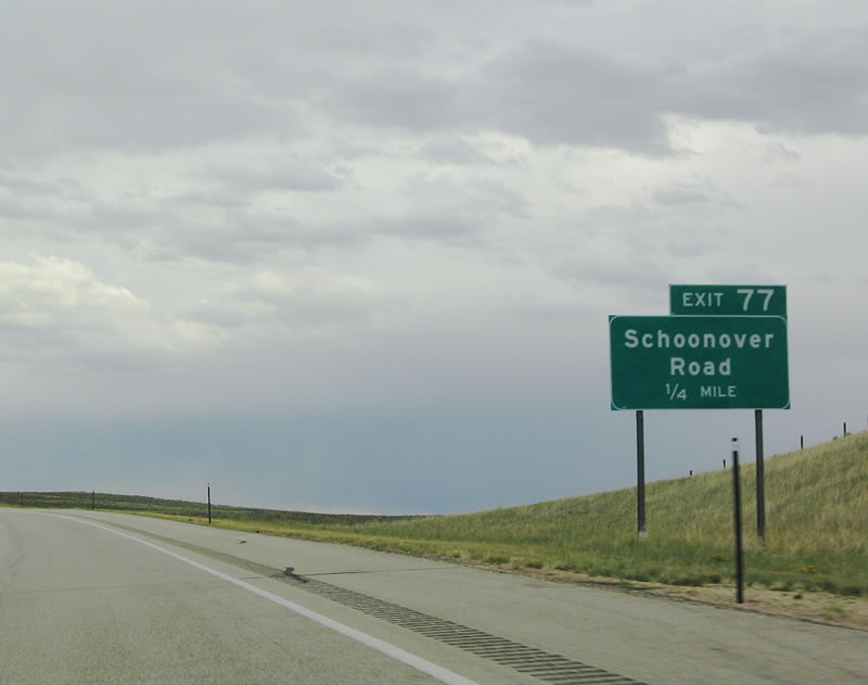 |
Four miles ahead, the next exit along eastbound Interstate 90 is Exit 77, Schoonover Road. Photo taken 09/01/04. |
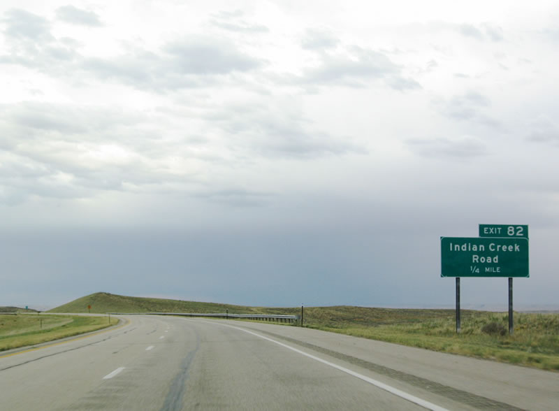 |
Continuing east, the next exit is Exit 82, Indian Creek Road. Photo taken 09/01/04. |
 |
A rest area with full facilities is located at Exit 88, Powder River Road. The Powder River, which gives the Powder River Basin its name, comes into view. Photo taken 09/01/04. |
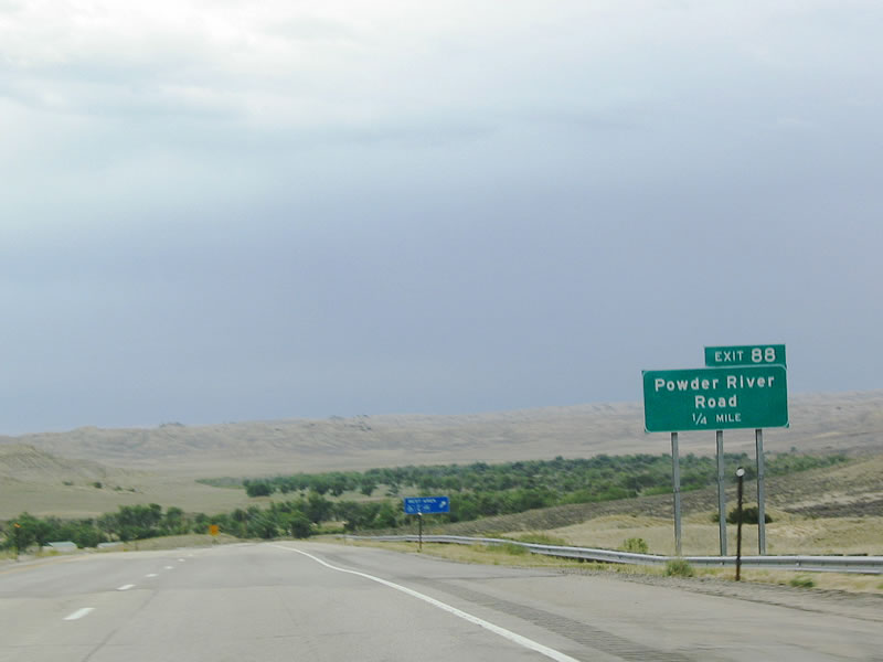 |
Eastbound Interstate 90 approaches Exit 88, Powder River Road. Photo taken 09/01/04. |
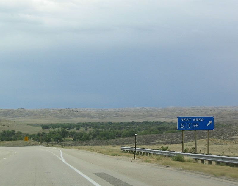 |
Use Powder River Road to reach the rest area, which serves both directions of traffic. Photo taken 09/01/04. |
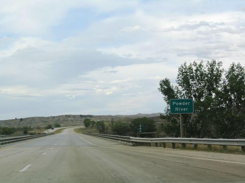 |
Interstate 90 crosses the Powder River. The Powder River is a major river in northeastern Wyoming, as it drains most of the land north of Casper, south of Sheridan, east of the Bighorn Mountains, and east of the Black Hills. The site of many historical skirmishes and battles, the Powder River Basin is today known as one of the premier locations for natural gas and coal, both of which feed an energy-hungry nation. Photo taken 09/01/04. |
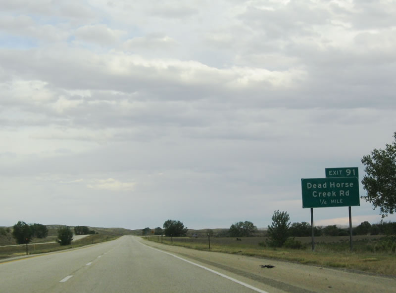 |
The final Johnson County exit along eastbound Interstate 90 is Exit 91, Dead Horse Creek Road. Photo taken 09/01/04. |
 |
 |
Page Updated October 30, 2005.
|
About Contact FAQ |
Spotlights Interstate Guide |
Social Media:
 |
|
© 2000-25 AARoads.com | All Rights Reserved | Privacy Policy / Terms of Use
|
||