| Interstate 90 East |
|
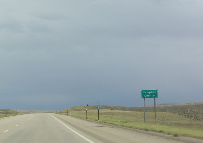
Eastbound Interstate 90 departs Johnson County and enters Campbell County in the Powder River Basin near Milepost 96. The next exit is Exit 102, Barber Creek Road. Photo taken 09/01/04. |
|
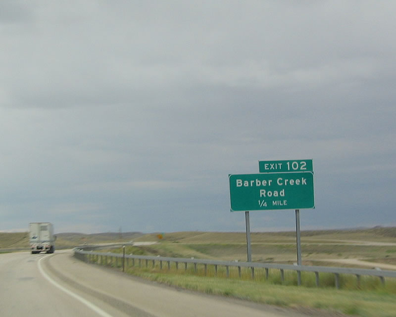
Eastbound Interstate 90 approaches Exit 102, Barber Creek Road. On this late summer day, the skies turned dark, with lightning streaking across the sky. Very little rain fell in association with this storm near here, but rain did fall near Gillette. Photo taken 09/01/04. |
|
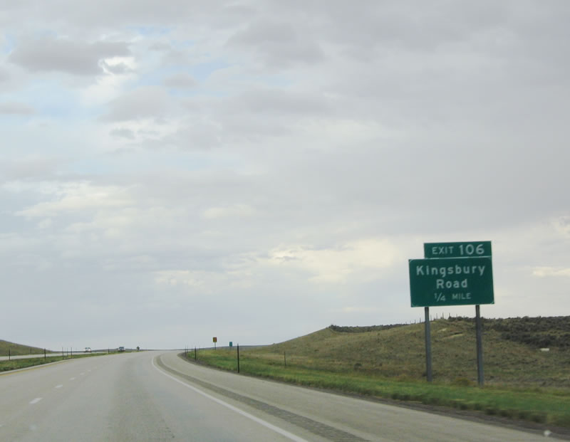
The next exit along eastbound is Exit 106, Kingsbury Road. This exit again provides local and ranch access. Photo taken 09/01/04. |
|
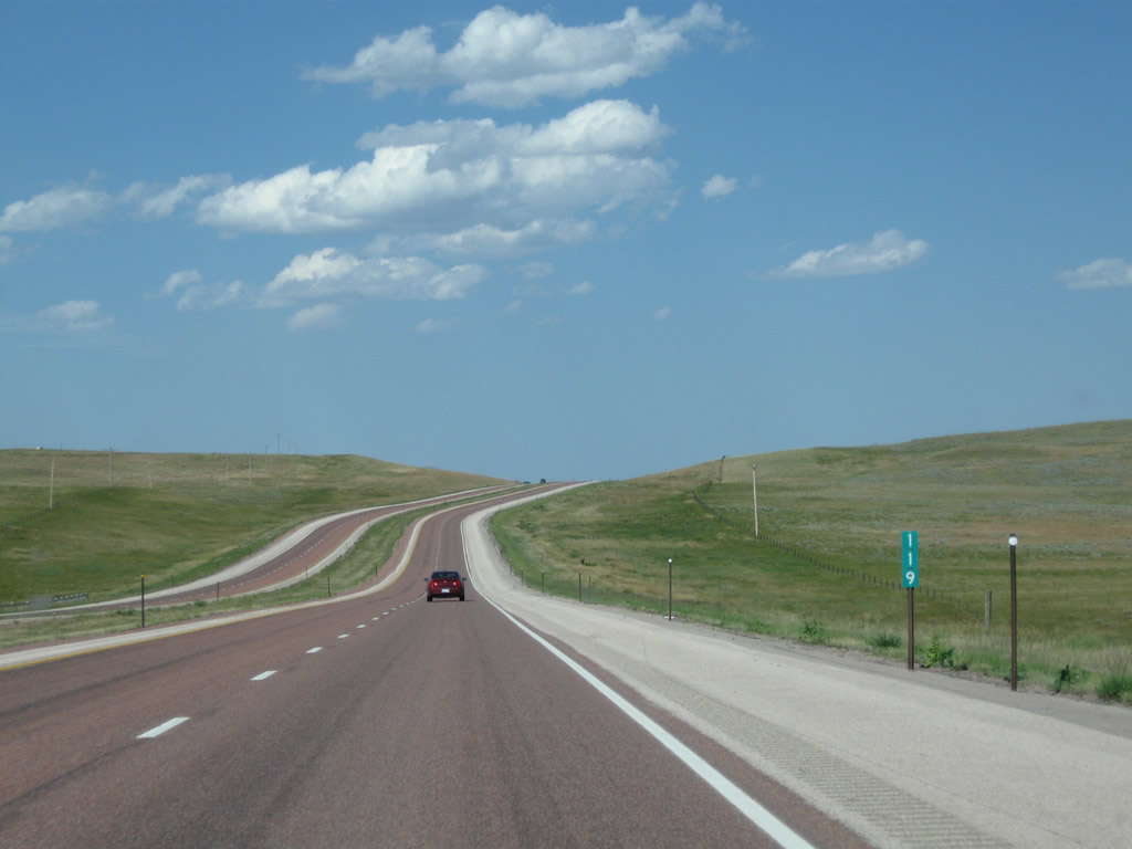
Seven miles east of Kingsbury Road is the next exit, Exit 113, Wild Horse Creek Road. Photo taken 09/01/04. |
|
This Interstate 90 reassurance route marker is posted after the onramp from Wild Horse Creek Road (Exit 113). Photo taken 08/08/10. |
|
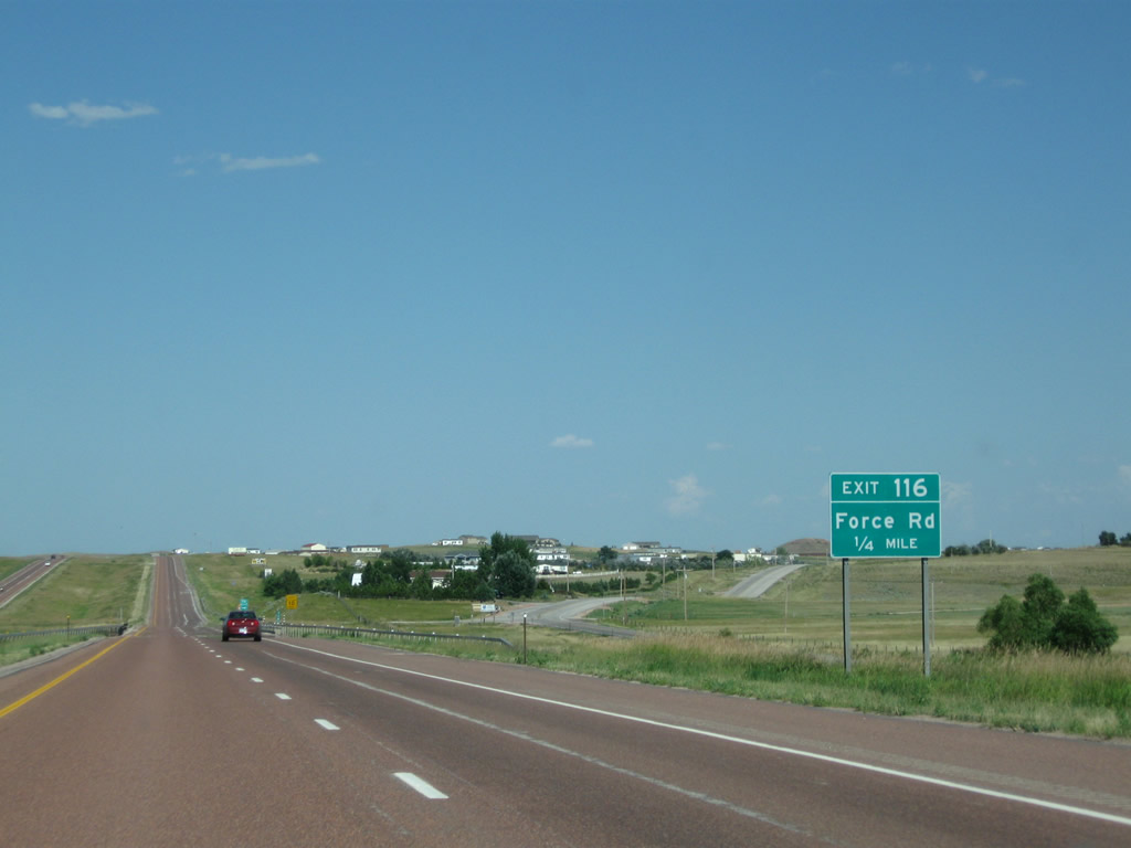
The next exit along eastbound Interstate 90 is Exit 116, Force Road. From this interchange, Force Road travels east to provide ranch access and eventually lead to developed areas around western Gillette. The railroad rejoins Interstate 90 in Gillette, after being separated since leaving Sheridan. Photo taken 08/08/10. |
|
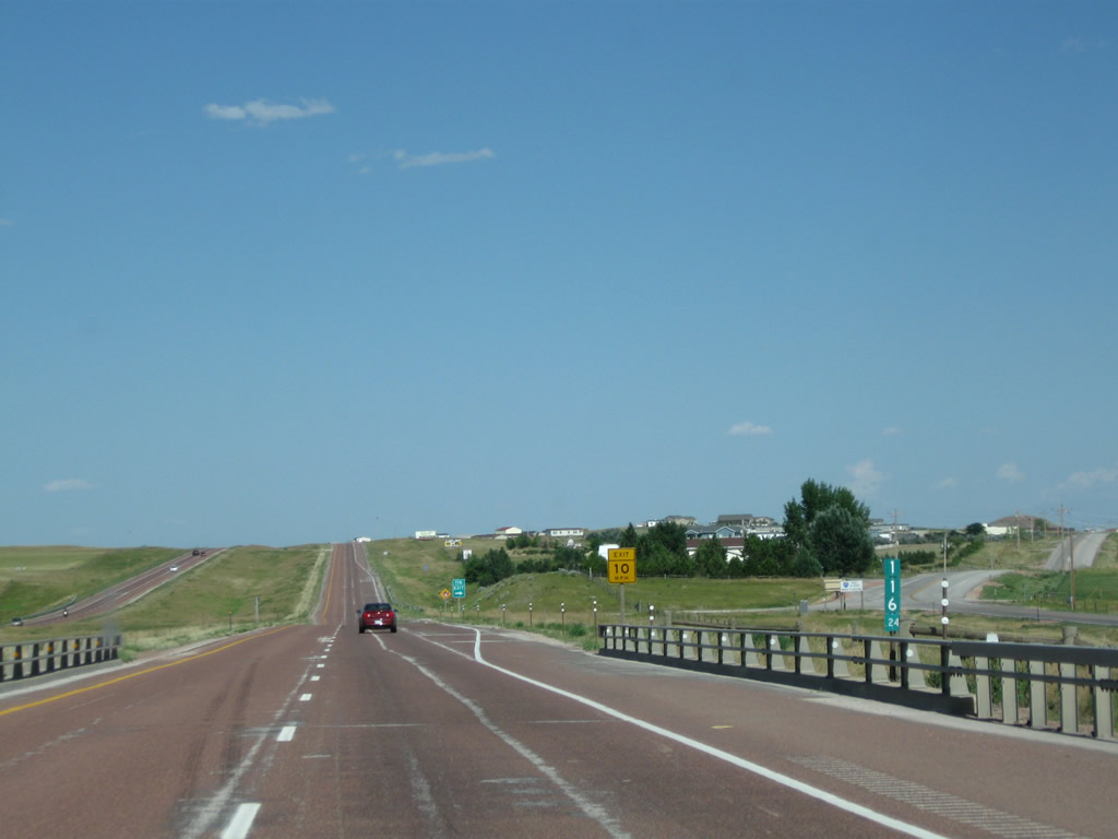
Interstate 90 passes over Force Road. Photo taken 08/08/10. |
|
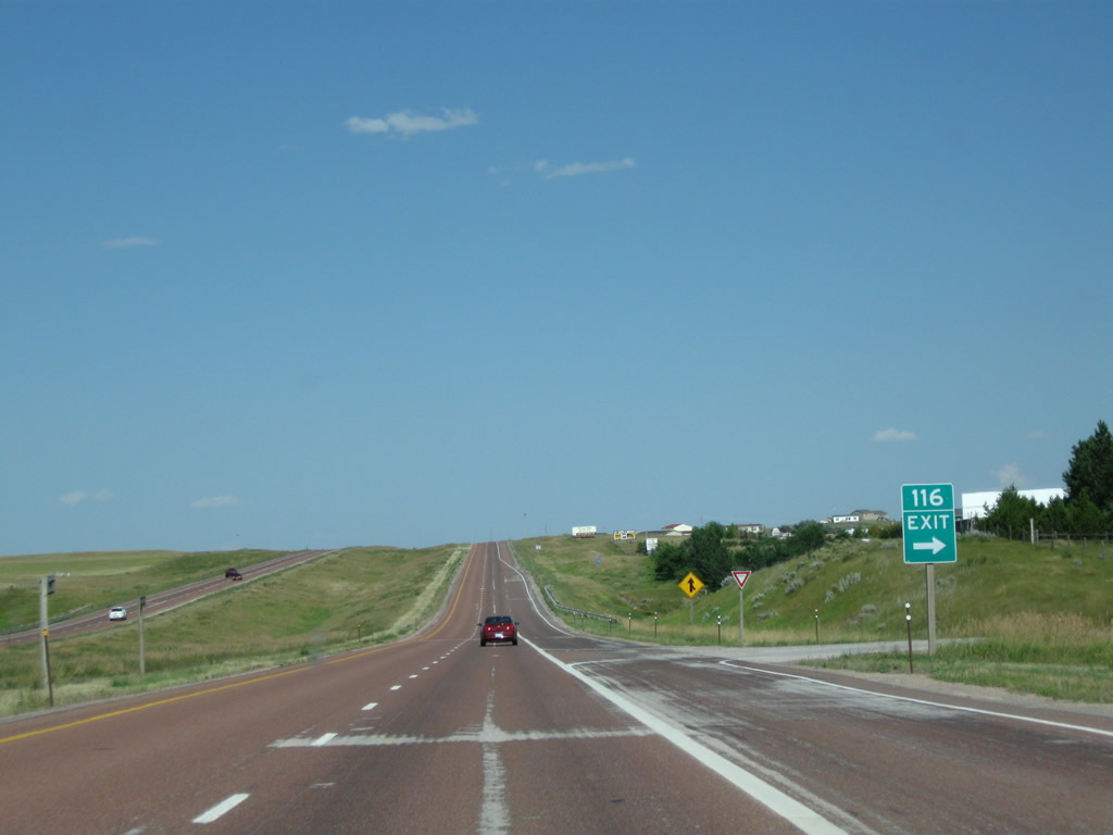
Eastbound Interstate 90 meets Exit 116, Force Road. The gore point sign is the only indication that this is the exit point (along with the suggestion 10 miles per hour speed to take the 90-degree angle exit ramp). Photo taken 08/08/10. |
|
This Interstate 90 reassurance route marker is posted after the onramp from Force Road (Exit 116). Photo taken 08/08/10. |
|
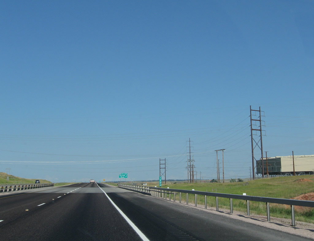
A scenic view looks east on Interstate 90 near Milepost 121. Photo taken 08/08/10. |
|
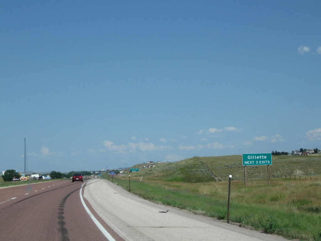
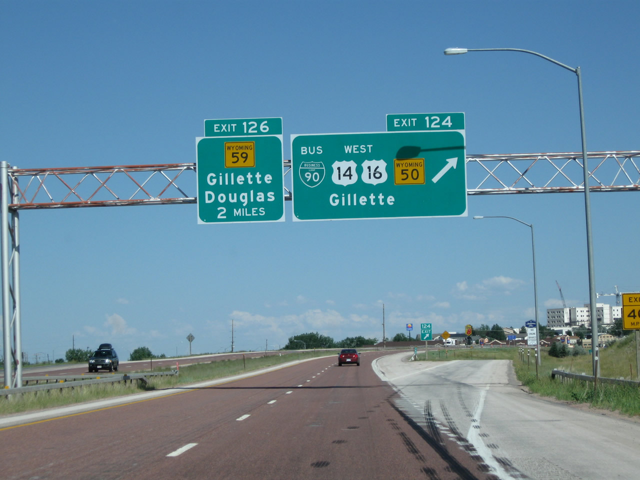
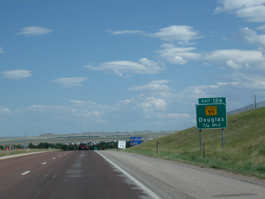
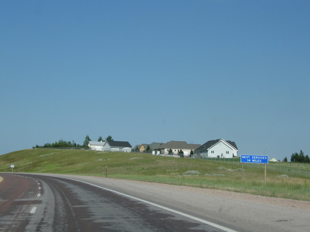
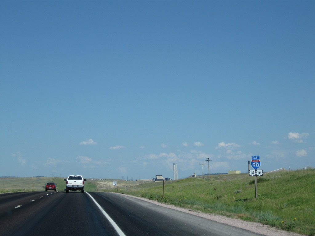
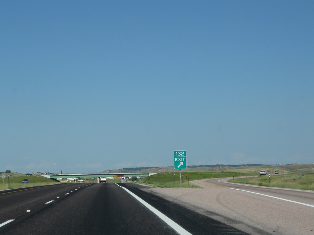
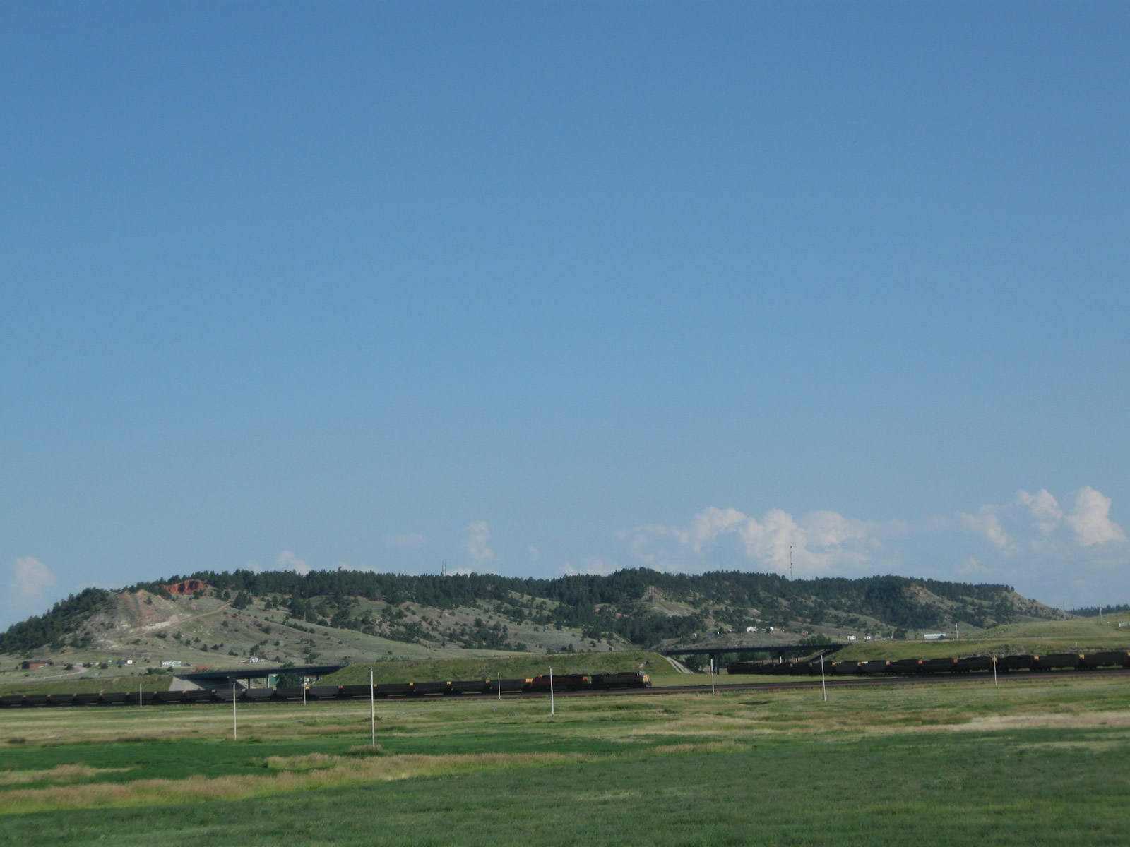
The next three exits all serve the city of Gillette: Exit 124, Business Loop I-90 east and Wyoming 50/Skyline Drive south; Exit 126, Wyoming 59; and Exit 128, Business Loop I-90 west and Wyoming 51 east. The rapidly growing city of Gillette had a population of 29,087 as of the Census of 2010 and was incorporated on January 6, 1892. Located in the Powder River Basin between the Bighorn Mountains to the west and the Black Hills to the east, Gillette rests at an elevation of 4,554 feet above sea level. Photo taken 08/08/10. |
|
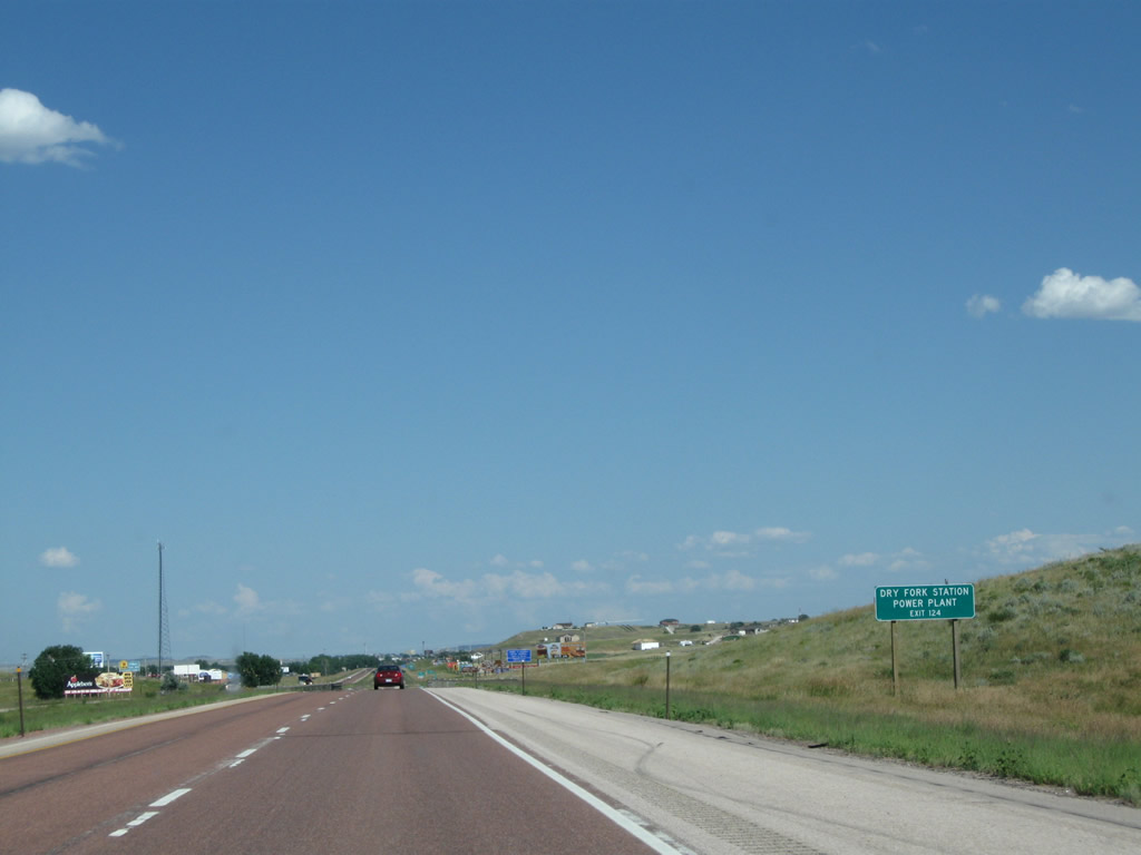
The Dry Fork Station Power Plant, owned and operated by Basin Electric Power Cooperative and the Wyoming Municipal Power Agency, was dedicated on August 11, 2011, after about four years of construction (groundbreaking took place on November 2, 2007.1 U.S. 14-16 west and Wyoming 59 north connect I-90 to the power plant. Photo taken 08/08/10. |
|
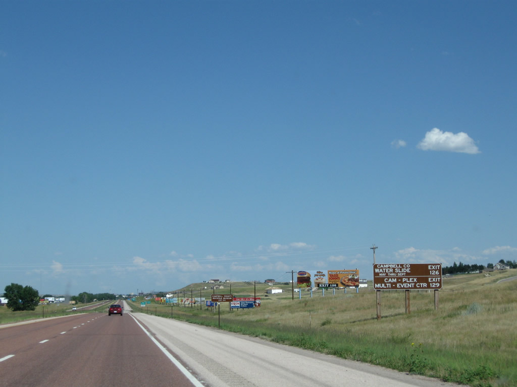
To the Campbell County Water Slide, use Wyoming 59 south (Exit 126), then take Wyoming 59 south to Lakeway Road west to 4-J Road and Enzi Drive south. (The old water slide facility is located north of Interstate 90 at Exit 126). To Cam-Plex Multi-Event Center, use Garner Lake Road (Exit 129). Photo taken 08/08/10. |
|
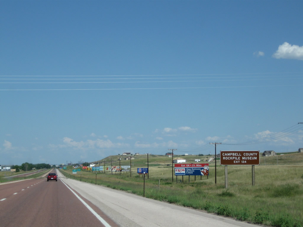
The Rockpile Museum is located in Gillette; use Exit 124 (Business Loop I-90 east) to the museum. Photo taken 08/08/10. |
|
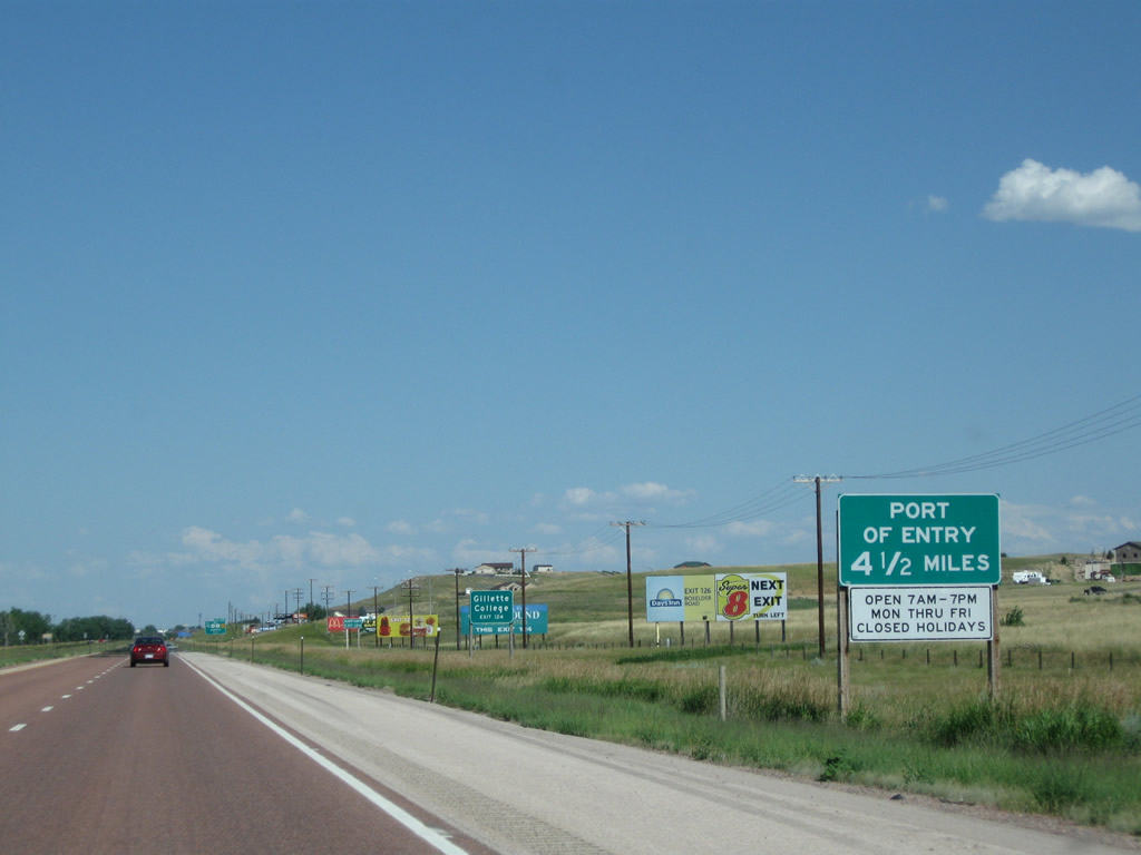
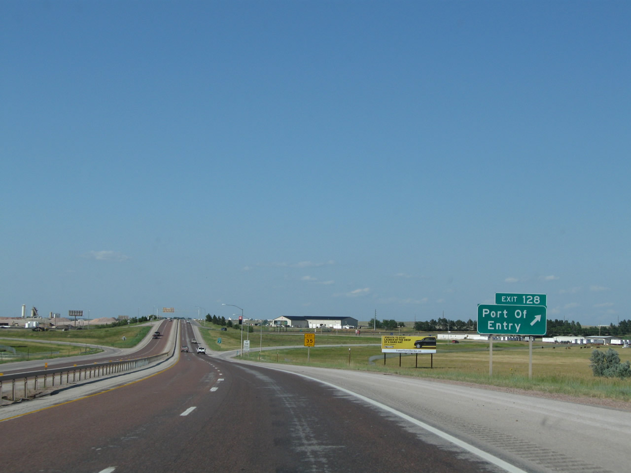
A Port of Entry is located at Exit 128 (4.5 miles ahead). Photo taken 08/08/10. |
|
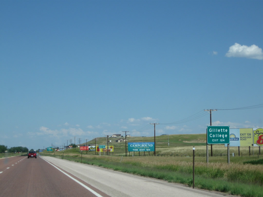
Use Exit 124 (Junction Business Loop I-90 and Wyoming 50) to Gillette College. Photo taken 08/08/10. |
|
Along with the series of billboards, the series of exit signs continues. Use Exit 124 to the Gillette Airport (via U.S. 14-16 west and Wyoming 59 north). Photo taken 08/08/10. |
|
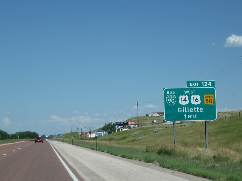
The next exit along Interstate 90 east is Exit 124, Junction Business Loop I-90 and Wyoming 50 to U.S. 14, U.S. 16, and Wyoming 59 (one mile). Exit 124 is a standard diamond interchange; a left turn connects to Wyoming 50 south to Midwest, while a right turn connects to Business Loop I-90 and Wyoming 50 north to U.S. 14, U.S. 16, and Wyoming 59. U.S. 14-16 travel northwest to Ucross, while Wyoming 59 travels north to Broadus and Miles City, Montana. Photo taken 08/08/10. |
|
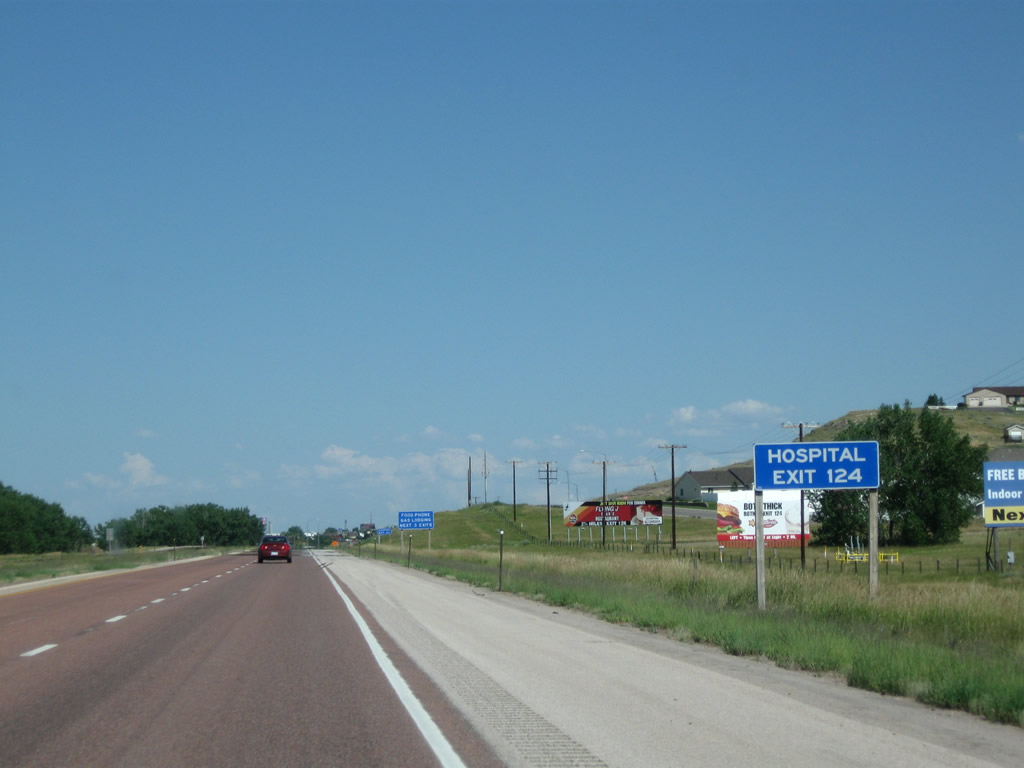
To Memorial Hospital, follow Business Loop I-90 east (left turn at end of offramp). Photo taken 08/08/10. |
|
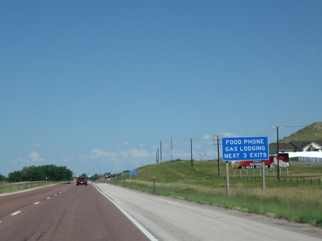
This major interchange connects the freeway to Business Loop I-90; all motorist services (gas, food, lodging) are available along the business route and also at Exit 126, Wyoming 59. Photo taken 08/08/10. |
|
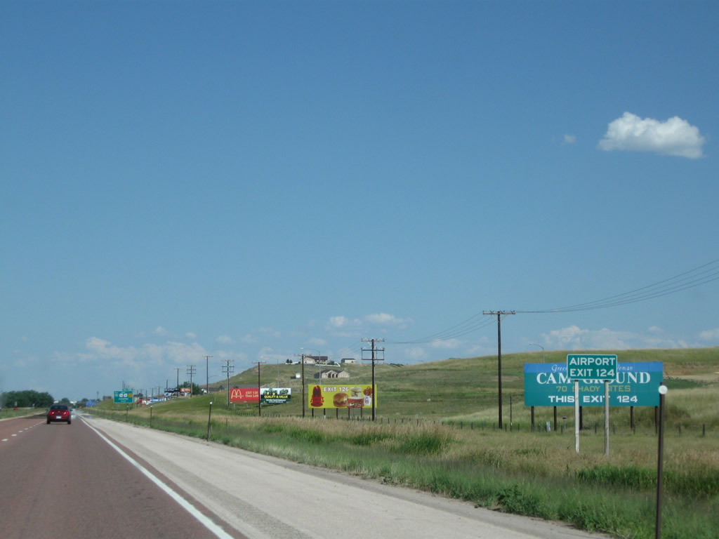
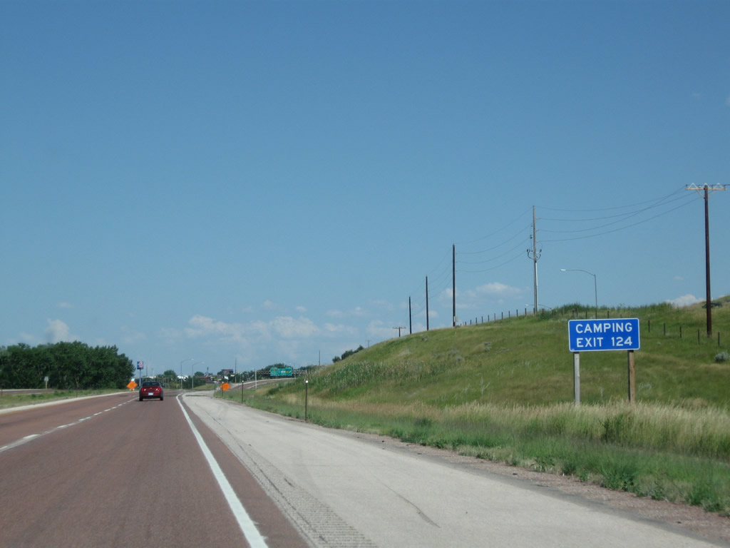
Use Exit 124 to camping facilities. Photo taken 08/08/10. |
|
Eastbound Interstate 90 meets Exit 124, Junction Business Loop I-90, U.S. 14-16, and Wyoming 50. This major interchange connects the freeway to Business Loop I-90 and U.S. 14-16 east into downtown Gillette. Known as the Energy Capital of the Nation, Gillette is one of the fastest growing areas of the state of Wyoming, primarily due to a boom in the extraction of coal and natural gas from the mineral-laden hills. In addition, Wyoming 50 travels south from this interchange to Midwest (via a connection with Wyoming 387). Finally, this exit connects to U.S. 14-16 west to Ucross and Wyoming 59 north to Broadus, Montana. Photo taken 08/08/10. |
|
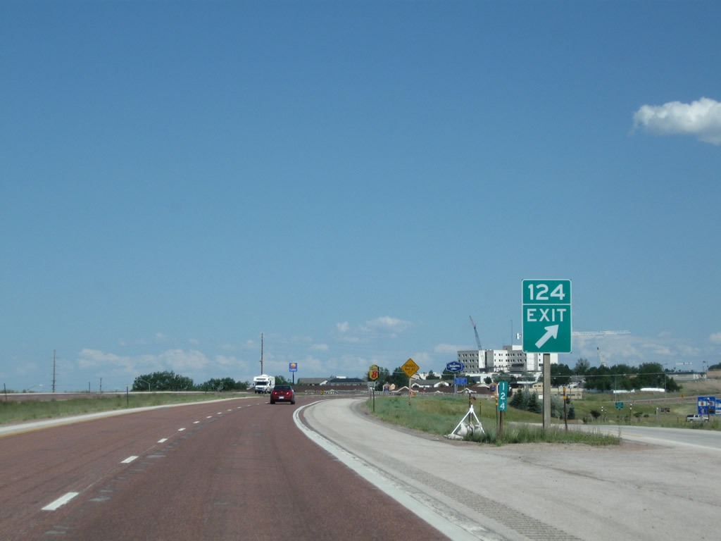
Milepost 124 is located right at the gore point for Exit 124, which connects to Wyoming 50/Skyline Drive south and Business Loop I-90 east to downtown Gillette. Motorist services (gas, food, lodging) are available at this exit. Photo taken 08/08/10. |
|
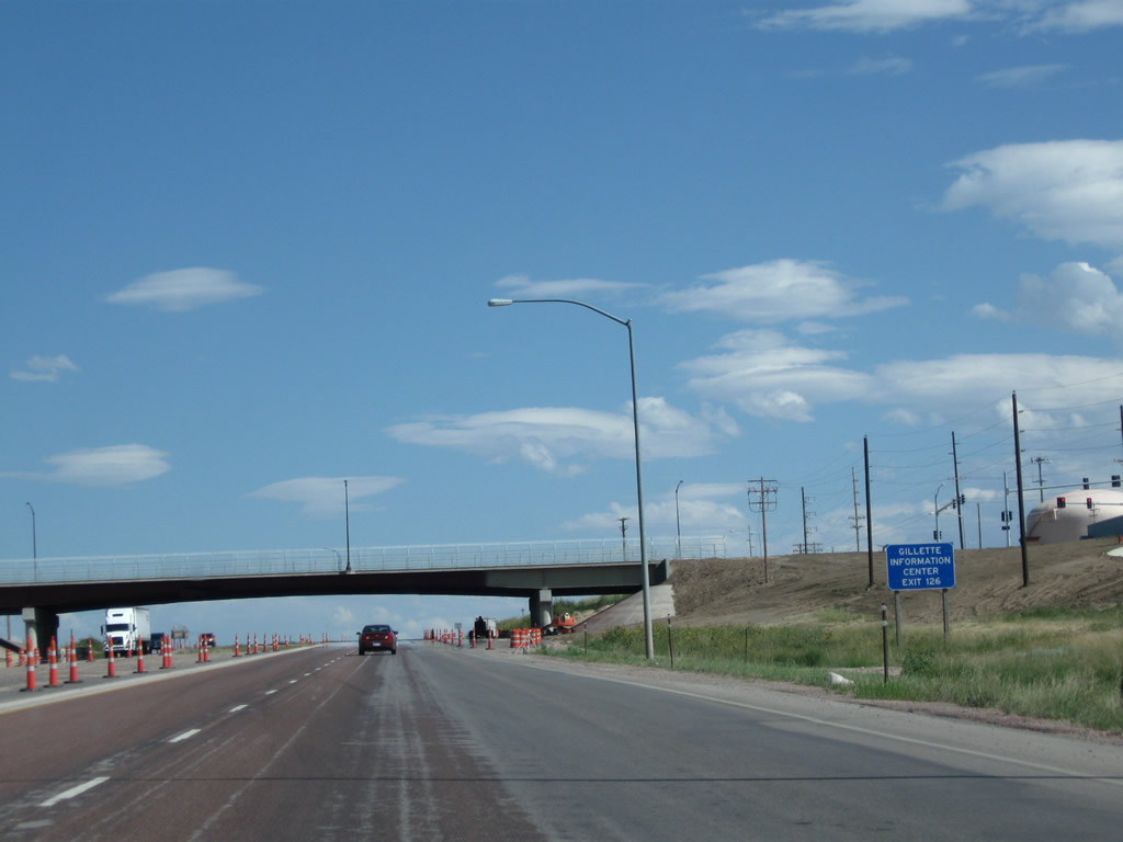
A visitors information center for Gillette, the Energy Capital of the Nation, is located at Exit 126 via Wyoming 59 south. Photo taken 08/08/10. |
|
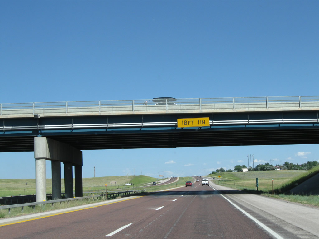
This new bridge carries Burma Street over Interstate 90 near Memorial Hospital; it opened to traffic in 2010. It provides local access across the freeway. Note the lack of a center pier. An interchange at this location would be numbered as Exit 125. Photo taken 08/08/10. |
|
|
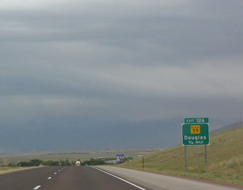
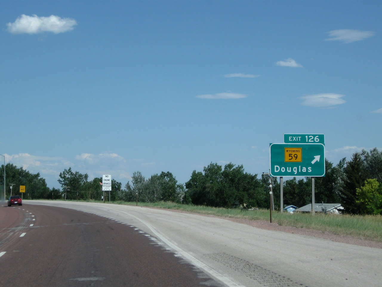
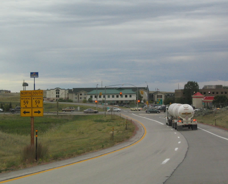
The next exit along Interstate 90 east through Gillette is Exit 126, Wyoming 59. This is a major interchange serving the coal mines south of Gillette. Another storm cell was brewing just east of Wyoming 59 at the time the 2004 picture was taken; this sign was replaced between 2004 and 2010. Wyoming 59 is a major north-south route that passes through the Powder River Basin, passing through Wright and Bill on its way south to Douglas. Wyoming 59 also travels north into downtown Gillette and then continues into Broadus, Montana, as Montana 59. Photos taken 08/08/10 and 09/01/04. |
|
All trucks must depart the freeway at the Port of Entry (weigh station) during hours of operation at Exit 128 (two miles ahead). Photo taken 08/08/10. |
|
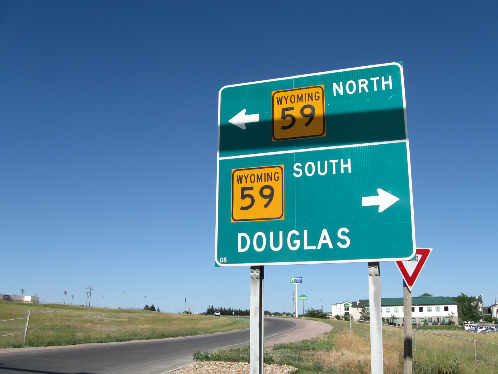
Eastbound Interstate 90 meets Exit 126, Wyoming 59 south. Trucks may continue east on Interstate 90 to Exit 129, Garner Lake Road, to bypass the commercial development and traffic signals along Wyoming 59 south of Interstate 90. All services are available at or near this interchange, including most department stores, restaurants, hotels, grocery stores, gas stations, etc. Wyoming 59 travels south from this interchange toward Wright, Bill, and Douglas. Several coal mines are located along this busy route. As of 2010, Wyoming 59 south of Interstate 90 represents the busiest highway in all of Wyoming, including the freeways. Photo taken 08/08/10. |
|
Now on the offramp from eastbound Interstate 90, a pair of trailblazer Wyoming 59 shields are posted. Photo taken 09/01/04. |
|
A left turn takes Wyoming 59 north to downtown Gillette and a right turn connects to Wyoming 59 south to Wright, Bill, and Douglas. Most of the main commercial development ("big box" stores) are located south of Interstate 90 along Wyoming 59. Photo taken 08/10/08. |
|
An Interstate 90 east reassurance shield is posted after leaving the Wyoming 59 interchange. The final Gillette interchange (including the Port of Entry) is next. Photo taken 08/10/08. |
|
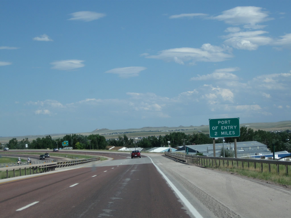
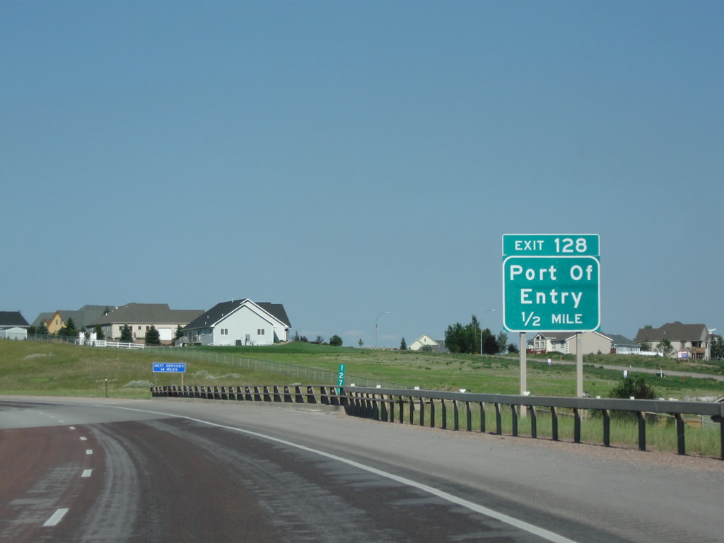
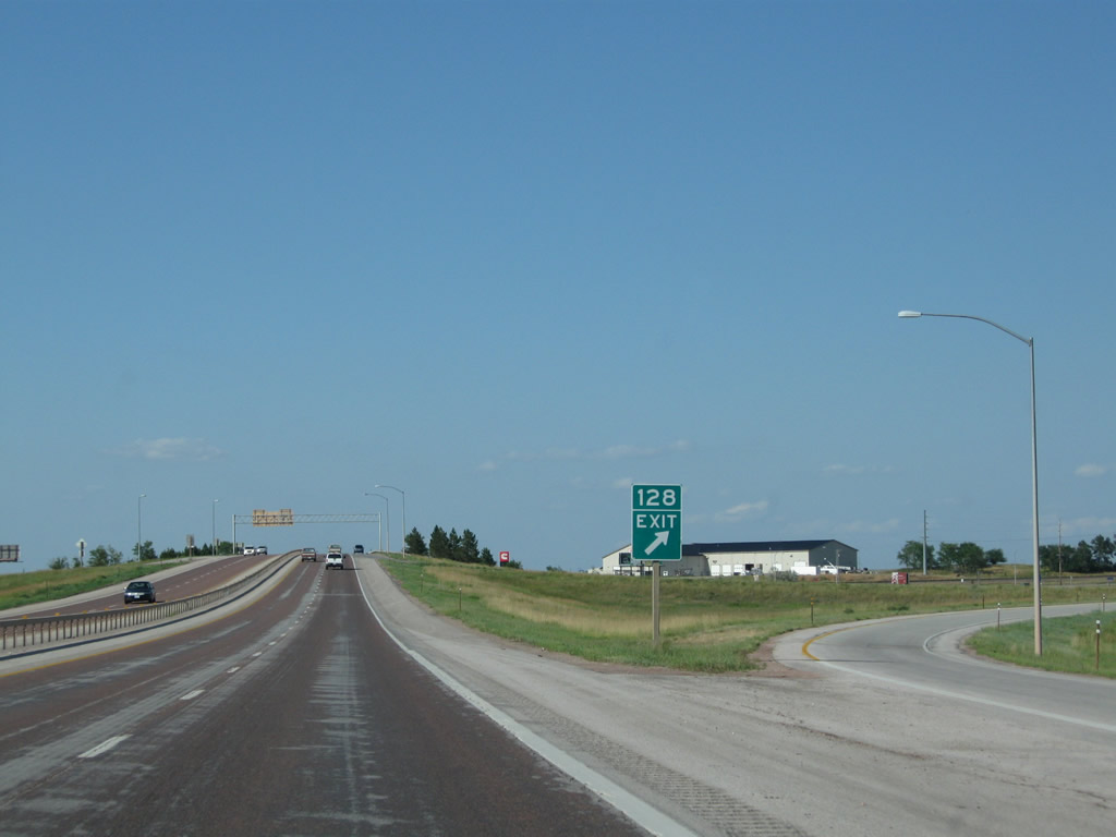
The next exit along eastbound Interstate 90 is Exit 128, Junction Business Loop I-90 and U.S. 14-16 west to Gillette and Wyoming 51 east to Rozet. Wyoming 51 becomes a frontage road, following Interstate 90 and providing access to the coal mines south of the Interstate. Interstate 90 and U.S. 14-16 follow a shared alignment from here to Moorcroft in Crook County. Depart here for the Port of Entry. Photo taken 08/06/08. |
|
After Exit 128, services are not available again along the Interstate until the Rozet interchange, about 14 miles east of here. Photo taken 08/06/08. |
|
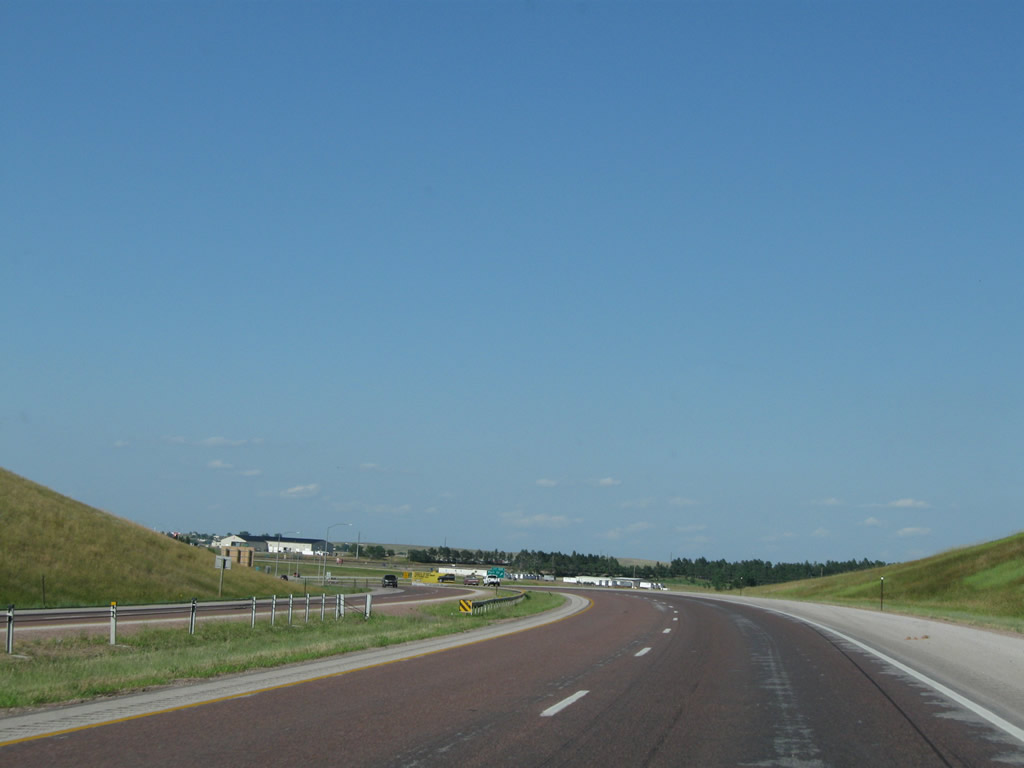
Interstate 90 remains four lanes, with two in each direction, as it proceeds around Gillette. With the recent growth boom in the "Energy Capital of the Nation," the developed area of Gillette has expanded significantly, especially south of Interstate 90, to accommodate the workers who operate the mining and extraction facilities. Photo taken 08/06/08. |
|
Eastbound Interstate 90 meets Exit 128, Wyoming 51 (Old U.S. 14-16) east to Rozet and Business Loop I-90 and U.S. 14-16 west to Gillette (including Port of Entry). Wyoming 51 follows Interstate 90 on the south side of the freeway, deviating away from the freeway near Wyodak and Rozet. This used to be U.S. 14-16, but the US routes were moved onto the Interstate as that is the most direct route to Moorcroft. At Moorcroft, U.S. 14 and U.S. 16 will separate from Interstate 90 en route to Devils Tower and Newcastle, respectively. Photo taken 08/06/08. |
|
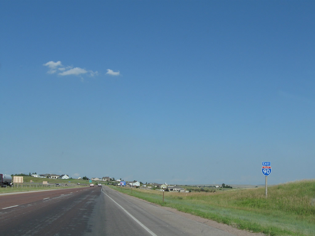
Exit 128 departs from the freeway at this point; Interstate 90 and U.S. 14-16 proceed east toward Moorcroft, Sundance, and Rapid City. Photo taken 08/06/08. |
| Interstate 90 and U.S. 14-16 East |
|
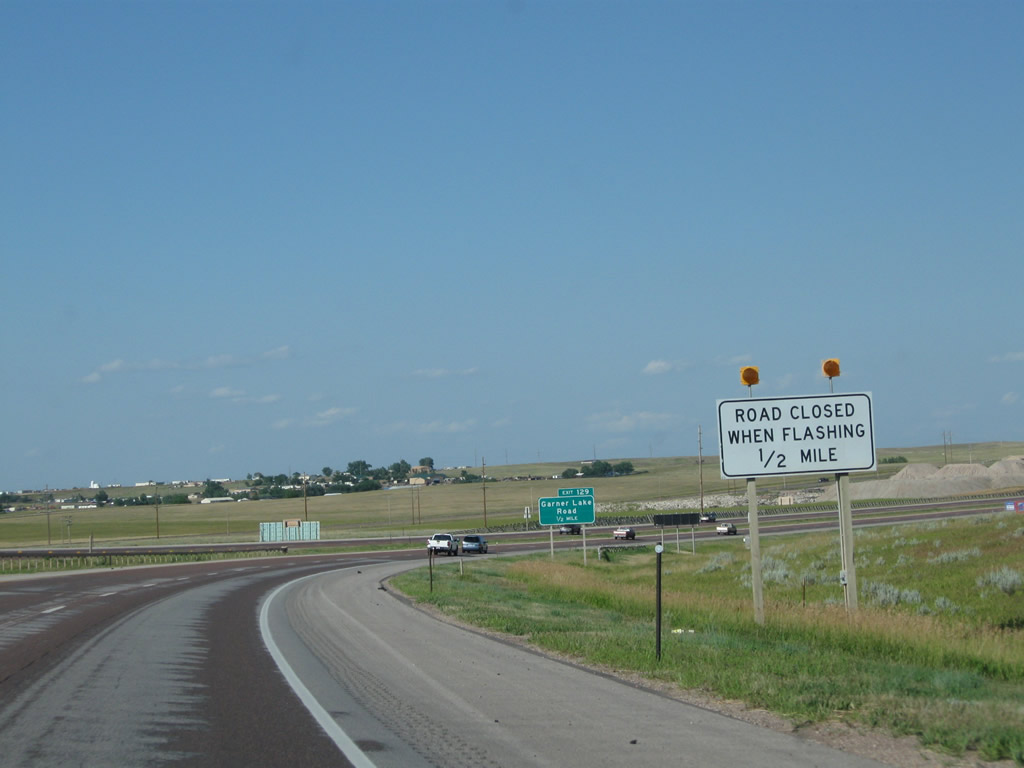
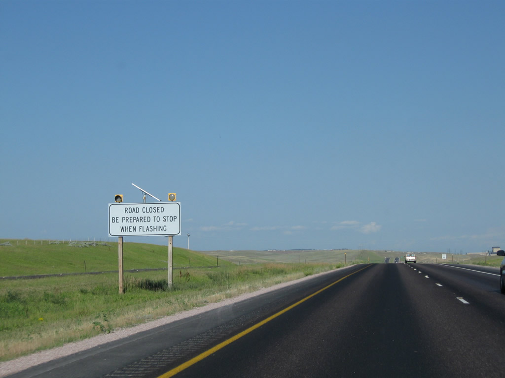
Due to inclement weather or traffic conditions, the freeway ahead to Moorcroft may be closed. These signs advise that in the event of a freeway closure, motorists should depart the freeway at Exit 129 and return to Gillette until the freeway can reopen. Photo taken 08/06/08. |
|
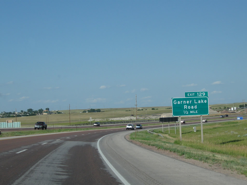
The next exit along Interstate 90 and U.S. 14-16 east is Exit 129, Junction Truck Bypass Wyoming 59/Garner Lake Road. To Cam-Plex Multi-Event Center, use Garner Lake Road (Exit 129). Photo taken 08/06/08. |
|
A second warning sign advises of the potential for Interstate 90 to be closed. Lights flash in the event of a closure. Photo taken 08/08/10. |
|
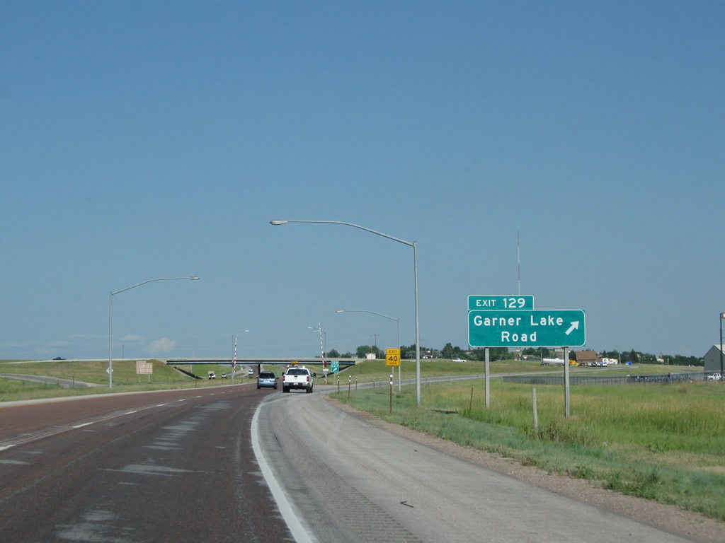
Eastbound Interstate 90 and U.S. 14-16 reaches Exit 129, Garner Lake Road. To Wyoming 59 south, use Garner Lake Road south (right turn at the top of the offramp). This truck route avoids the congestion associated with the development along Wyoming 59 south of Interstate 90. To Wyoming 51 (Old U.S. 14-16), turn south on Garner Lake Road. Photo taken 08/06/08. |
|
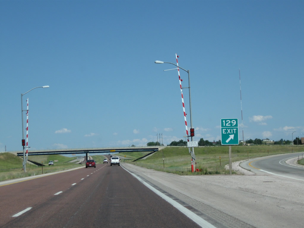
Closure gates can be lowered at the gore point for Exit 129 to prevent through traffic from continuing east on Interstate 90. Photo taken 08/08/10. |
|
Interstate 90 and U.S. 14-16 pass under the Garner Lake Road overpass. Photo taken 08/08/10. |
|
Another road closed ahead sign is posted upon crossing under Garner Lake Road. This sign is activated when activities at Wyodak require closure of the Interstate. This does not happen frequently but is necessitated by activities at the large mine and power plant. Photo taken 08/10/08. |
|
The stacks of the Wyodak coal-fired power plant come into view behind a reassurance shield assembly for Interstate 90, U.S. 14, and U.S. 16. Photo taken 08/08/10. |
|
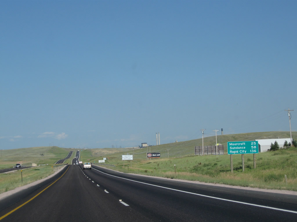
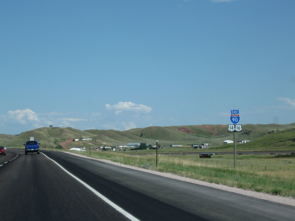
This mileage sign provides the distance to Moorcroft (25 miles), Sundance (58 miles), and Rapid City, South Dakota (136 miles). Rapid City becomes the control city for eastbound Interstate 90 as the freeway continues east toward the Black Hills. Photo taken 08/10/08. |
|
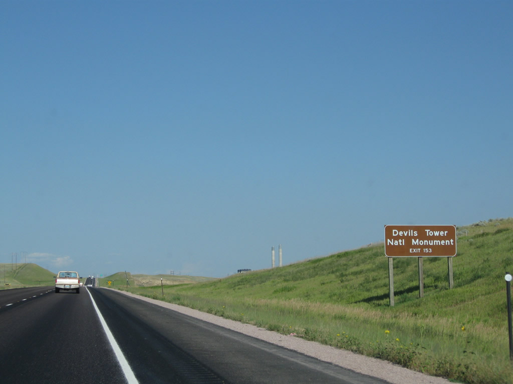
To Devils Tower National Monument, depart Interstate 90 at Exit 153 (Junction Business Loop I-90 and U.S. 14-16 east at Moorcroft). Take U.S. 14 east from Moorcroft to Wyoming 24 east, then turn west on Wyoming 110 to the monument entrance. The exit is about 20 miles east of this sign. Photo taken 08/10/08. |
|
The aforementioned freeway closure gate is located a short distance later. Interstate 90 can be closed for various Wyodak operations, including blasting associated with expanding the coal mine. Photo taken 08/10/08. |
|
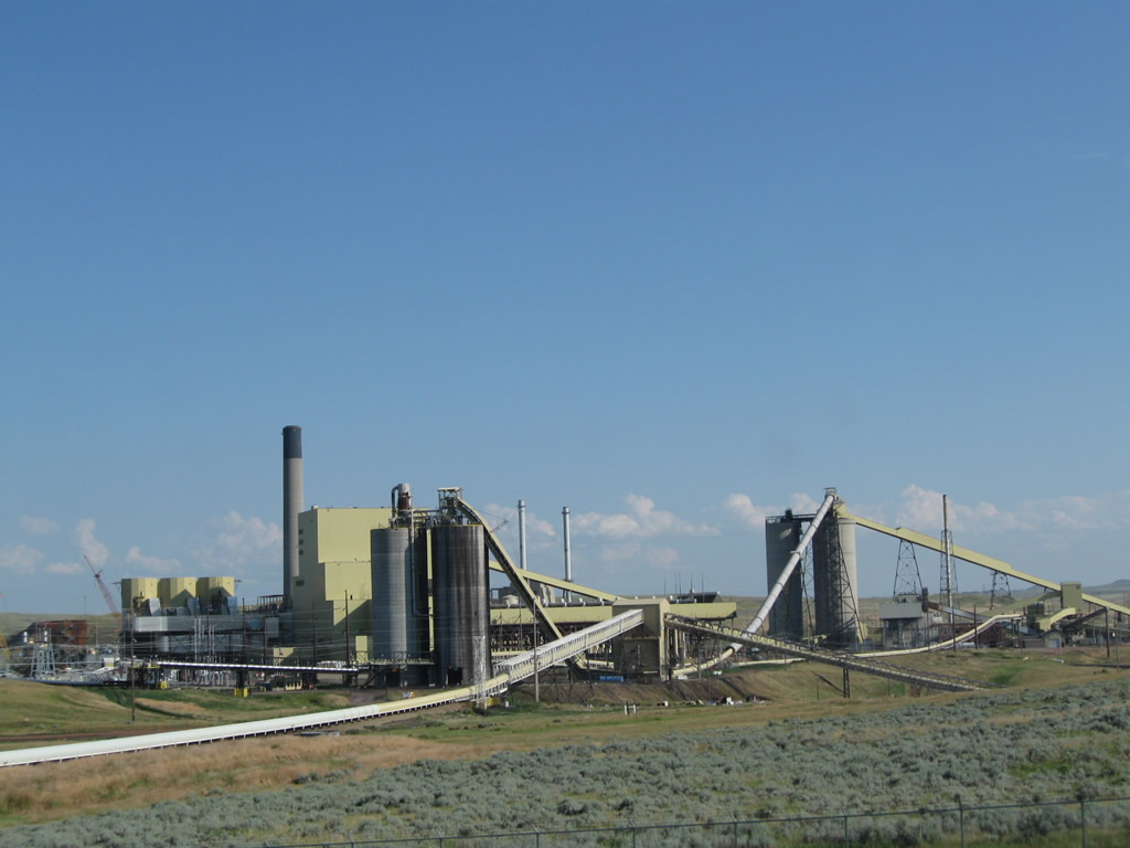
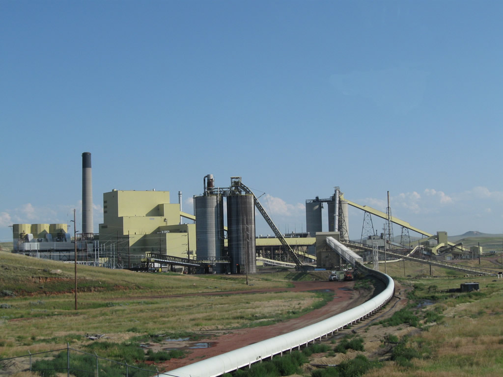
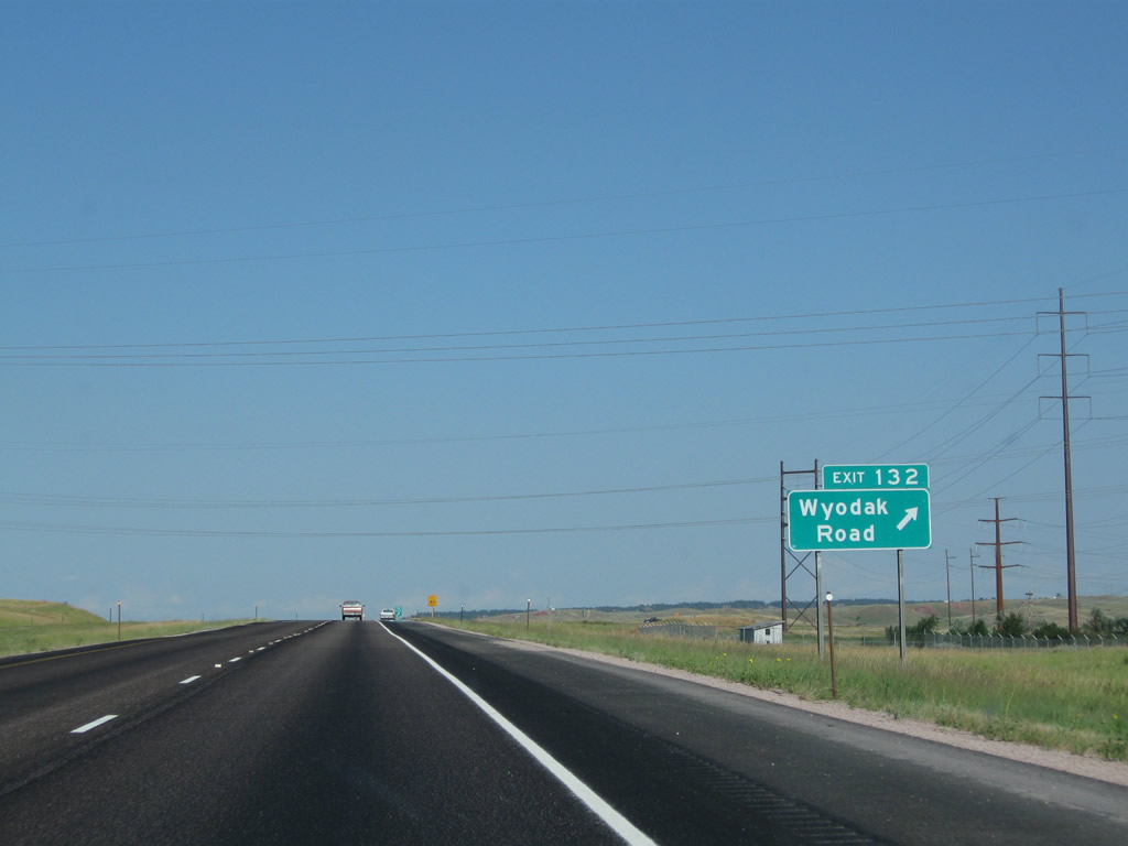
The next exit along eastbound Interstate 90 is Exit 132, Wyodak Road. Wyodak Road serves a large coal mine and adjacent power generation facility. A series of power lines emanate from the power plant, and they pass over Interstate 90. In addition, the Interstate crosses over a coal-laden vein, with open pits mining the coal on both the north and south sides of the freeway. An open question is whether the coal beneath Interstate 90 would someday be mined as well. Photo taken 08/10/08. |
|
|
|
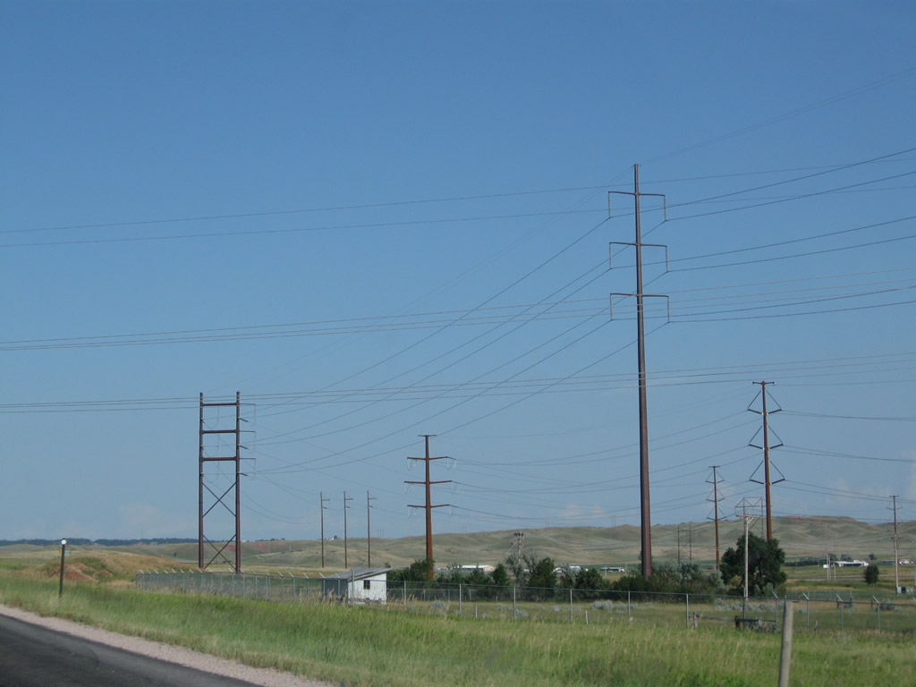
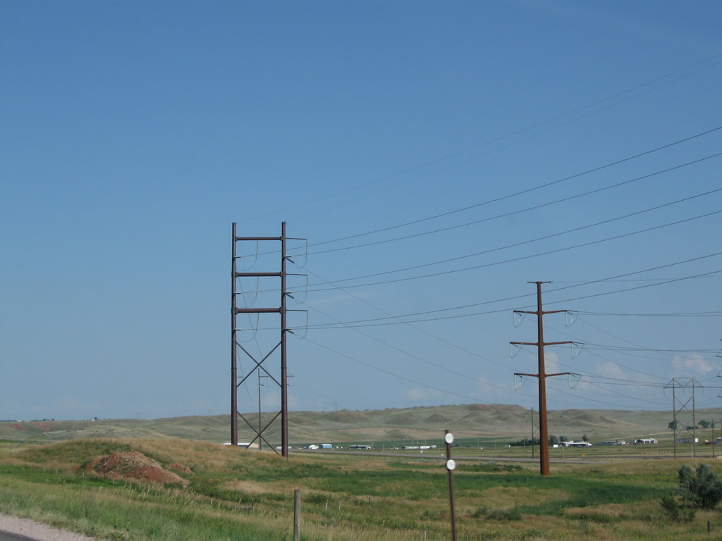
This series of pictures shows the Wyodak coal-fire power plant and ancillary power lines leading into the power generation facility. According to the Wyodak Resources (WRD) web page,2 "Wyodak is believed to be the oldest operating surface coal mine in the nation with an annual production of 4.8 million tons in 2004." Apparently there is enough coal in the area (294 million tons in reserve) to ensure needs from existing coal contracts are met for at least 59 years (until 2063). Photos taken 08/10/08 and 08/08/10. |
|
|
|
|
A haul truck road passes under the freeway just prior to the Wyodak Road offramp. This allows trucks to access the coal mine north of Interstate 90 and connect that facility with the power plant and train tracks to the south of the freeway. Photo taken 08/10/08. |
|
Eastbound Interstate 90 and U.S. 14-16 meet Exit 132, Wyodak Road. Use this exit to the Wyodak power generation facility and coal mine. To Wyoming 51 (frontage road/old U.S. 14-16), follow Wyodak Road south. Photo taken 08/10/08. |
|
|
Power transmission lines criss-cross Interstate 90 and Wyodak Road. The Wyodak power plant is a major source of regional electricity, and power is transmitted regionally. As a result, quite a few transmission lines converge near Exit 132. Photos taken 08/10/08. |
|
This is the gore point for Exit 132, Wyodak Road. No motorist services are available at this interchange. Photo taken 08/10/08. |
|
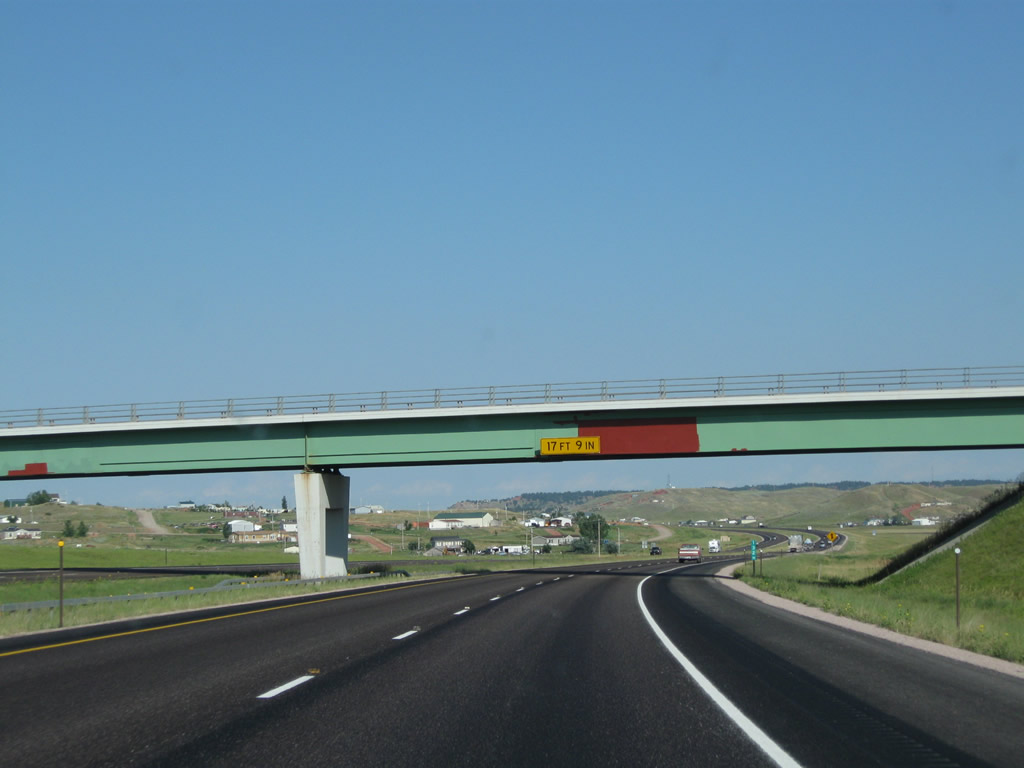
Interstate 90 and U.S. 14-16 pass under the Wyodak Road overpass. Photo taken 08/10/08. |
|
A reassurance shield route marker assembly is posted after the onramp from Wyodak Road for Interstate 90, U.S. 14, and U.S. 16 east. Photo taken 08/08/10. |
|
Pavement on Interstate 90, U.S. 14, and U.S. 16 becomes red once again. Photo taken 08/10/08. |
|
About midway between Wyodak and Rozet, the Burlington Northern and Santa Fe (BNSF) railroad mainline connects to a connector line that links with the Union Pacific Railroad near Orin Junction (interchange of Interstate 25 and U.S. 18-20) southeast of Douglas. Bridges allow nearby Wyoming 51 to pass over the mainline connection. This view looks south from the eastbound lanes of Interstate 90. Photo taken 08/10/08. |
|
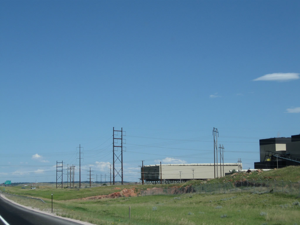
A single circuit 230kV power line parallels Interstate 90 between Wyodak and Rozet. Photo taken 08/10/08. |
|
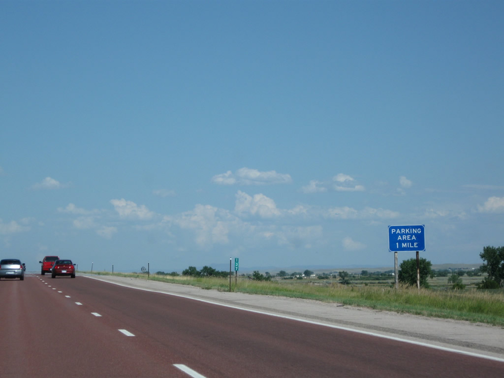
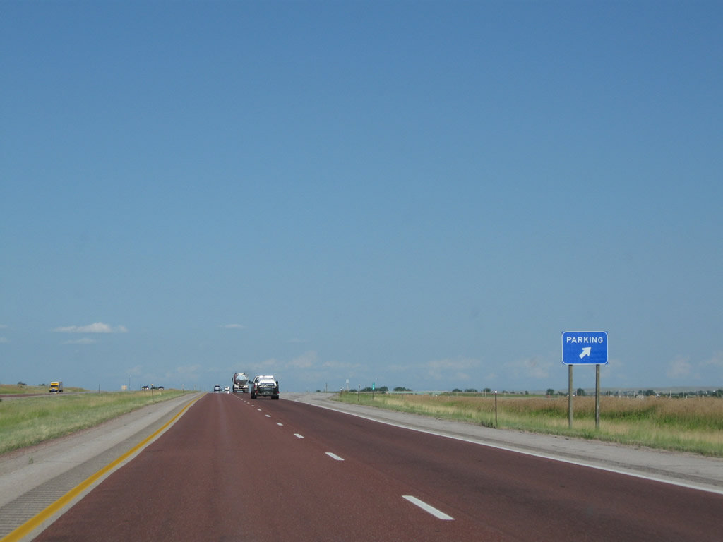
The next exit along Interstate 90 and U.S. 14-16 east is Exit 138, Parking Area. This turnoff allows for emergency parking, roadside assistance, and scenic vistas of the Thunder Basin. Photo taken 08/10/08. |
|
Interstate 90 and U.S. 14-16 east approaches Exit 138, Parking Area (750 feet). Photo taken 08/10/08. |
|
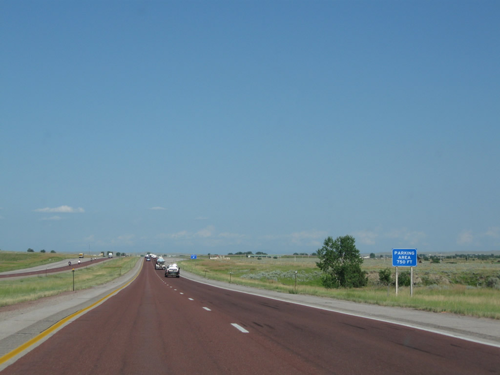
Eastbound Interstate 90 and U.S. 14-16 reaches Exit 138, Parking Area. No services or restrooms are available here. Photo taken 08/10/08. |
|
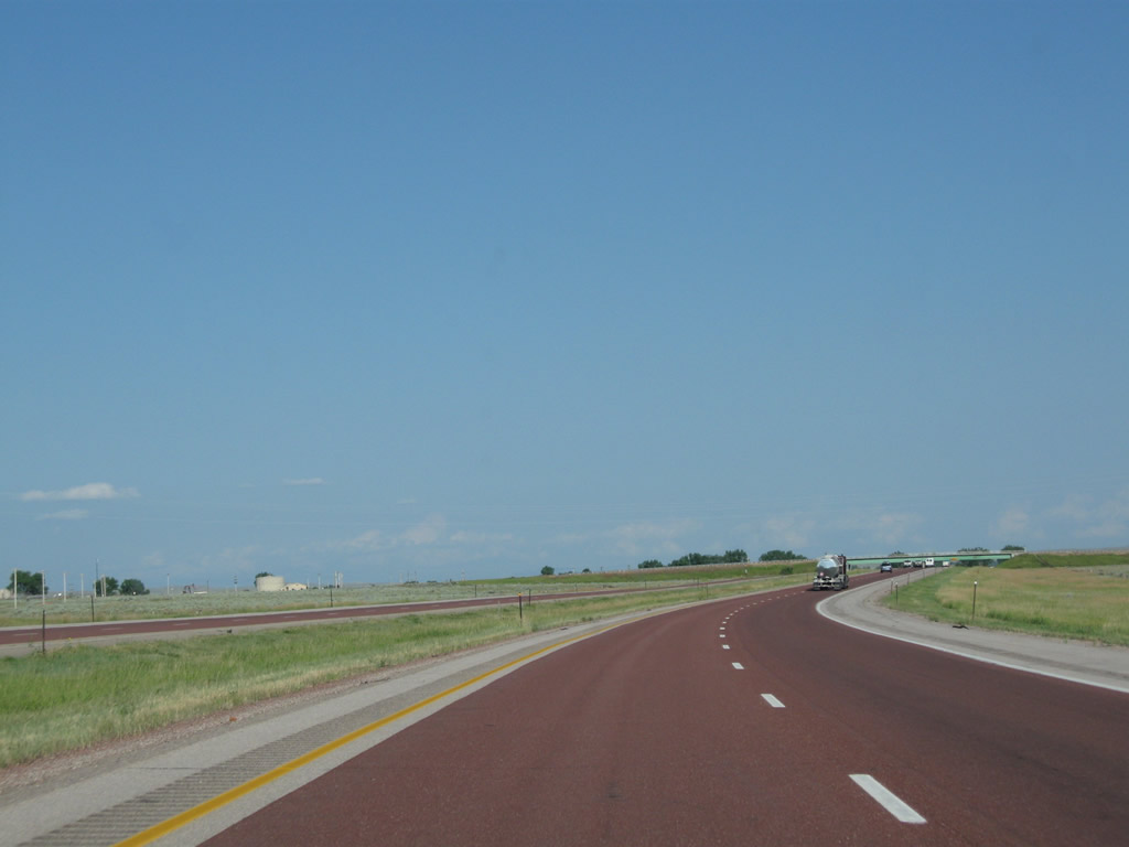
Proceeding east, Interstate 90 and U.S. 14-16 sees more open vistas. Photo taken 08/10/08. |
|
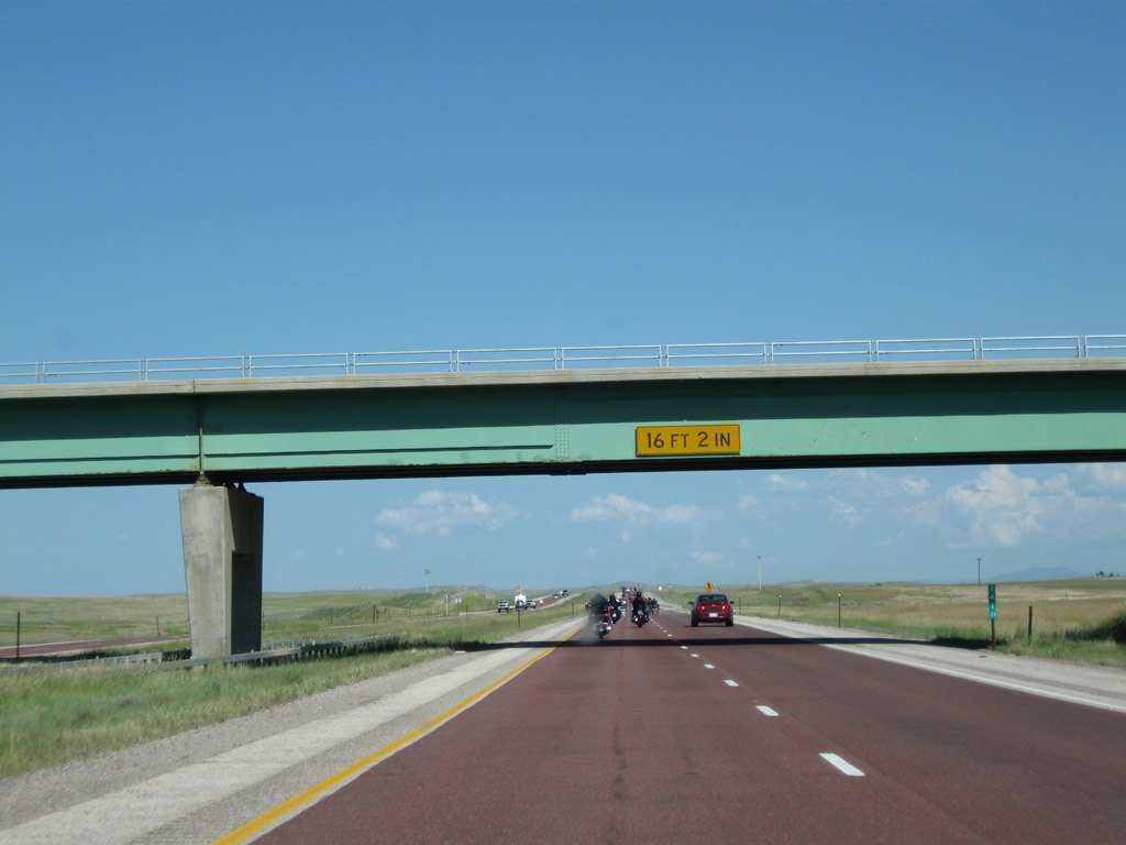
The freeway next passes under Svalina Road. Photo taken 08/08/10. |
|
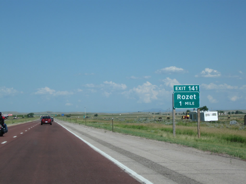
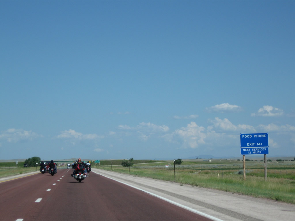
The next exit along Interstate 90 and U.S. 14-16 east is Exit 141, Adon Road to Rozet. This Clearview sign was introduced at this location in 2008. Photo taken 08/08/10. |
|
Food and telephone are available in Rozet; for gas, continue east on Interstate 90 to Exit 154 (East Moorcroft Interchange). Photo taken 08/08/10. |
|
Land is a precious commodity, and Wyoming has plenty of it. Occasionally, signs such as this advise of pending land sales, subdivision, and other opportunities to purchase land. This sign was gone by 2011, so the opportunity has since vanished. Photo taken 08/08/10. |
|
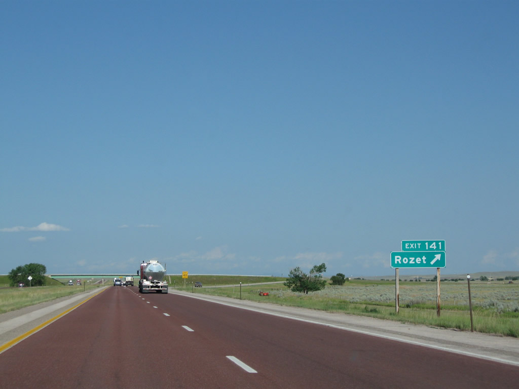
Eastbound Interstate 90 and U.S. 14-16 meet Exit 141, Adon Road to the unincorporated community of Rozet. Photo taken 08/10/08. |
|
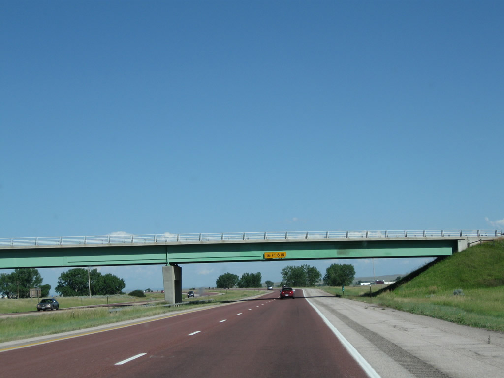
Interstate 90 and U.S. 14-16 pass under Adon Road. Photo taken 08/10/08. |
|
A reassurance shield route marker assembly is posted after the onramp from Adon Road for Interstate 90, U.S. 14, and U.S. 16 east. Photo taken 08/08/10. |
|
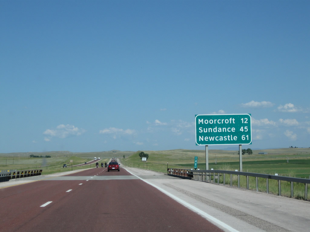
This mileage sign along Interstate 90, U.S. 14, and U.S. 16 east provides the distance to Moorcroft (12 miles), Sundance (45 miles via Interstate 90), and Newcastle (61 miles via U.S. 16). Between Moorcroft and Sundance, U.S. 14 offers a longer alternate route by avoiding Inyan Kara and passing closer to Devils Tower; it is about 15 miles longer between the two points. Photo taken 08/08/10. |
|
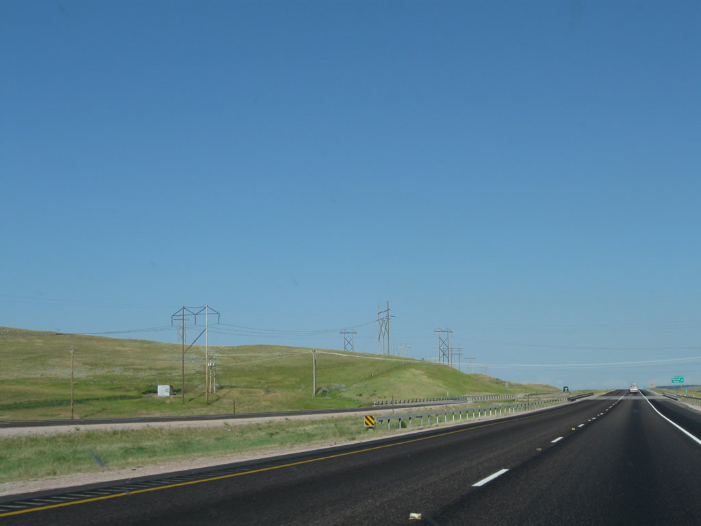
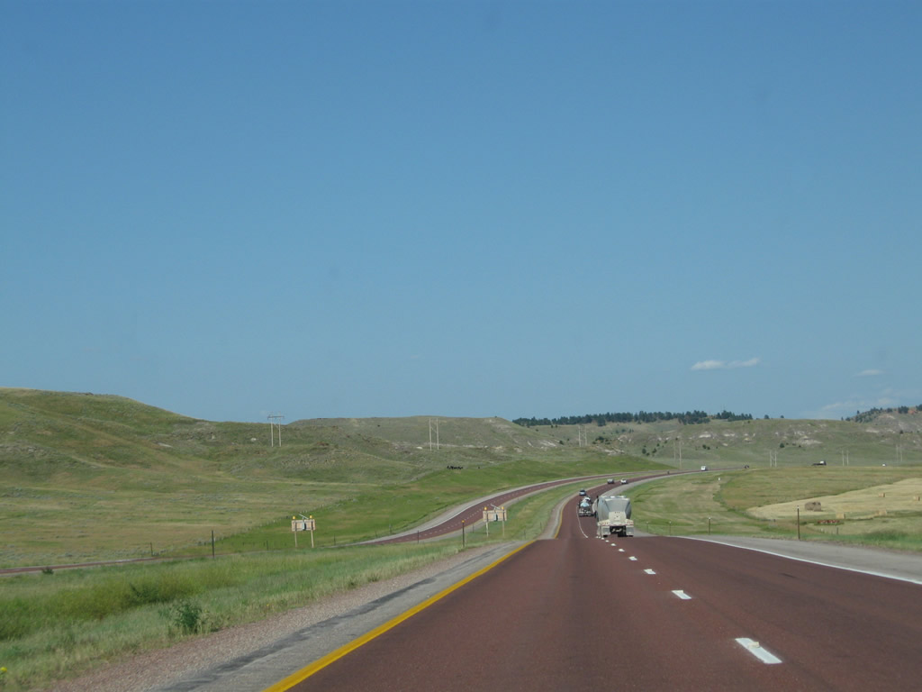
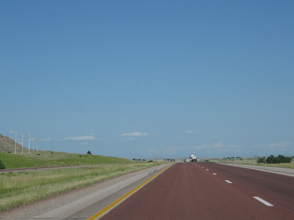
Interstate 90 proceeds east through the rolling hills between Rozet and Moorcroft. Photo taken 08/08/10. |
|
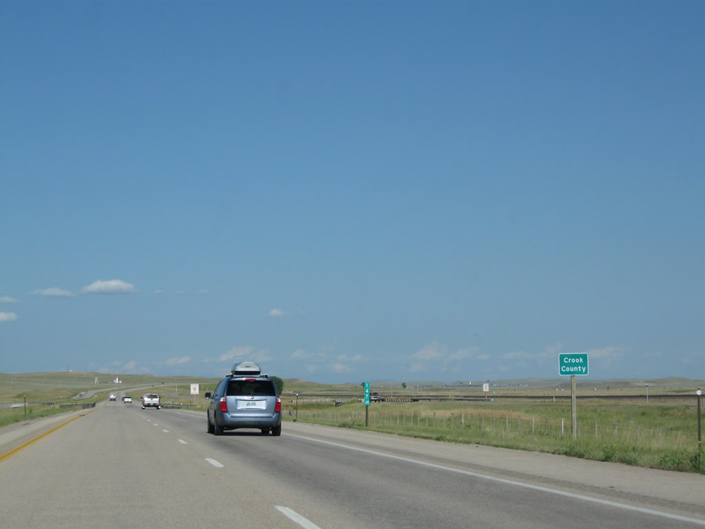
At Milepost 147.45, Interstate 90 leaves Campbell County and enters Crook County. Photo taken 08/08/10. |
Page Updated August 17, 2011.