| U.S. 50 east |
|
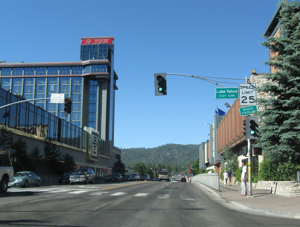
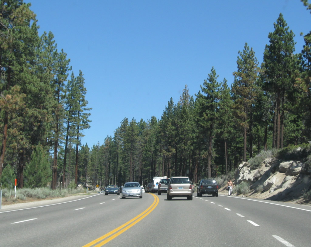
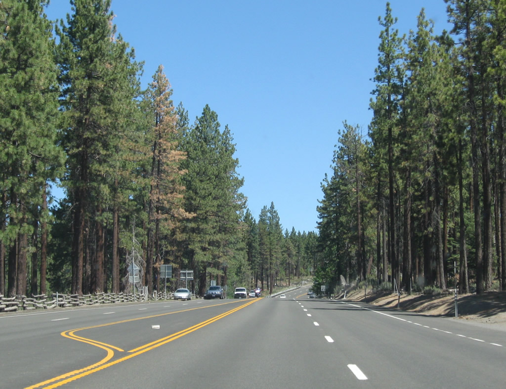
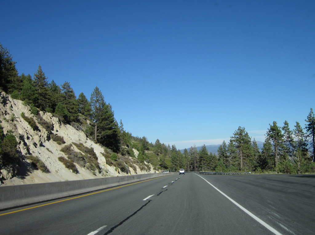
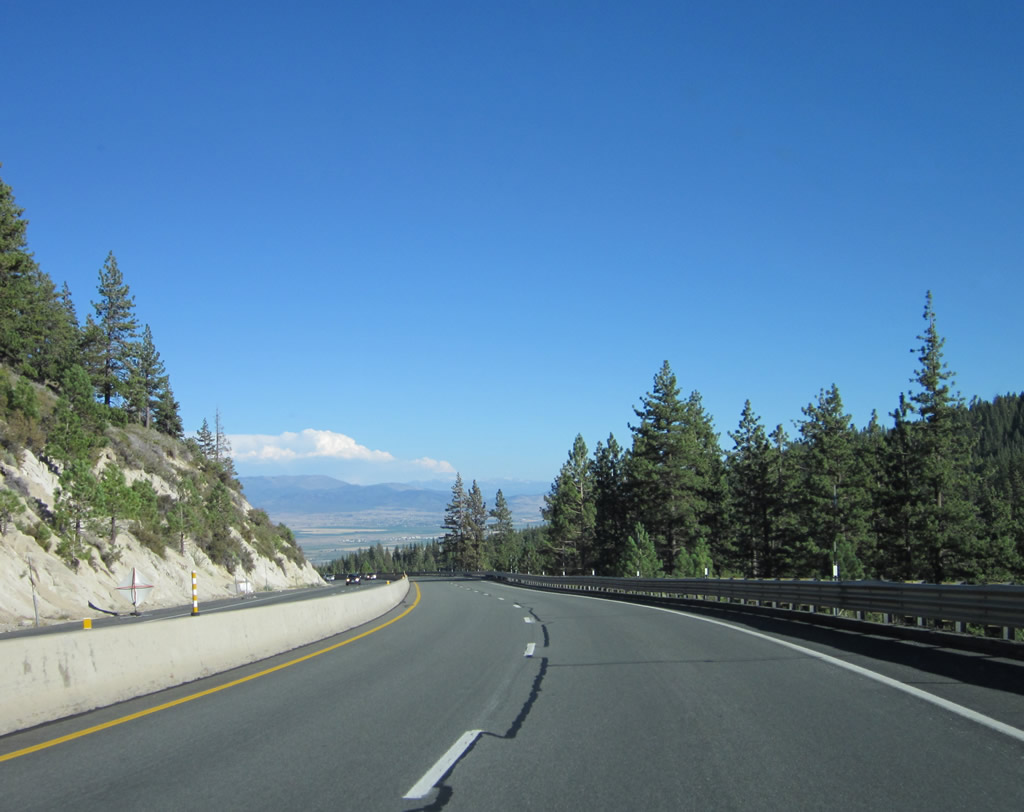
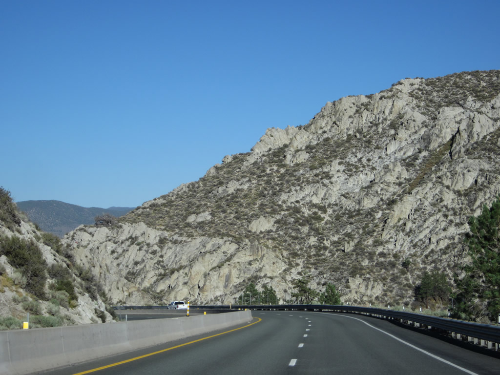
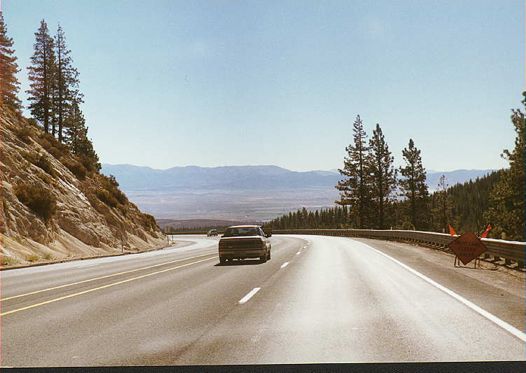
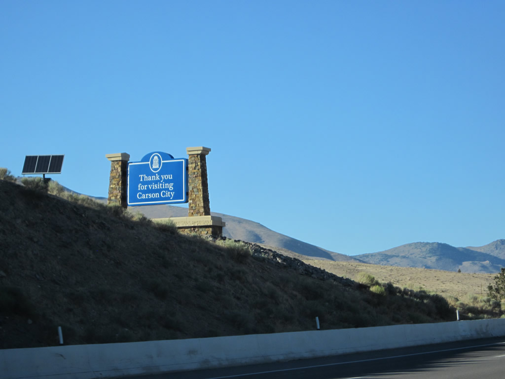
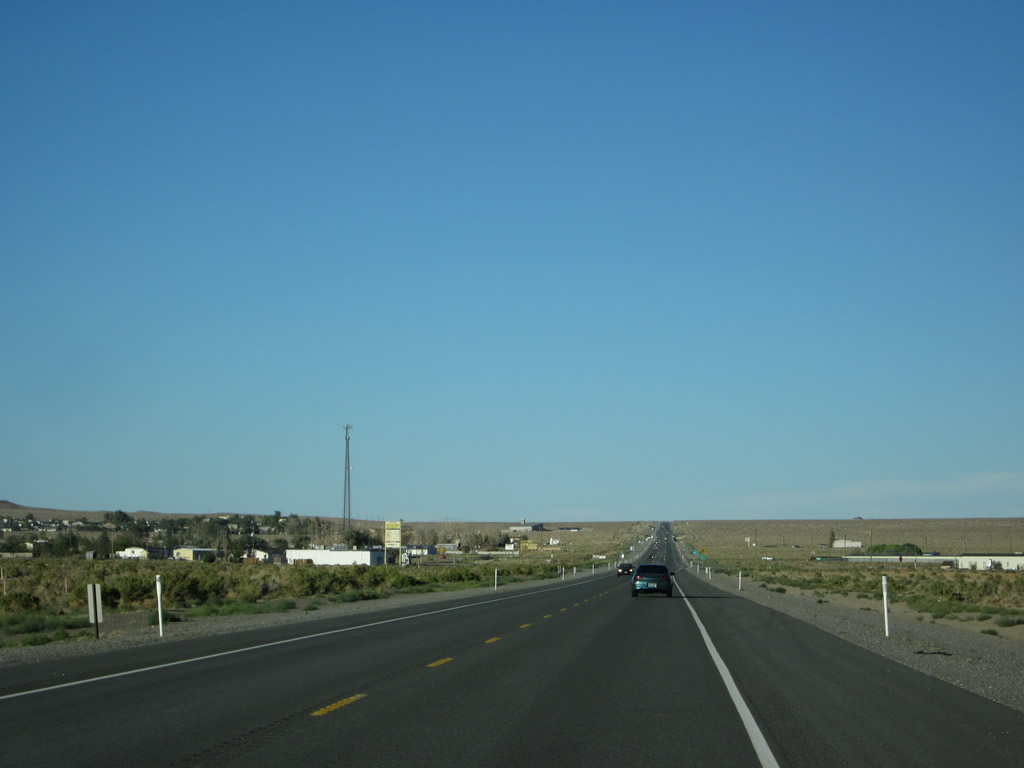
Leaving the city of South Lake Tahoe (El Dorado County) and the Golden State of California, eastbound U.S. 50 enters the unincorporated community of Stateline, a community of Douglas County in the Silver State of Nevada. Greeting us along U.S. 50 east are a pair of casinos, both owned currently by Harrahs: Harvey's Casino on the left (north) side and Harrah's Lake Tahoe on the right (south) side. Photo taken 07/20/09. |
|
A sidewalk, separated from the travel lanes of U.S. 50 by a wrought iron fence, allows pedestrians to proceed alongside the tall casinos of Stateline. Photo taken 07/31/12. |
|
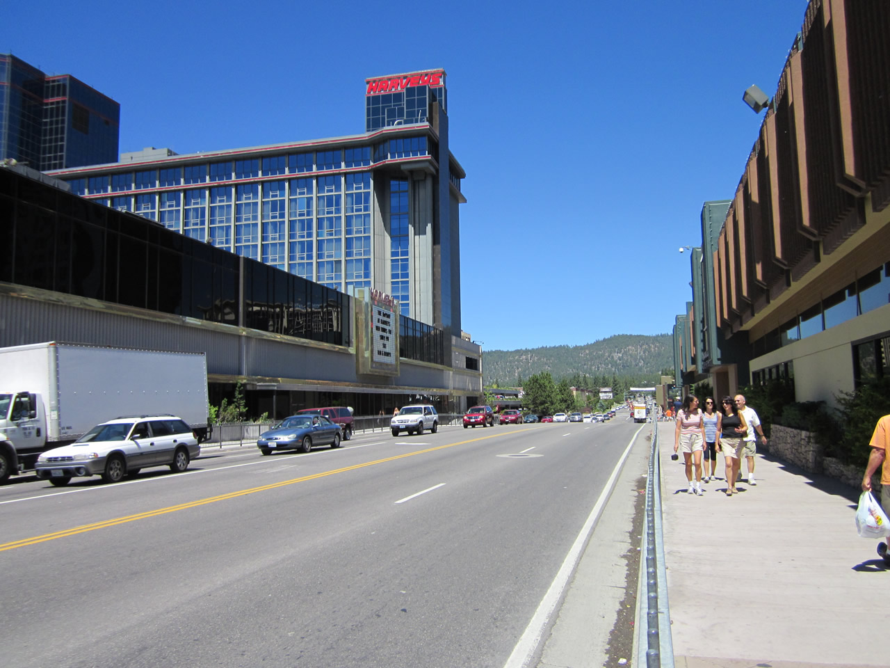
A planned redevelopment project will move U.S. 50 from this alignment between the two casinos to Lake Parkway, which would enable the route to bypass the casinos to the south. The national economic downturn has delayed this project, which remained incomplete as of July 2012. Harvey's Lake Tahoe Hotel and Casino and Harrah's Lake Tahoe have a bit of history at this location. Although these two casinos were built as competitors, today they are both owned by Harrah's. Harvey and Llewellyn Gross opened Harvey's in 1944, built the first high-rise tower in 1961, and were bought by Harrah's in 2001. The neighboring Harrah's opened in 1955, and its high-rise tower (with 18 stories with top-level restaurant with lake views) opened in 1973. Photo taken 07/20/09. |
|
A left turn leads to Harveys parking garage, while a right connects to Harrah's parking garage. Photo taken 07/20/09. |
|
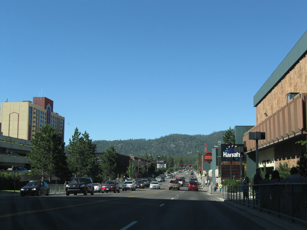
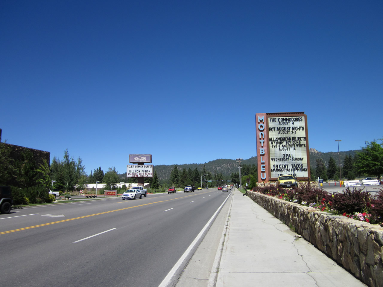
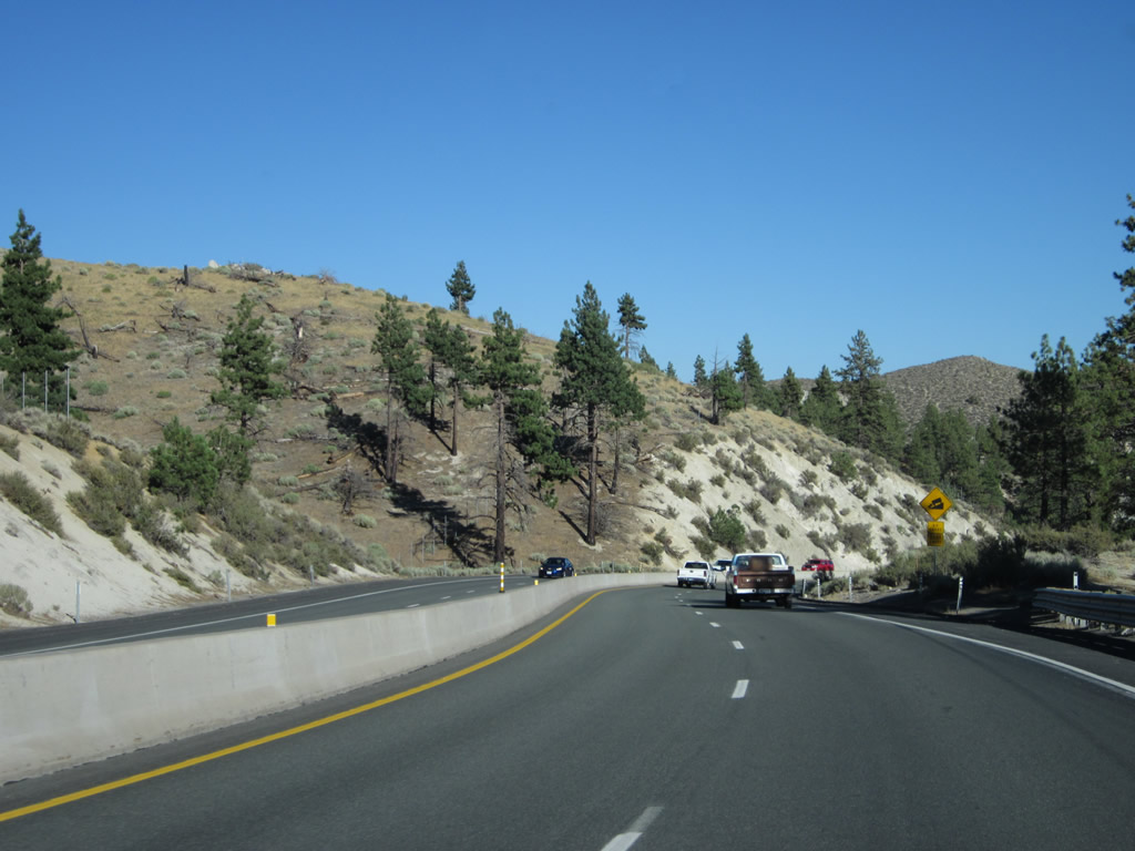
Eastbound U.S. 50 approaches the Montbleu casino, which is located just east of Harrahs Lake Tahoe on the south side of U.S. 50. Photo taken 07/20/09. |
|
|
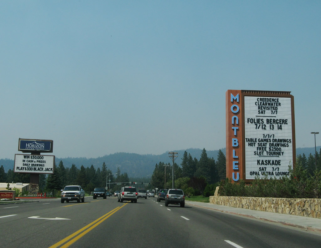
The Montbleu casino marquee dominates the view of U.S. 50. The marquee changes as events come and go from the casino as seen in the comparison between 2007 and 2012. Photos taken 07/31/12 and 07/08/07. |
|
|
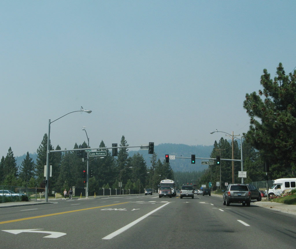
The next traffic signal along U.S. 50 east connects with Lake Parkway. Once U.S. 50 is realigned, it will follow Lake Parkway to the south and then west around the casinos. Photo taken 07/08/07. |
|
|
|
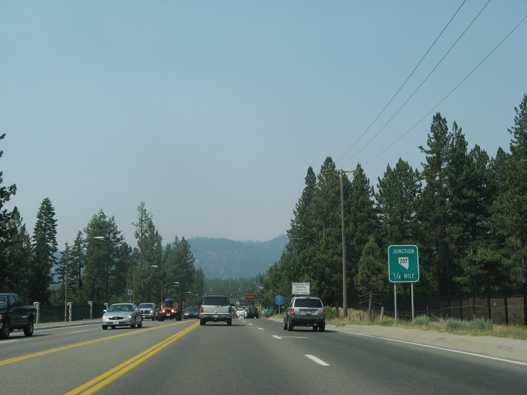
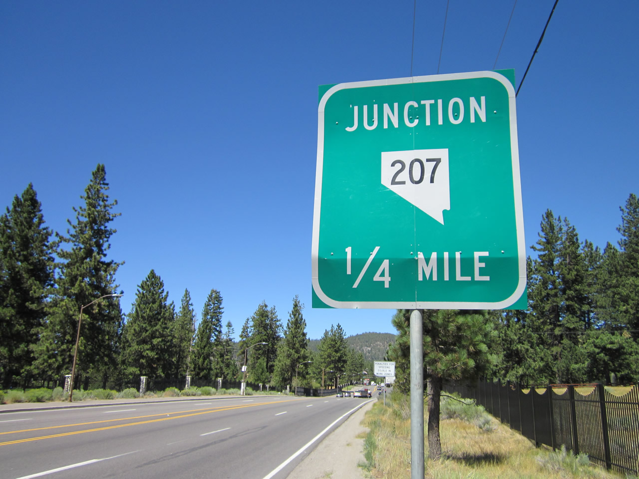
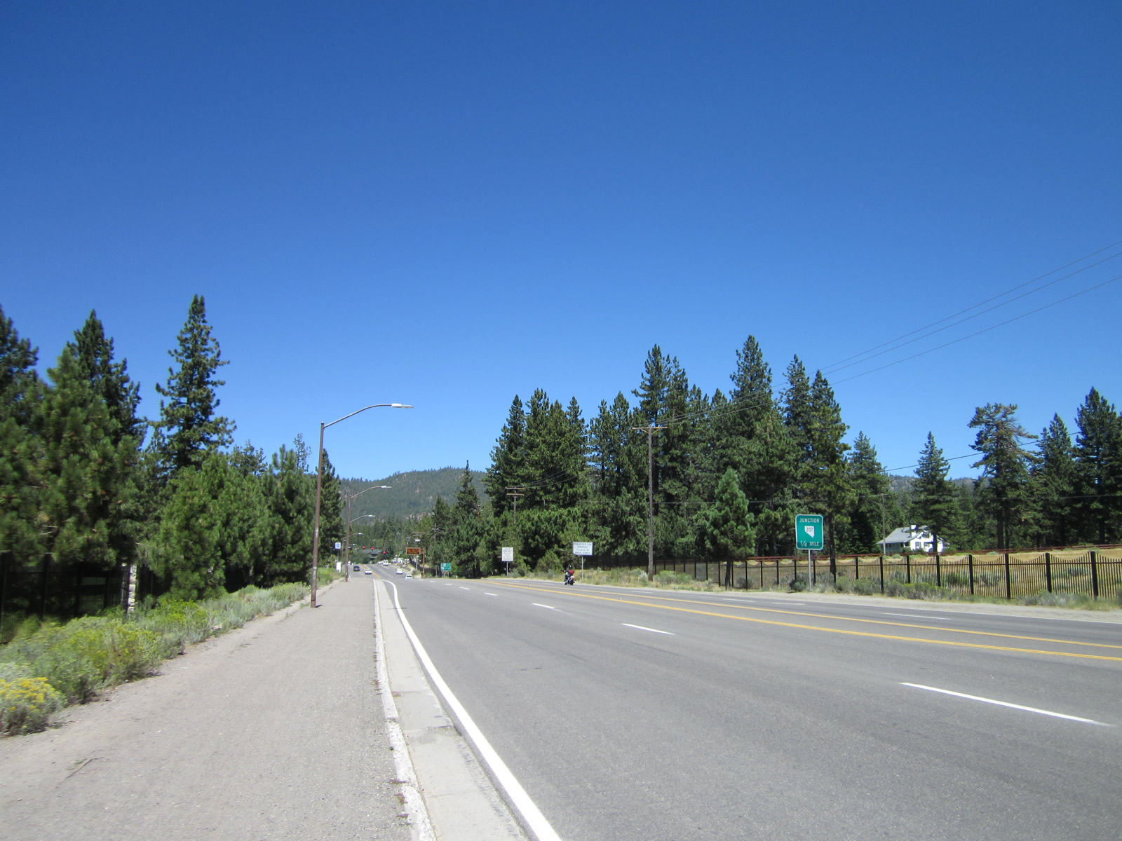
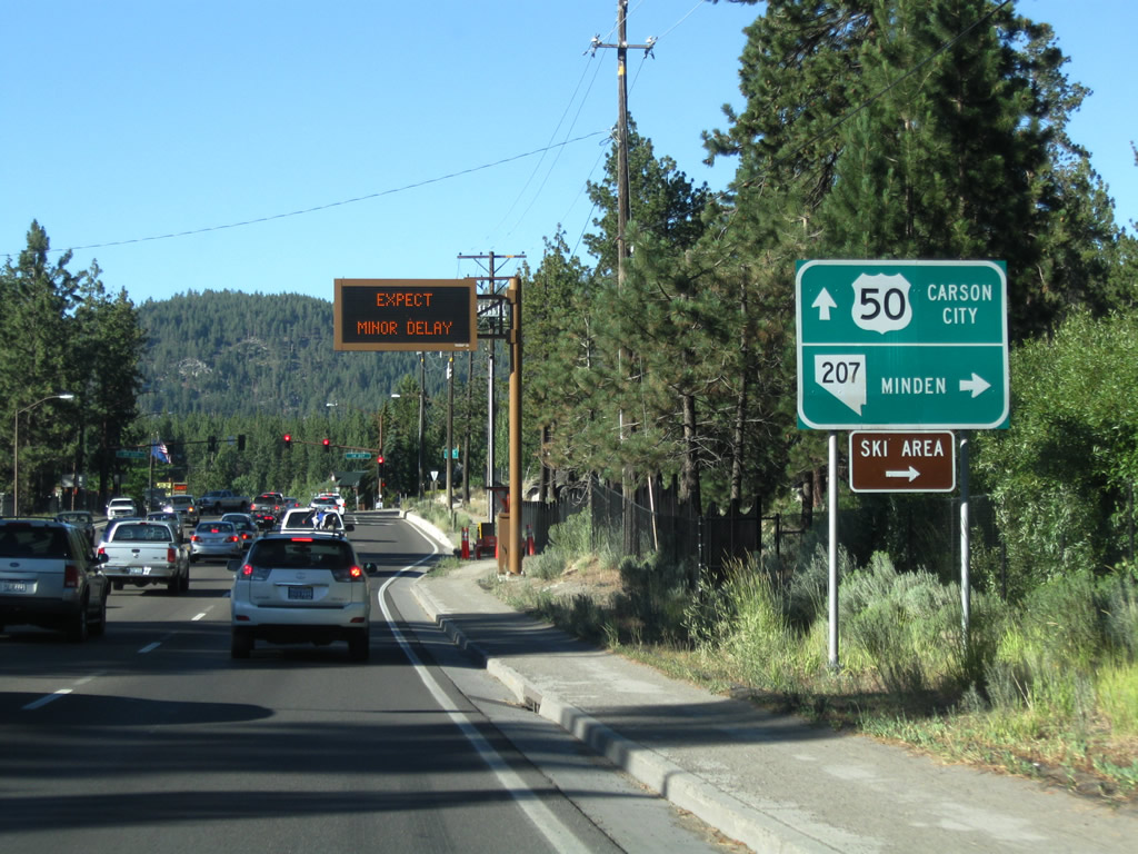
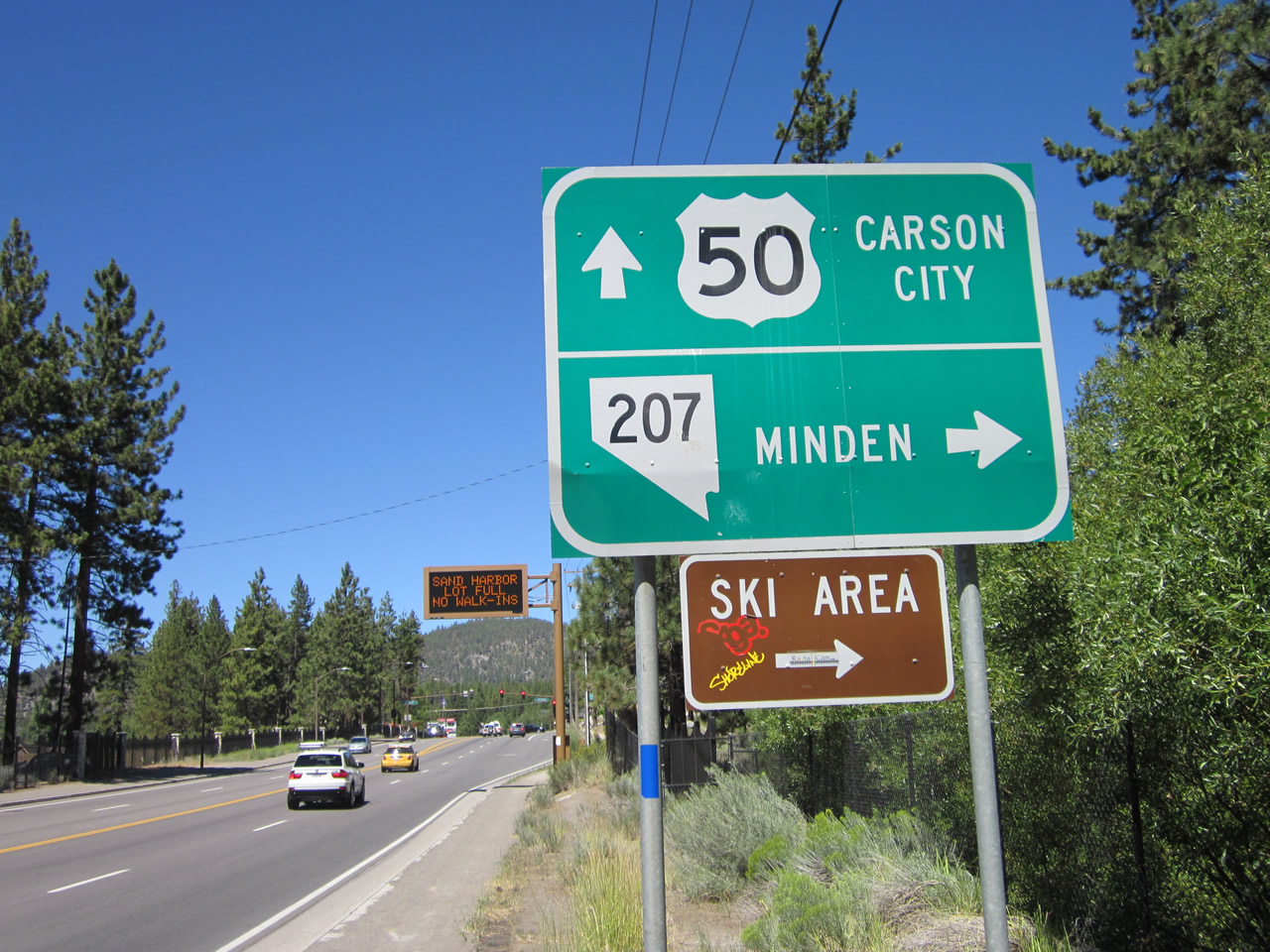
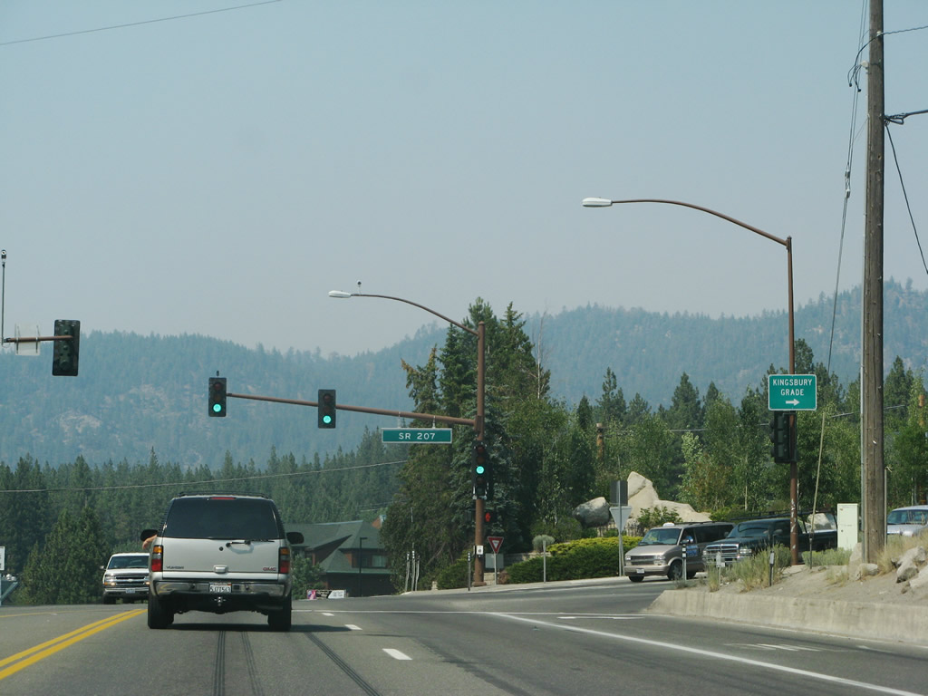
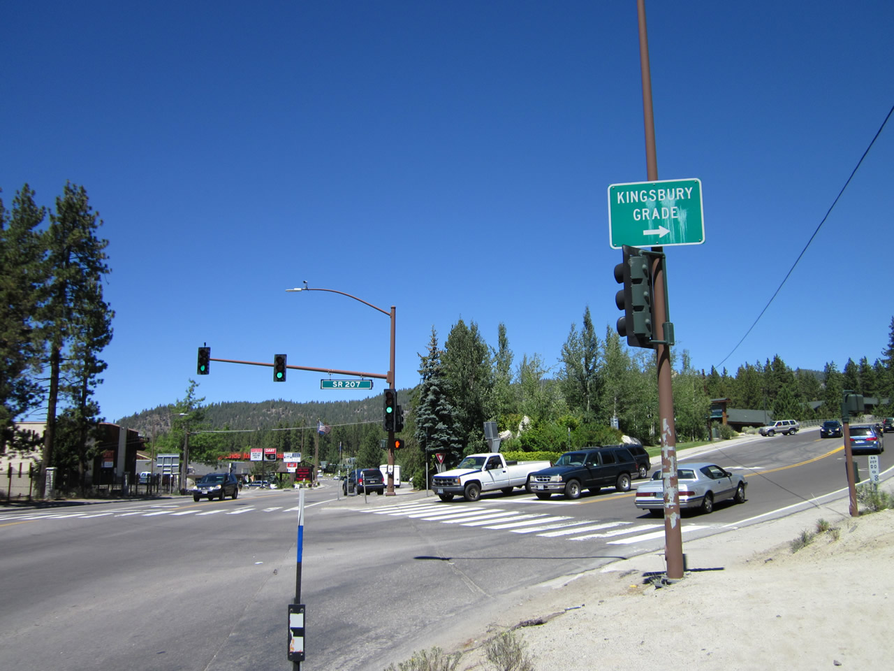
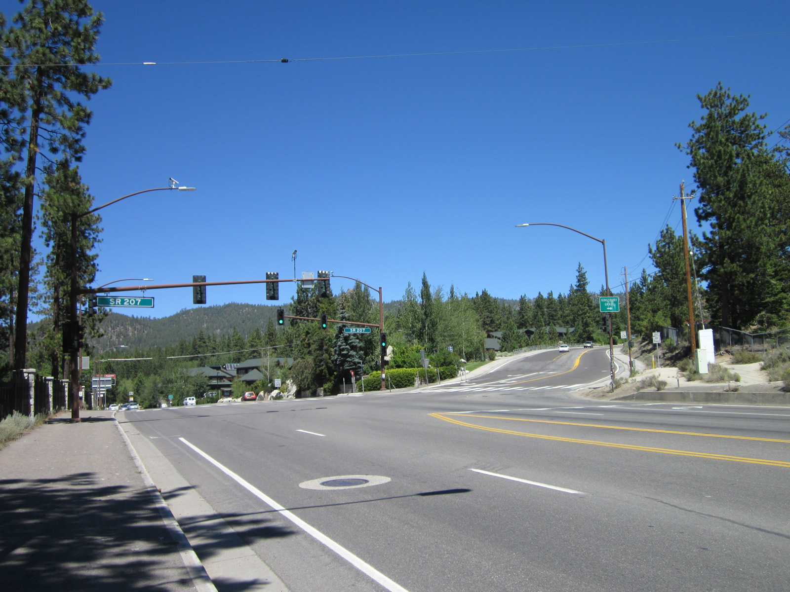
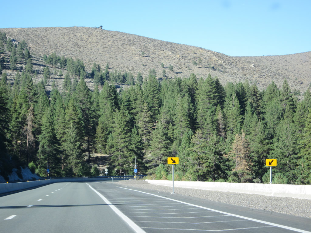
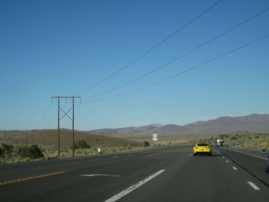
Continuing east, U.S. 50 approaches the intersection with Nevada 207/Kingsbury Grade east to Minden and Gardnerville in the Carson Valley. Photos taken 07/08/07 and 07/31/12. |
|
|
|
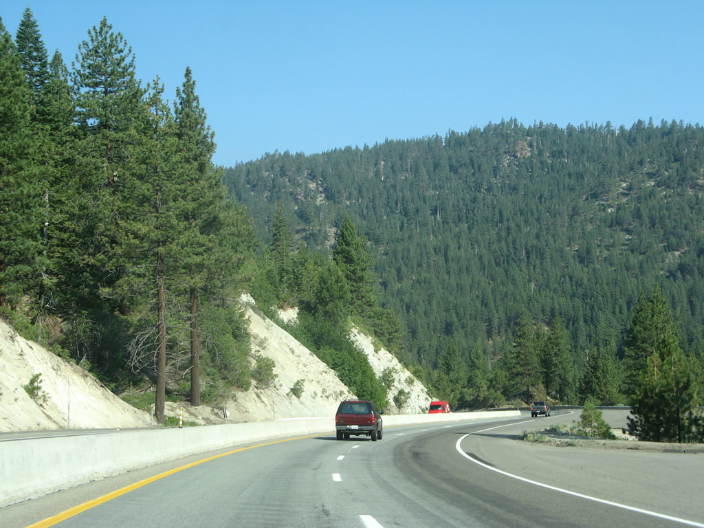
While Nevada 207 turns right to cross Daggett Pass en route to Carson Valley, U.S. 50 turns to the northeast to pass Zephyr Cove and Spooner Summit on its way to Nevada's capital, Carson City. Photos taken 07/08/07, 07/23/09, and 07/31/12. |
|
|
|
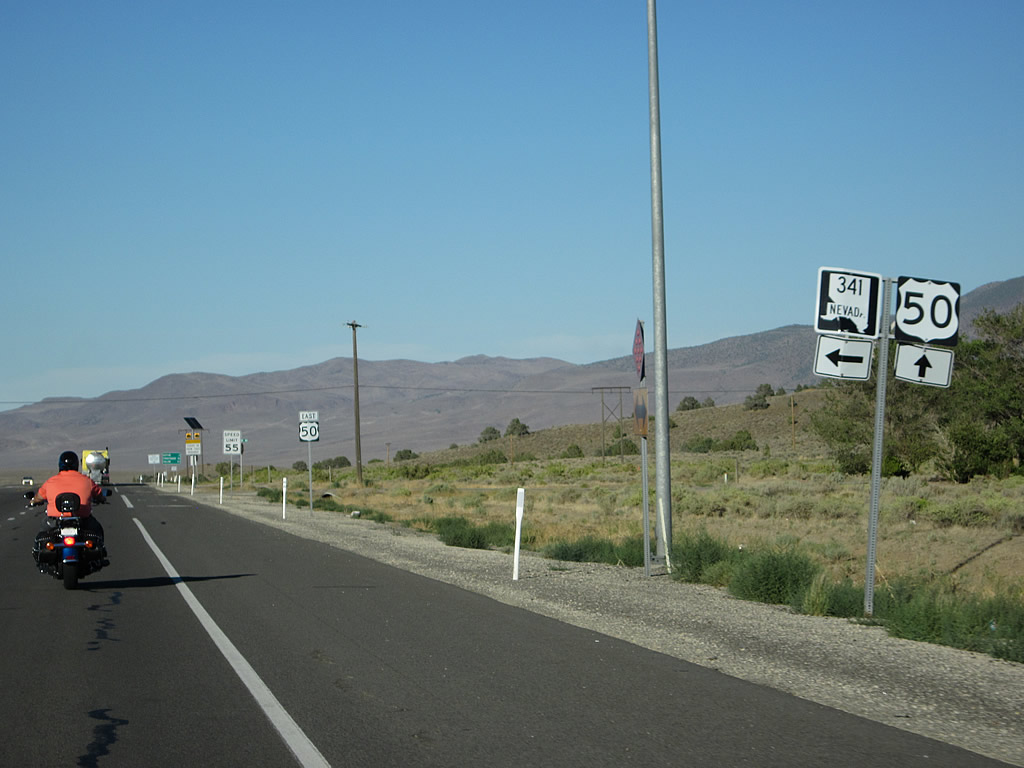
Eastbound U.S. 50 meets Nevada 207/Kingsbury Grade to Minden and Gardnerville at this signalized intersection. Photos taken 07/08/07 and 07/31/12. |
|
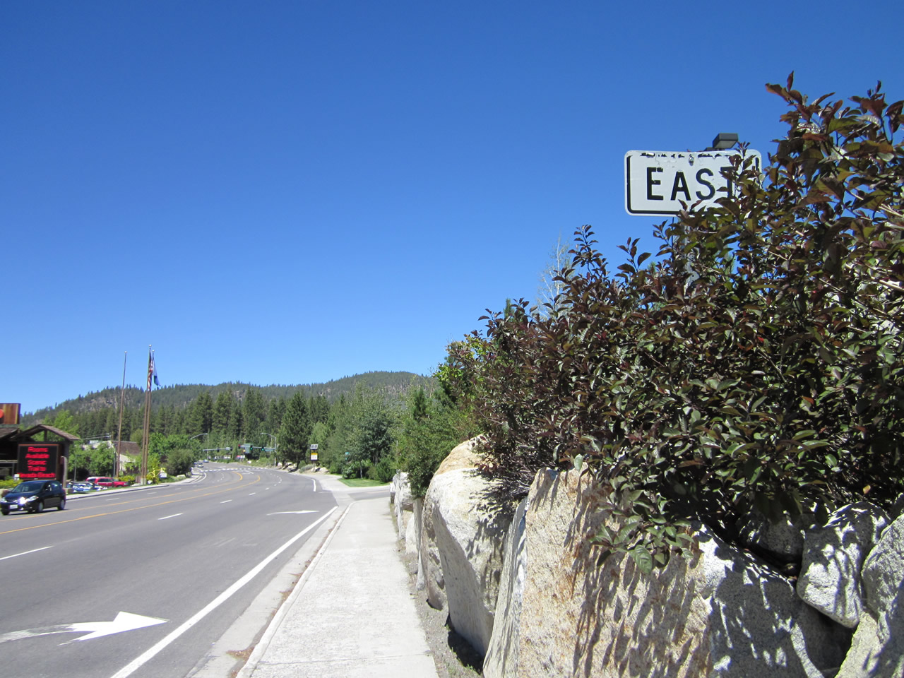
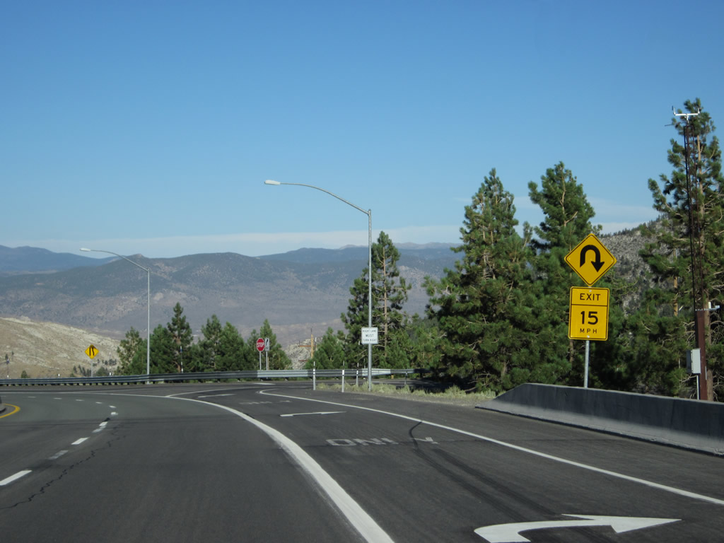
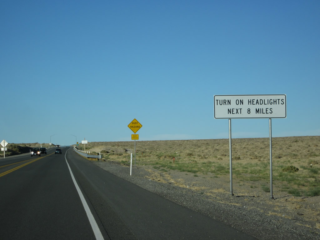
Leaving the Nevada 207 intersection, an EAST banner is posted along with a missing U.S. 50 reassurance route marker. This would be the first U.S. 50 east reassurance shield assembly in Nevada if the shield itself were not missing. Photo taken 07/31/12. |
|
|
|
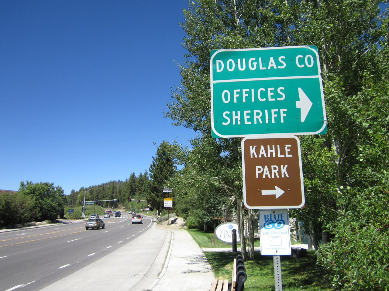
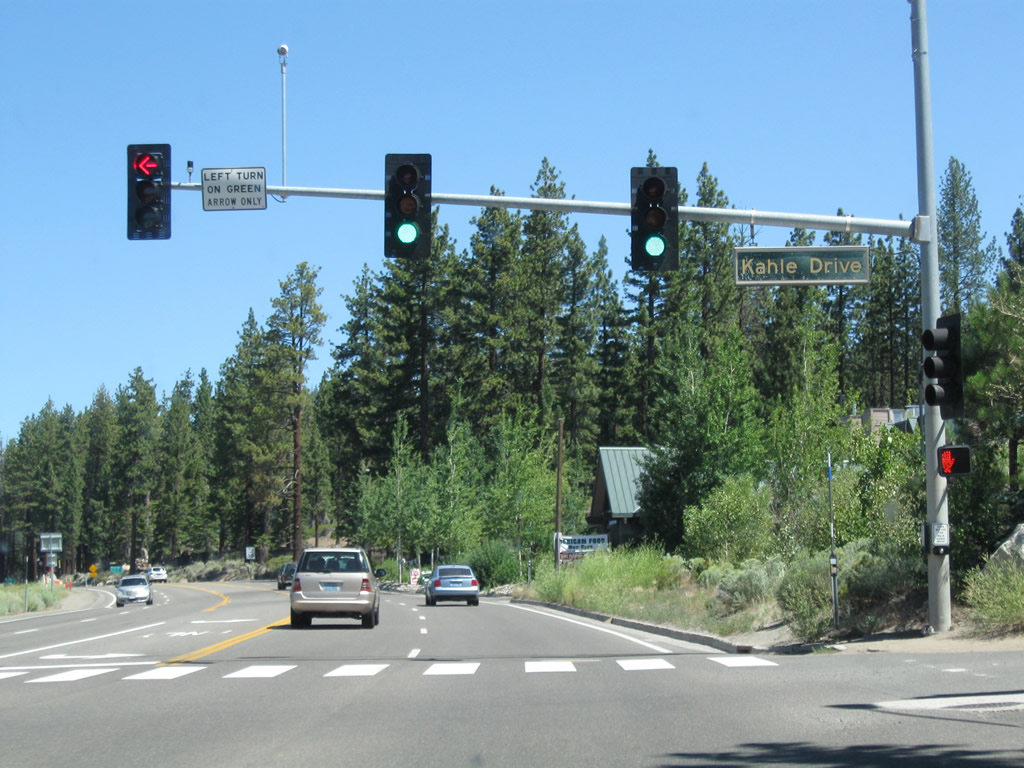
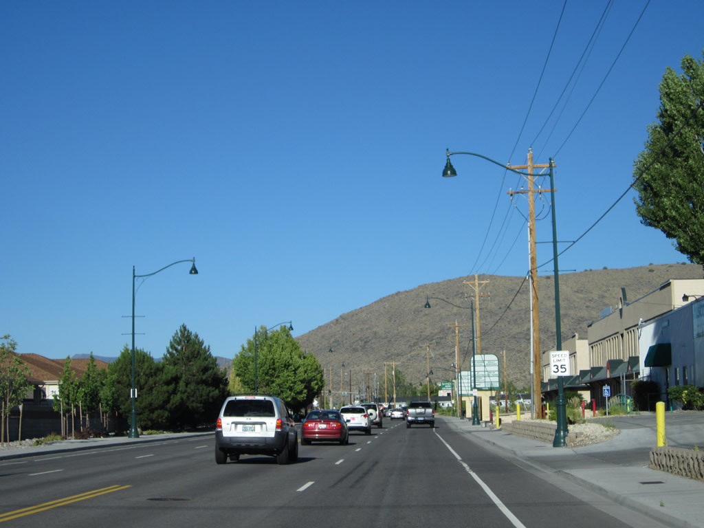
Immediately thereafter, eastbound U.S. 50 meets Kahle Drive at this intersection. Between the state line and the Cave Rock Tunnels, U.S. 50 passes through the unincorporated community of Kingsbury (population of 2,624 as of the 2000 Census). Photos taken 07/31/12 and 07/24/09. |
|
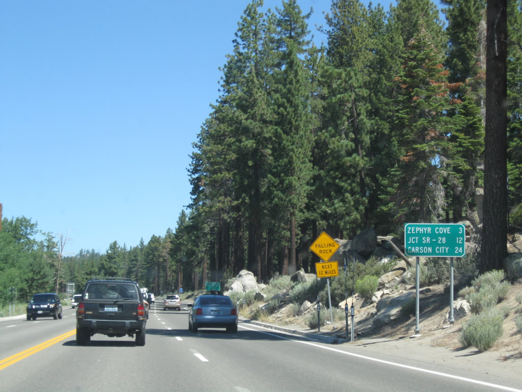
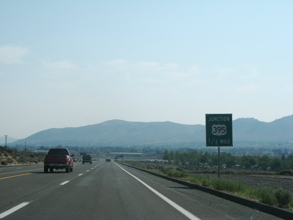
This mileage sign provides the distance to Zephyr Cove (three miles), Spooner Junction (Nevada 28, 12 miles), and Carson City (U.S. 395, 24 miles). Photo taken 07/24/09. |
|
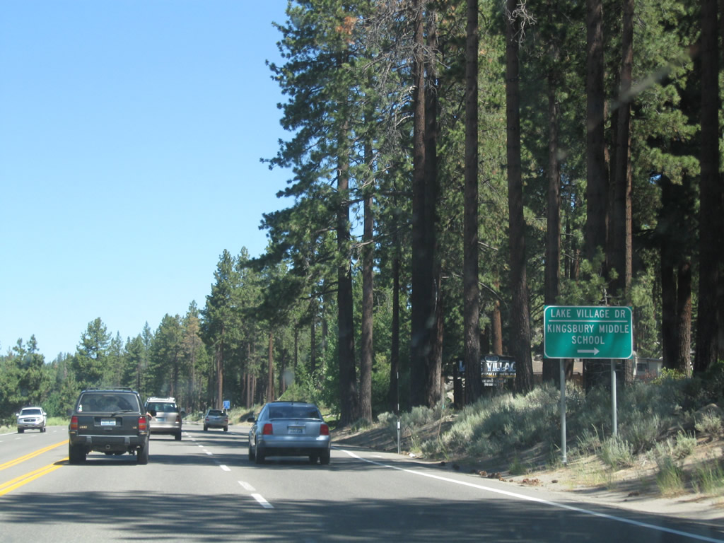
Eastbound U.S. 50 approaches Lake Village Drive. It is common in Nevada to see guide signs on state routes pointing the way to local schools. Photo taken 07/24/09. |
|
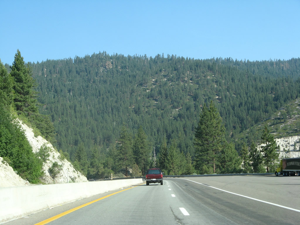
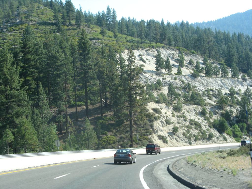
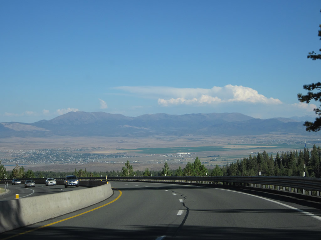
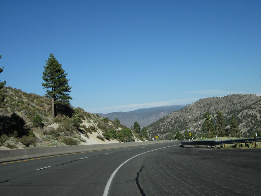
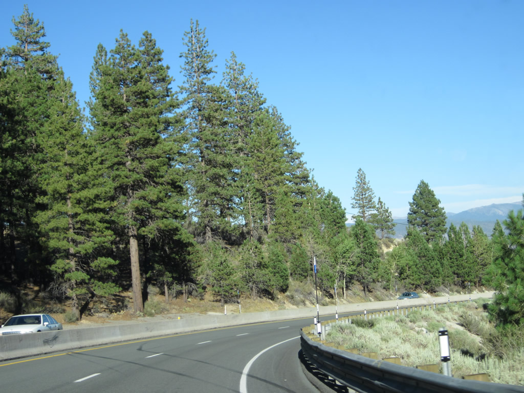
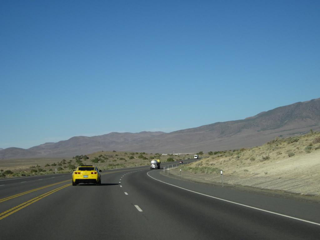
Turning northeast, U.S. 50 proceeds along the southeastern shore of Lake Tahoe. The U.S. highway sees at least two lanes in each direction from the state line all the way to the U.S. 395 junction in Carson City. Photo taken 07/24/09. |
|
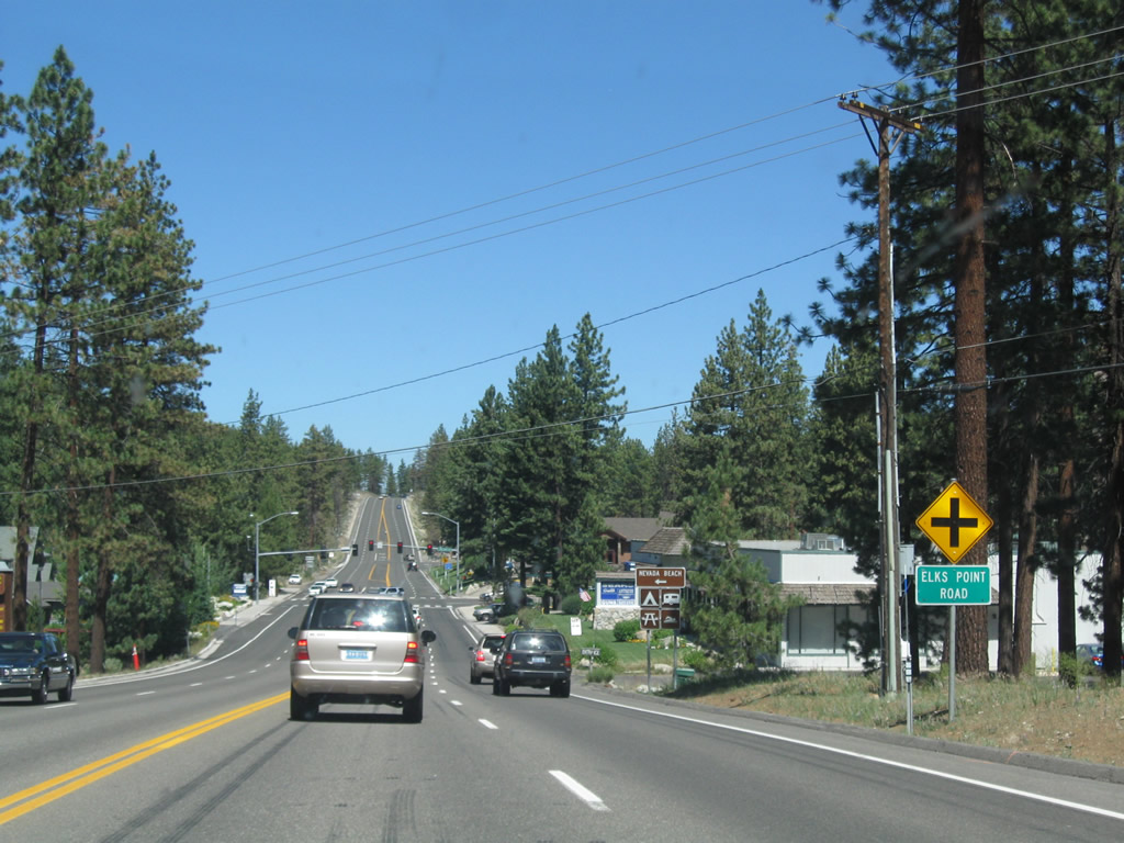
The next intersection along U.S. 50 is Nevada 760/Elks Point Road west to Nevada Beach. Photo taken 07/24/09. |
|
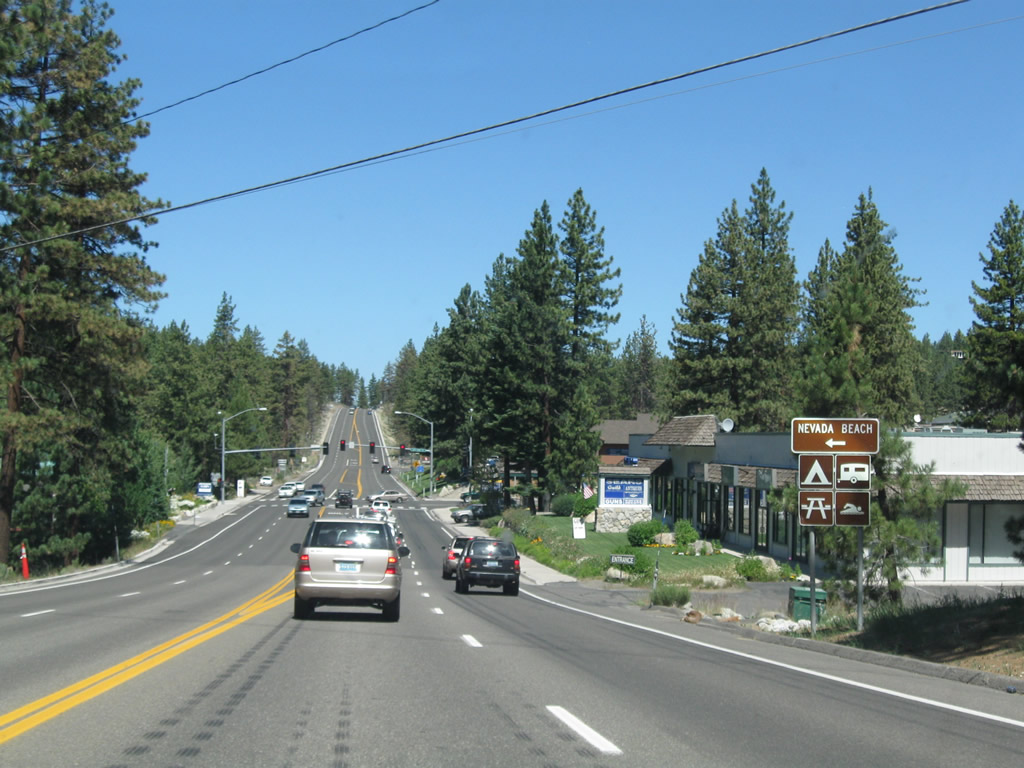
Nevada Beach is a long (0.7-mile) strip of sand that features swimming, camping, and picnicking. Nevada 760 is a very short state route that connects U.S. 50 with the campground and beach. Photo taken 07/24/09. |
|
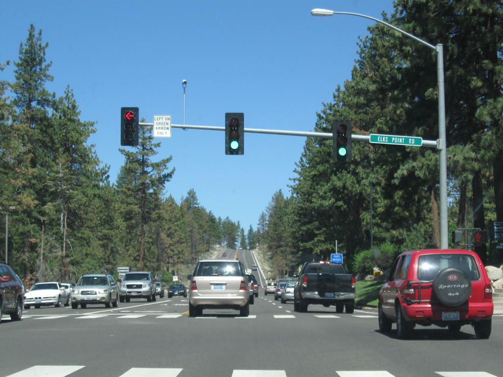
Eastbound U.S. 50 meets Nevada 760/Elks Point Road west to Nevada Beach and east for local access. The state route is unsigned from U.S. 50, but a Nevada 760 trailblazer is posted on westbound Elks Point Road. Photo taken 07/24/09. |
|
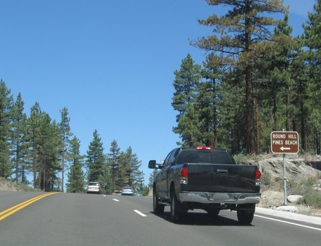
The next left connects eastbound U.S. 50 with Round Hill Pines Beach. Photo taken 07/24/09. |
|
Leaving the vicinity of Nevada Beach, eastbound U.S. 50 next approaches Zephyr Cove, another popular beach. Photo taken 07/24/09. |
|
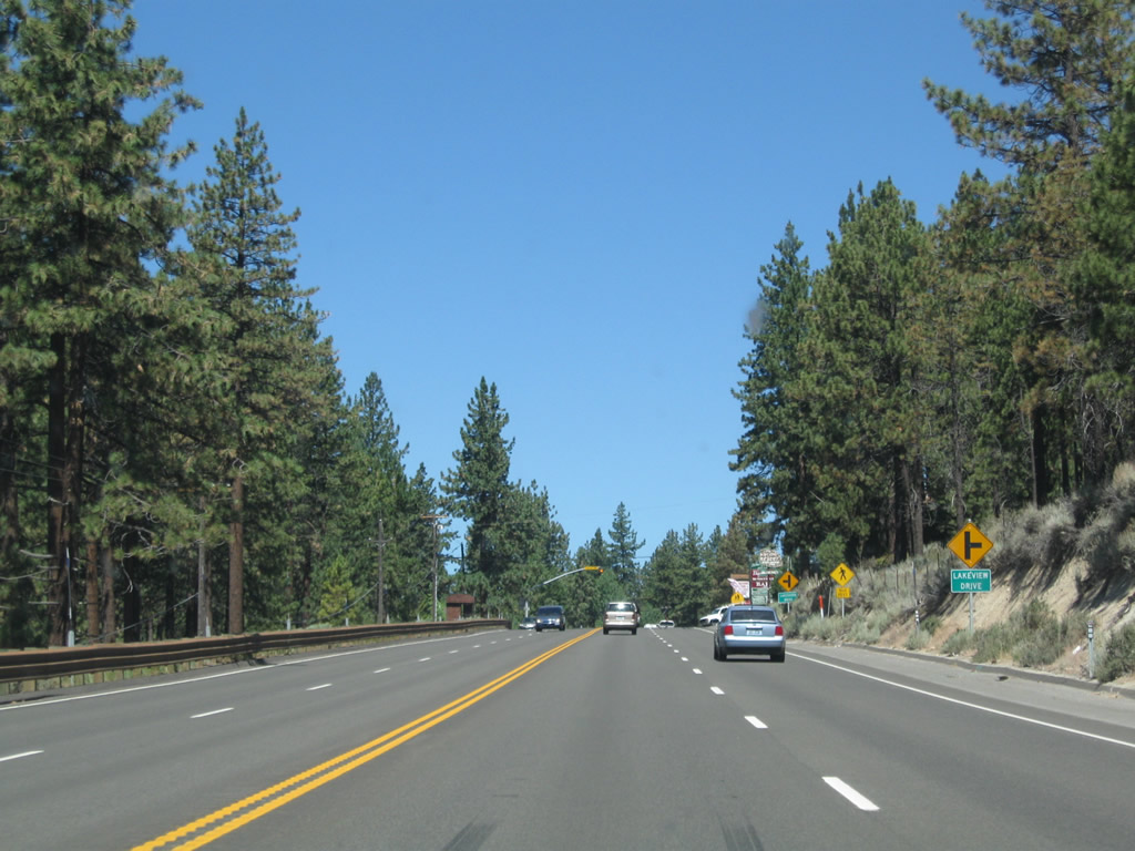
Eastbound U.S. 50 approaches Lakeview Drive (next right) and Lakeshore Drive (next left). These roads provide local and residential access. Photo taken 07/24/09. |
|
After the Lakeshore Drive and Presbyterian Drive intersections, eastbound U.S. 50 sees a sharp curve with 30-mile-per-hour suggested speed. Photo taken 07/24/09. |
|
The next traffic signal along U.S. 50 east is the entrance to Zephyr Cove. This is another popular swimming and camping area. In addition, Zephyr Cove has a cruise ship terminal for the Tahoe Queen and M.S. Dixie II; these two ships travel multiple times daily between Zephyr Cove and Emerald Bay. Limited lodging is also available at the resort. Photo taken 07/24/09. |
|
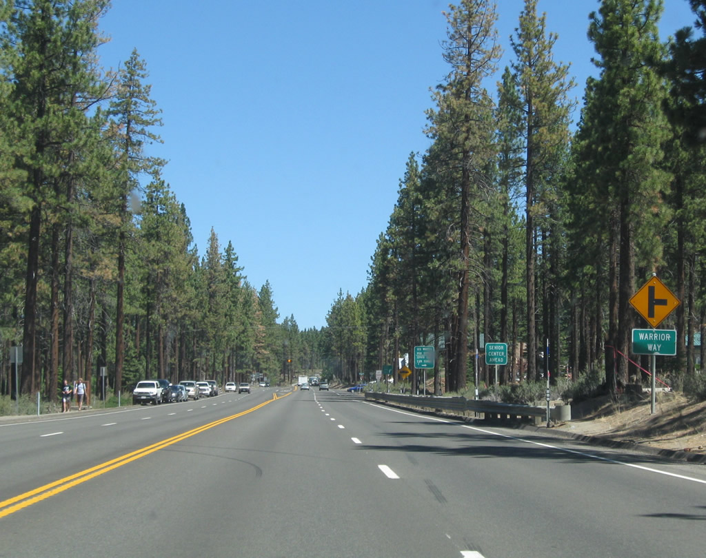
The next right turn connects U.S. 50 to Warrior Way en route to Zephyr Cove Park and George Whittell High School. Photo taken 07/24/09. |
|
This view looks northeast on U.S. 50 after the Warrior Way intersection. Photo taken 07/24/09. |
|
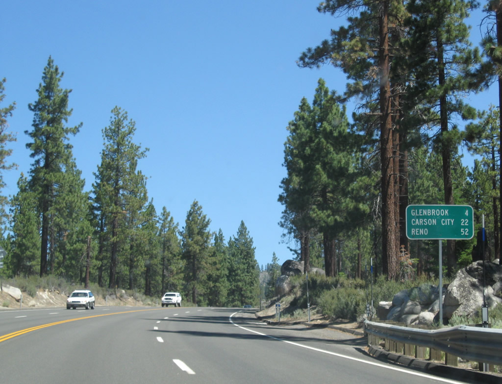
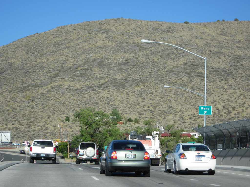
This mileage sign along U.S. 50 east provides the distance to Glenbrook (four miles), Carson City (22 miles), and Reno (52 miles via U.S. 395 north). Photo taken 07/24/09. |
|
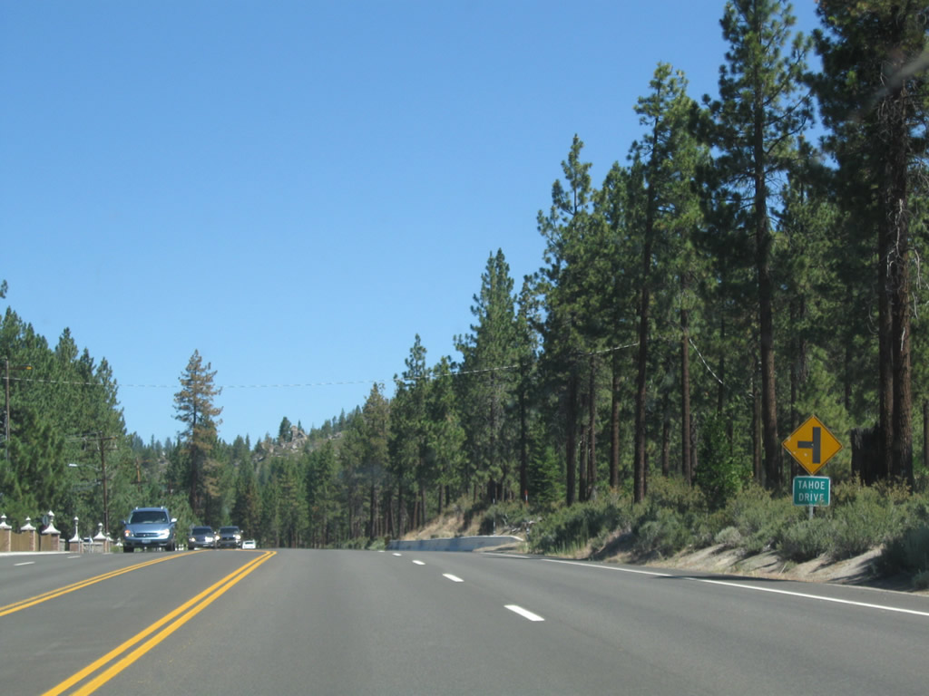
The next left from eastbound U.S. 50 connects to Tahoe Drive, which serves a small residential community between U.S. 50 and the lake. Photo taken 07/24/09. |
|
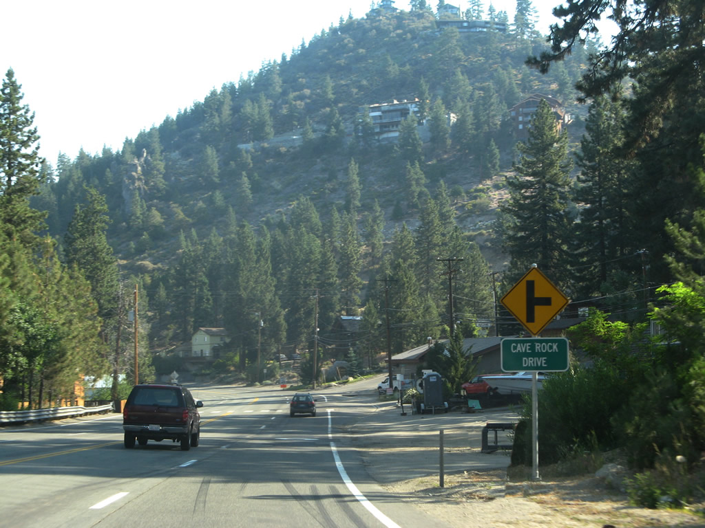
Passing through the unincorporated community of Glenbrook, eastbound U.S. 50 approaches Cave Rock Drive. Photo taken 07/09/07. |
|
|
|
|
|
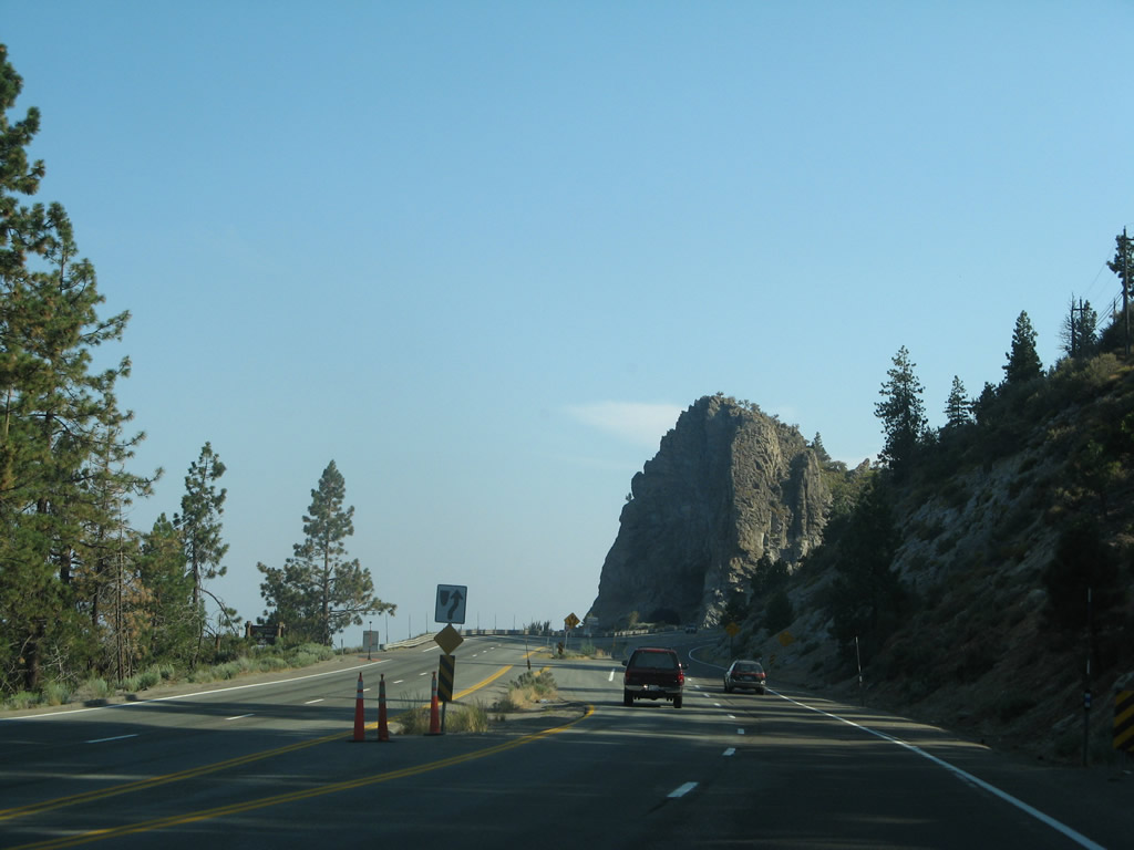
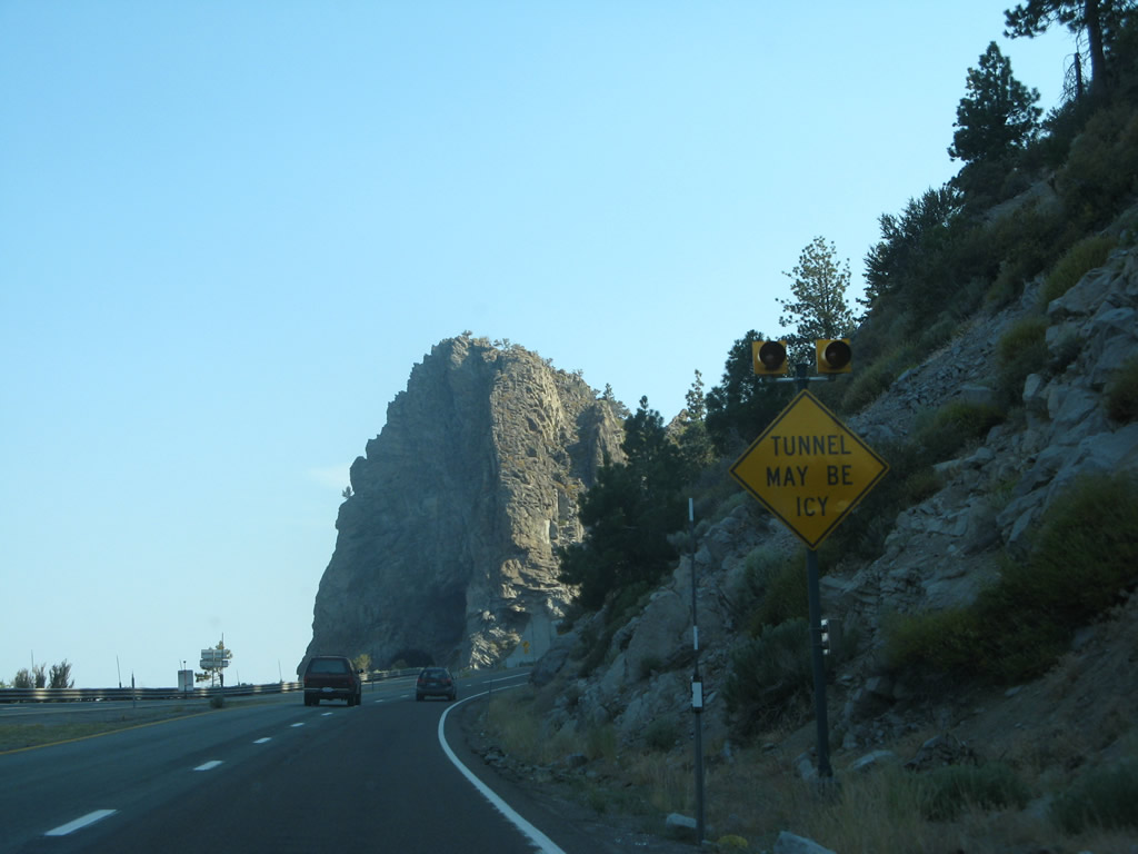
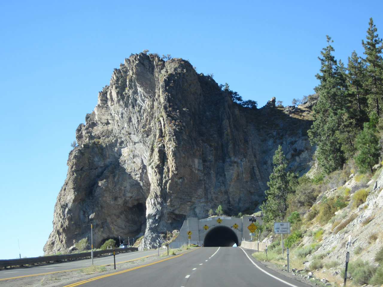
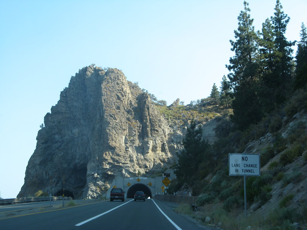
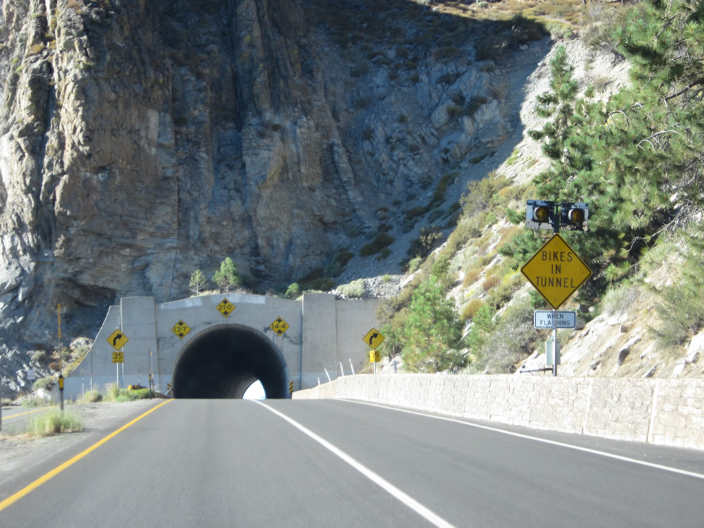
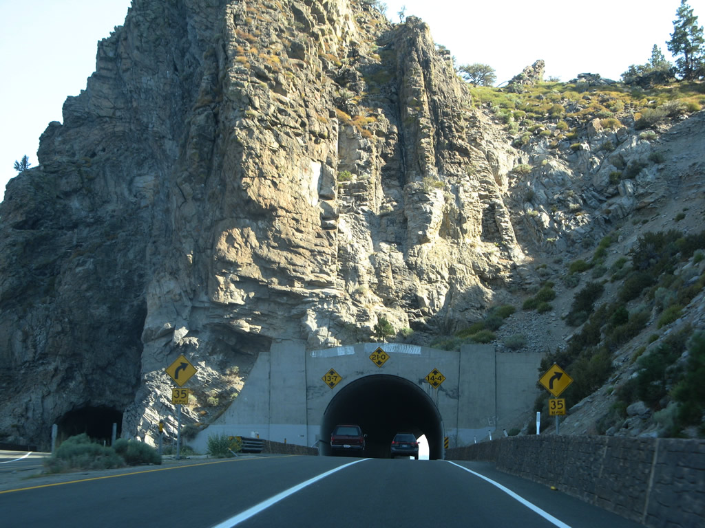
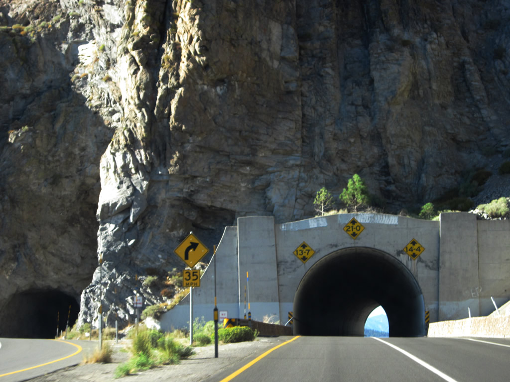
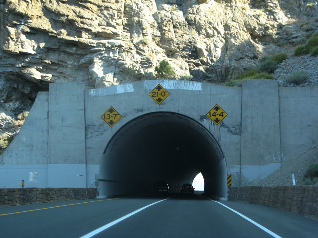
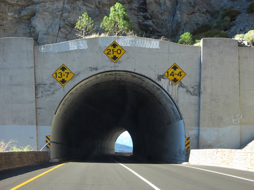
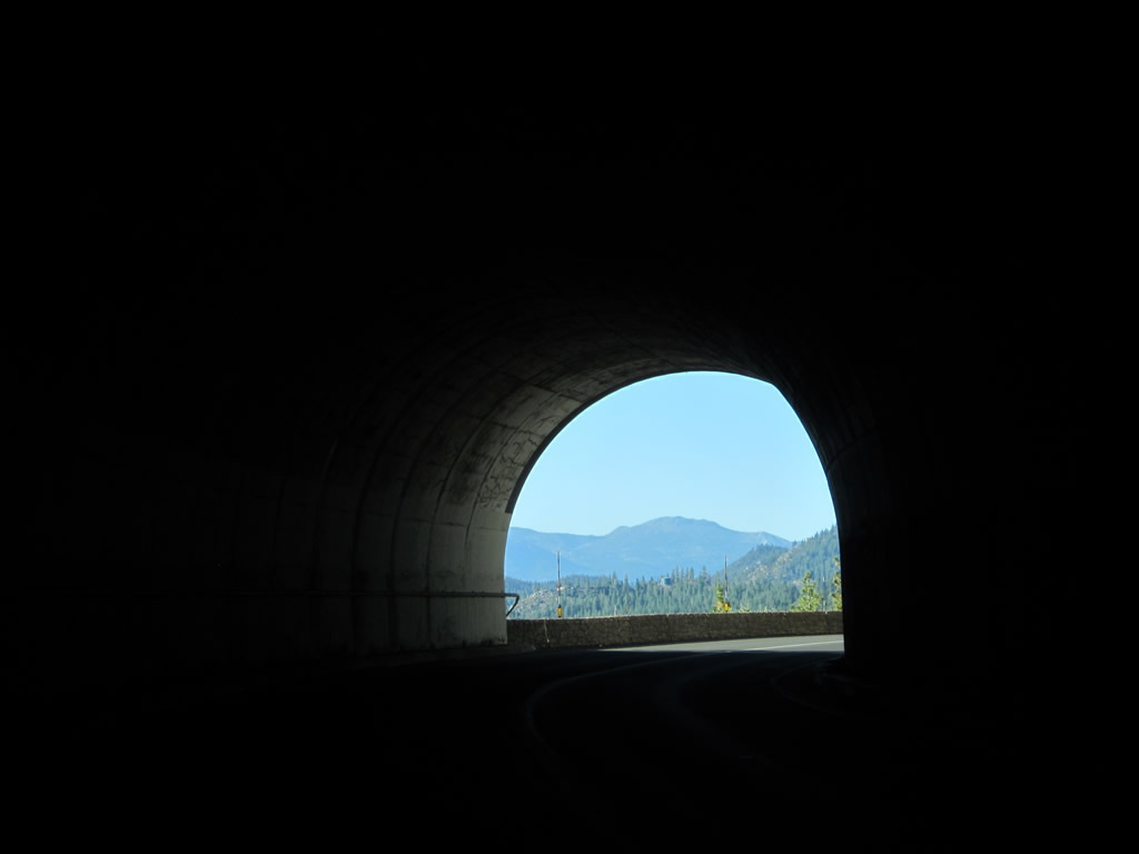
| U.S. 50 approaches and passes through the Cave Rock Tunnels between Glenbrook and Zephyr Cove. The tunnels consists of two separate bores, one for eastbound and the other for westbound traffic. The original tunnel is the westbound tunnel, and it was built in 1931. The eastbound tunnel was built in 1957.1 Photos taken 07/31/12 and 07/09/07. |
|
|
|
|
|
|
|
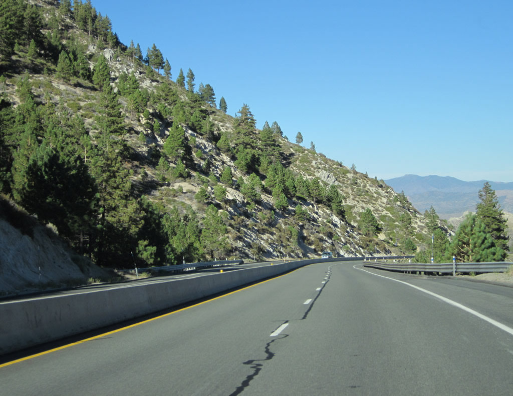
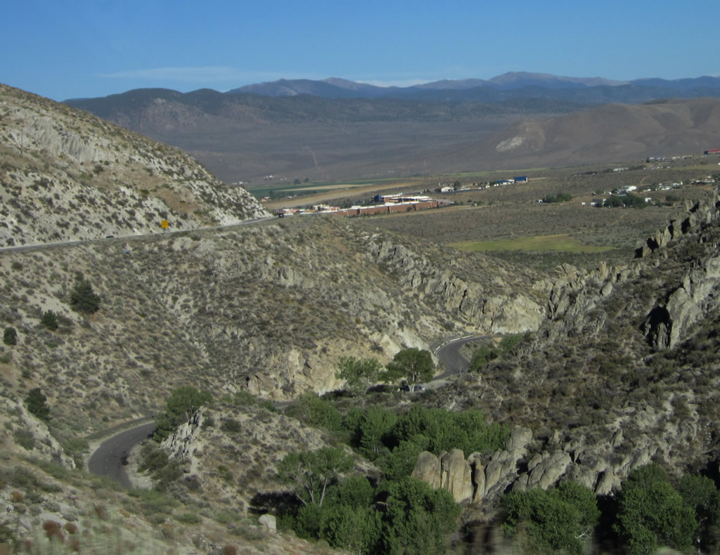
Leaving the Cave Rock Tunnels behind, eastbound U.S. 50 again sees an undivided expressway configuration. Northeast of the tunnels, U.S. 50 has limited development on the roadside. Photos taken 07/31/12. |
|
|
|
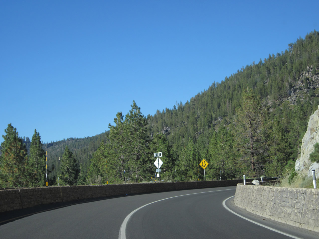
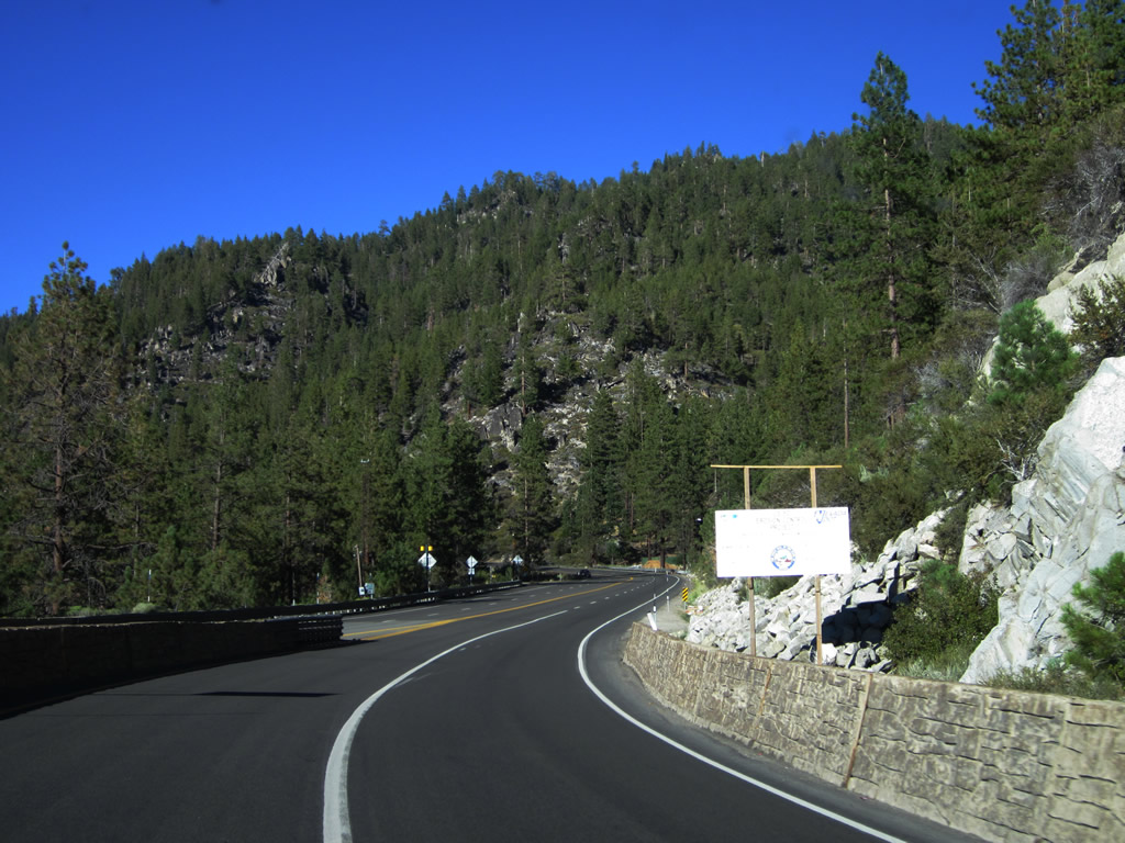
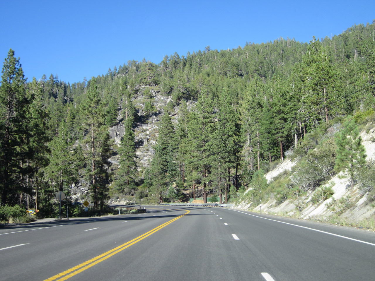
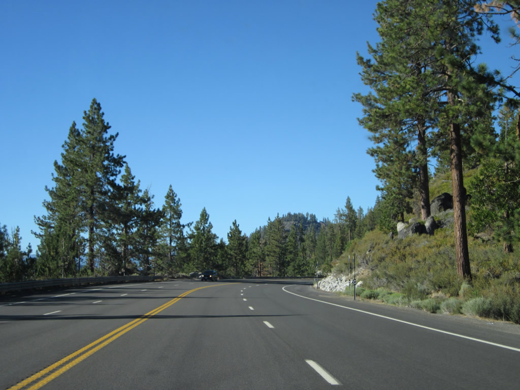
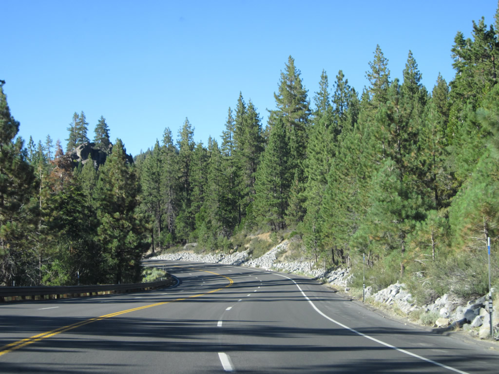
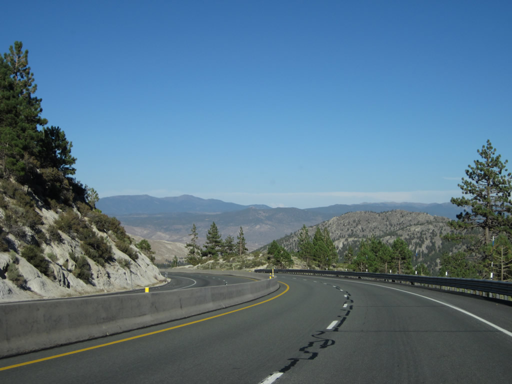
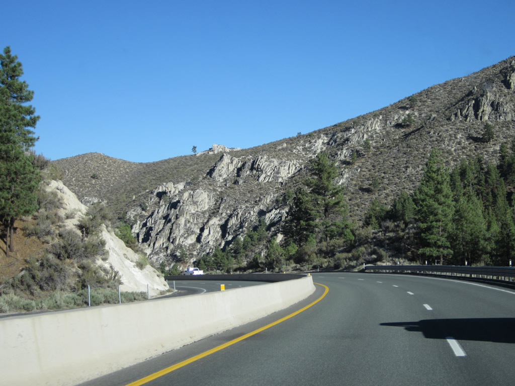
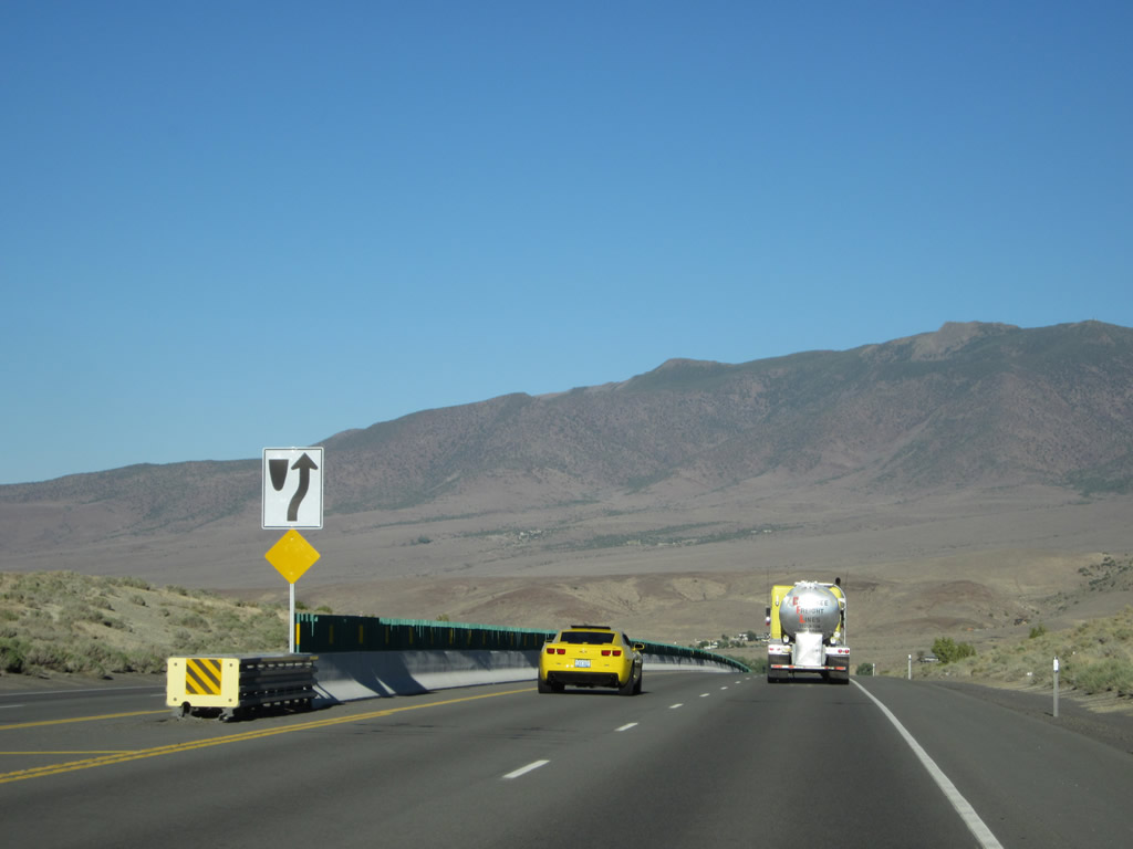
U.S. 50 will retain this configuration (of four lanes with no center divider) for much of the way between Cave Rock and Spooner Summit. The highway follows the southwestern edge of the lake, proceeding almost due north until reaching the Nevada 28 intersection. Photos taken 07/31/12. |
|
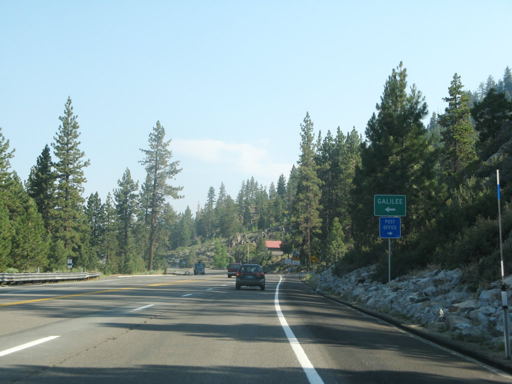
Eastbound U.S. 50 approaches the turnoff to Galilee Tahoe Episcopal Camp and Conference Center at the unincorporated community of Glenbrook. Photo taken 07/09/07. |
|
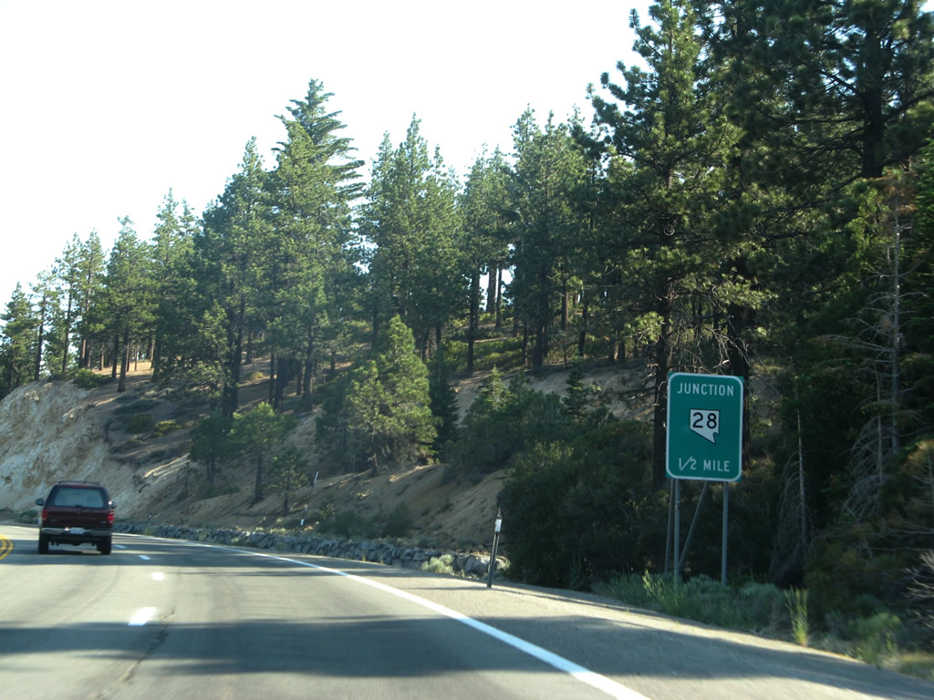
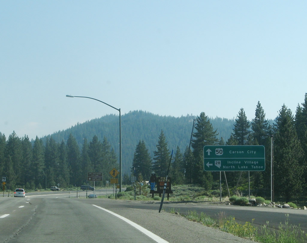
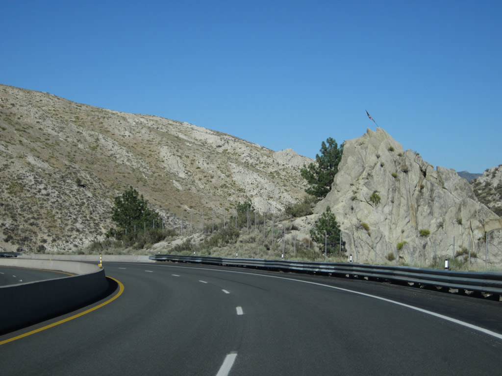
Eastbound U.S. 50 approaches Nevada 28 north to Incline Village and Crystal Bay. Nevada 28 will continue the loop tour around Lake Tahoe, connecting with California 28 and then ending at California 89 in Tahoe City. Photo taken 07/09/07. |
|
A left turn connects eastbound U.S. 50 with Nevada 28 north to Lake Tahoe Nevada State Park and Incline Village. U.S. 50 again turns east to descend into Carson City. Photo taken 07/09/07. |
|
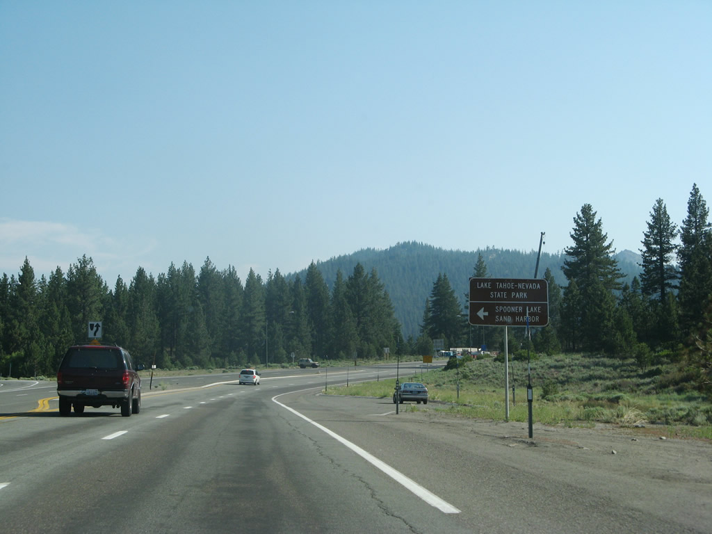
Use Nevada 28 northwest to Lake Tahoe Nevada State Park, Spooner Lake, and Sand Harbor. Lake Tahoe Nevada State Park preserves a significant section of Lake Tahoe shoreline between Spooner Junction and Incline Village. Photo taken 07/09/07. |
|
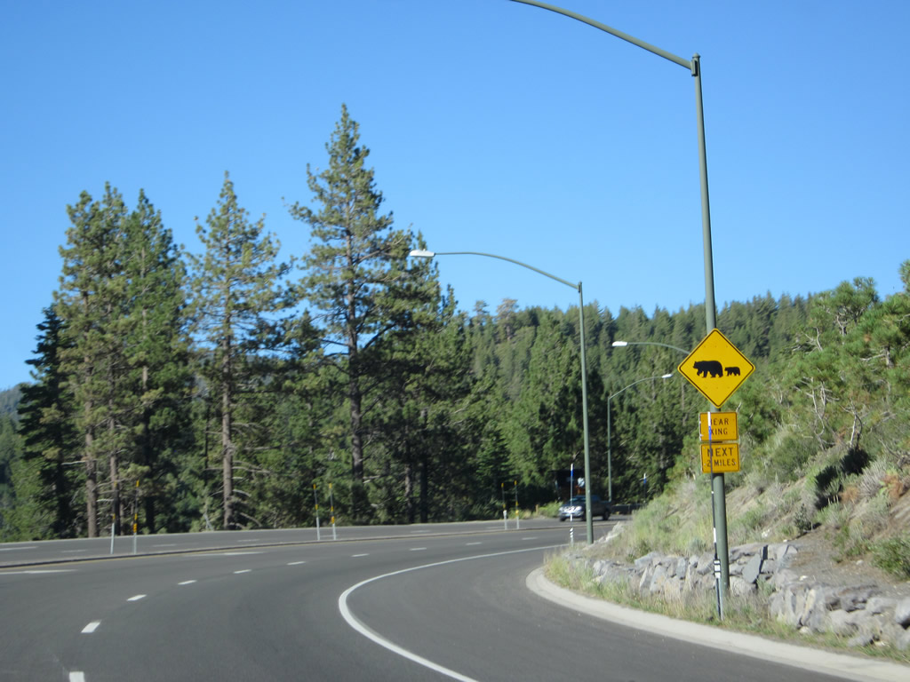
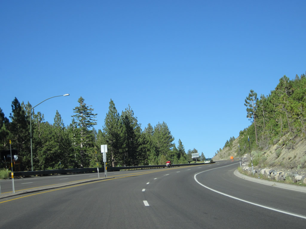
Leaving Spooner Junction and the junction with Nevada 28, look for bears as we approach Spooner Summit and the Tahoe Rim Trail, which offers hikers an opportunity to hike around most of the lake. Photo taken 07/31/12. |
|
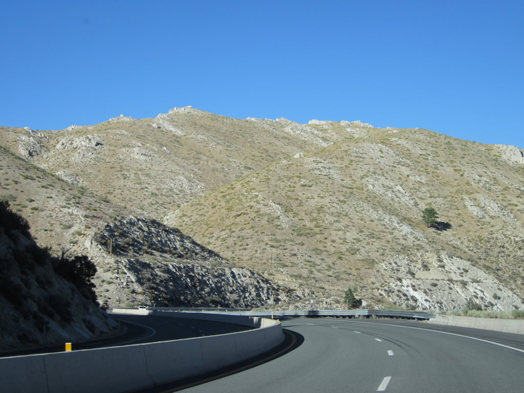
Continuing to gain elevation, U.S. 50 curves a bit as it approaches Spooner Summit. Photo taken 07/31/12. |
|
A U.S. 50 east reassurance route marker. Photo taken 07/31/12. |
|
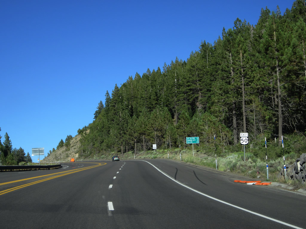
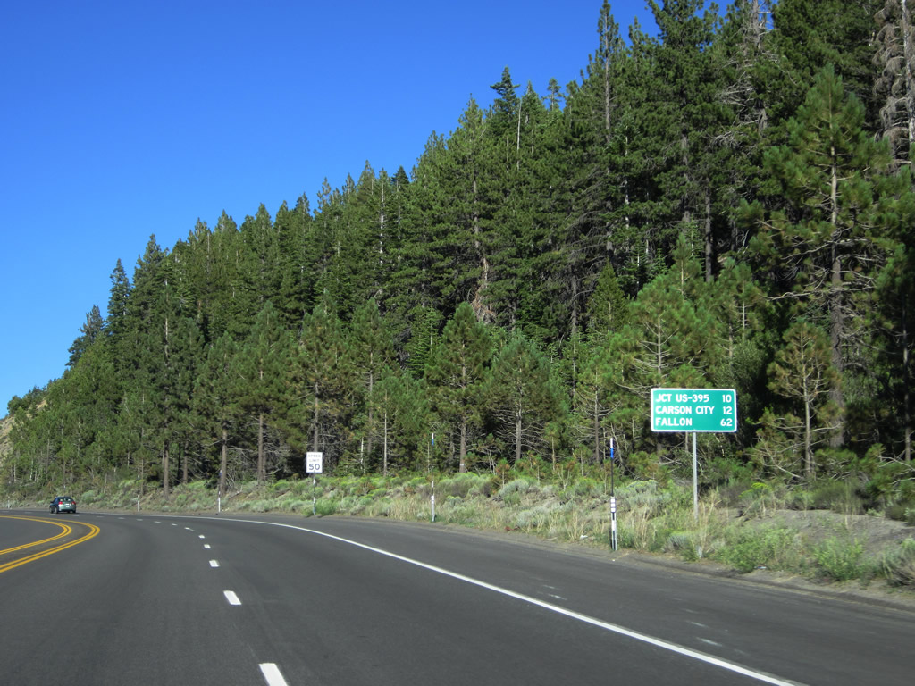
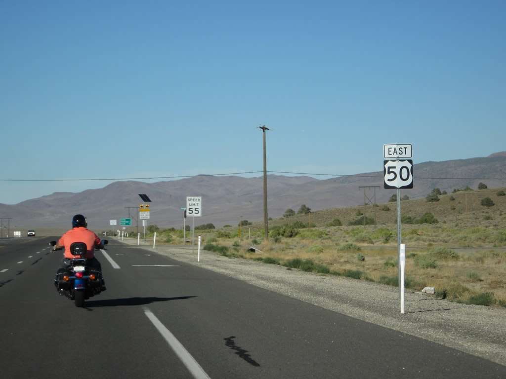
This mileage sign along U.S. 50 east provides the distance to the junction with U.S. 395 (and future Interstate 580) (ten miles), downtown Carson City (12 miles), and Fallon (62 miles). Photo taken 07/31/12. |
|
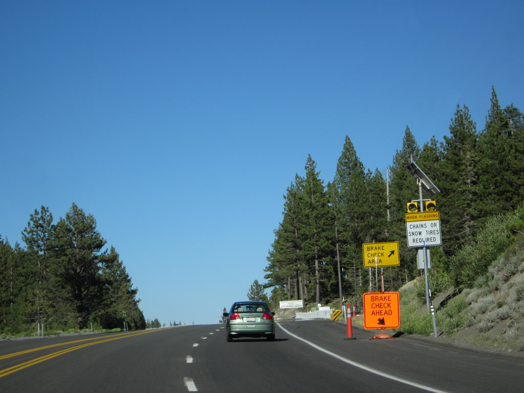
A Brake Check Area and chain installation area is located prior to the summit. Photo taken 07/31/12. |
|
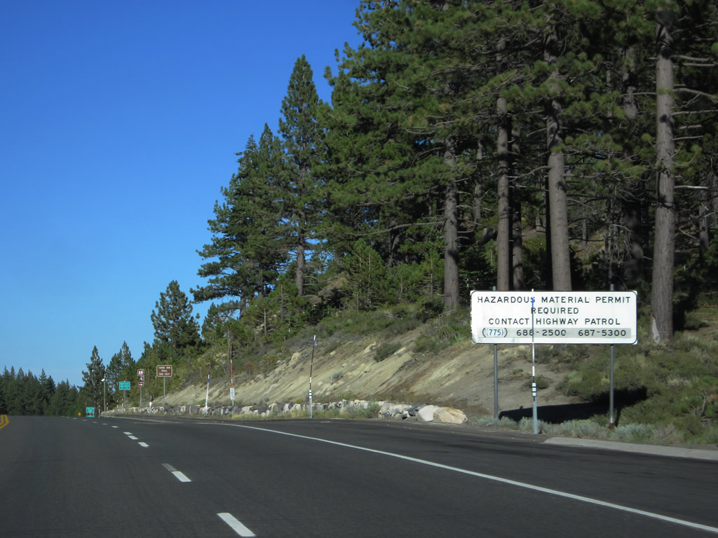
This regulatory sign advises trucks carrying hazardous materials to contact the Nevada Highway Patrol for permit information. Photo taken 07/31/12. |
|
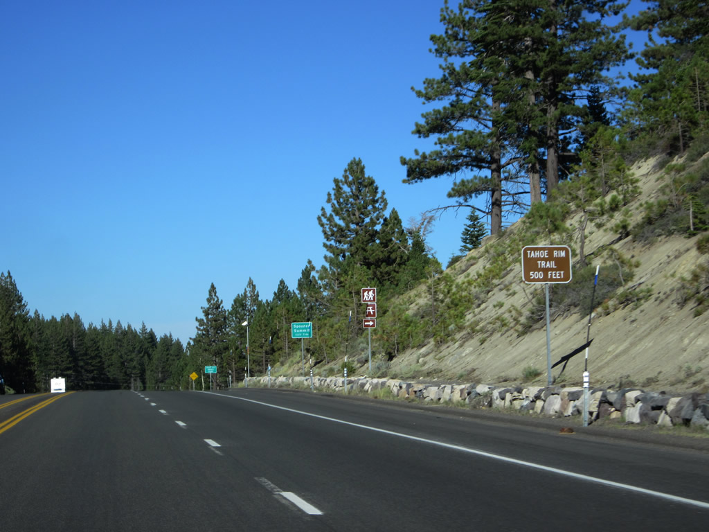
Eastbound U.S. 50 approaches the intersection with the Tahoe Rim Trail. Photo taken 07/31/12. |
|
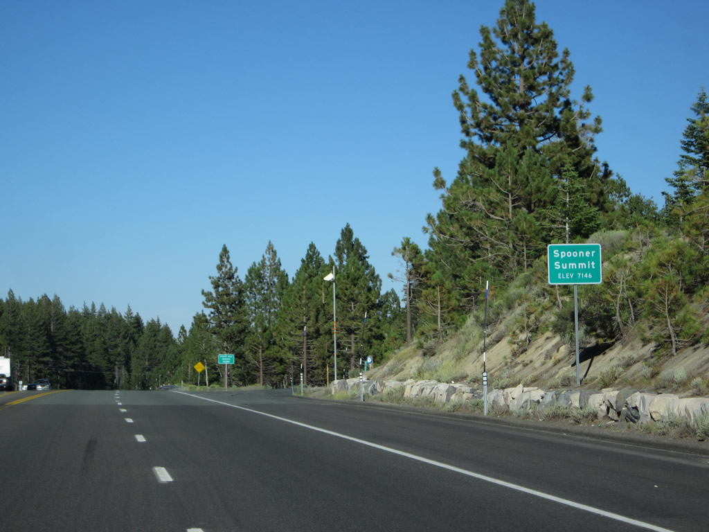
U.S. 50 reaches Spooner Summit, elevation 7,146 feet above sea level. Immediately after this sign is a brake check vehicle before the steep descent into Carson City. Photo taken 07/31/12. |
|
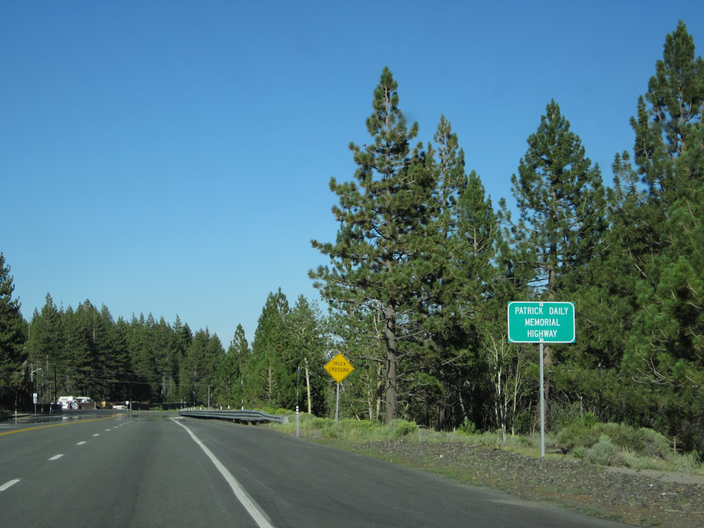
Leaving Spooner Summit, this sign designates U.S. 50 as the Patrick Daily Memorial Highway. Photo taken 07/31/12. |
|
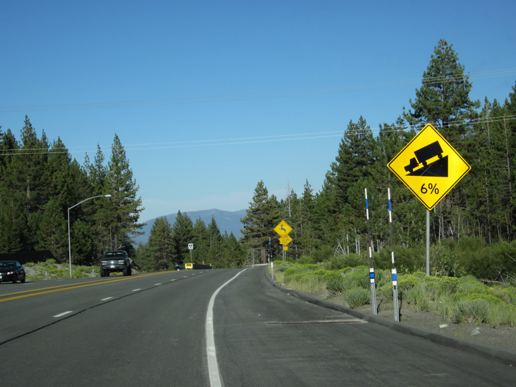
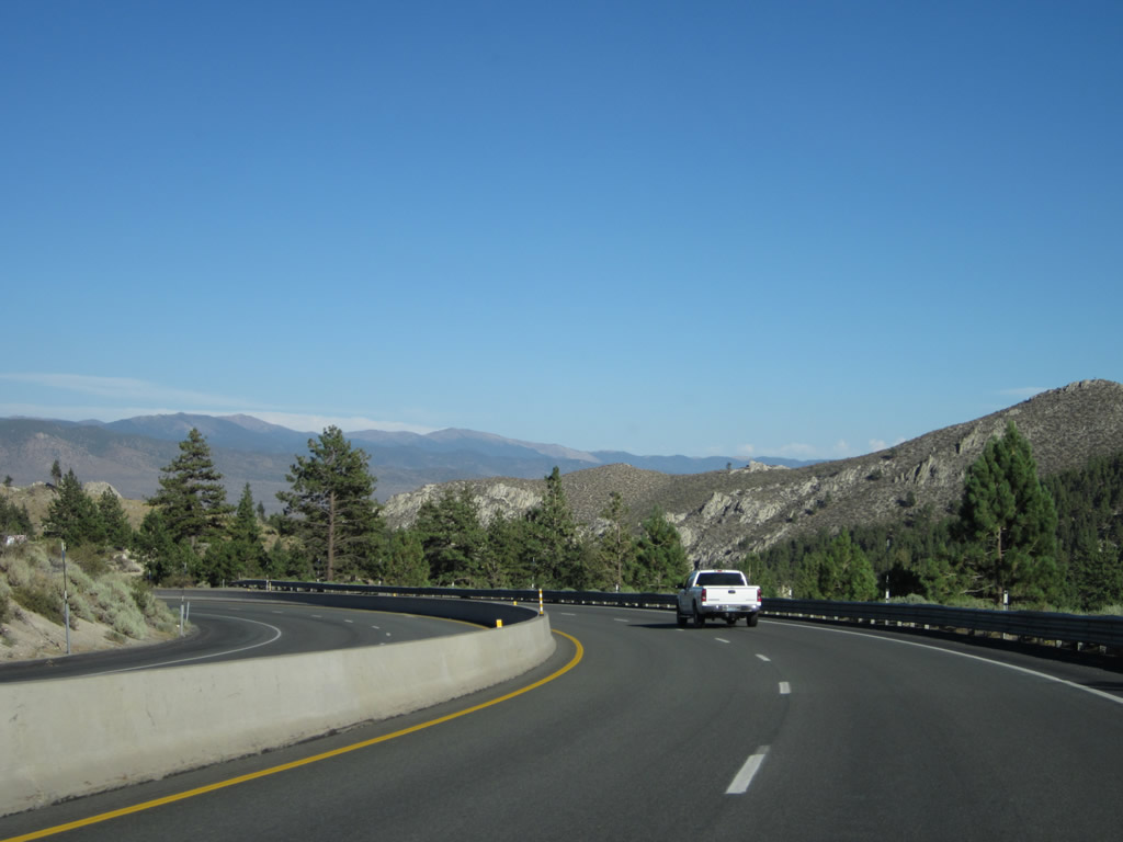
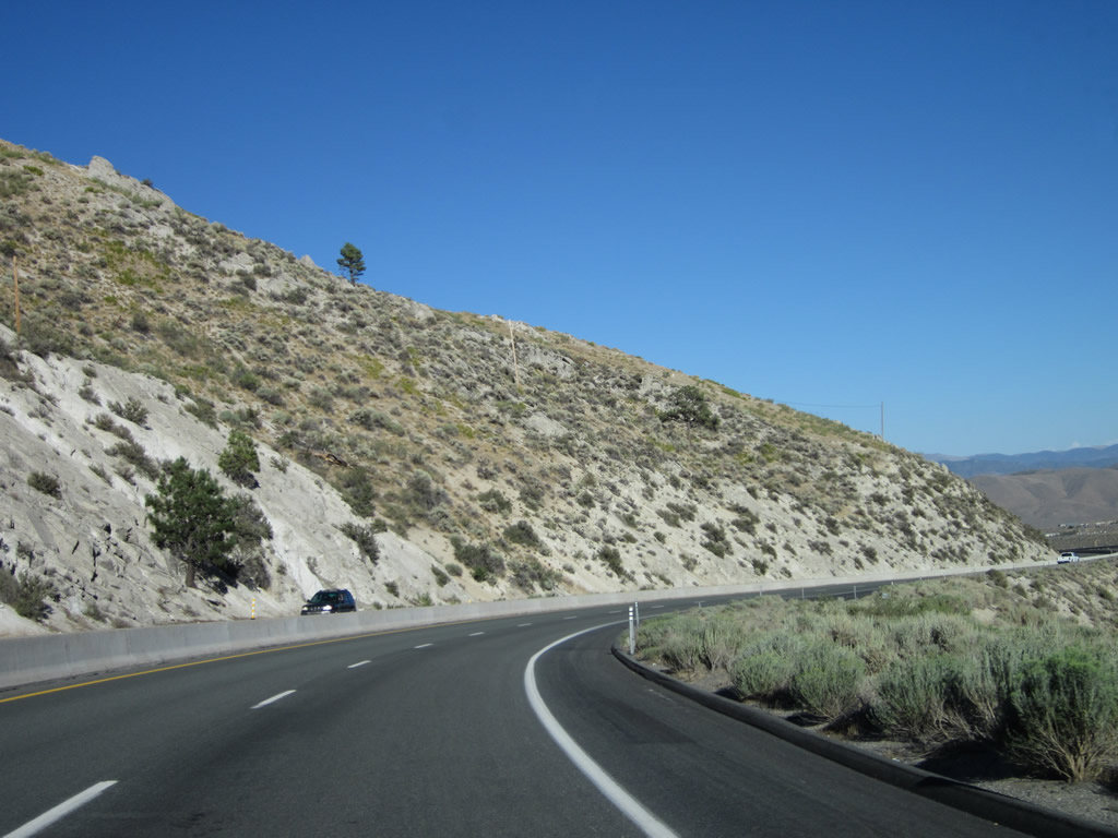
The descent from Spooner Summit to Carson City will see grades up to six percent, all downhill. Photo taken 07/31/12. |
|
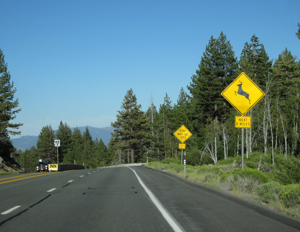
A median barrier divides the two directions of traffic to prevent head-on collisions as we proceed downhill. Watch for animals crossing the road and be wary of icy conditions in winter. Photo taken 07/31/12. |
|
|
|
|
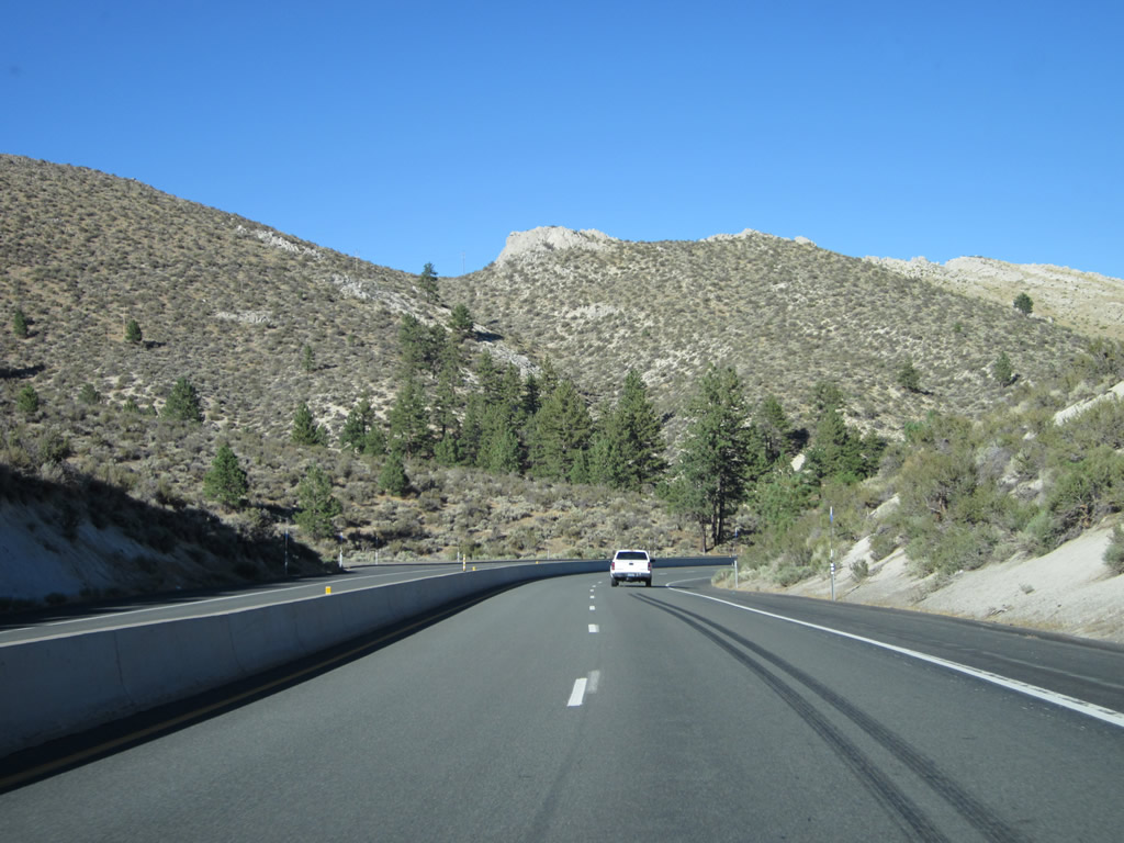
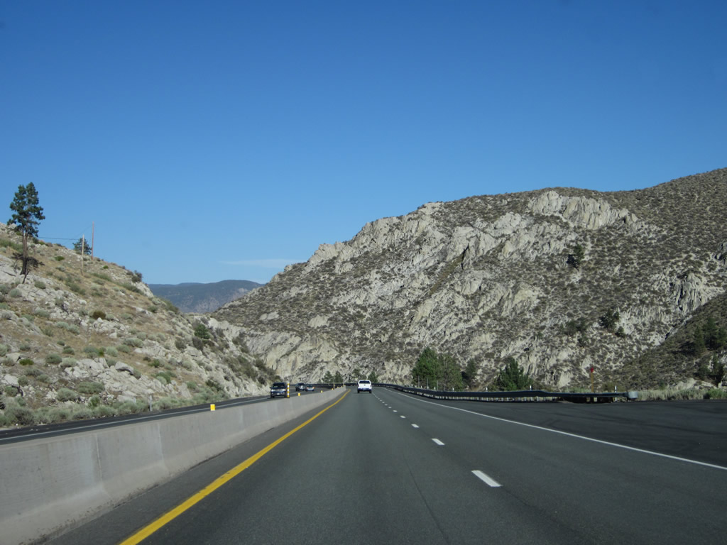
Leaving Spooner Junction, U.S. 50 starts a downhill trek between Spooner Summit and Carson City. The highway sees a fairly high rate of speed due to the steep grade toward Carson City. Watch for traffic congestion and slow downhill traffic. Photos taken 07/31/12 and 07/09/07. |
|
|
|
|
Continuing downhill, U.S. 50 leaves Douglas County and enters the city and county of Carson City, the Nevada state capital (population 52,457 as of the 2000 Census, founded in 1858). Photos taken 07/31/12 and 07/09/07. |
|
|
|
|
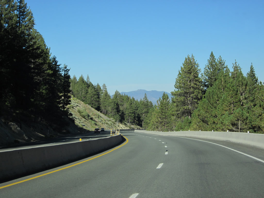
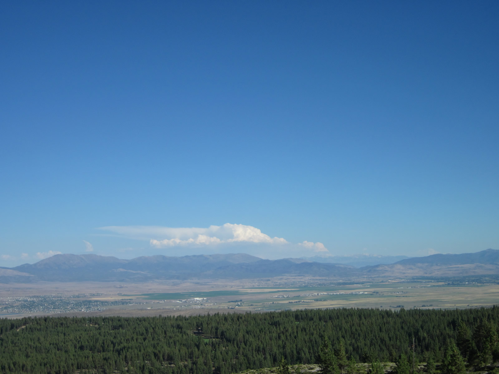
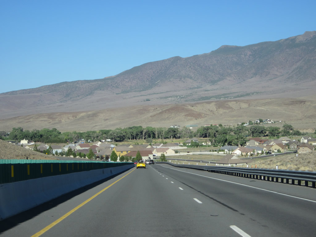
The Eagle Valley, which includes Carson City, and the adjacent Carson Valley, which includes Minden, Gardnerville, and Genoa, can be seen on glimpses from U.S. 50 as we continue downhill. Photos taken 07/31/12. |
|
|
|
|
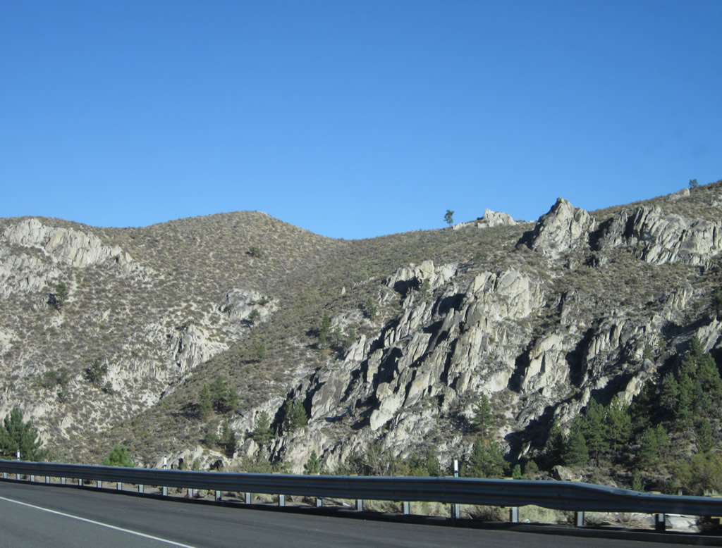
More scenic views can be had along U.S. 50 east as we proceed downhill. Photos taken 07/31/12. |
|
|
|
|
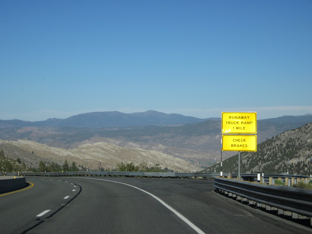
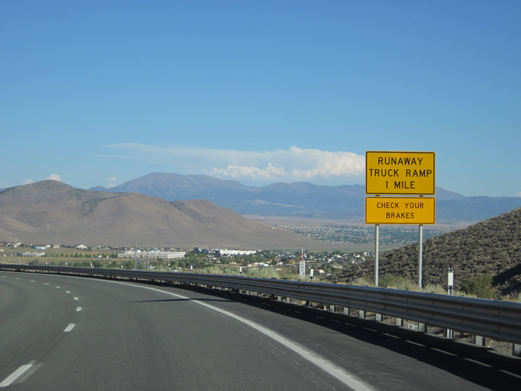
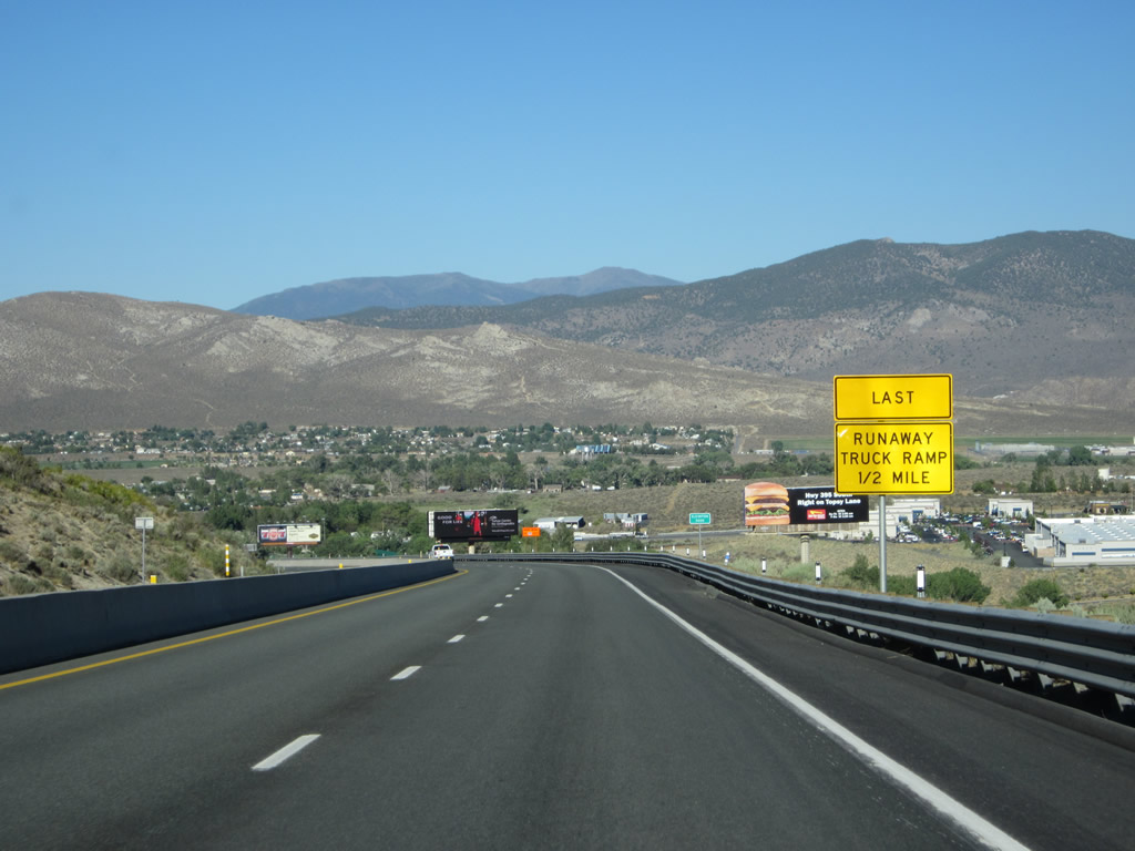
A runaway truck ramp is located along the way downhill for those vehicles unable to stop. Photos taken 07/31/12. |
|
|
|
|
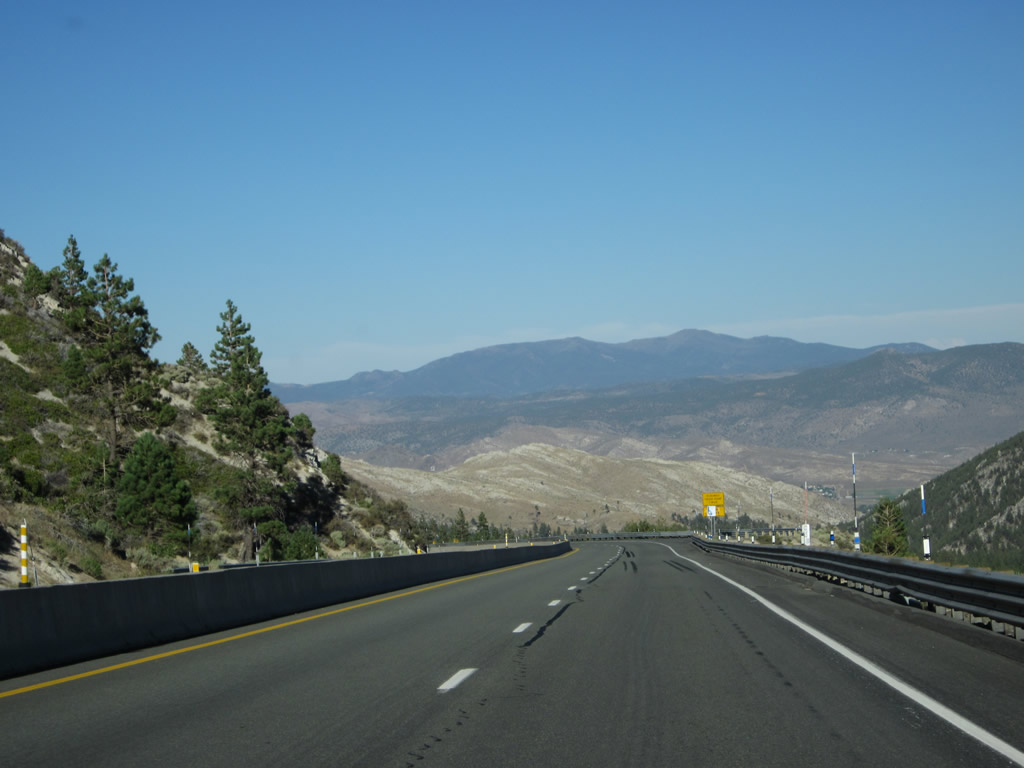
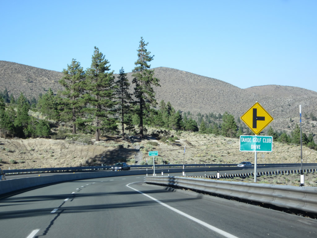
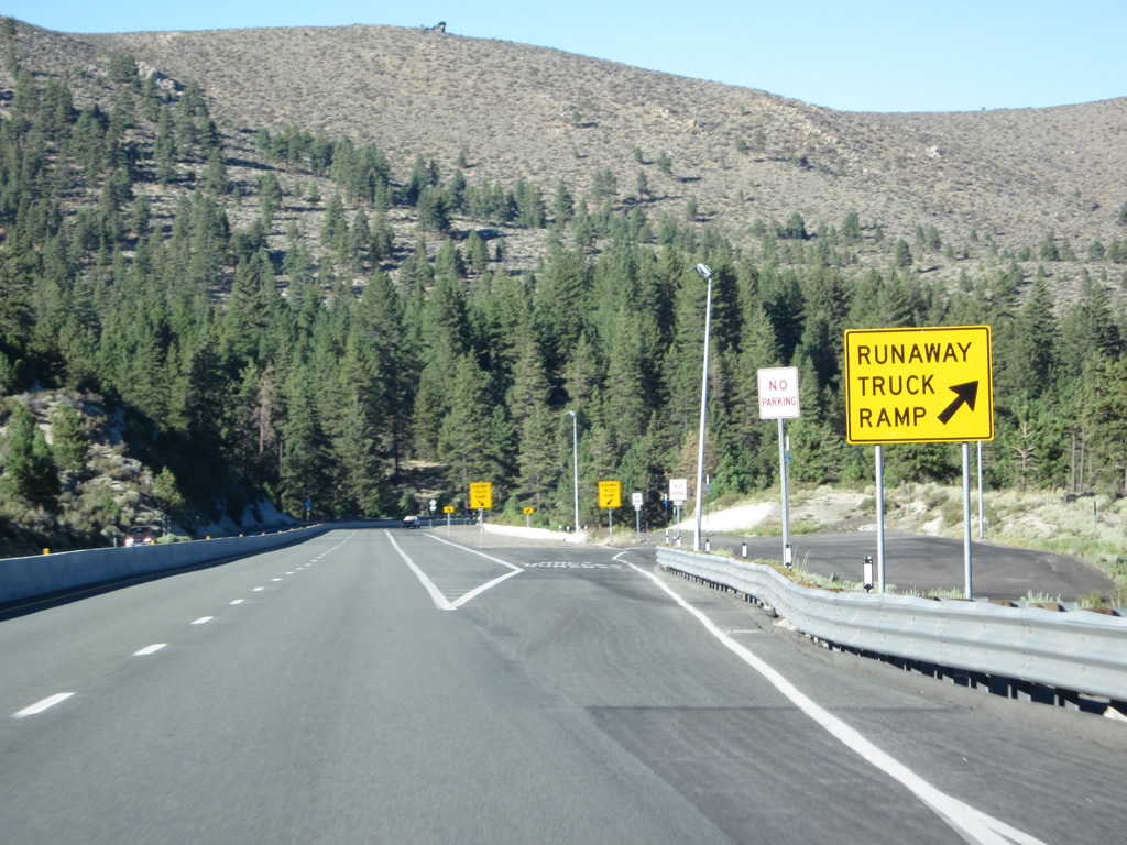
Prior to reaching the runaway truck ramp, eastbound U.S. 50 approaches an interchange with Tahoe Golf Club Drive. Turn right here to connect to Old U.S. 50/Clear Creek Canyon Road. Photos taken 07/31/12. |
|
|
|
|
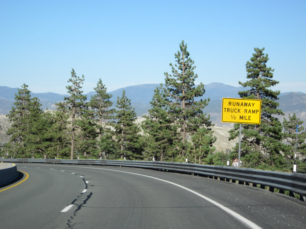
A U.S. 50 east reassurance route marker is posted after the Tahoe Golf Club Drive interchange. The runaway truck ramp follows. Photos taken 07/31/12. |
|
|
|
|
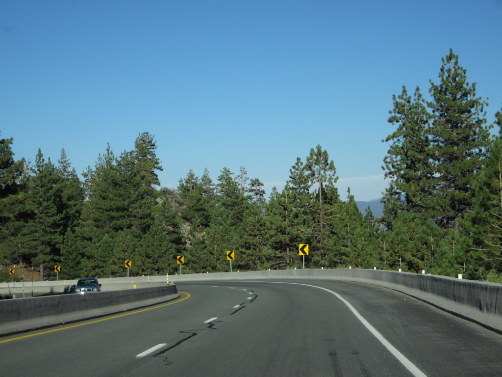
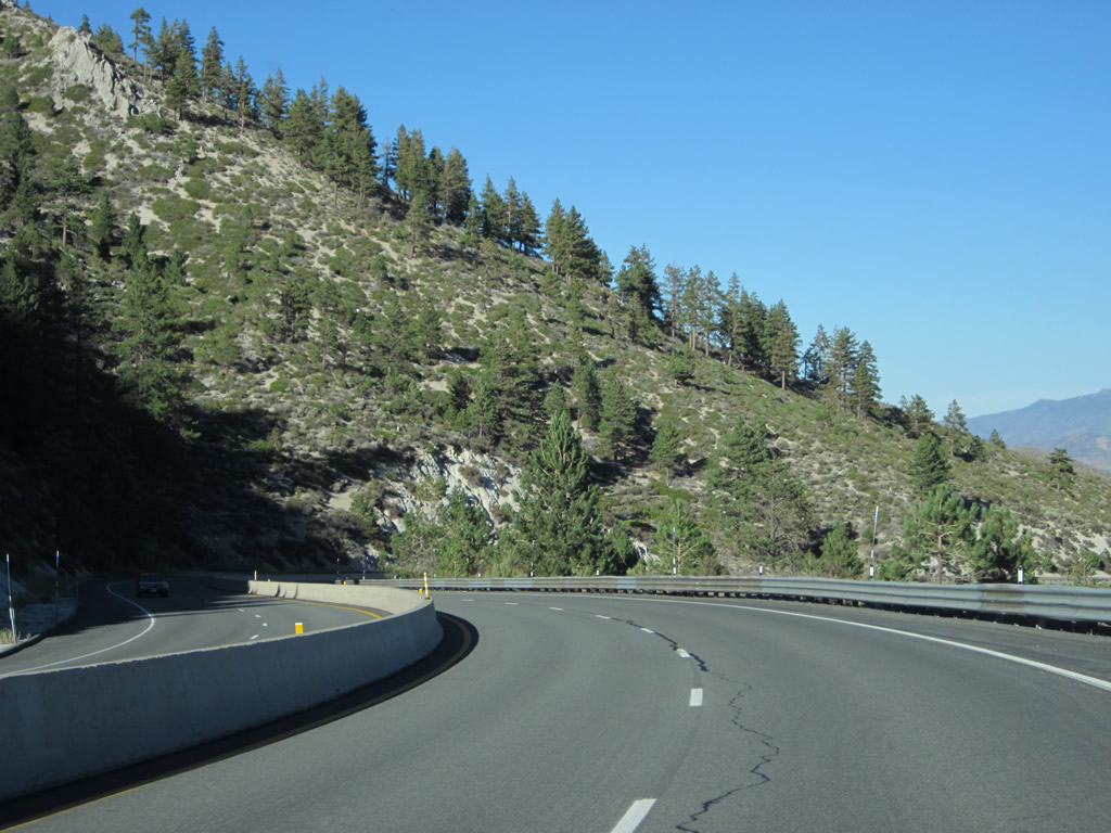
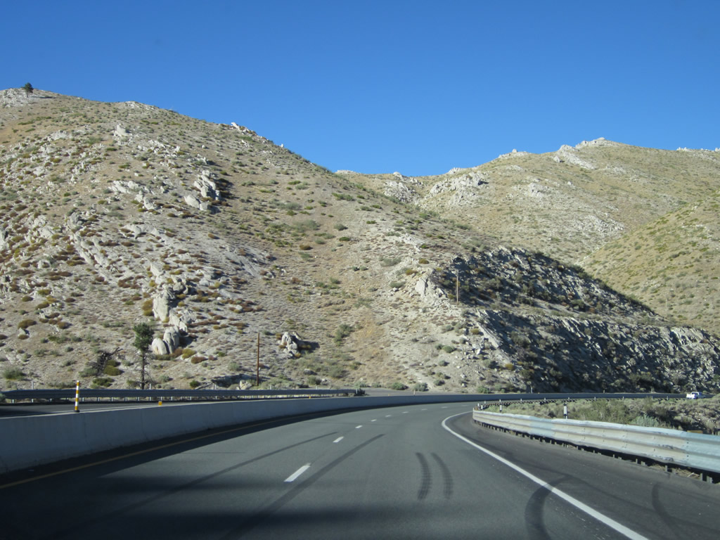
As we proceed downhill toward the valley, we see more rock formations and better views of the valleys. The last picture in this sequence shows a view looking down into Clear Creek Canyon, where we can see Old U.S. 50 winding its way through the canyon at a much lower elevation than the modern highway. Photos taken 07/31/12. |
|
|
|
|
|
|
|
|
|
|
|
|
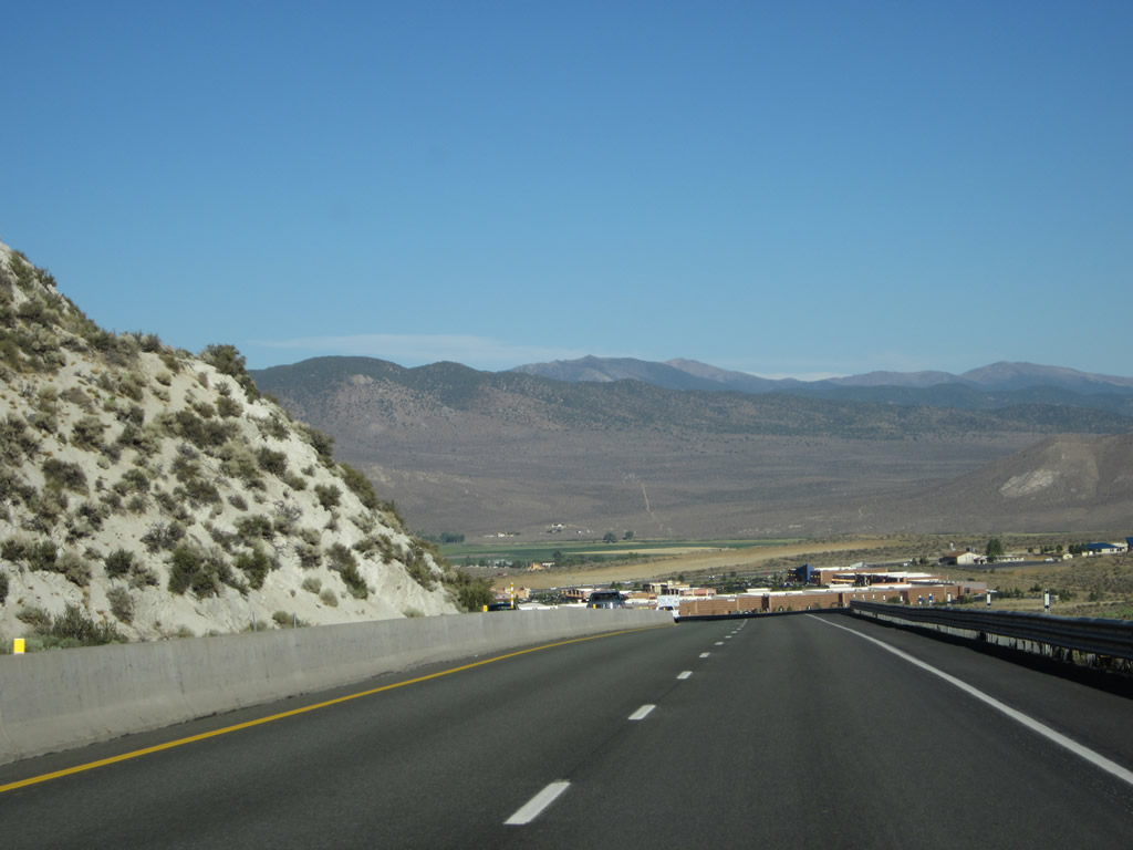
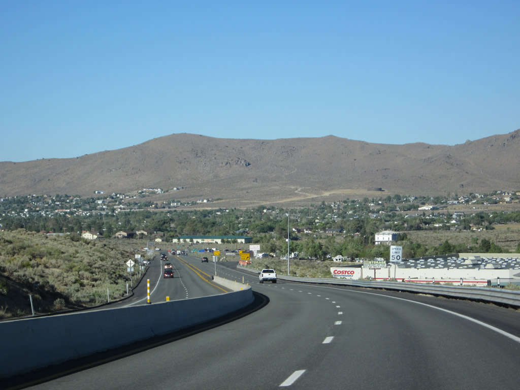
Dropping into the Eagle Valley, U.S. 50 hugs the rim of Clear Creek Canyon and continues to lose elevation as it descends toward a rendezvous with U.S. 395 and Interstate 580. Another truck escape ramp is located along this stretch of highway. Another sign welcomes motorists into Carson City, and the signs of civilization (including several big box stores located near the Carson City-Douglas County line) come into view. Photos taken 07/31/12. |
|
|
|
|
Looking back to the Spooner Grade from 1999, this series of photos follows U.S. 50 east between Spooner Summit and Carson City in early 1999 prior to the installation of the median barriers. Photos taken 1/99. |
|
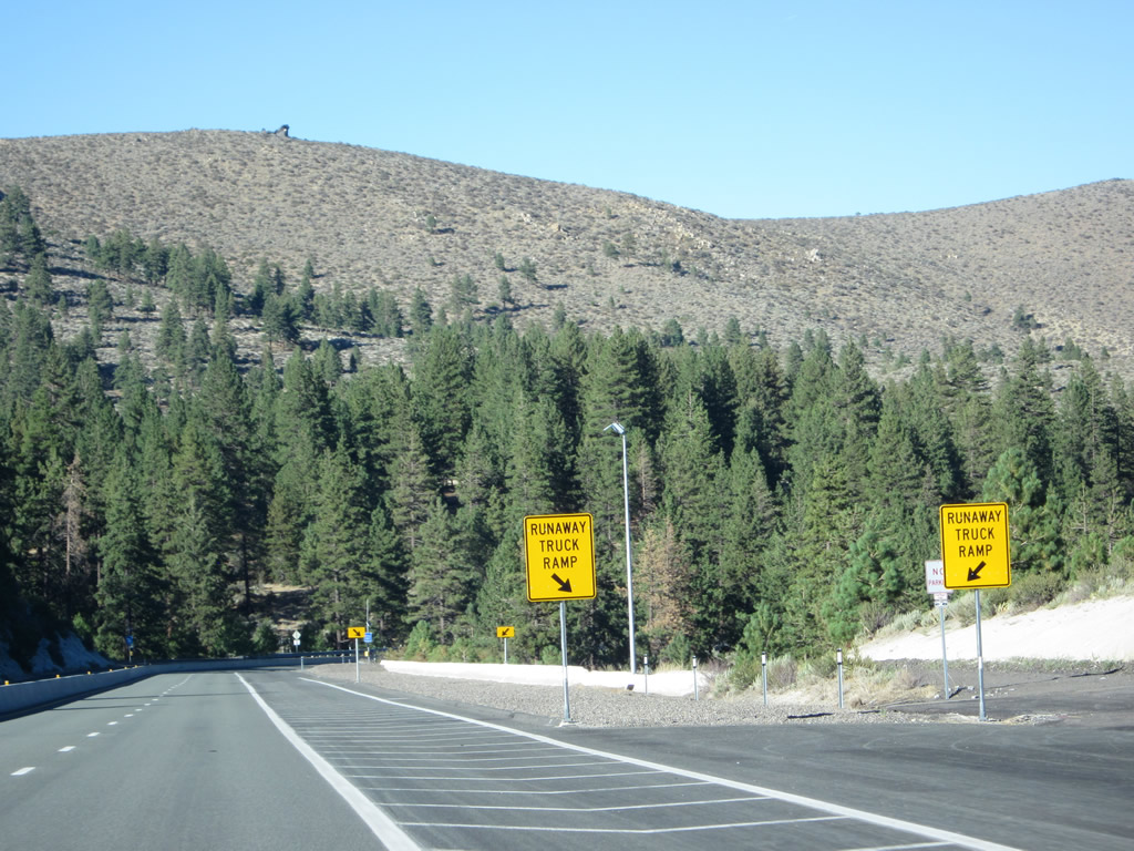
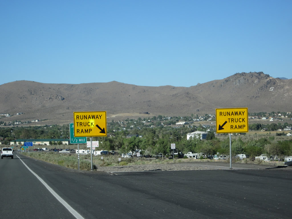
The final downhill truck escape/runaway truck ramp is about a half-mile ahead. Photo taken 07/31/12. |
|
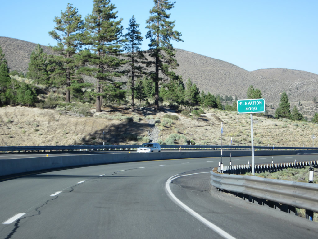
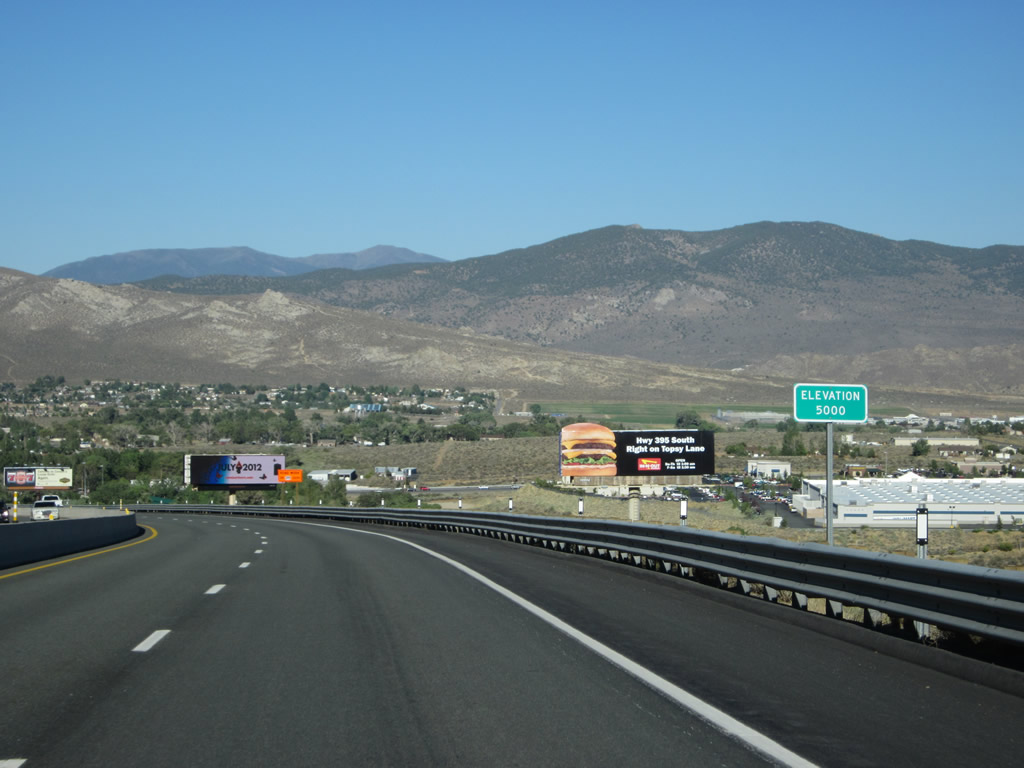
U.S. 50 descends to 5,000 feet above sea level and keeps heading down to Carson City's elevation of 4,697 feet above sea level in the Eagle Valley. Photo taken 07/31/12. |
|
This is the final descent on U.S. 50 from Spooner Summit to Carson City/Eagle Valley. Photo taken 07/31/12. |
|
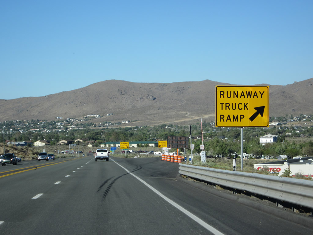
Eastbound U.S. 50 reaches the final runaway truck ramp on this descent. Photo taken 07/31/12. |
|
The runaway truck ramp departs to the right. Hidden behind these signs is the first guide sign advising of the pending U.S. 395 intersection (see next picture). Photo taken 07/31/12. |
|
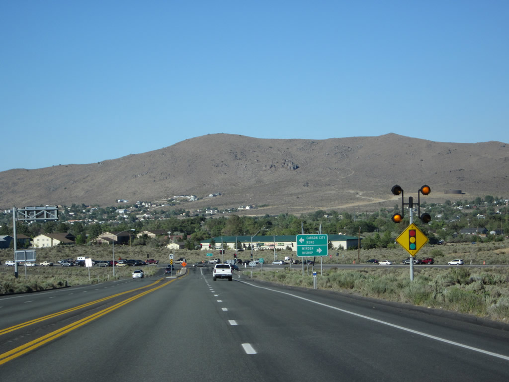
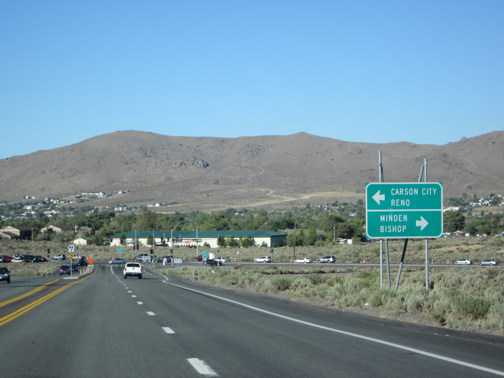
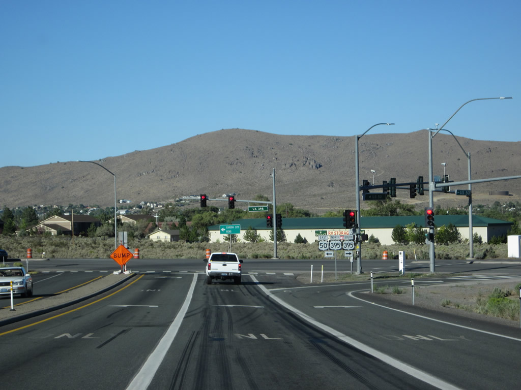
Eastbound U.S. 50 approaches its junction with U.S. 395 south to Minden-Gardnerville and U.S. 395 Business/Carson Street north to Carson City and Reno at the next traffic signal. Since the U.S. 50-395 (Interstate 580) Carson City Bypass was not complete at the time this picture was taken, the signage only shows U.S. 395. Photo taken 07/09/07. |
|
Flashing lights warn of the pending intersection with U.S. 395. Look for major changes here once Interstate 580 is built to this point. Photo taken 07/31/12. |
|
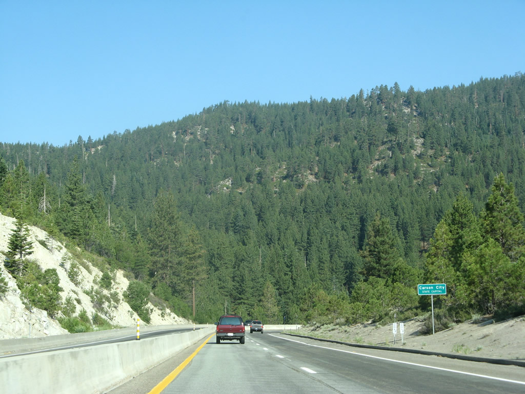
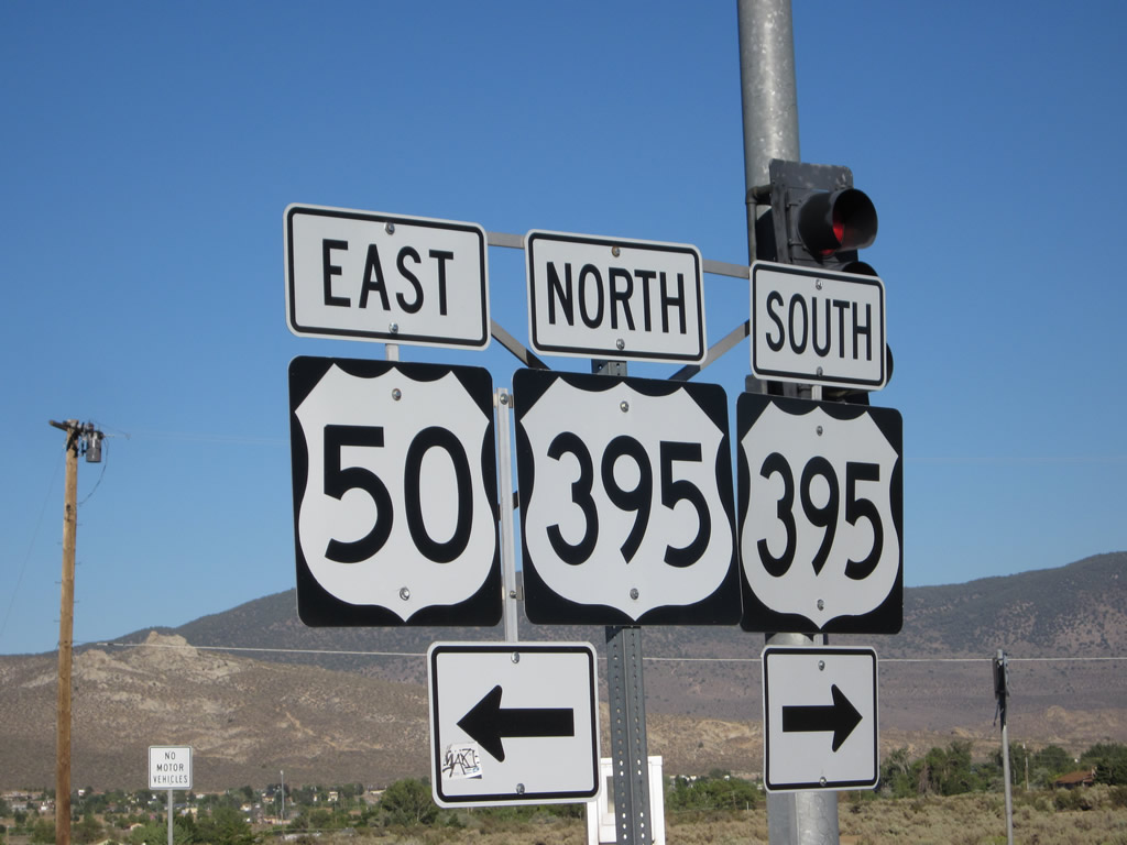
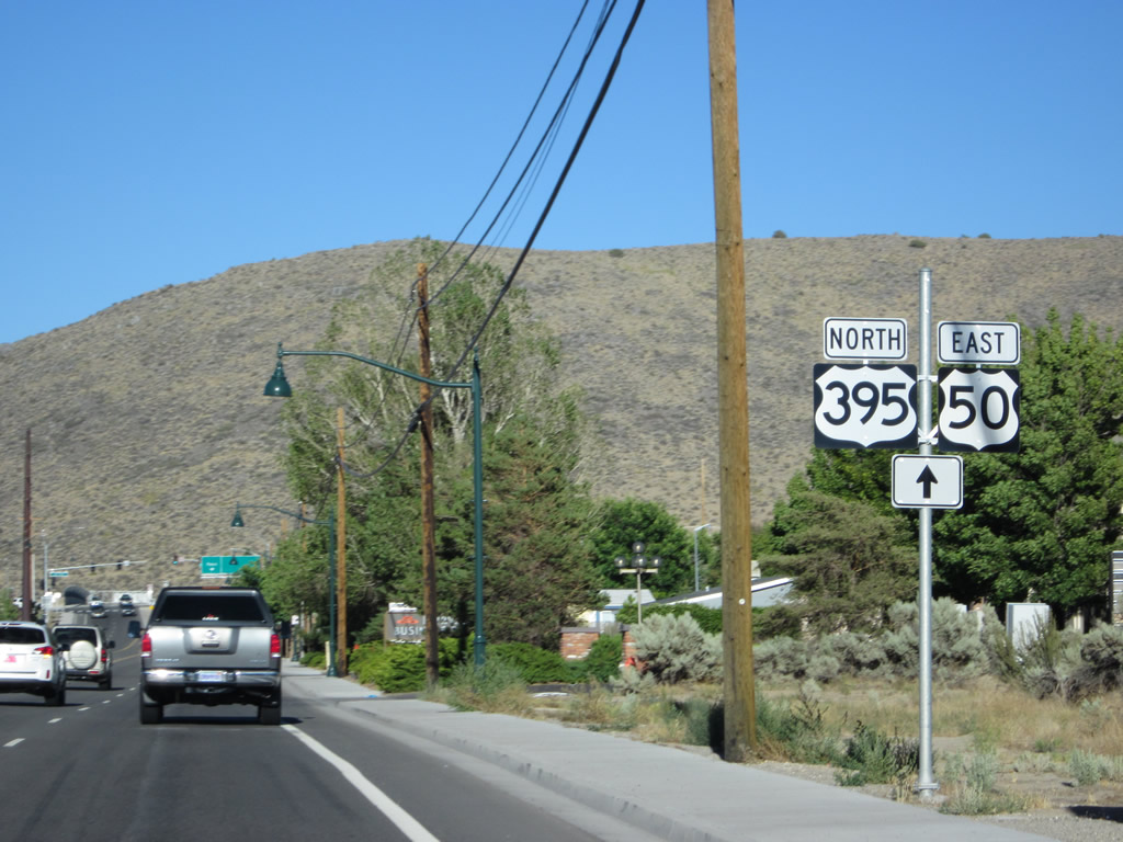
Use U.S. 395 south to Genoa, Minden, Gardnerville, Topaz Lake, and Bishop. This major highway is mostly expressway south into Minden, but it reverts to a two-lane rural highway south of Gardnerville. From there south into California, U.S. 395/Three Flags Highway follows the Eastern Sierra corridor to the Owens Valley, Mojave Desert, and eventually Southern California. Photo taken 07/31/12. |
|
Another guide sign points the way to U.S. 50-395 north to Carson City and Reno (left turn) and south to Minden, Gardnerville, and Bishop (right turn). Photo taken 07/31/12. |
|
|
|
|
|
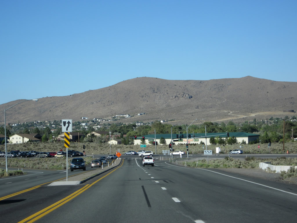
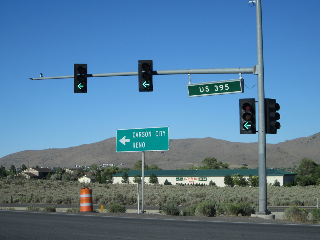
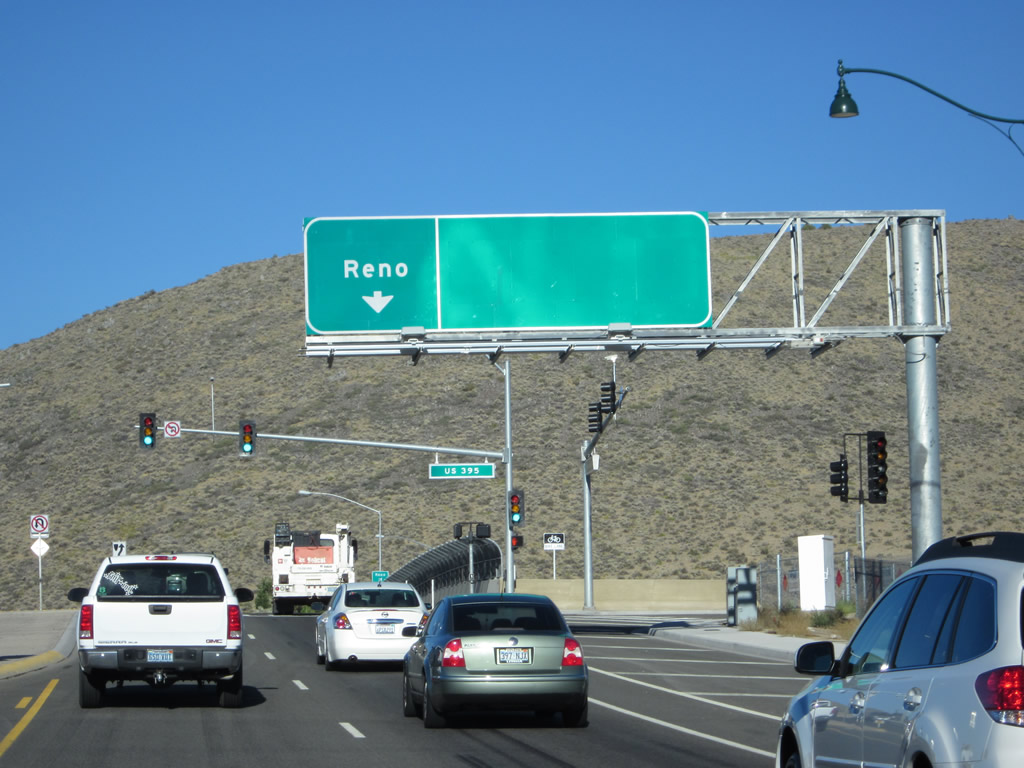
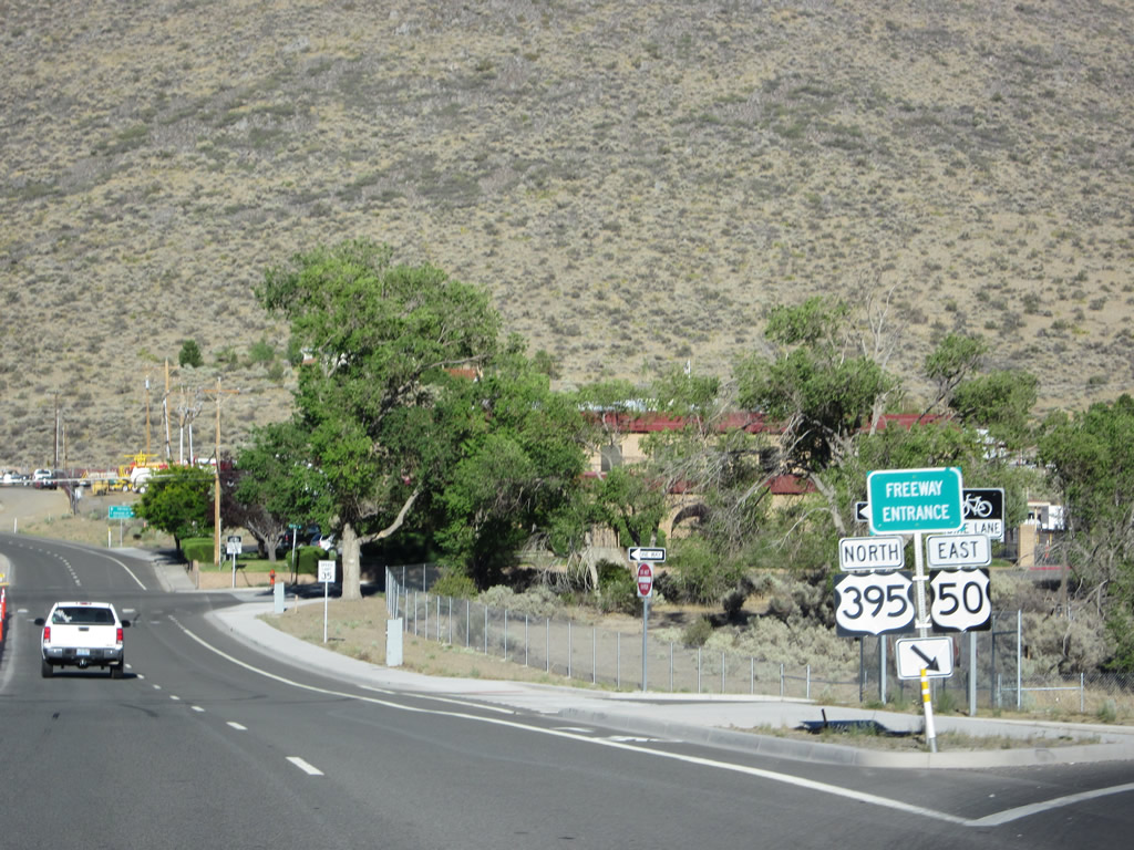
| U.S. 50 slows down for the U.S. 395 traffic signal. Turn right for U.S. 395 south to Minden and Bishop or turn left for U.S. 395 north to Carson City, Reno, and Fallon. A white milepost sign for U.S. 50 is posted near the base of the traffic signal. When completed in 2014, Interstate 580/Carson City Bypass will connect to U.S. 50 and U.S. 395 at this point. It is likely that this intersection would become an interchange at that time. For now, through traffic on U.S. 50 should turn left here to follow Carson Street (Temporary U.S. 50-395 and Nevada 529) north into Carson City, then take William Street (U.S. 50 Businesseast toward Virginia City, Dayton, and Fallon. Photos taken 07/31/12. |
|
A final guide sign points the way to U.S. 50-395 north to Carson City and Reno. When turning here, visualize the future freeway that will originate at this intersection and proceed north and east. Photo taken 07/31/12. |
| Temporary U.S. 50 east & 395 north |
|
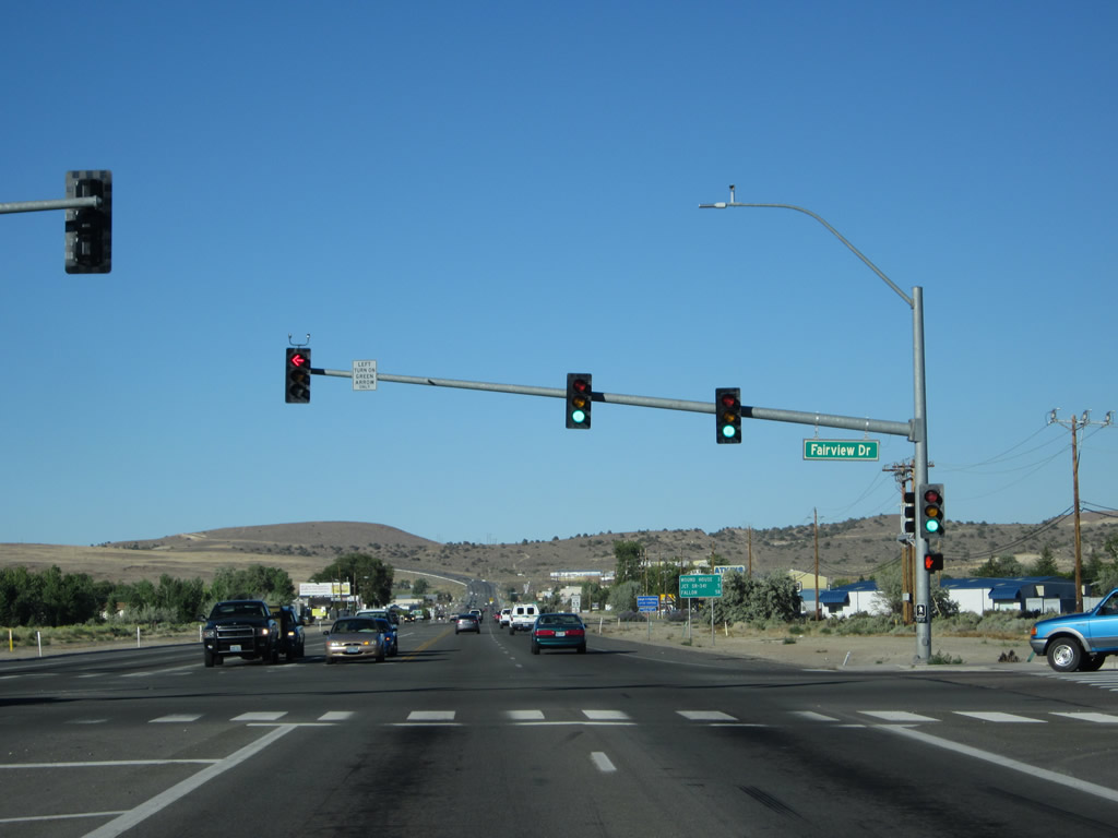
Temporary U.S. 50-395 follows Fairview Drive between Carson Street and Interstate 580/Carson City Bypass. Unlike other segments of U.S. 50-395 in Nevada, this temporary alignment follows a non-state maintained Carson City street. Photo taken 07/31/12. |
|
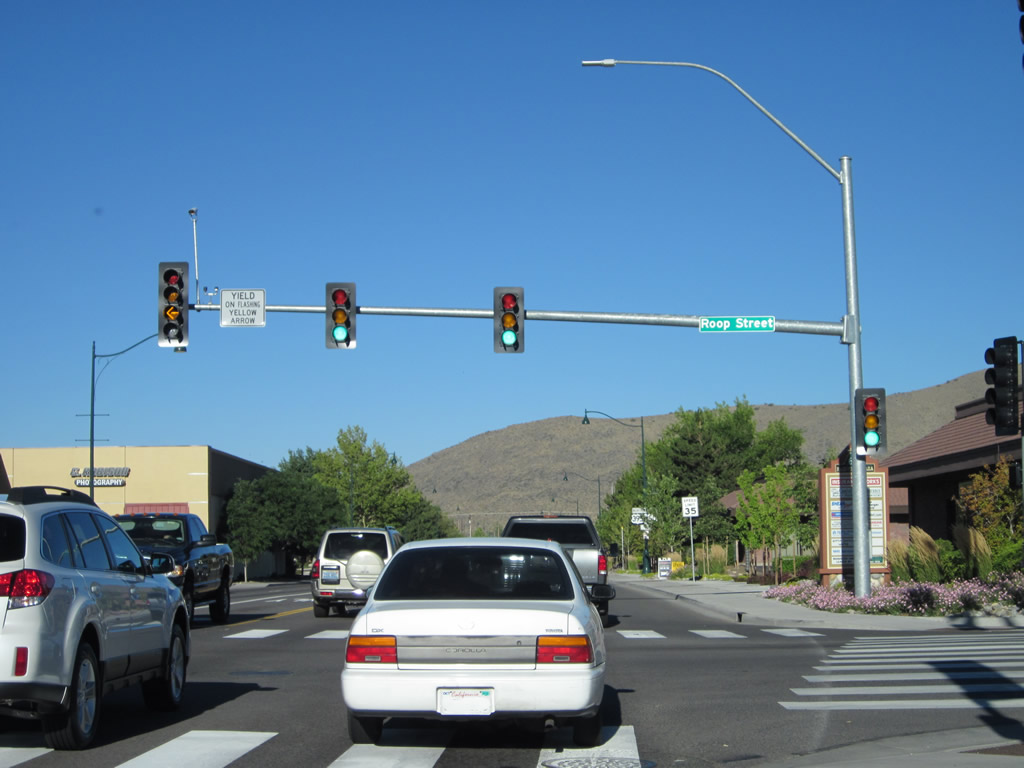
Eastbound Temporary U.S. 50-395/Fairview Drive meets Roop Street at this traffic signal in Carson City. Photo taken 07/31/12. |
|
A U.S. 50-395 east reassurance/trailblazer shield assembly is posted along eastbound Fairview Drive after Roop Street. Photo taken 07/31/12. |
|
Fairview Drive sees four lanes (two in each direction) between Carson Street and Interstate 580. Photo taken 07/31/12. |
|
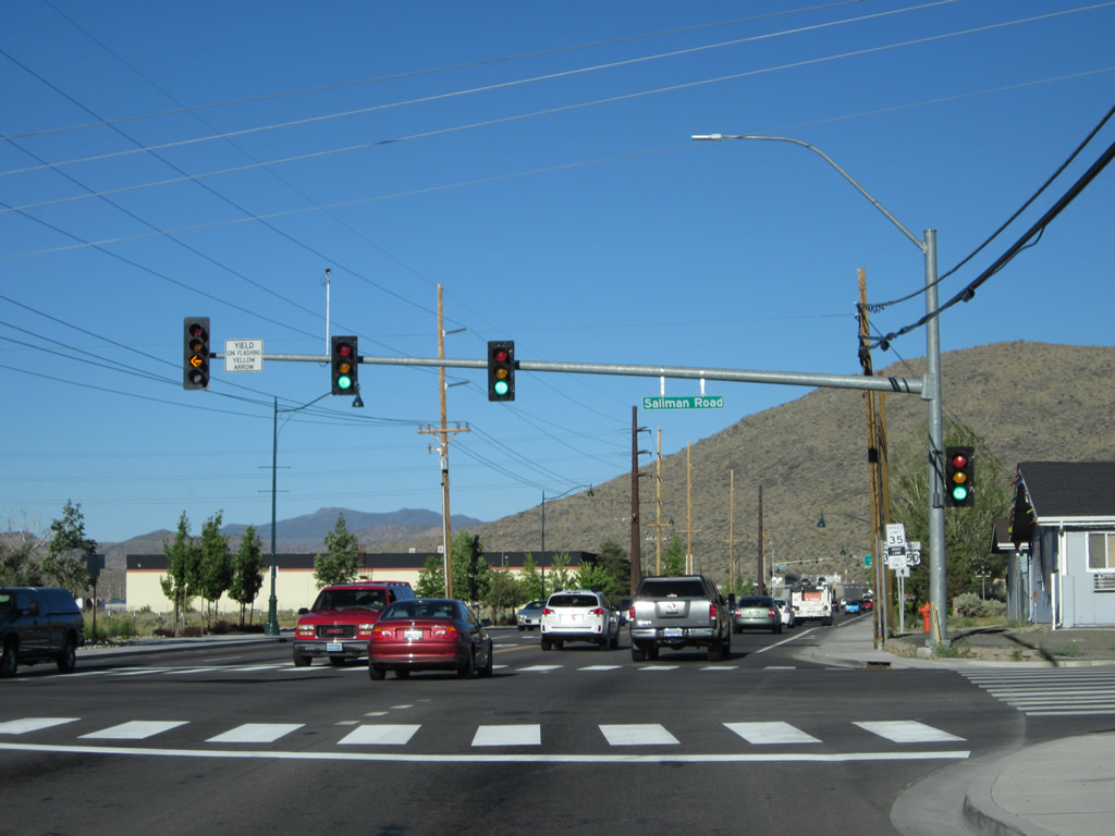
The next traffic signal along Temporary U.S. 50-395/Fairview Drive east is with Saliman Road. Photo taken 07/31/12. |
|
Another U.S. 50 and U.S. 395 trailblazer shield assembly is posted after Saliman Road. Nevada DOT opted not to post this segment of U.S. 50-395 with "TEMPORARY" banners, but the arrow below the shield implies that the Fairview Drive segment is temporary. Photo taken 07/31/12. |
|
The right lane will connect Fairview Drive to Interstate 580/Carson City Bypass south to Lake Tahoe/Minden-Gardnerville and north to Reno (with a connection to U.S. 50 east to Dayton and Fallon). Photo taken 07/31/12. |
|
A loop ramp connects Fairview Drive east with Interstate 580 and U.S. 395 north and U.S. 50 east. Photo taken 07/31/12. |
|
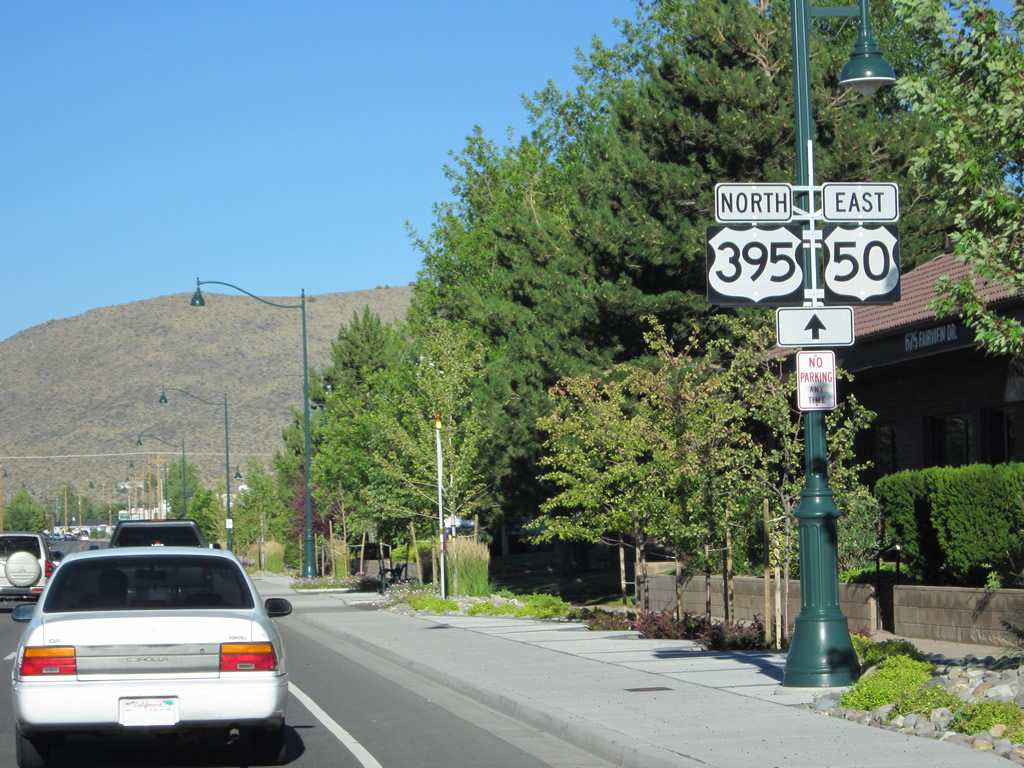
A freeway entrance shield assembly for U.S. 50 east and U.S. 395 north. Photo taken 07/31/12. |
| U.S. 50 east |
|
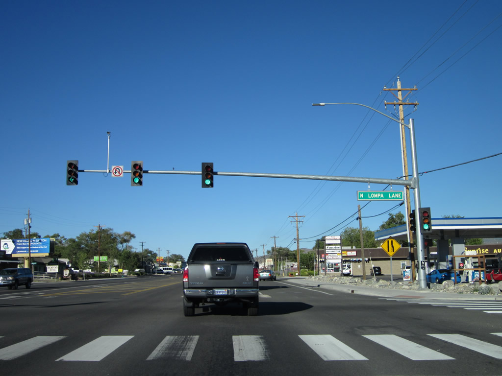
A U.S. 50 east reassurance shield is posted after the interchange with Interstate 580 and U.S. 395. The next traffic signal along eastbound is with Lompa Lane. Photo taken 07/31/12. |
|
Eastbound U.S. 50 meets Lompa Lane. Photo taken 07/31/12. |
|
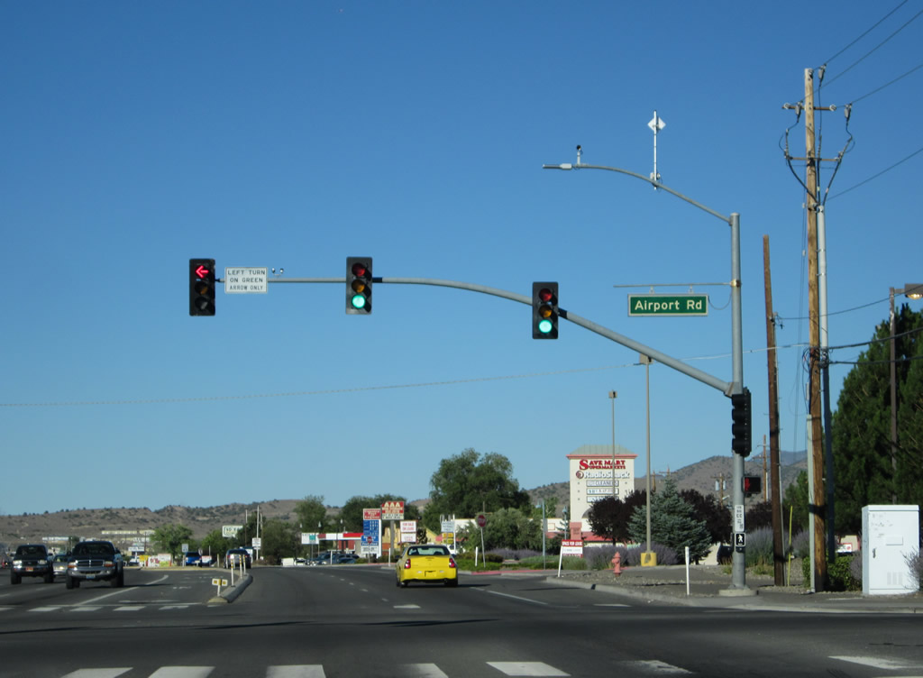
The next traffic signal along U.S. 50 east is with Airport Road (former Nevada 525). Turn left here for Airport Road north to College Parkway. Photo taken 07/31/12. |
|
Eastbound U.S. 50 meets Airport Road (Nevada 525) at this traffic signal. Part of the state route system until July 11, 2011, Nevada 525 was eliminated along with several other state routes in Carson City as part of an administrative transfer between the state of Nevada and Carson City. Carson City took over several old state routes in exchange for reducing the city's financial contribution to the Interstate 580/Carson City Bypass project. Photo taken 07/31/12. |
|
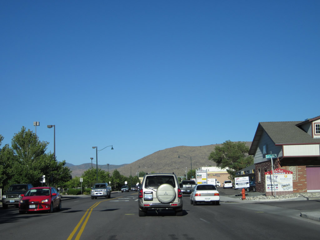
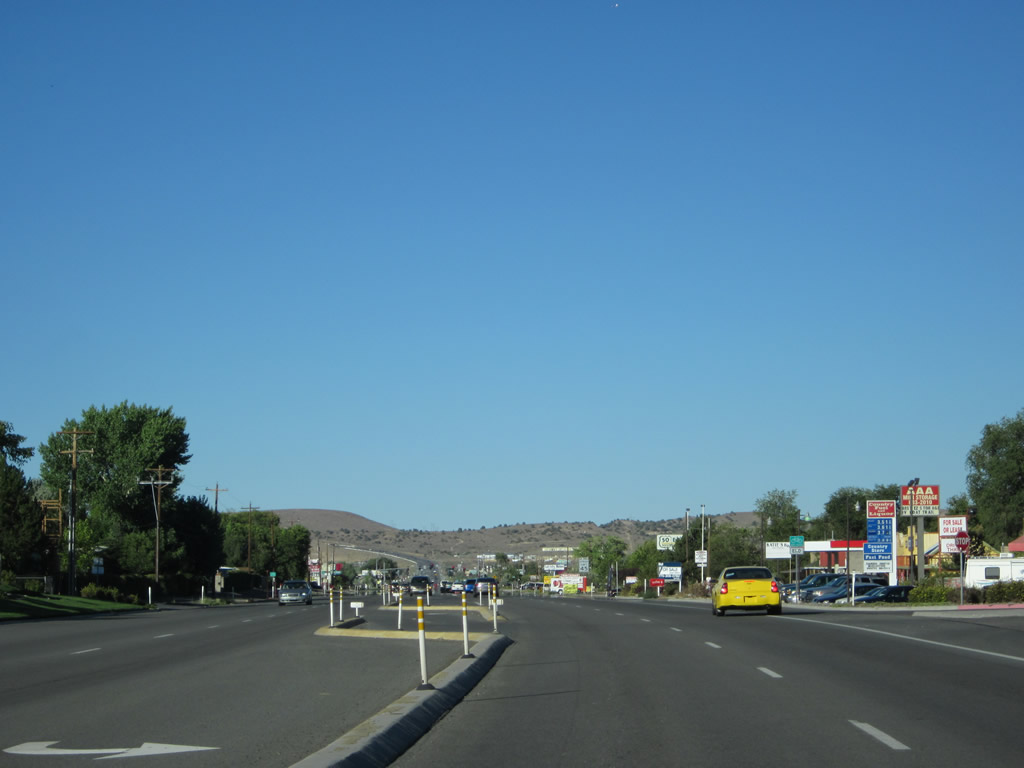
U.S. 50 sees commercial and residential development along both sides of its route as we proceed east out of Carson City. Photo taken 07/31/12. |
|
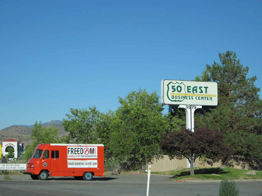
Highway 50 East Business Center is located on the south side of the highway ... it is notable for its use of the U.S. 50 shield. Photo taken 07/31/12. |
|
It will not take long for U.S. 50 to see development become more sparse as we approach Fairview Drive. Photo taken 07/31/12. |
|
Eastbound U.S. 50 meets Fairview Drive. Turn right here to follow Fairview Drive south to Fifth Street (former Nevada 513), southwest to Interstate 580 and U.S. 50-395, and west to Carson Street (U.S. 50 Business-395). Photo taken 07/31/12. |
|
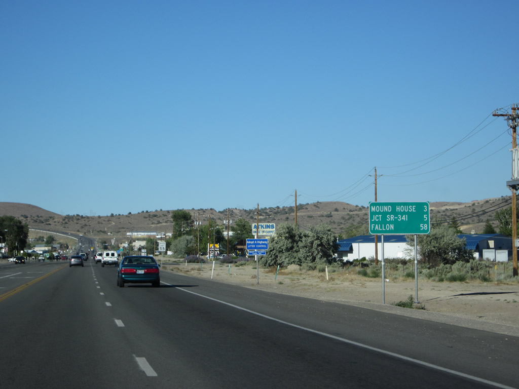
After the interchange with Interstate 580 and U.S. 395, this mileage sign provides the distance to Mound House (three miles), Nevada 341 north (five miles), and Fallon (58 miles). Omitted is Dayton. Photo taken 07/31/12. |
|
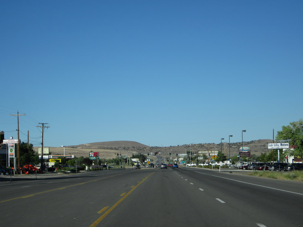
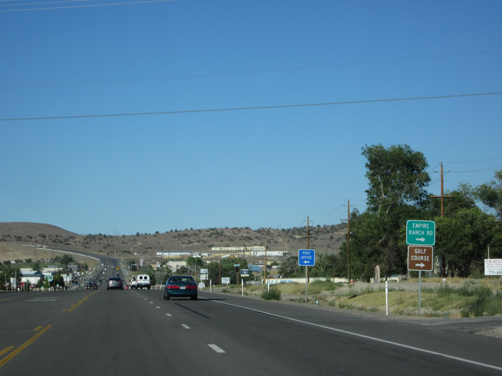
Eastbound U.S. 50/Lincoln Highway approaches Empire Ranch Road. Photo taken 07/31/12. |
|
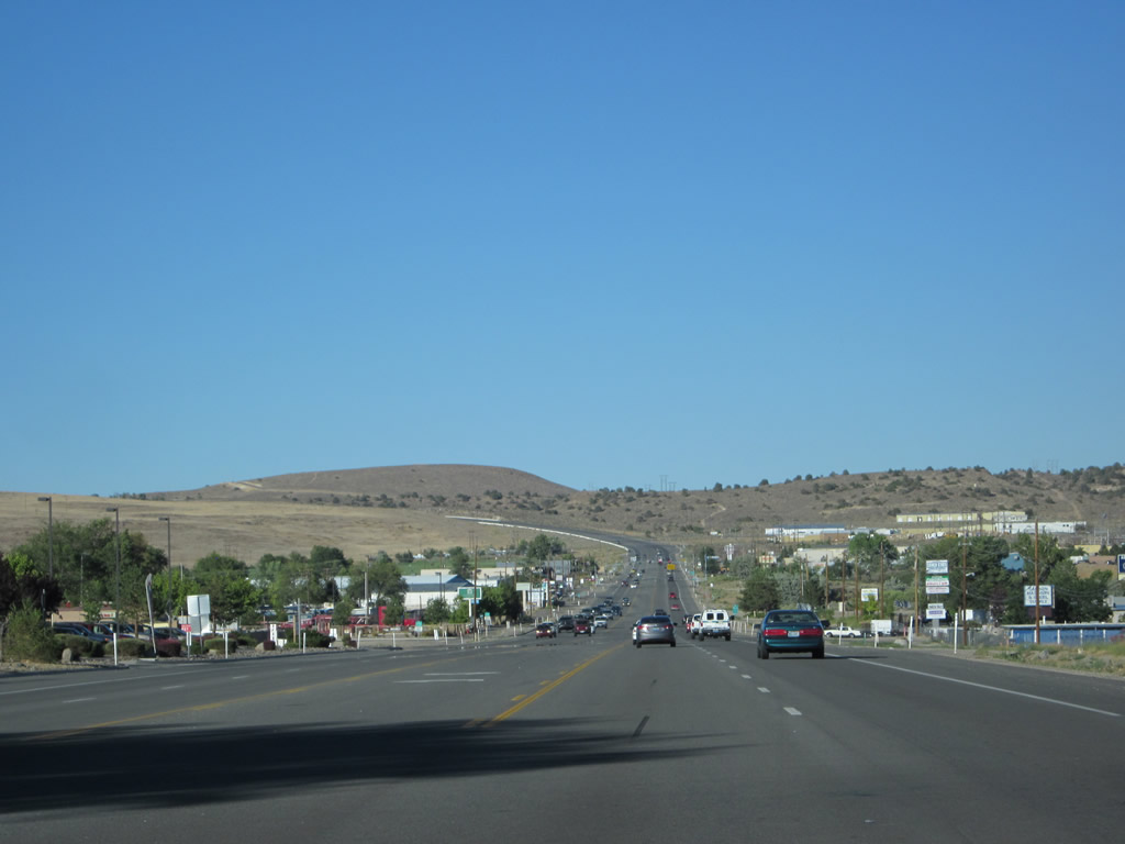
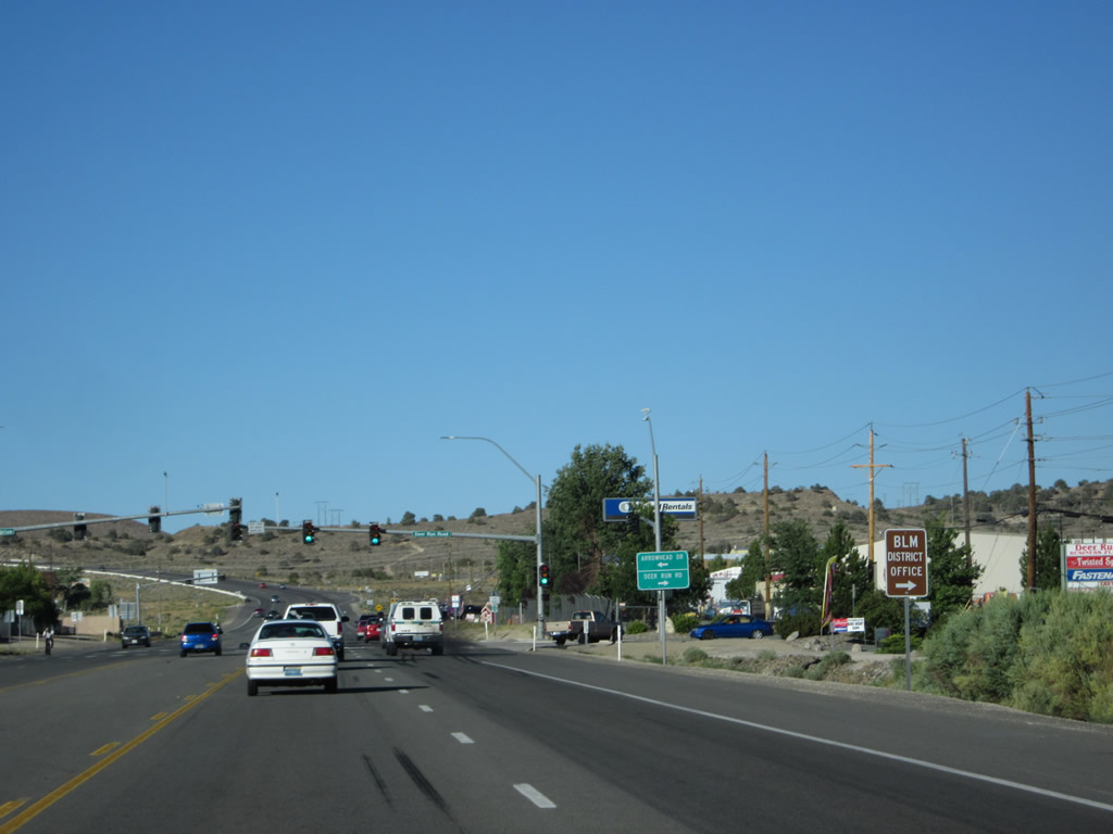
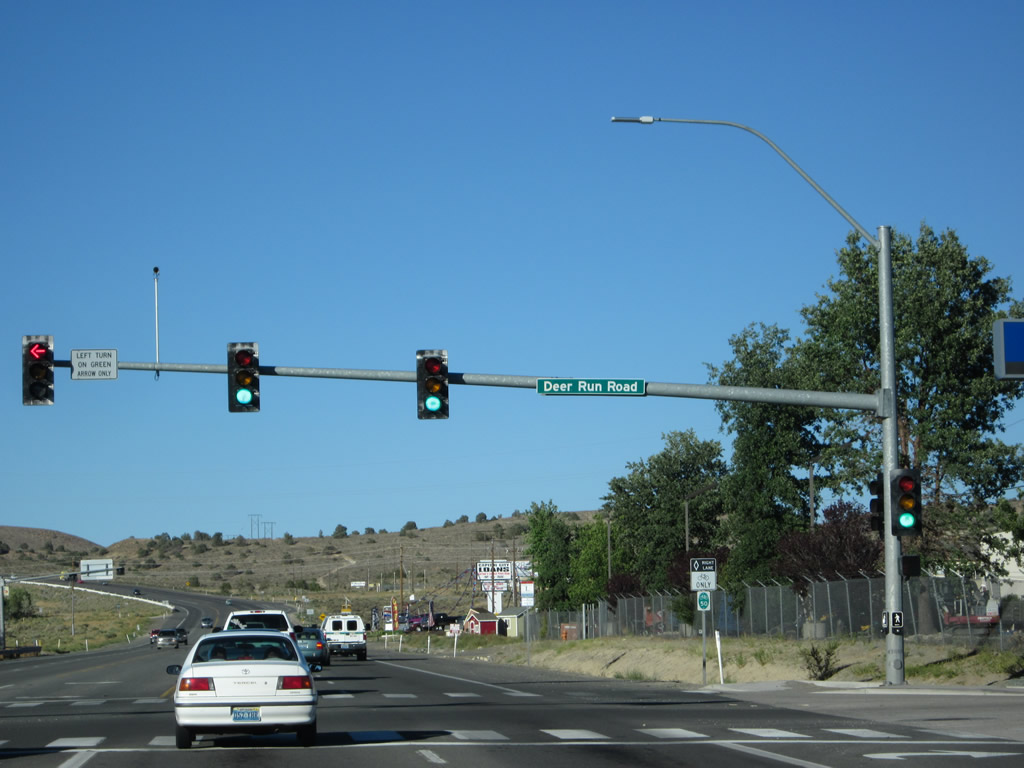
The five-lane highway proceeds east past Empire Ranch Road toward Deer Run Road/Arrowhead Drive, which is the traffic signal far in the distance. Photo taken 07/31/12. |
|
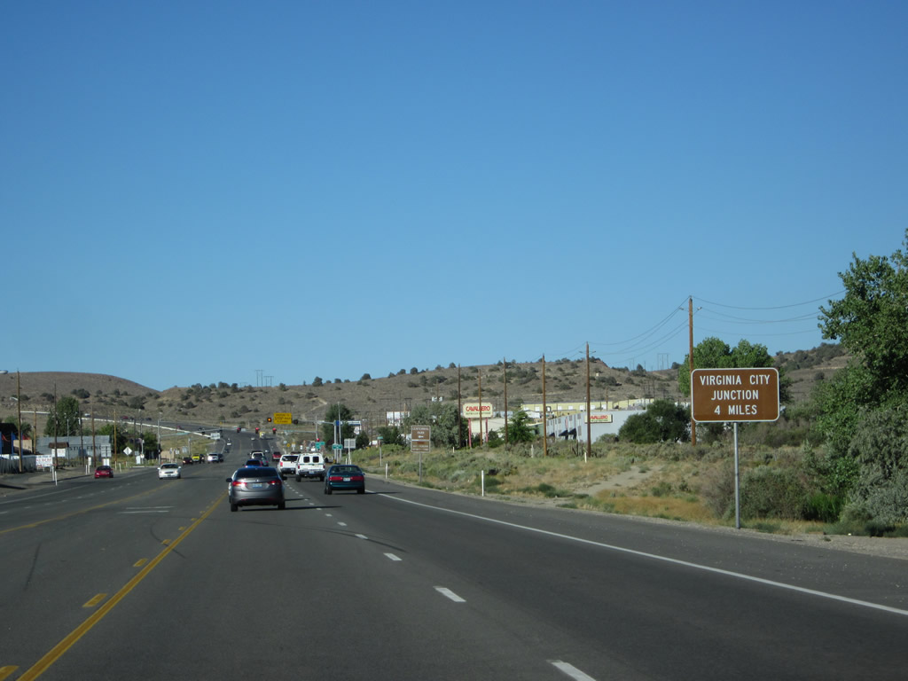
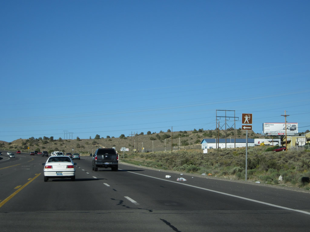
A brown recreational sign advises that Virginia City Junction (where U.S. 50 meets Nevada 341) is four miles ahead. Photo taken 07/31/12. |
|
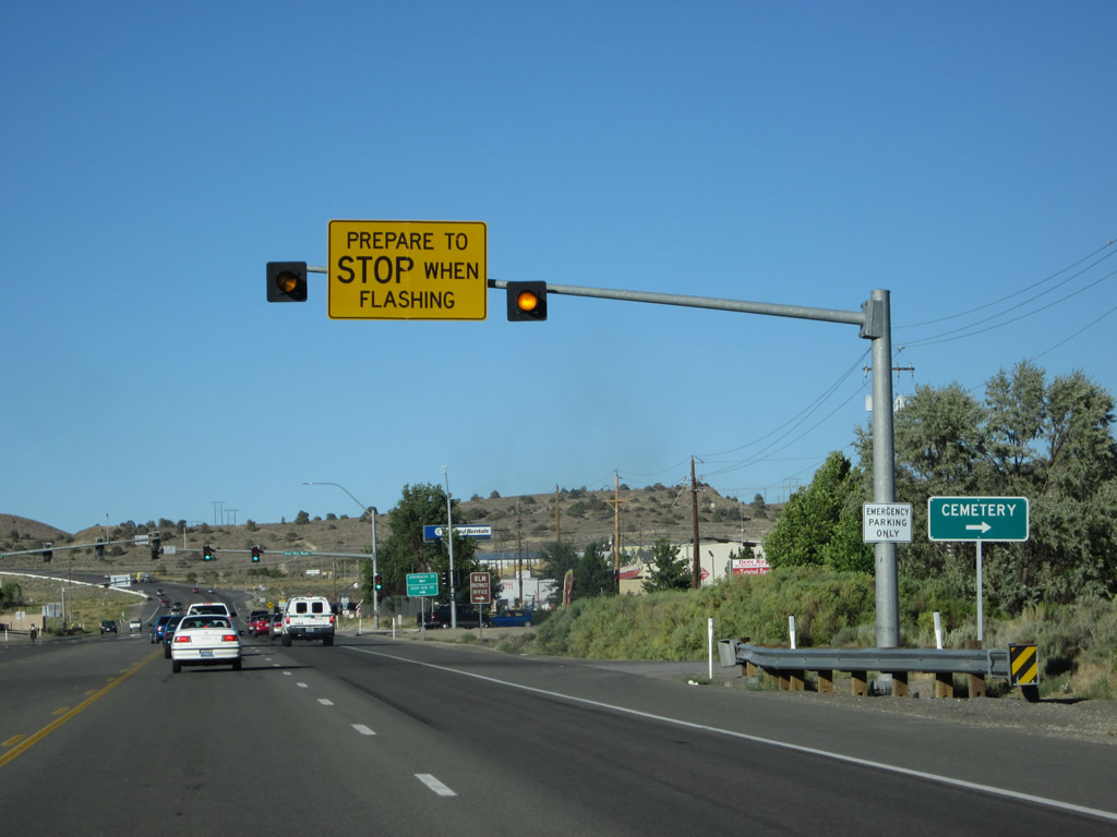
The next signalized intersection along U.S. 50 east is with Deer Run Road south (right) and Arrowhead Drive west (left). Photo taken 07/31/12. |
|
Turn right here for the Bureau of Land Management district office. Photo taken 07/31/12. |
|
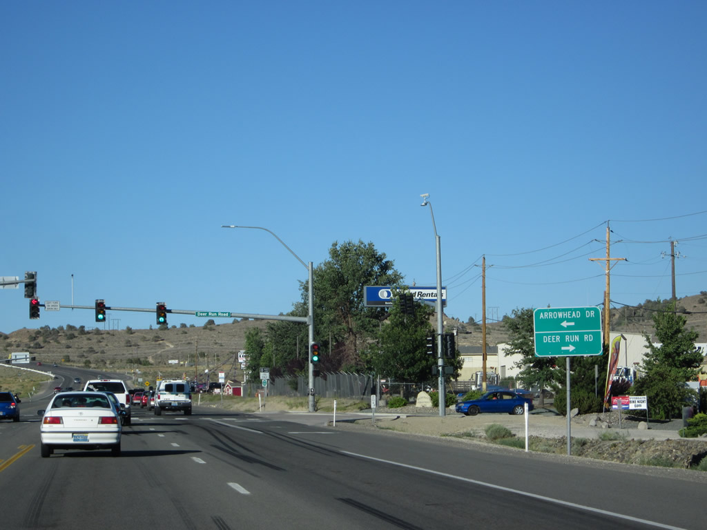
Deer Run Road travels south to Carson River Park. Arrowhead Drive turns north and then west toward Carson Airport, connecting to Interstate 580 and U.S. 395 north of downtown Carson City. Photo taken 07/31/12. |
|
Eastbound U.S. 50/Lincoln Highway meets Arrowhead Drive west and Deer Run Road south. Photo taken 07/31/12. |
|
A Lincoln Highway trailblazer marker is posted soon after the Arrowhead Drive/Deer Run Road intersection. Photo taken 07/31/12. |
|
|
|
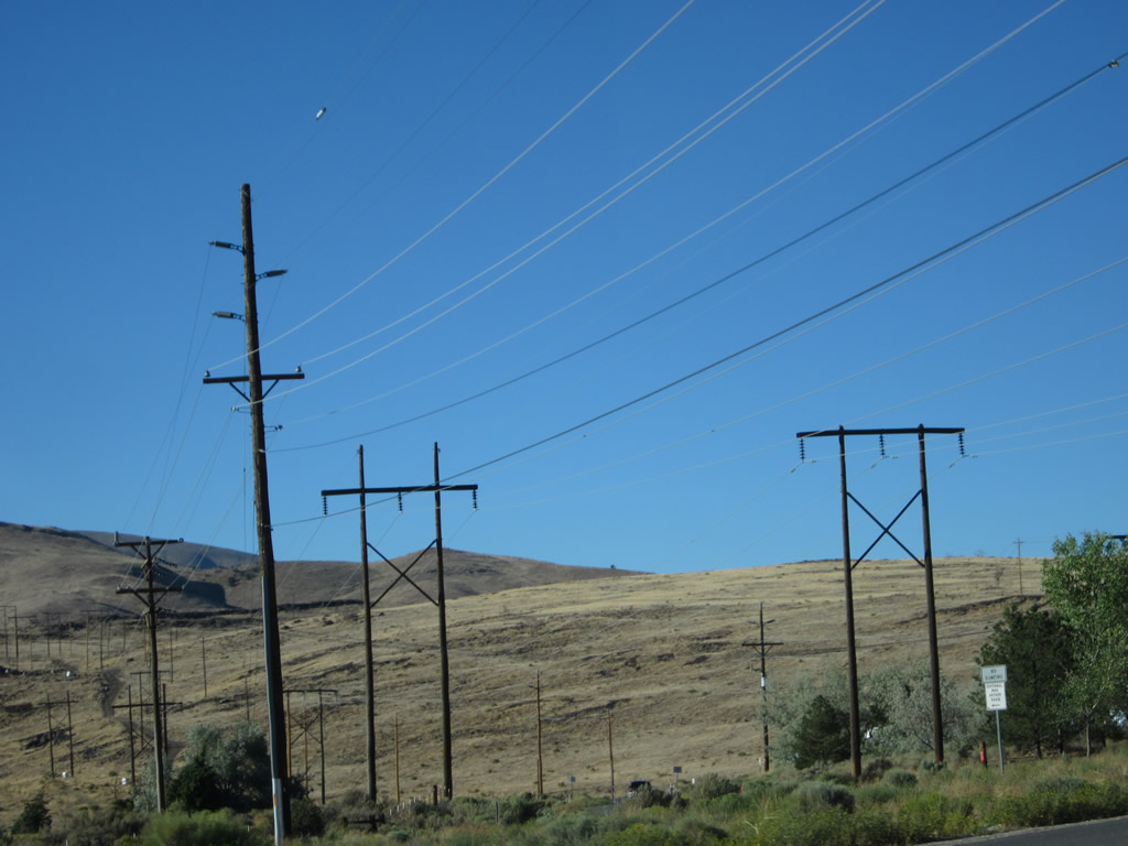
Development lessens as U.S. 50 gains elevation and leaves Eagle Valley behind. Several power lines cross over U.S. 50 near this point. Photos taken 07/31/12. |
|
A large blue sign bids farewell to motorists as we leave Eagle Valley and approach the Carson City-Lyon County line. On the opposite side of this sign is a message welcoming motorists into Carson City. Photo taken 07/31/12. |
|
Eastbound U.S. 50/Lincoln Highway approaches Flint Drive, which travels south to the Carson City Landfill and Recycling Center. Photo taken 07/31/12. |
|
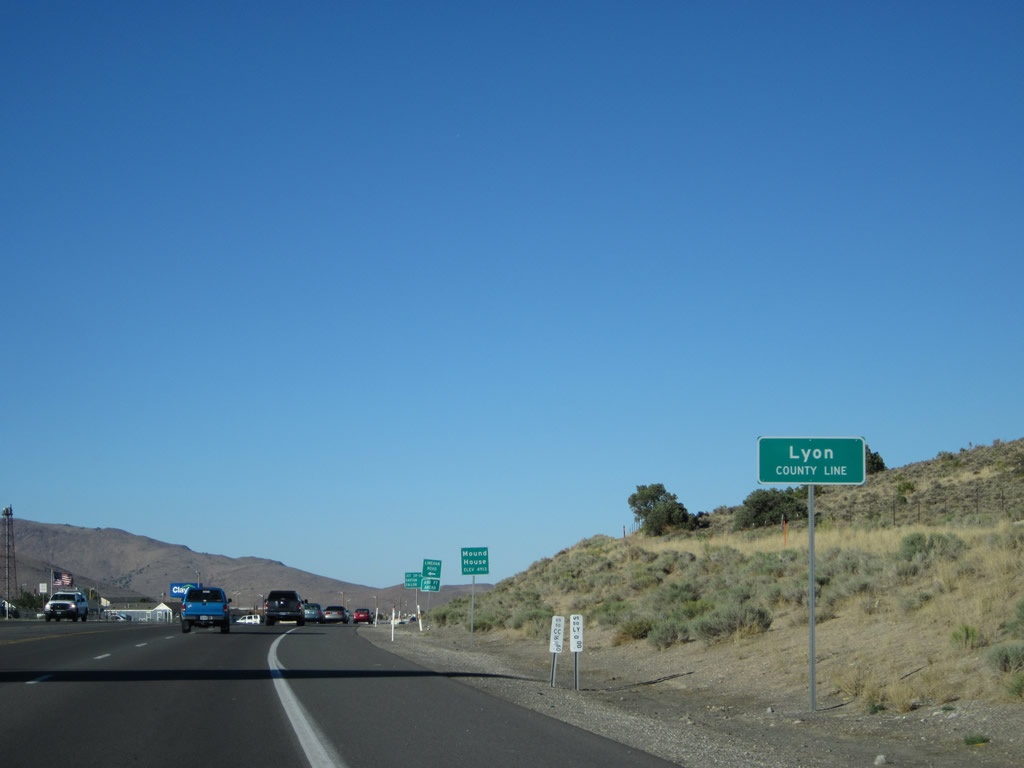
Nearing the top of the grade, we approach the Carson City-Lyon County Line. Photo taken 07/31/12. |
|
|
|
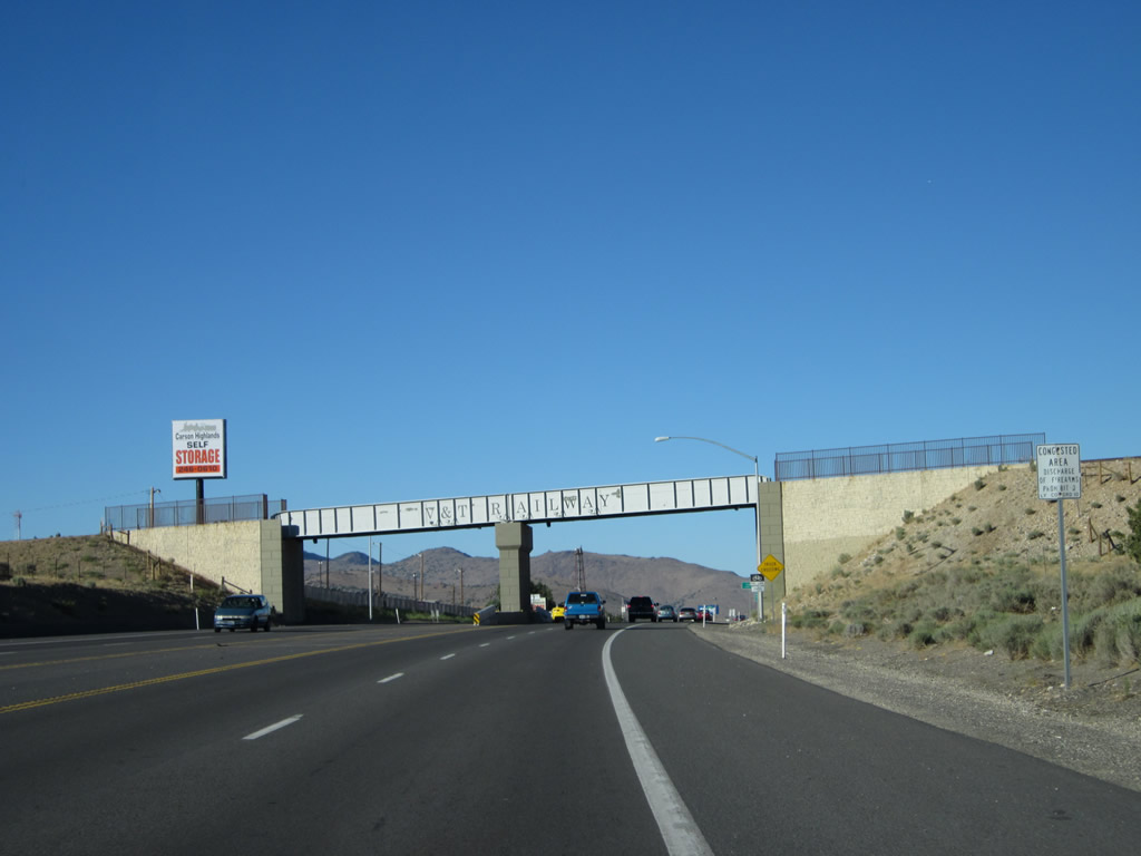
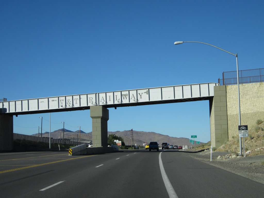
An overpass ahead will carry the Virginia & Truckee Railroad ("Queen of the Short Line") over the highway. Tours take passengers from Carson City to Virginia City along this refurbished and restored rail line. Visi the webpage for more information. Photos taken 07/31/12. |
|
U.S. 50 leaves Carson City and enters Lyon County and the unincorporated community of Mound House. Lyon County had a population of 51,980 as of the 2010 Census; its seat is in Yerington (off U.S. 95 Alternate and Nevada 208). The first community in Lyon County along U.S. 50 is Mound House, which historically had a role along the Virginia & Truckee Railroad route between Virginia City and Carson City during the Comstock Lode era. Mining was a key element to the growth of this region of Nevada. The Comstock Lode, which was the first major discovery of silver in the United States, drove miners to Virginia City in search of fortune from the time of initial discovery in 1859 and well into the 1860s and early 1870s. Photo taken 07/31/12. |
|
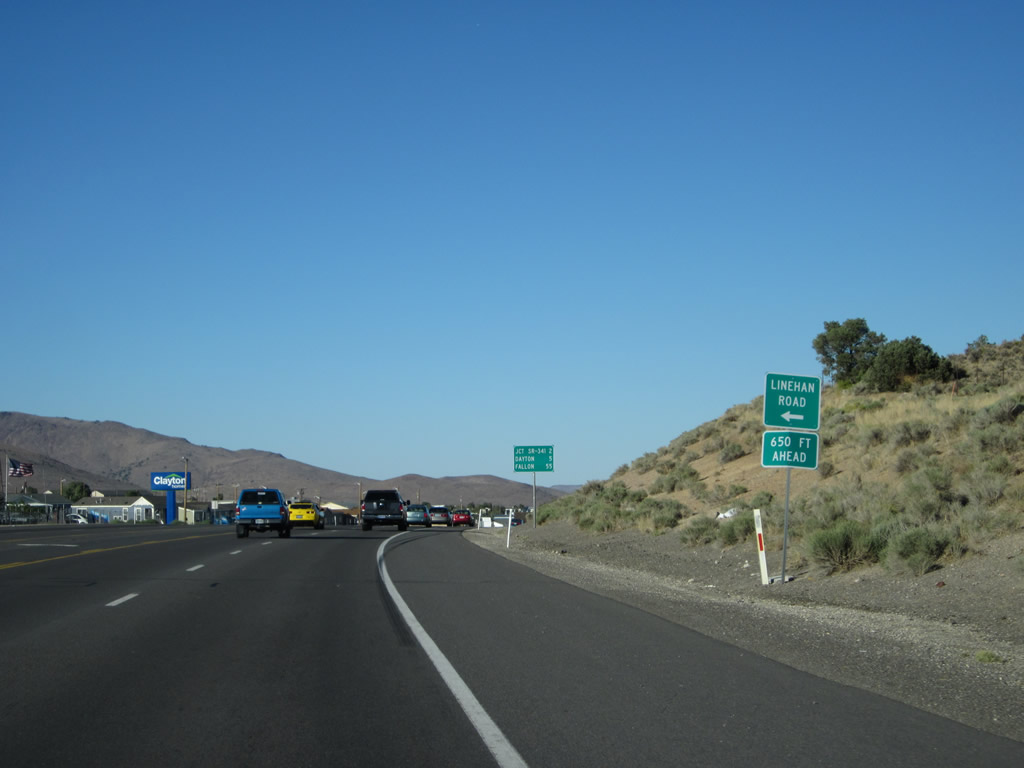
Eastbound U.S. 50/Lincoln Highway next approaches Linehan Road. Watch for BunnyRanch Boulevard, which connects U.S. 50 with the Moonlite Bunny Ranch, a legal brothel located in Mound House. Photo taken 07/31/12. |
|
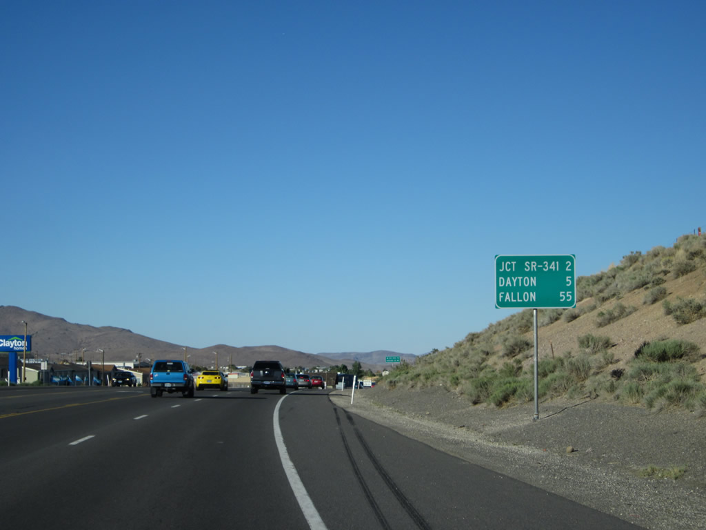
This mileage sign provides the distance to Nevada 341 north (two miles), Dayton (five miles), and Fallon (55 miles). Photo taken 07/31/12. |
|
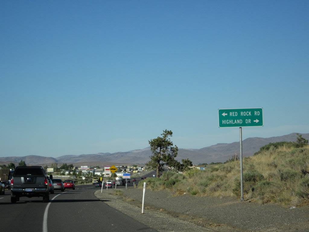
The next signed intersection along U.S. 50 east is with Red Rock Road (left turn) and Highland Drive (right turn). Photo taken 07/31/12. |
|
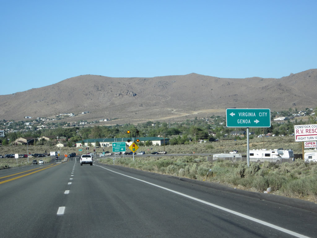
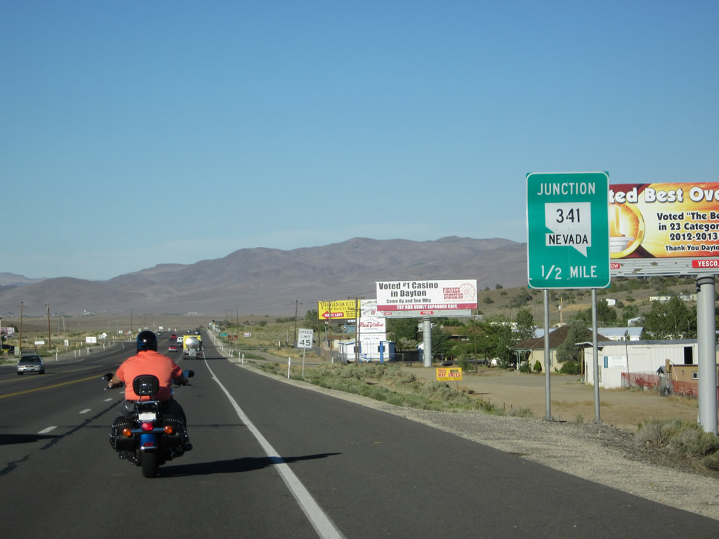
Eastbound U.S. 50/Lincoln Highway approaches the turnoff to Virginia City via Nevada 341 north (one-half mile; left turn). Turn left on Nevada 341 north to Virginia City. Continue east on U.S. 50 to Dayton, Silver Springs, and Fallon. Photo taken 07/31/12. |
|
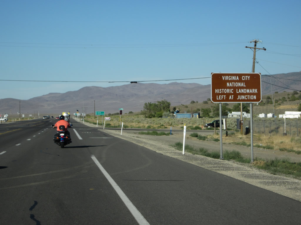
Use Nevada 341 north to the Virginia City National Historic Landmark. Photo taken 07/31/12. |
|
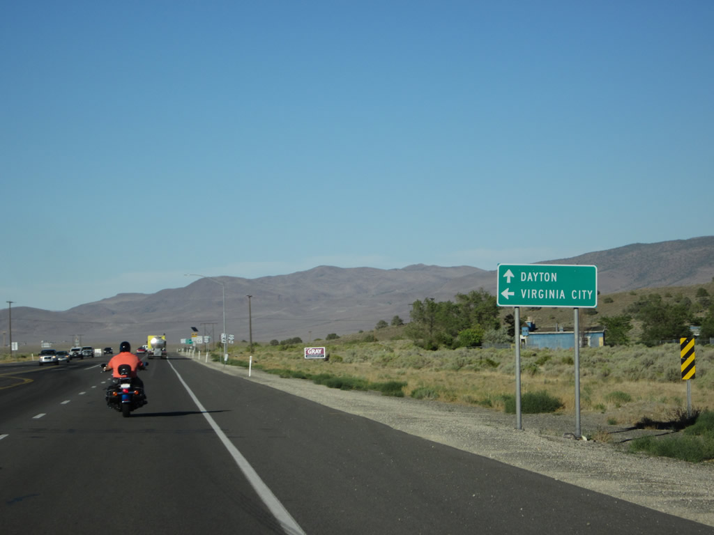
Motorists can turn left on Nevada 341 north for Virginia City or continue ahead for U.S. 50 east to Dayton. Photo taken 07/31/12. |
|
A final set of shields is positioned at the turnoff from eastbound U.S. 50/Lincoln Highway to northbound Nevada 341. Photo taken 07/31/12. |
|
A U.S. 50 east reassurance route marker is posted immediately after the Nevada 341 intersection. Photo taken 07/31/12. |
|
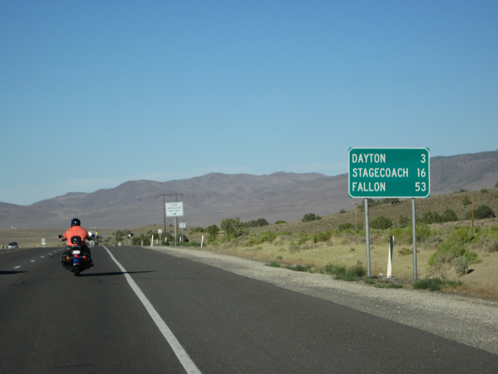
This mileage sign along eastbound U.S. 50/Lincoln Highway provides the distance to Dayton (three miles), Stagecoach (16 miles), and Fallon (53 miles). Photo taken 07/31/12. |
|
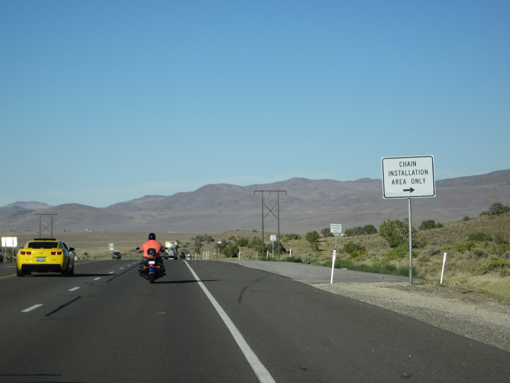
A widened shoulder allows for tire chain installation during winter snow storms. Photo taken 07/31/12. |
|
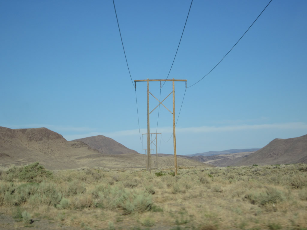
A single-circuit power line crosses over the highway shortly after the tire chain installation area. Photo taken 07/31/12. |
|
|
|
Cresting over the hill and descending toward the unincorporated community of Dayton, U.S. 50 gains a barrier median to separate the two directions of traffic. A scenic view appears along eastbound as U.S. 50 descends into Dayton Valley. Photos taken 07/31/12. |
|
At the bottom of the grade, U.S. 50 approaches the outskirts of Dayton, which also owes its history to the area's mining boom of the second half of the 1800s. The Carson River bends to come alongside U.S. 50 as the highway passes through Dayton. Photo taken 07/31/12. |
|
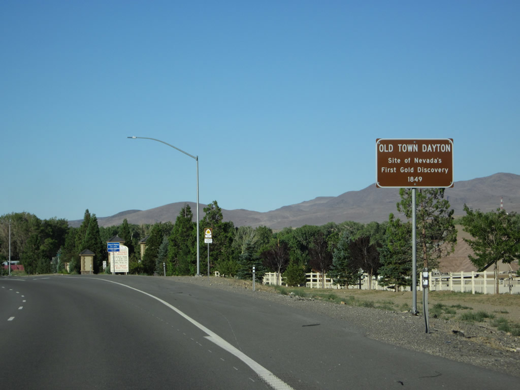
Old town Dayton is the site of Nevada's first gold rush in 1849 and the site of Nevada's first permanent settlement in 1851. Located along the Pony Express Route, and later the Lincoln Highway and Overland Trail, Dayton is steeped in mining history and features a historical walking tour. Photo taken 07/31/12. |
|
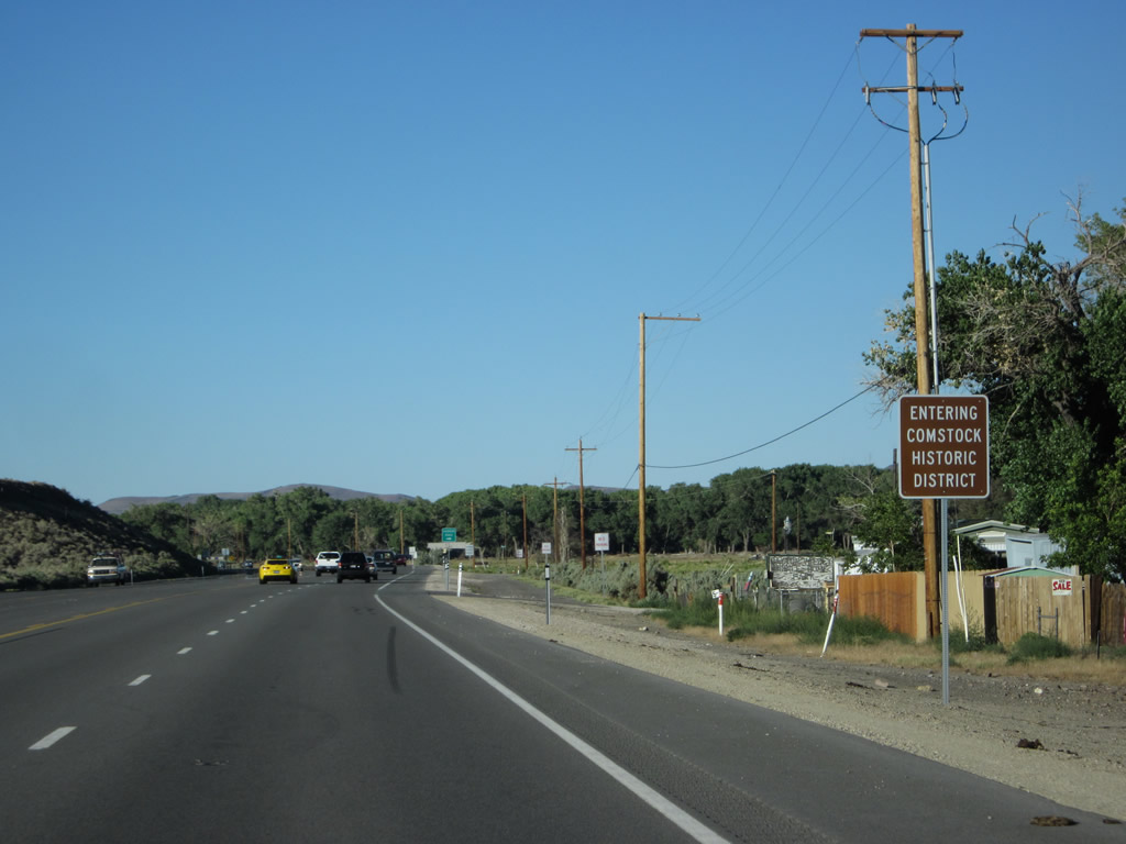
Dayton is part of the Comstock Historic District. Photo taken 07/31/12. |
|
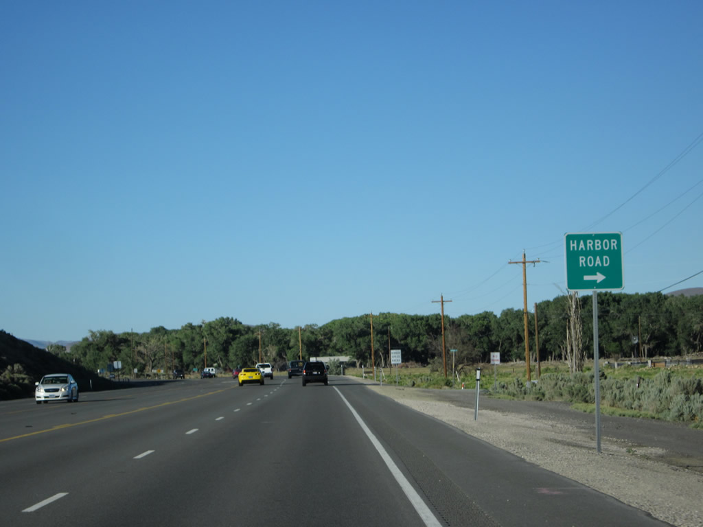
Eastbound U.S. 50 approaches Harbor Road (right turn). Photo taken 07/31/12. |
|
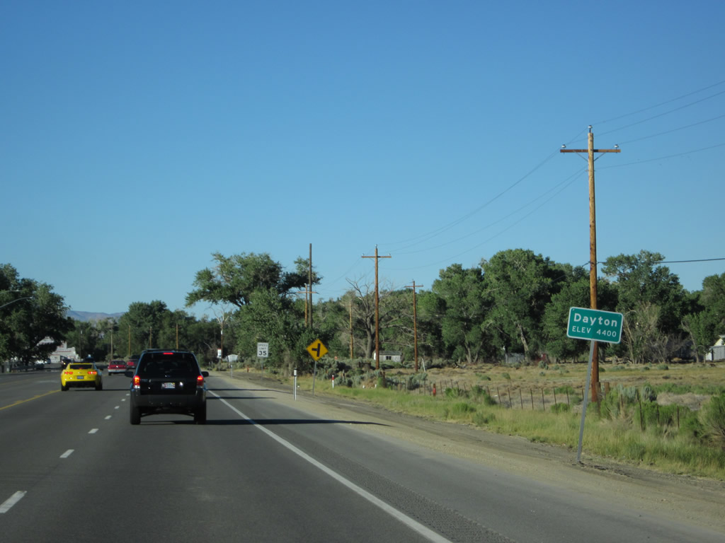
U.S. 50 enters the unincorporated community of Dayton, which had a population of 8,964 as of the 2010 Census. Situated along the Carson River, Dayton is also at the west end of the Twenty-Six Mile Desert and is southeast of Virginia City. U.S. 50 travels almost due north while passing through Dayton, then curves northeast again toward Silver Springs. The community sits at an elevation of 4,400 feet above sea level. Photo taken 07/31/12. |
|
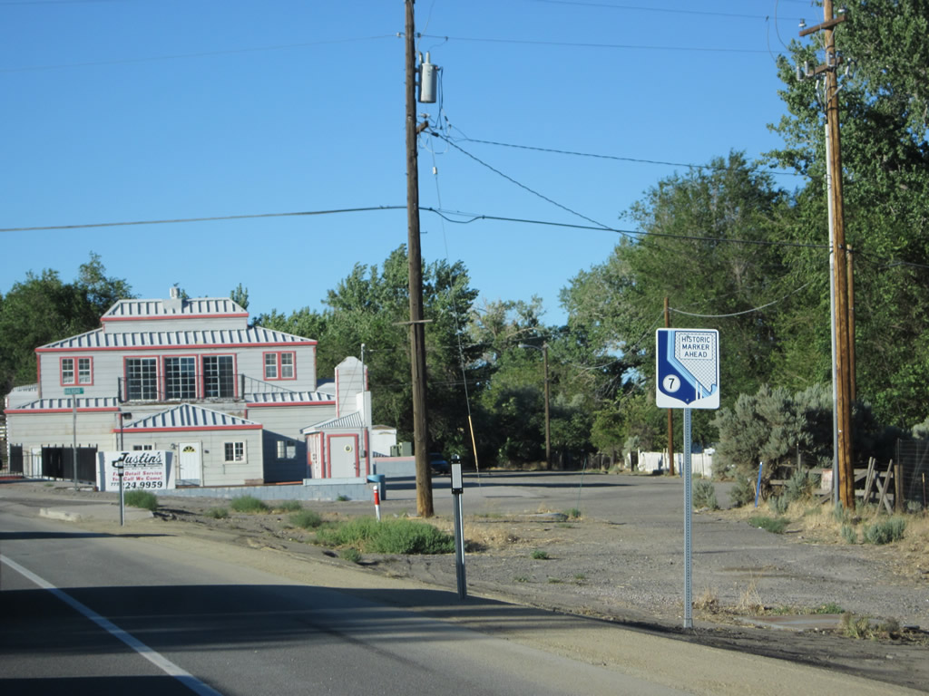
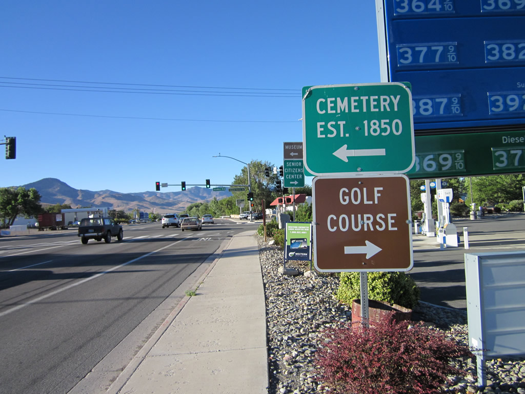
At the next turnoff on the right side of U.S. 50 are several historic markers/plaques, including State Historic Marker #7 regarding the history of Dayton. Photo taken 07/31/12. |
|
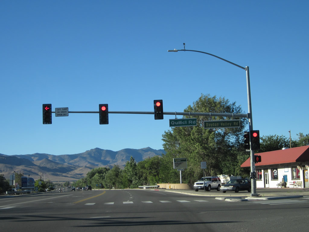
Eastbound U.S. 50 approaches Nevada 822/Dayton Valley Road. Turn left for the cemetery and museum, or turn right for various residential areas on the east bank of the Carson River. Nevada 822 is a very short state route that simply takes traffic from U.S. 50 over the Carson River, then shifts to county maintenance on the east bank of the river. Photo taken 07/31/12. |
|
U.S. 50 east meets Nevada 822/Dayton Valley Road at this traffic signal. Food and gas are both available here in central Dayton. Park in the gas station lot to see the Nevada historic markers mentioned above. Photo taken 07/31/12. |
|
Continuing almost due north through Dayton, eastbound U.S. 50 leaves the intersection with Nevada 822/Dayton Valley Road and proceeds with five lanes. The Carson River follows U.S. 50 on the east (right) side of the highway. Photo taken 07/31/12. |
|
A Terrible's Casino is positioned on the left side of U.S. 50 as we proceed north through Dayton. Photo taken 07/31/12. |
|
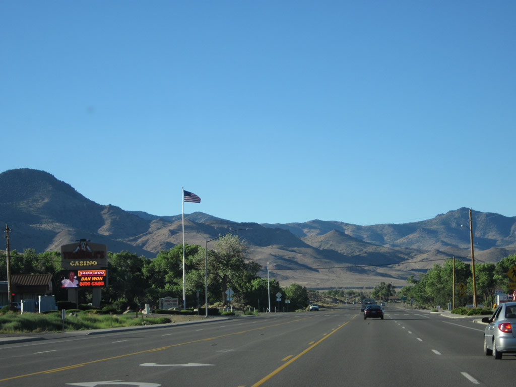
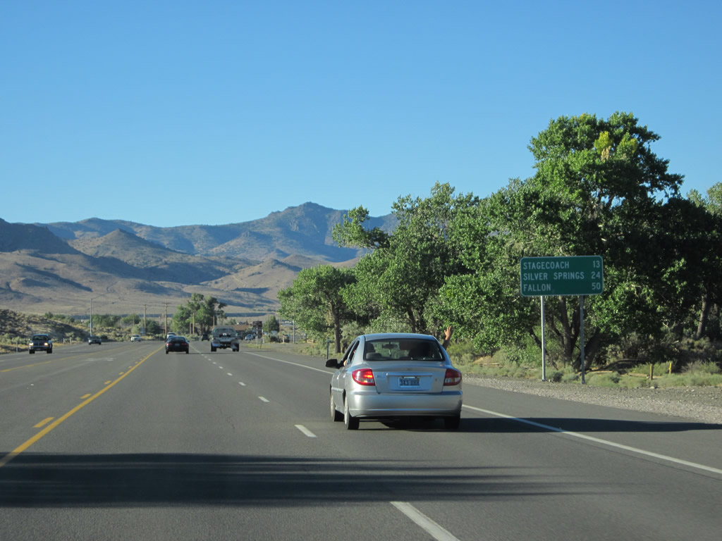
This mileage sign along U.S. 50 east provides the distance to Stagecoach (13 miles), Silver Springs (24 miles), and Fallon (50 miles). Photo taken 07/31/12. |
|
|
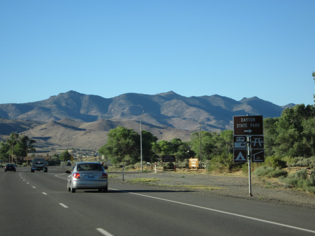
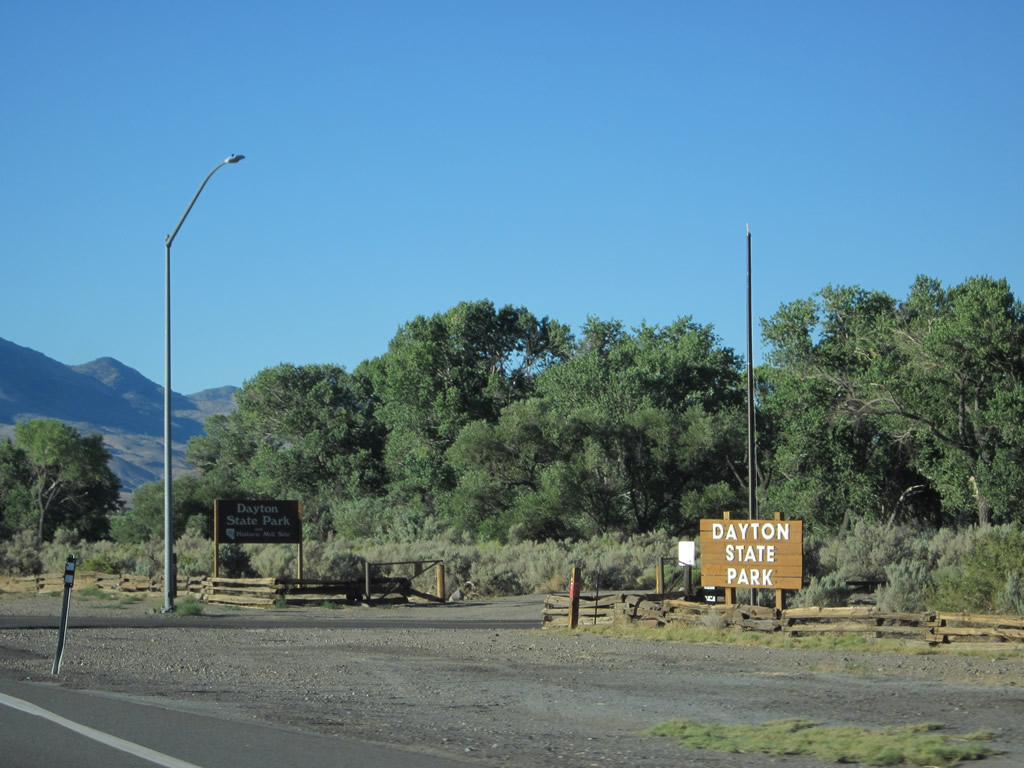
Turn right for Dayton State Park, which features trails, historic sites, camping, fishing, and picnicking. Photos taken 07/31/12. |
|
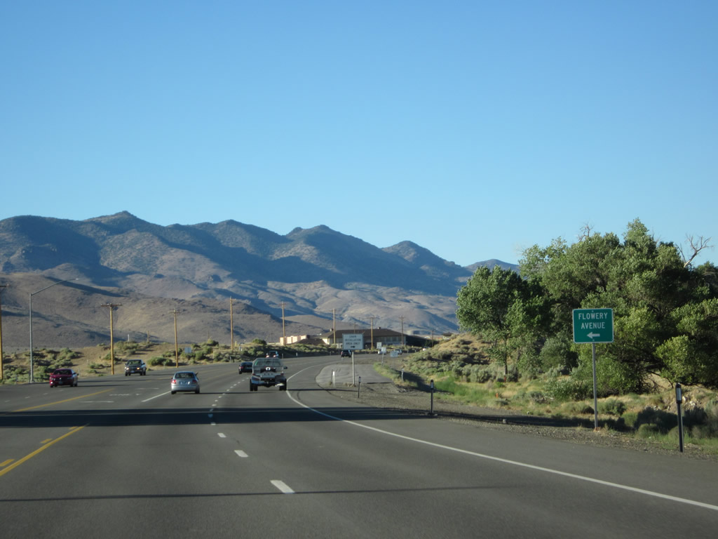
Eastbound U.S. 50 approaches Flowery Avenue (left turn). Photo taken 07/31/12. |
|
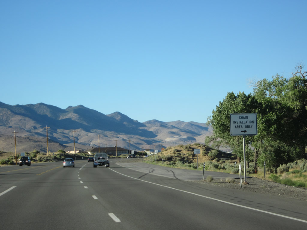
U.S. 50 begins to curve to the east again as we pass by another tire chain installation area. More services are ahead on the left. Photo taken 07/31/12. |
|
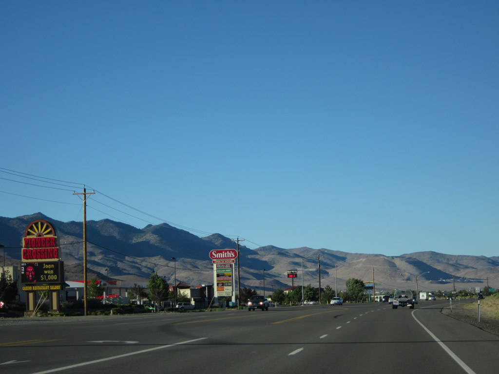
On the left is the Pioneer Crossing casino, followed by a grocery store and other stores and restaurants. Photo taken 07/31/12. |
|
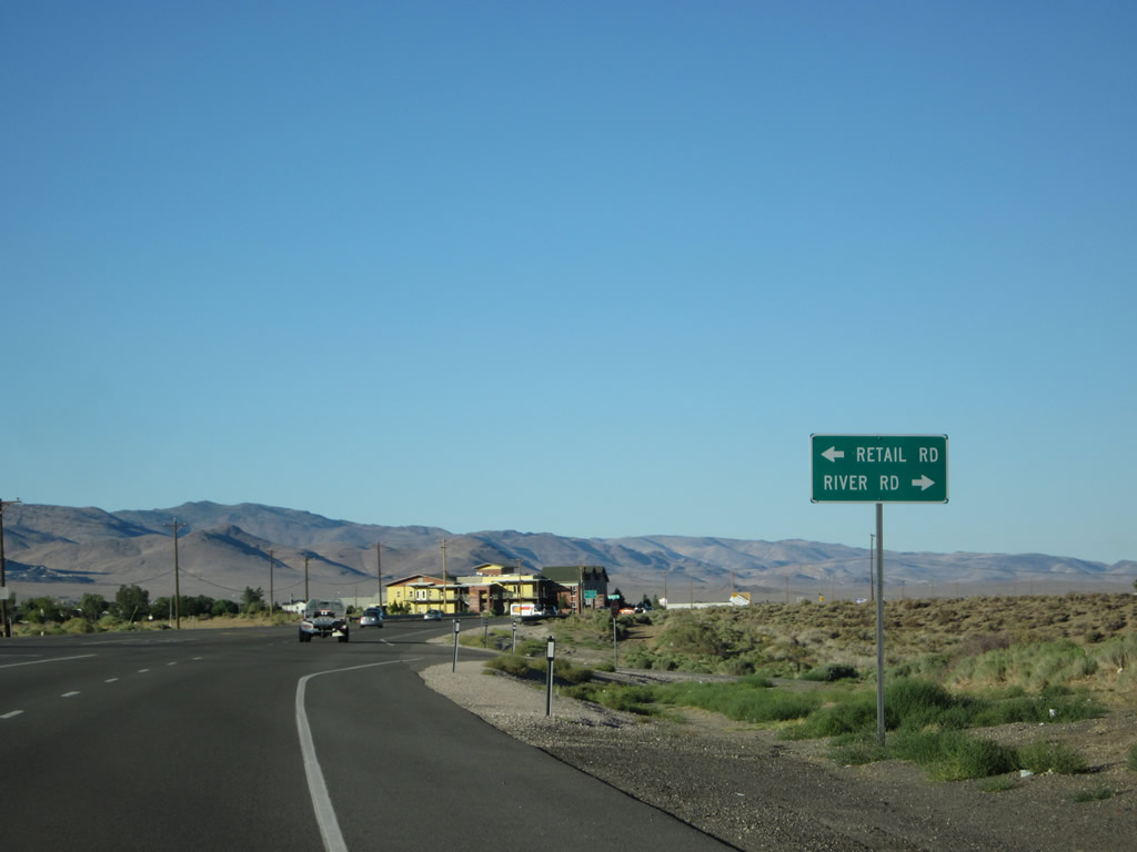
Eastbound U.S. 50 approaches Retail Road (left turn) and River Road (right turn). As the names imply, Retail Road serves the shopping center to the left of the highway, and River Road travels northeast parallel to U.S. 50 and closer to the Carson River. Photo taken 07/31/12. |
|
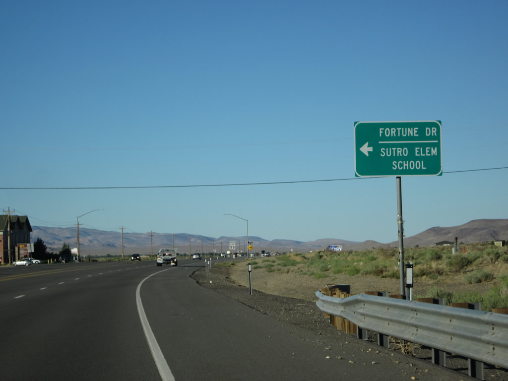
Continuing northeast, U.S. 50 approaches Fortune Drive, which travels north into a residential subdivision in Dayton. Photo taken 07/31/12. |
|
|
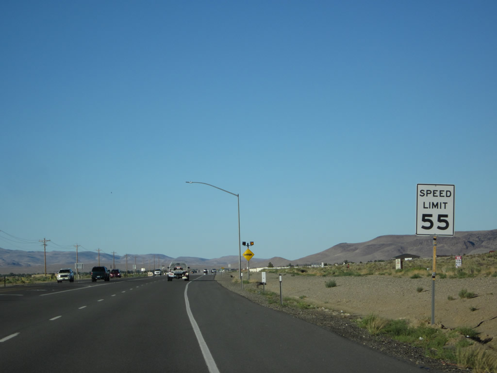
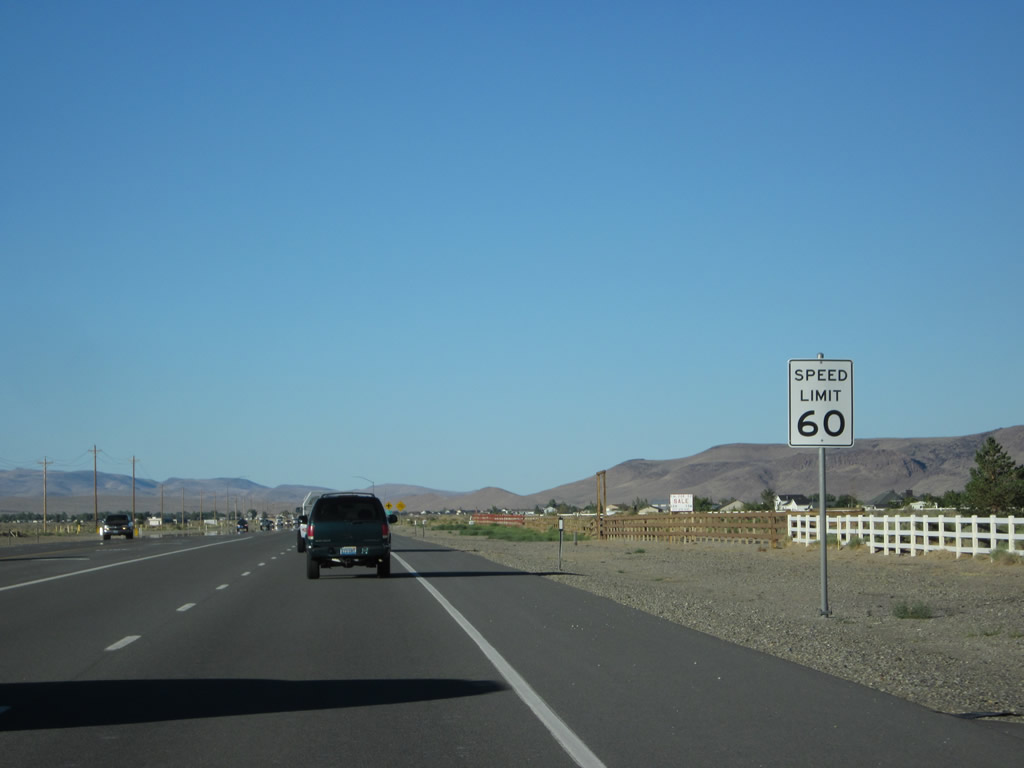
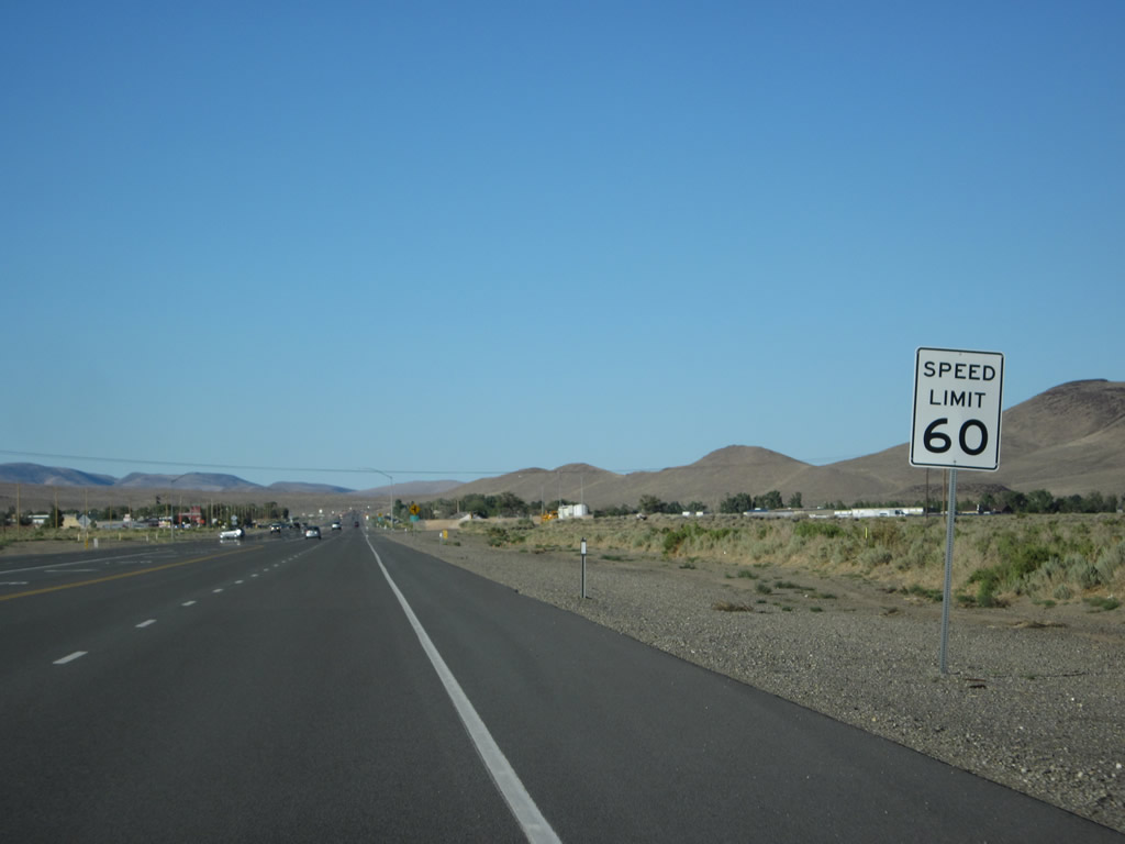
The speed limit gradually increases from 45 miles per hour to 55 miles per hour and ultimately 60 miles per hour as we travel through less populated areas northeast of Dayton. Photos taken 07/31/12. |
|
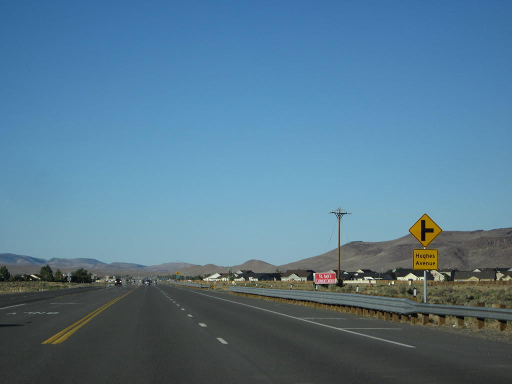
Proceeding east, U.S. 50 passes Segale Road, Enterprise Way, and Graves Drive. Thereafter, eastbound U.S. 50 approaches Hughes Avenue. More residential development appears on both sides of U.S. 50. Photo taken 07/31/12. |
|
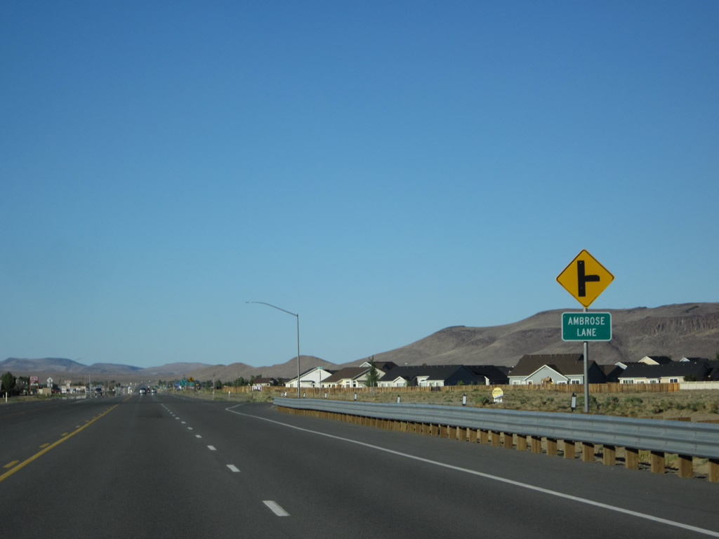
Eastbound U.S. 50 approaches Ambrose Lane. Photo taken 07/31/12. |
|
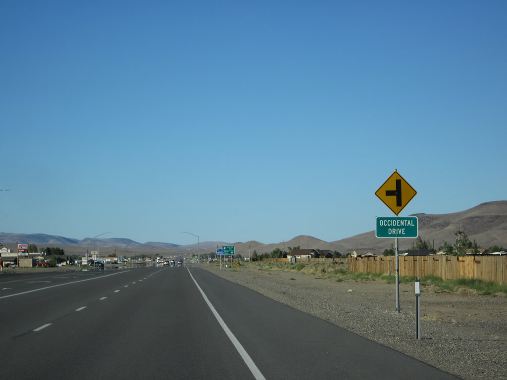
The next left connects U.S. 50 east with Occidental Drive, which serves a residential area on the left side of the highway. Occidental Drive will curve in a 180-degree arc, then cross U.S. 50 again to serve other residences on the right side of the highway. Photo taken 07/31/12. |
|
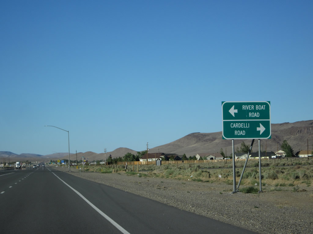
Eastbound U.S. 50 approaches River Boat Road, which travels north to provide a cutoff (and faster route) to Six Mile Canyon Road, and Cardelli Road. Both roads serve local residential developments. After this intersection, U.S. 50 will again meet Occidental Drive. Photo taken 07/31/12. |
|
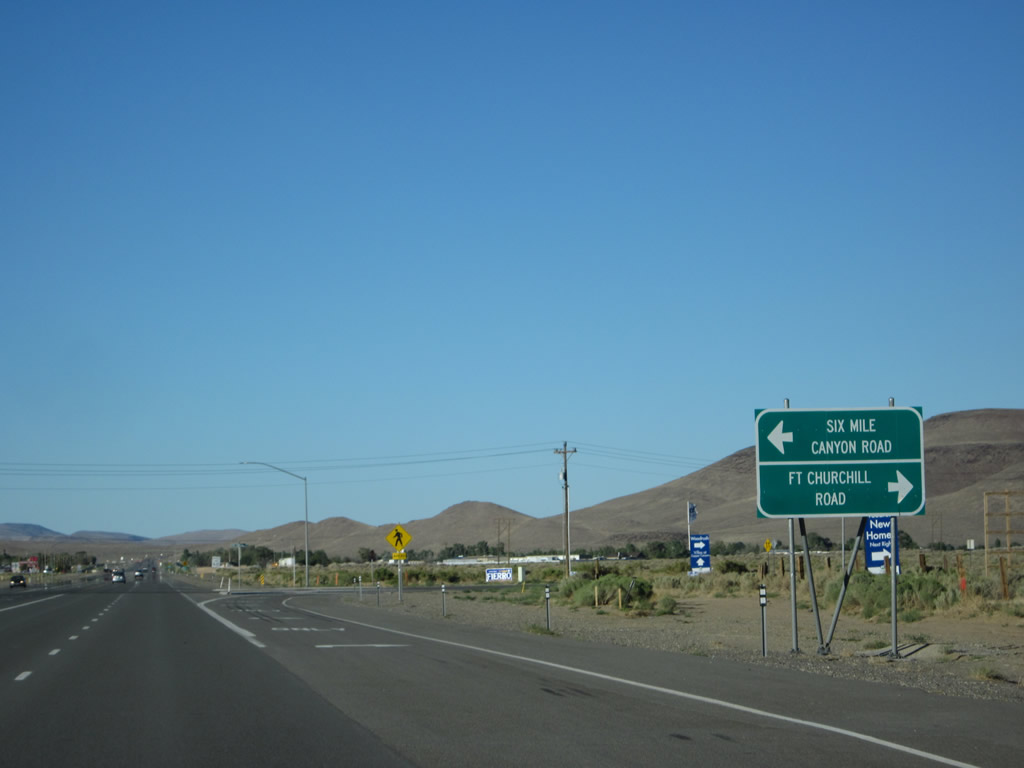
Soon thereafter, eastbound U.S. 50 approaches and meets Six Mile Canyon Road (former Nevada 79), which travels west to Virginia City (where it becomes Mills Street and connects with Nevada 341/C Street). To the east, Fort Churchill Road travels along the north bank of the Carson River toward Fort Churchill State Historic Park, although this is not the preferred route (use U.S. 50 east to U.S. 95 Alternate). Portions of this highway are unpaved. Photo taken 07/31/12. |
|
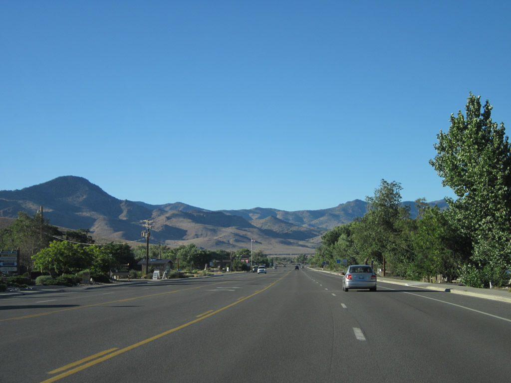
U.S. 50 continues east after the Six Mile Canyon Road/Fort Churchill Road intersection. We leave the Carson River behind, since the Carson River travels toward Fort Churchill en route to Lahontan Reservoir near Silver Springs. U.S. 50 will again connect with the Carson River at the reservoir, and the two will follow each other again between Silver Springs and Fallon. Northeast of Fallon, the Carson River proceeds into the the Carson Sink, where the river comes to its end. Development becomes more sparse as we leave the vicinity of Dayton and proceeds toward Stagecoach and Silver Springs. Photo taken 07/31/12. |
|
|
|
|
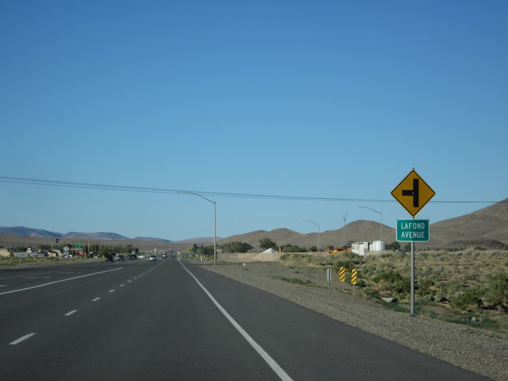
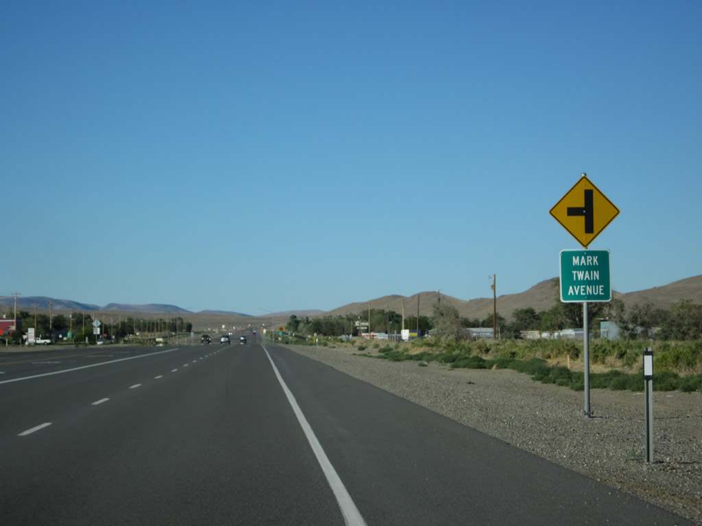
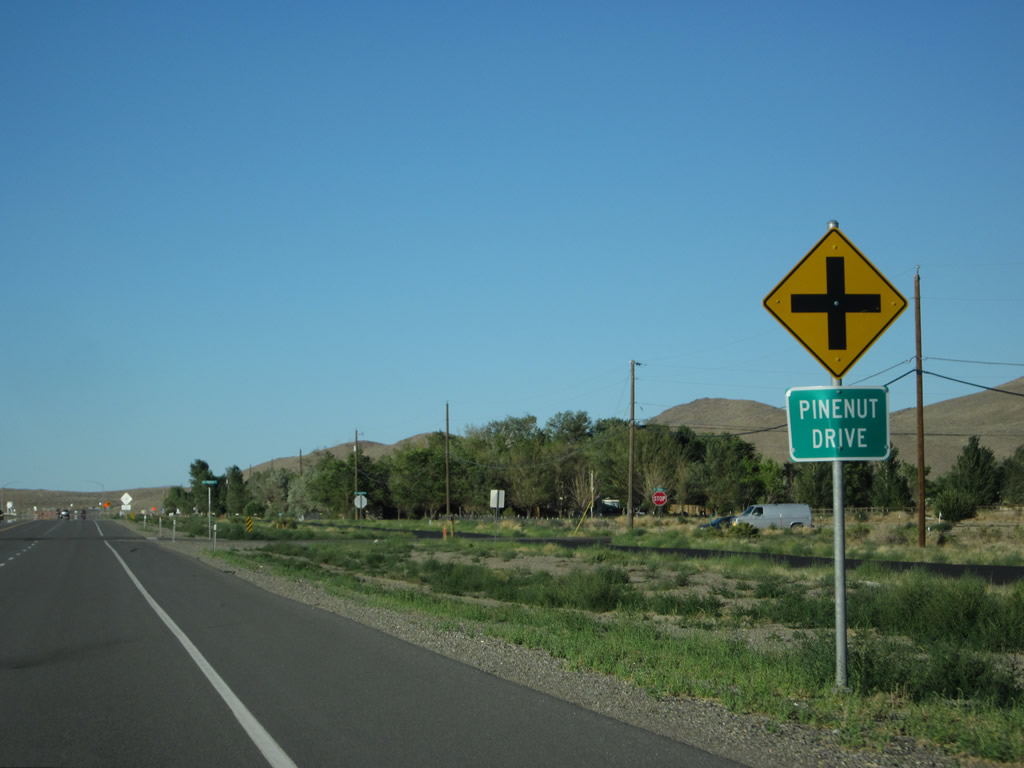
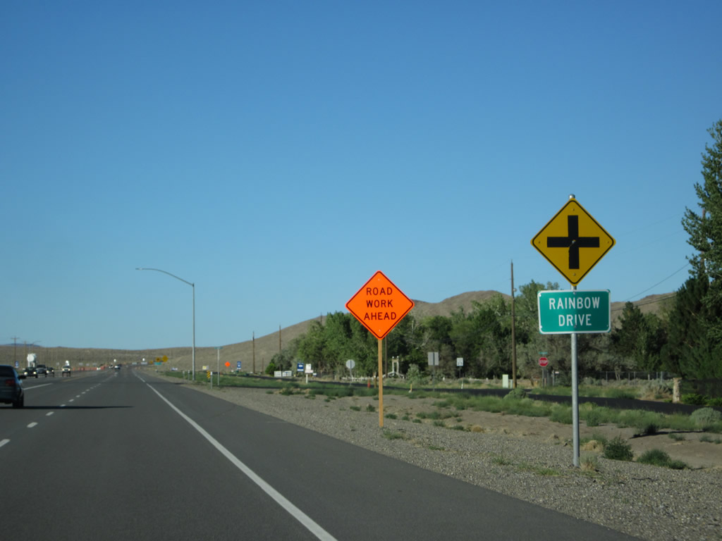
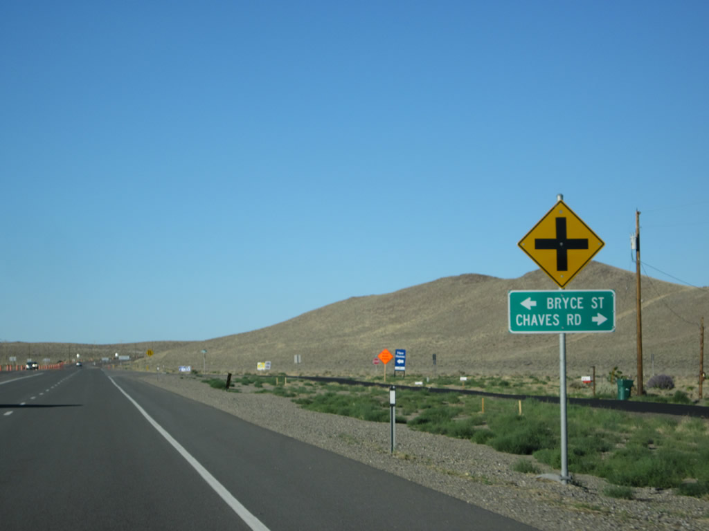
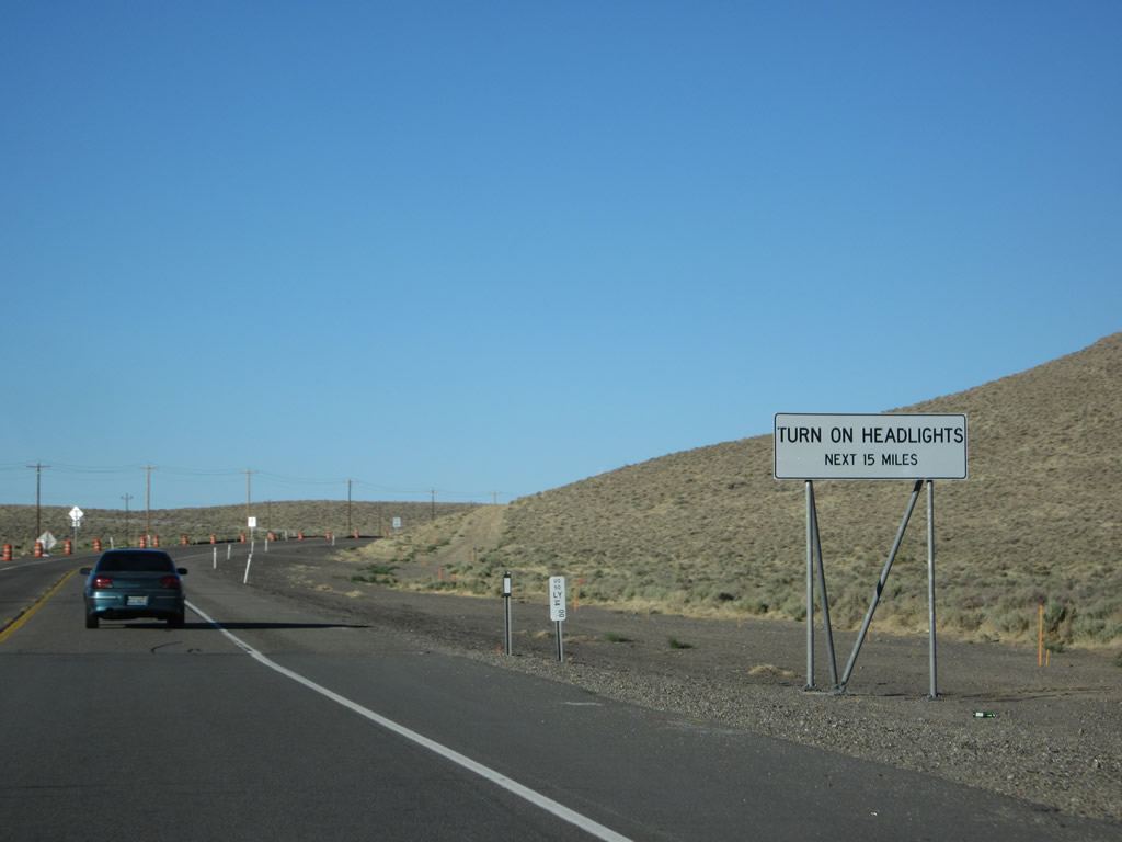
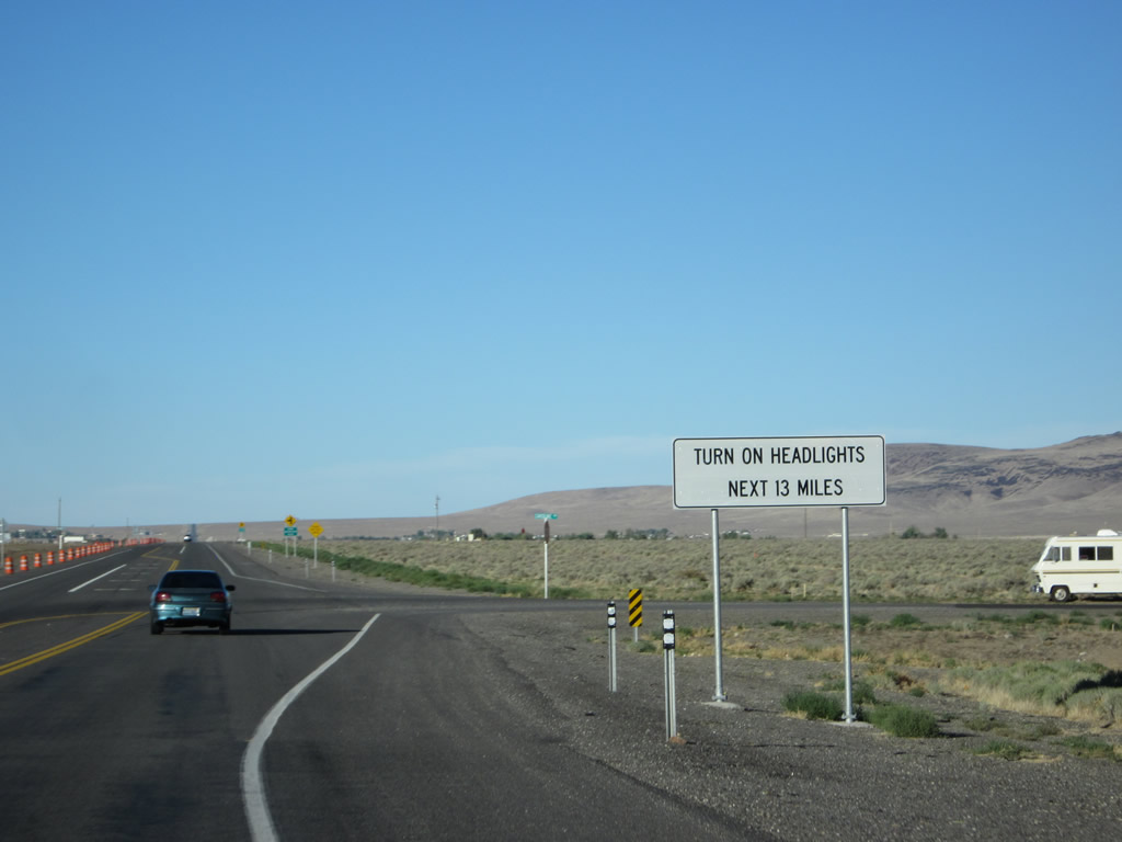
U.S. 50 passes by a series of marked intersections as it proceeds east: Lafond Avenue, Mark Twain Avenue, Rainbow Drive (a 360-degree loop road), Pinenut Drive, Rainbow Drive (again), and Bryce Street/Chaves Road. At the time we took these pictures, construction was underway to widen U.S. 50 to four lanes between east Dayton and Stagecoach. A daytime headlights section begins at the beginning of the construction zone, owing to the need for safety on the busy two-lane segments of highway. Photos taken 07/31/12. |
|
|
|
|
|
|
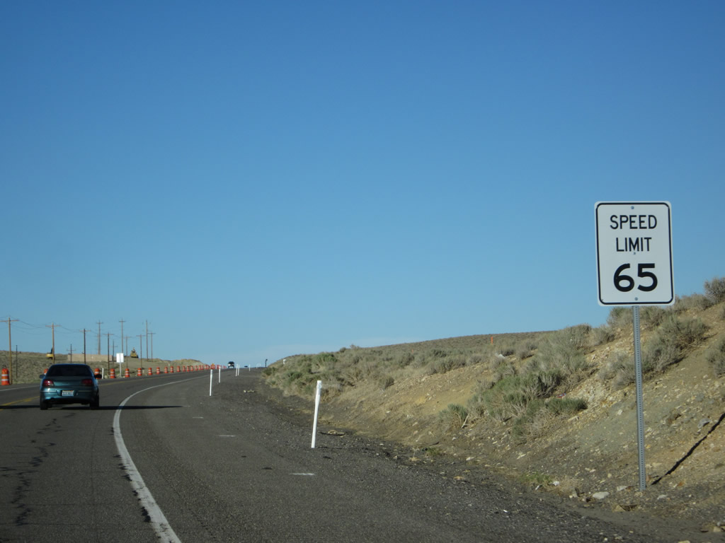
The speed limit increases as we leave Dayton behind and watch as a new carriageway for westbound traffic is being built to accommodate the increased traffic counts along this busy section of U.S. 50 in Nevada. Photos taken 07/31/12. |
|
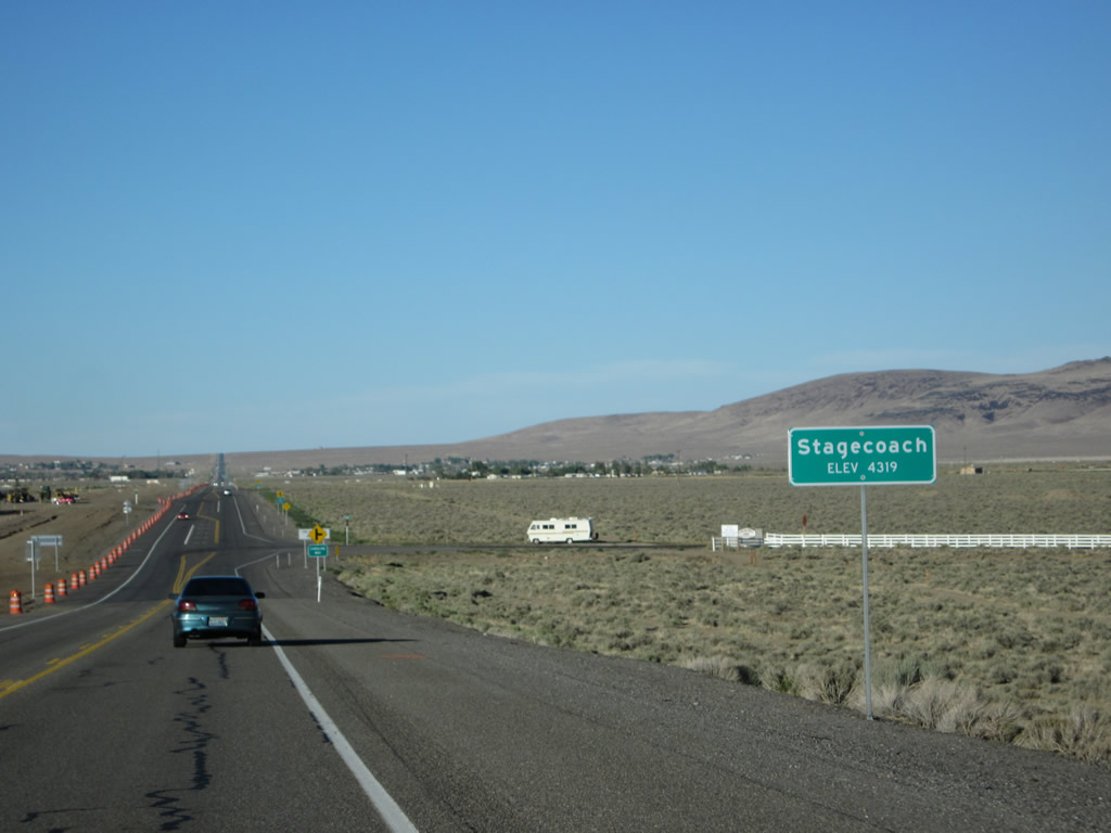
U.S. 50 crests over a ridge and descends into the unincorporated community of Stagecoach. Photo taken 07/31/12. |
|
|
|
|
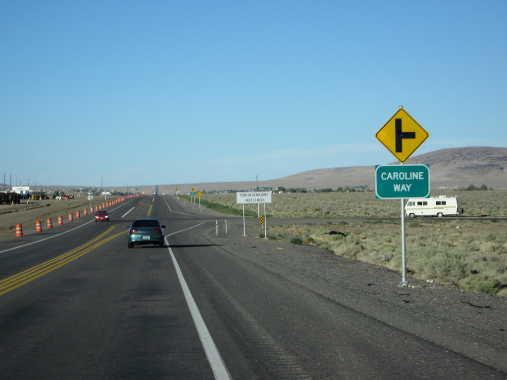
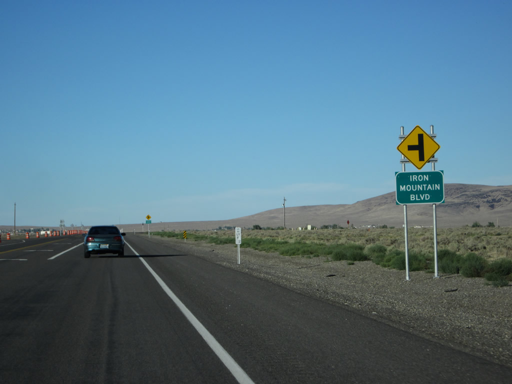
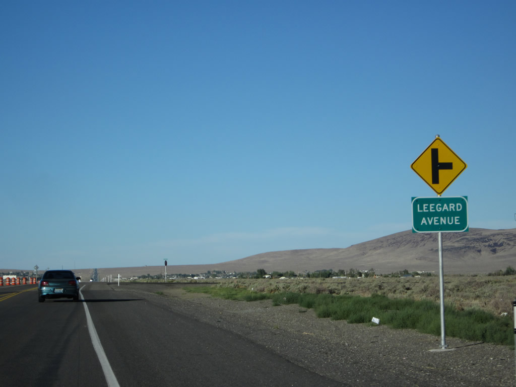
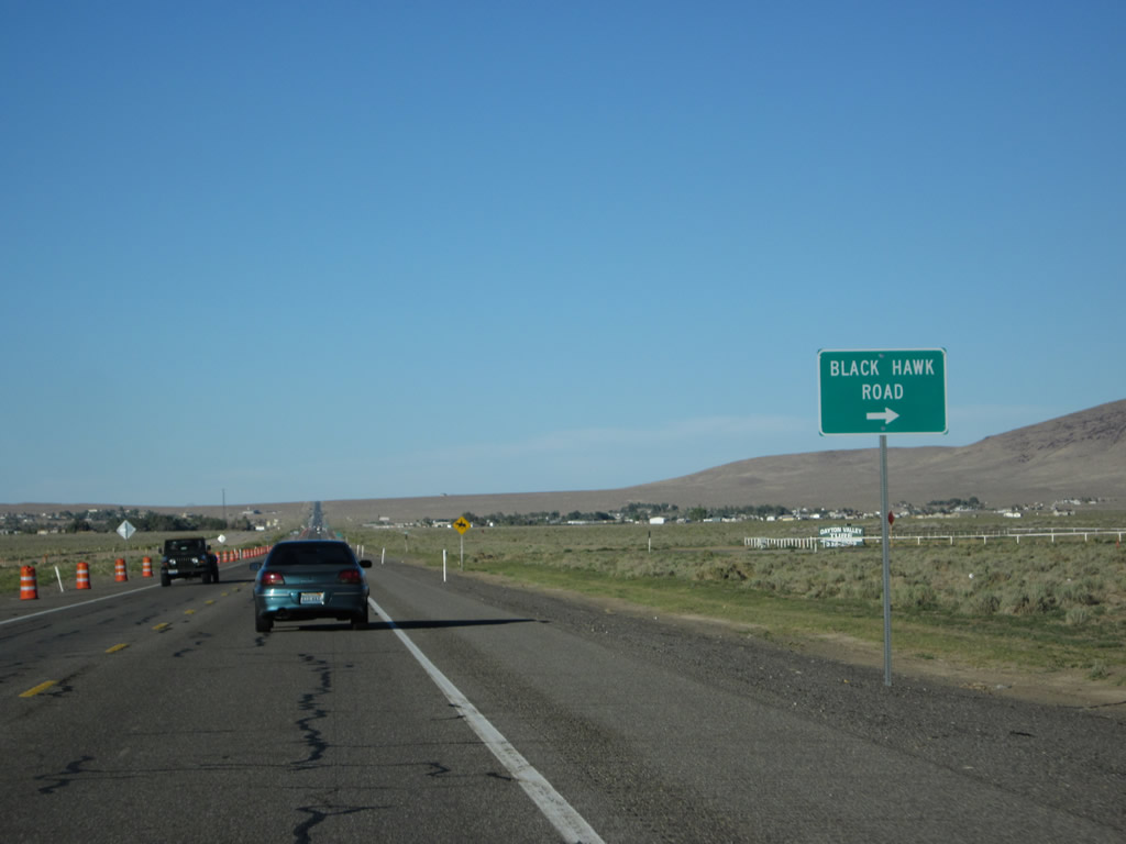
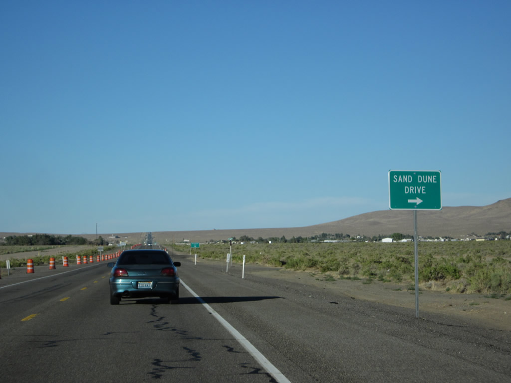
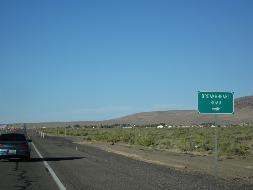
Another series of intersecting side streets meet U.S. 50 at varying intervals as we proceed east through Stagecoach. The busy two lane highway was under construction at the time we passed through the area. Intersections along this segment of U.S. 50 include Caroline Way, Iron Mountain Boulevard, Leegard Avenue, Black Hawk Road, Sand Dune Drive, Breakaheart Road, and Boyer Lane. Photos taken 07/31/12. |
|
|
|
|
|
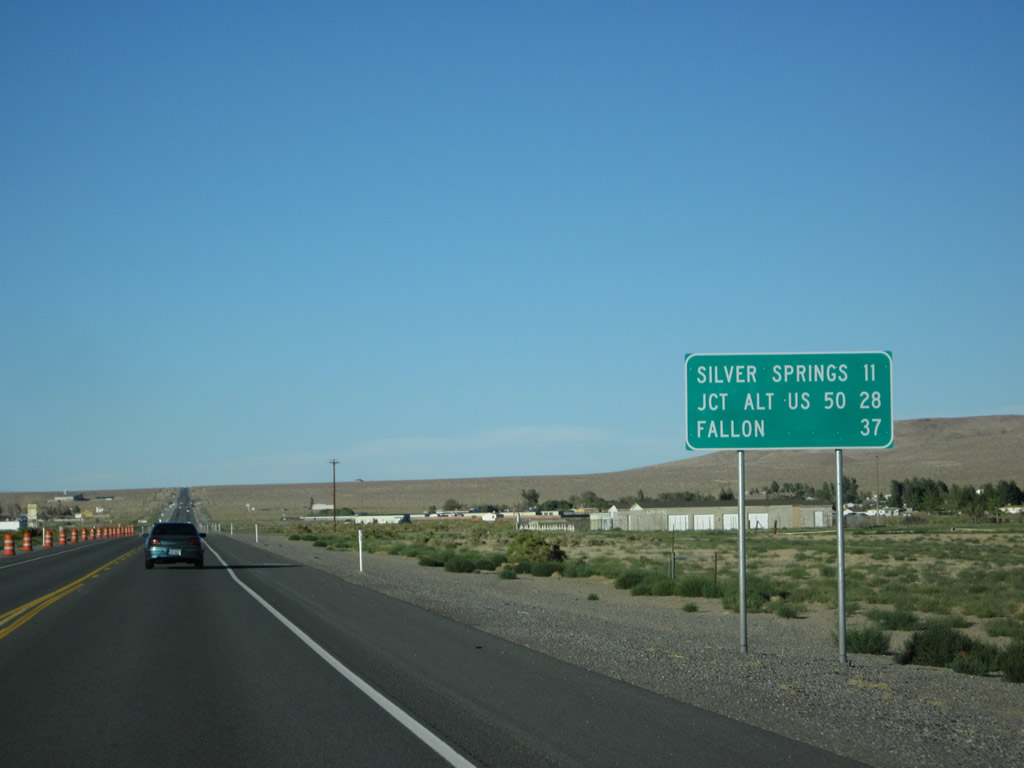
This mileage sign along U.S. 50 east provides the distance to Silver Springs (U.S. 50 Alternate-95), 11 miles; U.S. 50 Alternate (eastern junction), 28 miles; and Fallon (U.S. 95), 37 miles. Photo taken 07/31/12. |
|
|
|
|
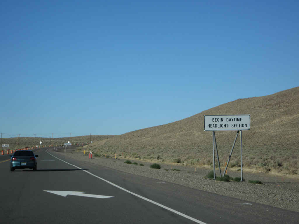
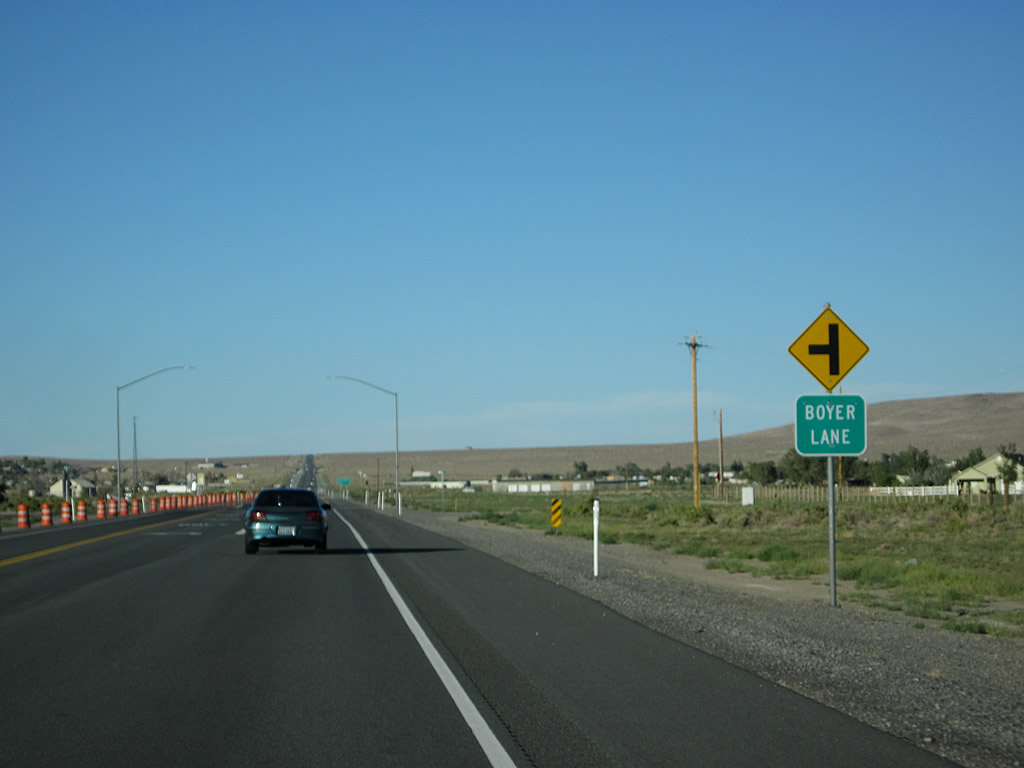
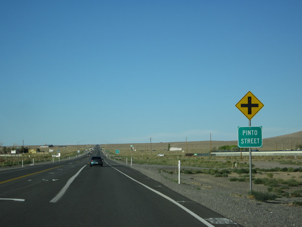
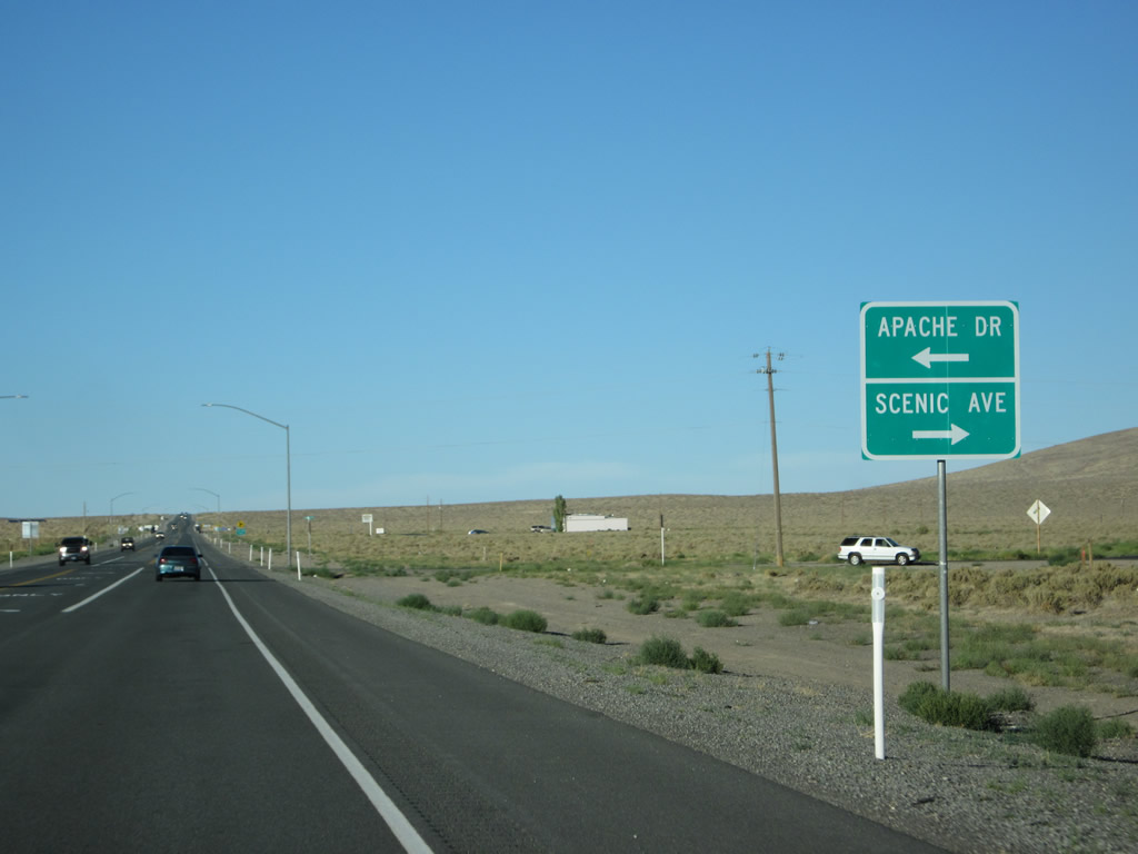
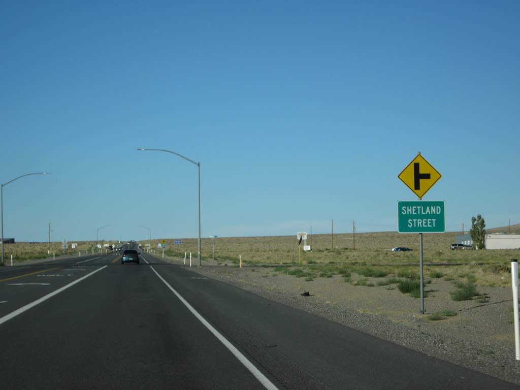
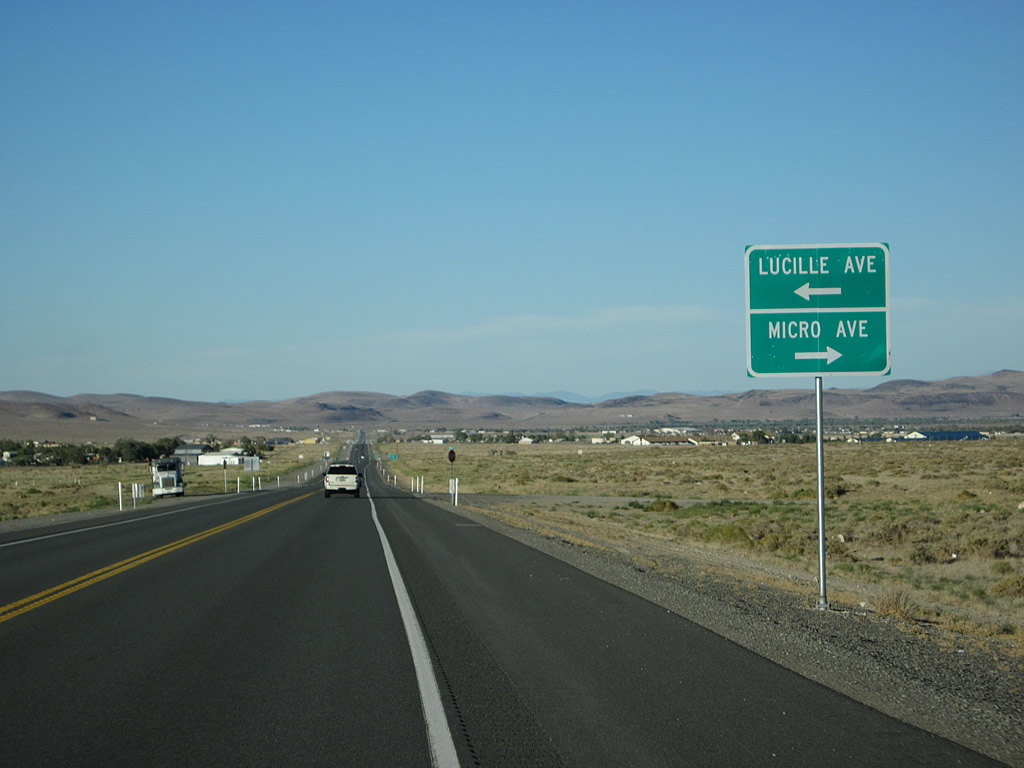
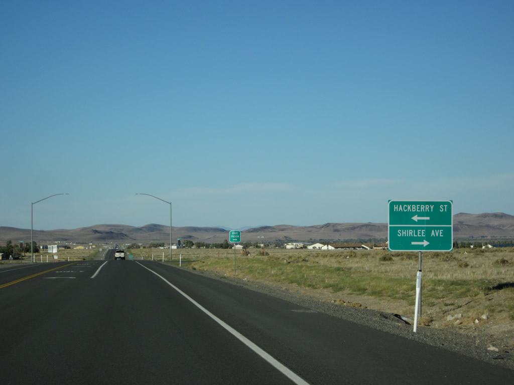
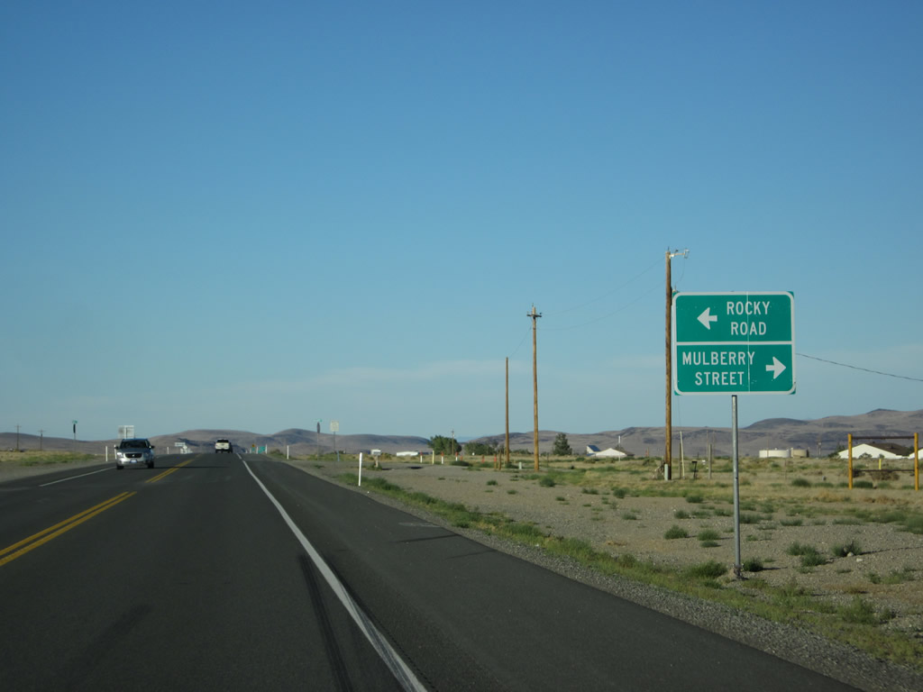
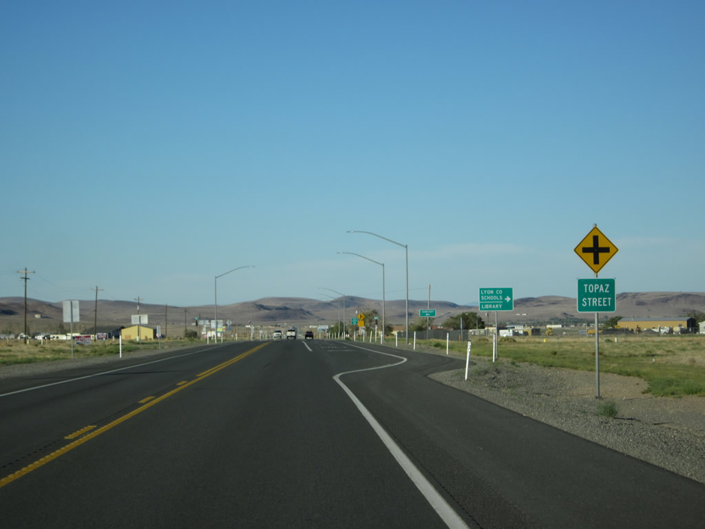
Eastbound U.S. 50/Lincoln Highway continues east through Stagecoach, meeting Pinto Street, Apache Drive/Scenic Avenue; Shetland Street, Cheyenne Trail (note the turnoff to Nevada Historic Marker #117), Stagecoach Drive, Lucille Avenue/Micro Avenue; Hackberry Street/Shirlee Avenue; Rocky Road/Mulberry Street; Topaz Street. All the while, the daytime headlights requirement continues all the way into Silver Springs. Photos taken 07/31/12. |
|
|
|
|
|
|
|
|
|
|
|
|
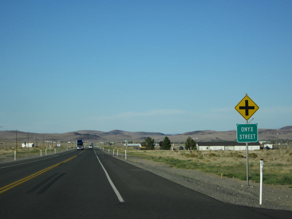
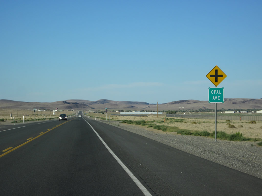
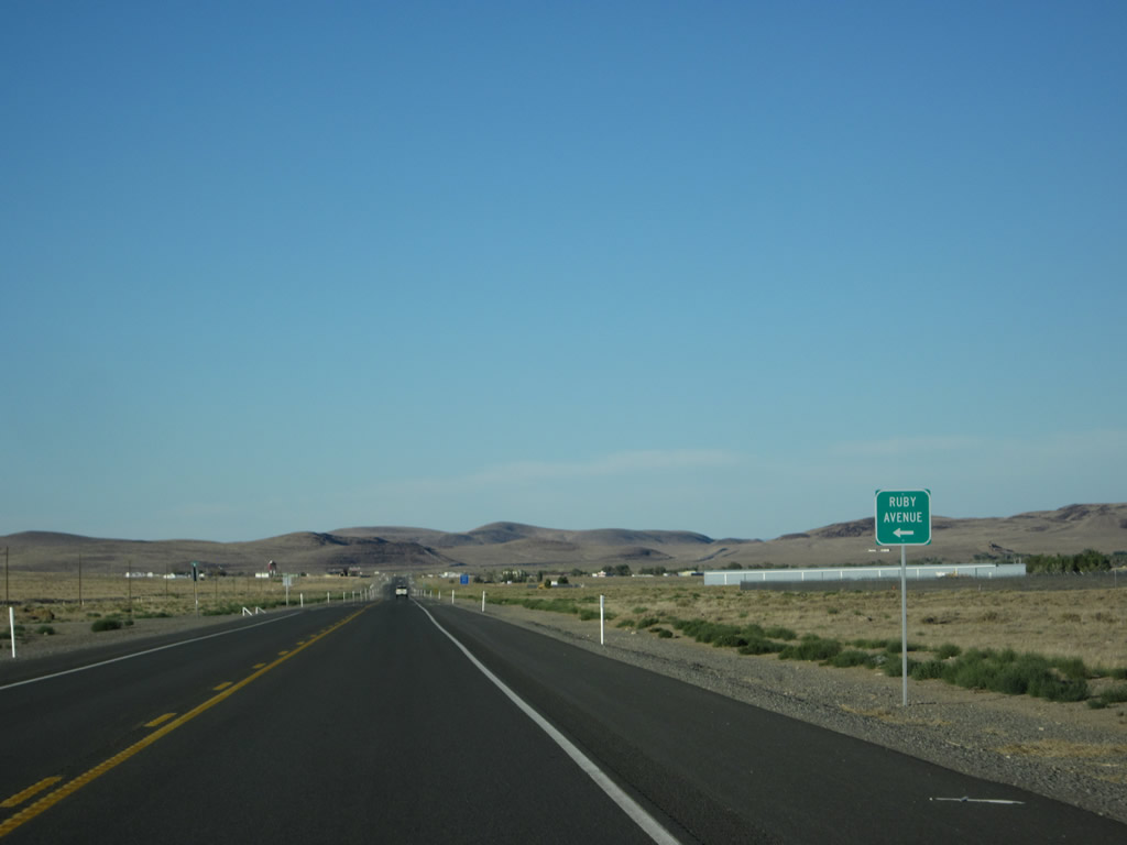
Continuing east, U.S. 50 next approaches Onyx Street, Opal Avenue; and Ruby Avenue. Photos taken 07/31/12. |
|
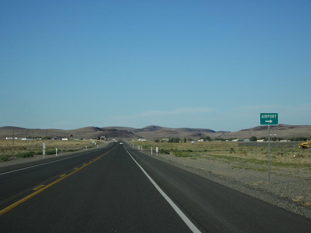
Eastbound U.S. 50/Lincoln Highway next approaches the turnoff to Silver Springs Airport. Photo taken 07/31/12. |
|
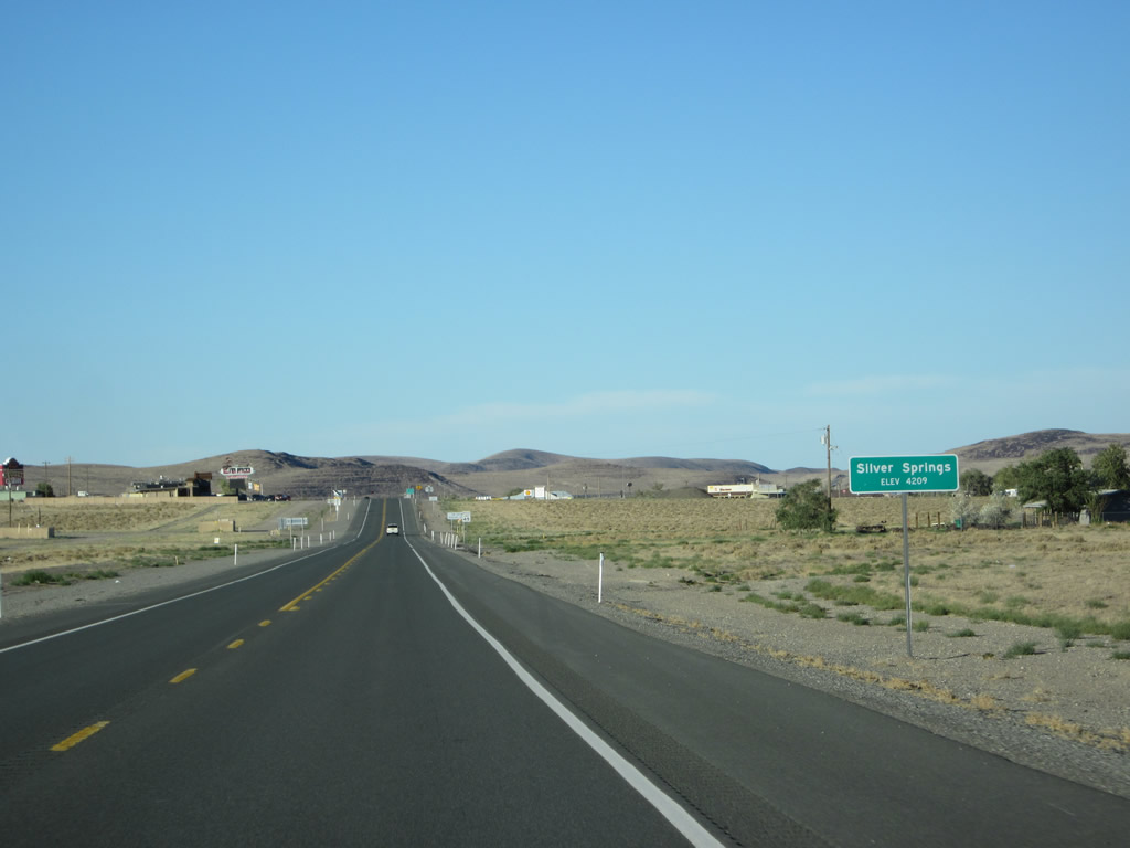
U.S. 50 enters the unincorporated community of Silver Springs (population 5,296 as of the 2010 Census and elevation 4,209 feet above sea level). Photo taken 07/31/12. |
|
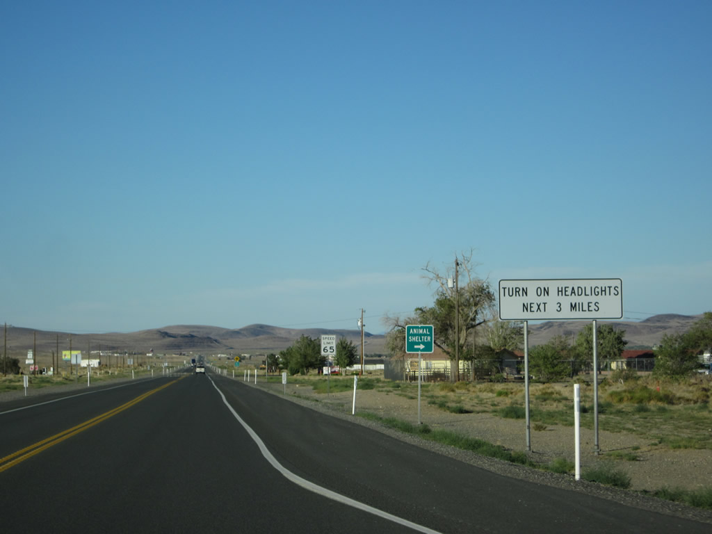
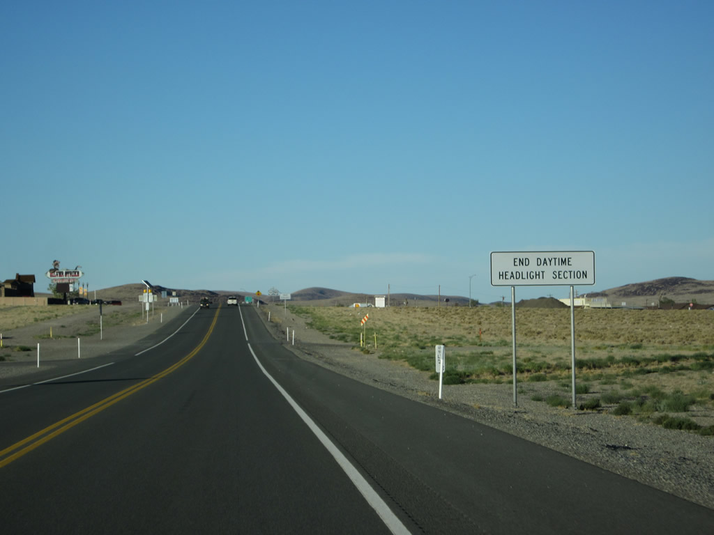
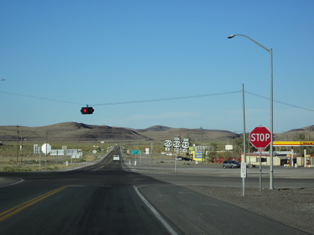
The daytime headlight section ends as we approach the U.S. 50 Alternate-95 intersection in Silver Springs. Photo taken 07/31/12. |
|
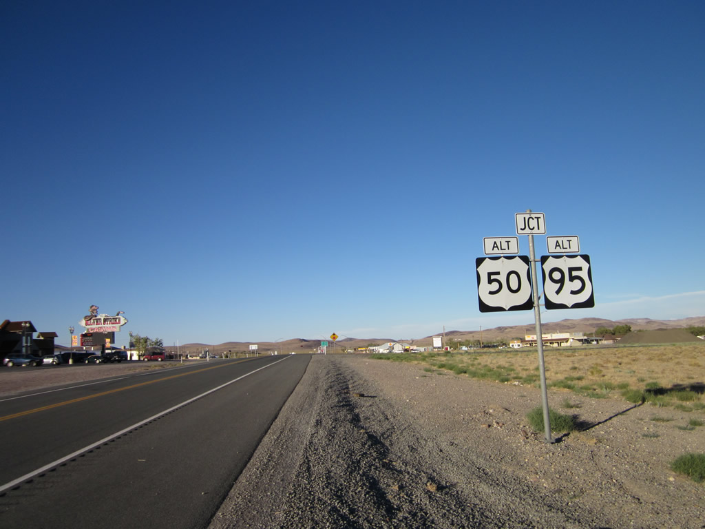
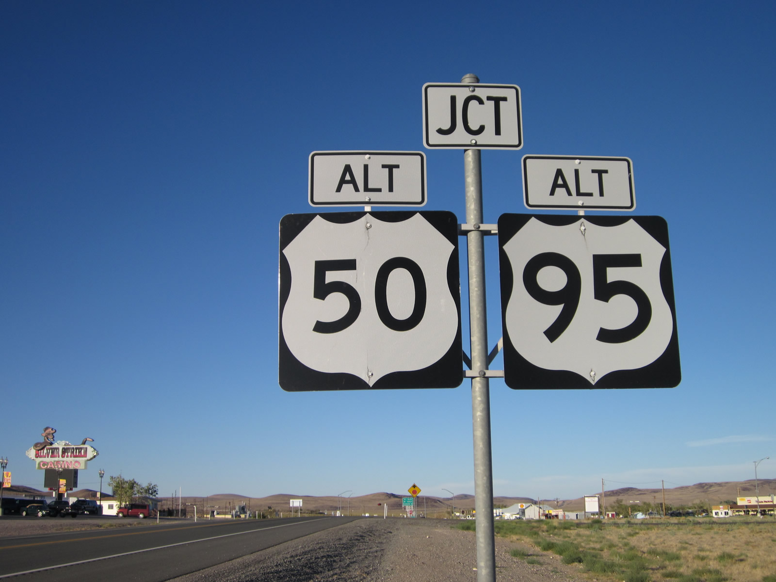
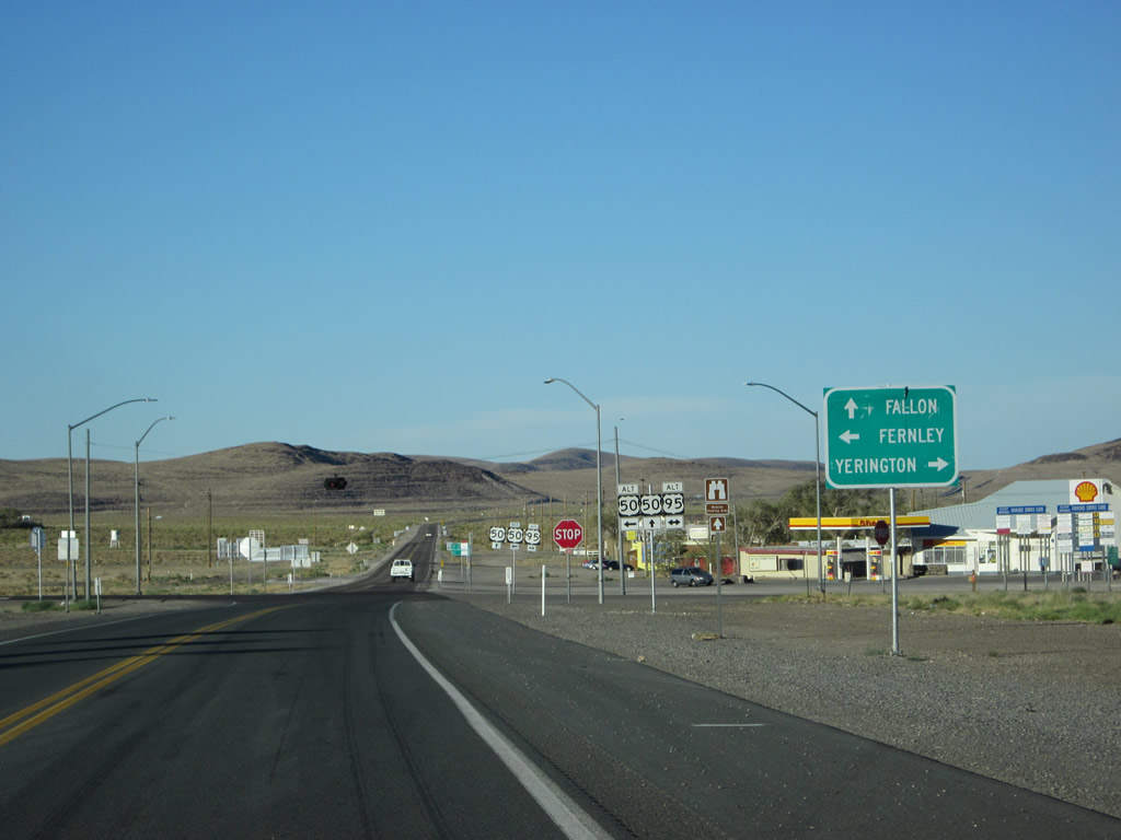
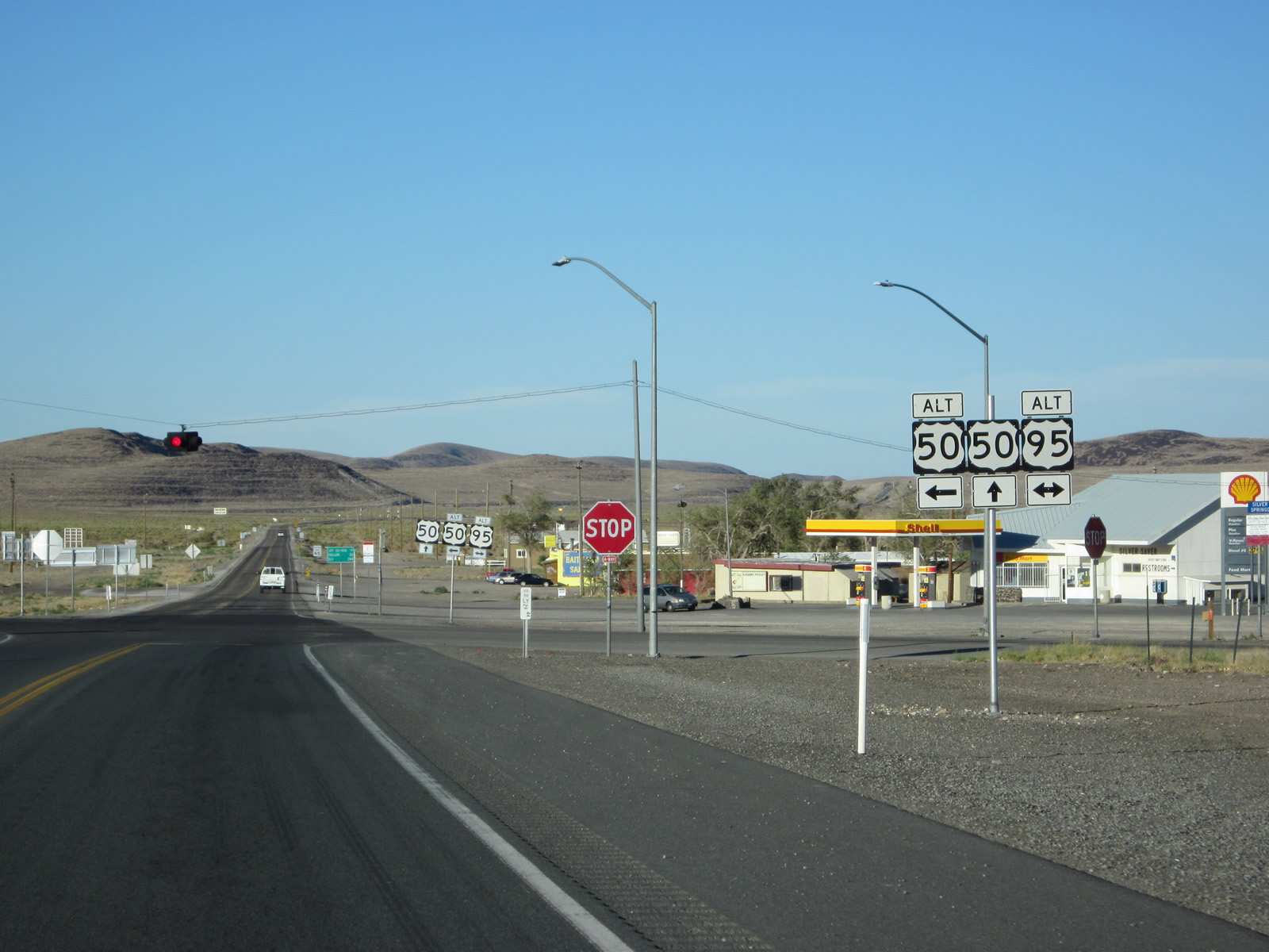
Eastbound U.S. 50 approaches U.S. 50 Alternate and U.S. 95 Alternate at a four-way stop (at least as of 2012). At the stop sign, turn left for U.S. 50 Alternate-95 north to Fernley or turn right for U.S. 95 Alternate south to Yerington and points south via U.S. 95. Photo taken 07/31/12. |
|
This second view showcases the junction signs for U.S. 50 Alternate and U.S. 95 Alternate. Nevada DOT mileposts these routes as U.S. 50A and U.S. 95A, respectively. The shared alignment of U.S. 50A and U.S. 95A to the north is mileposted with U.S. 50A mileage. Visible to the left in this picture is the Silver Strike Casino on the north side of U.S. 50. Photo taken 07/31/12. |
|
A green guide sign points the way to Fernley via U.S. 50 Alternate-95 north, Fallon via U.S. 50, and Yerington via U.S. 95 Alternate south. It is possible to take U.S. 50 Alternate north to Fernley and then east to Fallon, but this route is not as direct as following mainline U.S. 50. The reason for U.S. 50 Alternate is to provide access from U.S. 50 to Fernley and Interstate 80, which passes through Fernley. Photo taken 07/31/12. |
|
|
|
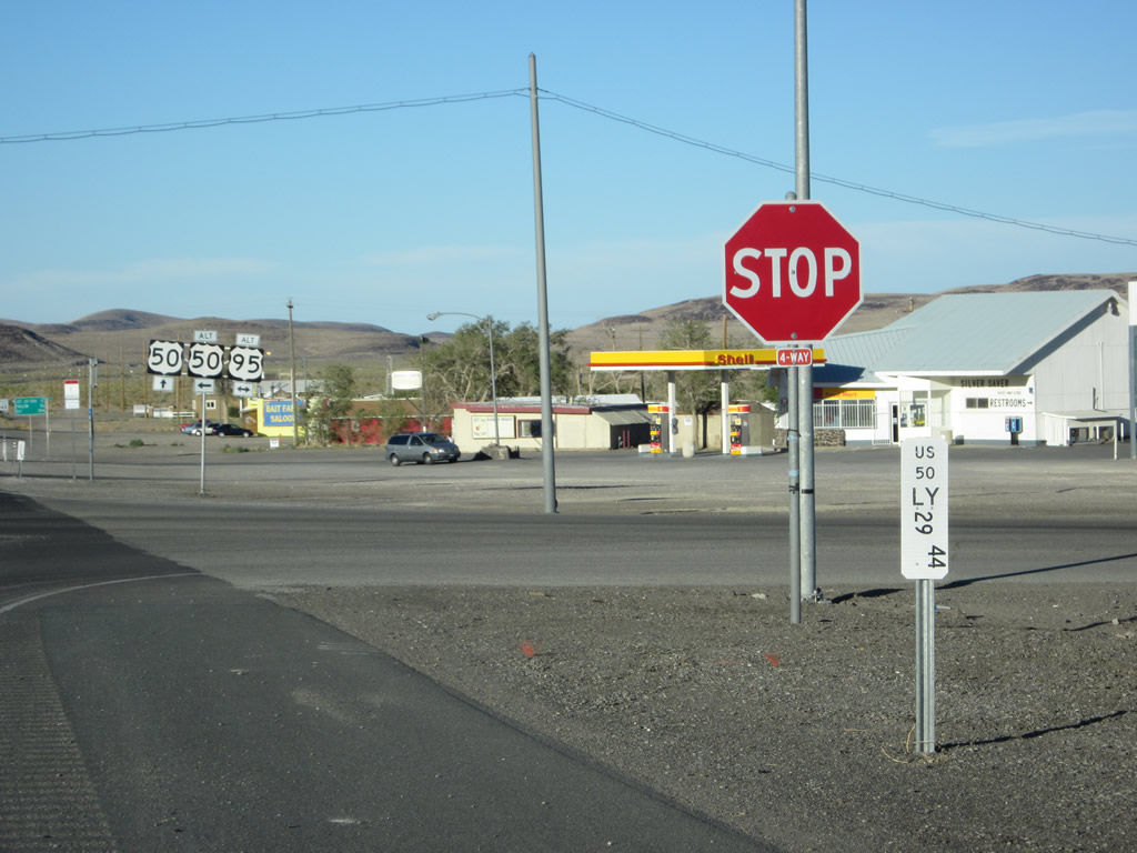
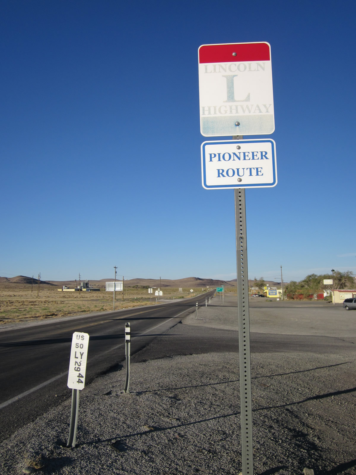
A second and third set of trailblazer shields for U.S. 50 east, U.S. 50 Alternate east, and U.S. 95 Alternate north/south are posted at the four-way stop. A milepost for U.S. 50 (Lyon County - Mile 29.44) is also posted at this intersection. Gas and food are available at this intersection. Continue ahead for Lahontan Reservoir State Recreation Area. Photos taken 07/31/12. |
|
The final set of route markers for U.S. 50, U.S. 50A, and U.S. 95A are located at the southeastern corner of the intersection, after the stop sign. Beyond this point, U.S. 50 heads toward Lahontan Reservoir and eventually to Fallon. Photo taken 07/31/12. |
|
Another Lincoln Highway trailblazer sign is posted along U.S. 50 east after the U.S. 50 Alternate-95 intersection. Photo taken 07/31/12. |
|
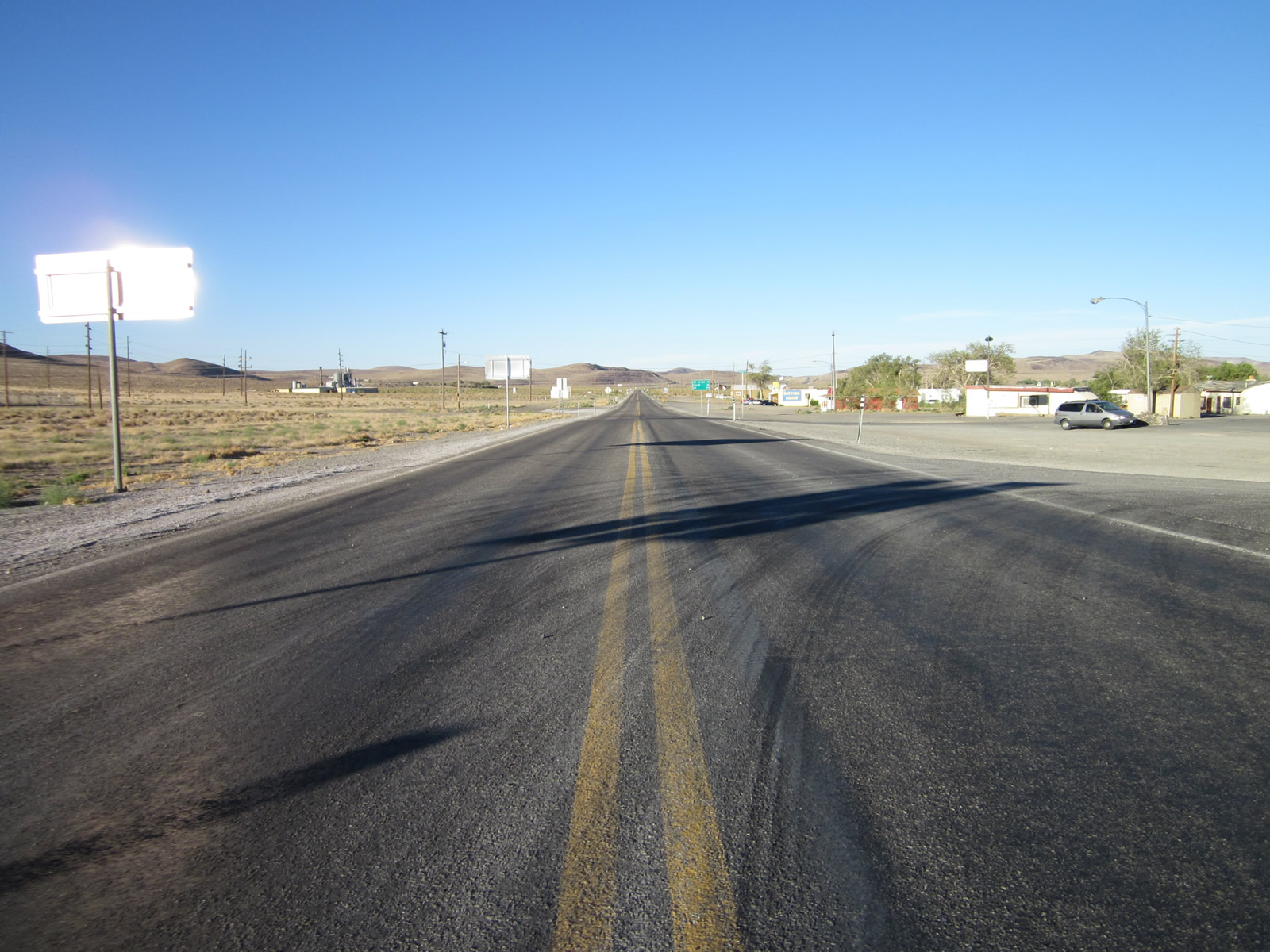
U.S. 50 continues east after the U.S. 50 Alternate-95 intersection in Silver Springs. Photo taken 07/31/12. |
|
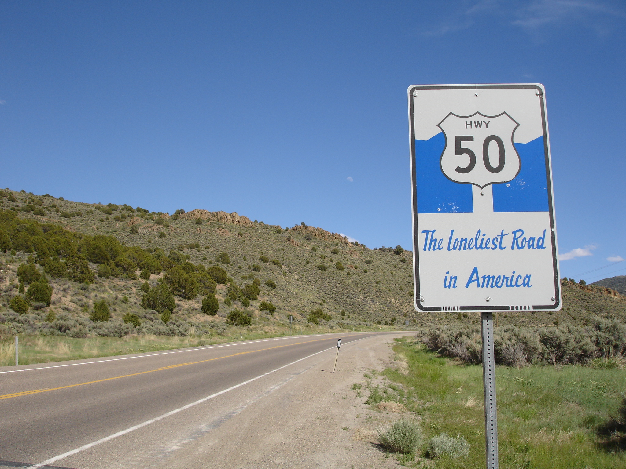
Skipping far ahead ... eastbound U.S. 50 approaches the unincorporated township of Eureka, the seat of Eureka County. The township sits at an elevation of 6,481 feet above sea level, was first settled in 1864, and had a population of 1,103 as of the 2000 Census. A "Loneliest Road" sign is posted as we approach Eureka. Photo taken 06/20/10 by Mark Galbreath. |
|
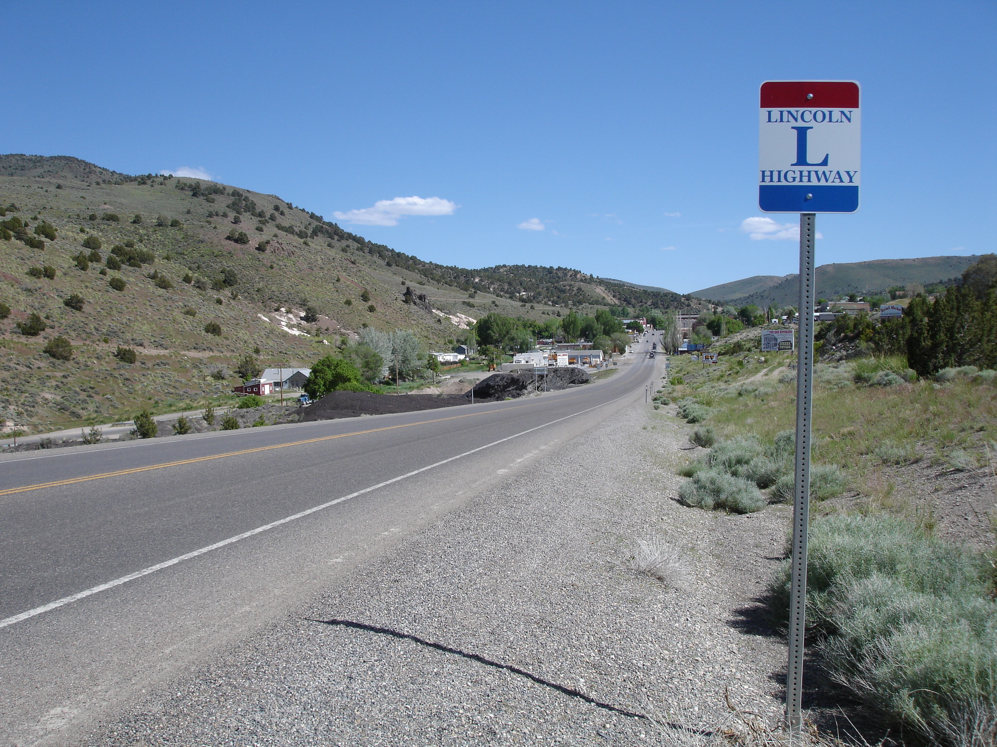
A replica Lincoln Highway marker is posted on eastbound U.S. 50 prior to entering Eureka. Located in the Diamond Mountains, downtown Eureka has several historical structures, some of which date back to the 1800s. The economy of the area is based on mining. Photo taken 06/20/10 by Mark Galbreath. |
|
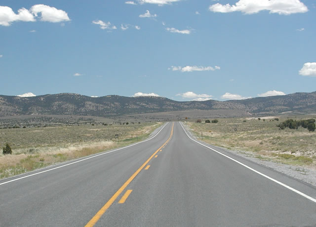
East of Eureka, eastbound U.S. 50 passes through a valley as it approaches the distant Little Antelope Pass between Eureka and Ely. Even a valley vista provides a magnificent view of the surrounding landscape along the Loneliest Highway. Photo taken by Ian Yates, 11/01/04. |
| U.S. 6-50 east & 93 south |
|
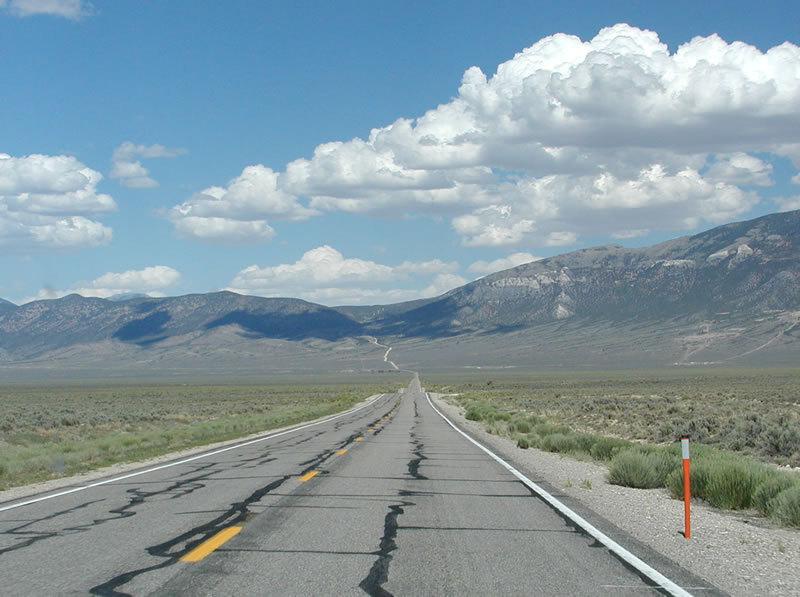
After departing the city of Ely, eastbound U.S. 6-50 and southbound U.S. 93 plies through the scenic Great Basin near Connors Pass. Empty scenes such as this one are common, and traffic is minimal. The next town of significance along U.S. 6-50 is Baker, near Great Basin National Park. U.S. 93 will split from U.S. 6-50 at Majors Place, then follow the Great Basin Highway south toward Pioche in Lincoln County. Photo taken by Ian Yates, 11/01/04. |
|
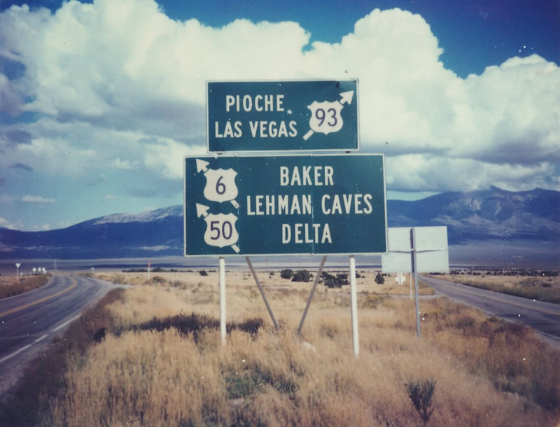
Eastbound U.S. 6-50 and U.S. 93 split here, at Majors Place. This photo, taken by Michael Summa, shows original Nevada signage that is no longer in use. Photo date unknown, presumably late 1970s. |
| U.S. 6 & 50 east |
|
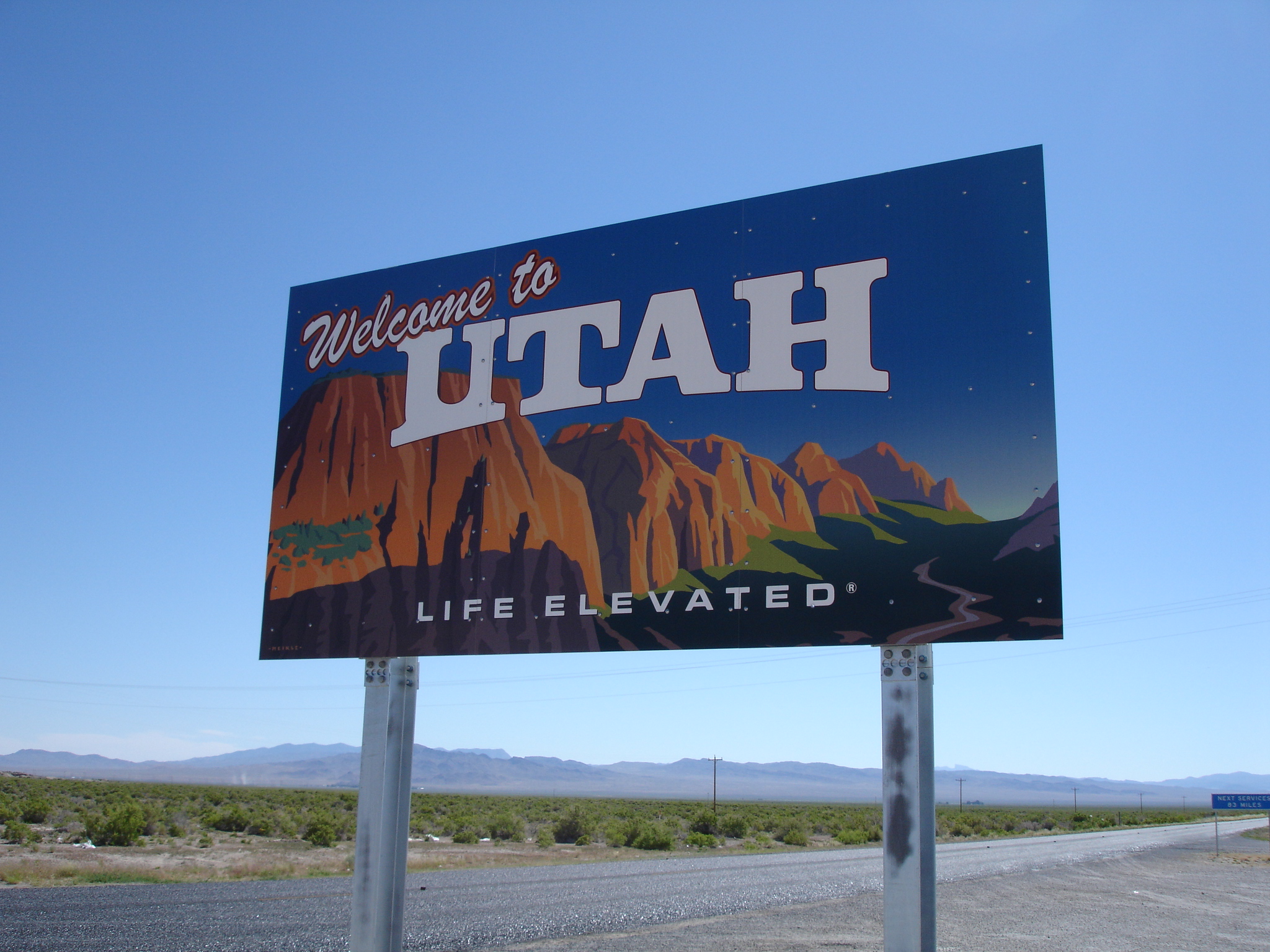
After the Nevada 487 intersection near Baker, U.S. 6-50 leave the state of Nevada and enter the state of Utah. Photo taken 07/01/10 by Mark Galbreath. |
Page Updated August 10, 2012.