| U.S. 95 south |
|---|
|
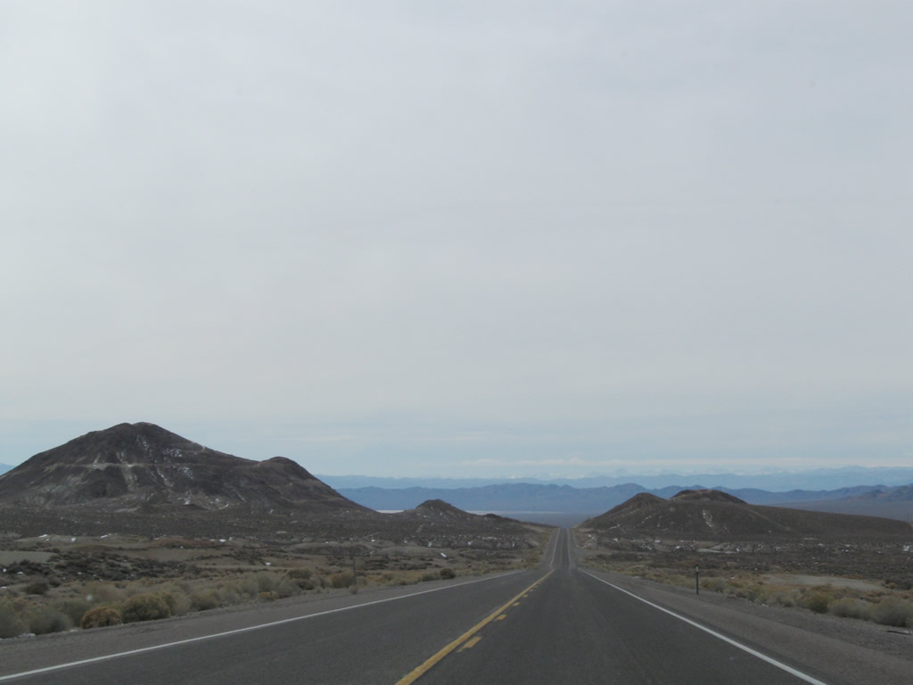
This series of photos follows U.S. 95 south from Tonopah to Goldfield. Photo taken 11/11/08. |
|
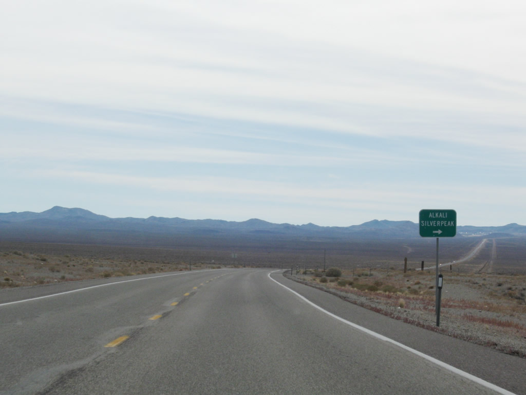
Southbound U.S. 95 approaches Silver Peak Road, a locally maintained road that travels west to Alkali and Silver Peak. At Silver Peak, the highway meets Nevada 265, which travels north to meet U.S. 6-95 east of Coaldale Junction. Photo taken 11/11/08. |
|
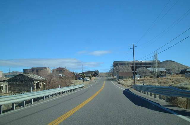
Some distance ahead, U.S. 95 south approaches the Esmeralda County seat of Goldfield. Photo taken 11/11/08. |
|
|
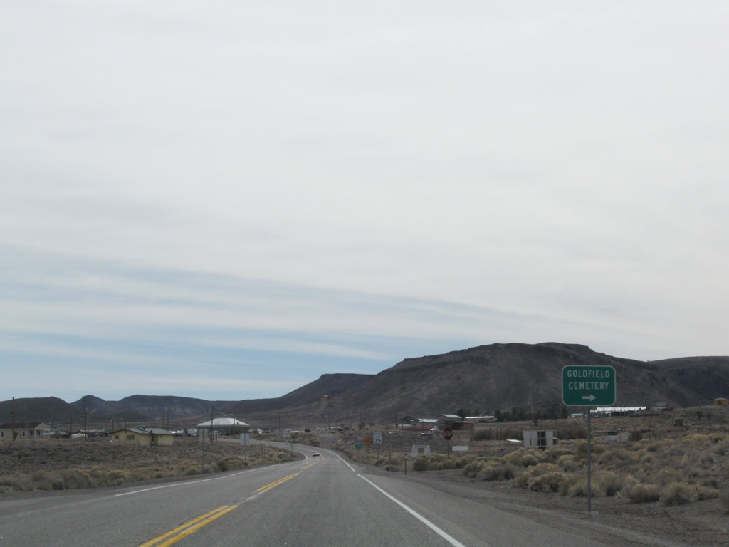
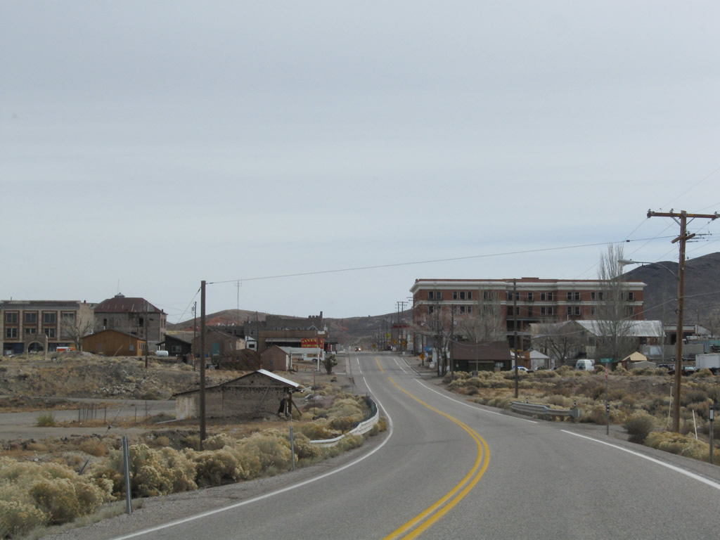
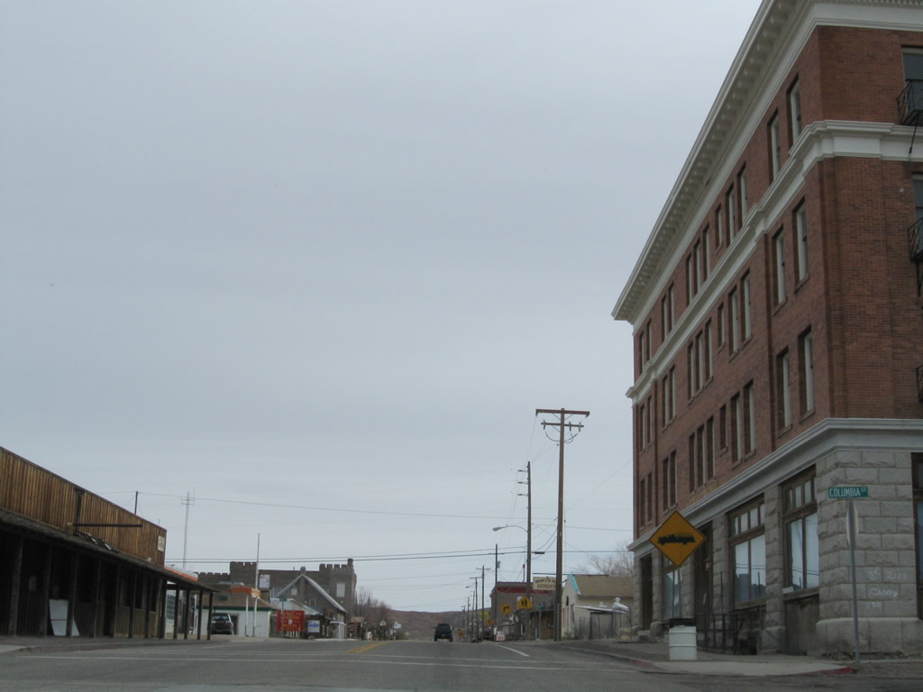
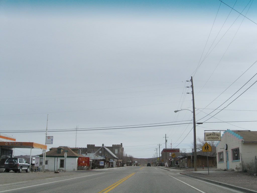
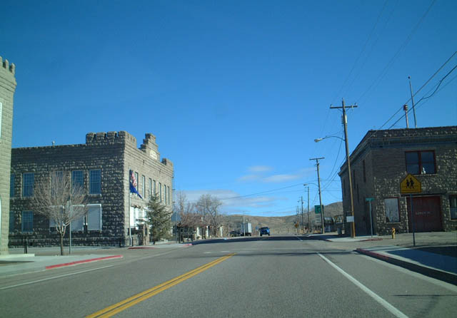
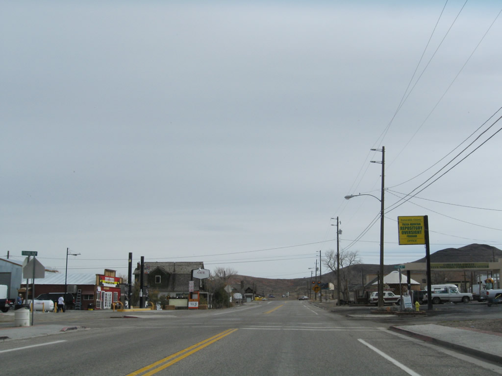
Southbound U.S. 95 enters the unincorporated town of Goldfield (elevation 5,690 feet above sea level). This historic mining town -- founded in 1902 and briefly a booming metropolis due to the discovery of gold -- is misindentified by some as a ghost town (implying no residents and plenty of abandoned buildings). However, the town is still very much alive and has a population of 440 as of the 2000 Census. Many of the unoccupied buildings are planned for restoration as part of a plan to increase tourism to this historic town. Photos taken 11/11/08 and 01/20/02. |
|
|
|
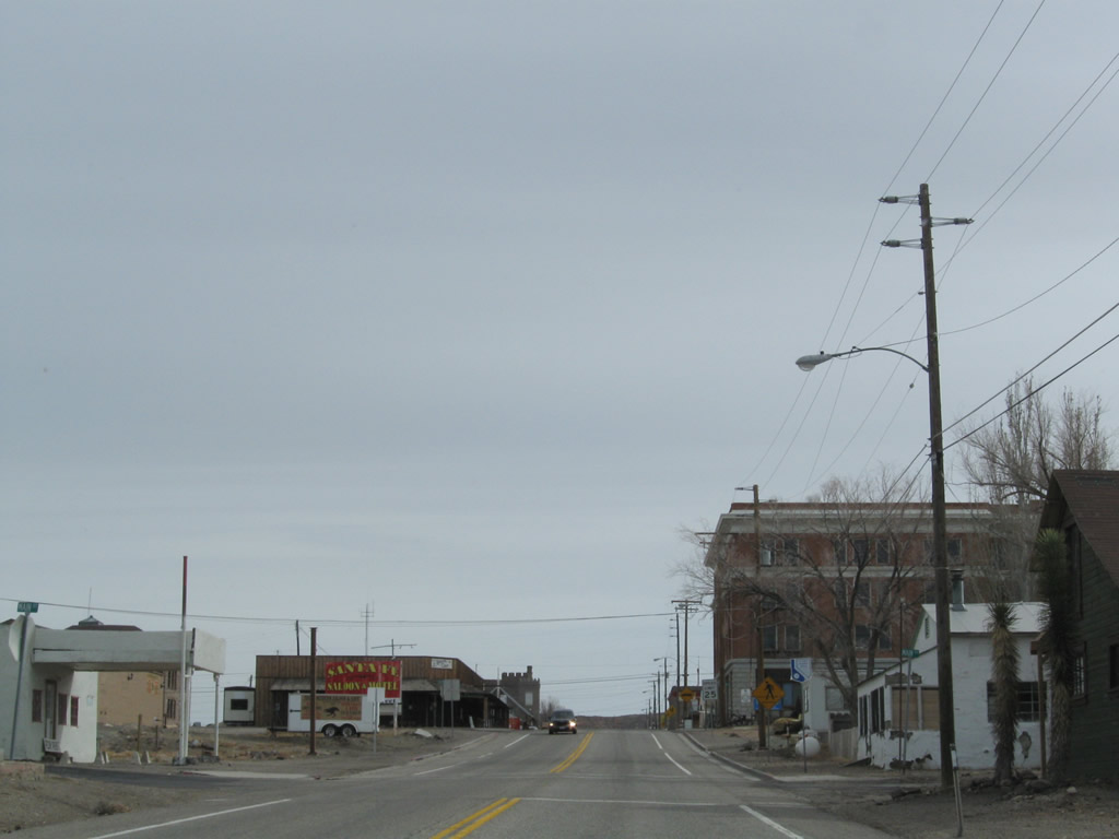
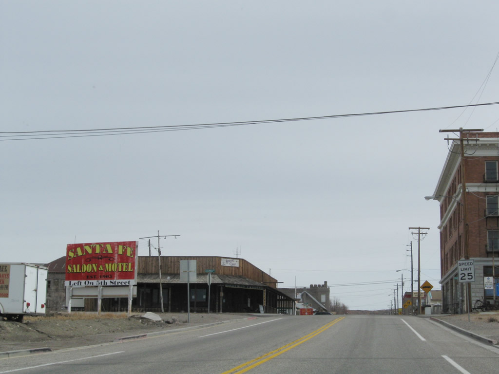
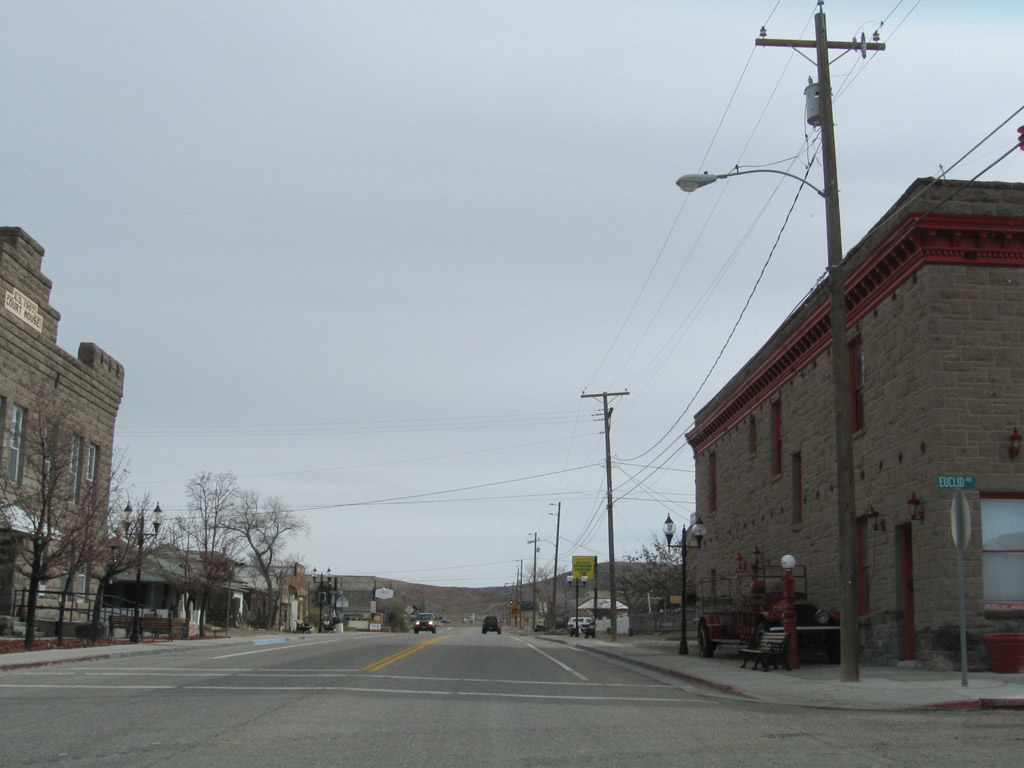
U.S. 95 serves as the main street through downtown Goldfield via Crook Street. The U.S. highway travels due east through Goldfield before turning south again on Sundog Avenue. The historic Goldfield Hotel is located on the south side of the highway. At the southeast corner of the intersection between Crook Street and Euclid Avenue is the Esmeralda County Court House. Photos taken 11/11/08 and 01/20/02. |
|
|
|
|
|
|
|
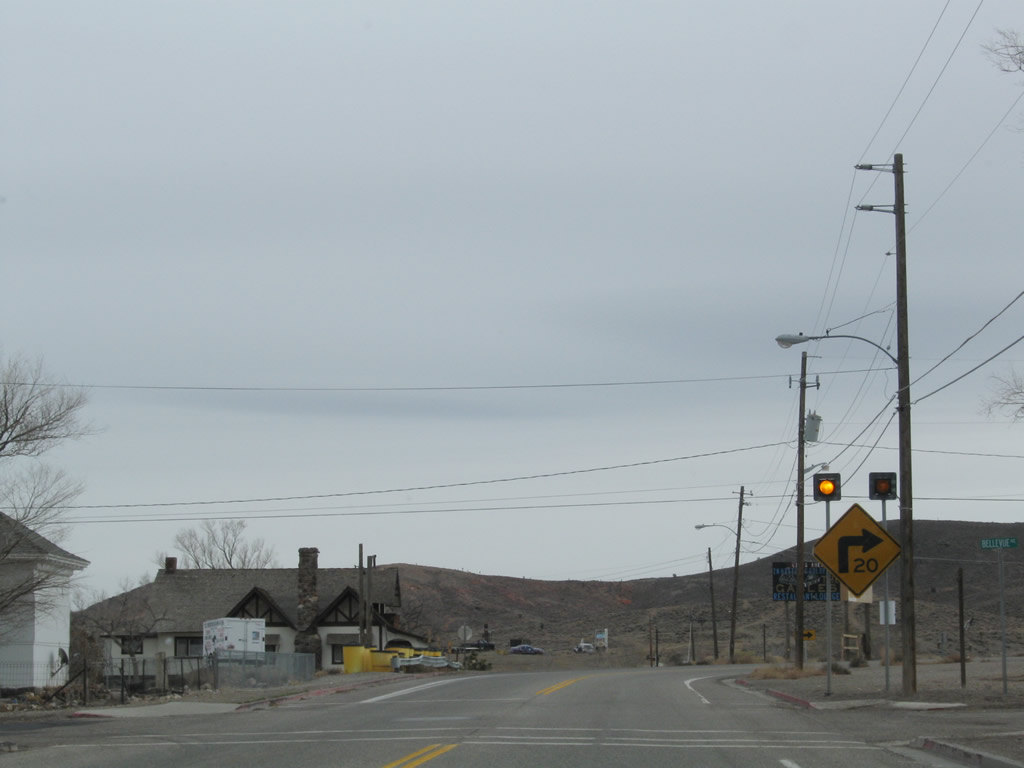
U.S. 95 makes a sharp turn from Crook Street onto Sundog Avenue just east of downtown Goldfield. Photo taken 11/11/08. |
|
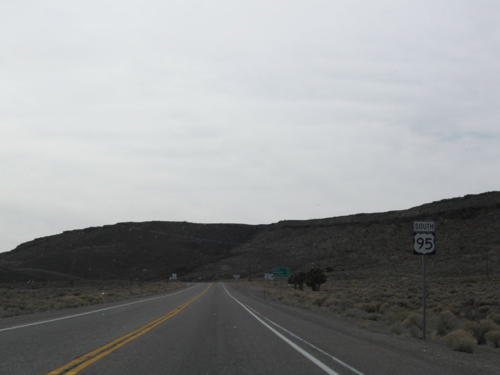
This U.S. 95 south reassurance shield is posted on the highway as we leave Goldfield. Photo taken 11/11/08. |
|
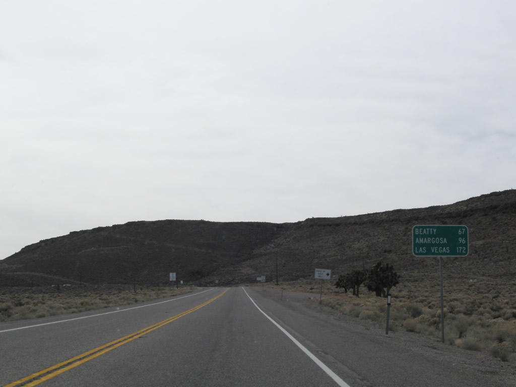
A mileage sign provides the distance to Beatty (67 miles), Amargosa (96 miles), and Las Vegas (172 -- 182? -- miles). Photo taken 11/11/08. |
|
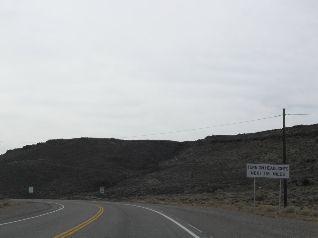
Headlights must be turned on for the next 118 miles along U.S. 95/Bonanza Highway south. Photo taken 11/11/08. |
|
|
|
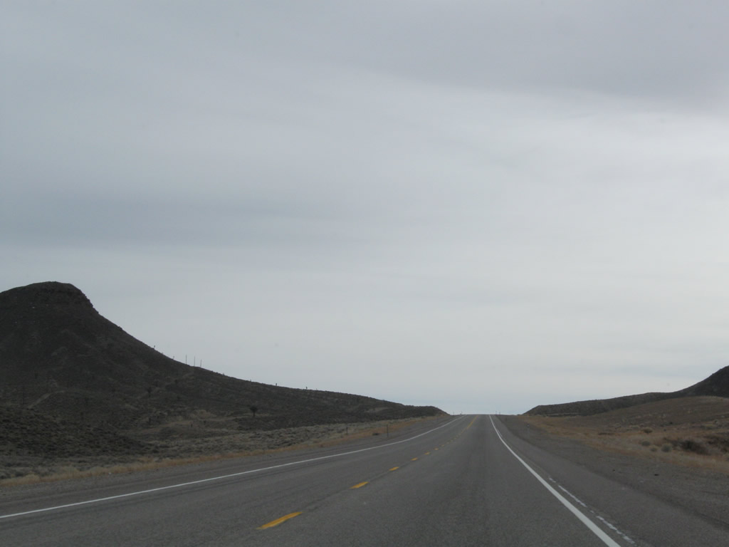
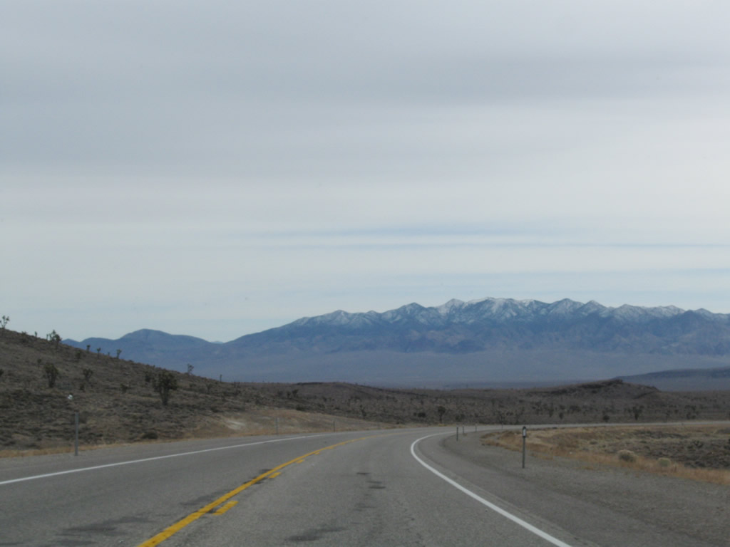
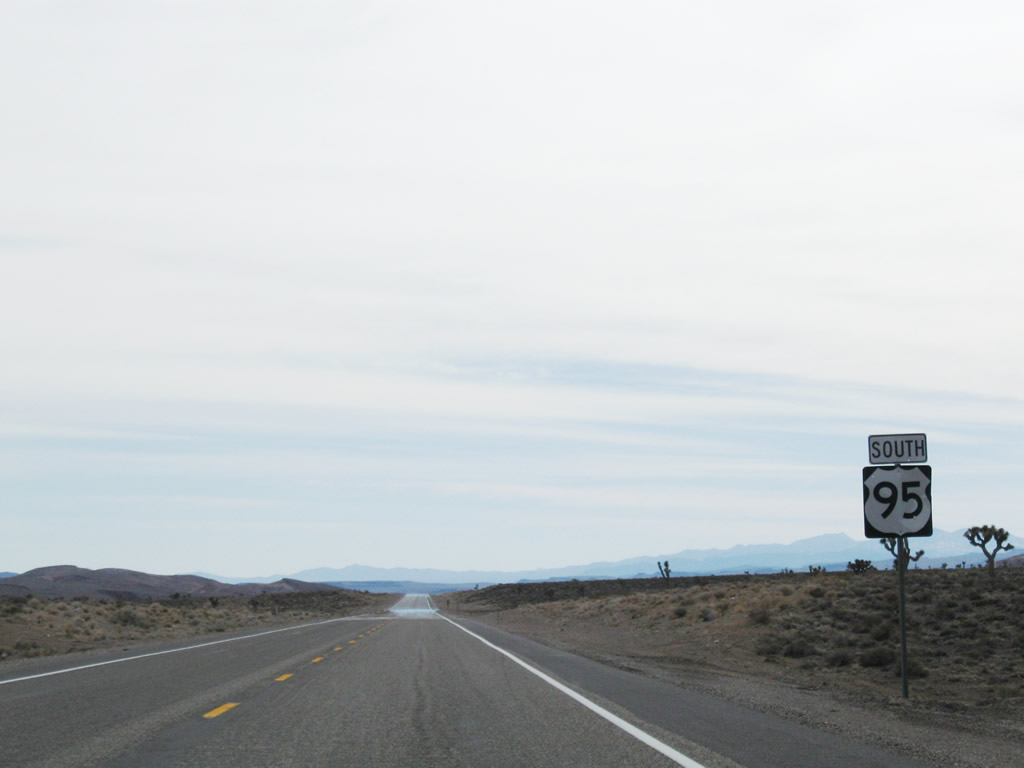
This series of photos follows U.S. 95 through rural Esmeralda County between Goldfield and Lida Junction (Nevada 266). To the east lie the Chispa Hills, while to the west are the Goldfield Hills and Cuprite Hills. For the first time, Joshua trees appear on the sides of the road as we approach Lida Junction. Photos taken 11/11/08. |
|
|
|
|
|
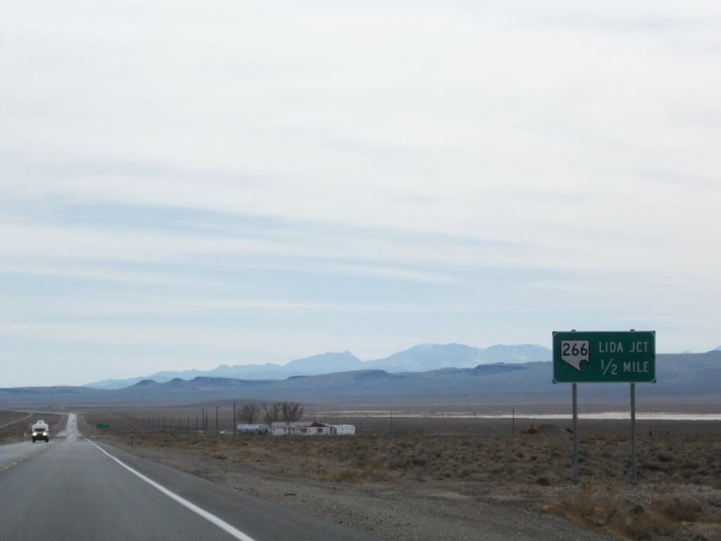
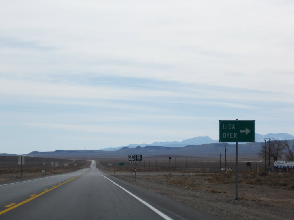
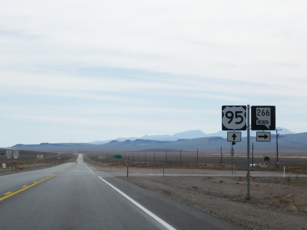
The next state route junction along U.S. 95 is with Nevada 266 at Lida Junction. Nevada 266 travels west to Lida and Palmetto before crossing into California, where it becomes California 266 en route to Oasis in Fish Lake Valley. Photos taken 11/11/08. |
|
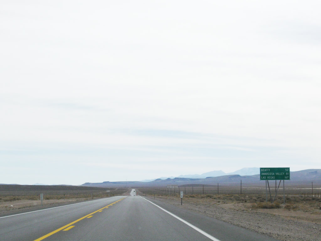
A mileage sign provides the distance to Beatty (52 miles), Amargosa (81 miles), and Las Vegas (167 miles). Photo taken 11/11/08. |
|
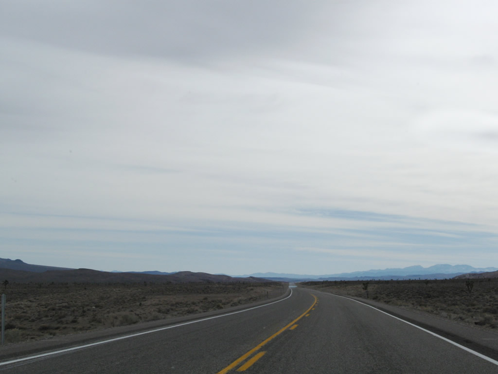
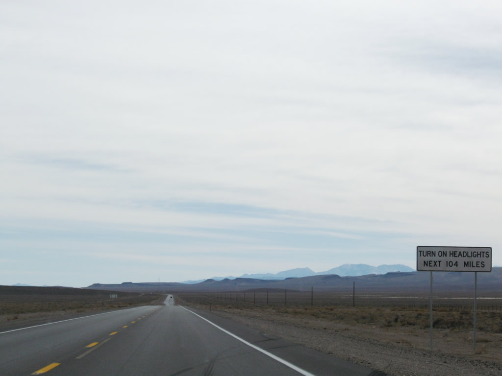
The daytime headlights safety zone continues for another 104 miles. Photo taken 11/11/08. |
Page Updated February 15, 2010.